Trails in Austria
9,777 hiking trails, each with its route, climb, walking time and grade.
All trails, page 203 of 204
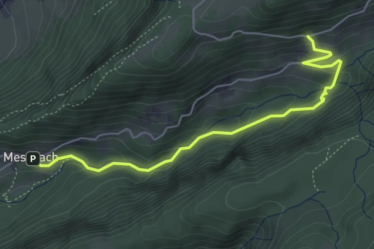
Easy · Trail
Meschach – Berghof
4.8 km · ↑ 289 m · 1 h 46 min
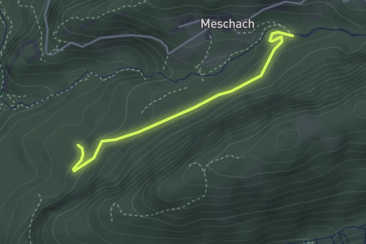
Easy · Trail
(St. Arbogast) – (Berghof)
2.9 km · ↑ 120 m · 57 min
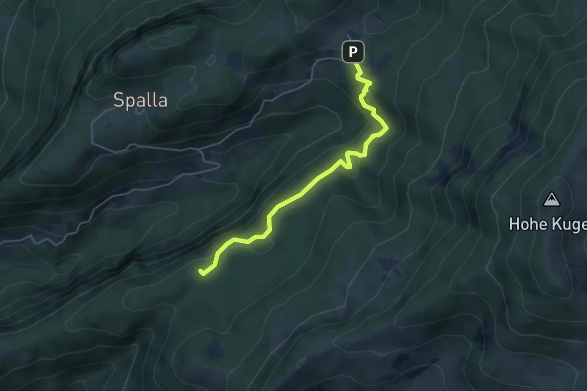
Demanding · Summit
Götzner Moos – Millrütte
4.1 km · ↑ 174 m · 1 h 21 min
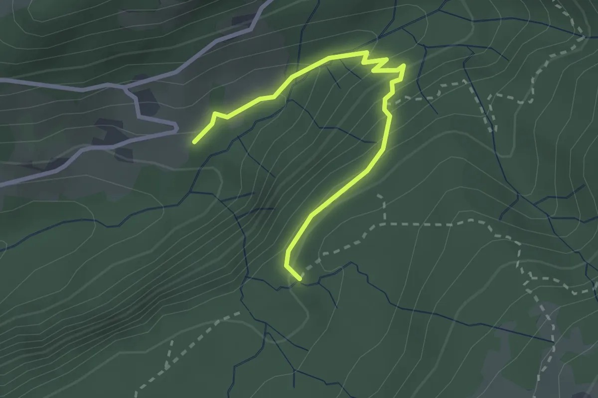
Easy · Trail
(Berghof) – (Götzner Moos)
2.5 km · ↑ 187 m · 59 min
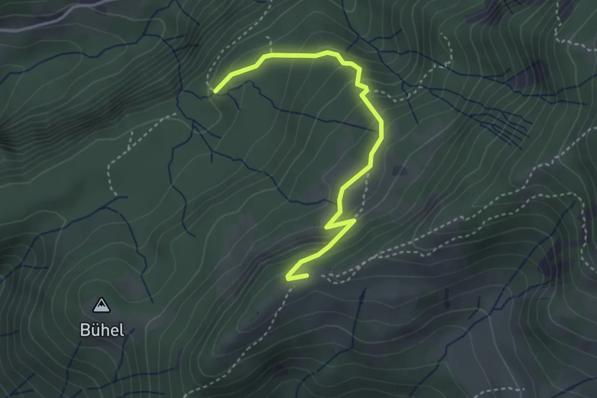
Easy · Trail
Götzner Moos – Alpe Maiensäß
3.3 km · ↑ 280 m · 1 h 24 min
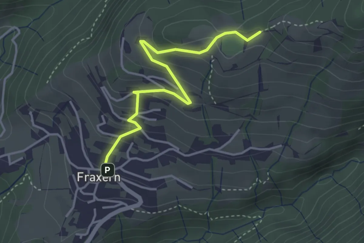
Easy · Trail
Fraxern Dorfplatz – Fraxern Sportplatz
3.5 km · ↑ 198 m · 1 h 15 min
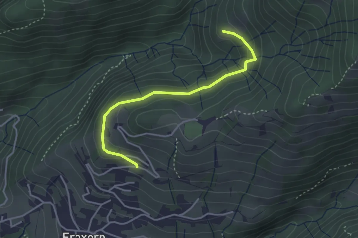
Easy · Trail
(Fraxern Dorfplatz) – Ramisols
3.1 km · ↑ 116 m · 59 min
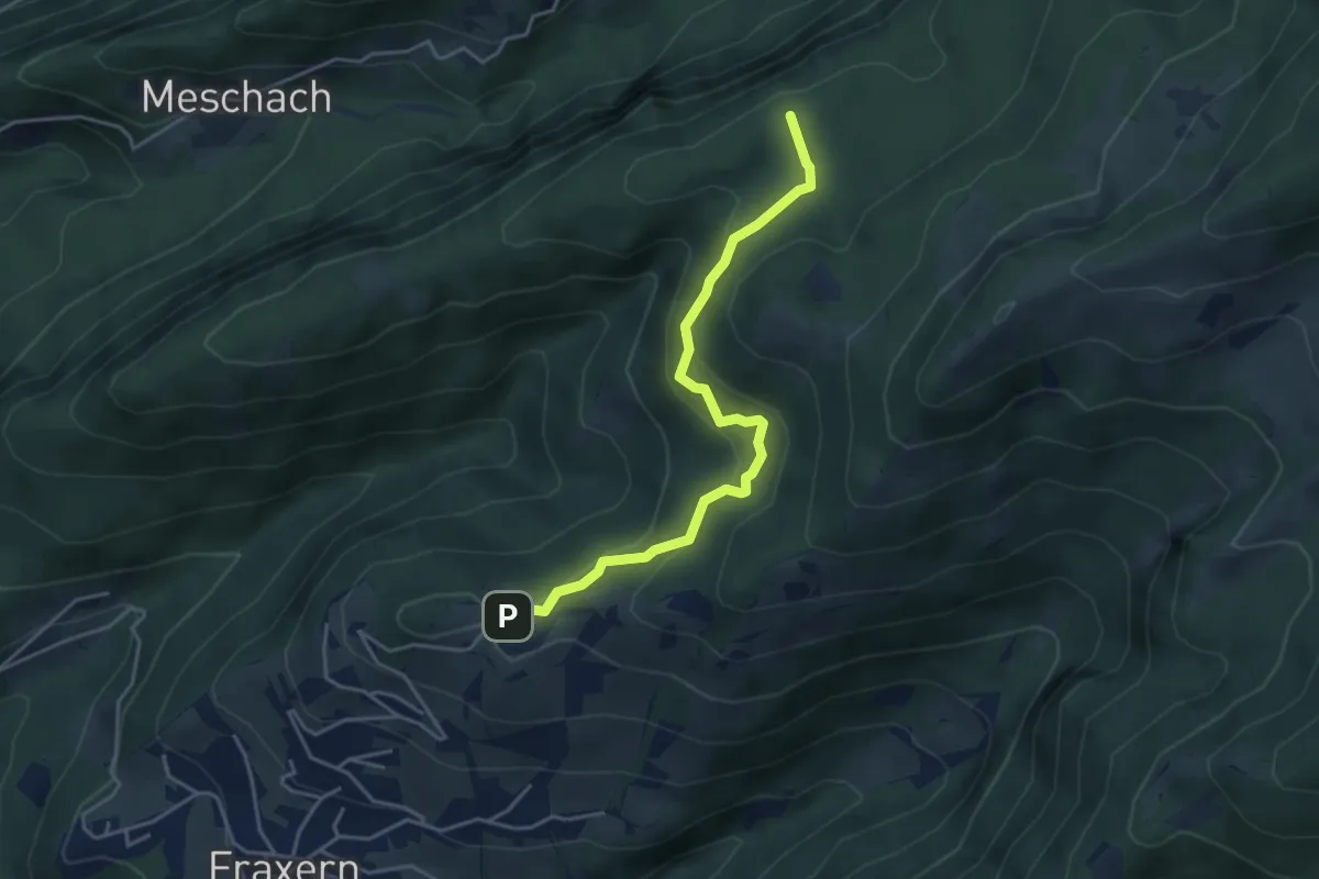
Easy · Summit
Fraxern Sportplatz – Götzner Moos
4.1 km · ↑ 122 m · 1 h 13 min
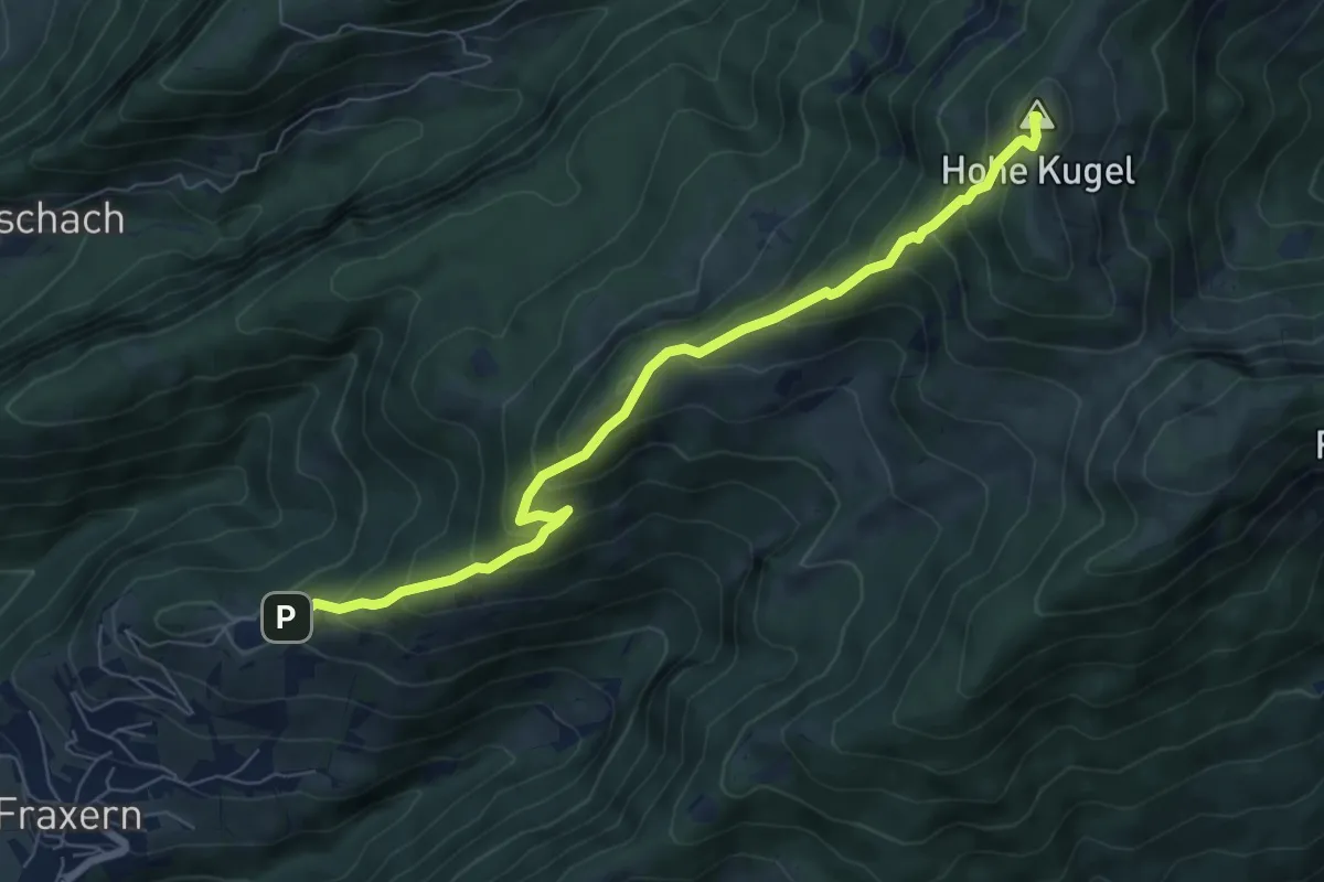
Medium · Summit
Fraxern Sportplatz – Hohe Kugel
7.1 km · ↑ 623 m · 3 h 1 min
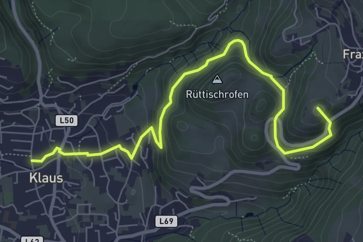
Medium · Summit
Klaus – Fraxern
6.8 km · ↑ 339 m · 2 h 21 min
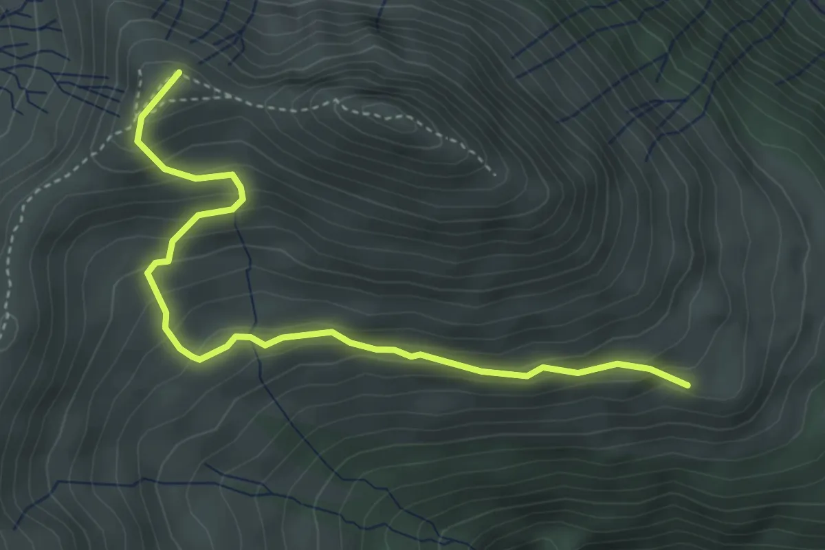
Medium · Summit
Seejöchle – Seraalpe
4.2 km · ↑ 326 m · 1 h 42 min
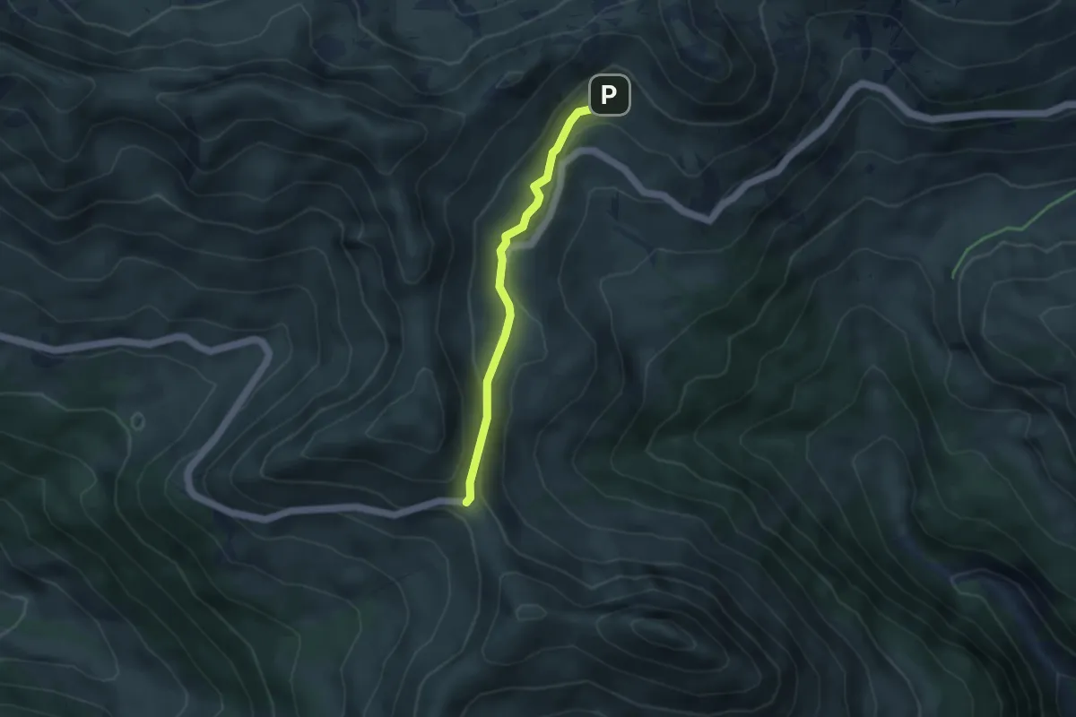
Easy · Trail
Furkajoch – Portlaalpe
3.4 km · ↑ 86 m · 59 min
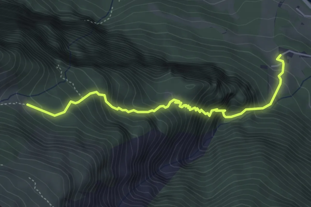
Demanding · Trail
Müß – Küngsmaisäß
4.7 km · ↑ 623 m · 2 h 27 min
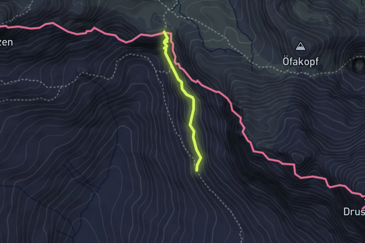
Demanding · Trail
Schweizer Tor – Chilchli
2.1 km · ↑ 268 m · 1 h 4 min
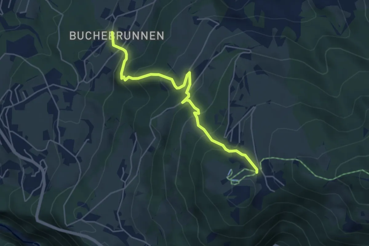
Medium · Trail
(Buchebrunnen) – (Furx)
4.5 km · ↑ 434 m · 2 h
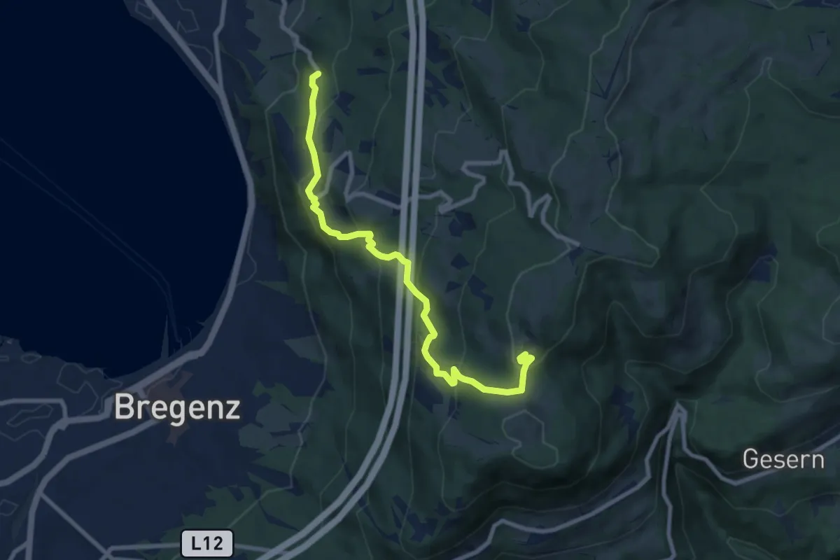
Medium · Trail
Lochau Haggen – Pfänder
8.1 km · ↑ 494 m · 2 h 59 min
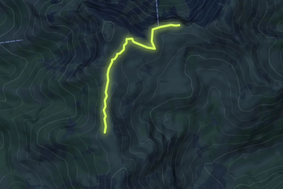
Medium · Summit
Altenhofalpe – Binnelalpe
3.6 km · ↑ 172 m · 1 h 13 min
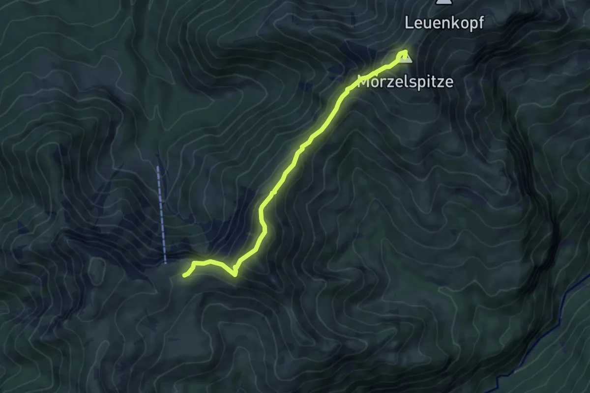
Medium · Summit
Altenhofalpe – Mörzelspitze
6.5 km · ↑ 591 m · 2 h 49 min
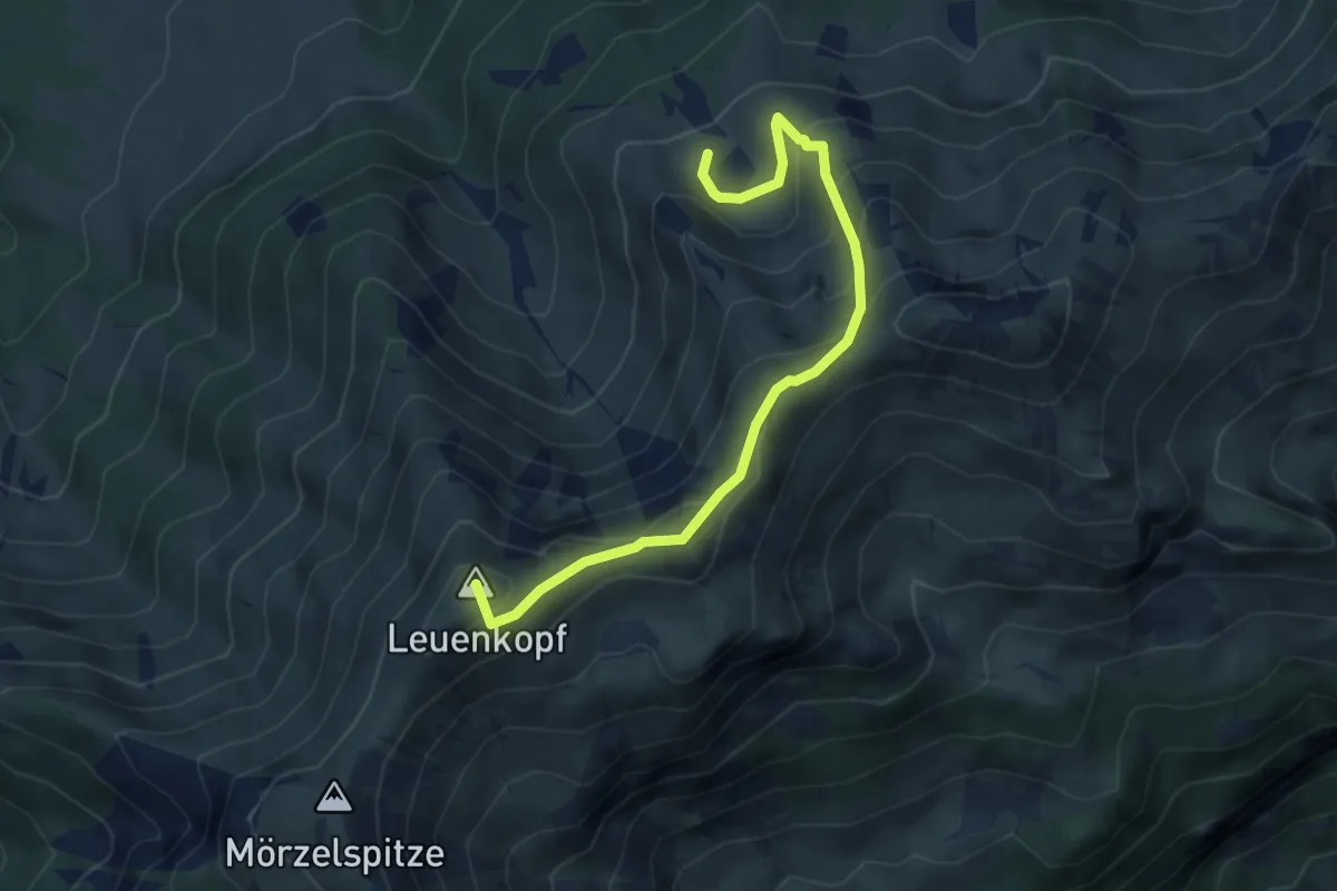
Expert · Summit
Obersehrenalpe – Mörzelspitze
4.6 km · ↑ 366 m · 1 h 53 min
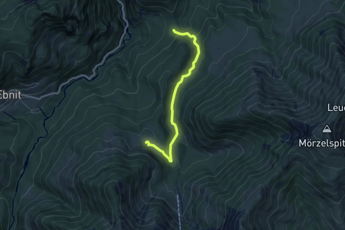
Easy · Cabin
Vorderschaneralpe – Sattelalpe
5.7 km · ↑ 193 m · 1 h 46 min
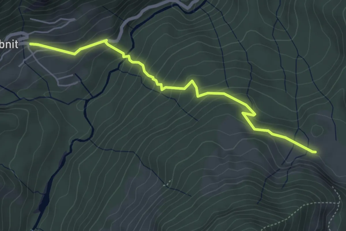
Medium · Cabin
(Ebnit) – Sattelalpe
4.9 km · ↑ 360 m · 1 h 56 min
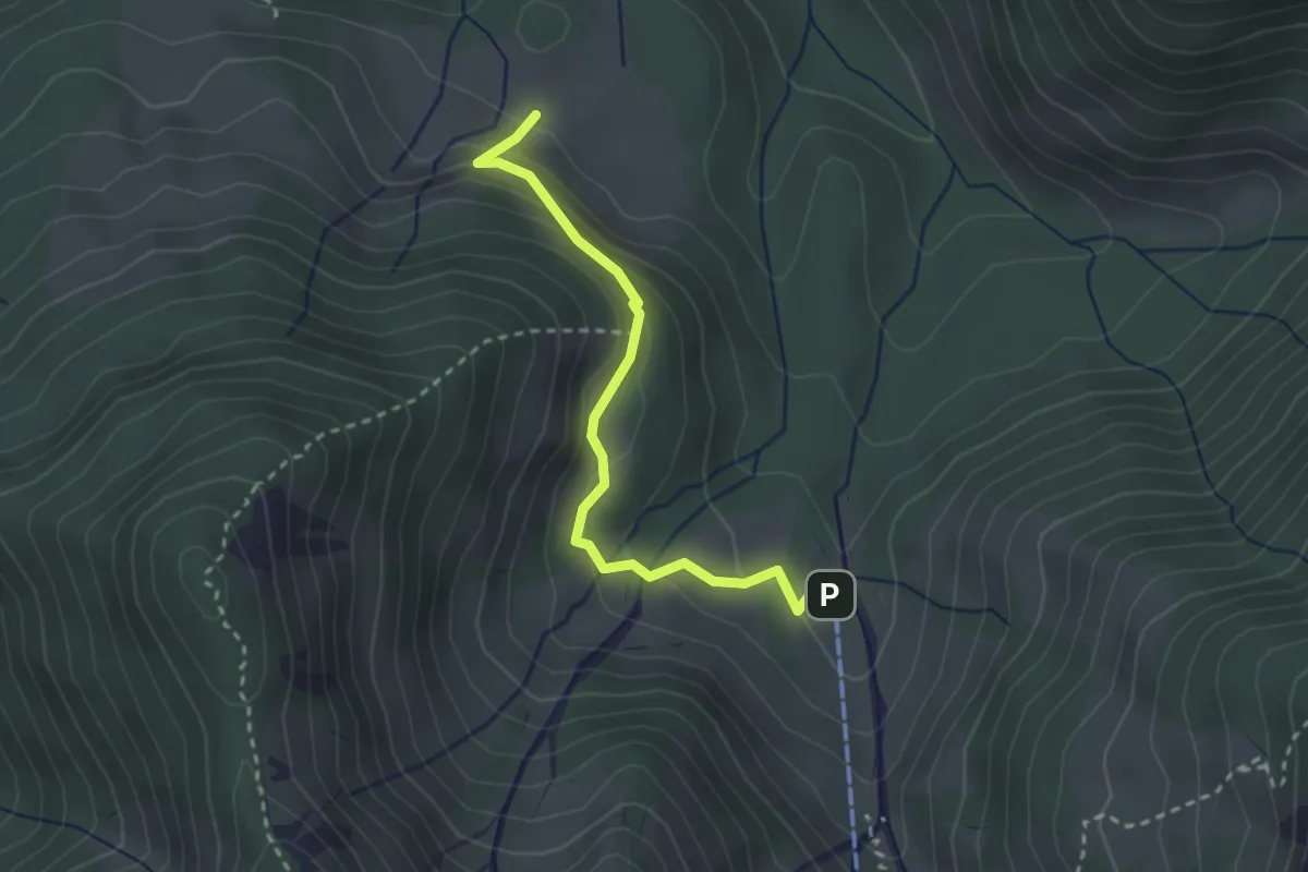
Easy · Cabin
Sattelalpe – Unterfluhalpe
2.7 km · ↑ 153 m · 57 min
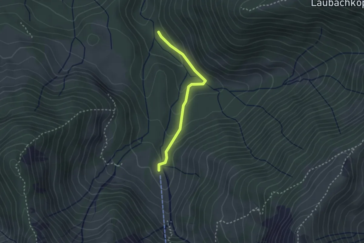
Medium · Trail
(Kobelalpe) – Unterfluhalpe
2.4 km · ↑ 102 m · 47 min
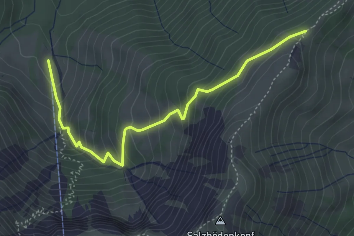
Medium · Trail
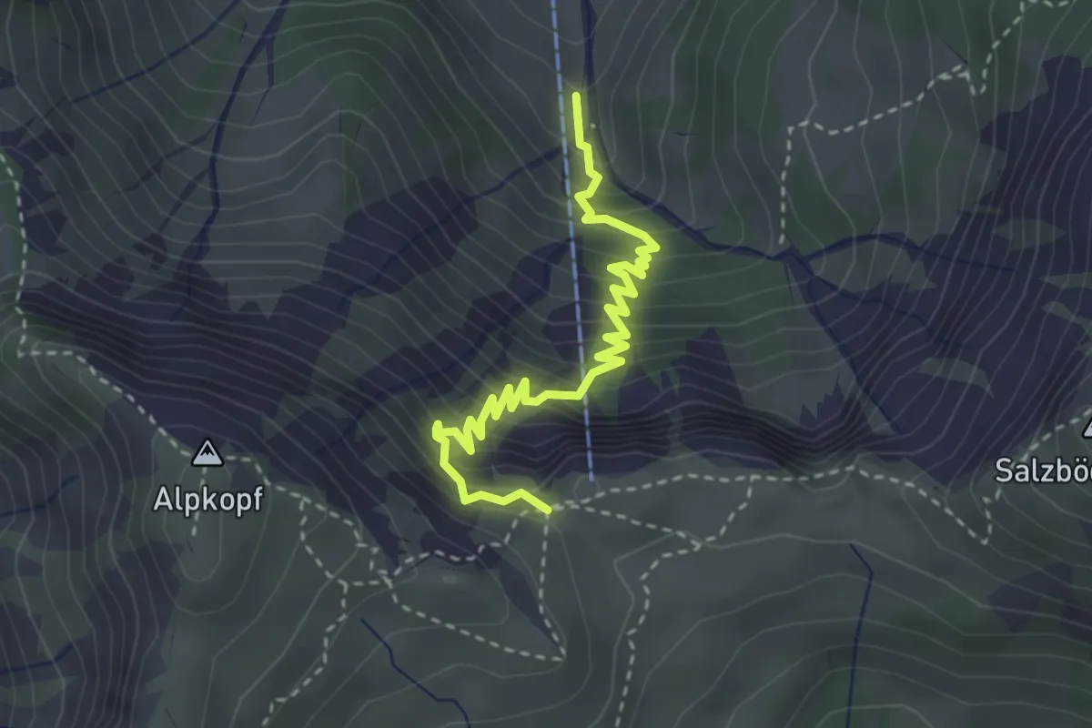
Unterfluhalpe – Salzböden
4.3 km · ↑ 426 m · 1 h 56 min
Medium · Trail
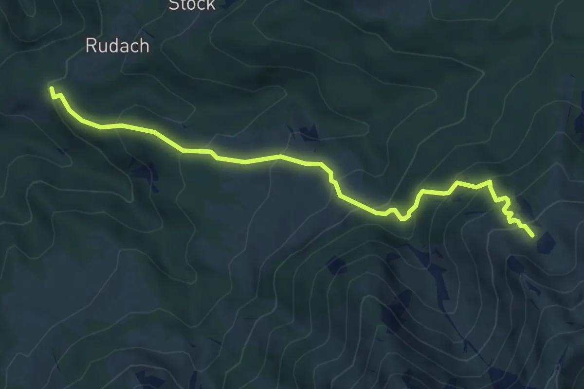
(Unterfluhalpe) – Altenhofalpe
3.4 km · ↑ 410 m · 1 h 42 min
Medium · Trail
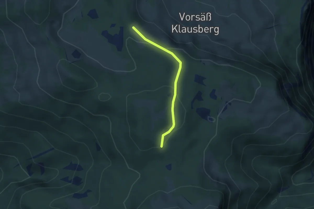
Kobelalpe – Obersehrenalpe
6.1 km · ↑ 522 m · 2 h 34 min
Medium · Cabin
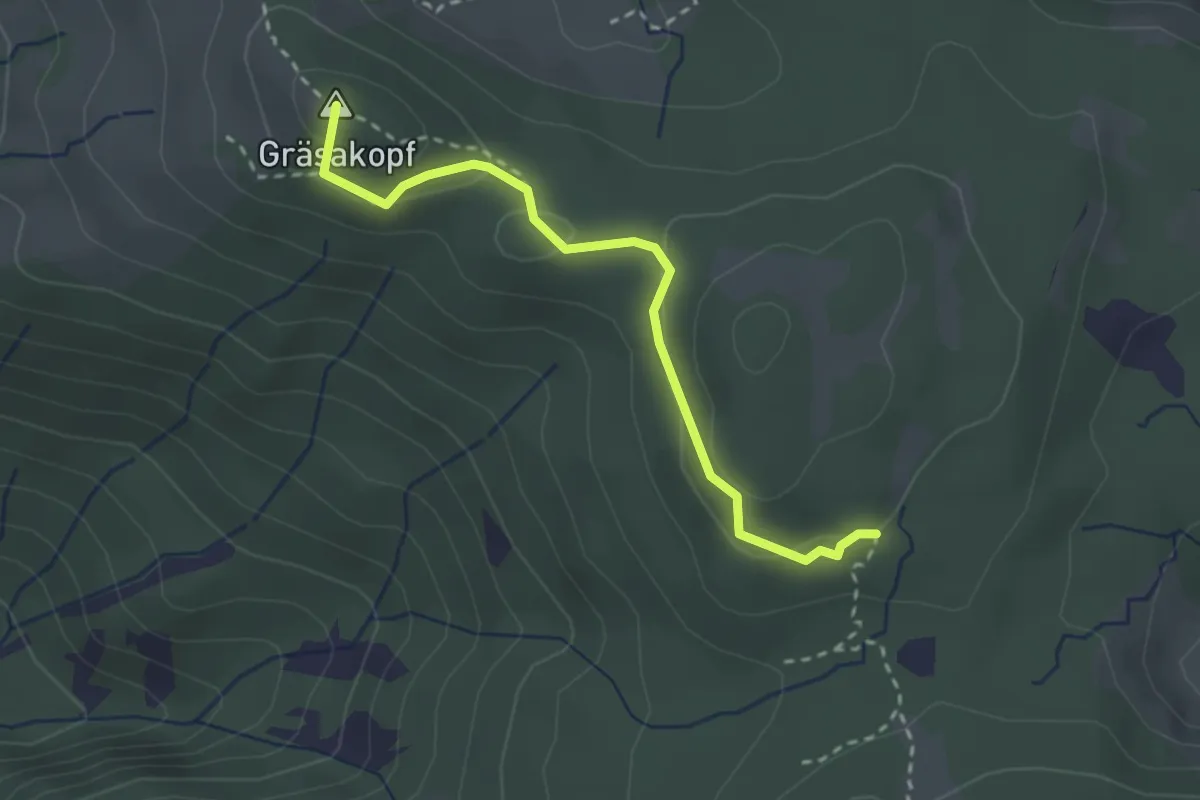
Lustenauer Hütte – Bregenzer Hütte
2.6 km · ↑ 77 m · 46 min
Medium · Summit
(Gschwendtalpe) – Bregenzer Hütte
2.7 km · ↑ 122 m · 54 min
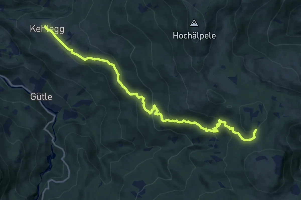
Medium · Cabin
Kehlegg – Bregenzer Hütte
11.9 km · ↑ 505 m · 3 h 55 min
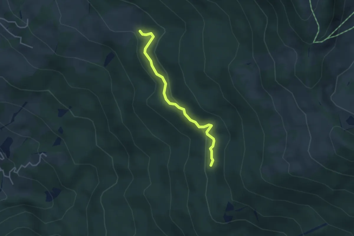
Easy · Trail
Pferre – (Bregenzer Hütte)
3.0 km · ↑ 58 m · 51 min
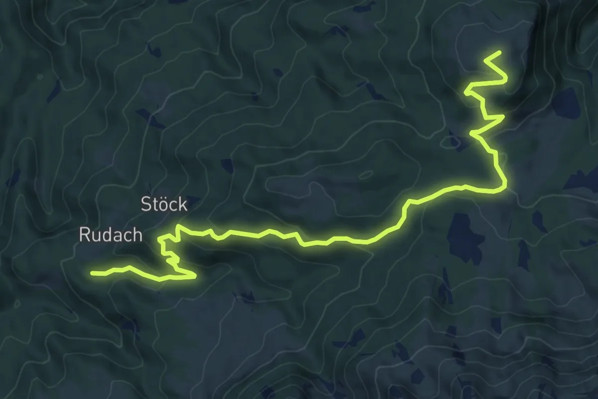
Medium · Summit
Kobelalpe – Weißenfluhalpe
11.5 km · ↑ 480 m · 3 h 45 min
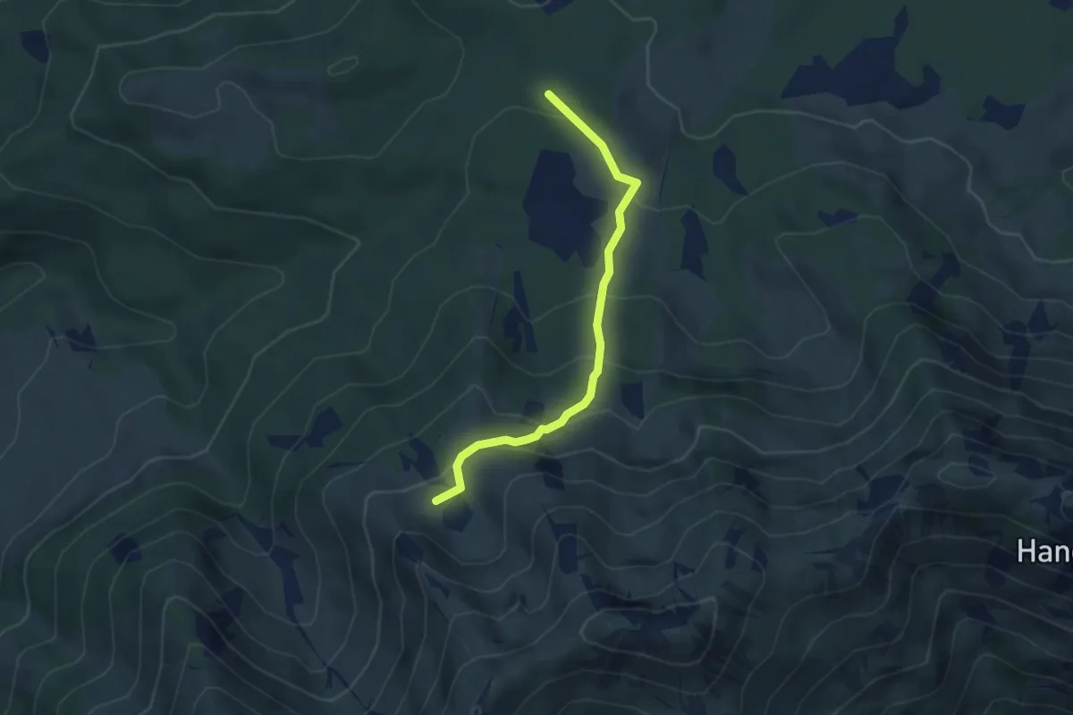
Medium · Trail
(Weißenfluhalpe) – Obersehrenalpe
3.5 km · ↑ 244 m · 1 h 21 min
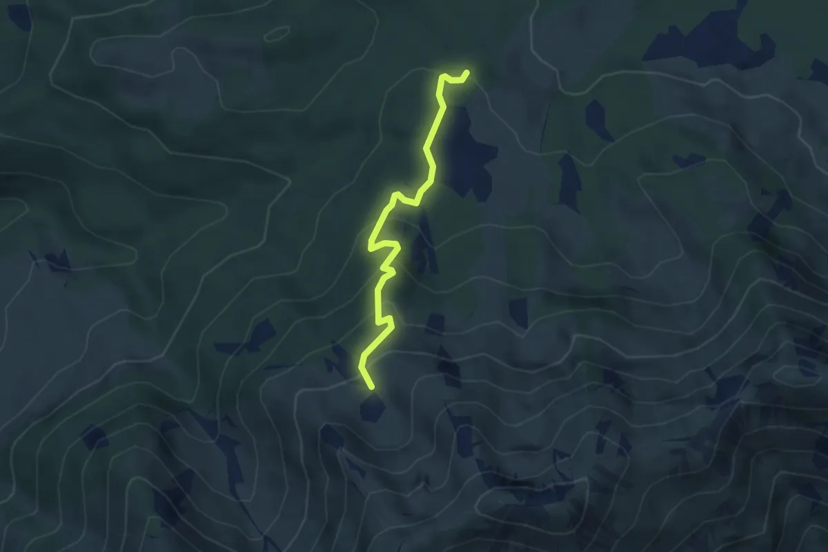
Easy · Trail
Untersehrenalpe – Obersehrenalpe
3.5 km · ↑ 220 m · 1 h 18 min
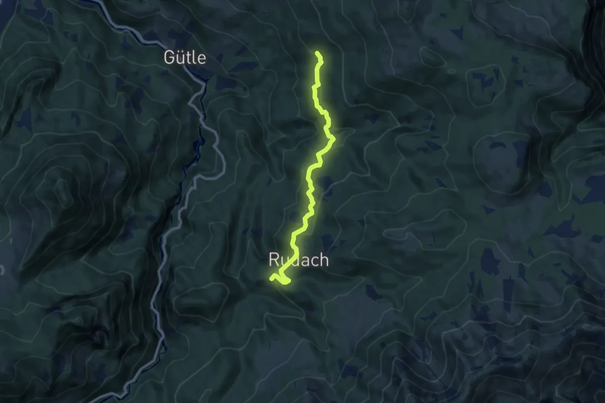
Easy · Trail
(Kehlegg) – Kobelalpe
7.8 km · ↑ 230 m · 2 h 20 min
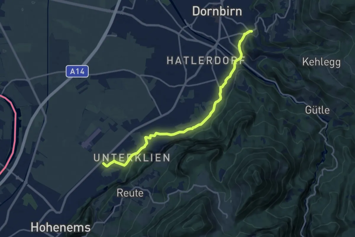
Medium · Trail
(Hohenems Flugplatz) – Dornbirn Oberdorf
12.4 km · ↑ 130 m · 3 h 12 min
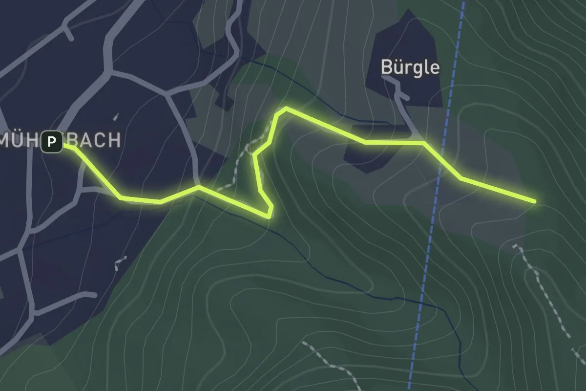
Easy · Trail
Mühlebach – Oberbürgle
2.1 km · ↑ 159 m · 51 min
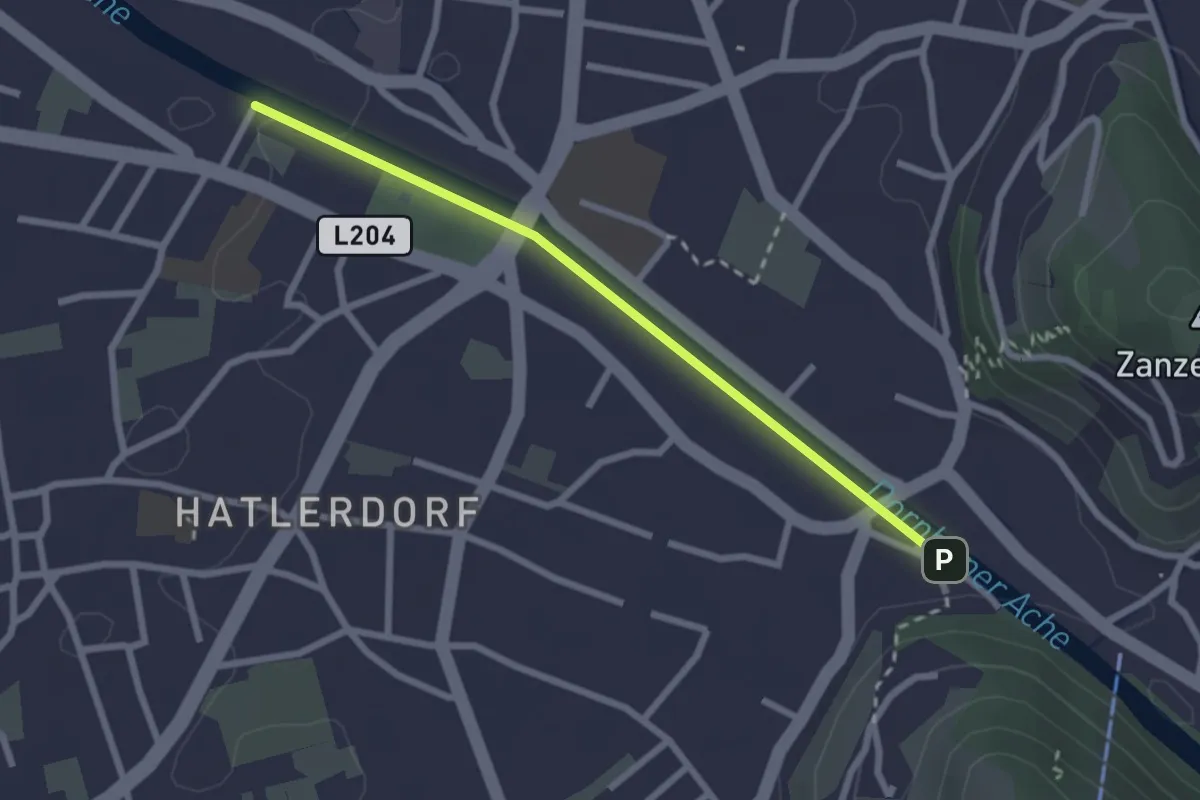
Easy · Trail
(Hatlerdorf) – (Karrenseilbahn)
2.4 km · ↑ 12 m · 35 min
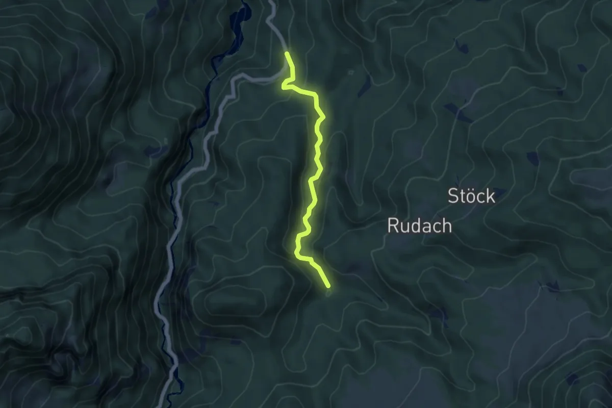
Easy · Trail
Niedere – (Kobelalpe)
4.3 km · ↑ 232 m · 1 h 31 min
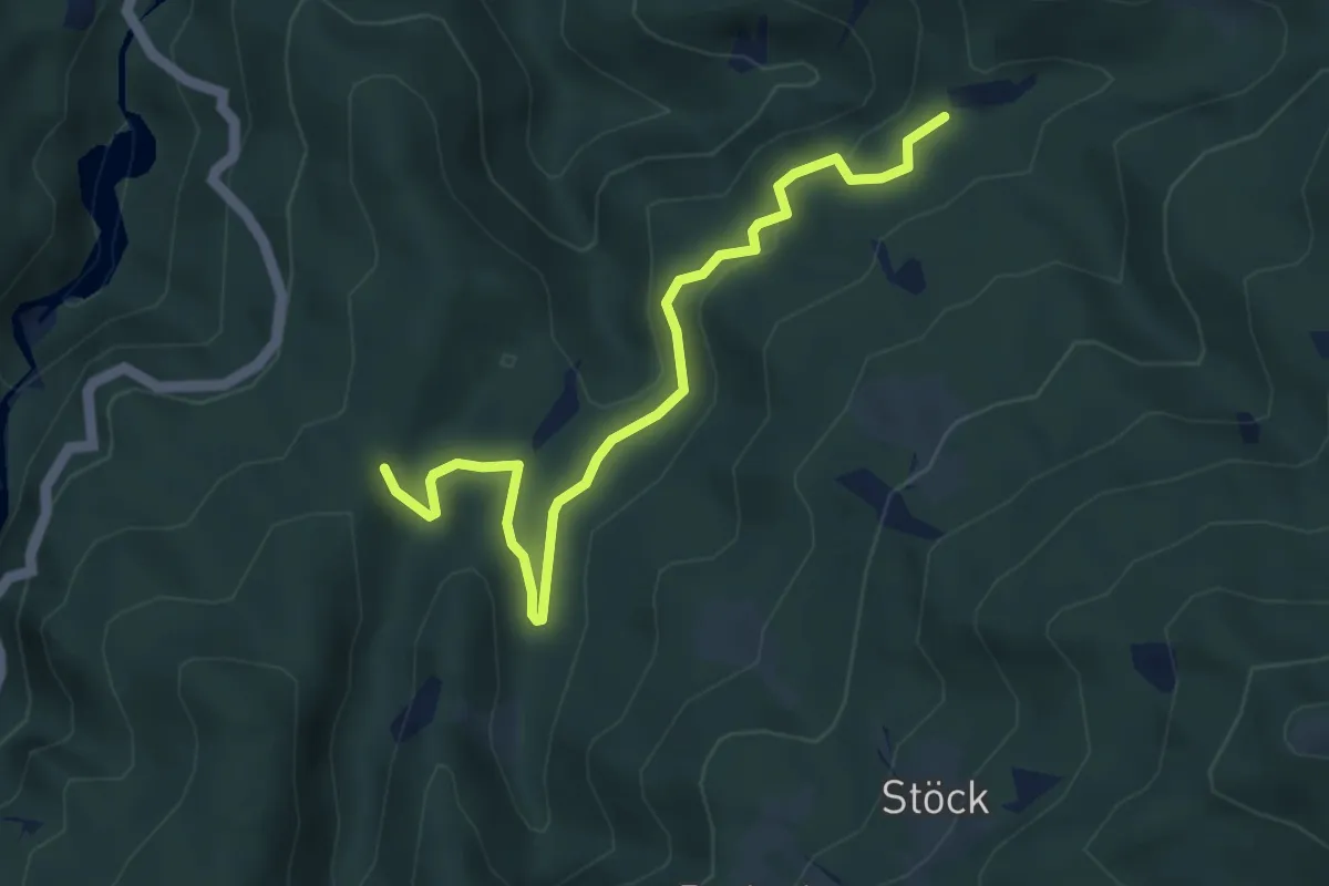
Easy · Trail
(Niedere) – (Kehlegg)
4.7 km · ↑ 140 m · 1 h 25 min
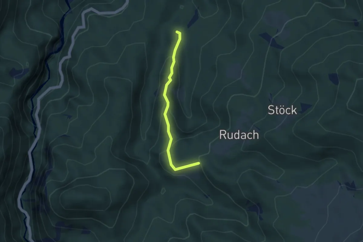
Easy · Trail
(Niedere) – Kobelalpe
2.9 km · ↑ 224 m · 1 h 11 min
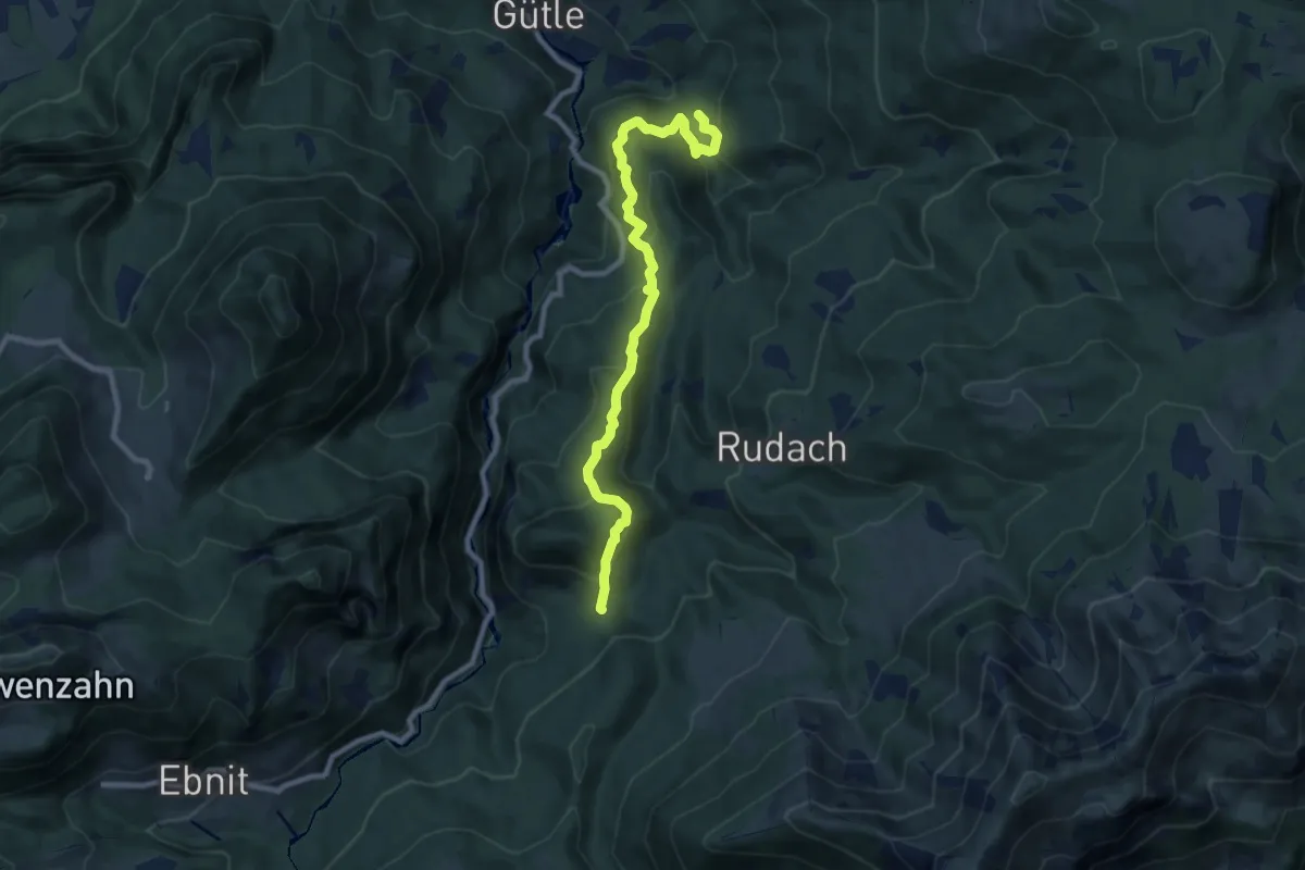
Medium · Trail
(Gütle) – (Ebnit)
9.0 km · ↑ 490 m · 3 h 11 min
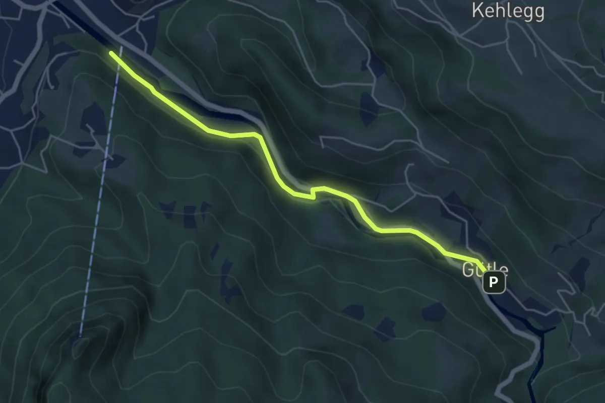
Easy · Trail
Karrenseilbahn – Gütle
4.6 km · ↑ 64 m · 1 h 14 min
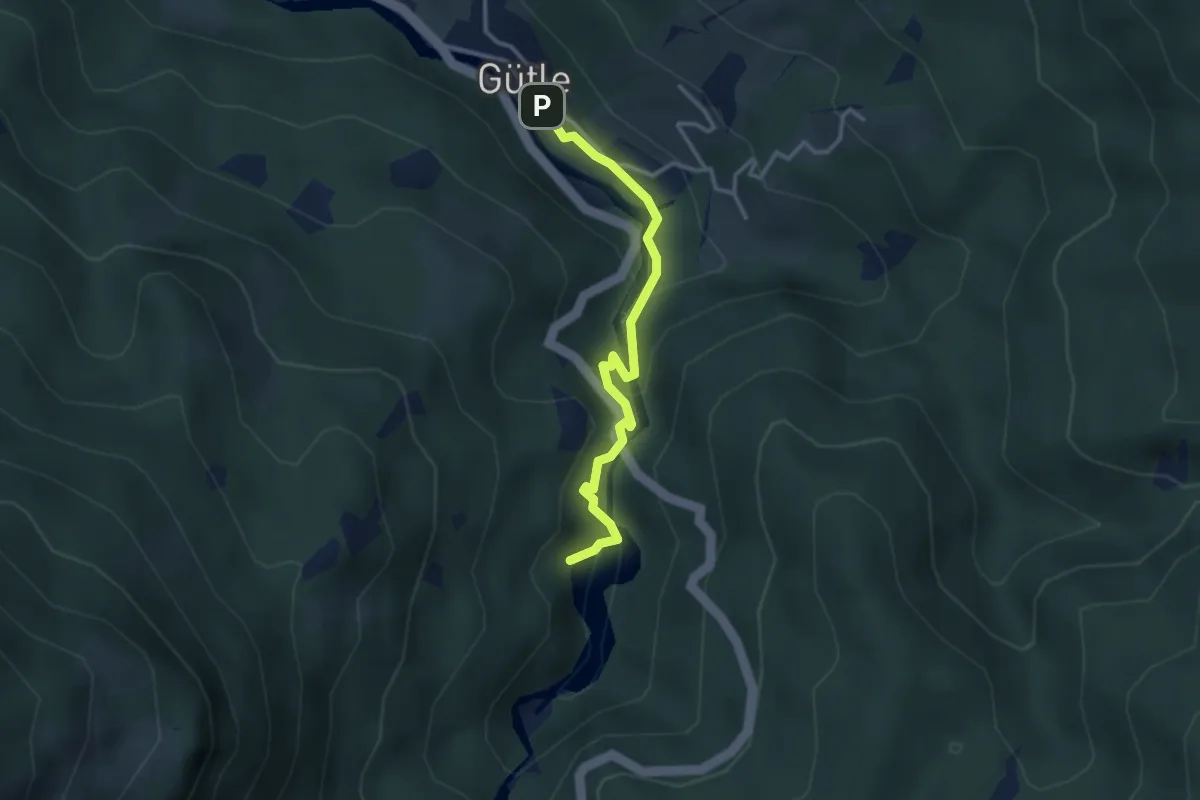
Easy · Trail
Gütle – Staufensee
3.0 km · ↑ 181 m · 1 h 7 min
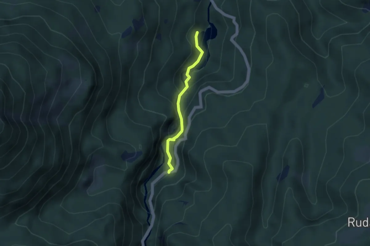
Easy · Trail
Staufensee – Schmitte
2.6 km · ↑ 176 m · 1 h
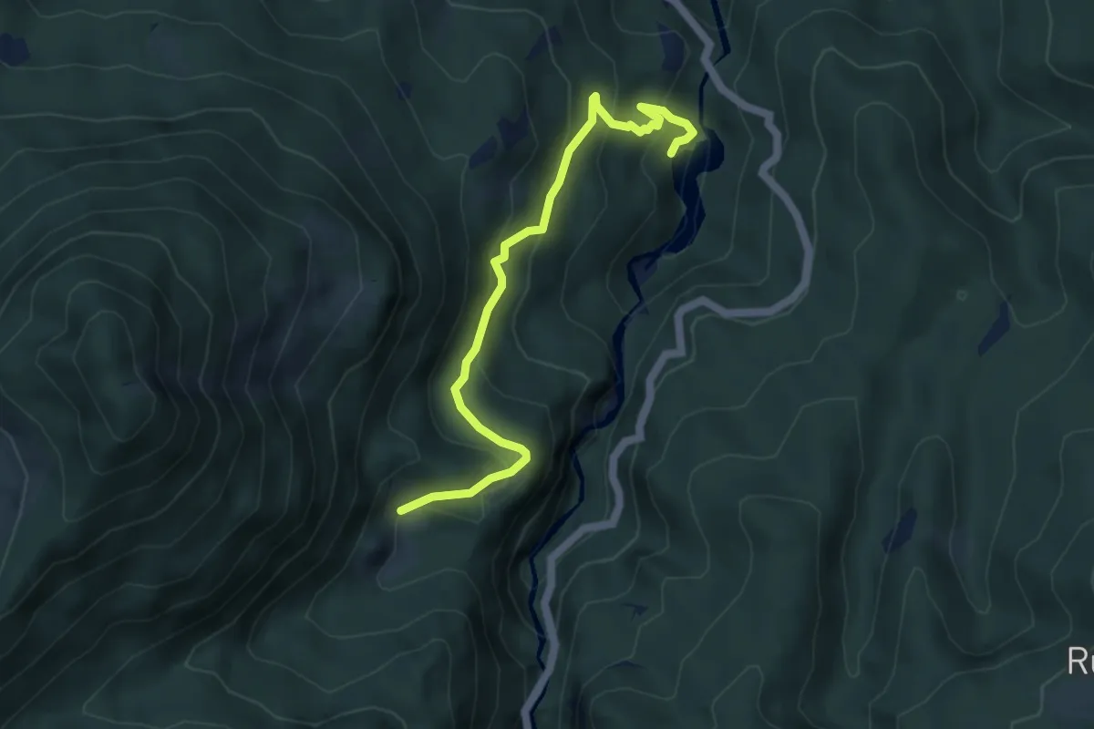
Easy · Trail
Staufensee – Spätenbachalpe
4.8 km · ↑ 274 m · 1 h 43 min
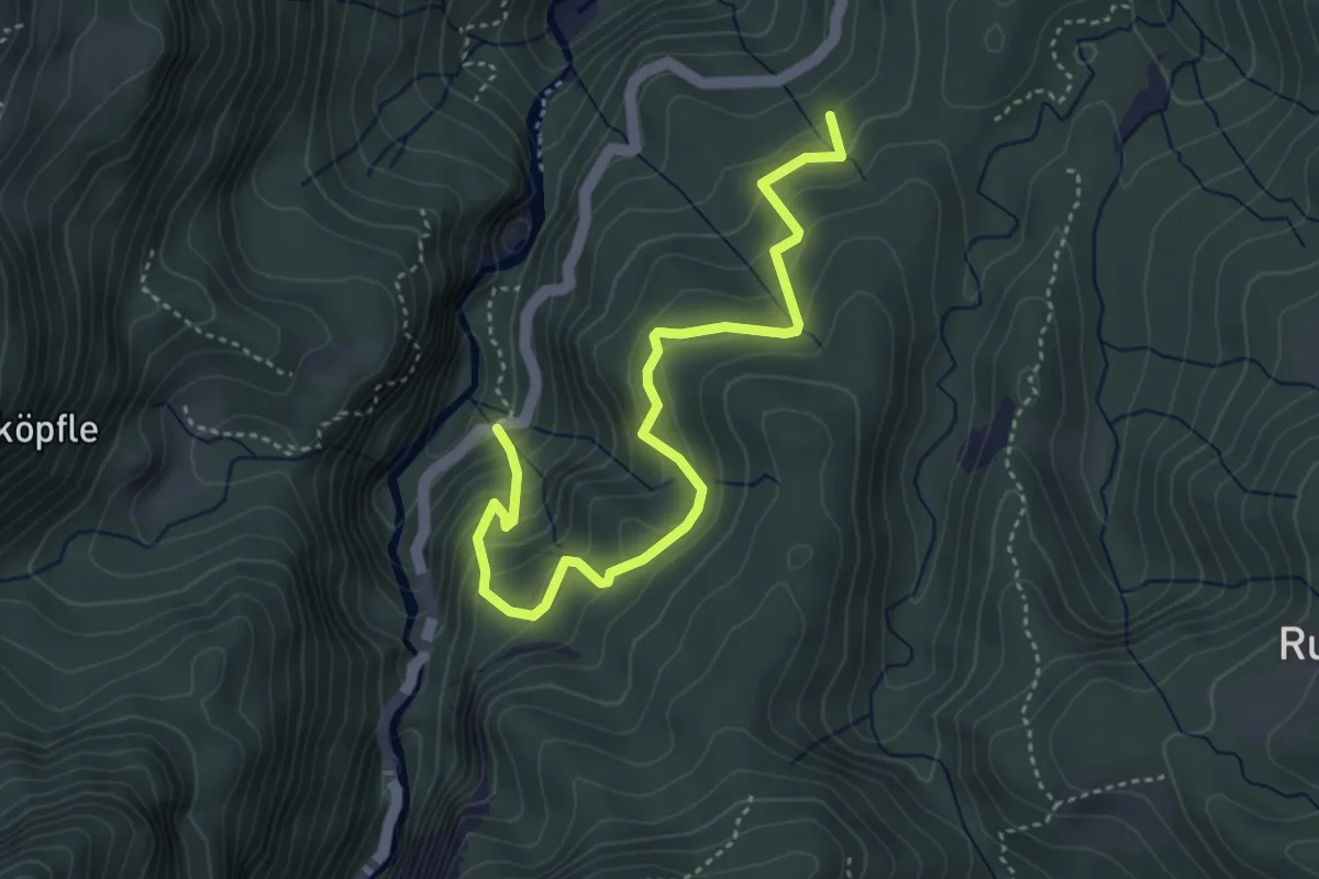
Medium · Trail
(Alploch) – (Gütle)
4.3 km · ↑ 319 m · 1 h 43 min
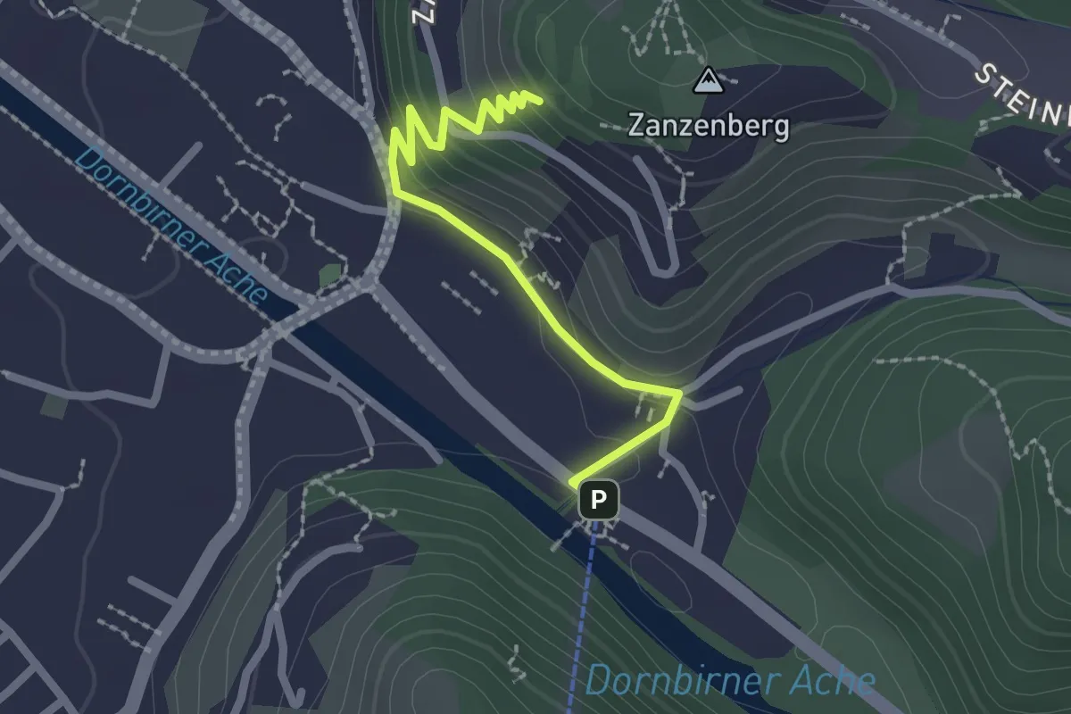
Easy · Trail
Karrenseilbahn – Zanzenberg
2.1 km · ↑ 113 m · 44 min
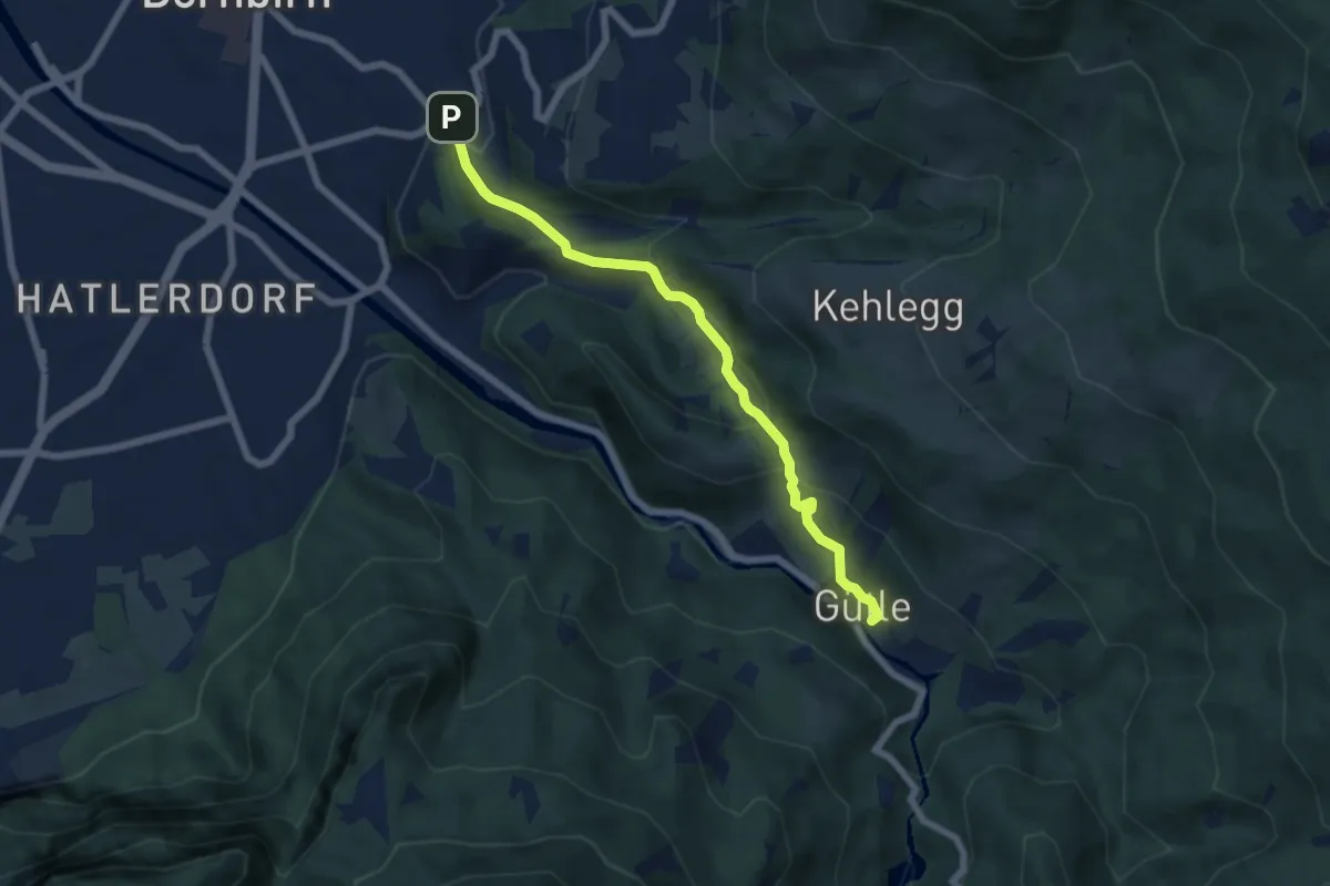
Medium · Trail
Oberdorf – Gütle
6.1 km · ↑ 250 m · 1 h 59 min