Trails in Austria
9,777 hiking trails, each with its route, climb, walking time and grade.
All trails, page 204 of 204
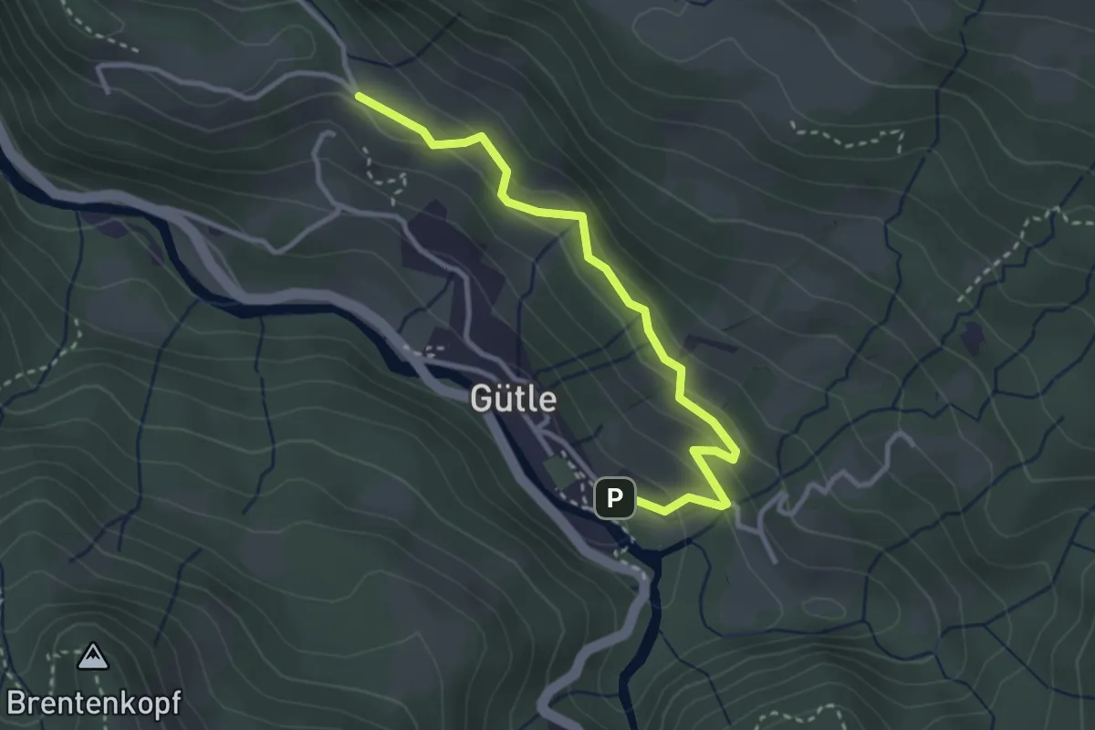
Easy · Trail
Gütle – Eschenau
3.1 km · ↑ 111 m · 59 min
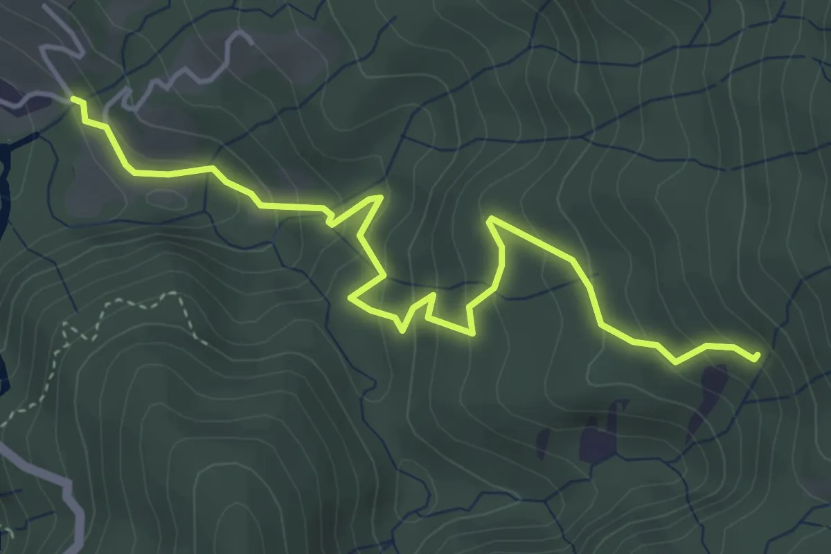
Easy · Trail
(Gütle) – (Rudach)
4.6 km · ↑ 307 m · 1 h 45 min
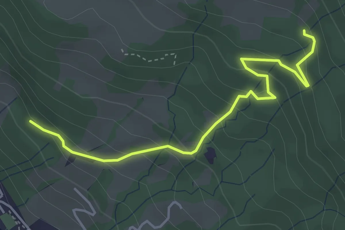
Easy · Trail
(Eschenau) – (Kehlegg)
3.9 km · ↑ 243 m · 1 h 26 min
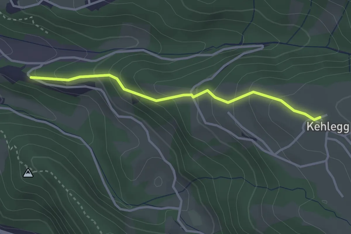
Easy · Trail
(Oberdorf) – Kehlegg
2.7 km · ↑ 228 m · 1 h 8 min
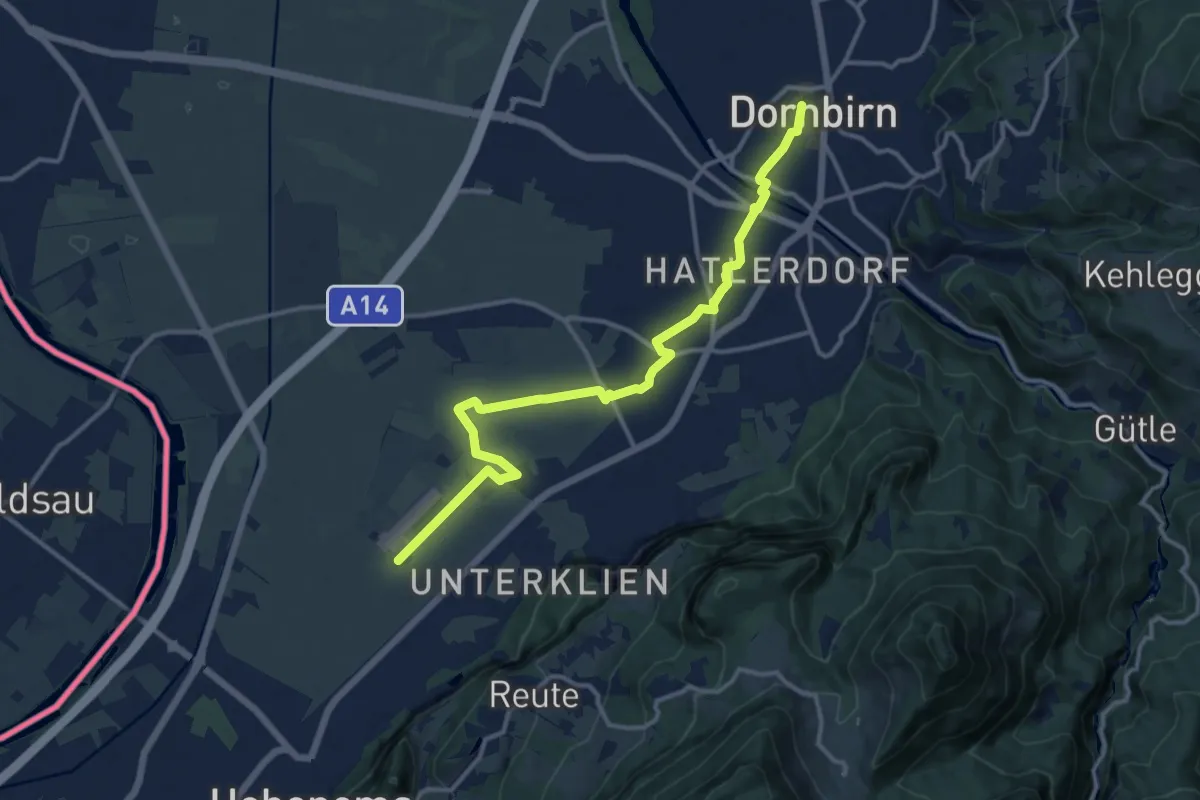
Medium · Trail
Hohenems Flugplatz – Dornbirn Marktplatz
13.6 km · ↑ 25 m · 3 h 16 min
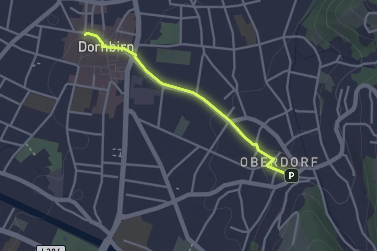
Easy · Trail
Dornbirn Marktplatz – Oberdorf
2.3 km · ↑ 46 m · 39 min
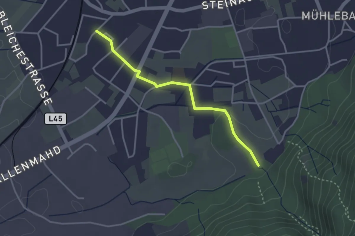
Easy · Trail
(Hatlerdorf) – Haslach
2.8 km · ↑ 22 m · 43 min
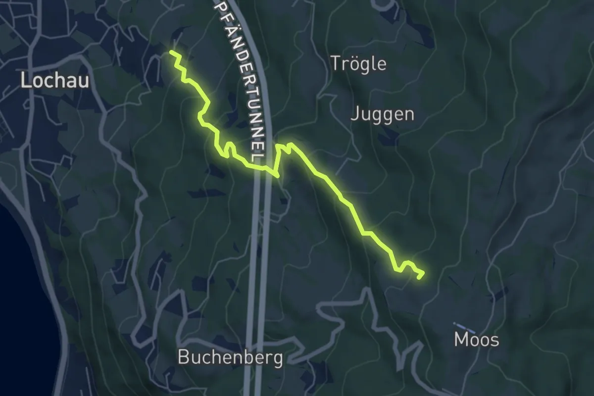
Medium · Trail
Halden – Sorgen
5.6 km · ↑ 425 m · 2 h 15 min
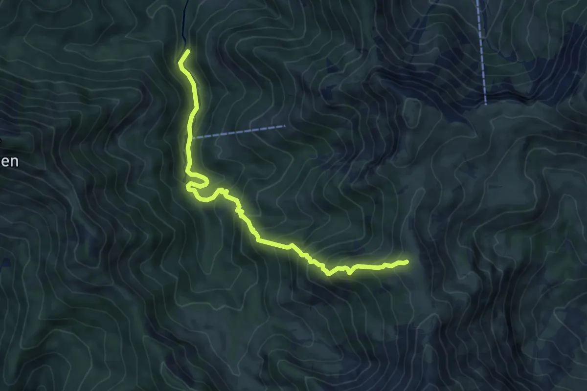
Medium · Trail
(Ebnit) – Binnelalpe
7.7 km · ↑ 761 m · 3 h 28 min
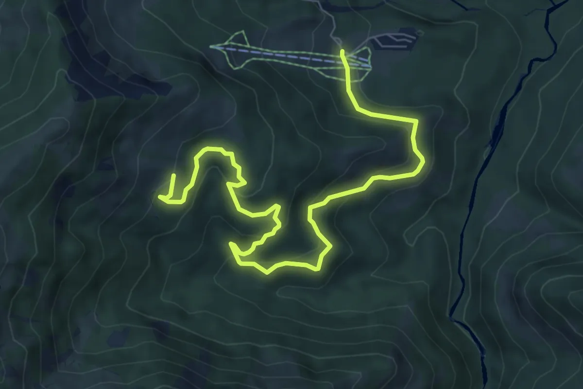
Medium · Trail
Heumöseralpe – Schneewaldalpe
8.6 km · ↑ 284 m · 2 h 39 min
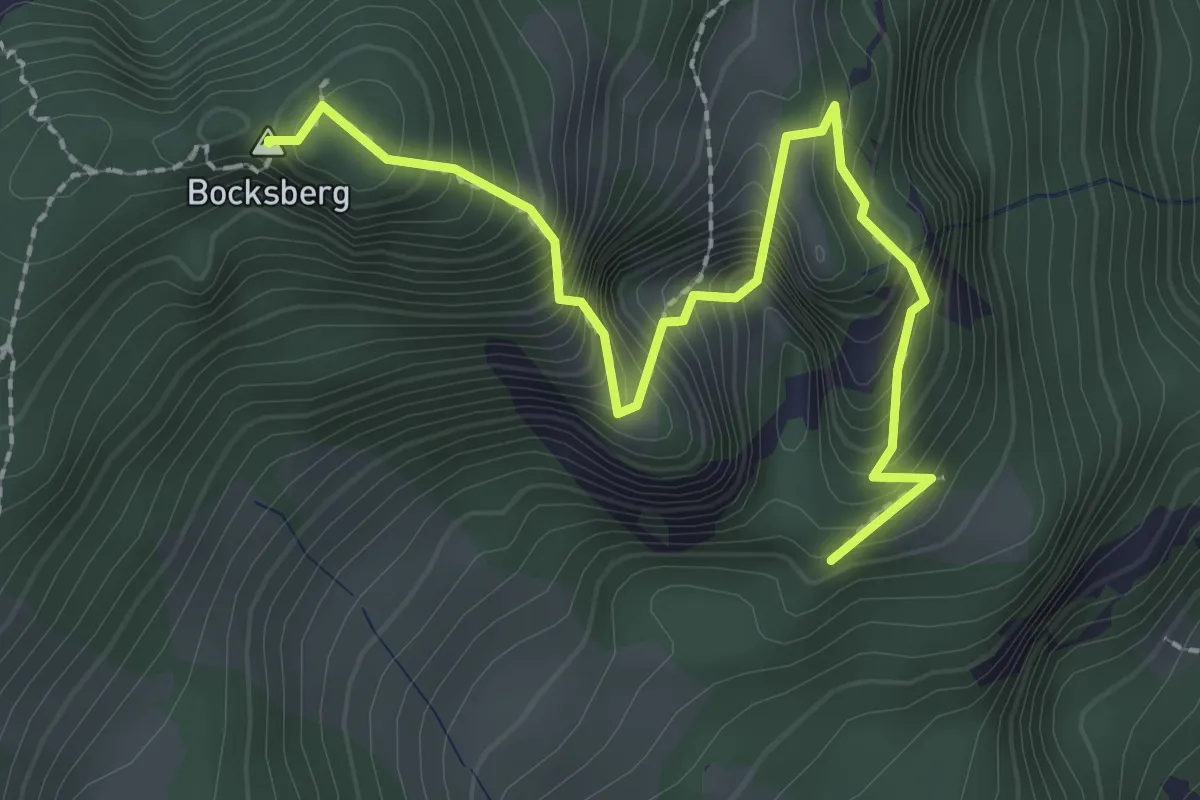
Medium · Summit
(Ebnit) – Bocksberg
2.6 km · ↑ 371 m · 1 h 26 min
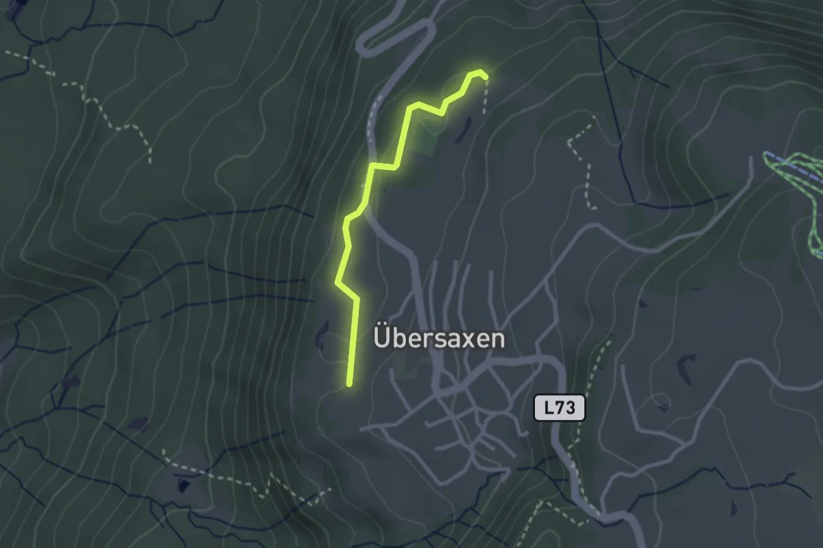
Easy · Trail
(Rainberg) – (Übersaxen)
2.2 km · ↑ 55 m · 38 min
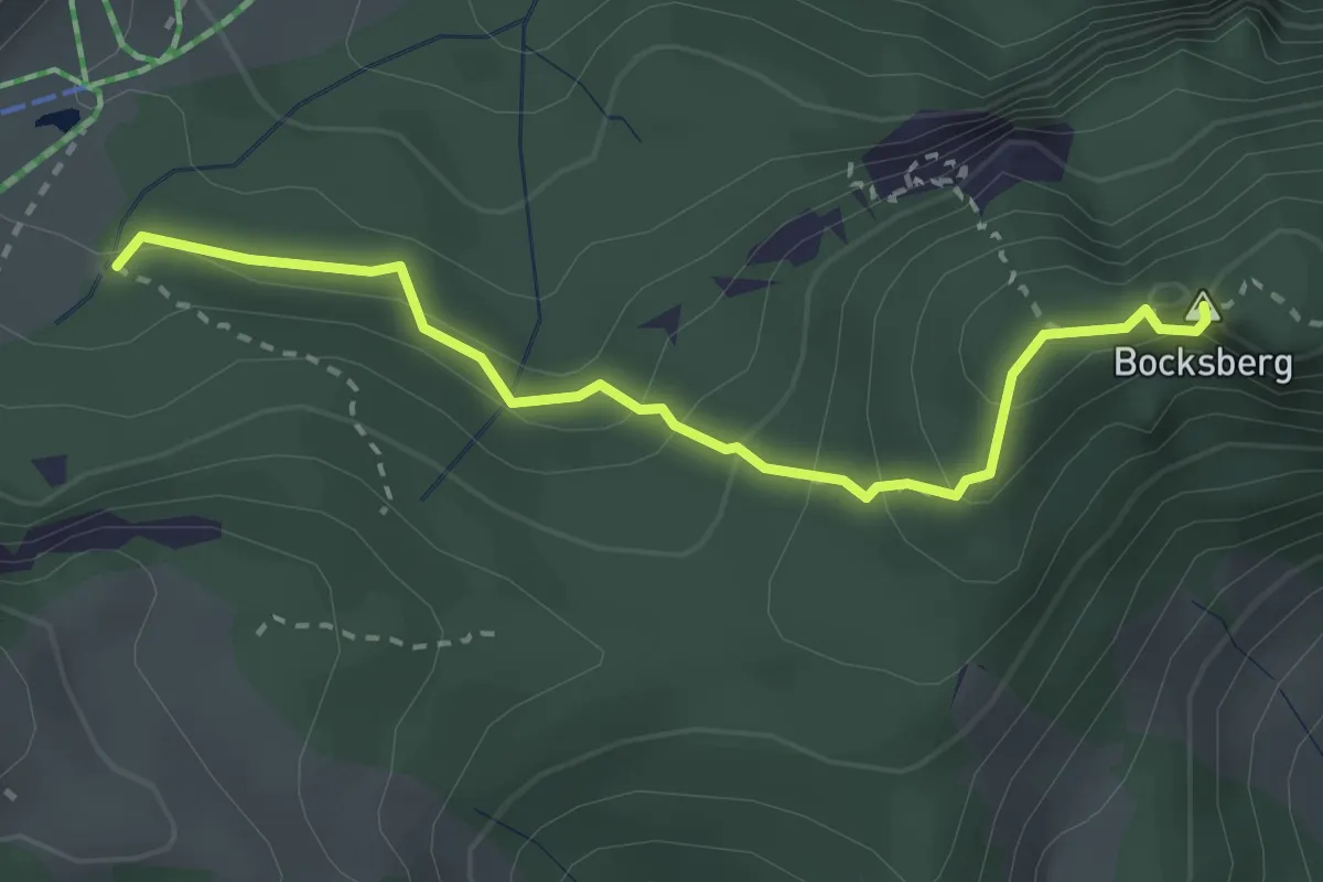
Demanding · Summit
(Schuttannen) – Bocksberg
2.8 km · ↑ 251 m · 1 h 12 min
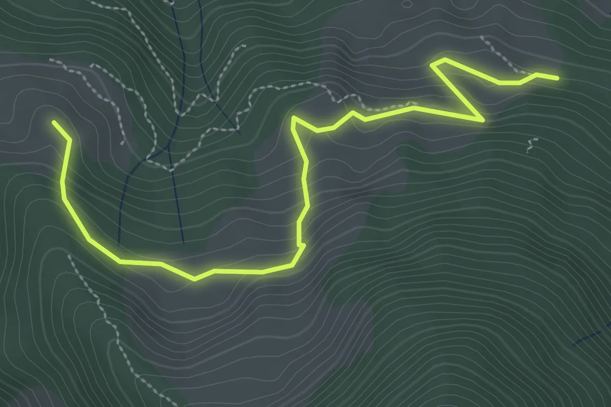
Medium · Trail
Schwemmealpe – Gulmalpe
3.5 km · ↑ 186 m · 1 h 14 min
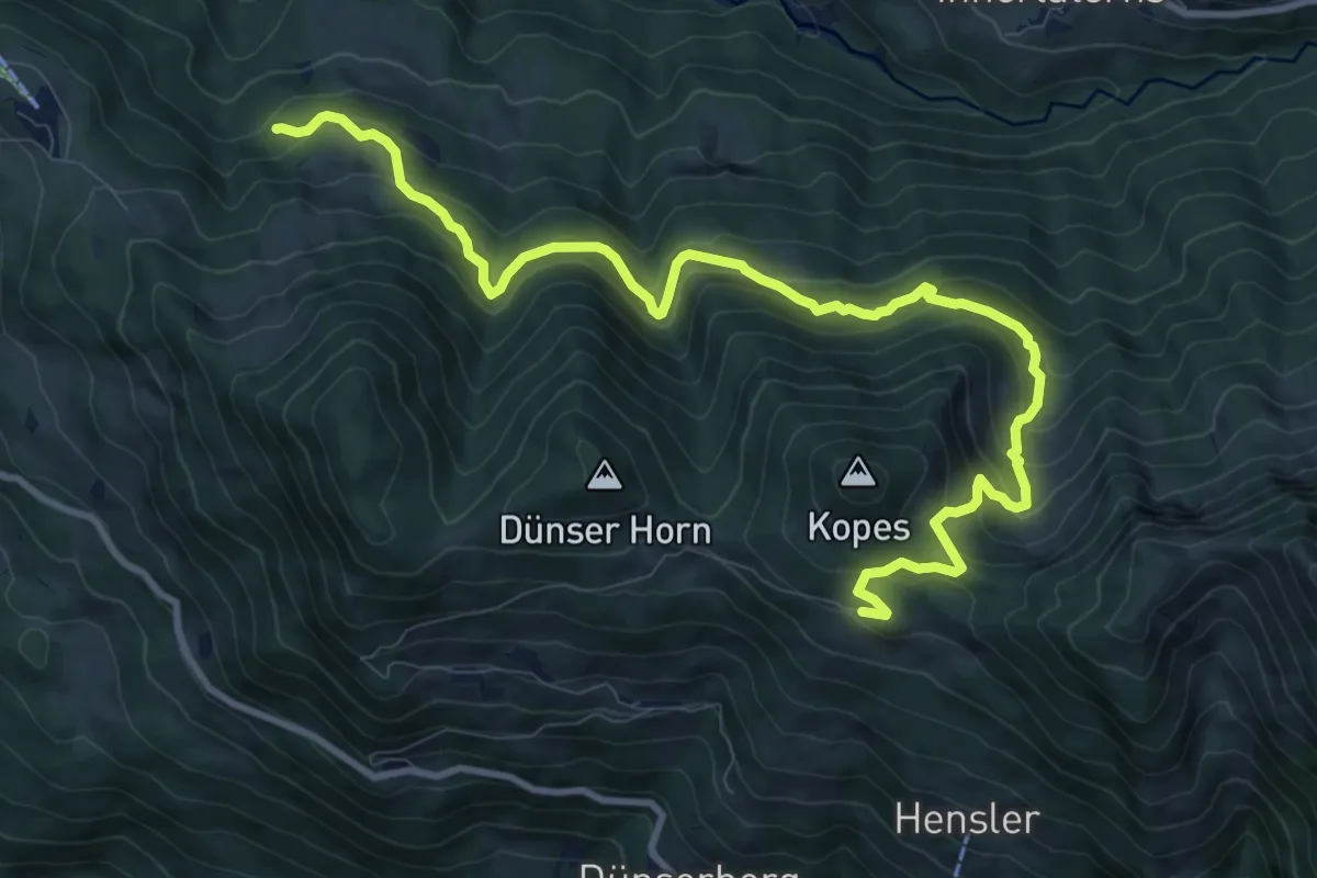
Medium · Trail
(Wiesalpe) – Dünserberg Älpele
11.9 km · ↑ 632 m · 4 h 11 min
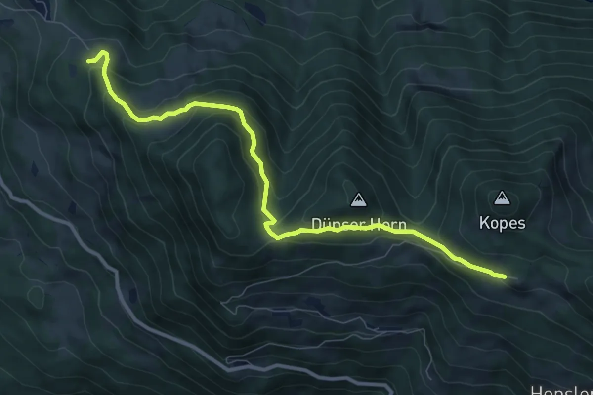
Medium · Trail
Gulmalpe – Dünserberg Älpele
8.1 km · ↑ 363 m · 2 h 42 min
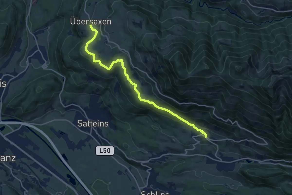
Medium · Trail
Düns – Übersaxen
13.3 km · ↑ 365 m · 3 h 56 min
Easy · Trail
Spiegelstein – Glath
2.8 km · ↑ 147 m · 58 min
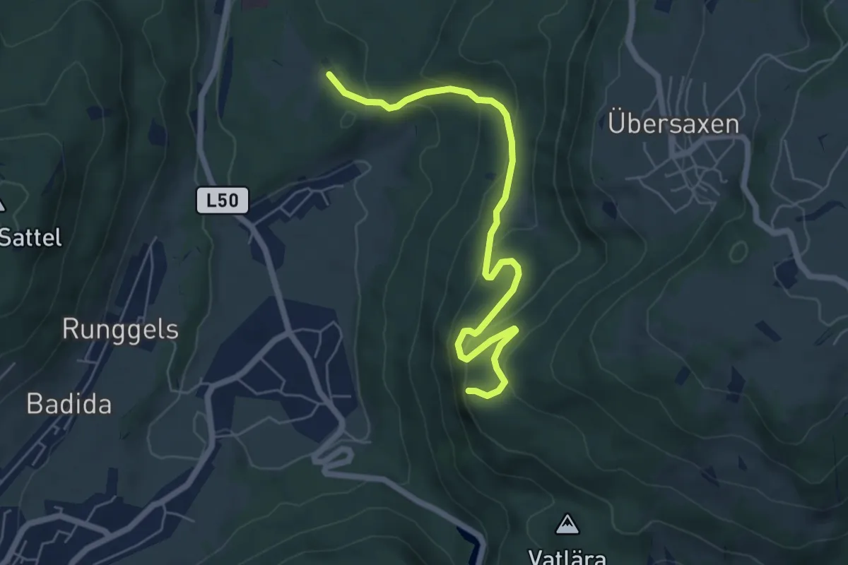
Easy · Trail
Valduna – Spiegelstein
6.0 km · ↑ 294 m · 2 h 3 min
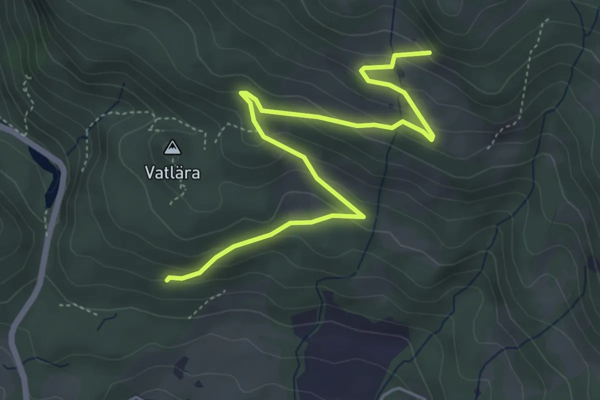
Easy · Trail
(Satteins) – (Übersaxen)
5.2 km · ↑ 261 m · 1 h 47 min
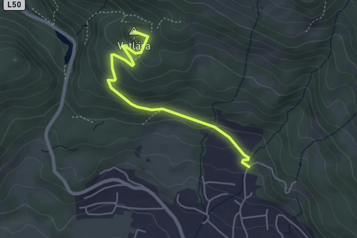
Easy · Summit
Satteins – Spiegelstein
3.8 km · ↑ 184 m · 1 h 18 min
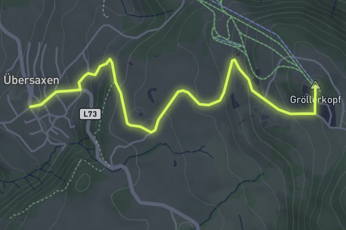
Easy · Summit
Übersaxen – Übersaxner Gulmalpe
5.0 km · ↑ 303 m · 1 h 50 min
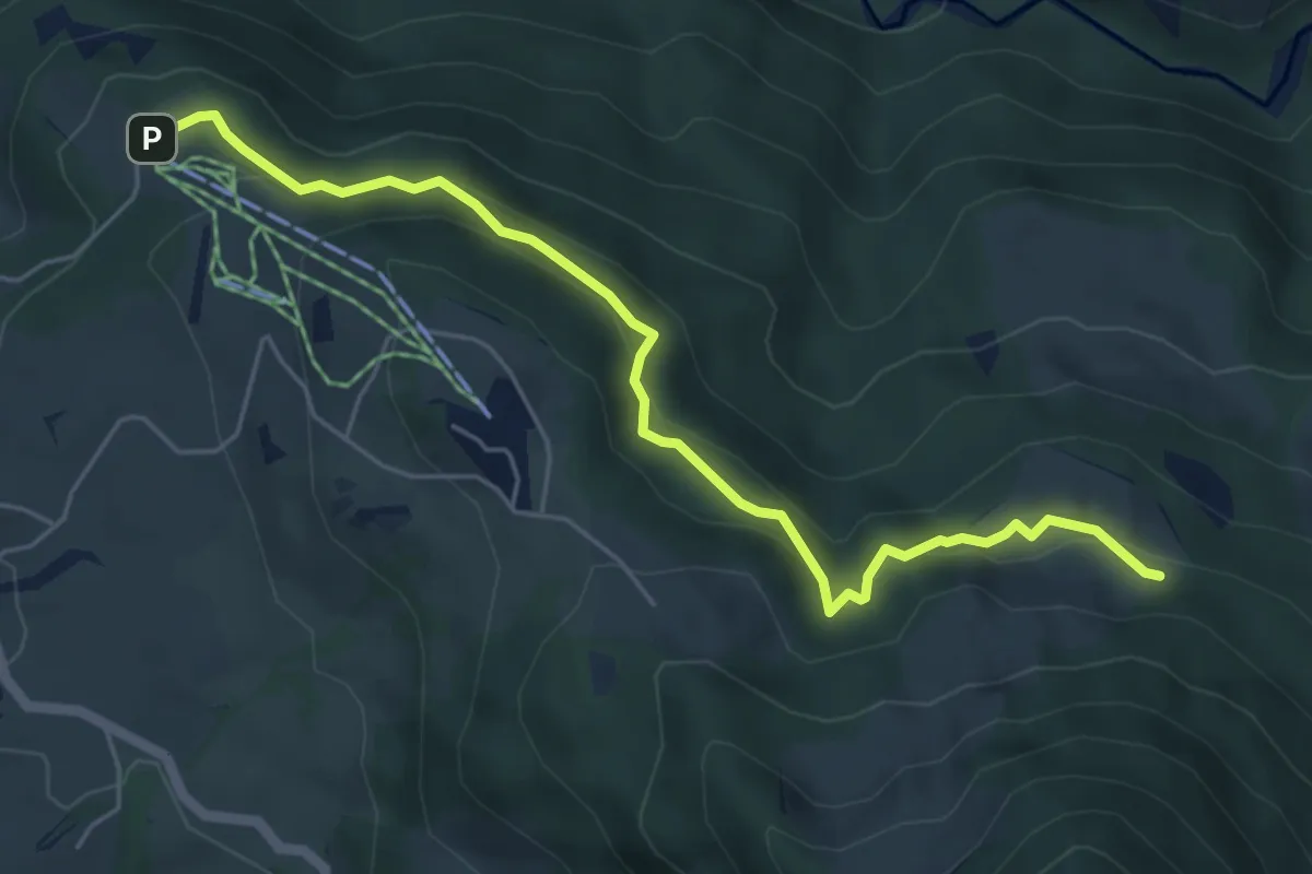
Medium · Trail
Gischlangs – Schwemmealpe
5.7 km · ↑ 193 m · 1 h 46 min
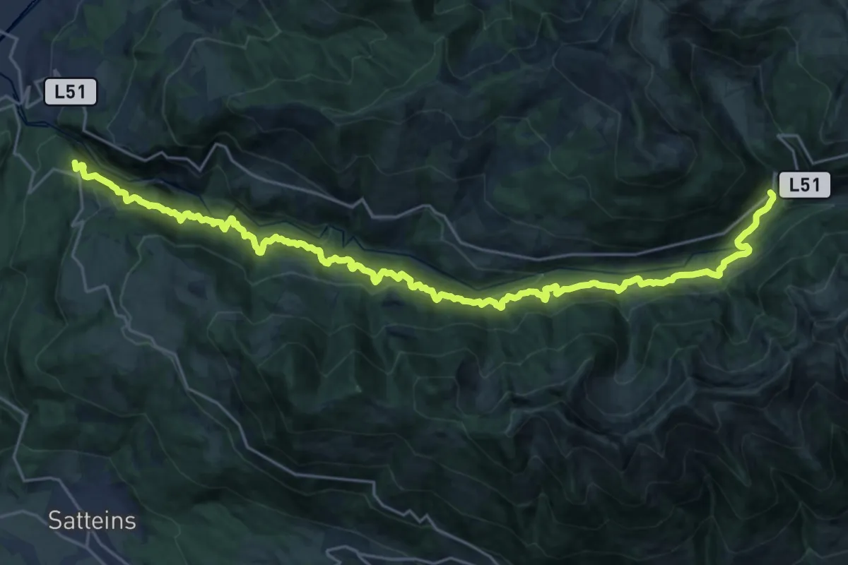
Demanding · Summit
(Rankweil) – Bad Laterns
26.6 km · ↑ 827 m · 8 h 5 min
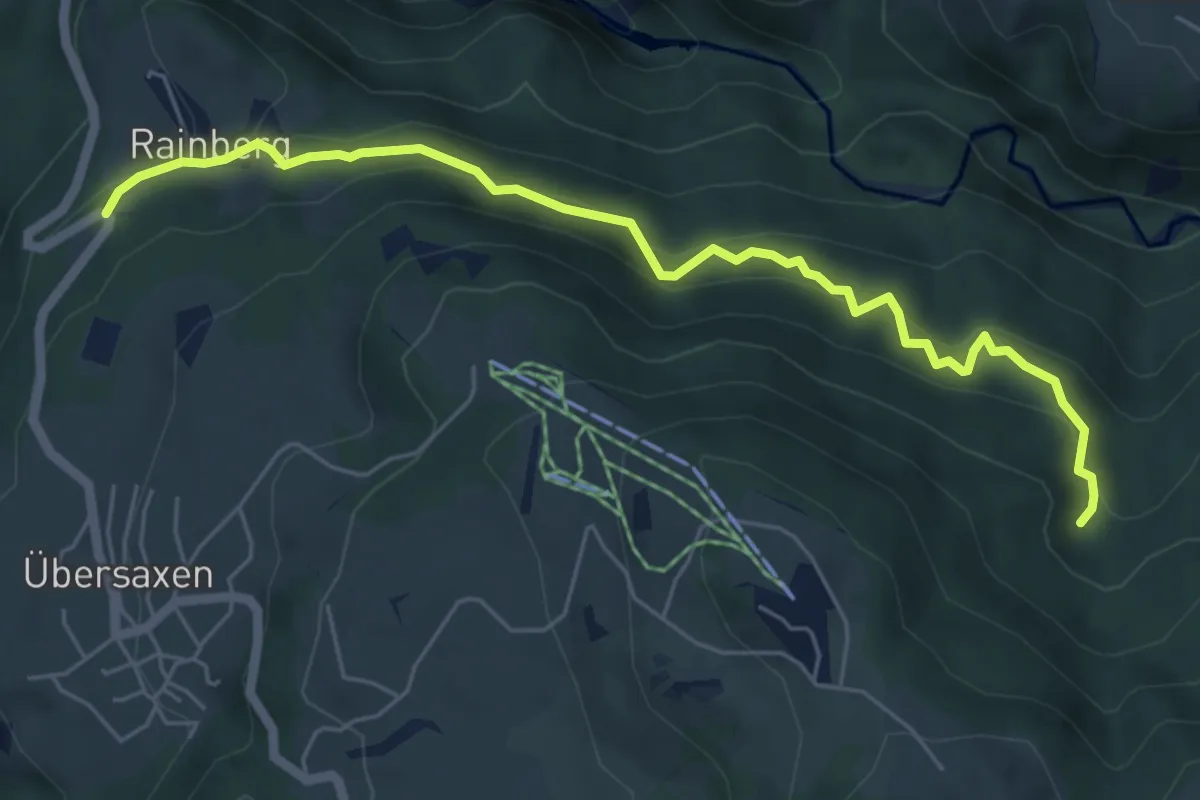
Medium · Trail
Rainberg – (Wiesalpe)
6.0 km · ↑ 174 m · 1 h 48 min
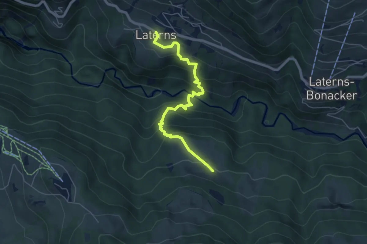
Medium · Trail
Laterns – Wiesalpe
5.2 km · ↑ 465 m · 2 h 15 min
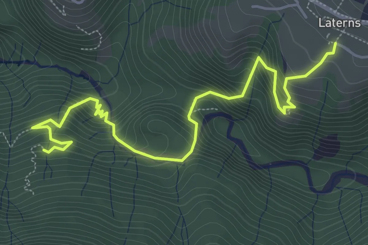
Demanding · Trail
(Rankweil) – Laterns Thal
4.6 km · ↑ 547 m · 2 h 16 min
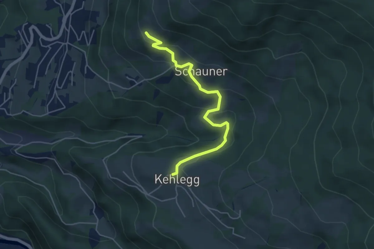
Easy · Trail
Kehlegg – Schwende
4.3 km · ↑ 235 m · 1 h 32 min
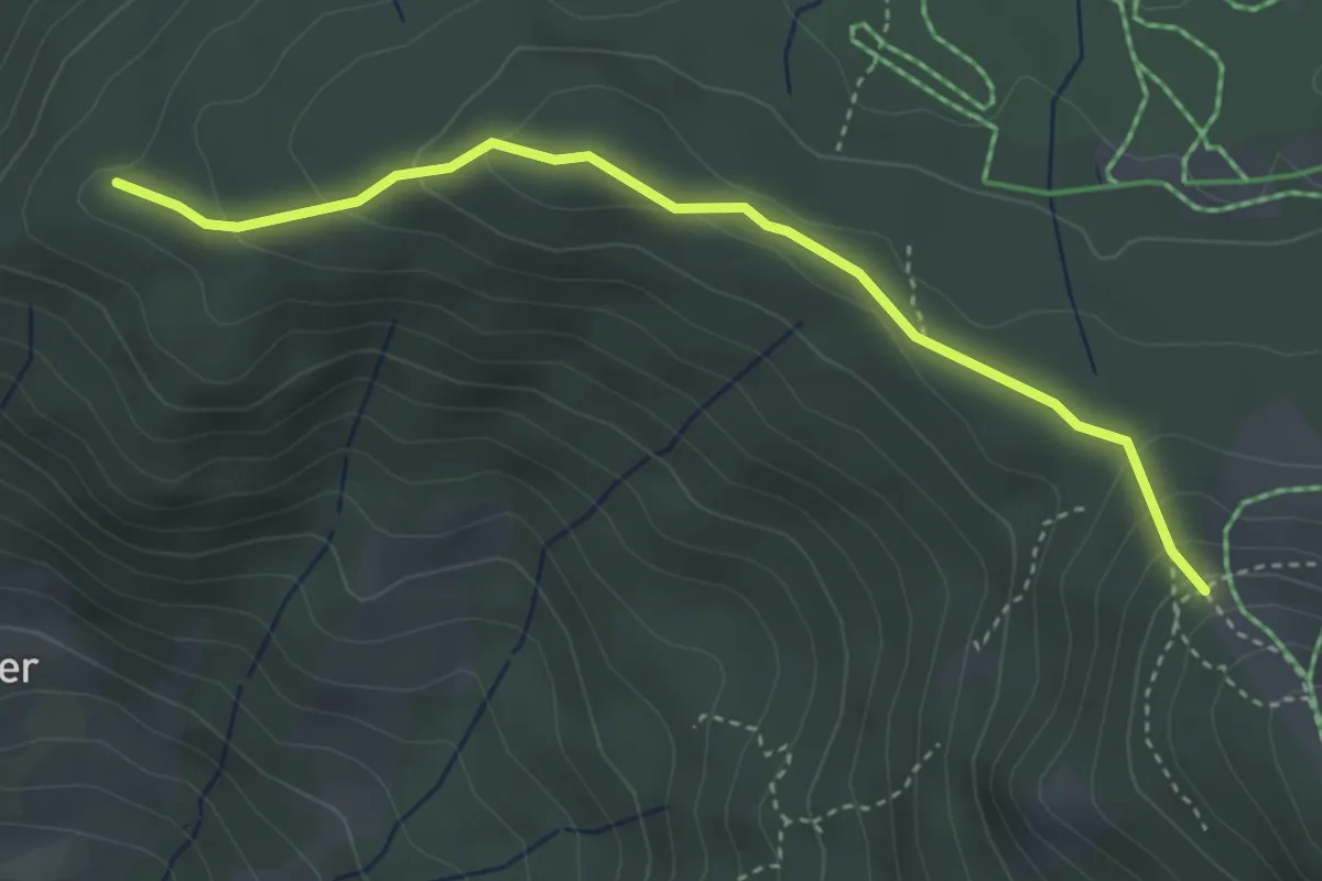
Medium · Trail
(Schwende) – (Lank)
3.7 km · ↑ 177 m · 1 h 15 min
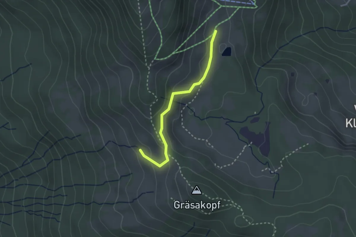
Easy · Trail
Älpele – Gschwendtalpe
2.3 km · ↑ 69 m · 42 min
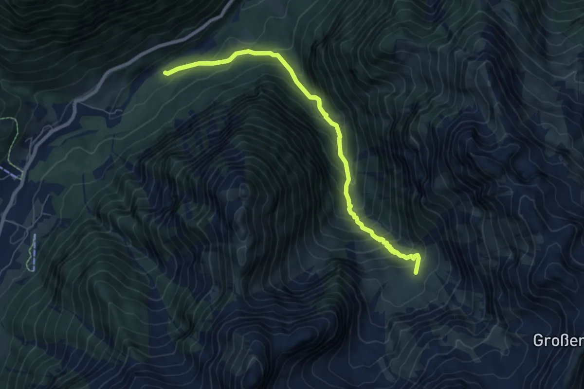
Medium · Cabin
(Brand) – Sarotlahütte
6.9 km · ↑ 689 m · 3 h 7 min
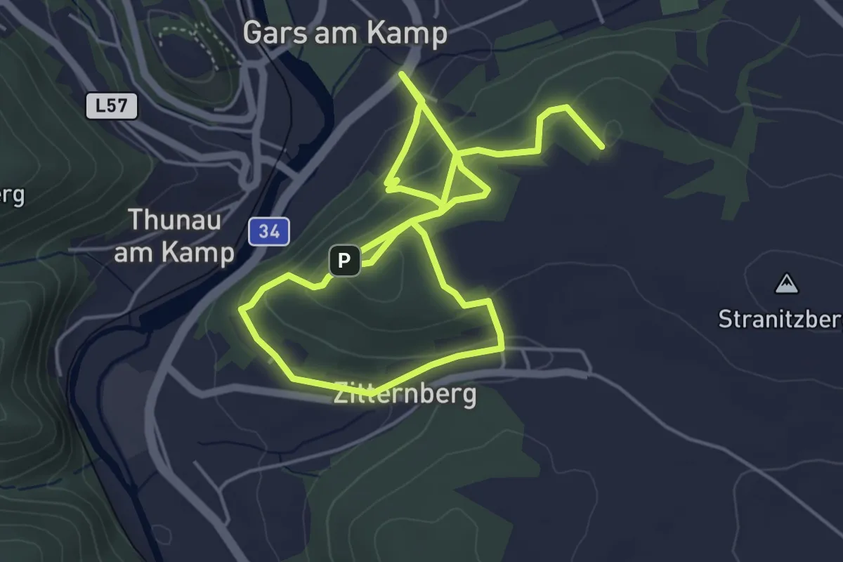
Medium · Summit
Gars am Kamp (Waldzeile) – Gars am Kamp (Wozniczakgasse)
8.4 km · ↑ 367 m · 2 h 46 min
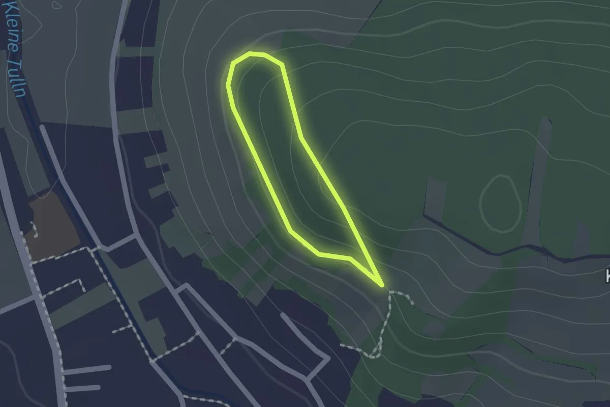
Easy · Trail
Waldandacht – Tullner Aussicht
1.0 km · ↑ 32 m · 19 min