Trails in Austria
9,778 hiking trails, each with its route, climb, walking time and grade.
All trails, page 24 of 204
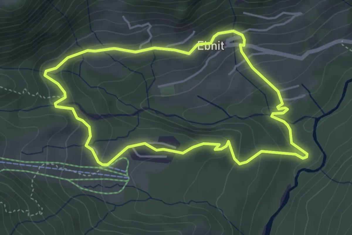
Easy · Trail
Ebniter Rundweg
3.9 km · ↑ 167 m · 1 h 20 min
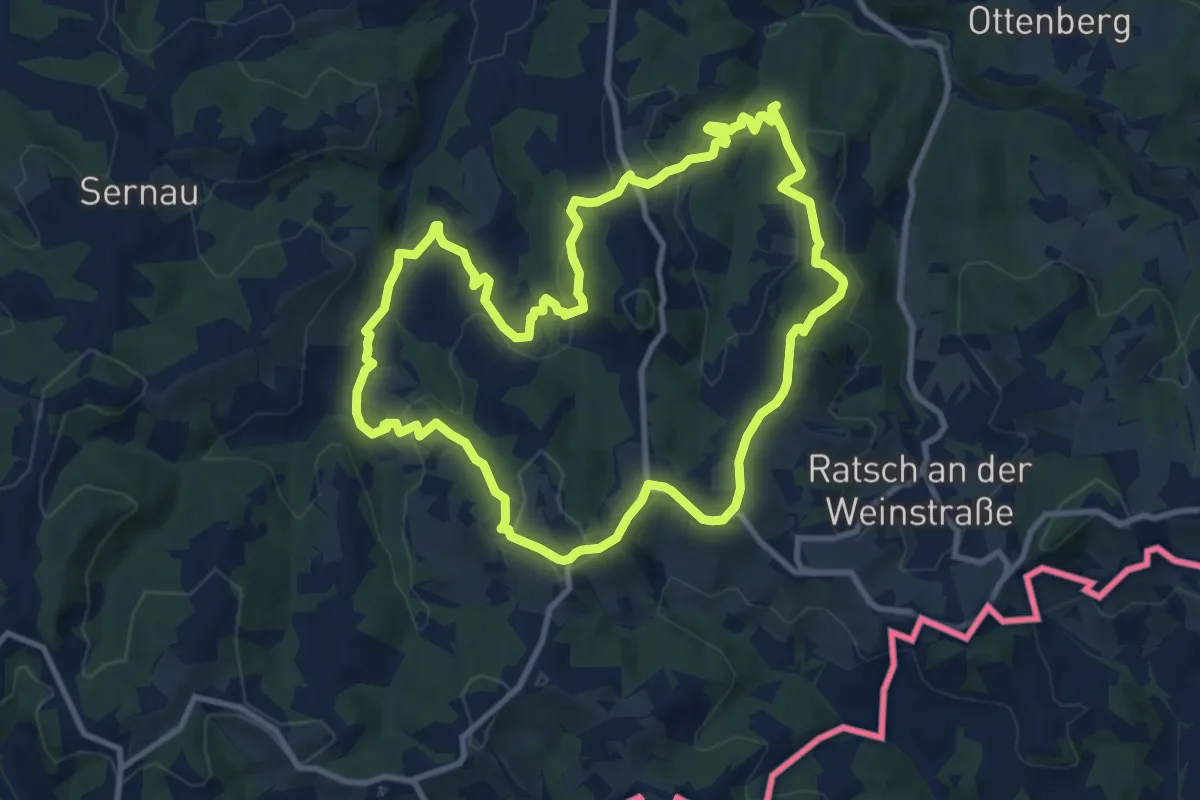
Medium · Trail
Eckberg - Steinbach - Ratsch
10.5 km · ↑ 420 m · 3 h 32 min
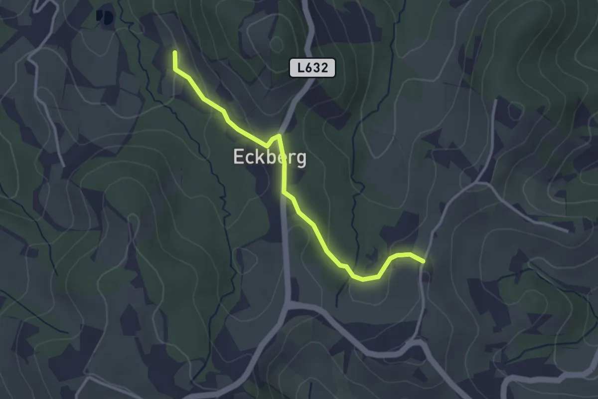
Easy · Trail
Eckberg - Steinbach - Ratsch - Variante
2.9 km · ↑ 118 m · 57 min
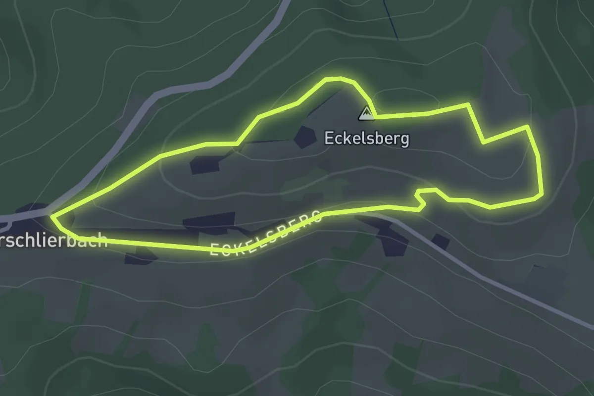
Easy · Summit
Eckelsbergweg - Wanderweg K70
2.6 km · ↑ 74 m · 49 min
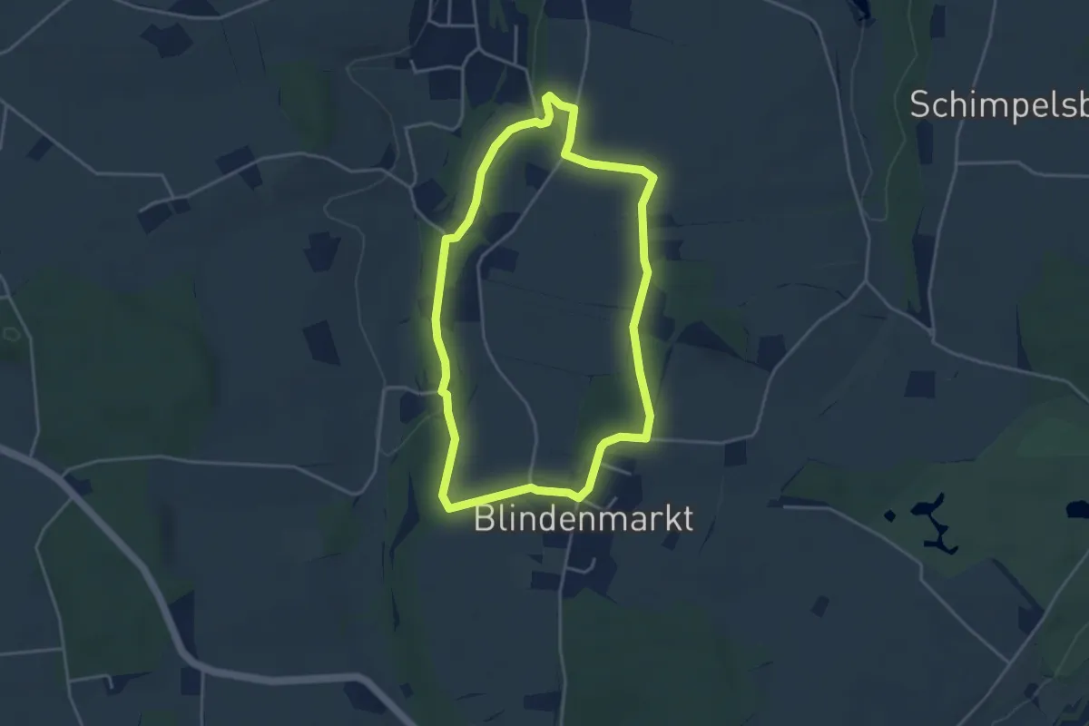
Easy · Trail
ECM-Runde
3.7 km · ↑ 35 m · 1 h
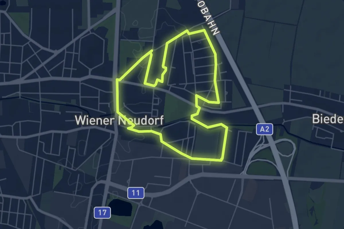
Easy · Trail
ecoplus Runde
5.4 km · ↑ 9 m · 1 h 22 min
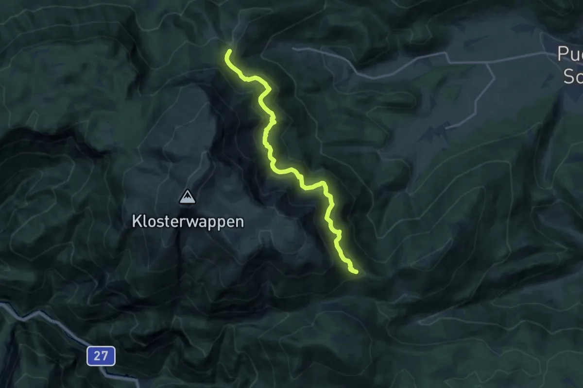
Demanding · Cabin
Edelweißhütte - Hst. Baumgartner
13.1 km · ↑ 871 m · 4 h 58 min
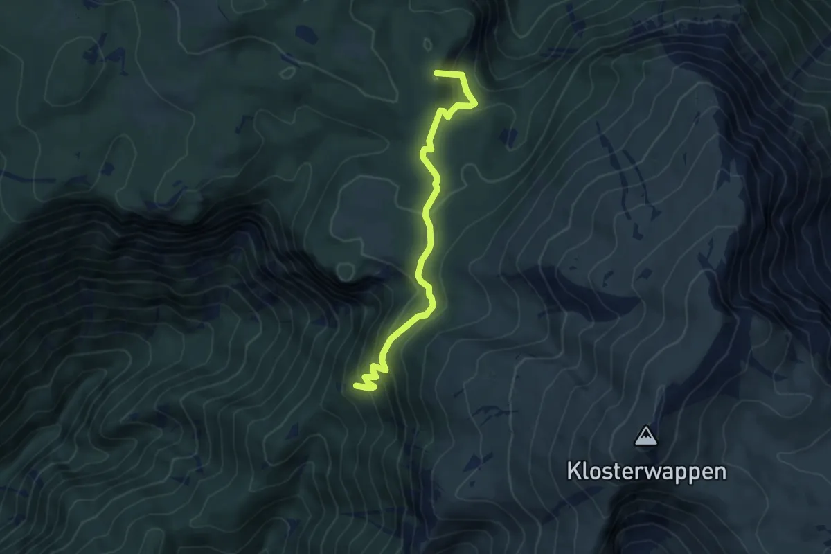
Medium · Summit
Edelweißhütte - Kientalerhütte
5.3 km · ↑ 389 m · 2 h 6 min
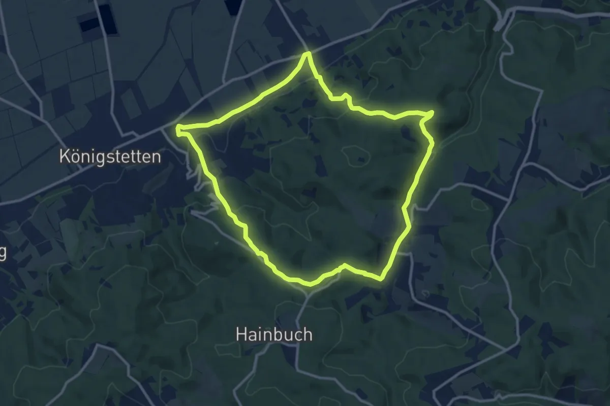
Medium · Trail
Edelweißweg/Hängender Stein (groß)
10.4 km · ↑ 287 m · 3 h 13 min
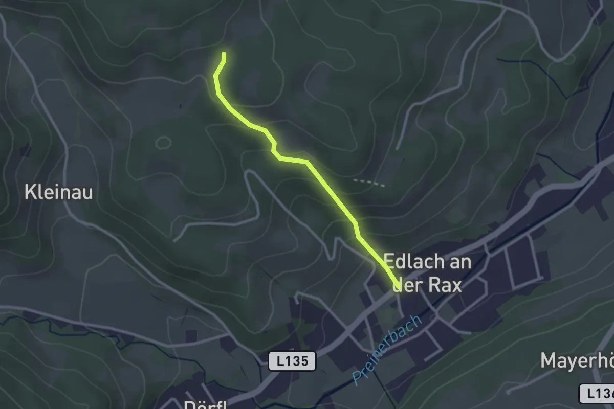
Easy · Trail
Edlach Peterhof - Knappenberg
2.2 km · ↑ 167 m · 53 min
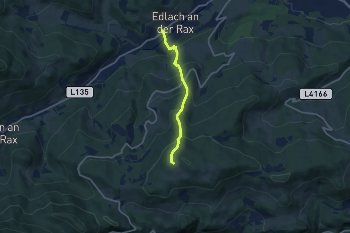
Medium · Trail
Edlach - Speckbacherhütte
5.7 km · ↑ 522 m · 2 h 29 min
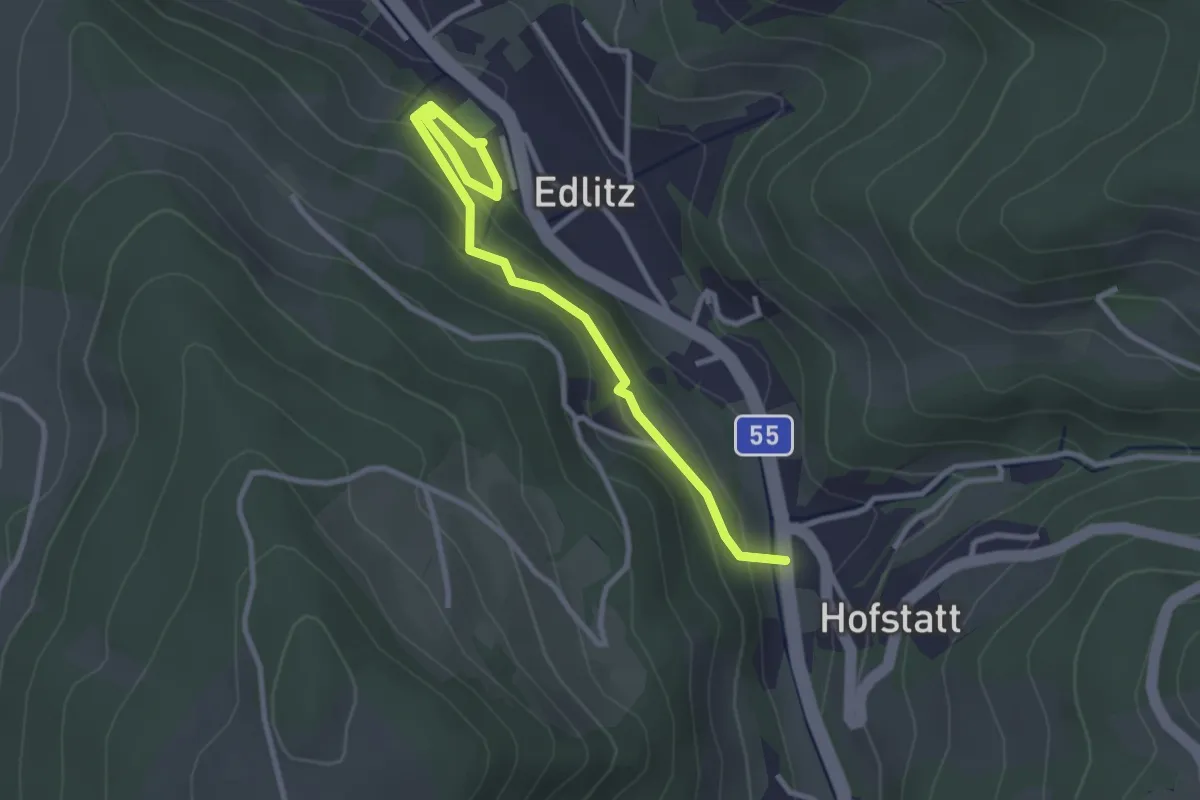
Easy · Trail
Edlitz Gh Katzgruber - Plaudermarkt - Sportplatz
3.2 km · ↑ 140 m · 1 h 3 min
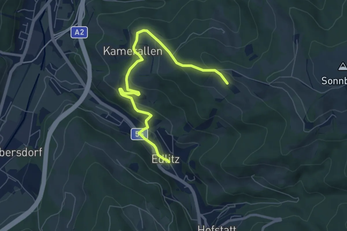
Easy · Trail
Edlitz - Kolreuth
6.8 km · ↑ 259 m · 2 h 11 min
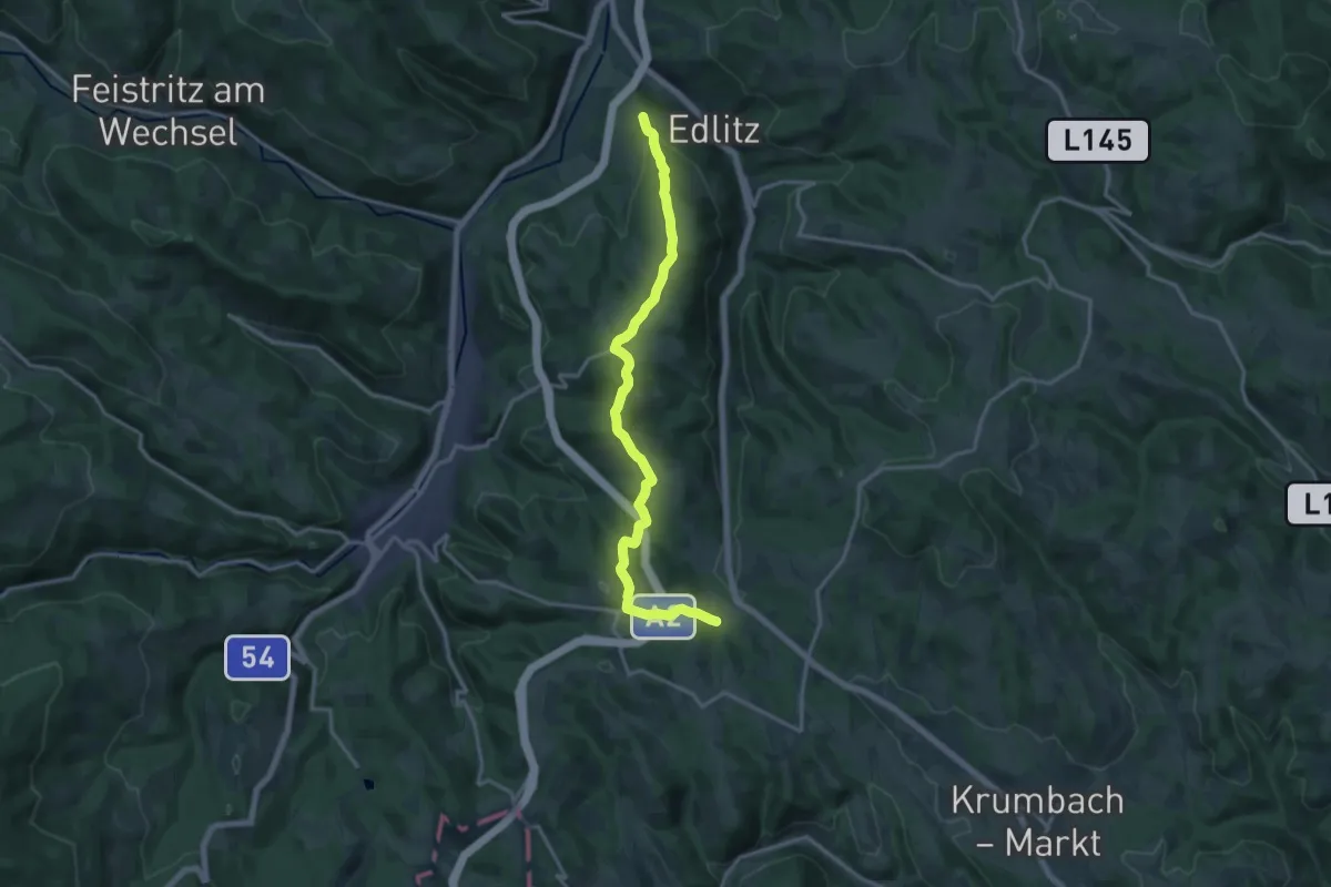
Medium · Trail
Edlitz - Kulma
16.0 km · ↑ 556 m · 4 h 59 min
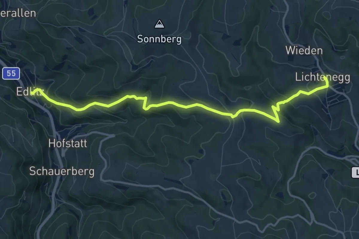
Medium · Trail
Edlitz - Lichtenegg
10.8 km · ↑ 566 m · 3 h 47 min
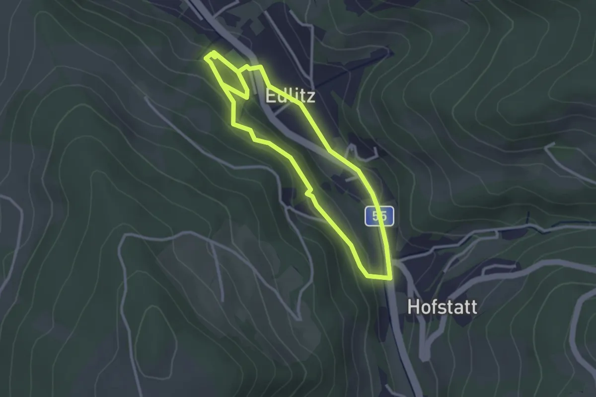
Easy · Trail
Edlitz - Ortsmitte - FF - Plaudermarkt - Königsberger Straße - Ortsmitte
2.5 km · ↑ 66 m · 47 min
Easy · Trail
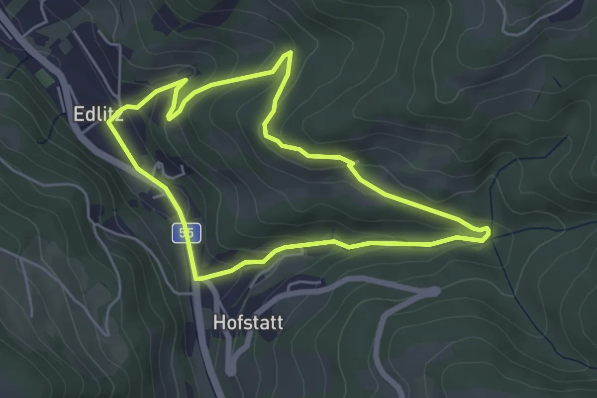
Edlitz Ortsmitte - Riegerweg - Kaderweg - Schafferhof - Bindergraben - Ortsmitte
4.0 km · ↑ 156 m · 1 h 20 min
Easy · Trail
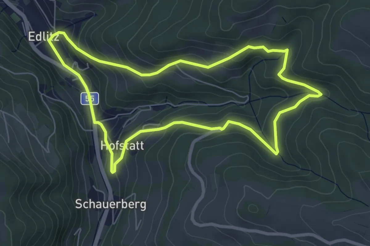
Edlitz Ortsmitte - Schafferhof - Wiednerstraße - Hofstatt - Ortsmitte
5.4 km · ↑ 202 m · 1 h 47 min
Medium · Trail
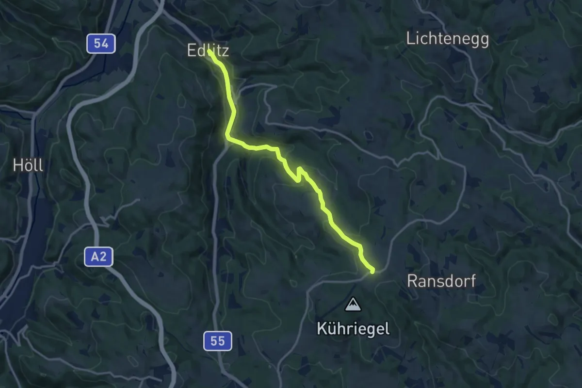
Edlitz - Wiesfleck
11.7 km · ↑ 391 m · 3 h 36 min
Easy · Trail
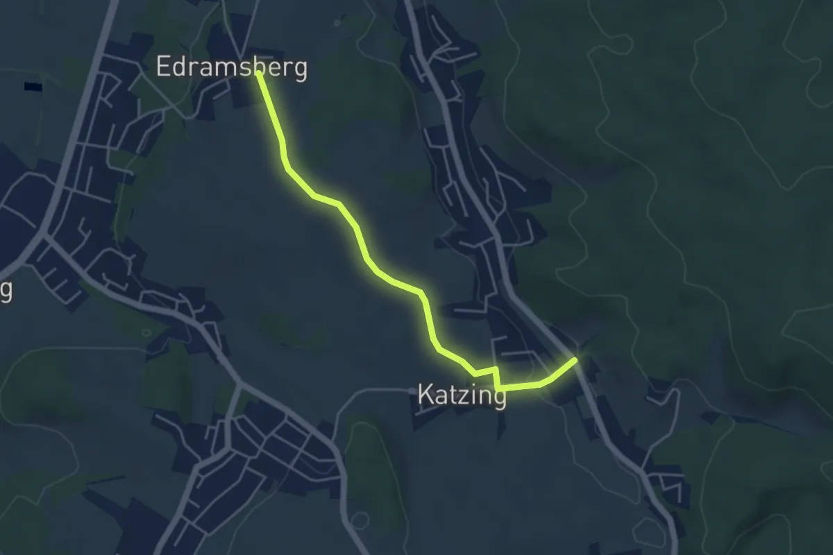
Edramsberg - Katzing
4.1 km · ↑ 58 m · 1 h 6 min
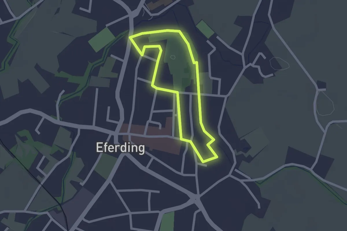
Easy · Trail
Eferdinger G'schichtnweg
1.6 km · ↑ 4 m · 25 min
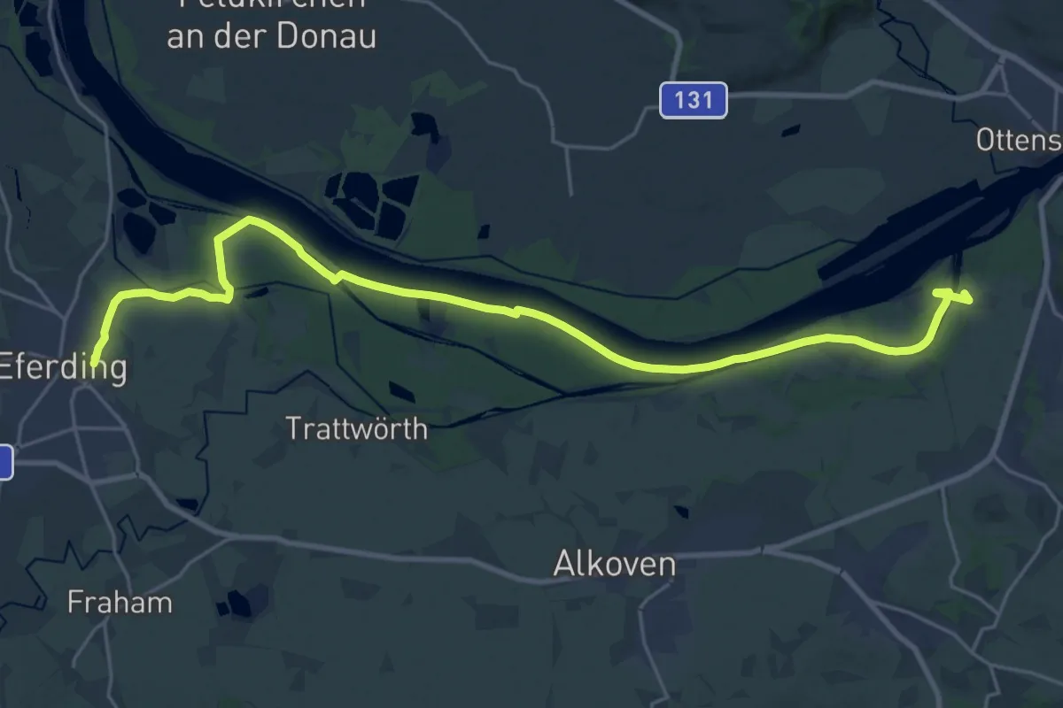
Demanding · Trail
Eferding - Wilhering Donausteig Etappe
26.1 km · ↑ 35 m · 6 h 15 min
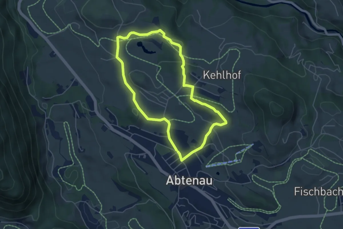
Easy · Trail
Egelsee Winterwanderweg
4.5 km · ↑ 94 m · 1 h 20 min
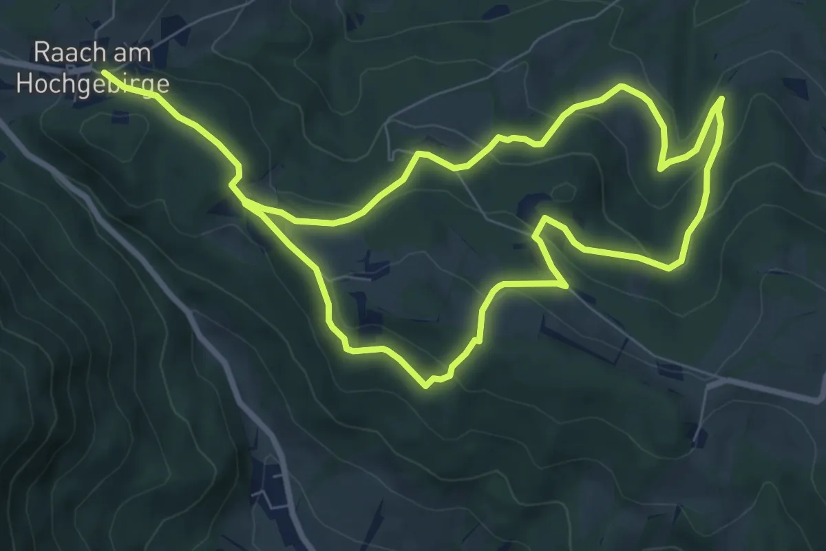
Medium · Trail
Egger Rundwanderweg (Raach)
14.3 km · ↑ 556 m · 4 h 36 min
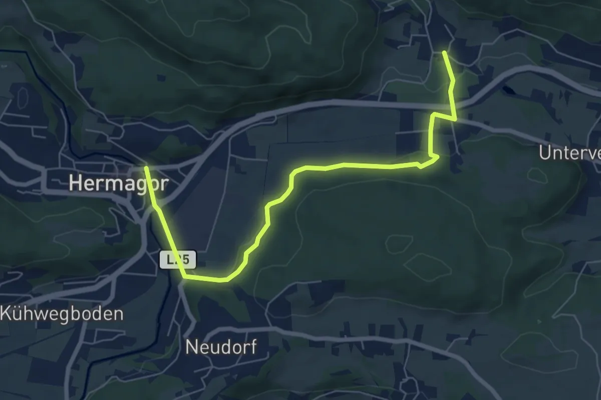
Easy · Trail
Eggforstweg
6.9 km · ↑ 68 m · 1 h 47 min
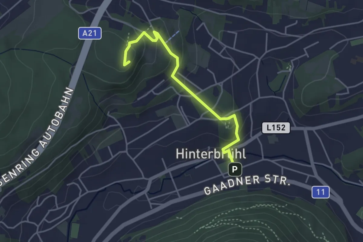
Easy · Summit
ehemaliger Rundwanderweg Hinterbrühl
3.5 km · ↑ 170 m · 1 h 12 min
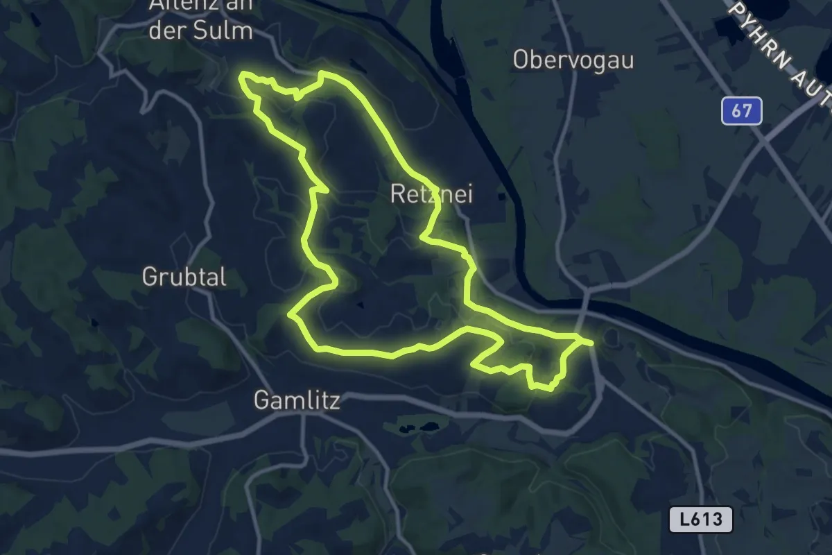
Medium · Trail
Ehrenhausen 1
11.1 km · ↑ 253 m · 3 h 20 min
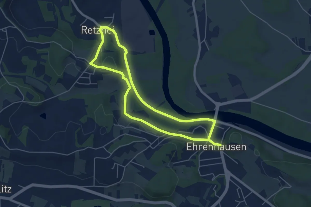
Medium · Trail
Ehrenhausen 2
9.3 km · ↑ 133 m · 2 h 28 min
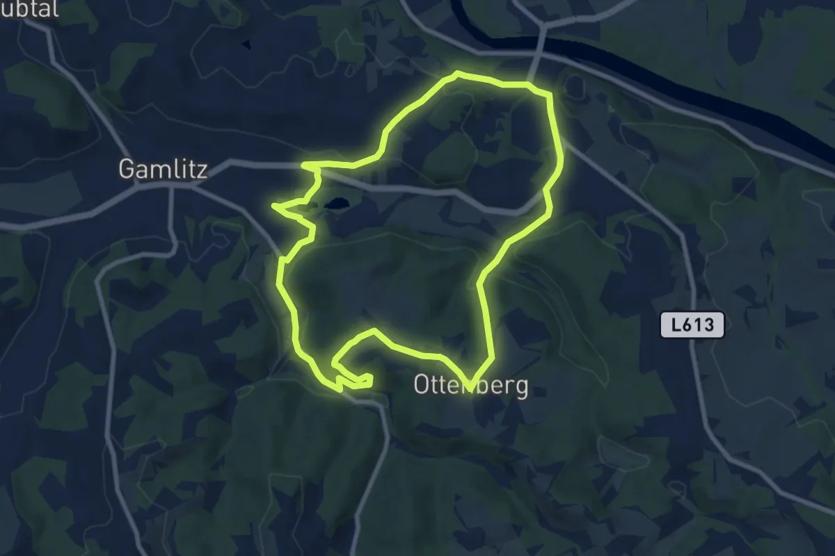
Easy · Trail
Ehrenhausen 3
7.8 km · ↑ 158 m · 2 h 18 min
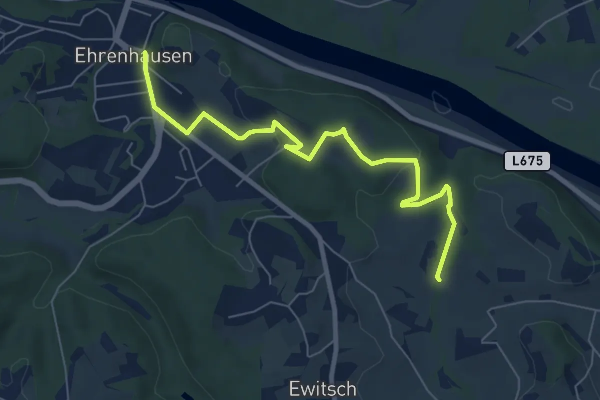
Medium · Trail
Ehrenhausen 4
3.1 km · ↑ 73 m · 55 min
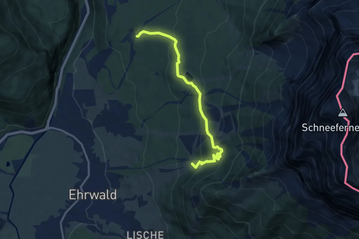
Medium · Trail
Ehrwalder Höhenweg
7.1 km · ↑ 374 m · 2 h 29 min
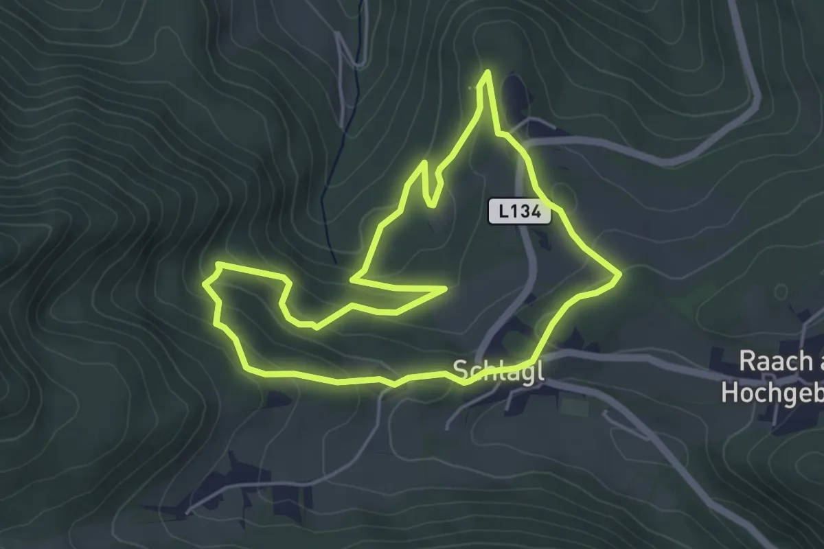
Easy · Trail
Eiben Rundwanderweg (Schlagl)
4.4 km · ↑ 159 m · 1 h 26 min
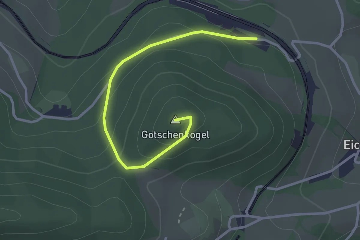
Easy · Summit
Eichberg Hst. - Maria Taferl
2.6 km · ↑ 147 m · 56 min
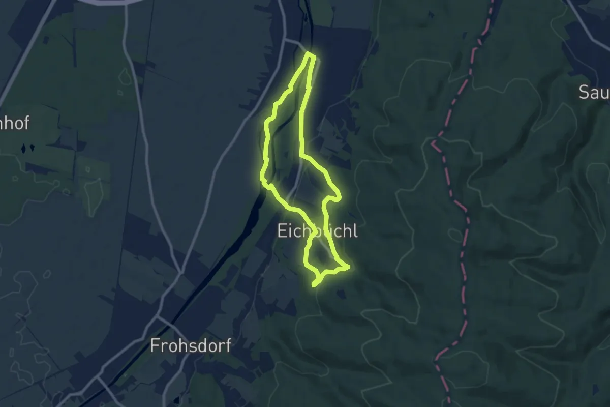
Easy · Trail
Eichbüchler Rundweg
7.2 km · ↑ 118 m · 2 h 3 min
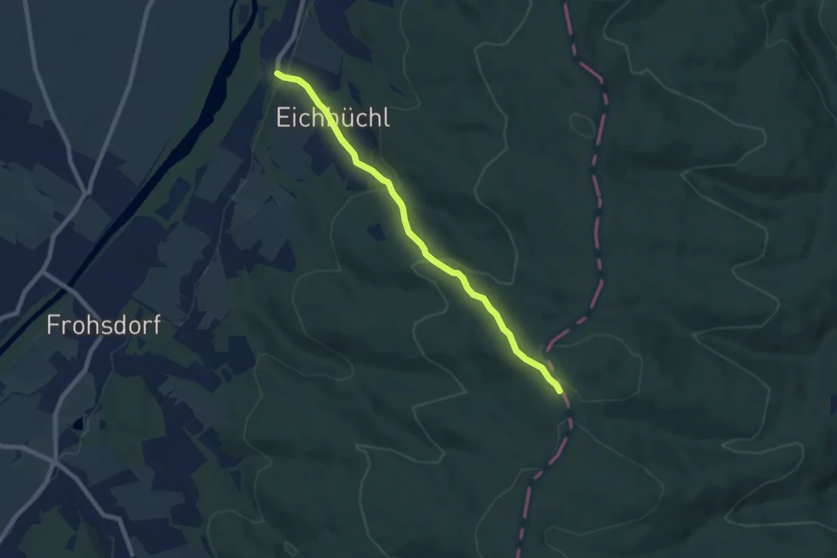
Medium · Trail
Eichbüchl - Rosalia Kamm-Wanderweg
6.0 km · ↑ 287 m · 2 h 2 min
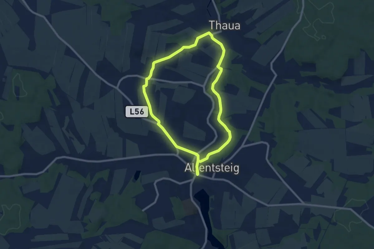
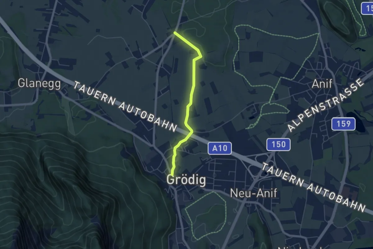
Easy · Trail
Eichen und Eulen 30
6.0 km · ↑ 51 m · 1 h 37 min
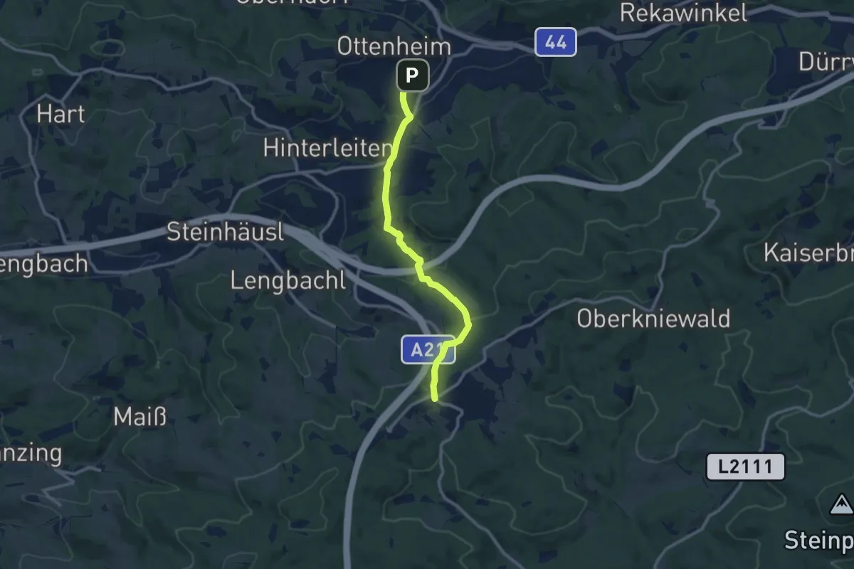
Easy · Trail
Eichetrunde
4.6 km · ↑ 8 m · 1 h 6 min
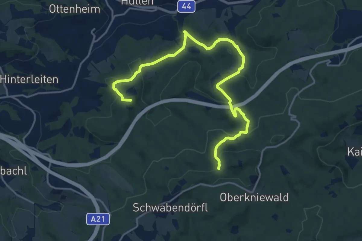
Medium · Trail
Eichgraben - Hochstraß
9.4 km · ↑ 309 m · 2 h 53 min
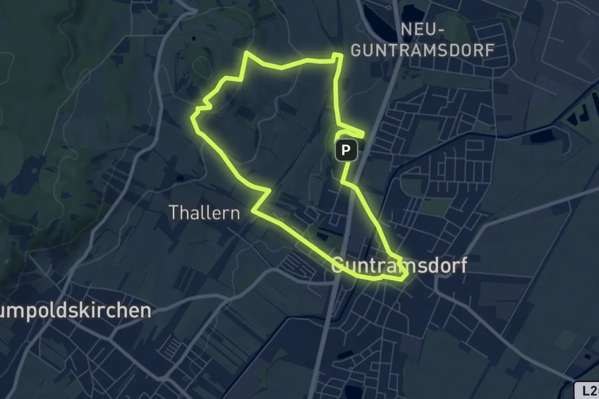
Medium · Summit
Eichgraben - Jochgrabenberg
13.2 km · ↑ 550 m · 4 h 18 min
Easy · Summit
Eichkogelweg
6.5 km · ↑ 151 m · 1 h 57 min
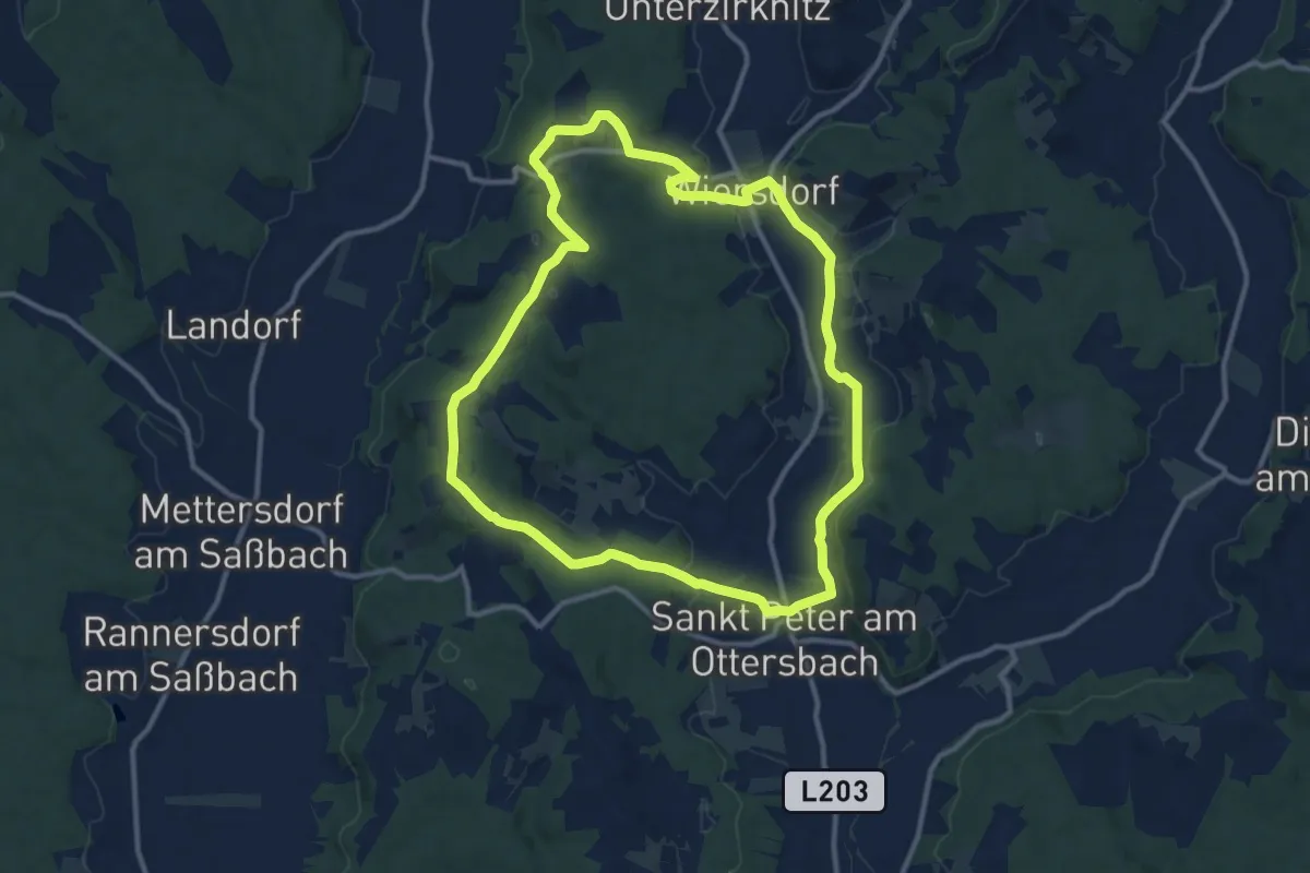
Medium · Trail
Eichriegel-Weg
11.3 km · ↑ 175 m · 3 h 12 min
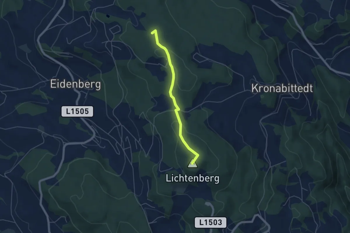
Easy · Summit
Eidenberger Höhenweg
4.2 km · ↑ 88 m · 1 h 11 min
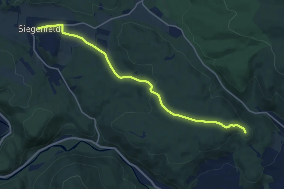
Medium · Summit
Einöde - Brandgraben - Siegenfeld
9.9 km · ↑ 198 m · 2 h 47 min
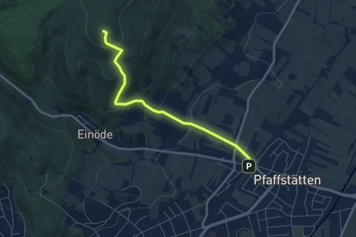
Easy · Summit
Einöde und Pfaffstätten Bahnhof - Prokschhütte
5.4 km · ↑ 311 m · 1 h 57 min
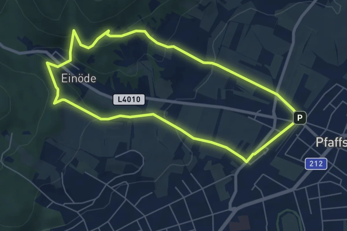
Easy · Trail
Einödweg
5.0 km · ↑ 178 m · 1 h 38 min
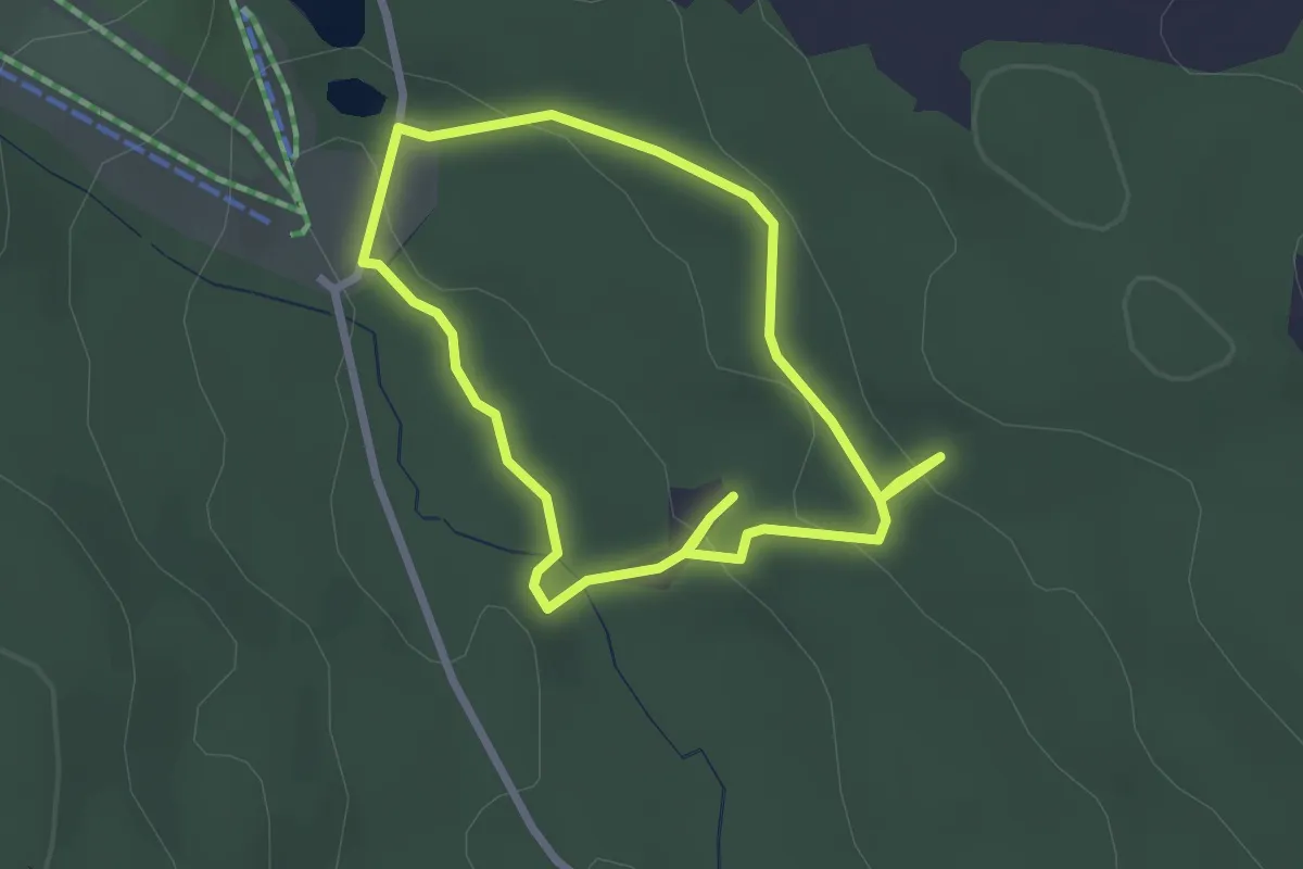
Easy · Trail
Einsiedlerhütte-Kittendorfer Rundweg
2.2 km · ↑ 51 m · 40 min
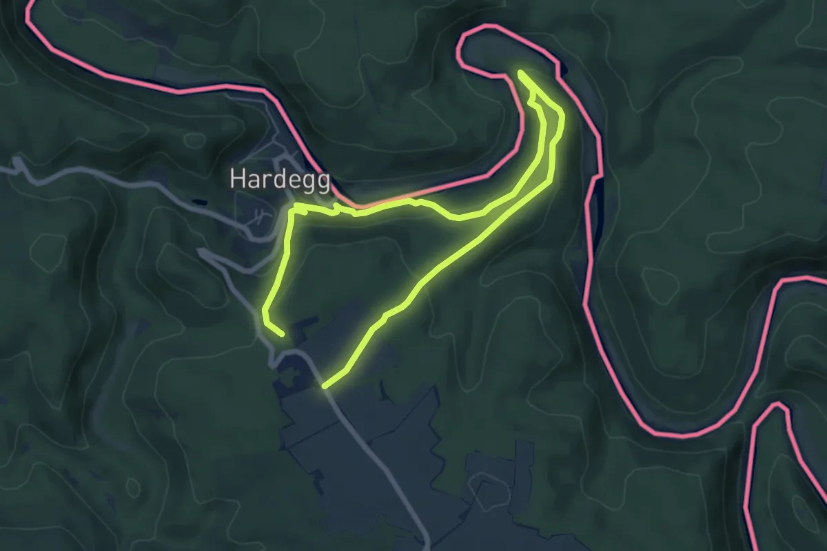
Easy · Trail
Einsiedlerweg
5.0 km · ↑ 183 m · 1 h 39 min
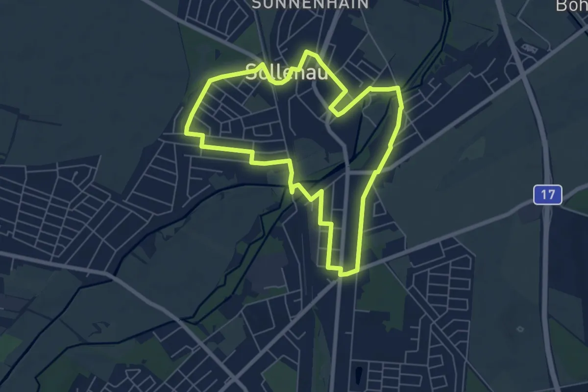
Easy · Trail
Eisdiele Harrer Runde
5.6 km · ↑ 8 m · 1 h 25 min