Trails in Austria
9,778 hiking trails, each with its route, climb, walking time and grade.
All trails, page 25 of 204
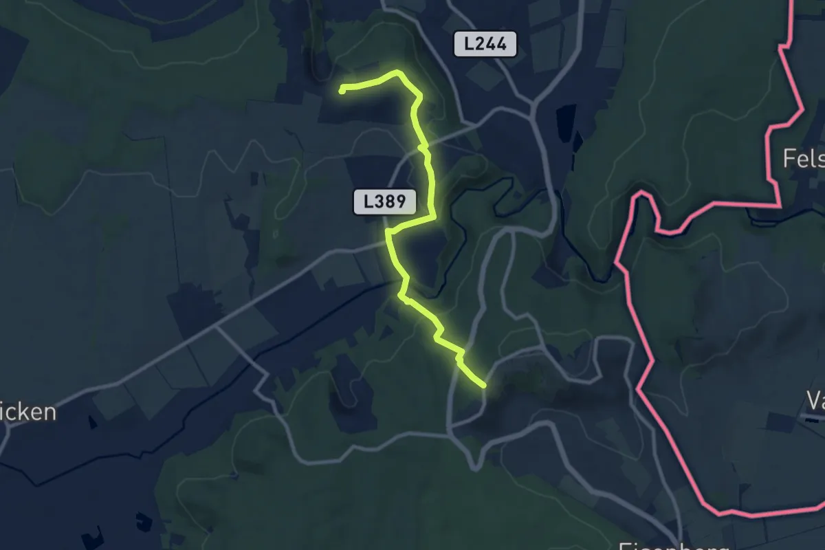
Medium · Summit
Eisenberg - Burg
8.9 km · ↑ 260 m · 2 h 40 min
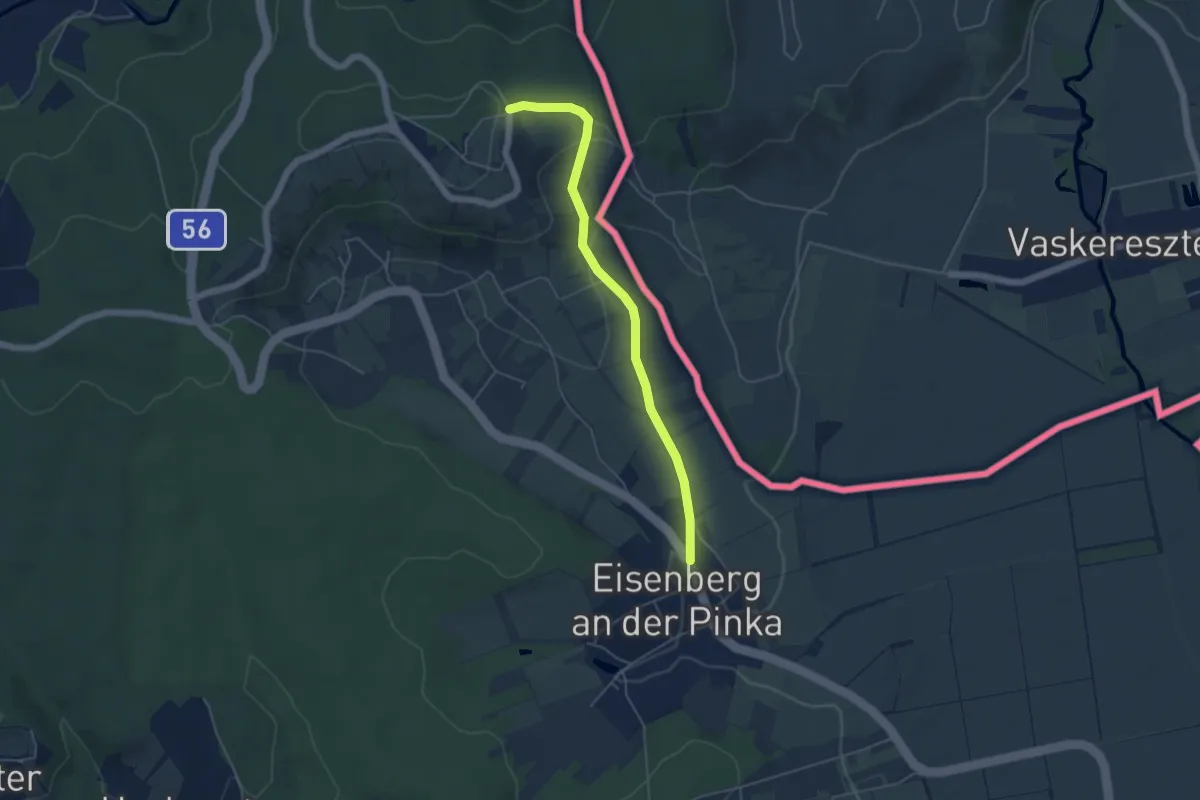
Easy · Trail
Eisenberg Runde
4.7 km · ↑ 136 m · 1 h 25 min
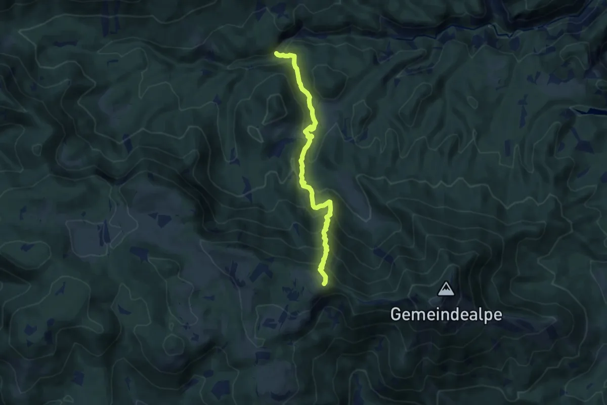
Medium · Trail
Eisener Hergott - Ötschergraben (Schleierfall)
8.6 km · ↑ 740 m · 3 h 37 min
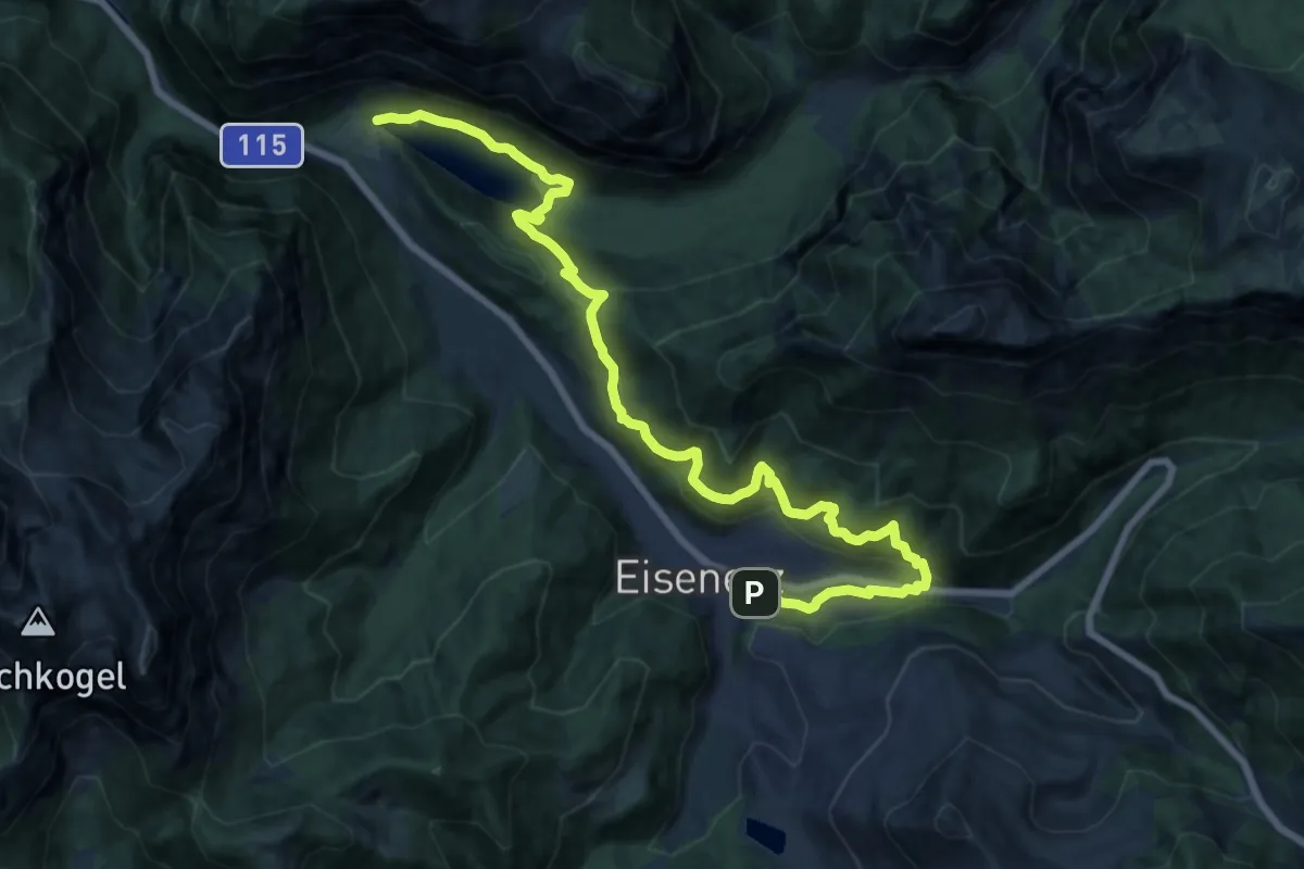
Medium · Trail
Eisenerzer Rundwanderweg
10.1 km · ↑ 281 m · 3 h 10 min
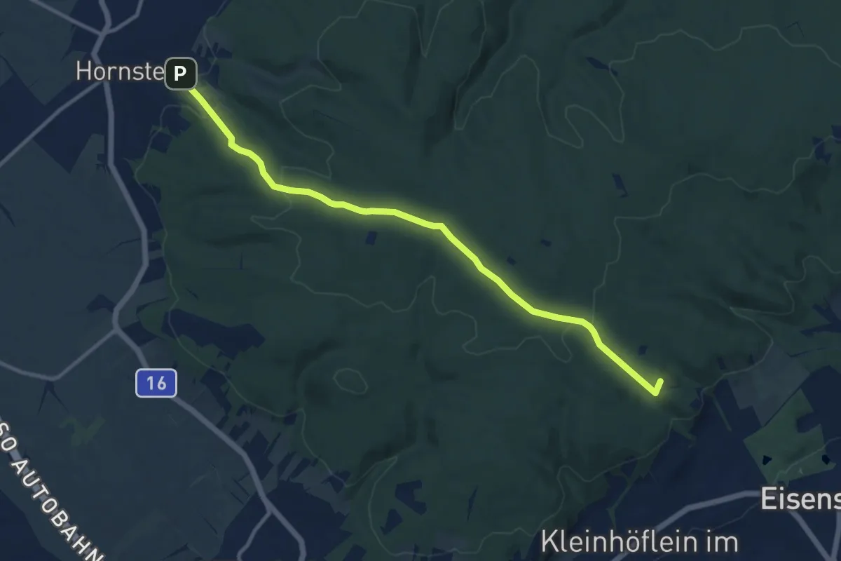
Medium · Summit
Eisenstadt (Gloriette) - Hornstein
10.8 km · ↑ 258 m · 3 h 7 min
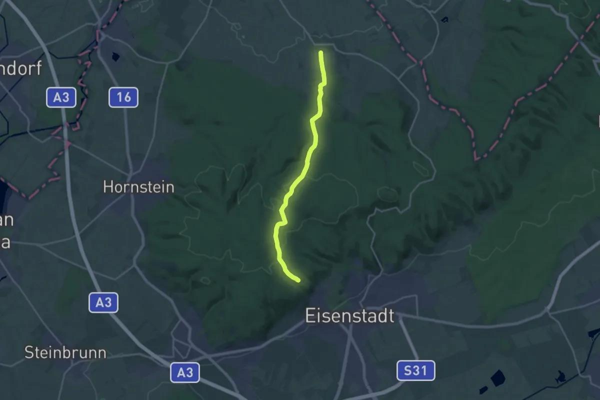
Medium · Summit
Eisenstadt (Gloriette) - Schöner Jäger - Loretto
15.1 km · ↑ 385 m · 4 h 24 min
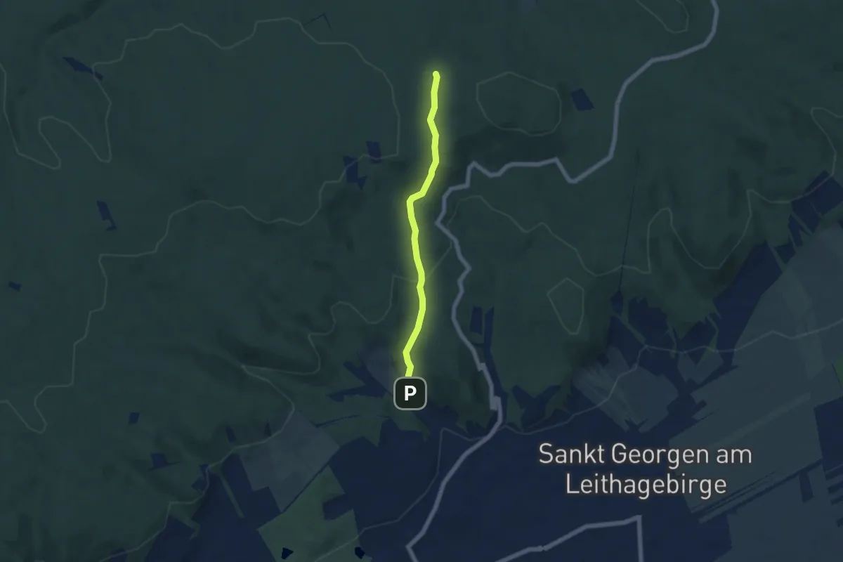
Easy · Trail
Eisenstadt (ORF) - Dreifaltigkeitskapelle - wieiter zur Dreifaltigkeitskapelle (gelbe Markierung)
4.8 km · ↑ 166 m · 1 h 30 min
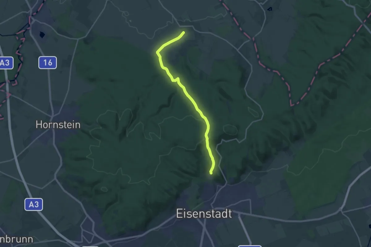
Medium · Trail
Eisenstadt (ORF) - Jägerwiese - Loretto
15.1 km · ↑ 361 m · 4 h 20 min
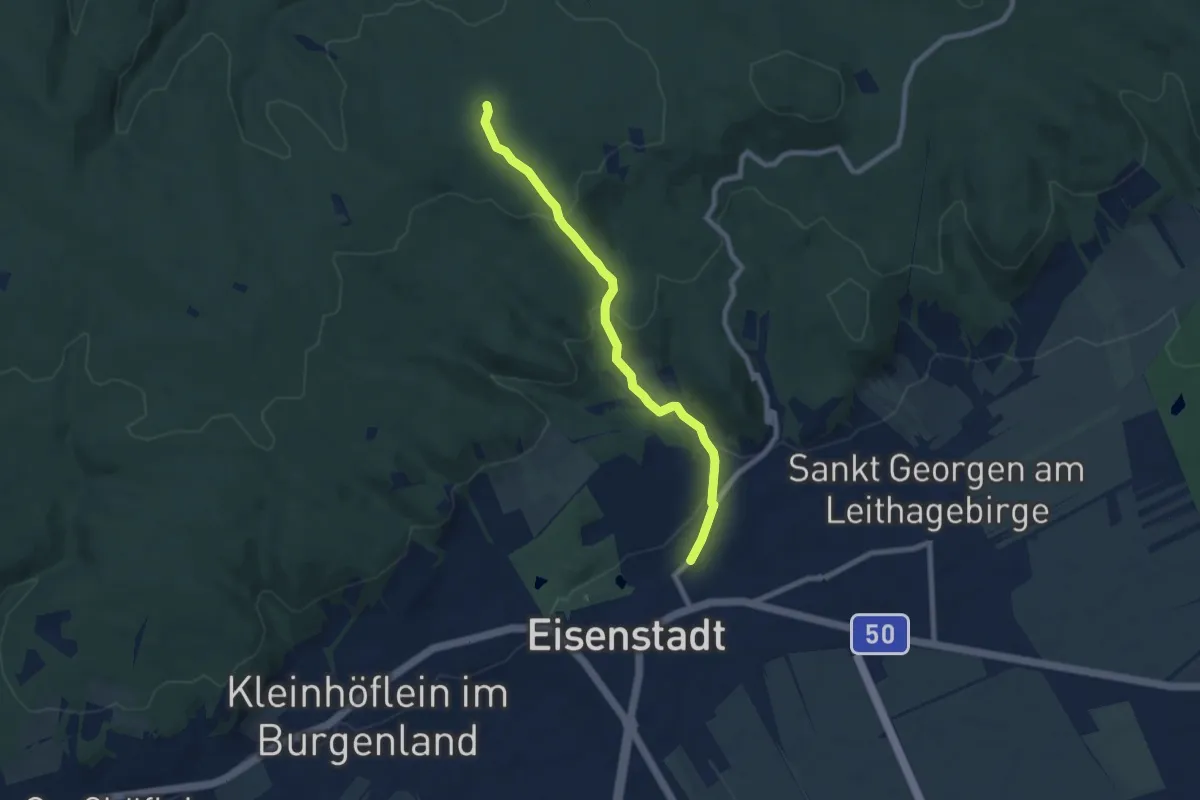
Easy · Trail
Eisenstadt (ORF) - Kürschnergrube
7.3 km · ↑ 262 m · 2 h 18 min
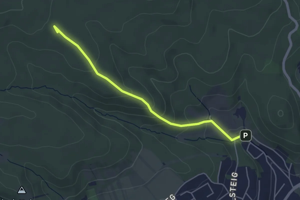
Easy · Summit
Eisenstadt (ORF) - Schöner Jäger
4.0 km · ↑ 159 m · 1 h 17 min
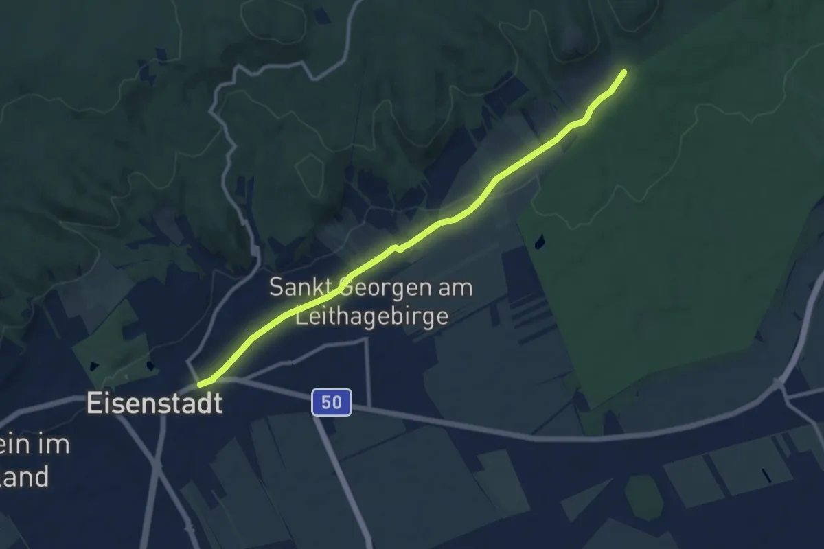
Medium · Trail
Eisenstadt - Sankt Georgen - Donnerskirchen
9.9 km · ↑ 99 m · 2 h 33 min
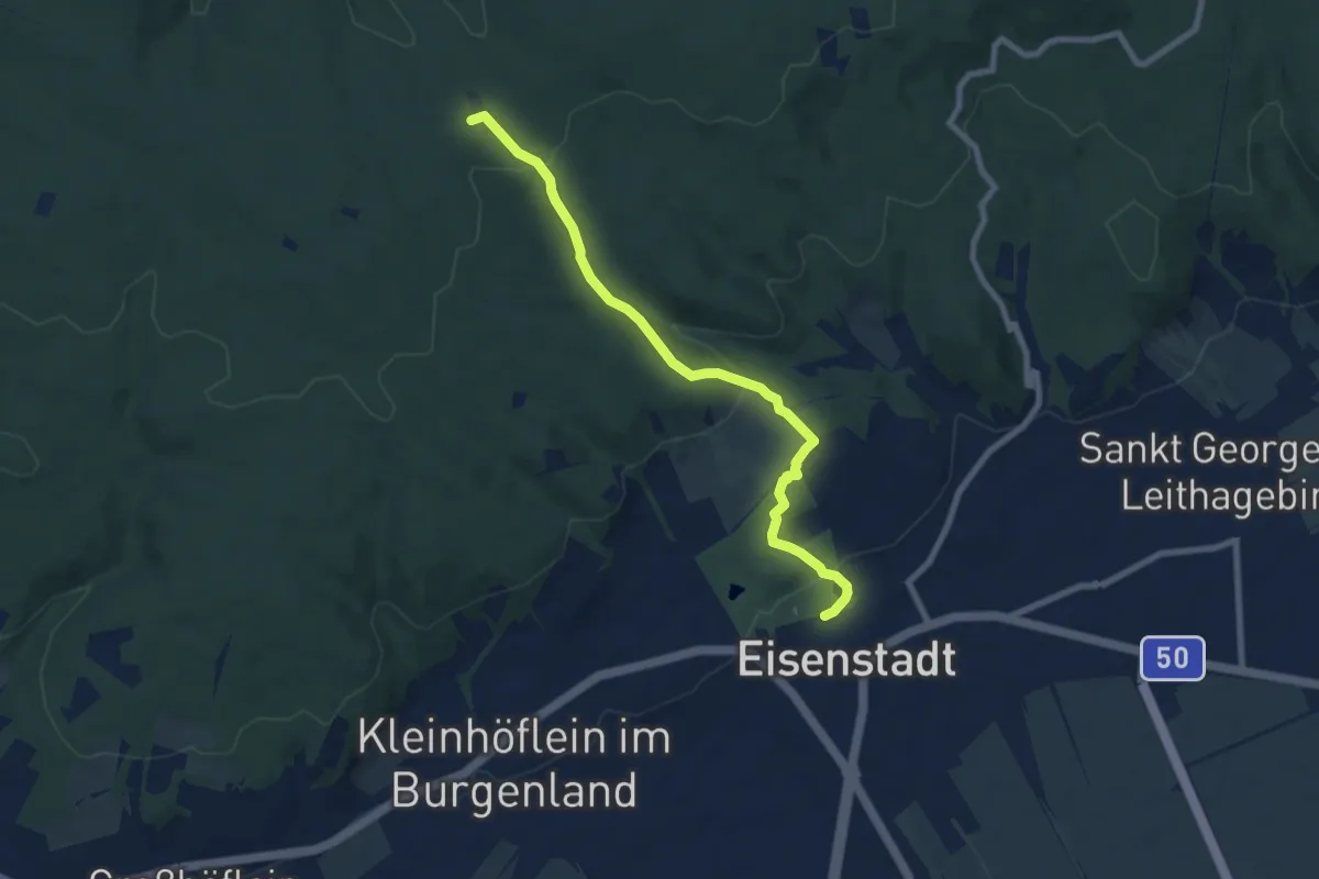
Easy · Trail
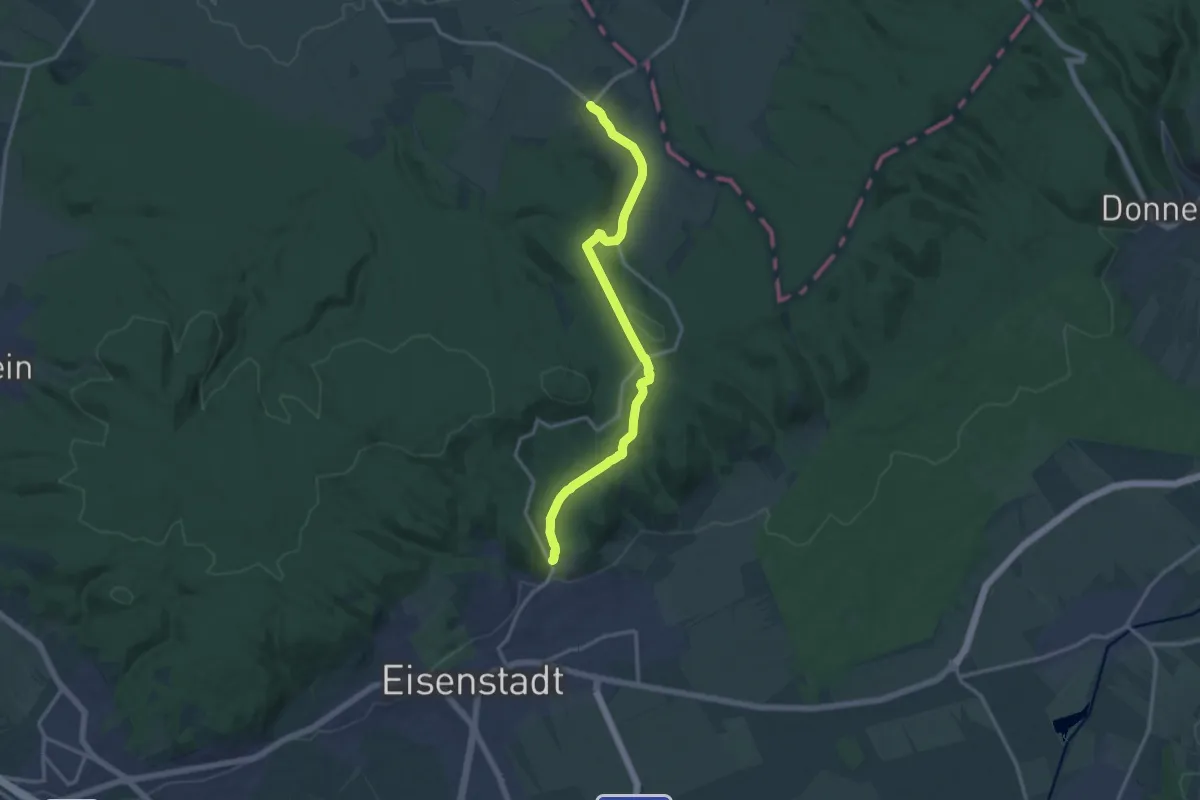
Eisenstadt Schloßpark - Schöner Jäger
7.7 km · ↑ 288 m · 2 h 26 min
Medium · Trail
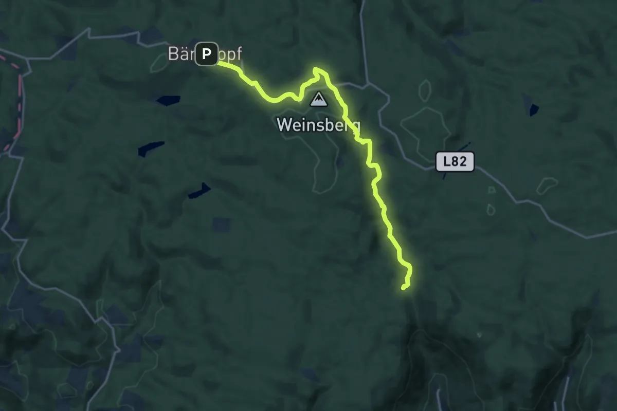
Eisenstadt - Wilder Jäger - Stotzing
13.9 km · ↑ 318 m · 3 h 59 min
Medium · Trail
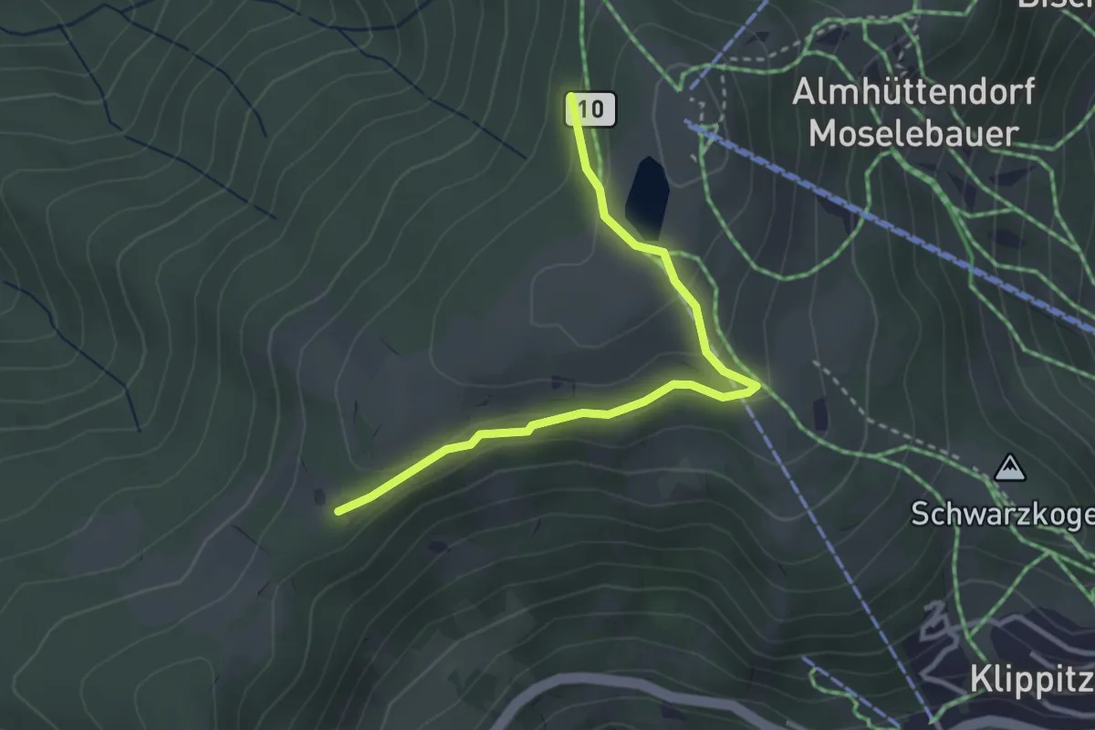
Eisenwurzenweg 08A
14.7 km · ↑ 233 m · 3 h 58 min
Easy · Trail
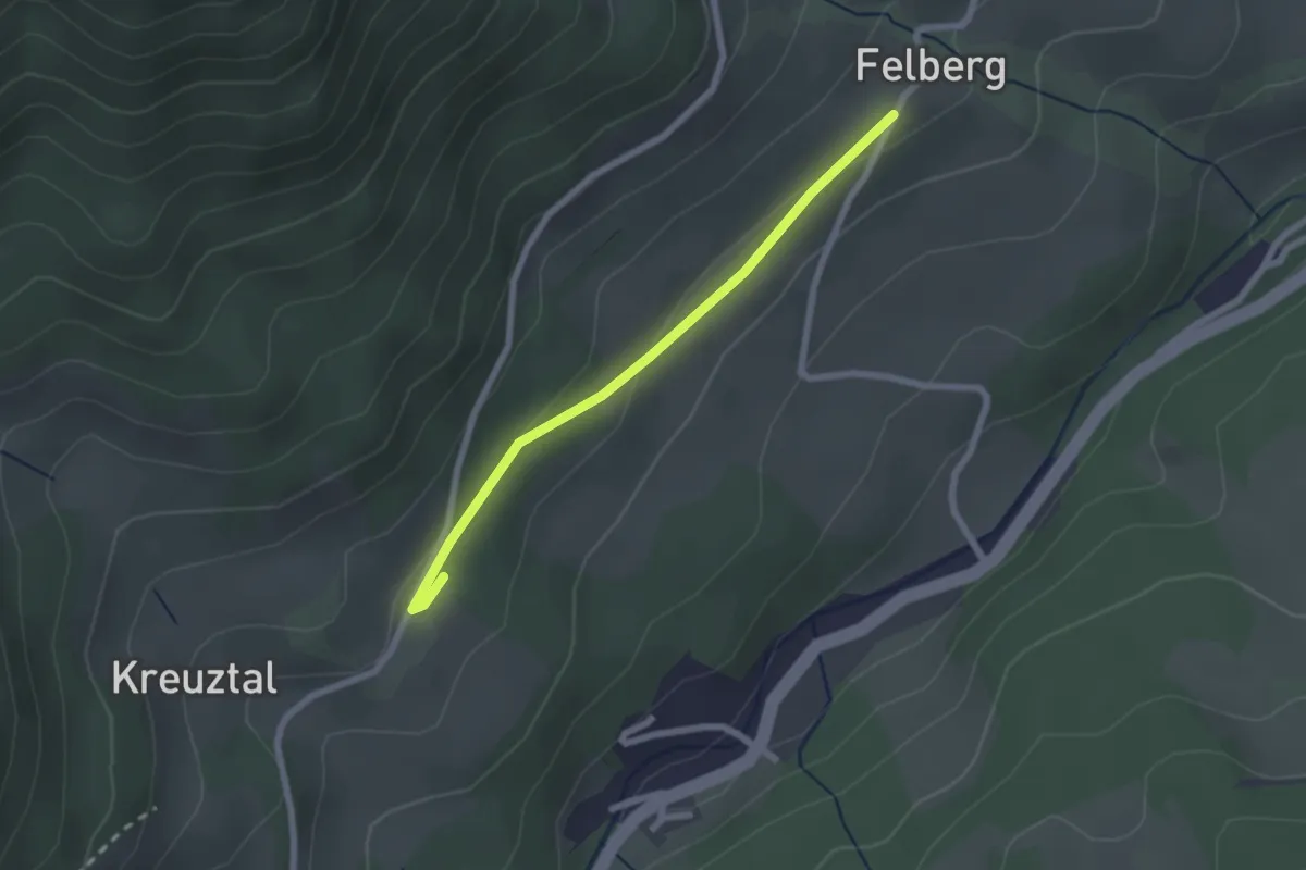
Eisenwurzenweg 308A
3.1 km · ↑ 133 m · 1 h 1 min
Easy · Trail
Eiszeitweg
2.1 km · ↑ 32 m · 34 min
Medium · Summit
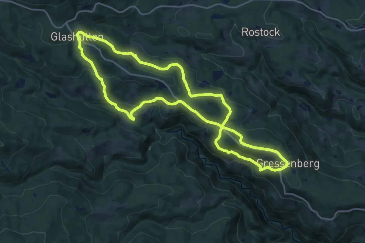
Eklogitweg
13.1 km · ↑ 473 m · 4 h 18 min
Medium · Trail
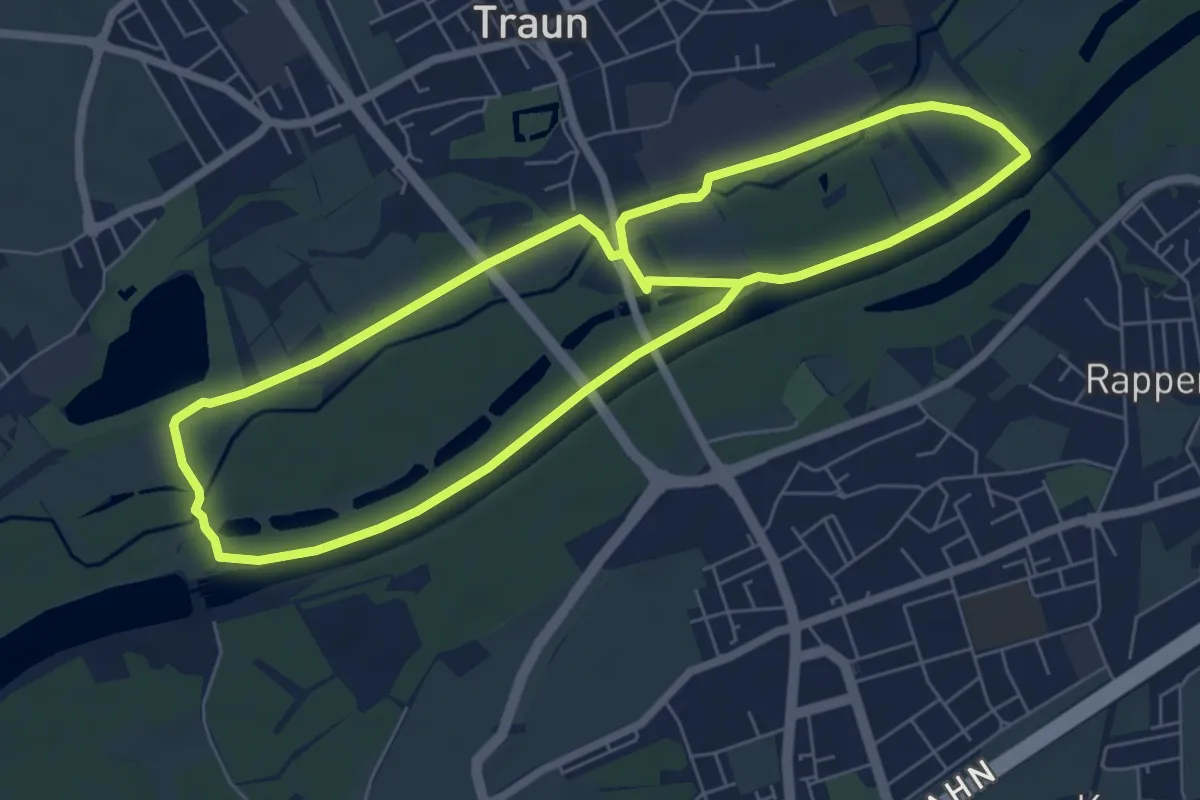
Elektro Scharinger Runde
13.1 km · ↑ 22 m · 3 h 9 min
Easy · Trail
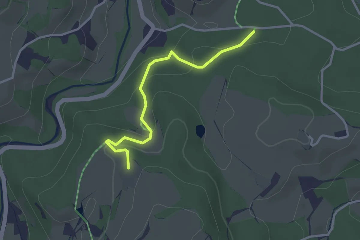
Elektrotechnik Adler Runde
2.6 km · ↑ 114 m · 51 min
Medium · Trail
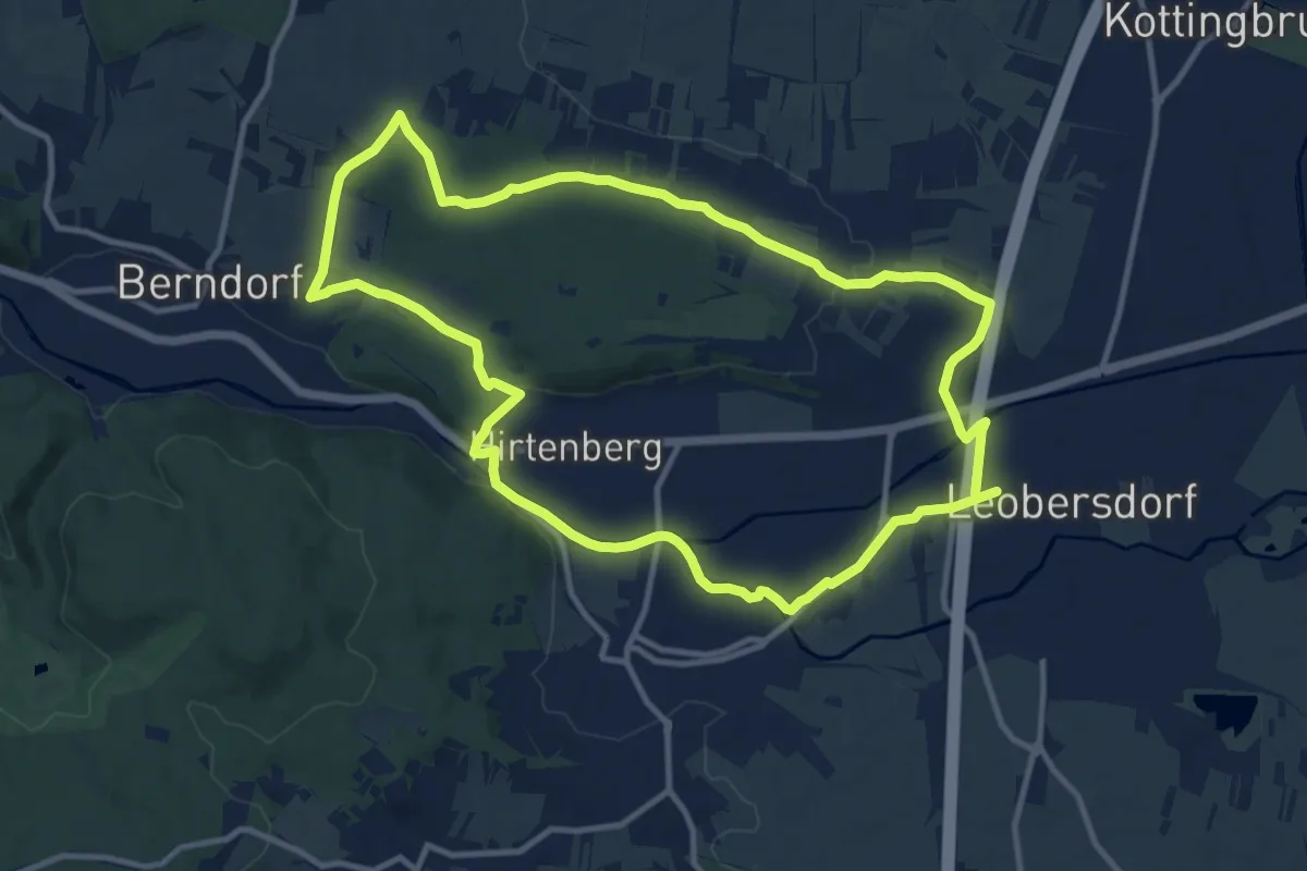
Elektro Wöhrer Runde "Lindenberg"
11.5 km · ↑ 118 m · 3 h 8 min
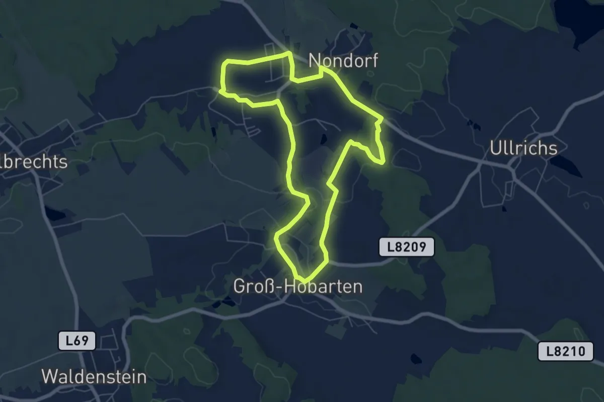
Easy · Trail
Elexentalweg (16)
5.9 km · ↑ 101 m · 1 h 41 min
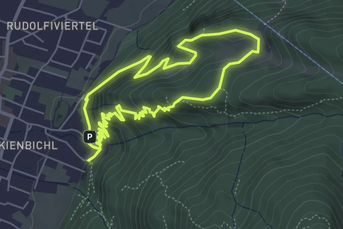
Medium · Summit
Elfenhain-Trail
4.9 km · ↑ 319 m · 1 h 55 min
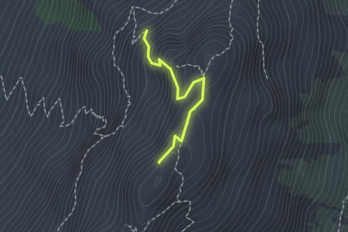
Medium · Summit
Elferkofel Überschreitung
1.2 km · ↑ 282 m · 53 min
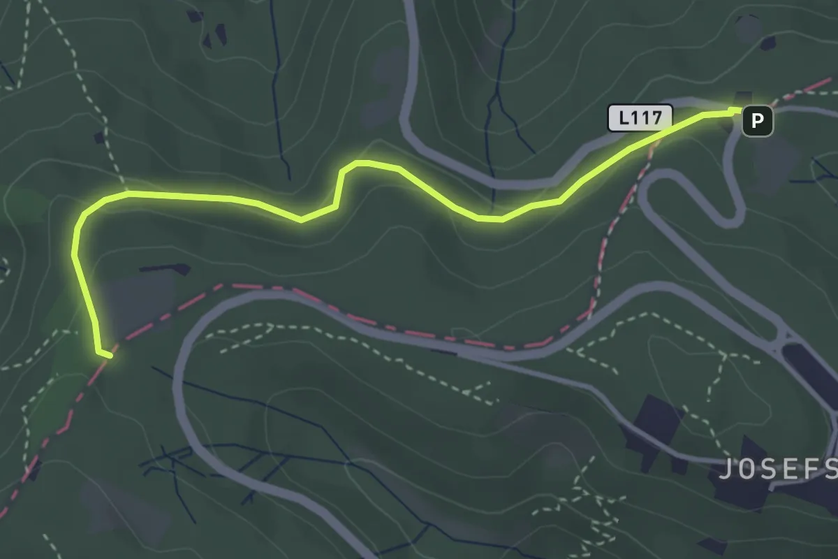
Easy · Trail
Elisabethwiese - Sulzwiese
3.5 km · ↑ 97 m · 1 h 3 min
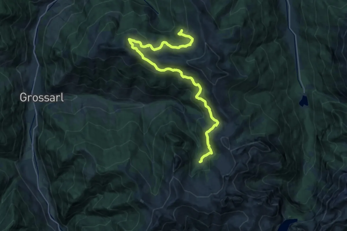
Demanding · Cabin
Ellmautal Almsteig
22.3 km · ↑ 720 m · 6 h 50 min
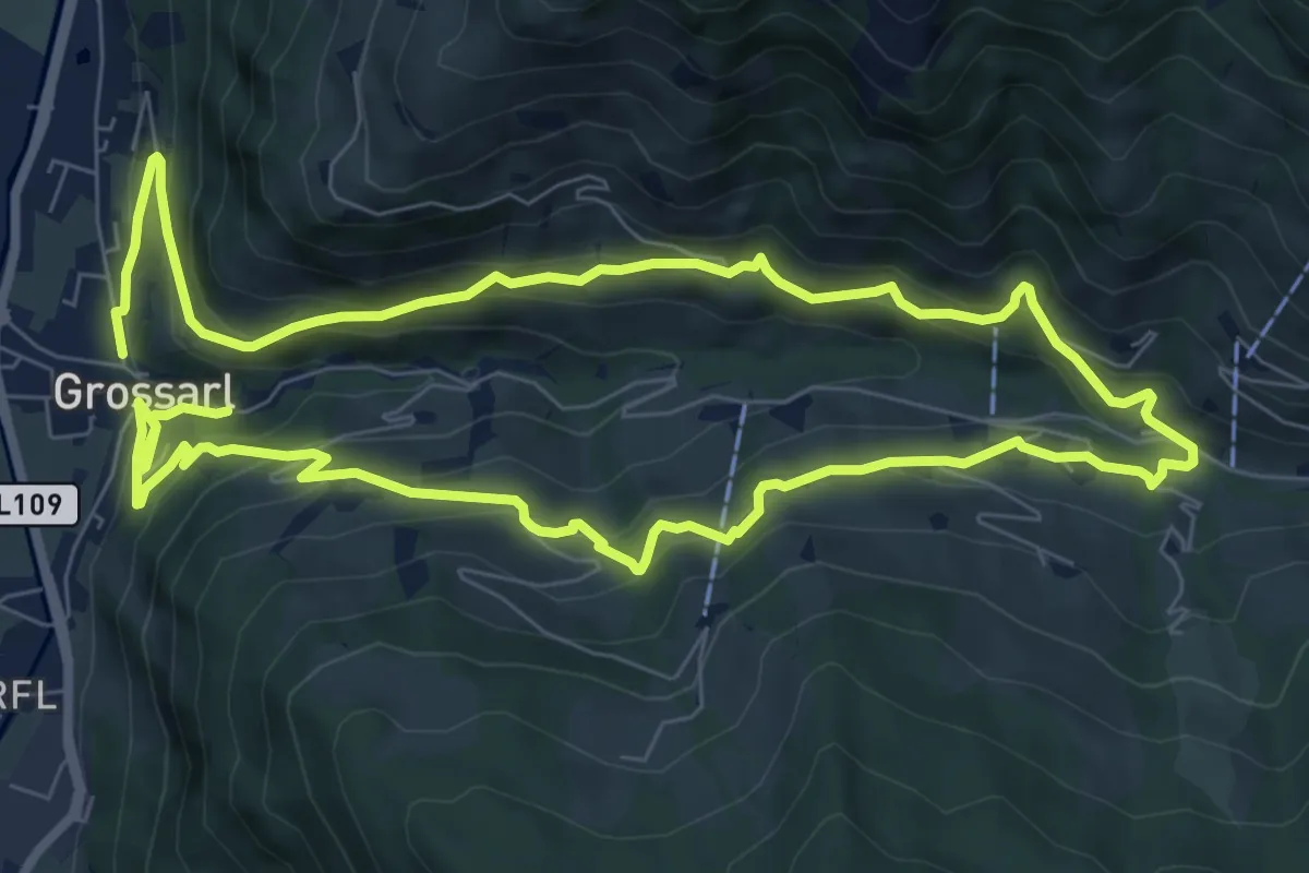
Medium · Trail
Ellmautal Sonnseitweg-Schattseitweg
16.0 km · ↑ 786 m · 5 h 29 min
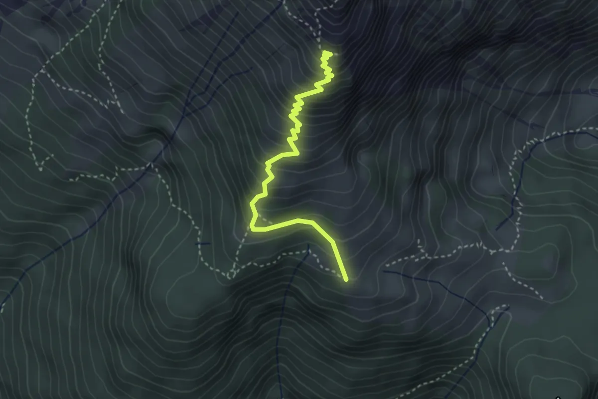
Demanding · Cabin
Elmau-Alm - Werfener Hütte
3.2 km · ↑ 398 m · 1 h 37 min
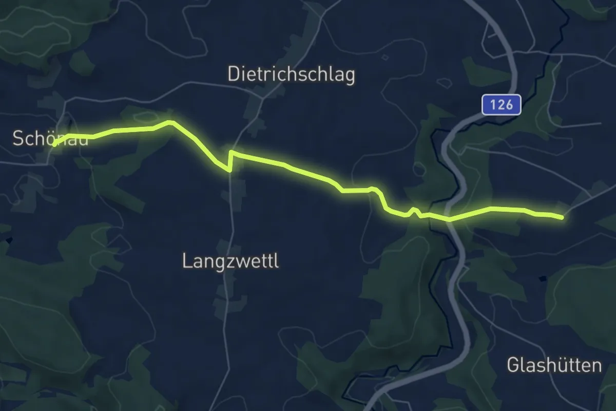
Easy · Trail
Elmegg - Schönau
7.0 km · ↑ 203 m · 2 h 6 min
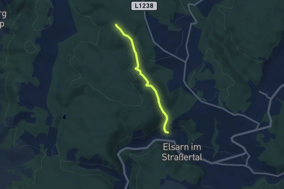
Easy · Trail
Elsarn - Gugelberg
4.9 km · ↑ 174 m · 1 h 32 min
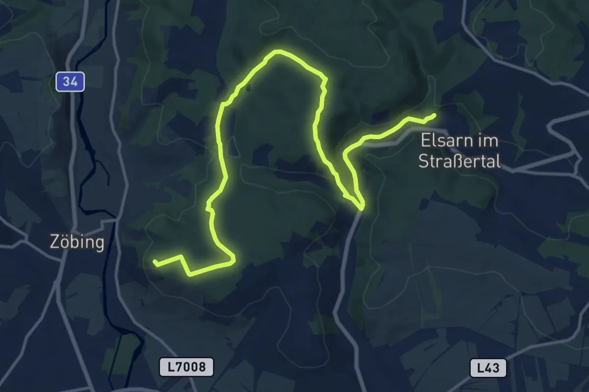
Medium · Trail
Elsarn - Kamptalwarte
14.7 km · ↑ 318 m · 4 h 9 min
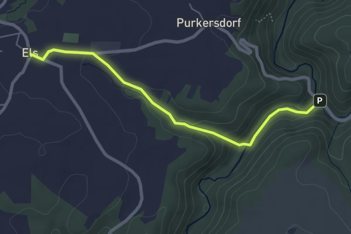
Easy · Trail
Els - Purkersdorf
4.4 km · ↑ 135 m · 1 h 20 min
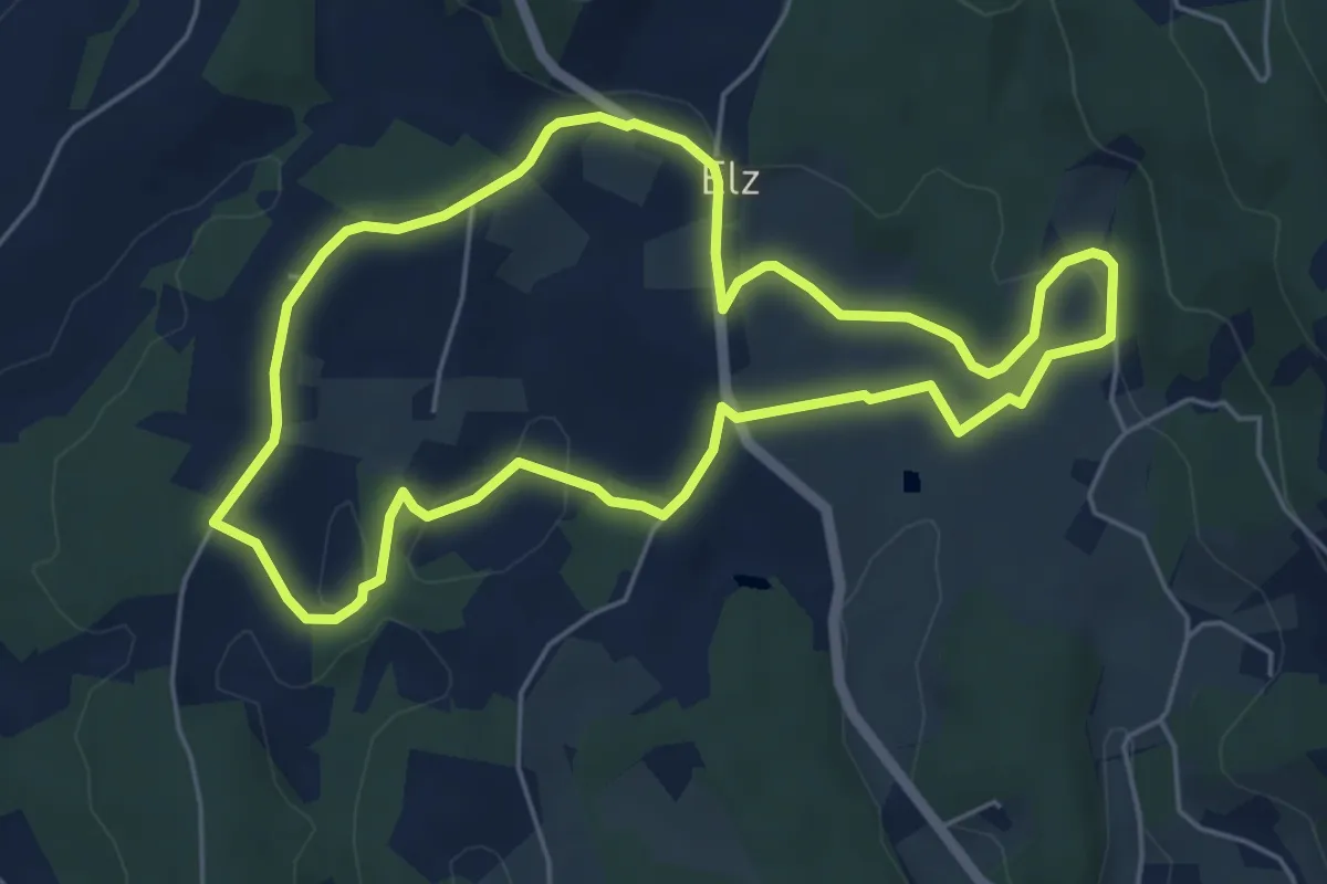
Easy · Trail
Elzer Roas
5.3 km · ↑ 137 m · 1 h 38 min
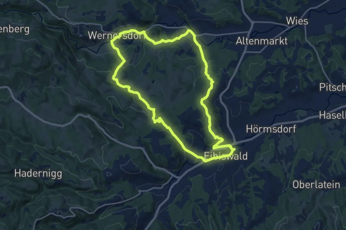
Medium · Trail
Emmaus-Wanderweg
13.2 km · ↑ 332 m · 4 h 1 min
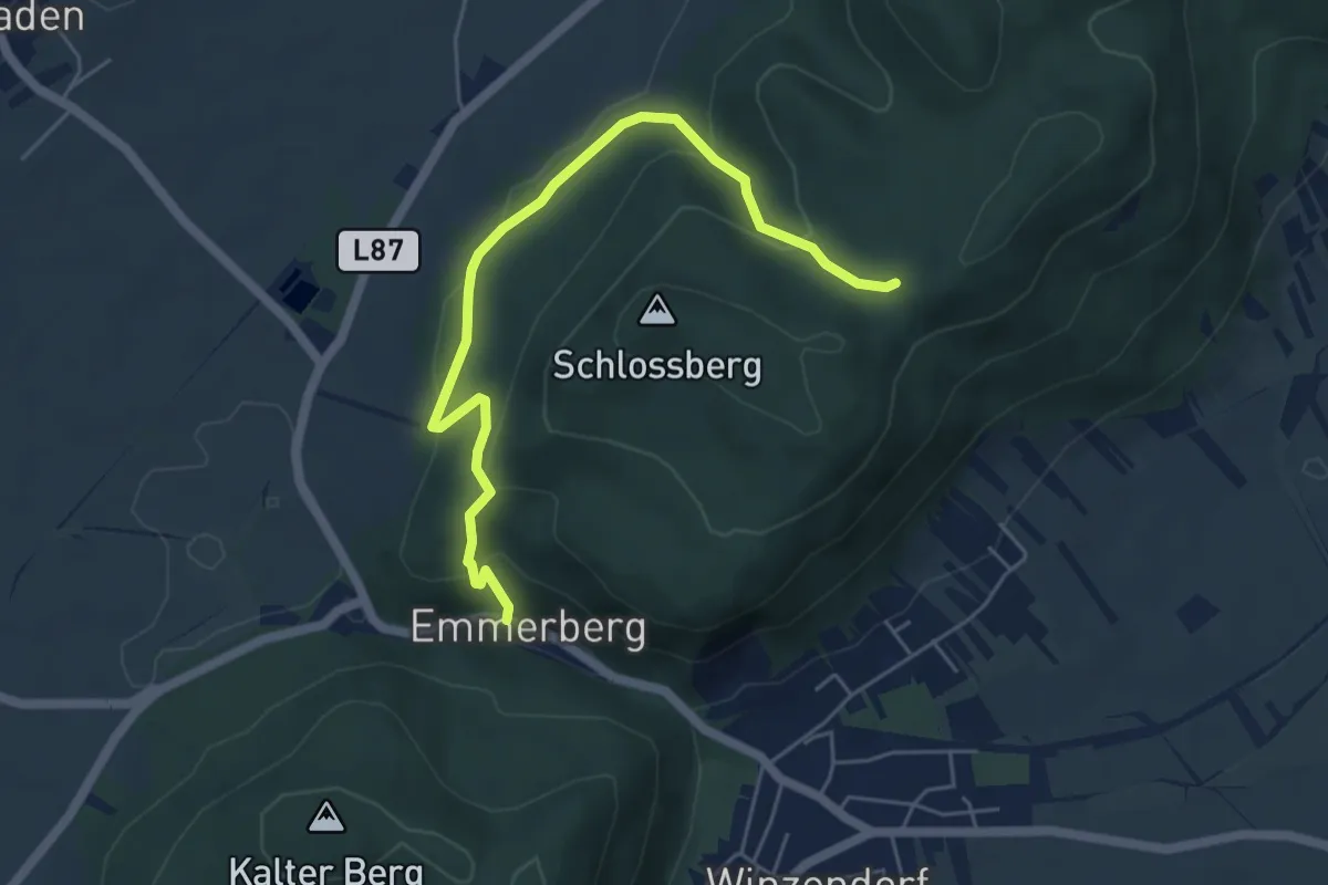
Easy · Trail
Emmerberg - Engelsberg
5.5 km · ↑ 276 m · 1 h 54 min
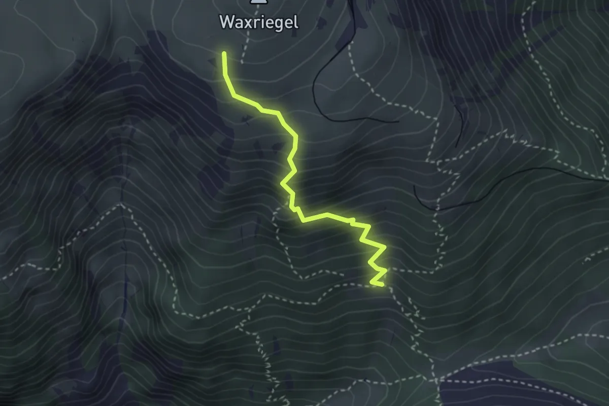
Medium · Trail
Emmysteig
2.6 km · ↑ 380 m · 1 h 27 min
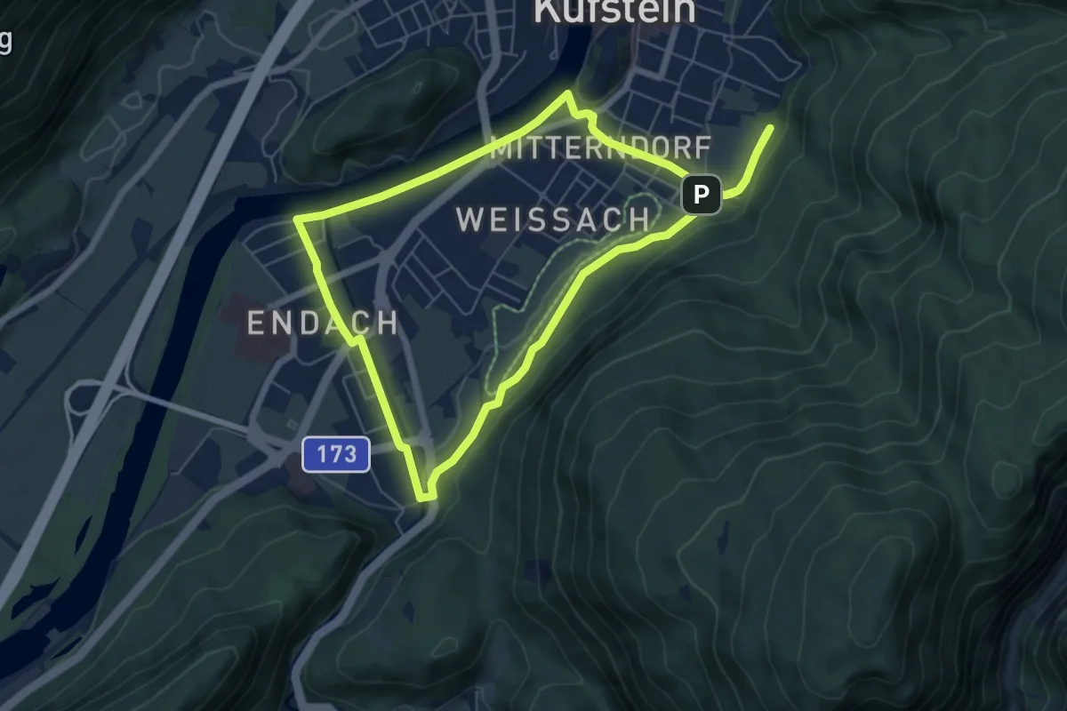
Easy · Trail
Endacher-Runde
6.0 km · ↑ 66 m · 1 h 39 min
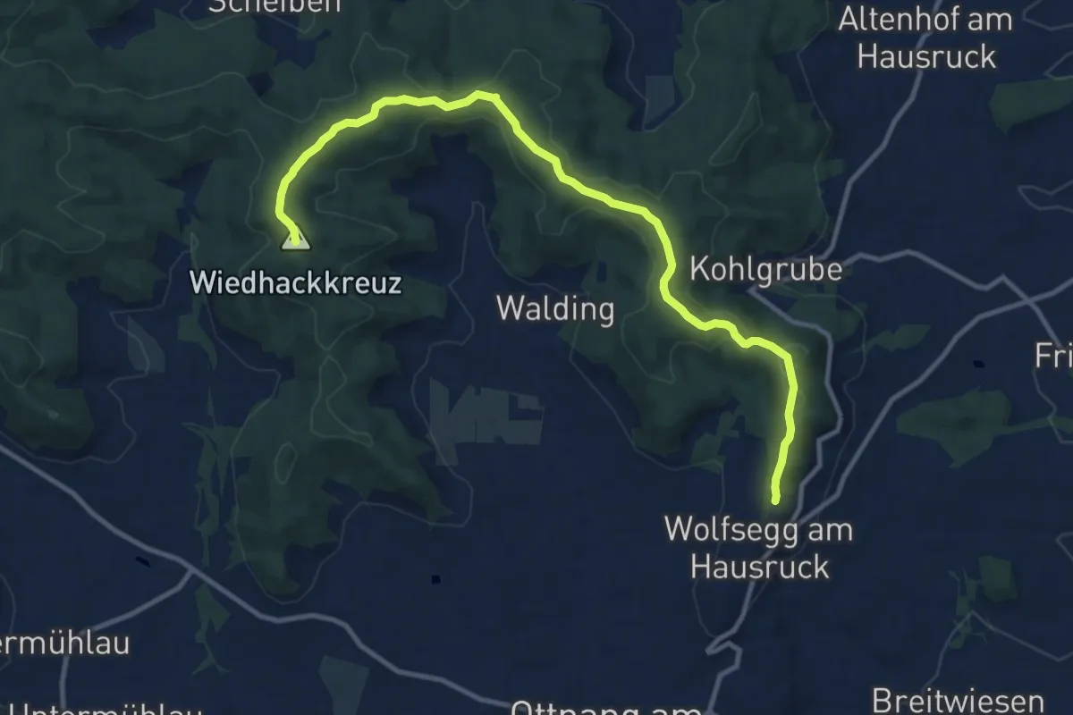
Medium · Summit
Endurance Trail
11.8 km · ↑ 254 m · 3 h 21 min
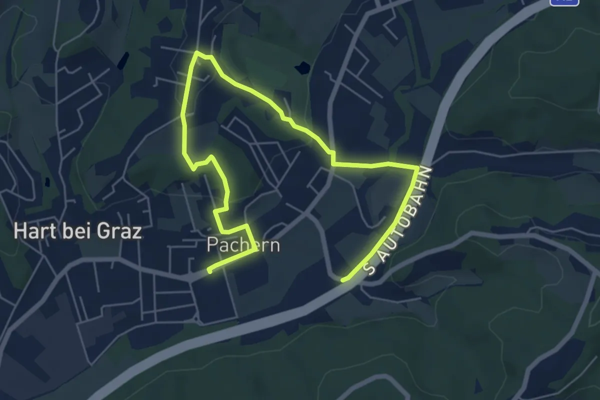
Easy · Trail
Energielehrpfad Hart bei Graz
7.2 km · ↑ 166 m · 2 h 4 min
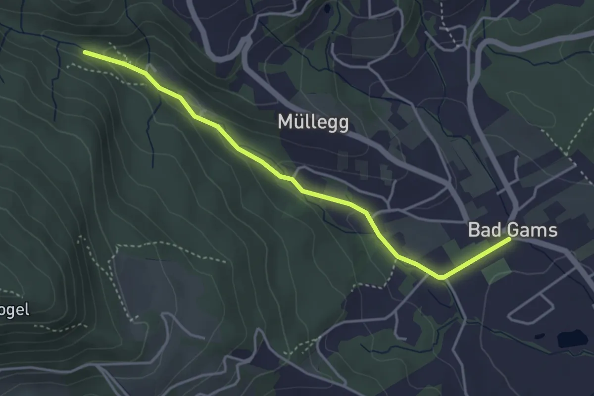
Easy · Trail
Energie Spazierweg
3.8 km · ↑ 68 m · 1 h 3 min
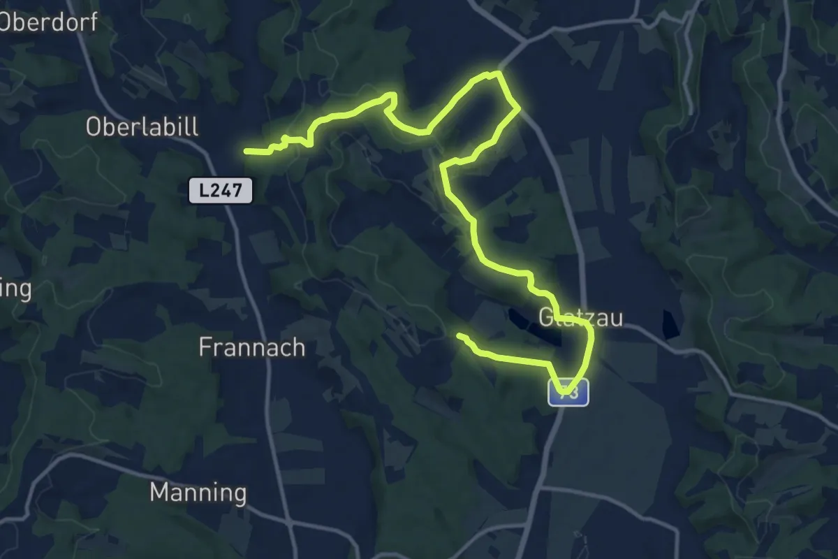
Medium · Trail
Energieweg
16.2 km · ↑ 450 m · 4 h 47 min
Easy · Trail
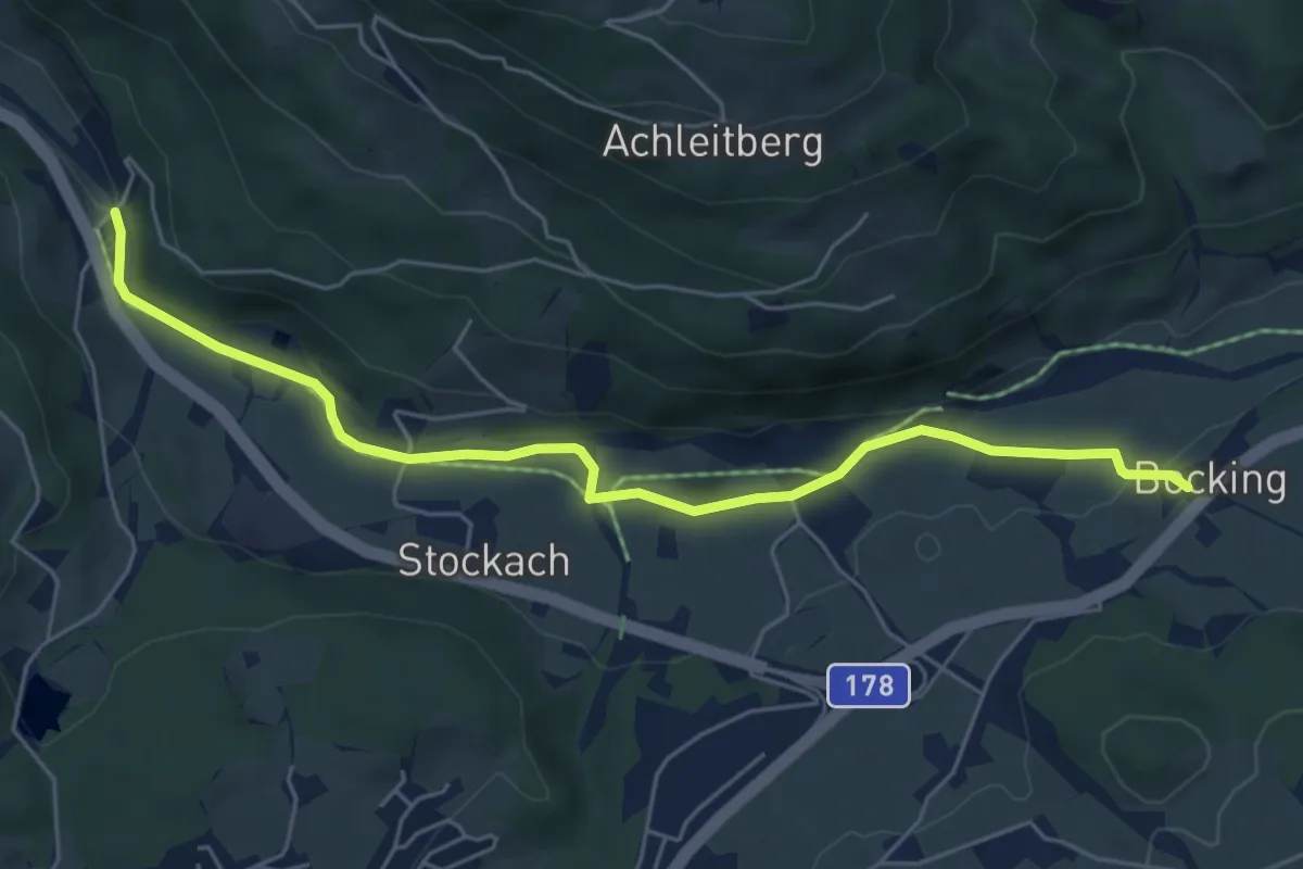
Energieweg
5.8 km · ↑ 66 m · 1 h 31 min
Medium · Summit
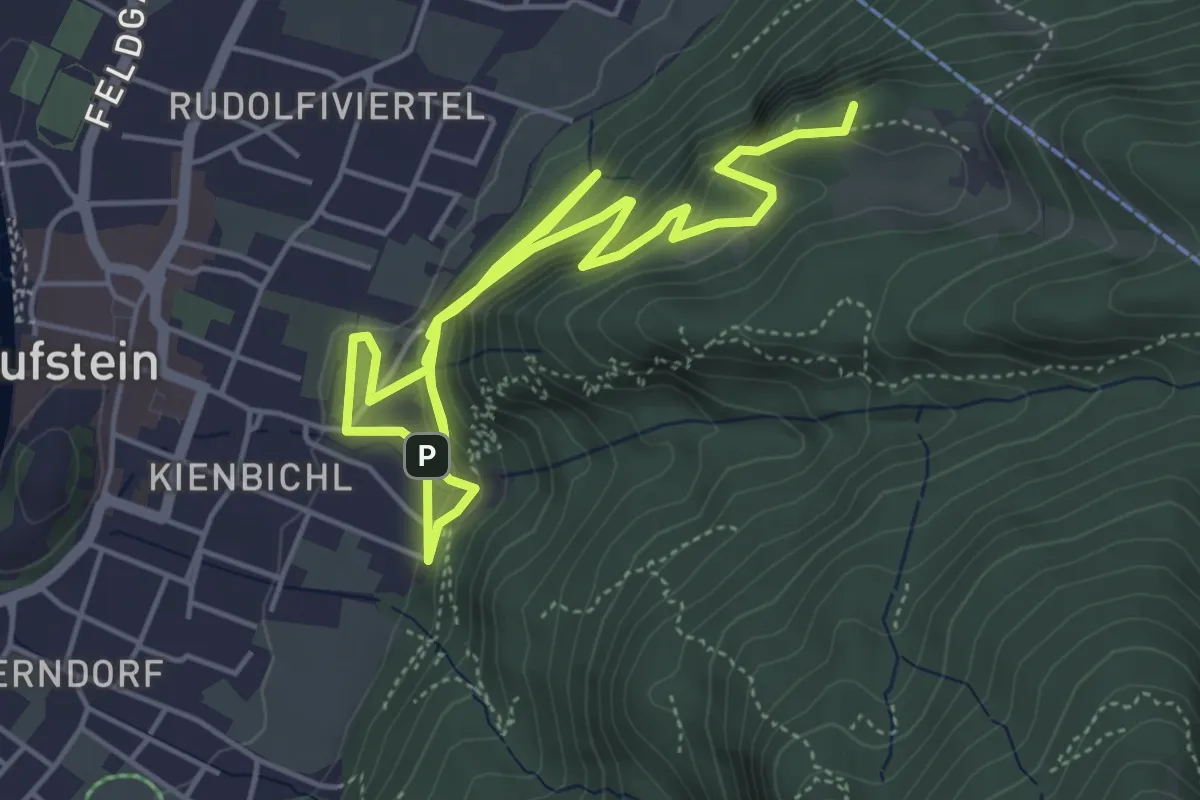
Energieweg Kufstein
8.1 km · ↑ 475 m · 2 h 56 min
Demanding · Trail
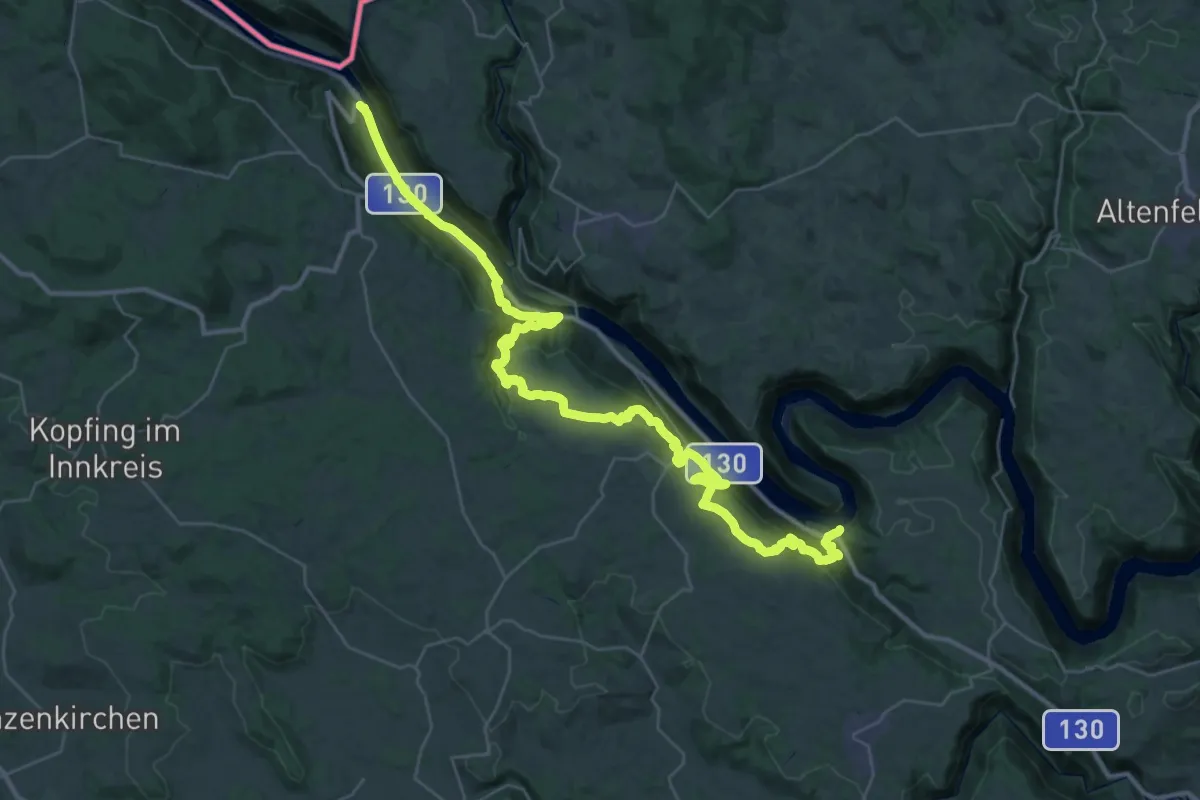
Engelhartszell - Schlögen Donausteig Etappe
23.2 km · ↑ 670 m · 7 h 15 min
Medium · Trail
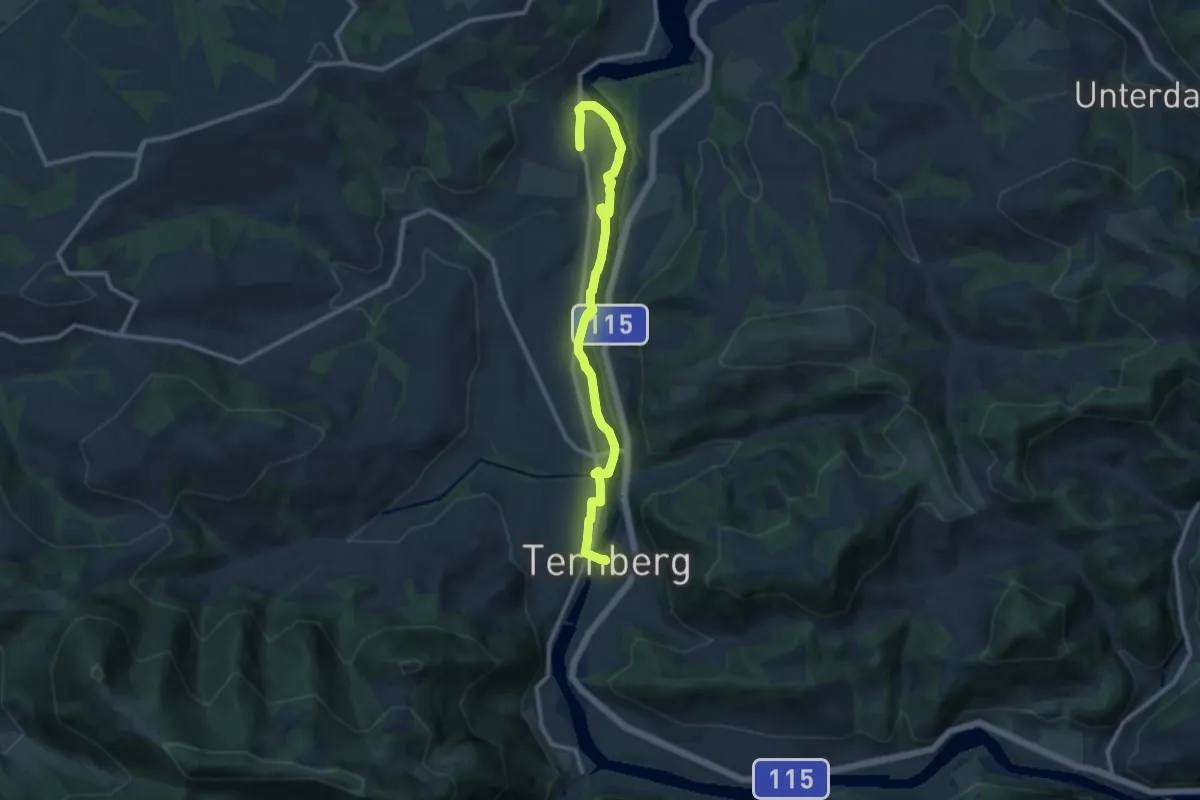
Enns Aktiv Weg Ternberg
10.7 km · ↑ 223 m · 3 h
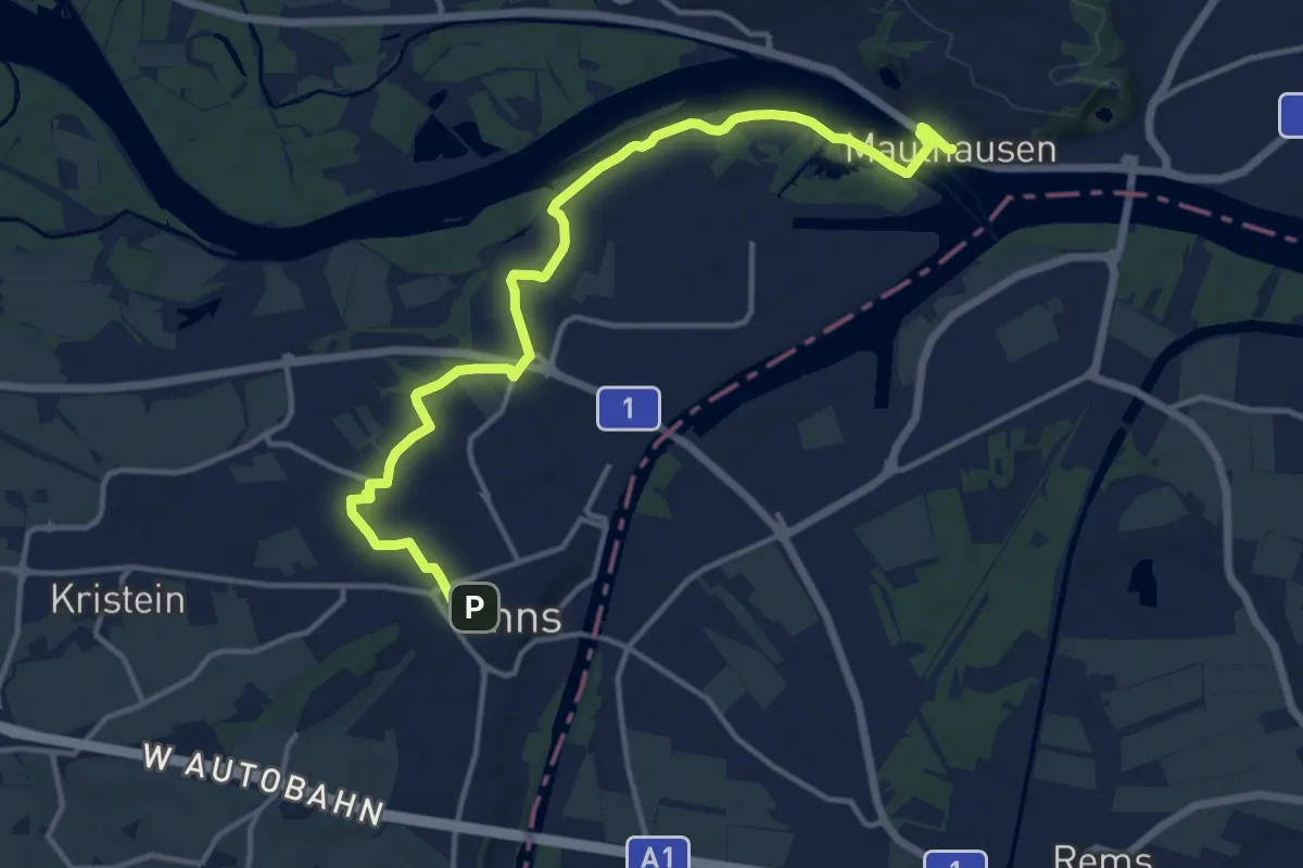
Medium · Trail
Enns - Mauthausen Donausteig Etappe
14.8 km · ↑ 35 m · 3 h 34 min
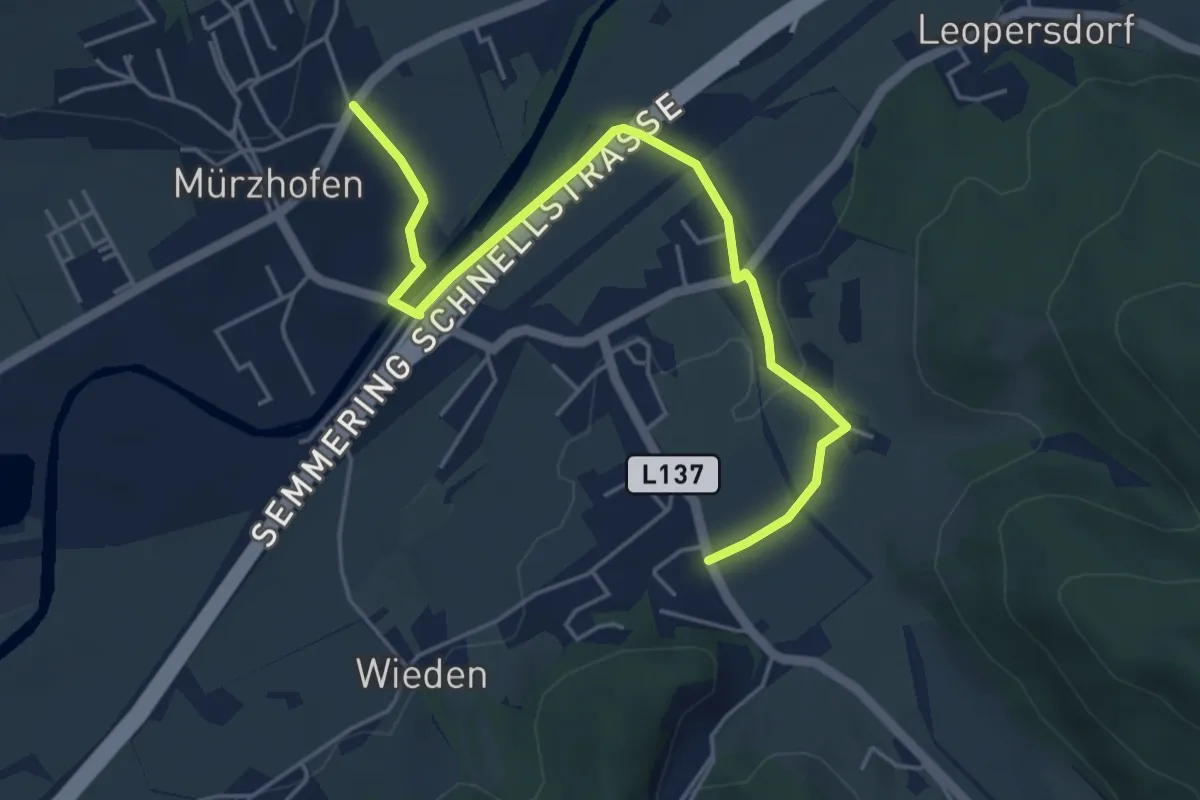
Easy · Trail
Enta da Miaz
2.7 km · ↑ 24 m · 43 min
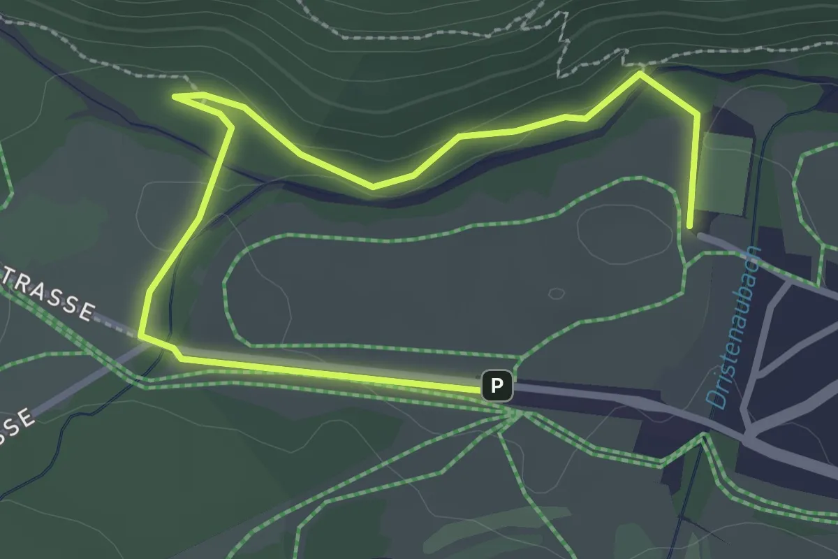
Easy · Trail
Entdeckerpfad Pertisau
3.4 km · ↑ 30 m · 53 min
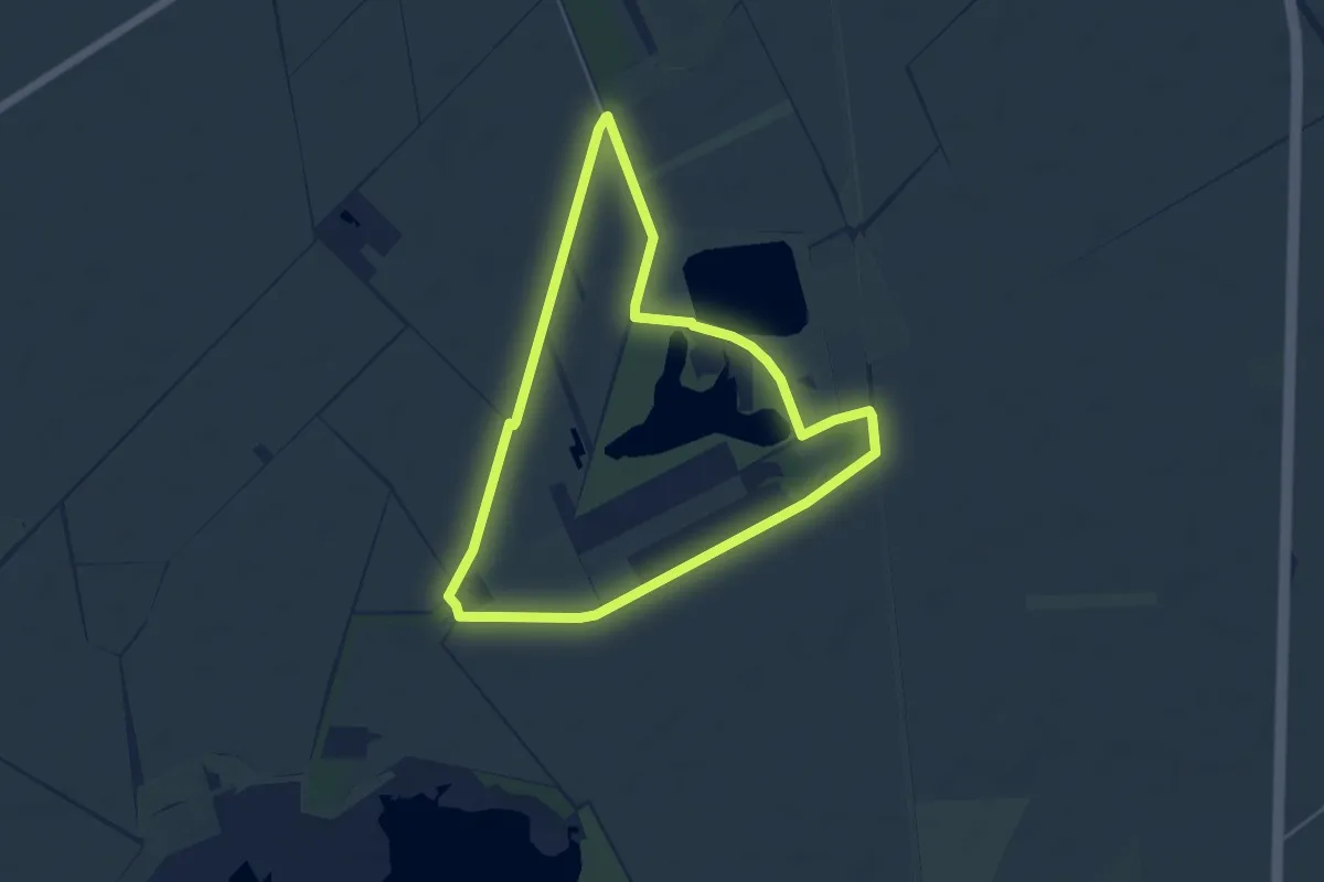
Easy · Trail
Entdecker-Runde
4.7 km · ↑ 0 m · 1 h 11 min