Trails in Austria
9,778 hiking trails, each with its route, climb, walking time and grade.
All trails, page 26 of 204
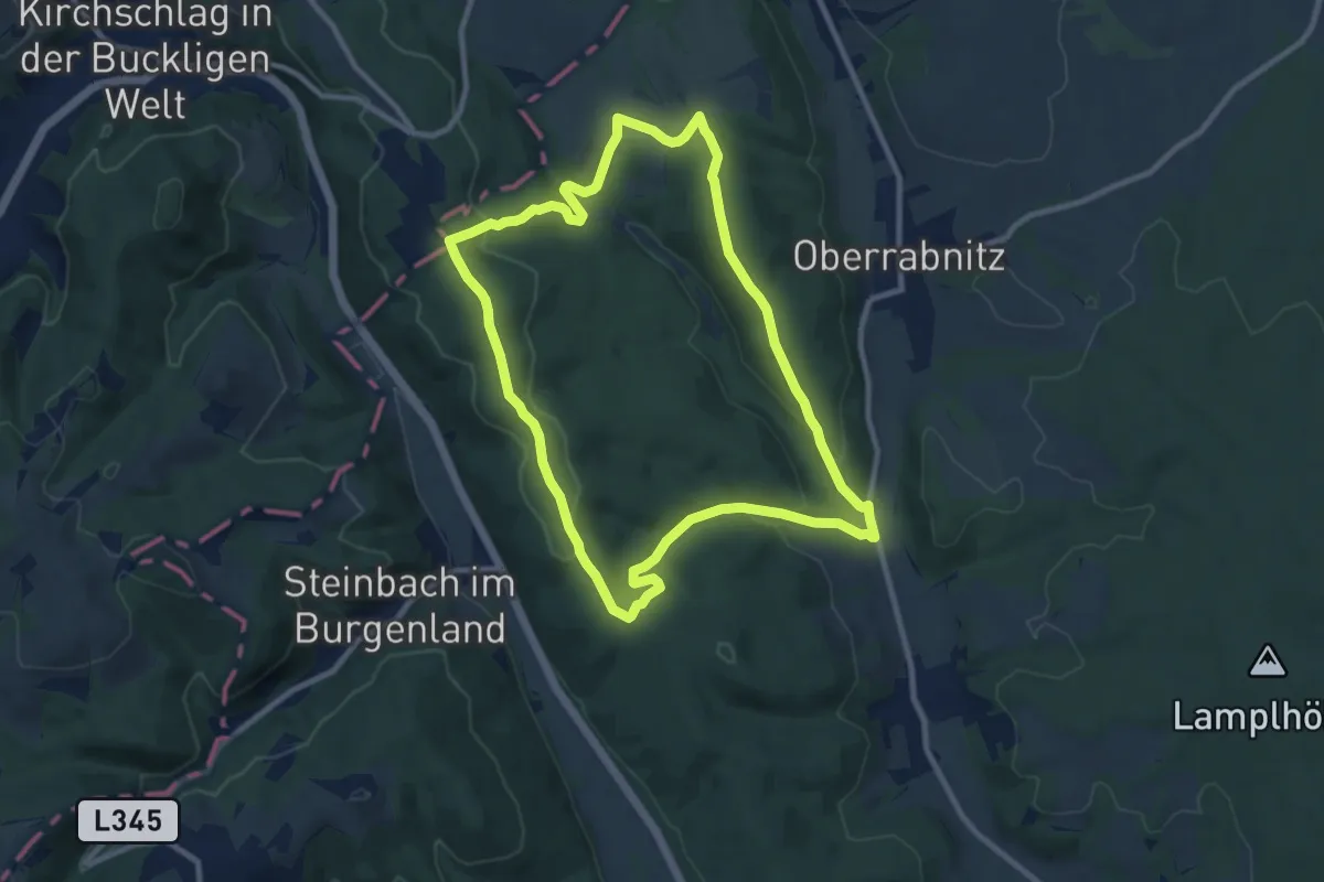
Medium · Trail
Entenstein - Tafeleiche - Streitwiese - Fernblick Karl Rundwanderweg
9.3 km · ↑ 235 m · 2 h 51 min
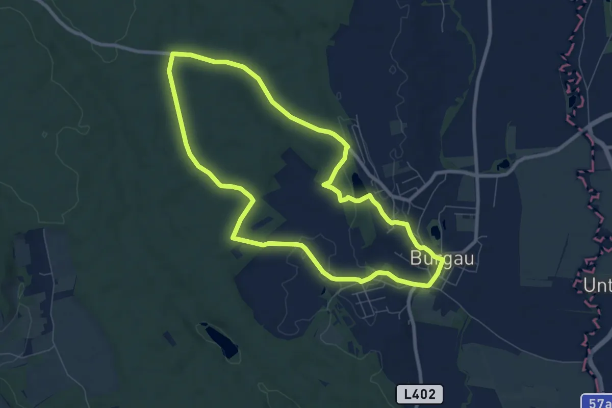
Easy · Trail
Entenwaldweg
7.1 km · ↑ 86 m · 1 h 58 min
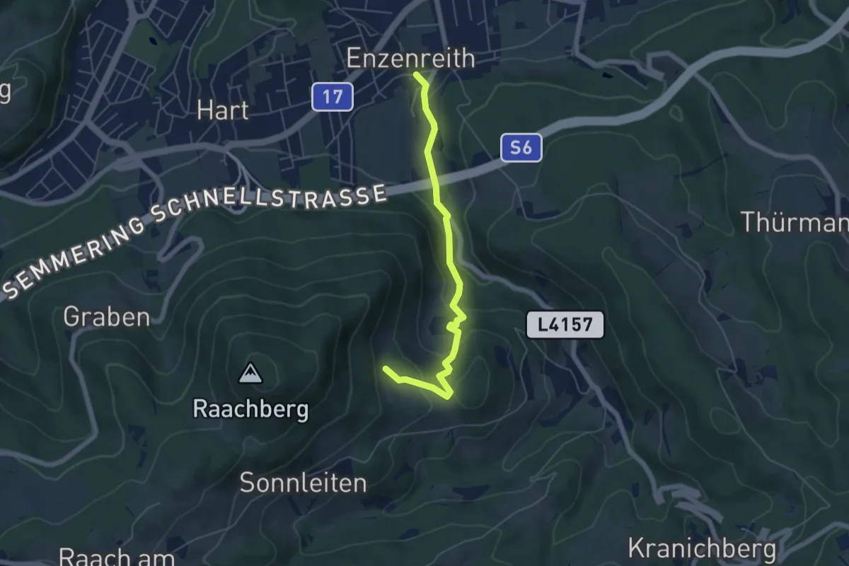
Easy · Trail
Enzenreith - Mostheuriger Waldstranz
5.0 km · ↑ 218 m · 1 h 39 min
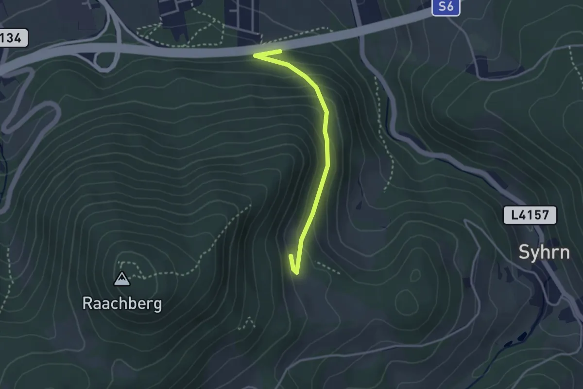
Easy · Trail
Enzenreith - Mostheuriger Waldstranz
2.7 km · ↑ 146 m · 57 min
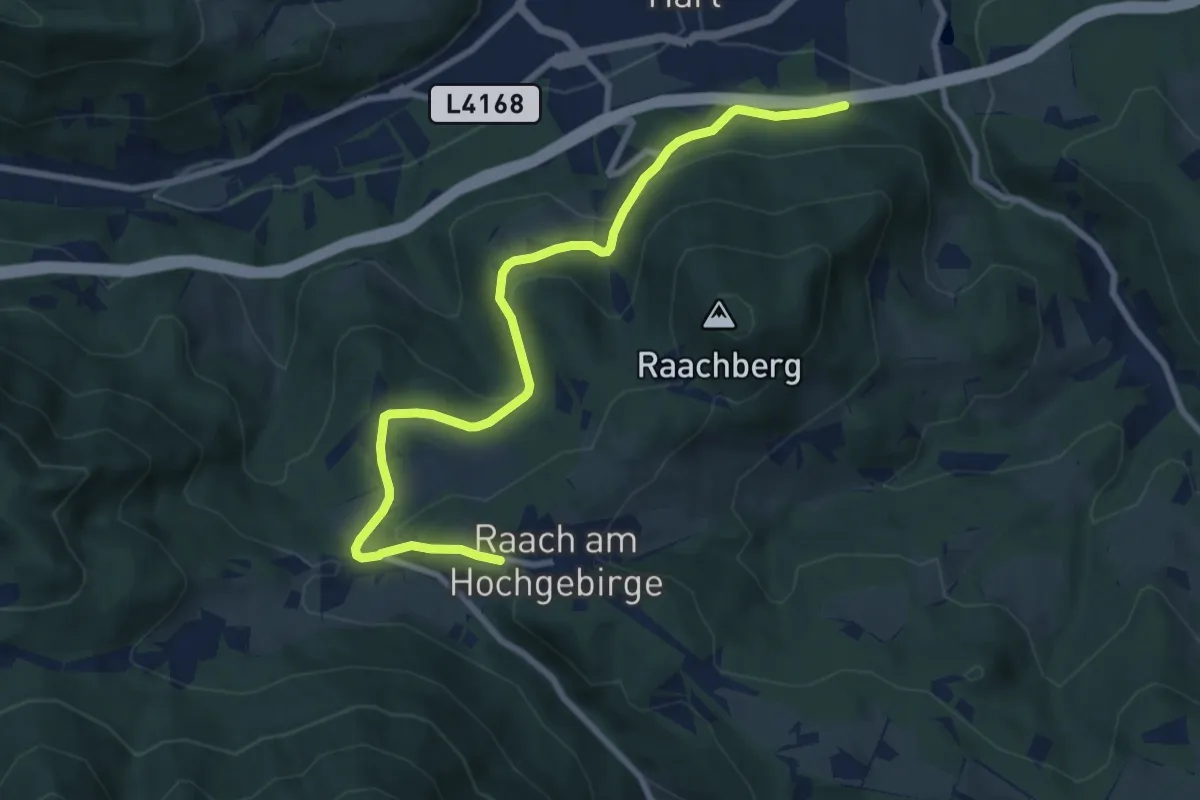
Medium · Trail
Enzenreith - Schlagl - Raach
9.3 km · ↑ 295 m · 2 h 50 min
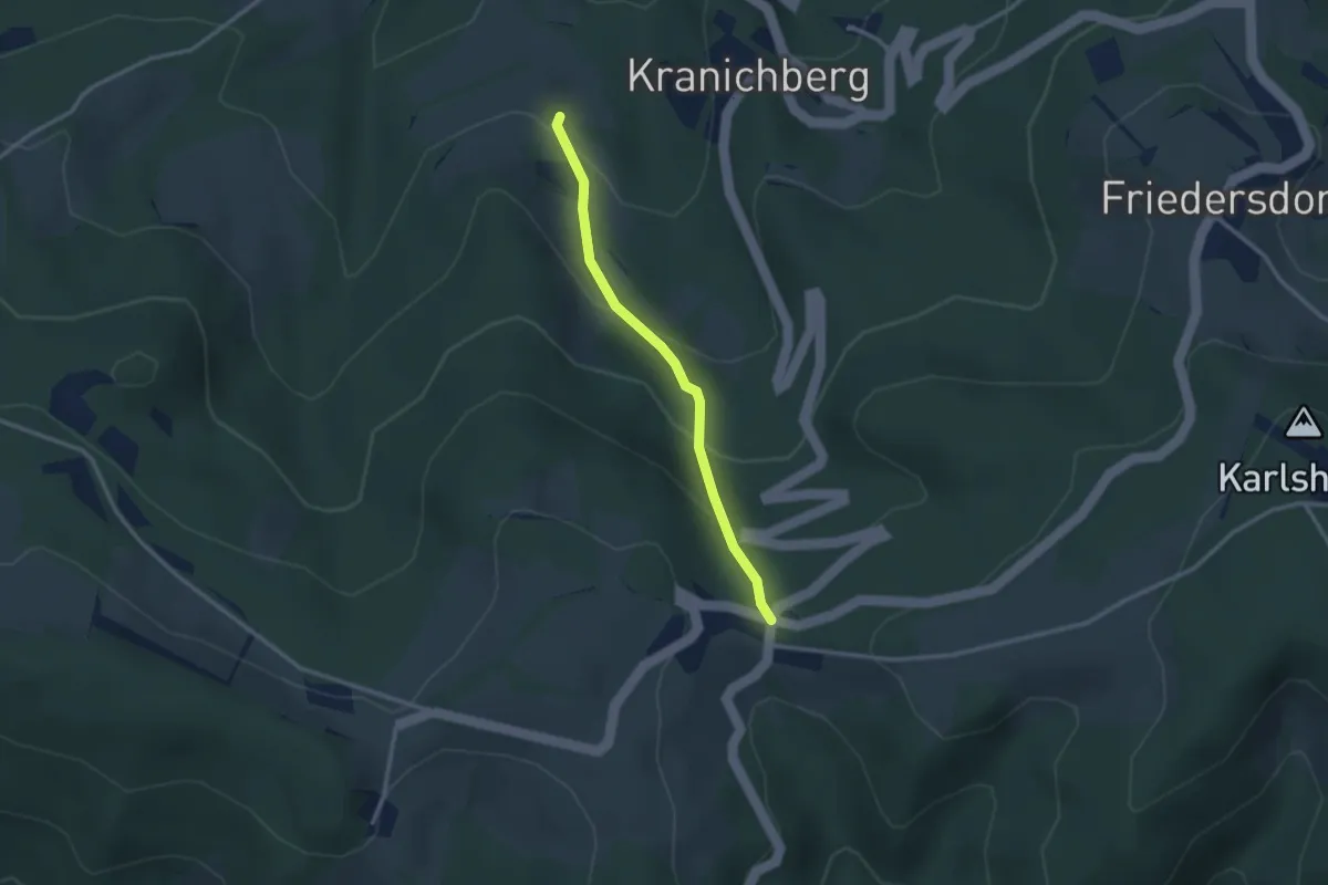
Easy · Trail
Enzenreith - Syhrn - Ramssattel
2.5 km · ↑ 179 m · 59 min
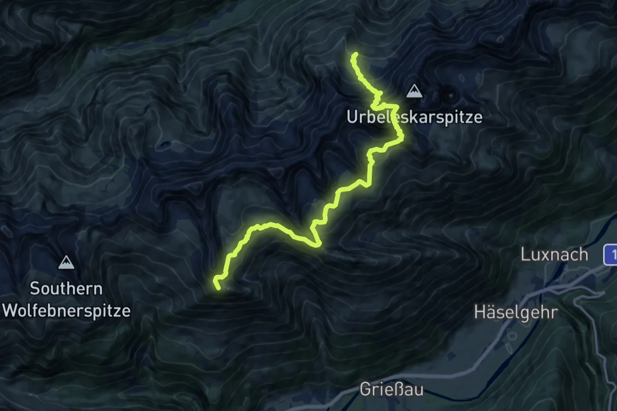
Demanding · Summit
Enzensperger Weg
14.8 km · ↑ 1282 m · 6 h 16 min
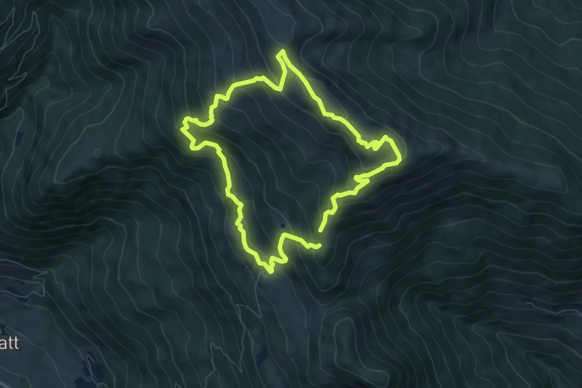
Medium · Summit
Enzian-Granat-Steig
7.1 km · ↑ 479 m · 2 h 48 min
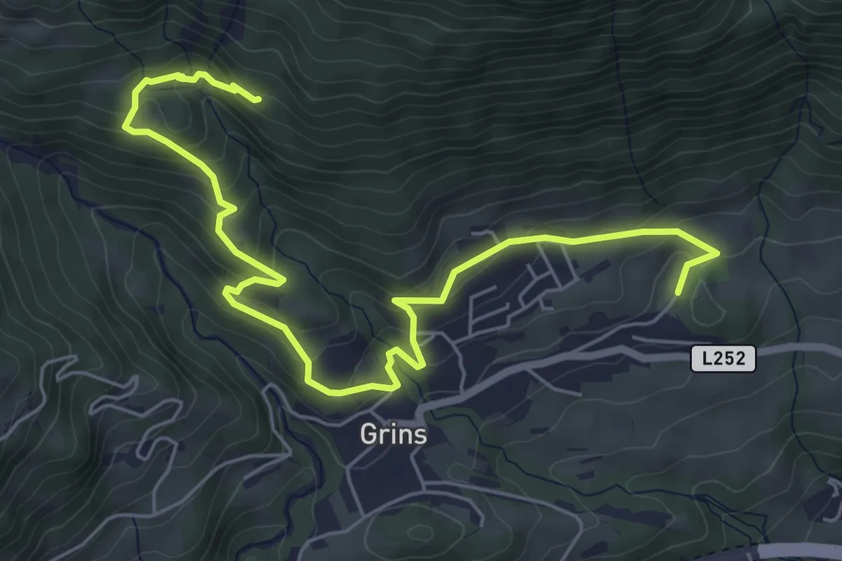
Medium · Trail
Erdalb-Runde
3.5 km · ↑ 327 m · 1 h 28 min
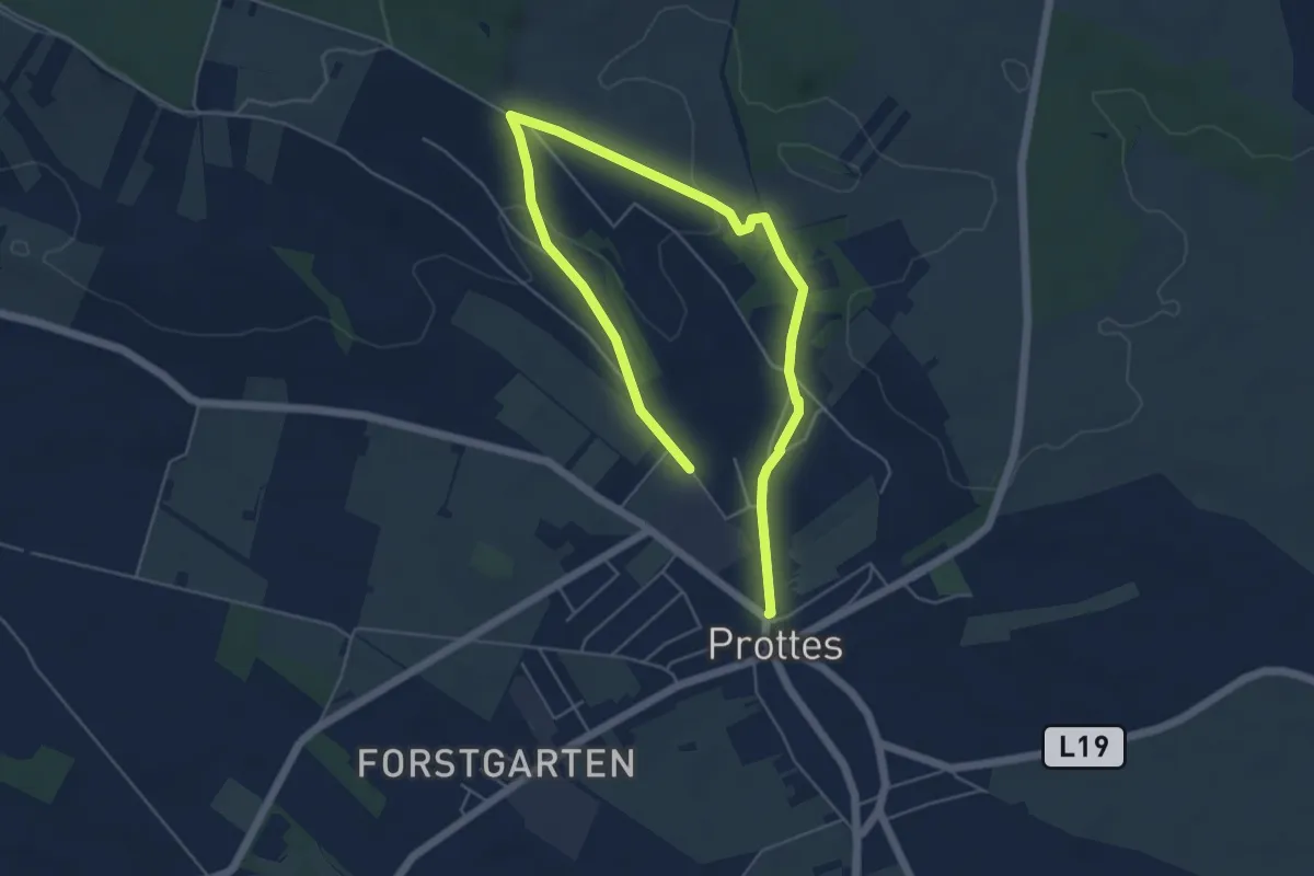
Easy · Trail
Erdöl- und Erdgaslehrpfad Prottes
7.3 km · ↑ 116 m · 1 h 58 min
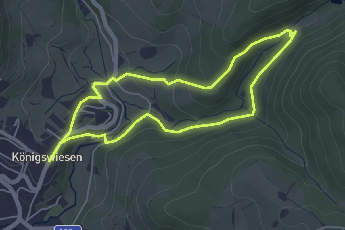
Easy · Trail
Erholungsweg Nr. 6
3.5 km · ↑ 119 m · 1 h 8 min
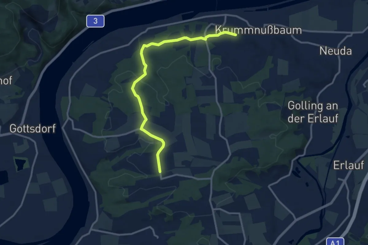
Easy · Trail
Erlauftal Rundwanderweg 256
4.6 km · ↑ 45 m · 1 h 18 min
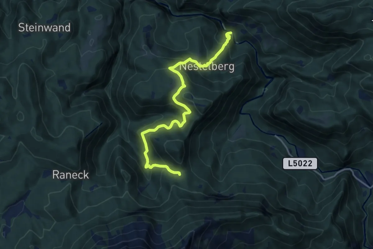
Demanding · Trail
Erlauf (Trefflingfall) - Bärenlacken
12.4 km · ↑ 889 m · 4 h 51 min
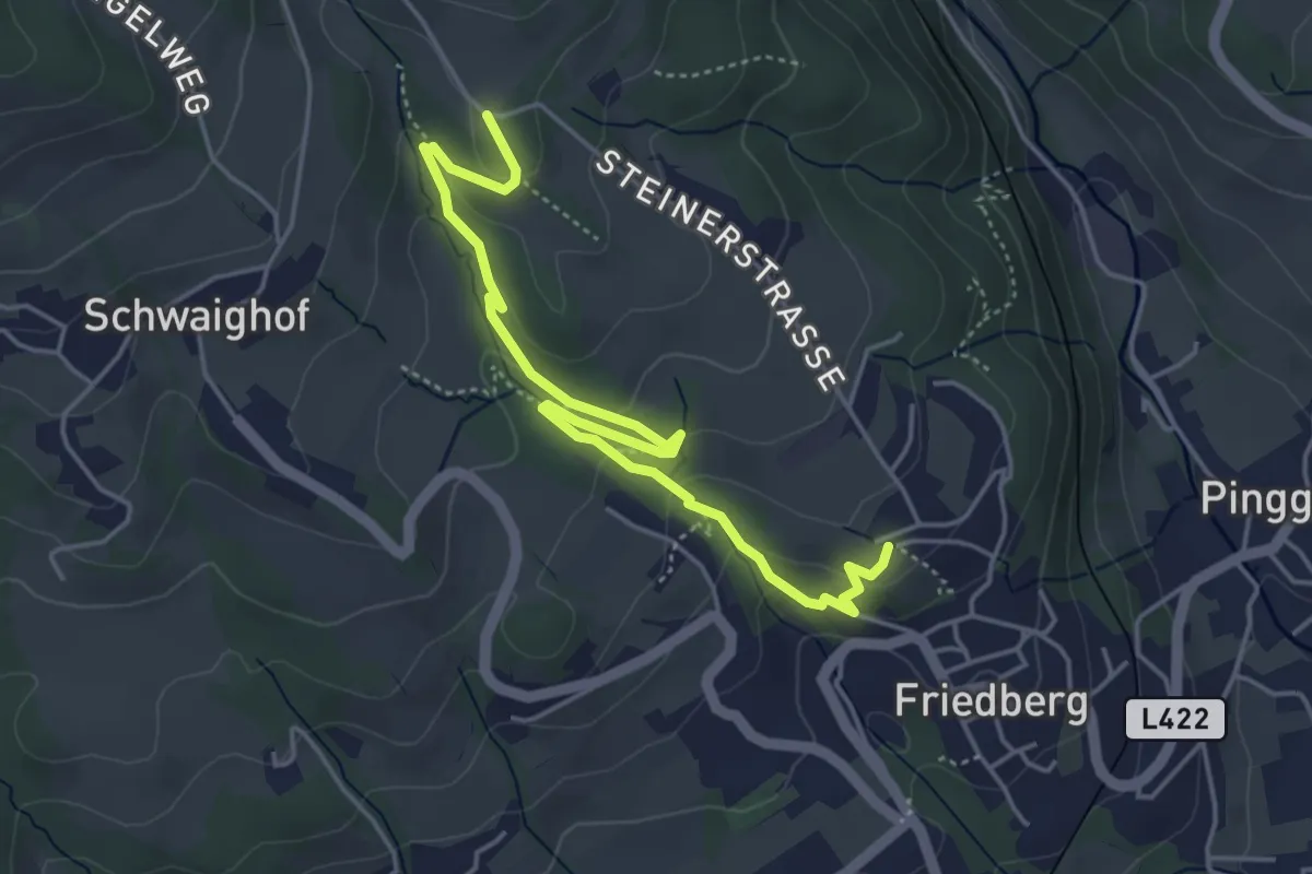
Easy · Trail
Erlebnisberg Friedberg
5.1 km · ↑ 195 m · 1 h 37 min
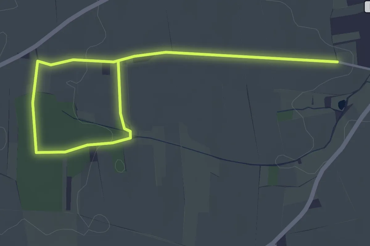
Easy · Trail
Erlebnispfad Thayaquelle
4.7 km · ↑ 40 m · 1 h 12 min
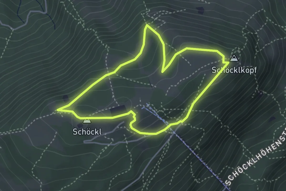
Medium · Summit
Erlebnis-Rundweg
3.4 km · ↑ 154 m · 1 h 10 min
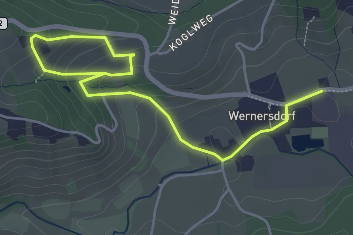
Easy · Trail
Erlebnis Schilcher-Weinwelt
4.2 km · ↑ 154 m · 1 h 20 min
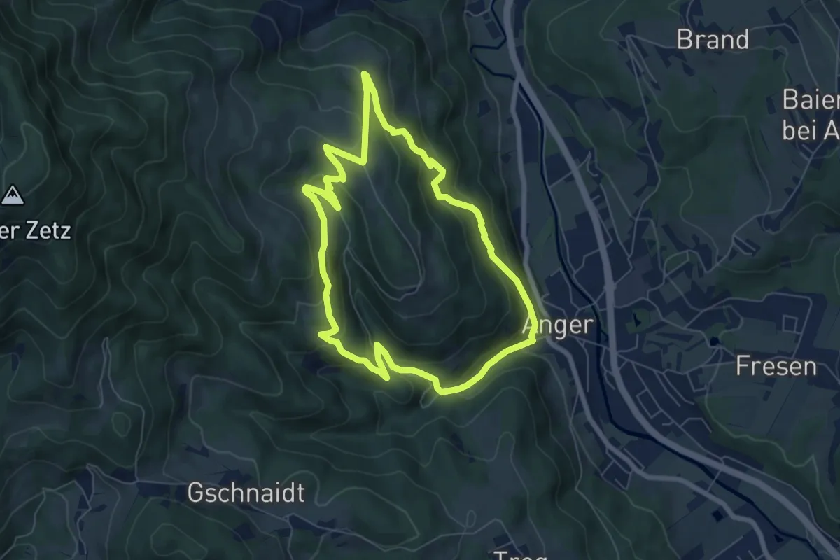
Medium · Trail
Erlebniswanderweg
6.2 km · ↑ 345 m · 2 h 19 min
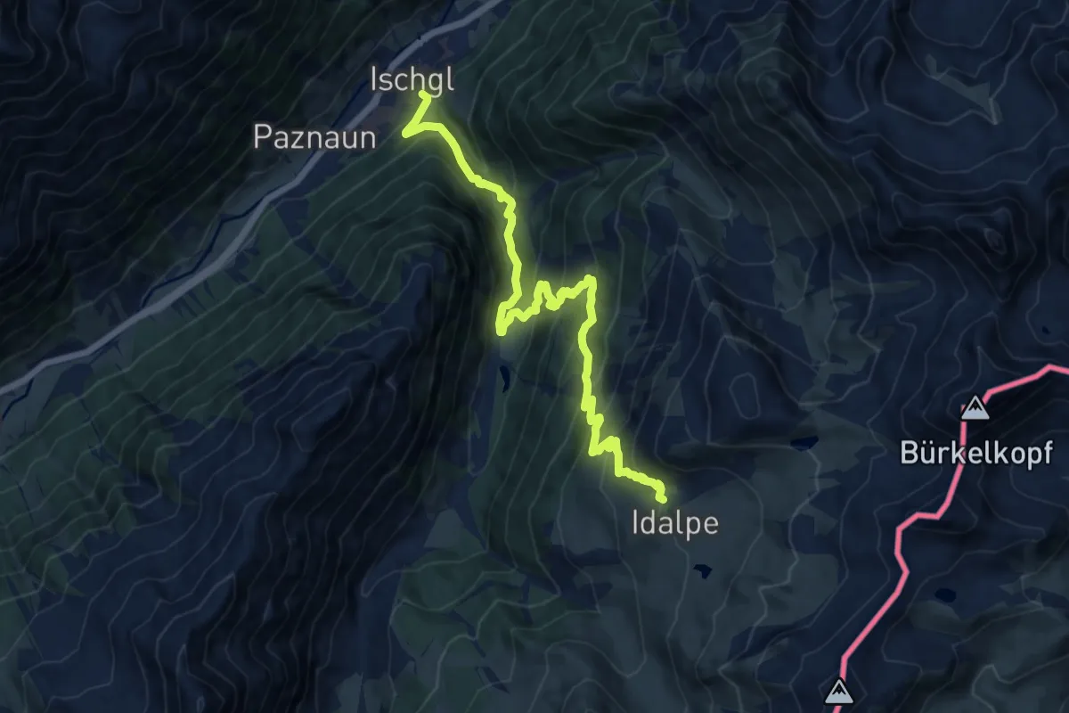
Demanding · Trail
Erlebnisweg
13.6 km · ↑ 1092 m · 5 h 35 min
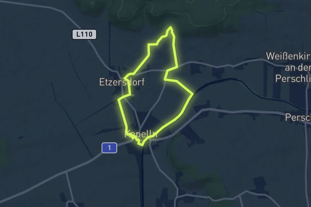
Easy · Trail
Erlebnisweg
5.9 km · ↑ 78 m · 1 h 38 min
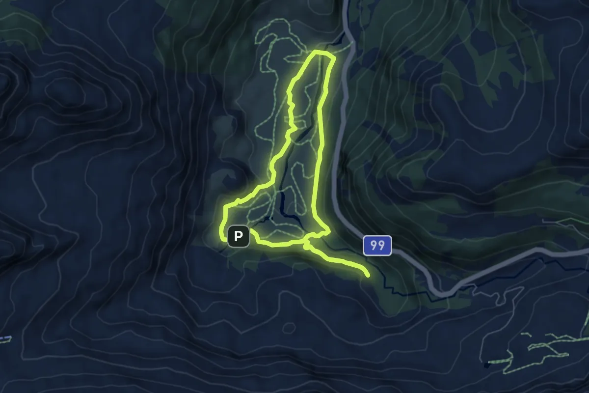
Medium · Cabin
Erlebnisweg ALLES ALM
5.5 km · ↑ 134 m · 1 h 41 min
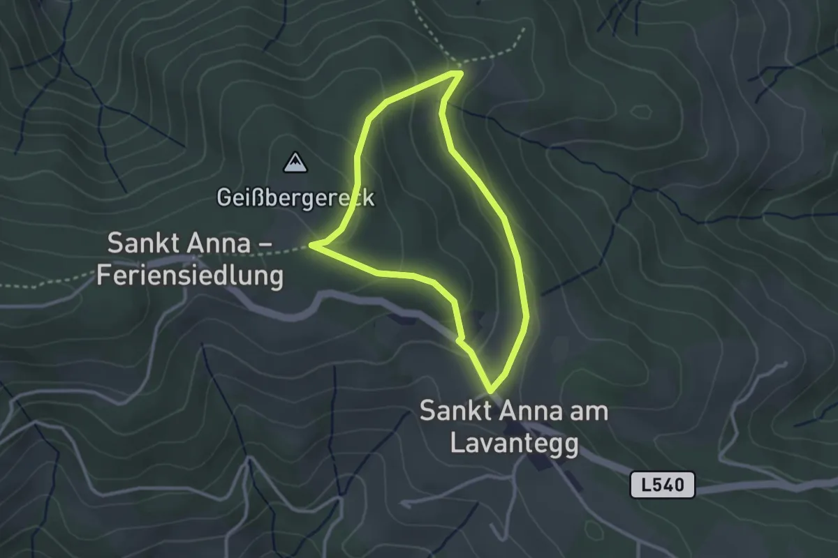
Easy · Trail
Erlebnisweg Fasslkreuz
2.4 km · ↑ 91 m · 49 min
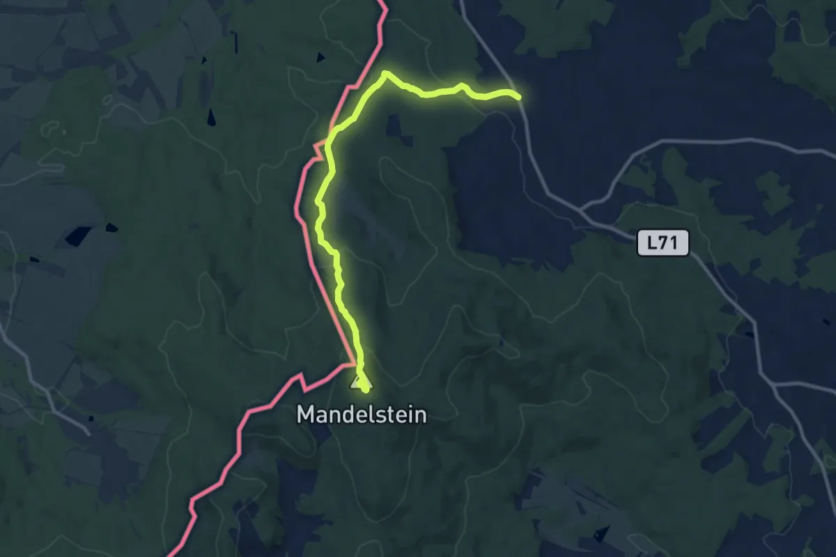
Medium · Summit
Erlebnisweg Heinrichs
10.1 km · ↑ 339 m · 3 h 7 min
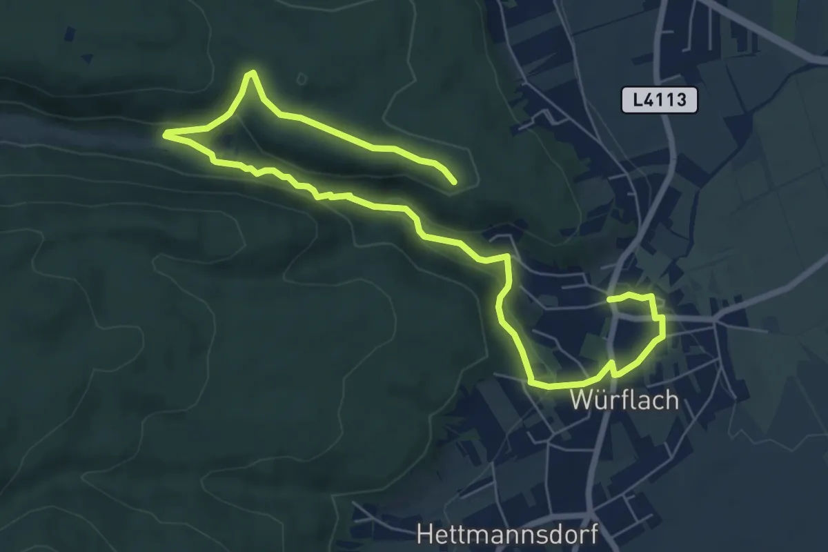
Medium · Trail
Erlebnisweg Johannesbachklamm
9.3 km · ↑ 251 m · 2 h 45 min
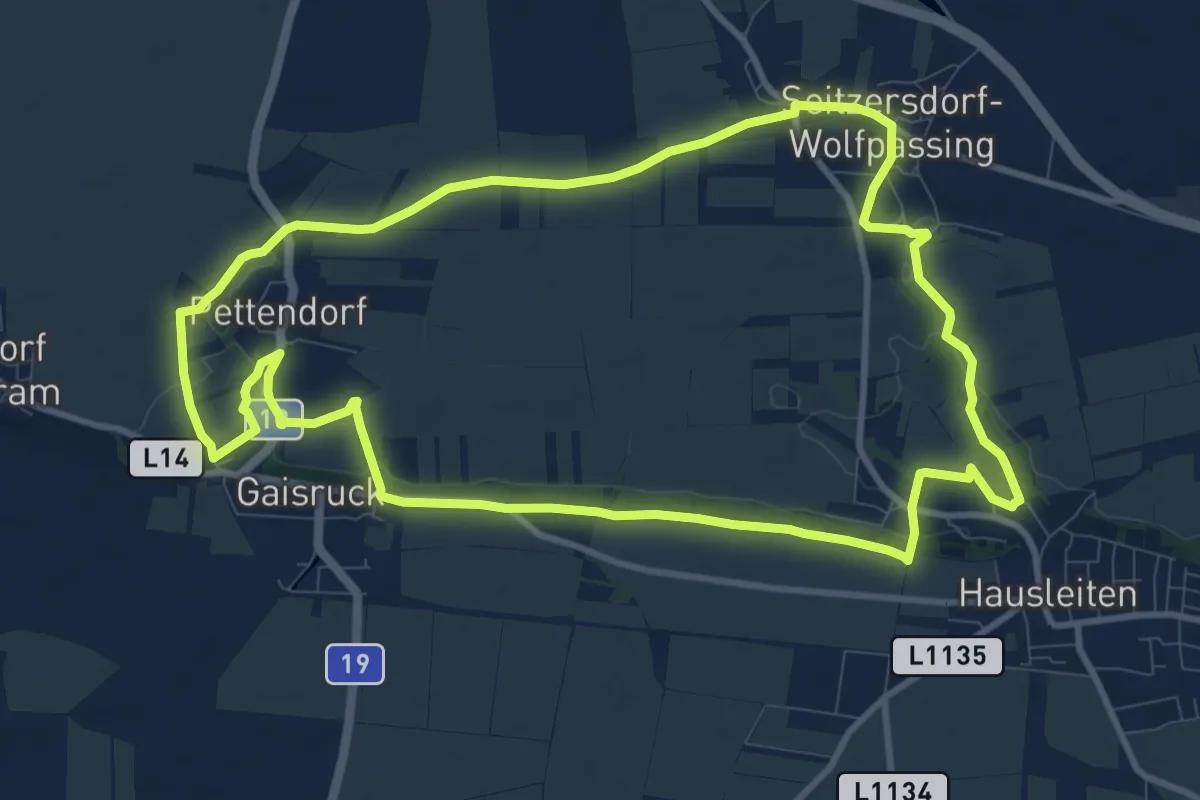
Medium · Trail
Erlebnisweg "Kultur verbindet"
10.7 km · ↑ 102 m · 2 h 54 min
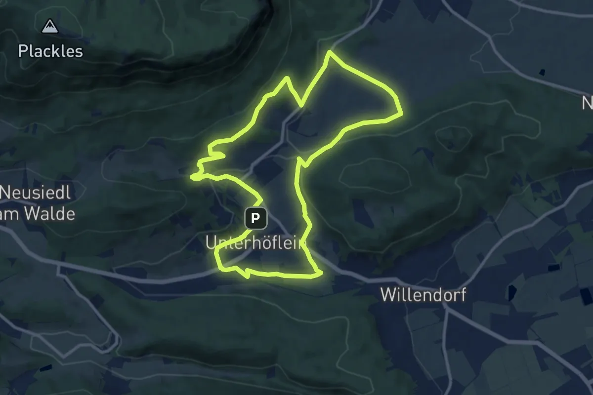
Medium · Trail
Erlebnisweg "Mit allen Sinnen genießen"
9.2 km · ↑ 230 m · 2 h 48 min
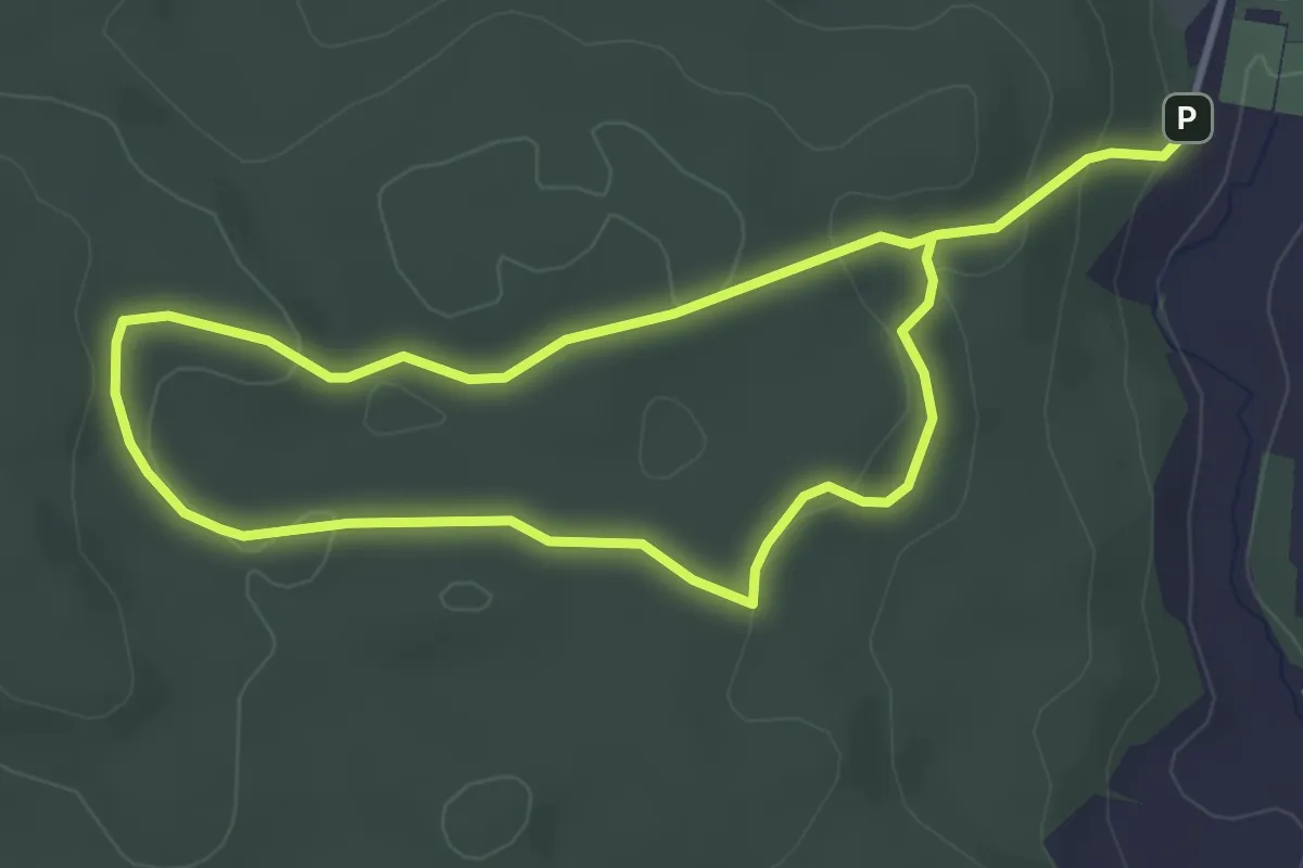
Easy · Trail
Erlebnisweg Moorwald
6.4 km · ↑ 110 m · 1 h 45 min
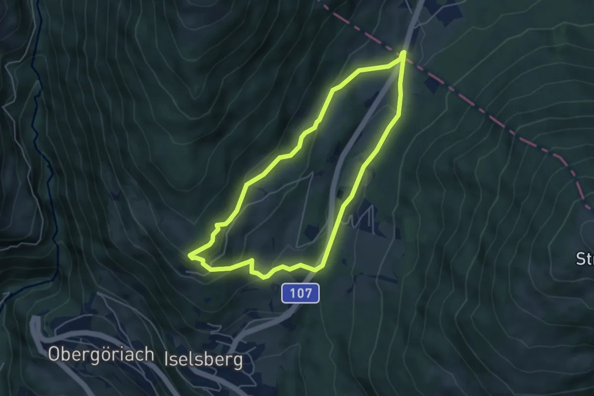
Easy · Trail
Erlebnisweg Moosweg
4.5 km · ↑ 143 m · 1 h 26 min
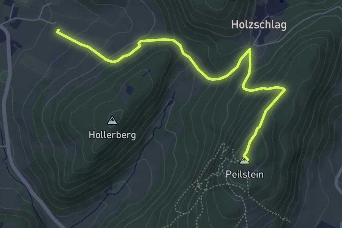
Medium · Summit
Erlebnisweg Peilstein (Mostheuriger Karner - Peilsteinhaus)
5.8 km · ↑ 299 m · 2 h 1 min
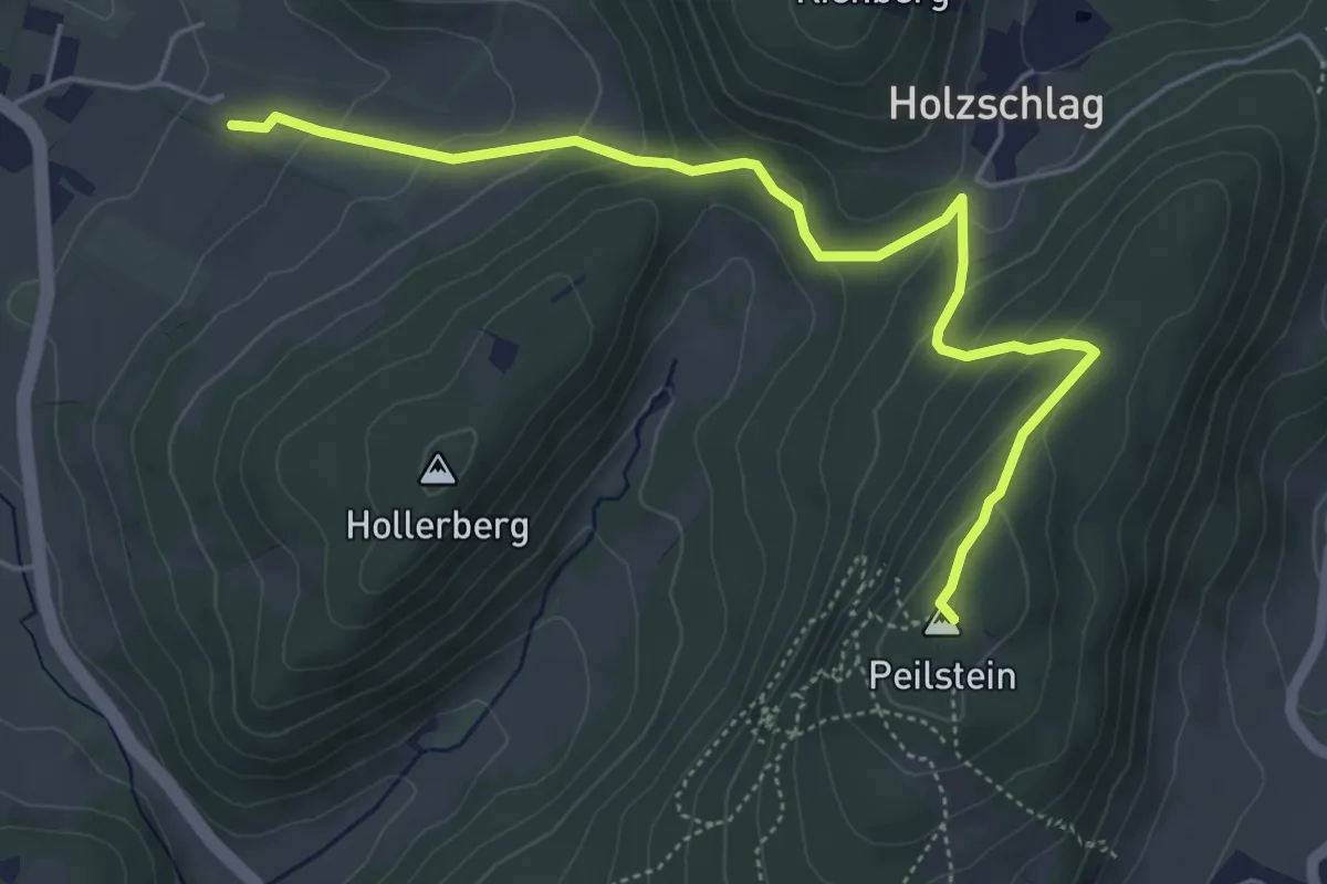
Medium · Summit
Erlebnisweg Peilstein (Peilsteinhaus - Mostheuriger Karner)
5.4 km · ↑ 266 m · 1 h 51 min
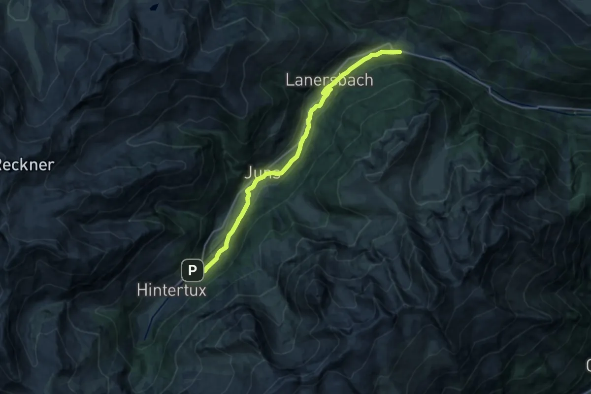
Medium · Trail
Erlebnisweg Tuxerbach
15.5 km · ↑ 288 m · 4 h 17 min
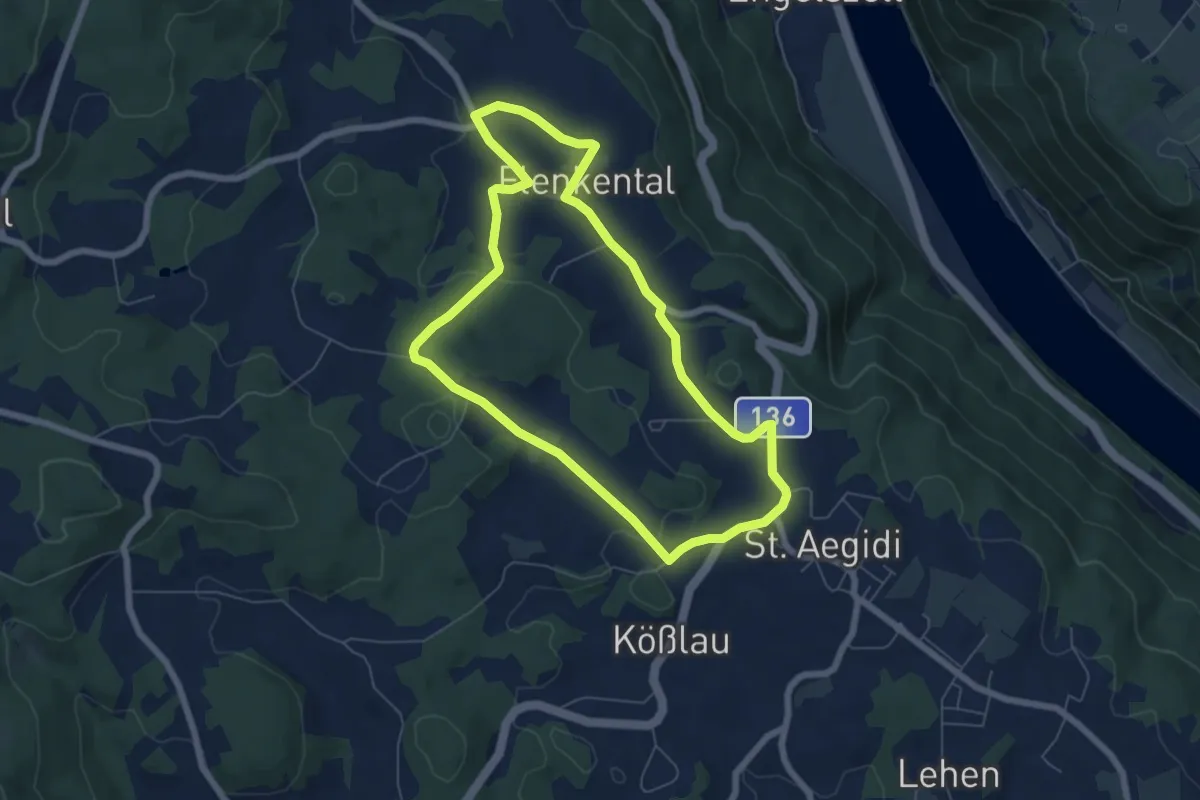
Easy · Trail
Erledtmühle-Wanderung
6.0 km · ↑ 113 m · 1 h 44 min
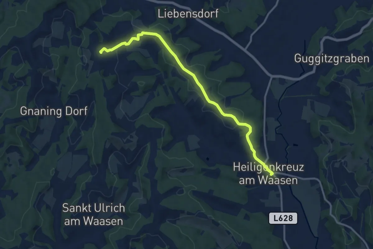
Medium · Trail
Ermutigungsweg
9.6 km · ↑ 180 m · 2 h 40 min
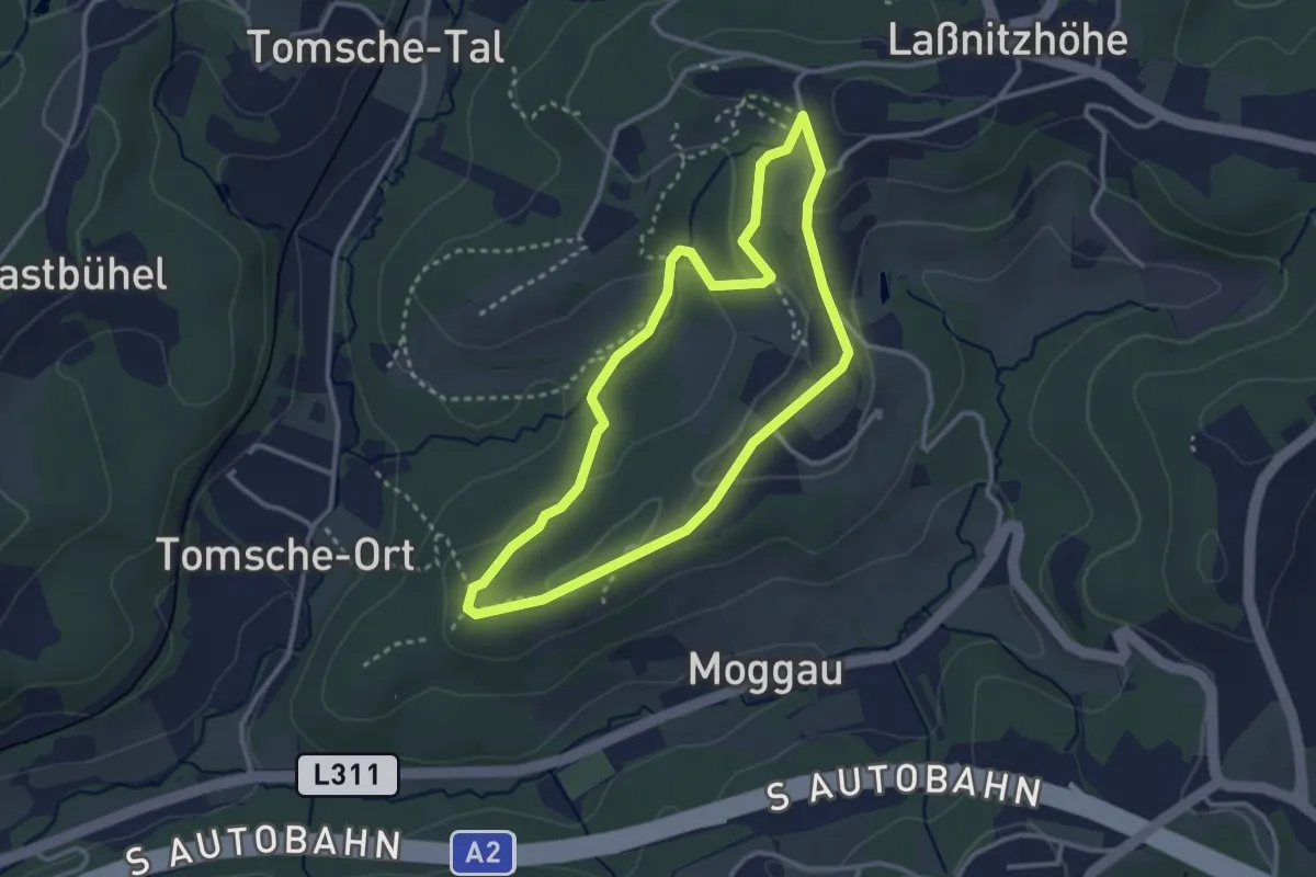
Easy · Trail
Ernährung schmecken
2.9 km · ↑ 82 m · 54 min
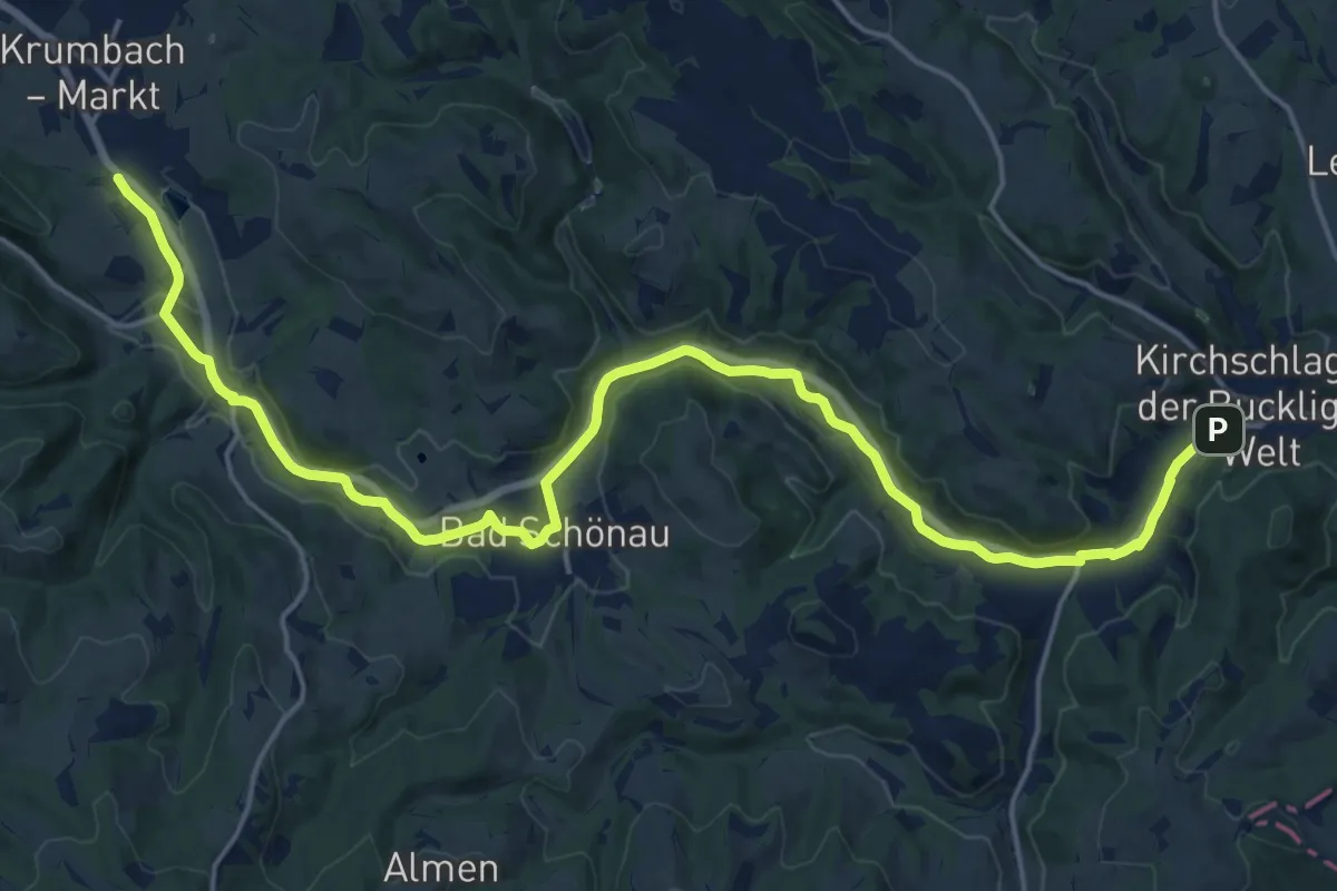
Demanding · Trail
Ernst Ferstl Gedankenweg (E23)
22.5 km · ↑ 115 m · 5 h 33 min
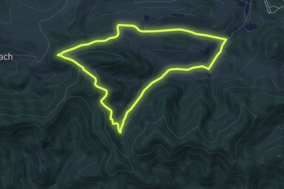
Easy · Summit
Erweiterter Schneerosenweg
6.9 km · ↑ 261 m · 2 h 18 min
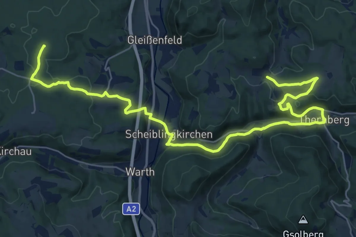
Demanding · Summit
Erzherzog Johann Rundwanderweg
24.6 km · ↑ 470 m · 6 h 49 min
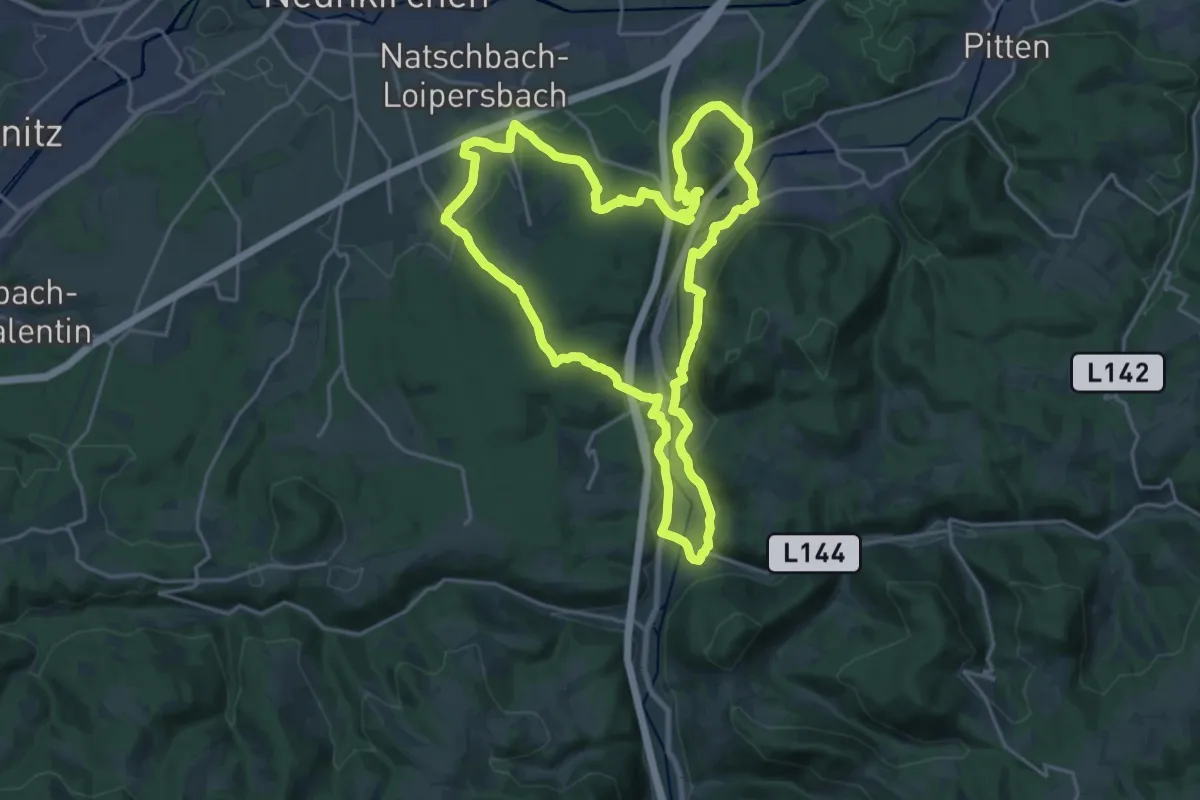
Demanding · Trail
Erzherzog Johann Rundwanderweg 4 (EHJ RWW 4)
21.1 km · ↑ 345 m · 6 h 1 min
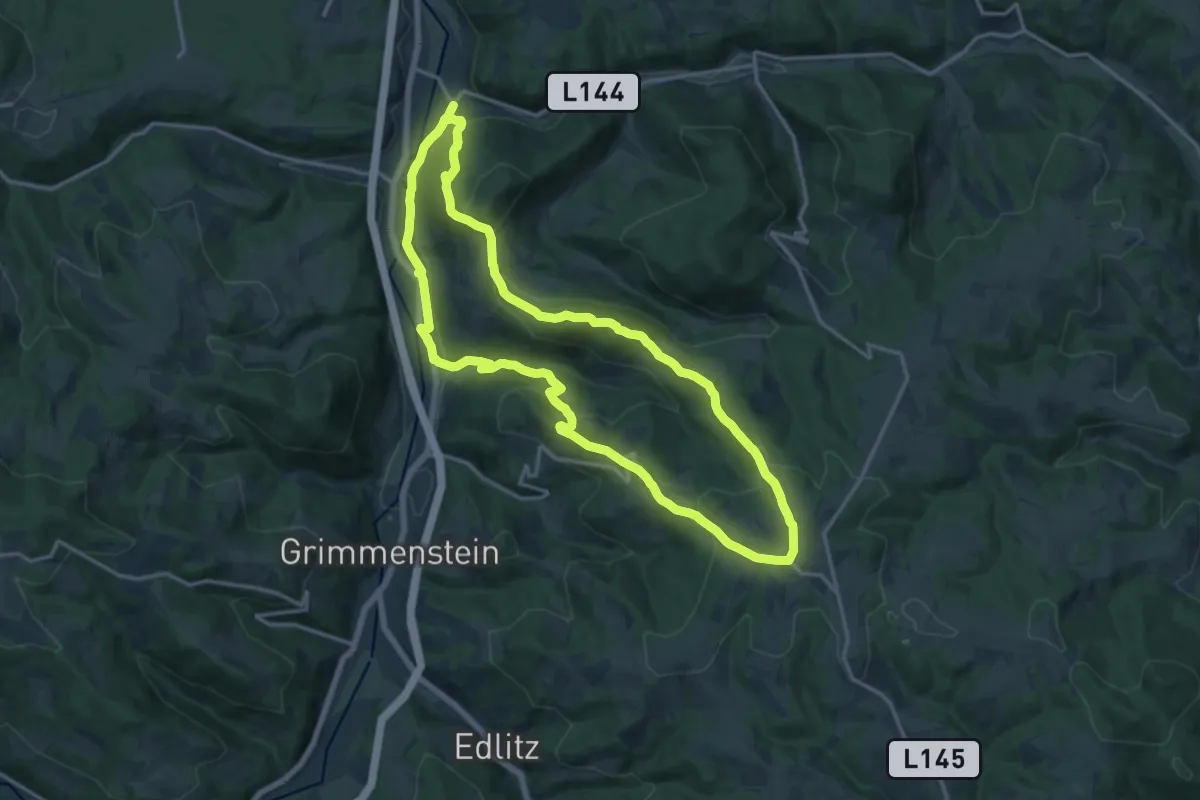
Medium · Summit
Erzherzog Johann Rundwanderweg II
15.5 km · ↑ 580 m · 5 h 7 min
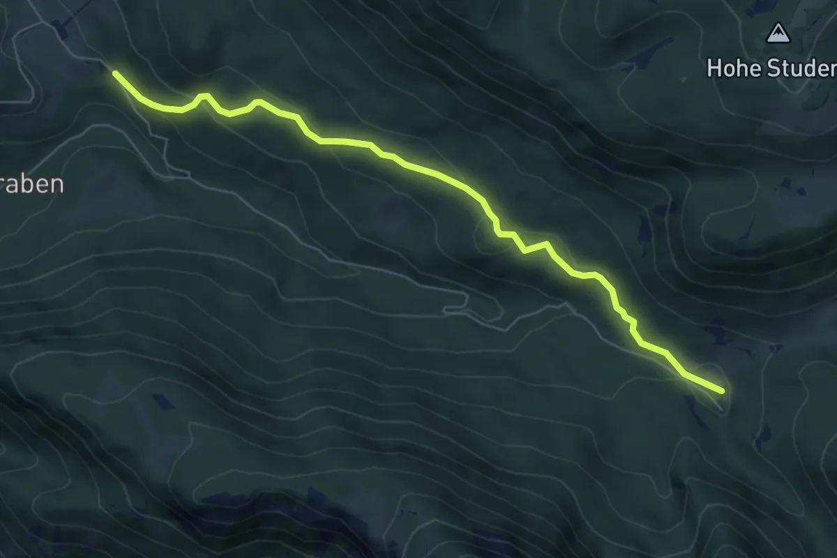
Easy · Trail
Erzherzog-Johann-Wanderweg
6.4 km · ↑ 229 m · 2 h 1 min
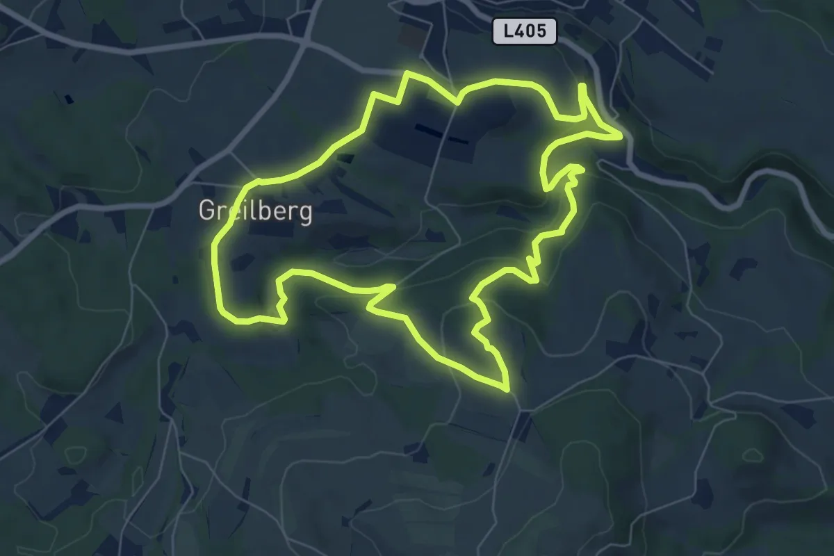
Easy · Trail
Erzherzog Johann Weg
7.3 km · ↑ 272 m · 2 h 25 min
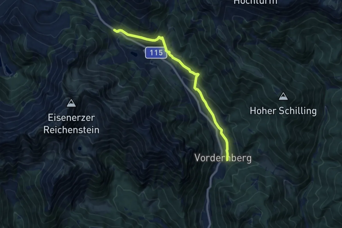
Medium · Trail
Erzwanderweg
12.2 km · ↑ 407 m · 3 h 46 min
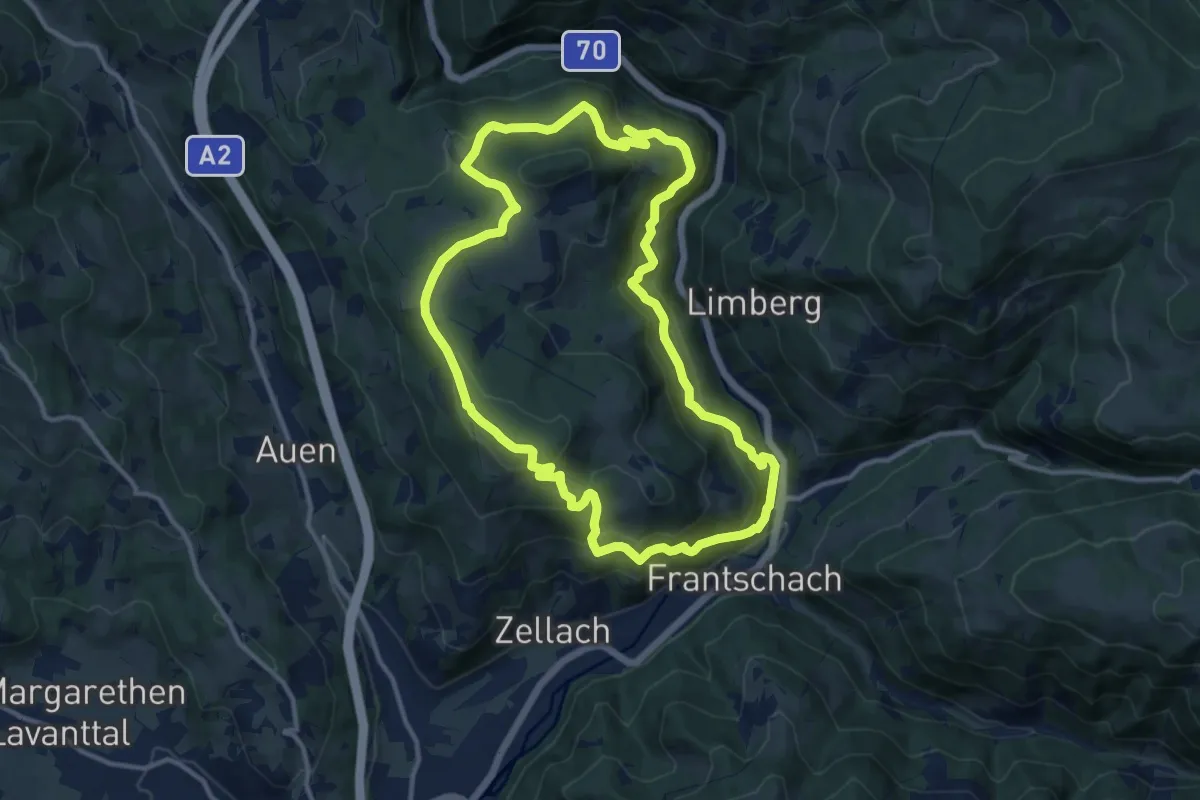
Medium · Summit
Erzwanderweg 1
12.1 km · ↑ 532 m · 4 h 10 min
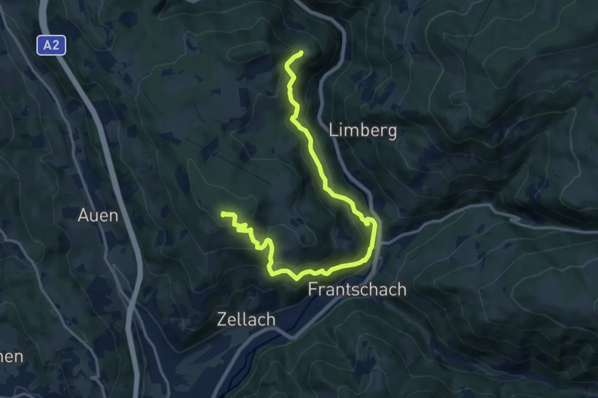
Demanding · Summit
Erzwanderweg 2
15.0 km · ↑ 925 m · 5 h 33 min
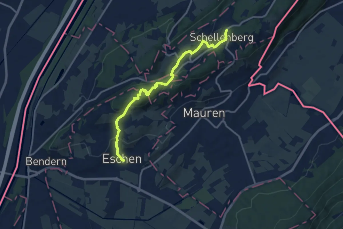
Medium · Trail
Eschen - Malanser - Mittlerer Schellenberg
8.1 km · ↑ 364 m · 2 h 42 min
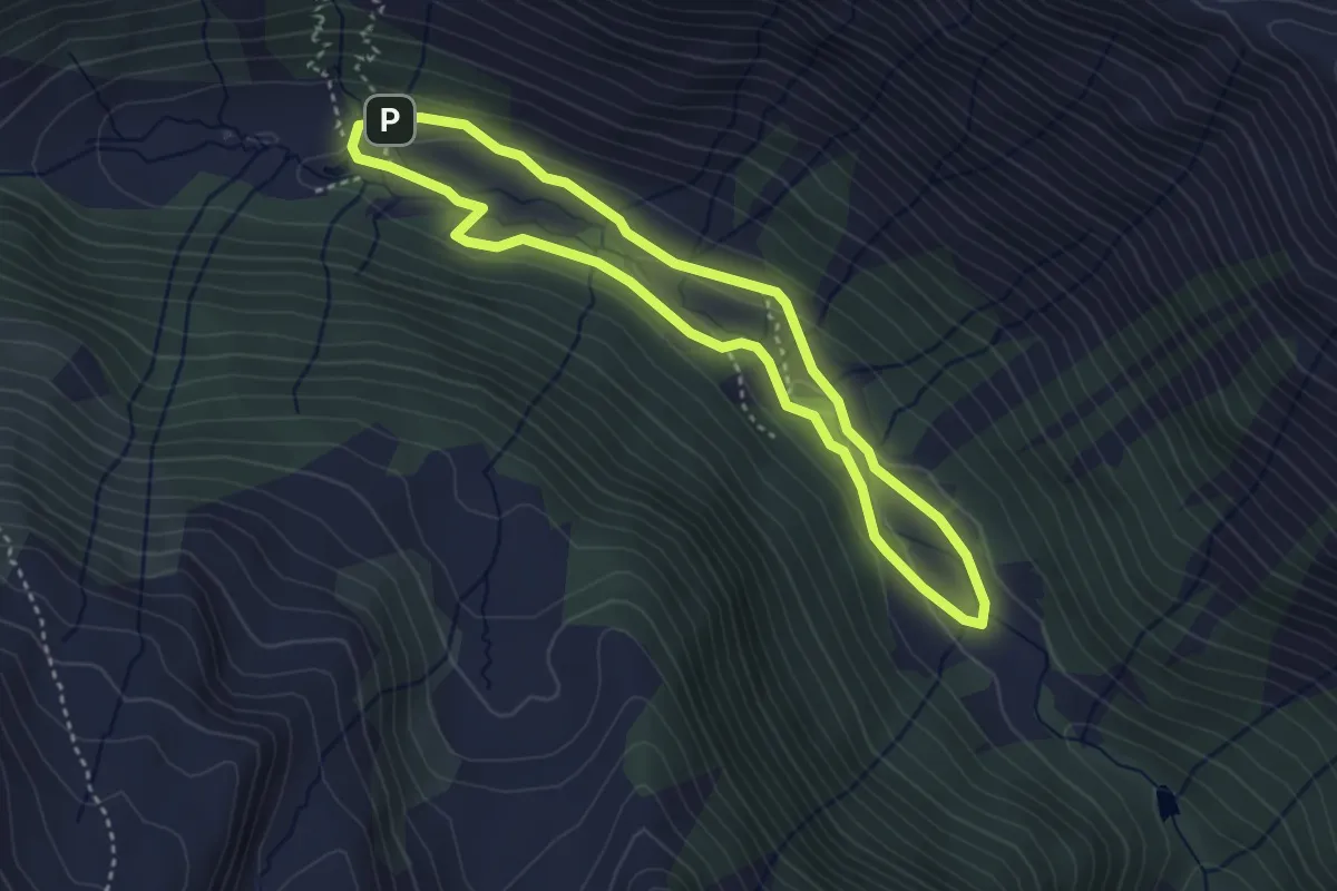
Easy · Cabin
Eselsberger Almerlebnisweg
3.3 km · ↑ 60 m · 57 min
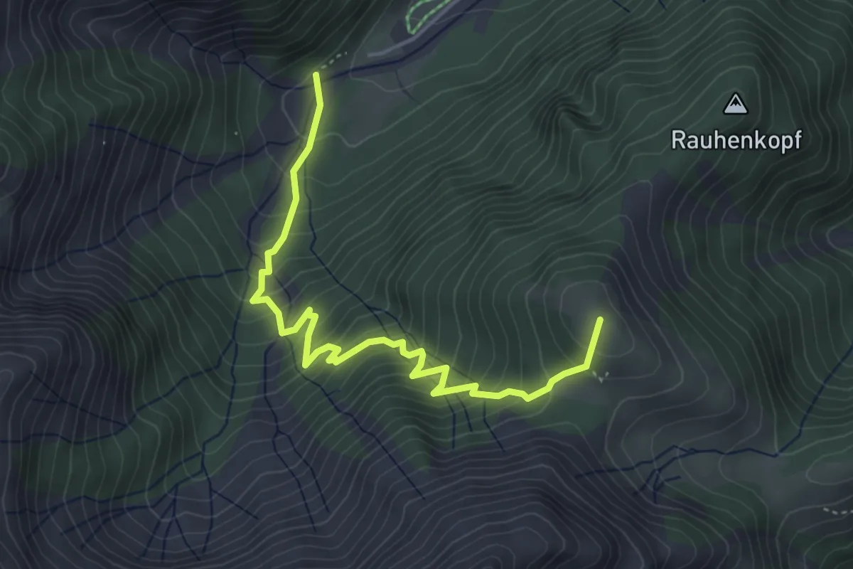
Medium · Summit
Eselsteig
4.6 km · ↑ 477 m · 2 h 8 min
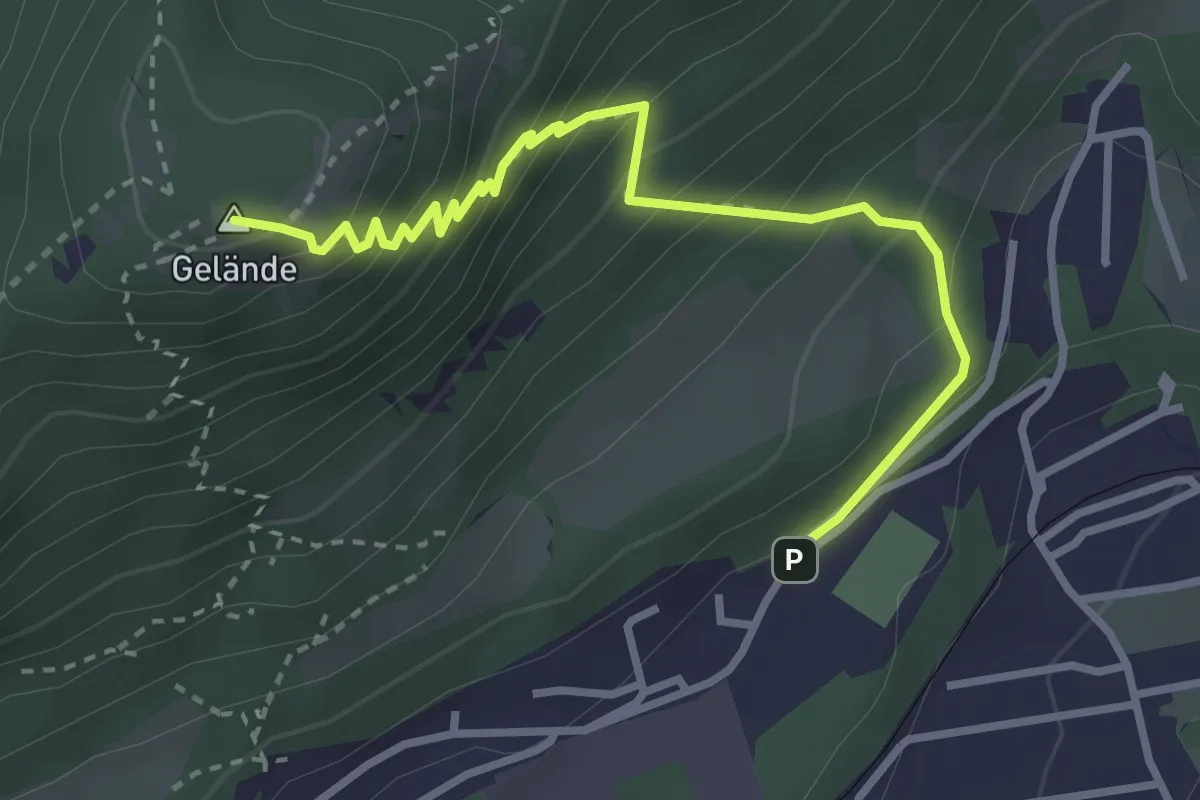
Medium · Summit
Eselsteig
3.3 km · ↑ 374 m · 1 h 36 min