Trails in Austria
9,778 hiking trails, each with its route, climb, walking time and grade.
All trails, page 27 of 204
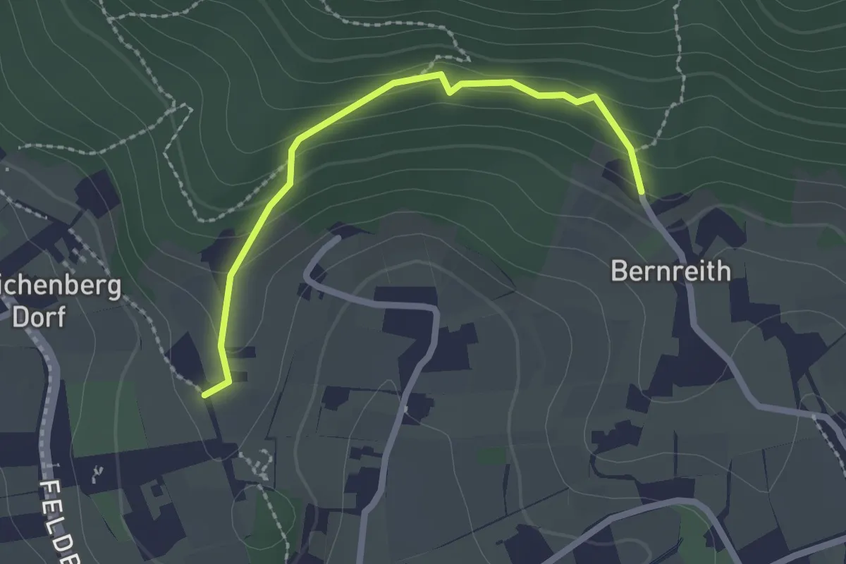
Easy · Trail
Eselweg
2.1 km · ↑ 90 m · 41 min
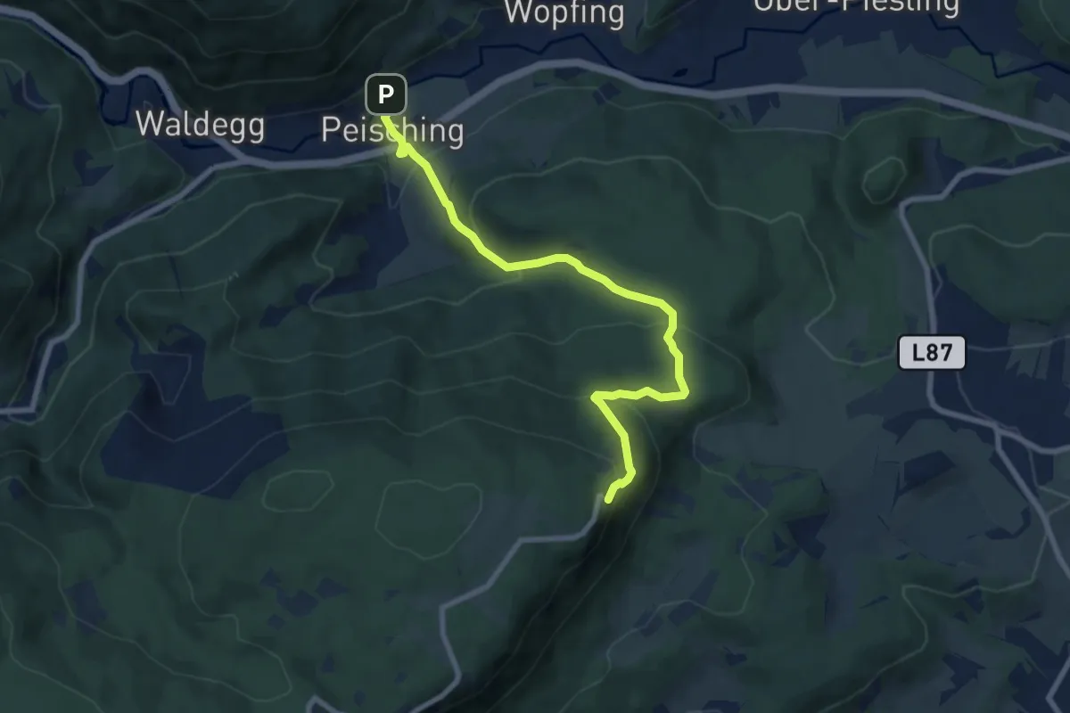
Medium · Trail
Eselweg (Waldegg - Peisching - Herrgottschnitzerhaus)
7.8 km · ↑ 453 m · 2 h 49 min
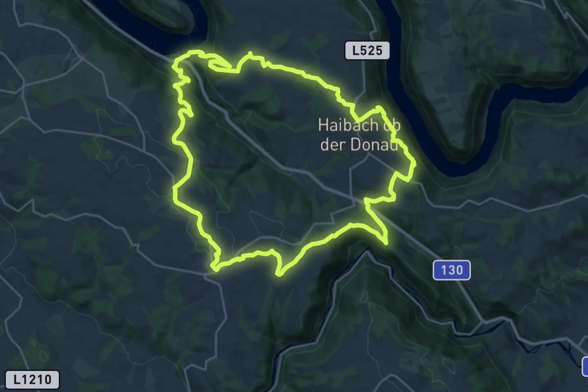
Demanding · Trail
Es muss seyn - Weg
21.6 km · ↑ 731 m · 6 h 58 min
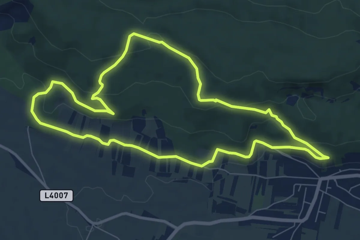
Easy · Trail
Esoterik-Rundwanderweg E2 (Helenenhöhe - Steinernes Kreuz - Froschstein - Hexenstein)
7.1 km · ↑ 180 m · 2 h 10 min
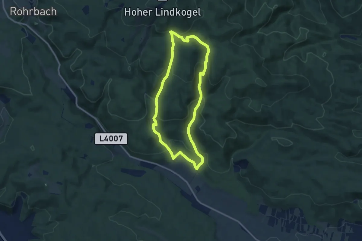
Medium · Summit
Esoterik-Rundwanderweg E3 (Haidlhof - Kalkgraben - Murggengartengraben - Merkenstein)
7.6 km · ↑ 333 m · 2 h 37 min
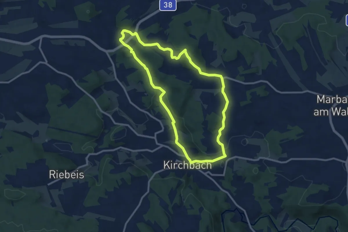
Easy · Summit
Etzener Graben 10
7.3 km · ↑ 188 m · 2 h 14 min
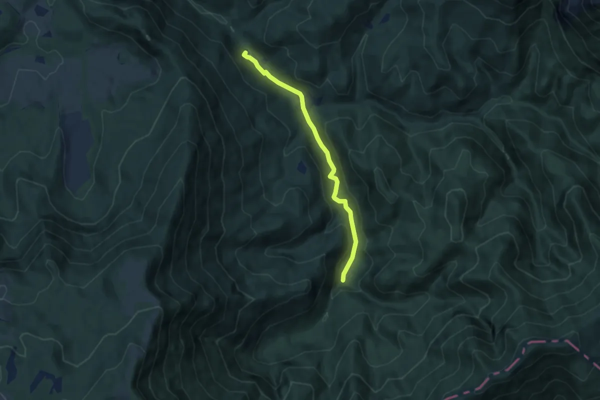
Easy · Trail
Eulenweg
6.6 km · ↑ 105 m · 1 h 47 min
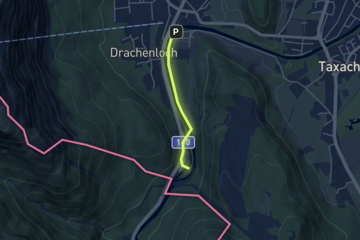
Easy · Trail
EuRegio Grödig
1.2 km · ↑ 13 m · 20 min
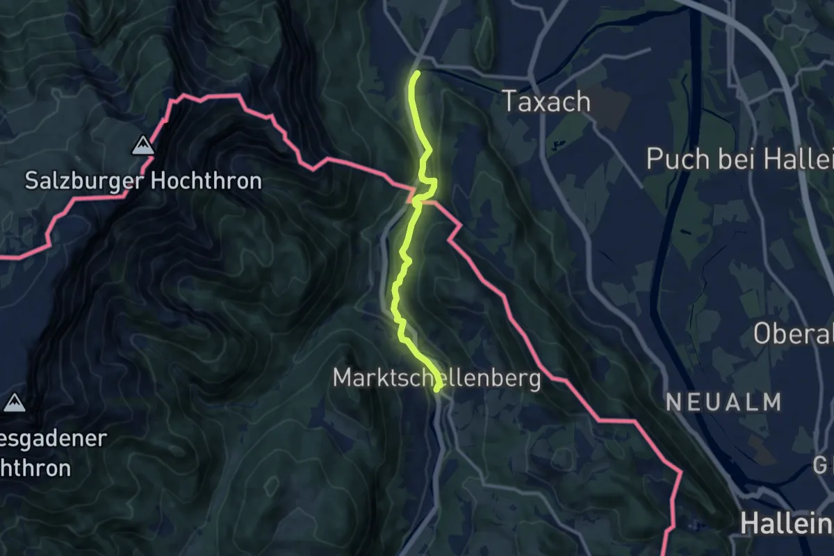
Easy · Trail
EuRegio Grödig-Marktschellenberg
4.1 km · ↑ 124 m · 1 h 18 min
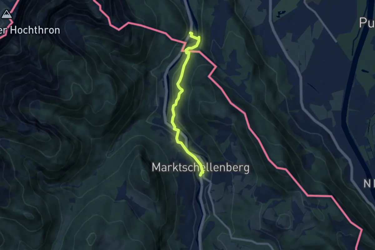
Easy · Trail
EuRegio Marktschellenberg
3.0 km · ↑ 124 m · 1 h 1 min
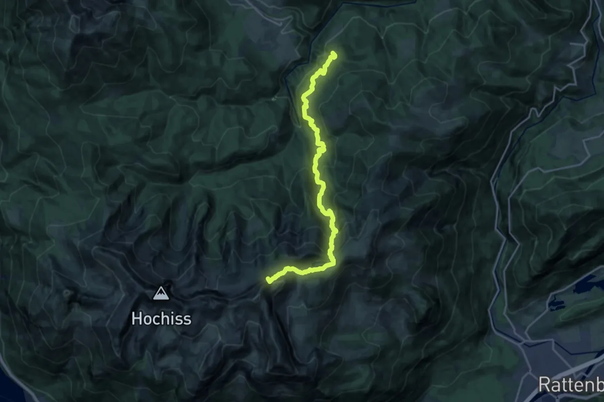
Expert · Summit
Europäischer Fernwanderweg E4, Österreich, Rofan
17.0 km · ↑ 1195 m · 6 h 36 min
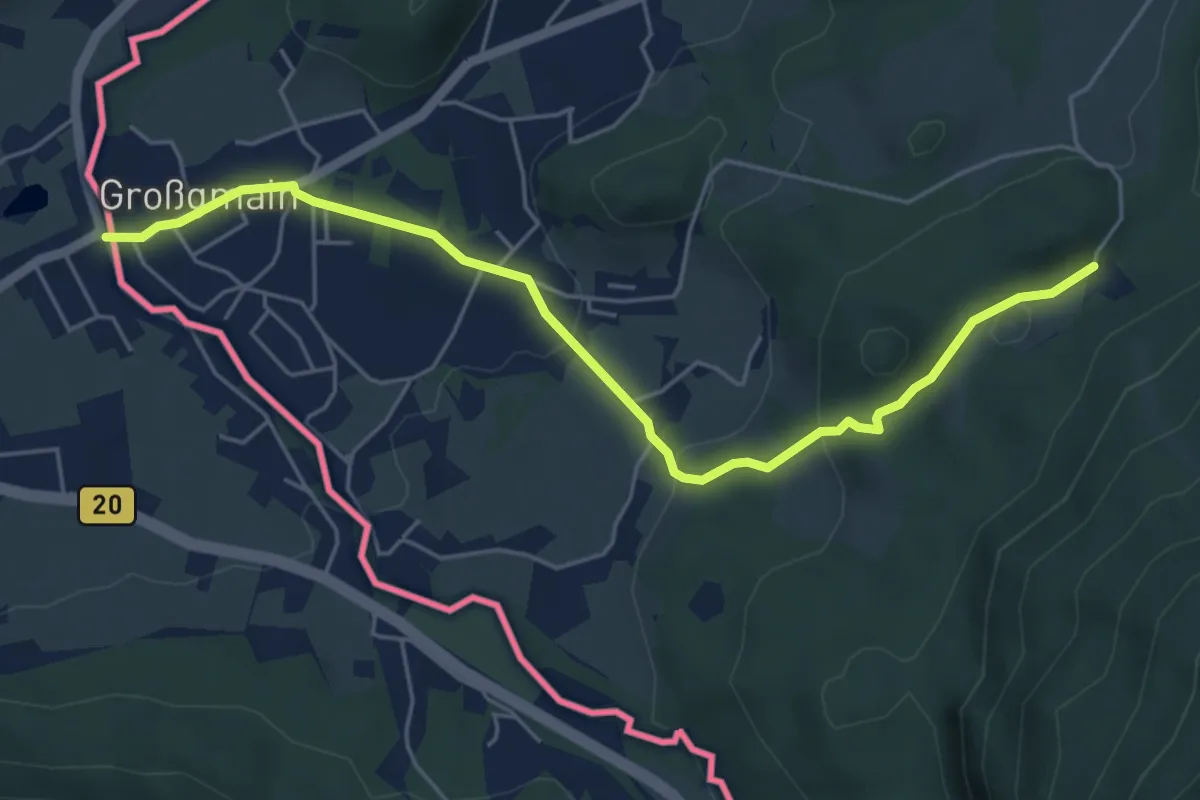
Easy · Trail
Europäischer Fernwanderweg E4 (von Salzburg nach Gresten)
5.5 km · ↑ 166 m · 1 h 39 min
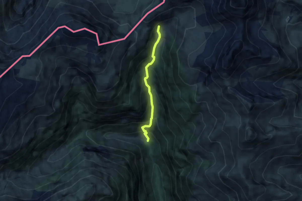
Medium · Trail
Europäischer Fernwanderweg E5, Österreich Tirol
4.7 km · ↑ 520 m · 2 h 15 min
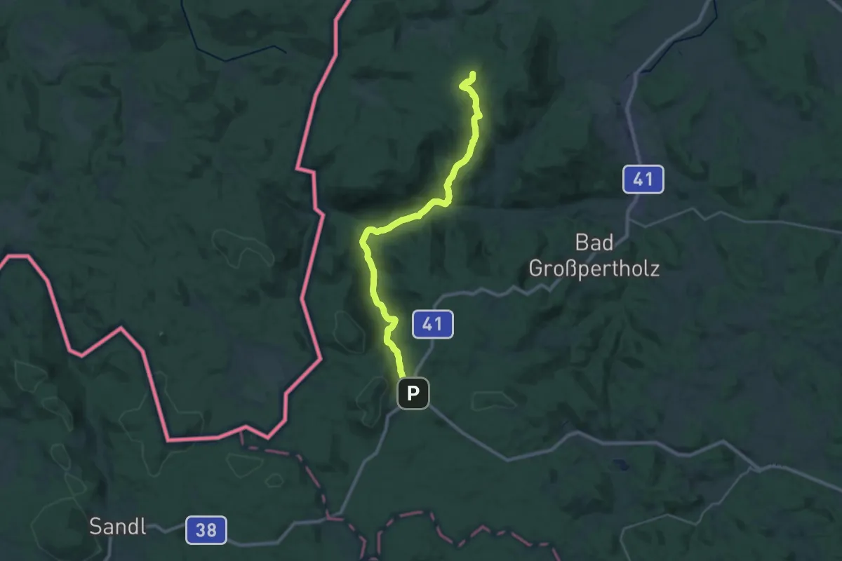
Demanding · Summit
Europäischer Fernwanderweg E6, Abstecher zum Nebelstein
24.7 km · ↑ 661 m · 7 h 16 min
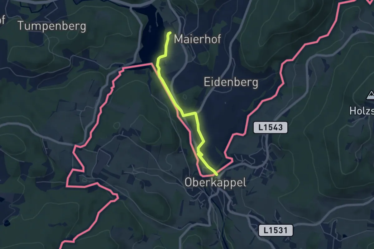
Easy · Trail
Europäischer Fernwanderweg E8, Bayerischer Wald-Verein
4.4 km · ↑ 68 m · 1 h 11 min
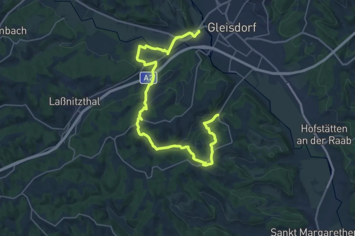
Medium · Summit
Europawanderweg A
11.7 km · ↑ 281 m · 3 h 32 min
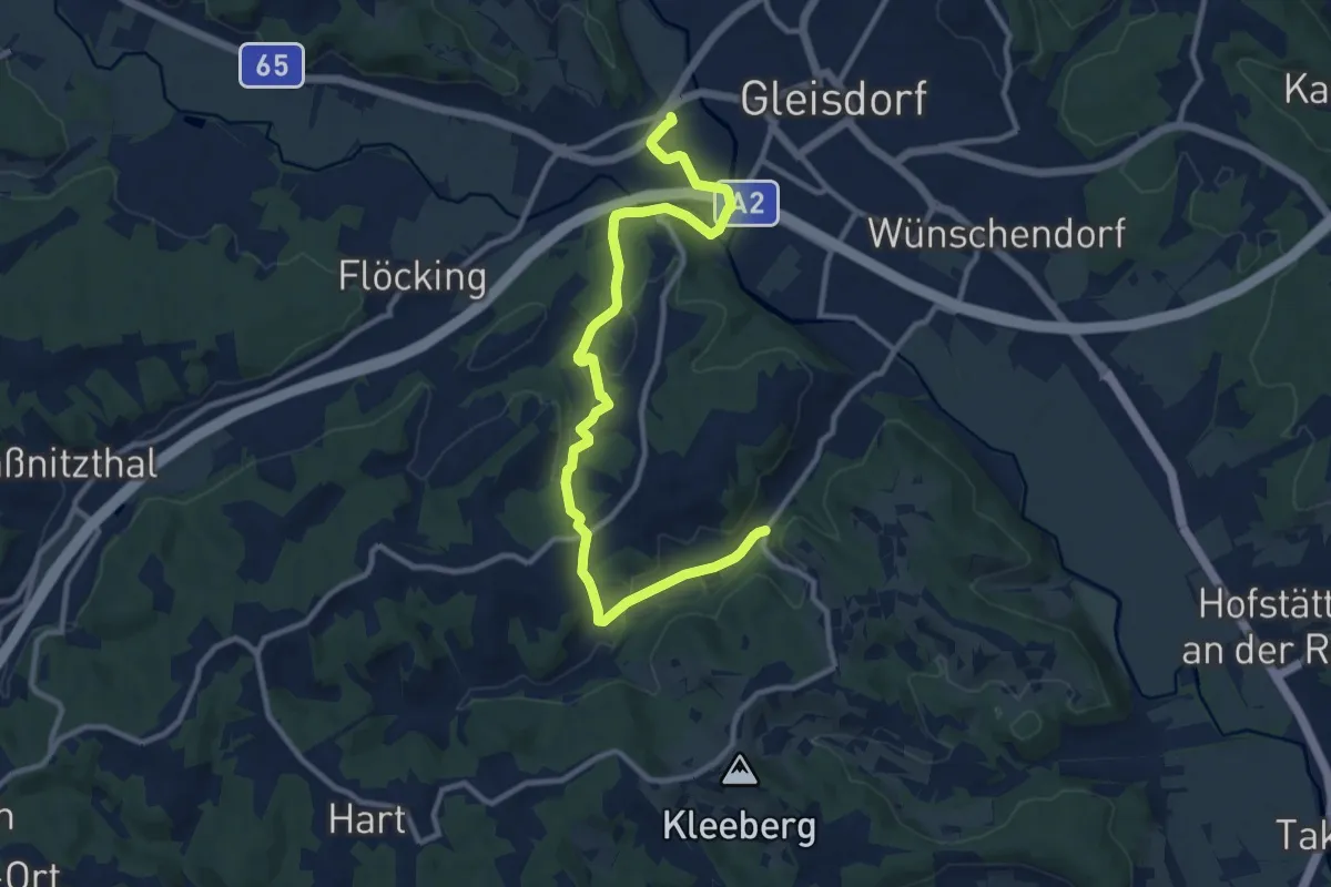
Easy · Trail
Europawanderweg B
6.2 km · ↑ 119 m · 1 h 48 min
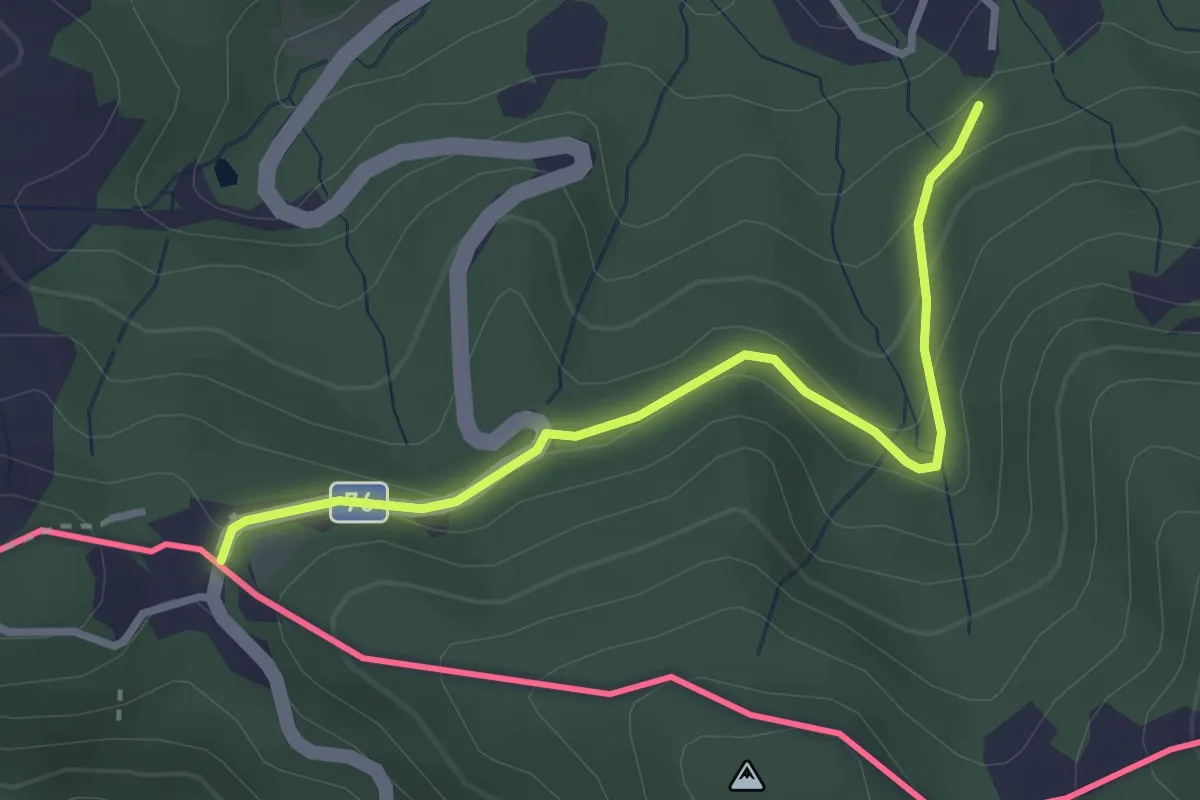
Easy · Trail
European long distance path E6 - Main route Austria
3.0 km · ↑ 119 m · 58 min
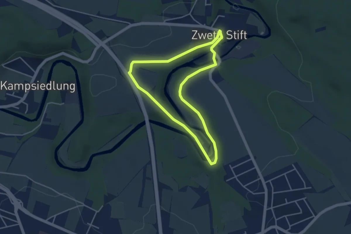
Easy · Trail
Evangelistenweg 12
3.2 km · ↑ 56 m · 55 min
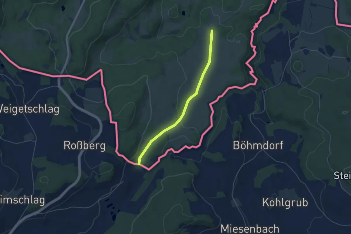
Easy · Trail
Evropská dálková trasa E10, Česká republika, Jižní Čechy
4.4 km · ↑ 78 m · 1 h 12 min
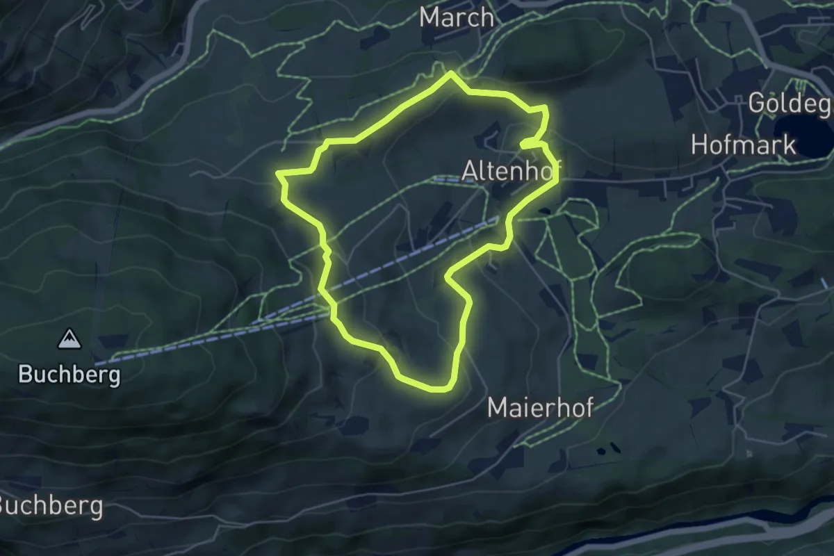
Medium · Trail
Eyersbergrundweg
4.7 km · ↑ 172 m · 1 h 33 min
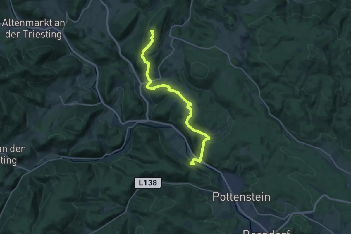
Medium · Summit
Fahrafeld-Gadenweith- Neuhaus - Peilstein
16.4 km · ↑ 626 m · 5 h 14 min
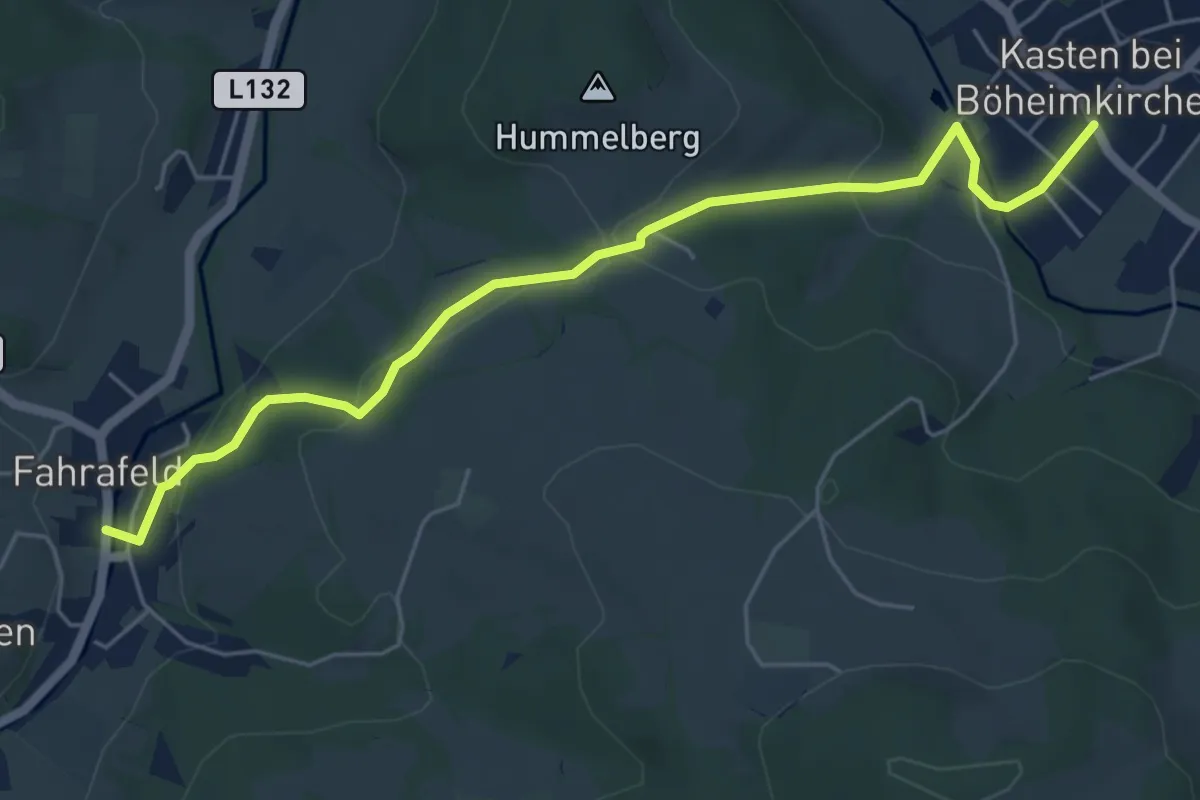
Easy · Trail
Fahrafeld - Kasten
5.8 km · ↑ 141 m · 1 h 40 min
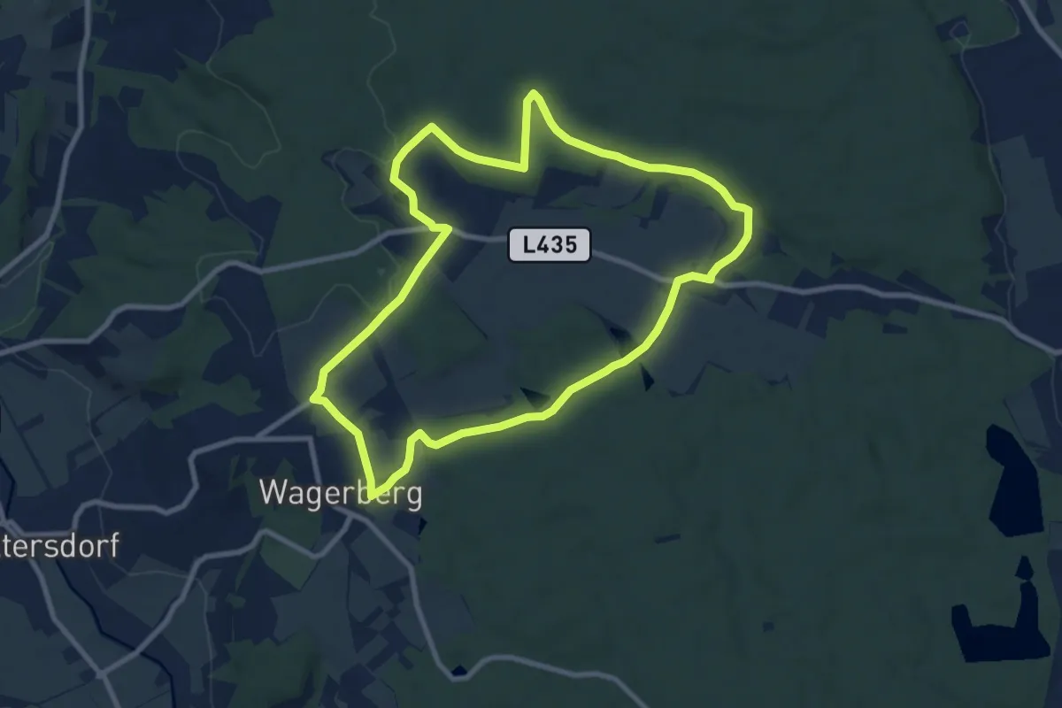
Medium · Trail
Fahrtenspiel - sportliches Laufen
8.5 km · ↑ 87 m · 2 h 19 min
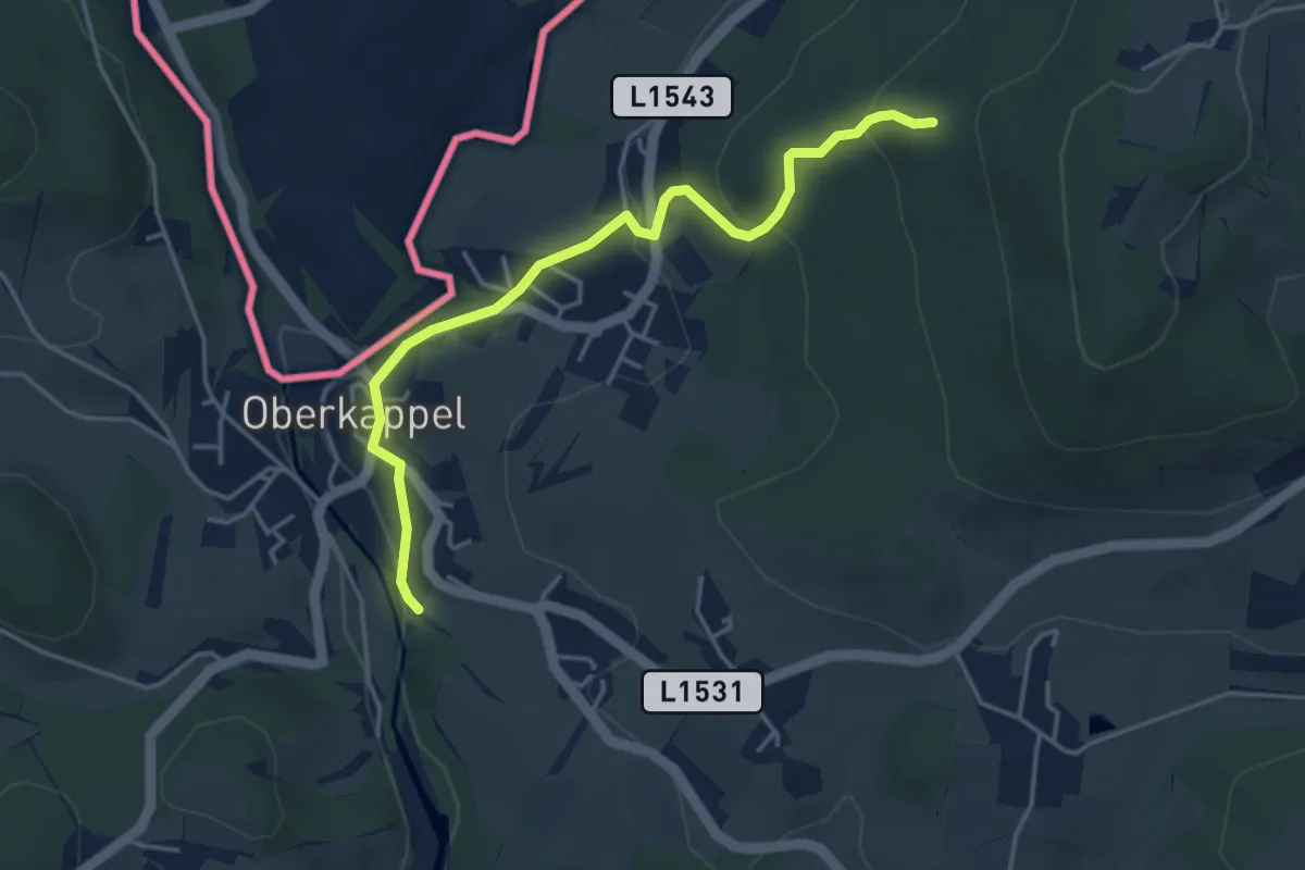
Easy · Trail
Falkensteinerweg
4.1 km · ↑ 180 m · 1 h 21 min
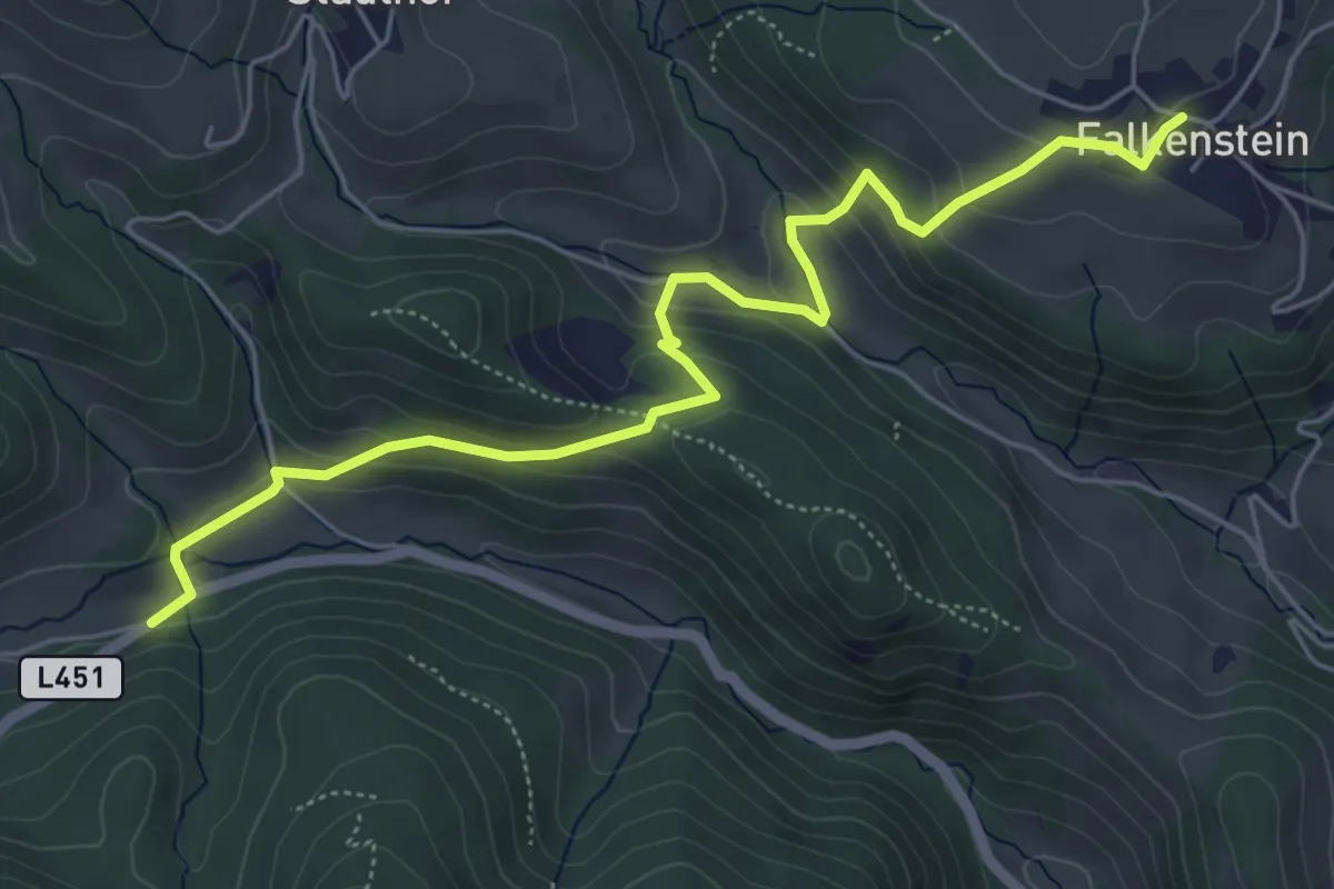
Medium · Trail
Falkenstein - Fischbach
6.1 km · ↑ 341 m · 2 h 11 min
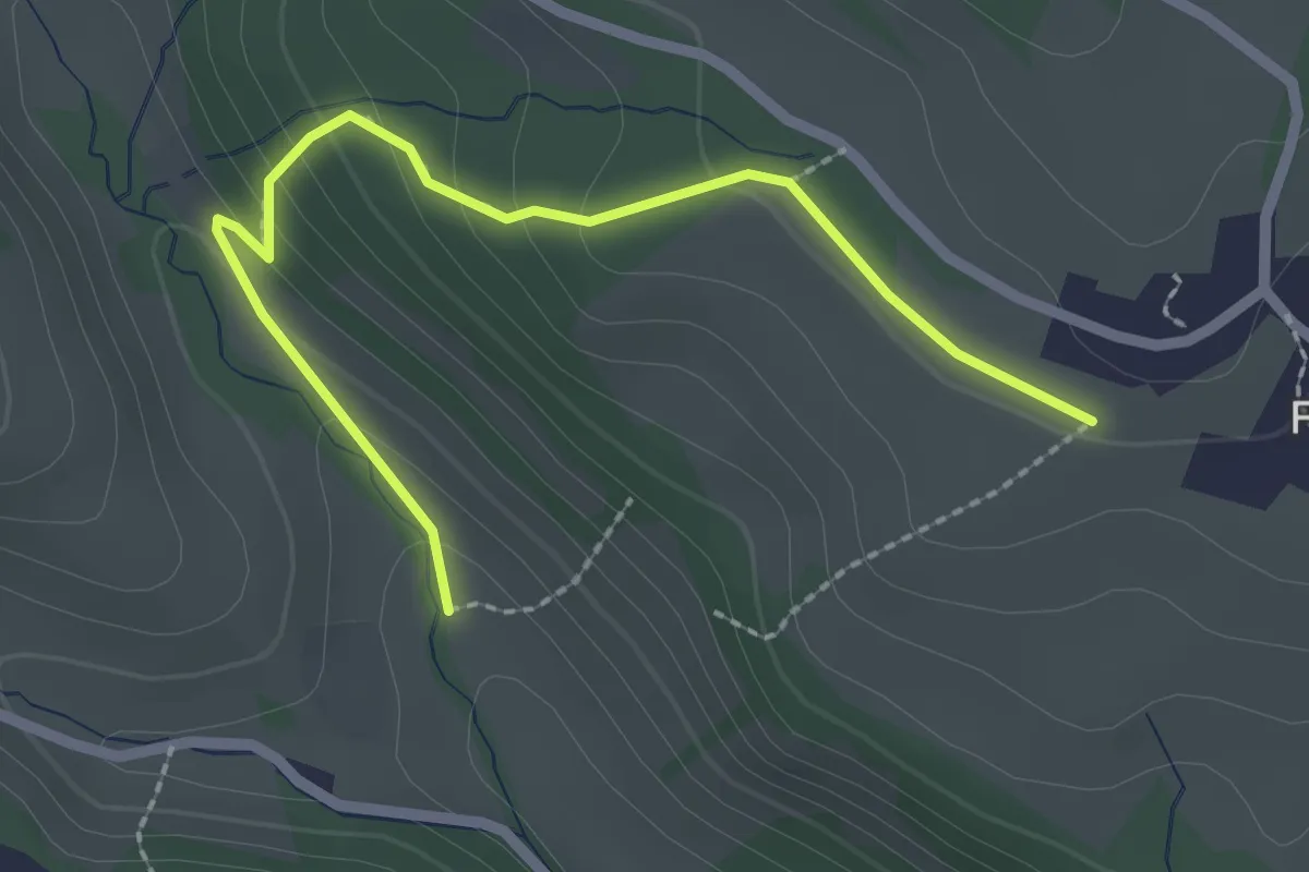
Easy · Trail
Falkenstein - Fischbach, flacher Anstieg
2.5 km · ↑ 131 m · 53 min
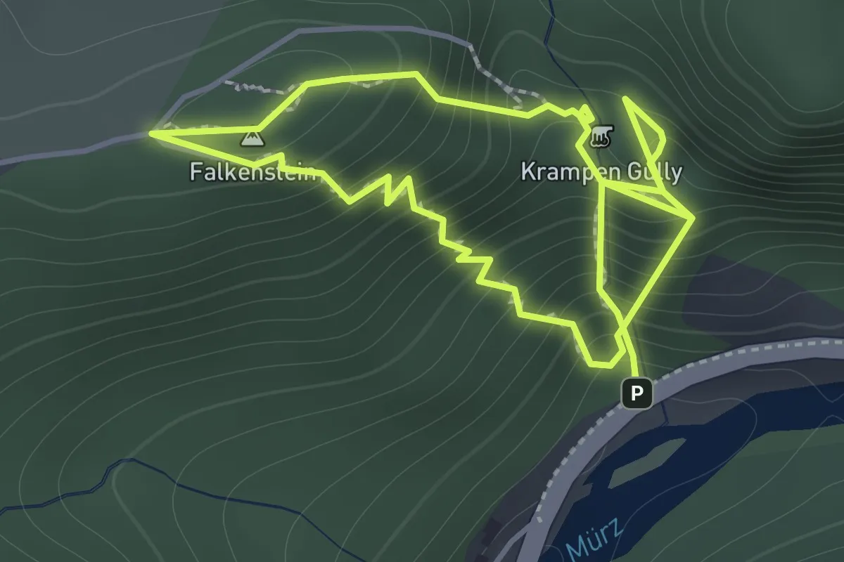
Demanding · Summit
Falkenstein Klettersteig
1.4 km · ↑ 357 m · 1 h 5 min
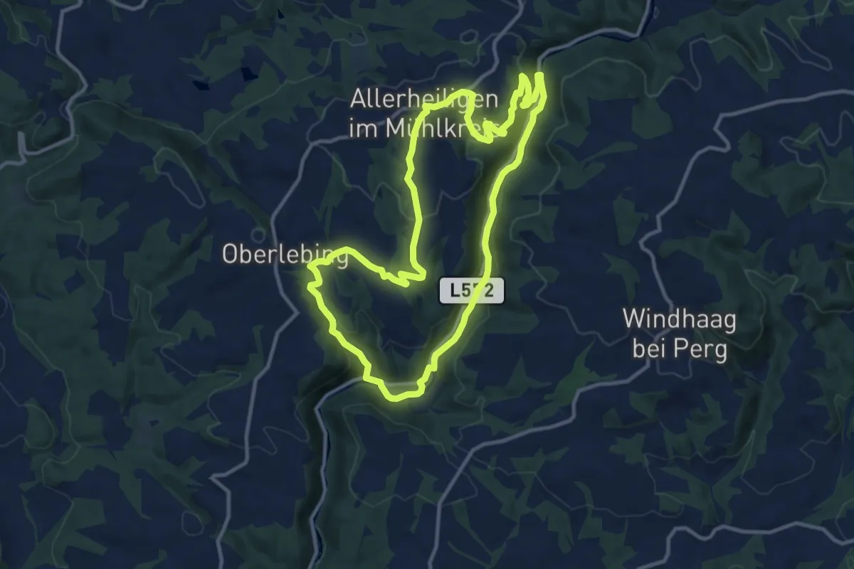
Medium · Trail
Falkensteinweg
10.6 km · ↑ 348 m · 3 h 24 min
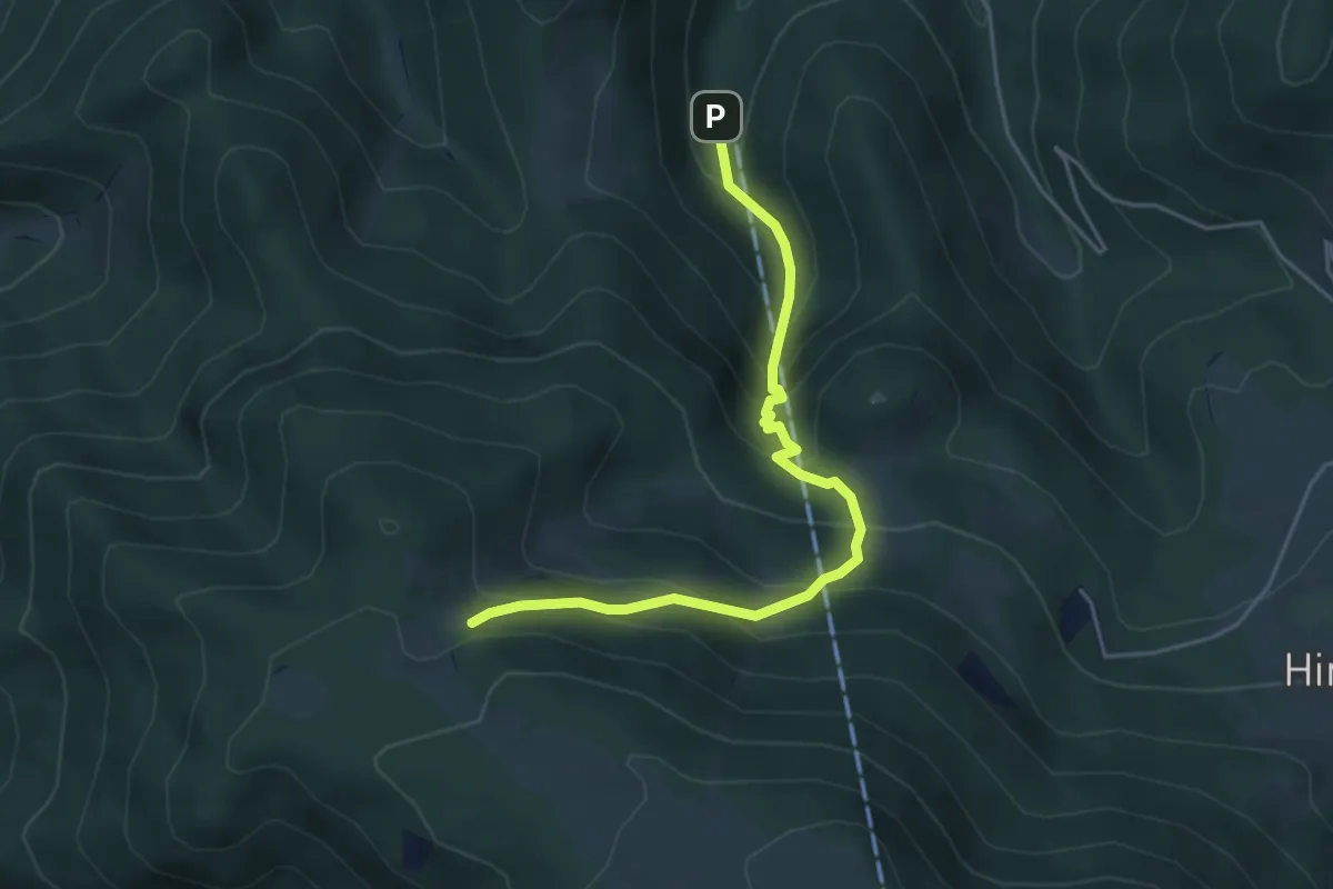
Demanding · Trail
Fallgrabensteig
4.5 km · ↑ 468 m · 2 h 5 min
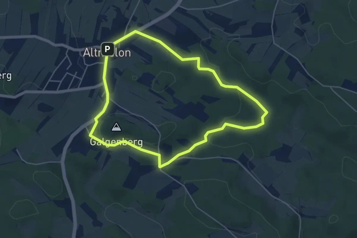
Easy · Summit
Familienrunde
4.1 km · ↑ 85 m · 1 h 12 min
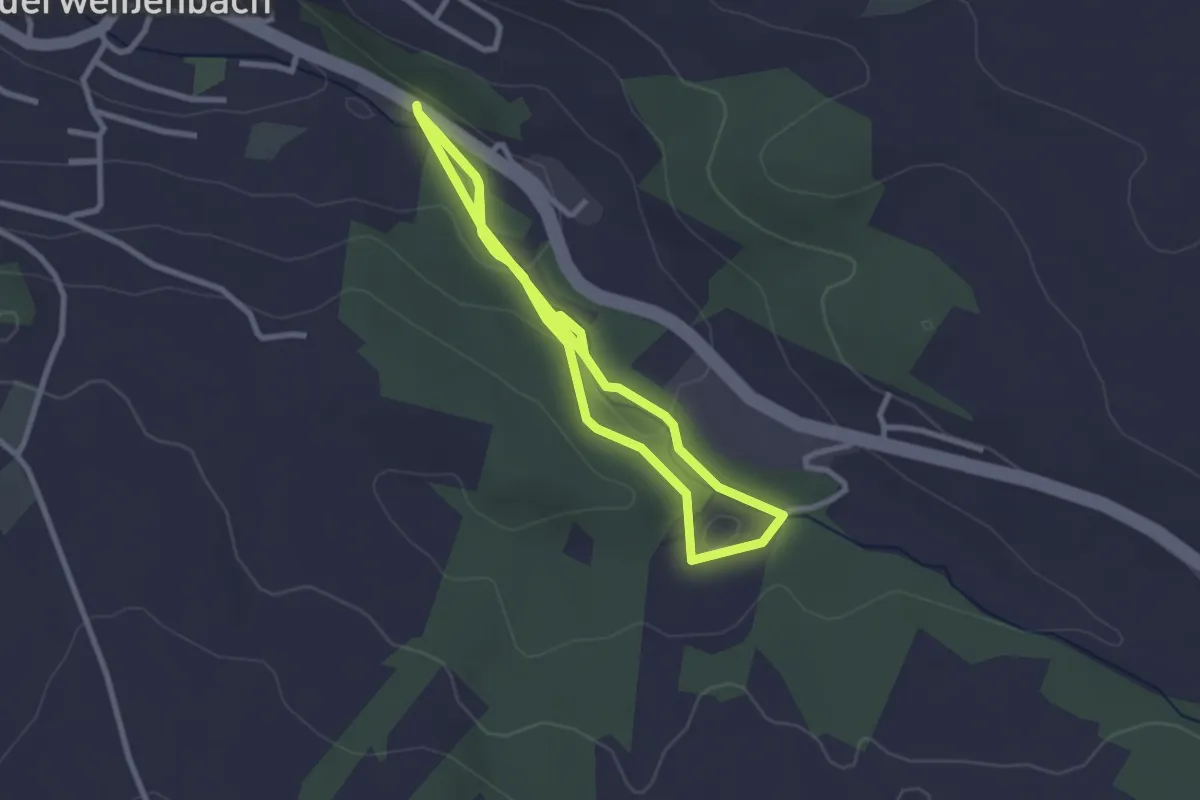
Easy · Trail
Familienrunde
5.2 km · ↑ 76 m · 1 h 24 min
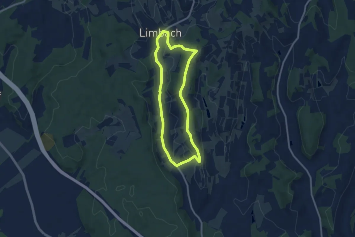
Easy · Trail
Familienrunde (Limbach)
6.2 km · ↑ 92 m · 1 h 45 min
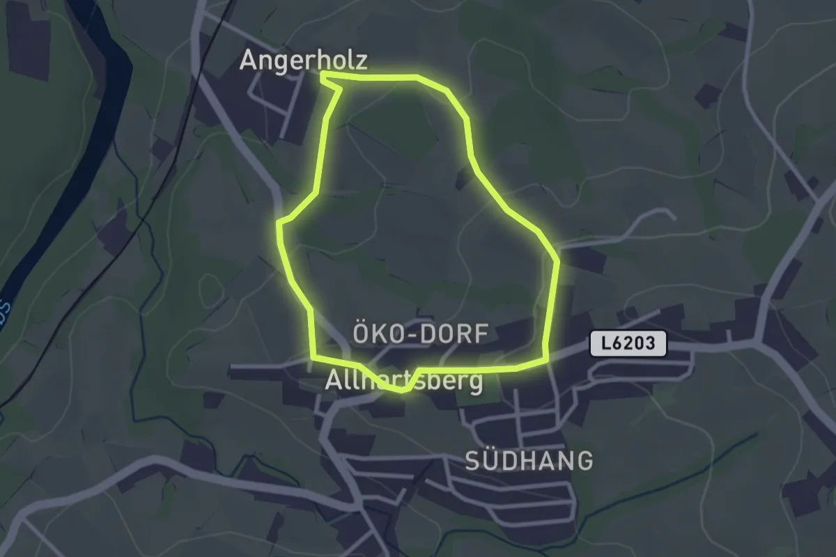
Easy · Trail
Familienwanderweg
2.3 km · ↑ 66 m · 44 min
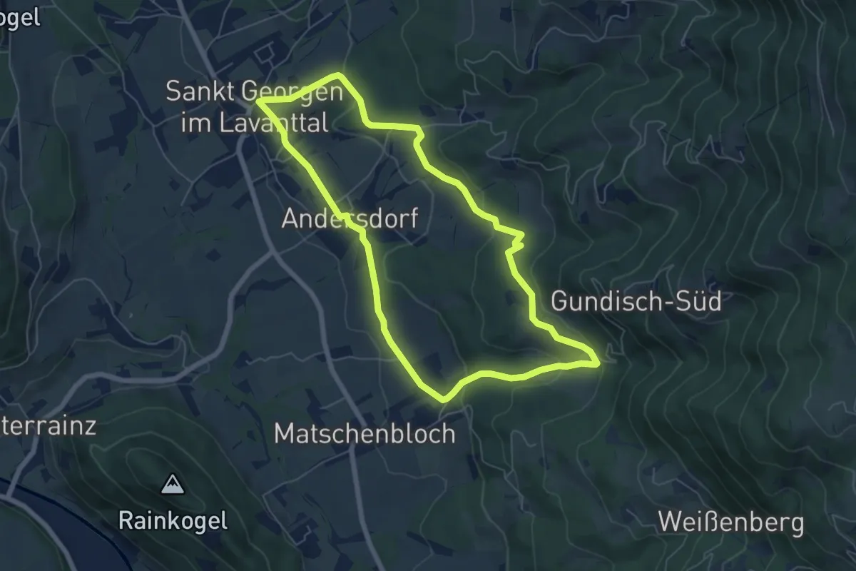
Easy · Trail
Familienwanderweg Hochwiese
6.0 km · ↑ 169 m · 1 h 52 min
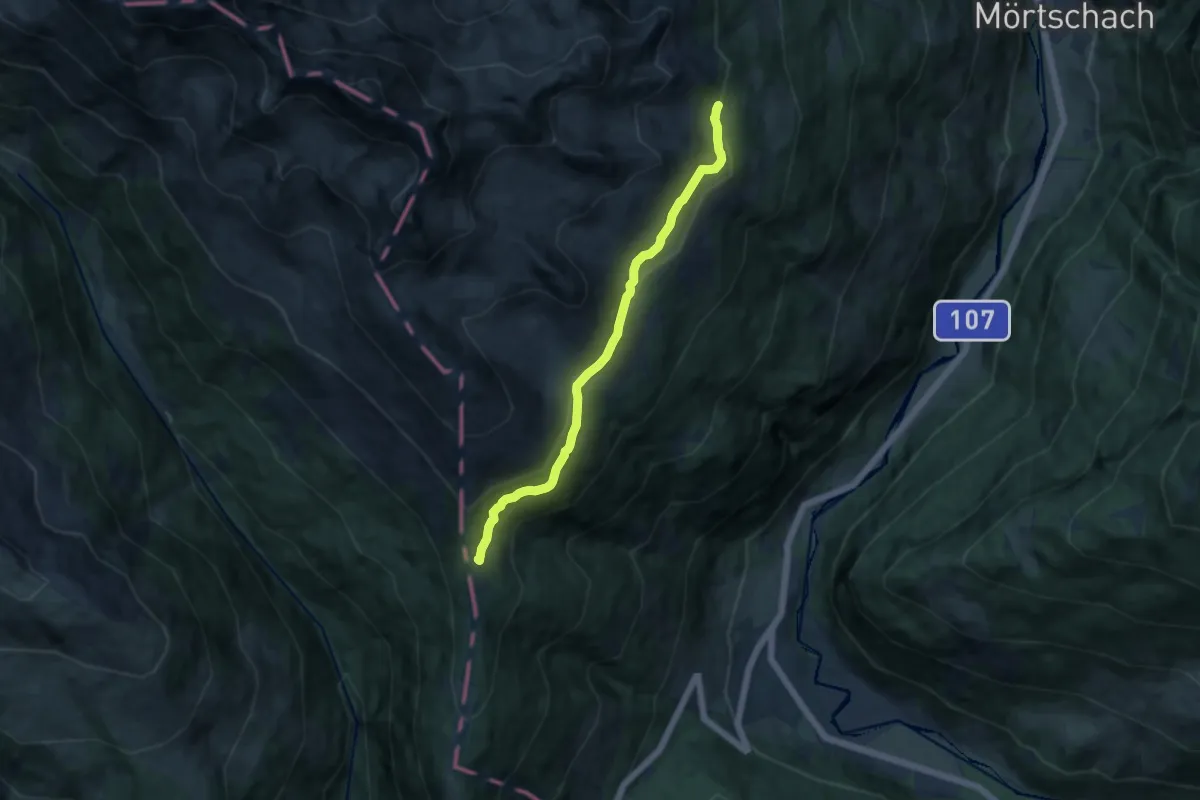
Medium · Cabin
Familienwanderweg Winklerner Alm
10.2 km · ↑ 243 m · 2 h 56 min
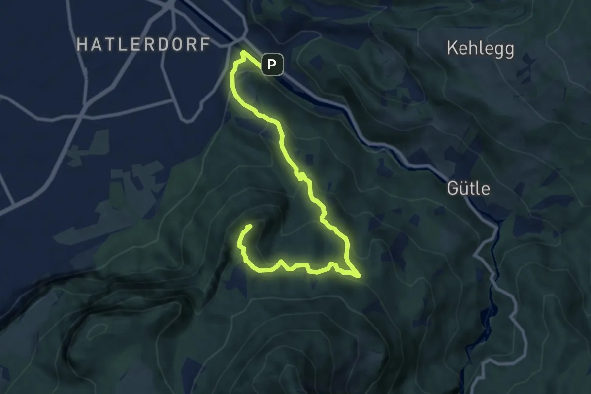
Medium · Summit
Familienweg
9.2 km · ↑ 564 m · 3 h 23 min
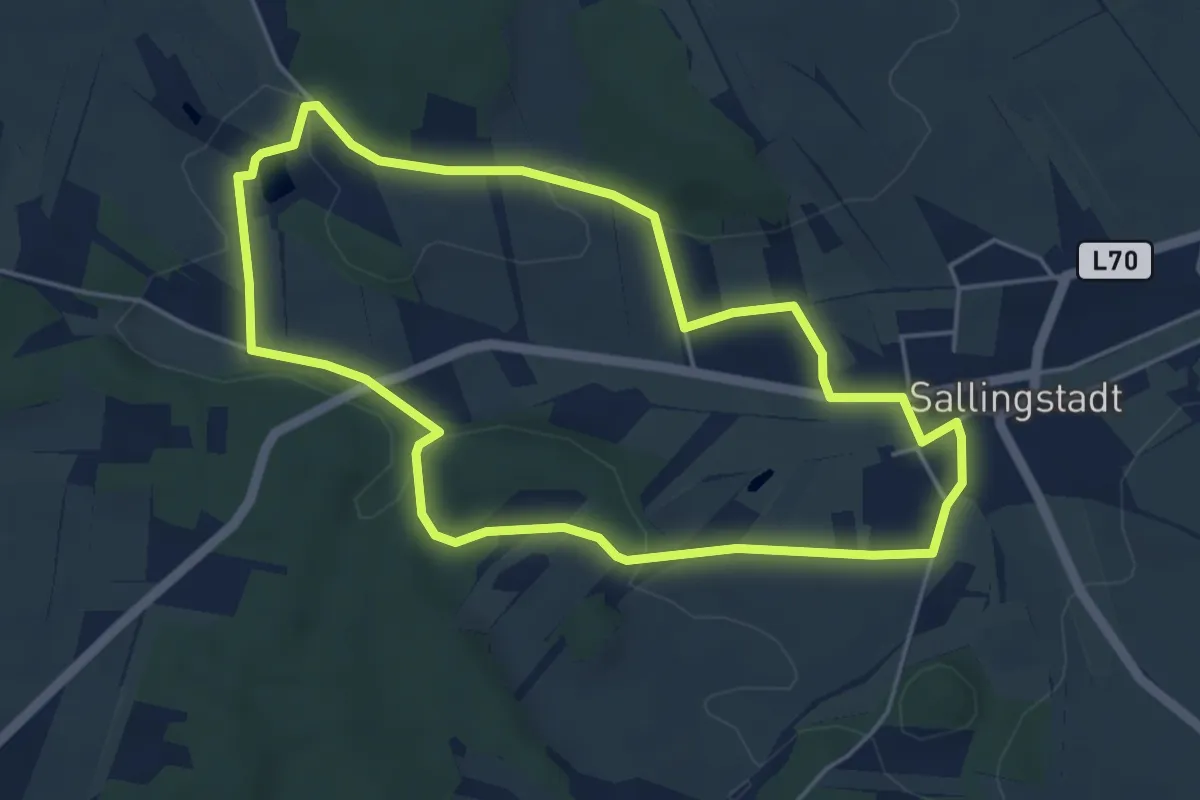
Easy · Trail
Familien Weg, Route 1
4.5 km · ↑ 50 m · 1 h 14 min
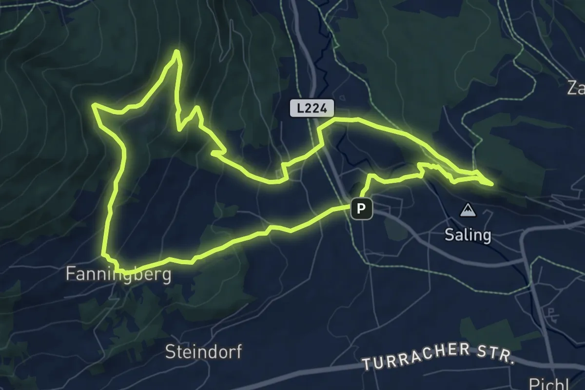
Medium · Trail
Fanningbergrundweg
9.8 km · ↑ 405 m · 3 h 19 min
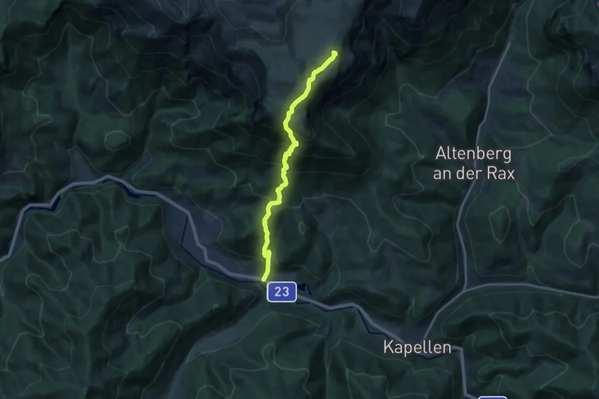
Demanding · Summit
Farfelsteig
11.1 km · ↑ 1102 m · 5 h
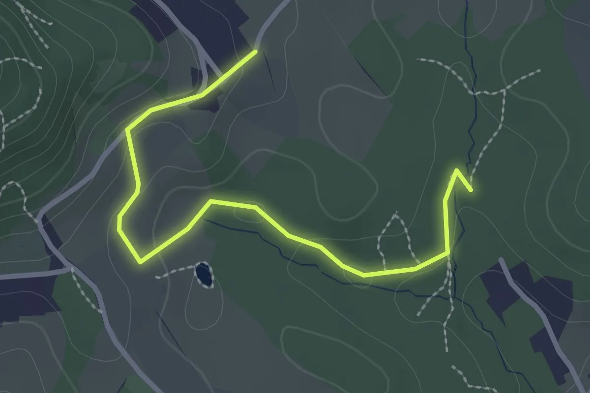
Easy · Trail
Fausterschleife
2.7 km · ↑ 86 m · 50 min
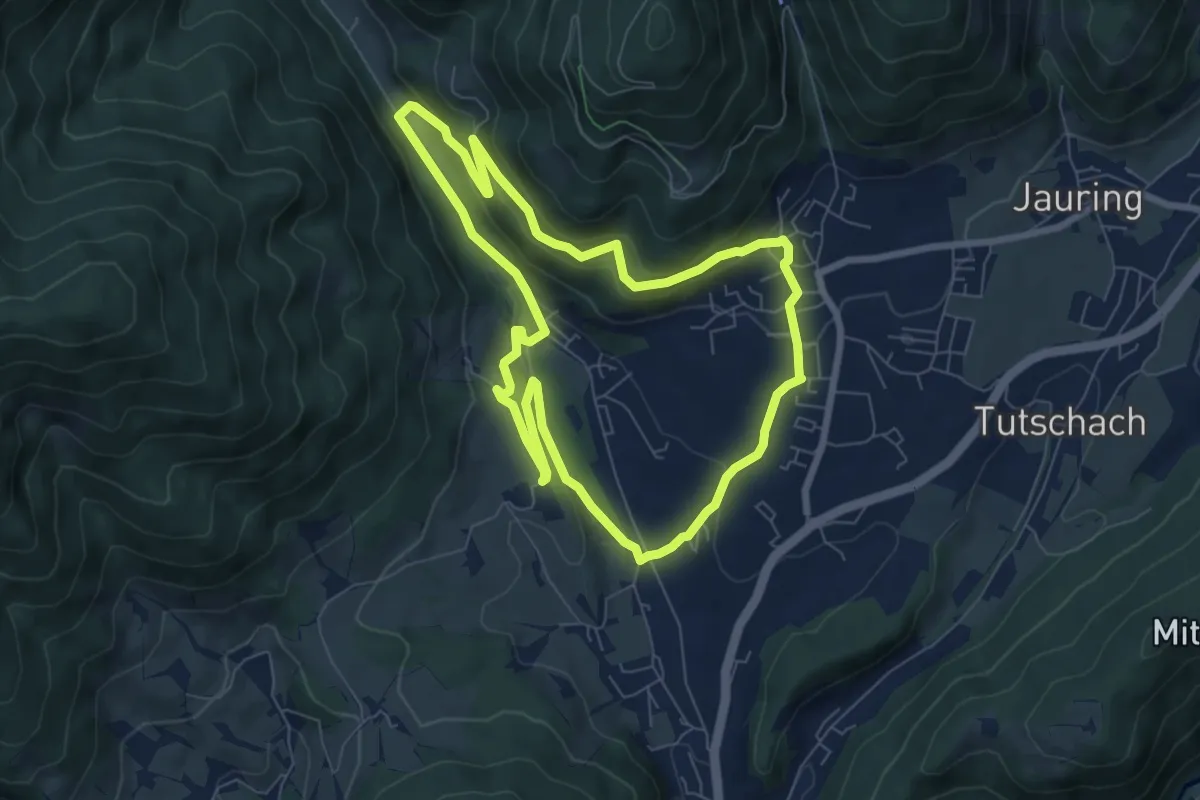
Easy · Trail
Fegenberg-Rundmeile
7.2 km · ↑ 198 m · 2 h 13 min
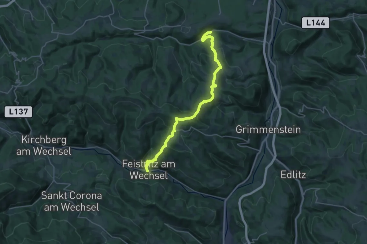
Demanding · Trail
Feistritz am Wechsel - Hollabrunner Riegel (Gasthof zur Schönen Aussicht) - Eben - Kirchau
20.1 km · ↑ 961 m · 6 h 49 min
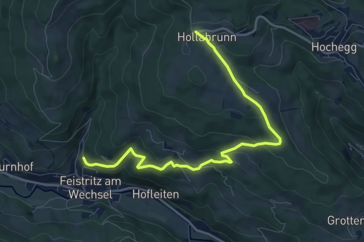
Medium · Trail
Feistritz am Wechsel - Hollabrunn über Steinbichel
9.3 km · ↑ 320 m · 2 h 53 min
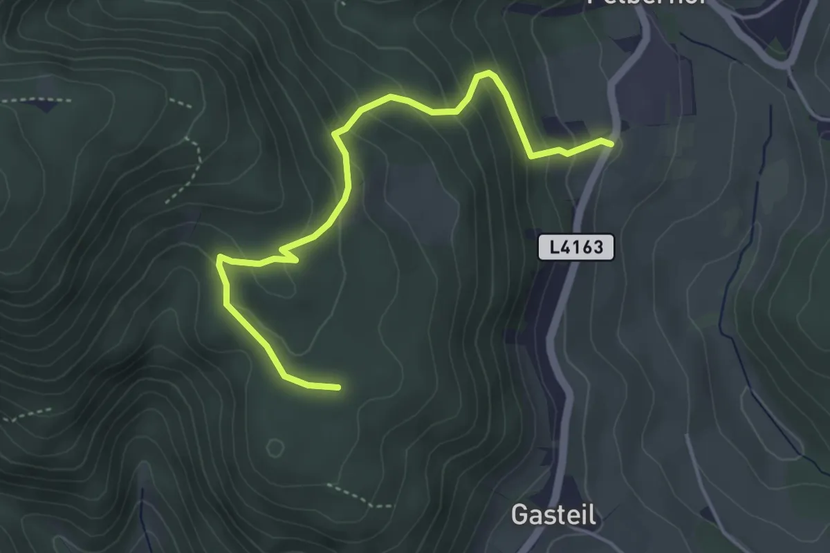
Easy · Trail
Felberhof - Pottschacher Hütte
4.3 km · ↑ 255 m · 1 h 34 min
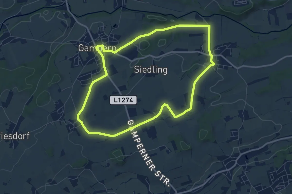
Easy · Trail
Felderrundweg
7.6 km · ↑ 80 m · 2 h 5 min
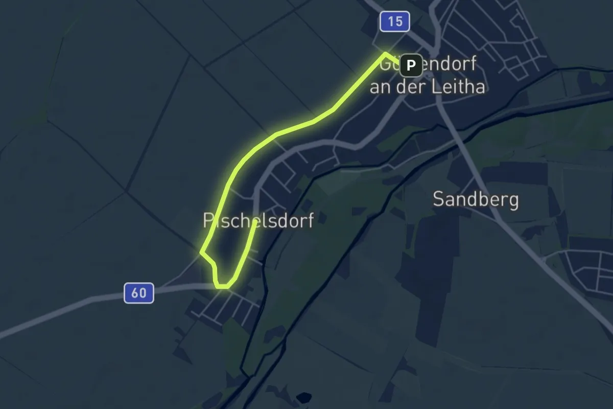
Easy · Trail
Feldfrüchtelehrpfad
5.1 km · ↑ 0 m · 1 h 12 min
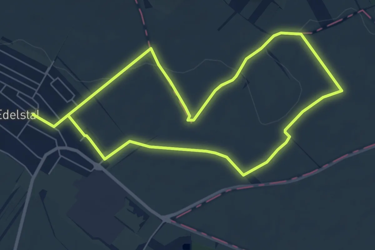
Easy · Trail
Feldhasenmarsch (Rundwanderweg)
5.5 km · ↑ 63 m · 1 h 30 min