Trails in Austria
9,778 hiking trails, each with its route, climb, walking time and grade.
All trails, page 28 of 204
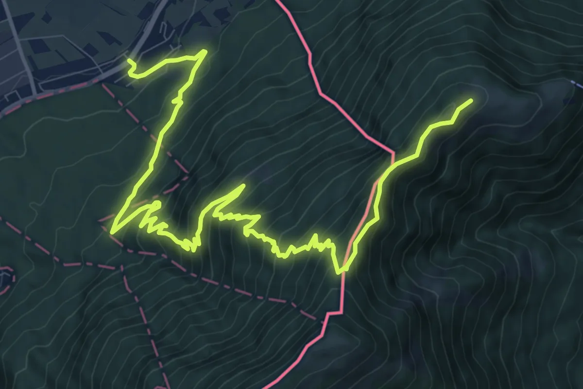
Demanding · Trail
Feldkircher Huette (A) - Schaanwald
15.8 km · ↑ 1188 m · 6 h 18 min
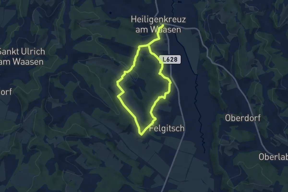
Easy · Trail
Felgitscher Rundwanderweg
6.2 km · ↑ 177 m · 1 h 55 min
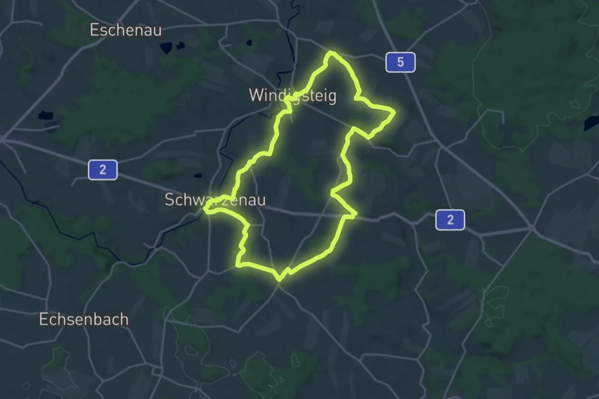
Demanding · Trail
Felix - Pilgerweg
18.4 km · ↑ 252 m · 5 h 9 min
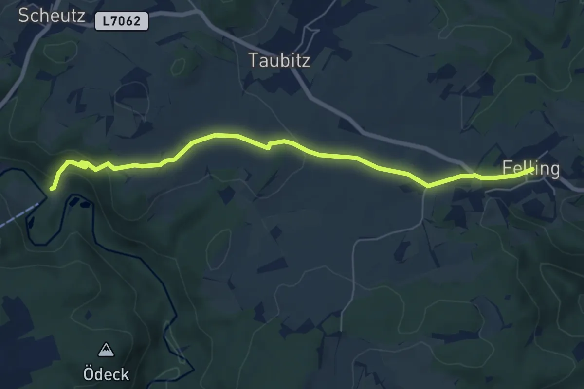
Easy · Trail
Felling-Weißenstein
6.1 km · ↑ 158 m · 1 h 47 min
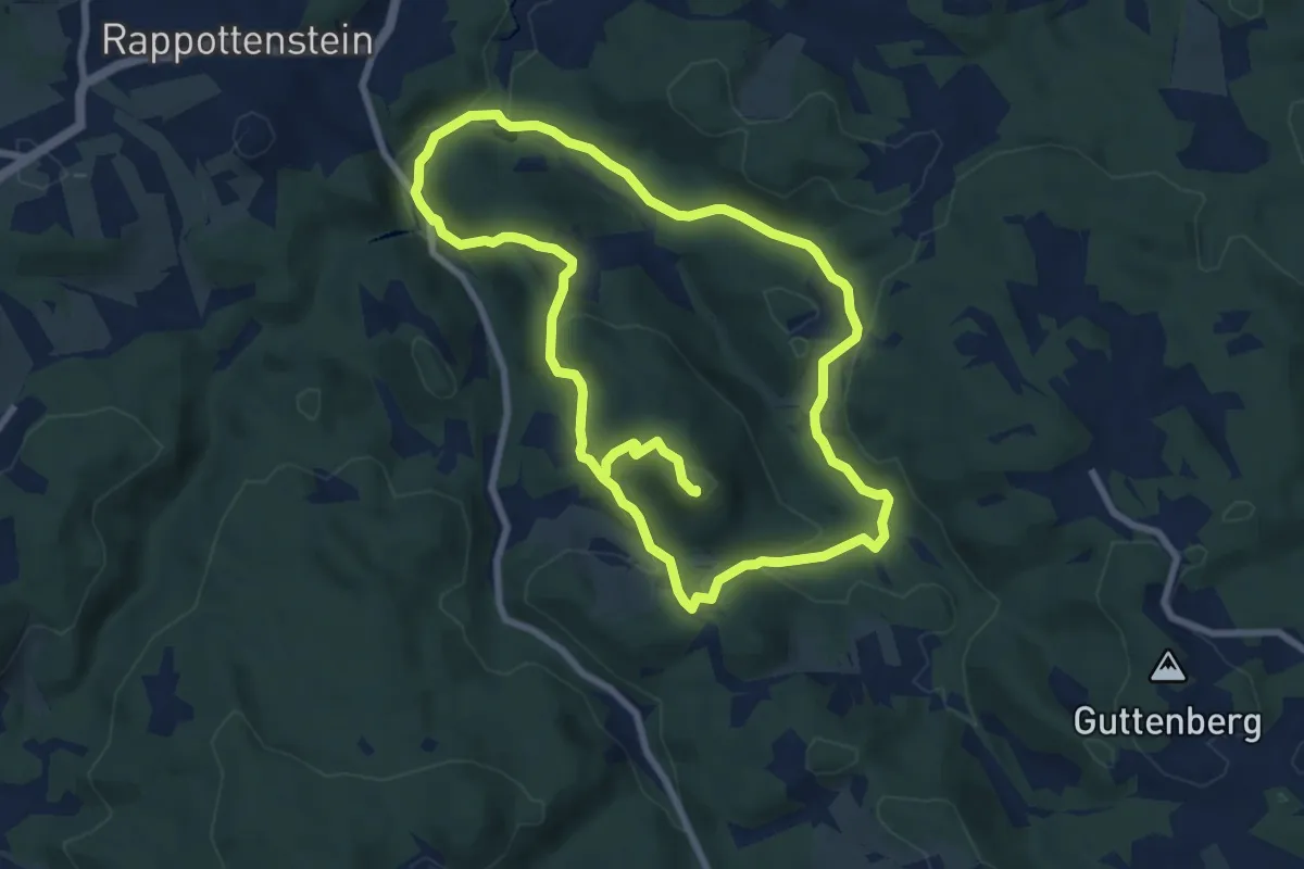
Medium · Summit
Felsberg
15.1 km · ↑ 534 m · 4 h 44 min
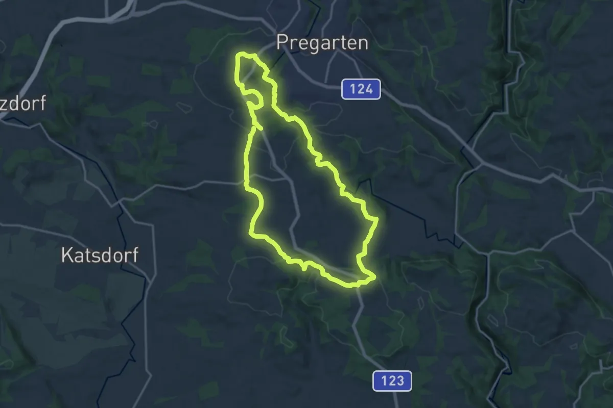
Medium · Trail
Felsensteinerkreuz
14.0 km · ↑ 352 m · 4 h 16 min
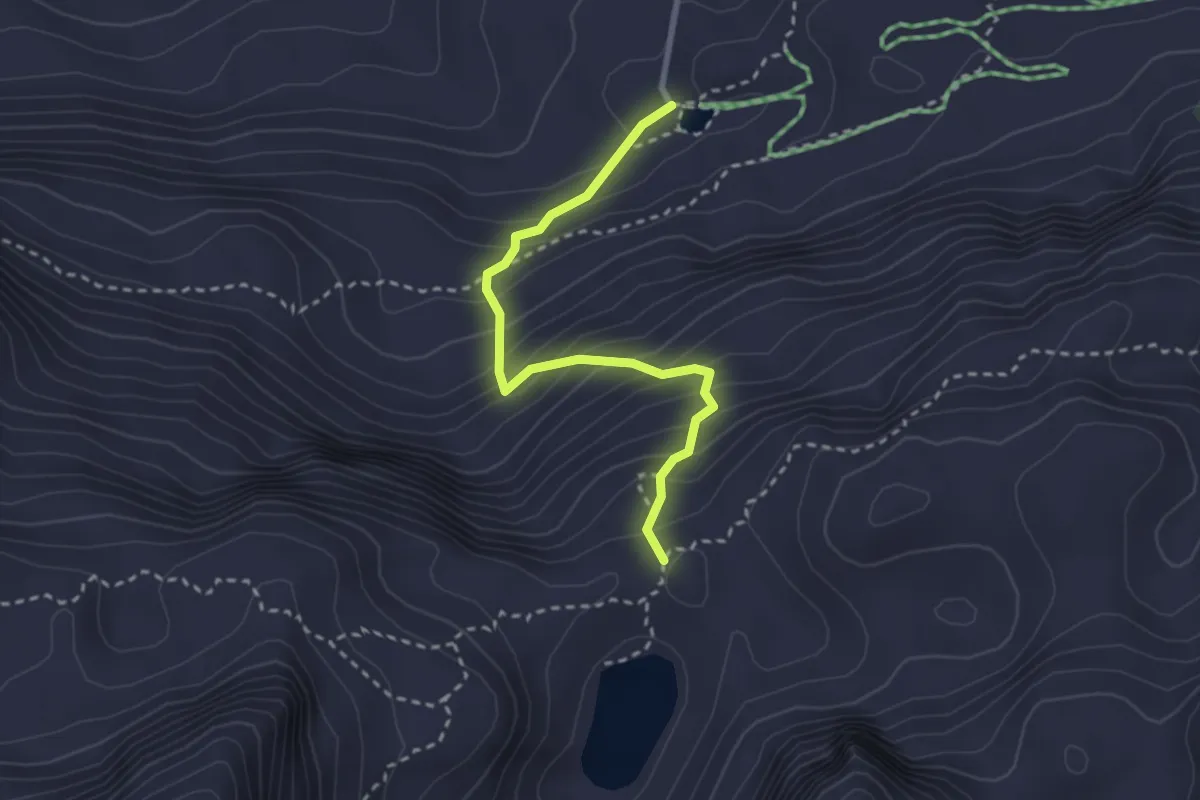
Medium · Trail
Felseralm - Wildsee
2.7 km · ↑ 353 m · 1 h 24 min
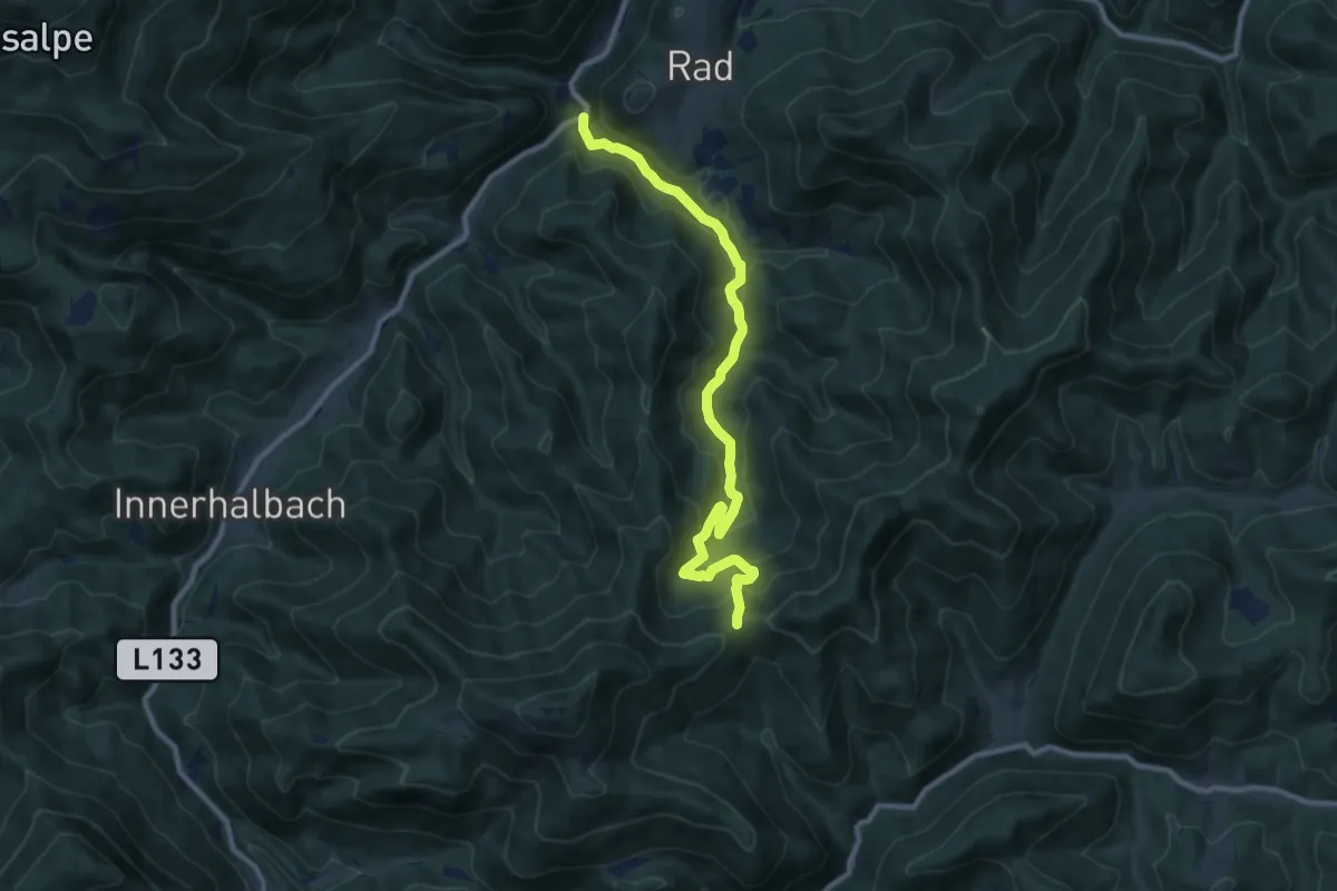
Medium · Trail
Fensterbach - Hammerleck
10.9 km · ↑ 500 m · 3 h 39 min
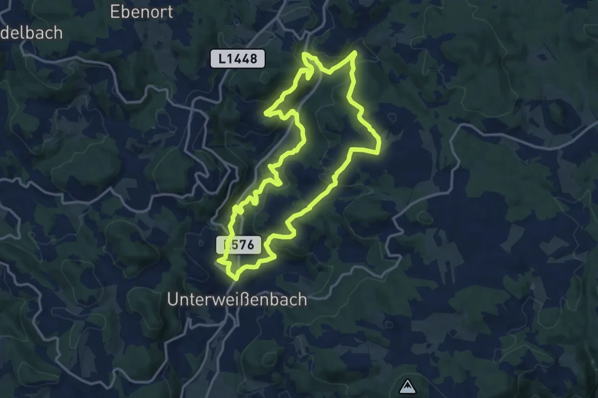
Medium · Trail
Fernblickweg Unterweißenbach Nr. 25
11.6 km · ↑ 411 m · 3 h 48 min
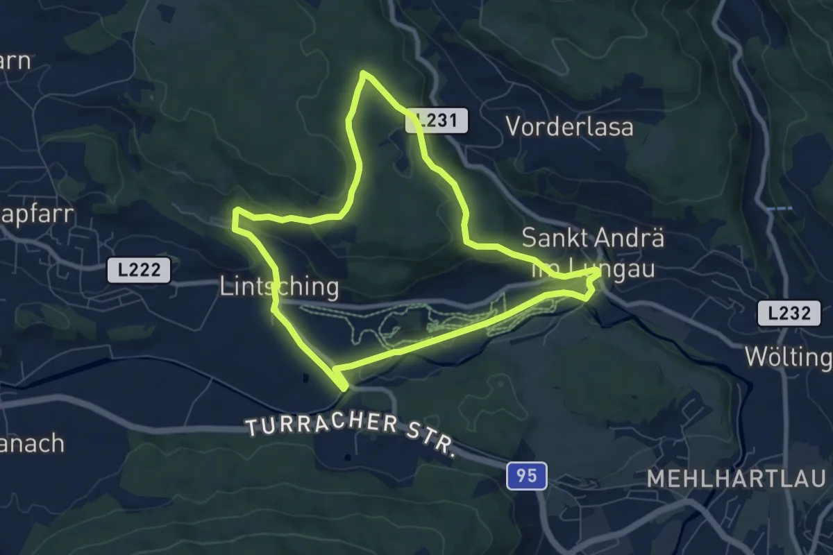
Easy · Trail
Fernwaldrundweg
7.2 km · ↑ 151 m · 2 h 7 min
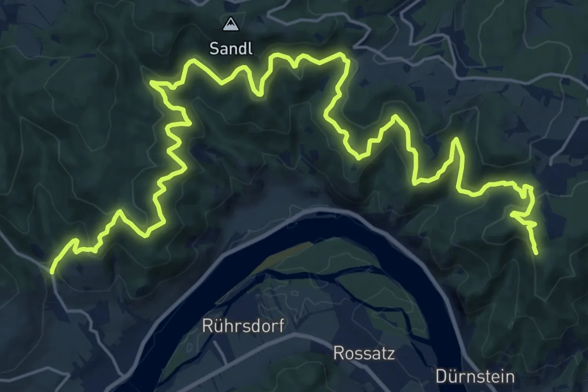
Demanding · Trail
Fesslhütte - Weißenkirchen
26.3 km · ↑ 785 m · 7 h 55 min
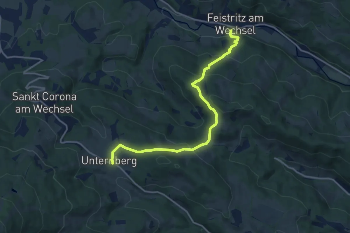
Medium · Trail
Festritz am Wechsel - Unternberg
9.9 km · ↑ 478 m · 3 h 23 min
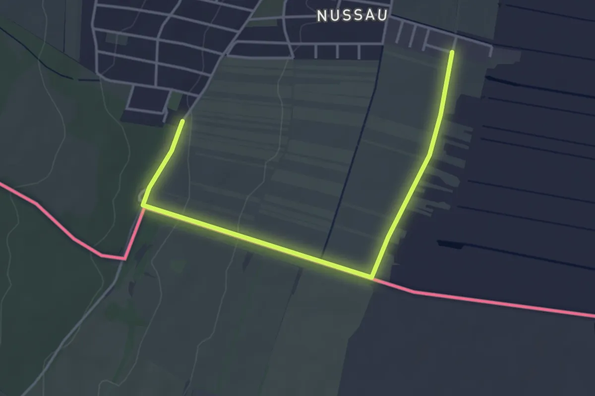
Easy · Trail
Festspielweg
2.1 km · ↑ 5 m · 33 min
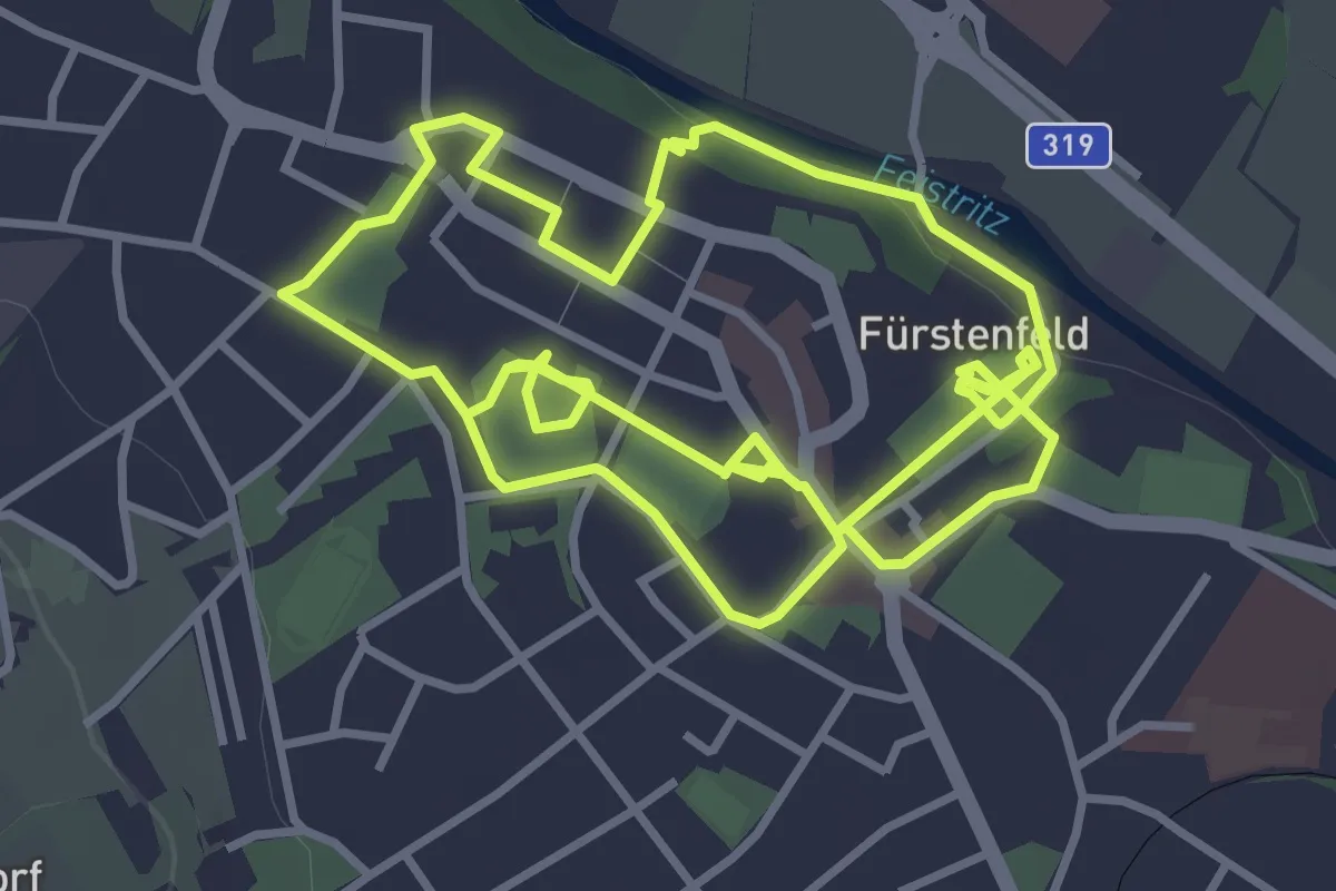
Easy · Trail
Festungsweg
4.2 km · ↑ 43 m · 1 h 9 min
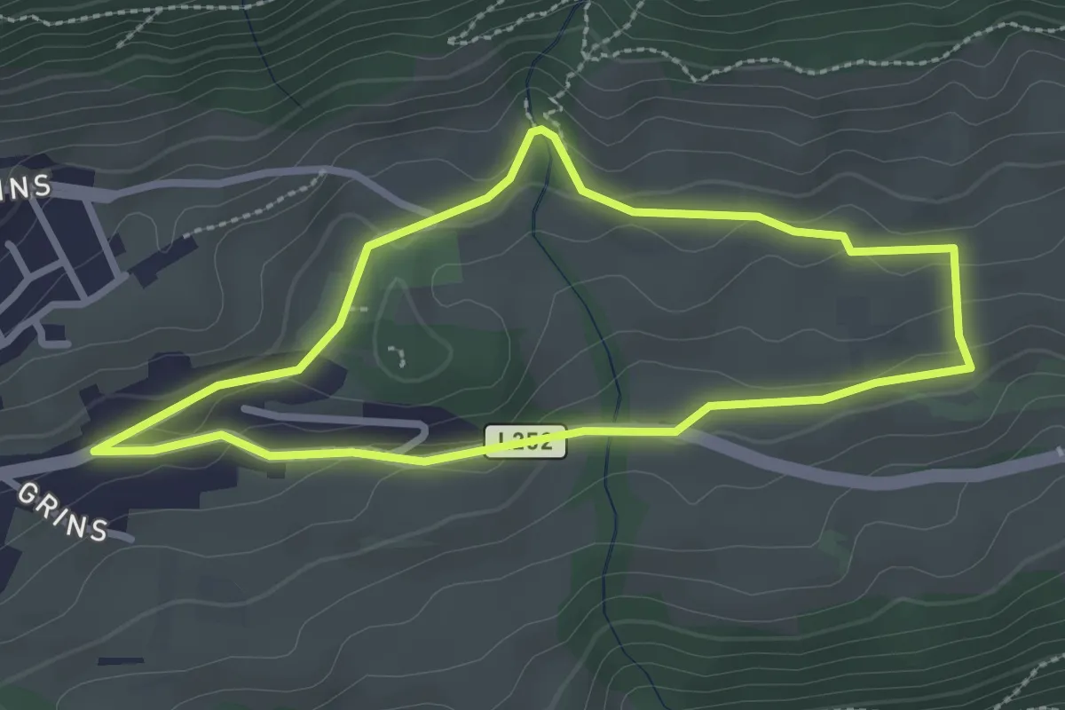
Easy · Trail
Feueralb-Runde
2.5 km · ↑ 58 m · 45 min
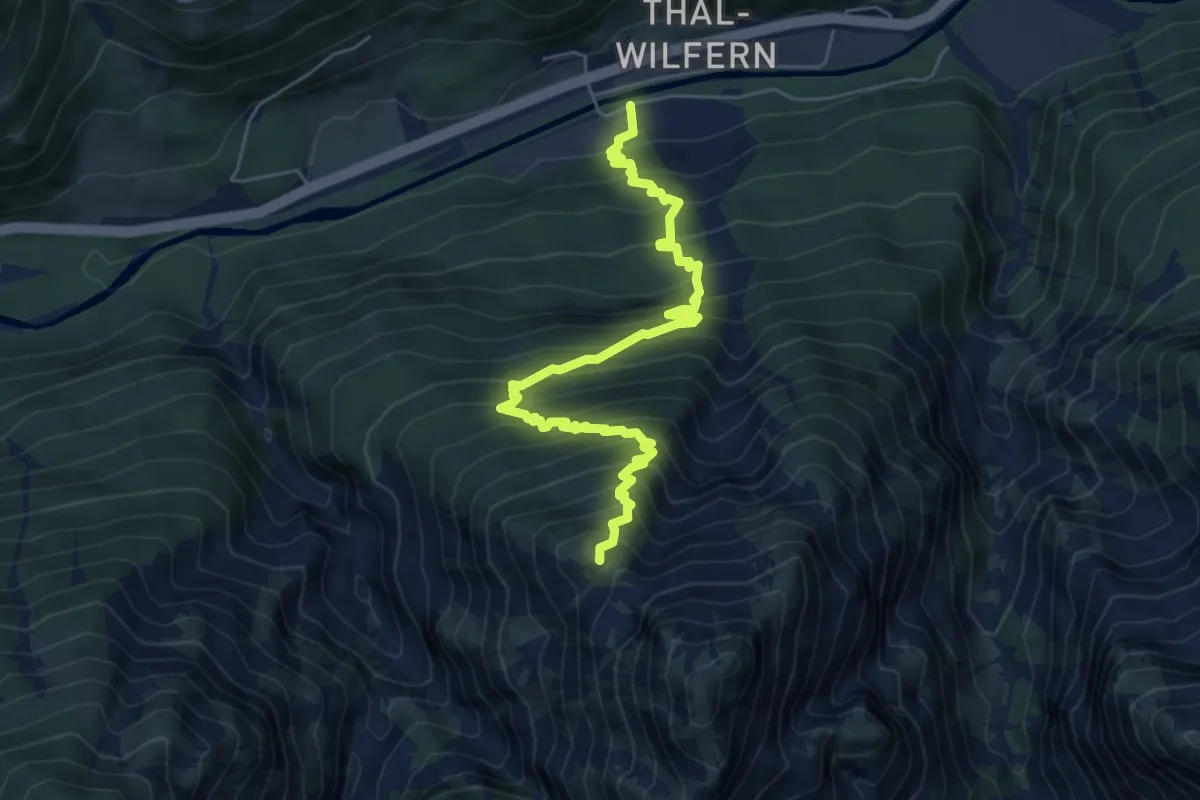
Demanding · Summit
Feuer am Bichl
6.4 km · ↑ 882 m · 3 h 25 min
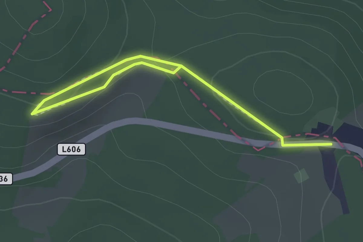
Easy · Trail
Feuerlilienweg
2.1 km · ↑ 29 m · 34 min
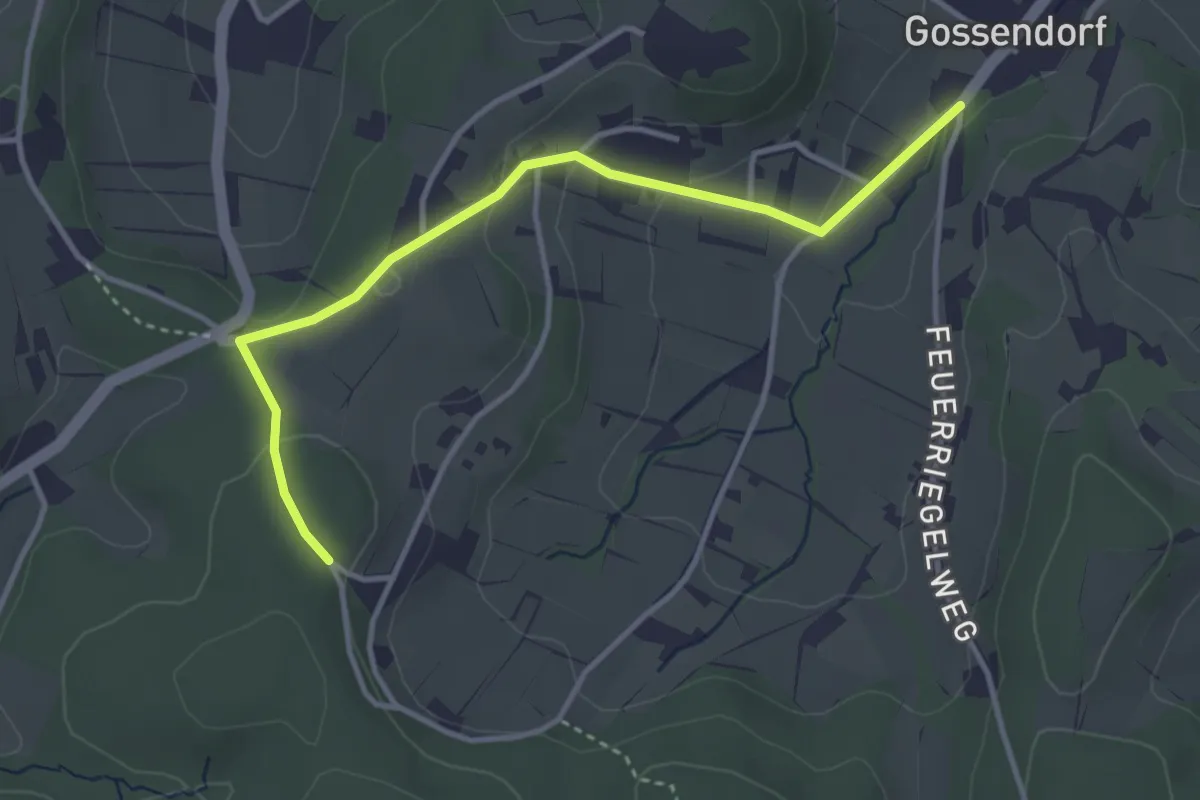
Easy · Trail
Feuerriegel-Vulkanweg
3.7 km · ↑ 121 m · 1 h 8 min
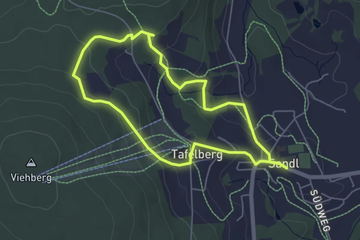
Easy · Trail
Feuerwehr Erlebnisweg
4.0 km · ↑ 107 m · 1 h 13 min
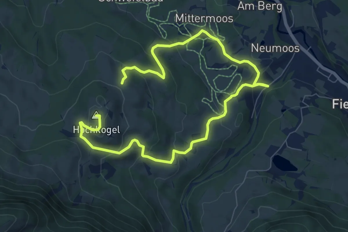
Medium · Summit
Fieberbrunn - Hochkogel
11.2 km · ↑ 515 m · 3 h 45 min
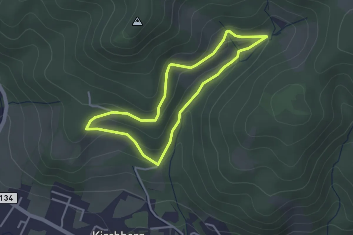
Easy · Trail
Filzkunstwanderweg
2.6 km · ↑ 77 m · 48 min
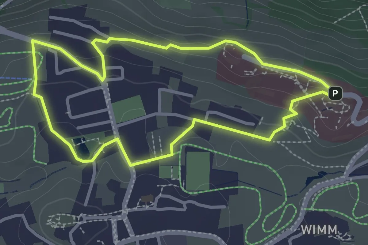
Easy · Trail
Filzrundweg
2.5 km · ↑ 63 m · 46 min
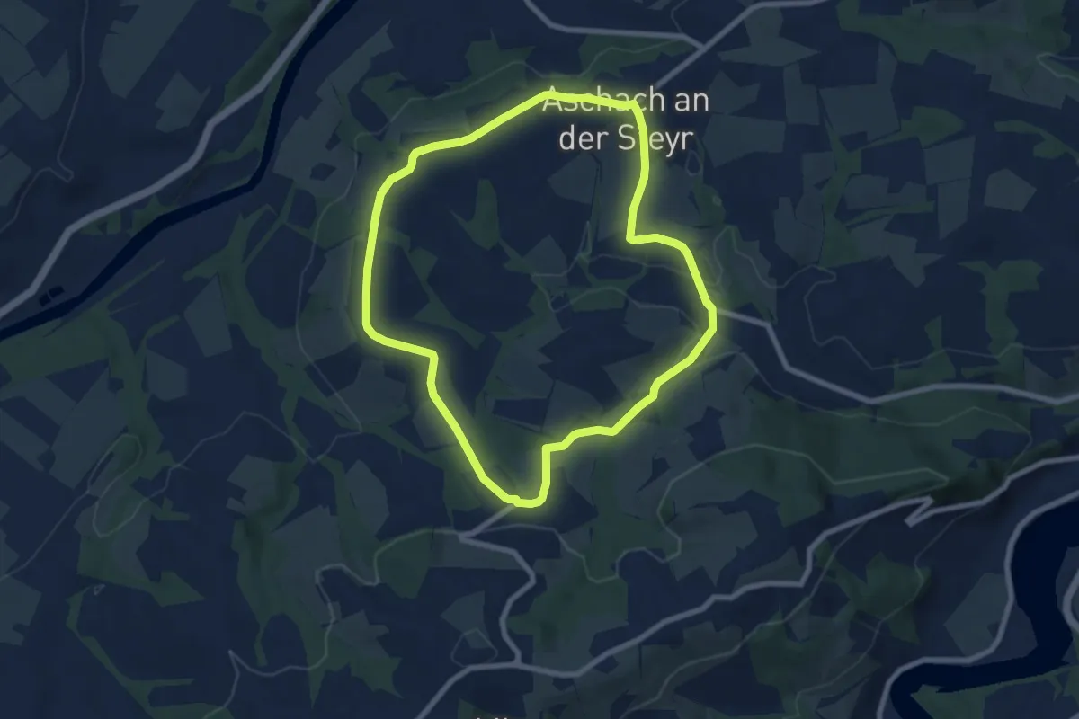
Easy · Trail
Finkwieser Runde
6.9 km · ↑ 136 m · 2 h 1 min
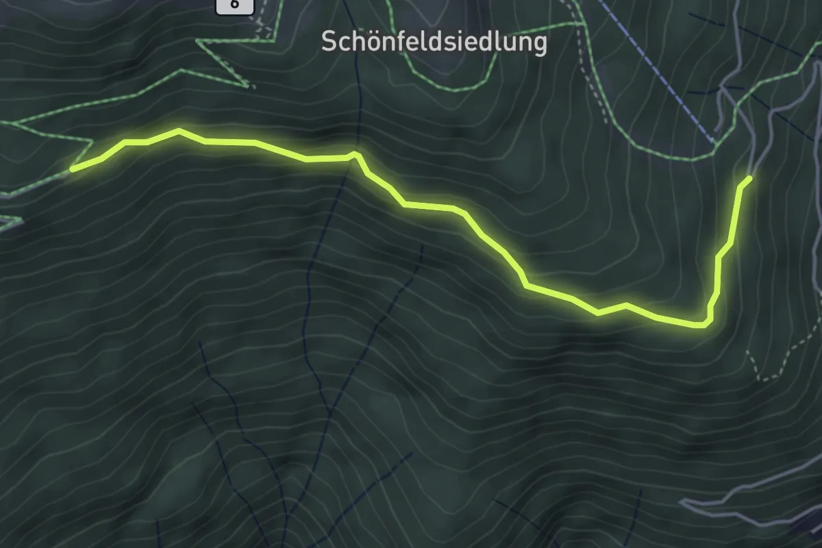
Easy · Trail
Finsterbachweg 37
4.6 km · ↑ 235 m · 1 h 36 min
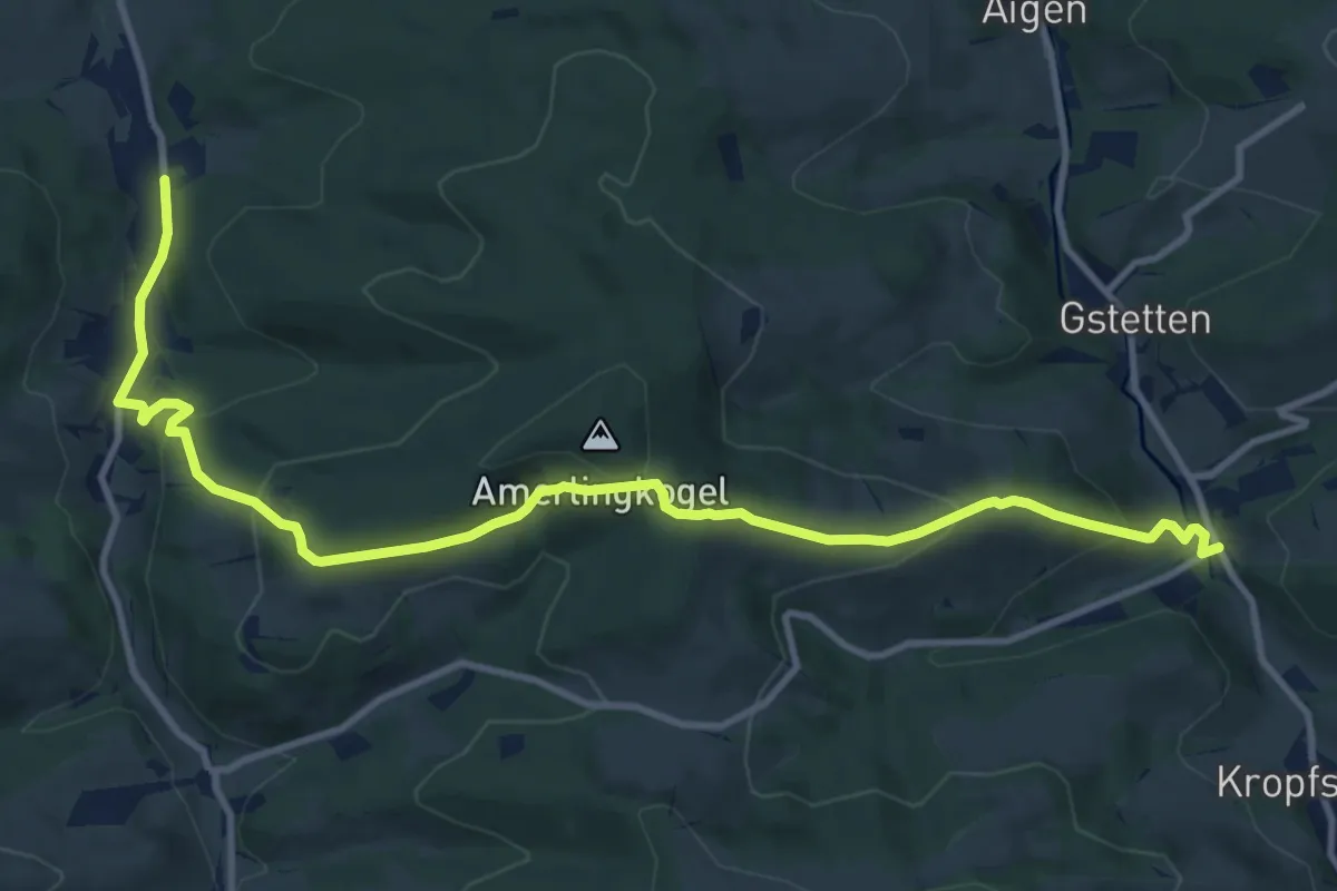
Medium · Trail
Finsteregg-Wald
12.8 km · ↑ 620 m · 4 h 22 min
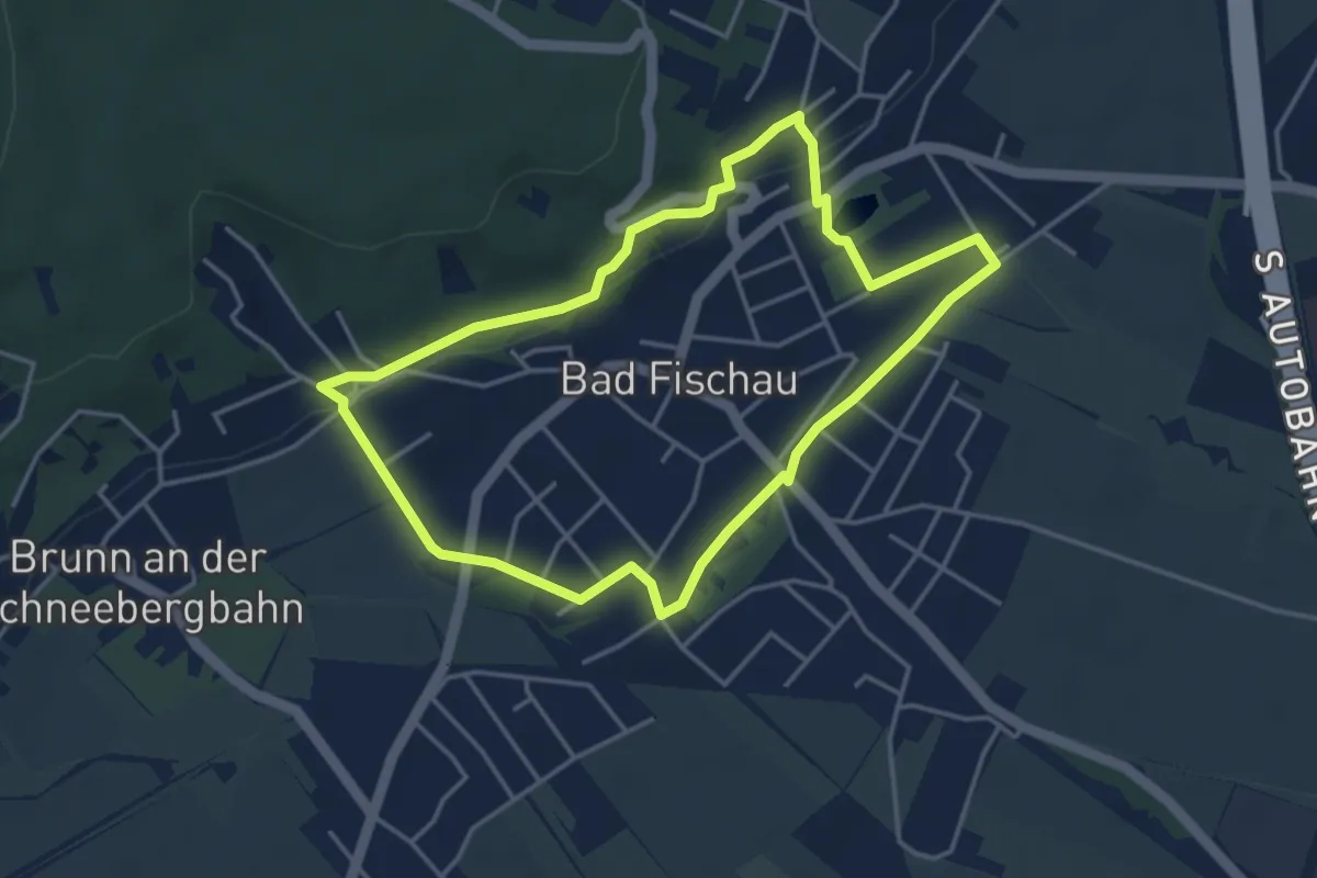
Easy · Trail
Fischauer Runde
3.8 km · ↑ 32 m · 1 h 1 min
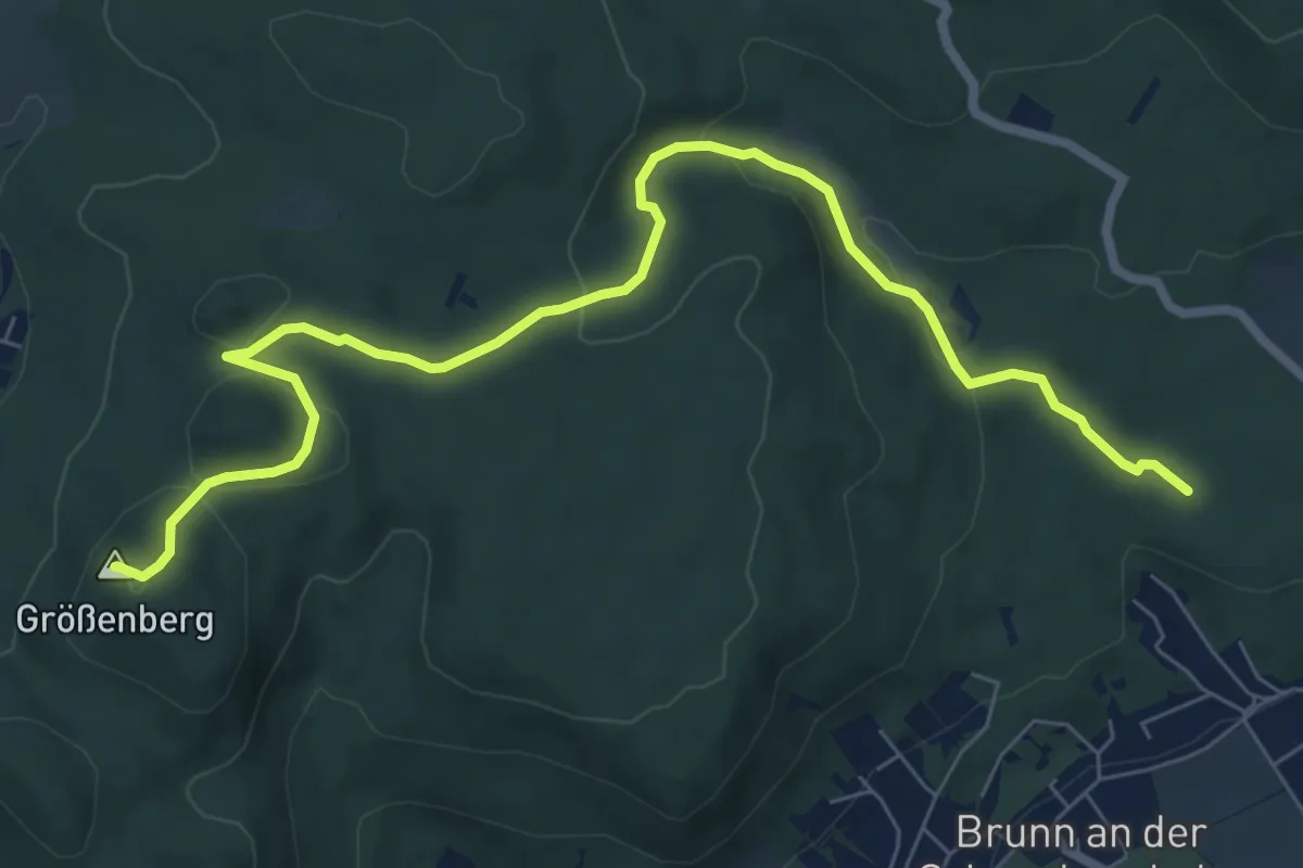
Medium · Summit
Fischau - Größenberg
8.5 km · ↑ 269 m · 2 h 35 min
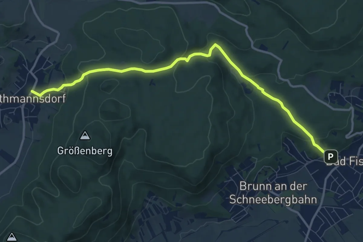
Medium · Trail
Fischau - Muthmannsdorf
9.5 km · ↑ 354 m · 3 h 1 min
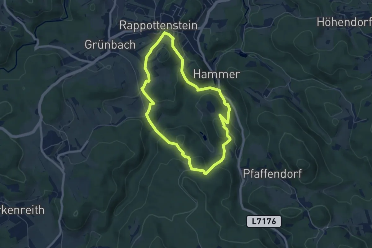
Easy · Trail
Fischerhäuslweg 5
5.3 km · ↑ 220 m · 1 h 48 min
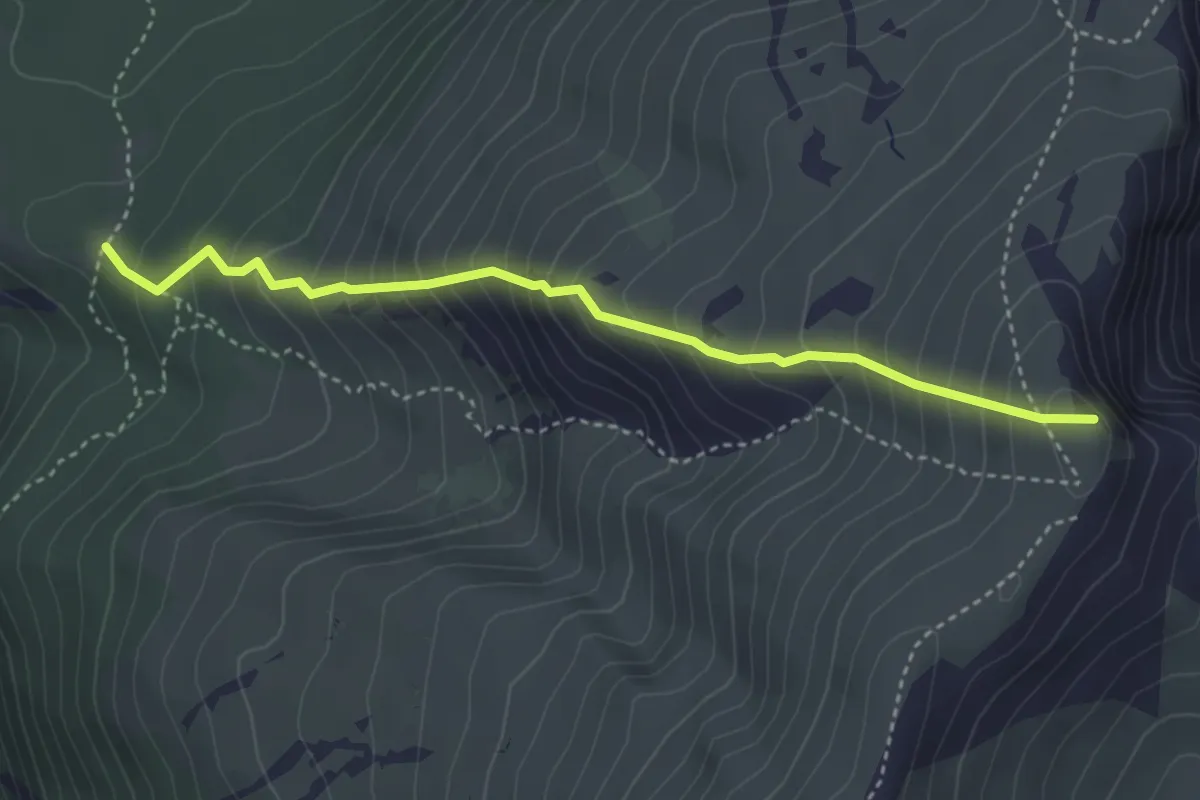
Medium · Summit
Fischerhütte - Heinricht Krempel Hütte
3.6 km · ↑ 535 m · 2 h 1 min
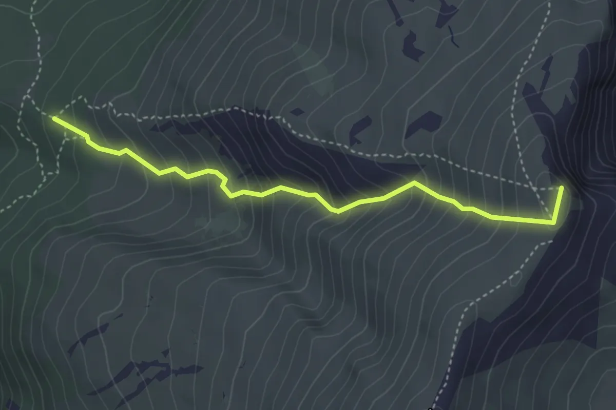
Medium · Summit
Fischerhütte - Heinricht Krempel Hütte
3.7 km · ↑ 512 m · 1 h 59 min
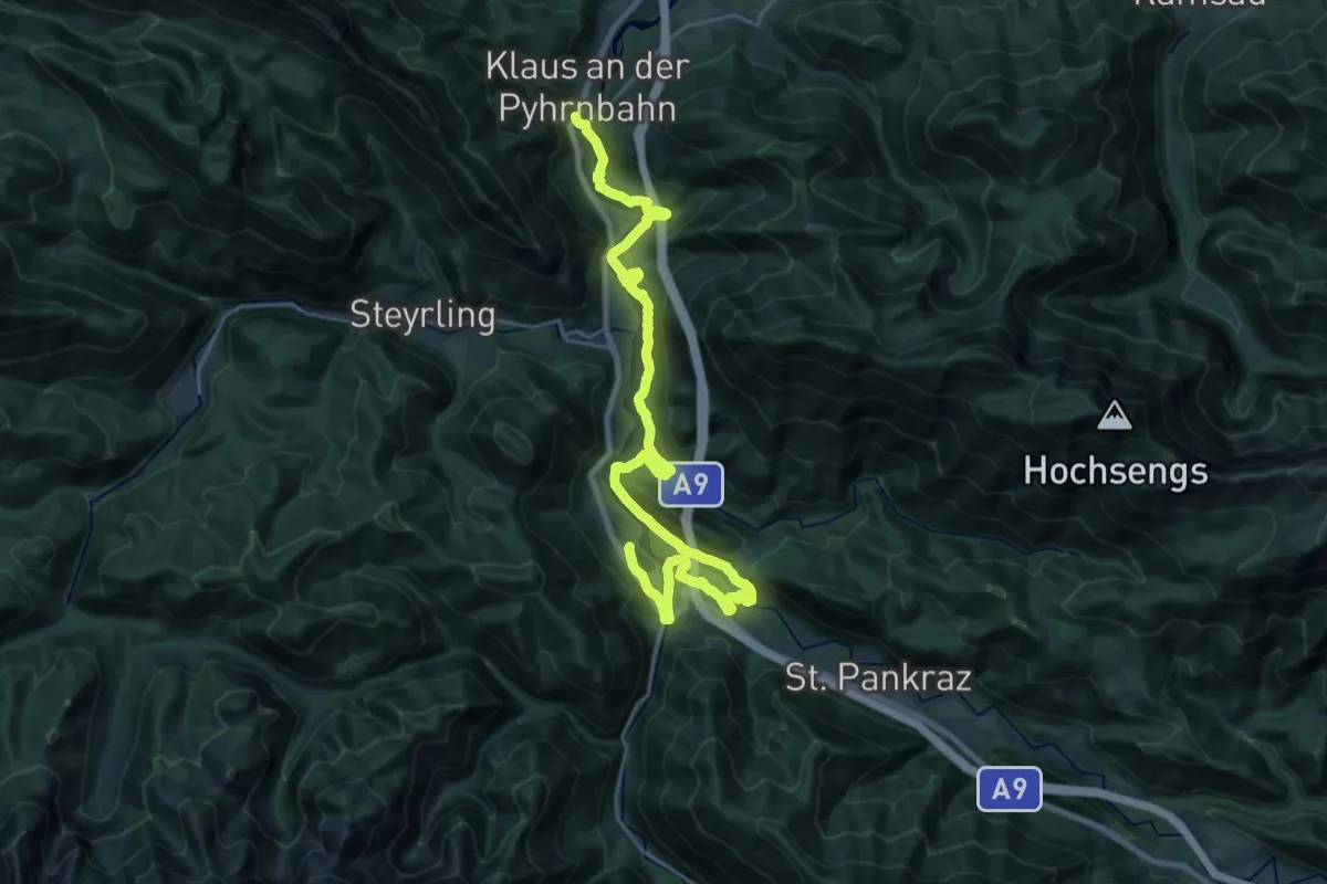
Medium · Trail
Fischersteig
14.0 km · ↑ 347 m · 4 h 14 min
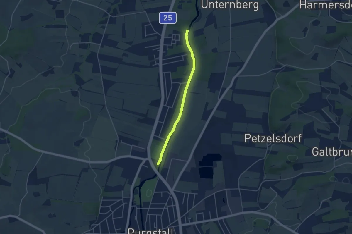
Medium · Trail
Fischersteig
3.5 km · ↑ 9 m · 51 min
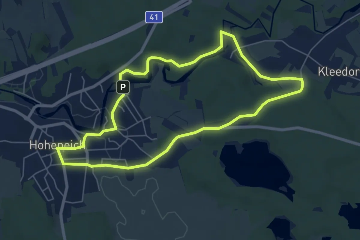
Easy · Trail
Fischersteig (17)
4.8 km · ↑ 34 m · 1 h 17 min
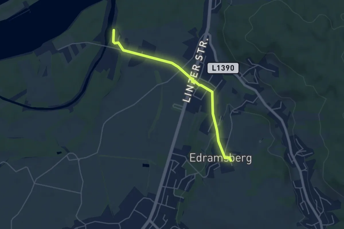
Easy · Trail
Fischlehrpfad - Edramsberg
4.3 km · ↑ 68 m · 1 h 10 min
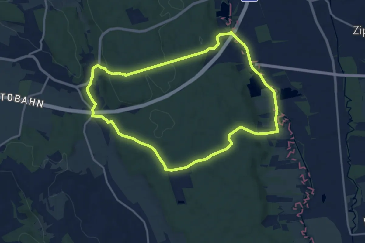
Medium · Trail
Fischteich Rundwanderweg
8.8 km · ↑ 116 m · 2 h 27 min
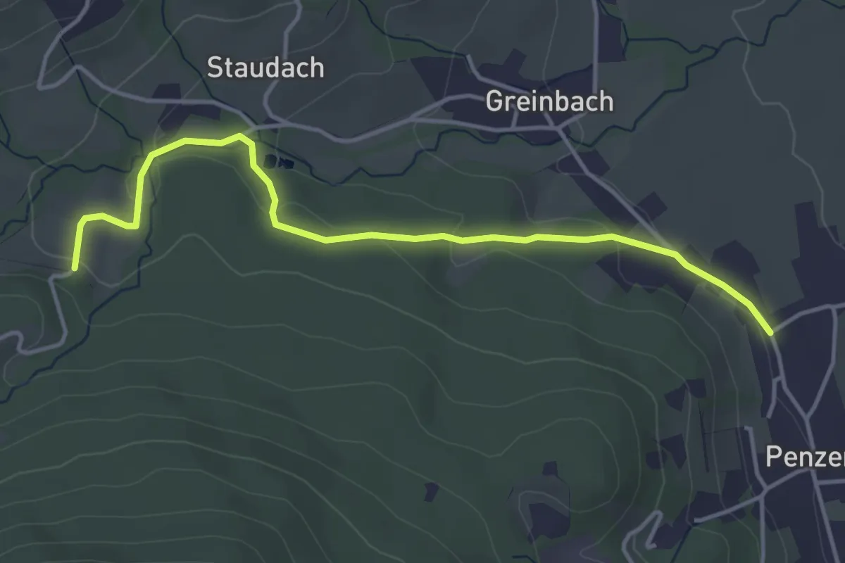
Easy · Trail
Fischteichweg in Penzendorf (3)
4.2 km · ↑ 114 m · 1 h 14 min
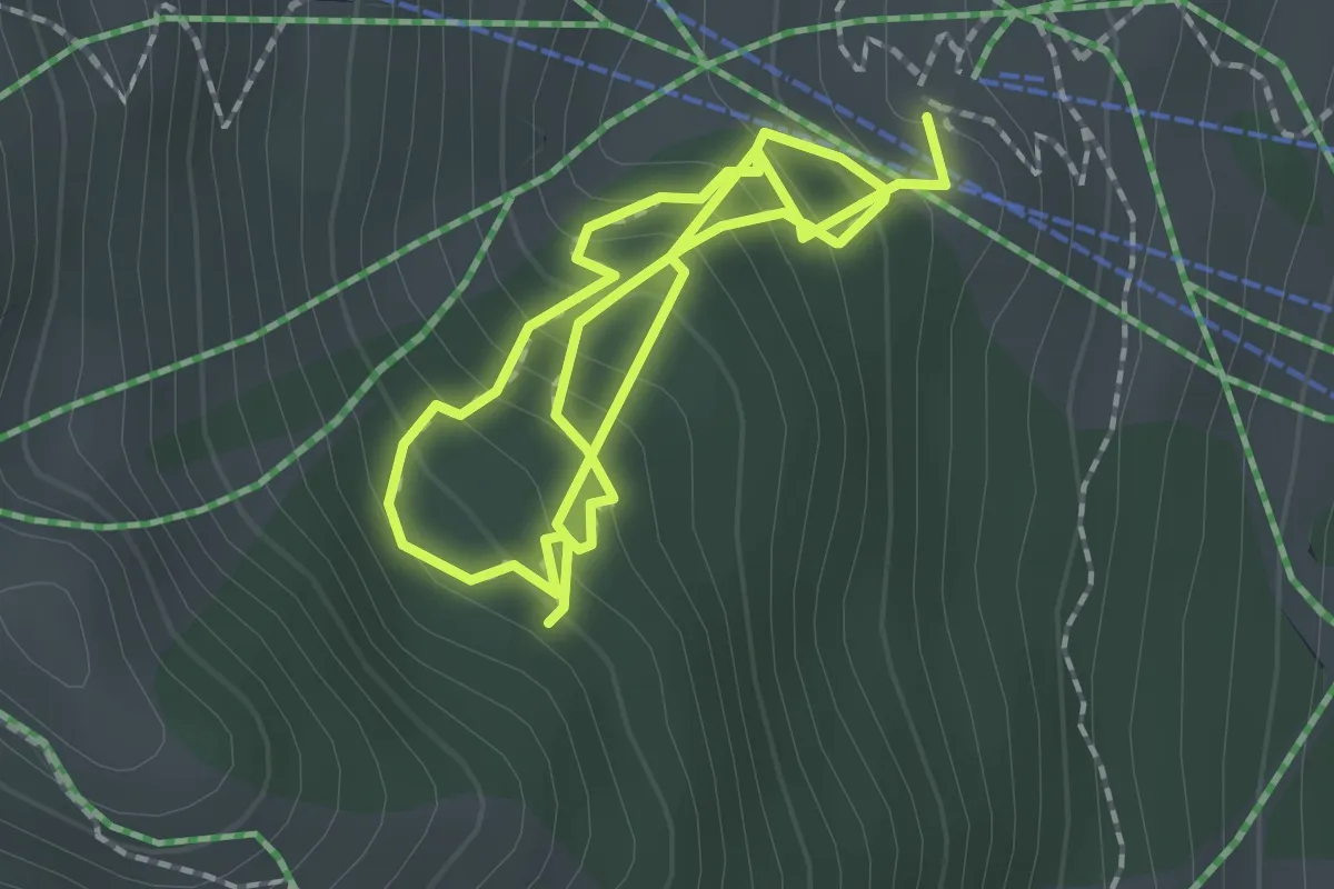
Medium · Trail
Fisser Gonde
3.4 km · ↑ 351 m · 1 h 34 min
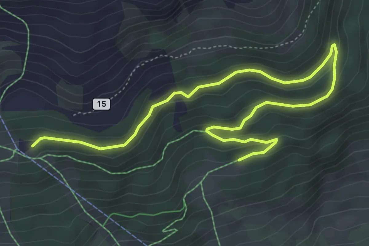
Easy · Trail
Fisser Kraft und Sinnesweg
6.3 km · ↑ 155 m · 1 h 49 min
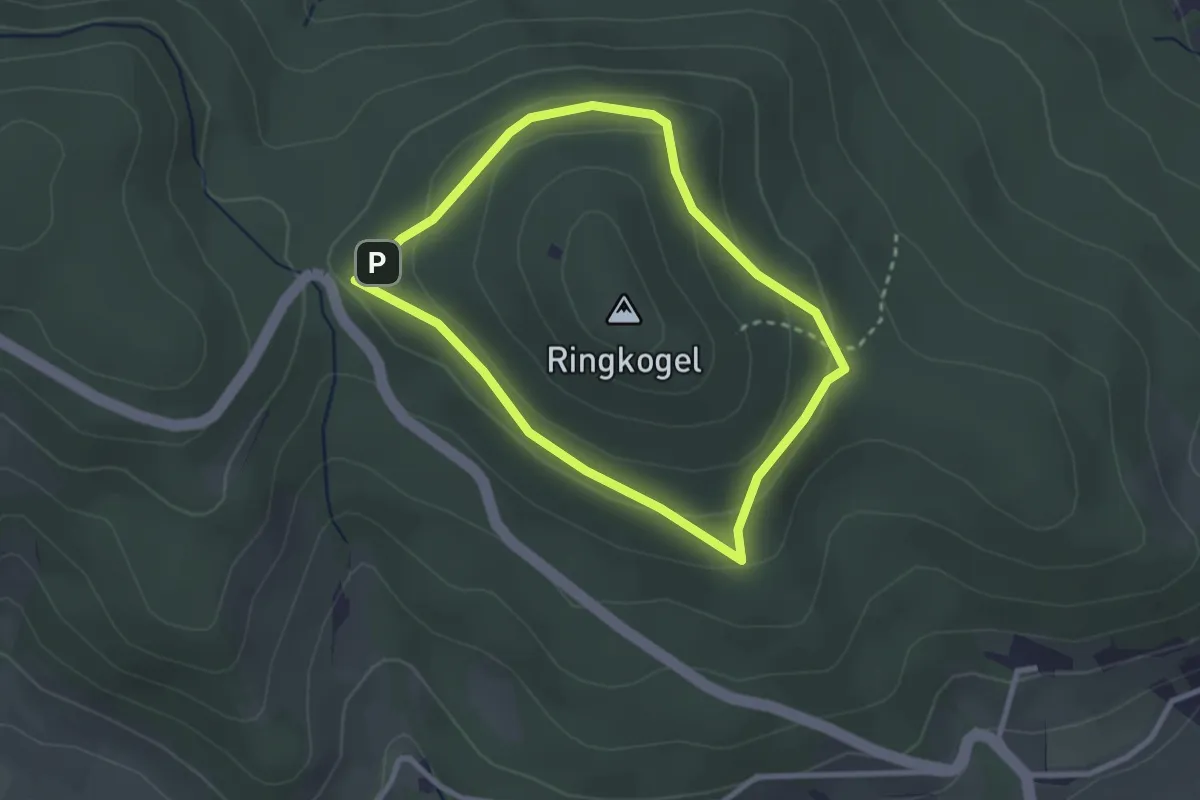
Easy · Trail
Fitnesparcour
2.4 km · ↑ 73 m · 46 min
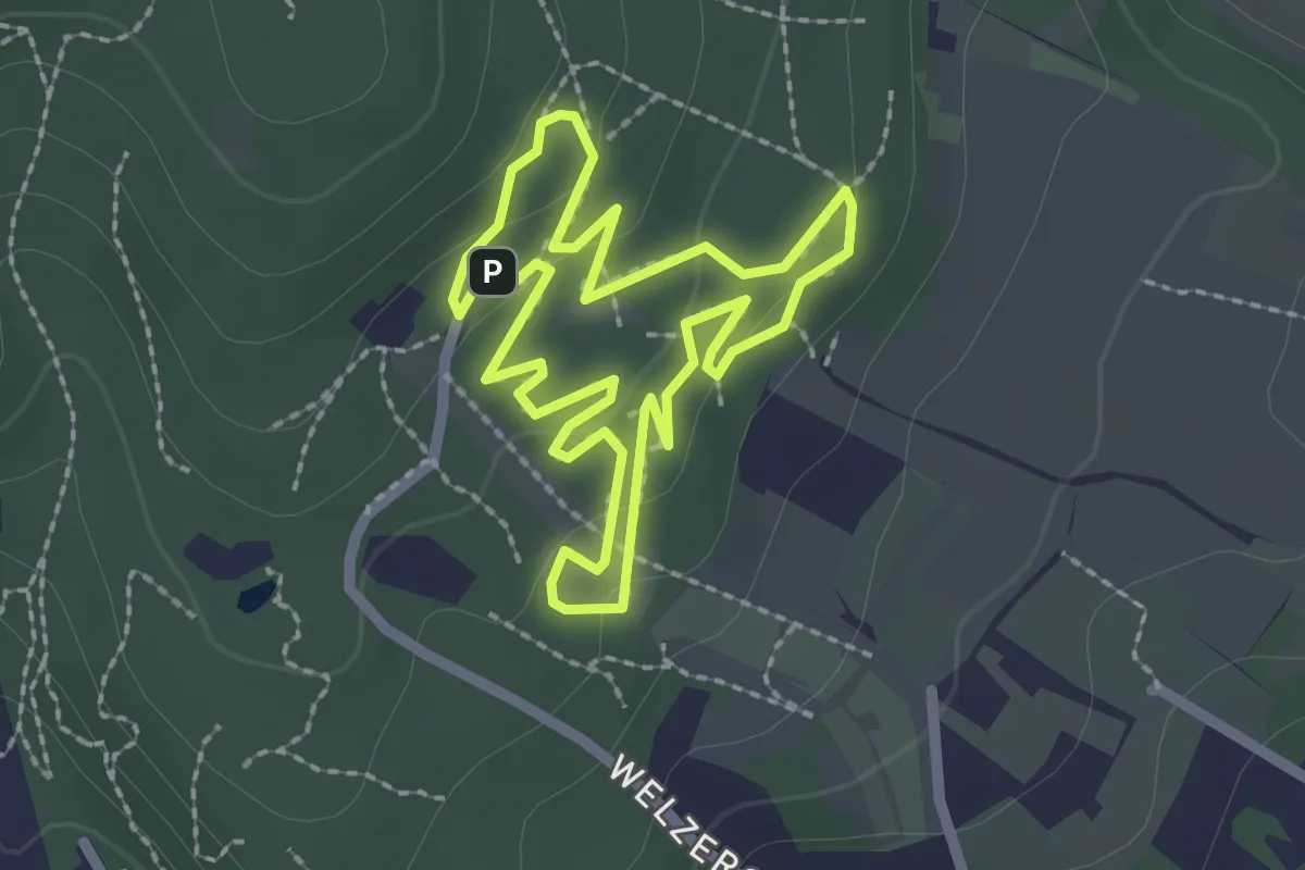
Easy · Trail
Fitnessparcours Light
2.1 km · ↑ 39 m · 37 min
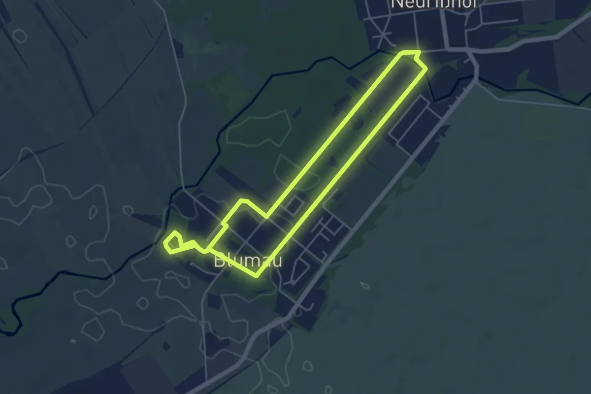
Easy · Trail
Fitnessstrecke blau
4.1 km · ↑ 8 m · 1 h 3 min
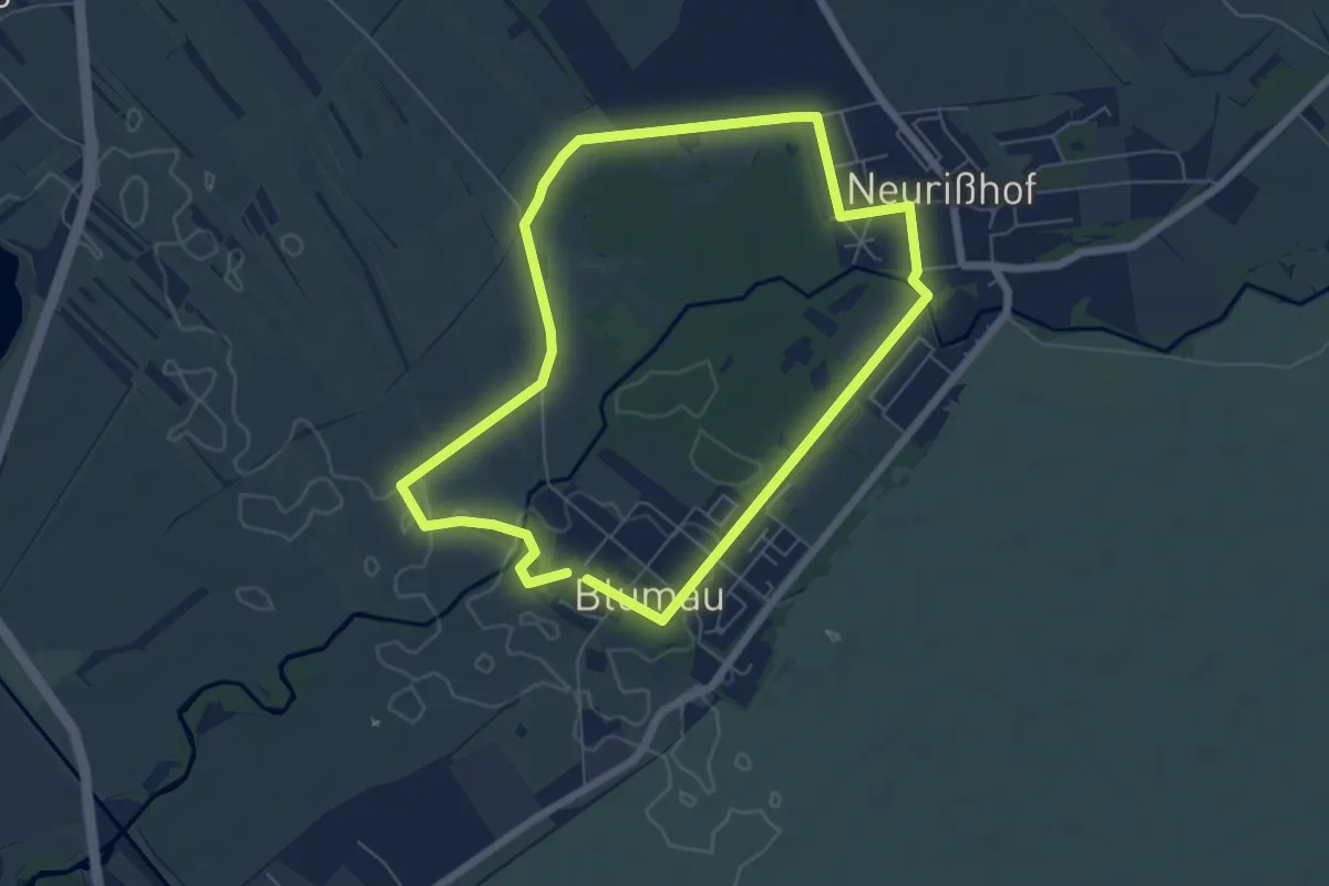
Easy · Trail
Fitnessstrecke gelb
5.7 km · ↑ 8 m · 1 h 27 min
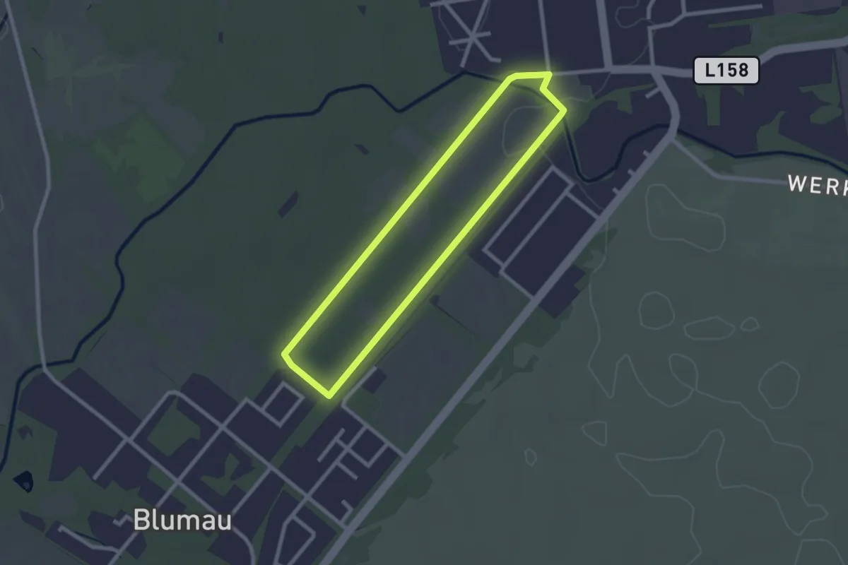
Easy · Trail
Fitnessstrecke grün
2.1 km · ↑ 4 m · 33 min
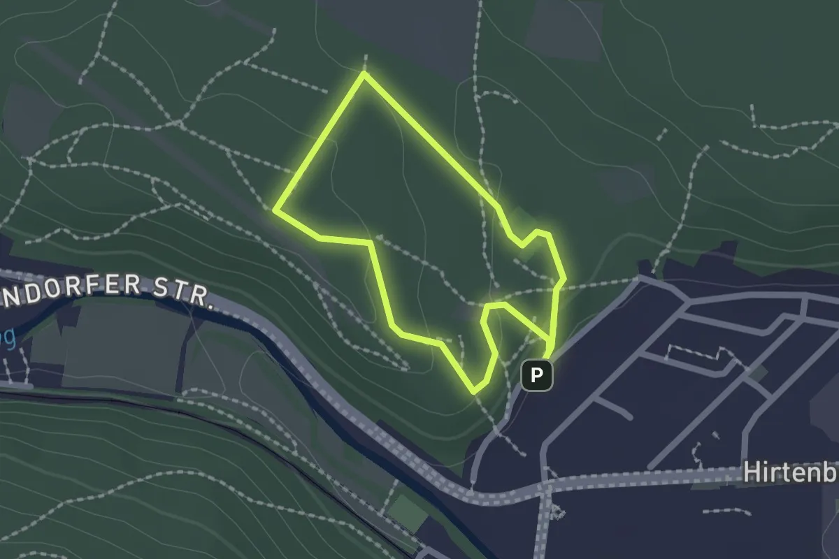
Easy · Summit
Fitness-Tour (Hirtenberg)
1.5 km · ↑ 41 m · 28 min
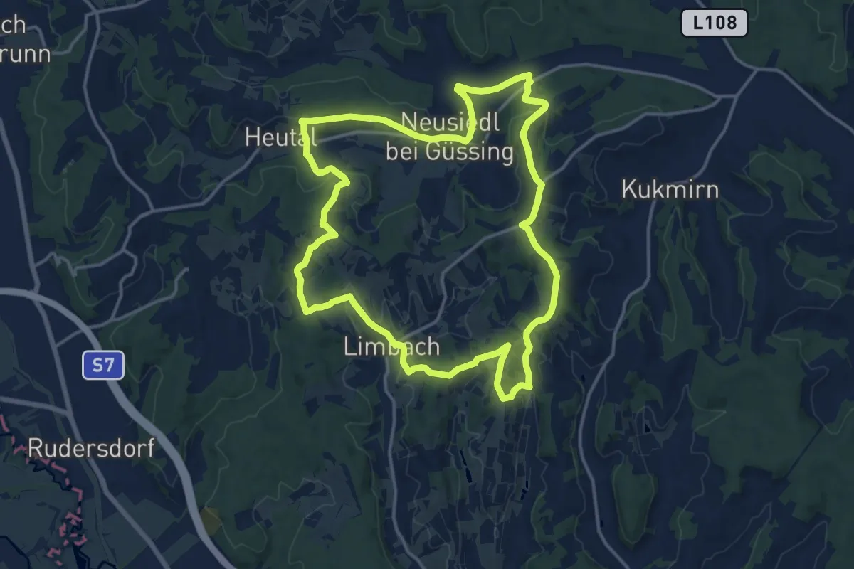
Medium · Summit
Fitnesstour (Limbach - Neusiedl)
14.6 km · ↑ 314 m · 4 h 21 min
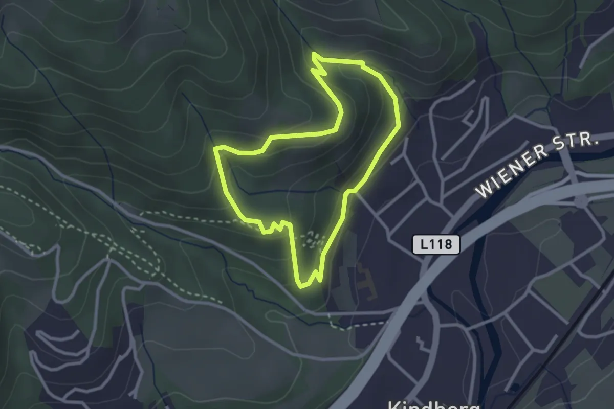
Easy · Trail
Fitness- und Vitalparcours
2.4 km · ↑ 106 m · 49 min
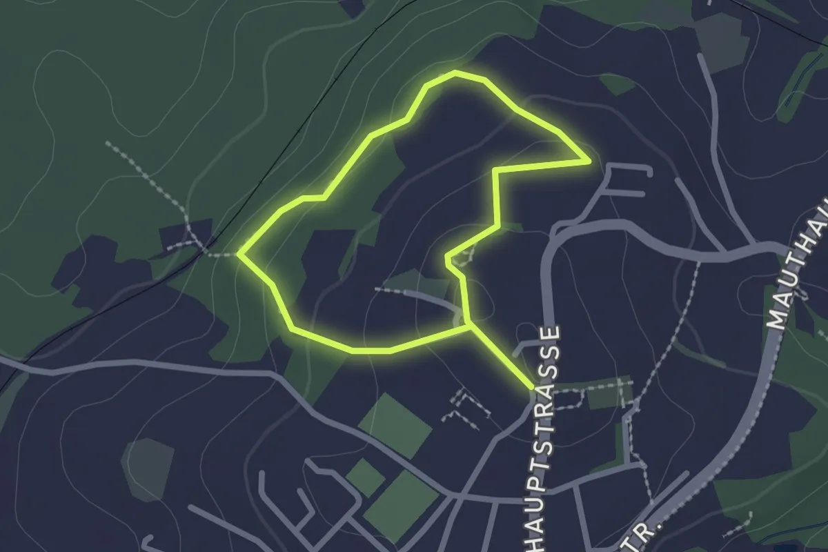
Easy · Trail
Fitnessweg
1.7 km · ↑ 60 m · 33 min