Trails in Austria
9,778 hiking trails, each with its route, climb, walking time and grade.
All trails, page 29 of 204
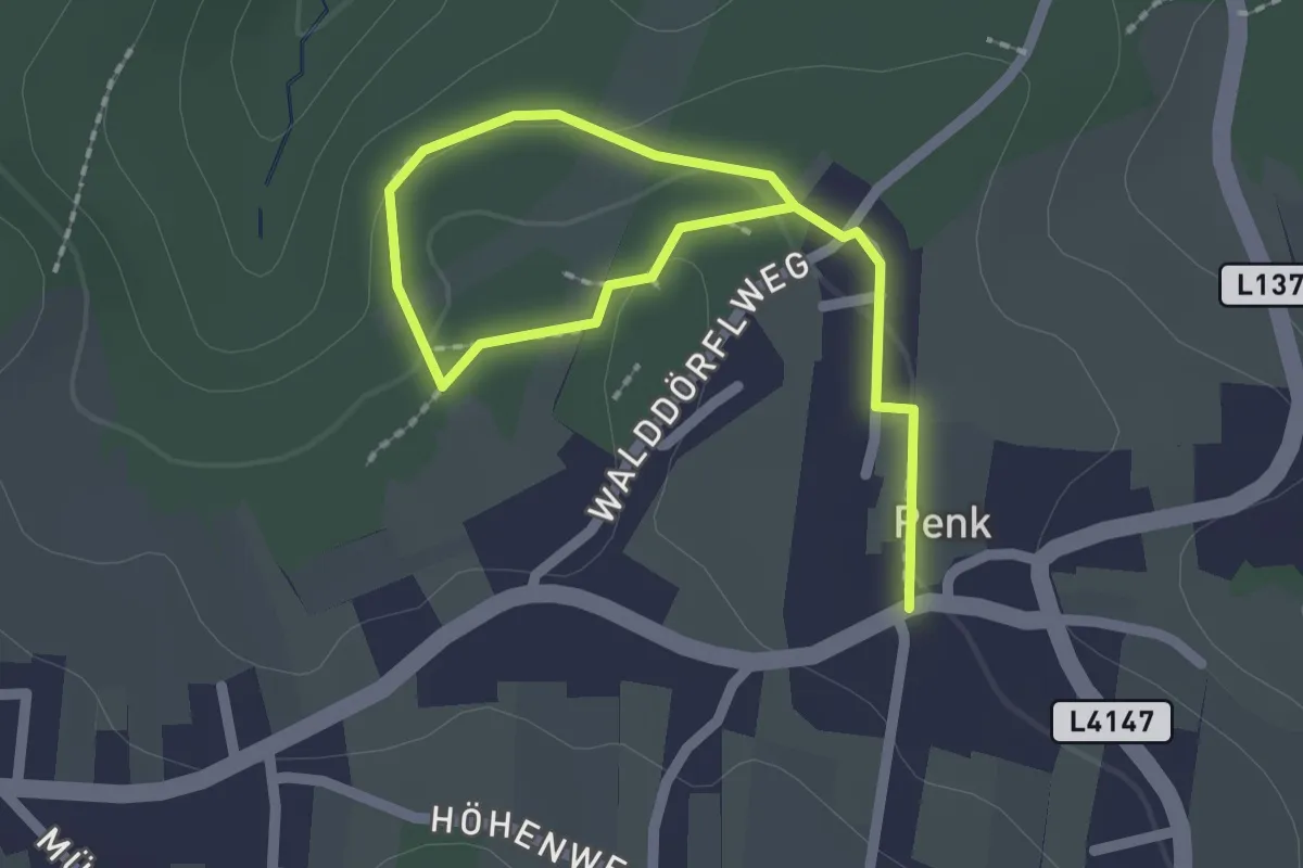
Easy · Trail
Fitnessweg (Penk)
2.6 km · ↑ 45 m · 43 min
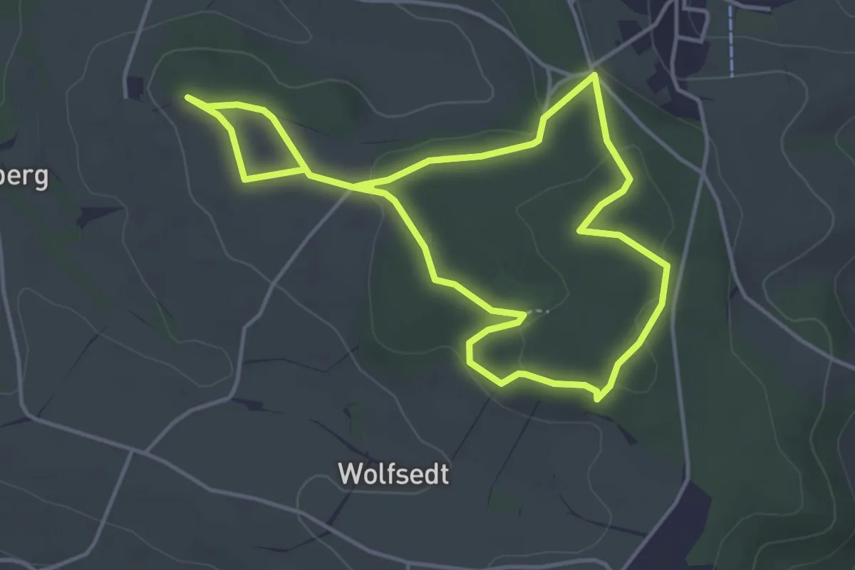
Easy · Trail
Fit-Treff-Lauf- und Wanderweg
7.4 km · ↑ 77 m · 1 h 55 min
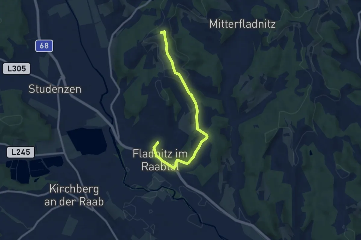
Easy · Trail
Fladnitzer Rundweg
3.6 km · ↑ 129 m · 1 h 7 min
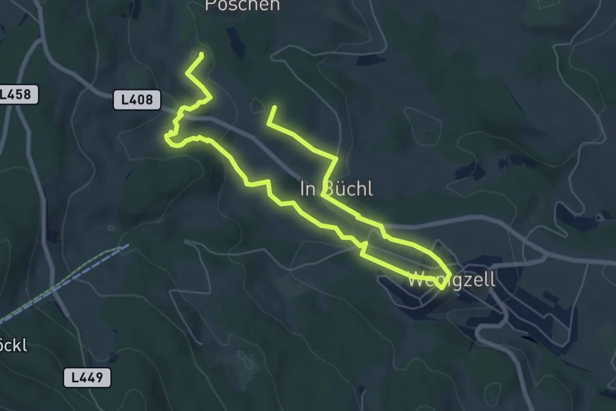
Easy · Trail
Flascherlweg
4.6 km · ↑ 115 m · 1 h 23 min
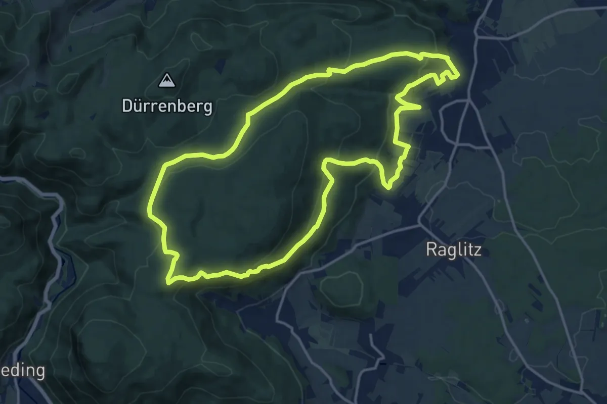
Medium · Trail
Flatzerwandrunde (4)
13.6 km · ↑ 473 m · 4 h 25 min
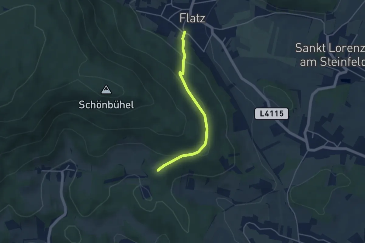
Medium · Trail
Flatz - Musikantensteig - St. Johann
3.2 km · ↑ 120 m · 1 h 1 min
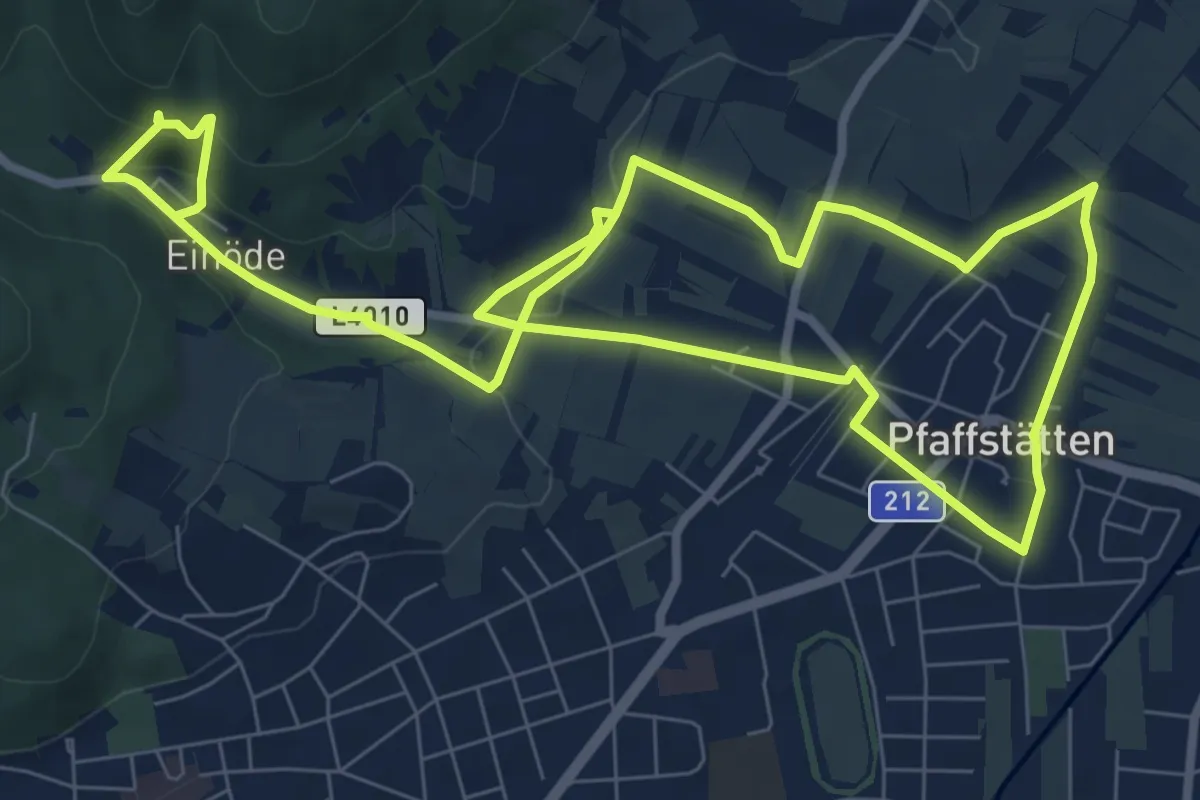
Medium · Trail
Fledermaus-Erlebnisweg
14.9 km · ↑ 314 m · 4 h 11 min
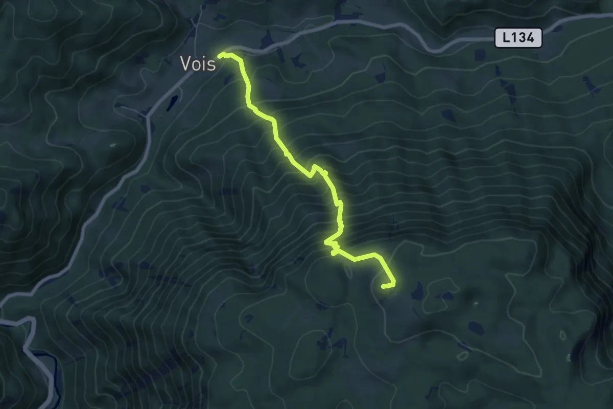
Demanding · Summit
Fleischersteig
6.3 km · ↑ 908 m · 3 h 27 min
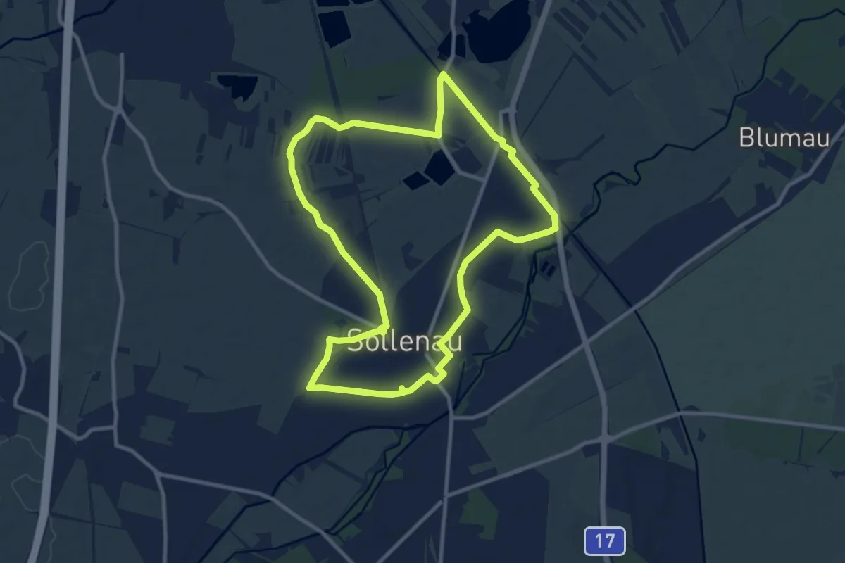
Medium · Trail
Fleischer Steiner Runde (Sollenau)
9.6 km · ↑ 17 m · 2 h 27 min
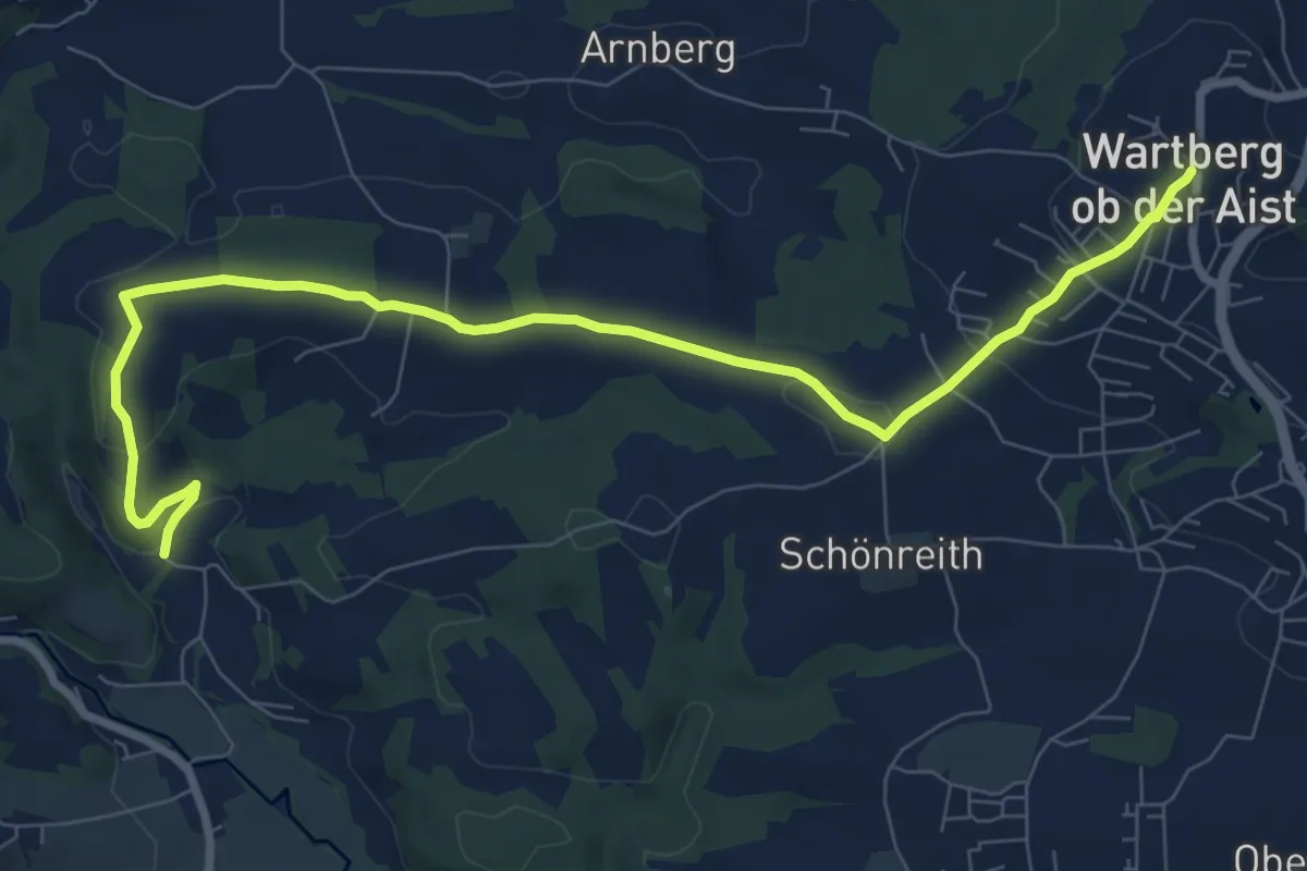
Medium · Trail
Fliehloch-Gipfelkreuz
9.6 km · ↑ 210 m · 2 h 43 min
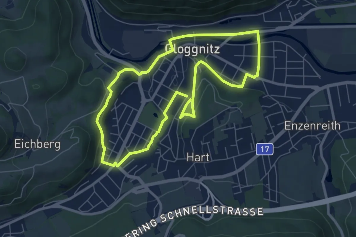
Easy · Trail
Fliesen Schuckert Runde (Gloggnitz)
5.7 km · ↑ 97 m · 1 h 38 min
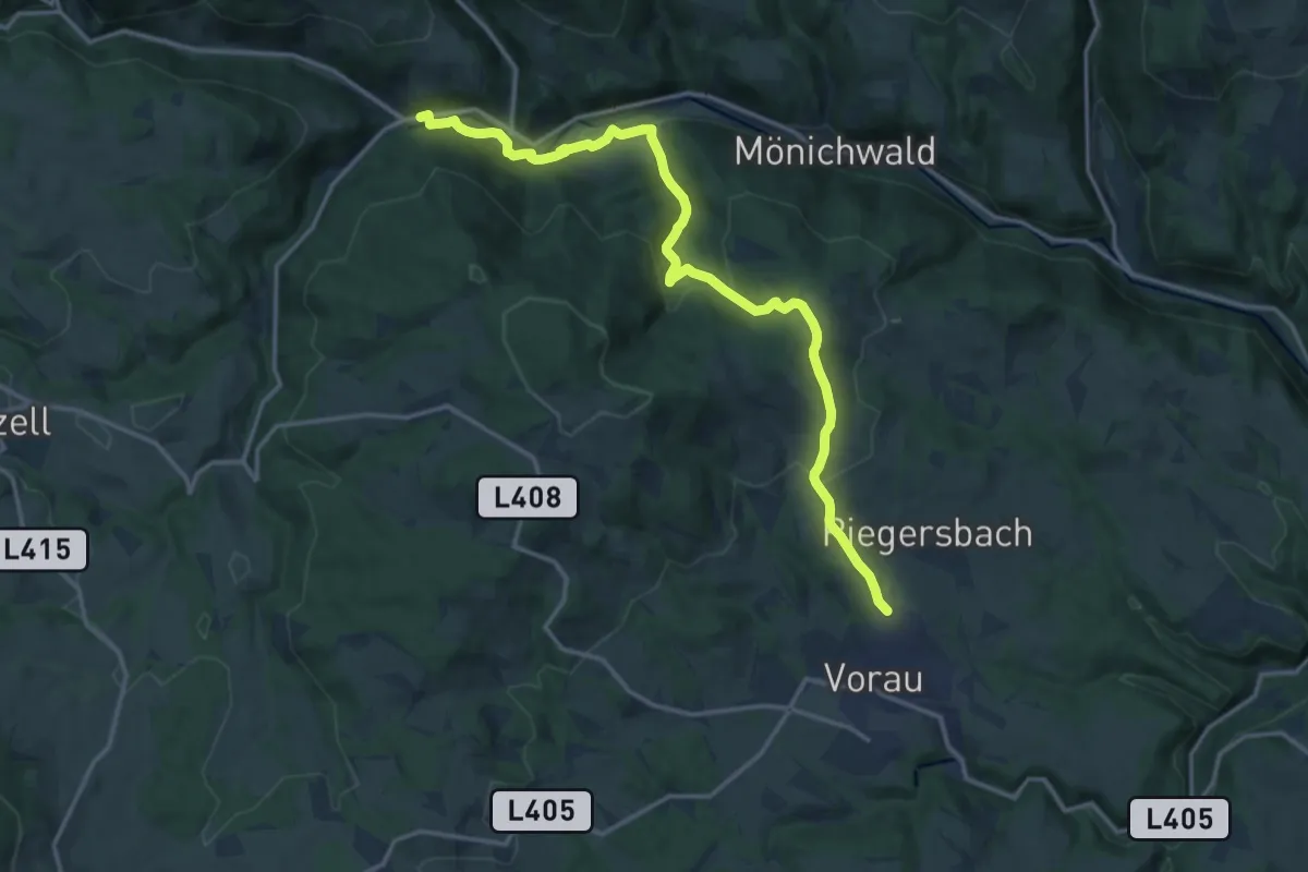
Medium · Trail
Florianiweg
16.2 km · ↑ 484 m · 4 h 53 min
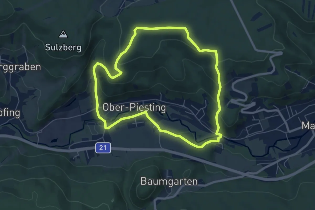
Easy · Summit
Florianiweg (Oberpiesting)
5.6 km · ↑ 176 m · 1 h 47 min
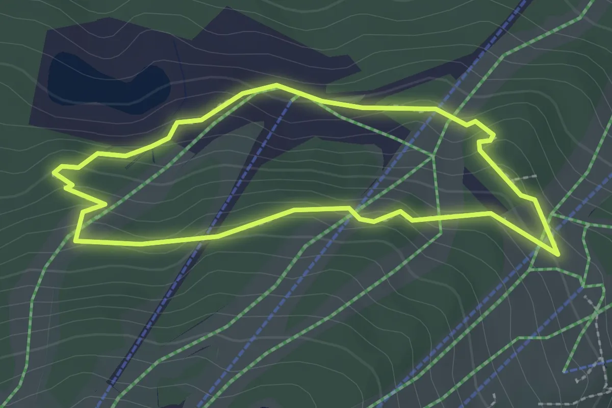
Easy · Trail
Flori's Erlebnispfad
2.2 km · ↑ 79 m · 43 min
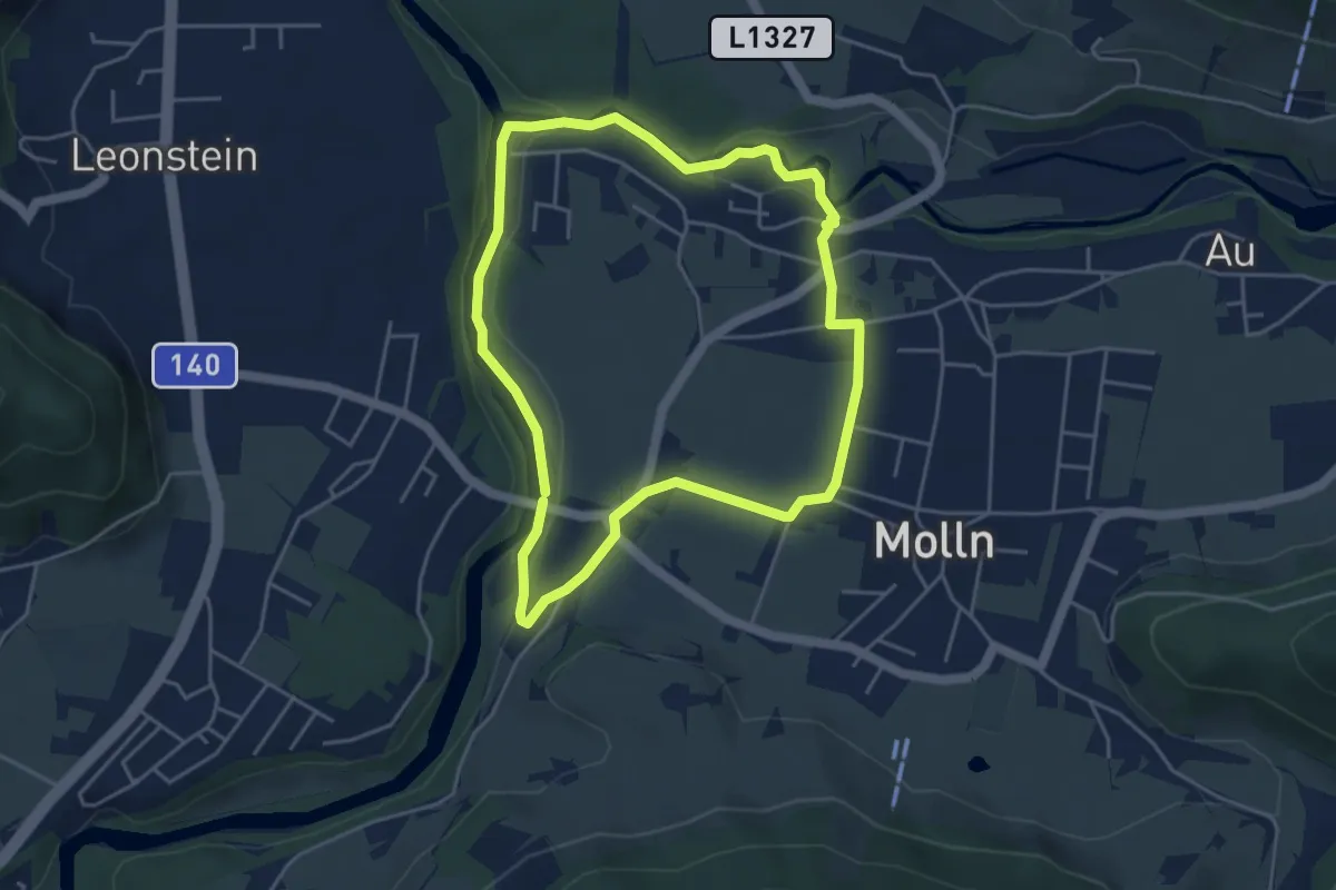
Medium · Trail
Flötzersteig-Runde
4.2 km · ↑ 66 m · 1 h 11 min
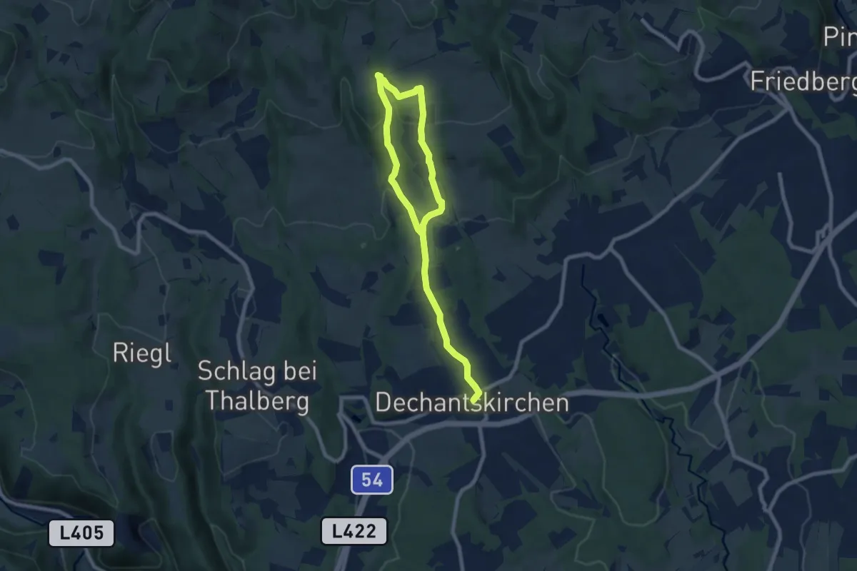
Medium · Trail
Flourlweg (Weg H, 6.7 km)
10.1 km · ↑ 370 m · 3 h 11 min
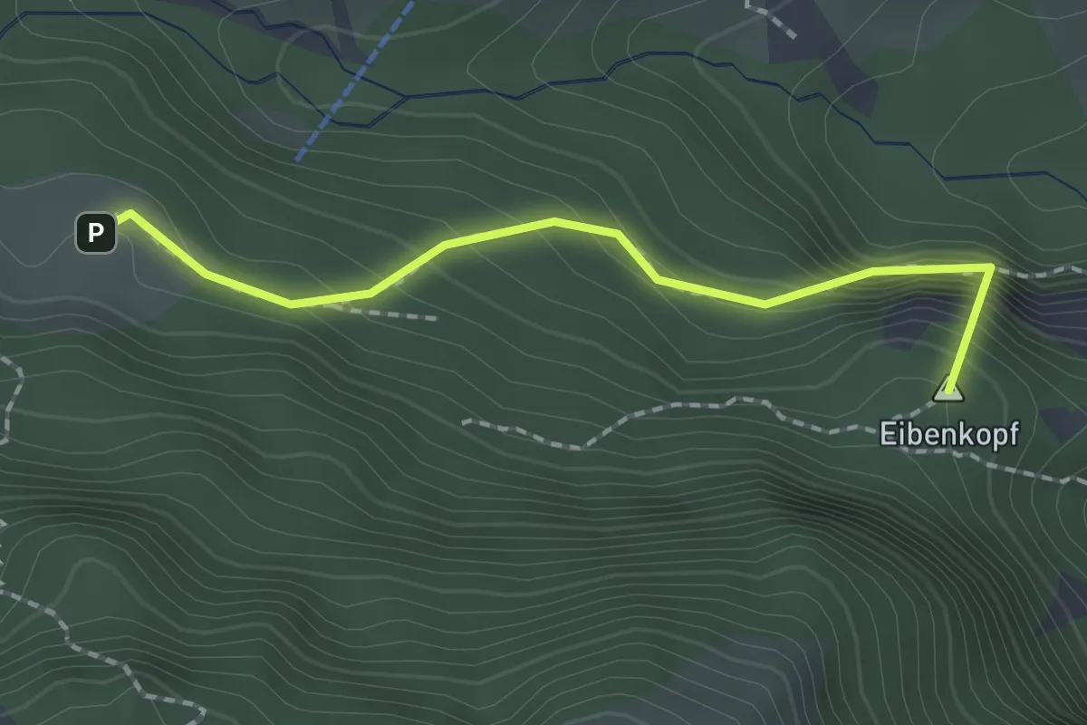
Medium · Summit
Fluchtsteig
1.8 km · ↑ 271 m · 1 h
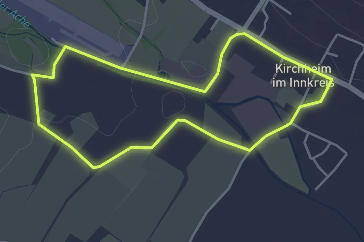
Easy · Trail
Flugplatz Runde
2.9 km · ↑ 5 m · 44 min
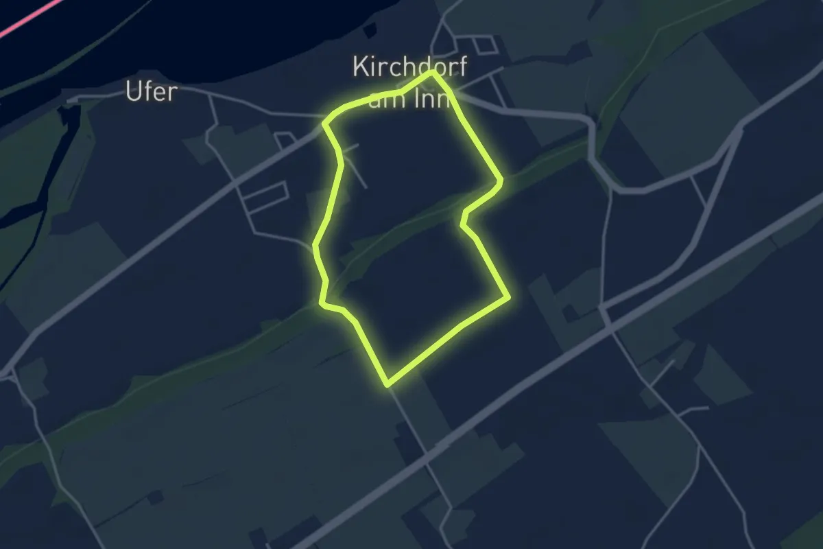
Easy · Trail
Flurwanderweg
2.9 km · ↑ 32 m · 47 min
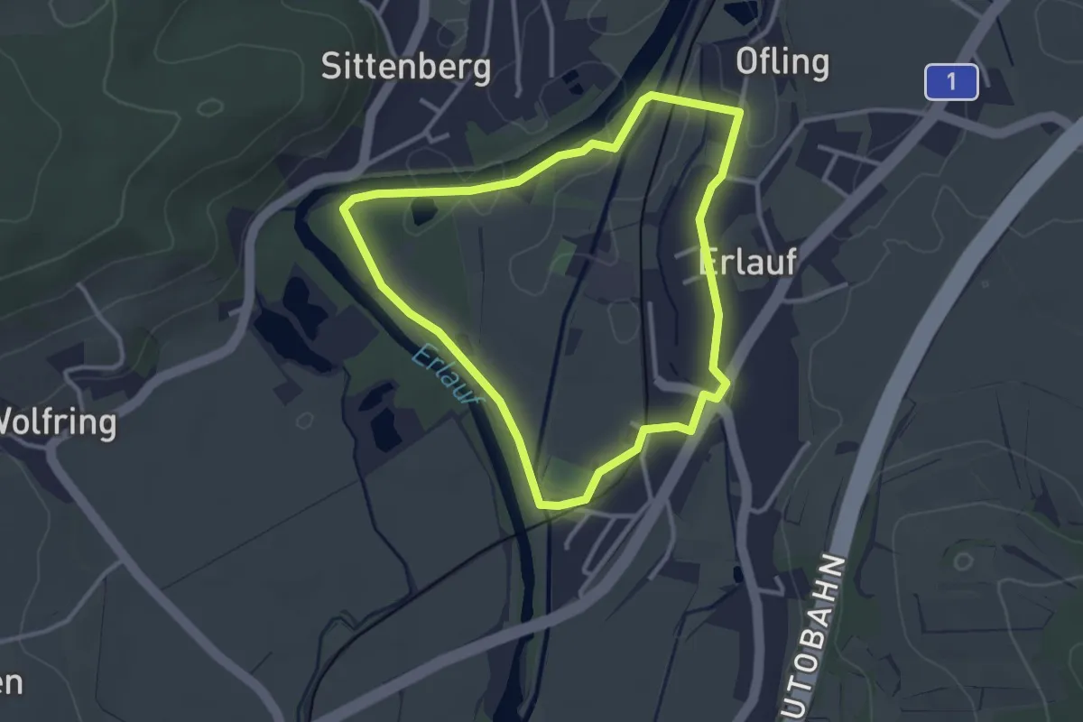
Easy · Trail
Flusslehrpfad Erlauf
2.8 km · ↑ 4 m · 43 min
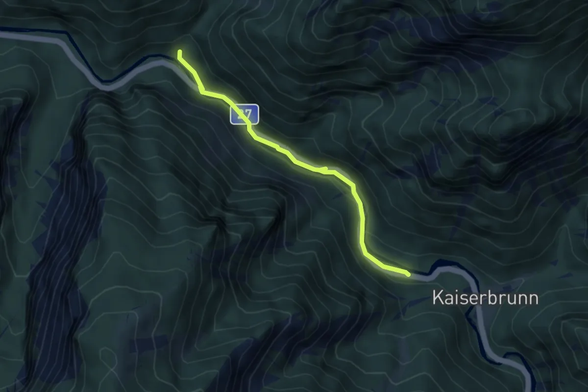
Easy · Cabin
Flusswanderweg Höllental
4.4 km · ↑ 61 m · 1 h 11 min
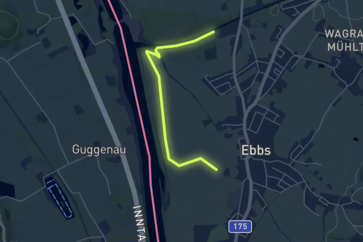
Easy · Trail
Fohlenhof-Runde
4.5 km · ↑ 9 m · 1 h 5 min
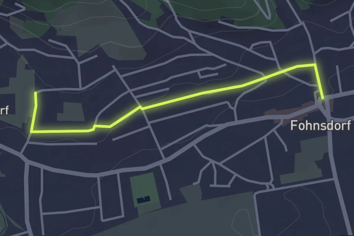
Easy · Trail
Fohnsdorfer Hütte-Gaalerhöh
3.0 km · ↑ 37 m · 47 min
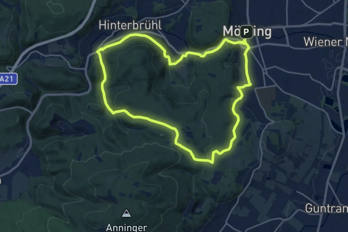
Medium · Summit
Föhrenberge Wanderweg 49
13.4 km · ↑ 295 m · 4 h
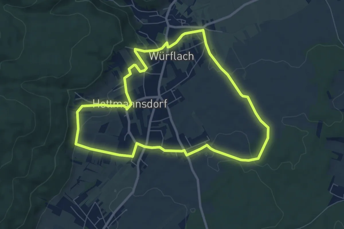
Easy · Trail
Föhrenwaldrunde (3)
7.0 km · ↑ 135 m · 2 h 3 min
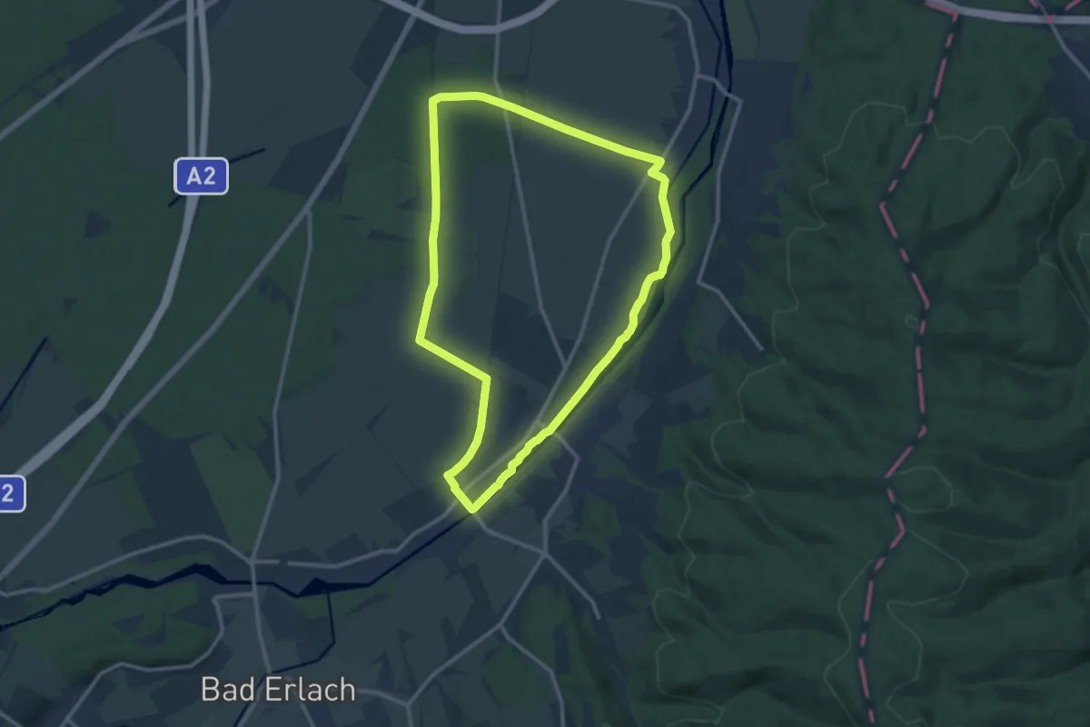
Medium · Trail
Föhrenwald Runde (Lanzenkirchen)
11.2 km · ↑ 17 m · 2 h 50 min
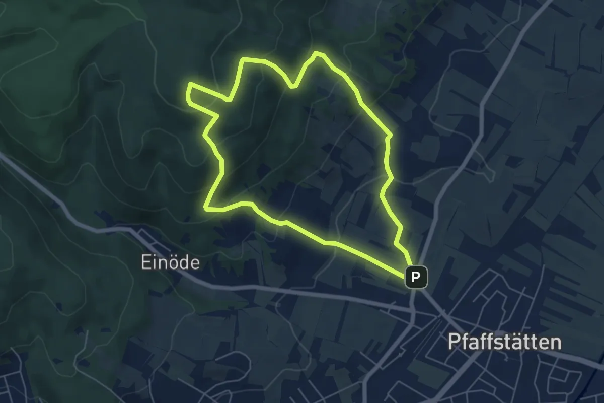
Easy · Summit
Föhrenweg
5.2 km · ↑ 313 m · 1 h 59 min
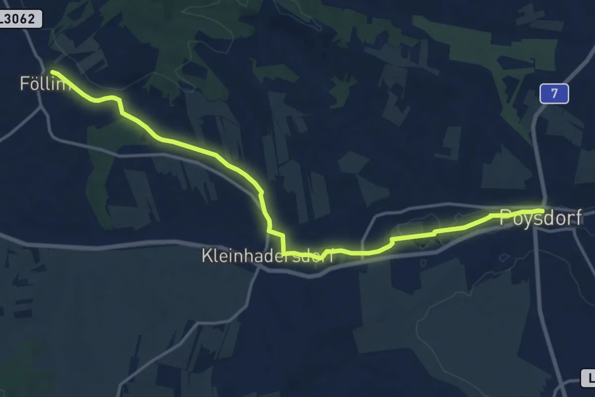
Medium · Trail
Föllimer Weg
12.5 km · ↑ 104 m · 3 h 10 min
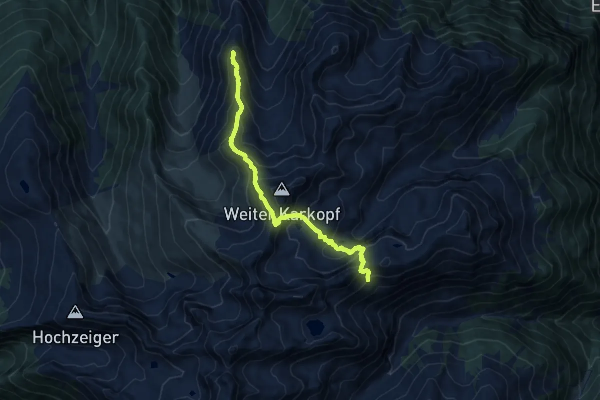
Expert · Summit
Forchheimer Höhenweg
11.1 km · ↑ 1174 m · 5 h 10 min
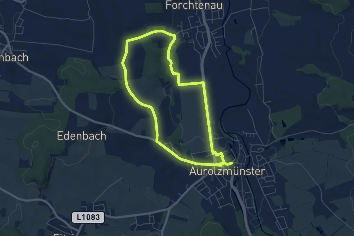
Medium · Trail
Forchtenau Ruzndweg
10.8 km · ↑ 120 m · 2 h 48 min
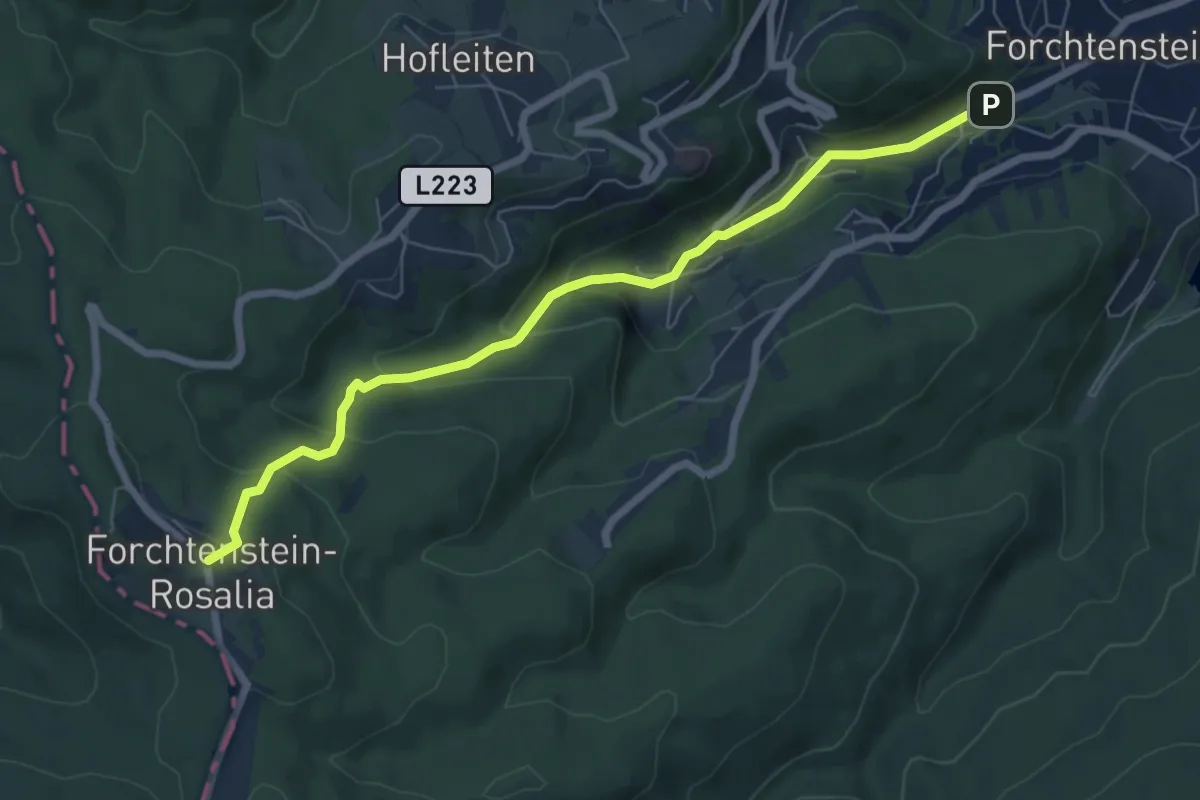
Medium · Trail
Forchtenstein - Kirchensteig - Rosalia
6.7 km · ↑ 375 m · 2 h 24 min
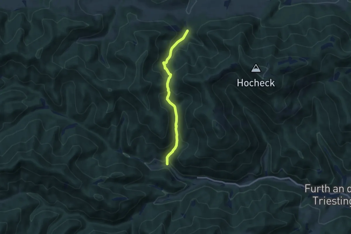
Medium · Trail
Forellenhof Böck (Höfnergraben) - Brunntal - Harras Furth
6.5 km · ↑ 450 m · 2 h 31 min
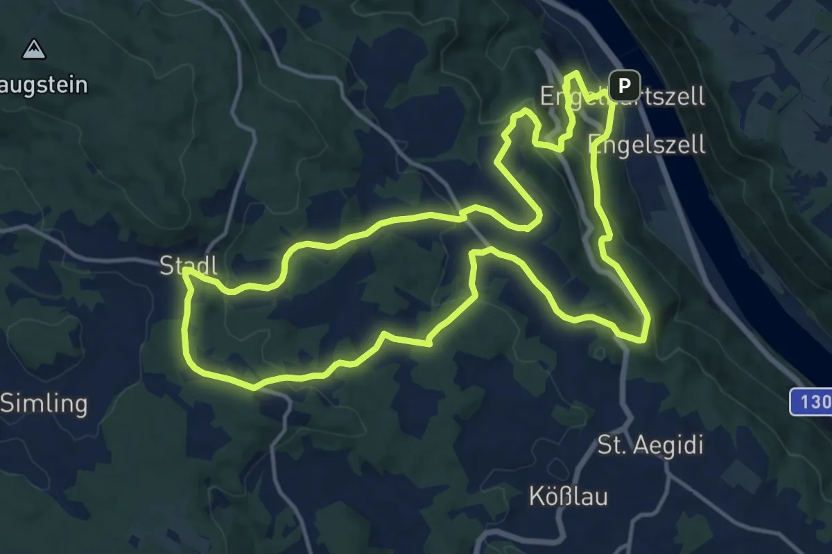
Medium · Trail
Forellen-Wanderung
13.7 km · ↑ 454 m · 4 h 24 min
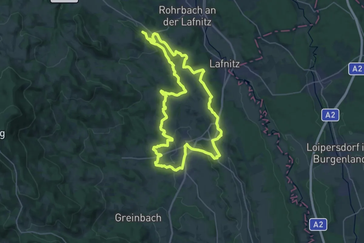
Demanding · Trail
Formbacherlandweg
22.3 km · ↑ 435 m · 6 h 31 min
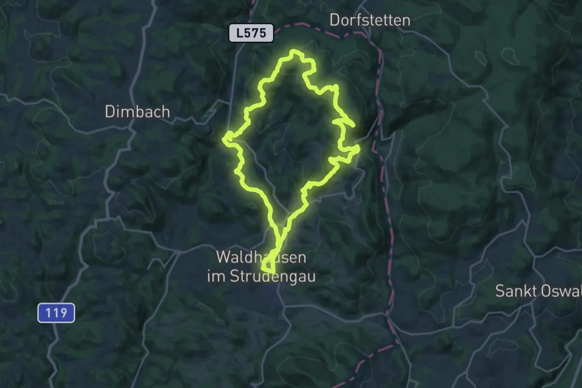
Medium · Trail
Forsthaus Hinteredt Rundweg
18.0 km · ↑ 521 m · 5 h 37 min
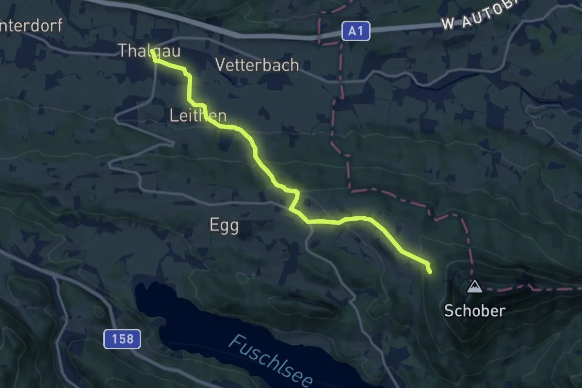
Medium · Trail
Forsthaus Wartenfels Wanderweg
11.2 km · ↑ 415 m · 3 h 33 min
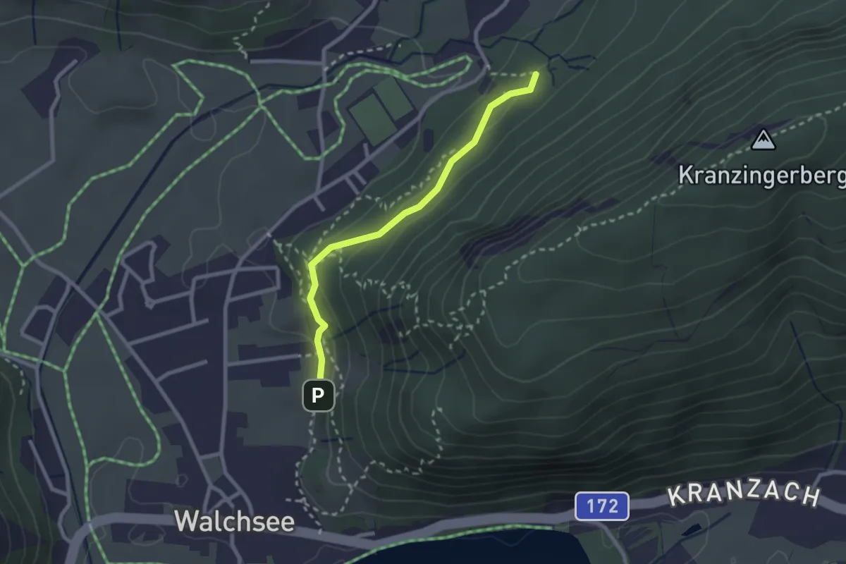
Medium · Trail
Forstmeile
2.2 km · ↑ 84 m · 42 min
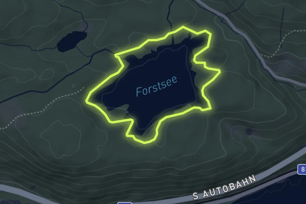
Easy · Trail
Forstsee Rundweg
3.4 km · ↑ 29 m · 55 min
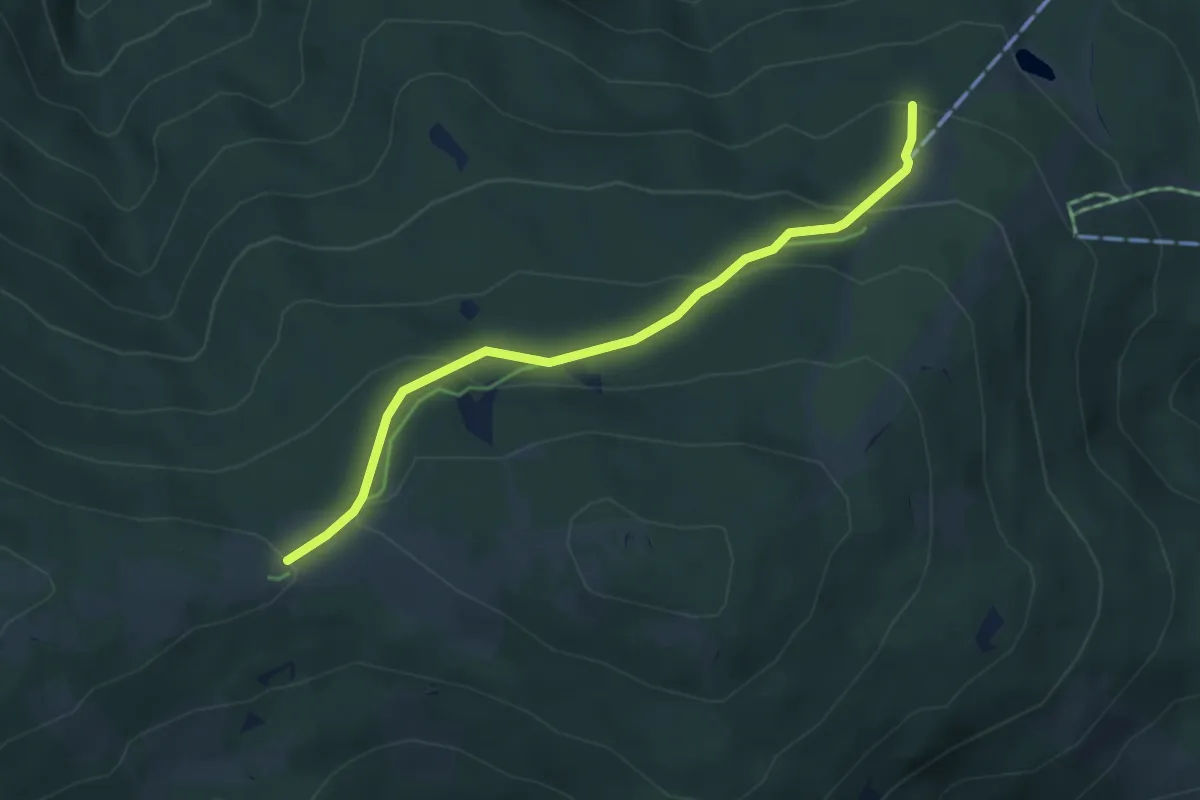
Easy · Cabin
Fortsetzung der blauen Markierung von St. Corona - Kampsteiner Schwaig
4.4 km · ↑ 204 m · 1 h 28 min
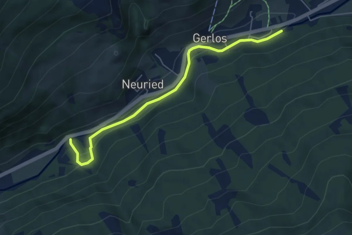
Easy · Trail
Fortsmeile
4.7 km · ↑ 71 m · 1 h 16 min
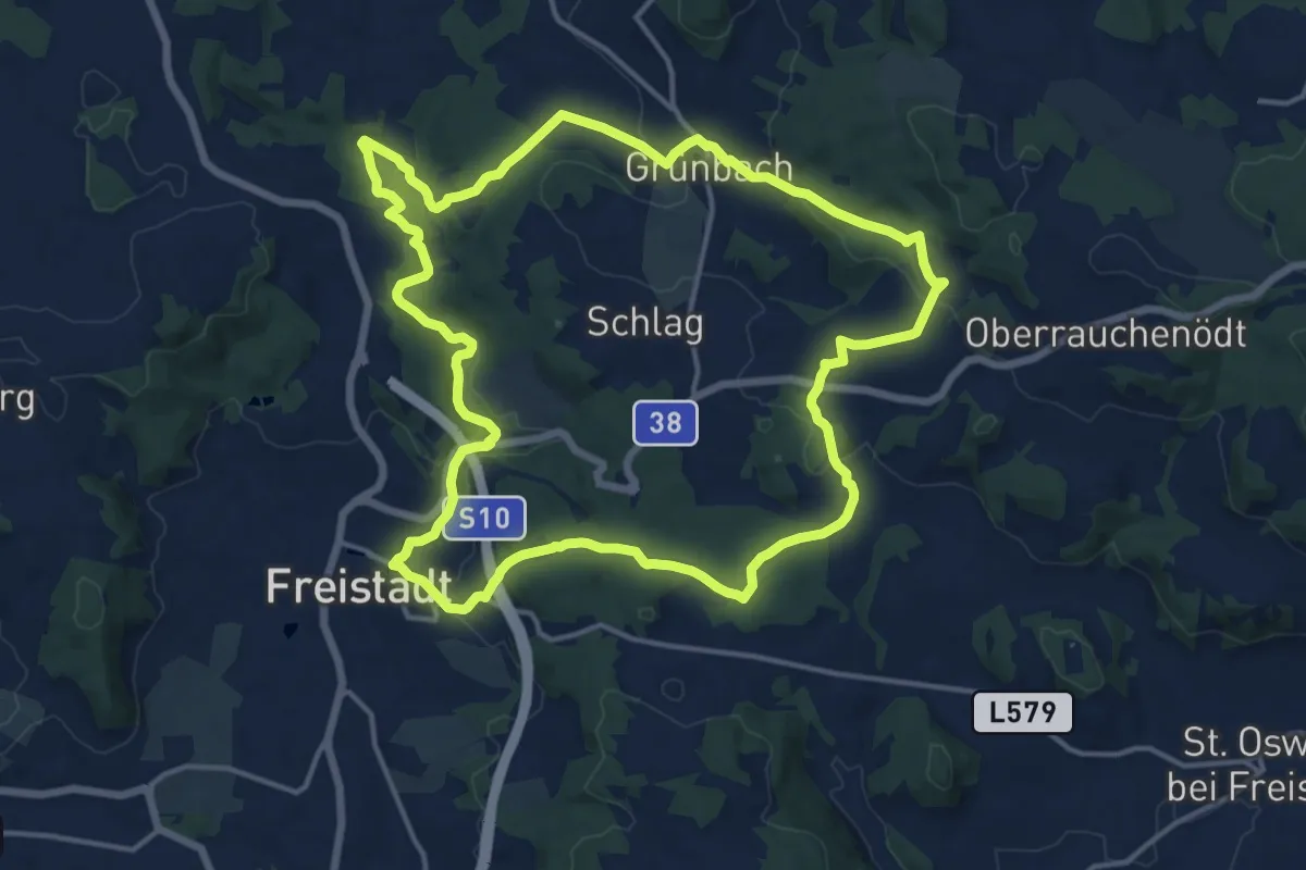
Medium · Trail
FR11 - Freiwaldrundweg
15.2 km · ↑ 371 m · 4 h 36 min
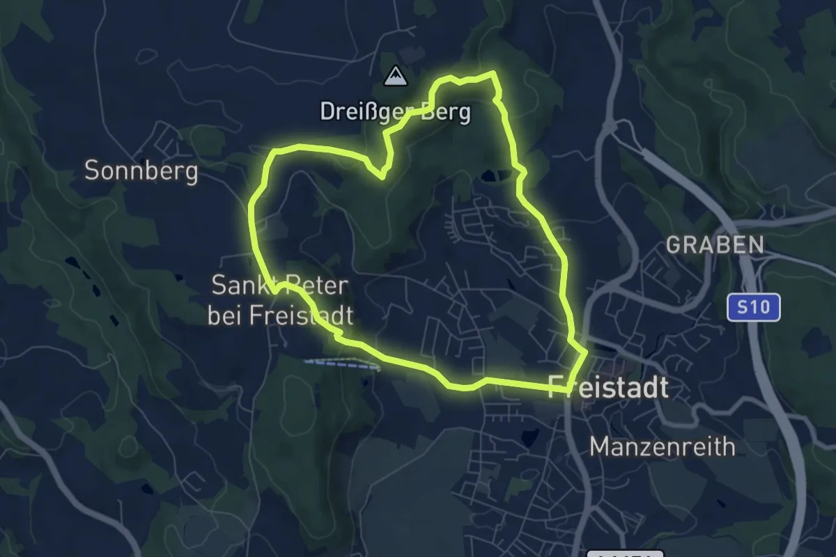
Easy · Trail
FR1 - Meditationsweg
6.8 km · ↑ 202 m · 2 h 7 min
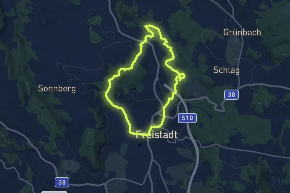
Medium · Trail
FR4 - Hammerleitenrundweg
9.6 km · ↑ 233 m · 2 h 54 min
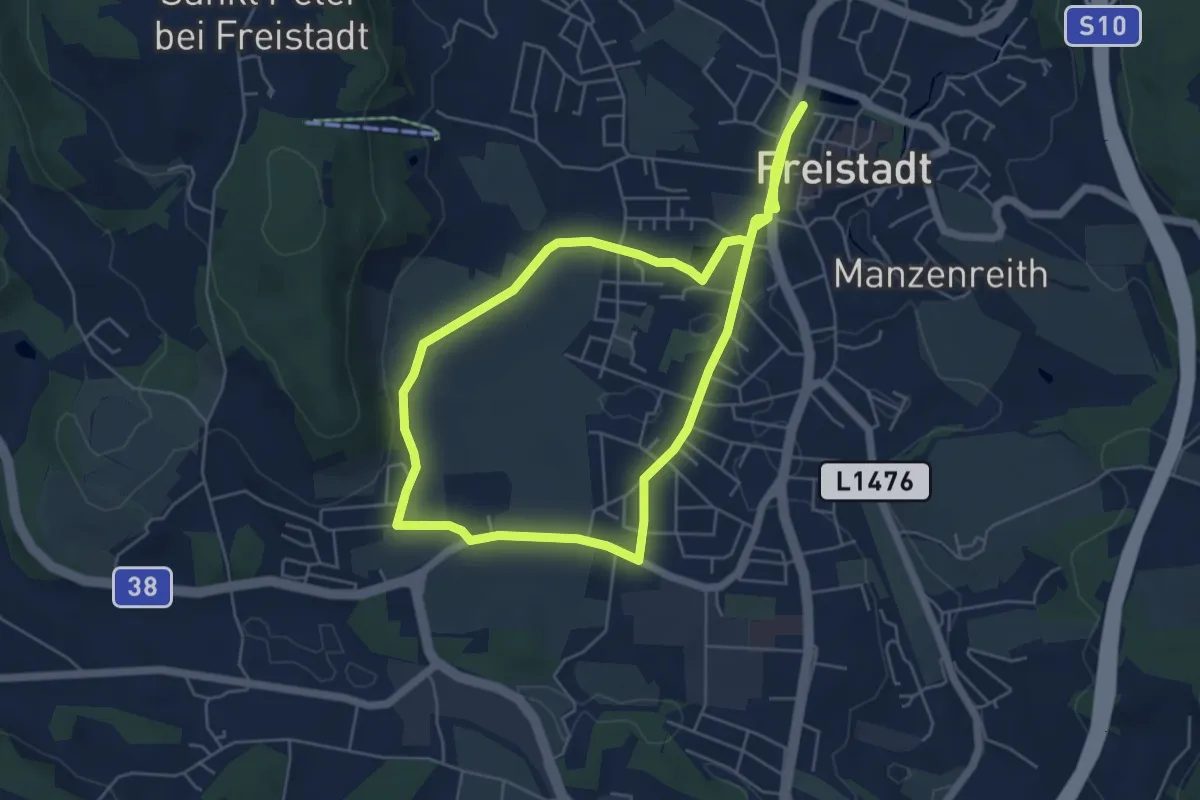
Medium · Trail
FR6 - Drei Bauernrunde
10.7 km · ↑ 79 m · 2 h 42 min
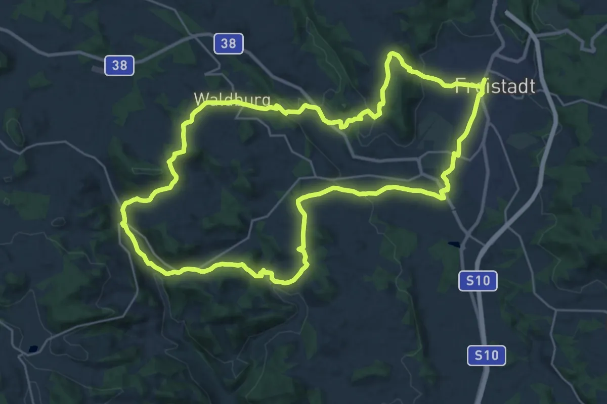
Demanding · Trail
FR9 - Gotik-Wanderung
22.0 km · ↑ 579 m · 6 h 45 min
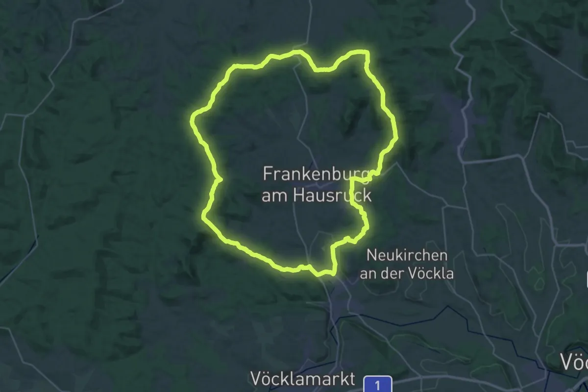
Demanding · Summit
Frankenburger Höhenrundwanderweg
30.3 km · ↑ 599 m · 8 h 52 min
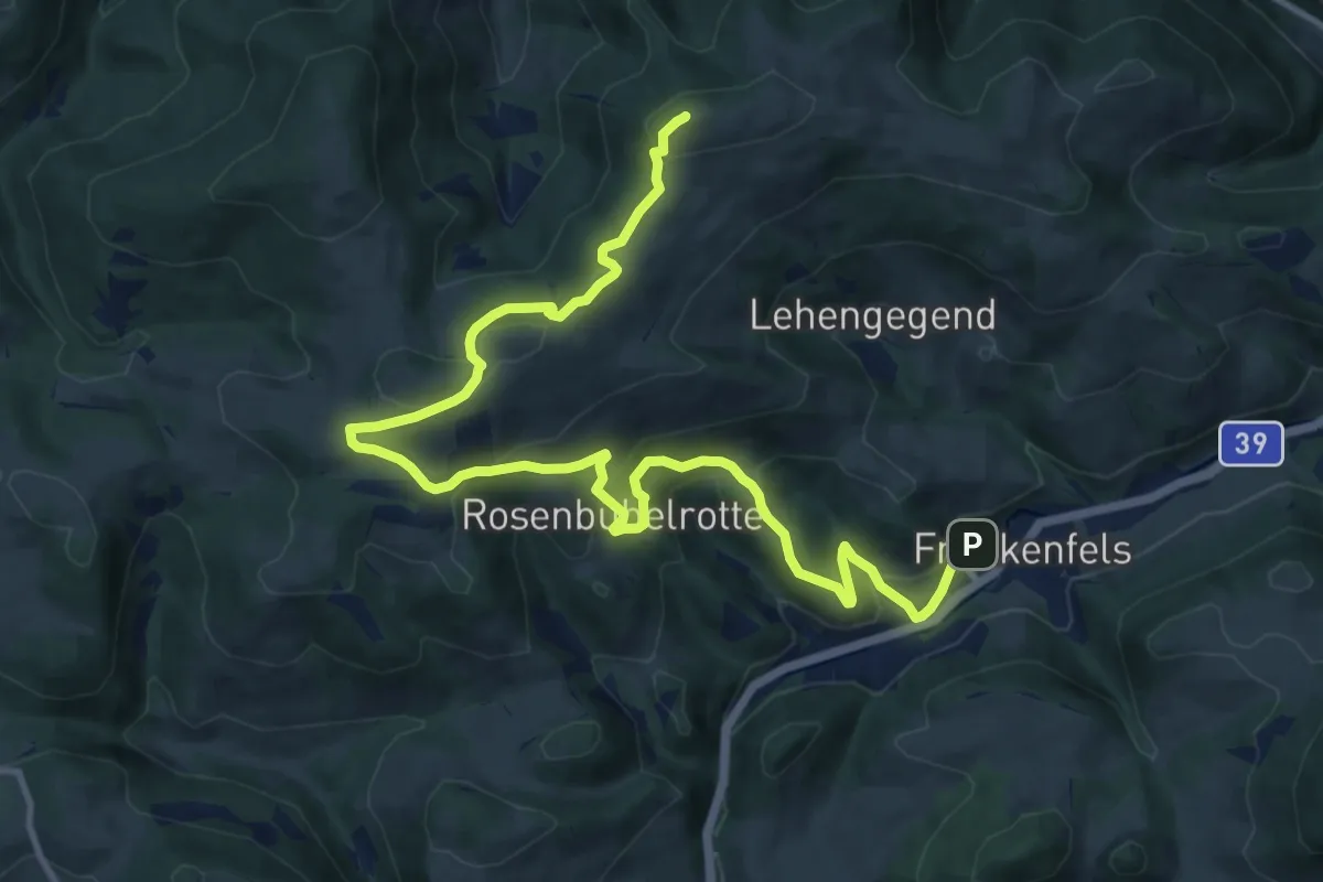
Medium · Summit
Frankenfelsberg - Höhenweg
14.6 km · ↑ 649 m · 4 h 51 min
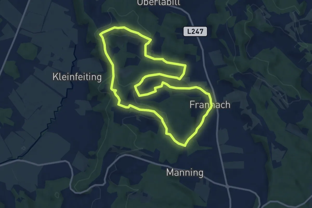
Medium · Trail
Frannacher Kapellenweg
9.1 km · ↑ 238 m · 2 h 47 min