Trails in Austria
9,778 hiking trails, each with its route, climb, walking time and grade.
All trails, page 30 of 204
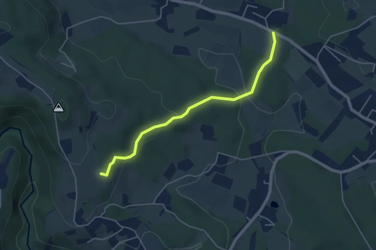
Easy · Trail
Franz Auer Gedenkweg
3.6 km · ↑ 106 m · 1 h 5 min
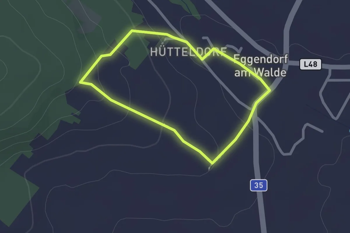
Easy · Trail
Franz-Böhacker-Weg
1.6 km · ↑ 41 m · 30 min
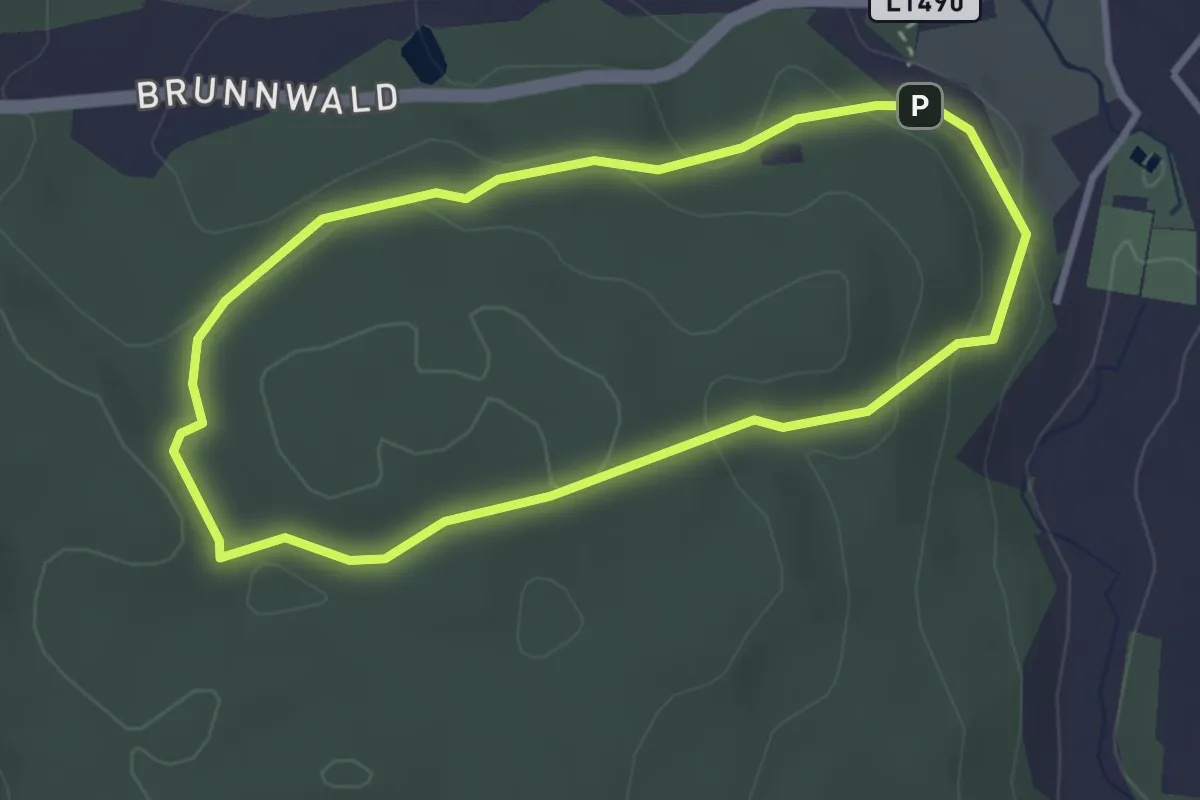
Easy · Trail
Franzensweg
2.8 km · ↑ 54 m · 50 min
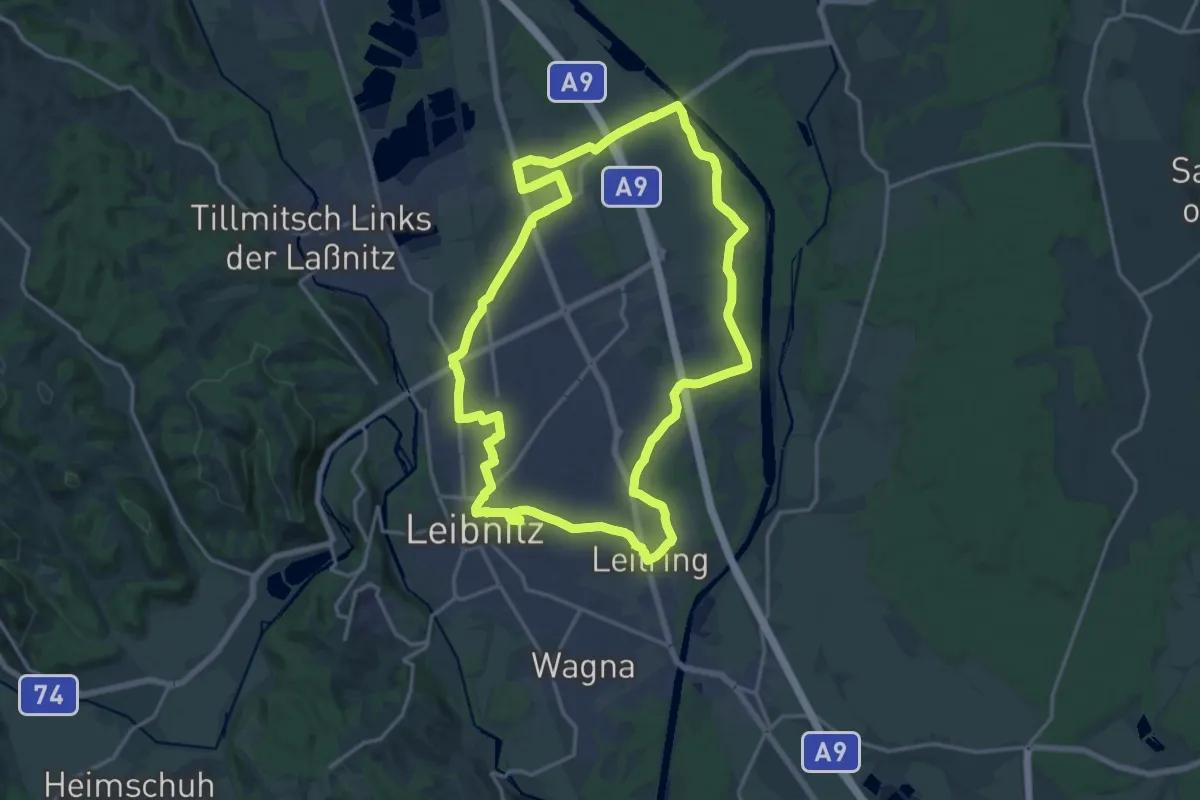
Medium · Trail
Franziskusweg
17.7 km · ↑ 12 m · 4 h 27 min
Easy · Trail
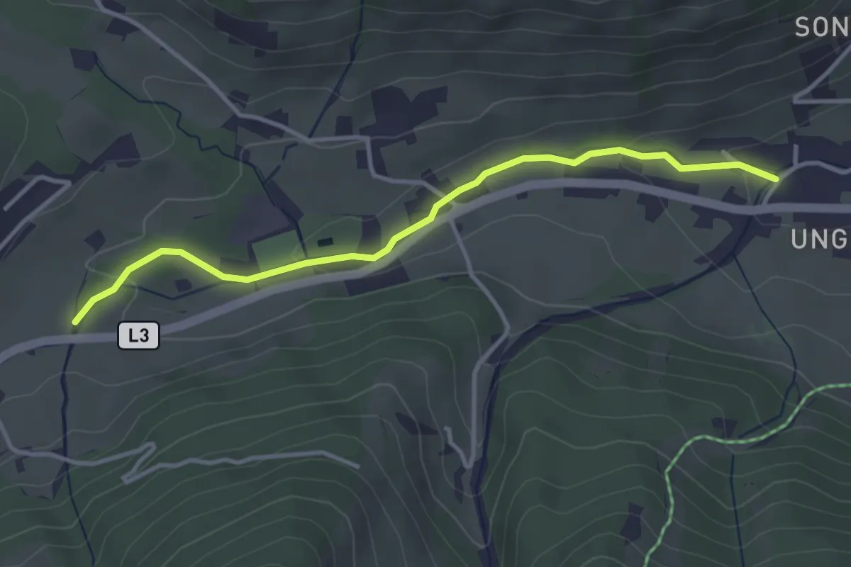
Franziskusweg
3.5 km · ↑ 71 m · 58 min
Demanding · Summit
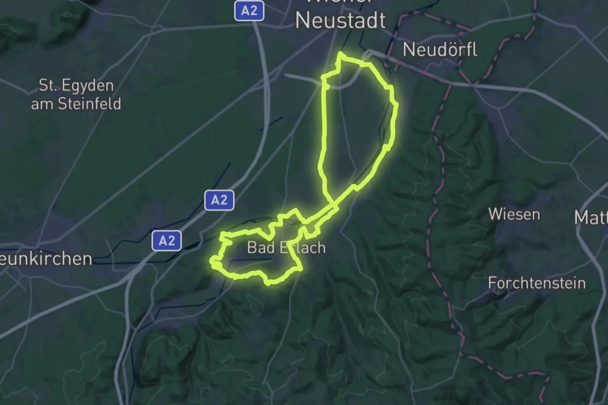
Franziskusweg (große Route)
34.0 km · ↑ 272 m · 9 h 6 min
Medium · Summit
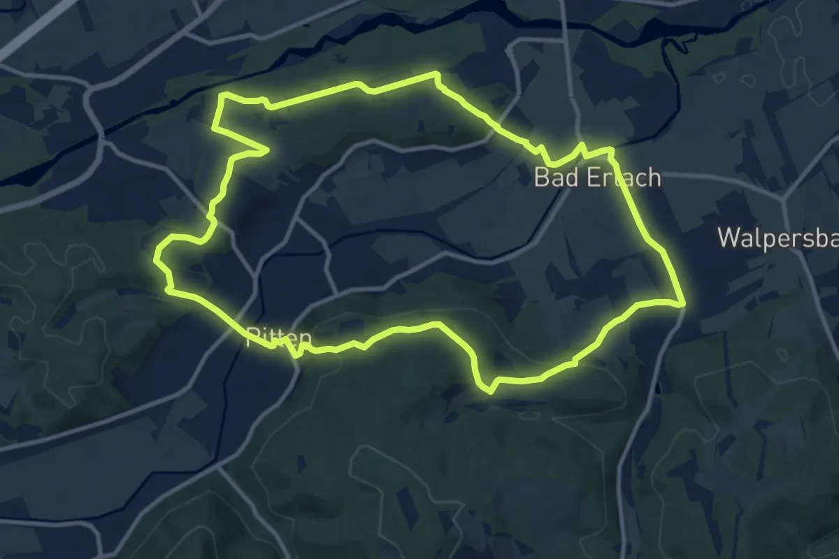
Franziskusweg (kleine Route)
10.9 km · ↑ 226 m · 3 h 13 min
Medium · Summit
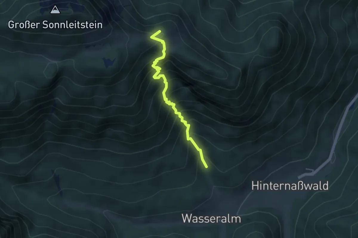
Franz-Jonas-Steig
3.7 km · ↑ 534 m · 2 h 2 min
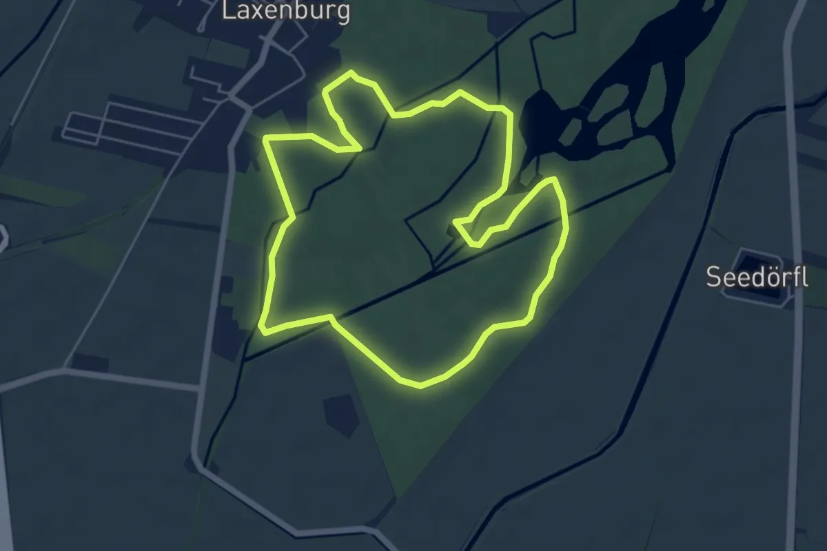
Easy · Trail
Franzl Runde
5.1 km · ↑ 0 m · 1 h 17 min
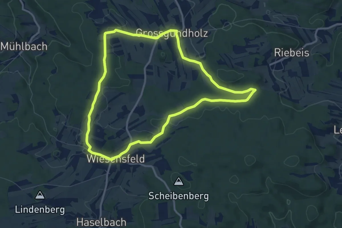
Easy · Summit
Franzosensumpfweg 11
7.5 km · ↑ 131 m · 2 h 10 min
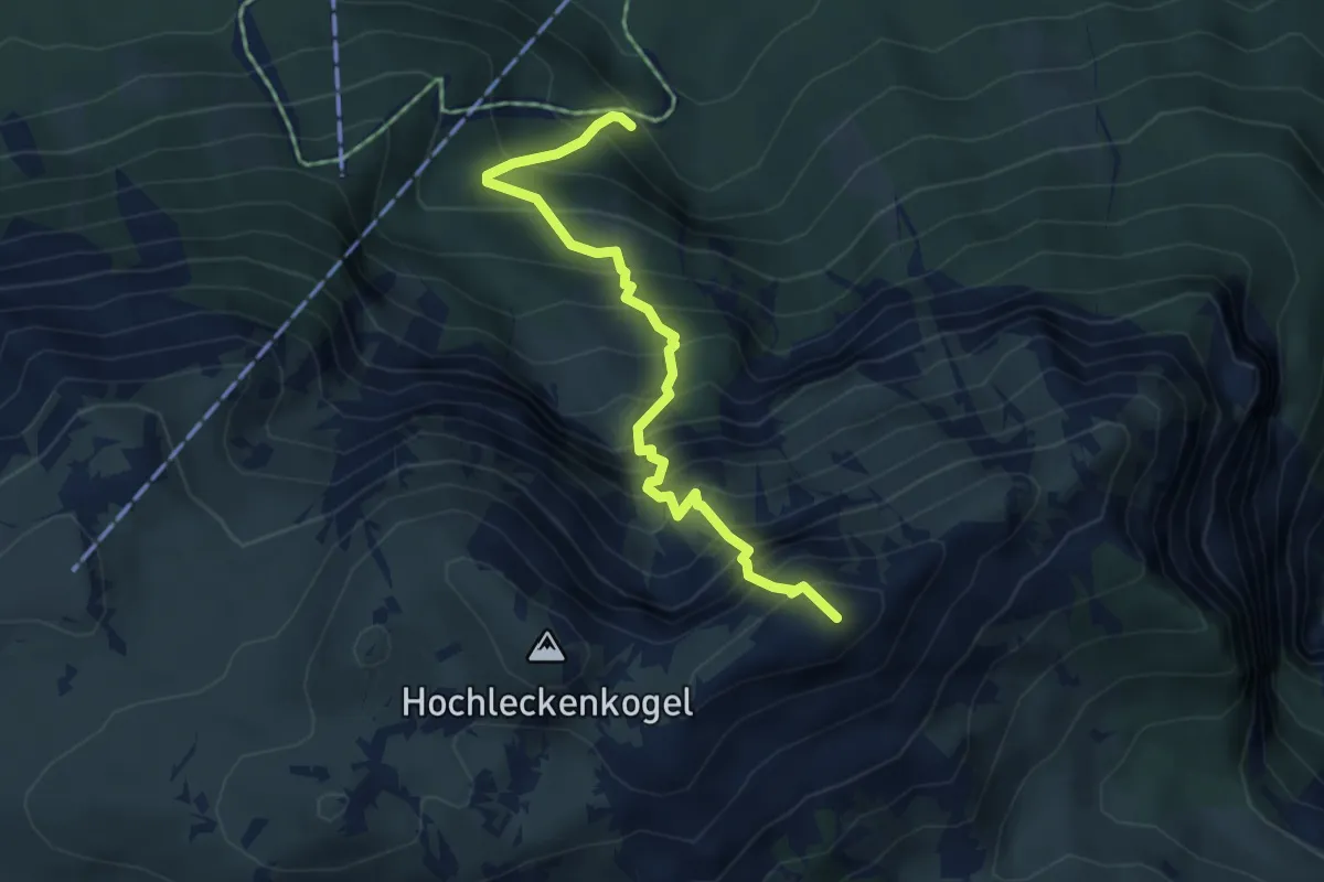
Expert · Summit
Franz-Scheckenberger-Steig
4.5 km · ↑ 855 m · 2 h 55 min
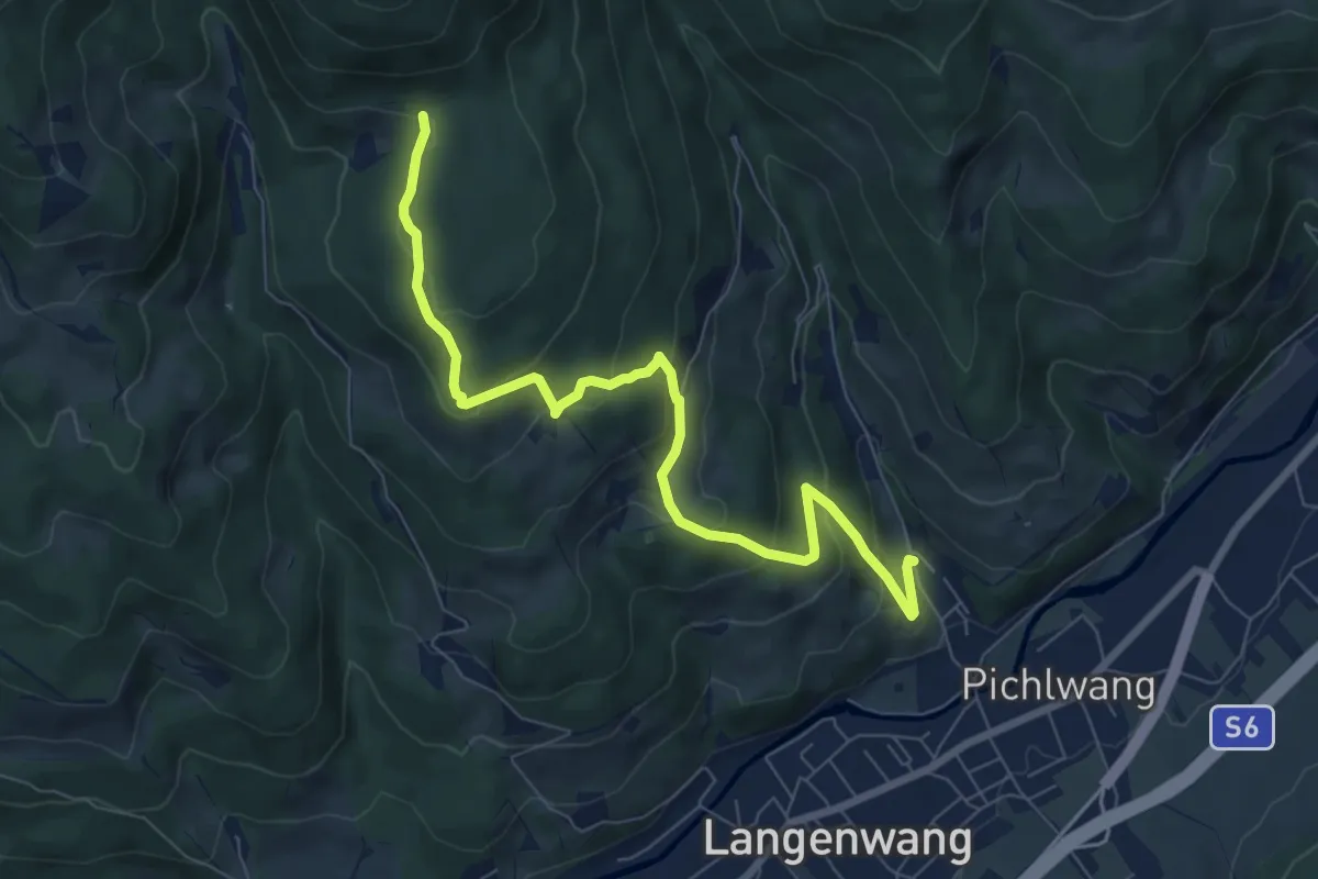
Medium · Trail
Franz Schöggl Weg
4.0 km · ↑ 384 m · 1 h 38 min
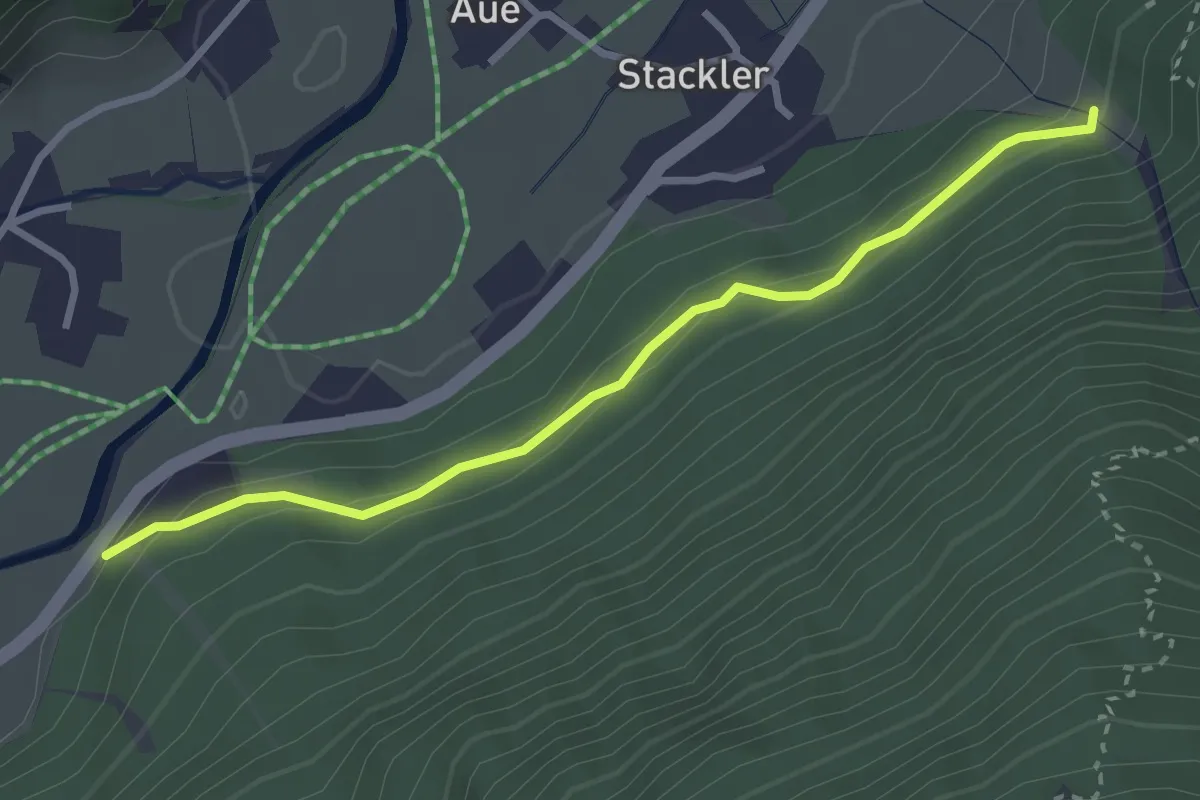
Easy · Trail
Franz-Senn-Weg
2.9 km · ↑ 89 m · 53 min
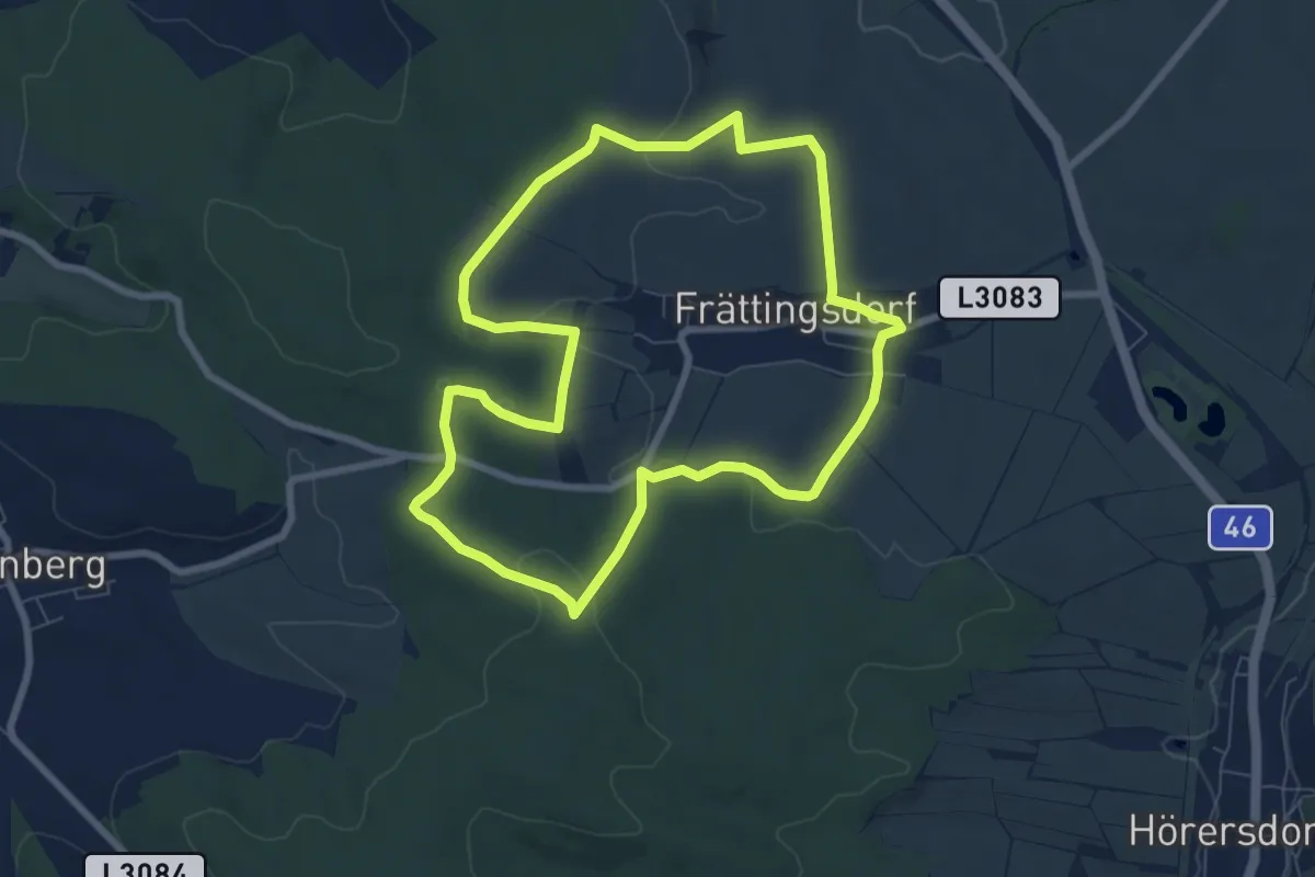
Easy · Trail
Frättingsdorf, Rundwanderweg zur Mistelquelle
7.3 km · ↑ 153 m · 2 h 10 min
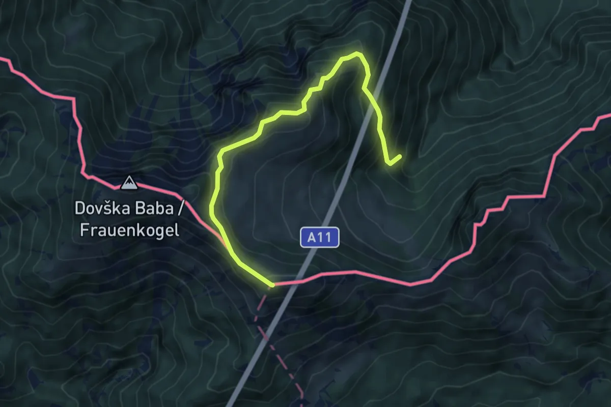
Medium · Summit
Frauenkogel
6.6 km · ↑ 542 m · 2 h 44 min
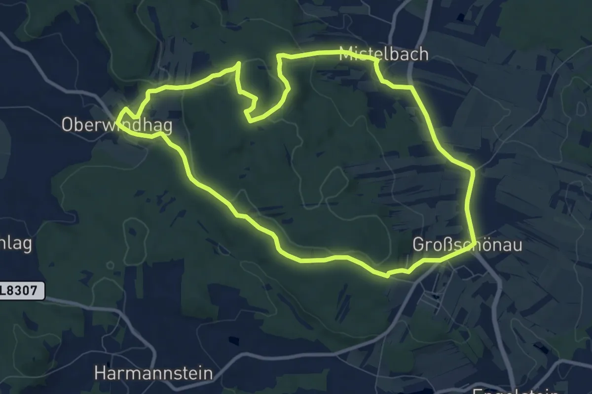
Medium · Trail
Frauhausweg
8.8 km · ↑ 188 m · 2 h 36 min
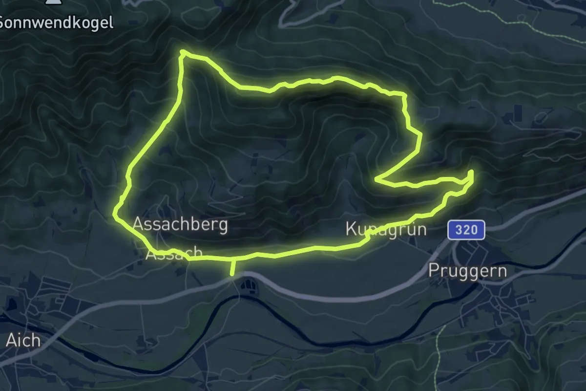
Expert · Summit
Freienstein-Runde über Kunagrün
9.5 km · ↑ 620 m · 3 h 44 min
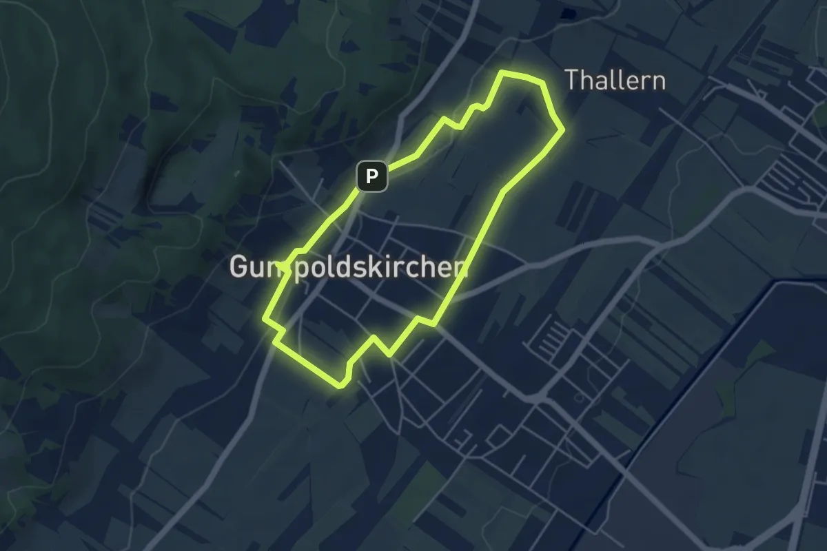
Easy · Trail
Freigut Thallern Runde bei Gumpoldskirchen
4.0 km · ↑ 38 m · 1 h 6 min
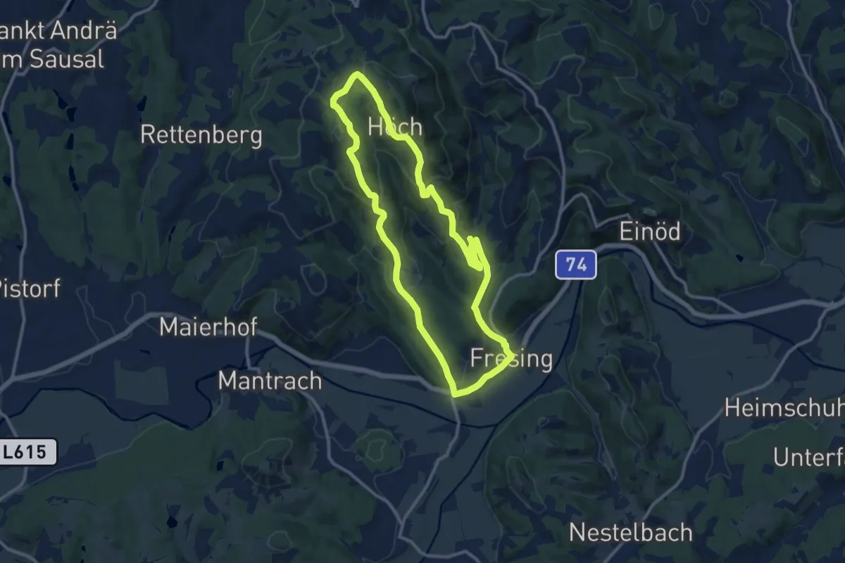
Medium · Trail
Fresing - Demmerkogel Runde
10.4 km · ↑ 340 m · 3 h 20 min
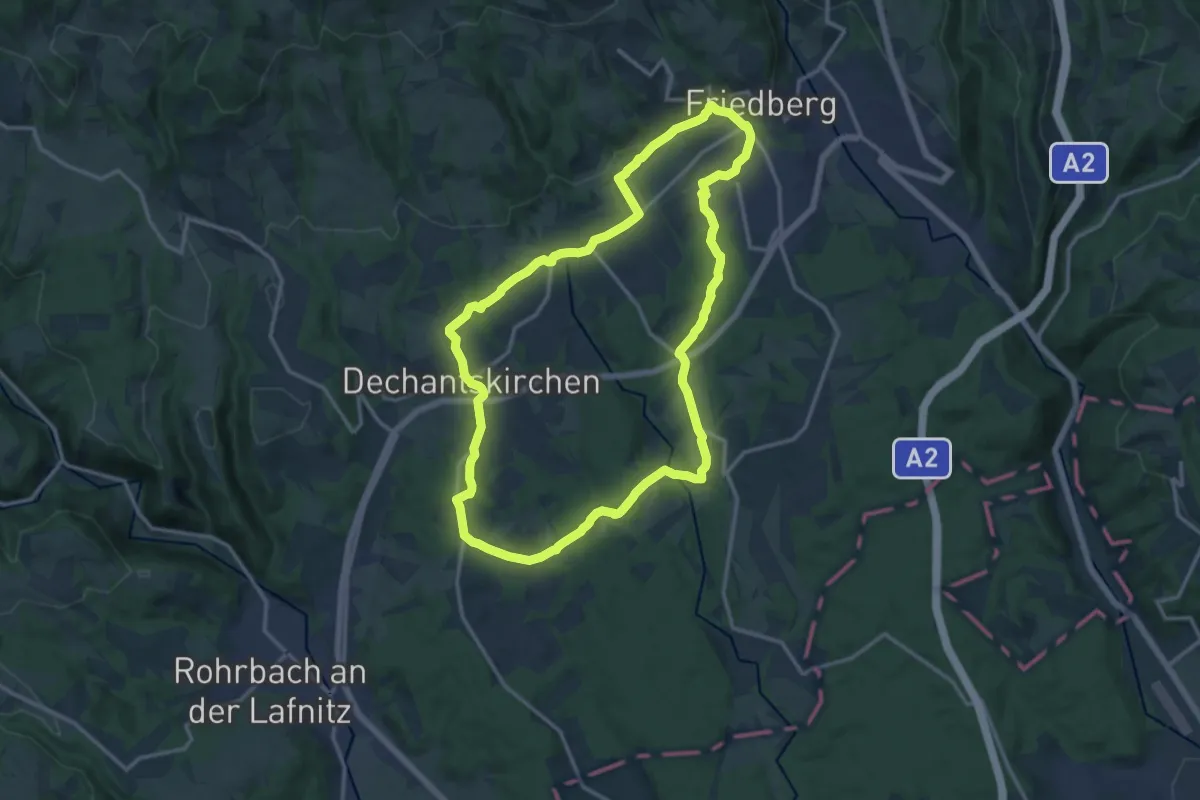
Medium · Trail
Friedberg - Dechantskirchen
14.0 km · ↑ 295 m · 4 h 8 min
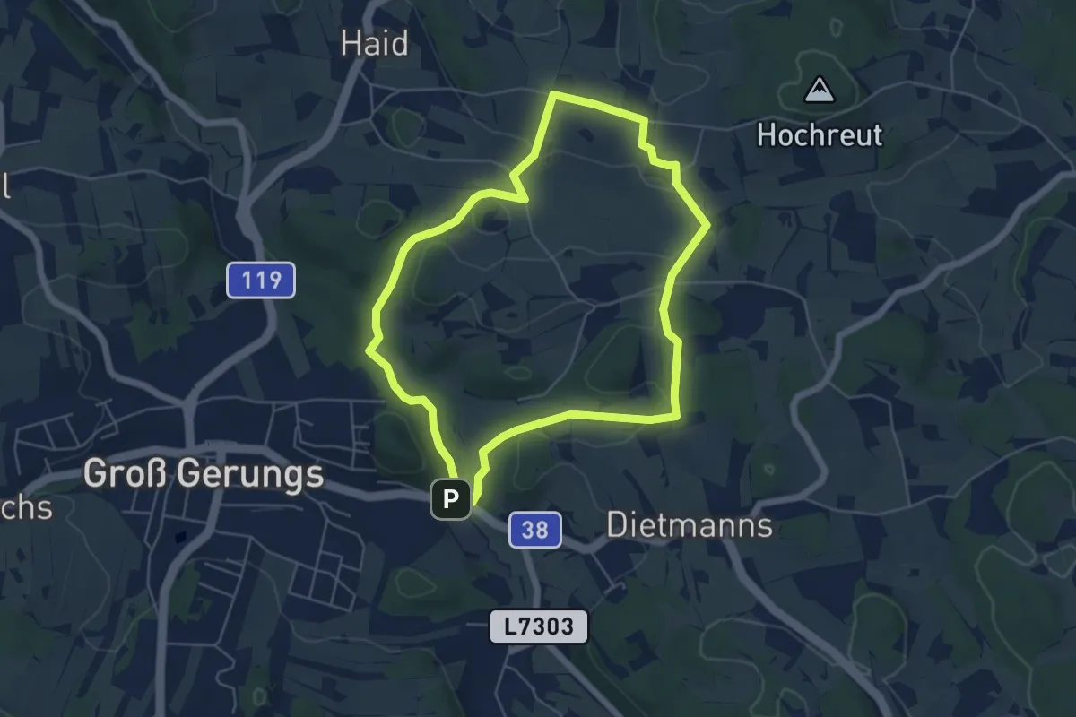
Easy · Trail
Friedenskapelle - Wanderweg 37
5.0 km · ↑ 68 m · 1 h 24 min
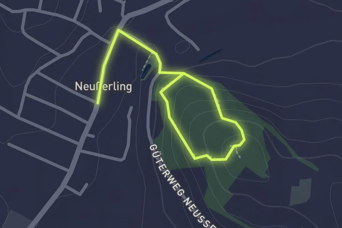
Easy · Trail
Friedenskreuz
2.4 km · ↑ 120 m · 50 min
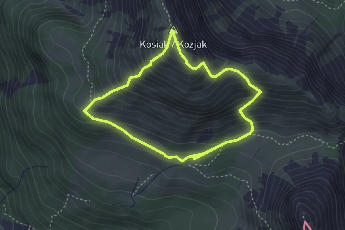
Medium · Summit
Friedrich-Zopp-Weg
2.9 km · ↑ 357 m · 1 h 31 min
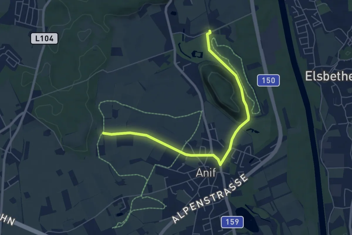
Easy · Trail
Friesacher Runde
3.1 km · ↑ 5 m · 48 min
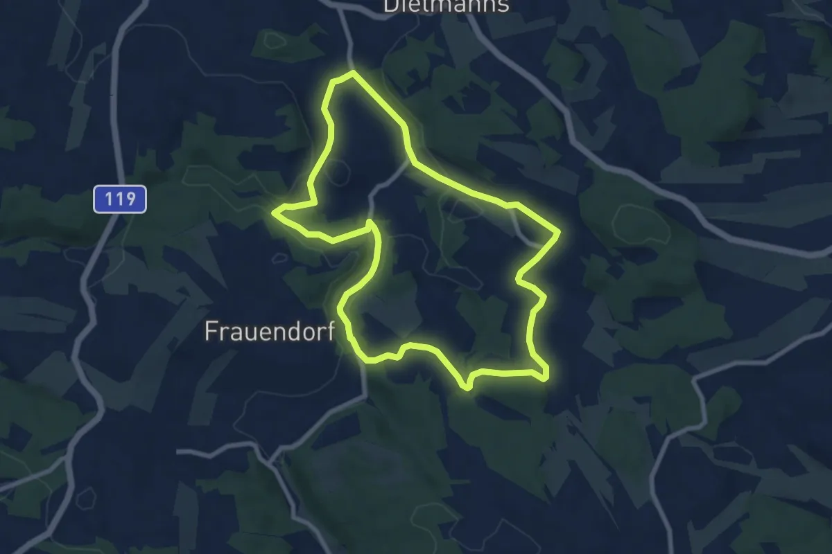
Easy · Trail
Friesenhof-Wanderweg 38
7.1 km · ↑ 160 m · 2 h 7 min
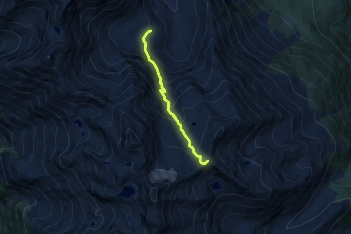
Expert · Summit
Frischmannhütte - Felderjöchl
6.3 km · ↑ 620 m · 2 h 50 min
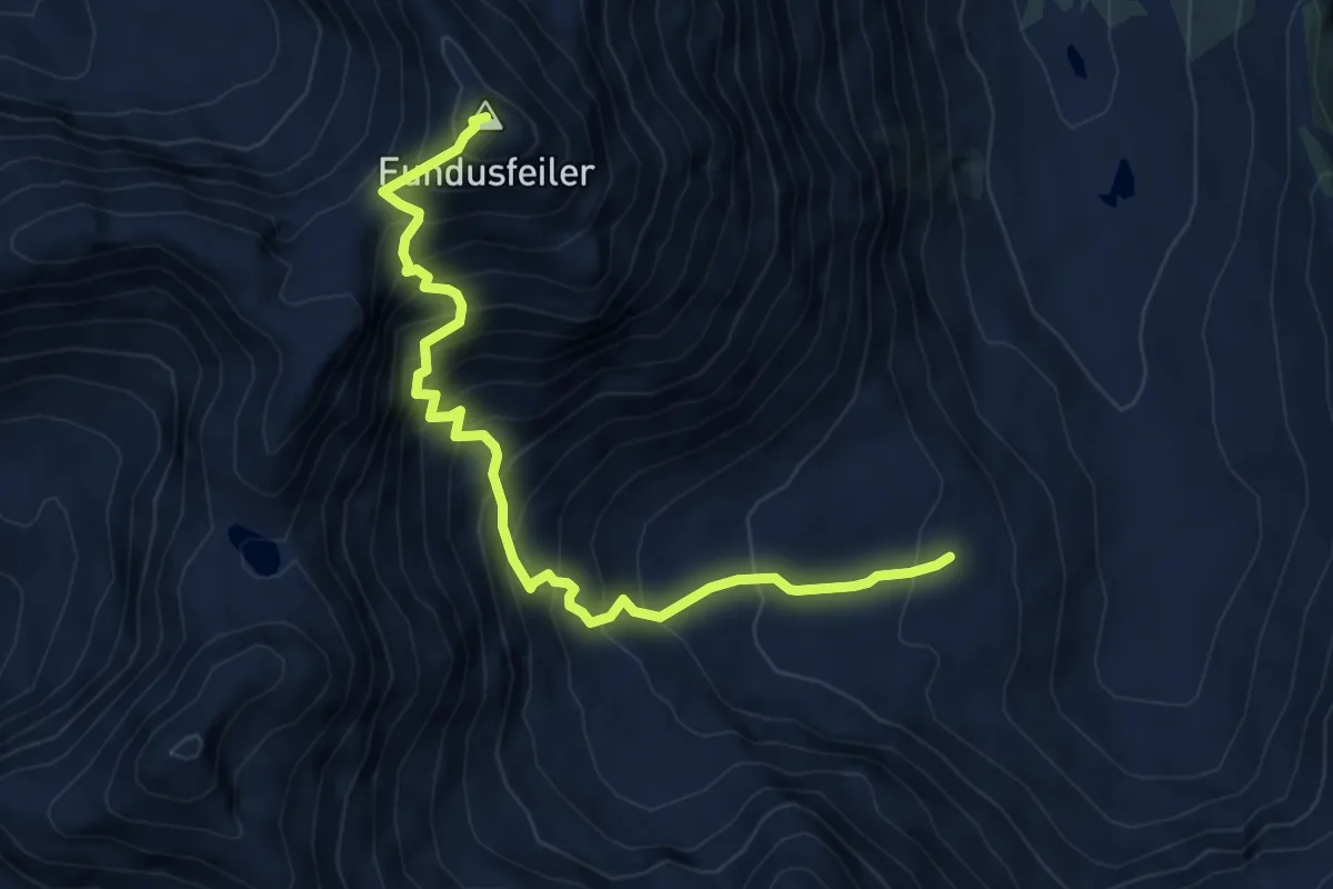
Expert · Summit
Frischmannhütte - Fundusfeiler
5.8 km · ↑ 887 m · 3 h 18 min
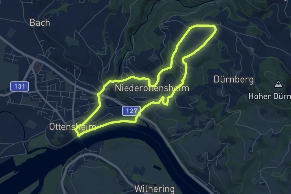
Easy · Trail
Fröhlich-Weißgärber Weg
6.5 km · ↑ 206 m · 2 h 4 min
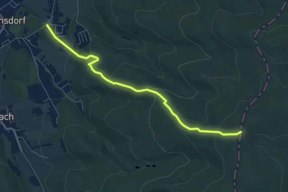
Easy · Trail
Frohsdorf - Rosalia Kammweg
6.2 km · ↑ 313 m · 2 h 8 min
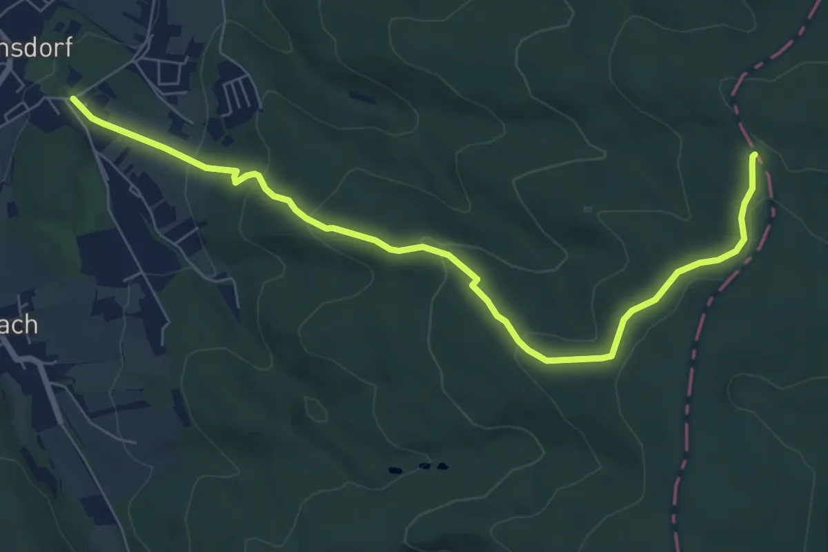
Easy · Trail
Frohsdorf (Rosalienweg) - Gespitzter Riegel
7.7 km · ↑ 283 m · 2 h 26 min
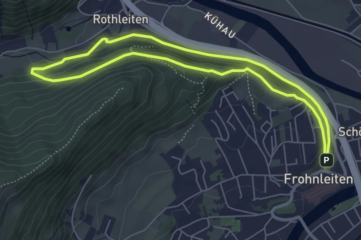
Easy · Trail
Froh Wald – Frohnleiter Wald. Wissen.Weg
5.0 km · ↑ 113 m · 1 h 29 min
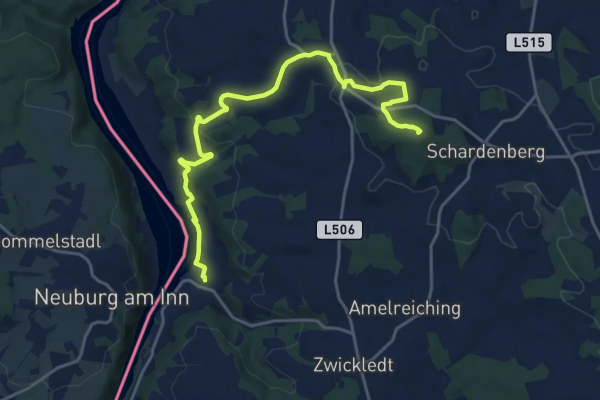
Medium · Summit
Fronholzwarte
11.7 km · ↑ 317 m · 3 h 27 min
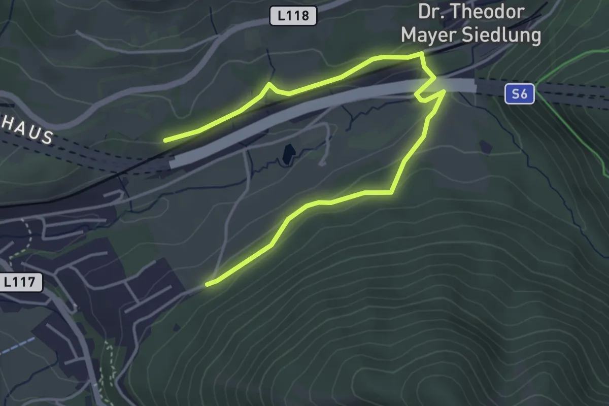
Easy · Trail
Fröschnitz - Paulbauer
4.8 km · ↑ 108 m · 1 h 22 min
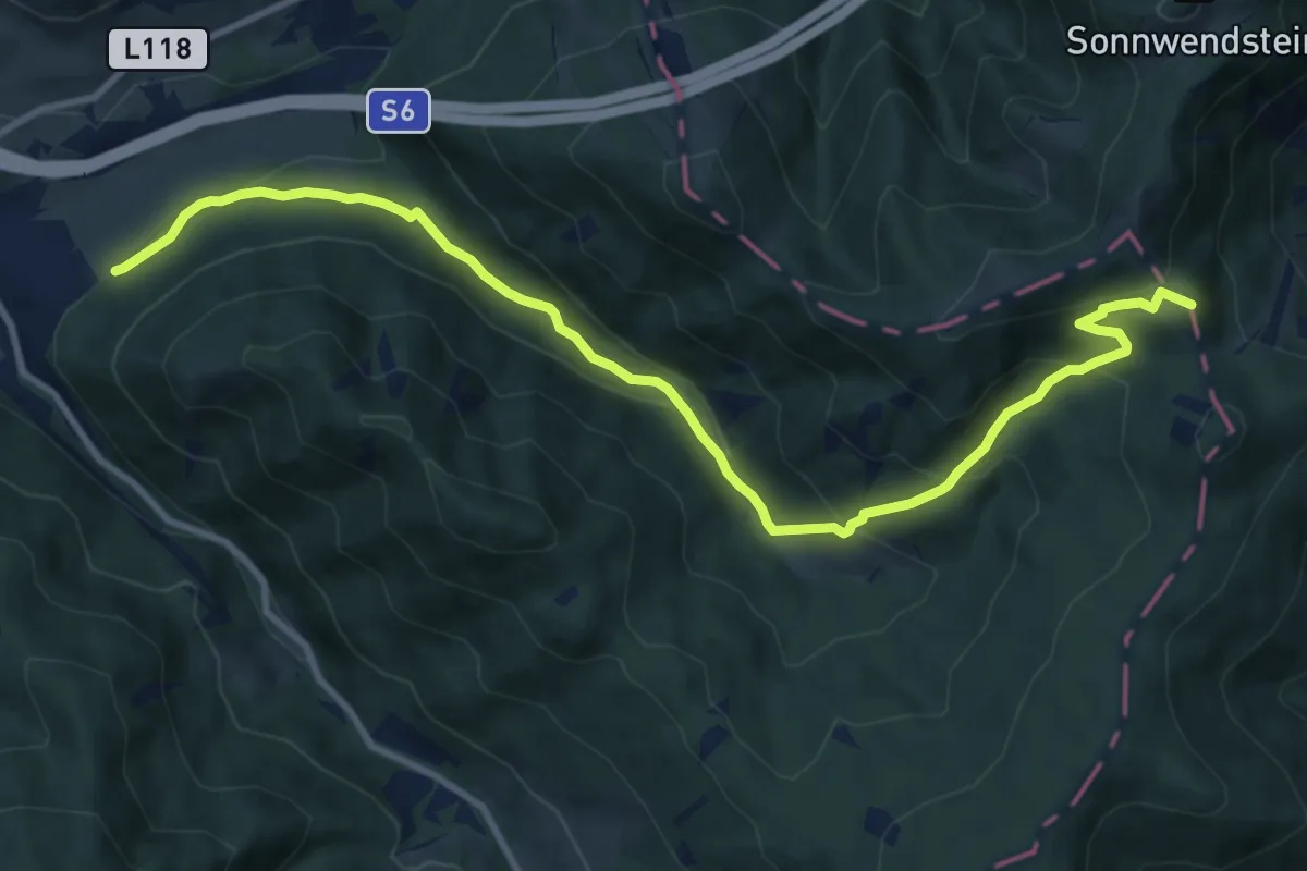
Medium · Summit
Fröschnitz - Schwarzenberglift
11.7 km · ↑ 571 m · 4 h
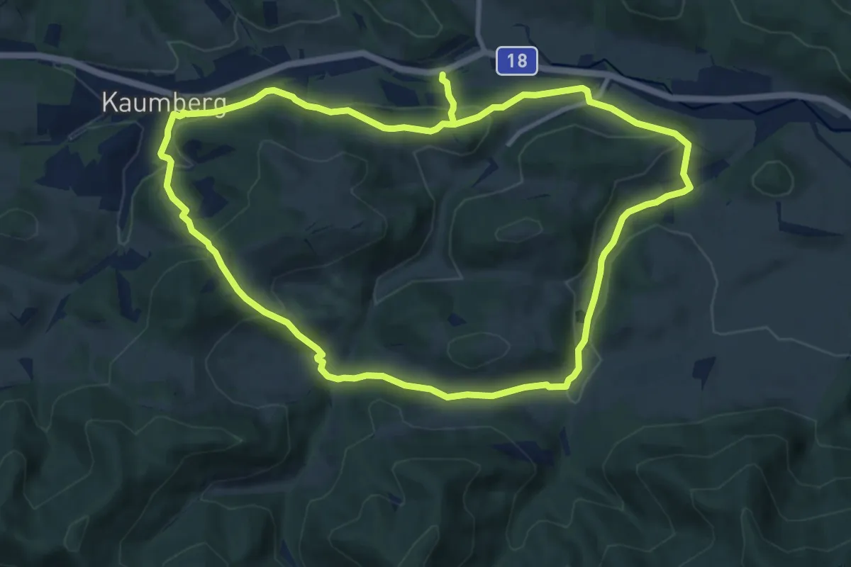
Demanding · Trail
Froschweg
19.0 km · ↑ 782 m · 6 h 11 min
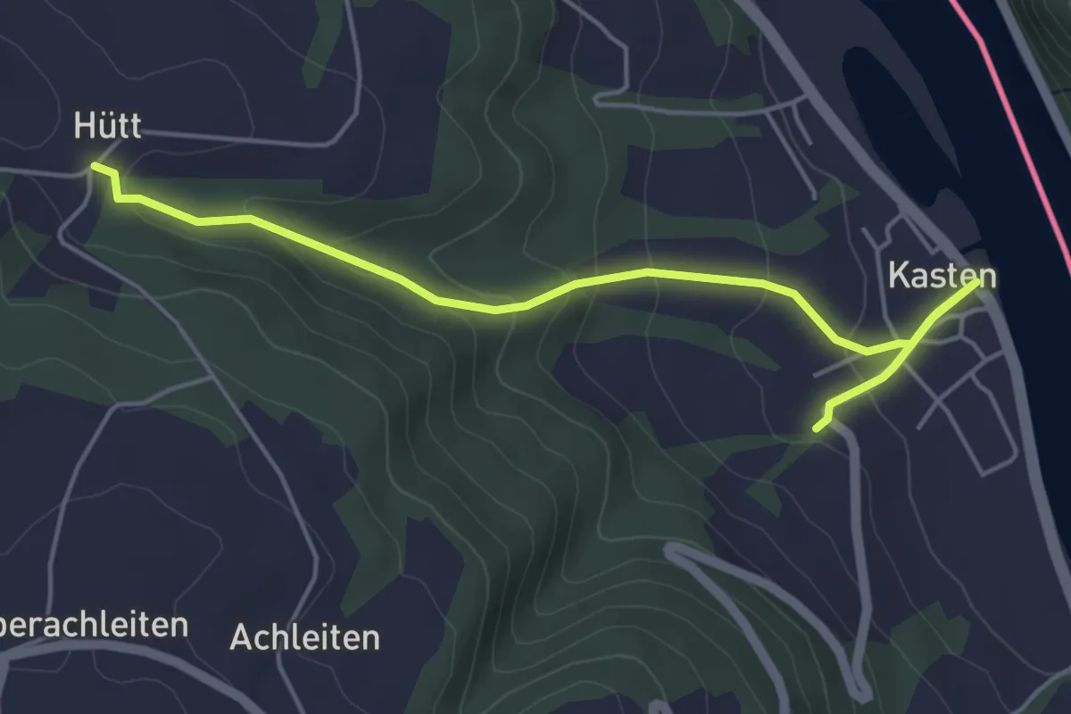
Easy · Trail
Fuchsenlochweg
4.9 km · ↑ 190 m · 1 h 35 min
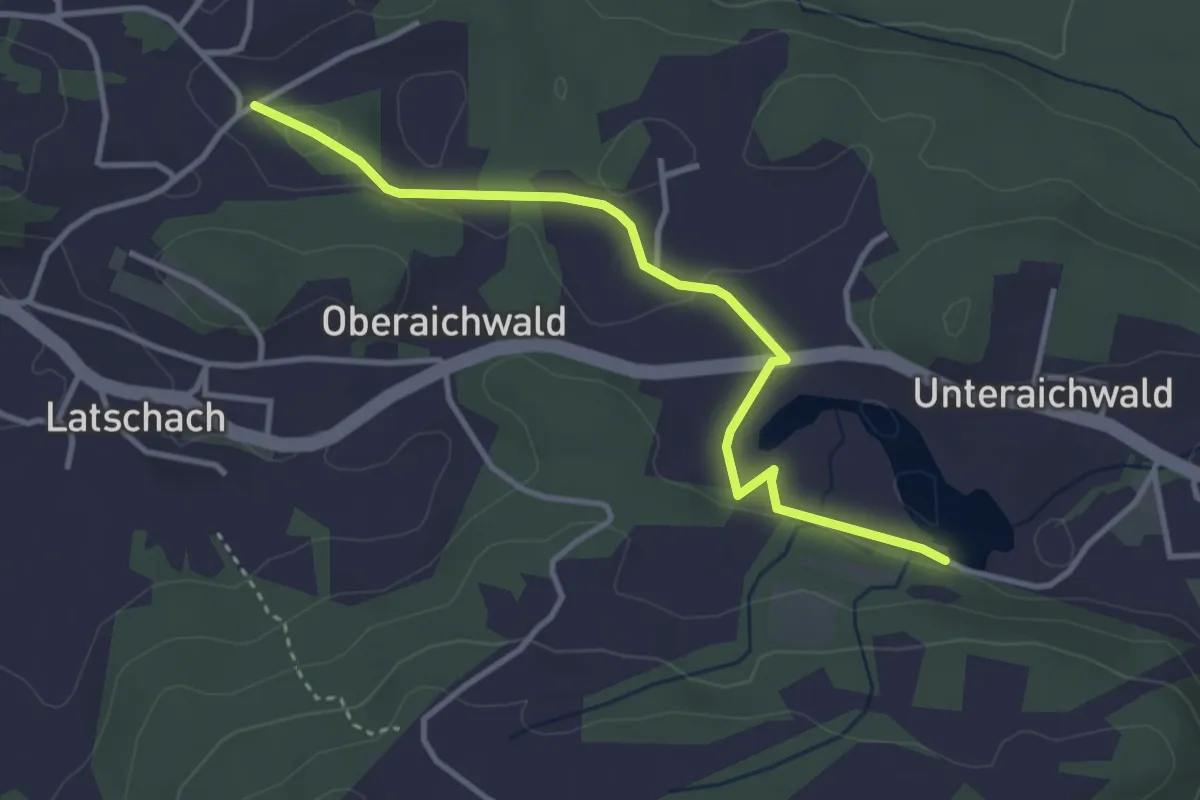
Easy · Trail
Fuchsfährte
3.6 km · ↑ 39 m · 56 min
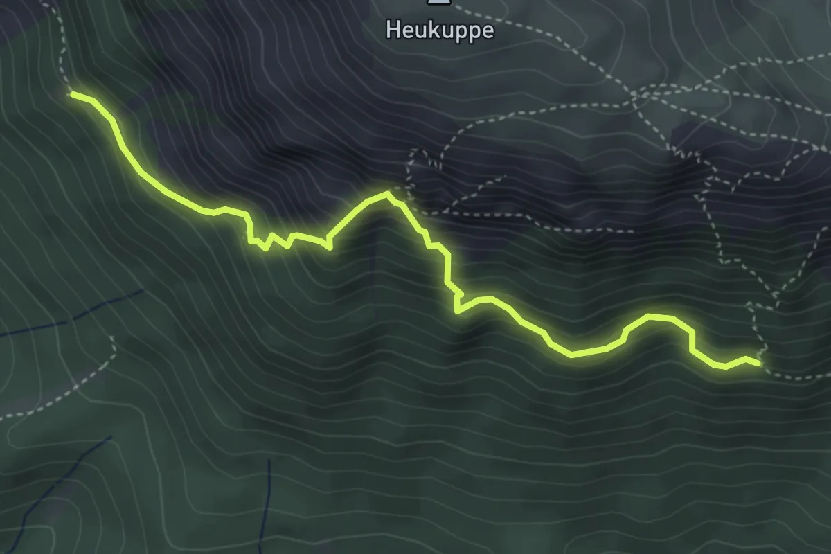
Medium · Trail
Fuchslochsteig 832
4.4 km · ↑ 435 m · 1 h 59 min
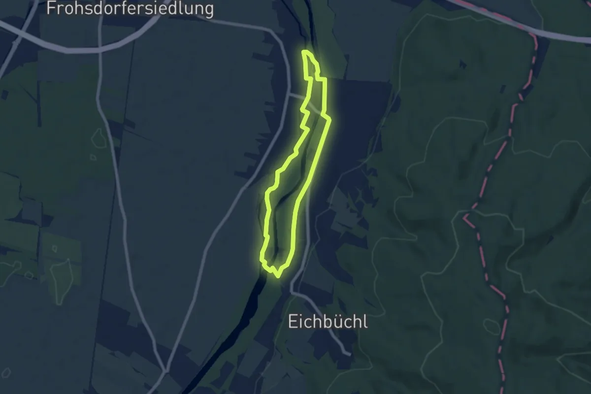
Easy · Trail
Fuchs Runde "Au-Runde"
5.4 km · ↑ 13 m · 1 h 22 min
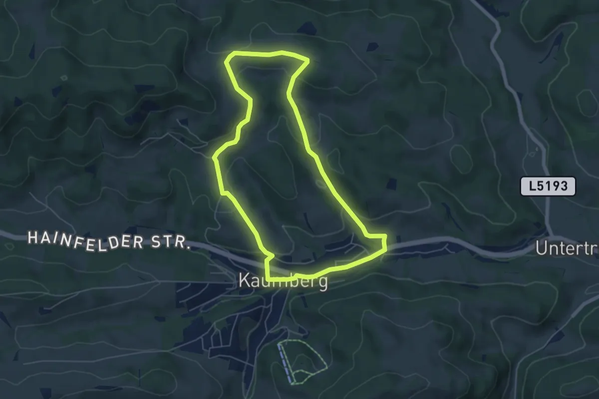
Easy · Trail
Fuchsweg (Kaumberg - Jura - Grub - Ederhof - Haltestelle Kaumberg)
5.3 km · ↑ 158 m · 1 h 41 min
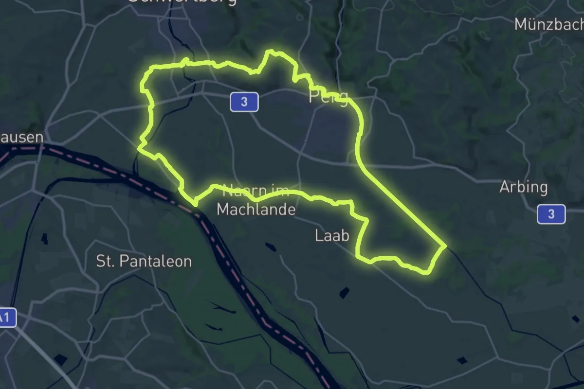
Demanding · Trail
Fuchtelmanderlweg
26.6 km · ↑ 156 m · 7 h
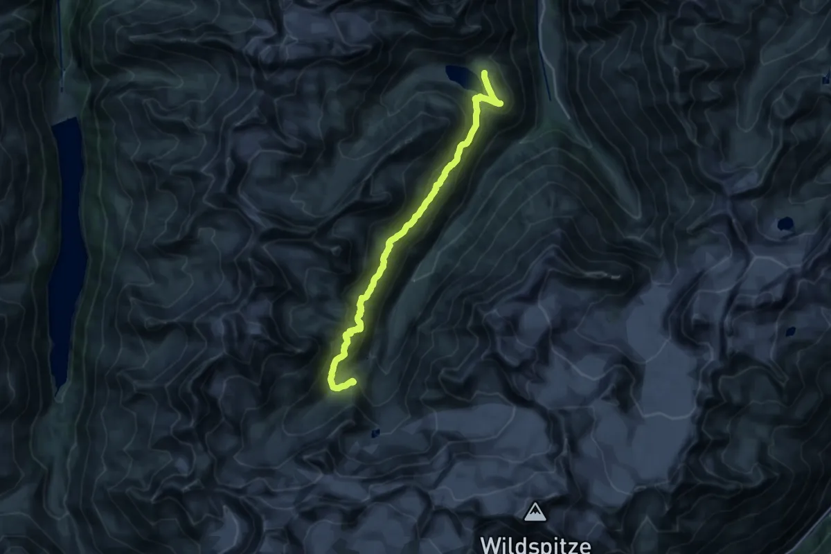
Demanding · Cabin
Fuldaer Höhenweg
18.8 km · ↑ 886 m · 6 h 22 min
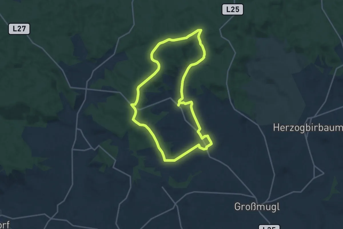
Medium · Summit
Füllersdorfer Waldweg
12.1 km · ↑ 169 m · 3 h 23 min
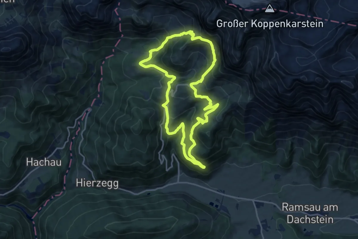
Demanding · Trail
Fünf-Hütten-Weg "Der Klassiker" (6)
12.1 km · ↑ 677 m · 4 h 30 min
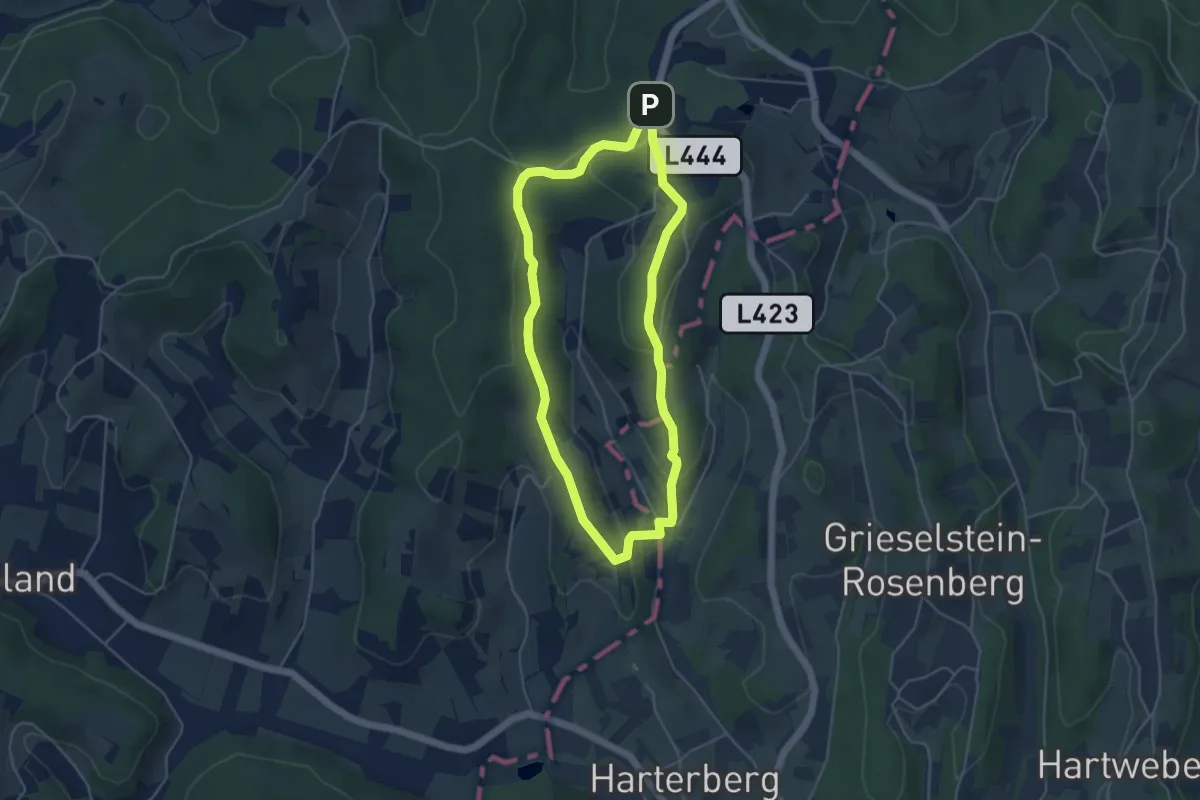
Easy · Trail
Für "Grenzgänger" (Weg 2)
4.3 km · ↑ 123 m · 1 h 20 min
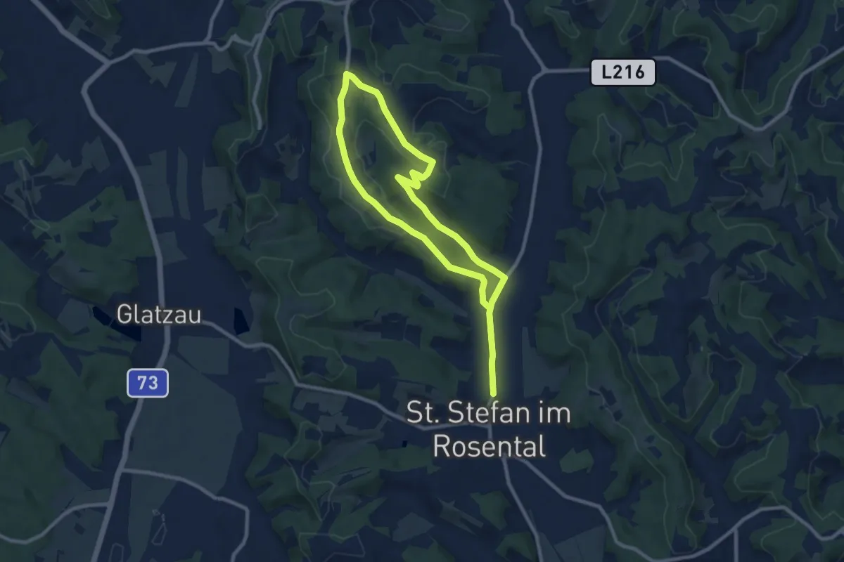
Medium · Trail
Für Pferdeliebhaber
14.4 km · ↑ 278 m · 4 h
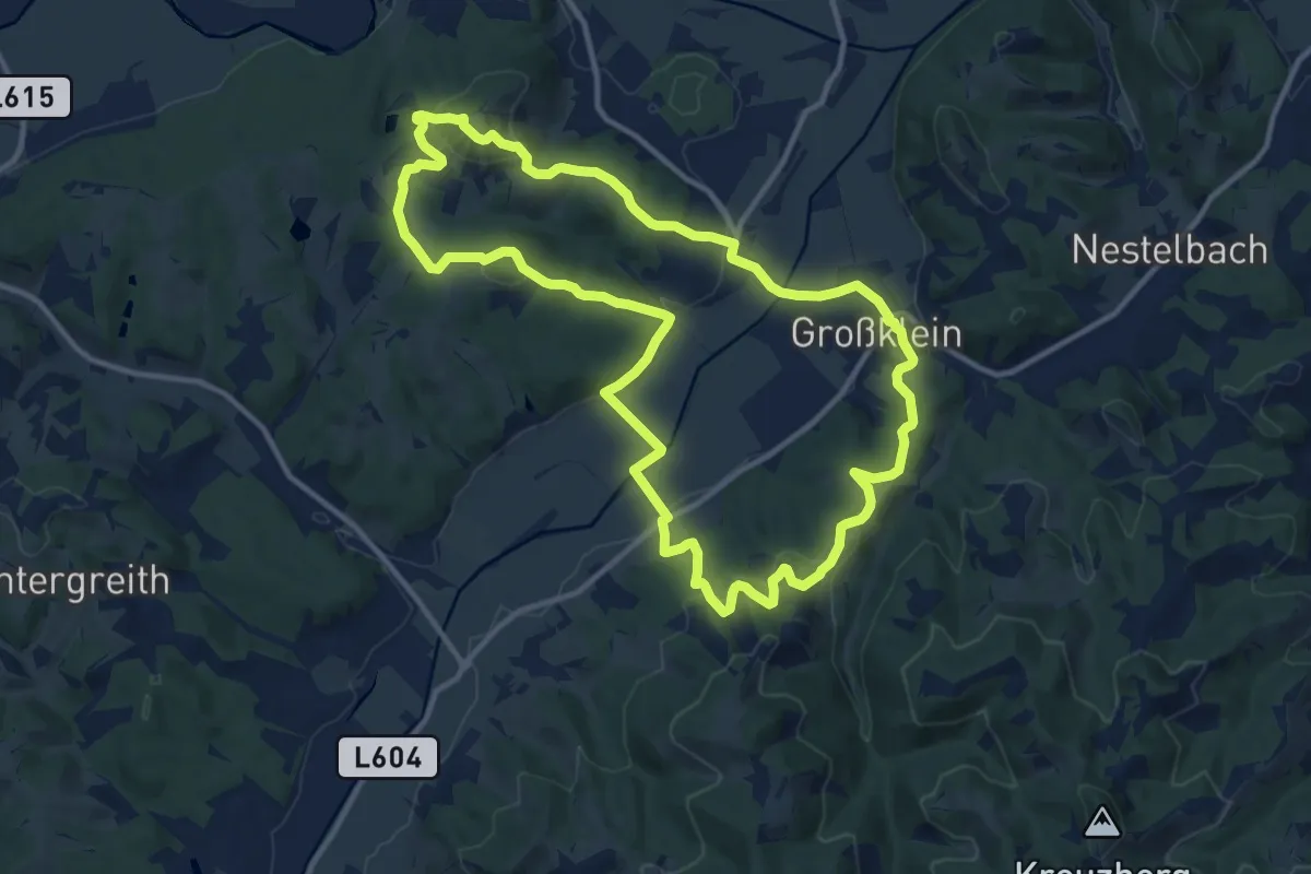
Medium · Summit
Fürstengräberweg
12.2 km · ↑ 359 m · 3 h 50 min
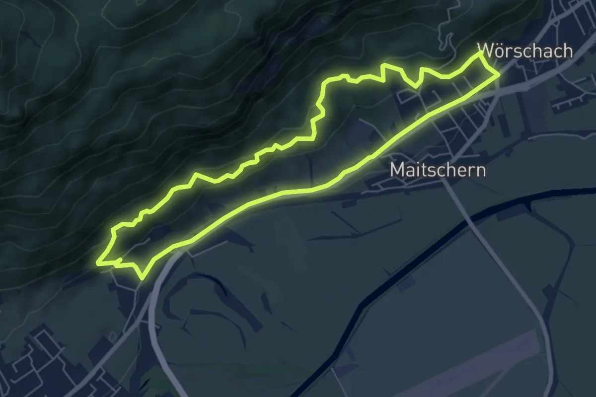
Medium · Trail
Fürstensteig
6.0 km · ↑ 212 m · 1 h 57 min