Trails in Austria
9,778 hiking trails, each with its route, climb, walking time and grade.
All trails, page 31 of 204
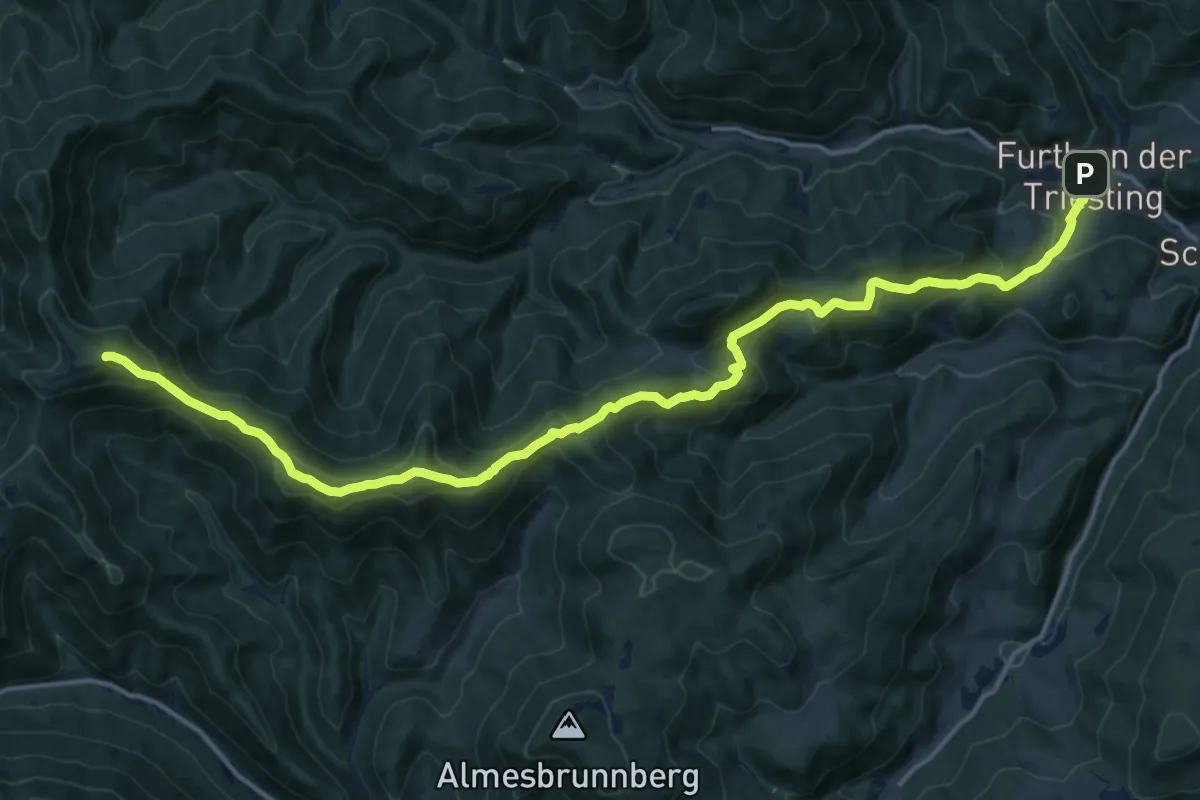
Demanding · Summit
Furth - Geißruck - Kieneck (Enzianhütte)
18.9 km · ↑ 1144 m · 6 h 56 min
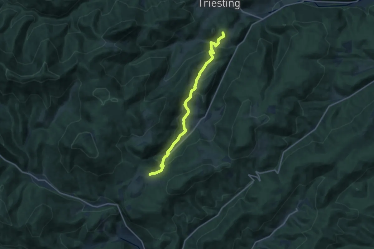
Medium · Summit
Furth - Kreuth (Wirtshaus Jagasitz)
11.5 km · ↑ 622 m · 4 h 3 min
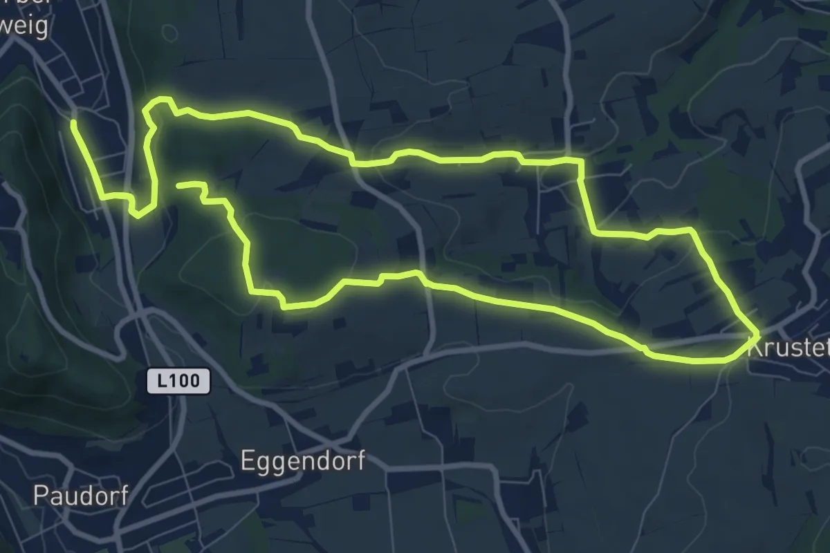
Medium · Summit
Furth - Krustetten - Tiefenfucha (F4)
8.7 km · ↑ 180 m · 2 h 35 min
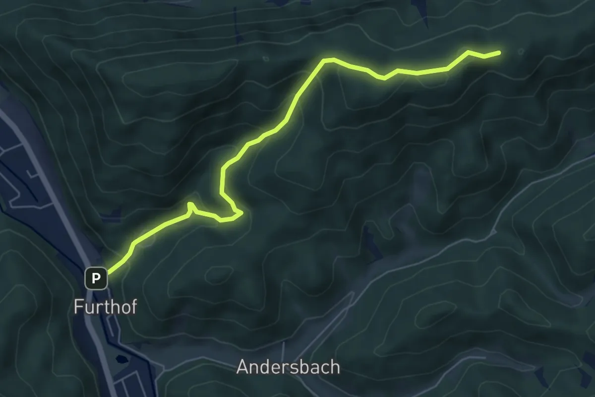
Medium · Trail
Furthof - Schöntal - Richtung Brennalm
6.2 km · ↑ 388 m · 2 h 18 min
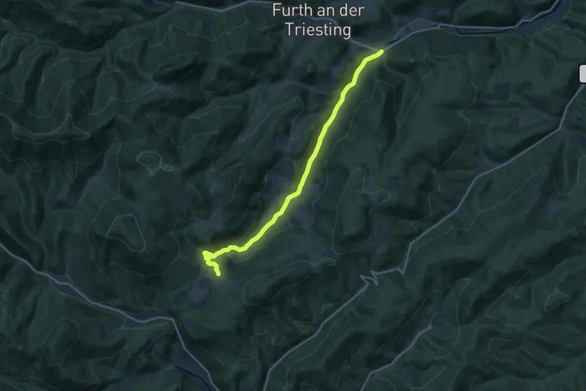
Medium · Trail
Furth (Schromenau) - Kreuth (Ghf. Jagasitz)
13.1 km · ↑ 356 m · 3 h 52 min
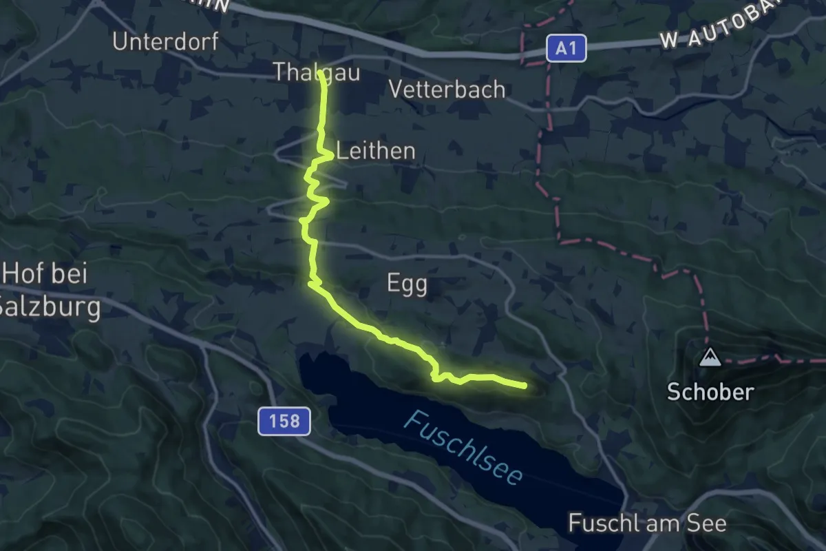
Expert · Summit
Fuschl am See Wanderweg
12.4 km · ↑ 516 m · 4 h 2 min
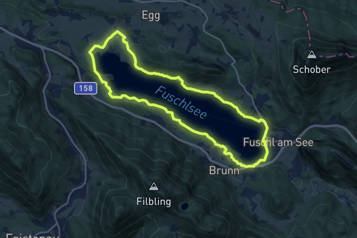
Medium · Trail
Fuschlseerundweg
11.1 km · ↑ 165 m · 3 h 7 min
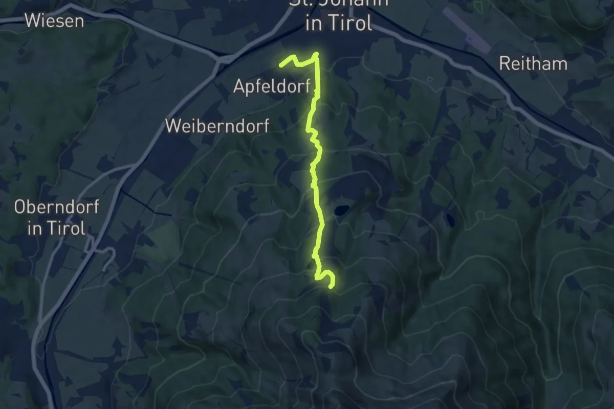
Medium · Trail
Fußweg Angerer Alm
8.2 km · ↑ 642 m · 3 h 19 min
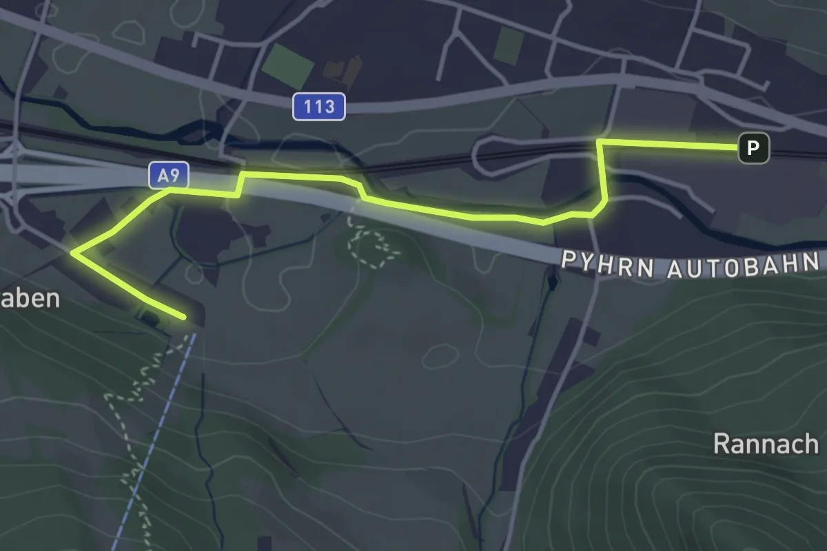
Easy · Trail
Fußweg Bahnhof Mautern - Wilder Berg
4.1 km · ↑ 14 m · 1 h
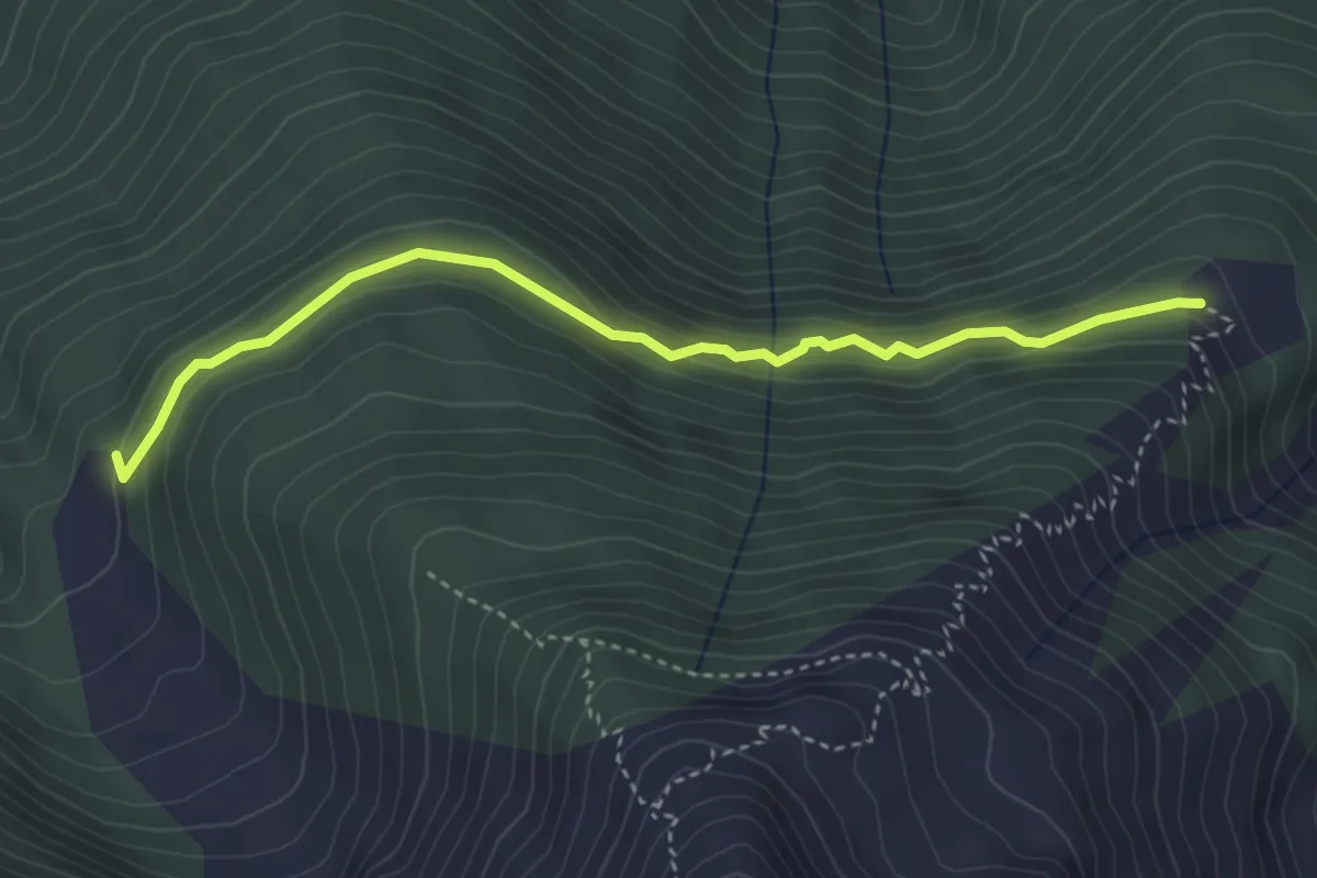
Easy · Cabin
Fußweg Pfaffenhofer Alm zu Oberhofer Melkalm
3.8 km · ↑ 171 m · 1 h 16 min
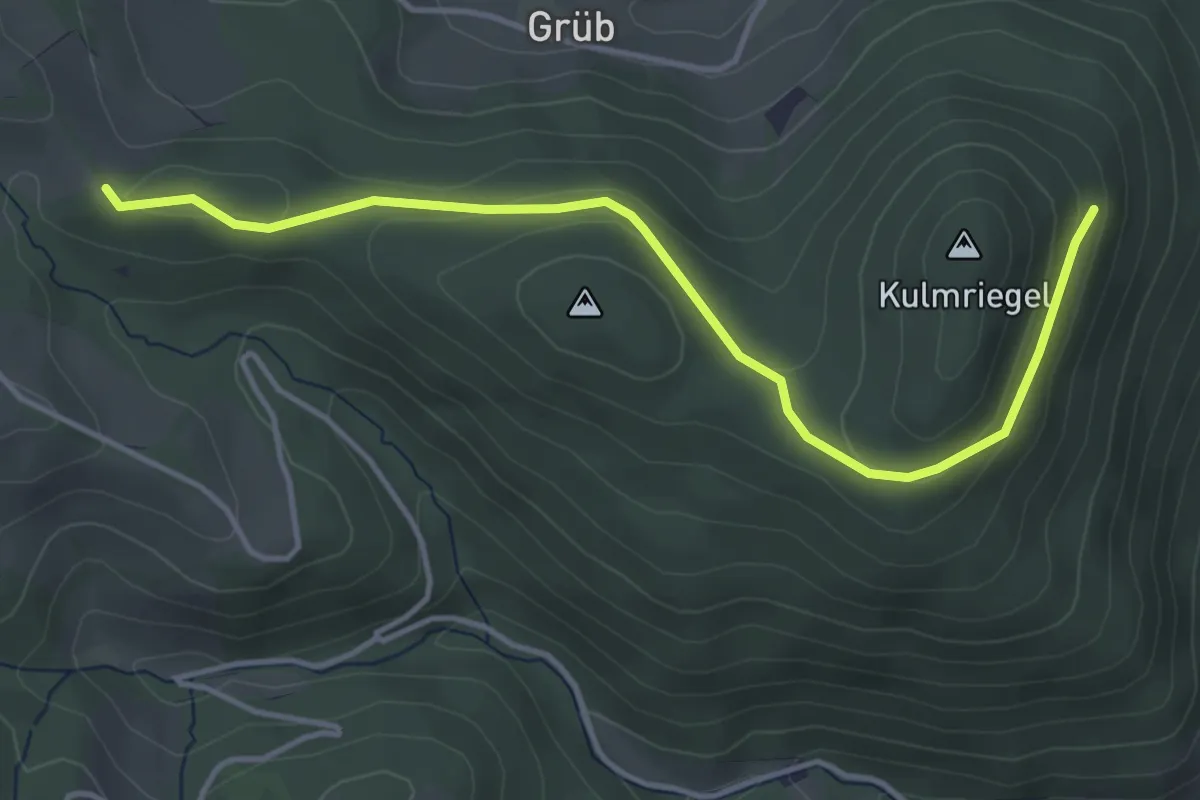
Easy · Trail
G1a, Burgweg (Variante vom Rundwanderweg G1)
4.3 km · ↑ 135 m · 1 h 18 min
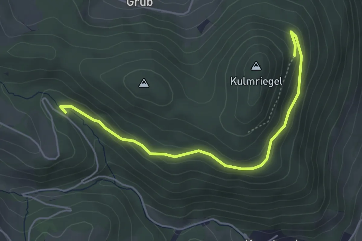
Easy · Trail
G1b, Hubertusweg (Variante vom Rundwanderweg G1)
4.4 km · ↑ 154 m · 1 h 23 min
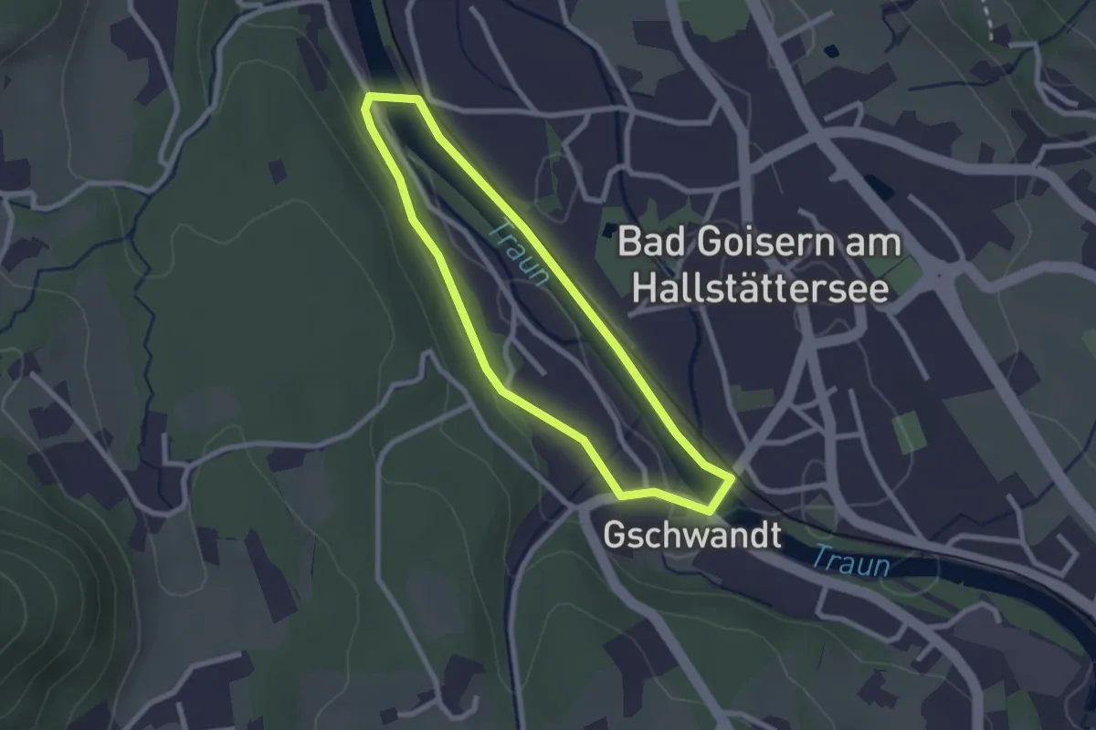
Easy · Trail
(G1) Runnersfun Runde
2.1 km · ↑ 15 m · 34 min
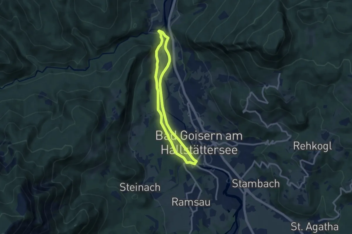
Easy · Trail
(G2) Salomon Runde
6.5 km · ↑ 29 m · 1 h 41 min
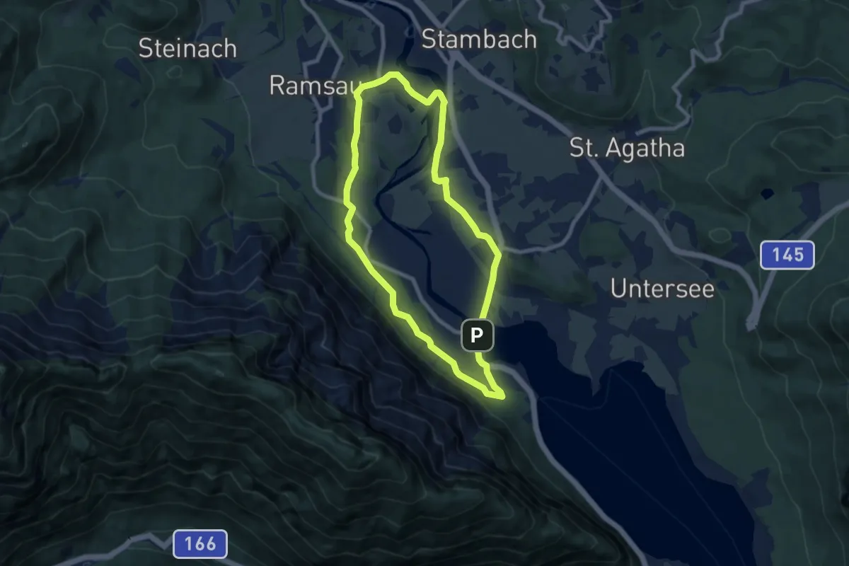
Easy · Trail
(G3) Bike Direkt Runde
7.1 km · ↑ 59 m · 1 h 53 min
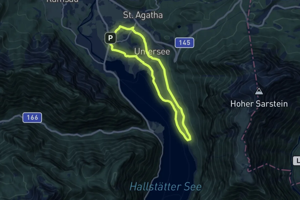
Medium · Trail
(G4) Gasthaus Post Runde
10.0 km · ↑ 82 m · 2 h 41 min
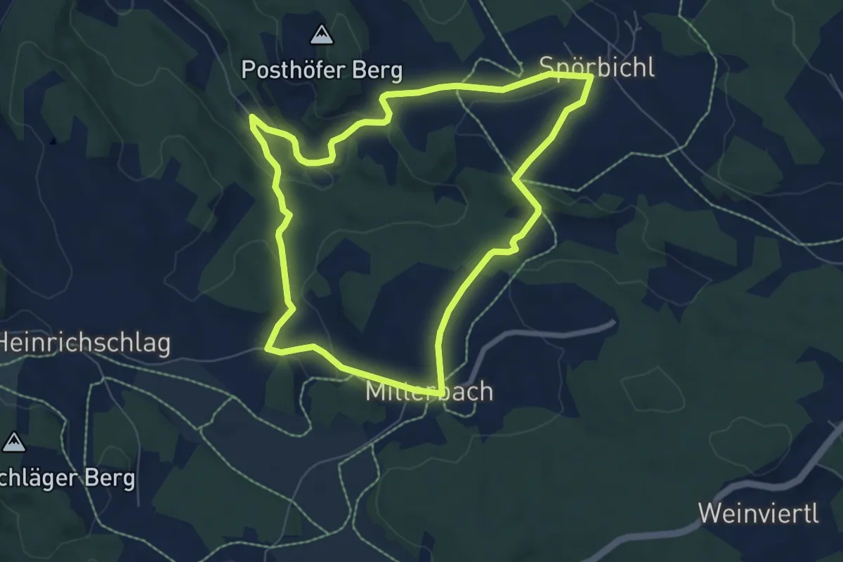
Easy · Trail
G5 Windräder Rundweg
6.5 km · ↑ 179 m · 2 h 1 min
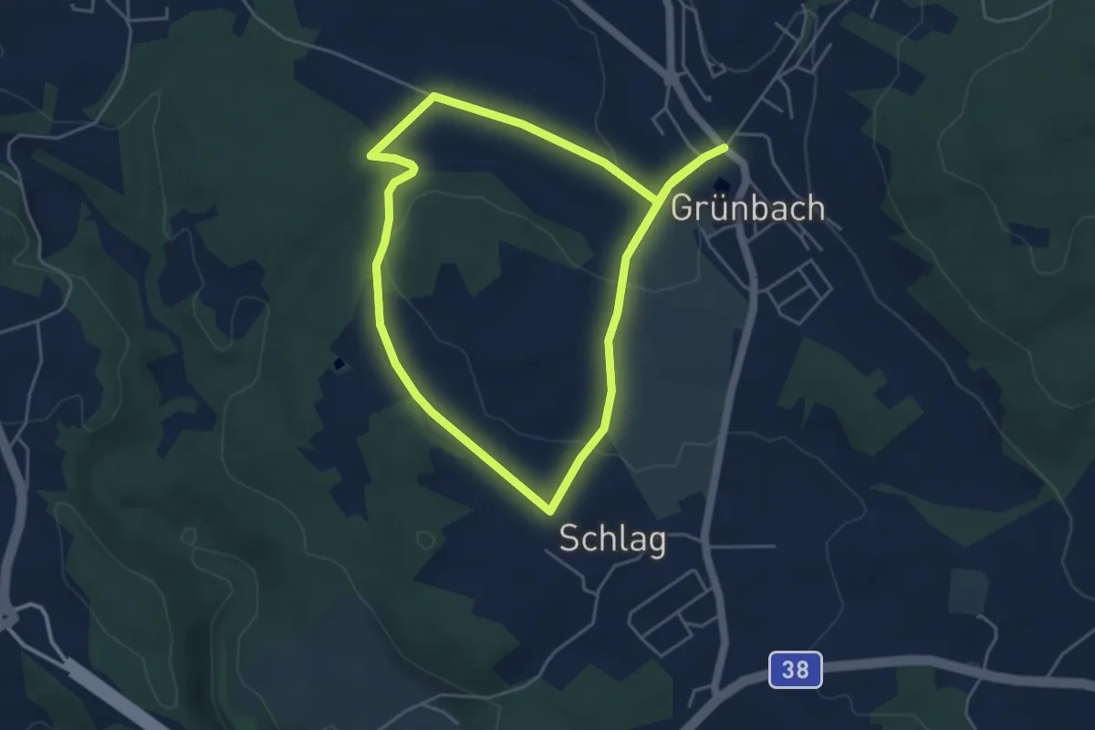
Medium · Trail
G6 Fitnessrunde
8.6 km · ↑ 140 m · 2 h 20 min
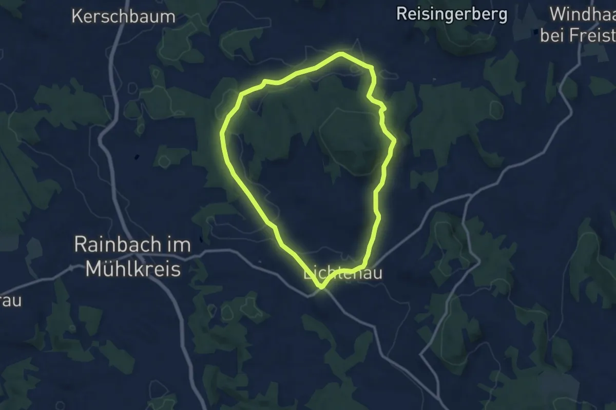
Medium · Trail
G7 Lichtenauerberg-Runde
8.9 km · ↑ 162 m · 2 h 34 min
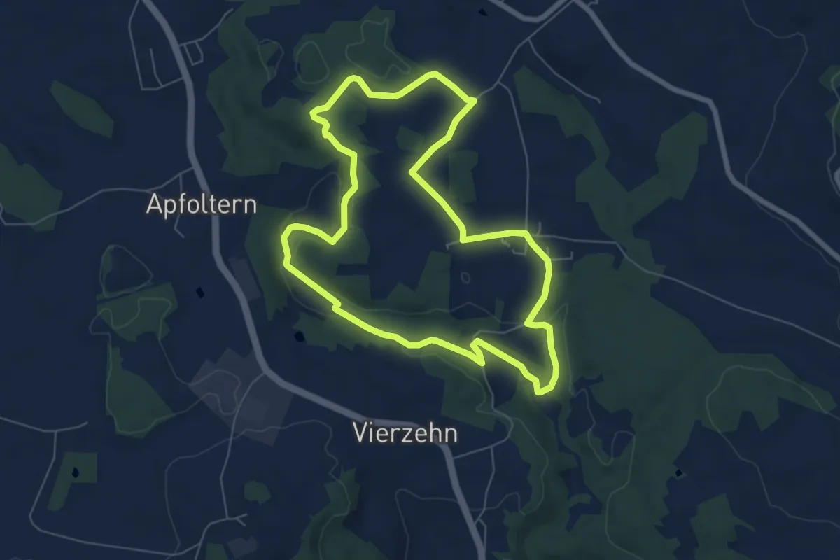
Easy · Trail
G8 Thurytaler Geniesserrunde
6.3 km · ↑ 103 m · 1 h 47 min
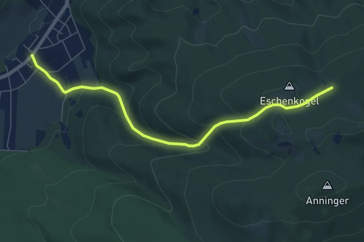
Medium · Trail
Gaaden - Anningerhaus
6.2 km · ↑ 340 m · 2 h 13 min
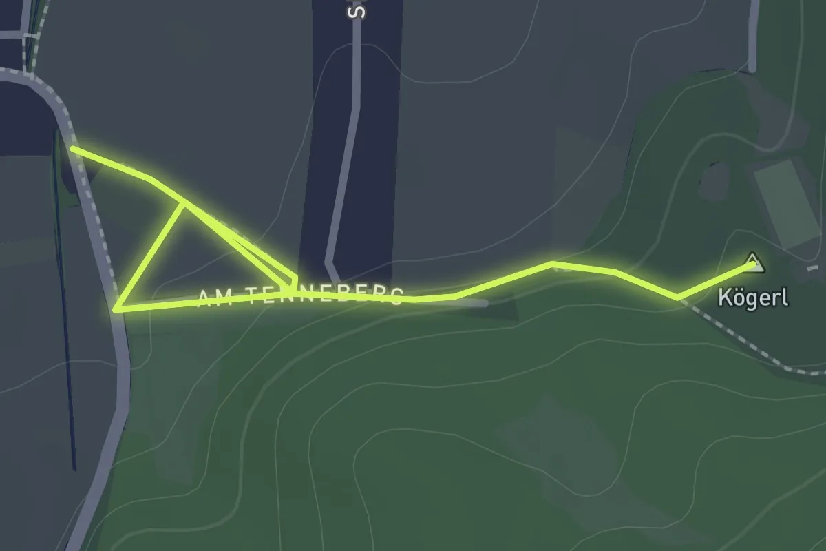
Easy · Summit
Gaaden - Drei Eichen - Wetterkreuz
2.6 km · ↑ 55 m · 44 min
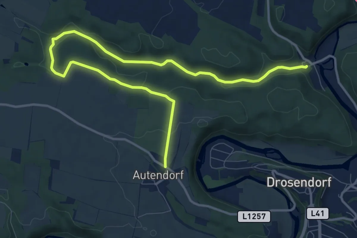
Medium · Trail
Gaberbachweg
11.5 km · ↑ 174 m · 3 h 5 min
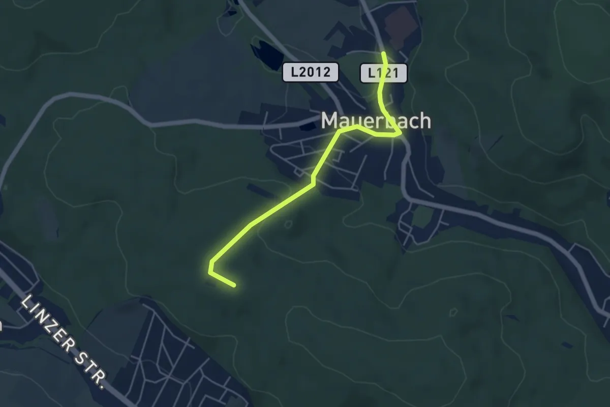
Easy · Summit
Gablitz/F. Ramler Straße - Mauerbach/Kartause
4.2 km · ↑ 109 m · 1 h 14 min
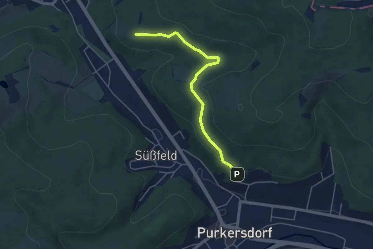
Easy · Trail
Gablitz/Hang - Purkersdorf/Hang
3.7 km · ↑ 81 m · 1 h 3 min
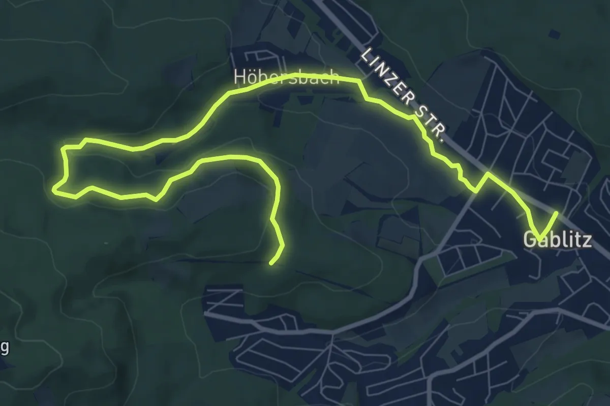
Medium · Trail
Gablitz - Höbersbach
11.3 km · ↑ 183 m · 3 h 5 min
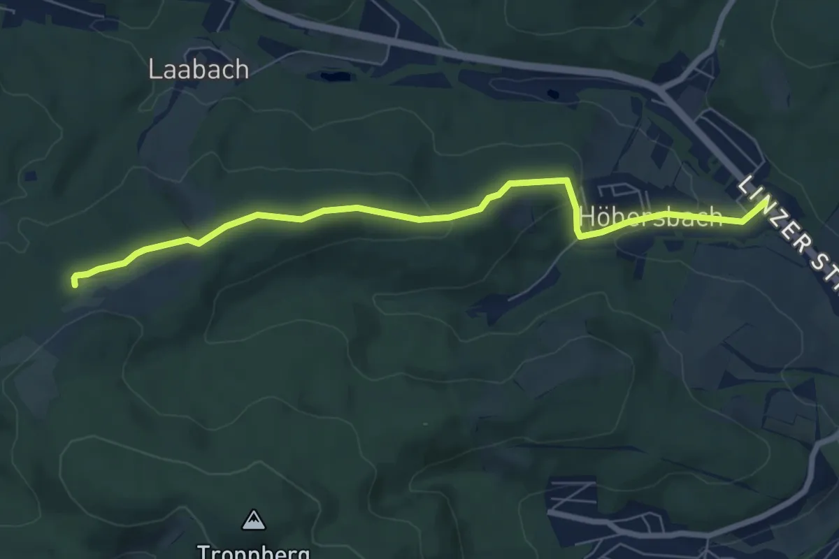
Easy · Trail
Gablitz/Höbersbachstraße - Rabenstein
6.9 km · ↑ 180 m · 2 h 1 min
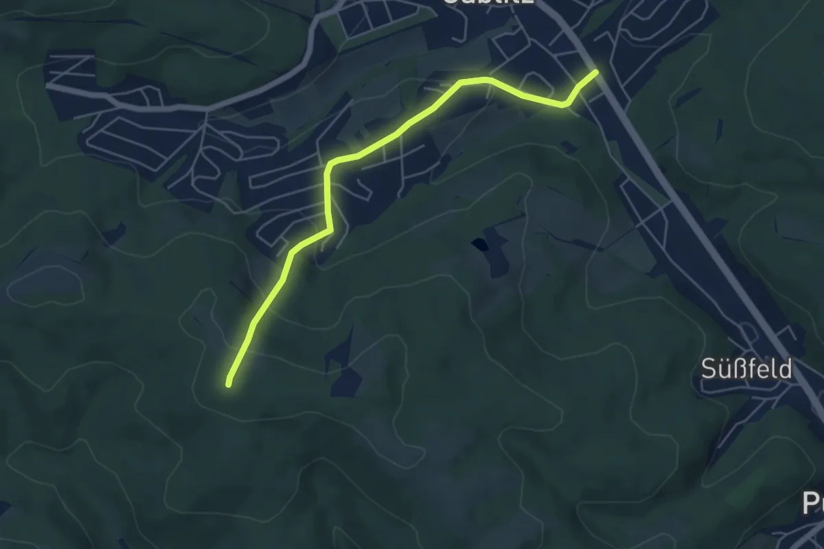
Easy · Trail
Gablitz/Hochbuchstraße - Buchberg Ost
5.0 km · ↑ 193 m · 1 h 36 min
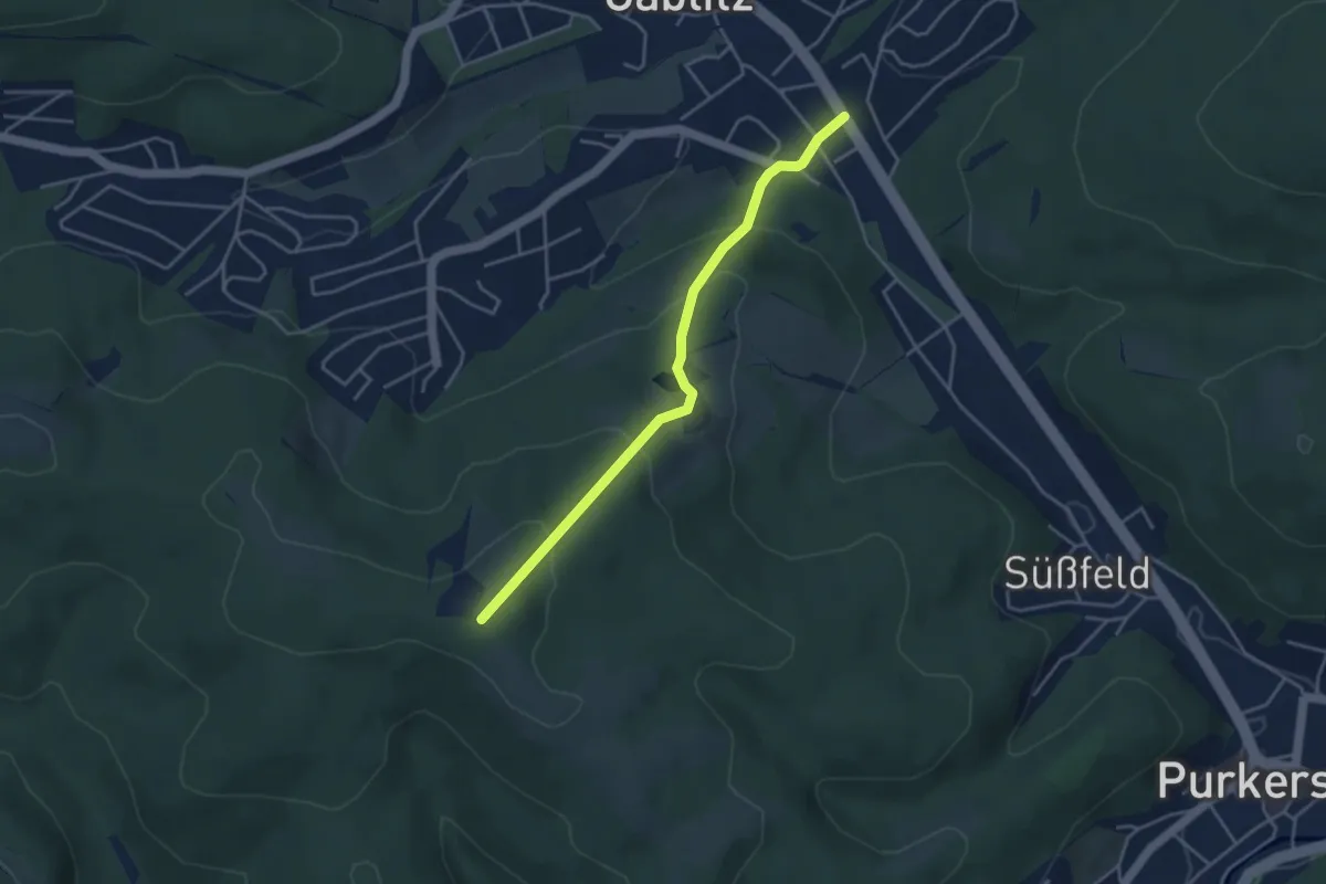
Easy · Trail
Gablitz/Hochbuchstraße - Hochram
3.8 km · ↑ 190 m · 1 h 19 min
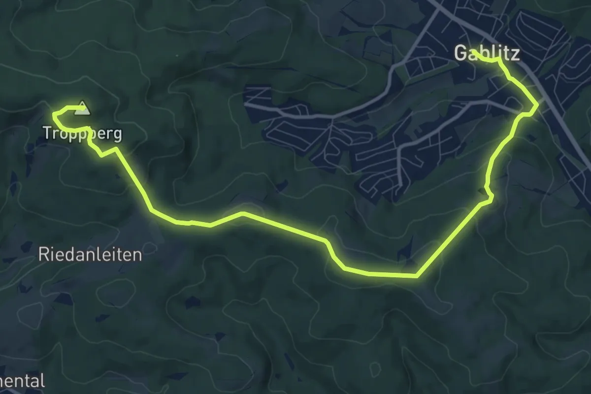
Medium · Summit
Gablitz - Hochramalpe - Troppberg
12.8 km · ↑ 413 m · 3 h 55 min
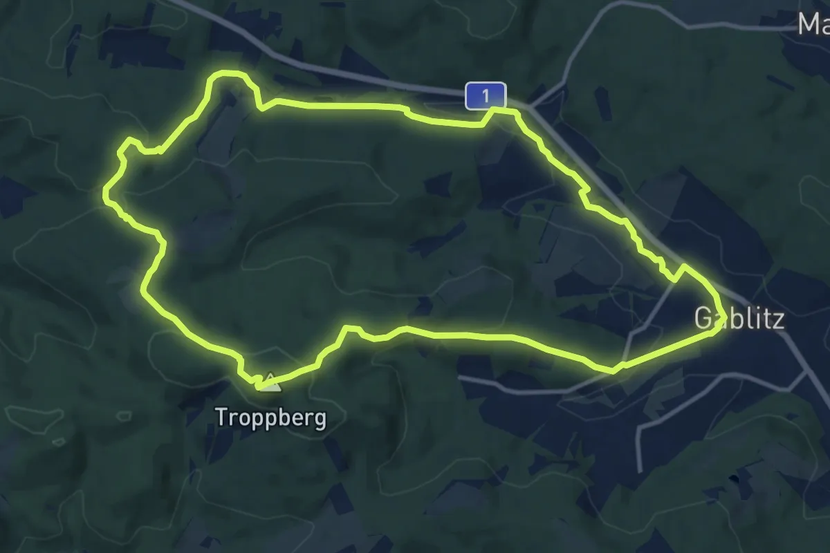
Medium · Summit
Gablitz - Laabach
11.8 km · ↑ 296 m · 3 h 35 min
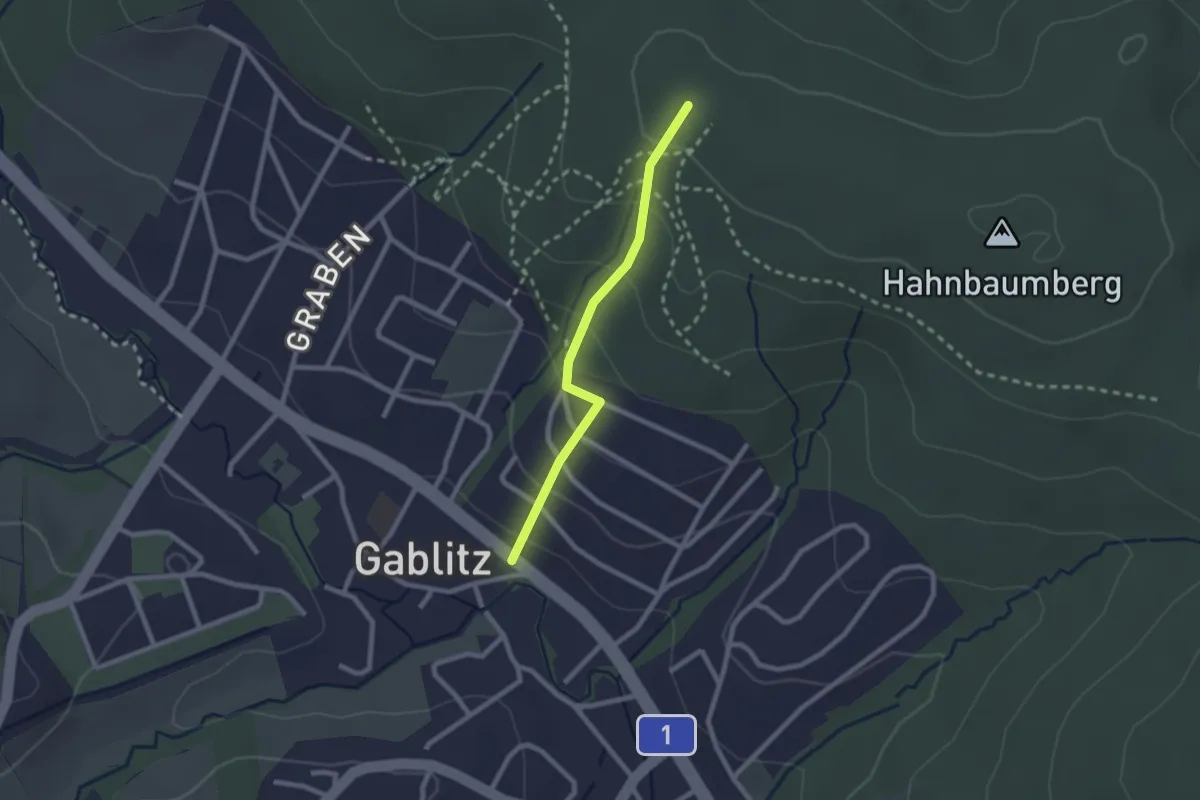
Easy · Trail
Gablitz/Poststeig - Hahnbaumberg
2.0 km · ↑ 131 m · 46 min
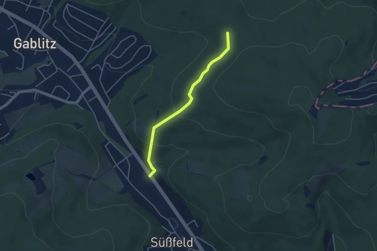
Easy · Trail
Gablitz/Rehgraben - Vorderer Hahnbaum
3.0 km · ↑ 113 m · 58 min
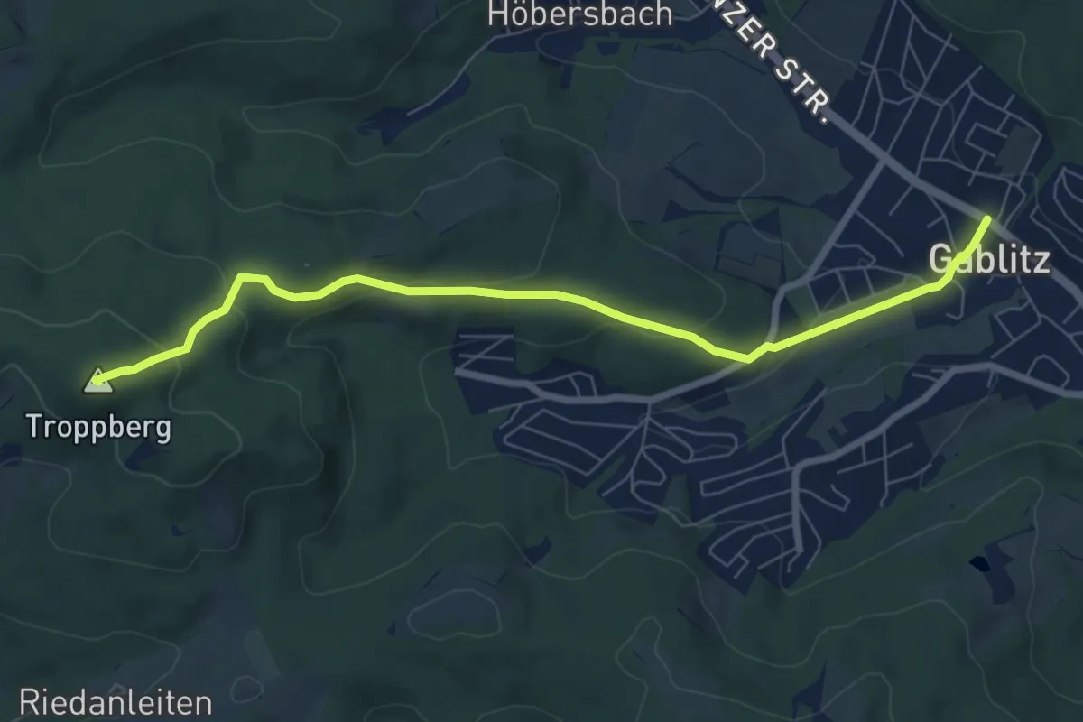
Medium · Summit
Gablitz - Troppberg
7.4 km · ↑ 290 m · 2 h 23 min
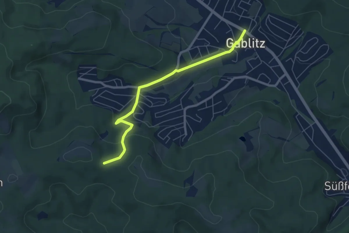
Easy · Trail
Gablitz/Zentrum - Buchberg
5.6 km · ↑ 177 m · 1 h 43 min
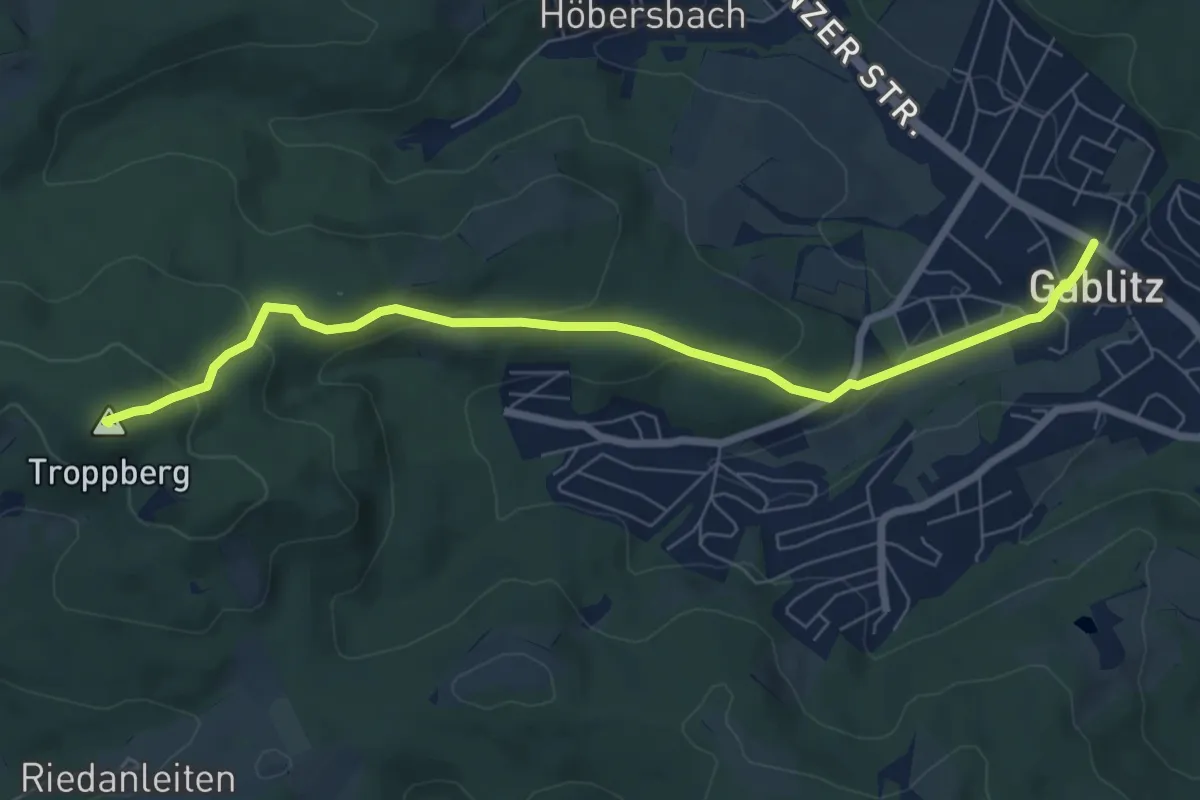
Medium · Summit
Gablitz/Zentrum - Troppberg
7.4 km · ↑ 290 m · 2 h 23 min
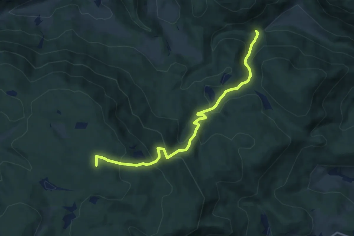
Medium · Summit
Gadenweither Klamm - Bürschhof
9.0 km · ↑ 666 m · 3 h 35 min
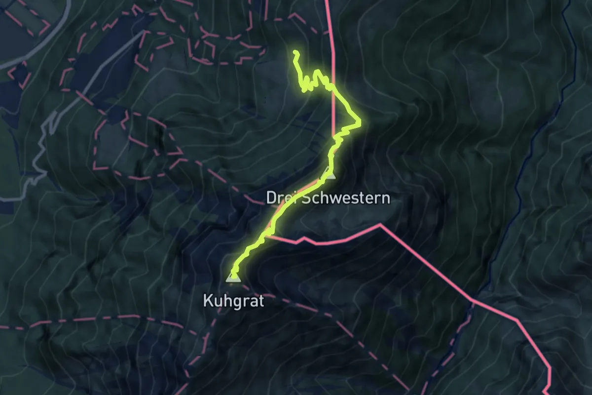
Expert · Summit
Gafadura - Garsella Alp - Chemi - Bargella - Gaflei
8.6 km · ↑ 946 m · 4 h 5 min
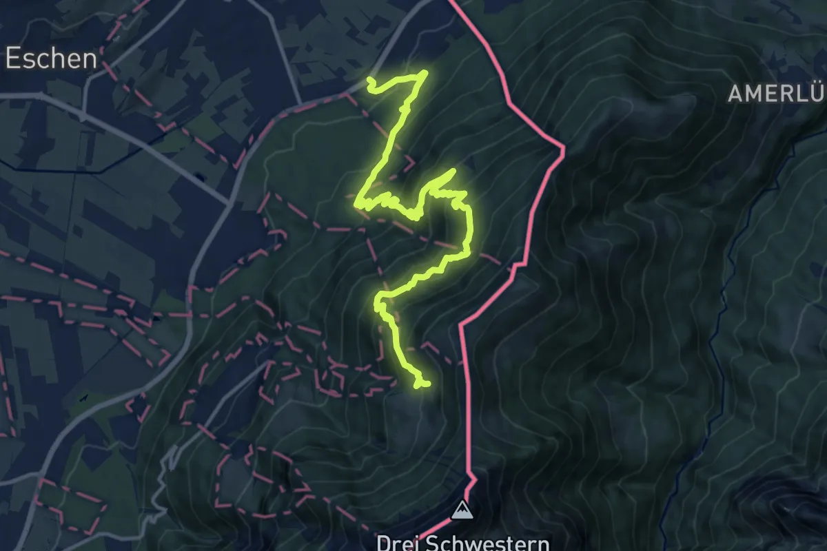
Demanding · Cabin
Gafadurahuette - Alpzinken - Schaanwald
15.4 km · ↑ 1379 m · 6 h 38 min
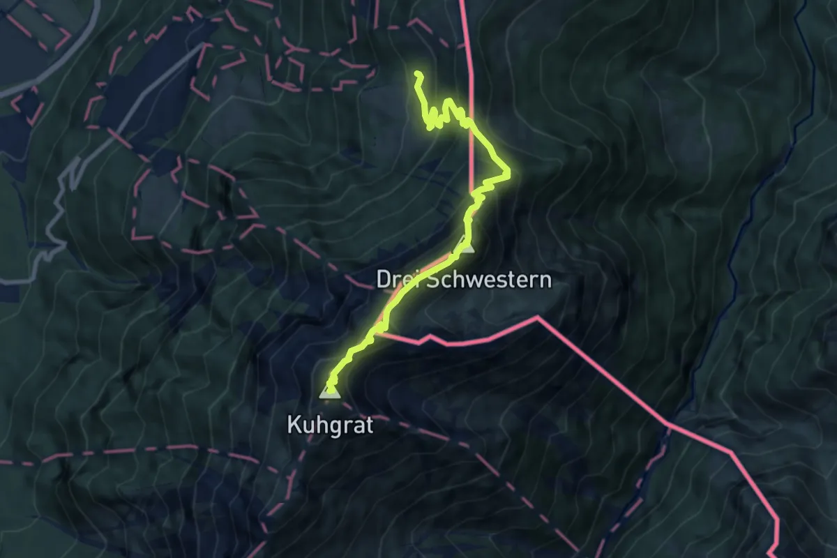
Expert · Summit
Gafadurahuette - Bargaella - Steg
8.6 km · ↑ 943 m · 4 h 4 min
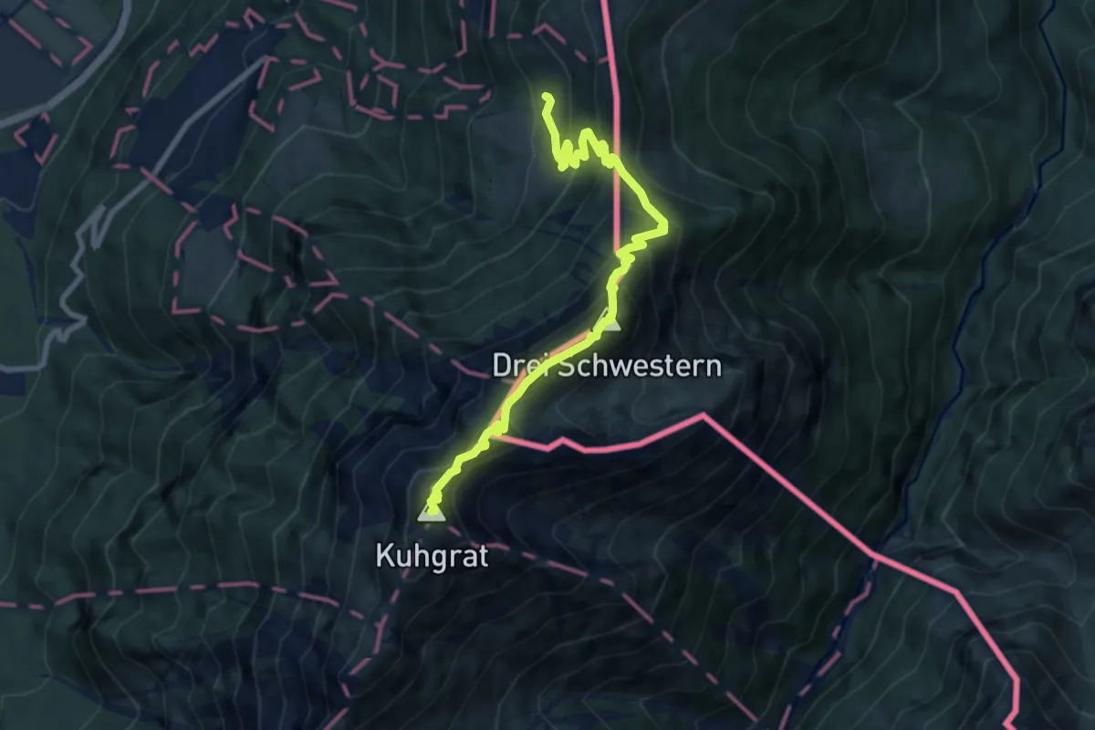
Expert · Summit
Gafadurahuette - Drei Schwestern - Kemmi - Silum - Steg
8.6 km · ↑ 943 m · 4 h 4 min
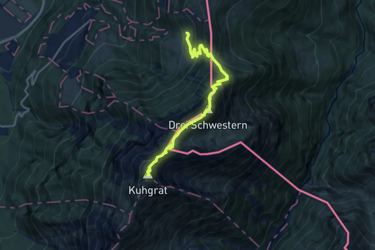
Expert · Summit
Gafadurahuette - Gaflei
8.6 km · ↑ 946 m · 4 h 5 min
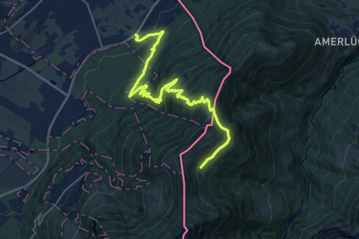
Demanding · Trail
Gafadurahuette - Hinteraelpele (A) - Schaanwald
15.6 km · ↑ 1119 m · 6 h 6 min
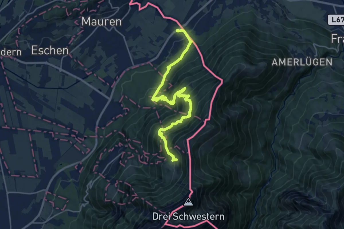
Demanding · Cabin
Gafadurahuette - Schaanwald Zoll
16.5 km · ↑ 1410 m · 6 h 57 min
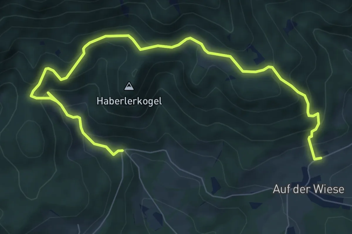
Medium · Trail
Gahnshauswiese - Obertal
9.3 km · ↑ 606 m · 3 h 30 min
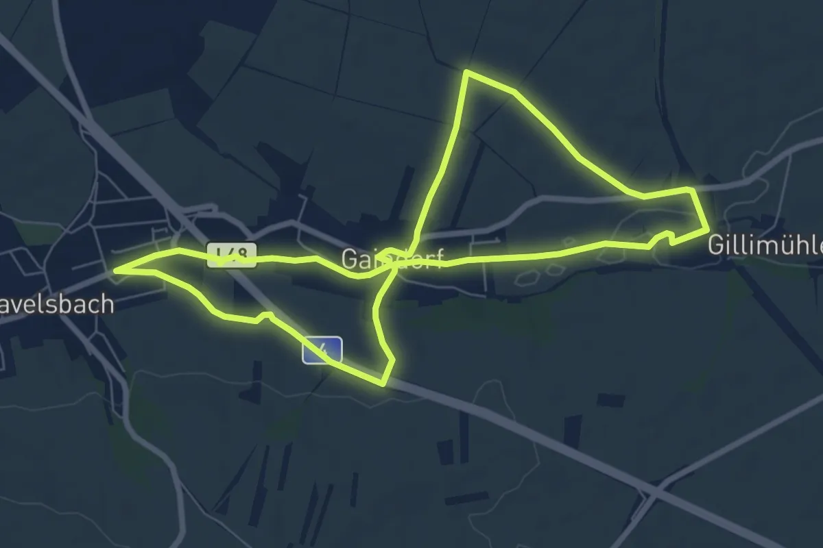
Medium · Trail
Gaindorfer Rundwanderweg
13.8 km · ↑ 138 m · 3 h 33 min
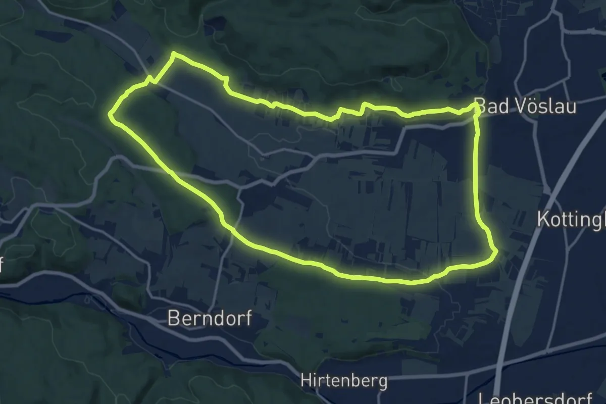
Medium · Trail
Gainfarner Bucht - Lindenberg - Haidhof - Sonnenweg (Wanderweg 5)
14.8 km · ↑ 192 m · 4 h 7 min
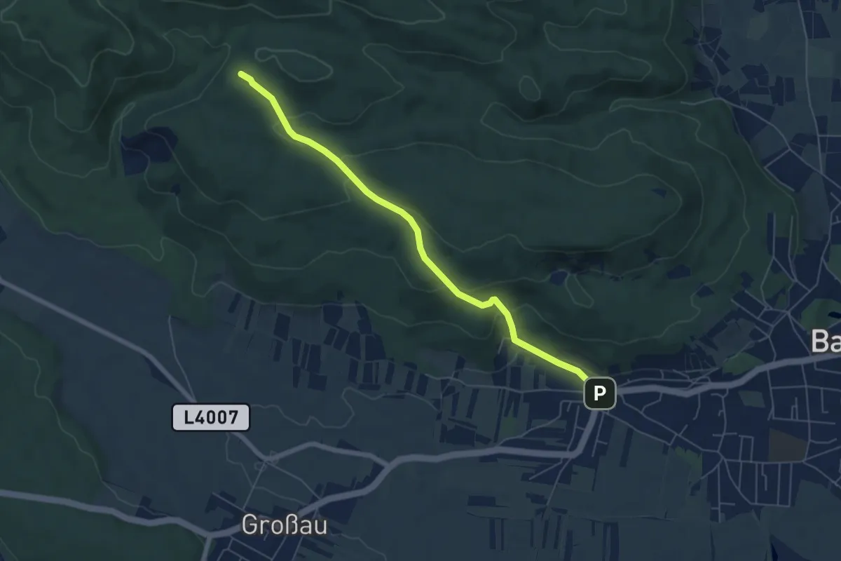
Easy · Cabin
Gainfarn - Vöslauer Hütte
6.0 km · ↑ 226 m · 1 h 54 min