Trails in Austria
9,778 hiking trails, each with its route, climb, walking time and grade.
All trails, page 32 of 204
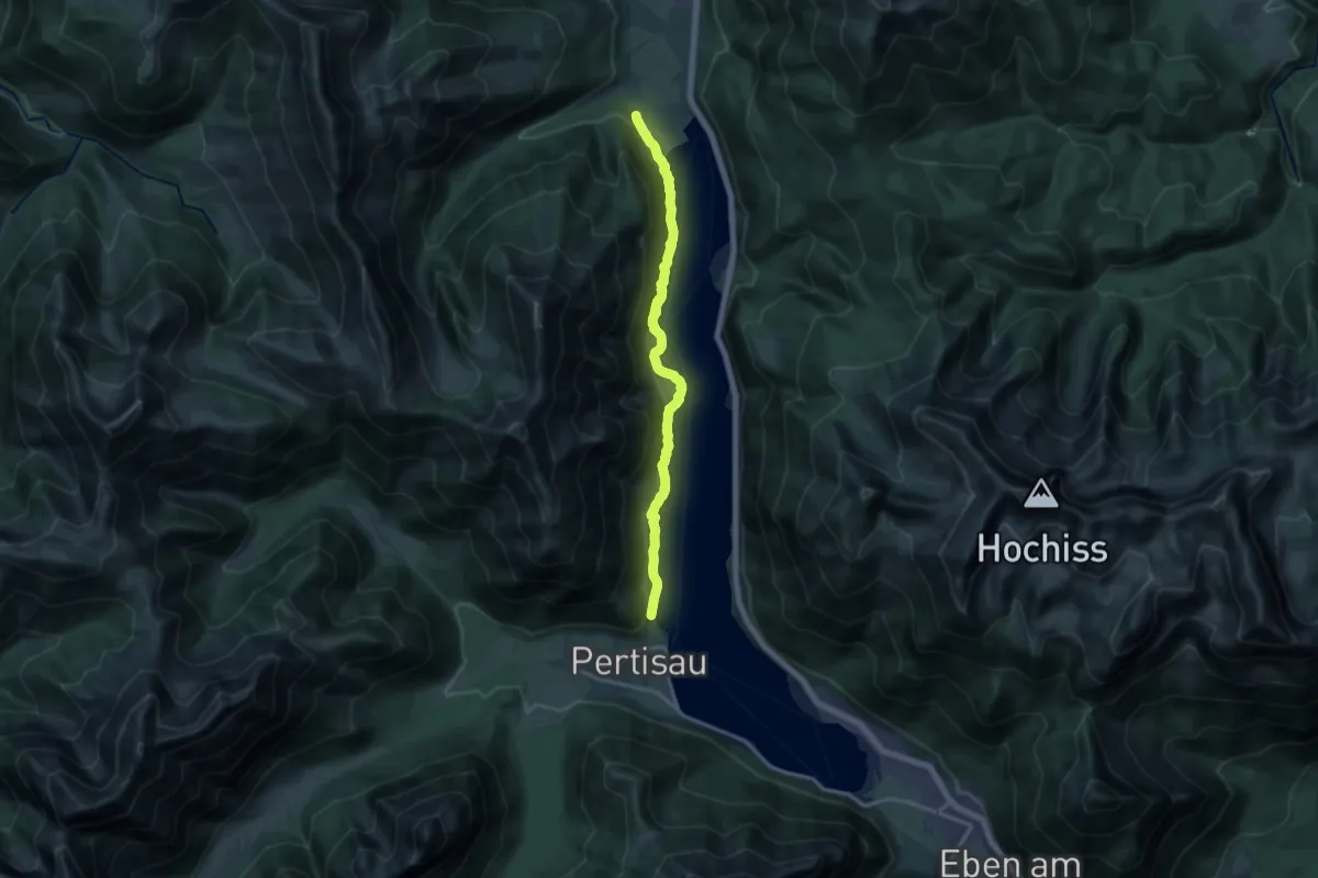
Medium · Trail
Gaisalmsteig
14.0 km · ↑ 473 m · 4 h 19 min
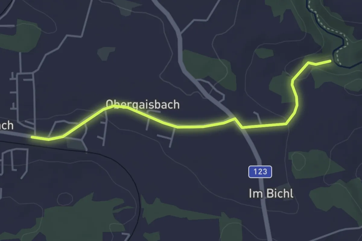
Easy · Trail
Gaisbach-Aisttal
3.9 km · ↑ 89 m · 1 h 7 min
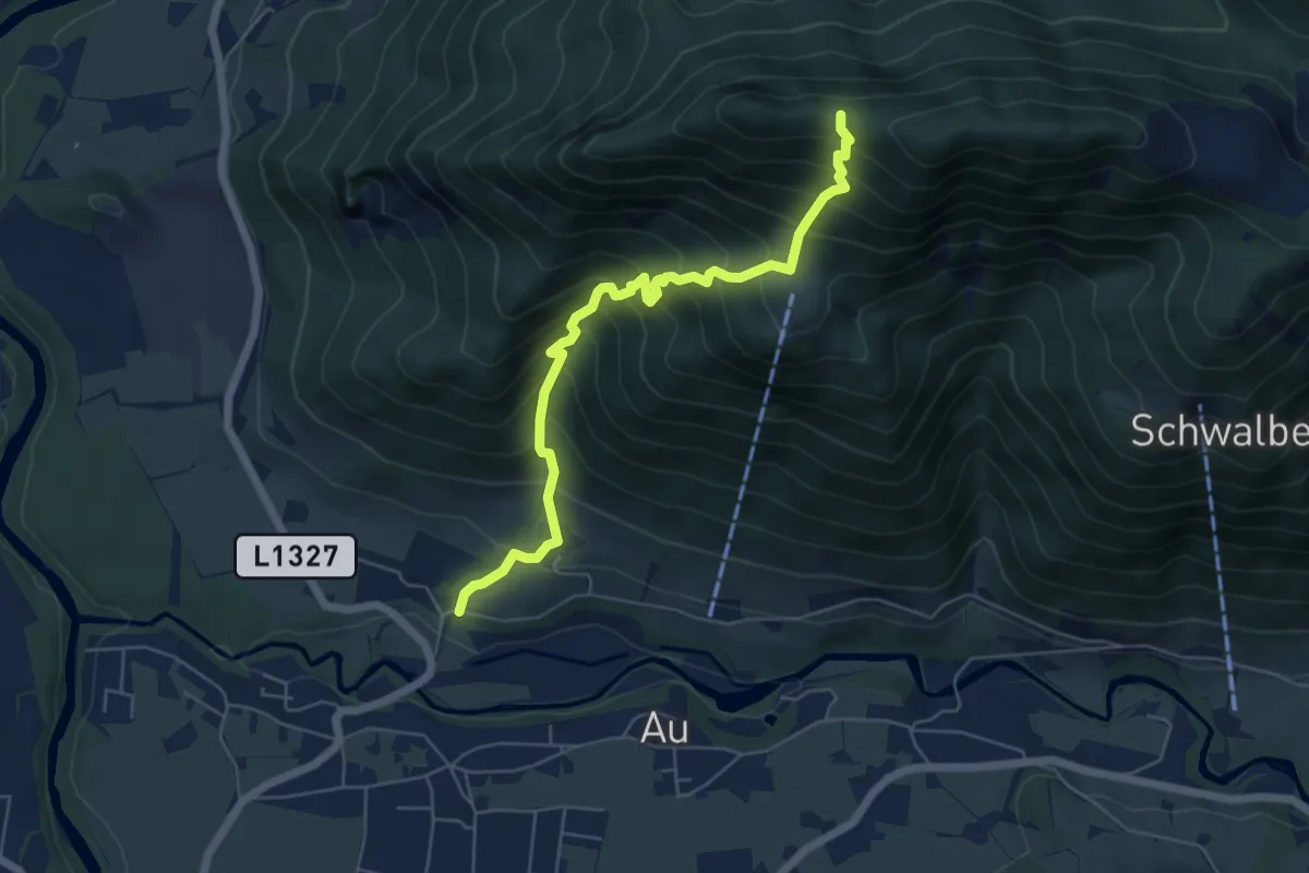
Medium · Trail
Gaisberg
5.7 km · ↑ 757 m · 2 h 59 min
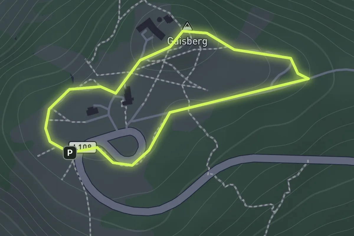
Medium · Summit
Gaisberg-Gipfelrundweg 13c
1.1 km · ↑ 21 m · 19 min
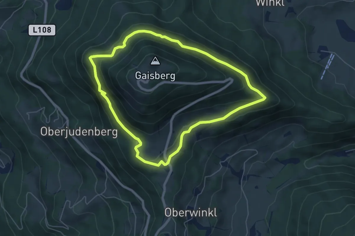
Easy · Trail
Gaisberg Rundwanderweg 70B
5.3 km · ↑ 139 m · 1 h 37 min
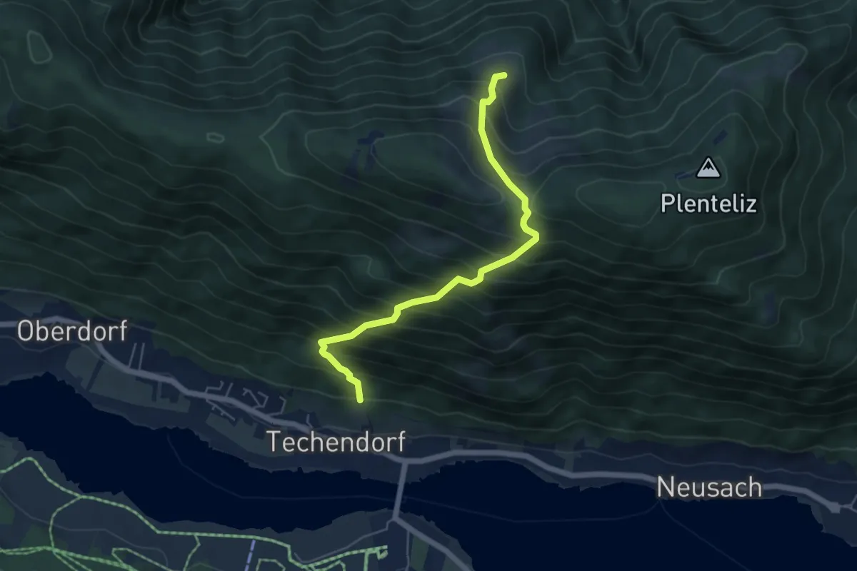
Demanding · Trail
Gajacher Alm - Hochtrateb
5.3 km · ↑ 757 m · 2 h 53 min
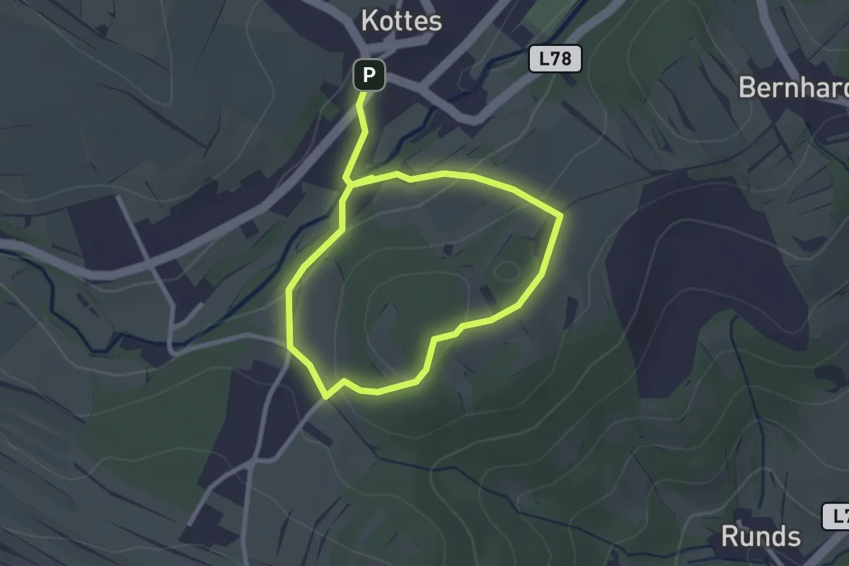
Easy · Trail
Galgenbergweg
3.8 km · ↑ 136 m · 1 h 12 min
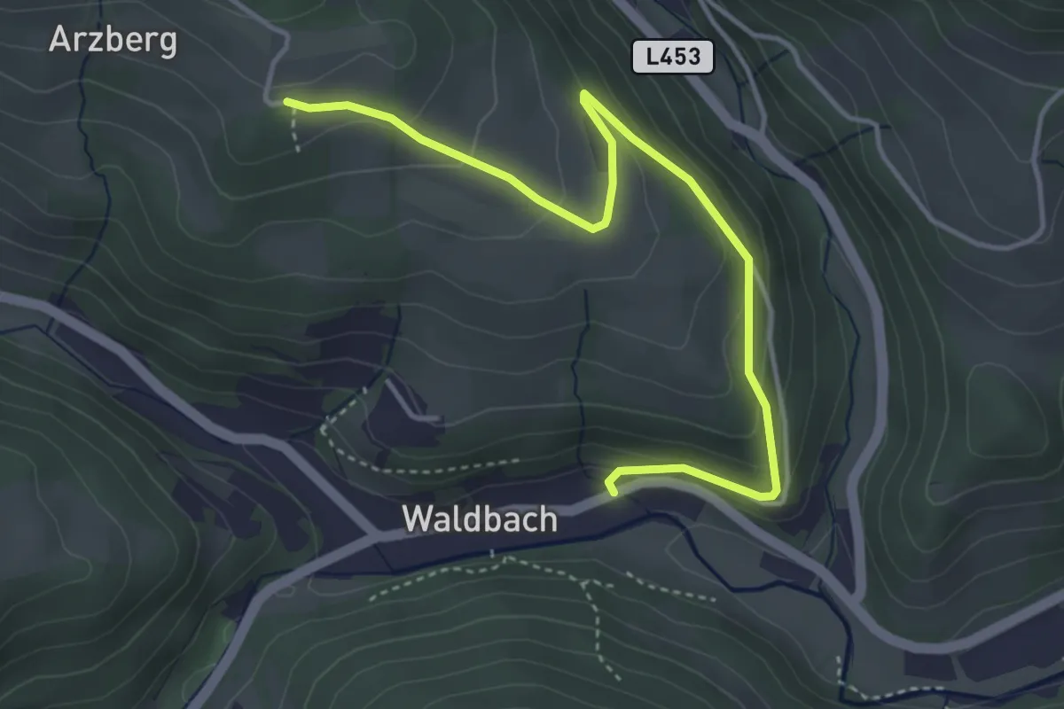
Easy · Trail
Galgensteigriegelweg
4.4 km · ↑ 231 m · 1 h 32 min
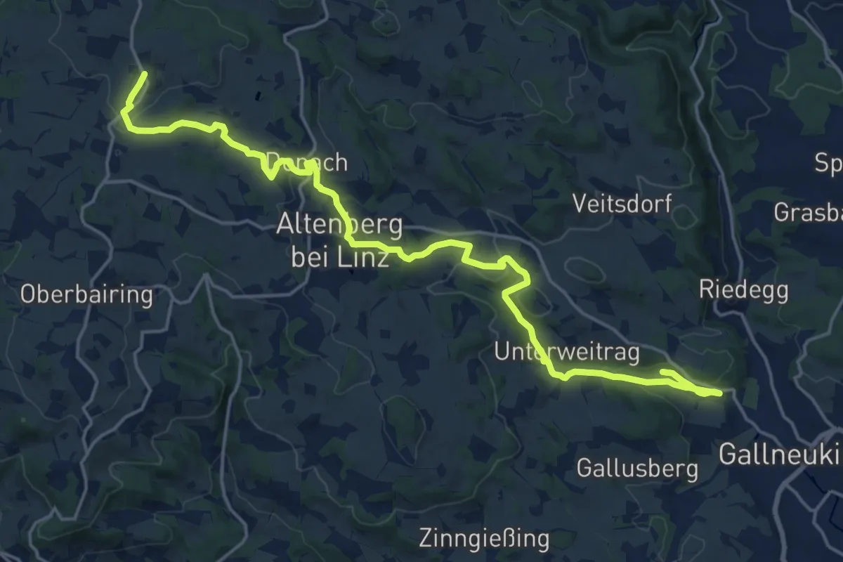
Demanding · Trail
Gallneukirchen-Altenberg-Hellmonsödt
21.0 km · ↑ 507 m · 6 h 4 min
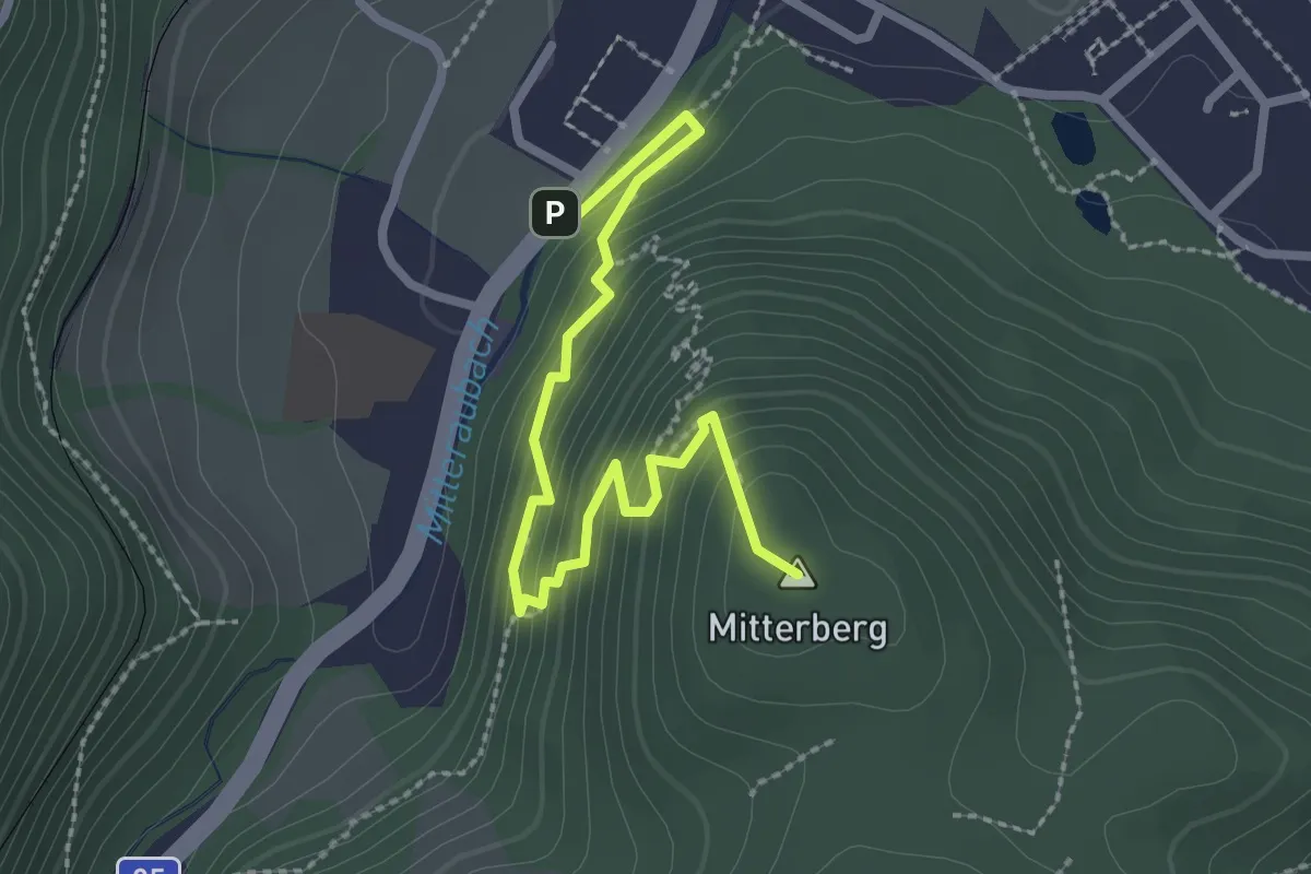
Easy · Summit
Gaminger Rundwanderweg 13
2.7 km · ↑ 250 m · 1 h 11 min
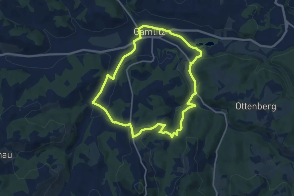
Easy · Trail
Gamlitz-Gaberhöhe-Steinbach
7.6 km · ↑ 182 m · 2 h 18 min
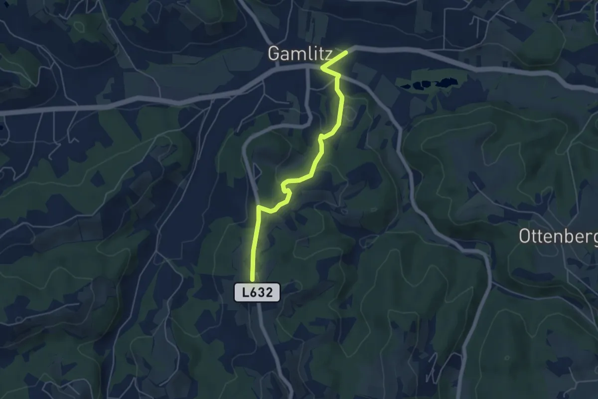
Easy · Trail
Gamlitz-Gaberhöhe-Steinbach Variante
4.8 km · ↑ 135 m · 1 h 26 min
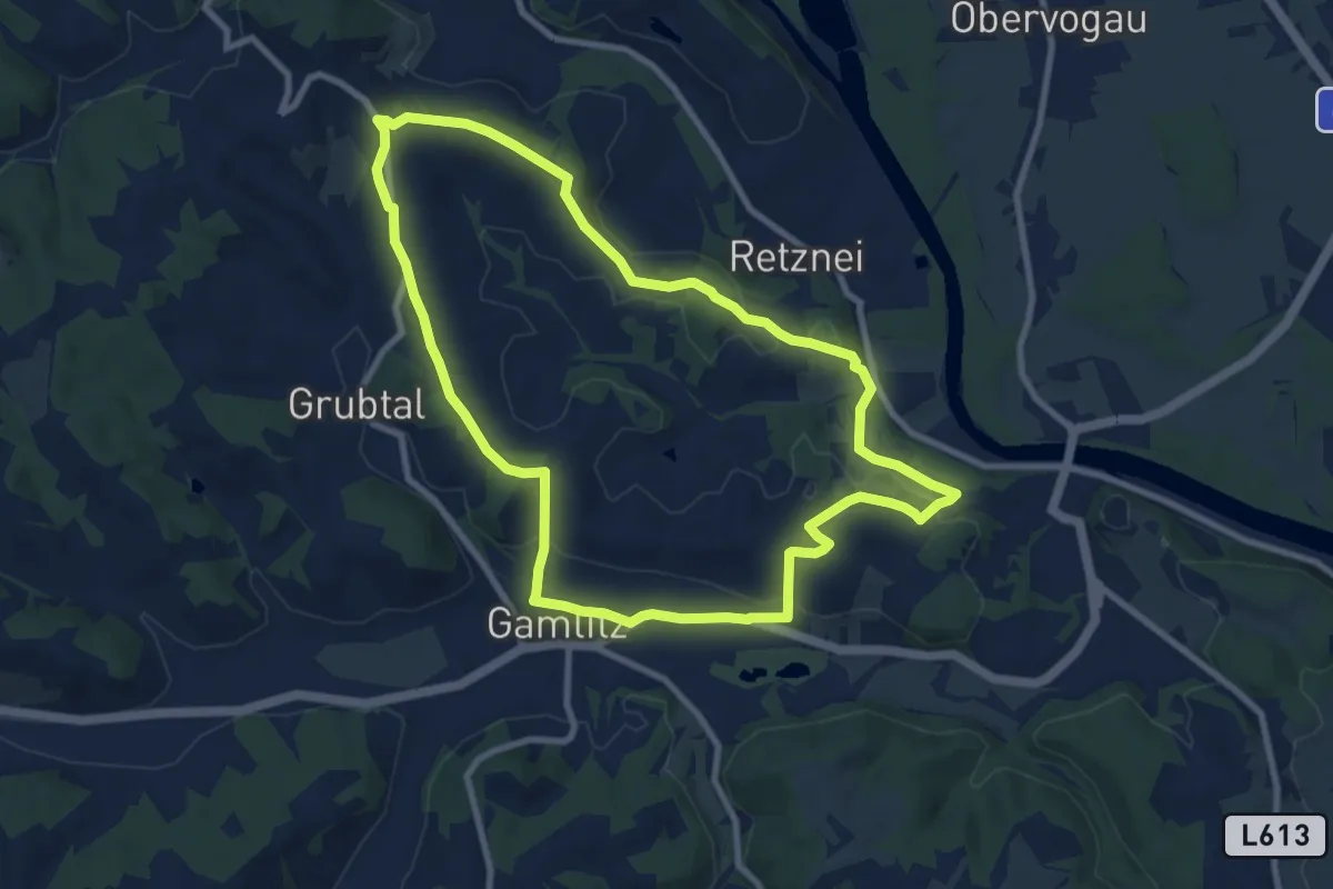
Medium · Trail
Gamlitz-Retznei-Grubtal
8.9 km · ↑ 184 m · 2 h 38 min
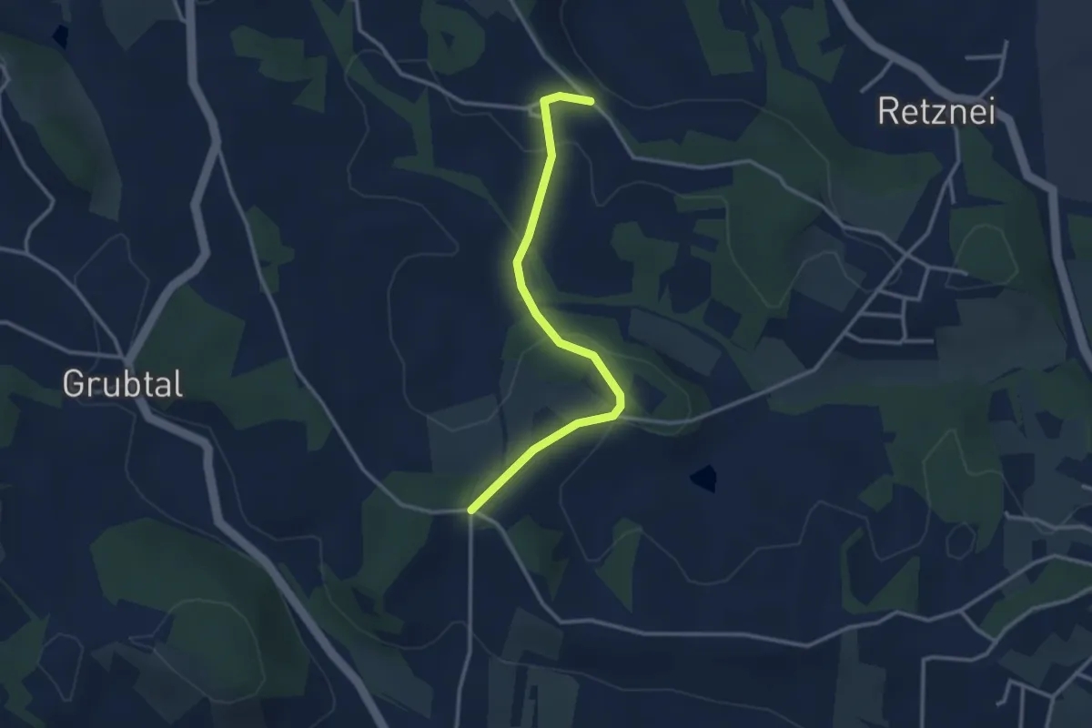
Easy · Trail
Gamlitz-Retznei-Grubtal - Variante
3.0 km · ↑ 92 m · 54 min
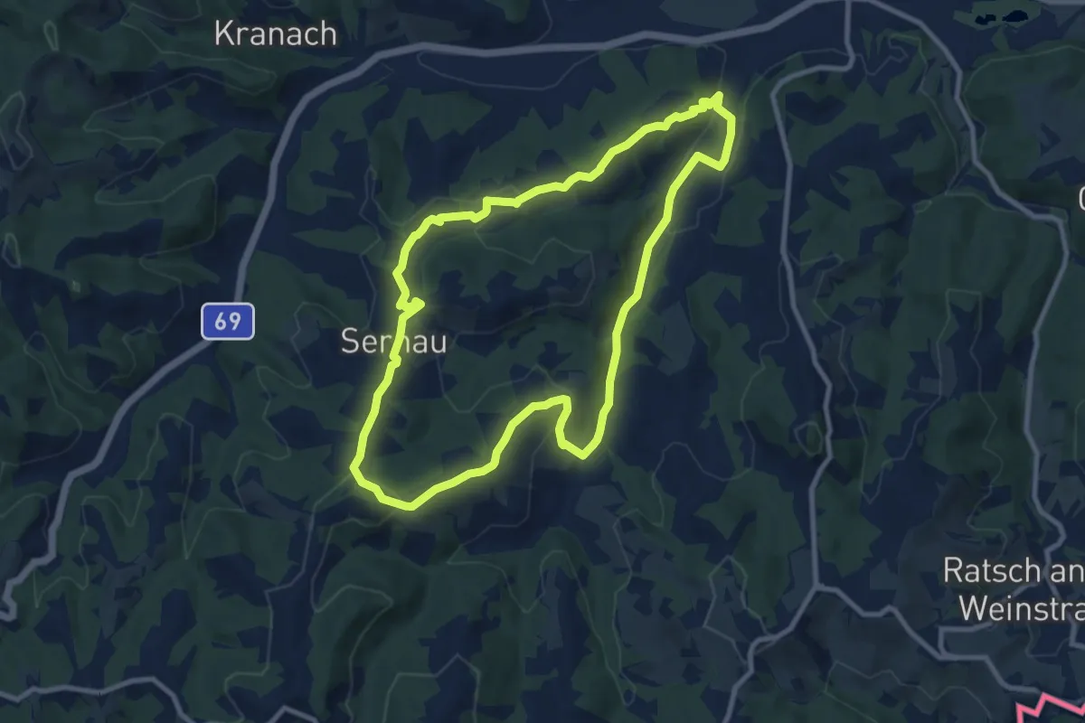
Medium · Summit
Gamlitz Weinwanderweg
9.2 km · ↑ 257 m · 2 h 51 min
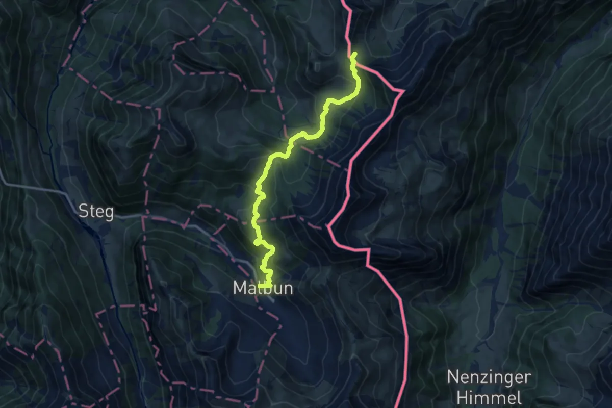
Medium · Trail
Gampalpe (A) - Malbun
10.6 km · ↑ 604 m · 3 h 49 min
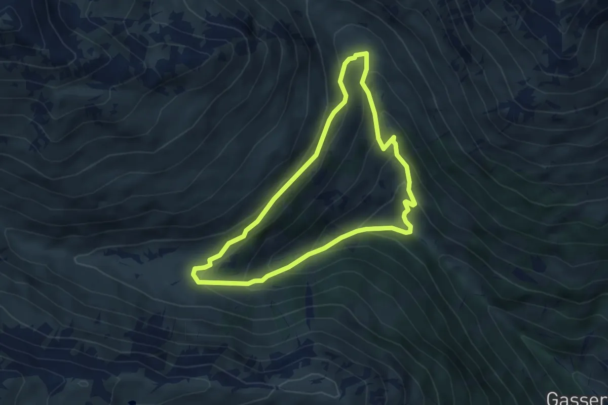
Easy · Trail
Gamper Runde
4.4 km · ↑ 298 m · 1 h 44 min
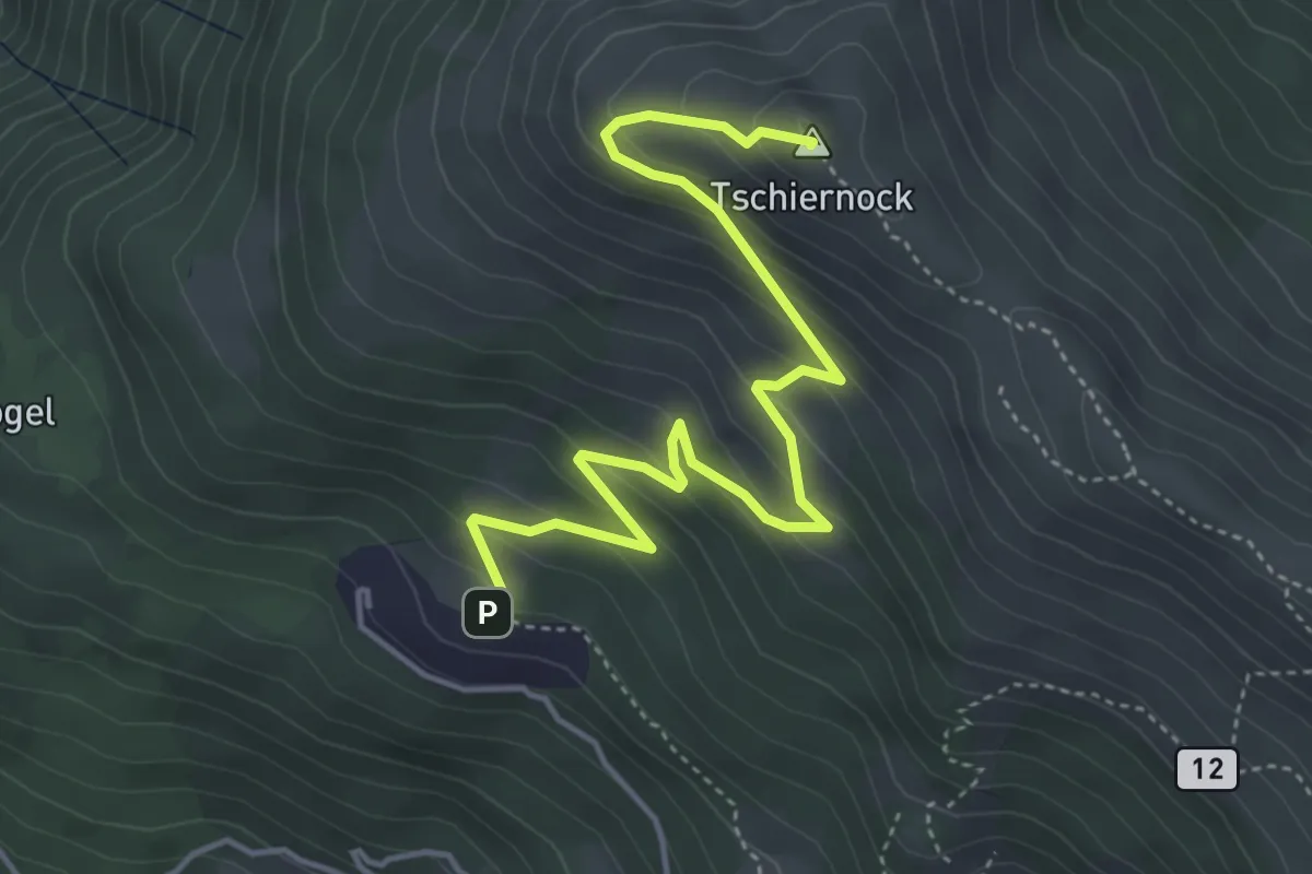
Medium · Summit
Gamsbrünndlweg
5.1 km · ↑ 368 m · 2 h
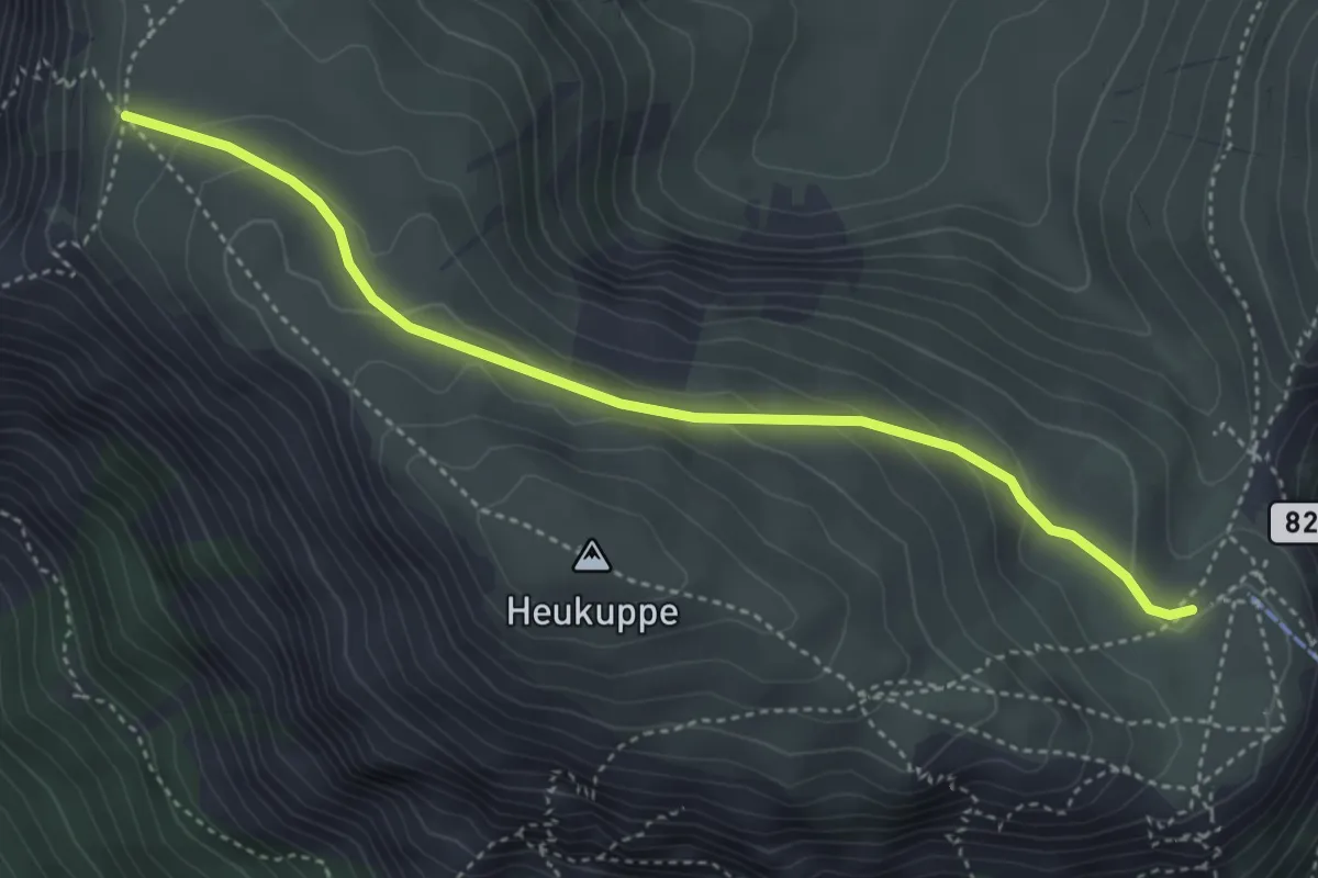
Easy · Cabin
Gamseck - Karl-Ludwig-Haus
4.1 km · ↑ 164 m · 1 h 19 min
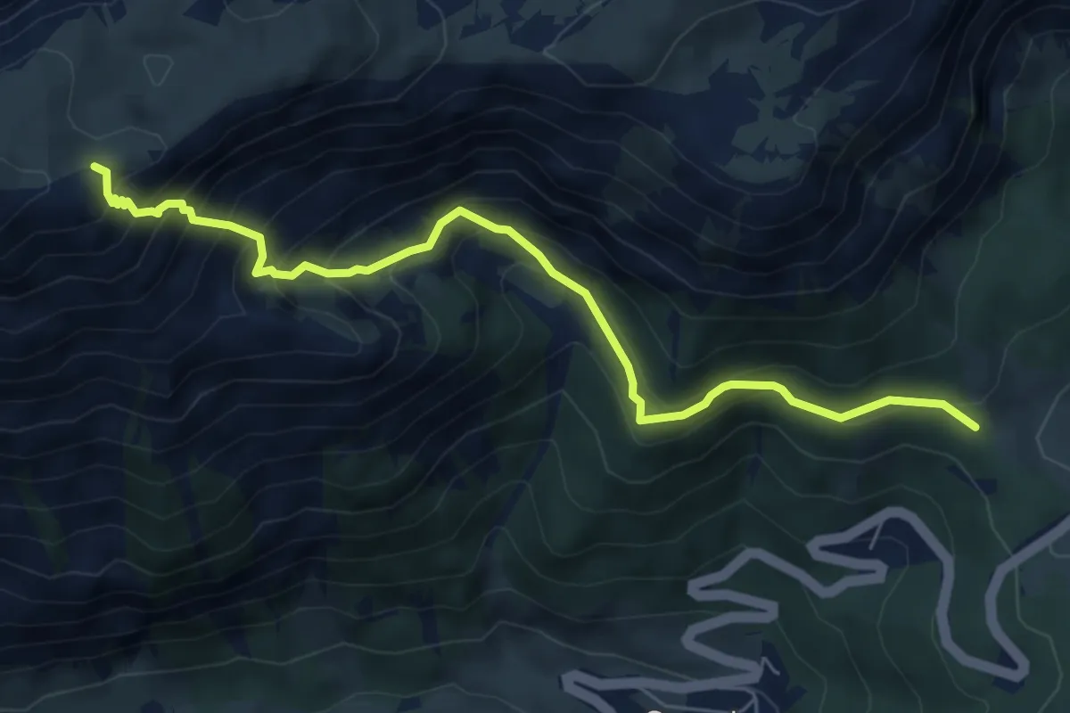
Medium · Trail
Gamssteig
6.3 km · ↑ 657 m · 2 h 55 min
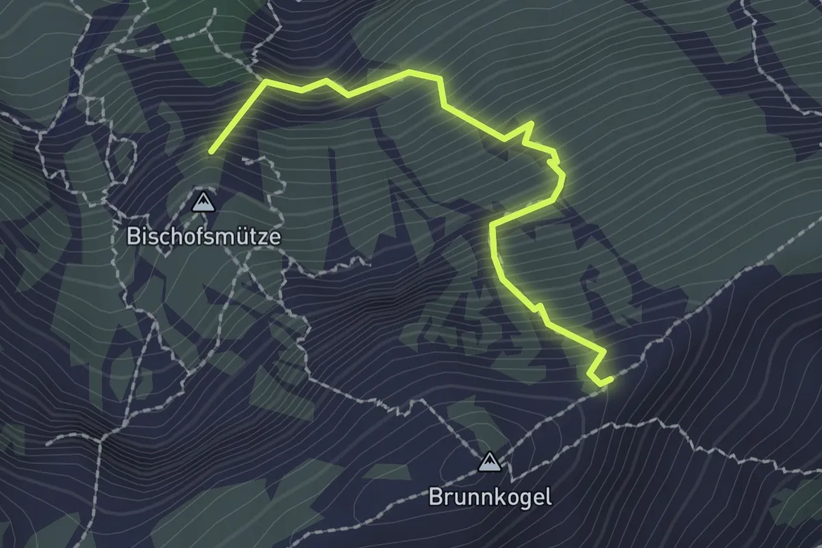
Expert · Summit
Gangsteig
1.9 km · ↑ 547 m · 1 h 38 min
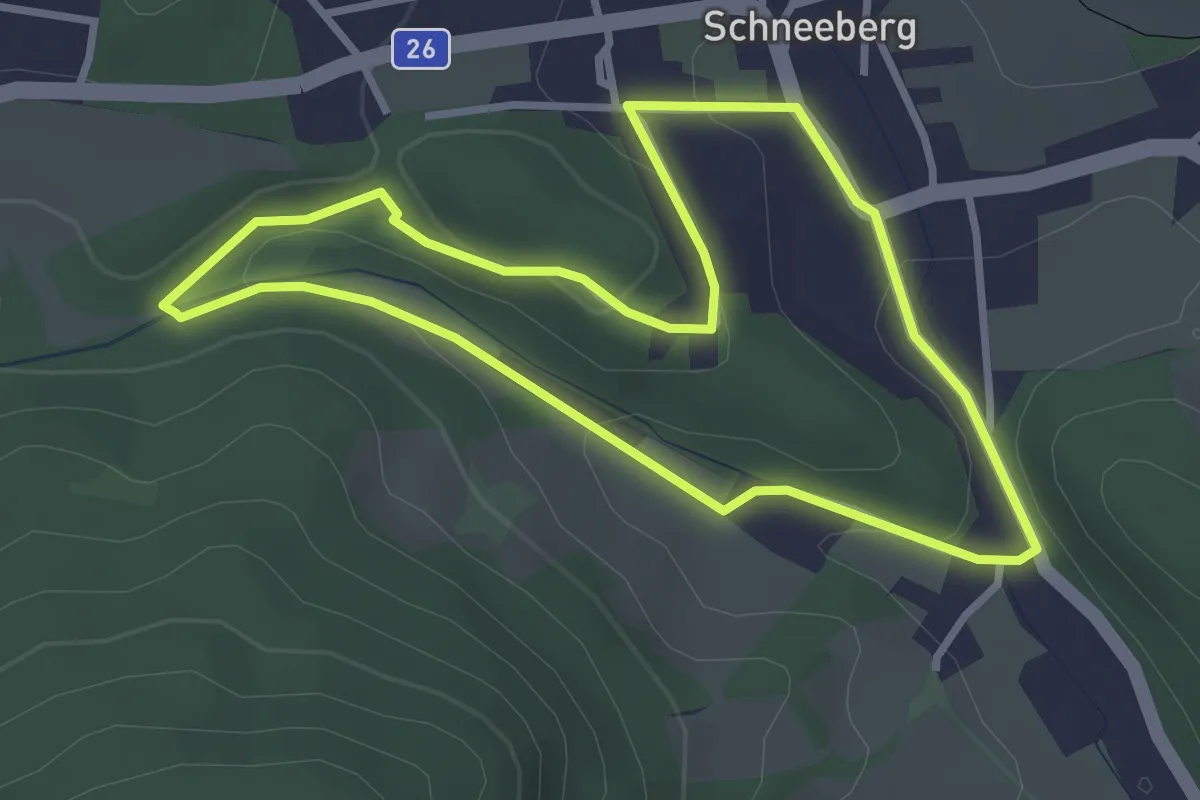
Easy · Summit
Ganskogel Runde (Grünbach)
3.0 km · ↑ 71 m · 53 min
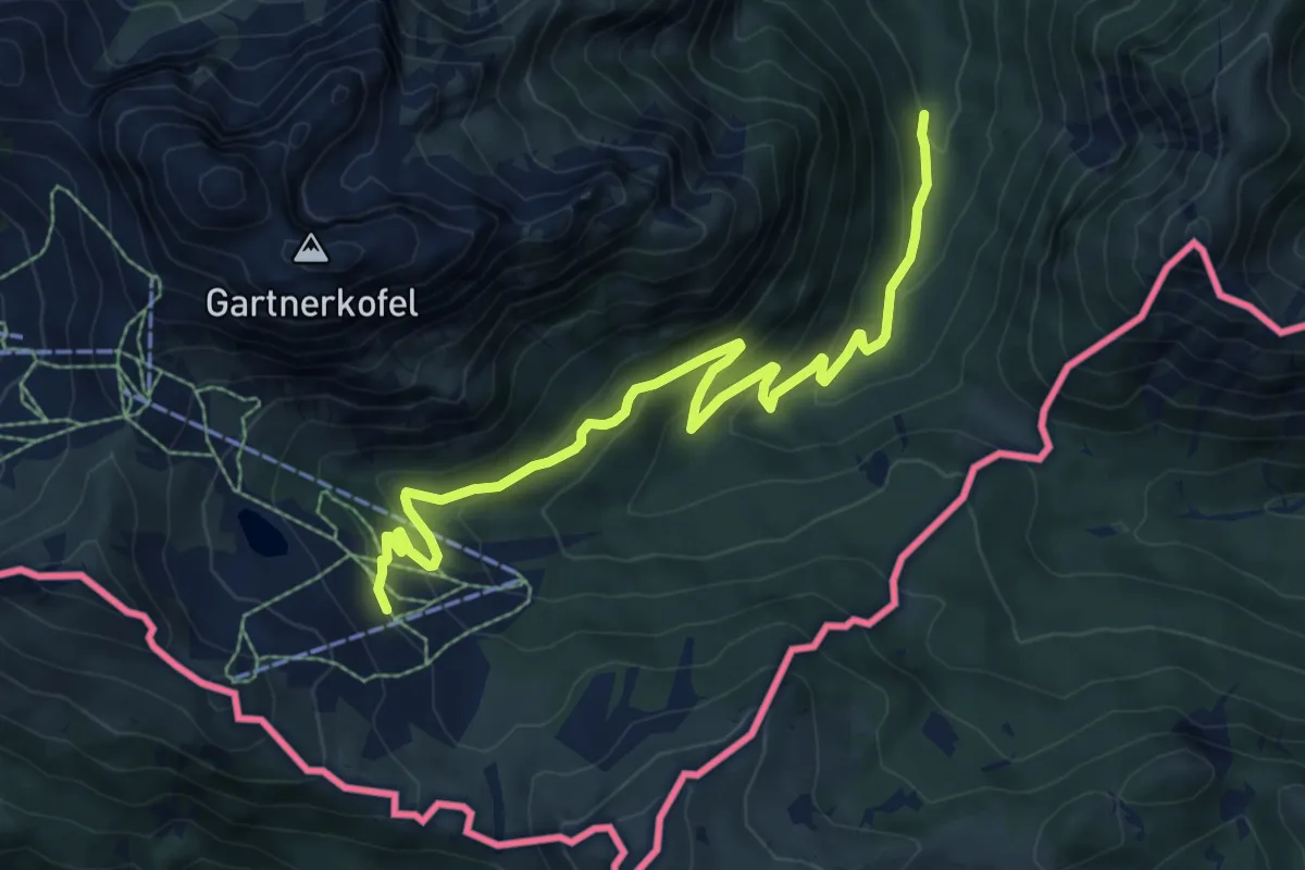
Medium · Trail
Garnitzenklamm zur Garnitzenalm
8.7 km · ↑ 418 m · 2 h 57 min
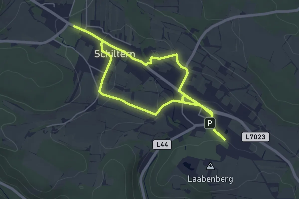
Easy · Summit
Gartenweg Schiltern
4.2 km · ↑ 87 m · 1 h 14 min
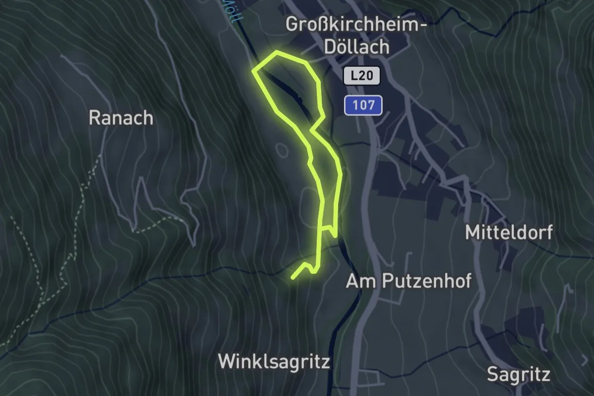
Easy · Trail
Gartlfall – Nach innen horchen
4.3 km · ↑ 45 m · 1 h 7 min
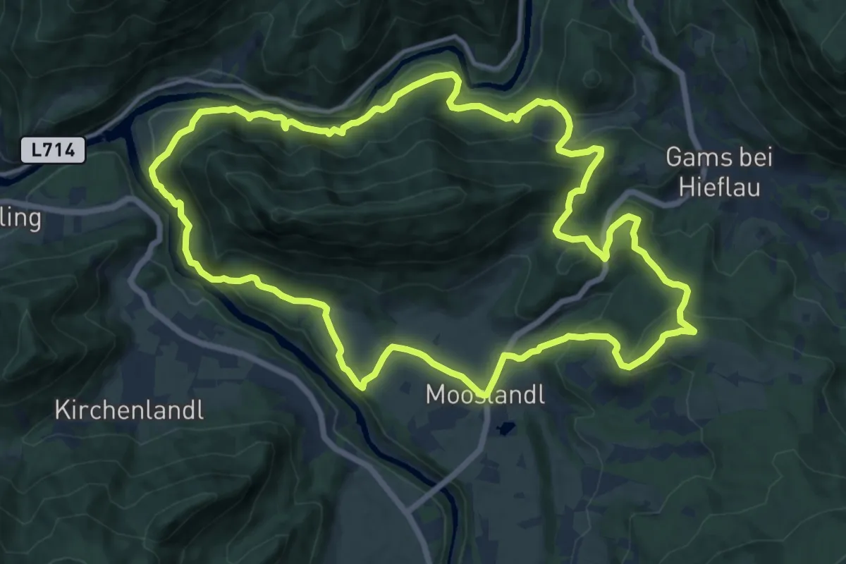
Medium · Trail
Gasteiger Rundwanderweg
13.4 km · ↑ 456 m · 4 h 21 min
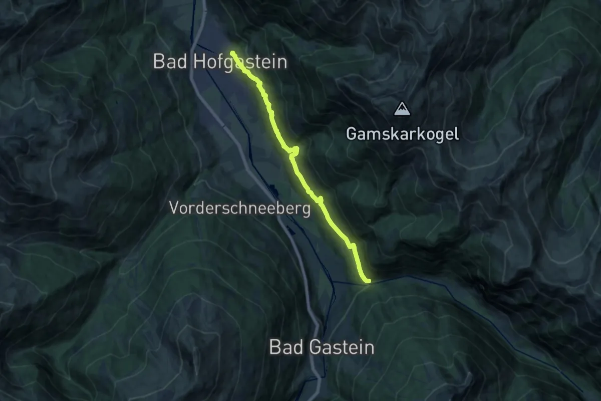
Medium · Trail
Gasteiner Höhenweg
13.4 km · ↑ 474 m · 4 h 12 min
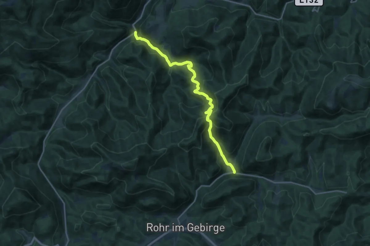
Demanding · Trail
Gasthaus zur Klaus - Sonnsteinsattel-Kleinzell
14.1 km · ↑ 862 m · 5 h 12 min
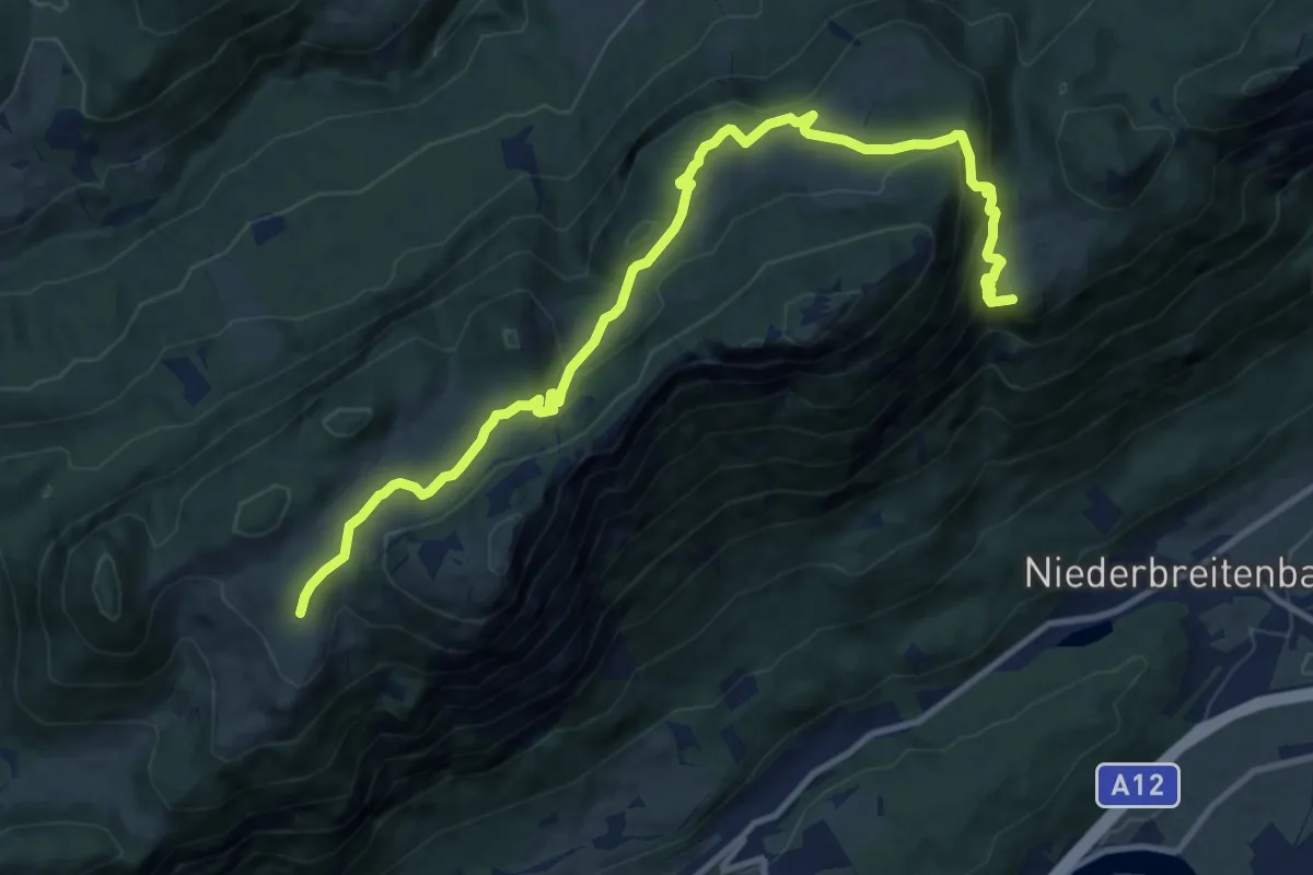
Medium · Summit
Gasthof Alpenhof Runde "Adlerrunde"
12.9 km · ↑ 670 m · 4 h 30 min
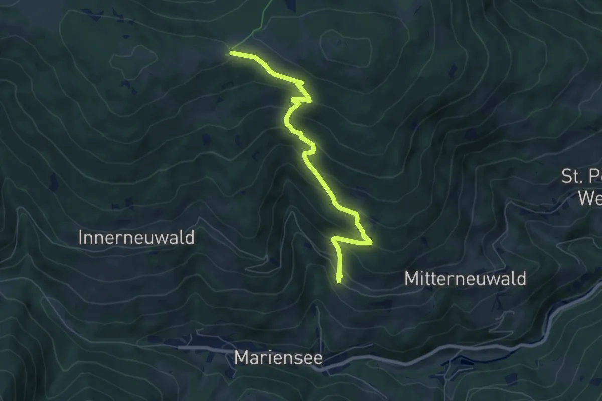
Medium · Cabin
Gasthof Platzer - Kampsteiner Schwaig
6.6 km · ↑ 419 m · 2 h 27 min
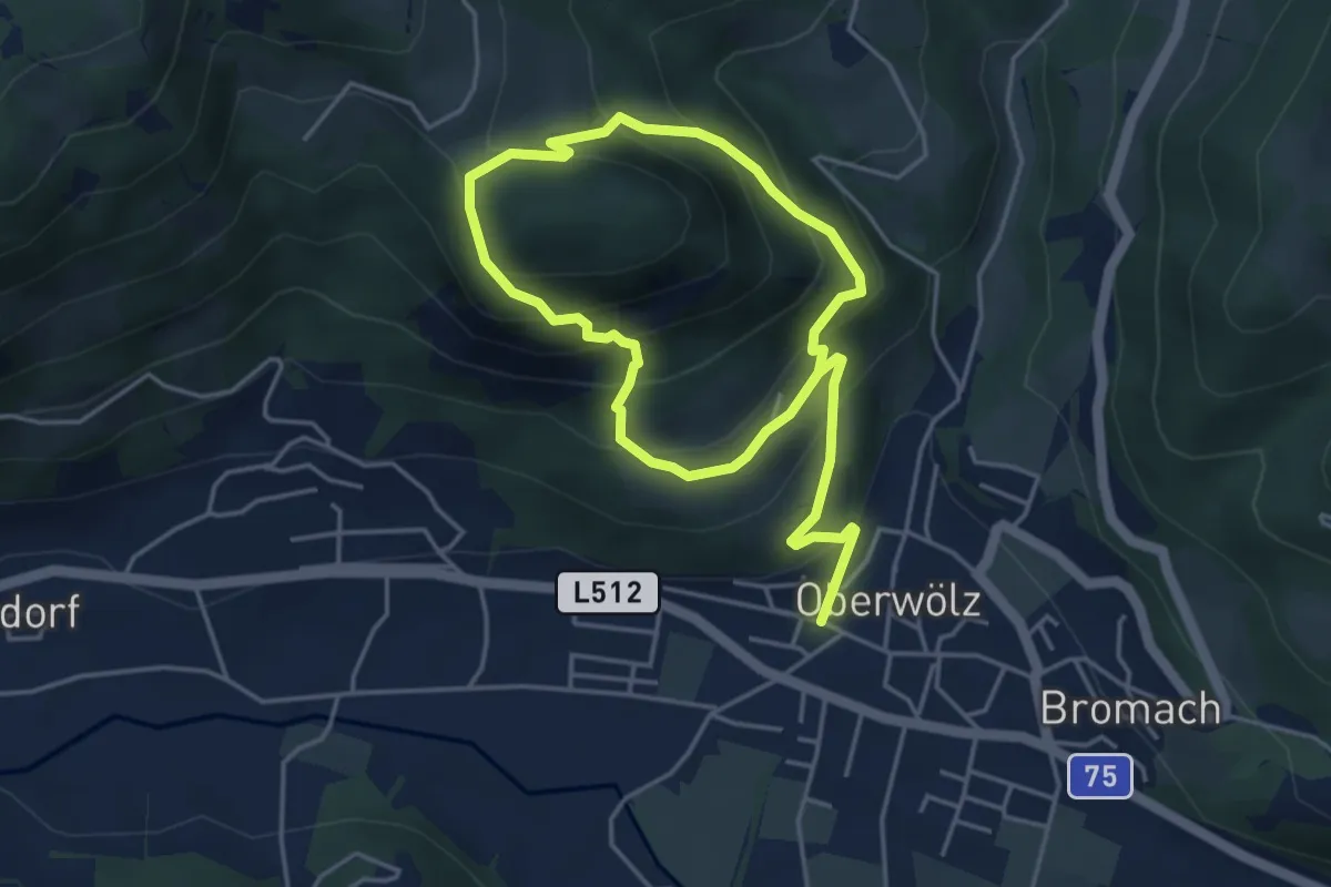
Medium · Summit
Gastrumerofen-Runde
3.5 km · ↑ 236 m · 1 h 25 min
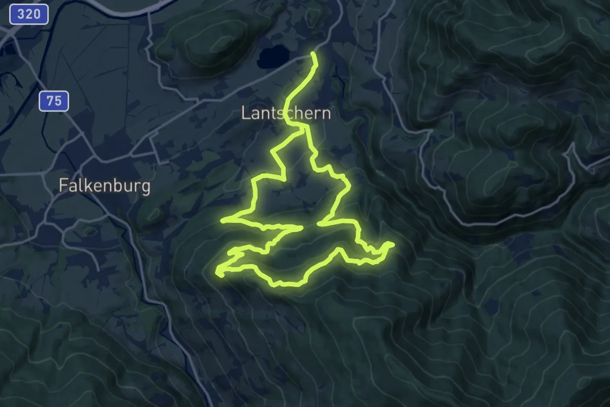
Medium · Trail
Gatschberg-Weg
14.5 km · ↑ 545 m · 4 h 49 min
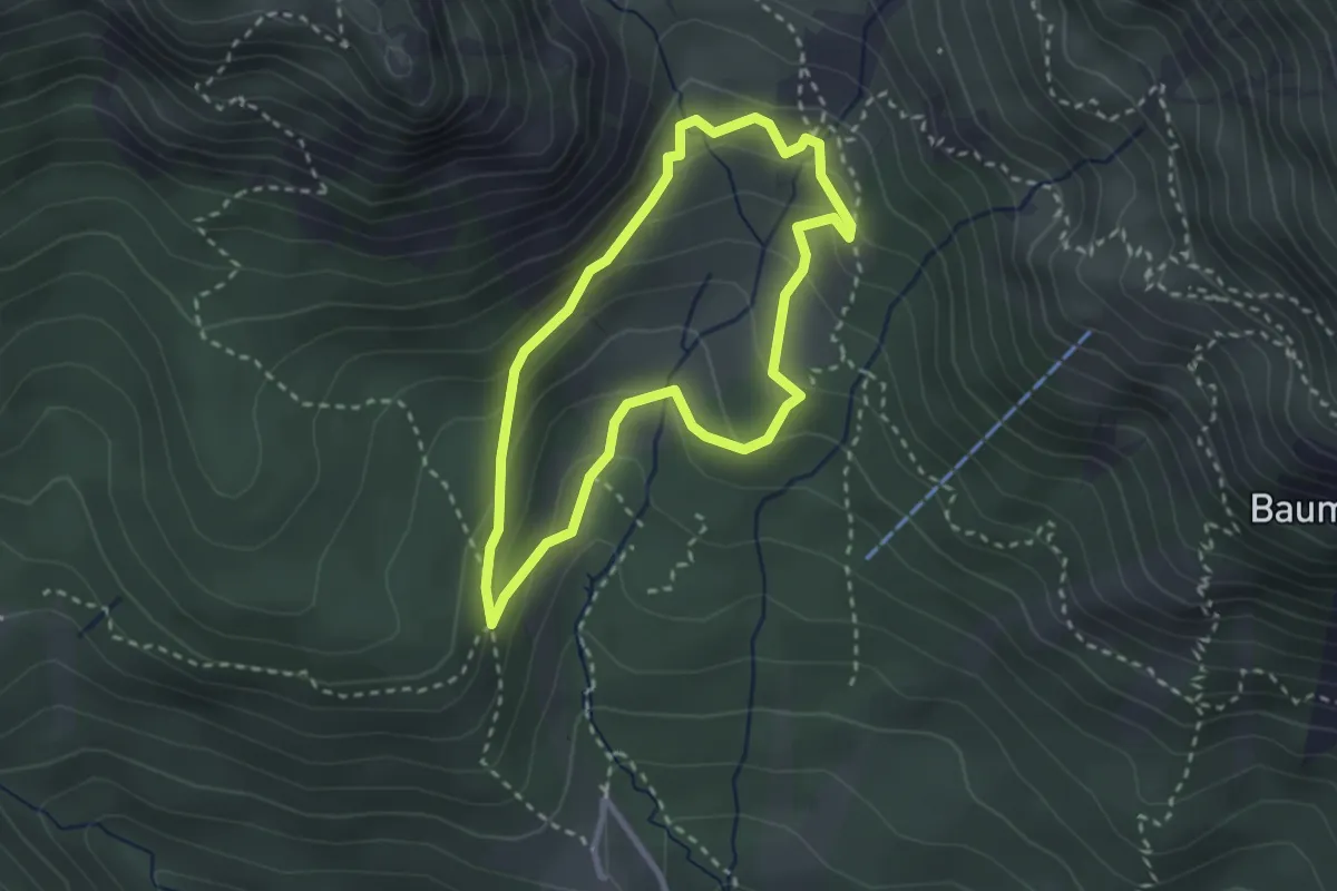
Medium · Cabin
Gaudeamushüttenrundwanderweg
2.4 km · ↑ 149 m · 56 min
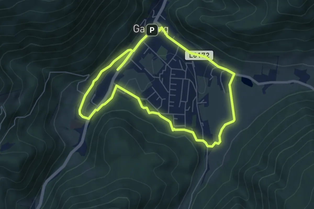
Easy · Trail
geBIERgsweg Krügerl-Runde
5.6 km · ↑ 86 m · 1 h 35 min
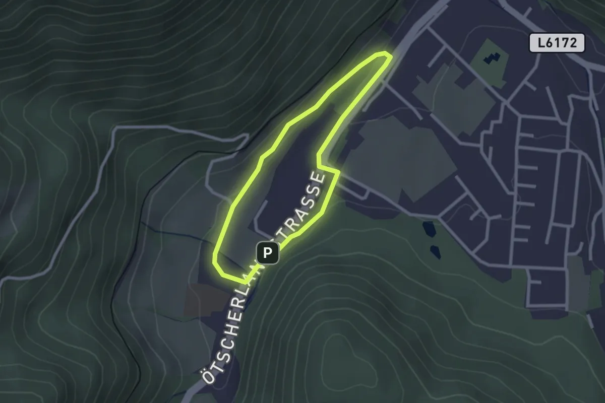
Easy · Trail
geBIERgsweg Seidl-Runde
2.0 km · ↑ 33 m · 34 min
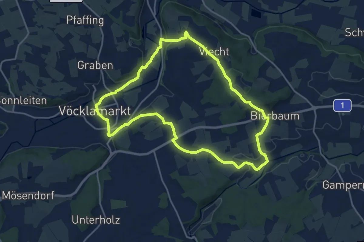
Medium · Trail
Gebirgspanorama - Rundweg
11.3 km · ↑ 167 m · 3 h 11 min
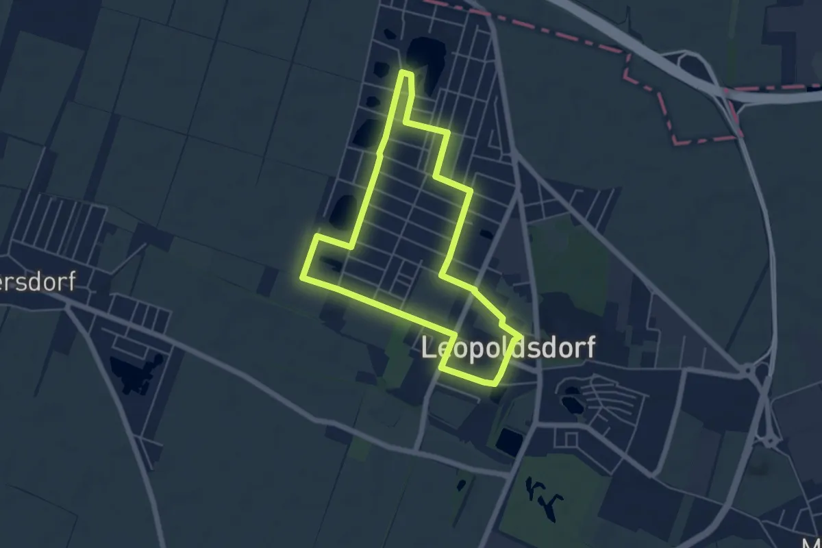
Easy · Trail
Gebrüder Weiss Runde
4.8 km · ↑ 12 m · 1 h 14 min
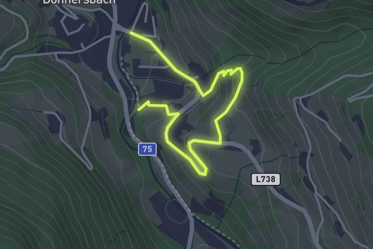
Easy · Trail
Geh in dich Weg
3.7 km · ↑ 232 m · 1 h 22 min
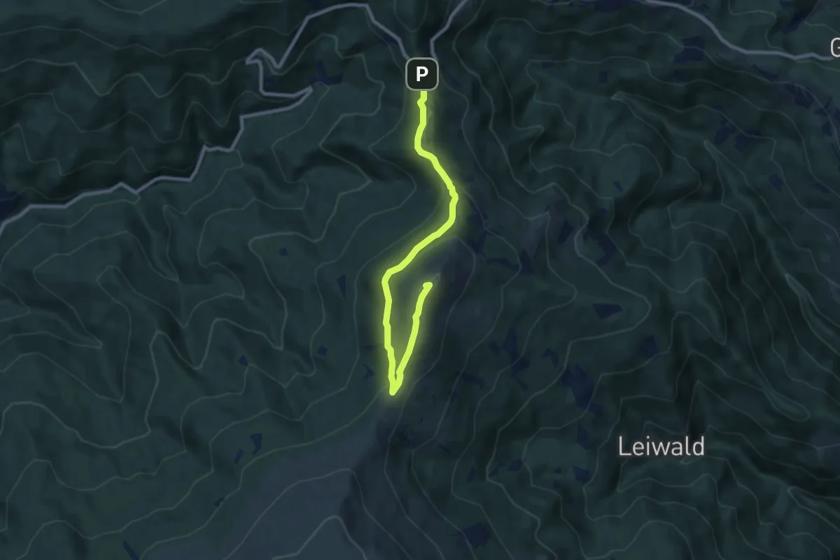
Medium · Summit
Geierkogelrunde
9.0 km · ↑ 315 m · 2 h 49 min
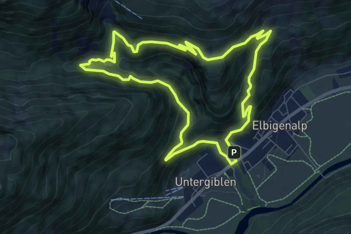
Medium · Summit
Geierwally-Rundwanderweg
7.5 km · ↑ 398 m · 2 h 44 min
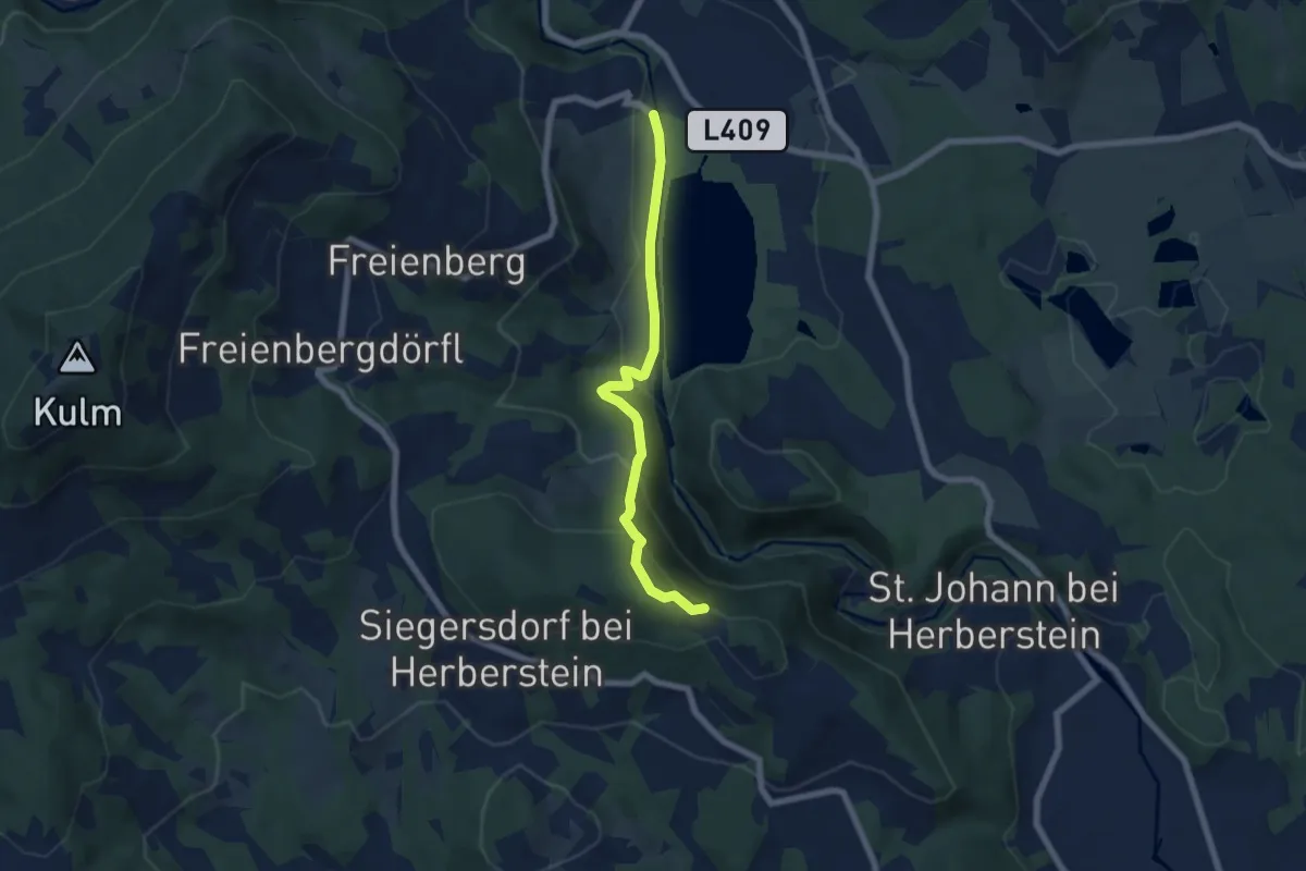
Medium · Summit
Geierwandweg (23)
6.1 km · ↑ 300 m · 2 h 5 min
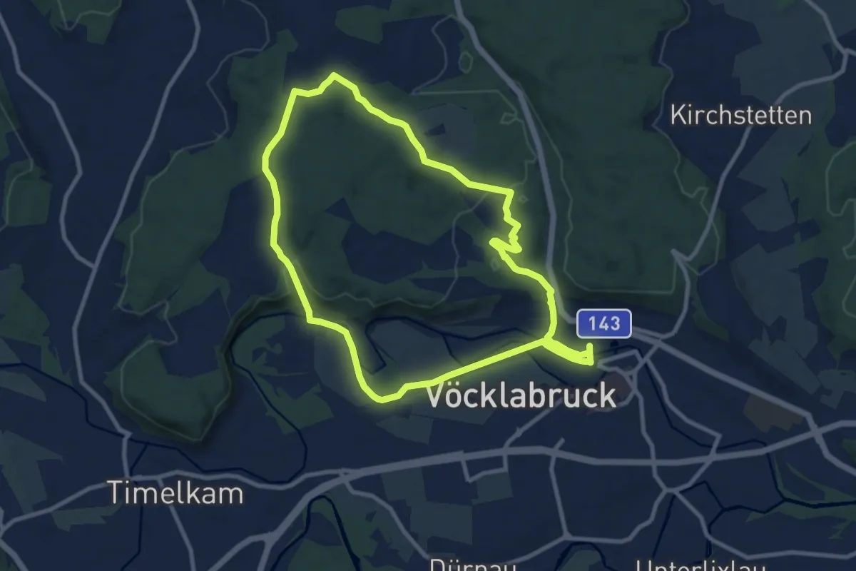
Medium · Trail
Geispielrunde
8.4 km · ↑ 146 m · 2 h 25 min
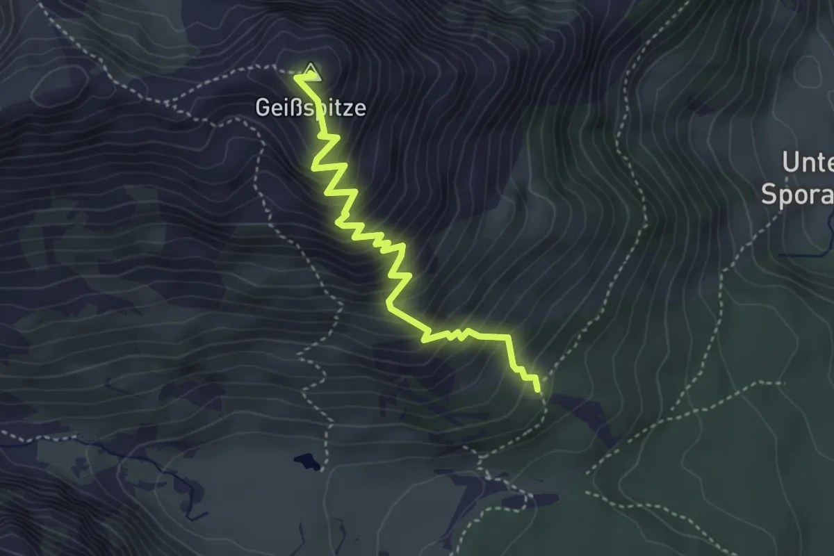
Medium · Summit
Geißspitzsteig
3.8 km · ↑ 534 m · 2 h 3 min
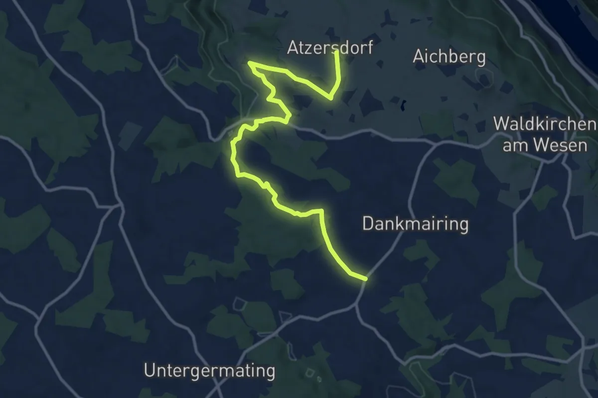
Medium · Trail
Gemeindegrenzweg
11.1 km · ↑ 216 m · 3 h 5 min
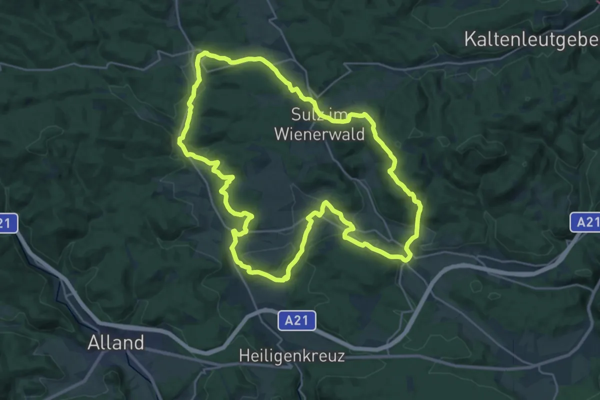
Demanding · Trail
Gemeinde Rundwanderweg 8
21.0 km · ↑ 487 m · 6 h 18 min
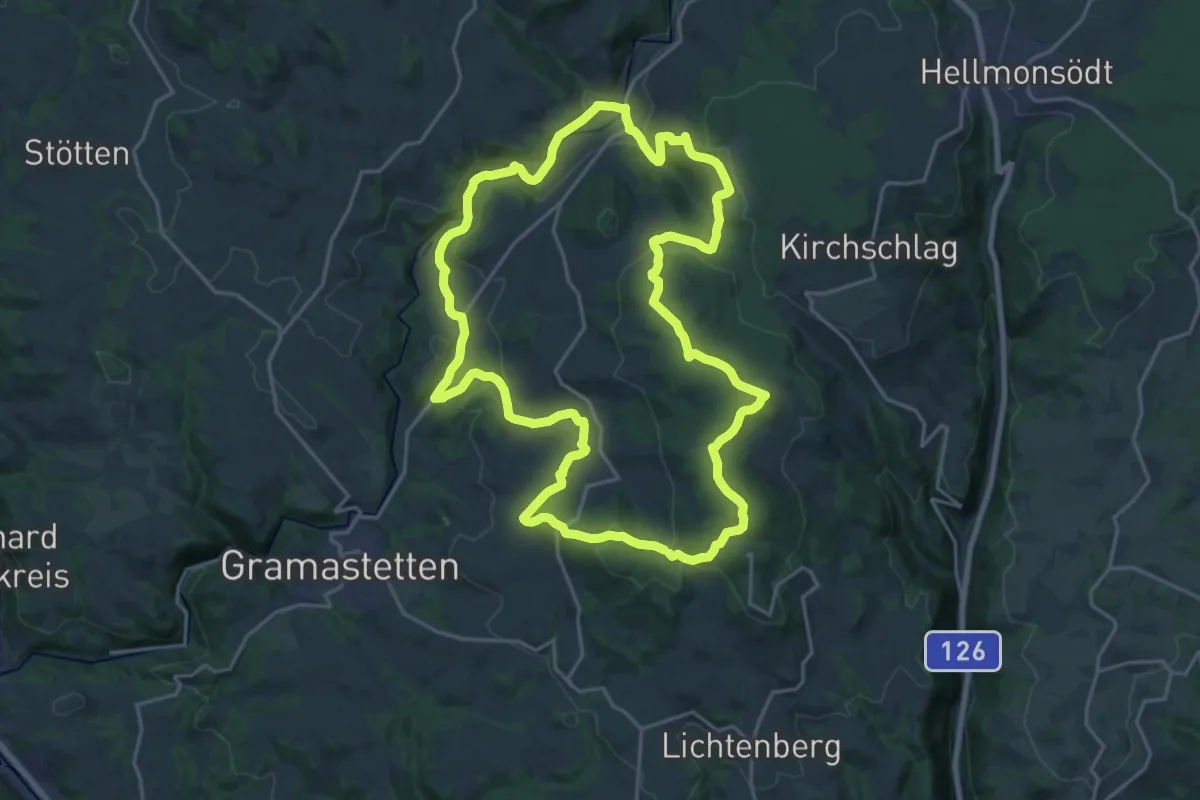
Demanding · Summit
Gemeinderundweg
20.8 km · ↑ 638 m · 6 h 35 min
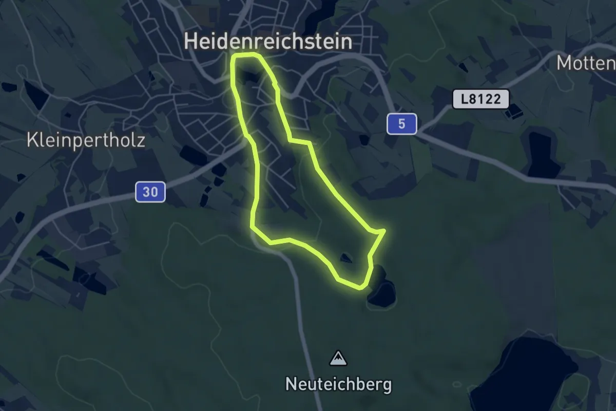
Easy · Trail
Gemeindeteich
4.0 km · ↑ 55 m · 1 h 7 min
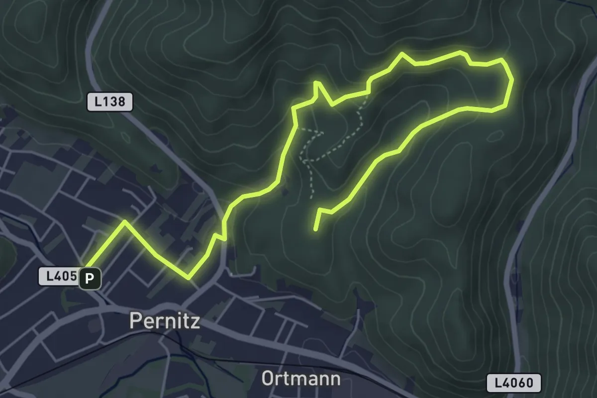
Easy · Summit
Gemeindewanderweg
7.2 km · ↑ 269 m · 2 h 18 min