Trails in Austria
9,778 hiking trails, each with its route, climb, walking time and grade.
All trails, page 33 of 204
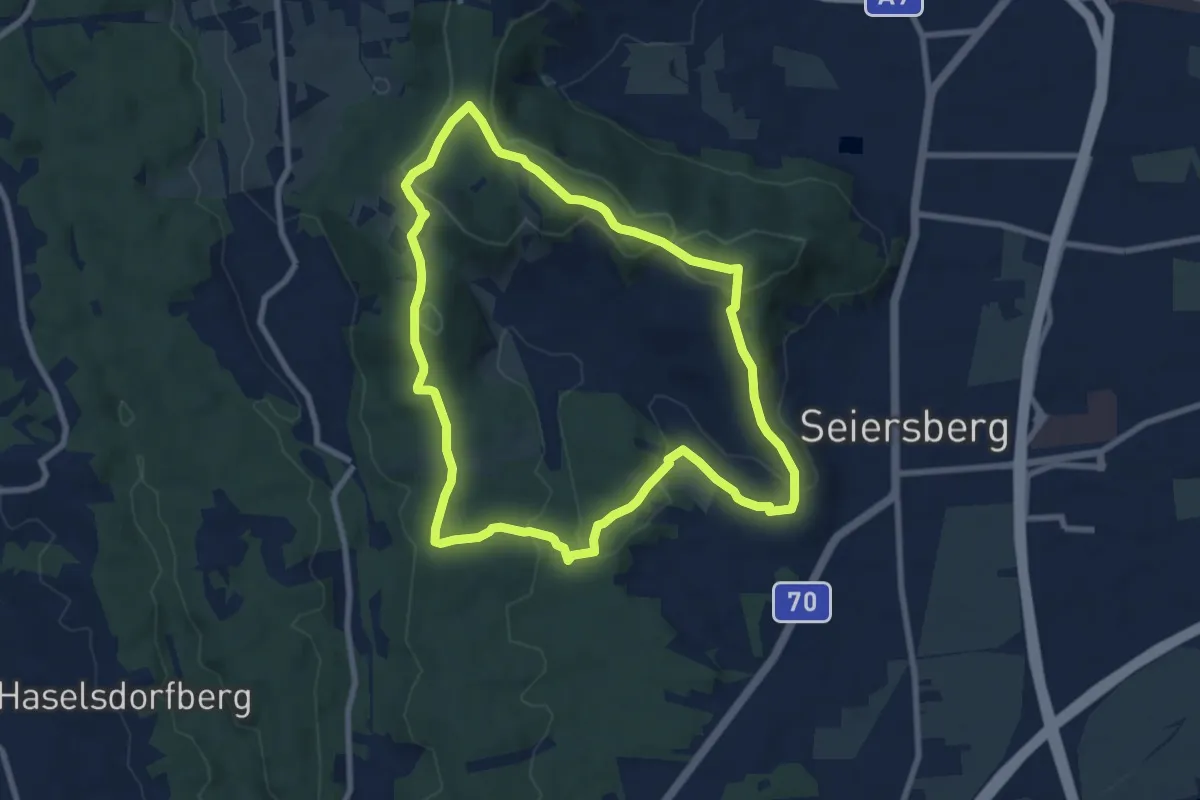
Medium · Summit
Gemeindewanderweg 01 (lang)
8.1 km · ↑ 196 m · 2 h 27 min
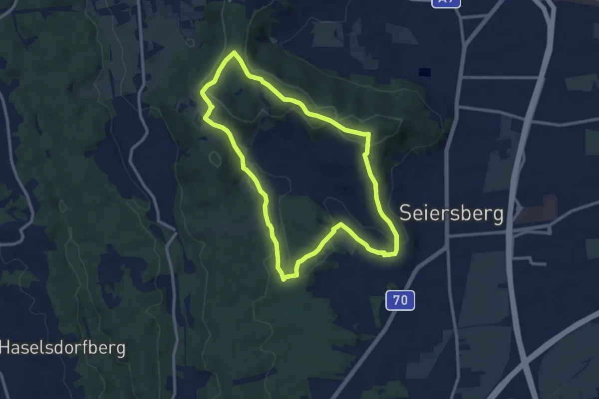
Medium · Summit
Gemeindewanderweg 02 (kurz)
7.6 km · ↑ 184 m · 2 h 18 min
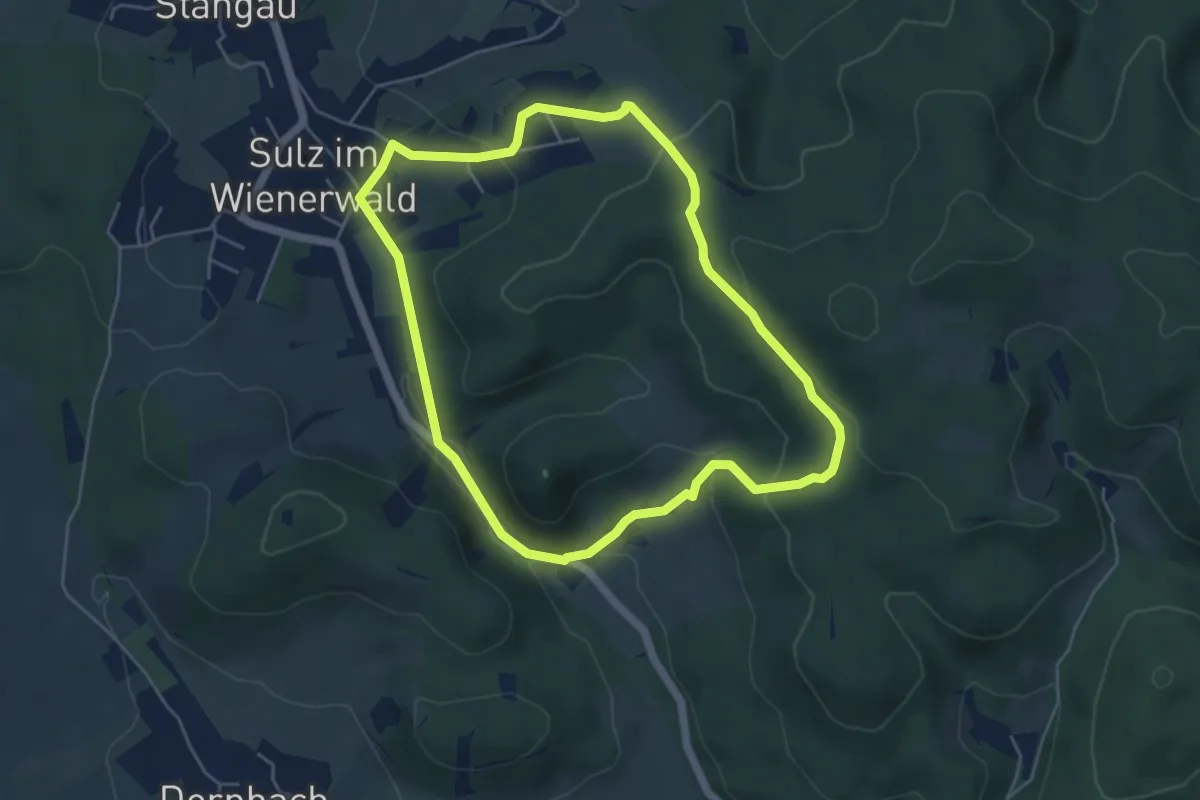
Easy · Trail
Gemeinde Wienerwald Rundwanderweg 1 zwischen Sulz und Rohrberg
4.8 km · ↑ 154 m · 1 h 31 min
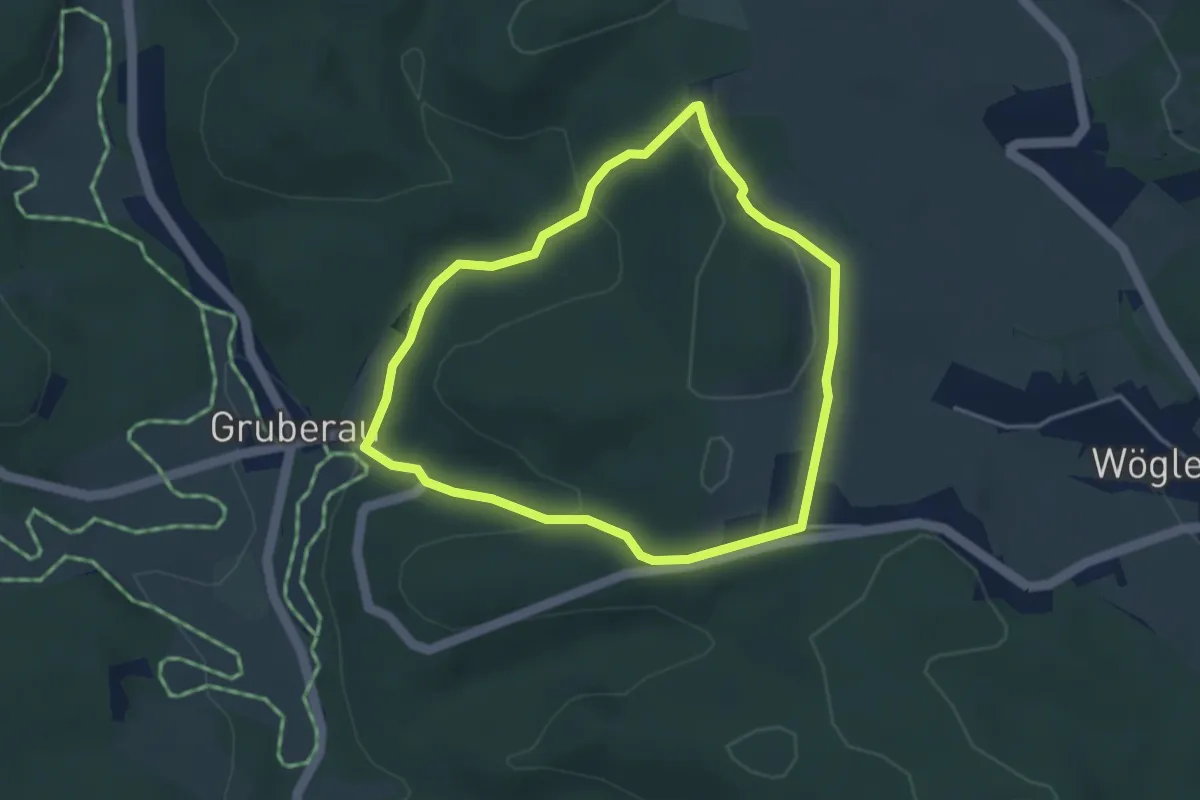
Easy · Summit
Gemeinde Wienerwald Rundwanderweg 3 bei Wöglerin
3.3 km · ↑ 102 m · 1 h 3 min
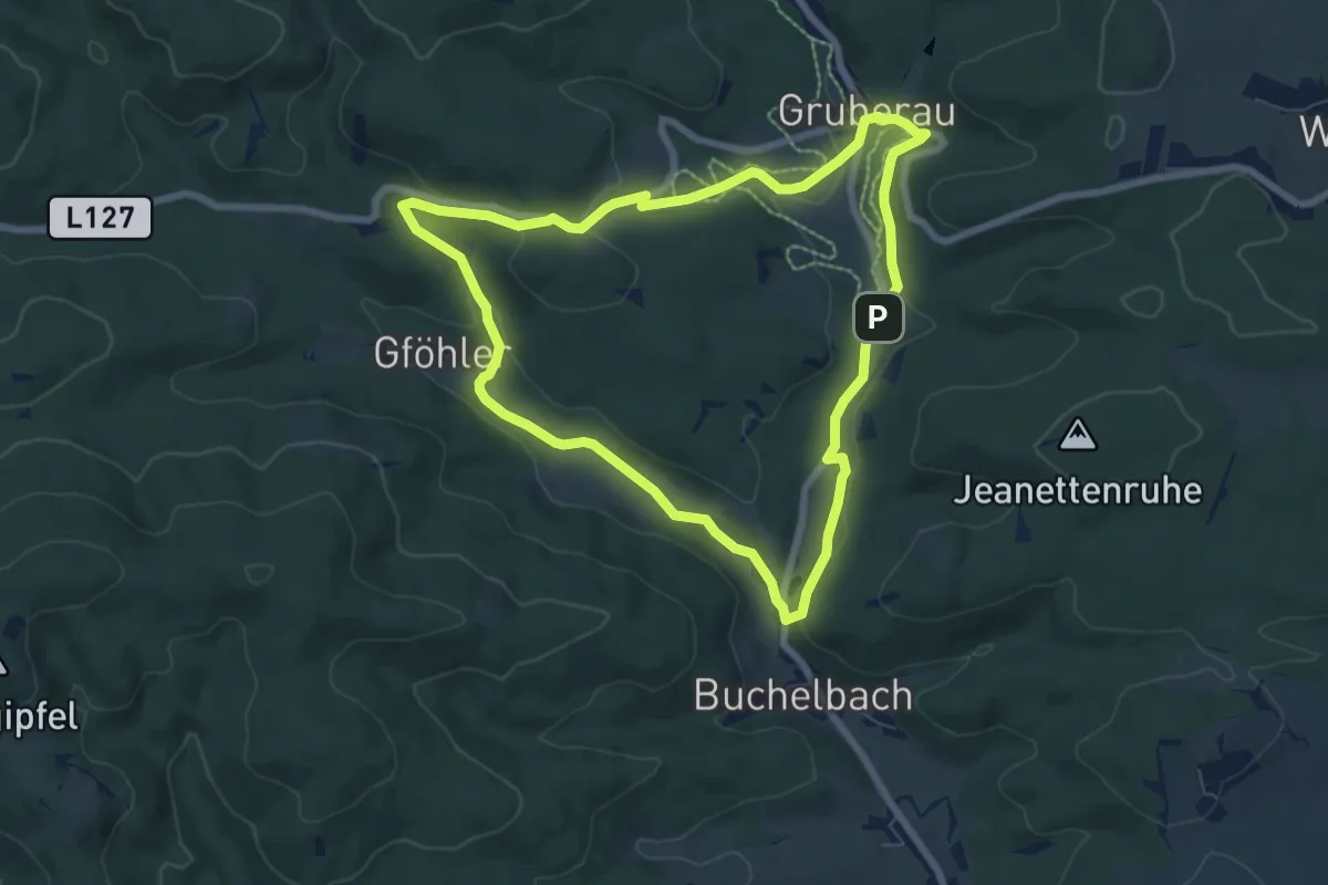
Easy · Trail
Gemeinde Wienerwald Rundwanderweg 4 Buchelbach - Gföhler - Gruberau
6.9 km · ↑ 115 m · 1 h 58 min
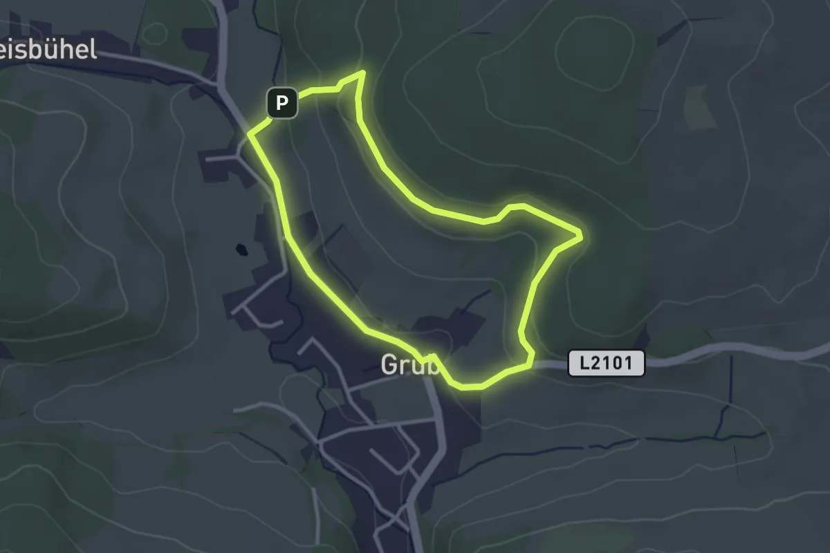
Easy · Trail
Gemeinde Wienerwald Rundwanderweg 5 bei Grub
2.7 km · ↑ 62 m · 48 min
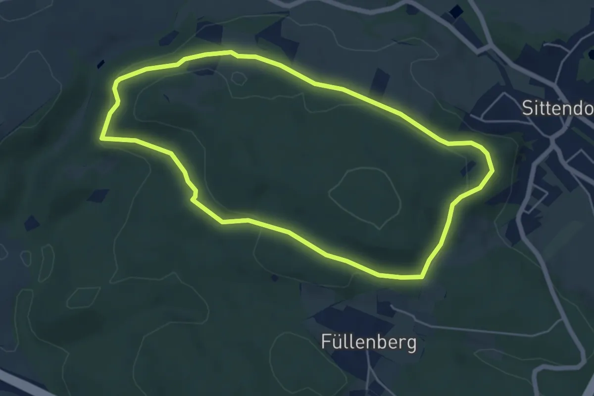
Easy · Trail
Gemeinde Wienerwald Rundwanderweg 6 bei Sittendorf
4.8 km · ↑ 52 m · 1 h 18 min
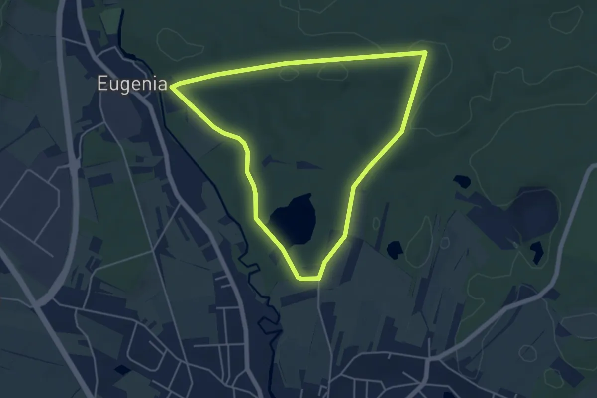
Easy · Trail
Gemütliche Runde (W10)
4.0 km · ↑ 18 m · 1 h 2 min
Easy · Trail
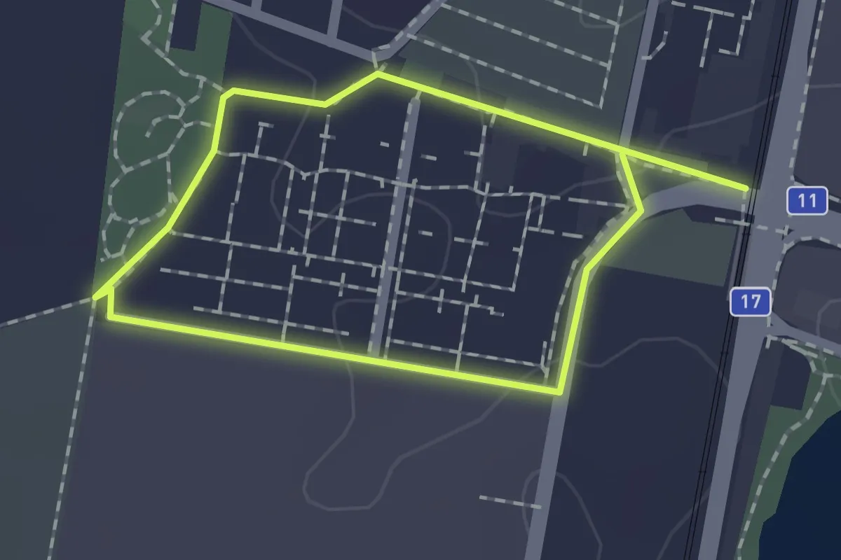
Generationenpark Runde
1.2 km · ↑ 4 m · 19 min
Easy · Trail
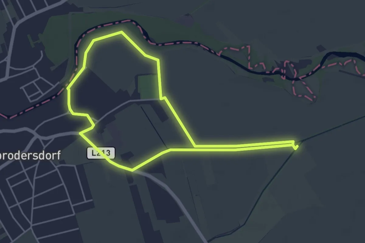
Generationenwechsel - Landwirt-schafft
4.1 km · ↑ 0 m · 1 h 1 min
Medium · Trail
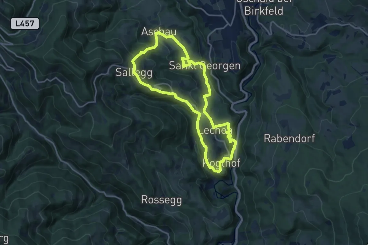
Genussrundwanderweg Koglhof - Sallegg
10.9 km · ↑ 507 m · 3 h 50 min
Easy · Trail
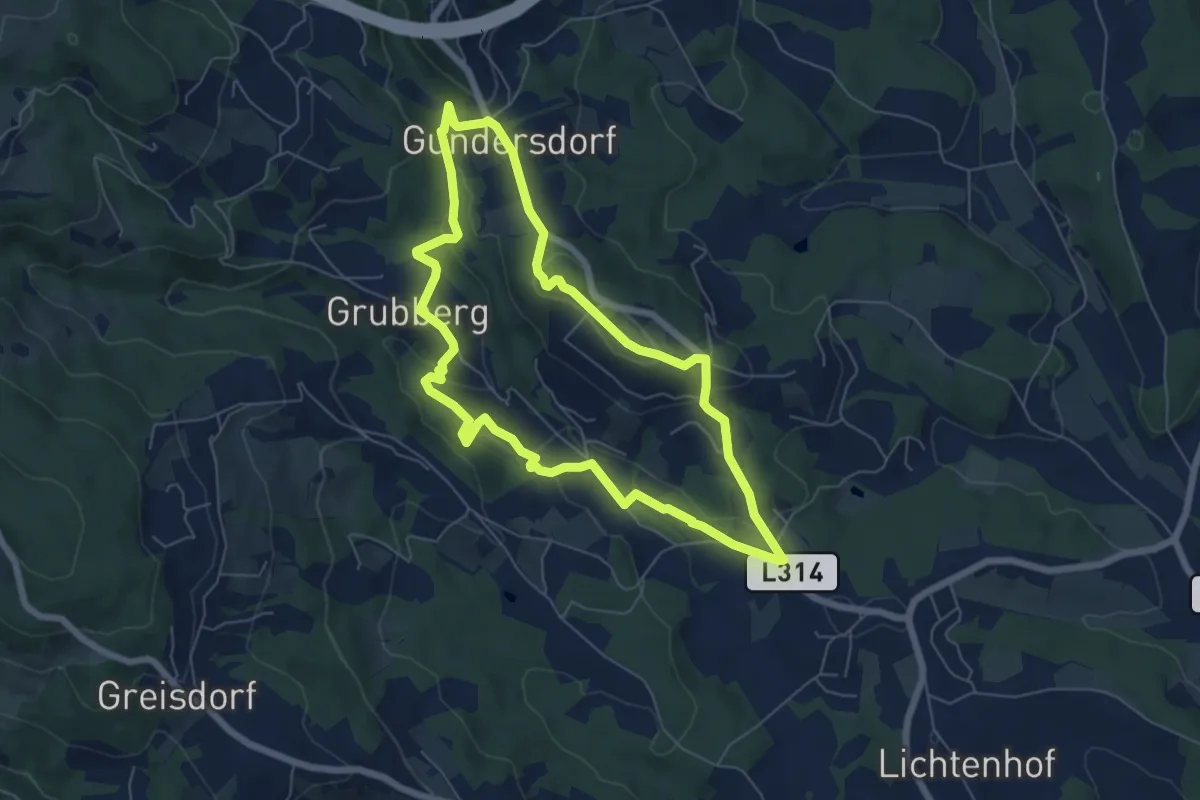
GenussSchilchern da Mittlere Runde
6.1 km · ↑ 226 m · 2 h 1 min
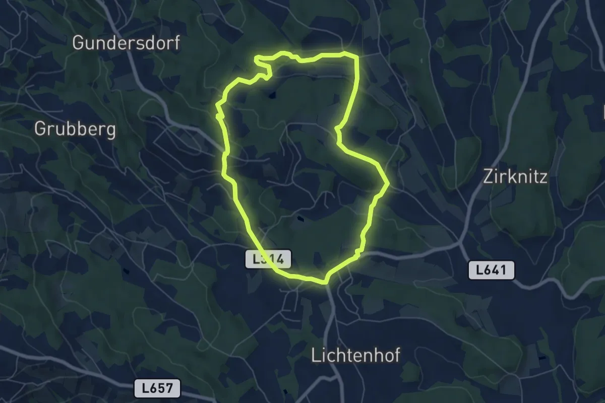
Easy · Trail
GenussSchilchern da Östliche Runde
5.9 km · ↑ 176 m · 1 h 52 min
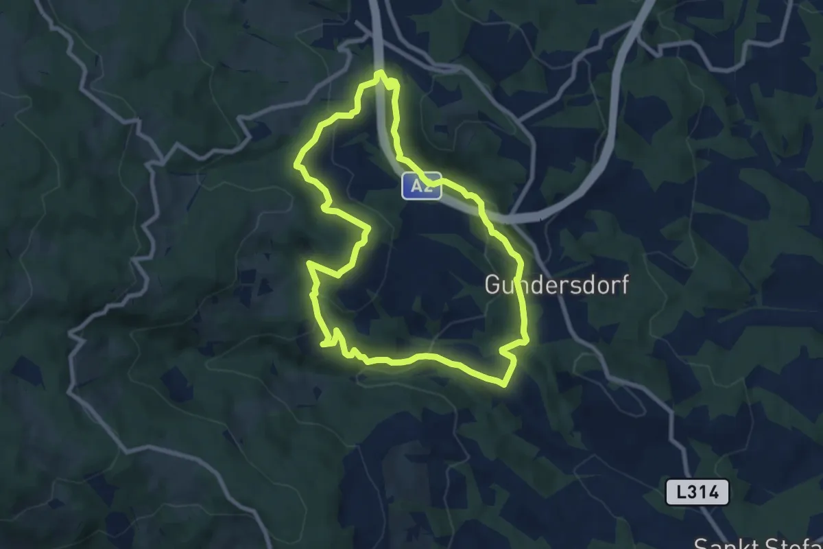
Easy · Trail
GenussSchilchern da Westliche Runde
7.5 km · ↑ 285 m · 2 h 29 min
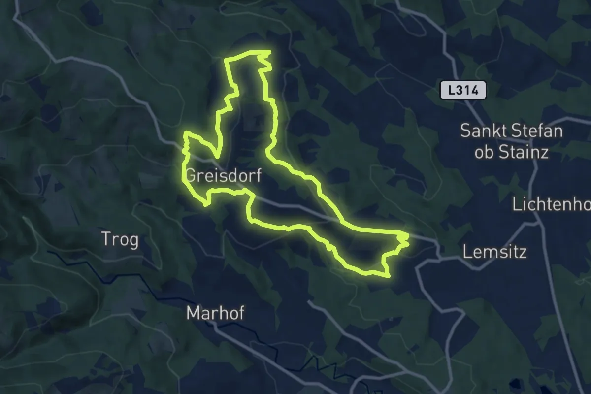
Medium · Trail
GenussSchilchern dort
9.0 km · ↑ 402 m · 3 h 7 min
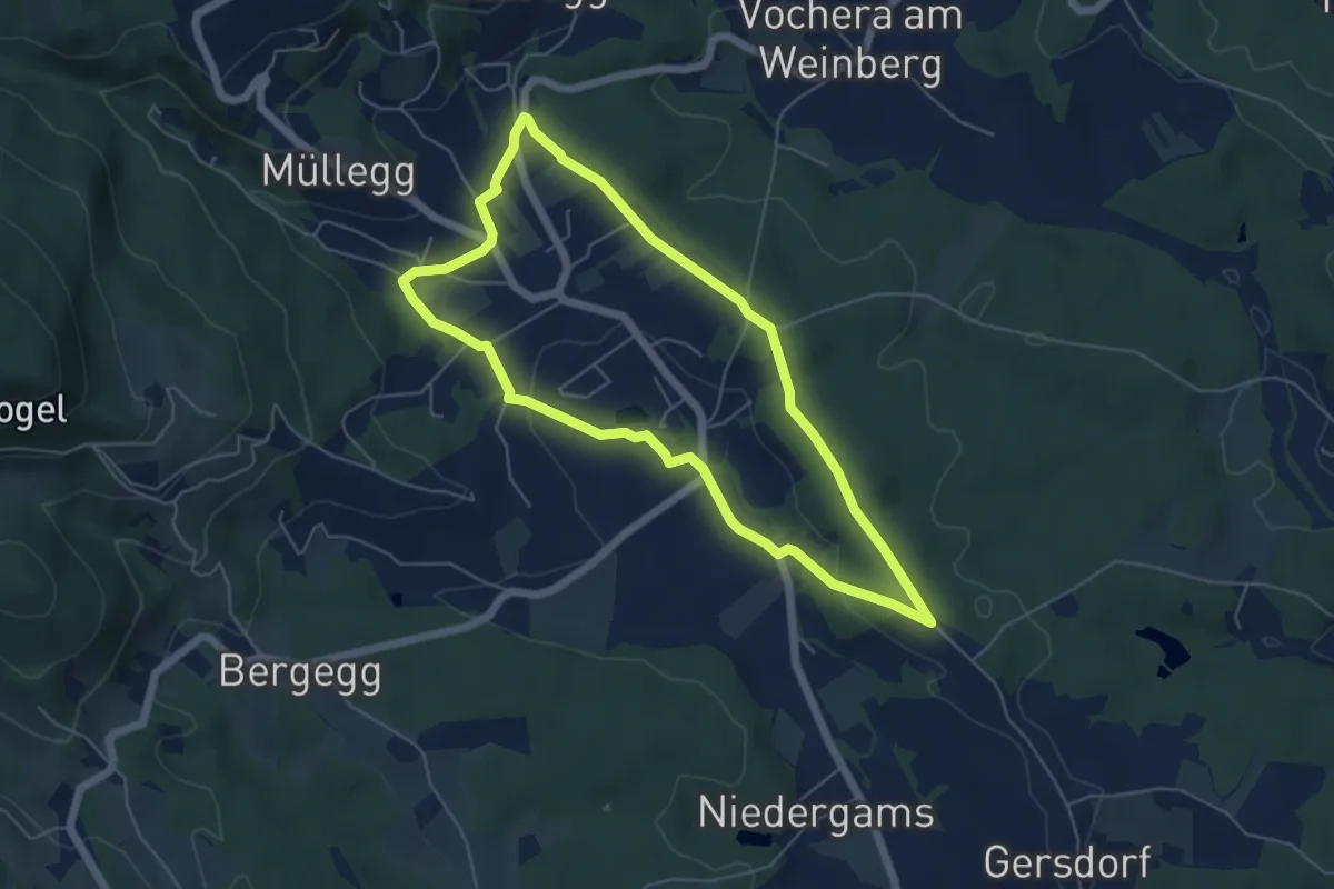
Easy · Trail
Genuss-Spazierrundweg
5.3 km · ↑ 66 m · 1 h 27 min
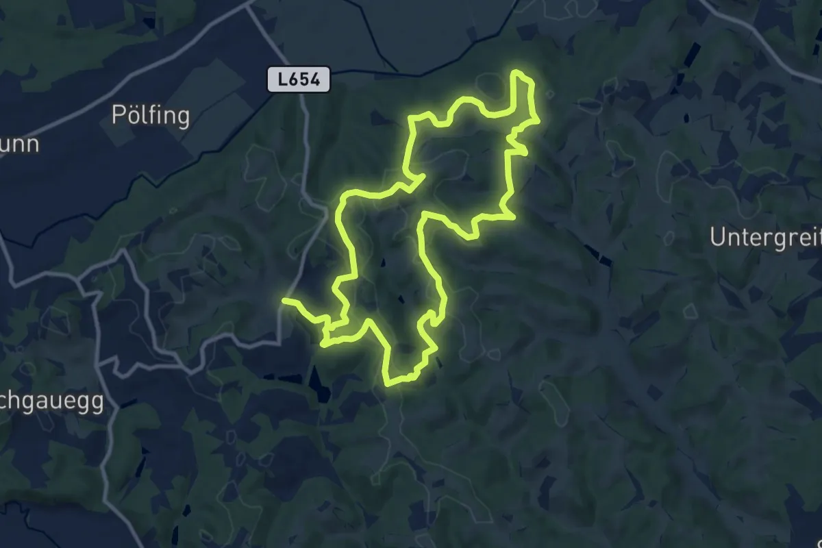
Medium · Trail
Genusstour
10.9 km · ↑ 354 m · 3 h 30 min
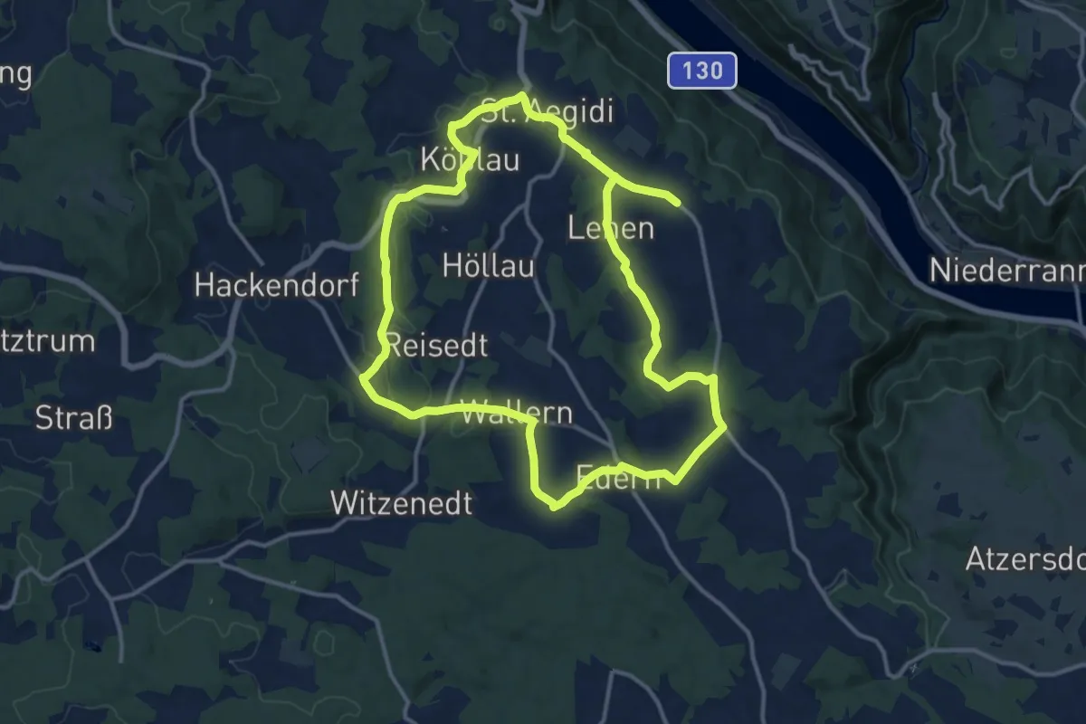
Demanding · Trail
Genuss-Wanderung
24.5 km · ↑ 405 m · 6 h 40 min
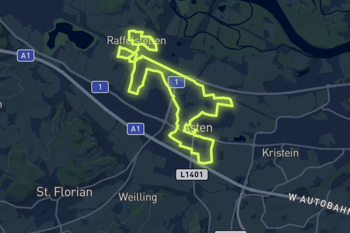
Demanding · Trail
Genussweg
28.4 km · ↑ 30 m · 6 h 46 min
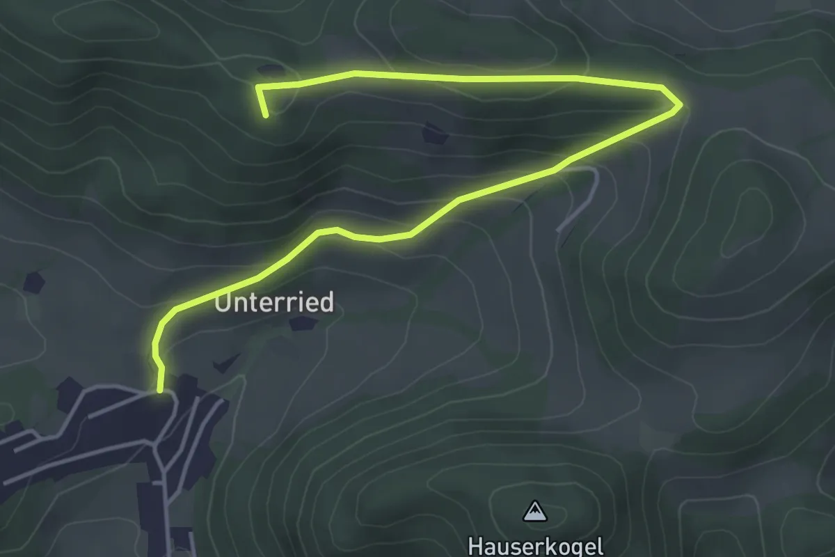
Easy · Summit
Geo-Dendro-Pfad Ramsau
5.2 km · ↑ 222 m · 1 h 43 min
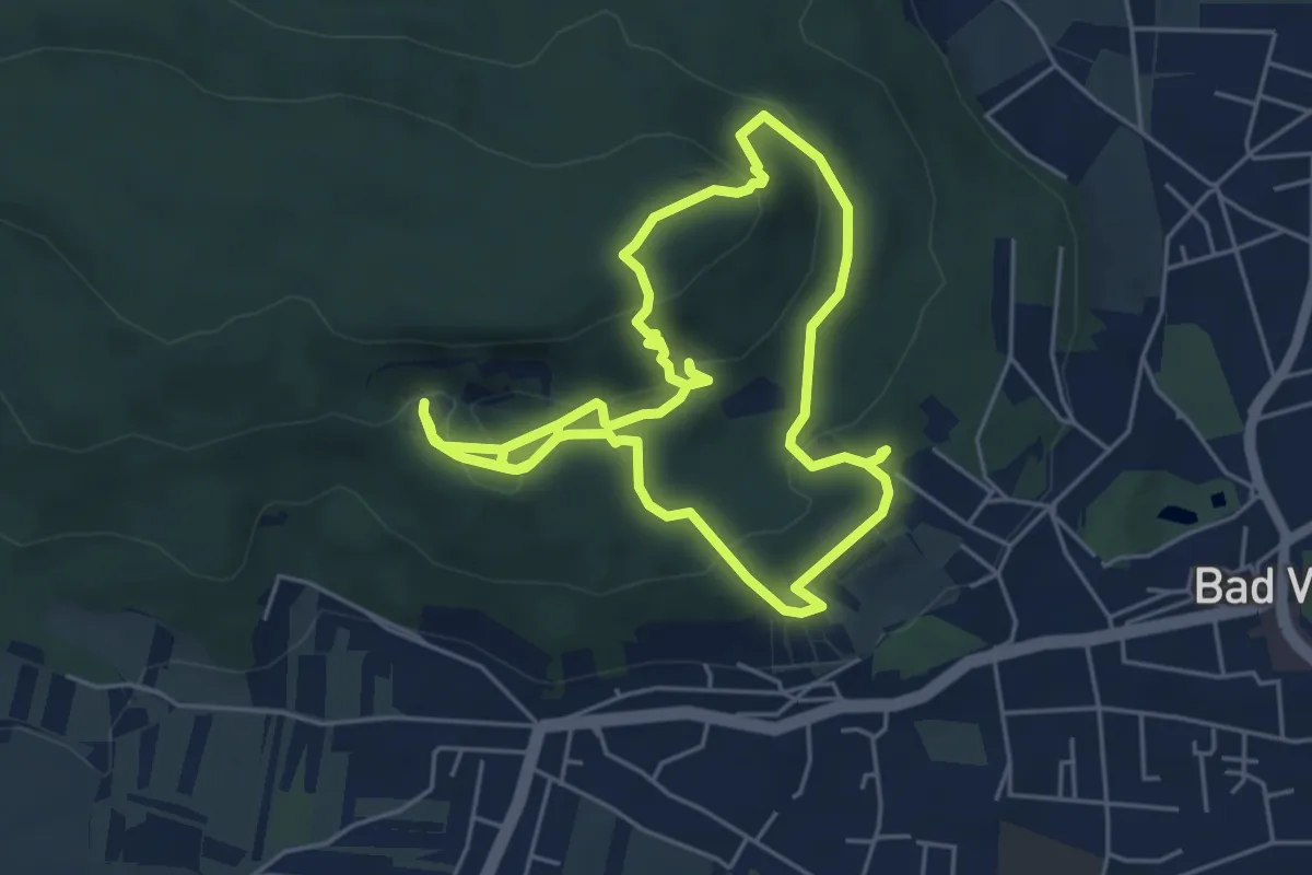
Easy · Summit
Geolehrpfad Bad Vöslau
5.1 km · ↑ 181 m · 1 h 40 min
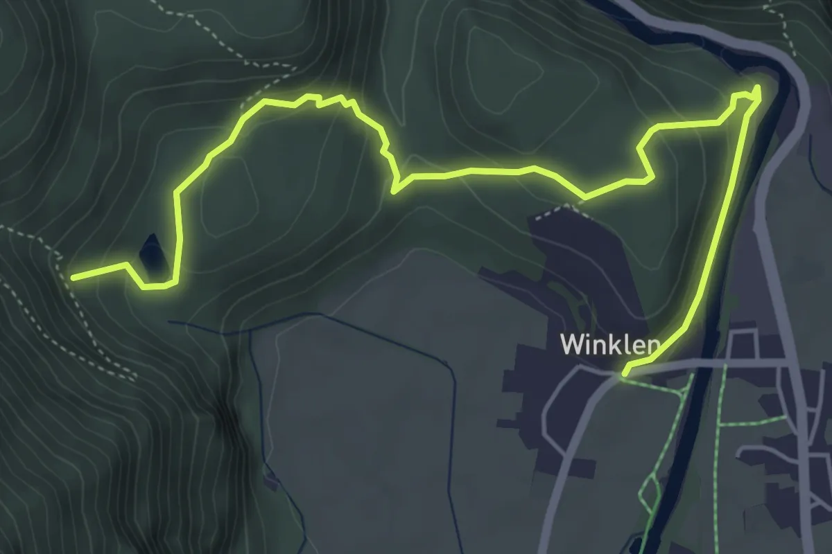
Easy · Trail
Geolehrpfad Winkelberg
6.2 km · ↑ 236 m · 1 h 58 min
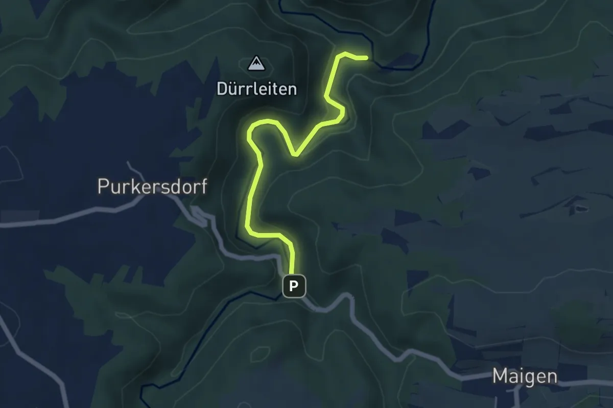
Easy · Trail
geologischer Lehrpfad
4.2 km · ↑ 85 m · 1 h 11 min
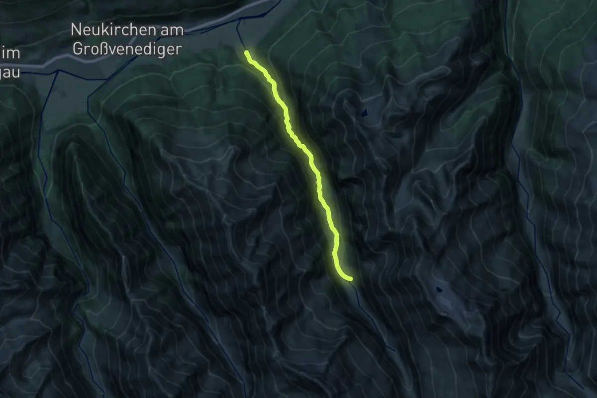
Medium · Cabin
Geologischer Lehrweg Habachtal
14.3 km · ↑ 568 m · 4 h 37 min
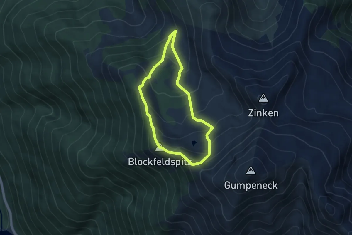
Medium · Summit
Geologischer Wanderweg
3.4 km · ↑ 330 m · 1 h 34 min
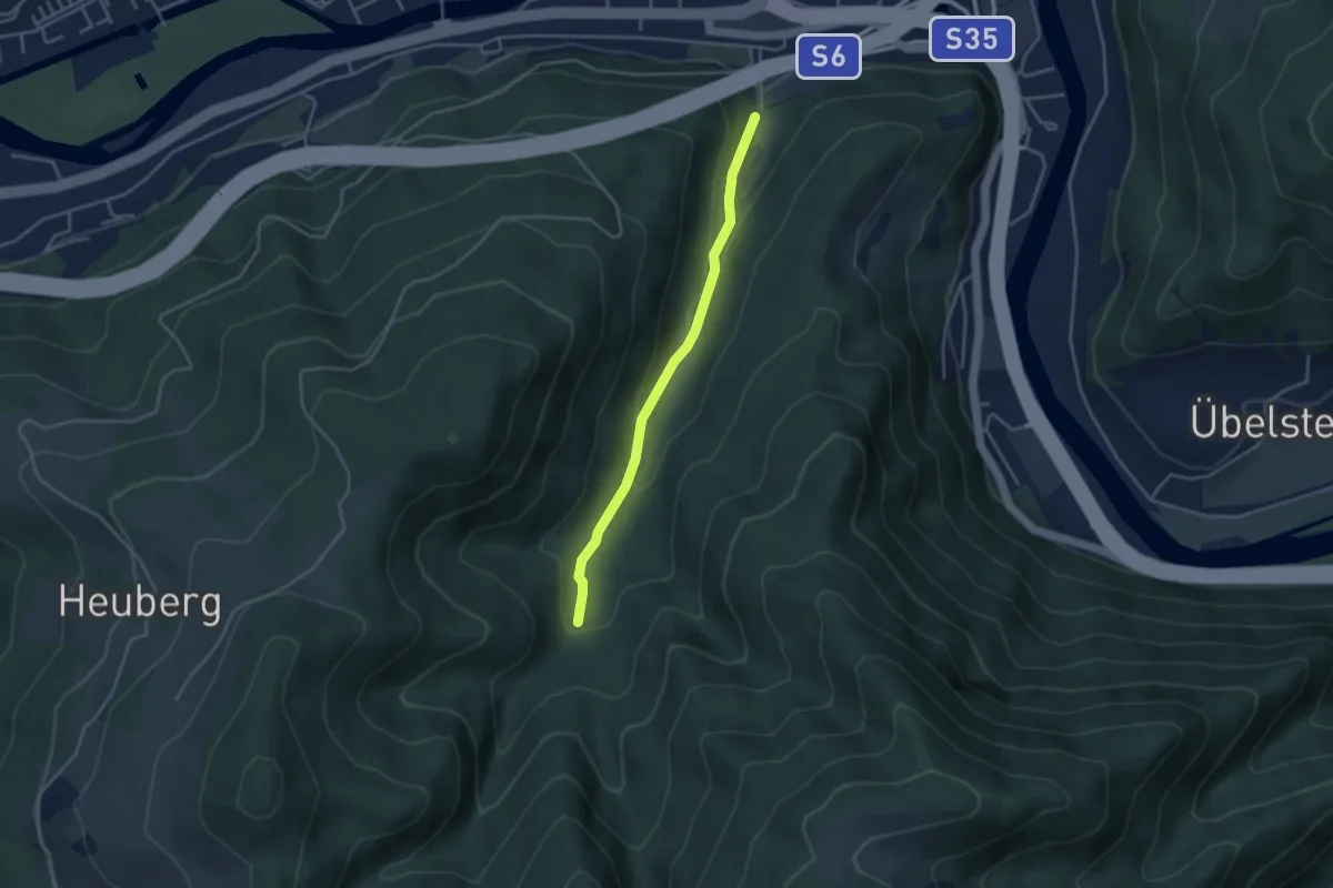
Easy · Trail
Geomantischer Weg
3.4 km · ↑ 120 m · 1 h 4 min
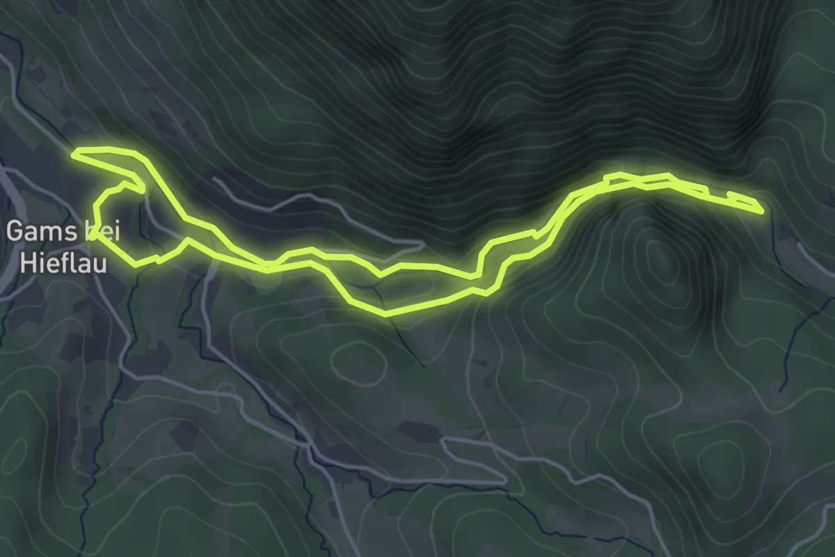
Easy · Trail
GeoPfad
4.4 km · ↑ 176 m · 1 h 29 min
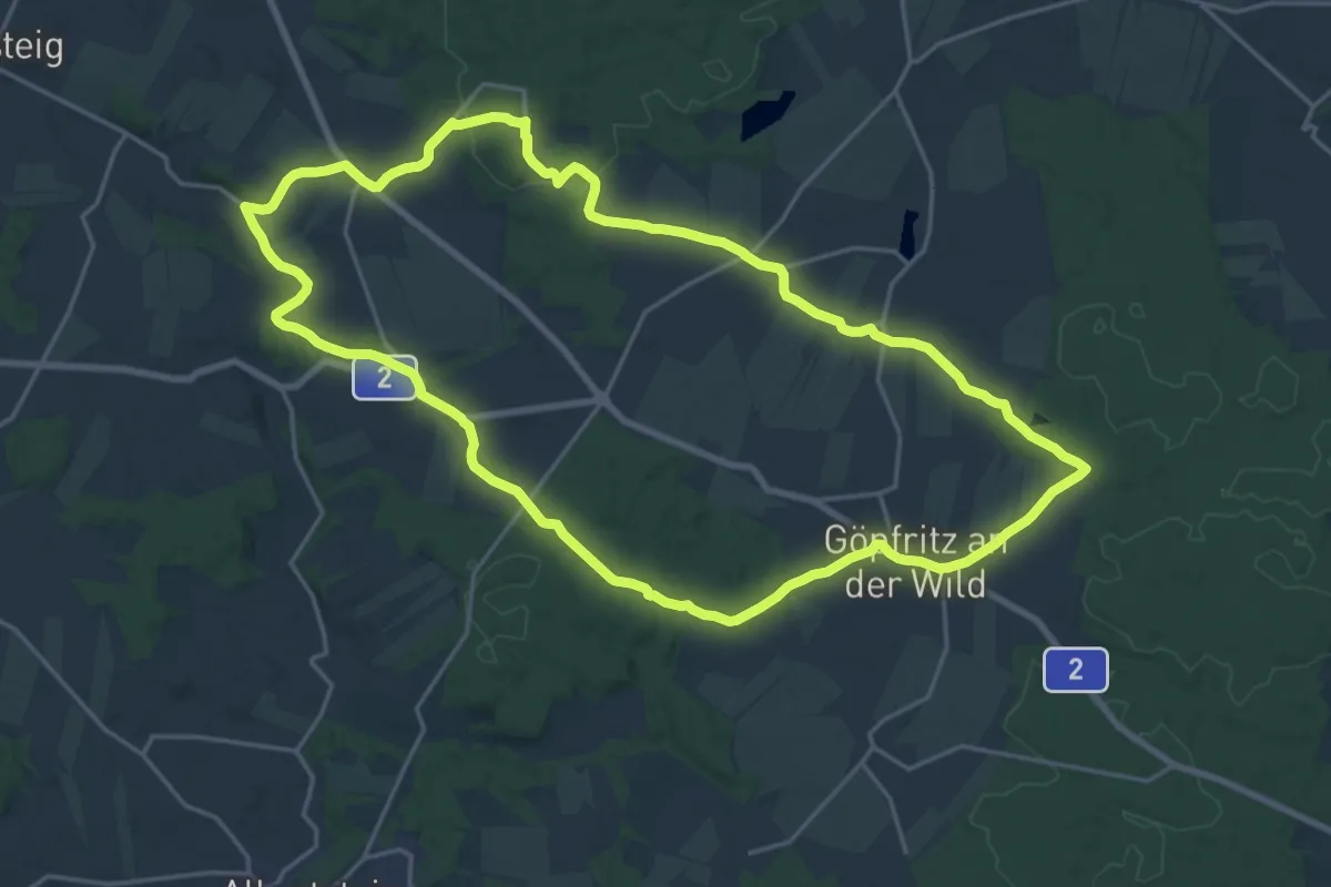
Demanding · Trail
Georgenberg - Watzelmühlen-Weg 42
20.3 km · ↑ 215 m · 5 h 33 min
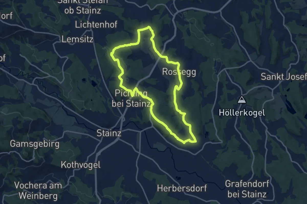
Medium · Trail
Georgsberg Rundweg
11.5 km · ↑ 177 m · 3 h 16 min
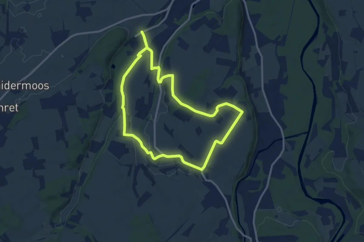
Easy · Trail
Georgsrunde
7.4 km · ↑ 77 m · 2 h 1 min
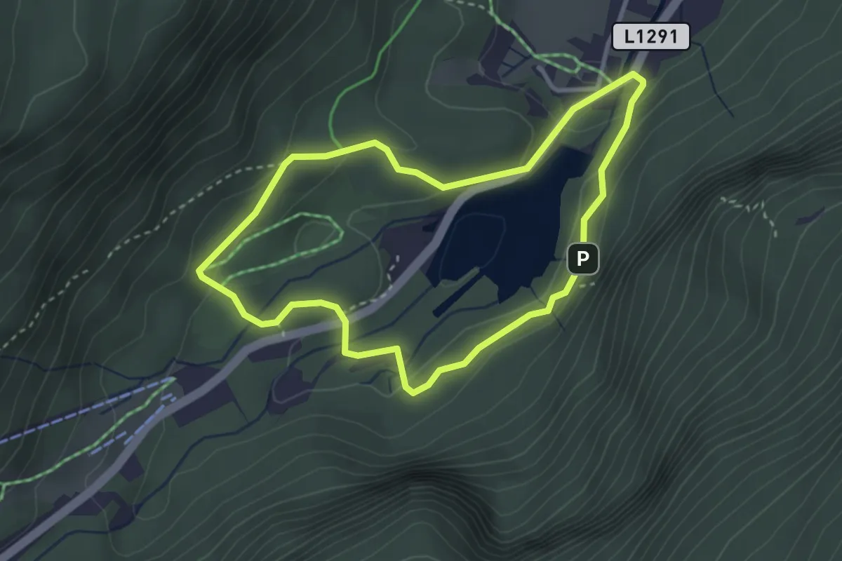
Easy · Trail
Georundwanderweg
2.9 km · ↑ 57 m · 50 min
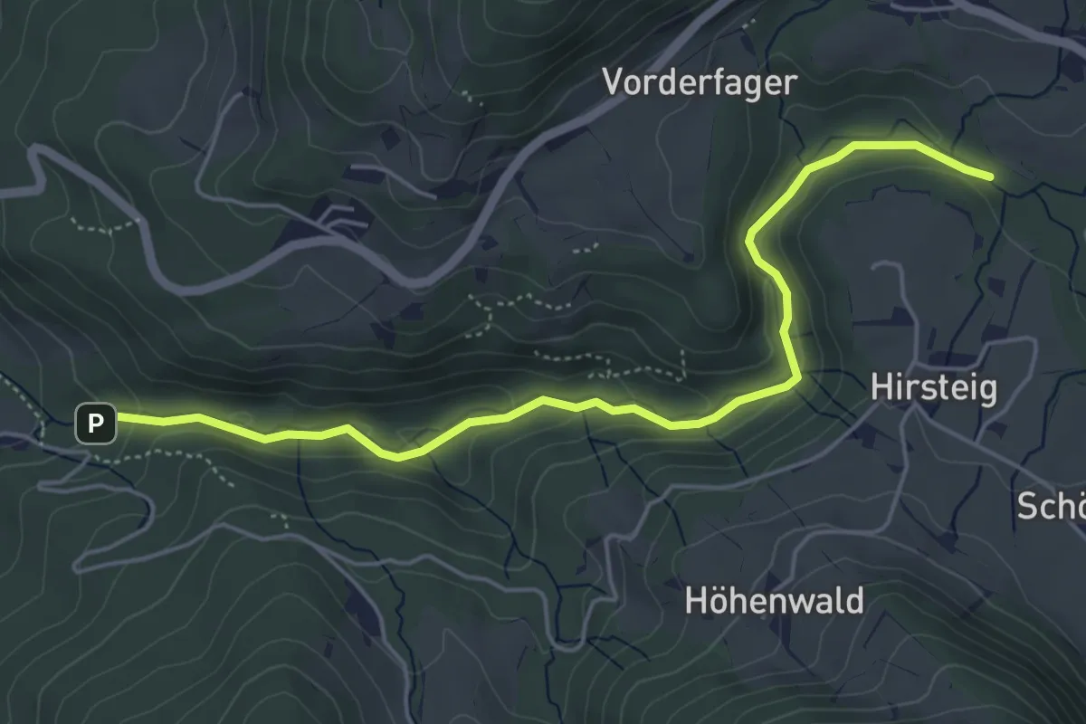
Medium · Trail
Geo-Schauweg Glasenbachklamm
5.3 km · ↑ 157 m · 1 h 36 min
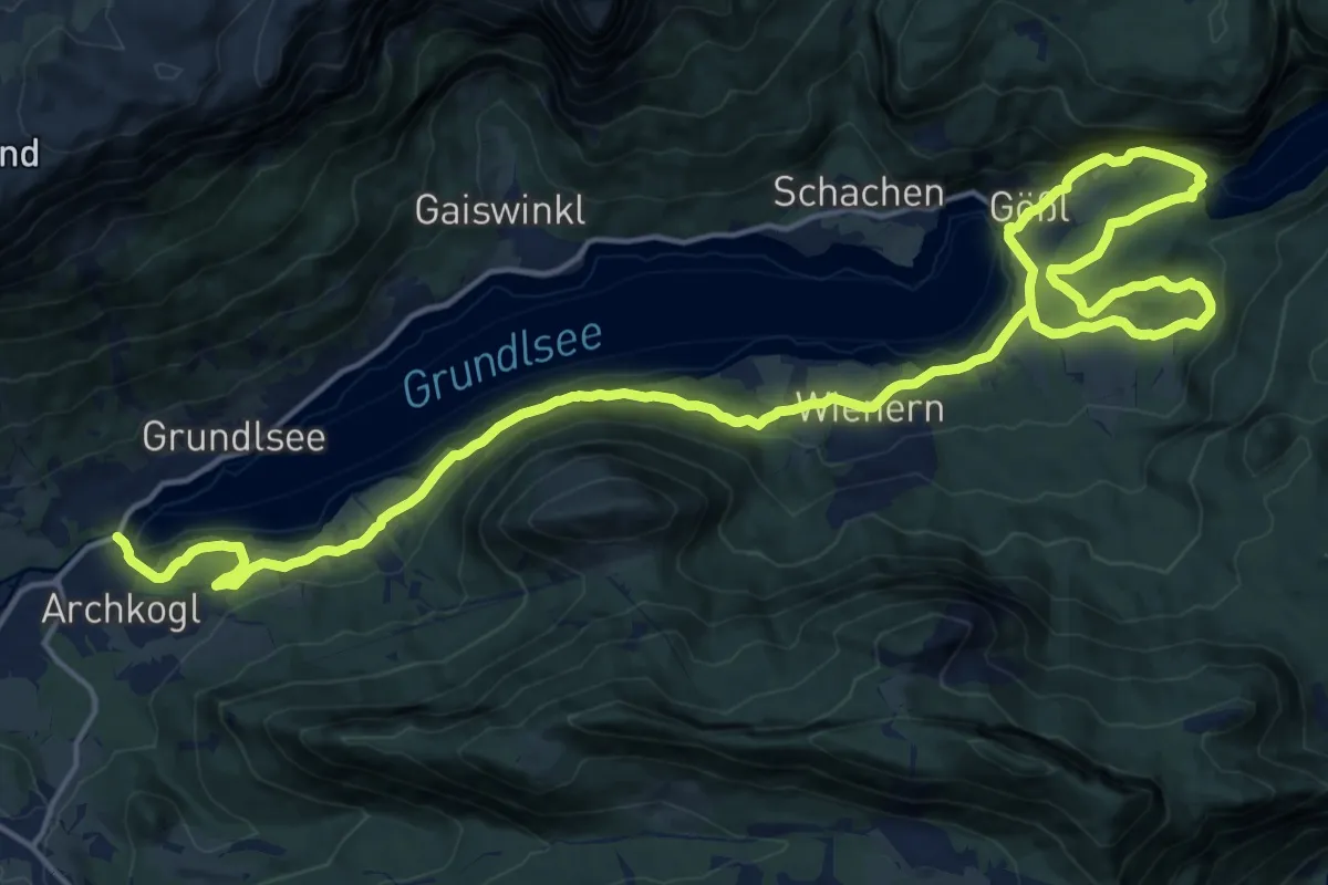
Demanding · Trail
Geotrail Grundlsee
26.1 km · ↑ 504 m · 7 h 15 min
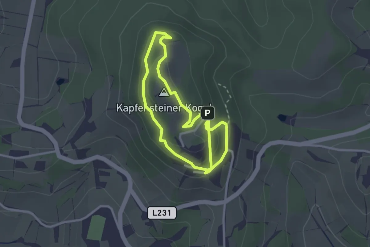
Easy · Summit
Geotrail Kapfenstein
2.2 km · ↑ 103 m · 47 min
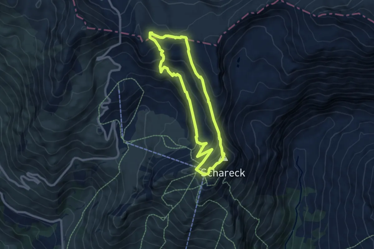
Easy · Summit
Geotrail Tauernfenster
5.7 km · ↑ 312 m · 2 h 7 min
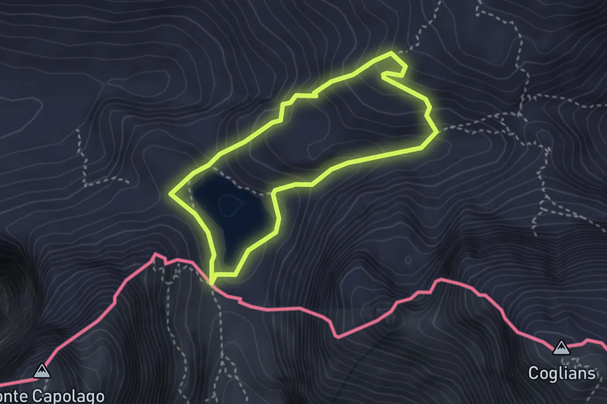
Medium · Summit
Geotrail Wolayasee
2.7 km · ↑ 238 m · 1 h 11 min
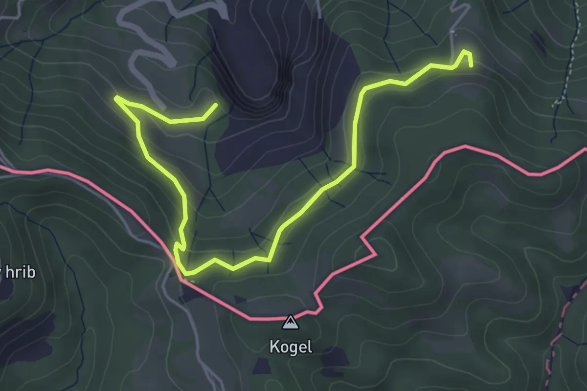
Easy · Trail
Geo-Wanderweg
5.3 km · ↑ 170 m · 1 h 37 min
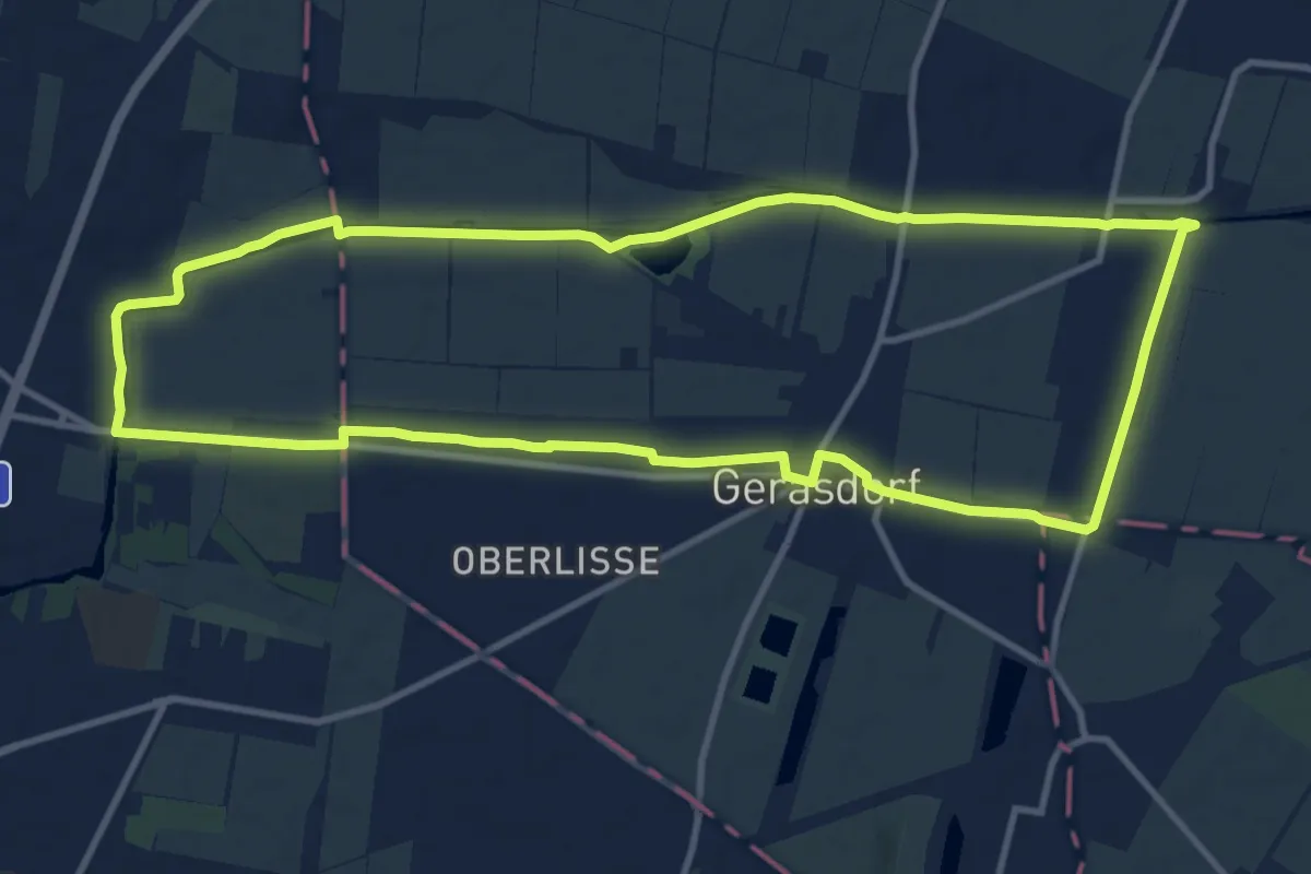
Medium · Trail
Gerasdorfer Rundwanderweg
11.5 km · ↑ 0 m · 2 h 52 min
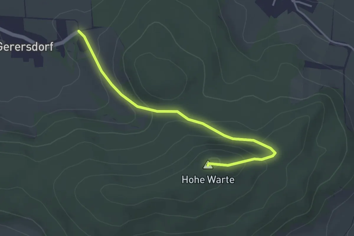
Easy · Summit
Gerersdorf - Hohe Warte
3.5 km · ↑ 146 m · 1 h 9 min
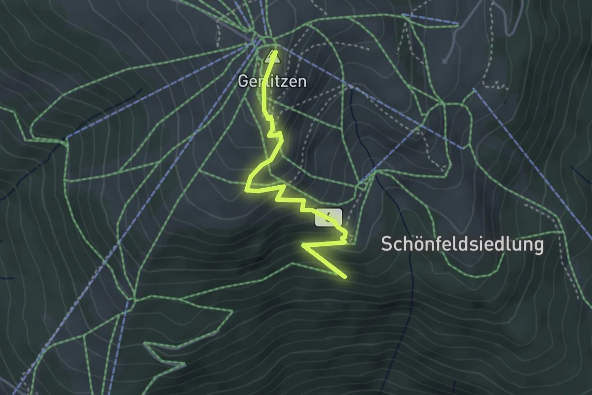
Medium · Summit
Gerlitzen Weg 6
3.3 km · ↑ 266 m · 1 h 22 min
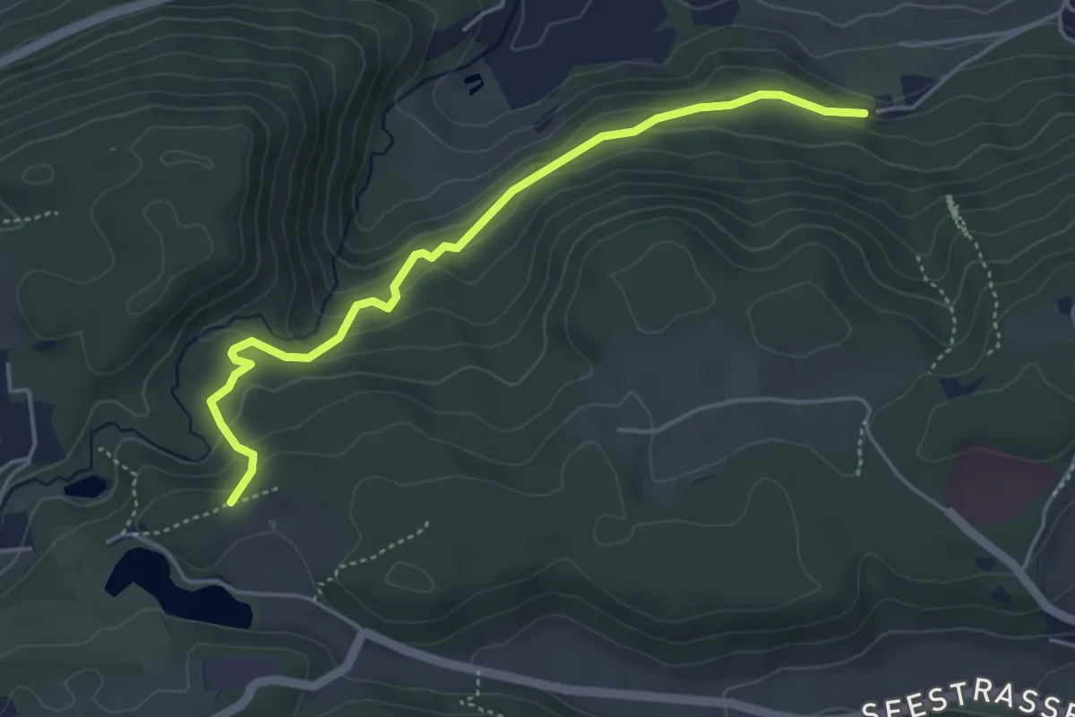
Medium · Trail
Geroldsschluchtweg
4.5 km · ↑ 197 m · 1 h 29 min
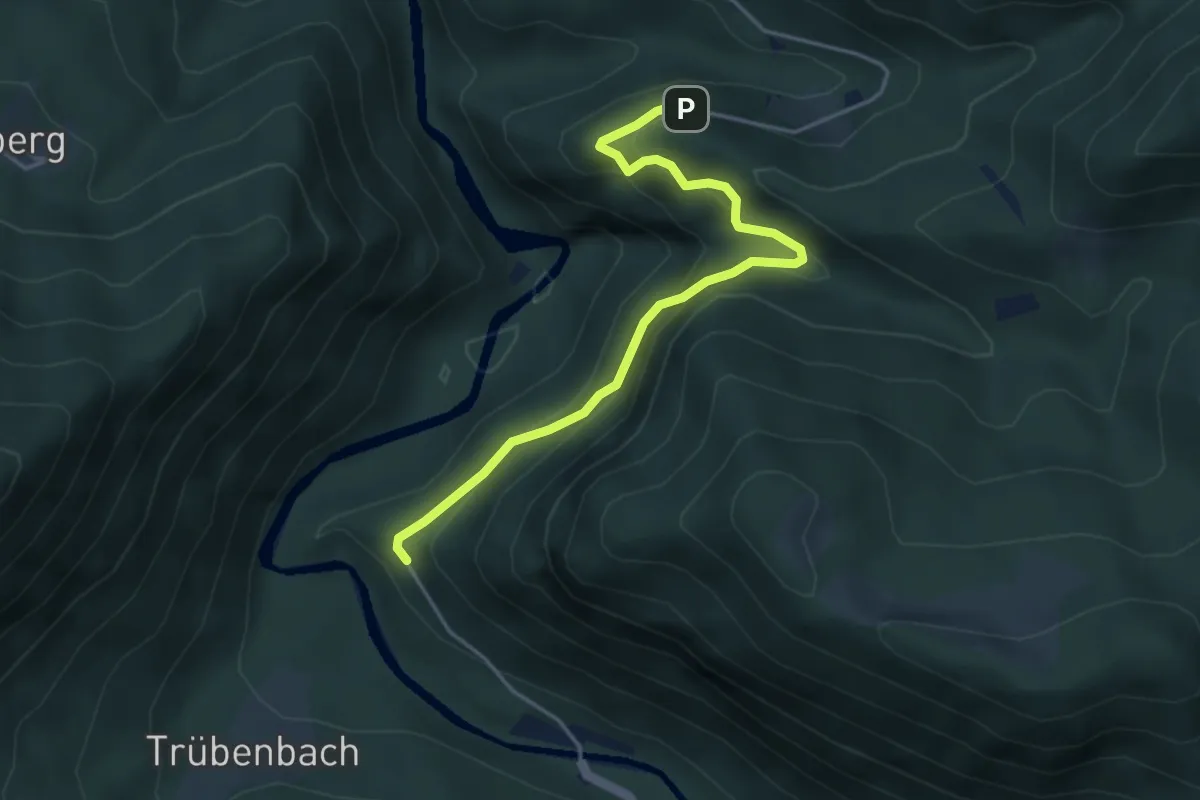
Easy · Trail
Gesteinslehrpfad Panoramastraße Puchenstuben
4.2 km · ↑ 178 m · 1 h 23 min
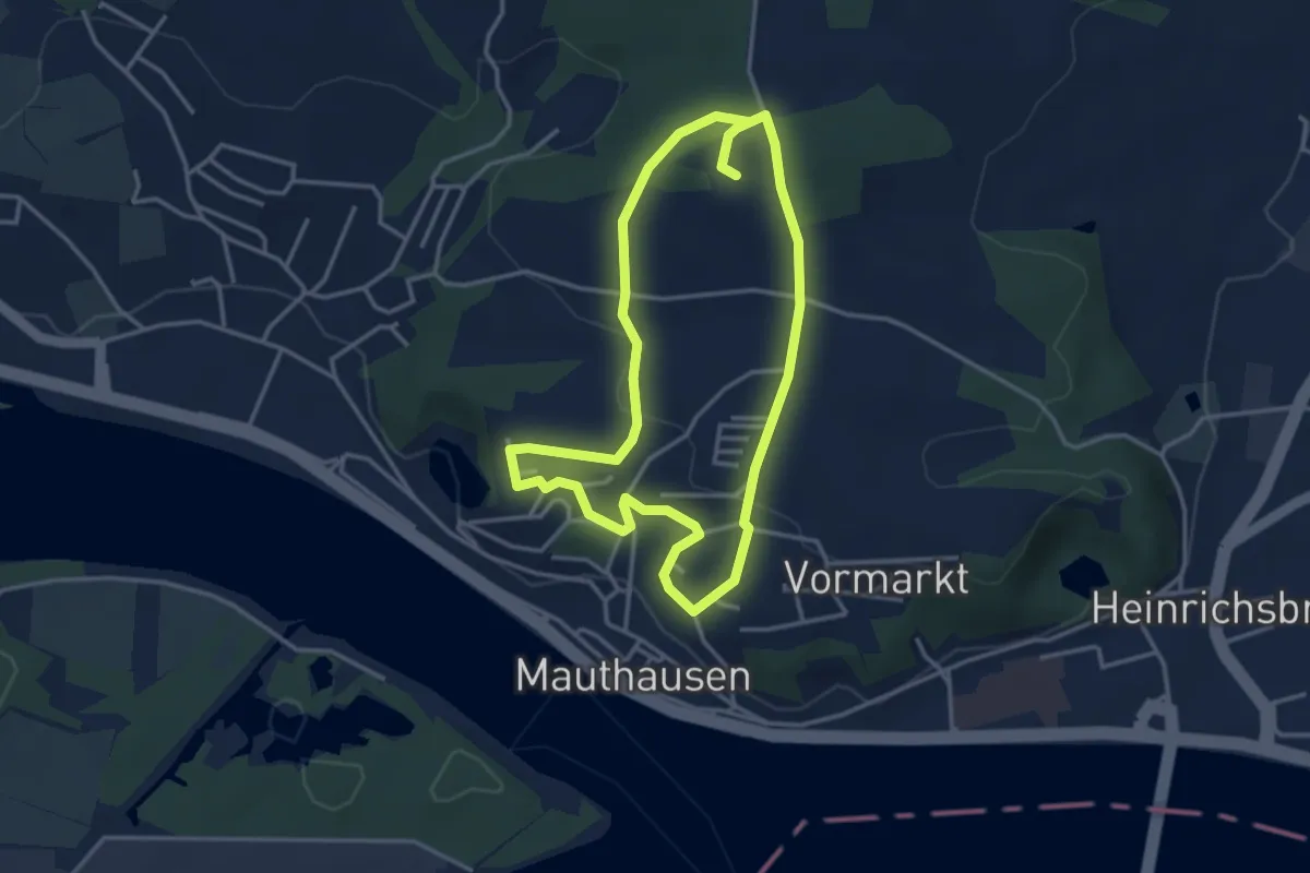
Easy · Trail
Gesunde Gemeinde Wanderweg
3.3 km · ↑ 88 m · 1 h 1 min
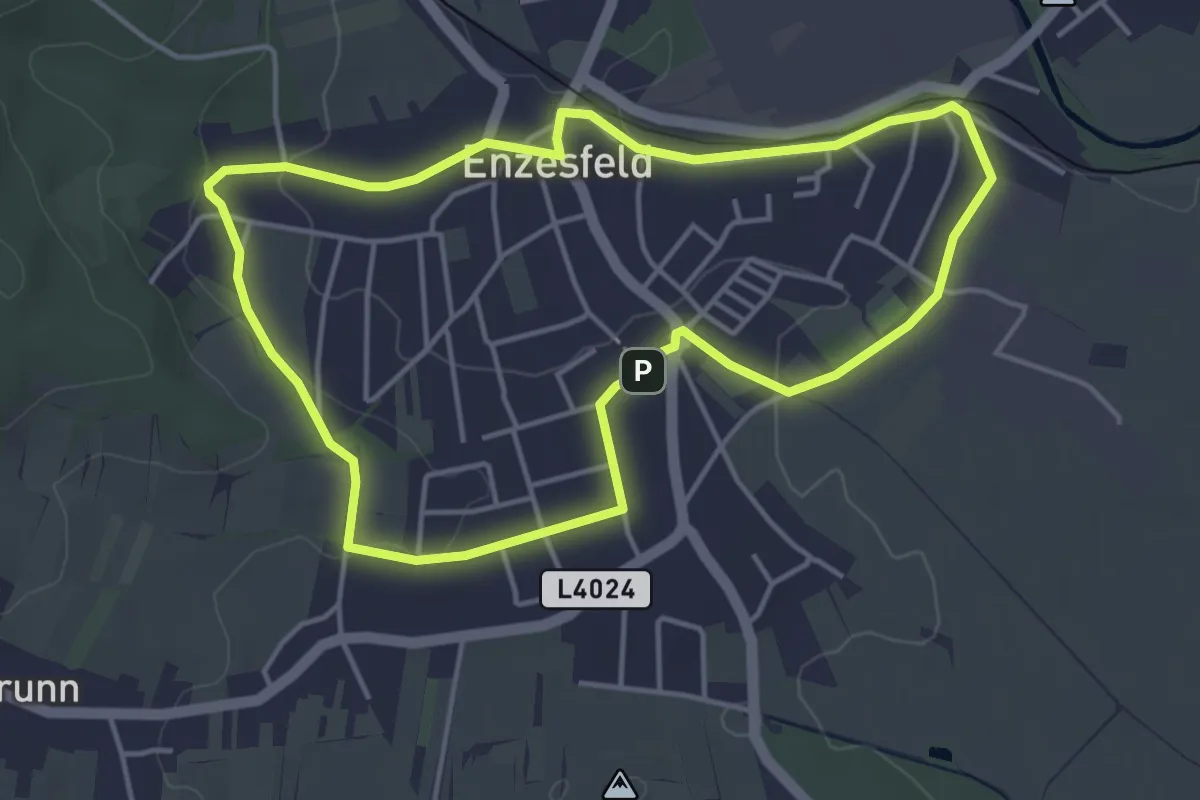
Easy · Trail
Gesundes Enzesfeld-Lindabrunn – Route Enzesfeld
4.1 km · ↑ 47 m · 1 h 8 min
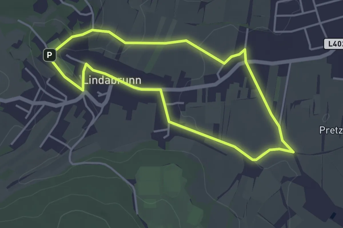
Easy · Summit
Gesundes Enzesfeld-Lindabrunn – Route Lindabrunn
3.3 km · ↑ 47 m · 55 min
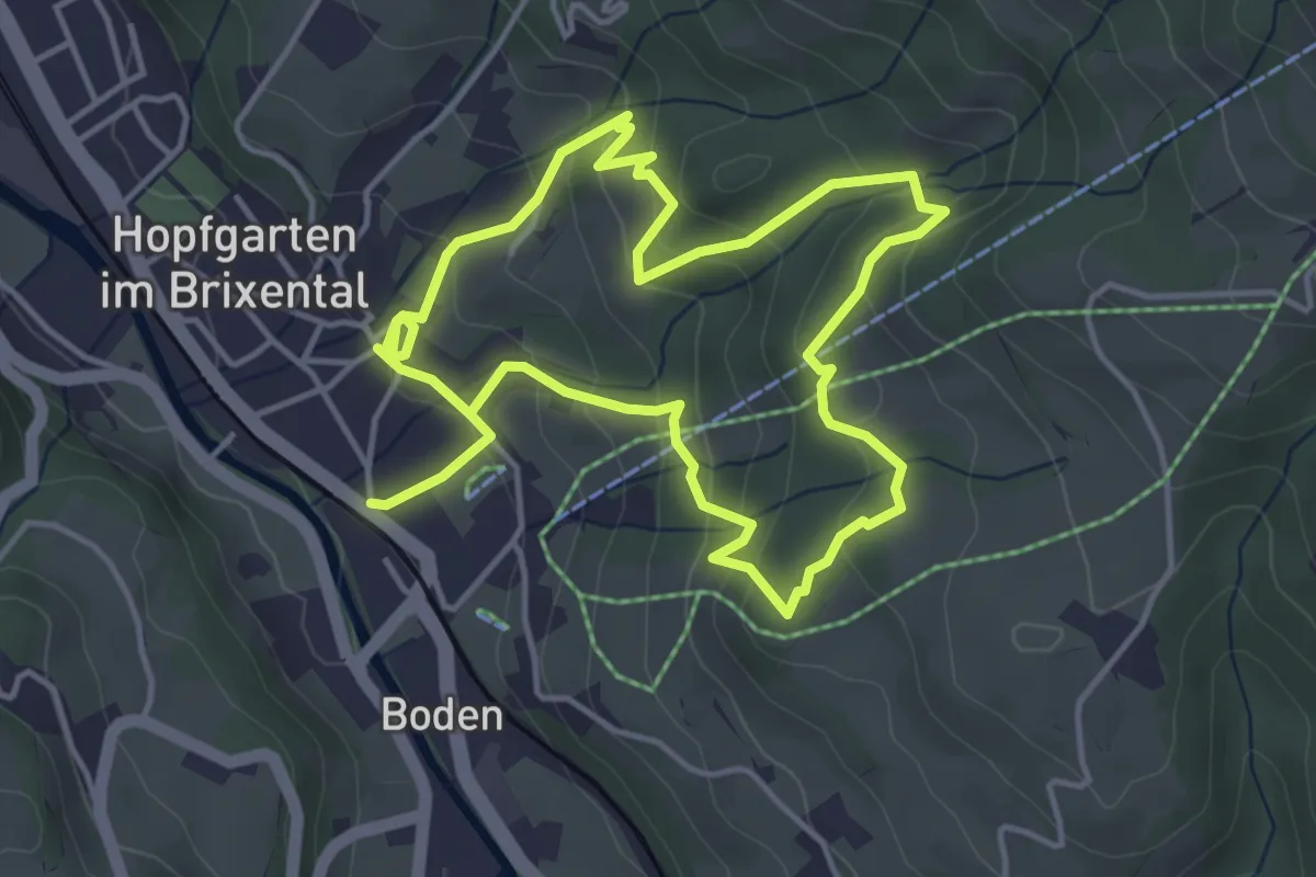
Medium · Trail
Gesundheitsbründlweg
8.0 km · ↑ 355 m · 2 h 40 min
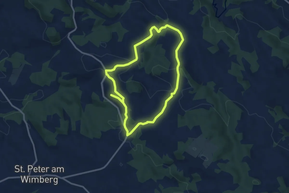
Medium · Trail
Gesundheitsweg
12.0 km · ↑ 406 m · 3 h 43 min
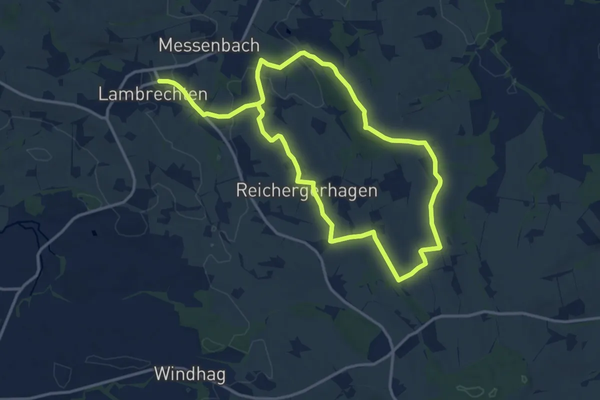
Demanding · Trail
Gewürzweg
18.6 km · ↑ 282 m · 5 h