Trails in Austria
9,778 hiking trails, each with its route, climb, walking time and grade.
All trails, page 34 of 204
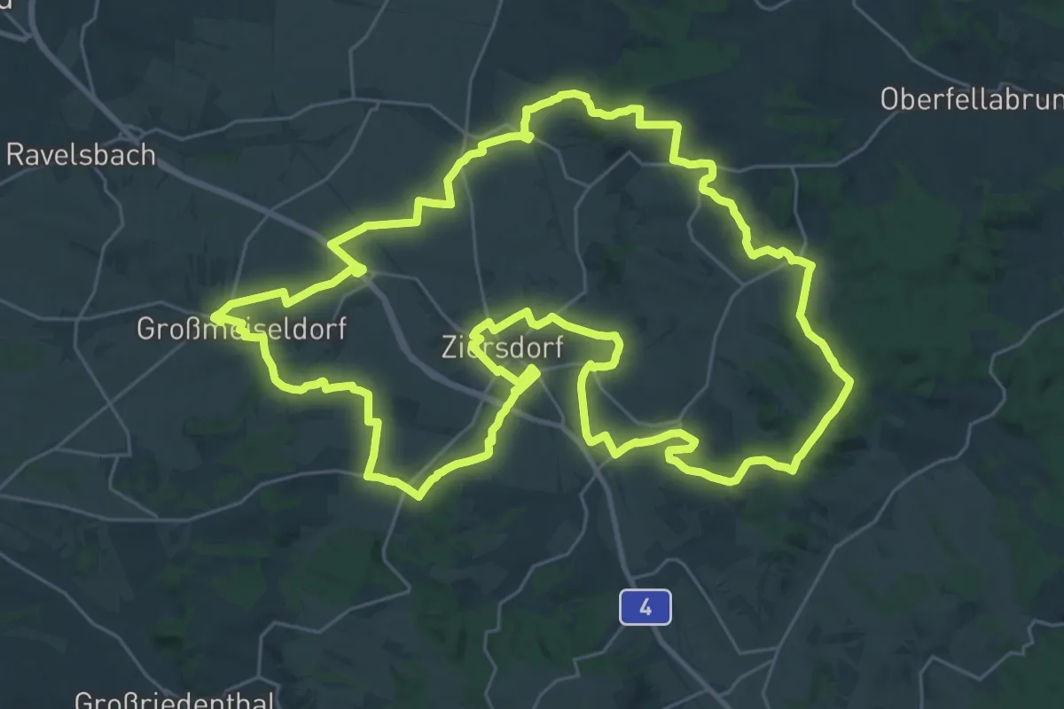
Demanding · Summit
GGRWW (Großgemeinde-Rundwanderweg Ziersdorf)
34.0 km · ↑ 425 m · 9 h 25 min
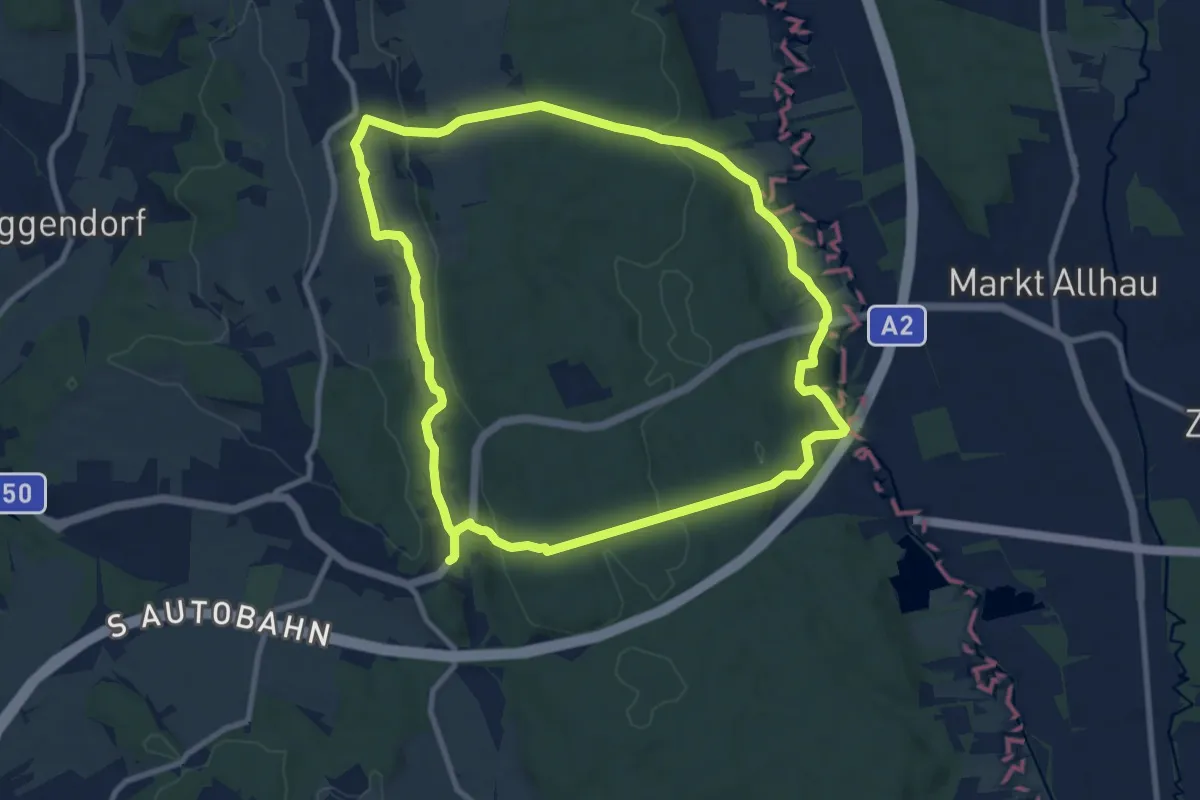
Medium · Trail
Ghartwald-Rundwanderweg
9.3 km · ↑ 138 m · 2 h 38 min
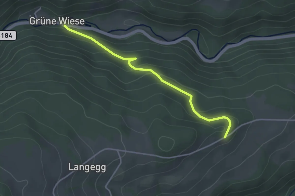
Easy · Trail
Ghf Grüne Wiese (Inneraigen) - Langegg (1000jährige Eiche)
3.1 km · ↑ 157 m · 1 h 4 min
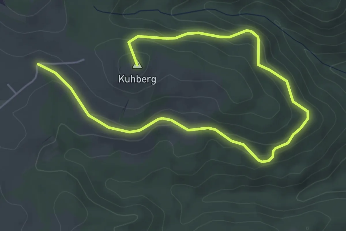
Easy · Summit
Ghf Rothmann - Türkenkapelle - Kuhberg
6.7 km · ↑ 227 m · 2 h 4 min
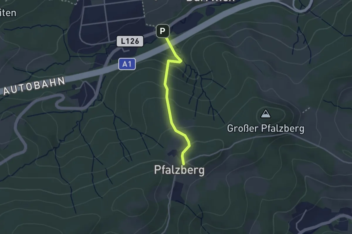
Easy · Trail
GH Höfer - Pfalzberg
2.3 km · ↑ 142 m · 51 min
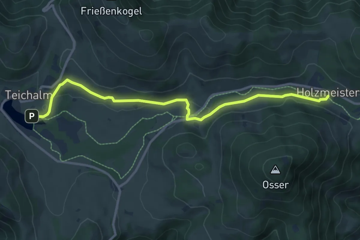
Medium · Trail
Gh. Holzmeister - Teichalmsee
8.0 km · ↑ 107 m · 2 h 8 min
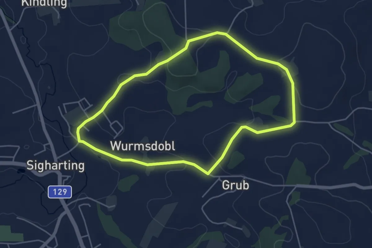
Easy · Trail
Gieshübelweg
3.9 km · ↑ 83 m · 1 h 9 min
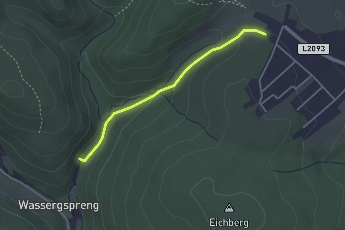
Easy · Trail
Gießhübel - Wassergspreng
2.6 km · ↑ 103 m · 50 min
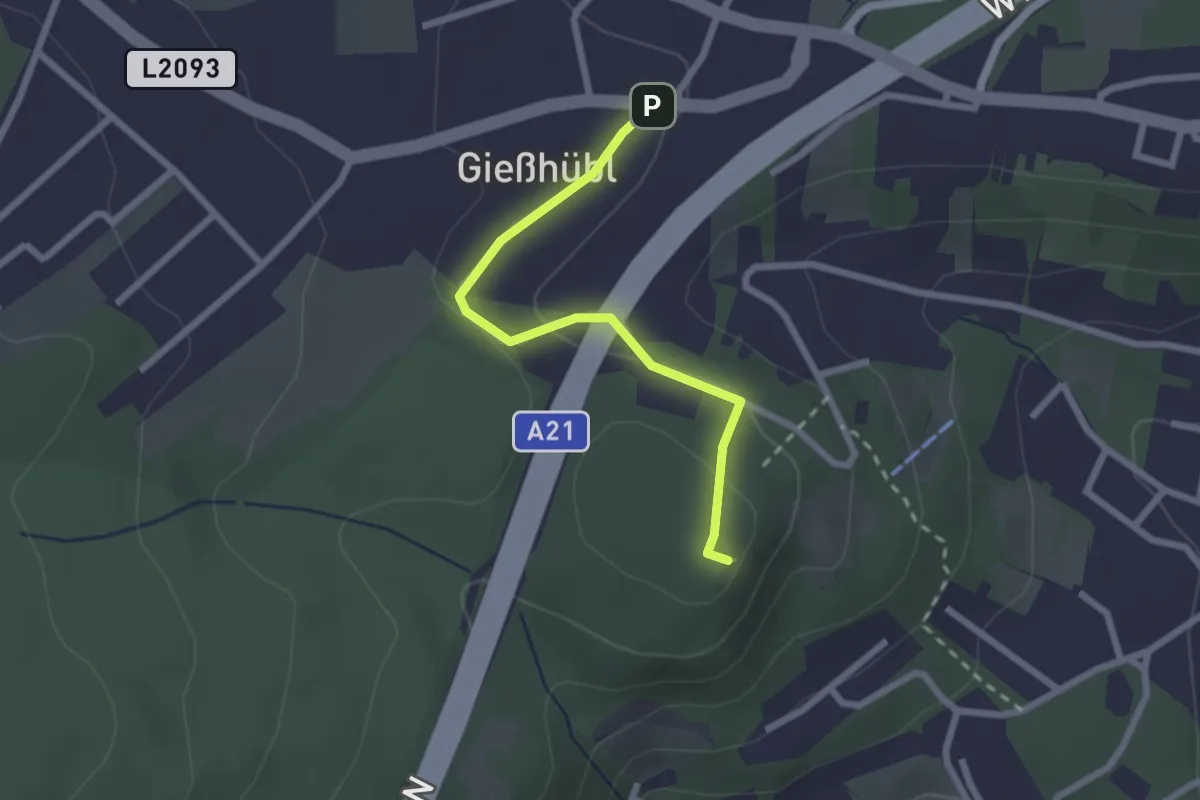
Easy · Summit
Gießhübl - Sittnerwarte
2.2 km · ↑ 58 m · 39 min
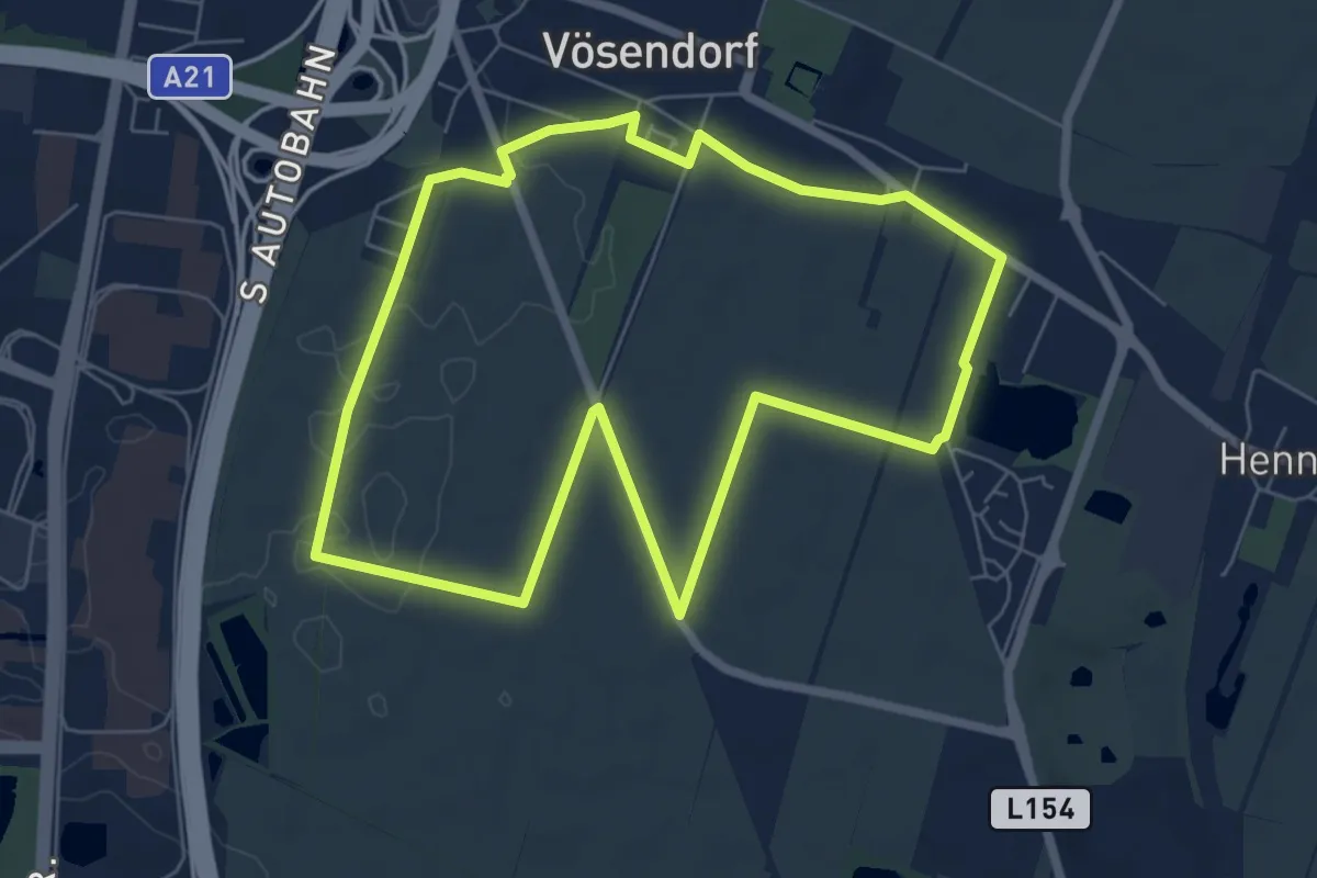
Easy · Trail
Gigasport Runde
6.4 km · ↑ 16 m · 1 h 39 min
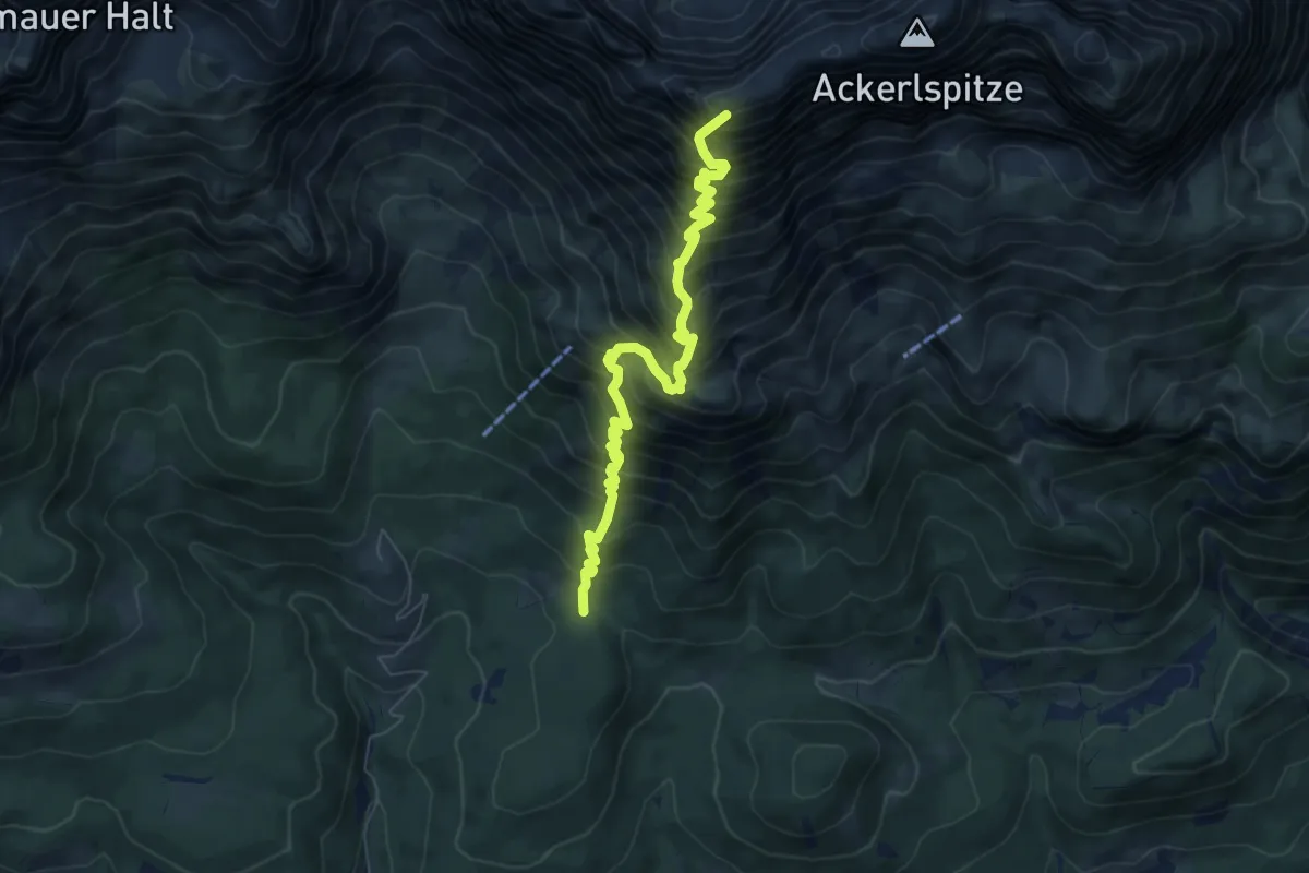
Demanding · Summit
Gildensteig
7.1 km · ↑ 1162 m · 4 h 12 min
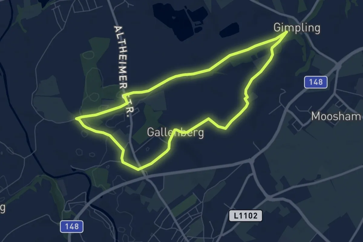
Easy · Trail
Gimplinger-Runde
7.0 km · ↑ 28 m · 1 h 49 min
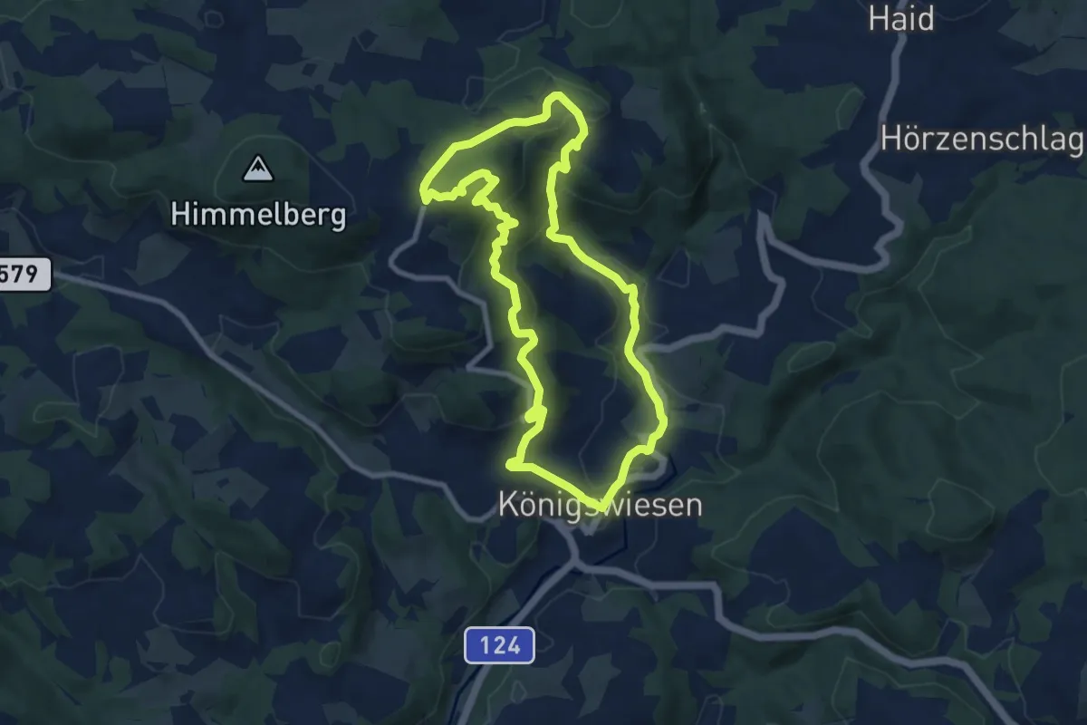
Medium · Summit
Gipfelkreuz-Rundweg Nr.1
7.8 km · ↑ 352 m · 2 h 43 min
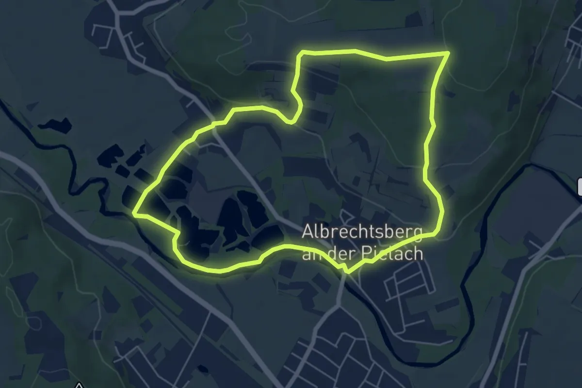
Easy · Summit
Gipfelkreuzweg
5.5 km · ↑ 132 m · 1 h 40 min
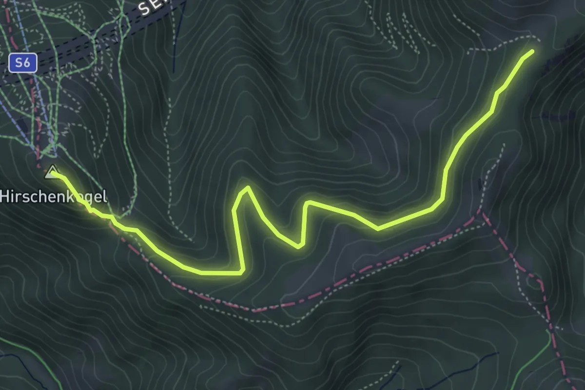
Easy · Summit
Gipfelrunde
6.2 km · ↑ 267 m · 2 h 3 min
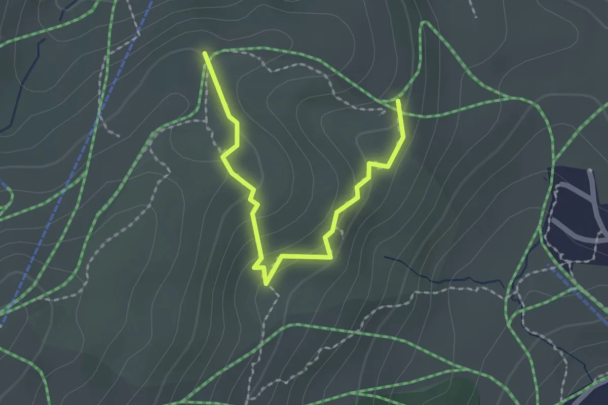
Medium · Trail
Gipslöcher-Lehrpfad
1.9 km · ↑ 120 m · 43 min
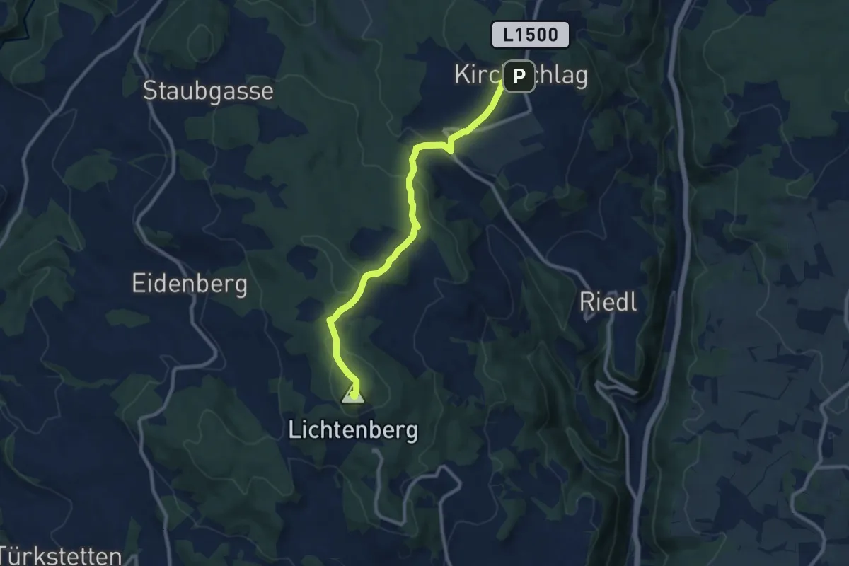
Medium · Summit
Giselawarte Kirchschlag
8.9 km · ↑ 296 m · 2 h 44 min
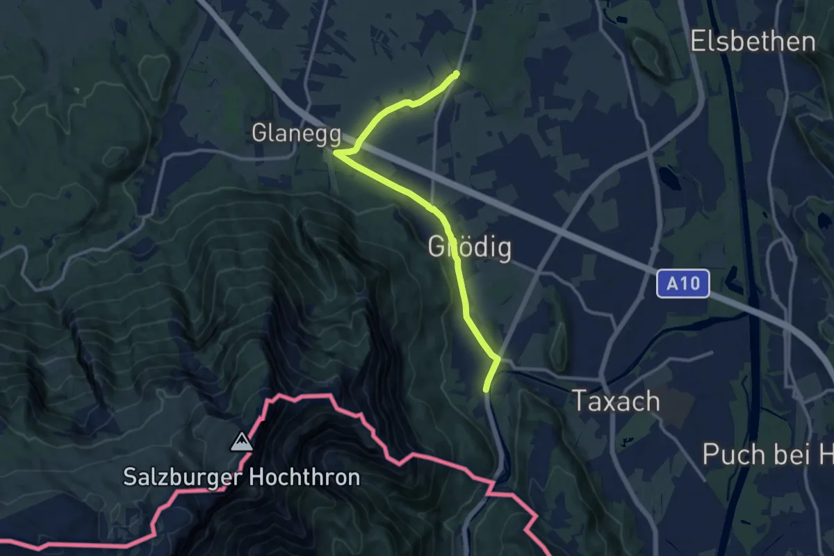
Medium · Trail
Glanegger Runde
10.7 km · ↑ 21 m · 2 h 34 min
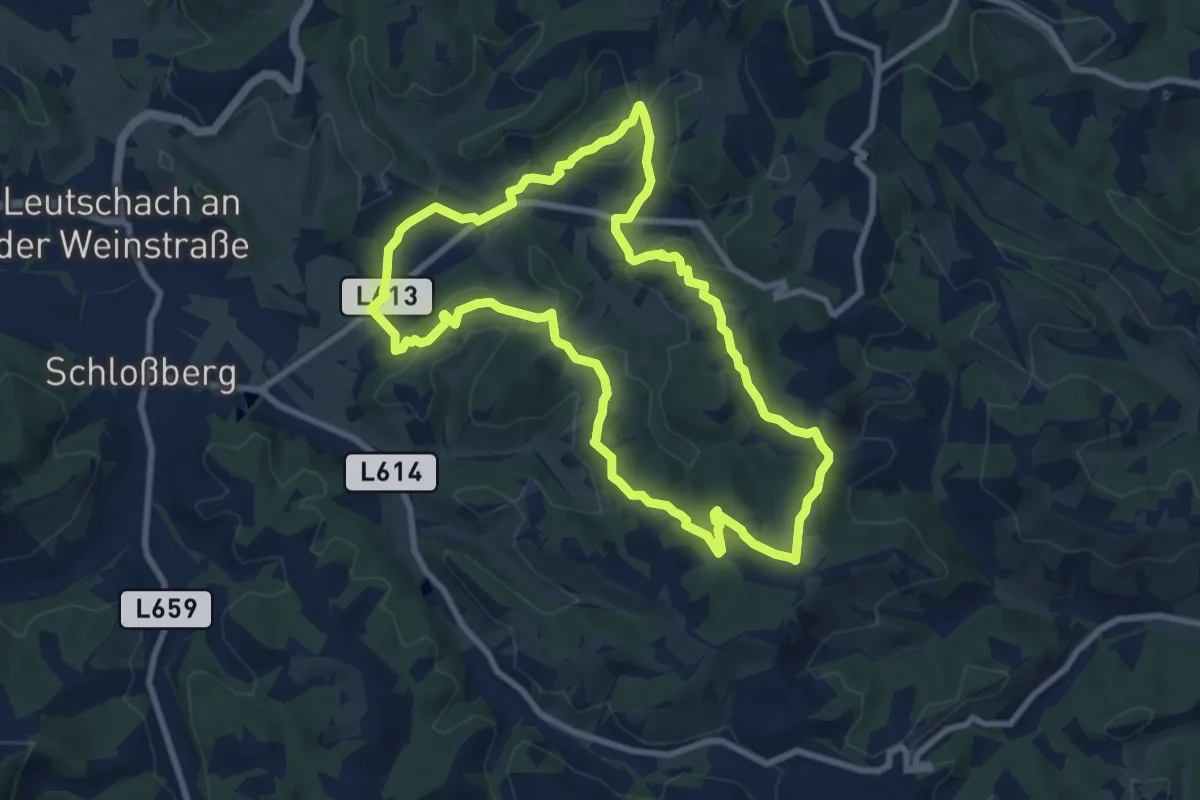
Medium · Trail
Glanzer Hoftour (Variante 1 - Kurzvariante)
8.4 km · ↑ 313 m · 2 h 47 min
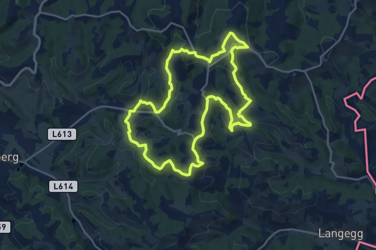
Medium · Summit
Glanzer Weintour
10.1 km · ↑ 431 m · 3 h 27 min
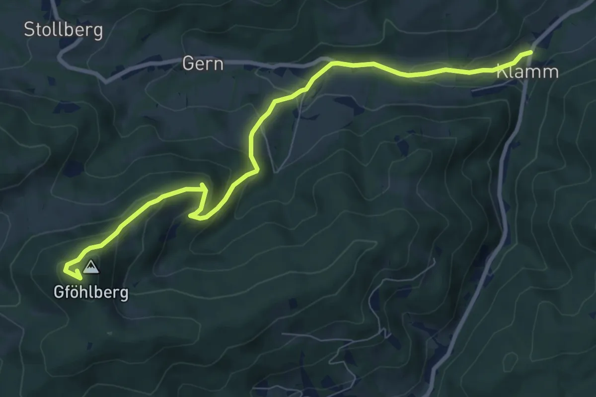
Medium · Summit
Glashütte - Hainfeld
8.5 km · ↑ 460 m · 3 h
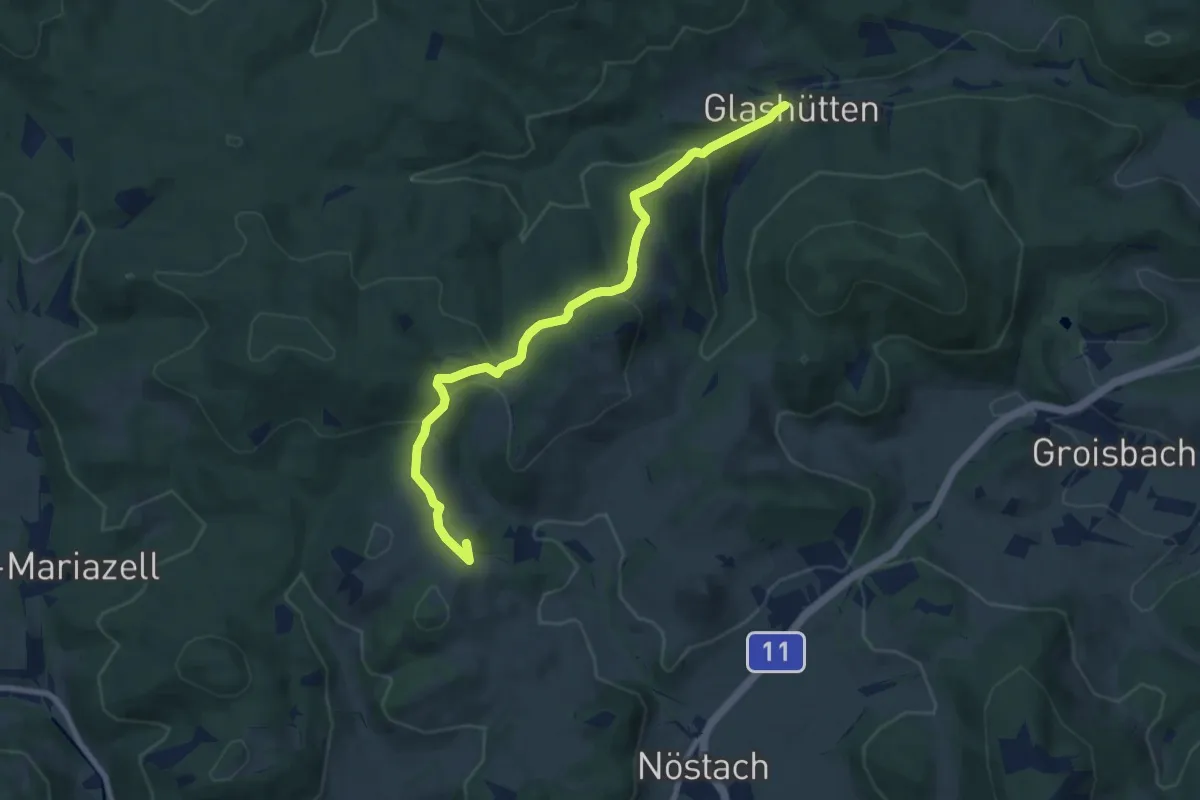
Medium · Summit
Glashütten - Nöstach
8.2 km · ↑ 328 m · 2 h 39 min
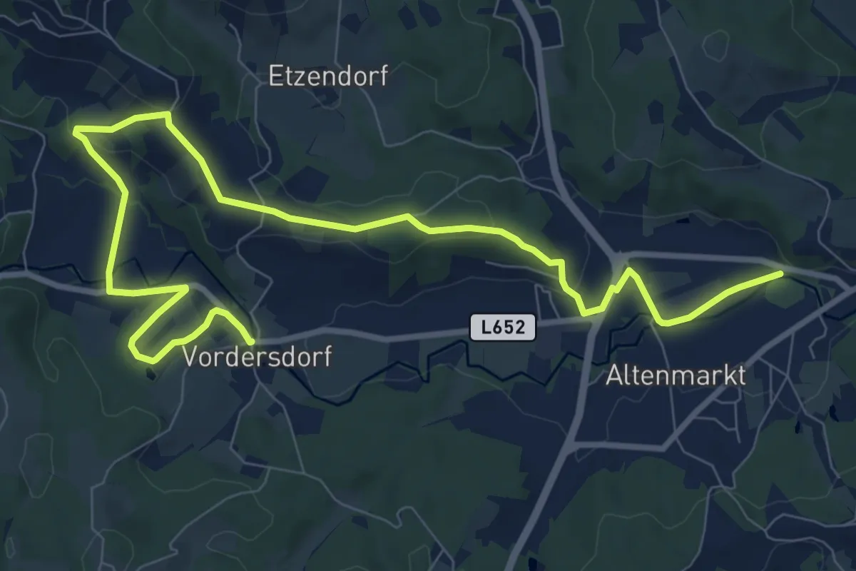
Medium · Trail
Glashütten-Weg
11.8 km · ↑ 234 m · 3 h 18 min
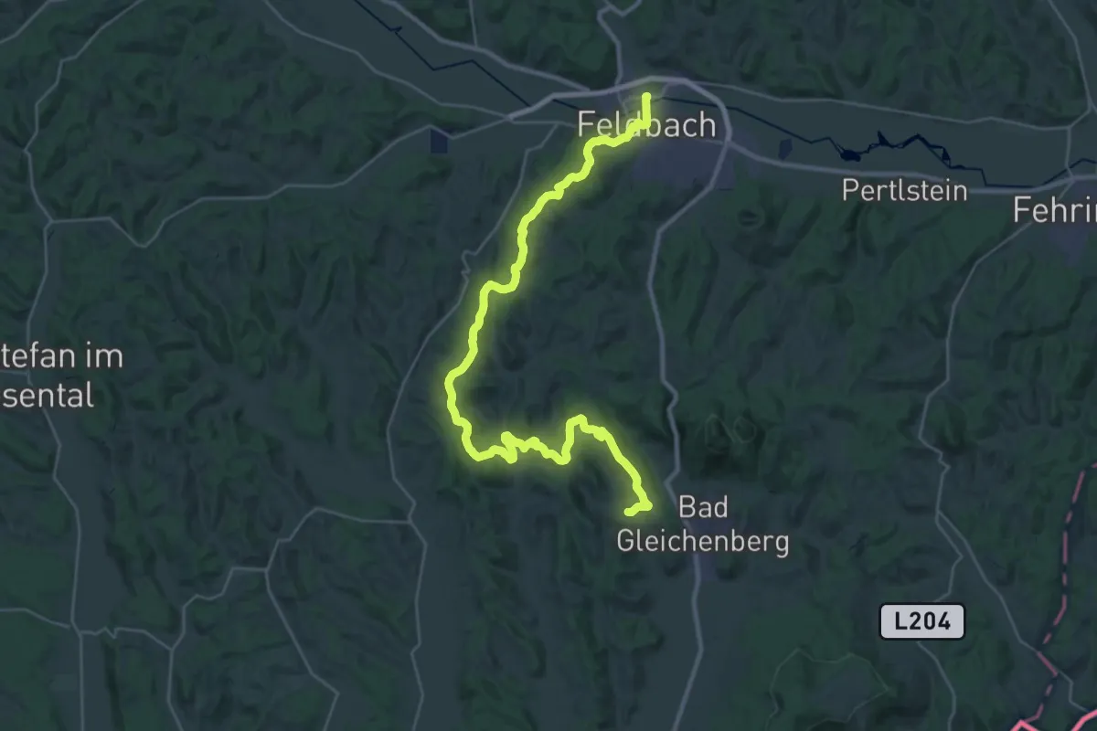
Demanding · Trail
Gleichenberger Bahn-Wanderweg
19.2 km · ↑ 398 m · 5 h 39 min
Demanding · Trail
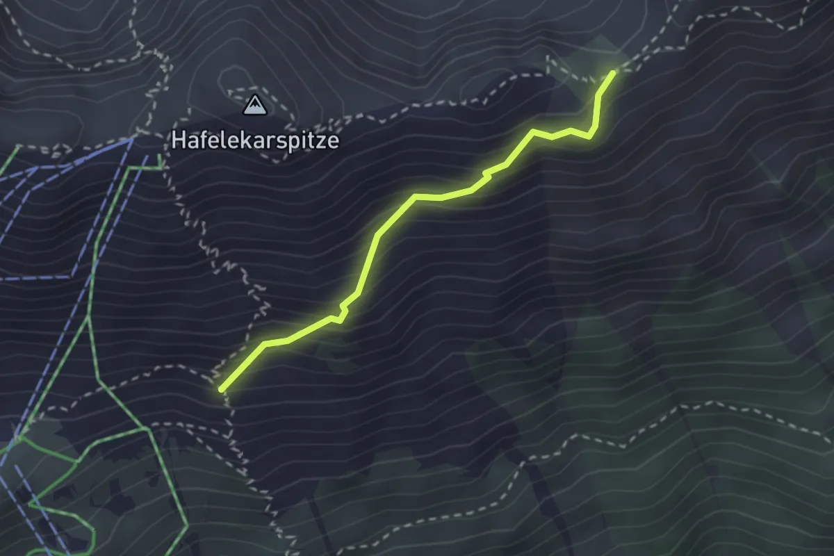
Gleirschjöchlsteig
2.2 km · ↑ 291 m · 1 h 9 min
Medium · Trail
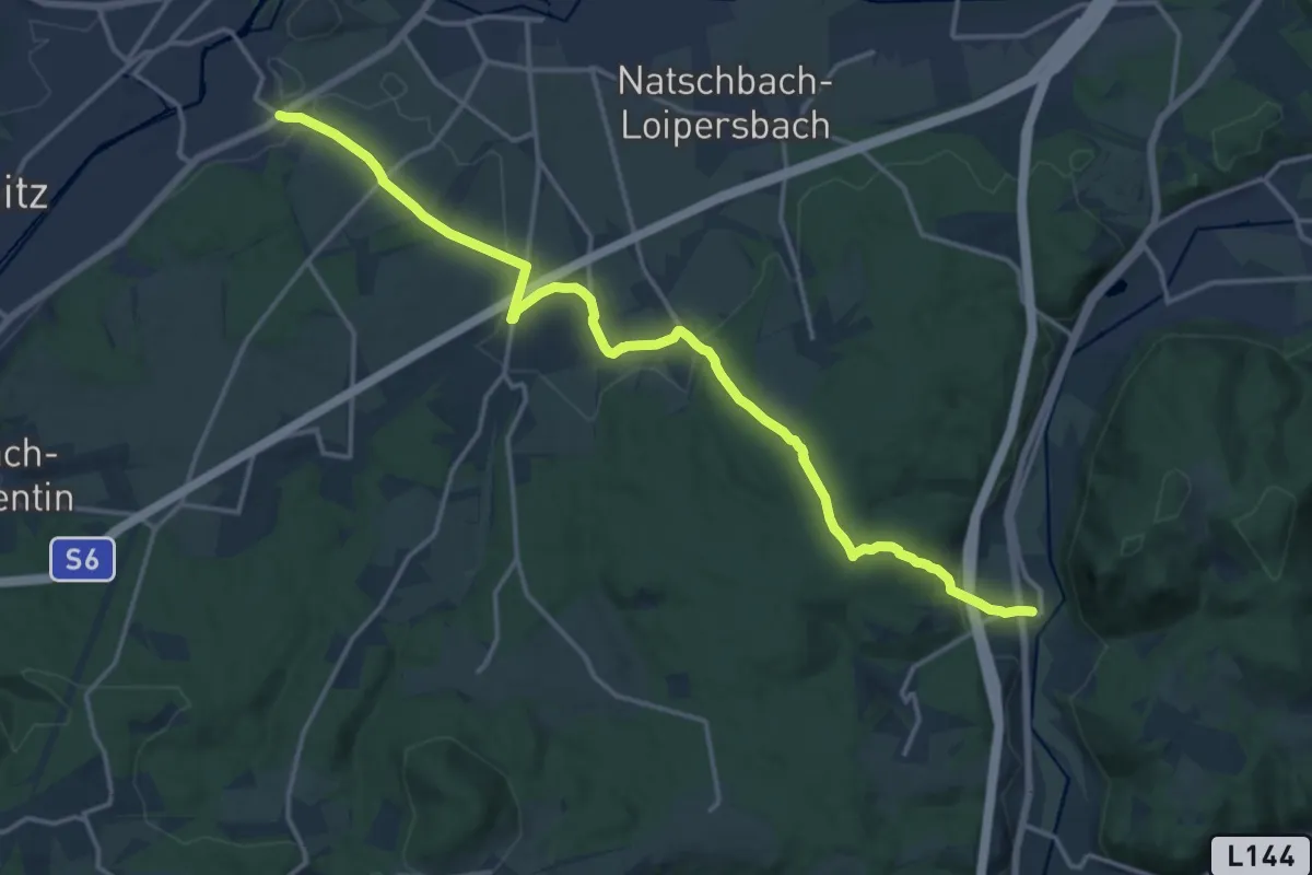
Gleißenfeld - Ramplach - Dunkelstein
17.2 km · ↑ 311 m · 4 h 44 min
Medium · Trail
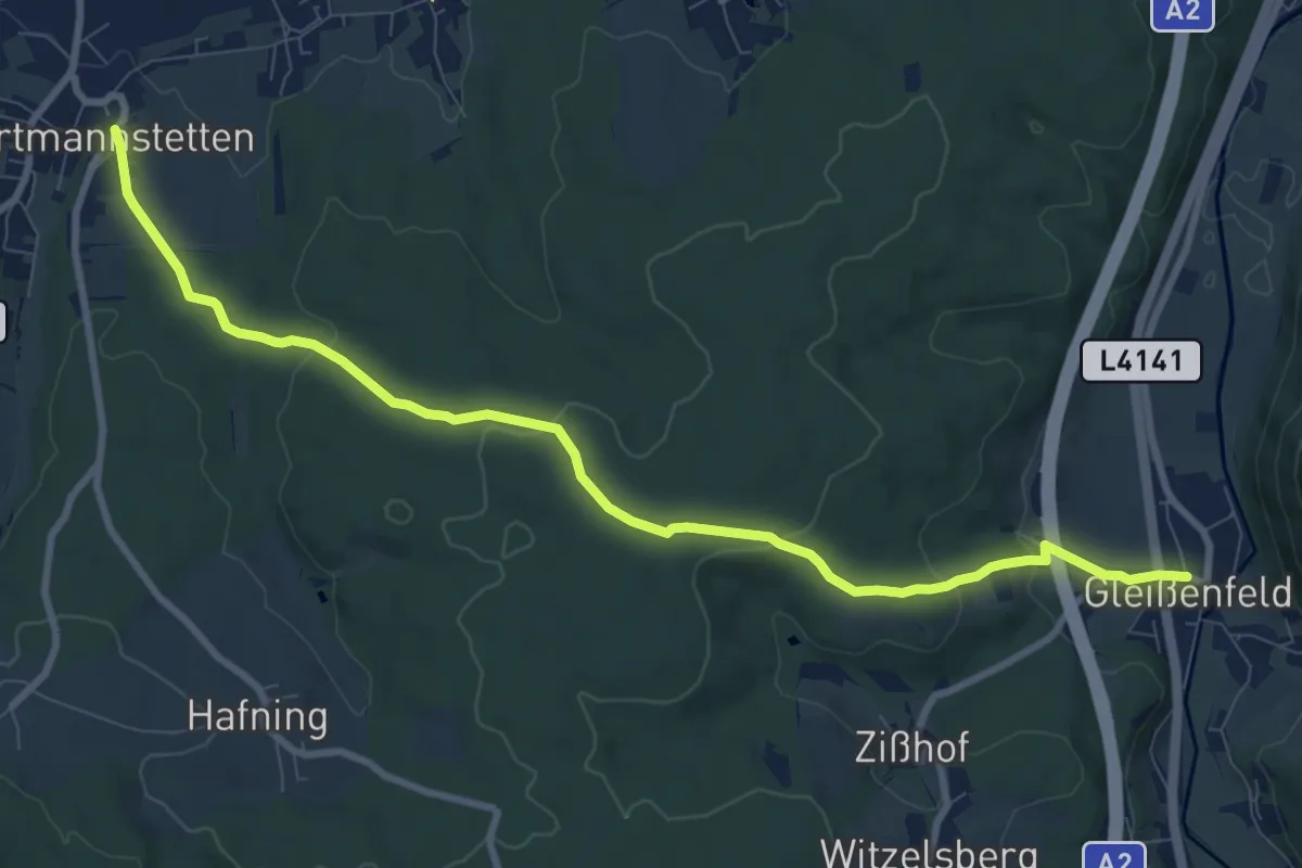
Gleißenfeld - Wartmannstetten
9.9 km · ↑ 241 m · 2 h 52 min
Medium · Trail
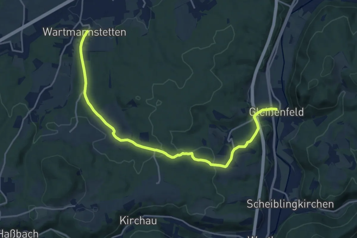
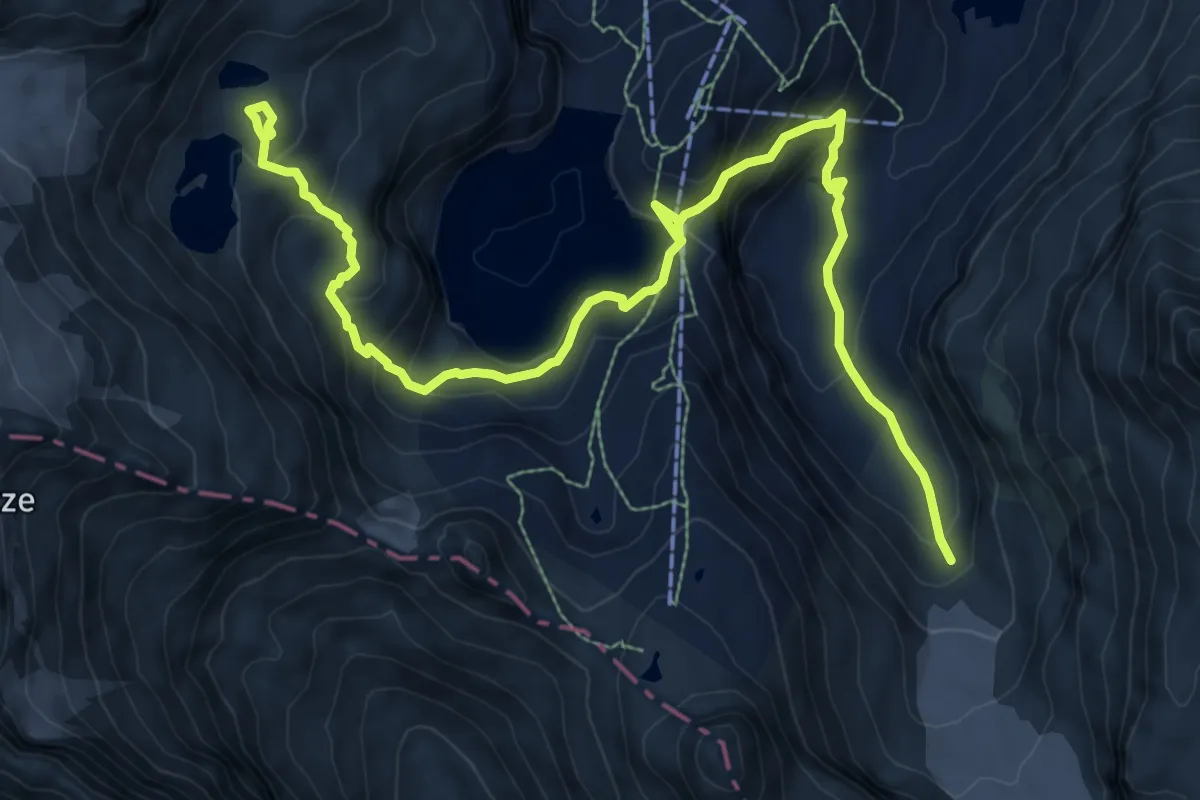
Gleißenfeld - Witzelsberg - Hafning - Wartmannstetten
14.1 km · ↑ 317 m · 4 h 2 min
Medium · Trail
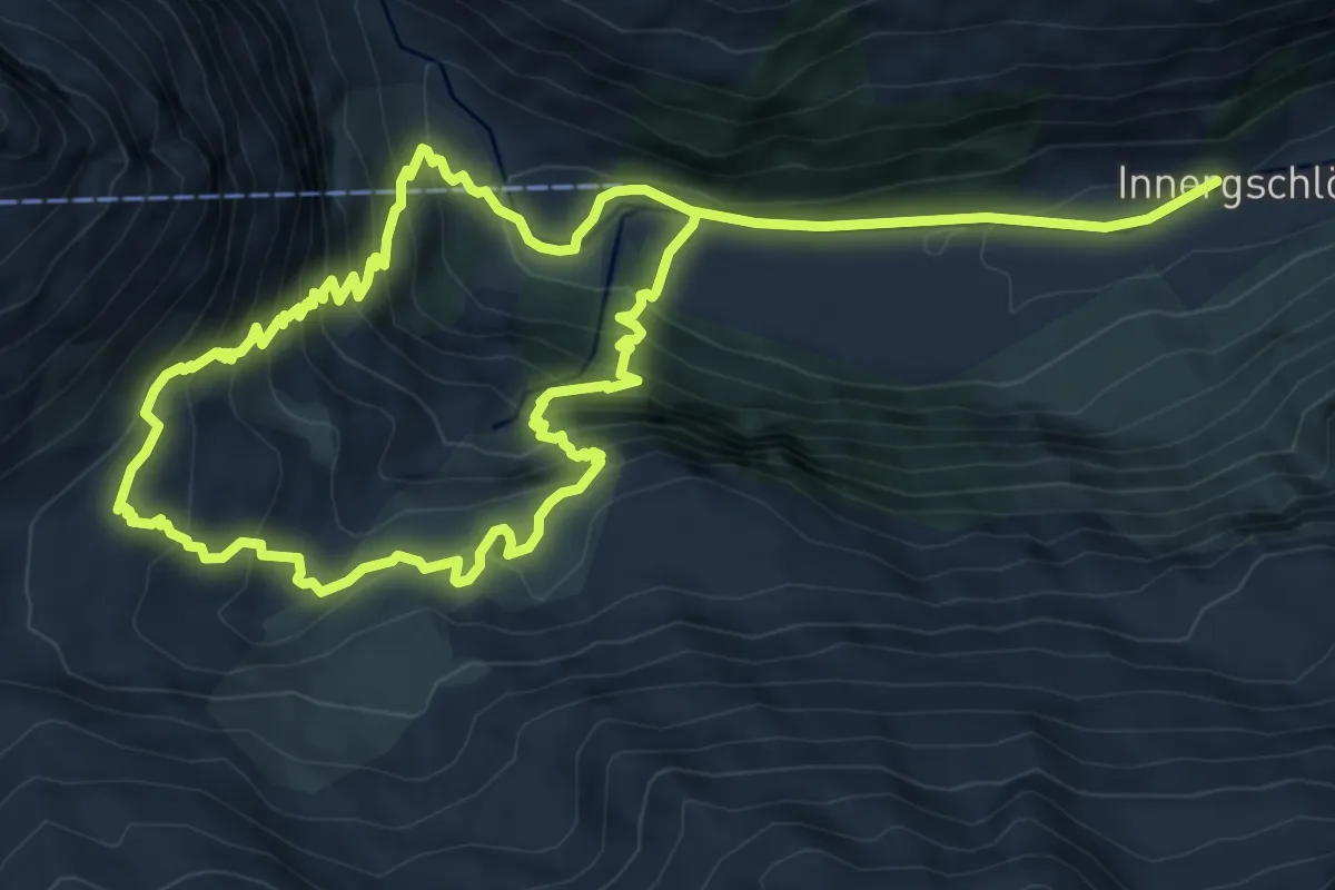
Gletscherlehrweg
11.7 km · ↑ 638 m · 4 h 9 min
Demanding · Trail
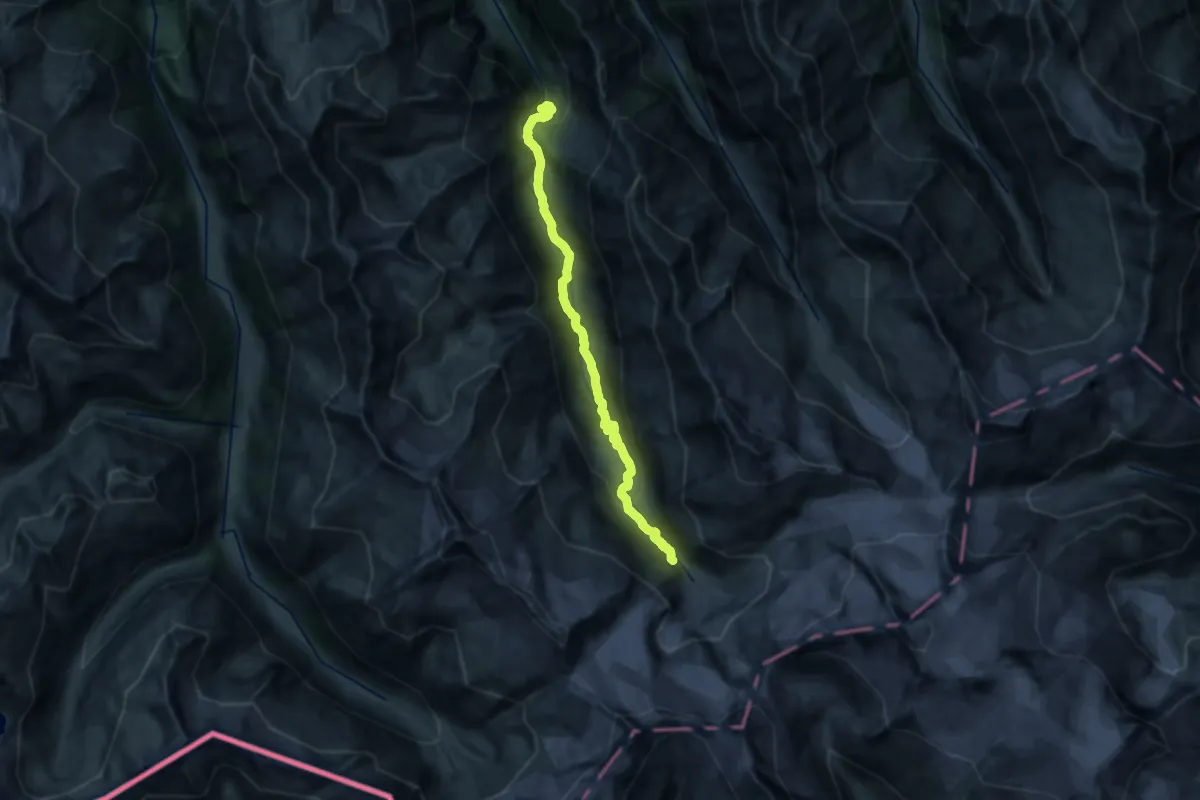
Gletscherlehrweg Innergschlöss
14.7 km · ↑ 1169 m · 6 h
Expert · Trail
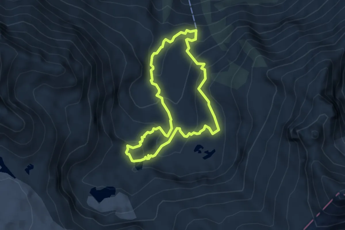
Gletscherlehrweg Obersulzbachtal
21.0 km · ↑ 904 m · 6 h 54 min
Medium · Trail
Gletscherschaupfad Rauriser Sonnblick / Tauerngoldrundwanderweg
4.1 km · ↑ 281 m · 1 h 38 min
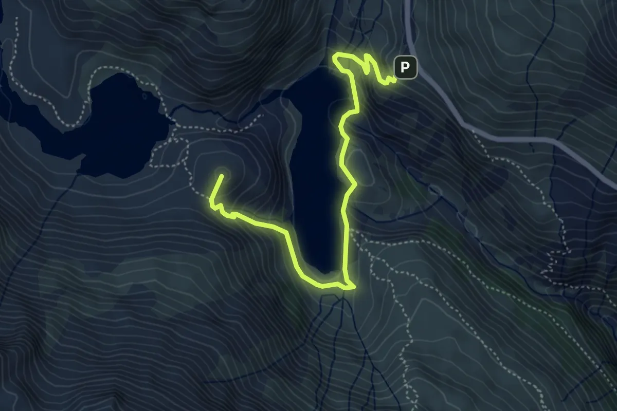
Demanding · Summit
Gletscherweg Pasterze
5.2 km · ↑ 372 m · 2 h 2 min
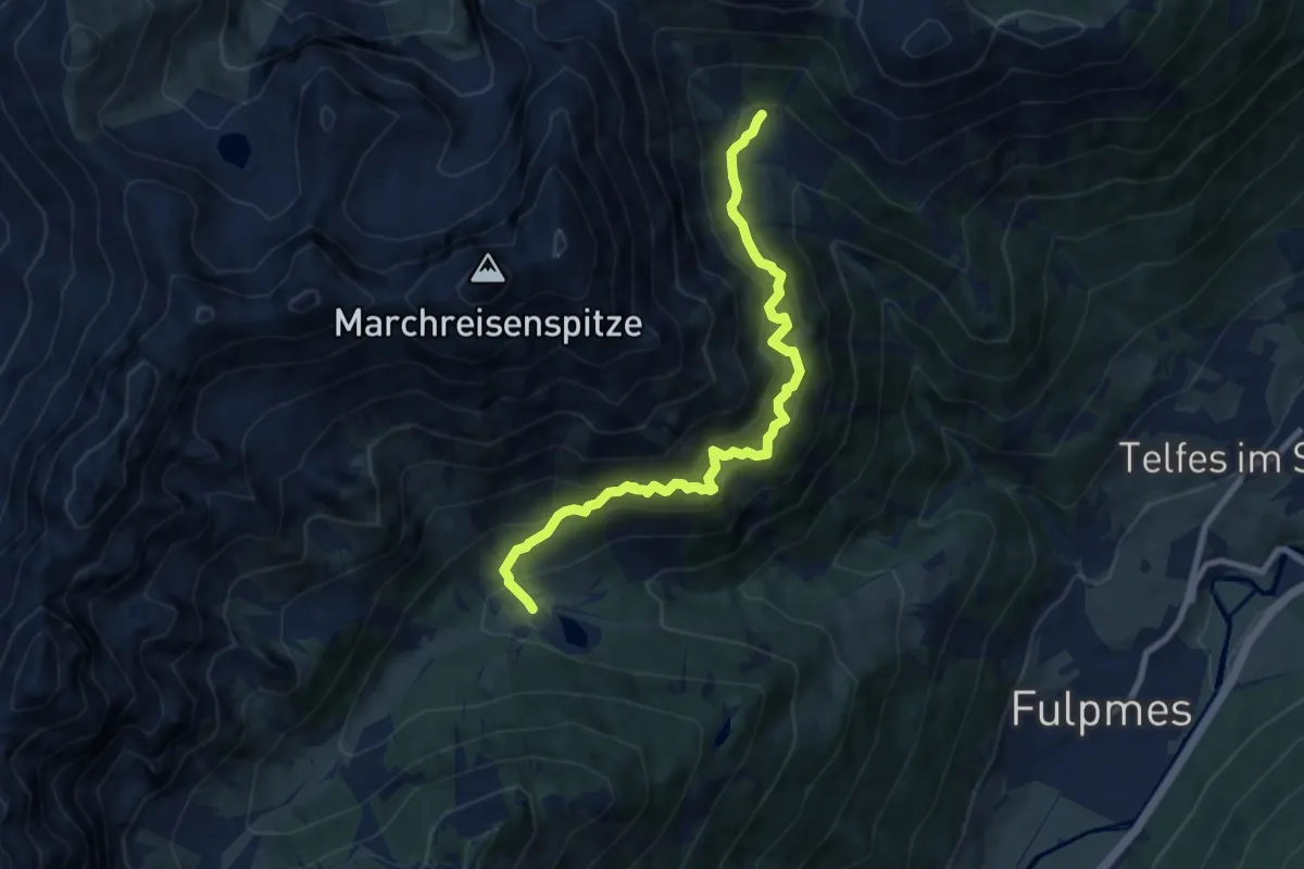
Medium · Trail
Gloatsteig
8.5 km · ↑ 524 m · 3 h 8 min
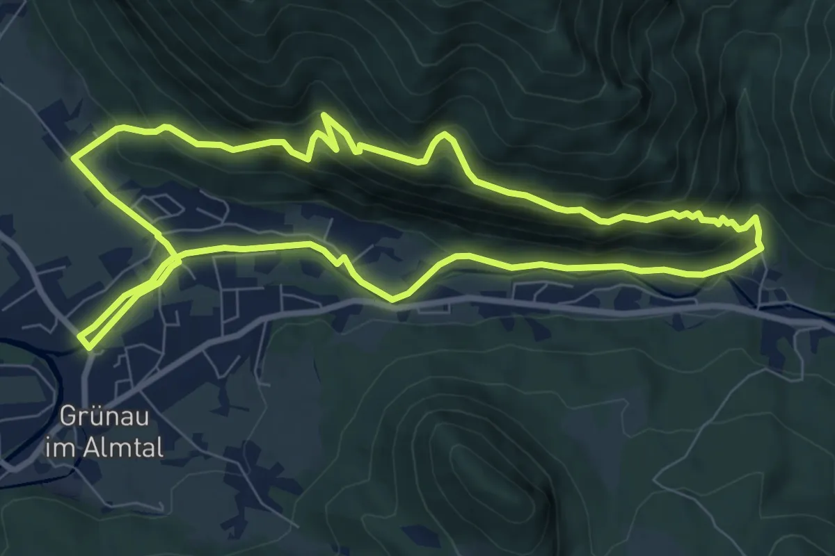
Medium · Trail
Glöckerlweg
7.9 km · ↑ 329 m · 2 h 42 min
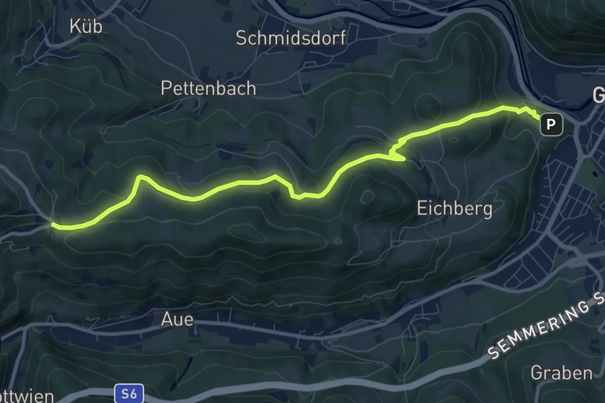
Medium · Trail
Gloggnitz - Eichberg - Klamm (Kochhof)
9.7 km · ↑ 308 m · 2 h 57 min
Medium · Trail
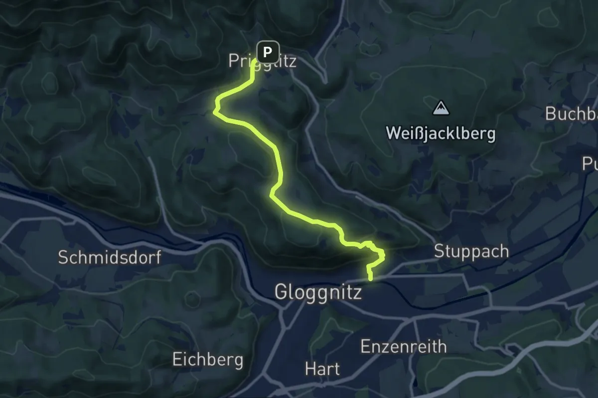
Gloggnitz - Prigglitz
10.5 km · ↑ 355 m · 3 h 16 min
Medium · Trail
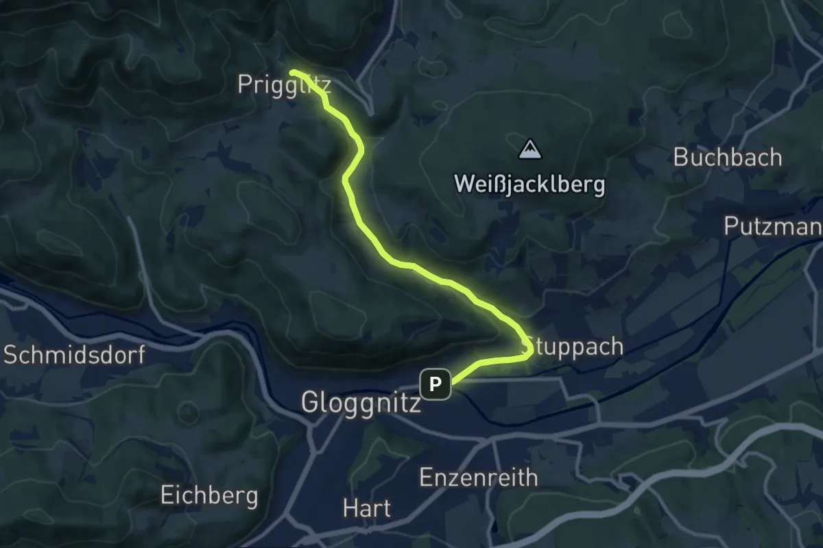
Gloggnitz - Prigglitz über Stuppbachgraben
9.8 km · ↑ 196 m · 2 h 44 min
Demanding · Summit
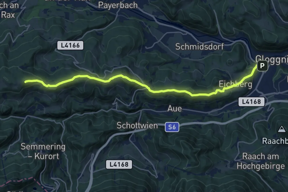
Gloggnitz - Speckbacherhütte
19.0 km · ↑ 813 m · 6 h 16 min
Easy · Trail
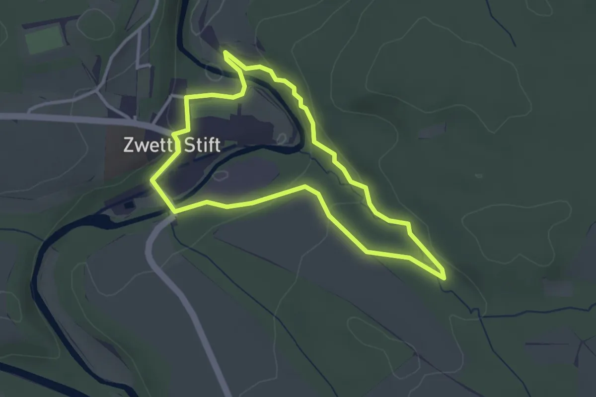
Gloriettsteig 50
2.7 km · ↑ 73 m · 50 min
Demanding · Summit
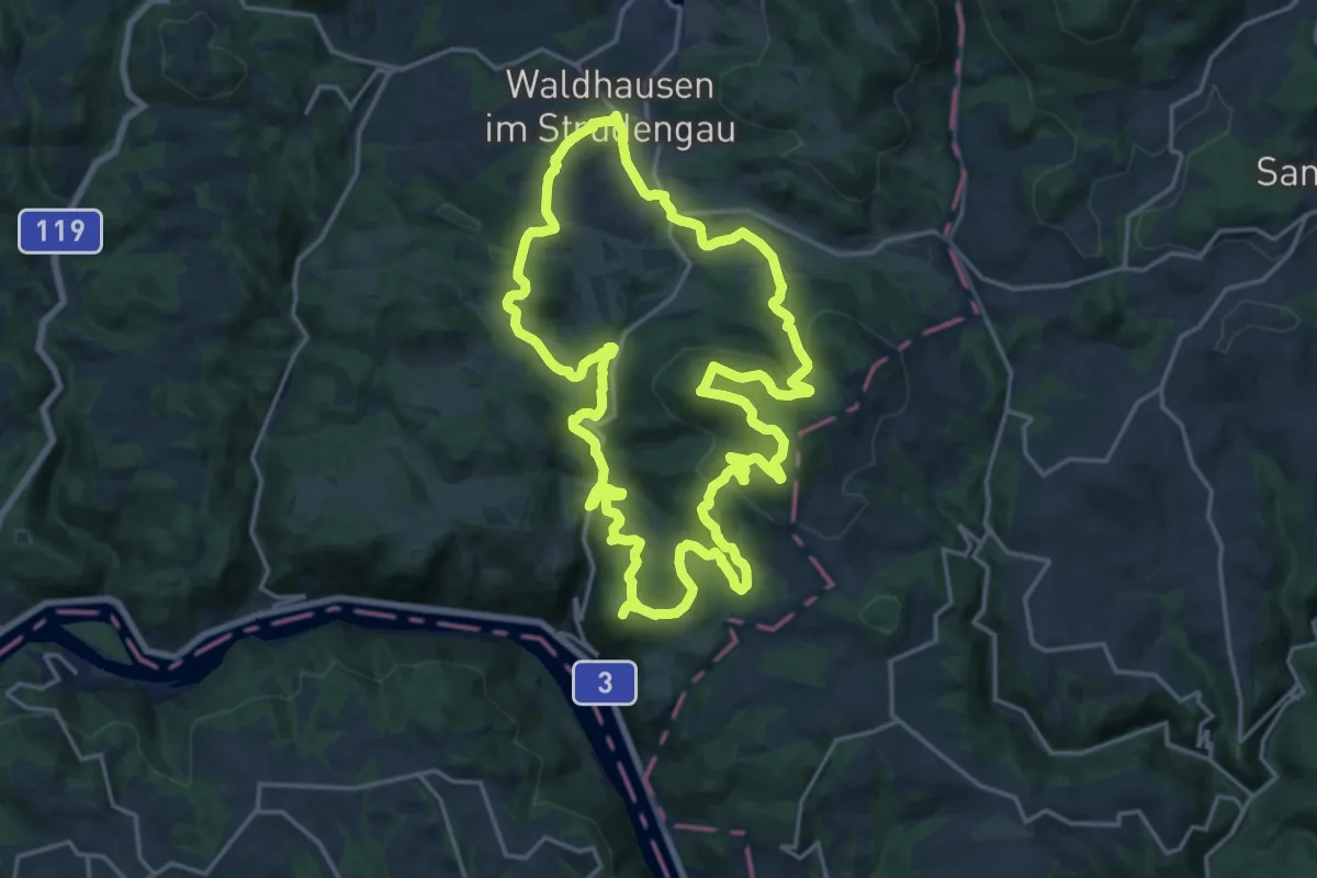
Gloxwald Runde
18.6 km · ↑ 578 m · 5 h 55 min
Demanding · Summit
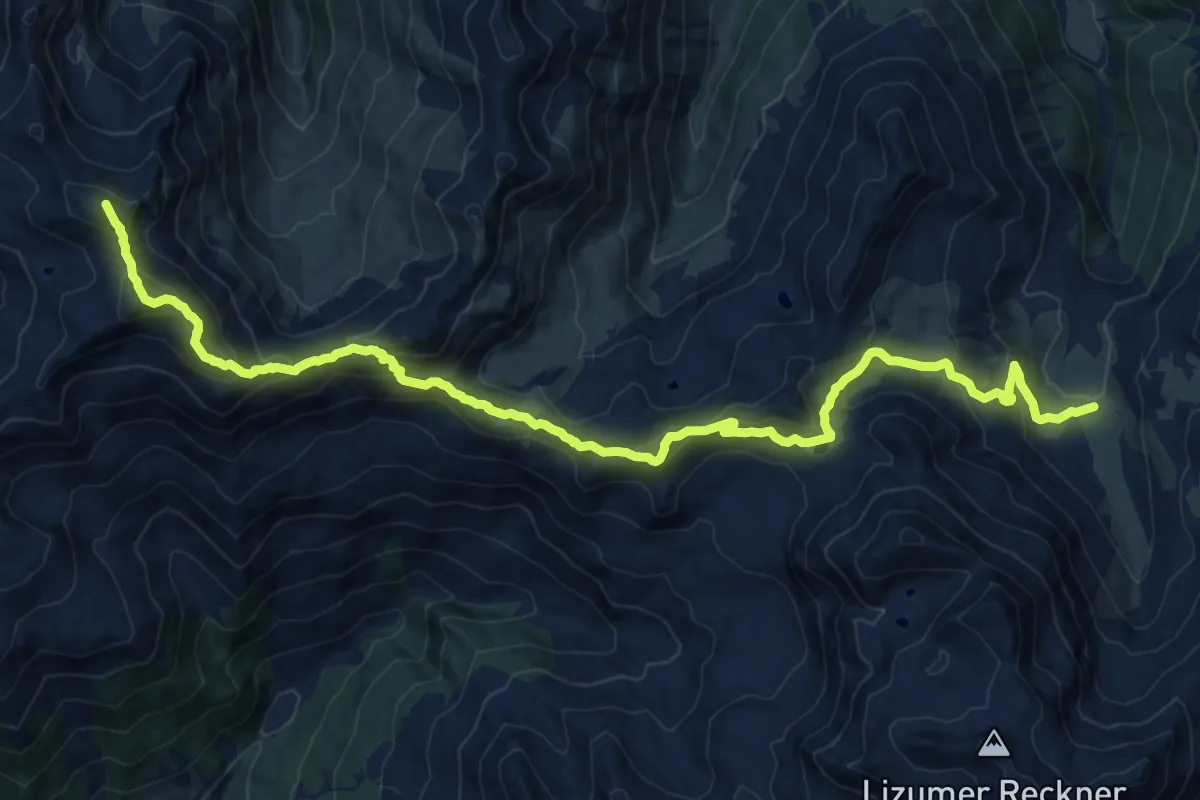
Glungezer-Geier-Weg
20.8 km · ↑ 1328 m · 7 h 47 min
Medium · Summit
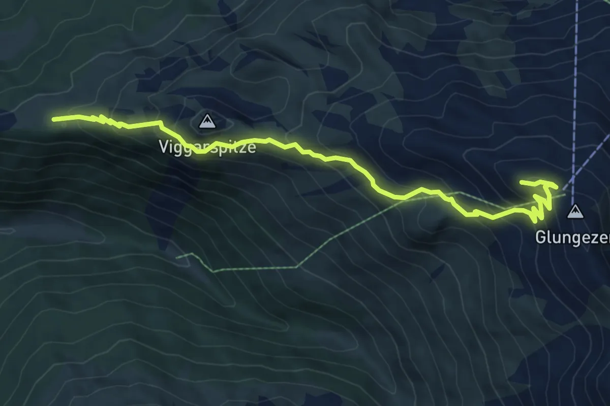
Glungezer-Höhenweg
8.5 km · ↑ 608 m · 3 h 20 min
Expert · Trail
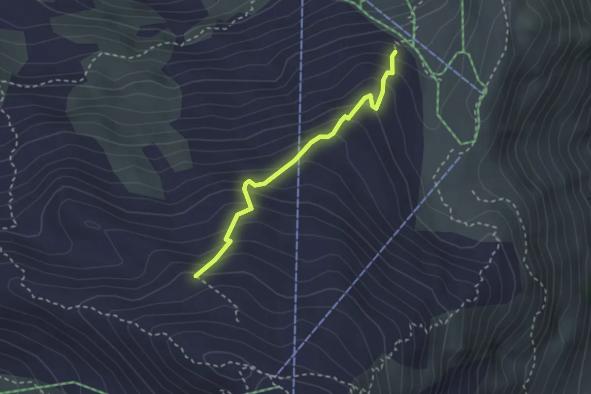
Glungezer Klettersteig
2.3 km · ↑ 284 m · 1 h 9 min
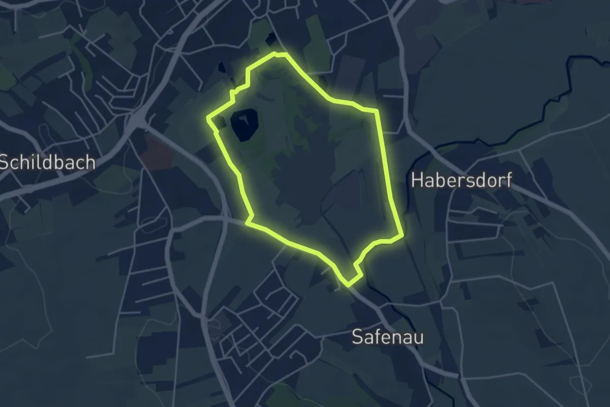
Easy · Trail
Gmoosrundweg
3.6 km · ↑ 4 m · 55 min
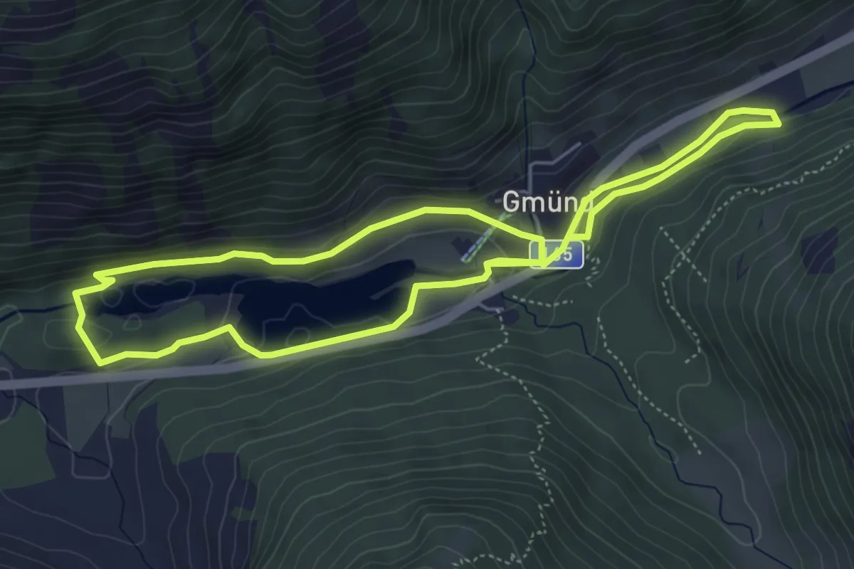
Medium · Trail
Gmündner Seemeile
9.9 km · ↑ 228 m · 2 h 50 min
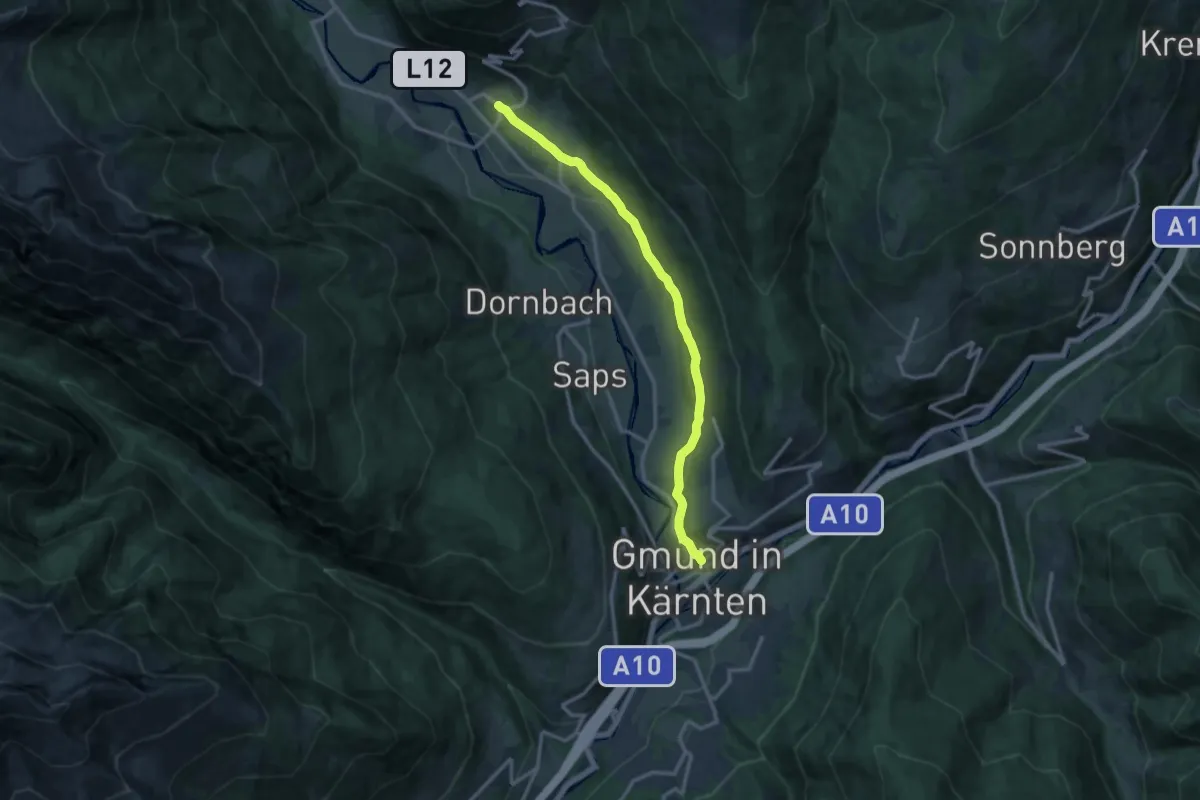
Medium · Trail
Gmünd - Schloßbichl - Krainberg - Malta
12.6 km · ↑ 276 m · 3 h 34 min
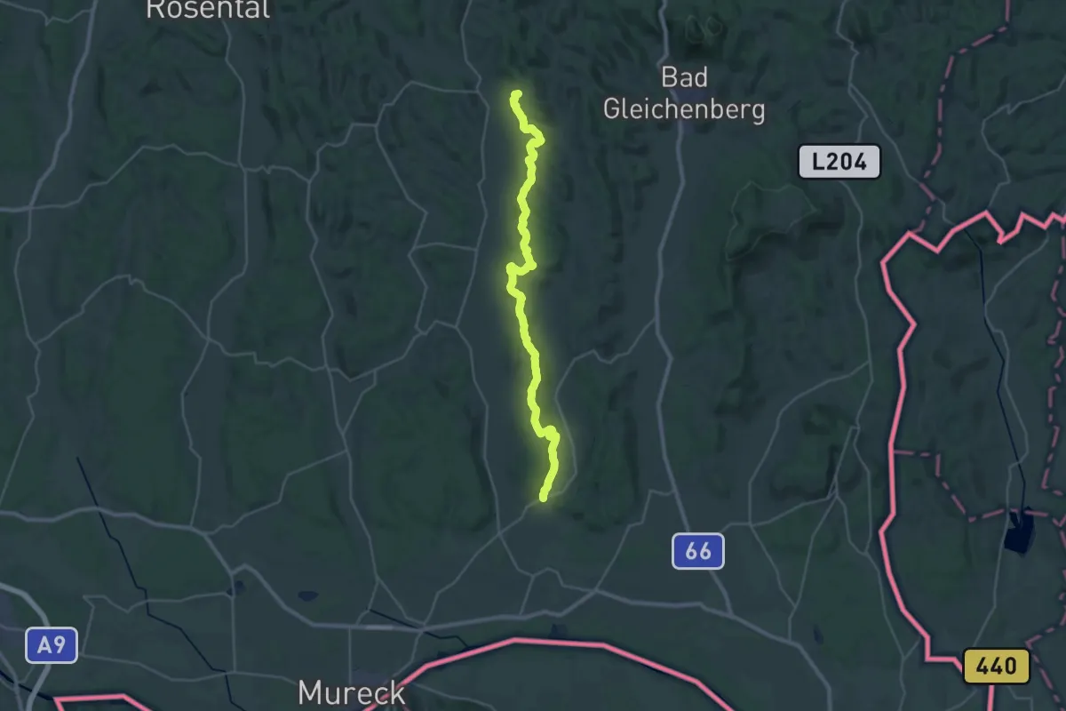
Demanding · Summit
Gnaser Höhenweg
32.1 km · ↑ 789 m · 9 h 18 min