Trails in Austria
9,778 hiking trails, each with its route, climb, walking time and grade.
All trails, page 35 of 204
Medium · Trail
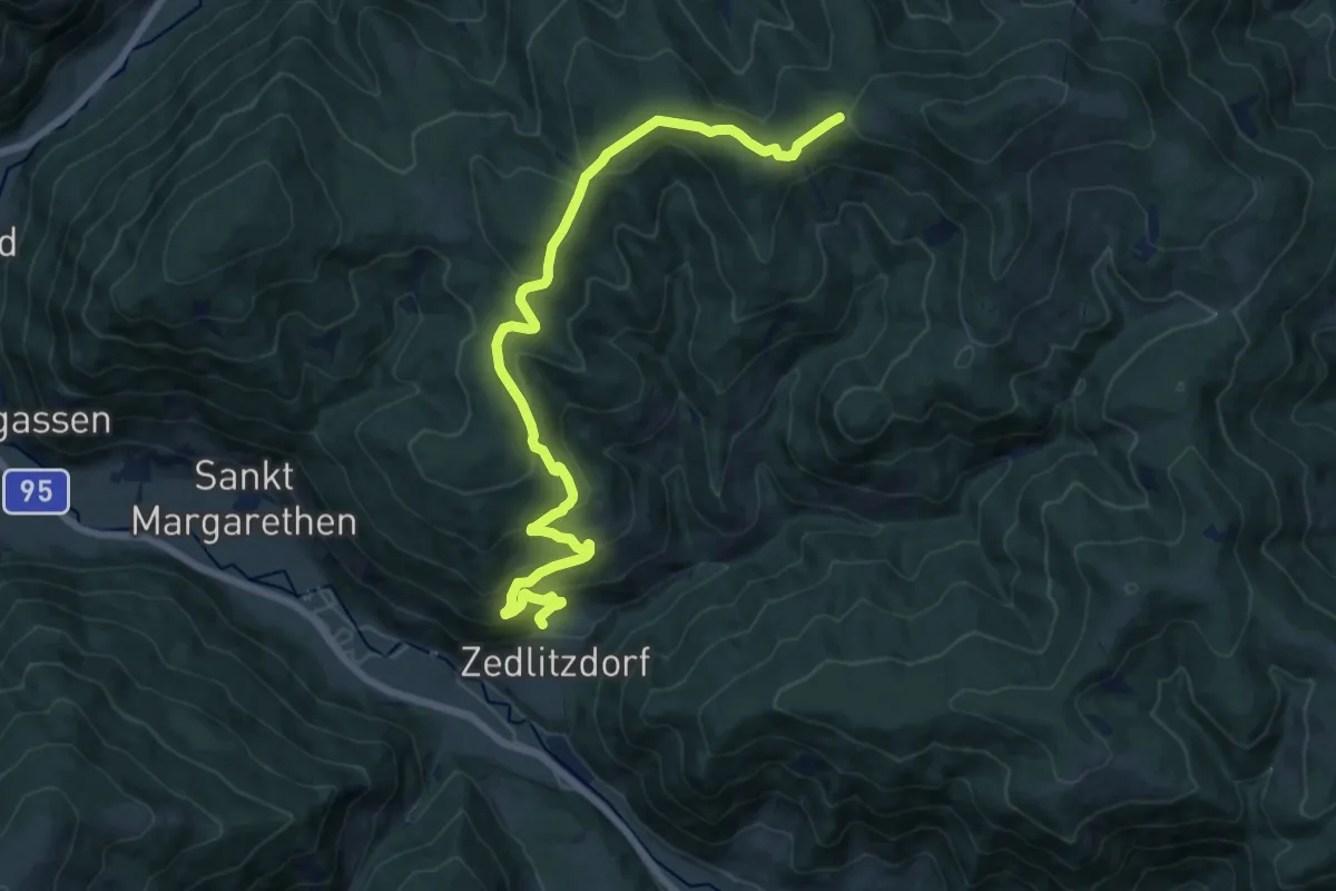
Gnesauer Wanderweg 1543
16.5 km · ↑ 613 m · 5 h 13 min
Medium · Trail
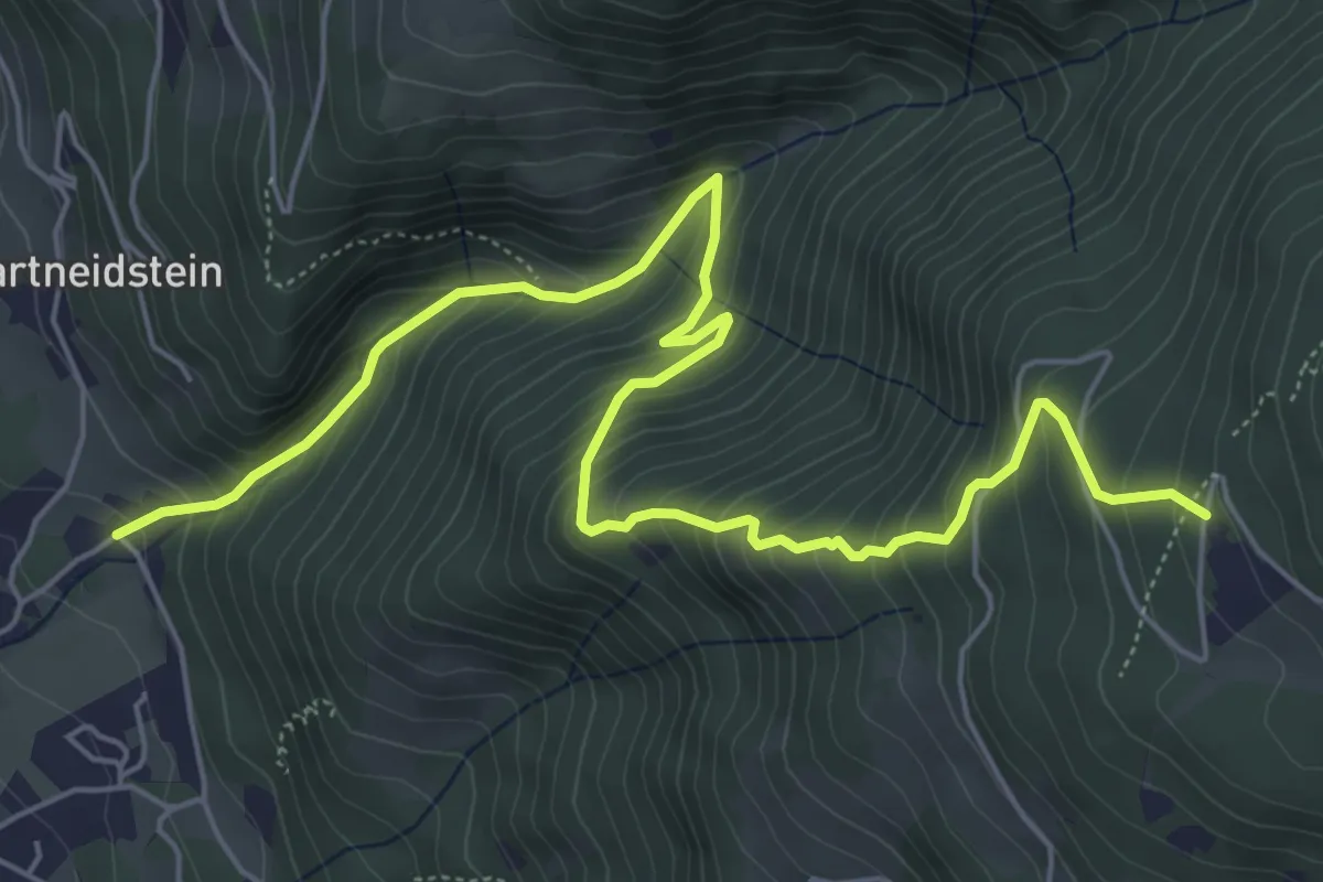
Godinger Wanderweg
7.4 km · ↑ 668 m · 3 h 11 min
Medium · Summit
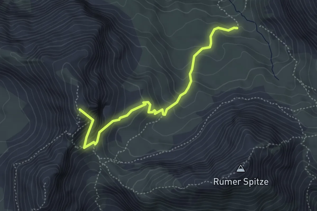
Goetheweg (Wanderweg 219)
4.5 km · ↑ 440 m · 2 h
Easy · Trail
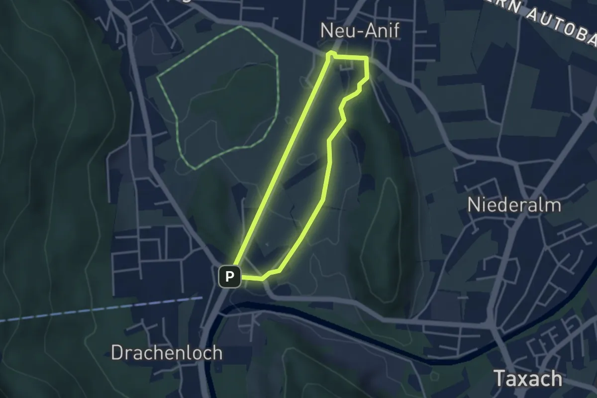
Goisrunde
2.6 km · ↑ 10 m · 41 min
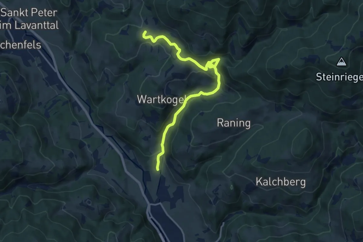
Easy · Trail
Goldbründlweg Q1
5.9 km · ↑ 106 m · 1 h 50 min
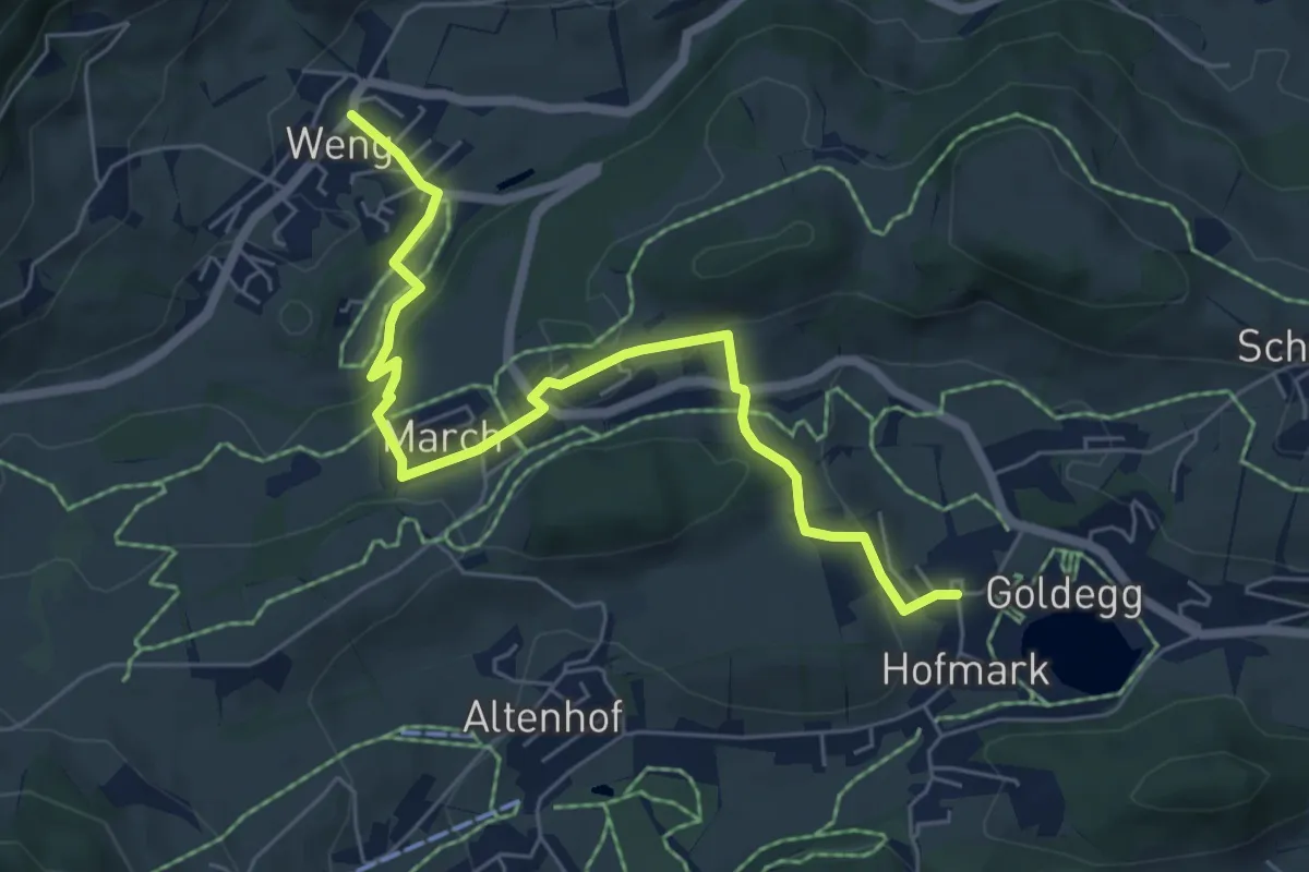
Easy · Trail
Goldegg-Goldeggweng
6.5 km · ↑ 189 m · 1 h 57 min
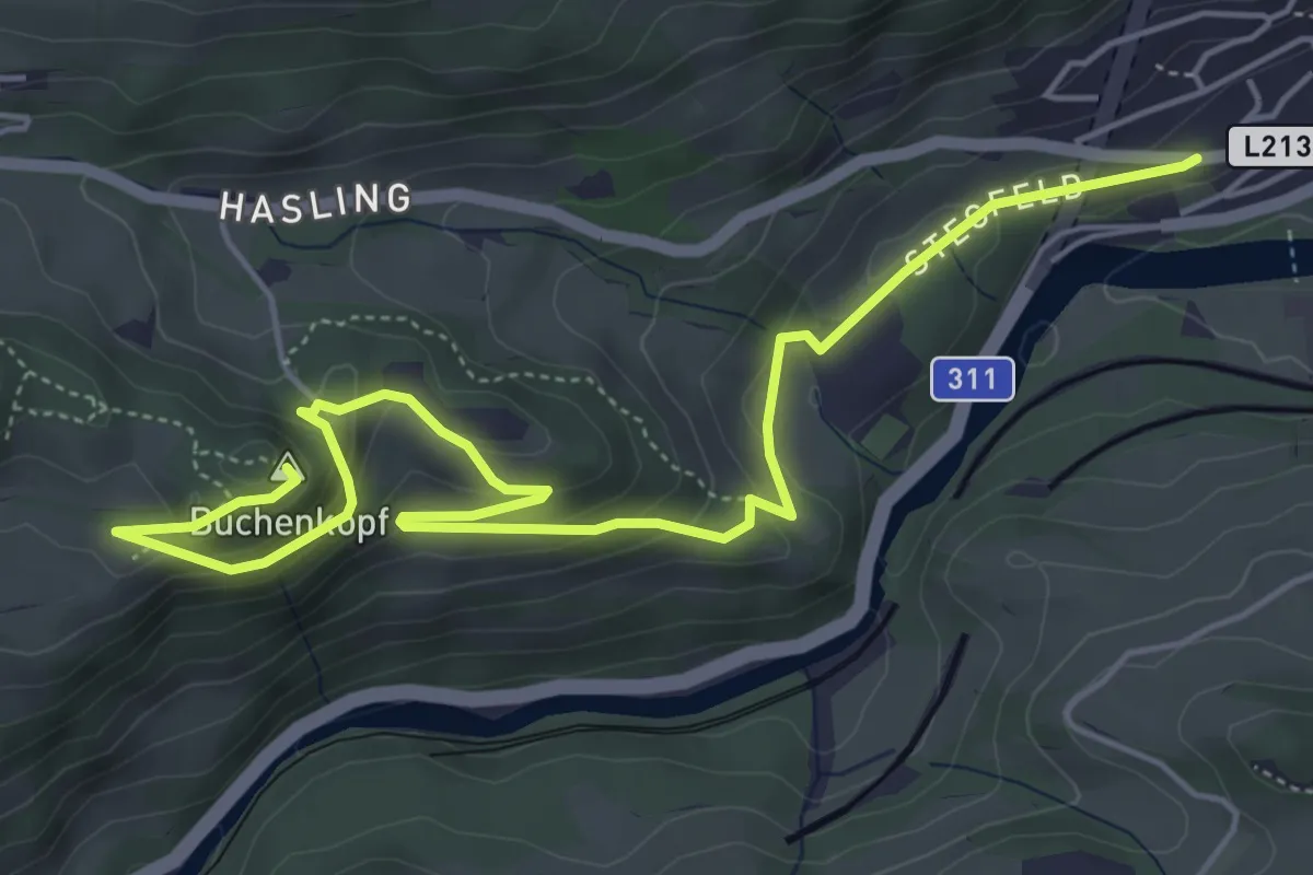
Medium · Summit
Goldegg-Schwarzach über Buchenkopf
6.7 km · ↑ 261 m · 2 h 8 min
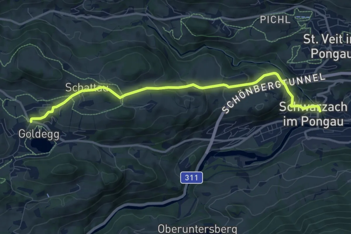
Medium · Trail
Goldegg-Schwarzach über Schernberg
9.0 km · ↑ 419 m · 3 h 2 min
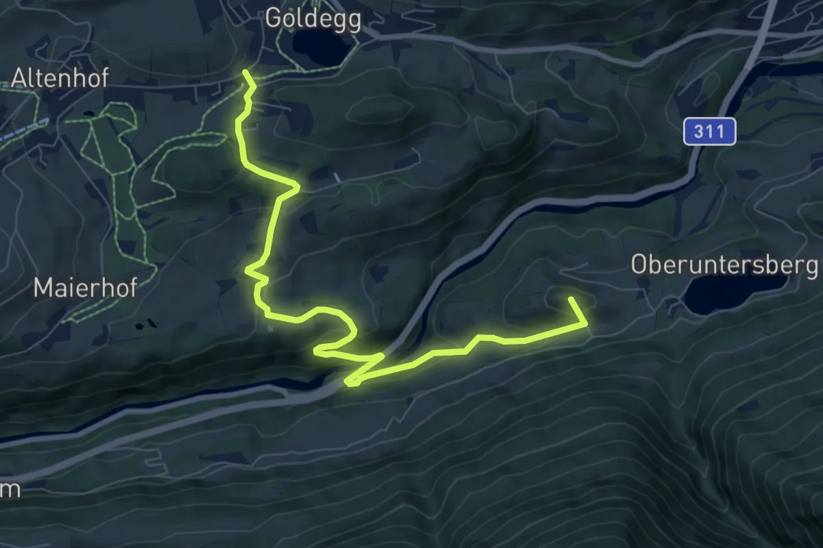
Medium · Summit
Goldegg-St. Veit Stausee
8.9 km · ↑ 437 m · 3 h 2 min
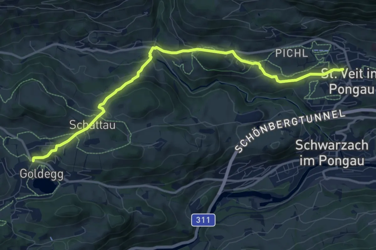
Medium · Trail
Goldegg-St. Veit über Urpass
9.9 km · ↑ 435 m · 3 h 16 min
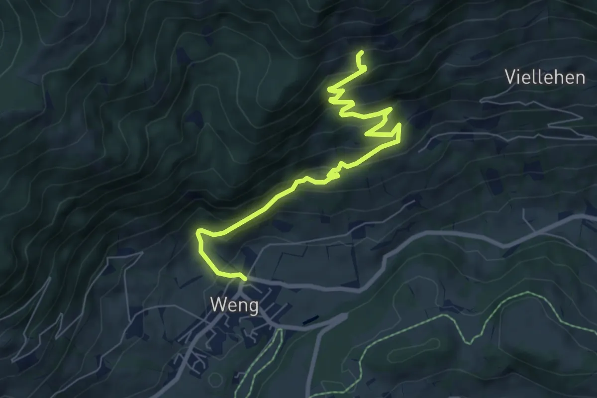
Demanding · Trail
Goldeggweng-Distelkopfalm
7.0 km · ↑ 454 m · 2 h 38 min
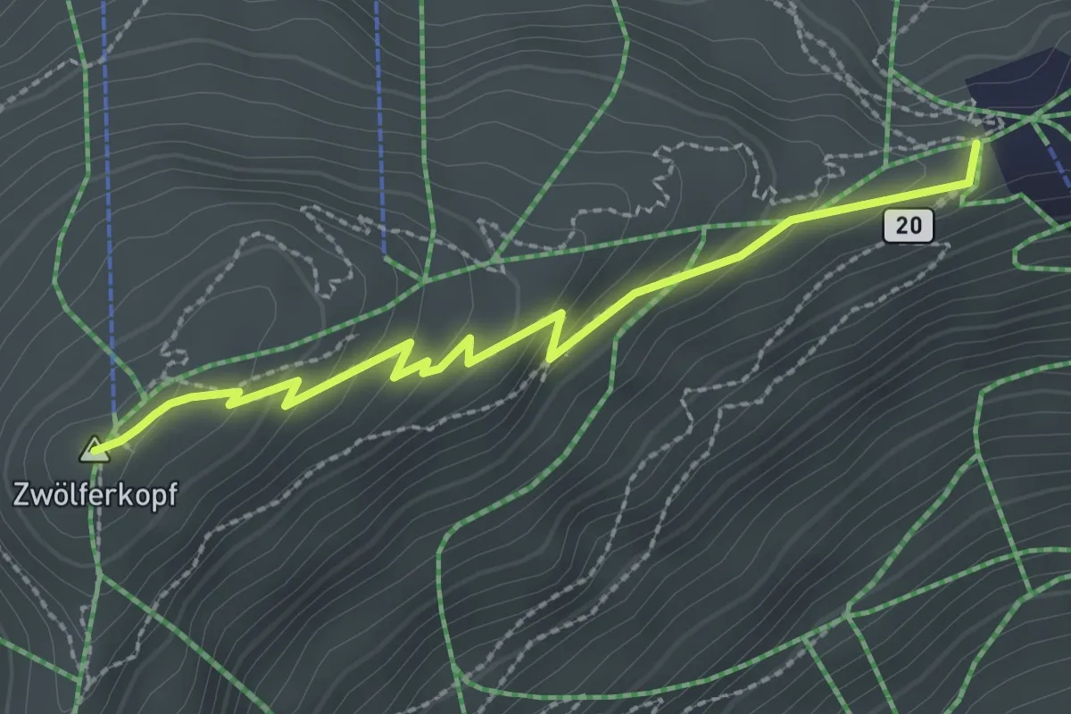
Medium · Summit
Goldener Mann Weg
2.5 km · ↑ 159 m · 57 min
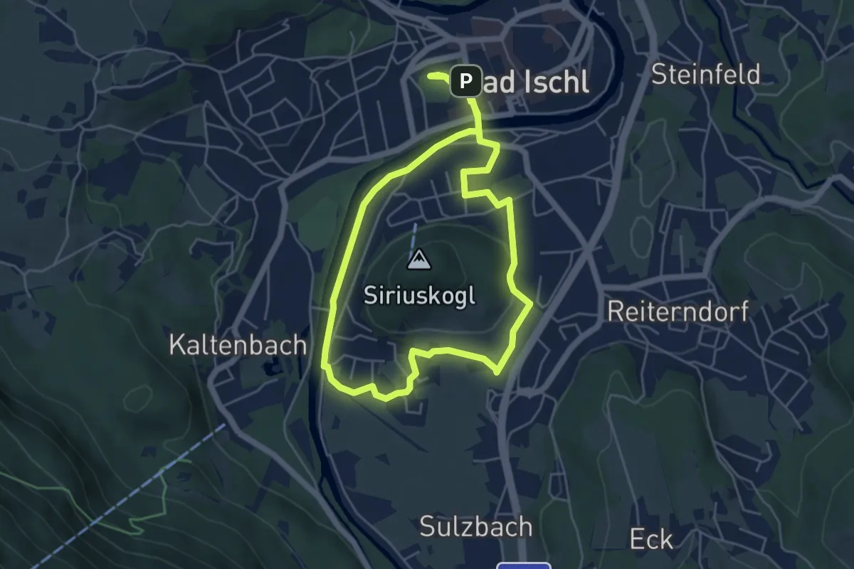
Easy · Trail
Goldenes Schiff Runde (Siriuskogel Runde, B4)
4.6 km · ↑ 40 m · 1 h 14 min
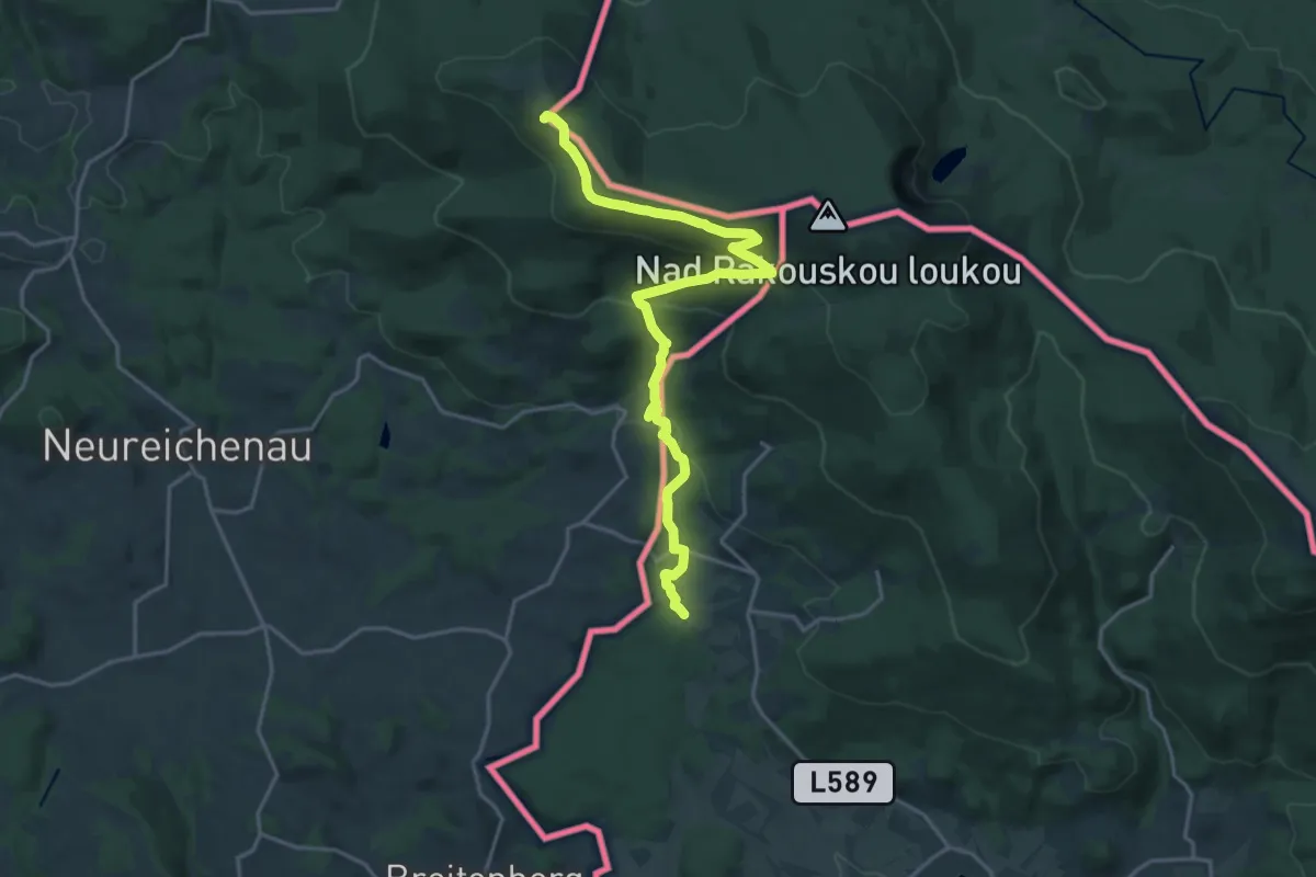
Demanding · Summit
Goldsteig N21: Haidmühle - Breitenberg
20.3 km · ↑ 829 m · 6 h 35 min
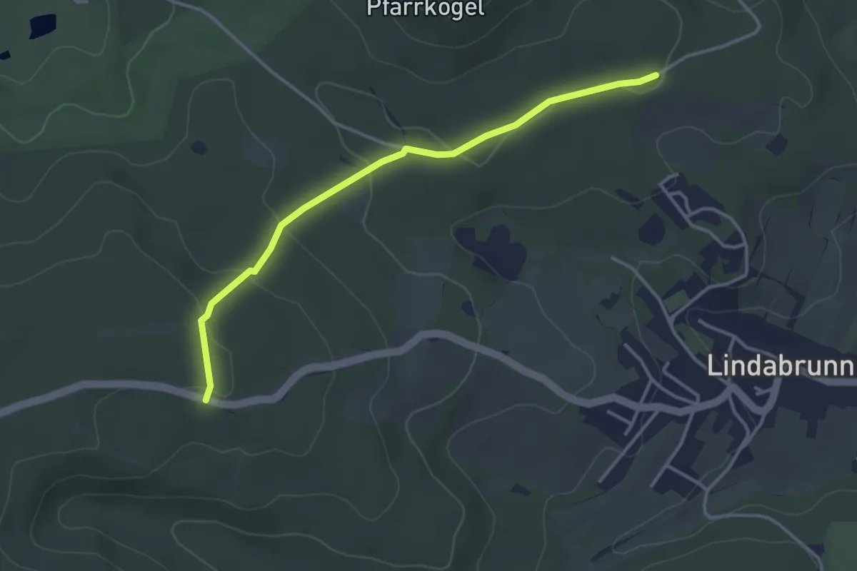
Easy · Trail
Golfclubstraße (Enzesfeld) - Lindabrunner Blindenkrreuz
3.4 km · ↑ 74 m · 58 min
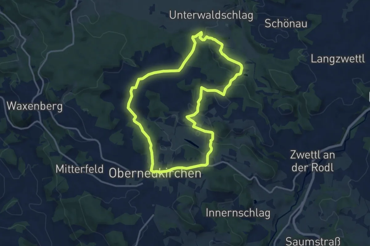
Medium · Trail
Golfplatzrunde
10.3 km · ↑ 276 m · 3 h 10 min
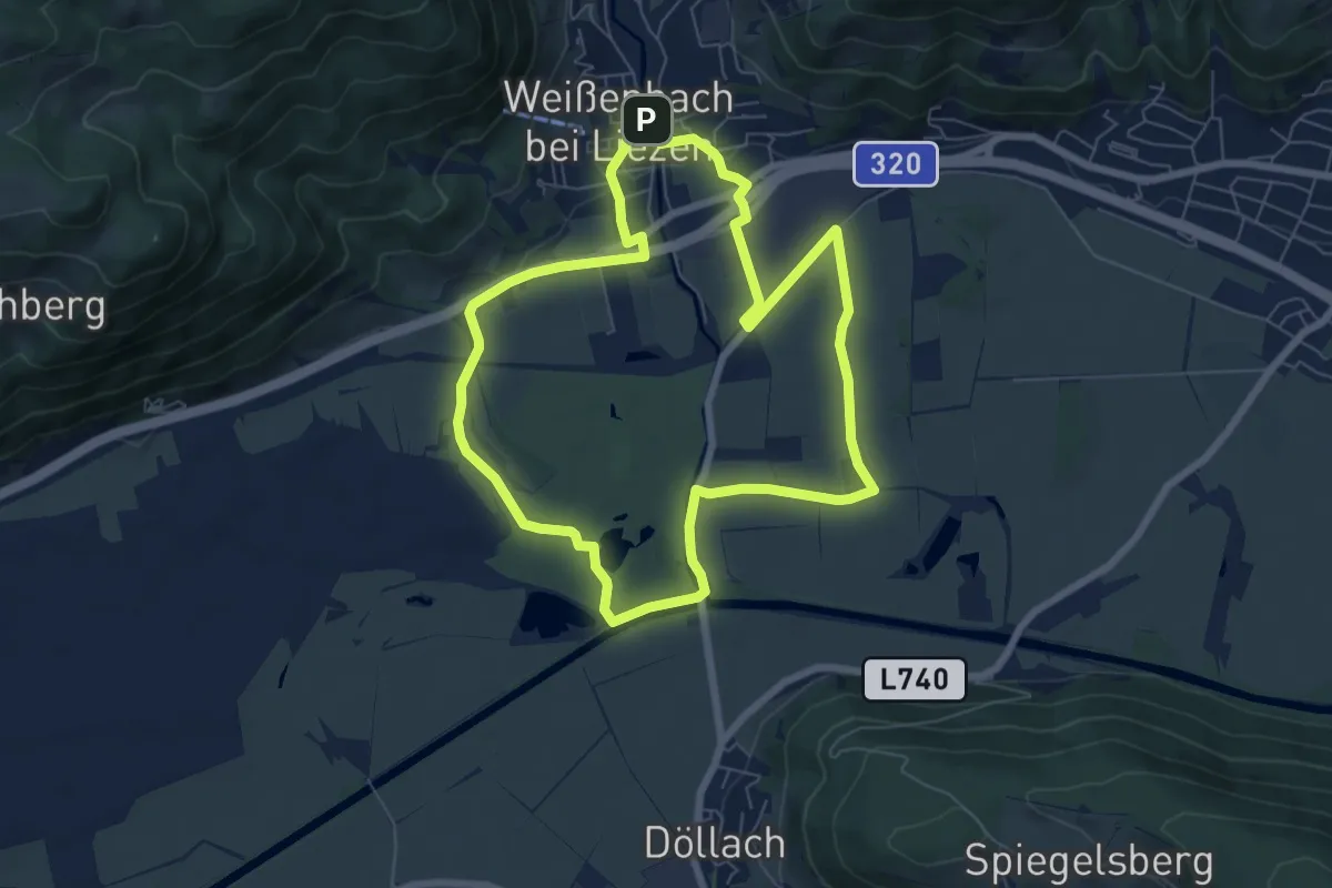
Easy · Trail
Golfplatz-Runde
6.8 km · ↑ 17 m · 1 h 44 min
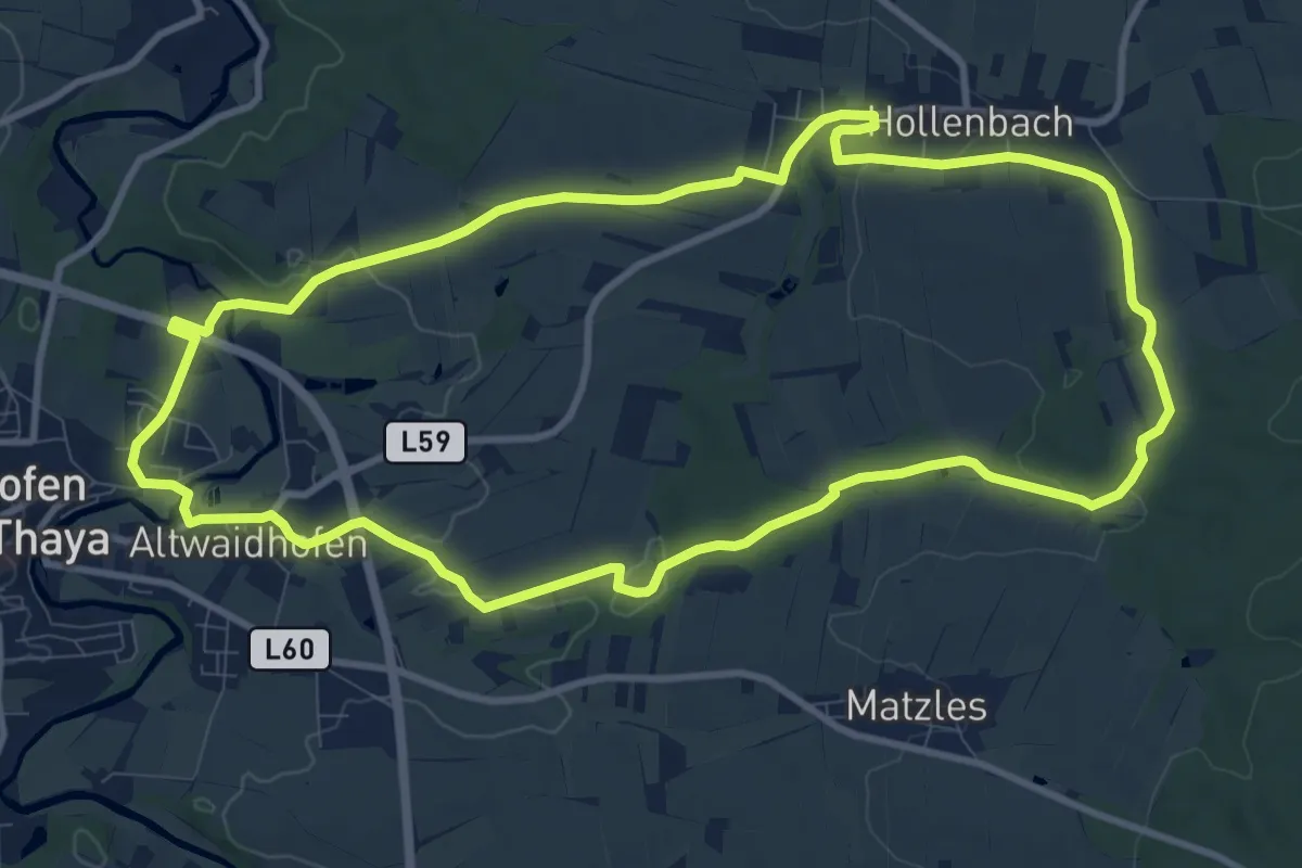
Medium · Trail
Golfplatzweg 12
10.6 km · ↑ 137 m · 2 h 56 min
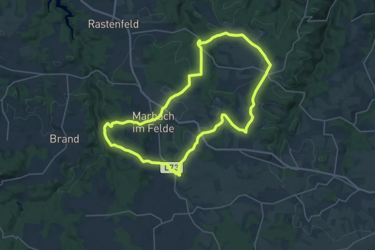
Medium · Trail
Golfwanderweg 82
17.4 km · ↑ 357 m · 5 h 7 min
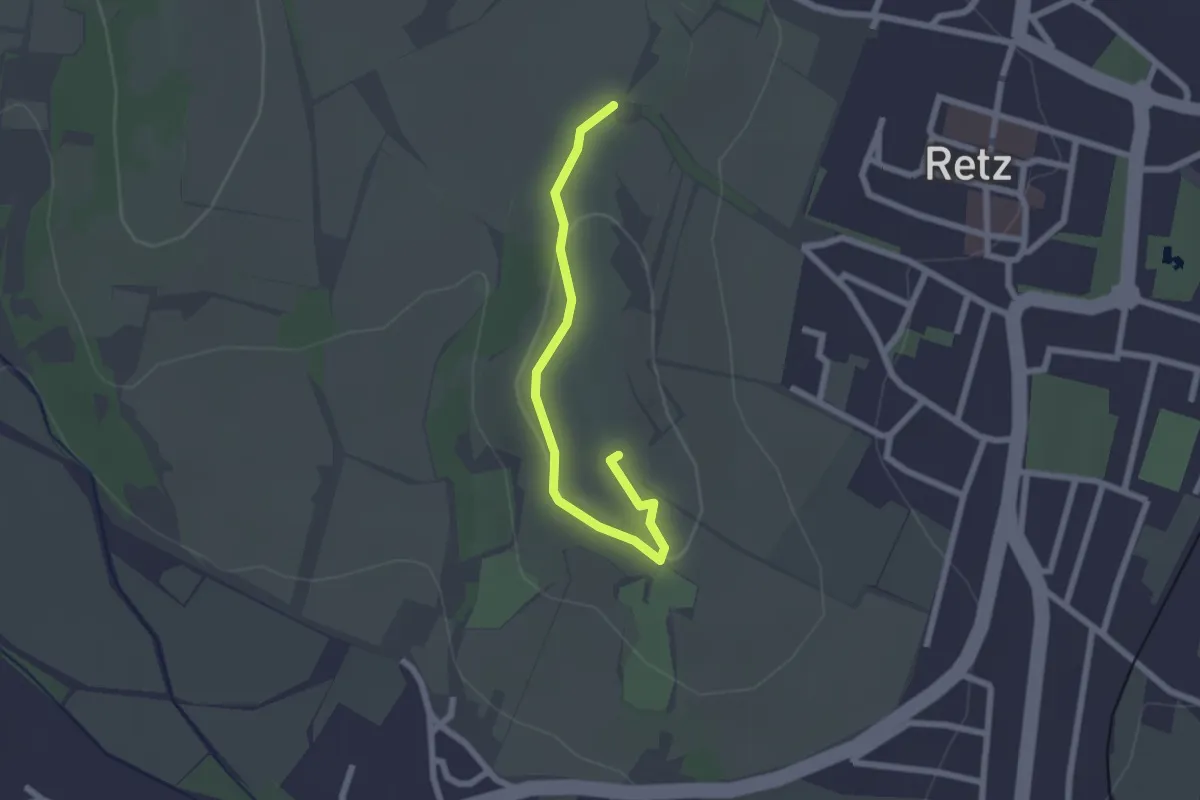
Easy · Summit
Golitschweg
2.1 km · ↑ 42 m · 35 min
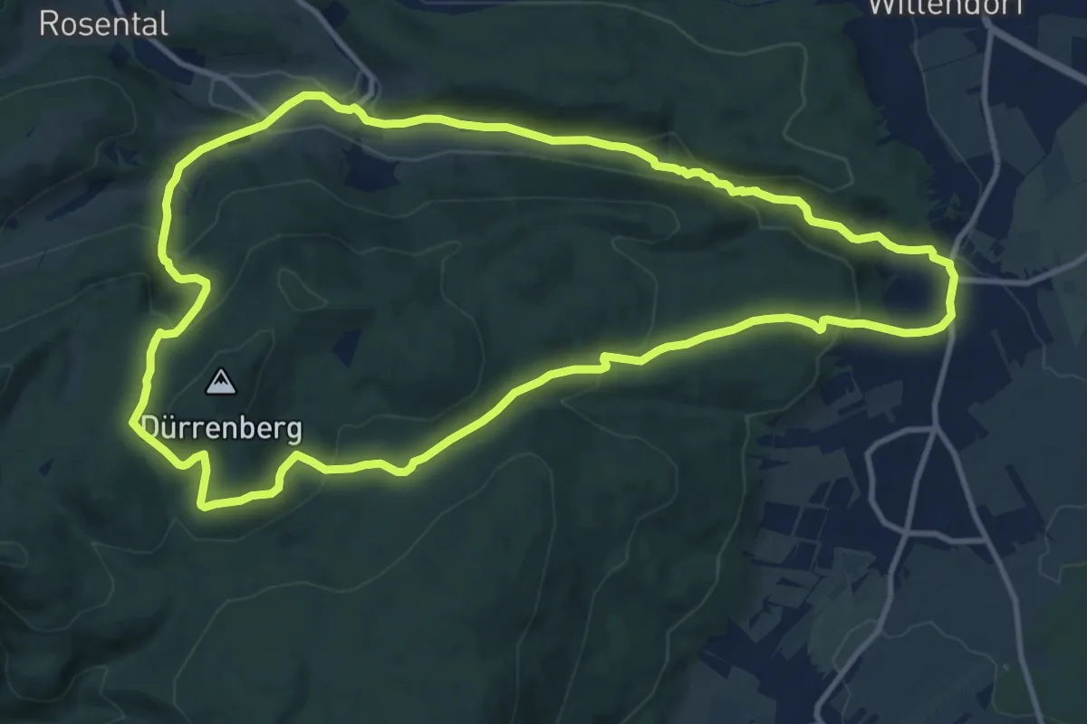
Medium · Trail
Gollbaurunde (Klammrunde bei Würflach über Ruine Schrattenstein)
12.1 km · ↑ 363 m · 3 h 49 min
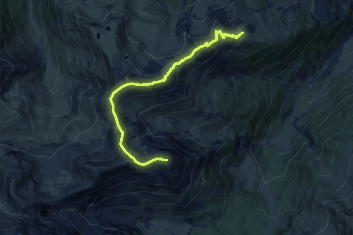
Medium · Summit
Golmer Höhenweg
9.9 km · ↑ 732 m · 3 h 56 min
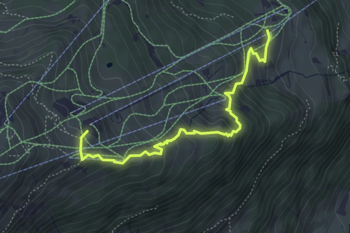
Medium · Trail
Golmi's Forschungspfad
4.7 km · ↑ 412 m · 2 h 1 min
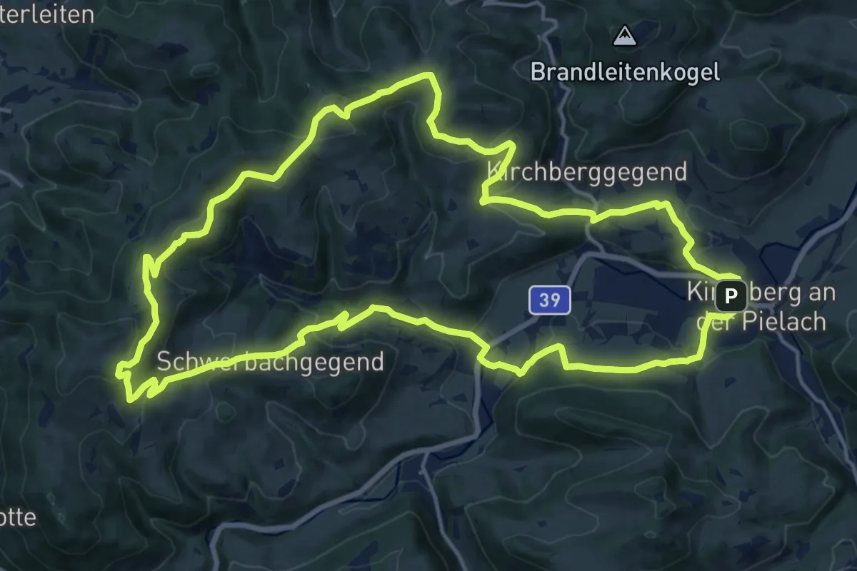
Medium · Trail
Gölsnitzgraben-Wanderroute
17.4 km · ↑ 598 m · 5 h 39 min
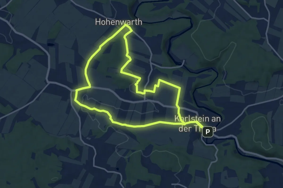
Medium · Trail
Göpfritzschlag, Hohenwarth, Münichreith
10.6 km · ↑ 165 m · 3 h
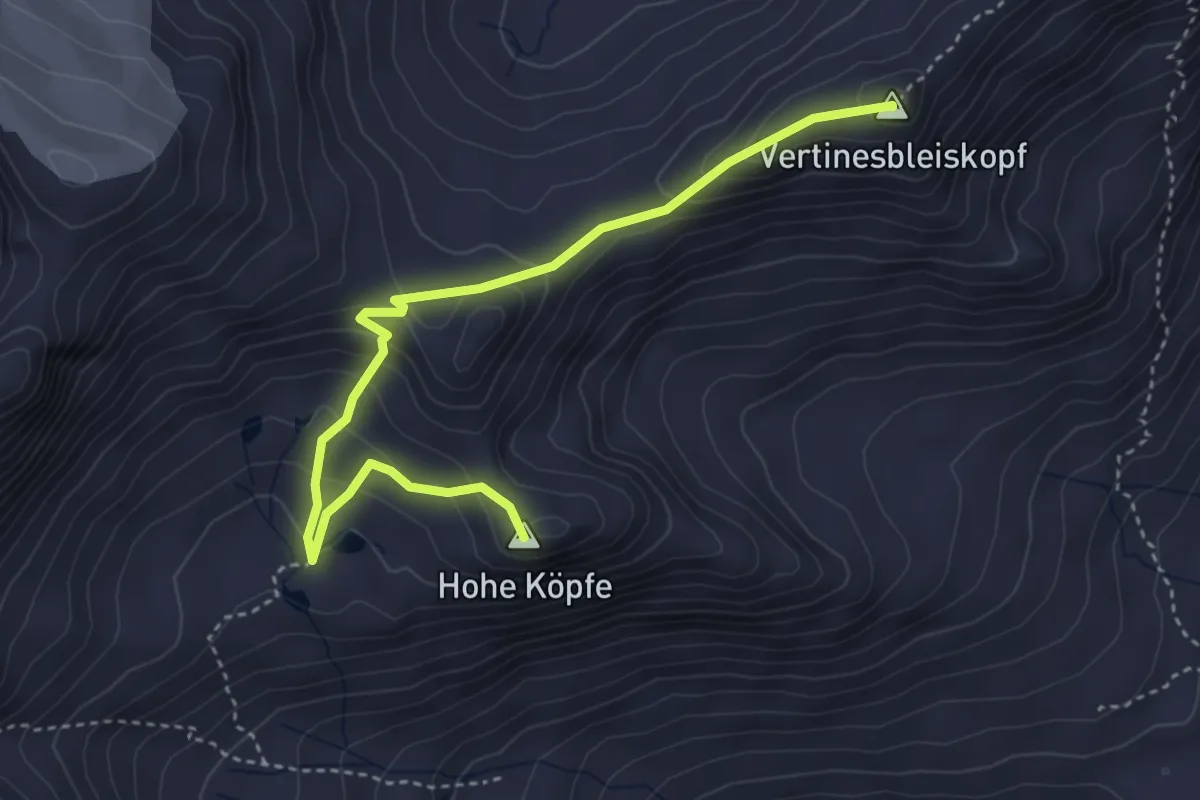
Expert · Summit
Gorg-Prasser-Weg
4.2 km · ↑ 414 m · 1 h 53 min
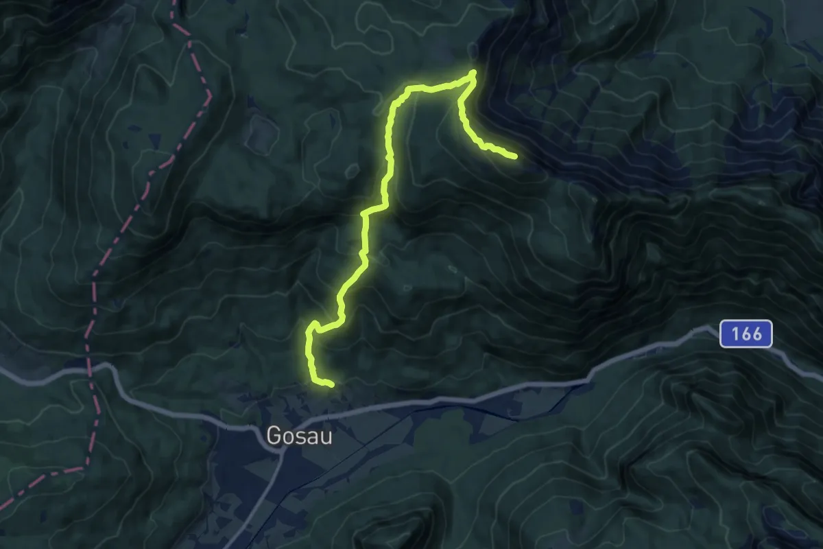
Demanding · Summit
Gosau-Kalmberg
12.8 km · ↑ 1054 m · 5 h 18 min
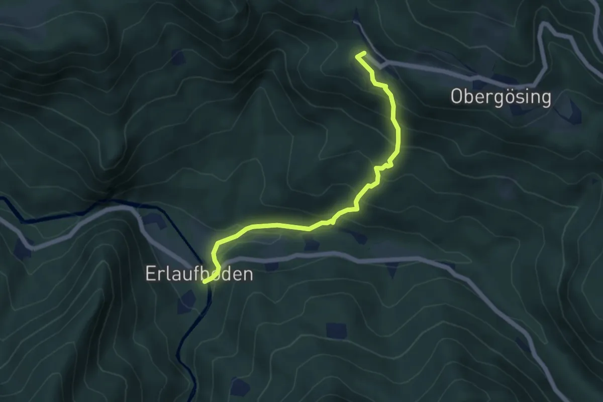
Medium · Trail
Gösing - Erlaufboden
4.4 km · ↑ 347 m · 1 h 48 min
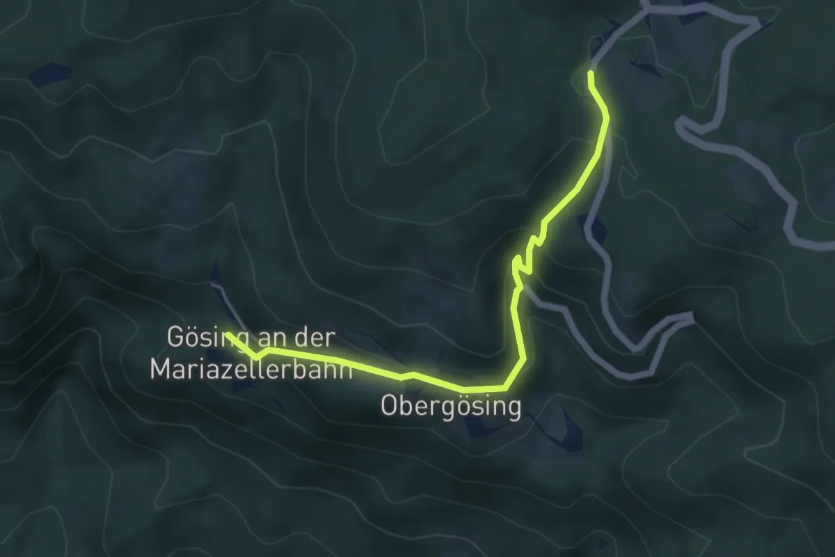
Easy · Trail
Gösing - Wastl am Wald
4.6 km · ↑ 206 m · 1 h 32 min
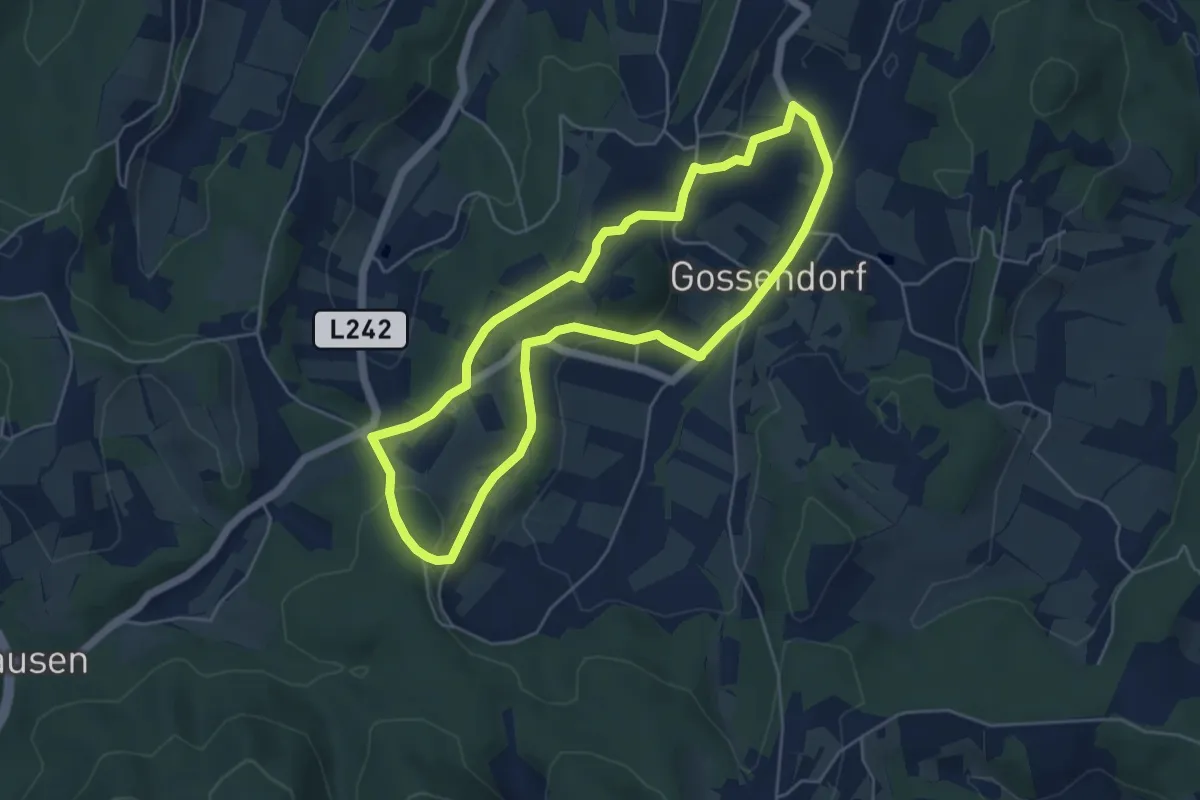
Easy · Trail
Gossendorfer Krippenrundweg
4.9 km · ↑ 120 m · 1 h 29 min
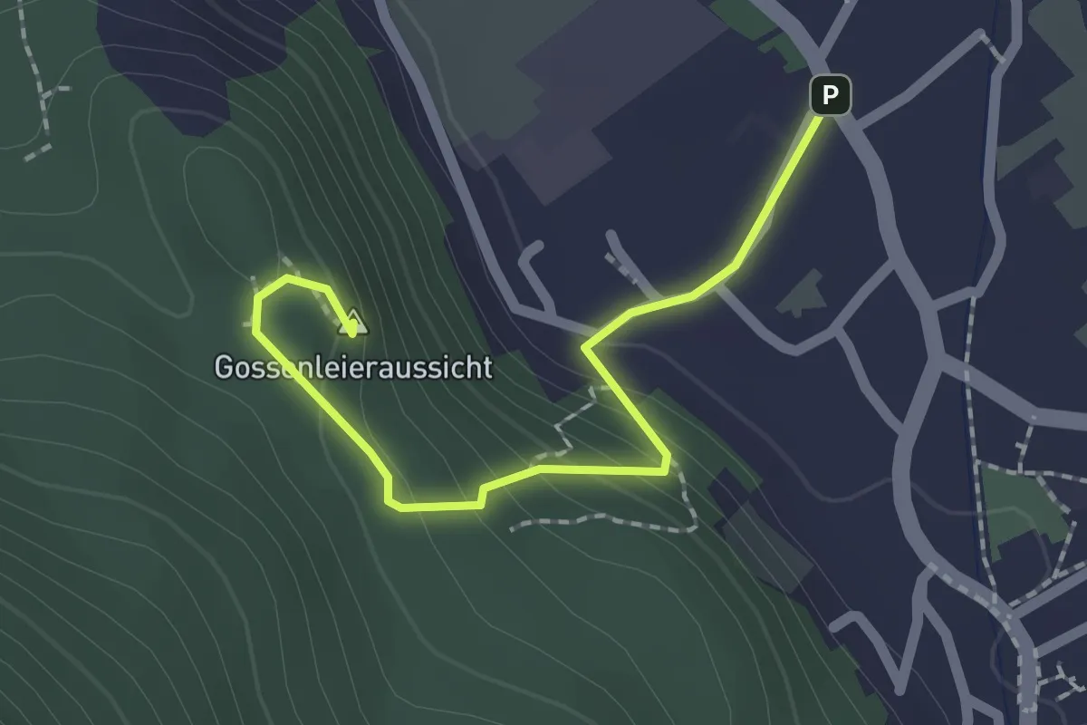
Medium · Summit
Gossenleier Aussicht
1.9 km · ↑ 126 m · 44 min
Easy · Trail
Gossenleier Forstweg
2.8 km · ↑ 105 m · 54 min
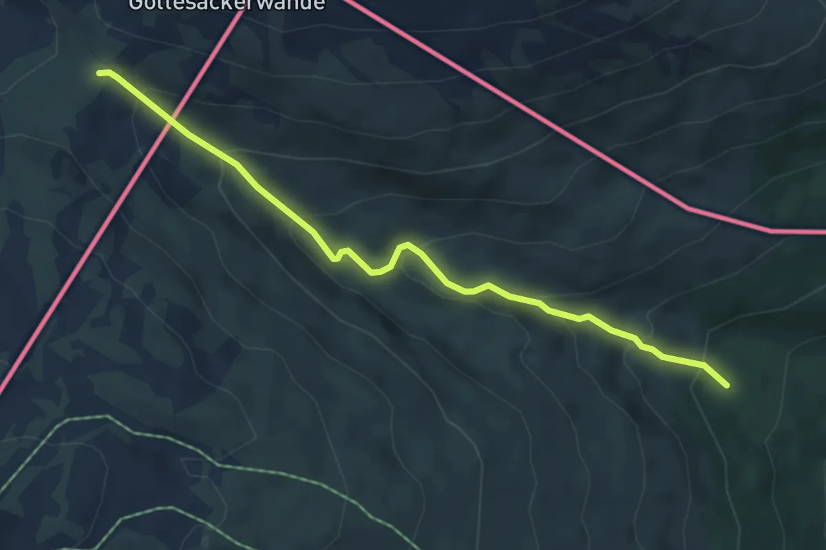
Medium · Trail
Gottesackeralpe - Wäldele
5.2 km · ↑ 361 m · 2 h 1 min
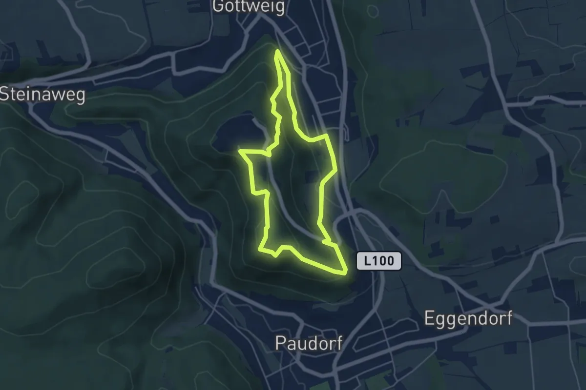
Easy · Summit
Göttweiger Berg - Stift - Predigtstuhl (F3)
4.1 km · ↑ 199 m · 1 h 27 min
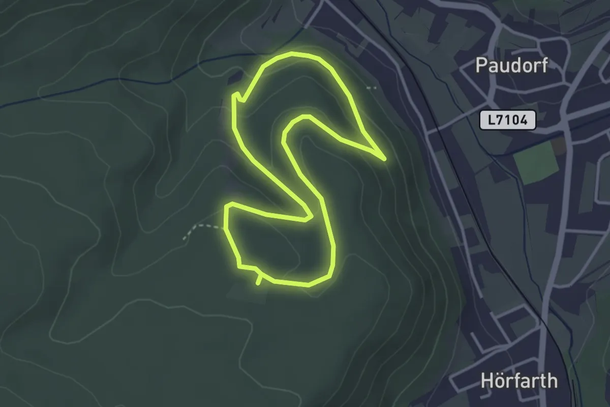
Easy · Trail
Göttweiger Wald-Erlebnisweg
2.9 km · ↑ 100 m · 57 min
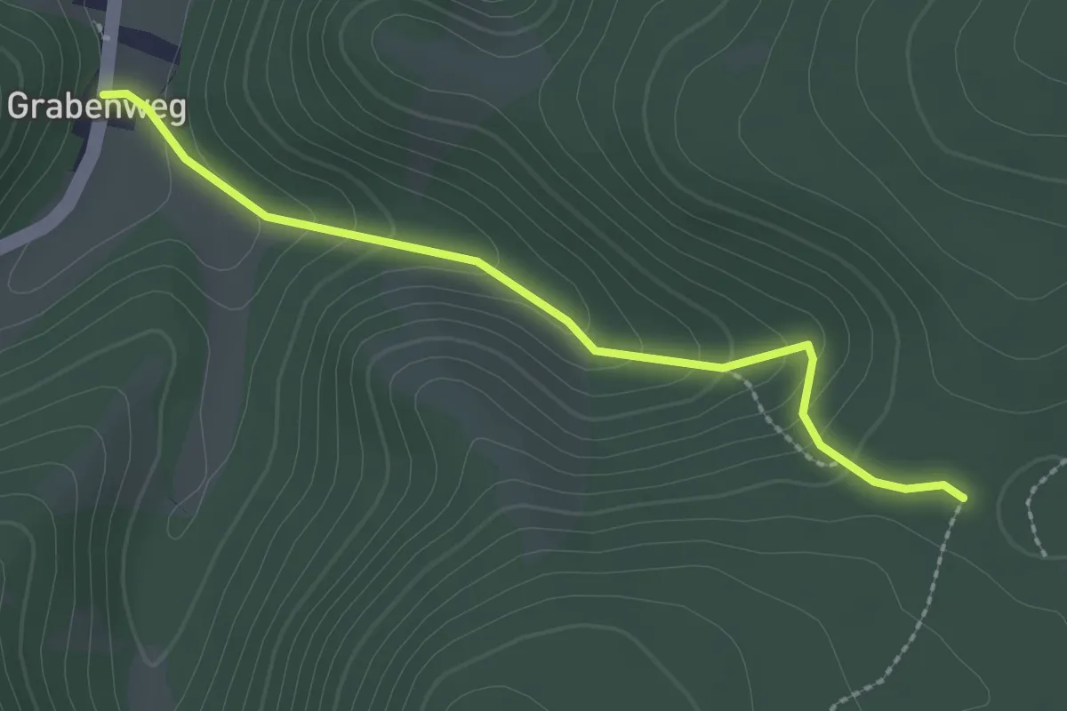
Easy · Trail
Götzelsteig --> Anschluß an Wanderwege nach Berndorf & Pottenstein sowie zum Waxeneckhaus
2.3 km · ↑ 147 m · 52 min
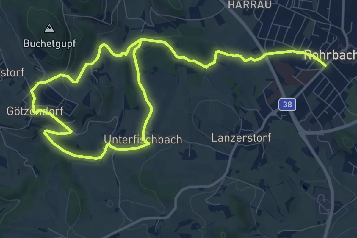
Medium · Trail
Götzendorfersteig
13.8 km · ↑ 384 m · 4 h 6 min
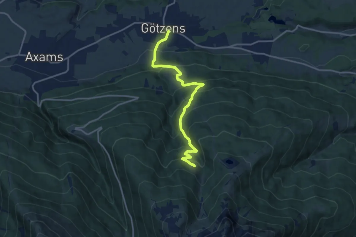
Medium · Trail
Götzener Almweg
9.4 km · ↑ 666 m · 3 h 40 min
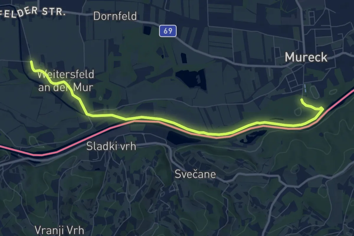
Medium · Trail
Grabenlandtrail
9.6 km · ↑ 8 m · 2 h 18 min
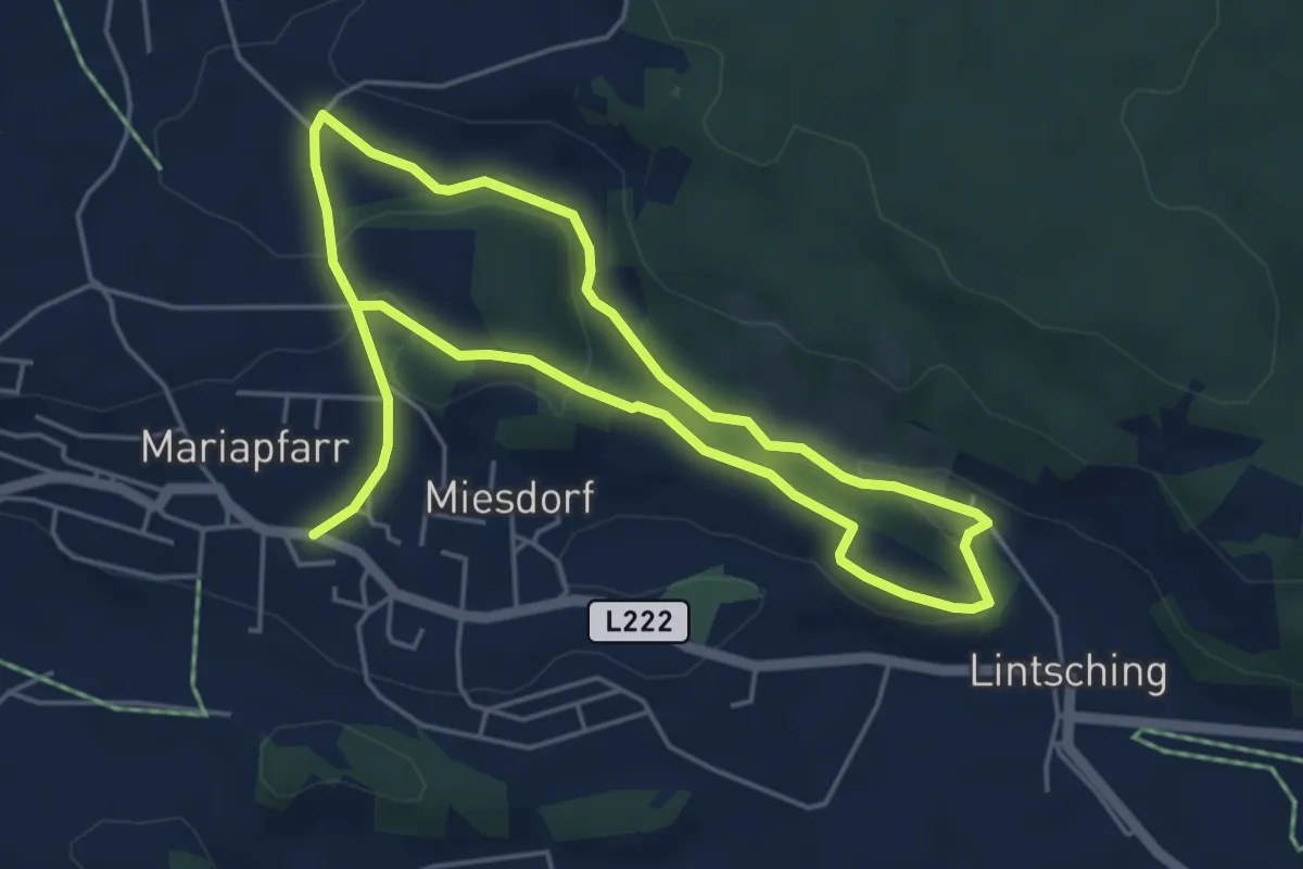
Medium · Trail
Grabenrundweg
8.7 km · ↑ 181 m · 2 h 27 min
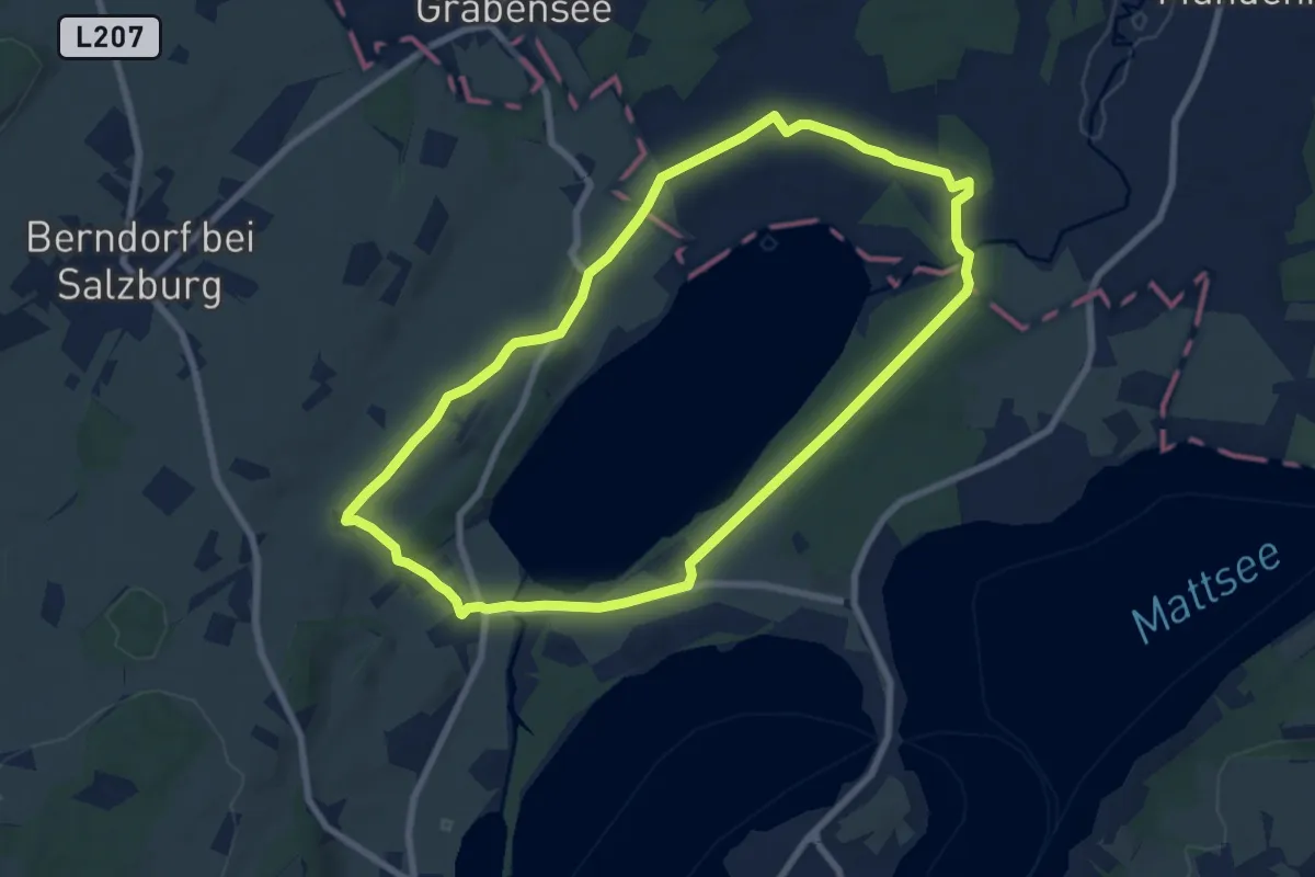
Easy · Trail
Grabenseerundgang
7.6 km · ↑ 70 m · 2 h 3 min
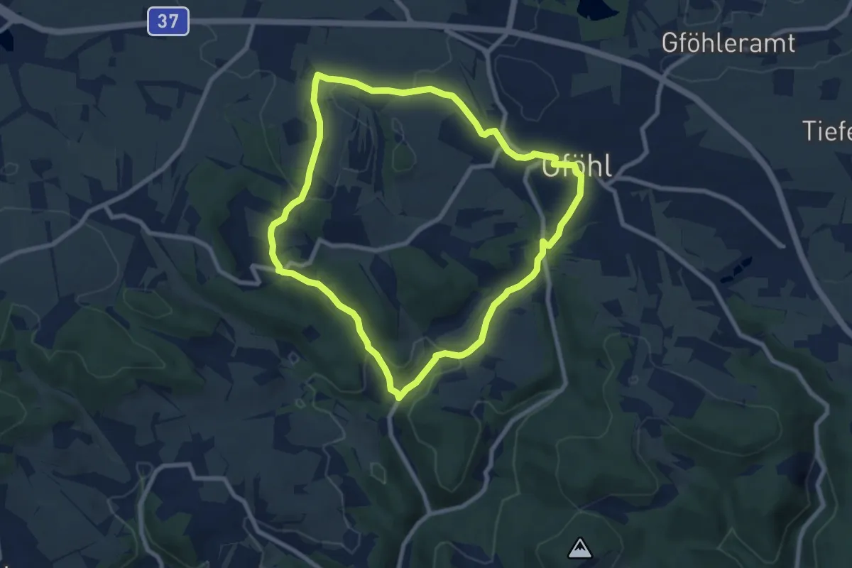
Easy · Trail
Grabenwanderung nach Litschgraben (43)
7.1 km · ↑ 204 m · 2 h 14 min
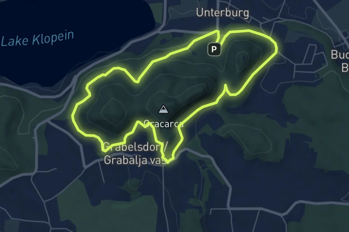
Easy · Trail
Gracarca Tour
6.0 km · ↑ 189 m · 1 h 54 min
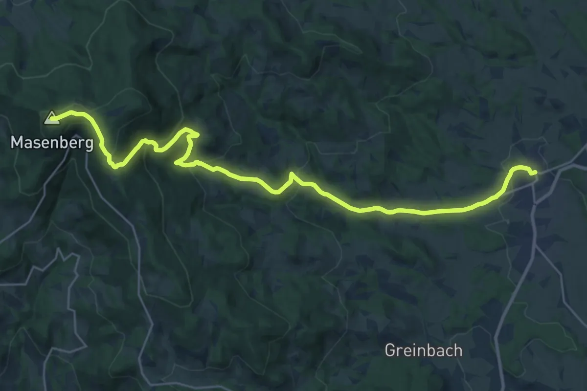
Demanding · Summit
Grafendorf Masenberg Weg 17
24.2 km · ↑ 878 m · 7 h 37 min
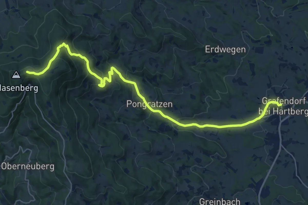
Demanding · Trail
Grafendorf Masenberg Weg 18
24.3 km · ↑ 870 m · 7 h 37 min
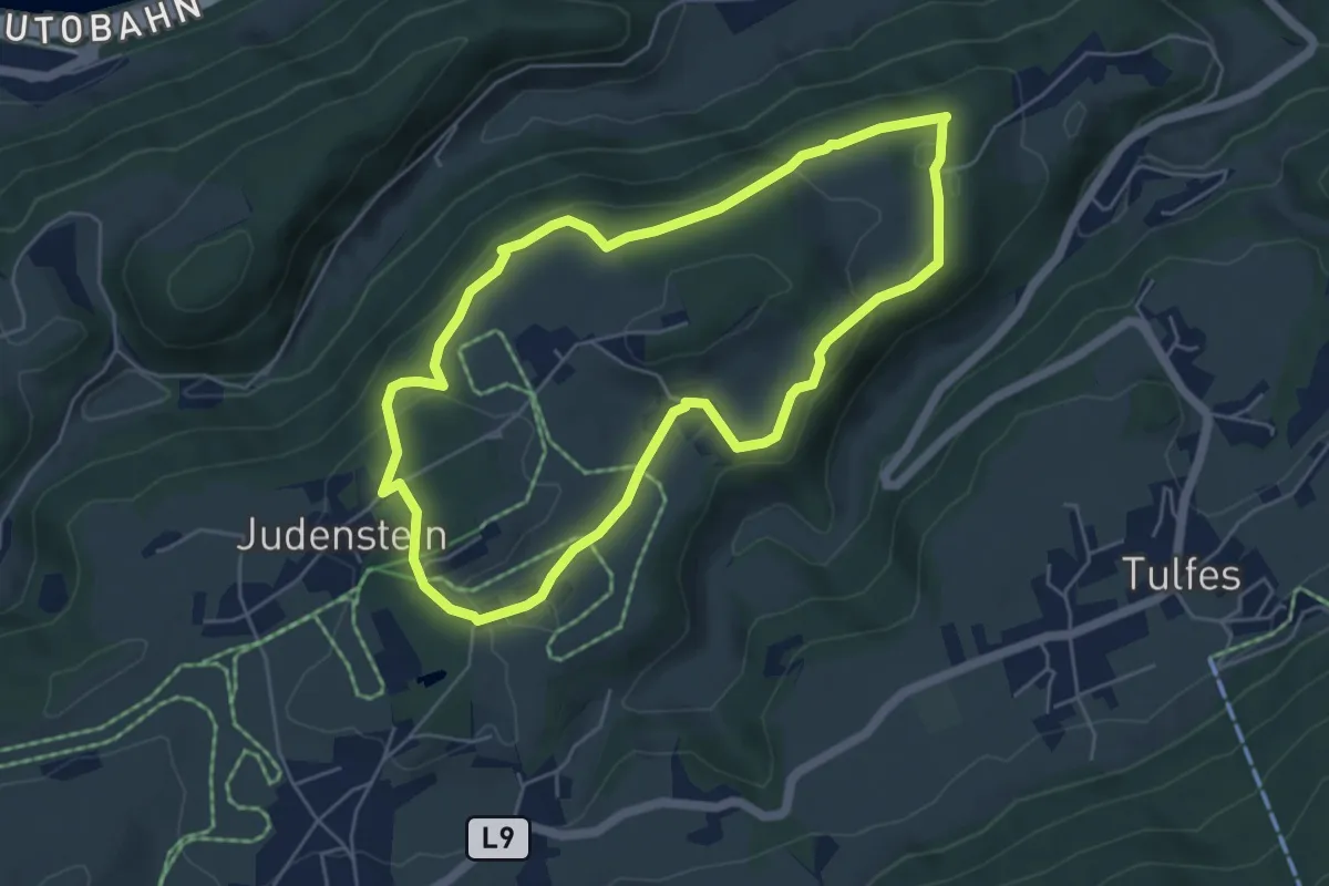
Medium · Trail
Grafen-Schleife
5.0 km · ↑ 109 m · 1 h 29 min
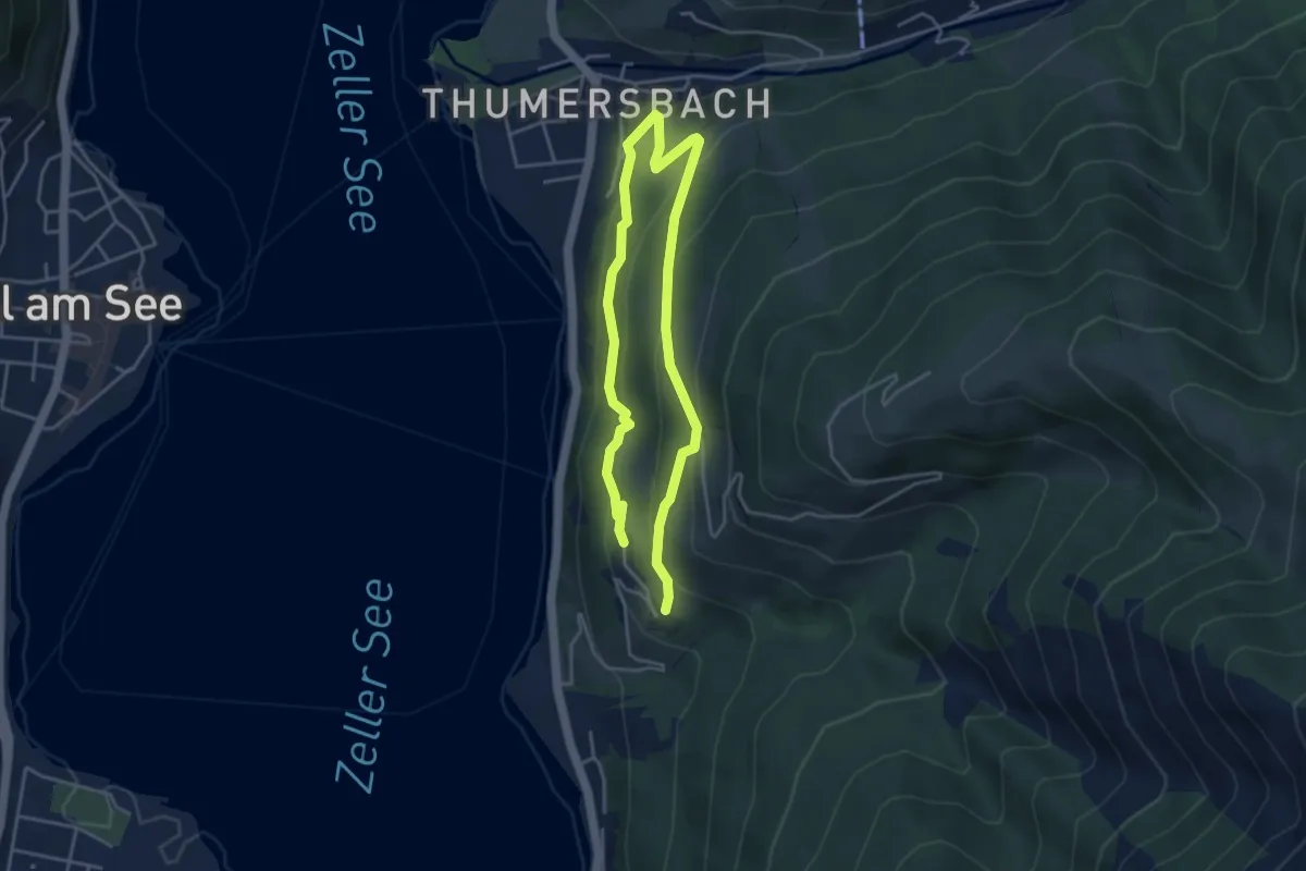
Medium · Trail
Grafleiten-Tour
6.3 km · ↑ 309 m · 2 h 10 min
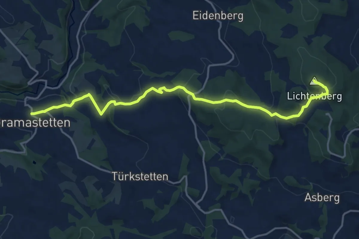
Medium · Summit
Gramastetten Giselawarte
12.4 km · ↑ 530 m · 4 h 5 min