Trails in Austria
9,778 hiking trails, each with its route, climb, walking time and grade.
All trails, page 36 of 204
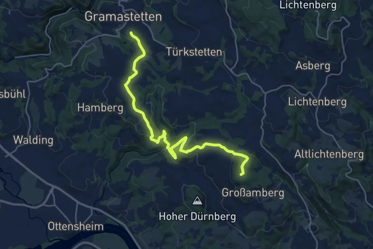
Medium · Summit
Gramastetten - Pöstlingberg
16.2 km · ↑ 567 m · 5 h 3 min
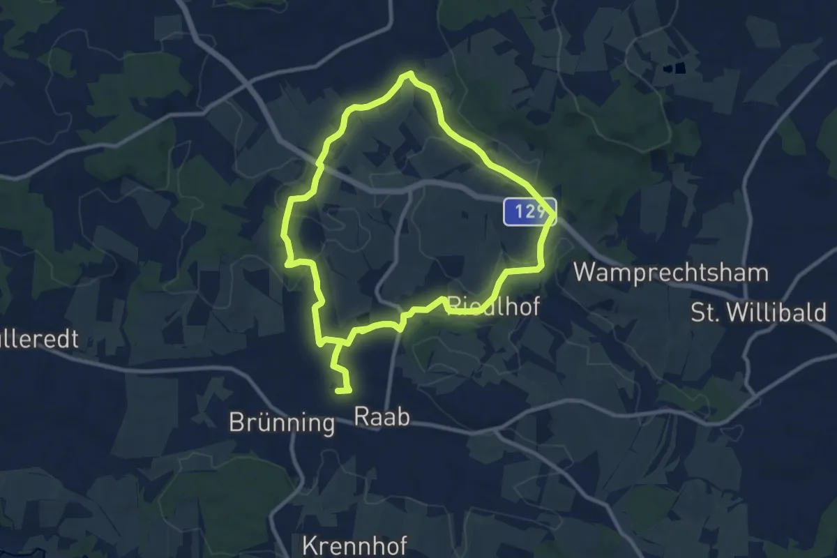
Medium · Trail
Granitweg
16.4 km · ↑ 231 m · 4 h 23 min
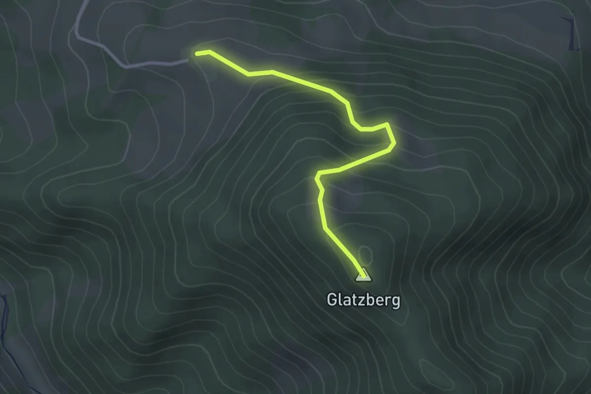
Easy · Summit
Grasberg - Glatzberg
2.7 km · ↑ 234 m · 1 h 9 min
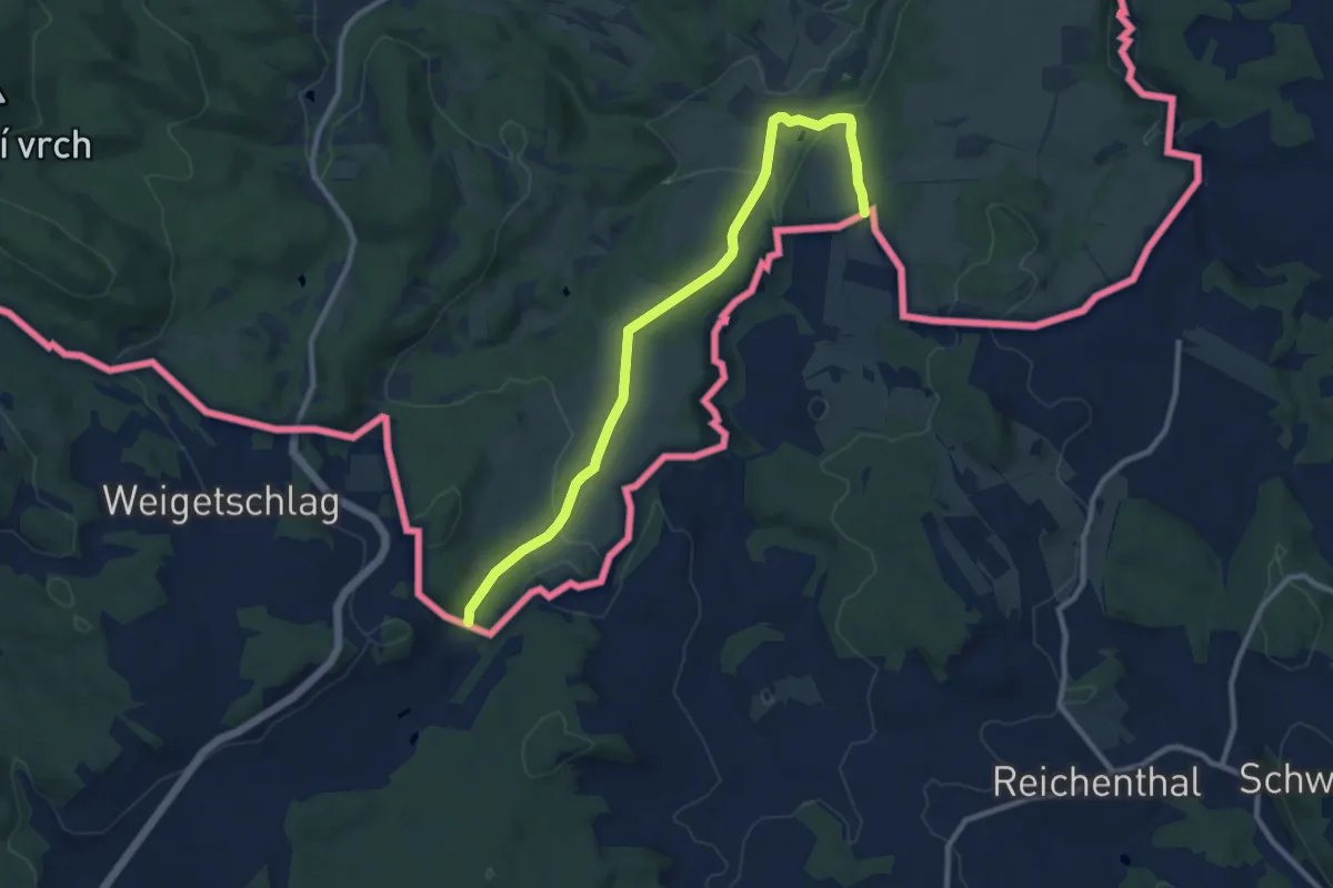
Medium · Trail
Grasslmühl-Runde CZ
10.1 km · ↑ 208 m · 2 h 50 min
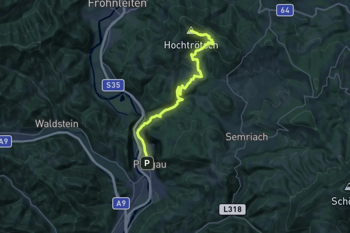
Demanding · Summit
Grazer Bergland Wanderweg, Etappe 1
21.9 km · ↑ 894 m · 7 h 6 min
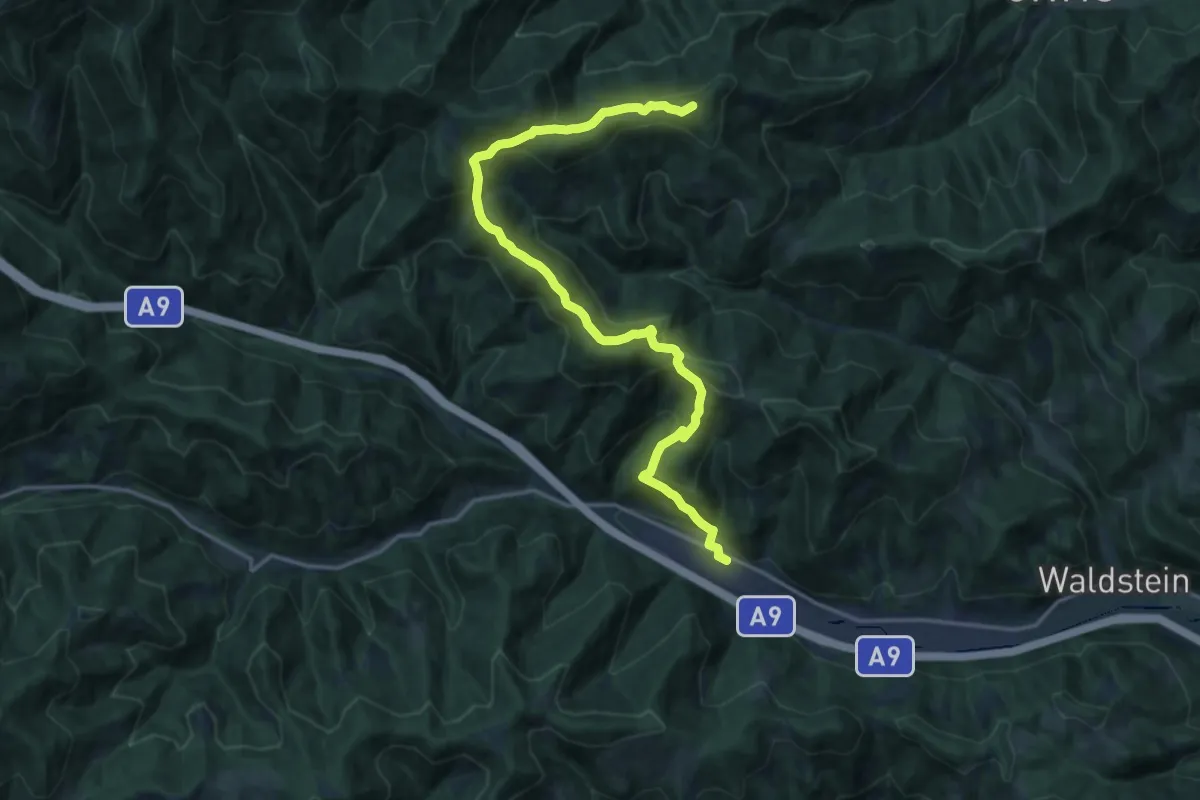
Demanding · Summit
Grazer Bergland Wanderweg, Etappe 2
18.3 km · ↑ 880 m · 6 h 13 min
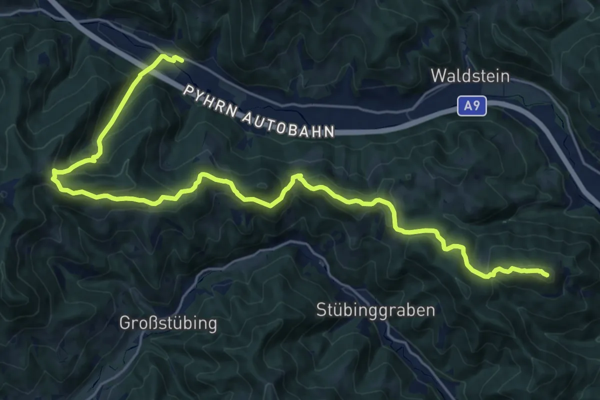
Demanding · Summit
Grazer Bergland Wanderweg, Etappe 3
23.1 km · ↑ 1103 m · 7 h 50 min
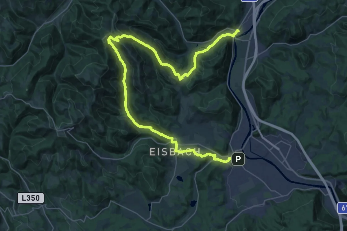
Demanding · Trail
Grazer Bergland Wanderweg, Etappe 4
18.1 km · ↑ 713 m · 6 h 4 min
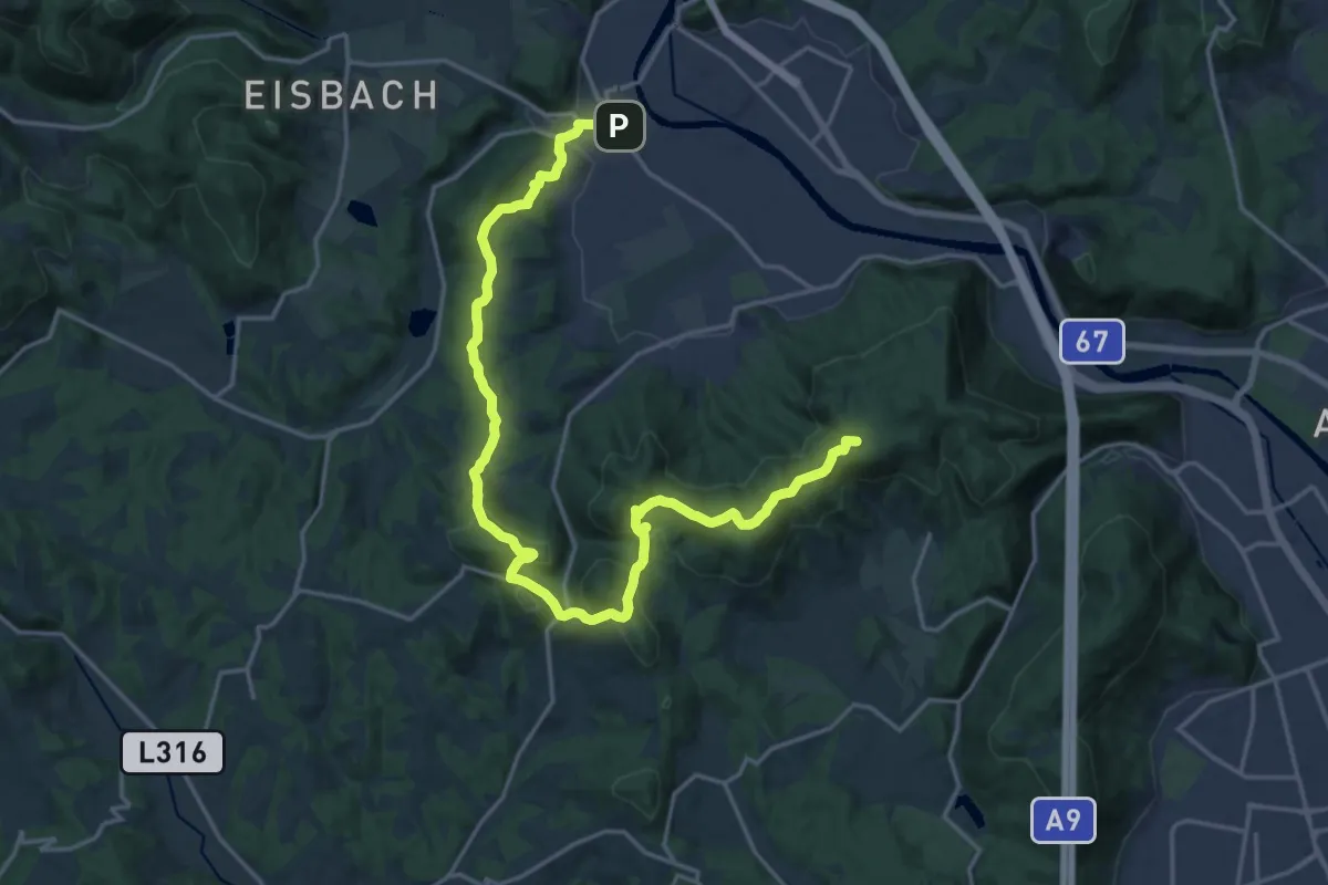
Demanding · Summit
Grazer Bergland Wanderweg, Etappe 5
22.8 km · ↑ 701 m · 6 h 54 min
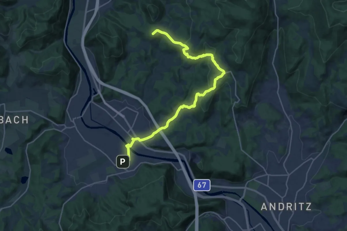
Demanding · Summit
Grazer Bergland Wanderweg, Etappe 6
20.0 km · ↑ 679 m · 6 h 12 min
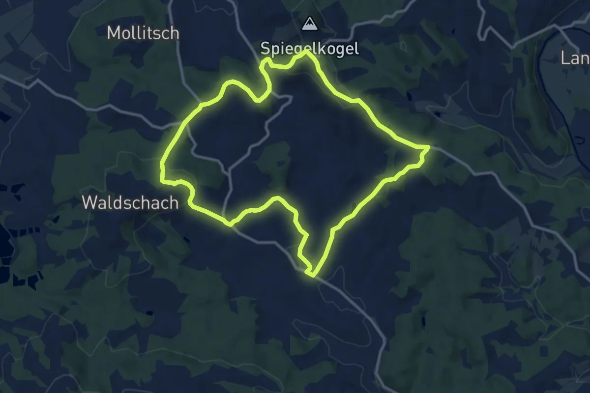
Medium · Trail
Greibrunnweg
9.9 km · ↑ 283 m · 3 h 5 min
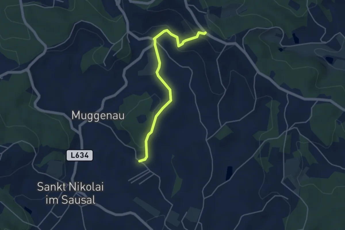
Easy · Trail
Greibrunnweg, Variante
2.0 km · ↑ 105 m · 41 min
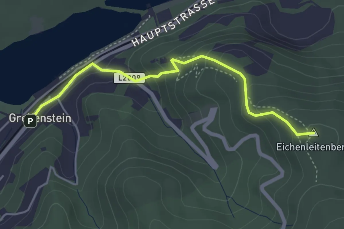
Easy · Summit
Greifenstein - Hadersfeld (Burgweg)
3.7 km · ↑ 216 m · 1 h 20 min
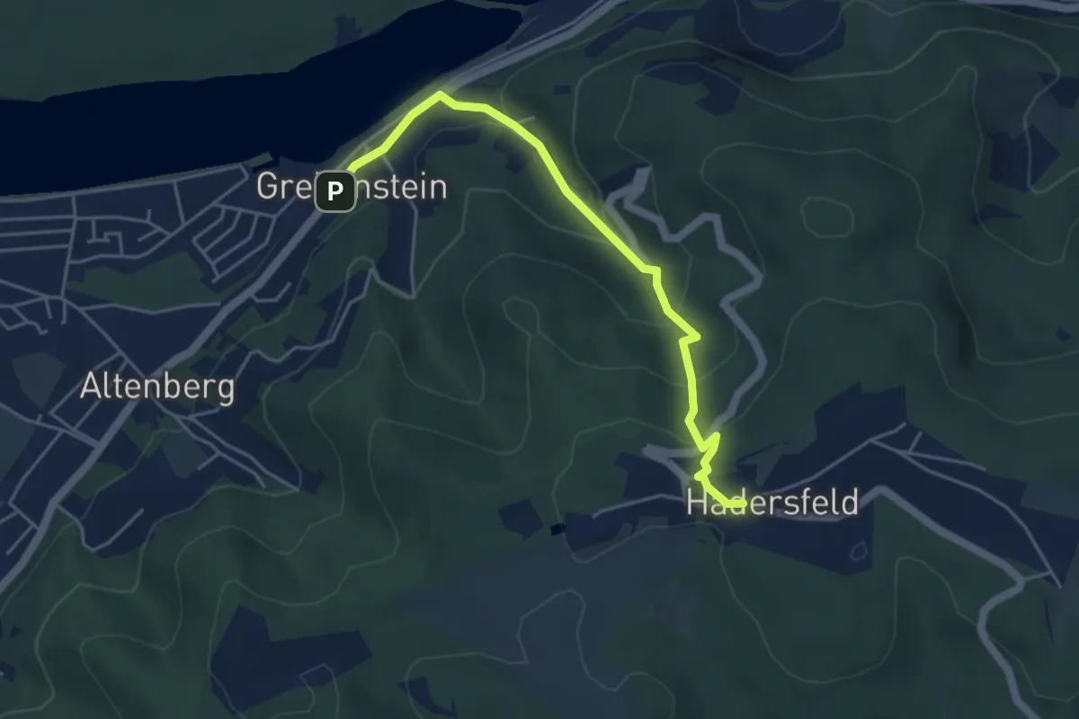
Easy · Trail
Greifenstein - Hadersfeld (Fleischhackergraben)
4.4 km · ↑ 237 m · 1 h 33 min
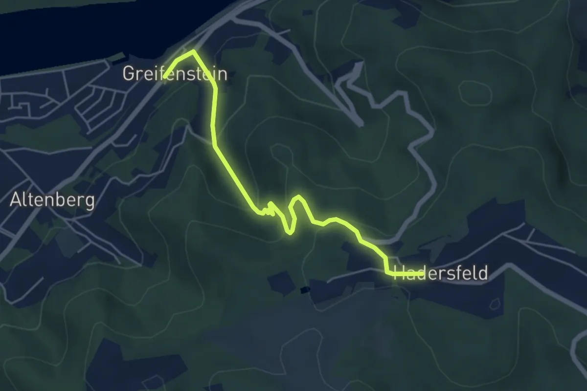
Easy · Trail
Greifenstein - Hadersfeld (Klotzbergsteig)
4.5 km · ↑ 242 m · 1 h 36 min
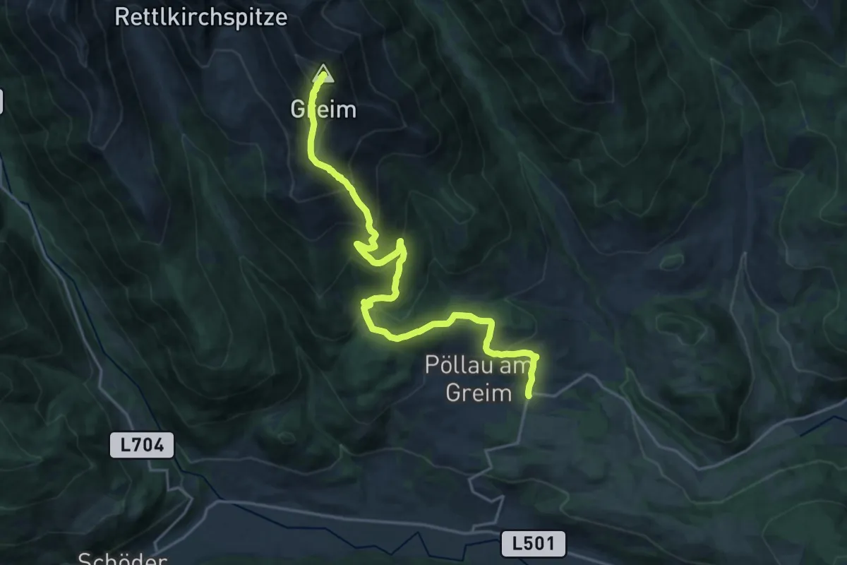
Demanding · Summit
Greim
20.1 km · ↑ 1382 m · 7 h 45 min
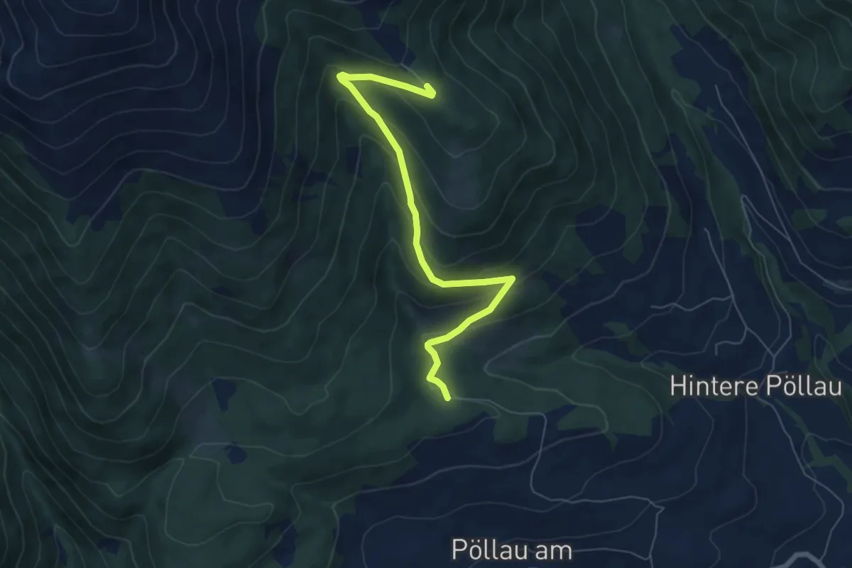
Medium · Trail
Greimrinne
6.7 km · ↑ 358 m · 2 h 22 min
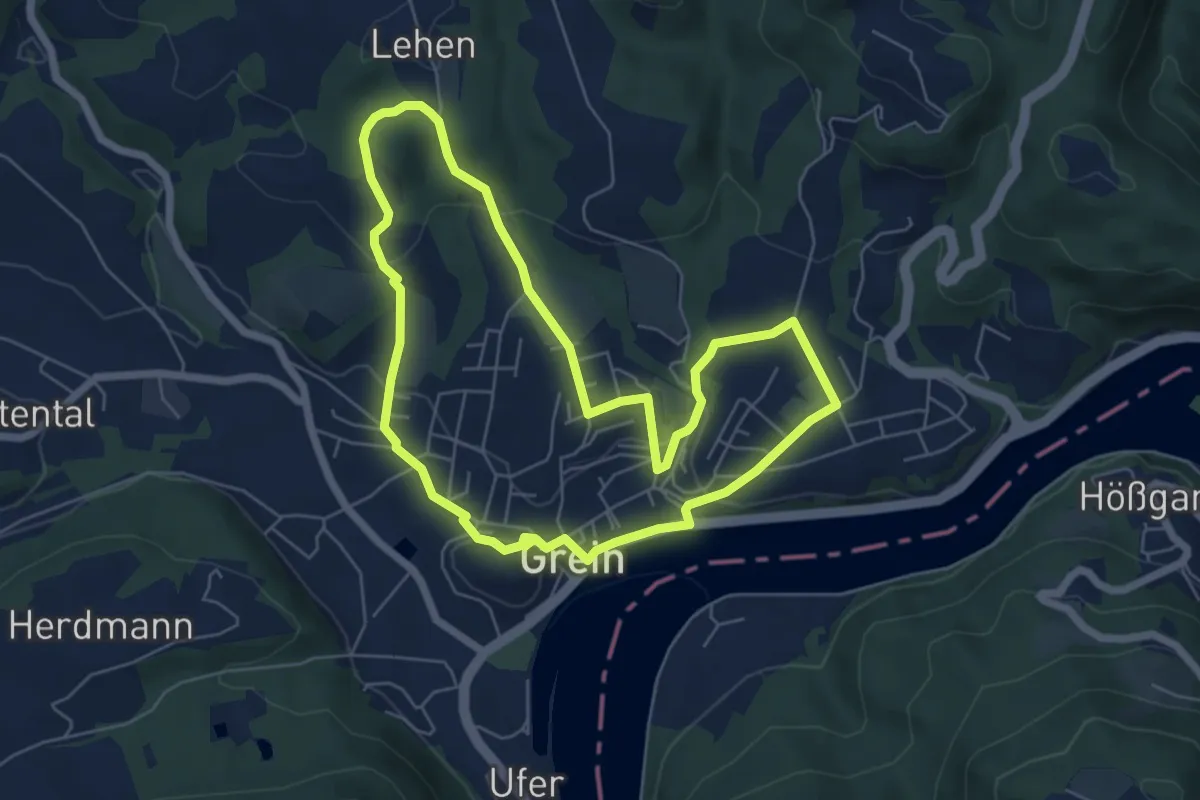
Easy · Trail
Greiner Donaublickrunde
5.8 km · ↑ 168 m · 1 h 49 min
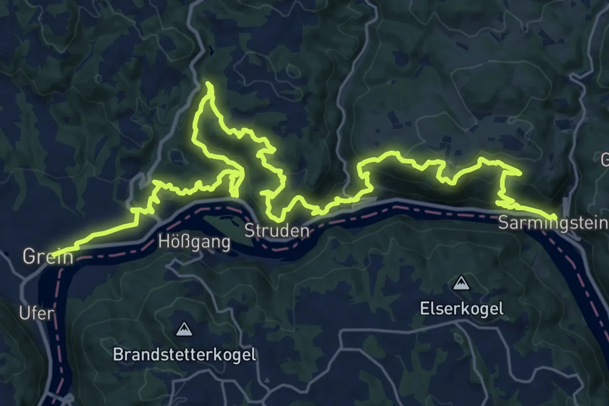
Medium · Trail
Grein - Sarmingstein Donausteig Etappe
16.2 km · ↑ 799 m · 5 h 47 min
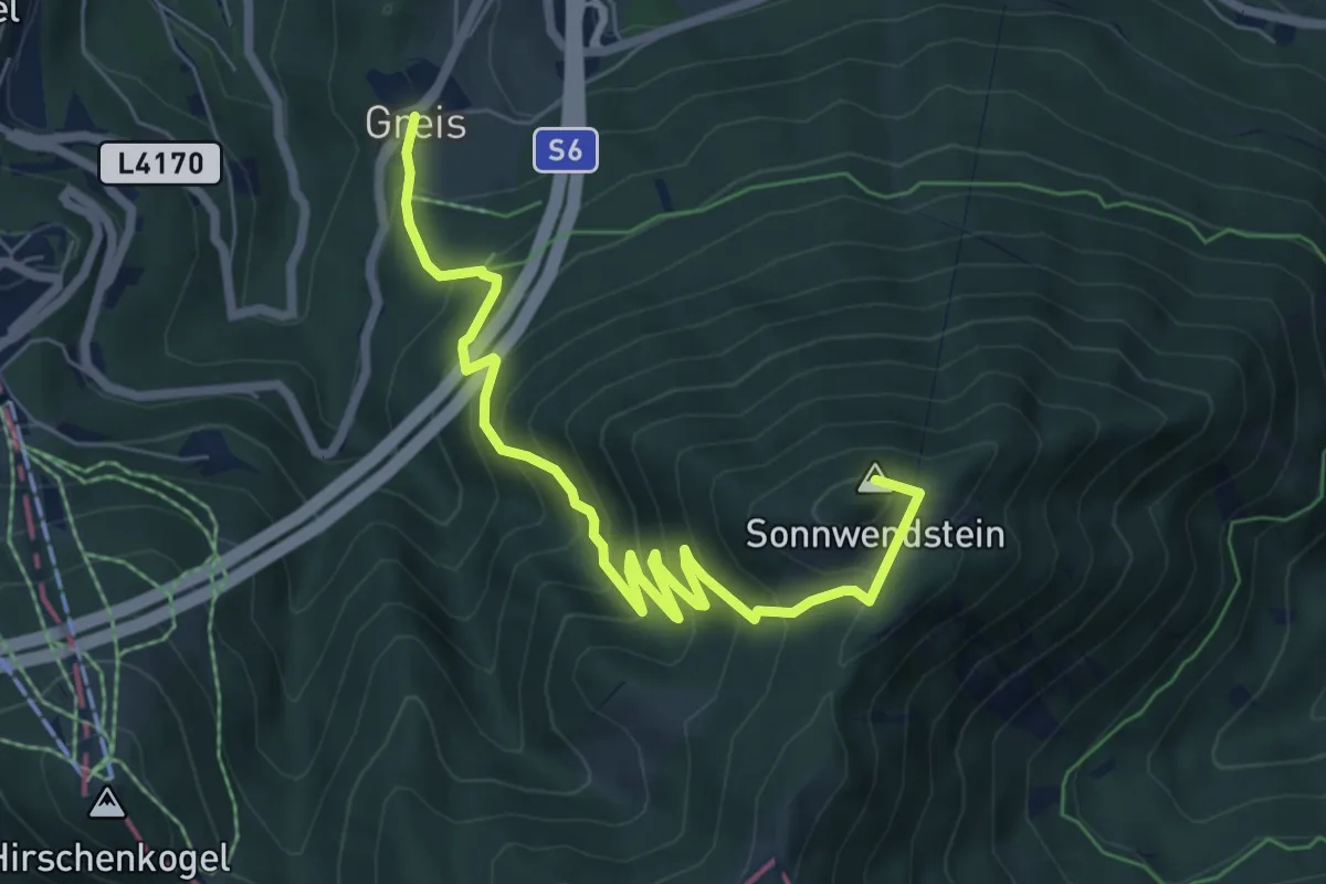
Medium · Summit
Greis - Almsteig - Sonnwendstein
7.4 km · ↑ 637 m · 3 h 8 min
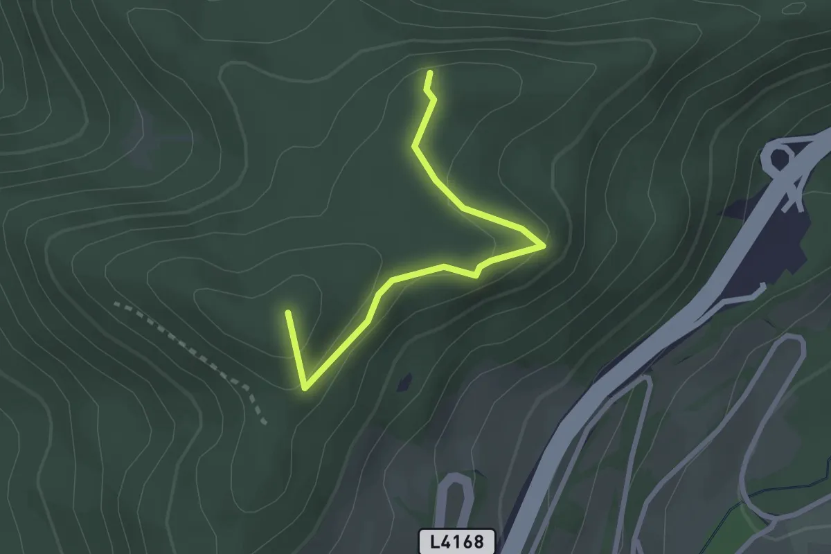
Expert · Summit
Greis - Eselstein
2.4 km · ↑ 150 m · 53 min
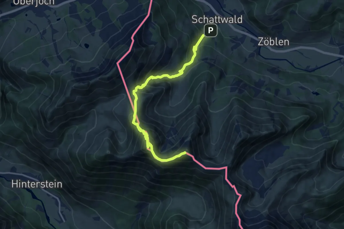
Demanding · Summit
Grenzgänger Etappe 1
11.7 km · ↑ 1120 m · 5 h 11 min
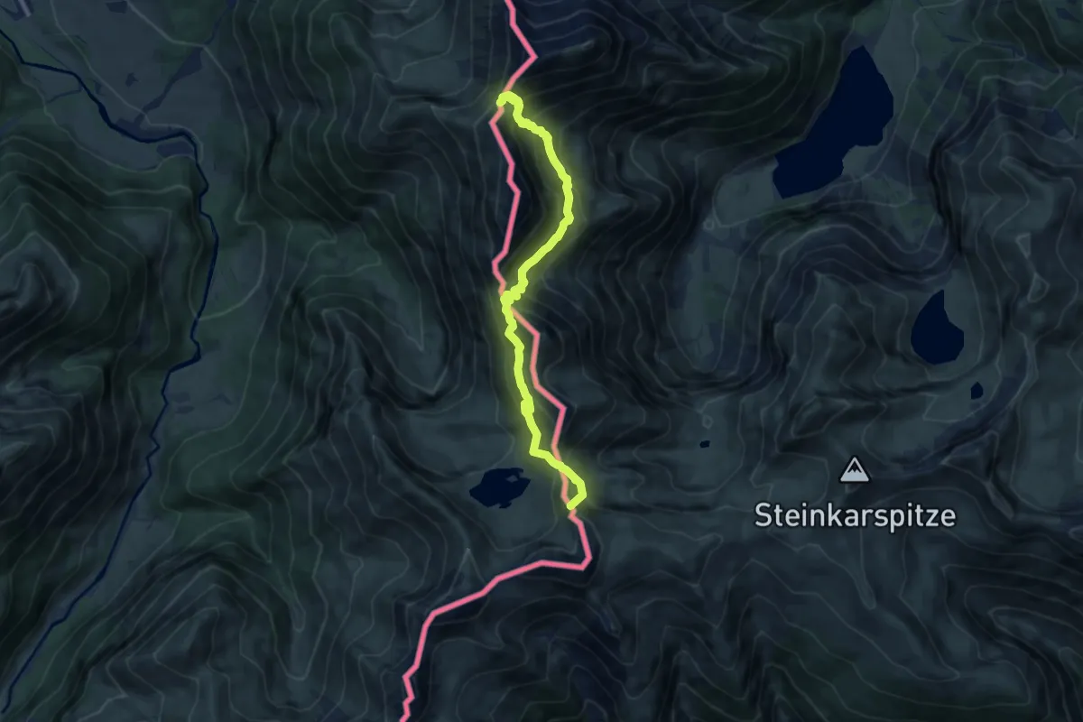
Medium · Summit
Grenzgänger Etappe 2
9.7 km · ↑ 754 m · 3 h 55 min
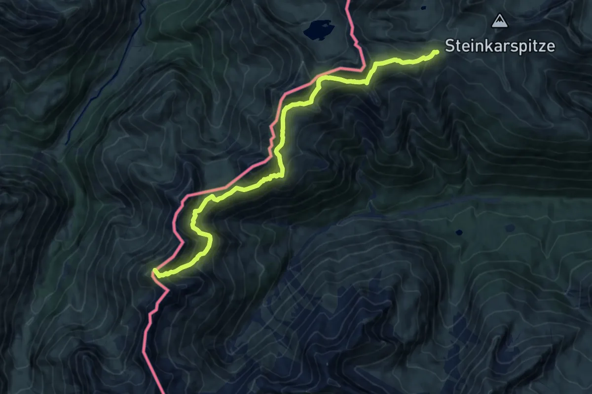
Demanding · Summit
Grenzgänger Etappe 3
15.5 km · ↑ 980 m · 5 h 47 min
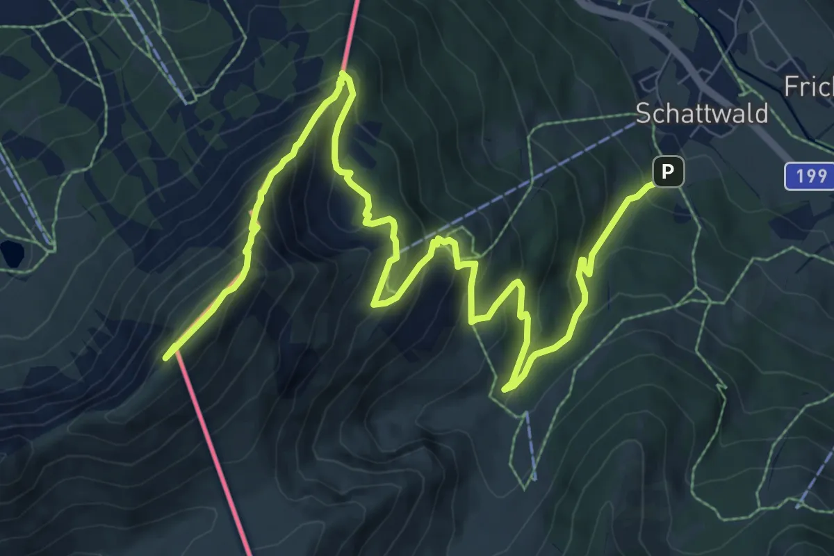
Demanding · Summit
Grenzgänger Etappe 6
12.0 km · ↑ 921 m · 4 h 50 min
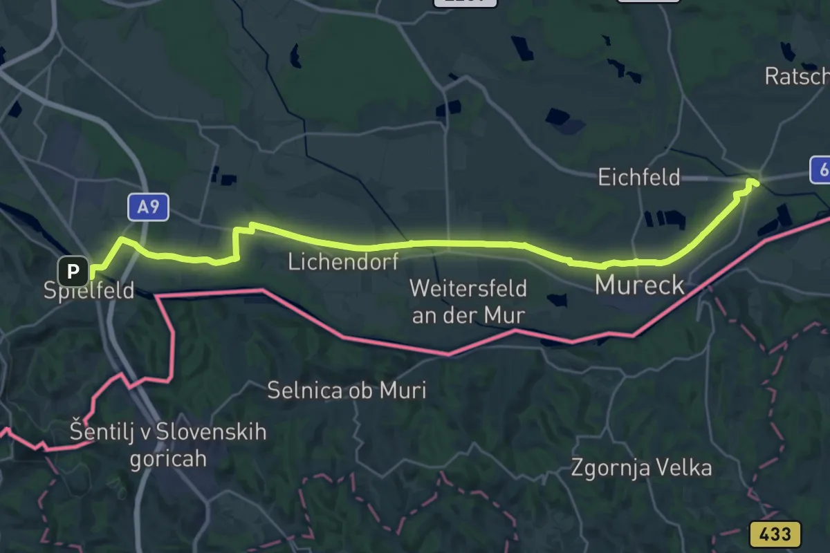
Demanding · Trail
Grenzland Bahnweg
30.5 km · ↑ 35 m · 7 h 17 min
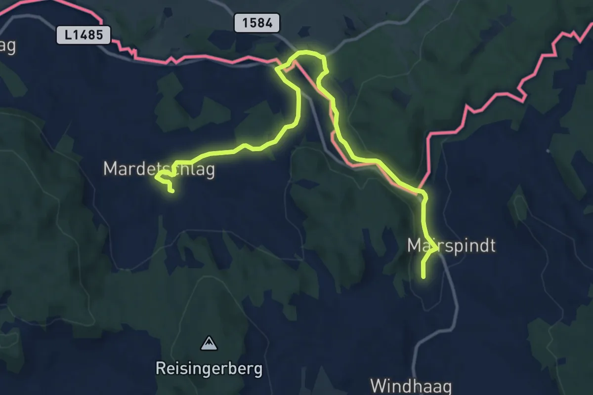
Easy · Trail
Grenzlandweg
5.6 km · ↑ 36 m · 1 h 30 min
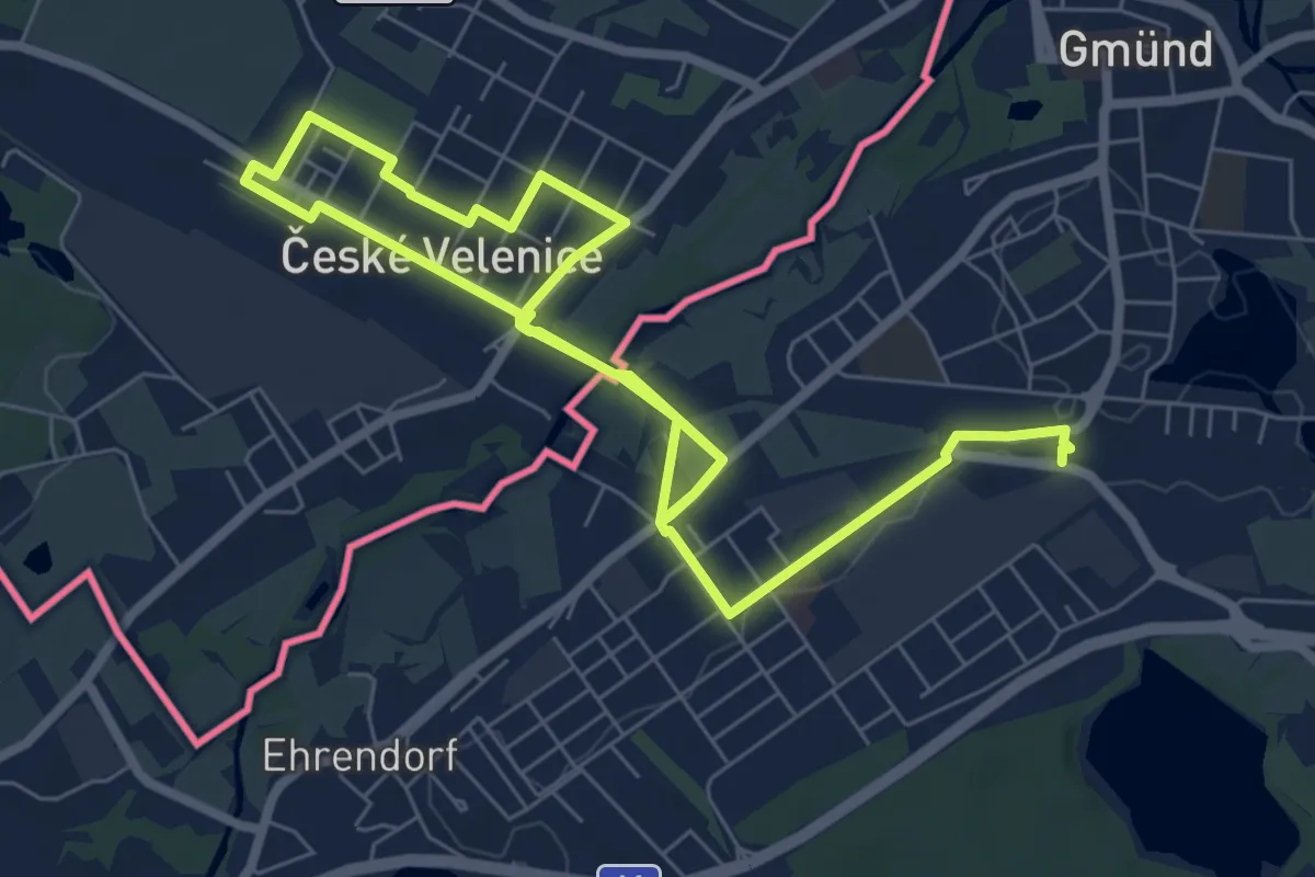
Easy · Trail
Grenzüberschreitender tut gut Städte-Wanderweg
6.0 km · ↑ 18 m · 1 h 33 min
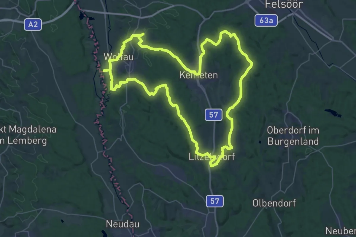
Demanding · Trail
Grenzwächter Rundwanderweg
33.0 km · ↑ 422 m · 9 h 10 min
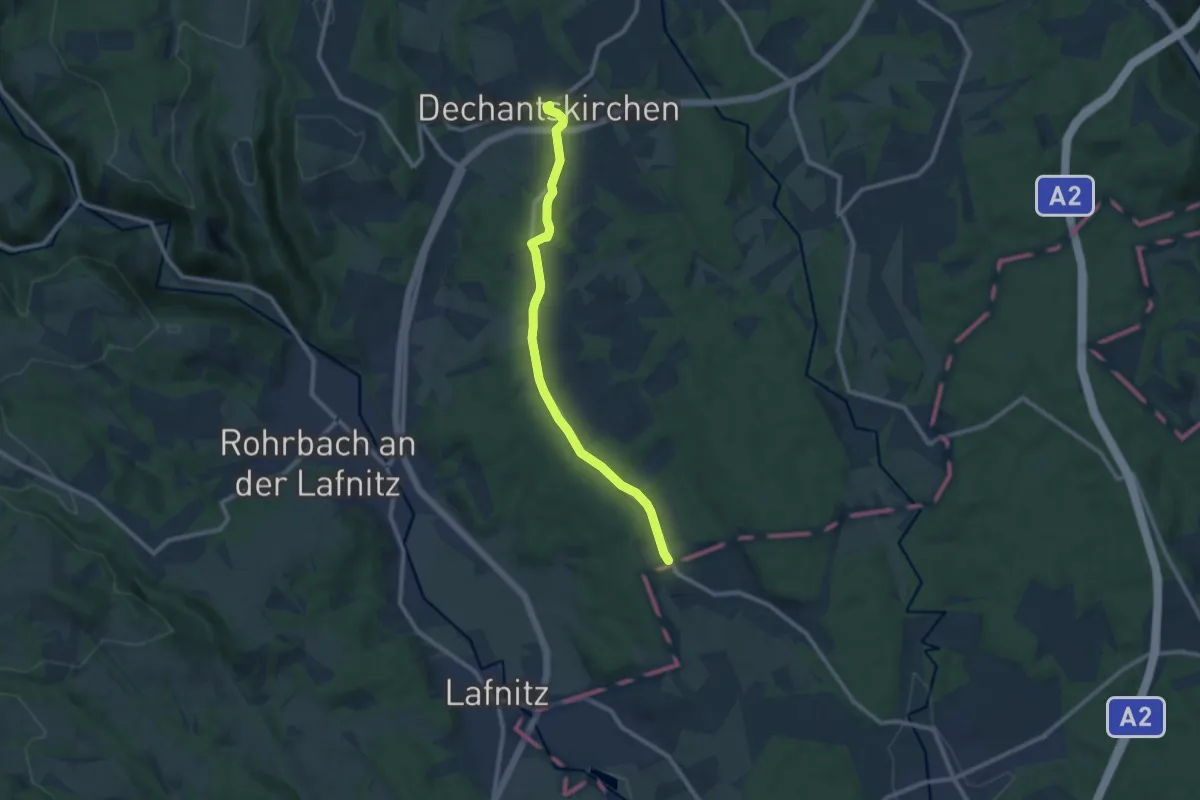
Medium · Trail
Grenzweg (Kroisegg) (Weg I, 4,7 km)
9.4 km · ↑ 152 m · 2 h 33 min
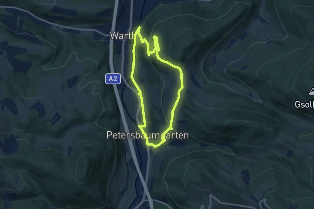
Easy · Trail
Gretel Weg (Ausgangspunkt: Warth Bushaltestelle)
6.1 km · ↑ 239 m · 2 h 2 min
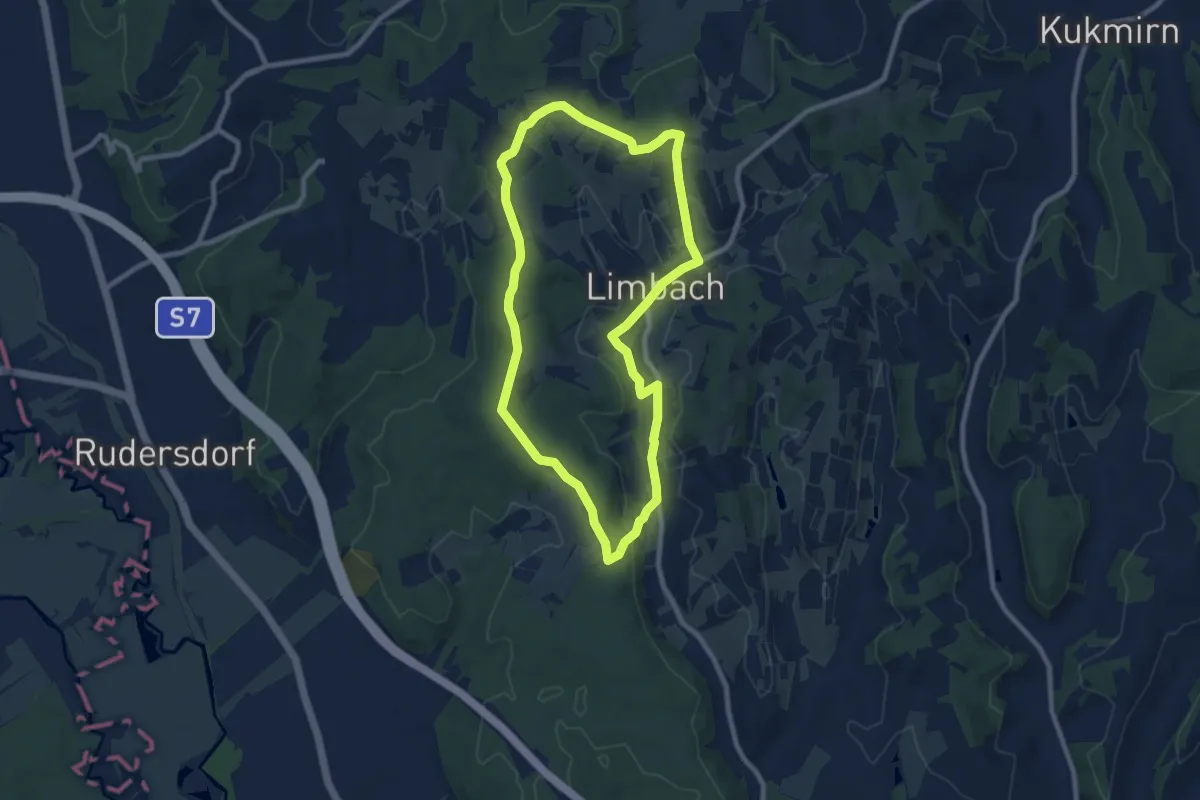
Medium · Trail
Greuternrunde (Limbach im Burgenland)
8.4 km · ↑ 114 m · 2 h 20 min
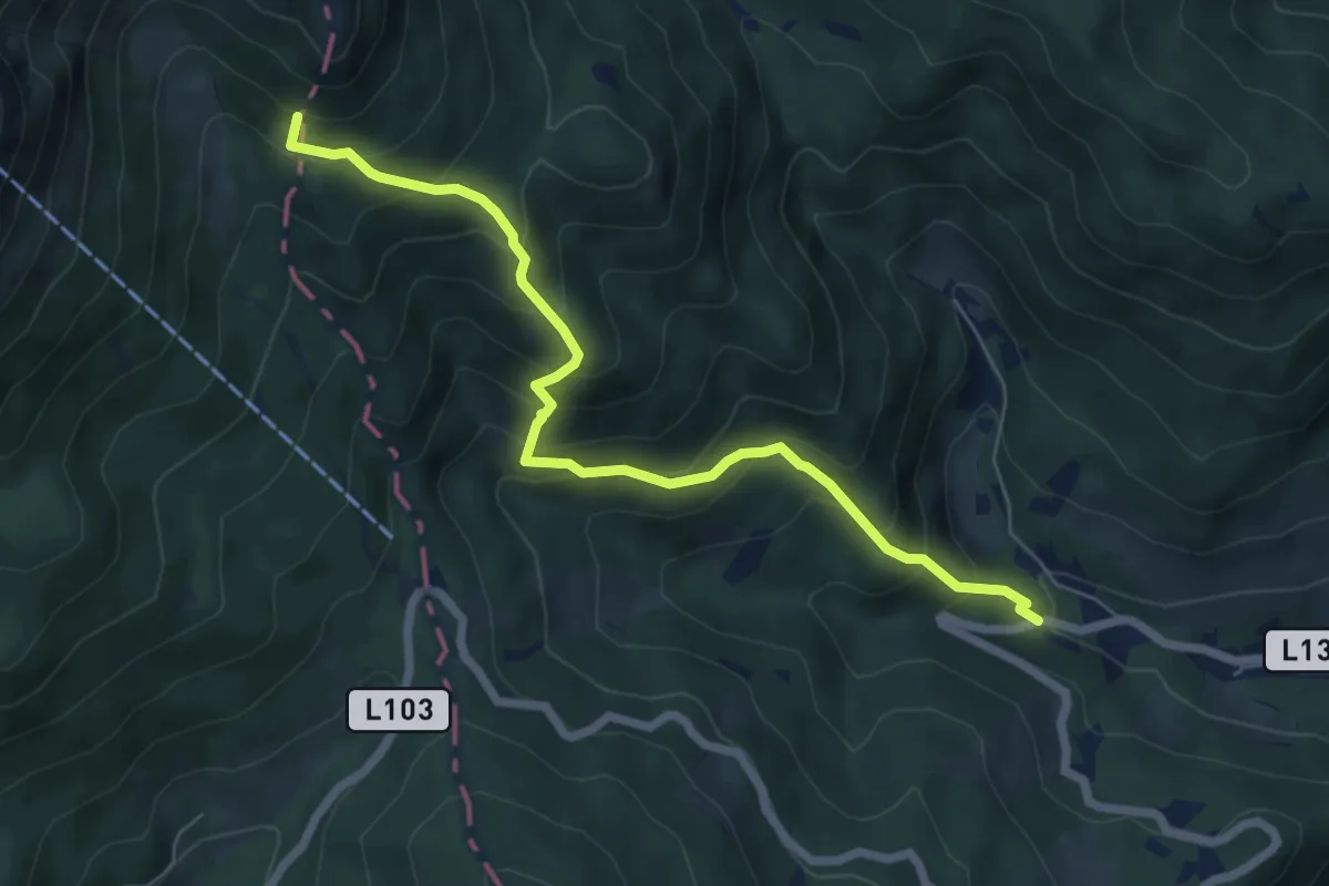
Medium · Summit
Griesleiten - Siebenbrunnenwiese
6.6 km · ↑ 650 m · 2 h 58 min
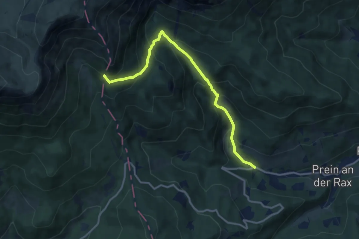
Medium · Summit
Griesleiten - Waxriegelhaus
8.3 km · ↑ 689 m · 3 h 27 min
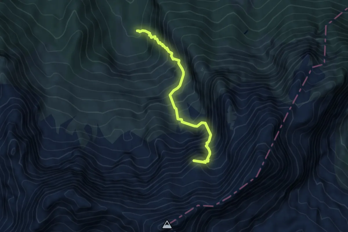
Expert · Summit
Grießbacher Steig
5.0 km · ↑ 1094 m · 3 h 34 min
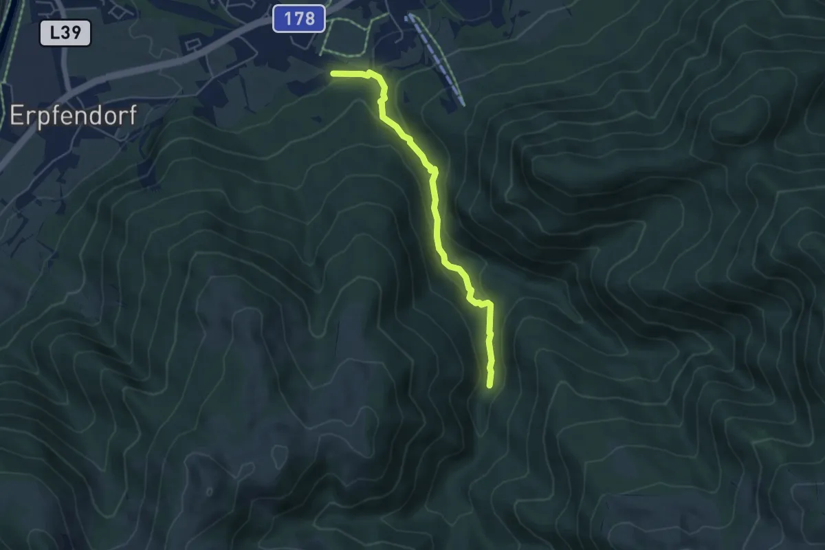
Medium · Trail
Grießbachklamm
4.5 km · ↑ 188 m · 1 h 29 min
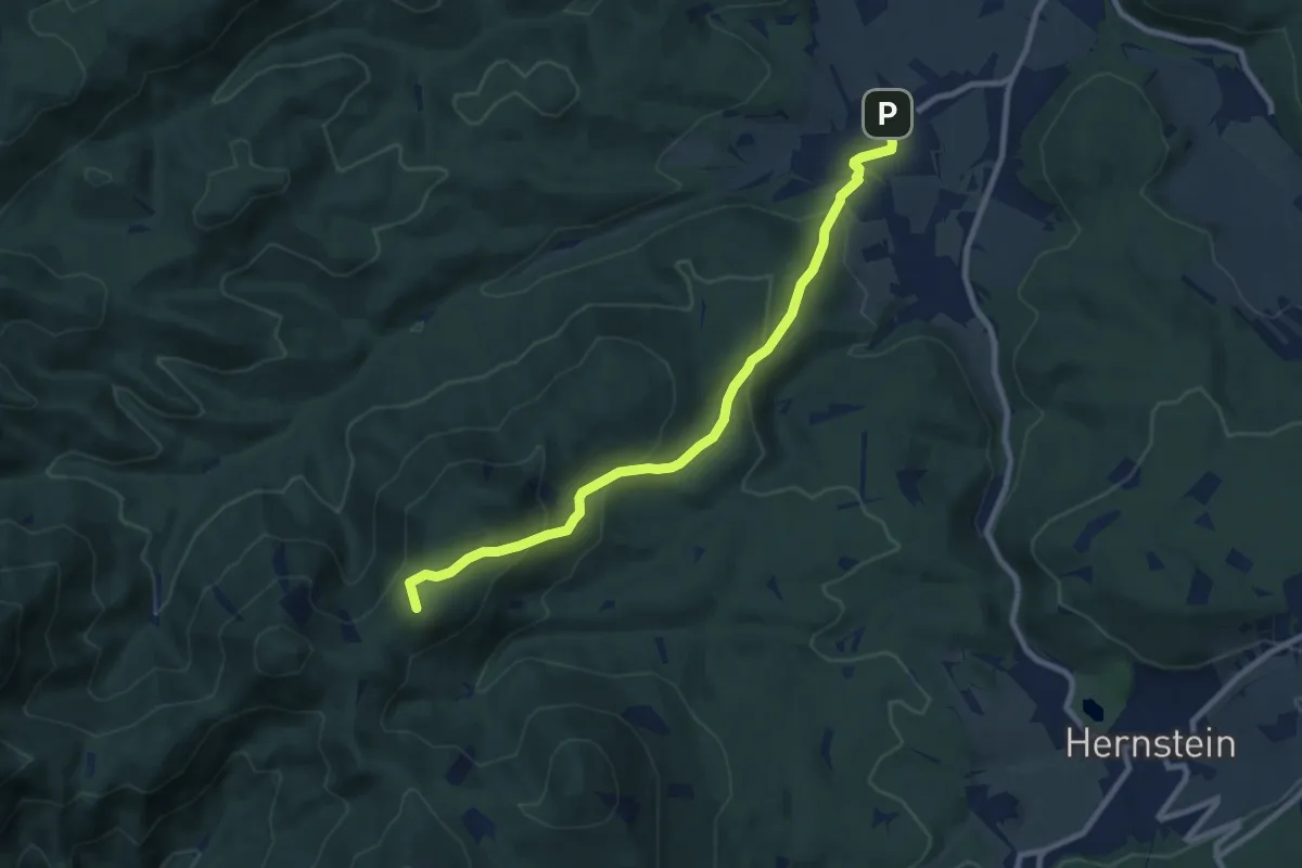
Medium · Summit
Grillenberg-Großer Rosenkogel
8.8 km · ↑ 429 m · 3 h 1 min
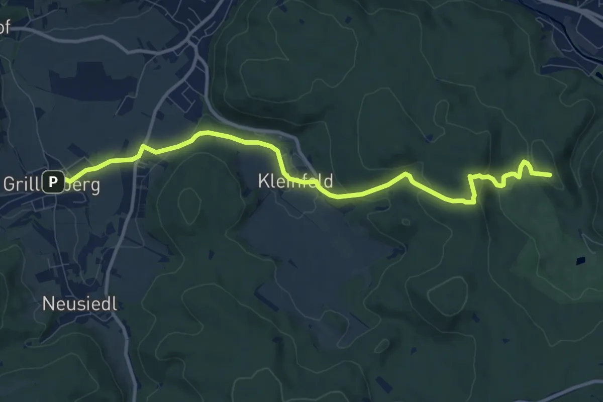
Medium · Summit
Grillenberg - Kleinfeld - Großer Jauling
10.2 km · ↑ 290 m · 3 h 2 min
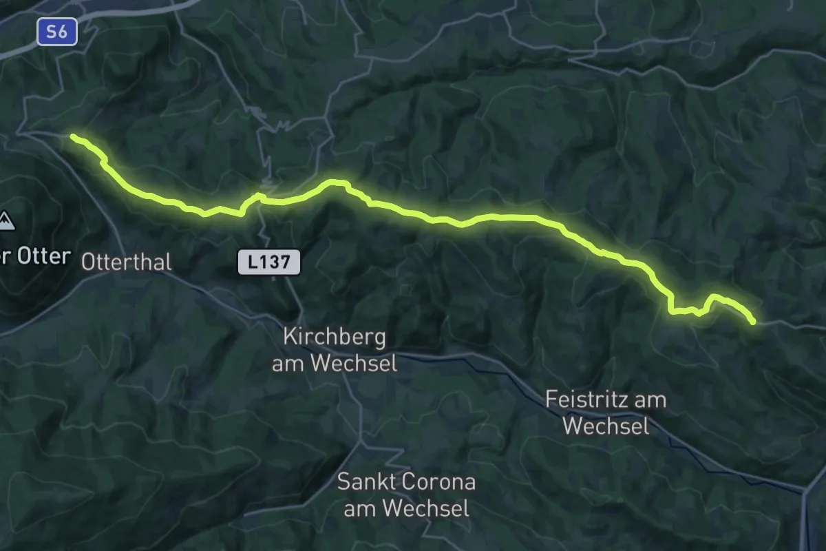
Demanding · Trail
(Grimmenstein) - Hochegg - Urbankapelle -Ödenkirchen - Rams - Raach - Schlagl - Maria Schutz
28.2 km · ↑ 587 m · 7 h 56 min
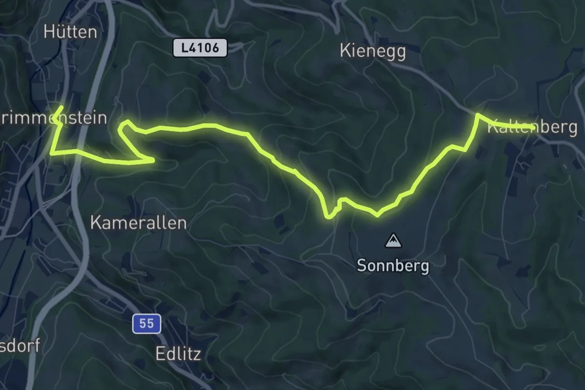
Medium · Trail
Grimmenstein - Kaltenberg
12.8 km · ↑ 437 m · 3 h 59 min
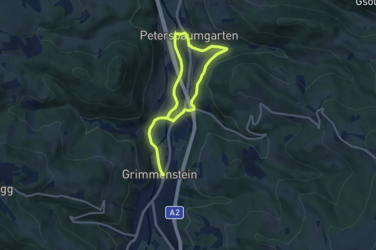
Easy · Trail
Grimmenstein - Petersbaumgarten Grimmensteiner Wasserweg Rundwanderweg
5.3 km · ↑ 67 m · 1 h 28 min
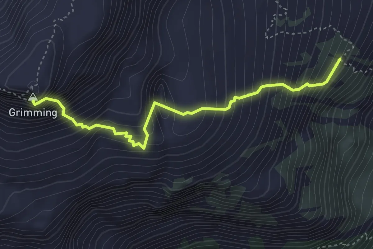
Expert · Summit
Grimming Südostgrat
3.5 km · ↑ 925 m · 2 h 50 min
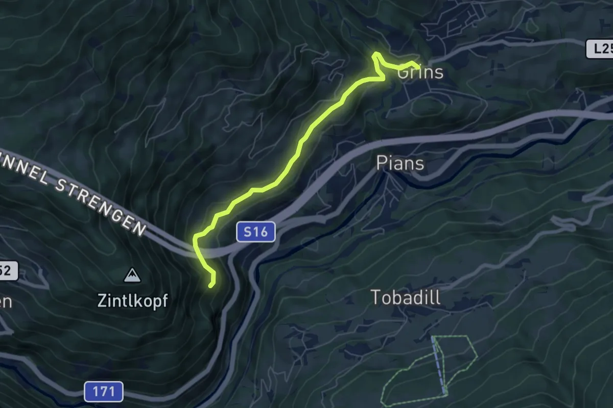
Easy · Trail
Grins Lärchkapelle
6.0 km · ↑ 175 m · 1 h 48 min
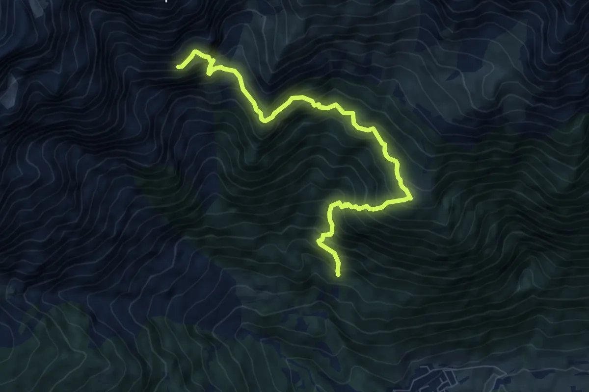
Demanding · Cabin
Grins Ochsenberg Augsburger Hütte
8.4 km · ↑ 967 m · 4 h 5 min
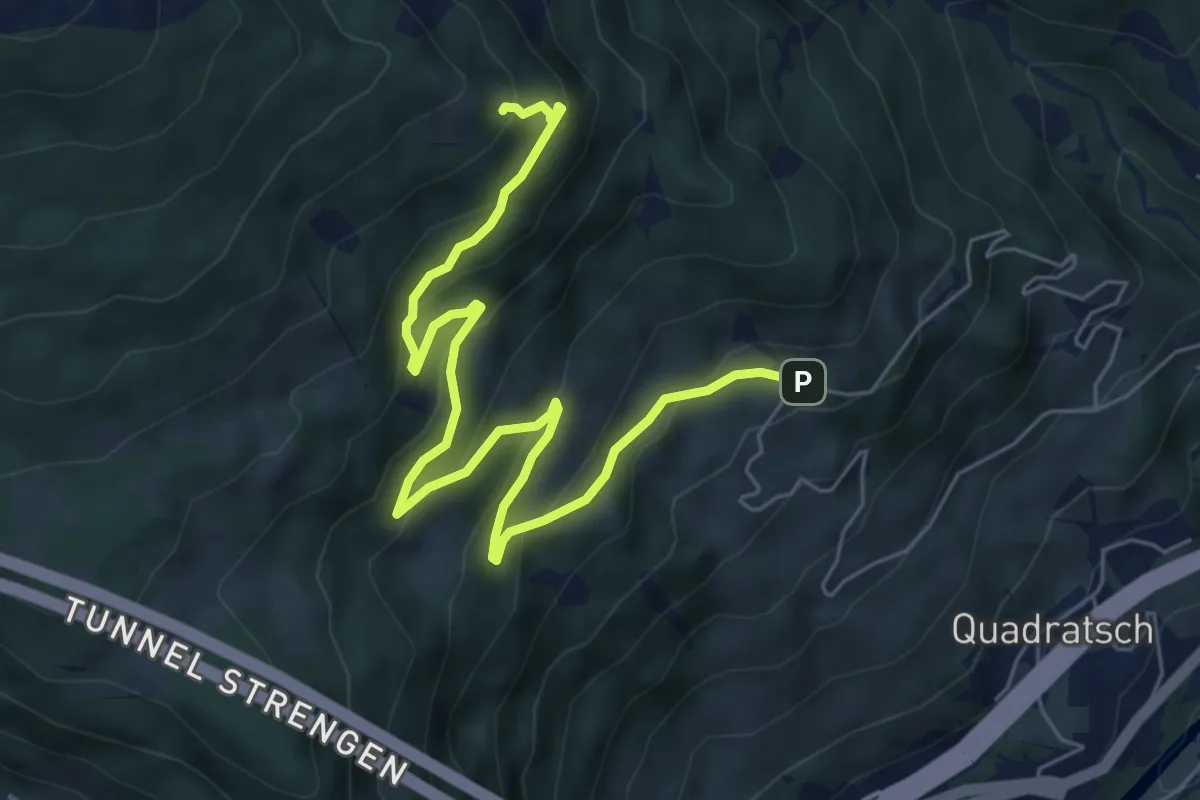
Medium · Cabin
Grins Schihütte Dawin
7.2 km · ↑ 386 m · 2 h 33 min
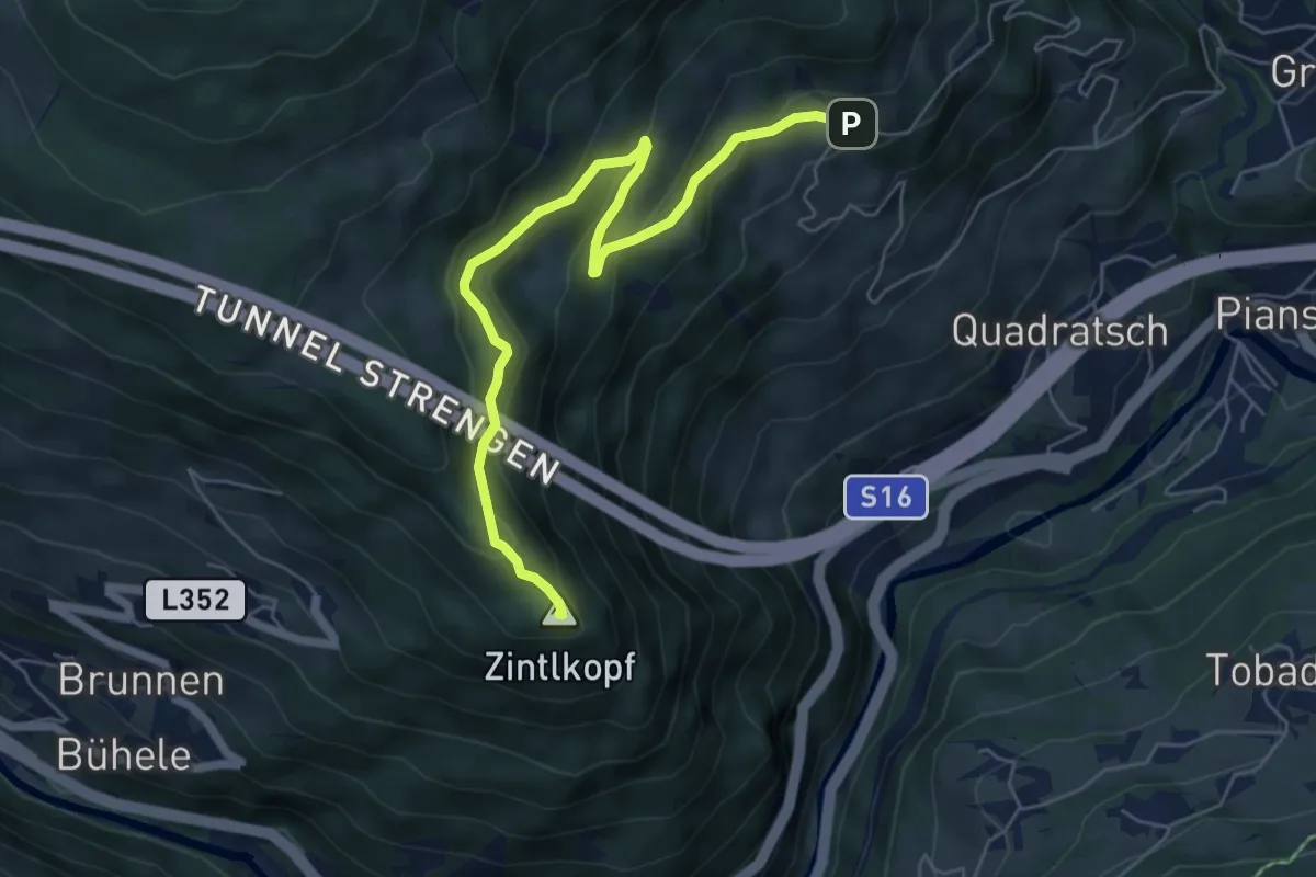
Medium · Summit
Grins Zintlkopf
6.3 km · ↑ 340 m · 2 h 14 min
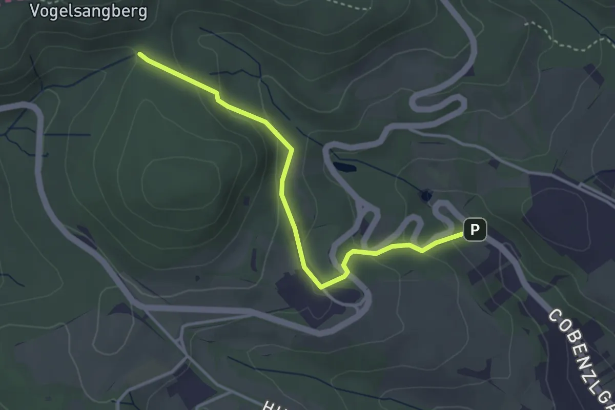
Easy · Trail
Grinzing/Wagenwiese - Kreuzeiche
3.3 km · ↑ 130 m · 1 h 4 min
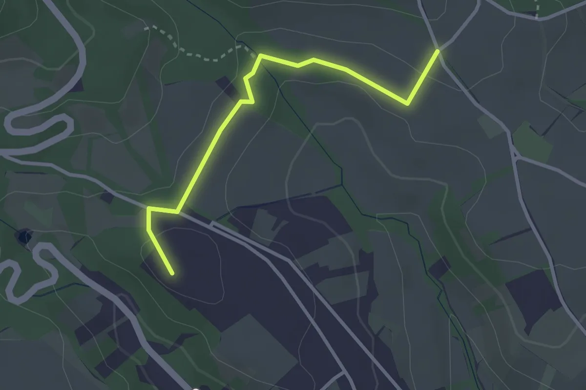
Easy · Summit
Grinzing/Wagenwiese - Nußberg
2.7 km · ↑ 79 m · 48 min