Trails in Austria
9,778 hiking trails, each with its route, climb, walking time and grade.
All trails, page 37 of 204
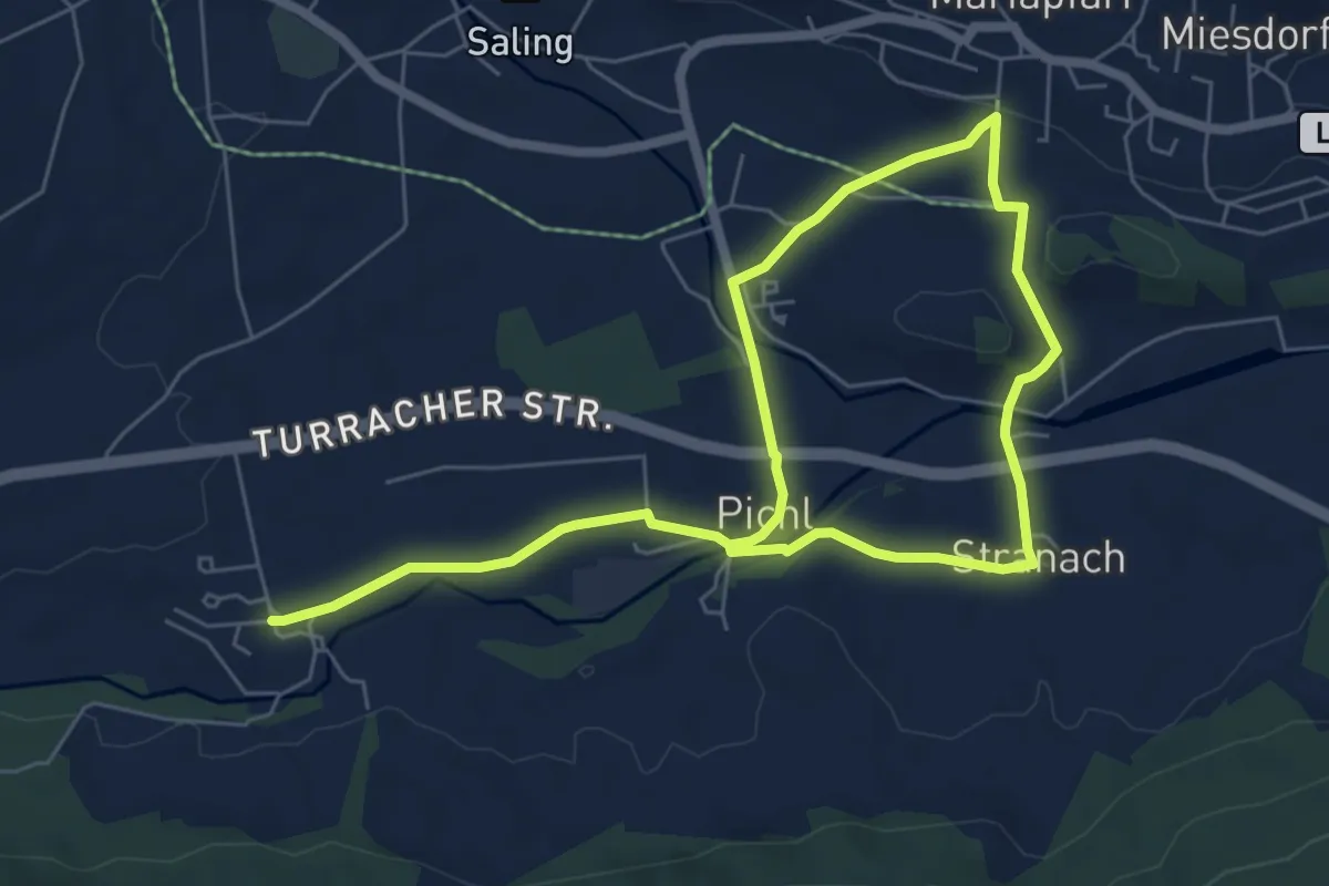
Medium · Trail
Gröbendorfrundweg
9.7 km · ↑ 133 m · 2 h 35 min
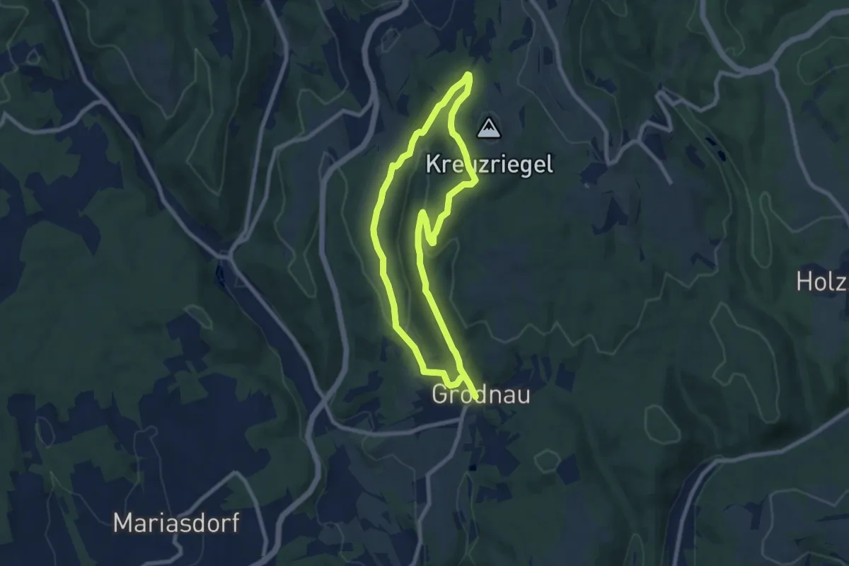
Medium · Trail
Grodnau - Braunriegel - Kalkgraben - Schartenäcker
13.4 km · ↑ 357 m · 3 h 56 min
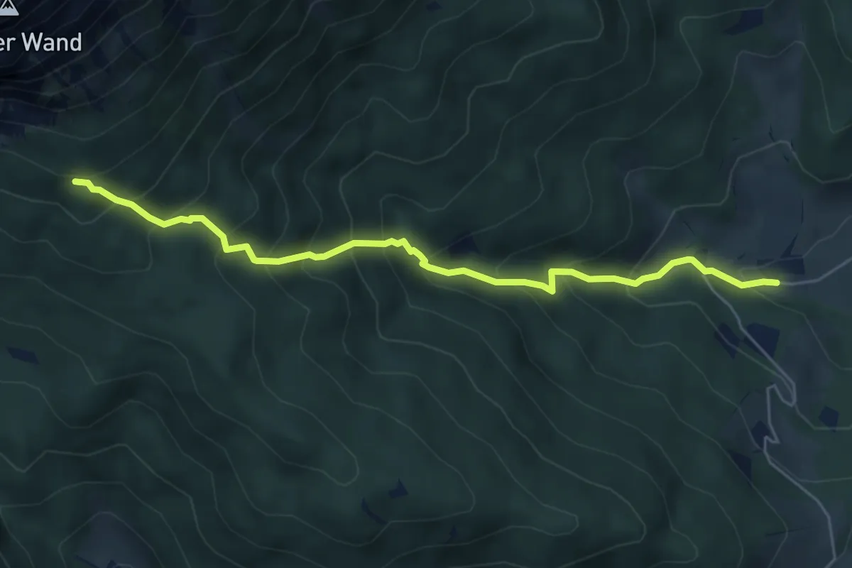
Medium · Trail
Großau - Bachingerbründl - Holzknechtsteig
5.5 km · ↑ 586 m · 2 h 34 min
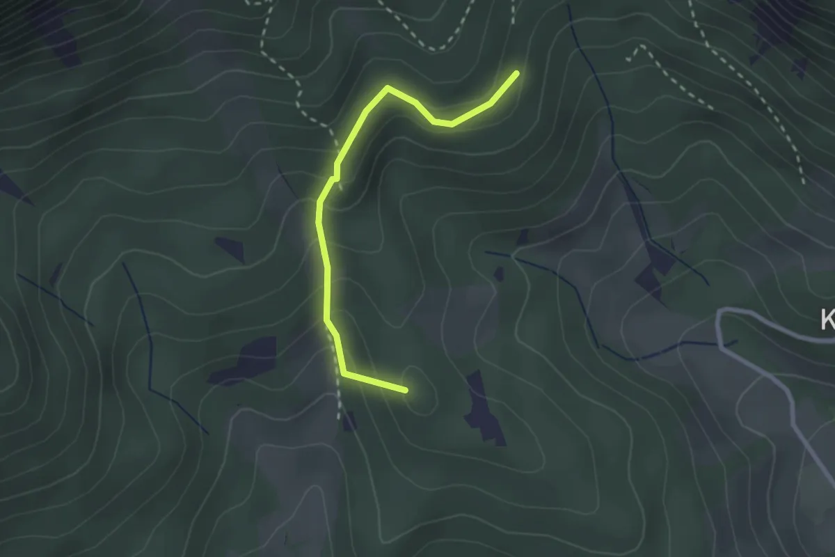
Medium · Summit
Großau - Lammelbrünnl
2.3 km · ↑ 211 m · 1 h
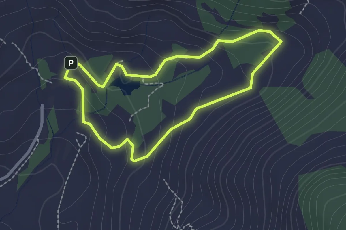
Medium · Trail
Große Almsee-Runde
1.9 km · ↑ 84 m · 39 min
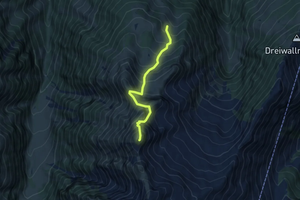
Medium · Summit
Große Arche
4.9 km · ↑ 736 m · 2 h 46 min
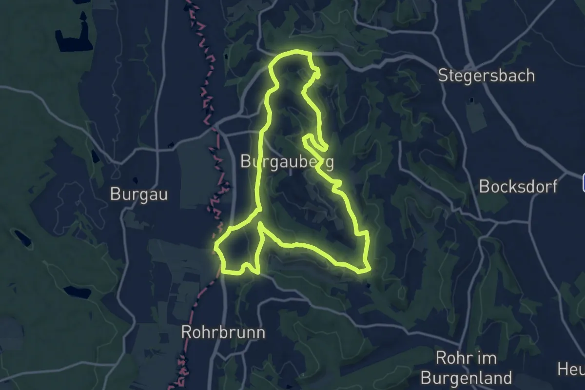
Medium · Trail
Grosse Burgauberg Runde "Rundwanderweg Burgauberg"
12.7 km · ↑ 240 m · 3 h 41 min
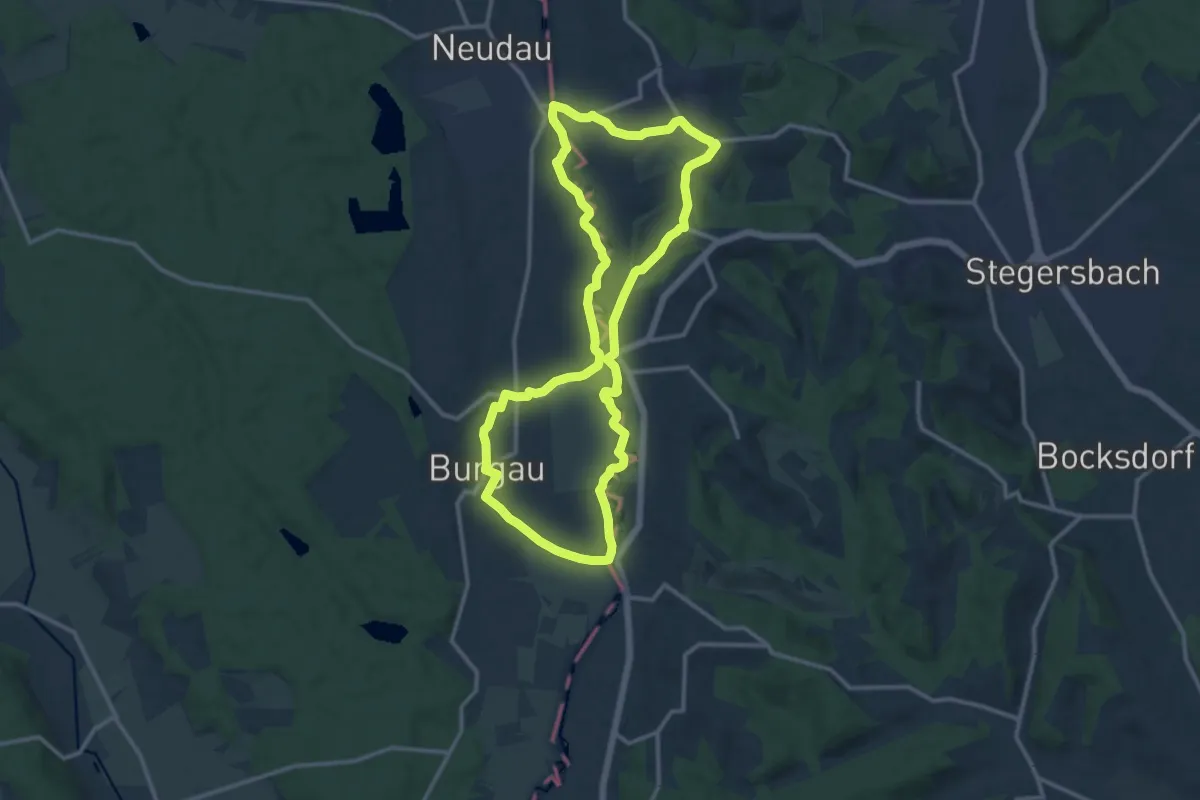
Medium · Trail
Große Burgau Runde
12.5 km · ↑ 89 m · 3 h 20 min
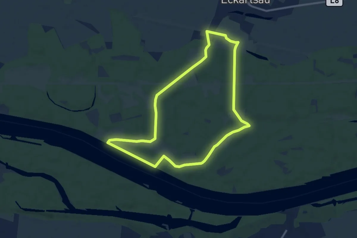
Easy · Trail
Große Donaurunde
7.7 km · ↑ 0 m · 1 h 56 min
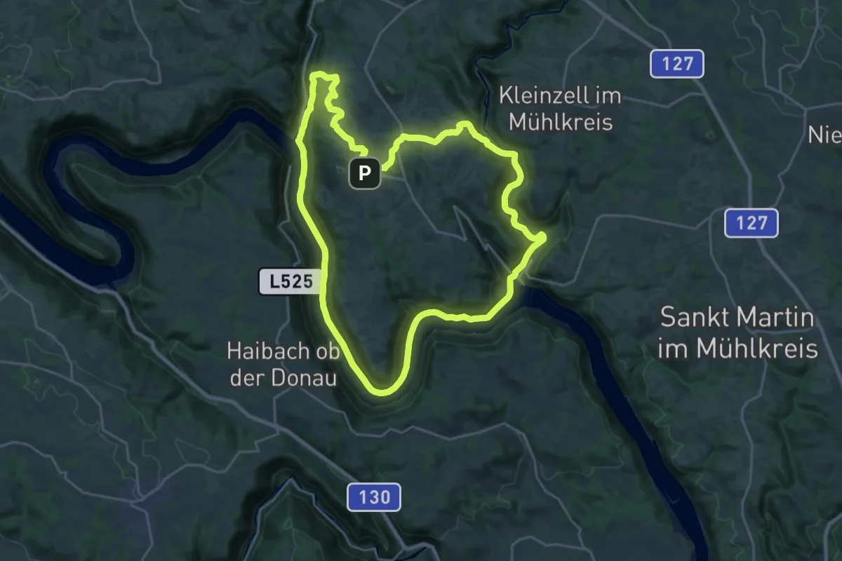
Demanding · Trail
Große Gemeinderunde
22.3 km · ↑ 413 m · 6 h 28 min
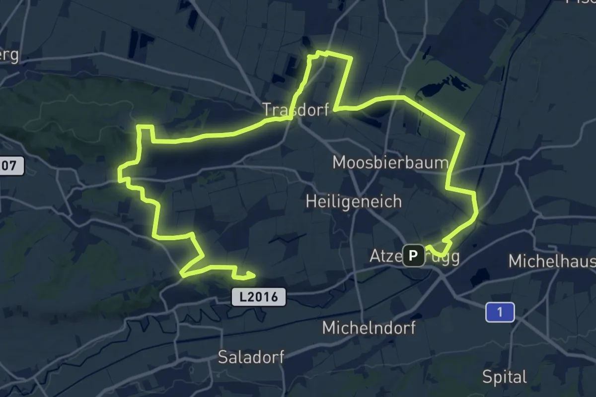
Demanding · Summit
Große Gemeinderunde
33.5 km · ↑ 305 m · 8 h 34 min
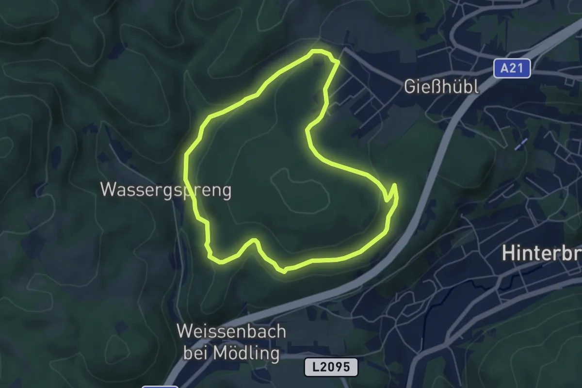
Easy · Trail
Große Gießhübler Runde
5.3 km · ↑ 126 m · 1 h 36 min
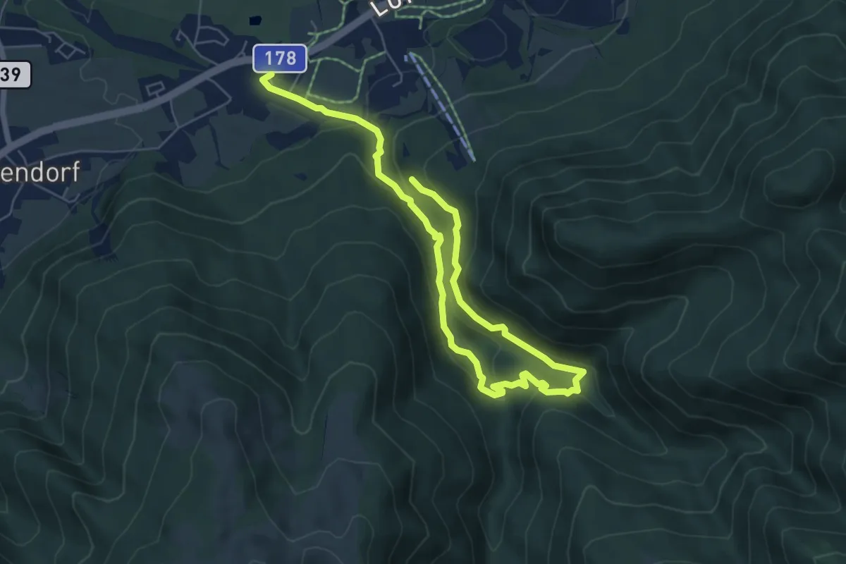
Medium · Trail
Große Grießbachrunde
8.4 km · ↑ 436 m · 2 h 56 min
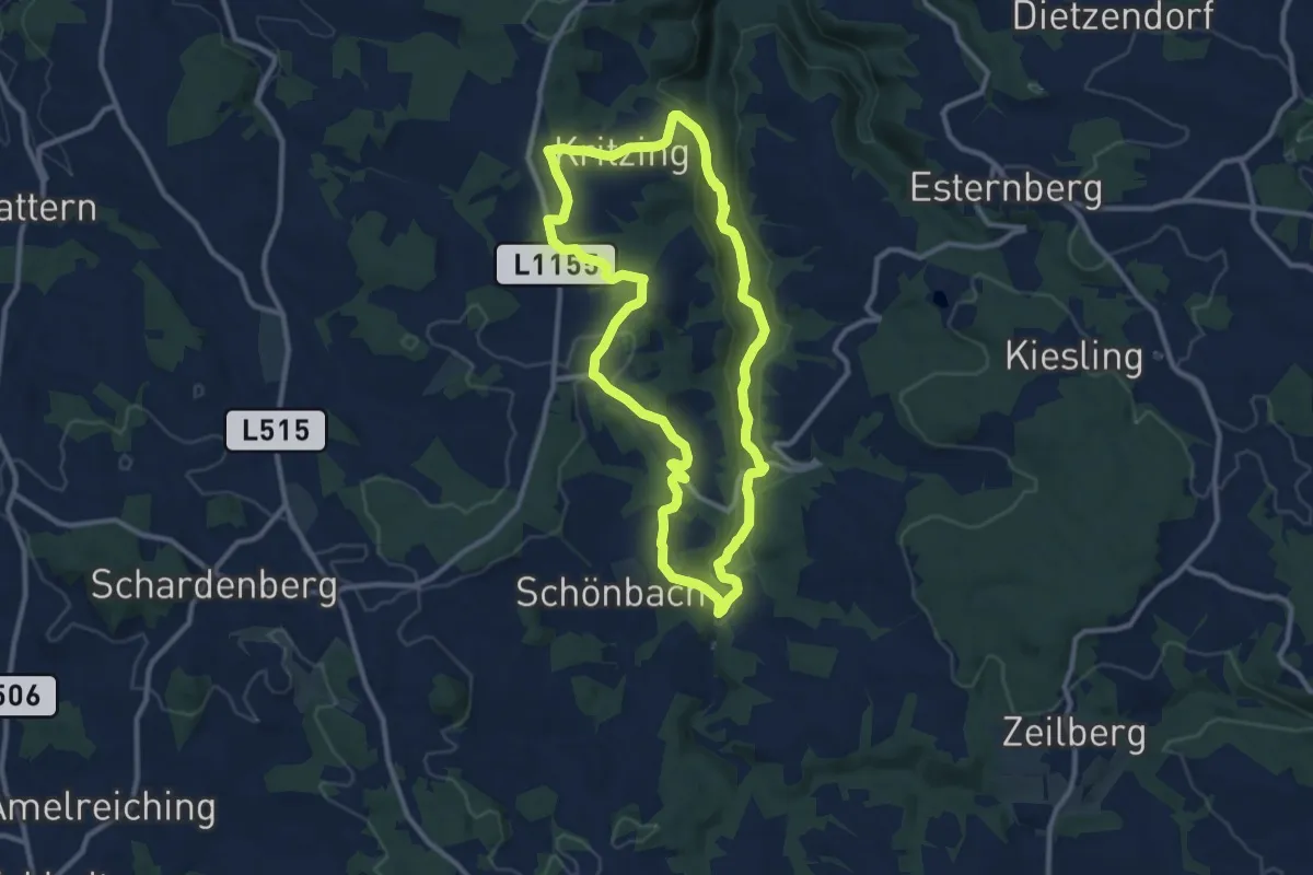
Medium · Trail
Große Kösselbach Runde
9.9 km · ↑ 280 m · 3 h 5 min
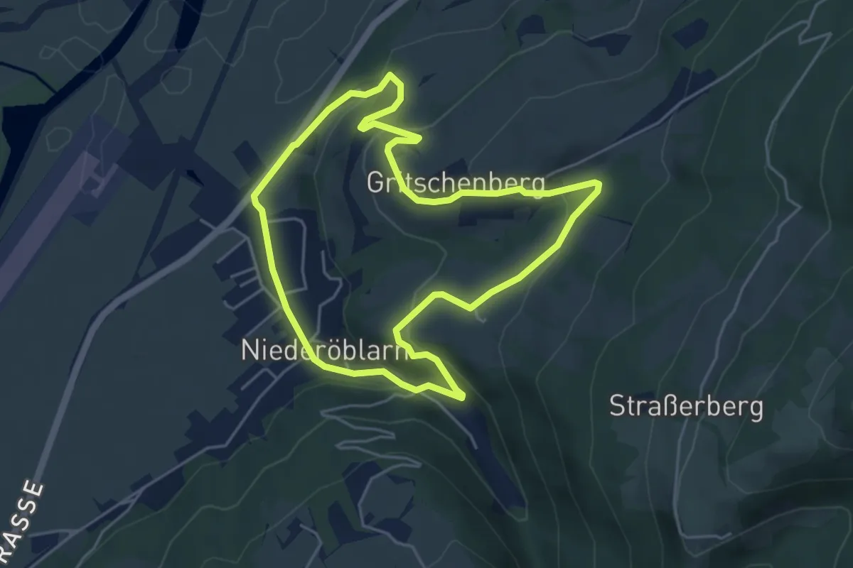
Easy · Trail
Große Ortsrunde
4.4 km · ↑ 143 m · 1 h 24 min
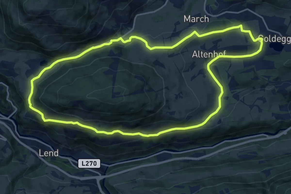
Medium · Trail
Großer Buchbergrundweg
12.3 km · ↑ 327 m · 3 h 46 min
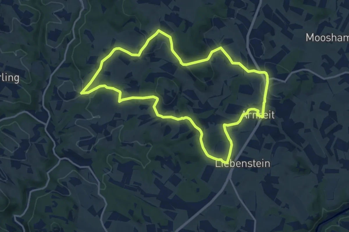
Medium · Trail
Großer Erdäpfelseitenweg
10.5 km · ↑ 294 m · 3 h 16 min
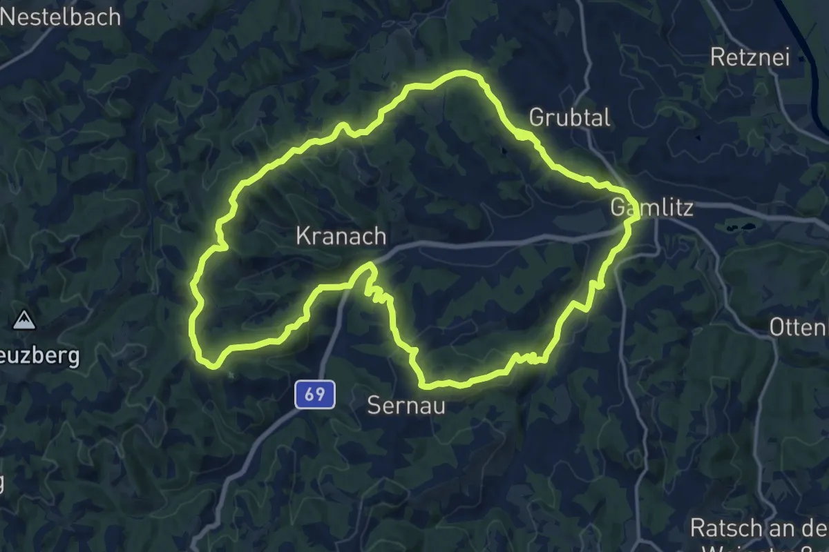
Medium · Summit
Großer Gamlitzer Rundwanderweg
17.5 km · ↑ 493 m · 5 h 26 min
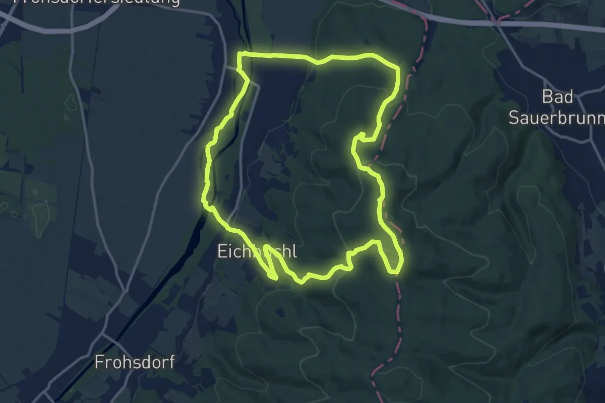
Medium · Summit
Großer Gipfelweg
11.9 km · ↑ 323 m · 3 h 41 min
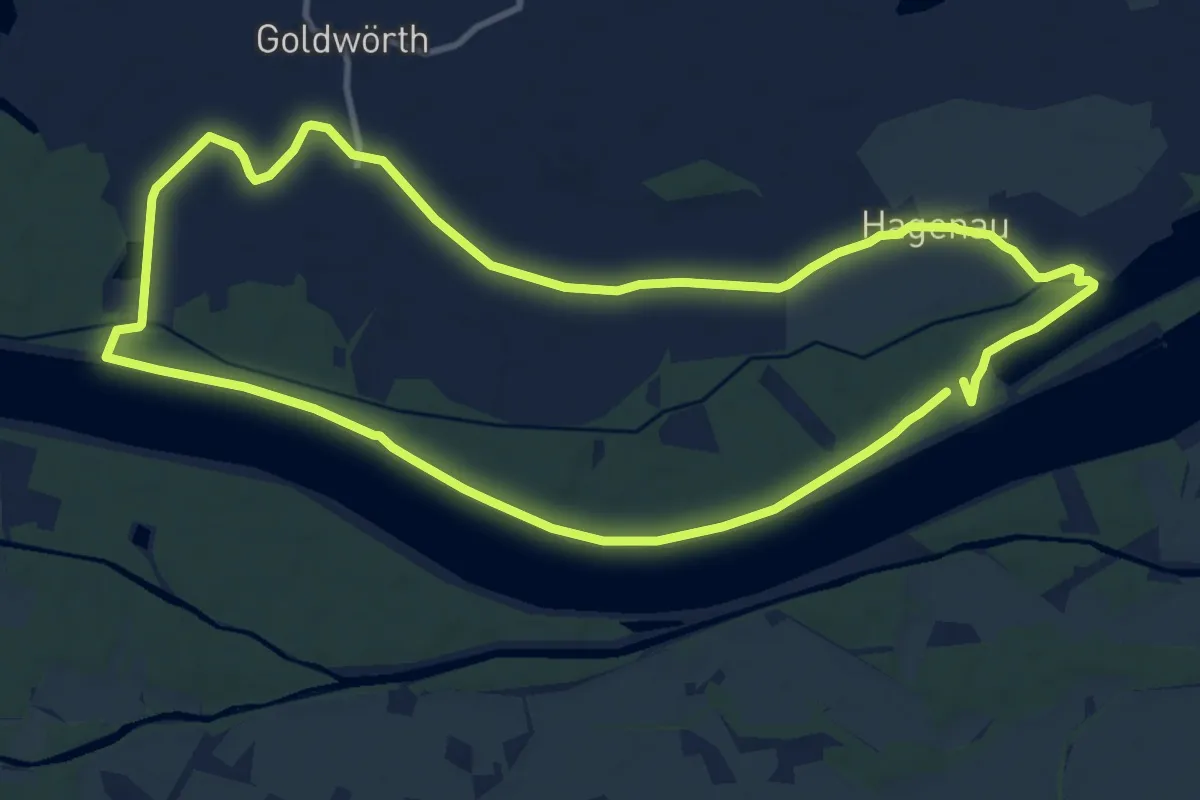
Medium · Trail
Großer Goldwörther Donaurundweg
10.9 km · ↑ 4 m · 2 h 44 min
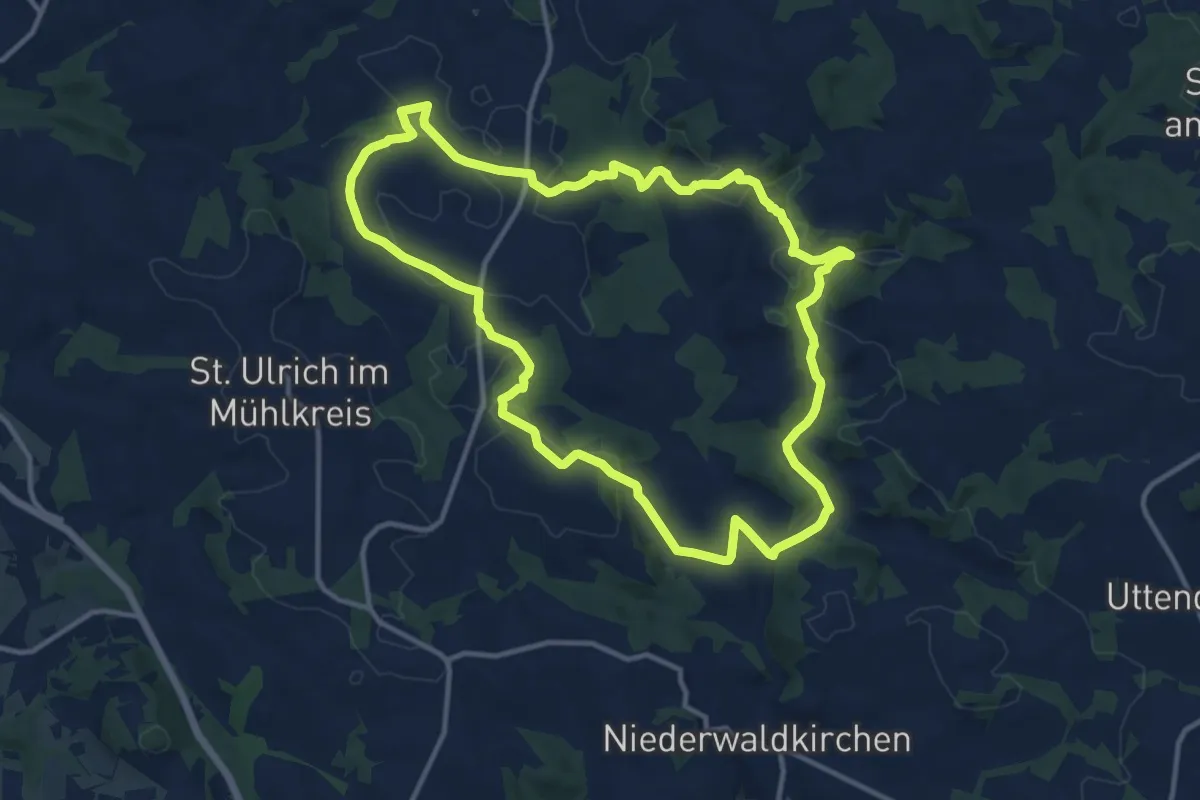
Medium · Trail
Großer Hopfensteig
12.1 km · ↑ 264 m · 3 h 35 min
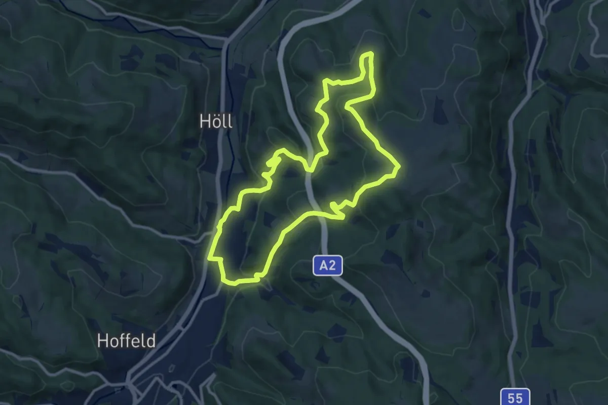
Medium · Trail
Großer Königsbergweg (Aspang Markt)
9.5 km · ↑ 324 m · 3 h 4 min
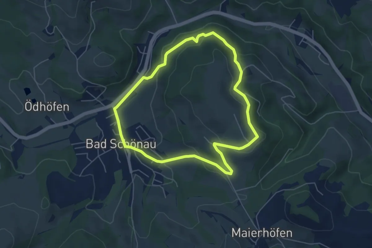
Easy · Trail
Großer Leitenviertelweg (E8)
4.8 km · ↑ 163 m · 1 h 34 min
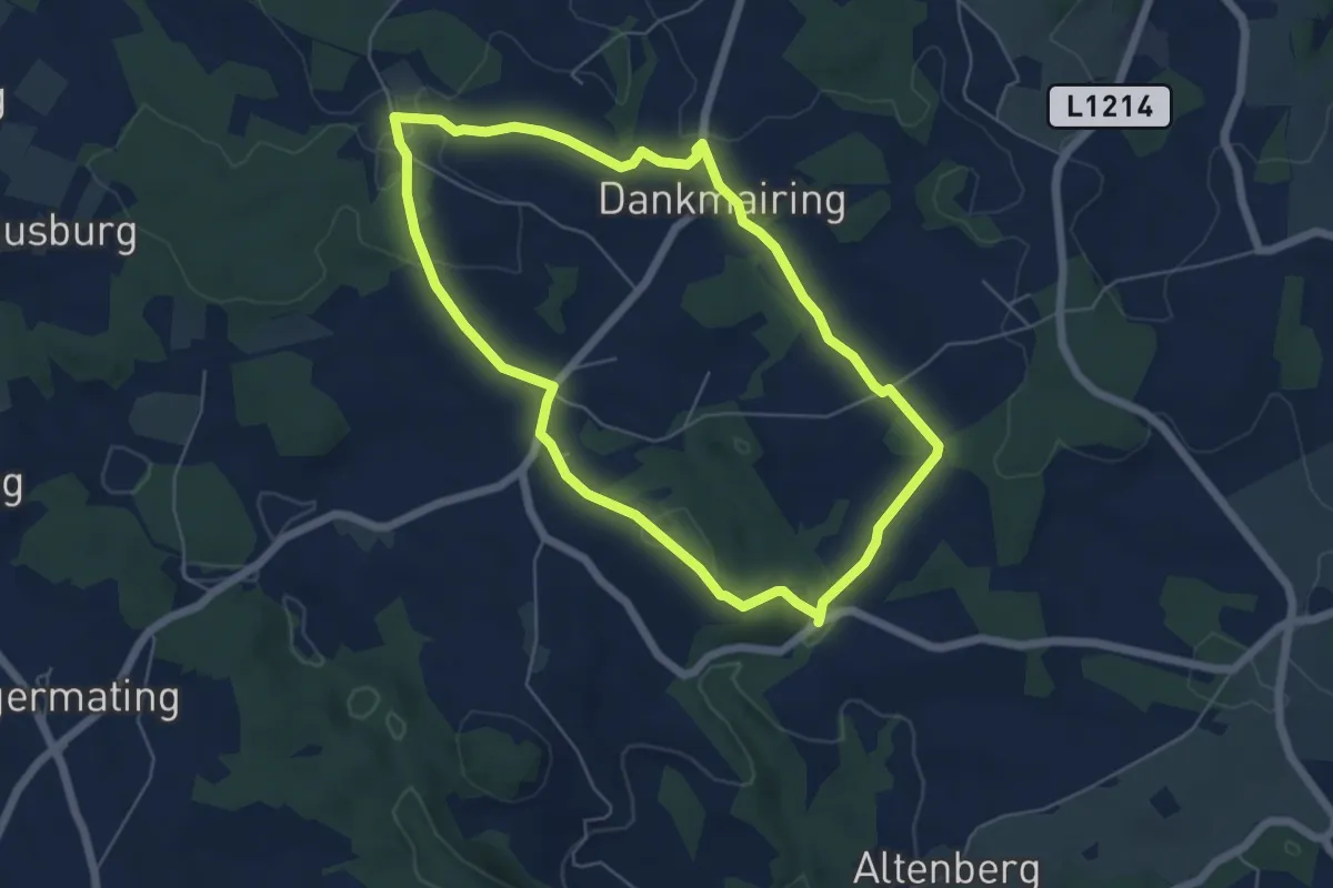
Easy · Trail
Großer Mühlenweg
5.4 km · ↑ 110 m · 1 h 35 min
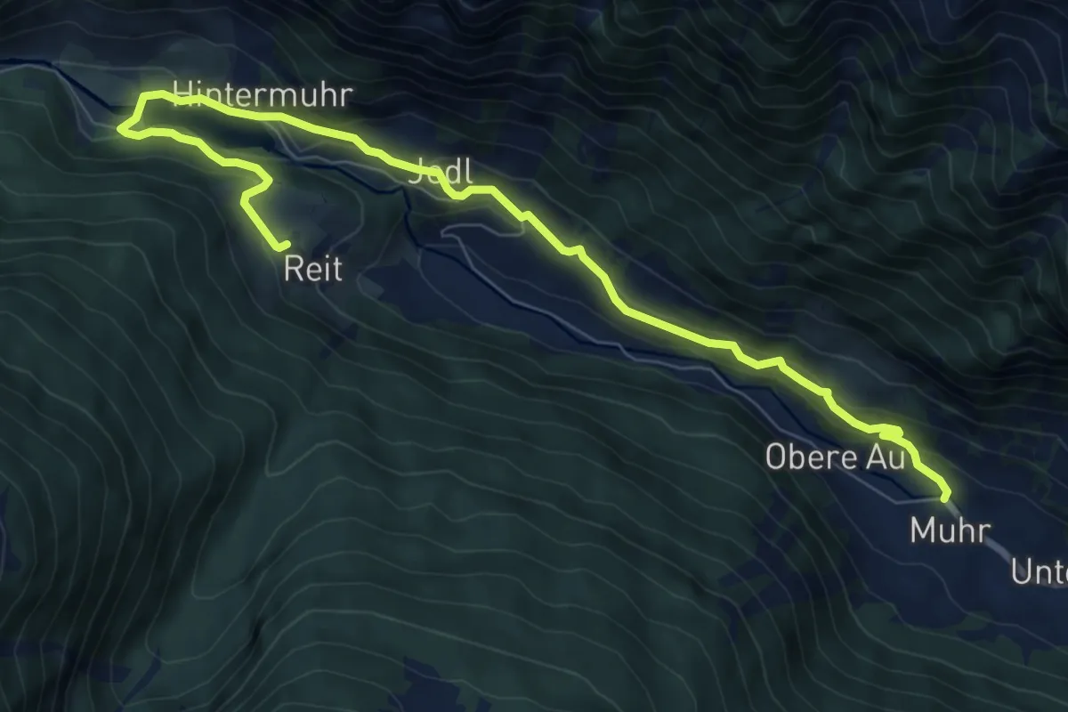
Medium · Trail
Großer Muhrrundwanderweg
9.7 km · ↑ 304 m · 2 h 57 min
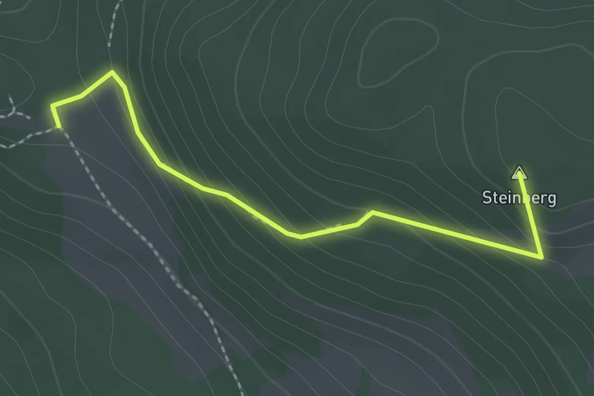
Easy · Summit
Großer Panoramarundwanderweg
2.1 km · ↑ 149 m · 50 min
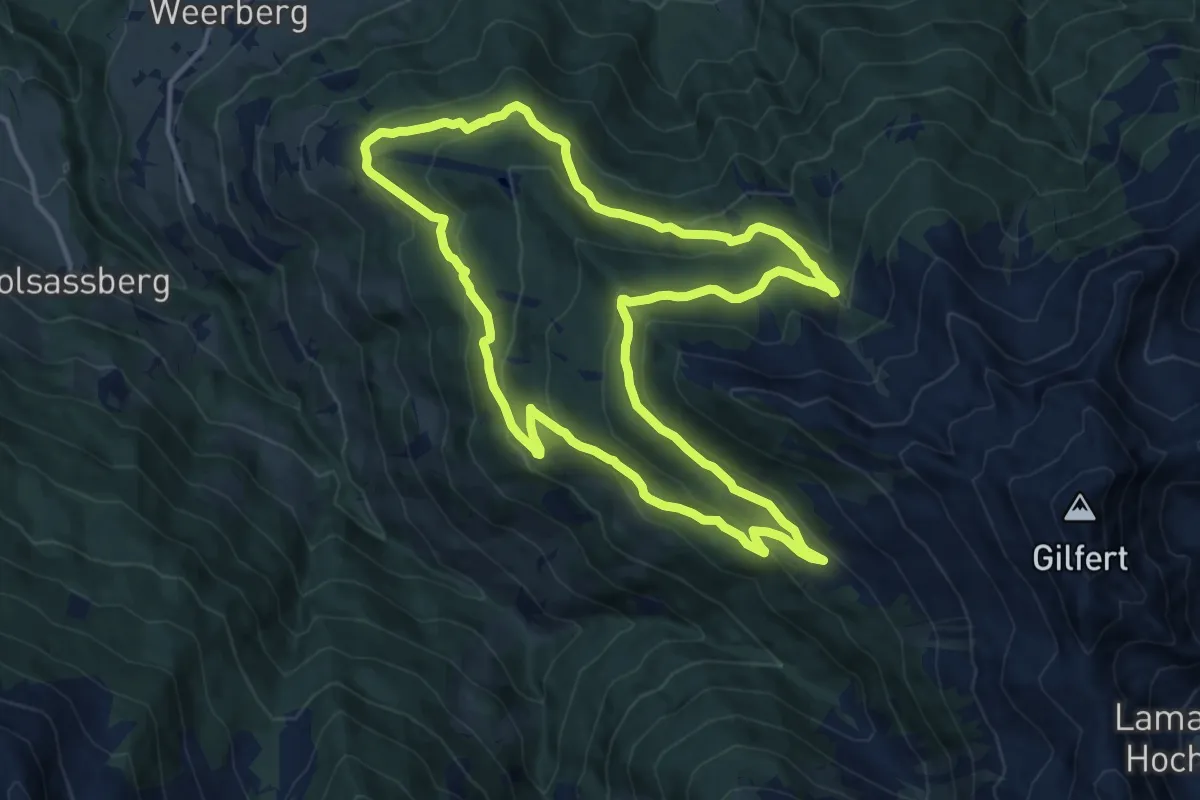
Medium · Trail
Großer Panoramaweg
13.7 km · ↑ 562 m · 4 h 39 min
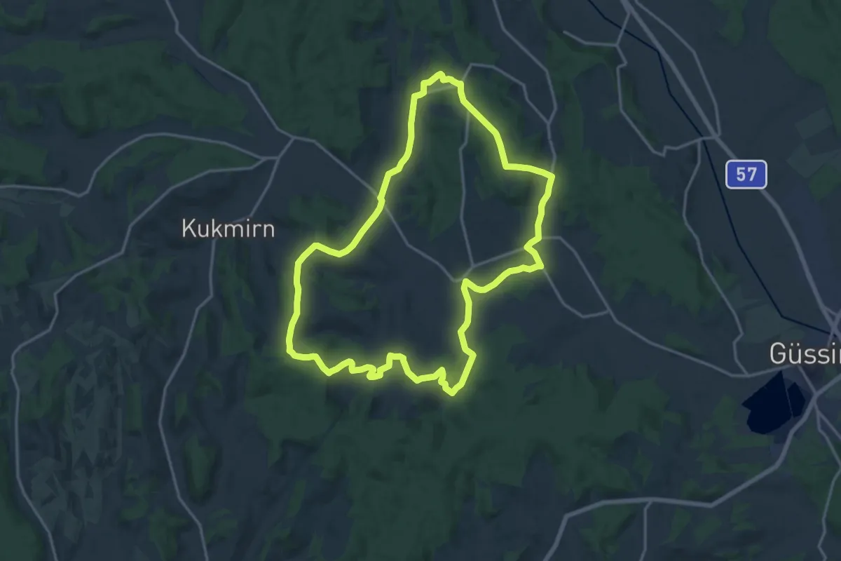
Medium · Trail
Großer Rundwanderweg Gerersdorf-Sulz-Rehgraben
16.3 km · ↑ 330 m · 4 h 47 min
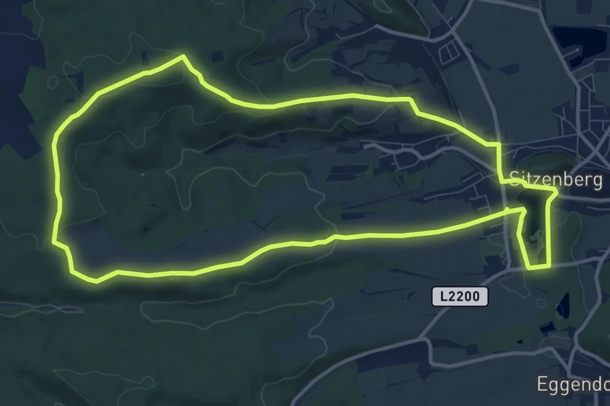
Medium · Summit
Großer Rundwanderweg Sitzenberg - Seelackenberg
9.9 km · ↑ 157 m · 2 h 49 min
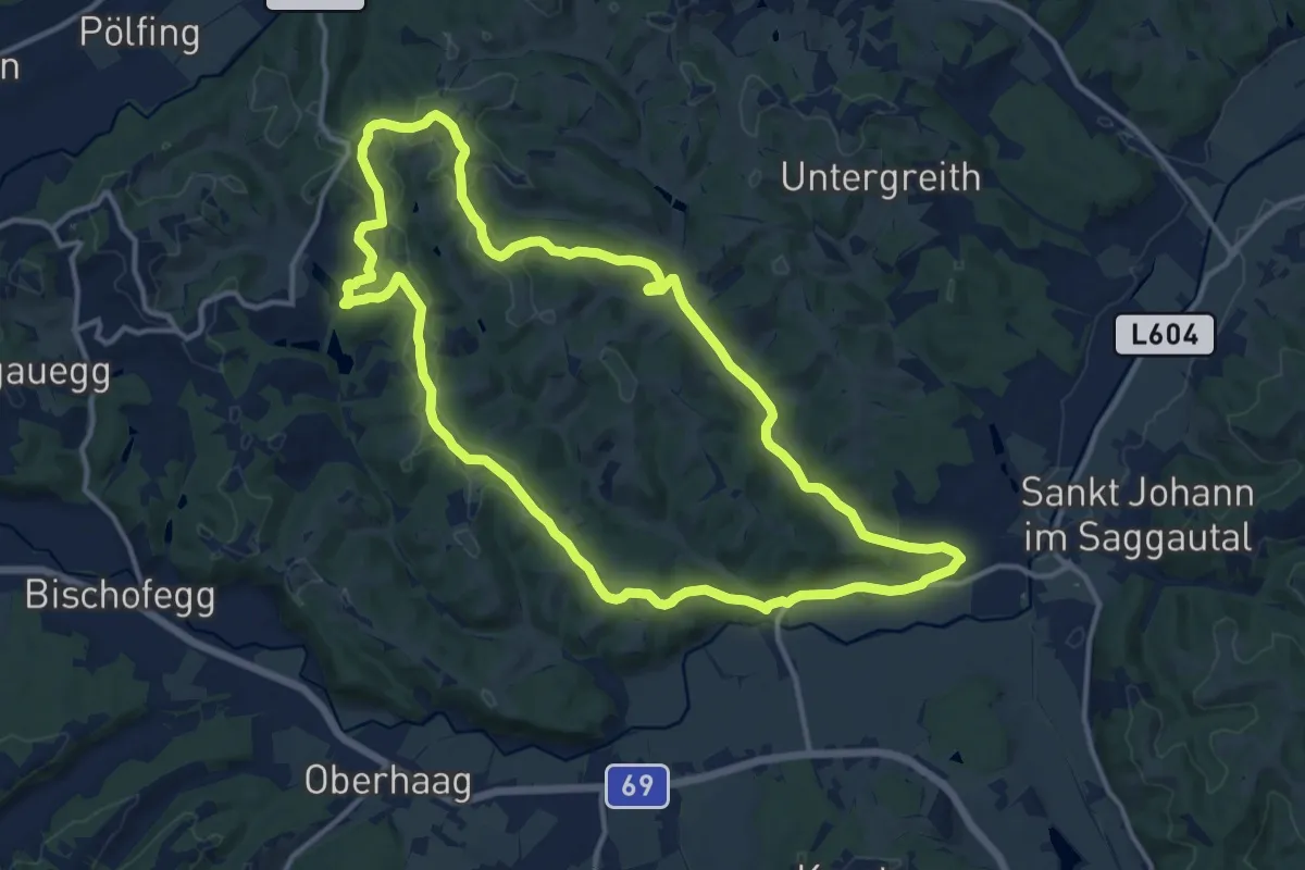
Medium · Trail
Große Runde
13.7 km · ↑ 285 m · 4 h 2 min
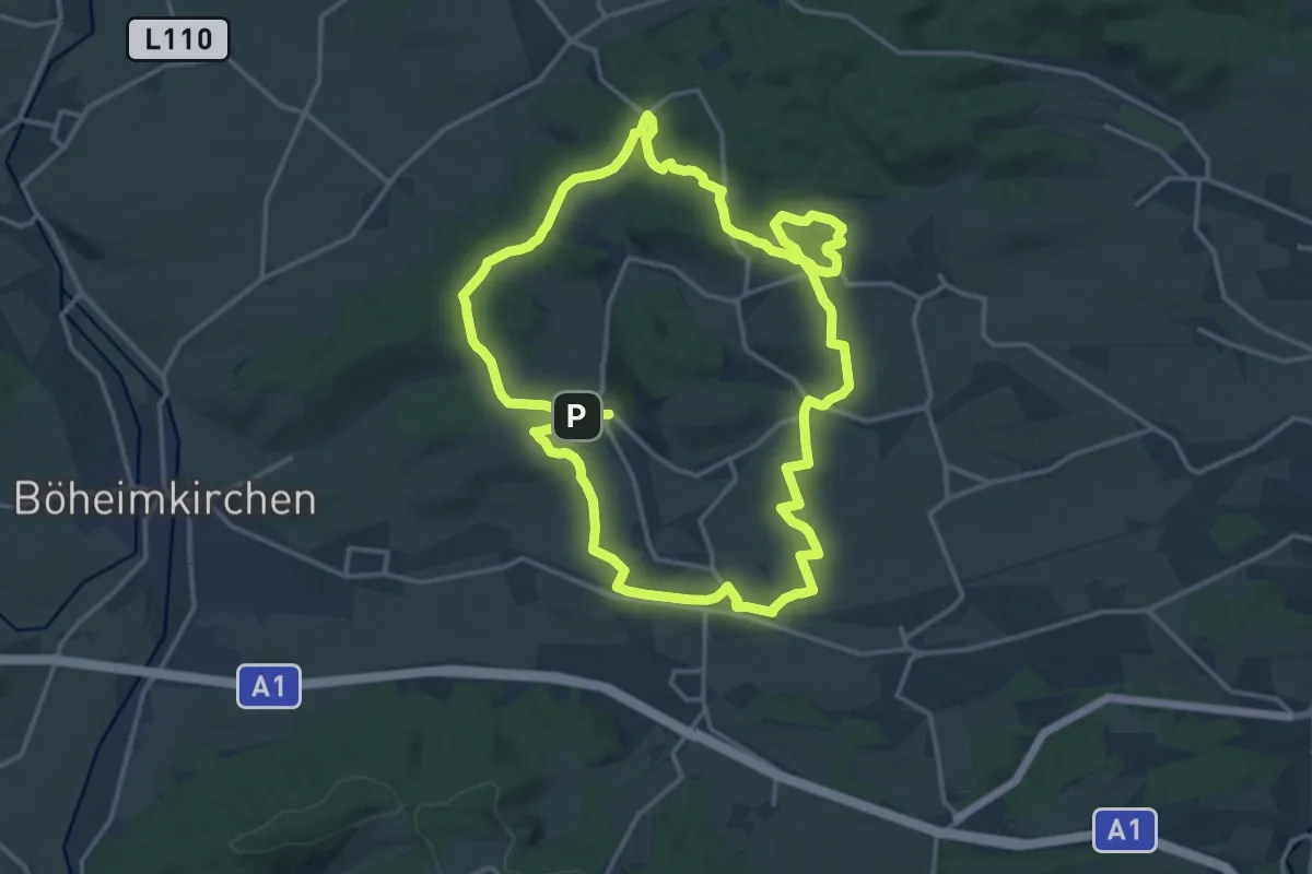
Medium · Trail
Große Rundwanderung Totzenbach
15.5 km · ↑ 259 m · 4 h 27 min
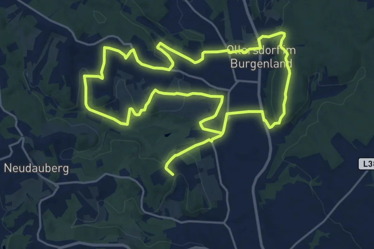
Demanding · Trail
Großer Vitalwanderweg (Stegersbach)
24.2 km · ↑ 489 m · 6 h 46 min
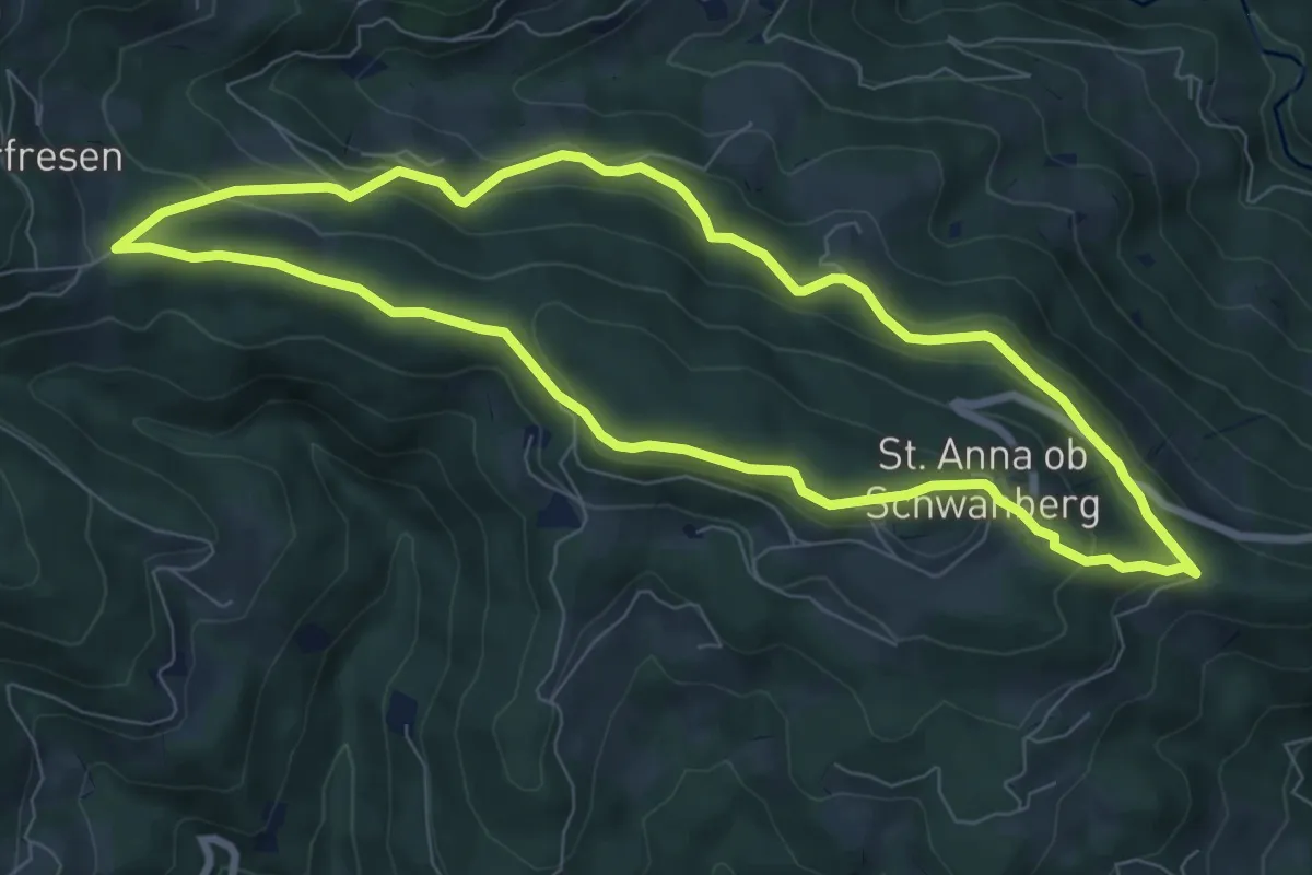
Easy · Trail
Große St. Anna Runde
7.7 km · ↑ 245 m · 2 h 27 min
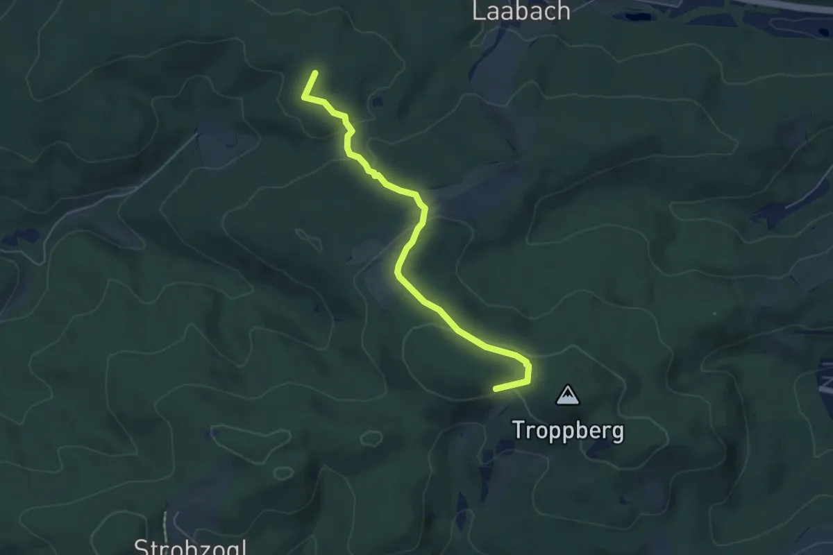
Medium · Summit
Große Troppbergrunde Nord
5.2 km · ↑ 162 m · 1 h 34 min
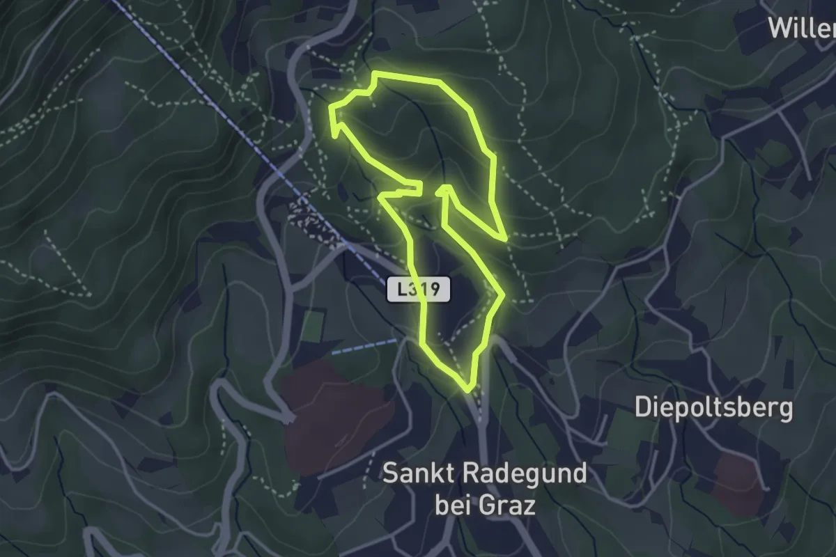
Medium · Trail
„Große” Ungarische Runde
3.0 km · ↑ 133 m · 1 h 2 min
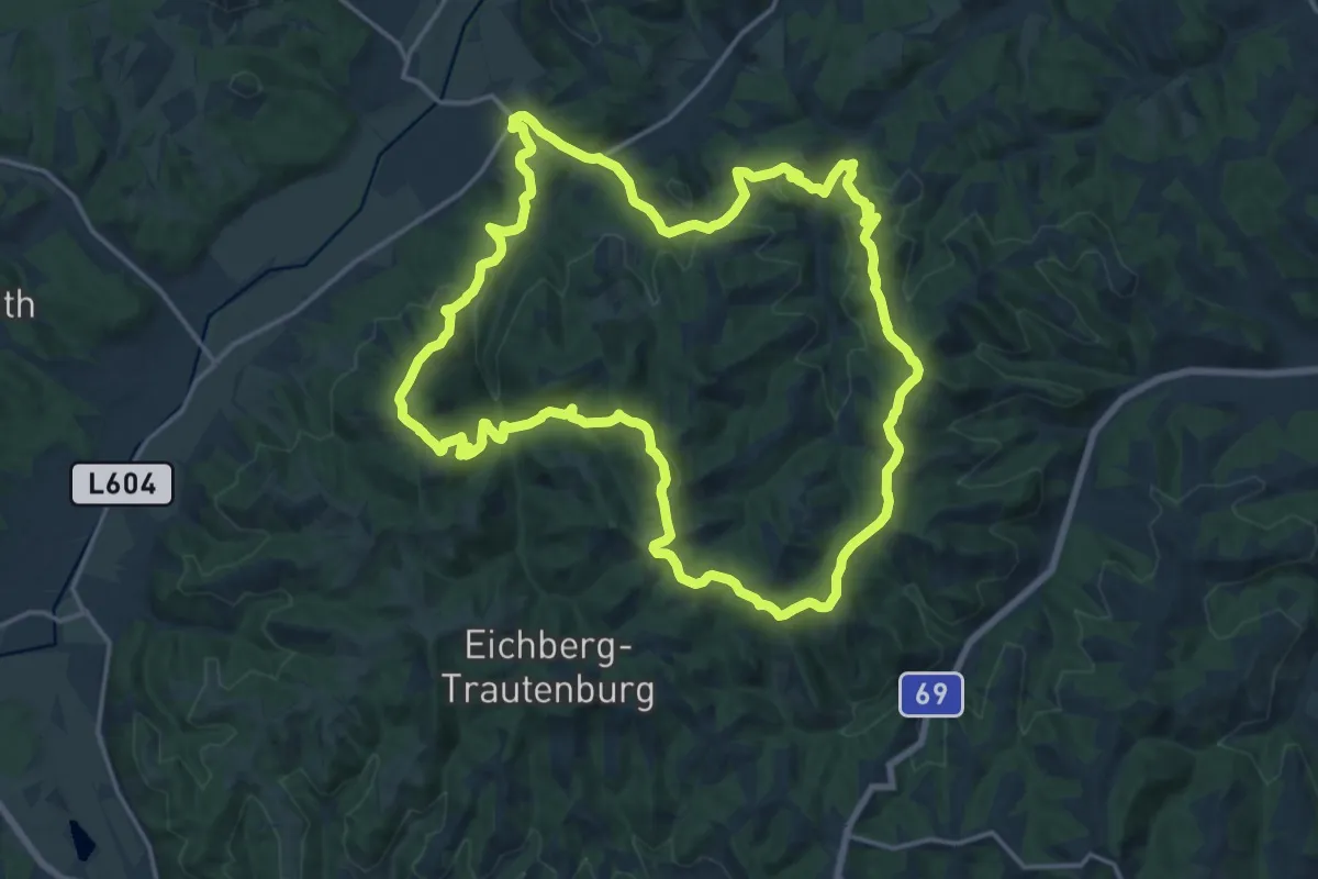
Demanding · Summit
Großkleiner Harmonieweg
18.7 km · ↑ 768 m · 6 h 20 min
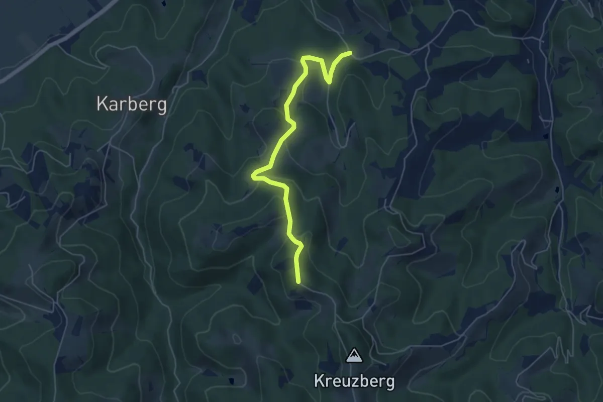
Easy · Trail
Großkleiner Harmonieweg - Variante
5.1 km · ↑ 247 m · 1 h 45 min
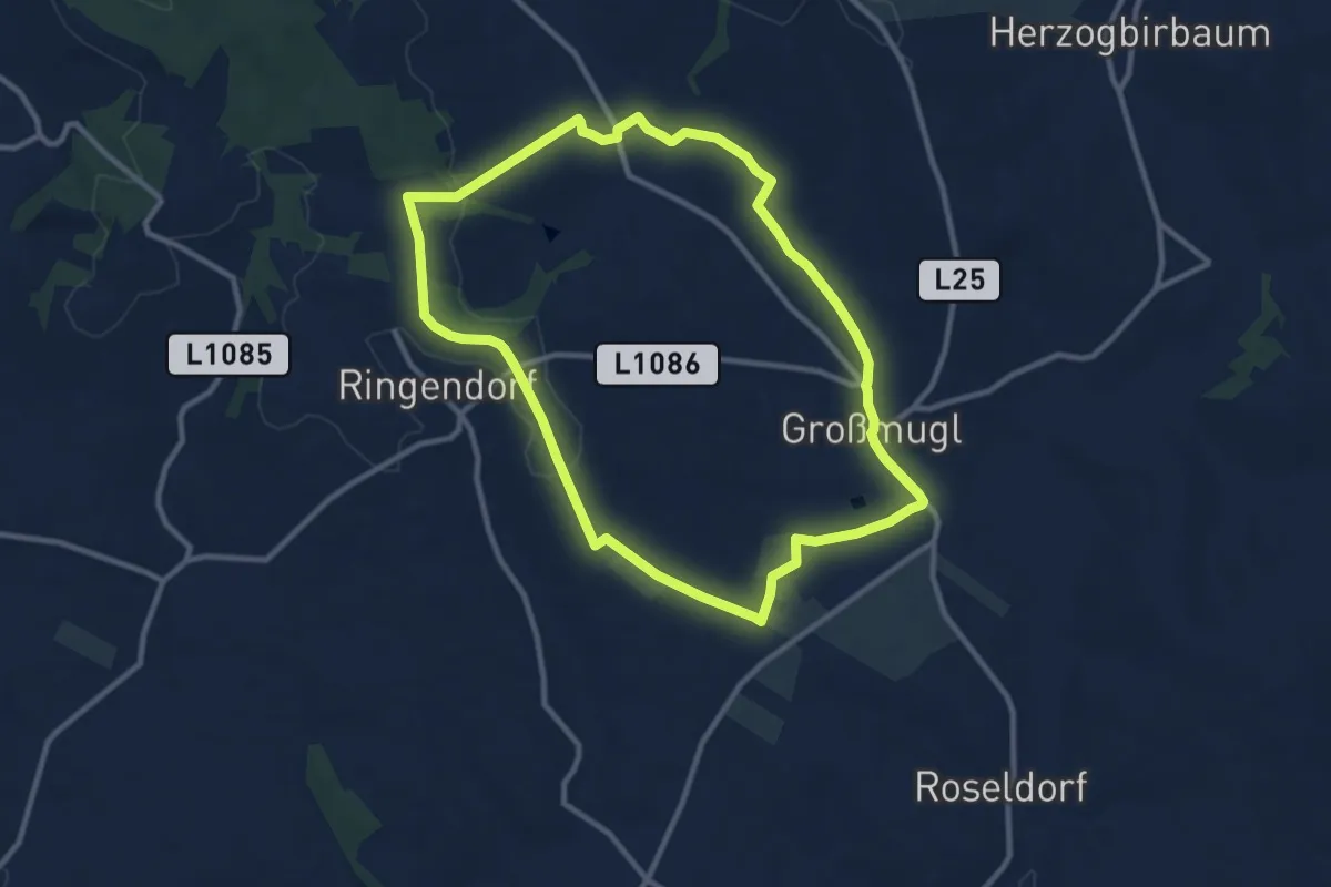
Medium · Trail
Großmugler Panoramaweg
9.8 km · ↑ 113 m · 2 h 42 min
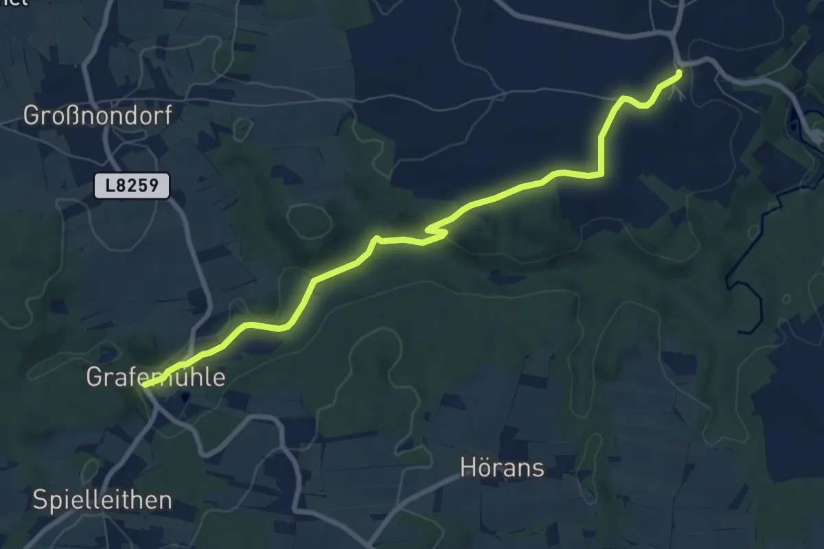
Easy · Trail
Großreinprechts - Grafenmühle
7.8 km · ↑ 126 m · 2 h 6 min
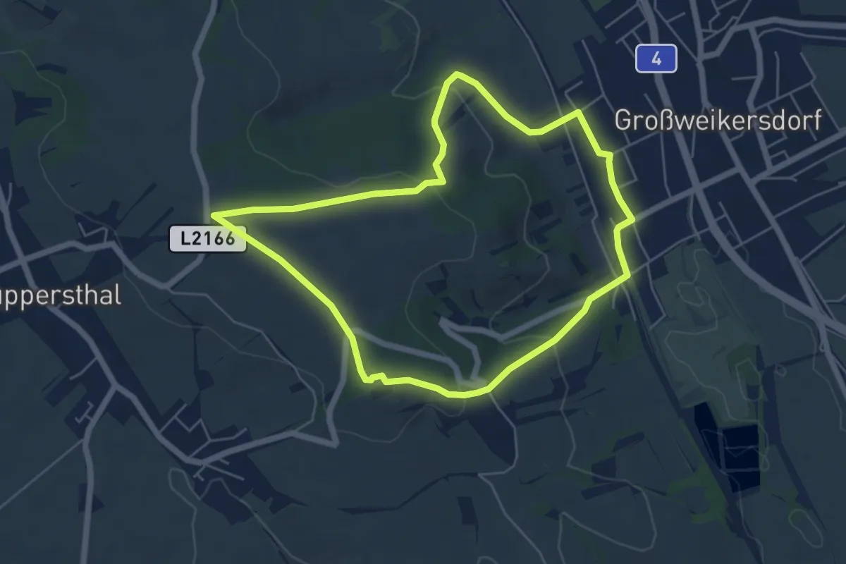
Easy · Summit
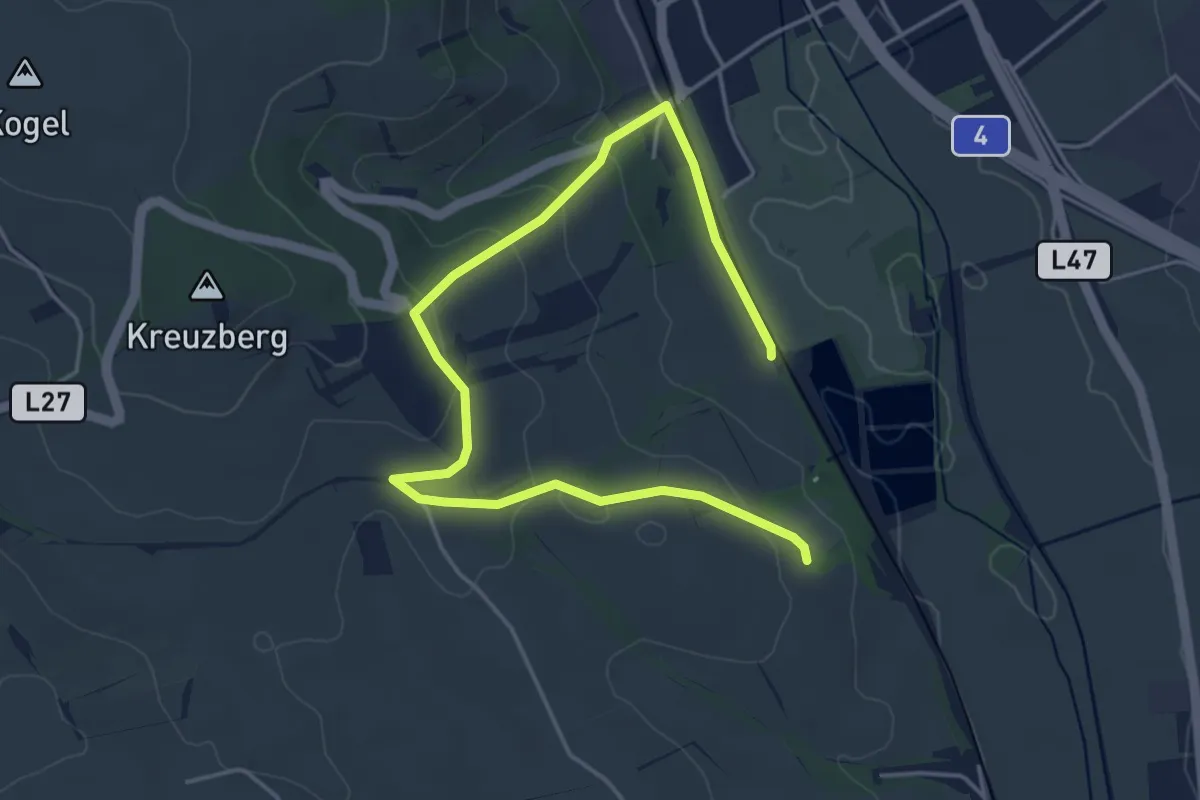
Großweikersdorfer Rundwanderweg (tut gut Route 1)
5.0 km · ↑ 132 m · 1 h 33 min
Easy · Summit
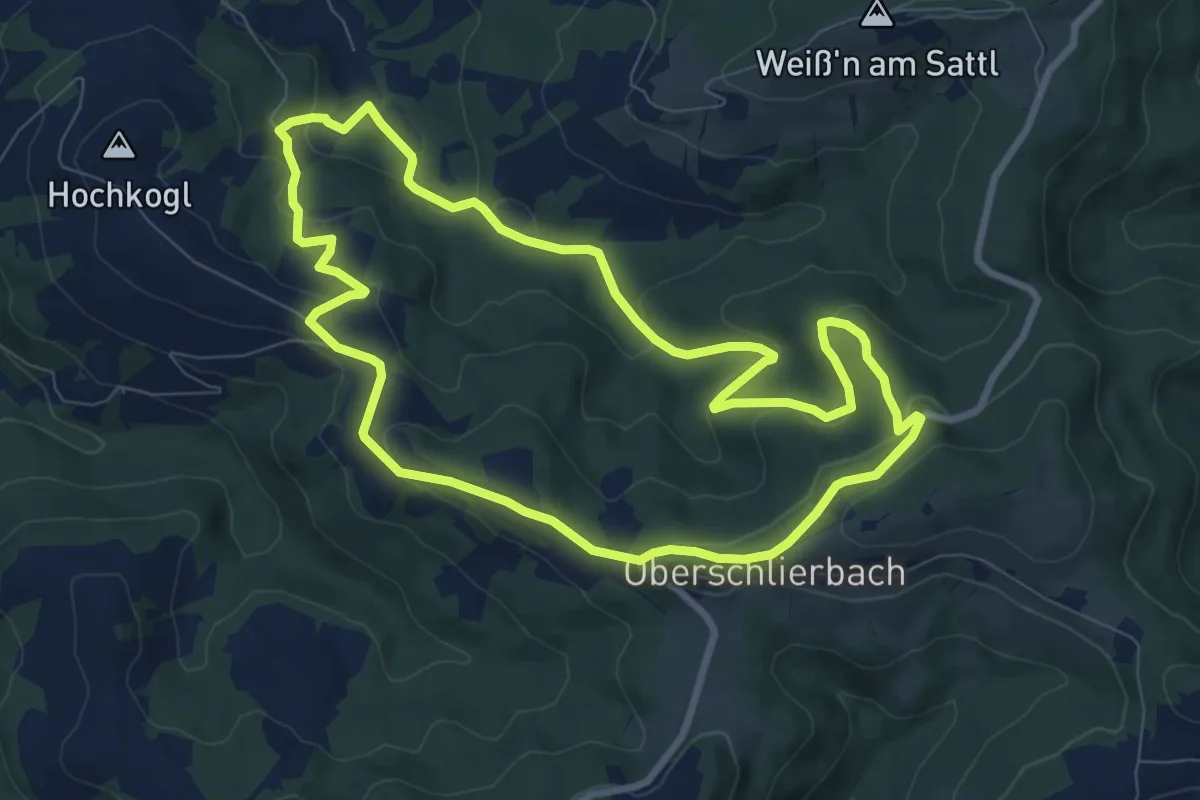
Grossweikersdorf-tut-gut-Wanderweg Route 2
2.7 km · ↑ 77 m · 50 min
Medium · Trail
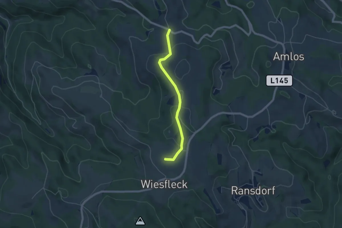
Gruabholz
8.3 km · ↑ 246 m · 2 h 36 min
Easy · Summit
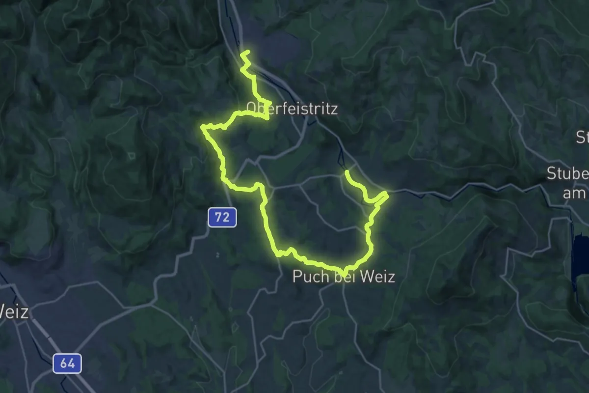
Grub - Boden
4.2 km · ↑ 90 m · 1 h 12 min
Medium · Trail
Grubbründlweg
14.2 km · ↑ 355 m · 4 h 21 min
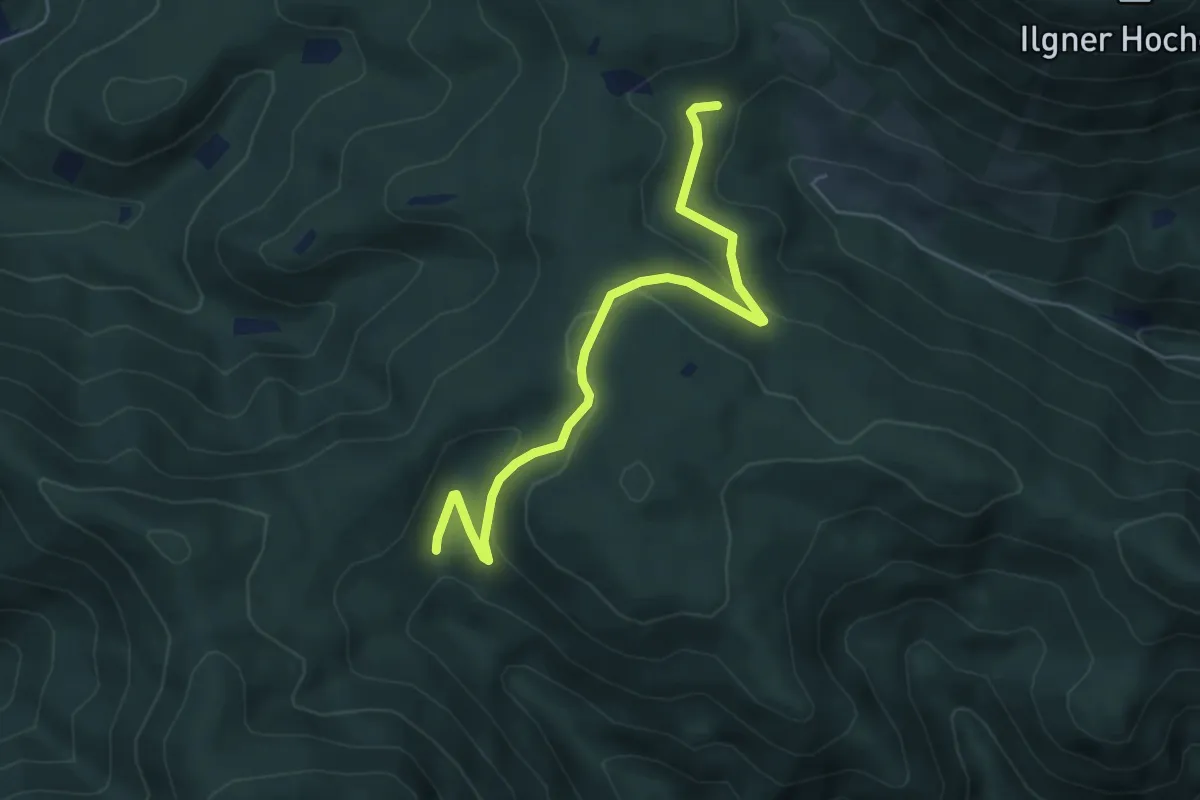
Easy · Trail
Grubeck - Oisching
5.5 km · ↑ 203 m · 1 h 45 min
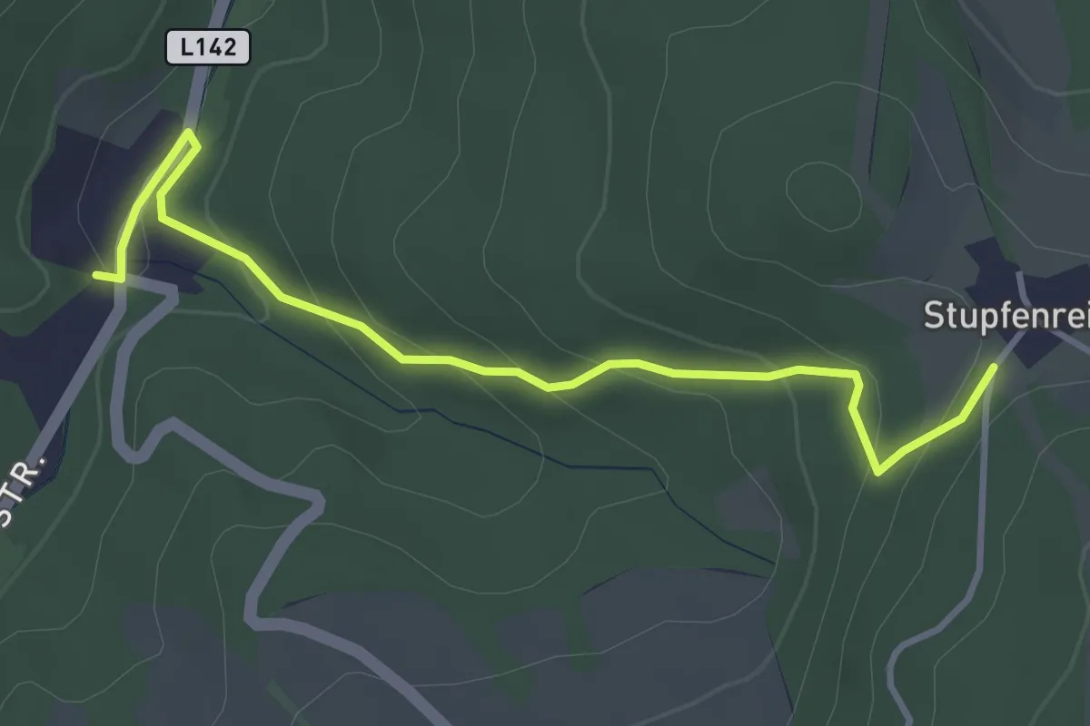
Easy · Trail
Grubenhäusl - Stupfenreith
3.7 km · ↑ 175 m · 1 h 15 min
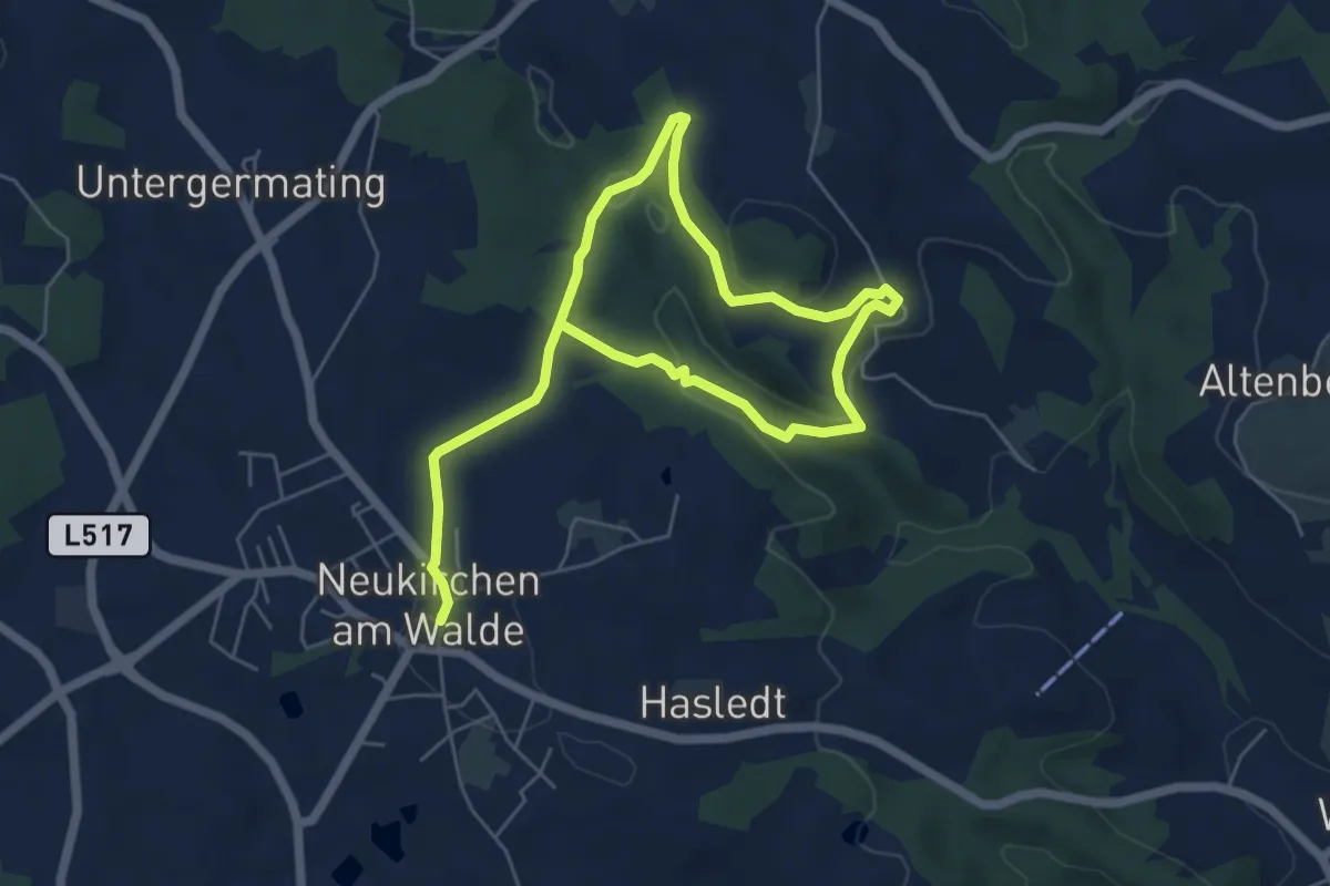
Medium · Trail
Gruberweg
8.4 km · ↑ 287 m · 2 h 36 min
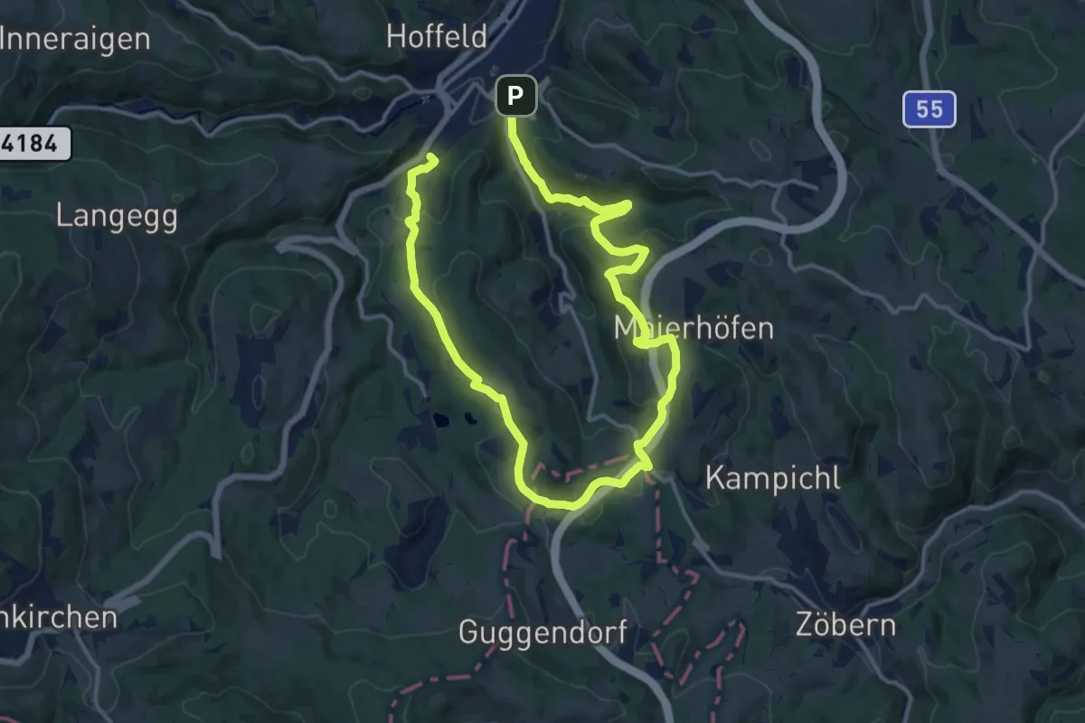
Demanding · Trail
Grubhof - Samberg - Weg
20.9 km · ↑ 603 m · 6 h 14 min