Trails in Austria
9,778 hiking trails, each with its route, climb, walking time and grade.
All trails, page 38 of 204
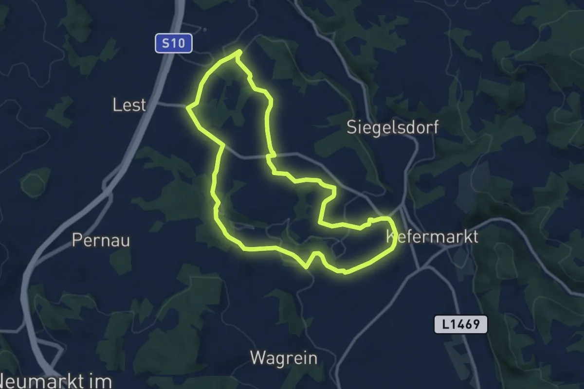
Medium · Trail
Grüblweg
8.3 km · ↑ 186 m · 2 h 28 min
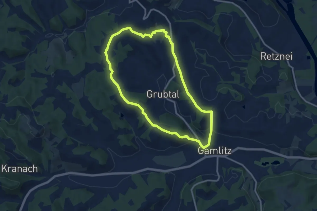
Easy · Trail
Grubtaler Weg
6.9 km · ↑ 182 m · 2 h 6 min
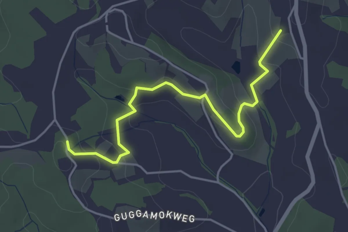
Easy · Trail
Grubtaler Weg -Variante
4.1 km · ↑ 171 m · 1 h 20 min
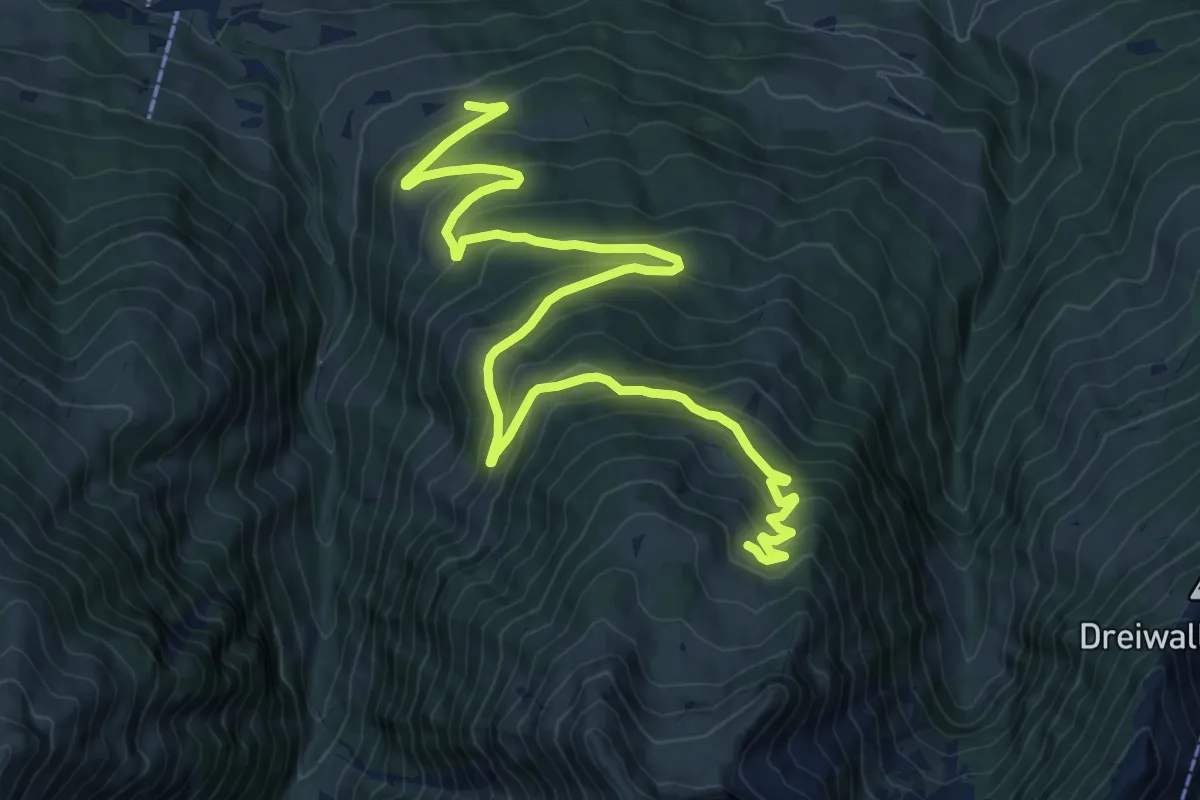
Medium · Trail
Grünalm (Forstweg)
13.4 km · ↑ 685 m · 4 h 39 min
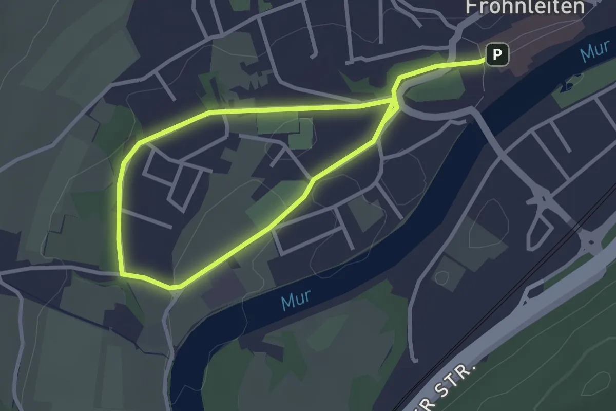
Easy · Trail
Grünanger
2.2 km · ↑ 4 m · 34 min
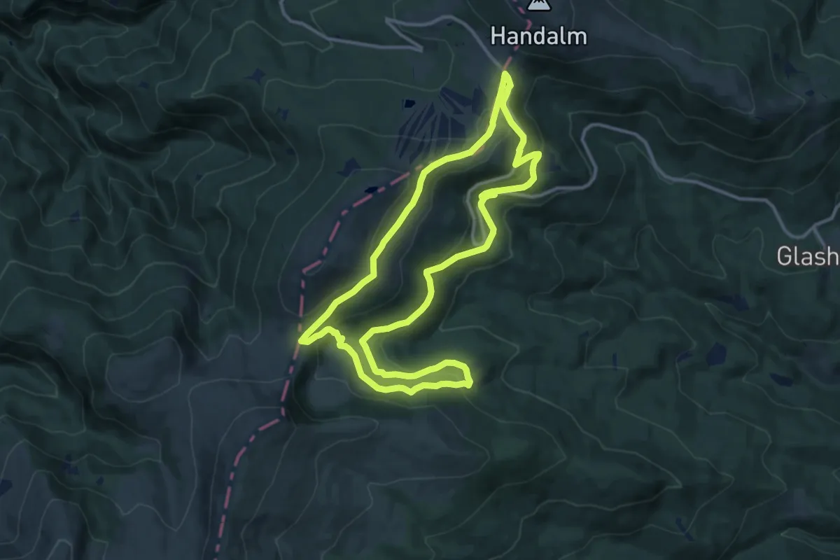
Demanding · Summit
Grünangerhütte - Rundweg
11.7 km · ↑ 369 m · 3 h 43 min
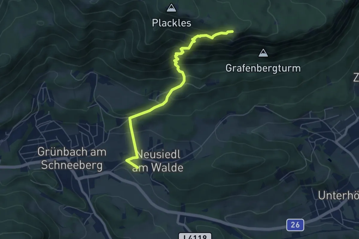
Medium · Cabin
Grünbach Bhf - Grafenbergweg
5.9 km · ↑ 496 m · 2 h 27 min
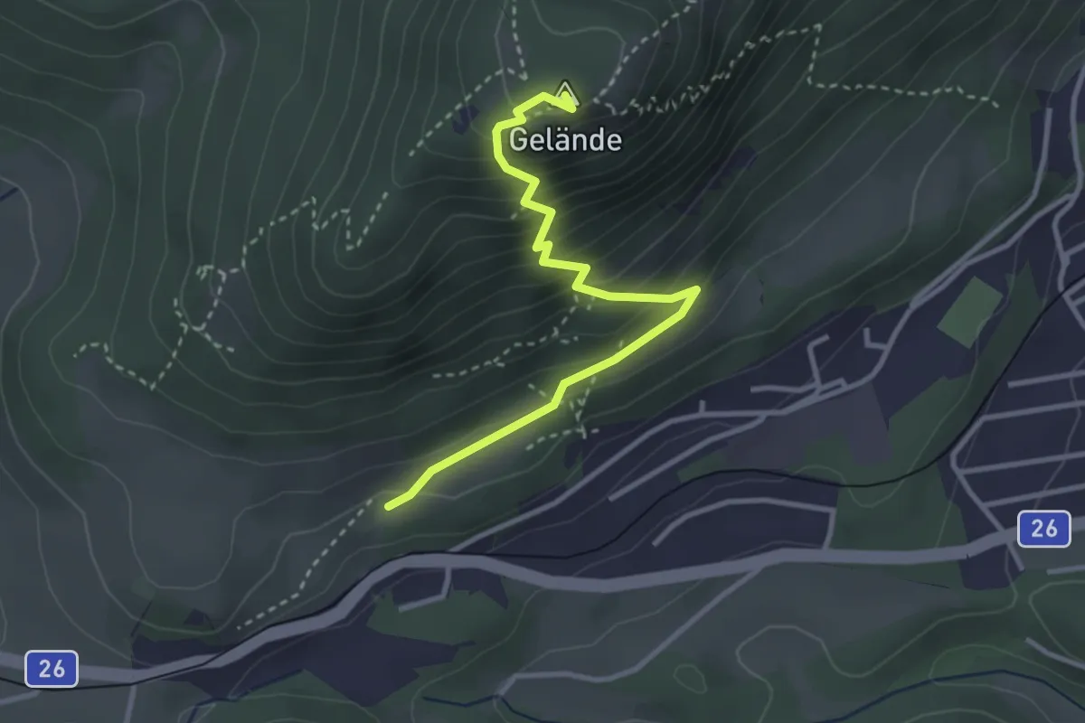
Medium · Summit
Grünbacher Sattel - Kremersteig - Geländehütte
3.2 km · ↑ 322 m · 1 h 27 min
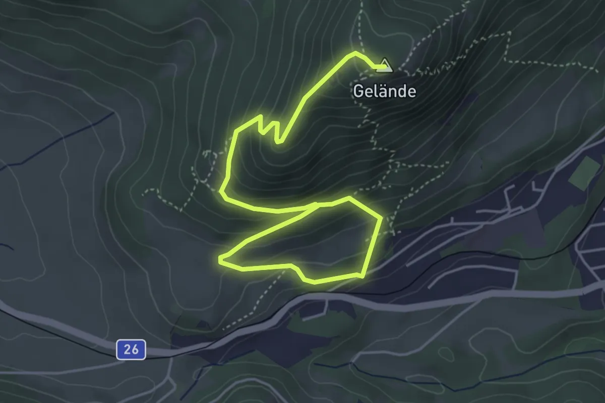
Medium · Summit
Grünbacher Sattel - Krumböcksteig - Geländehütte
5.9 km · ↑ 463 m · 2 h 23 min
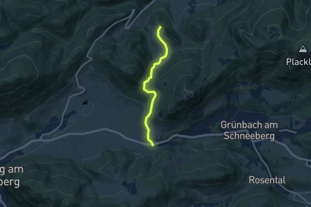
Easy · Summit
Grünbacher Sattel - Lanzing - Ascher
6.4 km · ↑ 300 m · 2 h 9 min
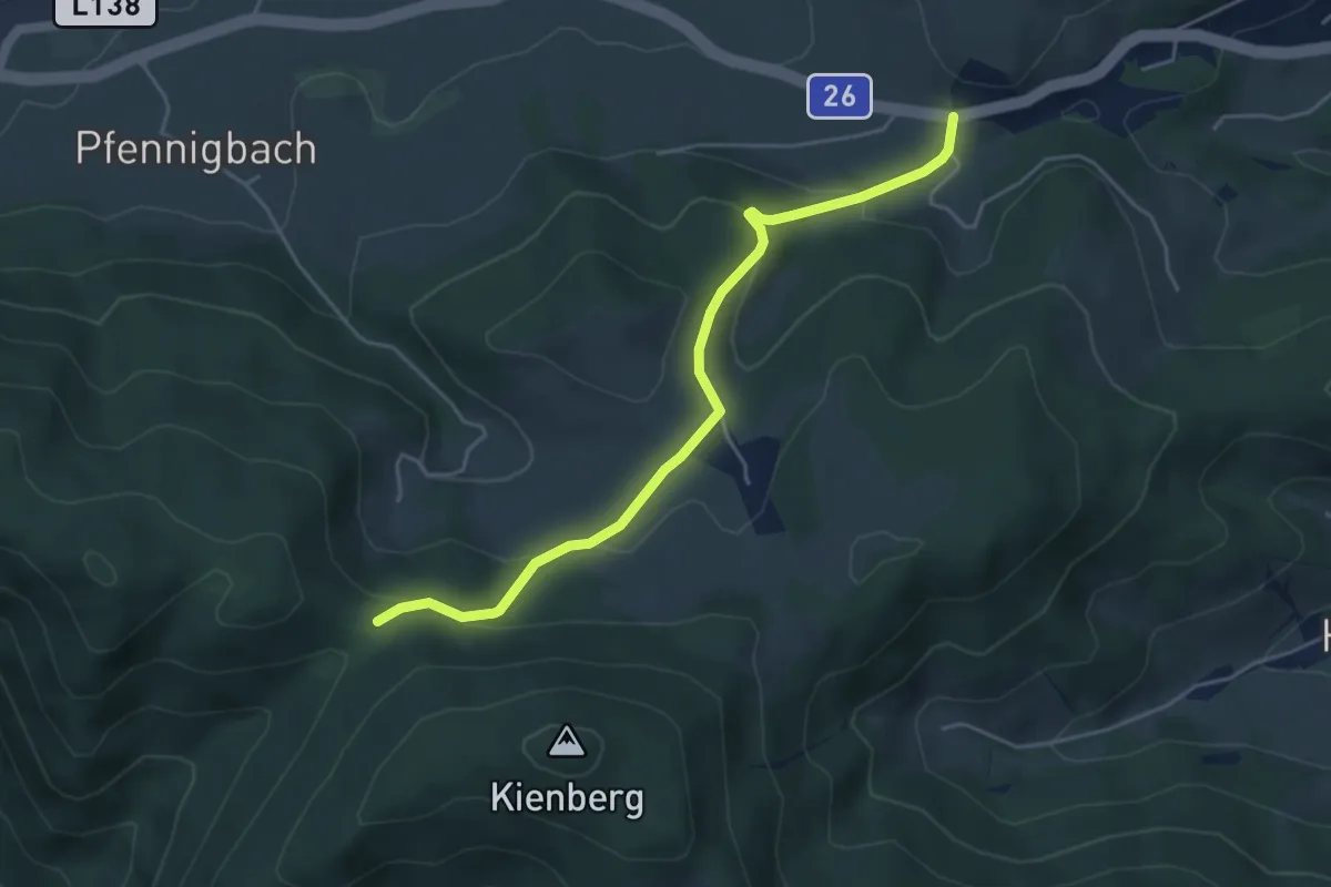
Easy · Trail
Grünbacher Sattel - Reitzenberg - Wegscheidgraben
4.7 km · ↑ 186 m · 1 h 31 min
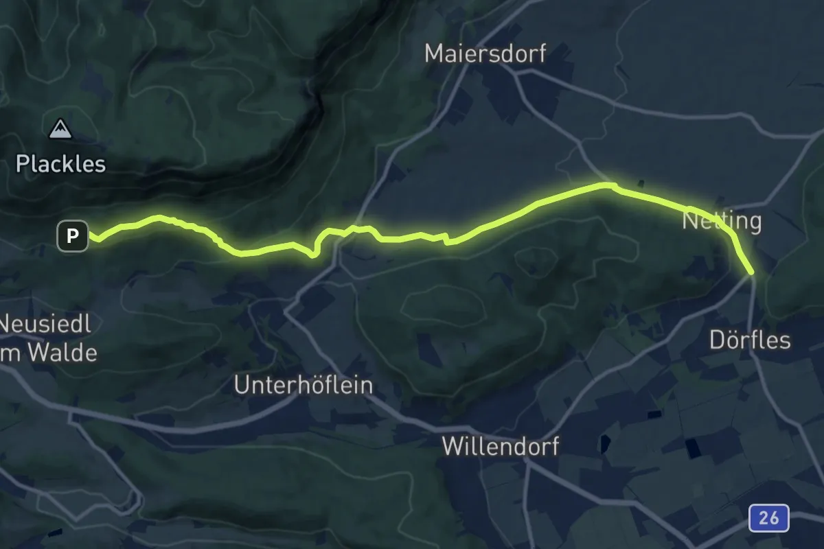
Medium · Trail
Grünbach - Seiser Toni - Zweiersdorf - Netting
13.5 km · ↑ 374 m · 3 h 59 min
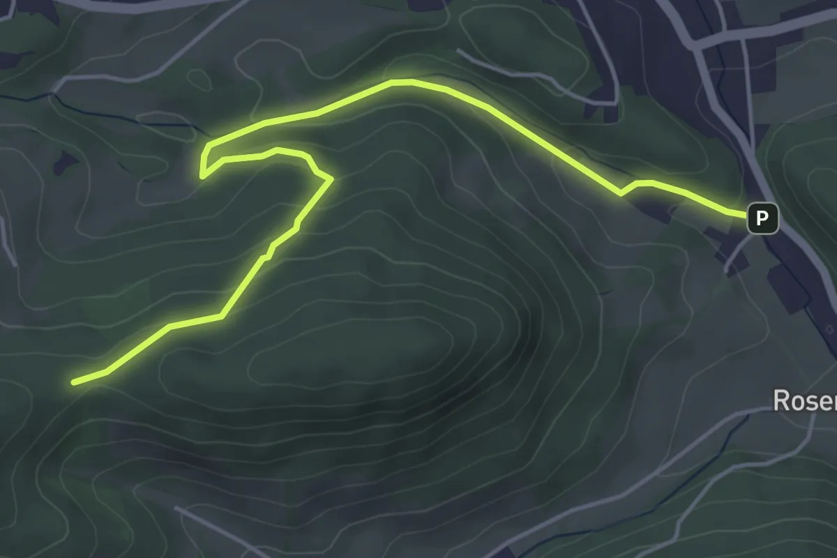
Easy · Trail
Gründbach Freibad - Füllenhalskreuz (Anschluß WWW06)
5.3 km · ↑ 192 m · 1 h 40 min
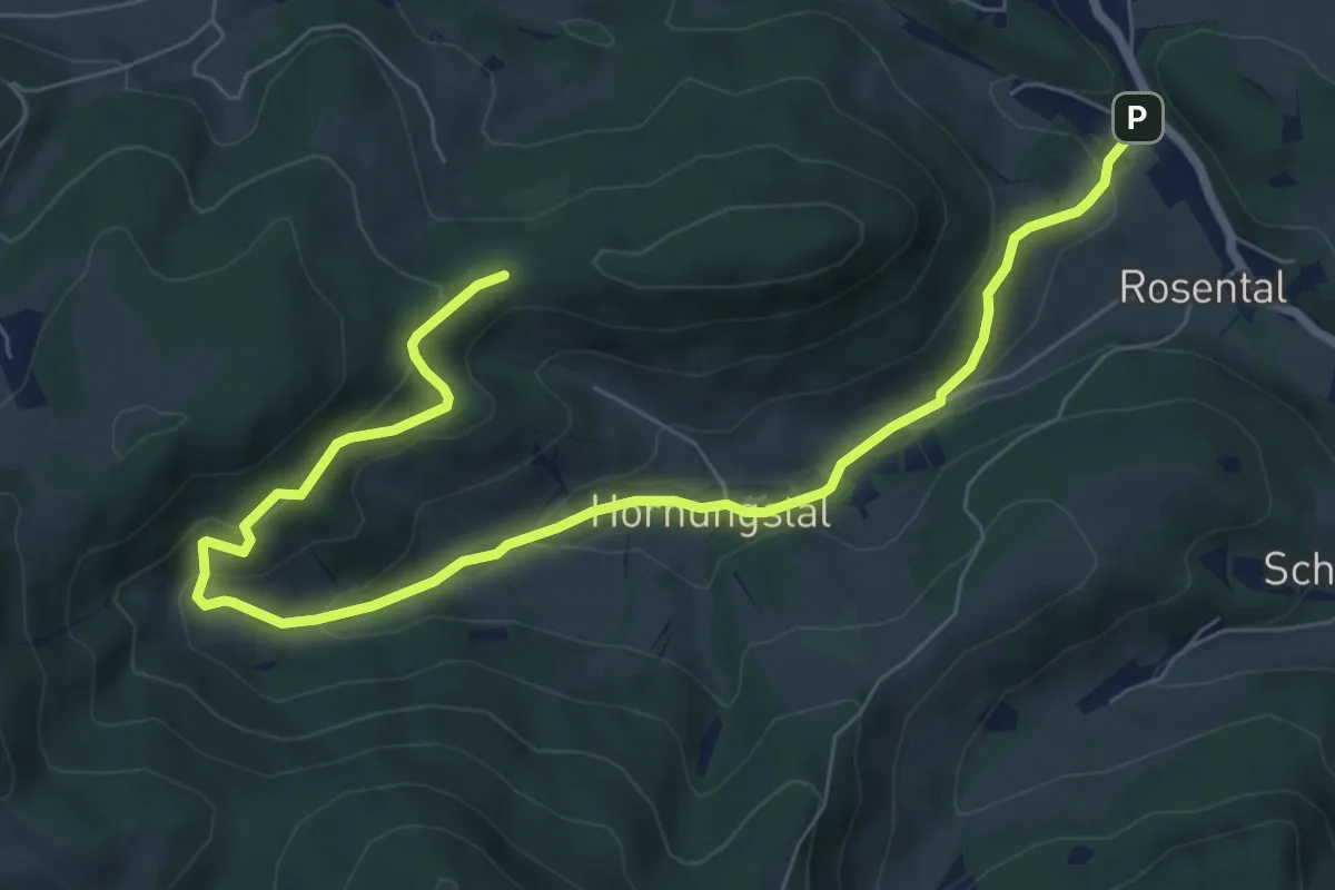
Medium · Trail
Gründbach Freibad - Hornungstal - Adriganhof (Hornungstal) - Füllenhalskreuz (Anschluß WWW06)
8.9 km · ↑ 343 m · 2 h 51 min
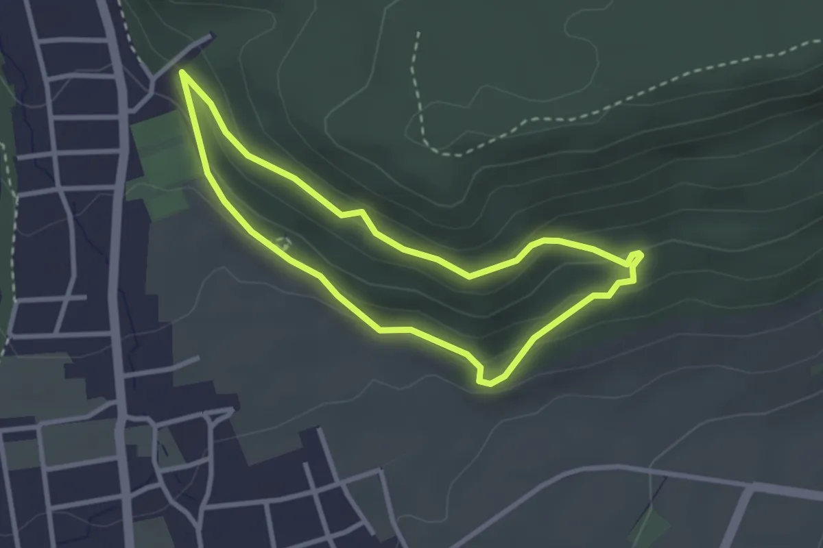
Easy · Trail
Grünegger Runde
2.5 km · ↑ 96 m · 50 min
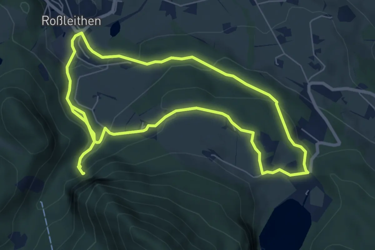
Easy · Trail
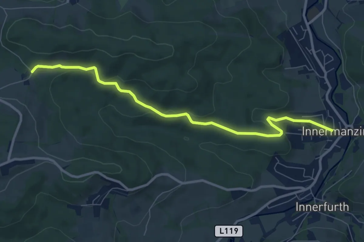
Grüner Sensenthemenweg
5.6 km · ↑ 210 m · 1 h 50 min
Easy · Trail
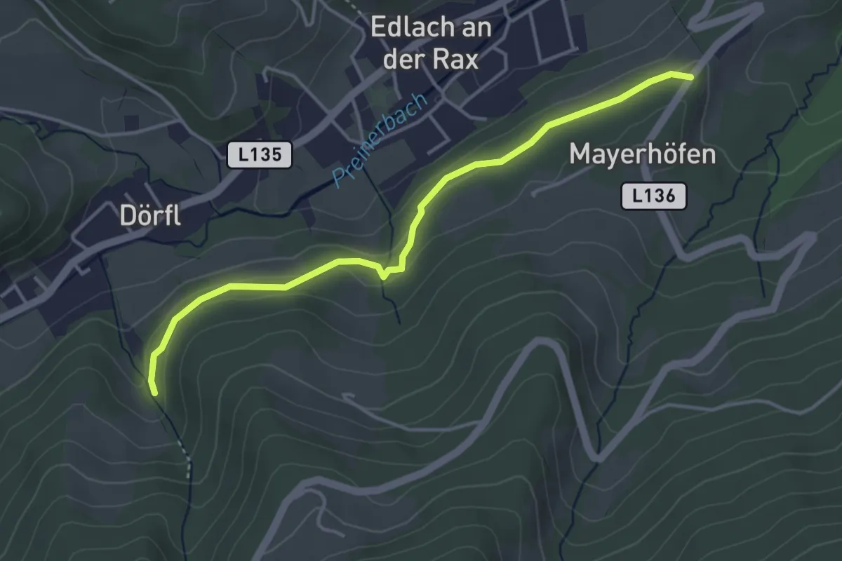
Grüner Wanderweg
7.4 km · ↑ 175 m · 2 h 8 min
Easy · Trail
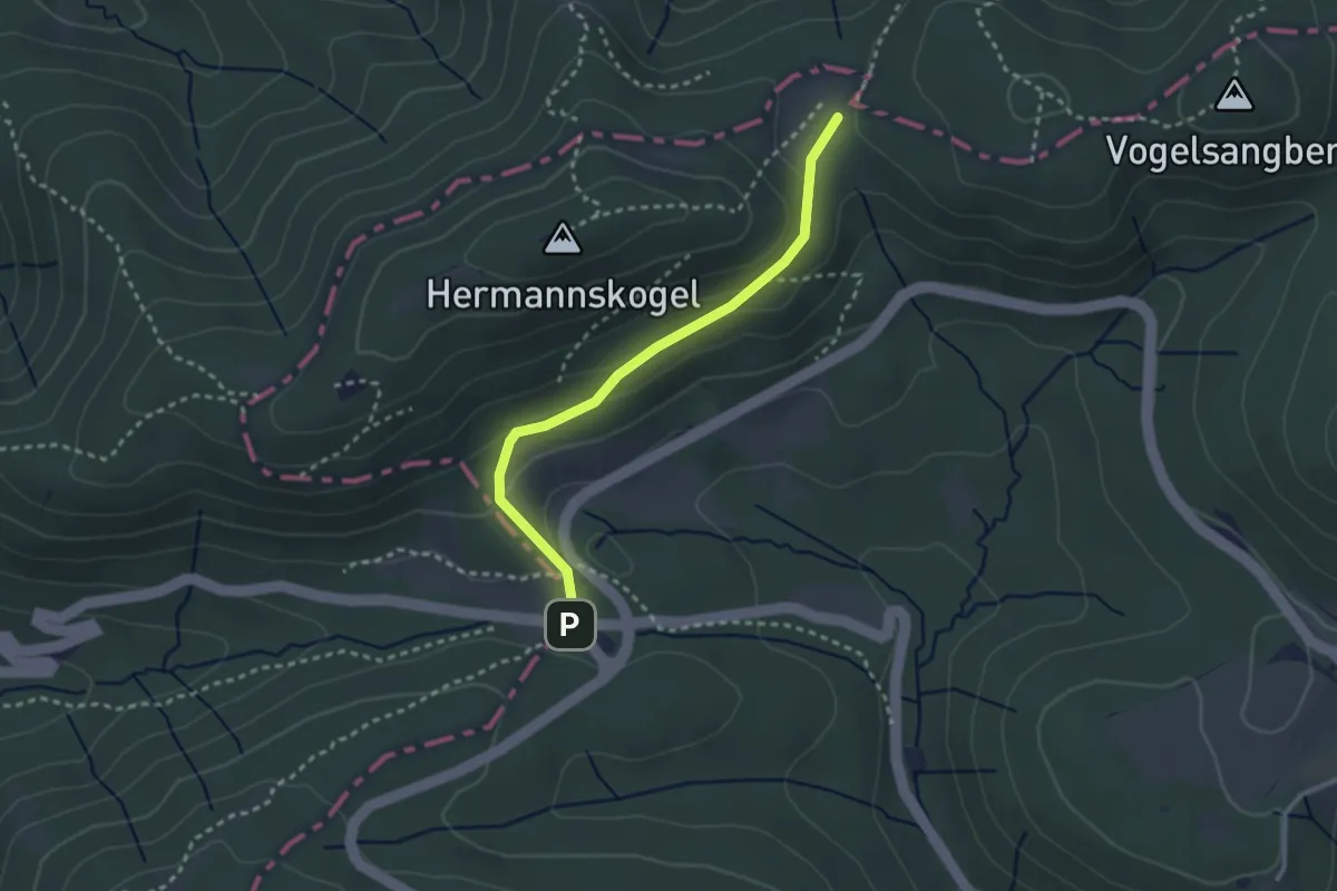
Grünsting - Edlach - Dörfl (Schonergraben)
3.9 km · ↑ 70 m · 1 h 4 min
Easy · Trail
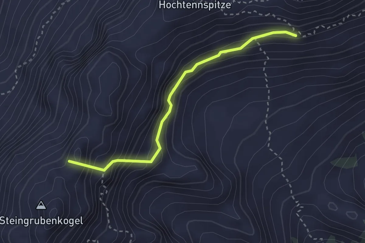
Grüß Di a Gott Wirt - Jägerwiese
2.6 km · ↑ 92 m · 49 min
Expert · Summit
Gsallersteig
2.5 km · ↑ 360 m · 1 h 22 min
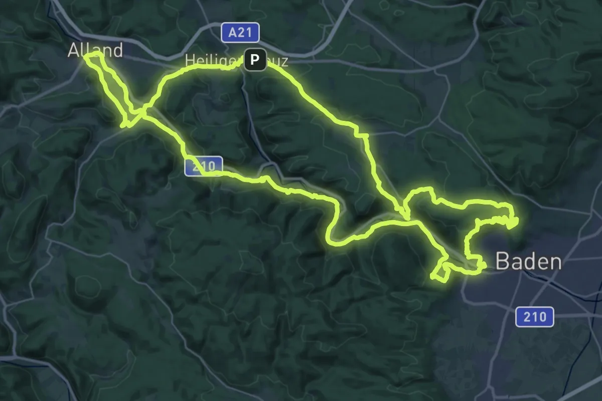
Demanding · Summit
G'schichten aus dem Wienerwald
39.3 km · ↑ 920 m · 11 h 48 min
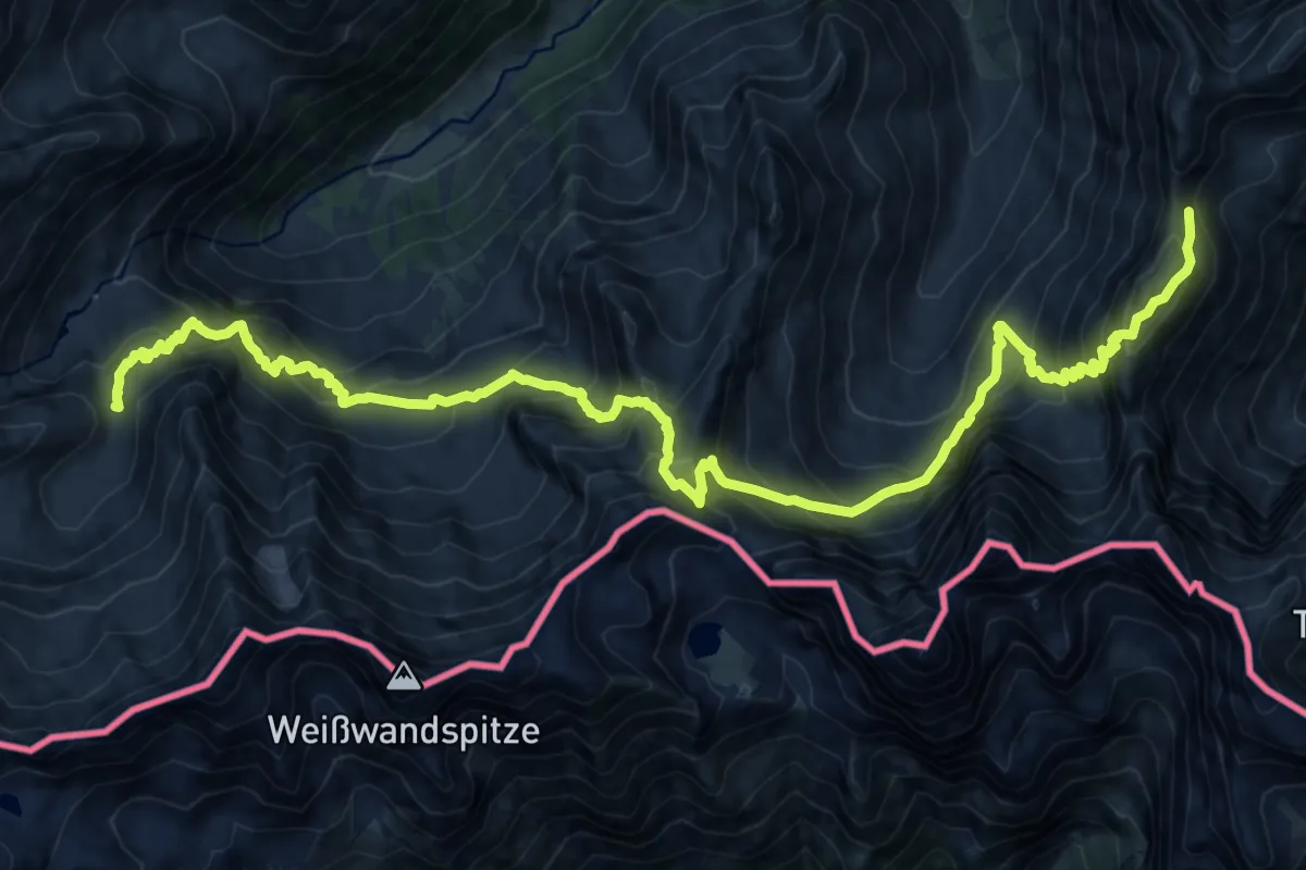
Demanding · Trail
Gschnitztaler Hüttentour
10.5 km · ↑ 1225 m · 5 h 9 min
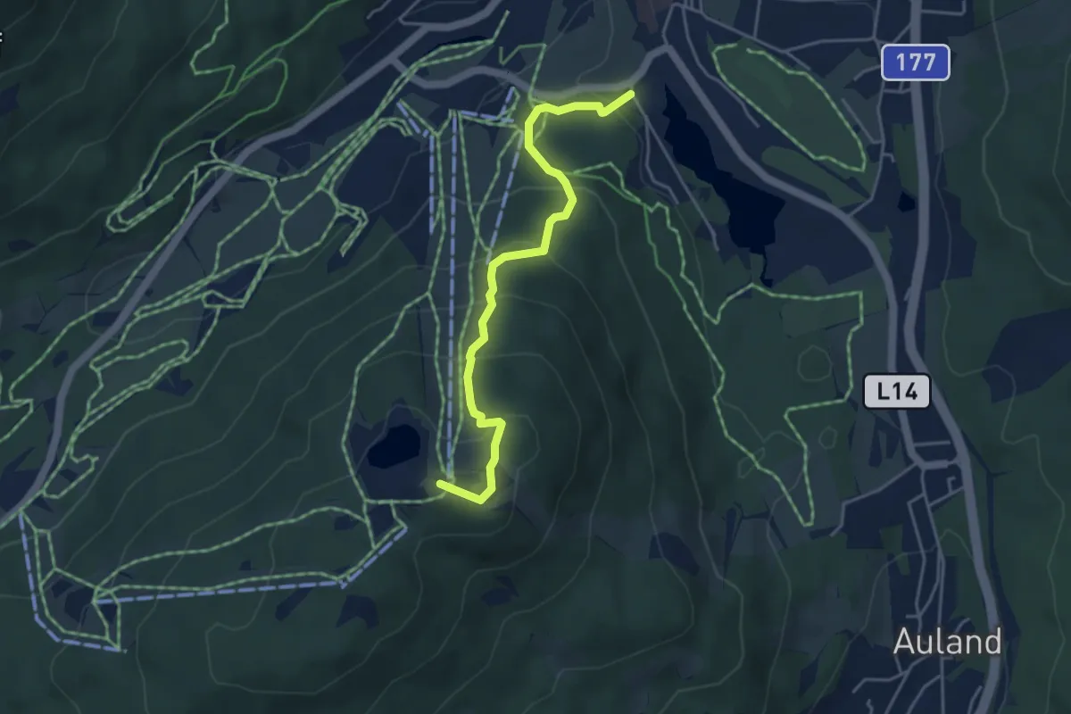
Easy · Summit
Gschwandtkopf
4.2 km · ↑ 304 m · 1 h 39 min
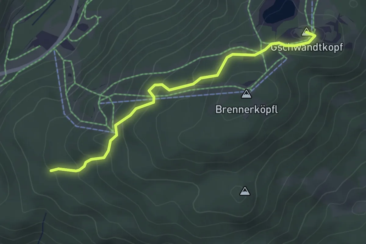
Easy · Summit
Gschwandtkopf
3.8 km · ↑ 174 m · 1 h 16 min
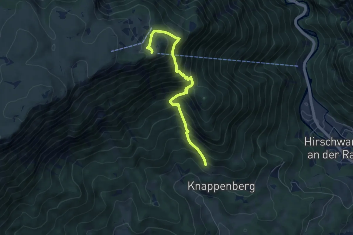
Medium · Cabin
Gsolhirnsteig - Bergstation
6.2 km · ↑ 713 m · 3 h
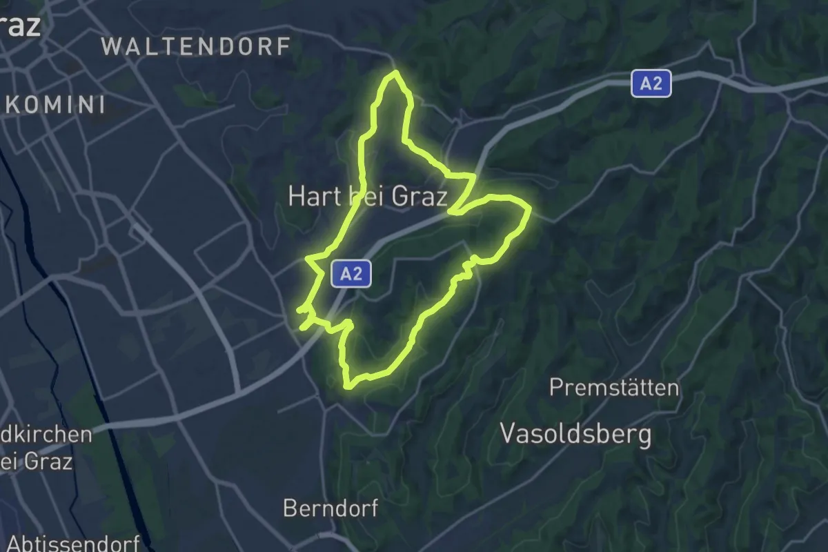
Medium · Summit
GSR Nordring
16.3 km · ↑ 336 m · 4 h 48 min
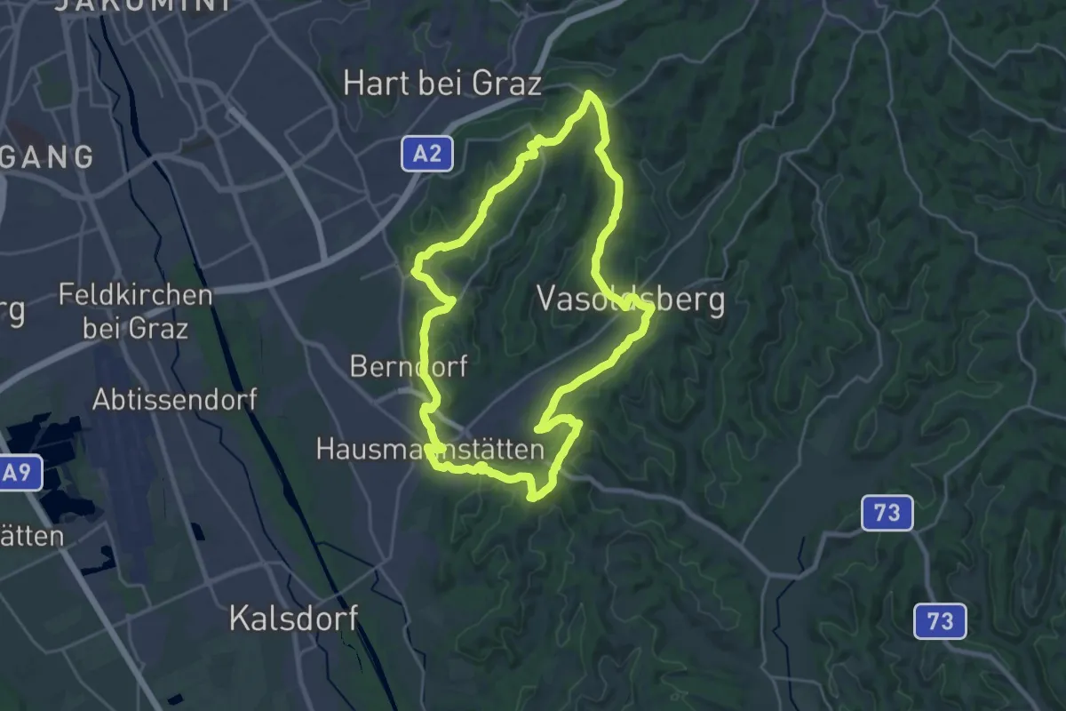
Demanding · Summit
GSR Ostring
22.2 km · ↑ 427 m · 6 h 29 min
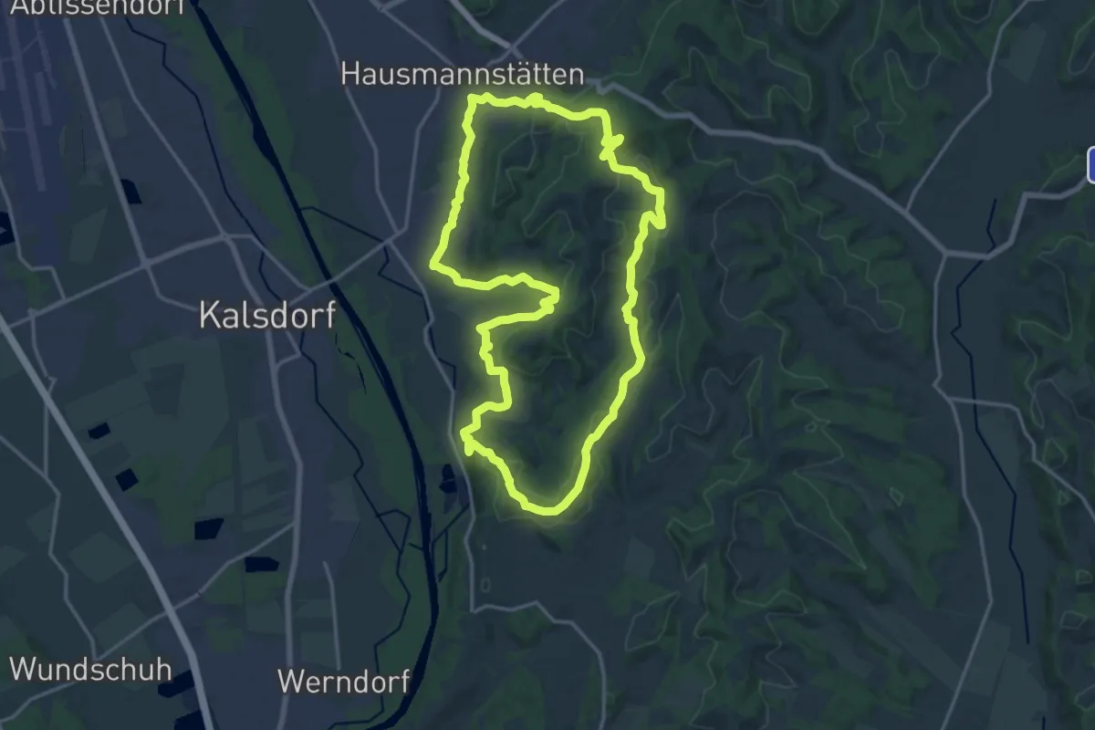
Medium · Trail
GSR Südring
17.3 km · ↑ 447 m · 5 h 17 min
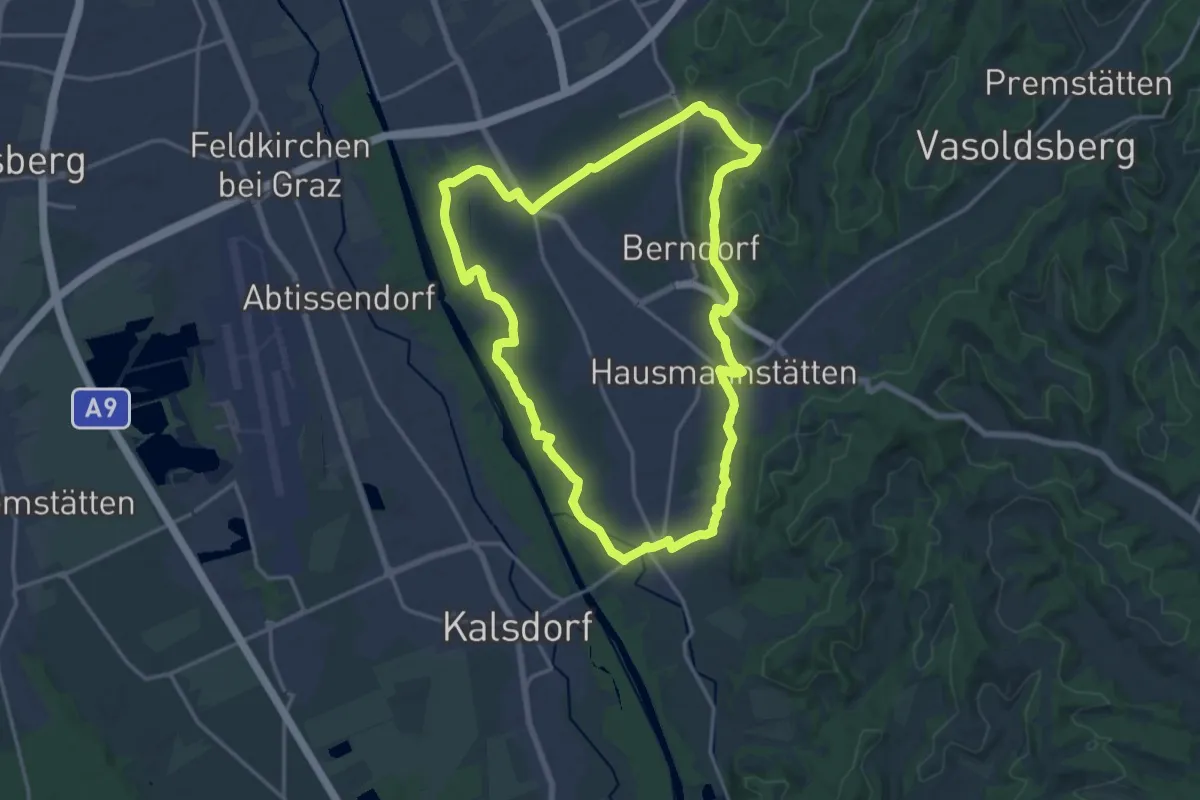
Medium · Trail
GSR Westring
16.9 km · ↑ 122 m · 4 h 29 min
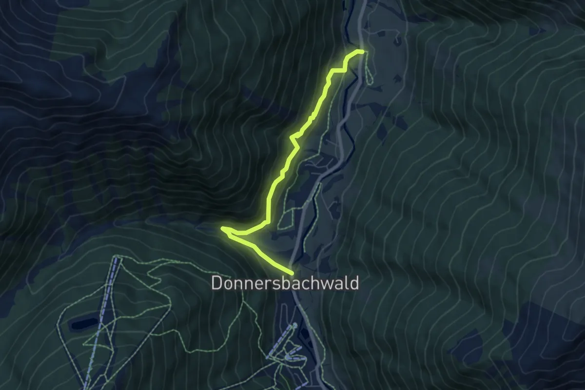
Medium · Trail
Gstanzlweg
6.2 km · ↑ 257 m · 2 h 1 min
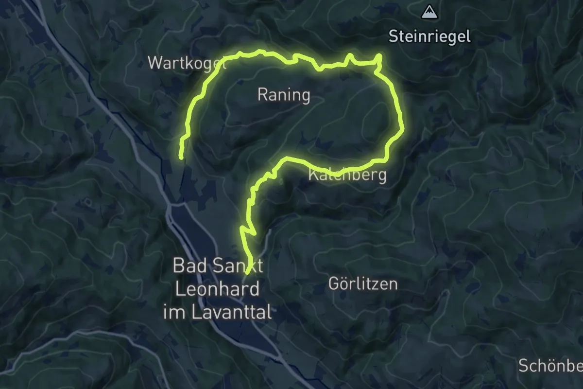
Medium · Trail
Gsundbründlweg Q2
11.3 km · ↑ 438 m · 3 h 44 min
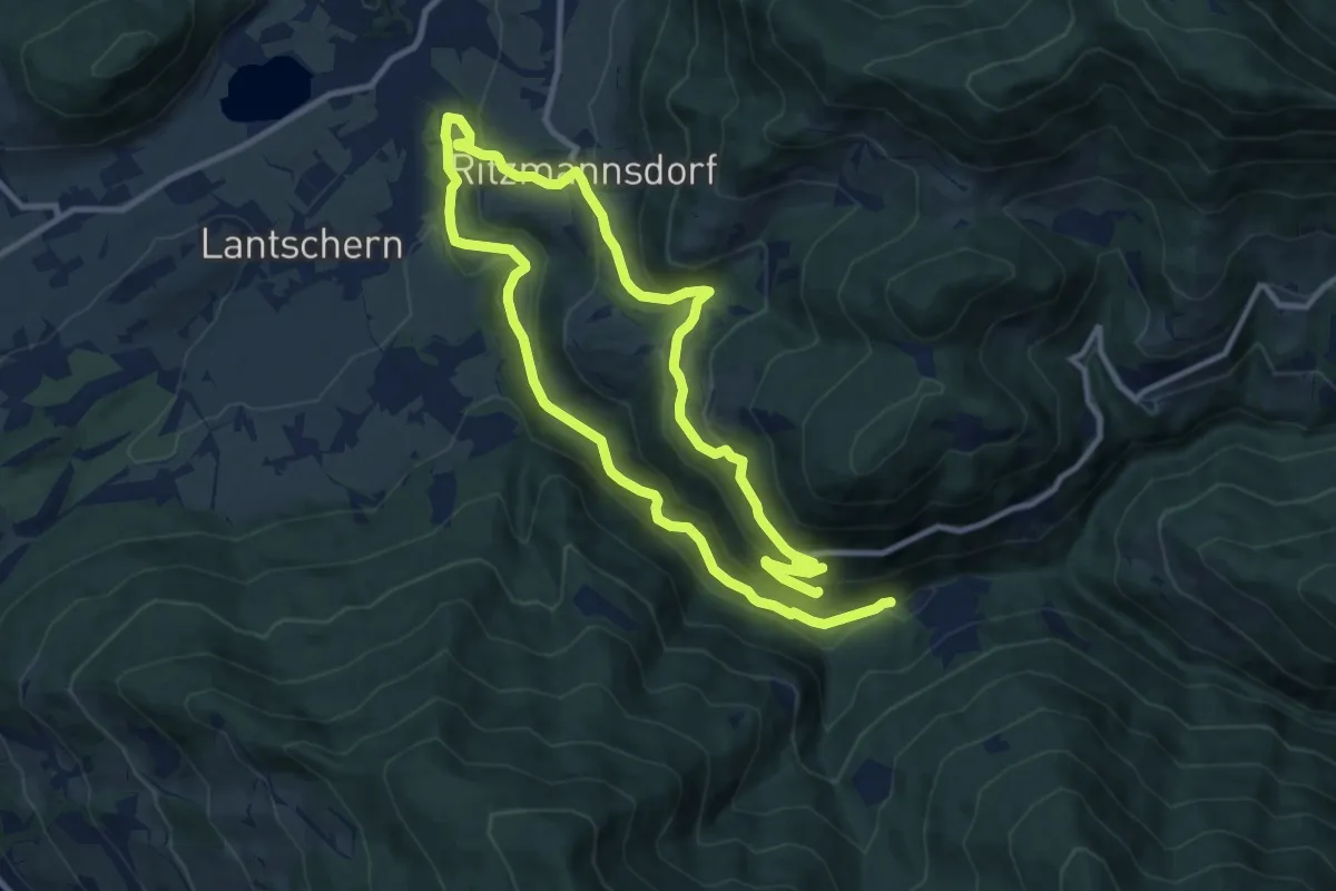
Demanding · Trail
Gulling-Vorberg-Weg
18.9 km · ↑ 654 m · 5 h 53 min
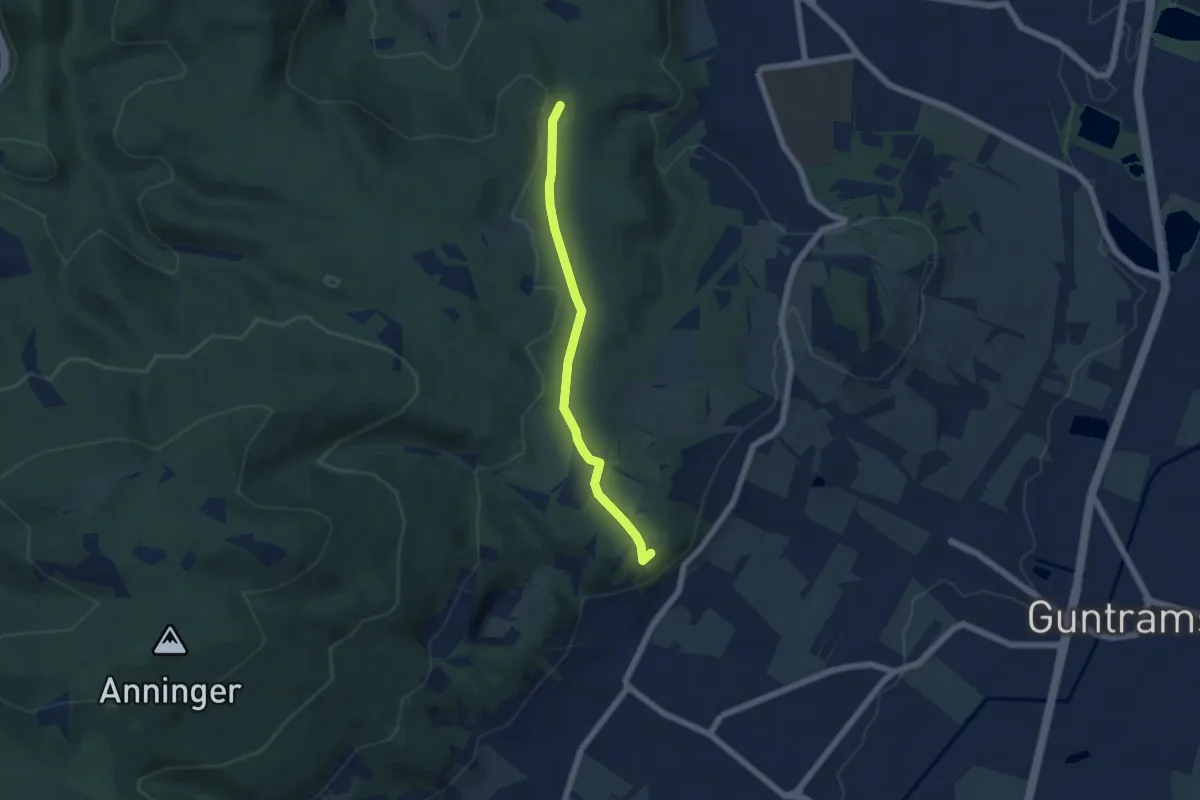
Easy · Summit
Gumpoldskirchen - Breite Föhre
5.1 km · ↑ 69 m · 1 h 21 min
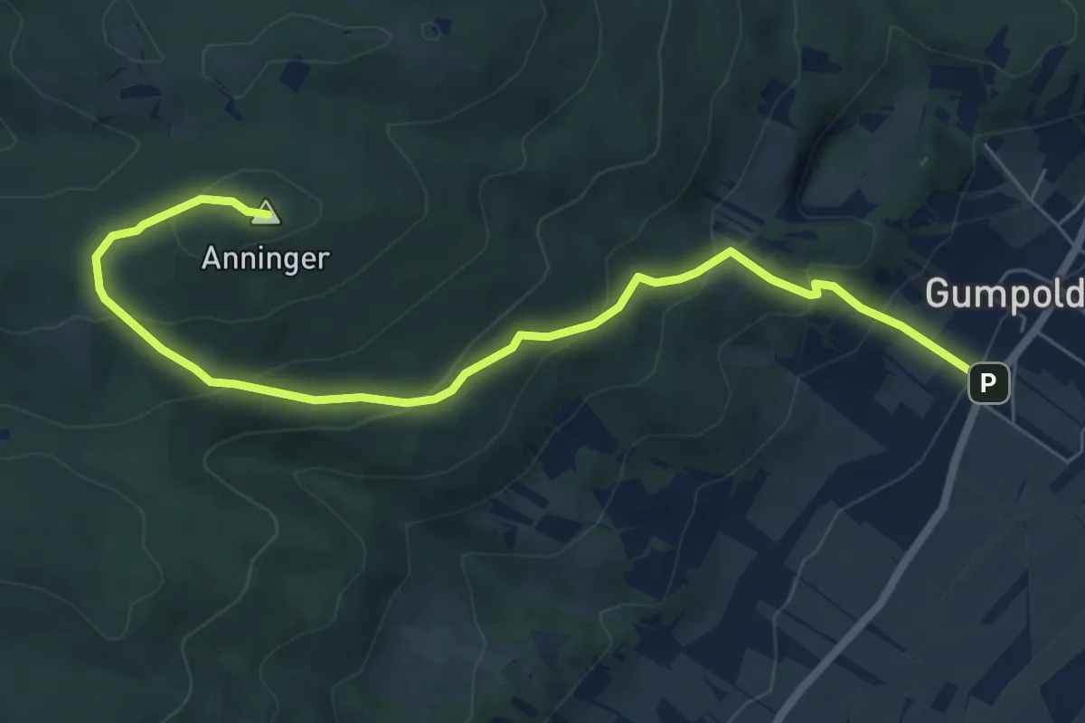
Medium · Summit
Gumpoldskirchen - Kegelstattweg - Wetterkreuz - Wilhelmswarte - Anningerhaus
7.4 km · ↑ 415 m · 2 h 38 min
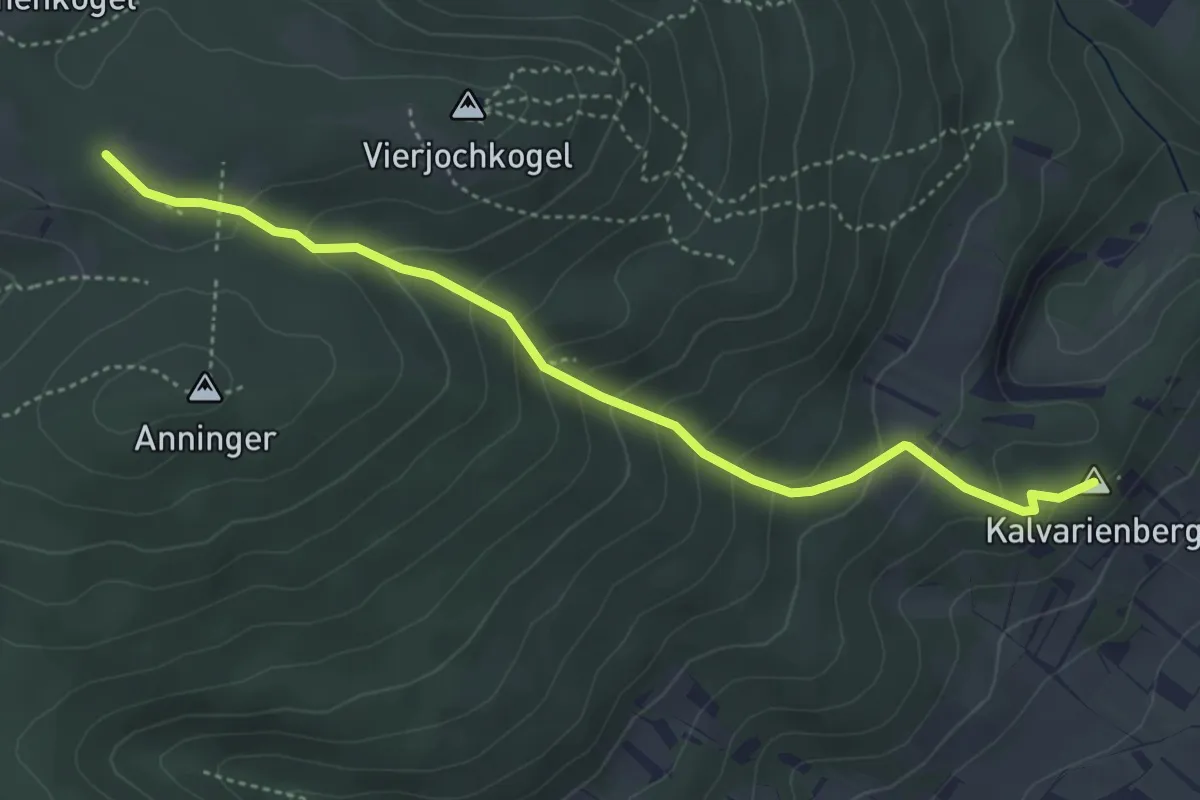
Medium · Summit
Gumpoldskirchen - Siebenbrunnengraben - Anschluß Wienerwald-Sternwanderwege 42
4.4 km · ↑ 340 m · 1 h 47 min
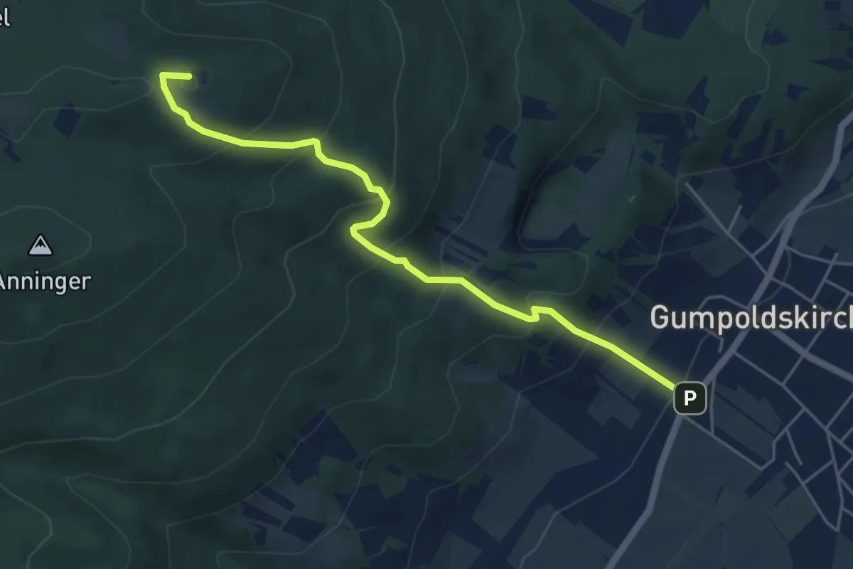
Medium · Summit
Gumpoldskirchen - Vierjochkogelweg - Anningerhaus
5.0 km · ↑ 398 m · 2 h 3 min
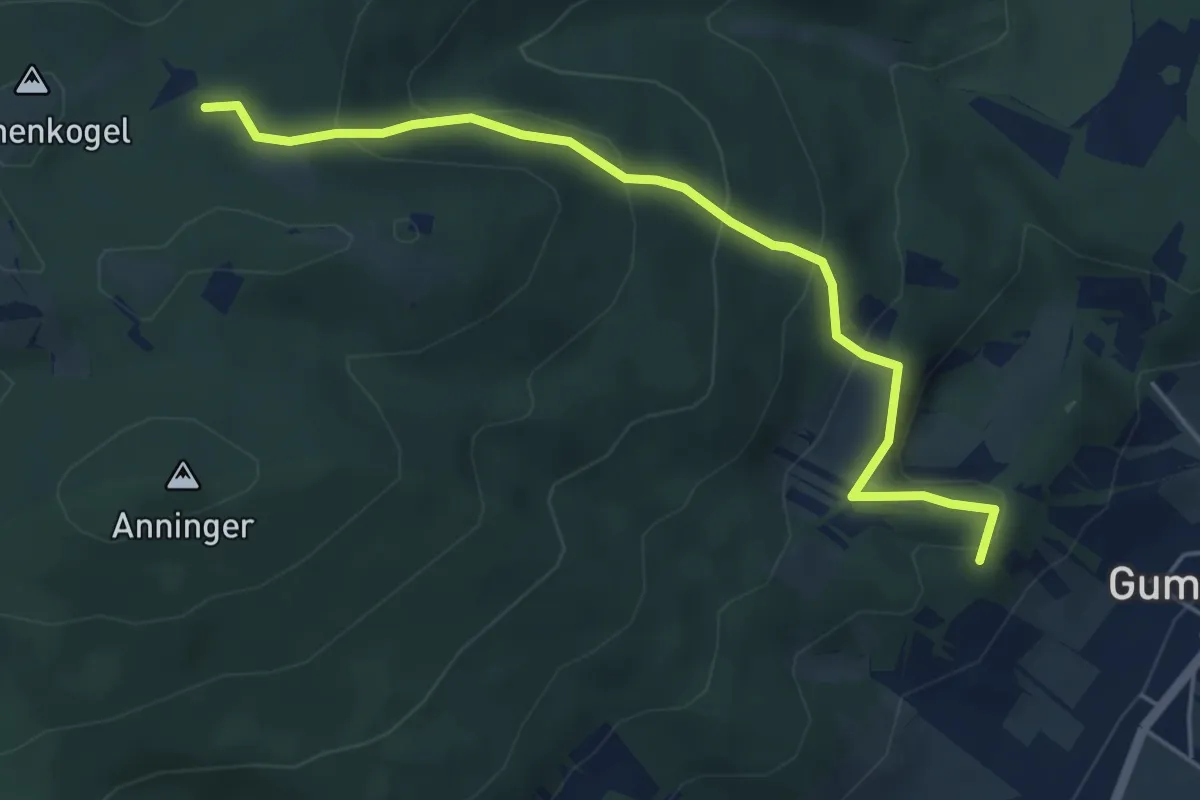
Medium · Summit
Gumpoldskirchen Zentrum - Kreuzweg - Hubertushütte - Kalenderweg - Anningerhaus
5.0 km · ↑ 321 m · 1 h 53 min
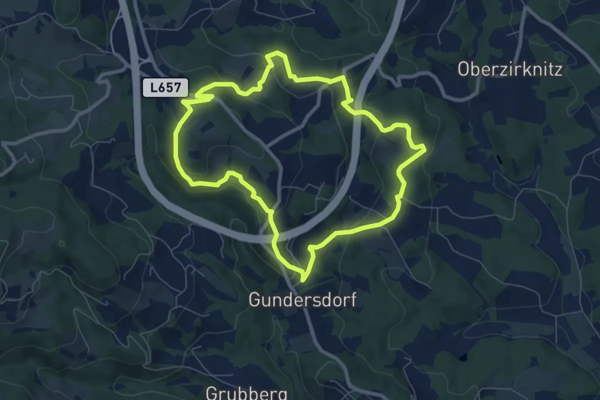
Easy · Trail
Gundersdorfer Rundwanderweg
6.6 km · ↑ 236 m · 2 h 9 min
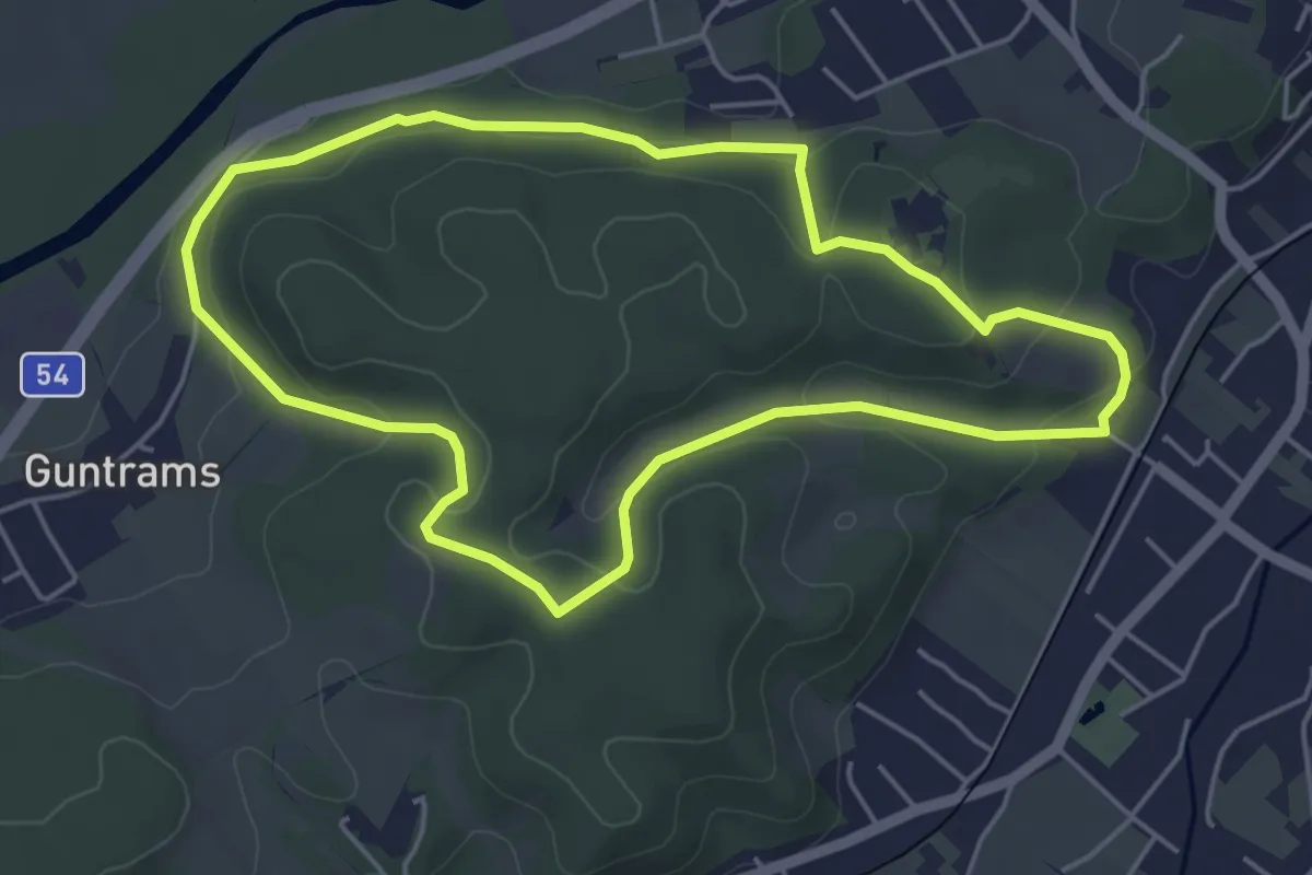
Easy · Trail
Guntrams Runde
4.7 km · ↑ 114 m · 1 h 25 min
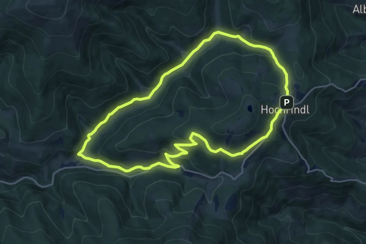
Medium · Trail
Gurkgraben
13.0 km · ↑ 383 m · 4 h 5 min
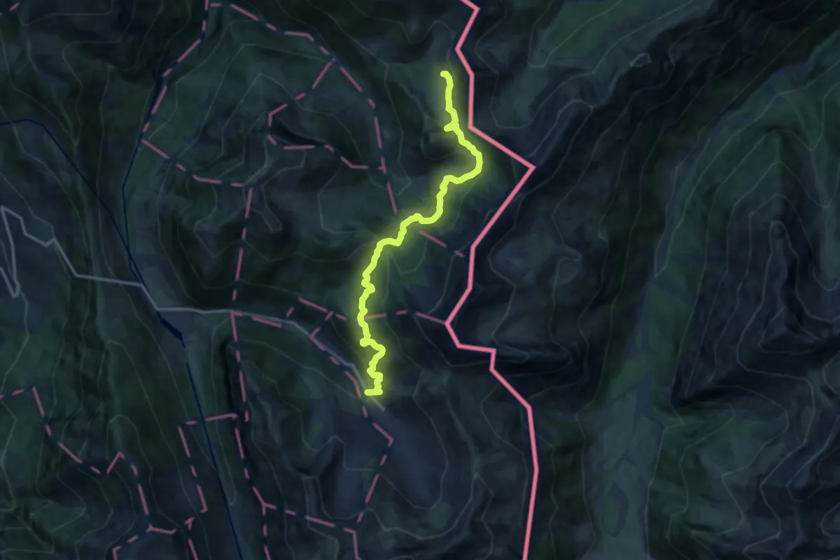
Medium · Trail
Guschgfiel - Malbun Bergbahnen
12.6 km · ↑ 645 m · 4 h 22 min
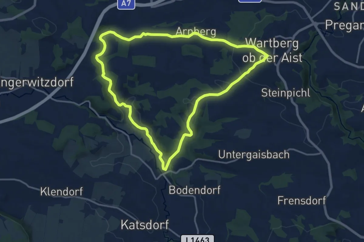
Medium · Trail
Gusentalrundweg
10.8 km · ↑ 189 m · 3 h 7 min
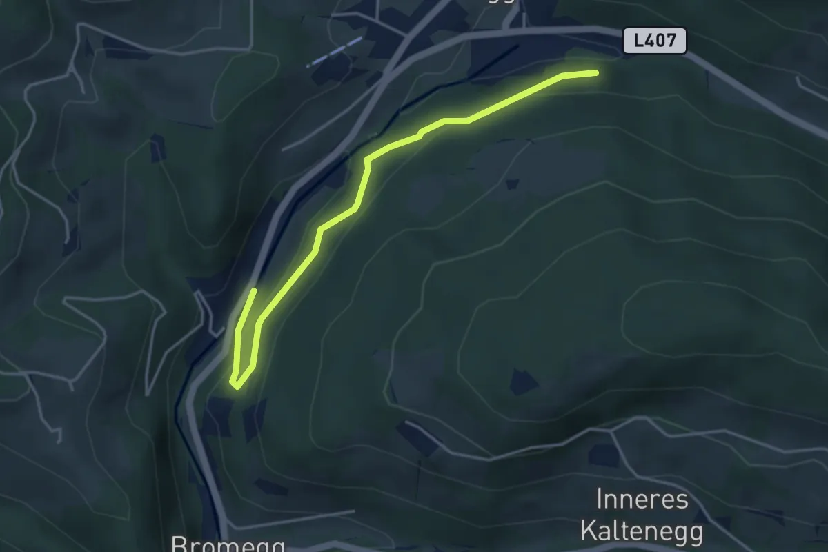
Easy · Trail
Gustiweg
4.0 km · ↑ 165 m · 1 h 18 min
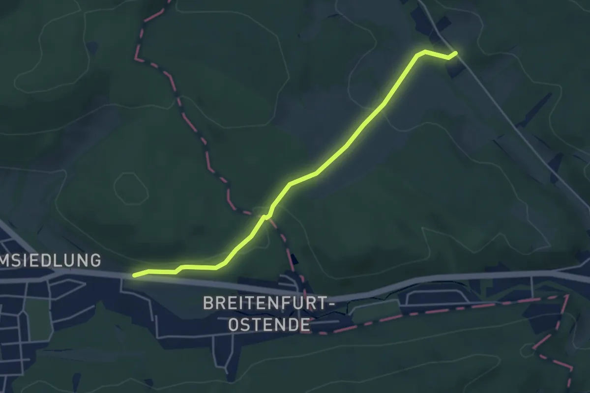
Easy · Trail
Gütenbachtal - Roter Stadtl
4.2 km · ↑ 103 m · 1 h 12 min
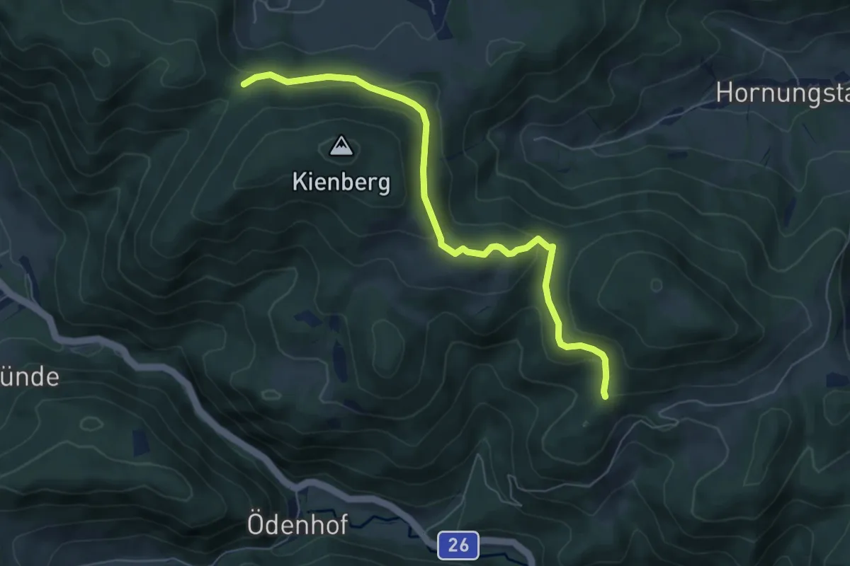
Easy · Trail
Gutenmann - Wegscheidgraben
6.4 km · ↑ 264 m · 2 h 5 min
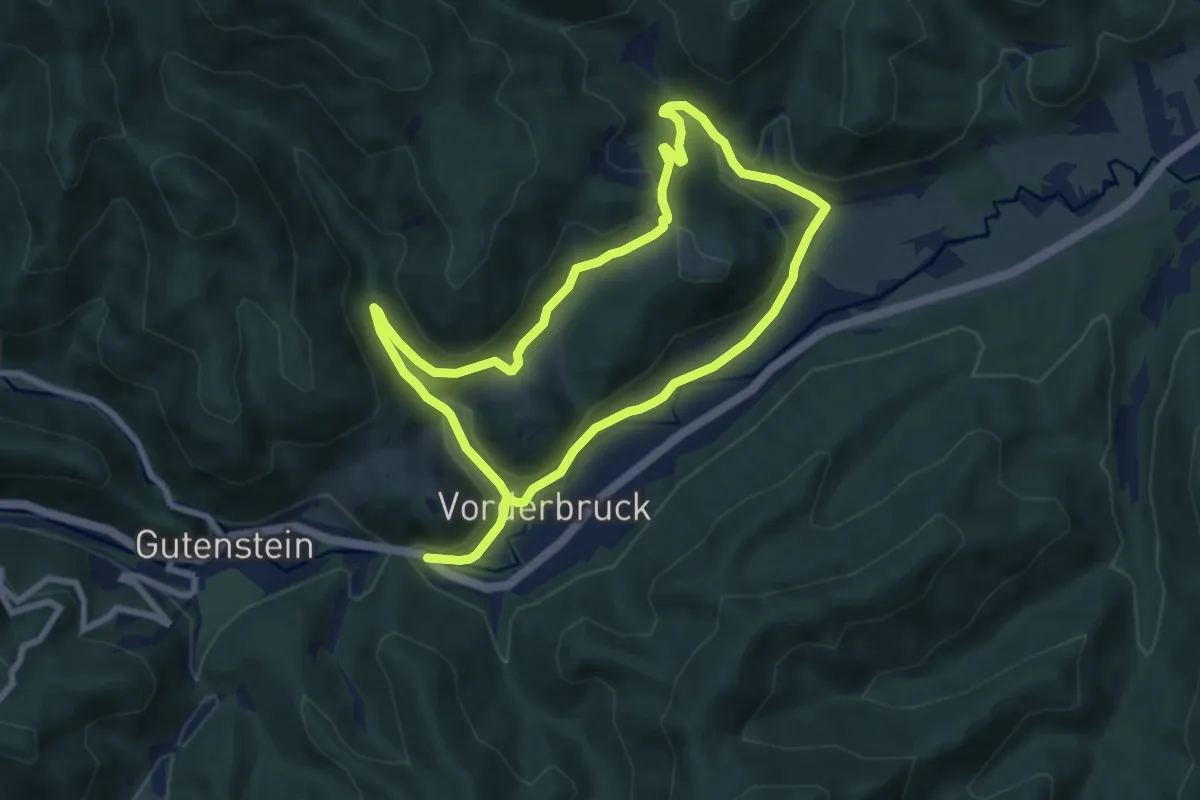
Medium · Trail
Gutensteiner Panoramaweg
13.6 km · ↑ 320 m · 3 h 55 min
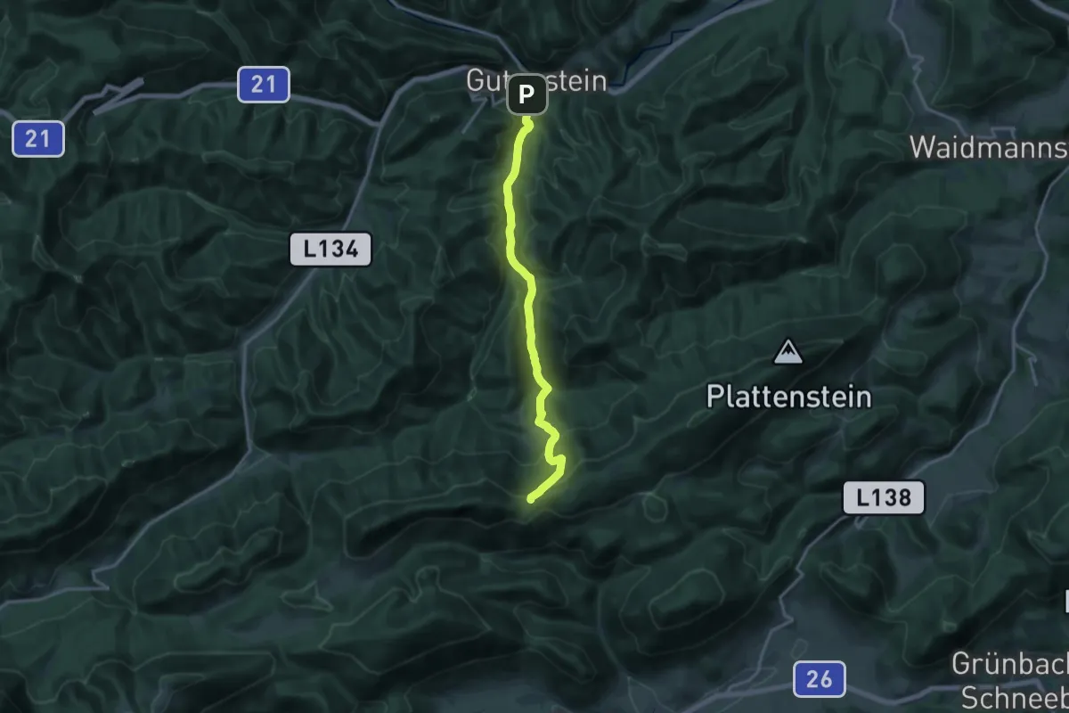
Medium · Cabin
Gutenstein - Öhler-Schutzhaus
13.7 km · ↑ 560 m · 4 h 26 min
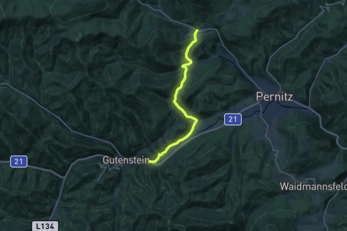
Medium · Trail
Gutenstein - Purbach (Kasperhof) - Thal
13.7 km · ↑ 551 m · 4 h 25 min