Trails in Austria
9,778 hiking trails, each with its route, climb, walking time and grade.
All trails, page 39 of 204
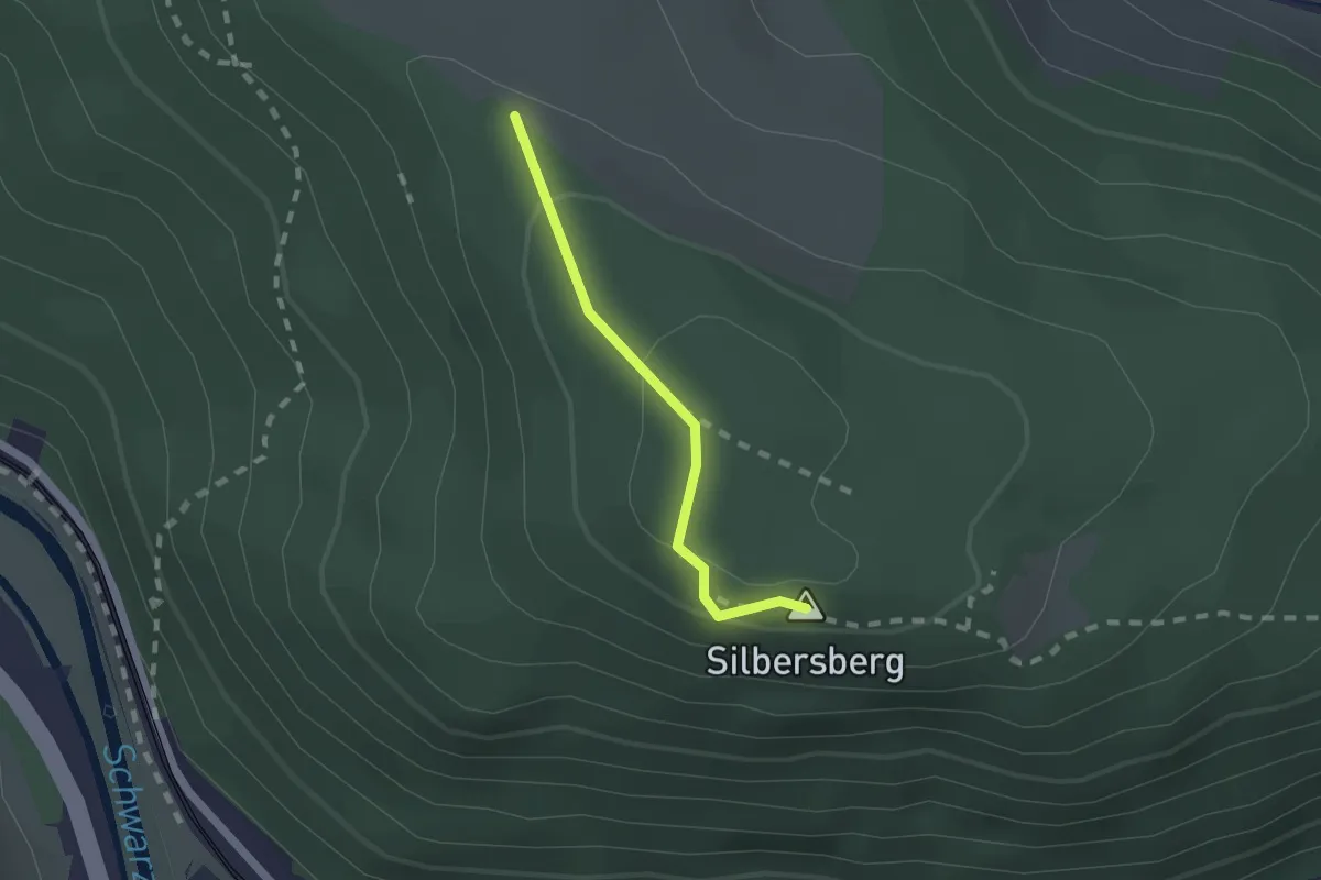
Easy · Summit
Güterweg Schmalzgrube (Auf der Wiese) - Zwickl Marterl - Anschluß Wanderweg 834
1.5 km · ↑ 35 m · 25 min
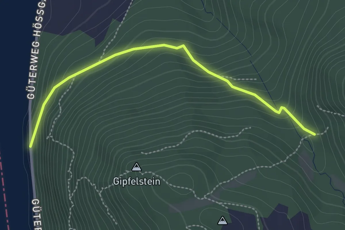
Easy · Trail
Güterweg Wiesen - Brandstetterkogelhütte
2.7 km · ↑ 185 m · 1 h 2 min
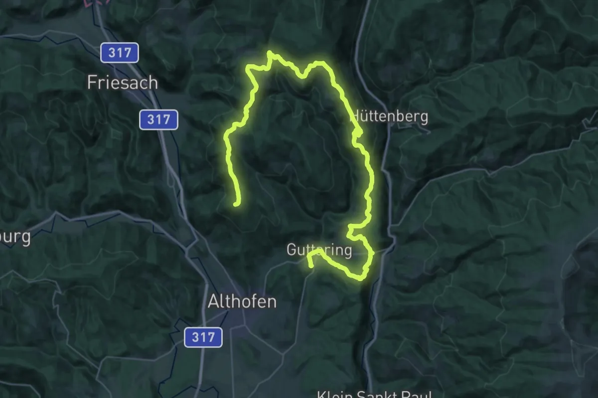
Demanding · Summit
Guttaring - 7-Kirchenweg
53.5 km · ↑ 1572 m · 16 h 2 min
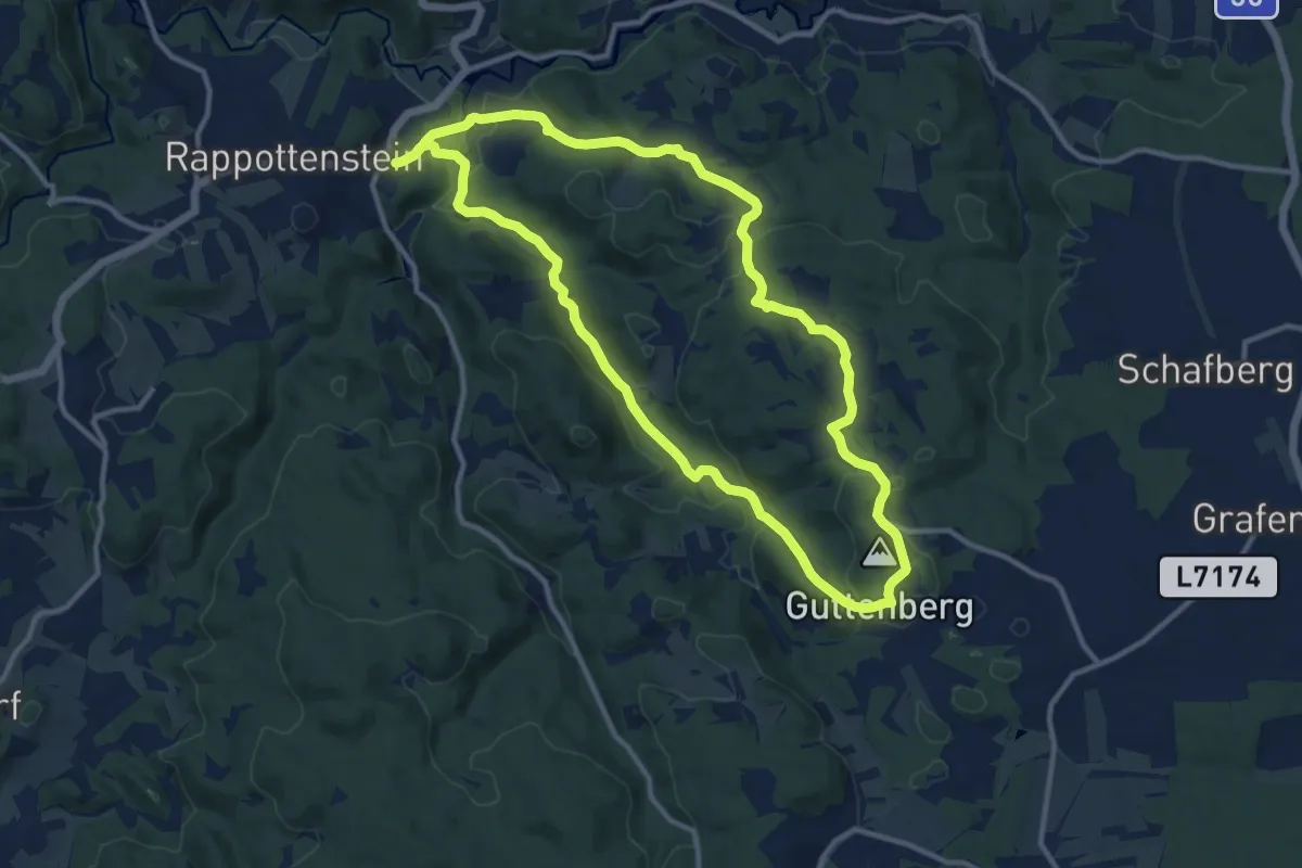
Medium · Trail
Guttenbergweg 2
11.2 km · ↑ 300 m · 3 h 27 min
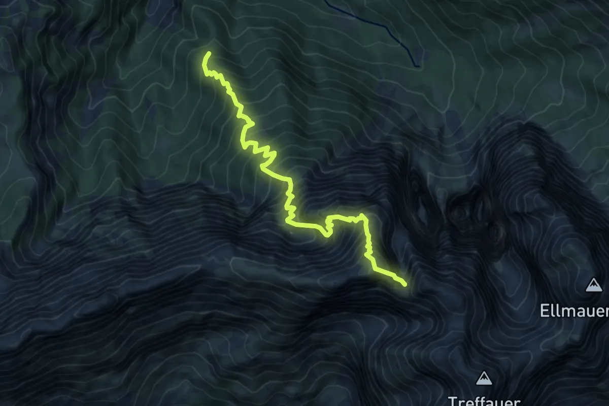
Demanding · Summit
Güttlersteig
7.8 km · ↑ 1208 m · 4 h 27 min
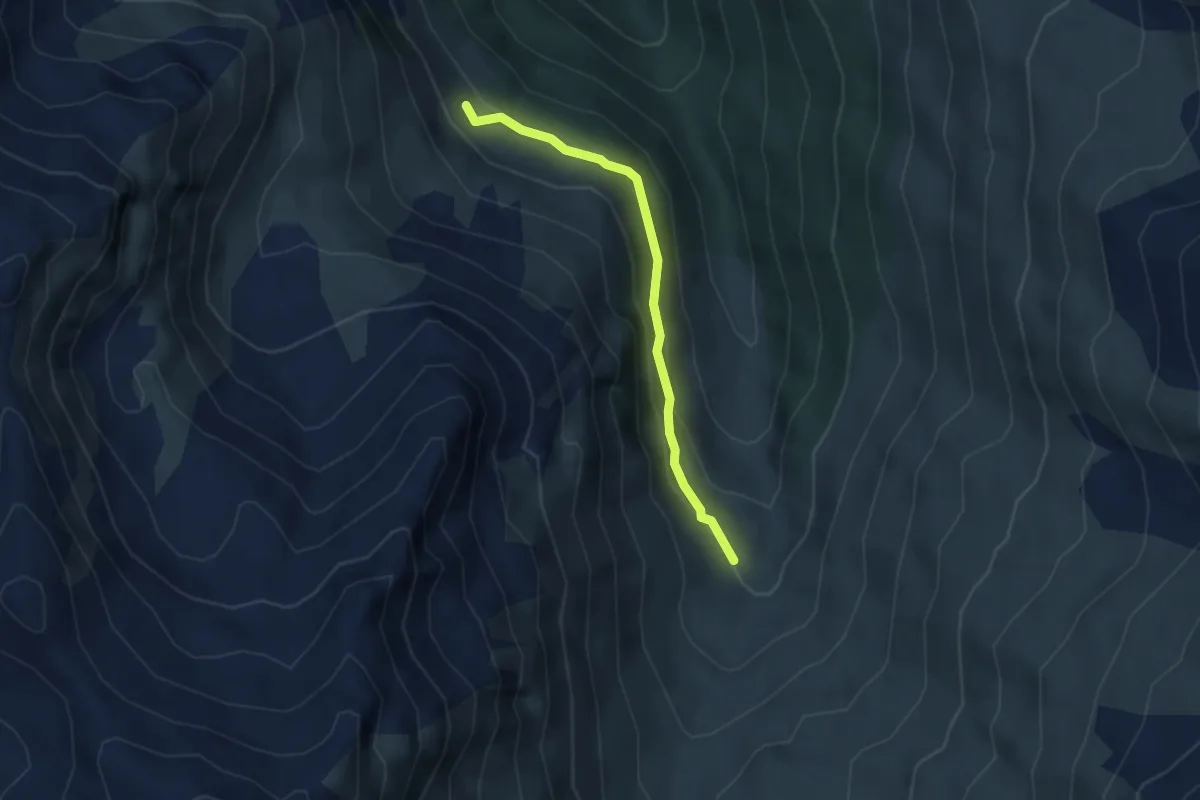
Medium · Trail
Gwannschafalm - Steinkasernalm
3.2 km · ↑ 134 m · 1 h 3 min
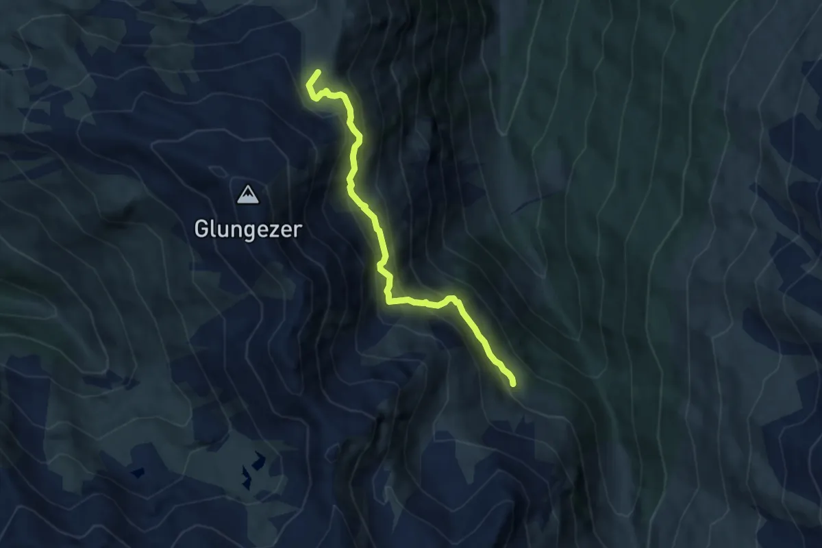
Demanding · Trail
Gwannsteig Tulfein Jöchl - Gwannschafalm
6.5 km · ↑ 415 m · 2 h 26 min
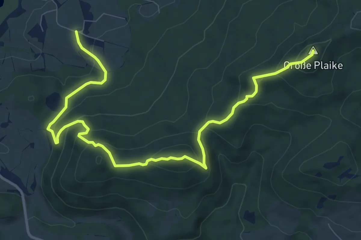
Medium · Summit
H6: Henndorf - Zifanken - Kolomannstaferl
10.5 km · ↑ 620 m · 3 h 49 min
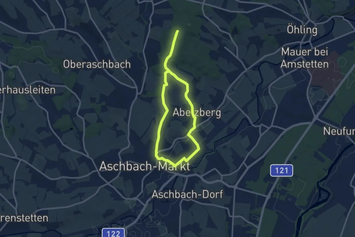
Medium · Trail
Haabergwald - Galgenkreuz
13.3 km · ↑ 185 m · 3 h 33 min
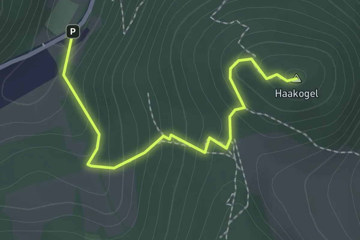
Easy · Summit
Haakogelweg
2.1 km · ↑ 196 m · 54 min
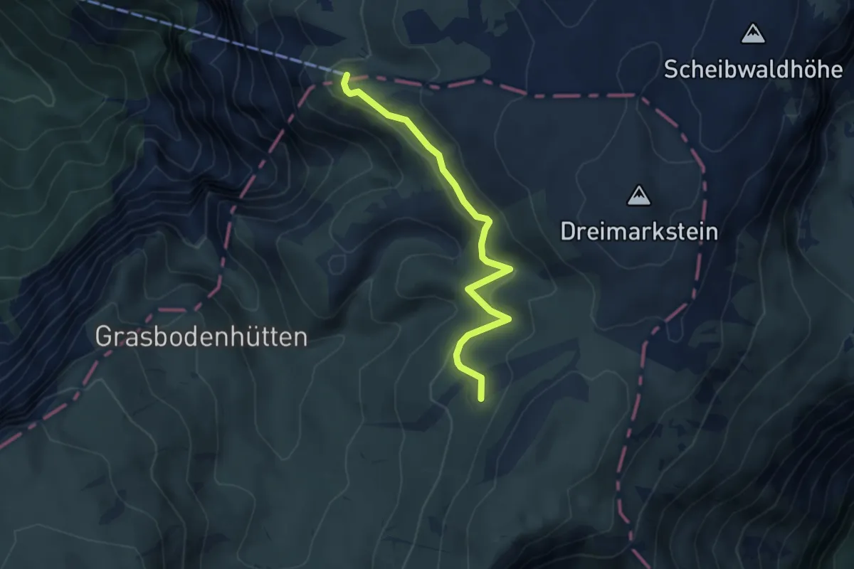
Easy · Summit
Habsburghaus - Trinkstein
4.4 km · ↑ 145 m · 1 h 21 min
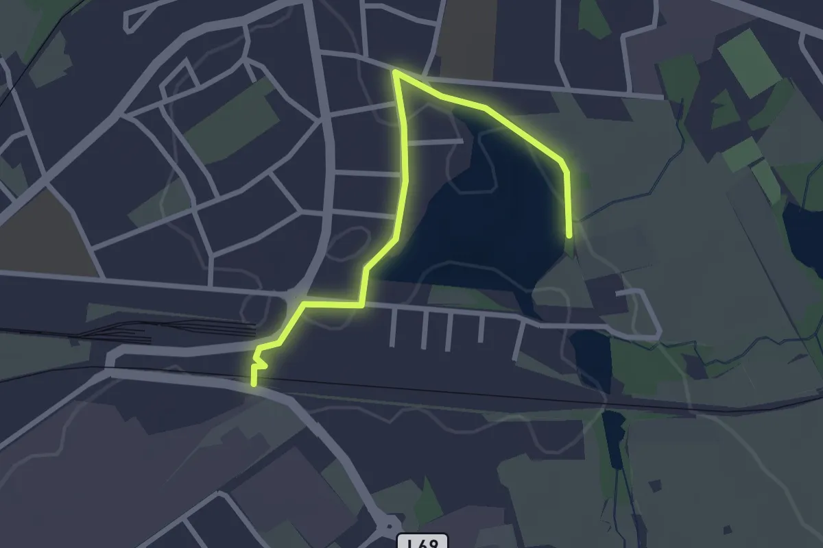
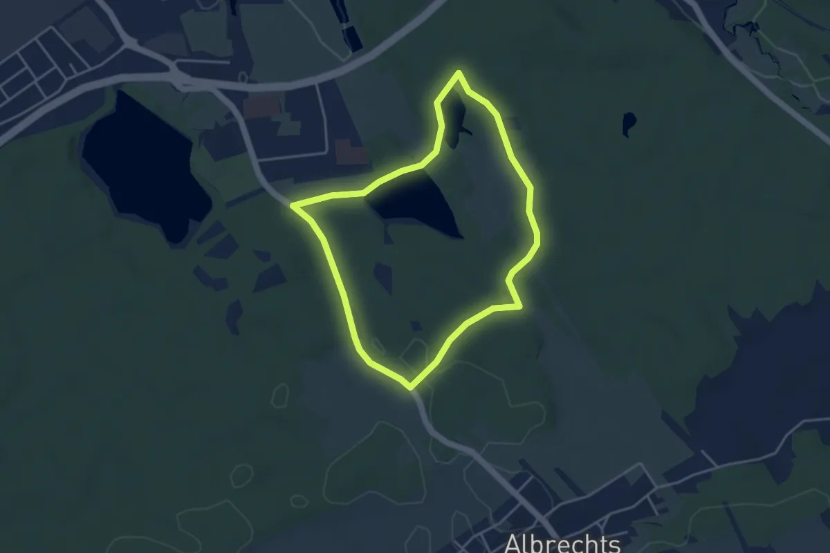
Easy · Trail
Habsburg-Lothringen-Route (blau)
1.2 km · ↑ 0 m · 19 min
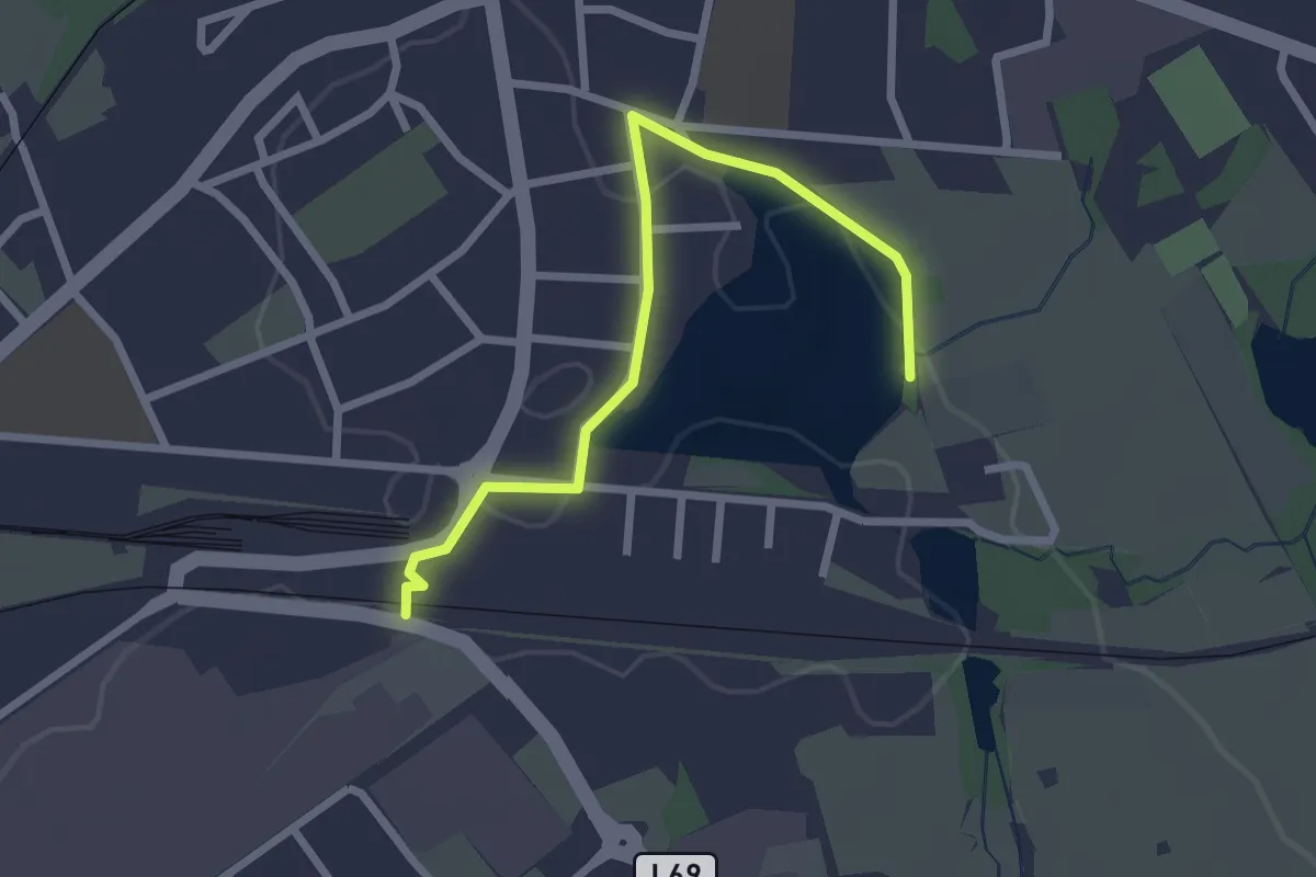
Easy · Trail
Habsburg-Lothringen-Route (rot)
3.5 km · ↑ 27 m · 55 min
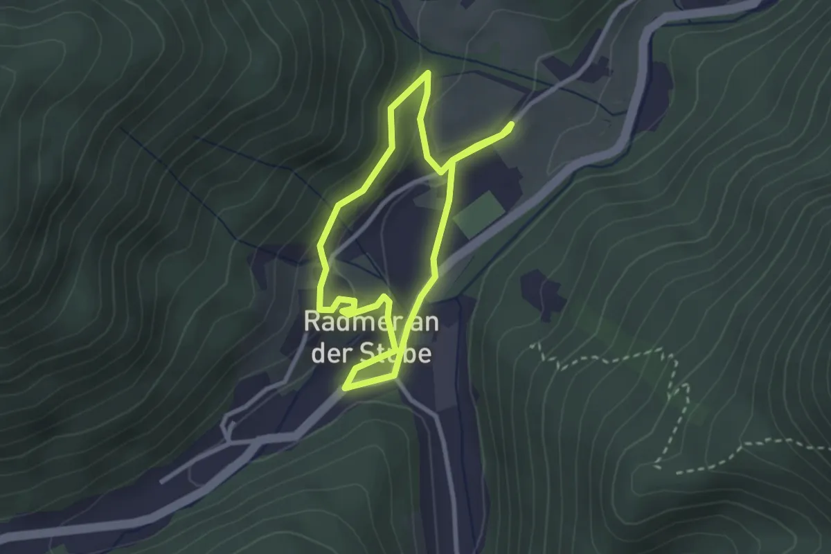
Easy · Trail
Habsburg-Lothringen-Route (schwarz)
1.2 km · ↑ 0 m · 19 min
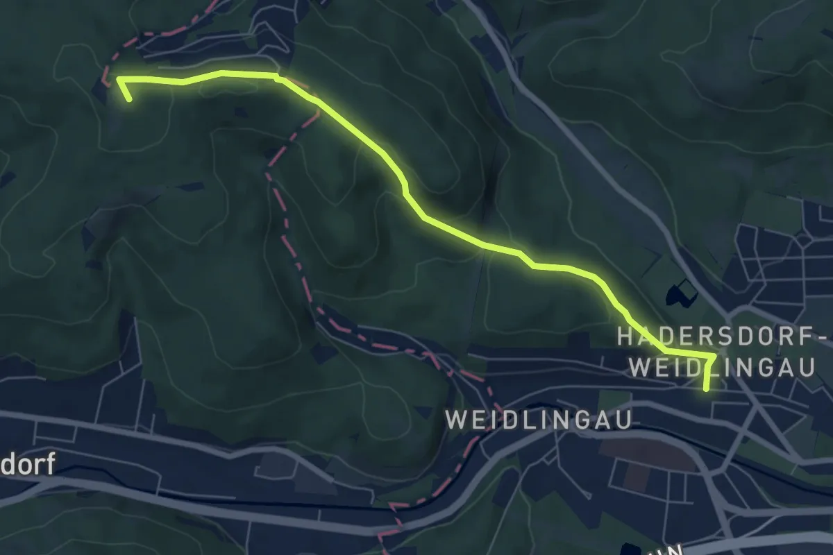
Easy · Trail
Habsburg Meile
2.3 km · ↑ 59 m · 42 min
Easy · Summit
Hadersdorf Bahnhof - Buchberg
6.9 km · ↑ 231 m · 2 h 7 min
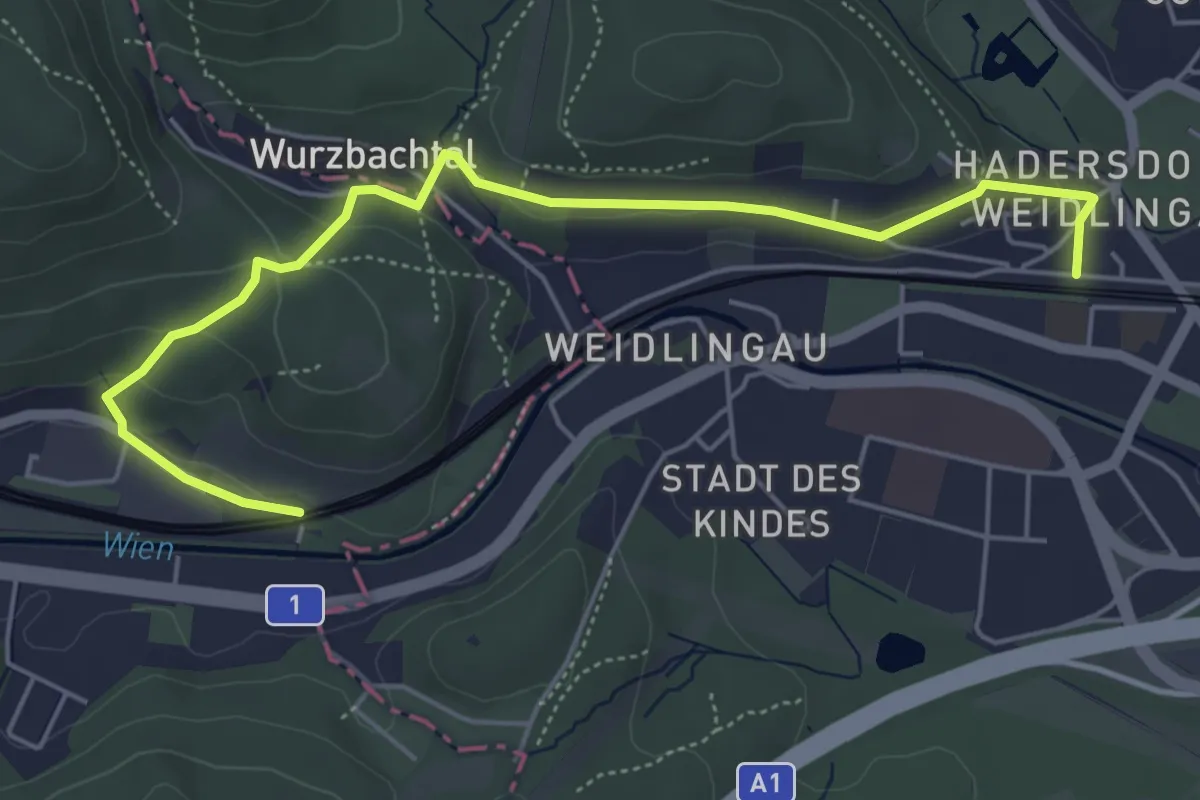
Easy · Trail
Hadersdorf Bahnhof - Purkersdorf Sanatorium Bahnhof
5.7 km · ↑ 165 m · 1 h 42 min
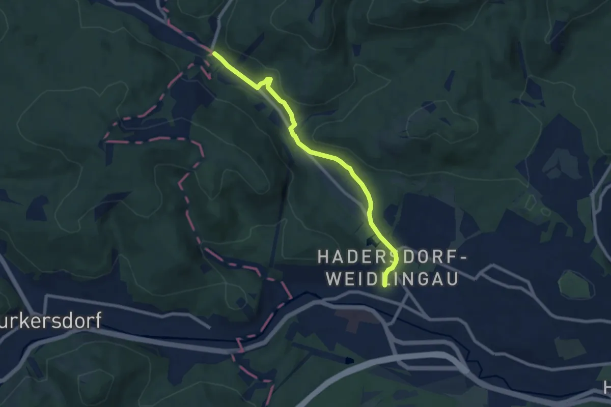
Easy · Trail
Hadersdorf Bahnhof - Vorderhainbach Nord
6.7 km · ↑ 77 m · 1 h 44 min
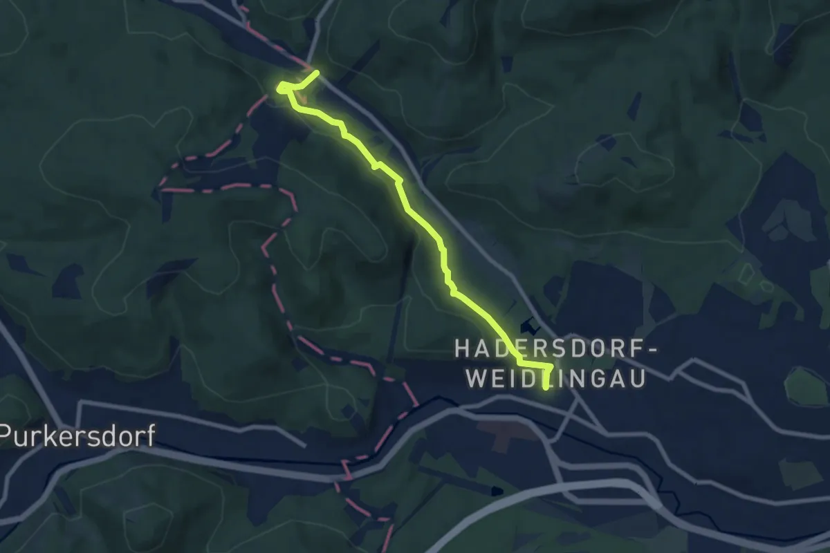
Easy · Trail
Hadersdorf Bahnhof - Vorderhainbach Süd
7.0 km · ↑ 165 m · 2 h
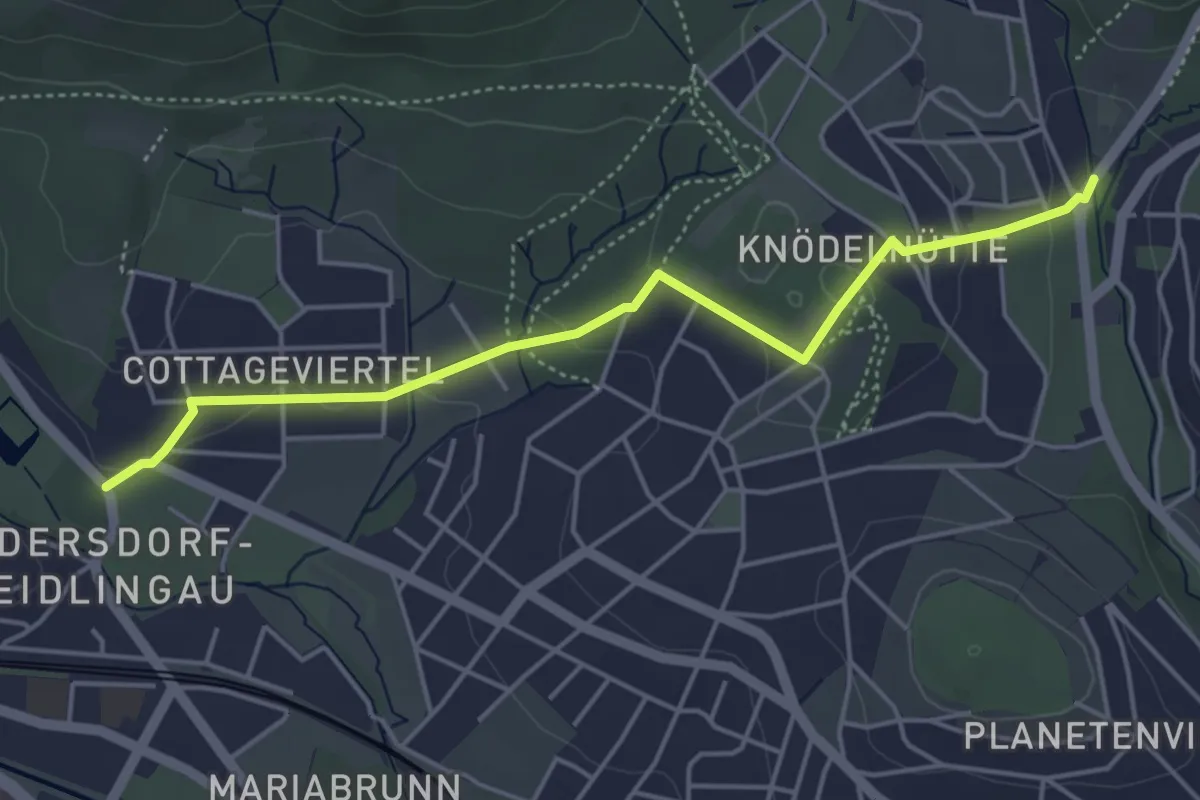
Easy · Trail
Hadersdorf - Moosgraben
4.6 km · ↑ 96 m · 1 h 18 min
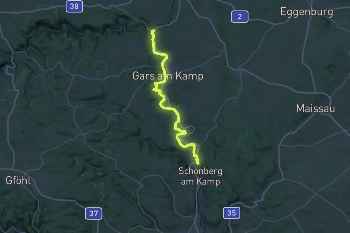
Demanding · Summit
Hadersdorf - Rosenburg (Kamp)
36.9 km · ↑ 829 m · 10 h 31 min
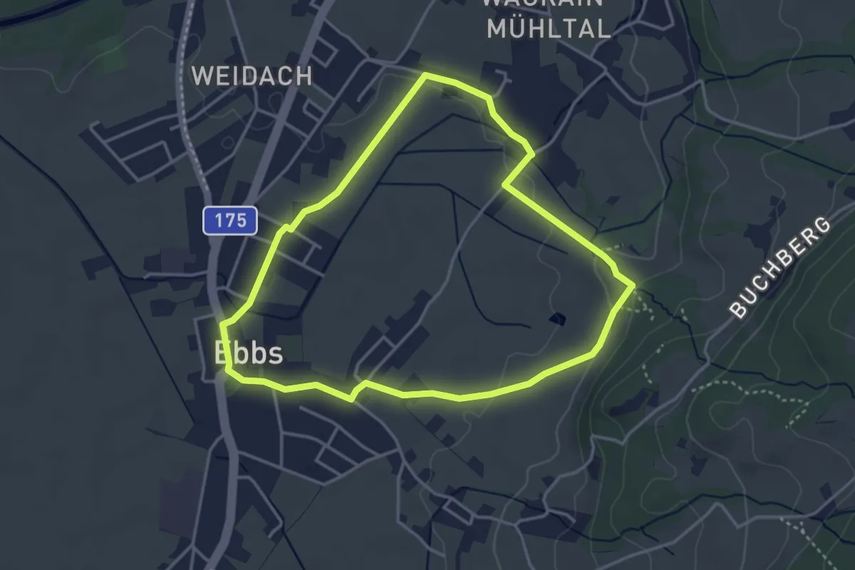
Easy · Trail
Haflinger Rundweg
3.5 km · ↑ 19 m · 55 min
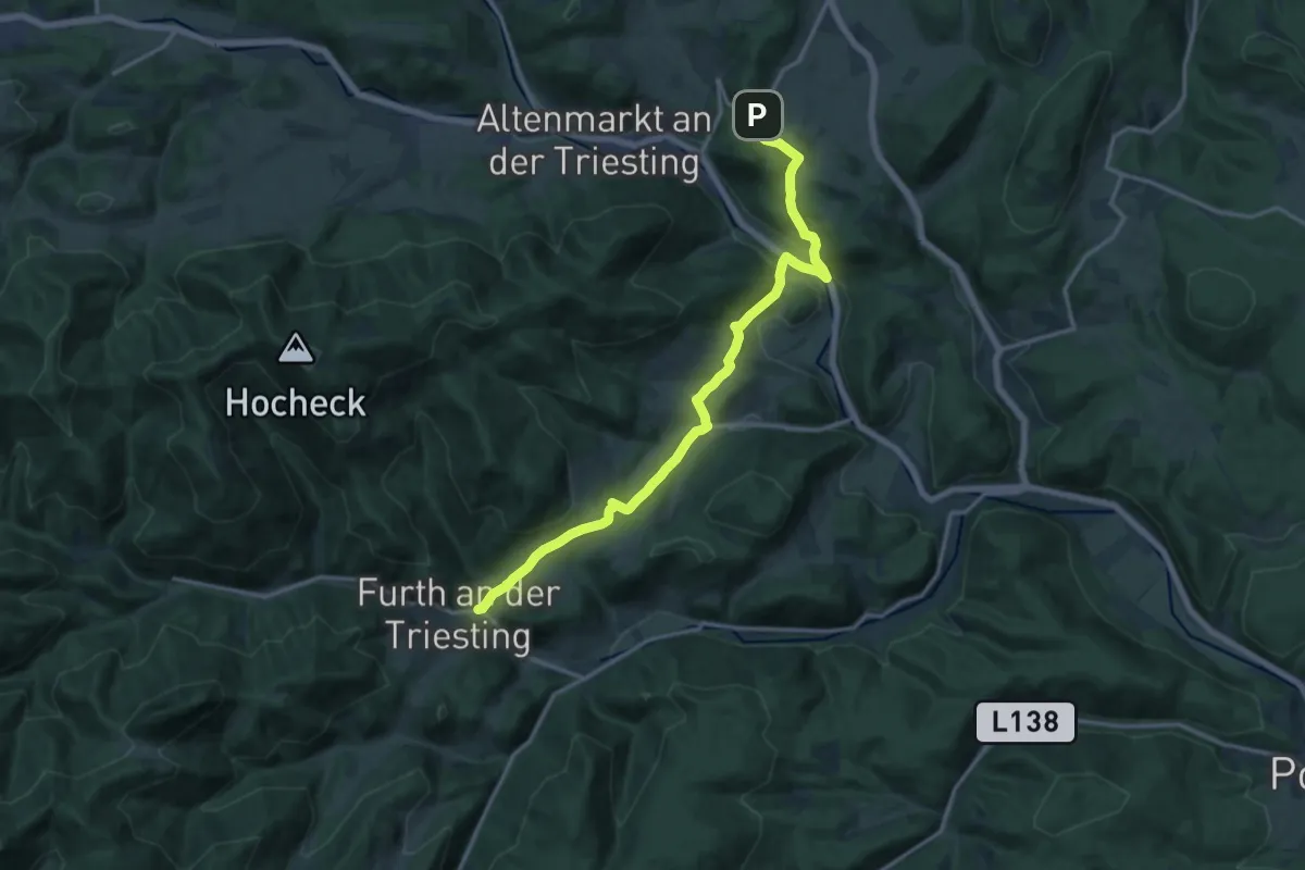
Medium · Trail
Hafnerberg - Furth ad Triesting
15.6 km · ↑ 586 m · 4 h 58 min
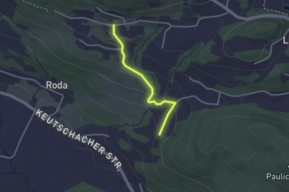
Easy · Trail
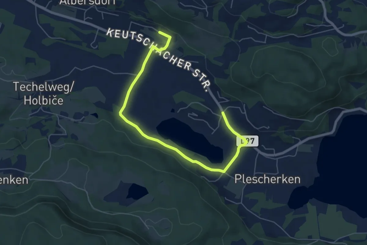
Hafnersee - Höhe
2.1 km · ↑ 106 m · 43 min
Easy · Trail
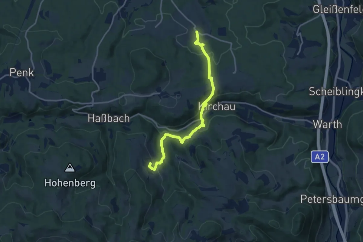
Hafnersee - Roda
6.6 km · ↑ 24 m · 1 h 37 min
Medium · Trail
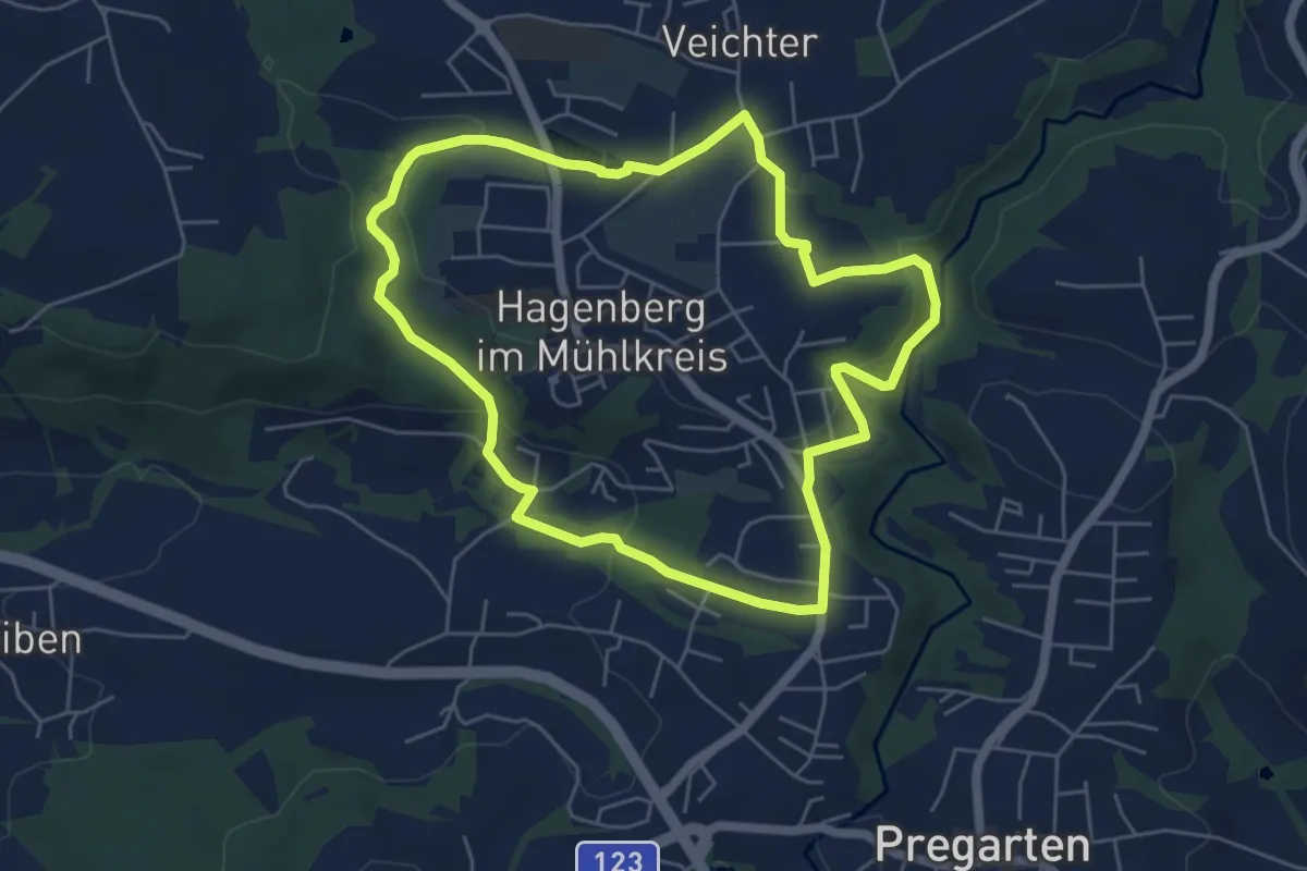
Hafning - Kirchau - Molfritz
10.4 km · ↑ 427 m · 3 h 22 min
Easy · Trail
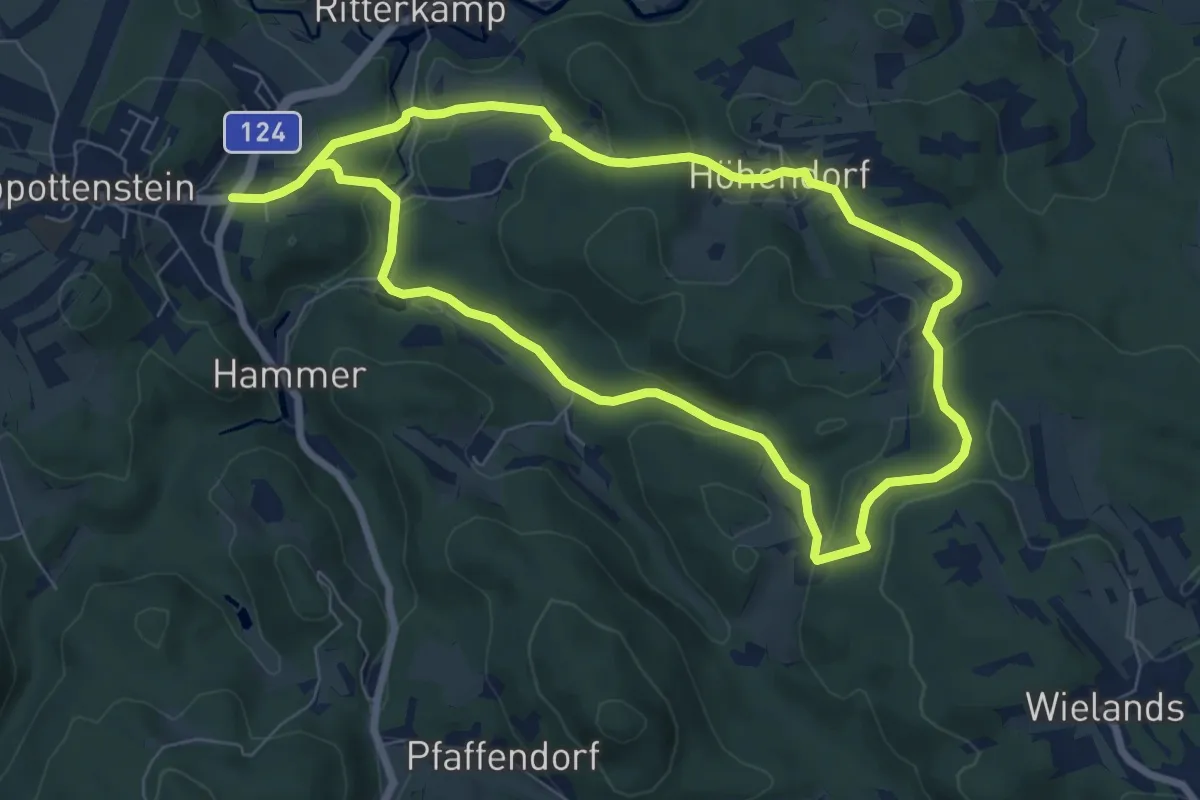
Hagenberg-Rundweg (49)
5.3 km · ↑ 133 m · 1 h 37 min
Easy · Trail
Hagenhofweg 2a
6.7 km · ↑ 210 m · 2 h 8 min
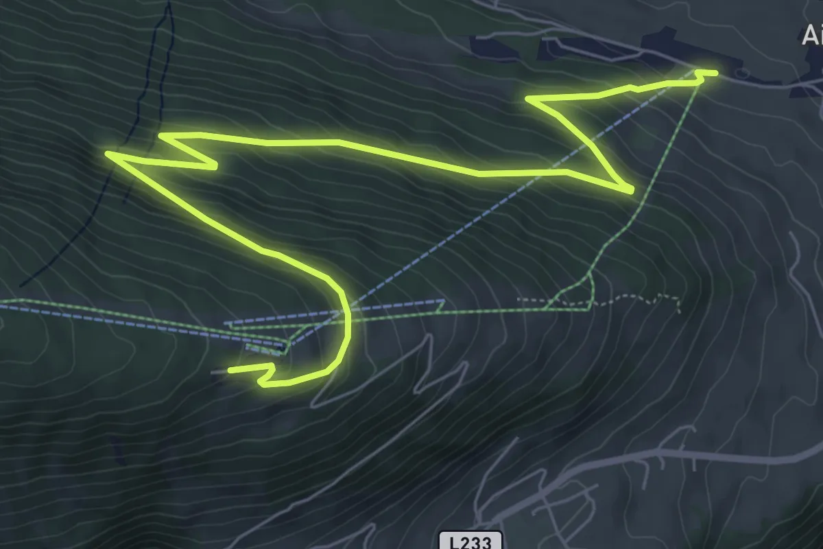
Medium · Trail
Haggenweg 2
9.0 km · ↑ 539 m · 3 h 18 min
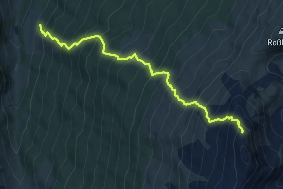
Demanding · Summit
Haglachalm - Markisalm - Haneburger
7.2 km · ↑ 1106 m · 4 h 6 min
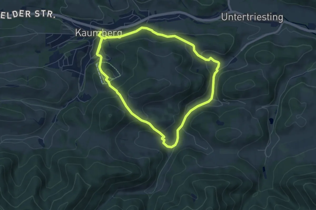
Medium · Trail
Hahnweg
12.6 km · ↑ 452 m · 3 h 57 min
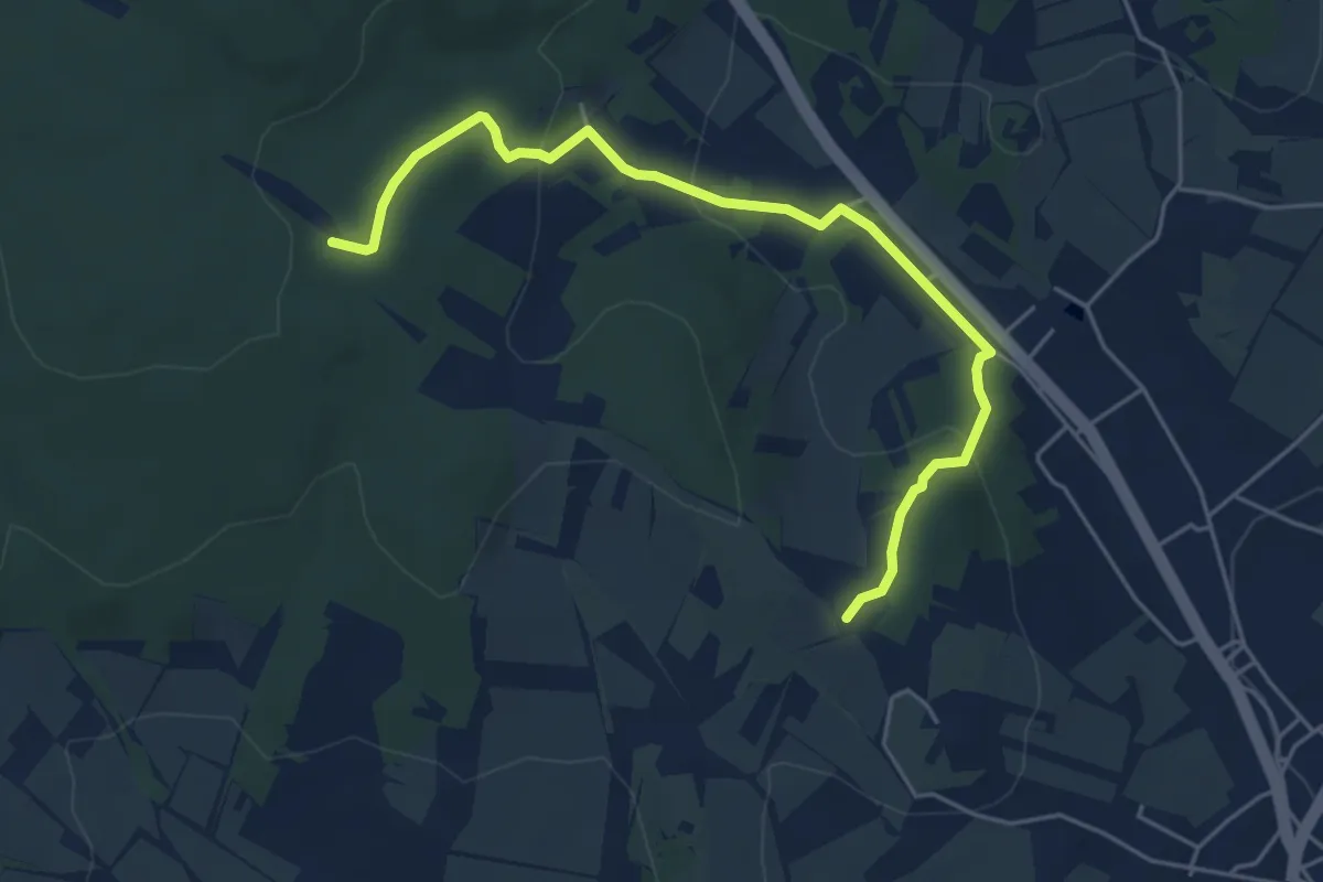
Easy · Trail
Haidgrabenweg
5.2 km · ↑ 197 m · 1 h 39 min
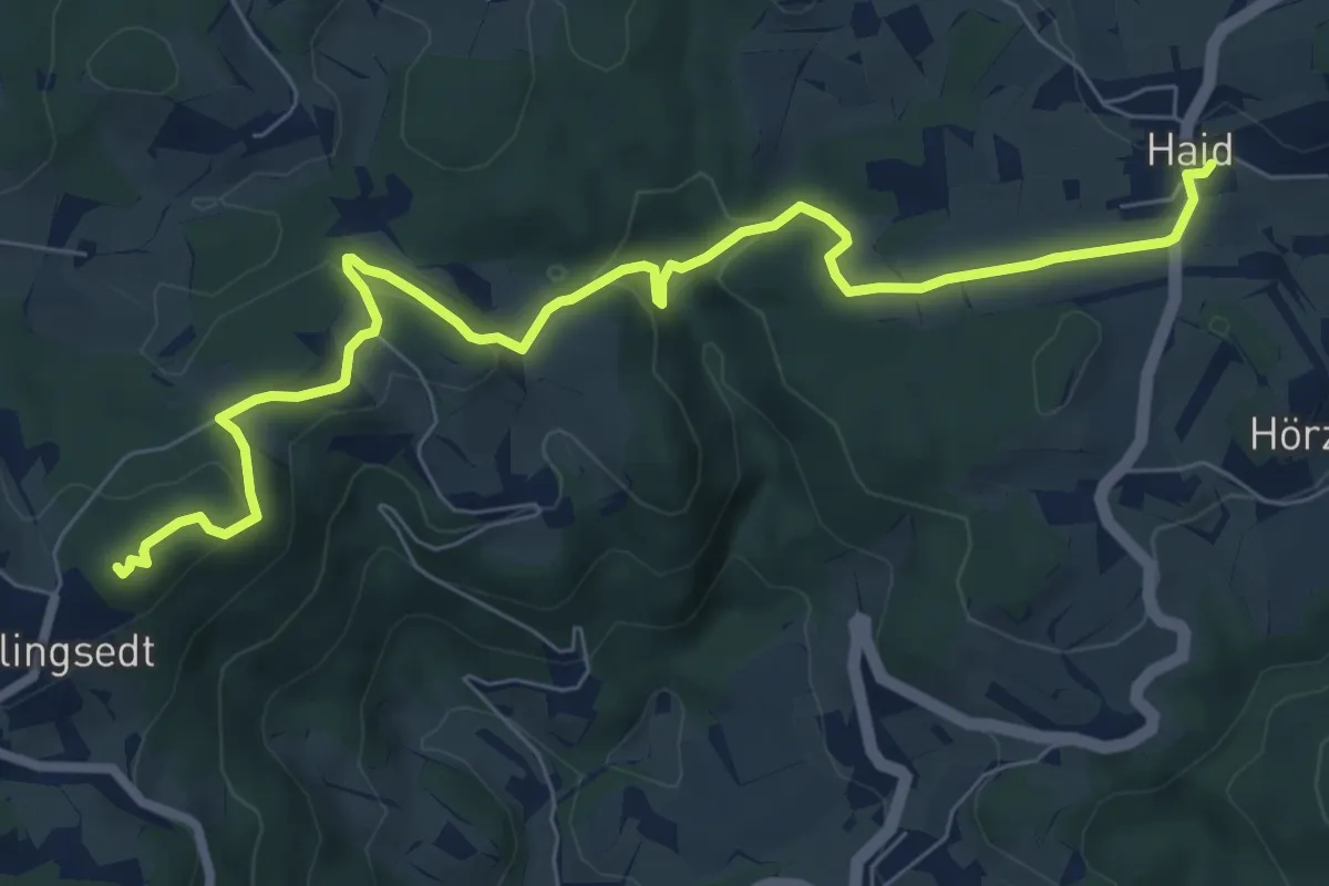
Medium · Summit
Haid - Hansenberg Nr. 8 (Anschluß Hirschalmweg)
8.4 km · ↑ 314 m · 2 h 39 min
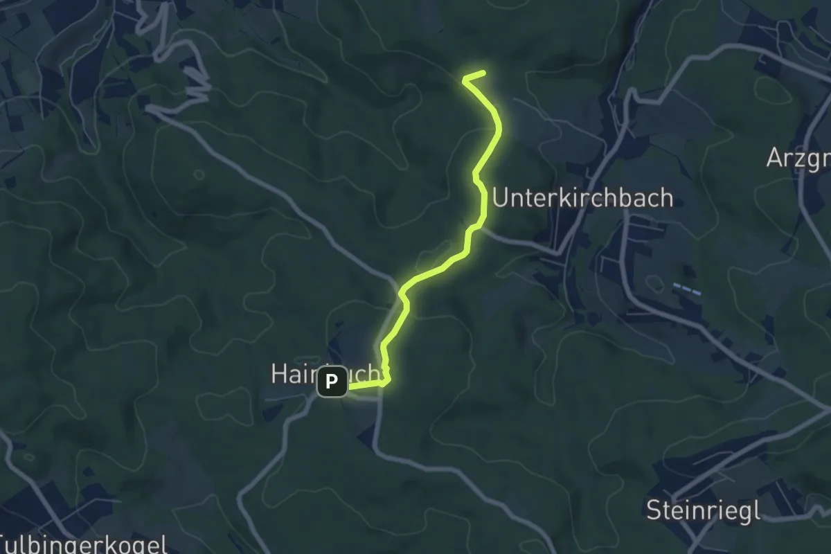
Easy · Trail
Hainbuch - Karlholz
5.3 km · ↑ 126 m · 1 h 32 min
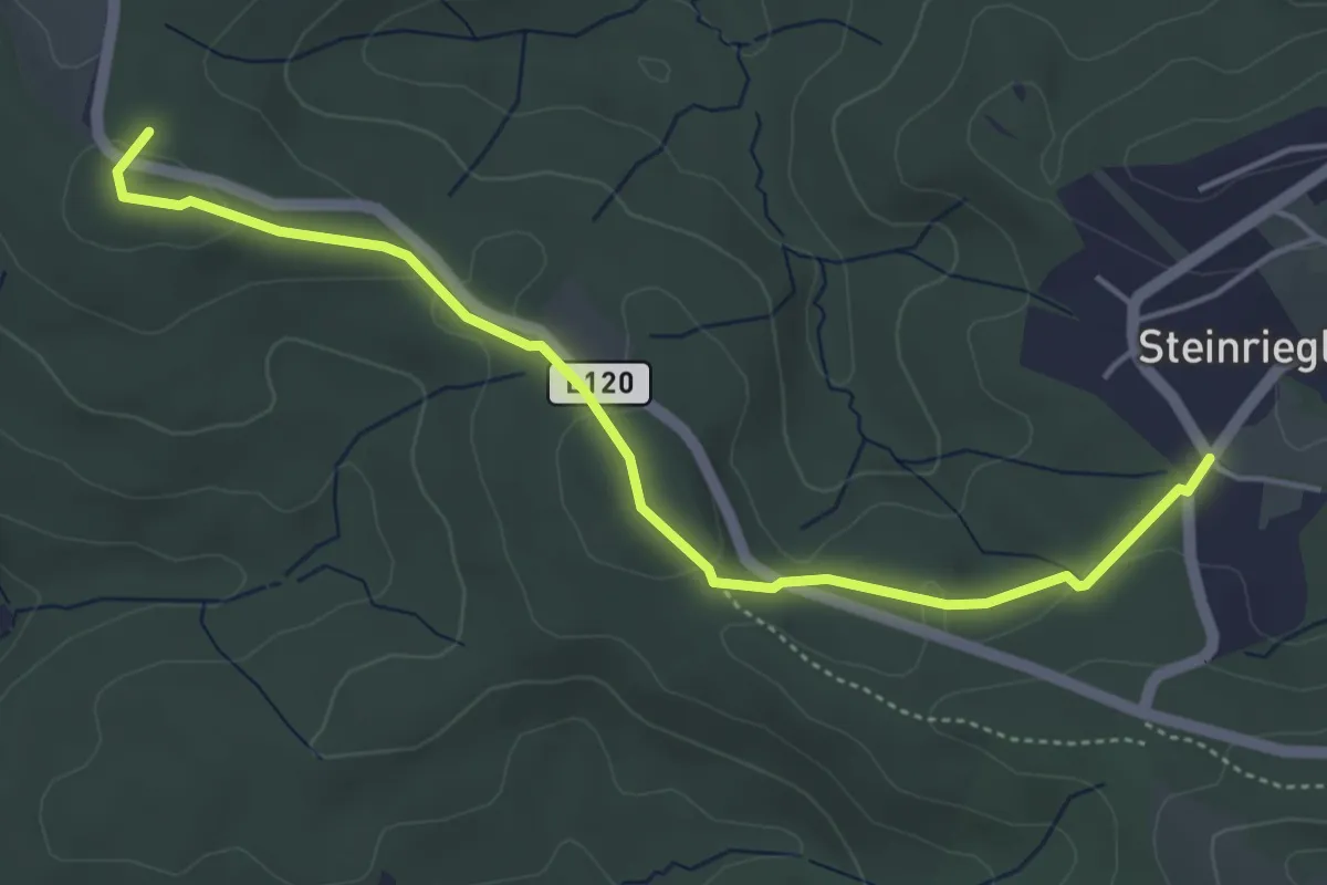
Easy · Summit
Hainbuch - Steinriegl
4.7 km · ↑ 70 m · 1 h 16 min
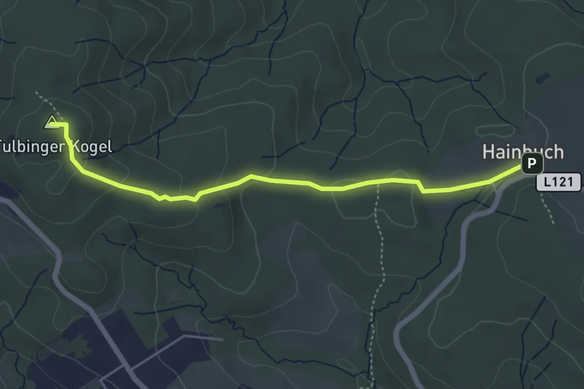
Easy · Summit
Hainbuch - Tulbinger Kogel/Leopold-Figl-Warte
4.3 km · ↑ 134 m · 1 h 18 min
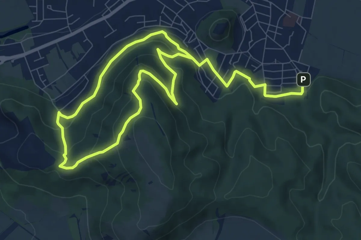
Medium · Trail
Hainburg: Hexenbergweg
14.4 km · ↑ 617 m · 4 h 45 min
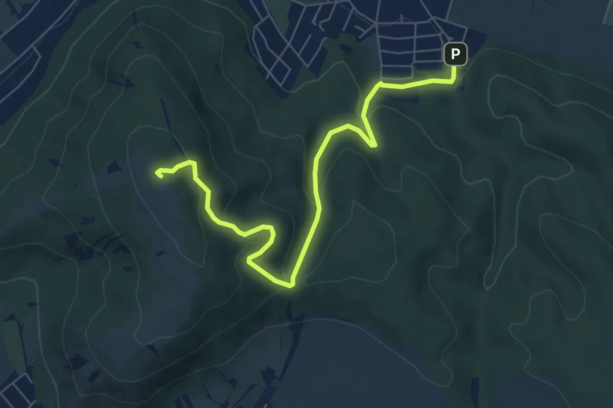
Easy · Summit
Hainburg: Hundsheimer Kogel
6.8 km · ↑ 279 m · 2 h 13 min
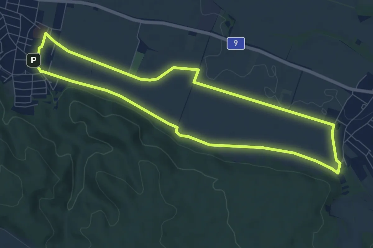
Easy · Trail
Hainburg: Schiesstättenweg
7.6 km · ↑ 43 m · 2 h
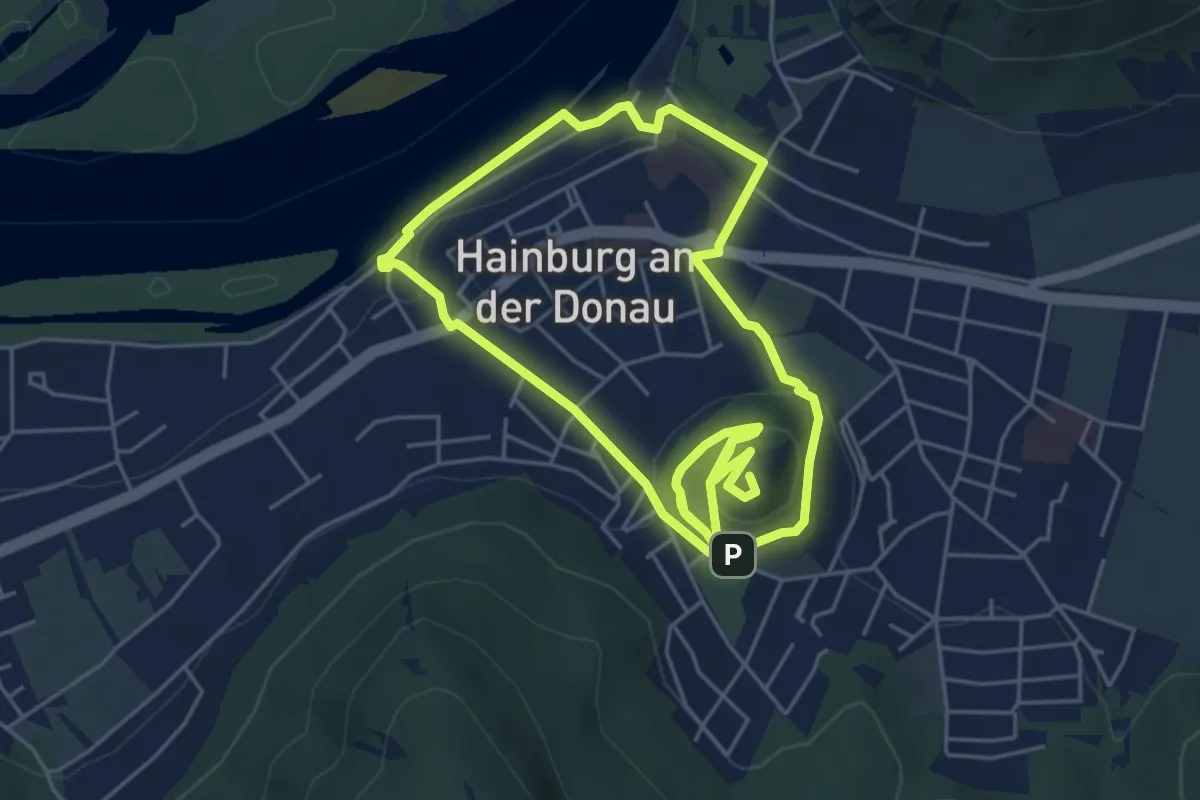
Medium · Summit
Hainburg: Stadtmauerrunde
11.0 km · ↑ 338 m · 3 h 20 min
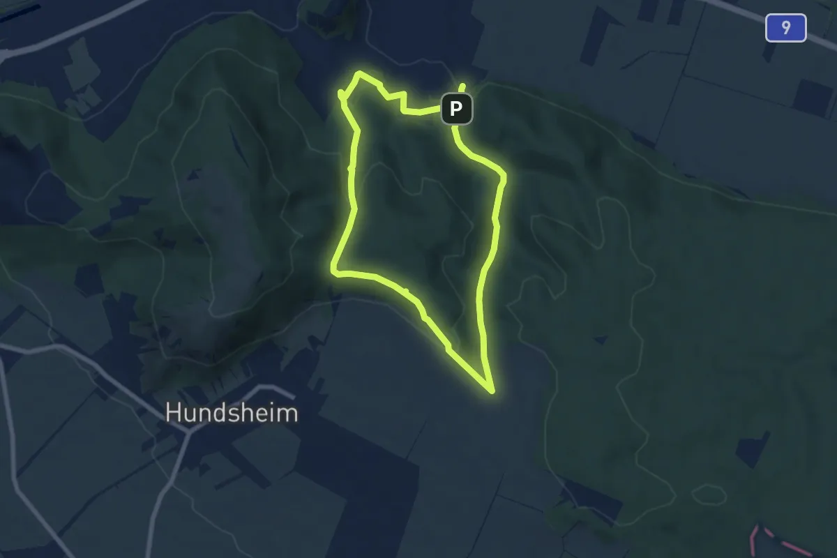
Medium · Trail
Hainburg: Teichtal
11.8 km · ↑ 303 m · 3 h 27 min
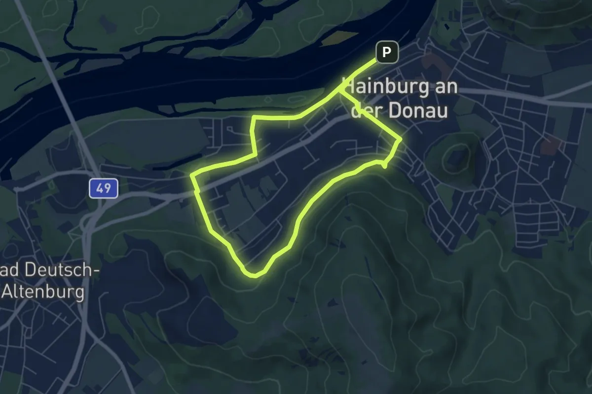
Medium · Trail
Hainburg: Zu den 3 Foehren
10.5 km · ↑ 223 m · 2 h 58 min
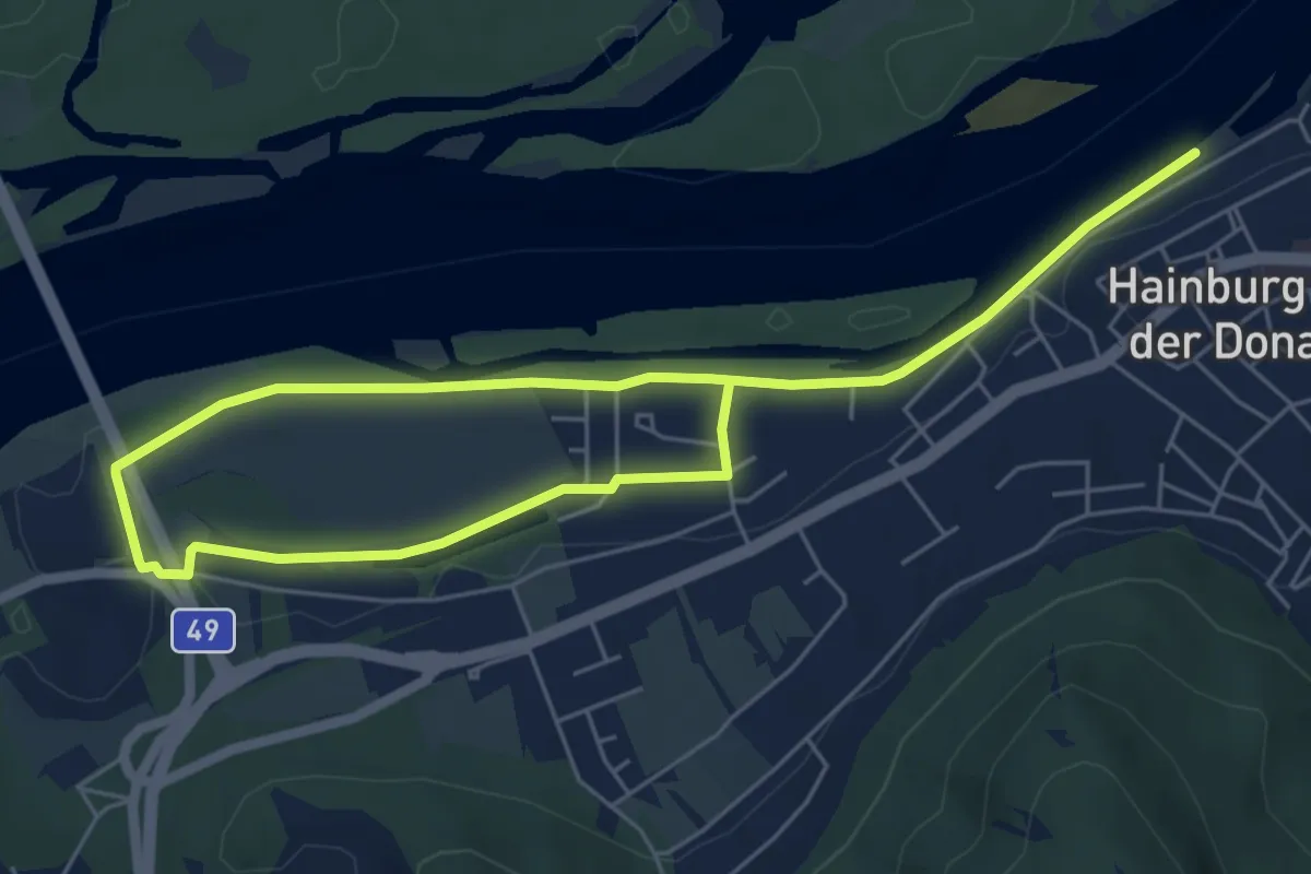
Medium · Trail
Hainburg: Zu den alten Donauarmen
8.7 km · ↑ 9 m · 2 h 4 min
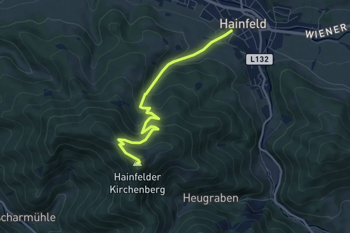
Medium · Summit
Haineld (Umspannwerk) - Hainfelder-Hütte
7.1 km · ↑ 485 m · 2 h 44 min
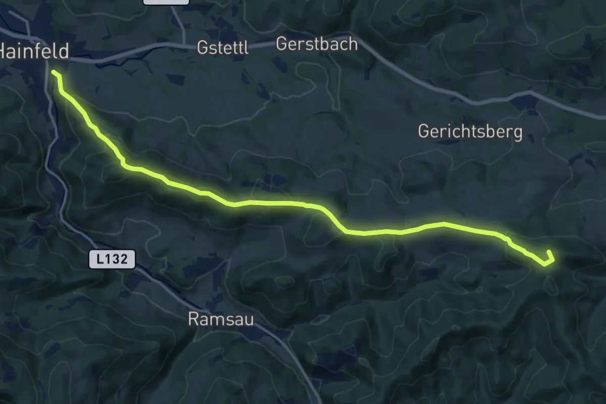
Medium · Summit
Hainfeld - Araburg
15.5 km · ↑ 625 m · 5 h 1 min
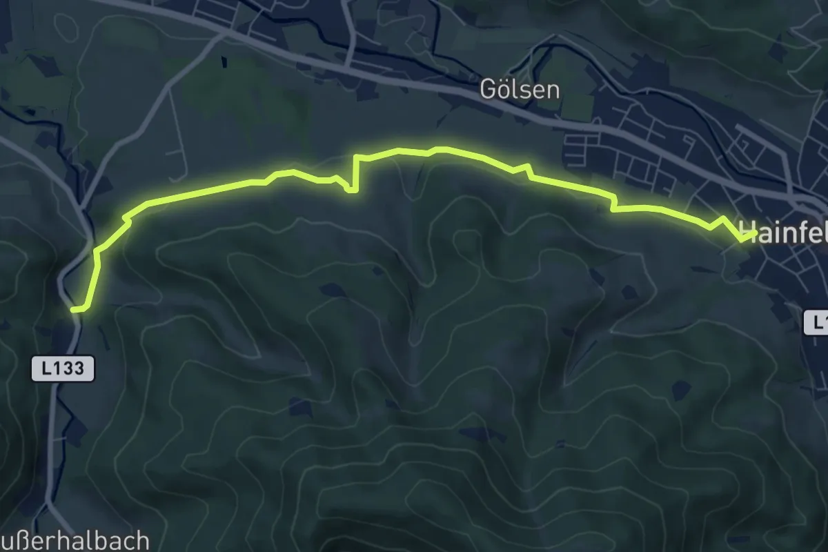
Medium · Trail
Hainfeld Kirche - Gasthaus Haxenmühle
8.3 km · ↑ 165 m · 2 h 19 min
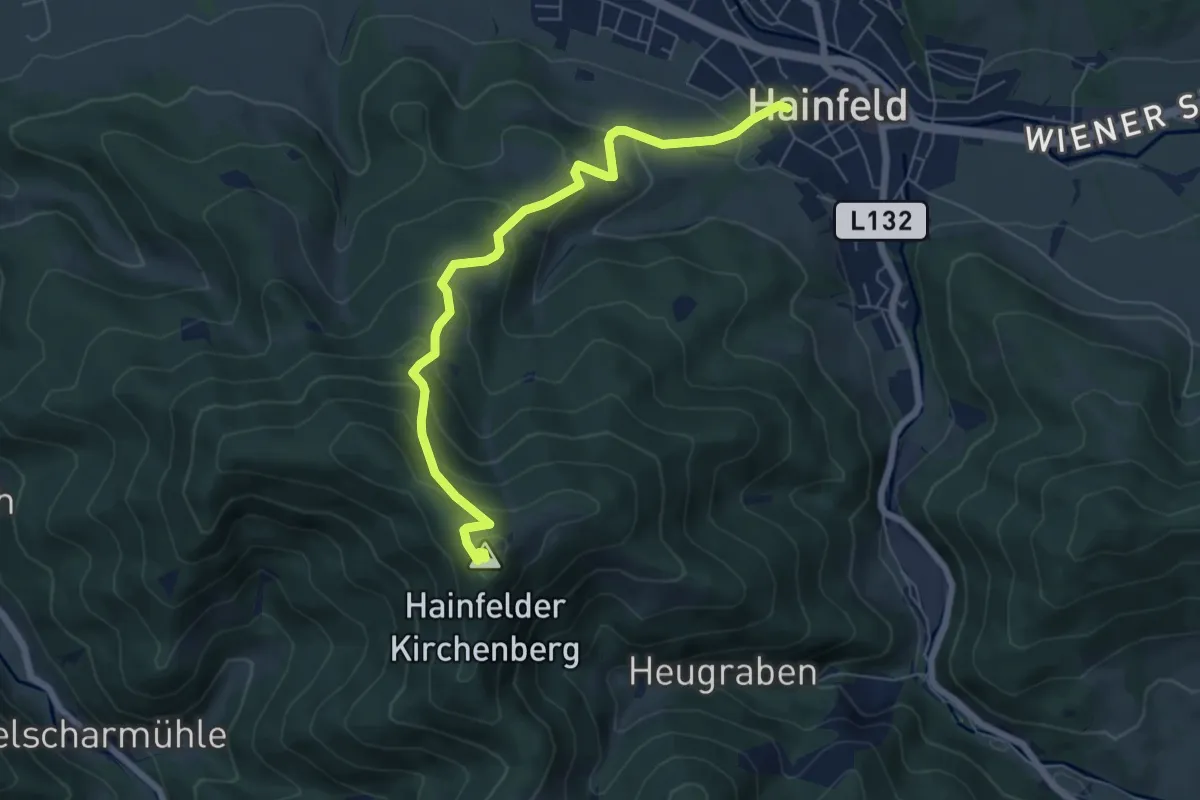
Medium · Summit
Hainfeld (Kirche) - Hainfelder Hütte
6.4 km · ↑ 486 m · 2 h 34 min
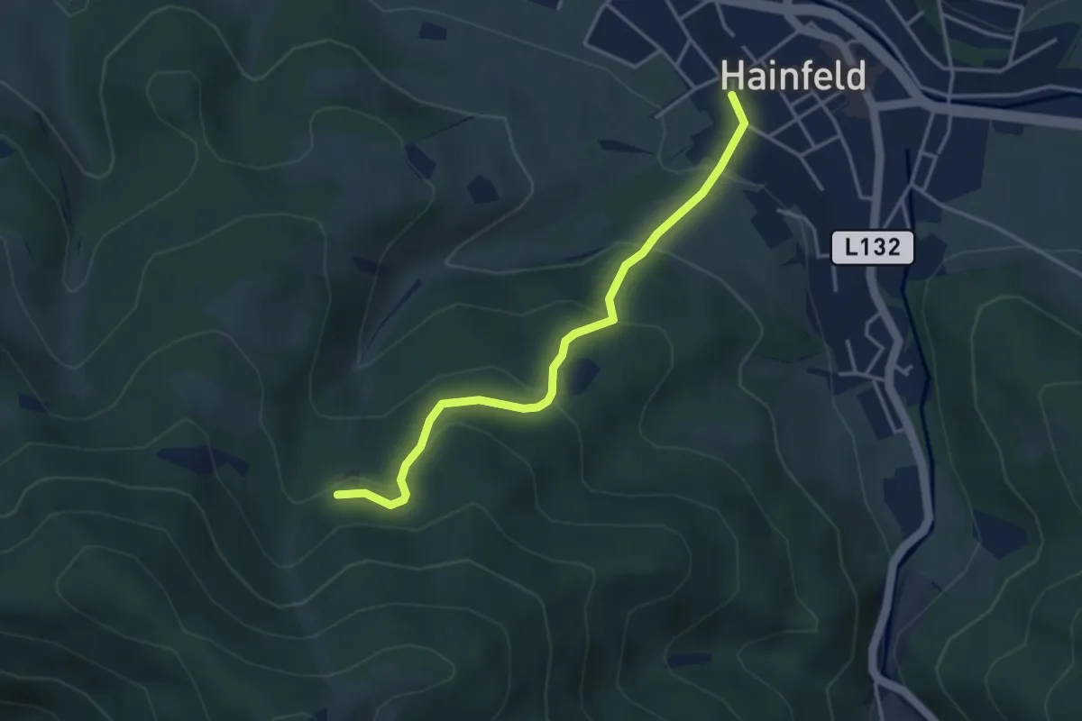
Easy · Cabin
Hainfeld (Kirche) - Liasnböndlhütte
3.5 km · ↑ 218 m · 1 h 18 min