Trails in Austria
9,778 hiking trails, each with its route, climb, walking time and grade.
All trails, page 42 of 204
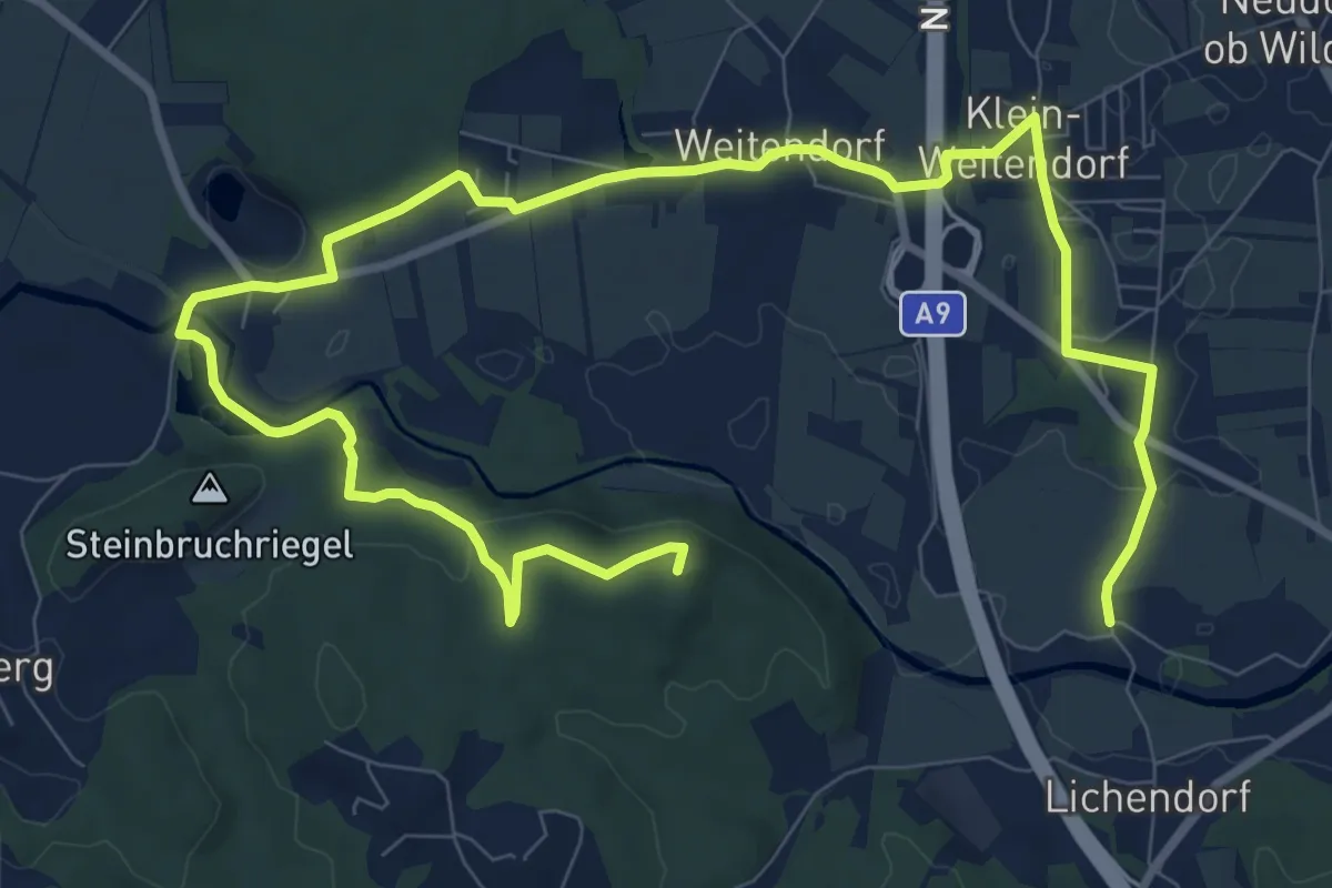
Medium · Summit
Hengist Kulturwanderweg Weitendorf
14.4 km · ↑ 164 m · 3 h 46 min
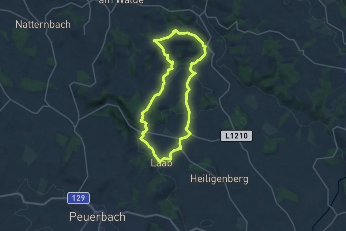
Medium · Trail
Hengstbergrunde
12.0 km · ↑ 315 m · 3 h 41 min
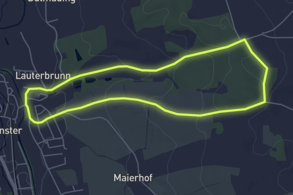
Easy · Trail
Hennaberg Rundweg
4.5 km · ↑ 88 m · 1 h 19 min
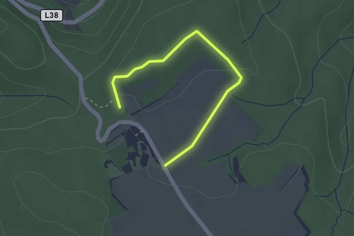
Easy · Trail
Hennerweg
1.3 km · ↑ 24 m · 22 min
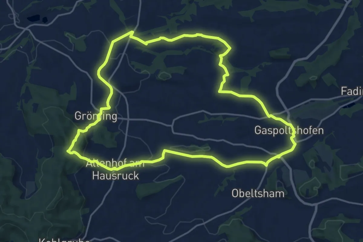
Medium · Trail
Herkules Pfad
14.5 km · ↑ 304 m · 4 h 16 min
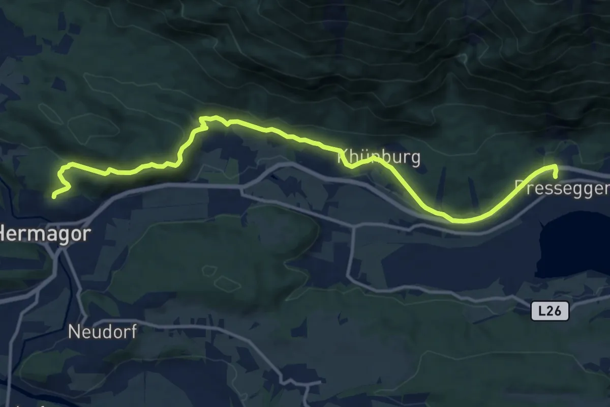
Medium · Trail
Hermagor - Khünburg - Pressegger See
13.1 km · ↑ 319 m · 3 h 47 min
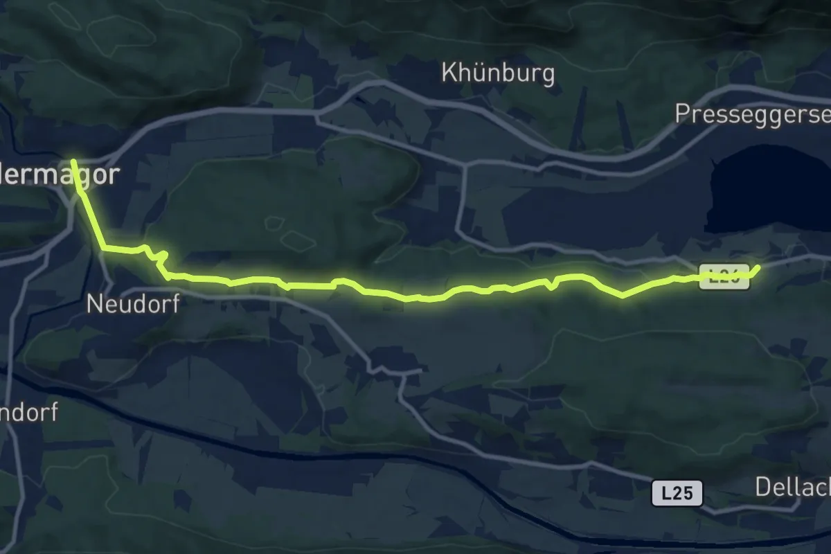
Medium · Trail
Hermagor - Neudorf - Pressegger See - Paßriach
12.3 km · ↑ 210 m · 3 h 22 min
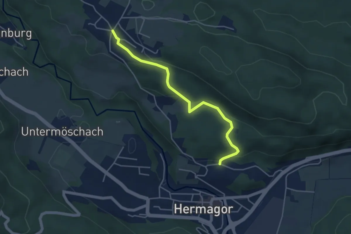
Easy · Trail
Hermagor - Radnig
3.8 km · ↑ 107 m · 1 h 7 min
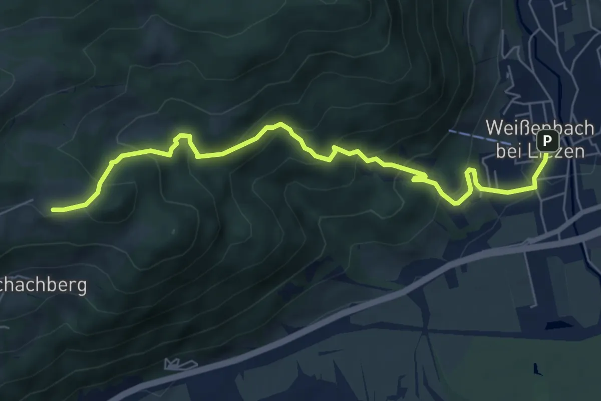
Medium · Trail
Hermann von Wissmann-Weg
6.5 km · ↑ 443 m · 2 h 30 min
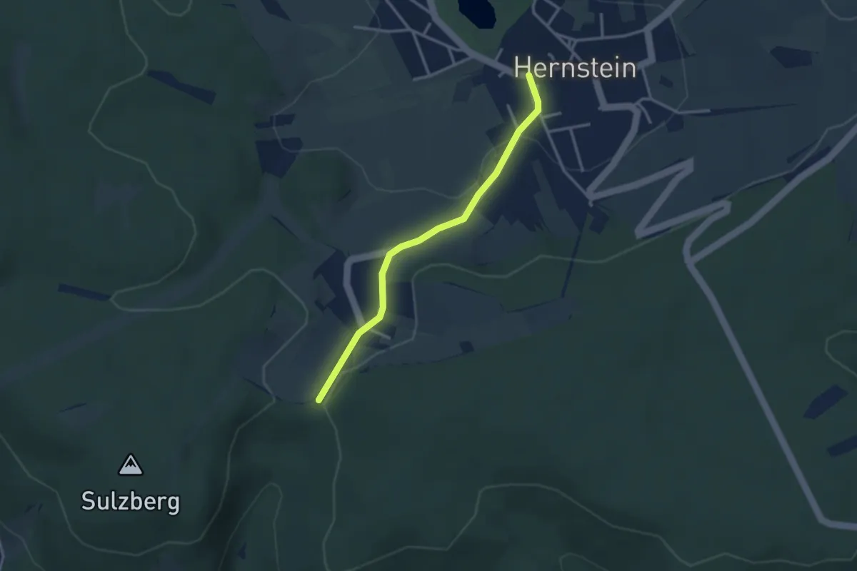
Easy · Trail
Hernstein - Alkersdorf
2.7 km · ↑ 64 m · 47 min
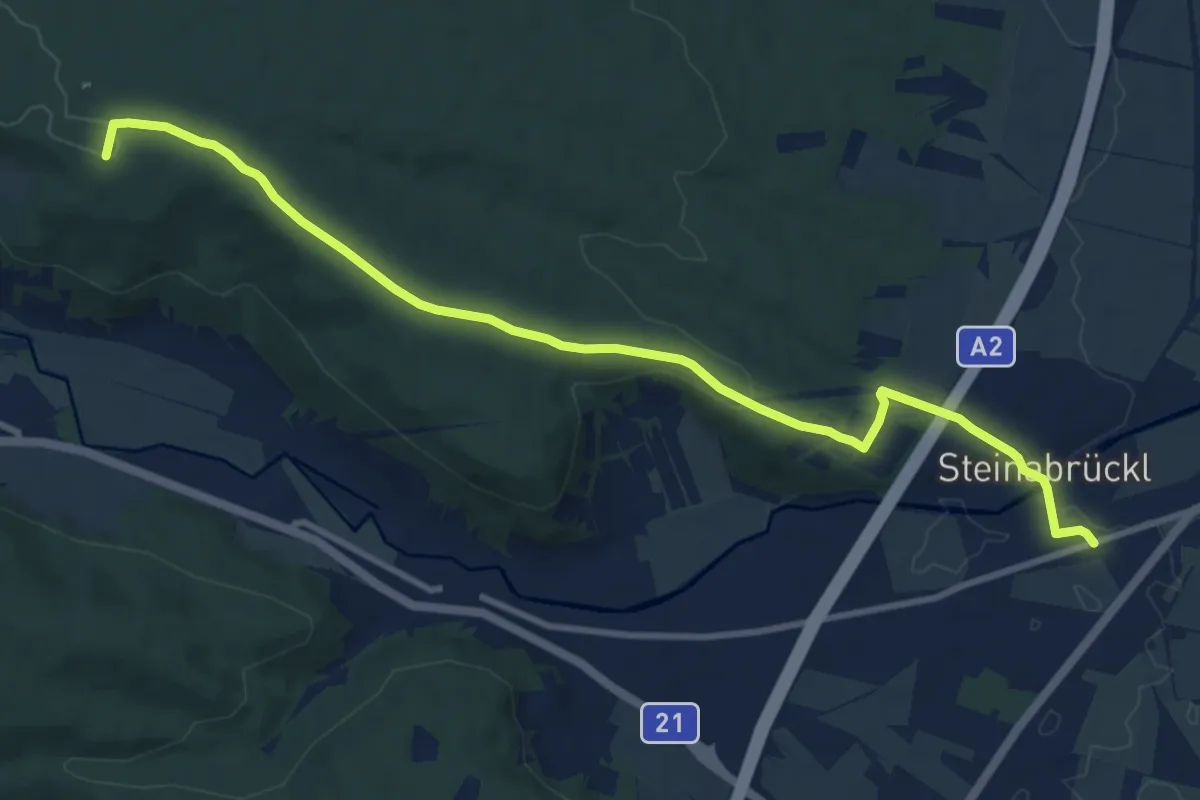
Medium · Summit
Hernstein - Steinabrückl
10.7 km · ↑ 198 m · 2 h 58 min
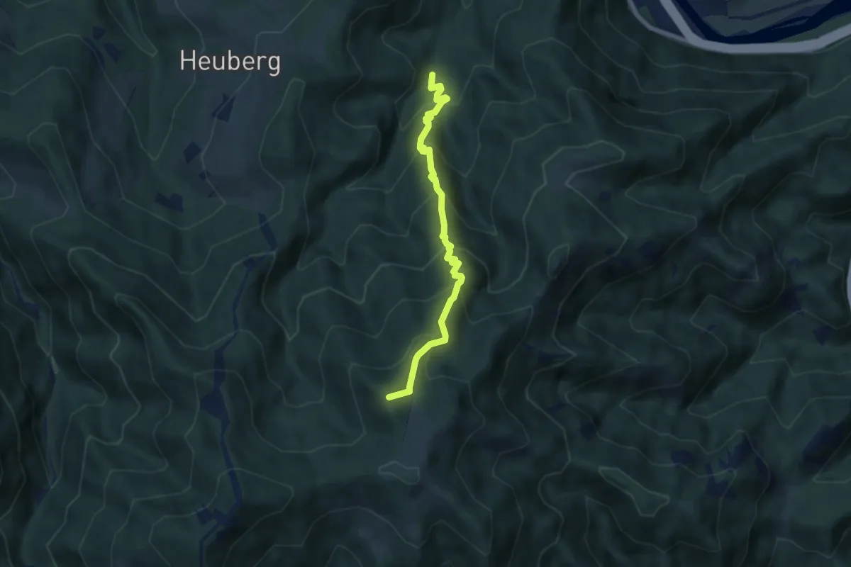
Medium · Summit
Herrensteig
6.1 km · ↑ 649 m · 2 h 51 min
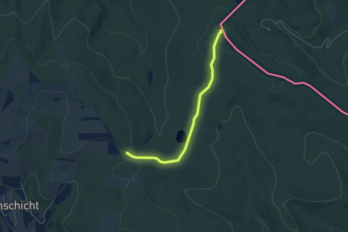
Easy · Trail
Herrentisch - Sieggraben - Hartlspitz
4.0 km · ↑ 81 m · 1 h 7 min
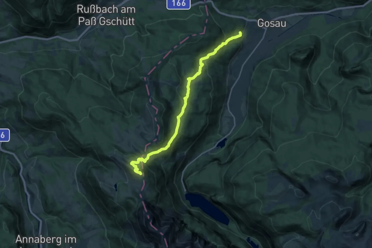
Medium · Summit
Herrenweg
15.7 km · ↑ 783 m · 5 h 24 min
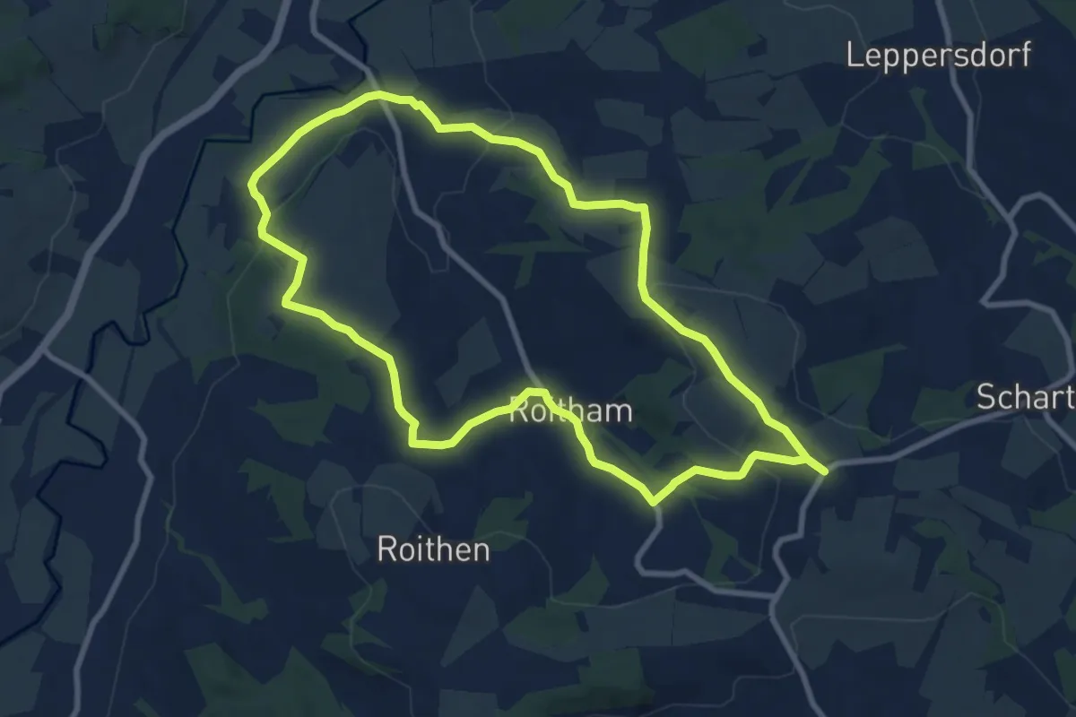
Medium · Trail
Herrnholzer Rundweg
8.3 km · ↑ 207 m · 2 h 31 min
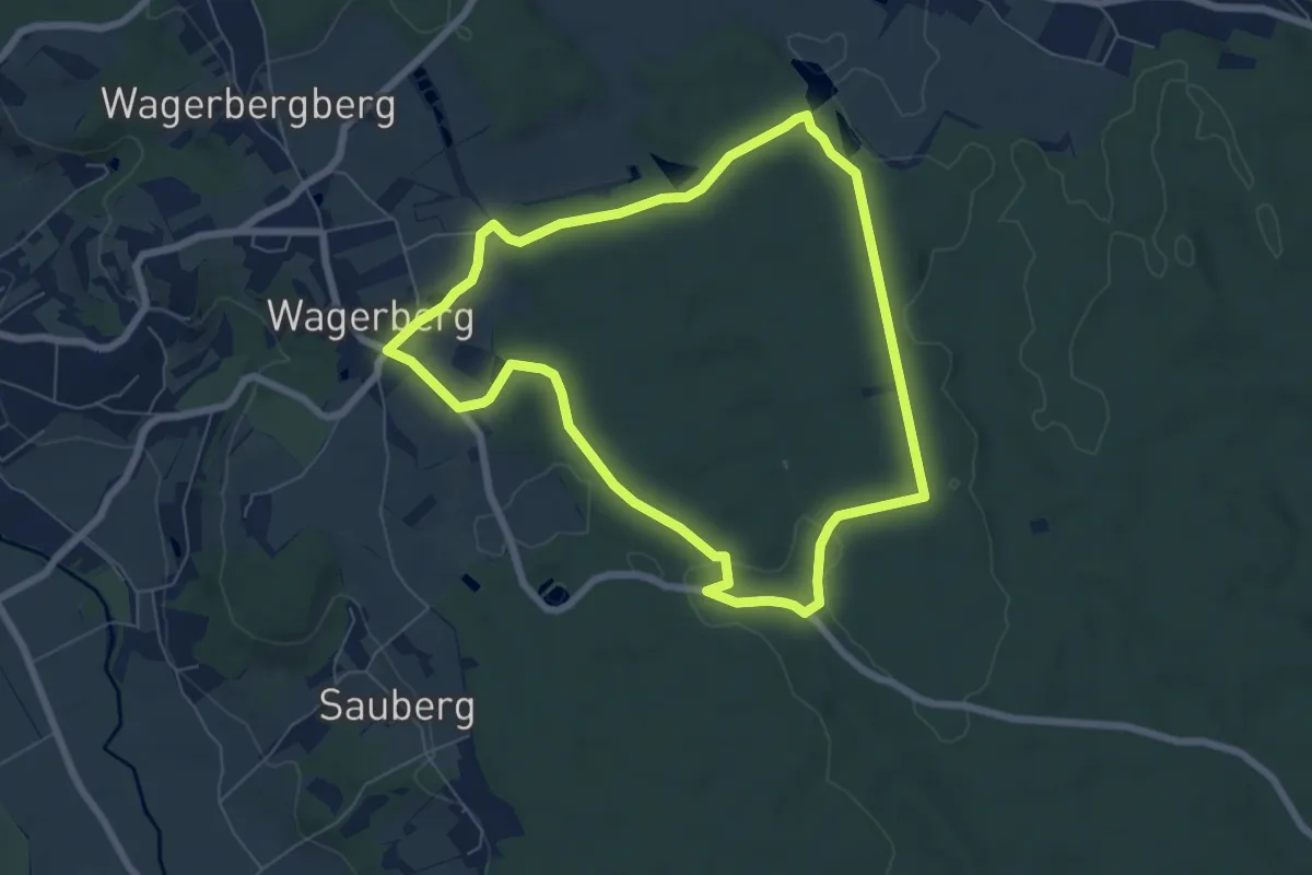
Easy · Trail
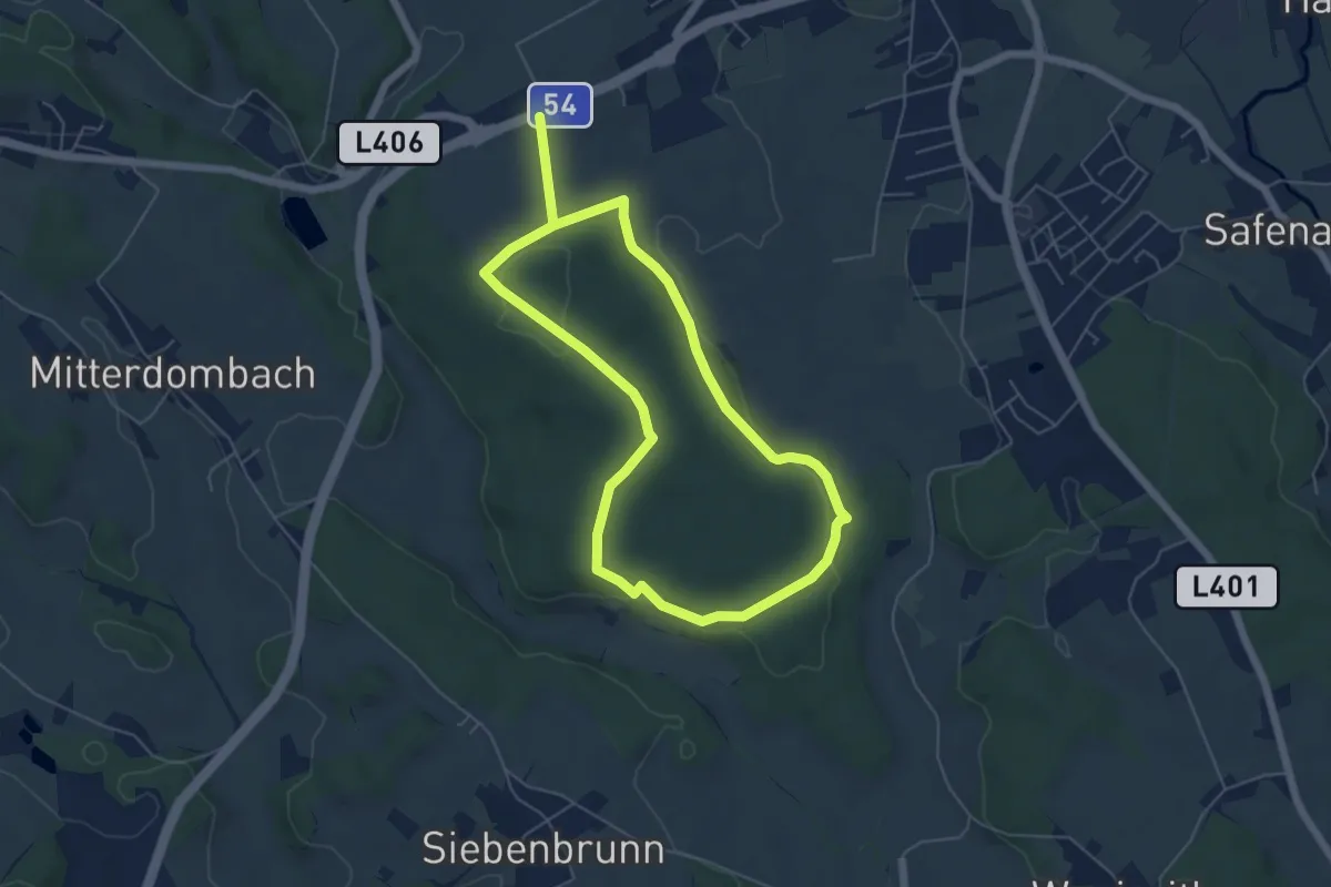
Herrschaftswaldweg (W7)
6.5 km · ↑ 58 m · 1 h 45 min
Easy · Trail
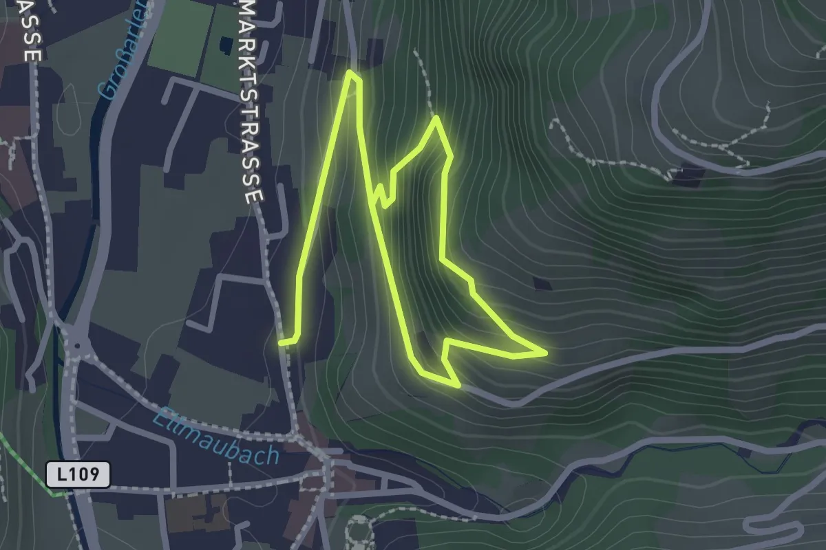
Herrschaftsweg (W3)
5.0 km · ↑ 64 m · 1 h 24 min
Medium · Trail
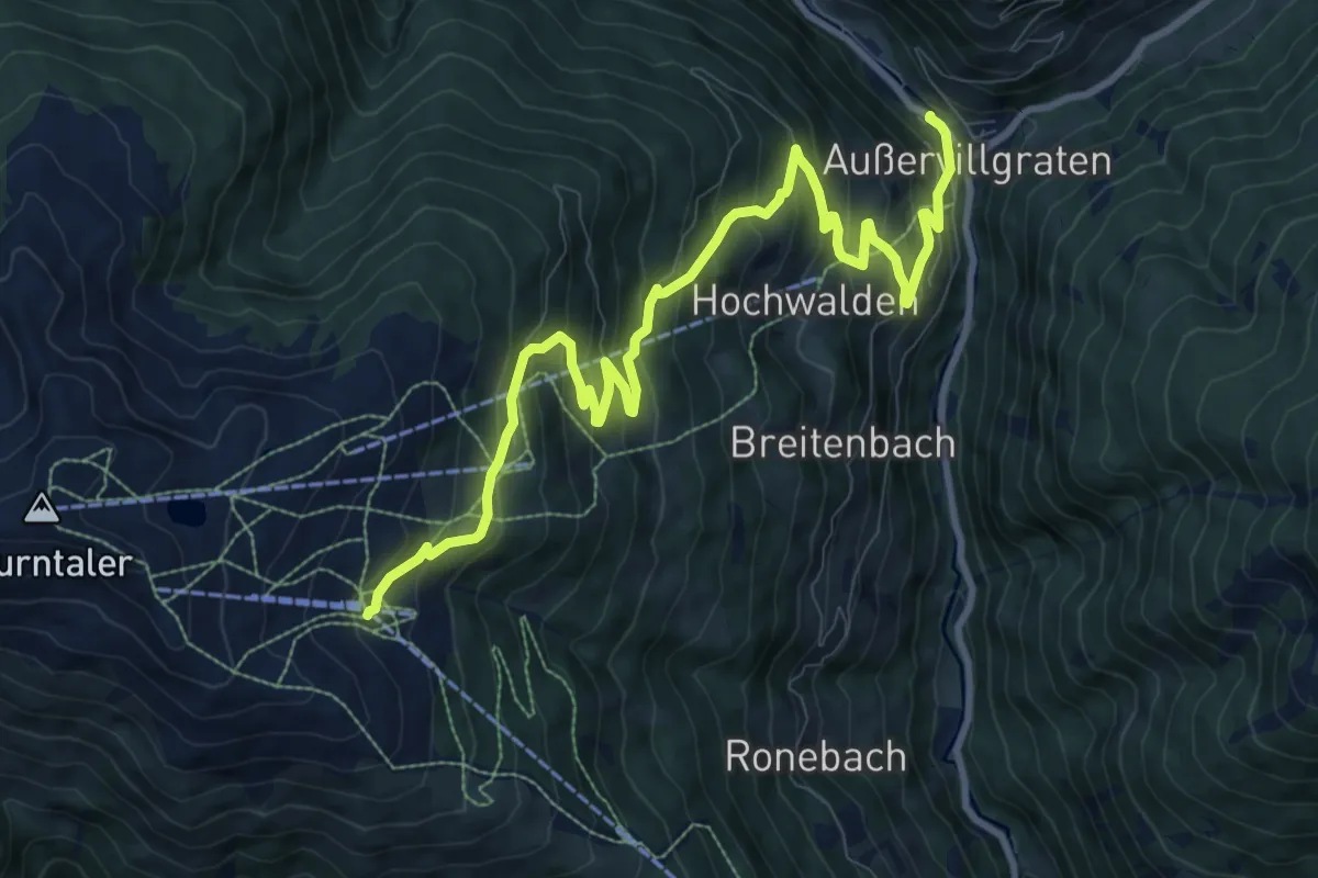
Hertas Rast
3.5 km · ↑ 275 m · 1 h 25 min
Demanding · Trail
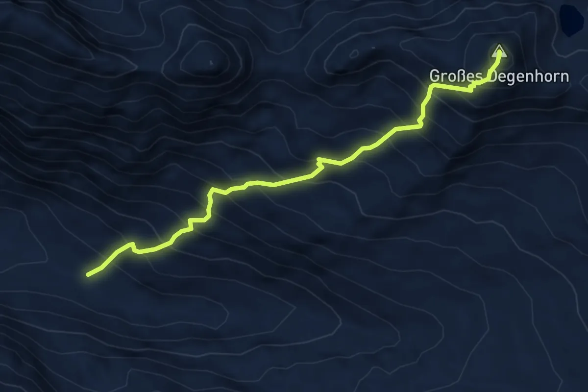
Herzass Abstieg Ausservillgraten
11.8 km · ↑ 833 m · 4 h 35 min
Expert · Summit
Herzass Trumpfvariante Deggenhorn
5.4 km · ↑ 815 m · 3 h 3 min
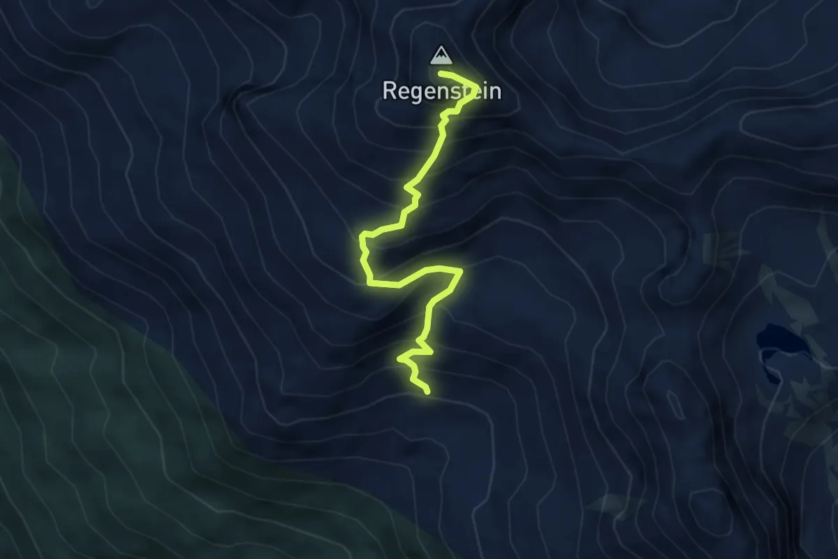
Demanding · Summit
Herzass Trumpf Variante Regelstein
4.3 km · ↑ 620 m · 2 h 21 min
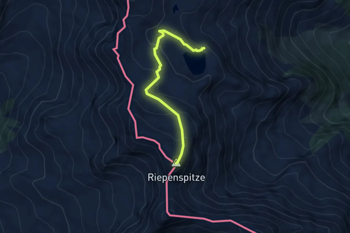
Demanding · Summit
Herzass Trumpfvariante Riepenspitze
4.0 km · ↑ 367 m · 1 h 44 min
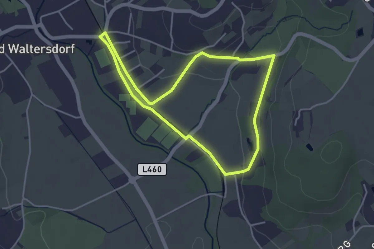
Easy · Trail
Herz-Kreislauf mit Lauf ABC
3.3 km · ↑ 50 m · 56 min
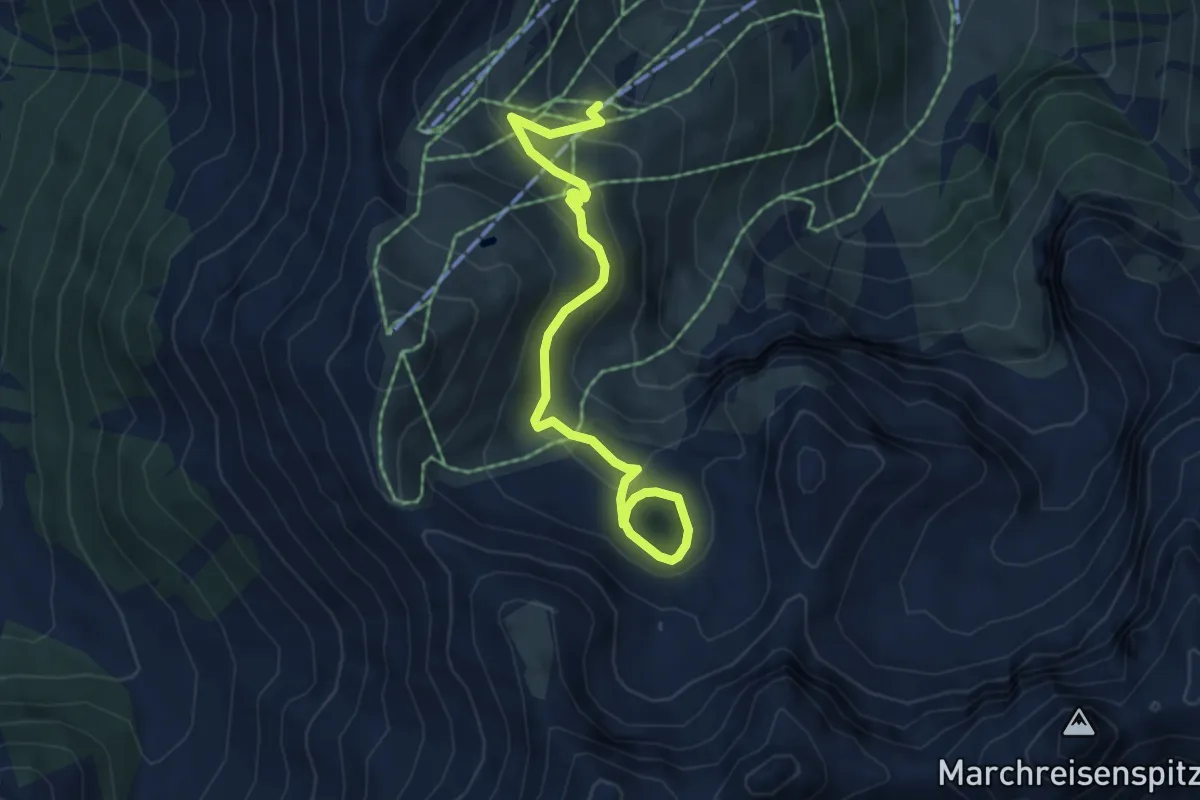
Easy · Trail
Herzlteichweg
5.5 km · ↑ 193 m · 1 h 43 min
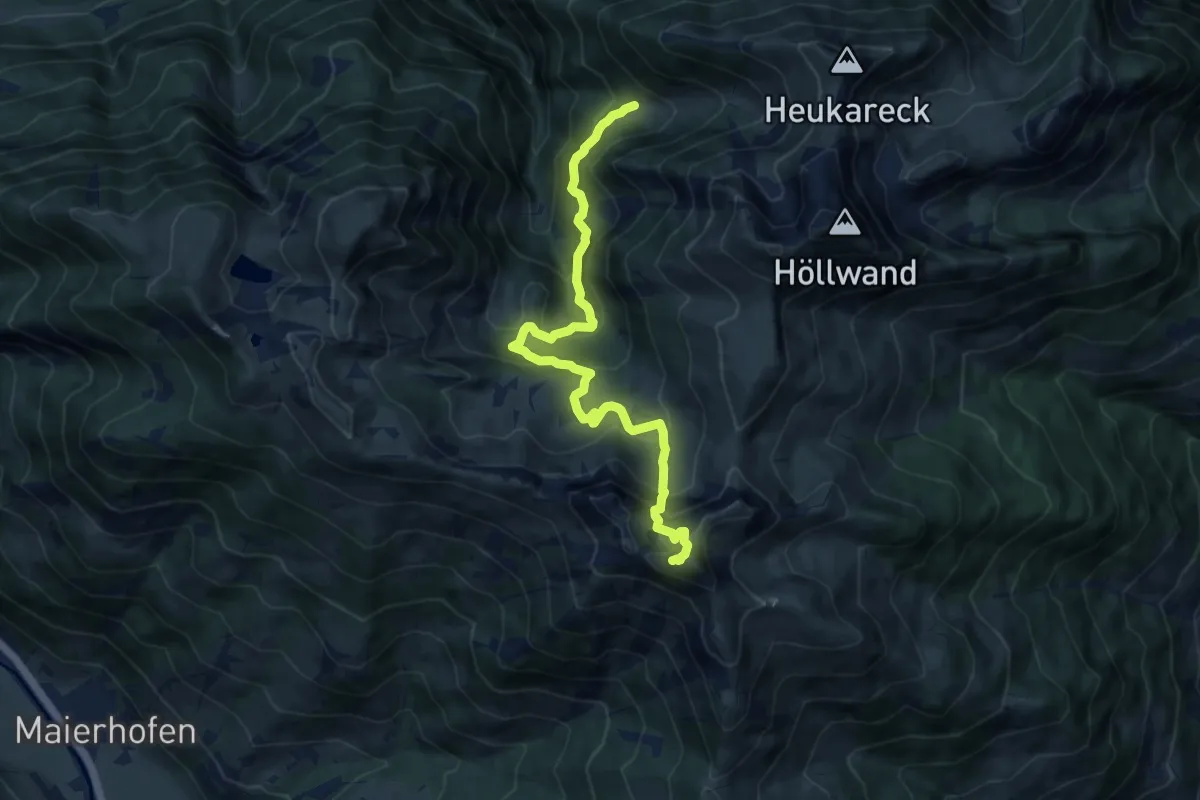
Demanding · Summit
Herzogalm-Schuhflicker
10.7 km · ↑ 744 m · 4 h 9 min
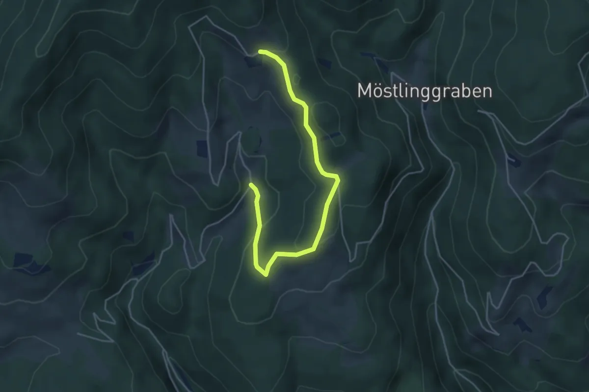
Easy · Trail
Herzogberg Rundwanderweg
4.5 km · ↑ 126 m · 1 h 20 min
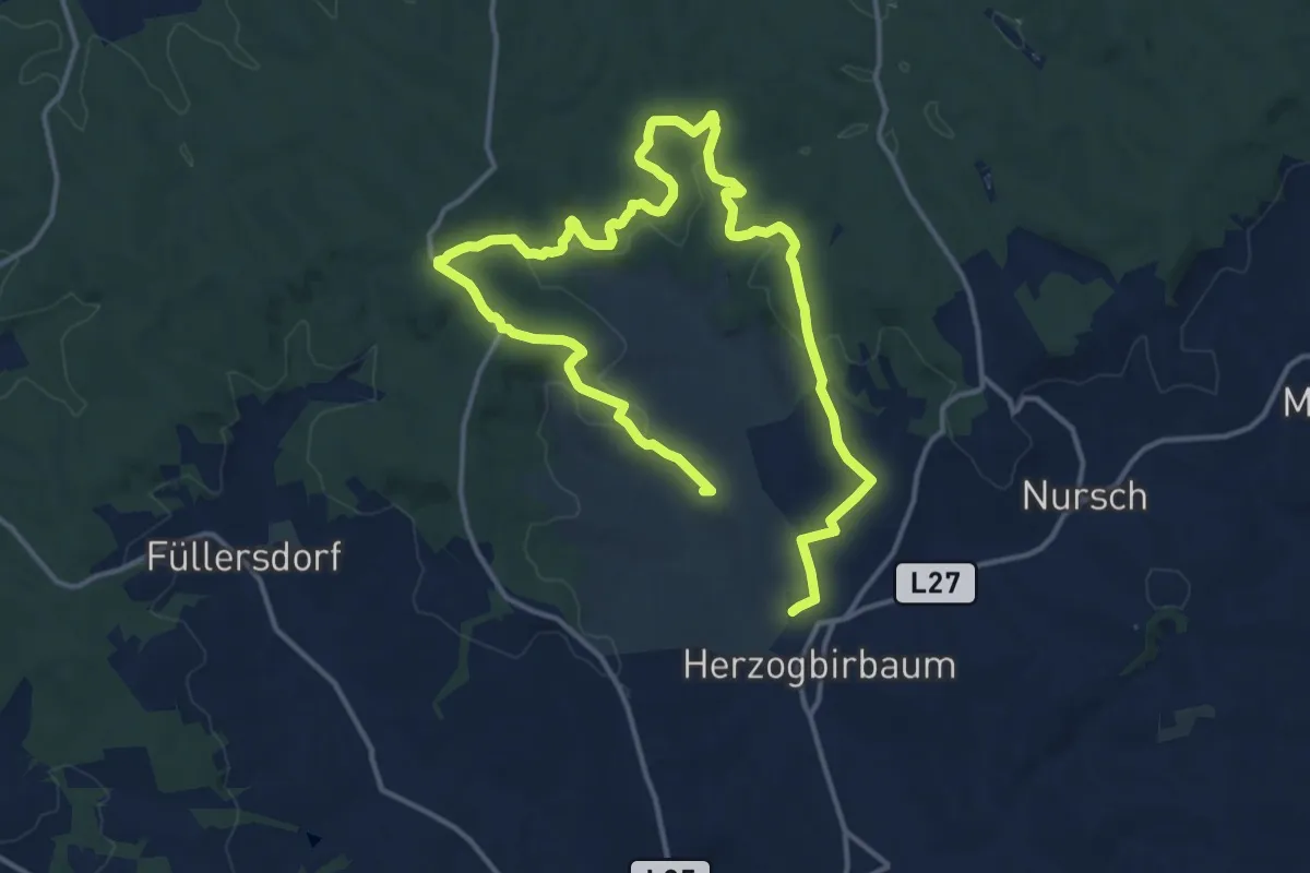
Demanding · Summit
Herzogbirbaumer Andachtsweg
21.5 km · ↑ 362 m · 5 h 52 min
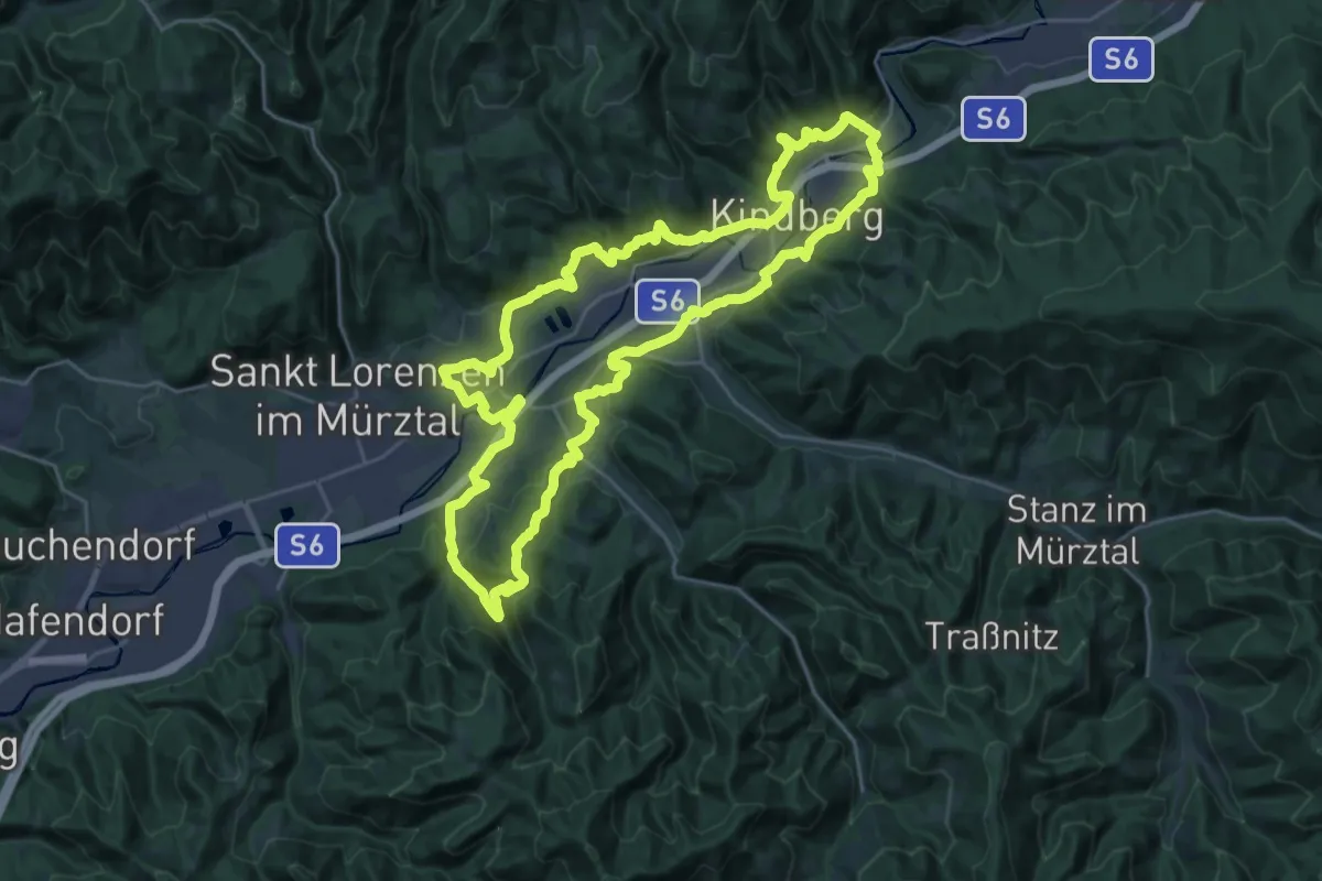
Demanding · Trail
Herzwärtsweg - Rund um Kindberg
26.9 km · ↑ 754 m · 8 h 22 min
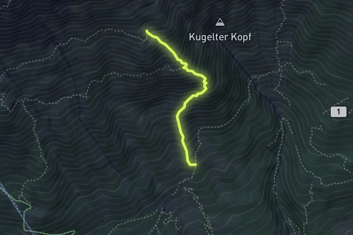
Demanding · Trail
Herzwiesensteig
2.8 km · ↑ 580 m · 1 h 55 min
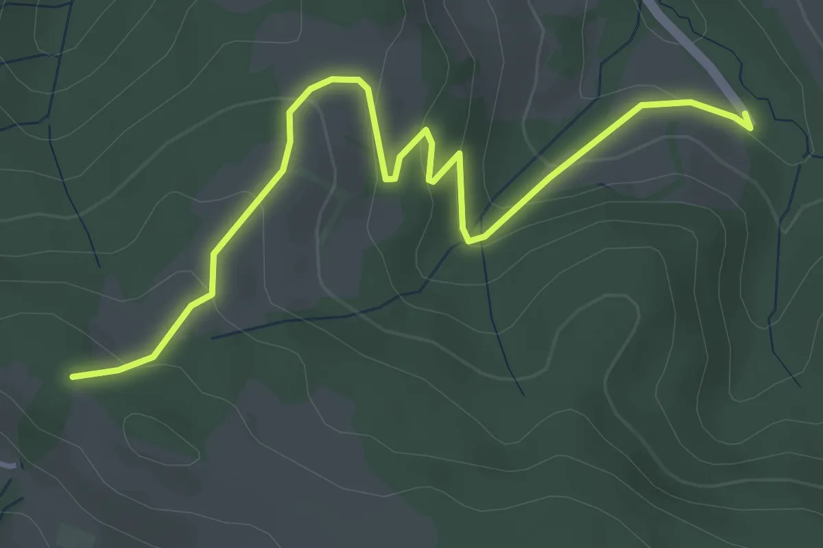
Easy · Trail
Heugraben - Haberegg
4.3 km · ↑ 198 m · 1 h 27 min
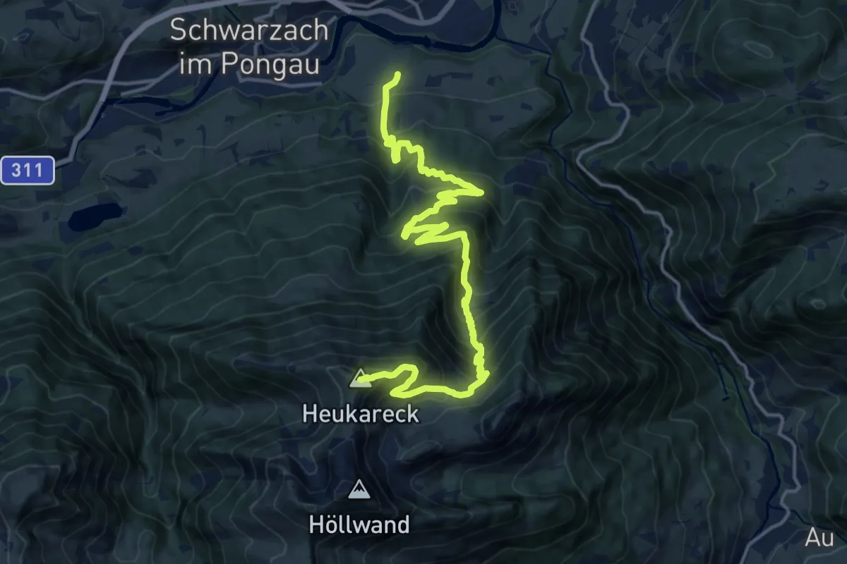
Demanding · Summit
Heukareck
17.0 km · ↑ 1447 m · 7 h 9 min
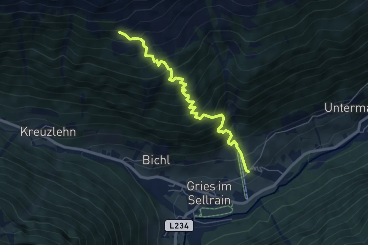
Medium · Trail
Heuriesenweg
5.0 km · ↑ 716 m · 2 h 44 min
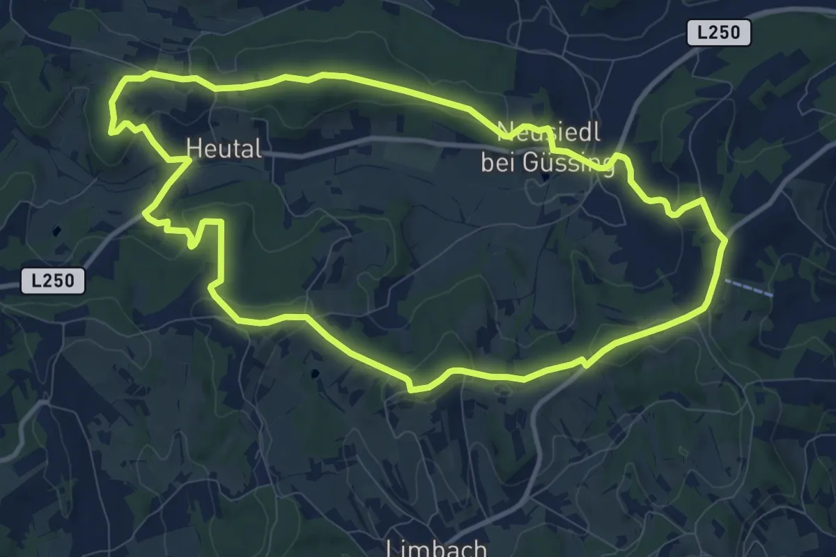
Medium · Trail
Heutalrunde (Neusiedl bei Güssing)
10.4 km · ↑ 211 m · 3 h 3 min
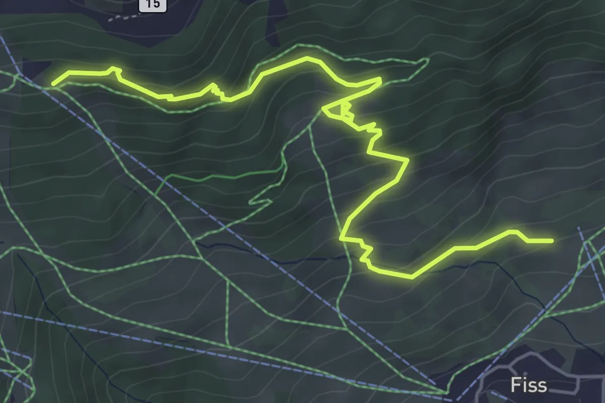
Medium · Trail
Hexenweg
6.1 km · ↑ 392 m · 2 h 17 min
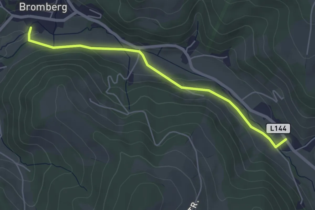
Easy · Trail
Hexenweg (Bromberg)
4.5 km · ↑ 55 m · 1 h 10 min
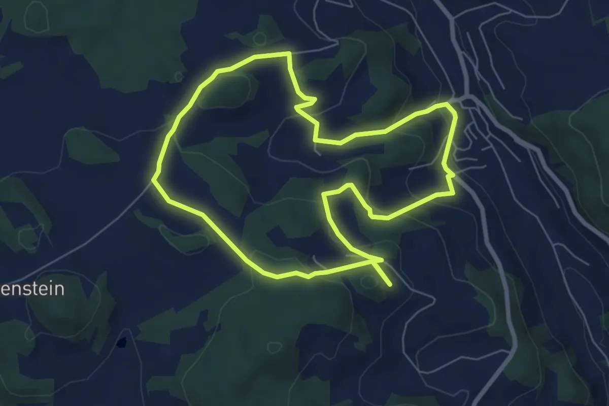
Easy · Trail
Hi 1 - Hoadweg
5.9 km · ↑ 224 m · 1 h 57 min
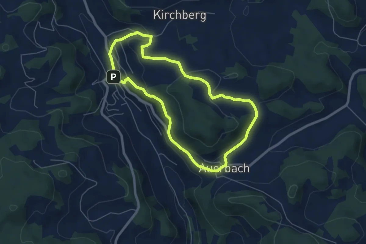
Easy · Trail
Hi2 - Musikerweg
5.0 km · ↑ 158 m · 1 h 35 min
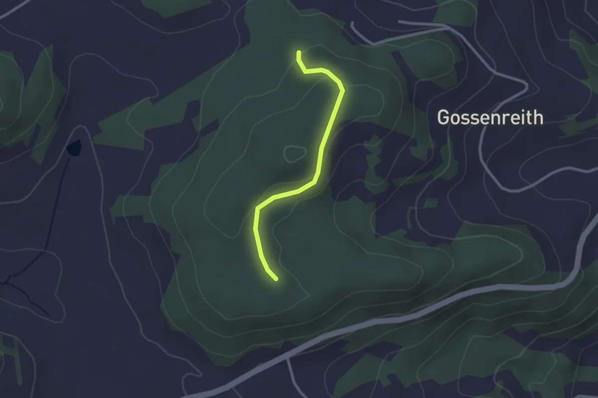
Easy · Trail
HI8
2.2 km · ↑ 50 m · 37 min
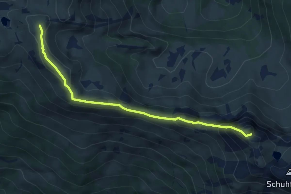
Demanding · Summit
Hias-Wallner Steig
5.2 km · ↑ 365 m · 2 h 2 min
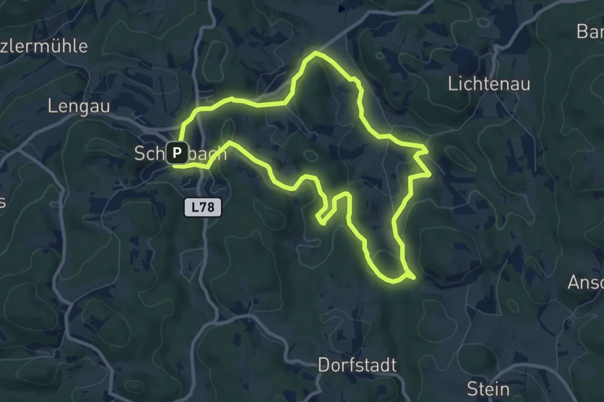
Easy · Trail
Hieronymusweg 91
7.7 km · ↑ 188 m · 2 h 20 min
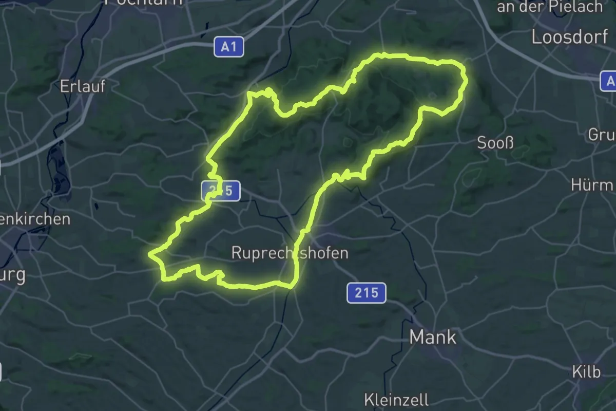
Demanding · Trail
Hiesberg-Melktal-Rundweg
36.2 km · ↑ 675 m · 10 h 31 min
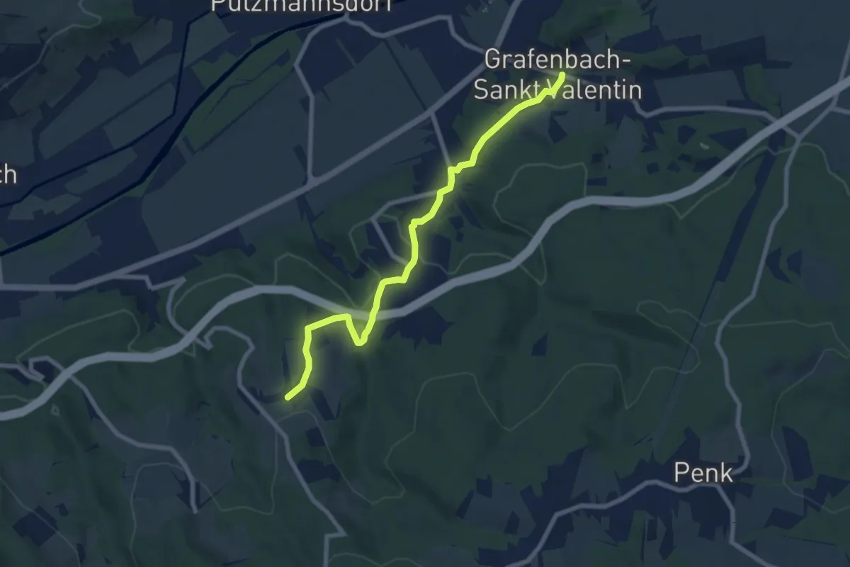
Easy · Trail
Hilzmannsdorfer Kirchenweg
7.0 km · ↑ 299 m · 2 h 18 min
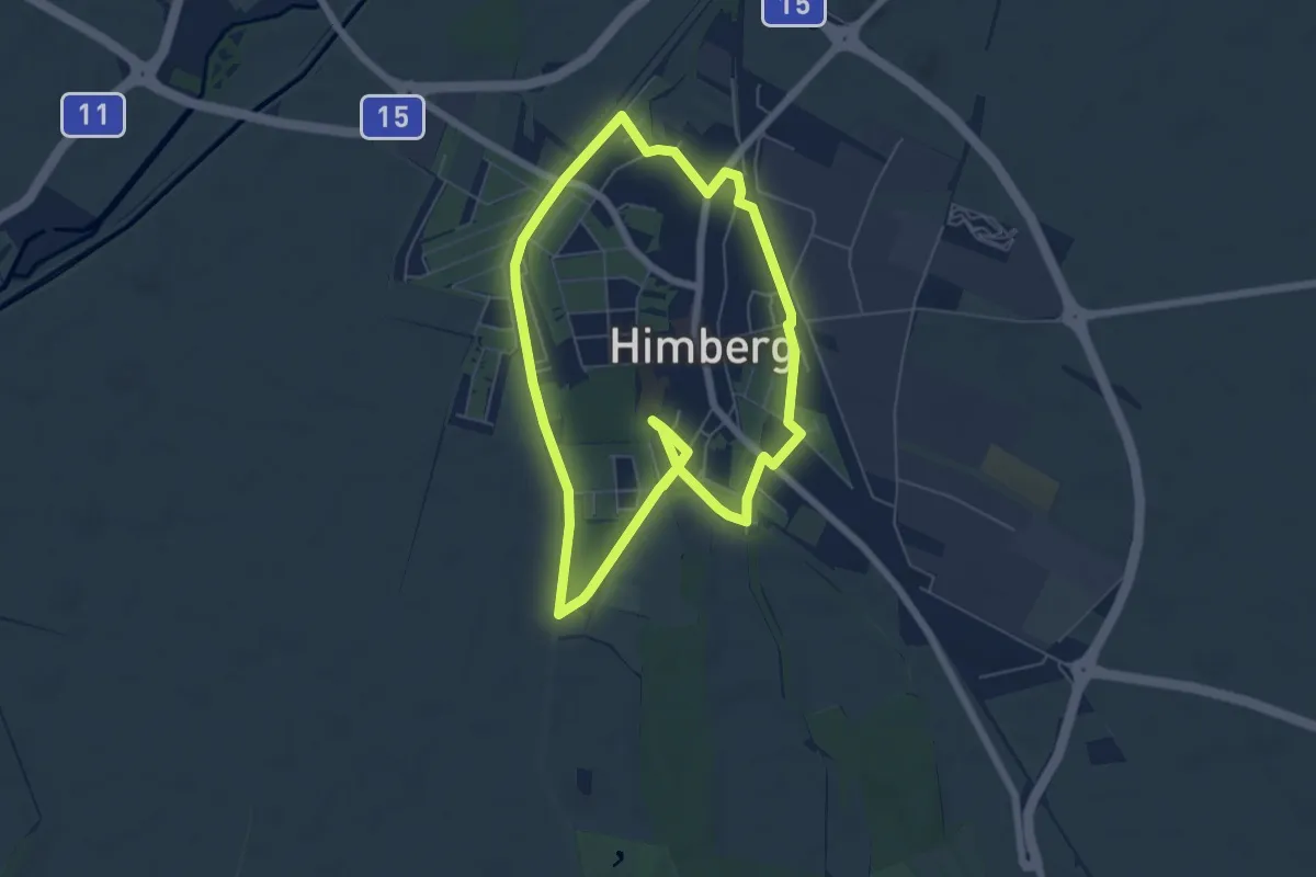
Medium · Trail
Himberg Runde
11.9 km · ↑ 0 m · 2 h 48 min
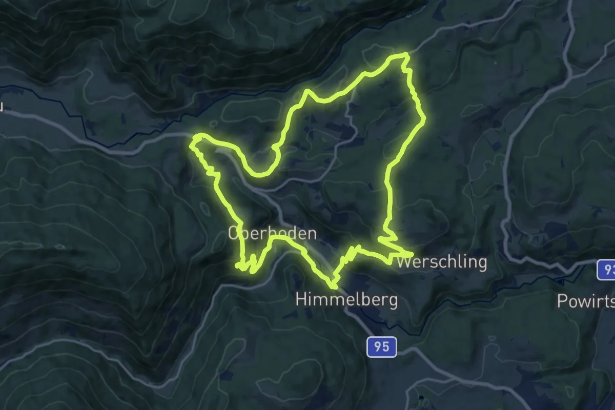
Medium · Trail
Himmelberger 3-Berge-Runde
16.8 km · ↑ 608 m · 5 h 31 min
Medium · Summit
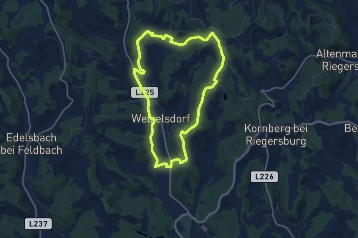
Himmel Erden Weg
9.1 km · ↑ 225 m · 2 h 45 min
Easy · Trail
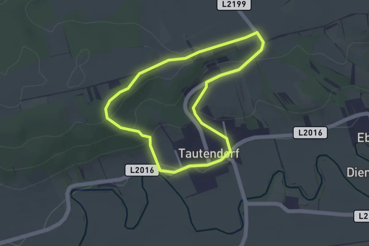
Himmelreichrunde
2.6 km · ↑ 68 m · 47 min
Medium · Trail
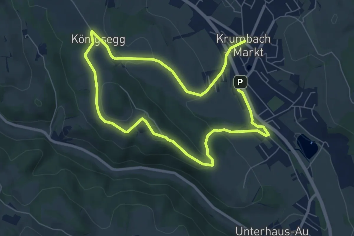
Himmelsteigrunde, Krumbach Gemeinde Parkplatz - Seisbühel - Museumsdorf
10.8 km · ↑ 317 m · 3 h 14 min
Medium · Summit
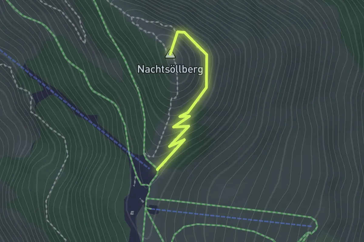
Himmelsteig Sky Trail Alpinolino
1.6 km · ↑ 110 m · 36 min