Trails in Austria
9,778 hiking trails, each with its route, climb, walking time and grade.
All trails, page 43 of 204
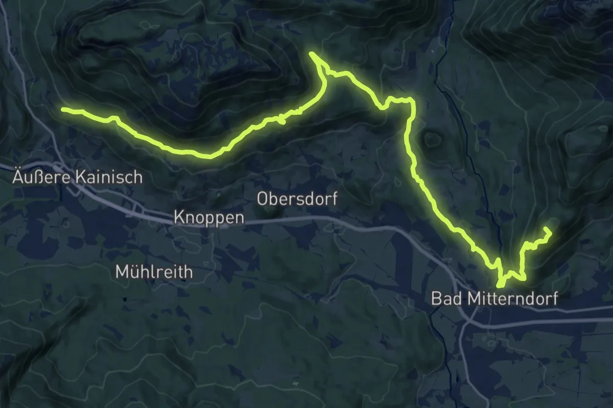
Demanding · Summit
Hinterberger Panoramaweg
27.6 km · ↑ 1278 m · 9 h 17 min
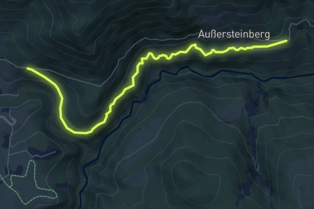
Easy · Trail
Hinterbergweg
7.2 km · ↑ 280 m · 2 h 18 min
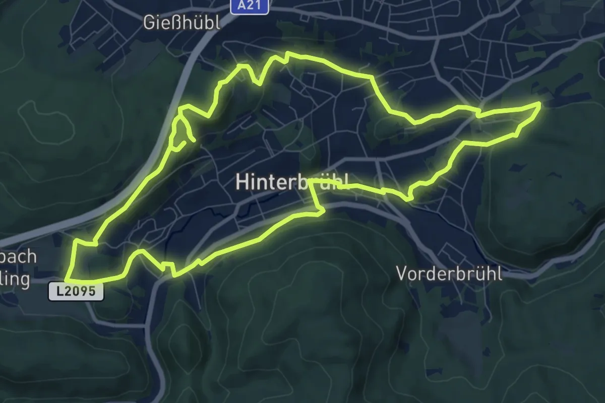
Medium · Summit
Hinterbrühler Rundweg
10.1 km · ↑ 308 m · 3 h 12 min
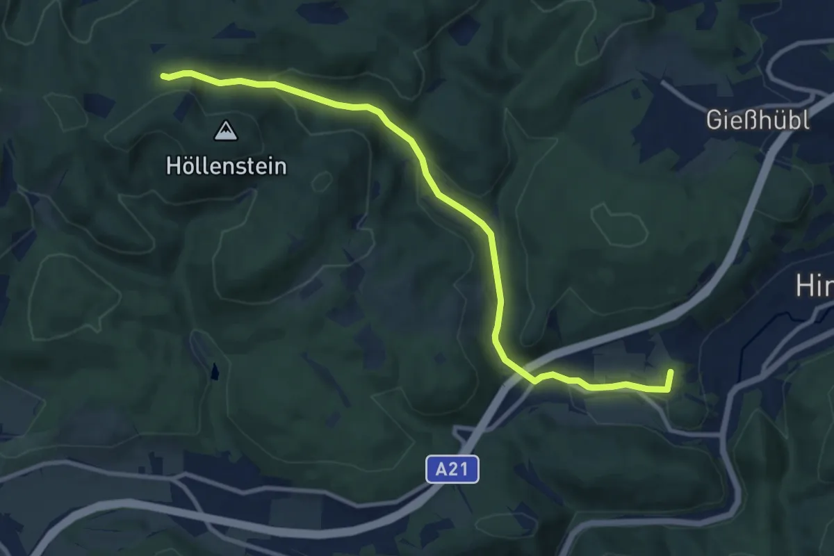
Medium · Summit
Hinterbrühl - Weißenbach - Höllenstein
9.7 km · ↑ 305 m · 2 h 58 min
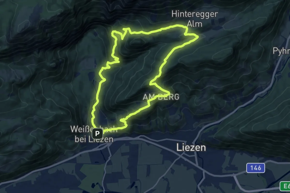
Medium · Trail
Hinteregger-Runde
13.9 km · ↑ 643 m · 4 h 52 min
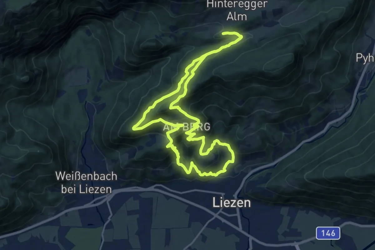
Medium · Trail
Hinteregger Tour
13.6 km · ↑ 603 m · 4 h 42 min
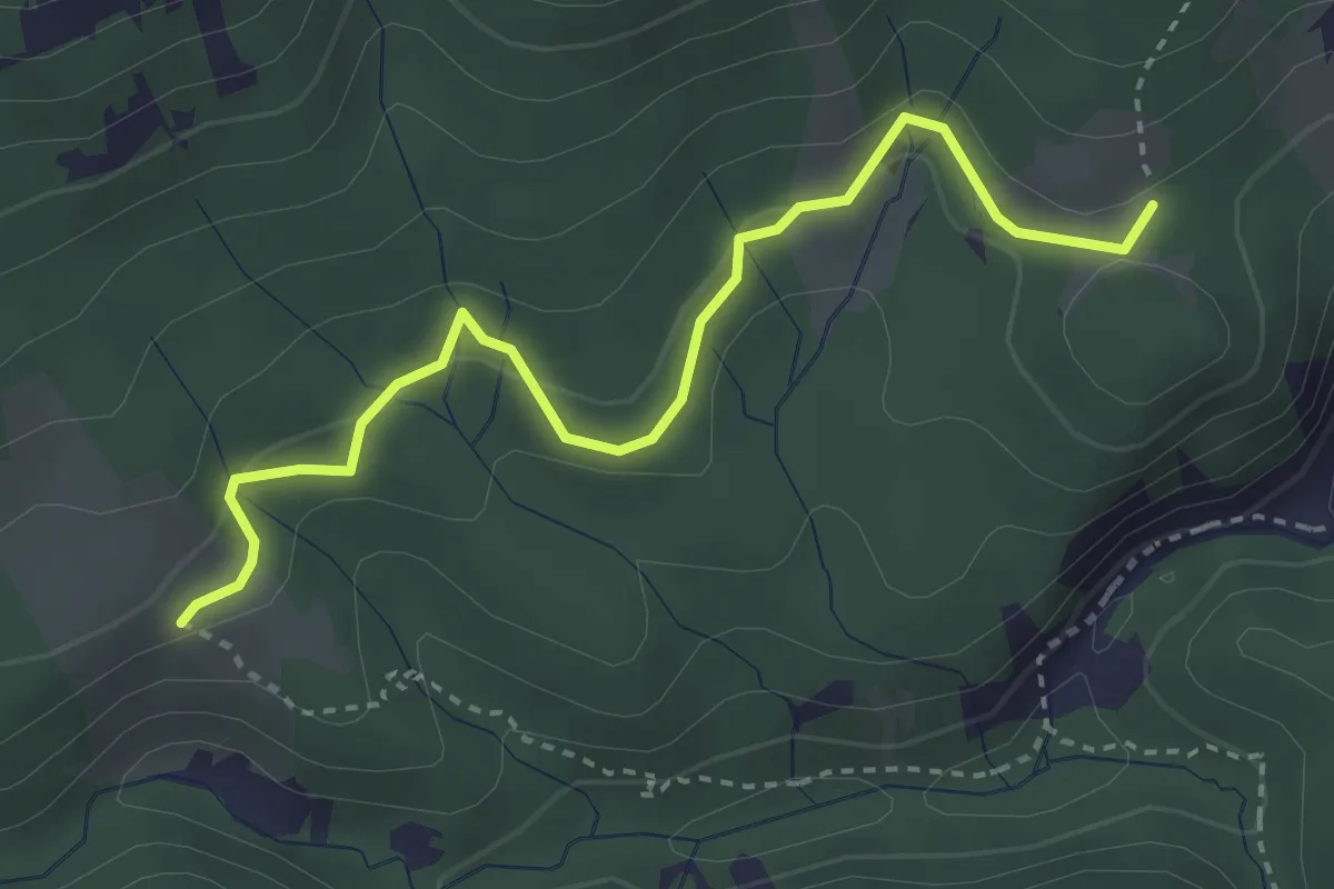
Easy · Trail
Hintere Ötschergräben - Beim Jäger Herz
3.4 km · ↑ 88 m · 1 h
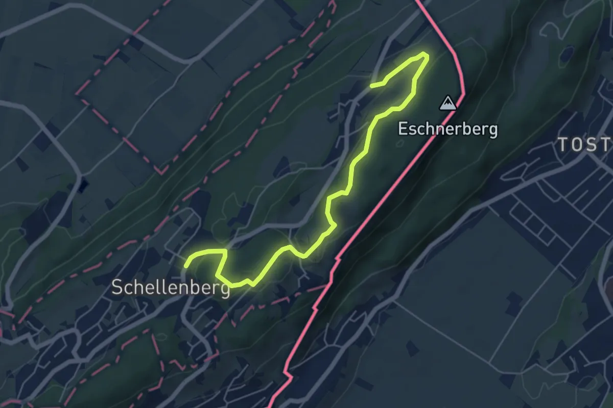
Easy · Trail
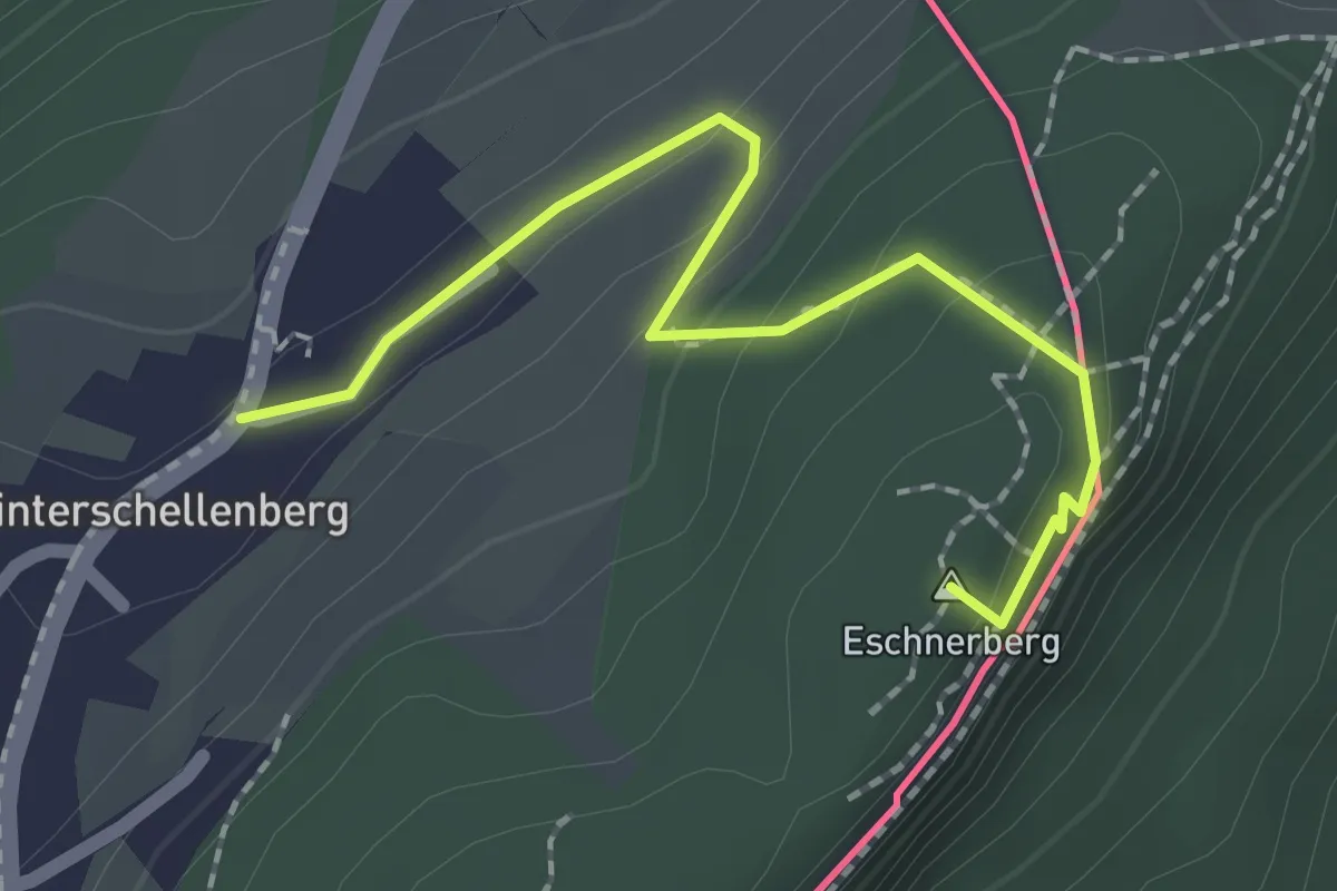
Hinterer Schellenberg - Gantenstein - Mittlerer Schellenberg
5.7 km · ↑ 155 m · 1 h 41 min
Easy · Summit
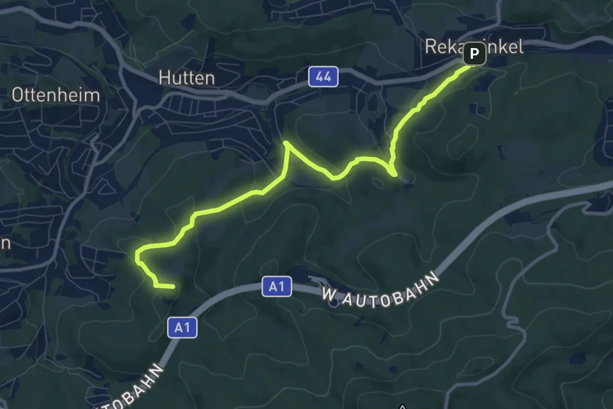
Hinterer Schellenberg - Tostner Wald - Mittlerer Schellenberg
2.0 km · ↑ 84 m · 40 min
Medium · Summit
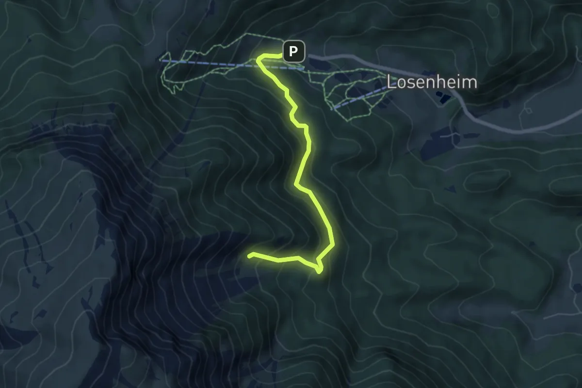
Hinterleiten - Rekawinkel
9.3 km · ↑ 338 m · 2 h 56 min
Medium · Trail
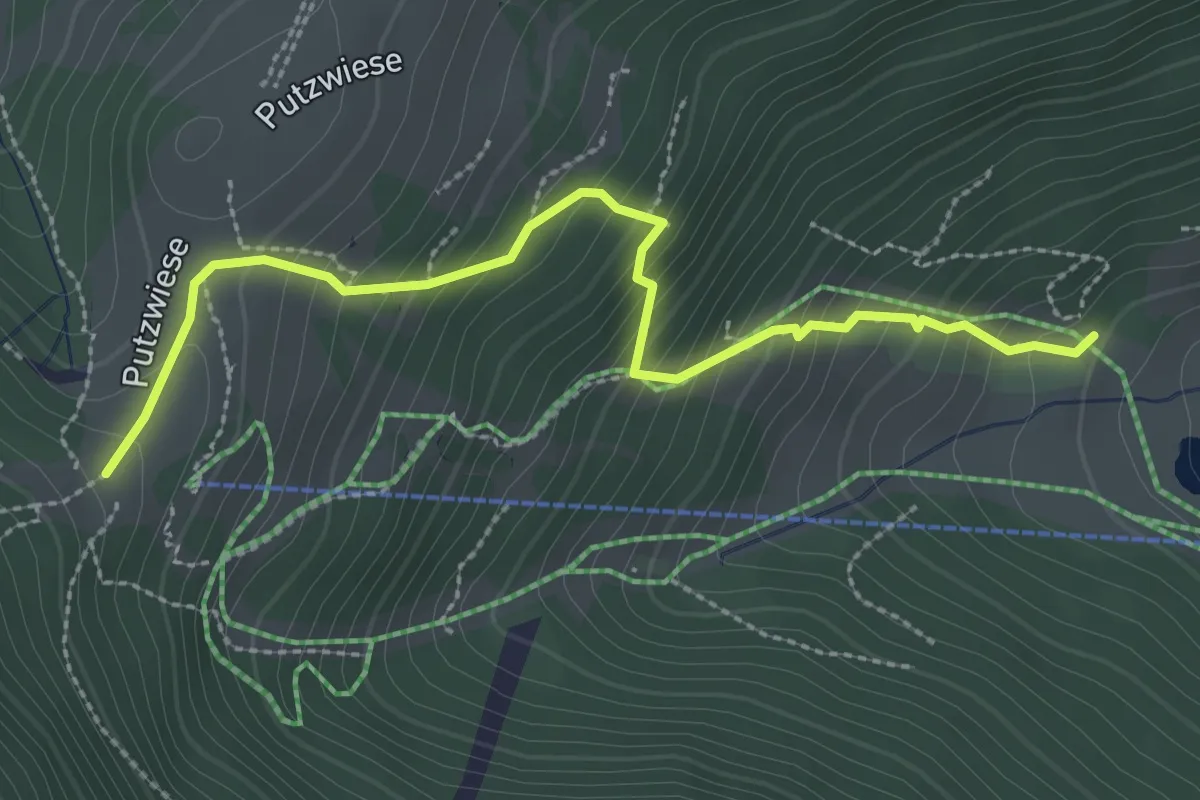
Hinterm Faden (Talstation) - Breite Ries
5.6 km · ↑ 383 m · 2 h 8 min
Medium · Cabin
Hinterm Faden (Talstation) - Edelweißhütte
2.9 km · ↑ 334 m · 1 h 25 min
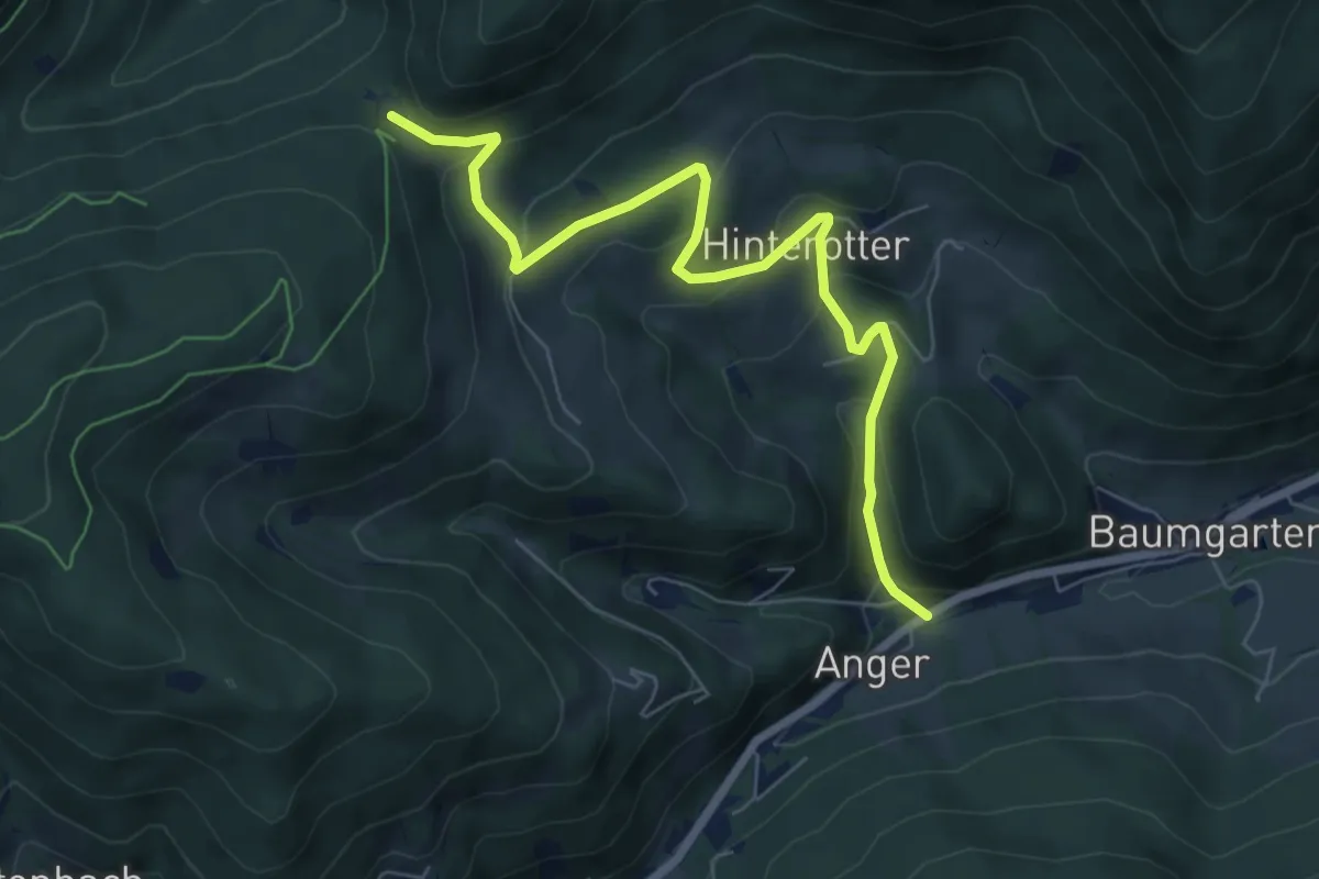
Medium · Trail
Hinterotter Weg T7
7.2 km · ↑ 359 m · 2 h 28 min
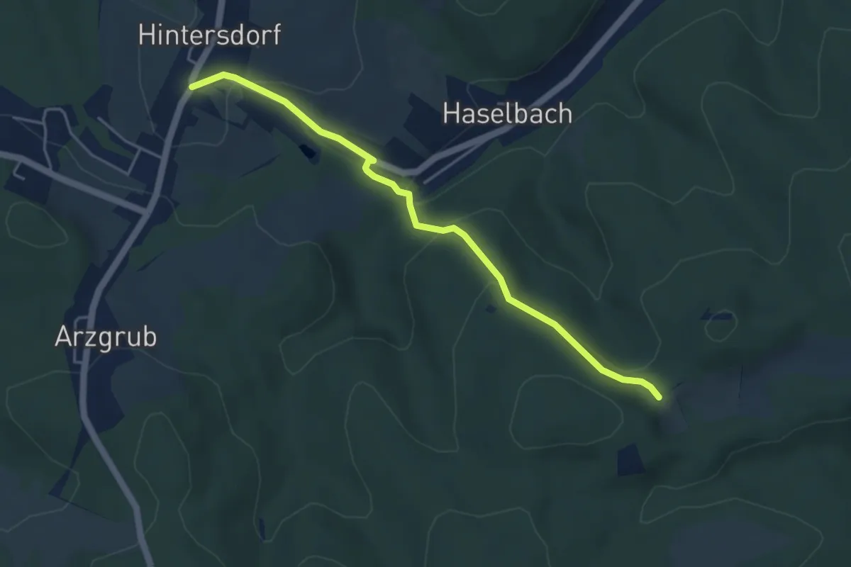
Easy · Trail
Hintersdorf - Eichenhain
4.3 km · ↑ 196 m · 1 h 26 min
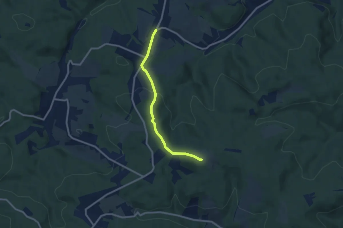
Easy · Trail
Hintersdorf - Windischhütte
5.4 km · ↑ 174 m · 1 h 39 min
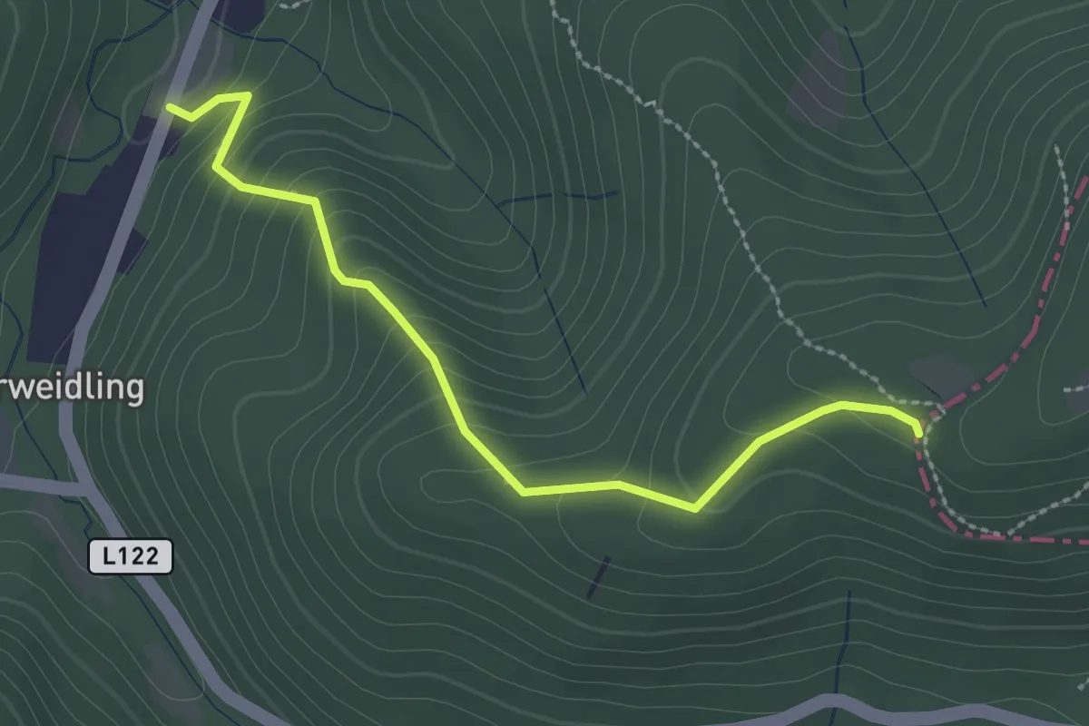
Easy · Trail
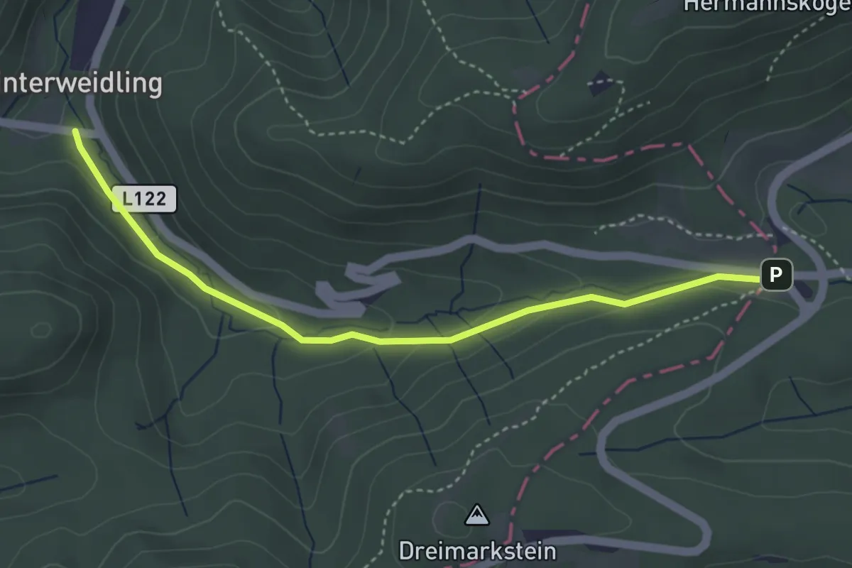
Hinterweidling - Sauberg
2.5 km · ↑ 218 m · 1 h 4 min
Easy · Trail
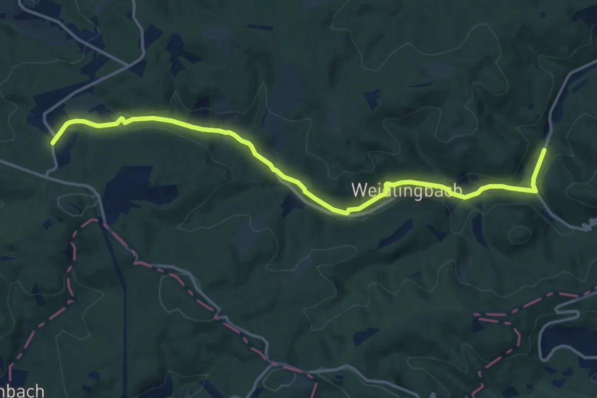
Hinterweidling/Schützengraben - Grüß Di a Gott Wirt
3.7 km · ↑ 108 m · 1 h 7 min
Medium · Trail
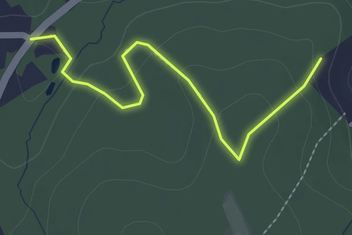
Hinterweidling - Steinriegl
12.9 km · ↑ 228 m · 3 h 32 min
Easy · Trail
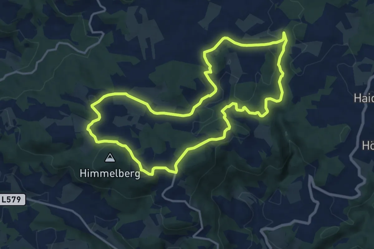
Hirnsdorfrundweg 1
1.1 km · ↑ 31 m · 21 min
Medium · Summit
Hirschalmrundweg-Klammleitn Nr. 29
10.1 km · ↑ 218 m · 3 h
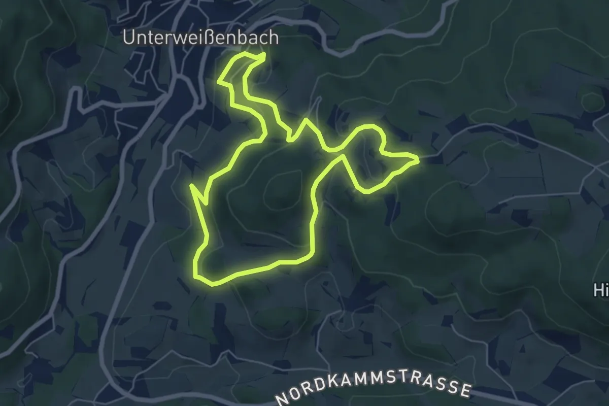
Easy · Trail
Hirschalmweg Nr. 18
5.4 km · ↑ 209 m · 1 h 48 min
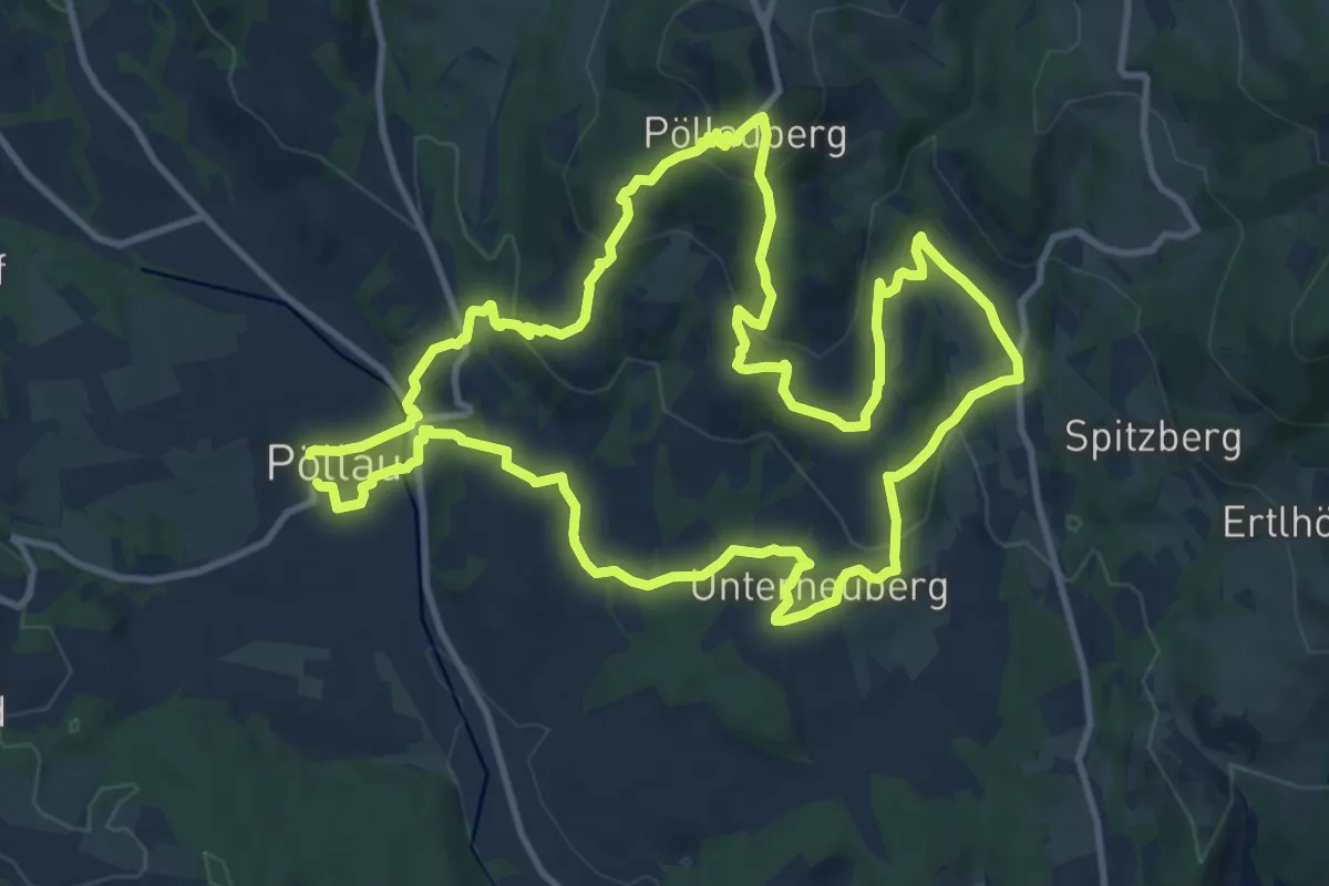
Medium · Trail
Hirschbirnenweg Pöllauberg
12.3 km · ↑ 480 m · 4 h 8 min
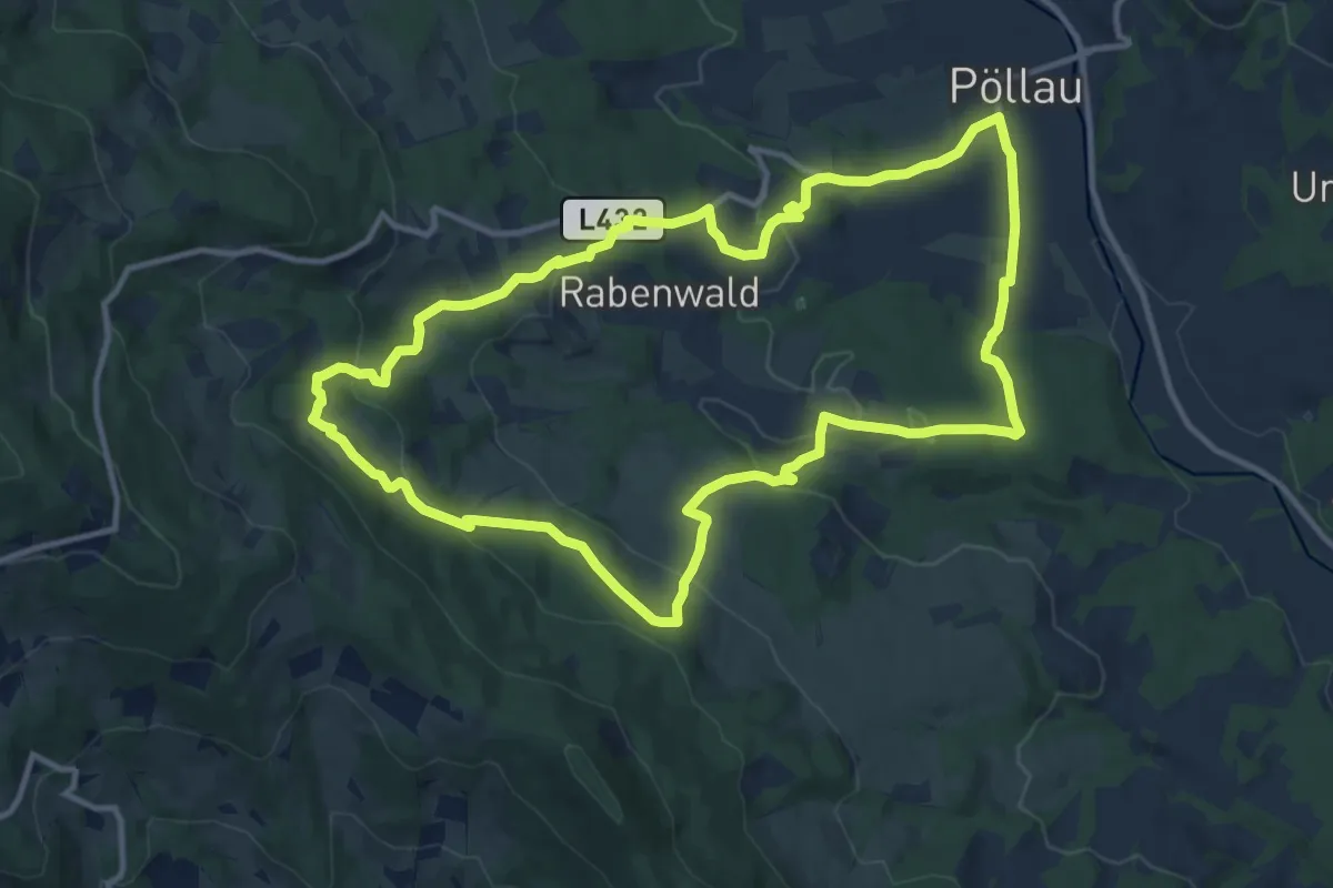
Medium · Trail
Hirschbirnenweg Rabenwald
11.9 km · ↑ 442 m · 3 h 57 min
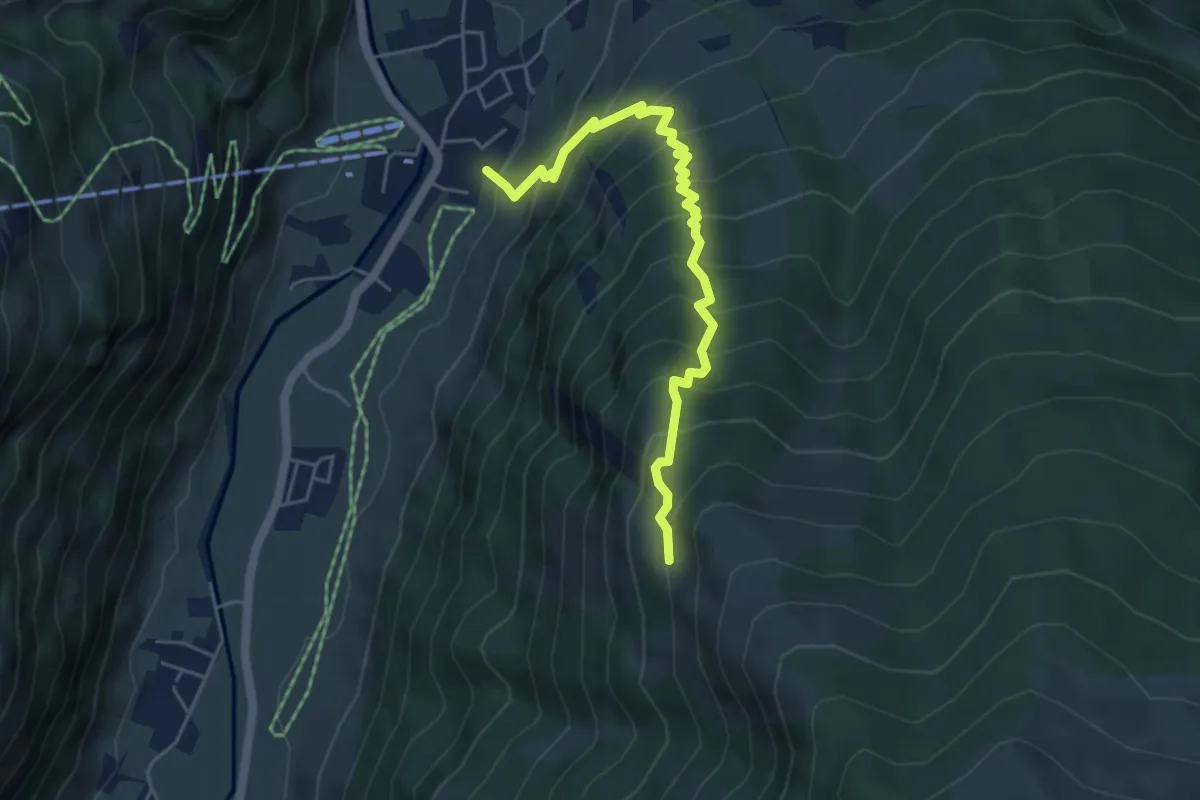
Medium · Trail
Hirschebenalm
5.1 km · ↑ 615 m · 2 h 32 min
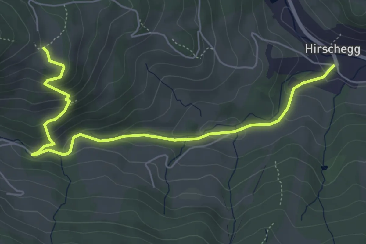
Easy · Trail
Hirschegger Rundroas
5.9 km · ↑ 276 m · 1 h 59 min
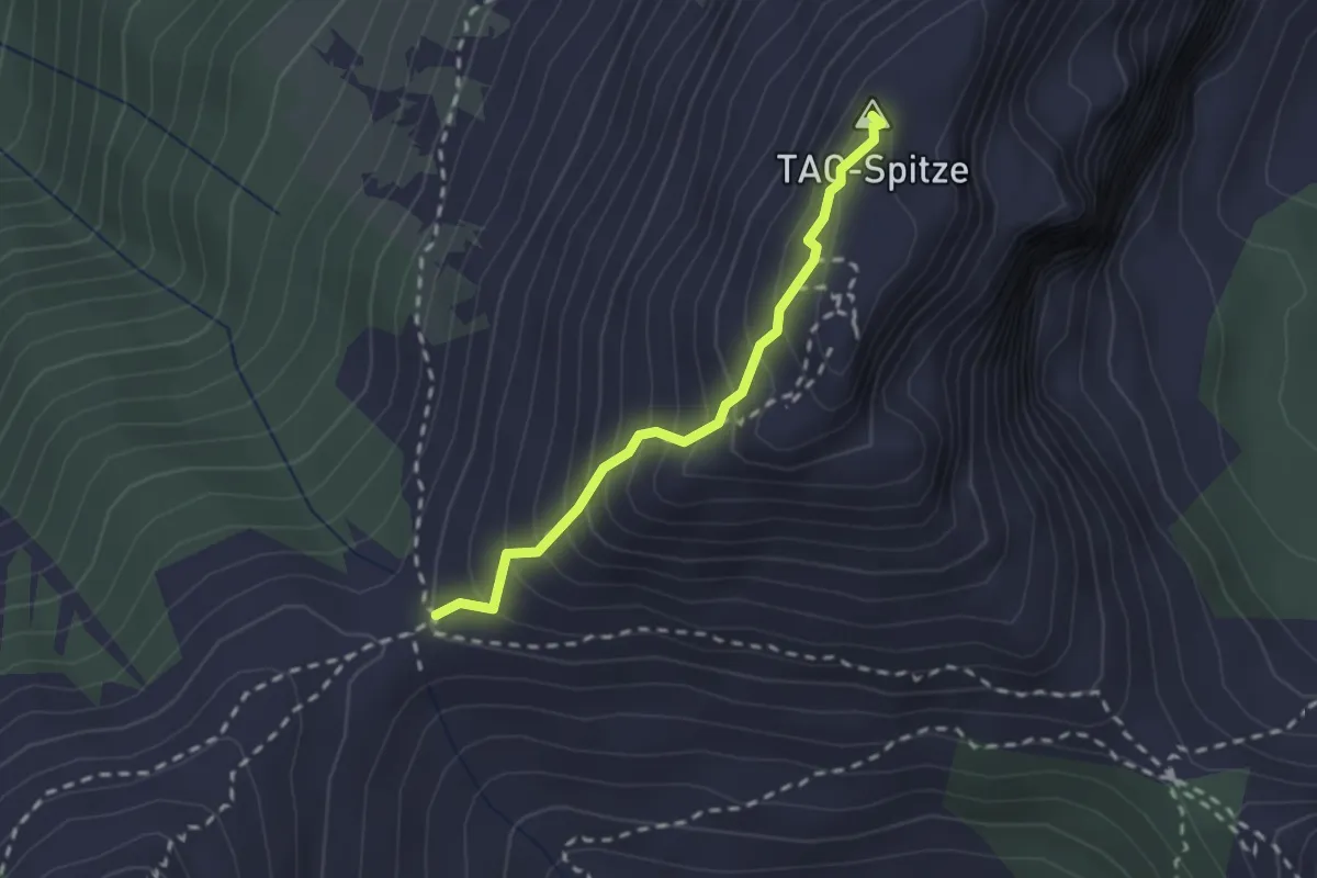
Demanding · Summit
Hirscheggsattel - TAC-Spitze
2.0 km · ↑ 305 m · 1 h 8 min
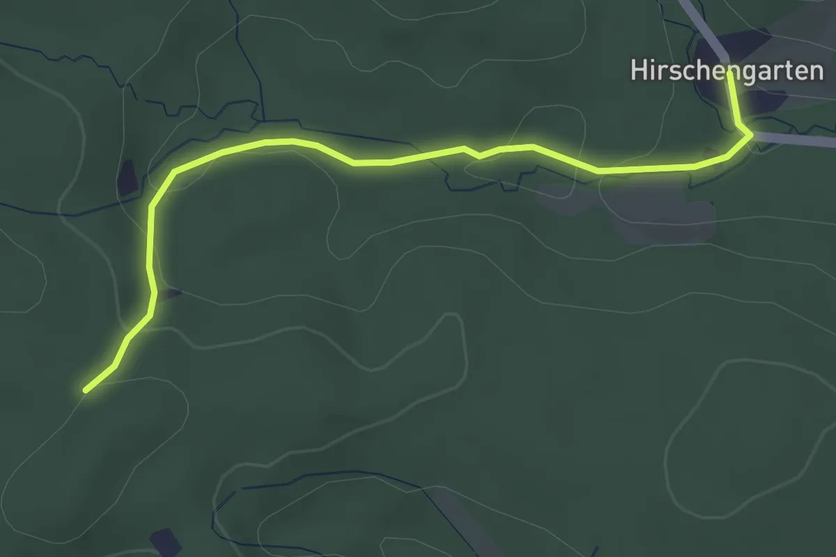
Easy · Trail
Hirschengarten – Rauchbuchberg Ost
3.3 km · ↑ 93 m · 59 min
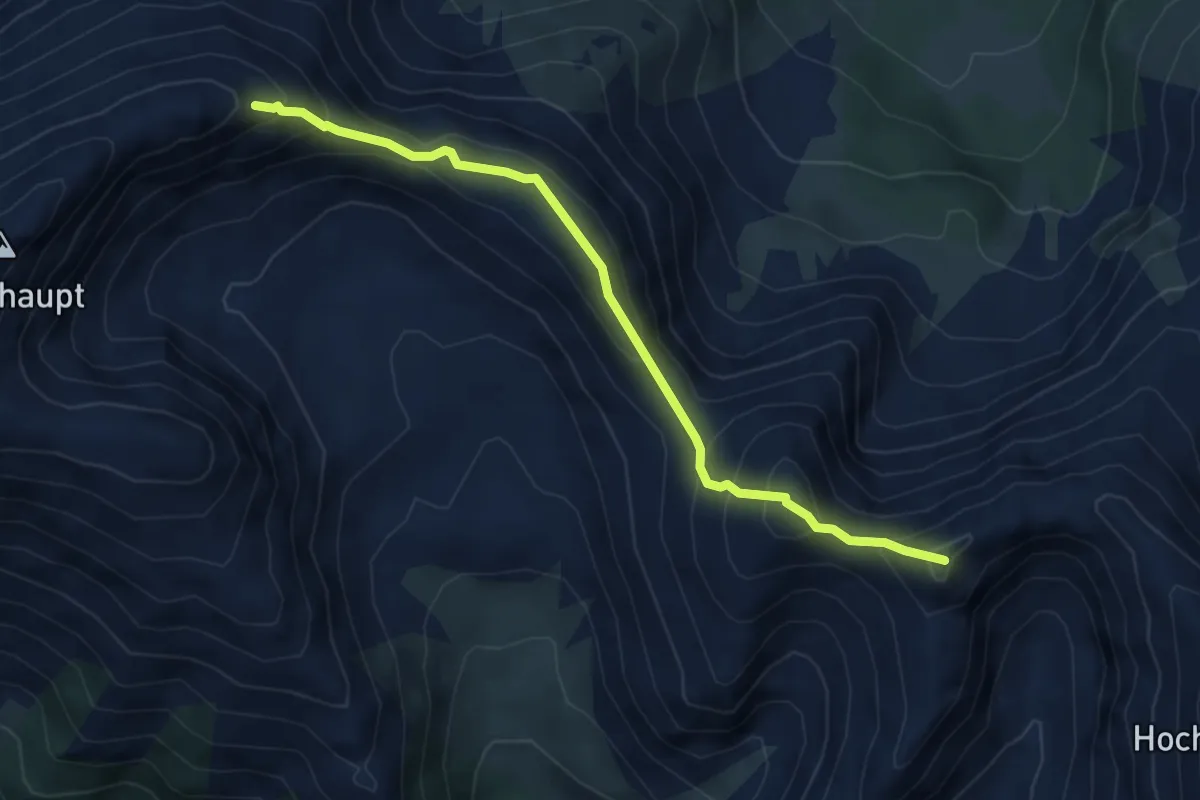
Expert · Summit
Hirschkarlgrat
5.2 km · ↑ 578 m · 2 h 28 min
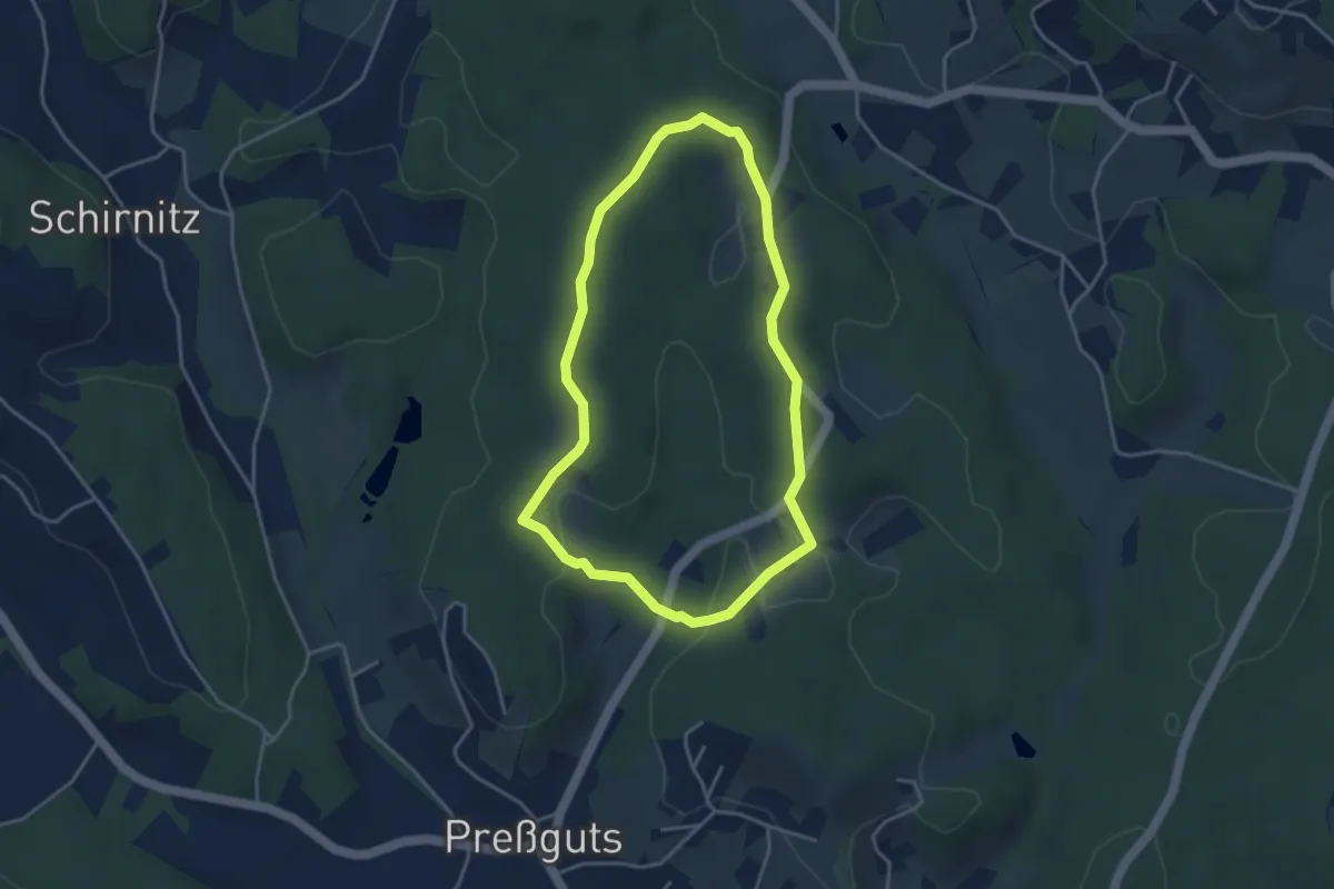
Easy · Trail
Hirschrunde
3.6 km · ↑ 69 m · 1 h 2 min
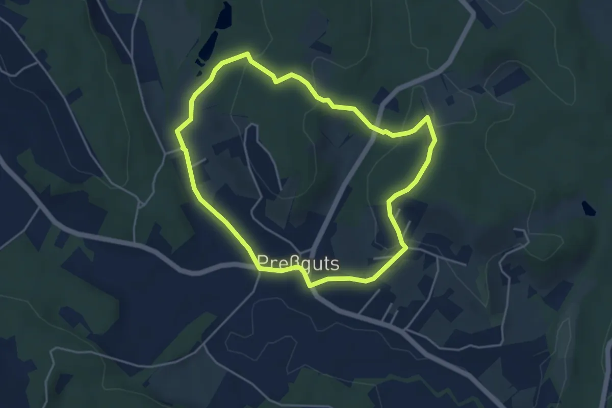
Easy · Trail
Hirschteich Rundweg
3.8 km · ↑ 103 m · 1 h 10 min
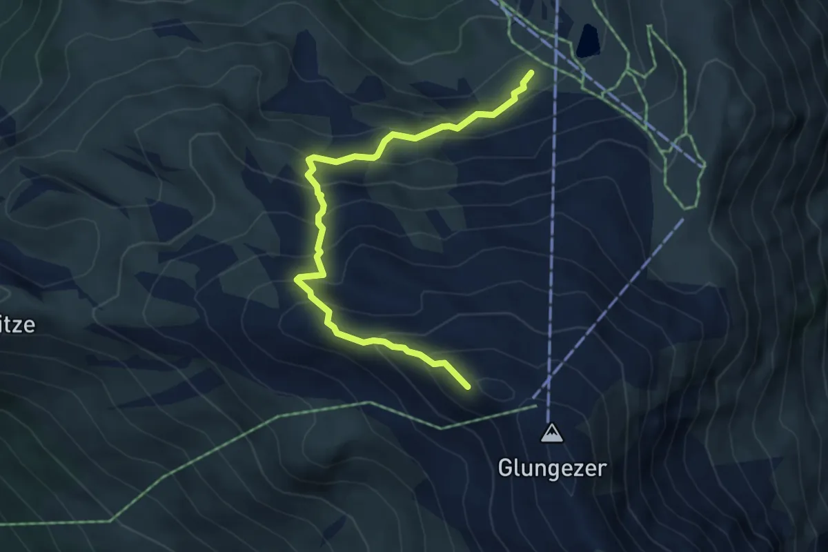
Medium · Summit
Hirschvoglsteig
4.9 km · ↑ 553 m · 2 h 21 min
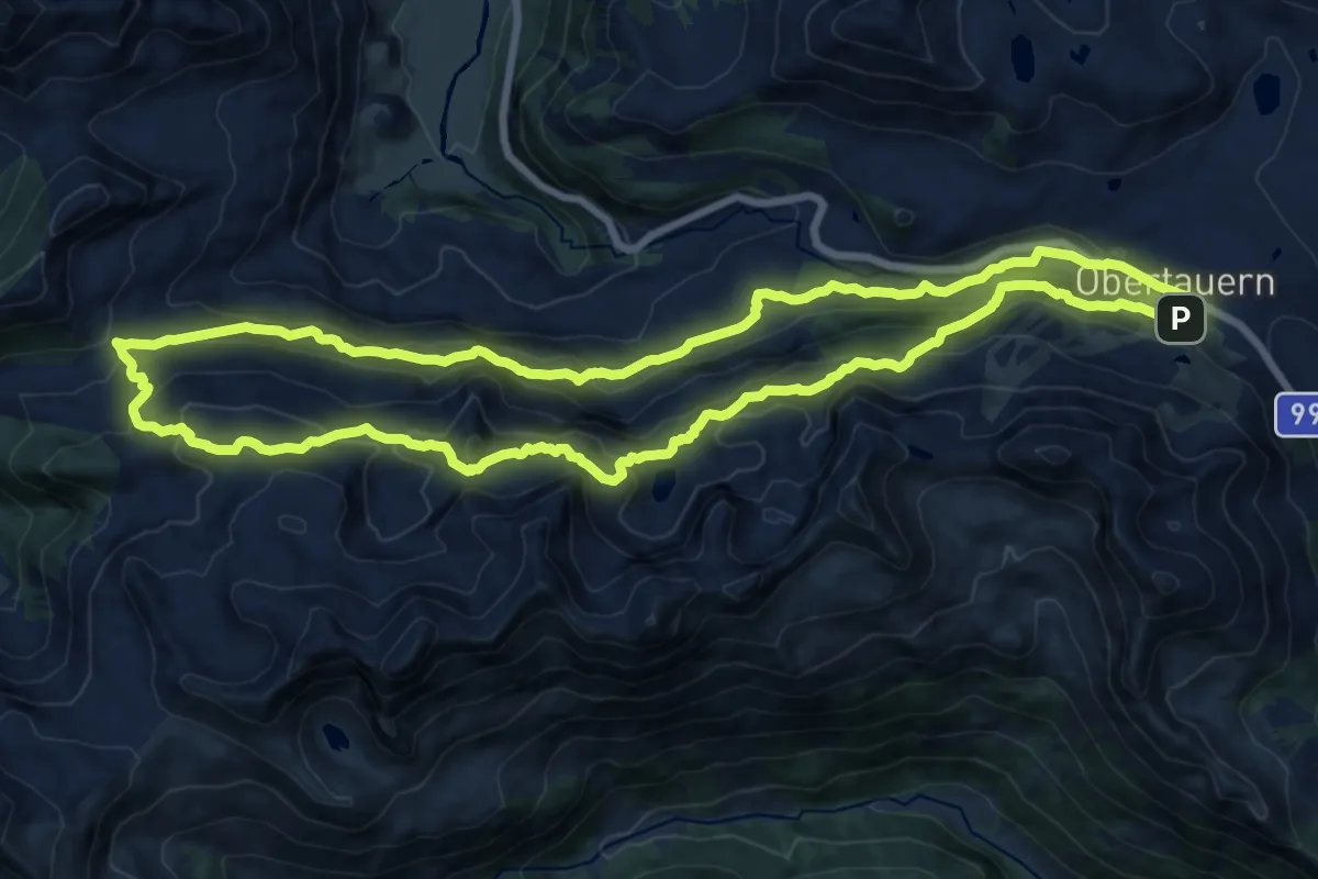
Demanding · Summit
Hirschwandsteig-Tour
16.6 km · ↑ 811 m · 5 h 55 min
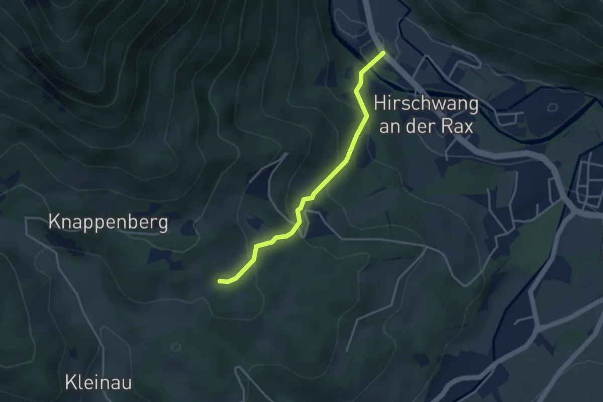
Easy · Trail
Hirschwang Henriettenkapelle - Knappenberg
3.0 km · ↑ 208 m · 1 h 10 min
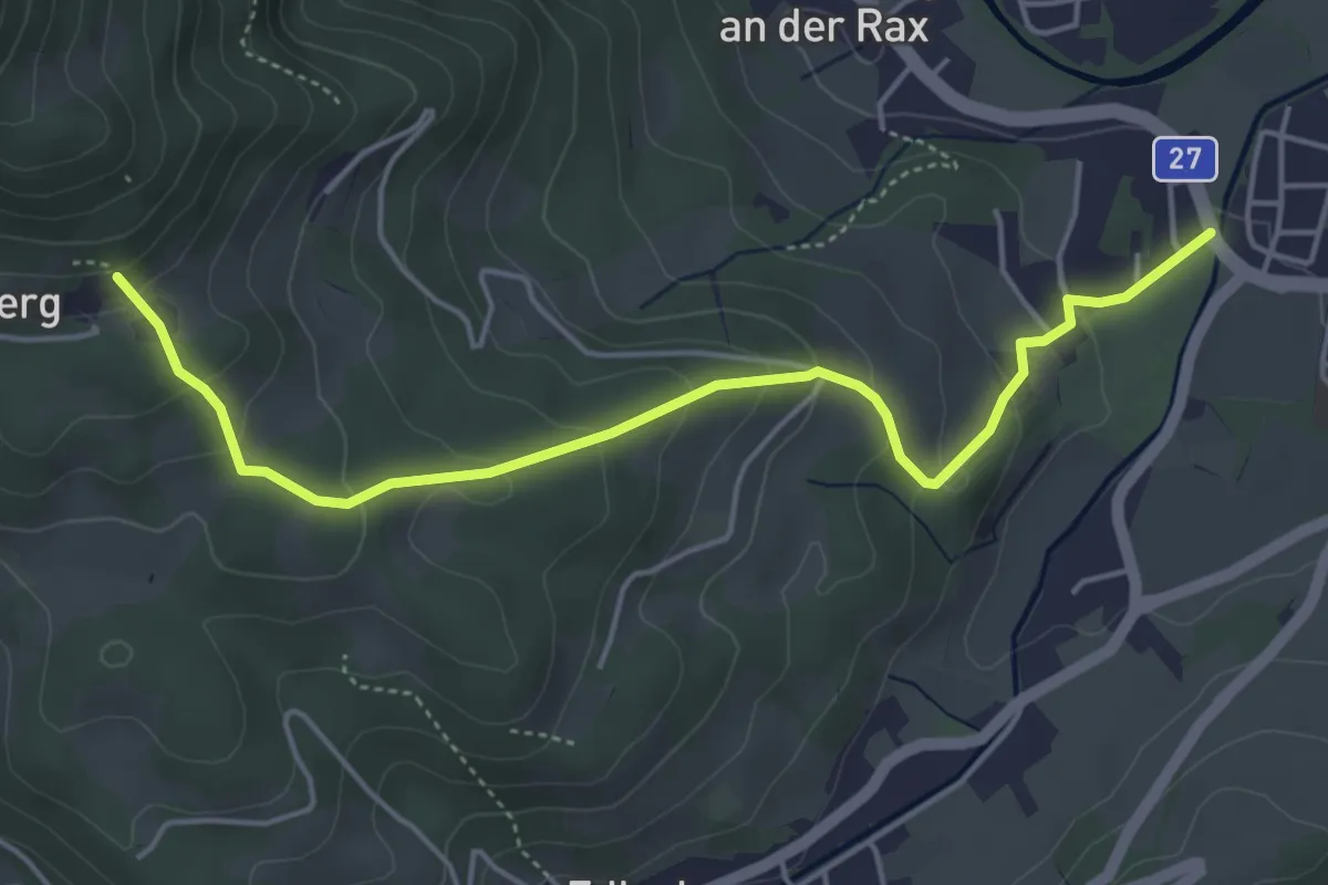
Easy · Trail
Hirschwang - Knappenhof
4.8 km · ↑ 263 m · 1 h 43 min
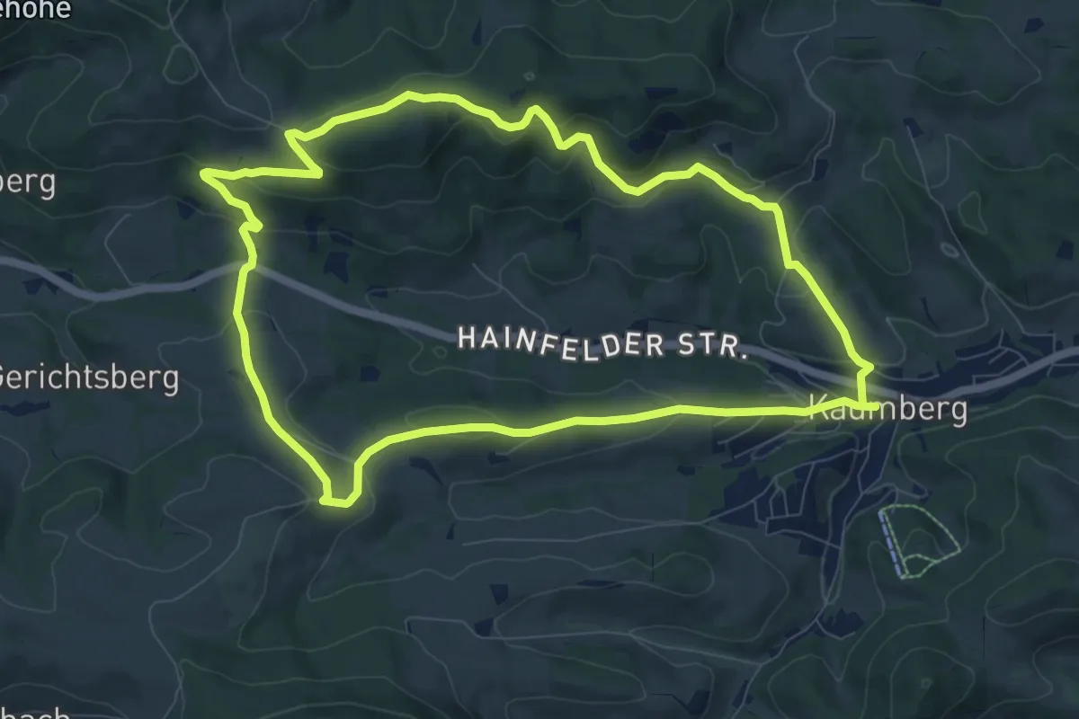
Medium · Summit
Hirschweg (Kaumberg - Gerichtsberg - Bramerkapelle - Großreith)
9.1 km · ↑ 313 m · 2 h 57 min
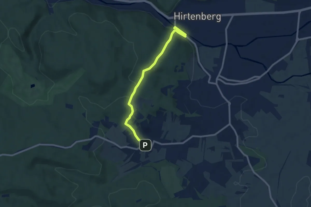
Easy · Trail
Hirtenberg Bhf - Erholungszentrum - Symposium (Lindabrunn)
5.7 km · ↑ 163 m · 1 h 42 min
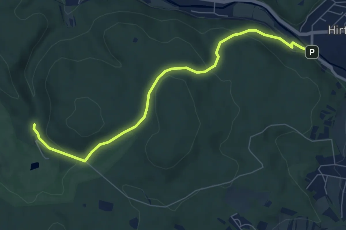
Easy · Trail
Hirtenberg Bhf - Großer Jauling
6.5 km · ↑ 245 m · 2 h 4 min
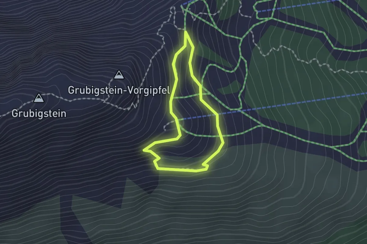
Medium · Trail
Hirtensteig
1.3 km · ↑ 80 m · 29 min
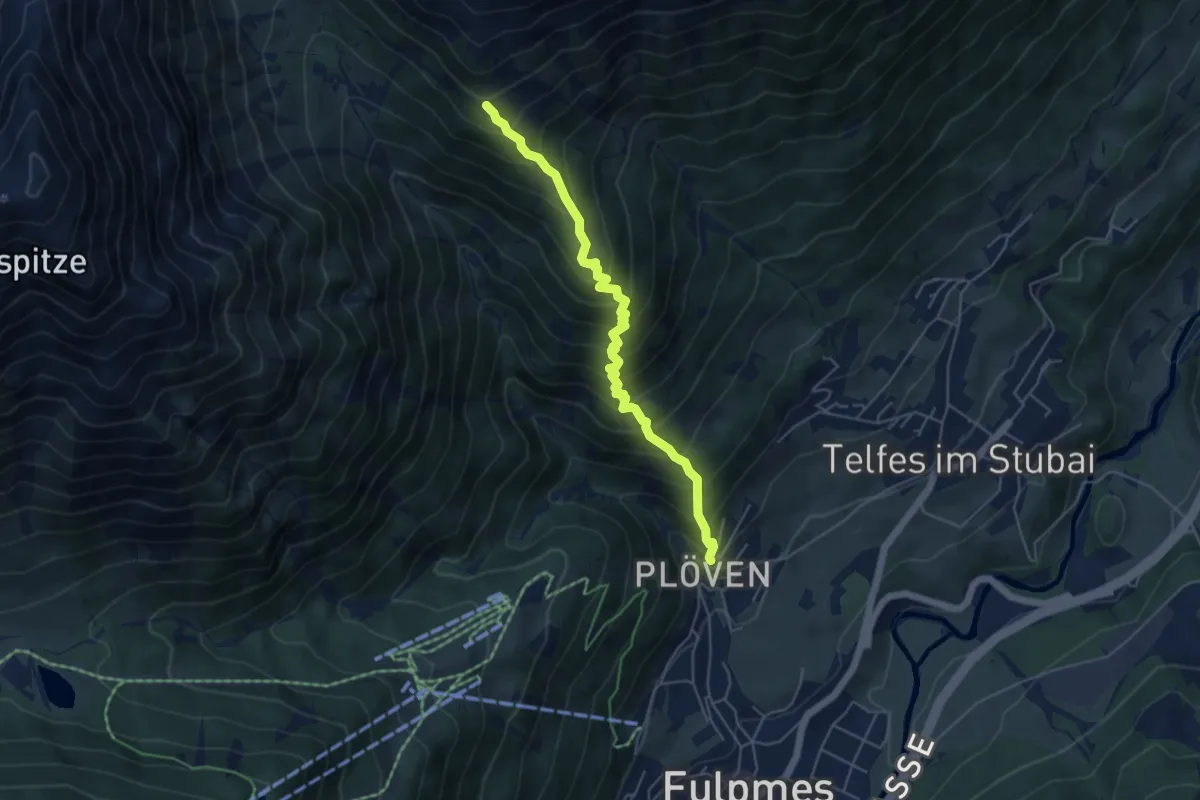
Medium · Cabin
Hirtensteig
4.9 km · ↑ 690 m · 2 h 39 min
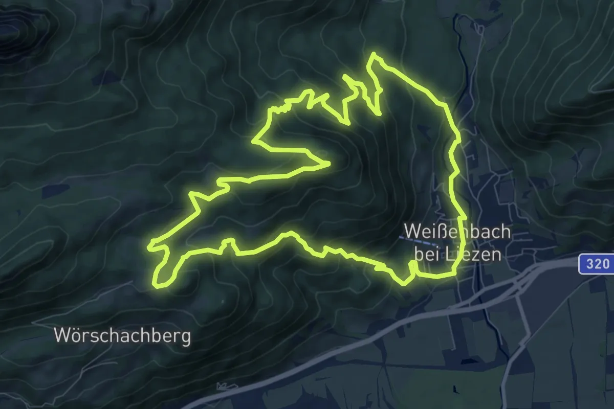
Medium · Trail
Hischenhacklweg-Runde
10.4 km · ↑ 538 m · 3 h 47 min
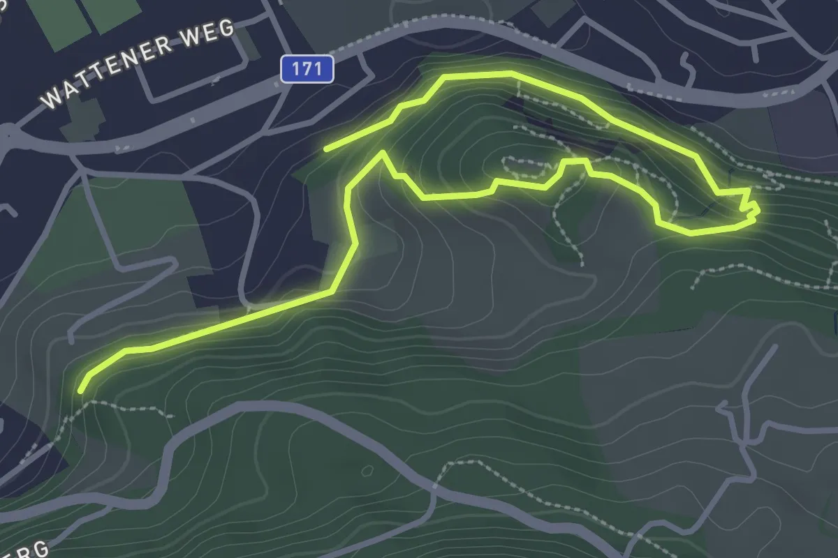
Easy · Trail
Historischer Rundwanderweg
4.4 km · ↑ 221 m · 1 h 31 min
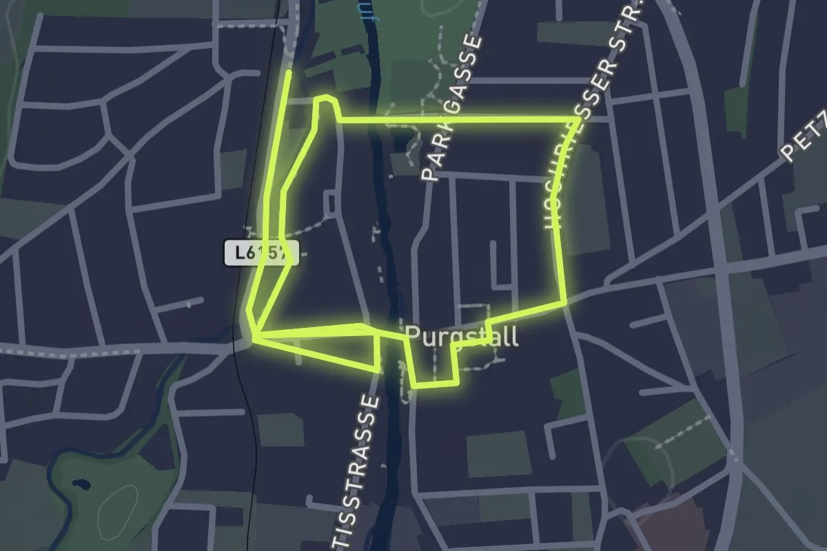
Easy · Trail
historischer Rundweg
4.8 km · ↑ 13 m · 1 h 9 min
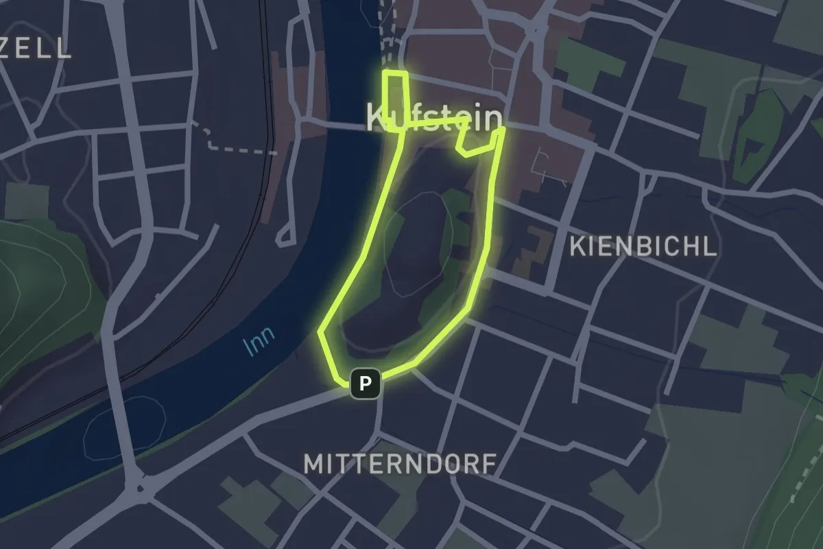
Easy · Trail
Historischer Rundweg
1.5 km · ↑ 26 m · 26 min
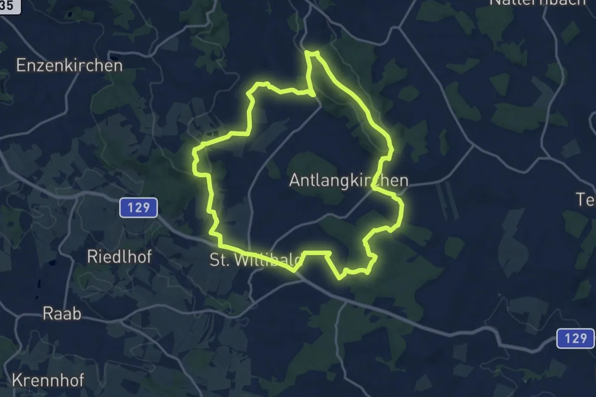
Medium · Summit
Historischer Wanderweg
13.7 km · ↑ 294 m · 4 h 3 min
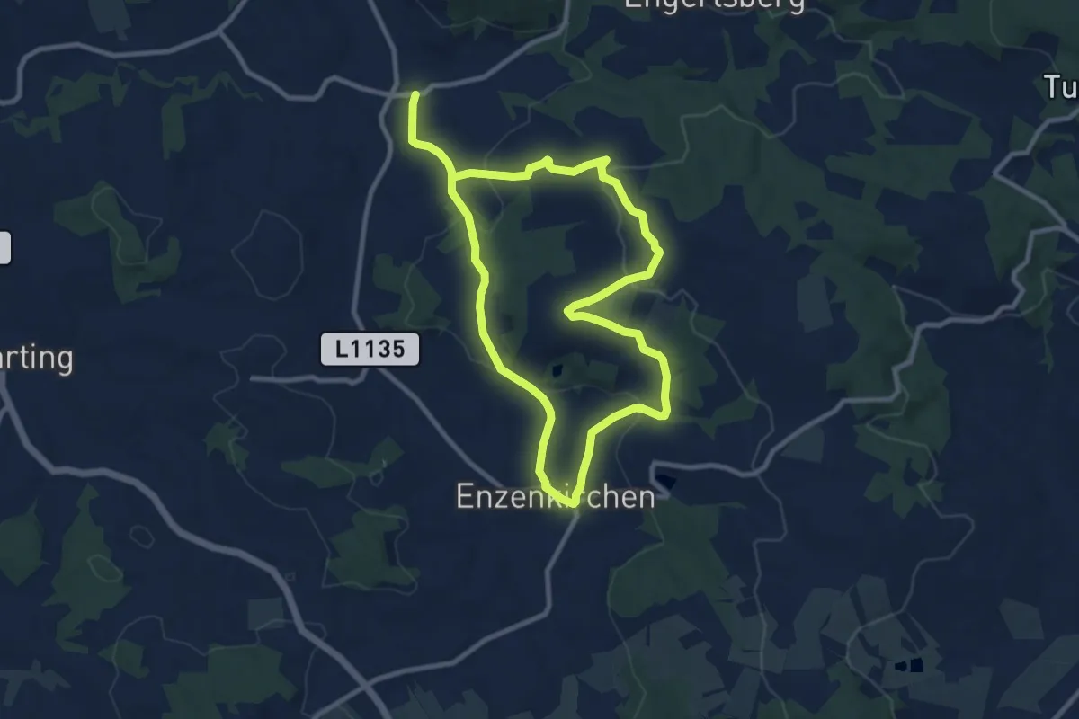
Medium · Trail
Historischer Wanderweg Graf Enzo
15.8 km · ↑ 447 m · 4 h 42 min
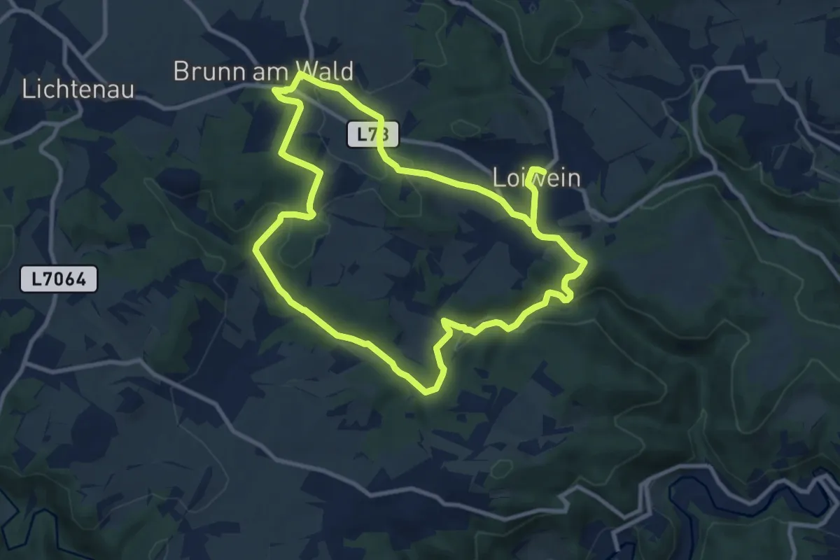
Medium · Trail
Historischer Weg und "Ort der Kraft" (31)
8.7 km · ↑ 220 m · 2 h 40 min
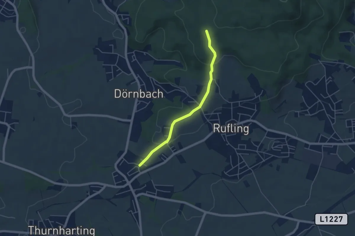
Easy · Trail
Hitzing-Kürnberg
4.1 km · ↑ 93 m · 1 h 10 min
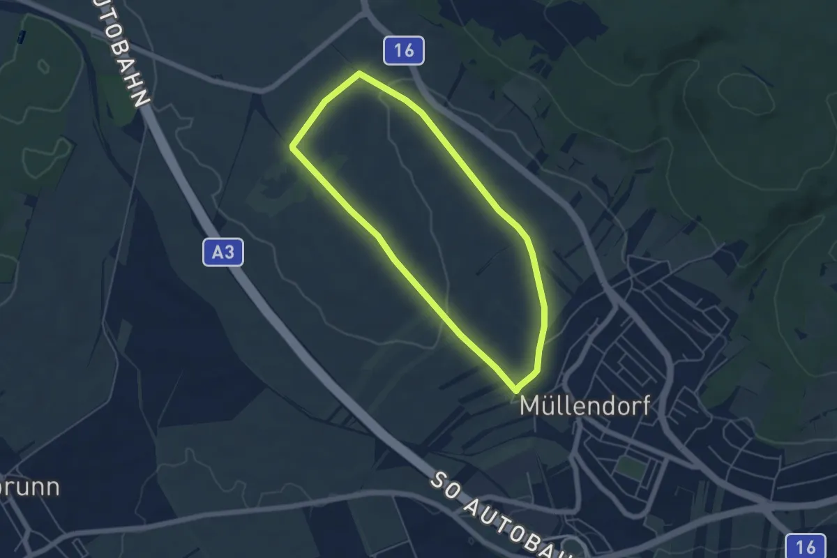
Easy · Trail
Hoad1 (Müllendorfer Walkingstrecken)
4.5 km · ↑ 57 m · 1 h 15 min