Trails in Austria
9,778 hiking trails, each with its route, climb, walking time and grade.
All trails, page 44 of 204
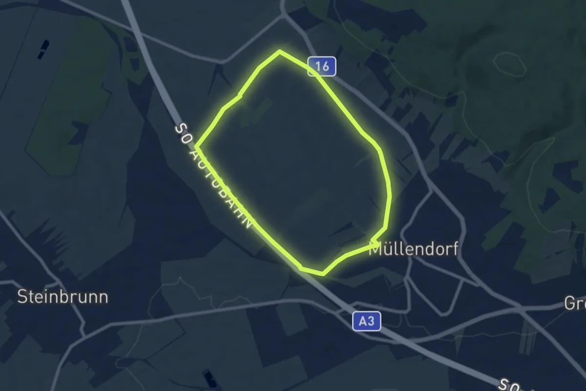
Easy · Trail
Hoad2 (Müllendorfer Walkingstrecken)
5.6 km · ↑ 61 m · 1 h 32 min
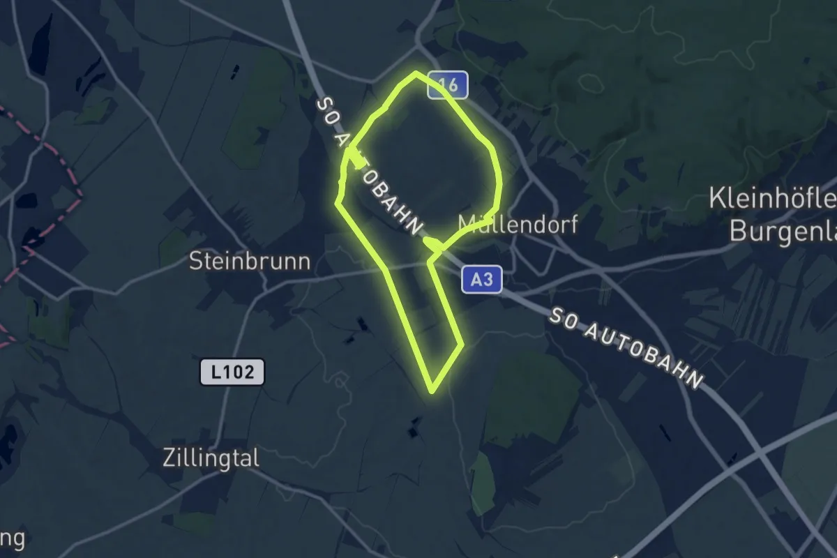
Medium · Trail
Hoad3 (Müllendorfer Walkingstrecken)
10.0 km · ↑ 99 m · 2 h 44 min
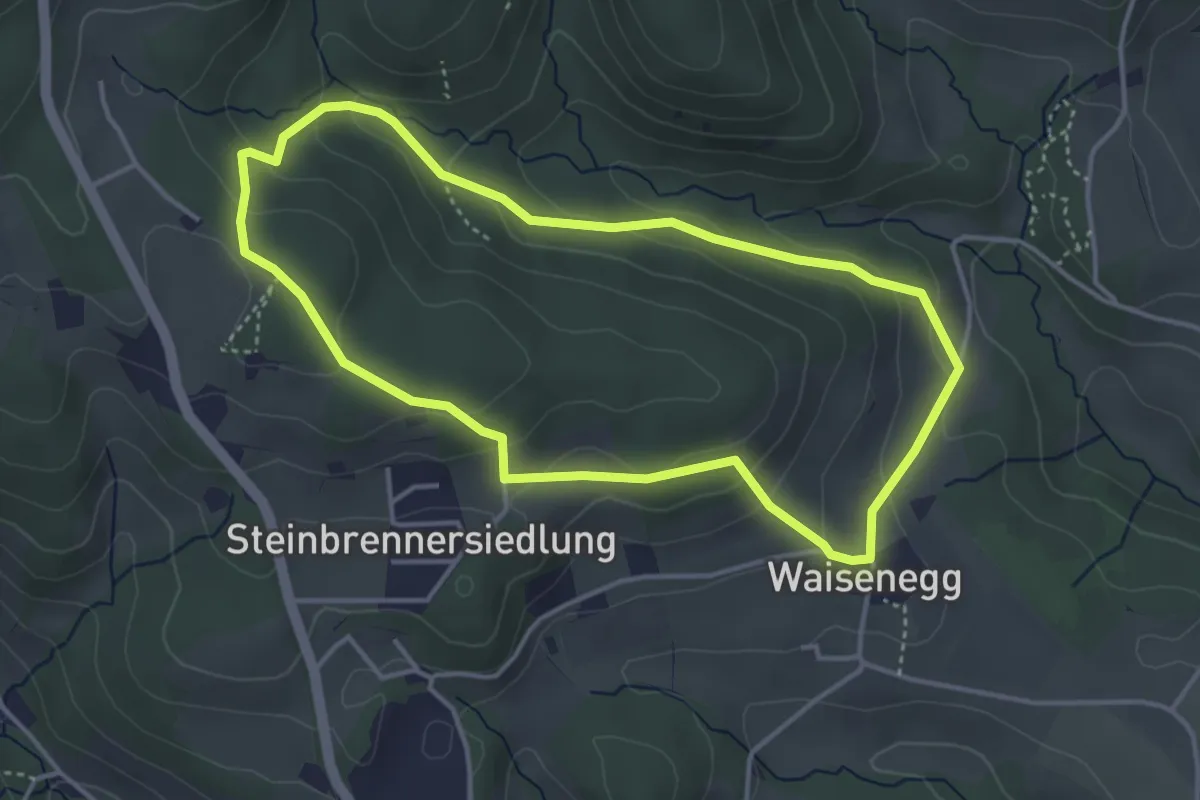
Easy · Trail
Hoadaholz Rundwanderweg
3.8 km · ↑ 164 m · 1 h 18 min
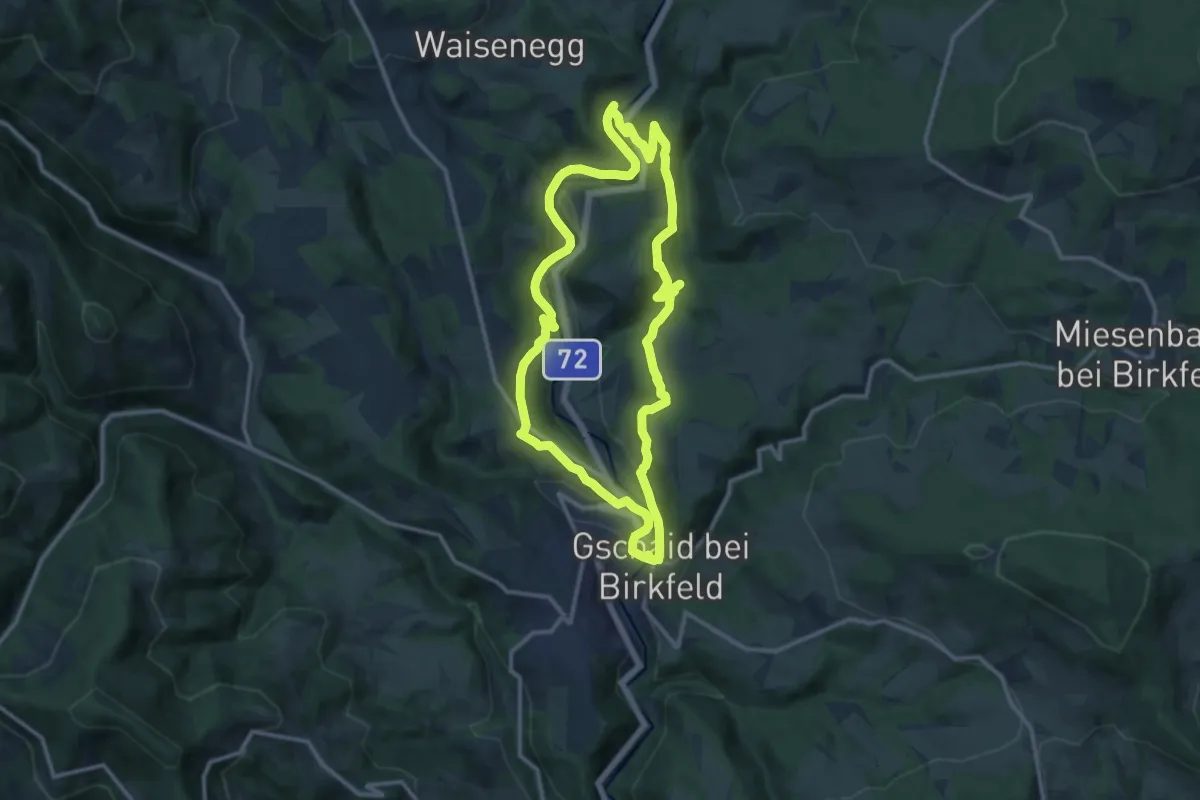
Medium · Trail
Hoamatweg
12.2 km · ↑ 360 m · 3 h 49 min
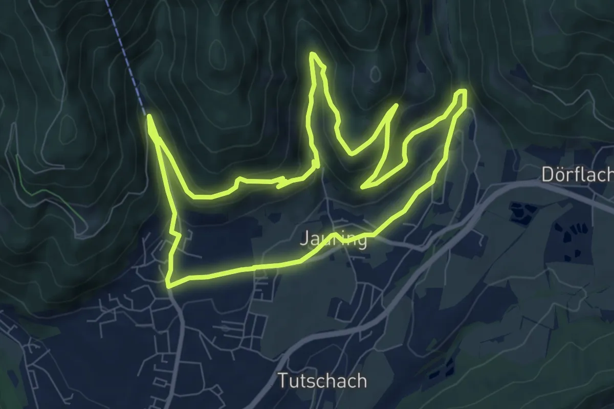
Medium · Trail
Hob mi Gern Steig
8.6 km · ↑ 286 m · 2 h 46 min
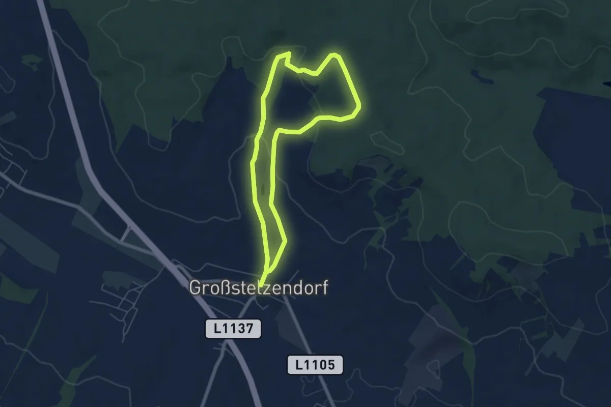
Easy · Trail
Hochbergweg
4.9 km · ↑ 125 m · 1 h 30 min
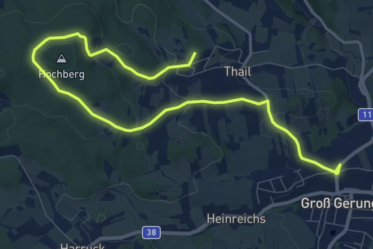
Medium · Summit
Hochbergweg 33a
10.4 km · ↑ 262 m · 3 h 1 min
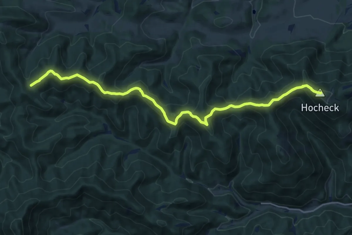
Demanding · Summit
Hocheck -Hochriegel - Veigelkogel
15.0 km · ↑ 951 m · 5 h 36 min
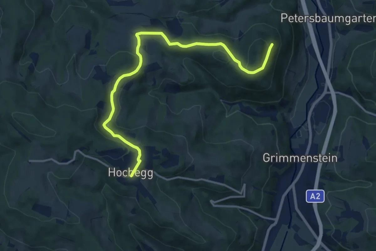
Medium · Trail
Hochegg - Burg Grimmenstein
11.1 km · ↑ 292 m · 3 h 16 min
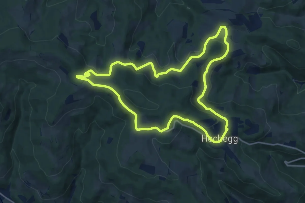
Medium · Trail
Hochegger Kapellenweg
10.6 km · ↑ 235 m · 3 h 9 min
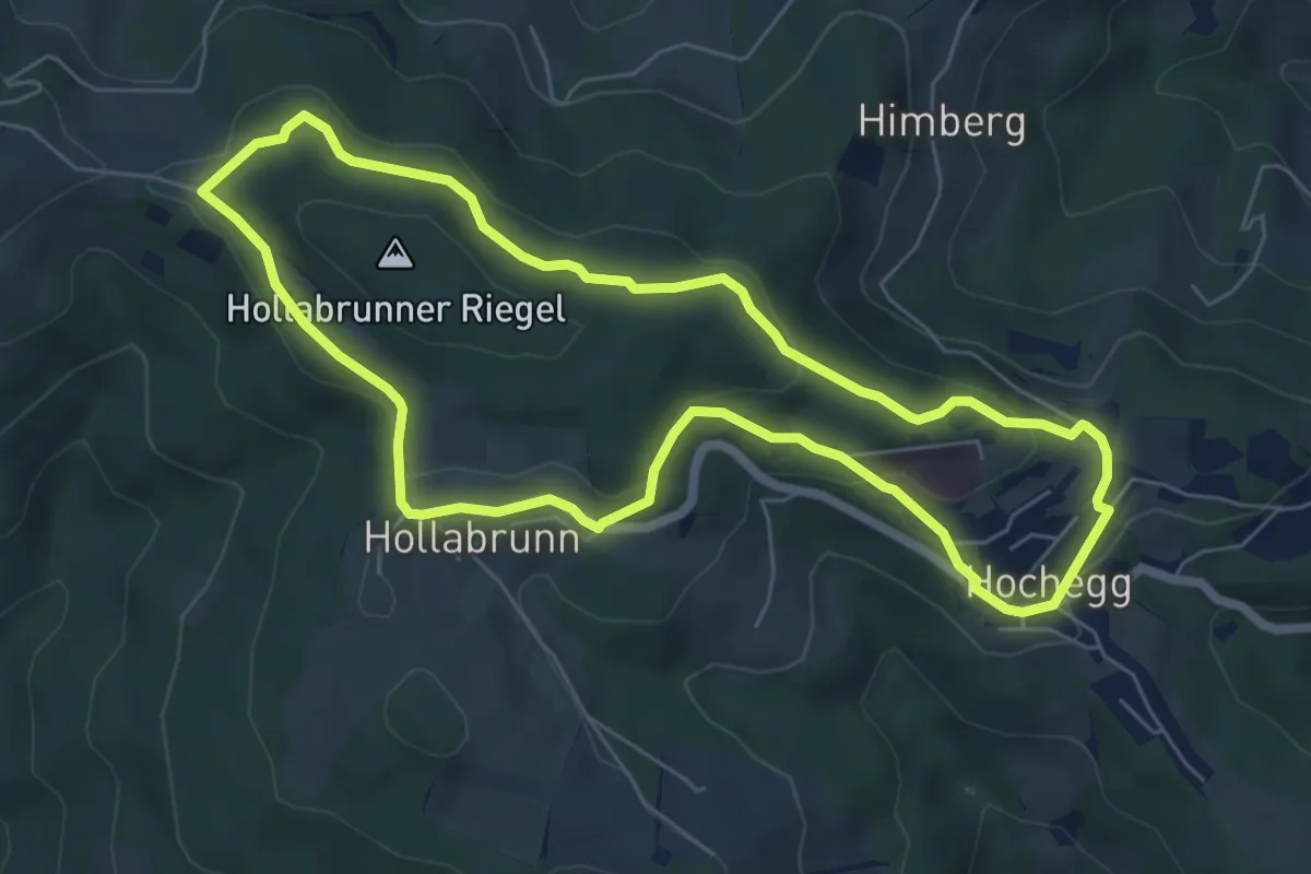
Easy · Trail
Hochegger Rundwanderweg über Grubbauern Höhe
6.1 km · ↑ 128 m · 1 h 49 min
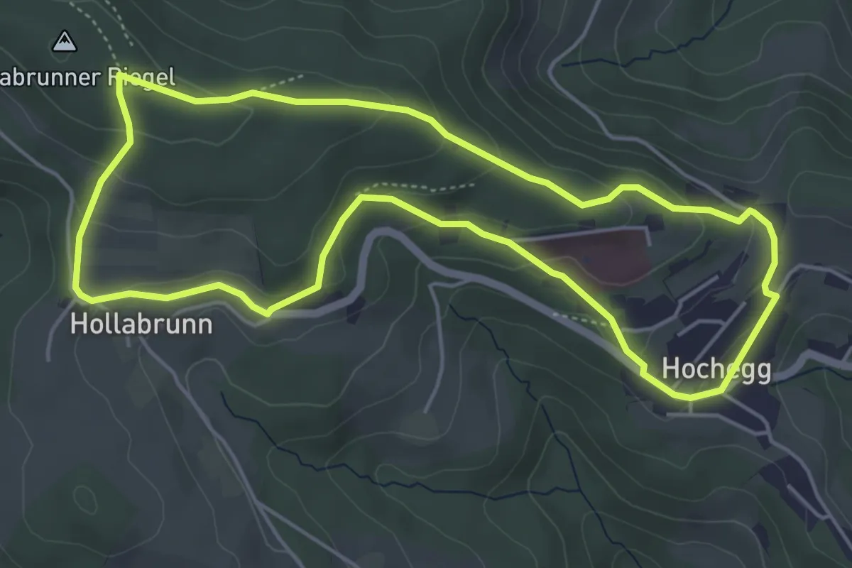
Easy · Trail
Hochegger Weitblickroute
4.8 km · ↑ 154 m · 1 h 32 min
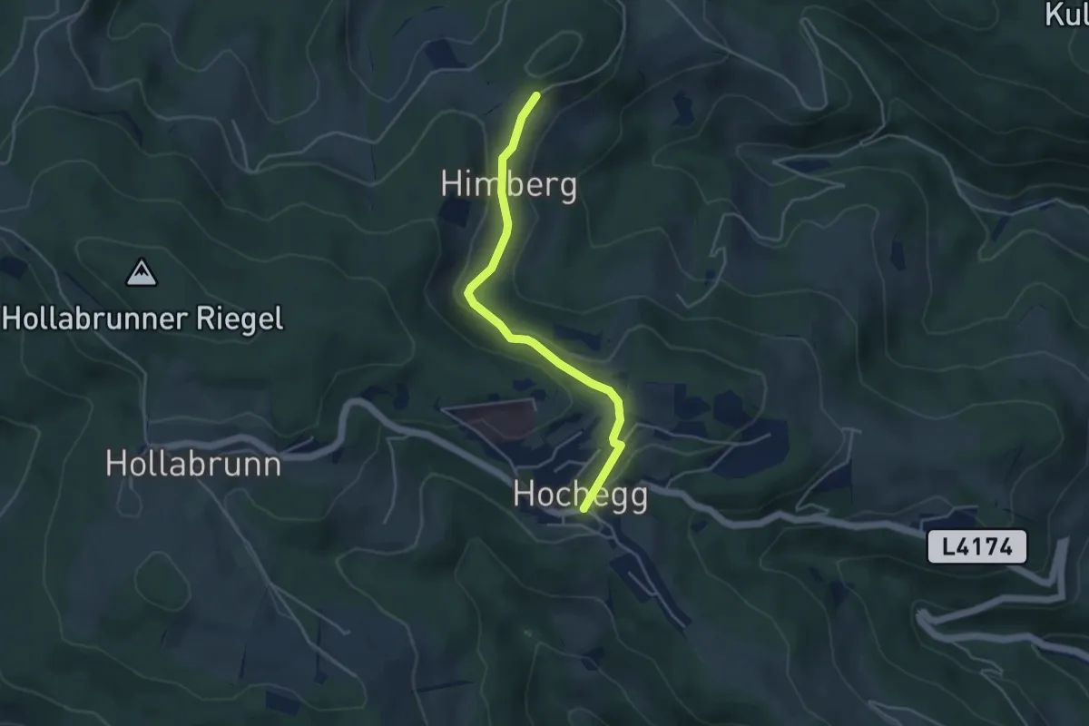
Easy · Trail
Hochegg - Himberg
3.9 km · ↑ 84 m · 1 h 7 min
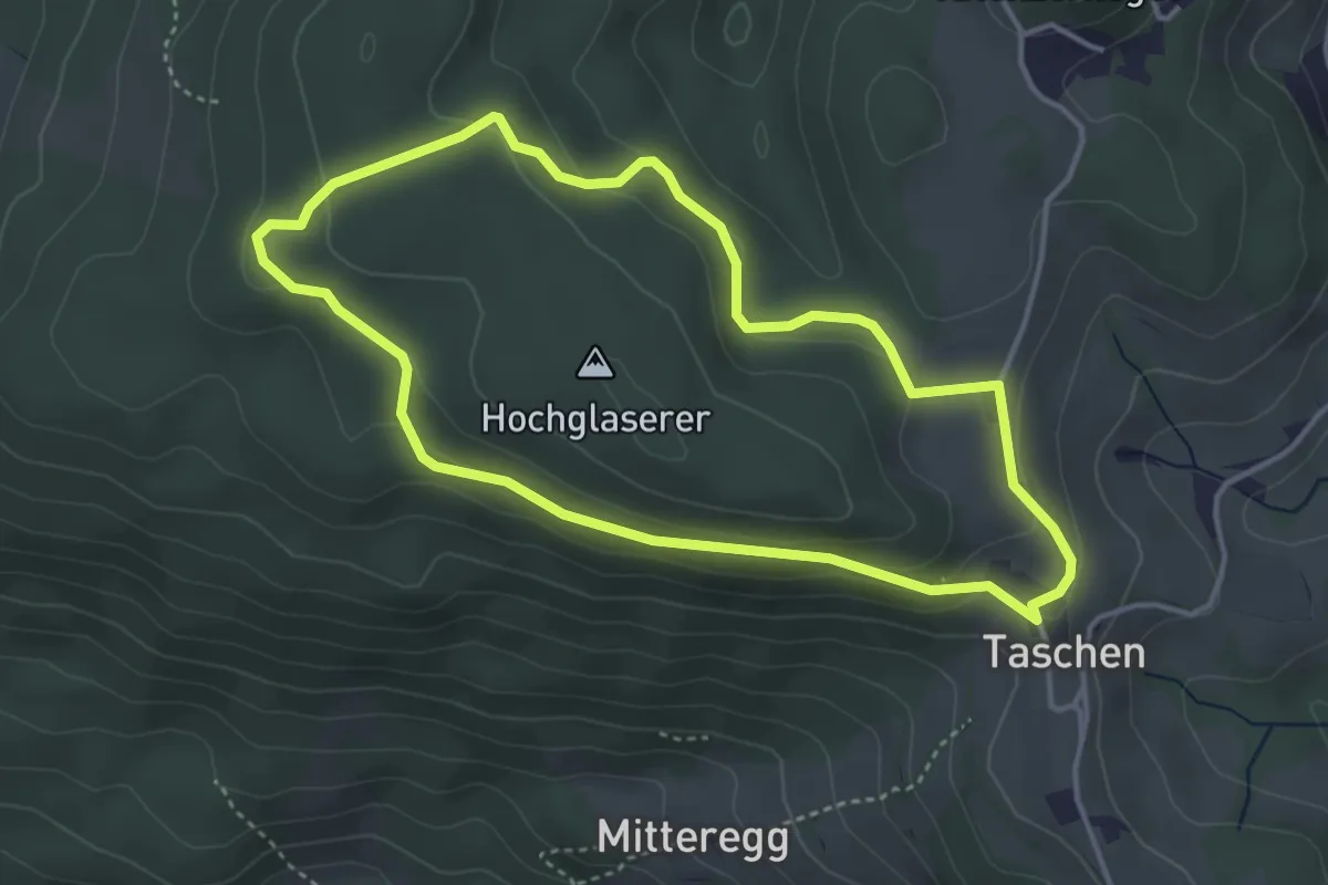
Easy · Summit
Hochglaserer-Rundweg
3.7 km · ↑ 105 m · 1 h 10 min
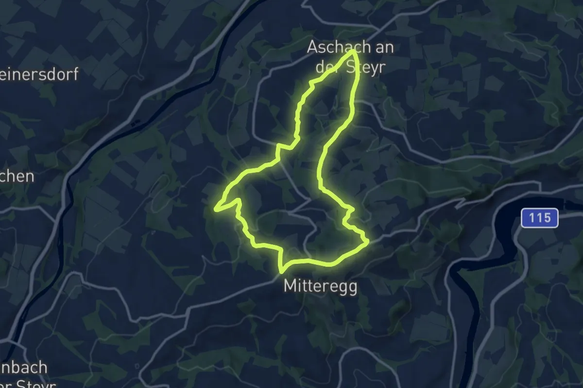
Medium · Summit
Hochhuber Runde
10.4 km · ↑ 361 m · 3 h 23 min
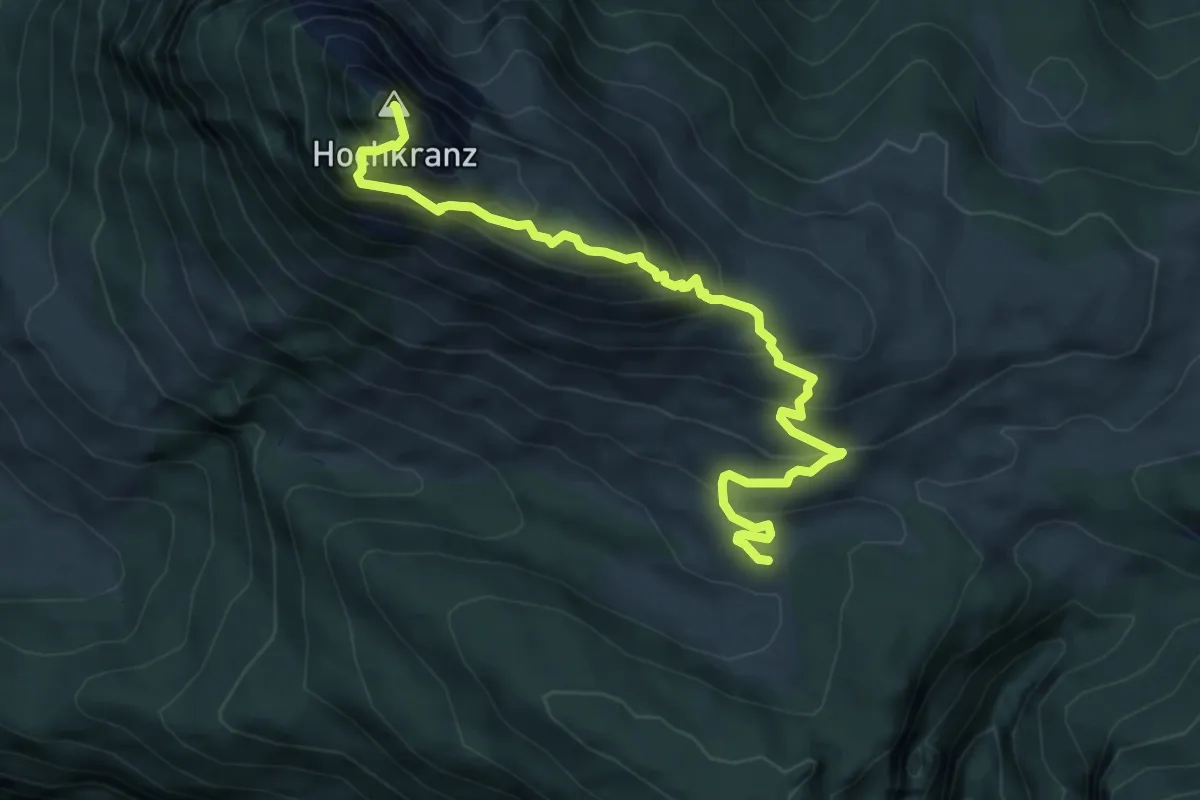
Expert · Summit
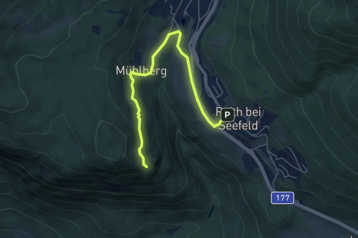
Hochkranz
6.3 km · ↑ 651 m · 2 h 54 min
Medium · Trail
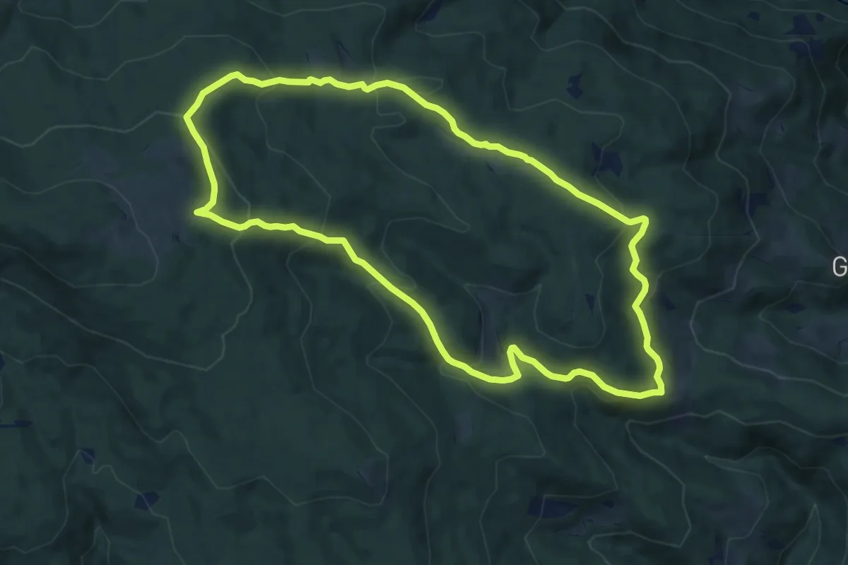
Hochleitenkopf
5.1 km · ↑ 189 m · 1 h 37 min
Medium · Trail
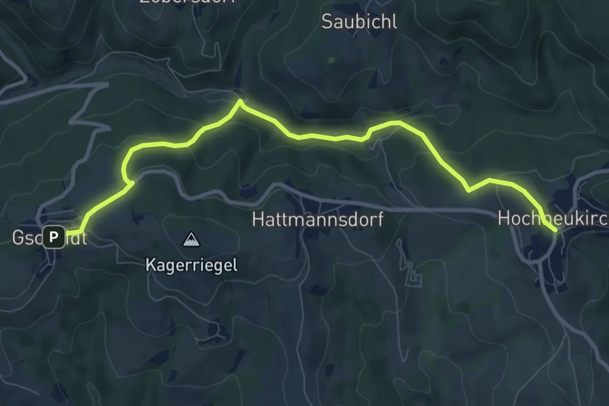
Hochmoor-Weg
10.5 km · ↑ 480 m · 3 h 41 min
Medium · Trail
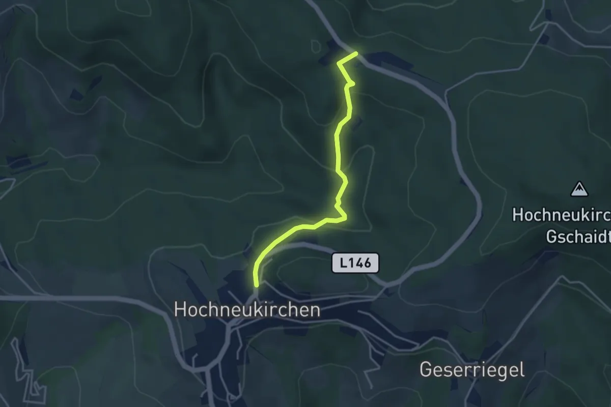
Hochneukirchen - Gschaidt
8.8 km · ↑ 363 m · 2 h 51 min
Easy · Trail
Hochneukirchen - Höhwirt
3.1 km · ↑ 183 m · 1 h 8 min
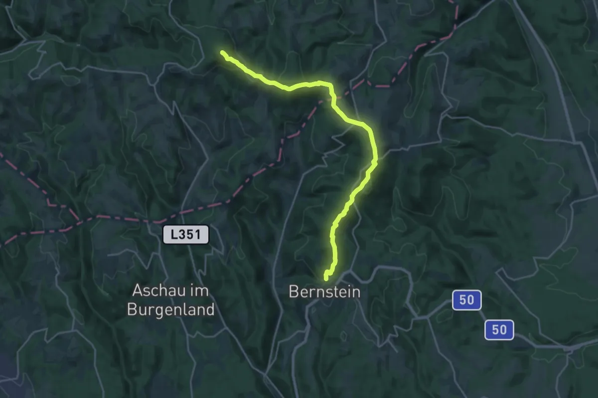
Demanding · Summit
Hochneukirchen - Hutwisch - Steinstückel - Kienberg - Bernstein
19.7 km · ↑ 878 m · 6 h 34 min
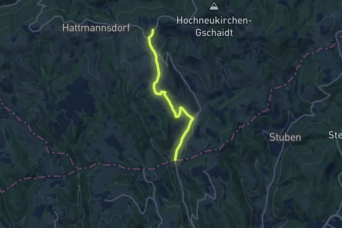
Medium · Trail
Hochneukirchen - Maltern
10.1 km · ↑ 292 m · 3 h 2 min
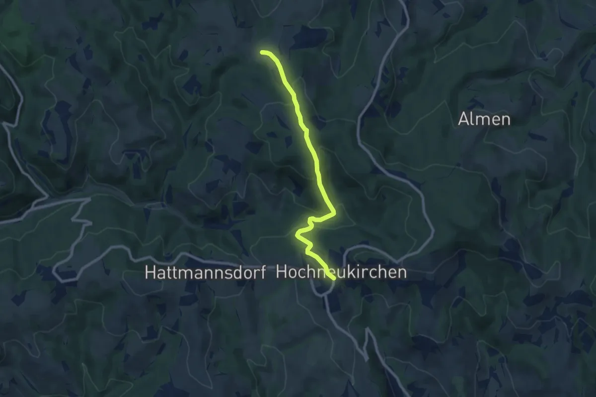
Medium · Trail
Hochneukirchen - Mölterner Höhe - Hosien
7.4 km · ↑ 338 m · 2 h 28 min
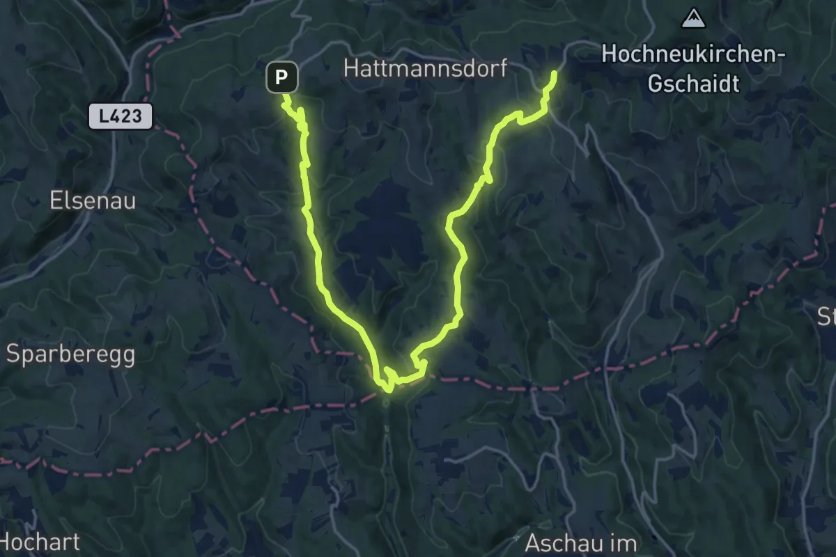
Demanding · Trail
Hochneukirchen - Ofenegg - Dreiländerstein - Ulrichsdorf - Gschaidt
21.9 km · ↑ 791 m · 6 h 52 min
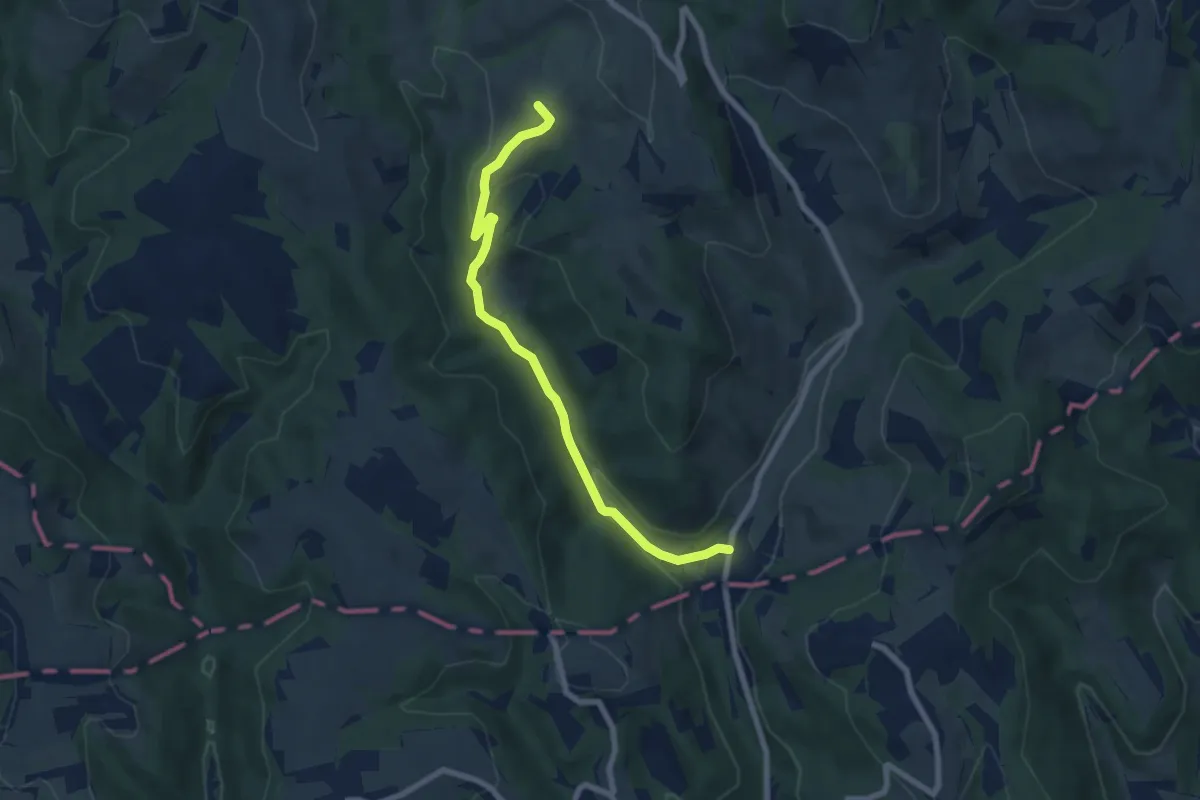
Easy · Summit
Hochneukirchen - Schwarzer Graben - Maltern
7.2 km · ↑ 201 m · 2 h 7 min
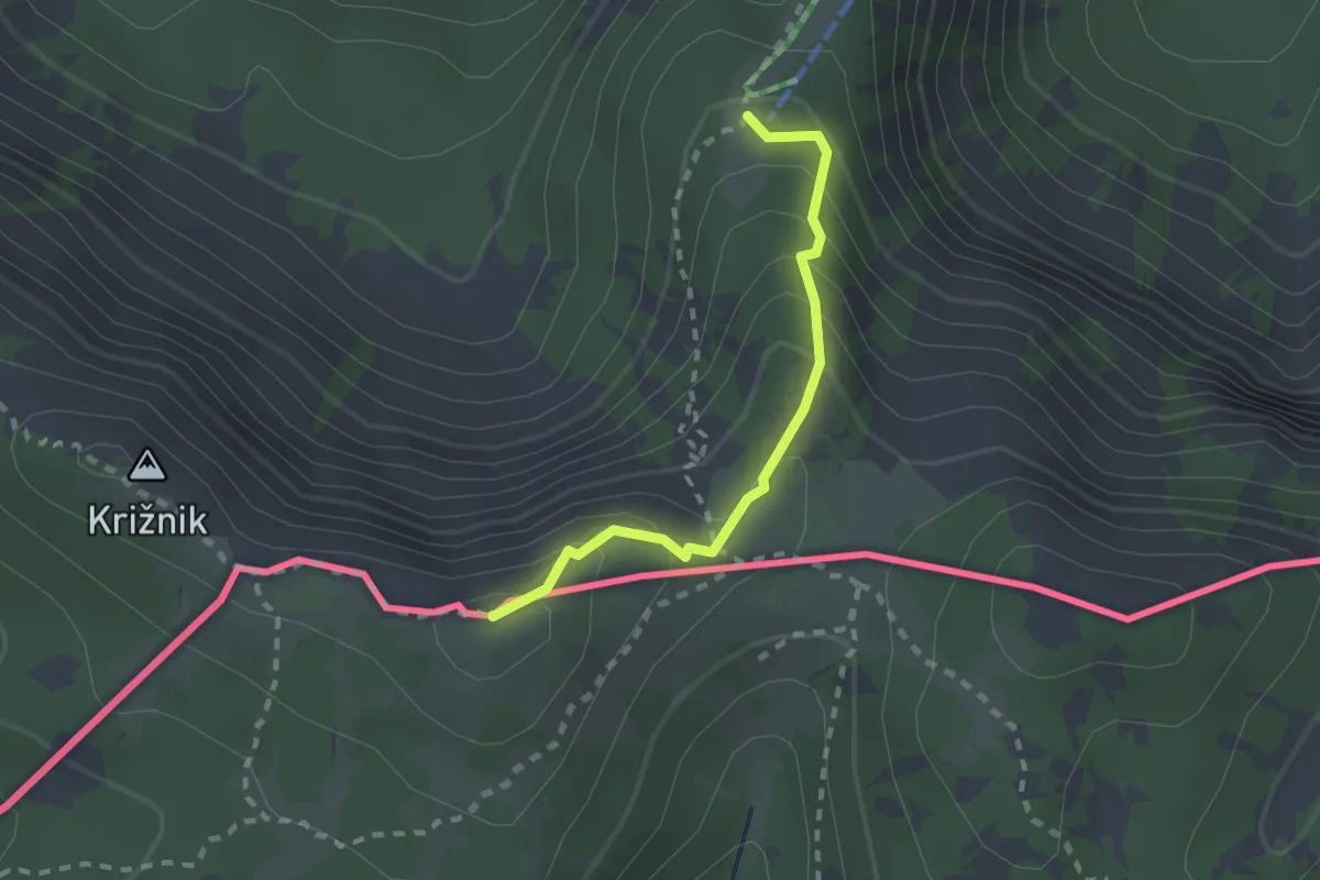
Medium · Summit
Hochpetzensteig
2.0 km · ↑ 201 m · 54 min
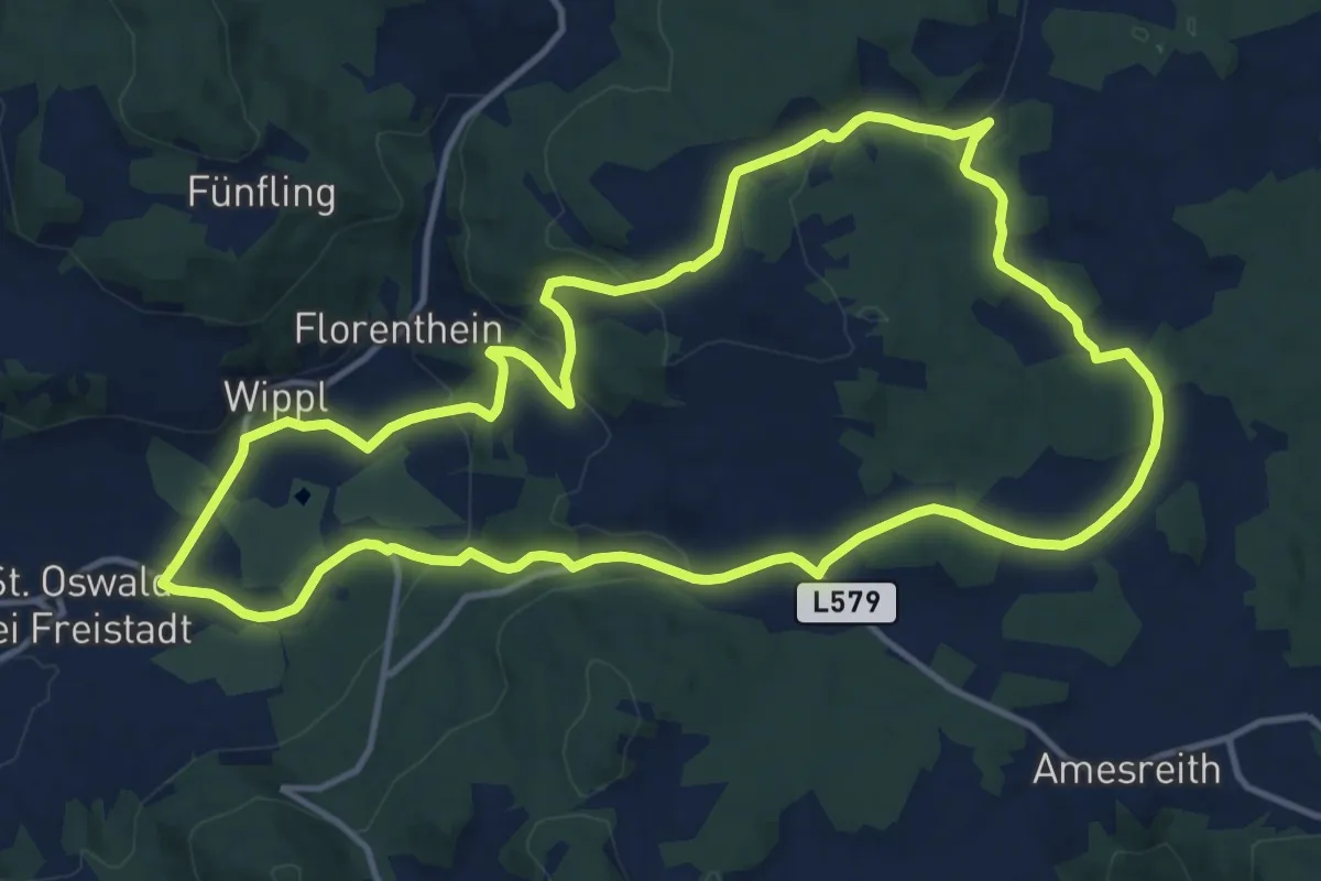
Medium · Trail
Hochplateauweg
13.2 km · ↑ 329 m · 4 h 1 min
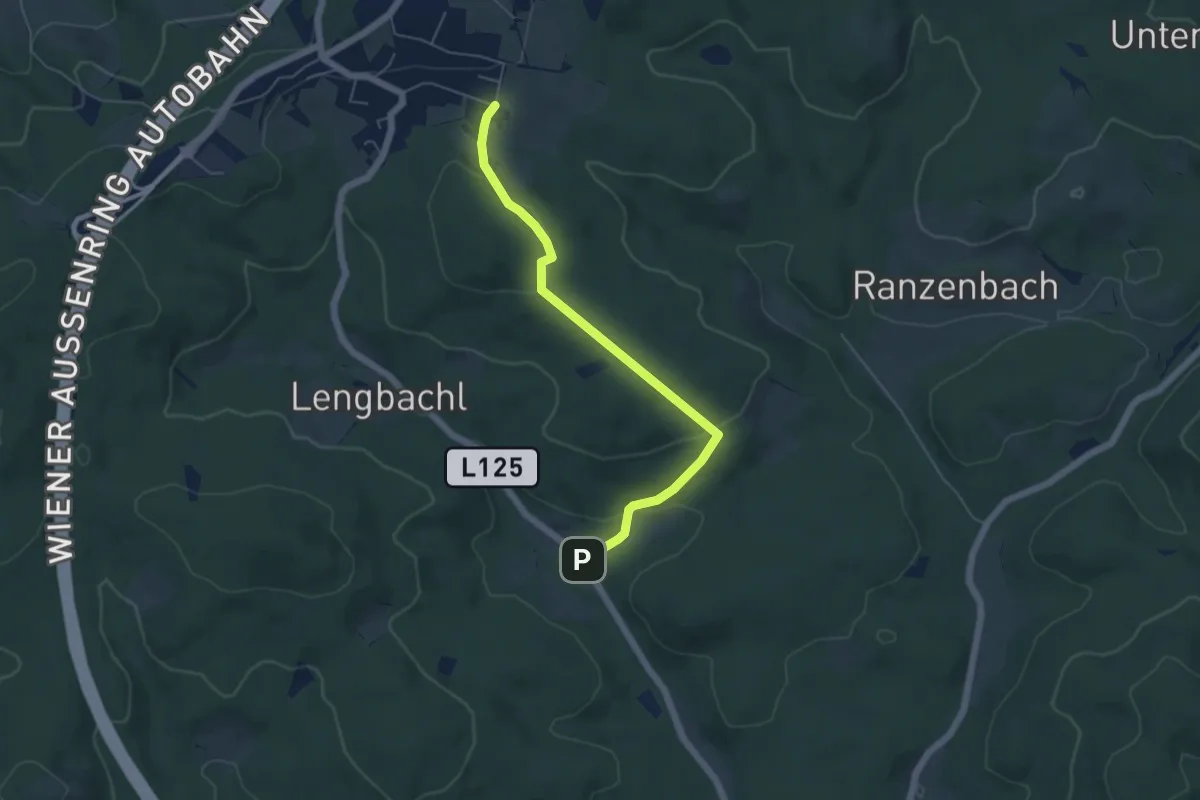
Easy · Trail
Hochstraß - Hundsberg - L125
5.1 km · ↑ 159 m · 1 h 34 min
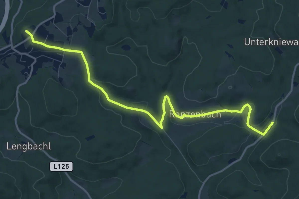
Medium · Summit
Hochstraß - Ranzenbach - Agsbach
10.3 km · ↑ 233 m · 2 h 56 min
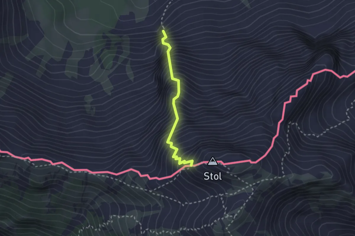
Expert · Trail
Hochstuhl-Klettersteig
2.1 km · ↑ 638 m · 1 h 52 min
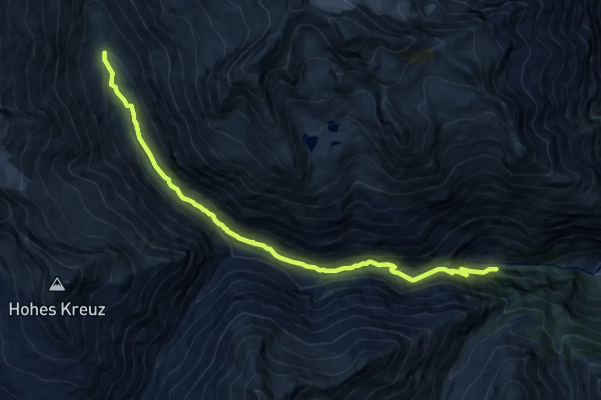
Medium · Trail
Hoch-Tirol-Trail
12.5 km · ↑ 642 m · 4 h 20 min
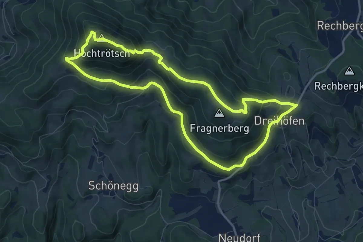
Medium · Summit
Hochtrötsch Rundwanderweg 14a
8.7 km · ↑ 419 m · 3 h 5 min
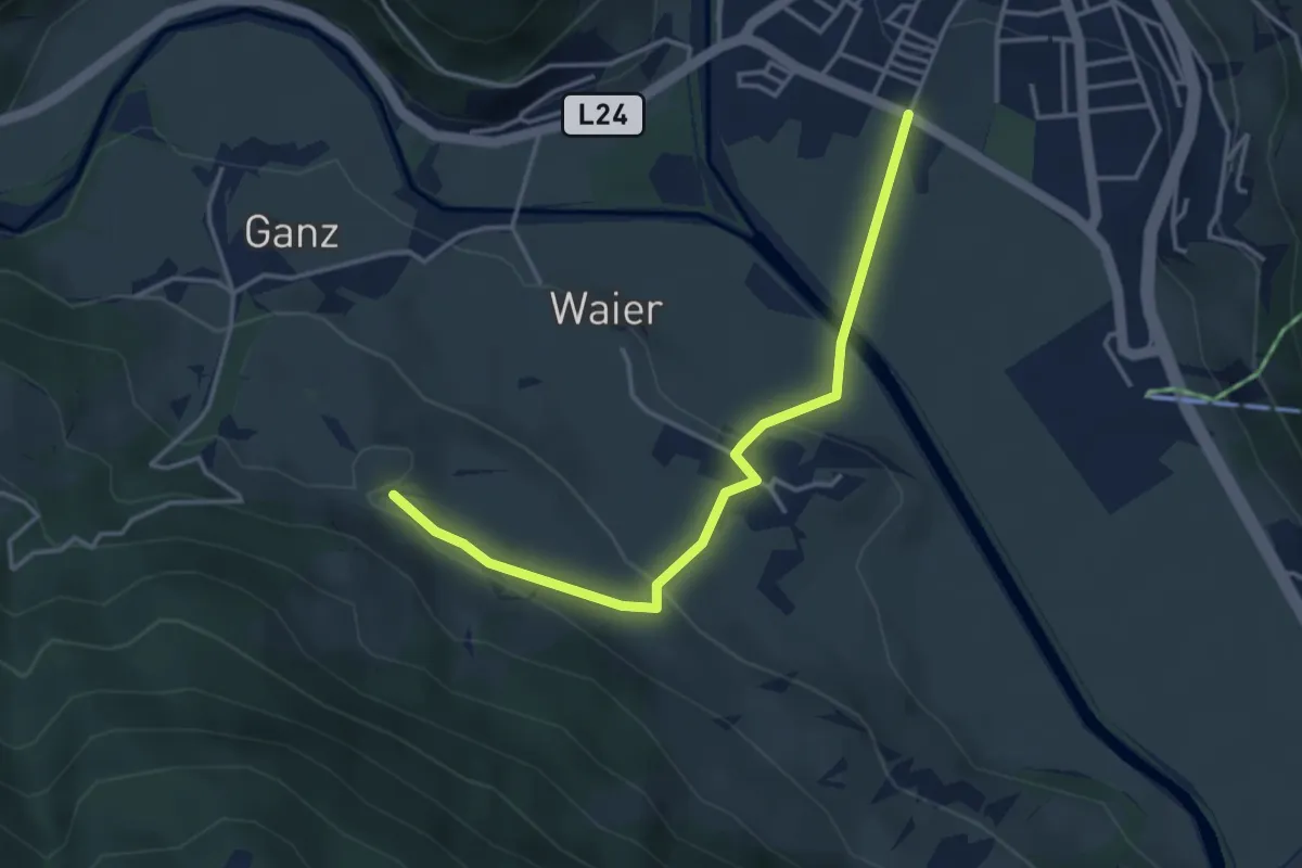
Easy · Trail
Hoch und Heilig
3.8 km · ↑ 124 m · 1 h 10 min
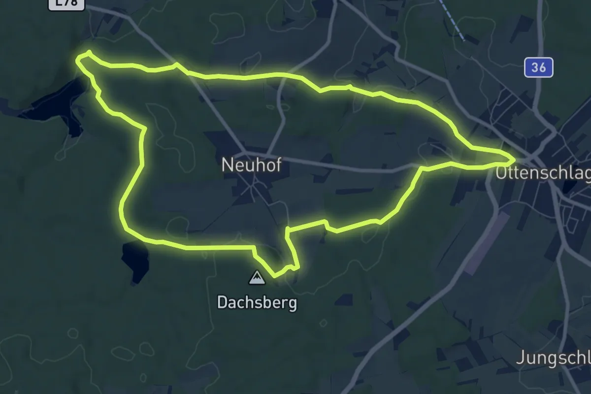
Medium · Summit
Hochwaldklänge 31
9.1 km · ↑ 159 m · 2 h 37 min
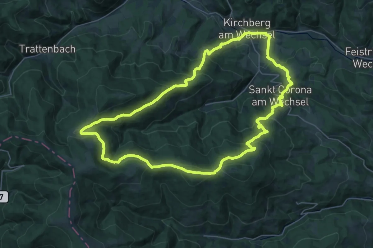
Demanding · Trail
Hochwechsel Wanderweg (Kirchberg a.W. - Steyersberger Schwaig
24.1 km · ↑ 976 m · 8 h 9 min
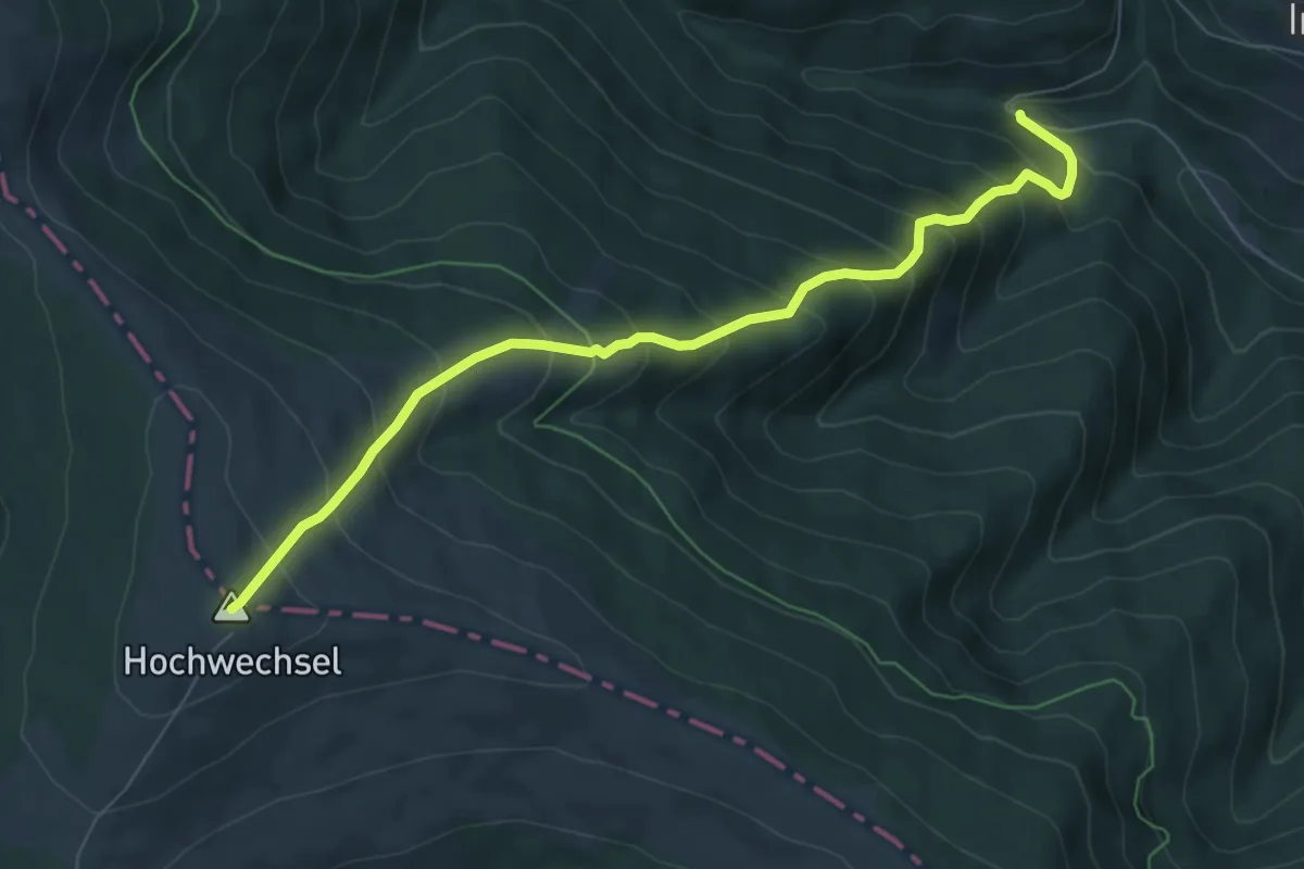
Medium · Summit
Hochwechsel (Wetterkoglerhütte) Wanderweg 51
7.5 km · ↑ 757 m · 3 h 24 min
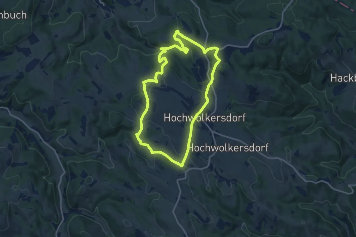
Medium · Trail
Hochwolkersdorf - Karnthal - Rosenbrunn - Ghf Fernblick - Brenntföhren - Hochwolkersdorf
9.4 km · ↑ 335 m · 3 h 5 min
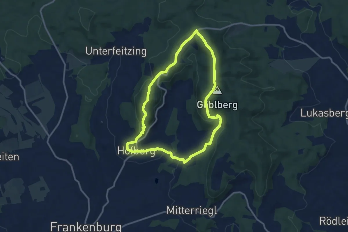
Easy · Summit
Hofberg-Göblberg Wanderweg
7.6 km · ↑ 254 m · 2 h 27 min
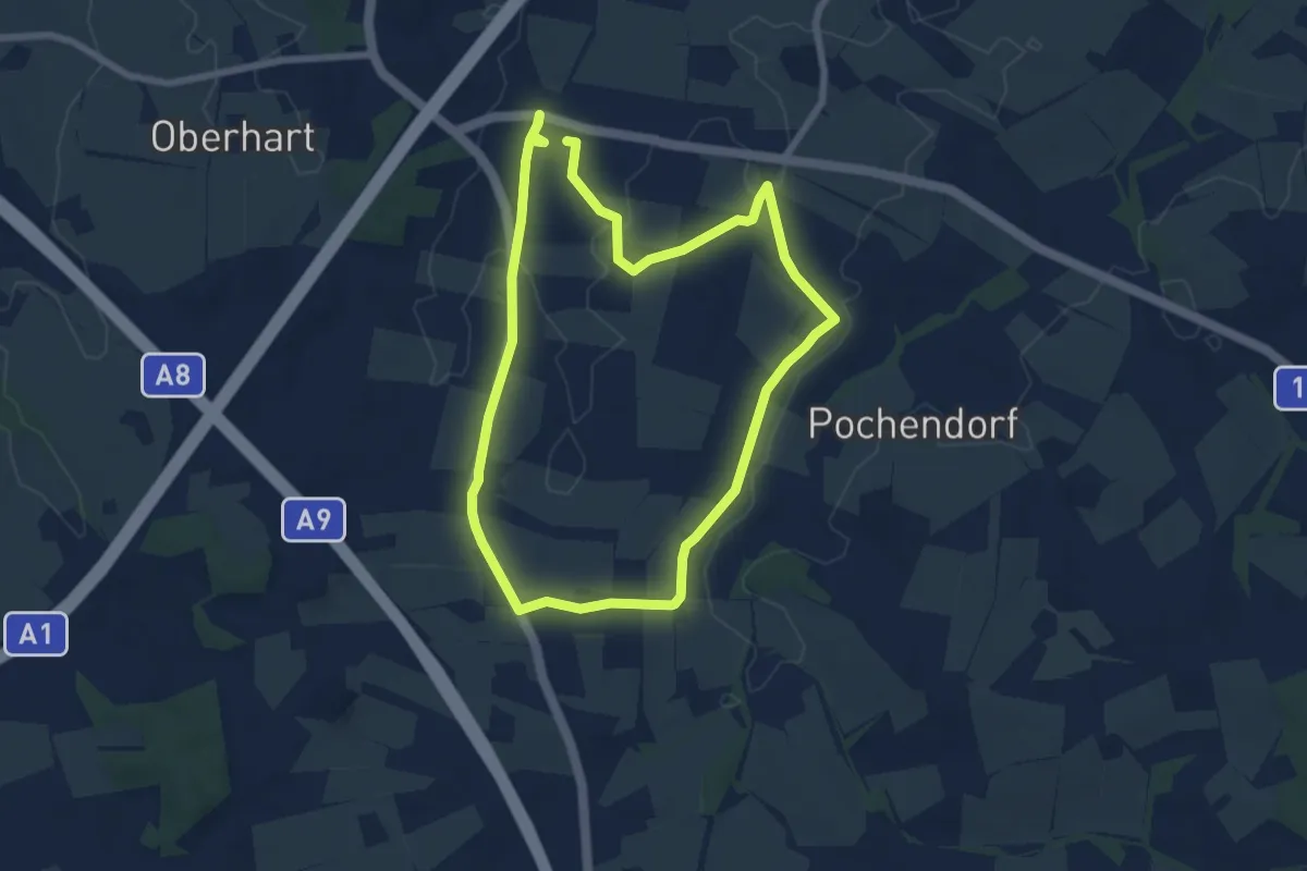
Easy · Trail
Hofer-Runde
6.4 km · ↑ 31 m · 1 h 40 min
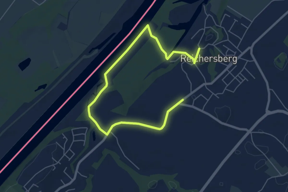
Easy · Trail
Hoffeldrunde
6.8 km · ↑ 62 m · 1 h 44 min
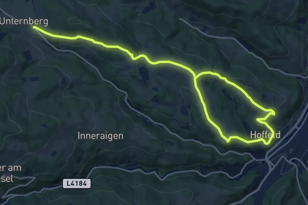
Medium · Trail
Hoffeld - Steinhöfen - Wh. Reithofer - Unternberg
17.4 km · ↑ 603 m · 5 h 25 min
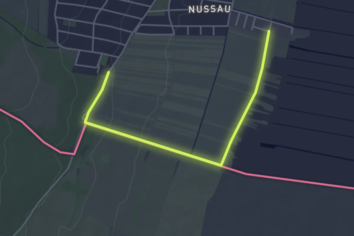
Easy · Trail
Hofgassenweg
2.1 km · ↑ 5 m · 33 min
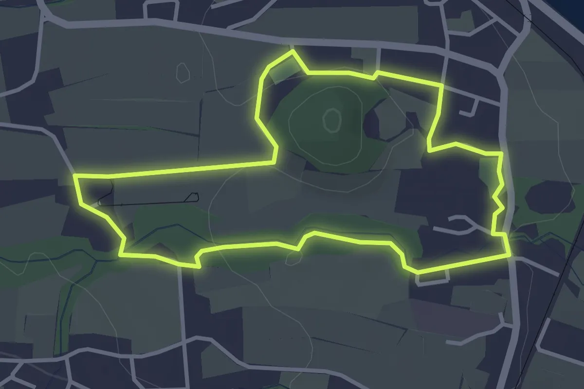
Easy · Trail
Hofgraben - Buchberg
2.9 km · ↑ 32 m · 48 min
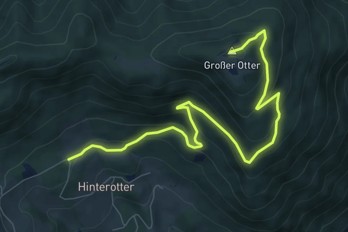
Medium · Summit
Hof Haider - Großer Otter - Kummerbauerstadl
8.6 km · ↑ 448 m · 3 h
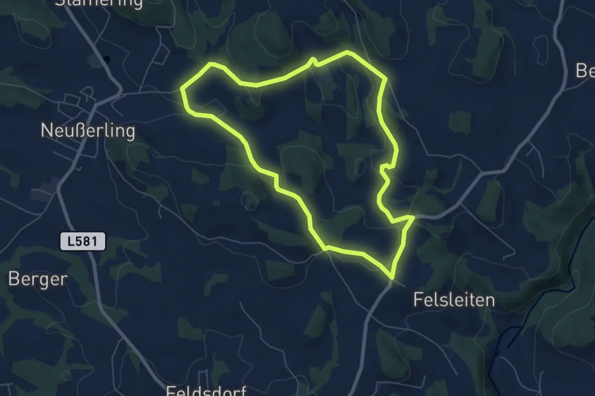
Easy · Trail
Hofing-Runde
6.1 km · ↑ 138 m · 1 h 50 min
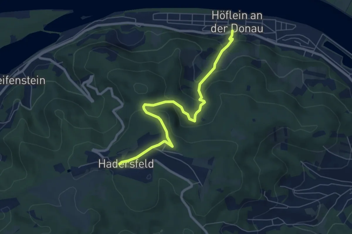
Easy · Trail
Höflein Bahnhof - Hadersfeld/Glockenturm
6.3 km · ↑ 281 m · 2 h 5 min
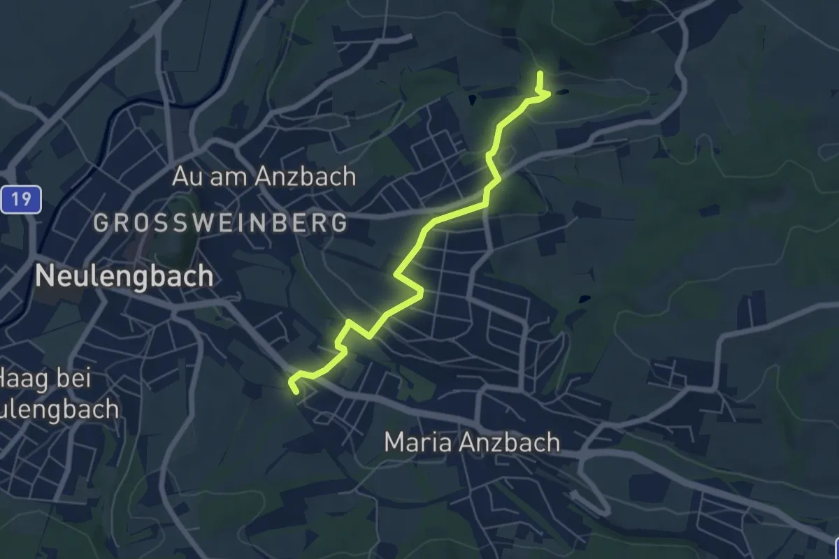
Easy · Trail
Hofstatt (Bhf) - Burgstall
5.3 km · ↑ 142 m · 1 h 34 min
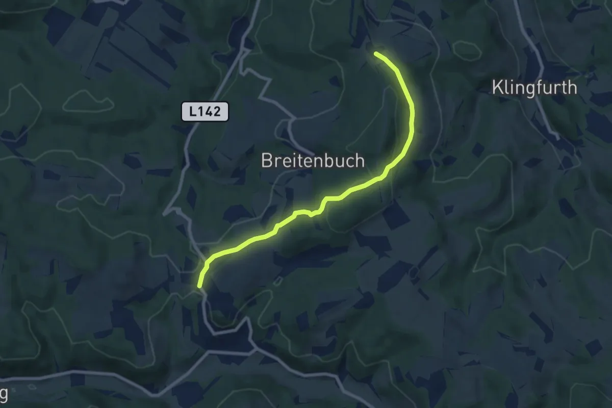
Easy · Trail
Hofstätten (Bromberg) - Stupfenreith
7.2 km · ↑ 183 m · 2 h 7 min