Trails in Austria
9,778 hiking trails, each with its route, climb, walking time and grade.
All trails, page 45 of 204
Medium · Trail
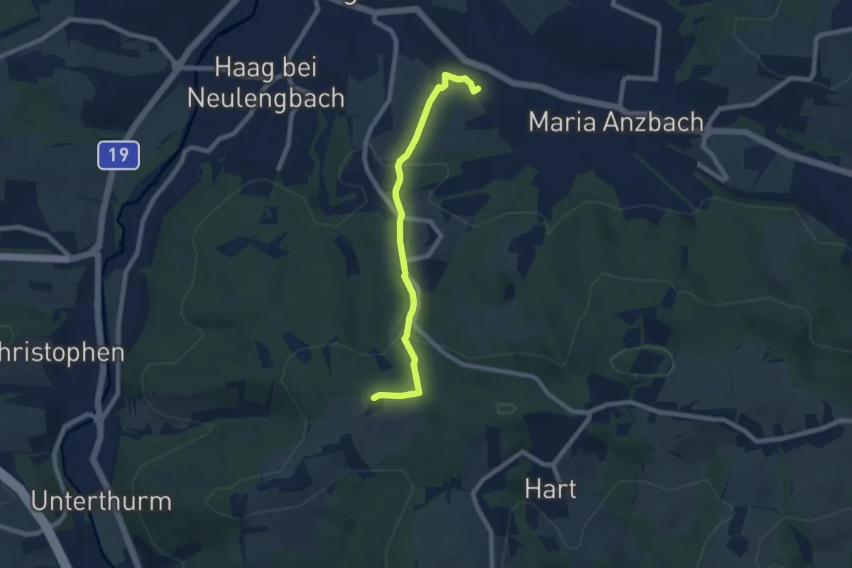
Hofstatt - Haagen
5.3 km · ↑ 200 m · 1 h 41 min
Medium · Trail
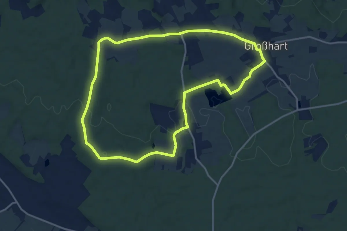
Hofwald-Weg (A3)
9.4 km · ↑ 111 m · 2 h 36 min
Expert · Summit
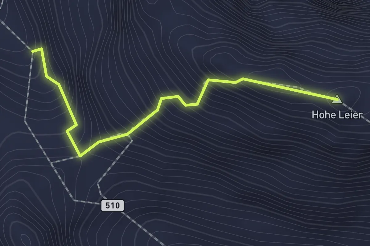
Hohe Leier
1.9 km · ↑ 336 m · 1 h 10 min
Demanding · Summit
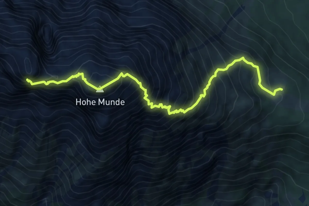
Hohe Munde
7.7 km · ↑ 1256 m · 4 h 32 min
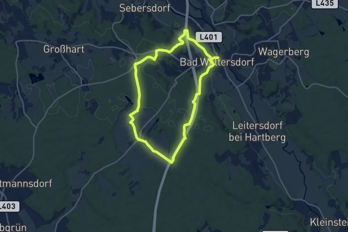
Medium · Trail
Hohenbruggerweg (W5)
11.3 km · ↑ 142 m · 3 h 7 min
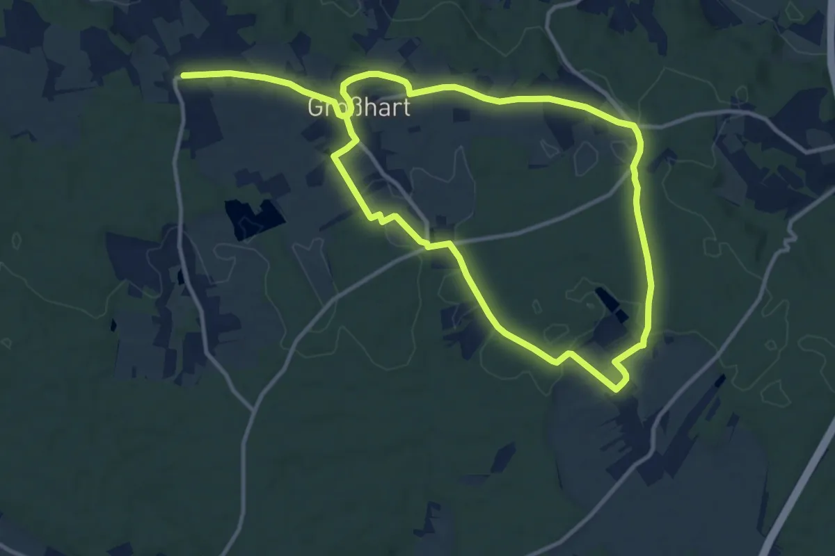
Medium · Trail
Hohenbrugg-Weg (A4)
9.8 km · ↑ 86 m · 2 h 38 min
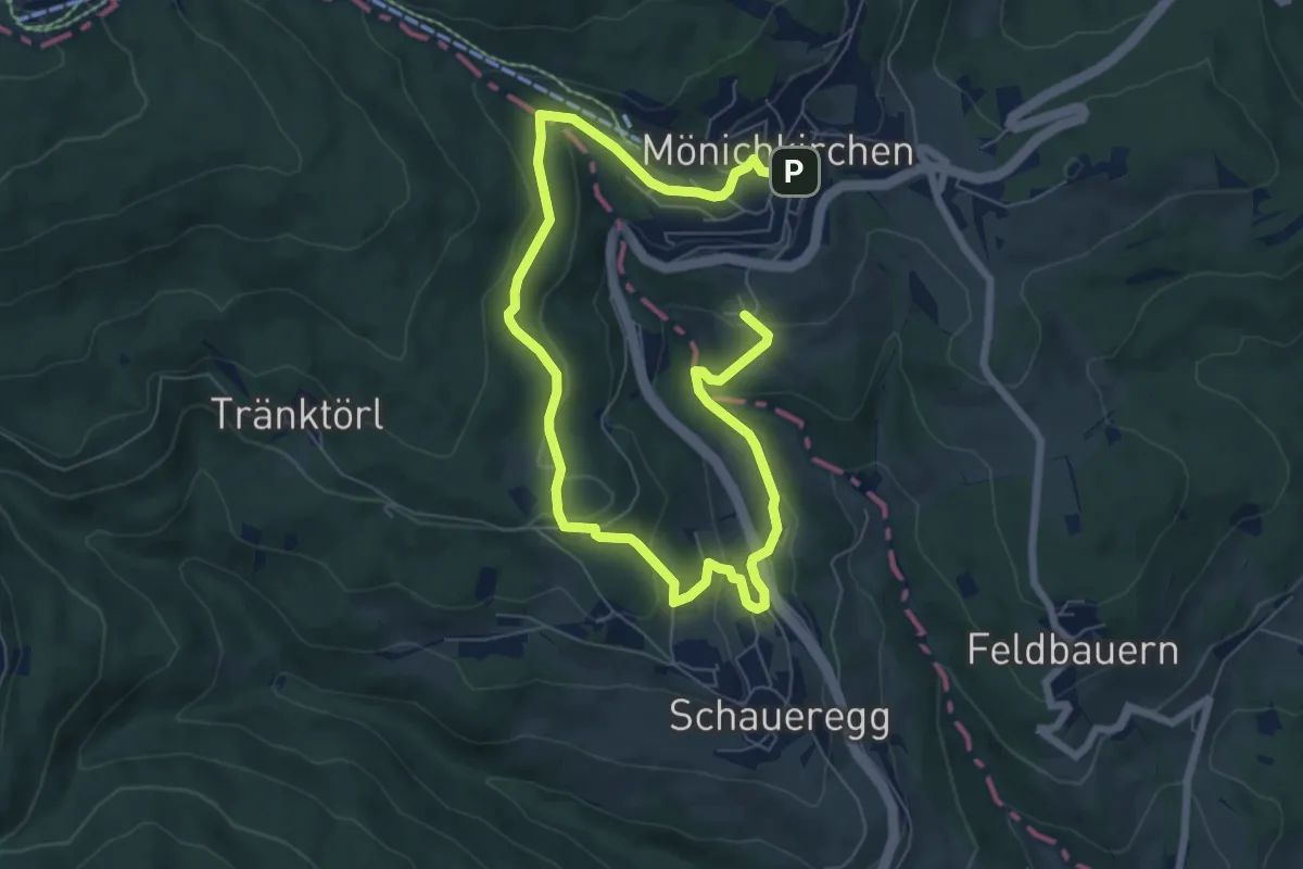
Medium · Trail
Höhenluftkurort Rundweg
10.3 km · ↑ 334 m · 3 h 9 min
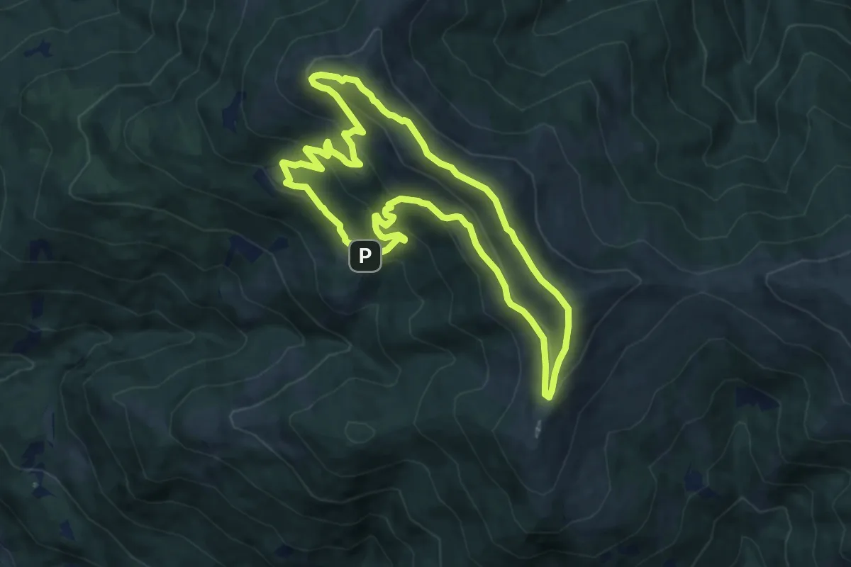
Medium · Summit
Höhenrundwanderweg
9.5 km · ↑ 478 m · 3 h 25 min
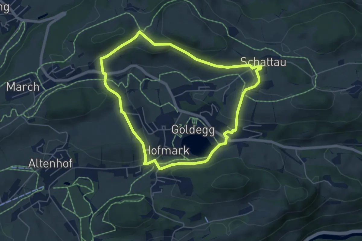
Easy · Trail
Höhenrundweg um Goldegg
4.5 km · ↑ 125 m · 1 h 24 min
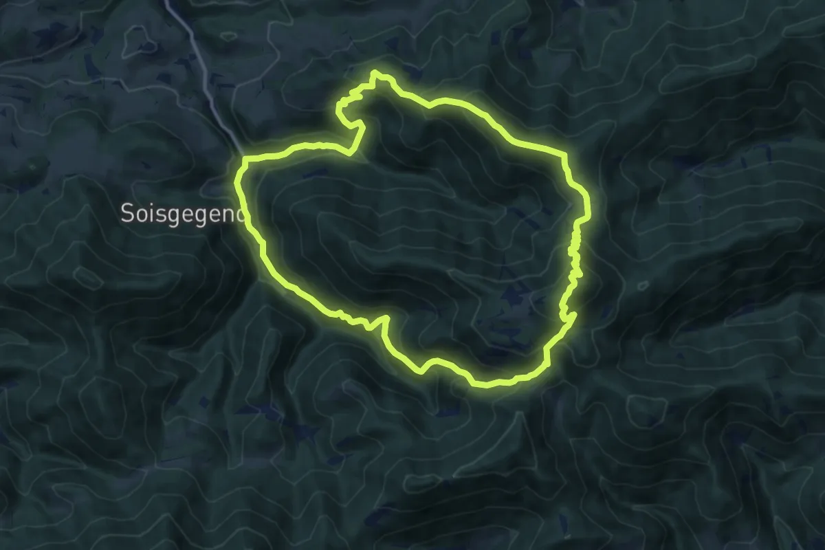
Demanding · Summit
Hohenstein
12.1 km · ↑ 830 m · 4 h 50 min
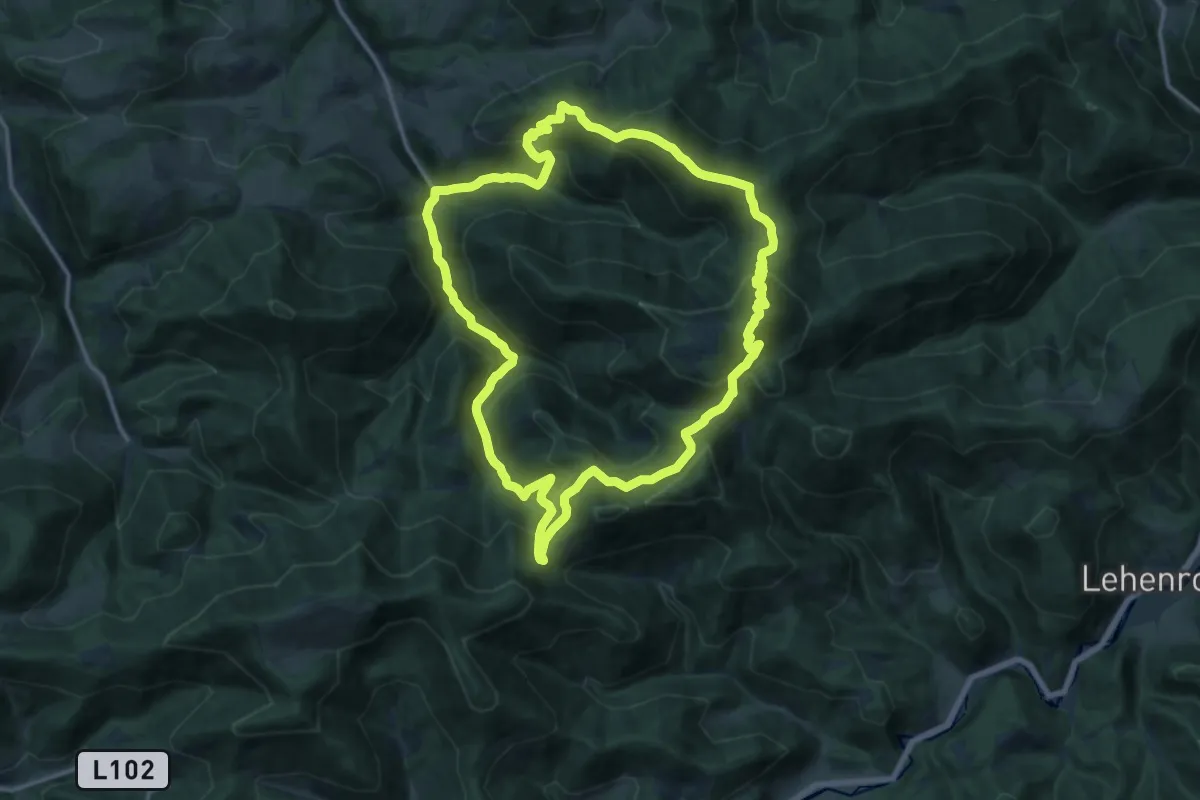
Demanding · Summit
Hohenstein
15.4 km · ↑ 903 m · 5 h 48 min
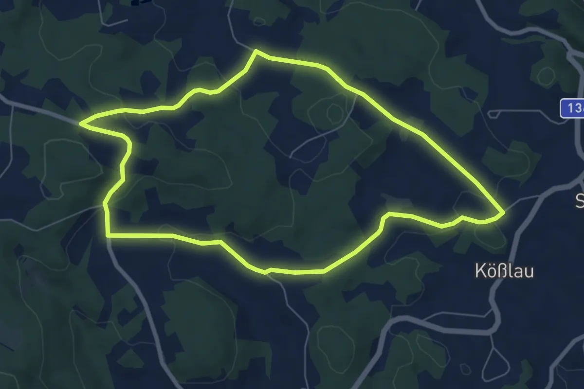
Easy · Trail
Höhen-Wanderung
6.4 km · ↑ 149 m · 1 h 55 min
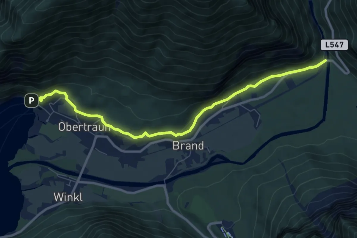
Easy · Trail
Höhenwanderweg Koppenwinkel (1)
7.9 km · ↑ 140 m · 2 h 10 min
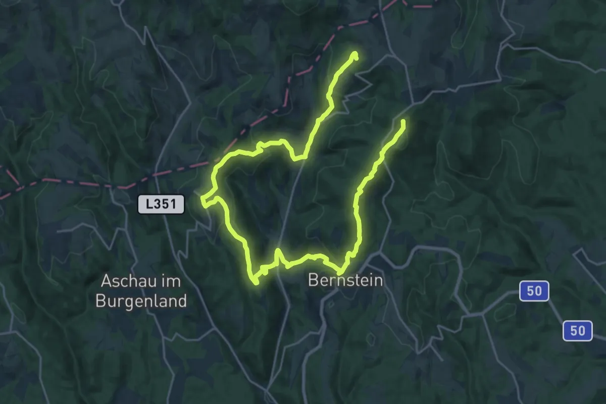
Demanding · Summit
Höhenwanderweg (Ortsteile der Großgemeinde Bernstein)
30.1 km · ↑ 1425 m · 10 h 11 min
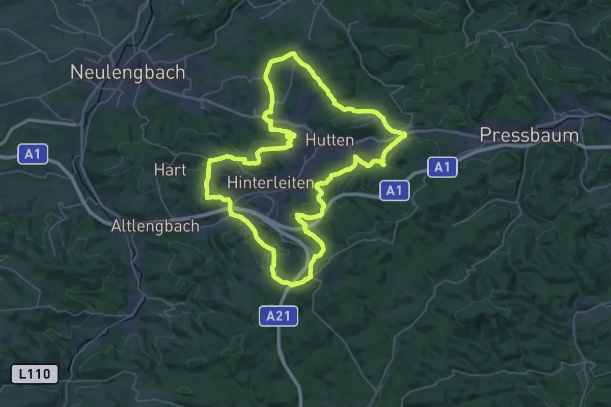
Demanding · Summit
Höhenwanderweg um Eichgraben
27.7 km · ↑ 812 m · 8 h 41 min
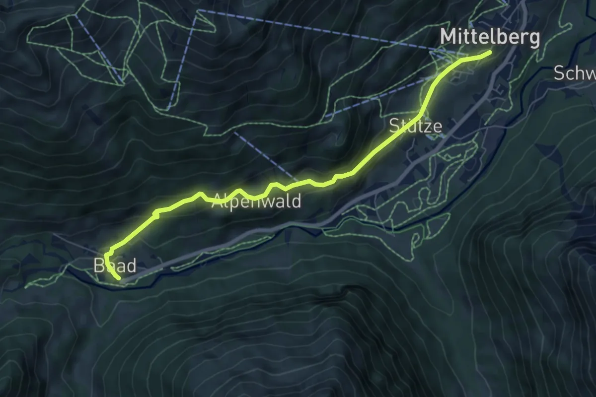
Easy · Trail
Höhenweg
6.8 km · ↑ 224 m · 2 h 6 min
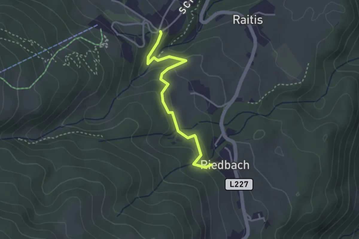
Medium · Trail
Höhenweg
2.8 km · ↑ 136 m · 58 min
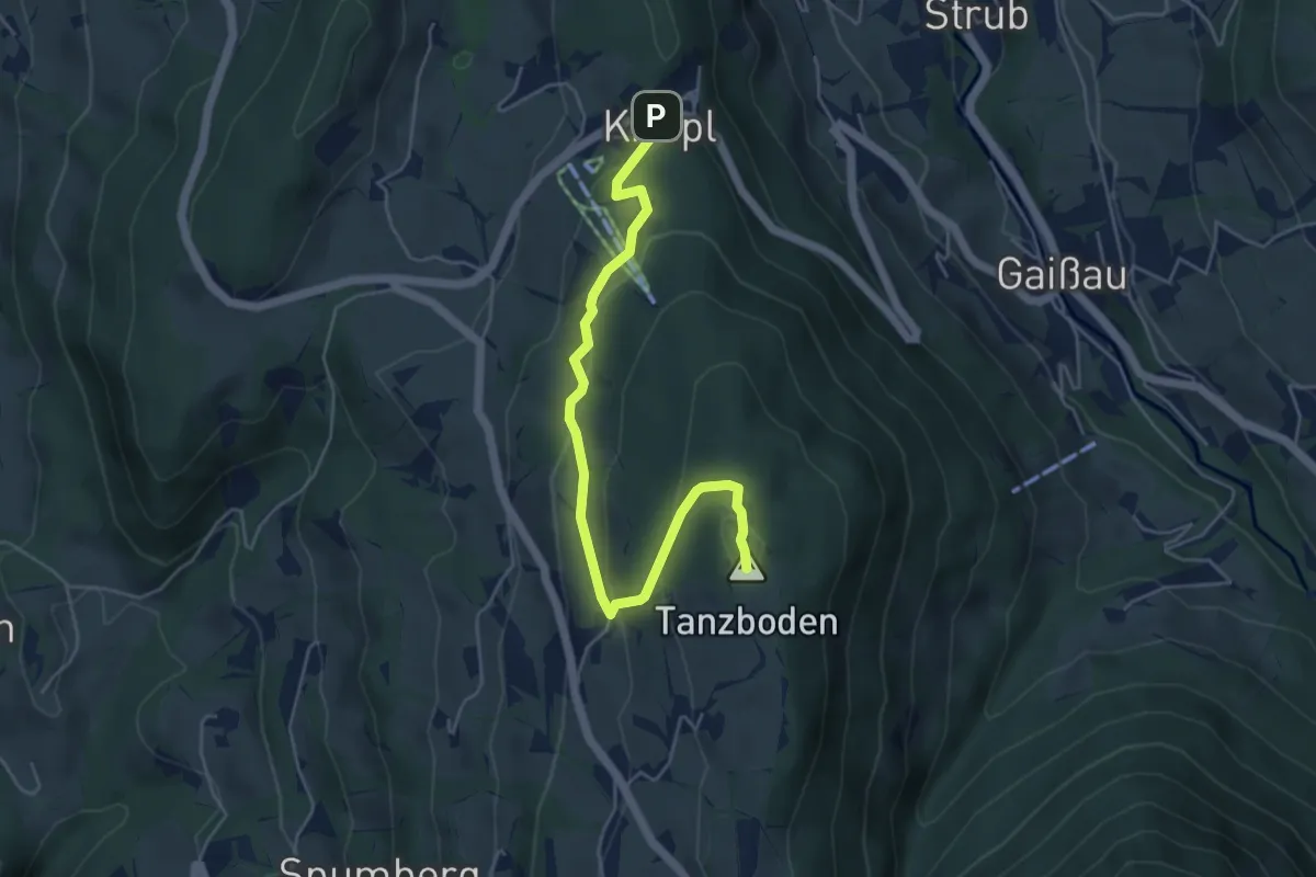
Easy · Summit
Höhenweg
5.1 km · ↑ 219 m · 1 h 41 min
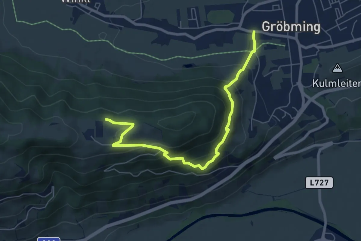
Medium · Trail
Höhenweg
6.0 km · ↑ 409 m · 2 h 18 min
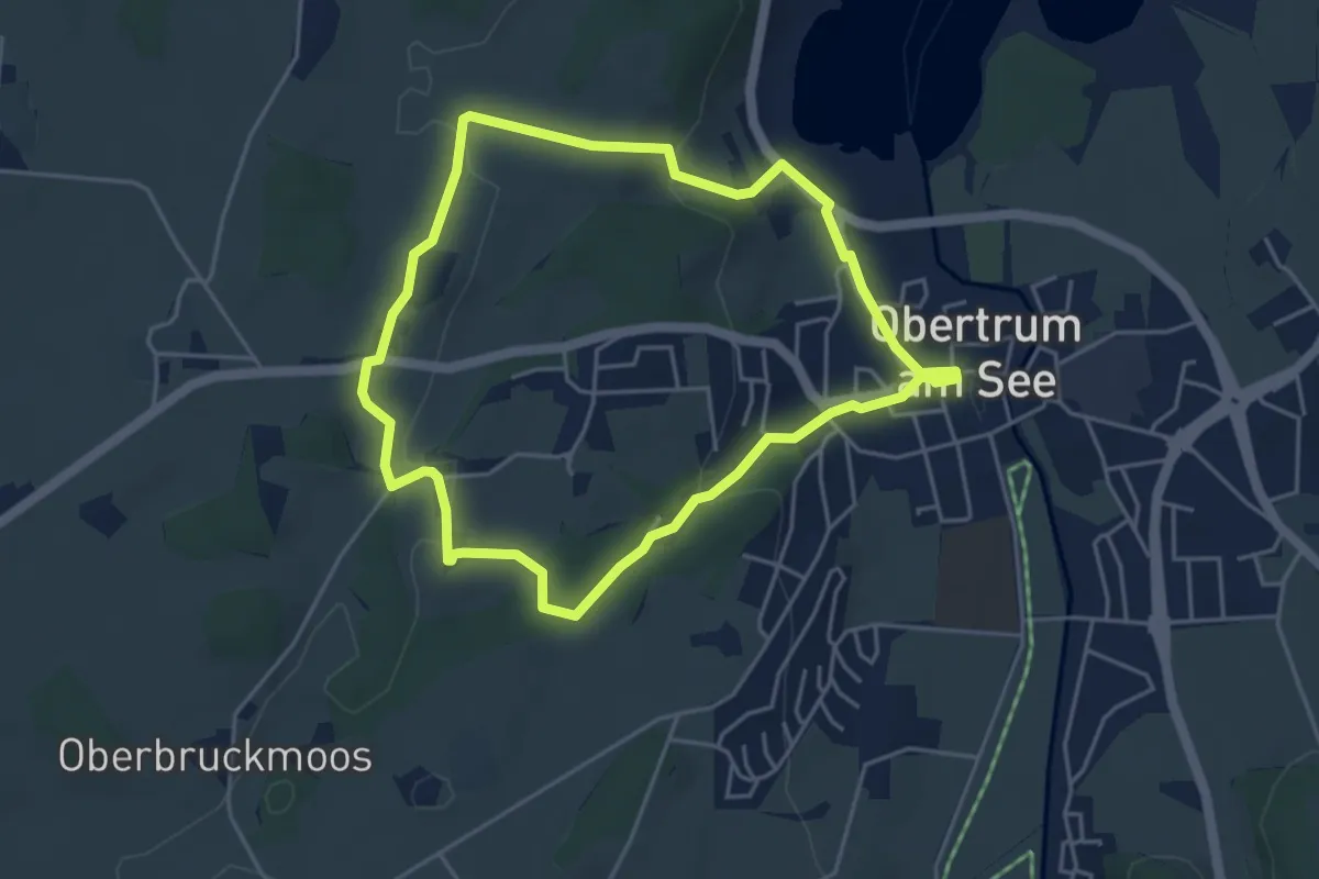
Easy · Trail
Höhenweg
4.2 km · ↑ 115 m · 1 h 18 min
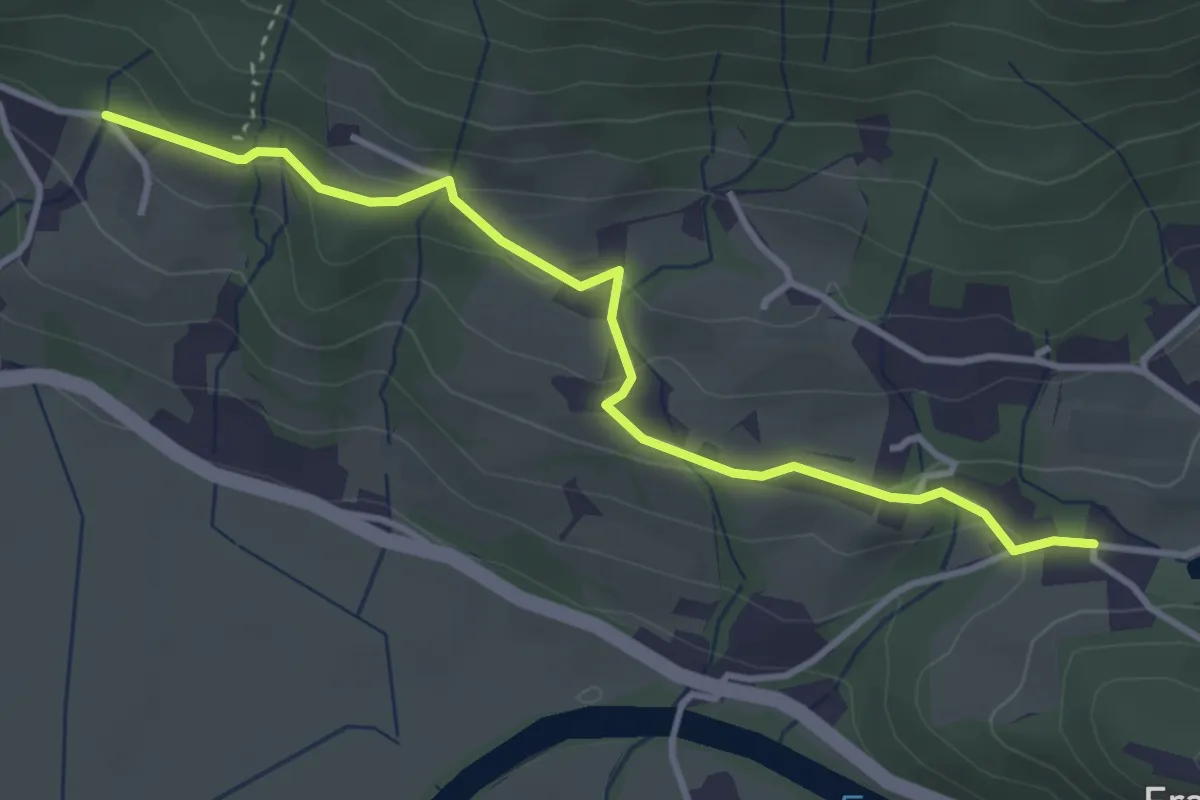
Easy · Trail
Höhenweg
4.1 km · ↑ 144 m · 1 h 17 min
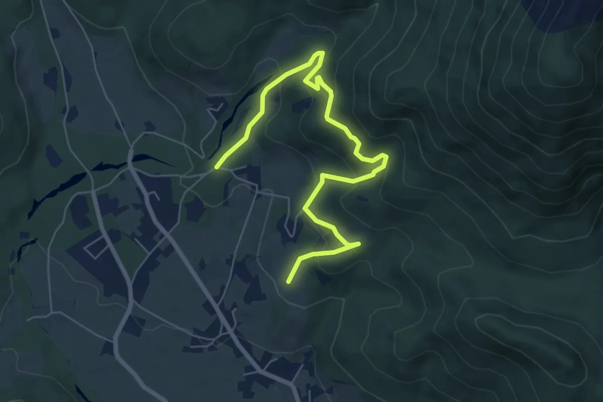
Medium · Trail
Höhenweg
6.8 km · ↑ 330 m · 2 h 20 min
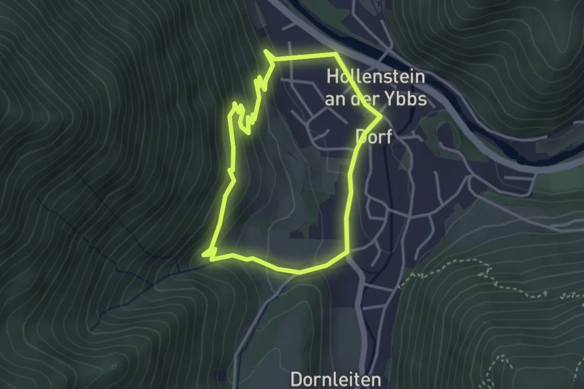
Easy · Trail
Höhenweg
3.0 km · ↑ 128 m · 1 h 1 min
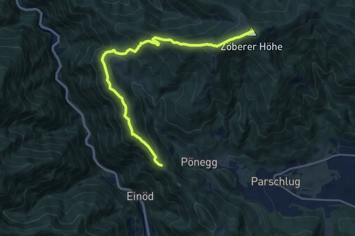
Medium · Summit
Höhenweg
12.3 km · ↑ 710 m · 4 h 27 min
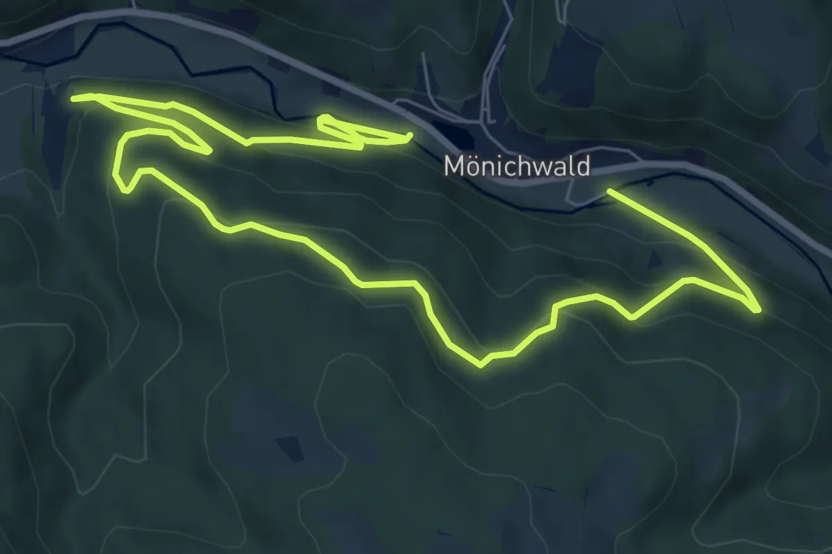
Medium · Trail
Höhenweg
12.0 km · ↑ 452 m · 3 h 49 min
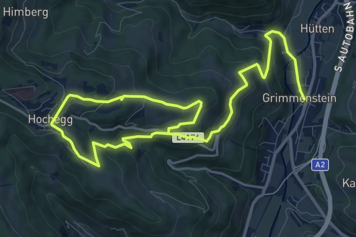
Medium · Trail
Höhenweg
15.3 km · ↑ 537 m · 4 h 47 min
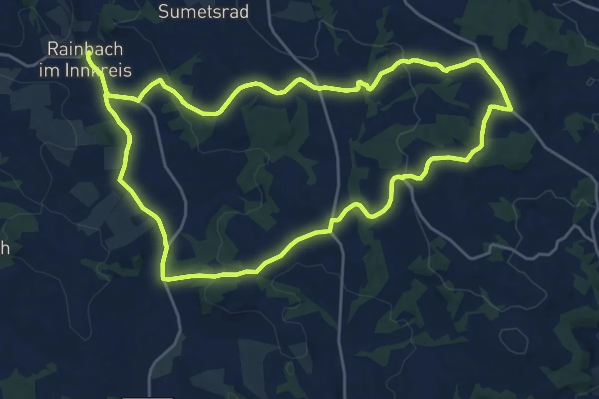
Medium · Trail
Höhenweg
12.6 km · ↑ 274 m · 3 h 45 min
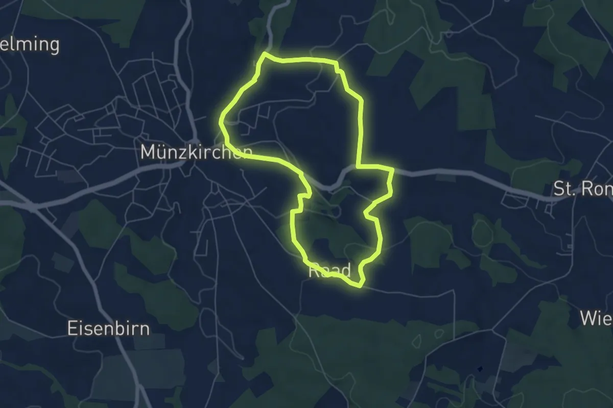
Easy · Trail
Höhenweg
5.4 km · ↑ 125 m · 1 h 37 min
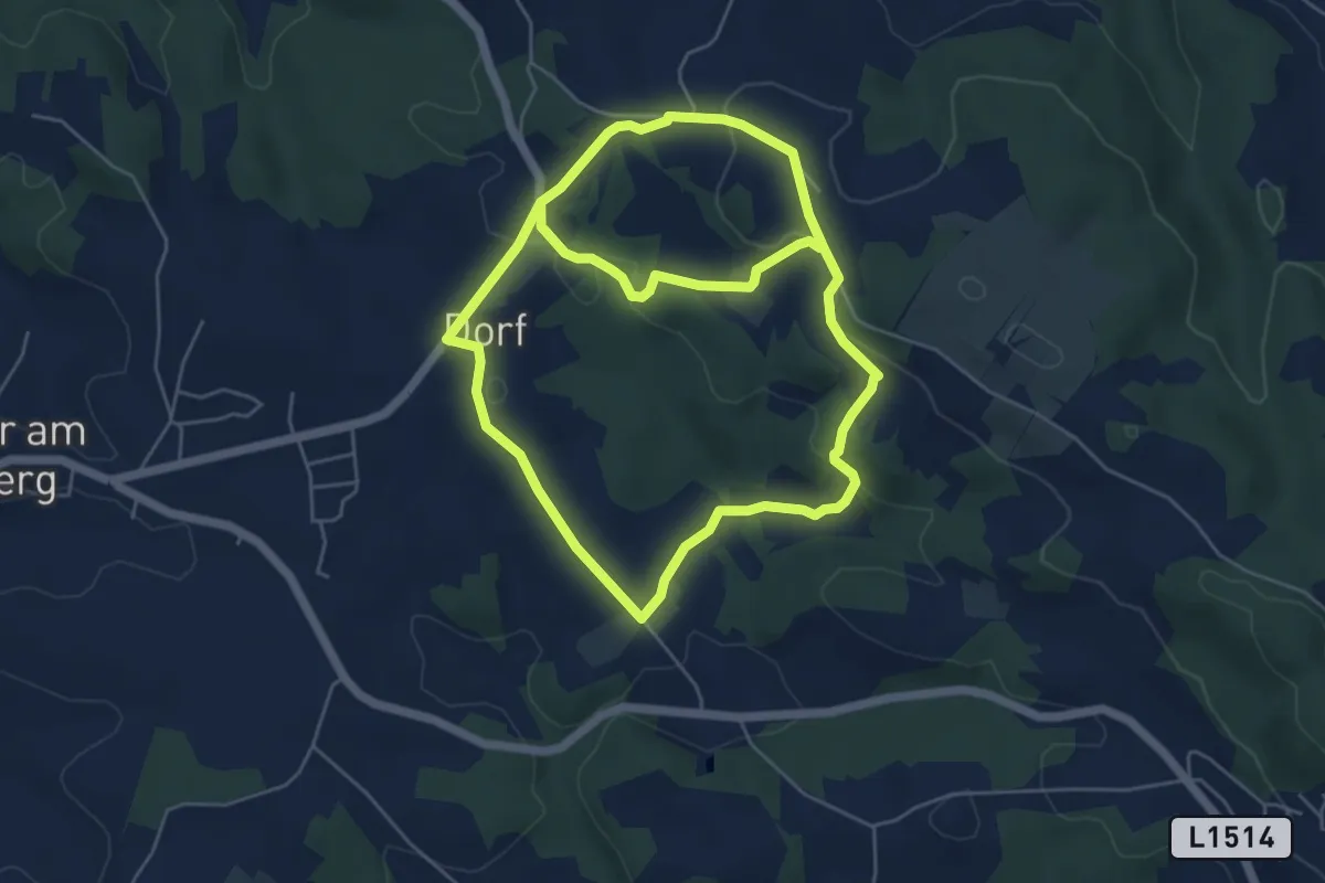
Medium · Trail
Höhenweg
10.4 km · ↑ 323 m · 3 h 9 min
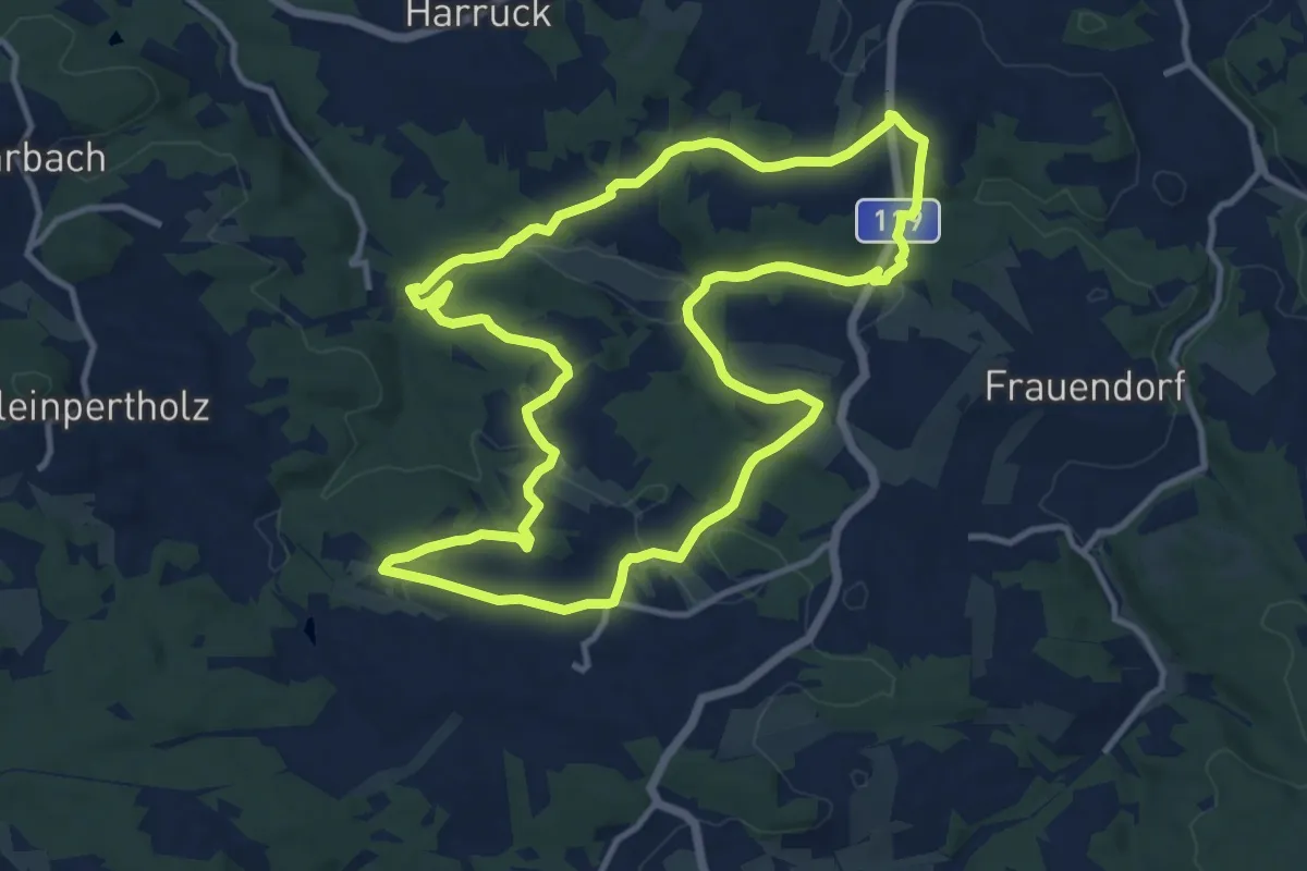
Medium · Trail
Höhenweg 3
11.7 km · ↑ 221 m · 3 h 25 min
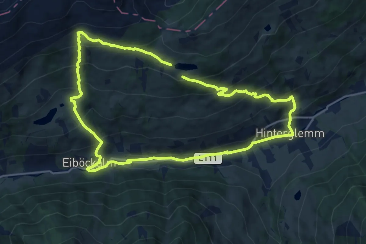
Medium · Trail
Höhenweg 4
10.0 km · ↑ 614 m · 3 h 49 min
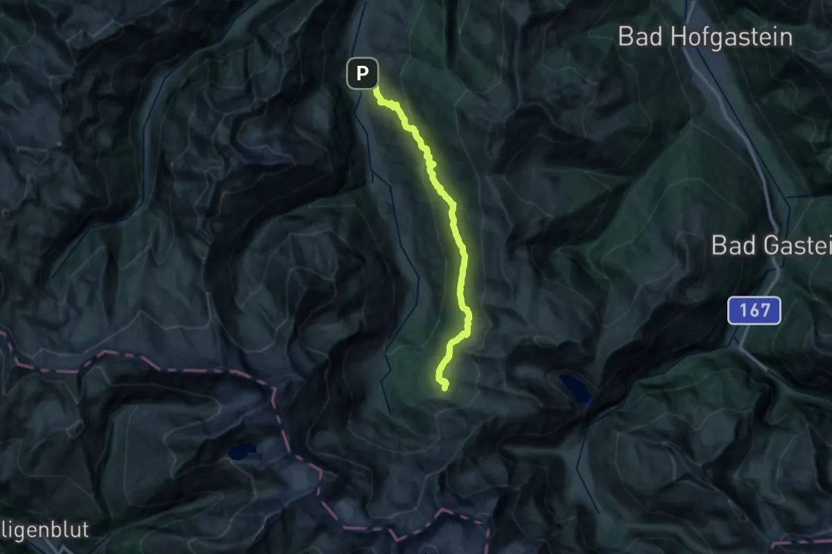
Demanding · Cabin
Höhenweg Bucheben
24.5 km · ↑ 906 m · 7 h 44 min
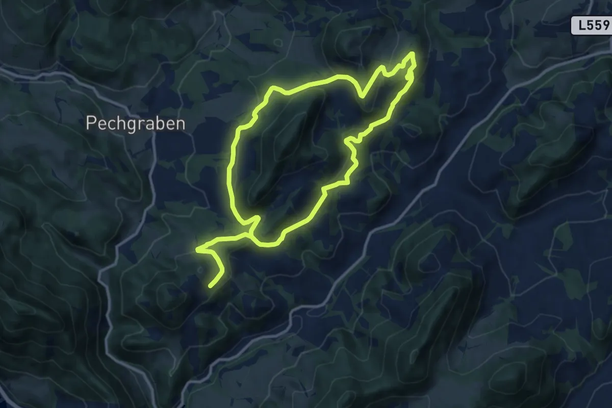
Demanding · Trail
Höhenweg E46
19.5 km · ↑ 605 m · 5 h 55 min
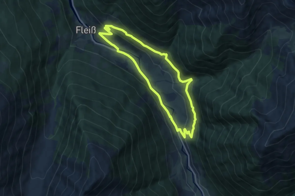
Medium · Trail
Höhenweg Fleiß
7.4 km · ↑ 231 m · 2 h 21 min
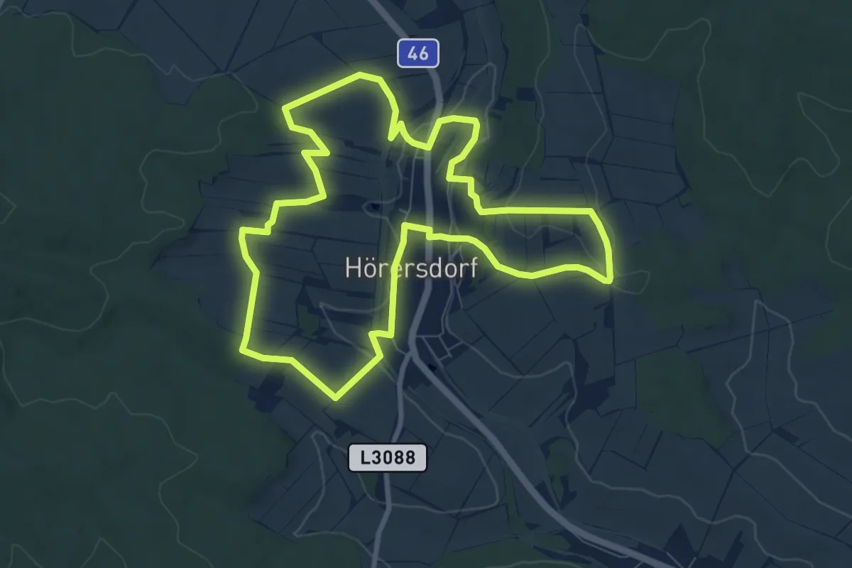
Medium · Trail
Höhenweg Hörersdorf
8.1 km · ↑ 181 m · 2 h 24 min
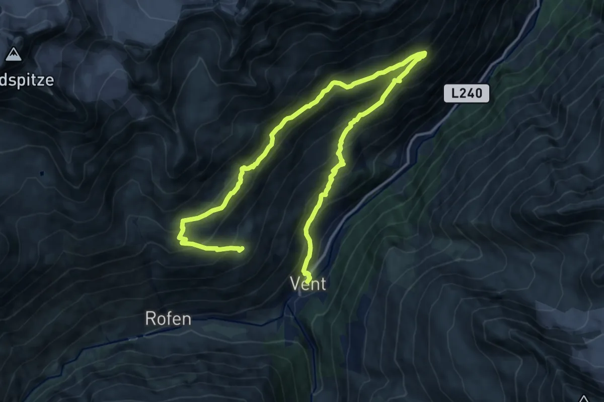
Demanding · Trail
Höhenweg Sonnberg
17.9 km · ↑ 1154 m · 6 h 43 min
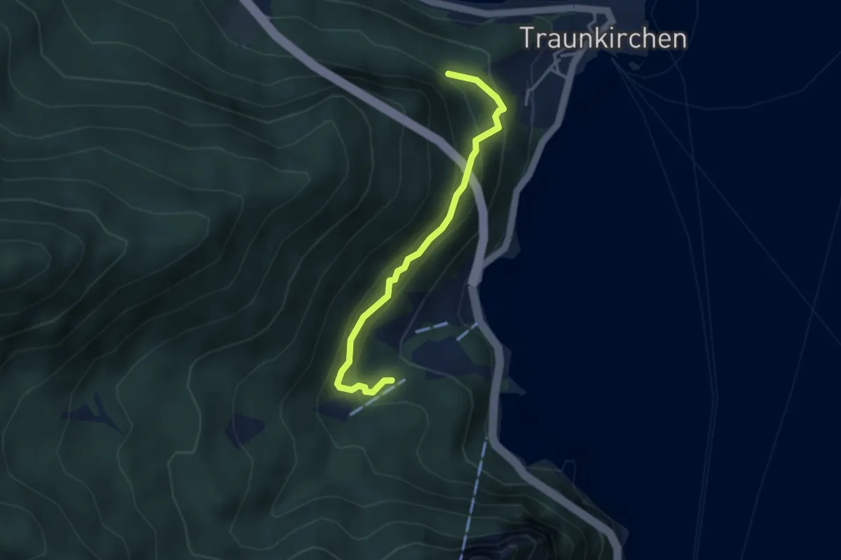
Demanding · Trail
Höhenweg Sonnstein
3.2 km · ↑ 249 m · 1 h 18 min
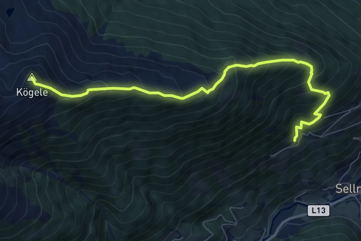
Demanding · Summit
Höhenweg Zustieg/Abstieg
8.3 km · ↑ 947 m · 4 h 1 min
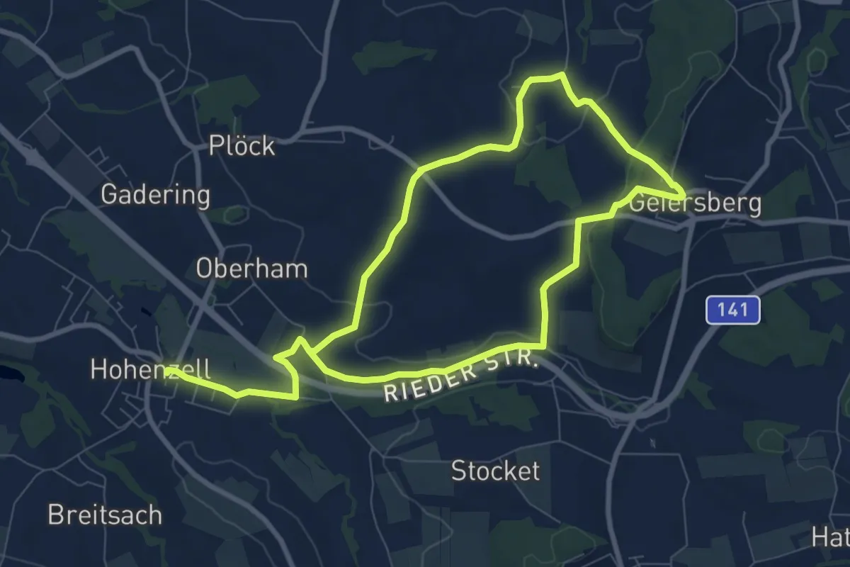
Medium · Trail
Hohenzeller Rundweg
14.1 km · ↑ 259 m · 3 h 54 min
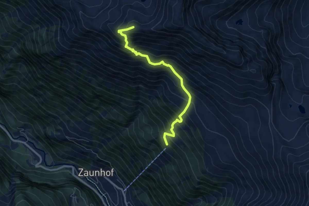
Demanding · Summit
Hoher Gemeindekopf
6.3 km · ↑ 821 m · 3 h 16 min
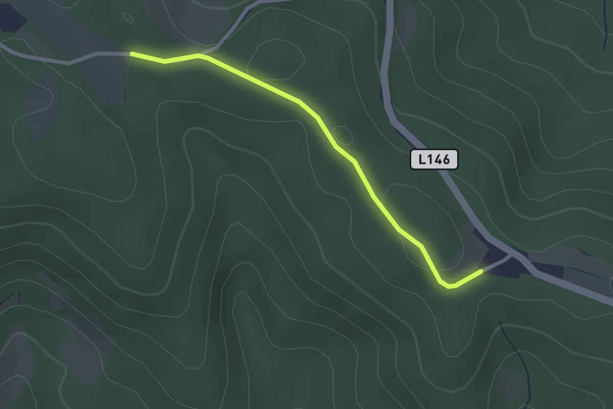
Easy · Trail
Höhwirt - Mölterer Höhe
2.3 km · ↑ 33 m · 37 min
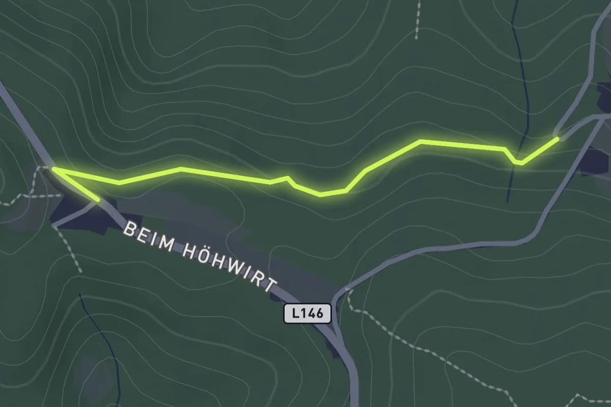
Easy · Trail
Höhwirt - Wenigreith-Almen
2.2 km · ↑ 65 m · 40 min
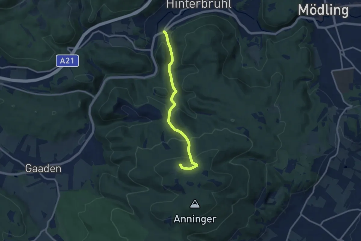
Medium · Summit
Höldrichsmühle - Anningerhaus - Jubiläumswarte
7.6 km · ↑ 376 m · 2 h 36 min
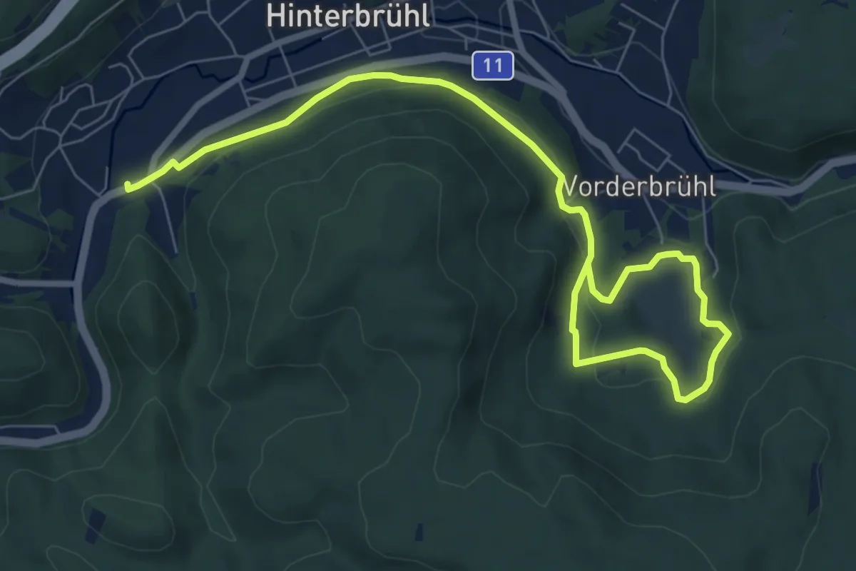
Medium · Trail
Höldrichsmühlen Runde (Mödling)
9.1 km · ↑ 220 m · 2 h 37 min
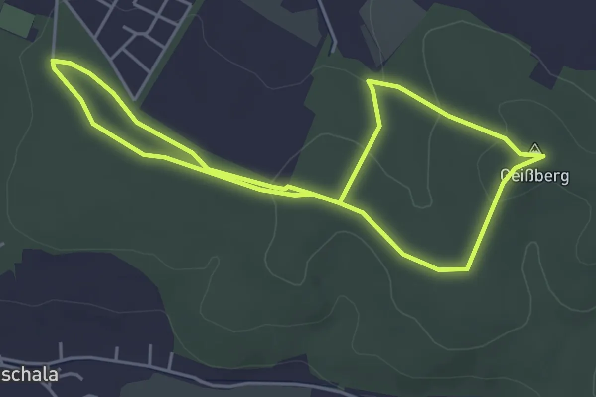
Easy · Summit
Hollabrunner Waldgeheimnisse
3.8 km · ↑ 86 m · 1 h 8 min
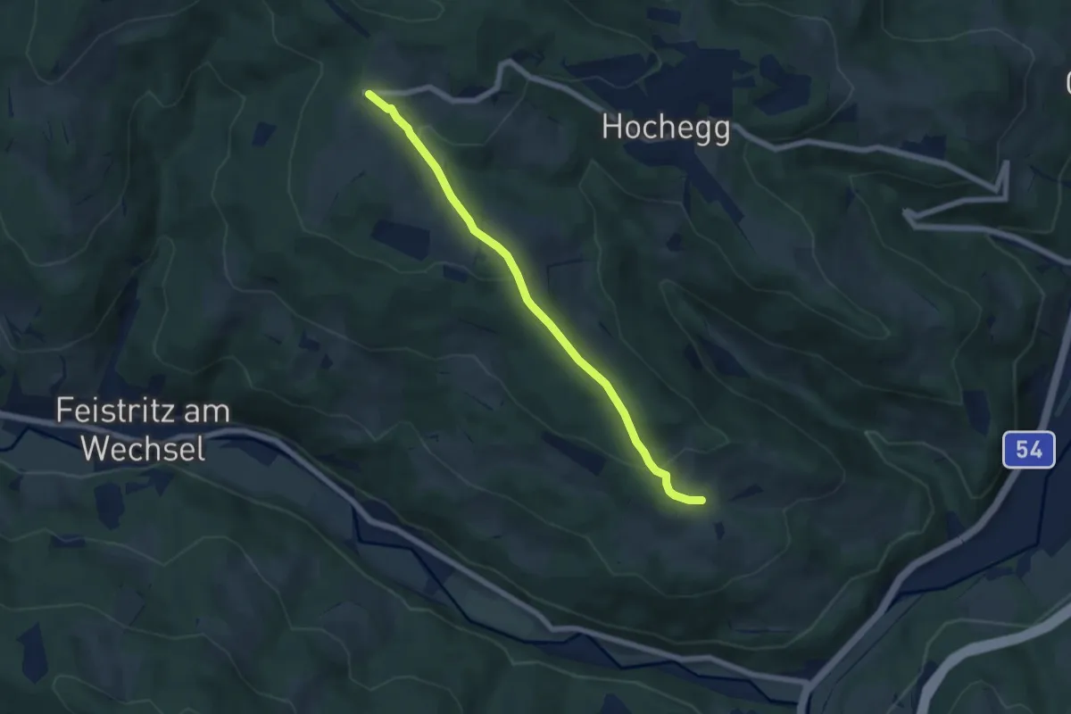
Easy · Trail
Hollabrunn - Grottendorf - Wanghof
5.7 km · ↑ 205 m · 1 h 47 min
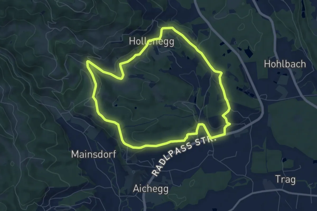
Easy · Trail
Hollenegger Rundweg
7.8 km · ↑ 148 m · 2 h 16 min
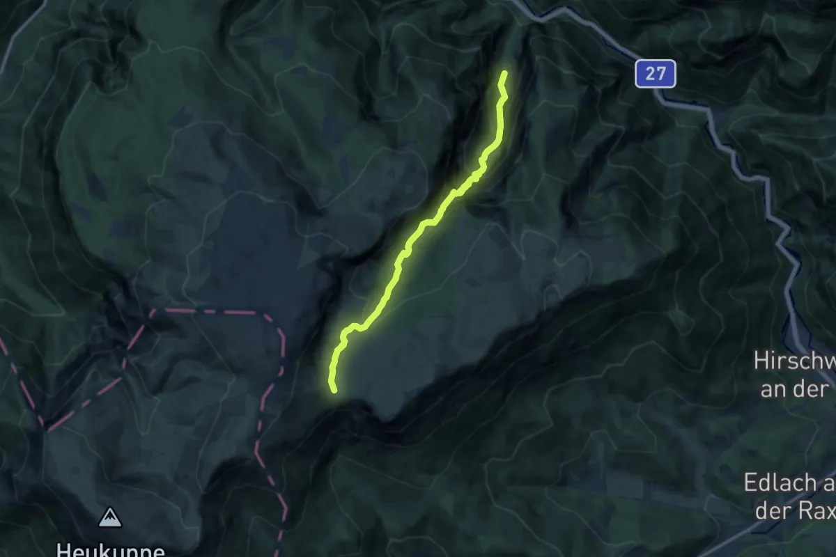
Expert · Cabin
Höllental - Gaisloch - Neue Seehütte
10.8 km · ↑ 1059 m · 4 h 50 min