Trails in Austria
9,778 hiking trails, each with its route, climb, walking time and grade.
All trails, page 46 of 204
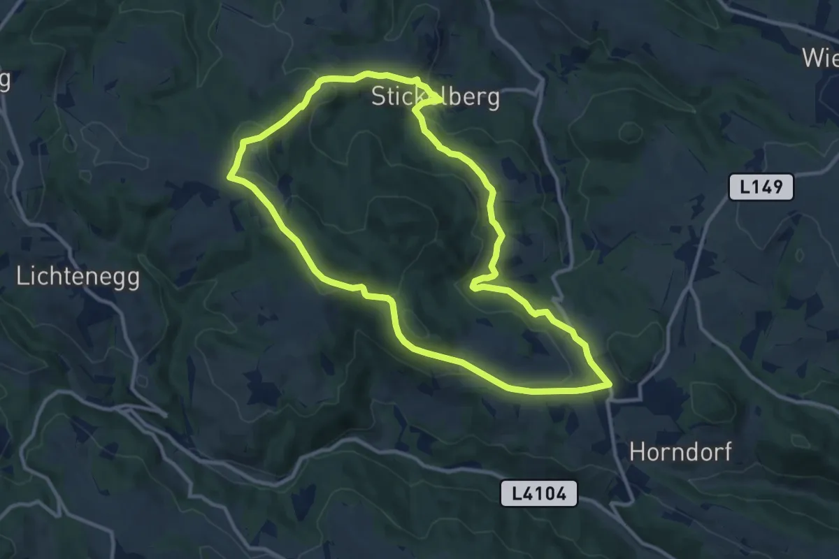
Medium · Trail
Hollenthon - Pesendorf - Stickelberg - Fuchsbauer - Hollenthon
10.5 km · ↑ 308 m · 3 h 18 min
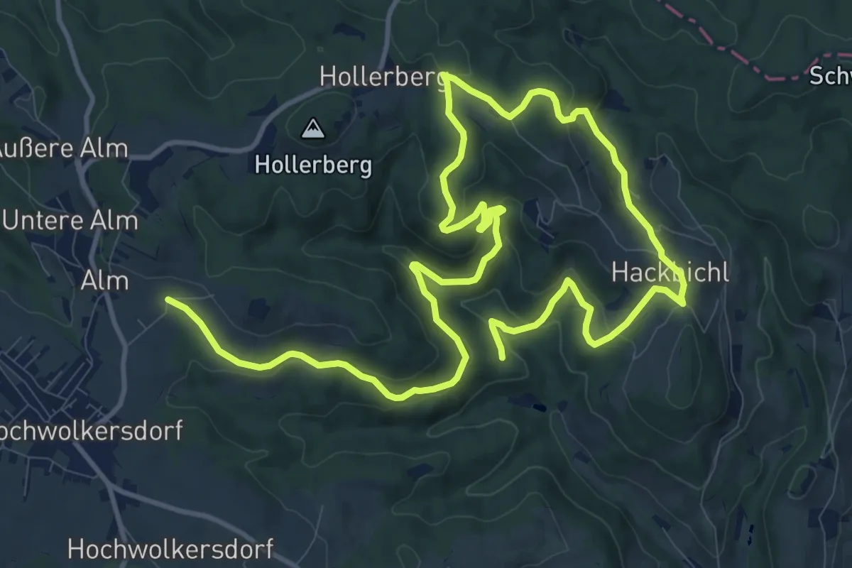
Demanding · Trail
Hollerberg - Hackbichl - Kuhberg
18.5 km · ↑ 591 m · 5 h 38 min
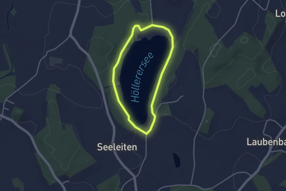
Easy · Trail
Höllerersee-Rundweg
2.3 km · ↑ 0 m · 35 min
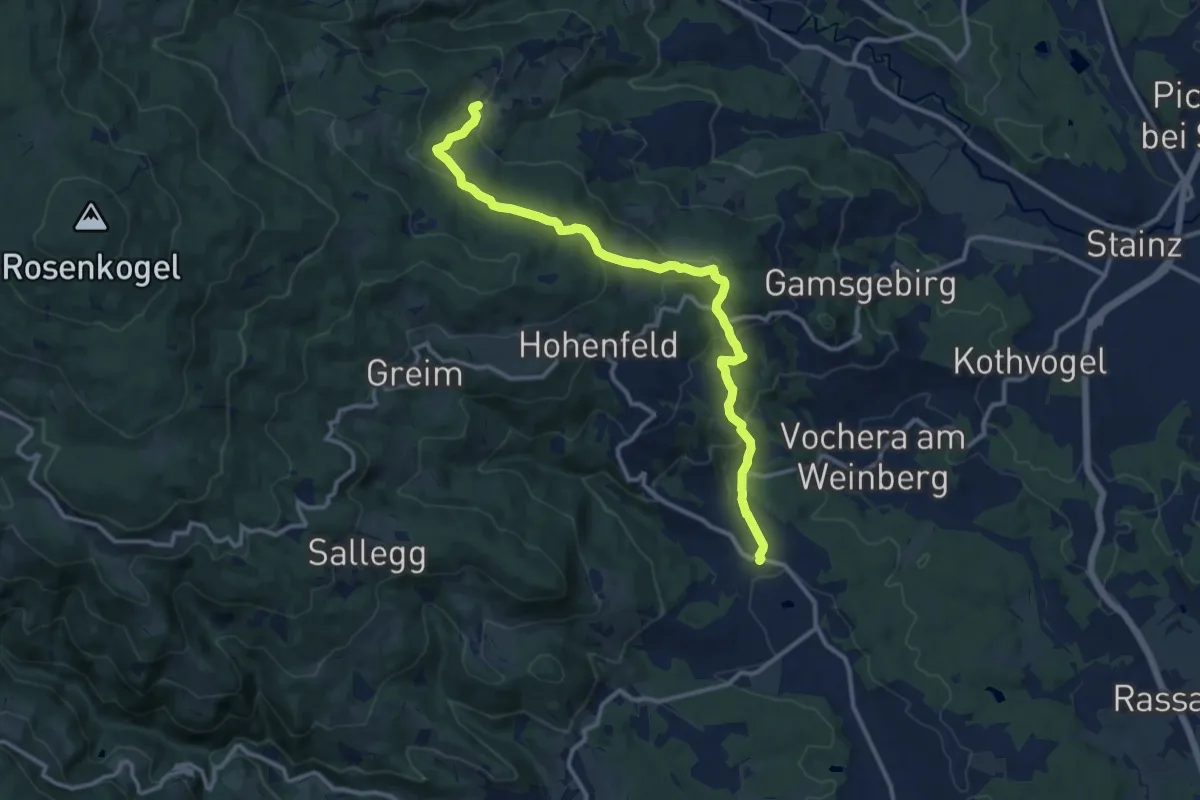
Medium · Trail
Höllerhanslweg
12.6 km · ↑ 551 m · 4 h 11 min
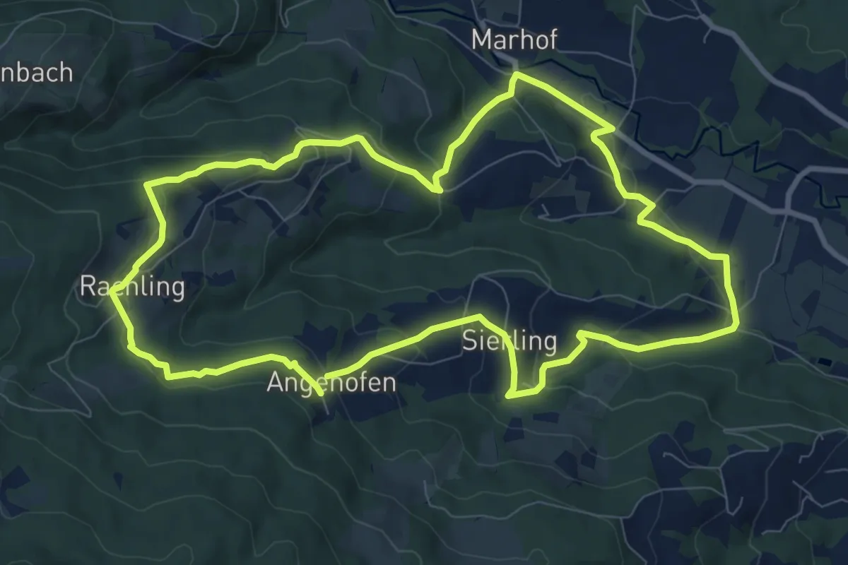
Medium · Trail
Höllerhanslweg
8.8 km · ↑ 339 m · 2 h 56 min
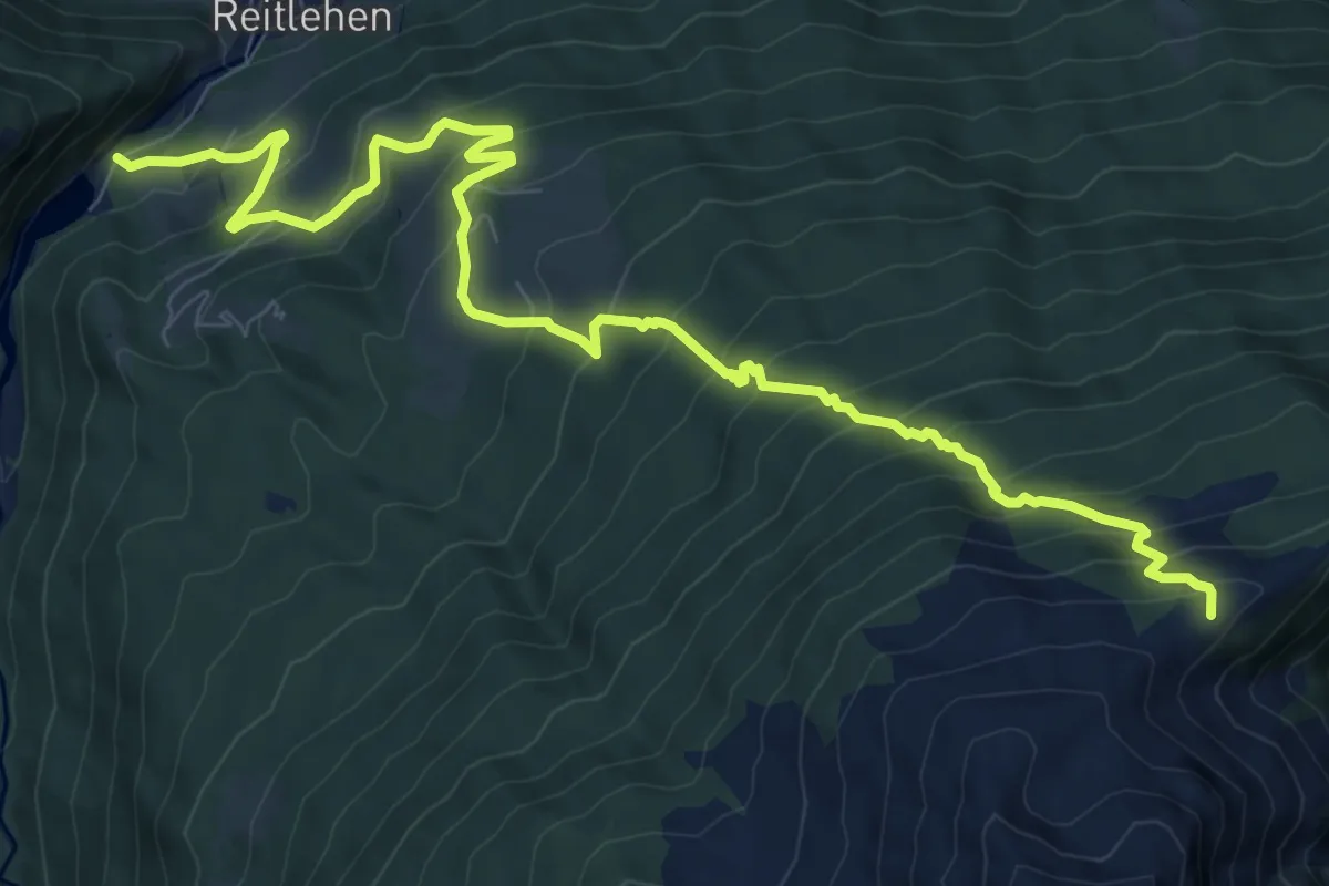
Demanding · Trail
Hollersbach - Auf der Platte
11.5 km · ↑ 949 m · 4 h 47 min
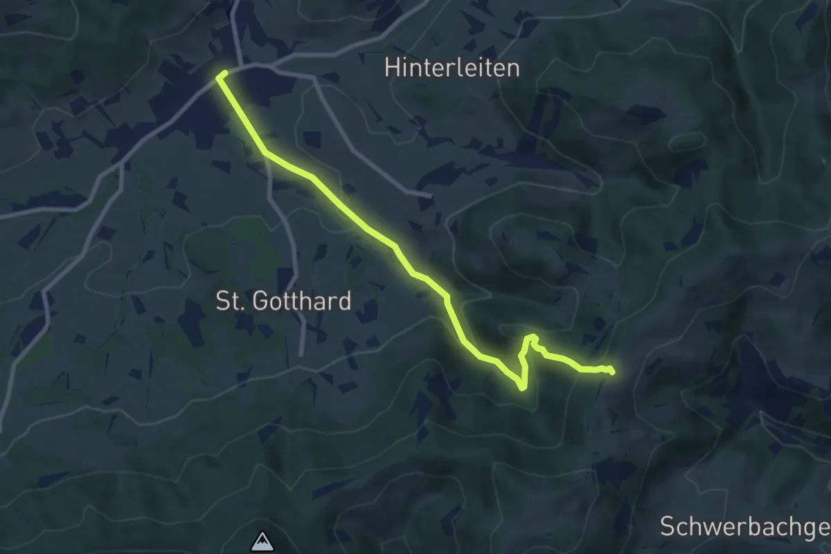
Medium · Trail
Höllgraben-Weg
8.3 km · ↑ 369 m · 2 h 45 min
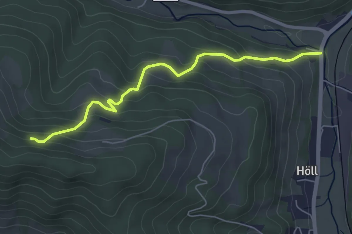
Easy · Trail
Höll - Saurerhütte
4.9 km · ↑ 260 m · 1 h 43 min
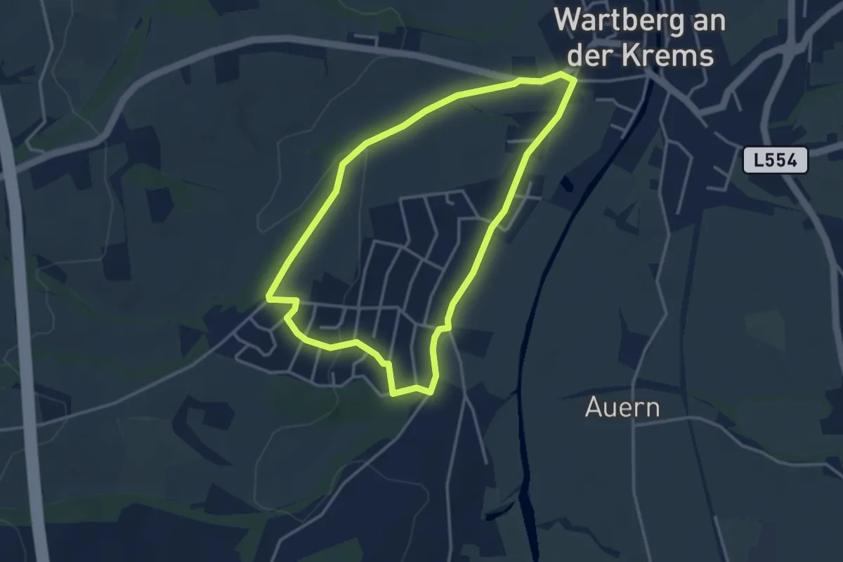
Easy · Trail
Höllweg
3.2 km · ↑ 42 m · 53 min
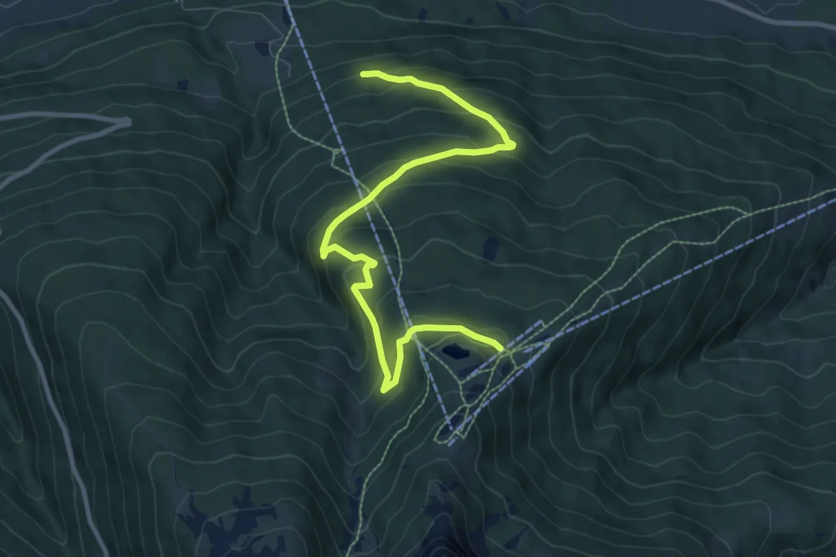
Medium · Trail
Holzerweg
9.0 km · ↑ 482 m · 3 h 10 min
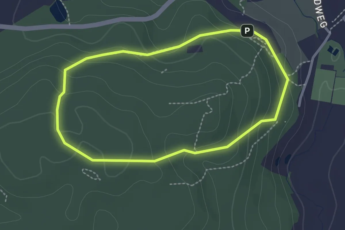
Easy · Trail
Holzhackersteig
2.1 km · ↑ 65 m · 40 min
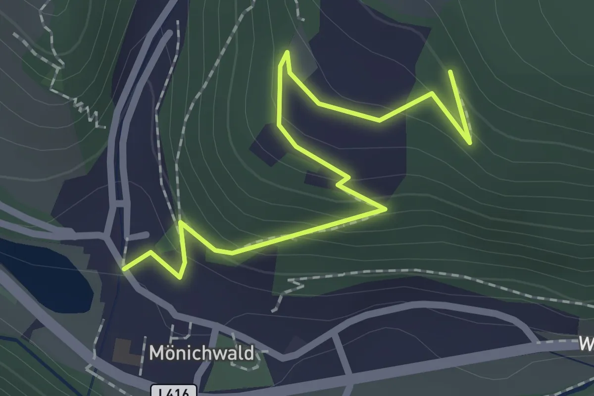
Easy · Trail
Holzknecht-Rundweg
1.1 km · ↑ 122 m · 28 min
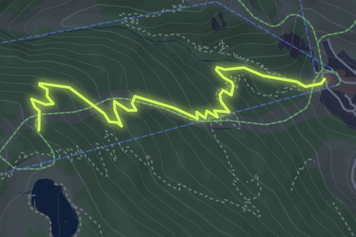
Medium · Trail
Holzkugelweg
4.5 km · ↑ 350 m · 1 h 49 min
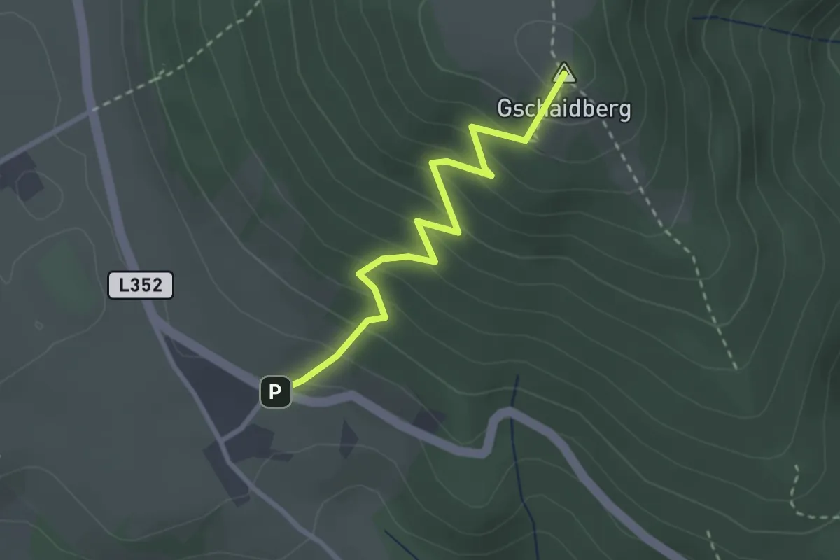
Easy · Summit
Holzskulpturenweg
2.6 km · ↑ 275 m · 1 h 13 min
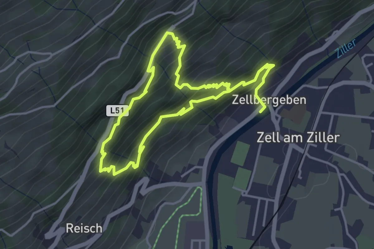
Medium · Trail
Holzweg
3.2 km · ↑ 324 m · 1 h 28 min
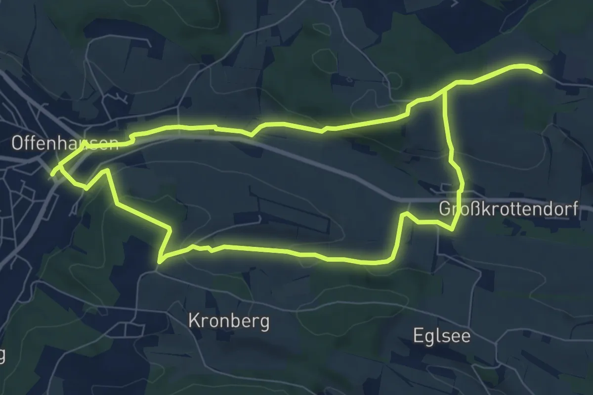
Easy · Trail
Holzweg
7.8 km · ↑ 178 m · 2 h 20 min
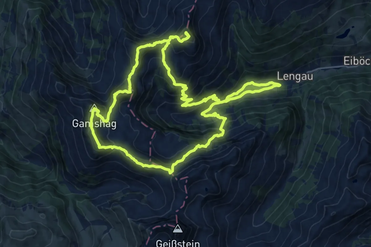
Demanding · Summit
Home of Lässig Walk
20.1 km · ↑ 1701 m · 8 h 42 min
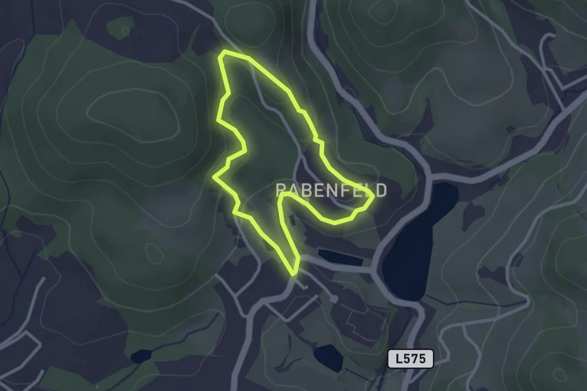
Easy · Trail
Honigschleuderweg
2.2 km · ↑ 59 m · 41 min
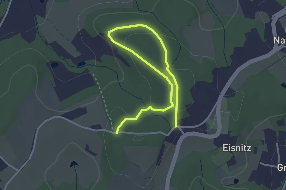
Easy · Trail
Hopferschleife
3.4 km · ↑ 107 m · 1 h 2 min
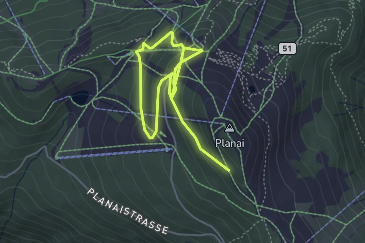
Easy · Trail
Hopsiweg
5.3 km · ↑ 236 m · 1 h 46 min
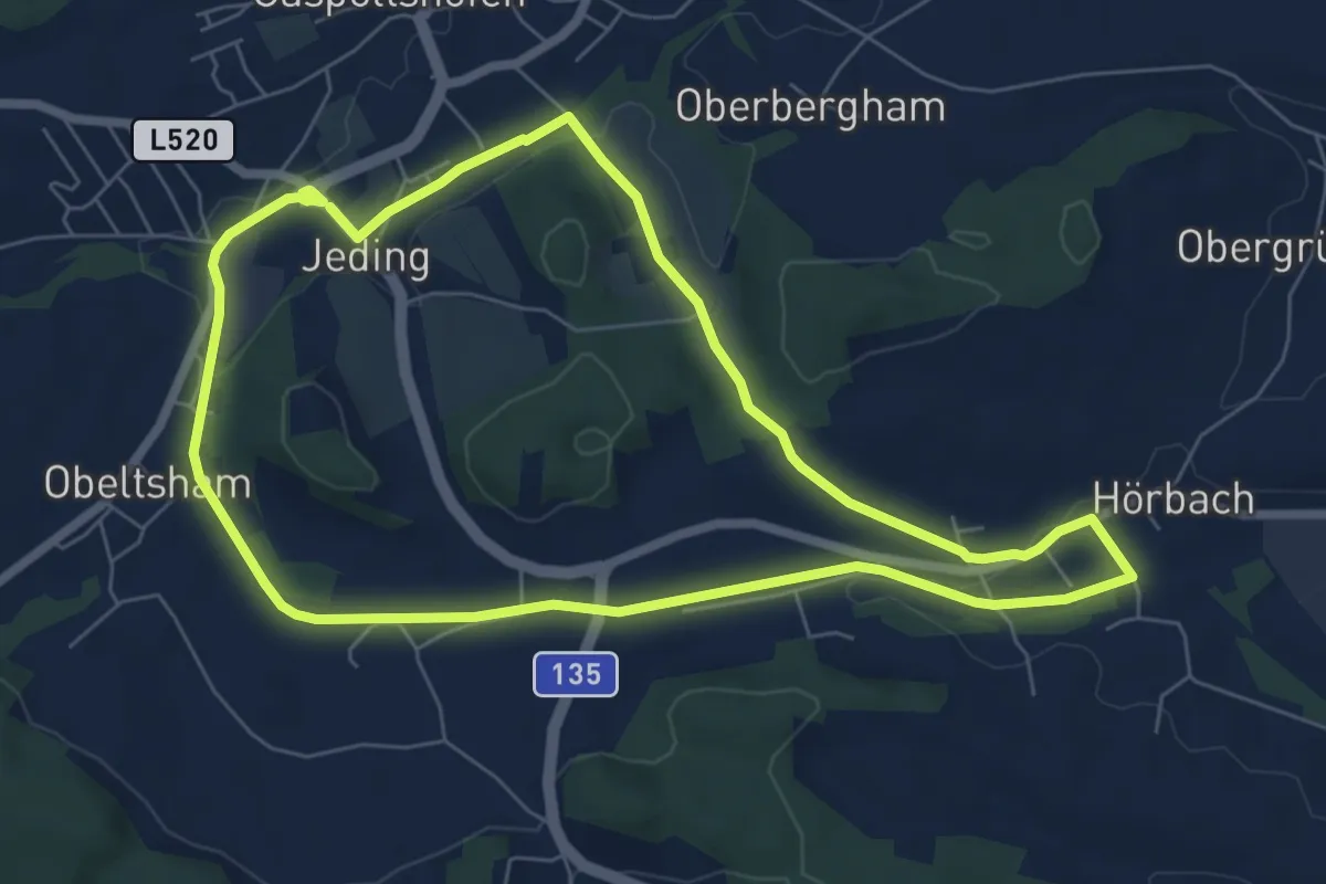
Easy · Trail
Hör Gang
6.7 km · ↑ 85 m · 1 h 51 min
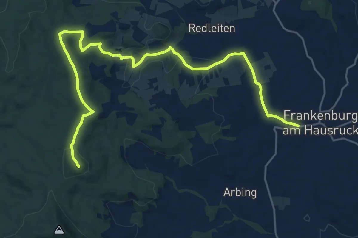
Medium · Summit
Hörndl Wanderweg
16.0 km · ↑ 379 m · 4 h 36 min
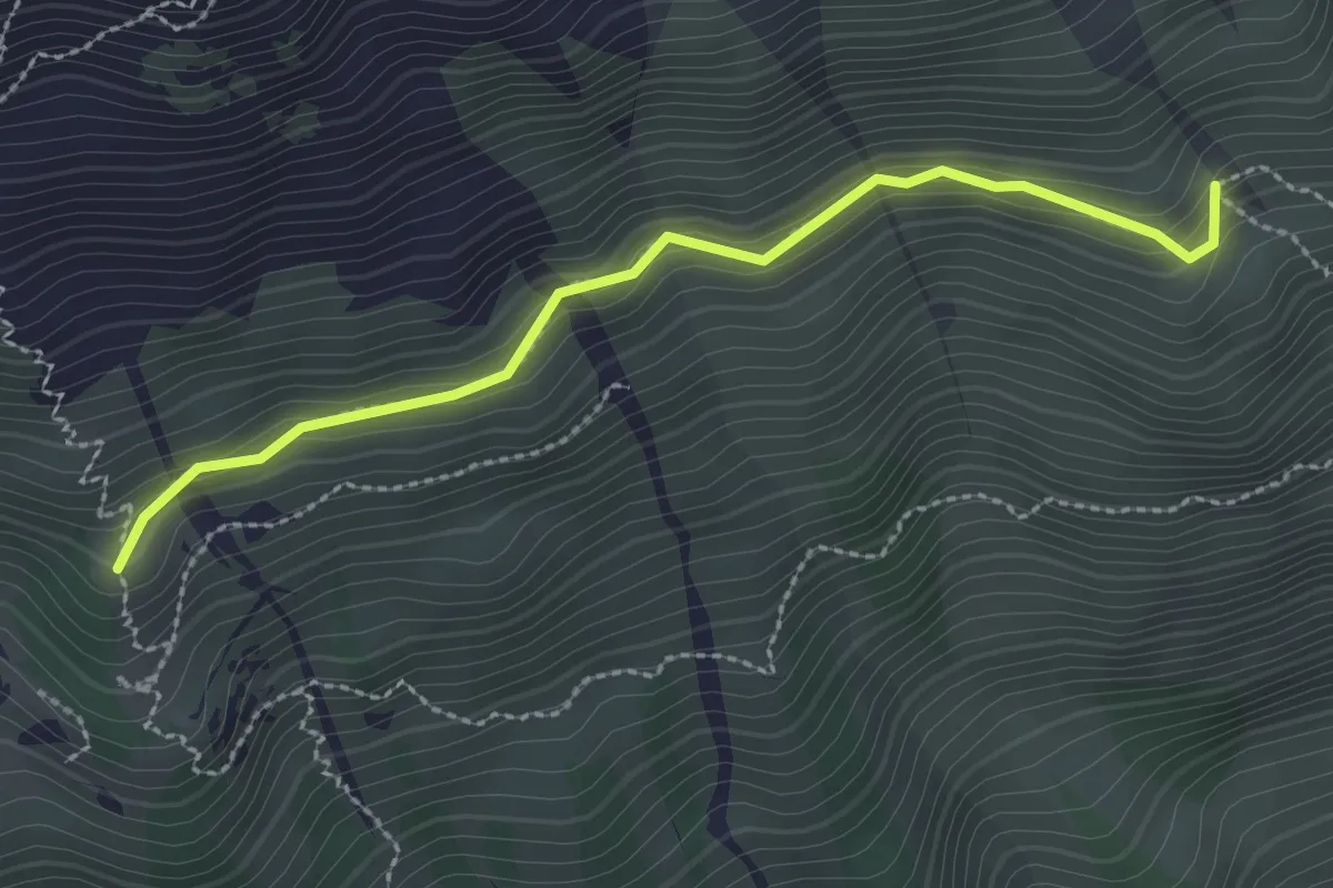
Medium · Trail
Hornsteig
2.6 km · ↑ 78 m · 47 min
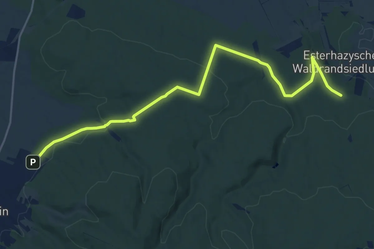
Medium · Trail
Hornstein - Kalte Grub
14.1 km · ↑ 293 m · 3 h 58 min
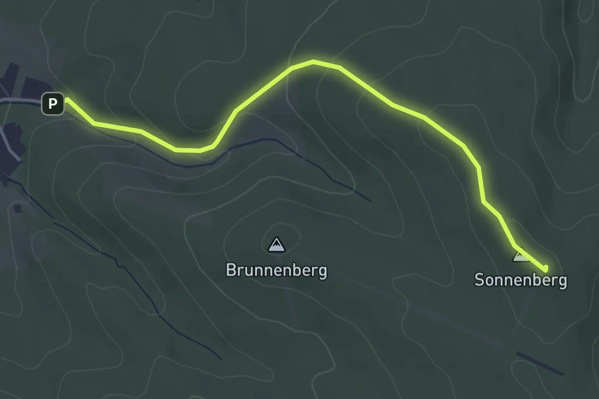
Easy · Summit
Hornstein - Sonnenberg - Beim Juden
4.1 km · ↑ 173 m · 1 h 21 min
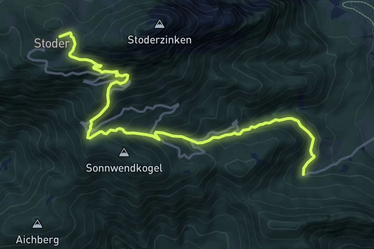
Demanding · Trail
Horstigweg
11.4 km · ↑ 844 m · 4 h 31 min
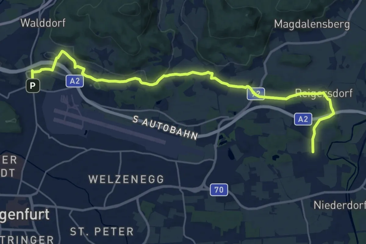
Demanding · Trail
Hörtendorf
20.5 km · ↑ 248 m · 5 h 22 min
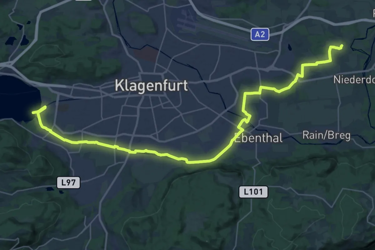
Medium · Trail
Hörtendorf-Loretto
17.1 km · ↑ 12 m · 4 h 17 min
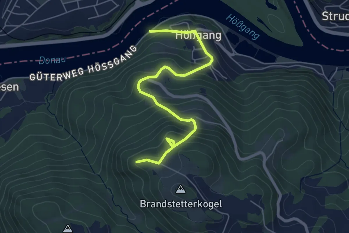
Easy · Cabin
Hößgang - Brandstetterkogelhütte
5.0 km · ↑ 314 m · 1 h 52 min
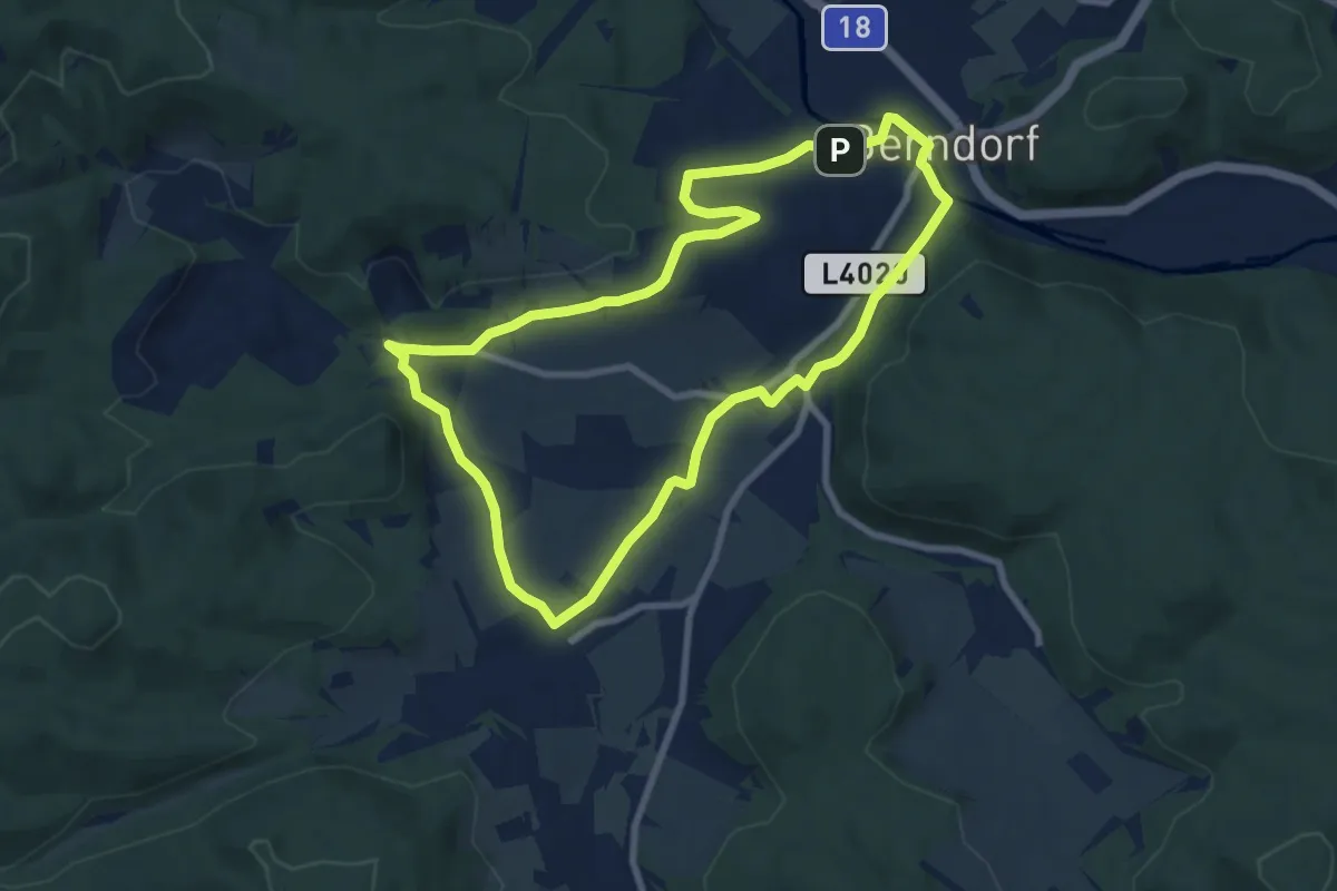
Easy · Trail
Hotel Kaiservilla Runde (Berndorf)
7.7 km · ↑ 81 m · 2 h 7 min
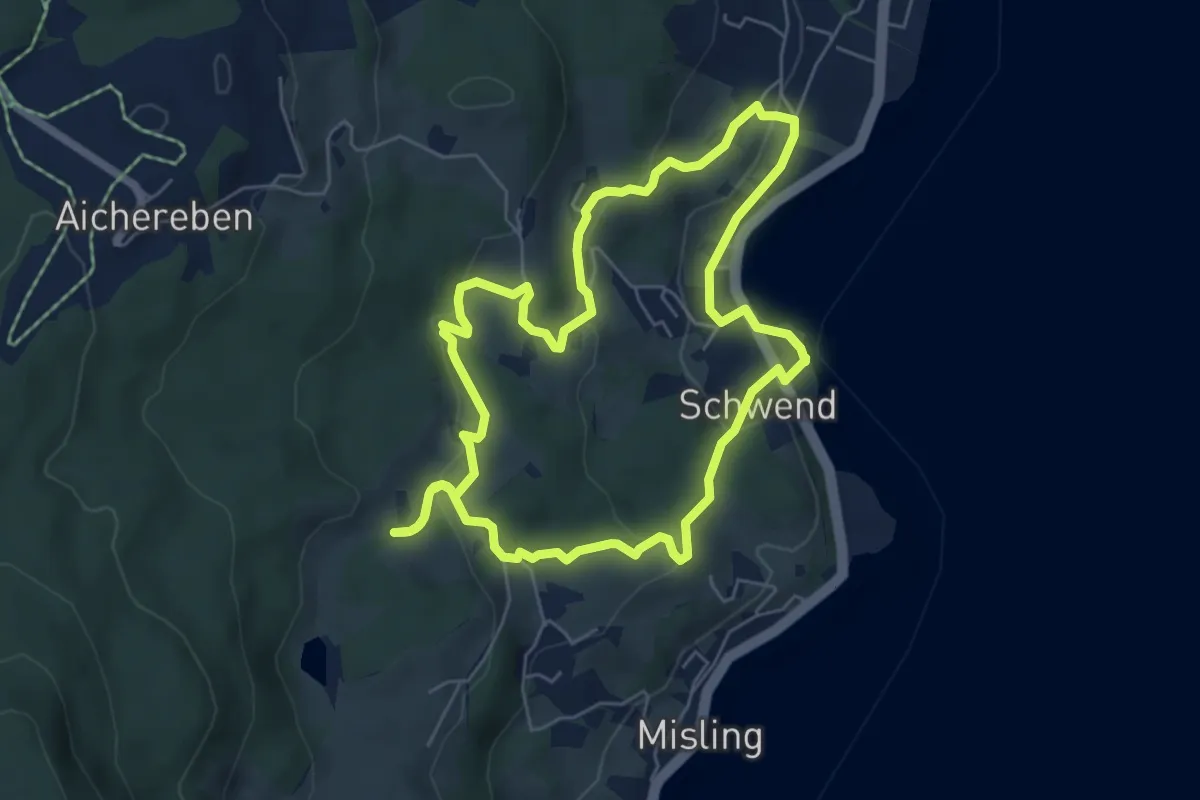
Easy · Trail
Hotel Stadler - Egelsee - Reiserbauern Mühle
5.8 km · ↑ 183 m · 1 h 50 min
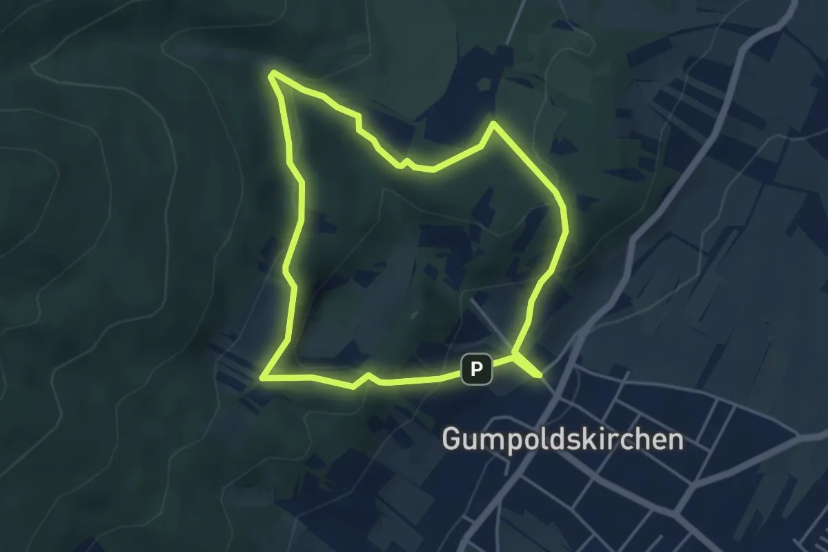
Easy · Summit
Hotel Turmhof Runde bei Gumpoldskirchen
3.7 km · ↑ 157 m · 1 h 16 min
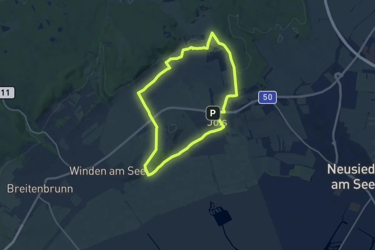
Medium · Trail
Hottersteinweg (Jois)
11.0 km · ↑ 150 m · 3 h 5 min
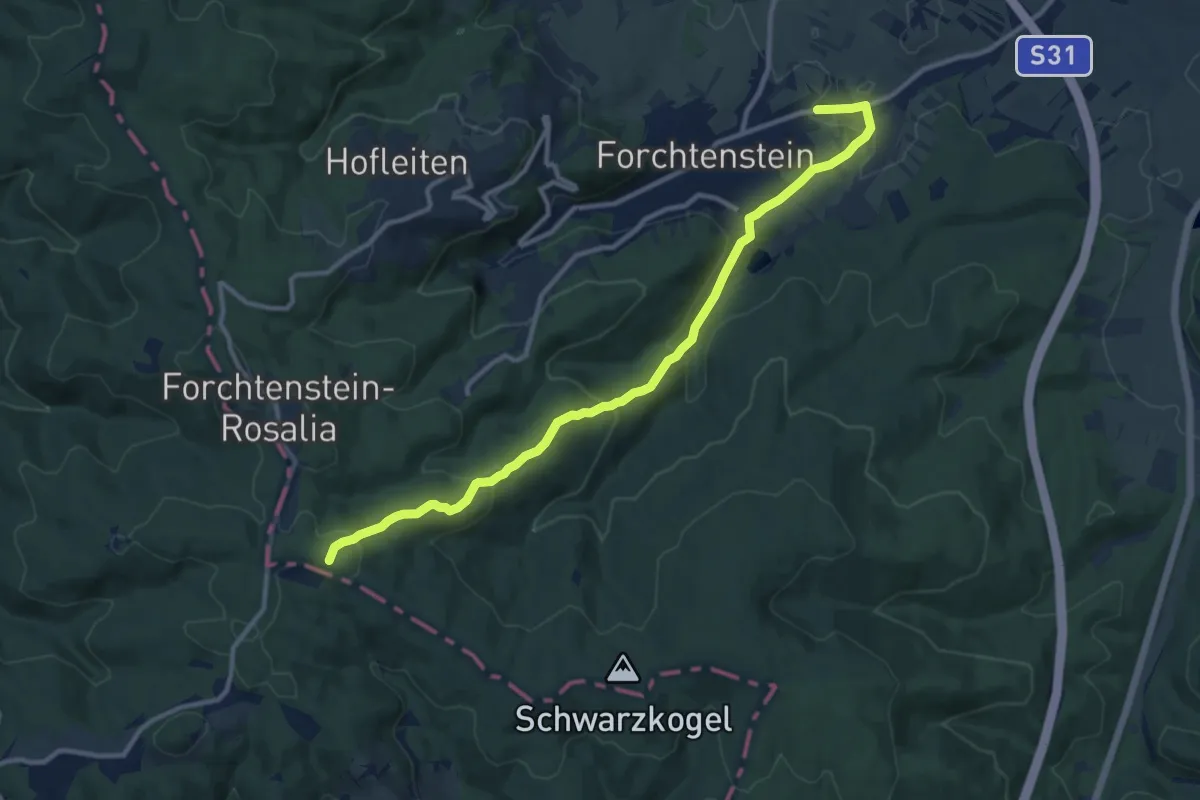
Medium · Summit
Hotterweg Forchtenstein ( Sportplatz - Badestausee - Rosalia)
11.6 km · ↑ 446 m · 3 h 42 min
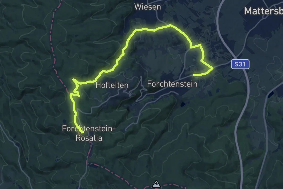
Demanding · Summit
Hotterweg Forchtenstein ( Sportplatz - Wiesenerhöhe - Rosalia)
21.6 km · ↑ 628 m · 6 h 28 min
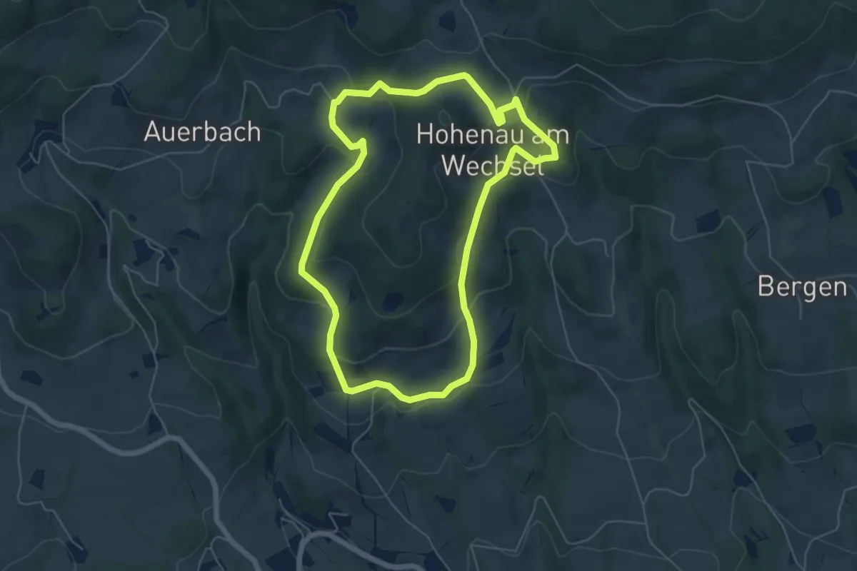
Easy · Trail
Höttling Rundwanderweg
5.4 km · ↑ 193 m · 1 h 45 min
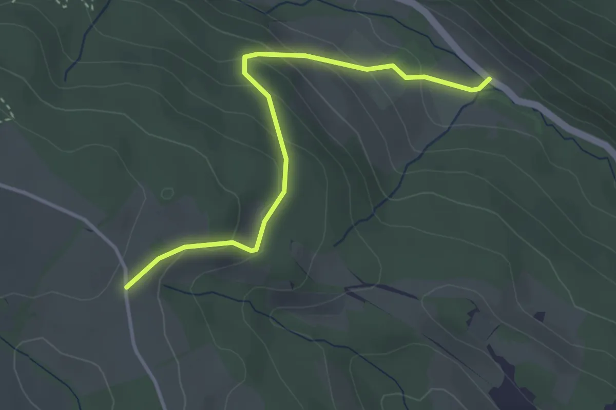
Easy · Trail
Hottmannsgraben - Außeraigen Straße
3.3 km · ↑ 200 m · 1 h 13 min
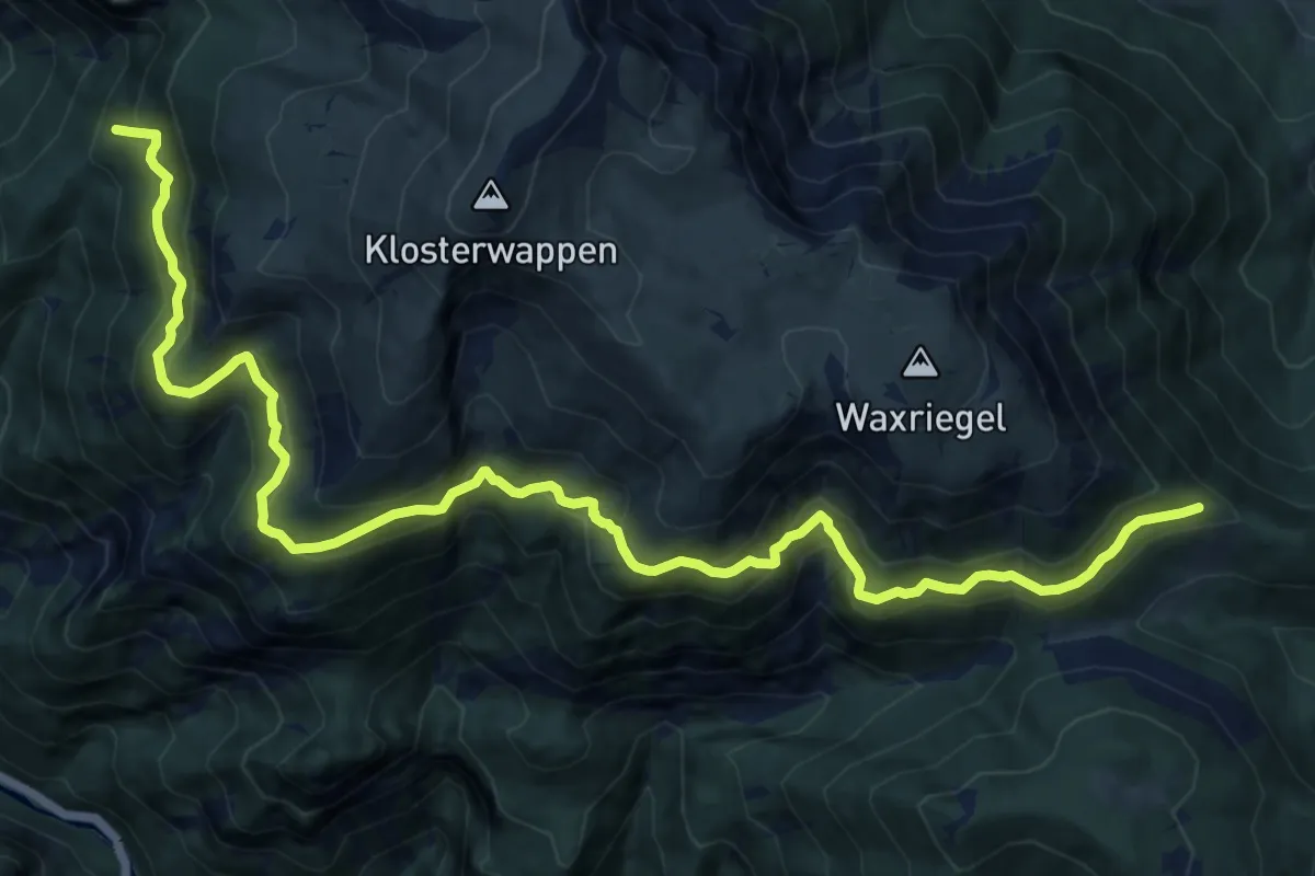
Demanding · Summit
Hst. Baumgartner - Kienthalerhütte
15.9 km · ↑ 873 m · 5 h 39 min
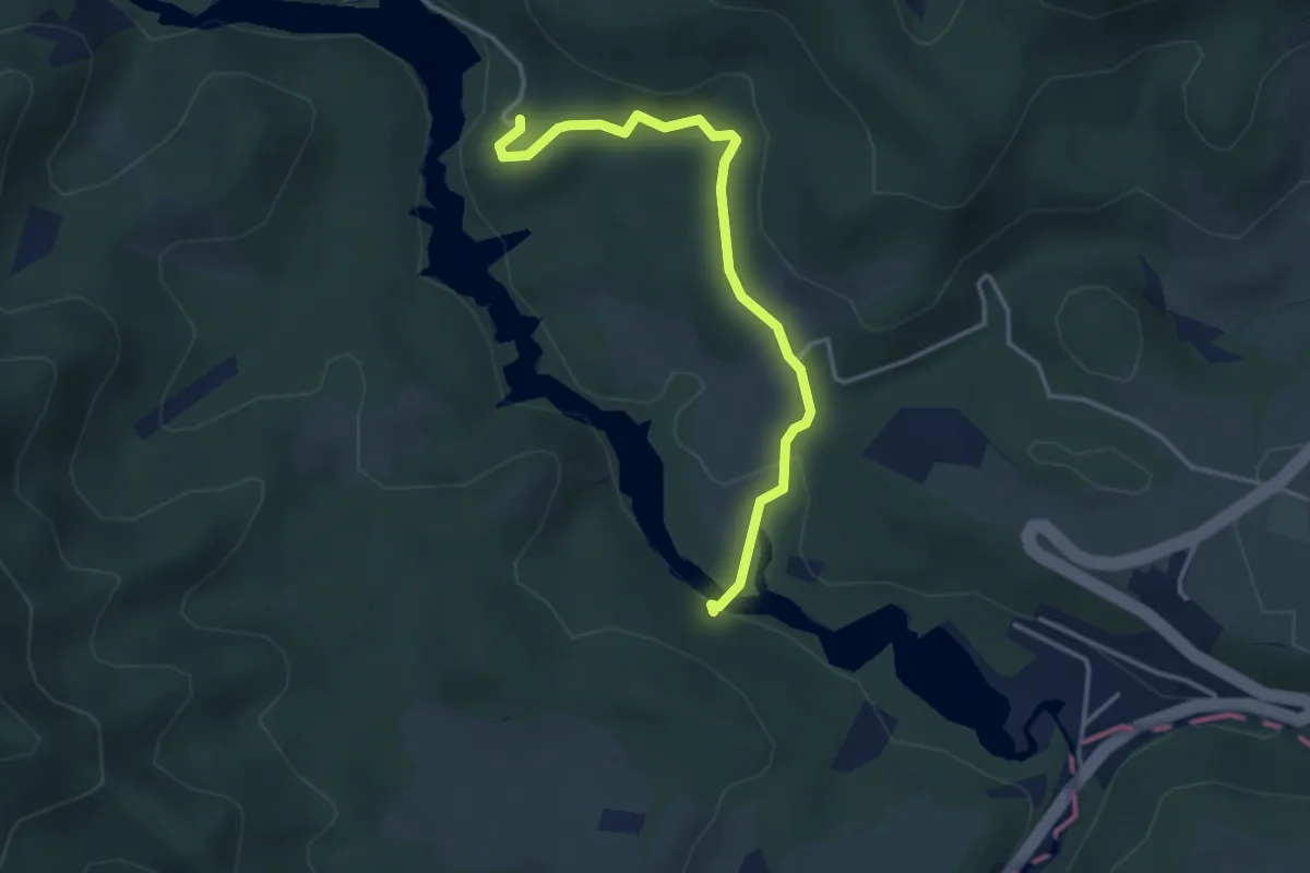
Easy · Trail
Hst. Erlaufklause - Flachbühel
3.5 km · ↑ 106 m · 1 h 4 min
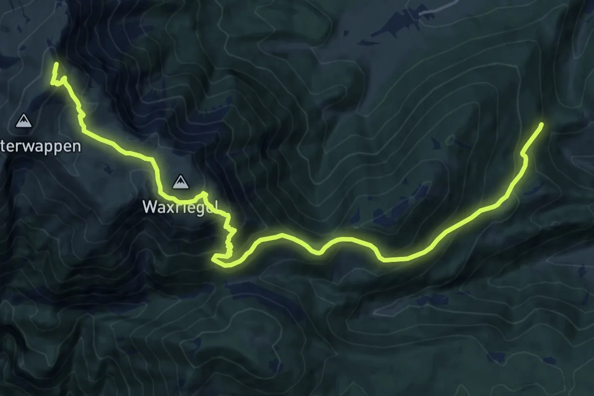
Demanding · Summit
Hst. Hauslitzsattel - Fischerhütte
19.8 km · ↑ 1251 m · 7 h 23 min
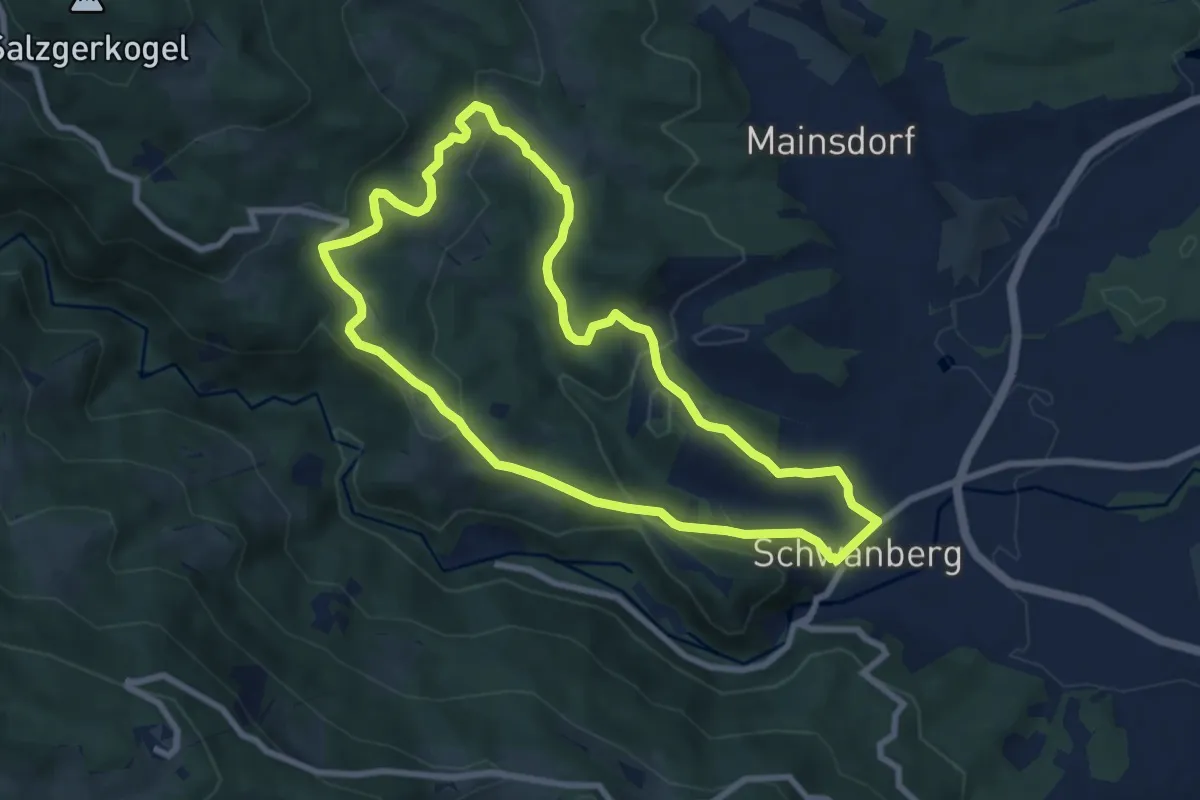
Easy · Summit
Hubenjörgl-Weg
7.7 km · ↑ 265 m · 2 h 30 min
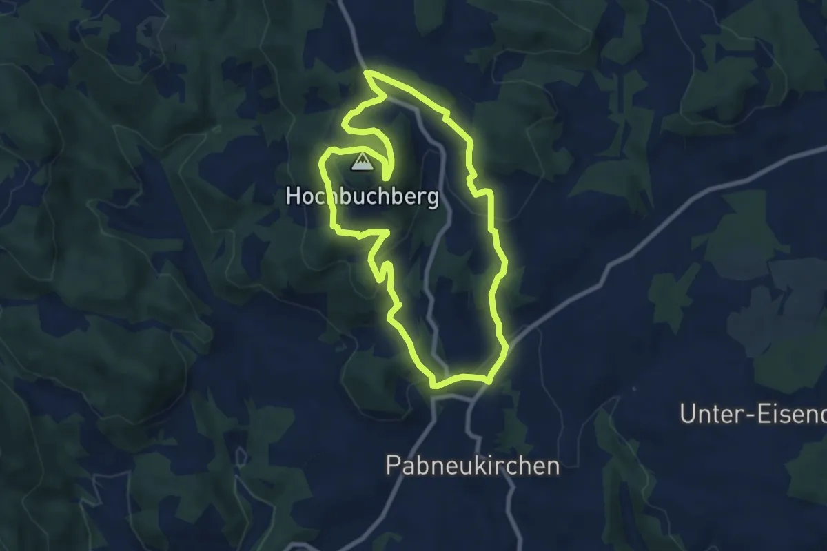
Easy · Summit
Hubertus-Hochbuchberg-Rundweg
6.9 km · ↑ 280 m · 2 h 20 min
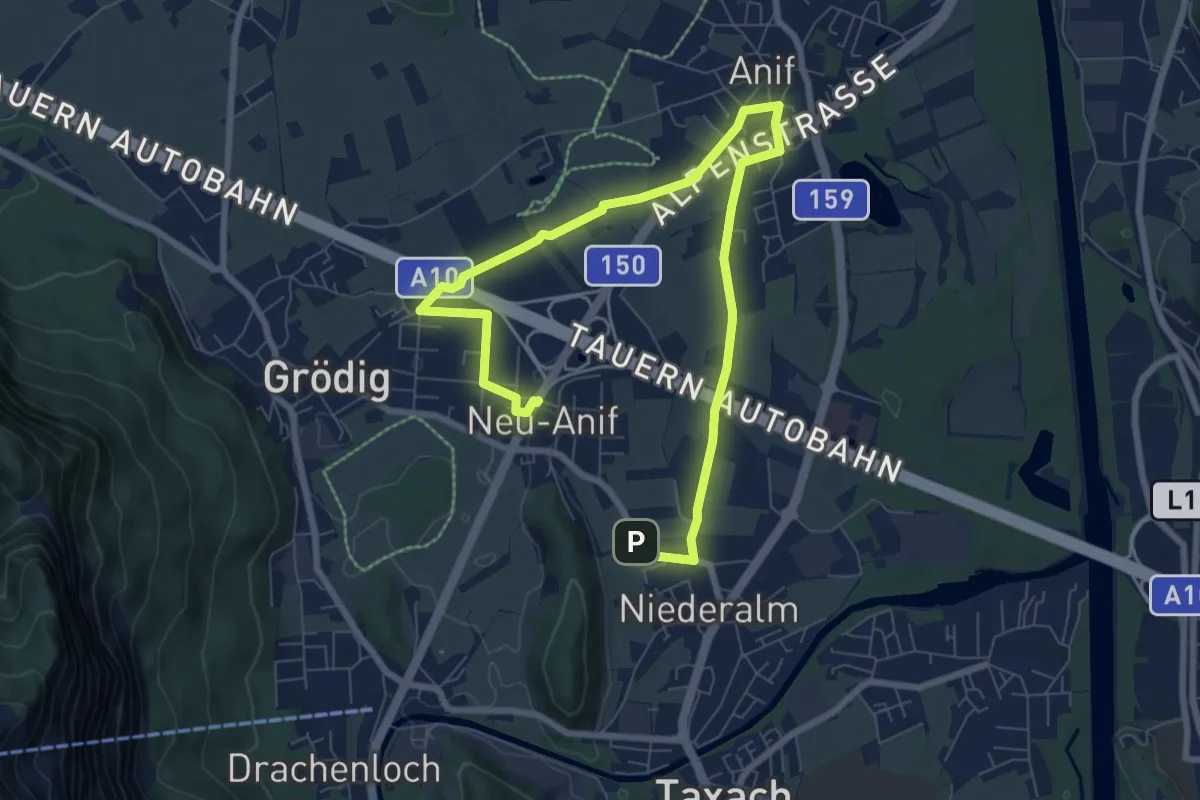
Easy · Trail
Hubertushof Runde
5.1 km · ↑ 8 m · 1 h 17 min
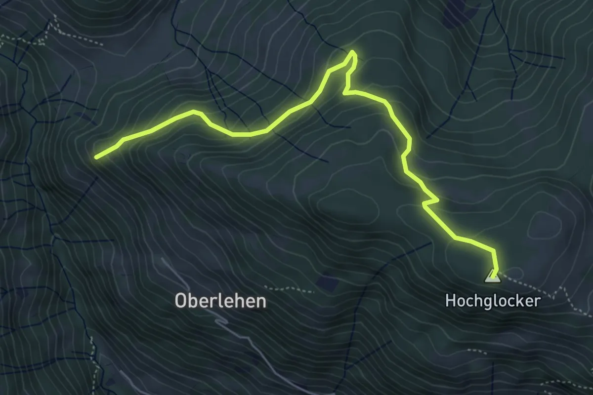
Medium · Summit
Hubertuskapelle-Hochglocker
5.6 km · ↑ 336 m · 2 h 3 min
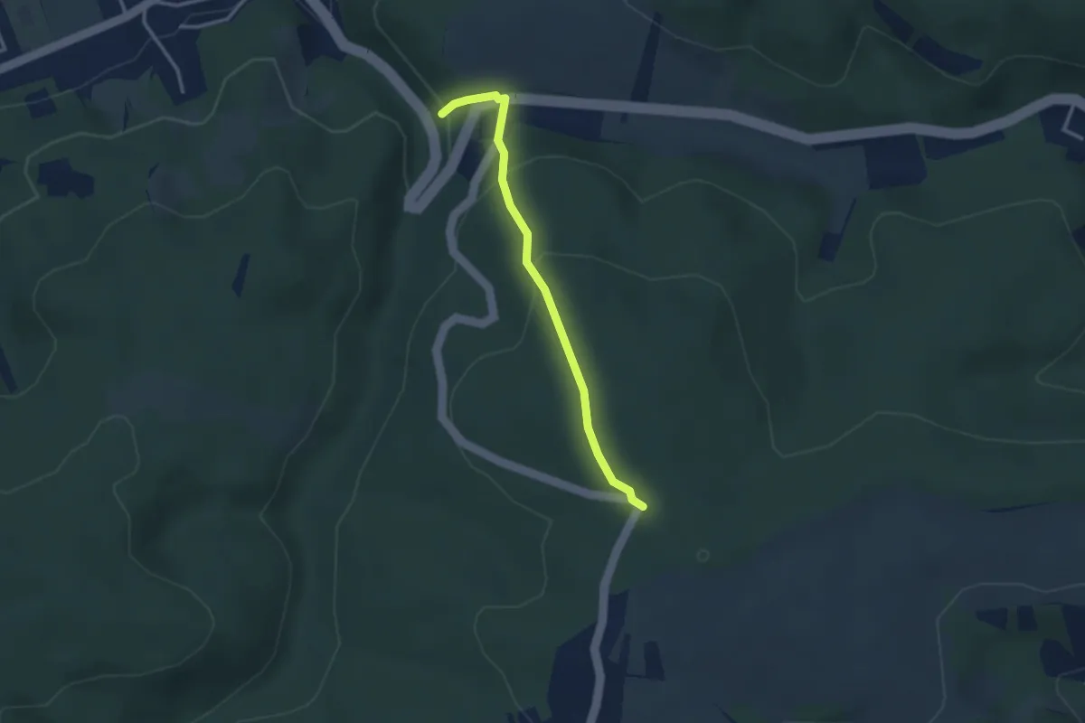
Easy · Trail
Hubertuskapelle - Plöcking
2.7 km · ↑ 162 m · 59 min
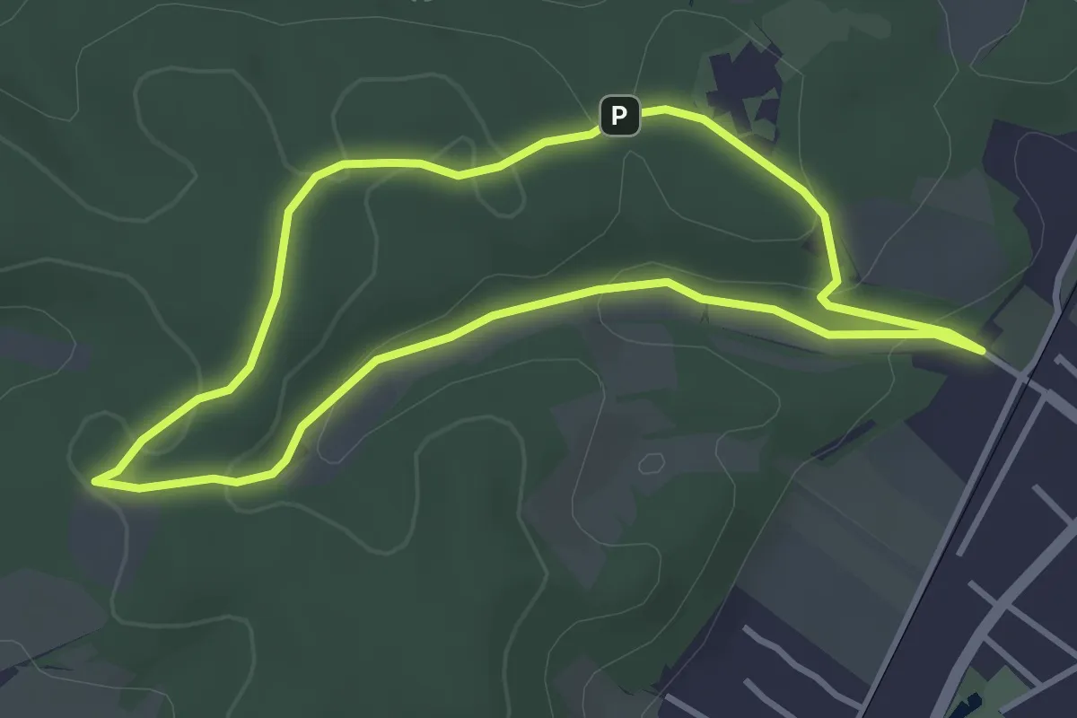
Easy · Trail
Hubertus Kapelle Runde
3.2 km · ↑ 82 m · 58 min
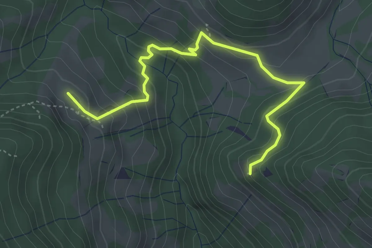
Medium · Cabin
Hubertuskapelle-Stötzelbergalm
4.1 km · ↑ 327 m · 1 h 40 min
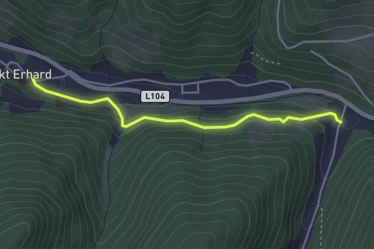
Medium · Trail
Hubertuspromenade
2.9 km · ↑ 94 m · 54 min