Trails in Austria
9,779 hiking trails, each with its route, climb, walking time and grade.
All trails, page 47 of 204
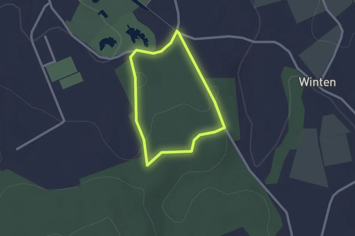
Easy · Trail
Hubertus Runde
1.4 km · ↑ 18 m · 24 min
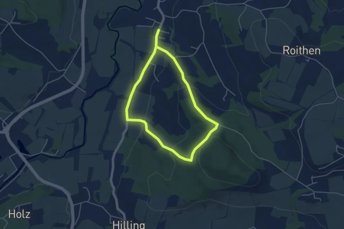
Easy · Trail
Hubertusrundweg
3.2 km · ↑ 91 m · 1 h 1 min
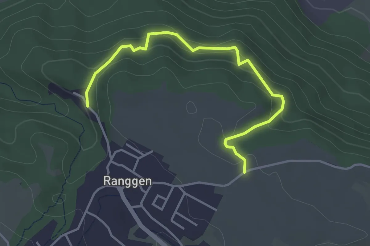
Easy · Trail
Hubertusweg
3.5 km · ↑ 203 m · 1 h 16 min
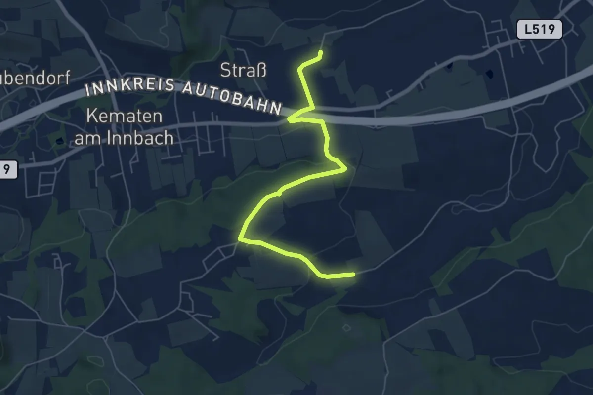
Easy · Trail
Hubertusweg
5.7 km · ↑ 156 m · 1 h 42 min
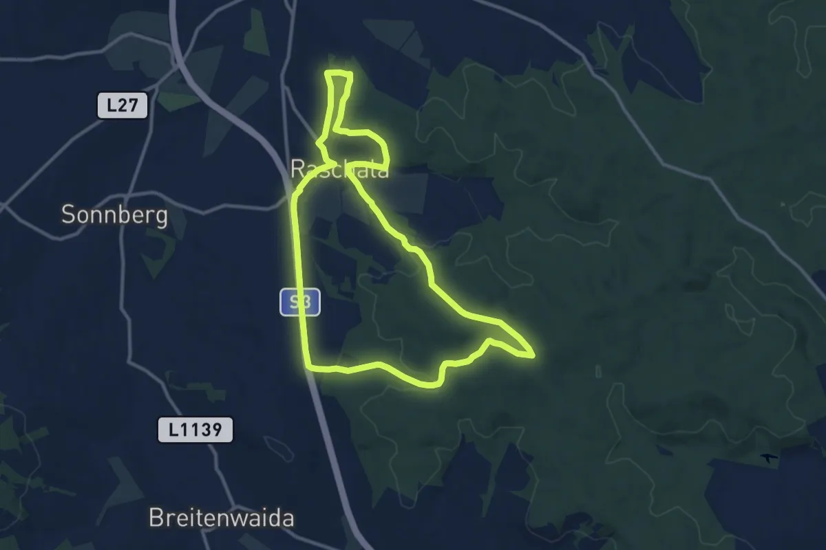
Medium · Trail
Hubertusweg
10.5 km · ↑ 162 m · 2 h 59 min
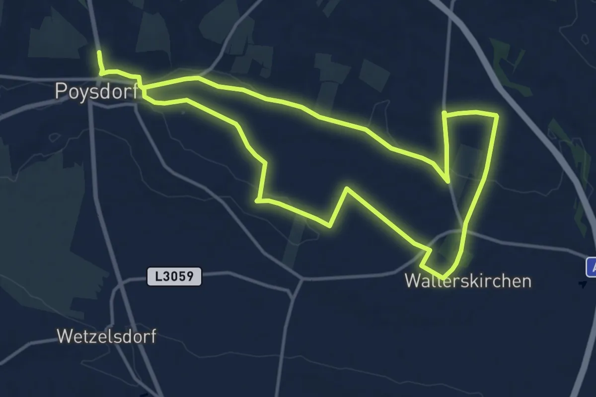
Demanding · Trail
Hubertusweg
20.9 km · ↑ 142 m · 5 h 14 min
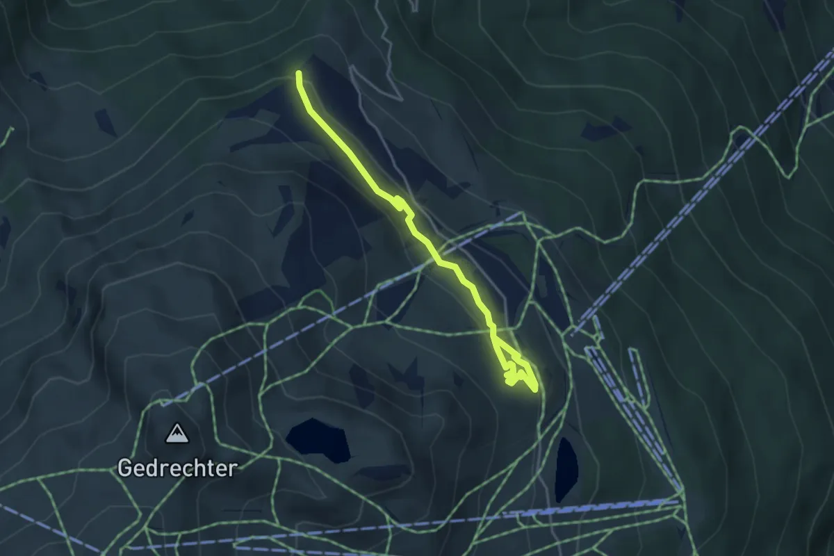
Easy · Trail
Hubertus Wildtierpfad
4.0 km · ↑ 97 m · 1 h 9 min
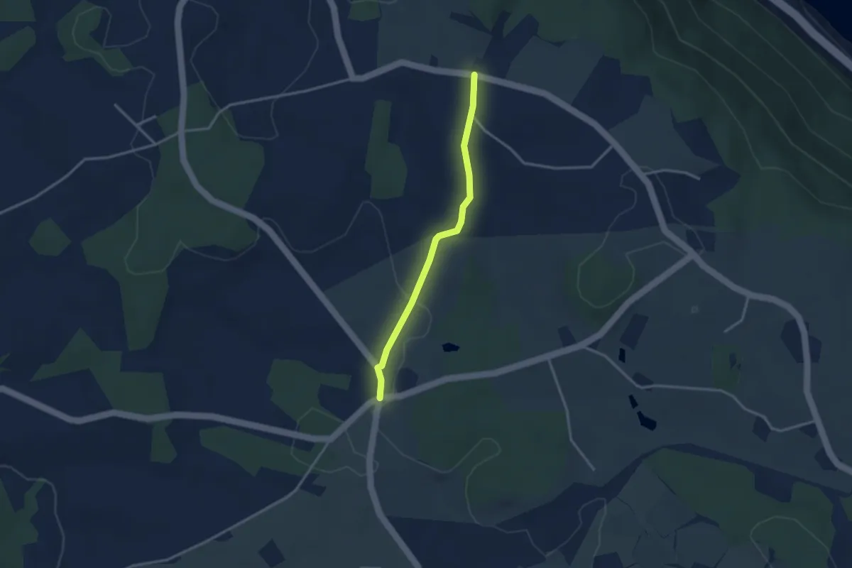
Easy · Trail
Hubweg
2.6 km · ↑ 44 m · 43 min
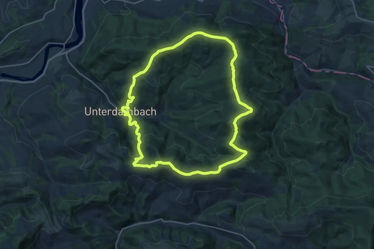
Medium · Summit
Hufeisen Rundweg
16.0 km · ↑ 733 m · 5 h 35 min
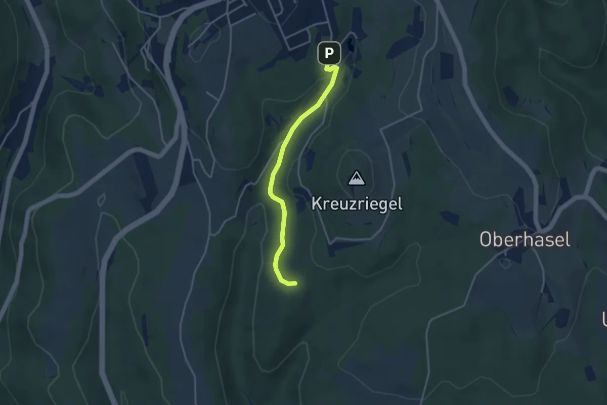
Easy · Trail
Hügelgräber (Bernstein)
3.0 km · ↑ 91 m · 54 min
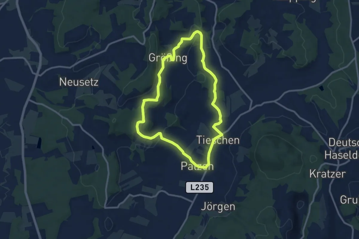
Easy · Trail
Hügelgräberweg
7.9 km · ↑ 156 m · 2 h 18 min
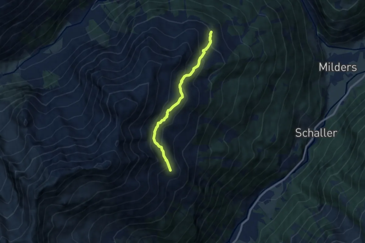
Medium · Trail
Hühnerspiel - Brandstattalm
6.3 km · ↑ 373 m · 2 h 18 min
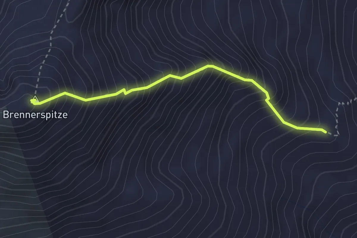
Expert · Summit
Hühnerspiel - Brennerspitze
2.7 km · ↑ 666 m · 2 h 4 min
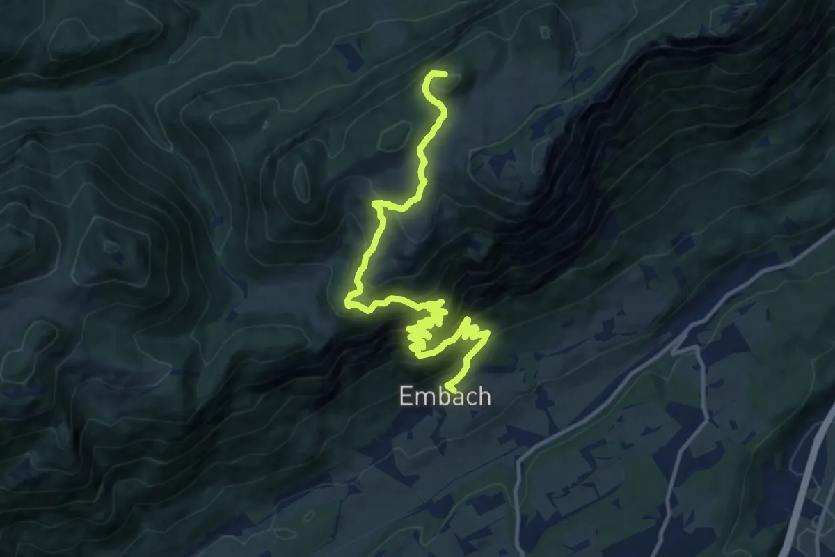
Demanding · Trail
Hundalm Eishöhle
13.5 km · ↑ 939 m · 5 h 13 min
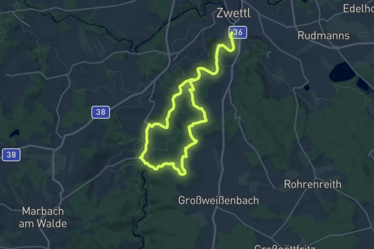
Demanding · Trail
Hundertwasserweg 55
25.9 km · ↑ 424 m · 7 h 3 min
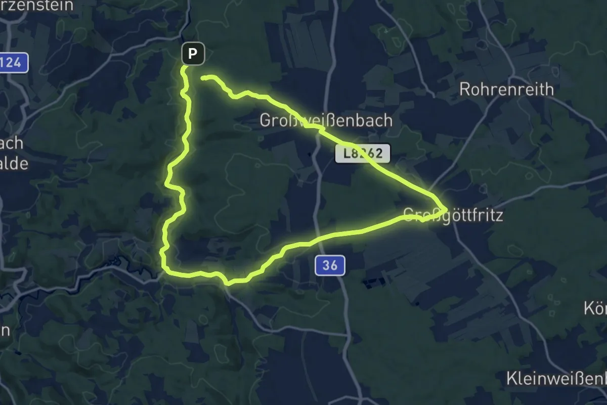
Demanding · Summit
Hundertwasserweg lang
28.4 km · ↑ 345 m · 7 h 27 min
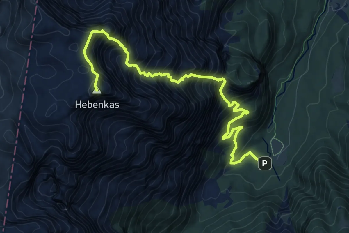
Expert · Summit
Hundspfad
12.0 km · ↑ 1670 m · 6 h 27 min
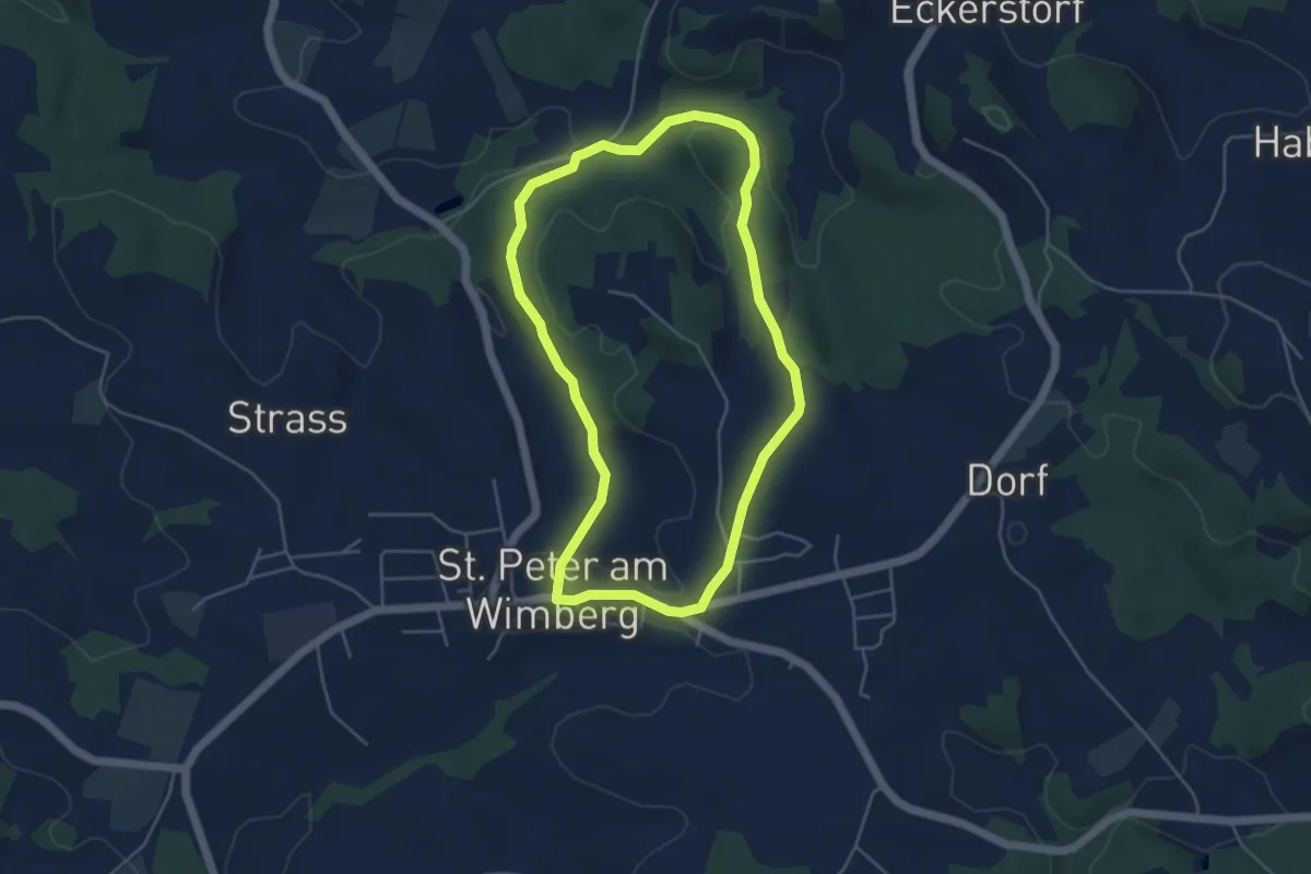
Easy · Trail
Hunnenweg
4.3 km · ↑ 114 m · 1 h 20 min
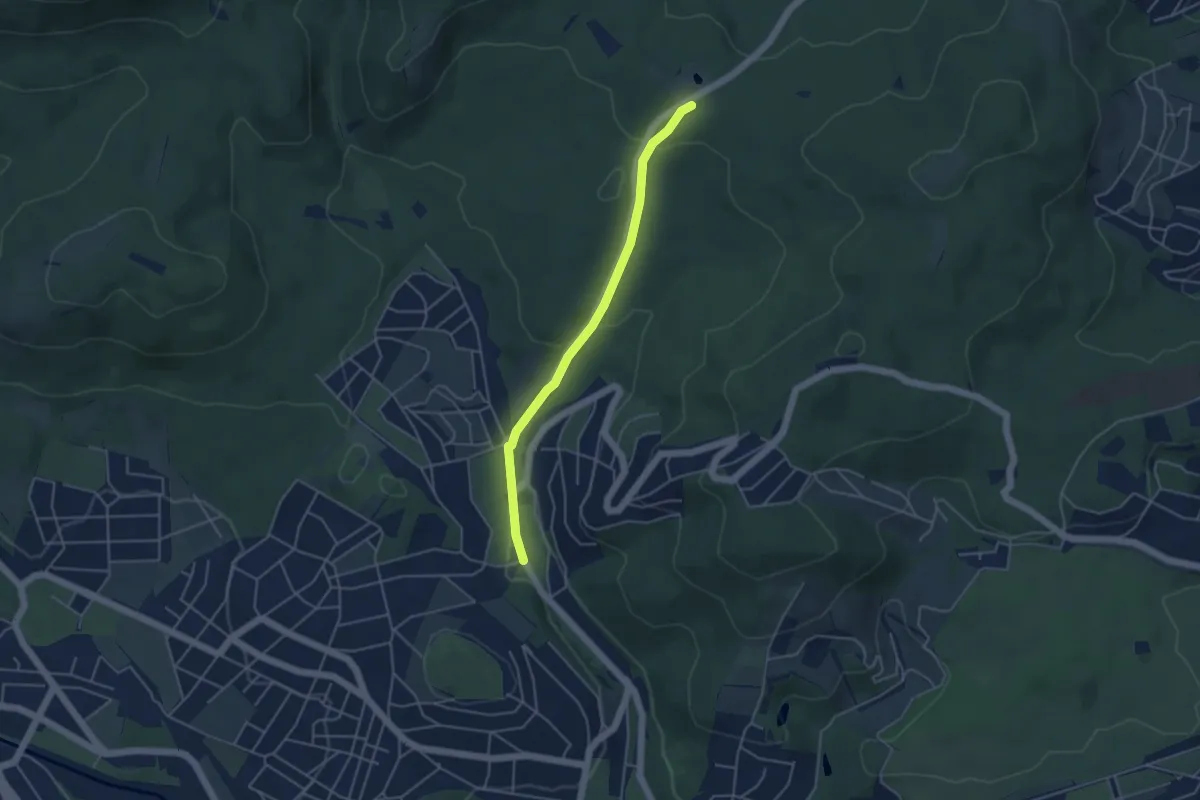
Easy · Trail
Hütteldorf/Campingplatz - Schottenhof
4.0 km · ↑ 112 m · 1 h 11 min
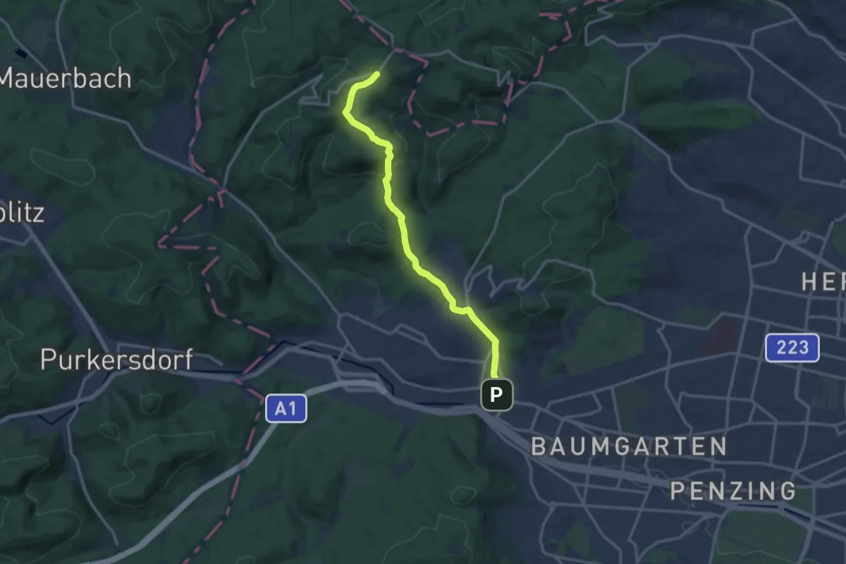
Medium · Trail
Hütteldorf/Endstation Linie 49 - Sophienalpe
12.7 km · ↑ 303 m · 3 h 39 min
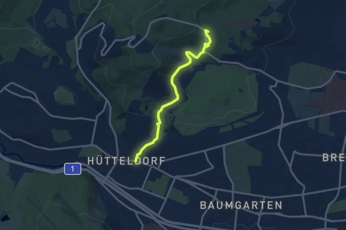
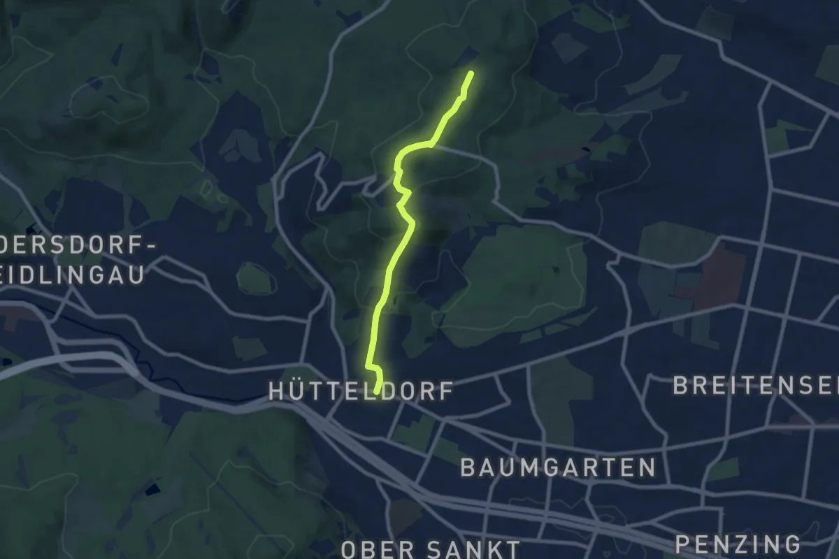
Easy · Summit
Hütteldorf/Rosental - Kreuzeichenwiese (blaue Markierung)
6.0 km · ↑ 160 m · 1 h 46 min
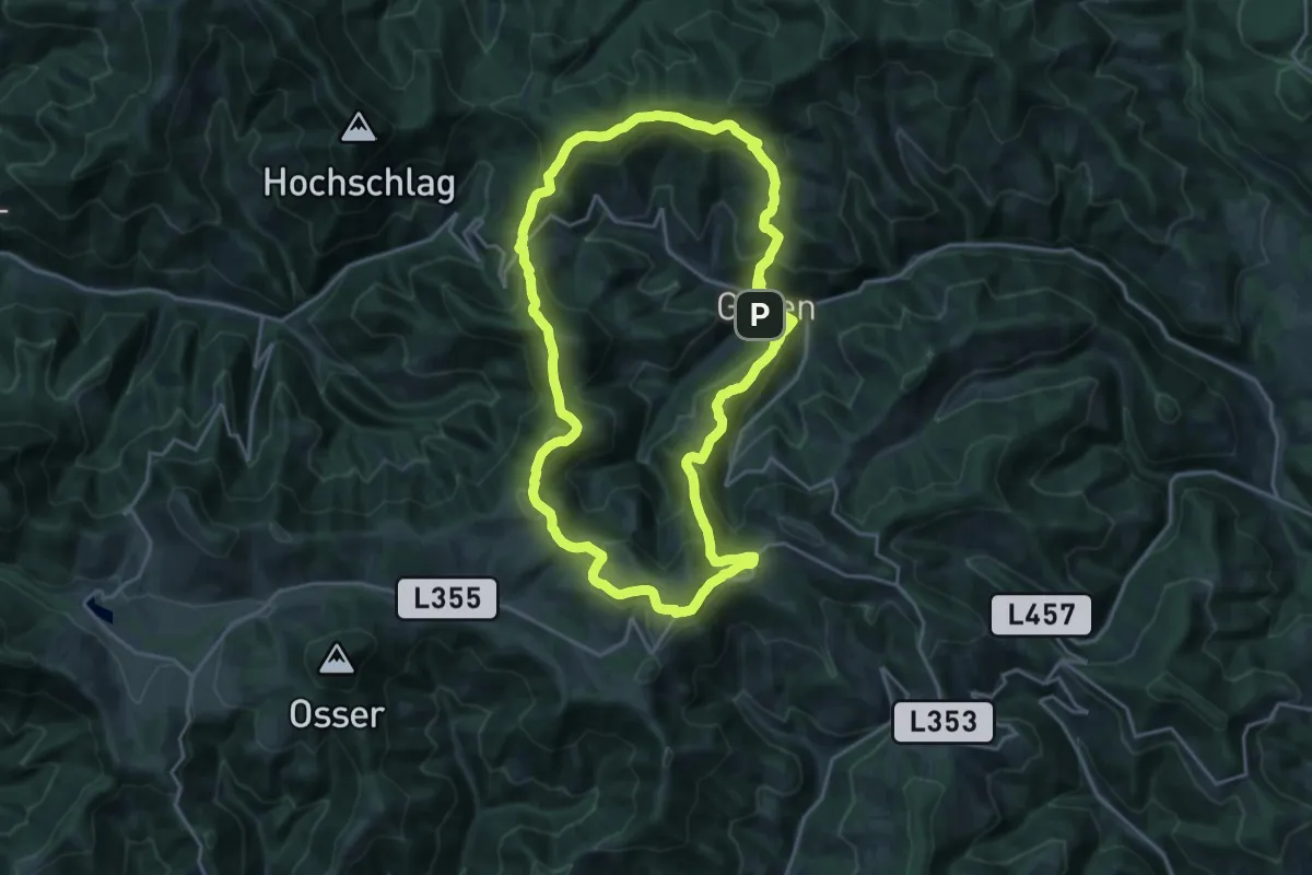
Easy · Trail
Hütteldorf/Rosental - Kreuzeichenwiese (grüne Markierung)
6.8 km · ↑ 258 m · 2 h 10 min
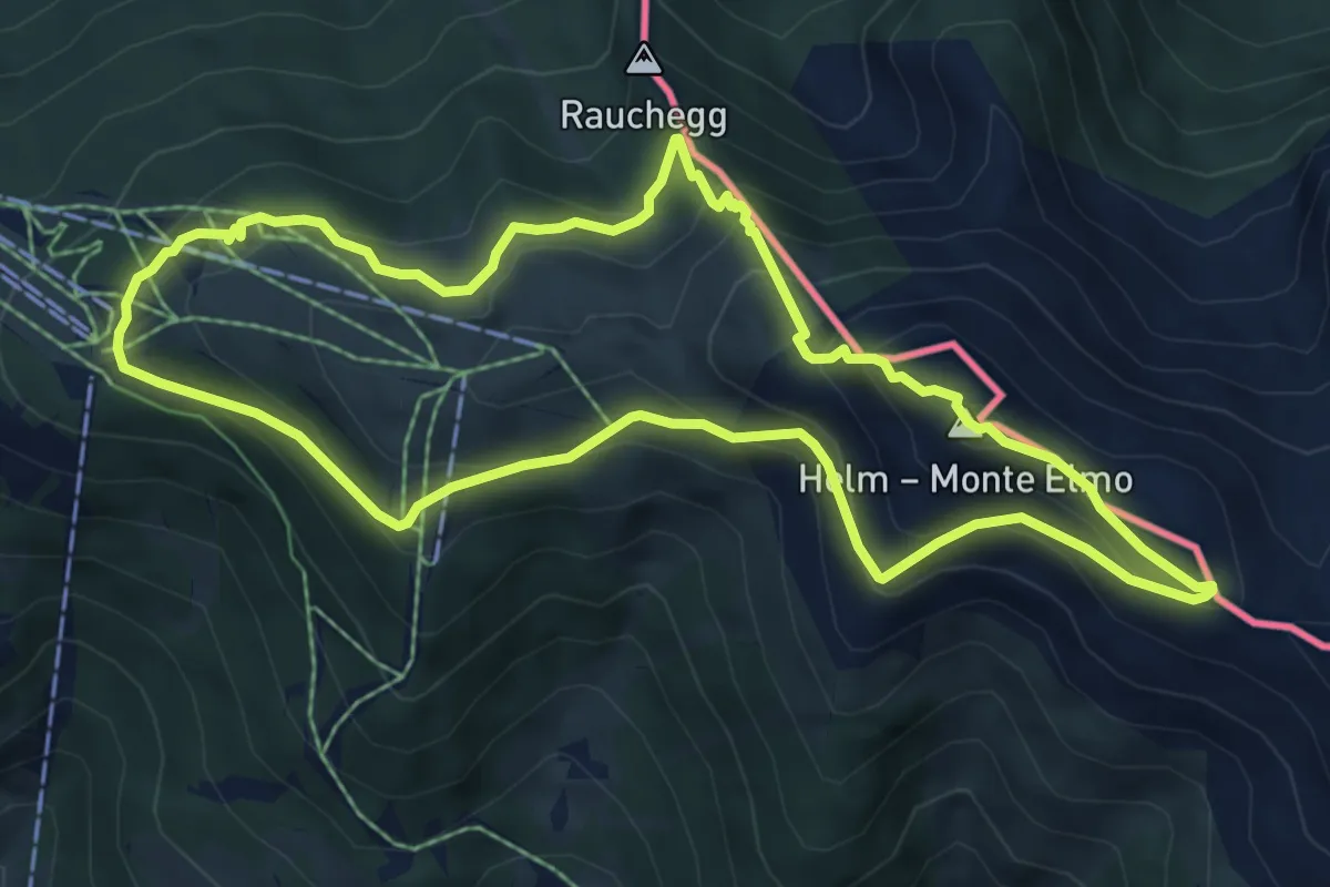
Demanding · Trail
Hütten-Rundweg
19.4 km · ↑ 955 m · 6 h 56 min
Medium · Summit
Hüttensteig
6.5 km · ↑ 432 m · 2 h 34 min
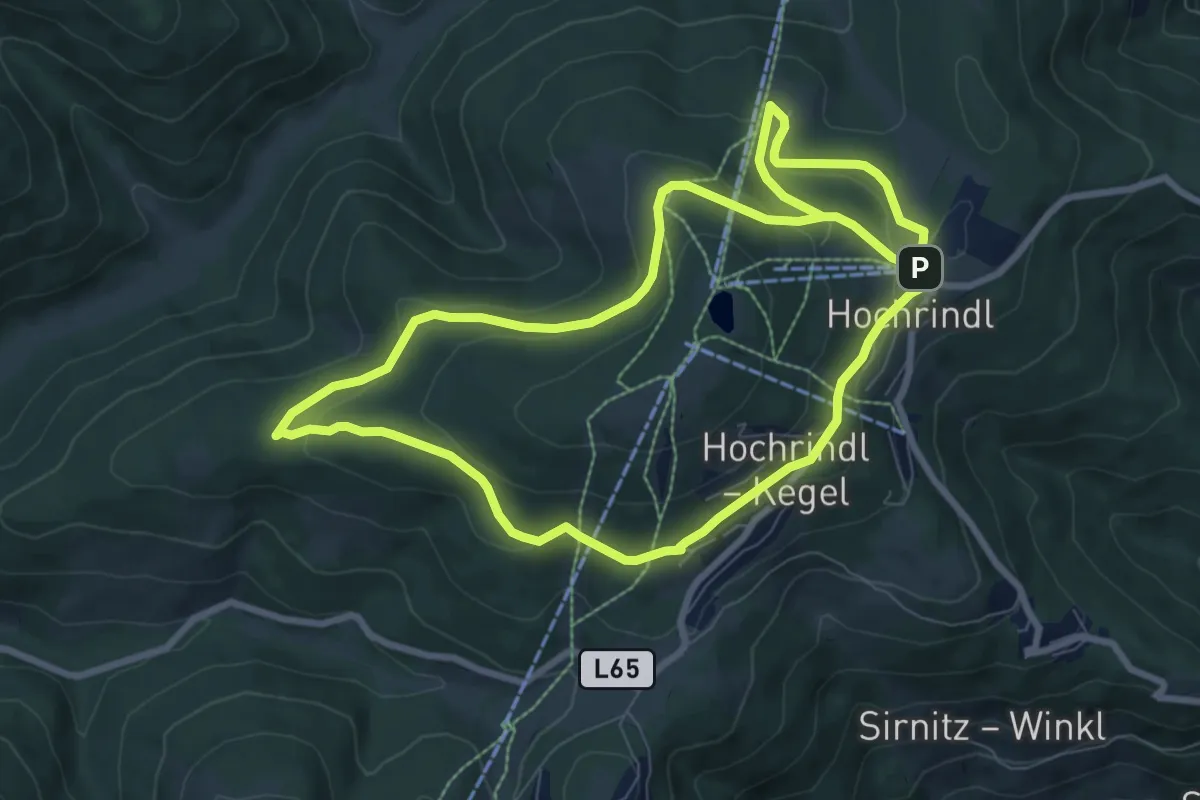
Easy · Cabin
Hüttenwanderweg
8.0 km · ↑ 229 m · 2 h 28 min
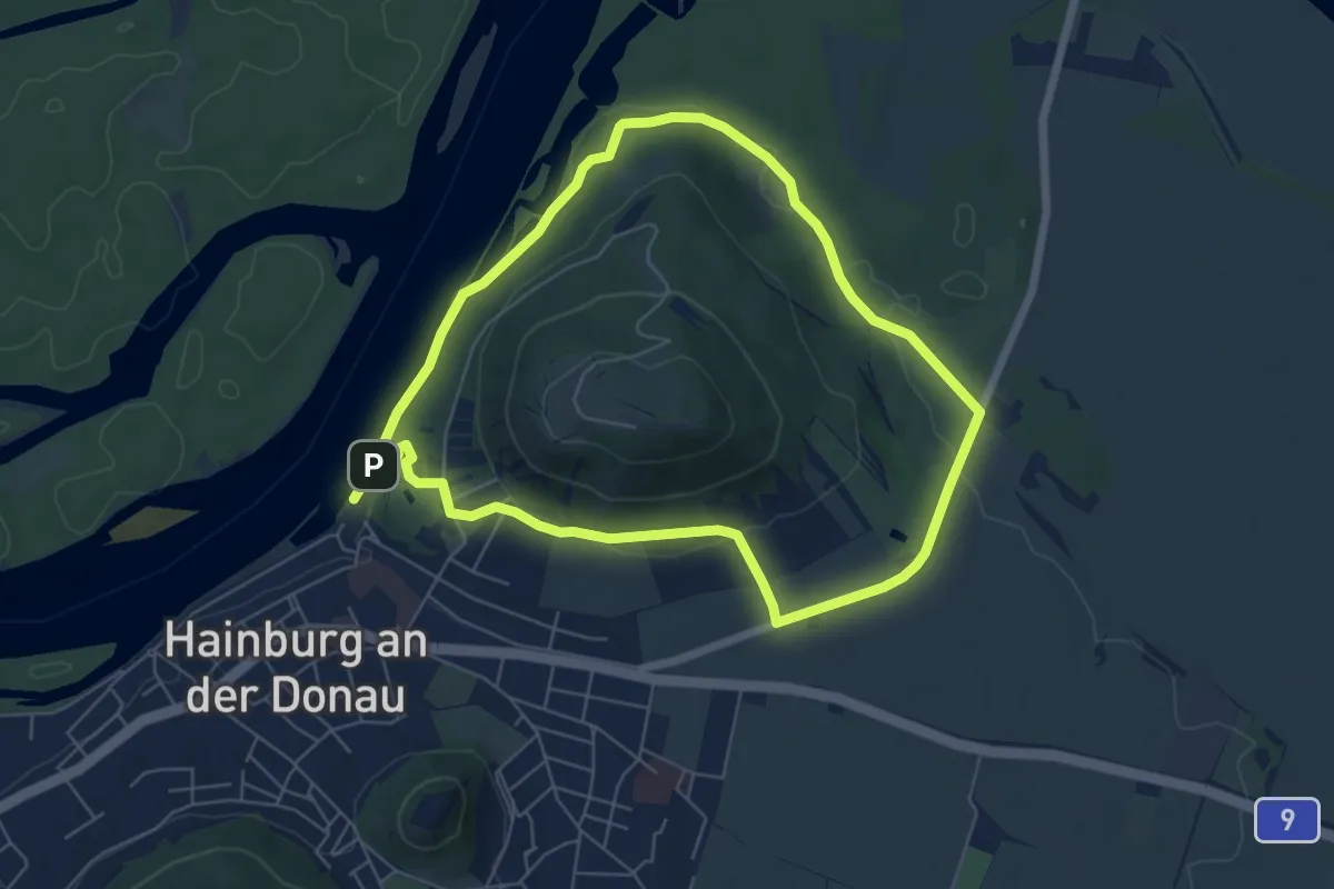
Easy · Summit
Hutweideweg
5.8 km · ↑ 117 m · 1 h 43 min
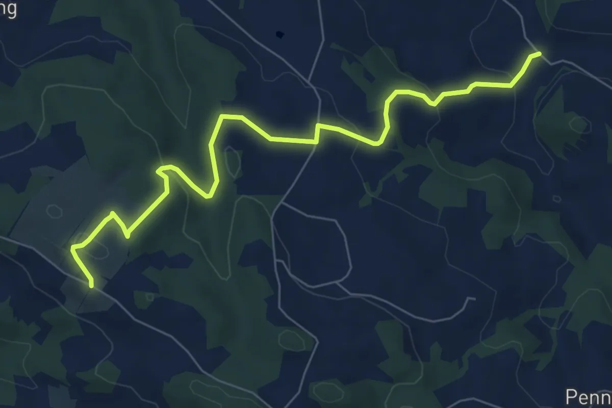
Easy · Trail
Idangl-Weg
7.1 km · ↑ 291 m · 2 h 19 min
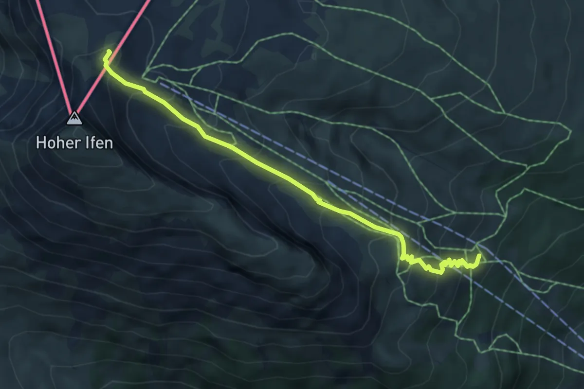
Medium · Summit
Ifenhütte - Hahnenköpfle
2.7 km · ↑ 497 m · 1 h 30 min
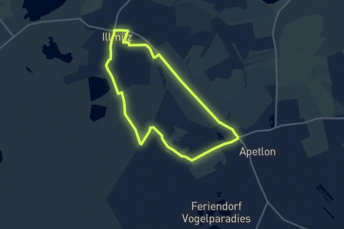
Easy · Trail
Illmitz-Apetlon-Runde (27)
7.7 km · ↑ 0 m · 1 h 55 min
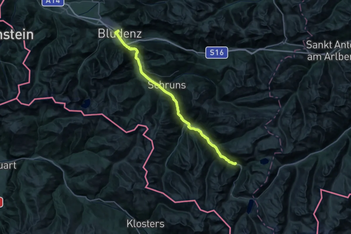
Demanding · Trail
Illweg
32.7 km · ↑ 72 m · 8 h 35 min
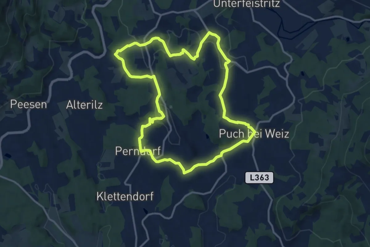
Medium · Trail
Ilzbergrunde
9.9 km · ↑ 330 m · 3 h 11 min
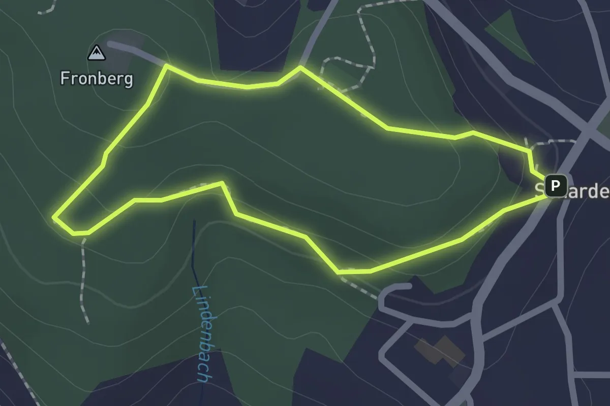
Easy · Summit
Im Fronwald
1.6 km · ↑ 70 m · 32 min
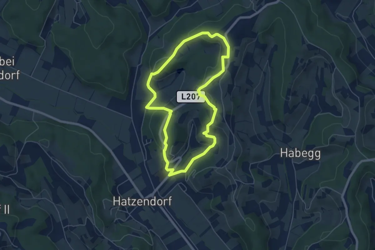
Easy · Trail
Imkermeile
5.2 km · ↑ 161 m · 1 h 38 min
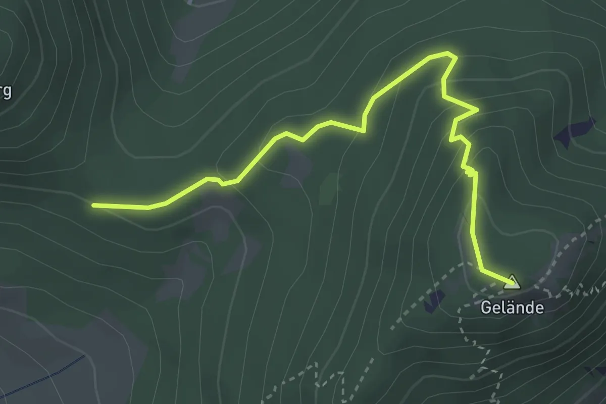
Medium · Summit
Imnitzersteig - Geländehütte (bei Grünbach)
3.5 km · ↑ 231 m · 1 h 20 min
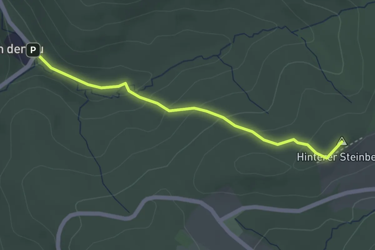
Easy · Summit
In der Au - Hinterer Steinberg
3.1 km · ↑ 148 m · 1 h 3 min
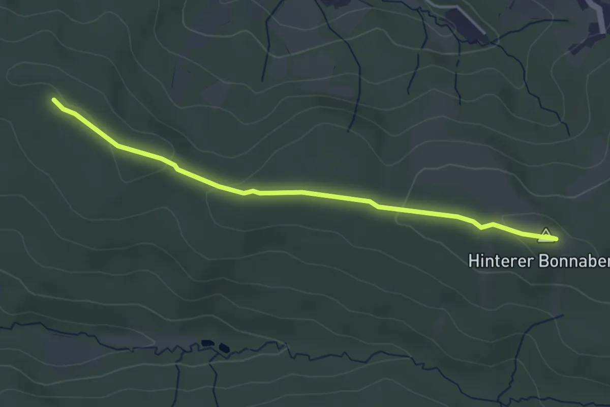
Easy · Summit
In der Au - Krakingberg - Frauenberg
3.8 km · ↑ 47 m · 1 h
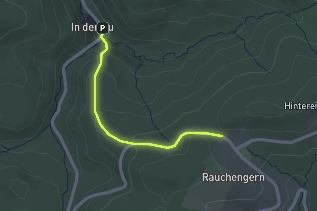
Easy · Trail
In der Au - Rauchengern
3.0 km · ↑ 119 m · 57 min
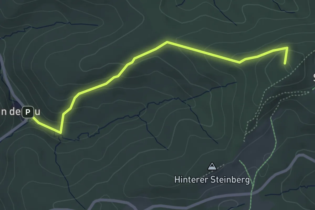
Easy · Summit
In der Au - Strohzogl/Wienerwaldhof Rieger
4.9 km · ↑ 220 m · 1 h 38 min
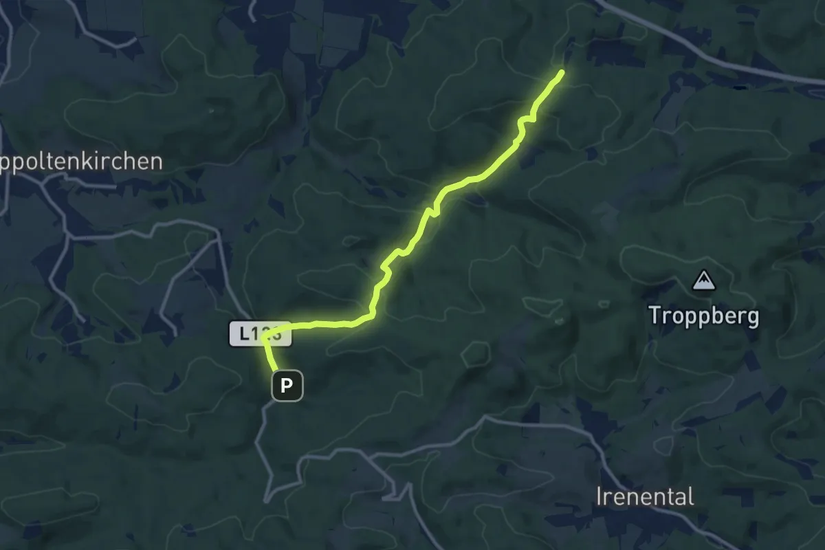
Medium · Trail
In der Au - Weideck
10.6 km · ↑ 377 m · 3 h 19 min
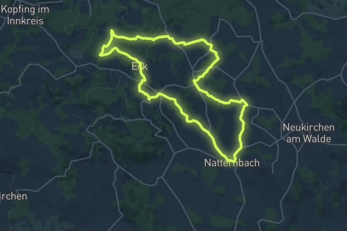
Medium · Trail
Indianerpfad
17.4 km · ↑ 323 m · 5 h 3 min
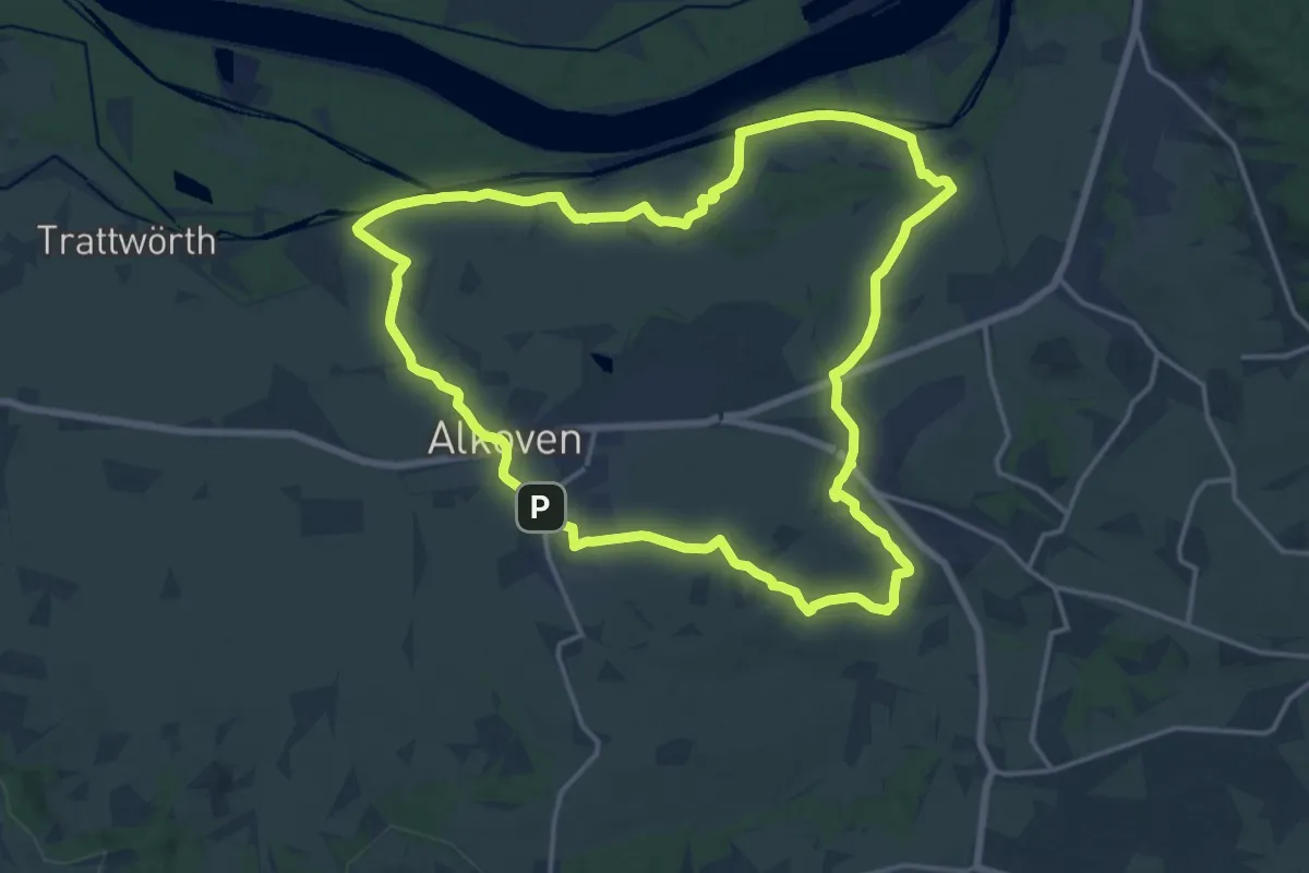
Medium · Trail
Innbachrunde
16.5 km · ↑ 70 m · 4 h 17 min
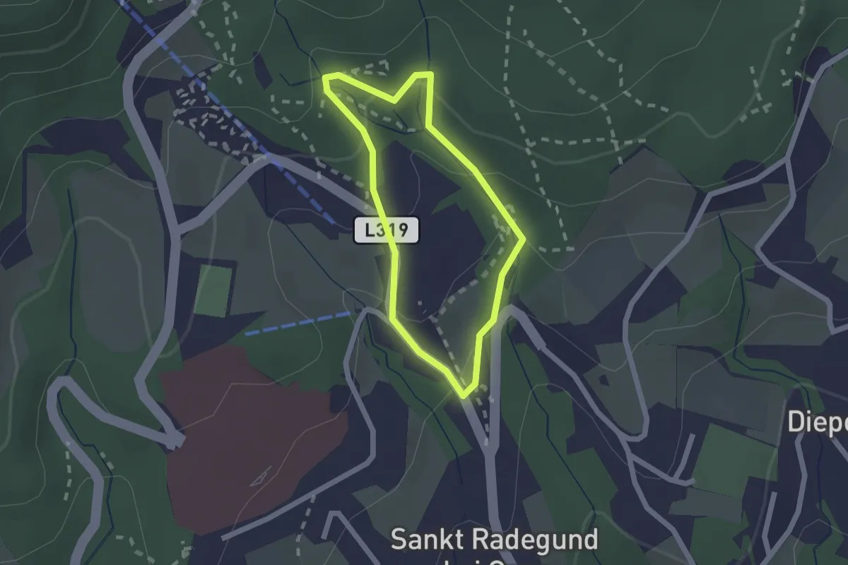
Easy · Trail
„Innere” Ungarische Runde
1.5 km · ↑ 54 m · 30 min
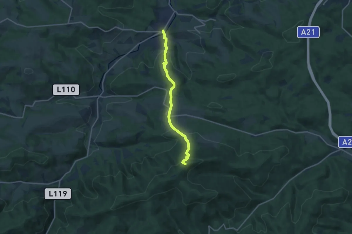
Medium · Summit
Innermanzing - Forsthof - Schöpflhütte (Matraswarte)
10.1 km · ↑ 563 m · 3 h 37 min
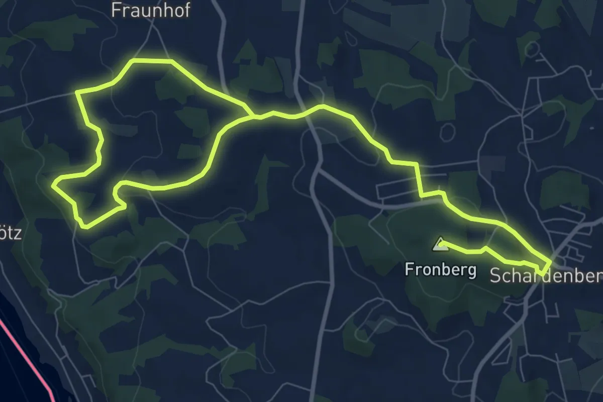
Medium · Summit
Inn-Panorama Runde
13.4 km · ↑ 356 m · 3 h 56 min
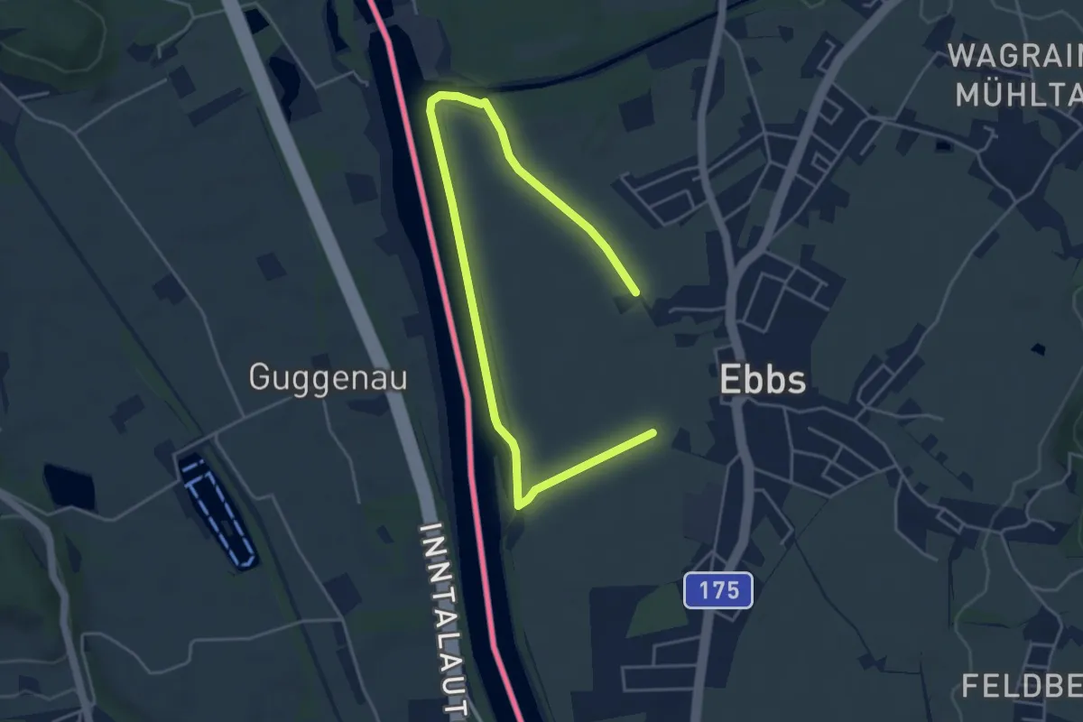
Easy · Trail
Inn Rundweg
2.9 km · ↑ 4 m · 44 min
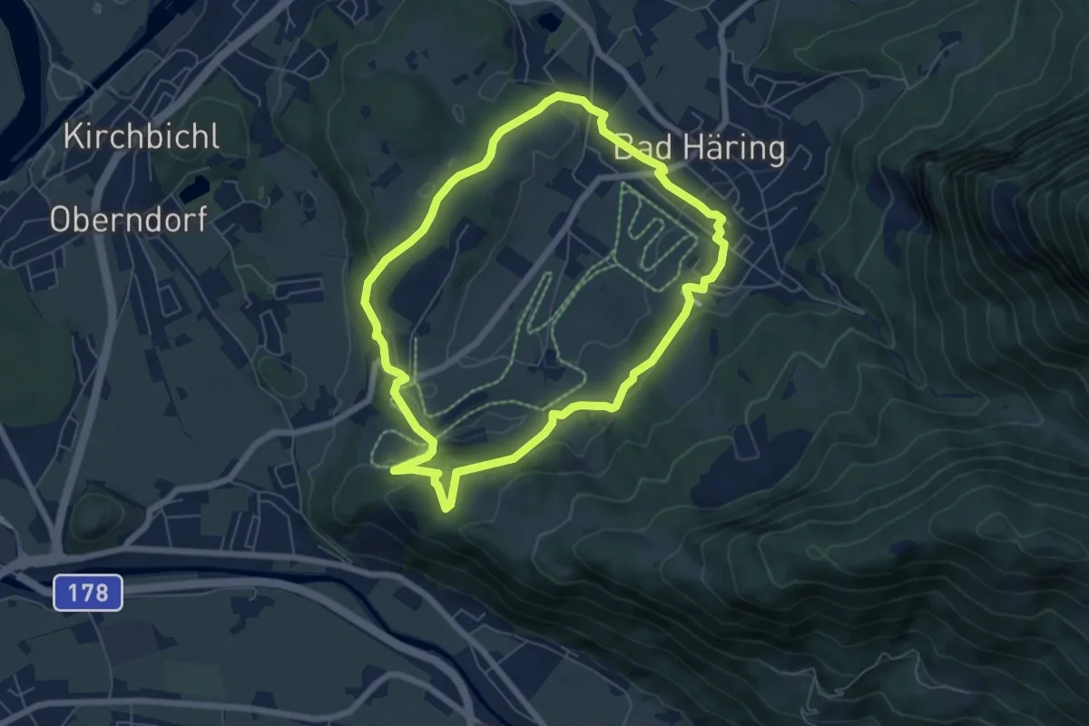
Easy · Trail
Inntalblick Runde
5.8 km · ↑ 162 m · 1 h 49 min
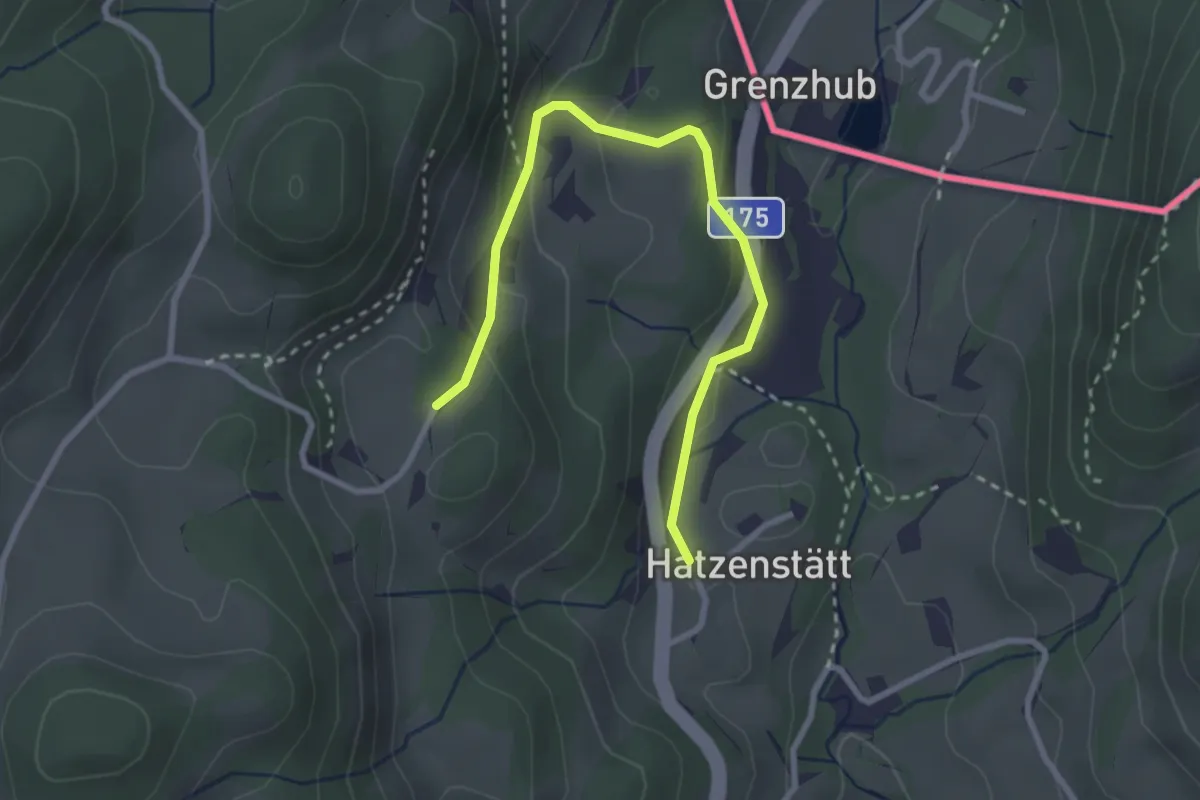
Easy · Trail
Inntalblick-Runde
3.0 km · ↑ 115 m · 57 min
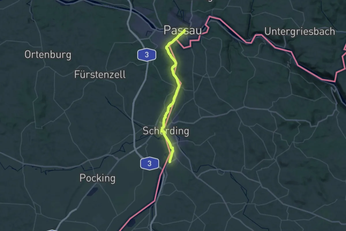
Demanding · Trail
Innviertler Jakobsweg
20.8 km · ↑ 96 m · 5 h 25 min