Trails in Austria
9,779 hiking trails, each with its route, climb, walking time and grade.
All trails, page 48 of 204
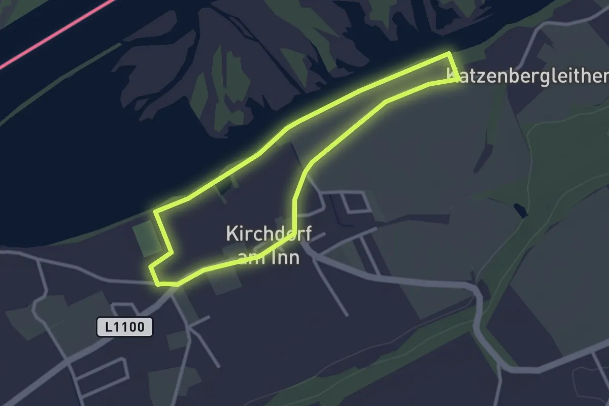
Easy · Trail
Innwanderweg
2.5 km · ↑ 4 m · 38 min
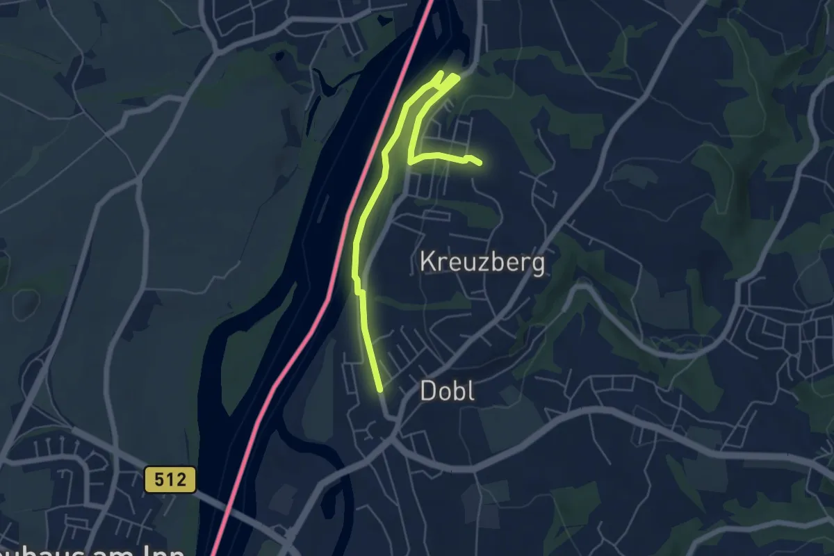
Easy · Trail
Innweg
2.8 km · ↑ 12 m · 46 min
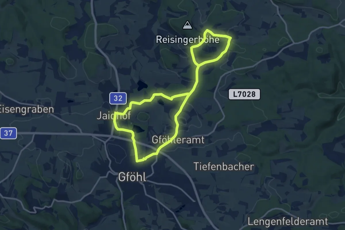
Medium · Trail
Ins Gföhleramt (3)
9.6 km · ↑ 127 m · 2 h 40 min
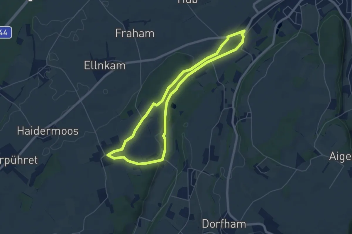
Easy · Trail
Ins Land eini schaun
5.0 km · ↑ 44 m · 1 h 21 min
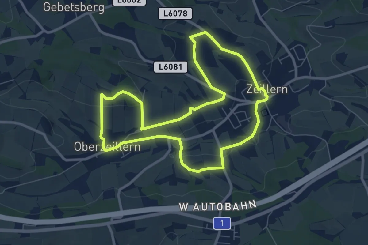
Easy · Trail
Inspirationsweg
6.2 km · ↑ 138 m · 1 h 52 min
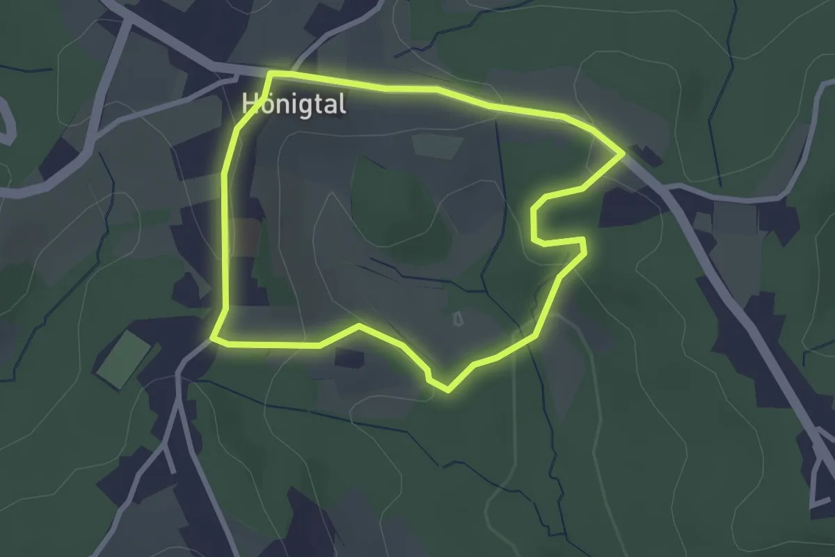
Easy · Trail
Internationaler Filzkunst Wanderweg
2.3 km · ↑ 70 m · 44 min
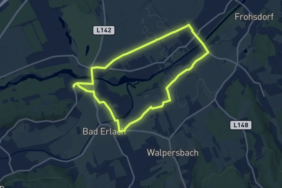
Easy · Trail
Intersport Dvorak Runde "Thermenrunde"
7.5 km · ↑ 13 m · 1 h 55 min
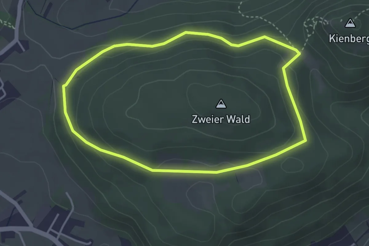
Easy · Trail
Intersport Eybl Runde bei Höflein
3.3 km · ↑ 86 m · 1 h 1 min
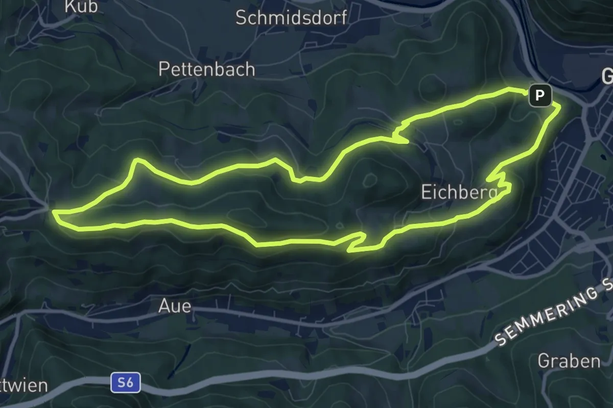
Medium · Summit
Intersport Eybl Runde (Gloggnitz)
9.9 km · ↑ 338 m · 3 h 13 min
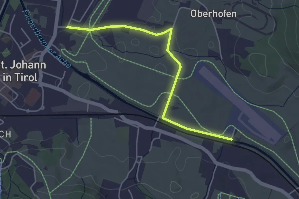
Easy · Trail
Intersport Patrick Runde
3.9 km · ↑ 12 m · 57 min
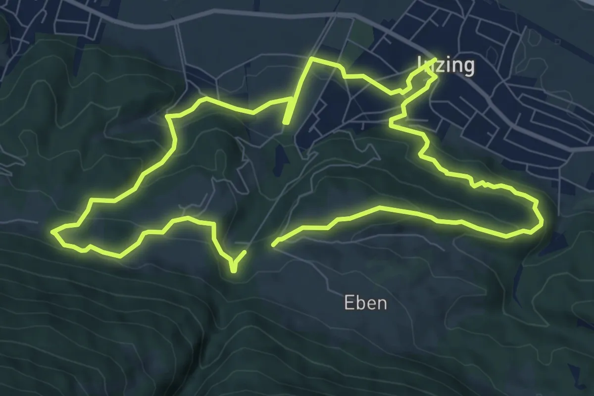
Medium · Trail
Inzinger Themenweg
16.2 km · ↑ 720 m · 5 h 23 min
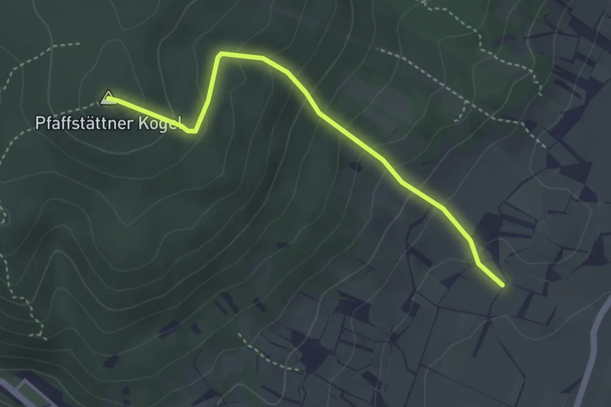
Easy · Summit
Irblinggraben - Prokschhütte
3.5 km · ↑ 285 m · 1 h 27 min
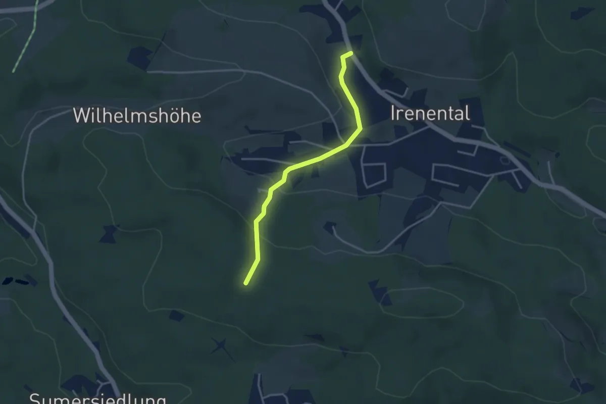
Easy · Trail
Irenental/Wundererplatz - Karl Ritter Weg Süd
3.0 km · ↑ 119 m · 58 min
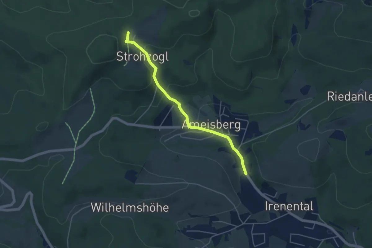
Easy · Trail
Irenental/Wundererplatz - Strohzogl/Wienerwaldhof Rieger
3.8 km · ↑ 161 m · 1 h 15 min
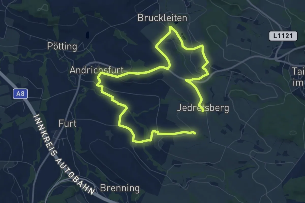
Medium · Trail
Irger
14.5 km · ↑ 285 m · 4 h 3 min
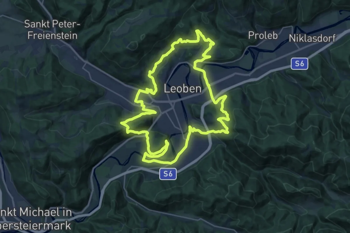
Demanding · Summit
Iron man trail
23.2 km · ↑ 808 m · 7 h 33 min
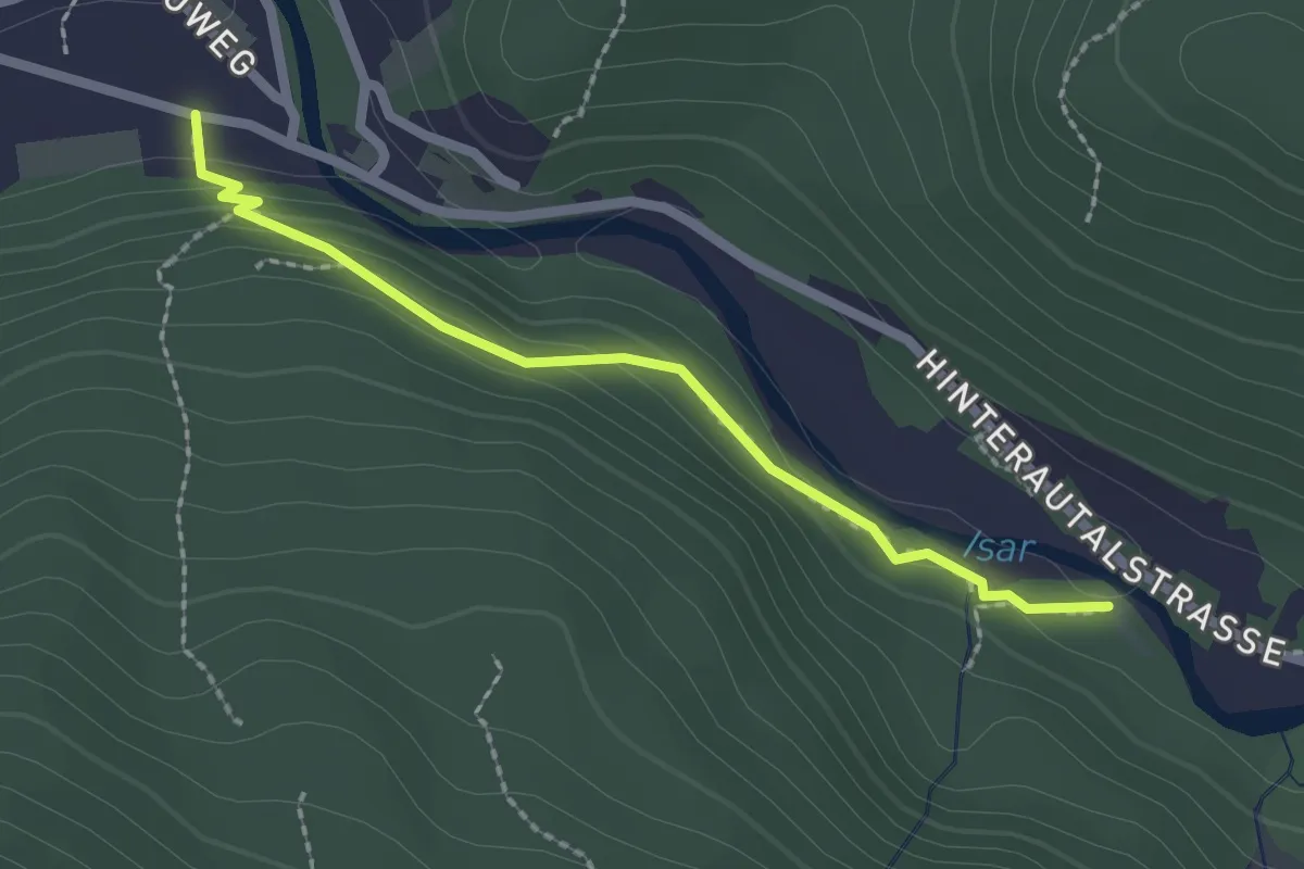
Easy · Trail
Isarsteig
2.1 km · ↑ 79 m · 40 min
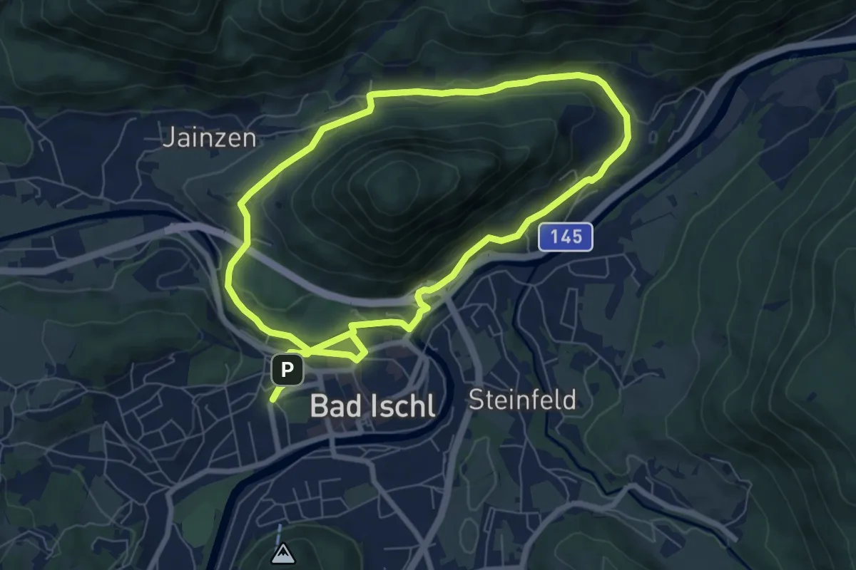
Easy · Trail
Ischlwelle Runde (Jainzen Runde, B2)
7.0 km · ↑ 111 m · 1 h 59 min
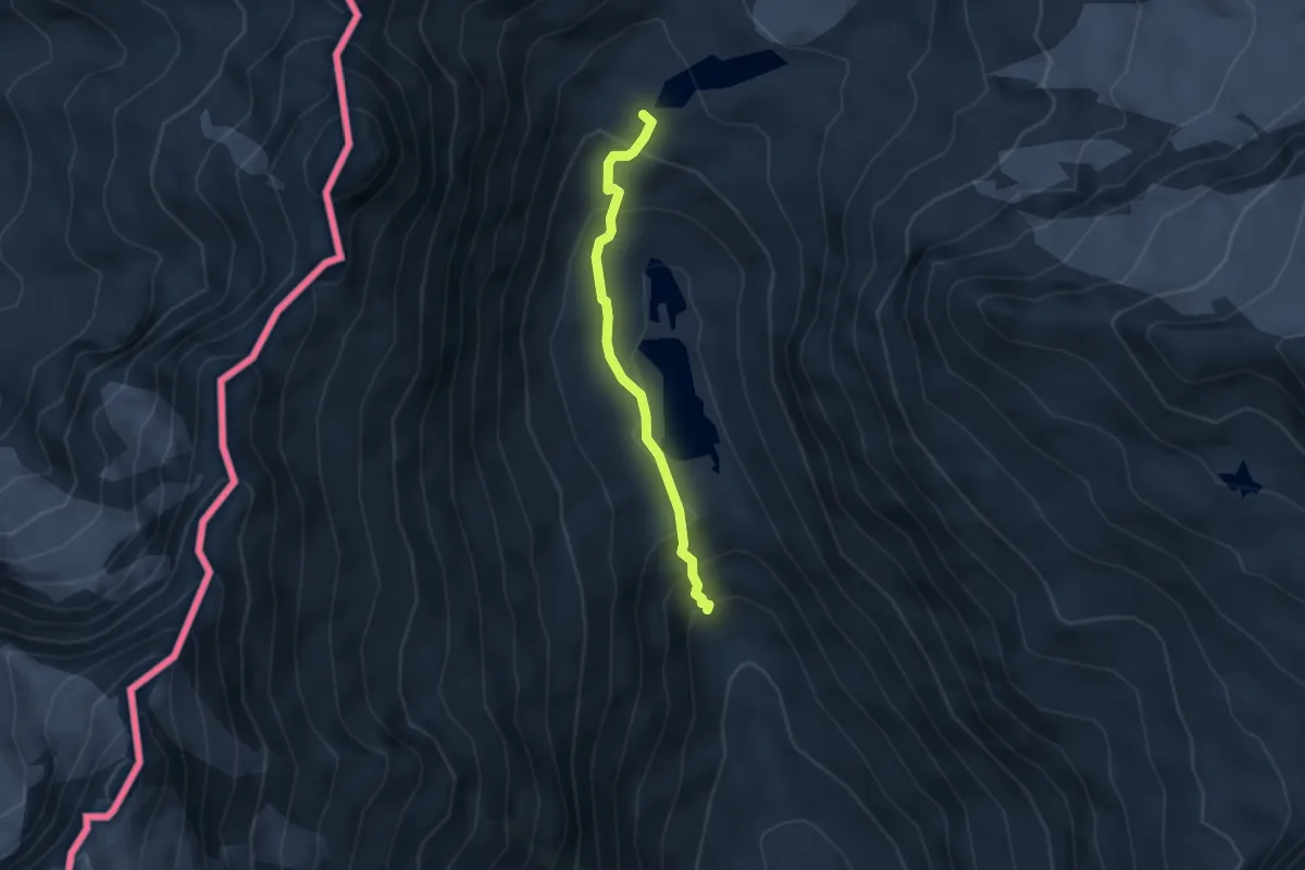
Medium · Trail
Iseltrail
3.1 km · ↑ 229 m · 1 h 14 min
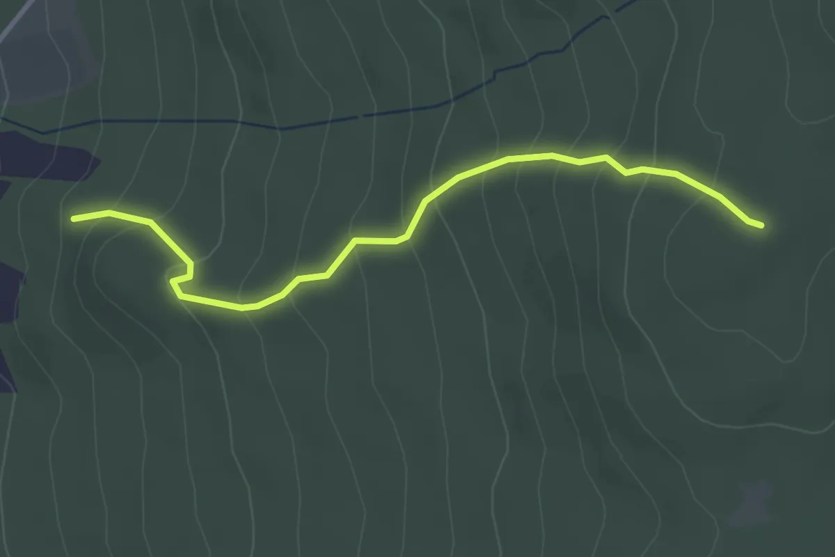
Easy · Trail
Ispertal-Peilnstein Nr. 33
3.2 km · ↑ 285 m · 1 h 22 min
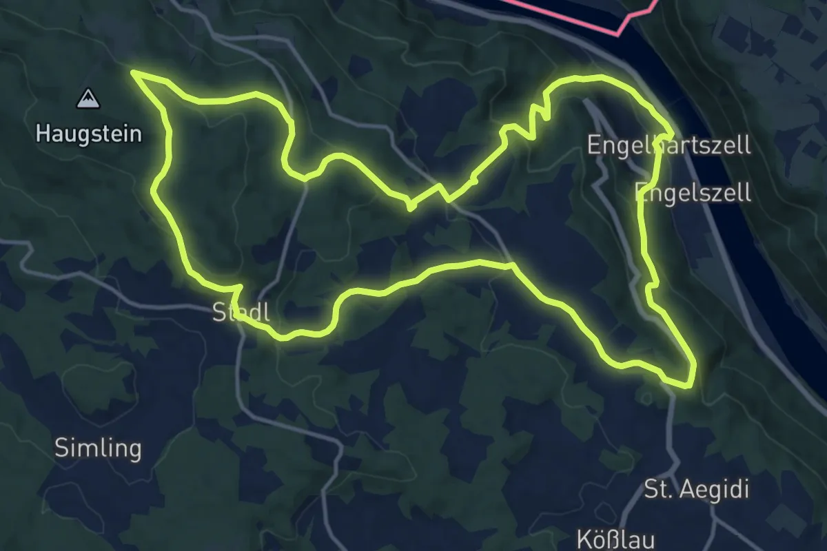
Medium · Trail
Jagabild-Wanderung
15.4 km · ↑ 546 m · 5 h 3 min
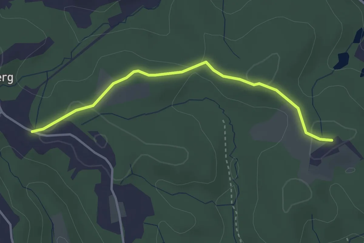
Easy · Trail
Jagahansl - Tobisegg
1.5 km · ↑ 38 m · 28 min
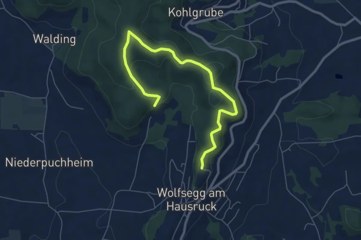
Easy · Trail
Jagaroas
6.5 km · ↑ 181 m · 1 h 55 min
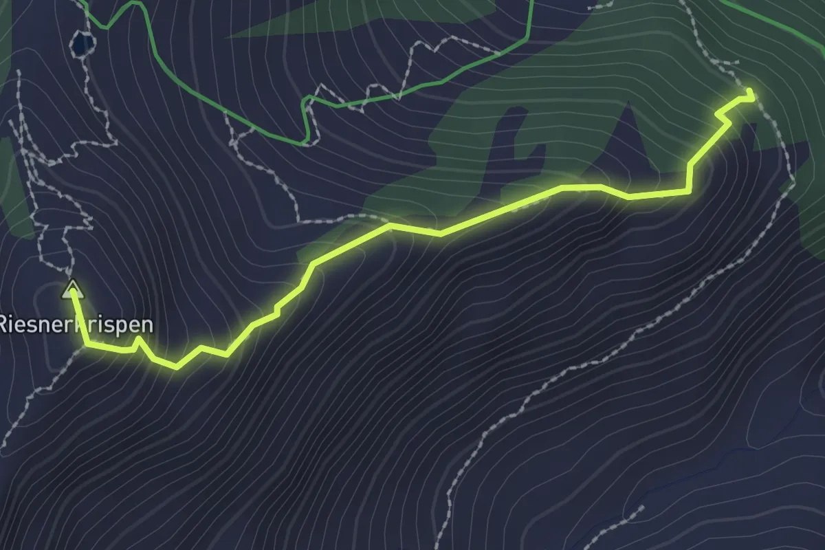
Medium · Summit
JAGAsteig
2.4 km · ↑ 324 m · 1 h 16 min
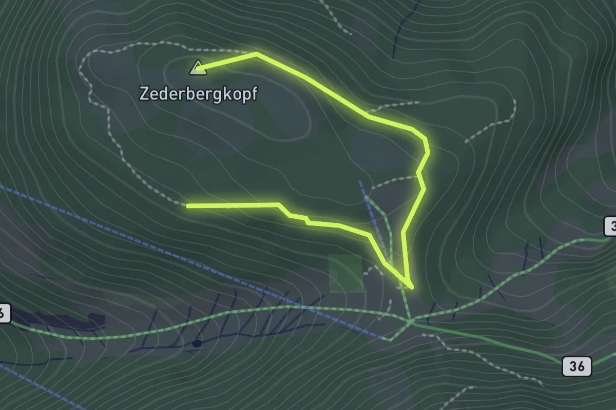
Medium · Summit
Jagasteig Rundweg
2.6 km · ↑ 95 m · 50 min
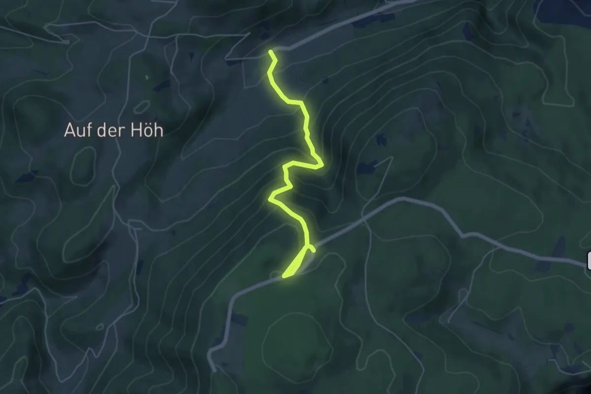
Medium · Trail
Jagdsteig
5.2 km · ↑ 440 m · 2 h 10 min
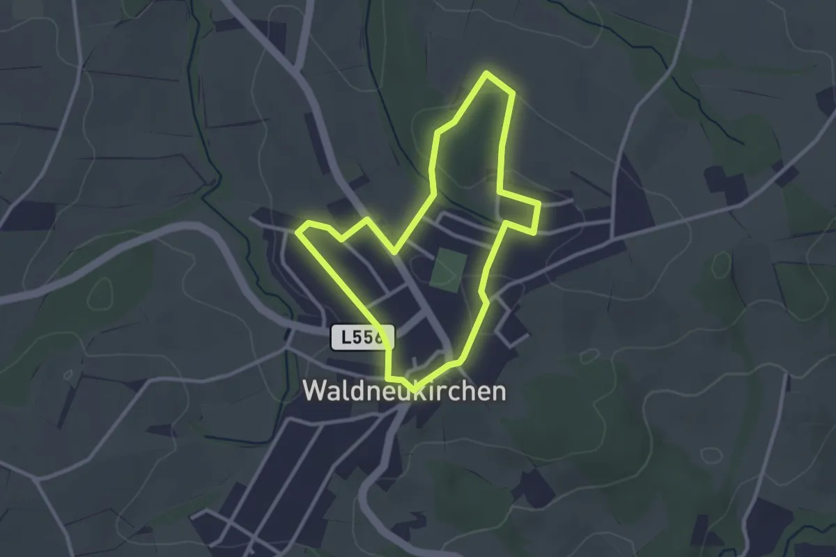
Easy · Trail
Jagd- und Naturrundweg
2.5 km · ↑ 38 m · 42 min
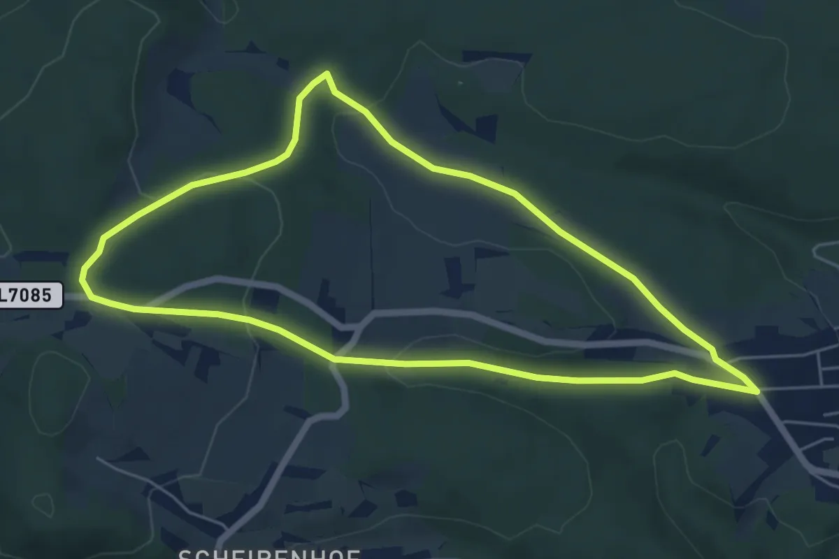
Easy · Trail
Jägerbergweg
5.2 km · ↑ 113 m · 1 h 33 min
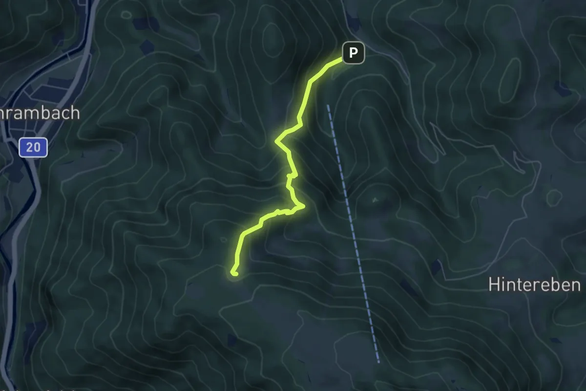
Medium · Cabin
Jägersteig
4.9 km · ↑ 515 m · 2 h 17 min
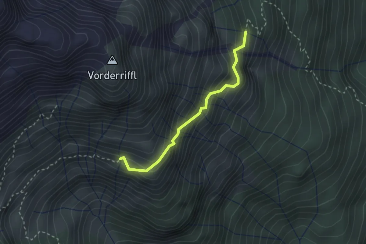
Expert · Trail
Jägersteig Bergkrauteben → Karalm
2.2 km · ↑ 295 m · 1 h 9 min
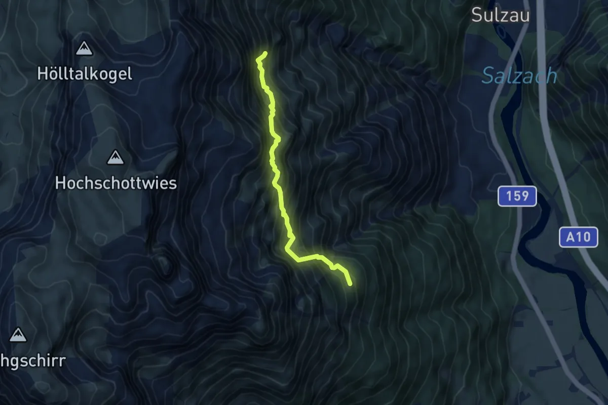
Expert · Trail
Jägersteig Brunnalm → Bergkrauteben
4.9 km · ↑ 733 m · 2 h 45 min
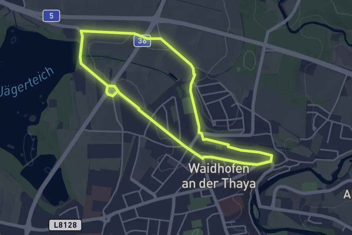
Easy · Trail
Jägerteichweg 10
3.6 km · ↑ 21 m · 56 min
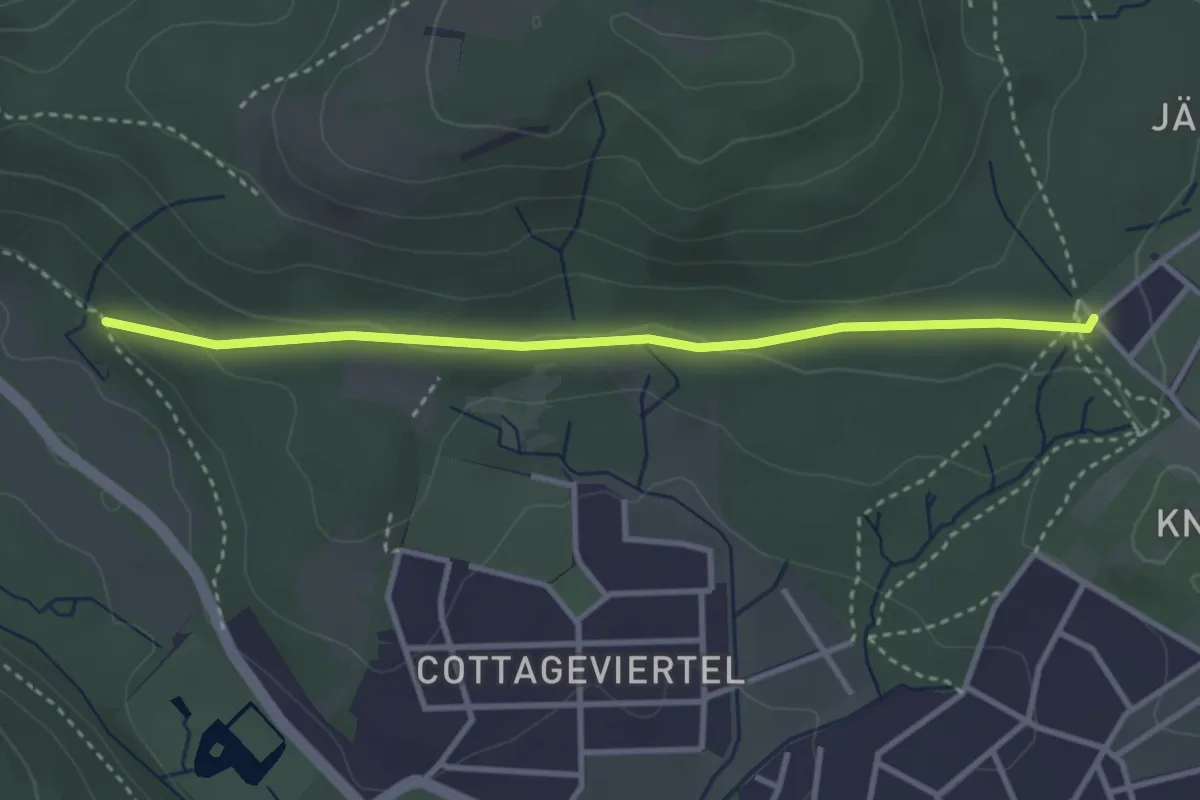
Easy · Trail
Jägerwaldsiedlung - Türkensteine
3.2 km · ↑ 65 m · 54 min
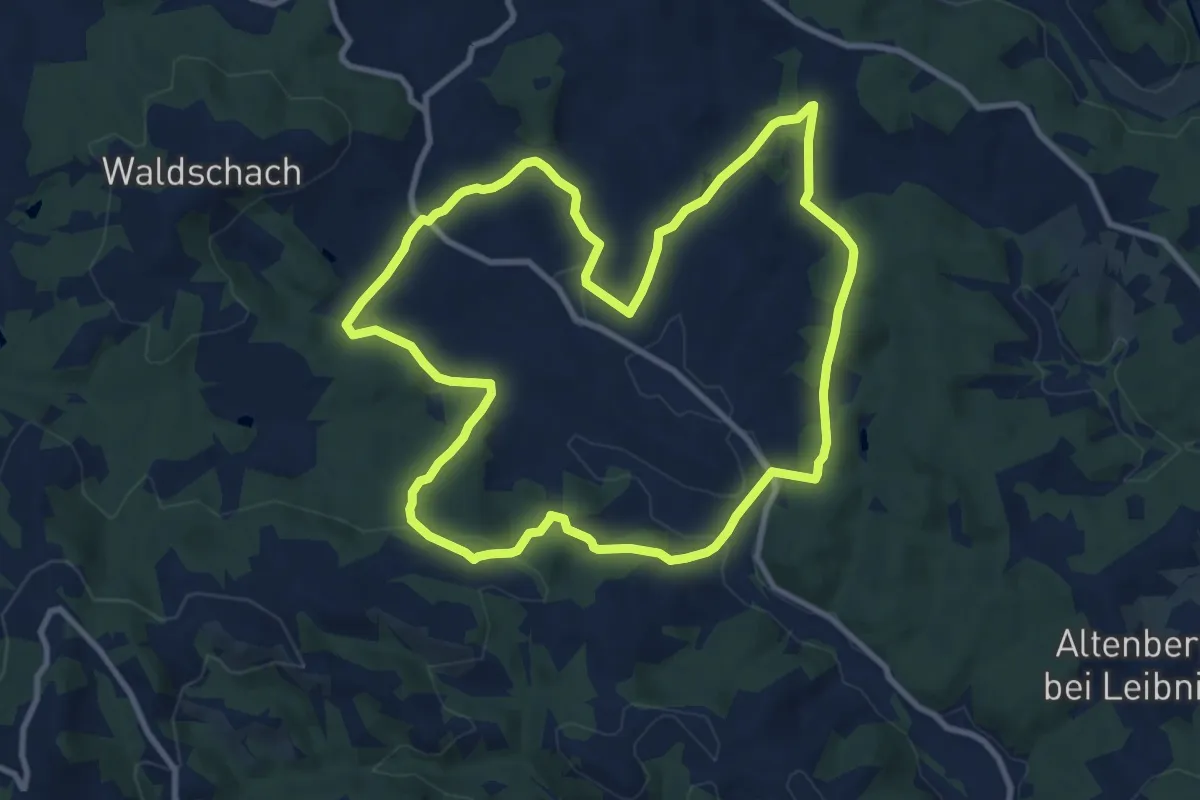
Medium · Trail
Jahringer Runde
10.1 km · ↑ 269 m · 3 h 7 min
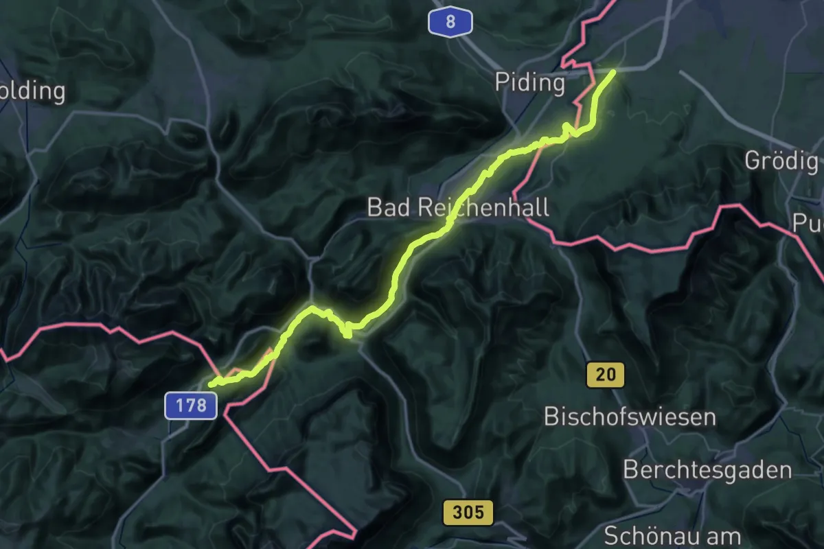
Demanding · Trail
Jakobsweg
24.6 km · ↑ 301 m · 6 h 51 min
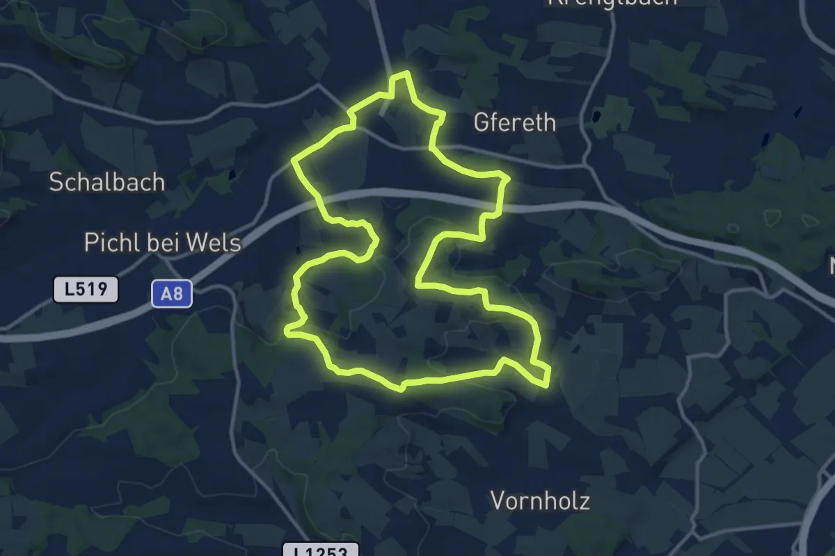
Medium · Trail
Jakobsweg
12.1 km · ↑ 251 m · 3 h 34 min
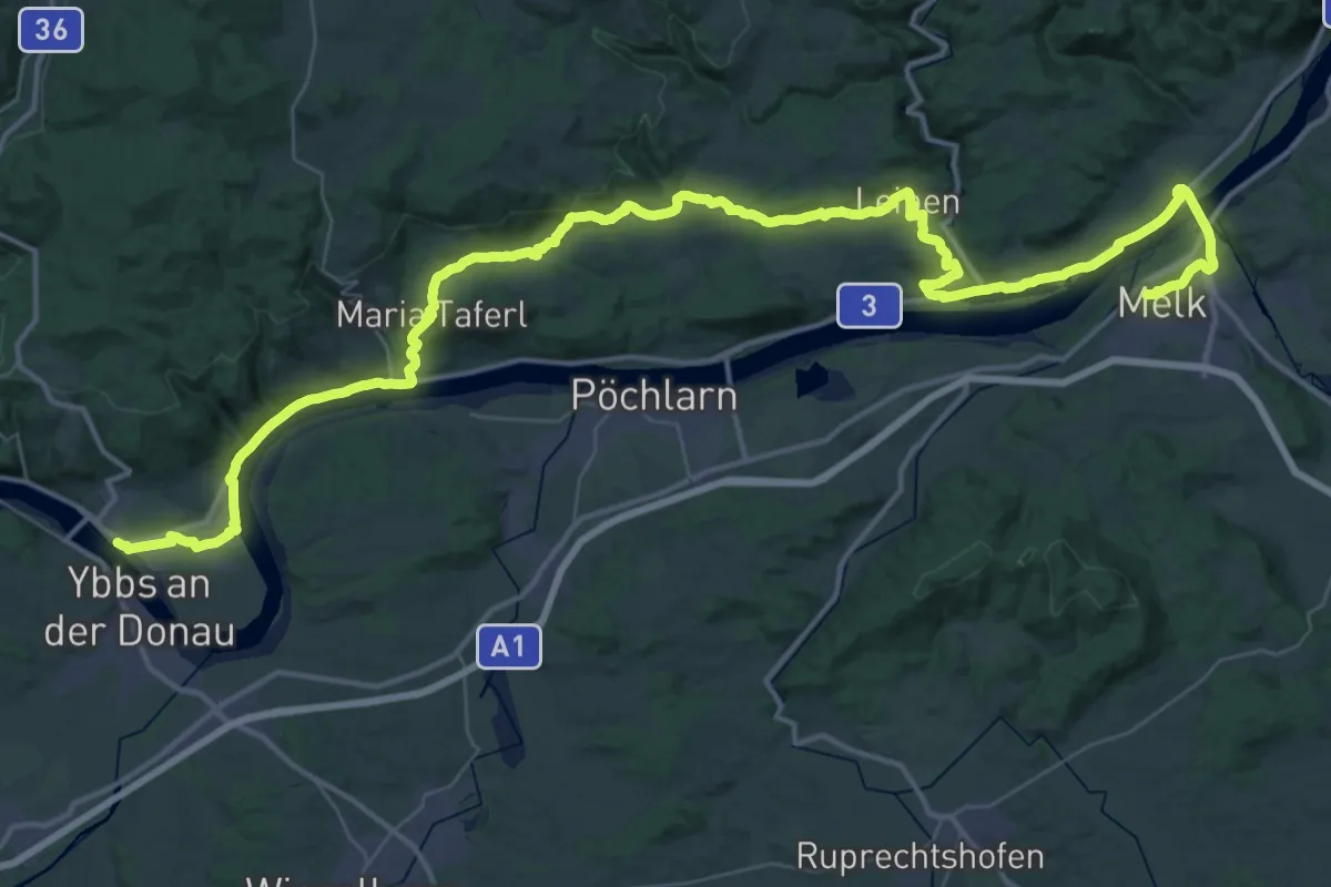
Demanding · Pilgrim path
Jakobsweg
31.9 km · ↑ 516 m · 9 h 4 min
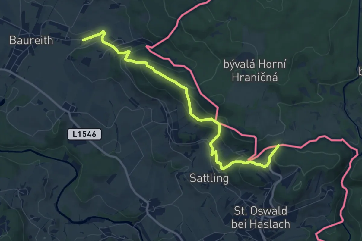
Easy · Pilgrim path
Jakobsweg Böhmen-Bayern-Tirol
4.4 km · ↑ 271 m · 1 h 36 min
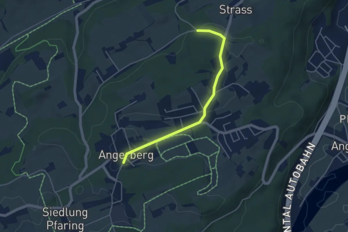
Easy · Pilgrim path
Jakobsweg Böhmen-Bayern-Tirol Variante/Baumgarten
1.7 km · ↑ 14 m · 28 min
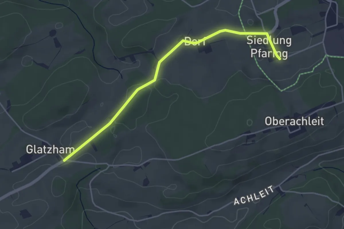
Easy · Pilgrim path
Jakobsweg Böhmen-Bayern-Tirol Variante/Breitenbach
2.0 km · ↑ 18 m · 32 min
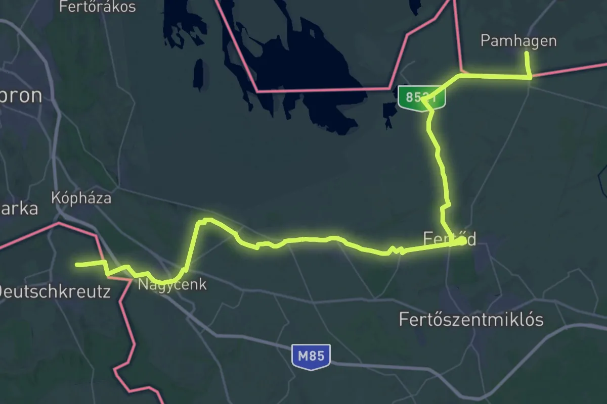
Demanding · Pilgrim path
Jakobsweg Burgenland – Zubringer 1
36.1 km · ↑ 147 m · 9 h 19 min
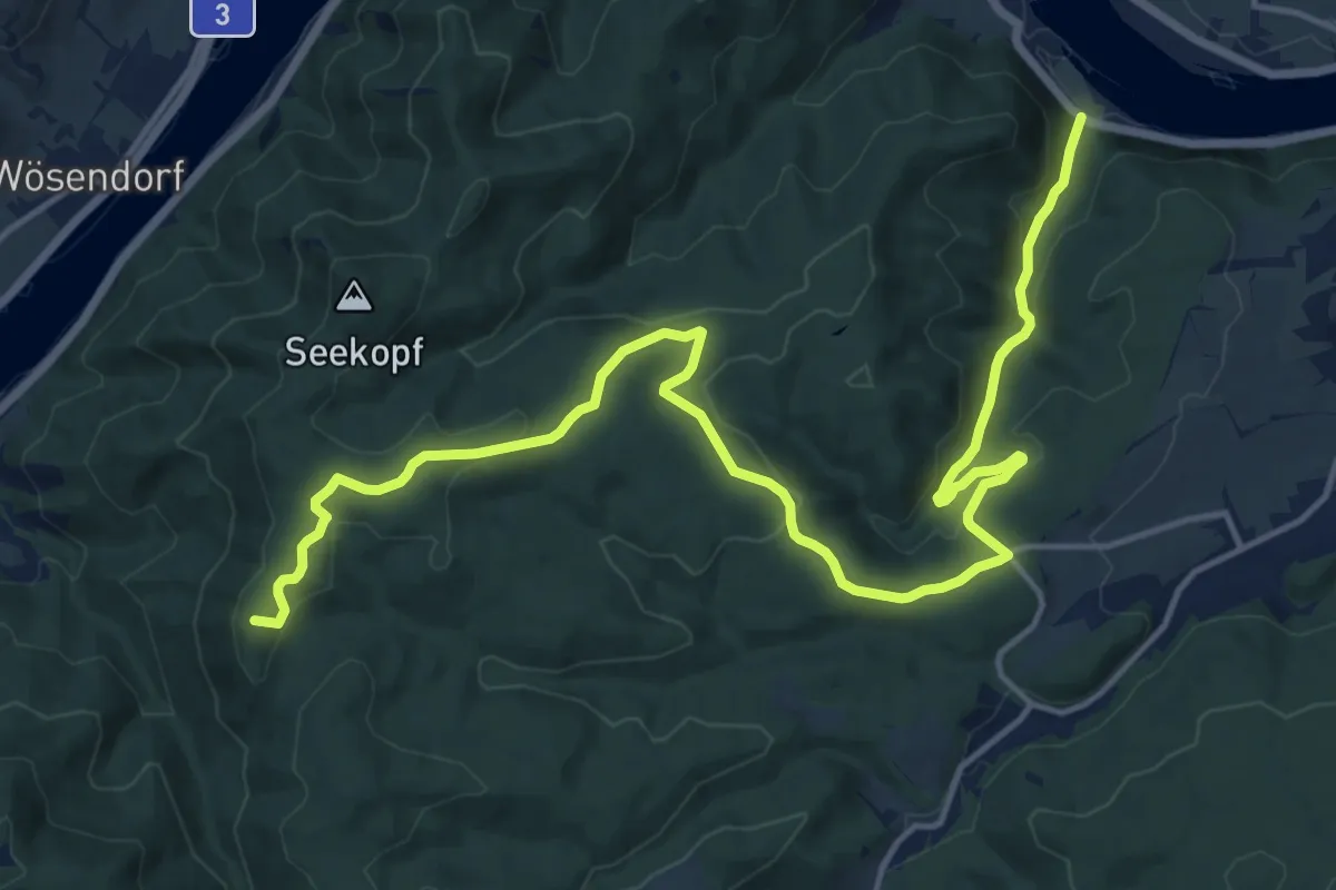
Demanding · Summit
Jakobsweg NÖ - Variante 1
18.6 km · ↑ 546 m · 5 h 35 min
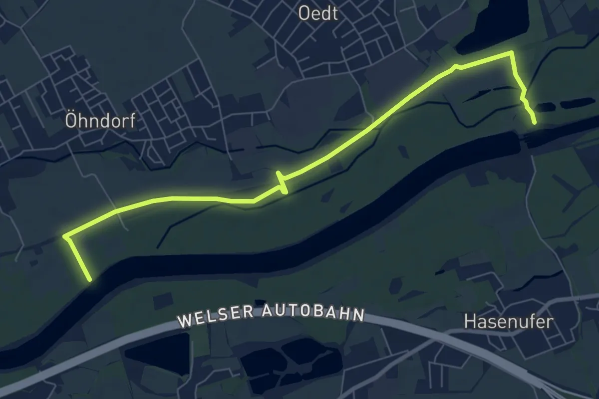
Easy · Trail
Jakobsweg (Umleitung)
7.6 km · ↑ 8 m · 1 h 49 min
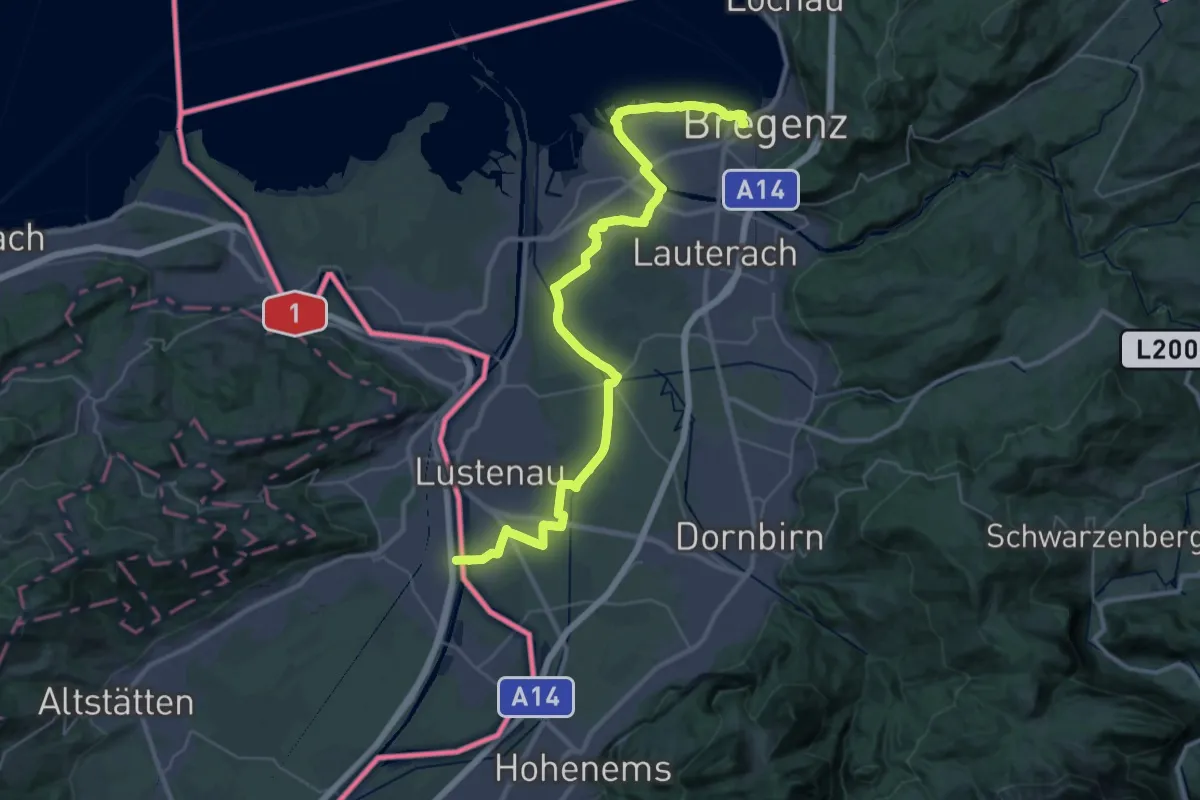
Demanding · Pilgrim path
Jakobsweg Vorarlberg
21.2 km · ↑ 20 m · 5 h 21 min
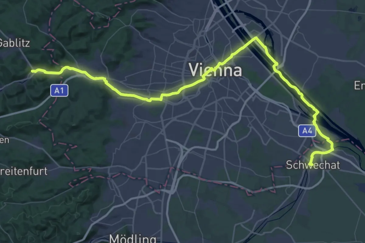
Demanding · Pilgrim path
Jakobsweg Wien
37.4 km · ↑ 159 m · 9 h 40 min
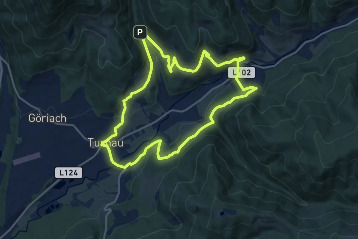
Medium · Trail
Jakobus-Rundweg
10.0 km · ↑ 347 m · 3 h 15 min
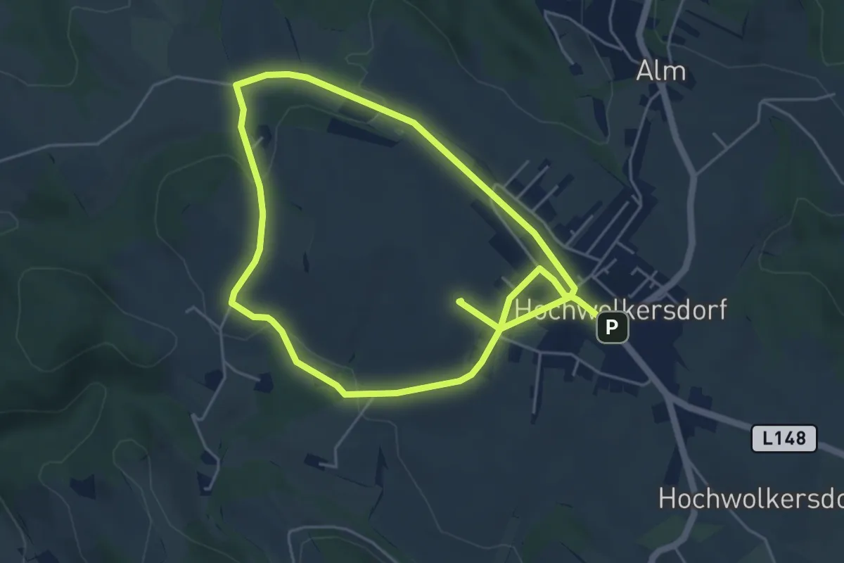
Medium · Summit
Janetschekpfad (Hochwolkersdorf)
9.0 km · ↑ 192 m · 2 h 33 min
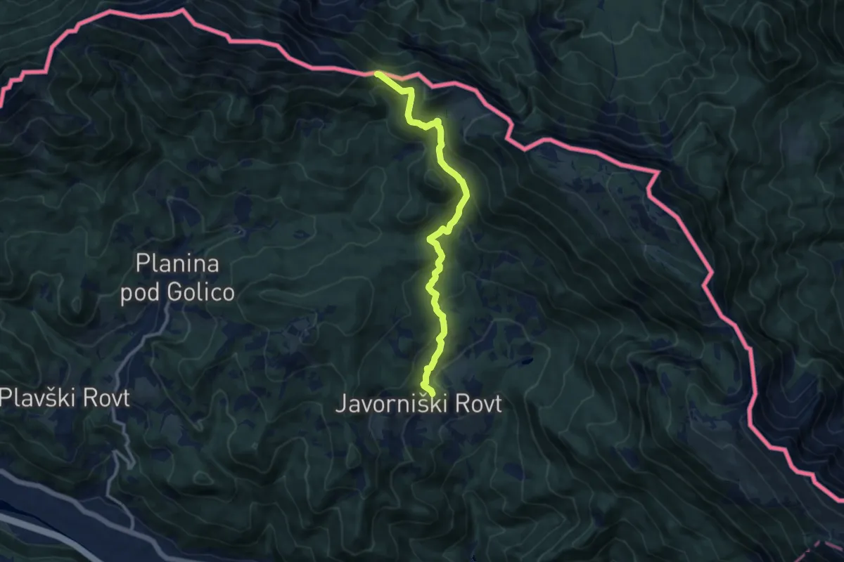
Medium · Trail
Javorniški Rovt - Sedlo Suha
10.0 km · ↑ 622 m · 3 h 43 min