Trails in Austria
9,779 hiking trails, each with its route, climb, walking time and grade.
All trails, page 49 of 204
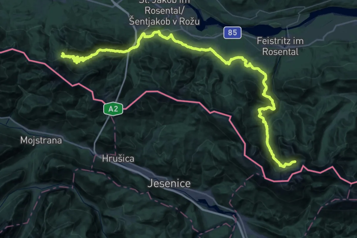
Demanding · Cabin
JK01
33.7 km · ↑ 1591 m · 11 h 48 min
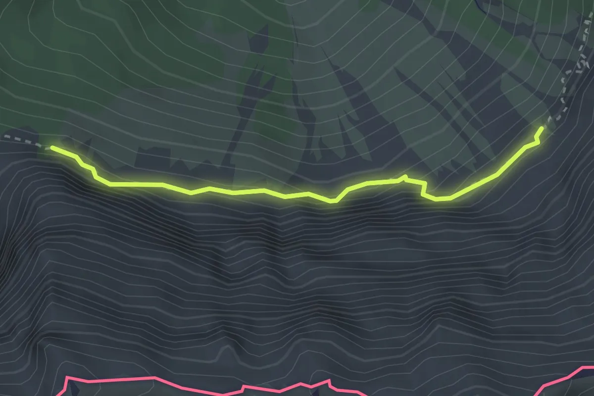
Expert · Trail
JK02
1.3 km · ↑ 134 m · 36 min
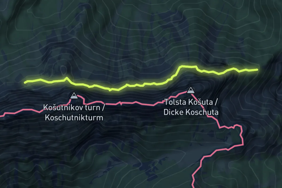
Demanding · Trail
JK03
3.3 km · ↑ 253 m · 1 h 28 min
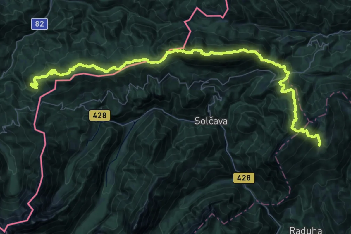
Demanding · Summit
JK04
22.9 km · ↑ 1807 m · 9 h 25 min
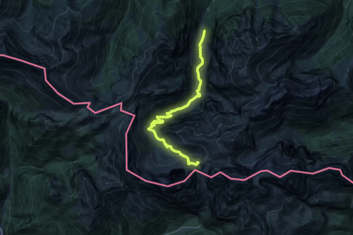
Demanding · Summit
JK25
18.1 km · ↑ 1028 m · 6 h 30 min
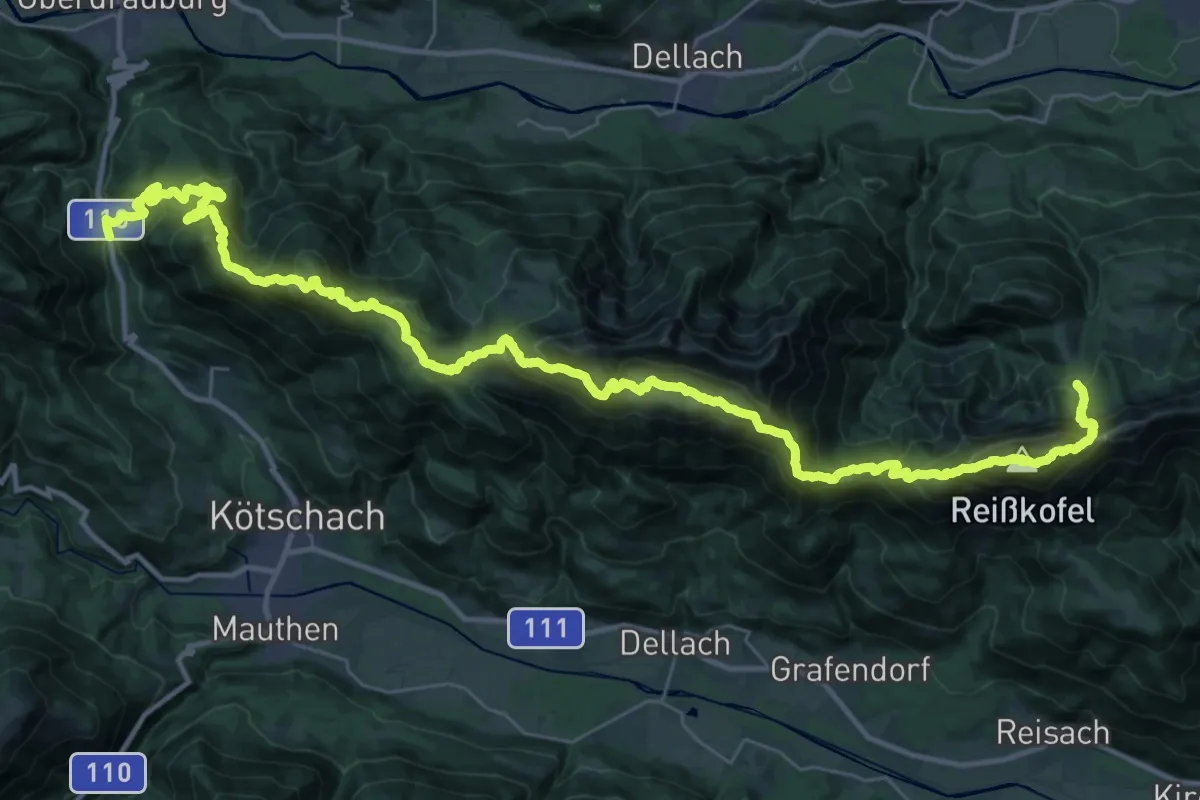
Expert · Summit
JK26
23.7 km · ↑ 2216 m · 10 h 26 min
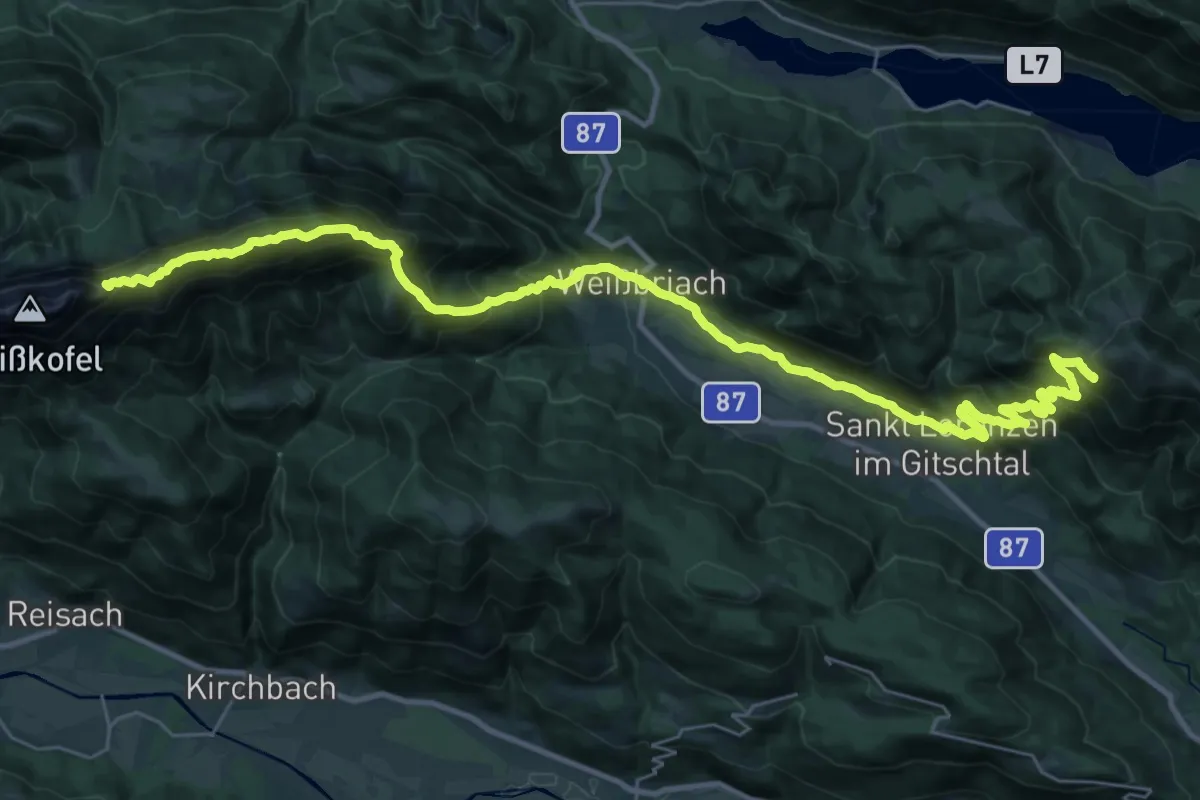
Expert · Summit
JK27
19.3 km · ↑ 1509 m · 7 h 52 min
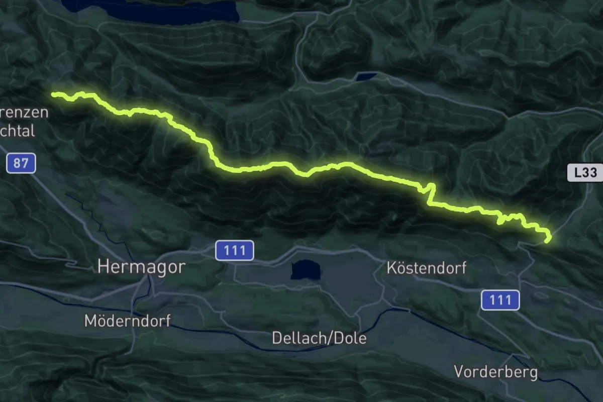
Demanding · Summit
JK28
21.3 km · ↑ 1757 m · 9 h 21 min
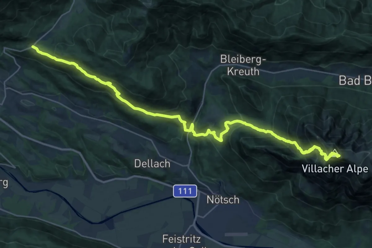
Demanding · Summit
JK29
14.0 km · ↑ 1535 m · 6 h 18 min
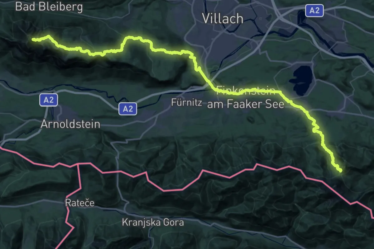
Demanding · Summit
JK30
34.0 km · ↑ 1736 m · 11 h 58 min
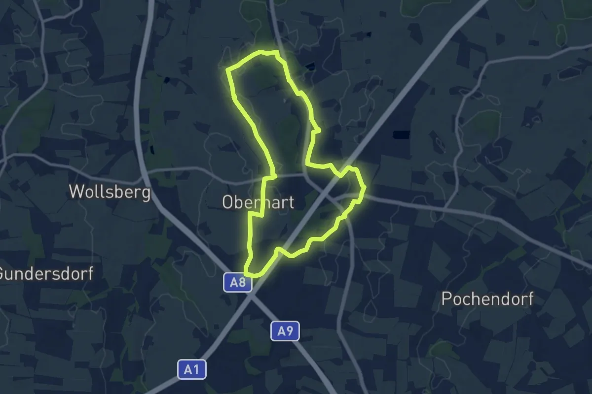
Medium · Trail
JMI-Runde
8.3 km · ↑ 34 m · 2 h 9 min
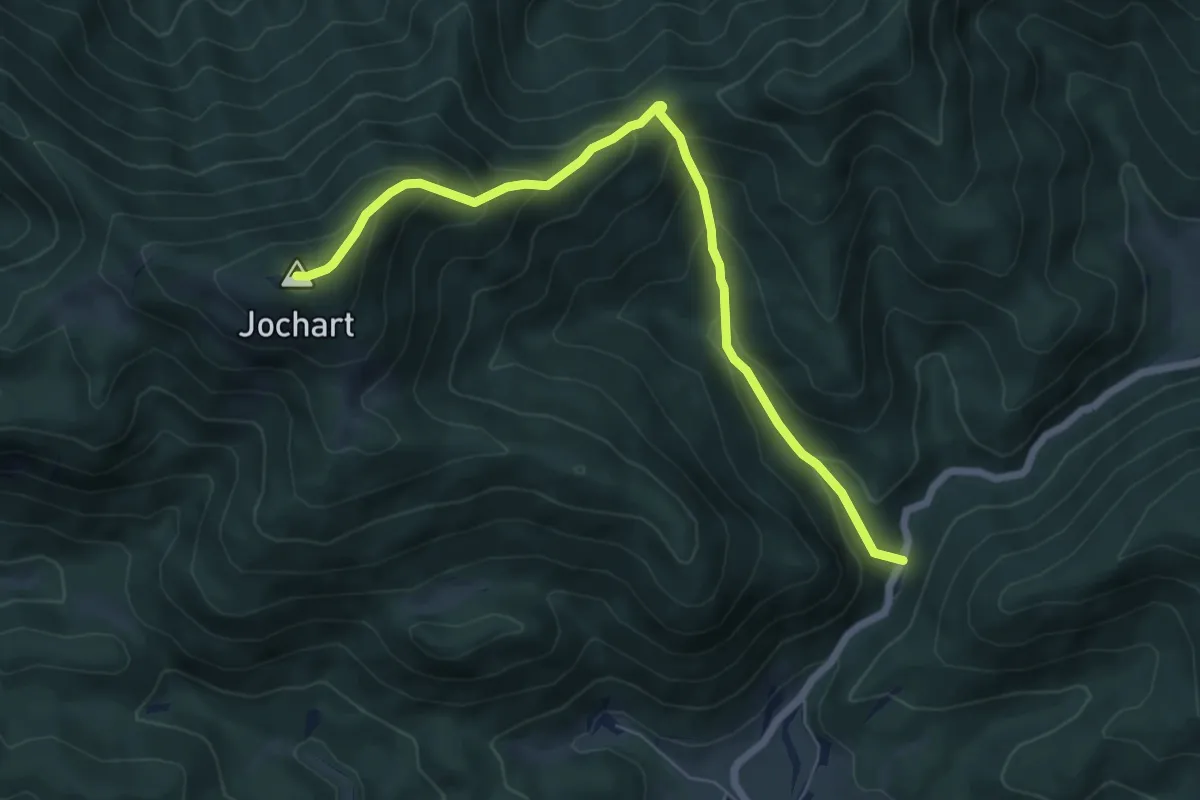
Medium · Summit
Jochart - Hammerleck - Rohr im Gebirge
6.6 km · ↑ 569 m · 2 h 48 min
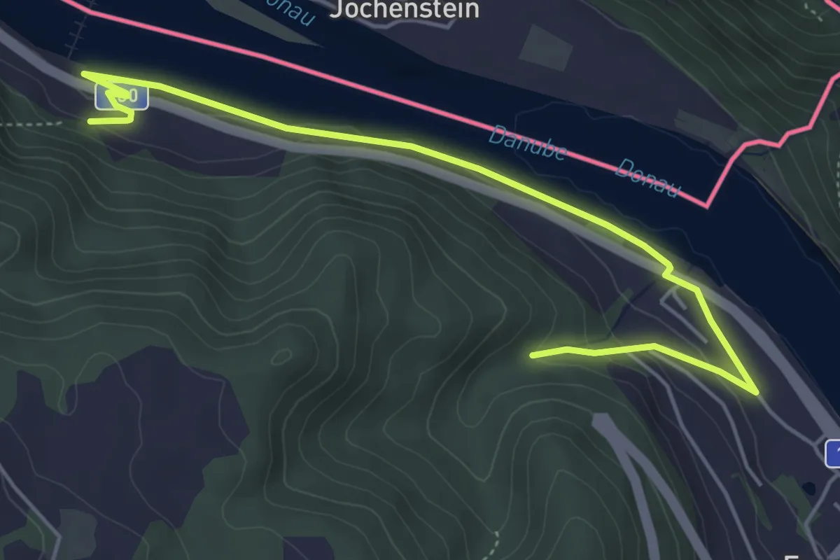
Easy · Trail
Jochenstein Wanderung
5.6 km · ↑ 79 m · 1 h 30 min
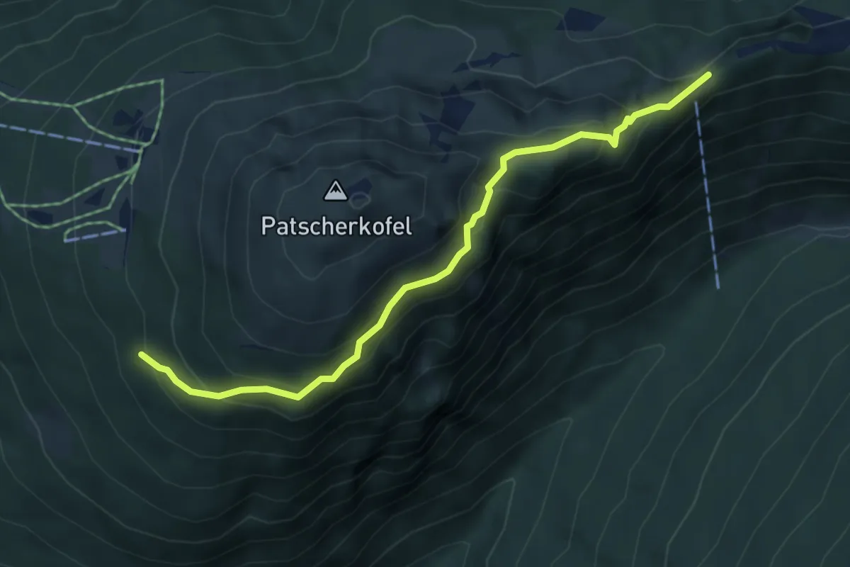
Medium · Trail
Jochleitensteig
5.1 km · ↑ 300 m · 1 h 52 min
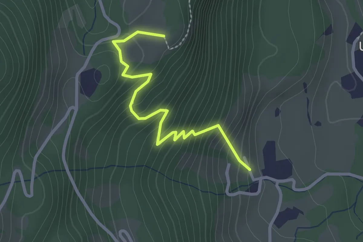
Easy · Trail
Jochwand Wanderweg
2.3 km · ↑ 237 m · 1 h 4 min
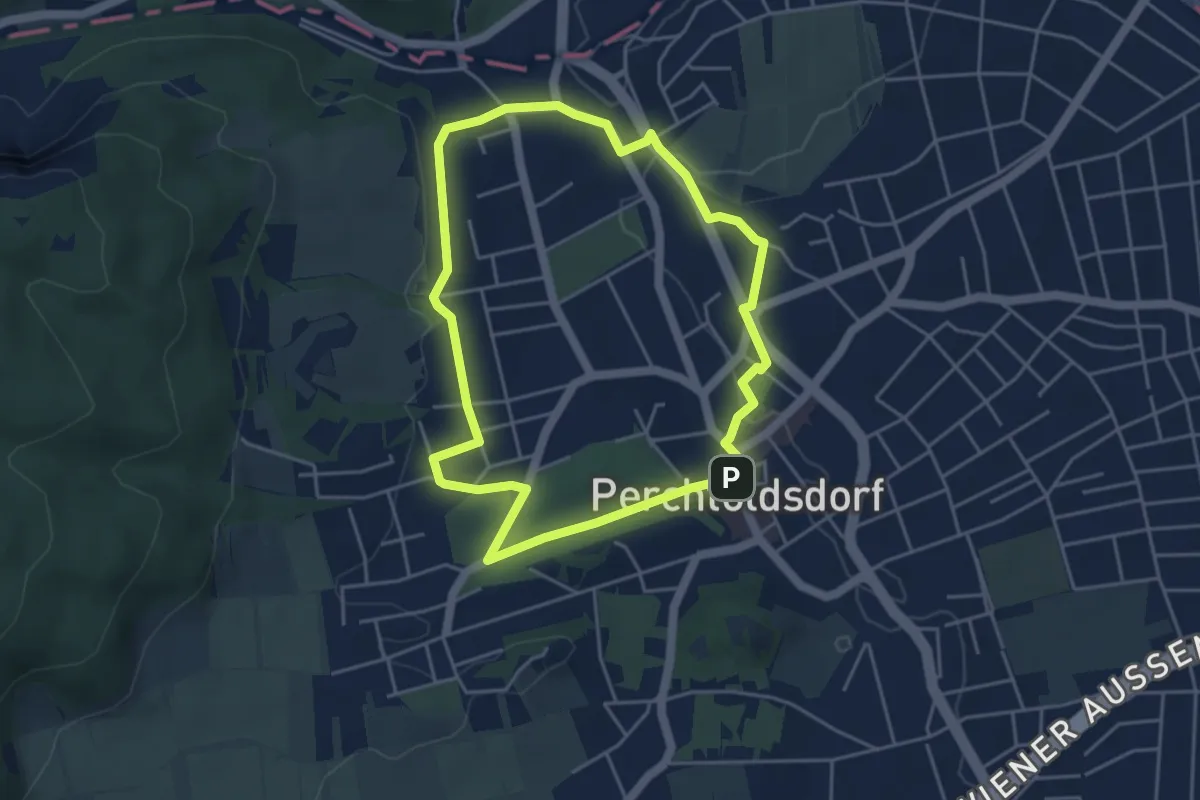
Easy · Summit
jogging & nordic walking Strecke blau (Percholdsdorf)
4.2 km · ↑ 53 m · 1 h 10 min
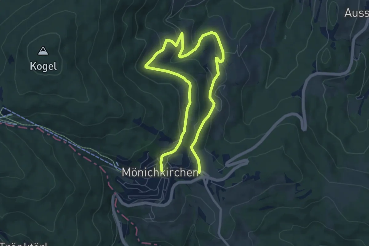
Medium · Trail
Joglbauerweg
11.0 km · ↑ 344 m · 3 h 20 min
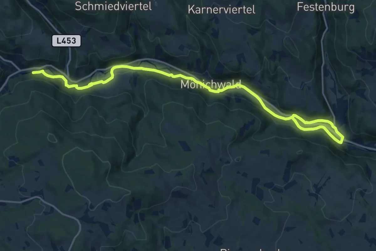
Demanding · Trail
Jogllandroas
16.8 km · ↑ 195 m · 4 h 23 min
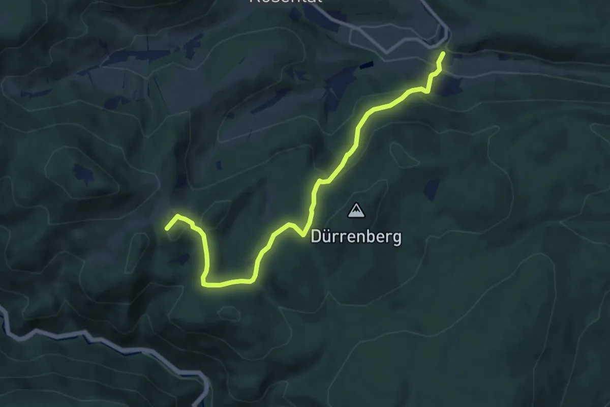
Medium · Summit
Johannesbachklamm - Ruine Schrattenstein - Gutenmann
9.0 km · ↑ 452 m · 3 h 6 min
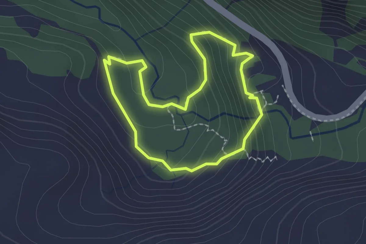
Medium · Trail
Johanneswasserfall Rundweg
1.6 km · ↑ 99 m · 37 min
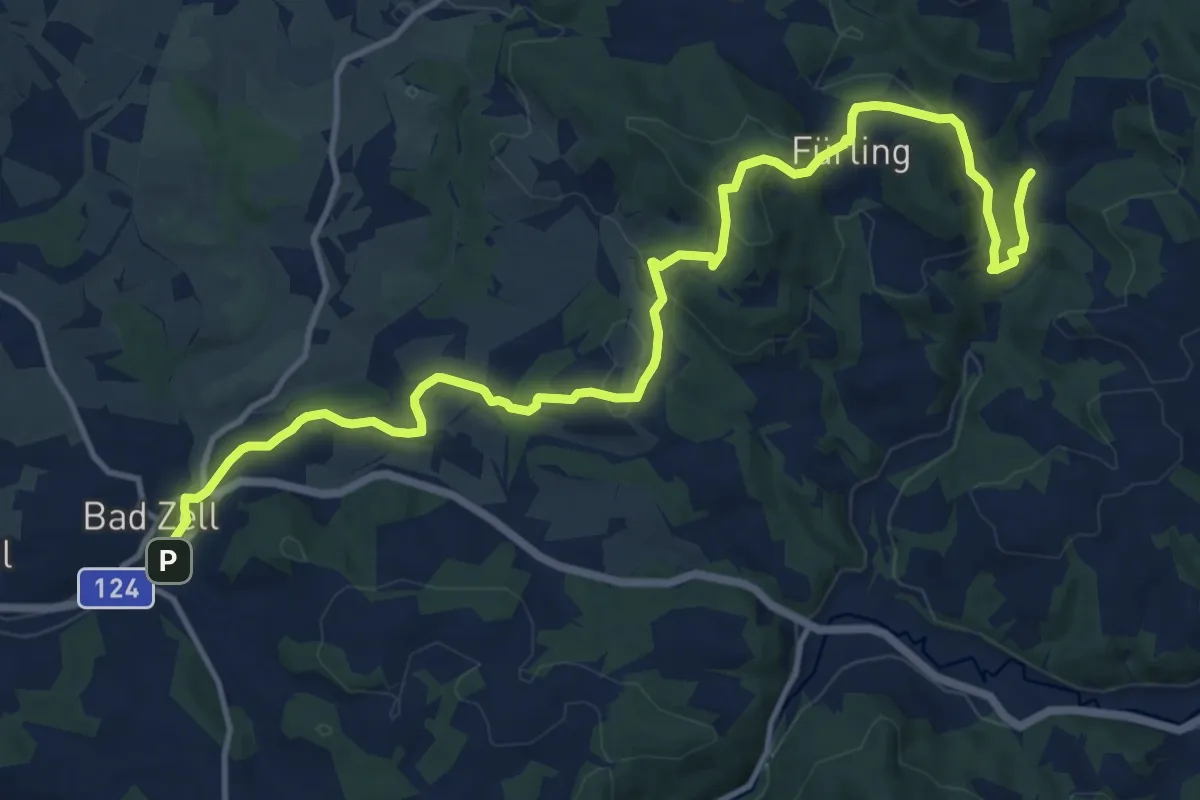
Medium · Trail
Johannesweg Bad Zell
15.6 km · ↑ 498 m · 4 h 46 min
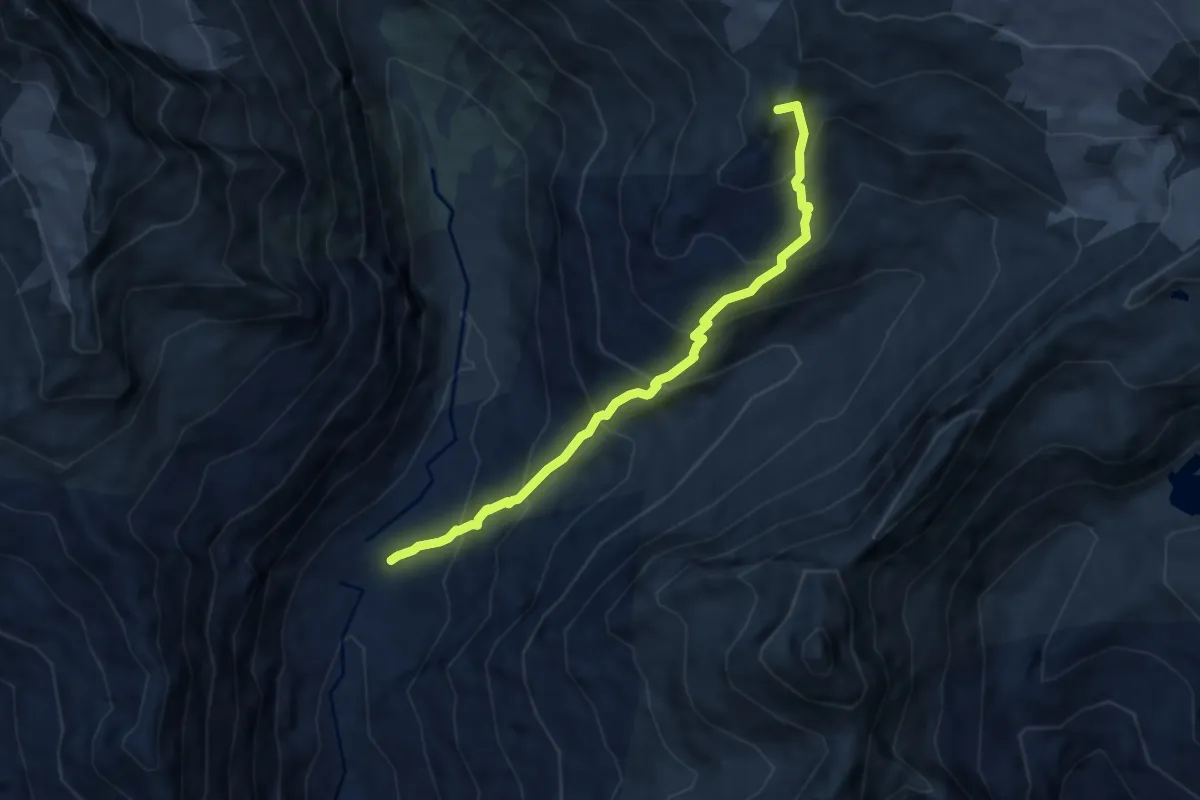
Expert · Summit
Johannishütte - Defreggerhaus
7.1 km · ↑ 791 m · 3 h 24 min
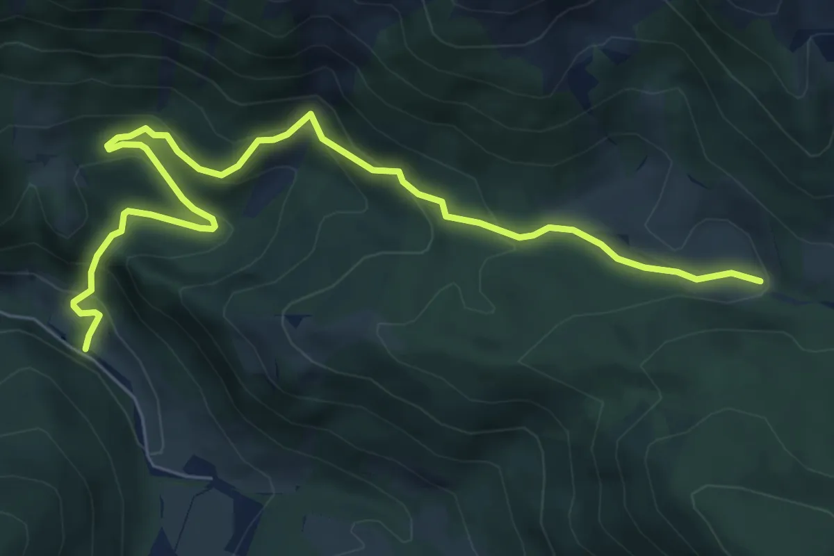
Medium · Trail
Johnsbach - Wanderweg 80
7.4 km · ↑ 396 m · 2 h 36 min
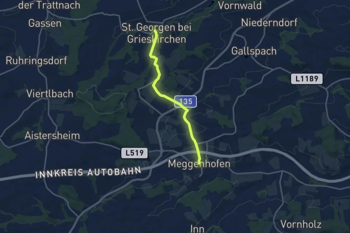
Medium · Trail
Jörgerweg
8.8 km · ↑ 189 m · 2 h 29 min
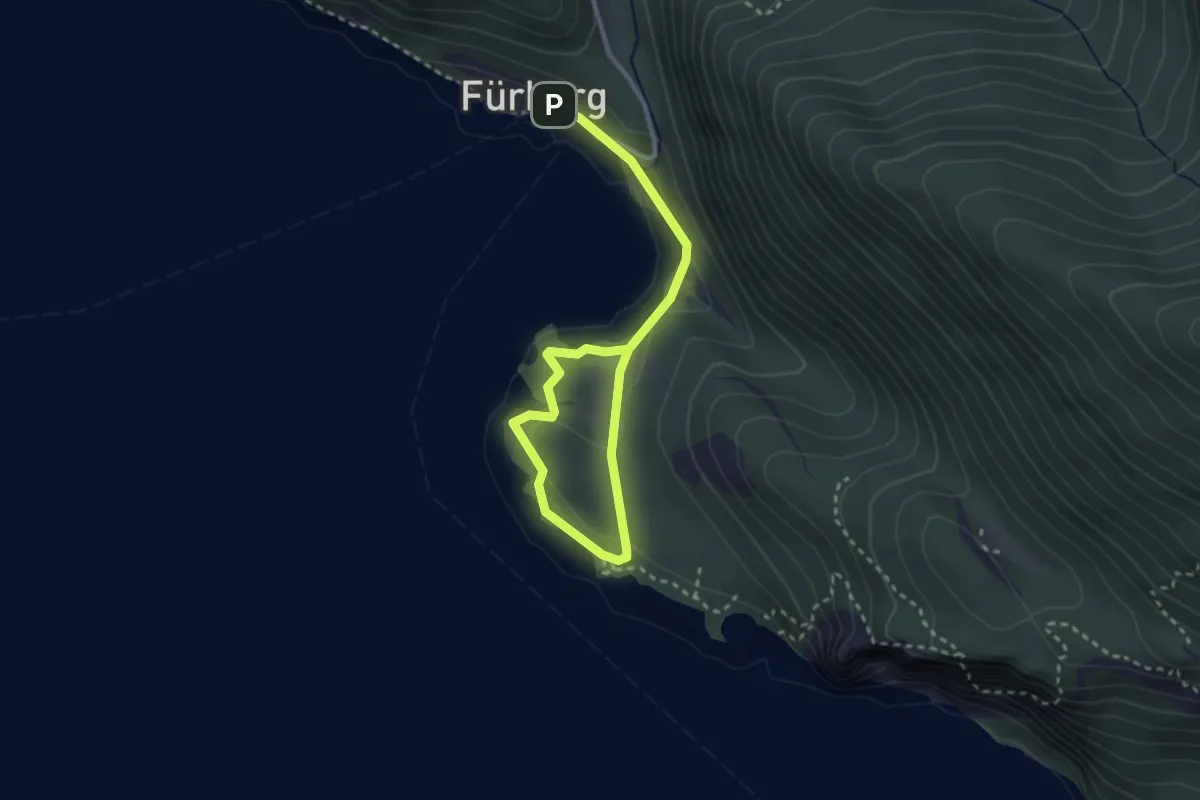
Easy · Trail
Josef-Ebner-Weg
3.6 km · ↑ 88 m · 1 h 3 min
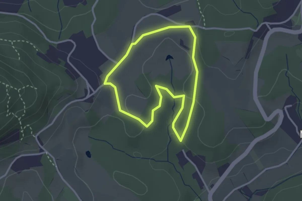
Easy · Trail
Josefhofschleife
2.4 km · ↑ 59 m · 43 min
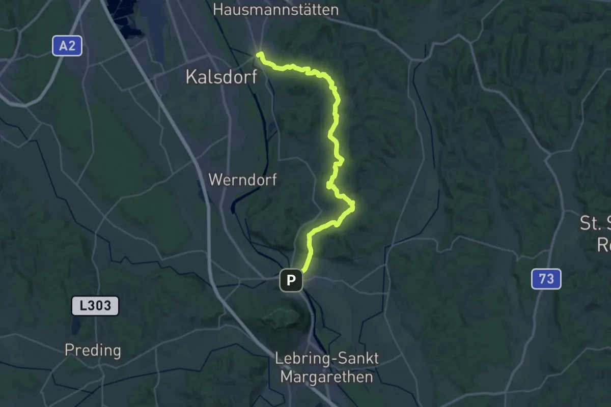
Medium · Trail
Josef Krainer Wanderweg
16.8 km · ↑ 439 m · 5 h 9 min
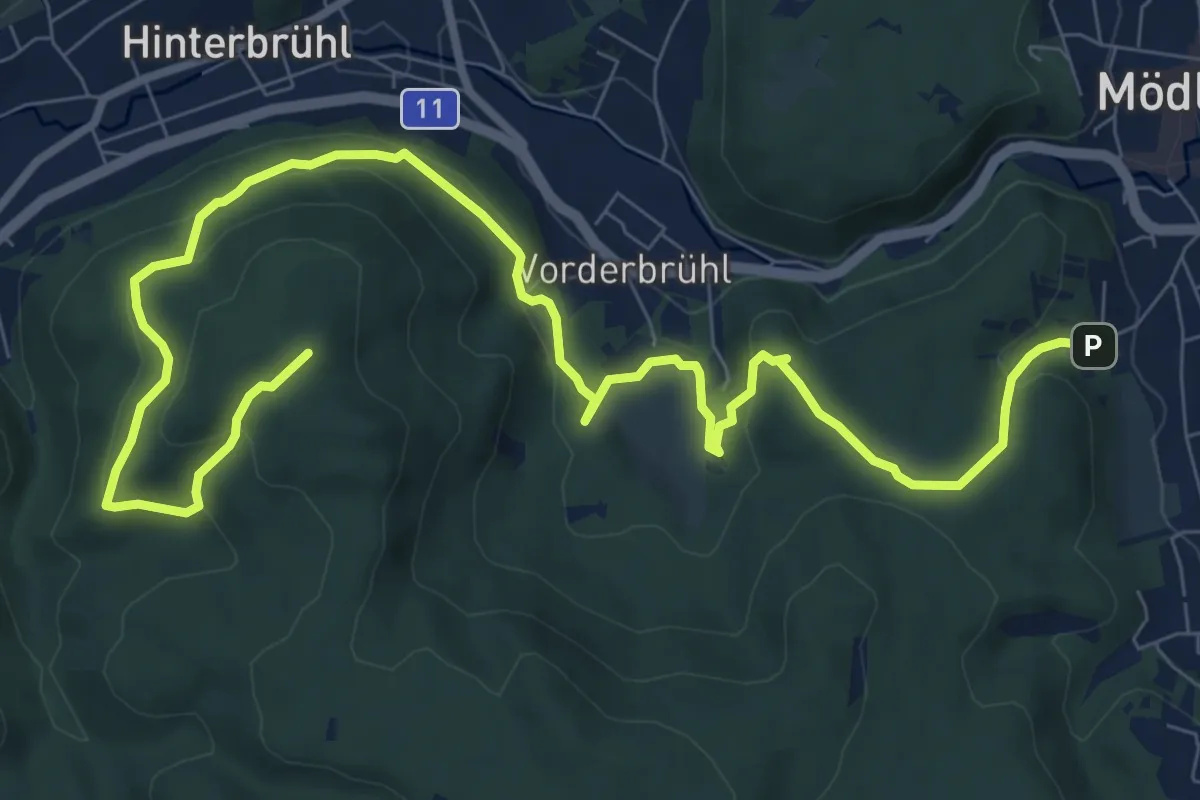
Medium · Summit
Josef Schöffel Wanderweg 46: Mödling - Meiereiwiese - Matterhörndl
12.0 km · ↑ 478 m · 3 h 52 min
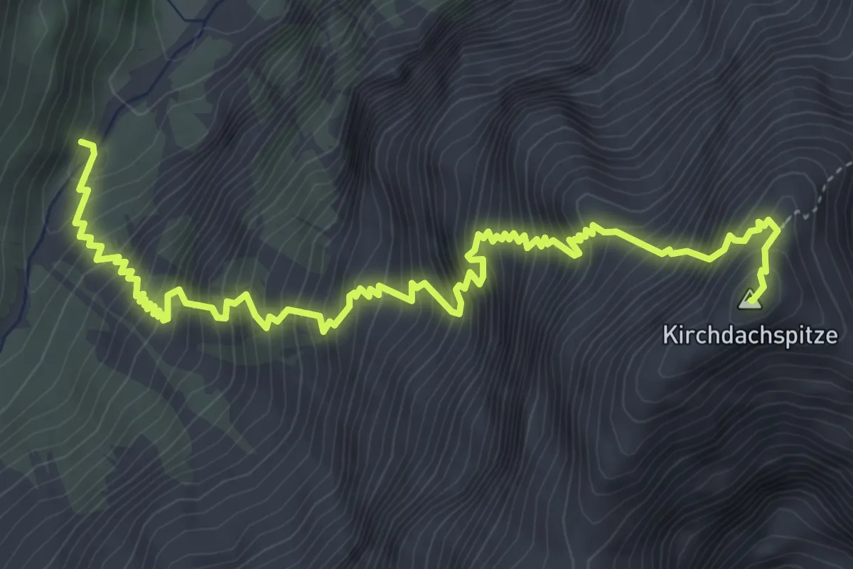
Expert · Summit
Jubiläumssteig
6.3 km · ↑ 1247 m · 4 h 11 min
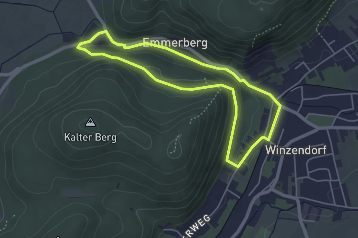
Easy · Summit
Jubiläumssteig
3.5 km · ↑ 82 m · 1 h 3 min
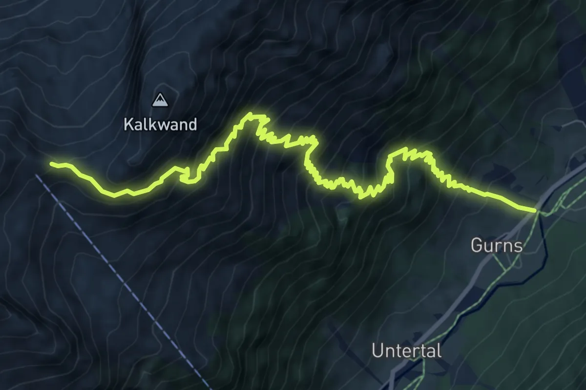
Demanding · Cabin
Jubiläumssteig Innsbrucker Hütte
10.8 km · ↑ 1147 m · 5 h 2 min
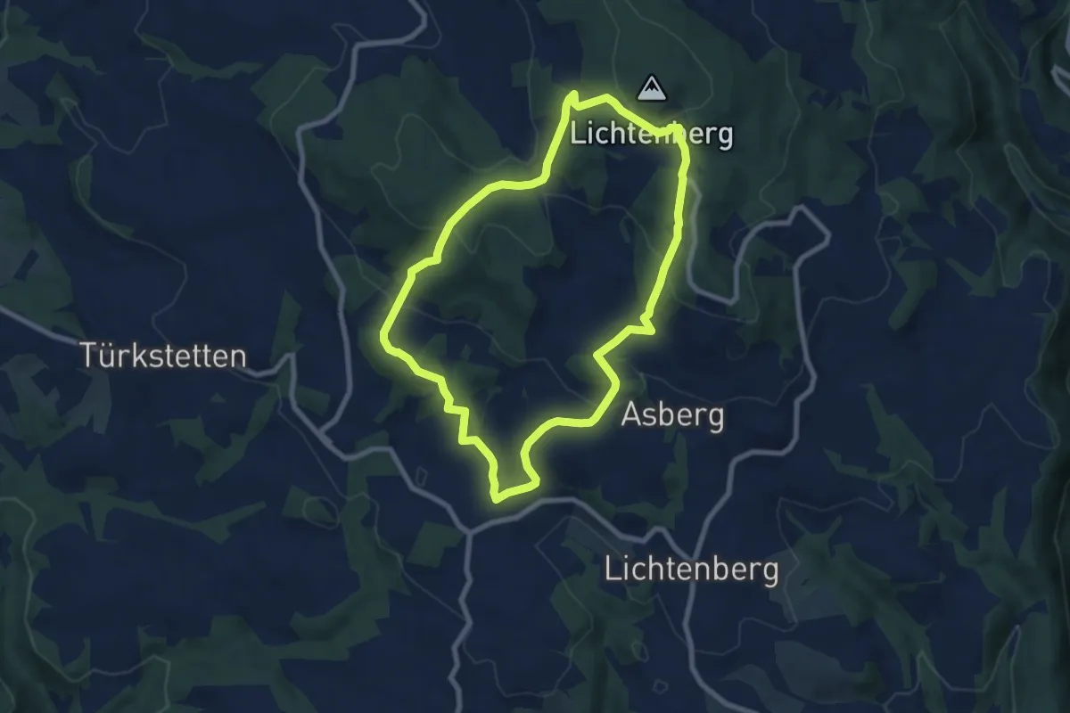
Easy · Trail
Jubiläumswanderweg Neulichtenberg
7.2 km · ↑ 284 m · 2 h 24 min
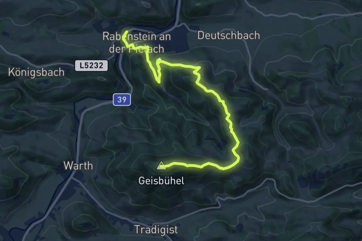
Medium · Summit
Jubiläumsweg
15.1 km · ↑ 645 m · 4 h 57 min
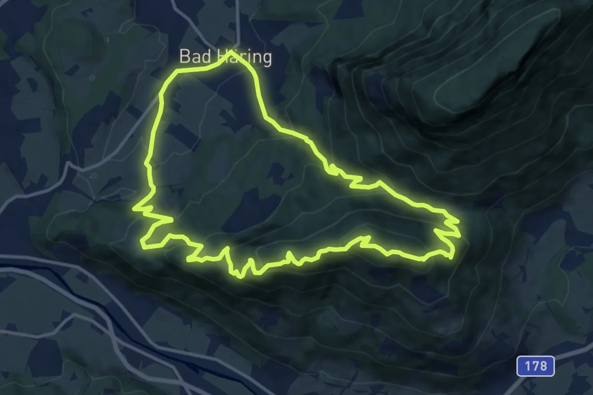
Medium · Summit
Juffinger Jöchl Rundtour
10.9 km · ↑ 591 m · 4 h 1 min
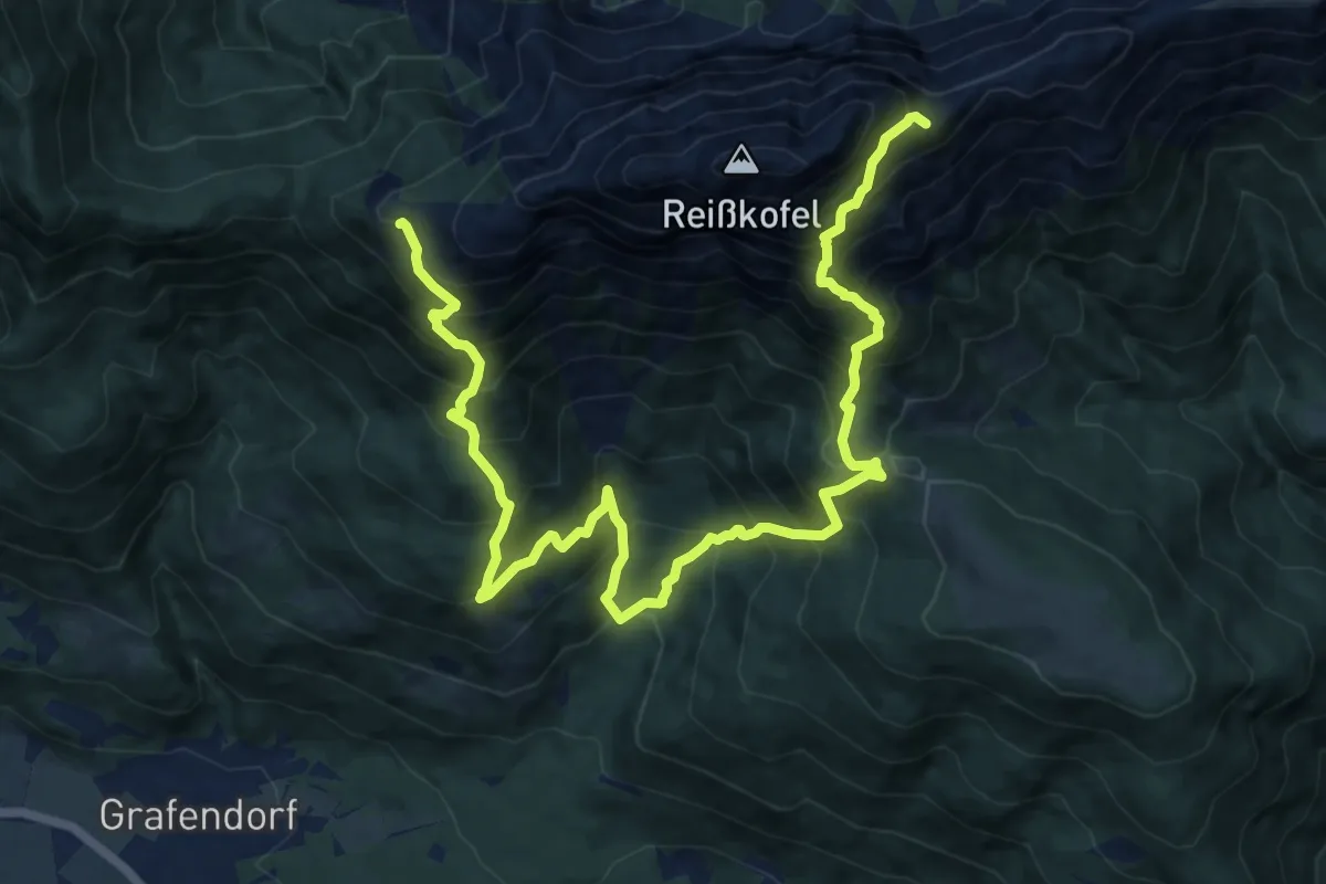
Expert · Summit
Julius Kugy-Dreiländerweg E 26A
16.3 km · ↑ 2043 m · 8 h 16 min
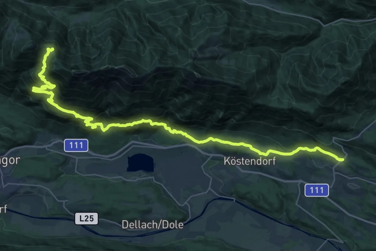
Demanding · Trail
Julius Kugy-Dreiländerweg E 28A
18.1 km · ↑ 512 m · 6 h 3 min
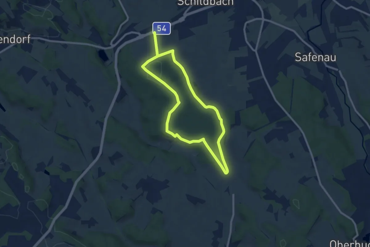
Easy · Trail
Jungbrunnenweg (W4)
6.2 km · ↑ 64 m · 1 h 41 min
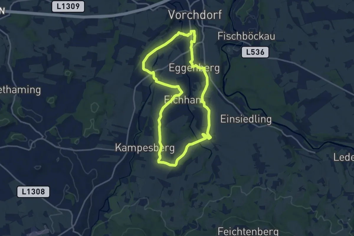
Medium · Trail
Junge ÖVP Rundweg
10.9 km · ↑ 134 m · 3 h 1 min
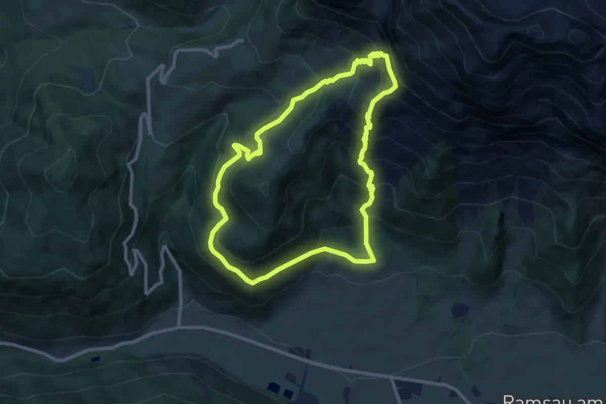
Medium · Cabin
Jungfrauensteig
7.0 km · ↑ 648 m · 3 h 9 min
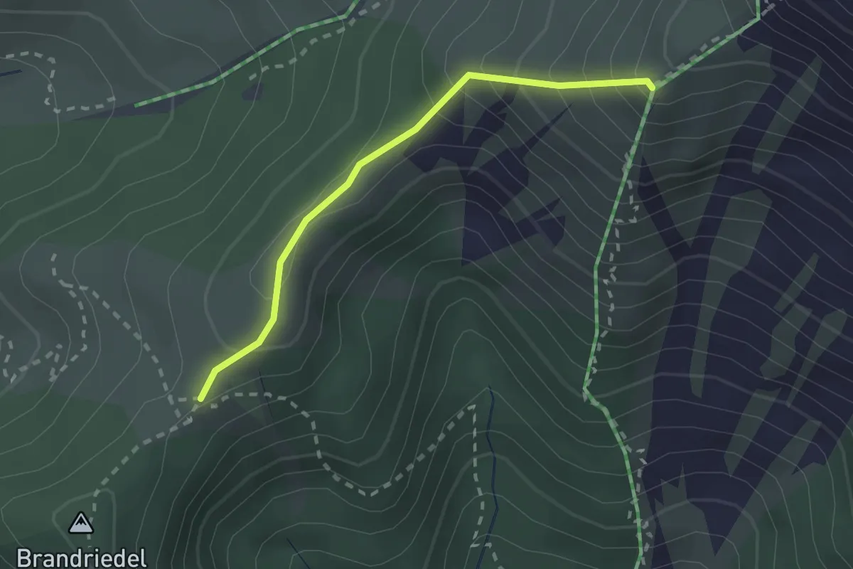
Medium · Trail
Jungfrauensteig - Brandriedel
2.1 km · ↑ 207 m · 56 min
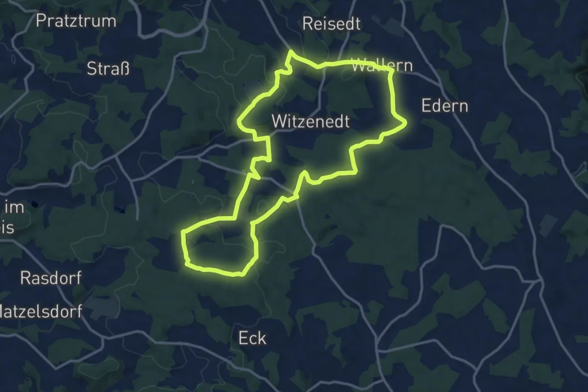
Medium · Trail
Jungfraunstein-Wanderung
11.5 km · ↑ 242 m · 3 h 25 min
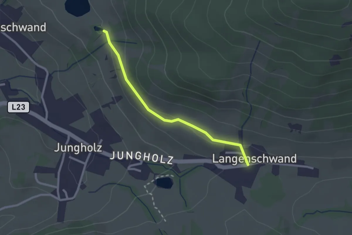
Easy · Trail
Jungholzer Höhenweg
1.0 km · ↑ 13 m · 17 min
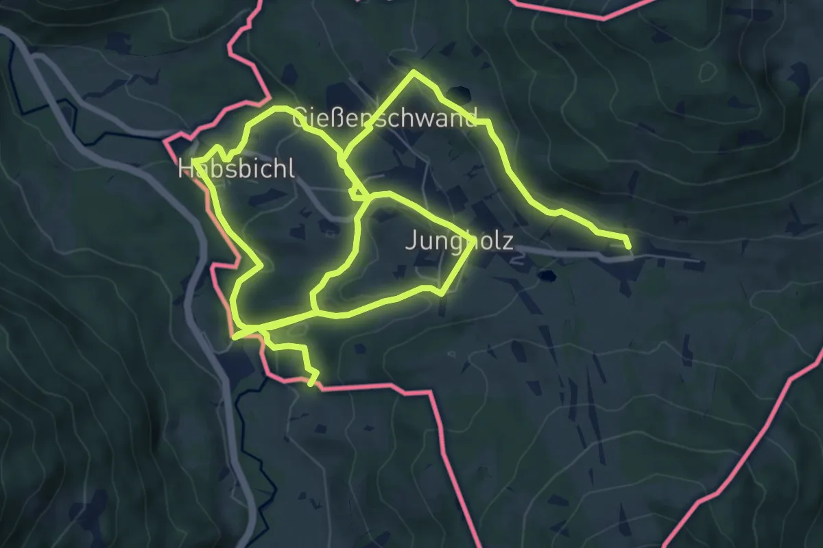
Medium · Trail
Jungholz - lokale Wanderwege
15.4 km · ↑ 513 m · 4 h 45 min
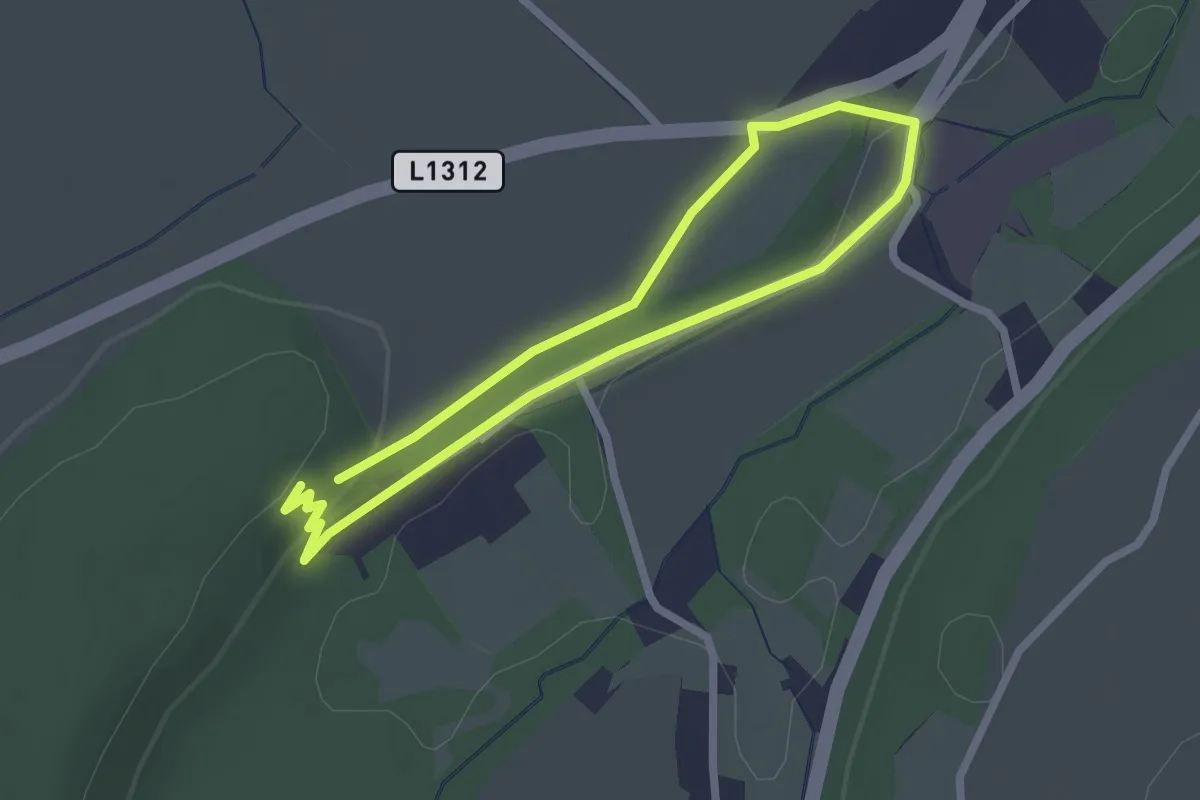
Easy · Trail
Jungschützensteig
1.9 km · ↑ 28 m · 32 min
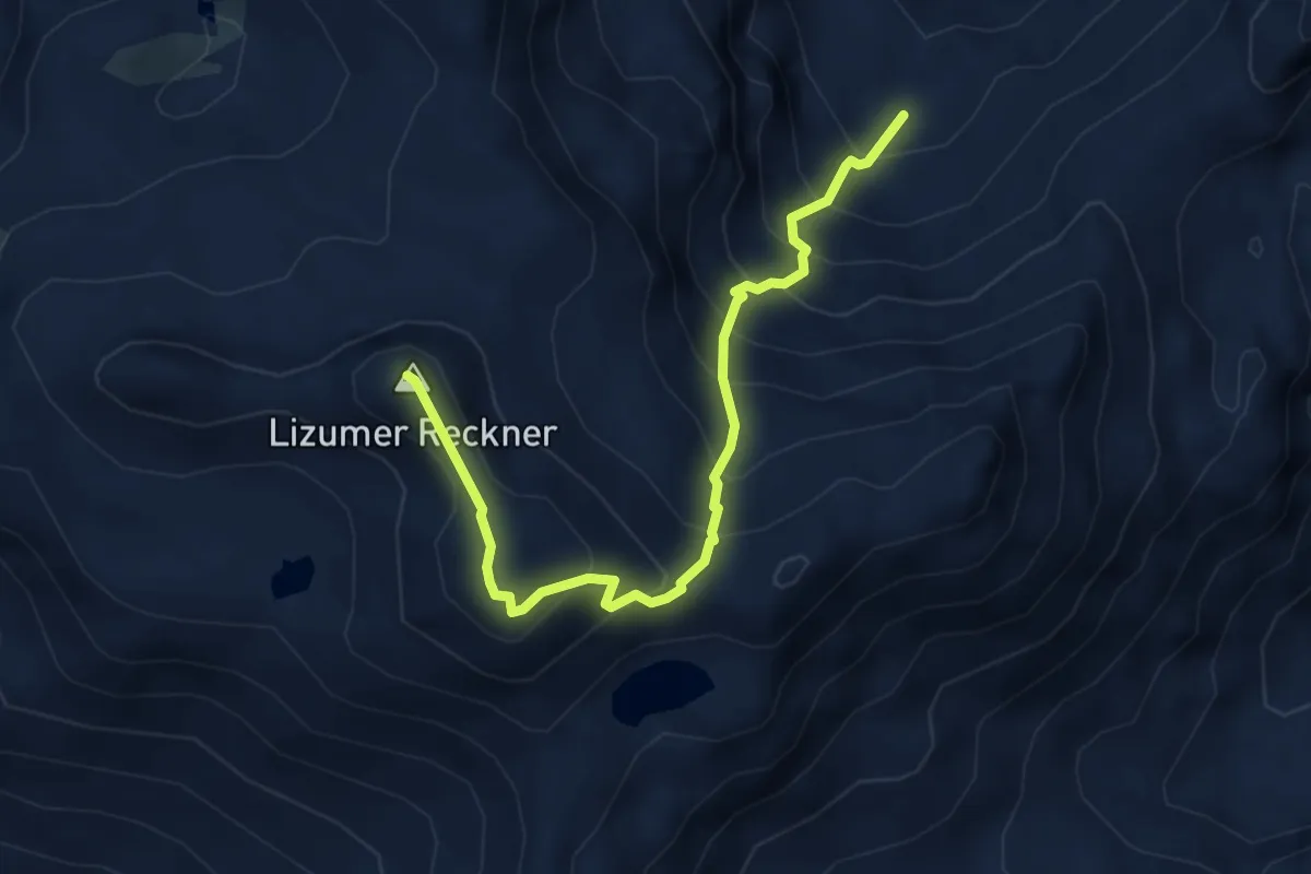
Expert · Summit
Junsjochsteig - Geier - Lizumer Reckner
4.5 km · ↑ 644 m · 2 h 28 min
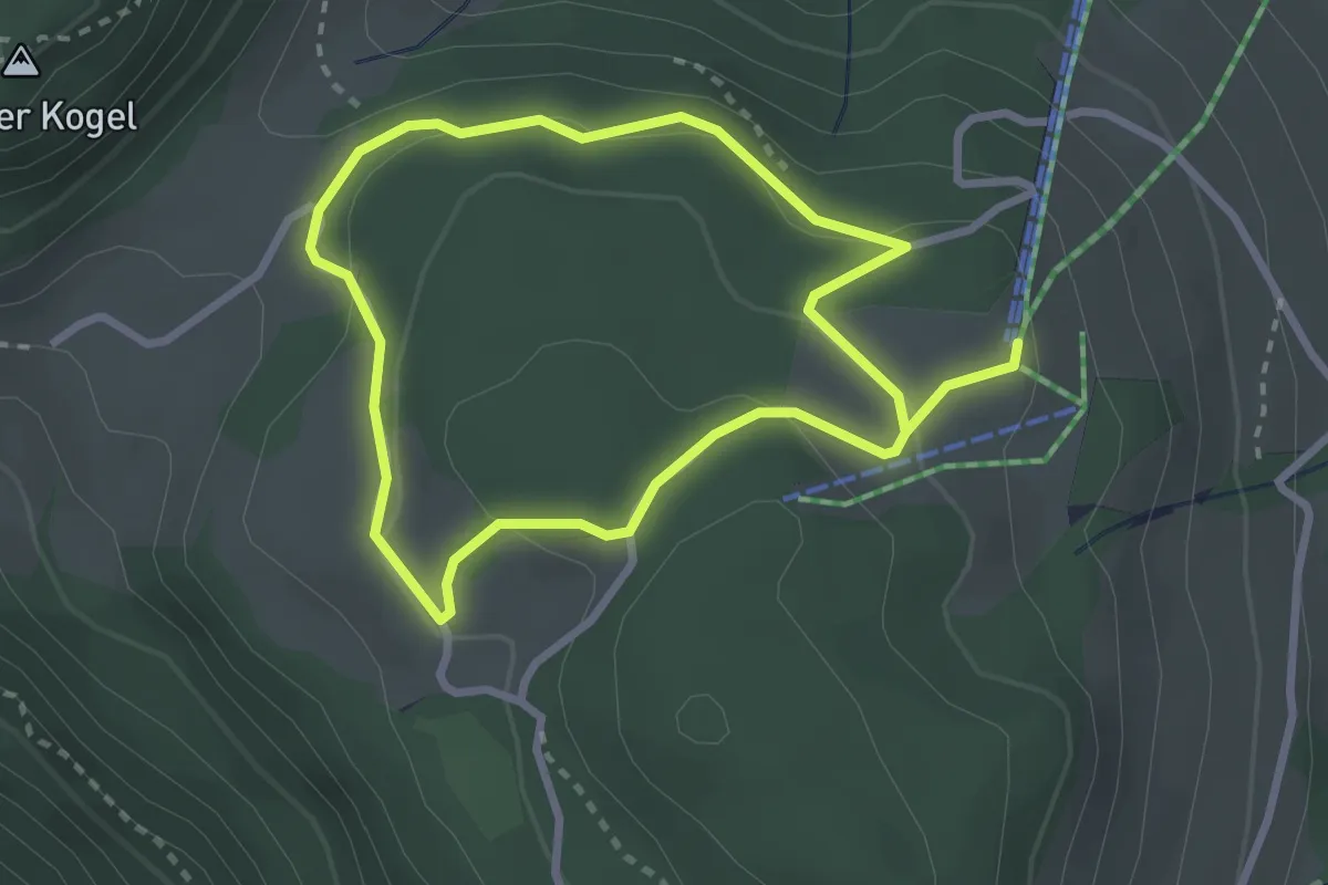
Easy · Trail
Juppis Zauberwald
4.9 km · ↑ 154 m · 1 h 29 min
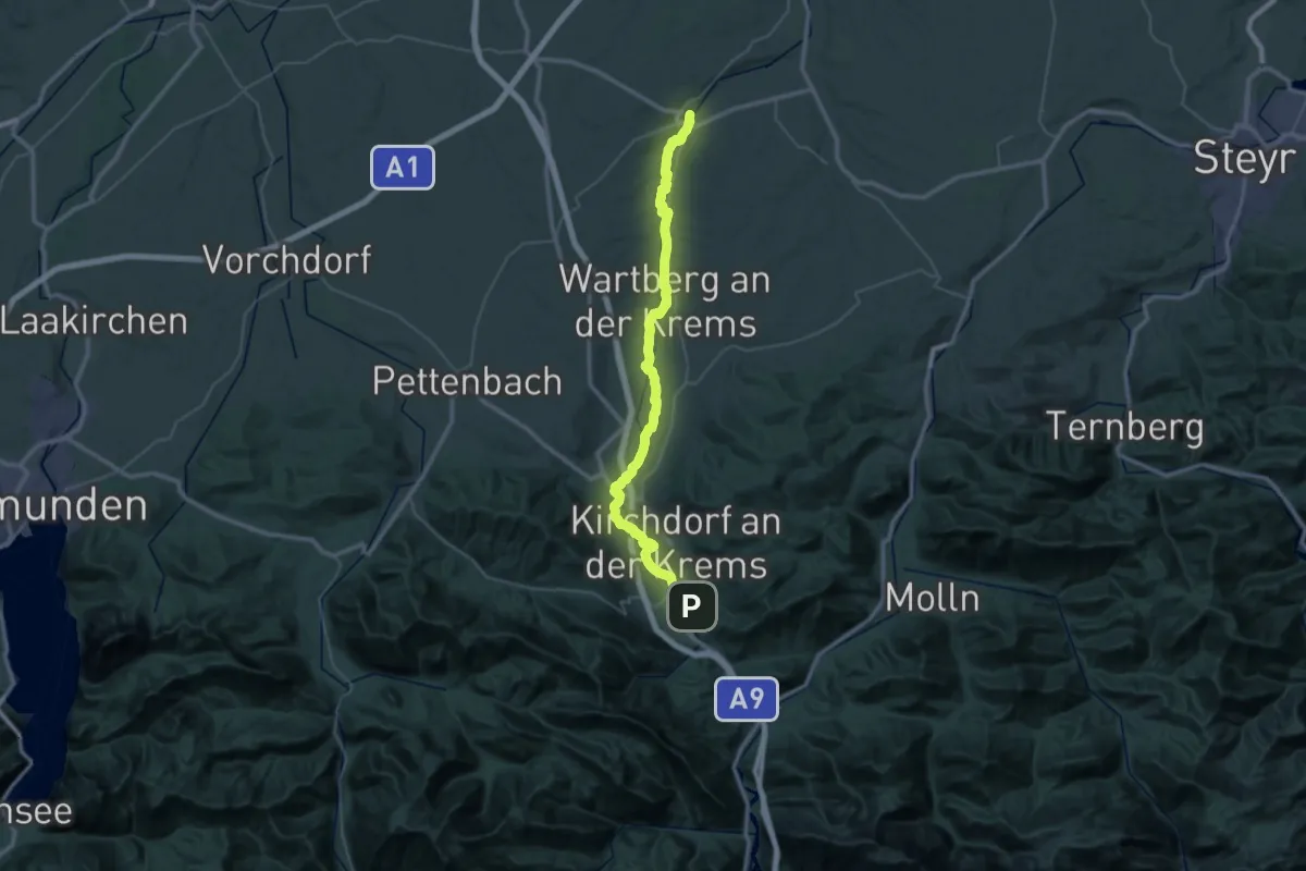
Demanding · Trail
K1 Kremstalweg
24.7 km · ↑ 49 m · 6 h 21 min
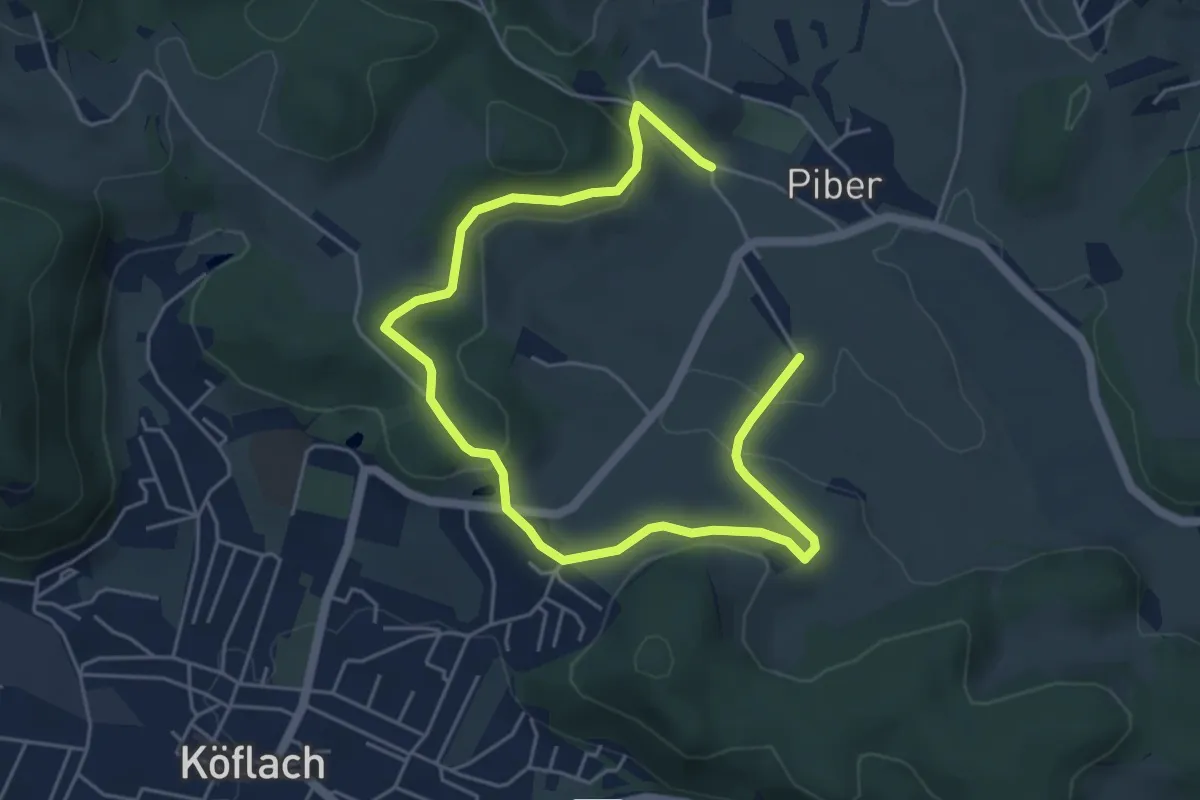
Easy · Trail
K1 - Rundwanderweg
3.5 km · ↑ 75 m · 1 h 2 min