Trails in Austria
9,779 hiking trails, each with its route, climb, walking time and grade.
All trails, page 50 of 204
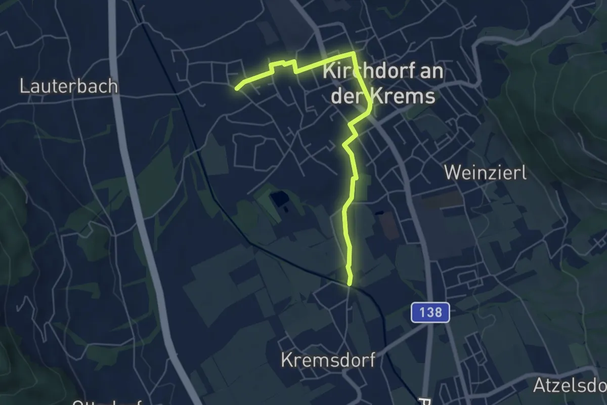
Easy · Trail
K2 Kremsweg
5.2 km · ↑ 36 m · 1 h 18 min
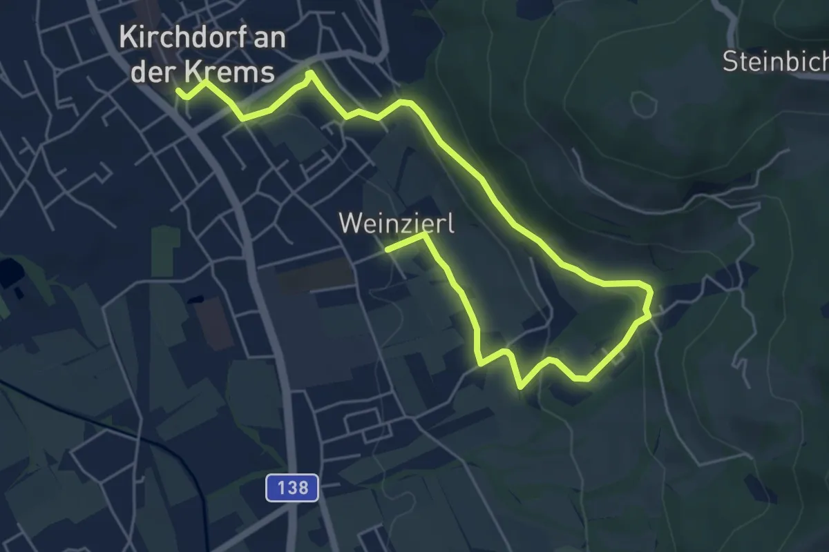
Easy · Trail
K4 Groileitenweg
7.3 km · ↑ 220 m · 2 h 12 min
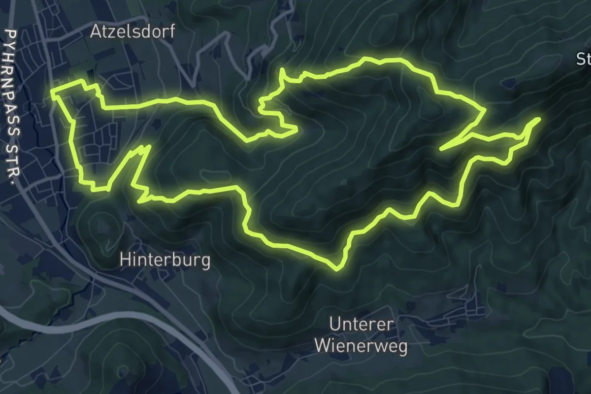
Medium · Summit
K91 RW Ochsenkogel
13.4 km · ↑ 664 m · 4 h 47 min
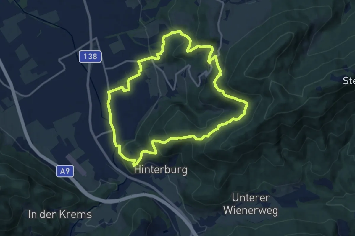
Medium · Summit
K92 RW Kulturweg
9.2 km · ↑ 408 m · 3 h 11 min
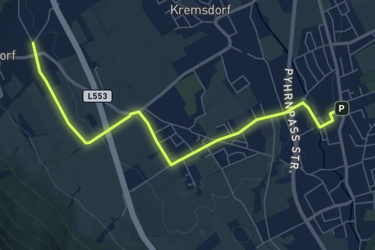
Easy · Trail
K93 RW Gradnalm
3.1 km · ↑ 19 m · 49 min
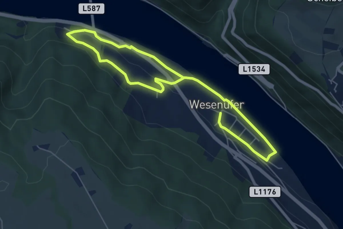
Easy · Trail
Kagerer Jagasteig
7.8 km · ↑ 94 m · 2 h 3 min
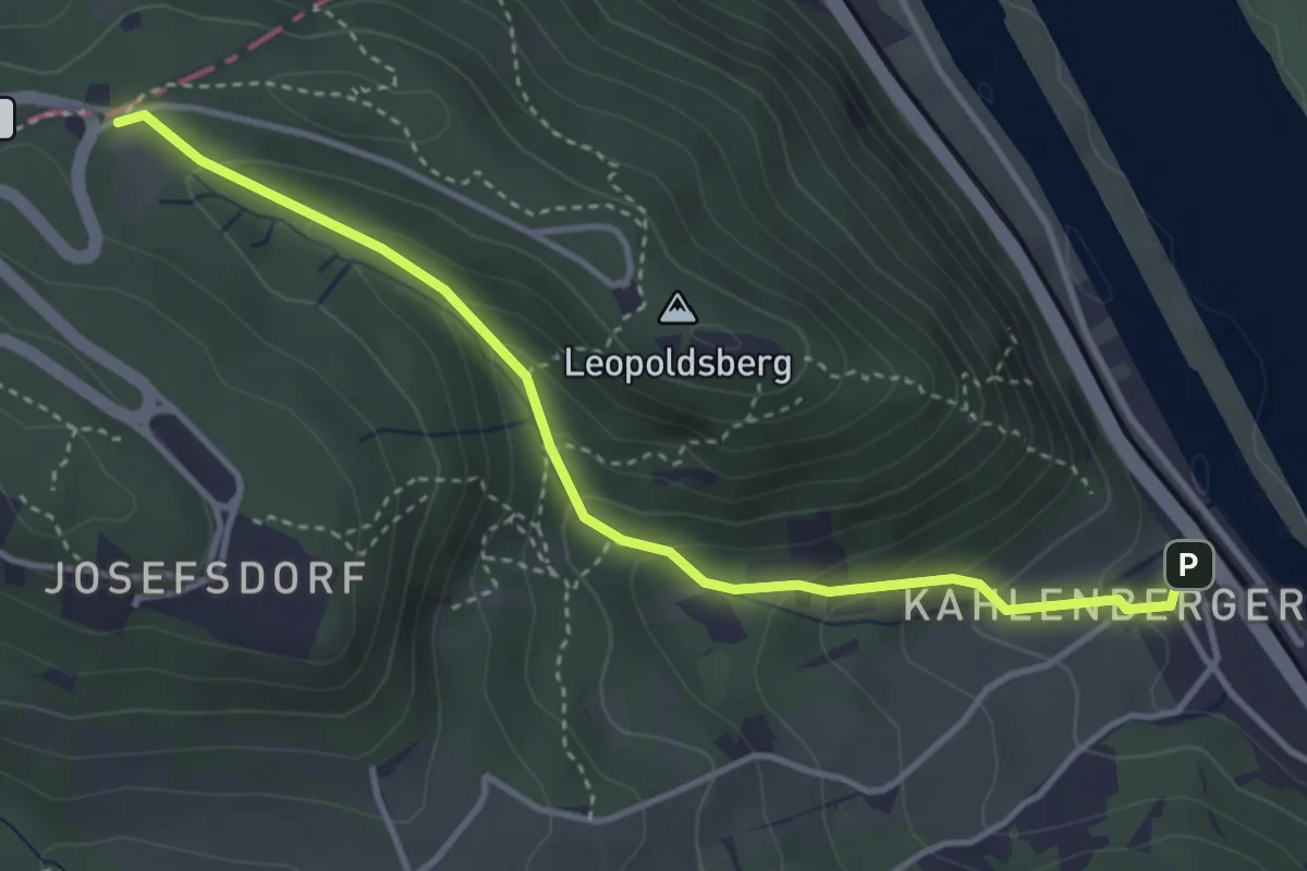
Easy · Trail
Kahlenbergerdorf - Elisabethwiese (Waldbachsteig)
3.8 km · ↑ 235 m · 1 h 25 min
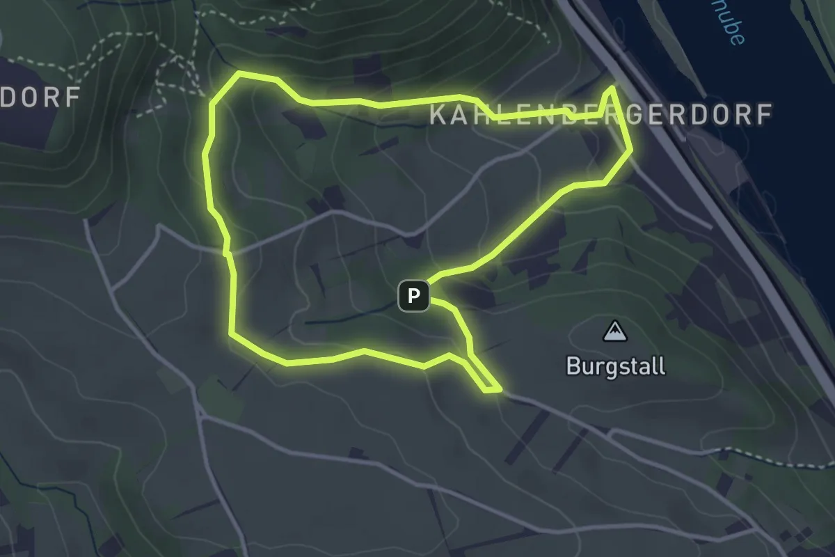
Easy · Trail
Kahlenbergerdorfer Weinrundwanderweg
3.3 km · ↑ 165 m · 1 h 11 min
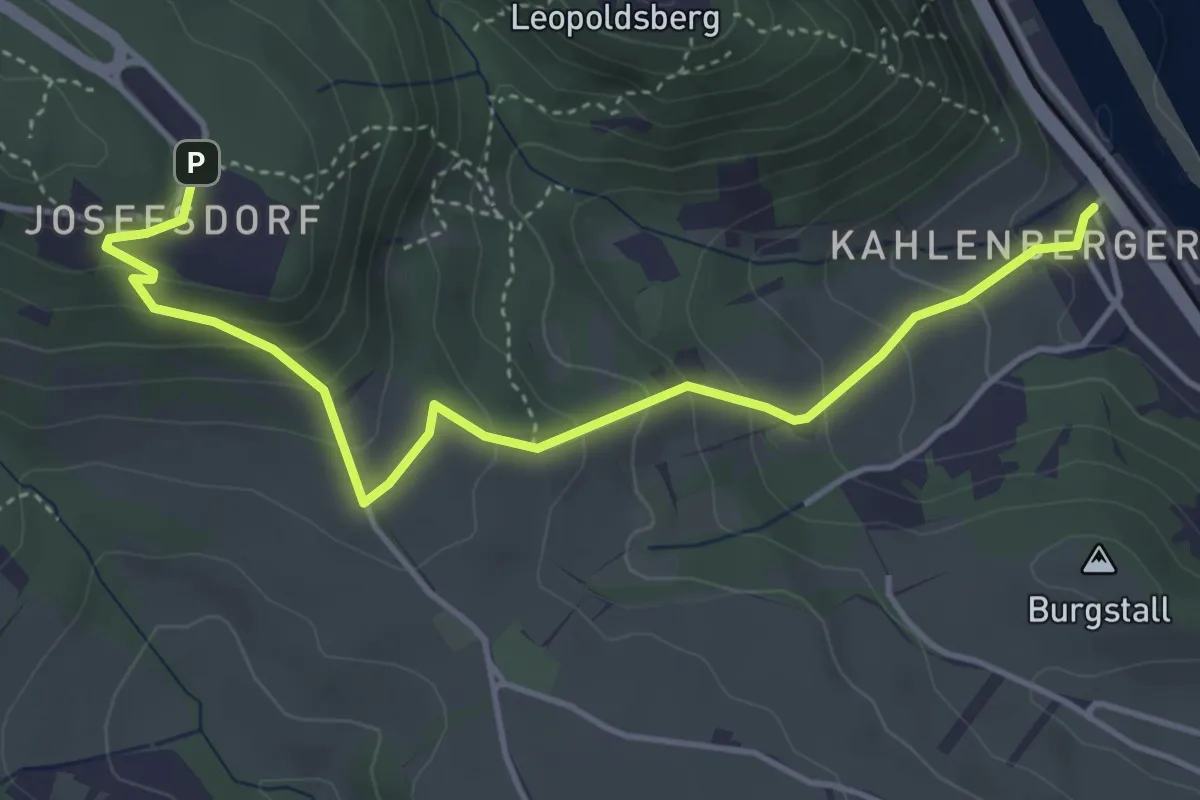
Easy · Trail
Kahlenbergerdorf - Kahlenberg
4.6 km · ↑ 284 m · 1 h 41 min
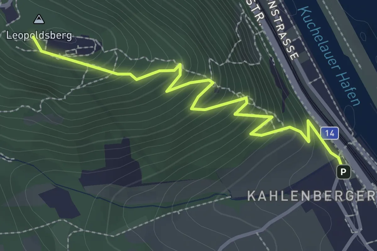
Easy · Summit
Kahlenbergerdorf - Leopoldsberg (Nasenweg)
2.8 km · ↑ 258 m · 1 h 13 min
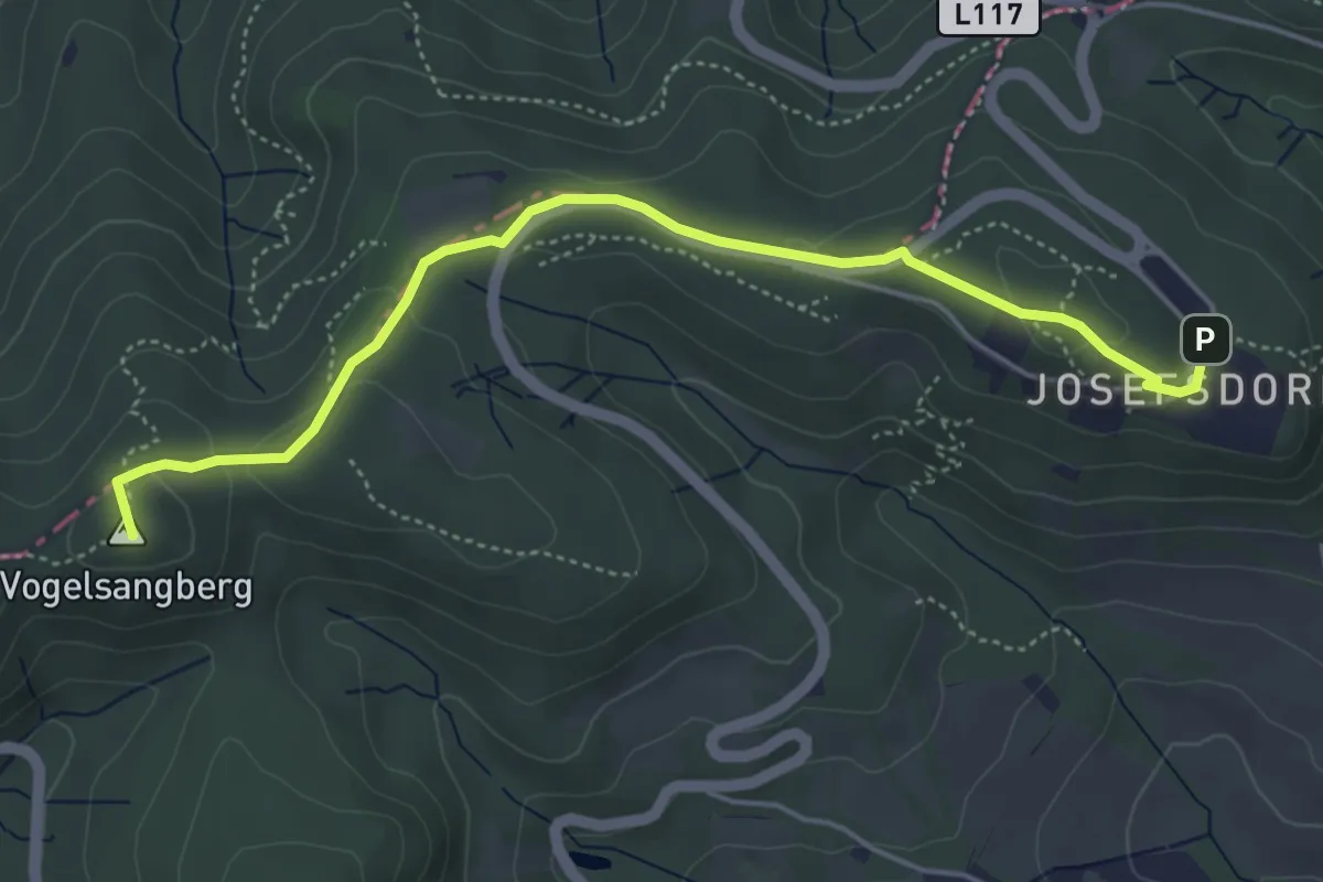
Easy · Summit
Kahlenberg - Jägerwiese
4.9 km · ↑ 142 m · 1 h 28 min
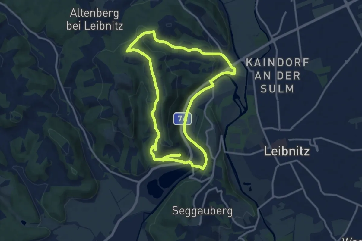
Medium · Summit
Kaindorfer Genussplatzrunde
8.7 km · ↑ 247 m · 2 h 43 min
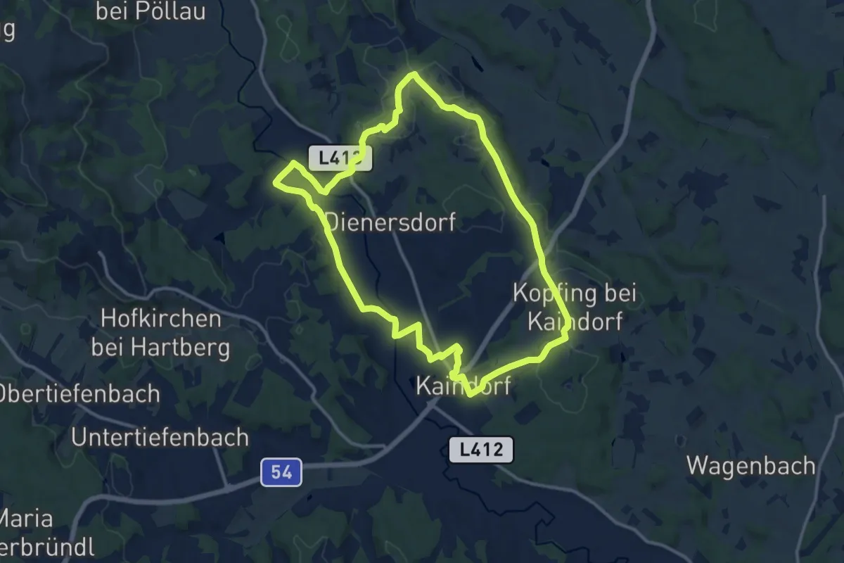
Medium · Pilgrim path
Kaindorfer Marterlweg
11.8 km · ↑ 126 m · 3 h 14 min
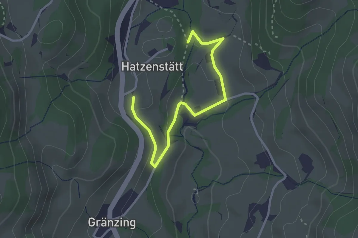
Easy · Trail
Kaiserblick-Runde
2.8 km · ↑ 101 m · 52 min
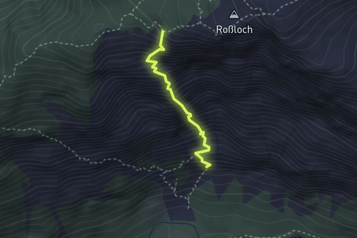
Expert · Trail
Kaiser Franz-Joseph-Klettersteig
2.0 km · ↑ 740 m · 2 h 4 min
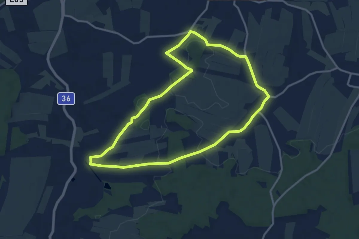
Easy · Trail
Kaisermarterlweg
7.8 km · ↑ 93 m · 2 h 9 min
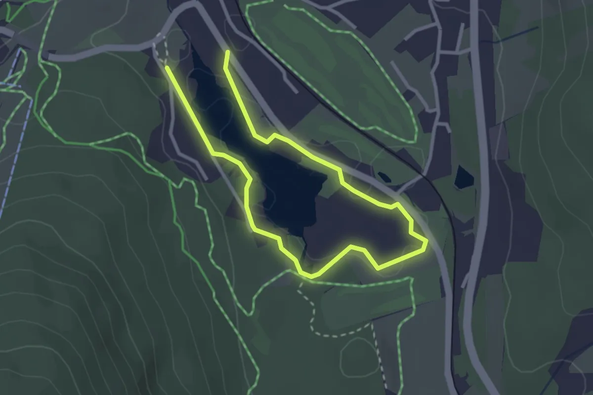
Easy · Trail
Kaiser Maximilian Weg
4.1 km · ↑ 0 m · 59 min
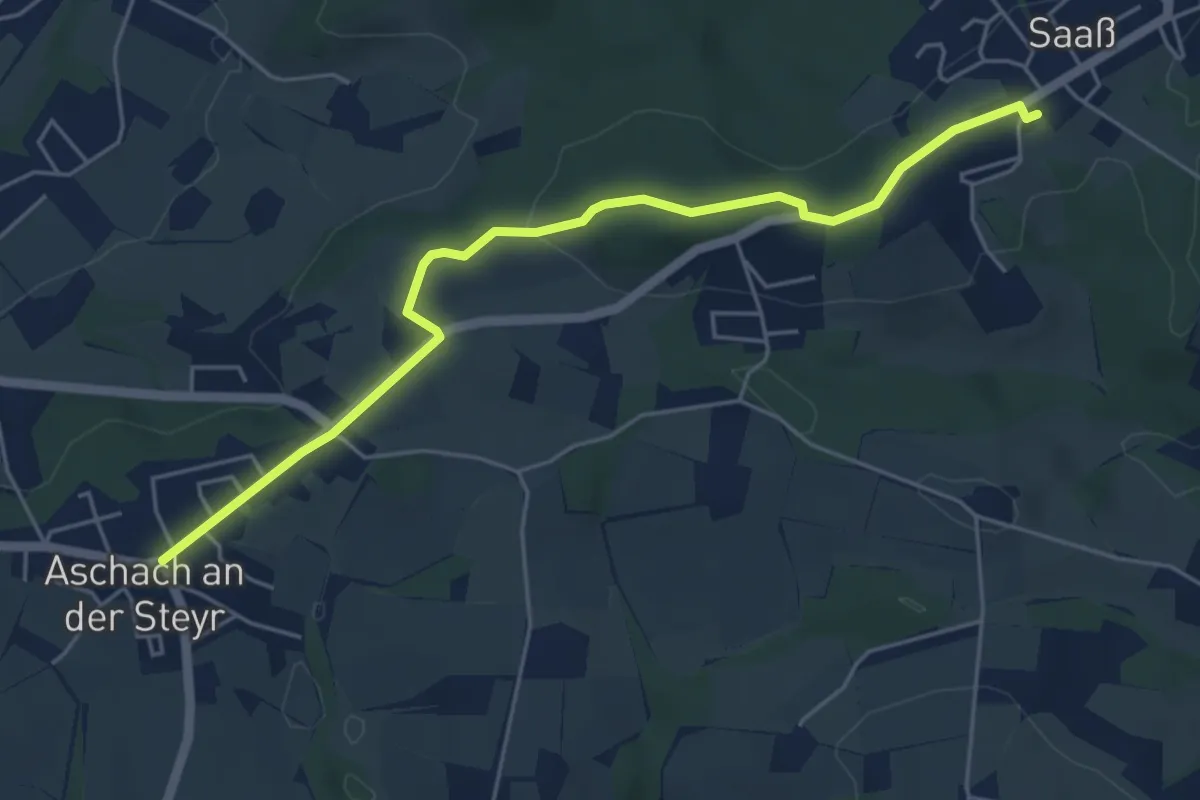
Easy · Trail
Kaiser Runde - Hinweg
5.3 km · ↑ 78 m · 1 h 25 min
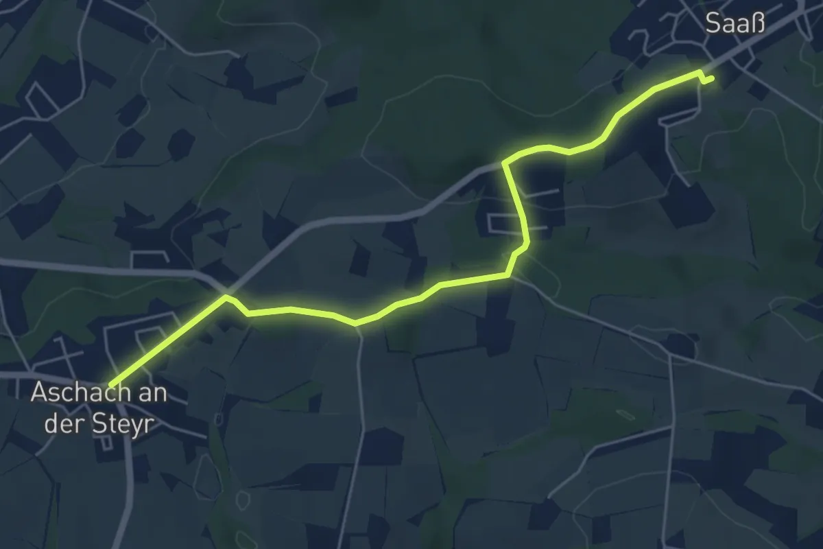
Easy · Trail
Kaiser Runde - Rückweg
5.4 km · ↑ 96 m · 1 h 29 min
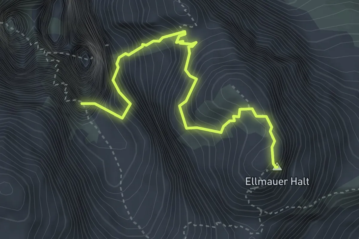
Expert · Summit
Kaiserschützensteig
3.8 km · ↑ 963 m · 3 h
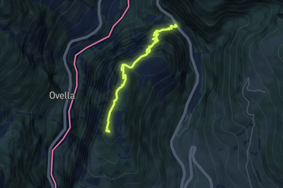
Medium · Trail
Kaiserschützenweg Nauders
4.8 km · ↑ 675 m · 2 h 36 min
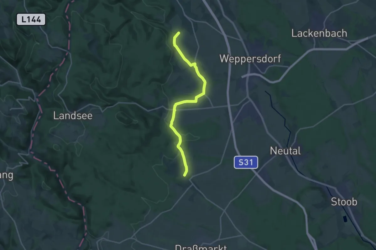
Medium · Trail
Kaisersdorf - Neudorf - Lindgraben - Kobersdorf
15.2 km · ↑ 167 m · 3 h 57 min
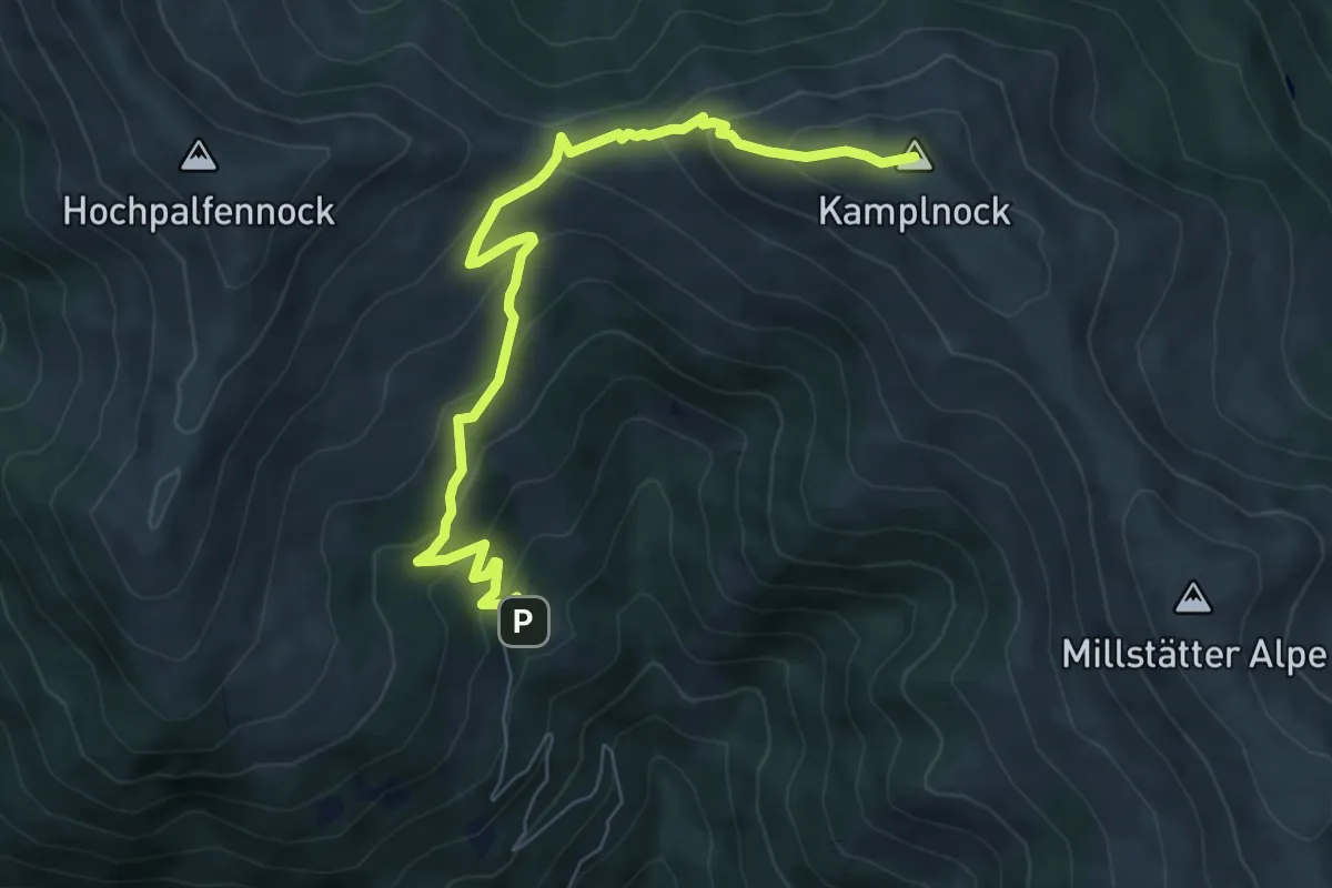
Medium · Summit
Kaisersteig
7.6 km · ↑ 480 m · 2 h 50 min
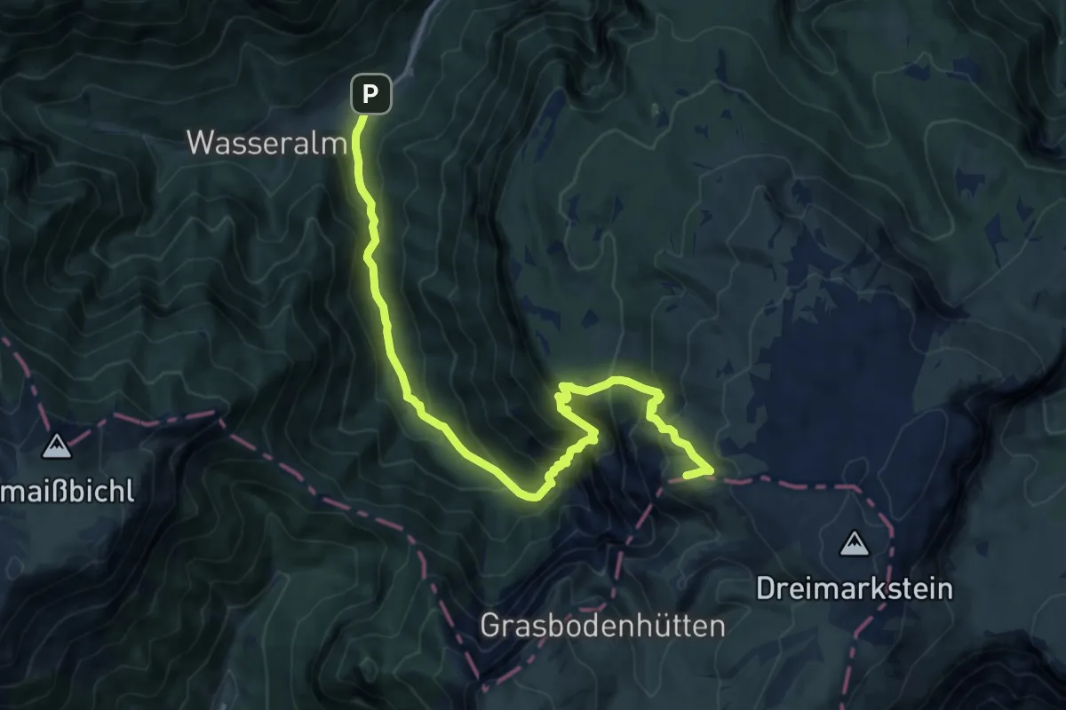
Demanding · Summit
Kaisersteig 44
14.2 km · ↑ 1101 m · 5 h 44 min
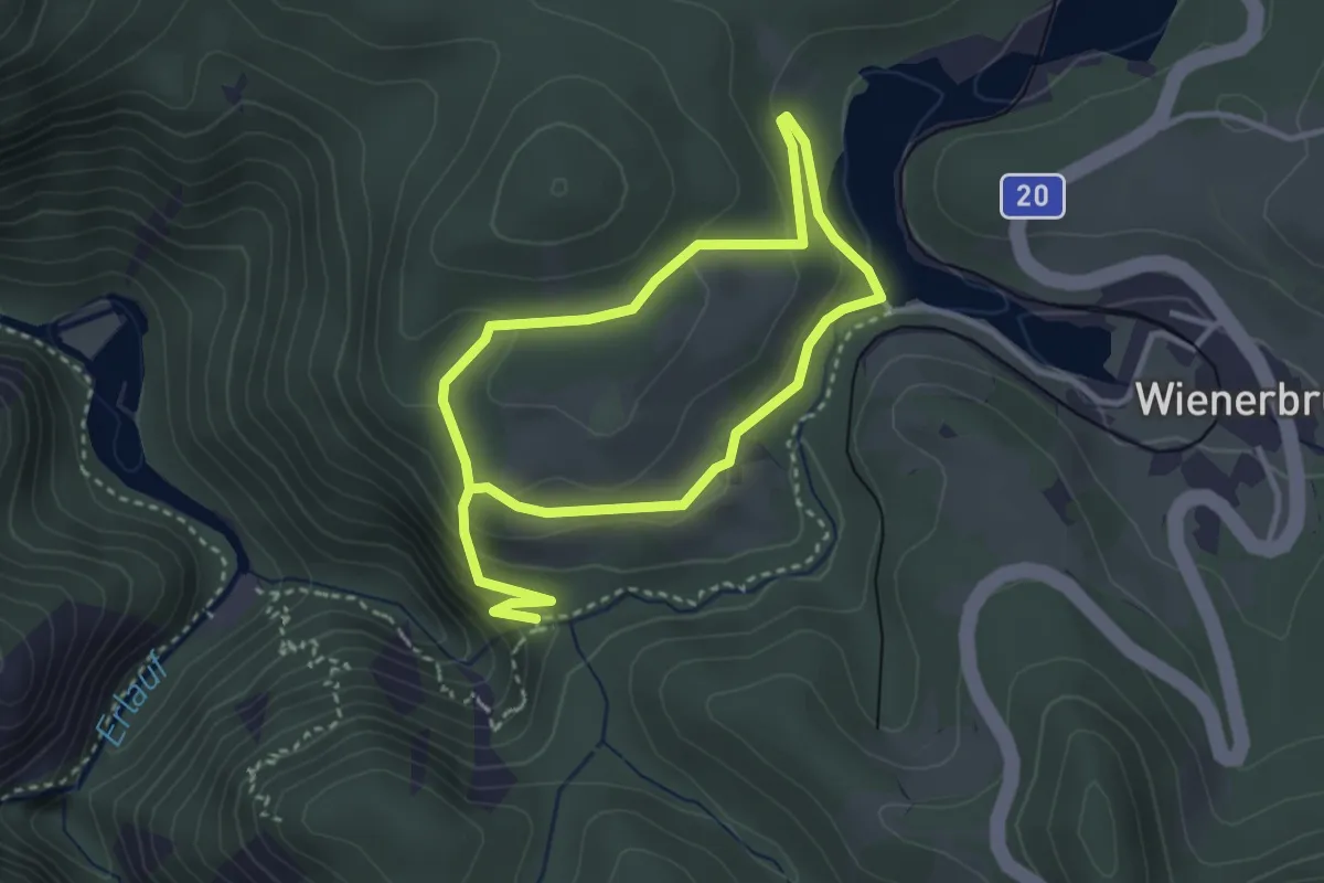
Medium · Trail
Kaiserthron Rundweg
5.3 km · ↑ 251 m · 1 h 47 min
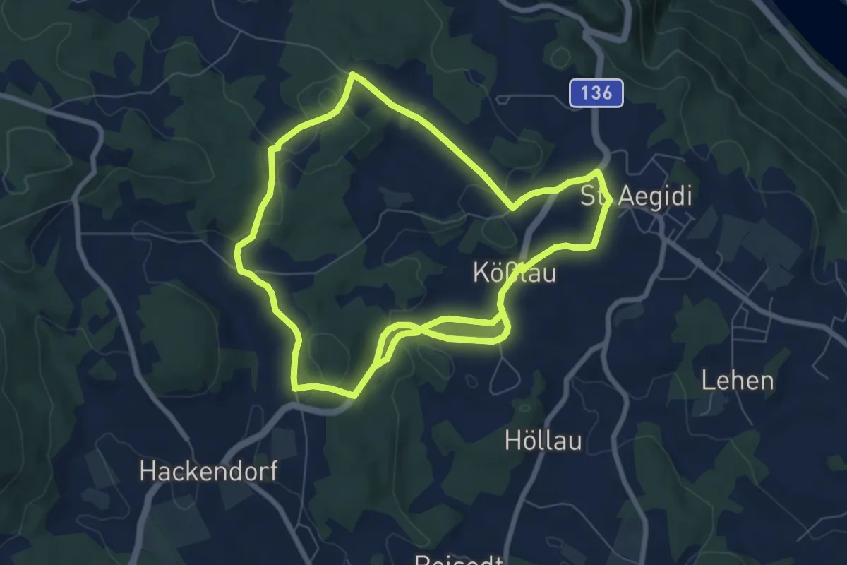
Medium · Trail
Kaiser-Wanderung
14.2 km · ↑ 253 m · 3 h 55 min
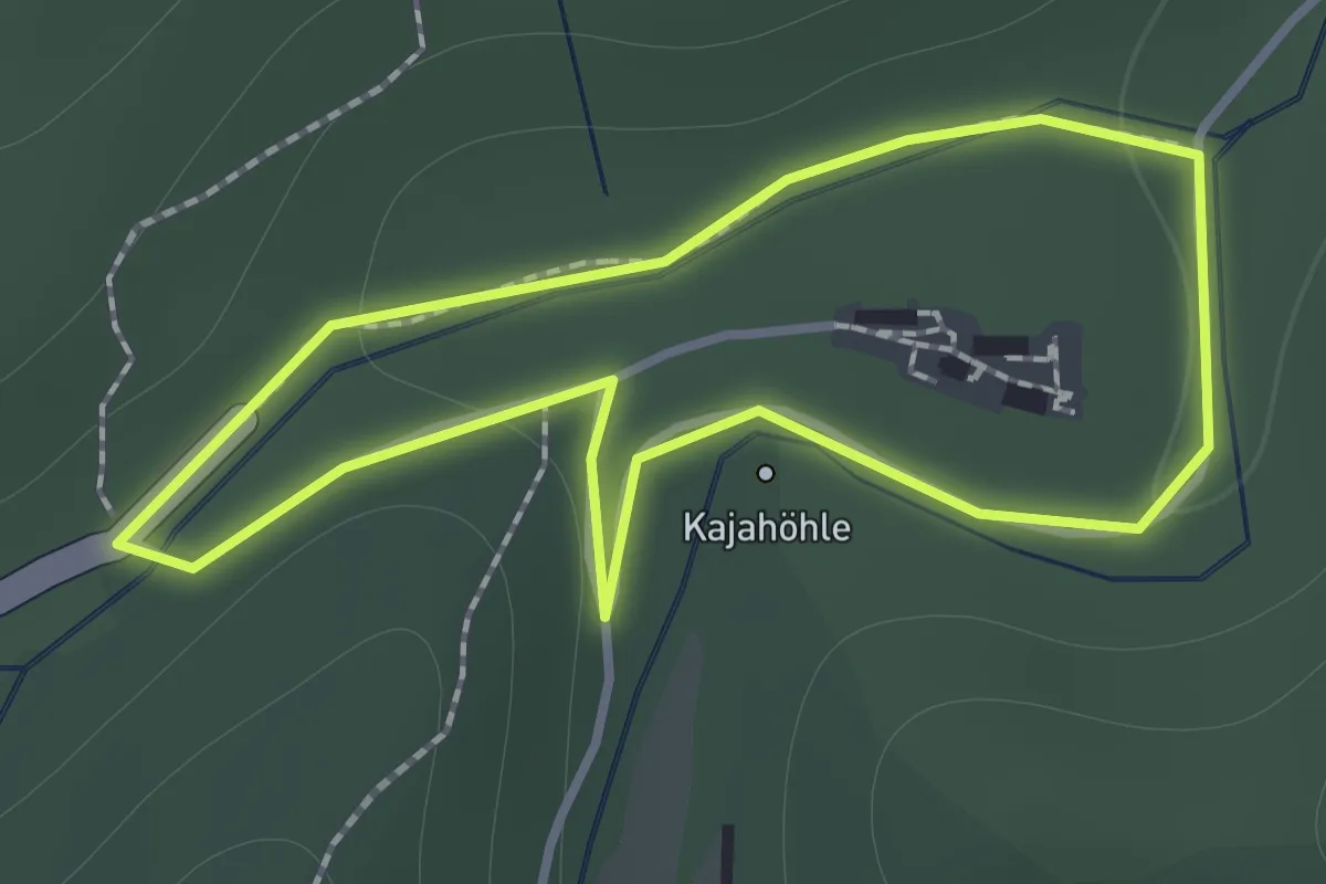
Easy · Trail
Kajaweg
1.1 km · ↑ 22 m · 20 min
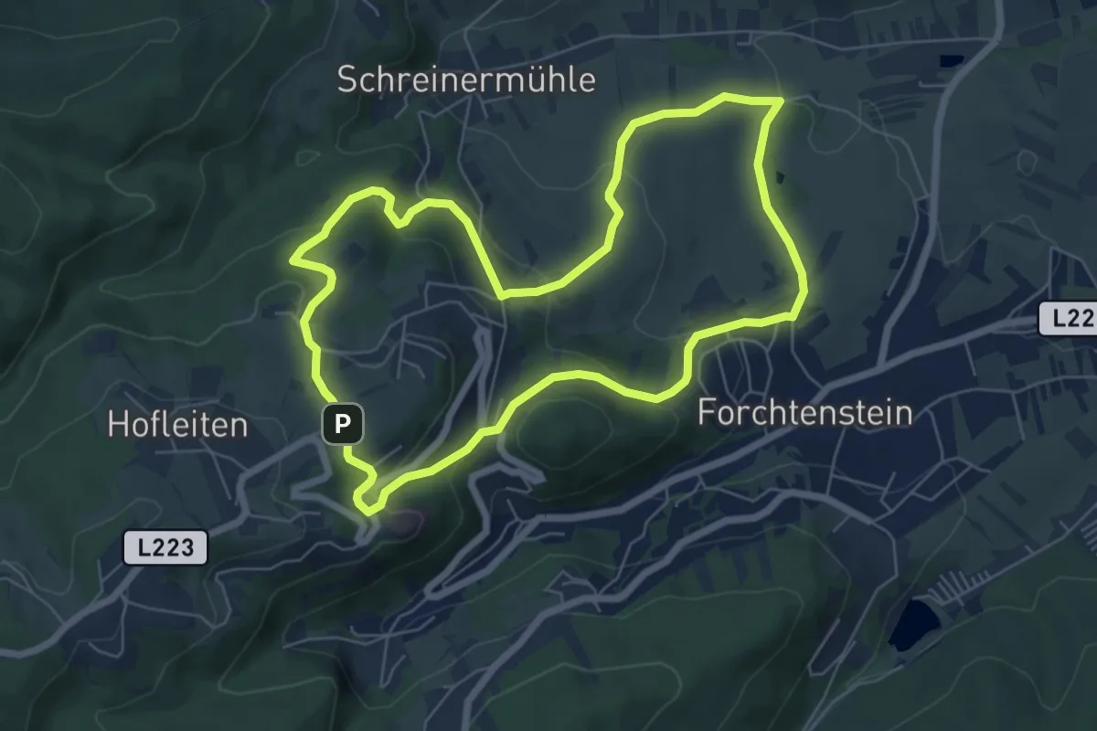
Easy · Trail
Kalkbrennofenweg Forchtenstein ( Sportplatz - Burg Forchtenstein - Steinbruch und retour)
6.3 km · ↑ 260 m · 2 h 9 min
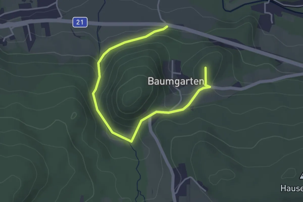
Easy · Summit
Kalkofenweg (Ober-Piesting - Zitherwirt)
4.0 km · ↑ 134 m · 1 h 13 min
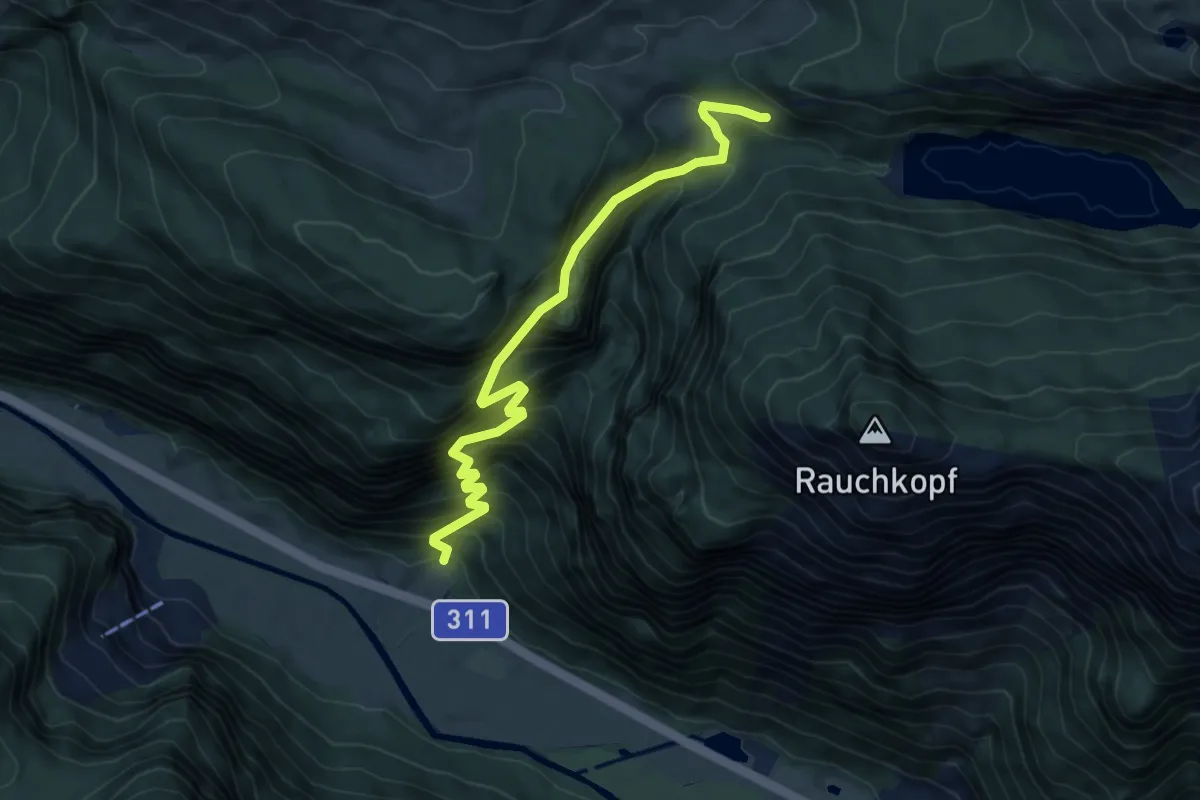
Expert · Trail
Kallbrunnalm
6.6 km · ↑ 965 m · 3 h 38 min
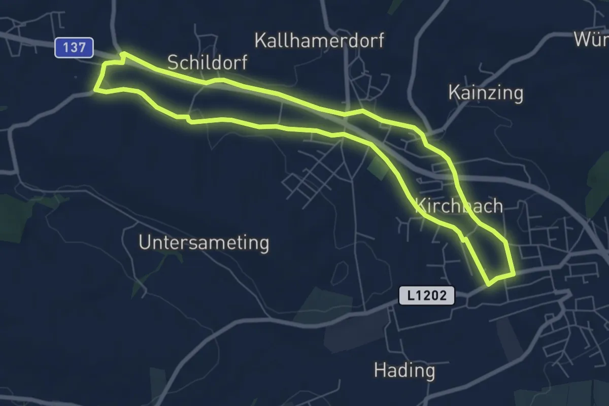
Easy · Trail
Kallhamer Dom-Weg
6.5 km · ↑ 36 m · 1 h 42 min
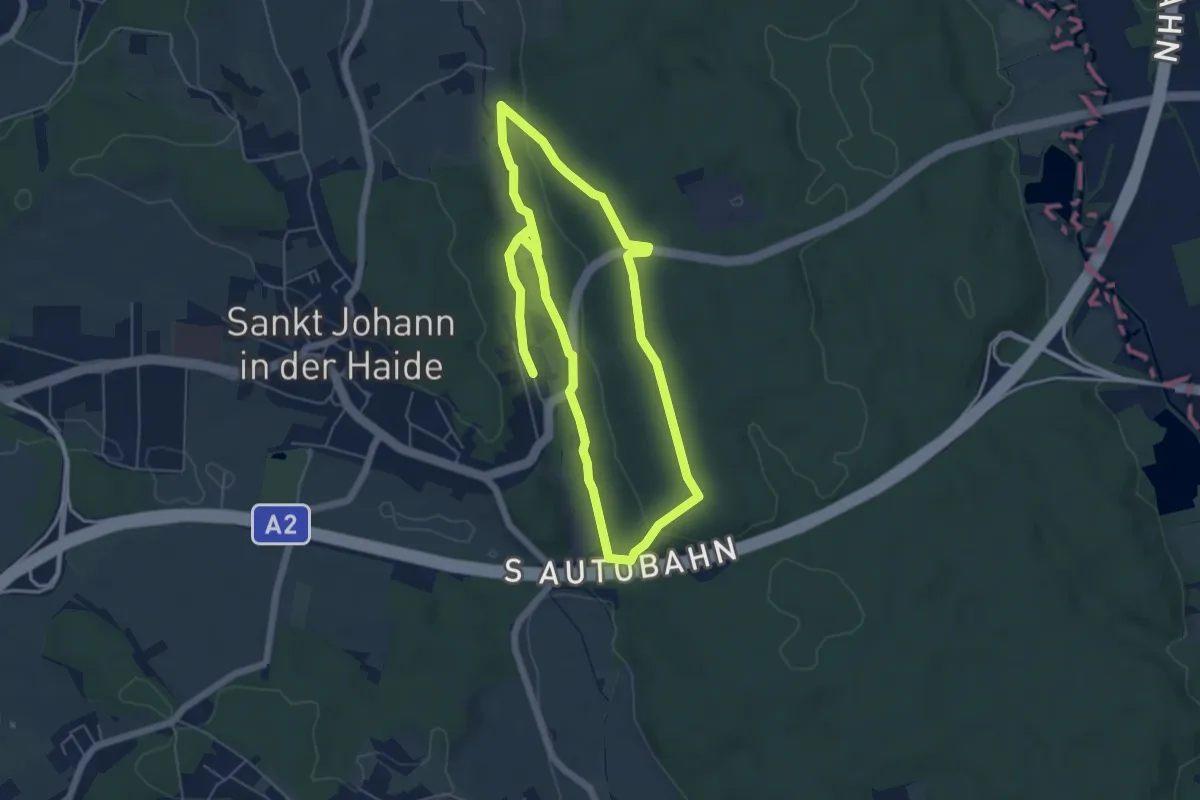
Easy · Trail
Kalorienweg
5.2 km · ↑ 69 m · 1 h 27 min
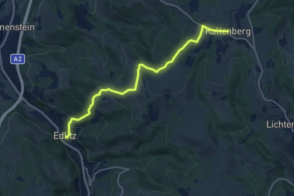
Medium · Trail
Kaltenberg - Edlitz
9.4 km · ↑ 409 m · 3 h 6 min
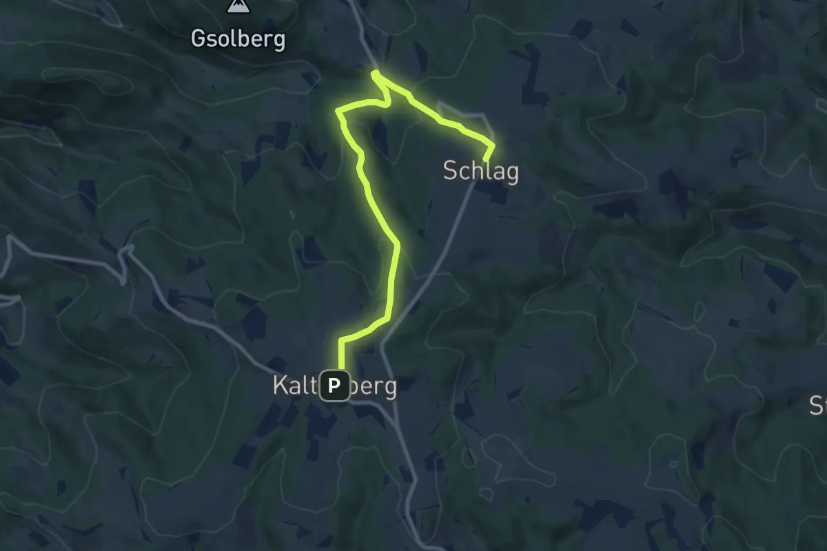
Medium · Trail
Kaltenberg - Schlag
9.0 km · ↑ 372 m · 2 h 56 min
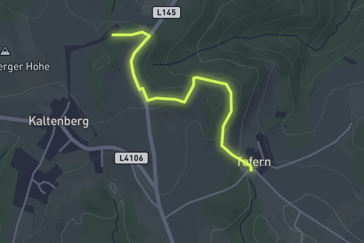
Easy · Trail
Kaltenberg - Tafern
3.3 km · ↑ 54 m · 53 min
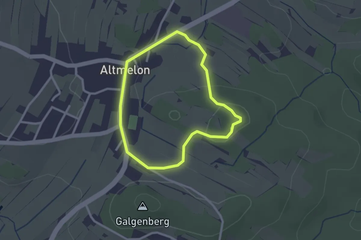
Easy · Trail
Kaltenbergweg
1.9 km · ↑ 33 m · 32 min
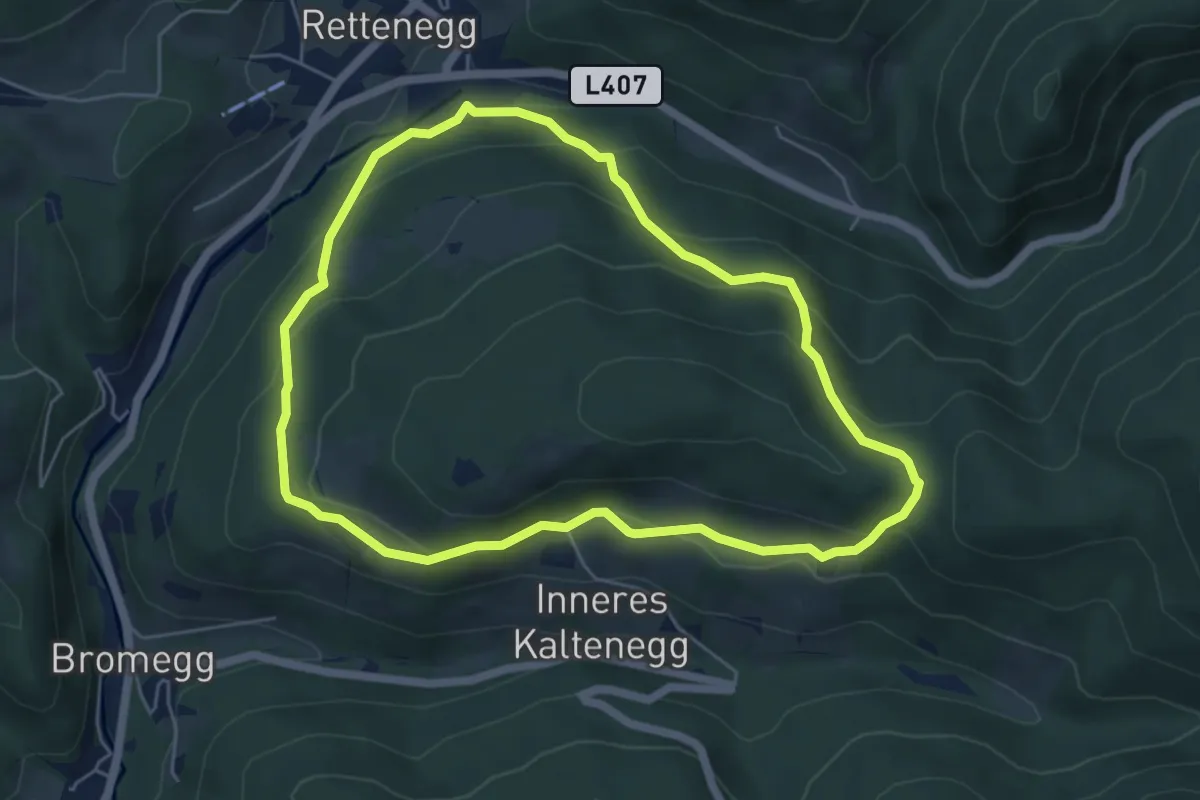
Easy · Trail
Kalteneggerweg
5.2 km · ↑ 253 m · 1 h 52 min
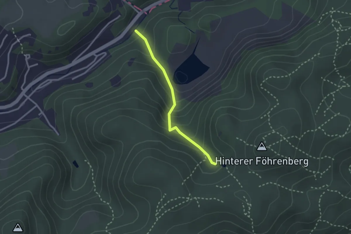
Easy · Trail
Kaltenleutgeben - Buch Bründl
2.1 km · ↑ 168 m · 51 min
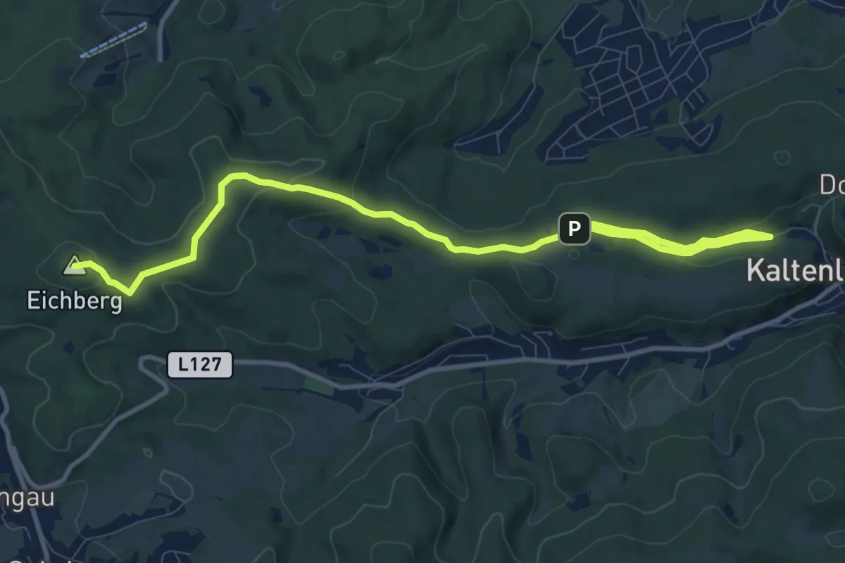
Medium · Summit
Kaltenleutgeben - Hochroterd
11.8 km · ↑ 329 m · 3 h 29 min
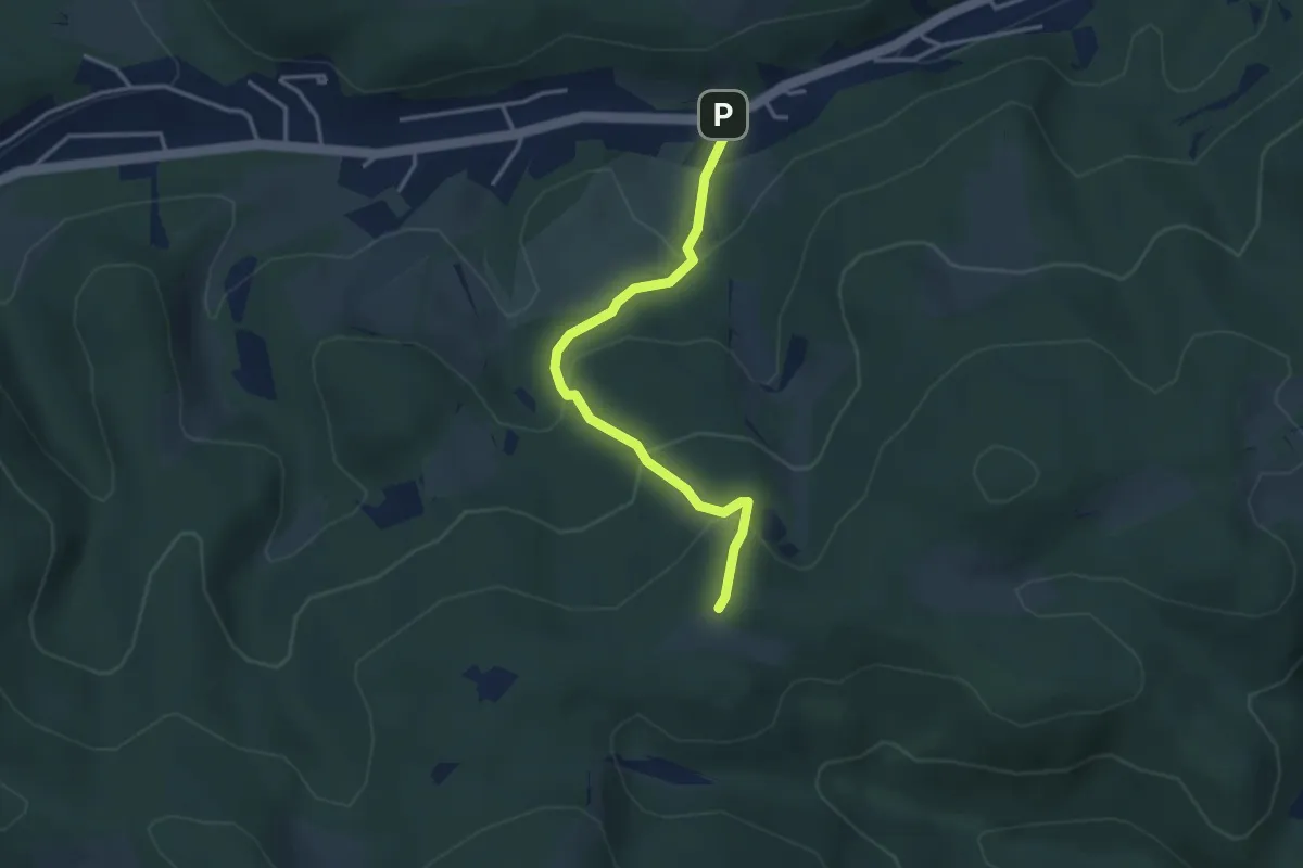
Easy · Trail
Kaltenleutgeben-Huberram über Hohlgschwandtnersteig
3.3 km · ↑ 220 m · 1 h 15 min
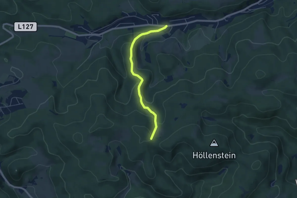
Easy · Trail
Kaltenleutgeben - Kreuzsattel
4.6 km · ↑ 223 m · 1 h 34 min
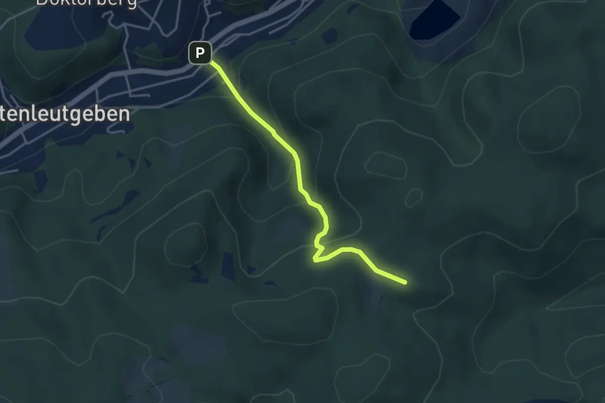
Easy · Summit
Kaltenleutgeben - Kugelwiese
3.2 km · ↑ 223 m · 1 h 14 min
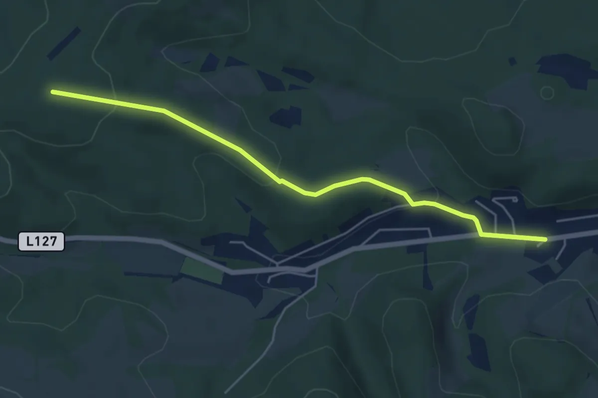
Easy · Summit
Kaltenleutgeben - Ramaseck
4.6 km · ↑ 159 m · 1 h 26 min
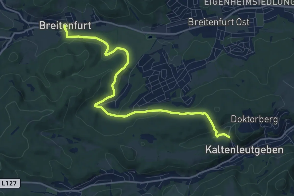
Medium · Trail
Kaltenleutgeben - Rotes Kreuz - Hirschentanz e- Wiesenwirt
10.3 km · ↑ 214 m · 2 h 53 min
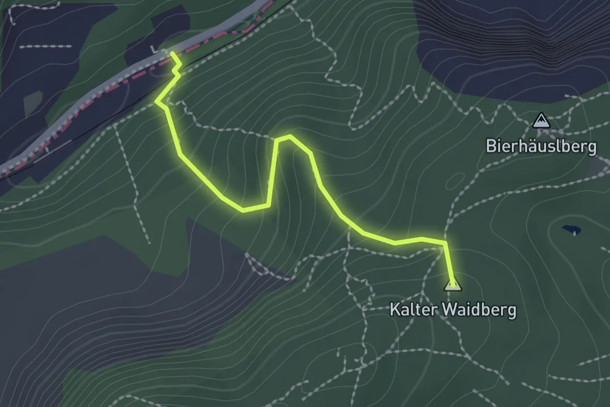
Easy · Summit
Kaltenleutgeben - Ruine Kammerstein - Perchtoldsdorf
2.2 km · ↑ 202 m · 57 min
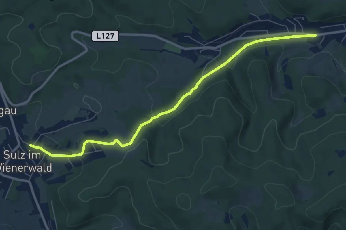
Easy · Trail
Kaltenleutgeben - Sulz
7.0 km · ↑ 203 m · 2 h 6 min
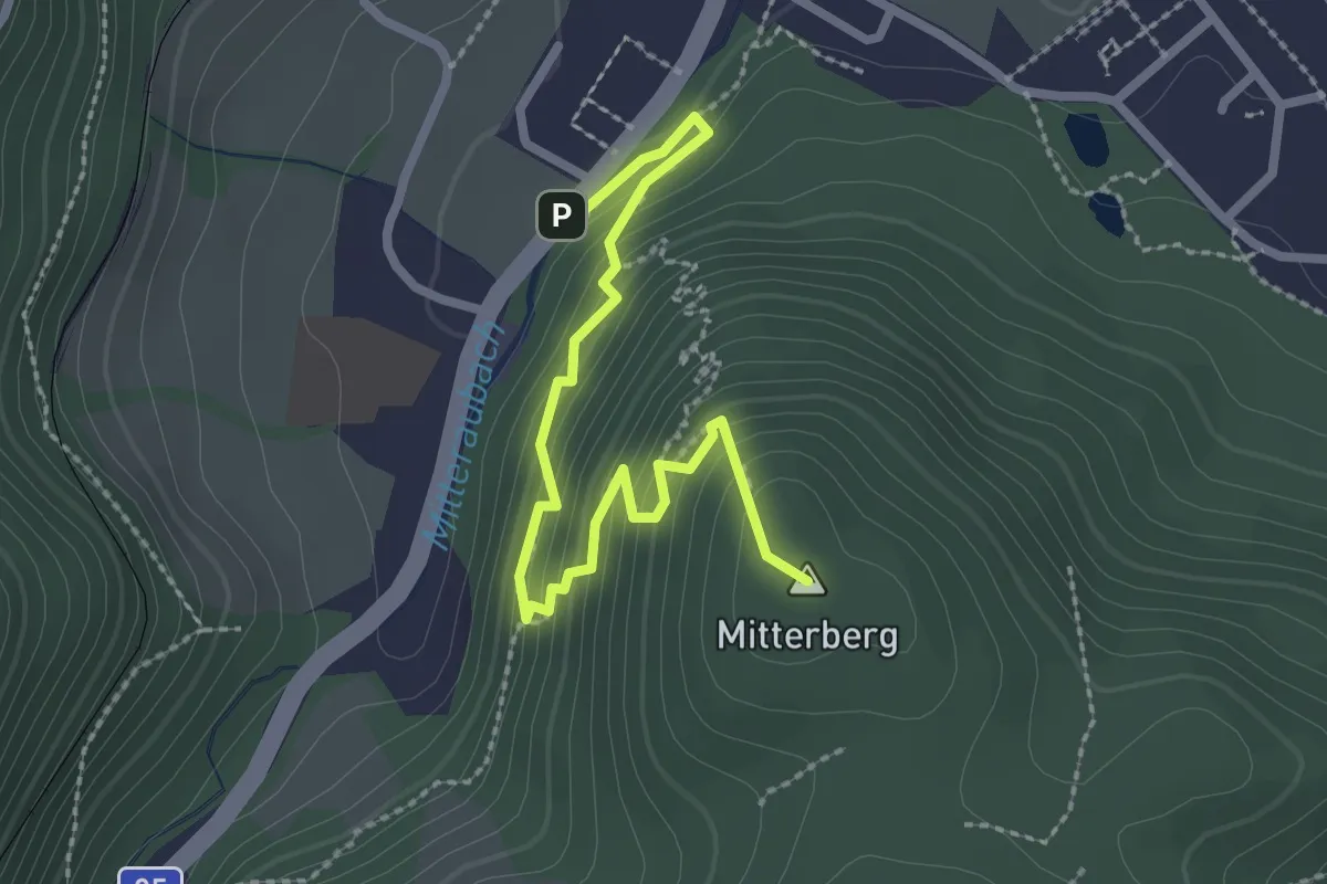
Easy · Summit
Kalvarienberg
2.7 km · ↑ 247 m · 1 h 11 min
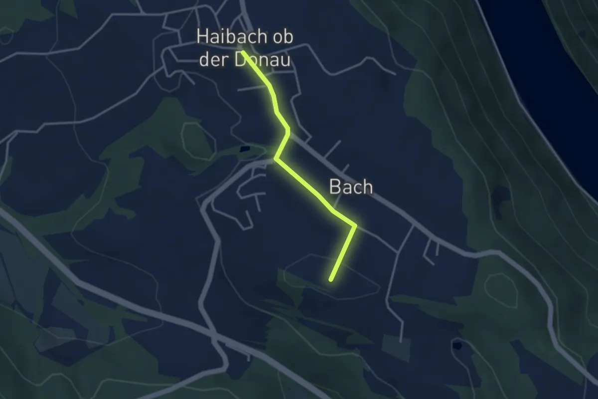
Easy · Trail
Kalvarienberg
2.5 km · ↑ 74 m · 45 min