Trails in Austria
9,779 hiking trails, each with its route, climb, walking time and grade.
All trails, page 51 of 204
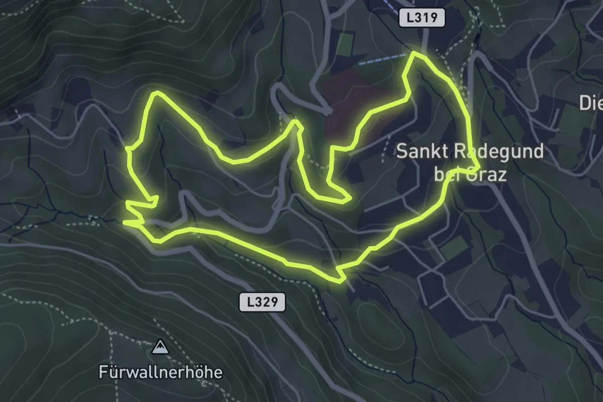
Easy · Trail
Kalvarienbergrunde
5.1 km · ↑ 158 m · 1 h 37 min
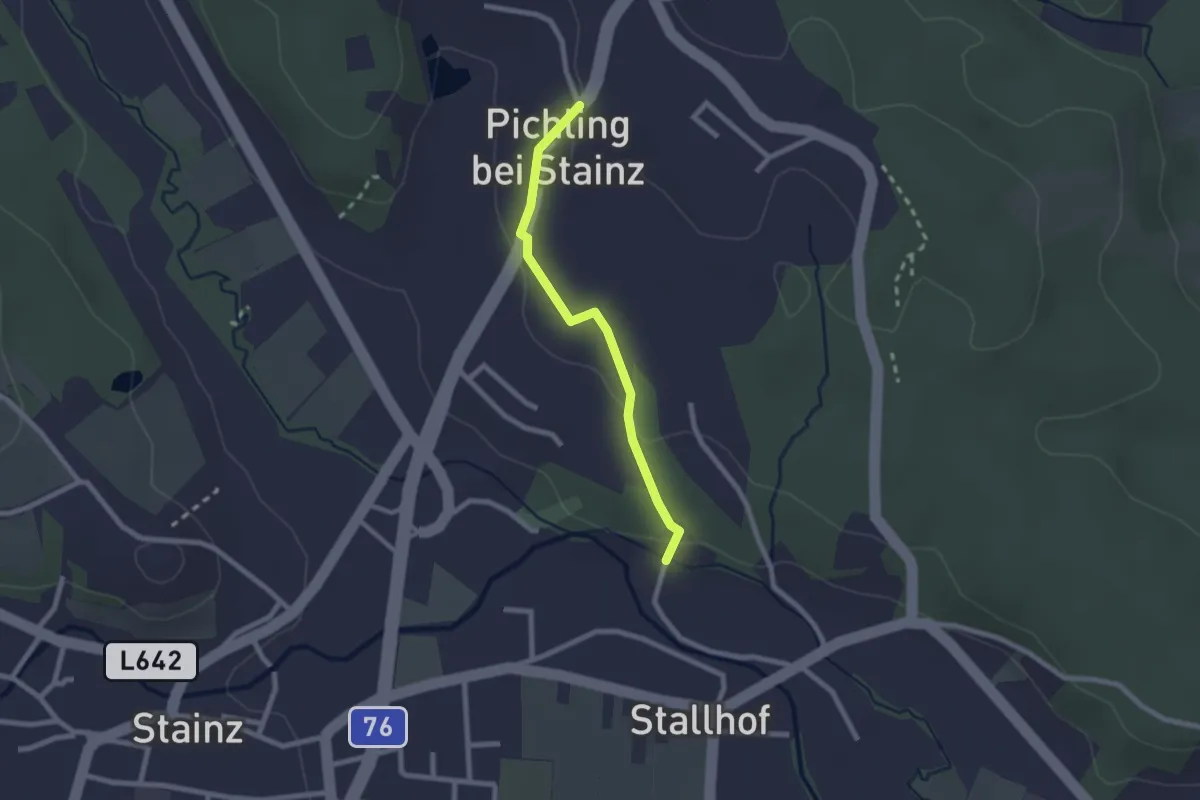
Easy · Trail
Kalvarienberg - Vb Pichling 5a
2.0 km · ↑ 45 m · 35 min
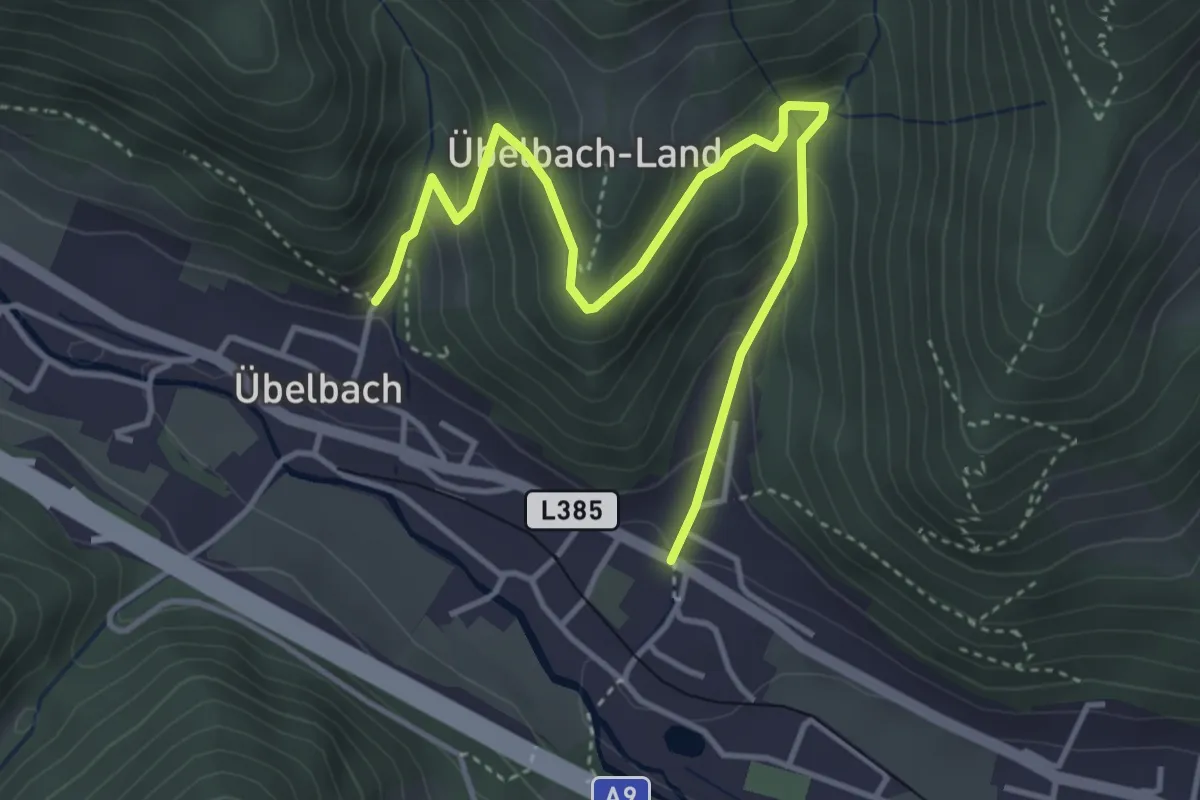
Medium · Trail
Kalvarienbergwanderung
4.5 km · ↑ 324 m · 1 h 45 min
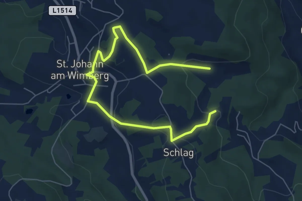
Easy · Trail
Kalvarienbergweg
6.8 km · ↑ 277 m · 2 h 13 min
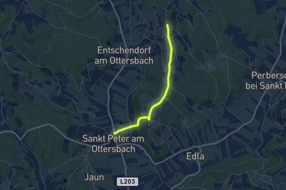
Easy · Trail
Kalvarien-Weg
5.3 km · ↑ 184 m · 1 h 39 min
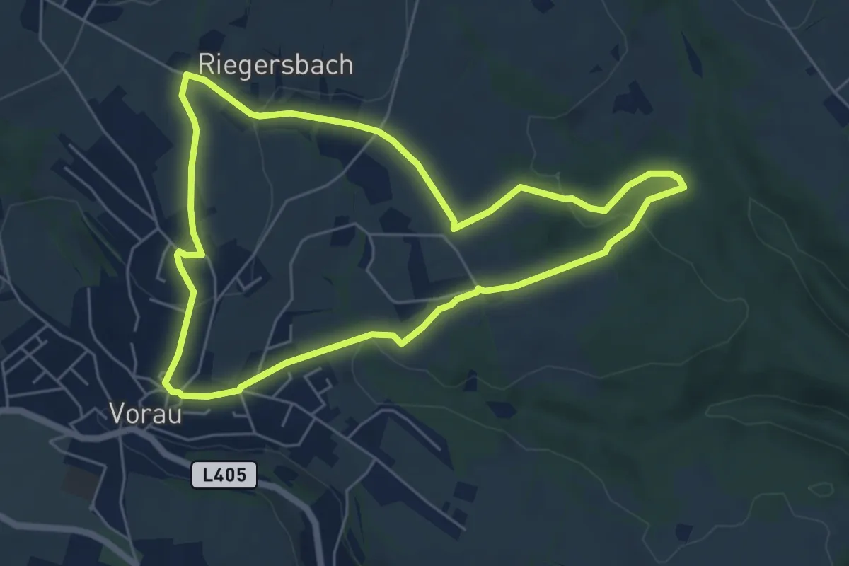
Easy · Trail
Kammerholzweg
5.4 km · ↑ 139 m · 1 h 40 min
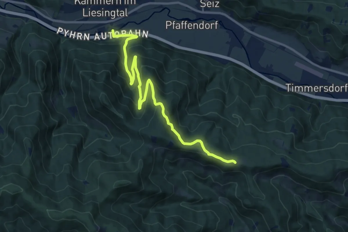
Medium · Cabin
Kammern - Weiglmoar
15.8 km · ↑ 676 m · 5 h 12 min
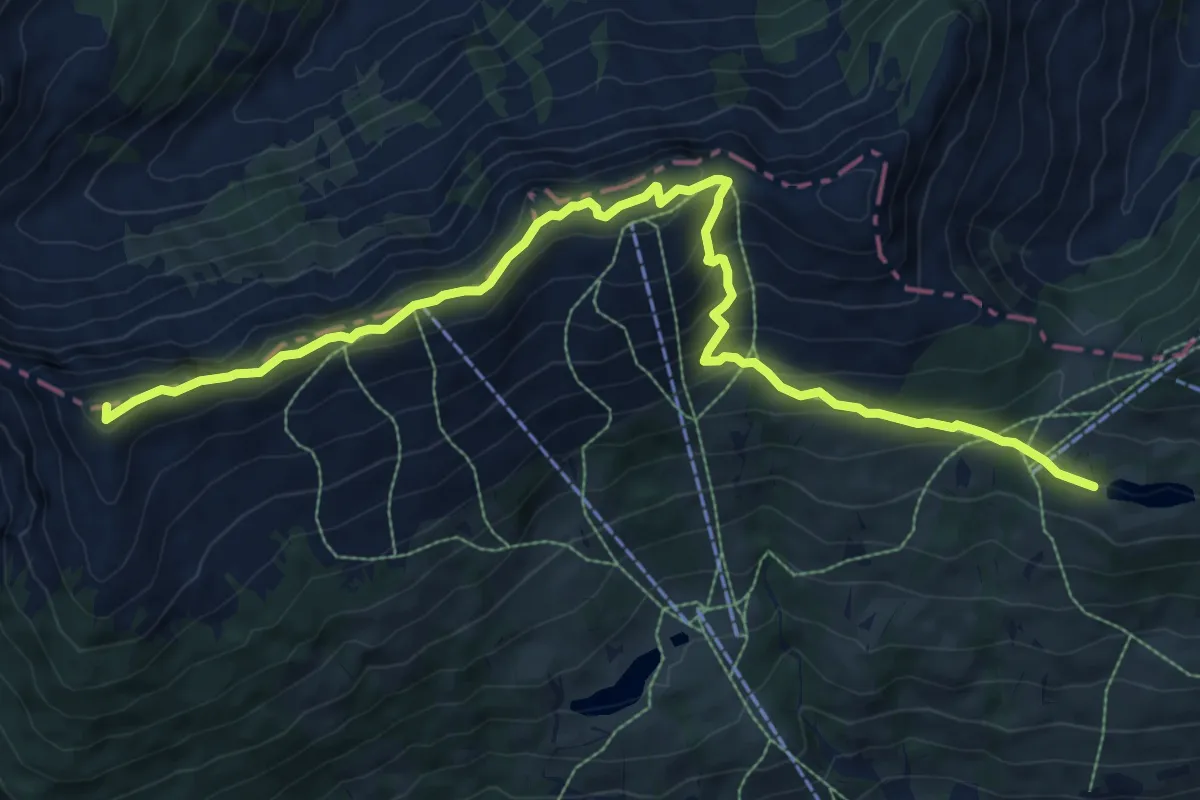
Medium · Summit
Kammwanderung Hochalm
10.8 km · ↑ 625 m · 3 h 54 min
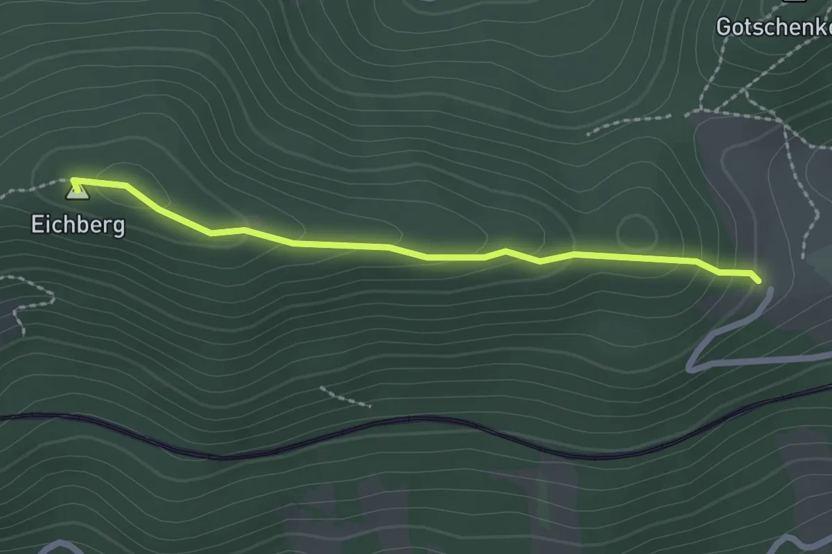
Easy · Summit
Kammweg (Nähe Eichberg)
2.1 km · ↑ 113 m · 44 min
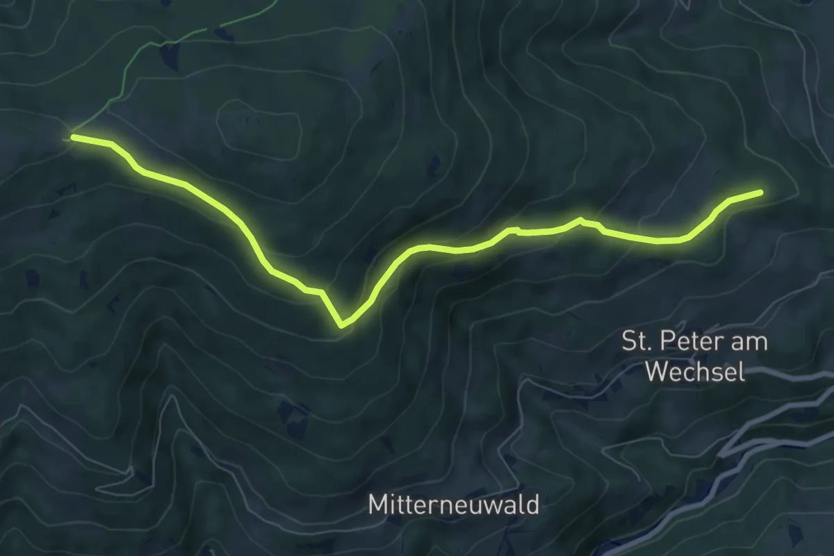
Medium · Cabin
Kampichler - Kampsteiner Schwaig
8.2 km · ↑ 397 m · 2 h 48 min
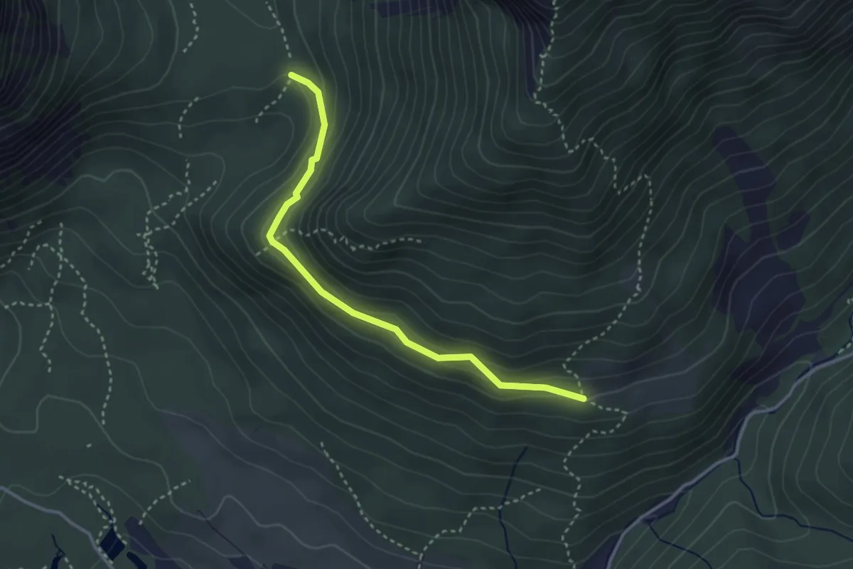
Easy · Trail
Kamplsteig
3.2 km · ↑ 127 m · 1 h 2 min
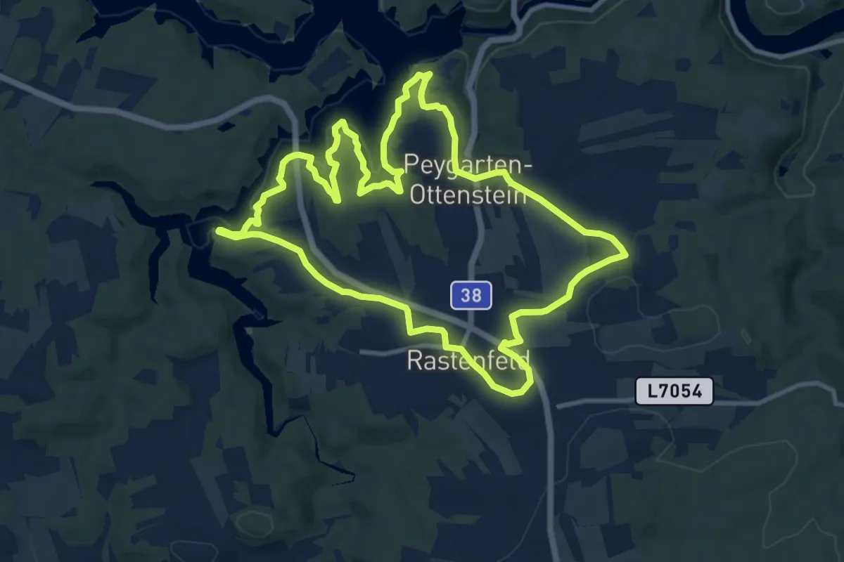
Medium · Trail
Kampseerunde
10.2 km · ↑ 125 m · 2 h 49 min
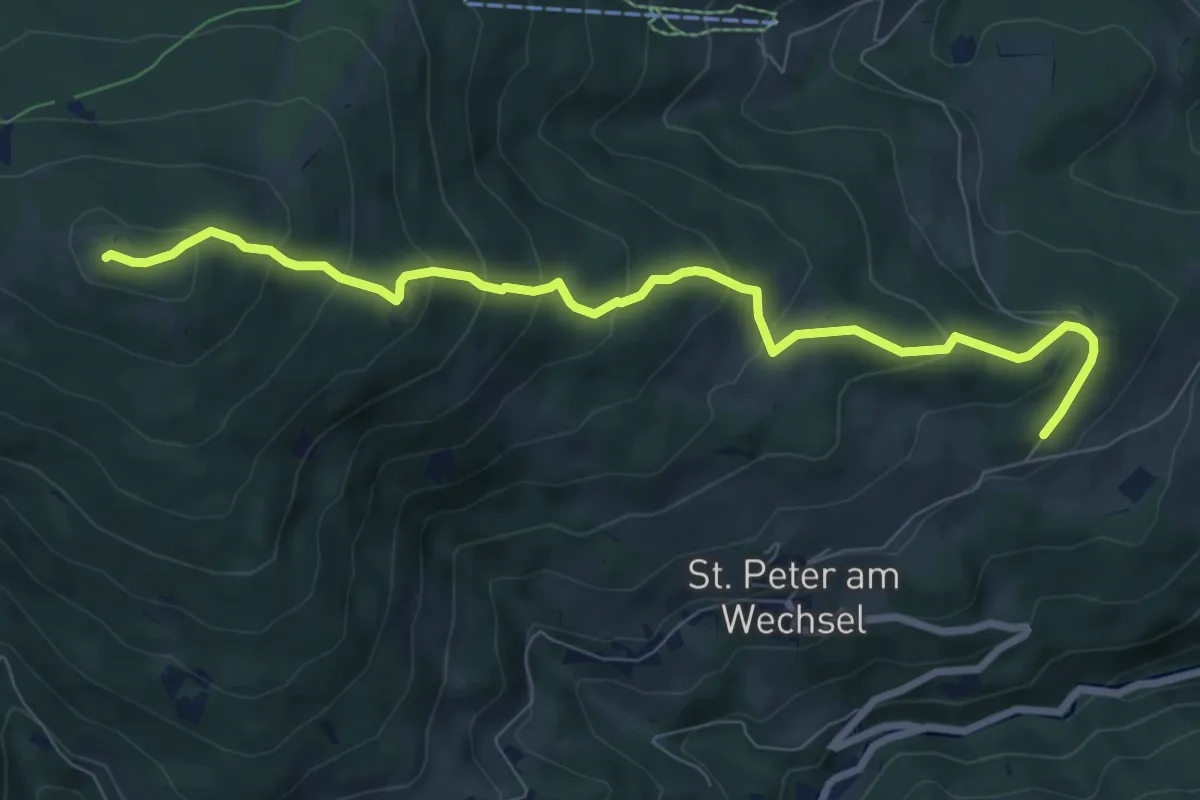
Medium · Summit
Kampsteiner Schwaig - Herrgottschnitzerhütte - Gasthof Hansl am Oad
8.3 km · ↑ 550 m · 3 h 9 min
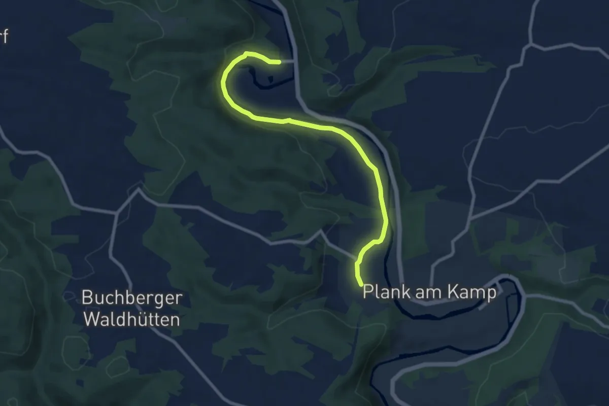
Easy · Trail
Kamptal-Weitwanderweg
7.3 km · ↑ 68 m · 1 h 52 min
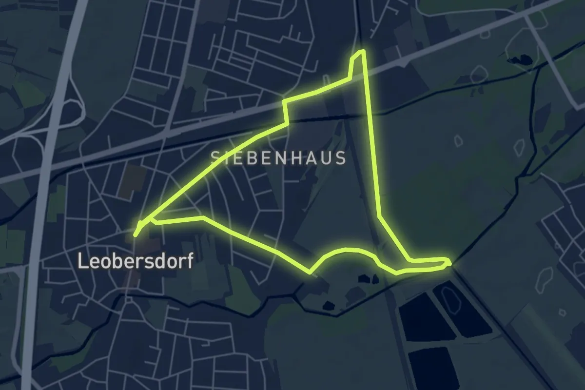
Easy · Trail
Kanal-Runde
5.1 km · ↑ 4 m · 1 h 17 min
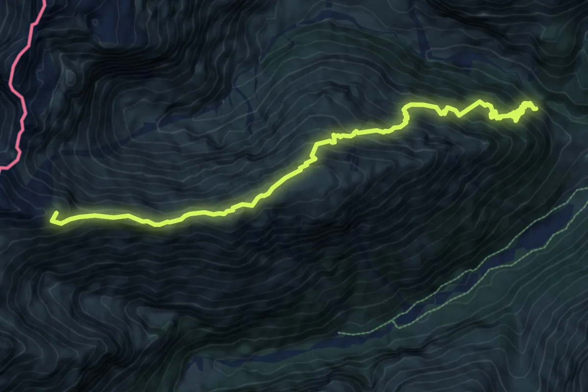
Demanding · Summit
Kanzbergweg
10.4 km · ↑ 1216 m · 5 h 5 min
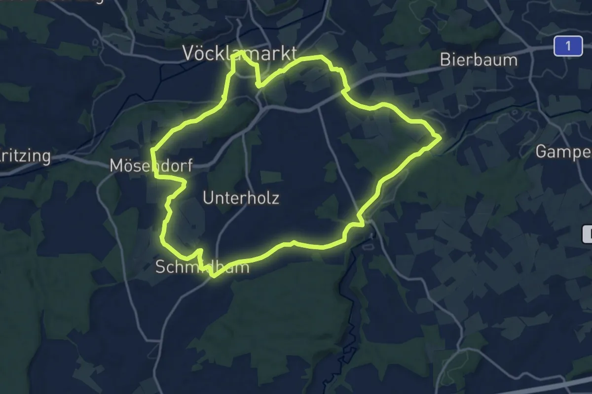
Medium · Trail
Kapellen & Bildstöcke - Rundweg
14.5 km · ↑ 188 m · 4 h 2 min
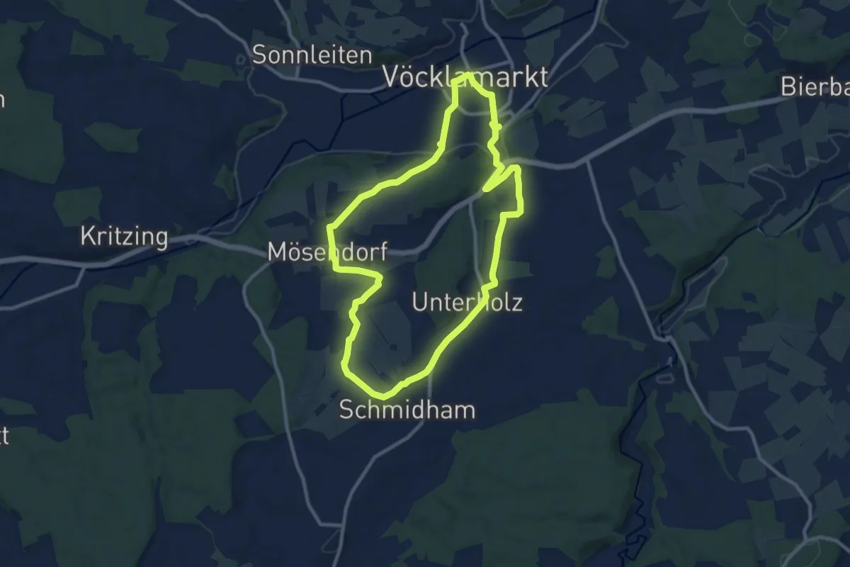
Medium · Trail
Kapellen & Bildstöcke - Rundweg
9.5 km · ↑ 141 m · 2 h 41 min
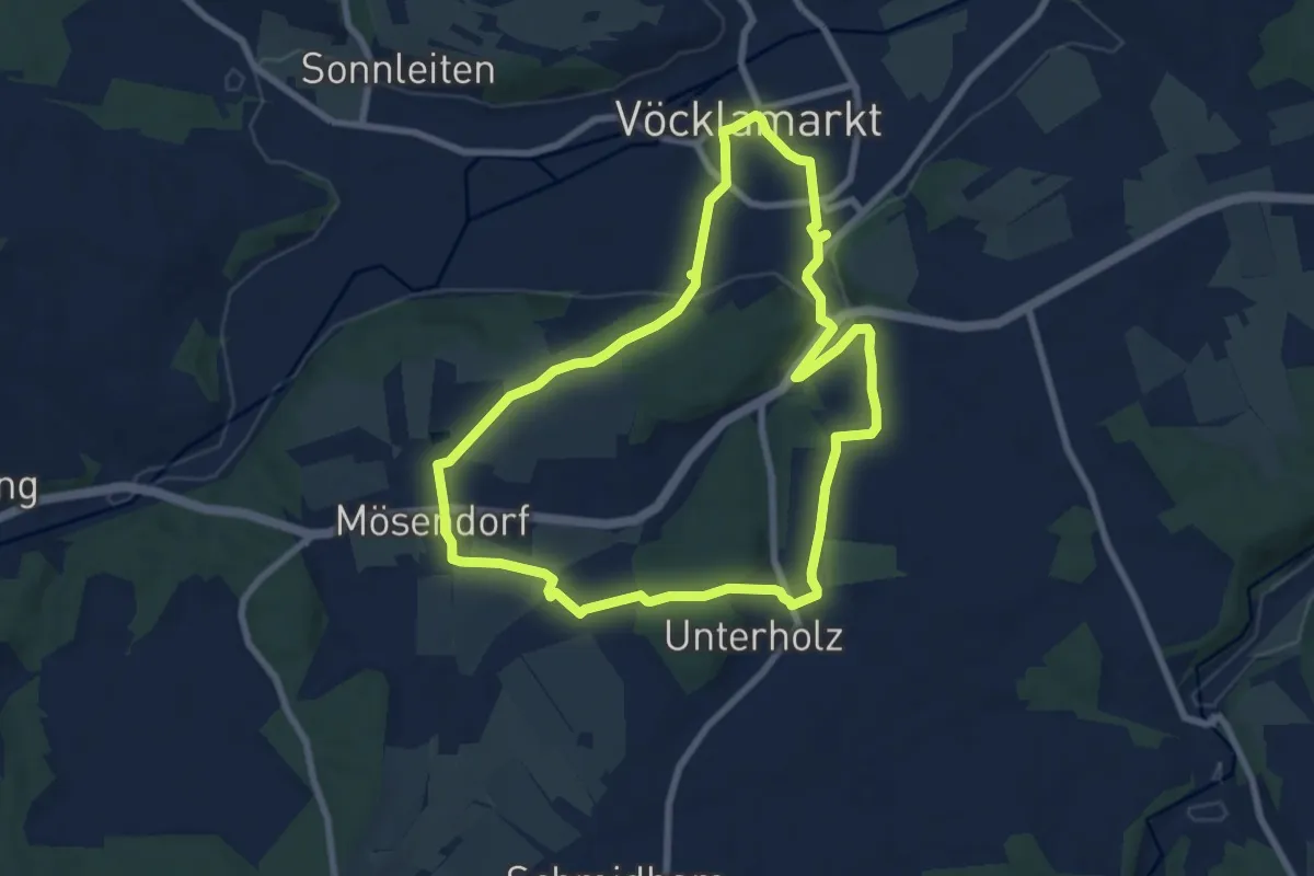
Easy · Trail
Kapellen & Bildstöcke - Rundweg
7.7 km · ↑ 110 m · 2 h 9 min
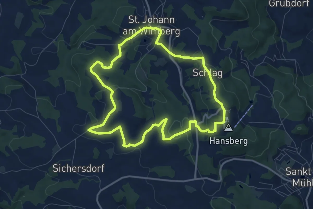
Medium · Summit
Kapellen-Hansberg-Weg
8.2 km · ↑ 264 m · 2 h 37 min
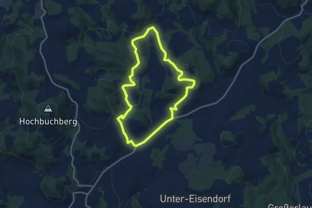
Easy · Trail
Kapellen-Mystik-Rundweg
6.4 km · ↑ 201 m · 2 h 2 min
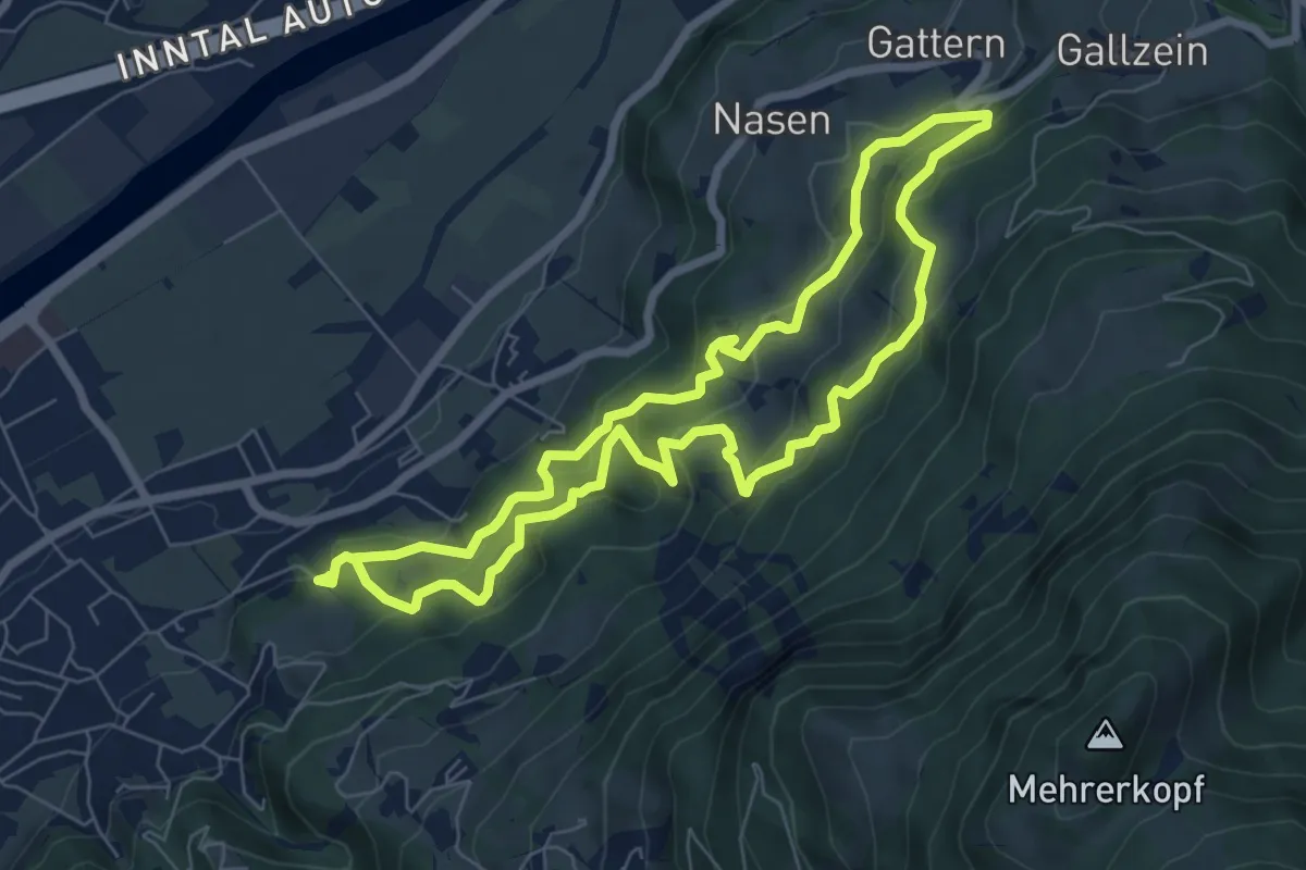
Medium · Trail
Kapellenrundweg
6.6 km · ↑ 323 m · 2 h 21 min
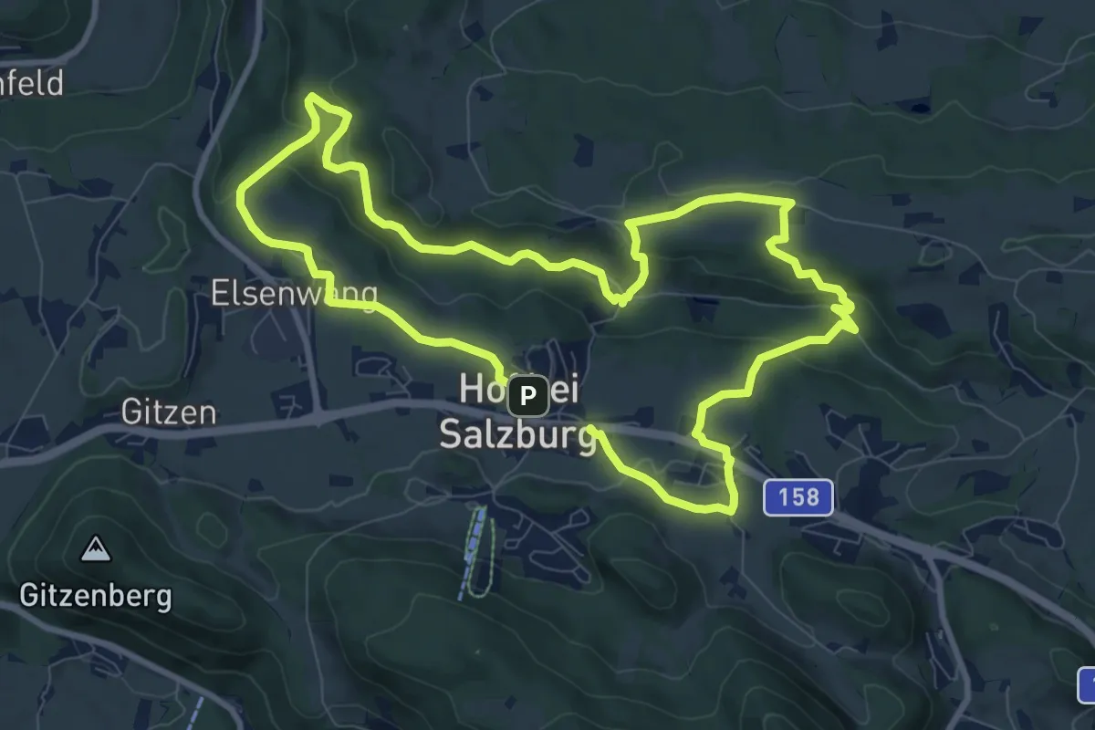
Medium · Trail
Kapellenspur
17.1 km · ↑ 481 m · 5 h 5 min
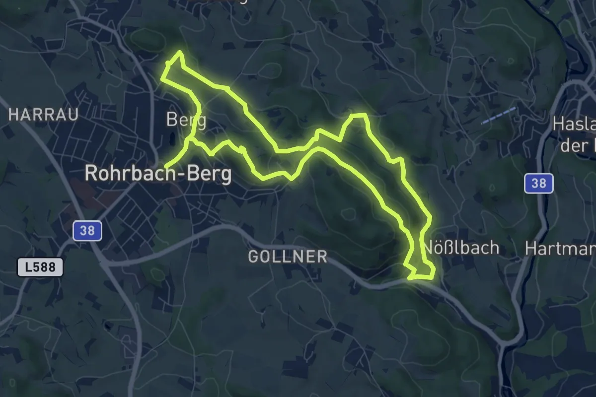
Medium · Trail
Kapellen- und Marterlwanderweg
8.8 km · ↑ 285 m · 2 h 49 min
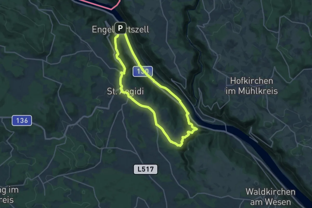
Medium · Trail
Kapellen-Wanderung
14.5 km · ↑ 351 m · 4 h 23 min
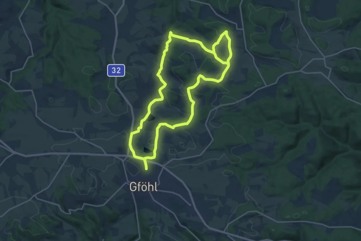
Medium · Trail
Kapellenwanderung (41)
14.6 km · ↑ 280 m · 4 h 14 min
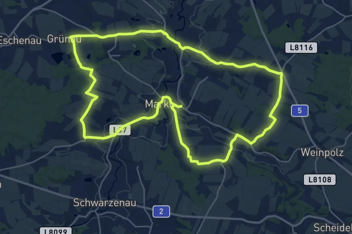
Medium · Trail
Kapellenwanderung 53
17.9 km · ↑ 249 m · 5 h 1 min
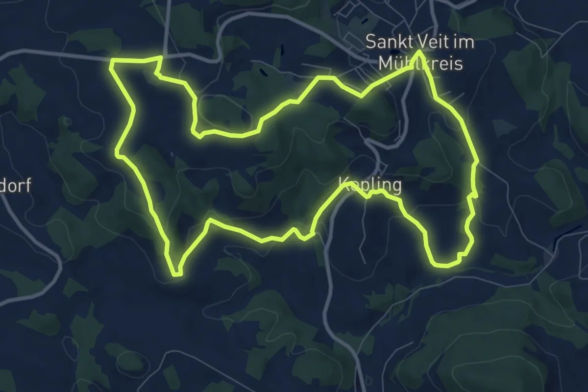
Medium · Trail
Kapellen-Wanderweg
9.4 km · ↑ 289 m · 2 h 58 min
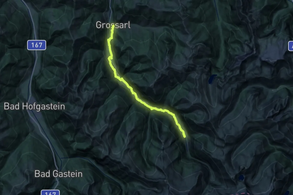
Medium · Trail
Kapellenwanderweg 19
15.9 km · ↑ 363 m · 4 h 50 min
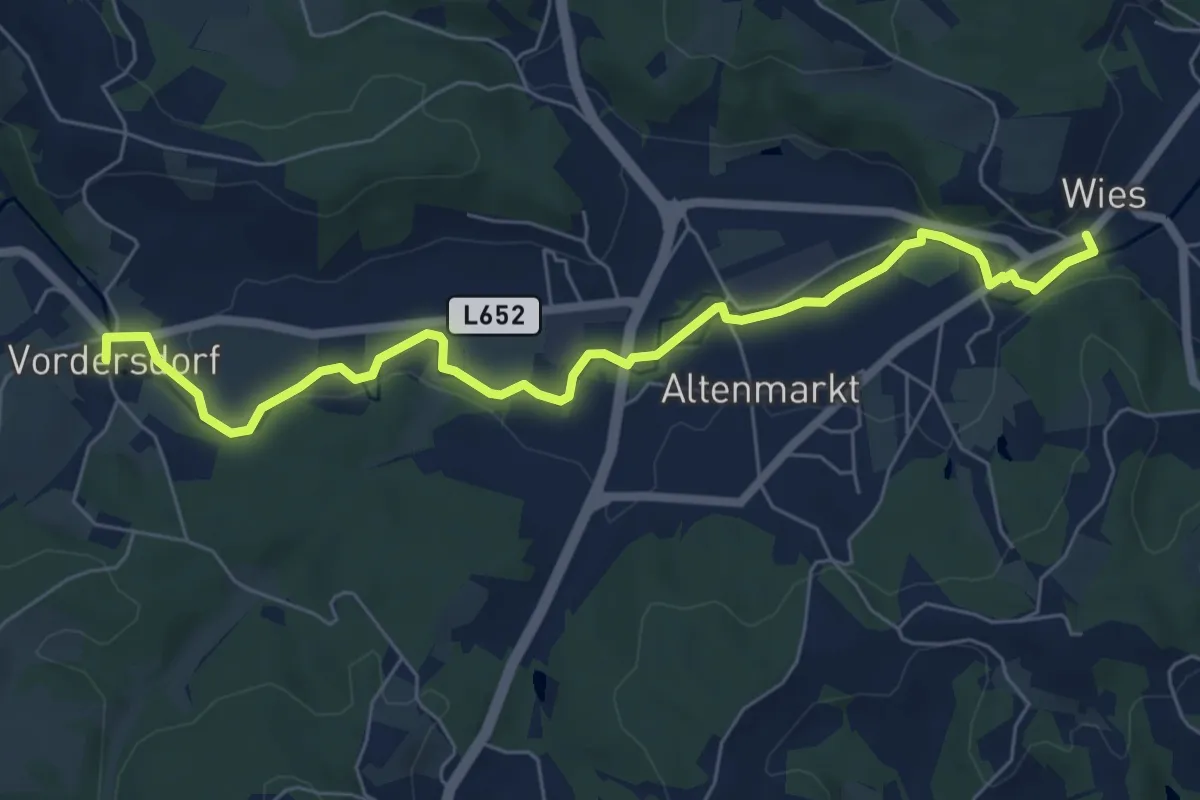
Easy · Trail
Kapellenweg
7.3 km · ↑ 21 m · 1 h 45 min
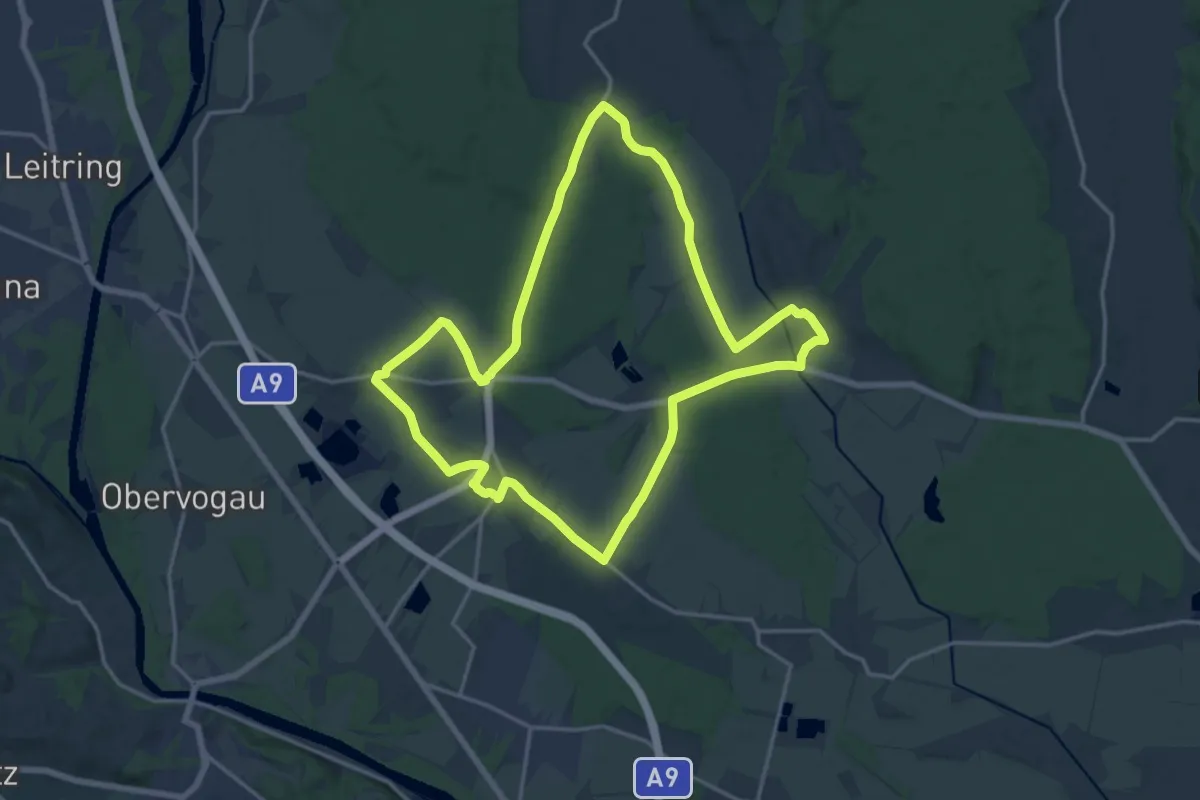
Medium · Trail
Kapellenweg
16.3 km · ↑ 25 m · 4 h 8 min
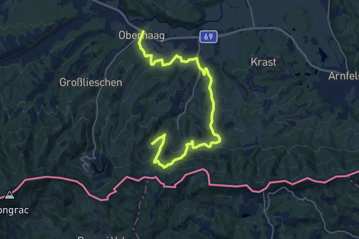
Medium · Trail
Kapellenweg
17.8 km · ↑ 644 m · 5 h 35 min
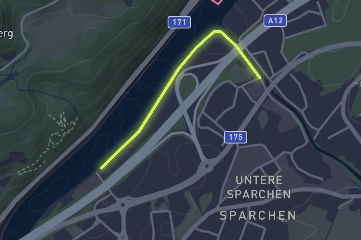
Easy · Trail
Kapellenweg
2.2 km · ↑ 0 m · 31 min
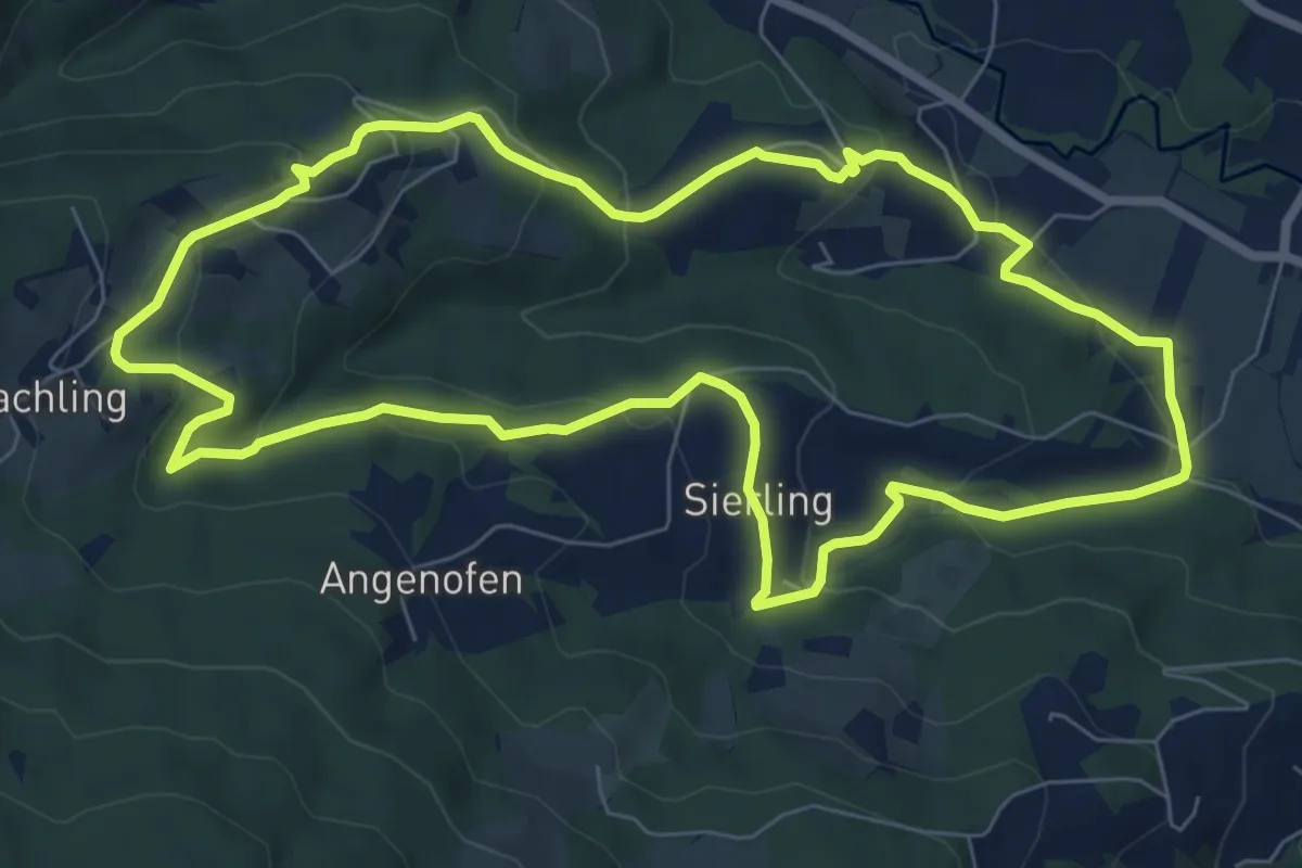
Easy · Trail
Kapellenweg Rundwanderweg 3
7.8 km · ↑ 310 m · 2 h 38 min
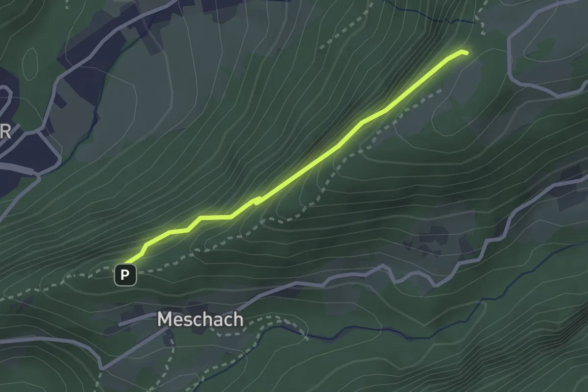
Demanding · Trail
Kapfweg
2.3 km · ↑ 327 m · 1 h 15 min
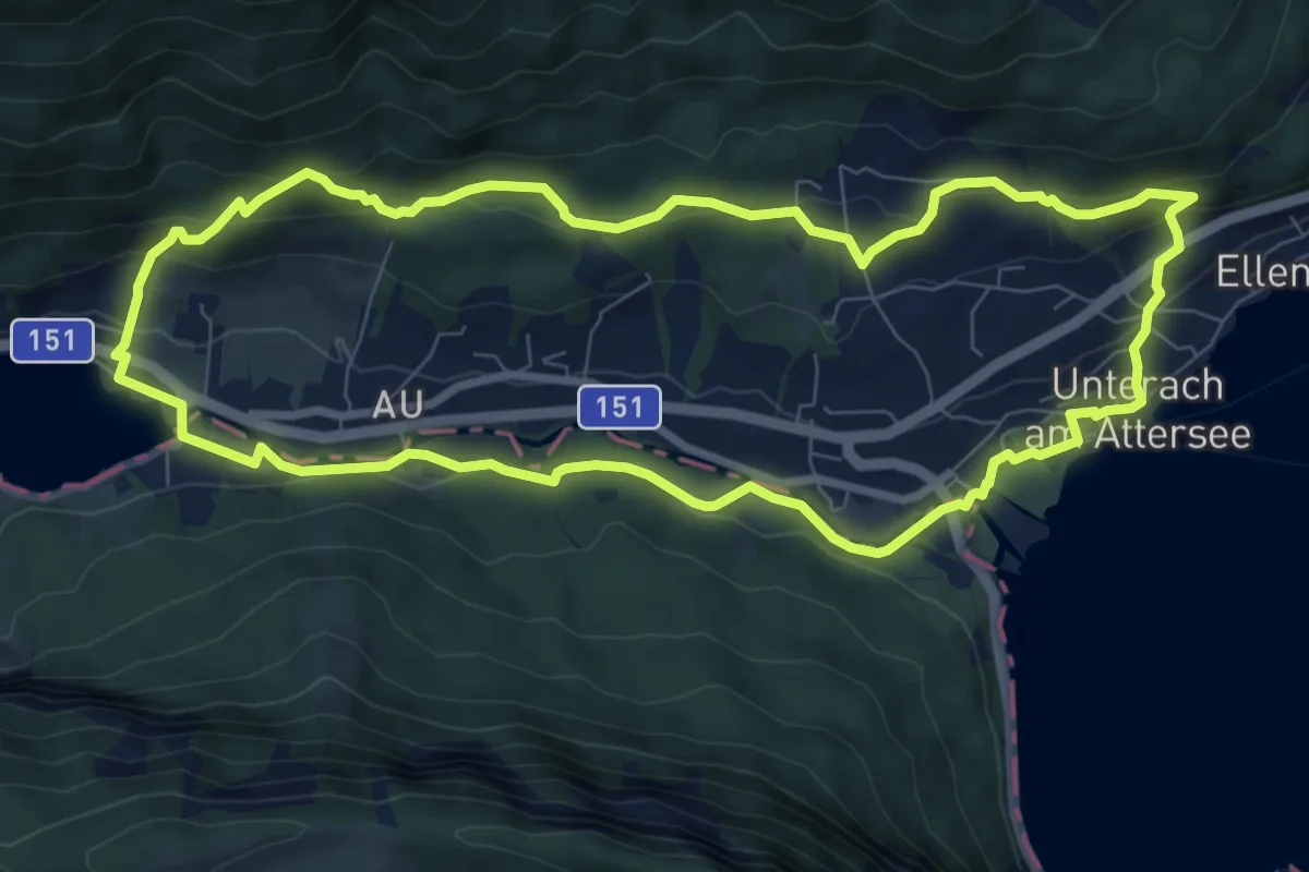
Medium · Trail
Kaplan-Runde
8.5 km · ↑ 247 m · 2 h 40 min
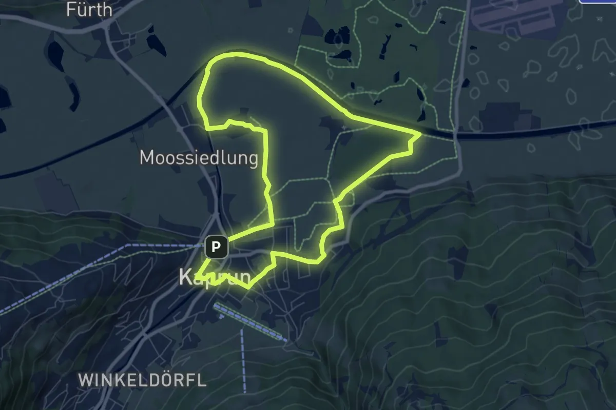
Easy · Trail
Kaprun-Trail
7.6 km · ↑ 60 m · 2 h 2 min
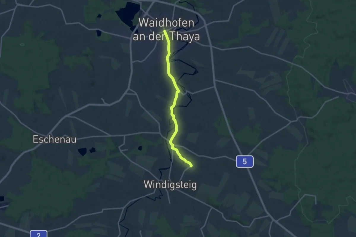
Medium · Trail
Kapuzinerkreuzweg 54
10.9 km · ↑ 135 m · 2 h 52 min
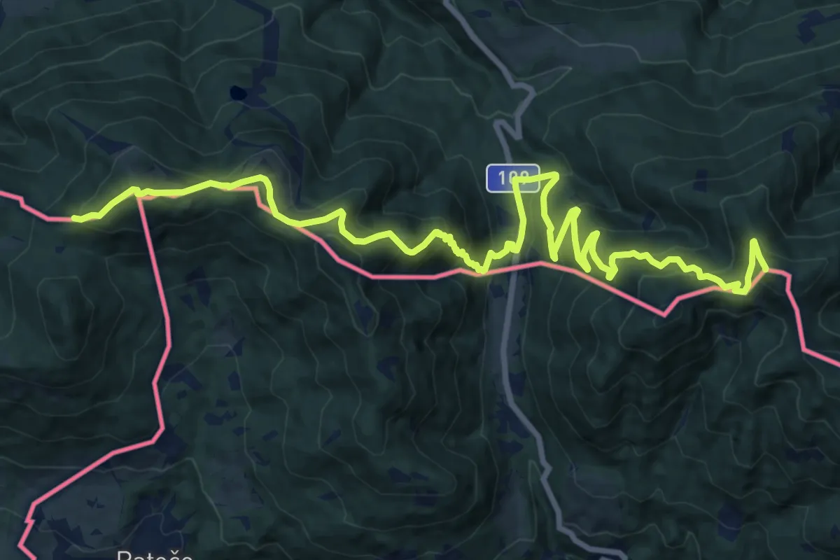
Demanding · Summit
Karawankenwanderweg
19.5 km · ↑ 1296 m · 7 h 25 min
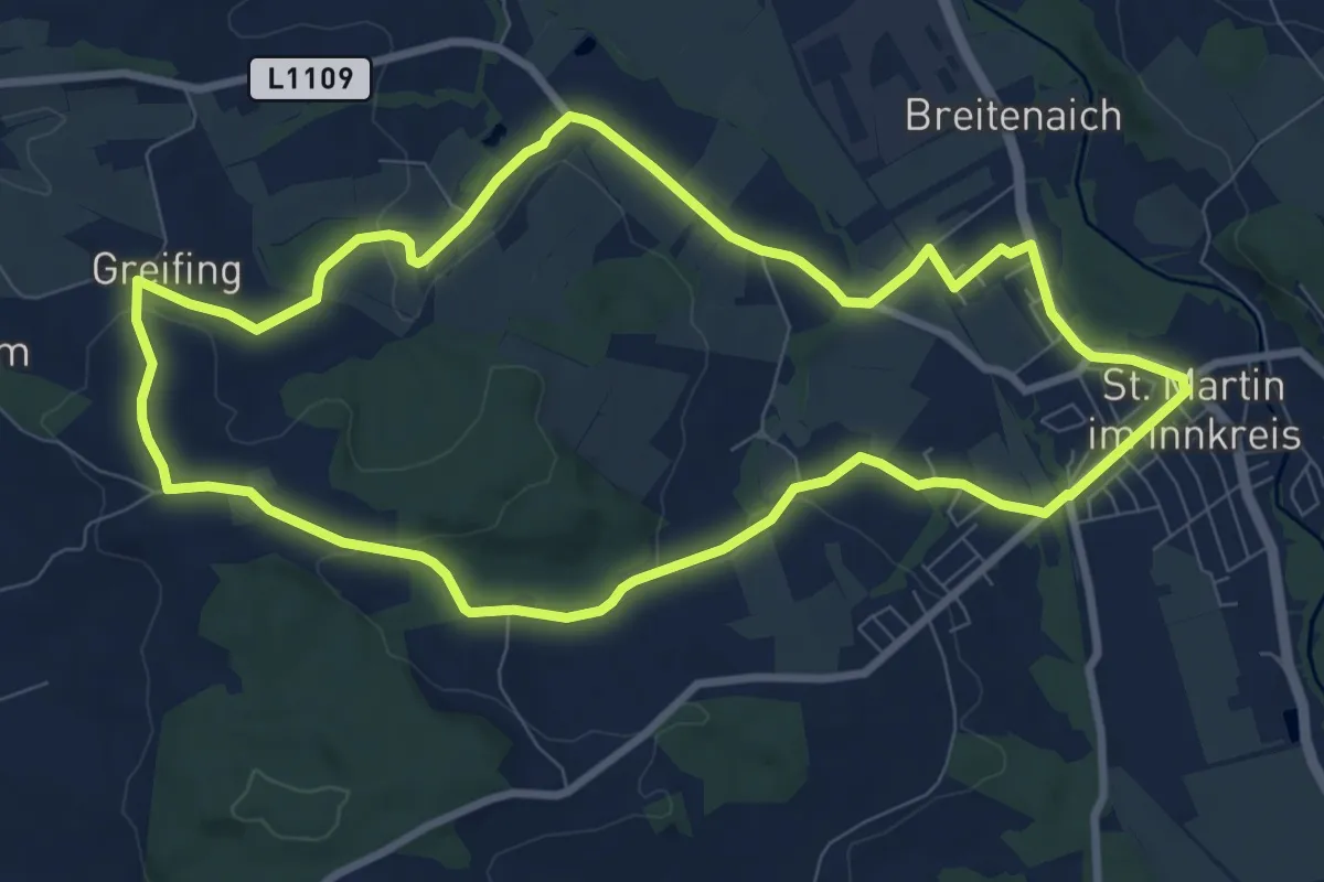
Medium · Trail
Karchhamer Runde
8.7 km · ↑ 101 m · 2 h 24 min
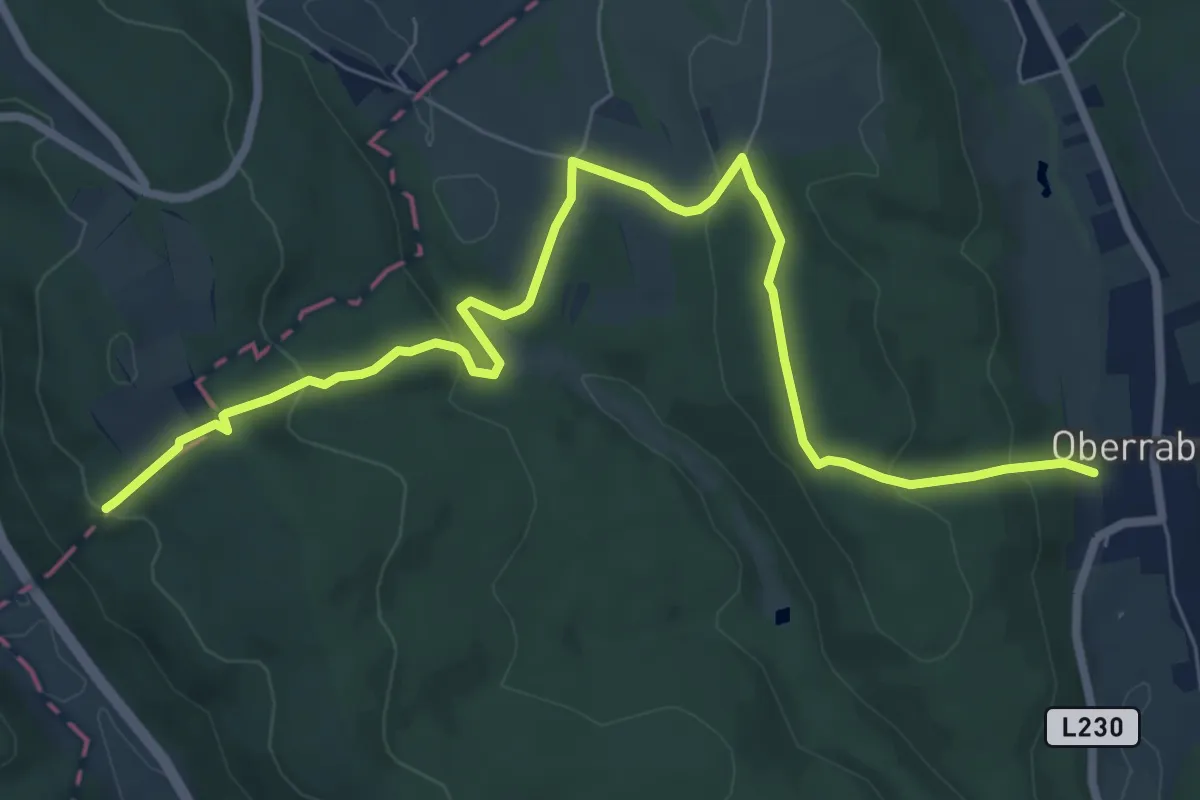
Medium · Summit
Karl bzw. Oberrabnitz - Fernblick Karl - Entenstein - Radigundenstein
8.7 km · ↑ 344 m · 2 h 48 min
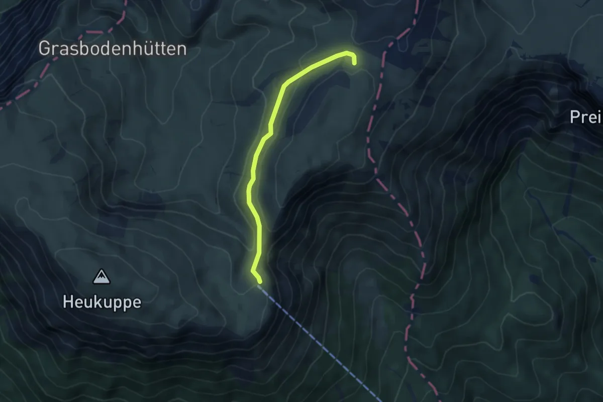
Easy · Cabin
Karl-Ludwig-Haus - Trinksteinsattel
4.1 km · ↑ 118 m · 1 h 14 min
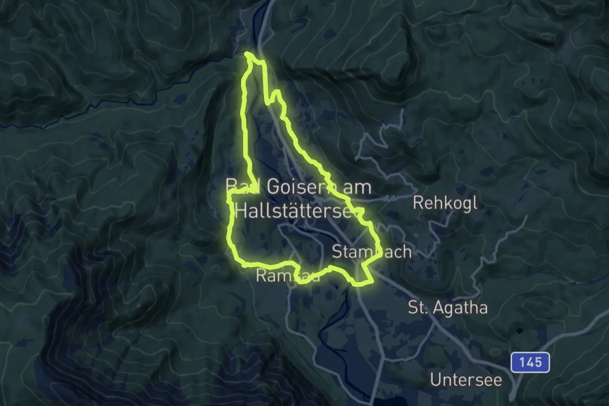
Medium · Trail
Karl Pilz Rundwanderweg
12.6 km · ↑ 200 m · 3 h 35 min
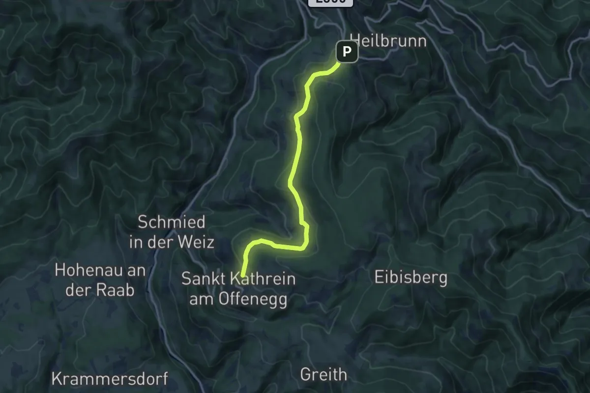
Medium · Trail
Karl Schwaiger Weg
10.5 km · ↑ 276 m · 3 h 5 min
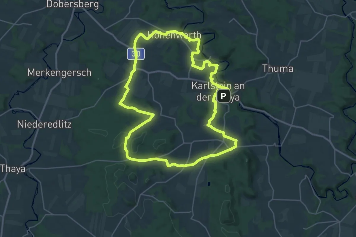
Demanding · Trail
Karlsteiner Rundwanderweg
23.2 km · ↑ 369 m · 6 h 36 min
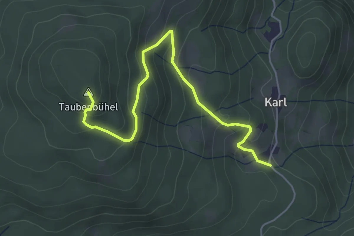
Medium · Summit
Karl - Taubenbühel
4.7 km · ↑ 265 m · 1 h 41 min
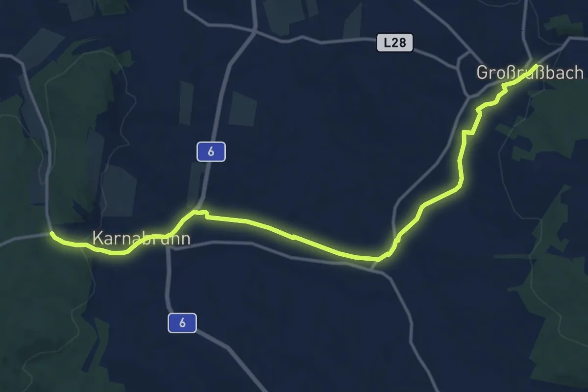
Medium · Trail
Karnabrunn - Großrussbach
12.4 km · ↑ 137 m · 3 h 13 min
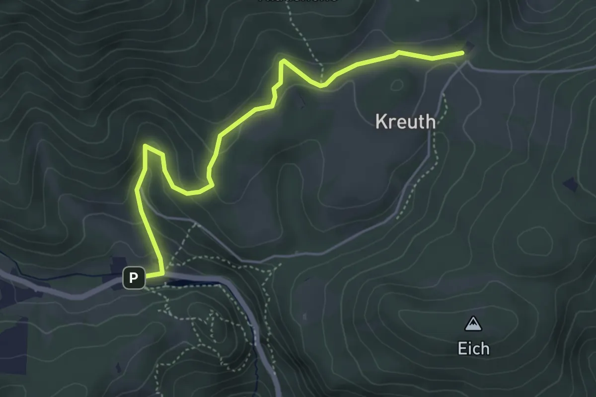
Easy · Trail
Karnerwirt - Jagawirt
4.9 km · ↑ 161 m · 1 h 30 min