Trails in Austria
9,779 hiking trails, each with its route, climb, walking time and grade.
All trails, page 52 of 204
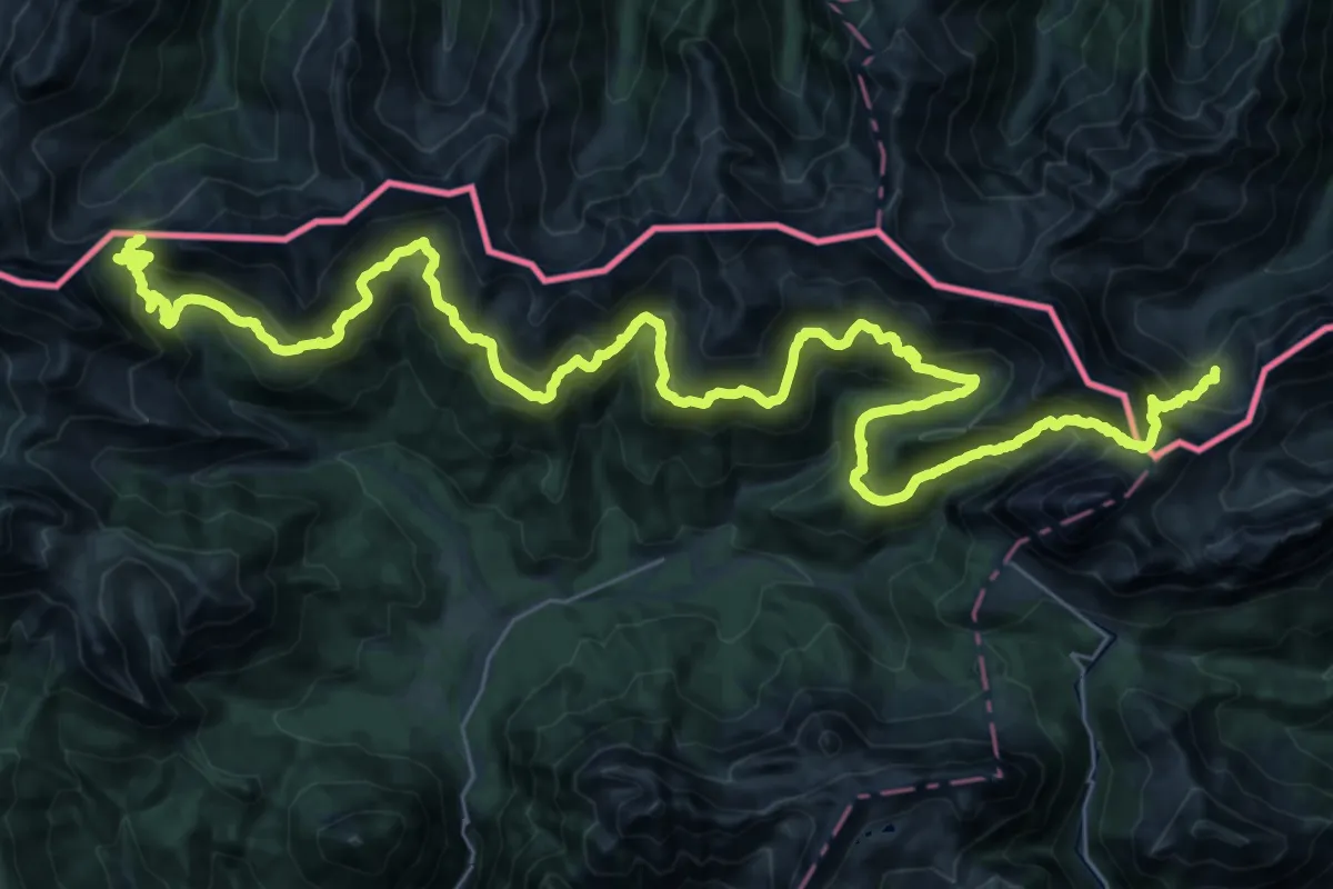
Demanding · Cabin
Karnischer Höhenweg (Ausweichroute 403a)
24.7 km · ↑ 1403 m · 9 h 20 min
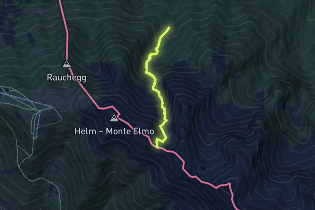
Medium · Trail
Karnischer Höhenweg (KHW)
5.1 km · ↑ 660 m · 2 h 39 min
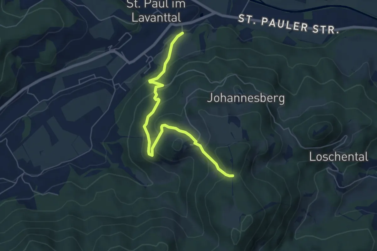
Easy · Trail
Kärntner Mariazellerweg 06A
5.7 km · ↑ 295 m · 1 h 58 min
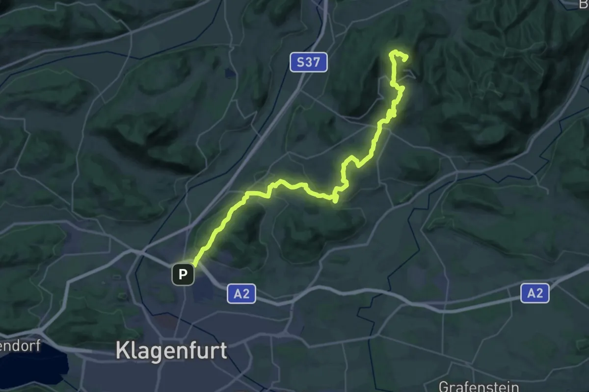
Demanding · Summit
Kärntner Mariazellerweg 106
38.4 km · ↑ 1042 m · 11 h 19 min
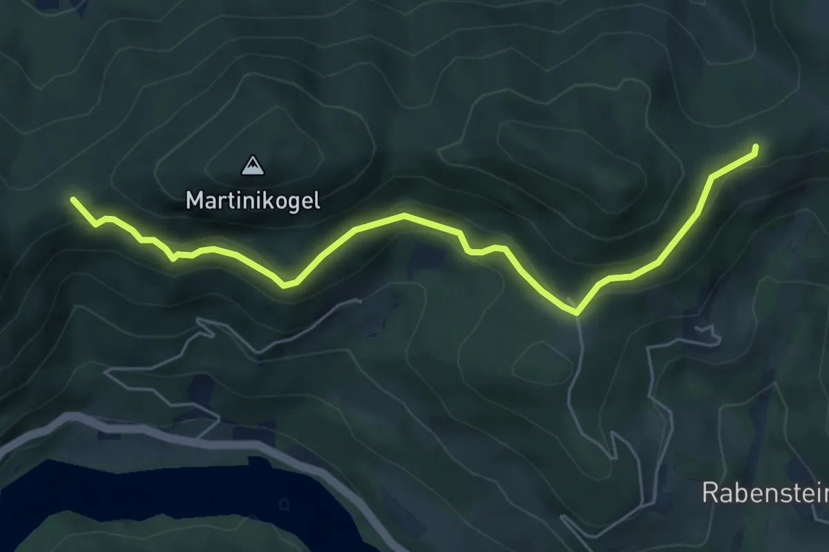
Medium · Trail
Kärntner Mariazellerweg 306A
5.8 km · ↑ 252 m · 1 h 55 min
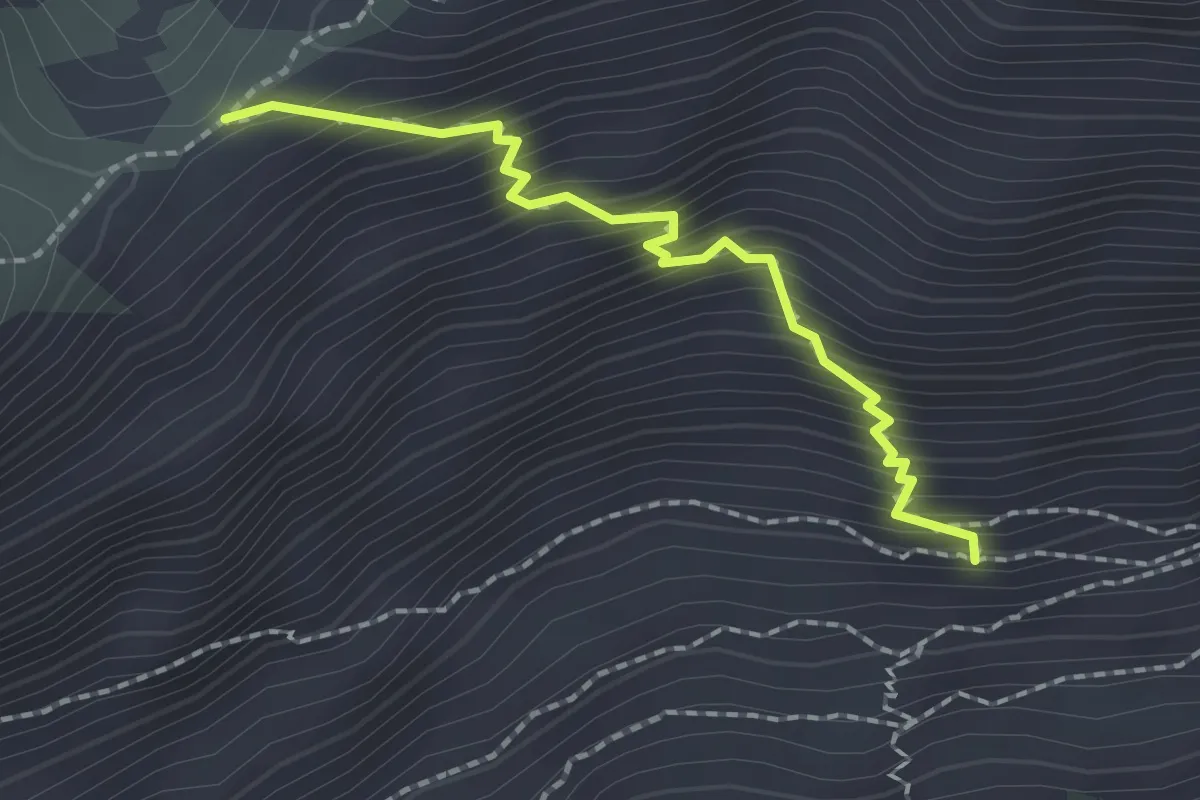
Demanding · Trail
Kärntnersteig
1.9 km · ↑ 311 m · 1 h 7 min
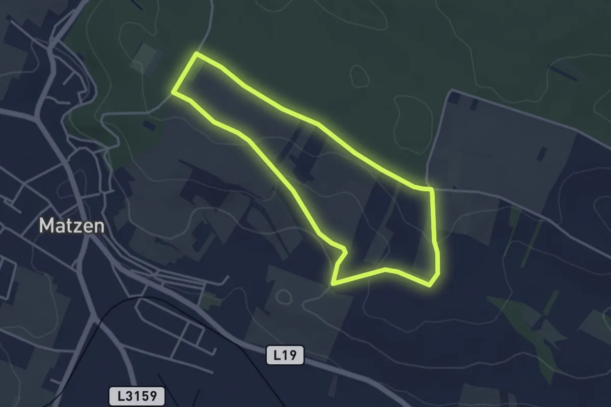
Easy · Trail
Karpatenblickroute
3.2 km · ↑ 49 m · 54 min
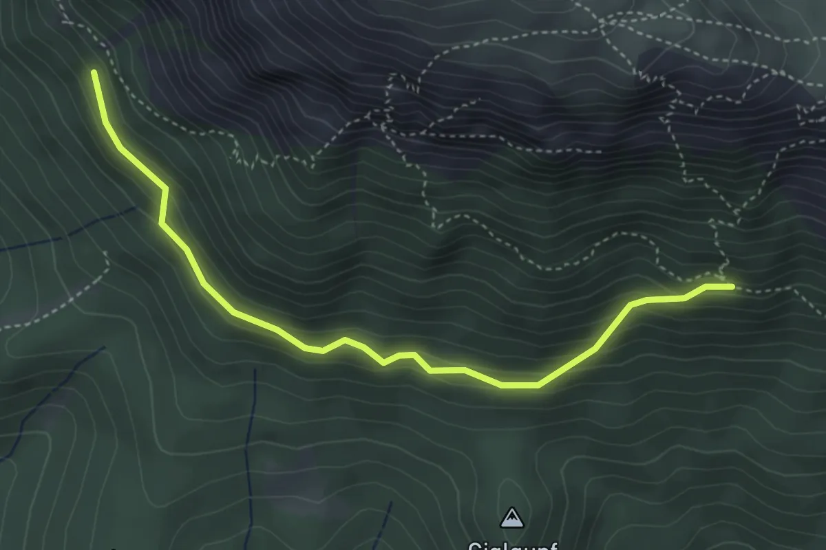
Easy · Trail
Karreralmweg, Verbindungsweg 834
4.1 km · ↑ 236 m · 1 h 29 min
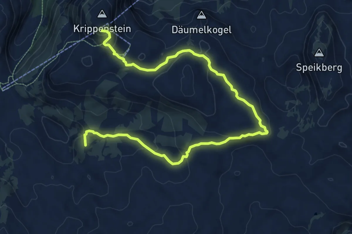
Medium · Summit
Karstlehrpfad
12.6 km · ↑ 430 m · 3 h 55 min
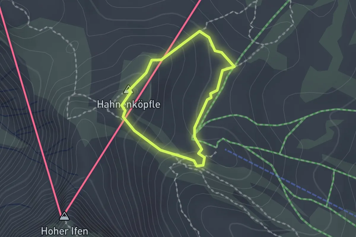
Medium · Summit
Karst-Rundweg
1.1 km · ↑ 84 m · 27 min
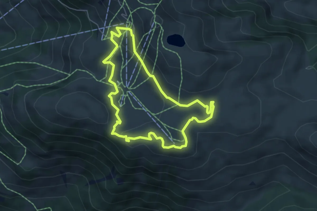
Easy · Trail
Karstweg
4.5 km · ↑ 162 m · 1 h 28 min
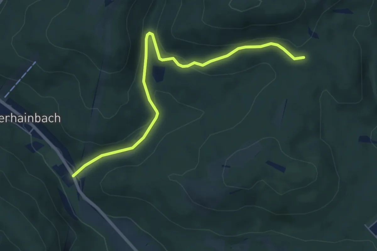
Easy · Trail
Kasgraben/Grüner Jäger - Dianabründl
5.7 km · ↑ 129 m · 1 h 37 min
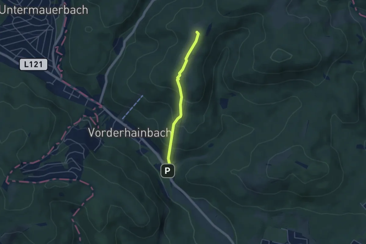
Easy · Summit
Kasgraben/Grüner Jäger - Franz-Karl-Fernsicht
3.4 km · ↑ 202 m · 1 h 15 min
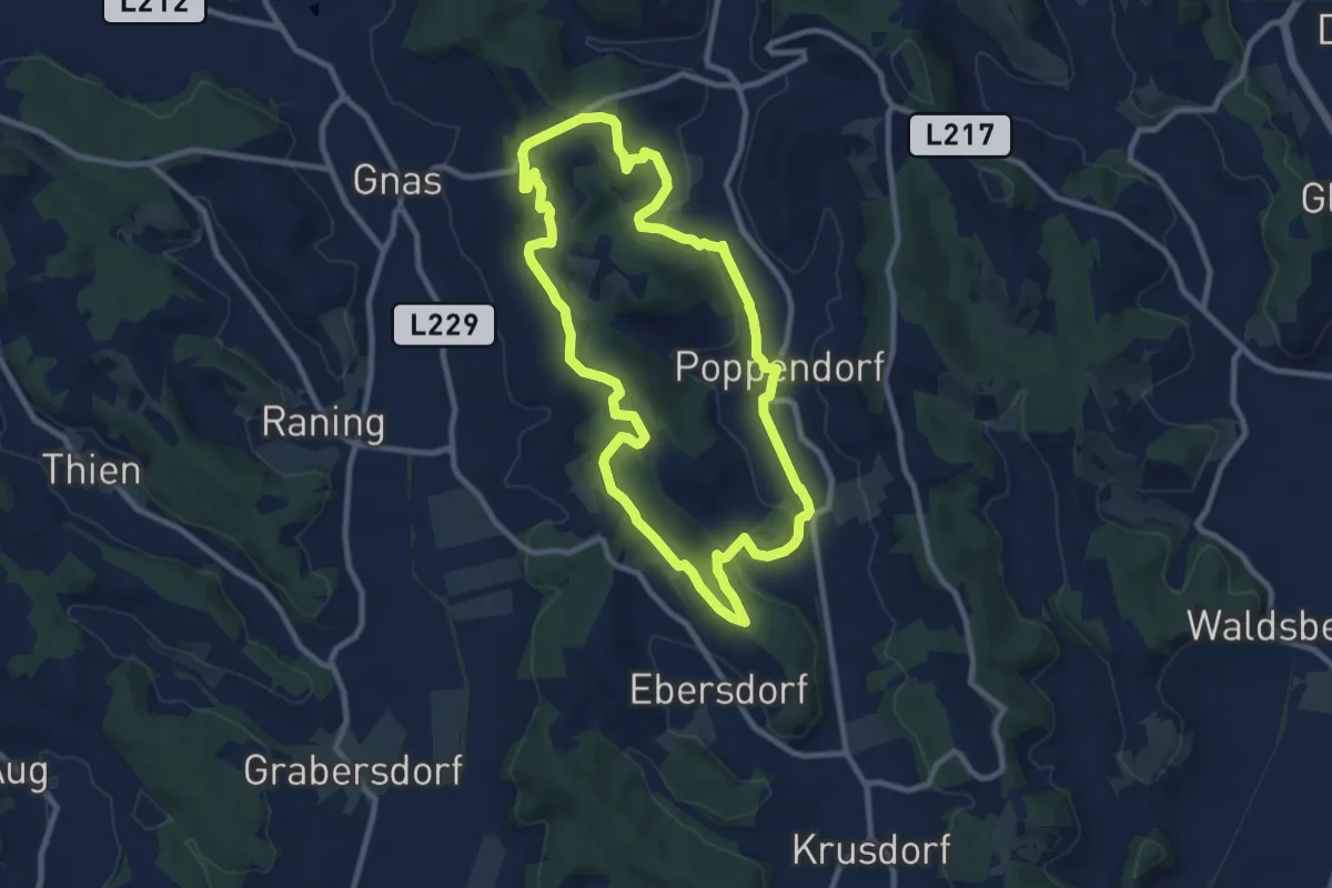
Medium · Summit
Kaskögerlweg
9.3 km · ↑ 241 m · 2 h 50 min
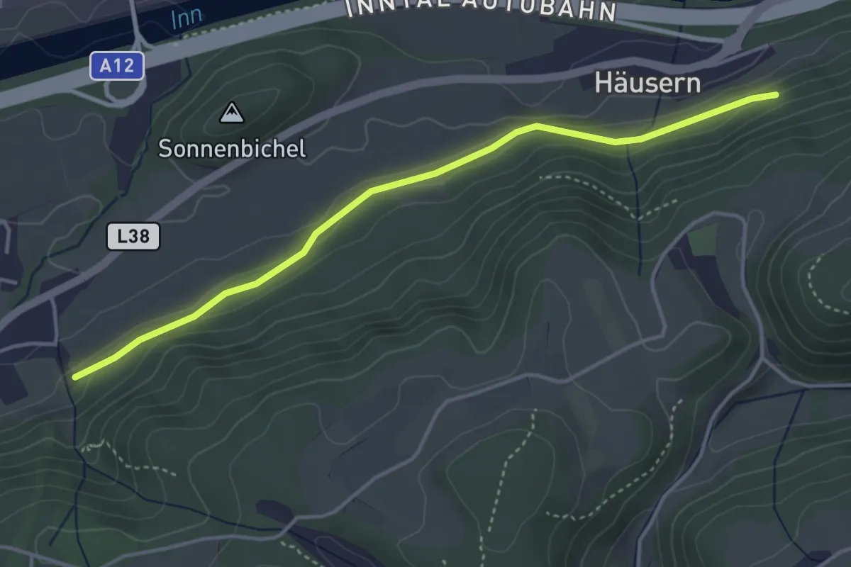
Easy · Trail
Kaspar-Sautnerweg
4.0 km · ↑ 66 m · 1 h 5 min
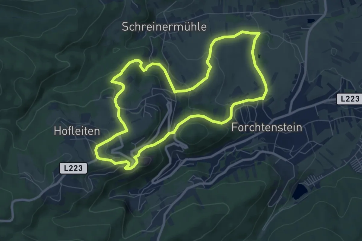
Easy · Trail
Kastanienstrecke (Start: Forchtenstein GH Schreiner)
7.1 km · ↑ 286 m · 2 h 24 min
Medium · Trail
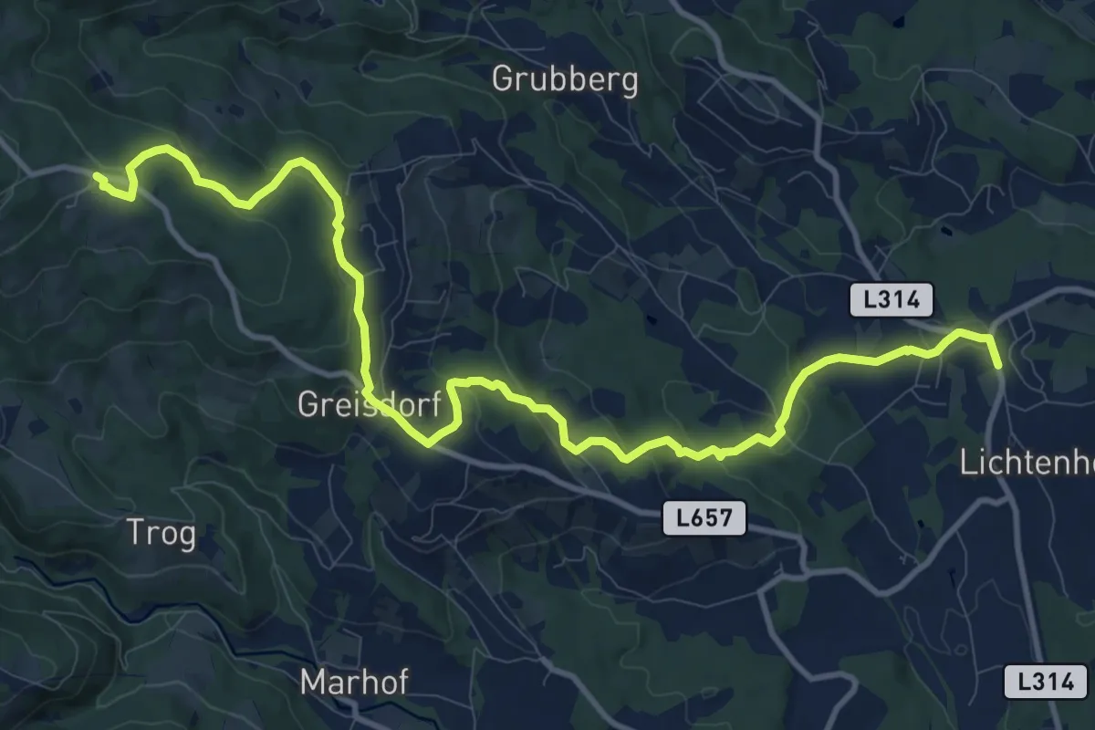
Kastanienweg
13.5 km · ↑ 495 m · 4 h 16 min
Medium · Trail
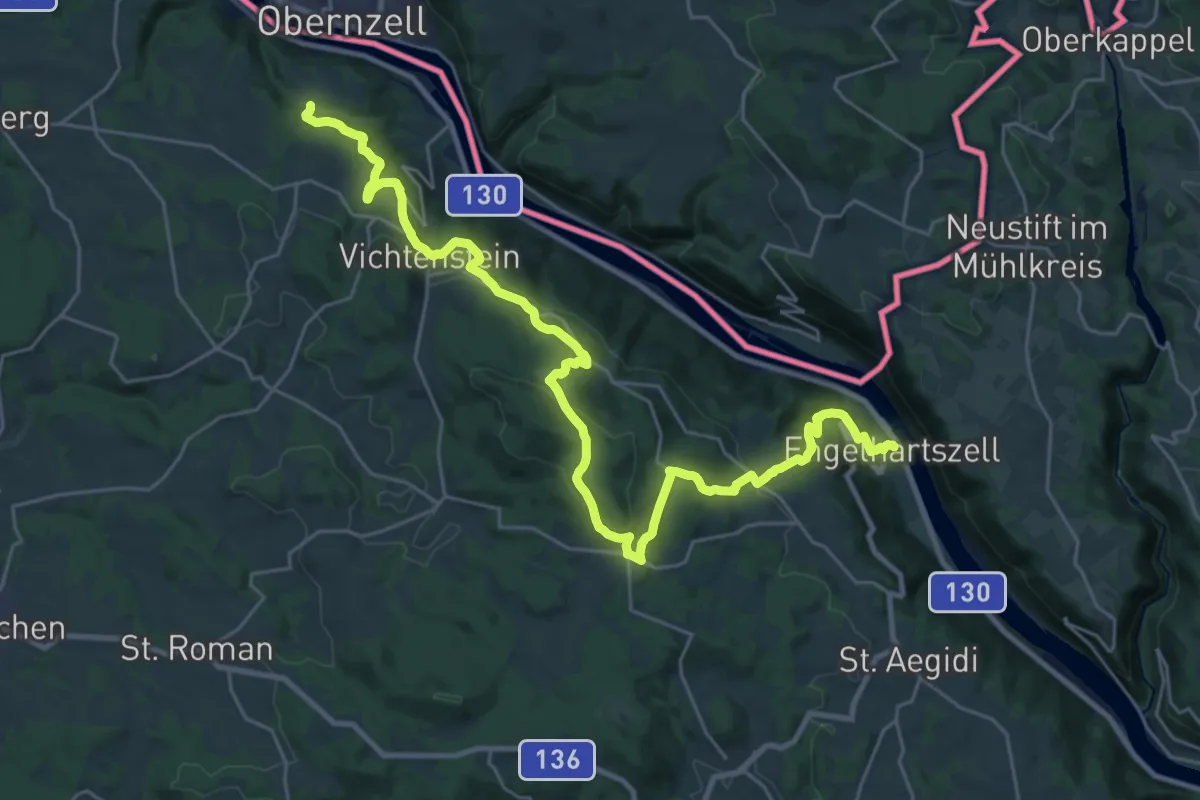
Kasten - Engelhartszell Donausteig Etappe
16.0 km · ↑ 469 m · 5 h 6 min
Medium · Trail
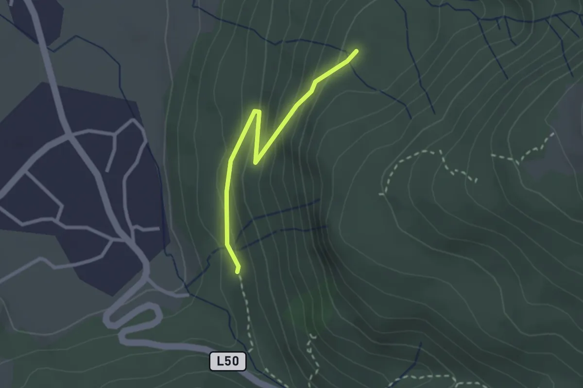
Kästrogweg
2.2 km · ↑ 149 m · 51 min
Easy · Trail
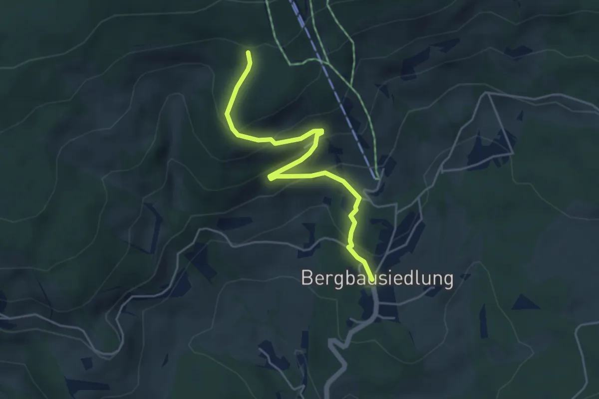
Katharinensteinrunde
4.1 km · ↑ 259 m · 1 h 32 min
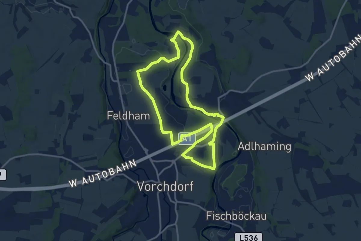
Medium · Trail
Katholische Jugend Rundweg
9.1 km · ↑ 36 m · 2 h 22 min
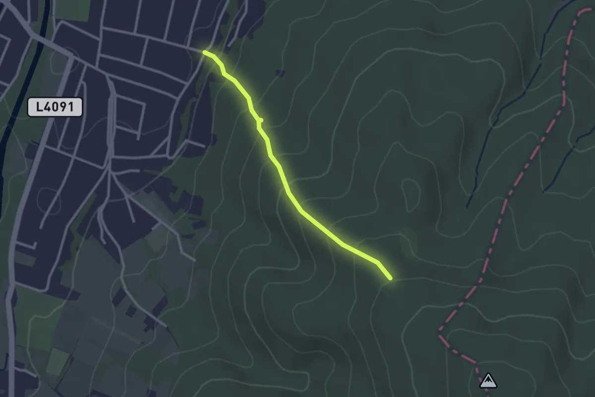
Easy · Trail
Katzeldsdorf - Rosalia Kamm-Wanderweg
2.3 km · ↑ 180 m · 56 min
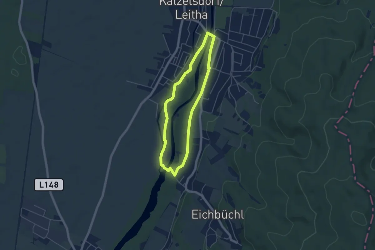
Easy · Trail
Katzelsdorfer Naturlehrpfad LEITHA-AU
3.9 km · ↑ 4 m · 59 min
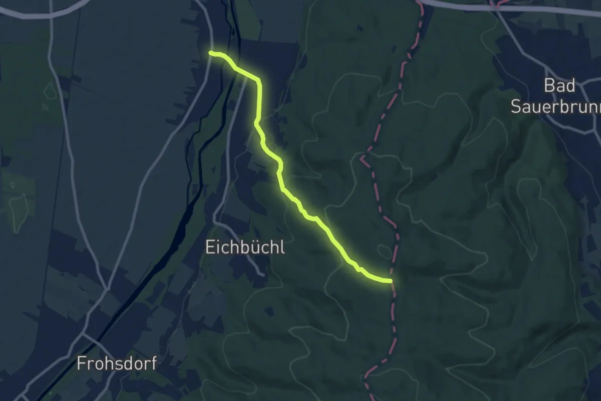
Easy · Trail
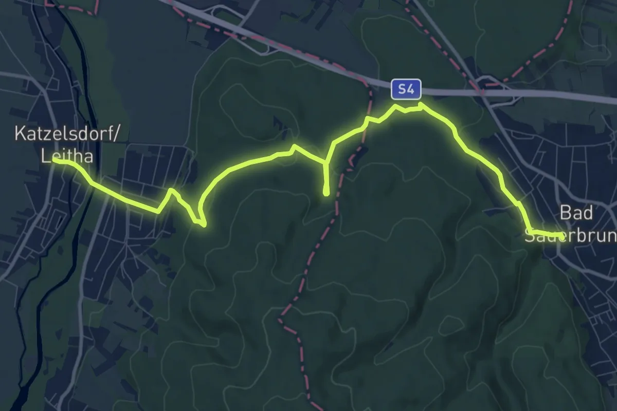
Katzelsdorf (Gasthaus zur Weintraube) - Rosalia Kamm-Wanderweg
7.9 km · ↑ 288 m · 2 h 29 min
Medium · Trail
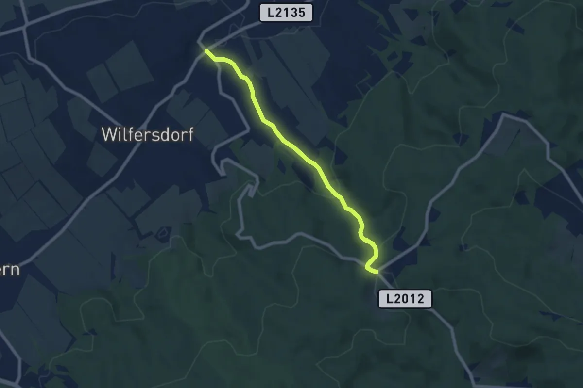
Katzelsdorf (Gasthaus zur Weintraube) - Sauerbrunn mit Abstecher zur Marienquelle
12.5 km · ↑ 188 m · 3 h 22 min
Easy · Trail
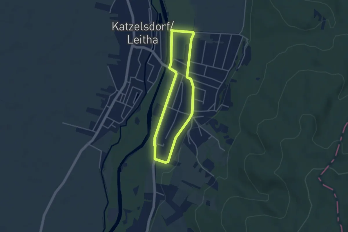
Katzelsdorf - Passauerhof
5.5 km · ↑ 197 m · 1 h 43 min
Easy · Trail
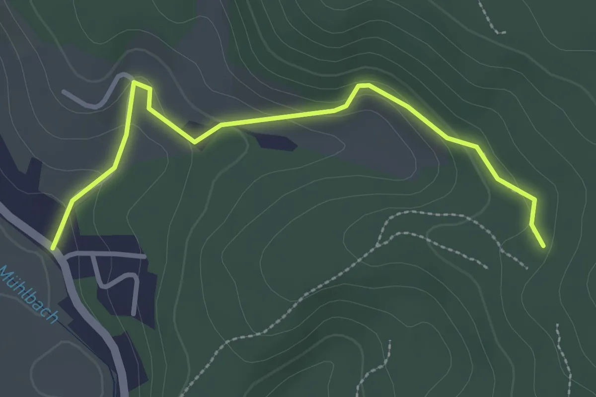
Katzelsdorf Runde (Ortsrunde)
3.0 km · ↑ 13 m · 47 min
Easy · Trail
Katzing-Kürnberg
2.8 km · ↑ 95 m · 51 min
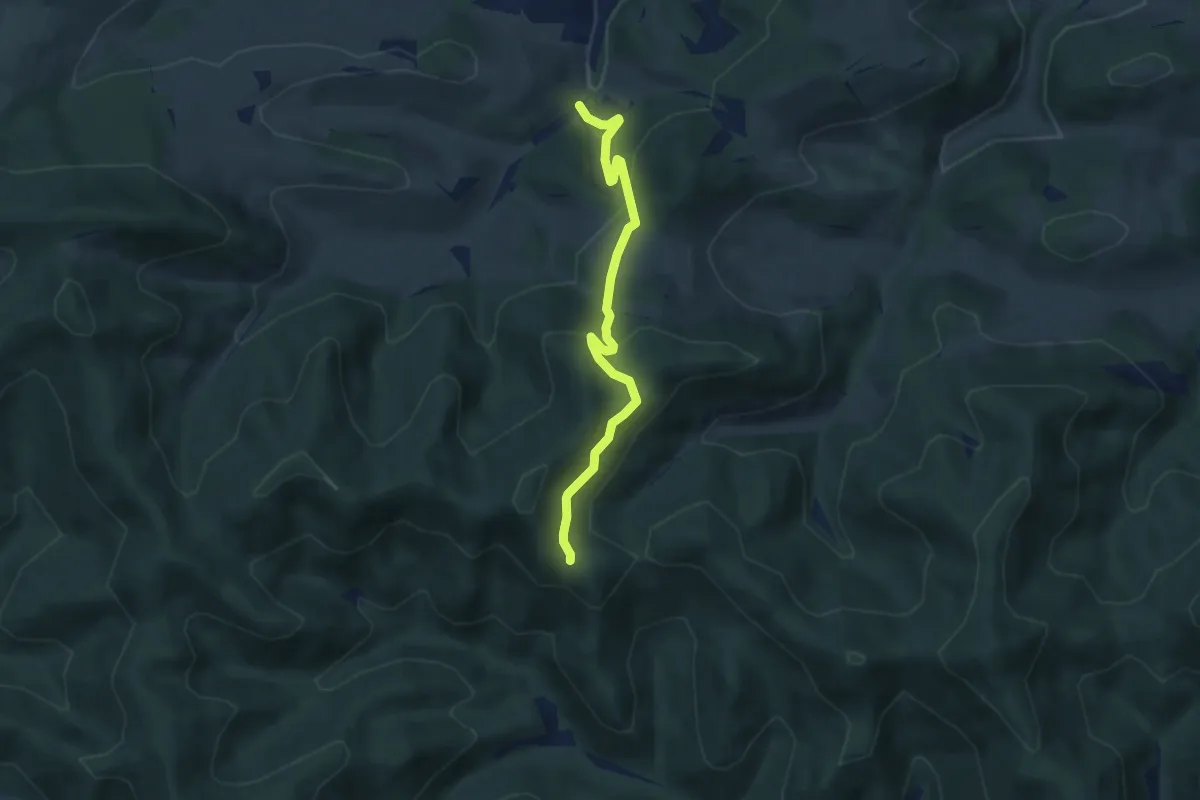
Easy · Trail
Kaumberg - Annaquelle - Weitwanderweg 404
5.9 km · ↑ 264 m · 1 h 58 min
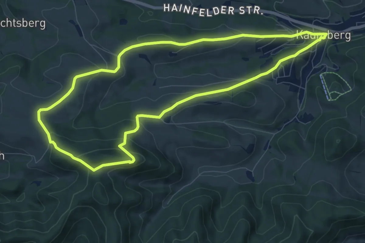
Medium · Summit
Kaumberg - Araburg - Kollmannhof - Brennhof - zurück
8.6 km · ↑ 317 m · 2 h 51 min
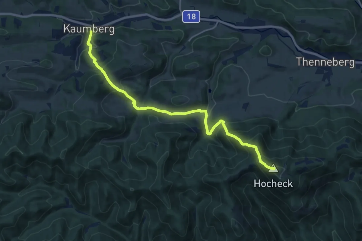
Demanding · Summit
Kaumberg - Hocheck Schutzhaus
12.8 km · ↑ 968 m · 5 h 8 min
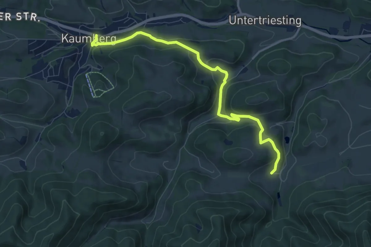
Medium · Trail
Kaumberg - Höfnerhaus
9.0 km · ↑ 304 m · 2 h 47 min
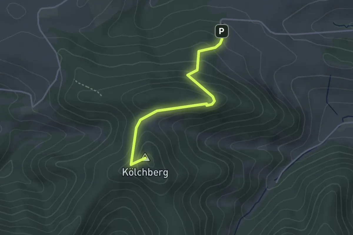
Easy · Summit
Kaumberg Markt - Araburg- Veiglkogel
3.1 km · ↑ 221 m · 1 h 13 min
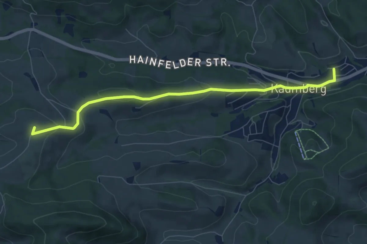
Easy · Summit
Kaumberg - Ramsau
7.5 km · ↑ 242 m · 2 h 18 min
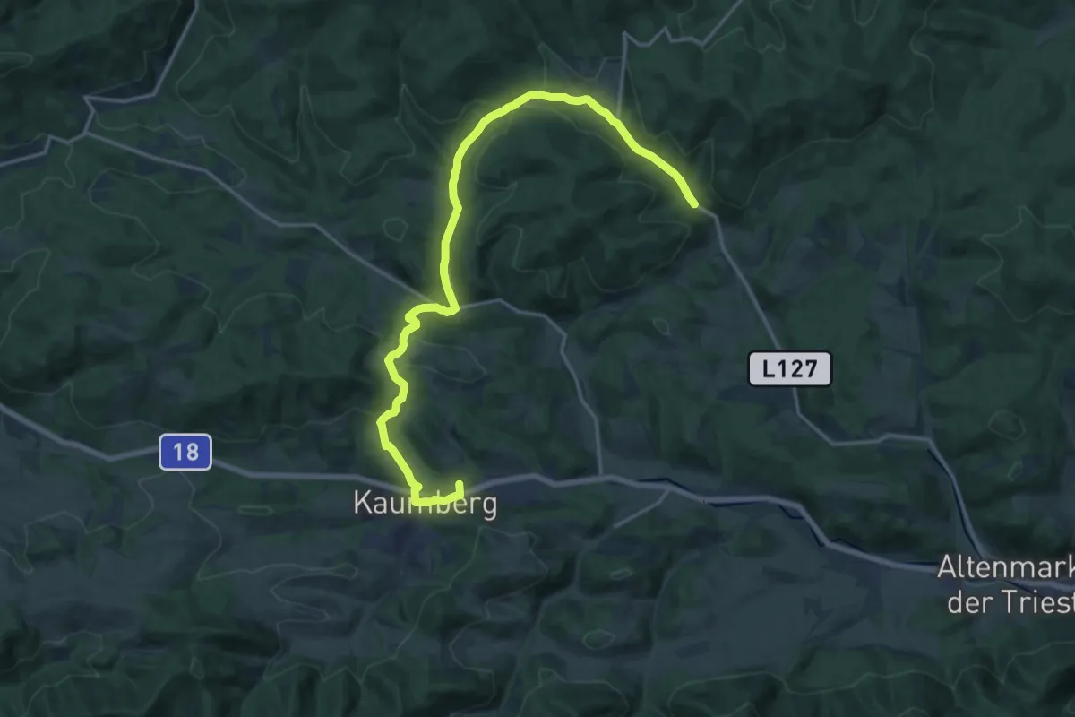
Demanding · Trail
Kaumberg - St. Corona - Schöpfl (Matraswarte)
18.6 km · ↑ 487 m · 5 h 27 min
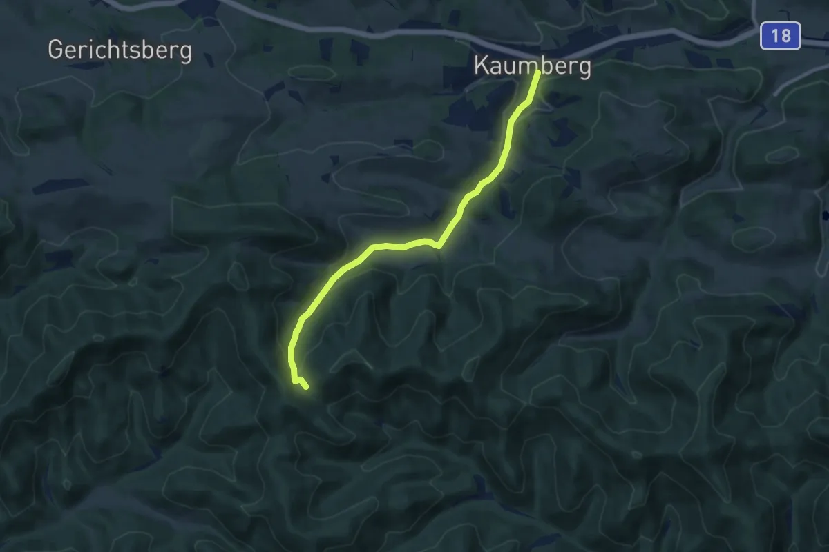
Medium · Trail
Kaumberg - Veiglkogel
8.1 km · ↑ 266 m · 2 h 30 min
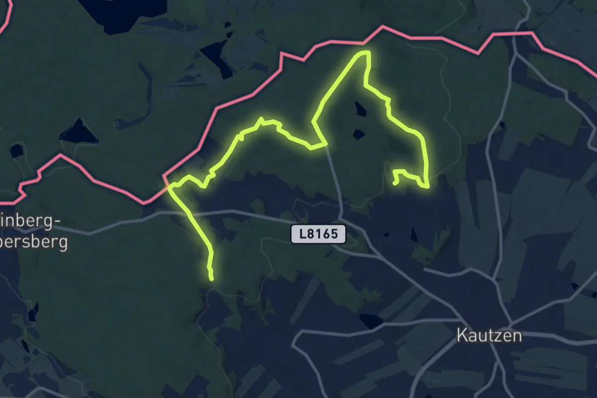
Easy · Summit
Kautzen Rundwanderweg
7.1 km · ↑ 121 m · 2 h 3 min
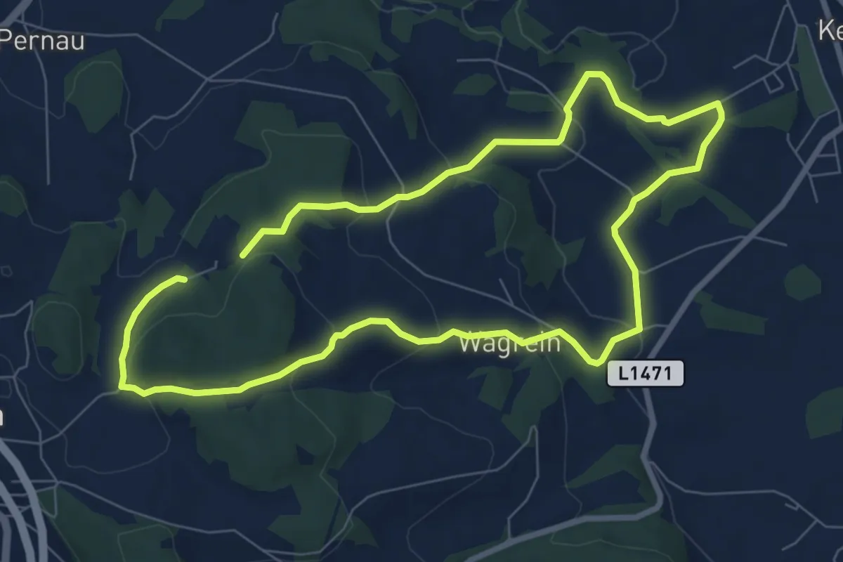
Easy · Trail
Kefermarkt-Rundweg
6.6 km · ↑ 219 m · 2 h 8 min
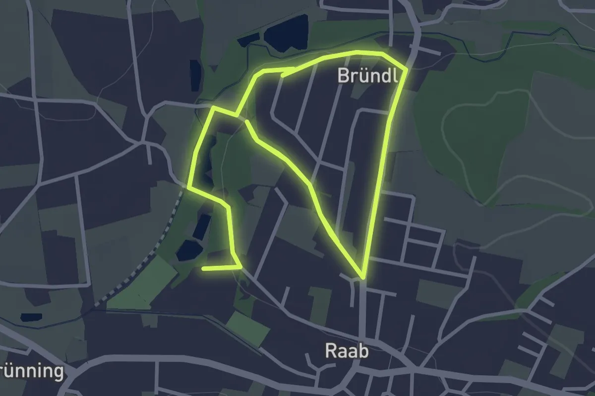
Easy · Trail
Kellergröppenweg
5.3 km · ↑ 131 m · 1 h 32 min
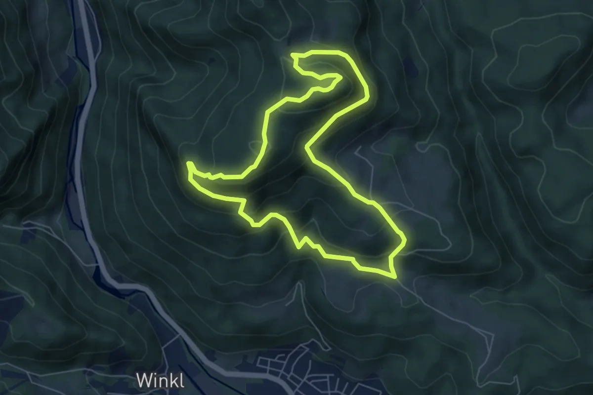
Medium · Summit
Keltenrundwanderweg
6.0 km · ↑ 357 m · 2 h 17 min
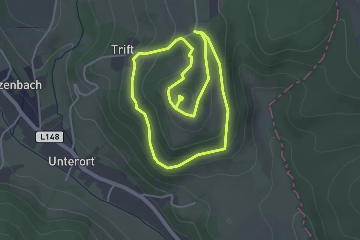
Easy · Summit
Keltenrundwanderweg
3.0 km · ↑ 95 m · 57 min
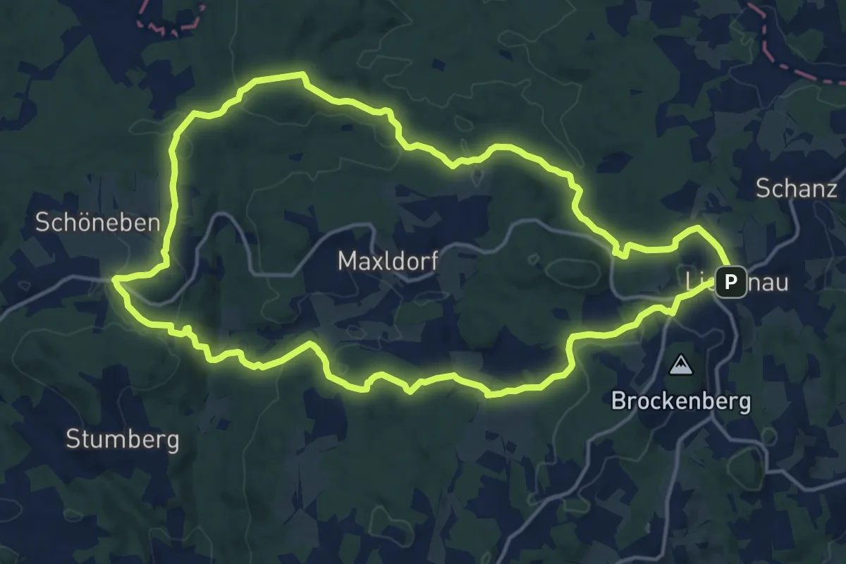
Medium · Trail
Keltensteig Nr. 34
15.6 km · ↑ 303 m · 4 h 34 min
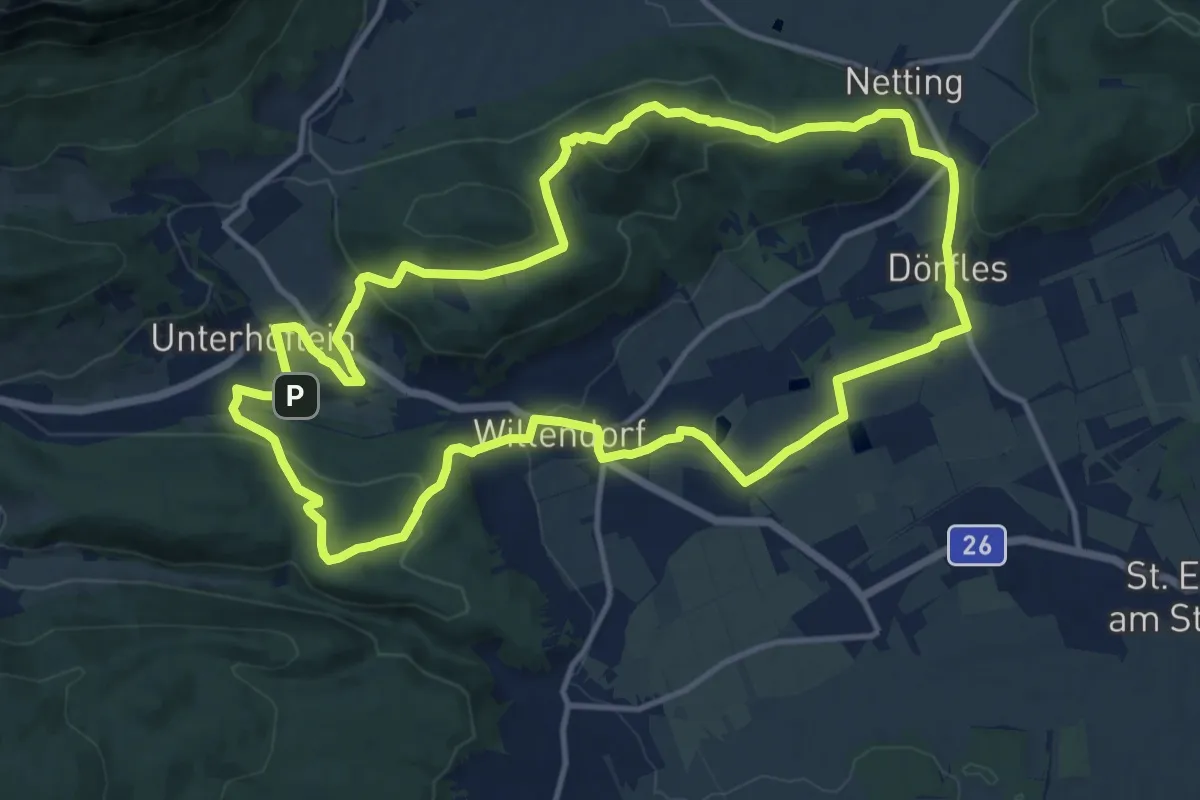
Medium · Summit
Keltensteig Runde bei Willendorf
13.3 km · ↑ 445 m · 4 h 17 min
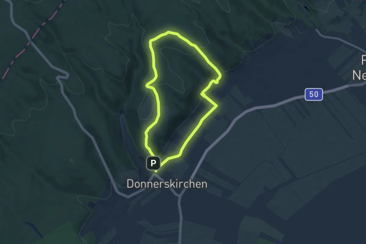
Easy · Summit
Kelten- und Wein-Rundgang
6.4 km · ↑ 202 m · 2 h 2 min
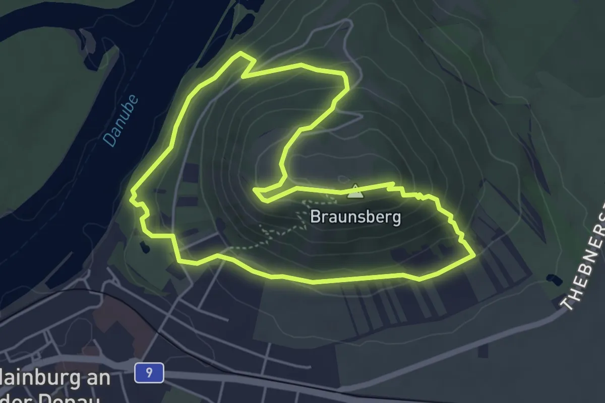
Easy · Summit
Keltenweg
4.5 km · ↑ 193 m · 1 h 33 min
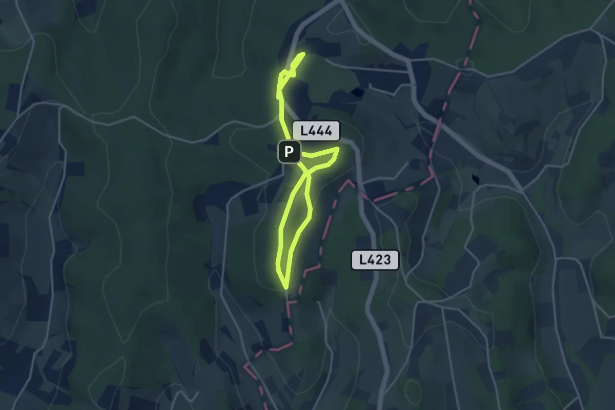
Easy · Trail
keltischer Baumkreisweg
2.5 km · ↑ 32 m · 43 min
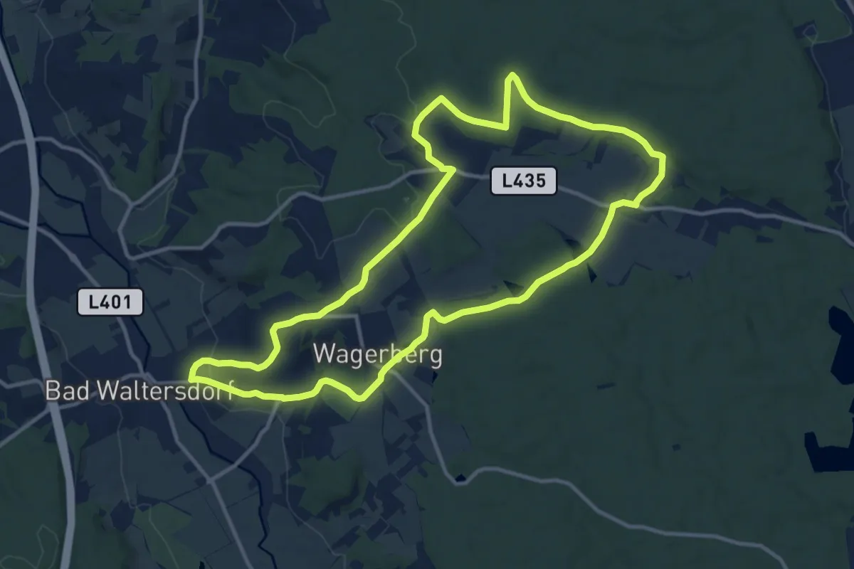
Medium · Trail
Keltischer-Baumkreis-Weg (W6)
11.7 km · ↑ 191 m · 3 h 20 min
Easy · Trail
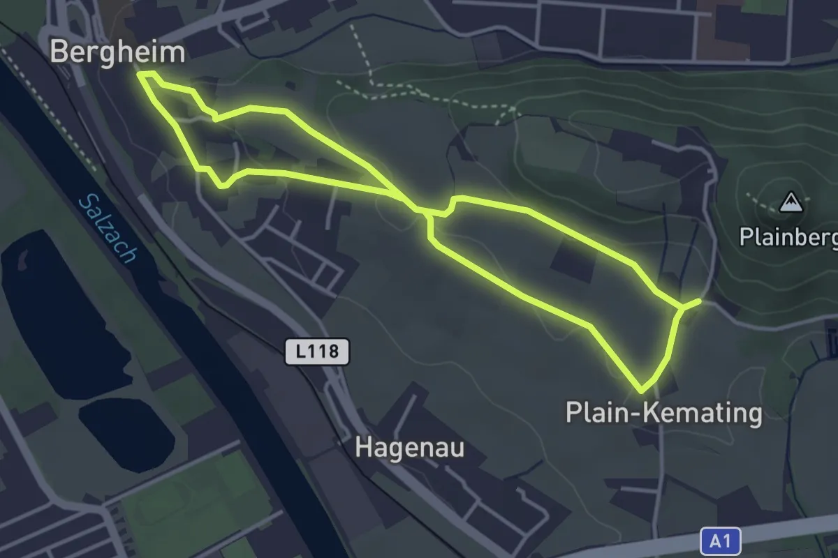
Kemating - Achterschleife
3.4 km · ↑ 54 m · 58 min