Trails in Austria
9,779 hiking trails, each with its route, climb, walking time and grade.
All trails, page 53 of 204
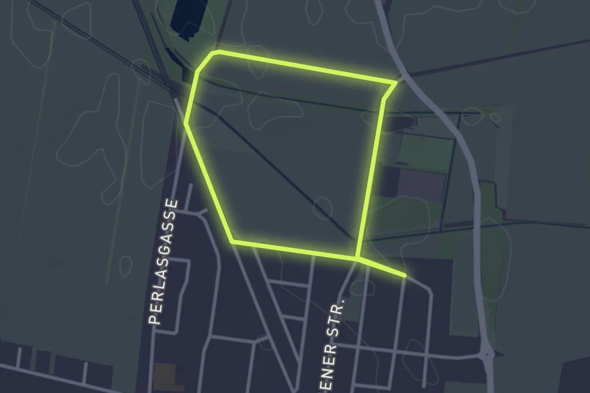
Easy · Trail
Kem-Fit Runde
2.3 km · ↑ 0 m · 35 min
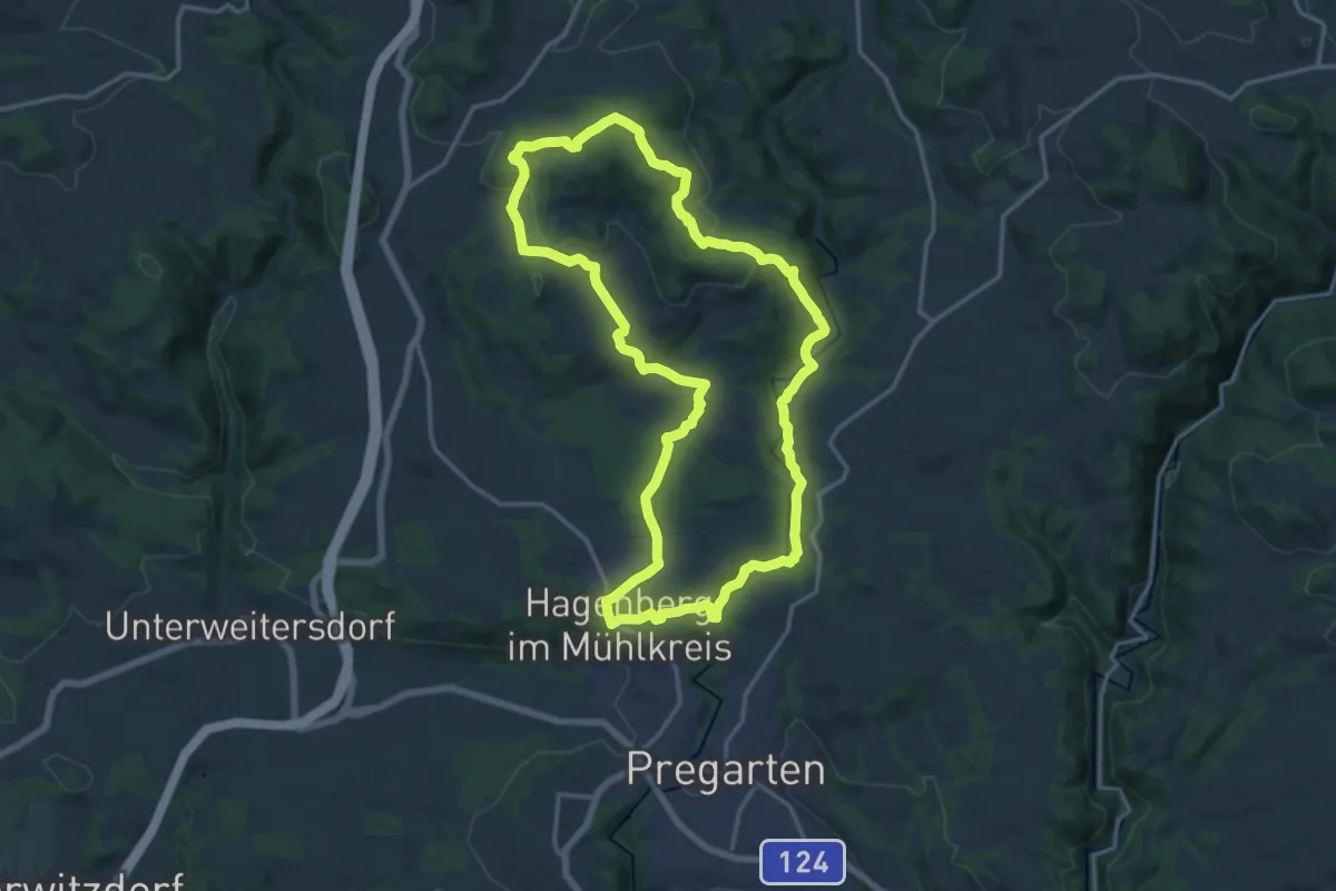
Medium · Trail
Kempfenberg-Rundweg (50)
15.9 km · ↑ 399 m · 4 h 51 min
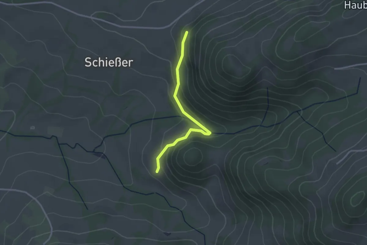
Easy · Trail
Kendler Wasserfall - Abkürzung vom Steinbauer zum Mostbrunnen (St. Georgen an der Leys)
2.4 km · ↑ 128 m · 50 min
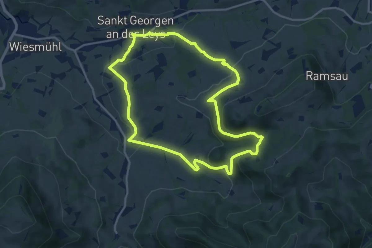
Medium · Trail
Kendler Wasserfall (St. Georgen an der Leys)
8.2 km · ↑ 311 m · 2 h 43 min
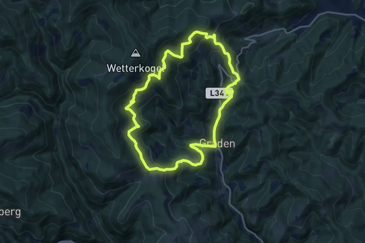
Medium · Trail
Kern Buam Panoramawanderweg
10.4 km · ↑ 553 m · 3 h 48 min
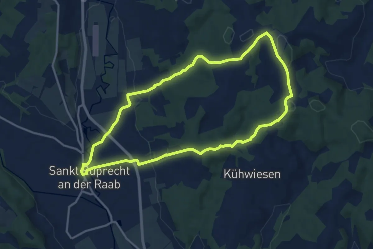
Medium · Trail
Kernkapellenweg
8.3 km · ↑ 185 m · 2 h 28 min
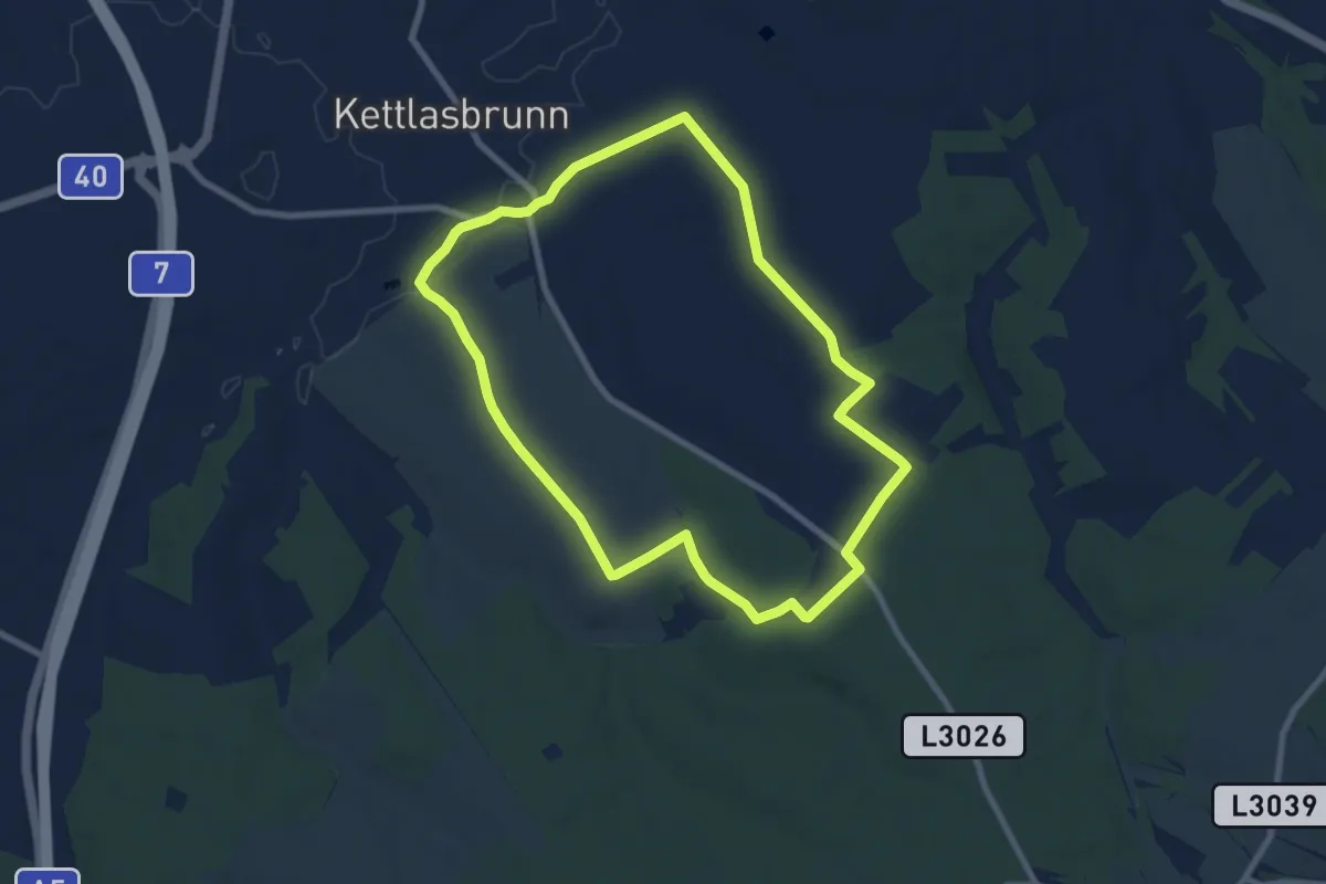
Easy · Trail
Kettlasbrunn: Rundwanderweg Satzer Hölzl
7.6 km · ↑ 86 m · 2 h 5 min
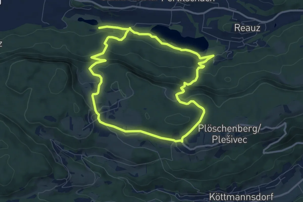
Medium · Trail
Keutschacher Panoramaweg
8.2 km · ↑ 270 m · 2 h 38 min
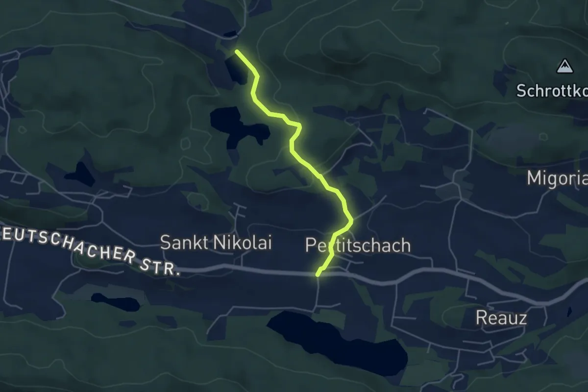
Easy · Trail
Keutschach Wanderweg 17
3.9 km · ↑ 99 m · 1 h 9 min
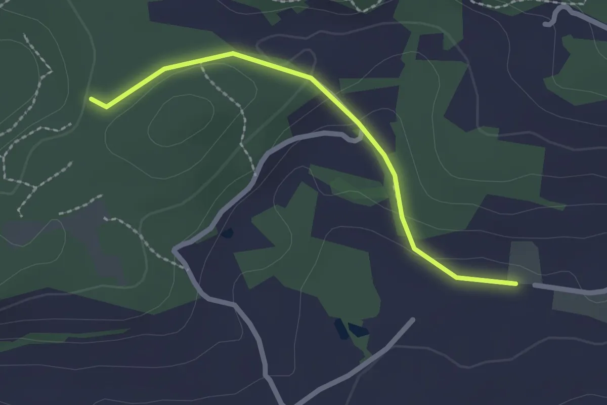
Easy · Trail
Keutschach Wanderweg 17A
2.0 km · ↑ 46 m · 34 min
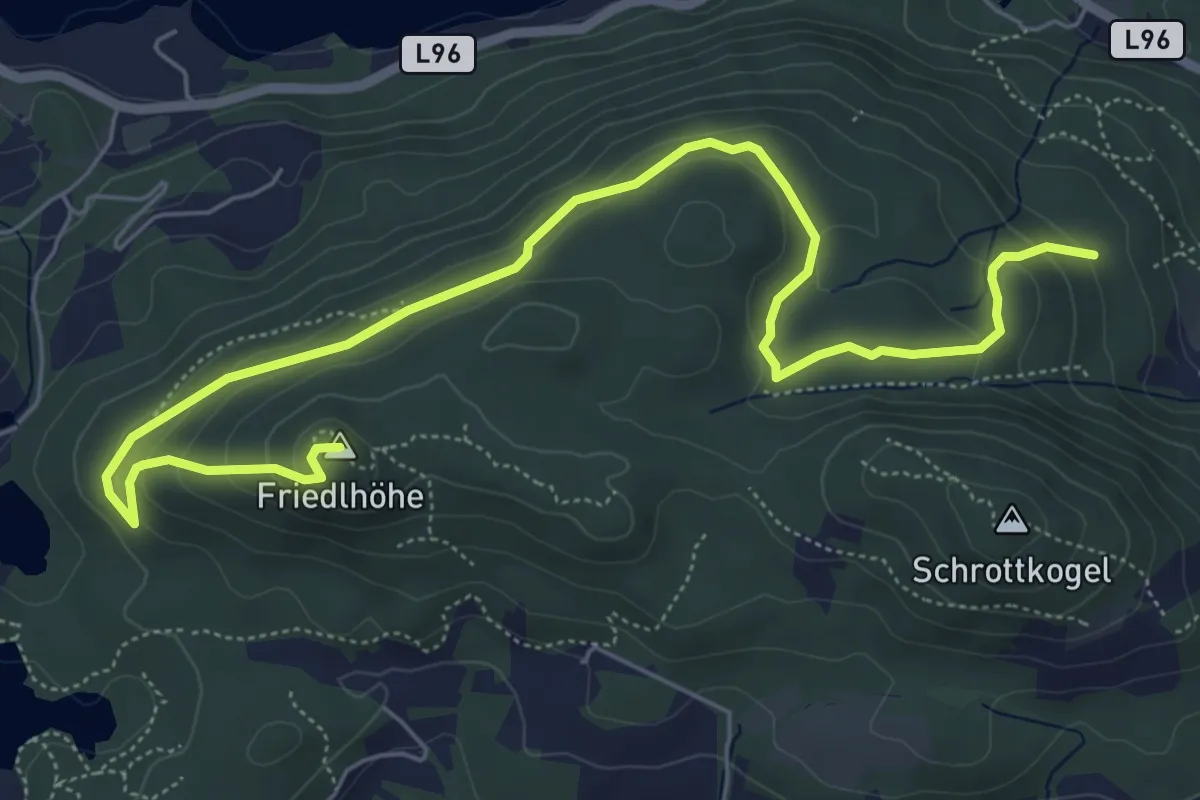
Medium · Summit
Keutschach Wanderweg 18
7.8 km · ↑ 326 m · 2 h 32 min
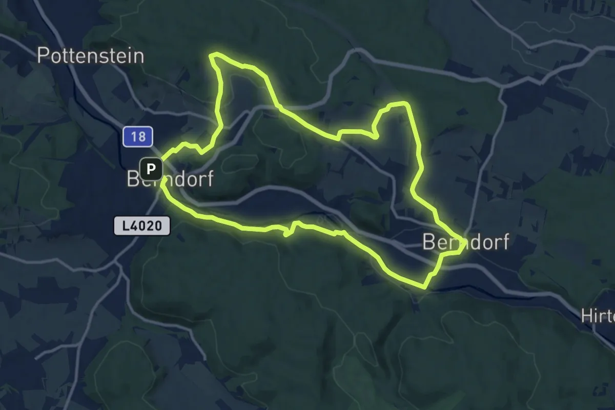
Medium · Summit
KIA Sportage Runde (Berndorf)
11.8 km · ↑ 161 m · 3 h 18 min
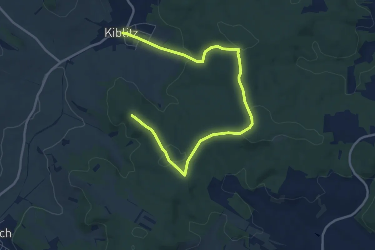
Medium · Summit
Kiblitzer Weg 1
8.9 km · ↑ 125 m · 2 h 22 min
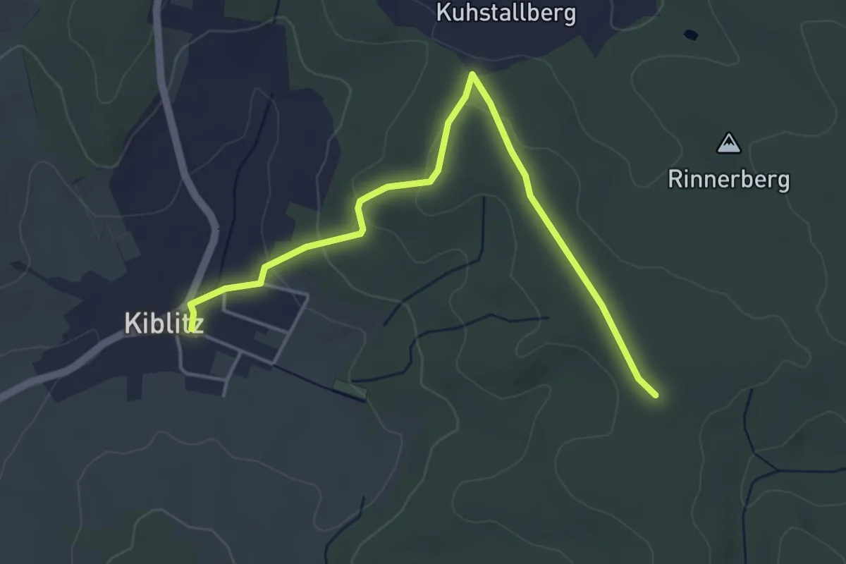
Easy · Trail
Kiblitzer Weg 2
4.5 km · ↑ 108 m · 1 h 18 min
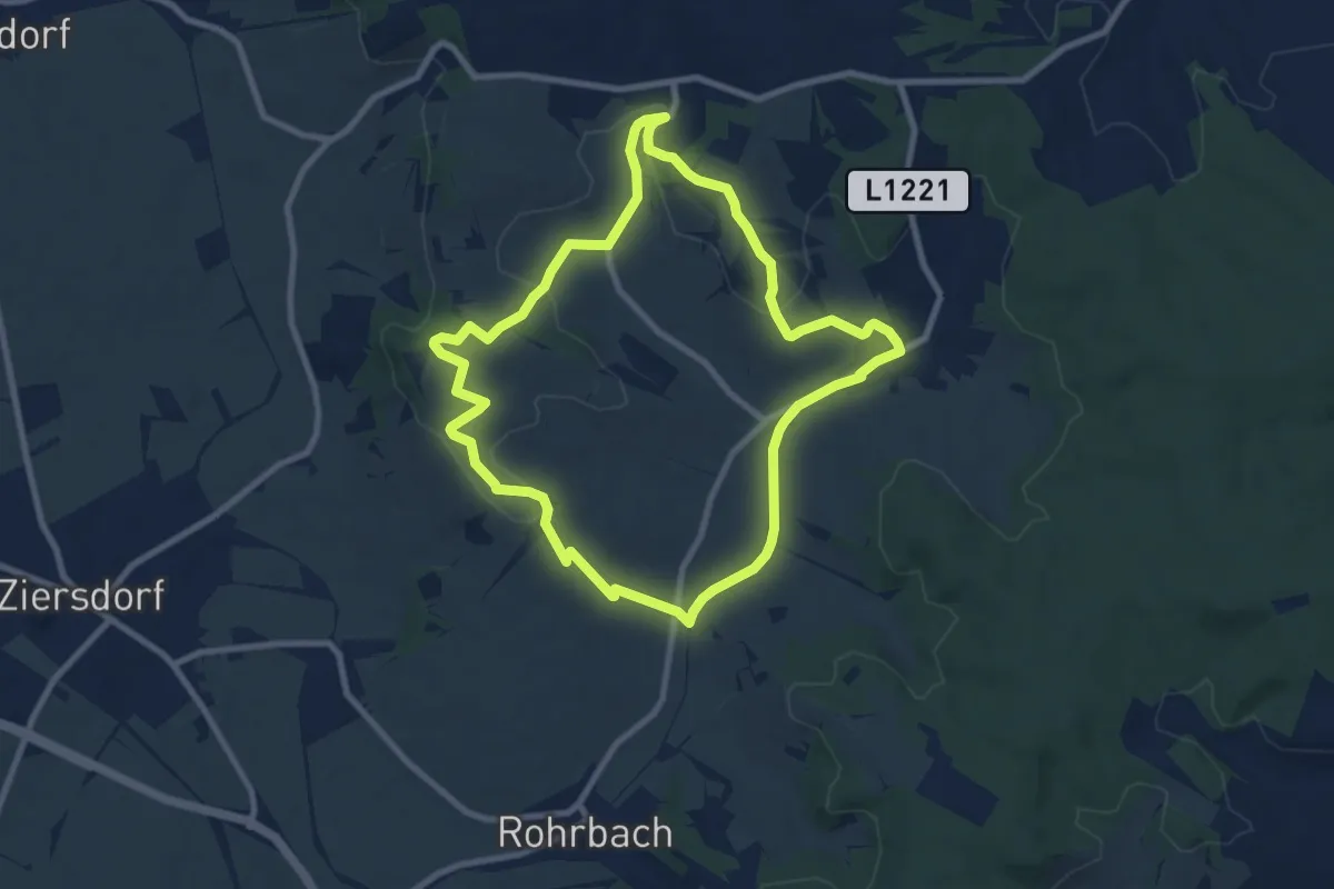
Medium · Summit
Kiblitzer Weg 3
8.2 km · ↑ 144 m · 2 h 22 min
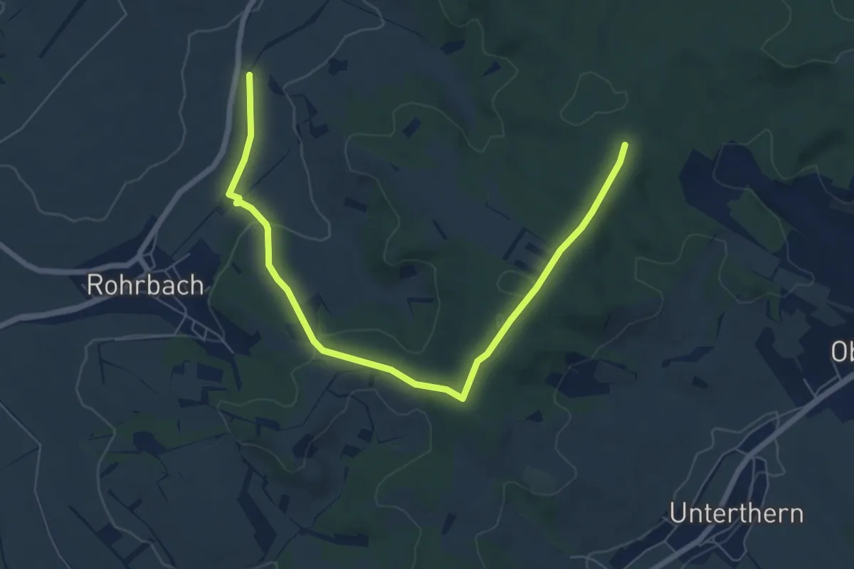
Easy · Trail
Kiblitzer Weg 4
7.4 km · ↑ 117 m · 2 h
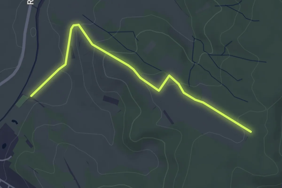
Easy · Trail
Kiblitzer Weg 5
4.4 km · ↑ 103 m · 1 h 16 min
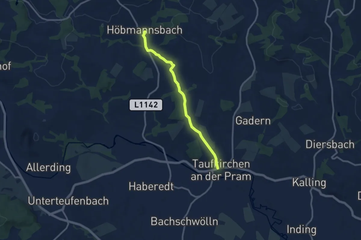
Easy · Trail
Kichensteig Höbmannsbach
7.5 km · ↑ 115 m · 2 h 1 min
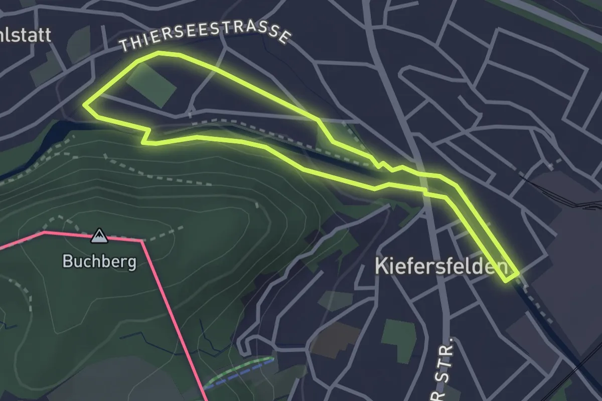
Easy · Trail
Kieferer Energiewanderweg (Rote Tour)
2.6 km · ↑ 25 m · 42 min
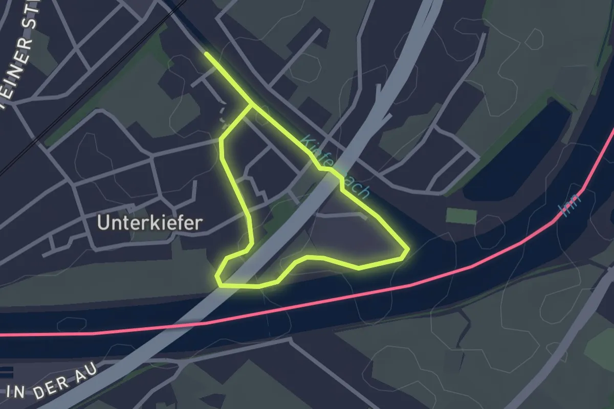
Easy · Trail
Kieferer Energiewanderweg (Violette Tour)
1.8 km · ↑ 0 m · 27 min
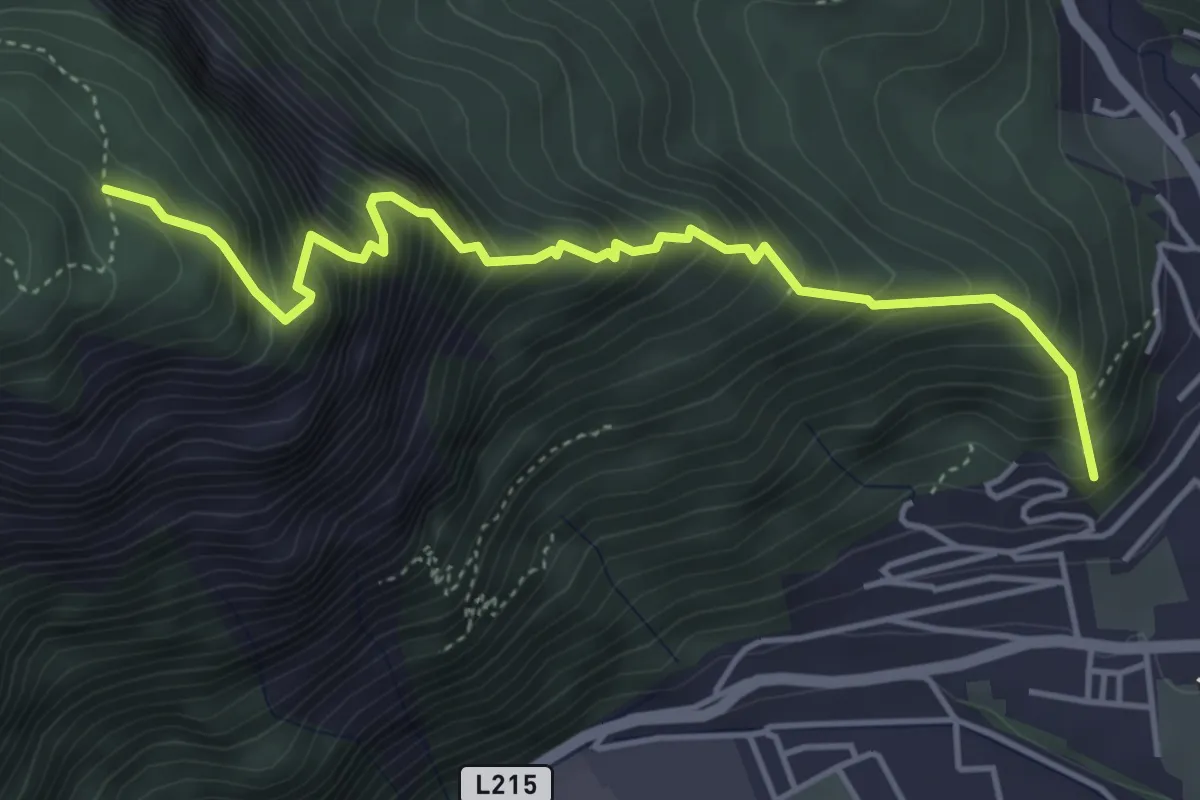
Demanding · Trail
Kienberg
4.7 km · ↑ 720 m · 2 h 40 min
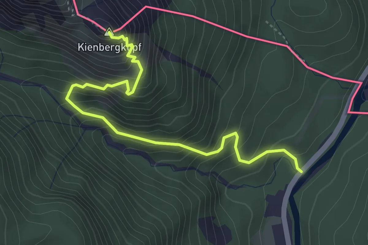
Expert · Summit
Kienbergsteig
4.2 km · ↑ 556 m · 2 h 12 min
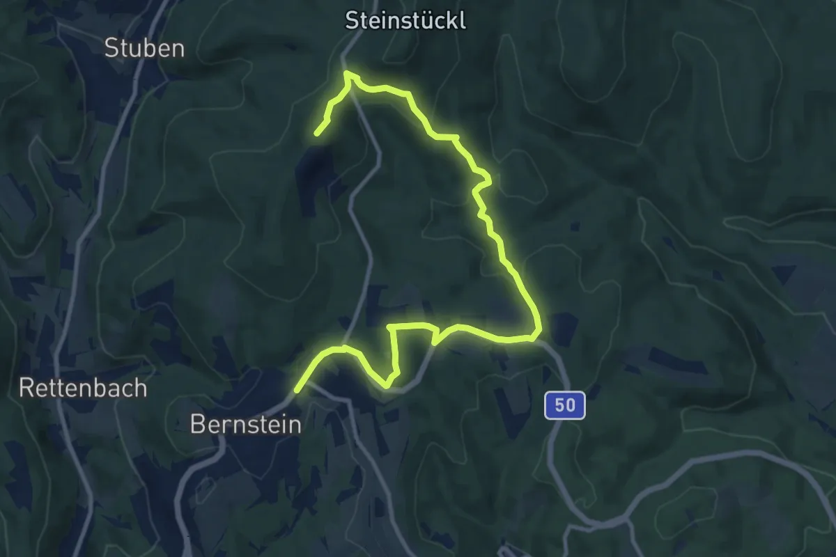
Medium · Summit
Kienbergweg
11.9 km · ↑ 514 m · 3 h 56 min
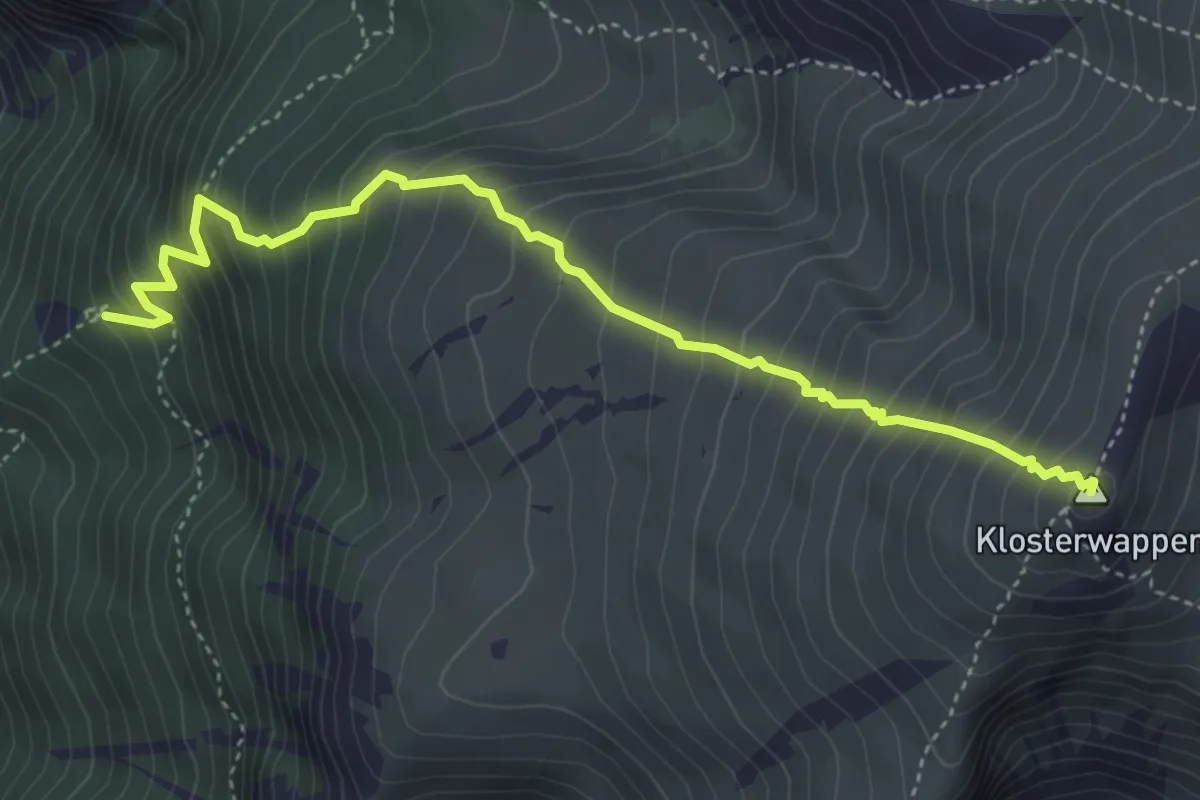
Medium · Summit
Kientalerhütte - Klosterwappen
4.6 km · ↑ 691 m · 2 h 35 min
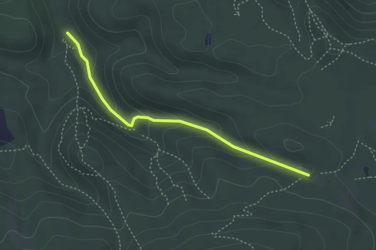
Easy · Trail
Kientalstraße Abzweigung Eschengraben - Tieftalgraben - Krauste Linde
3.4 km · ↑ 149 m · 1 h 7 min
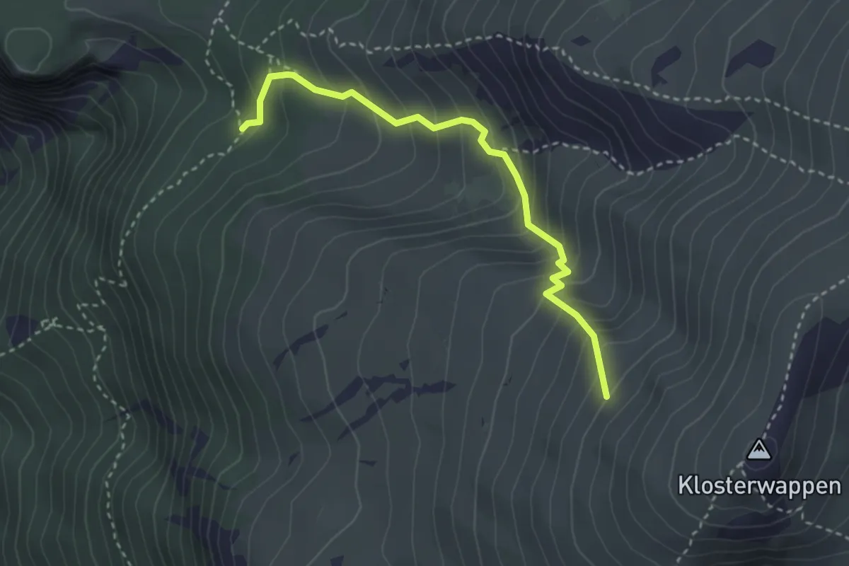
Medium · Cabin
Kienthalerhütte - Schneegraben - Klosterwappen
3.0 km · ↑ 379 m · 1 h 32 min
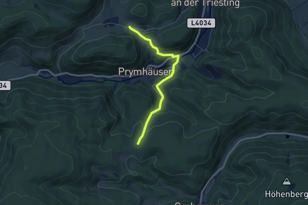
Easy · Trail
Kienthalkreuz - Prymhäuser - Niemthal
5.1 km · ↑ 259 m · 1 h 46 min
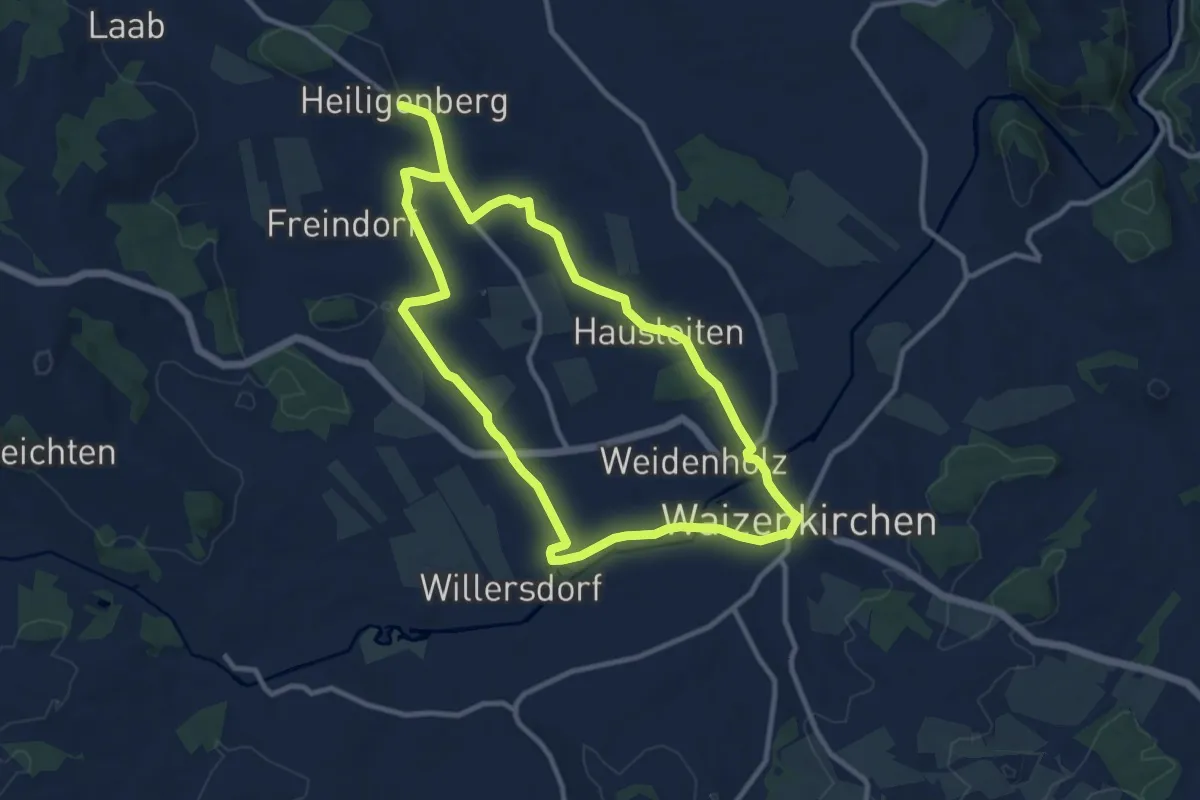
Demanding · Trail
Kienzlweg nach Heiligenberg
19.0 km · ↑ 172 m · 4 h 52 min
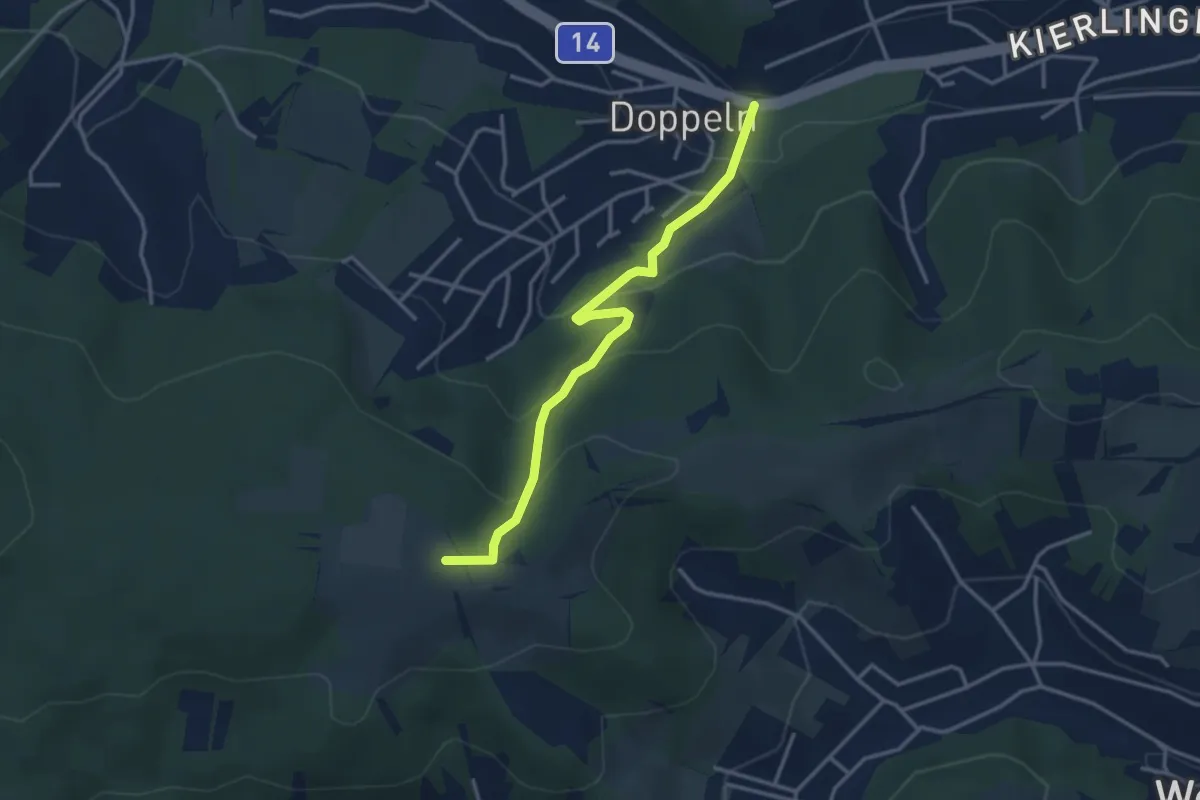
Easy · Summit
Kierling/Doppeln - Haschhof
3.3 km · ↑ 196 m · 1 h 12 min
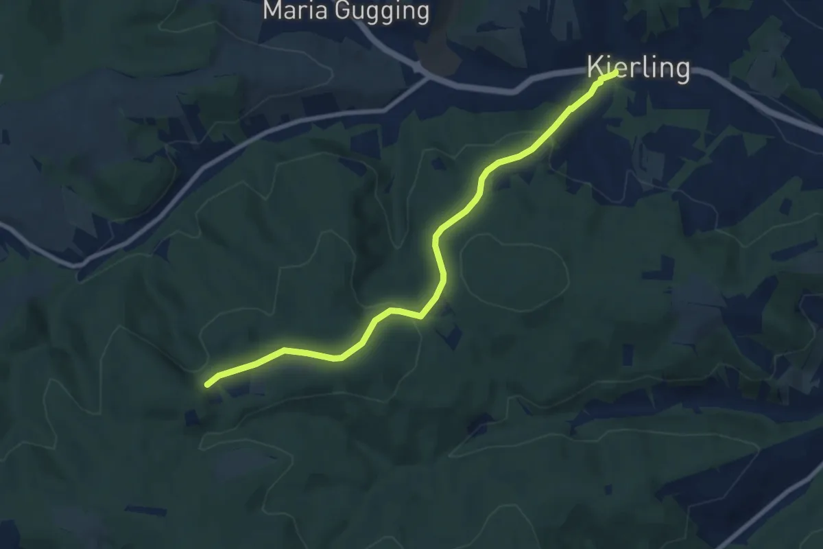
Easy · Trail
Kierling - Eichenhain
7.7 km · ↑ 237 m · 2 h 20 min
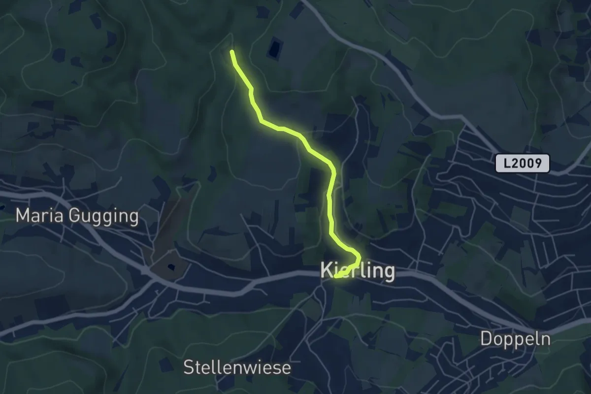
Easy · Trail
Kierling/Grüntal - Redlingerhütte
4.2 km · ↑ 144 m · 1 h 18 min
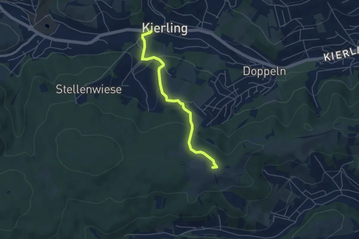
Easy · Summit
Kierling - Haschhof (Dr. Walter Brandstetter Weg)
4.4 km · ↑ 185 m · 1 h 27 min
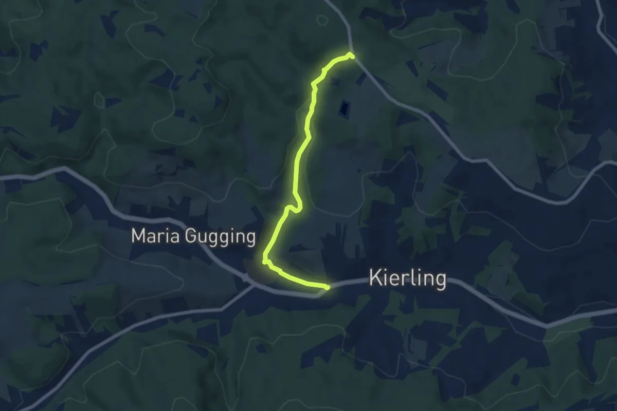
Easy · Trail
Kierling/Lenaugasse - Heuberg über Redlingerhütte
6.0 km · ↑ 167 m · 1 h 47 min
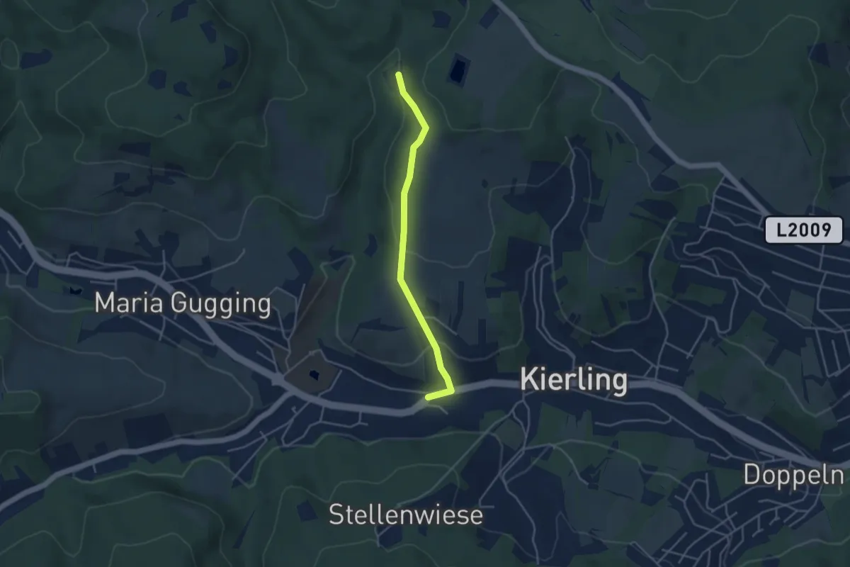
Easy · Trail
Kierling/Marschallgasse - Redlingerhütte
3.6 km · ↑ 131 m · 1 h 8 min
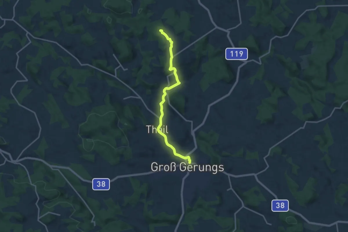
Medium · Summit
Kierlingstein 32
10.7 km · ↑ 250 m · 3 h 4 min
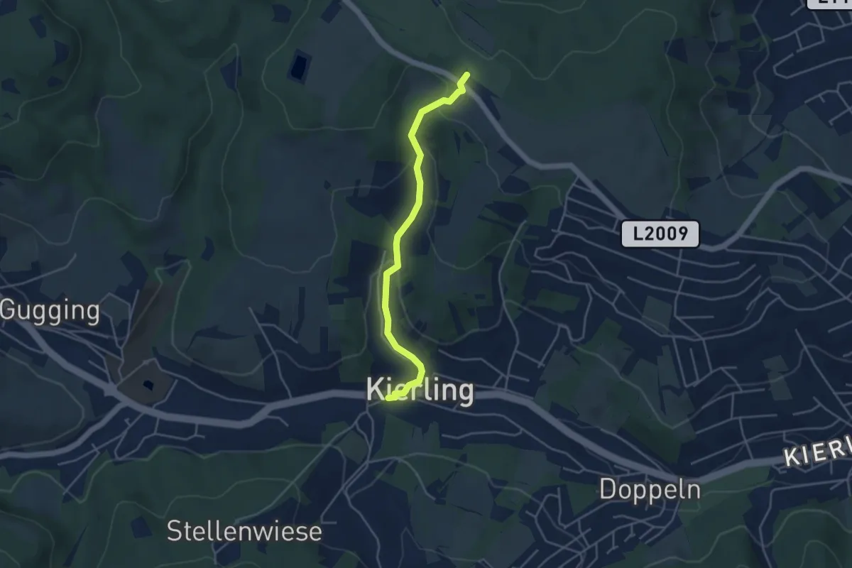
Easy · Trail
Kierling - Weißer Hof
3.9 km · ↑ 150 m · 1 h 14 min
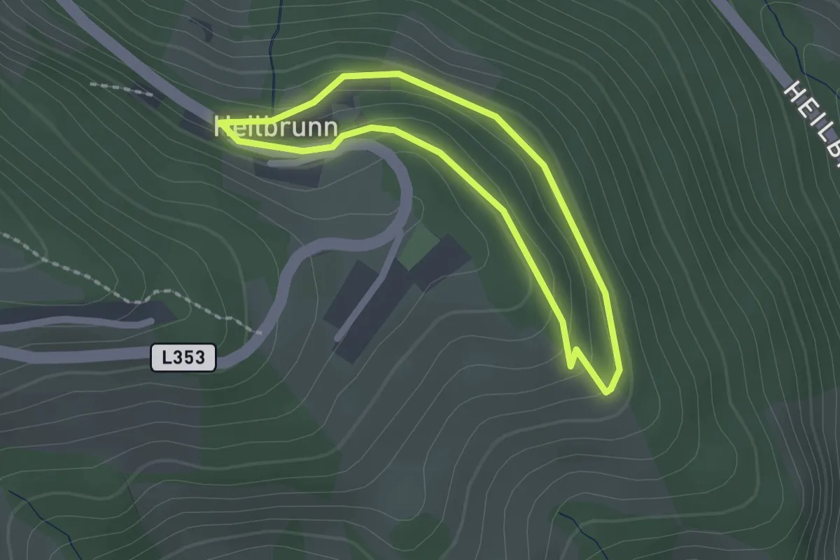
Easy · Trail
Kinder Ikonen Wallfahrer-Rundweg
1.6 km · ↑ 52 m · 30 min
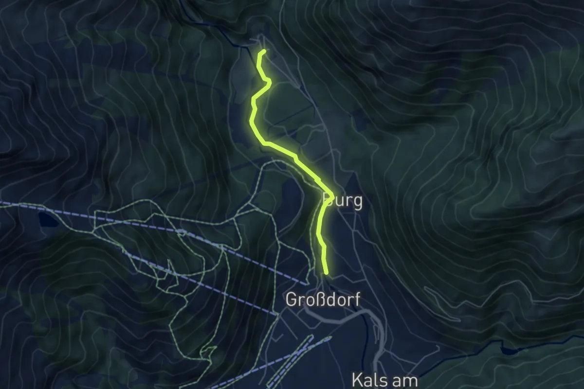
Medium · Trail
Kinder Natur-Erlebnispfad Kals
4.3 km · ↑ 128 m · 1 h 17 min
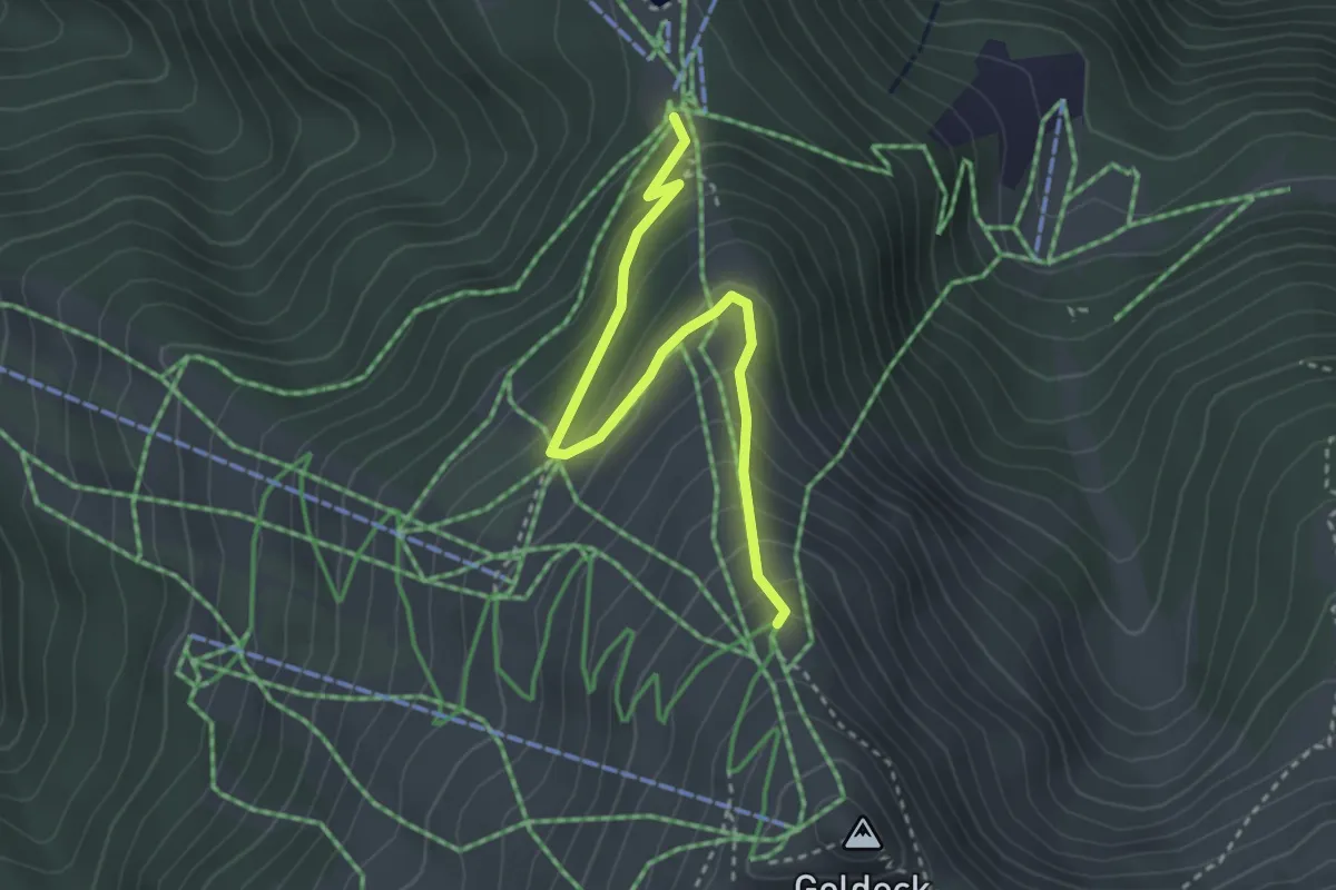
Medium · Trail
Kinderroute Goldalm
3.4 km · ↑ 264 m · 1 h 22 min
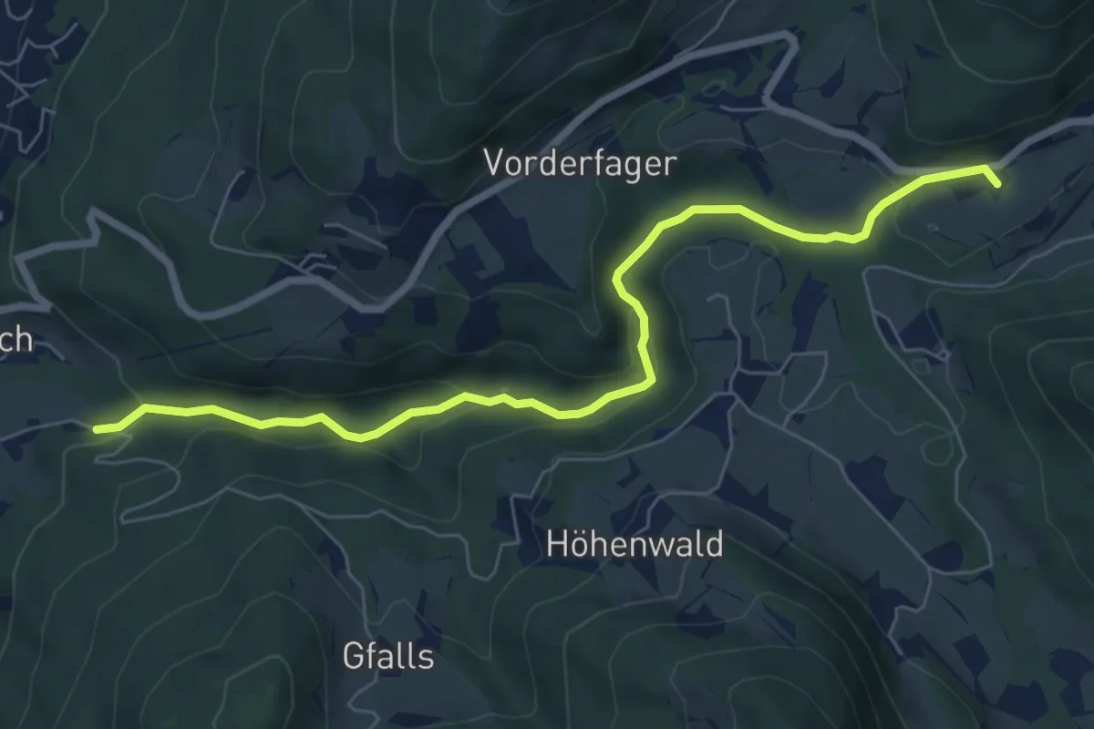
Medium · Trail
Kinder-Wagen Wanderung Glasenbach-Klamm
7.1 km · ↑ 206 m · 2 h 7 min
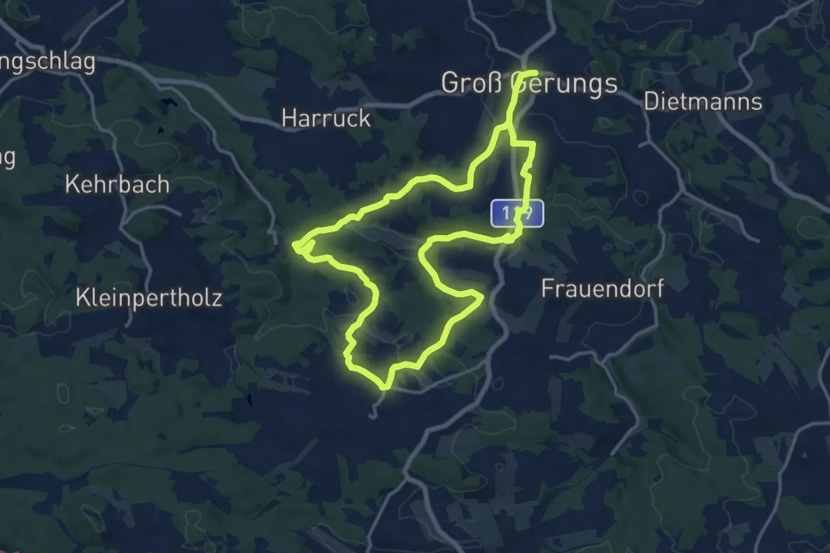
Demanding · Trail
Kinzenschlag-Wanderweg 42
24.0 km · ↑ 492 m · 6 h 44 min
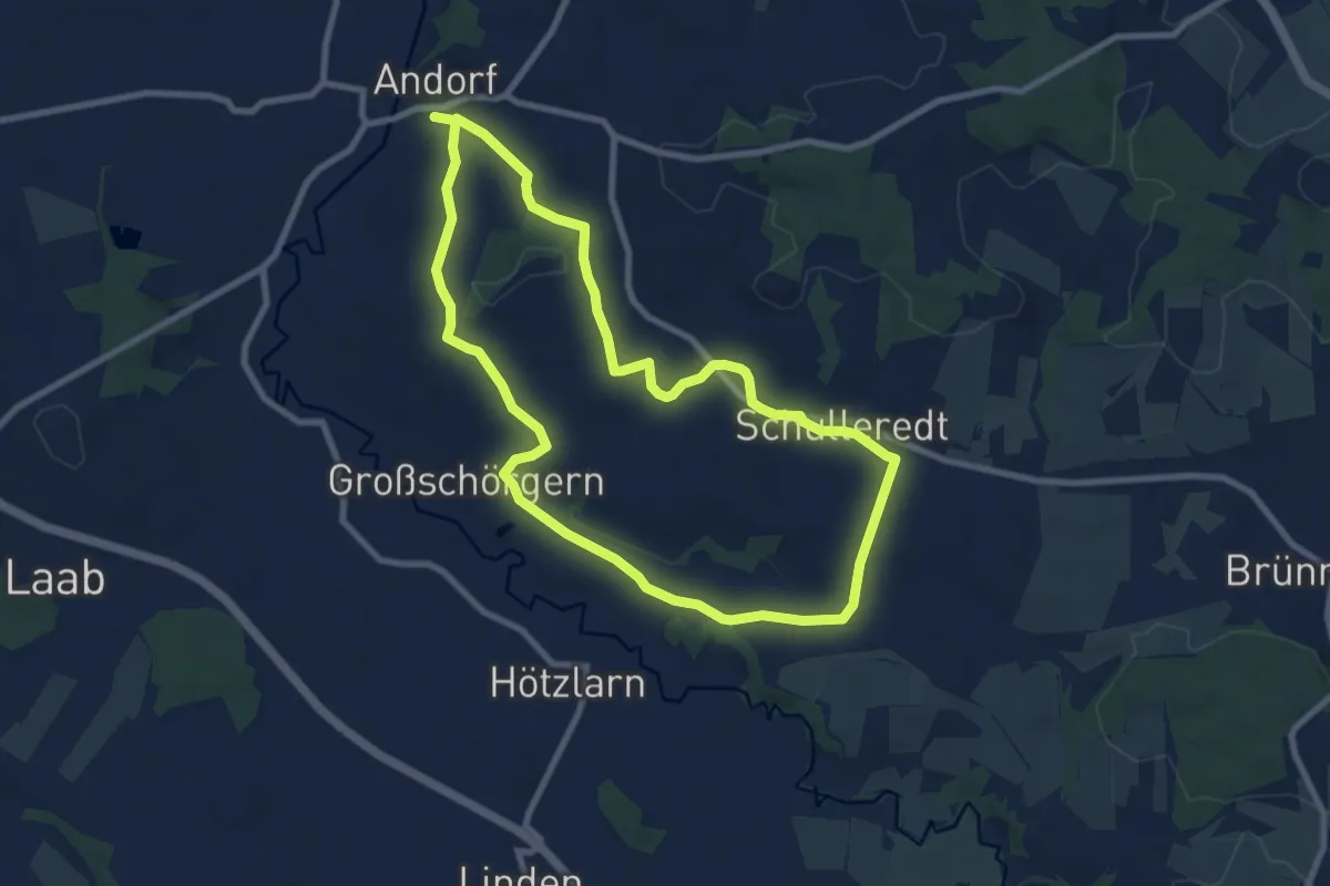
Medium · Trail
Kirchaberg-Museumstour
8.1 km · ↑ 133 m · 2 h 19 min
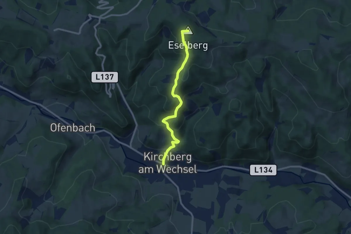
Medium · Summit
Kirchberg a.W. - Karlhöhe
6.4 km · ↑ 407 m · 2 h 24 min
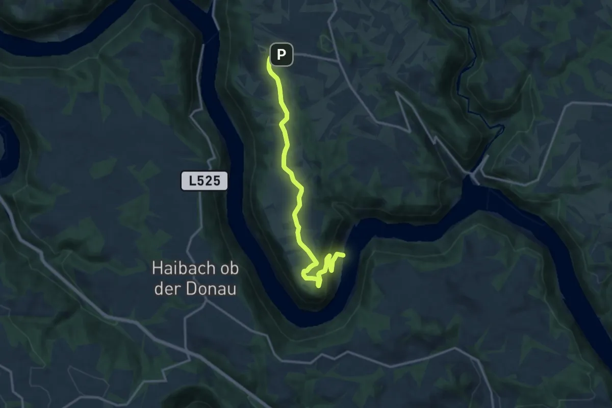
Medium · Trail
Kirchberger Panoramaweg
12.2 km · ↑ 333 m · 3 h 36 min
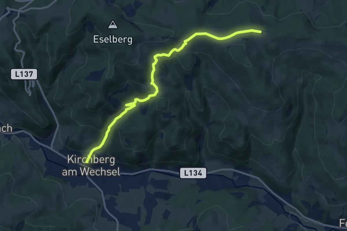
Medium · Trail
Kirchberg - Kirchgraben - Hasleiten - Ödenkirchen
9.7 km · ↑ 385 m · 3 h 8 min
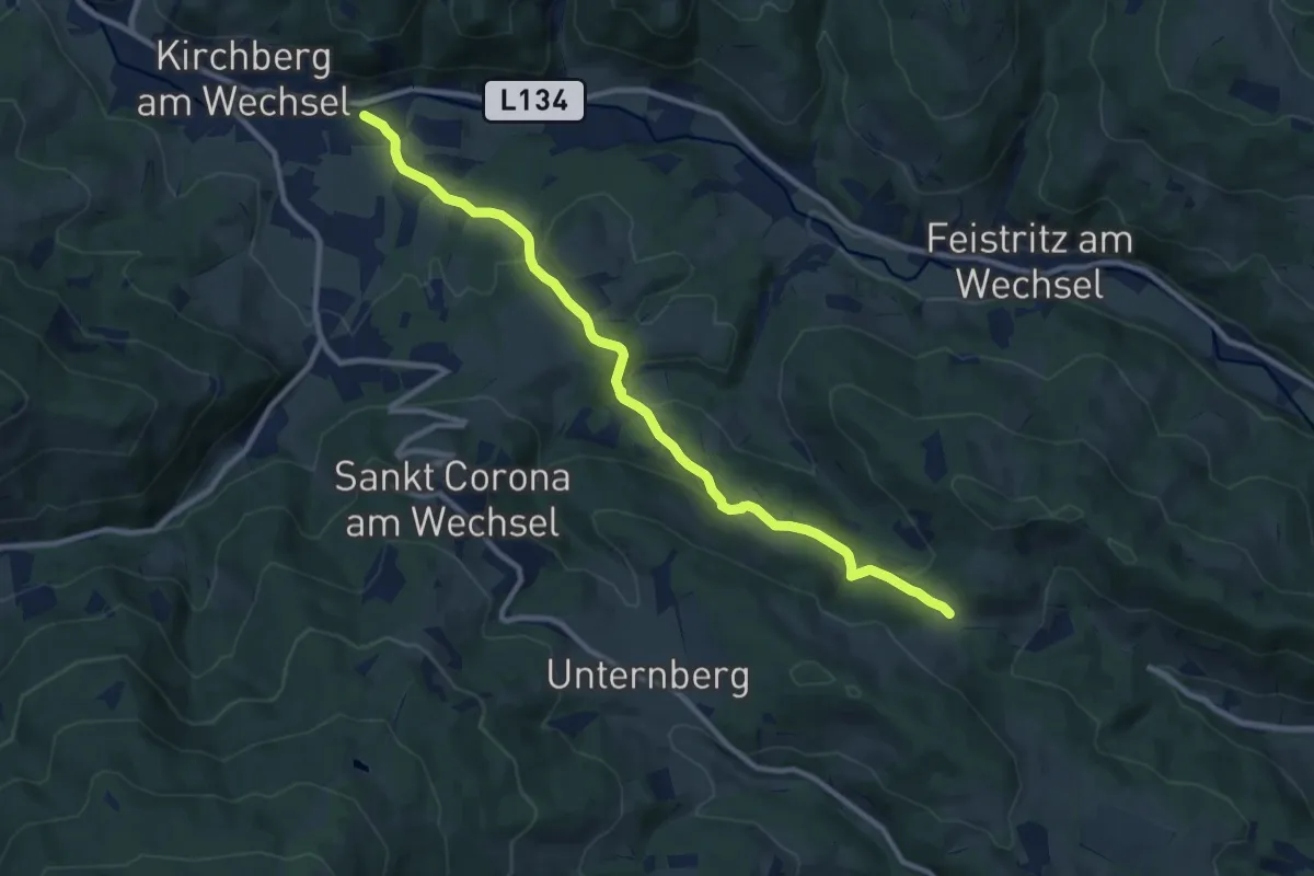
Medium · Trail
Kirchberg - Paßkapelle
10.3 km · ↑ 312 m · 3 h 6 min
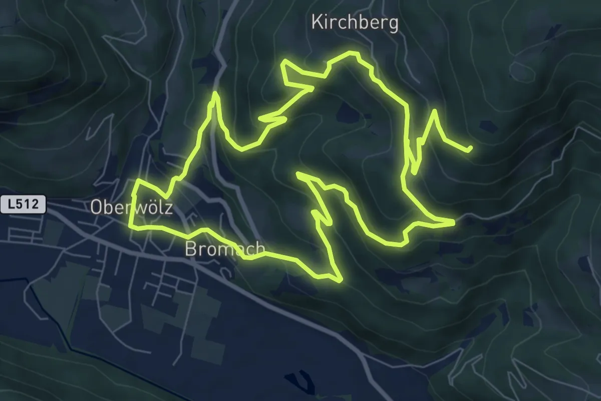
Medium · Trail
Kirchberg-Runde (Schalenstein)
8.3 km · ↑ 362 m · 2 h 55 min
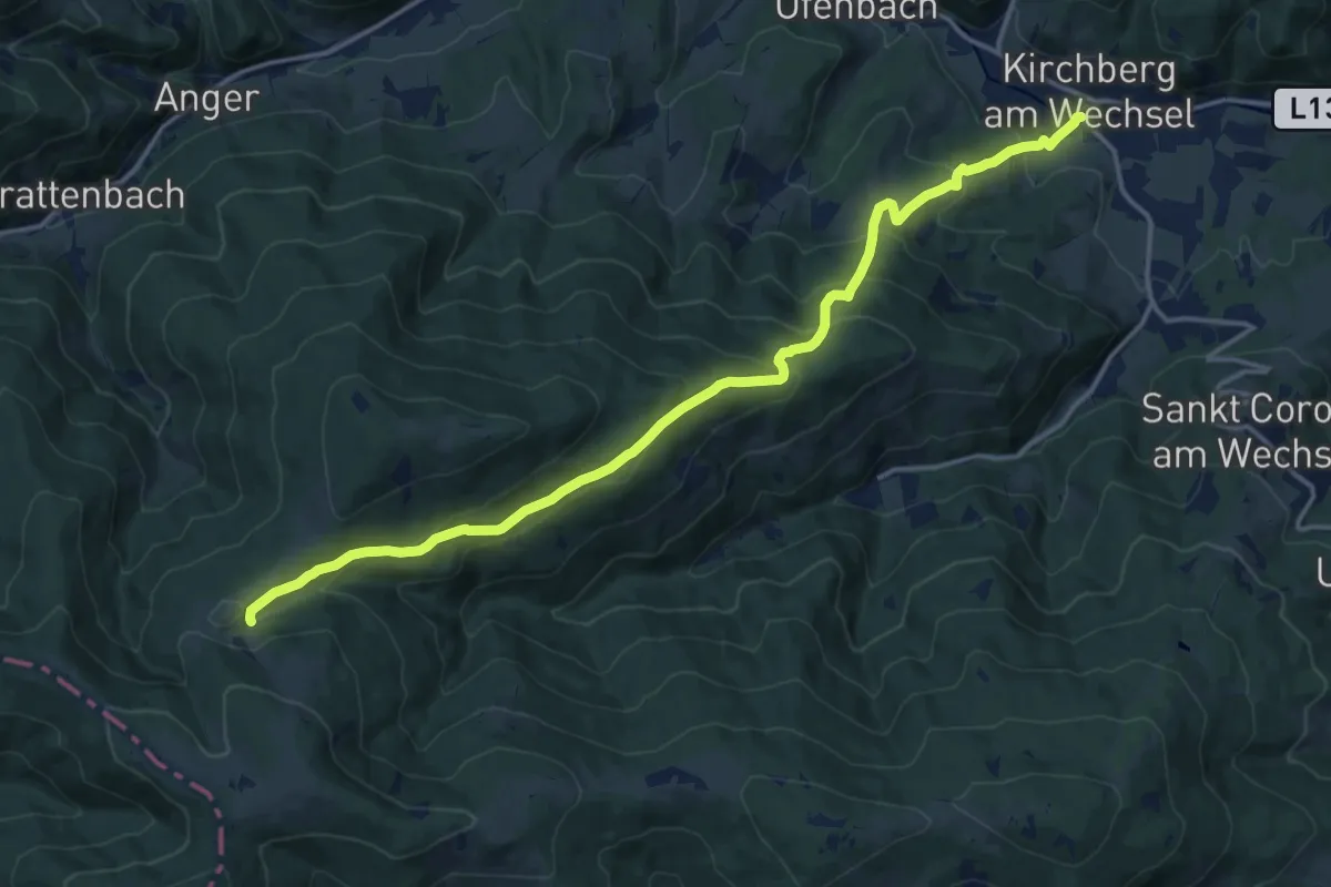
Demanding · Trail
Kirchberg - Steyersberger Schwaig
16.4 km · ↑ 829 m · 5 h 40 min