Trails in Austria
9,779 hiking trails, each with its route, climb, walking time and grade.
All trails, page 54 of 204
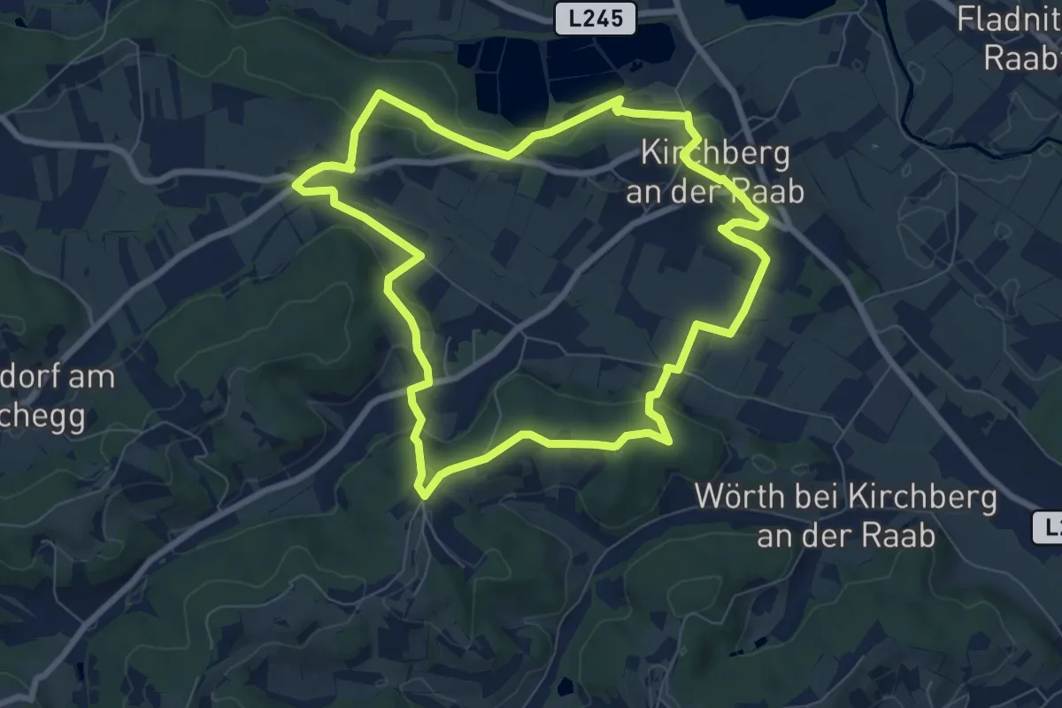
Easy · Trail
Kirchberg Vitalrunde Ortsrunde
7.7 km · ↑ 177 m · 2 h 19 min
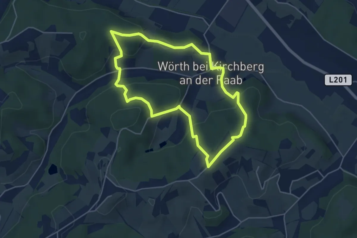
Easy · Trail
Kirchberg Vitalweg Bergrunde
3.9 km · ↑ 162 m · 1 h 20 min
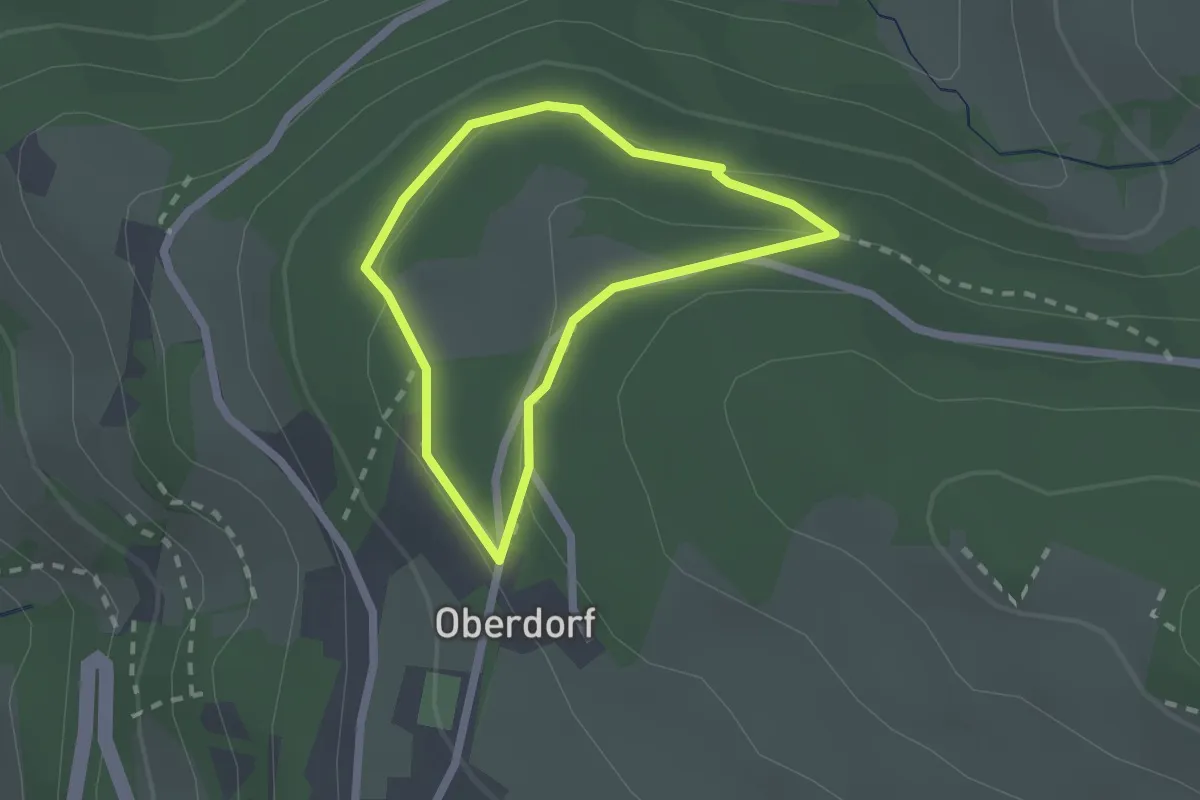
Easy · Trail
Kirchebenrunde
1.6 km · ↑ 46 m · 30 min
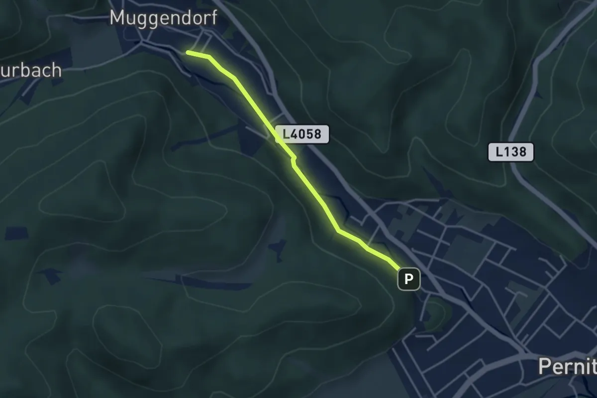
Easy · Trail
Kirchensteig
3.0 km · ↑ 13 m · 44 min
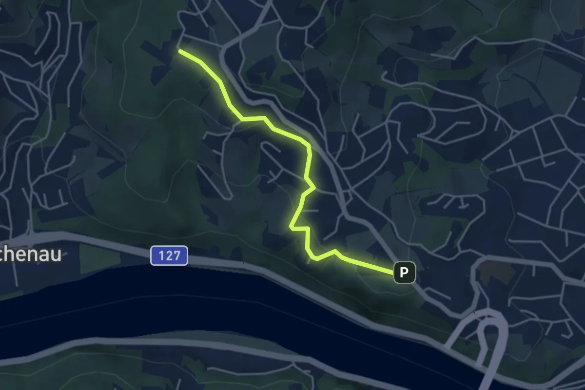
Easy · Trail
Kirchensteig
3.6 km · ↑ 116 m · 1 h 6 min
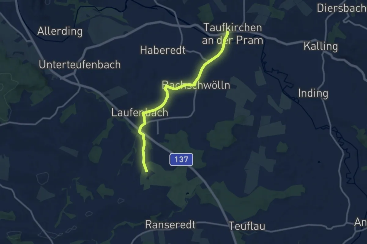
Medium · Trail
Kirchensteig Laufenbach-Maad
8.8 km · ↑ 101 m · 2 h 18 min
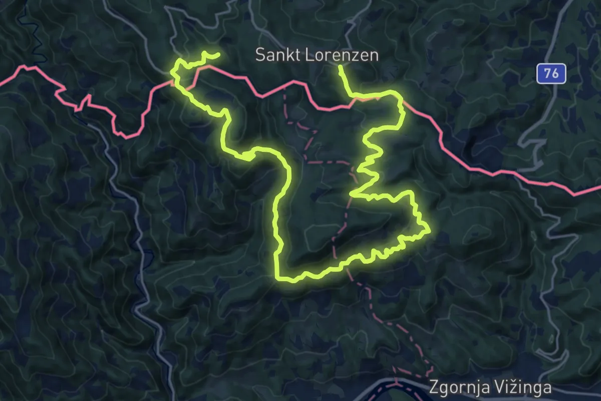
Medium · Trail
Kirche und Linden
15.3 km · ↑ 595 m · 5 h 9 min
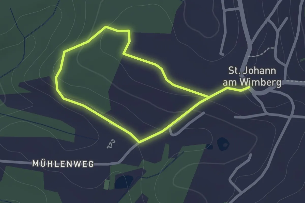
Easy · Trail
Kirchholzweg
1.6 km · ↑ 46 m · 30 min
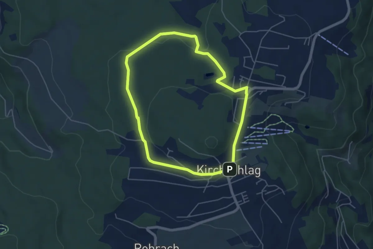
Easy · Trail
Kirchschlag 1er
4.2 km · ↑ 70 m · 1 h 12 min
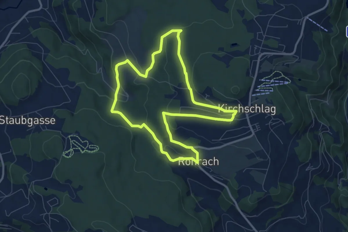
Easy · Trail
Kirchschlag 2er
7.3 km · ↑ 196 m · 2 h 16 min
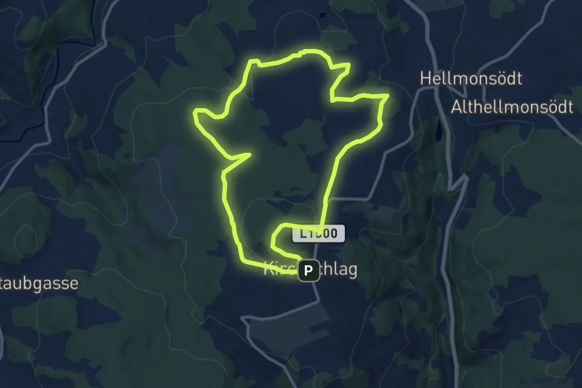
Medium · Summit
Kirchschlag 6er
9.2 km · ↑ 176 m · 2 h 41 min
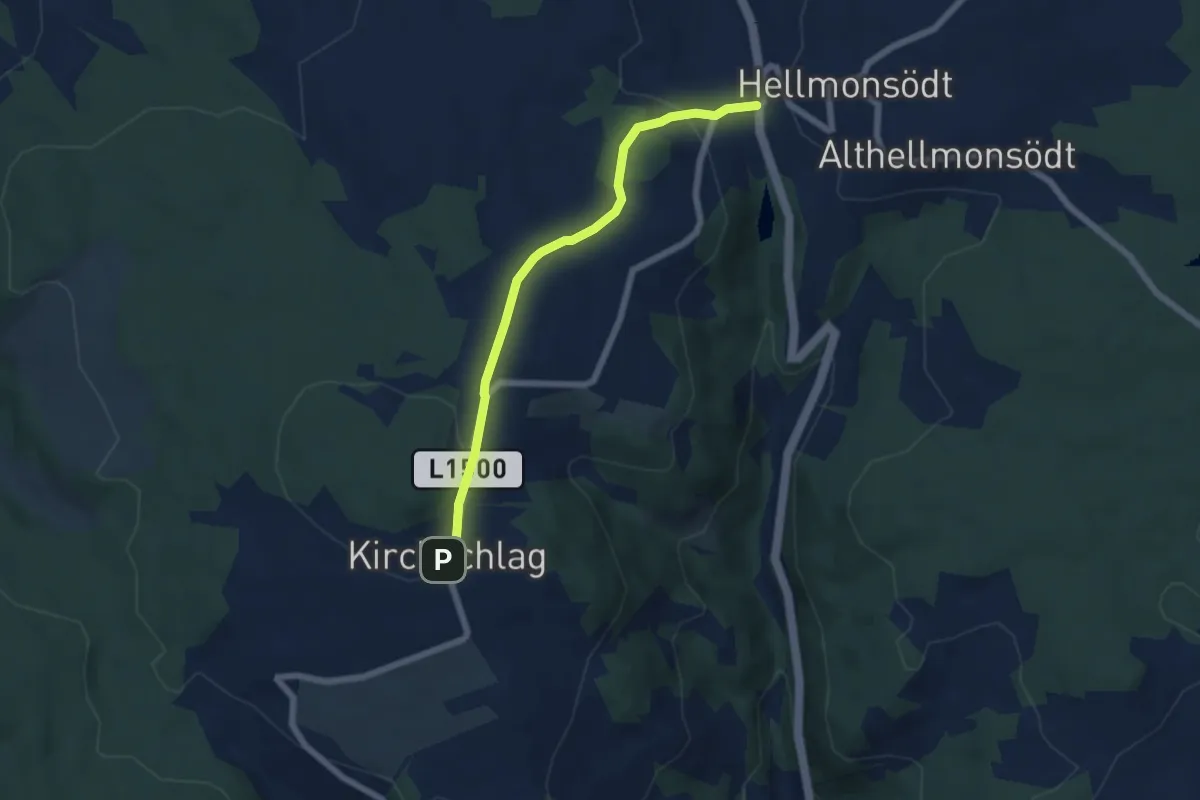
Easy · Trail
Kirchschlag - Glasau
5.5 km · ↑ 117 m · 1 h 34 min
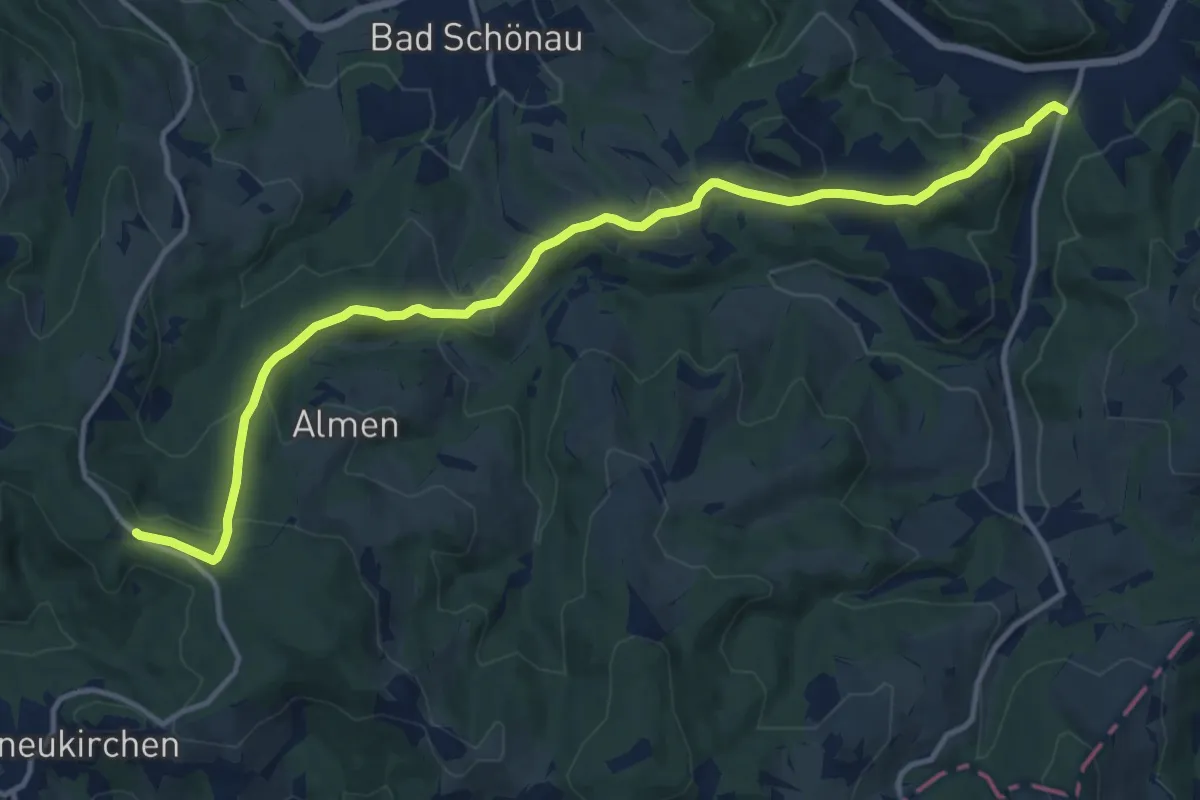
Medium · Trail
Kirchschlag - Höhwirt - Hutwisch
14.2 km · ↑ 521 m · 4 h 28 min
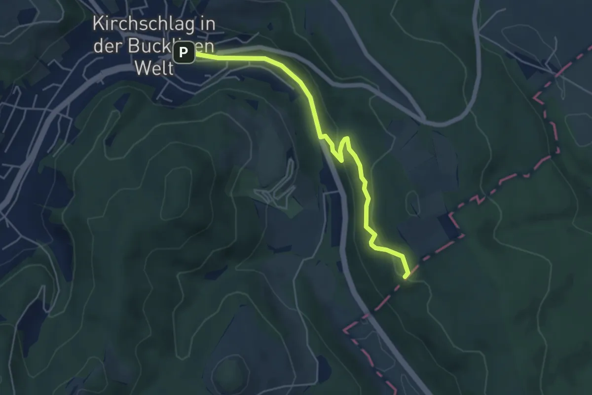
Easy · Summit
Kirchschlag - Radigundenstein - Anschluß an Marienweg
4.6 km · ↑ 89 m · 1 h 17 min
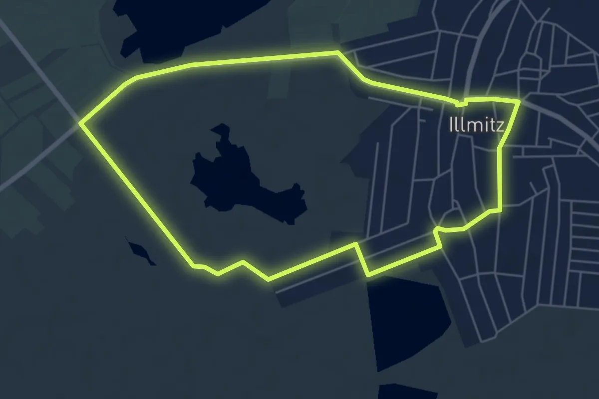
Easy · Trail
Kirchsee-Runde (29)
5.2 km · ↑ 0 m · 1 h 18 min
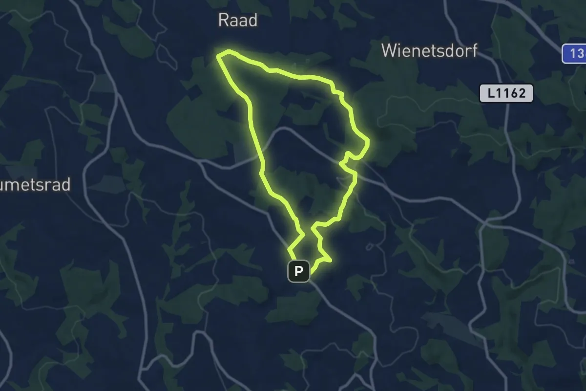
Easy · Trail
Kirchsteigweg
7.7 km · ↑ 169 m · 2 h 18 min
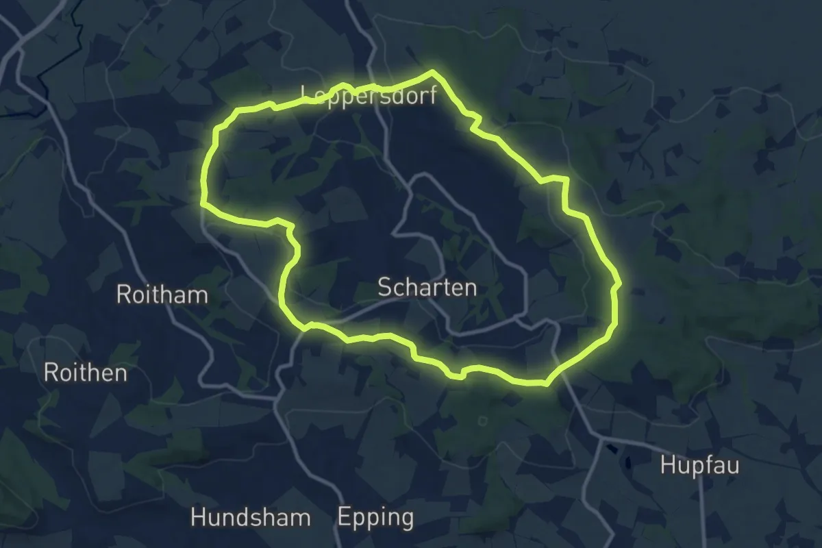
Medium · Trail
Kirschblütenweg
11.0 km · ↑ 185 m · 3 h 9 min
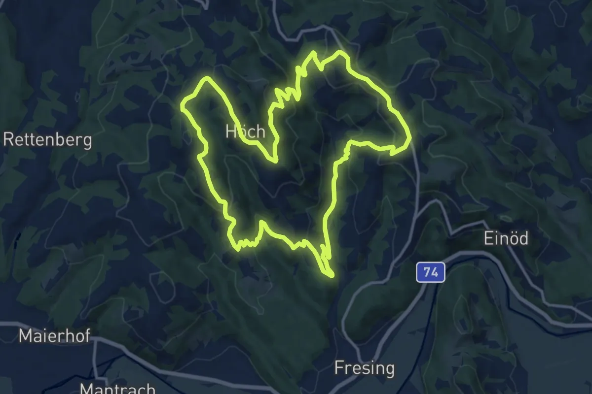
Medium · Trail
Kitzeck - Demmerkogel Runde
12.4 km · ↑ 563 m · 4 h 19 min
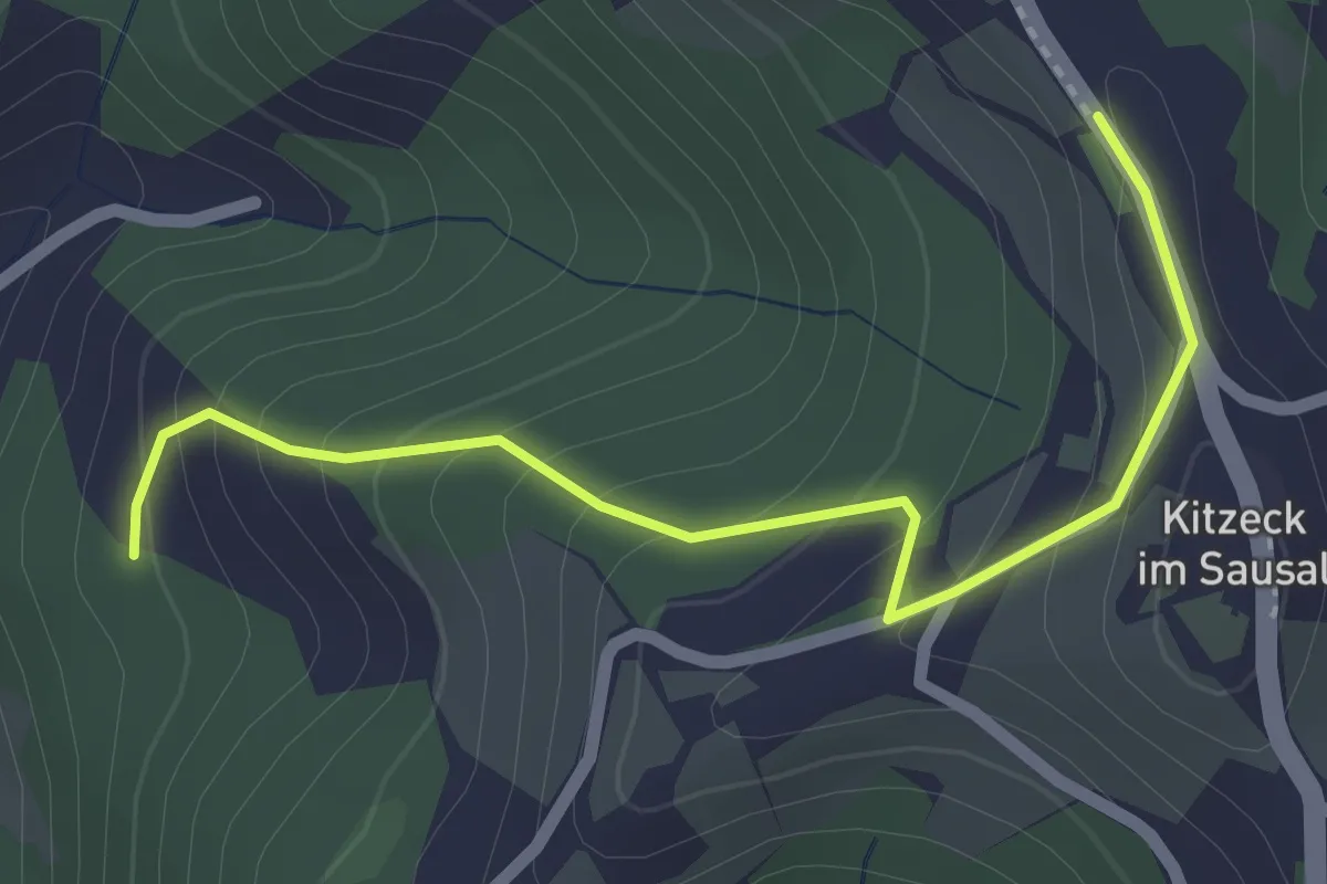
Easy · Trail
Kitzeck-Demmerkogel Runde K4
1.1 km · ↑ 0 m · 21 min
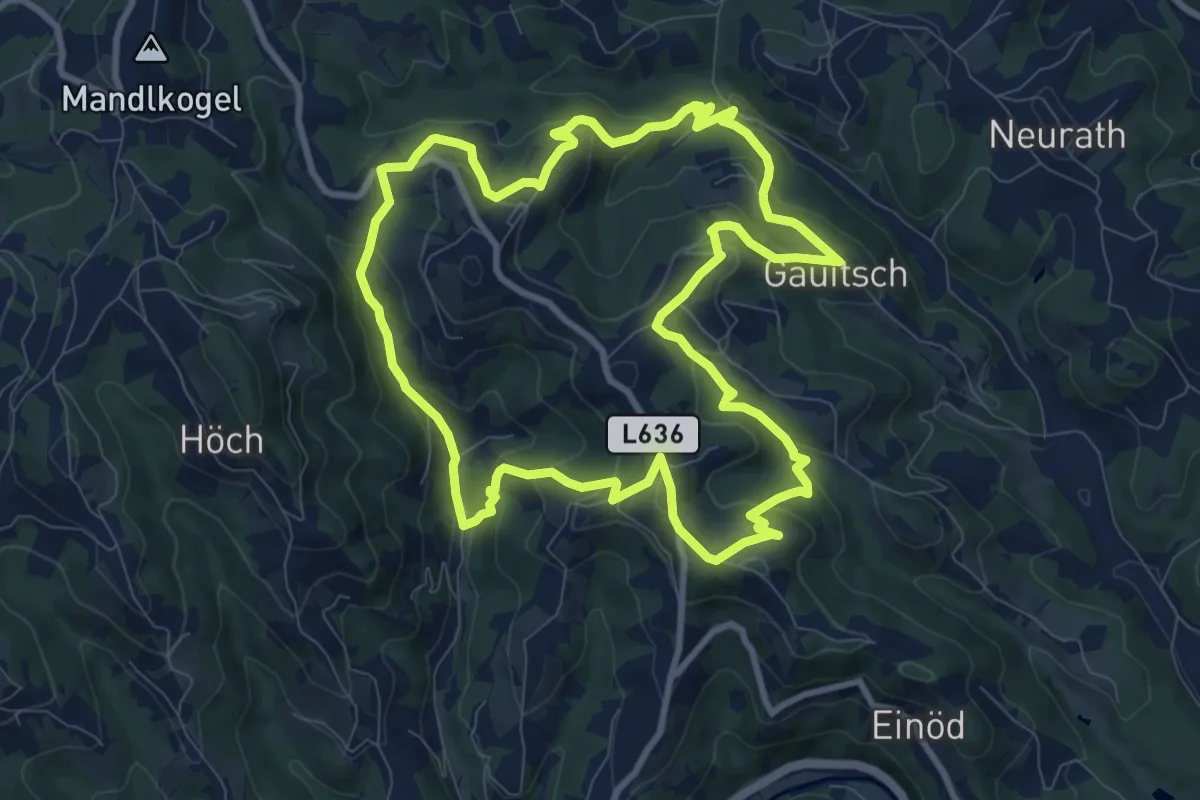
Medium · Trail
Kitzecker Weinwanderweg
9.7 km · ↑ 517 m · 3 h 33 min
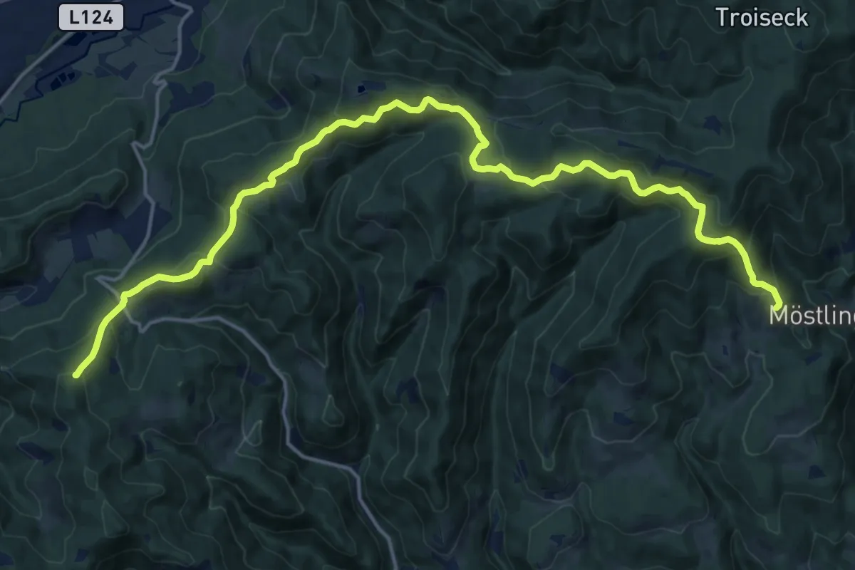
Demanding · Trail
K & K Winterwunderwanderweg
19.6 km · ↑ 719 m · 6 h 12 min
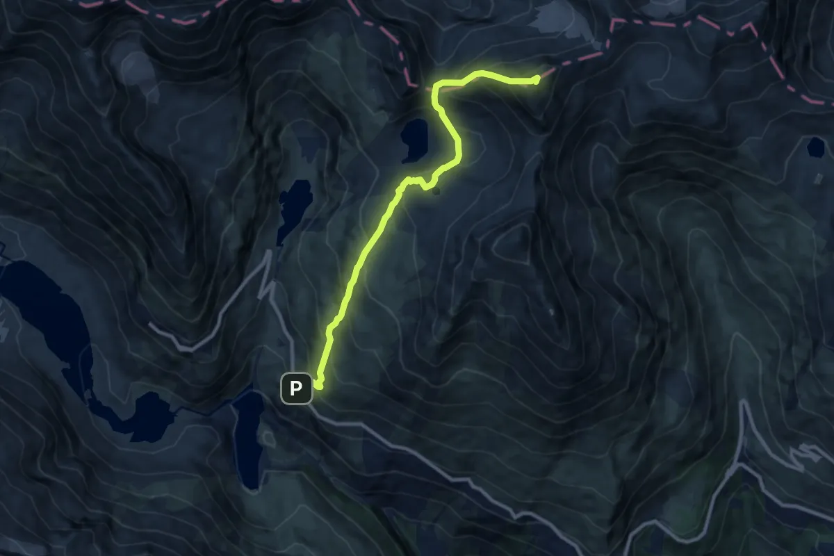
Demanding · Summit
Klagenfurter Jubiläumsweg
9.1 km · ↑ 1069 m · 4 h 28 min
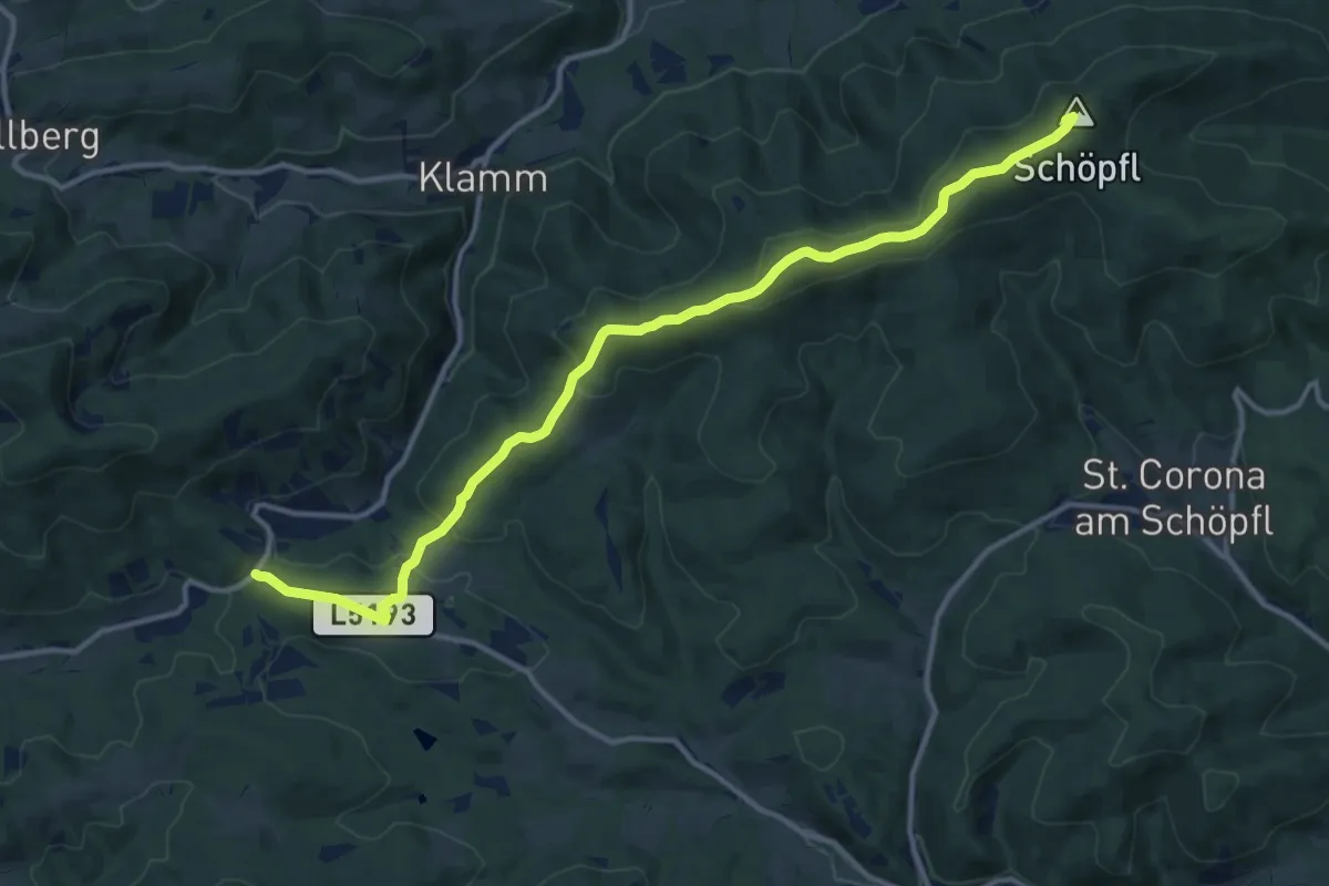
Medium · Summit
Klammhöhe - Schöpfl Schutzhaus
13.6 km · ↑ 431 m · 4 h 8 min
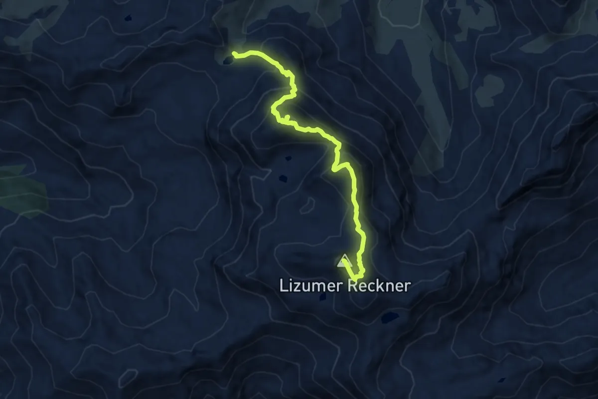
Expert · Summit
Klammjoch - Tarntalerköpfe - Lizumer Sonnenspitze - Geier
9.4 km · ↑ 1008 m · 4 h 24 min
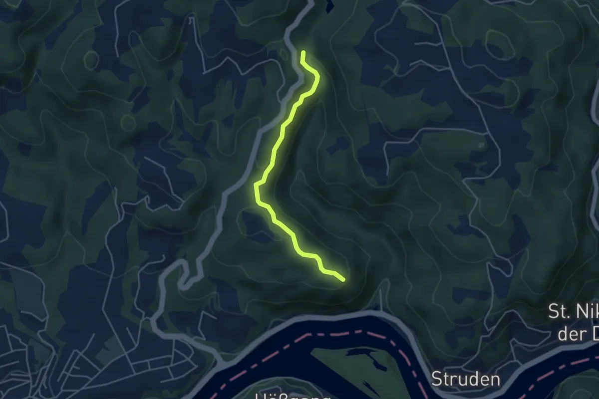
Easy · Trail
Klammleiten
3.7 km · ↑ 65 m · 1 h 1 min
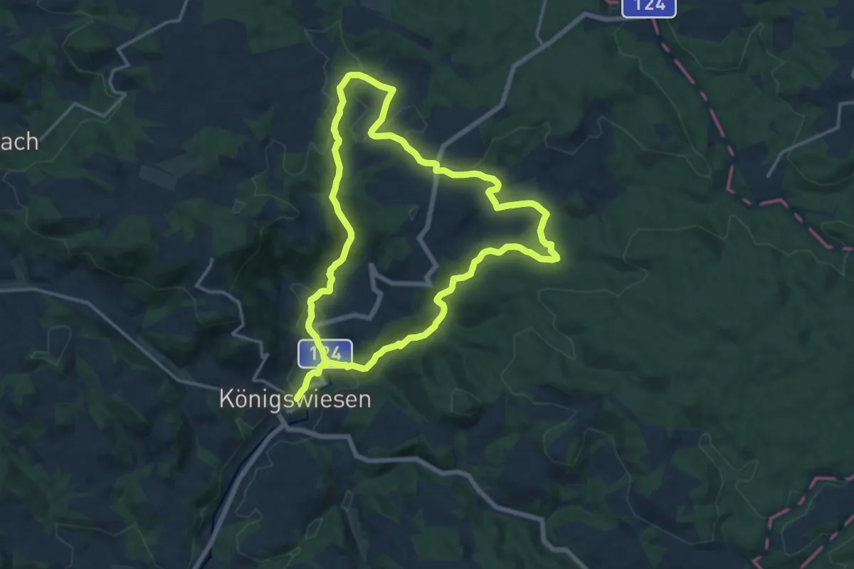
Demanding · Trail
Klammleiten-Rundweg Nr. 7
26.4 km · ↑ 721 m · 7 h 48 min
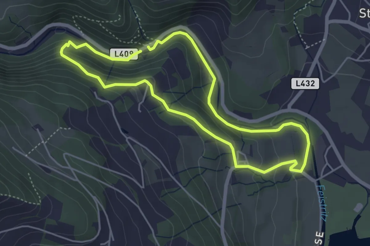
Medium · Trail
Klammrunde
4.0 km · ↑ 134 m · 1 h 17 min
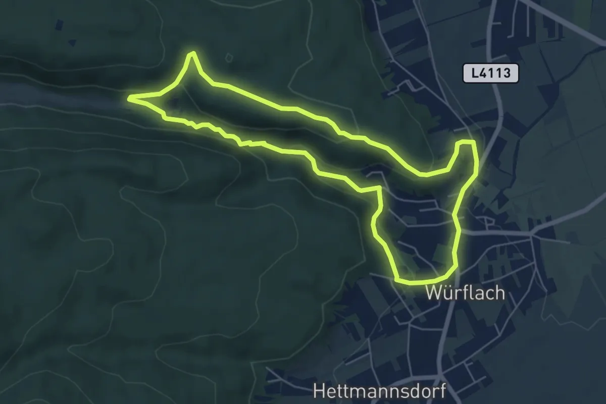
Easy · Trail
Klammrunde klein (1b)
5.6 km · ↑ 179 m · 1 h 48 min
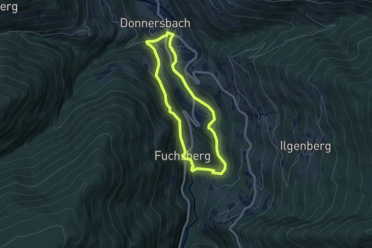
Medium · Trail
Klammrundweg
4.5 km · ↑ 150 m · 1 h 27 min
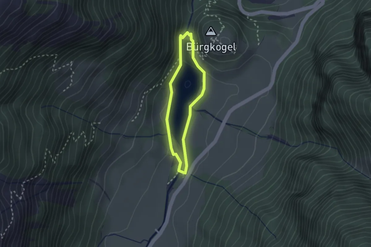
Easy · Summit
Klammsee-Runde
1.8 km · ↑ 31 m · 30 min
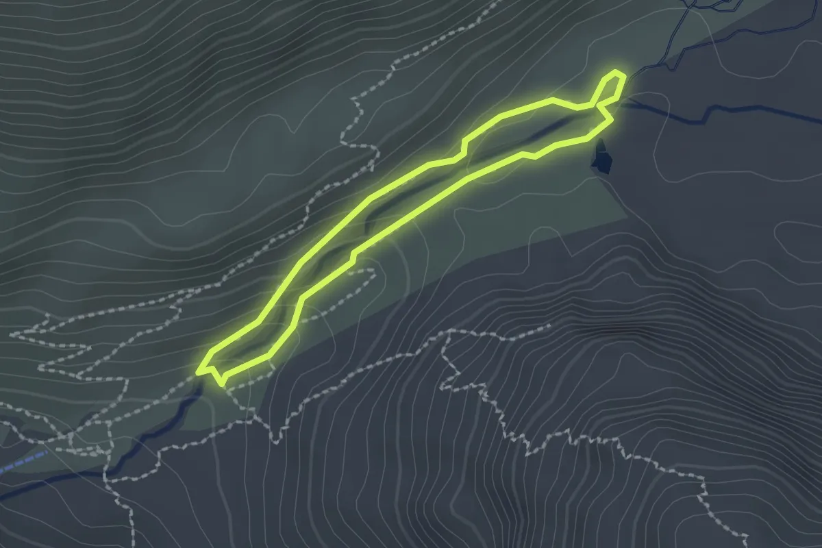
Demanding · Trail
Klammweg
1.7 km · ↑ 76 m · 35 min
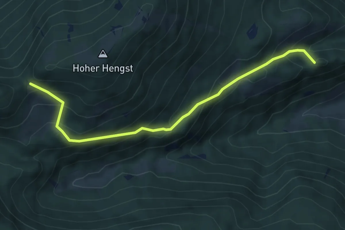
Medium · Summit
Klammweg
6.5 km · ↑ 524 m · 2 h 40 min
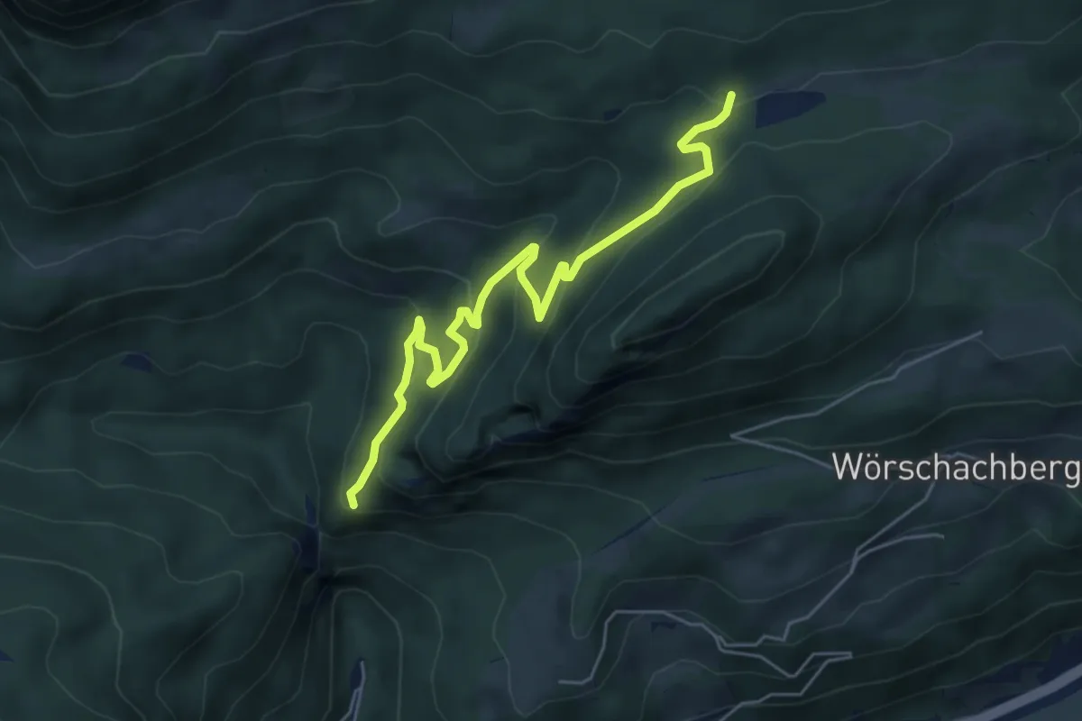
Easy · Trail
Klammweg - Schönmoos
5.6 km · ↑ 252 m · 1 h 52 min
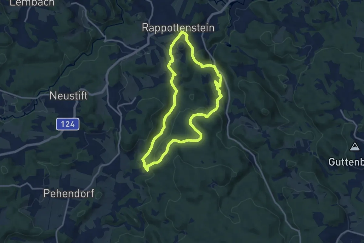
Medium · Trail
Klangburgweg 10
8.8 km · ↑ 266 m · 2 h 46 min
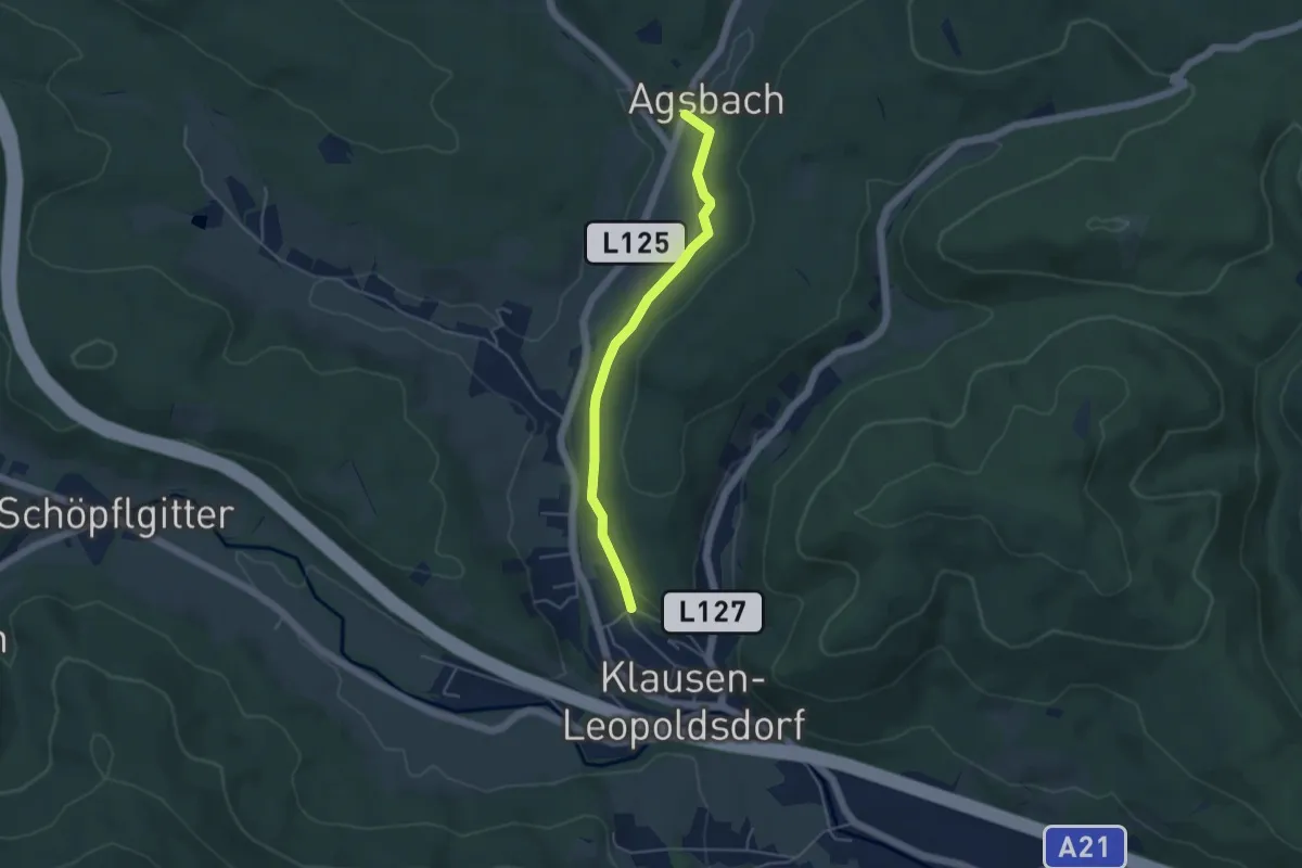
Easy · Trail
Klausen-Leopoldsdorf - Agsbachleitenstraße
4.1 km · ↑ 65 m · 1 h 6 min
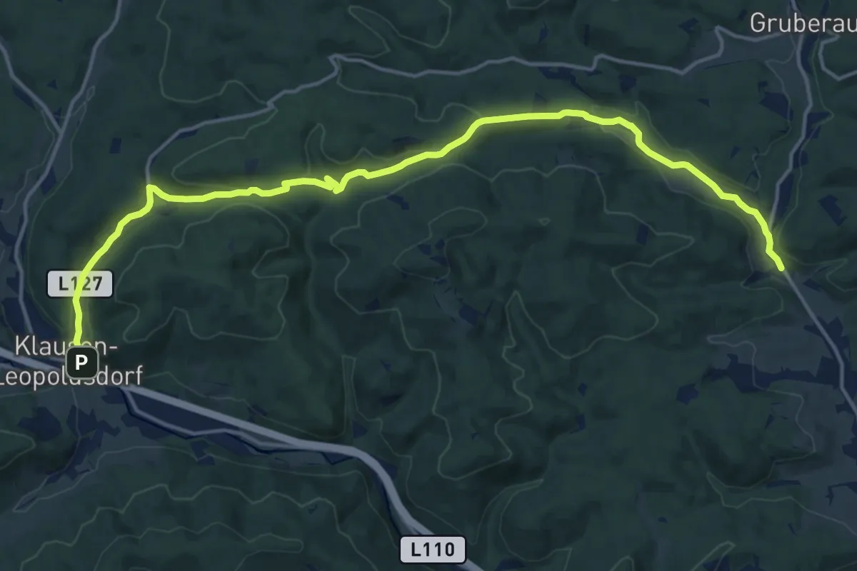
Medium · Trail
Klausenleopoldsdorf - Buchelbach
17.4 km · ↑ 357 m · 4 h 53 min
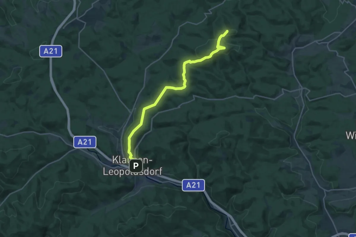
Medium · Summit
Klausen-Leopoldsdorf - Kreuzeck - Steinplattl - Klaushäuseln - Pfalzau
16.5 km · ↑ 529 m · 5 h 2 min
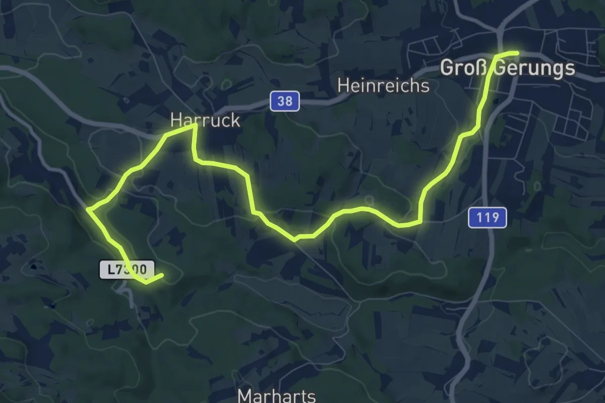
Medium · Summit
Klauskapelle Wanderweg 36
11.5 km · ↑ 239 m · 3 h 14 min
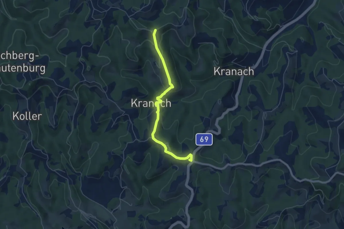
Easy · Summit
Kleeblattwanderung Nr. 4b
5.4 km · ↑ 312 m · 1 h 57 min
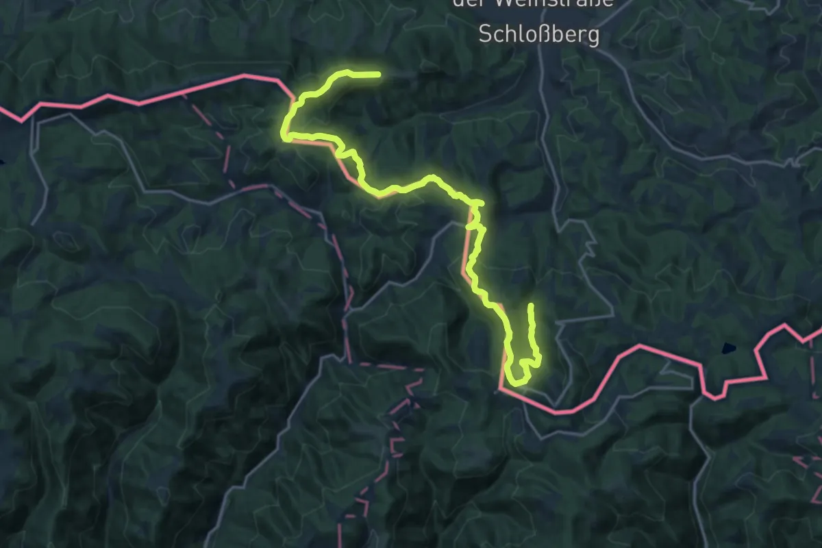
Demanding · Trail
Kleeblattwanderweg Nr. 1
21.5 km · ↑ 930 m · 7 h 6 min
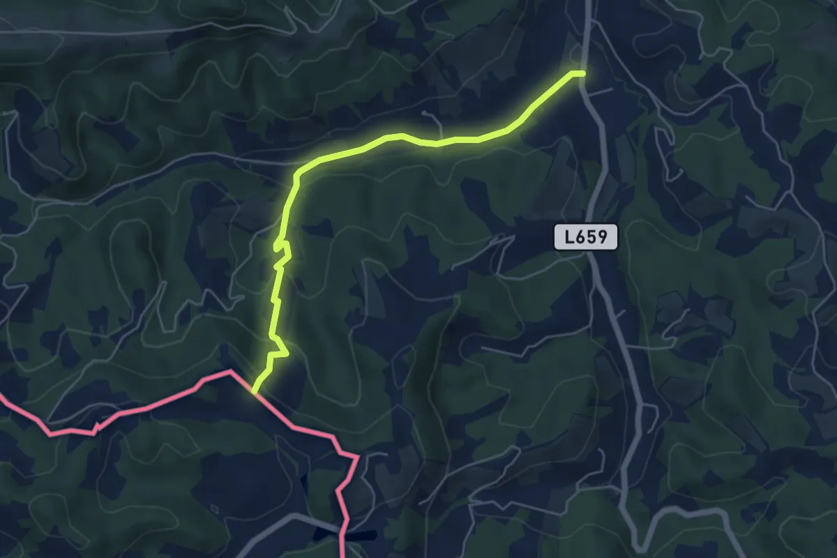
Easy · Trail
Kleeblattwanderweg Nr. 1 Variante Obermuhri->P3
5.2 km · ↑ 204 m · 1 h 40 min
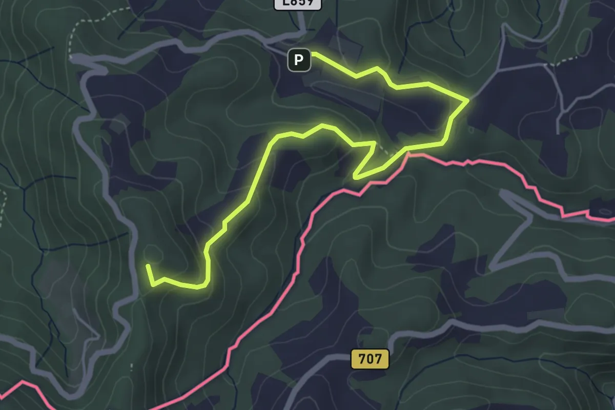
Easy · Summit
Kleeblattwanderweg Nr. 2
5.2 km · ↑ 272 m · 1 h 49 min
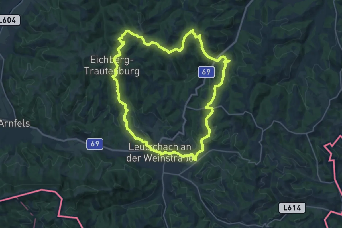
Medium · Trail
Kleeblattwanderweg Nr. 4
17.5 km · ↑ 627 m · 5 h 43 min
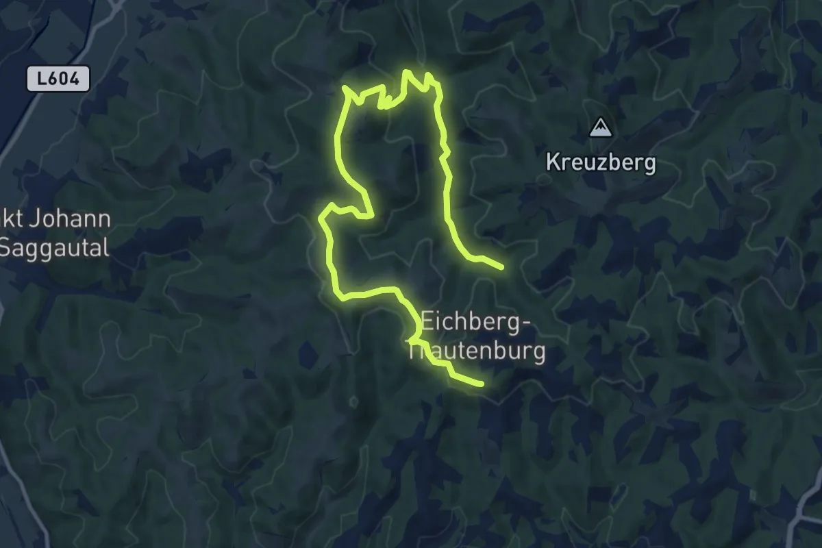
Medium · Trail
Kleeblattwanderweg Nr. 4a
14.5 km · ↑ 444 m · 4 h 23 min
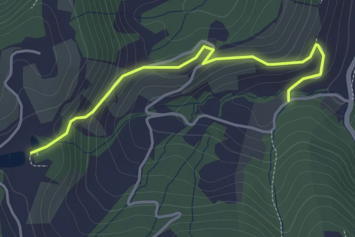
Easy · Trail
Kleeblattwanderweg Variante - Oberguess - Weingut Albrecher
3.0 km · ↑ 142 m · 1 h
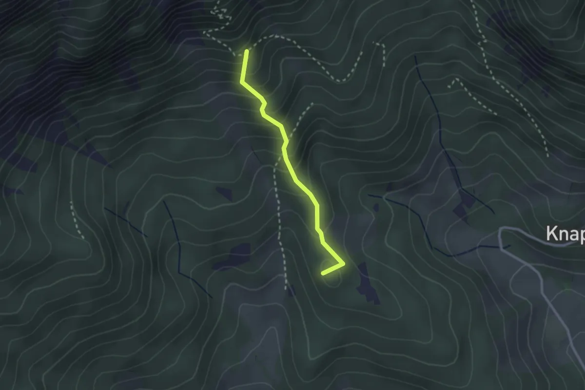
Easy · Summit
Kleinau - Lammelbründl/Törlweg
2.1 km · ↑ 237 m · 1 h
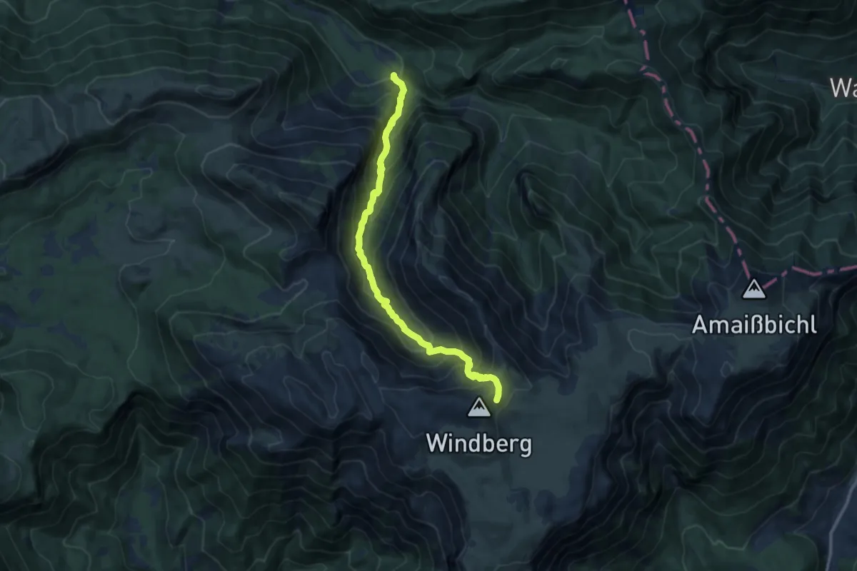
Demanding · Trail
Kleinbodengraben
10.4 km · ↑ 910 m · 4 h 25 min
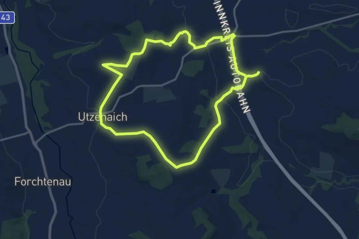
Medium · Trail
Kleindenkmäler-Weg
16.1 km · ↑ 302 m · 4 h 27 min