Trails in Austria
9,779 hiking trails, each with its route, climb, walking time and grade.
All trails, page 55 of 204
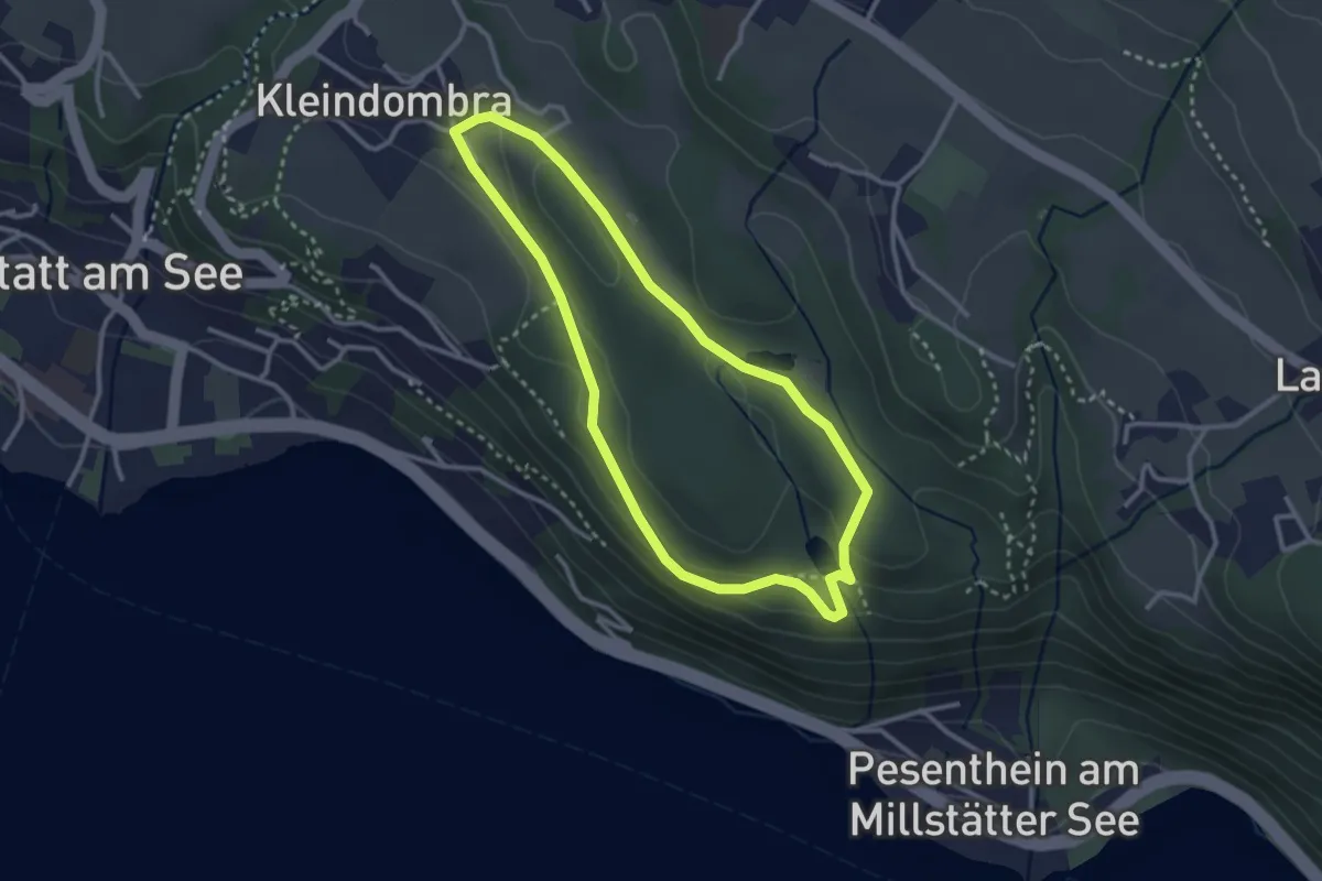
Easy · Trail
Kleindombra-Zwergensee-Klieberteich-Kleindombra
2.8 km · ↑ 59 m · 49 min
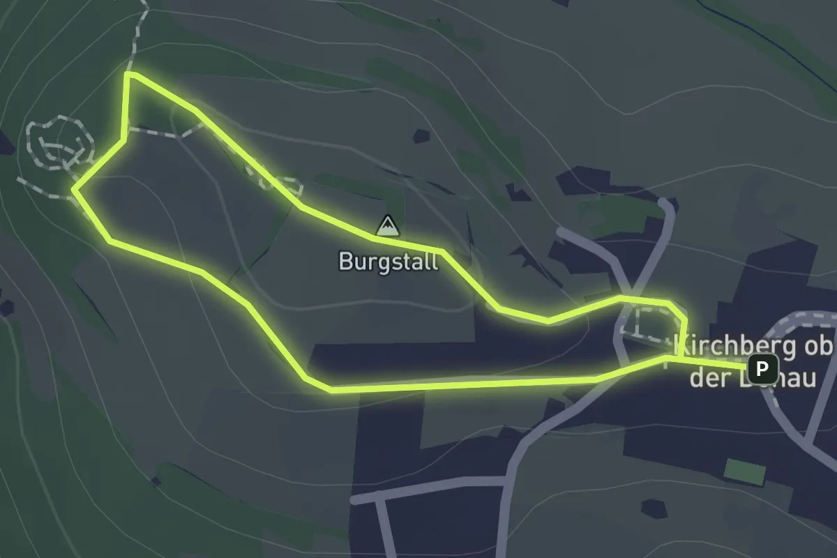
Medium · Summit
Kleine Burgstallrunde
1.3 km · ↑ 38 m · 24 min
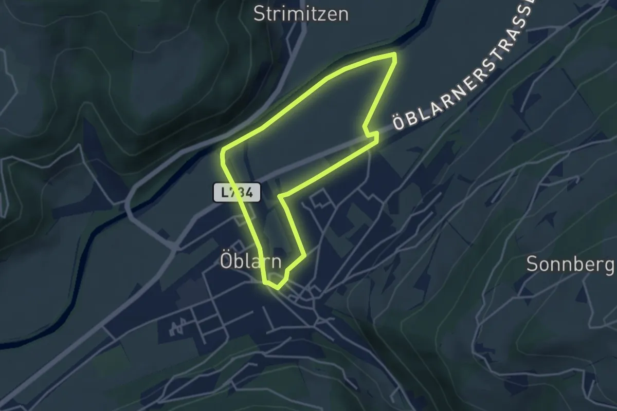
Easy · Trail
Kleine Ennsrunde
3.0 km · ↑ 8 m · 46 min
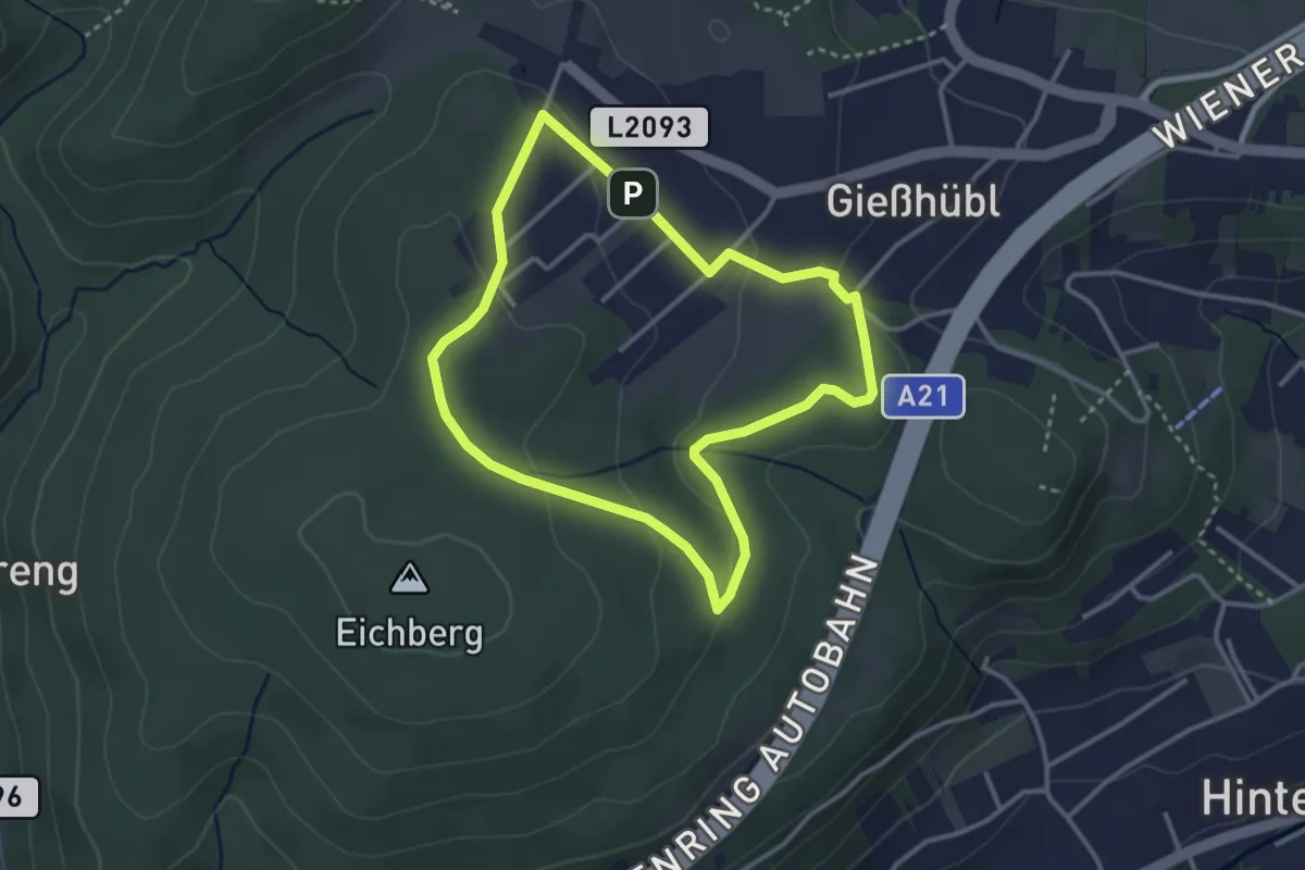
Easy · Trail
Kleine Gießhübler Runde
3.0 km · ↑ 71 m · 54 min
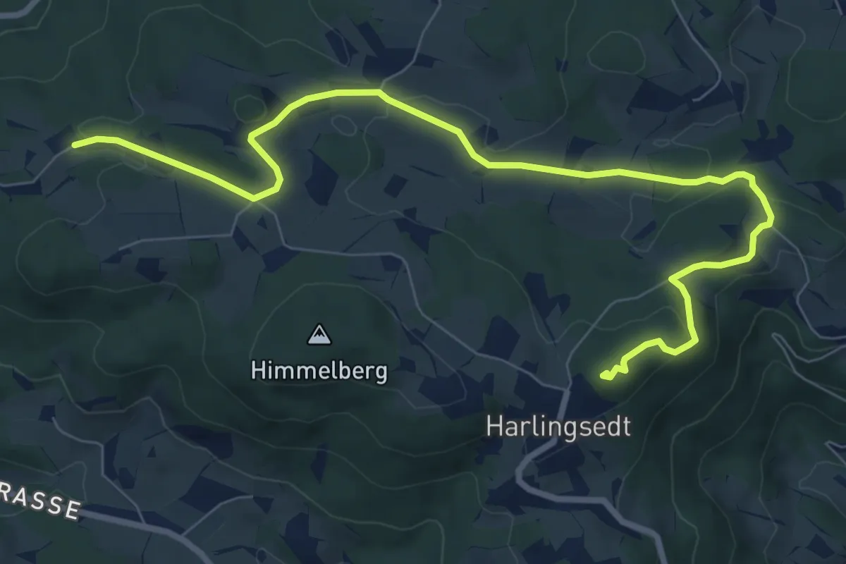
Medium · Summit
Kleine Gipfelkreuzrunde Nr. 20
9.1 km · ↑ 263 m · 2 h 44 min
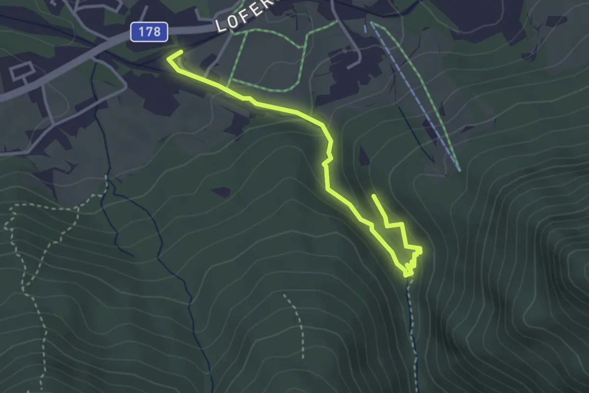
Medium · Trail
Kleine Grießbachrunde
3.4 km · ↑ 151 m · 1 h 8 min
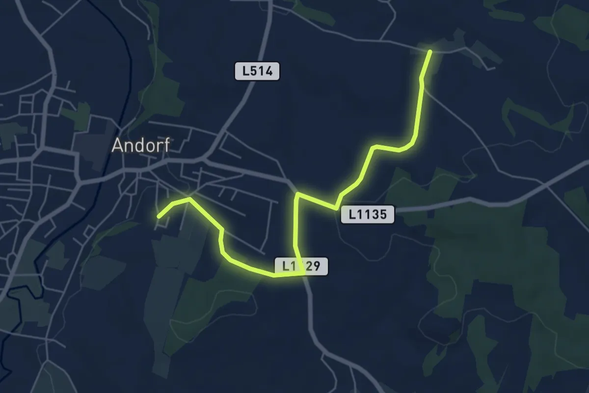
Easy · Trail
Kleine Haula-Runde
5.6 km · ↑ 141 m · 1 h 38 min
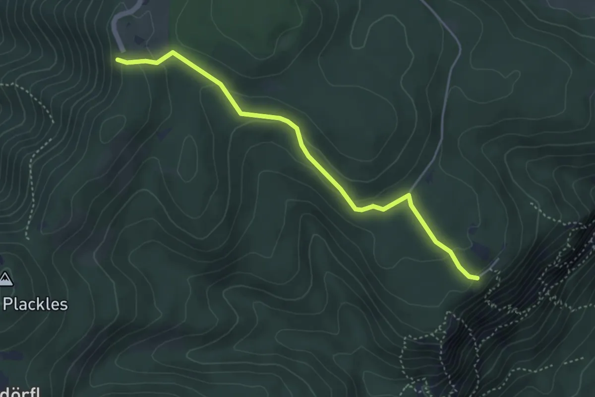
Easy · Summit
Kleine Kanzel - Hochkogelhaus
4.1 km · ↑ 139 m · 1 h 16 min
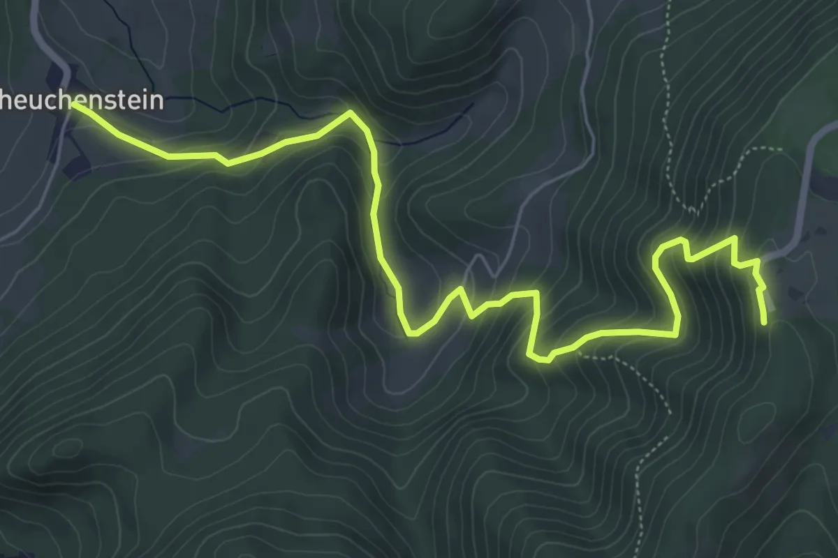
Medium · Summit
Kleinekanzelsteig
7.2 km · ↑ 515 m · 2 h 49 min
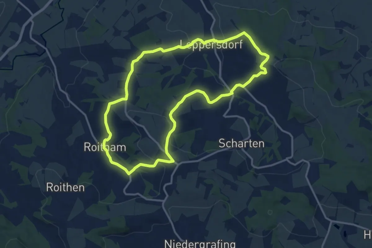
Medium · Trail
Kleine Kirschblütenrunde
9.3 km · ↑ 299 m · 2 h 59 min
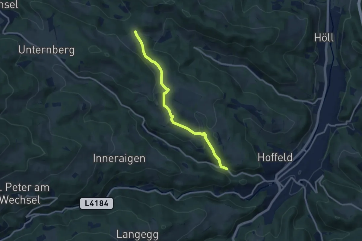
Easy · Trail
Kleine Klause - Fuchs - Passkapelle
7.8 km · ↑ 313 m · 2 h 31 min
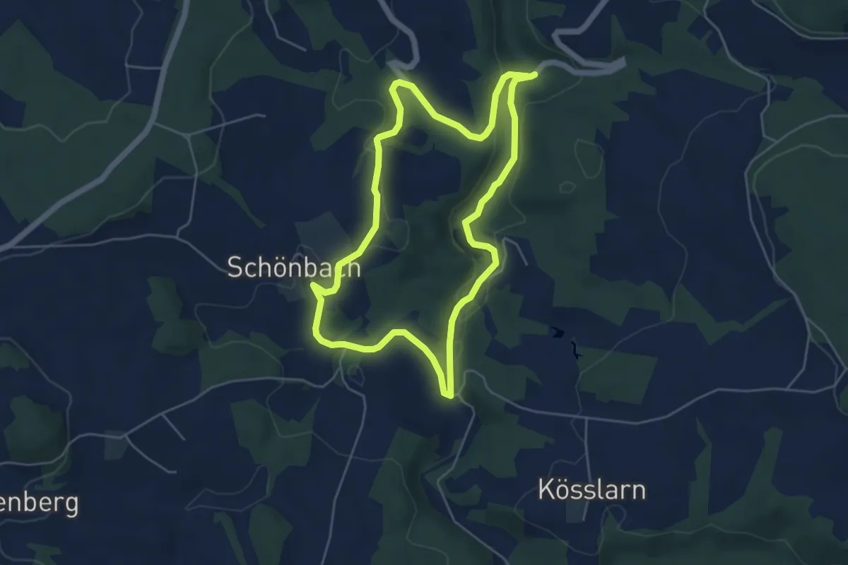
Easy · Trail
Kleine Kößlbach Runde
4.7 km · ↑ 116 m · 1 h 25 min
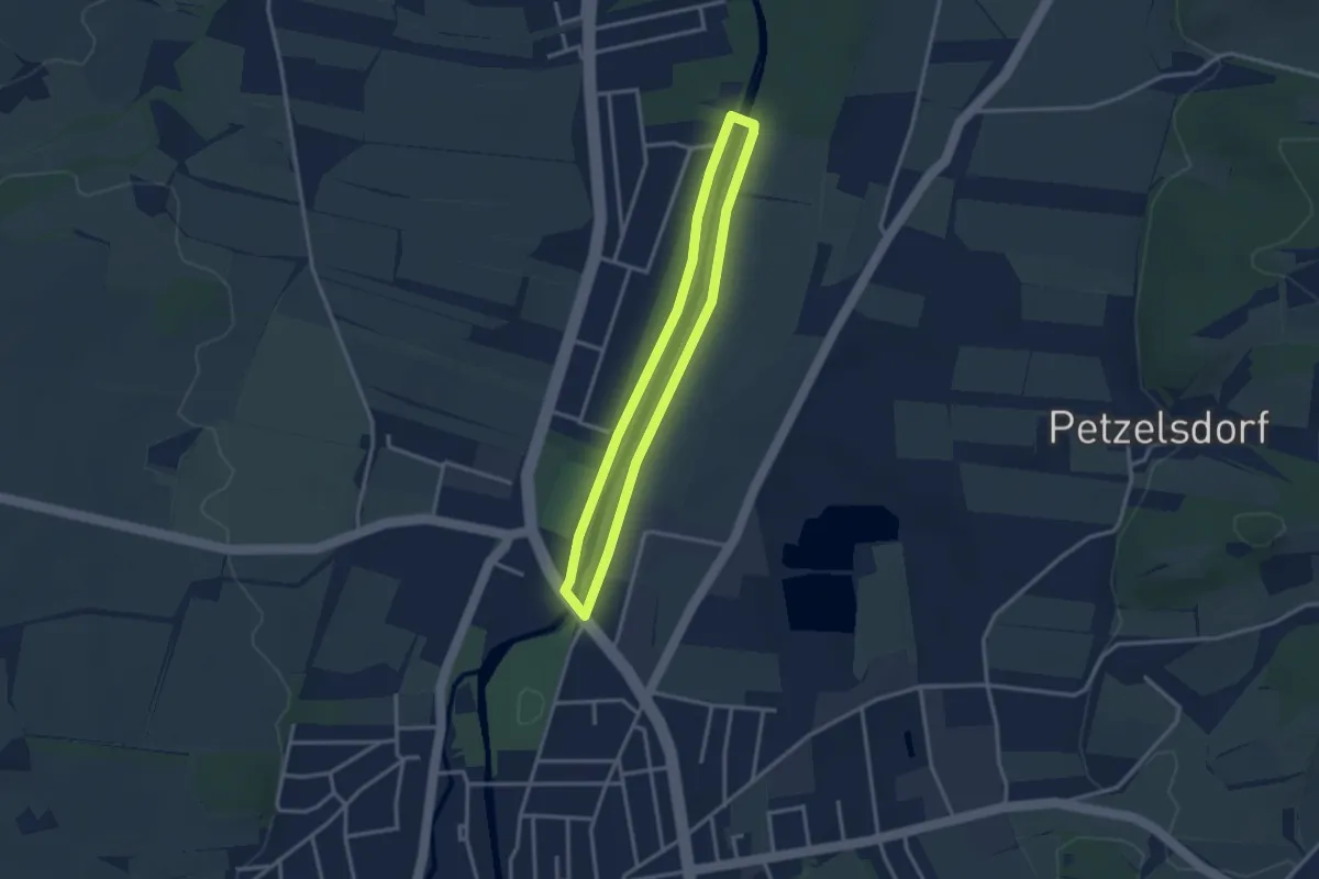
Easy · Trail
Kleine Praterrunde
2.6 km · ↑ 9 m · 41 min
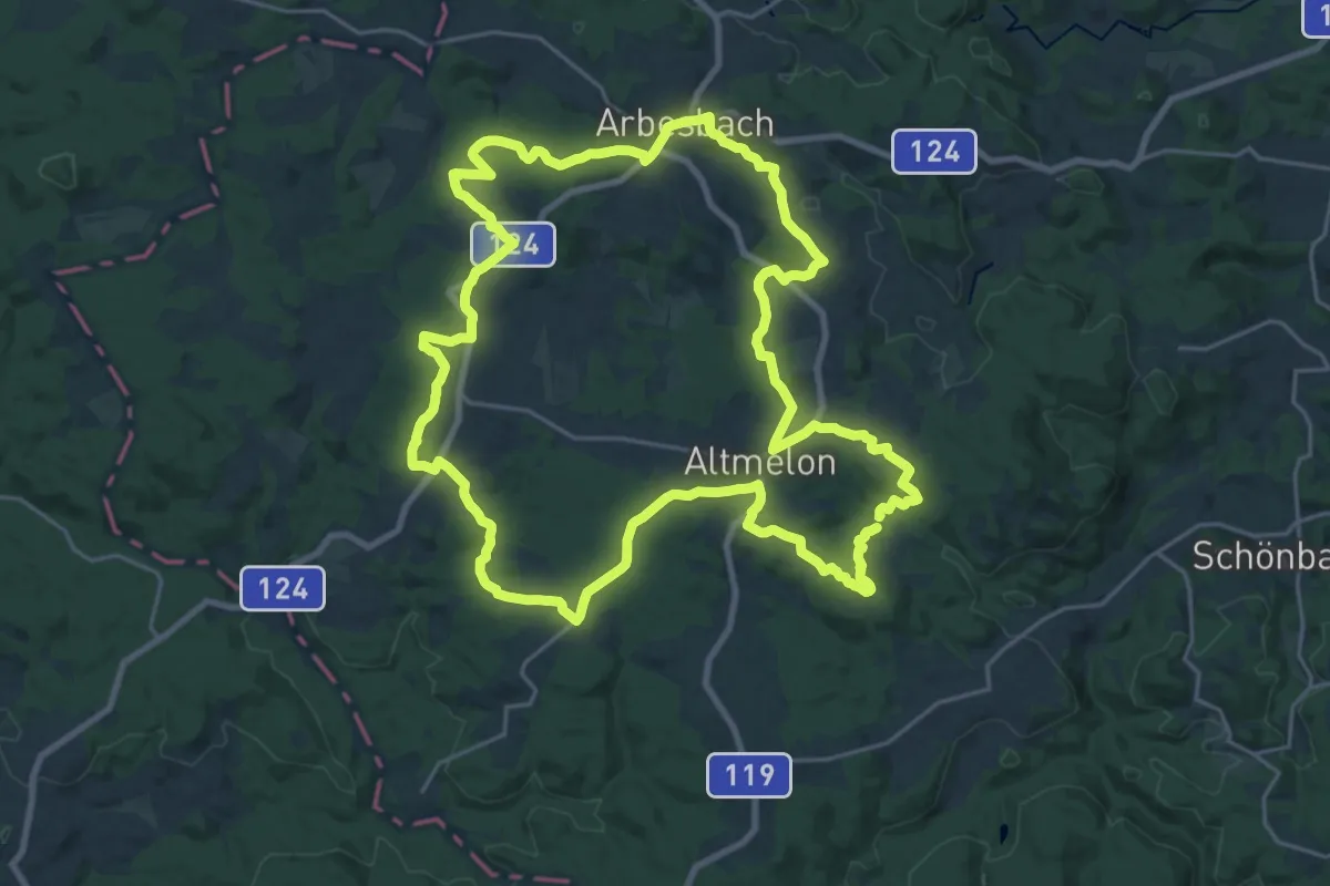
Demanding · Summit
Kleiner Bärentrail
24.4 km · ↑ 537 m · 7 h 15 min
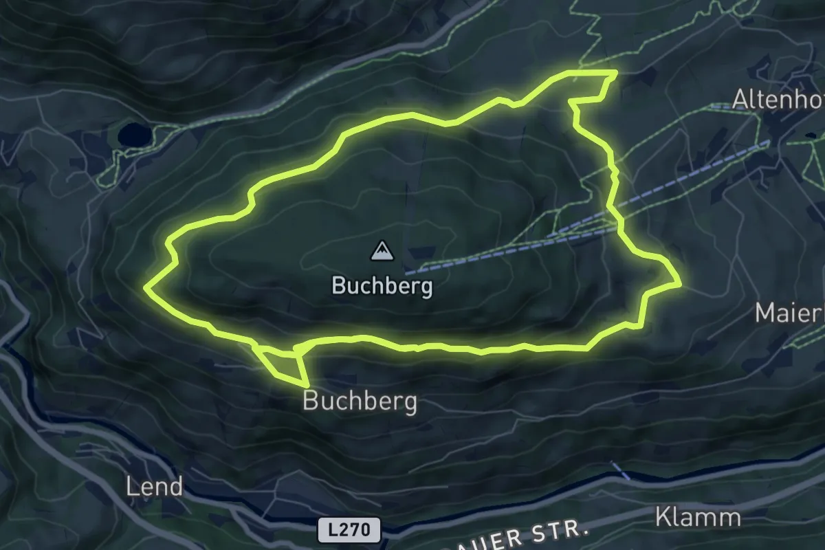
Medium · Trail
Kleiner Buchbergrundweg
8.9 km · ↑ 406 m · 3 h 7 min
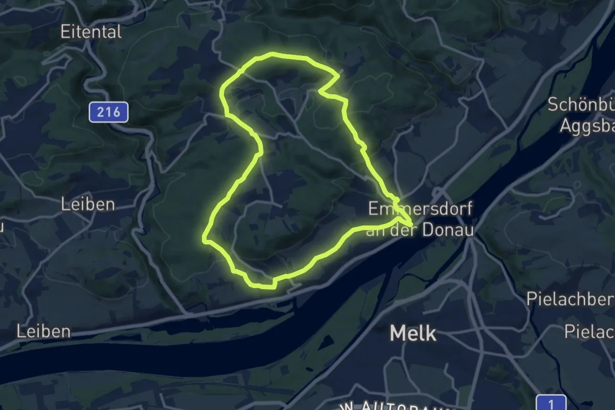
Medium · Trail
Kleiner Emmersdorfer Rundwanderweg
11.2 km · ↑ 262 m · 3 h 23 min
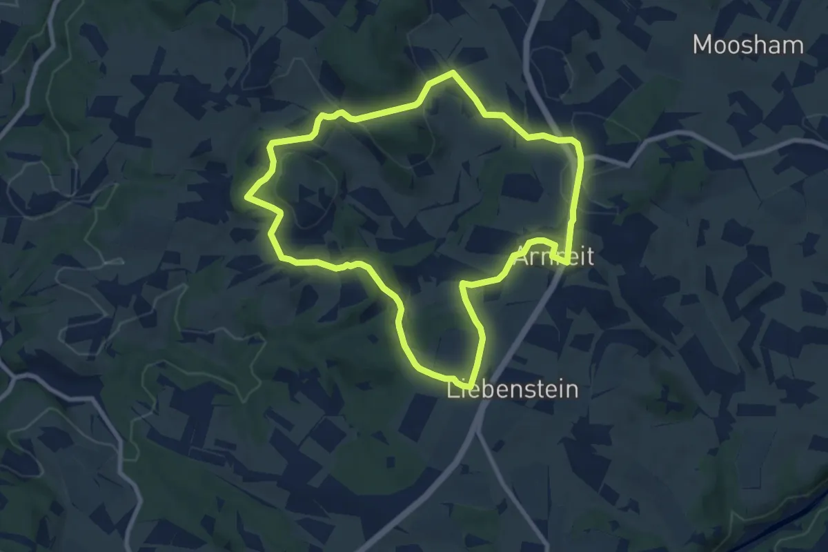
Easy · Trail
Kleiner Erdäpfelseitenweg
7.4 km · ↑ 202 m · 2 h 18 min
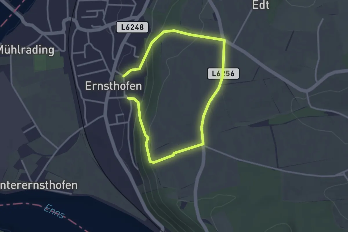
Easy · Trail
Kleiner Ernsthofner Rundwanderweg
2.1 km · ↑ 69 m · 41 min
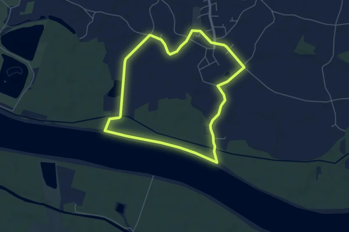
Easy · Trail
Kleiner Goldwörther Donaurundweg
4.9 km · ↑ 0 m · 1 h 14 min
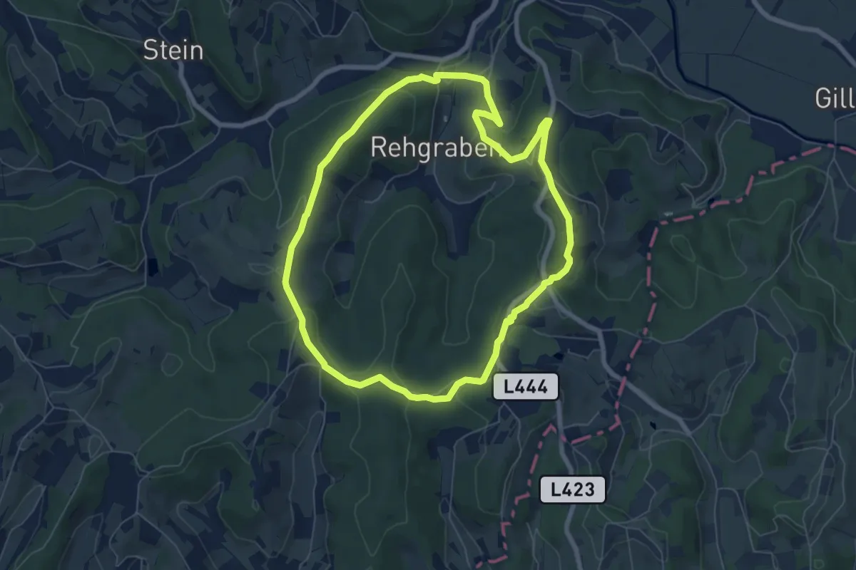
Easy · Trail
Kleiner Höhenrundweg (Weg 5)
6.6 km · ↑ 144 m · 1 h 57 min
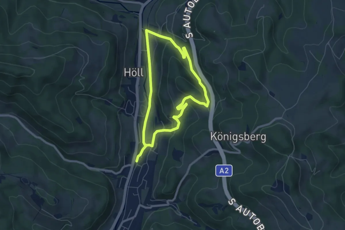
Medium · Trail
Kleiner Königsbergweg (Aspang Markt)
10.3 km · ↑ 288 m · 3 h 3 min
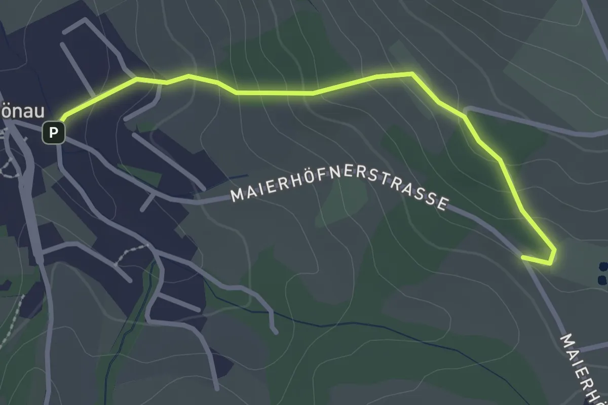
Easy · Trail
Kleiner Leitenviertelweg (Königsbergstraße - Wagenhofer (E9))
2.5 km · ↑ 129 m · 52 min
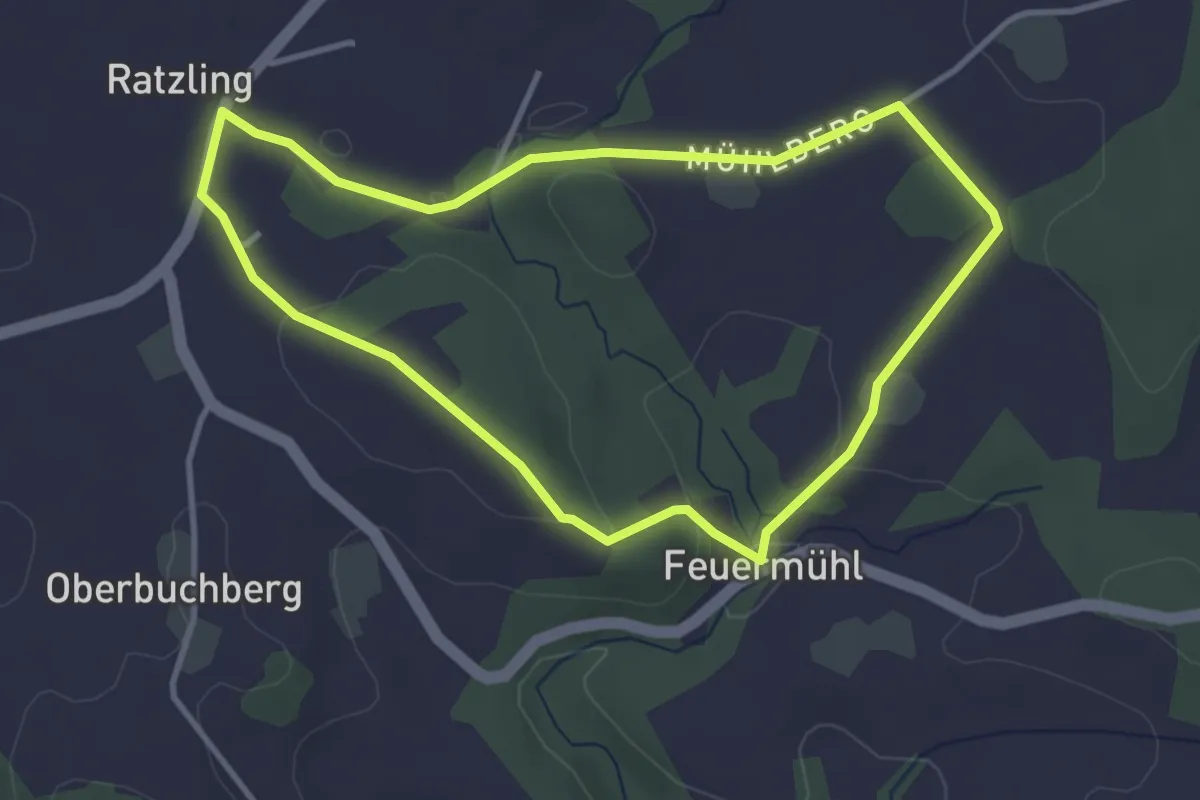
Easy · Trail
Kleiner Mühlweg
3.3 km · ↑ 73 m · 59 min
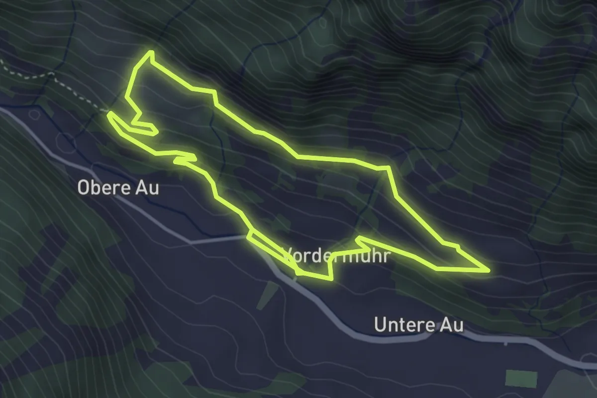
Medium · Trail
Kleiner Muhrrundweg
7.5 km · ↑ 331 m · 2 h 30 min
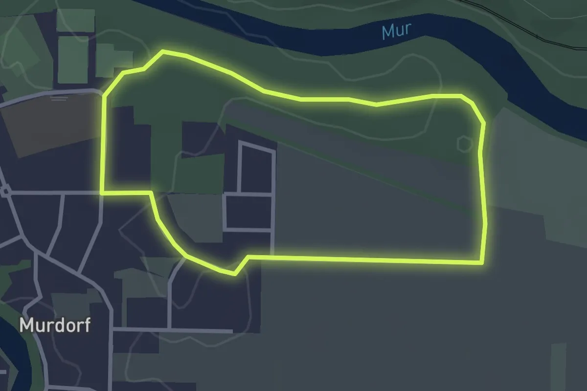
Easy · Trail
Kleiner Murdorfer Waldrundweg
2.5 km · ↑ 14 m · 39 min
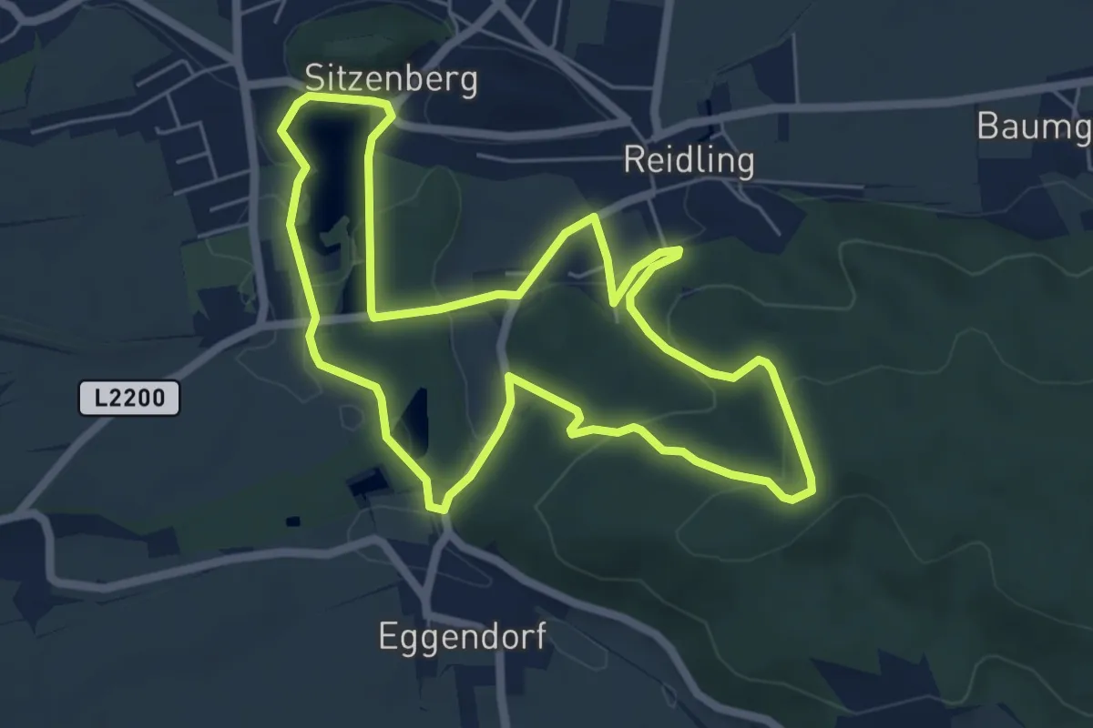
Easy · Trail
Kleiner Rundwanderweg Reidling - Waldandacht
5.7 km · ↑ 107 m · 1 h 39 min
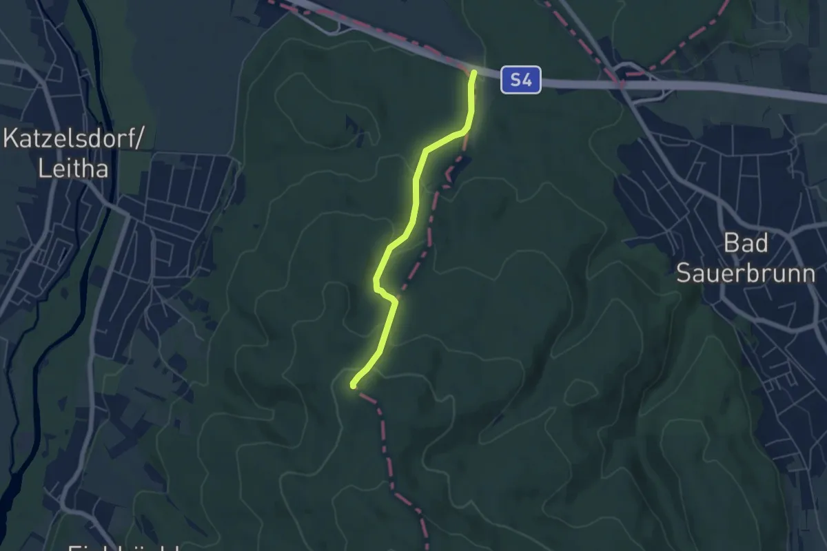
Easy · Trail
Kleiner Sauerbrunnen - Mitterriegel
4.6 km · ↑ 205 m · 1 h 32 min
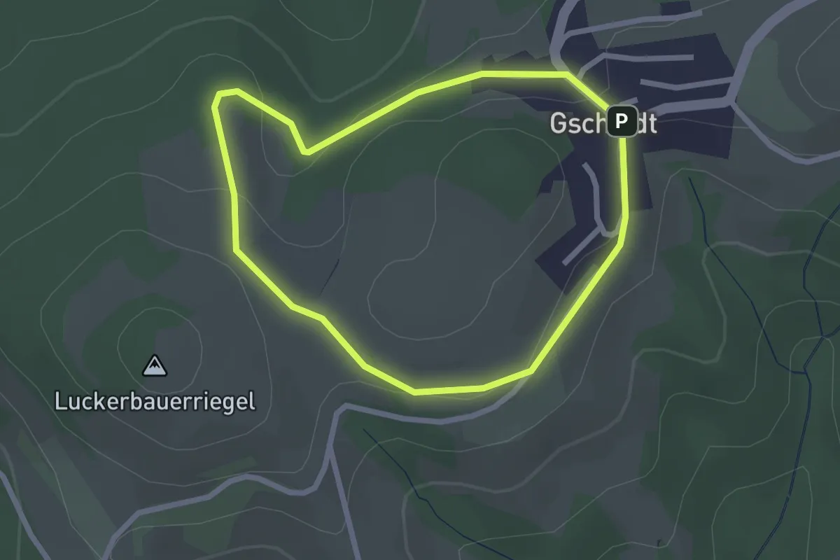
Easy · Trail
Kleine Runde Gschaidt
2.1 km · ↑ 50 m · 38 min
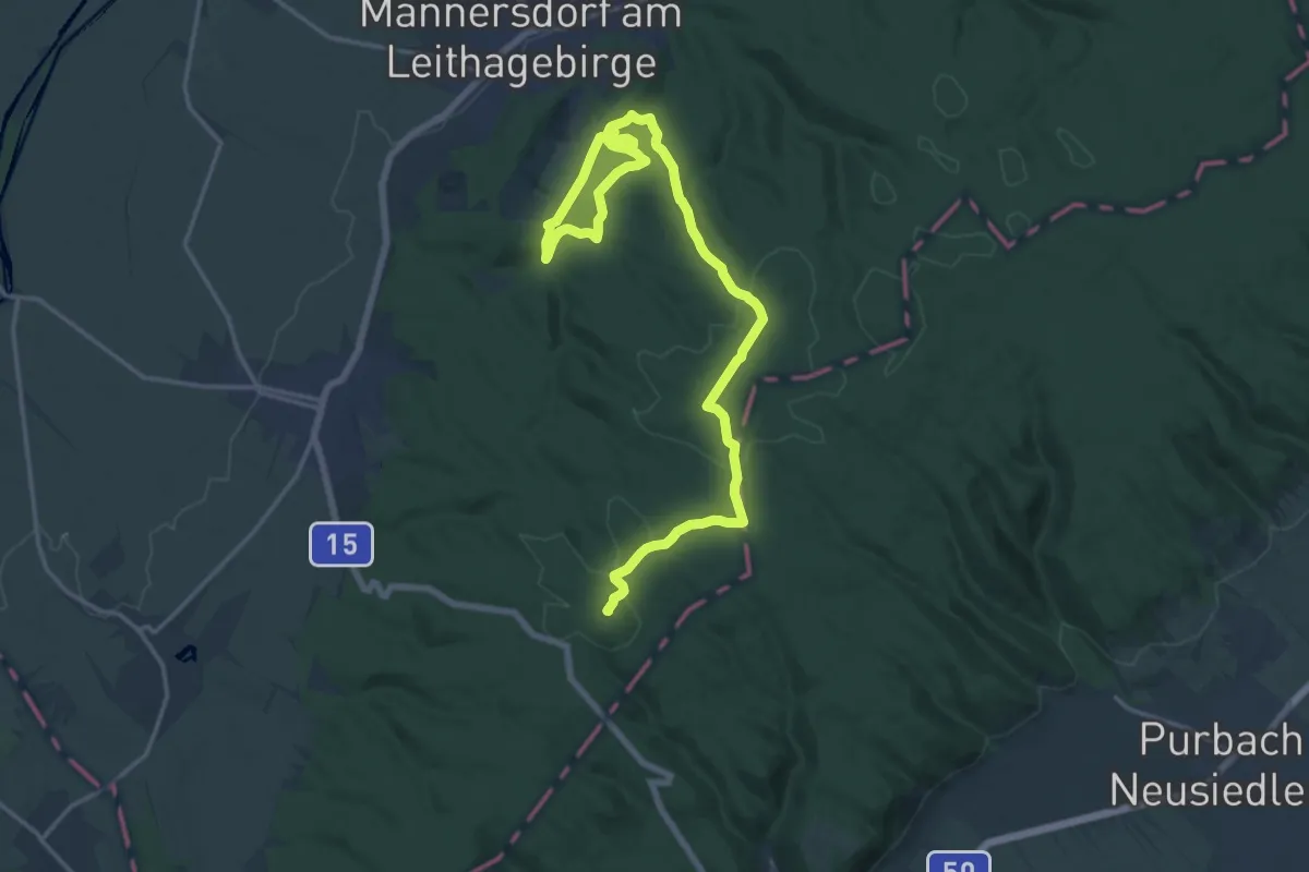
Demanding · Summit
Kleiner und Großer Rundwanderweg Mannersdorf
21.8 km · ↑ 596 m · 6 h 26 min
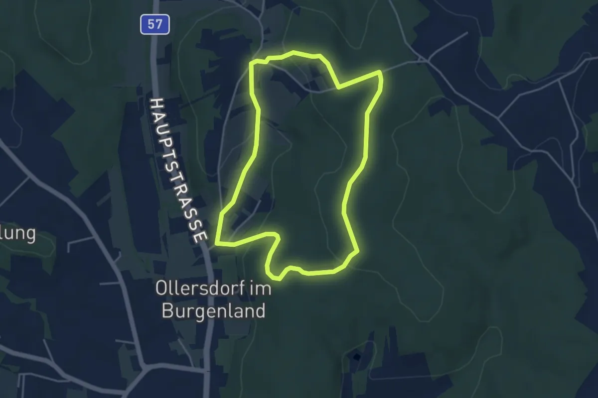
Easy · Trail
Kleiner Vitalwanderweg (Stegersbach)
3.8 km · ↑ 93 m · 1 h 9 min
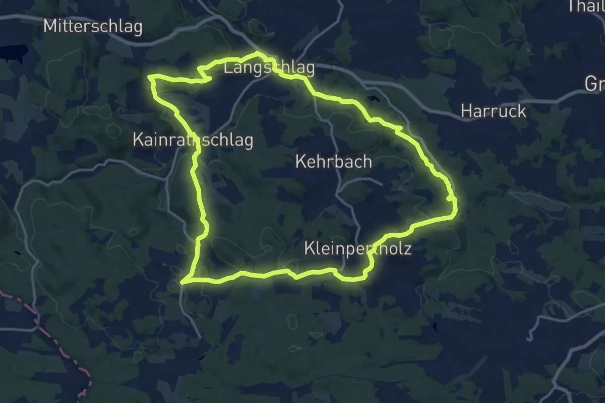
Medium · Trail
Kleine Schmetterlingsrunde 93
14.4 km · ↑ 365 m · 4 h 23 min
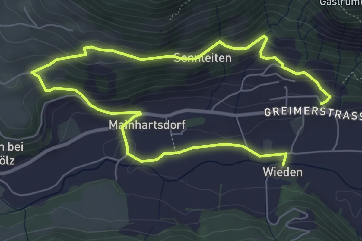
Easy · Trail
Kleine Sonnleiten-Runde
4.4 km · ↑ 201 m · 1 h 31 min
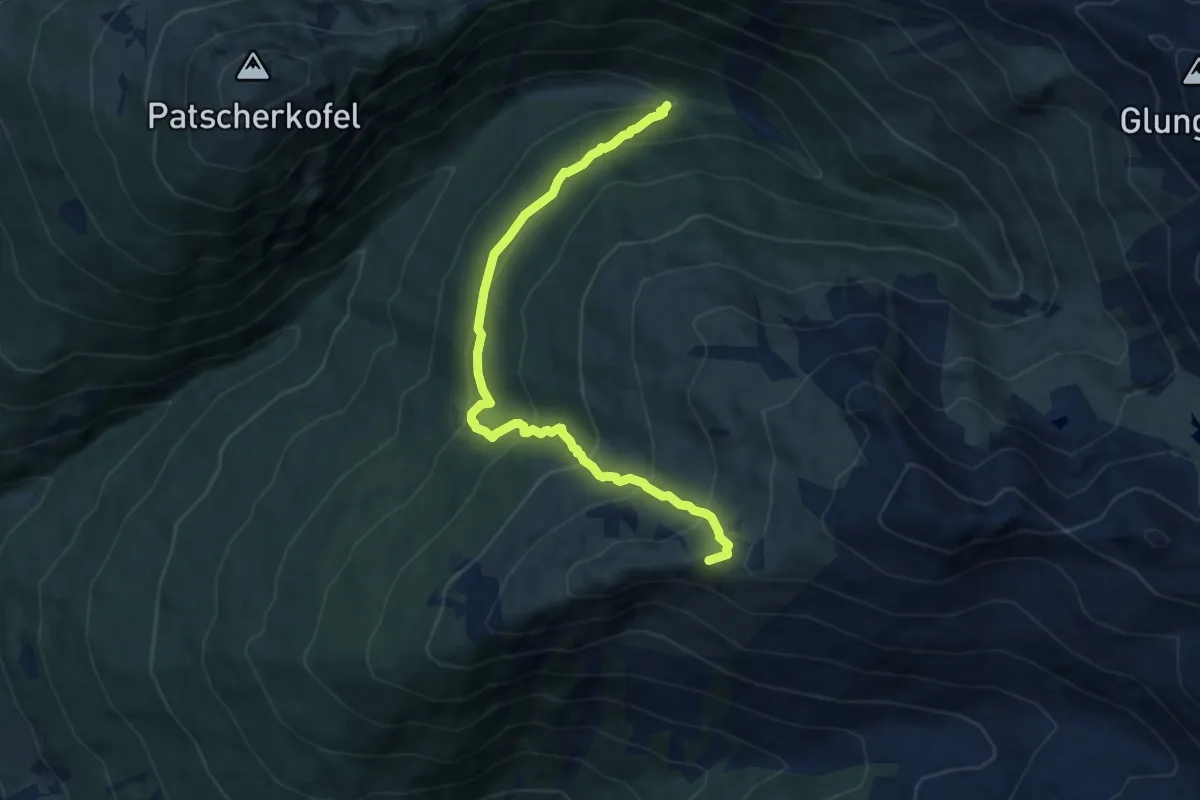
Medium · Summit
Kleine Tälerüberschreitung
8.6 km · ↑ 722 m · 3 h 36 min
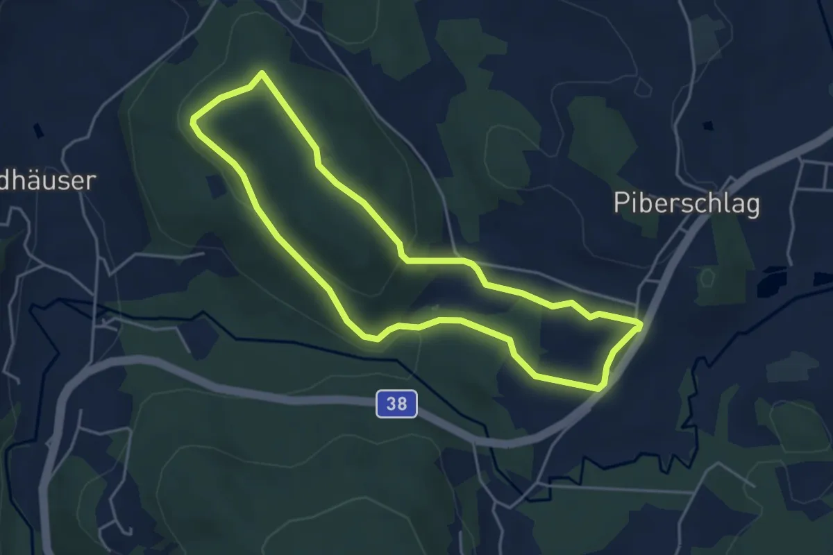
Easy · Trail
Kleine Waldkapellenrunde
4.0 km · ↑ 122 m · 1 h 16 min
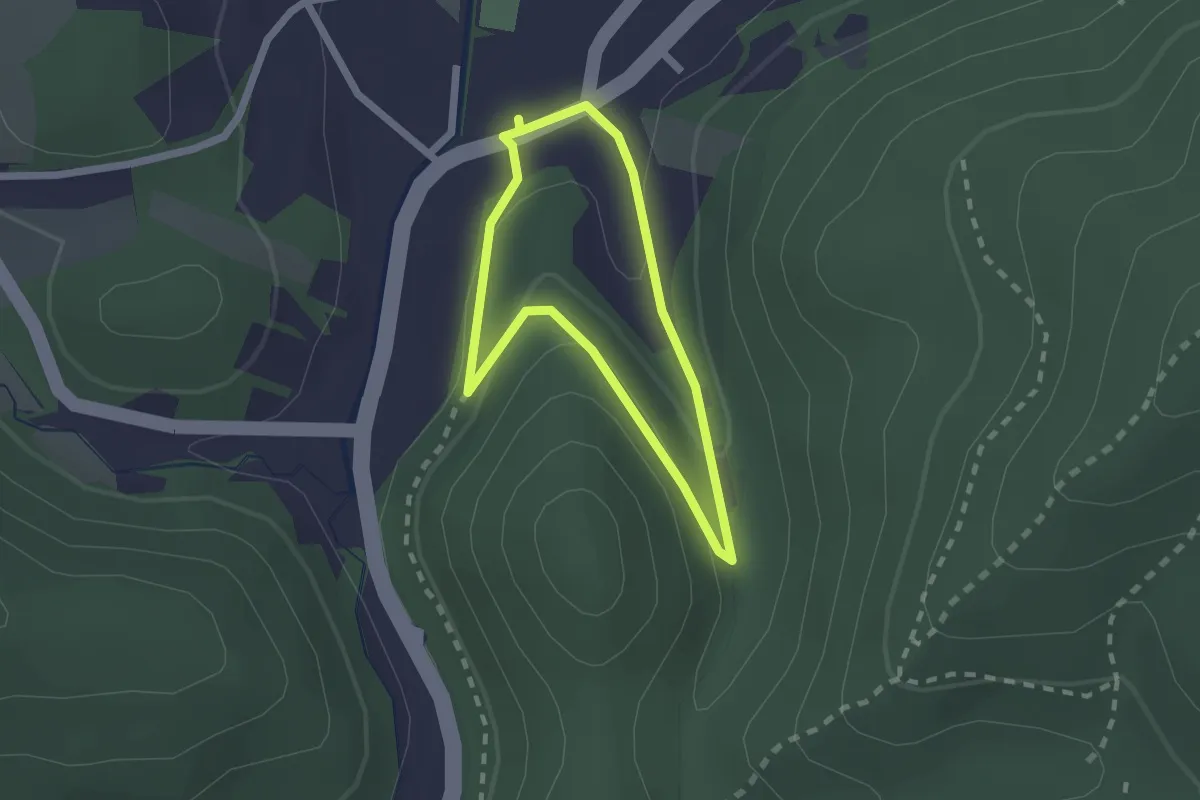
Easy · Summit
kleine Waldrunde
1.6 km · ↑ 44 m · 30 min
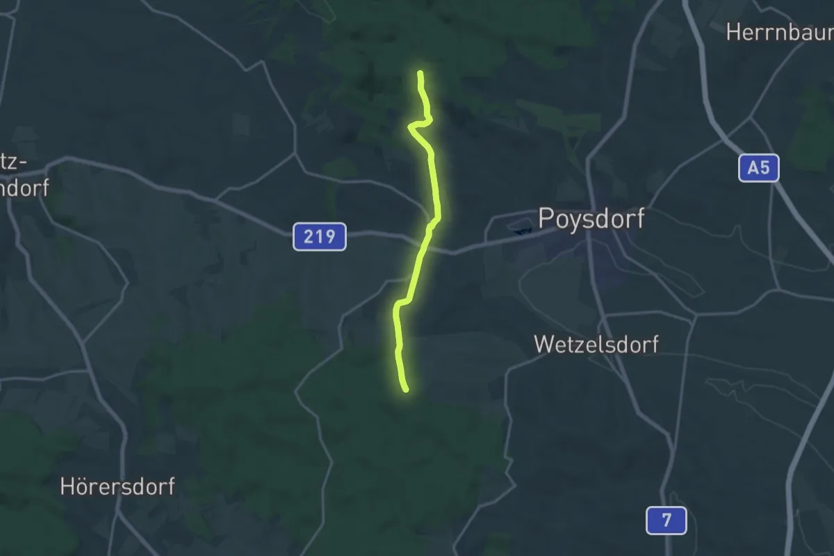
Medium · Trail
Kleinhadersdorfer Weg
12.5 km · ↑ 229 m · 3 h 26 min
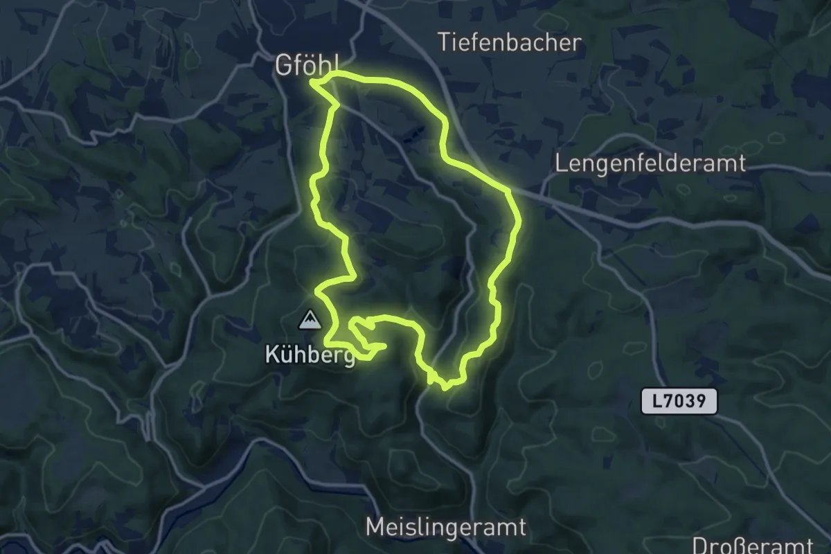
Medium · Summit
Kleinkühbergweg Wanderweg (42)
11.6 km · ↑ 298 m · 3 h 33 min
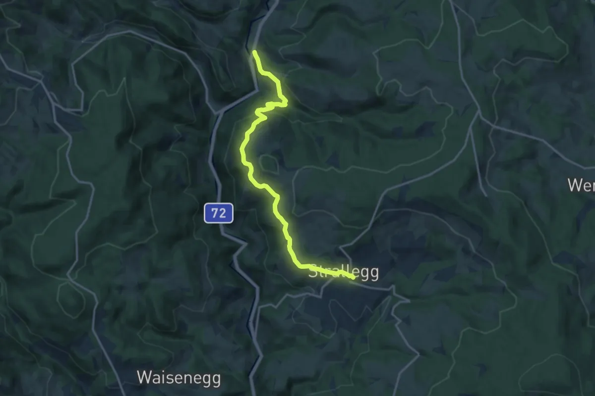
Medium · Trail
Kleinlandl - Fraungrabenweg
13.2 km · ↑ 573 m · 4 h 22 min
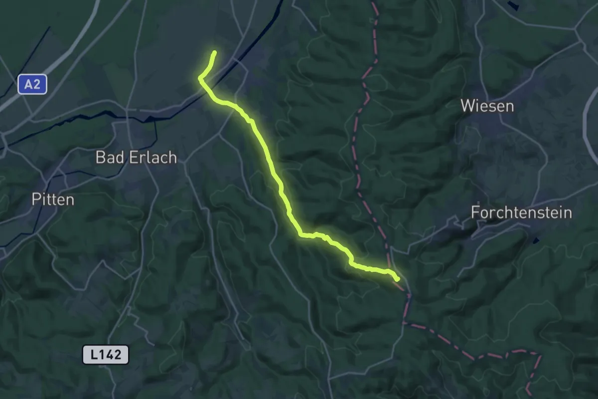
Demanding · Summit
Klein Wolkersdorf (Bhf) - Ofenbach - Mehlberleiten - Rosalienkapelle
18.2 km · ↑ 445 m · 5 h 16 min
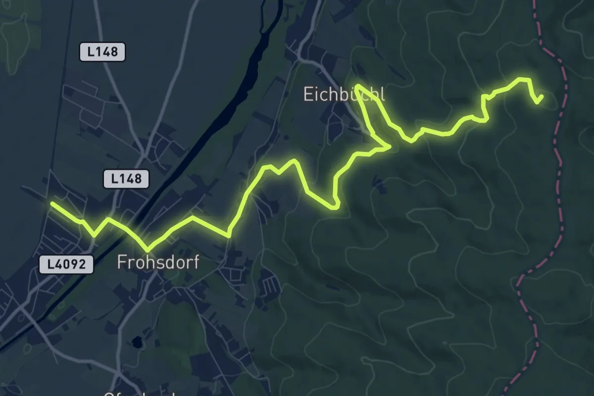
Medium · Summit
Klein Wolkersdorf (Bhf) - Rosalia Kamm-Wanderweg - Bad Sauerbrunn
14.2 km · ↑ 354 m · 4 h 7 min
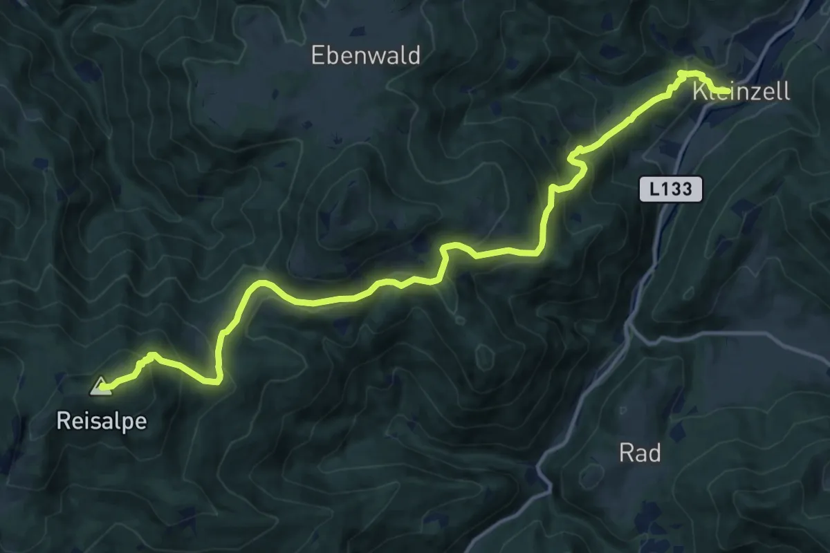
Demanding · Summit
Kleinzell - Reisalpe
15.9 km · ↑ 1003 m · 5 h 55 min
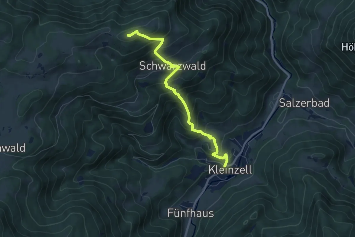
Medium · Trail
Kleinzell - Schwarzwaldeckhaus
6.8 km · ↑ 601 m · 2 h 54 min
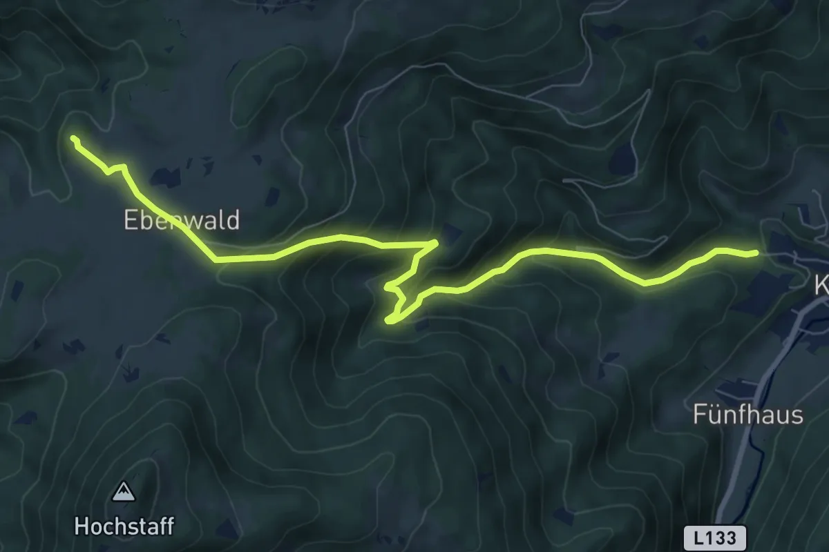
Medium · Cabin
Kleinzell - Weibeck - Ebenwaldhütte
8.9 km · ↑ 583 m · 3 h 23 min
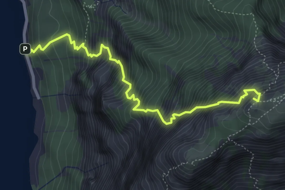
Expert · Summit
Klettersteig Hans Hernler Steig
5.3 km · ↑ 1243 m · 3 h 57 min
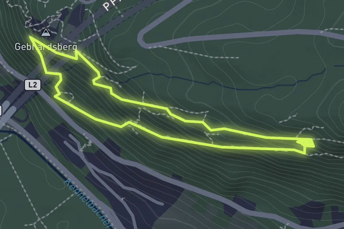
Medium · Summit
Klettersteig Känzele
2.2 km · ↑ 222 m · 1 h 2 min
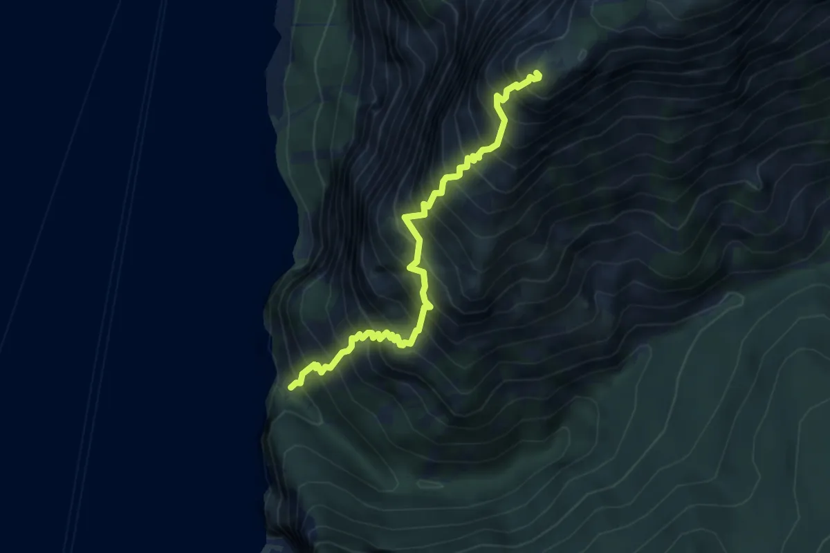
Expert · Summit
Klettersteig Naturfreundsteig
4.7 km · ↑ 1085 m · 3 h 28 min
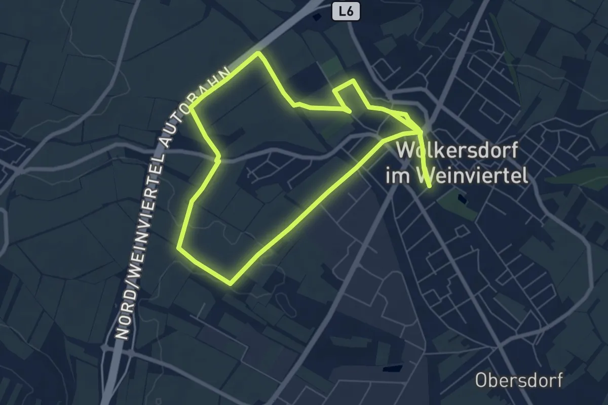
Easy · Trail
KlimaAktivWeg
6.4 km · ↑ 42 m · 1 h 41 min
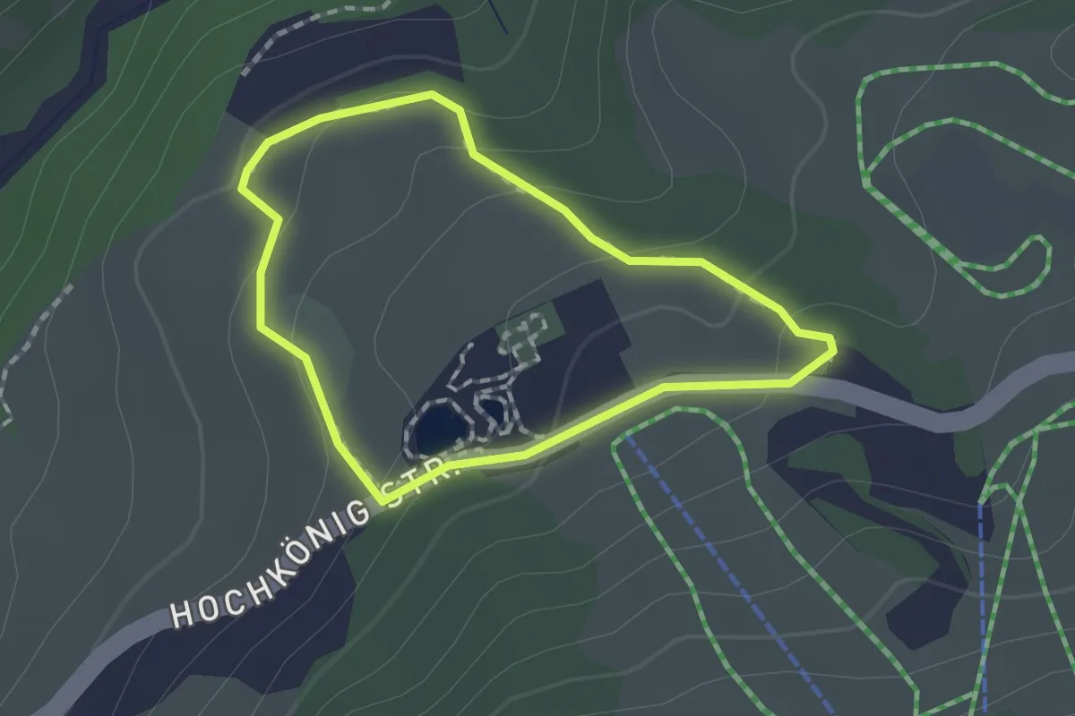
Easy · Trail
Klimaschutzweg
1.3 km · ↑ 56 m · 27 min