Trails in Austria
9,779 hiking trails, each with its route, climb, walking time and grade.
All trails, page 56 of 204
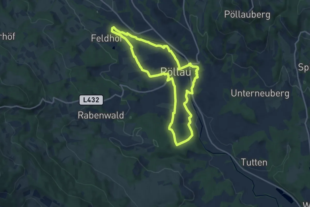
Medium · Trail
Klimazunkunft Weg
9.7 km · ↑ 203 m · 2 h 51 min
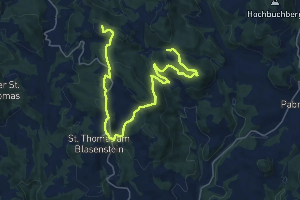
Medium · Summit
Klingenberg
14.7 km · ↑ 562 m · 4 h 41 min
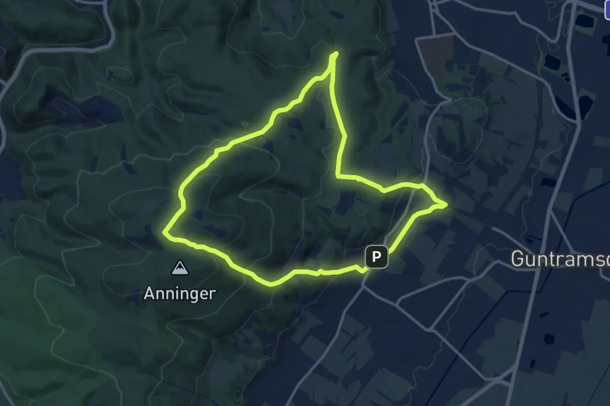
Medium · Summit
Klinger Runde bei Gumpoldskirchen
10.7 km · ↑ 394 m · 3 h 32 min
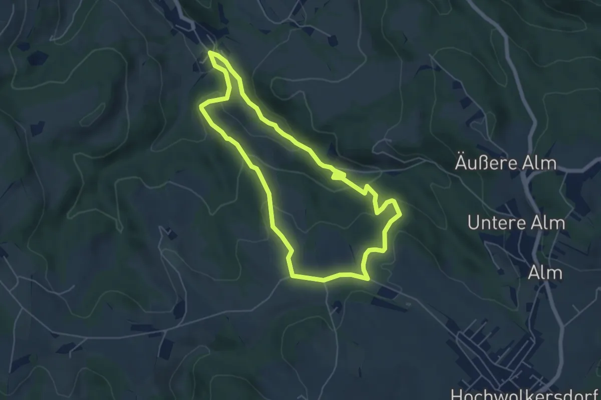
Easy · Trail
Klingfurth - Drei Buchen - Rosenbrunn Rundwanderweg
5.1 km · ↑ 205 m · 1 h 43 min
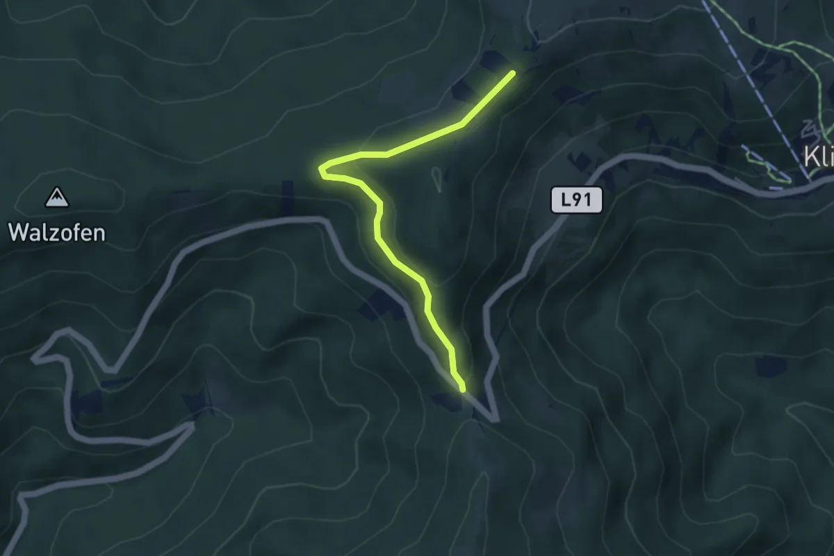
Easy · Cabin
Klippitzrunde
3.8 km · ↑ 93 m · 1 h 7 min
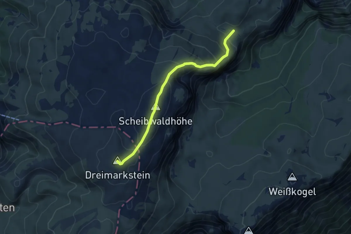
Medium · Summit
Klobentörl - Scheibwaldhöhe - Trinksteinsattel
5.2 km · ↑ 394 m · 2 h 5 min
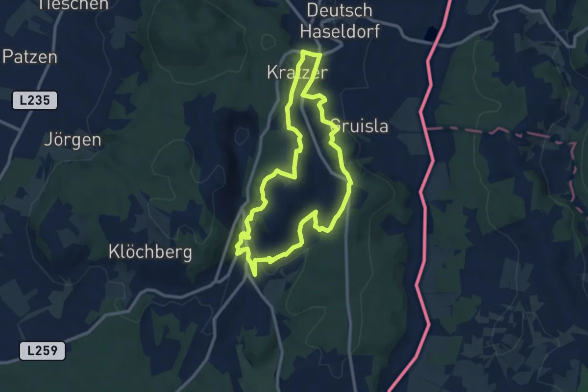
Medium · Trail
Klöcher Traminerweg Hochwarth-Runde
6.8 km · ↑ 220 m · 2 h 10 min
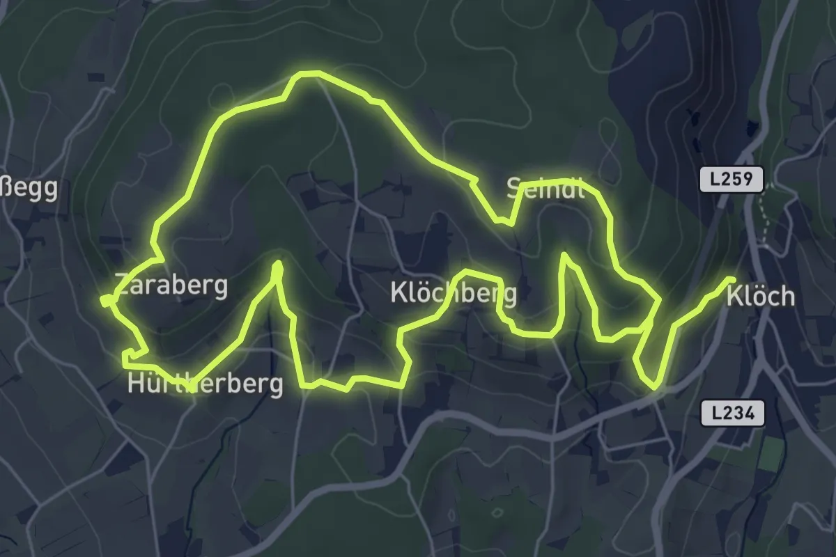
Easy · Trail
Klöcher Traminerweg Seidl-Runde
6.7 km · ↑ 243 m · 2 h 10 min
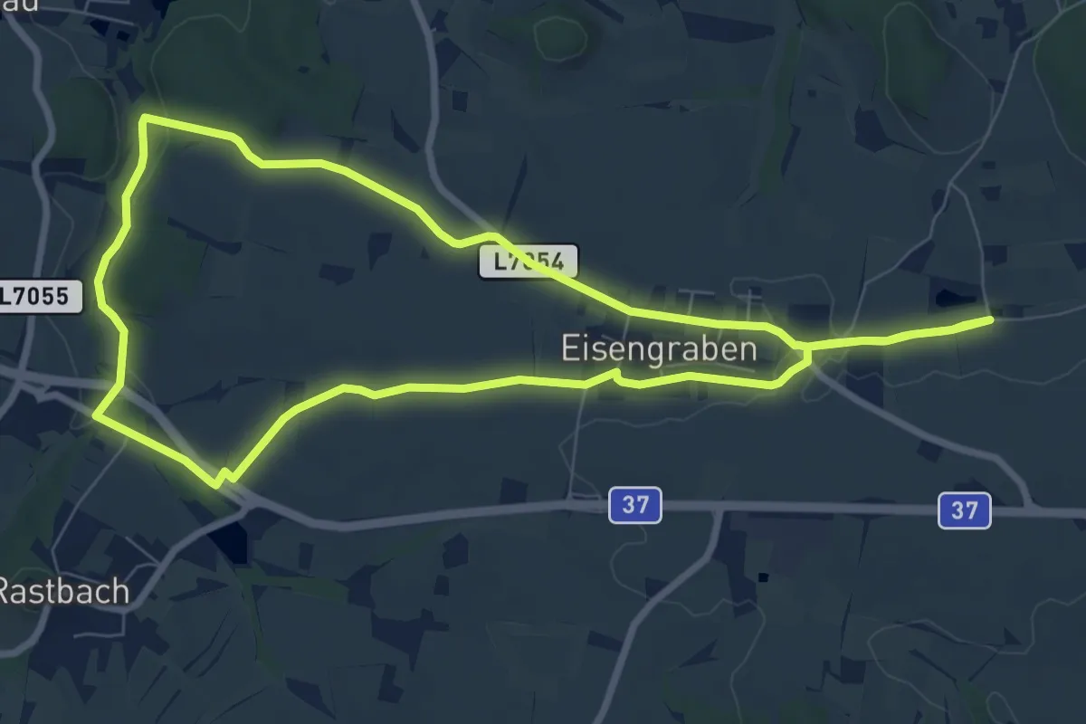
Easy · Trail
Klosterhofweg (90)
7.8 km · ↑ 77 m · 2 h 7 min
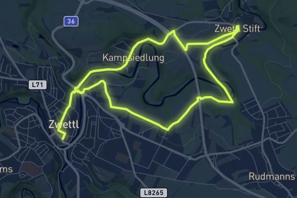
Medium · Trail
Klosterlandschaftsweg 59
16.0 km · ↑ 243 m · 4 h 18 min
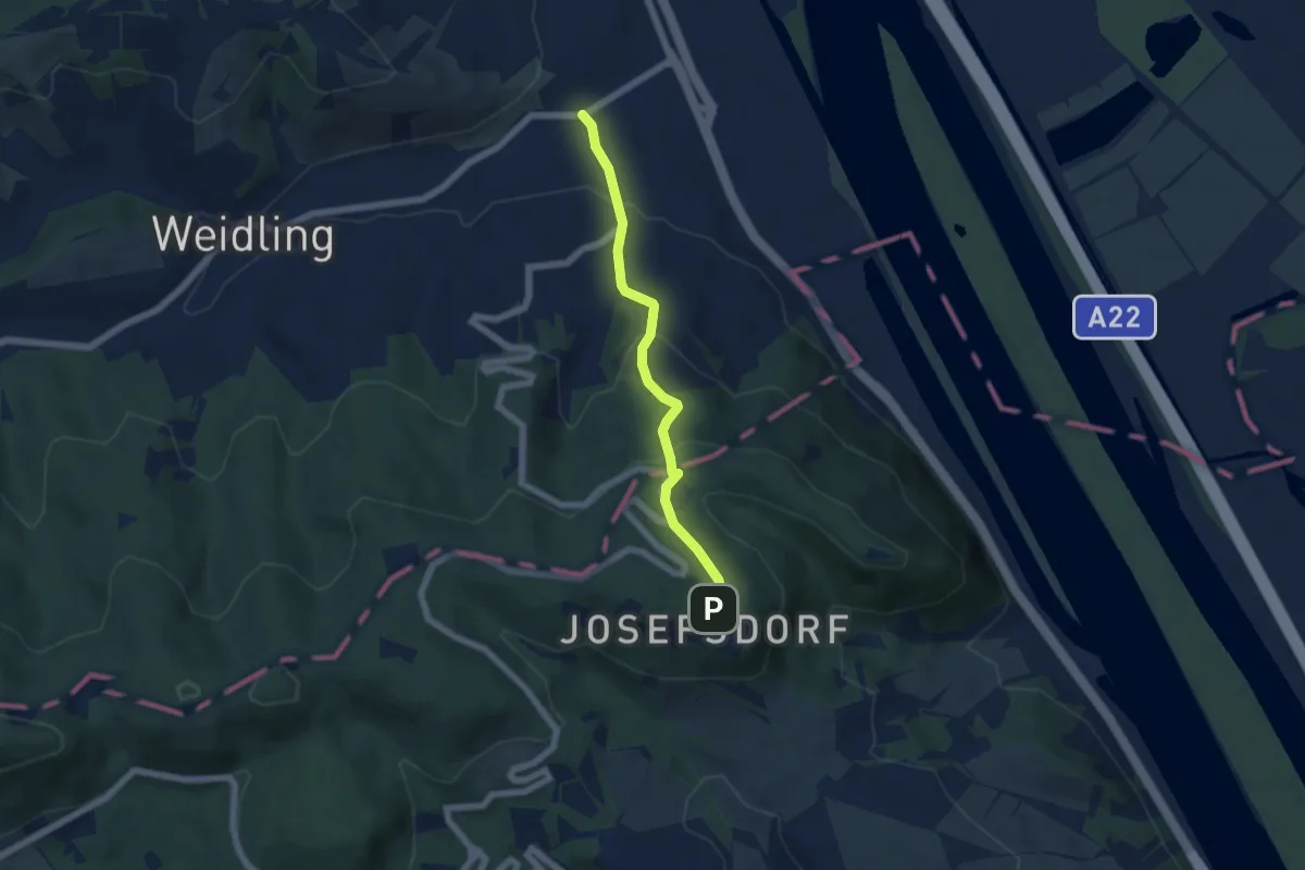
Easy · Trail
Klosterneuburg/Agnesbrücke - Kahlenberg (Josefsteig)
5.0 km · ↑ 279 m · 1 h 47 min
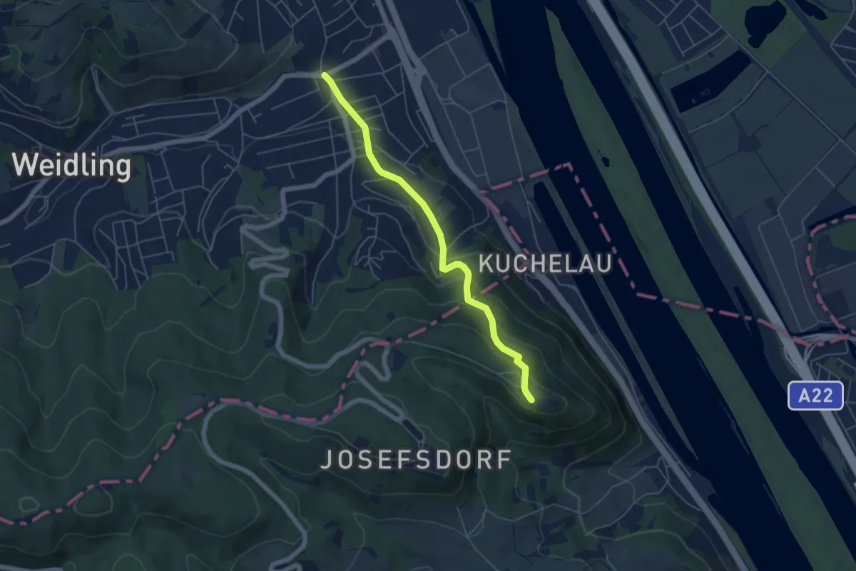
Easy · Summit
Klosterneuburg/Agnesbrücke - Leopoldsberg (Kollersteig)
5.0 km · ↑ 250 m · 1 h 43 min
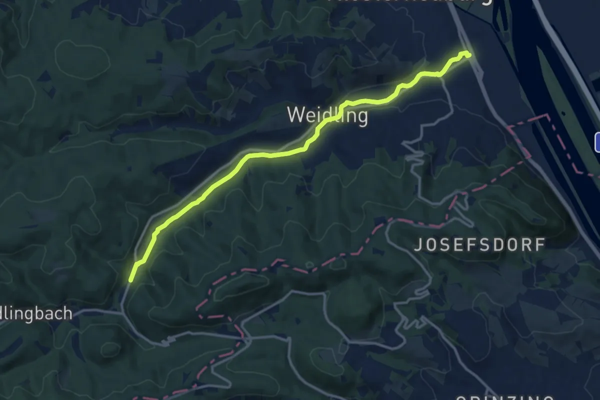
Medium · Trail
Klosterneuburg - Hinterweidling
11.9 km · ↑ 78 m · 2 h 59 min
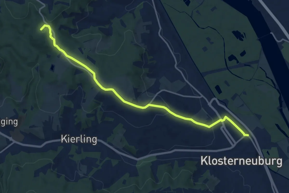
Medium · Summit
Klosterneuburg Kierling Bahnhof - Hadersfeld/Glockenturm
11.4 km · ↑ 302 m · 3 h 21 min
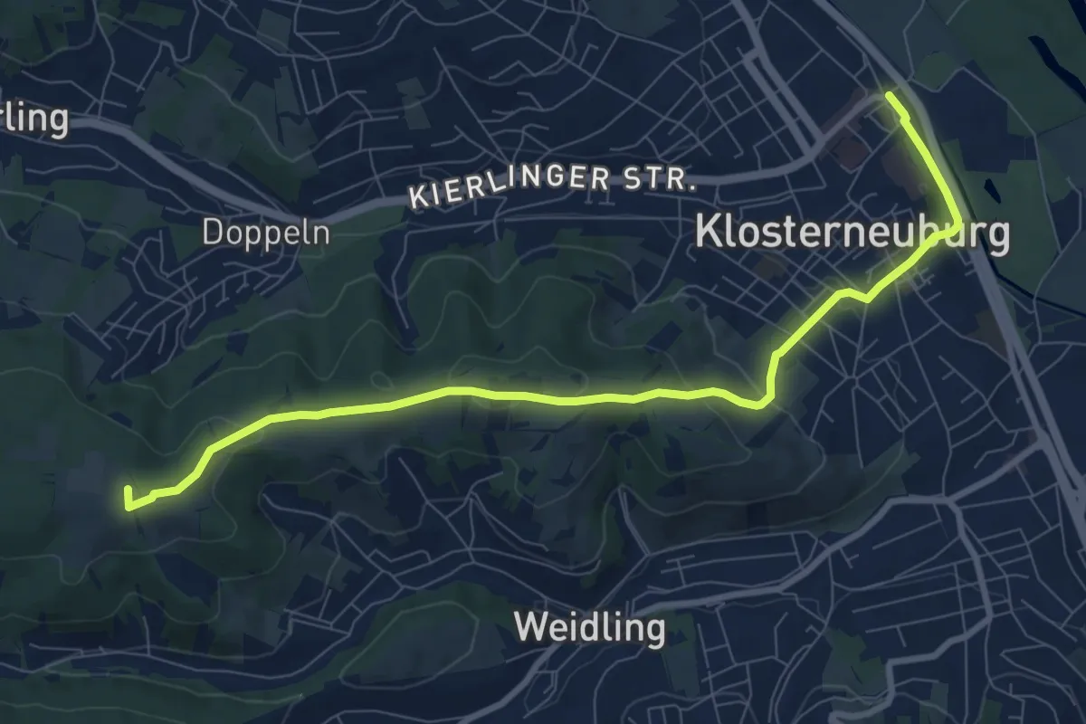
Medium · Summit
Klosterneuburg Kierling Bahnhof - Hohenauer Wiese
9.3 km · ↑ 268 m · 2 h 46 min
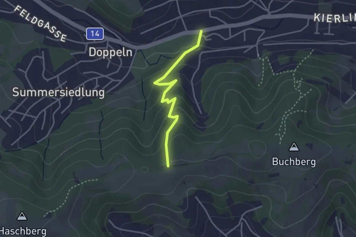
Easy · Trail
Klosterneuburg/Marienheim - Buchberg
2.8 km · ↑ 151 m · 59 min
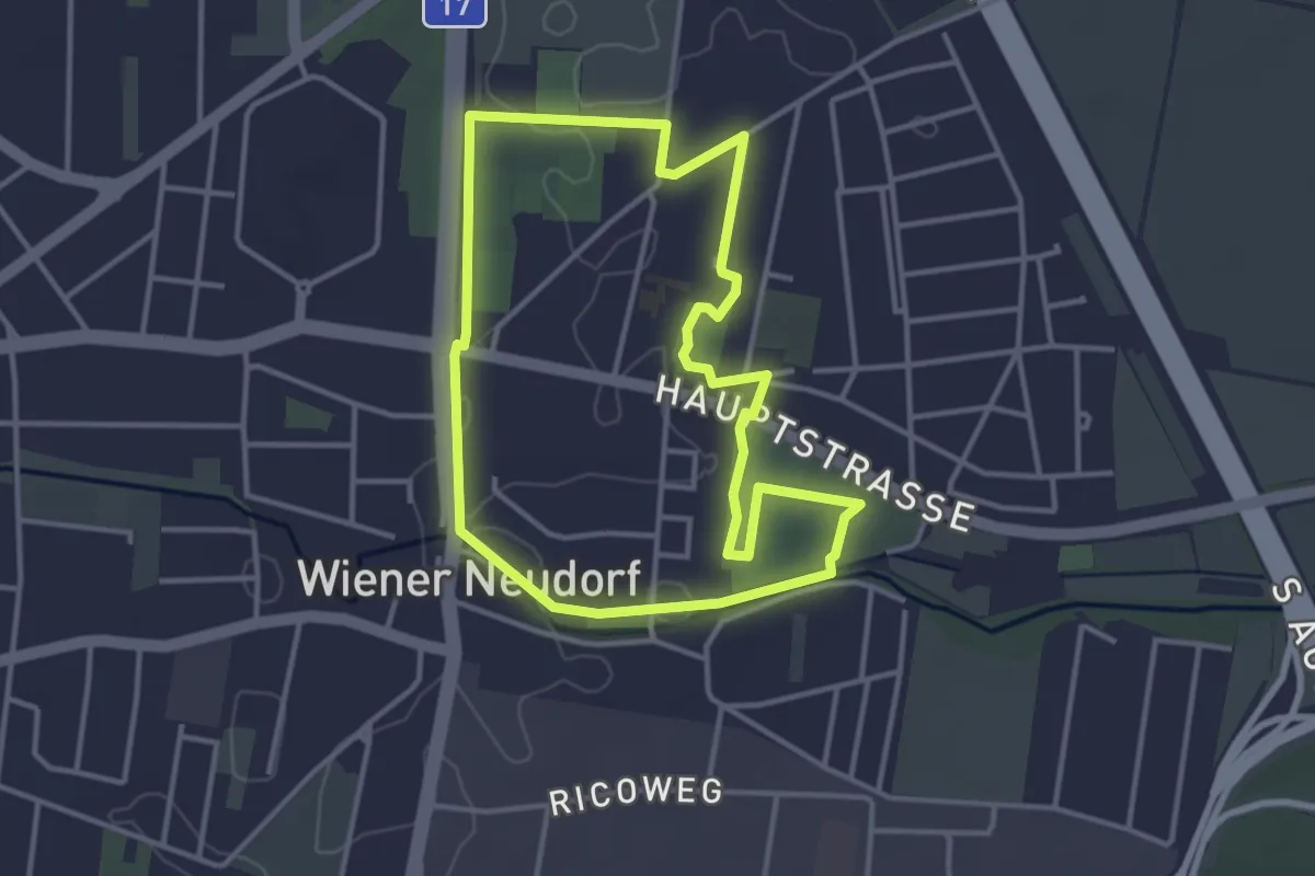
Easy · Trail
Klosterpark Runde
3.4 km · ↑ 4 m · 52 min
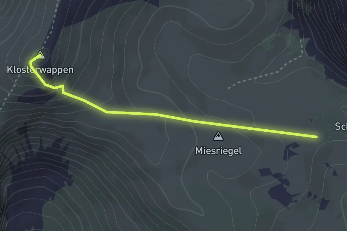
Medium · Summit
Klosterwappen
2.8 km · ↑ 229 m · 1 h 9 min
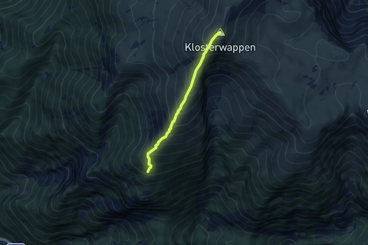
Medium · Summit
Klosterwappen - Krzg. Südlicher Grafensteig
3.8 km · ↑ 557 m · 2 h 6 min
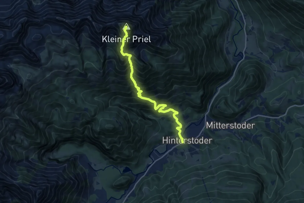
Demanding · Summit
Kl. Priel
13.0 km · ↑ 1554 m · 6 h 26 min
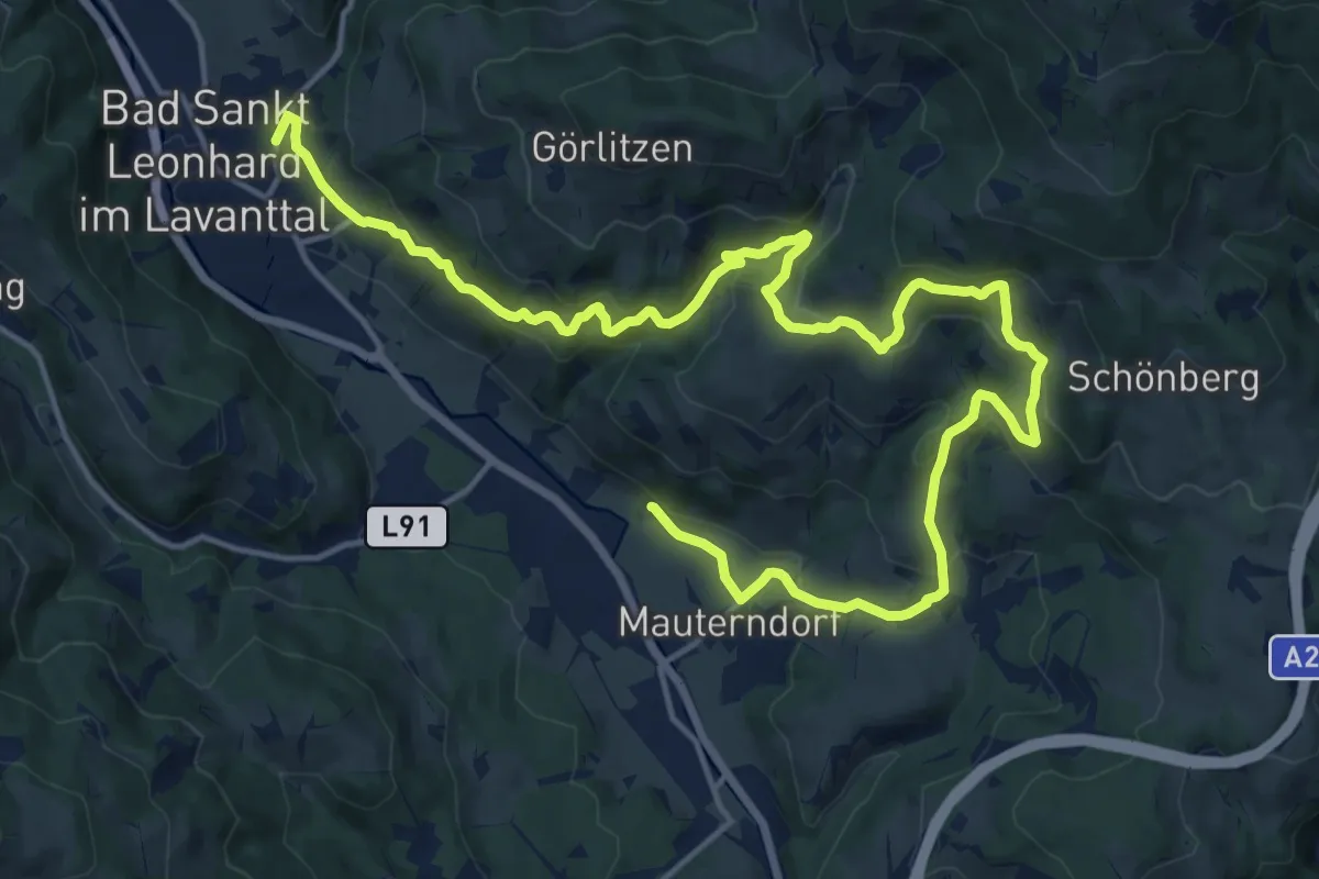
Medium · Trail
Knappenbründlweg
11.5 km · ↑ 361 m · 3 h 40 min
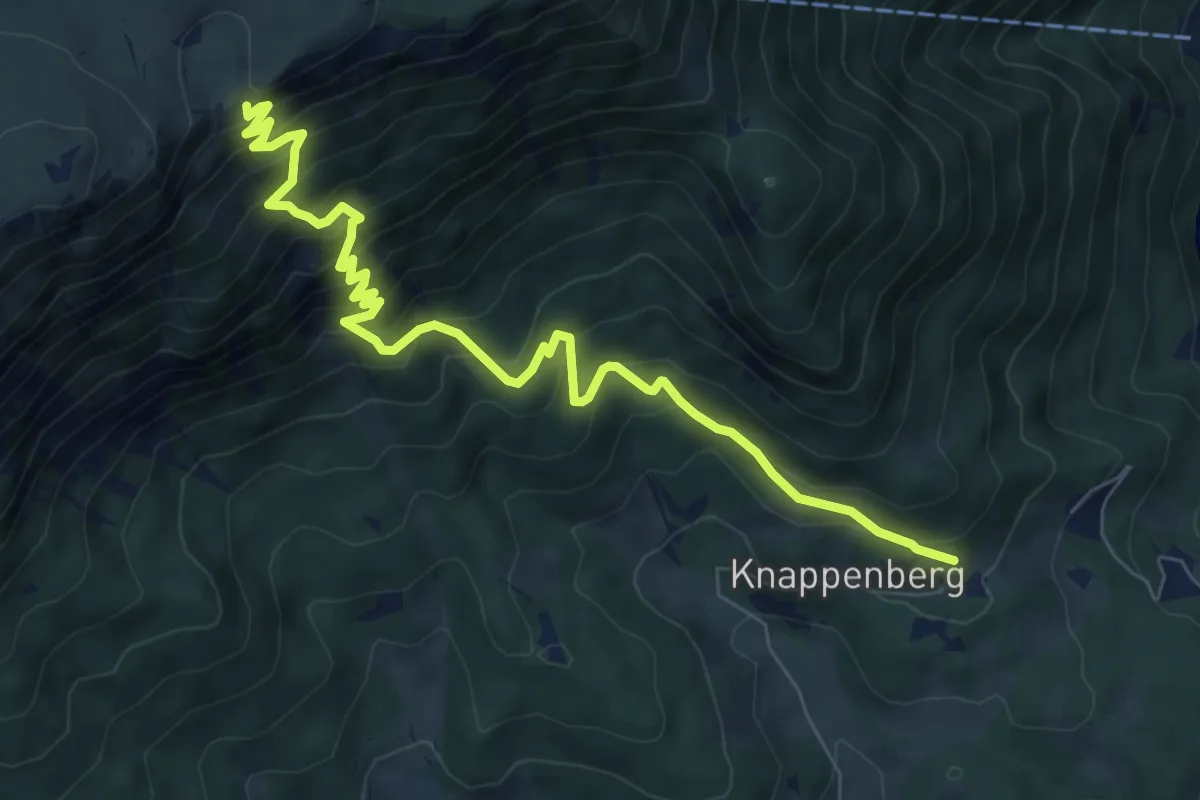
Demanding · Summit
Knappenhof - Törlweg - Ottohaus
8.7 km · ↑ 818 m · 3 h 49 min
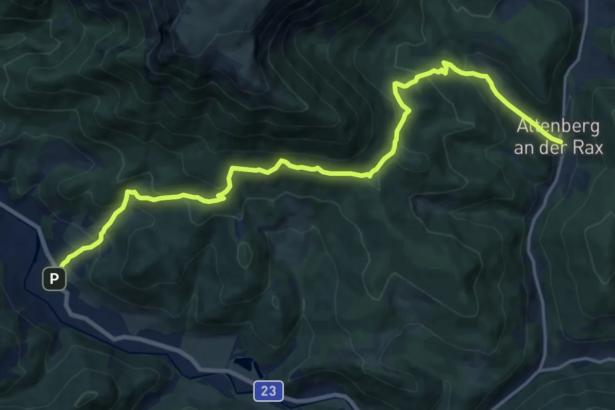
Medium · Trail
Knappensteig
15.0 km · ↑ 727 m · 5 h 7 min
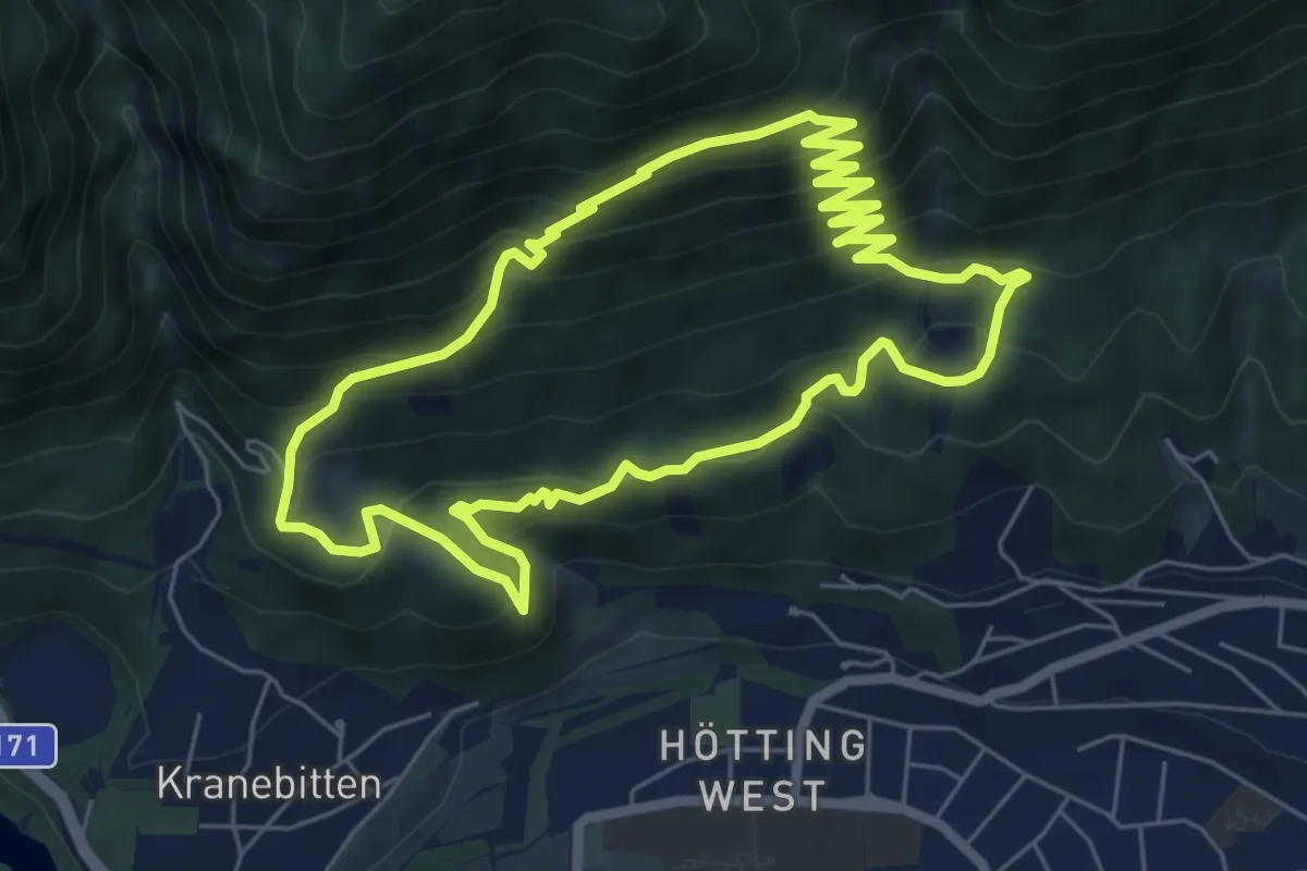
Demanding · Trail
Knappentrail
6.4 km · ↑ 433 m · 2 h 33 min
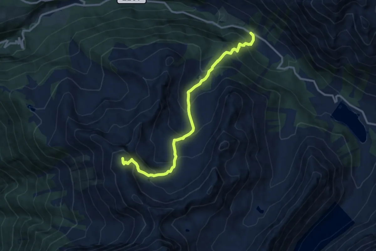
Demanding · Summit
Knappenweg
9.1 km · ↑ 854 m · 4 h
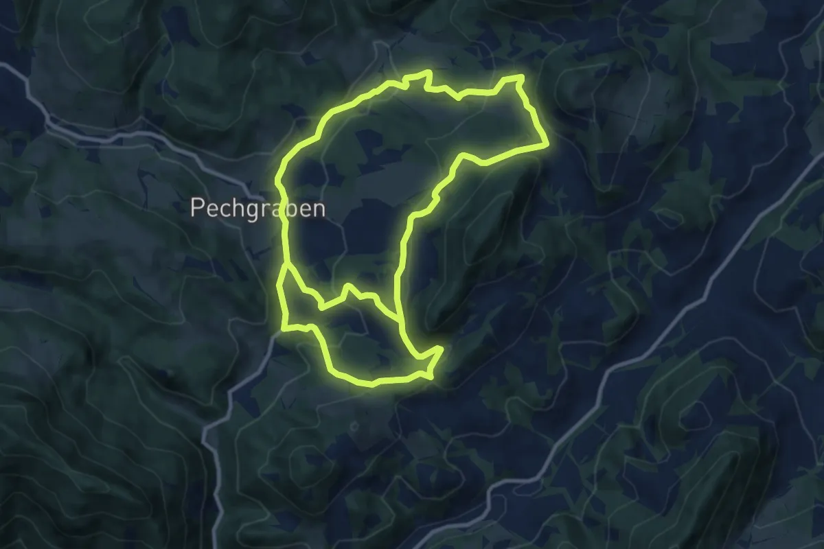
Demanding · Trail
Knappenweg E47
20.7 km · ↑ 692 m · 6 h 23 min
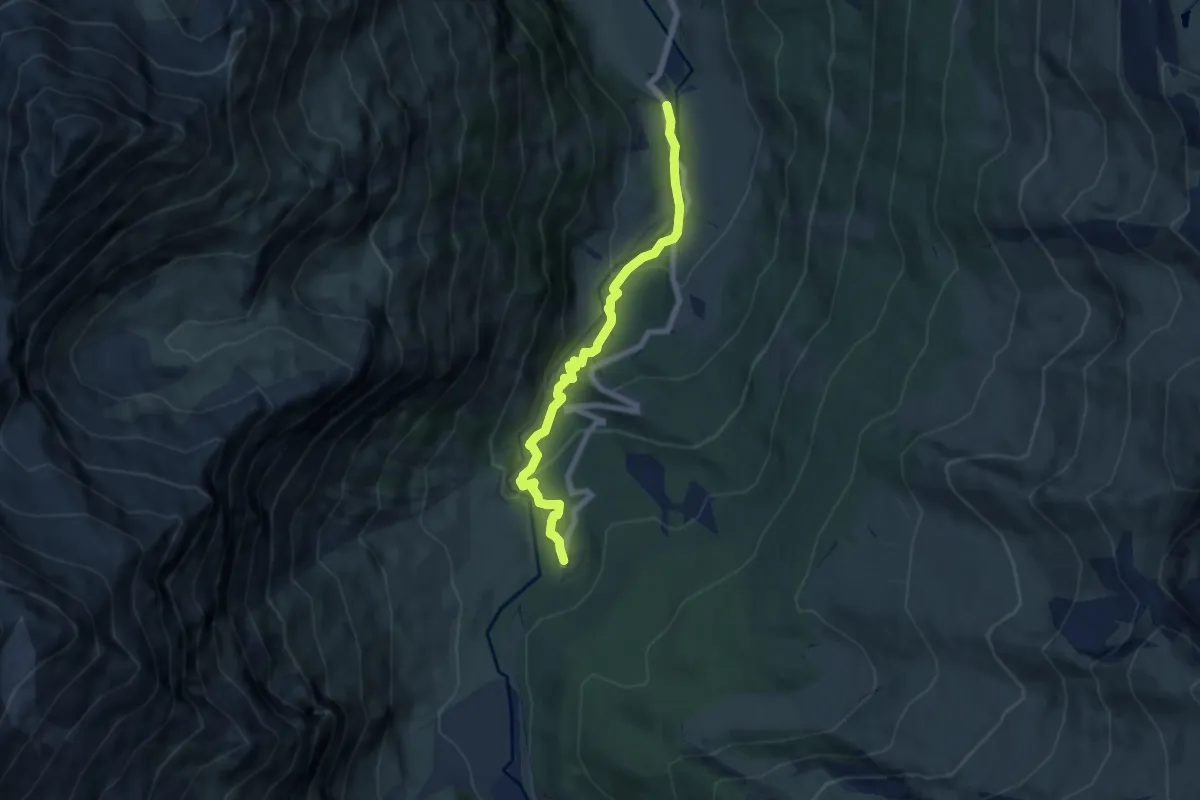
Easy · Trail
Knappenweg Kolm/Saigurn
6.7 km · ↑ 315 m · 2 h 15 min
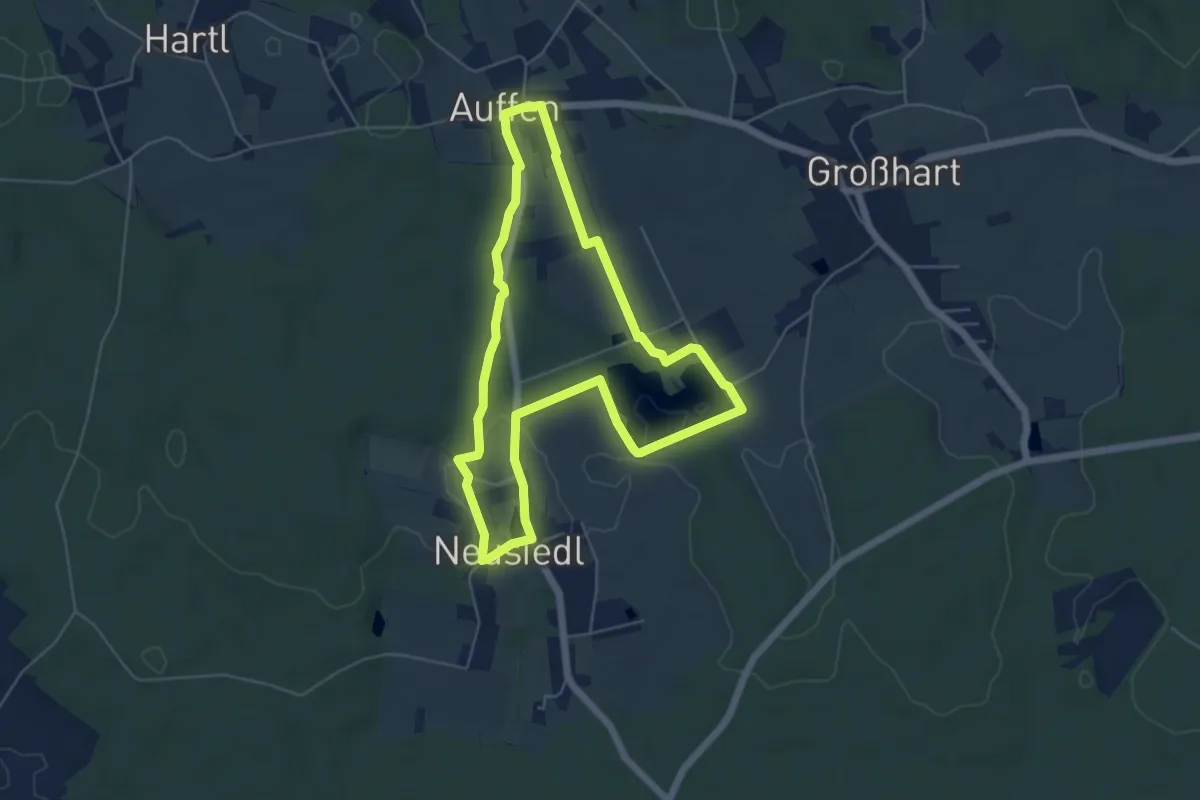
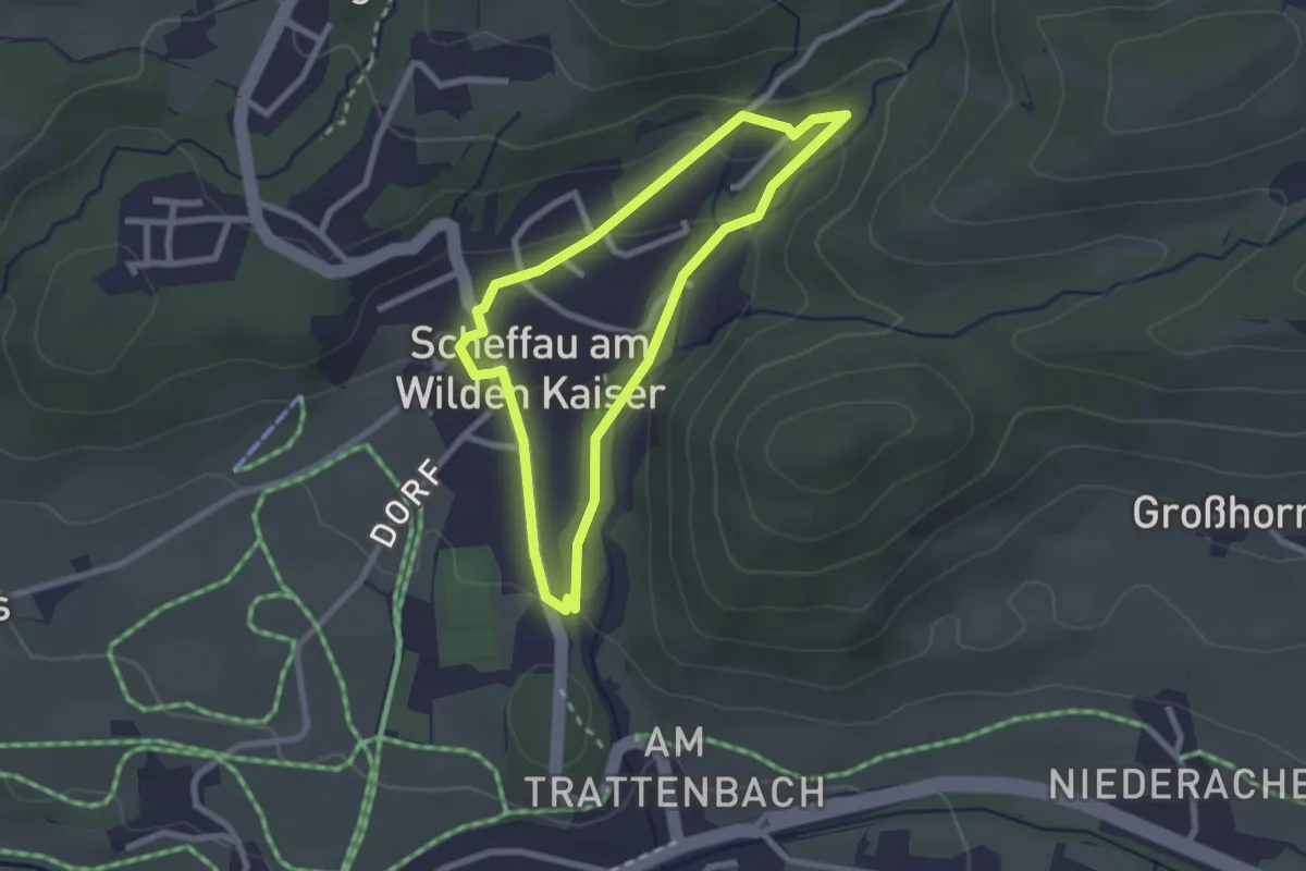
Easy · Trail
Kneipp-Atem-Aktivweg
5.2 km · ↑ 57 m · 1 h 26 min
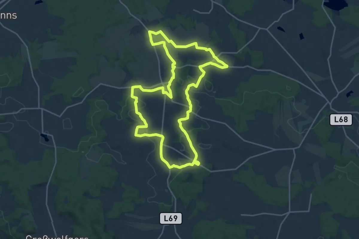
Medium · Trail
Kneipprunde
2.2 km · ↑ 65 m · 41 min
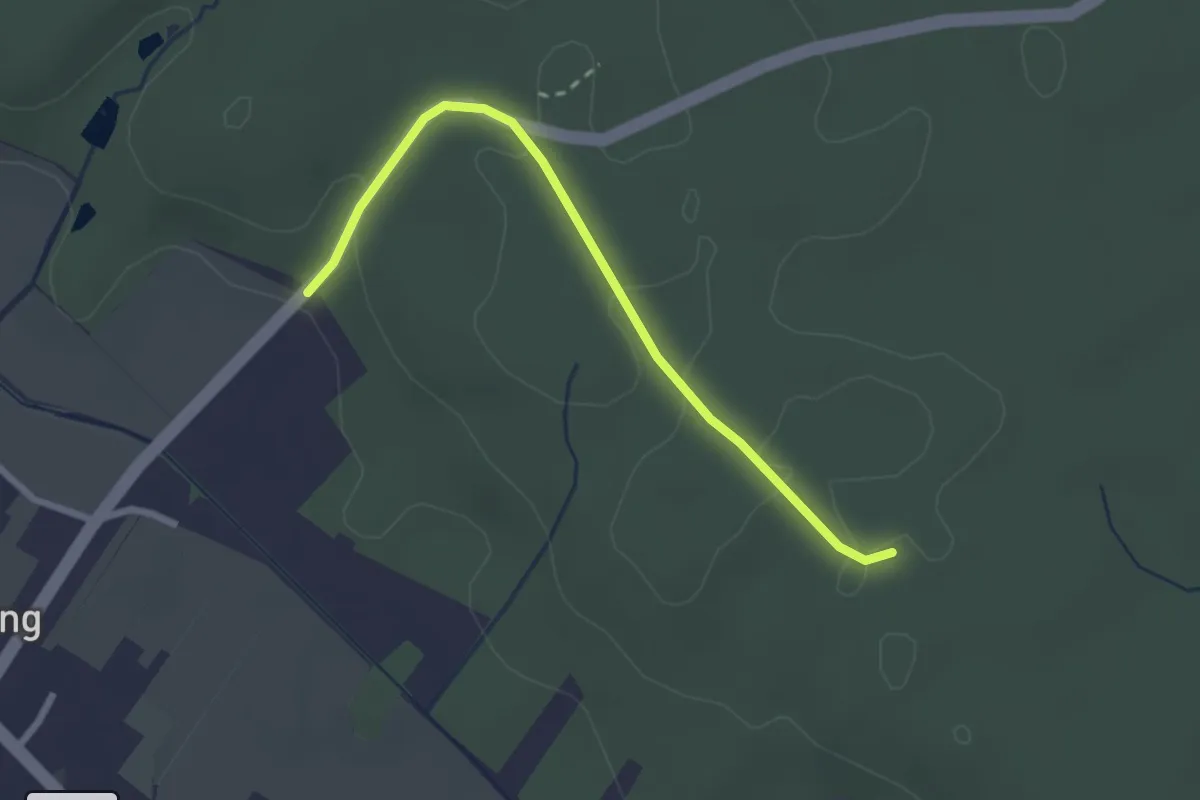
Medium · Summit
Kneipprundwanderweg (70)
16.8 km · ↑ 218 m · 4 h 41 min
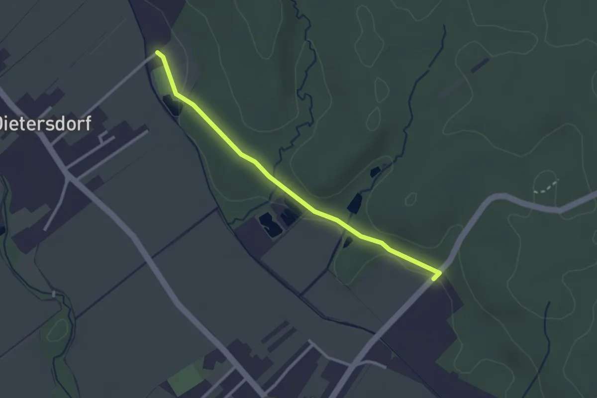
Easy · Trail
Kneippwanderweg 1
2.5 km · ↑ 26 m · 39 min
Easy · Trail
Kneippwanderweg 2
2.6 km · ↑ 0 m · 36 min
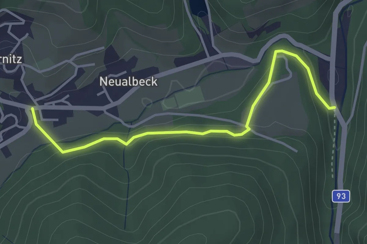
Easy · Trail
Kneippweg
3.5 km · ↑ 134 m · 1 h 6 min
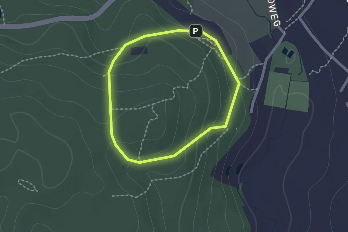
Easy · Trail
Kneippweg
1.4 km · ↑ 47 m · 27 min
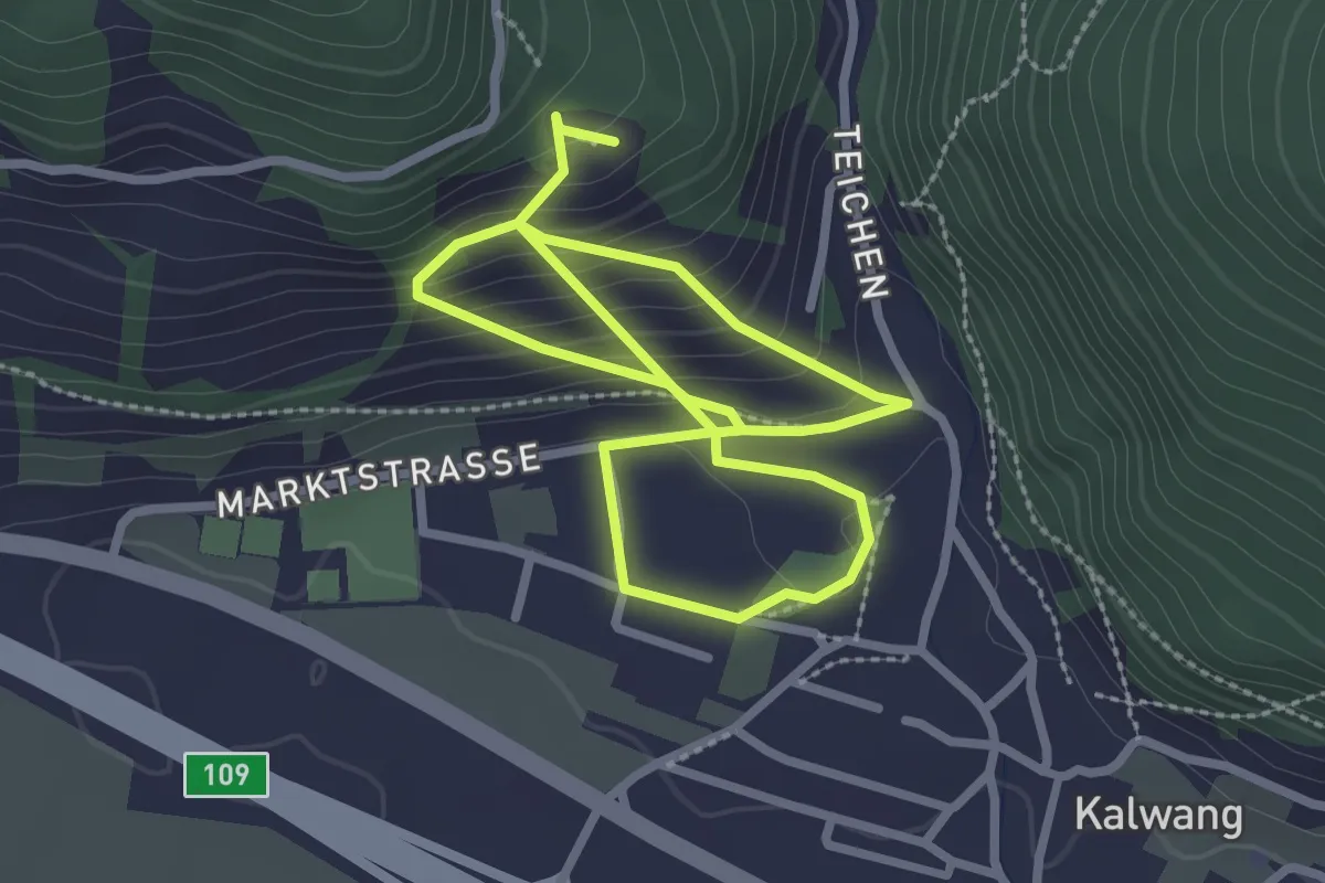
Easy · Trail
Kneipp Weg
2.3 km · ↑ 95 m · 50 min
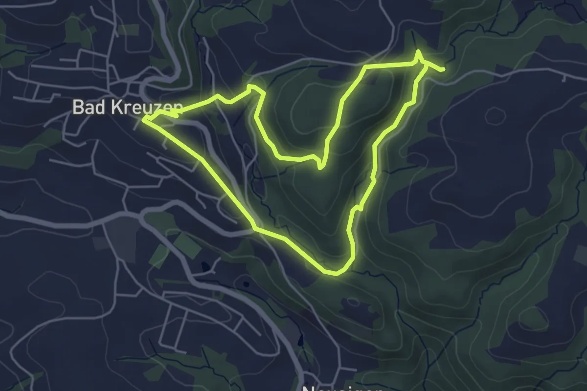
Easy · Trail
Kneipp-Weg
4.0 km · ↑ 161 m · 1 h 21 min
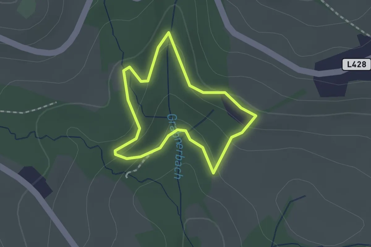
Easy · Trail
Kneippweg 1
1.3 km · ↑ 48 m · 25 min
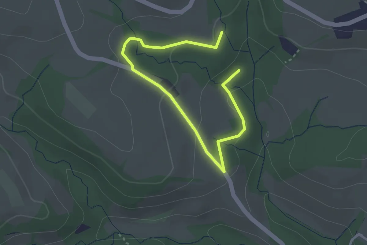
Easy · Trail
Kneippweg 2
3.4 km · ↑ 116 m · 1 h 3 min
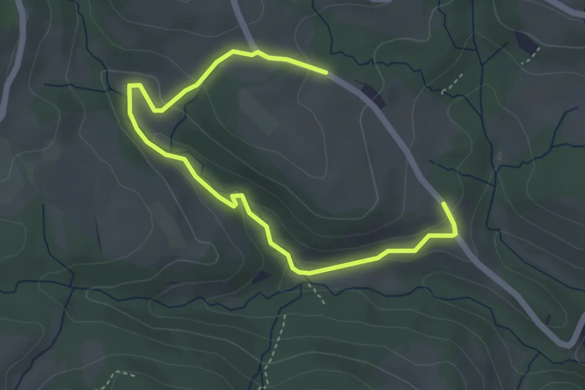
Easy · Trail
Kneippweg 3
4.6 km · ↑ 163 m · 1 h 27 min
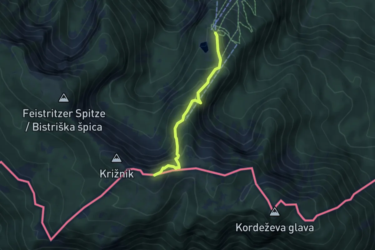
Medium · Summit
Kniepssteig
4.3 km · ↑ 400 m · 1 h 52 min
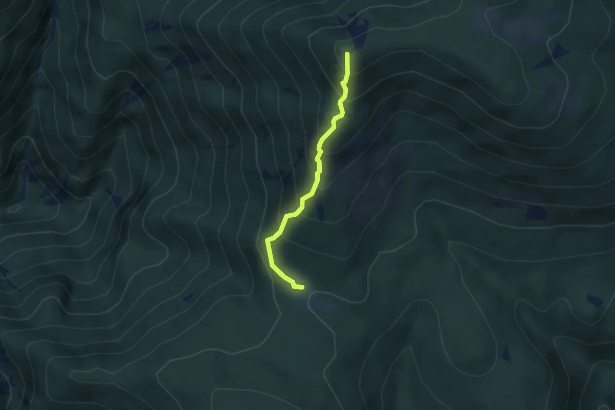
Medium · Summit
Knofeleben - Krummbachstein
2.8 km · ↑ 351 m · 1 h 25 min
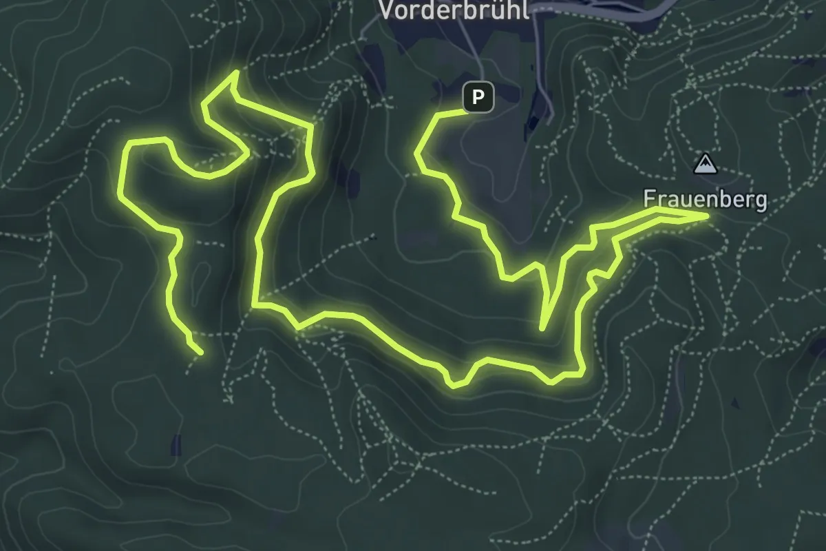
Medium · Summit
Knorr Bremse Runde (Mödling)
12.6 km · ↑ 289 m · 3 h 36 min
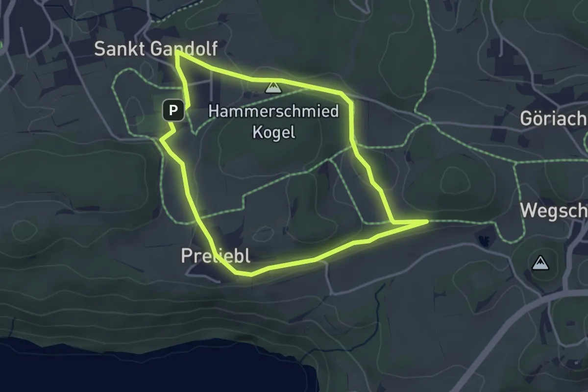
Easy · Trail
Kö5a
3.4 km · ↑ 50 m · 57 min
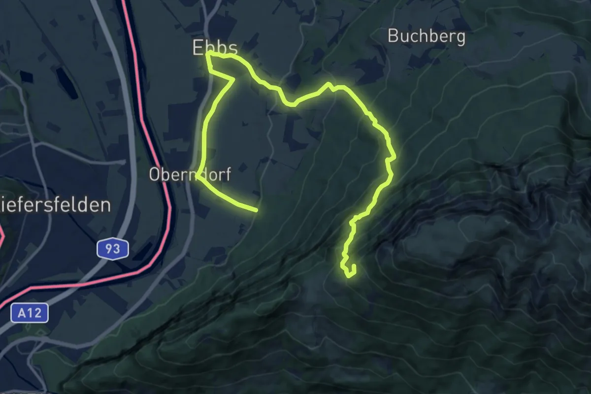
Demanding · Summit
KOASA-Classic-Run
15.5 km · ↑ 948 m · 5 h 43 min
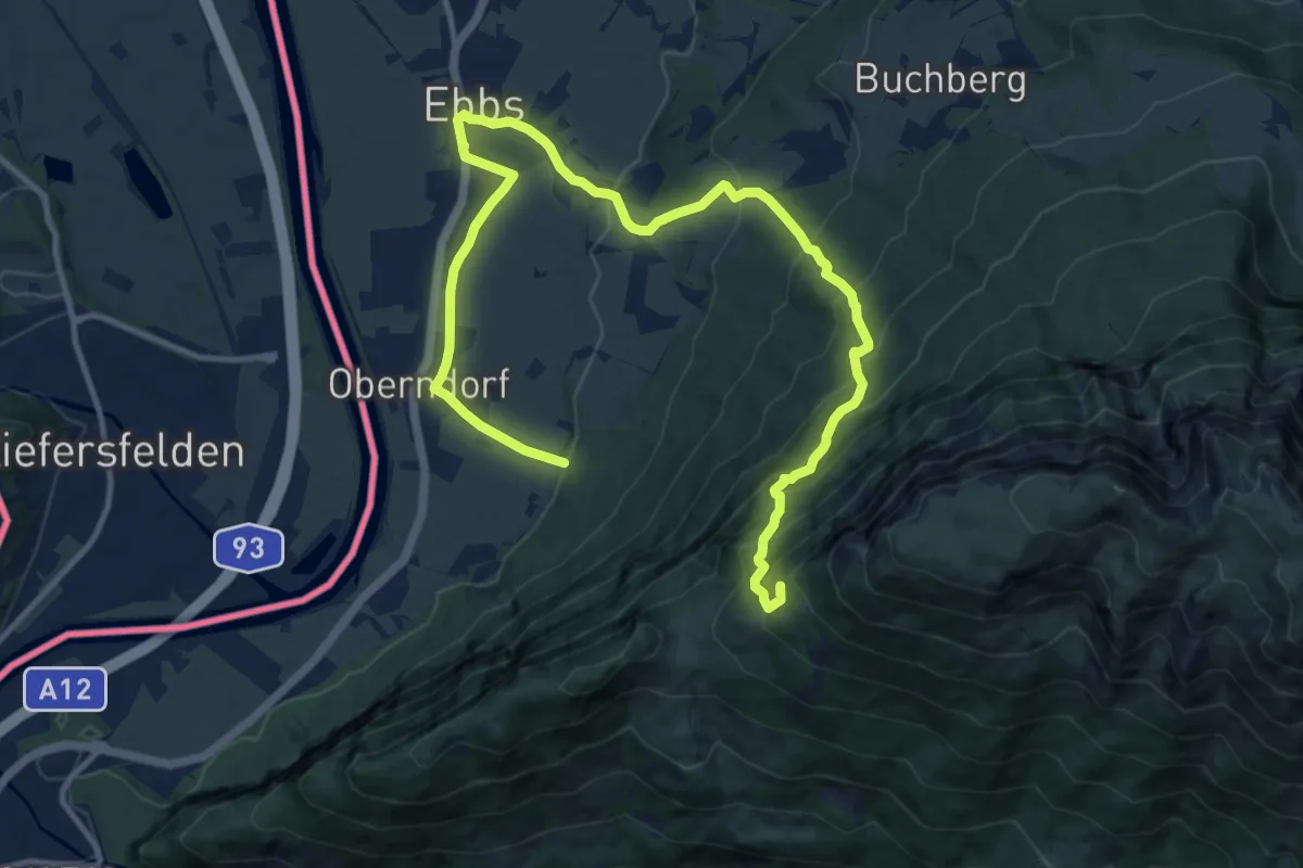
Demanding · Summit
KOASA-Halbmarathon
15.5 km · ↑ 948 m · 5 h 43 min
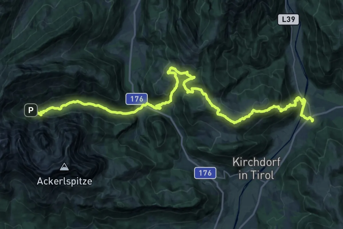
Demanding · Trail
koasa_trail-etappe_3
19.5 km · ↑ 743 m · 6 h 40 min
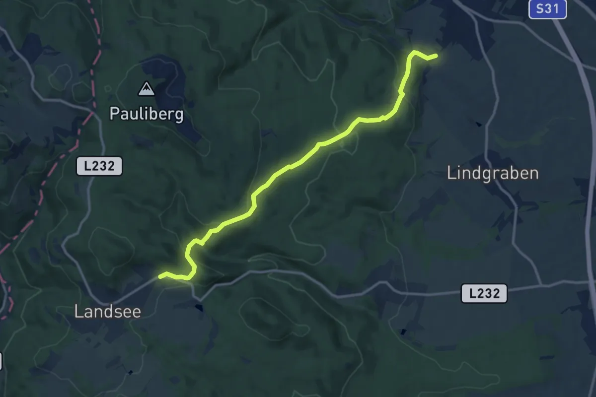
Medium · Trail
Kobersdorf - Landsee
10.9 km · ↑ 411 m · 3 h 28 min
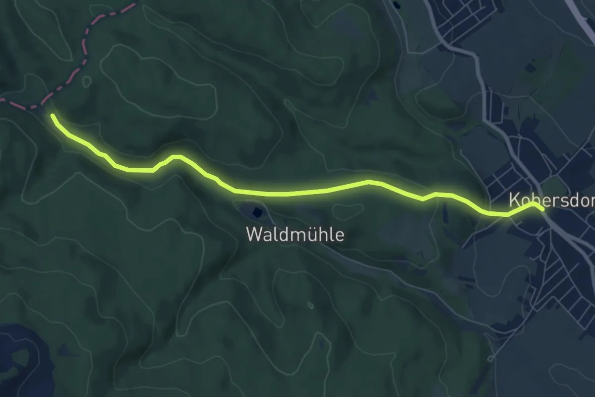
Easy · Trail
Kobersdorf - Waldsauerbrunn
7.6 km · ↑ 153 m · 2 h 7 min