Trails in Austria
9,779 hiking trails, each with its route, climb, walking time and grade.
All trails, page 57 of 204
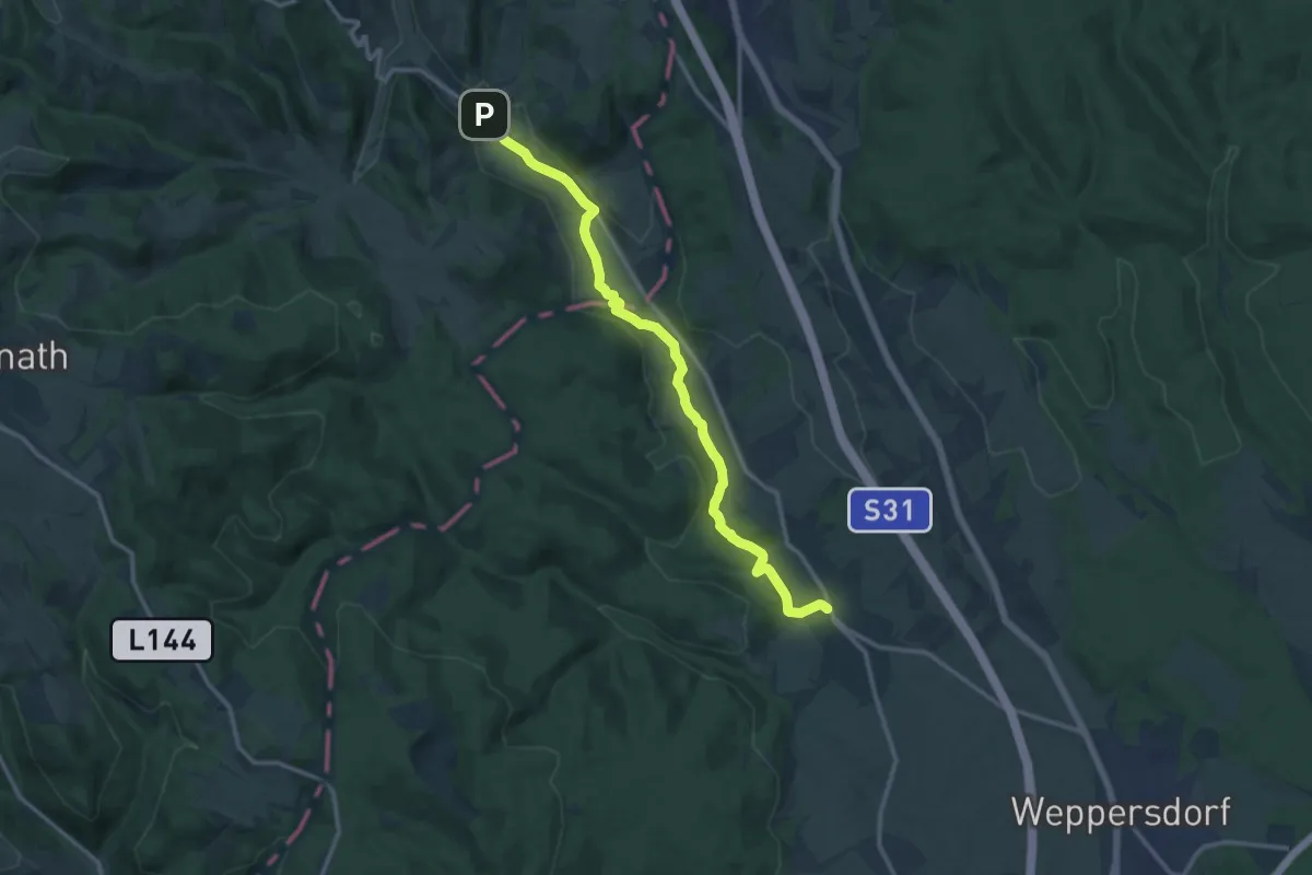
Medium · Trail
Kobersdorfweg
13.2 km · ↑ 101 m · 3 h 20 min
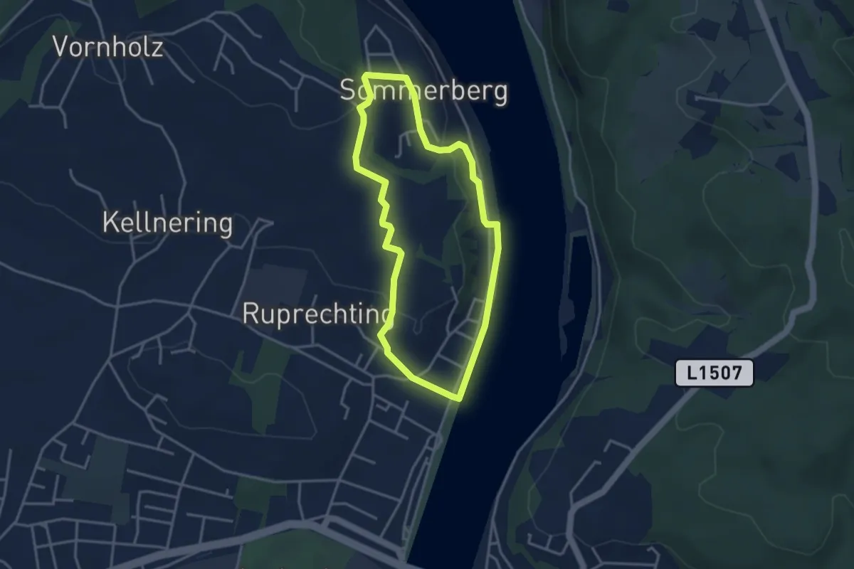
Easy · Trail
Koblrunde
3.1 km · ↑ 79 m · 56 min
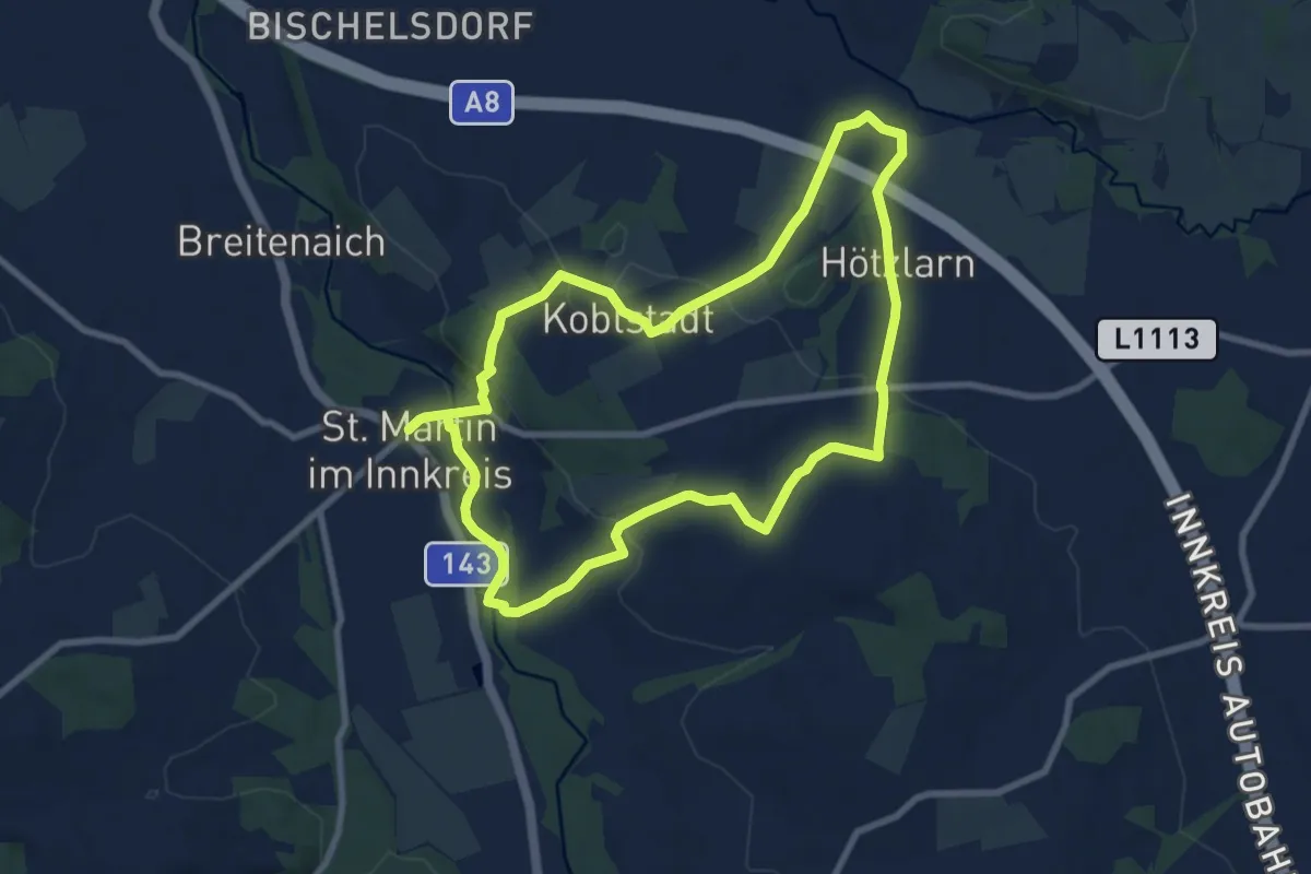
Medium · Trail
Koblstadt-Hötzlarn Runde
16.0 km · ↑ 227 m · 4 h 16 min
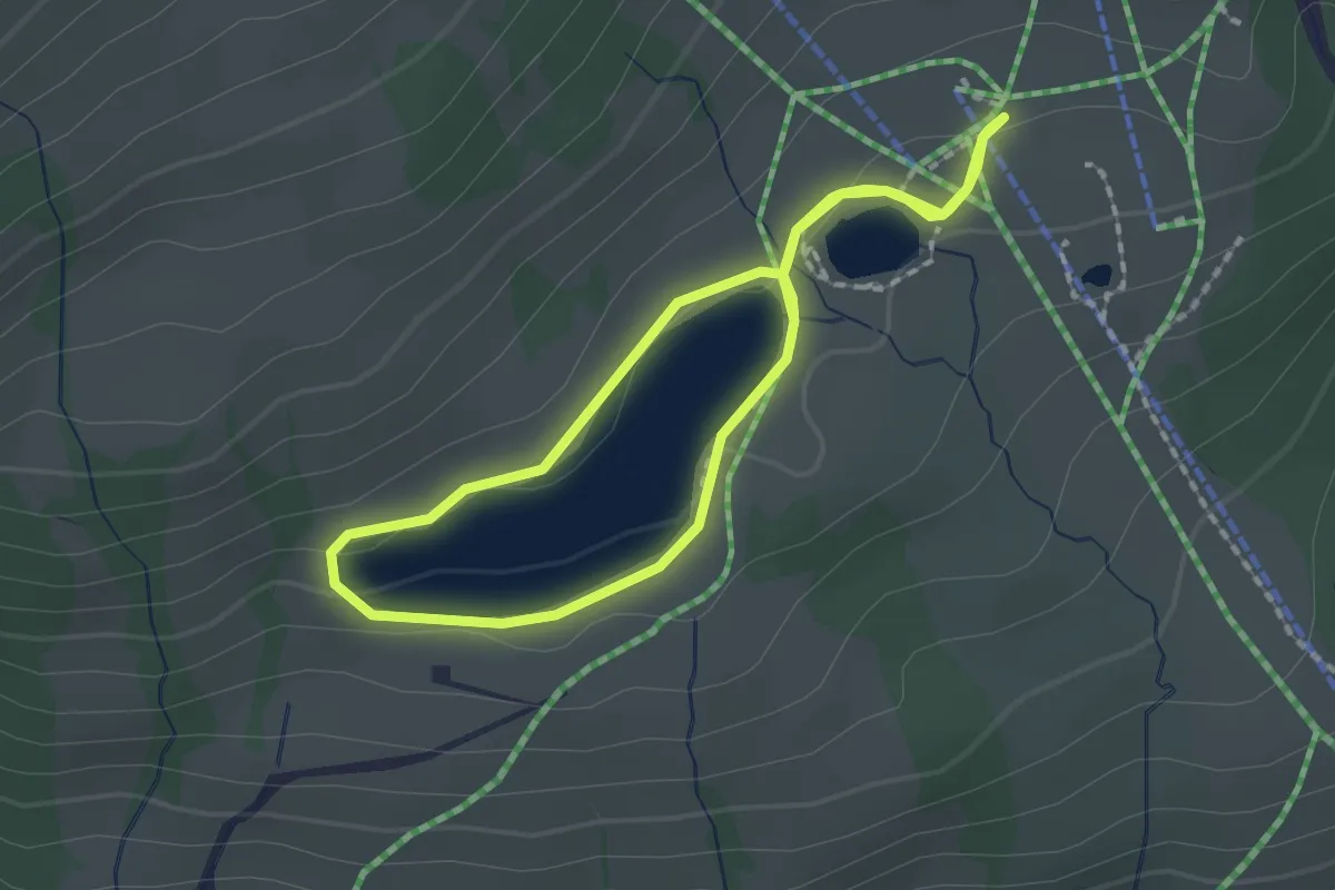
Easy · Trail
Kodoks Wissensweg auf der Hochalm
1.6 km · ↑ 19 m · 26 min
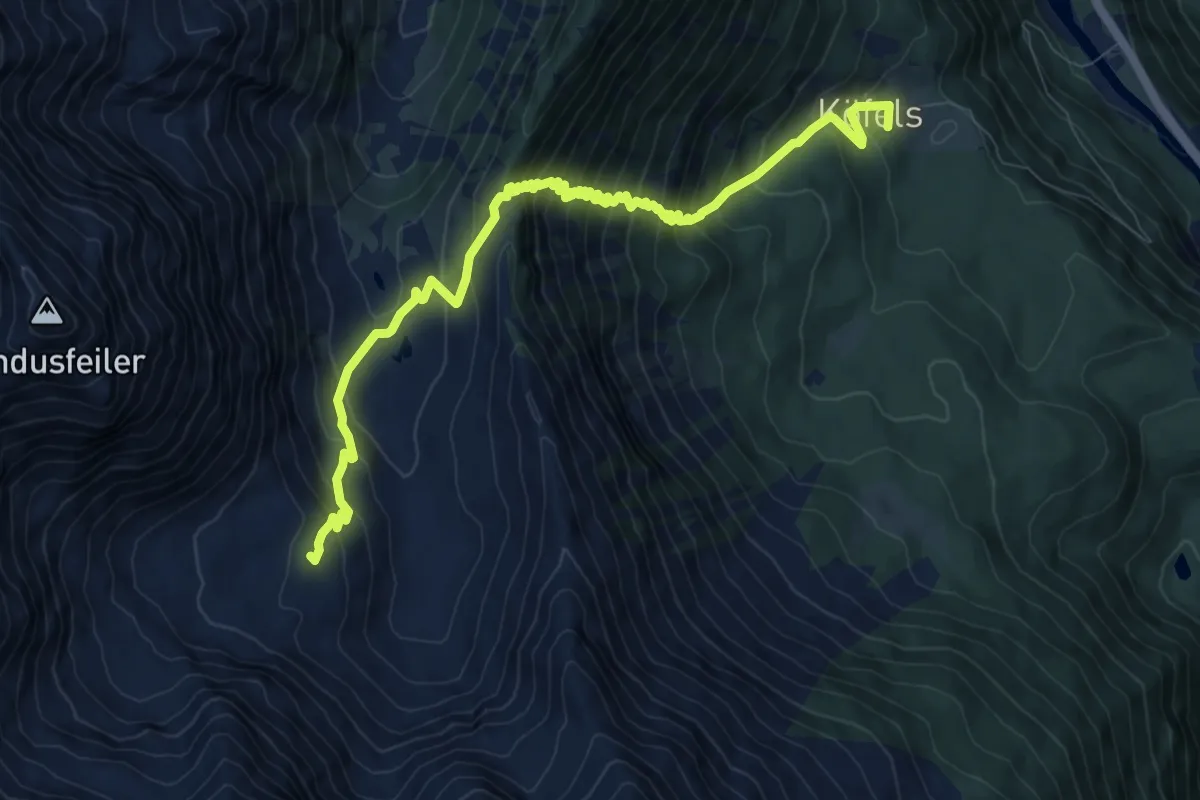
Demanding · Cabin
Köfels - Frischmannhütte
10.4 km · ↑ 1078 m · 4 h 47 min
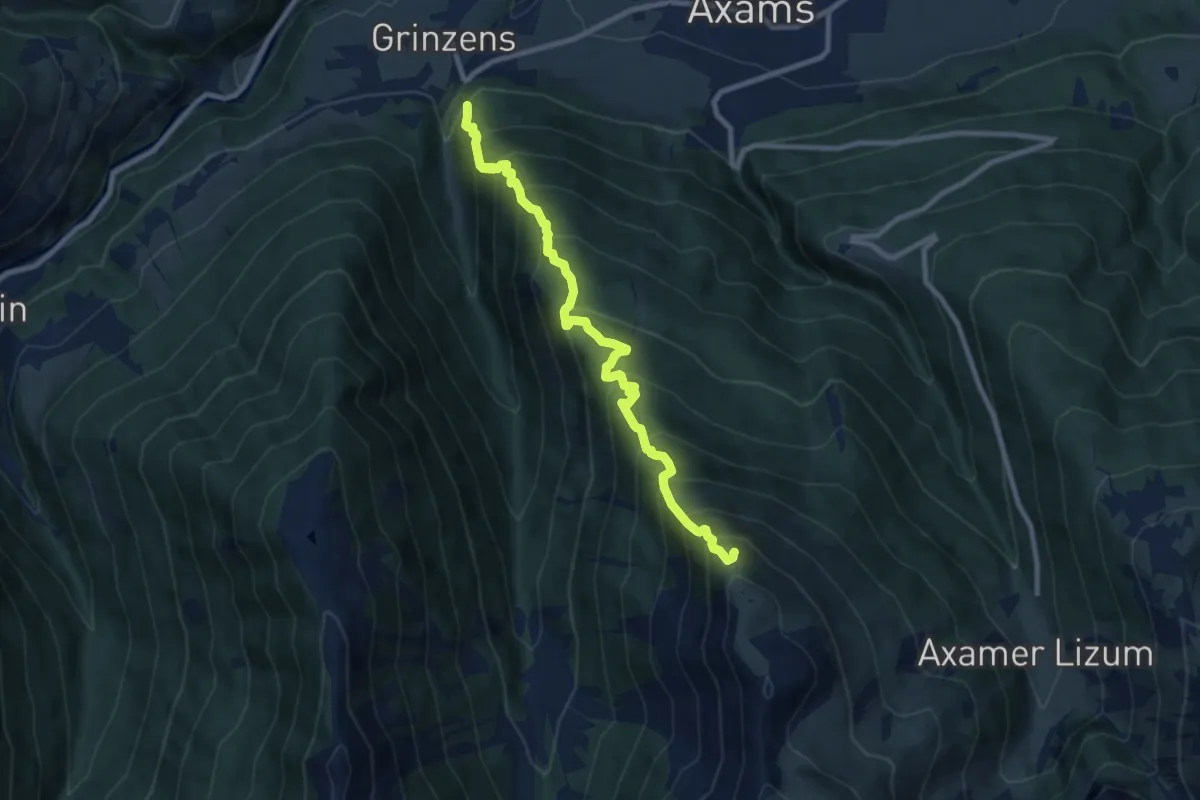
Demanding · Summit
Kögelesteig
9.1 km · ↑ 1094 m · 4 h 31 min
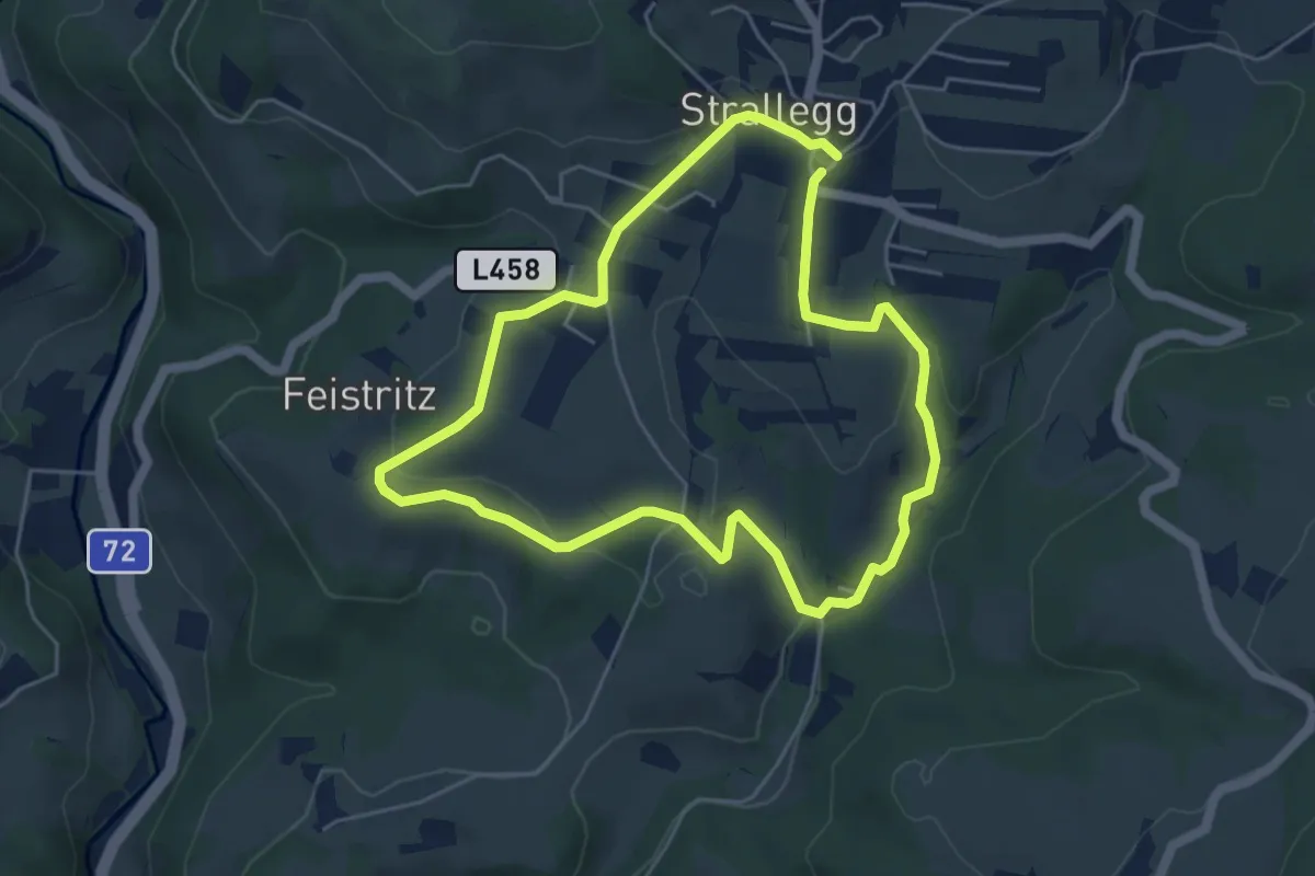
Easy · Trail
Kögerlweg
4.8 km · ↑ 134 m · 1 h 29 min
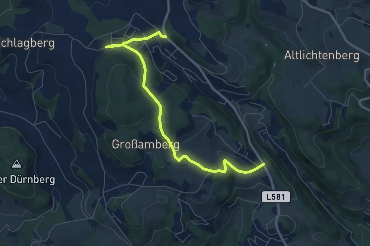
Easy · Trail
Koglerau
7.1 km · ↑ 211 m · 2 h 8 min
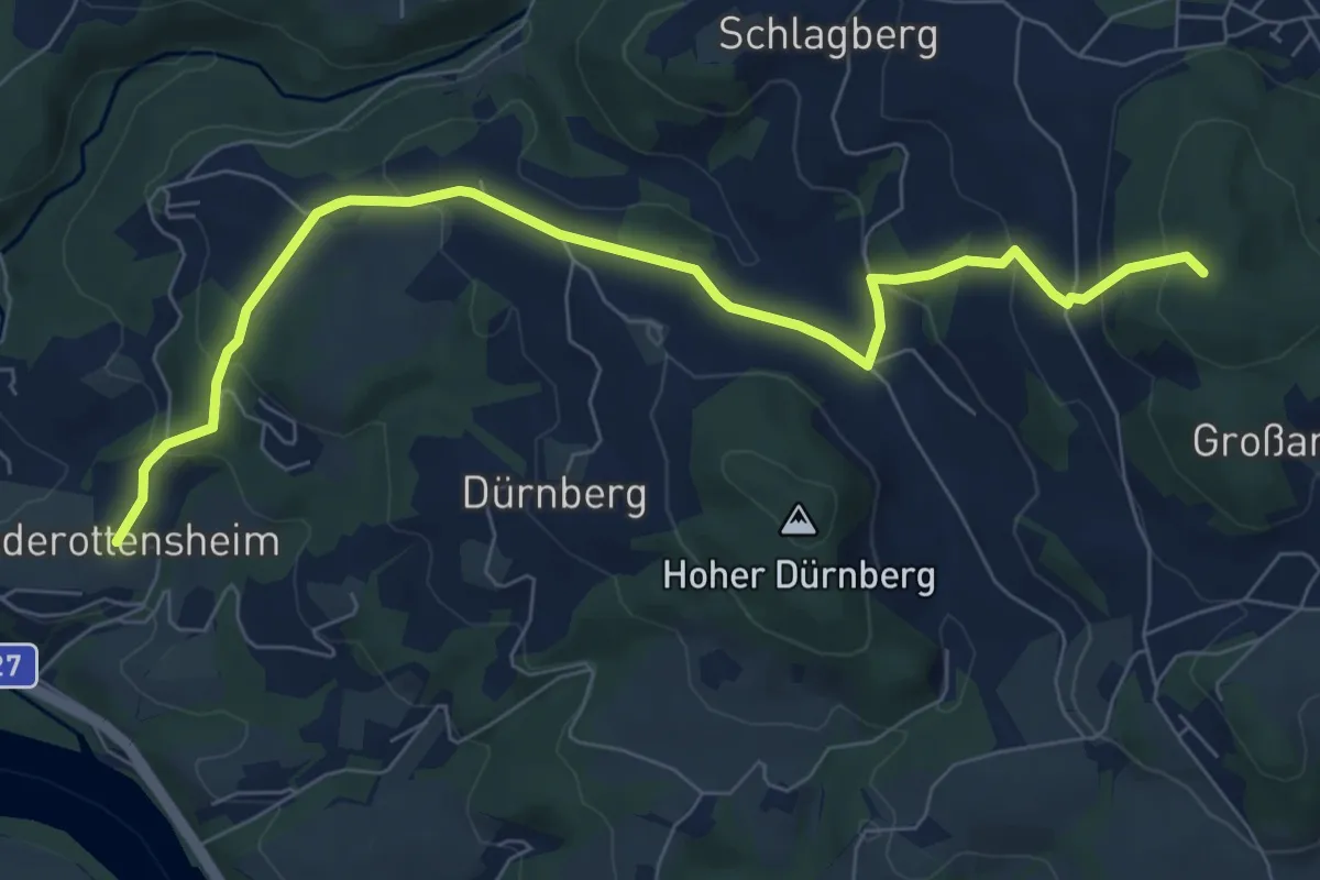
Medium · Summit
Koglerau
8.0 km · ↑ 368 m · 2 h 42 min
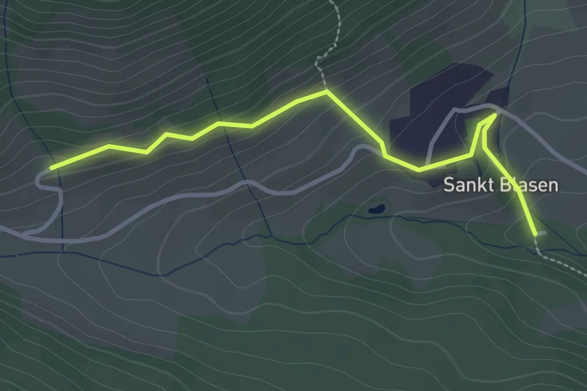
Easy · Trail
Koglerberg Runde
2.7 km · ↑ 144 m · 57 min
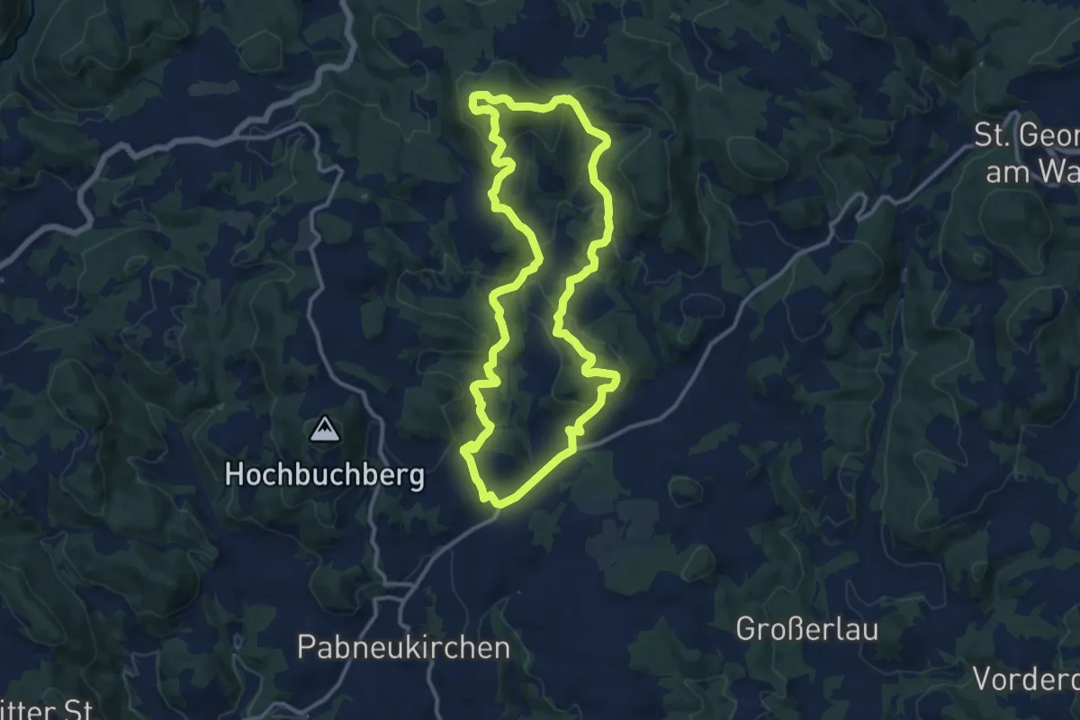
Medium · Summit
Koglerberg-Rundweg
11.6 km · ↑ 451 m · 3 h 53 min
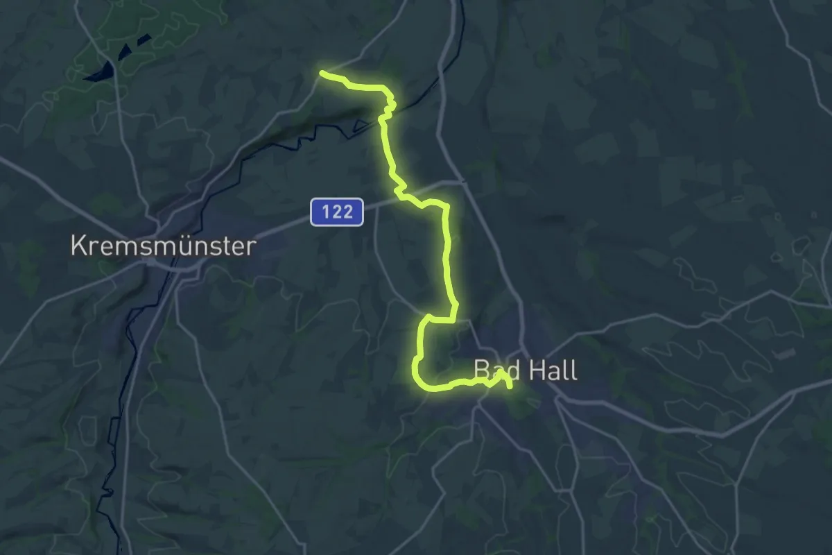
Demanding · Trail
Kogler Immo Runde 2
19.0 km · ↑ 258 m · 5 h 3 min
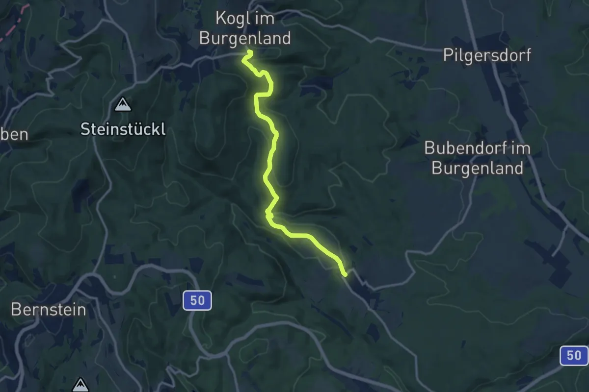
Medium · Trail
Kogl - Salmannsdorf
10.3 km · ↑ 279 m · 3 h 2 min
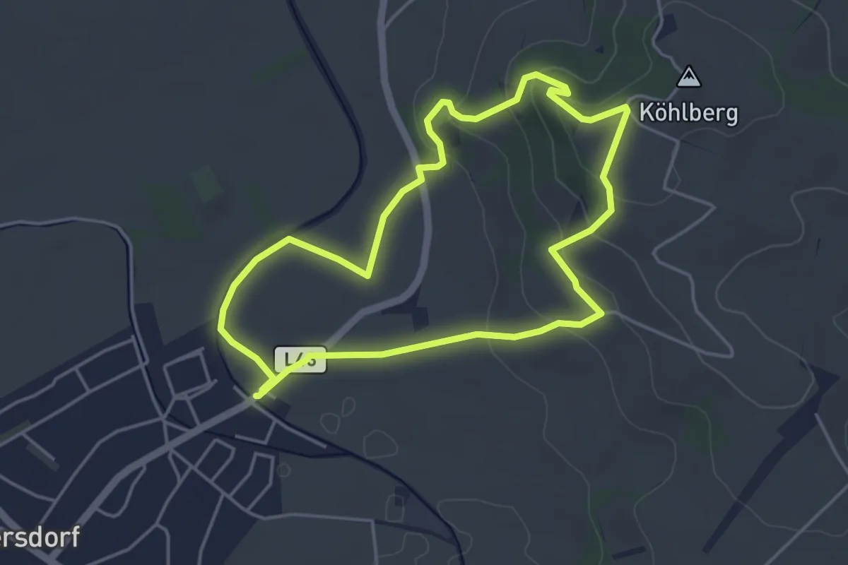
Easy · Trail
Köhlberg-Erlebnis-Rundwanderweg
4.0 km · ↑ 104 m · 1 h 13 min
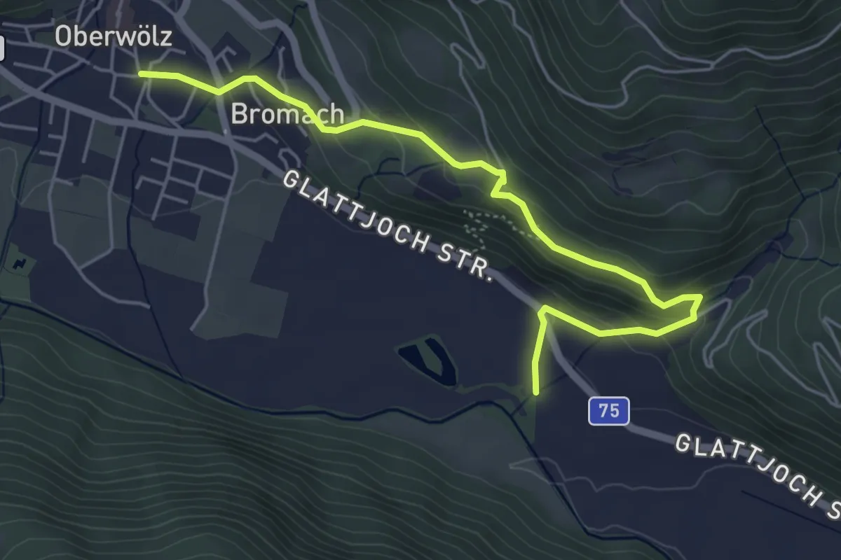
Easy · Trail
Kohlibauweg
2.7 km · ↑ 105 m · 55 min
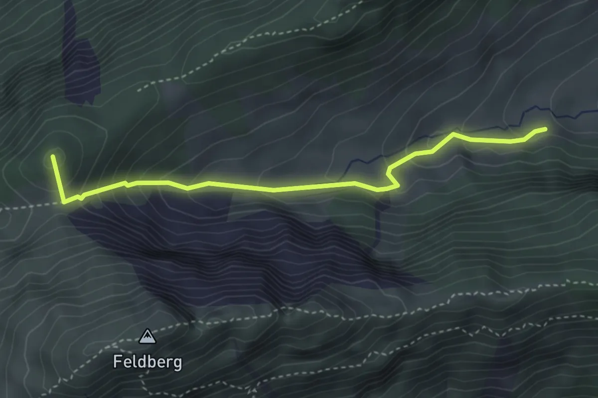
Medium · Summit
Kohllahnersattel - Kohlalm
3.6 km · ↑ 309 m · 1 h 31 min
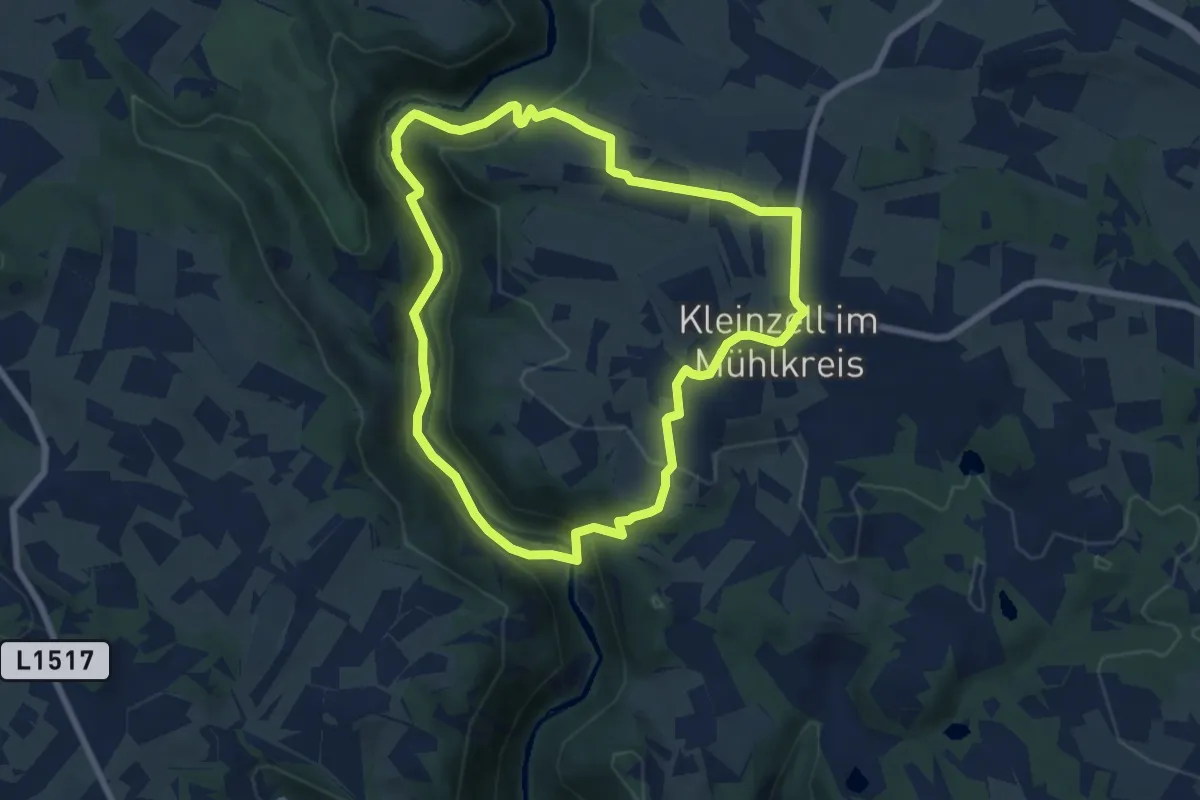
Easy · Trail
Kohlstättenweg
6.8 km · ↑ 273 m · 2 h 17 min
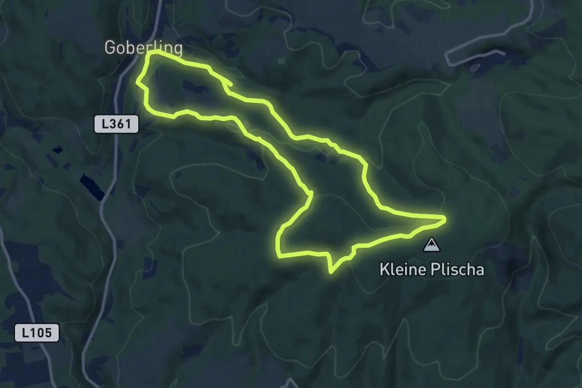
Medium · Trail
Kohlstättwiesenweg (Goberling)
9.7 km · ↑ 255 m · 2 h 58 min
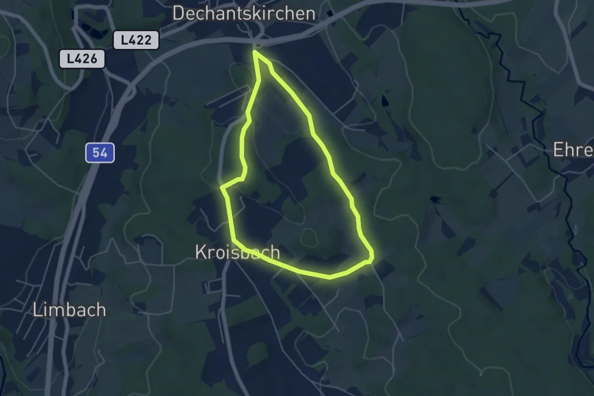
Easy · Trail
Kohlweg (Weg E, 4,8 km)
4.1 km · ↑ 60 m · 1 h 10 min
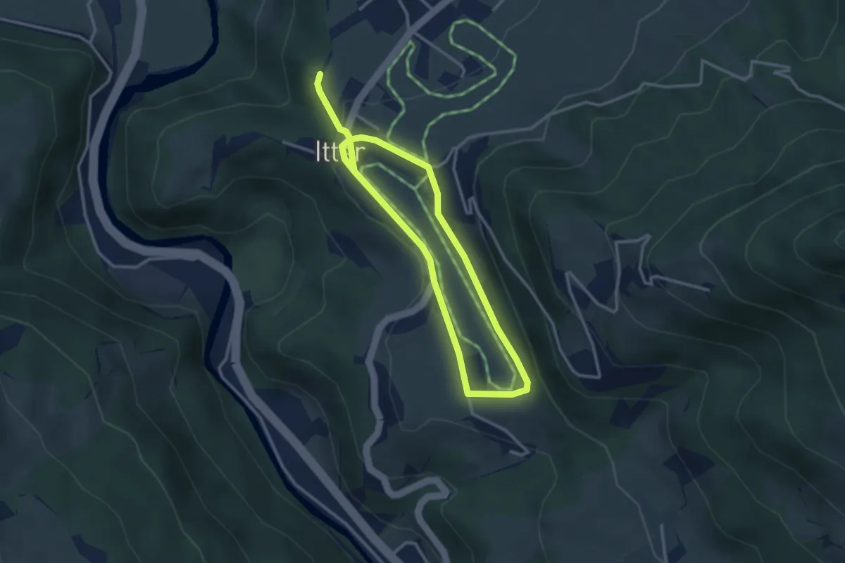
Easy · Trail
Kollerhof Runde
4.9 km · ↑ 35 m · 1 h 14 min
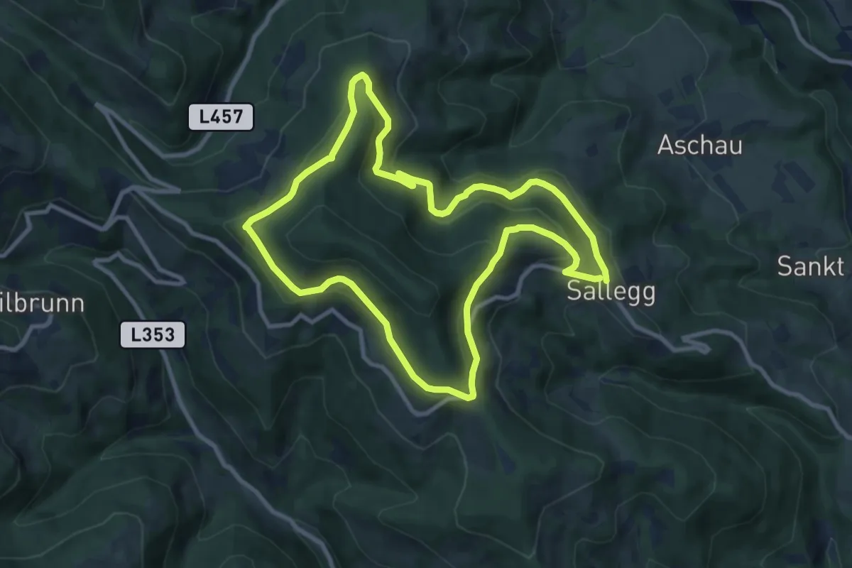
Medium · Trail
Königskogel Rundweg
8.8 km · ↑ 305 m · 2 h 52 min
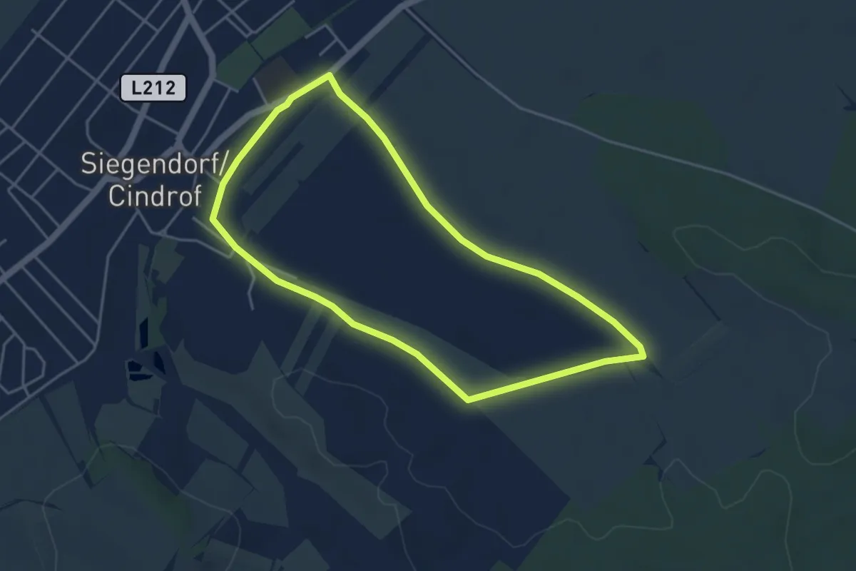
Easy · Trail
Königsschüssel-Tour (Vital-Parcours Siegendorf)
4.0 km · ↑ 23 m · 1 h 3 min
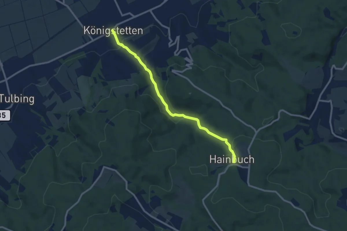
Medium · Trail
Königstetten - Hainbuch
6.9 km · ↑ 260 m · 2 h 12 min
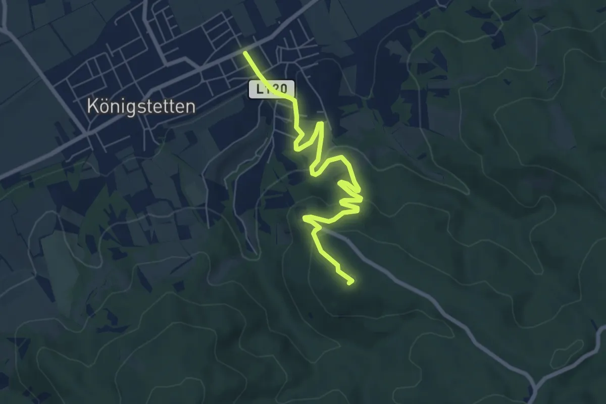
Easy · Summit
Königstetten/Neuwaldegger Straße – Eichberg
6.7 km · ↑ 205 m · 2 h 2 min
Easy · Summit
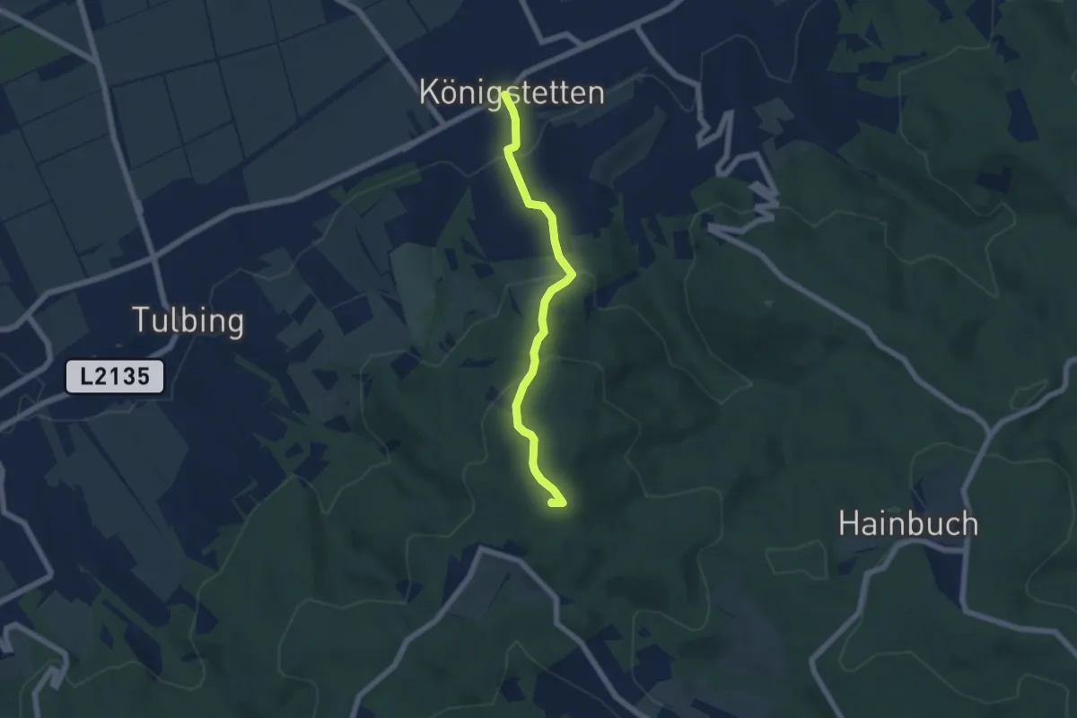
Königstetten - Tulbinger Kogel/Leopold-Figl-Warte
5.1 km · ↑ 312 m · 1 h 53 min
Demanding · Summit
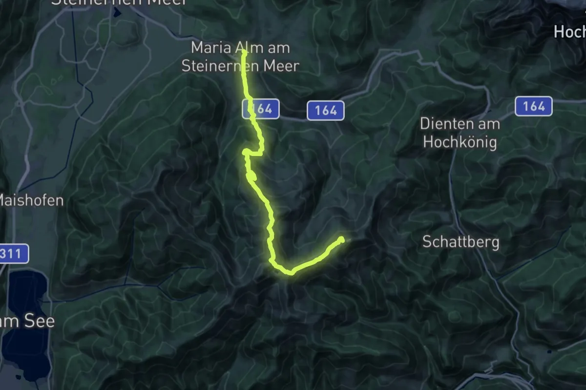
Königsweg (Dienten - Maria Alm)
25.3 km · ↑ 1550 m · 9 h 19 min
Demanding · Trail
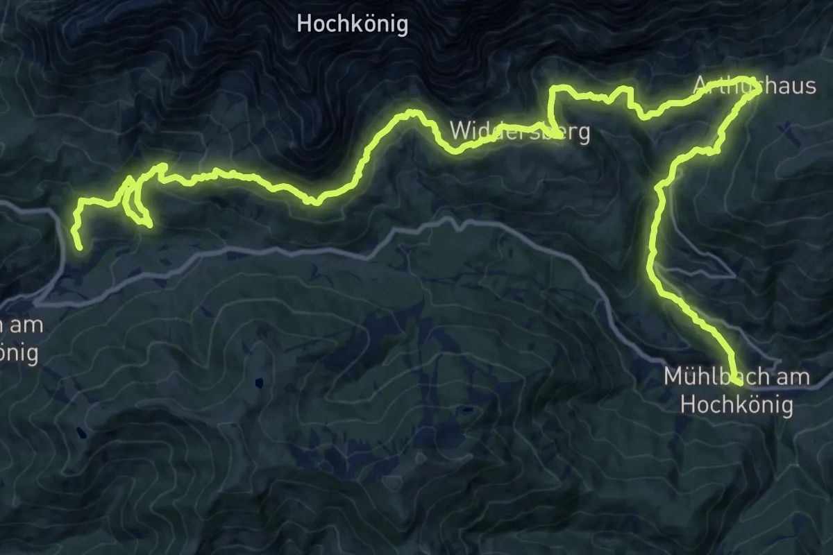
Königsweg (Dienten - Mühlbach)
19.0 km · ↑ 690 m · 6 h 25 min
Demanding · Summit
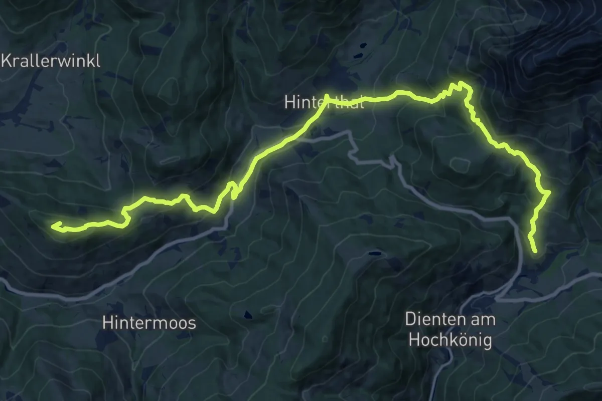
Königsweg (Maria Alm - Dienten)
22.8 km · ↑ 1200 m · 7 h 58 min
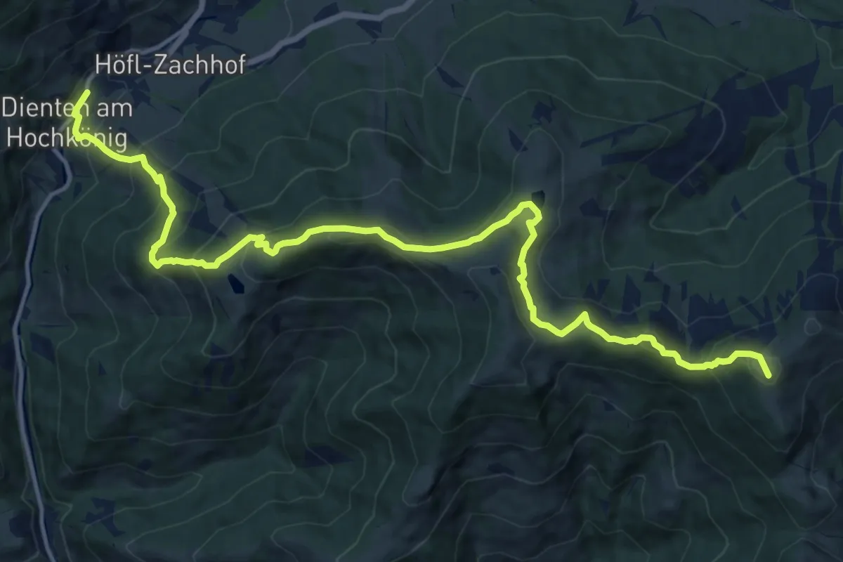
Demanding · Summit
Königsweg (Mühlbach - Dienten)
16.3 km · ↑ 1061 m · 6 h 8 min
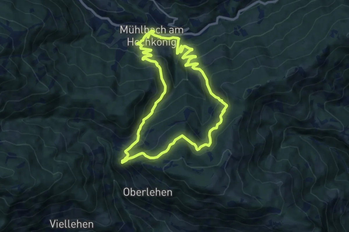
Medium · Trail
Königsweg (Rund um Mühlbach)
11.9 km · ↑ 575 m · 4 h 13 min
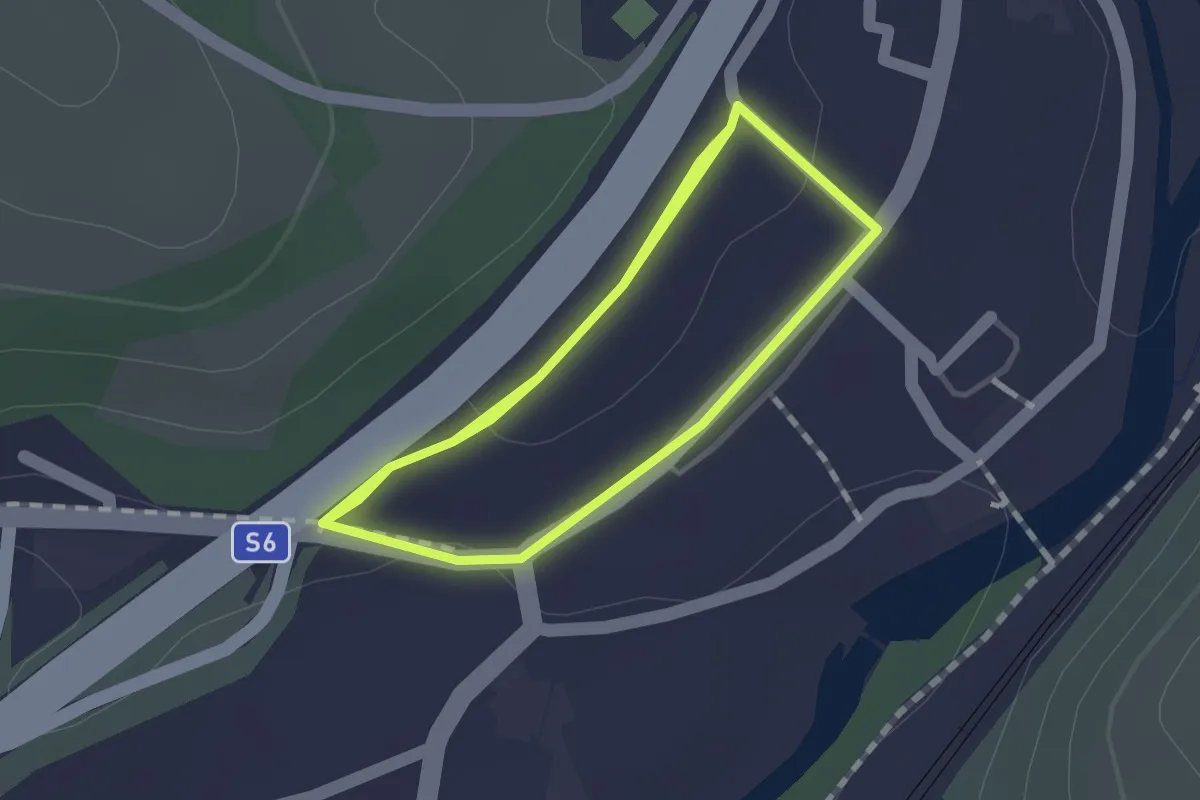
Easy · Trail
Kopfallee
1.4 km · ↑ 21 m · 23 min
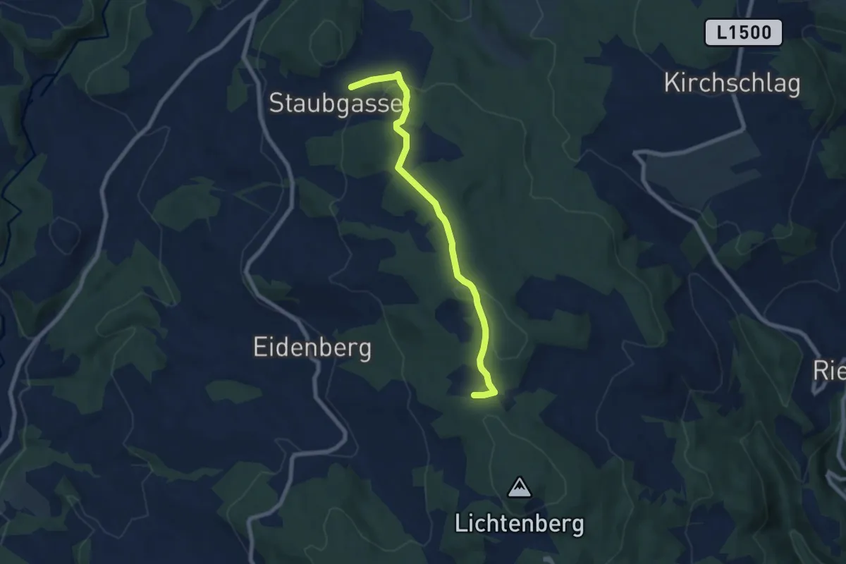
Easy · Trail
Kopfwehsteinweg
6.6 km · ↑ 137 m · 1 h 52 min
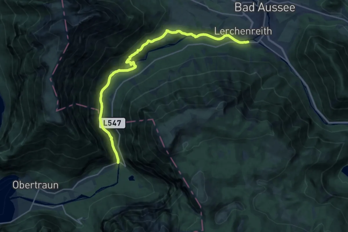
Demanding · Trail
Koppental Wanderweg
18.3 km · ↑ 329 m · 5 h 1 min
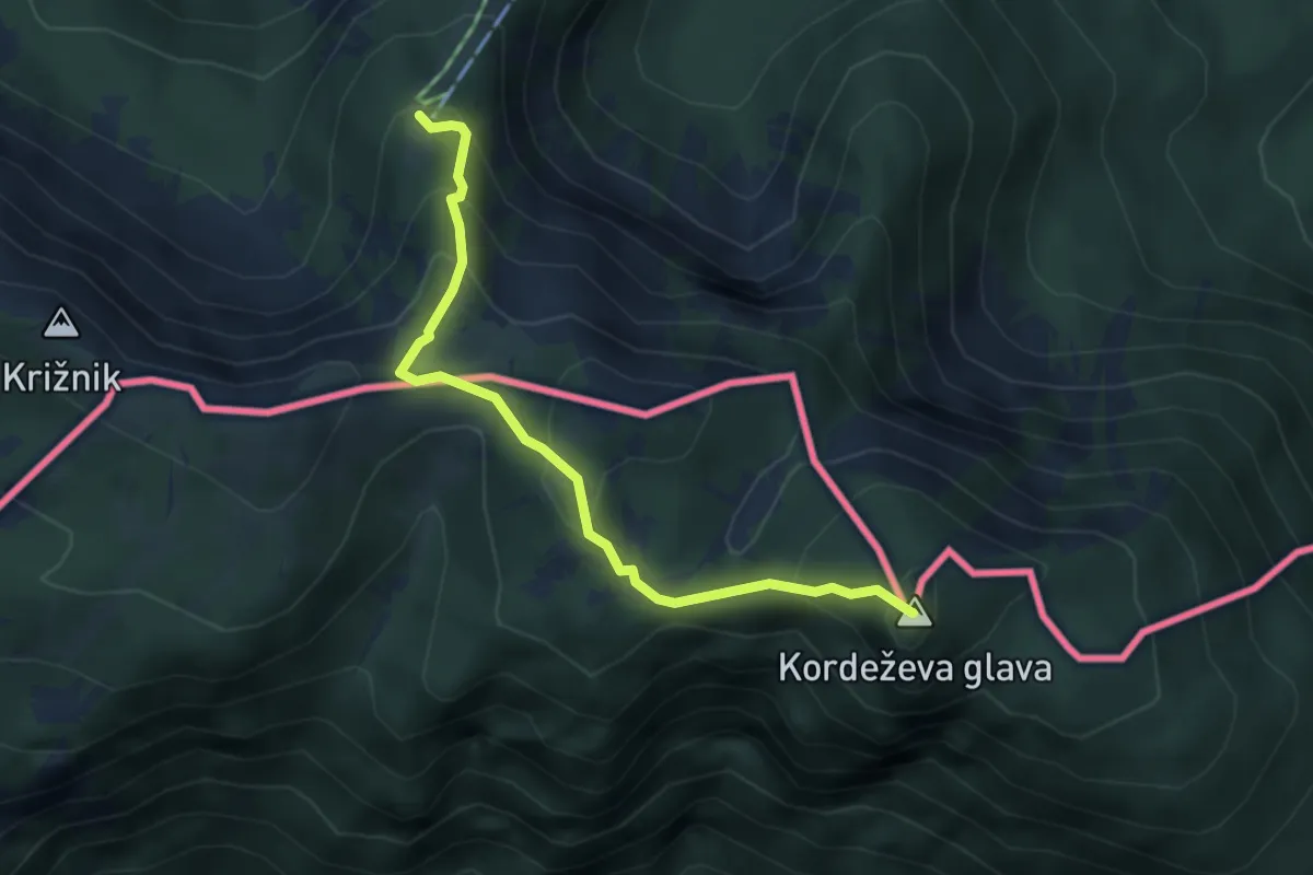
Medium · Summit
Kordeschkopfsteig
3.9 km · ↑ 325 m · 1 h 38 min
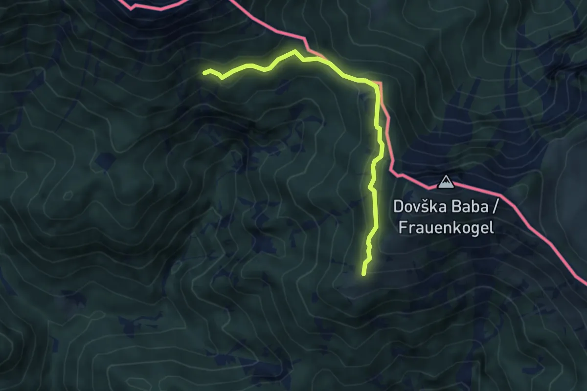
Medium · Trail
Koritec - Pl. Dovška Rožca
4.6 km · ↑ 268 m · 1 h 41 min
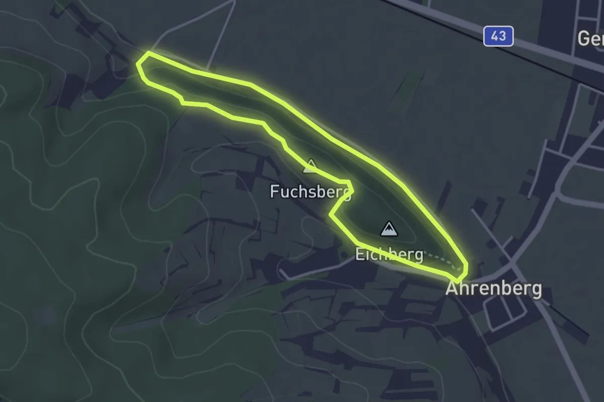
Easy · Summit
Korkenzieher-Themenweg
3.1 km · ↑ 69 m · 56 min
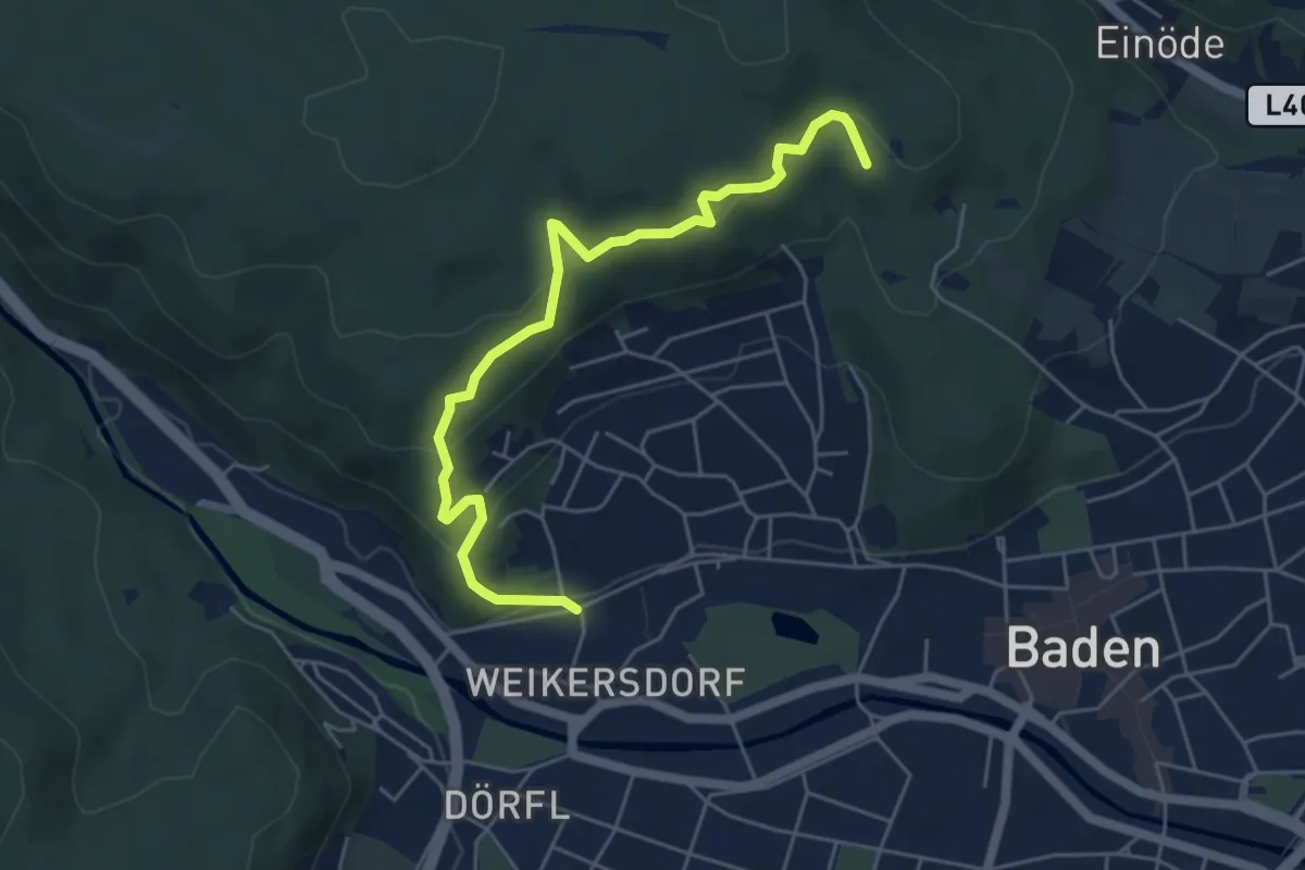
Easy · Trail
Kornhäuselstraße/Marchetstraße - Faberhöhe (Baden)
5.5 km · ↑ 194 m · 1 h 43 min
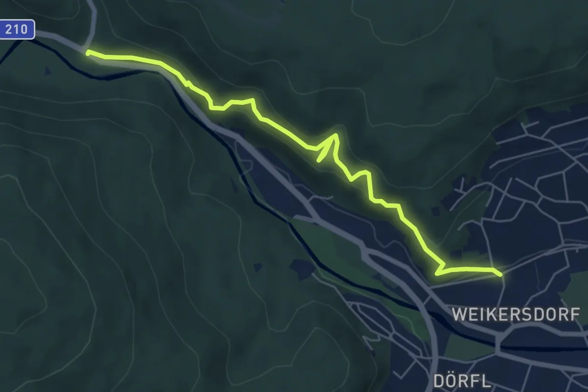
Easy · Trail
Kornhäuselstraße/Marchetstraße - Ruine Rauhenstein - Siegenfelder Kreuzung
6.0 km · ↑ 220 m · 1 h 53 min
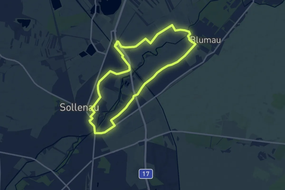
Medium · Trail
Kosme Runde bei Sollenau
9.7 km · ↑ 16 m · 2 h 27 min
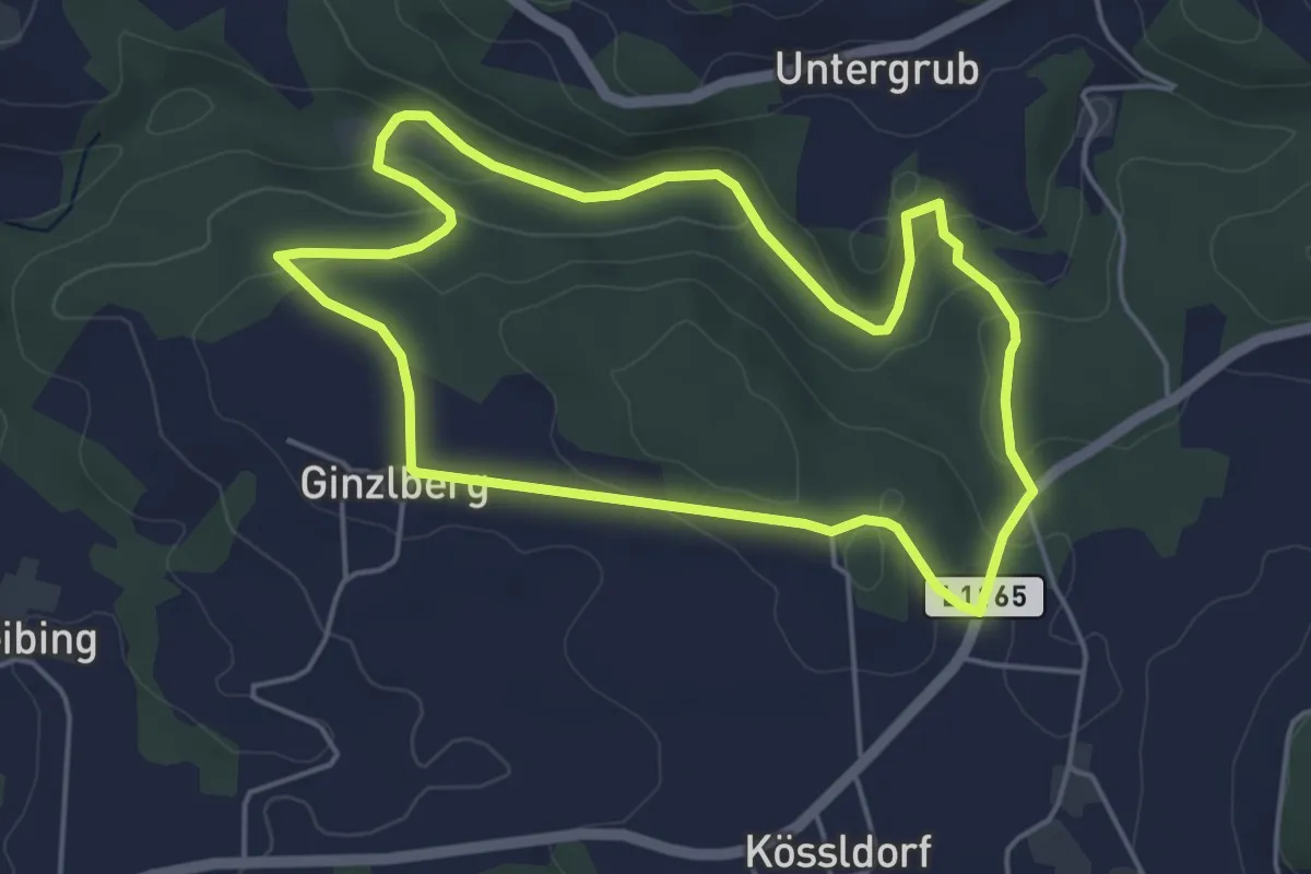
Easy · Trail
Kößlbachrunde
4.5 km · ↑ 118 m · 1 h 22 min
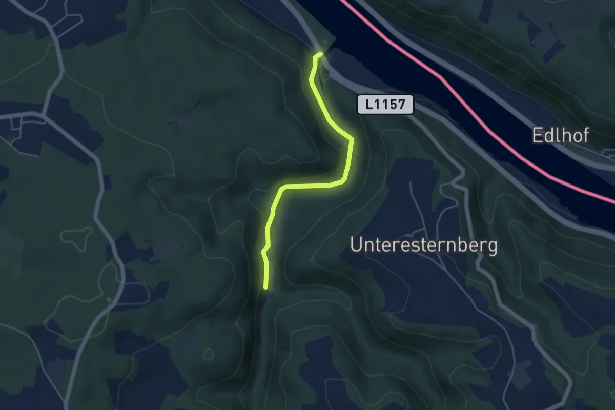
Easy · Trail
Kößlbachrunde
3.8 km · ↑ 32 m · 58 min
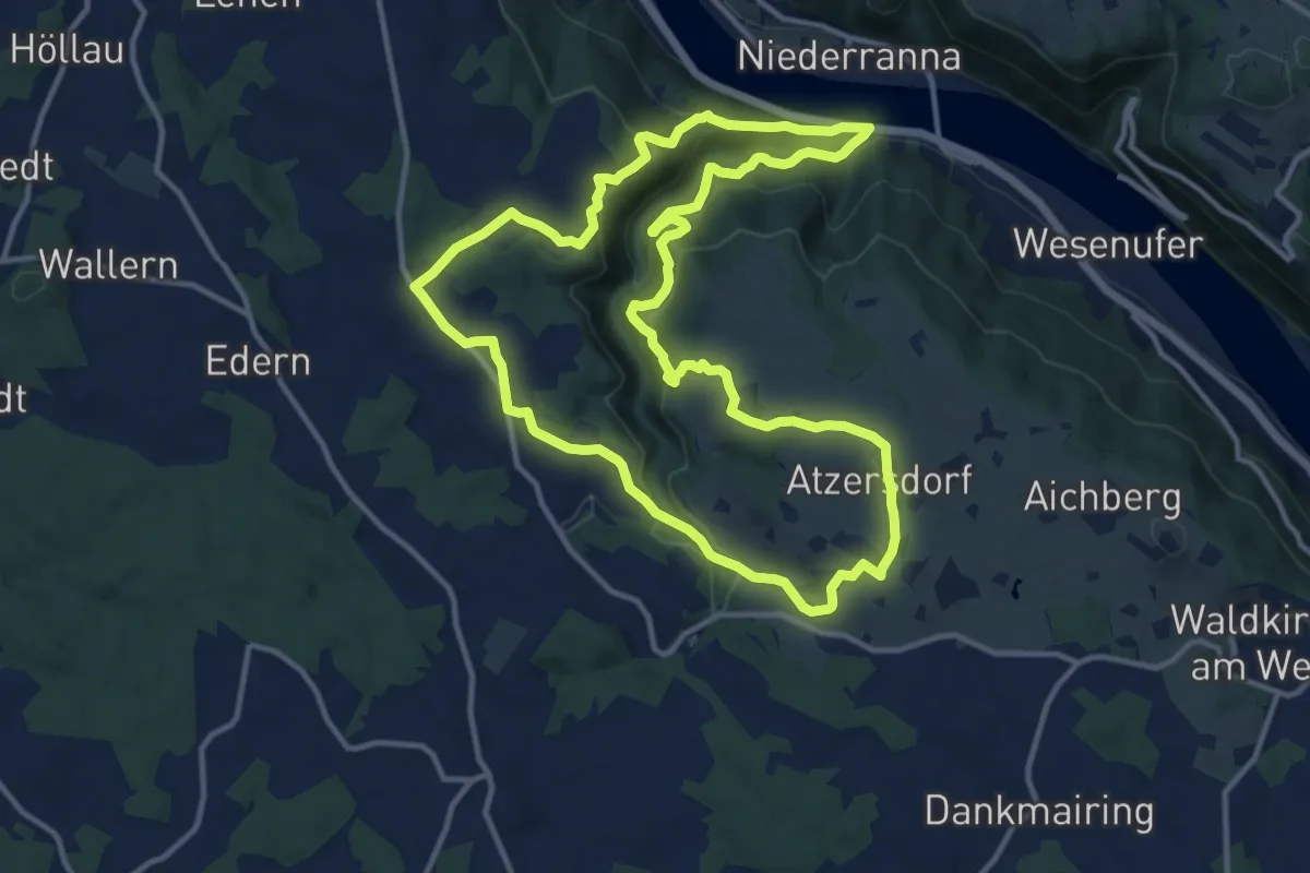
Medium · Trail
Kösslbach-Wanderung
12.5 km · ↑ 440 m · 4 h 5 min
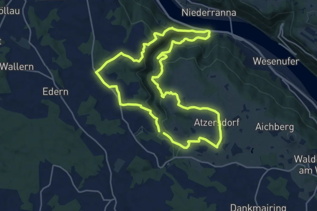
Medium · Trail
Kösslbachweg
12.4 km · ↑ 465 m · 4 h 7 min
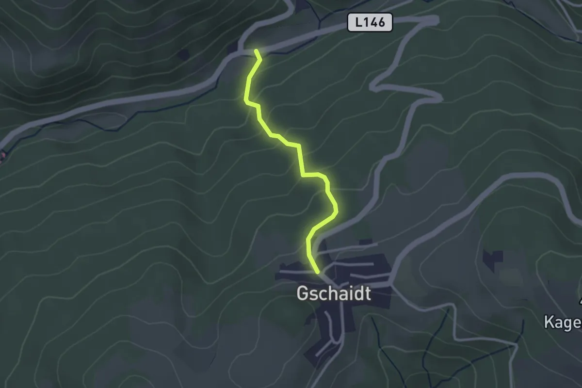
Easy · Trail
Kothmühle - Gschaidt
2.2 km · ↑ 174 m · 54 min
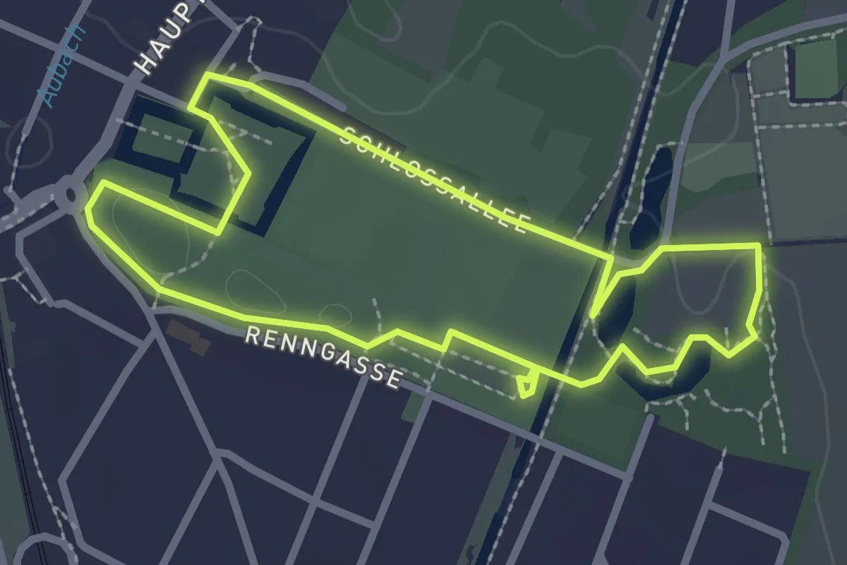
Easy · Trail
Kottingbrunn auf der Spur (Kultur- und Naturpfad)
2.3 km · ↑ 0 m · 34 min
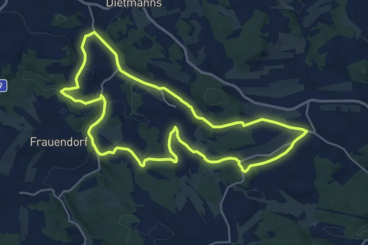
Medium · Summit
Kotting Nondorf-Wanderweg 39
11.1 km · ↑ 192 m · 3 h 12 min
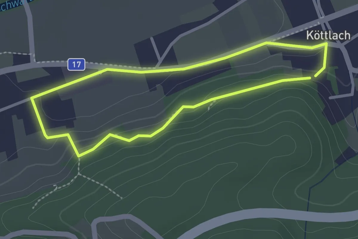
Easy · Trail
Köttlacherweg (Wörth - Köttlach)
2.1 km · ↑ 30 m · 36 min
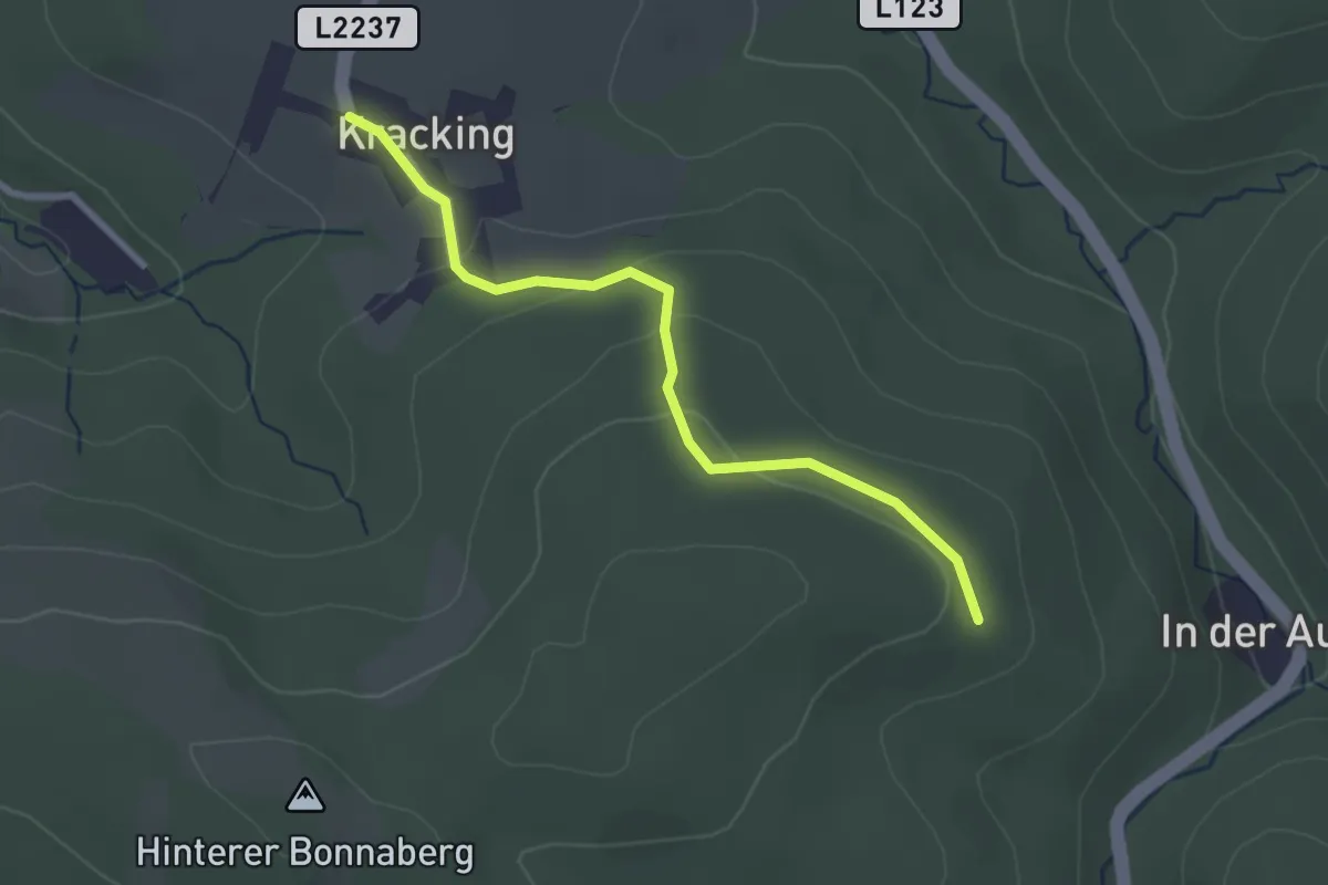
Easy · Trail
Kracking - Krakingberg
2.6 km · ↑ 63 m · 44 min