Trails in Austria
9,779 hiking trails, each with its route, climb, walking time and grade.
All trails, page 58 of 204
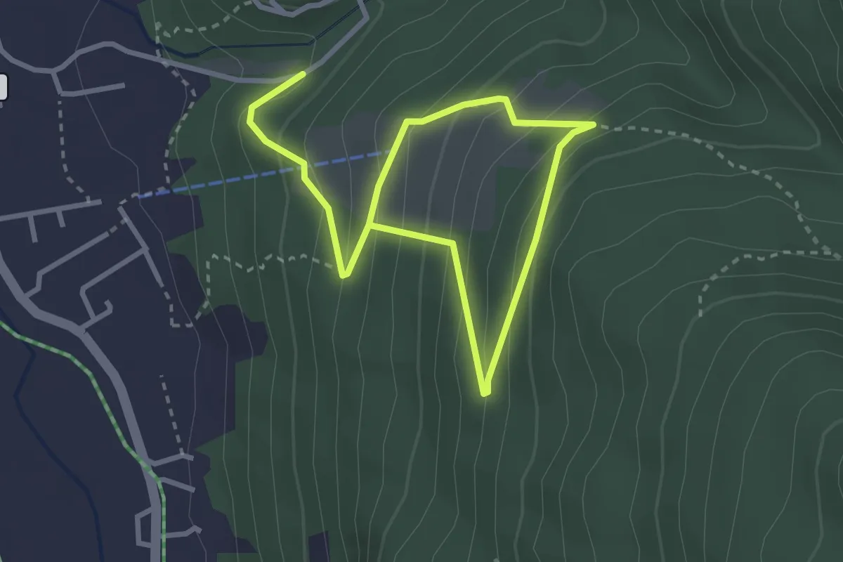
Medium · Trail
Kraft der Bäume
4.3 km · ↑ 360 m · 1 h 47 min
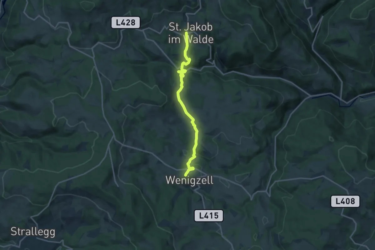
Medium · Trail
Kraftpfad
11.5 km · ↑ 466 m · 3 h 44 min
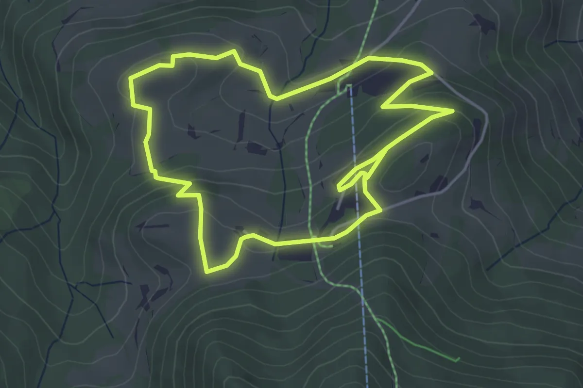
Medium · Trail
Kraftquellenweg Pruggererberg
4.1 km · ↑ 150 m · 1 h 21 min
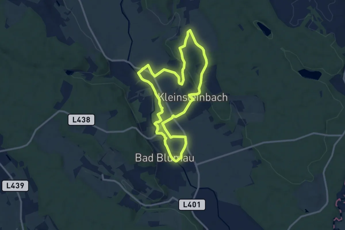
Easy · Trail
Krafttour
7.7 km · ↑ 56 m · 2 h 3 min
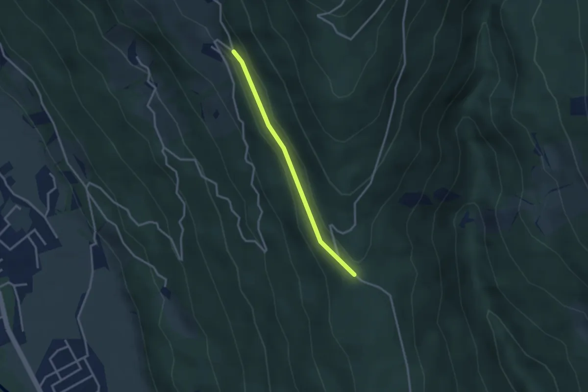
Easy · Trail
Krainberg - Manas
2.3 km · ↑ 30 m · 37 min
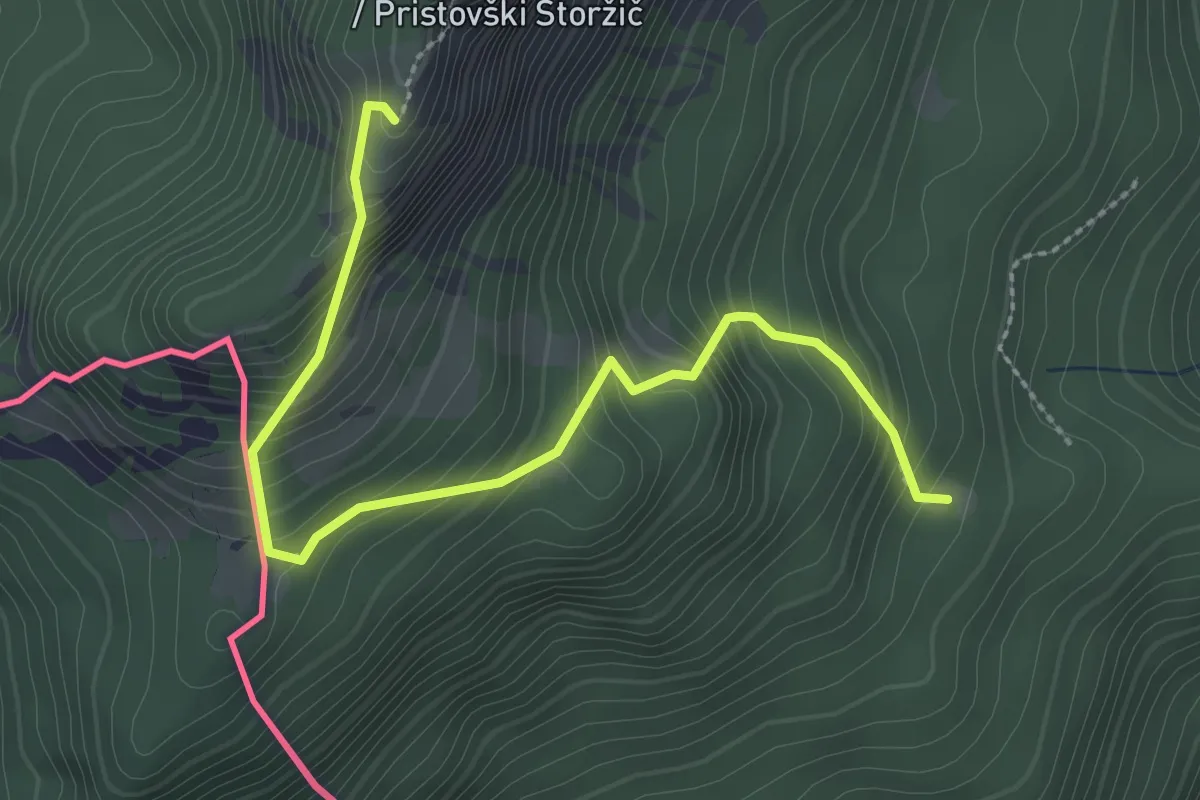
Demanding · Trail
Krainersteig
3.0 km · ↑ 391 m · 1 h 33 min
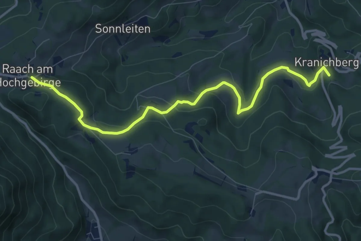
Medium · Summit
Kranichberg Schloß - Egg - Raach
9.2 km · ↑ 342 m · 2 h 55 min
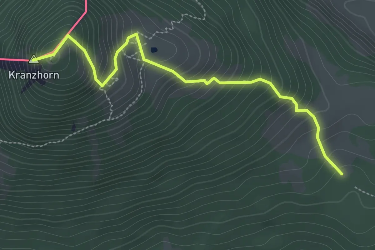
Medium · Summit
Kranzhorn über Bubenaualm
3.1 km · ↑ 376 m · 1 h 33 min
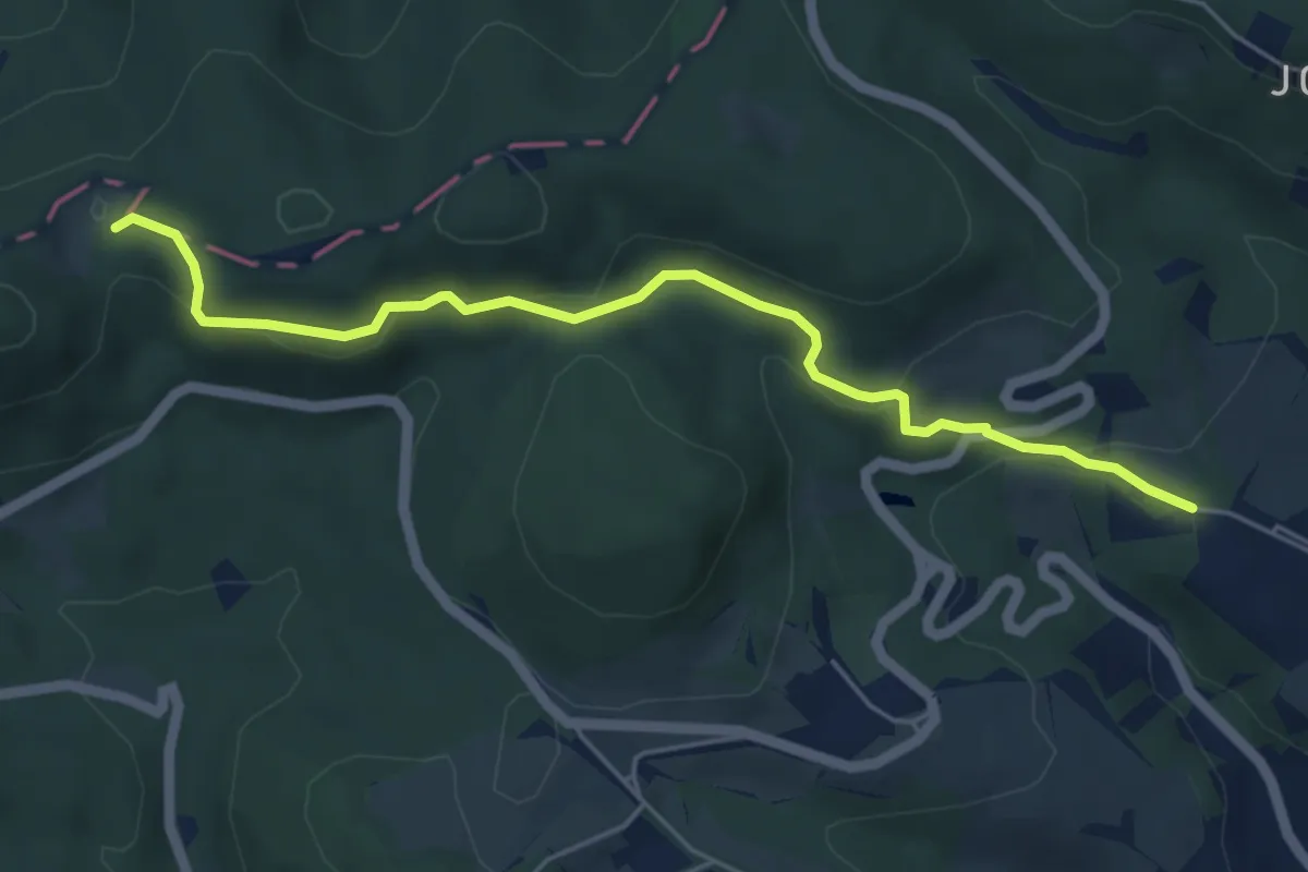
Easy · Trail
Krapfenwaldl - Jägerwiese
5.2 km · ↑ 129 m · 1 h 31 min
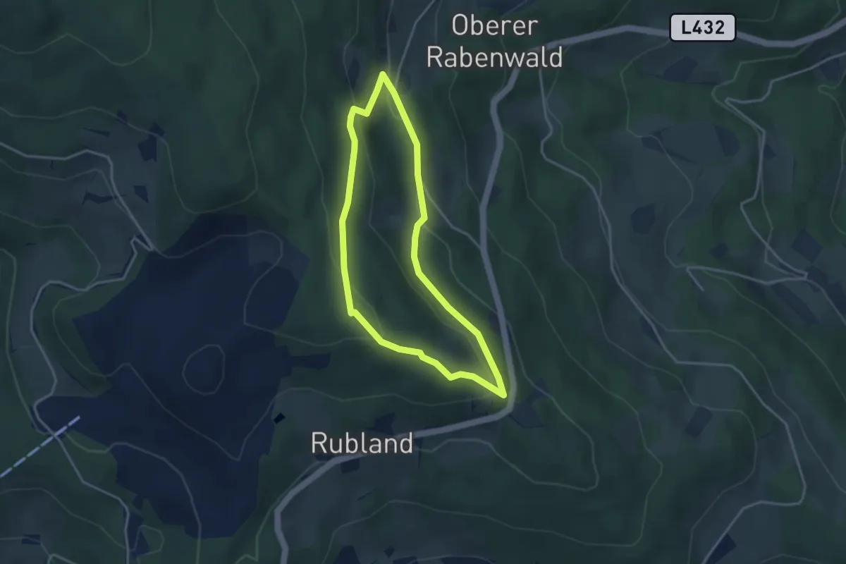
Easy · Trail
Kräuterpfad der Sinne
3.1 km · ↑ 115 m · 1 h 1 min
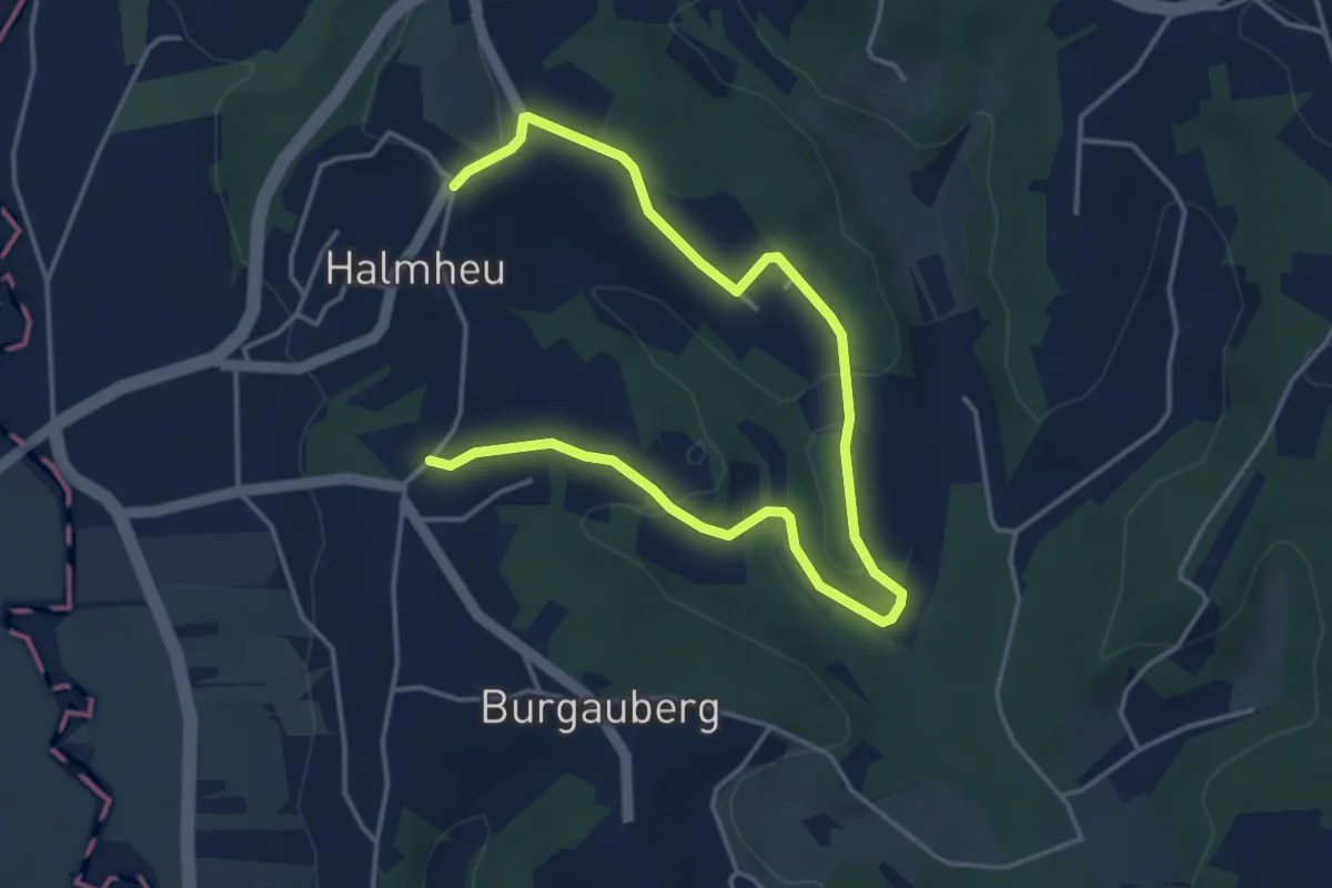
Easy · Trail
Kräuterwanderweg "Kinderkräuterweg" (Stegersbach)
5.6 km · ↑ 140 m · 1 h 37 min
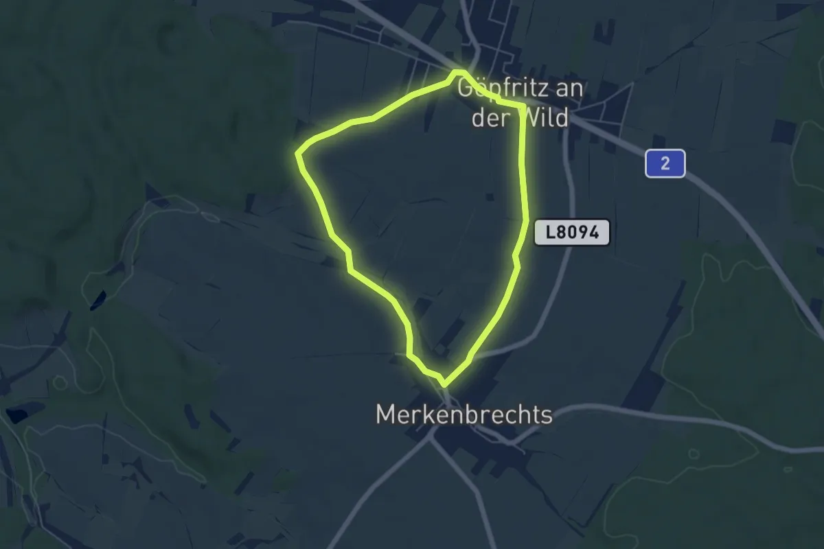
Easy · Trail
Kräuterweg 43
4.7 km · ↑ 26 m · 1 h 13 min
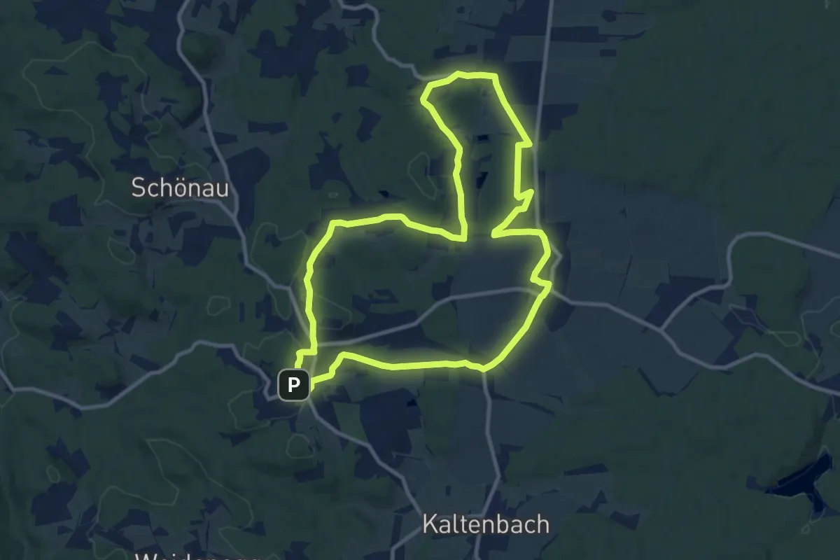
Medium · Trail
Kräuterweg Bad Traunstein Nr. 54
10.0 km · ↑ 134 m · 2 h 48 min
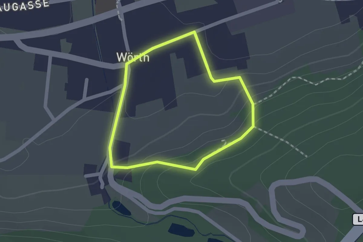
Easy · Trail
Kräuterweg (Wörth)
1.2 km · ↑ 45 m · 23 min
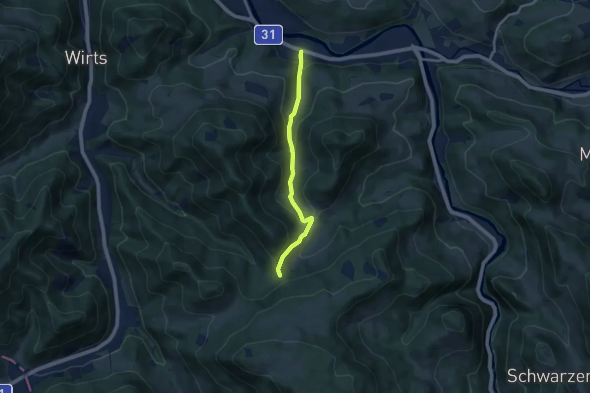
Easy · Trail
Kreilhof - Holzbauernkreuz - Hieslwirt
6.6 km · ↑ 295 m · 2 h 12 min
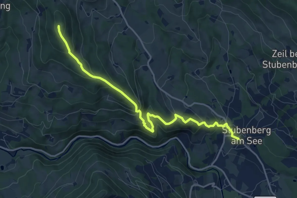
Medium · Summit
Kreilkogelrunde
10.1 km · ↑ 620 m · 3 h 44 min
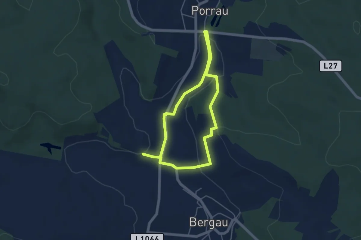
Easy · Trail
Kreisgrabenweg
6.8 km · ↑ 125 m · 1 h 53 min
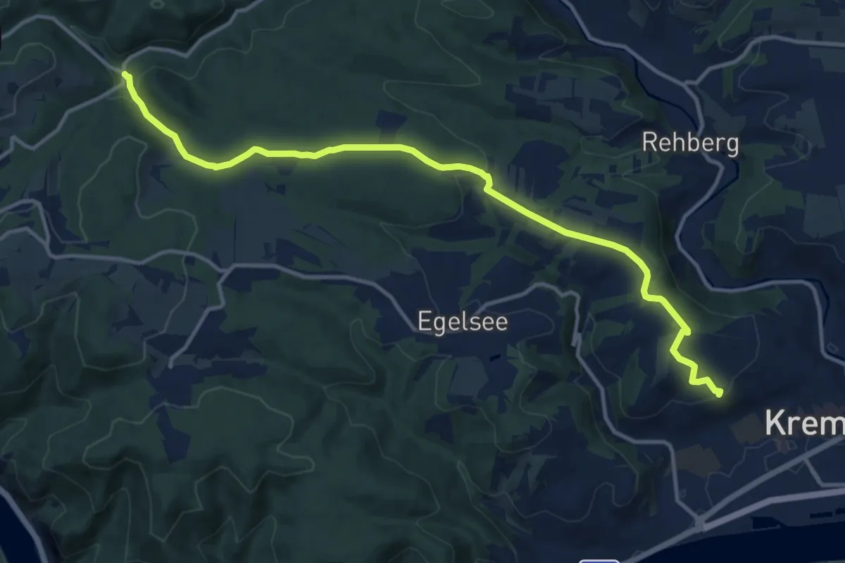
Medium · Summit
Krems Kreuzberg - Rotes Kreuz
13.0 km · ↑ 312 m · 3 h 45 min
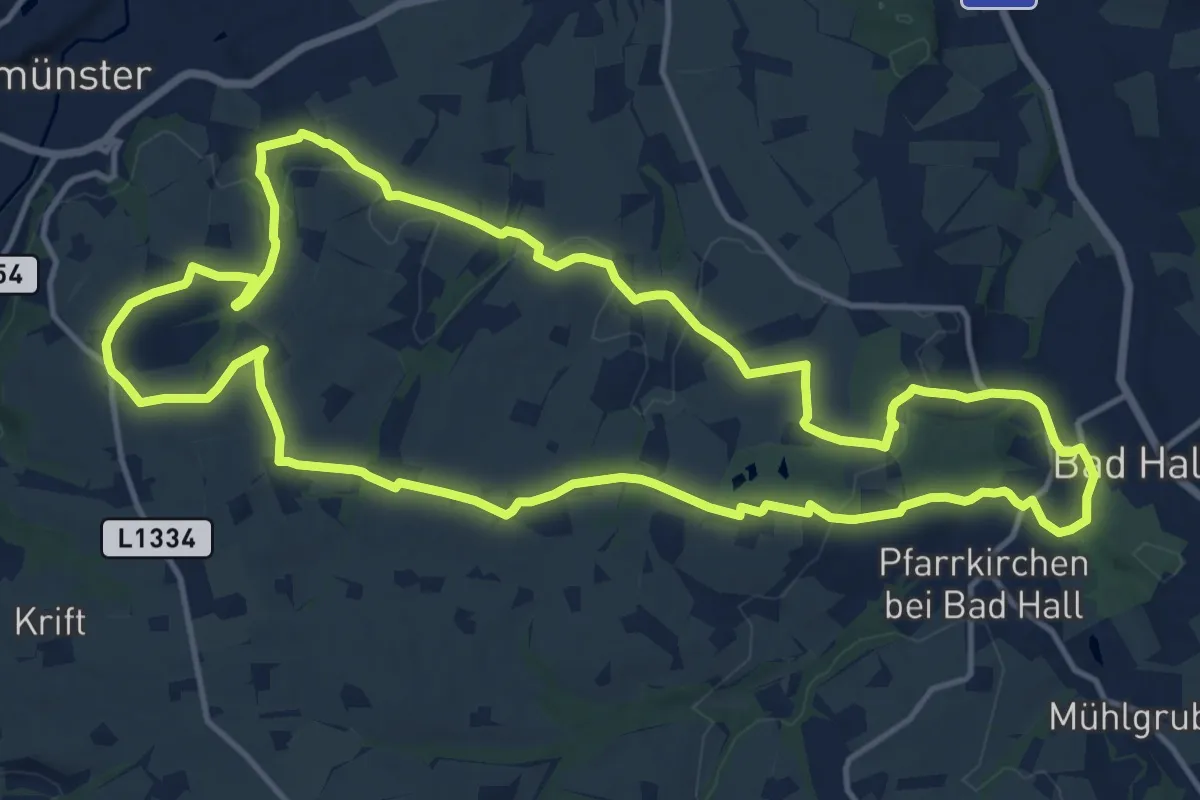
Medium · Summit
Kremsmünsterer Rundwanderweg 10
14.8 km · ↑ 330 m · 4 h 25 min
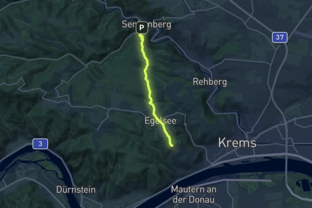
Medium · Summit
Krems Stein - Senftenberg
10.4 km · ↑ 420 m · 3 h 23 min
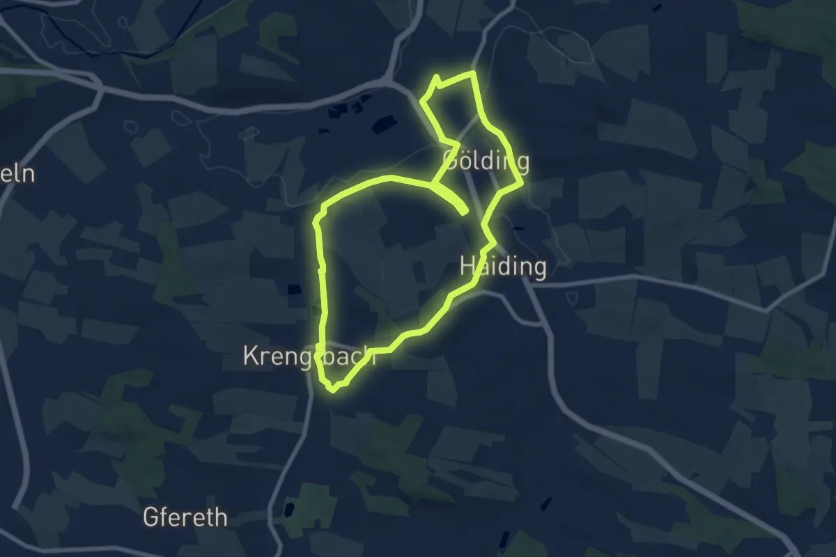
Easy · Trail
Krenglbacher Bahnweg 5
7.3 km · ↑ 93 m · 2 h 1 min
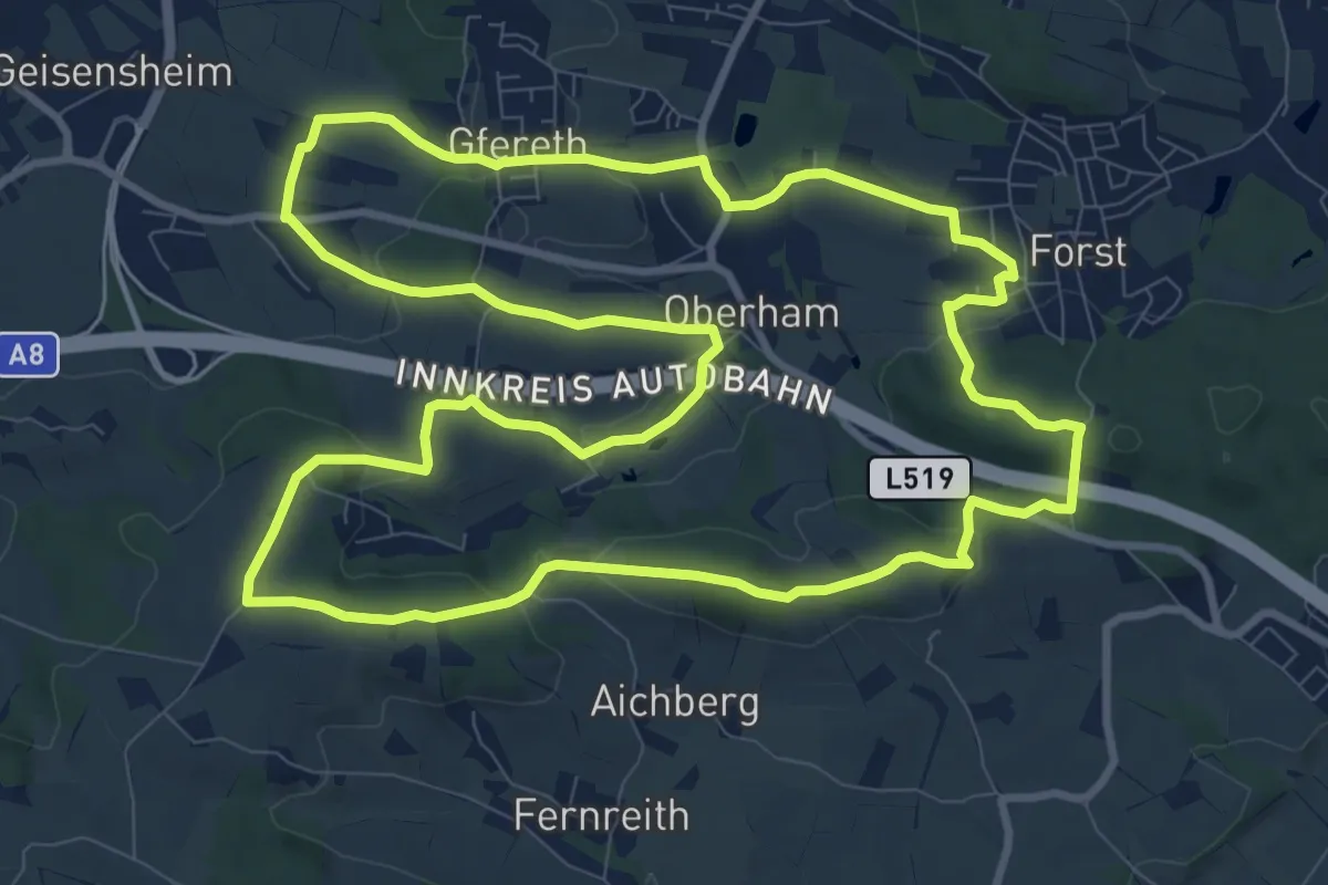
Medium · Trail
Krenglbacher Höhenweg
11.0 km · ↑ 221 m · 3 h 14 min
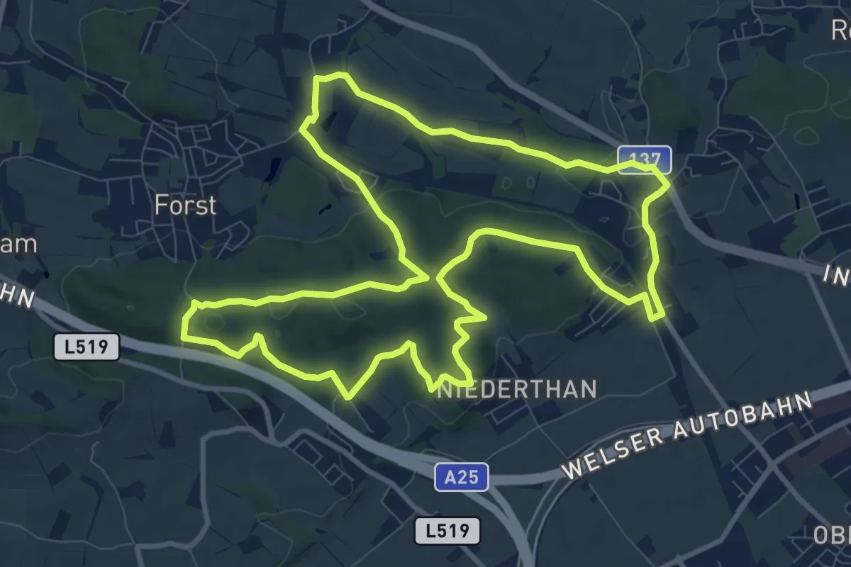
Medium · Trail
Krenglbacher Waldweg 2
10.0 km · ↑ 121 m · 2 h 46 min
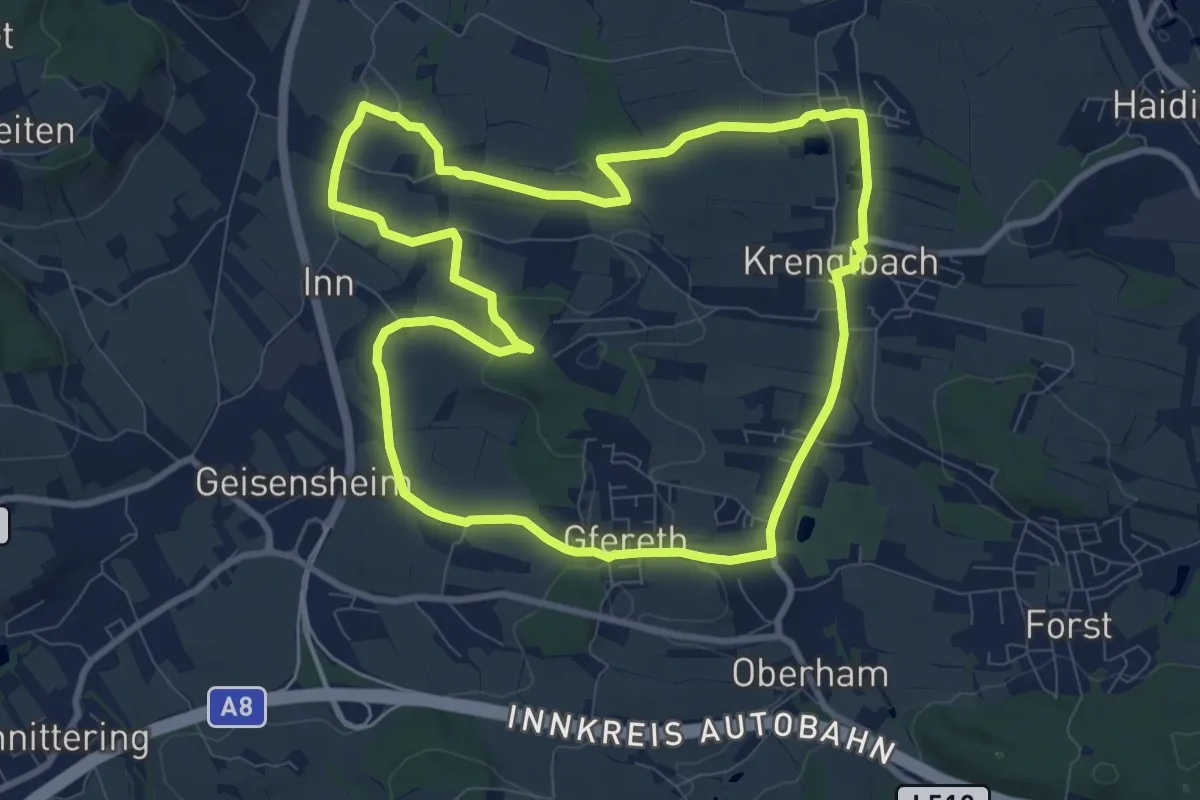
Medium · Trail
Krenglbacher Wirteweg 4
9.1 km · ↑ 126 m · 2 h 33 min
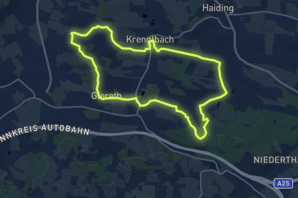
Medium · Trail
Krenglbacher Zentrumsweg 1
10.1 km · ↑ 195 m · 2 h 57 min
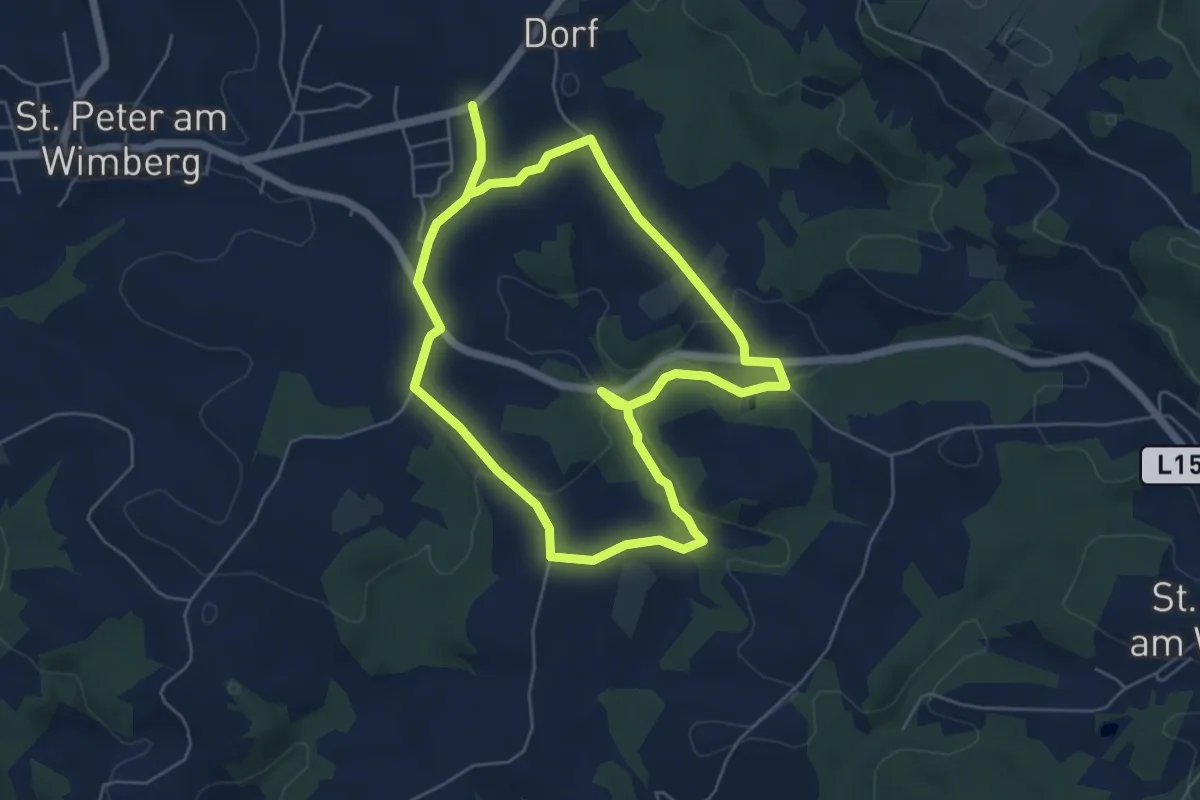
Medium · Trail
Krennmühlenweg
10.2 km · ↑ 200 m · 2 h 51 min
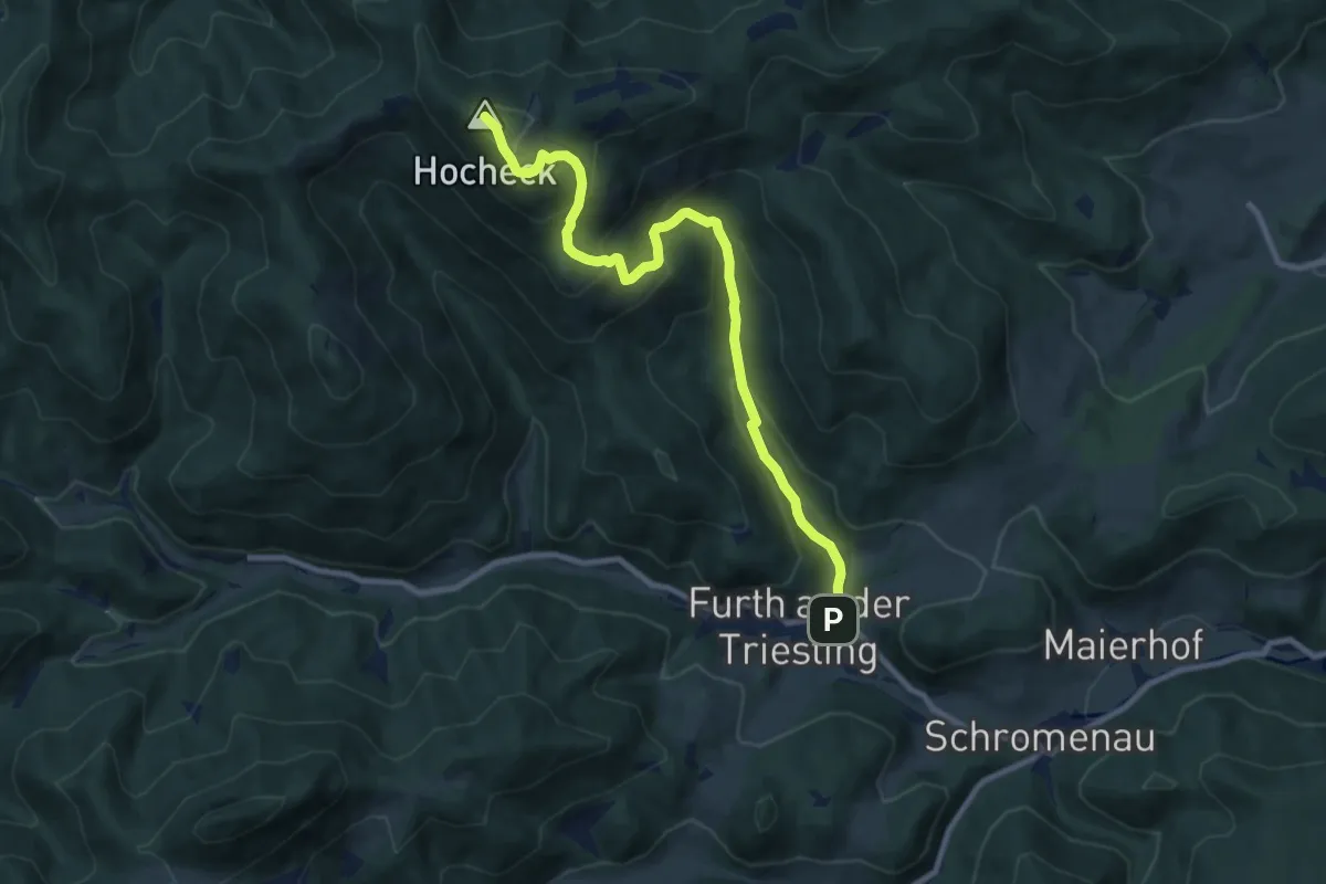
Medium · Summit
Krennweg
9.2 km · ↑ 608 m · 3 h 29 min
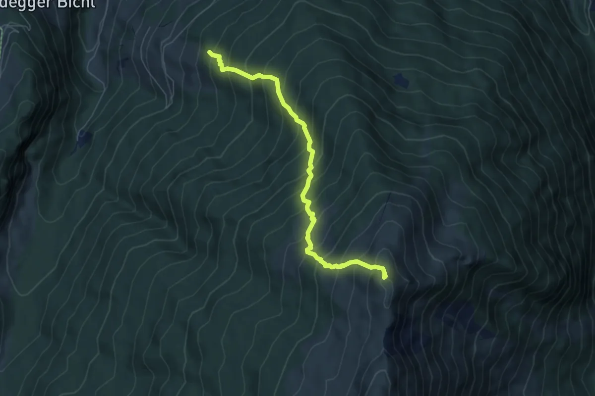
Demanding · Summit
Krepperhütte Parkplatz - Largoz
6.0 km · ↑ 832 m · 3 h 14 min
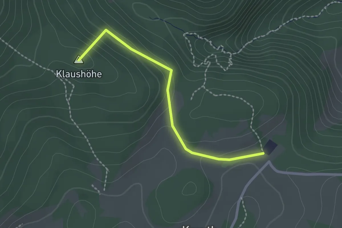
Easy · Summit
Kreuth (Ghf. Jagasitz) - Klause
2.0 km · ↑ 94 m · 40 min
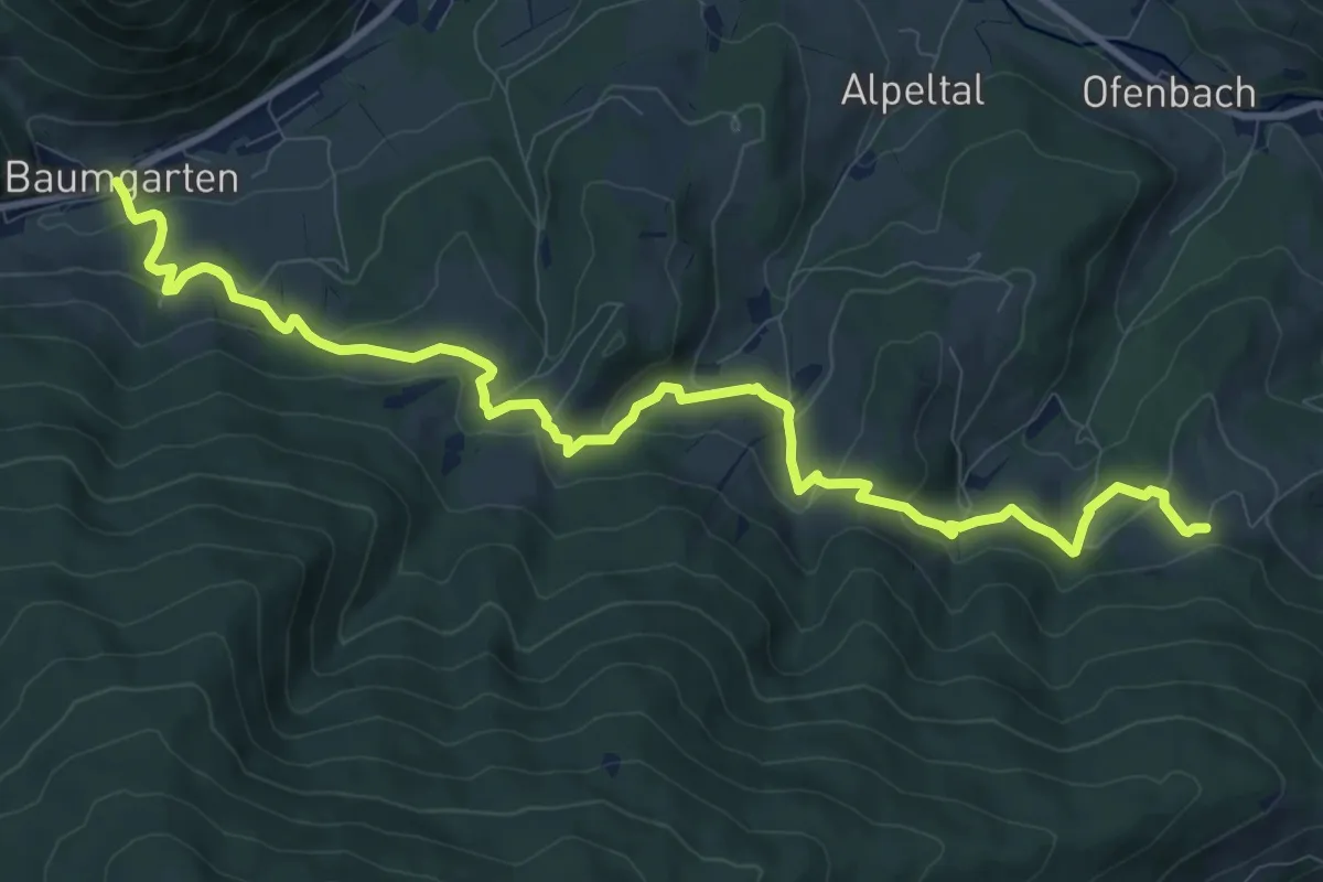
Medium · Trail
Kreuzbauern - Baumgarten
12.0 km · ↑ 549 m · 4 h 1 min
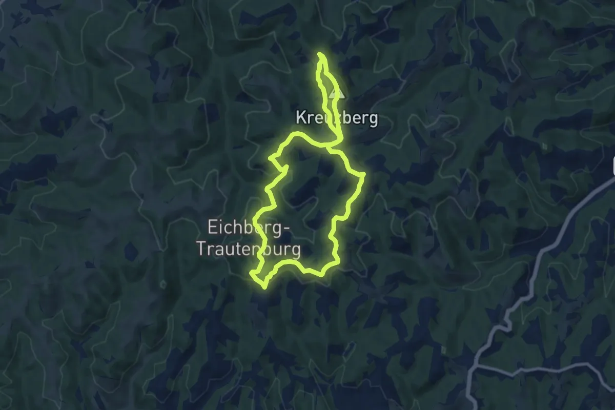
Medium · Summit
Kreuzbergwarte Rundwanderweg
8.3 km · ↑ 304 m · 2 h 44 min
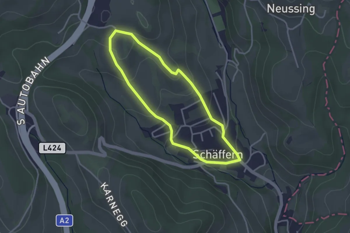
Easy · Trail
Kreuzbühelweg
2.6 km · ↑ 89 m · 50 min
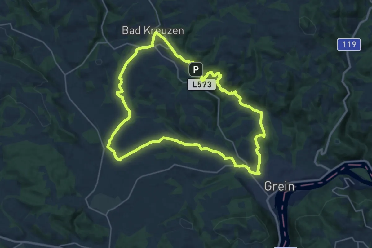
Medium · Trail
Kreuzner Donaublickrunde
16.7 km · ↑ 458 m · 5 h 10 min
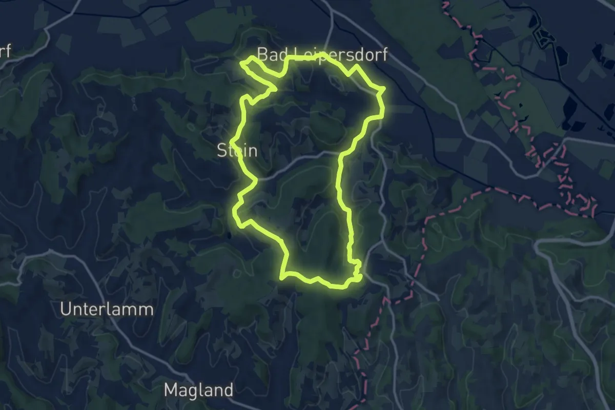
Medium · Trail
Kreuz- & Querpfad, kurze Variante (Weg 9)
12.7 km · ↑ 254 m · 3 h 43 min
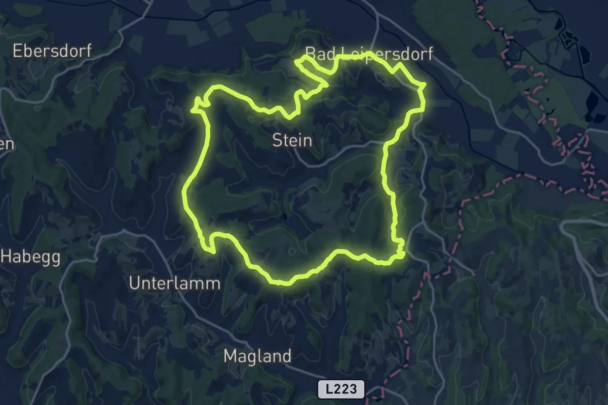
Medium · Summit
Kreuz- & Querpfad, lange Variante (Weg 9)
17.5 km · ↑ 334 m · 5 h 7 min
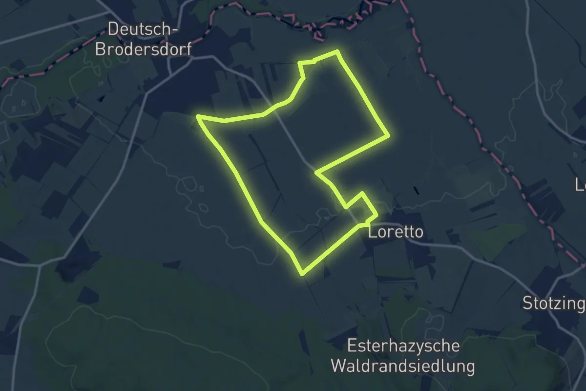
Medium · Trail
Kreuz & Quer-Weg Dreifaltigkeit
9.9 km · ↑ 22 m · 2 h 31 min
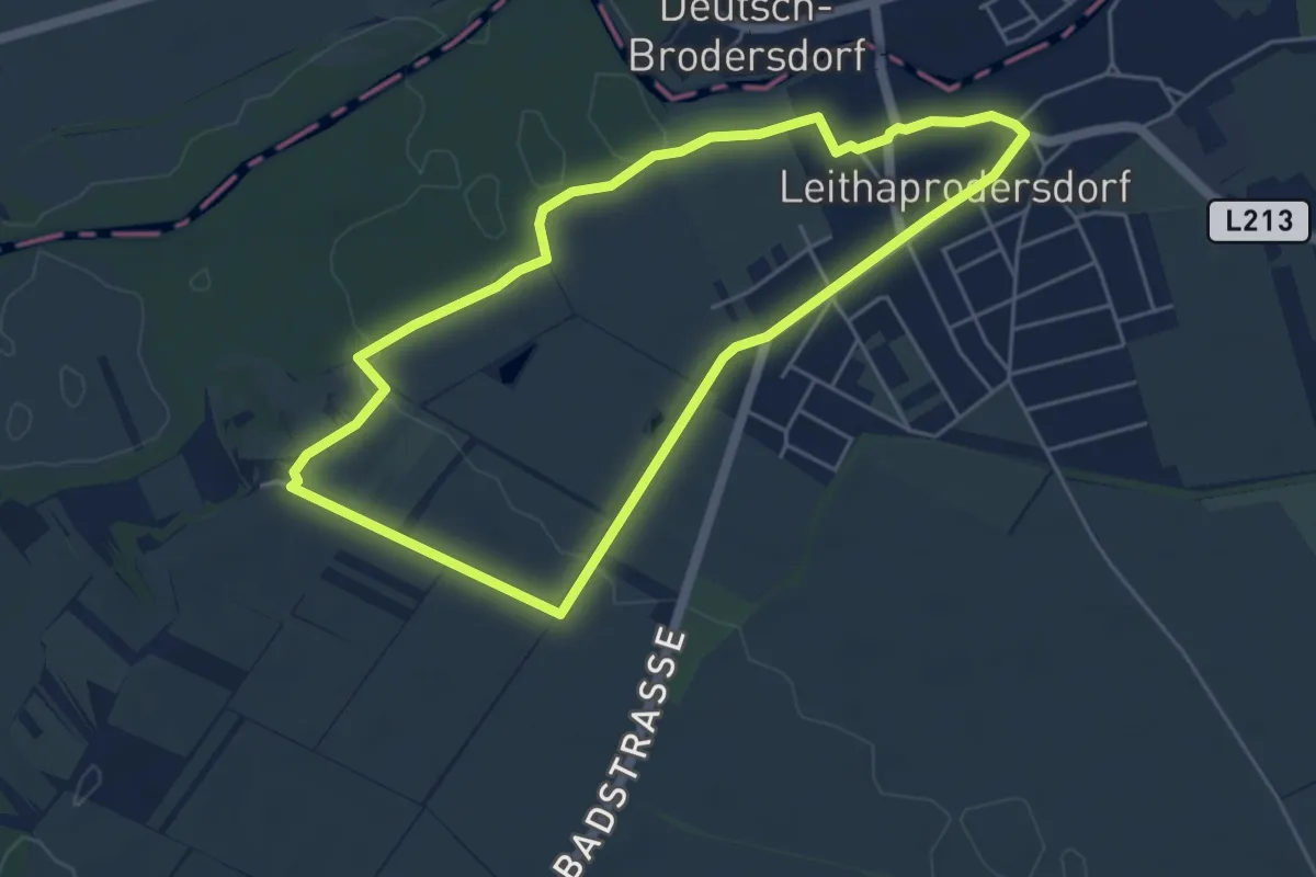
Easy · Trail
Kreuz & Quer-Weg Friedhofberg
4.7 km · ↑ 41 m · 1 h 16 min
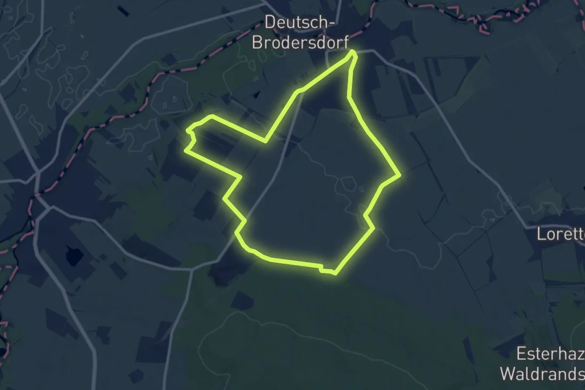
Medium · Trail
Kreuz & Quer-Weg Millenium
9.6 km · ↑ 71 m · 2 h 34 min
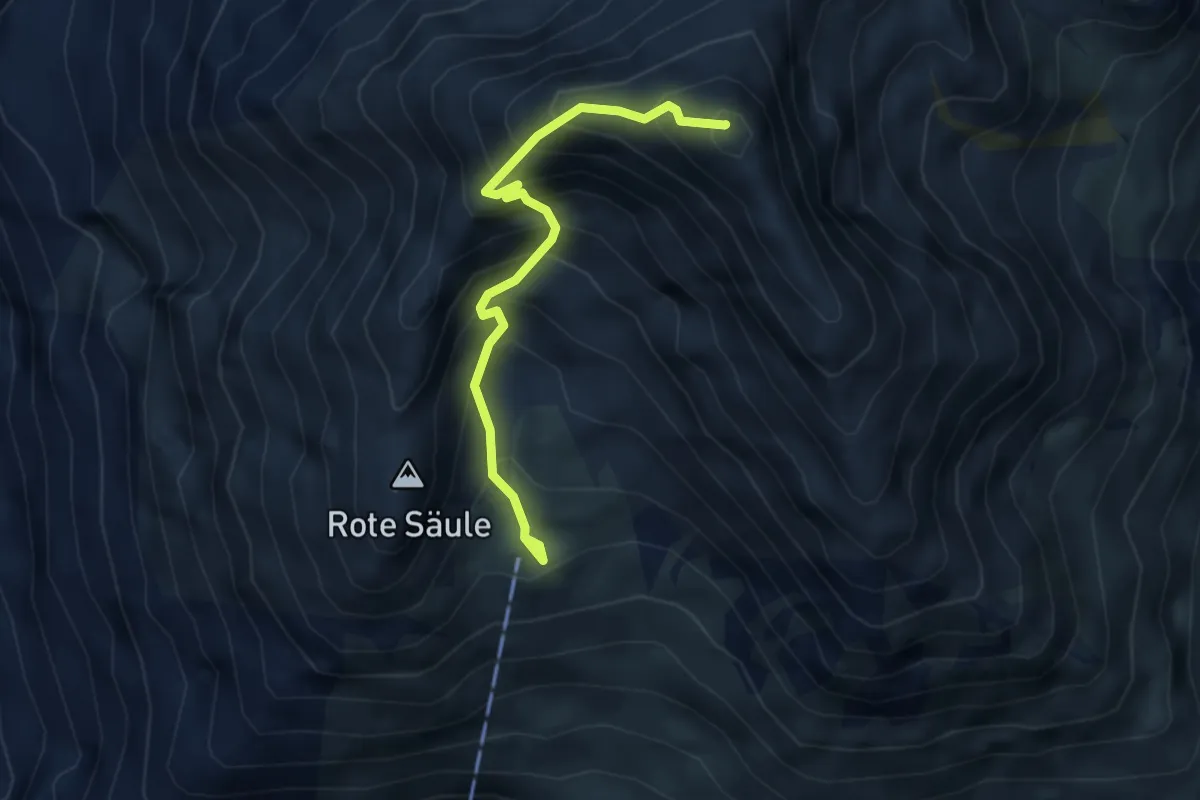
Expert · Summit
Kreuzspitze
3.8 km · ↑ 592 m · 2 h 10 min
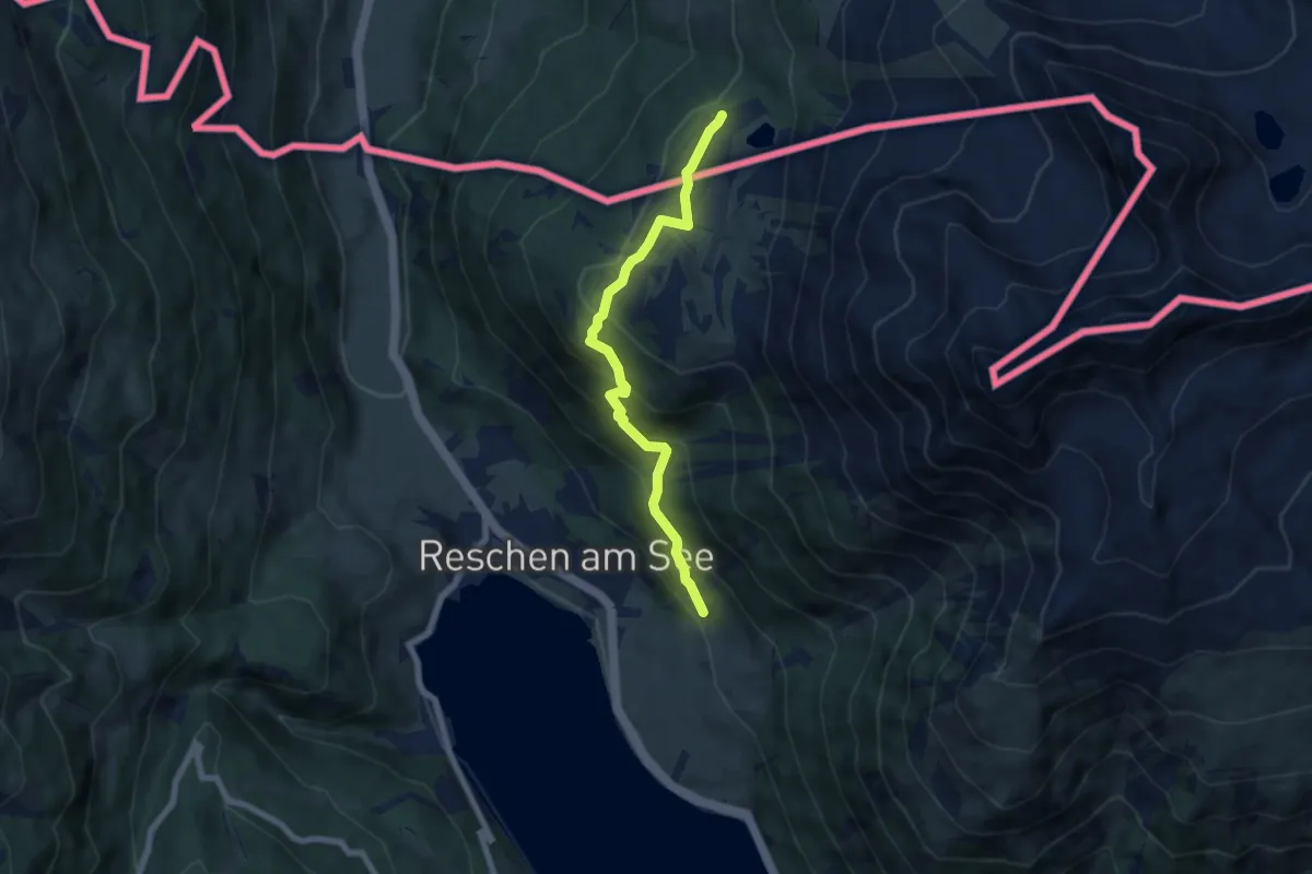
Medium · Trail
Kreuzweg
6.4 km · ↑ 437 m · 2 h 28 min
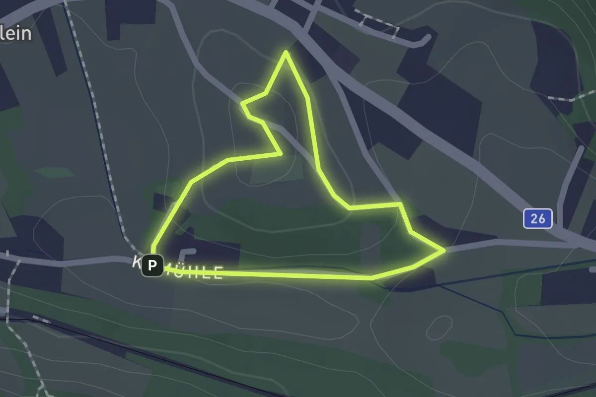
Easy · Trail
Kreuzweg
1.3 km · ↑ 43 m · 25 min
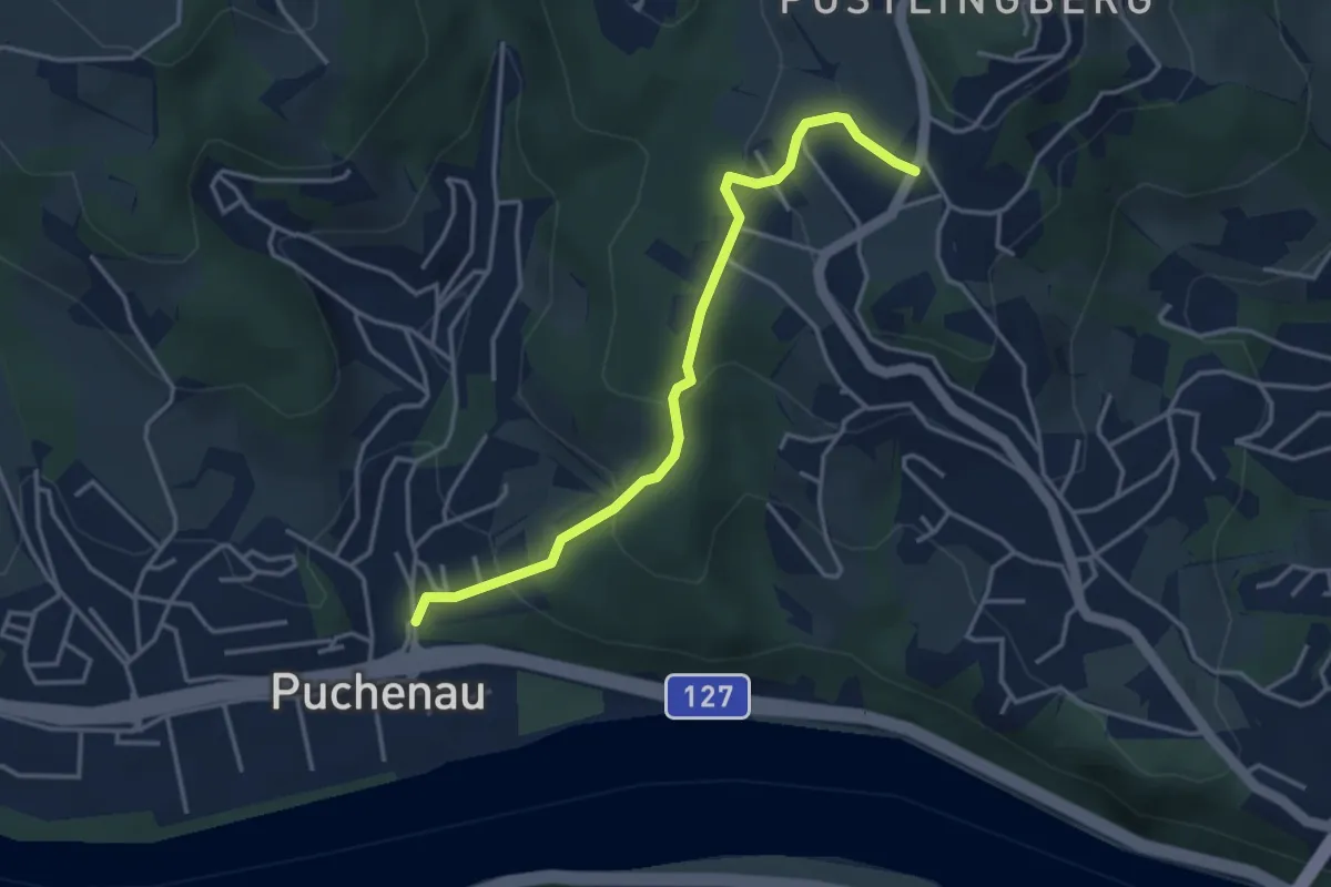
Easy · Trail
Kreuzweg
3.6 km · ↑ 206 m · 1 h 18 min
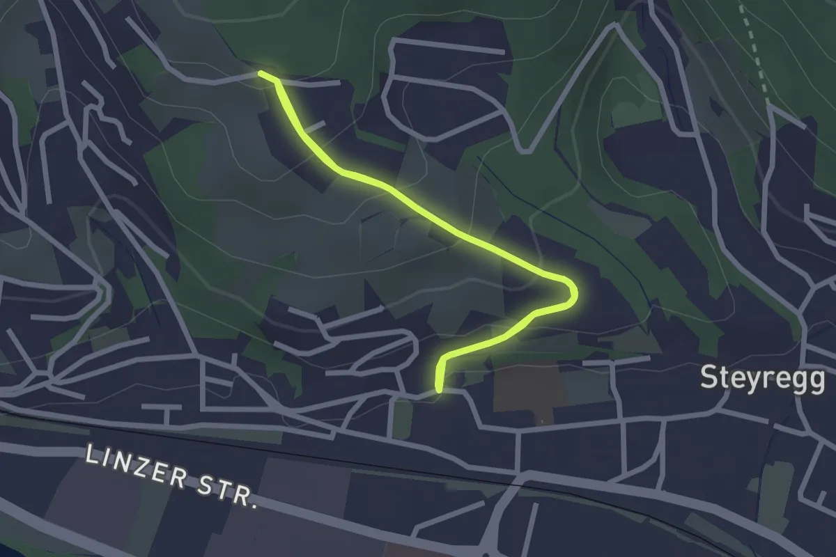
Medium · Trail
Kreuzweg
6.0 km · ↑ 342 m · 2 h 9 min
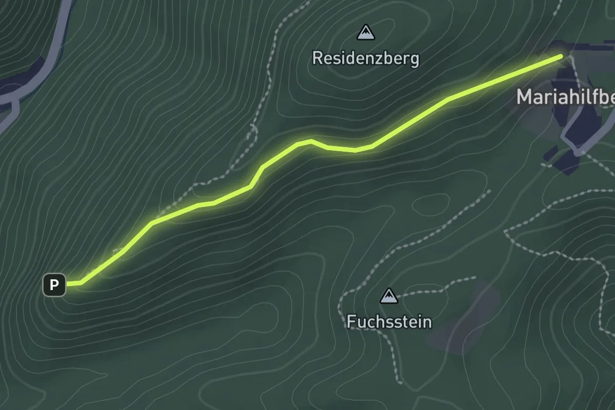
Easy · Trail
Kreuzweg Mariahilfberg
2.4 km · ↑ 76 m · 44 min
Easy · Trail
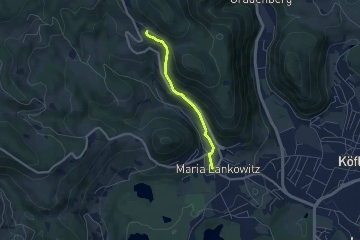
Kreuzweg Maria Lankowitz
3.9 km · ↑ 226 m · 1 h 24 min
Easy · Trail
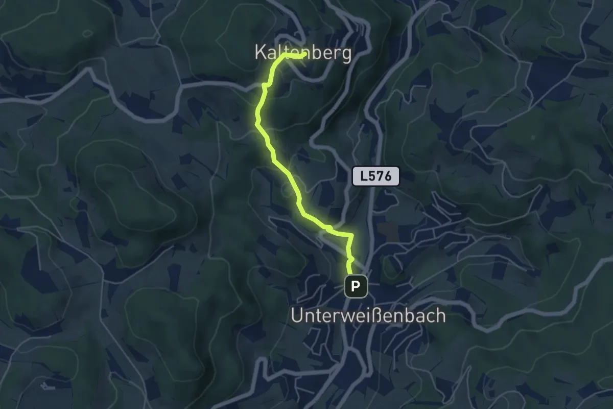
Kreuzweg nach Kaltenberg Nr. 50
4.0 km · ↑ 239 m · 1 h 28 min
Easy · Trail
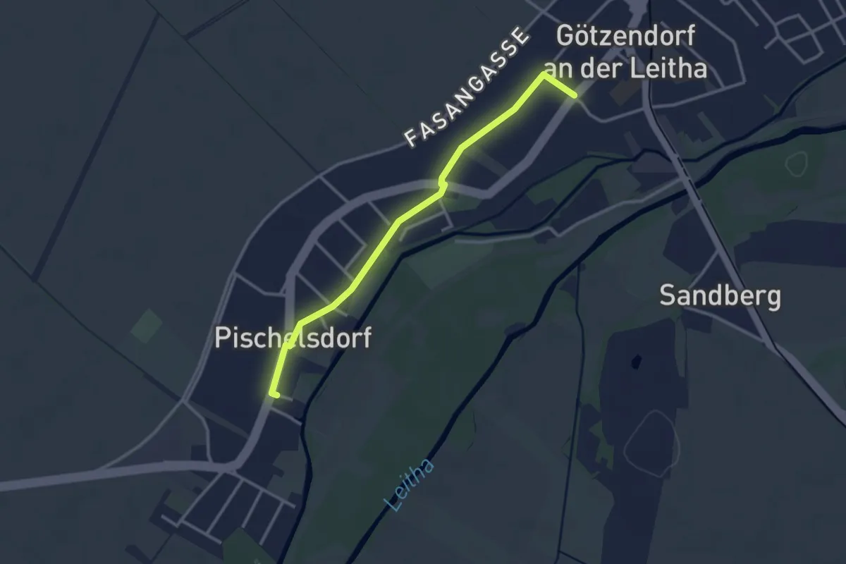
Kreuzweg Pischelsdorf-Götzendorf
2.9 km · ↑ 0 m · 41 min
Easy · Trail
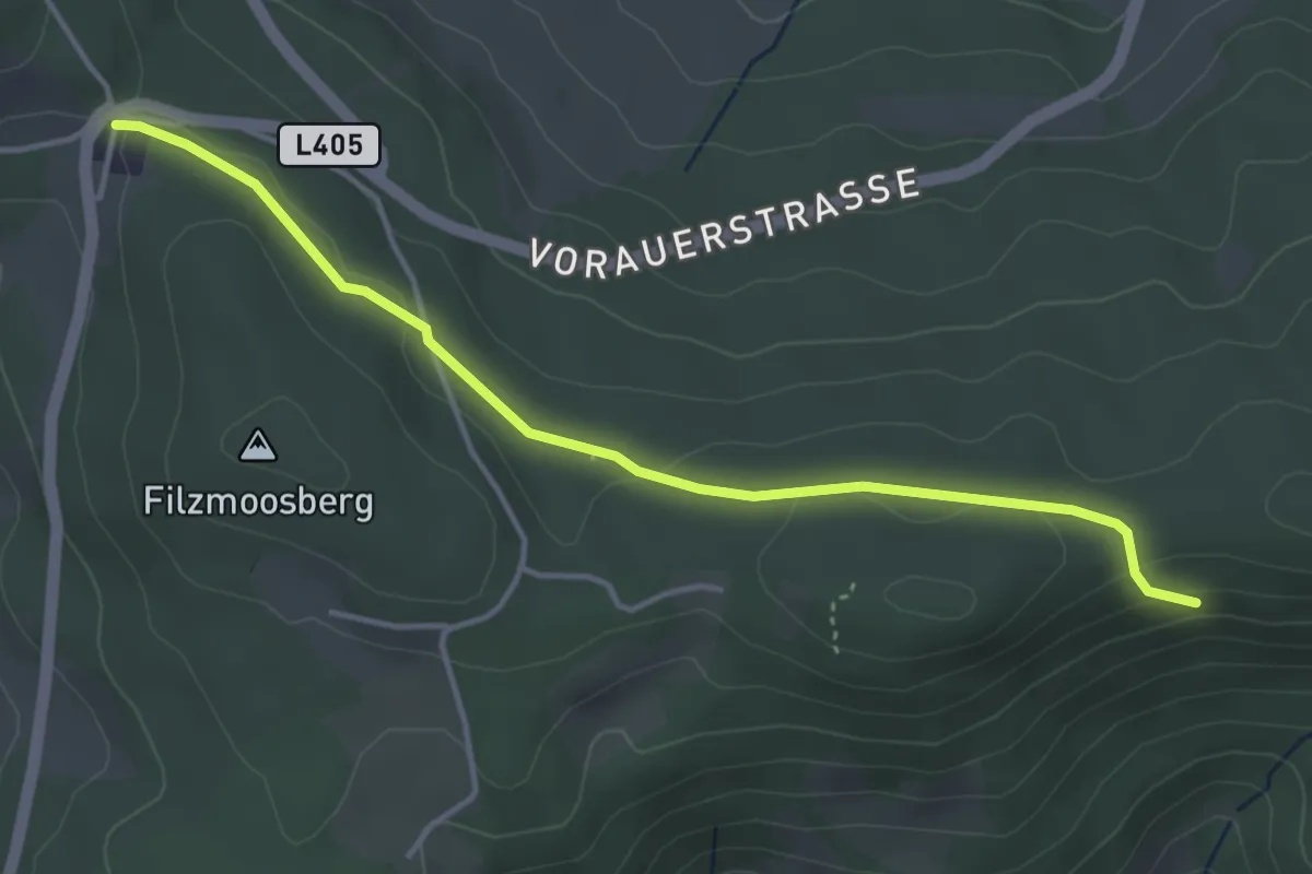
Kreuzwirt
4.1 km · ↑ 102 m · 1 h 11 min