Trails in Austria
9,779 hiking trails, each with its route, climb, walking time and grade.
All trails, page 59 of 204
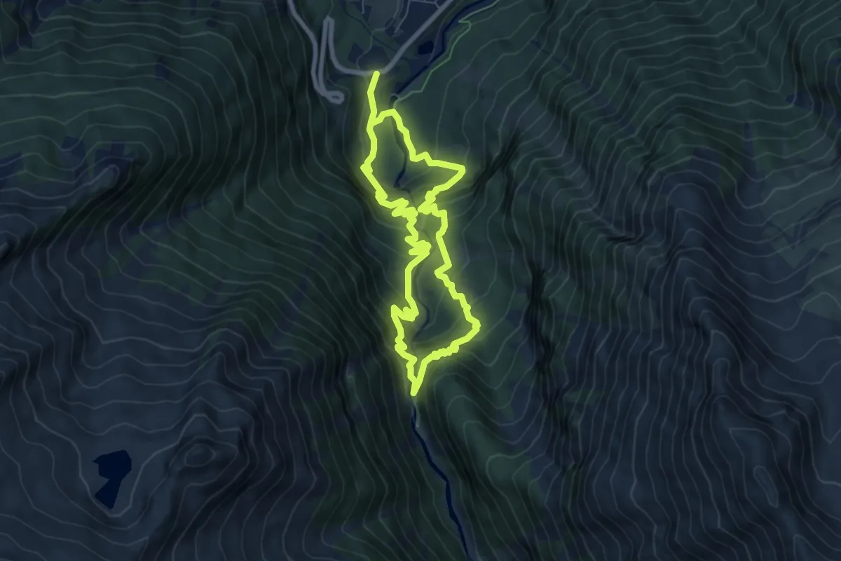
Demanding · Trail
Krimmler Wasserfälle Rundwanderweg
12.5 km · ↑ 953 m · 5 h 1 min
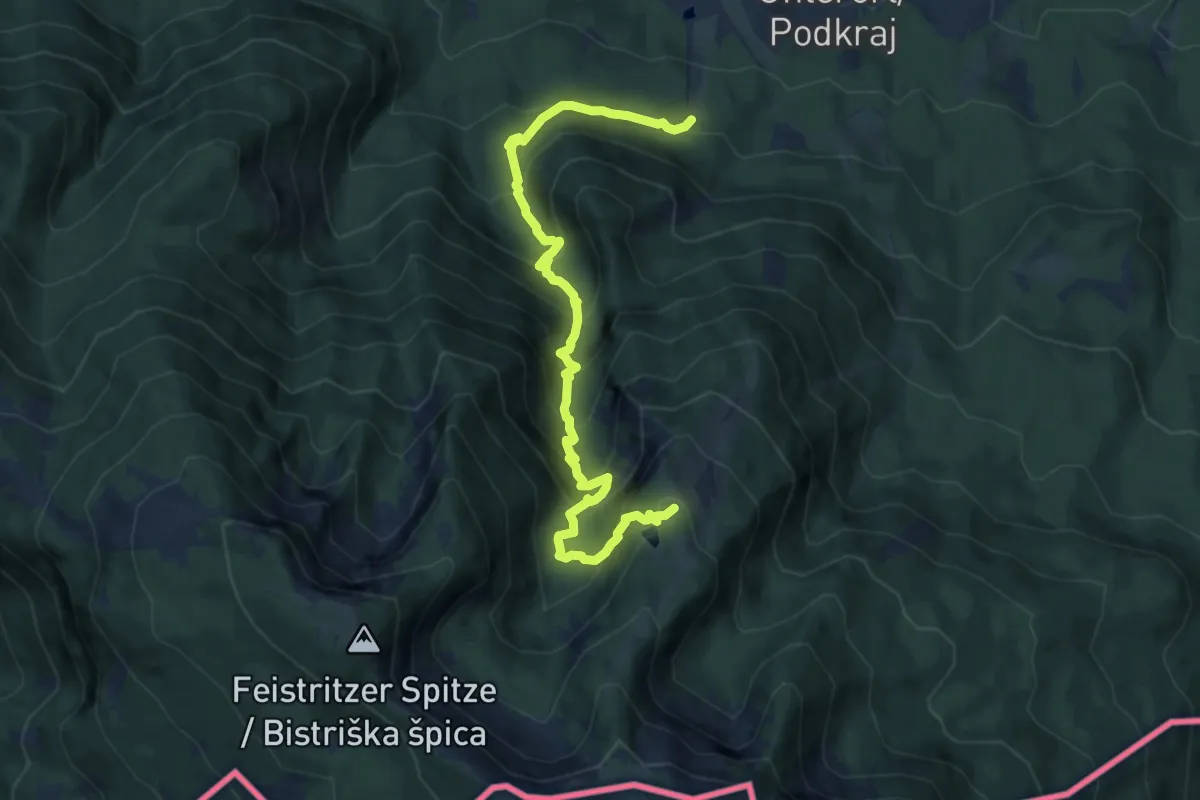
Demanding · Trail
Krischasteig
10.6 km · ↑ 989 m · 4 h 39 min
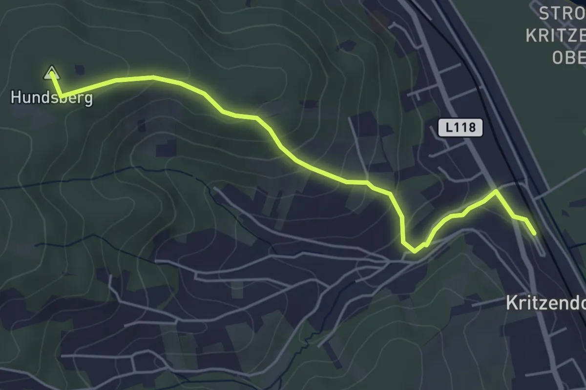
Easy · Summit
Kritzendorf Bahnhof - Hadersfeld/Alois-Aigner-Gasse
4.7 km · ↑ 215 m · 1 h 34 min
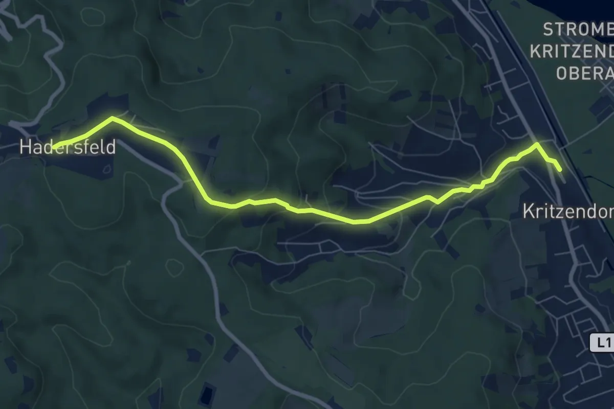
Easy · Trail
Kritzendorf Bahnhof - Hadersfeld/Glockenturm
7.5 km · ↑ 262 m · 2 h 20 min
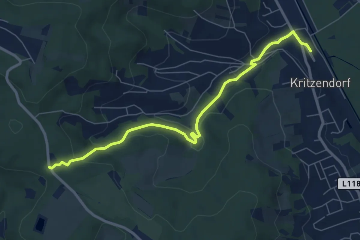
Easy · Trail
Kritzendorf Bahnhof - Heuberg
6.2 km · ↑ 179 m · 1 h 50 min
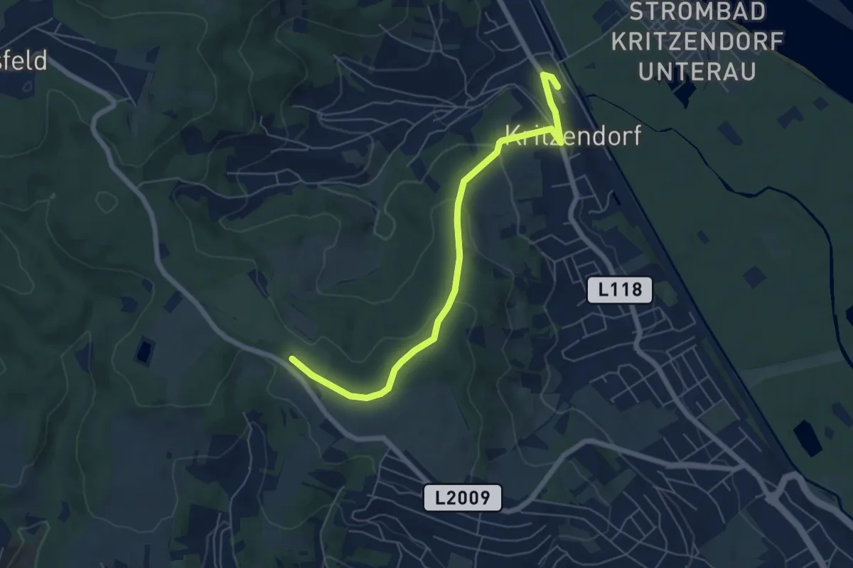
Easy · Trail
Kritzendorf Bahnhof - Weißer Hof
6.0 km · ↑ 229 m · 1 h 55 min
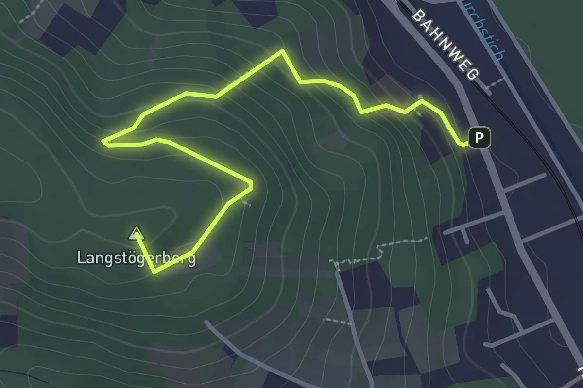
Easy · Summit
Kritzendorf/Herzogenburger Gasse - Bohrstelle St. Paula-Kapelle
3.3 km · ↑ 179 m · 1 h 9 min
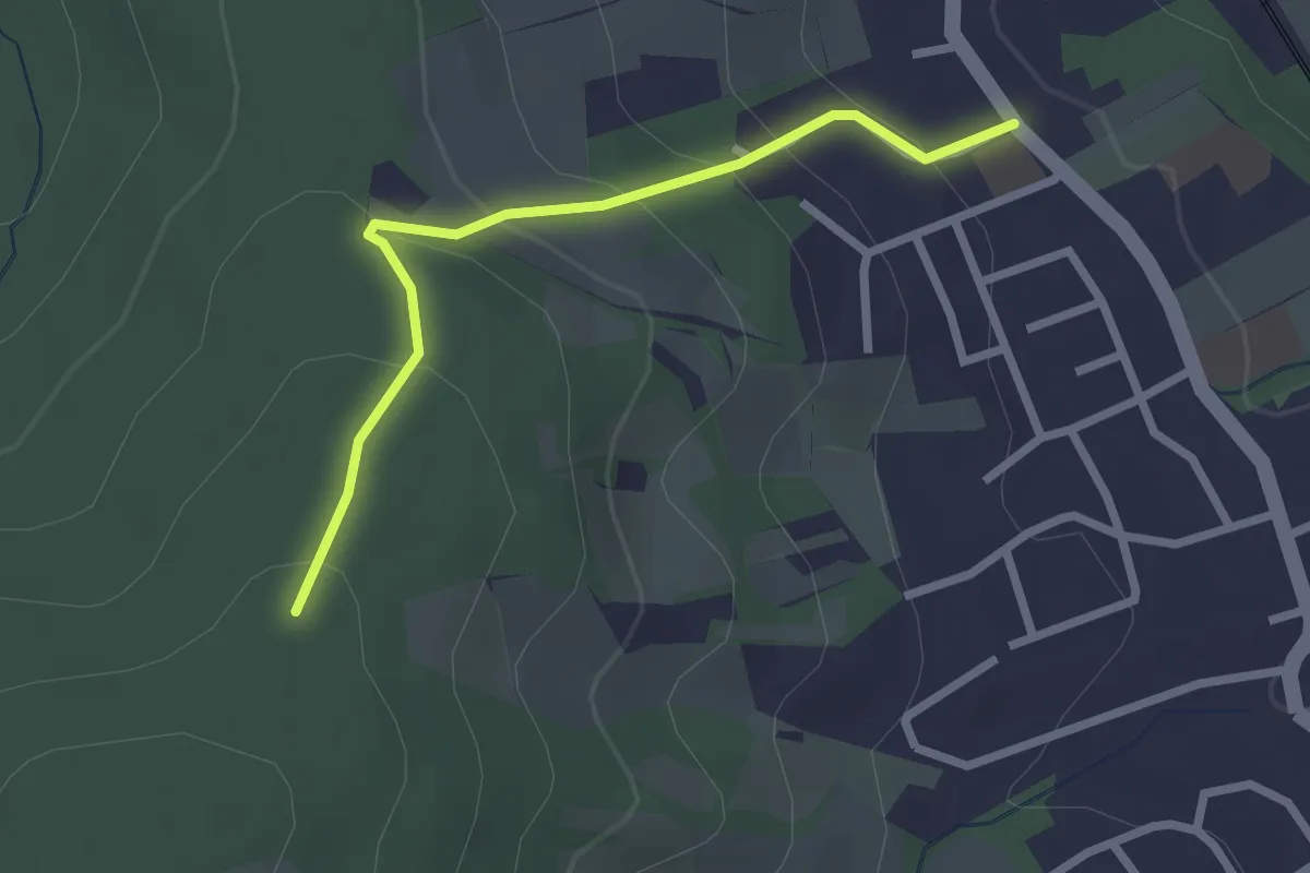
Easy · Trail
Kritzendorf/Leander-Köhler-Weg - Waldandacht
2.3 km · ↑ 149 m · 52 min
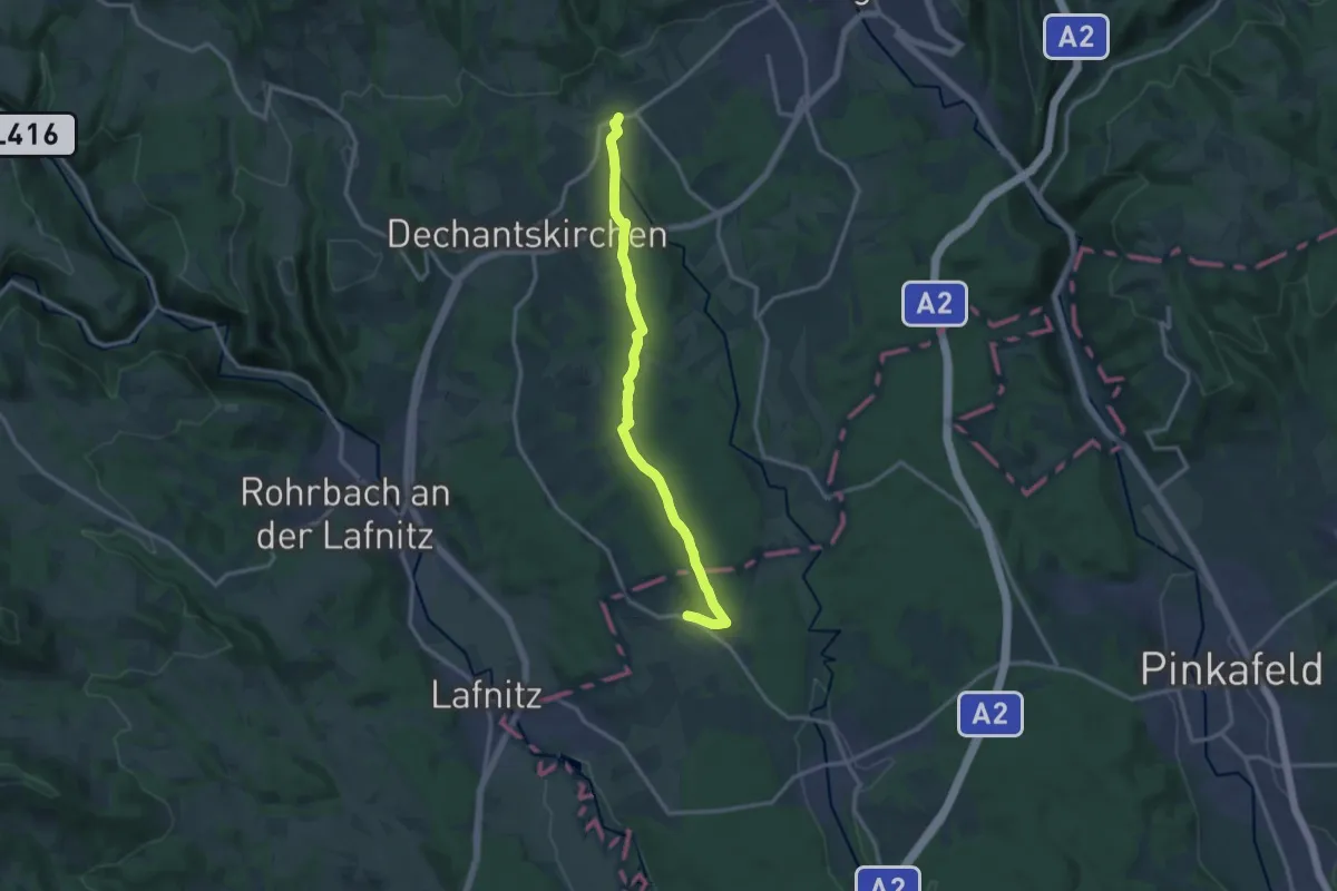
Medium · Trail
Kroisegg - Waldfuchs - Stögersbach
13.4 km · ↑ 185 m · 3 h 34 min
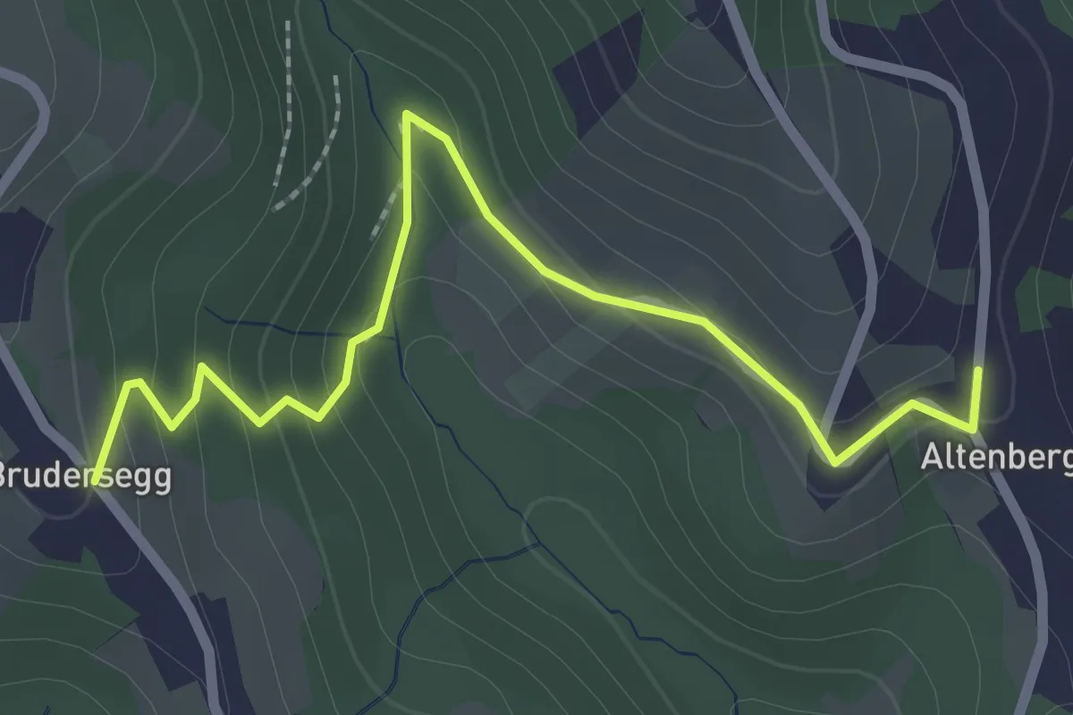
Easy · Trail
Kroisgraben - Ilgi
2.6 km · ↑ 168 m · 58 min
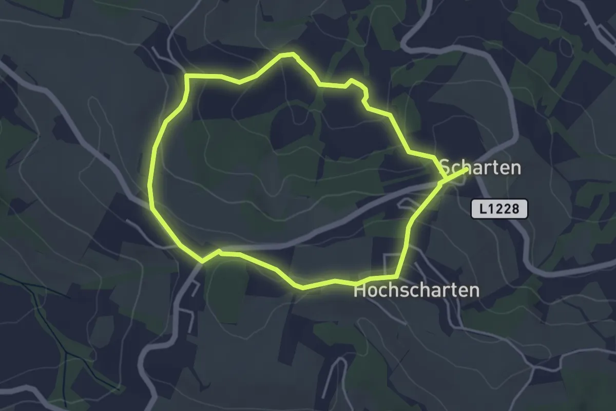
Easy · Trail
Kronbergrundweg
3.6 km · ↑ 107 m · 1 h 7 min
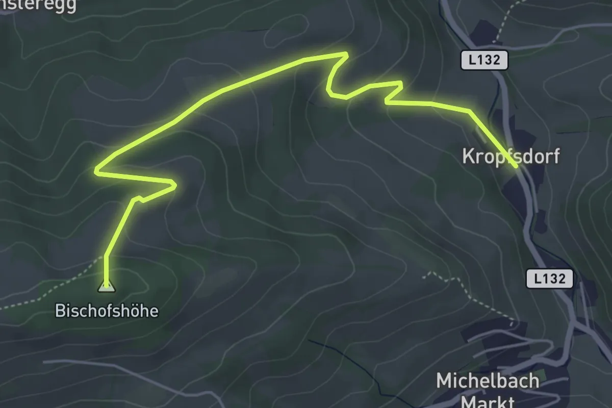
Easy · Summit
Kropfsdorf - Bischofshöhe
5.7 km · ↑ 258 m · 1 h 54 min
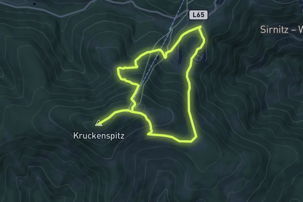
Medium · Summit
Kruckenspitz
6.2 km · ↑ 399 m · 2 h 24 min
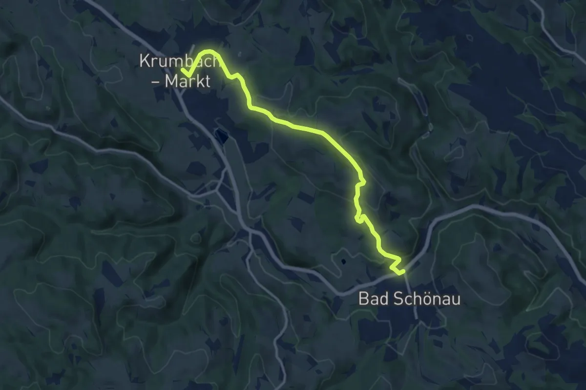
Medium · Trail
Krumbach - Bad Schönau
11.1 km · ↑ 317 m · 3 h 18 min
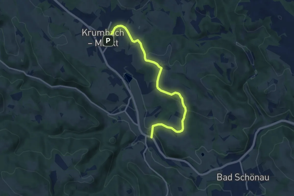
Medium · Trail
Krumbach - Dirndlbauer - Gasthof Sägemühle
9.5 km · ↑ 290 m · 2 h 53 min
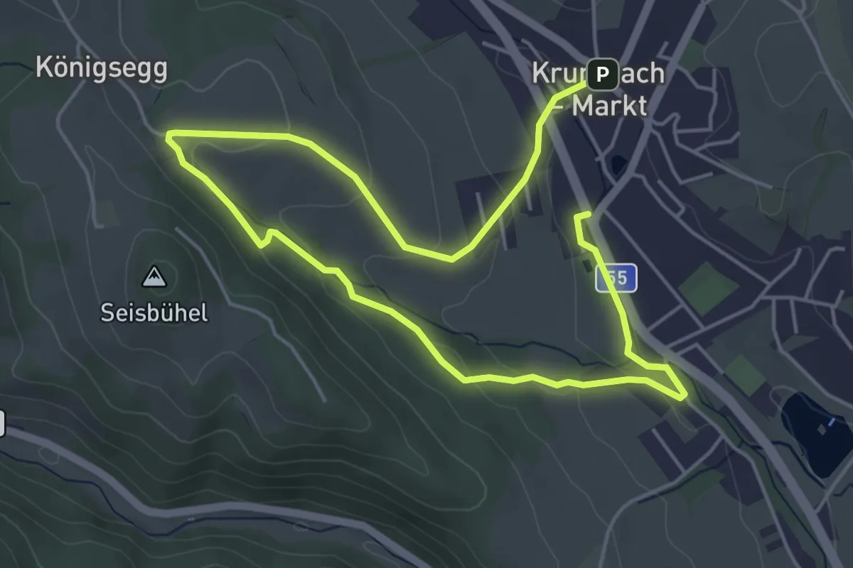
Easy · Trail
Krumbach Gemeindeparkpaltz - Holzbauer Kapelle - Museumsdorf
7.6 km · ↑ 195 m · 2 h 13 min
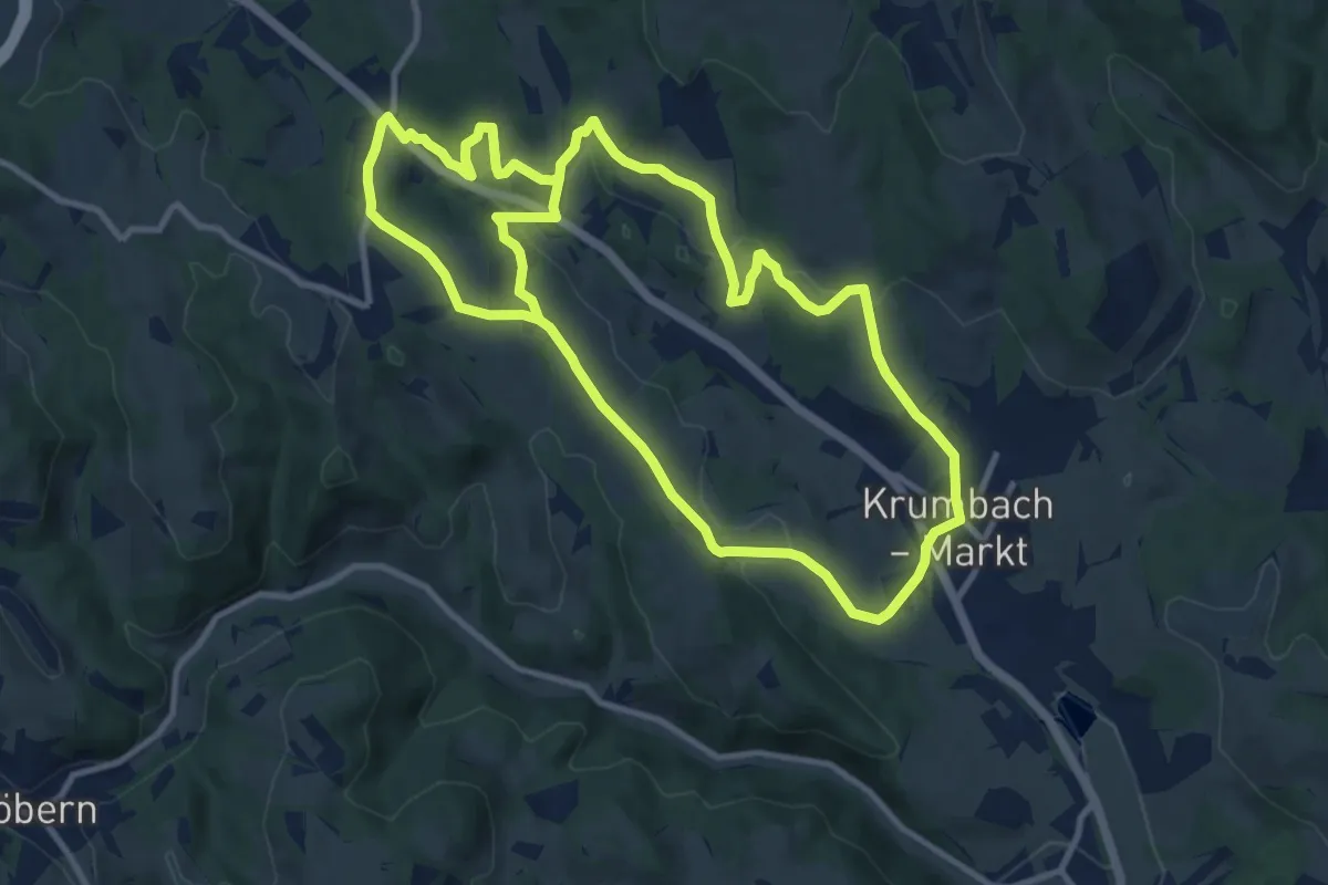
Demanding · Trail
Krumbach Gemeindeparkpaltz - Weißes Kreuz Rundwanderweg
21.5 km · ↑ 598 m · 6 h 22 min
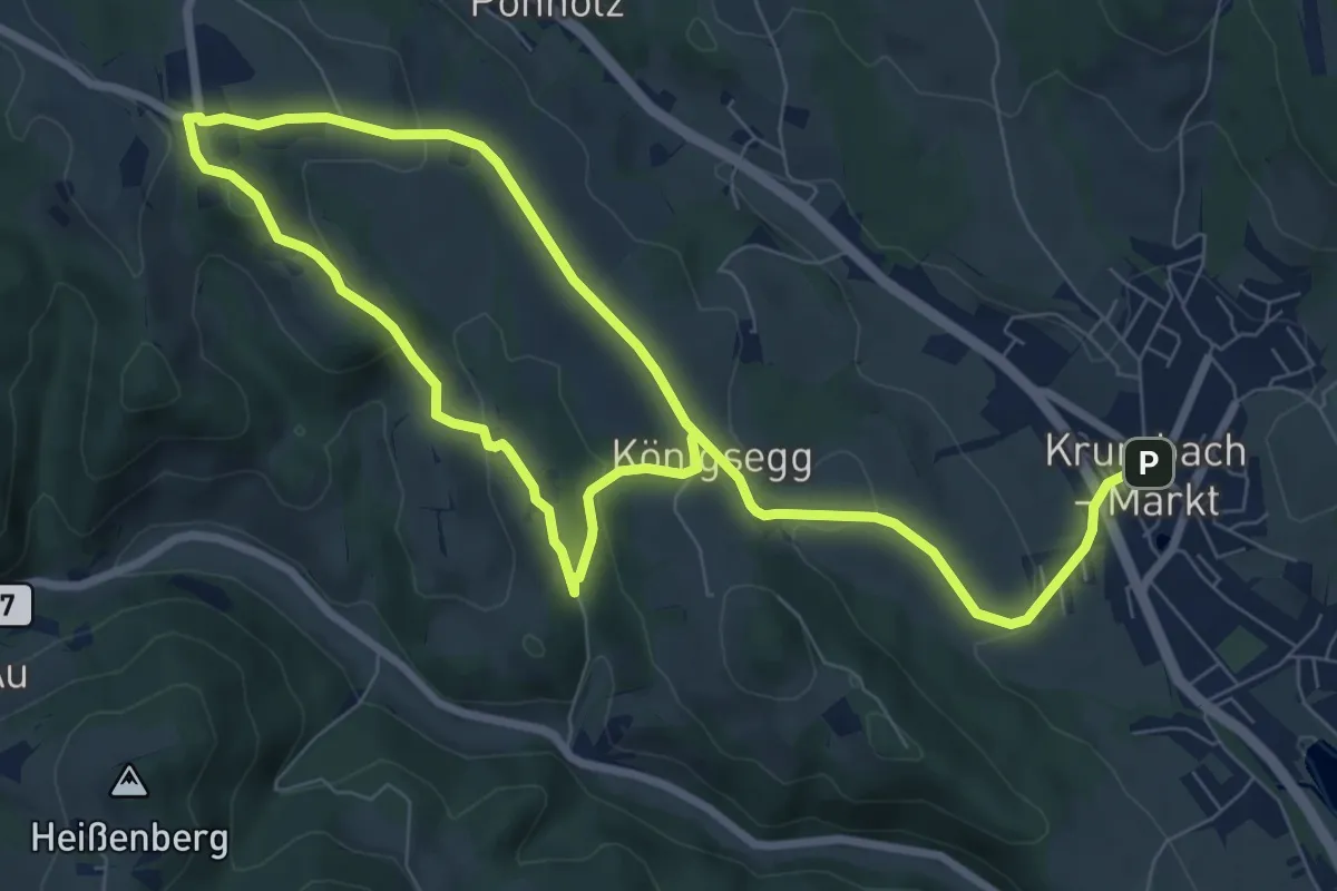
Medium · Trail
Krumbach - Kapelle beim Haidhof - Ransgraben Rundwanderweg
13.2 km · ↑ 413 m · 4 h
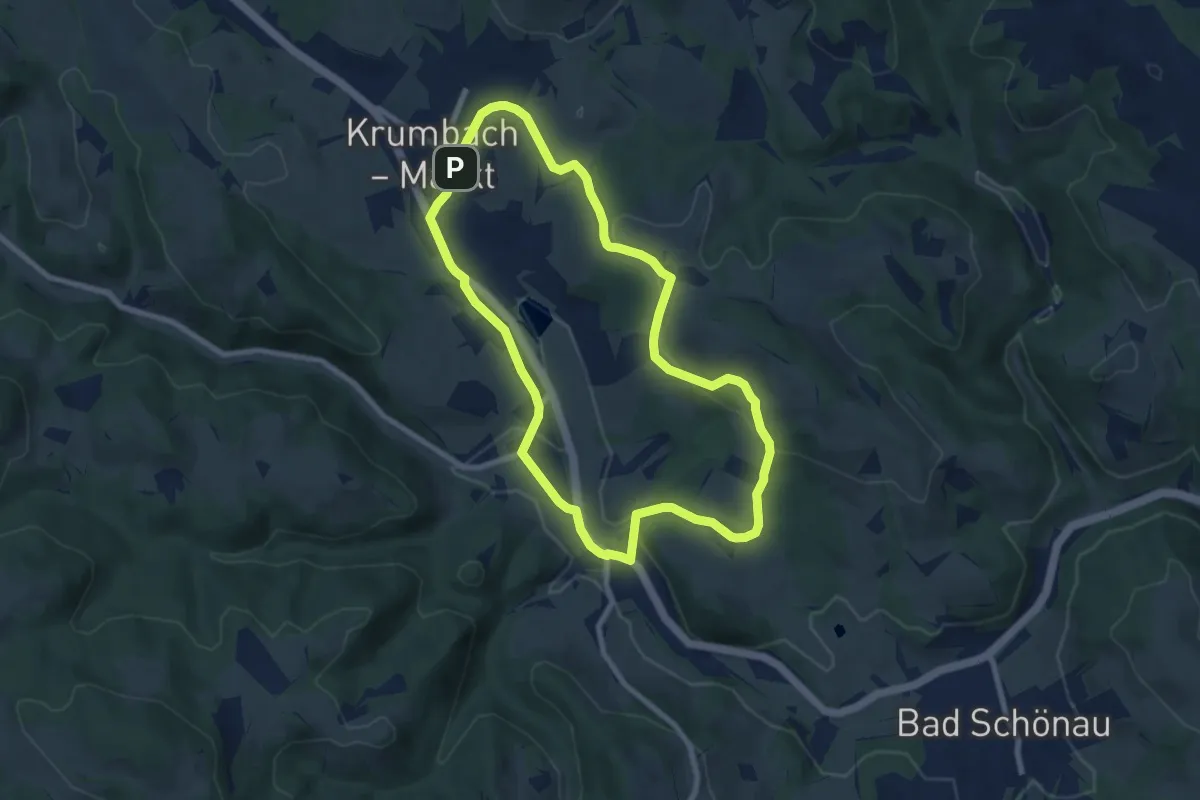
Easy · Trail
Krumbach - Lindenhof - Gasthof Sägemühle - Unterhaus - Heimatmuseum - Krumbach
7.5 km · ↑ 162 m · 2 h 14 min
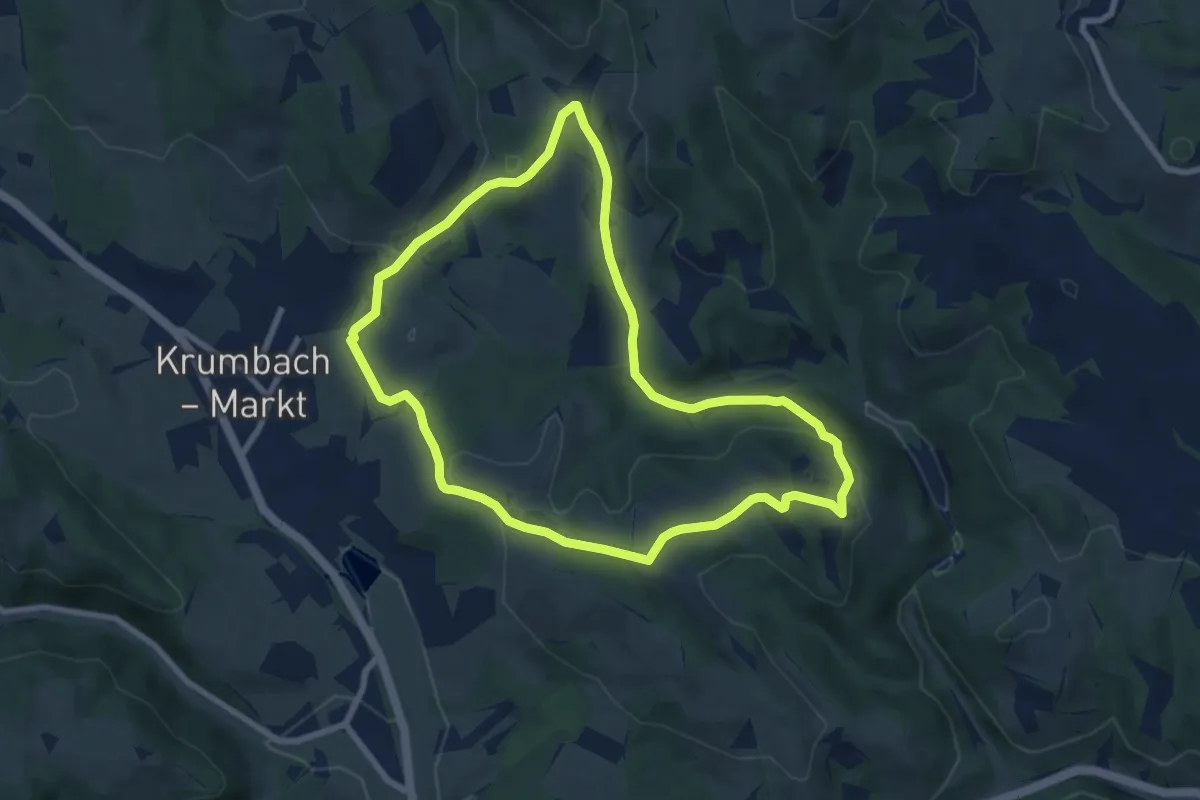
Easy · Trail
Krumbach - Lindenhof - Tripamer - Tiefenbach - Krumbach
7.6 km · ↑ 184 m · 2 h 19 min
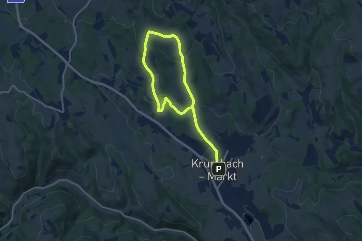
Medium · Trail
Krumbach - Peinthor Marterl Rundwanderweg
11.3 km · ↑ 431 m · 3 h 36 min
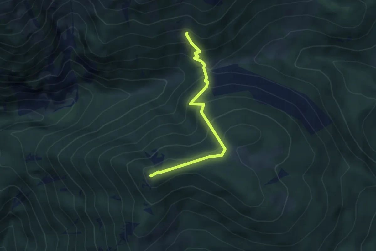
Medium · Summit
Krummbachstein - Baumgartner
3.7 km · ↑ 358 m · 1 h 39 min
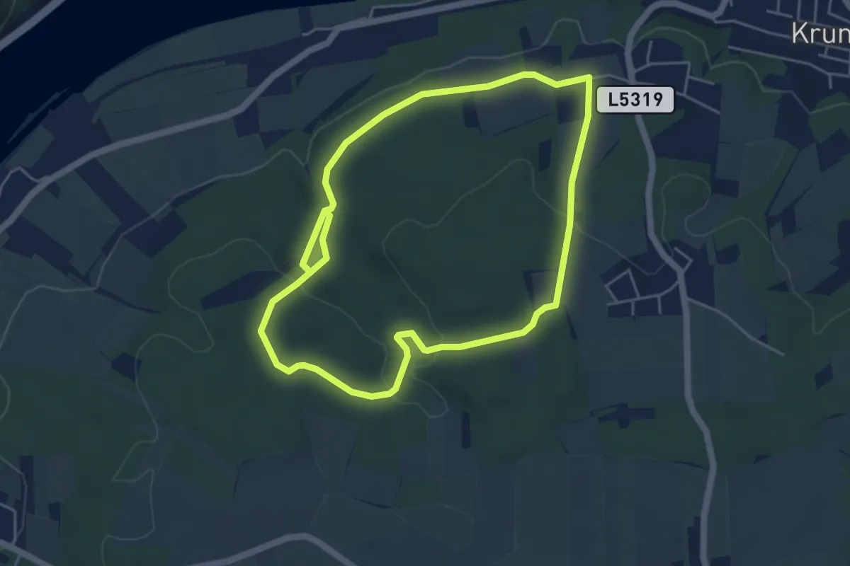
Easy · Trail
Krummnussbaum Route 2
4.4 km · ↑ 122 m · 1 h 21 min
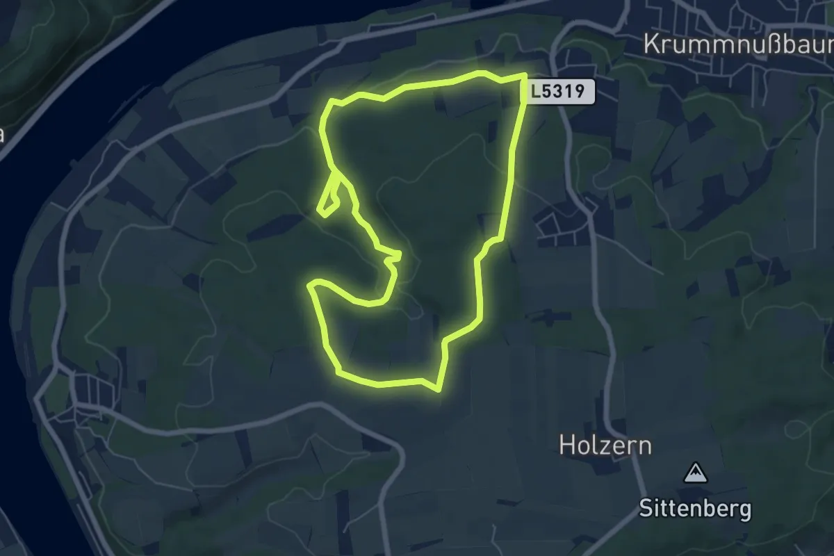
Easy · Trail
Krummnussbaum Route 3
6.2 km · ↑ 129 m · 1 h 50 min
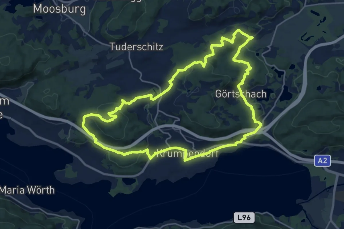
Medium · Summit
Krumpendorfer Weitwanderweg
15.6 km · ↑ 424 m · 4 h 49 min
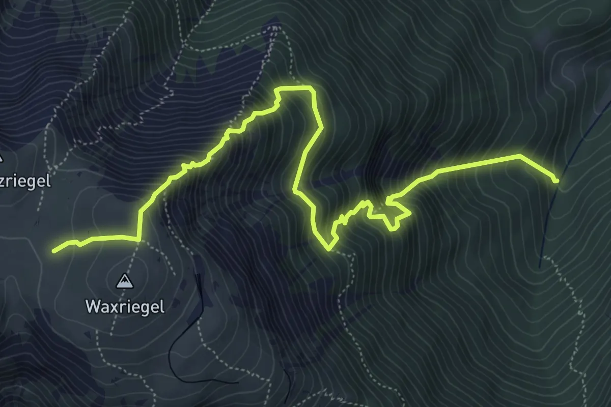
Expert · Cabin
Krz. Miesltal - Damböckhaus
7.5 km · ↑ 1086 m · 4 h 8 min
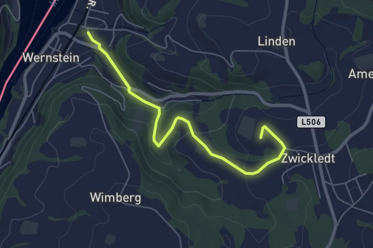
Easy · Trail
Kubin Wanderweg
4.8 km · ↑ 115 m · 1 h 22 min
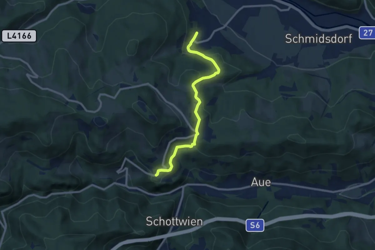
Easy · Trail
Küb - Ruine Klamm
6.7 km · ↑ 319 m · 2 h 16 min
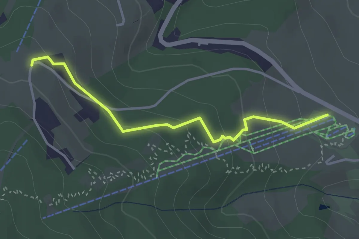
Easy · Trail
Kugelbahnweg
2.9 km · ↑ 152 m · 1 h
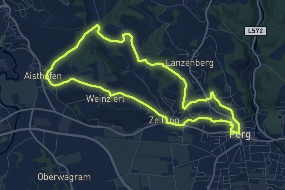
Medium · Trail
Kugelmanderlweg
9.0 km · ↑ 225 m · 2 h 45 min
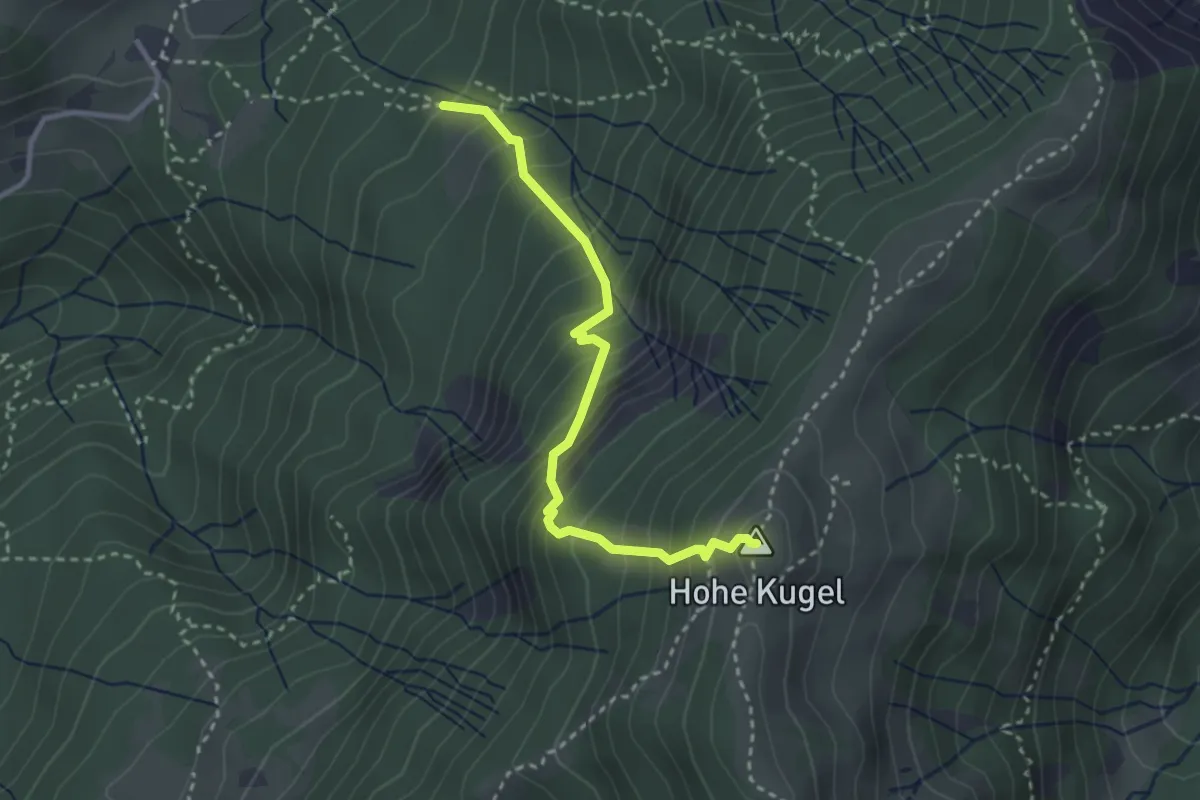
Demanding · Summit
Kugelwaldweg
2.9 km · ↑ 469 m · 1 h 42 min
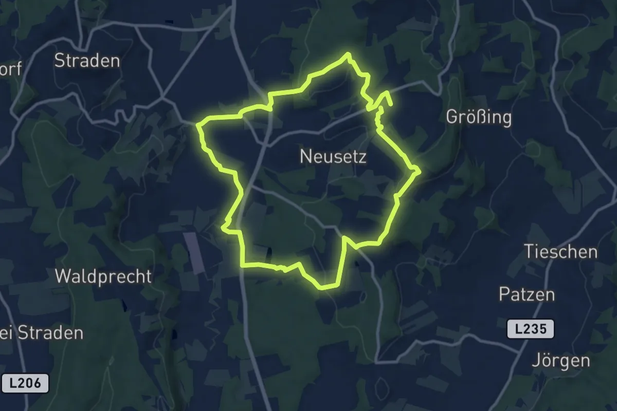
Medium · Trail
Kulinarikweg
10.3 km · ↑ 226 m · 3 h 3 min
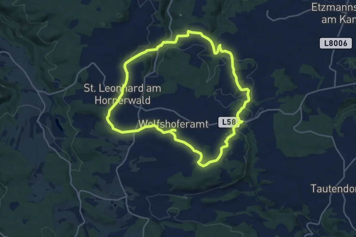
Demanding · Trail
Kulinarikweg
24.3 km · ↑ 462 m · 6 h 45 min
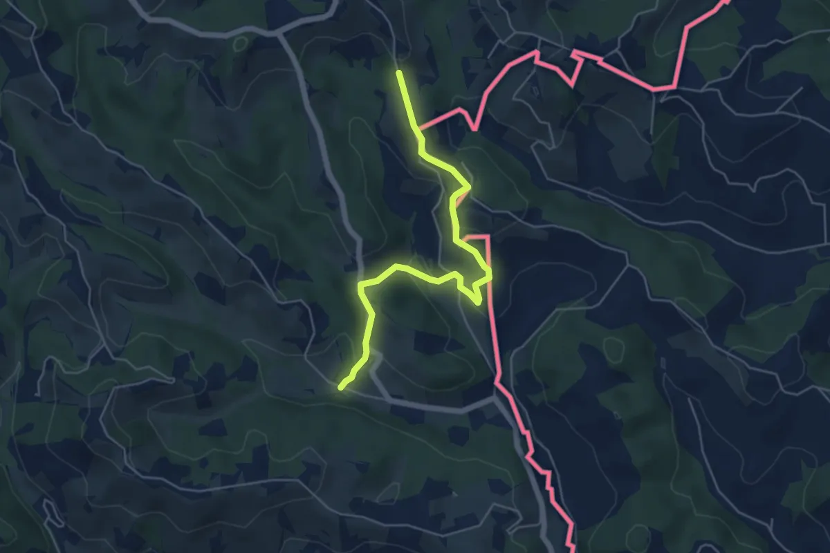
Easy · Trail
Kulinarische Weinberg-Wanderung
2.5 km · ↑ 56 m · 49 min
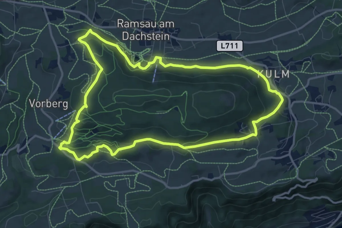
Medium · Trail
Kulmbergrundweg
9.1 km · ↑ 235 m · 2 h 48 min
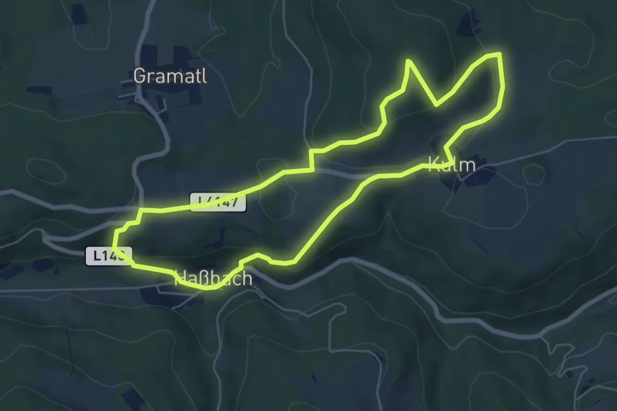
Easy · Summit
Kulmberg Weg (Ausgangspunkt: Haßbach - GH Maier)
5.6 km · ↑ 200 m · 1 h 50 min
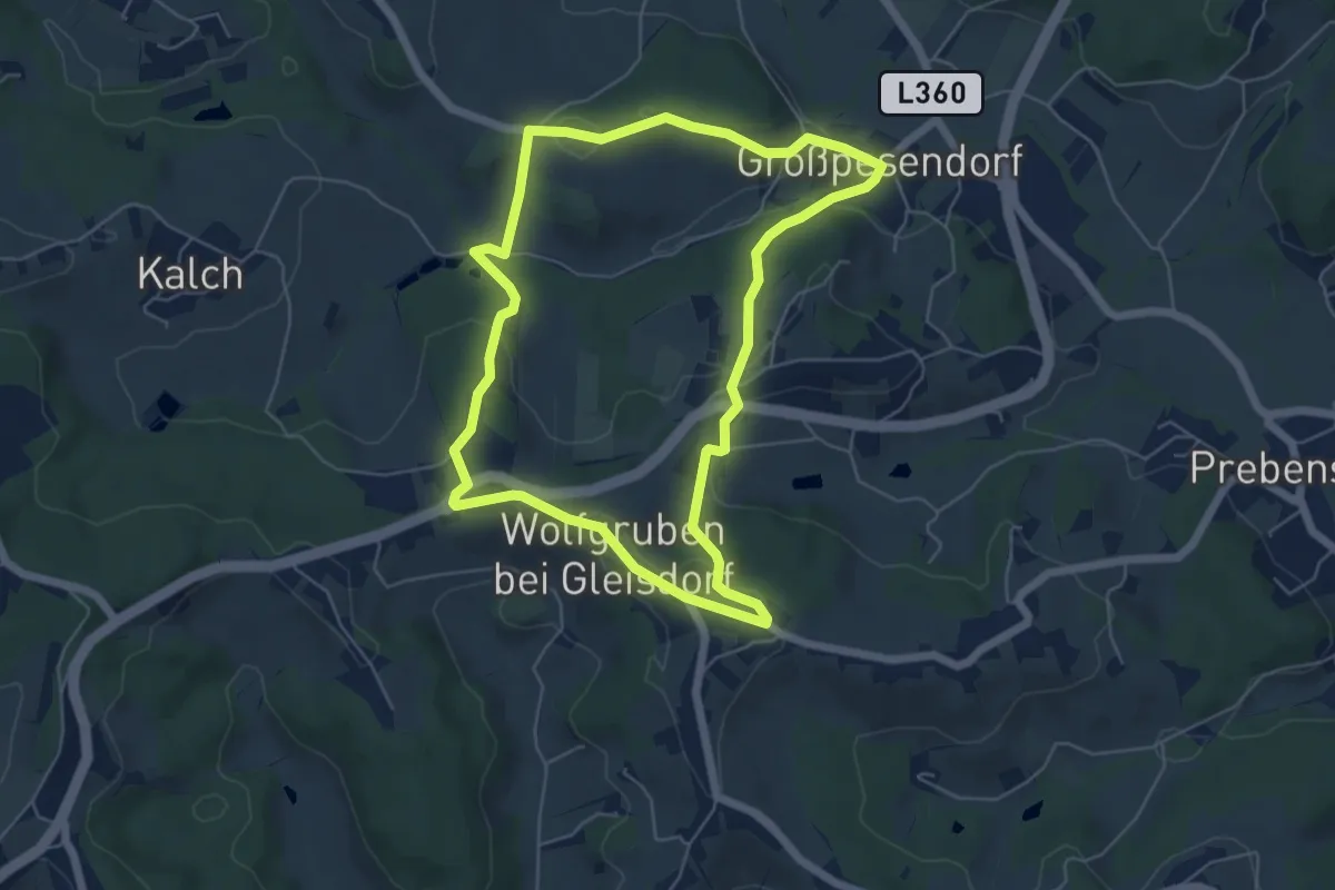
Easy · Trail
Kulmblick Rundweg
5.7 km · ↑ 160 m · 1 h 46 min
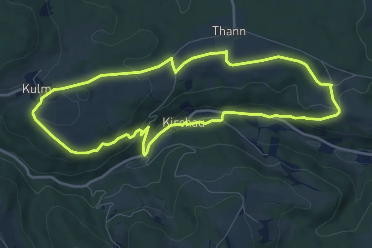
Easy · Trail
Kulmer Weg (Ausgangspunkt: Kirchau Kirchenplatz)
7.2 km · ↑ 200 m · 2 h 14 min
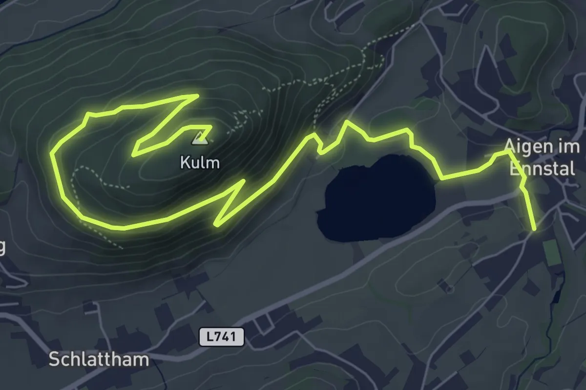
Medium · Summit
Kulmgipfel
9.3 km · ↑ 291 m · 2 h 50 min
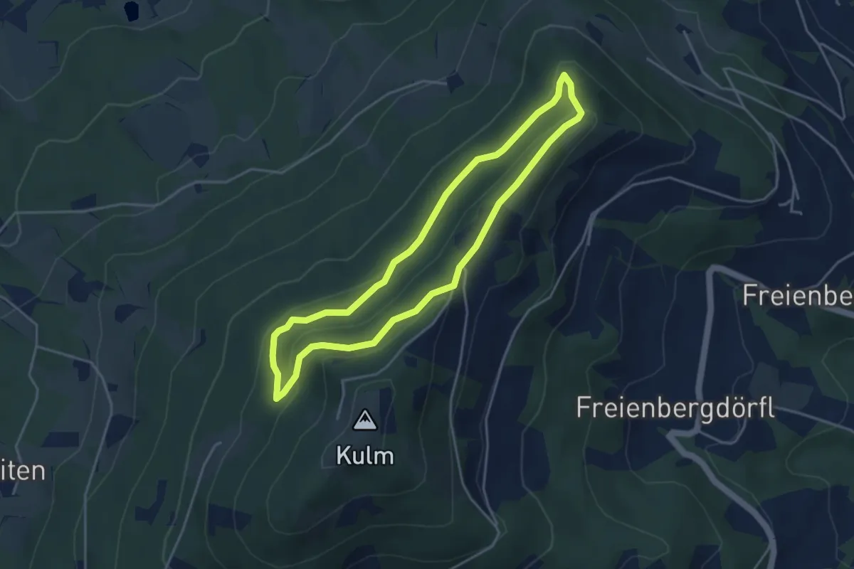
Medium · Summit
Kulmkögerlweg
3.7 km · ↑ 116 m · 1 h 10 min
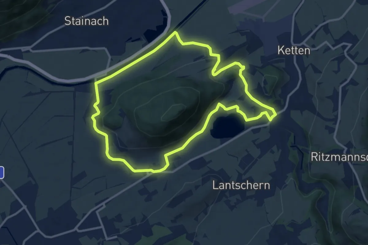
Medium · Trail
Kulmrundweg
8.4 km · ↑ 117 m · 2 h 21 min
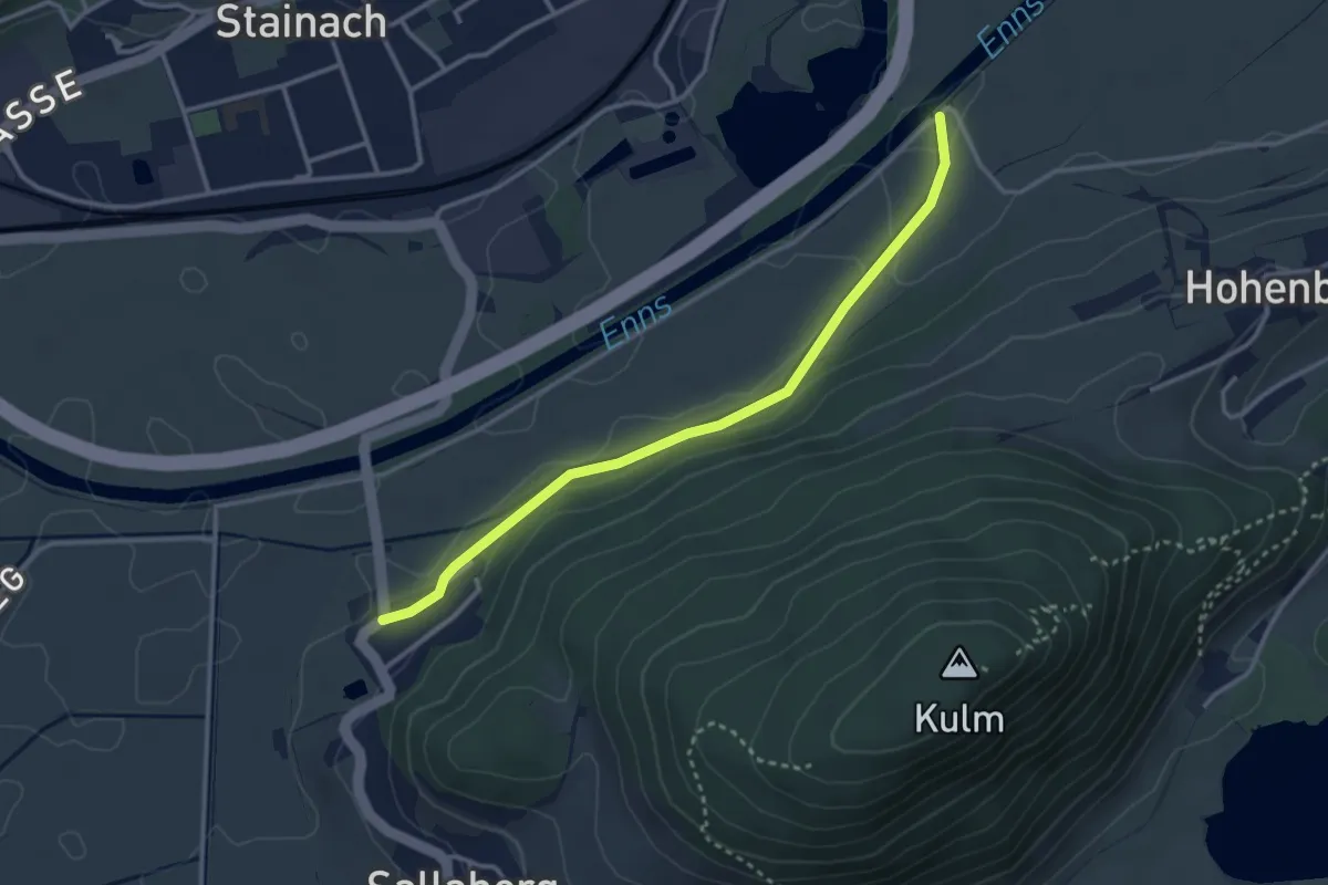
Easy · Trail
Kulmrundweg Variante
3.1 km · ↑ 0 m · 44 min
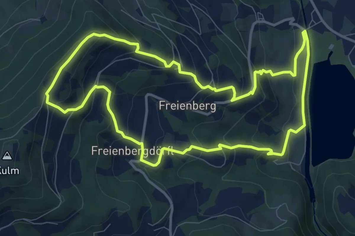
Medium · Summit
Kulmweg
8.4 km · ↑ 495 m · 3 h 11 min
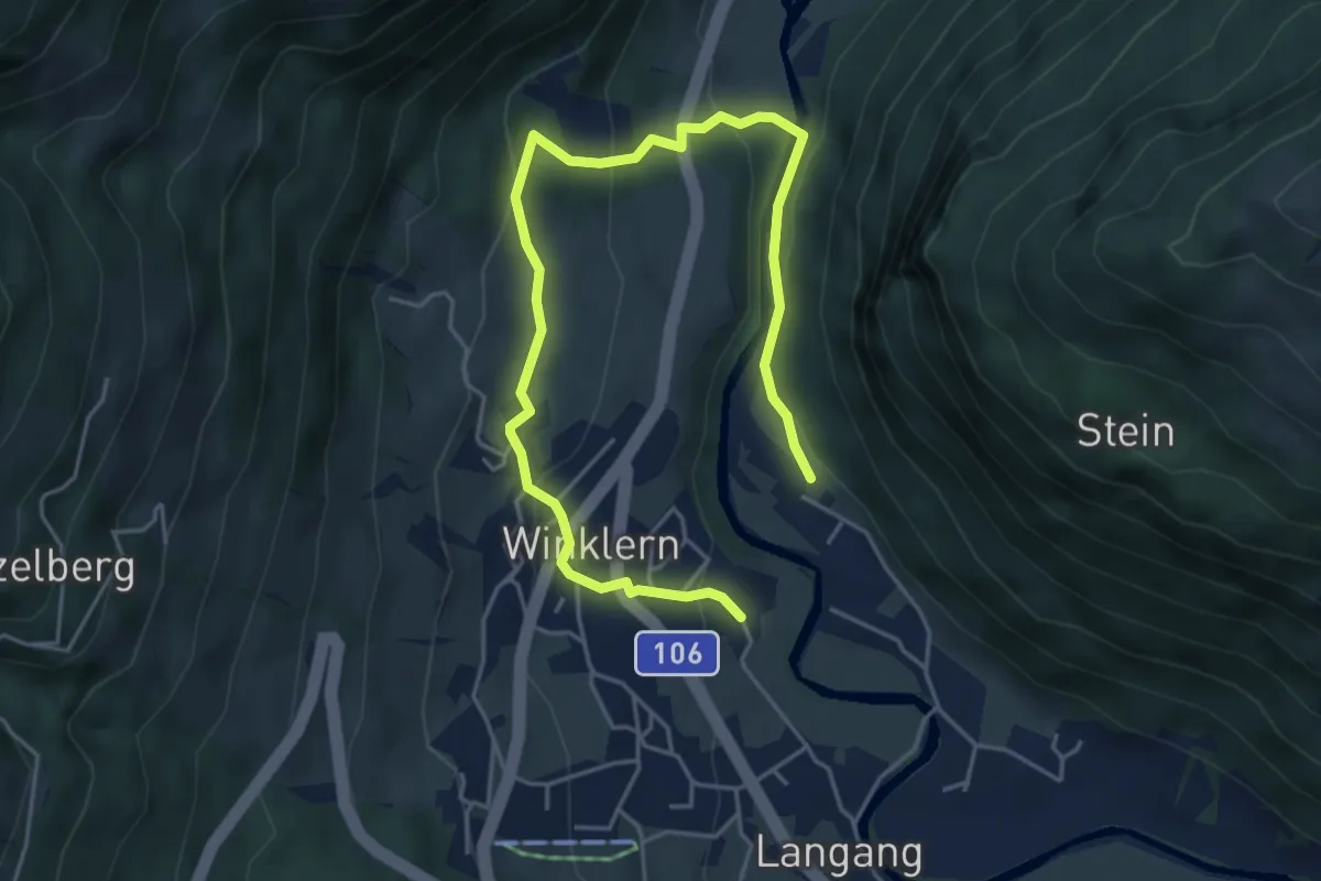
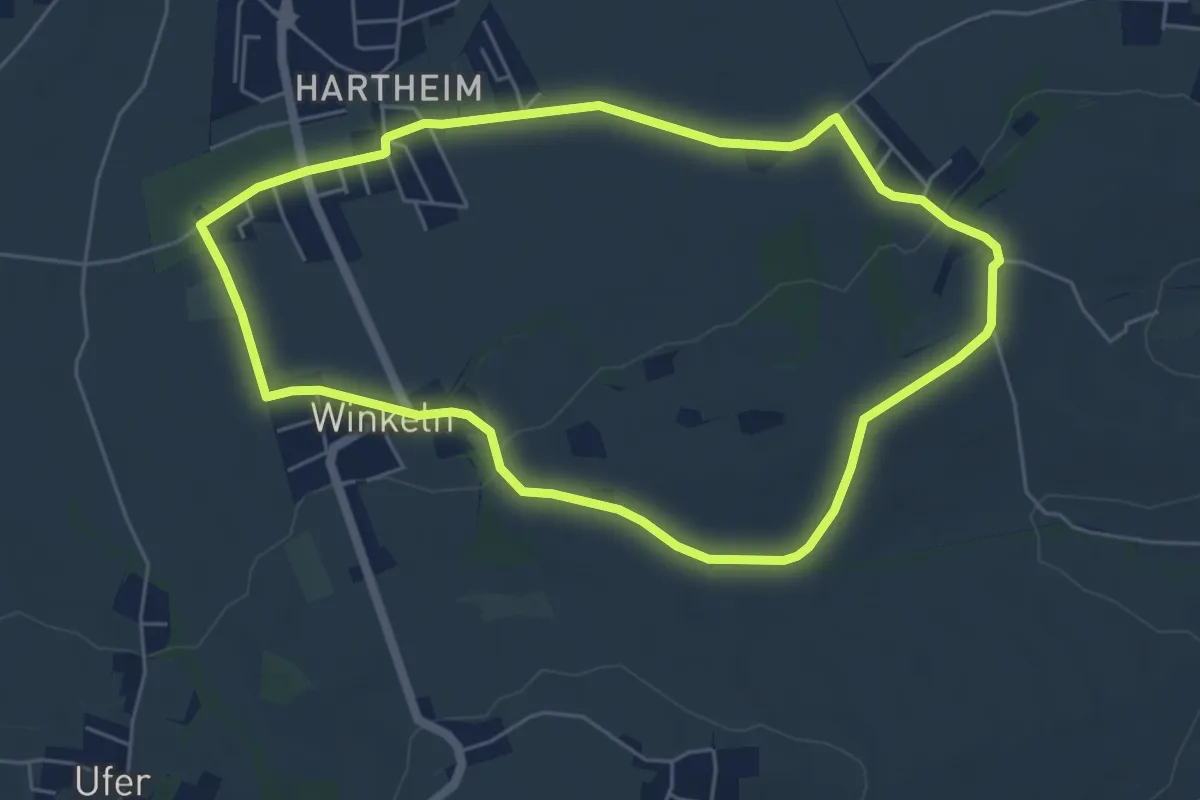
Easy · Trail
Kulturlandschaftsweg Winklern
6.1 km · ↑ 247 m · 1 h 59 min
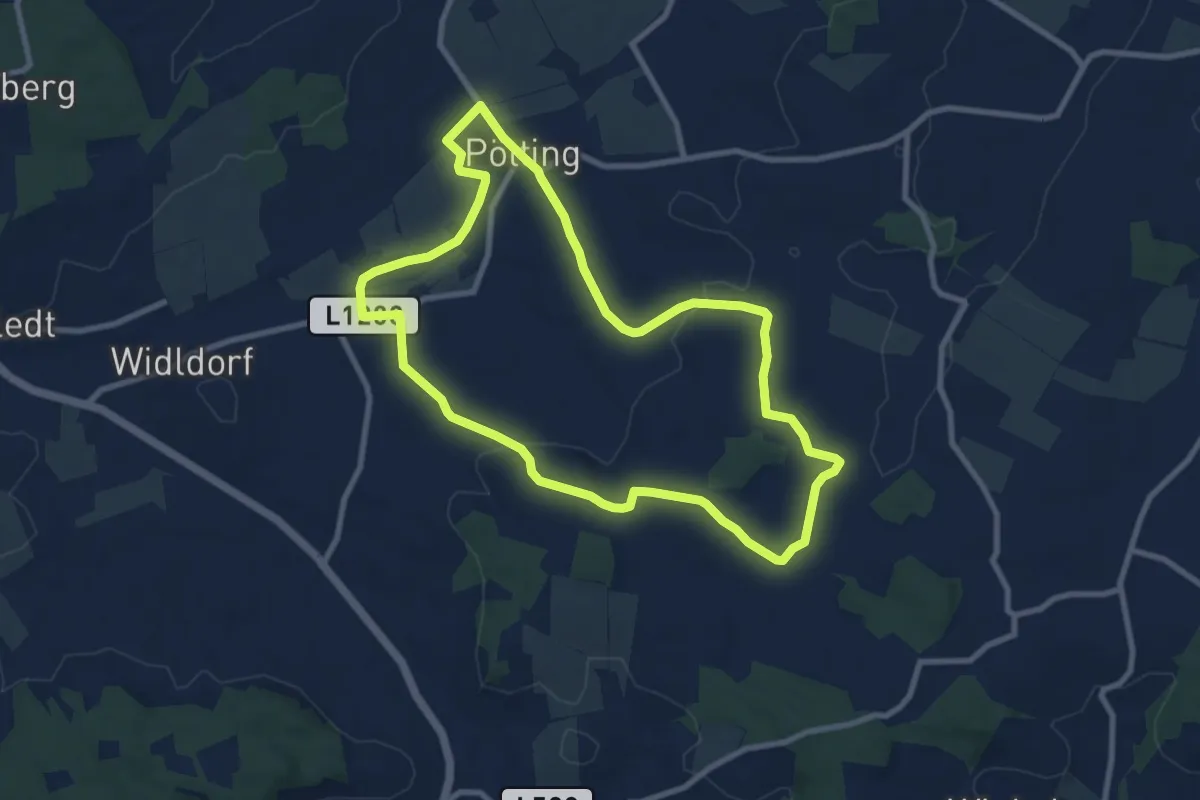
Easy · Trail
Kulturrunde
5.3 km · ↑ 83 m · 1 h 30 min
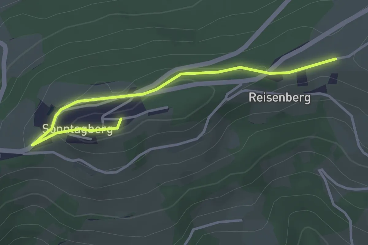
Medium · Trail
Kultur und Schmankerl Runde
8.5 km · ↑ 65 m · 2 h 16 min
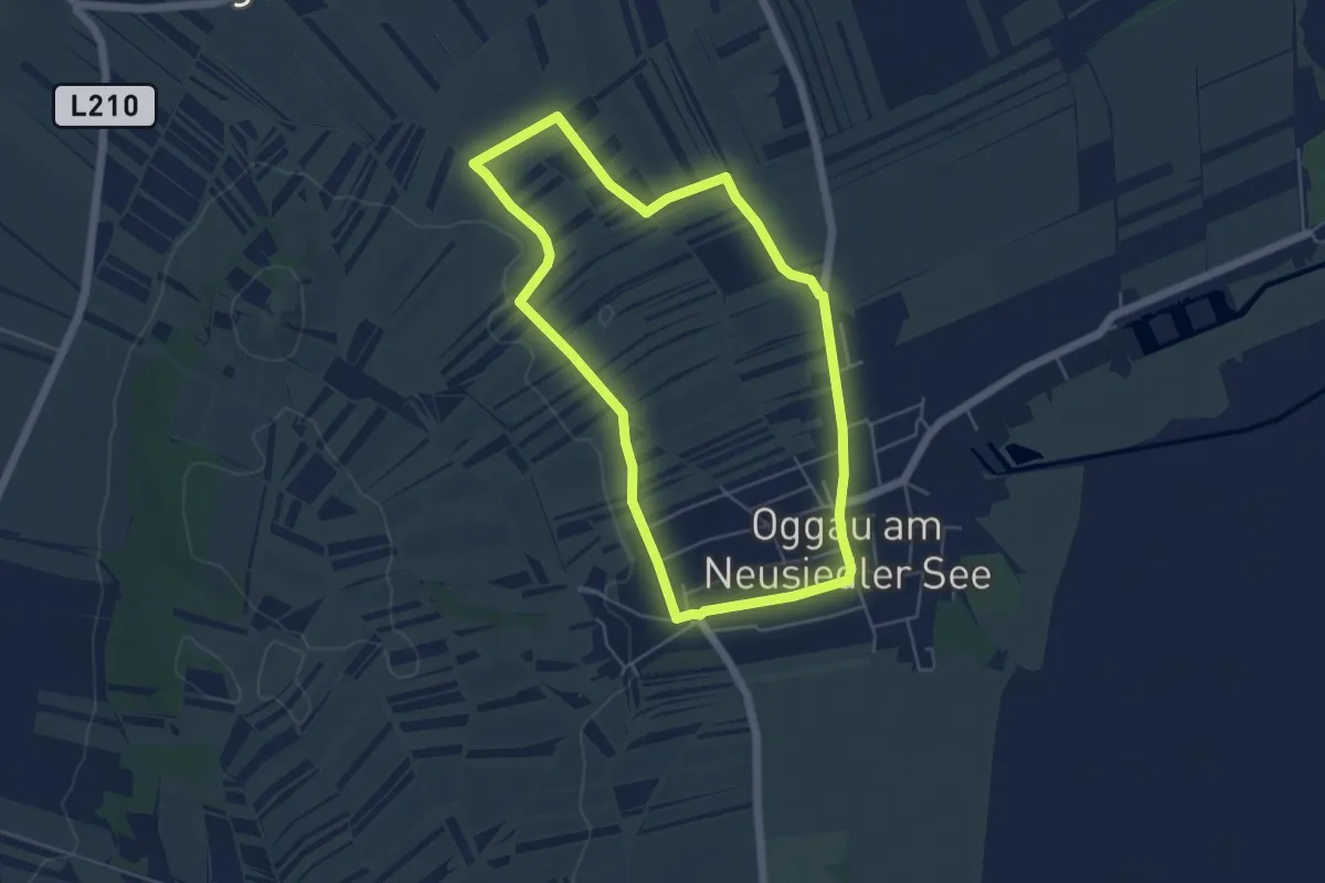
Easy · Summit
Kulturwanderweg
3.2 km · ↑ 76 m · 55 min
Easy · Summit
Kulturwanderweg
4.9 km · ↑ 30 m · 1 h 17 min