Trails in Austria
9,779 hiking trails, each with its route, climb, walking time and grade.
All trails, page 61 of 204
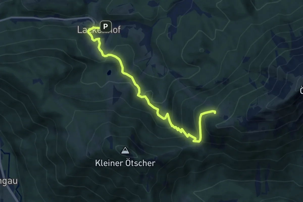
Medium · Cabin
Lackenhof - Ötscherschutzhaus
9.4 km · ↑ 625 m · 3 h 35 min
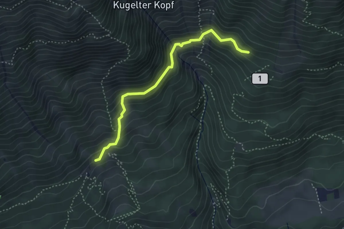
Medium · Trail
Lackensteig
3.7 km · ↑ 244 m · 1 h 24 min
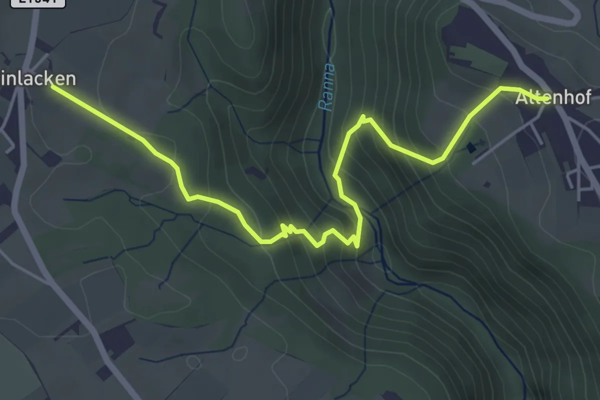
Medium · Trail
Lackinger Baum
4.9 km · ↑ 398 m · 2 h 1 min
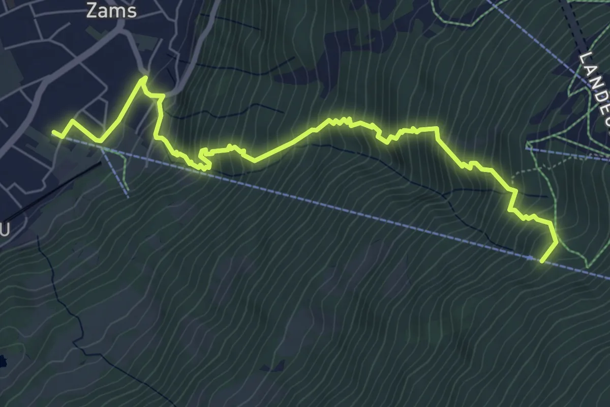
Demanding · Trail
Ladner Steig
7.2 km · ↑ 898 m · 3 h 39 min
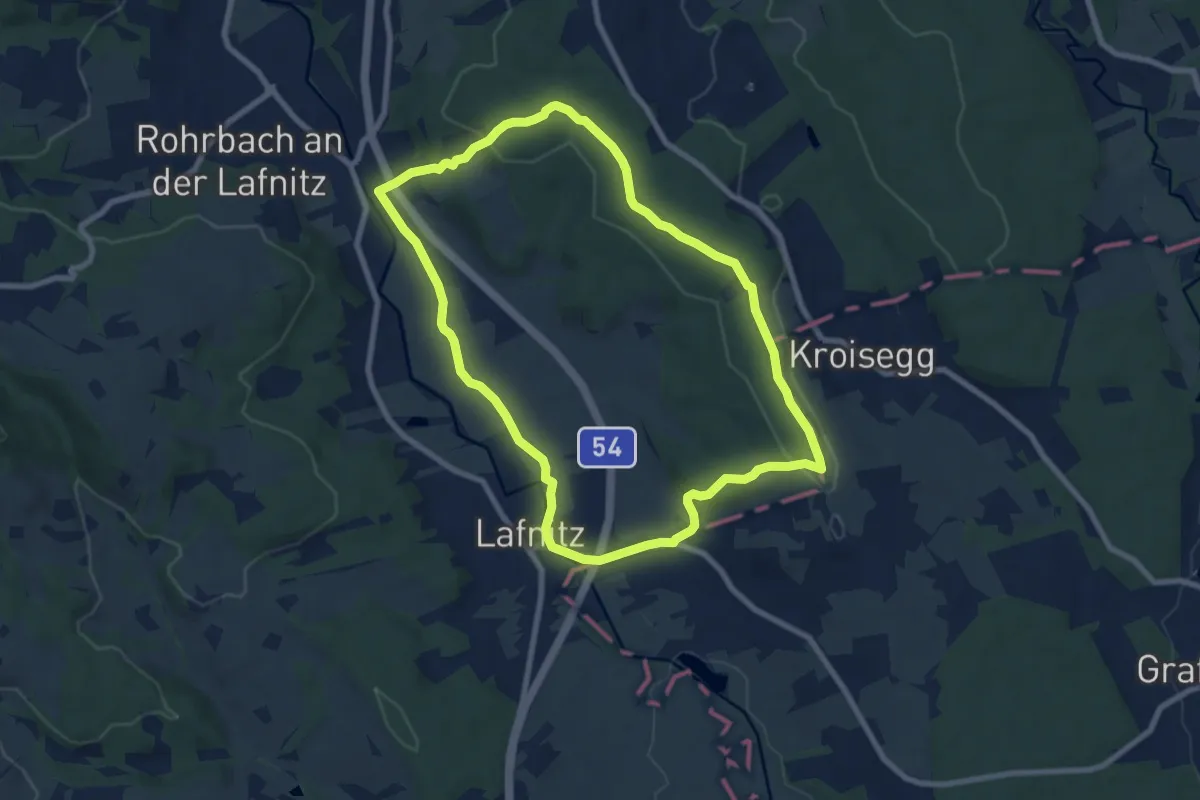
Easy · Trail
Lafnitz - Heiligenbrunn - Kroisegg Rundwanderweg L2
7.8 km · ↑ 125 m · 2 h 13 min
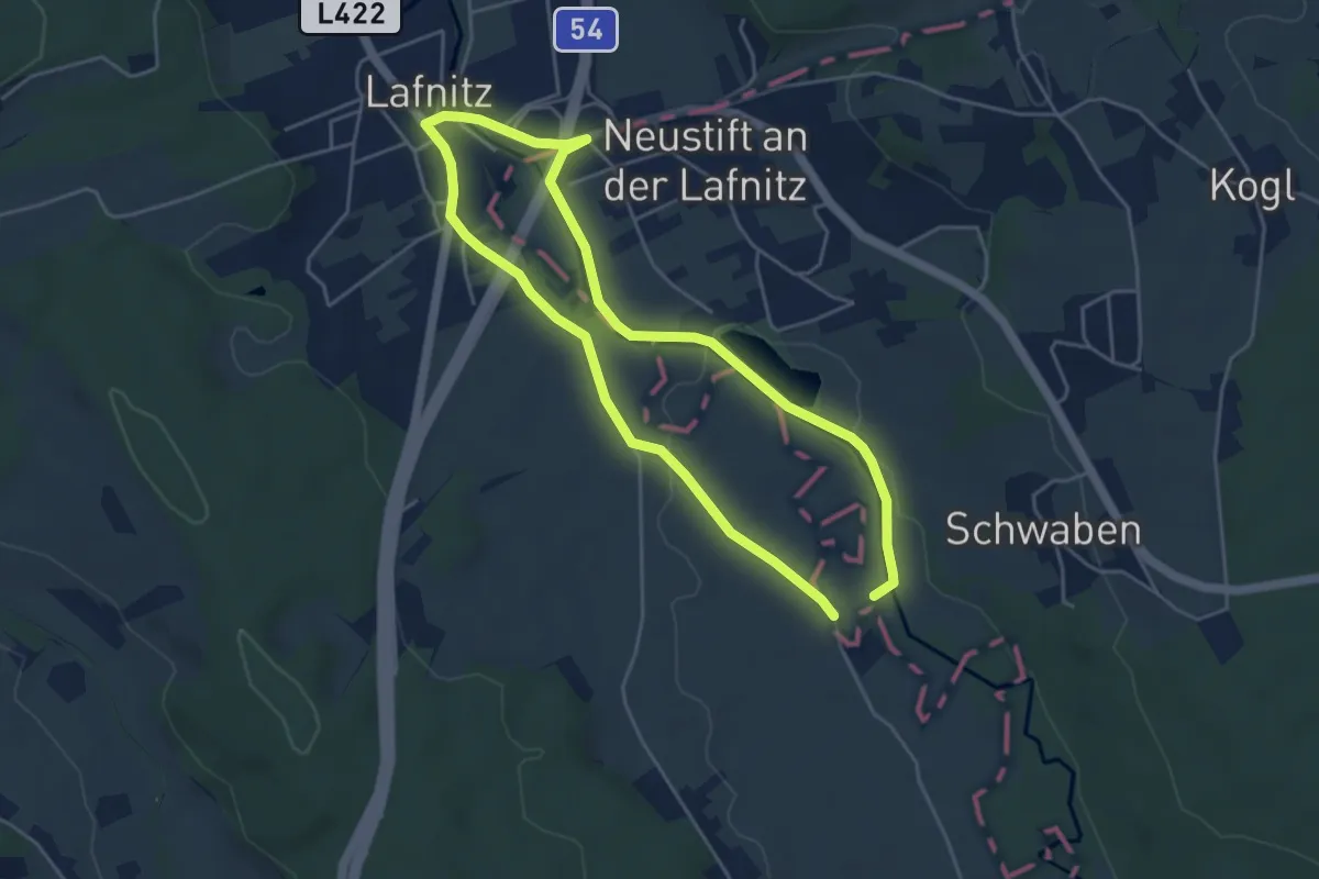
Easy · Trail
Lafnitz Rundwanderweg L3
4.1 km · ↑ 13 m · 1 h 4 min
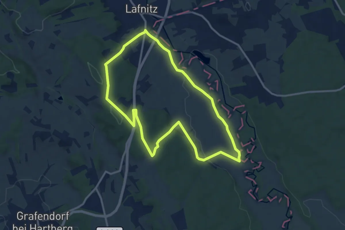
Easy · Trail
Lafnitz Rundwanderweg L4
7.7 km · ↑ 96 m · 2 h 8 min
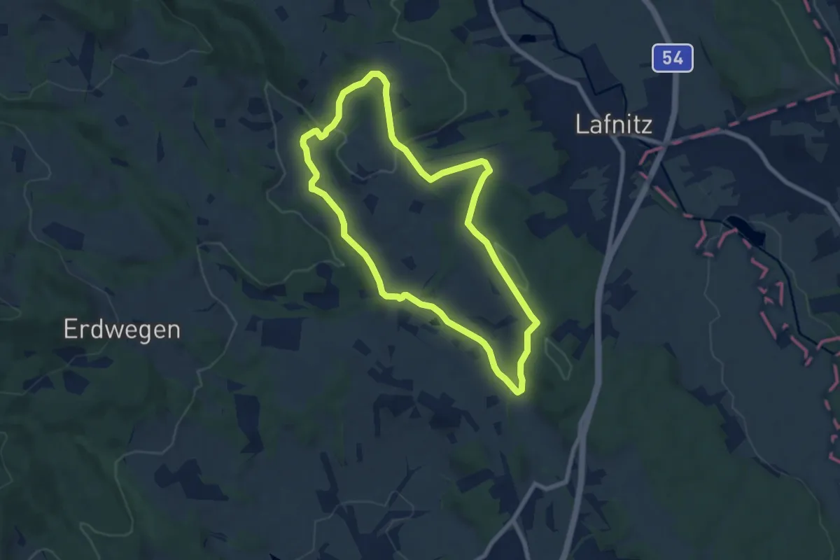
Easy · Trail
Lafnitz Rundwanderweg L5
6.6 km · ↑ 128 m · 1 h 56 min
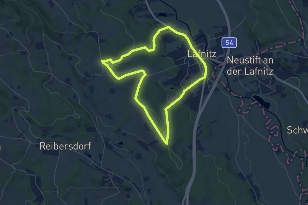
Easy · Trail
Lafnitz Rundwanderweg L6
5.9 km · ↑ 112 m · 1 h 44 min
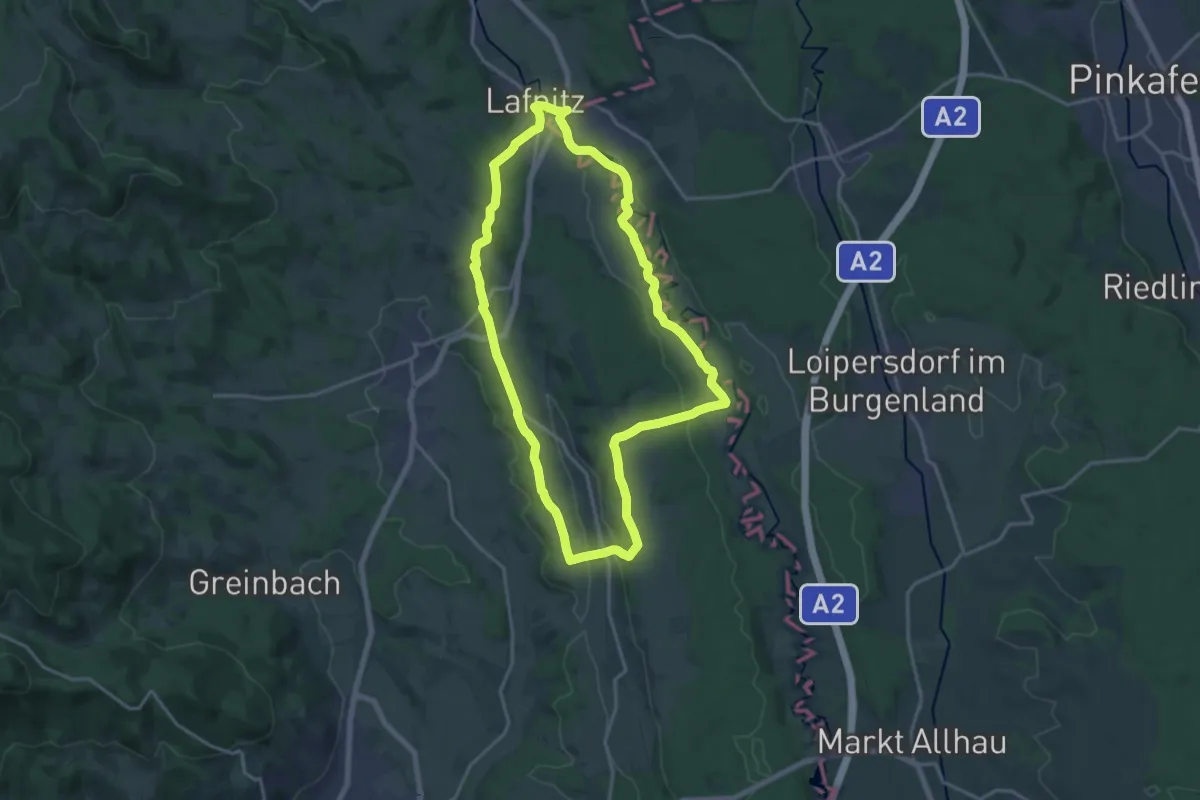
Medium · Trail
Lafnitz Rundwanderweg L7
16.6 km · ↑ 210 m · 4 h 37 min
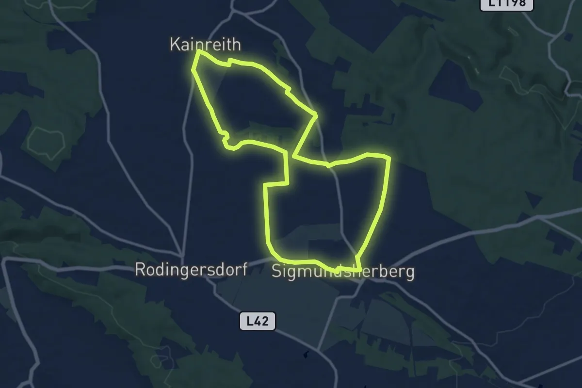
Medium · Trail
Lagerfriedhofweg
10.2 km · ↑ 82 m · 2 h 43 min
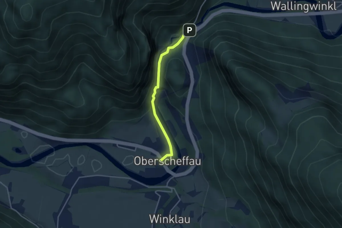
Easy · Trail
Lammerklamm
2.6 km · ↑ 83 m · 48 min
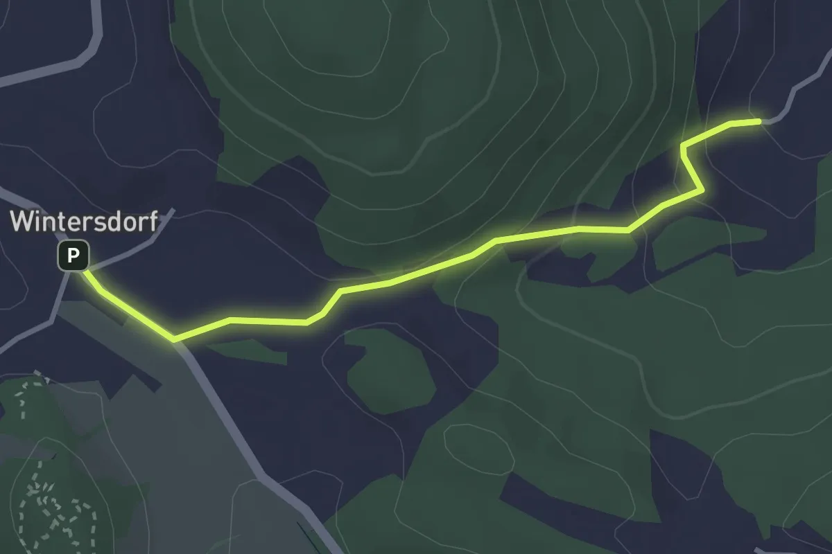
Easy · Trail
Lamm - Wintersdorf
2.9 km · ↑ 127 m · 58 min
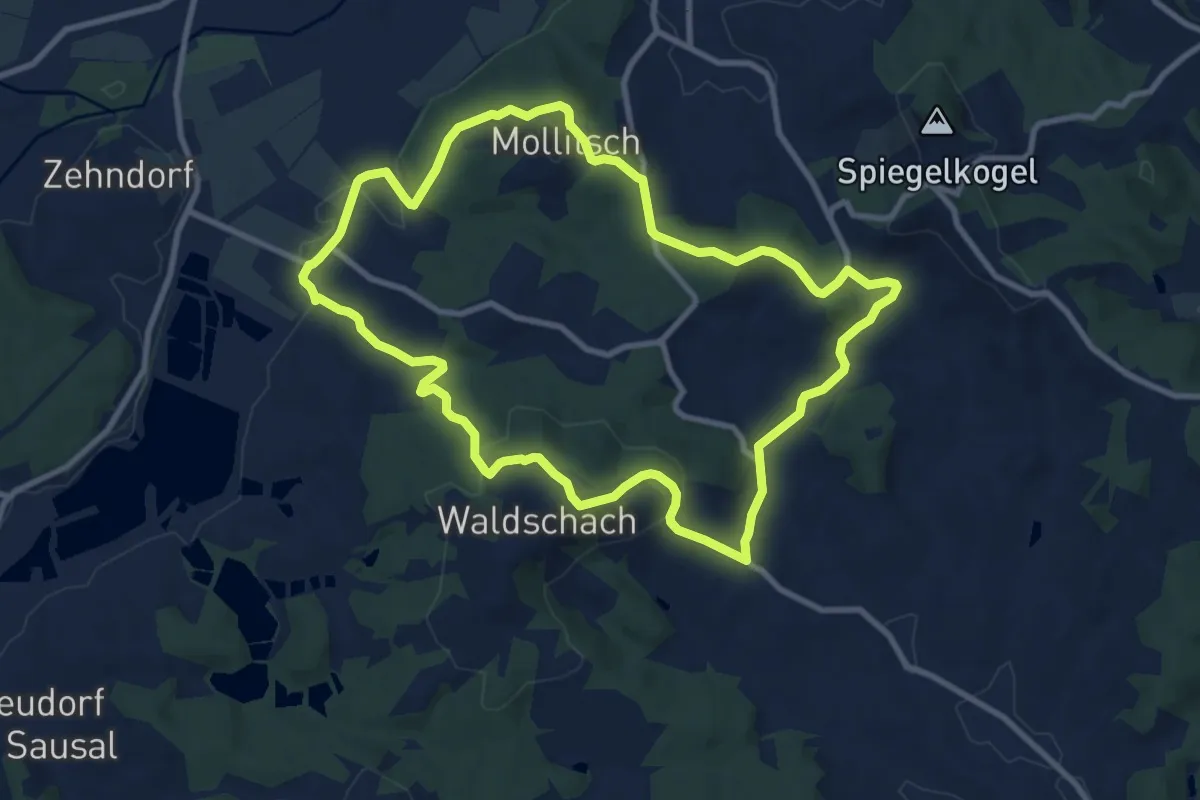
Medium · Trail
Lamperstätter Tour
9.7 km · ↑ 292 m · 3 h 3 min
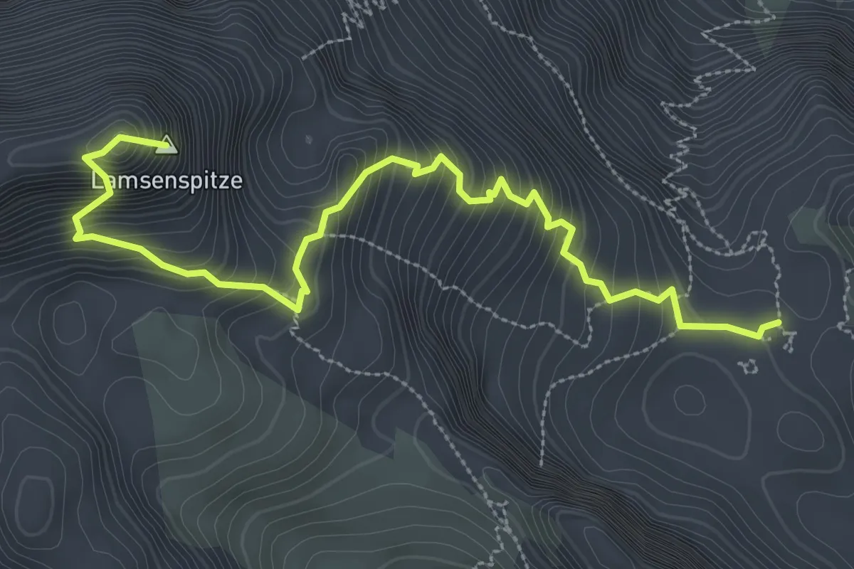
Expert · Summit
Lamsenspitze Normalweg
3.8 km · ↑ 569 m · 2 h 8 min
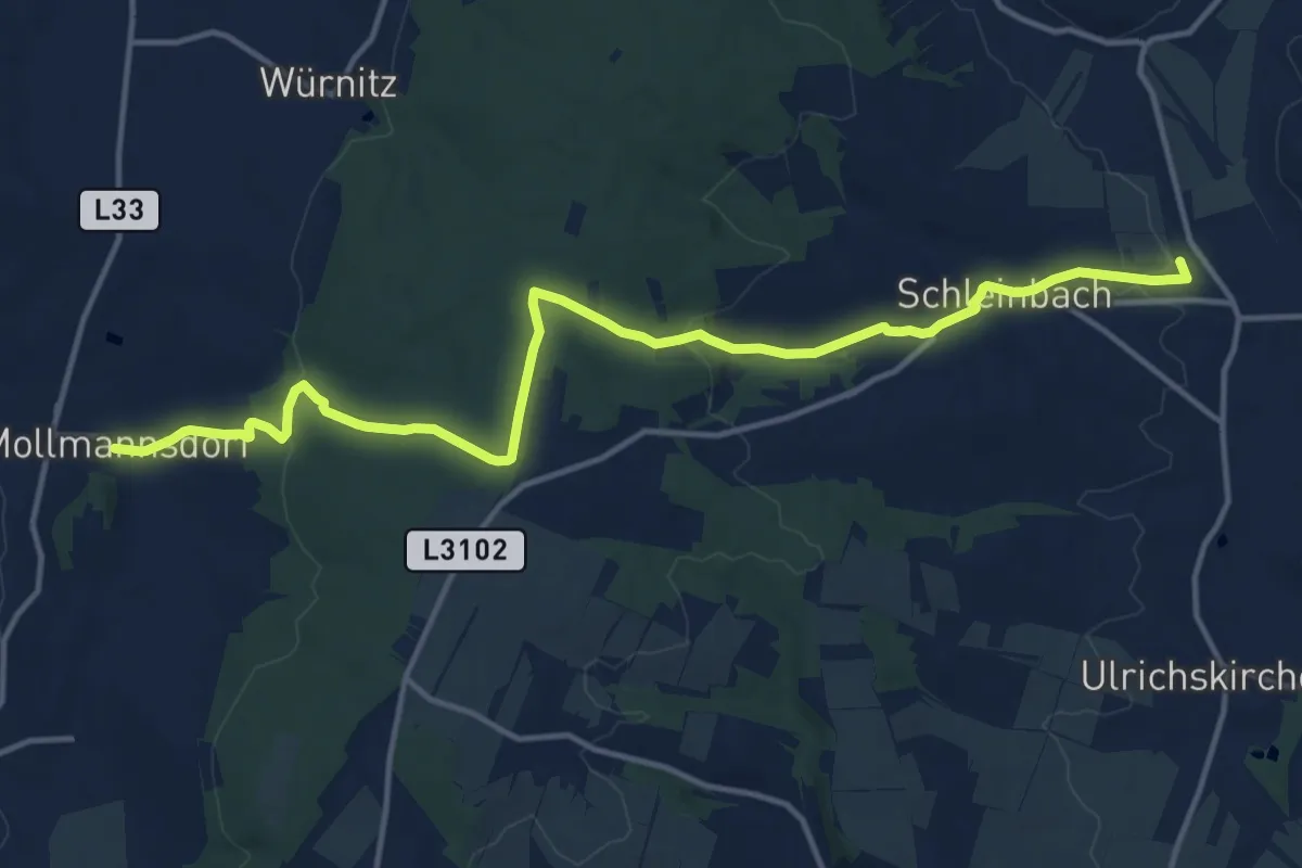
Medium · Trail
Landesbunny-Rübensteig
15.4 km · ↑ 294 m · 4 h 17 min
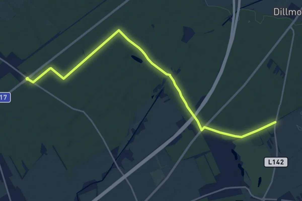
Medium · Trail
Landesstraße L148 - Bhf St. Egyden
13.3 km · ↑ 29 m · 3 h 12 min
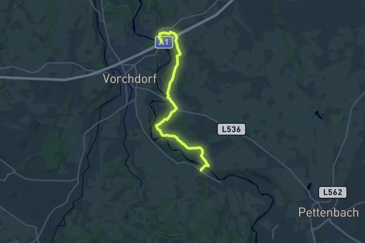
Medium · Trail
Landjugendweg
15.6 km · ↑ 188 m · 4 h 5 min
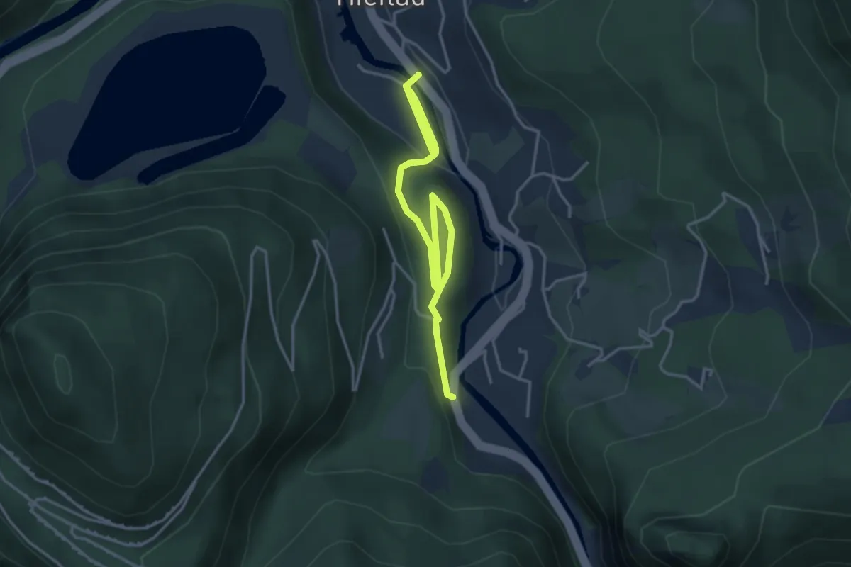
Easy · Trail
Landler Spazierwege Weg Nr. #11
4.6 km · ↑ 125 m · 1 h 21 min
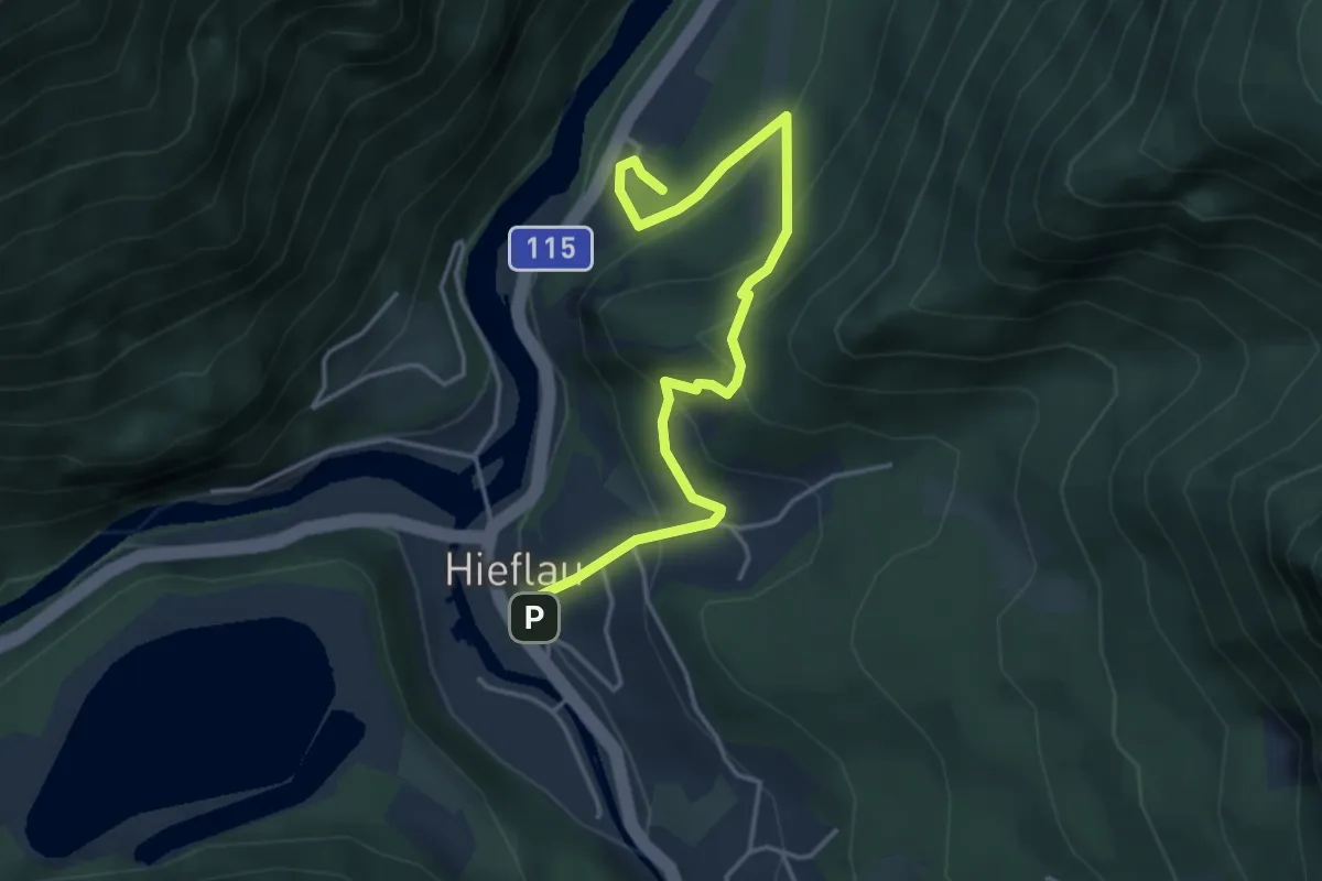
Medium · Trail
Landler Spazierwege Weg Nr. #12
4.3 km · ↑ 286 m · 1 h 38 min
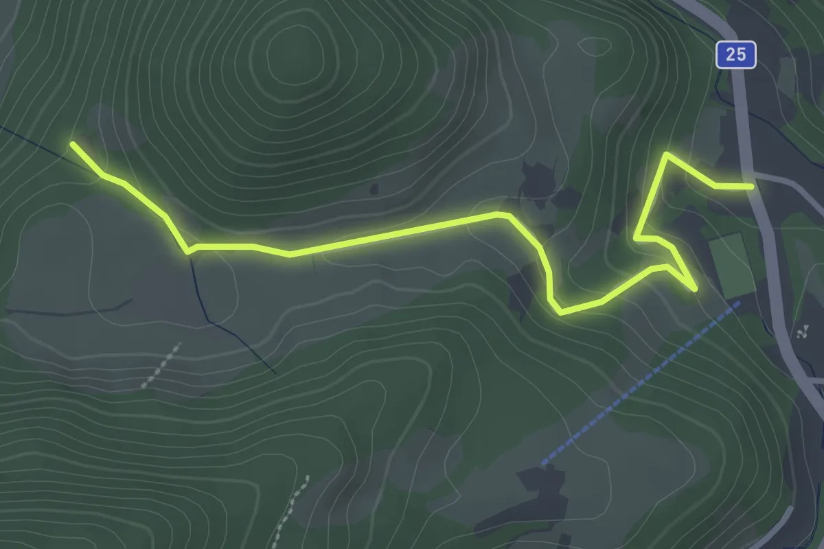
Easy · Trail
Landler Spazierwege Weg Nr. #3
3.2 km · ↑ 115 m · 1 h
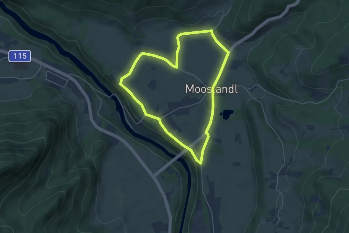
Easy · Trail
Landler Spazierwege Weg Nr. #6
4.1 km · ↑ 32 m · 1 h 5 min
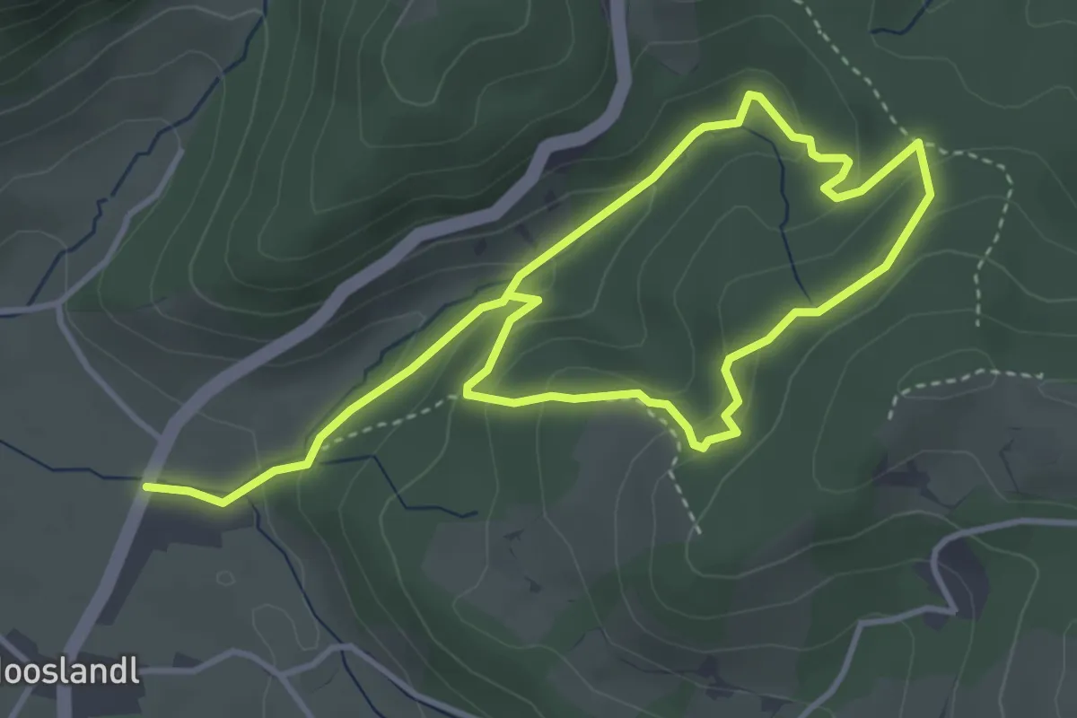
Medium · Trail
Landler Spazierwege Weg Nr. #7
3.0 km · ↑ 140 m · 1 h 3 min
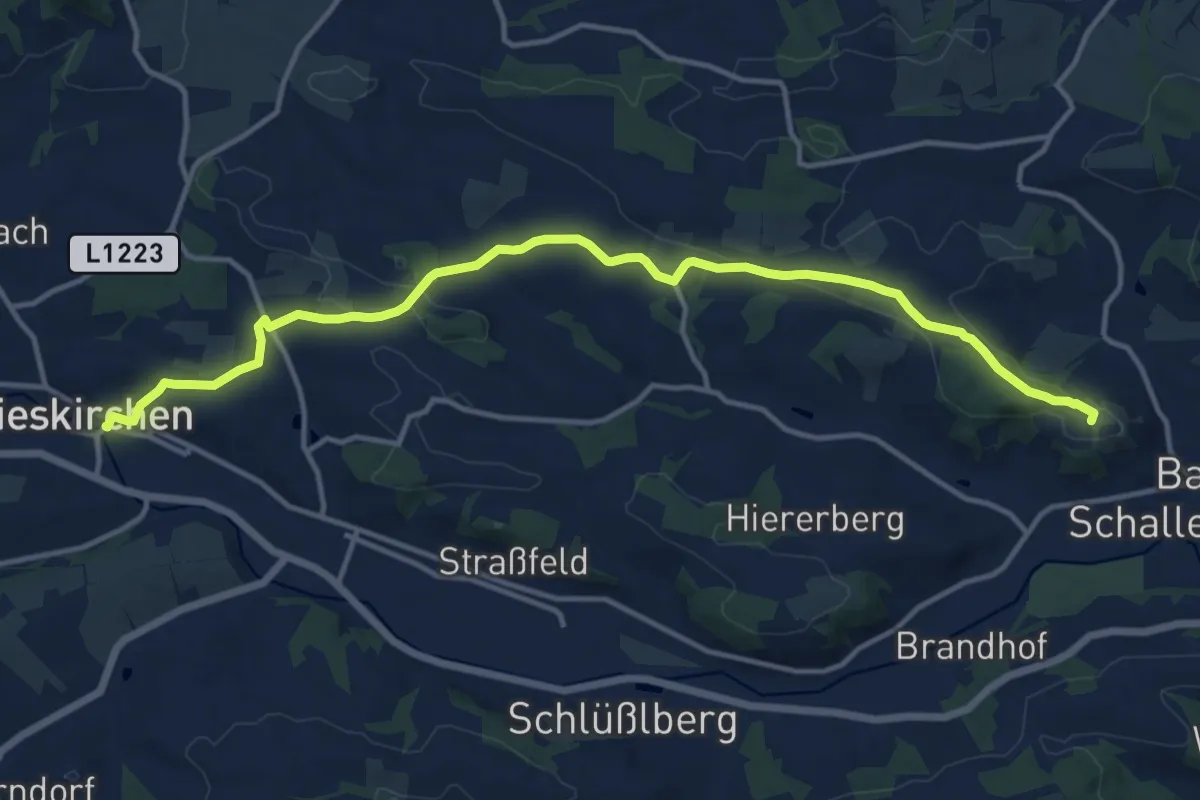
Medium · Summit
Landlweg
14.5 km · ↑ 247 m · 3 h 57 min
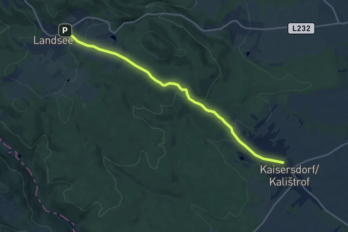
Medium · Trail
Landsee - Kaisersdorf
10.6 km · ↑ 267 m · 3 h 4 min
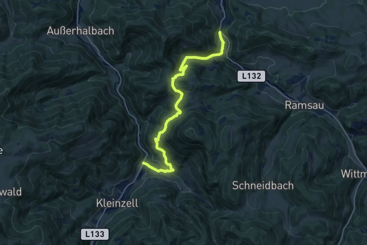
Medium · Trail
Landstal (Hainfeld) - Schönleiten - Salzerbad
14.1 km · ↑ 651 m · 4 h 45 min
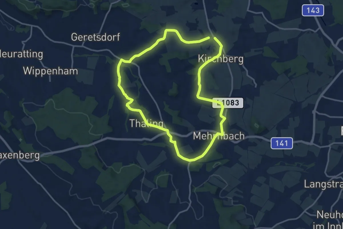
Medium · Trail
Langdorf Rundweg
10.3 km · ↑ 155 m · 2 h 55 min
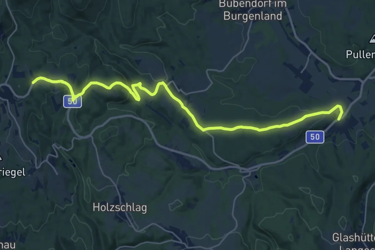
Demanding · Trail
Langeck - Salmannsdorf - Bernstein
20.3 km · ↑ 447 m · 5 h 46 min
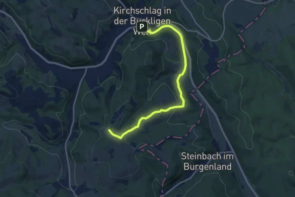
Medium · Trail
Langegasseweg (Kirchschlag - Sechterleiten)
9.3 km · ↑ 229 m · 2 h 41 min
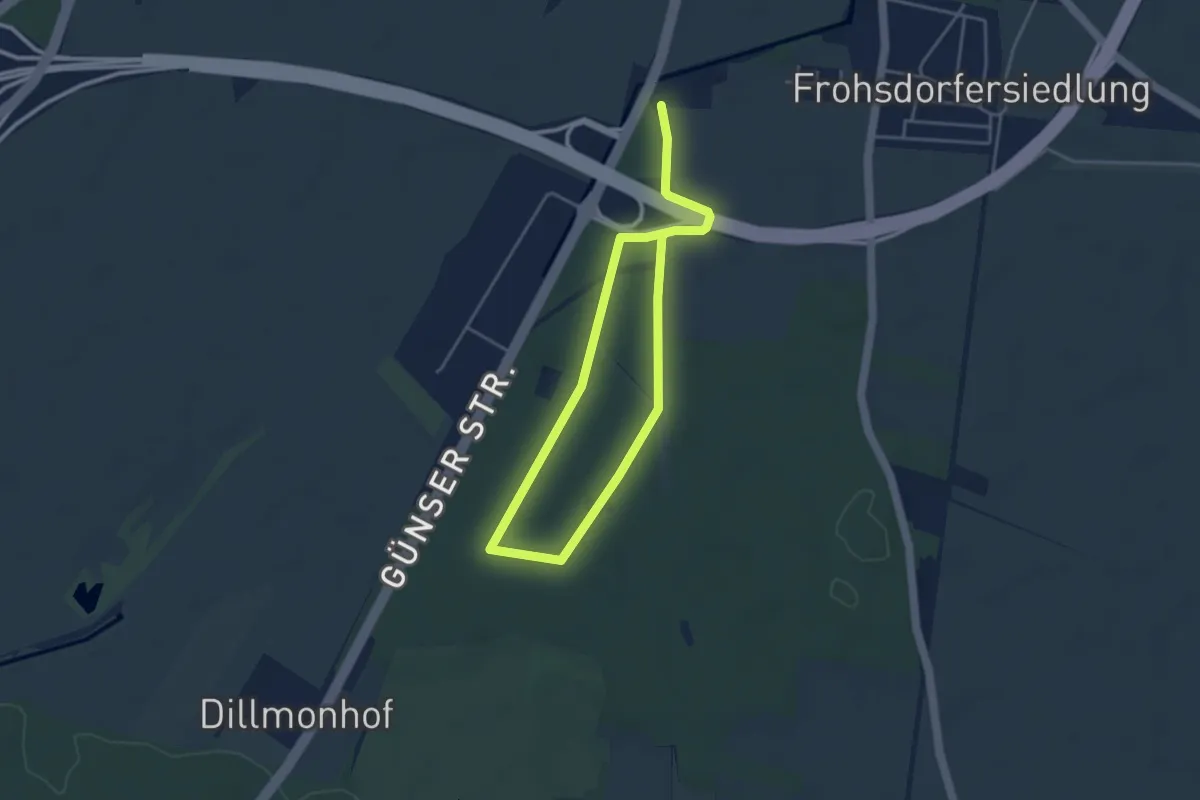
Easy · Trail
Langlaufloipe der Stadt Wiener Neustadt
3.1 km · ↑ 5 m · 46 min
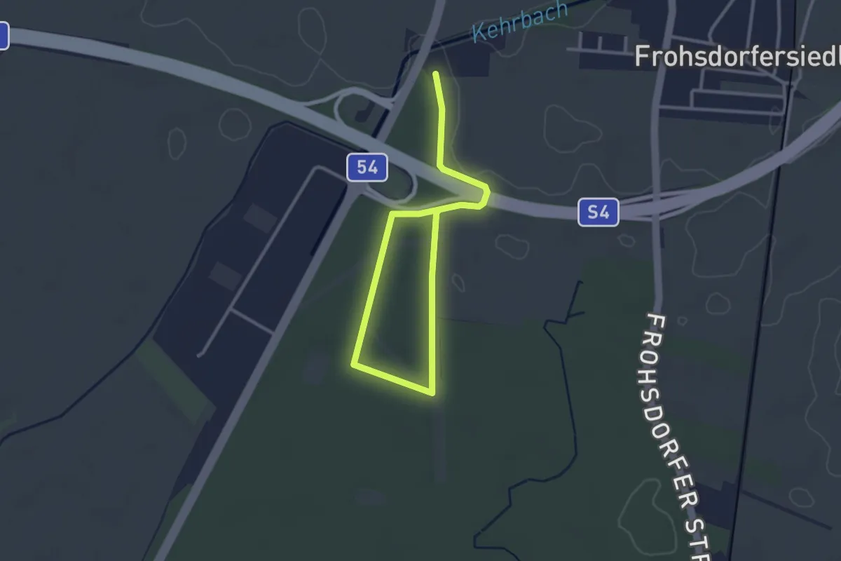
Easy · Trail
Langlaufloipe der Stadt Wiener Neustadt
1.9 km · ↑ 0 m · 29 min
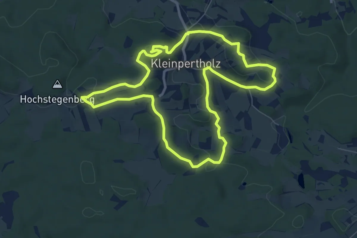
Easy · Summit
Langschlag Opfersteinweg 95
6.6 km · ↑ 158 m · 2 h
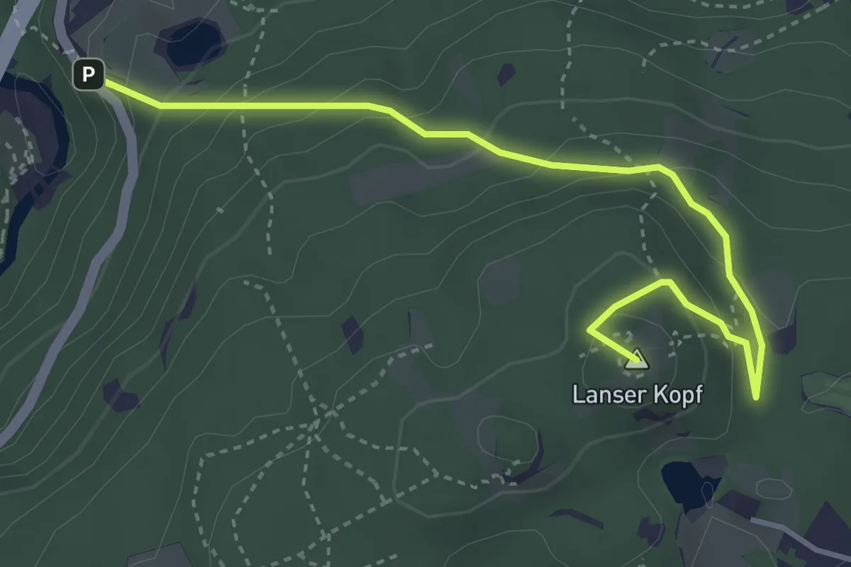
Easy · Summit
Lanser Steig
4.1 km · ↑ 255 m · 1 h 31 min
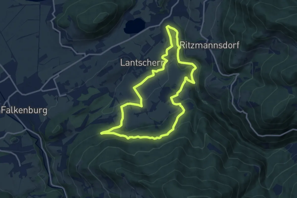
Medium · Trail
Lantschern-Gatschen-Weg
9.5 km · ↑ 309 m · 3 h 2 min
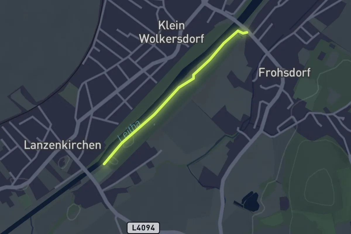
Easy · Trail
Lanzenkirchner Fitness Meile
2.1 km · ↑ 0 m · 29 min
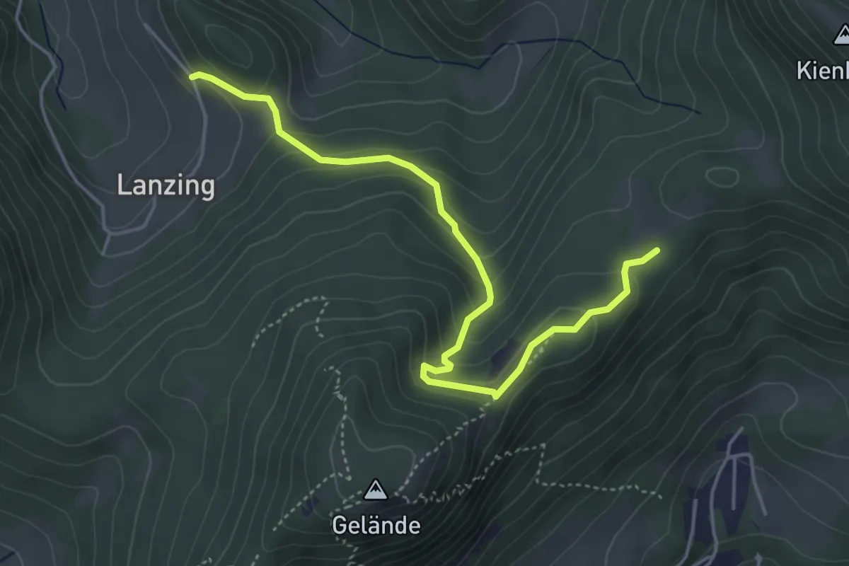
Easy · Cabin
Lanzing - Scheimhütte
4.8 km · ↑ 281 m · 1 h 44 min
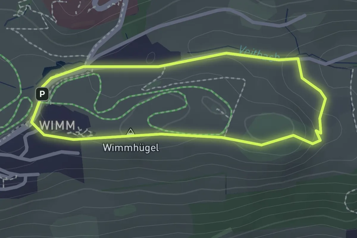
Easy · Summit
Lärchenwaldrundweg
1.9 km · ↑ 44 m · 33 min
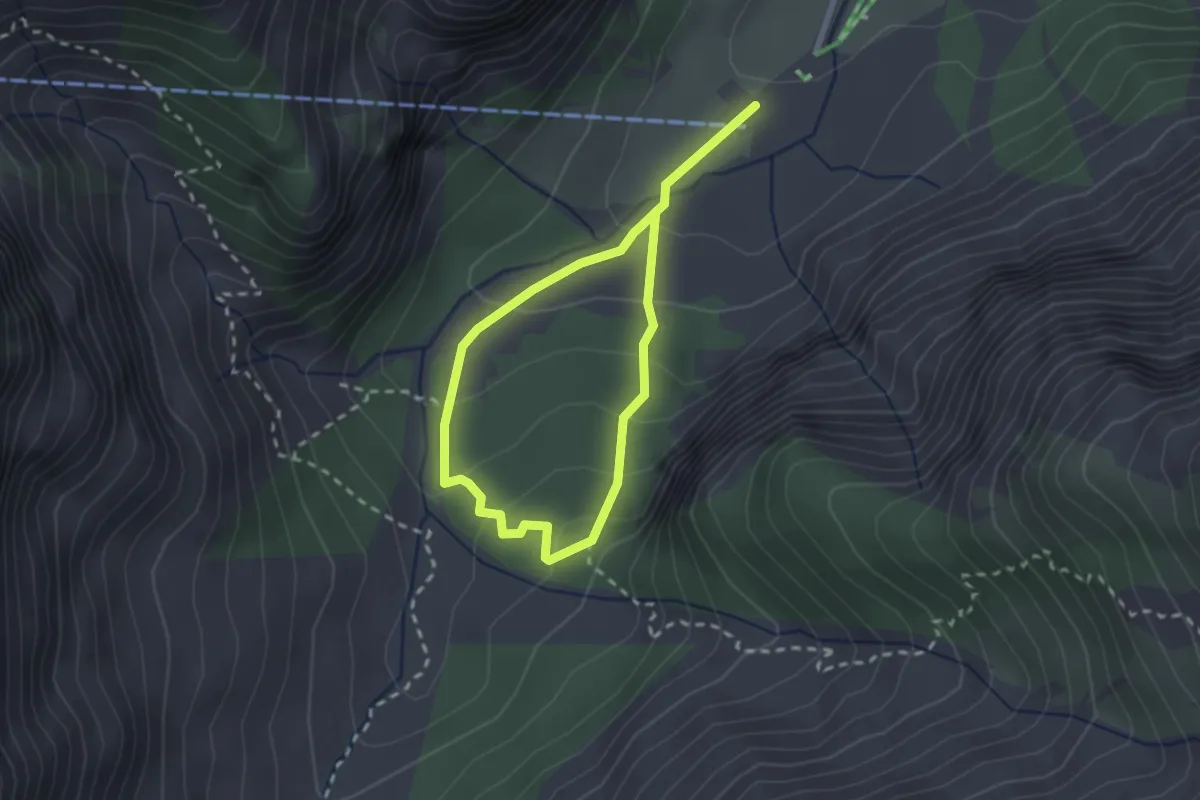
Medium · Trail
Lärchenwald Rundweg
3.5 km · ↑ 243 m · 1 h 21 min
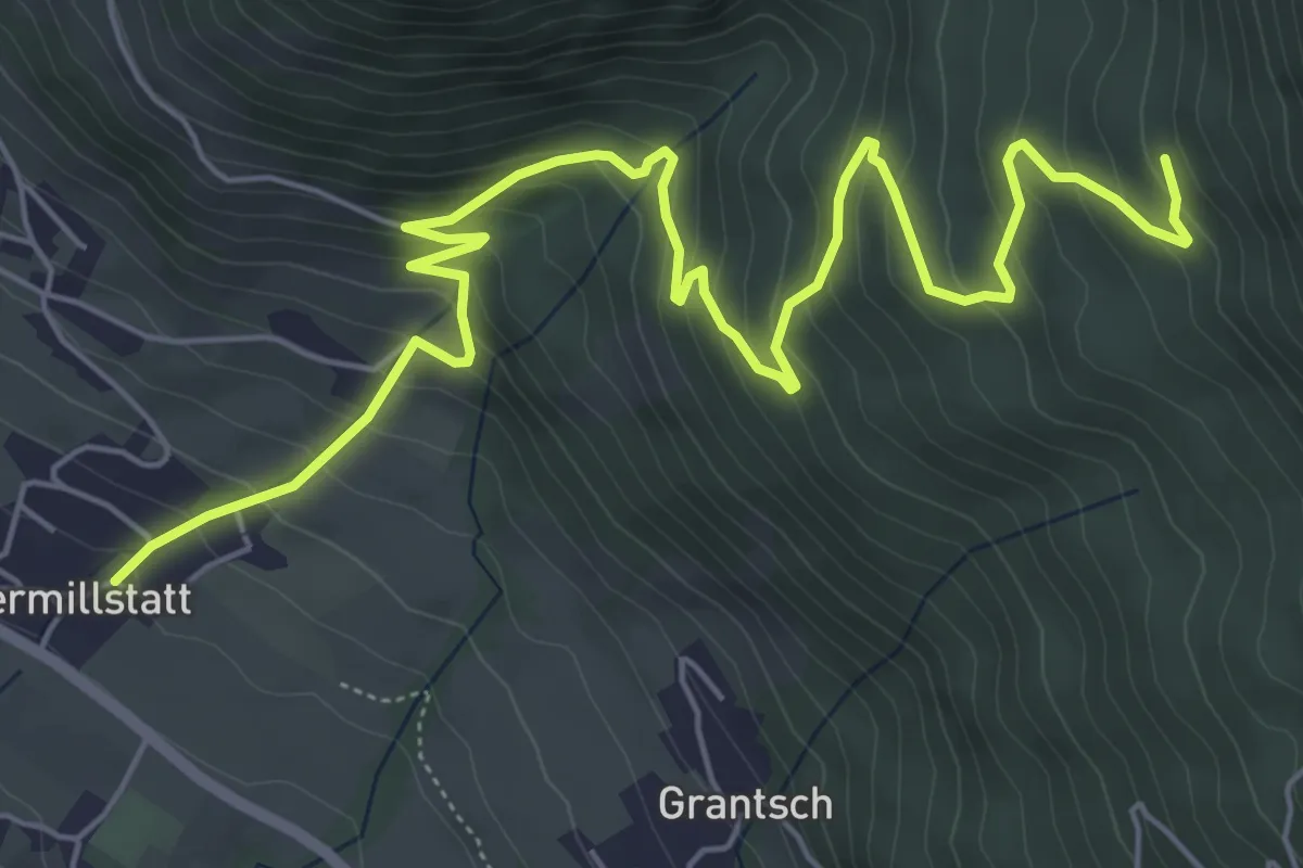
Medium · Trail
Lärchriegelsteig - 192
8.0 km · ↑ 546 m · 3 h 4 min
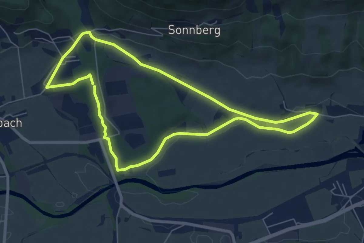
Easy · Trail
Lärchschachenweg
5.3 km · ↑ 48 m · 1 h 26 min
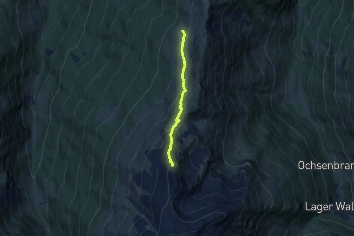
Demanding · Summit
Largoz Alm - Haneburger
5.5 km · ↑ 527 m · 2 h 26 min
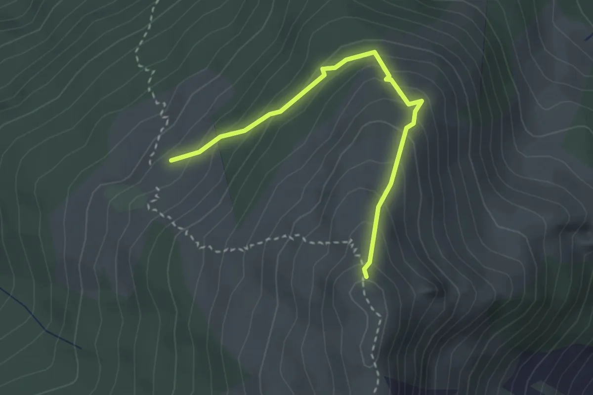
Medium · Summit
Largoz Alm - Largoz
2.8 km · ↑ 272 m · 1 h 16 min
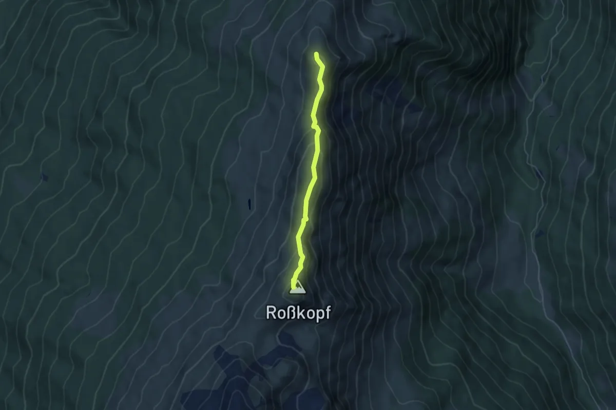
Medium · Summit
Largoz - Rosskopf
4.1 km · ↑ 204 m · 1 h 24 min
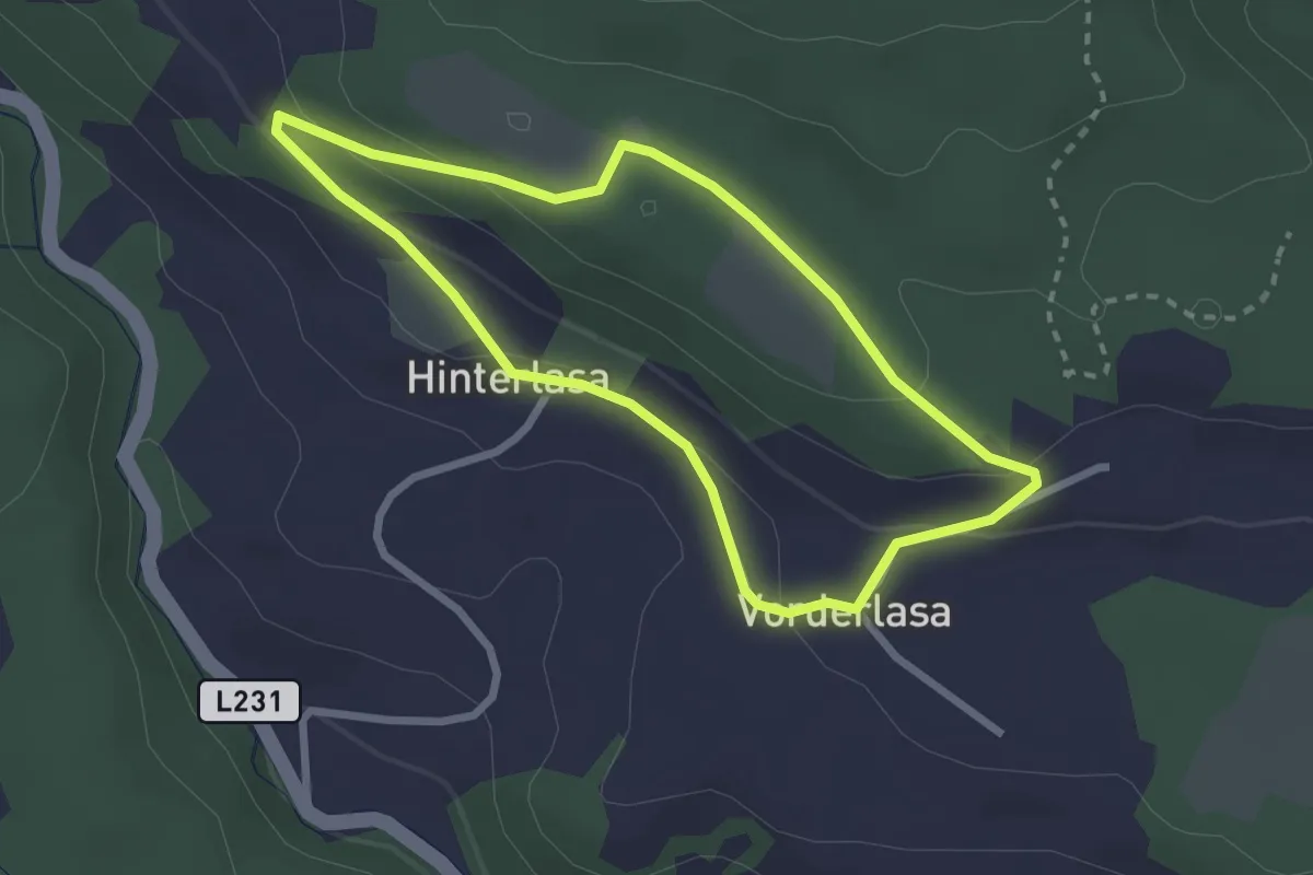
Easy · Trail
Lasarundweg
2.4 km · ↑ 85 m · 46 min
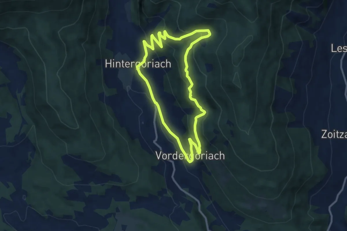
Easy · Trail
Lasenrundweg
7.6 km · ↑ 307 m · 2 h 33 min
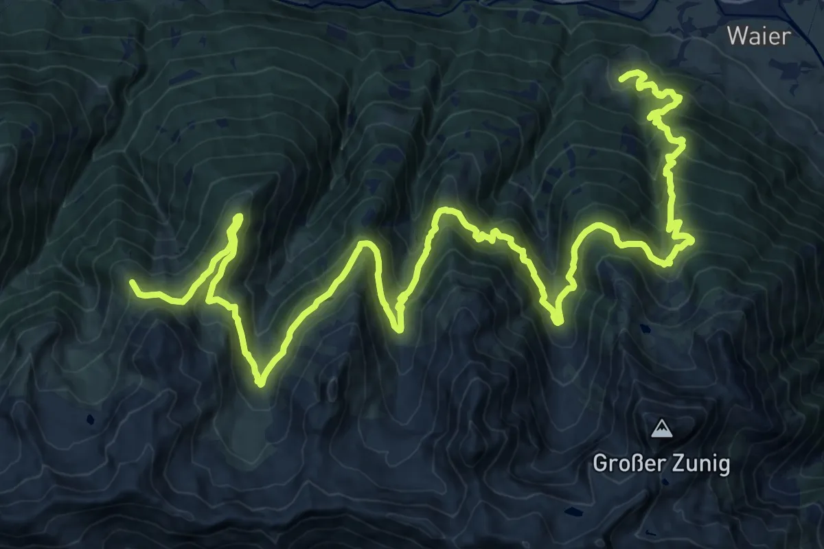
Demanding · Summit
Lasörling Höhenweg Etappe 1
33.5 km · ↑ 2214 m · 12 h 43 min
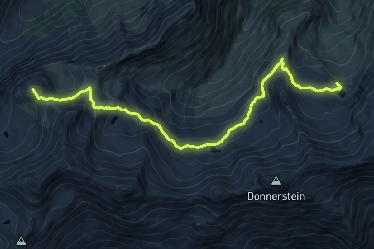
Demanding · Summit
Lasörling Höhenweg Etappe 2
10.3 km · ↑ 428 m · 3 h 21 min
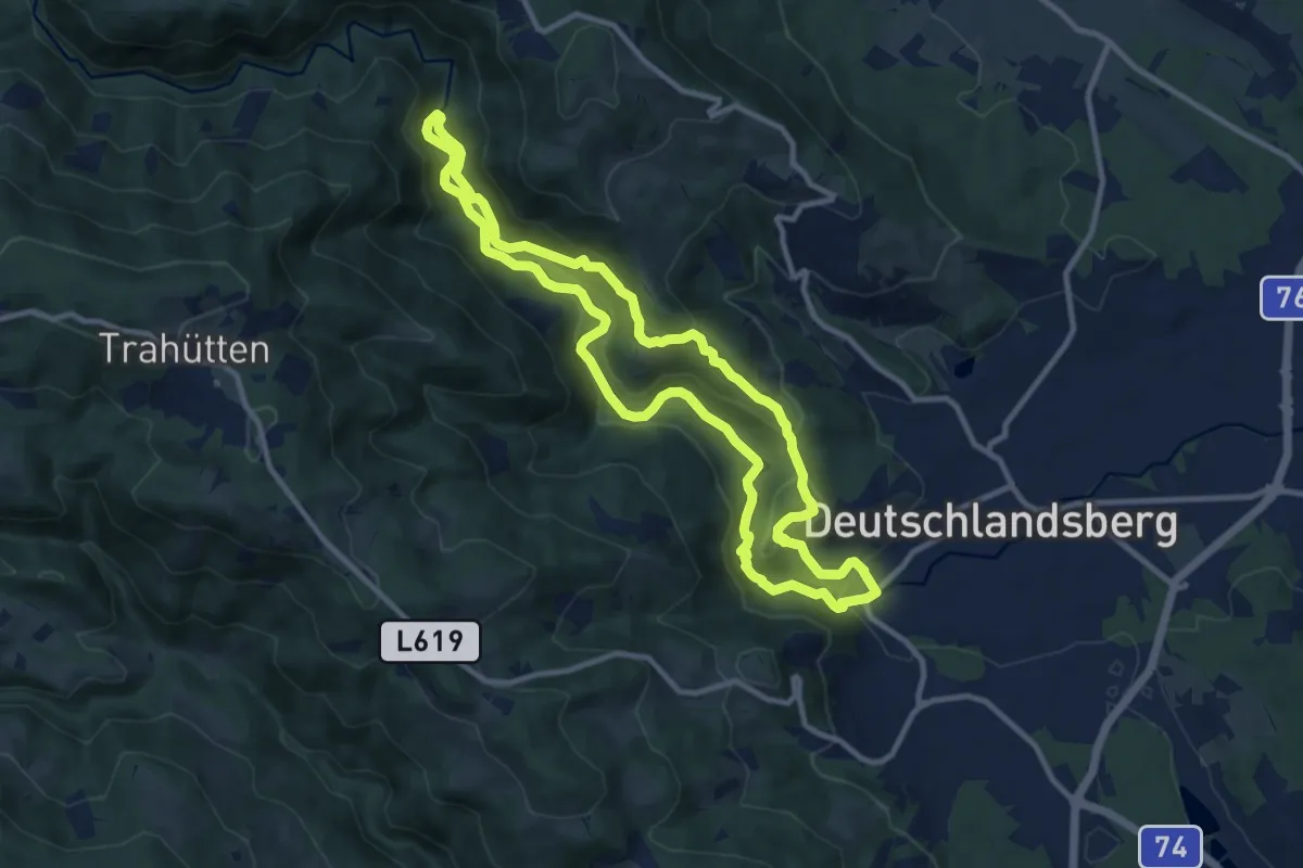
Medium · Trail
Laßnitztalrundweg
10.2 km · ↑ 275 m · 3 h 8 min