Trails in Austria
9,779 hiking trails, each with its route, climb, walking time and grade.
All trails, page 62 of 204
Medium · Cabin
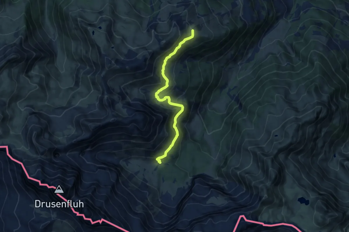
Latschätzer Weg
9.5 km · ↑ 432 m · 3 h 11 min
Medium · Summit
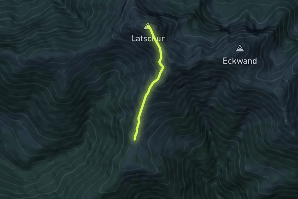
Latschur 264
3.9 km · ↑ 420 m · 1 h 50 min
Easy · Trail
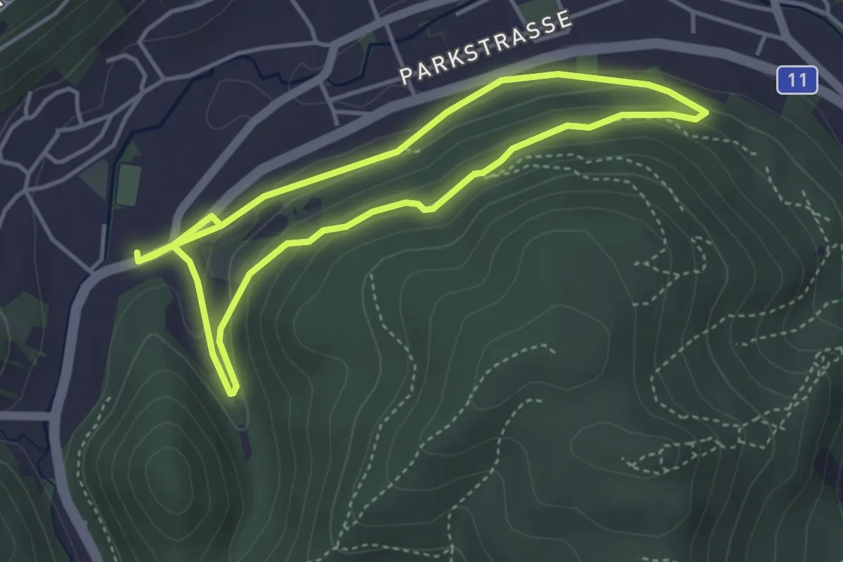
laufend geniessen (Höldrichsmühle)
3.6 km · ↑ 106 m · 1 h 9 min
Easy · Trail
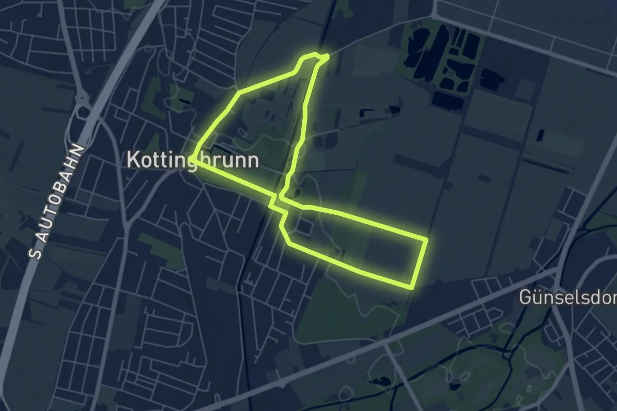
Laufend geniessen (Höllrigl Kottingbrunn)
5.3 km · ↑ 8 m · 1 h 21 min
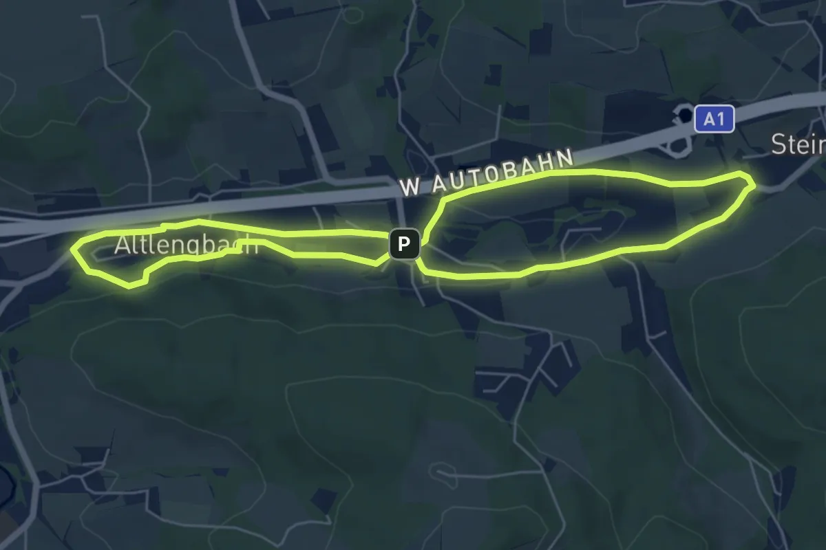
Easy · Trail
laufend geniessen (Hotel Lengbachhof)
5.6 km · ↑ 67 m · 1 h 33 min
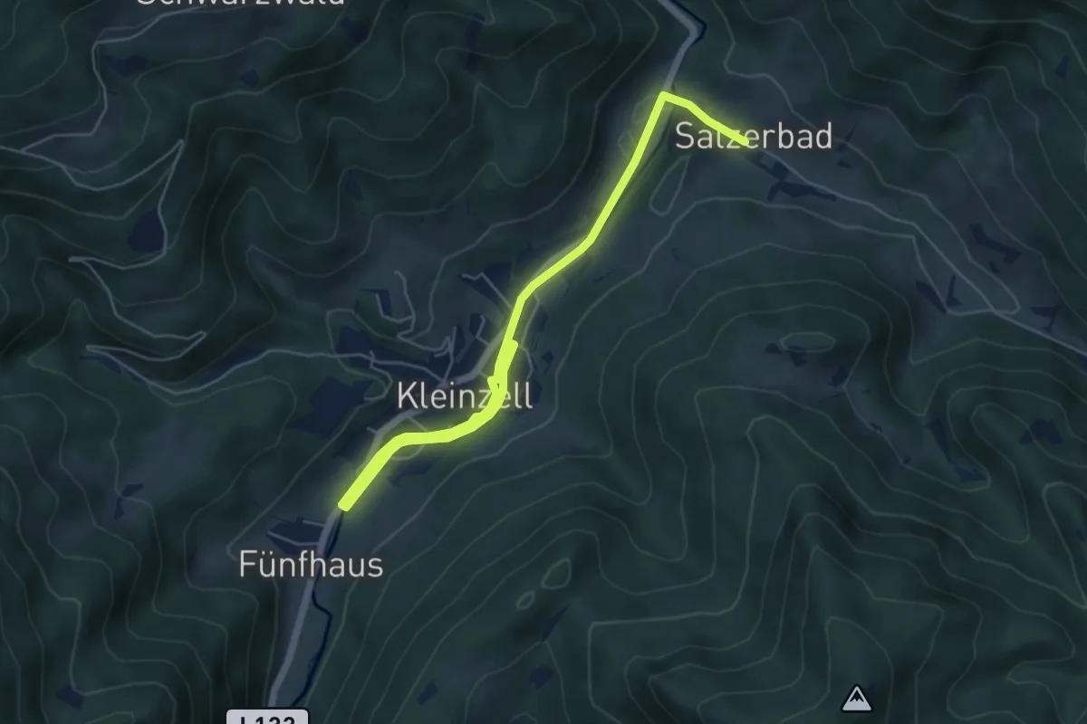
Easy · Trail
Laufend geniessen (Kurhotel Salzerbad)
3.3 km · ↑ 13 m · 51 min
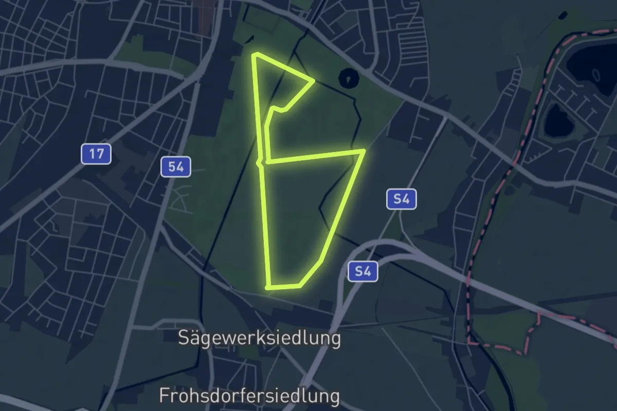
Easy · Trail
Laufparcours TherMilAk (gelbe Stecke)
4.8 km · ↑ 8 m · 1 h 14 min
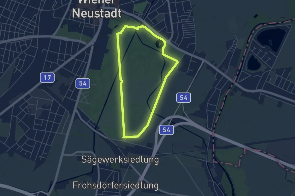
Easy · Trail
Laufparcours TherMilAk (grüne Stecke)
4.6 km · ↑ 8 m · 1 h 10 min
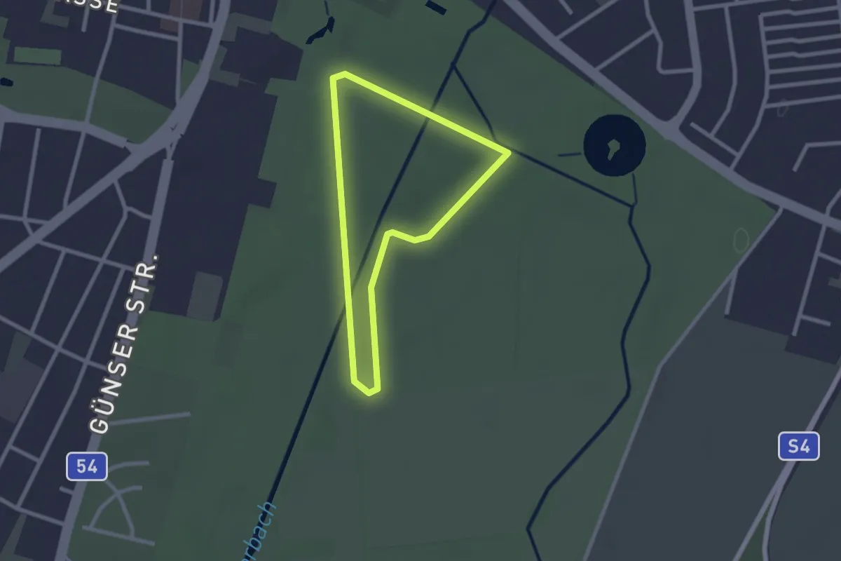
Easy · Trail
Laufparcours TherMilAk (rote Stecke)
2.0 km · ↑ 0 m · 30 min
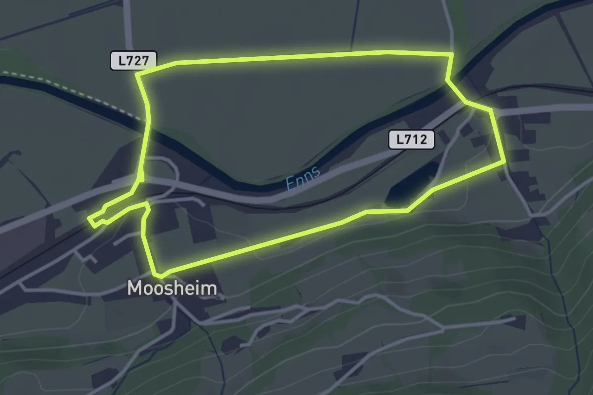
Easy · Trail
Laufrunde Enns 1
3.2 km · ↑ 31 m · 52 min
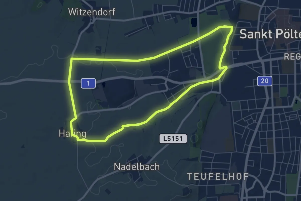
Easy · Trail
Laufrunde Nadelbach (8)
6.9 km · ↑ 41 m · 1 h 48 min
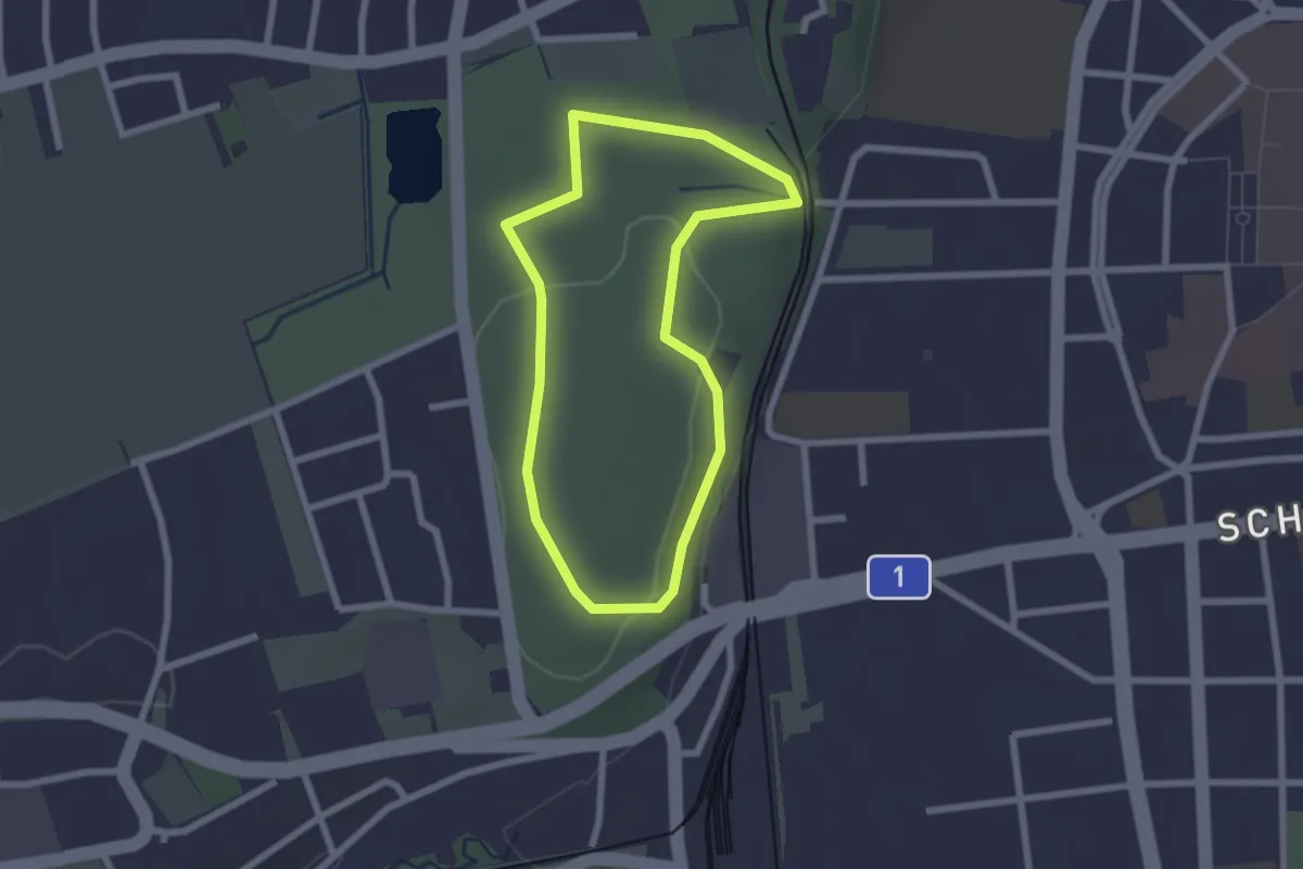
Easy · Trail
Laufrunde Stadtwald (5)
2.0 km · ↑ 13 m · 32 min
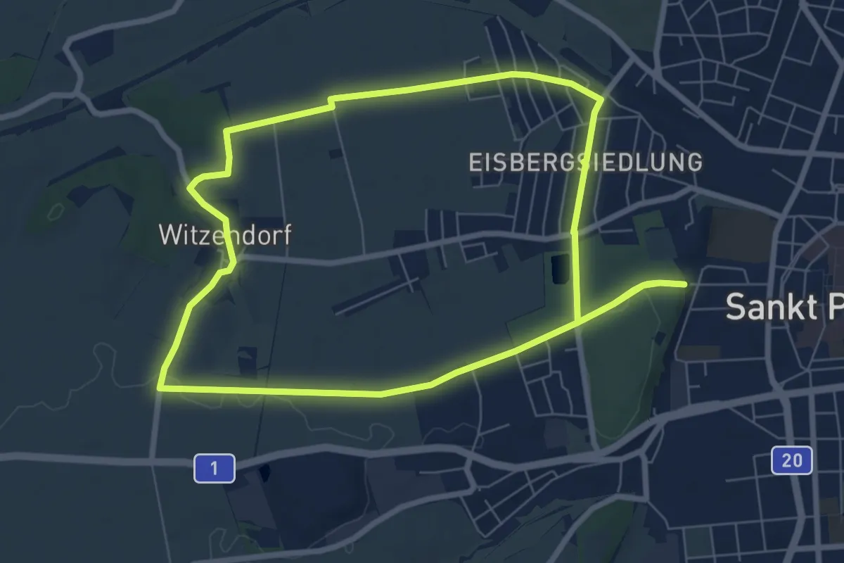
Easy · Trail
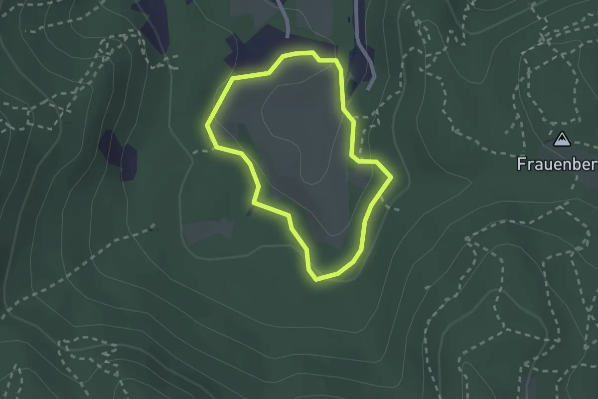
Laufrunde Stilles Tal (6)
7.0 km · ↑ 50 m · 1 h 52 min
Easy · Trail
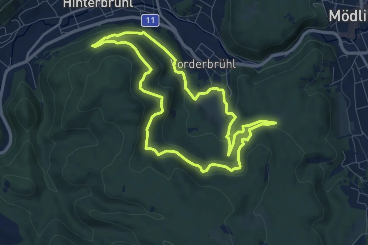
Laufstrecke 1 um Meiereiwiese
1.6 km · ↑ 27 m · 28 min
Easy · Trail
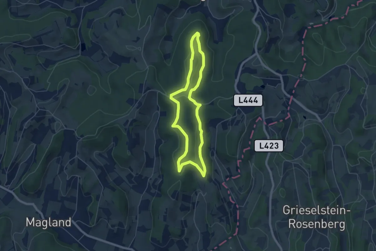
Laufstrecke 2: Meiereiwiese - Matterhörndl - Hinterbrühl - Vorderbrühl Rundkurs
7.3 km · ↑ 149 m · 2 h 8 min
Easy · Trail
Laufstrecke (blau)
4.8 km · ↑ 101 m · 1 h 26 min
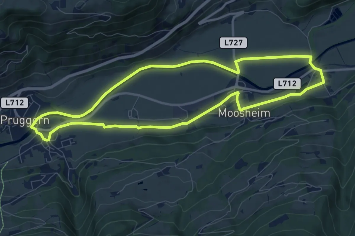
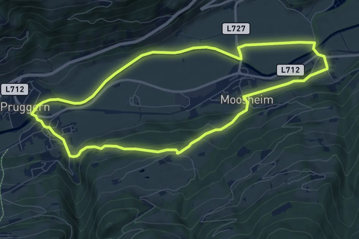
Medium · Trail
Laufstrecke Enns 2
8.0 km · ↑ 32 m · 2 h 4 min
Medium · Trail
Laufstrecke Enns 2 über Birgseitn
8.2 km · ↑ 166 m · 2 h 25 min
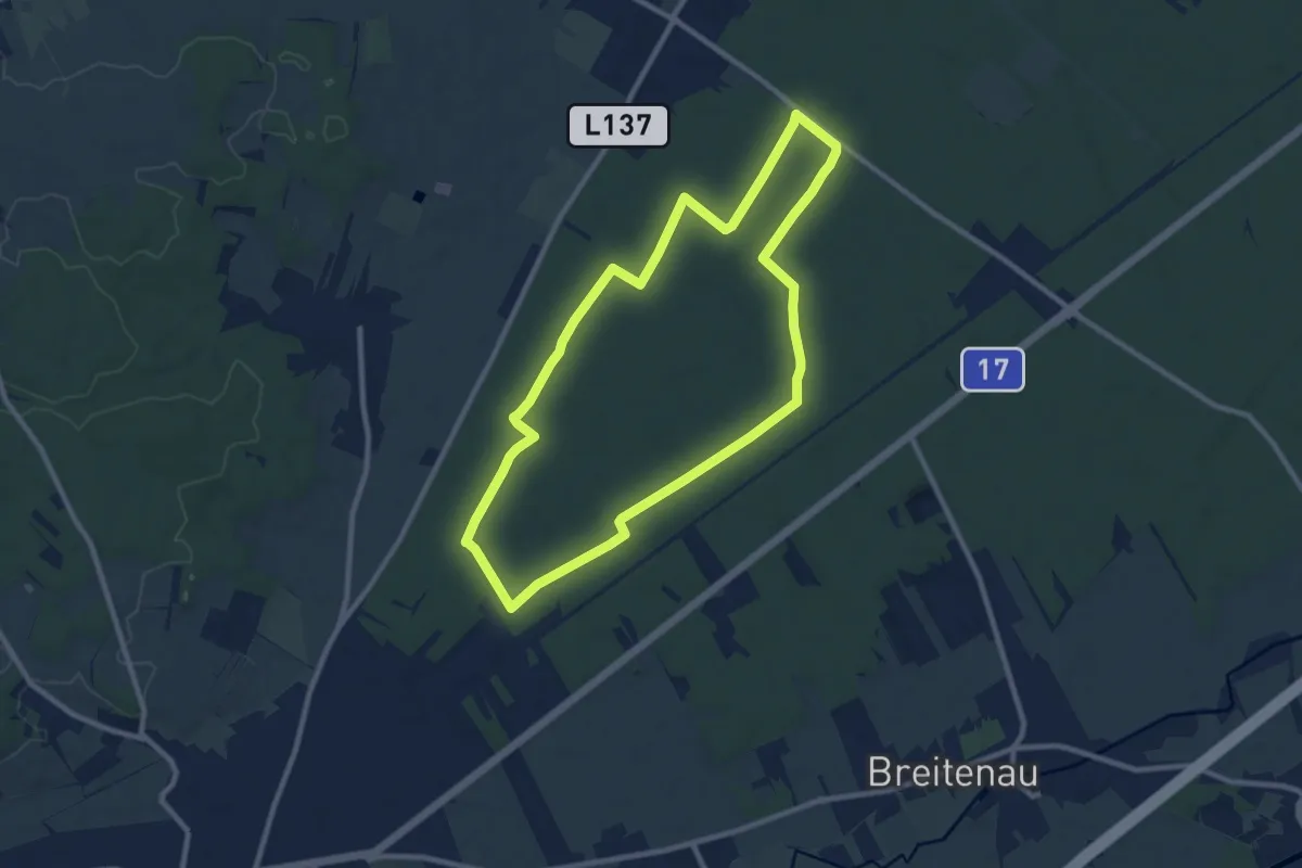
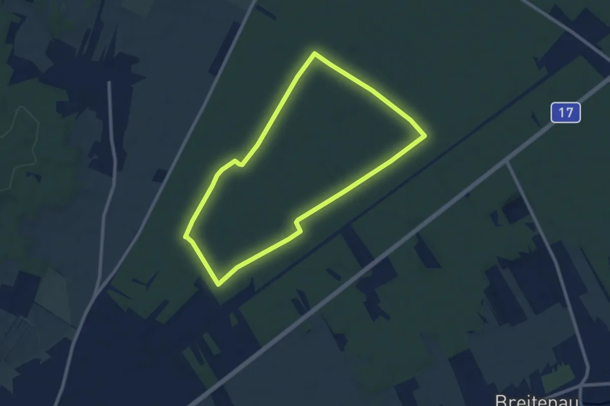
Medium · Trail
Laufstrecke Föhrenwald 1
9.0 km · ↑ 20 m · 2 h 17 min
Easy · Trail
Laufstrecke Föhrenwald 2
6.0 km · ↑ 12 m · 1 h 31 min
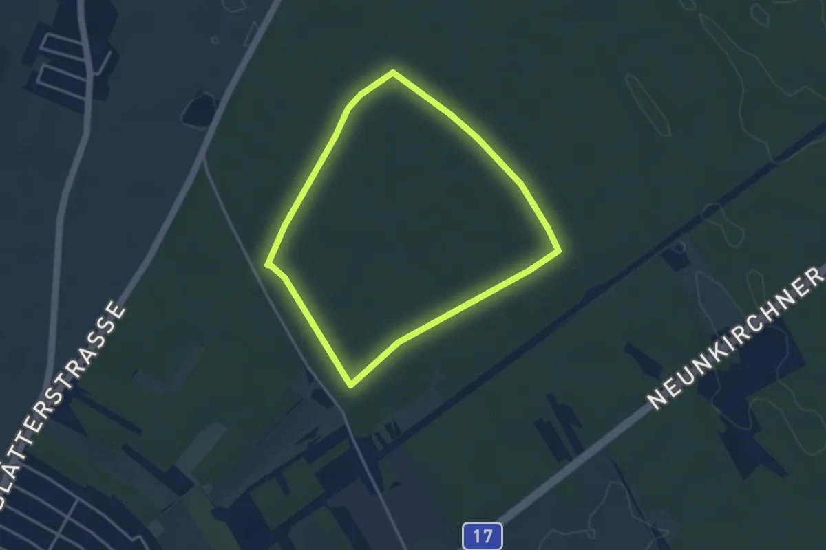
Easy · Trail
Laufstrecke Föhrenwald 3
3.0 km · ↑ 4 m · 45 min
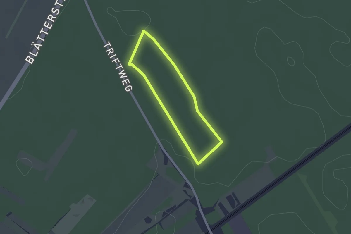
Easy · Trail
Laufstrecke Föhrenwald 4
1.4 km · ↑ 0 m · 20 min
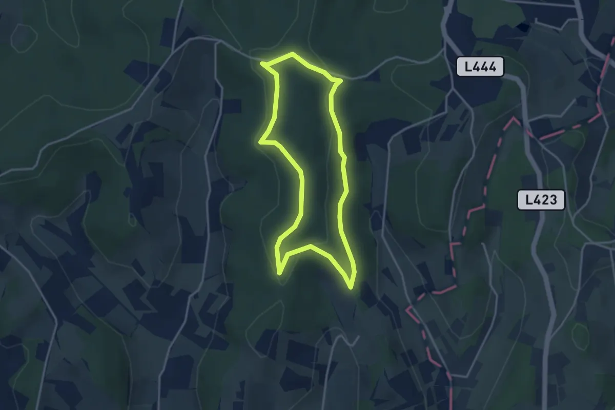
Easy · Trail
Laufstrecke (gelb)
3.0 km · ↑ 51 m · 52 min
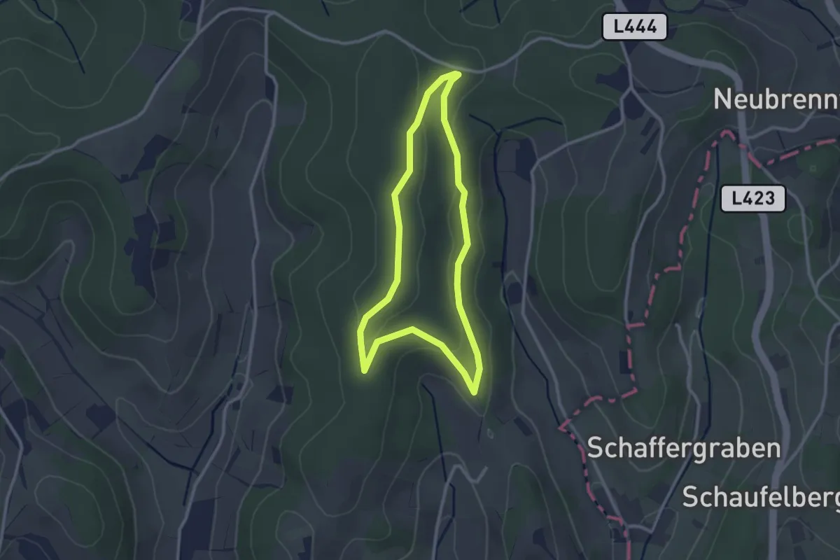
Easy · Trail
Laufstrecke (grün)
2.5 km · ↑ 40 m · 42 min
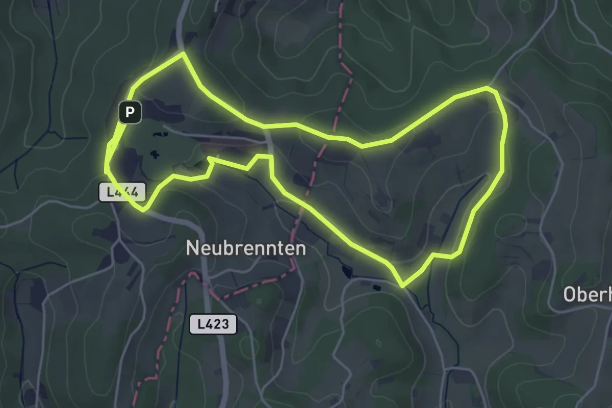
Easy · Trail
Laufstrecke Hotel Runde (orange)
4.8 km · ↑ 88 m · 1 h 24 min
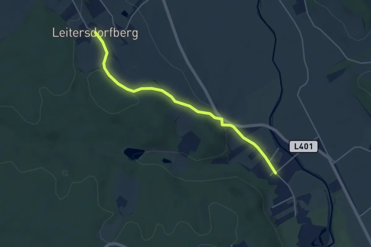
Easy · Trail
Laufstrecke L4
3.9 km · ↑ 71 m · 1 h 5 min
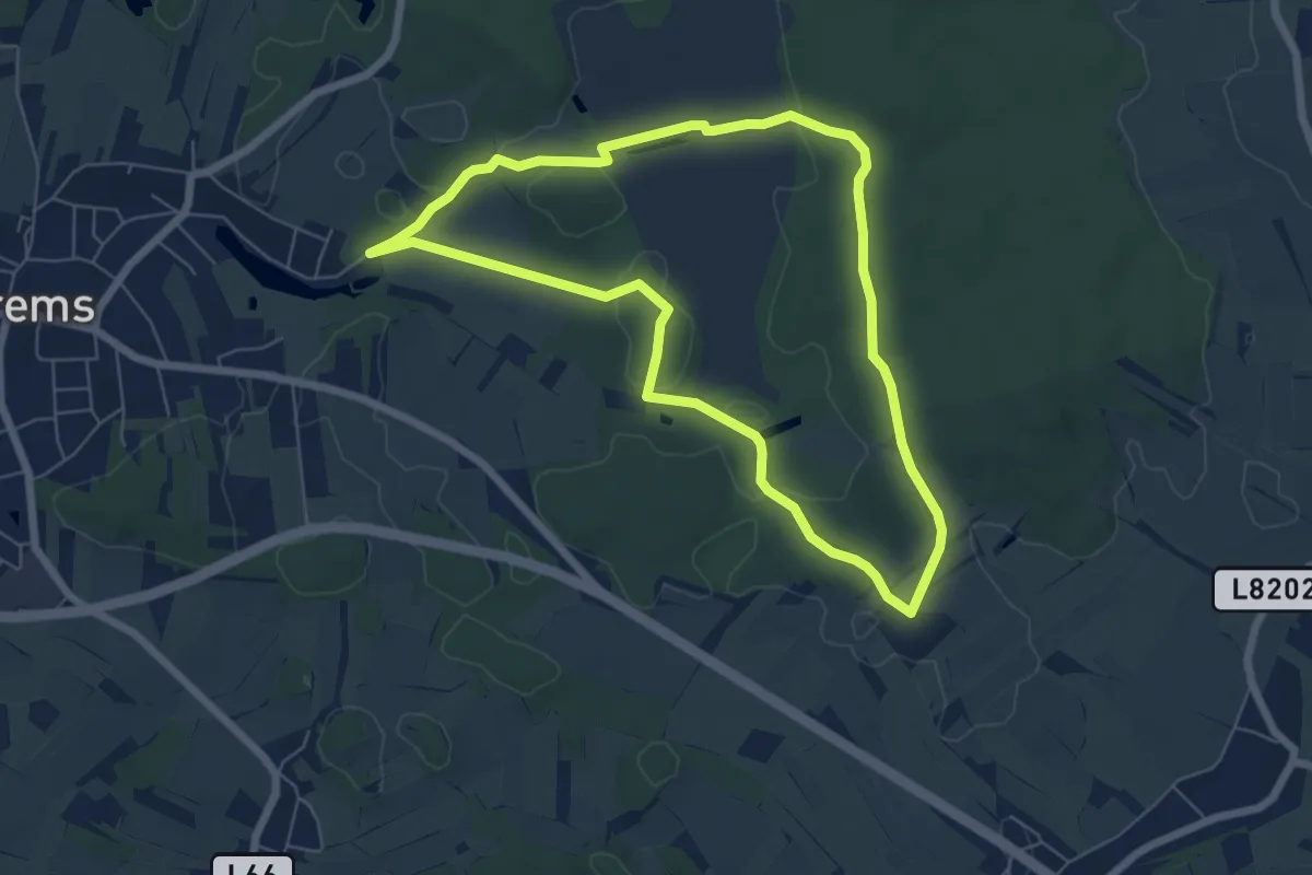
Easy · Trail
Laufstrecke Naturparkrunde (1)
5.9 km · ↑ 28 m · 1 h 32 min
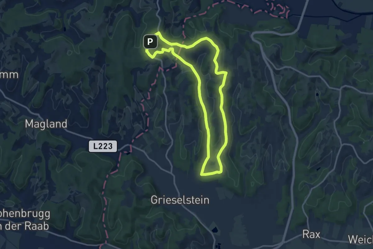
Medium · Trail
Laufstrecke Panorama Runde (schwarz)
10.9 km · ↑ 162 m · 3 h 4 min
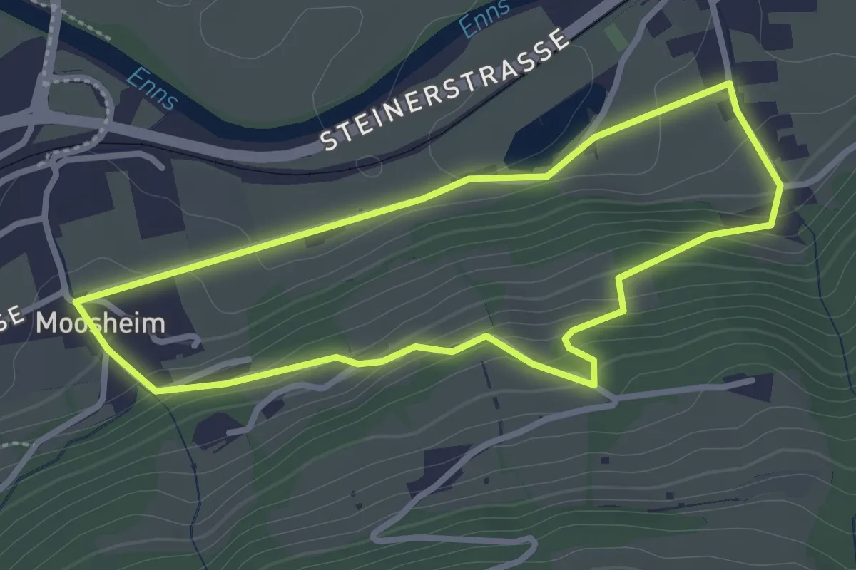
Easy · Trail
Laufstrecke Reslberg
2.6 km · ↑ 120 m · 54 min
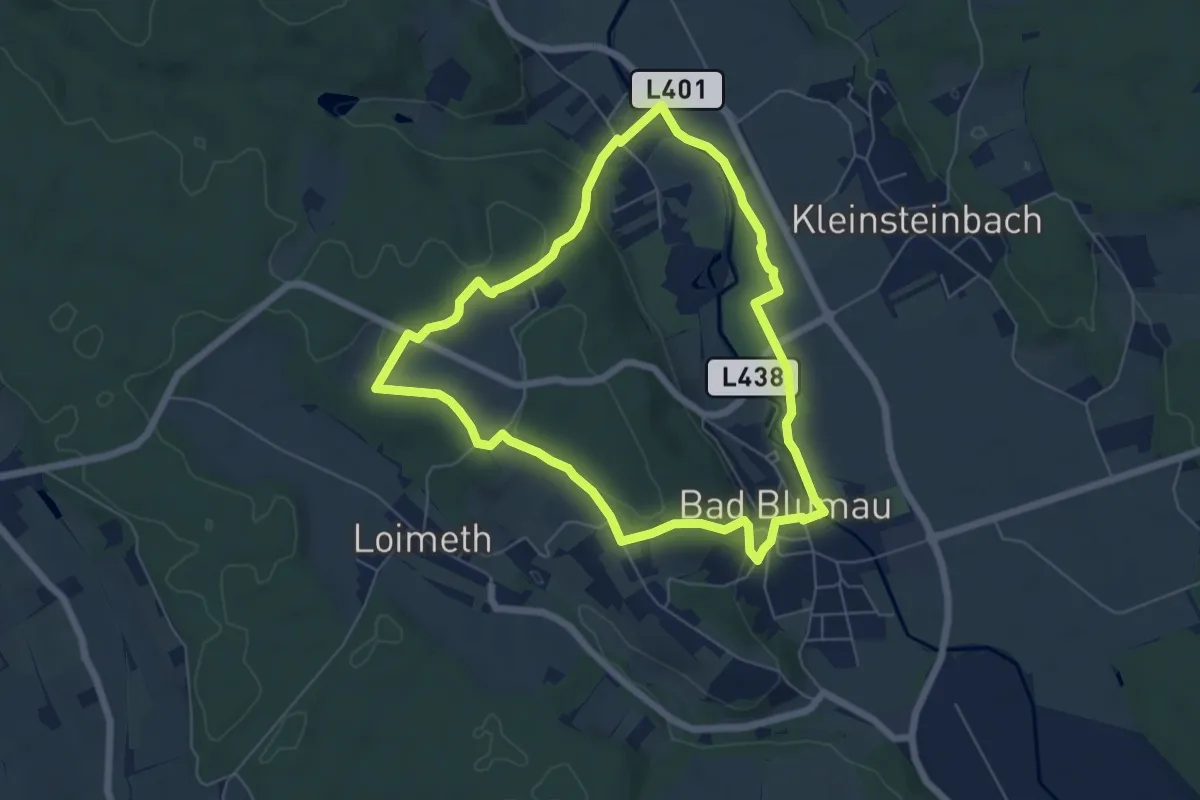
Easy · Trail
Laufstrecke um den Blumauberg
5.9 km · ↑ 83 m · 1 h 39 min
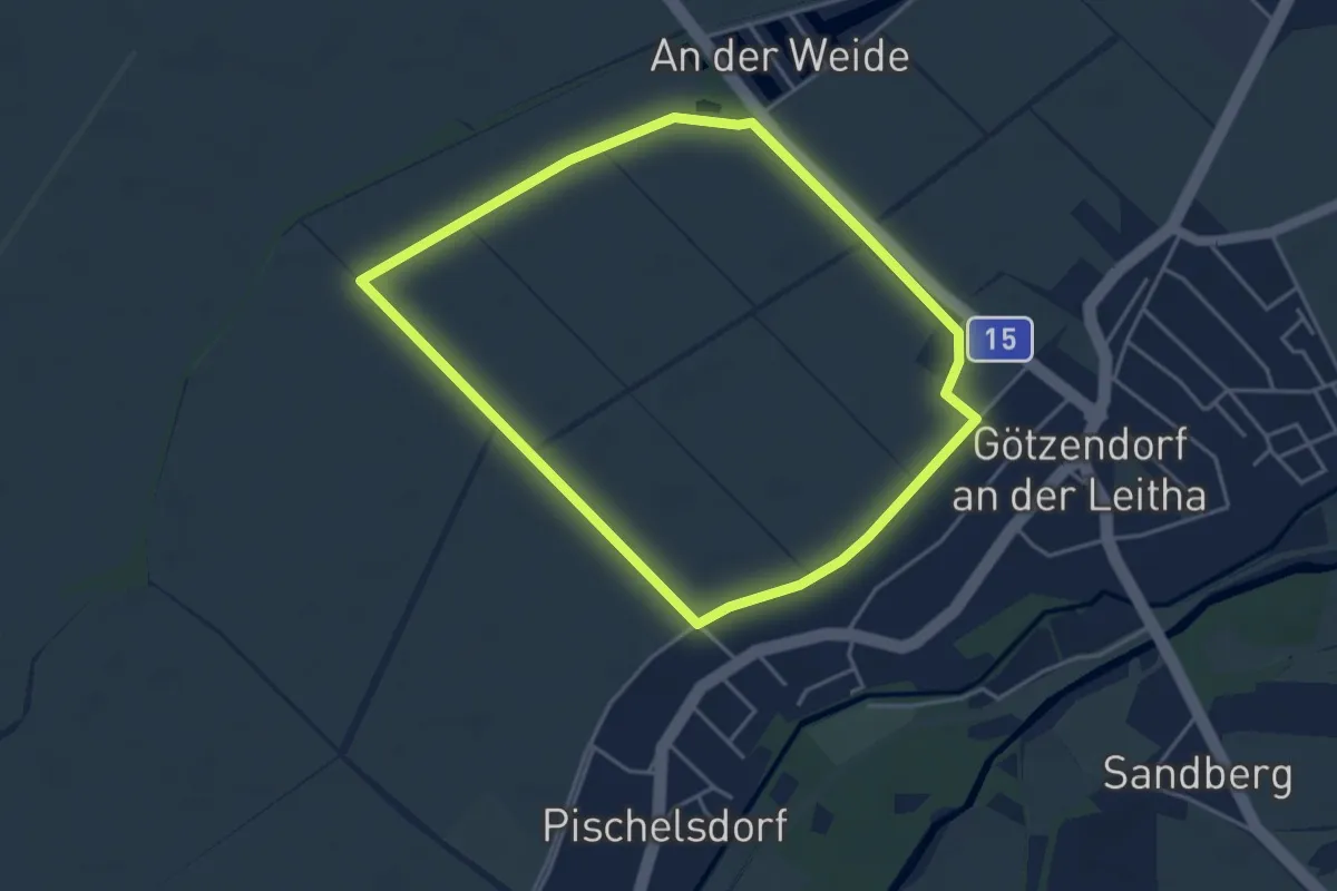
Easy · Trail
Lauf- und Nordic Walking Strecke: Anfänger-Parcours
4.0 km · ↑ 0 m · 1 h
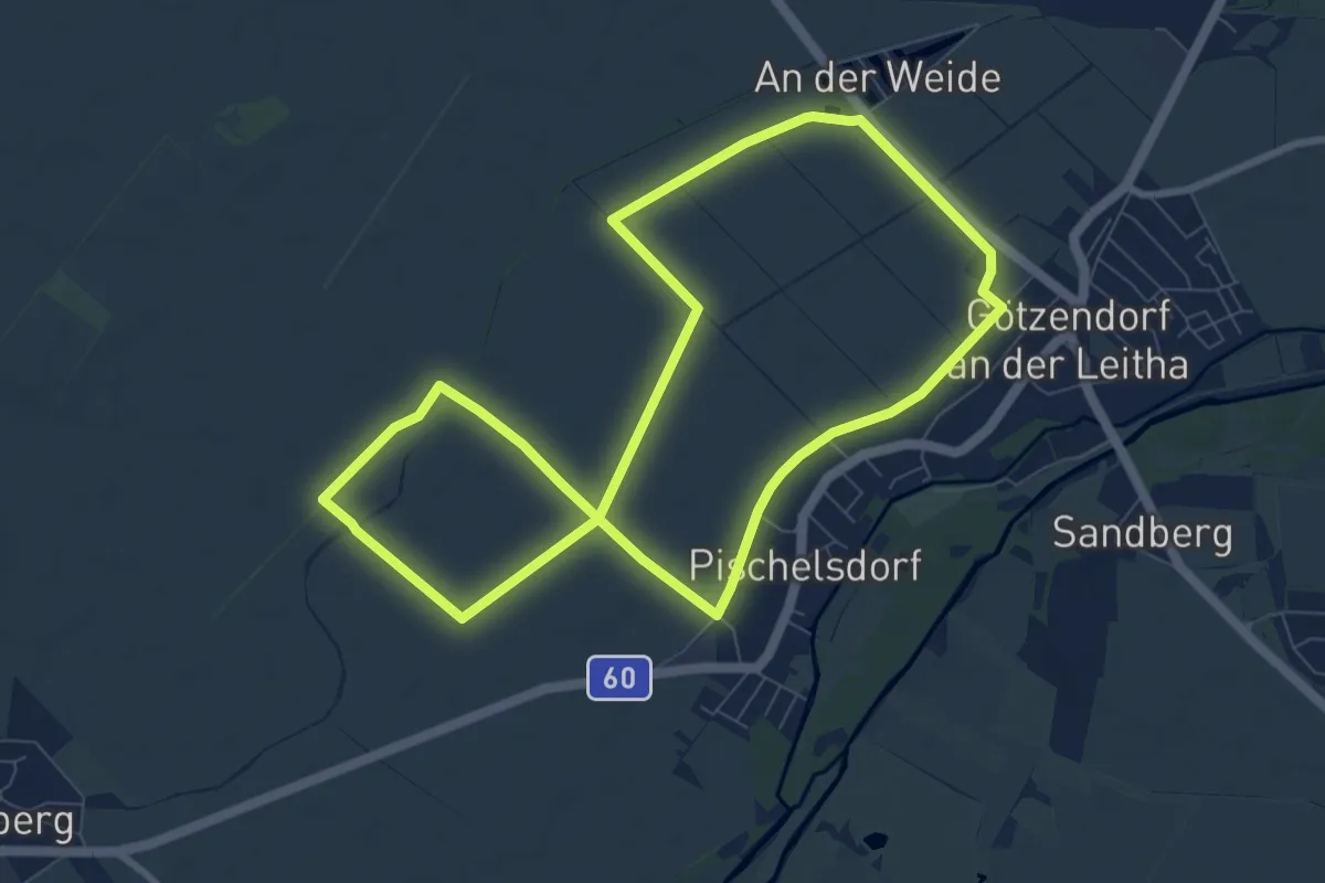
Medium · Trail
Lauf- und Nordic Walking Strecke: Fortgeschrittenen-Parcours
8.3 km · ↑ 4 m · 2 h 5 min
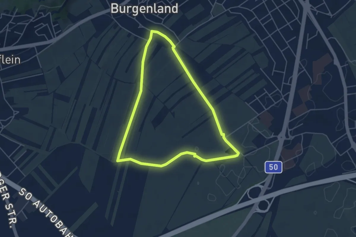
Easy · Trail
Lauf- und Walkingstrecke Kleinhöflein
4.4 km · ↑ 30 m · 1 h 10 min
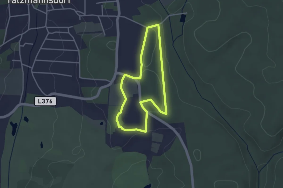
Easy · Trail
Lauf/Walkingweg L17
2.6 km · ↑ 21 m · 42 min
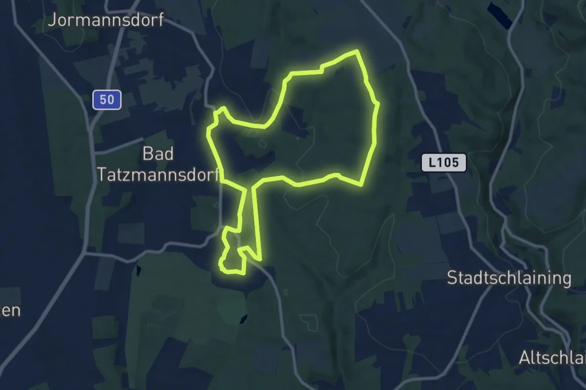
Medium · Trail
Lauf/Walkingweg L18
8.1 km · ↑ 134 m · 2 h 19 min
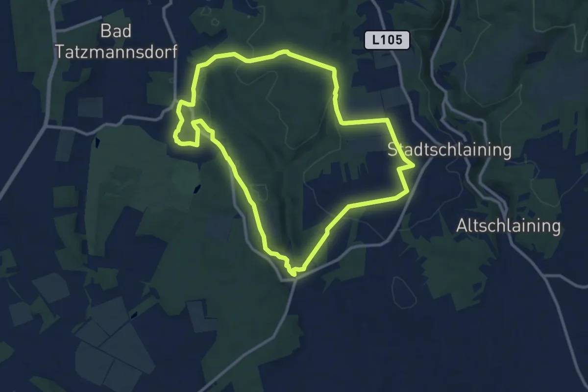
Medium · Trail
Lauf/Walkingweg L19
9.0 km · ↑ 196 m · 2 h 40 min
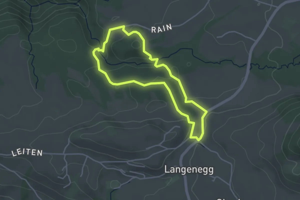
Easy · Trail
Lausbubenweg
3.1 km · ↑ 112 m · 1 h 1 min
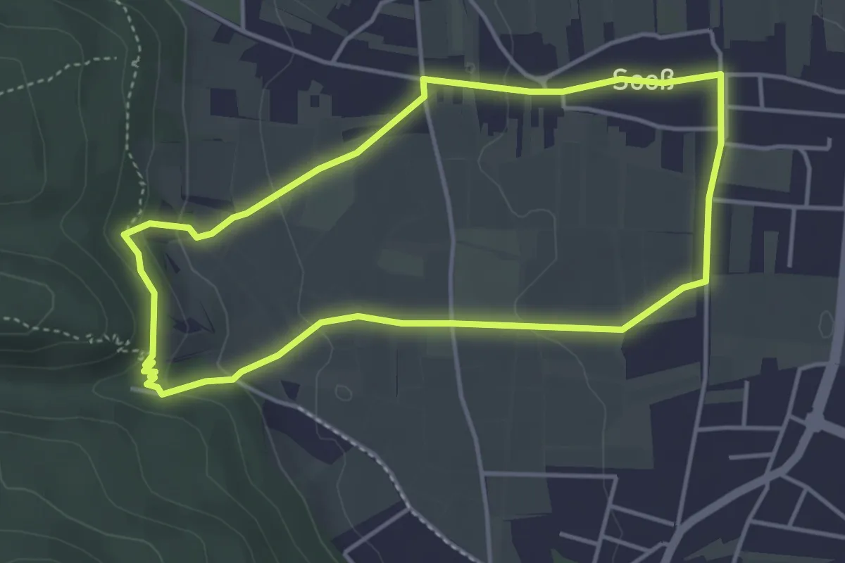
Medium · Trail
Lausturmweg
3.8 km · ↑ 85 m · 1 h 9 min
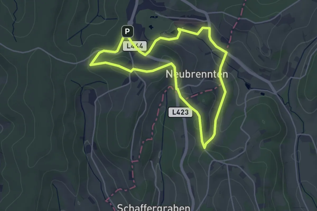
Easy · Trail
Lautenberg/Schaufelberg Runde (Weg 7)
3.8 km · ↑ 92 m · 1 h 8 min
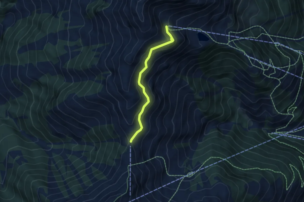
Easy · Trail
Leben in Schnee und Eis
4.0 km · ↑ 180 m · 1 h 21 min
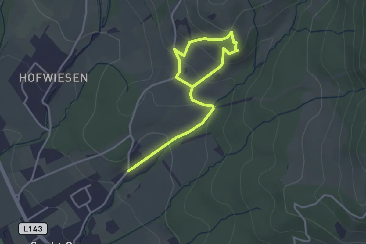
Easy · Trail
Lebensbaumpfad
1.9 km · ↑ 65 m · 38 min
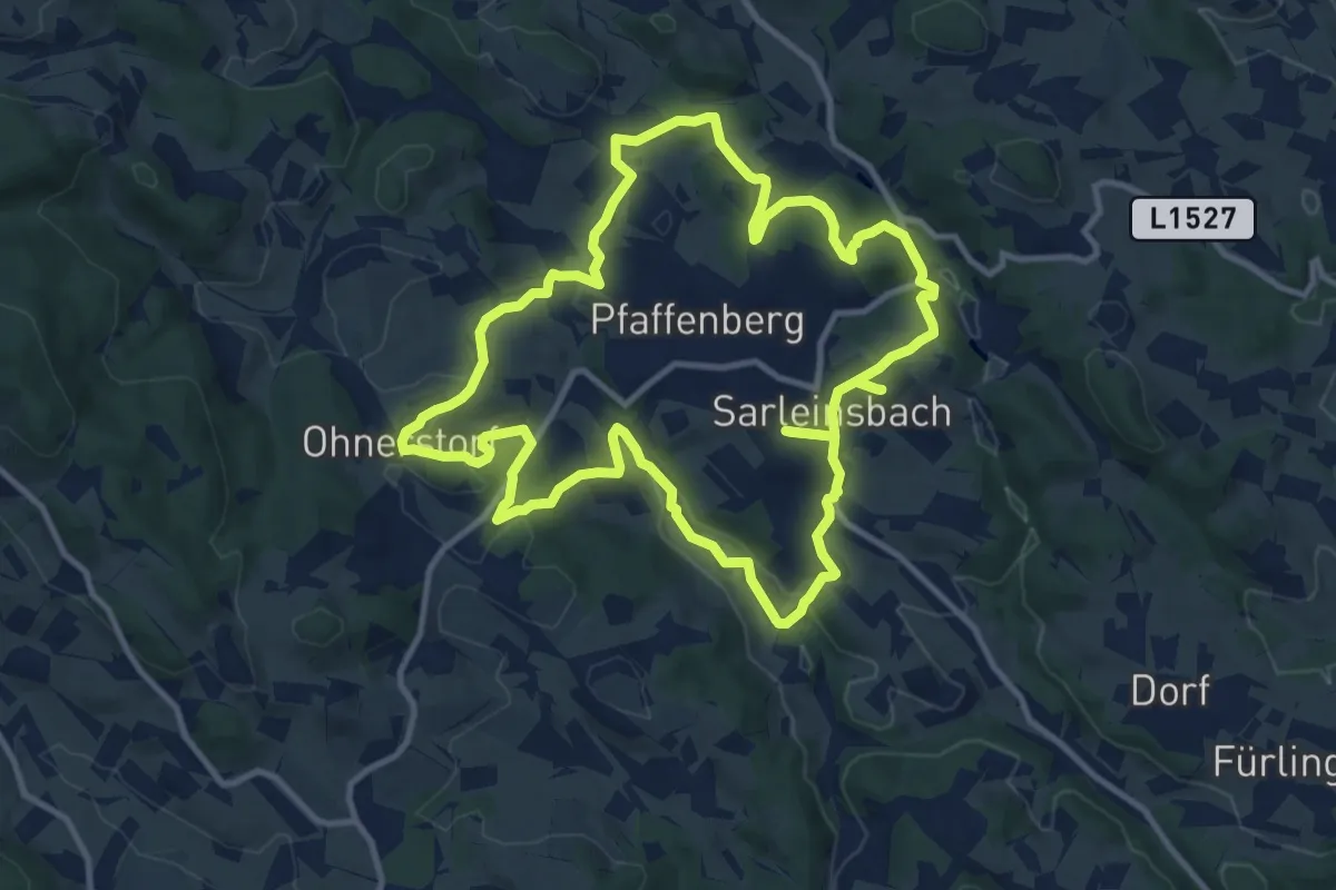
Medium · Summit
Lebensblickeweg
11.4 km · ↑ 361 m · 3 h 38 min
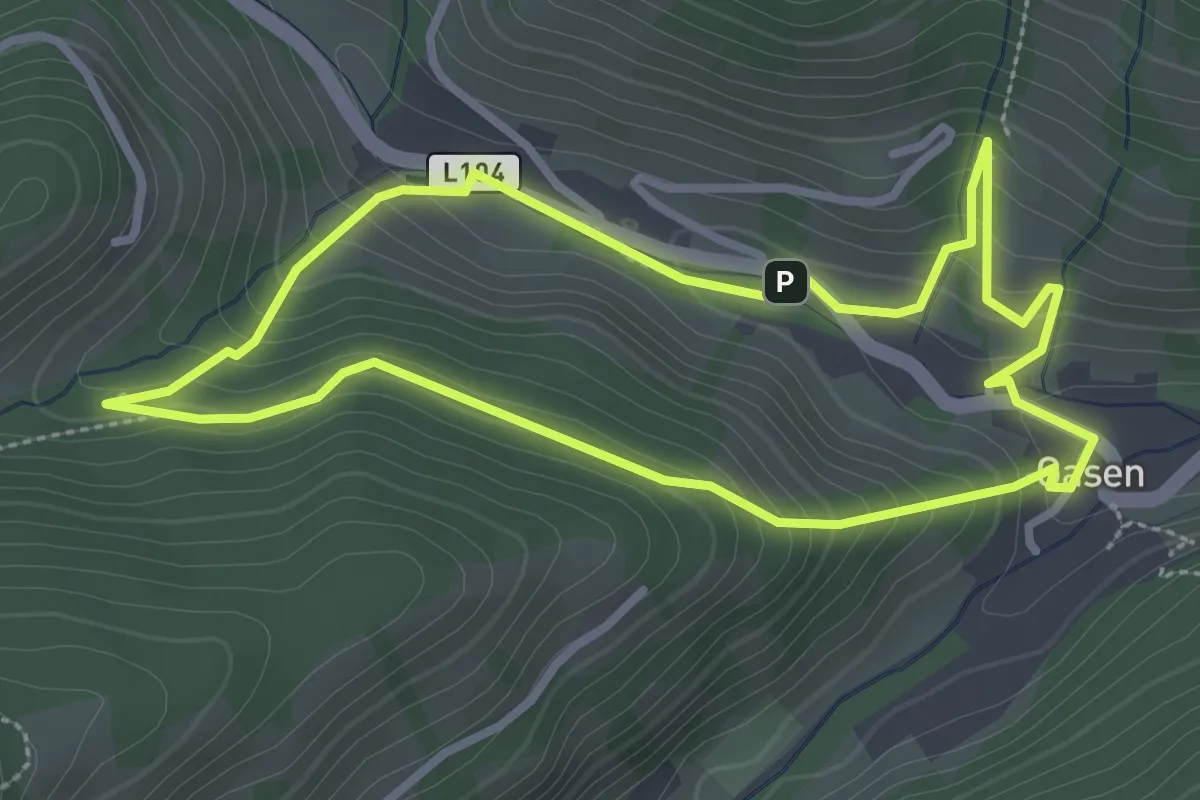
Medium · Trail
Lebensquell und Naturgefahr: Hochwasserschutz Erlebnisweg
2.9 km · ↑ 158 m · 1 h 4 min
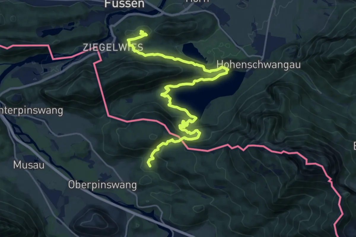
Demanding · Summit
Lechweg
19.0 km · ↑ 933 m · 6 h 30 min
Medium · Summit
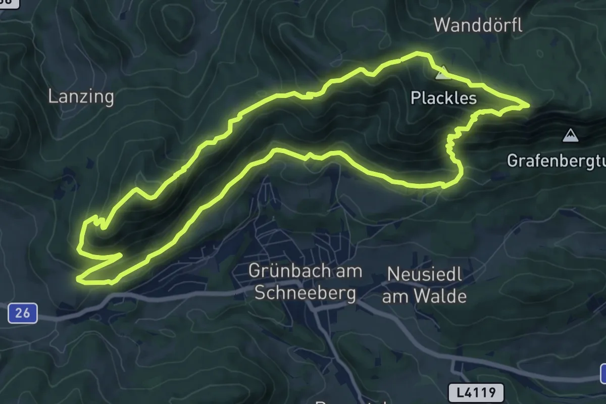
Legenstein-Runde
11.1 km · ↑ 668 m · 4 h 13 min
Easy · Trail
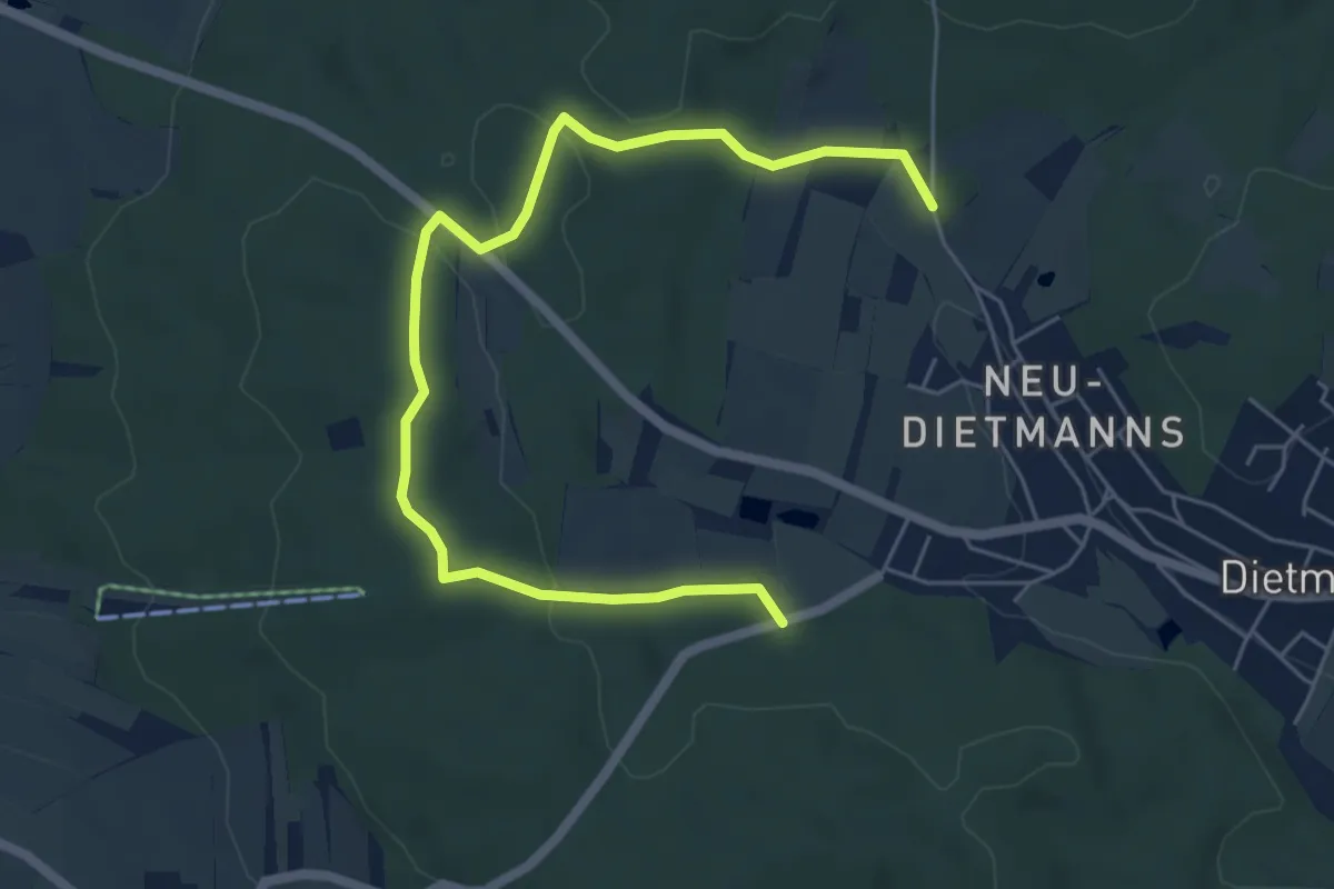
Lehrpfad
6.5 km · ↑ 104 m · 1 h 45 min
Medium · Trail
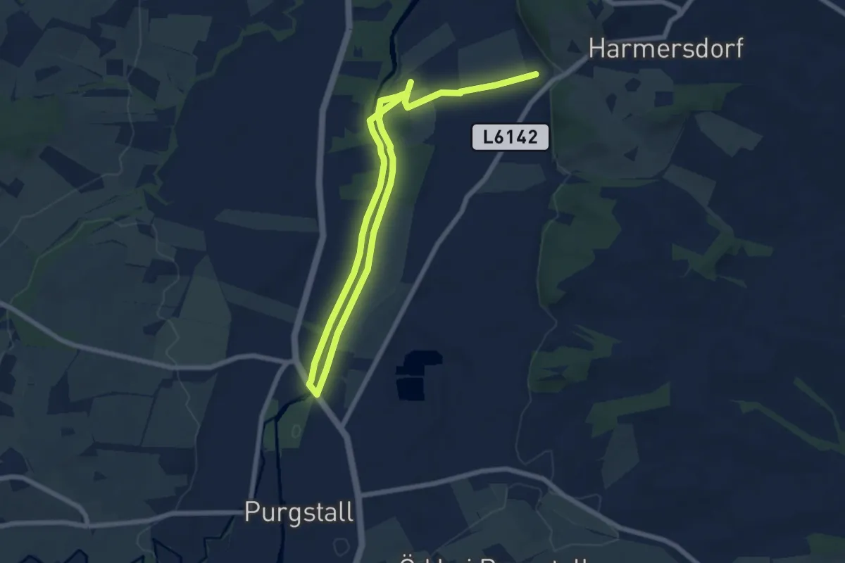
Lehrpfad Wald- und Flurgehölze
10.2 km · ↑ 42 m · 2 h 30 min
Expert · Trail
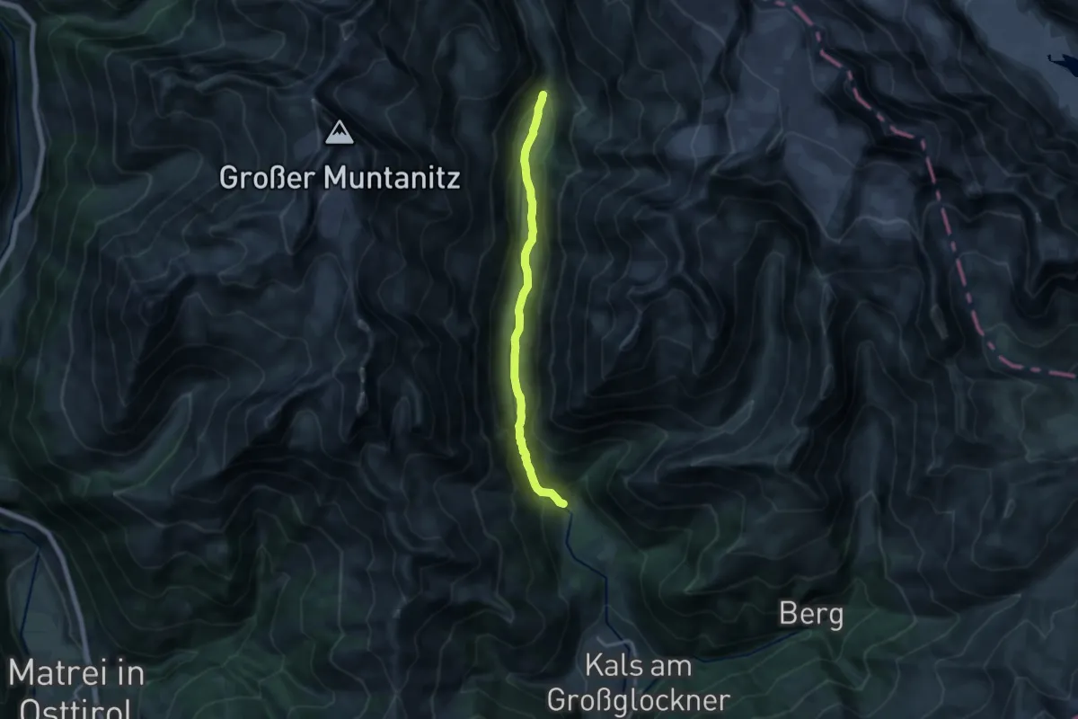
Lehrweg Dorfertal
12.8 km · ↑ 372 m · 3 h 50 min