Trails in Austria
9,779 hiking trails, each with its route, climb, walking time and grade.
All trails, page 63 of 204
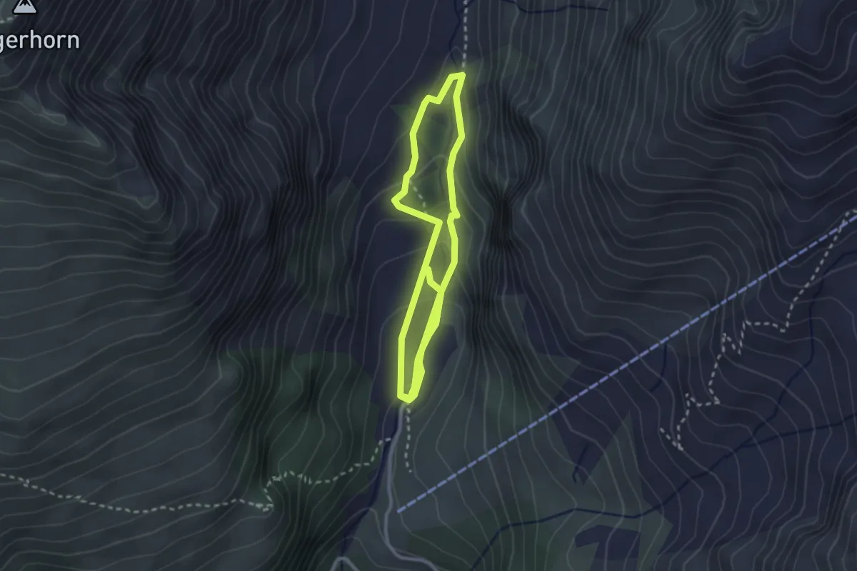
Medium · Trail
Lehrweg Glocknerspur BergeDenken
4.9 km · ↑ 237 m · 1 h 40 min
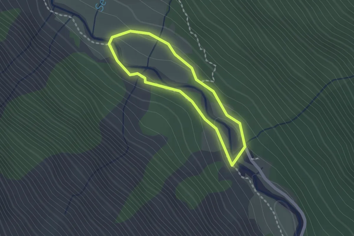
Medium · Trail
Lehrweg Oberhauser Zirbenwald
1.3 km · ↑ 29 m · 23 min
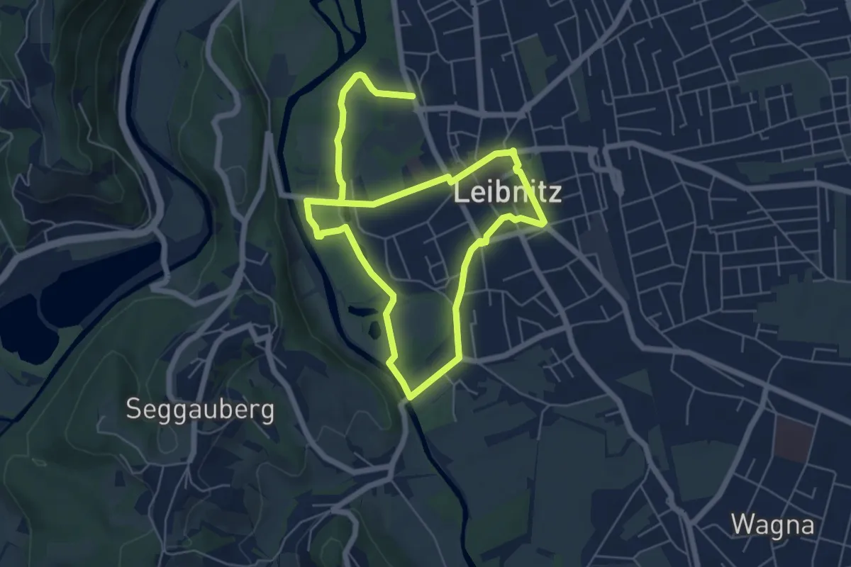
Medium · Trail
Leibnitzer-Genussplatzrunde
10.0 km · ↑ 8 m · 2 h 22 min
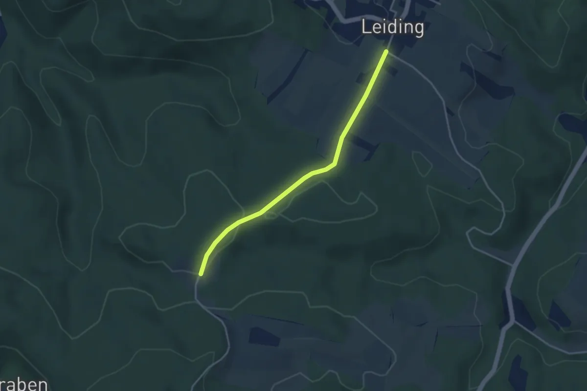
Easy · Trail
Leiding - Arzberg
3.2 km · ↑ 40 m · 50 min
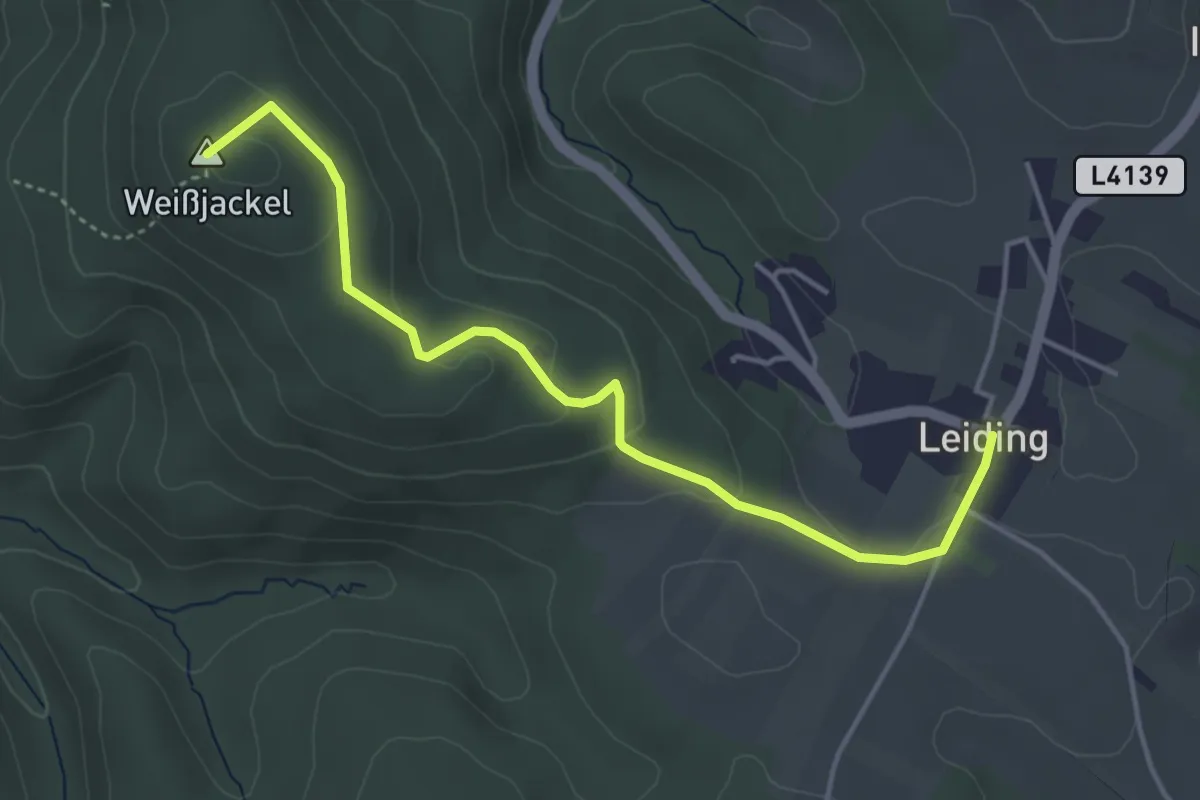
Easy · Summit
Leiding - Weißjackl
4.3 km · ↑ 121 m · 1 h 17 min
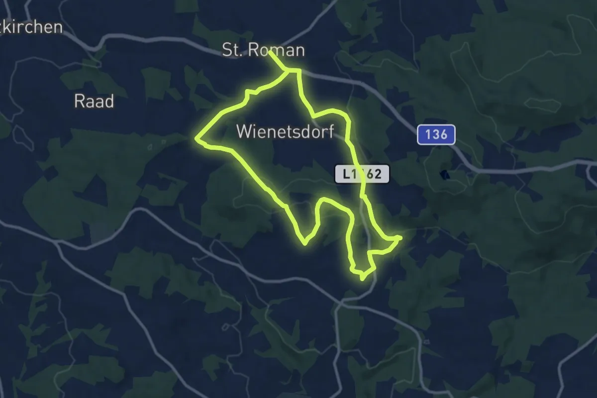
Demanding · Trail
Leimetweg
18.1 km · ↑ 326 m · 4 h 59 min
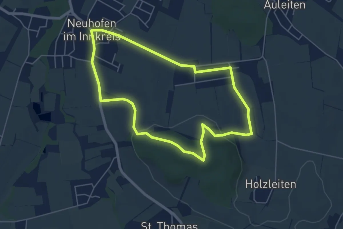
Easy · Trail
Leinberg-Rundweg
4.3 km · ↑ 89 m · 1 h 16 min
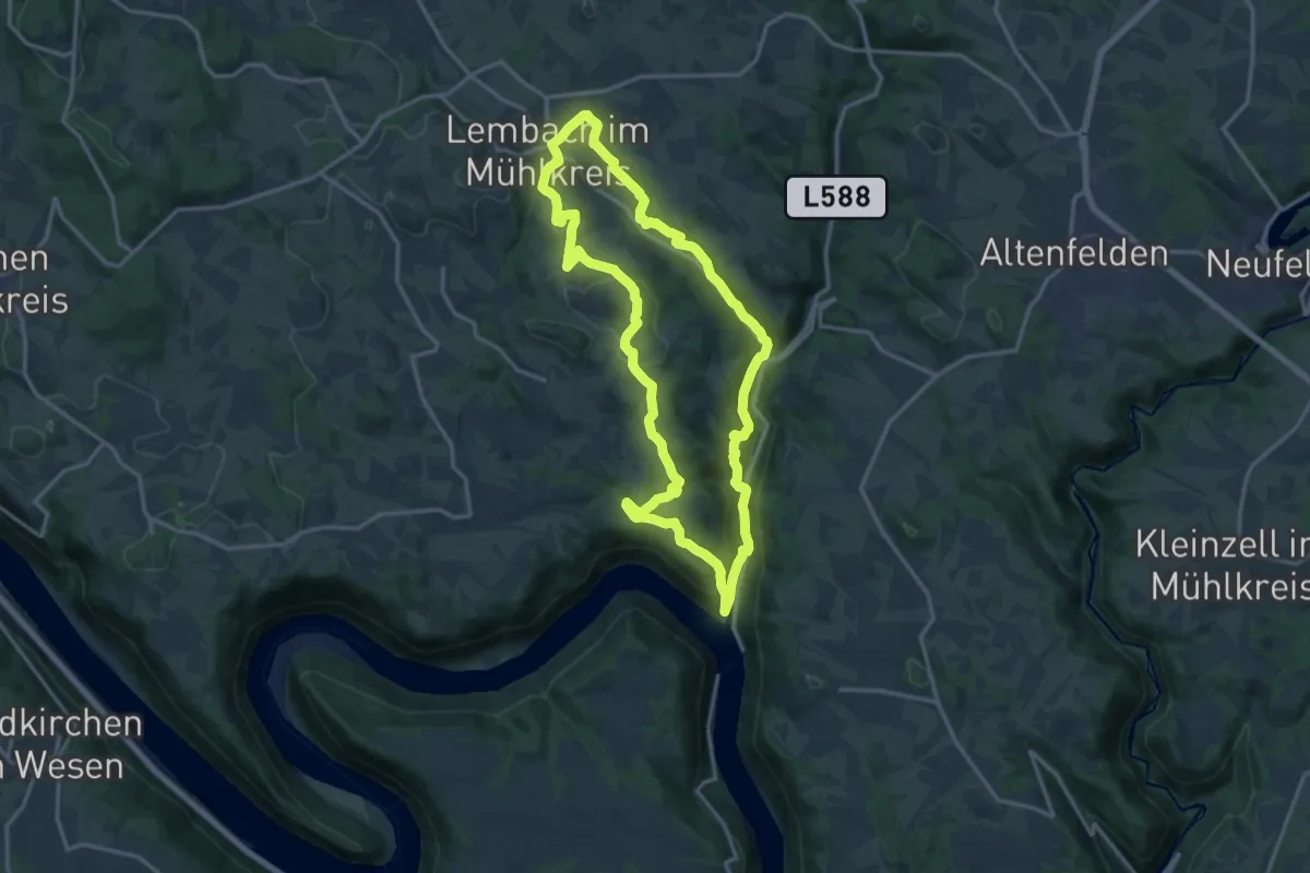
Medium · Trail
Leinenweberweg
14.9 km · ↑ 522 m · 4 h 52 min
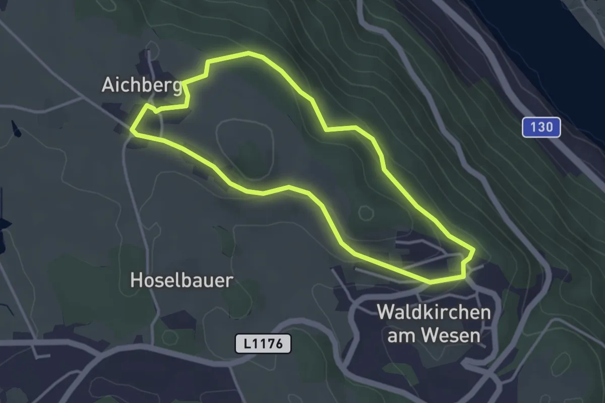
Easy · Trail
Leitenbauerhügelweg
3.2 km · ↑ 78 m · 57 min
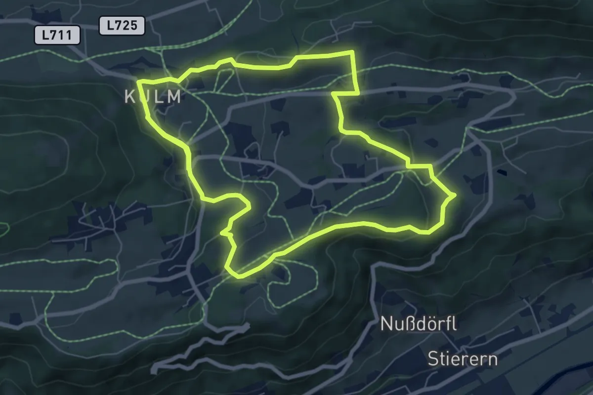
Medium · Trail
Leitenrundweg
13.6 km · ↑ 318 m · 3 h 54 min
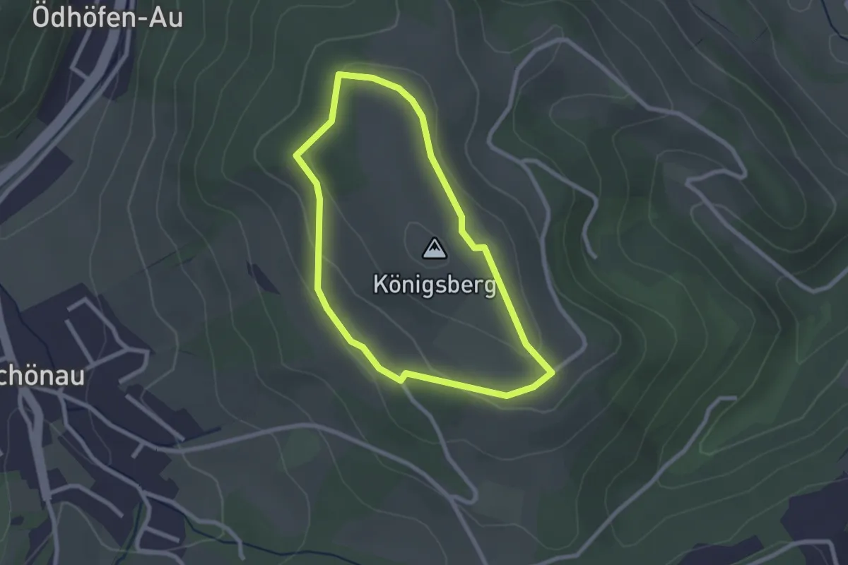
Easy · Summit
Leitenviertler Höhenweg
2.1 km · ↑ 52 m · 38 min
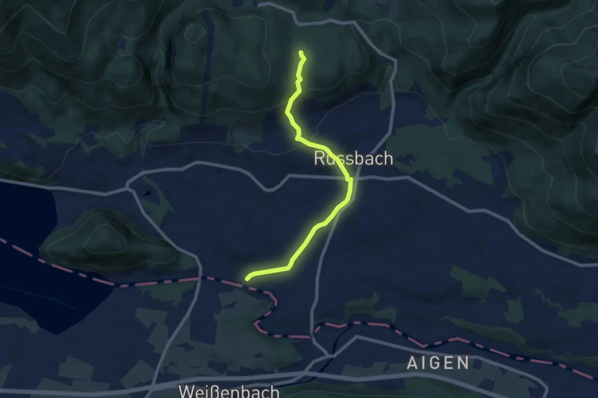
Easy · Trail
Leitenweg
6.3 km · ↑ 191 m · 1 h 55 min
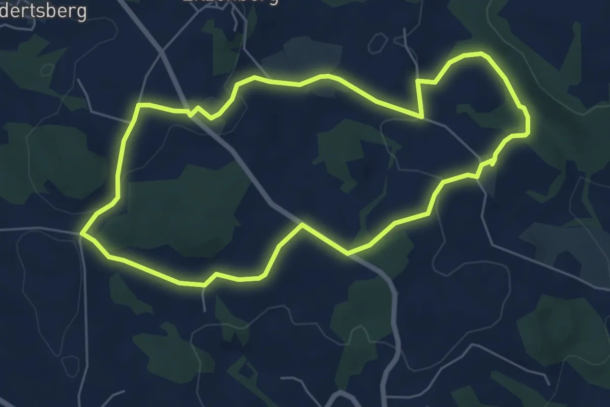
Easy · Trail
Leitenweg
5.3 km · ↑ 115 m · 1 h 34 min
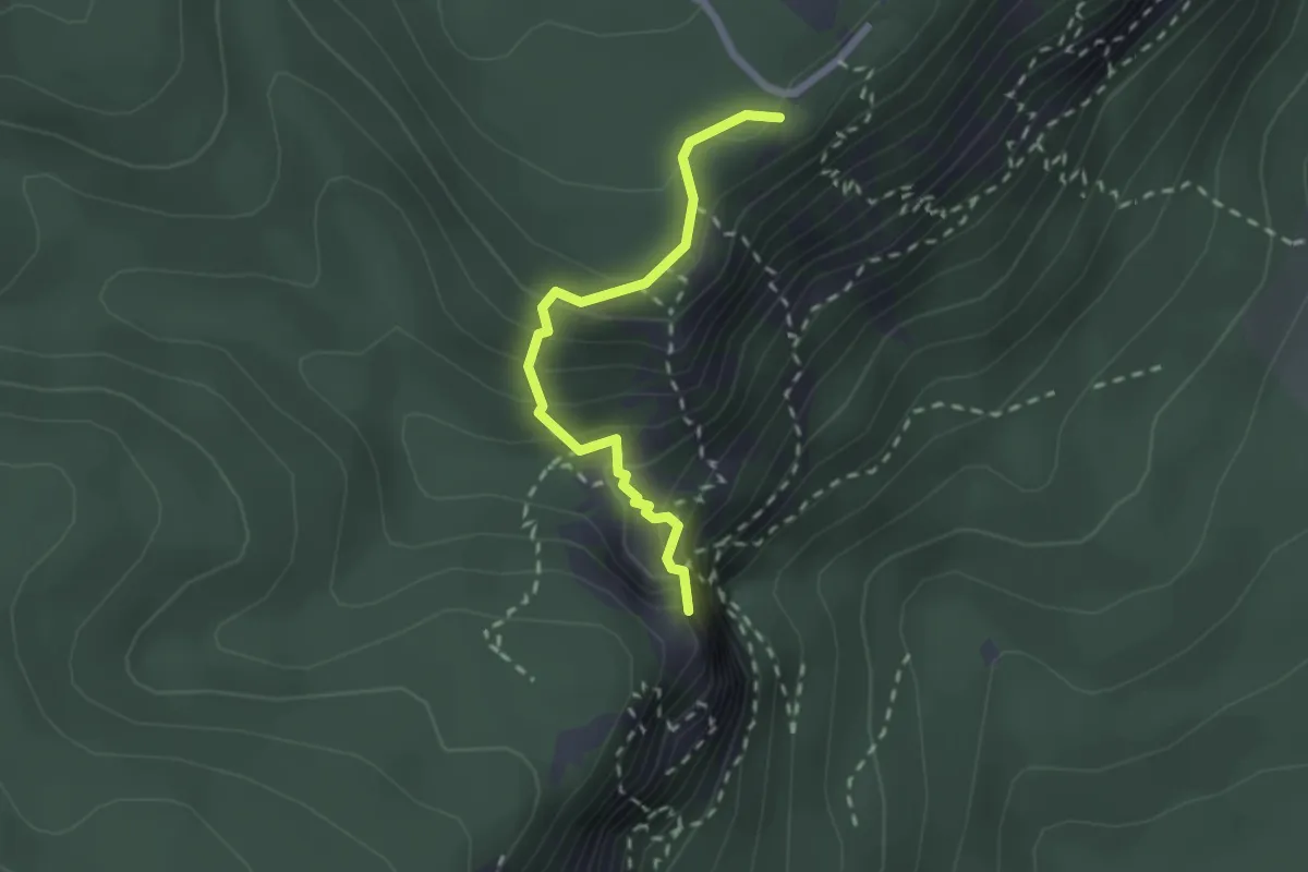
Medium · Summit
Leitergraben
2.0 km · ↑ 271 m · 1 h 4 min
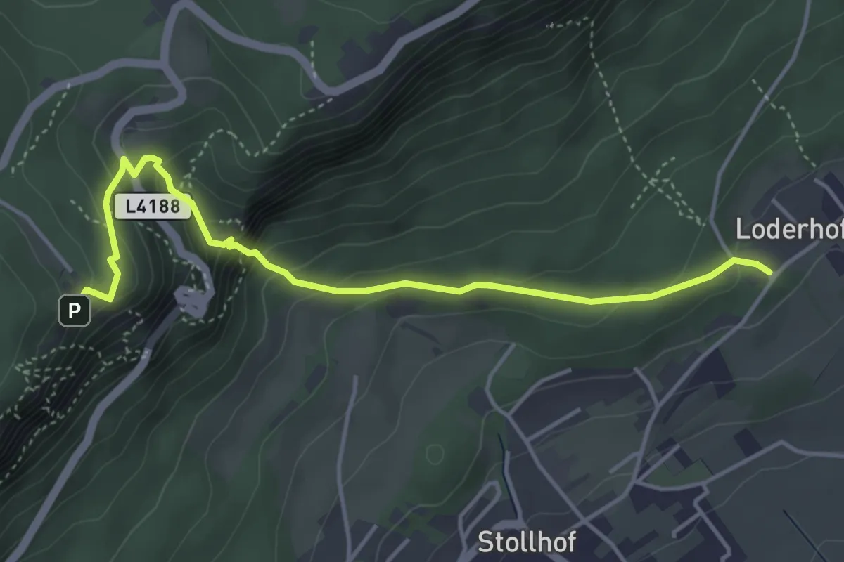
Demanding · Trail
Leiterlsteig
4.4 km · ↑ 341 m · 1 h 47 min
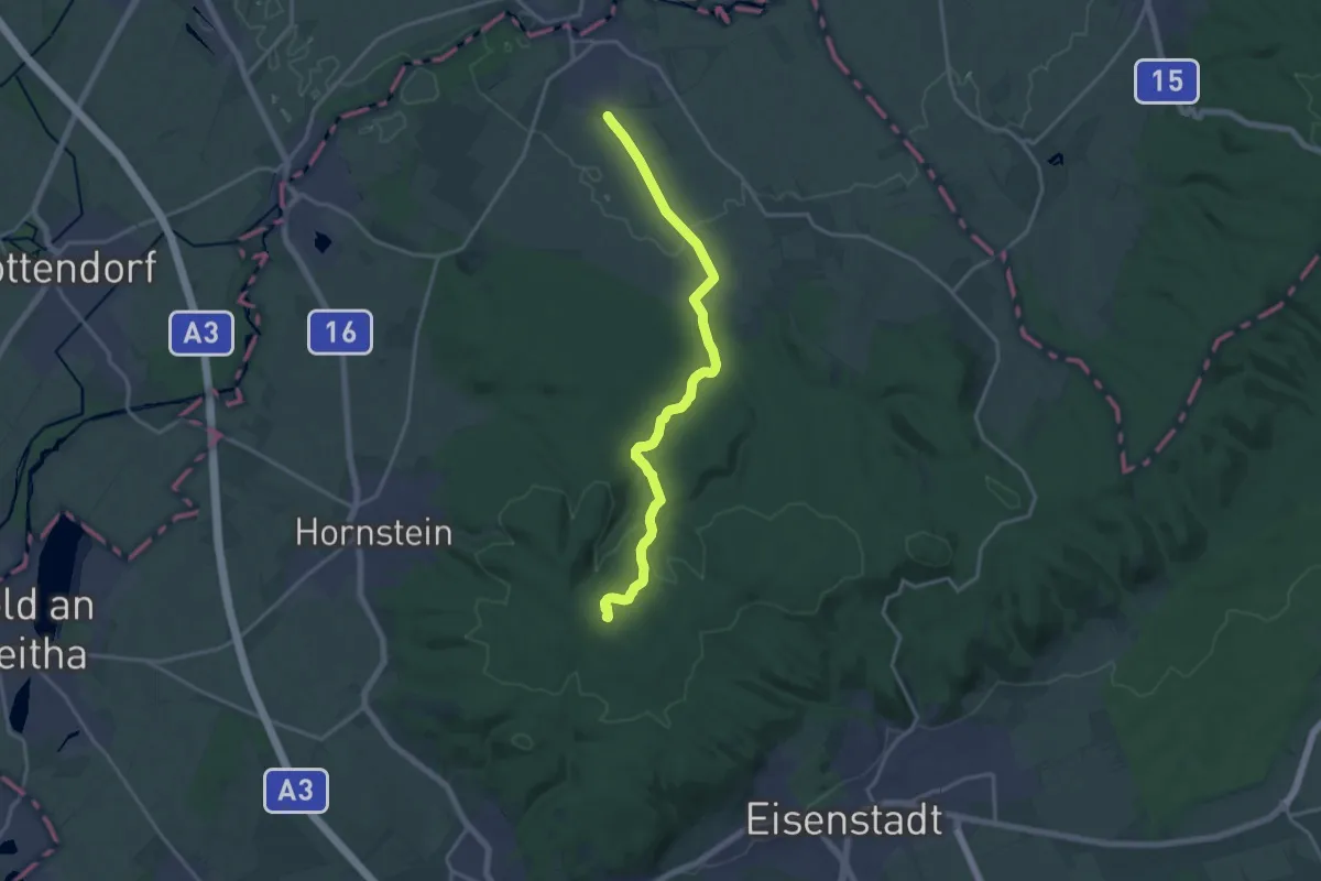
Medium · Trail
Leithaprodersdorf - Loretto - Beim Juden
16.7 km · ↑ 267 m · 4 h 32 min
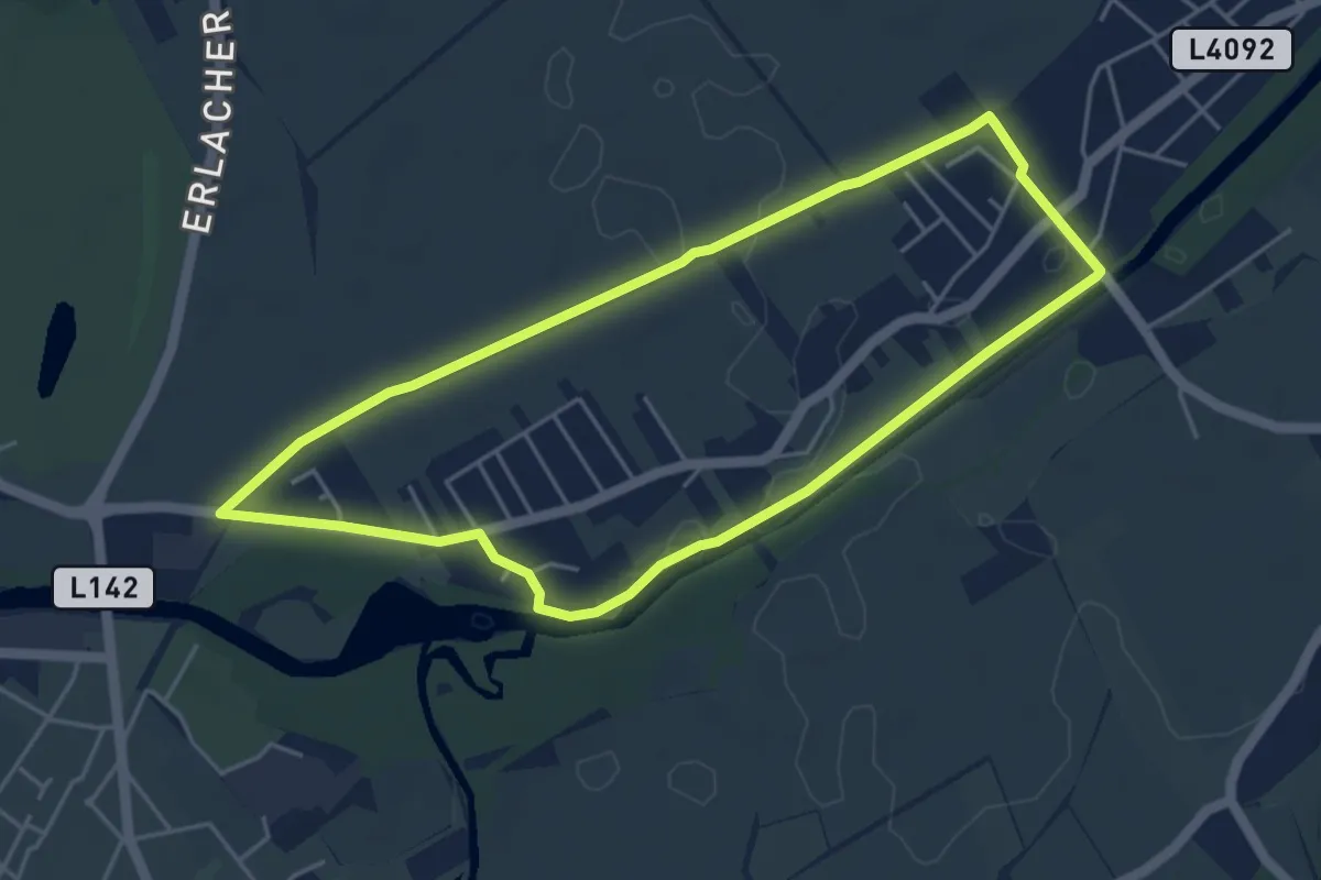
Easy · Trail
Leitha Ursprung Runde (Lanzenkirchen)
4.5 km · ↑ 9 m · 1 h 8 min
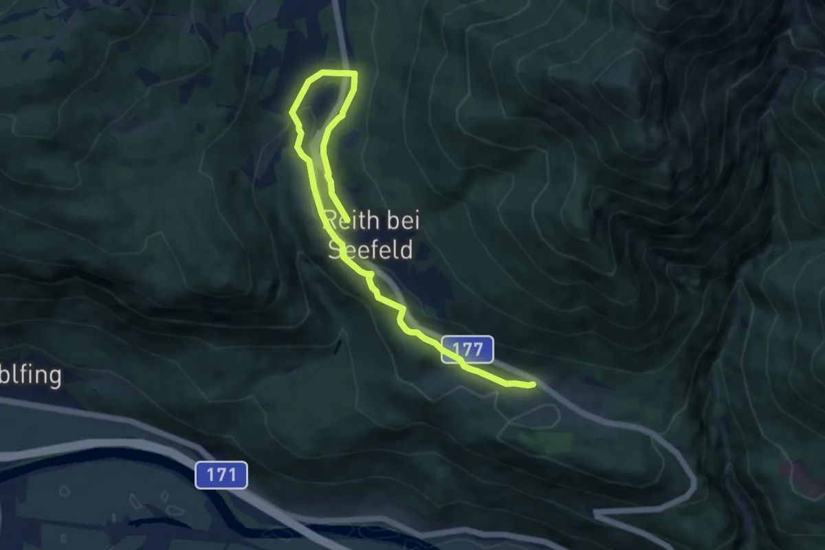
Medium · Trail
Leithen - Seefeld
9.3 km · ↑ 258 m · 2 h 45 min
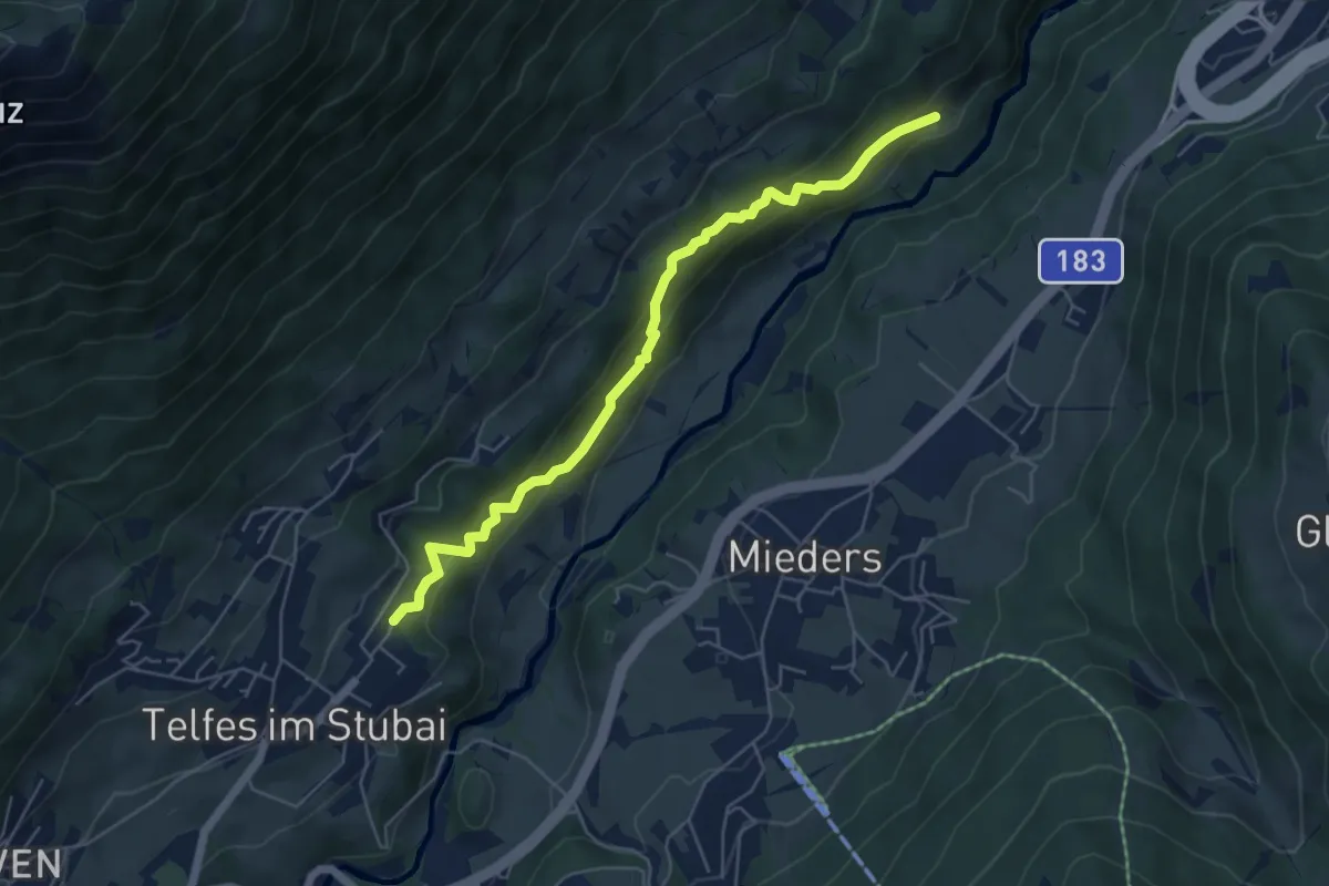
Medium · Trail
Leithensteig
5.6 km · ↑ 316 m · 2 h
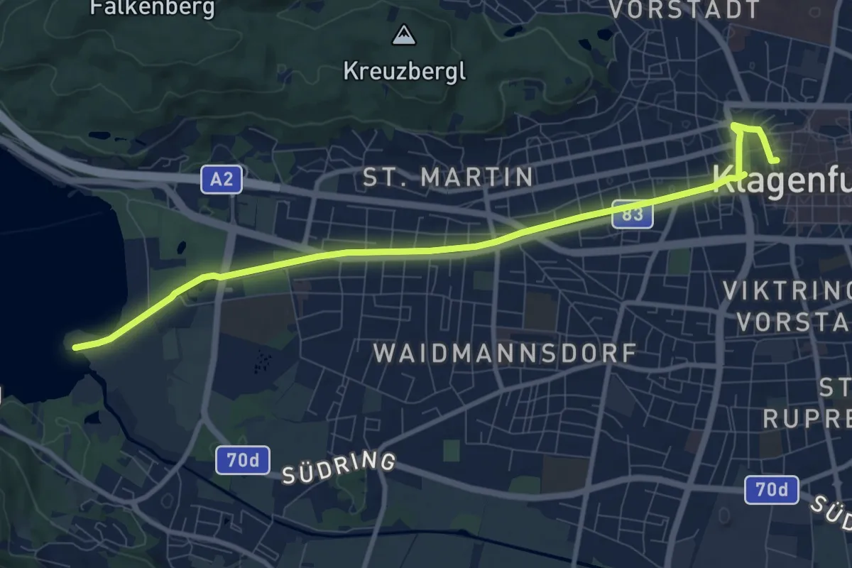
Medium · Trail
Lendweg
10.0 km · ↑ 0 m · 2 h 22 min
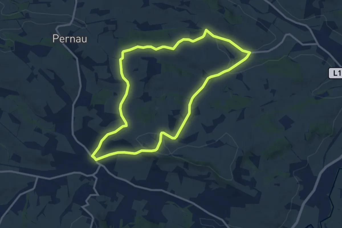
Easy · Trail
Lengauerweg
7.7 km · ↑ 191 m · 2 h 21 min
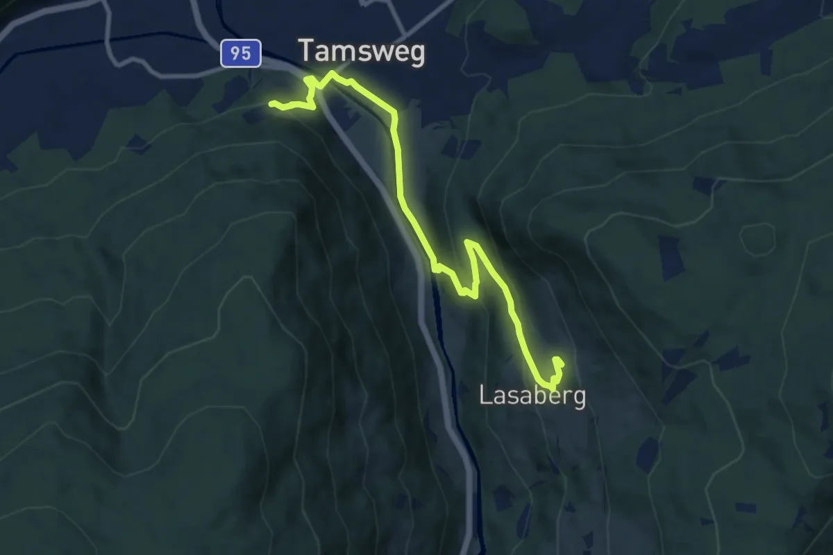
Medium · Trail
Leonhardsweg von Gurk nach Tamsweg
9.2 km · ↑ 369 m · 2 h 58 min
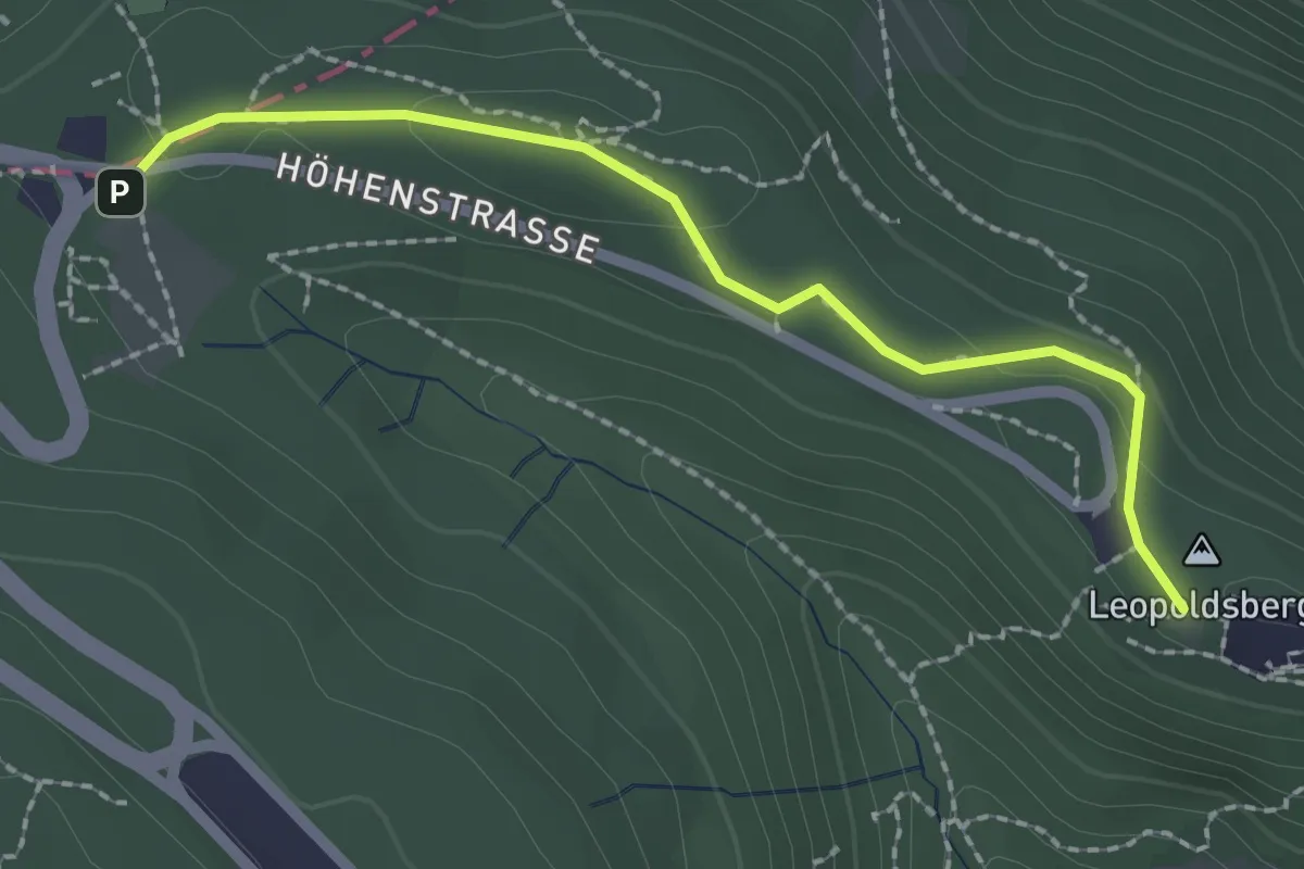
Easy · Summit
Leopoldsberg - Elisabethwiese
2.1 km · ↑ 48 m · 36 min
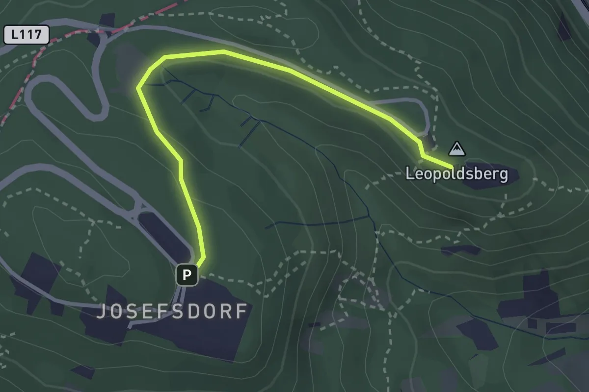
Easy · Summit
Leopoldsberg - Kahlenberg
2.7 km · ↑ 89 m · 51 min
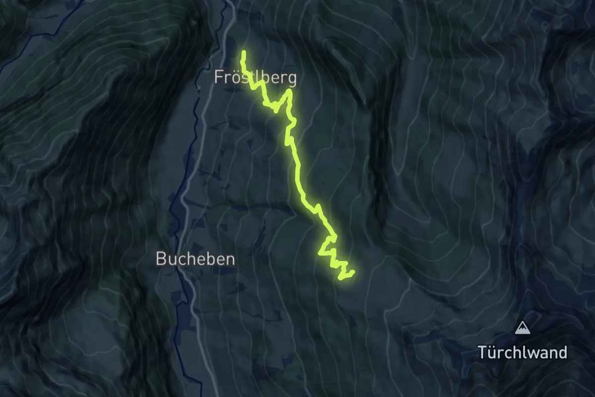
Medium · Cabin
Lercheggalm
11.8 km · ↑ 737 m · 4 h 23 min
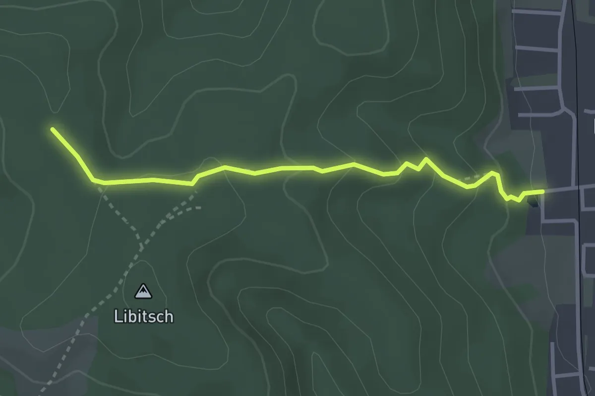
Medium · Trail
Lettenstättenweg
2.9 km · ↑ 138 m · 59 min
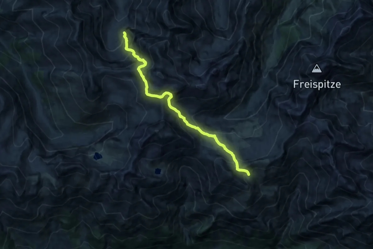
Demanding · Cabin
Leutkirch Wanderweg 71, WW Abschnitt 19
13.9 km · ↑ 1405 m · 6 h 19 min
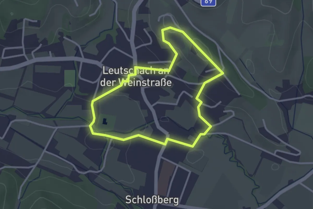
Easy · Trail
Leutschacher Rundwanderweg
2.7 km · ↑ 70 m · 49 min
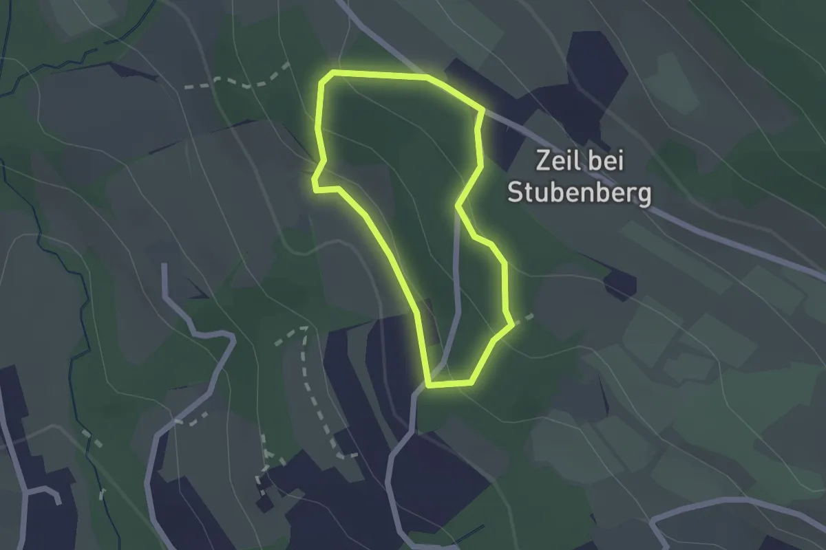
Easy · Trail
Lex-Michelhofrunde
1.4 km · ↑ 55 m · 28 min
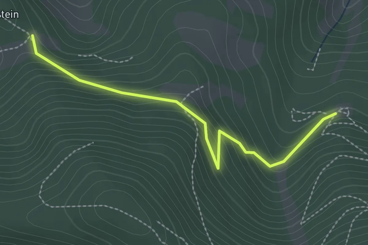
Easy · Cabin
Liasenböndlhütte - Lindensteinhütte
2.4 km · ↑ 146 m · 53 min
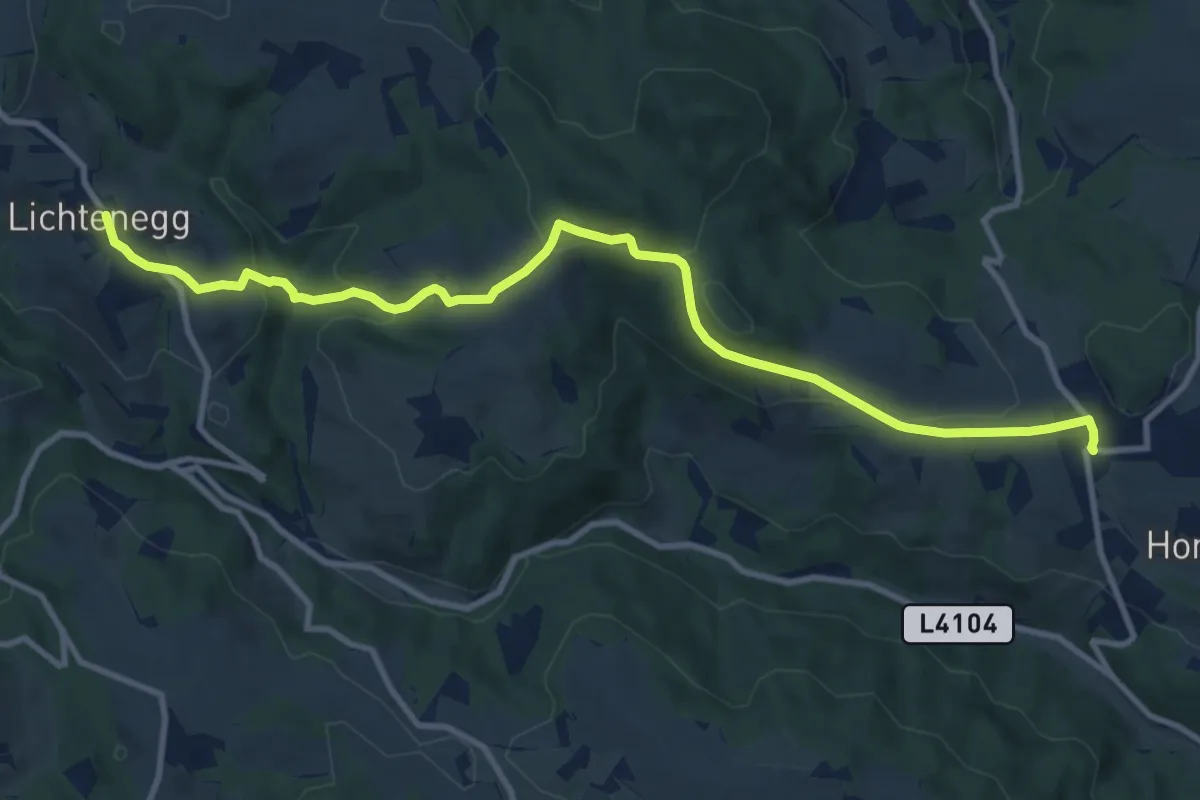
Medium · Trail
Lichtenegg - Hollenthon
11.5 km · ↑ 438 m · 3 h 40 min
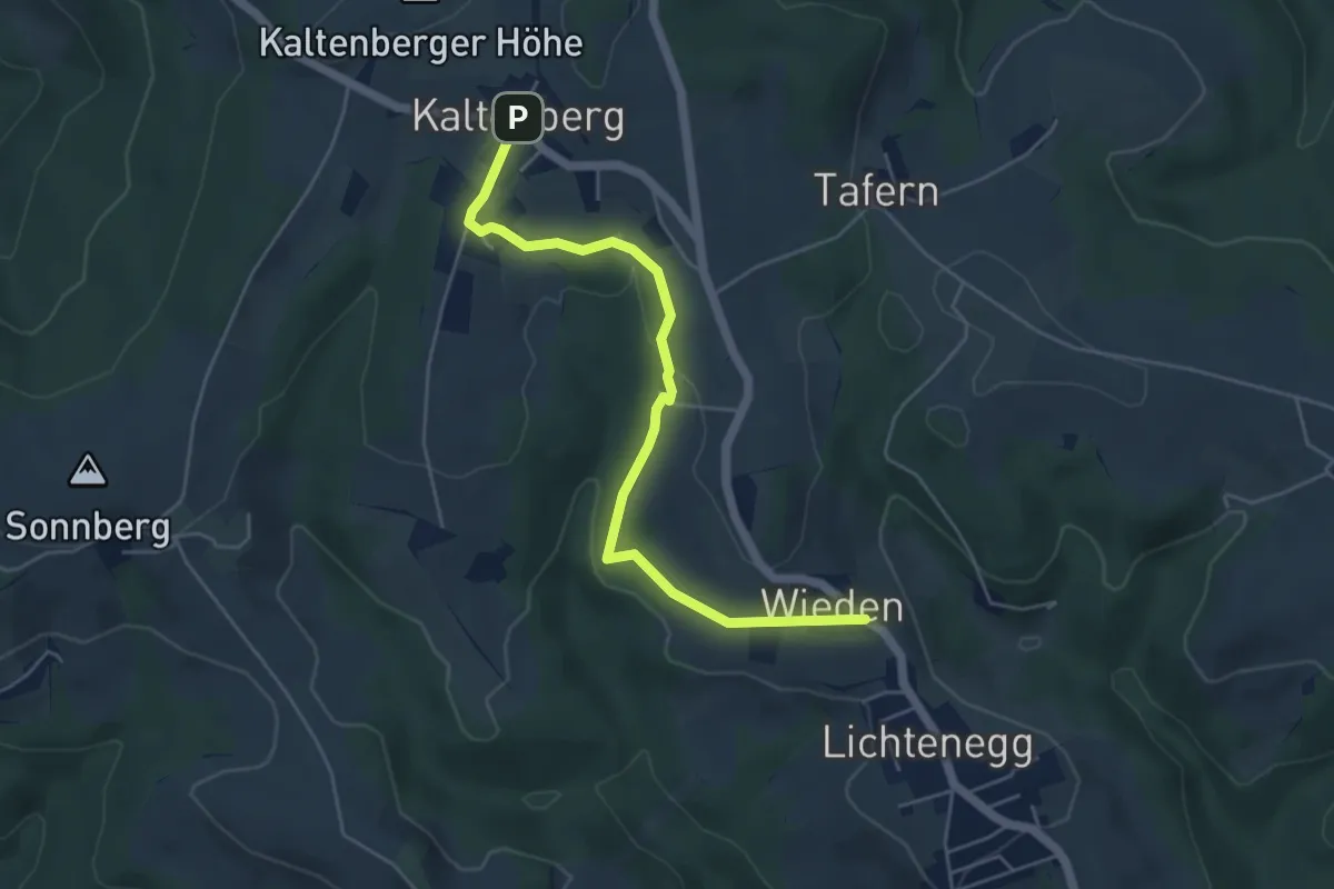
Easy · Trail
Lichtenegg - Kaltenberg
5.2 km · ↑ 129 m · 1 h 30 min
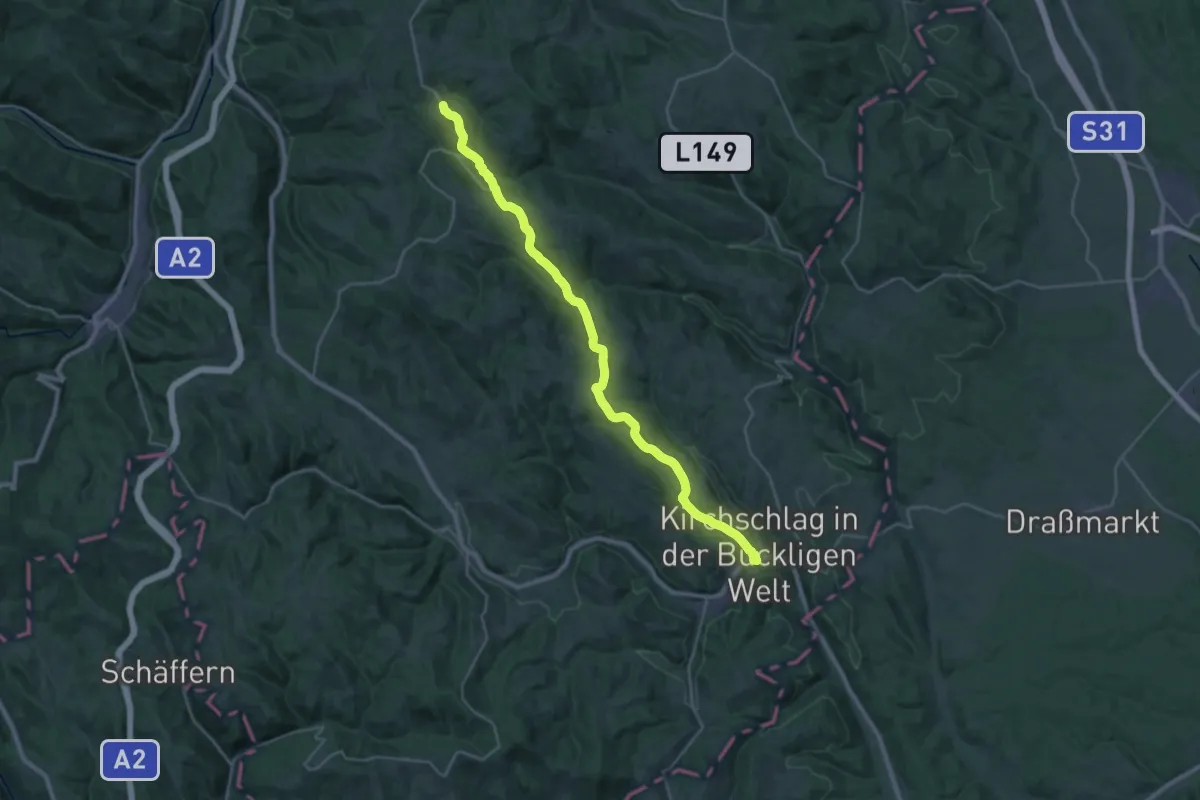
Medium · Trail
Lichtenegg - Kirchschlag id Buckl. Welt
14.9 km · ↑ 261 m · 4 h 27 min
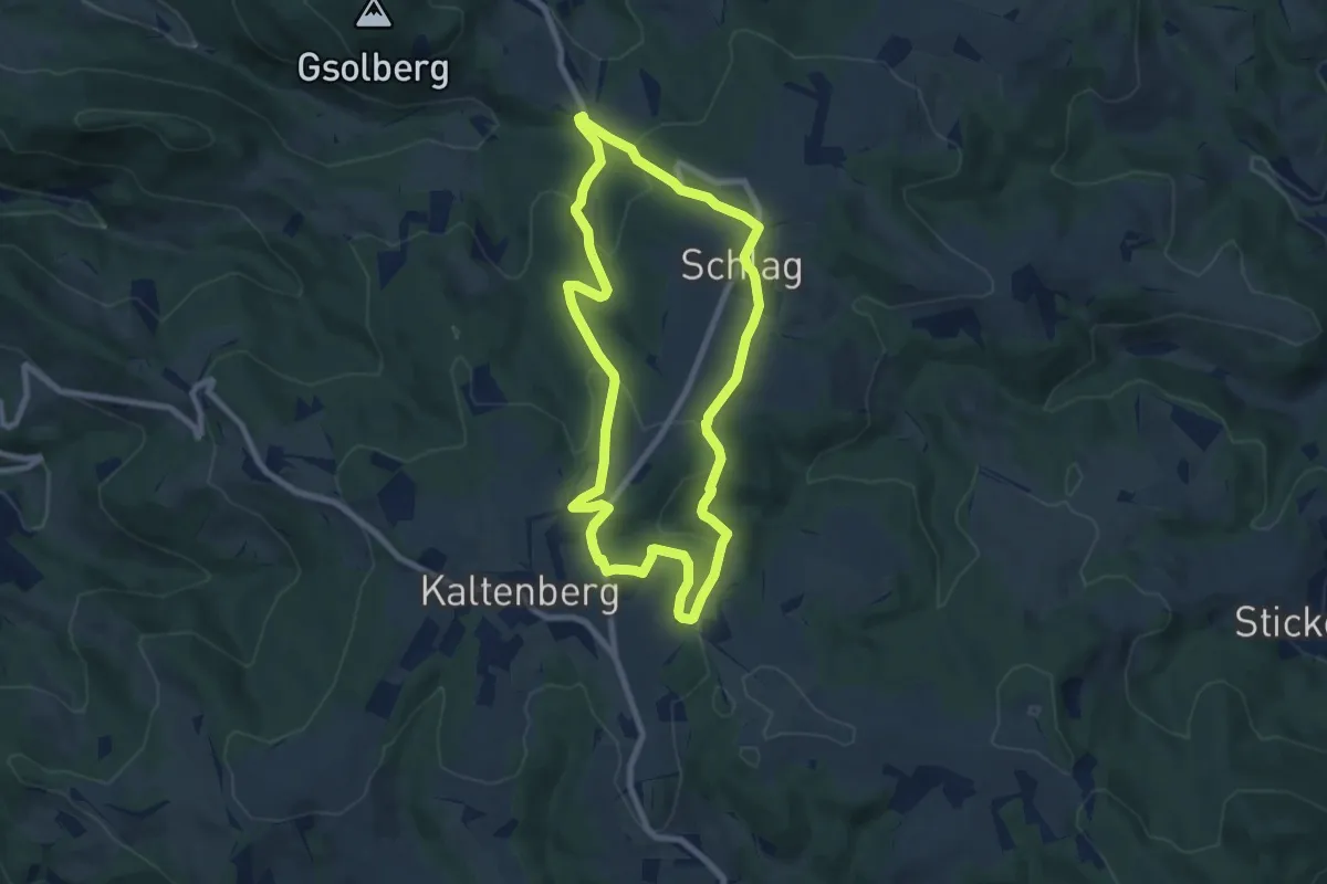
Easy · Trail
Lichtenegg Rundwanderweg 3
7.5 km · ↑ 265 m · 2 h 27 min
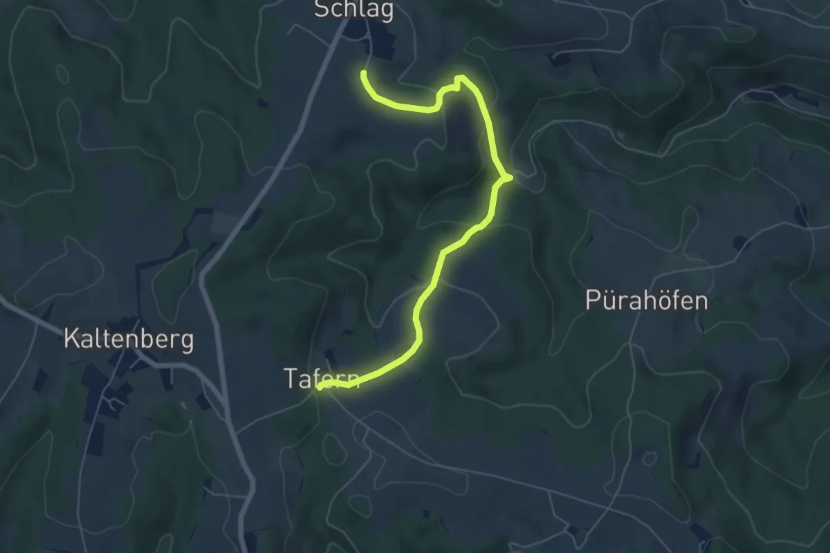
Easy · Trail
Lichtenegg Rundwanderweg 7
6.0 km · ↑ 275 m · 2 h
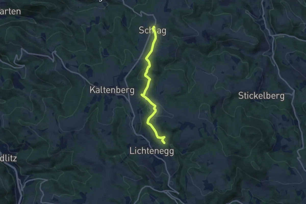
Medium · Trail
Lichtenegg - Schlag
8.6 km · ↑ 288 m · 2 h 39 min
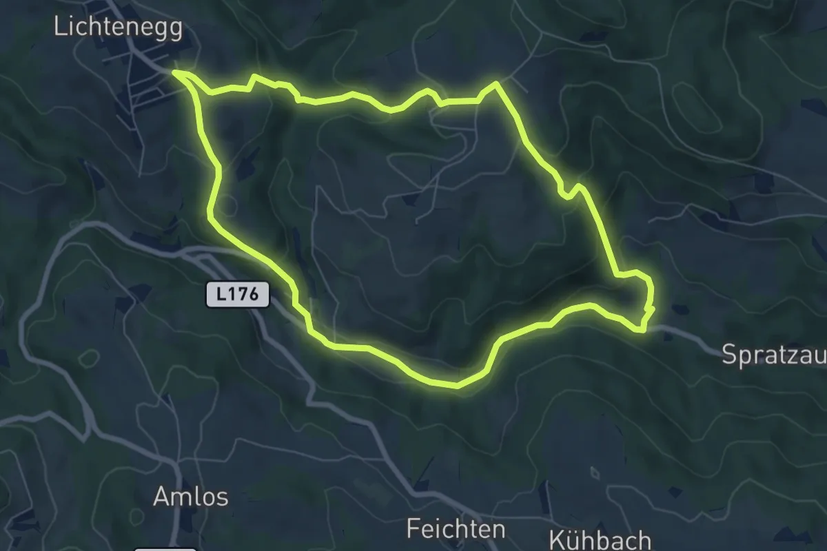
Medium · Trail
Lichtenegg - Steinegger - Gasthaus "Zum schönen Grund" - Adamermühle - Lichtenegg
7.3 km · ↑ 341 m · 2 h 33 min
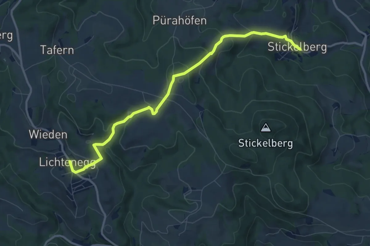
Medium · Trail
Lichtenegg - Stickelberg
9.2 km · ↑ 420 m · 3 h 5 min
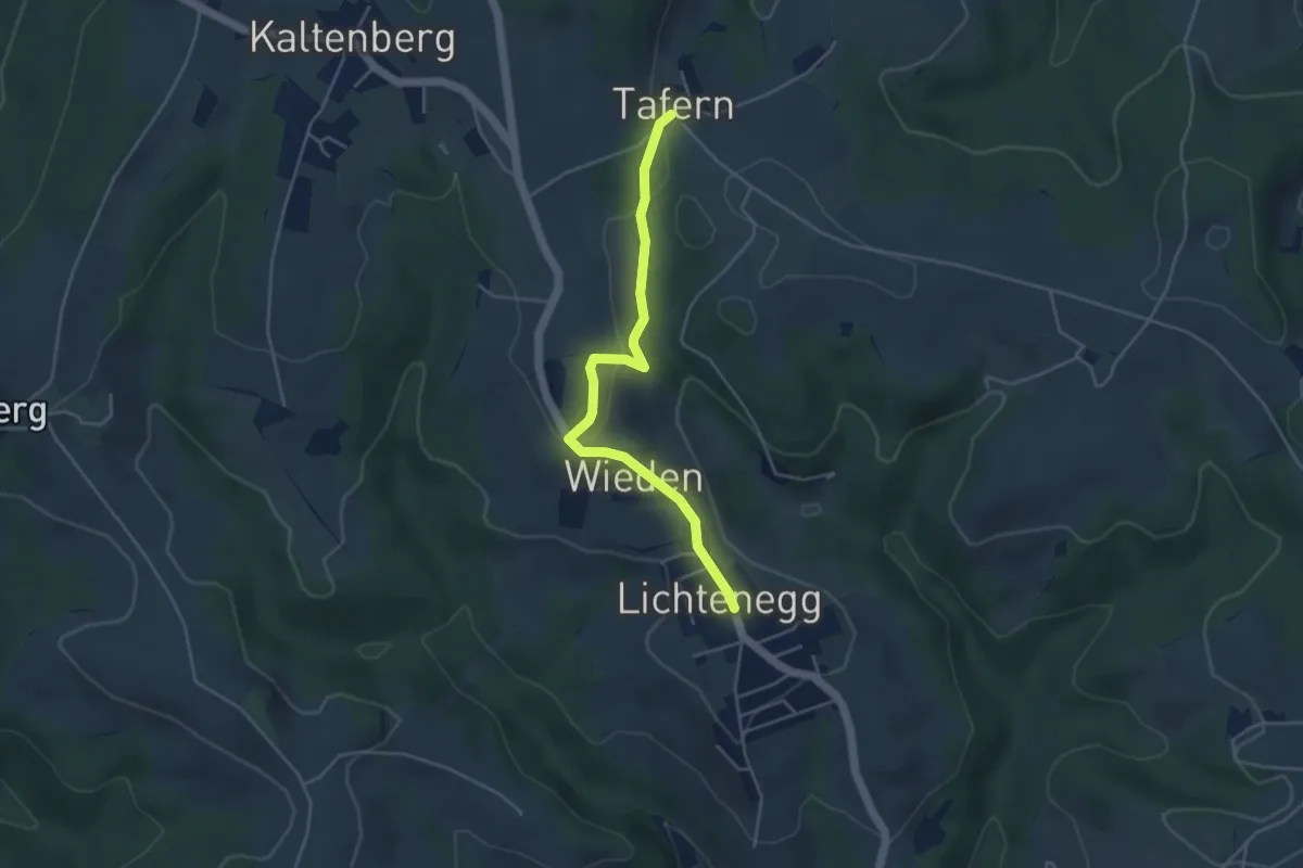
Easy · Trail
Lichtenegg - Tafern
4.1 km · ↑ 116 m · 1 h 14 min
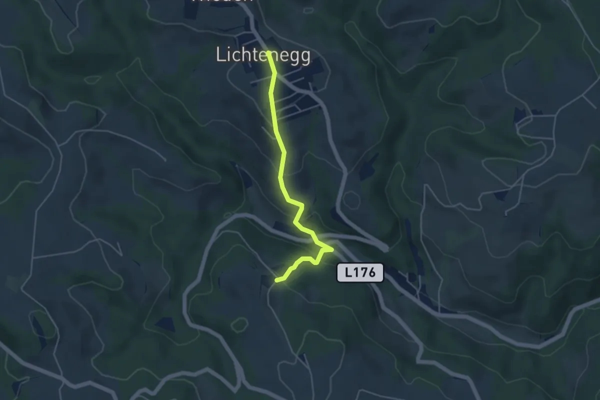
Easy · Trail
Lichtenegg - Tschudihof
3.9 km · ↑ 254 m · 1 h 28 min
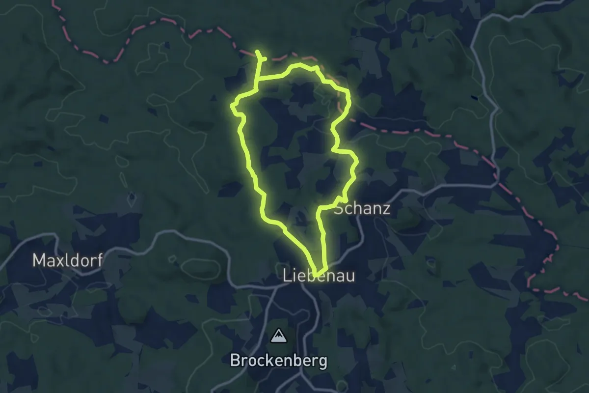
Medium · Trail
Liebenau-Kampursprung 31
8.1 km · ↑ 113 m · 2 h 16 min
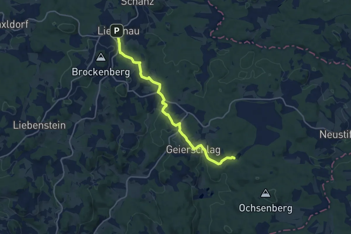
Medium · Trail
Liebenau Tannermoor Nr. 37
12.8 km · ↑ 331 m · 3 h 44 min
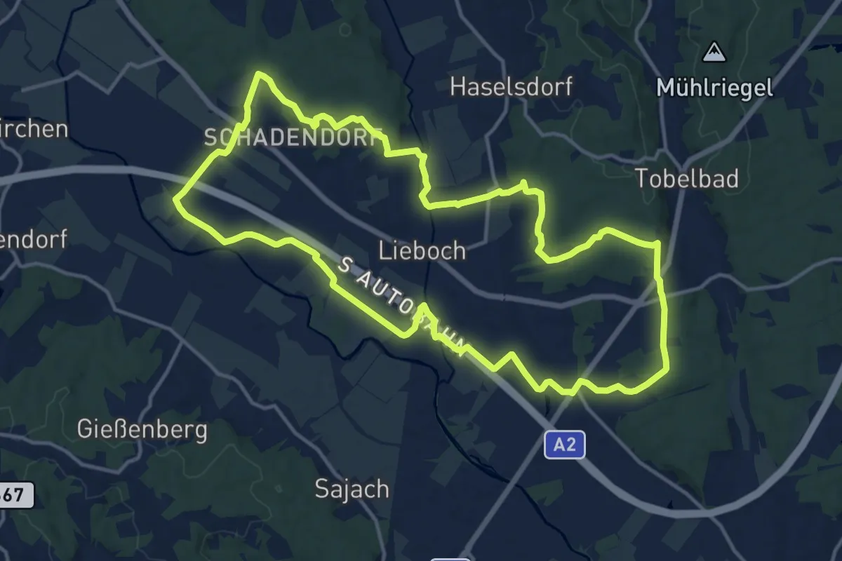
Medium · Trail
Liebocher Rundwanderweg
14.4 km · ↑ 109 m · 3 h 50 min
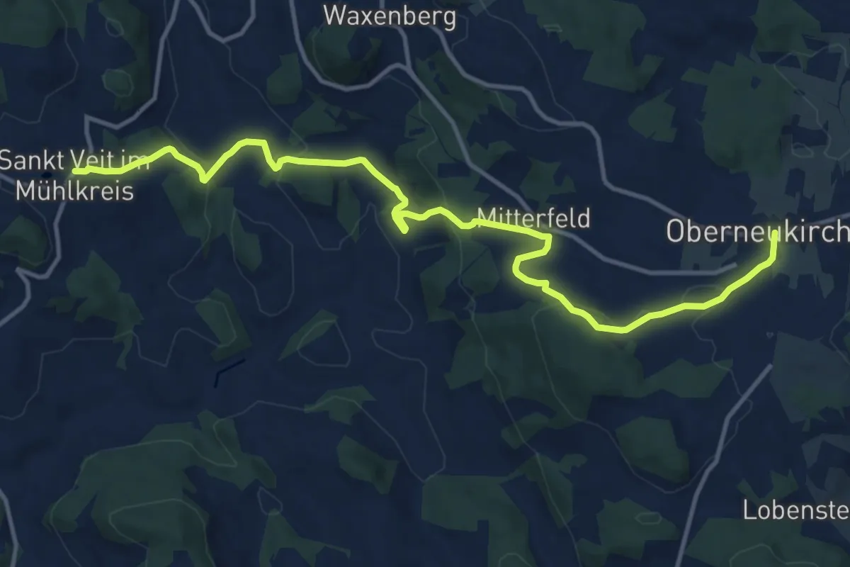
Medium · Trail
Liederweg
13.3 km · ↑ 410 m · 4 h 2 min
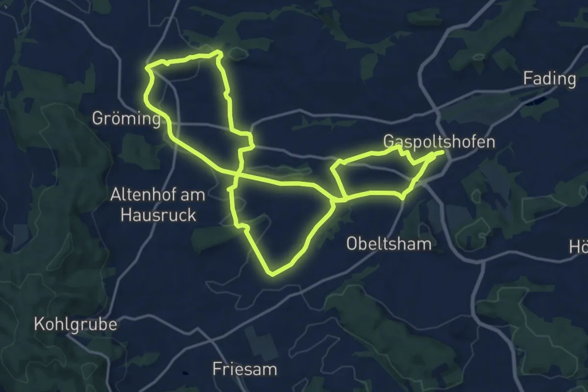
Medium · Trail
Lies Roas
13.0 km · ↑ 209 m · 3 h 42 min
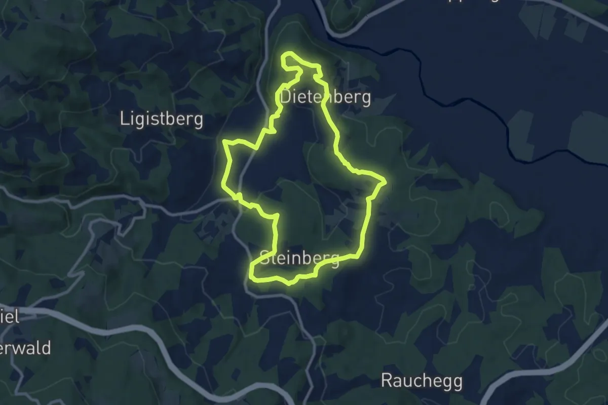
Medium · Trail
Ligister Keltenweg
8.7 km · ↑ 201 m · 2 h 36 min
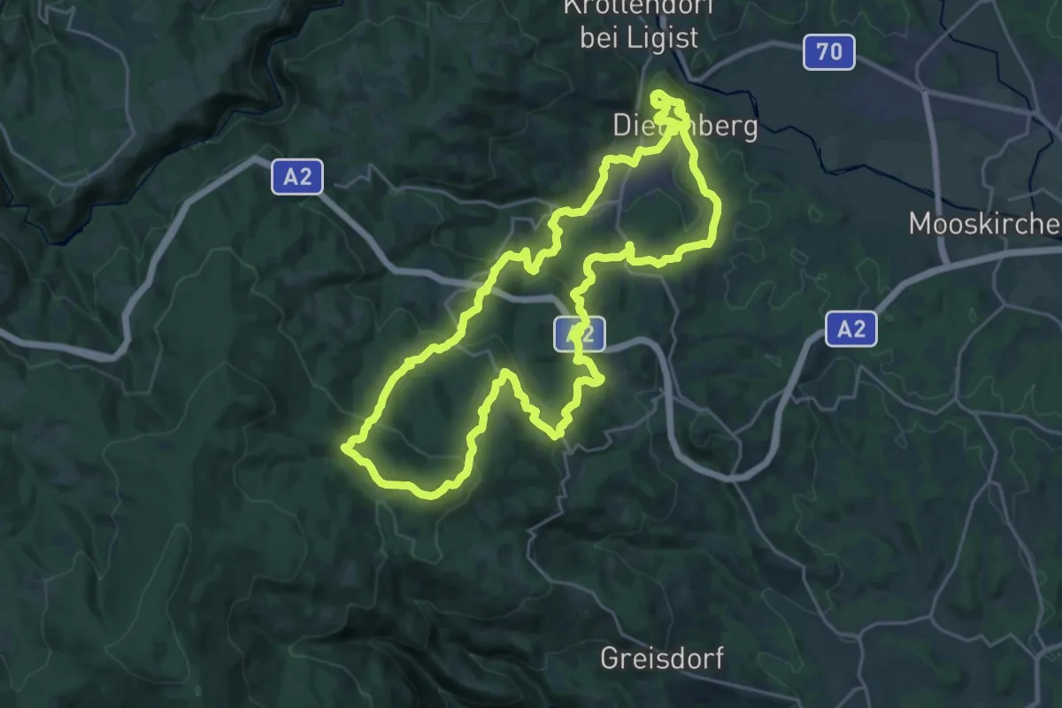
Demanding · Summit
Ligister Rundwanderweg 17
24.6 km · ↑ 829 m · 7 h 57 min
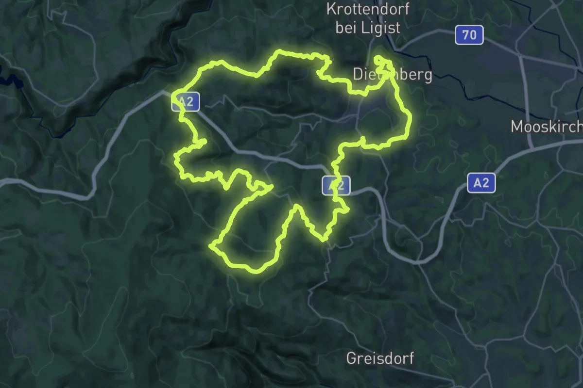
Demanding · Summit
Ligister Rundwanderweg 18
35.3 km · ↑ 1189 m · 11 h 23 min