Trails in Austria
9,779 hiking trails, each with its route, climb, walking time and grade.
All trails, page 64 of 204
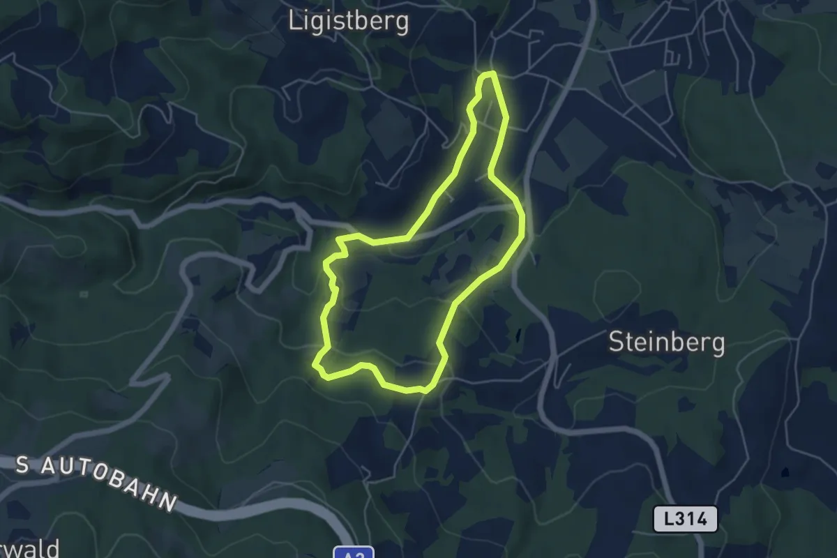
Easy · Trail
Ligister Schmankerlweg
4.4 km · ↑ 146 m · 1 h 26 min
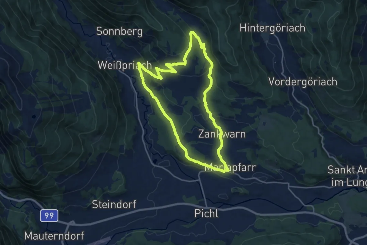
Medium · Trail
Lignitzrundweg
12.7 km · ↑ 347 m · 3 h 55 min
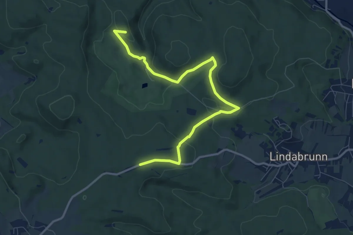
Medium · Summit
Lindabrunner Blindenkreuz - Dreibrüderbaum
9.1 km · ↑ 263 m · 2 h 42 min
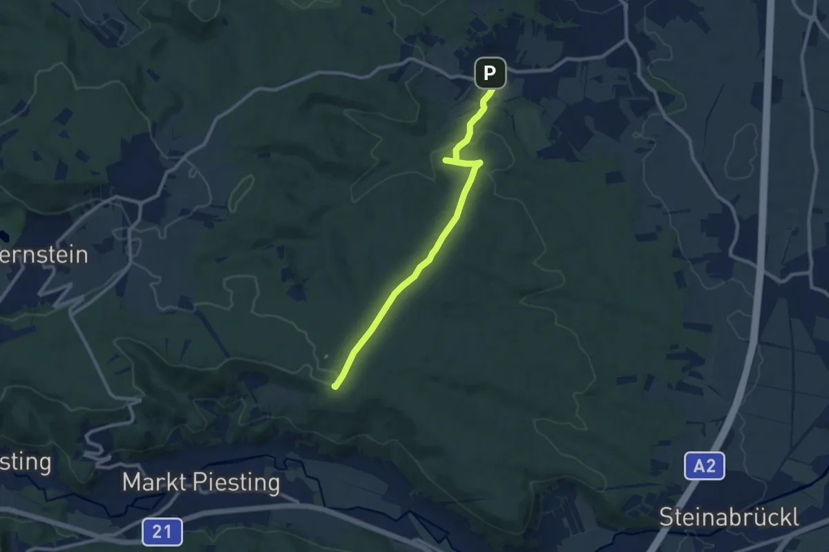
Medium · Summit
Lindabrunn - Piesting
8.8 km · ↑ 176 m · 2 h 27 min
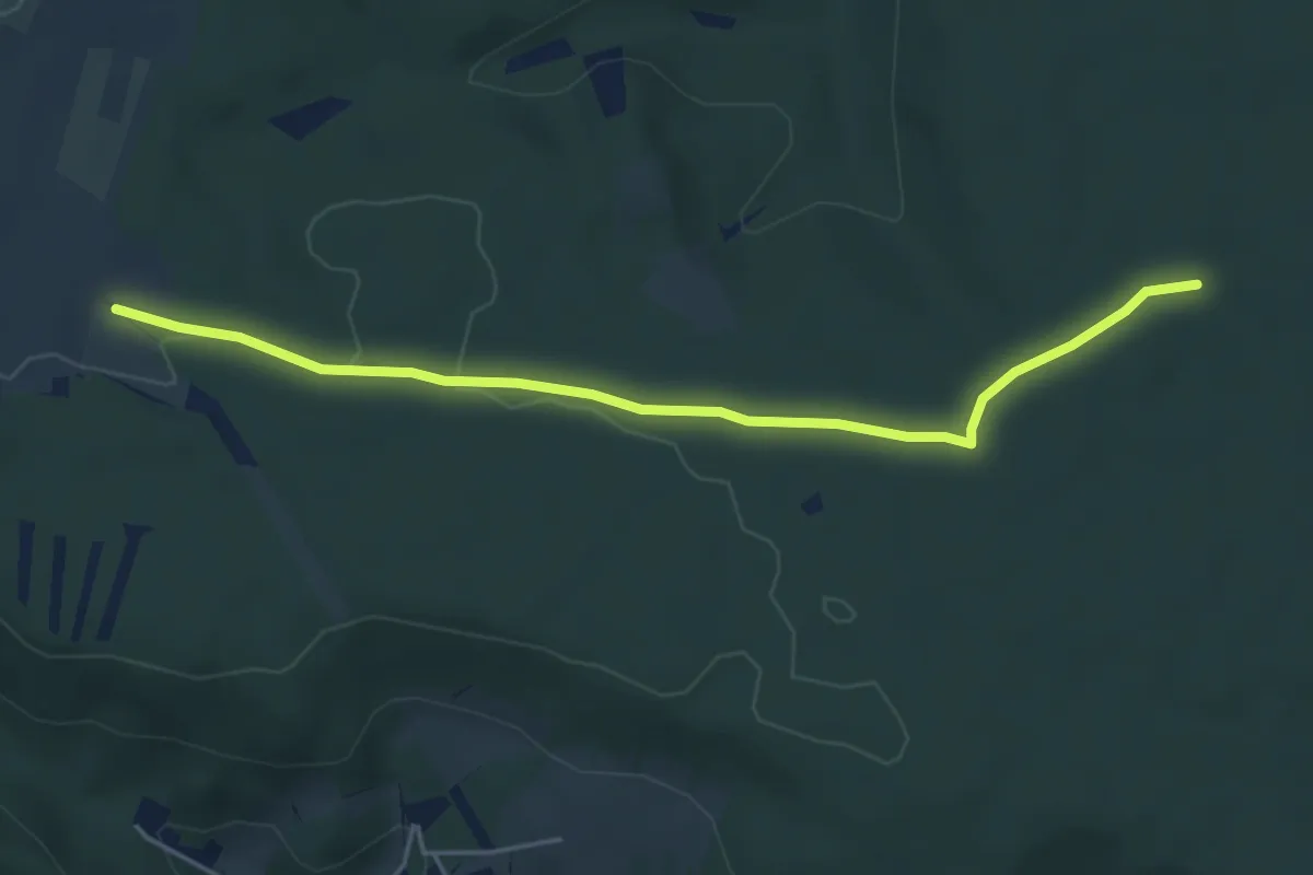
Easy · Trail
Lindabrunn - Piesting Alternative
4.8 km · ↑ 23 m · 1 h 11 min
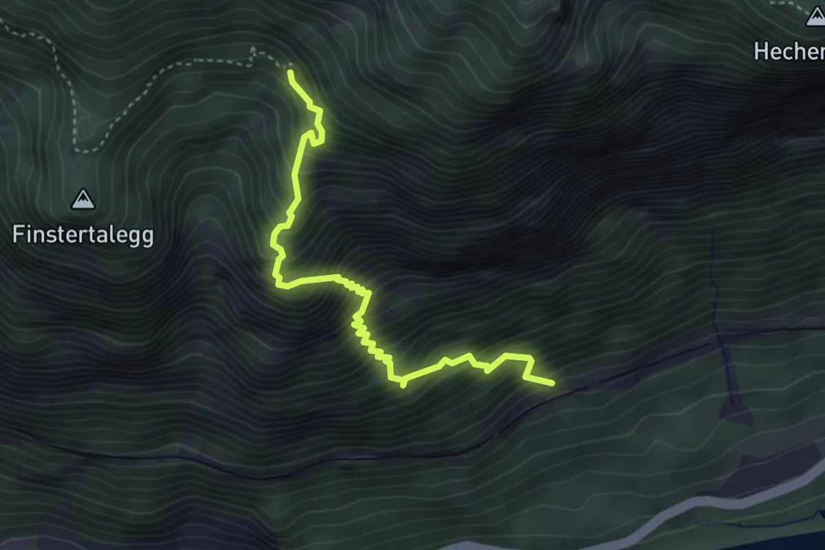
Expert · Trail
Lindebensteig
3.8 km · ↑ 737 m · 2 h 30 min
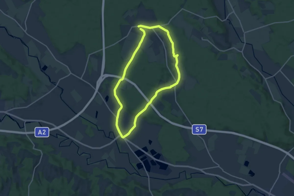
Medium · Trail
Lindeggerweg
11.8 km · ↑ 105 m · 3 h 11 min
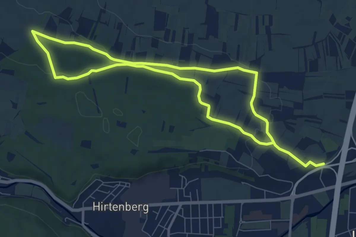
Medium · Trail
Lindenberg (bei Hirtenberg) Rundwanderweg
13.8 km · ↑ 169 m · 3 h 37 min
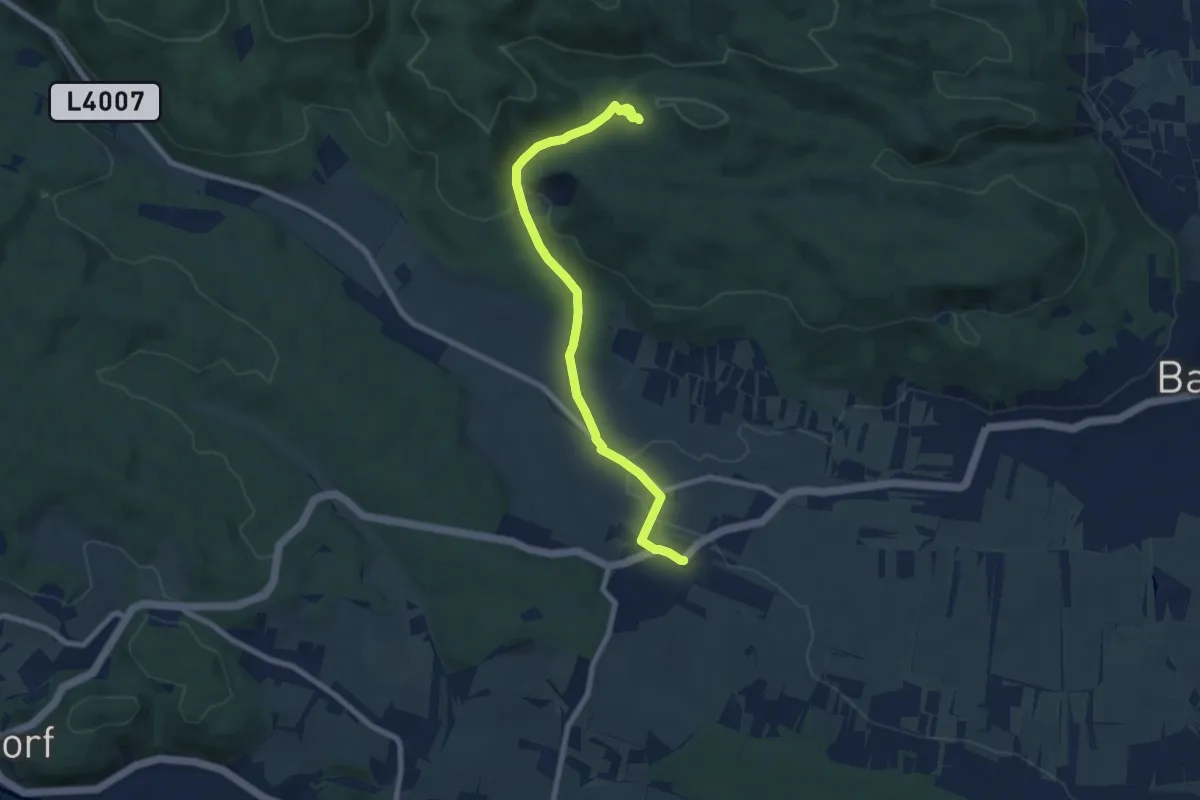
Easy · Cabin
Lindenberg - Großau - Vöslauerhütte
7.8 km · ↑ 198 m · 2 h 16 min
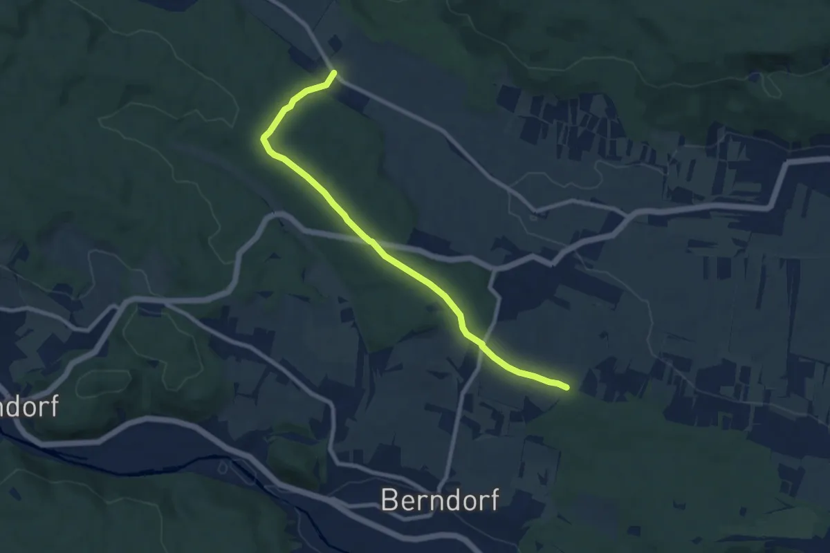
Easy · Trail
Lindenberg -Rottenkreuz -Haidlhof
7.9 km · ↑ 80 m · 2 h 3 min
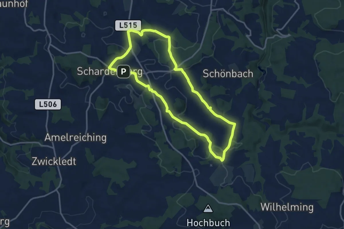
Medium · Trail
Lindenberg Runde
9.5 km · ↑ 194 m · 2 h 48 min
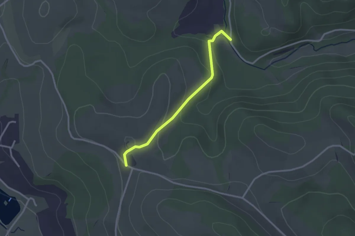
Easy · Trail
Lindenhof - Strobl
2.3 km · ↑ 104 m · 46 min
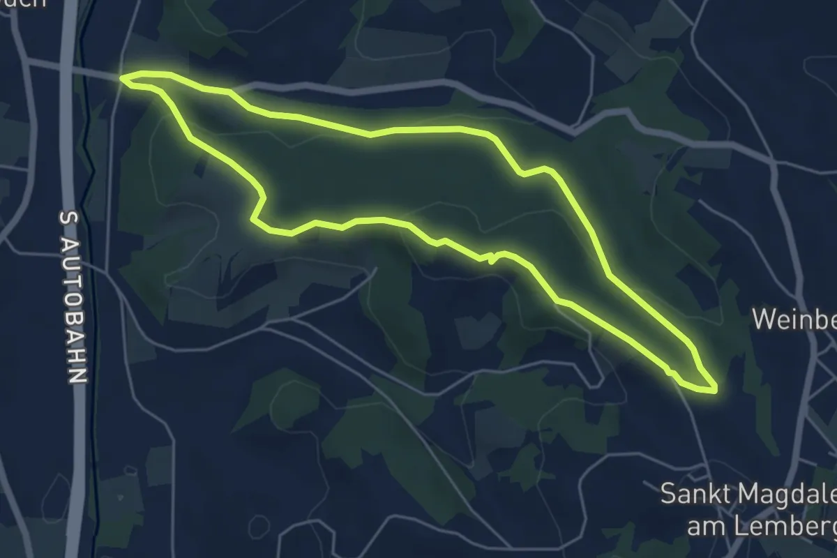
Easy · Trail
Lindenwald-Wg (M1)
5.1 km · ↑ 138 m · 1 h 34 min
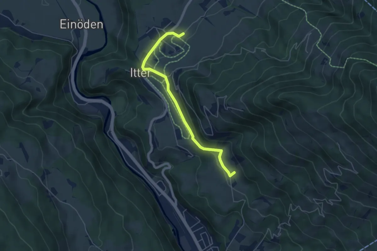
Easy · Trail
Lindenweg
4.9 km · ↑ 80 m · 1 h 20 min
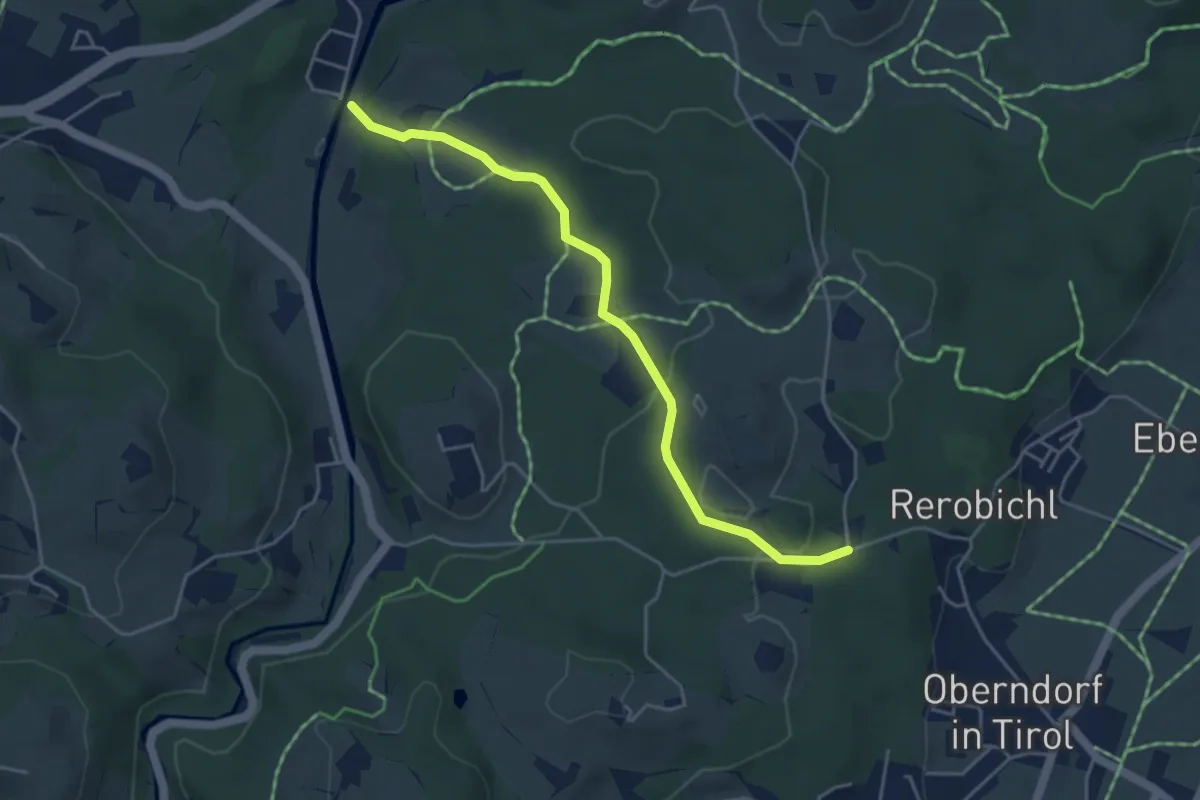
Easy · Trail
Lindernrunde
4.4 km · ↑ 89 m · 1 h 13 min
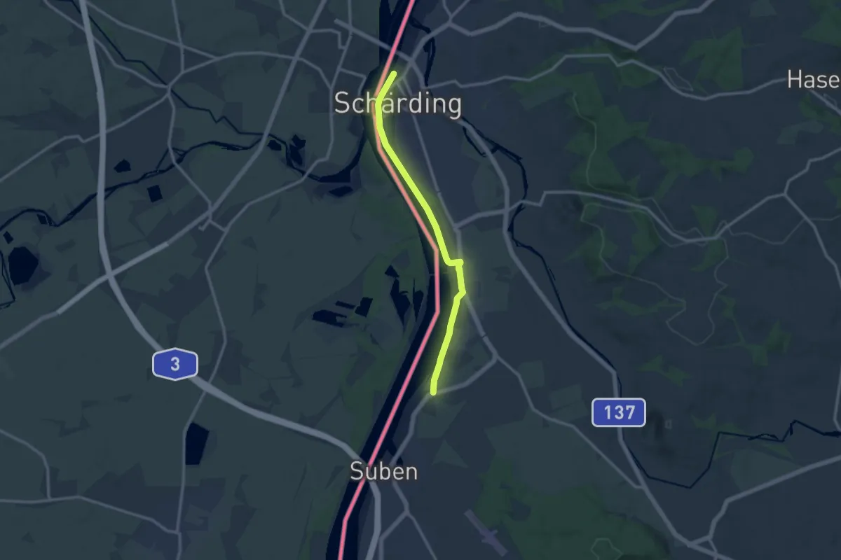
Medium · Trail
Lindetwald - Weg
10.0 km · ↑ 28 m · 2 h 26 min
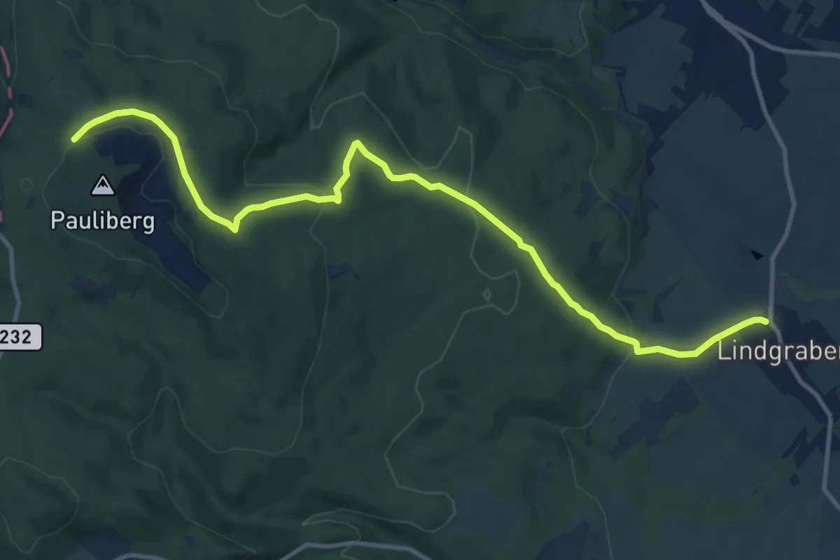
Medium · Trail
Lindgraben - Pauliberg
12.2 km · ↑ 353 m · 3 h 39 min
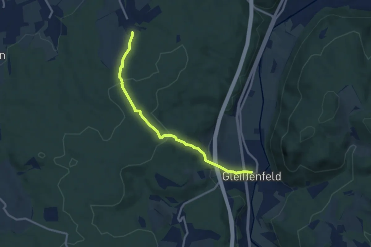
Easy · Trail
Lindgrub - Gleißenfeld
6.5 km · ↑ 207 m · 1 h 59 min
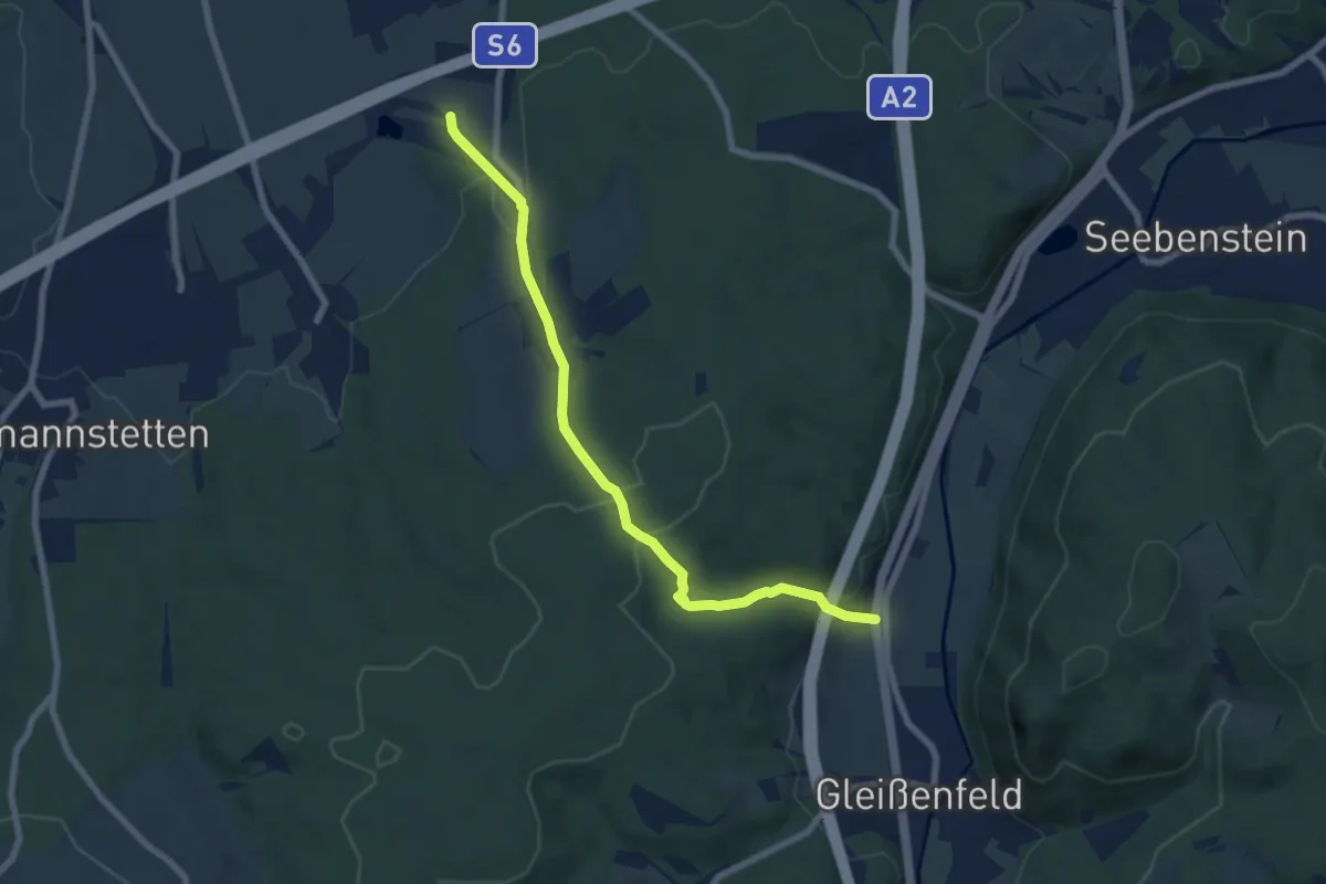
Easy · Trail
Lindgrub (Marien Gedenkstätte Nähe Autobahn) - Waldkapelle - Gleißenfeld
7.3 km · ↑ 246 m · 2 h 16 min
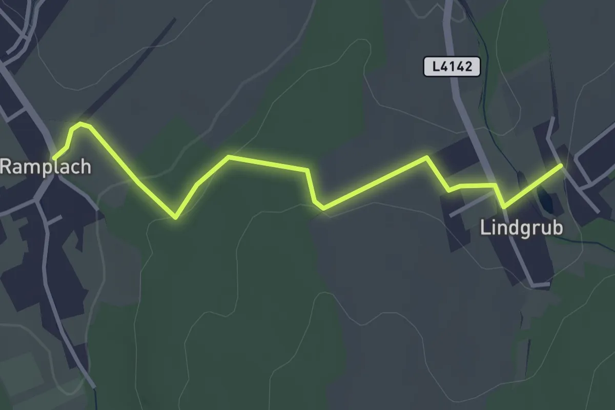
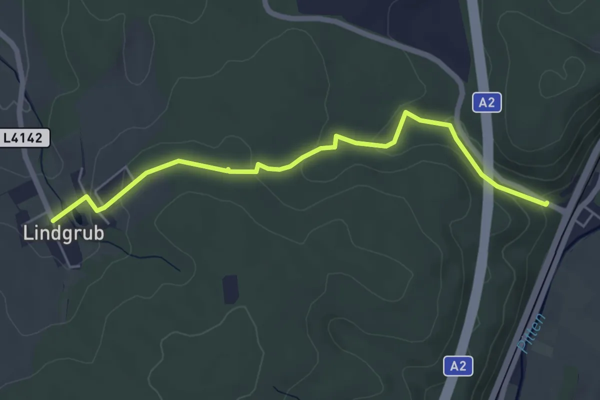
Easy · Trail
Lindgrub - Ramplach
3.2 km · ↑ 76 m · 55 min
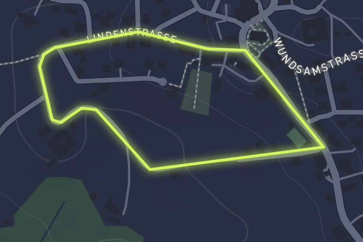
Easy · Trail
Lindgrub - Seebenstein
4.9 km · ↑ 132 m · 1 h 26 min
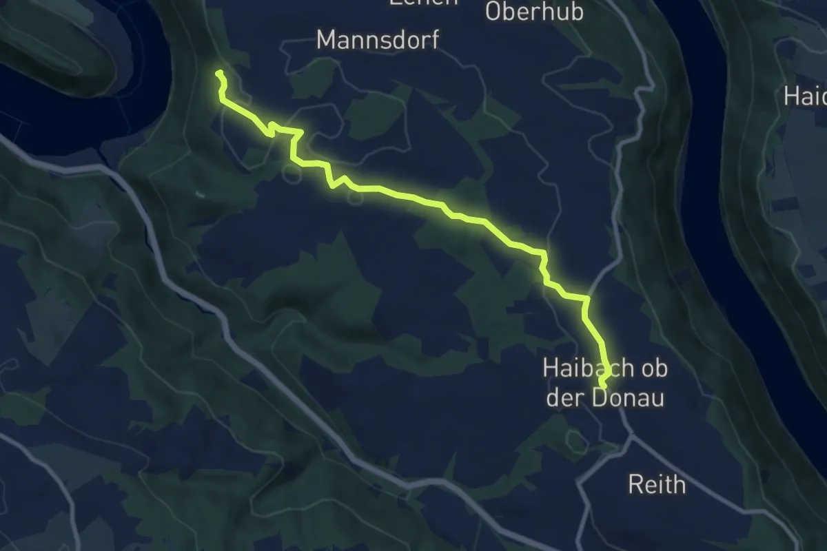
Easy · Trail
Lindner Kapelle Rundweg
1.1 km · ↑ 29 m · 21 min
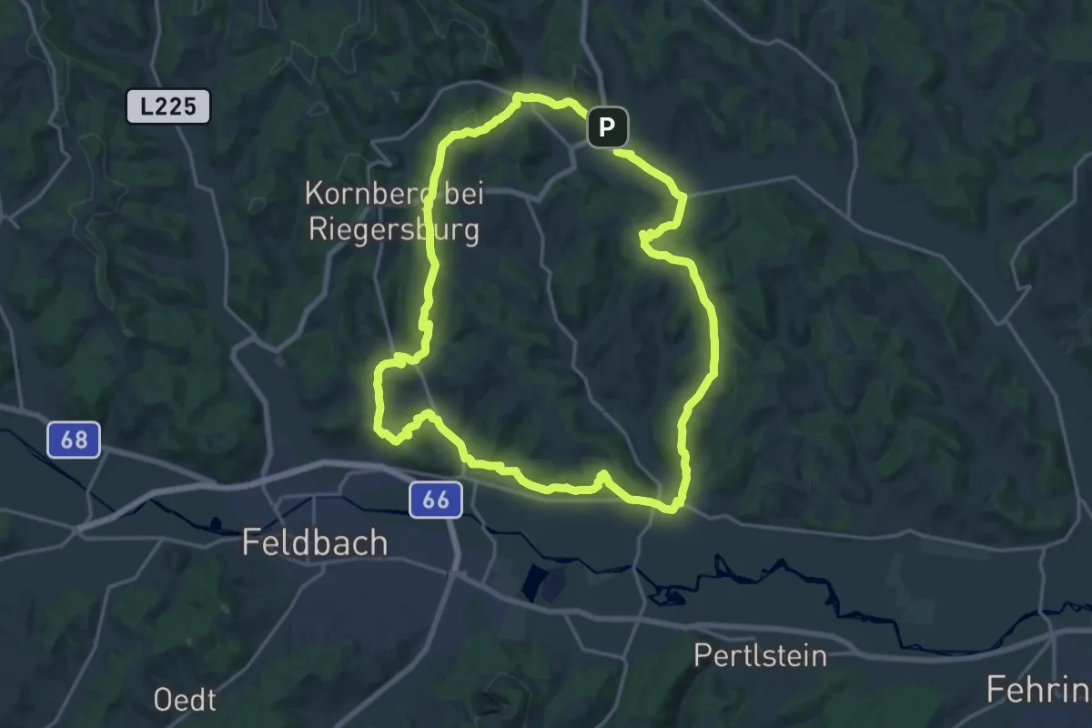
Medium · Trail
Linetshuber Aussicht
8.6 km · ↑ 167 m · 2 h 24 min
Demanding · Summit
Linke Kopfspur
18.5 km · ↑ 425 m · 5 h 33 min
Easy · Trail
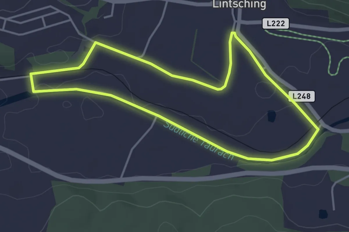
Lintschingrundweg
3.7 km · ↑ 27 m · 59 min
Demanding · Trail
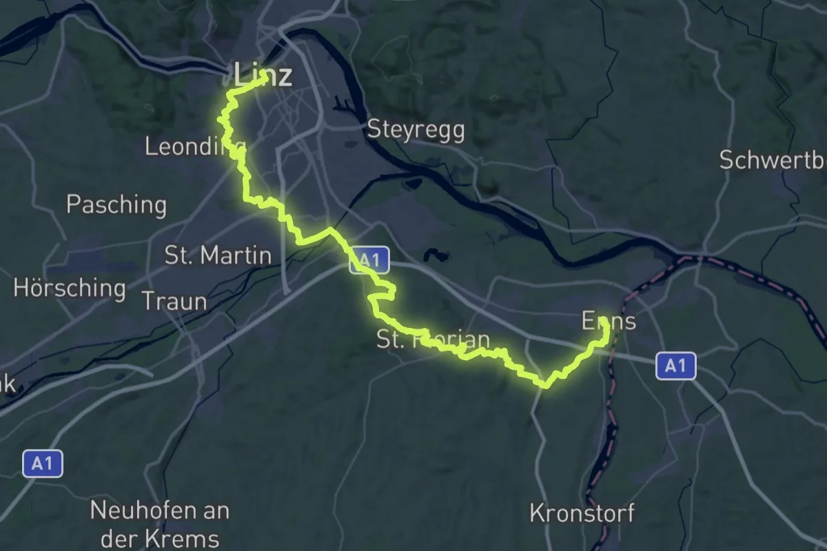
Linz - Enns Donausteig Etappe
36.7 km · ↑ 585 m · 10 h 26 min
Easy · Trail
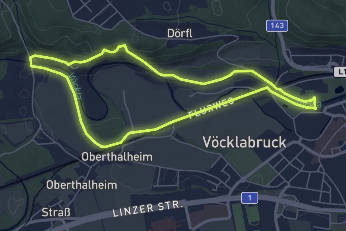
Lippeweg - Schlierwand
4.9 km · ↑ 76 m · 1 h 24 min
Medium · Trail
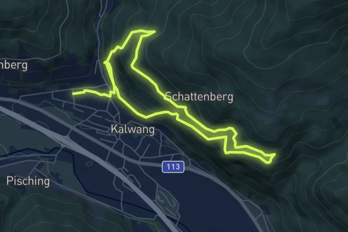
Lissing Weg
5.5 km · ↑ 370 m · 2 h 10 min
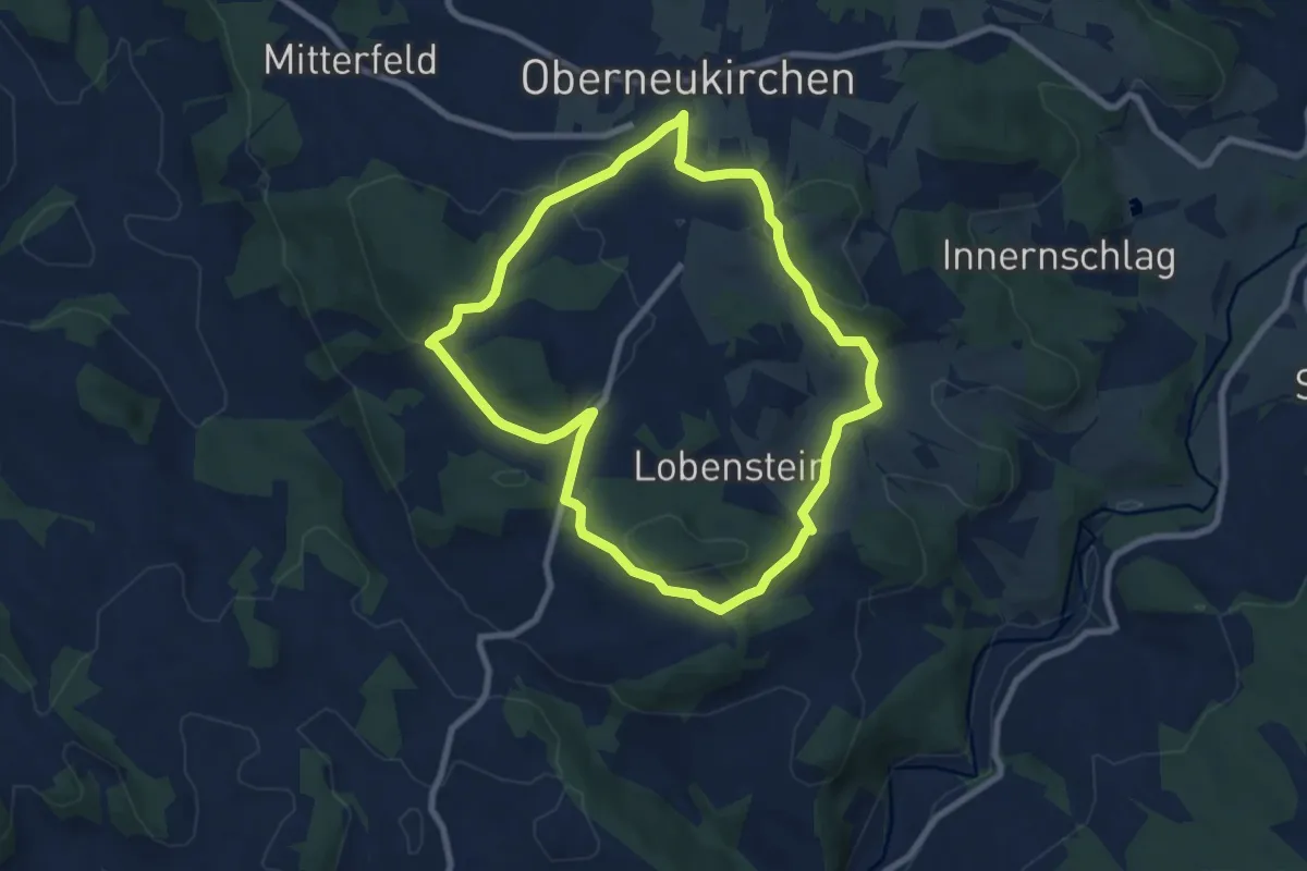
Easy · Trail
Lobensteiner Runde
7.4 km · ↑ 199 m · 2 h 17 min
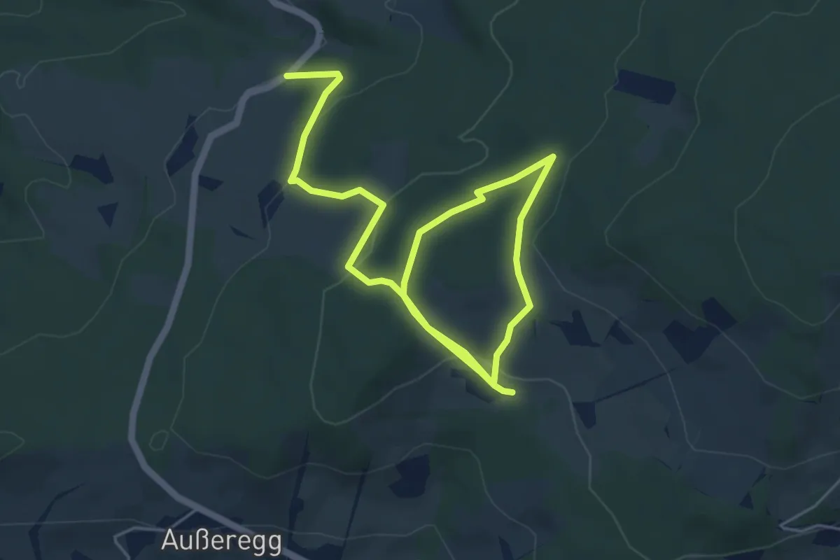
Easy · Trail
Lochsteinweg
7.6 km · ↑ 270 m · 2 h 23 min
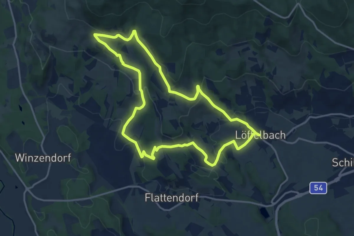
Medium · Trail
Löffelbach - Häckerberg - Flattendorf-Aue - St. Anna - Löffelbach (IV)
10.4 km · ↑ 343 m · 3 h 21 min
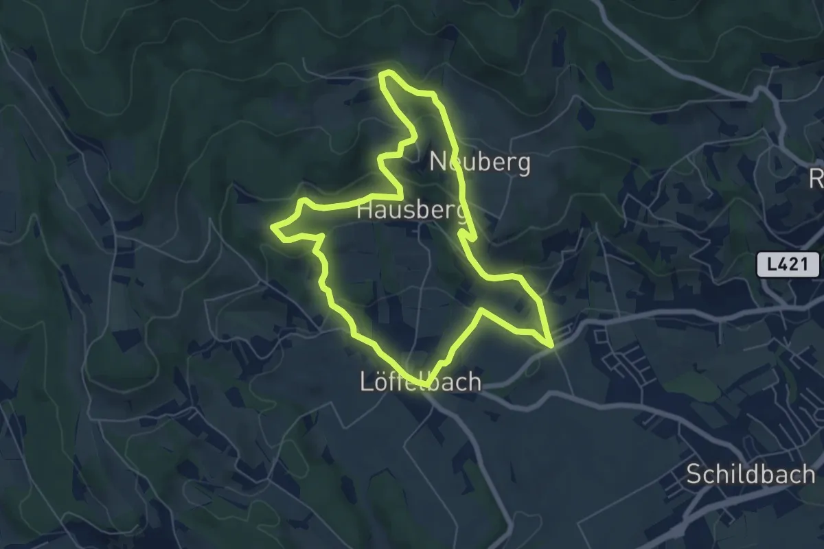
Easy · Summit
Löffelbach - Villa Rustica - Burg Neuberg - Löffenbach (I)
6.1 km · ↑ 222 m · 2 h
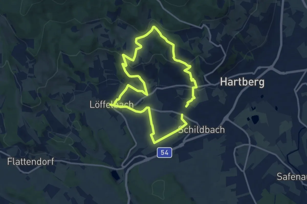
Medium · Summit
Löffelbach - Villa Rustica - Burg Neuberg - Sportplatz Schildbach - Löffenbach (II)
8.3 km · ↑ 241 m · 2 h 35 min
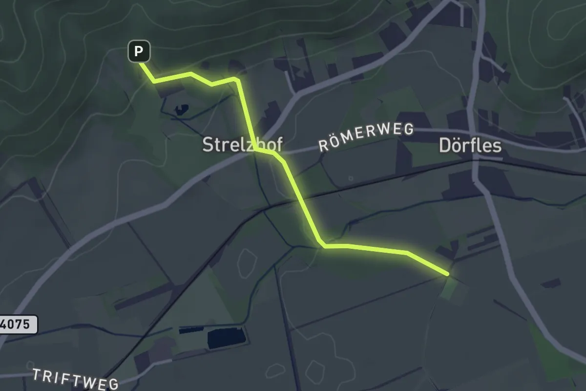
Easy · Trail
Löffler Runde Abkürzung
3.0 km · ↑ 54 m · 49 min
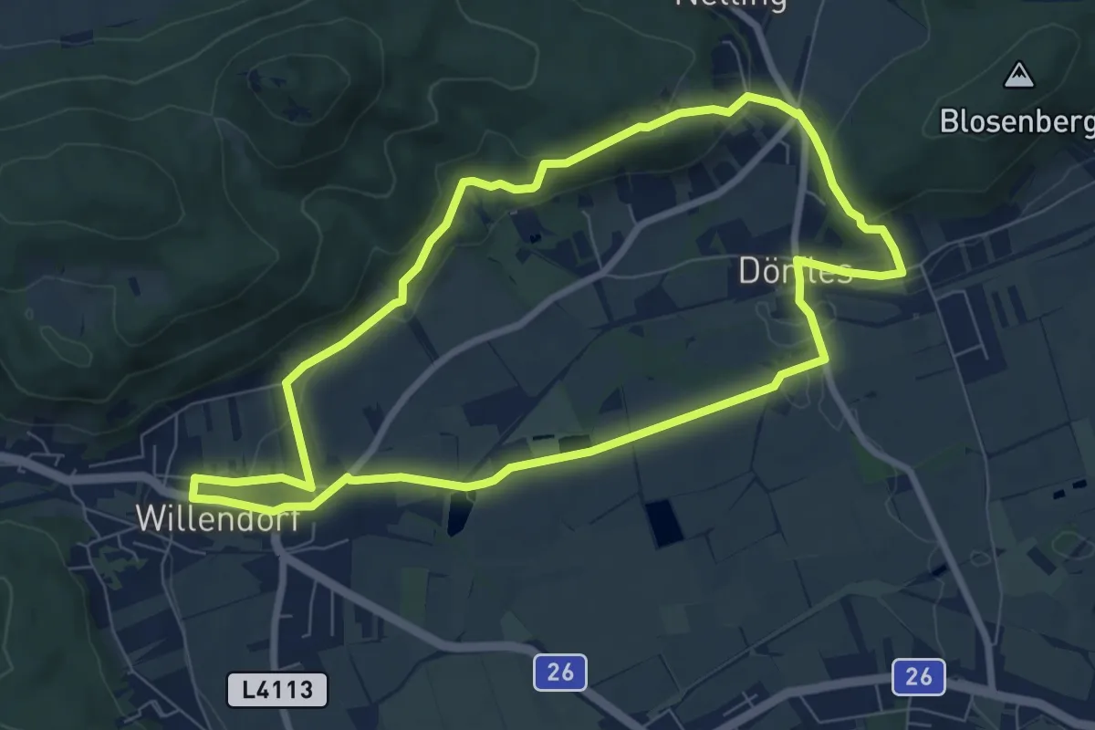
Easy · Summit
Löffler Runde Schloss Strelzhof bei Willendorf
7.4 km · ↑ 147 m · 2 h 10 min
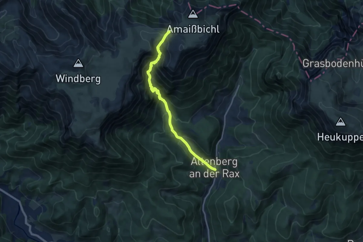
Demanding · Trail
Lohmgraben / Almgraben
10.5 km · ↑ 930 m · 4 h 30 min
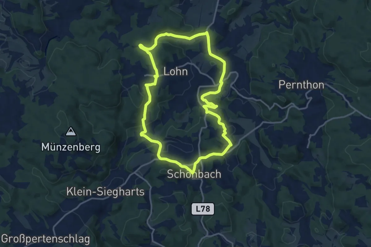
Medium · Trail
Lohnbachfallweg 92
10.9 km · ↑ 243 m · 3 h 15 min
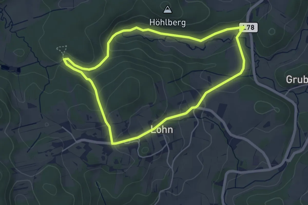
Medium · Trail
Lohnbachfallweg kurz
4.1 km · ↑ 131 m · 1 h 19 min
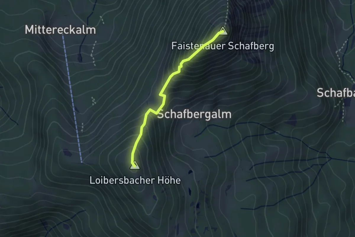
Medium · Summit
Loibersbacher Höhe Bike & Hike
2.7 km · ↑ 323 m · 1 h 20 min
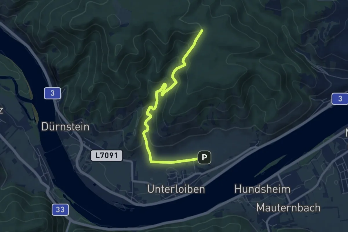
Easy · Trail
Loibner Holzweg zur Kreuzung Hengelwand (blau)
7.0 km · ↑ 294 m · 2 h 18 min
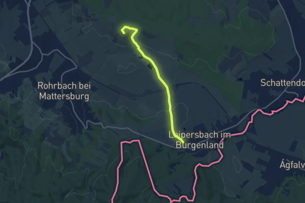
Medium · Summit
Loipersbach - Kogel (Nordic Walking)
8.7 km · ↑ 157 m · 2 h 24 min
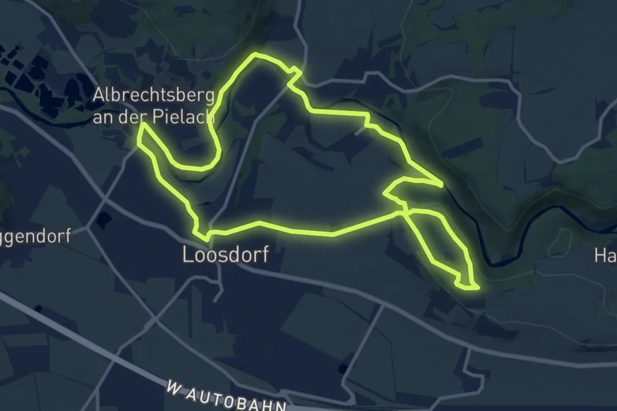
Medium · Summit
Loosdorf - Lochau - Ofenloch Rundwanderweg
10.5 km · ↑ 125 m · 2 h 54 min
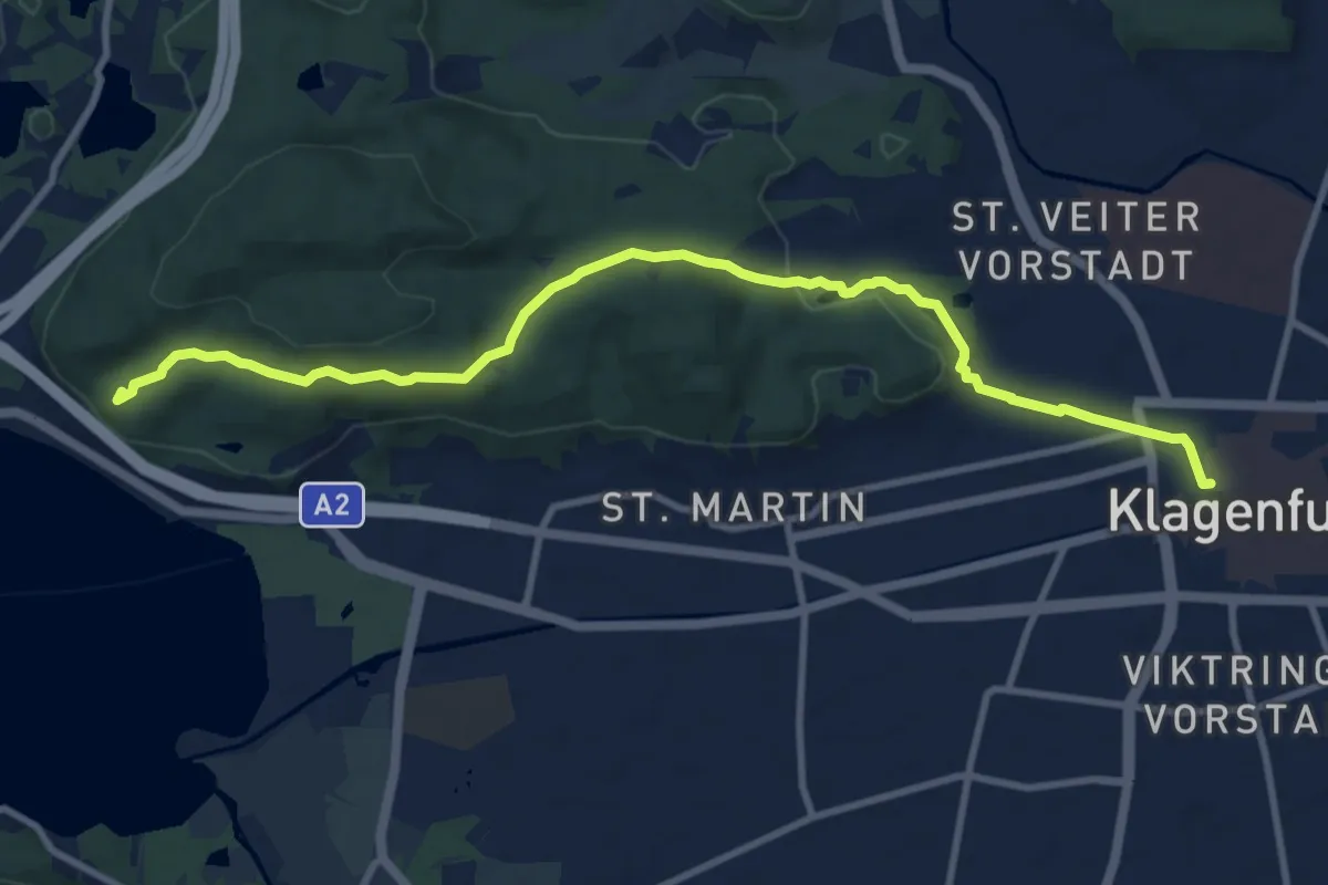
Medium · Summit
Loretto
11.0 km · ↑ 185 m · 2 h 59 min
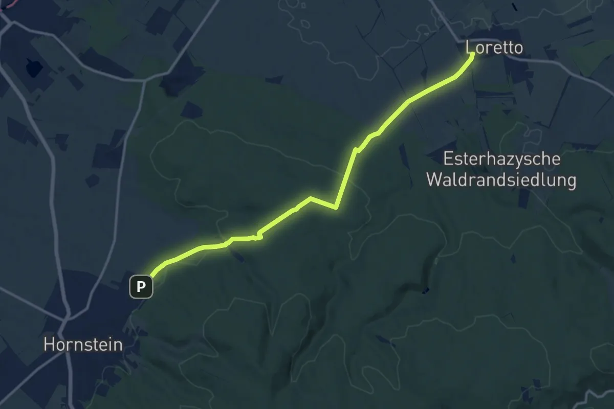
Medium · Trail
Loretto - Hornstein
12.1 km · ↑ 222 m · 3 h 21 min
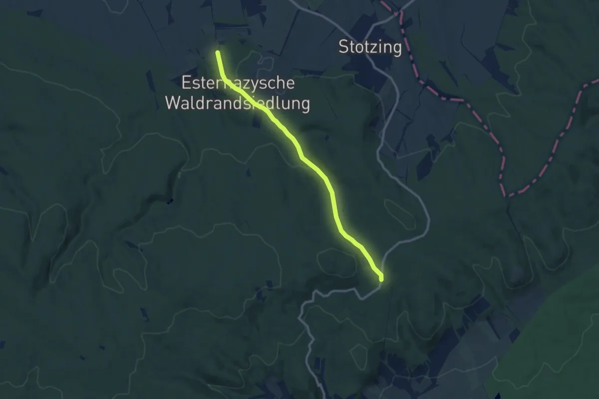
Medium · Trail
Loretto (Waldrandsiedlung) - Leithabergstraße
8.9 km · ↑ 133 m · 2 h 23 min
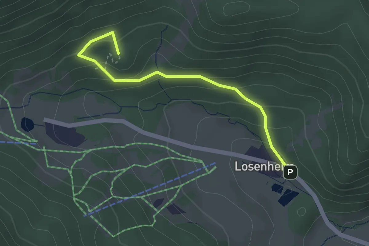
Medium · Summit
Losenheim - Mamauwiese - Gasthaus Mamauwiese
2.8 km · ↑ 168 m · 1 h 2 min
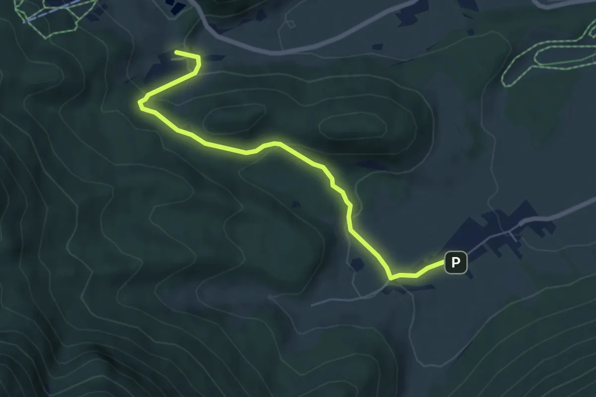
Easy · Summit
Losenheim - Schneebergdörfl
5.6 km · ↑ 228 m · 1 h 50 min
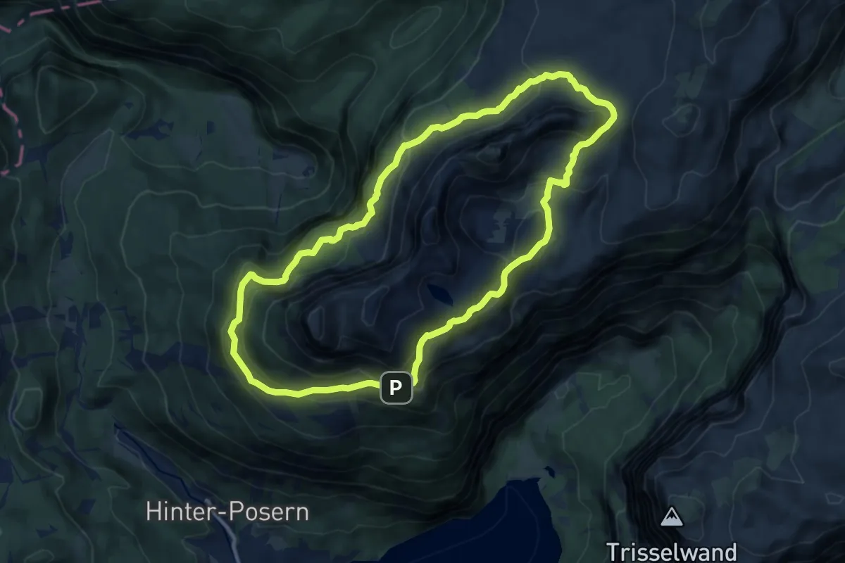
Expert · Summit
Loser - Umrundung
10.3 km · ↑ 463 m · 3 h 35 min