Trails in Austria
9,779 hiking trails, each with its route, climb, walking time and grade.
All trails, page 65 of 204
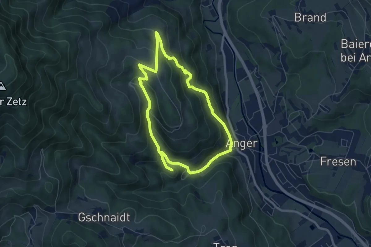
Medium · Trail
Lost Place Tour
5.6 km · ↑ 304 m · 2 h 4 min
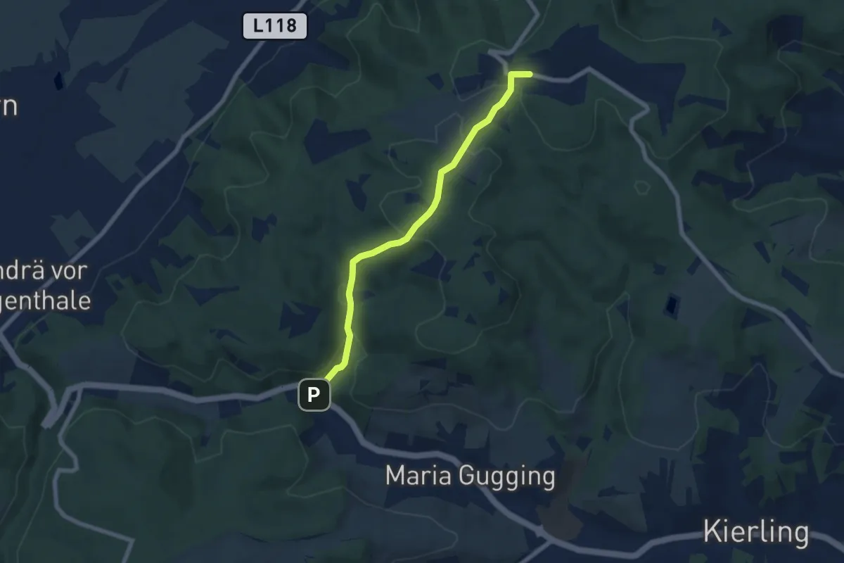
Easy · Trail
Lourdesgrotte/B14 - Hadersfeld via Binderjockl
5.8 km · ↑ 203 m · 1 h 48 min
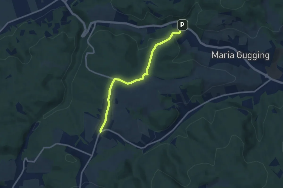
Easy · Trail
Lourdesgrotte/B14 - Hintersdorf
5.8 km · ↑ 183 m · 1 h 47 min
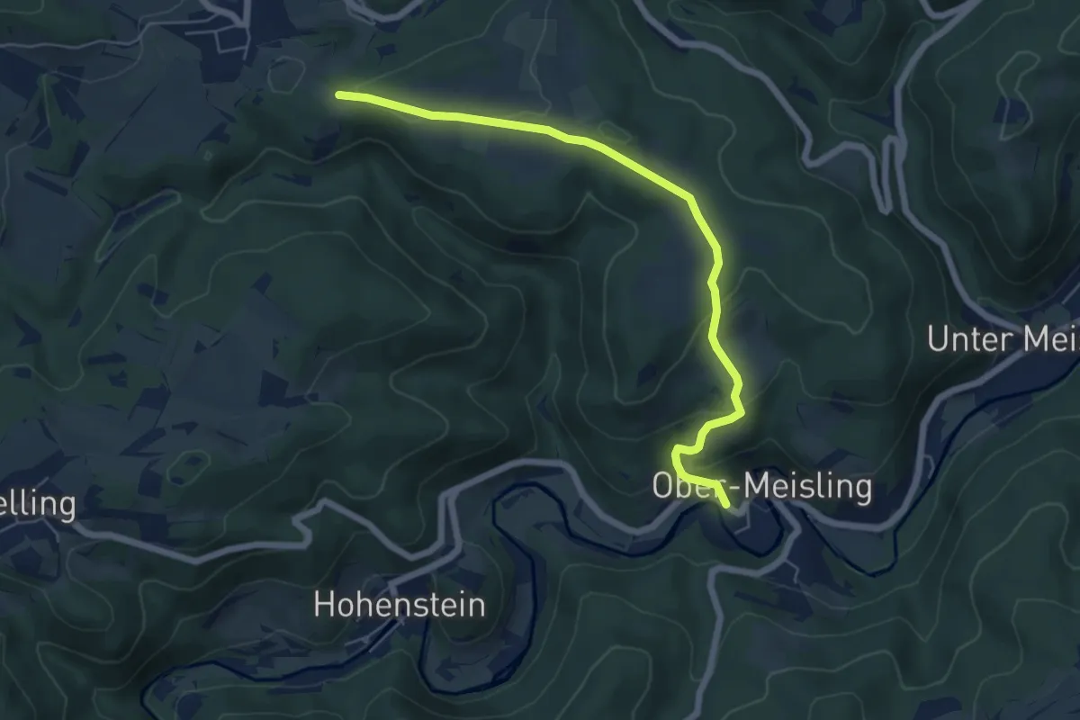
Easy · Trail
Löwein - Ober Meisling
6.0 km · ↑ 189 m · 1 h 49 min
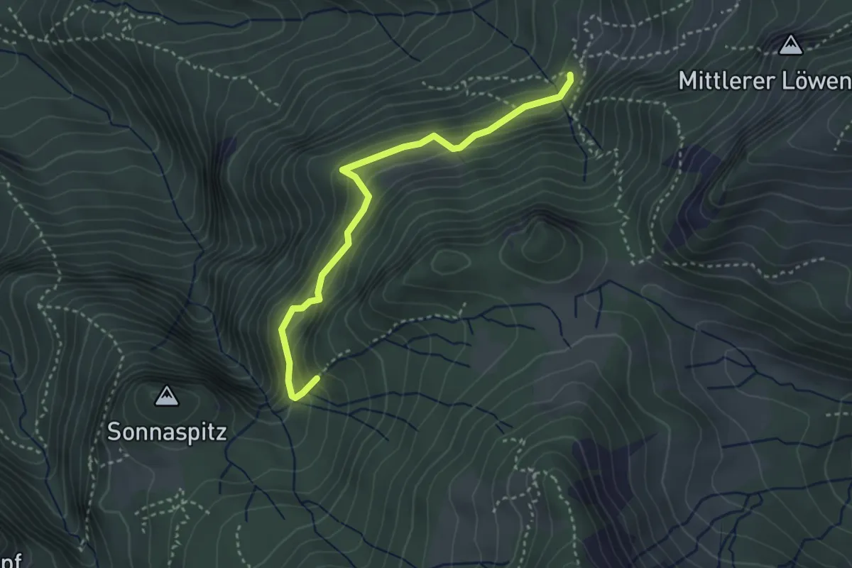
Demanding · Trail
Luchsfallenweg
3.2 km · ↑ 163 m · 1 h 7 min
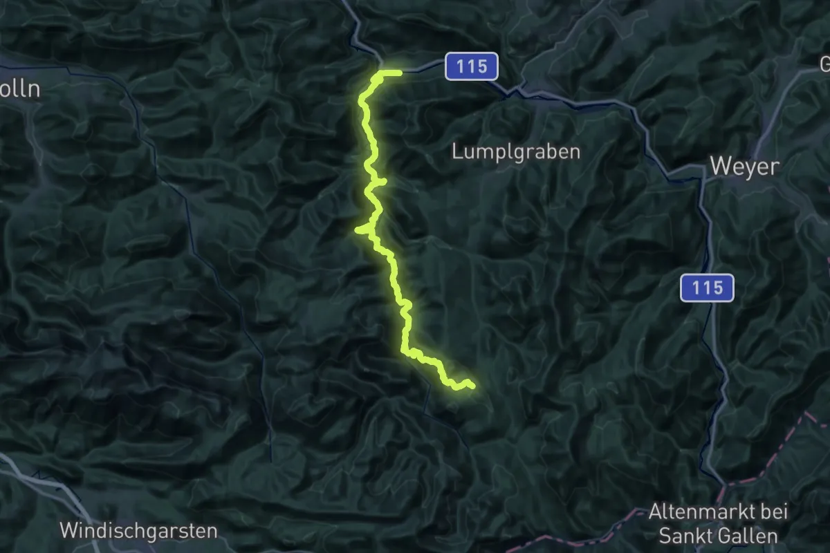
Demanding · Cabin
Luchs Trail Etappe 1
22.7 km · ↑ 1157 m · 7 h 53 min
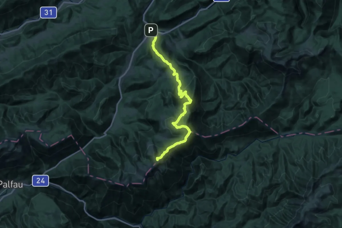
Demanding · Summit
Luchs Trail Etappe 10
31.5 km · ↑ 1849 m · 11 h 26 min
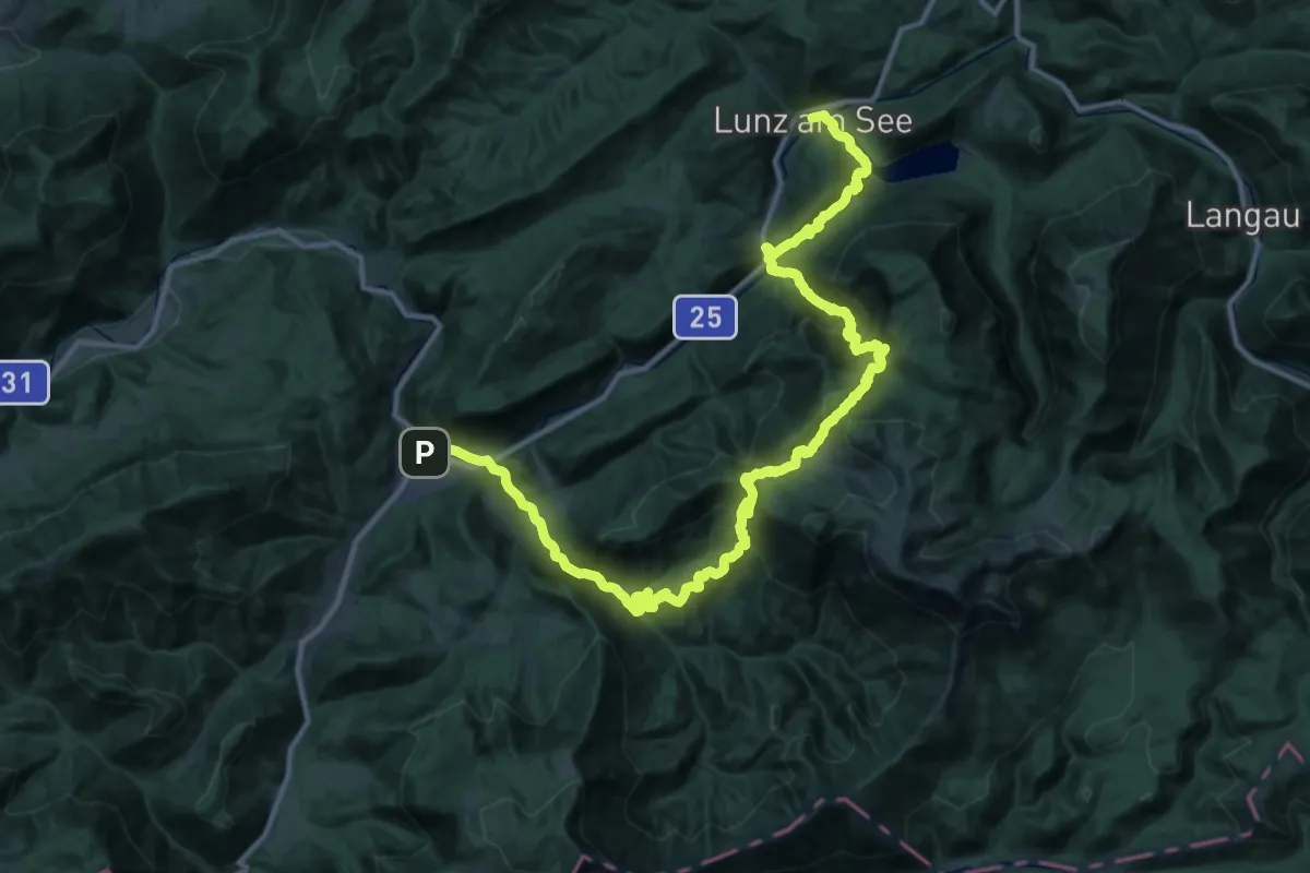
Demanding · Trail
Luchs Trail Etappe 11
23.3 km · ↑ 1255 m · 8 h 31 min
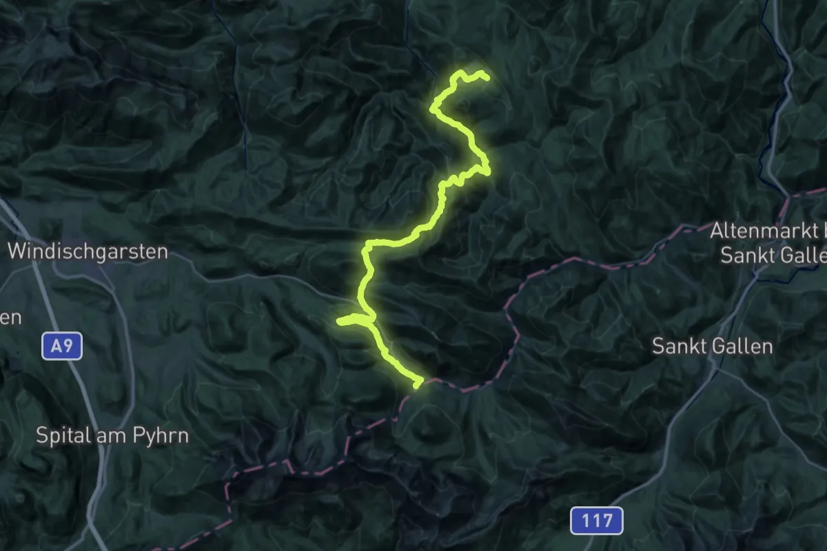
Demanding · Cabin
Luchs Trail Etappe 2
21.3 km · ↑ 1136 m · 7 h 41 min
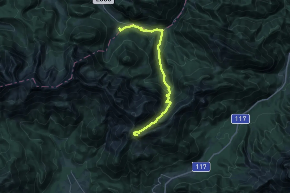
Demanding · Summit
Luchs Trail Etappe 3
20.4 km · ↑ 1340 m · 7 h 44 min
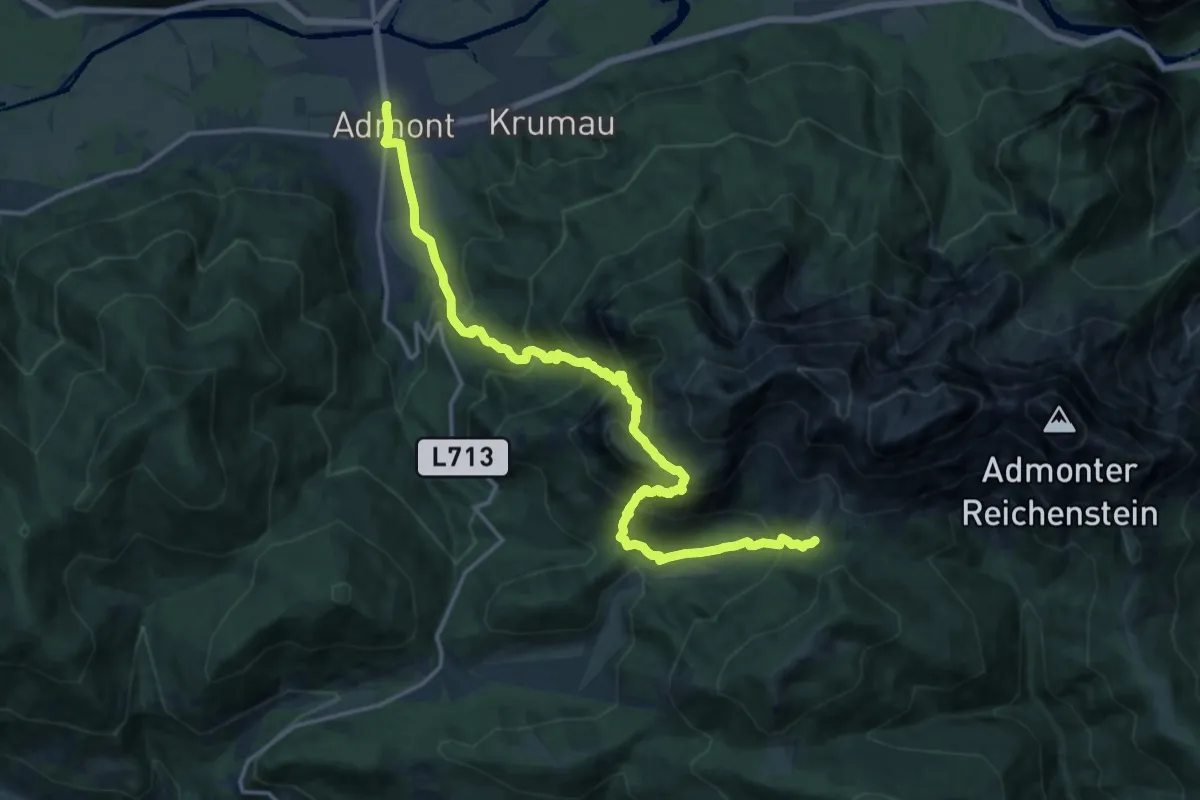
Expert · Cabin
Luchs Trail Etappe 4
8.9 km · ↑ 1304 m · 4 h 38 min
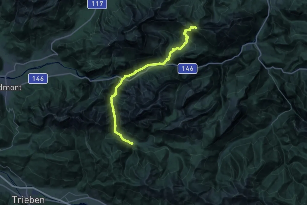
Demanding · Cabin
Luchs Trail Etappe 6
17.4 km · ↑ 1084 m · 6 h 22 min
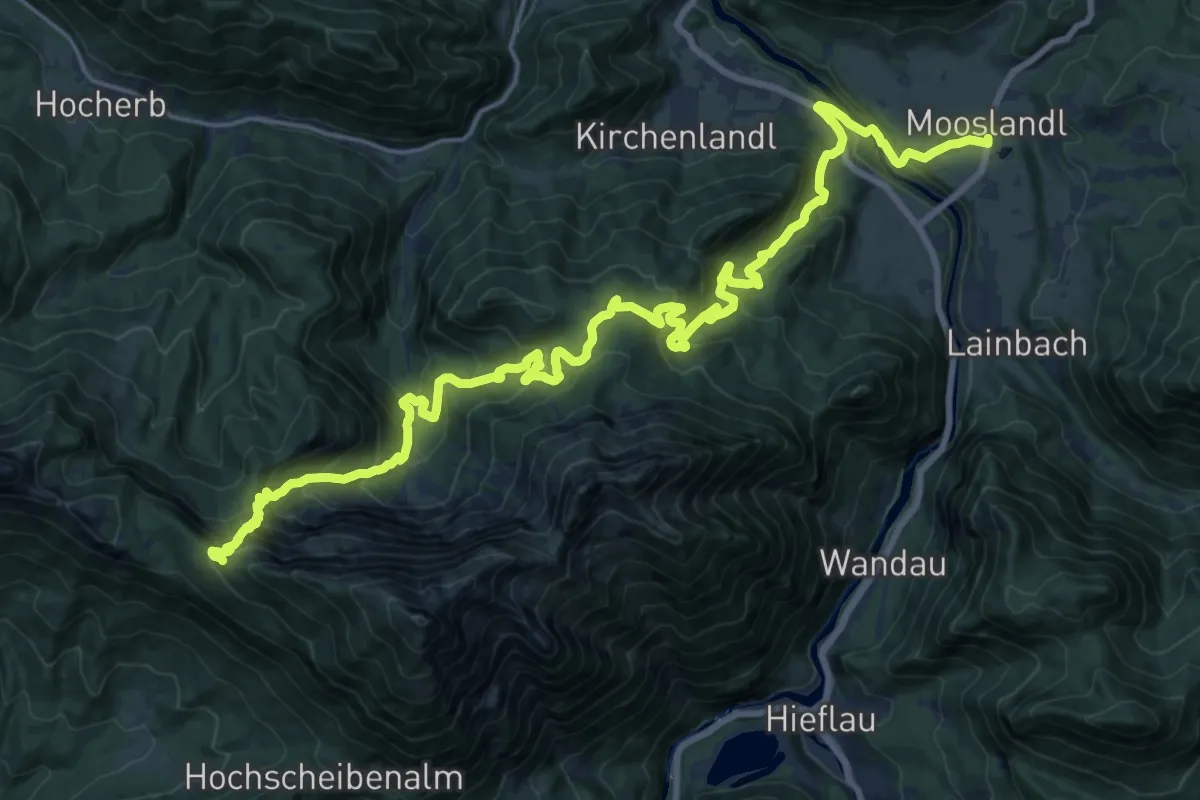
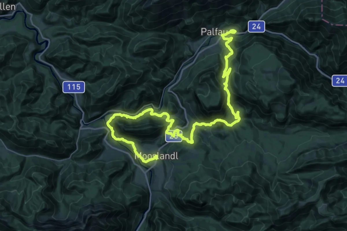
Demanding · Cabin
Luchs Trail Etappe 7
10.8 km · ↑ 1188 m · 4 h 46 min
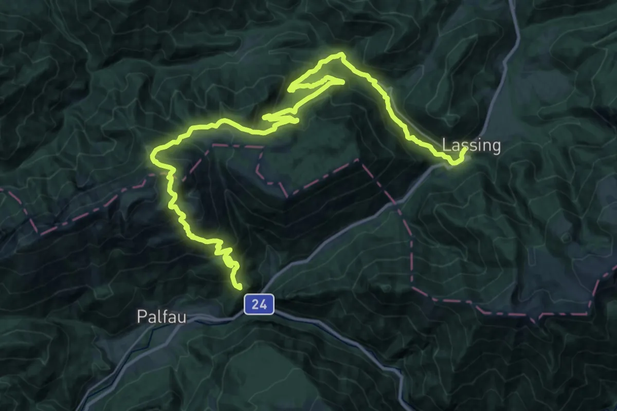
Demanding · Trail
Luchs Trail Etappe 8
23.9 km · ↑ 907 m · 7 h 56 min
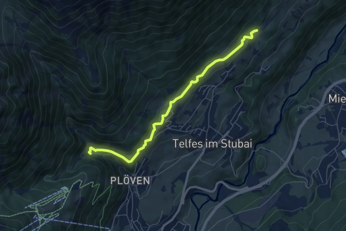
Demanding · Summit
Luchs Trail Etappe 9
38.5 km · ↑ 2070 m · 13 h 35 min
Easy · Trail
Lüderitzsteig
6.1 km · ↑ 138 m · 1 h 44 min
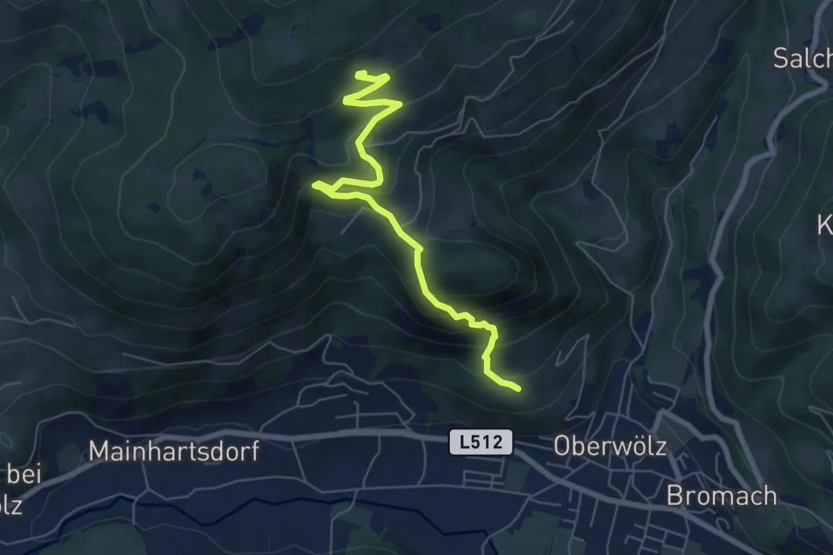
Medium · Summit
Luegtratte-Rundtour
3.0 km · ↑ 377 m · 1 h 23 min
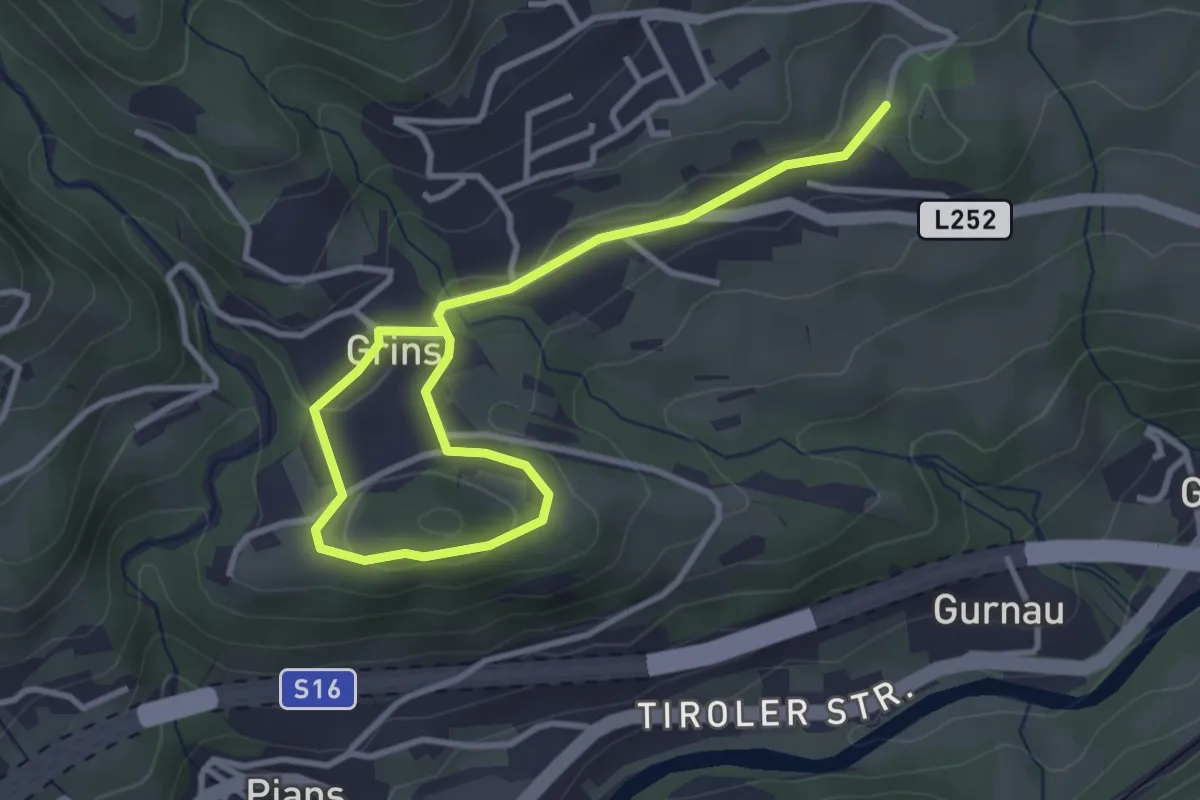
Easy · Trail
Luftalb-Runde
2.1 km · ↑ 62 m · 40 min
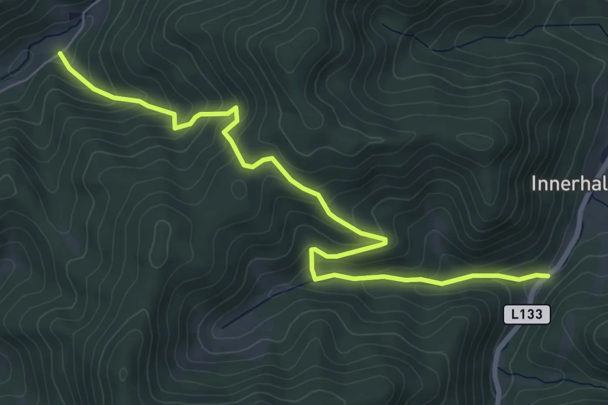
Medium · Trail
Luger-Kashof
6.5 km · ↑ 414 m · 2 h 26 min
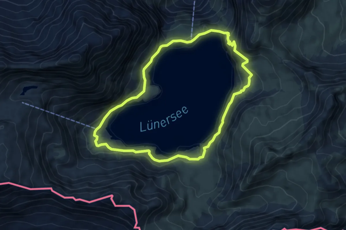
Medium · Cabin
Lünersee-Rundweg
6.0 km · ↑ 167 m · 1 h 52 min
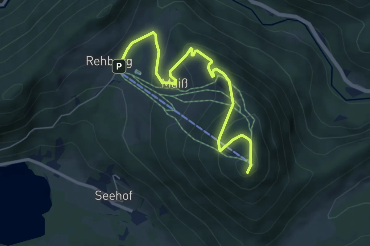
Easy · Summit
Lunz am See, Almgasthaus Rehberg - Maißzinken
5.5 km · ↑ 303 m · 1 h 57 min
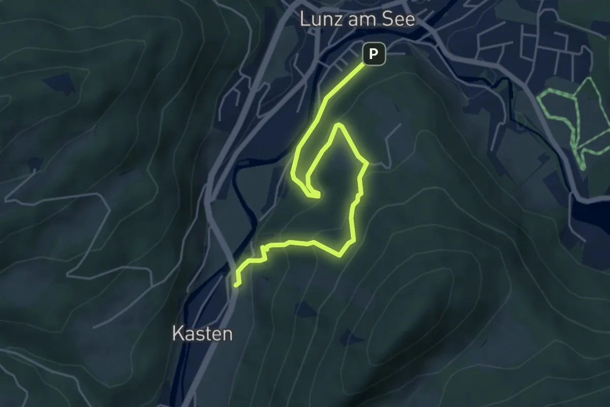
Easy · Trail
Lunz am See, Kalvarienberg - Kasten
5.1 km · ↑ 268 m · 1 h 47 min
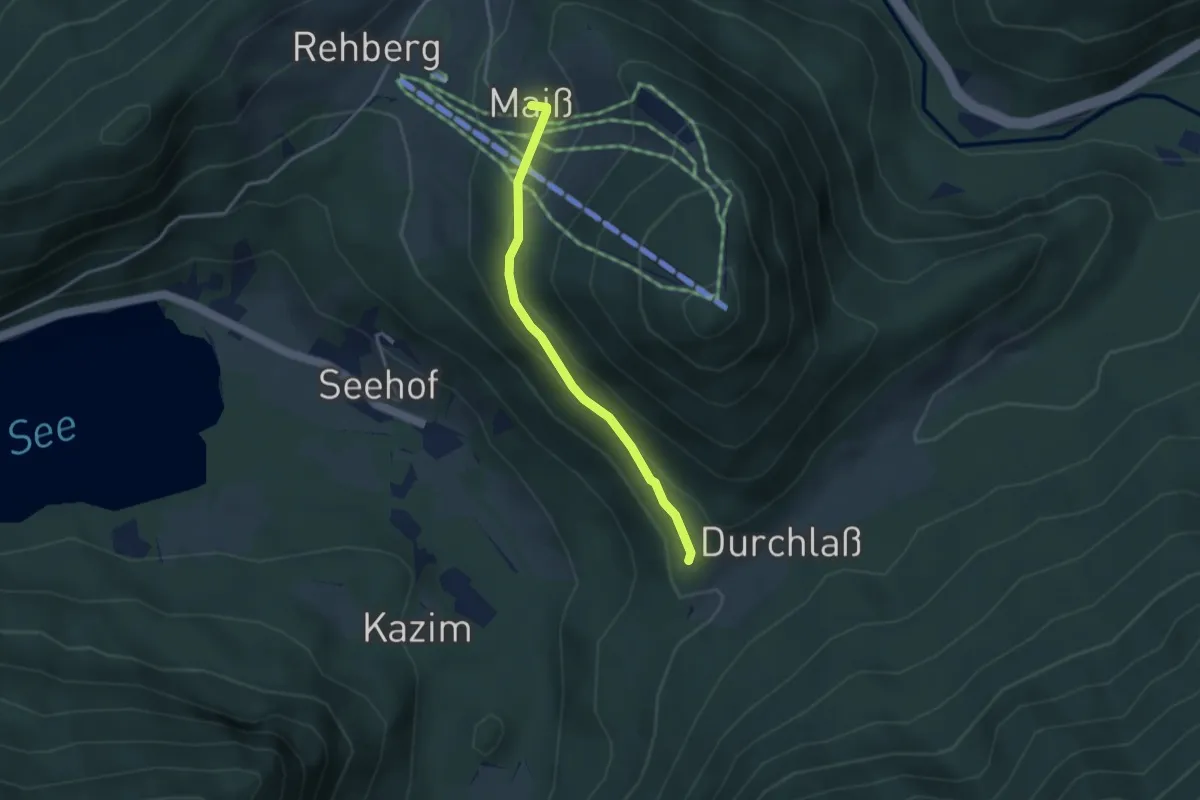
Easy · Trail
Lunz am See, Maisser Bauer - Durchlasssattel (Anschluß 06)
3.0 km · ↑ 125 m · 59 min
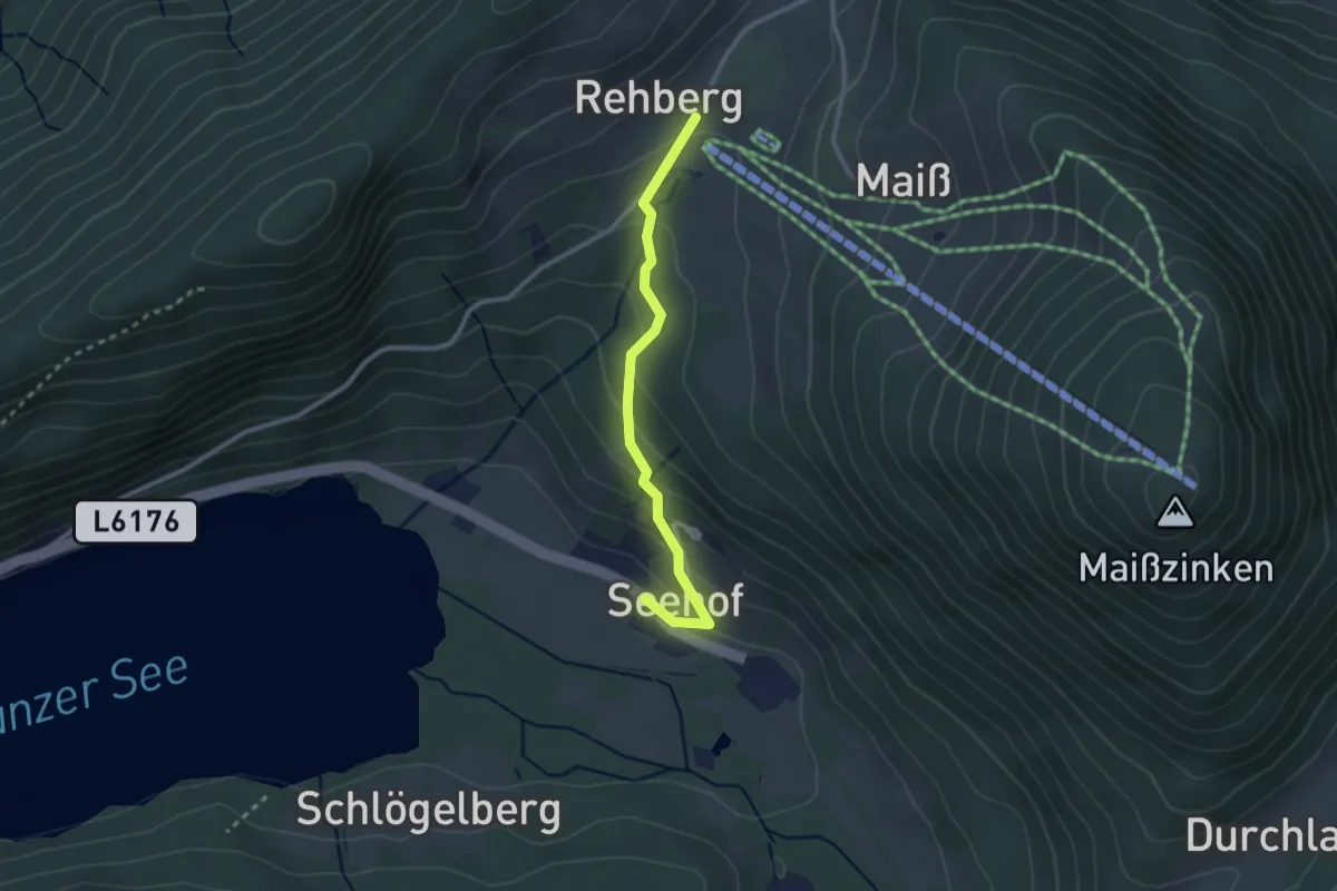
Easy · Trail
Lunz am See, Parkplatz Biologische Station - Almgasthaus Rehberg
2.4 km · ↑ 150 m · 54 min
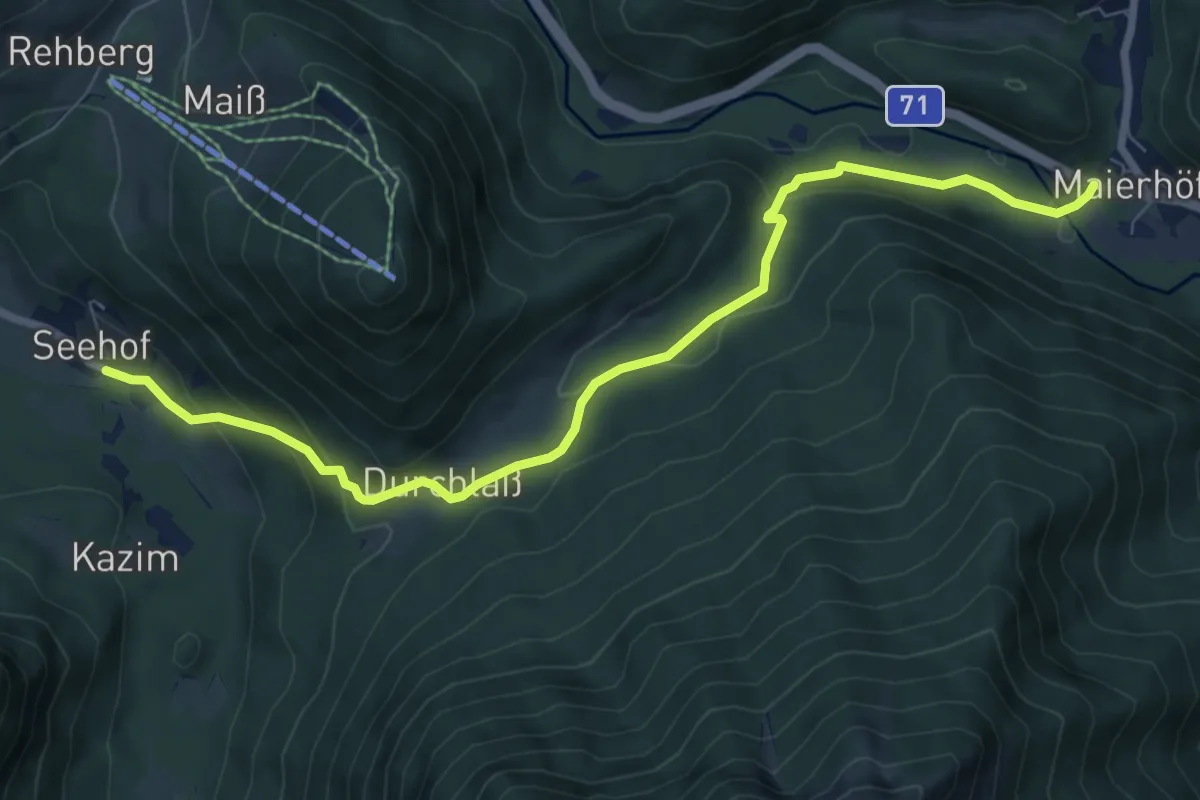
Medium · Trail
Lunz am See, Seehof - Durchlass - Maierhöfen
8.2 km · ↑ 298 m · 2 h 34 min
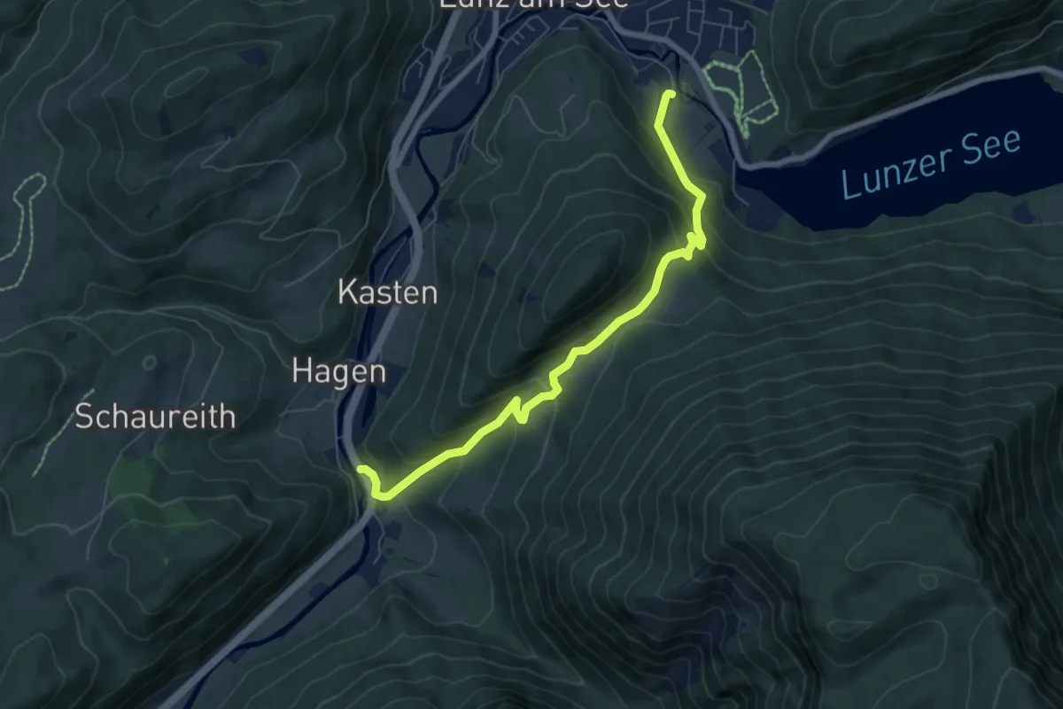
Medium · Trail
Lunz am See - Seekopf - Kasten
6.7 km · ↑ 404 m · 2 h 28 min
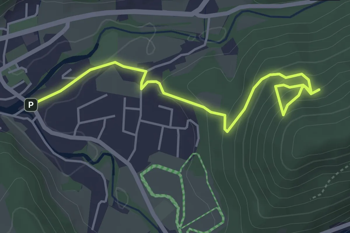
Easy · Trail
Lunz am See, Zellerhofstraße - Almgasthaus Rehberg
4.4 km · ↑ 223 m · 1 h 31 min
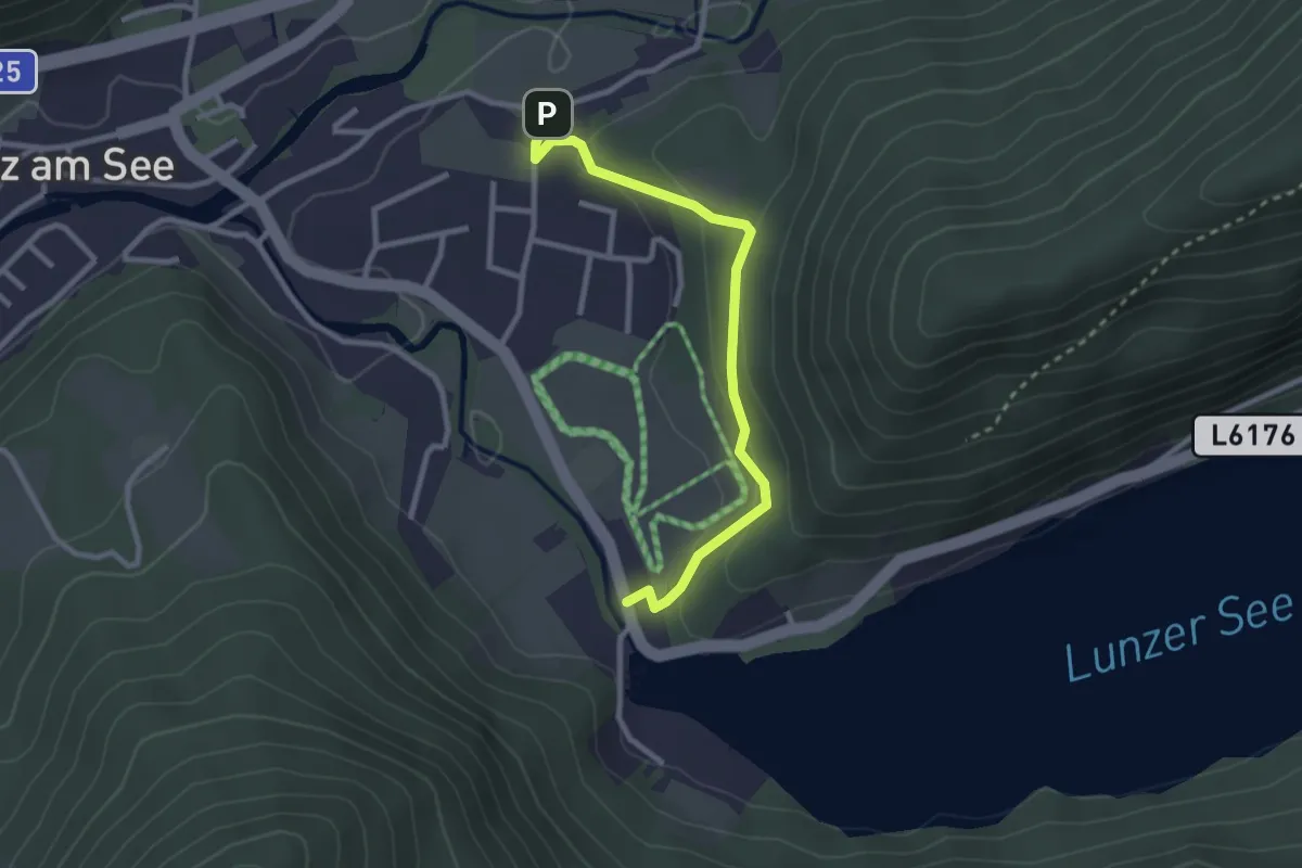
Easy · Trail
Lunzer See - Bienenkunde
2.6 km · ↑ 73 m · 47 min
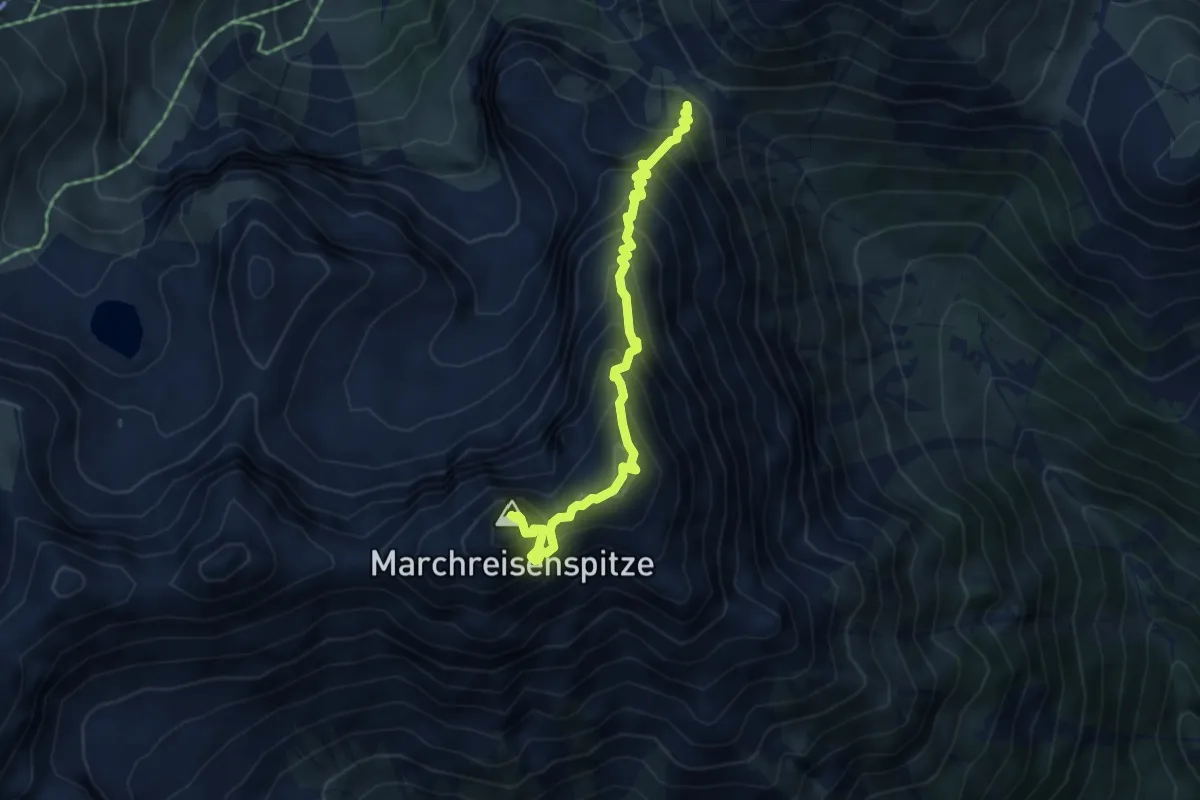
Expert · Summit
"Lustige Bergler" Steig
4.7 km · ↑ 848 m · 2 h 57 min
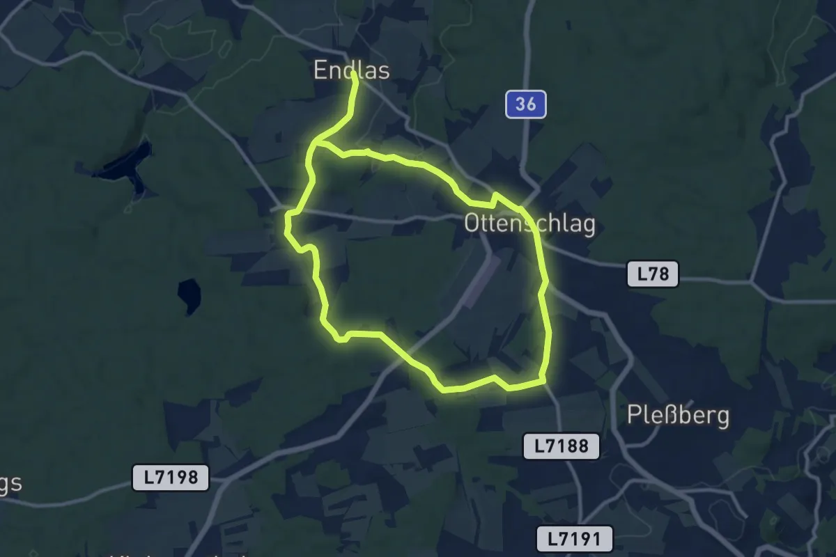
Demanding · Trail
Lyrikweg 33
18.0 km · ↑ 224 m · 4 h 45 min
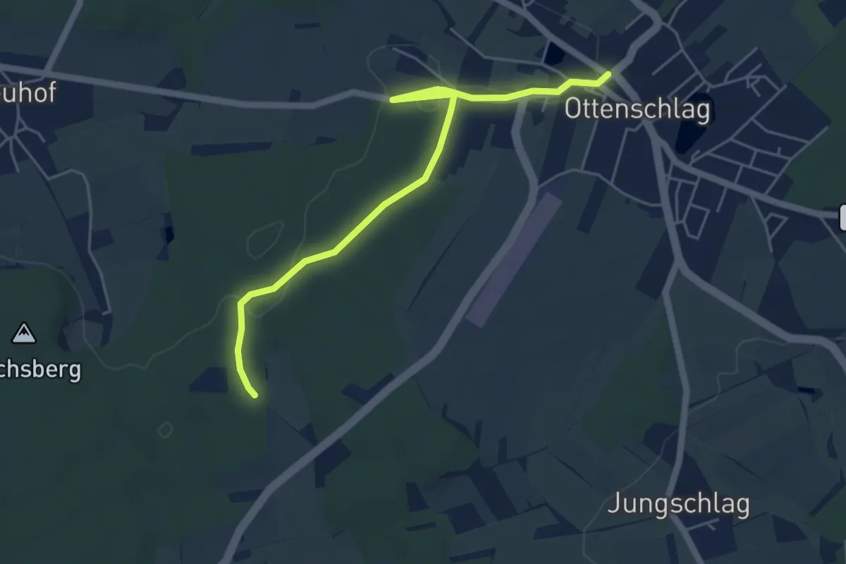
Easy · Trail
Lyrikweg kurz
5.1 km · ↑ 50 m · 1 h 18 min
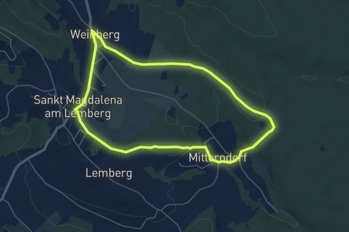
Easy · Trail
M3 Gassl-Rundwanderweg
4.9 km · ↑ 94 m · 1 h 26 min
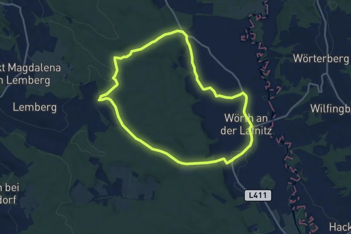
Medium · Trail
M4 Fichtenbründl-Weg
8.7 km · ↑ 104 m · 2 h 24 min
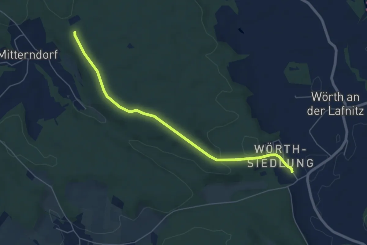
Easy · Trail
M4 Fichtenbründl-Weg Alternative
5.2 km · ↑ 79 m · 1 h 24 min
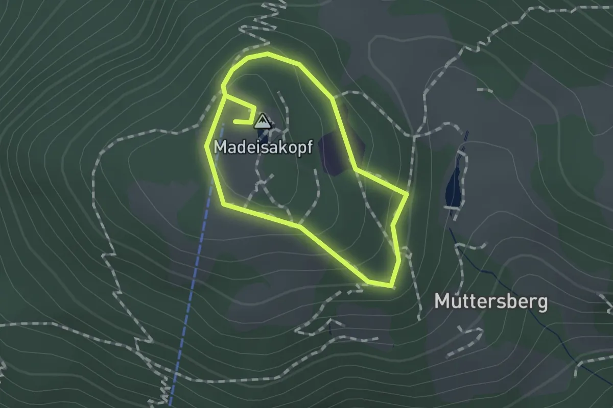
Medium · Summit
Madeisarundweg
1.0 km · ↑ 43 m · 21 min
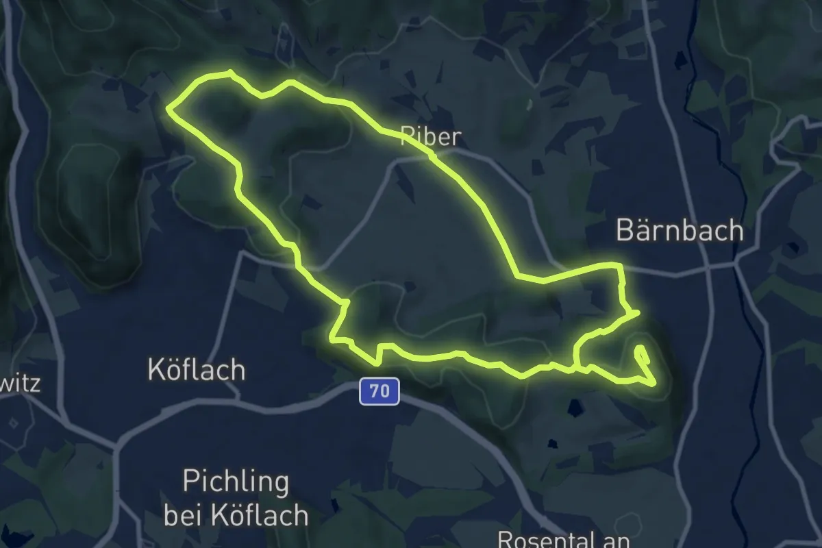
Medium · Summit
Maestoso Rundweg
9.5 km · ↑ 243 m · 2 h 52 min
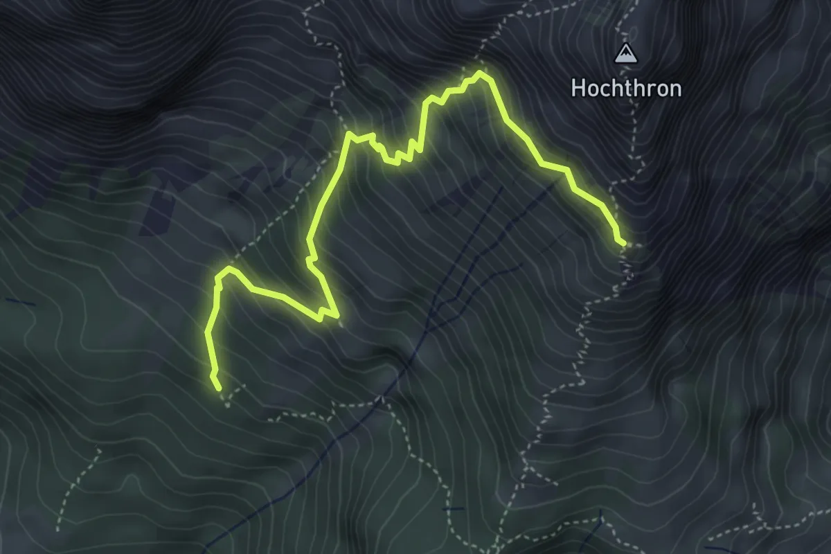
Expert · Cabin
Mahdegg-Alm - Werfener Hütte
5.0 km · ↑ 632 m · 2 h 32 min
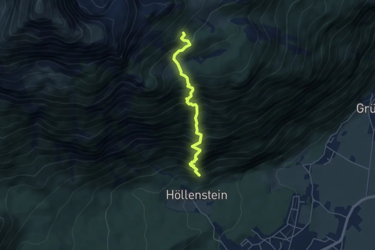
Expert · Trail
Mahdersteig
4.1 km · ↑ 833 m · 2 h 46 min
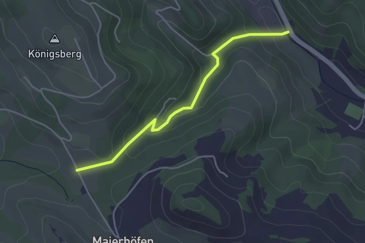
Easy · Trail
Maierhöfener Straße - Kobauer Brücke
3.4 km · ↑ 116 m · 1 h 3 min
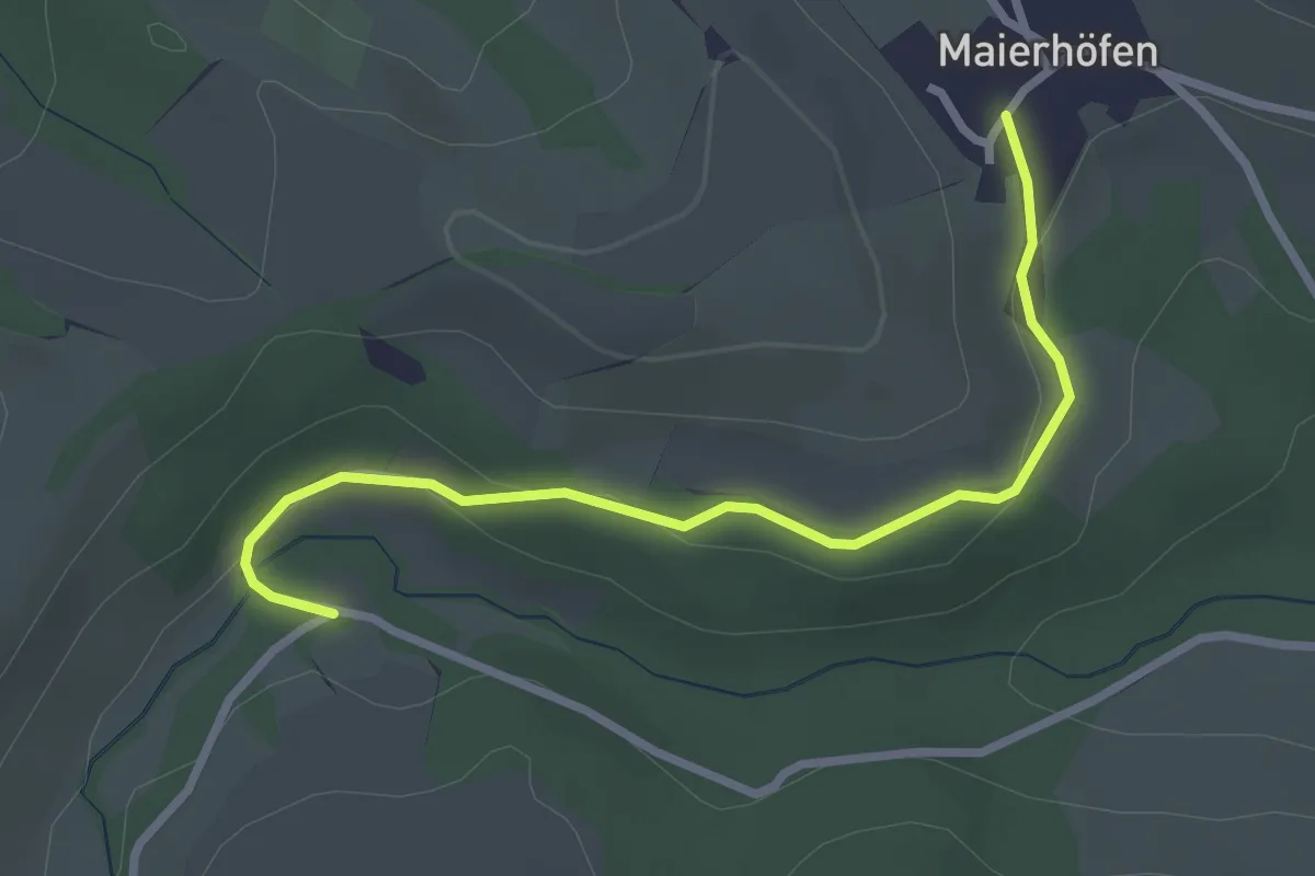
Easy · Trail
Maierhöfen - Hallergraben (Hallermühle)
2.9 km · ↑ 64 m · 49 min
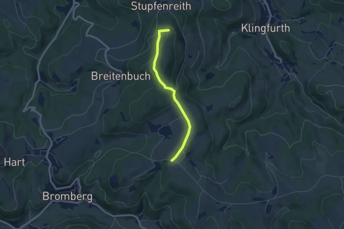
Easy · Summit
Maierhöfen - Stupfenreith
4.7 km · ↑ 107 m · 1 h 20 min
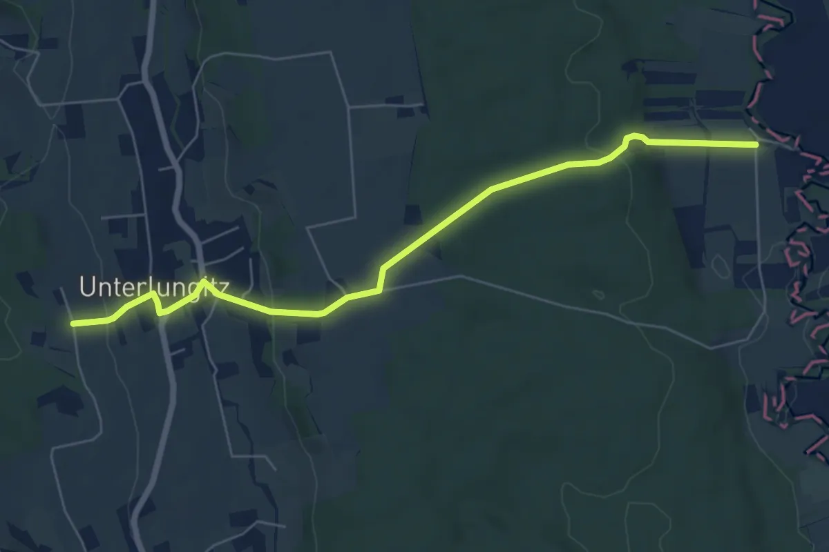
Easy · Trail
Maierhofermühle Weg MM
6.3 km · ↑ 165 m · 1 h 51 min
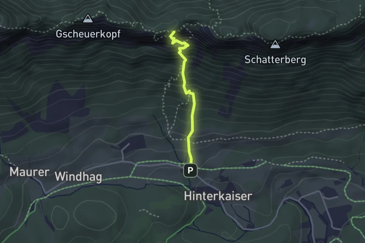
Expert · Summit
Maiklsteig
2.2 km · ↑ 483 m · 1 h 34 min
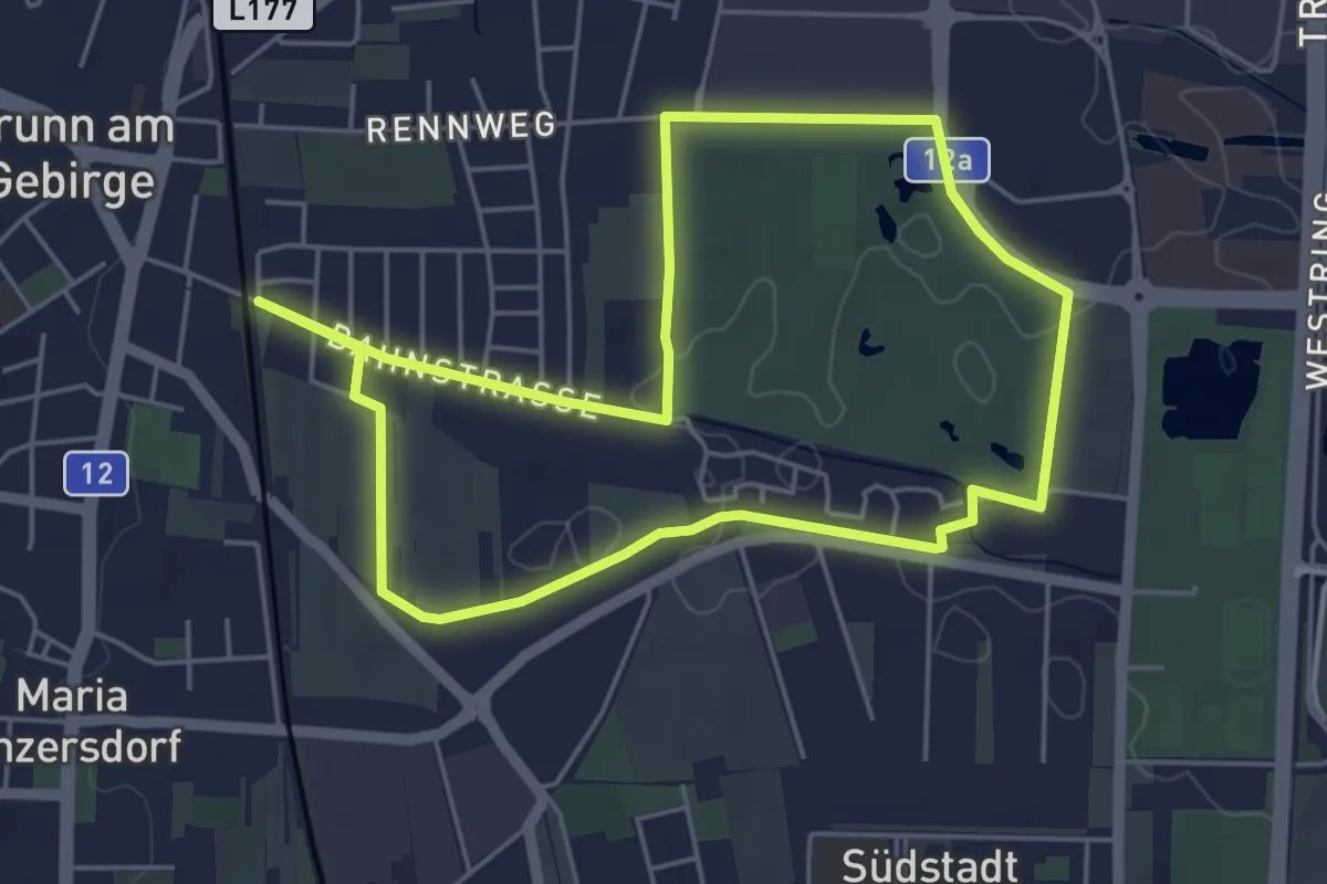
Easy · Trail
Mail Boxes ETC. Runde
4.8 km · ↑ 13 m · 1 h 14 min
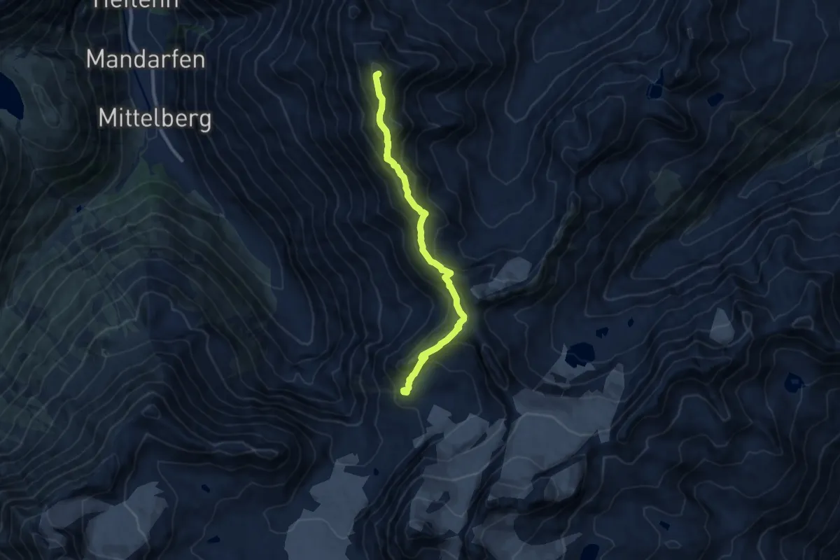
Expert · Summit
Mainzer Höhenweg
9.2 km · ↑ 891 m · 4 h 7 min
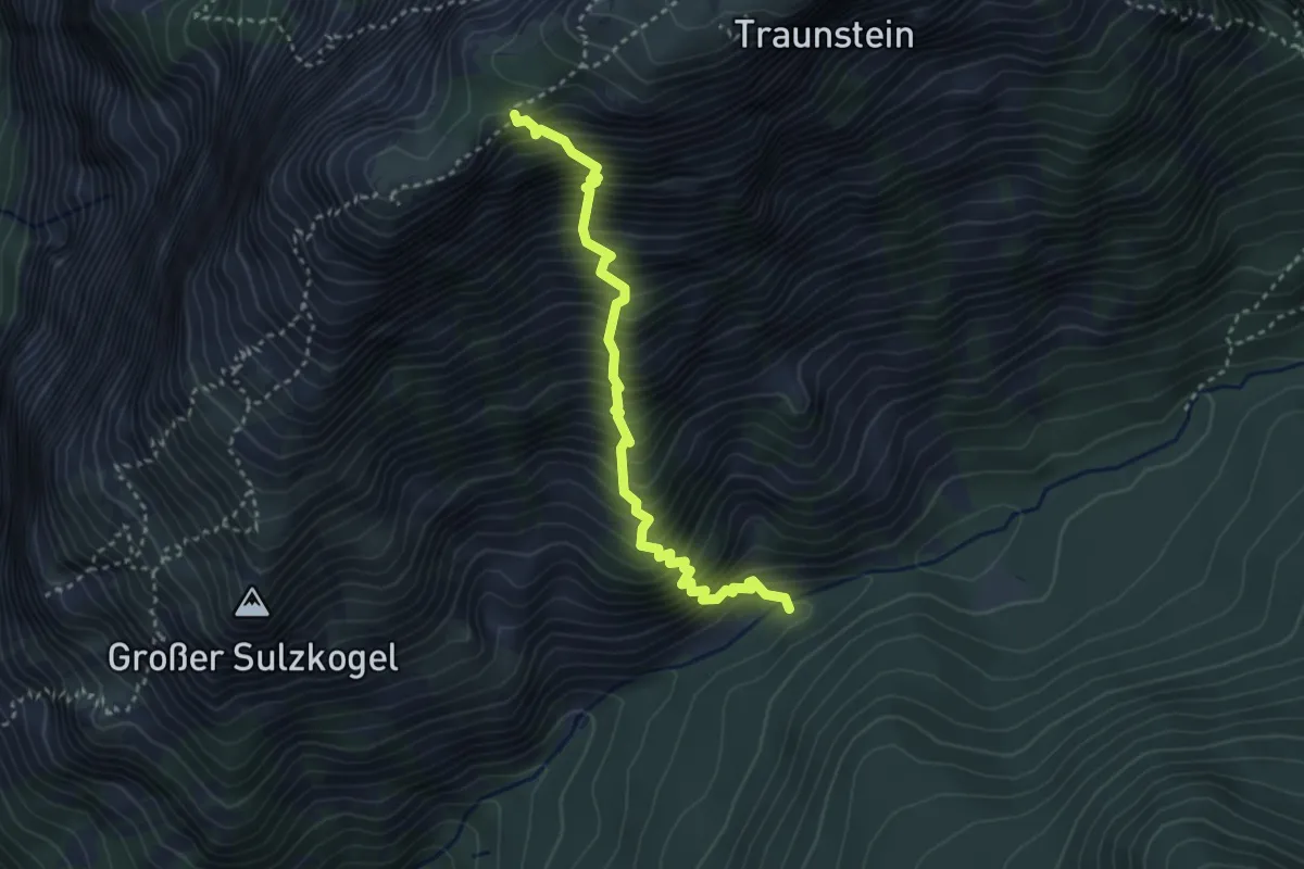
Demanding · Trail
Mairalmsteig
3.3 km · ↑ 801 m · 2 h 31 min
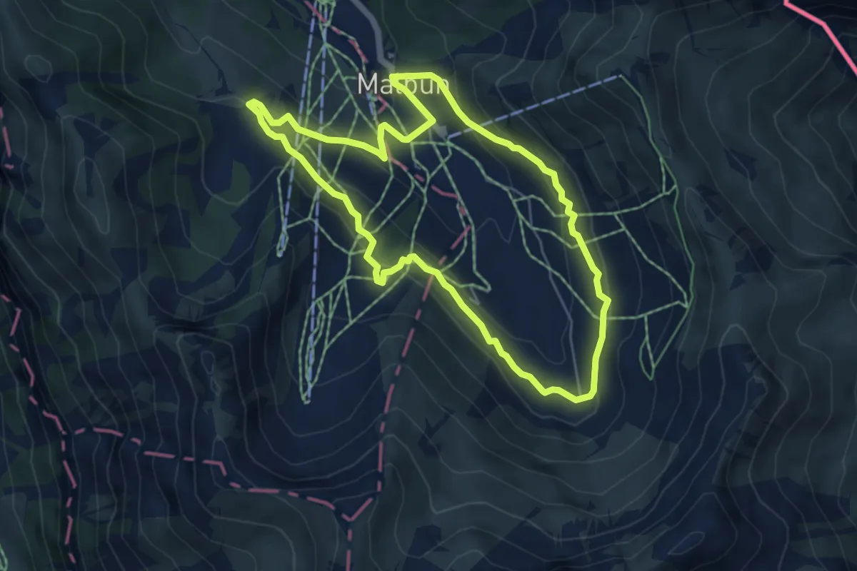
Easy · Trail
Malbun - Malbun
5.1 km · ↑ 226 m · 1 h 47 min
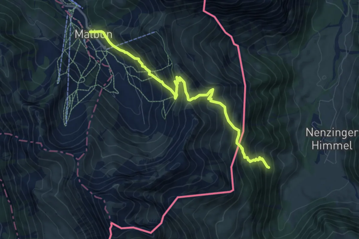
Demanding · Trail
Malbun - Nenzinger Himmel
9.1 km · ↑ 875 m · 4 h 2 min