Trails in Austria
9,779 hiking trails, each with its route, climb, walking time and grade.
All trails, page 71 of 204
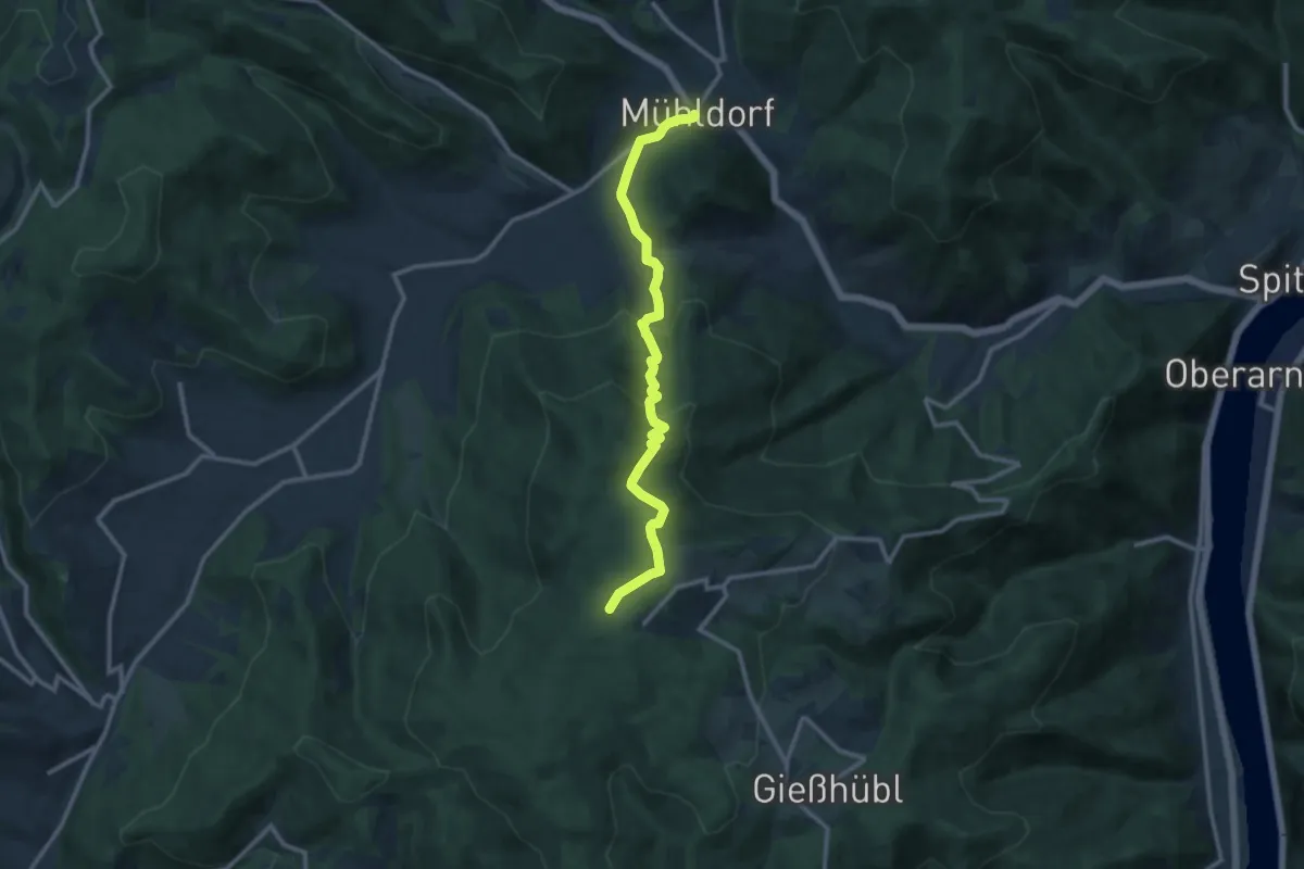
Medium · Trail
Mühldorf - Jauerling
11.5 km · ↑ 622 m · 4 h 4 min
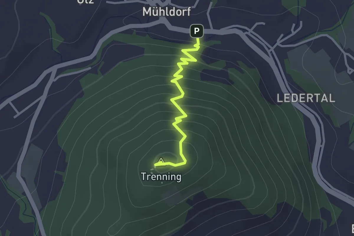
Medium · Summit
Mühldorf - Trenning (Gipfel) - Thurn
2.4 km · ↑ 269 m · 1 h 9 min
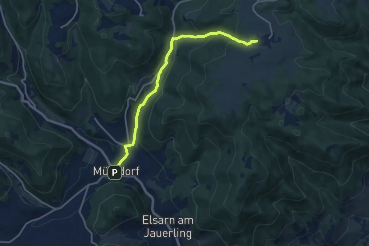
Medium · Trail
Mühldorf-Wolfenreith
9.0 km · ↑ 397 m · 2 h 59 min
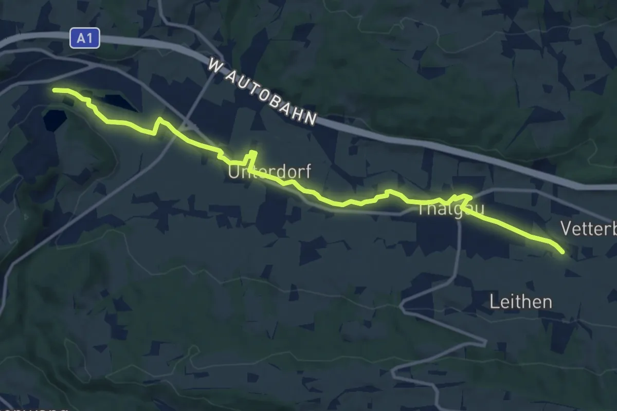
Medium · Trail
Mühlen am Brunnbach
12.0 km · ↑ 46 m · 2 h 56 min
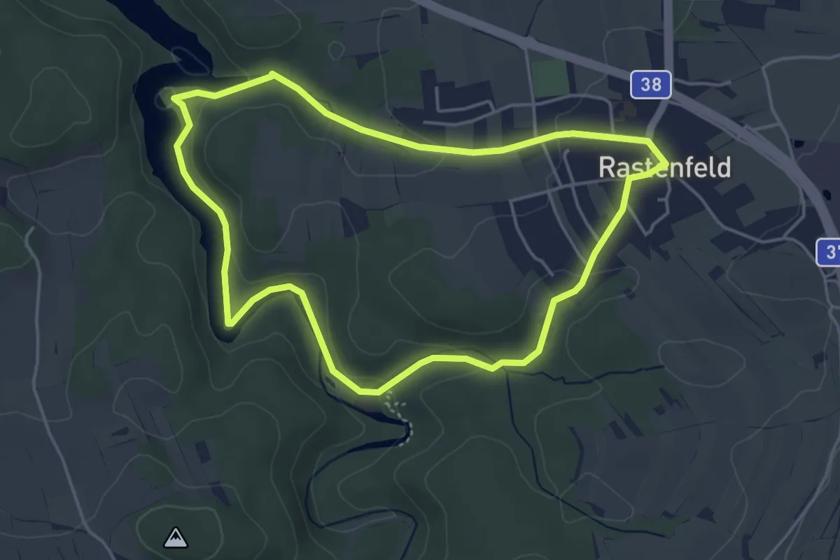
Easy · Trail
Mühlenrunde
4.2 km · ↑ 92 m · 1 h 14 min
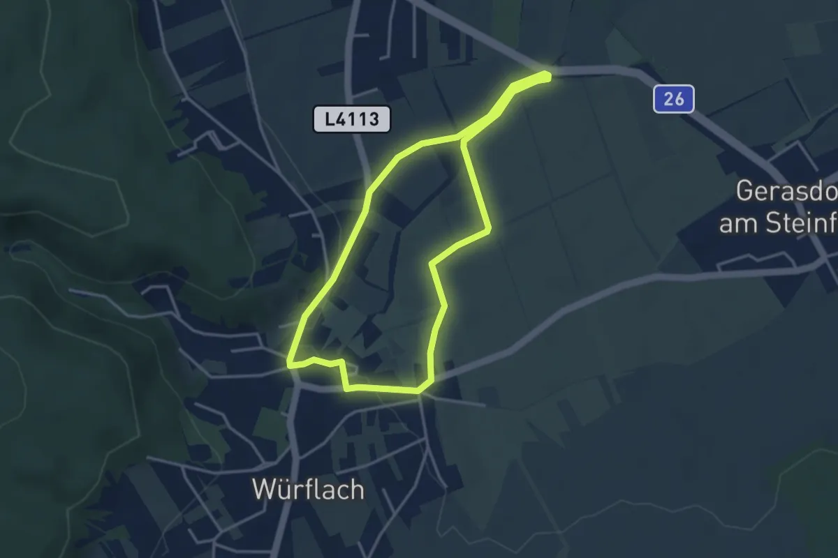
Easy · Trail
Mühlenrunde bei Würflach
3.2 km · ↑ 23 m · 51 min
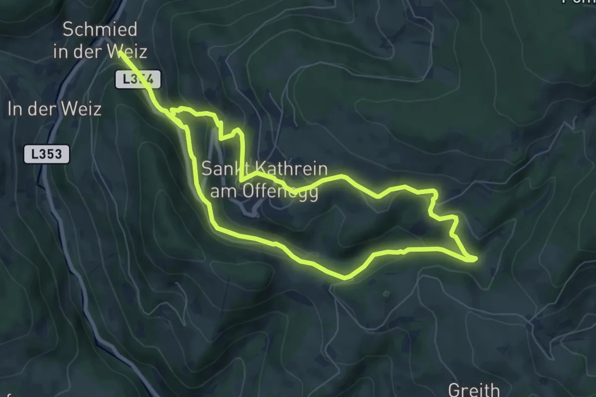
Easy · Trail
Mühlental-Rundwanderweg
7.2 km · ↑ 320 m · 2 h 29 min
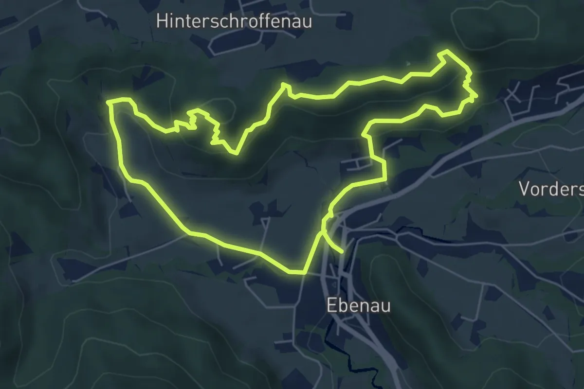
Medium · Trail
Mühlenwanderweg
5.7 km · ↑ 232 m · 1 h 56 min
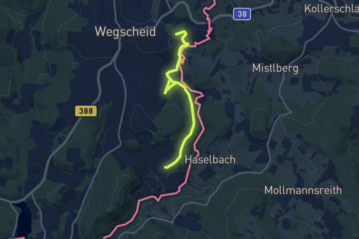
Easy · Trail
Mühlenweg
4.3 km · ↑ 68 m · 1 h 15 min
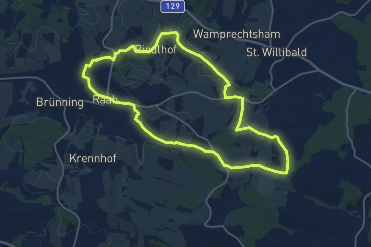
Medium · Trail
Mühlenweg
11.0 km · ↑ 180 m · 3 h 8 min
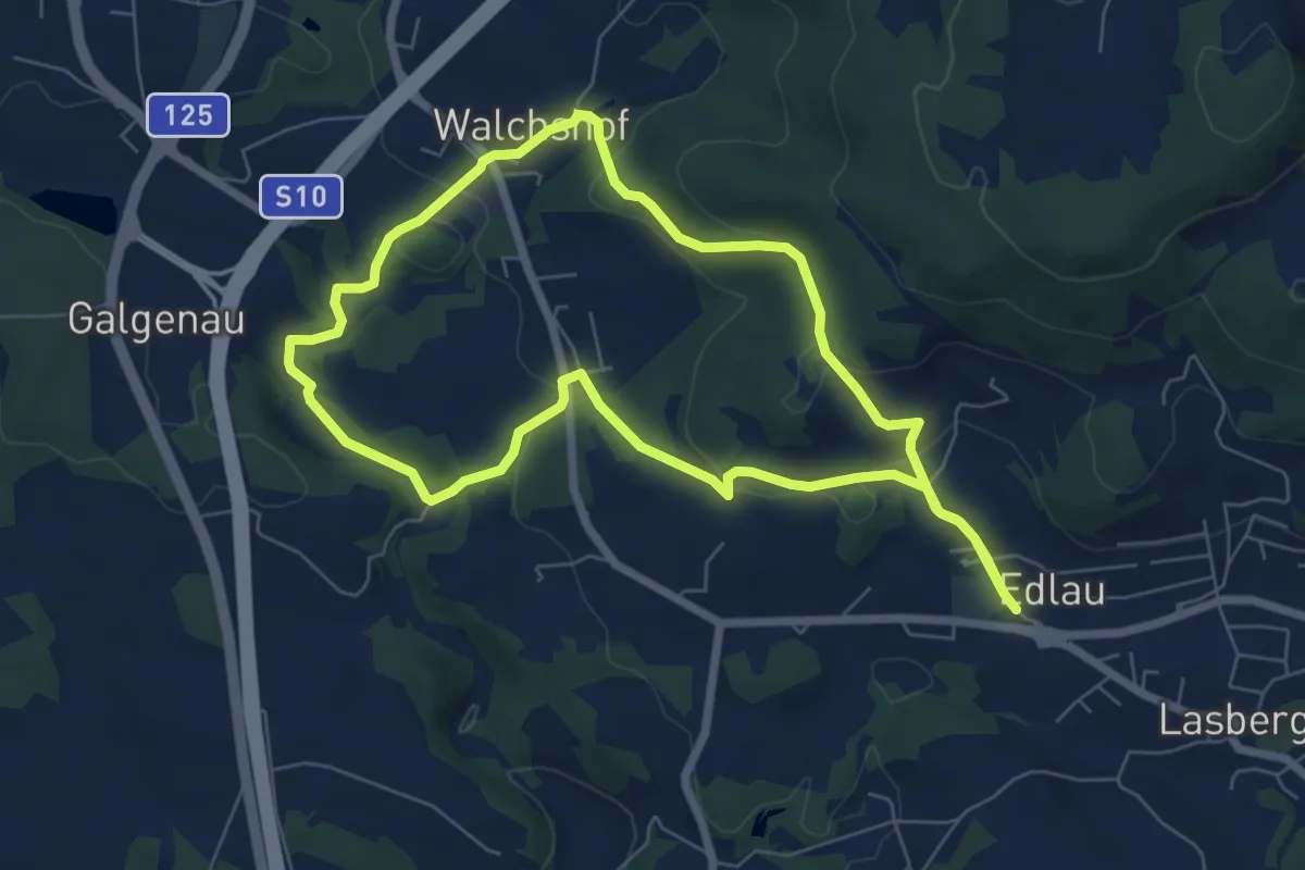
Easy · Trail
Mühlenweg
6.4 km · ↑ 173 m · 1 h 59 min
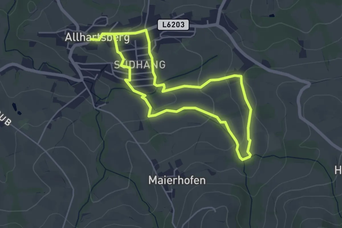
Easy · Trail
Mühlenweg
3.7 km · ↑ 110 m · 1 h 10 min
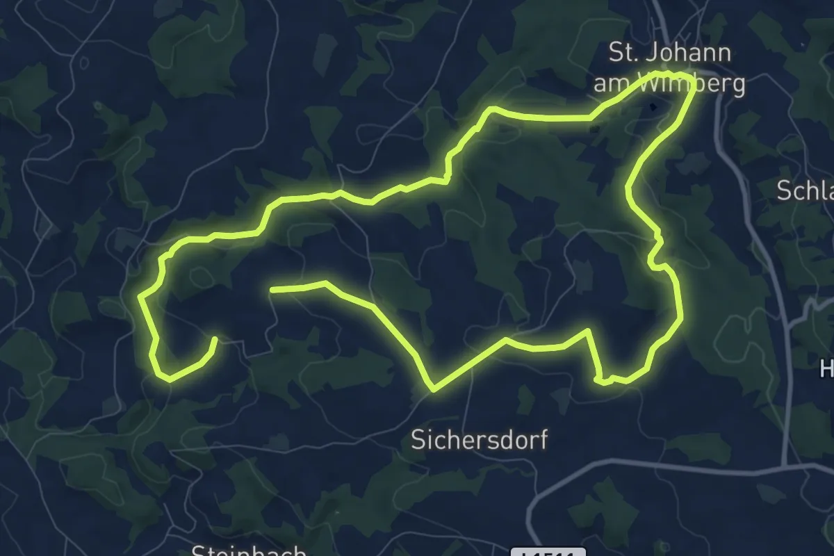
Demanding · Trail
Mühlenweg
19.4 km · ↑ 470 m · 5 h 37 min
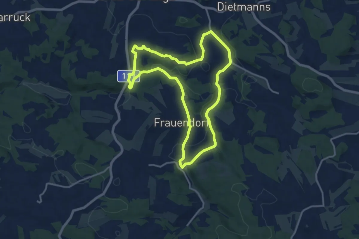
Medium · Trail
Mühlenweg 1
8.7 km · ↑ 143 m · 2 h 29 min
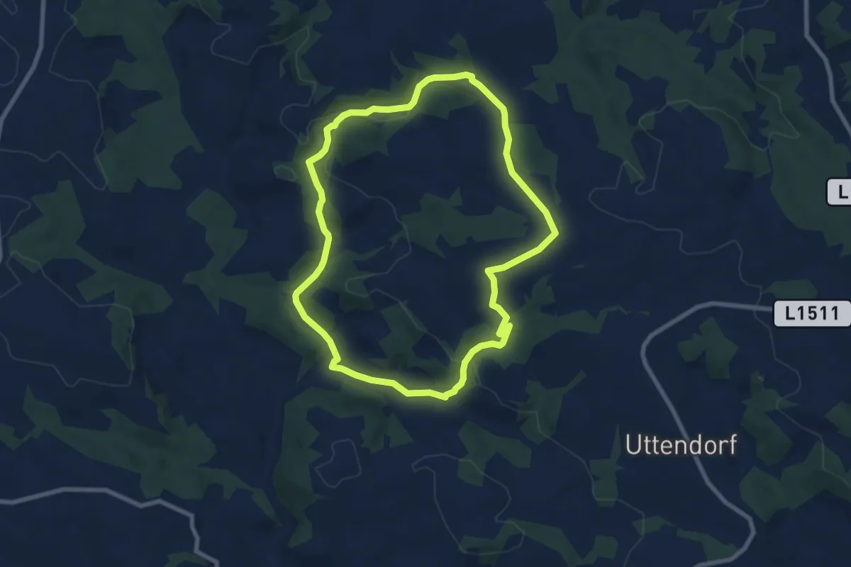
Easy · Trail
Mühlenweg Steinbach
6.9 km · ↑ 180 m · 2 h 7 min
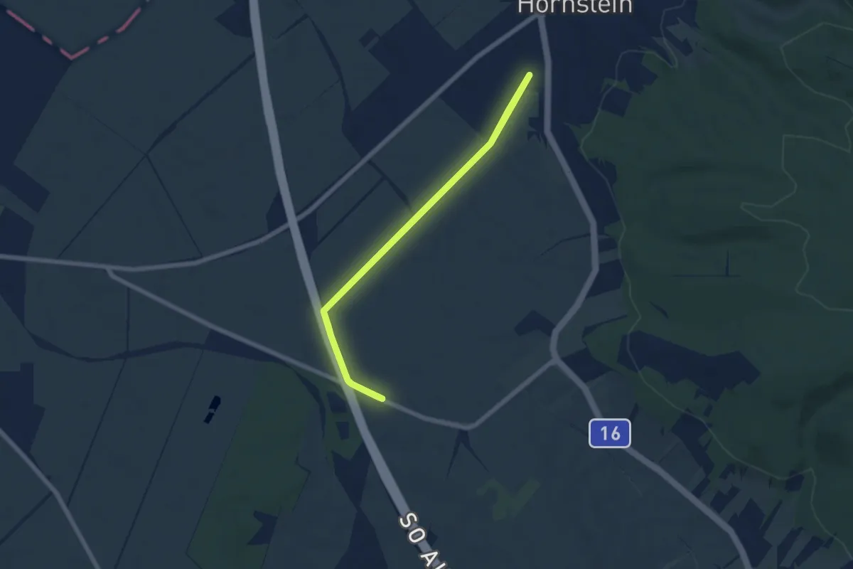
Easy · Trail
Mühlgassenrunde (Rundwanderweg)
5.4 km · ↑ 17 m · 1 h 24 min
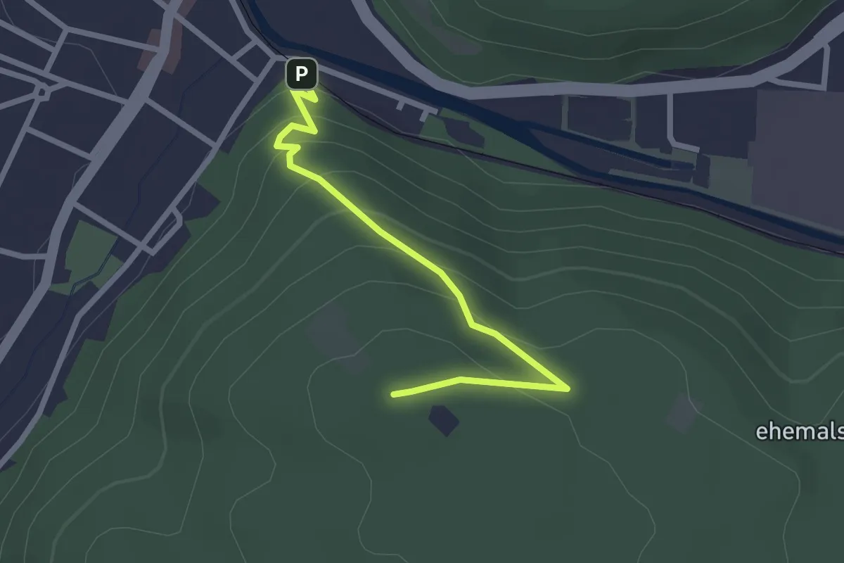
Easy · Summit
Mühlsteig - Guglzipf
2.3 km · ↑ 157 m · 53 min
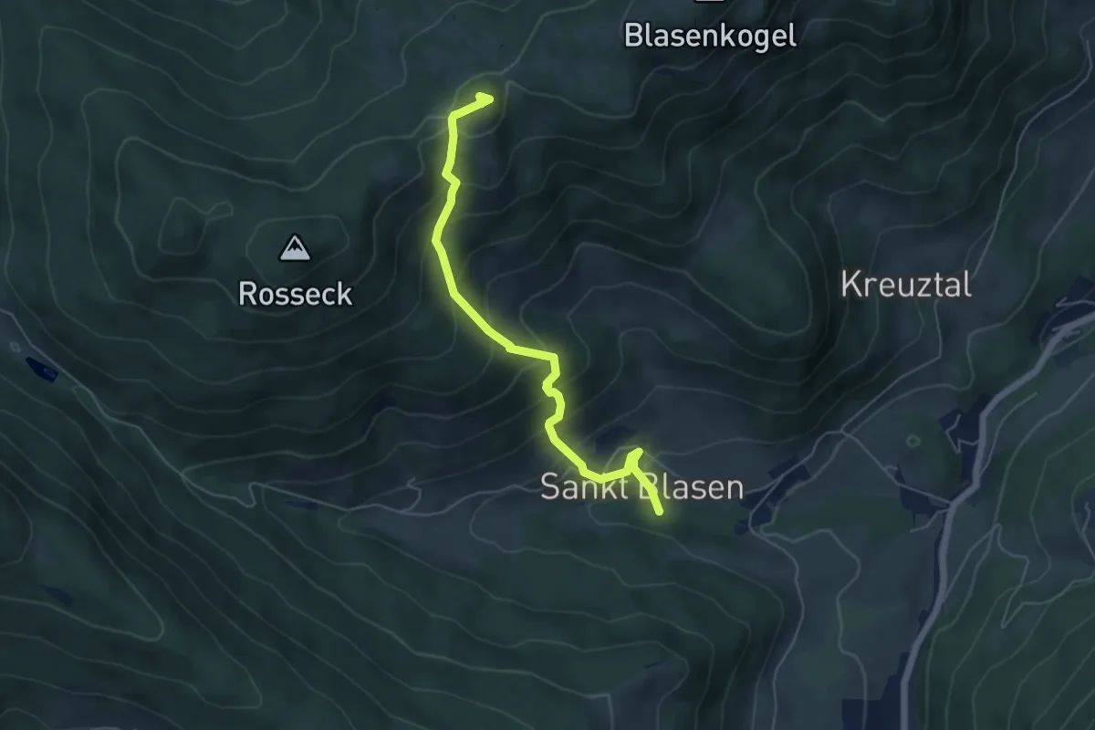
Medium · Summit
Mühlsteinboden Runde
5.4 km · ↑ 517 m · 2 h 24 min
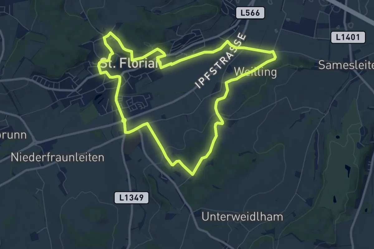
Medium · Trail
Mühlsteinweg
8.4 km · ↑ 144 m · 2 h 25 min
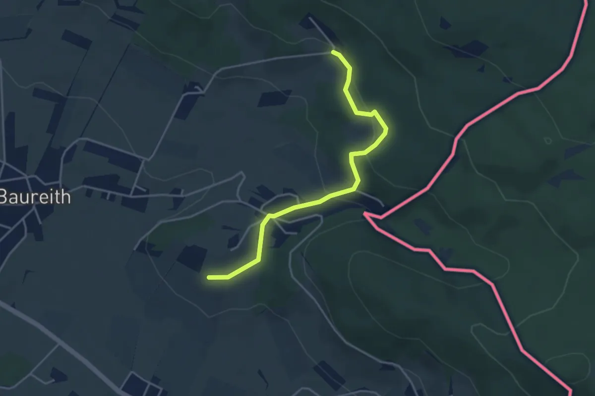
Easy · Trail
Mühltalblickweg
3.5 km · ↑ 103 m · 1 h 3 min
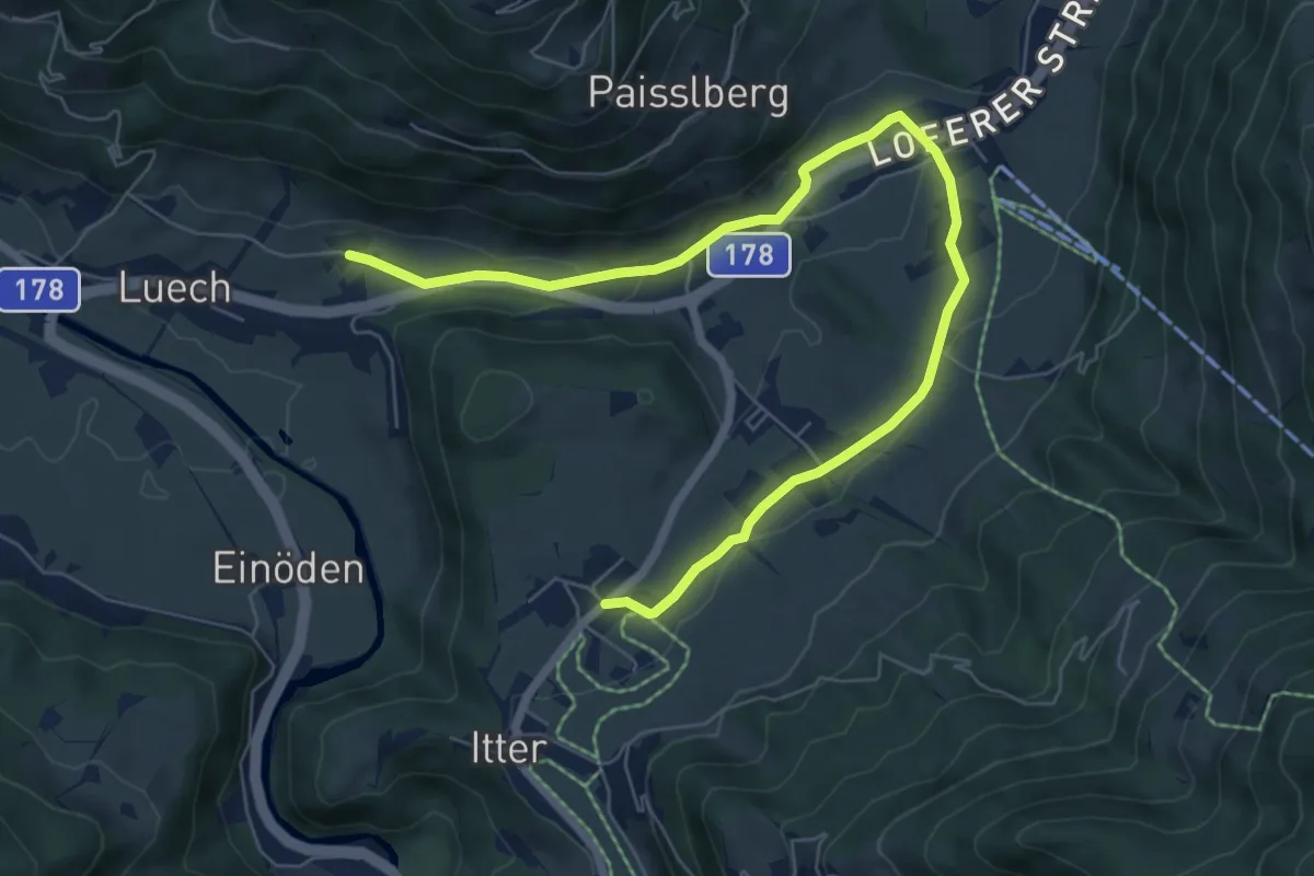
Easy · Trail
Mühltal Runde
8.0 km · ↑ 153 m · 2 h 13 min
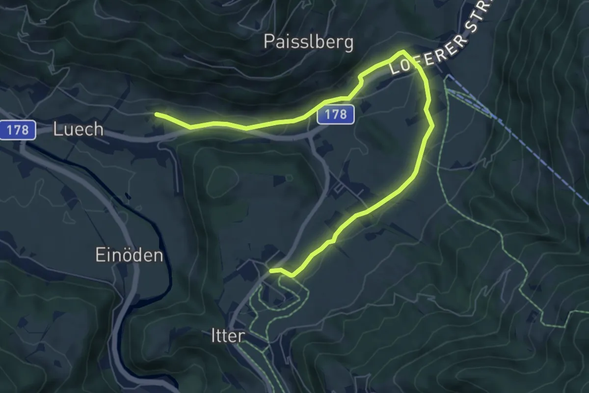
Easy · Trail
Mühltalrundweg
8.0 km · ↑ 153 m · 2 h 13 min
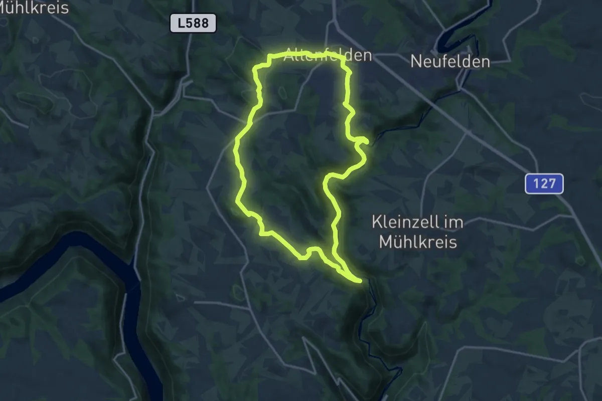
Medium · Trail
Mühltalrundweg
13.5 km · ↑ 339 m · 4 h 7 min
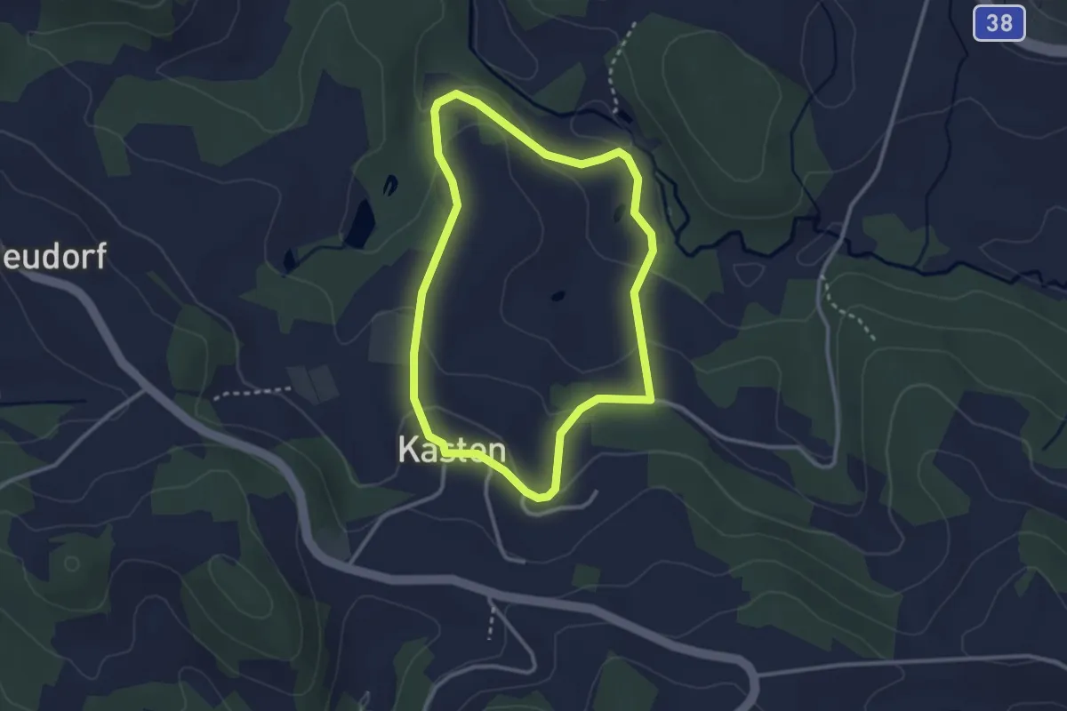
Easy · Trail
Mühltalweg
2.6 km · ↑ 88 m · 51 min
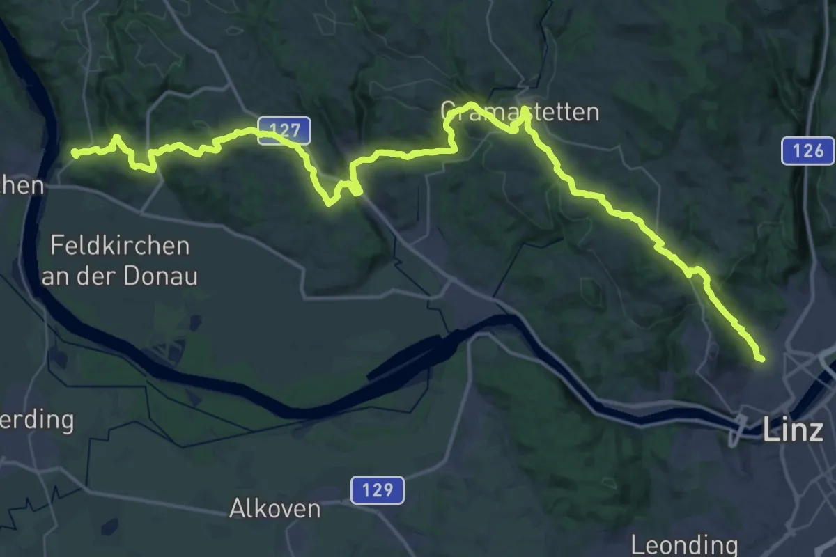
Demanding · Trail
Mühlviertel 190
28.7 km · ↑ 756 m · 8 h 51 min
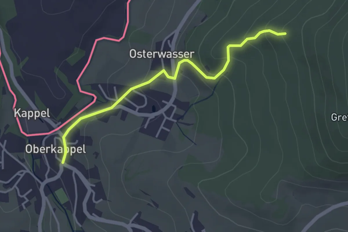
Easy · Trail
Mühlviertler Mittellandweg (150)
3.3 km · ↑ 169 m · 1 h 9 min
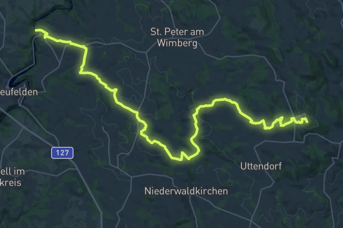
Demanding · Summit
Mühlviertler Mittellandweg Alternativeroute
36.5 km · ↑ 915 m · 10 h 36 min
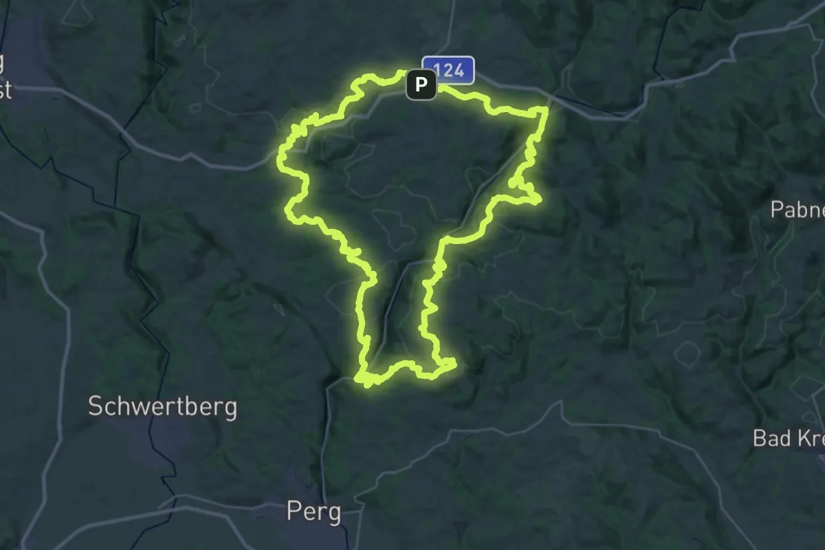
Demanding · Summit
Mühlviertler Quell-Wanderweg
36.8 km · ↑ 1309 m · 12 h 2 min
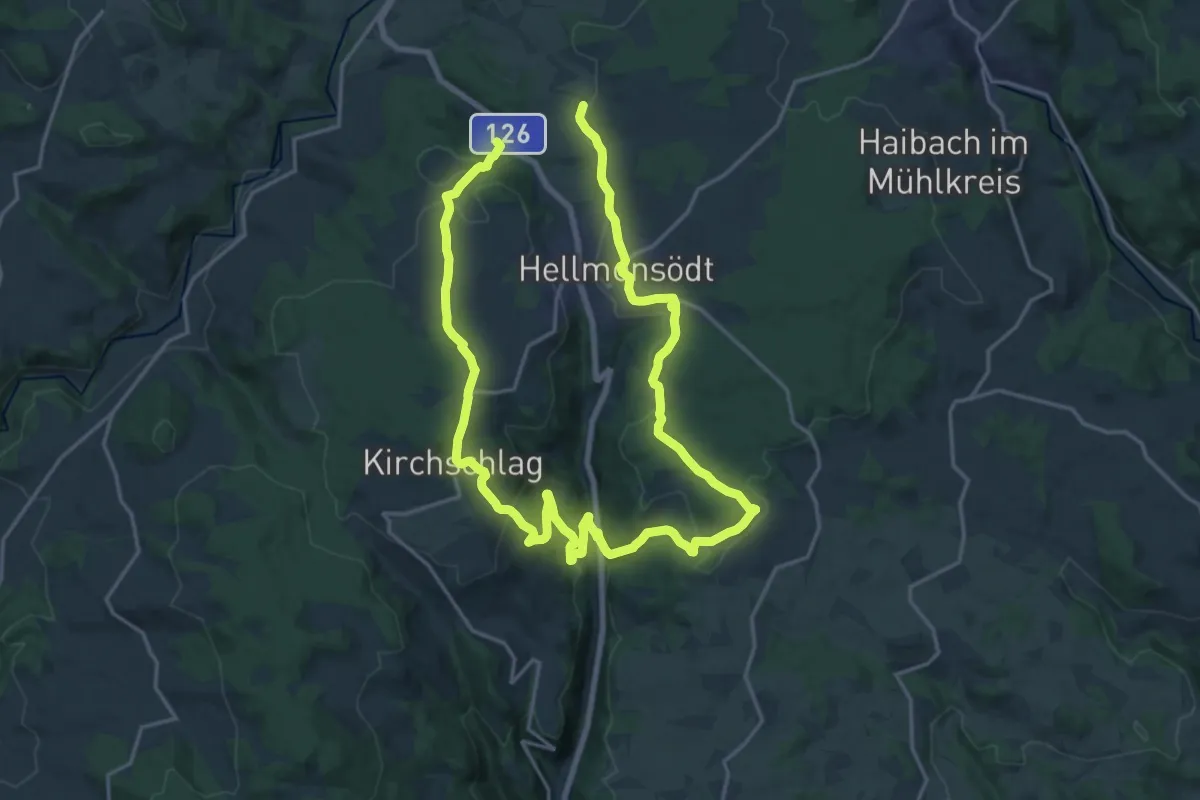
Medium · Trail
Mühlviertler Sterngartl Rundweg
15.7 km · ↑ 409 m · 4 h 52 min
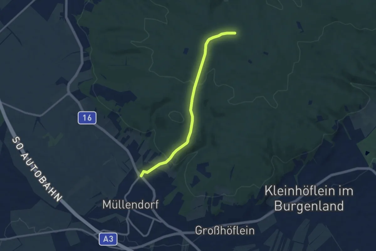
Easy · Trail
Müllendorf - Beim Juden
7.4 km · ↑ 222 m · 2 h 13 min
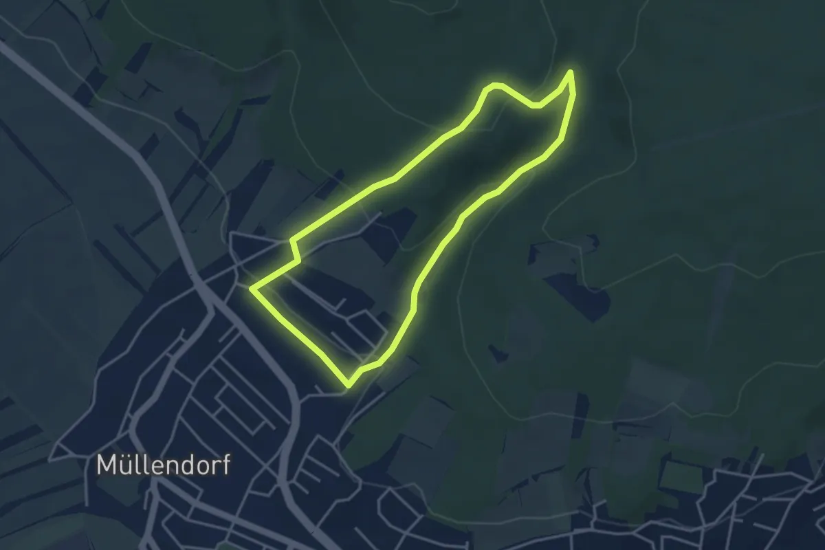
Easy · Trail
Müllendorfer Naturlehrpfad
3.4 km · ↑ 103 m · 1 h 4 min
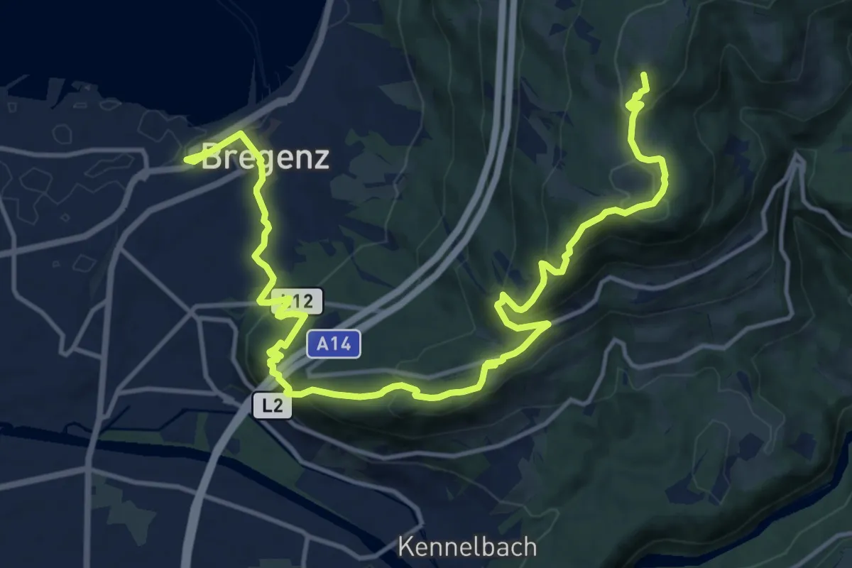
Medium · Summit
Münchner Jakobsweg
8.5 km · ↑ 695 m · 3 h 19 min
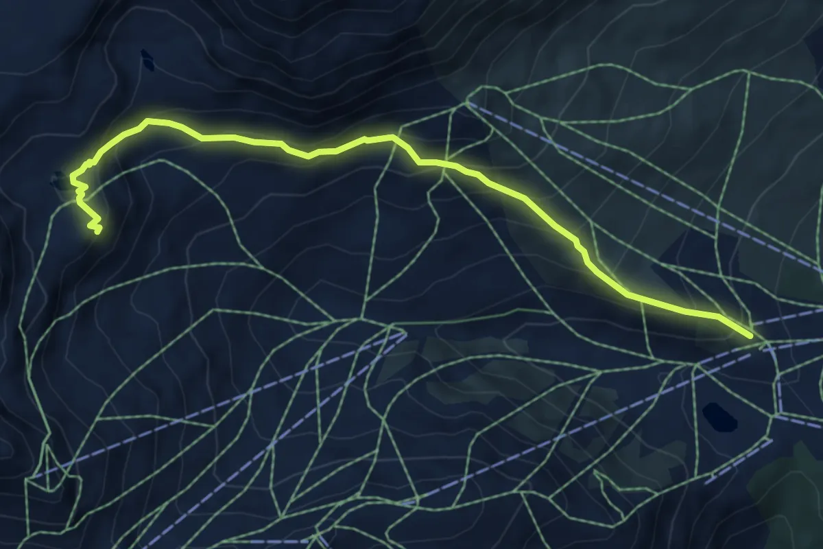
Demanding · Summit
Murmelsteig
6.7 km · ↑ 522 m · 2 h 43 min
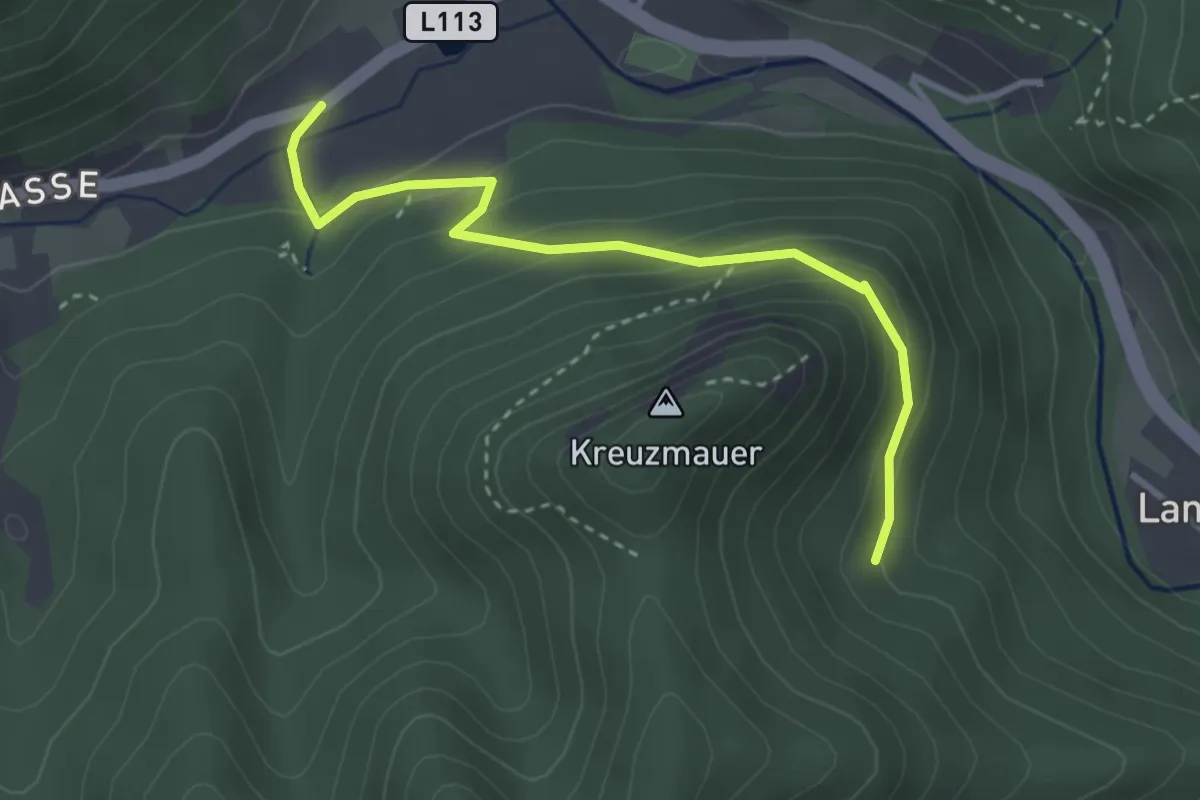
Easy · Trail
Mürzsteg - Dürntalweg
3.2 km · ↑ 190 m · 1 h 9 min
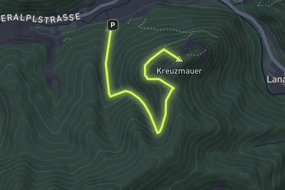
Medium · Summit
Mürzsteg - Kreuzmauer
4.2 km · ↑ 419 m · 1 h 54 min
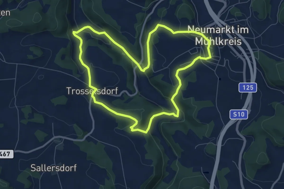
Easy · Trail
Museums-Rundweg
7.3 km · ↑ 242 m · 2 h 21 min
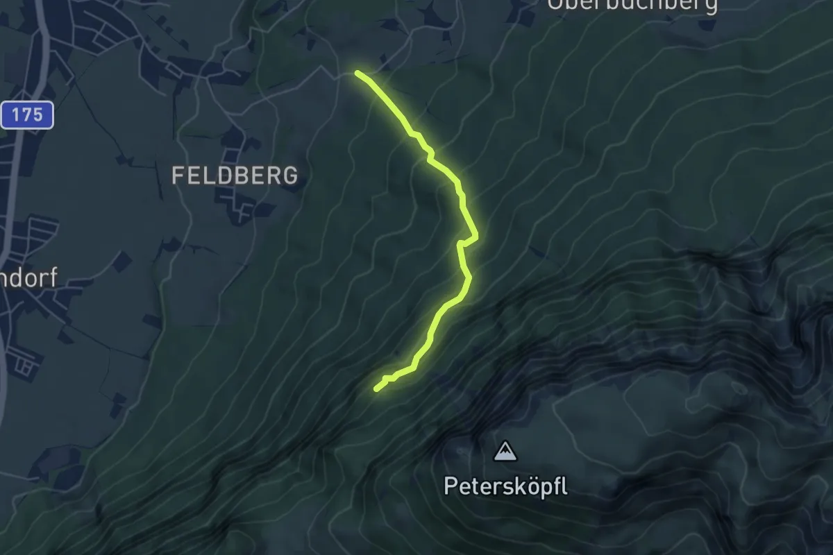
Medium · Trail
Musikantensteig
4.3 km · ↑ 486 m · 2 h 5 min
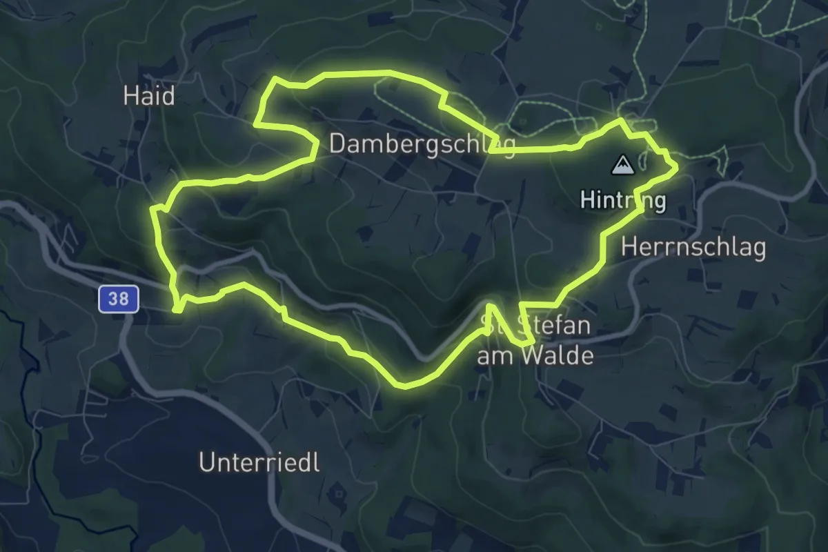
Medium · Trail
Musikwanderweg
9.1 km · ↑ 318 m · 2 h 57 min
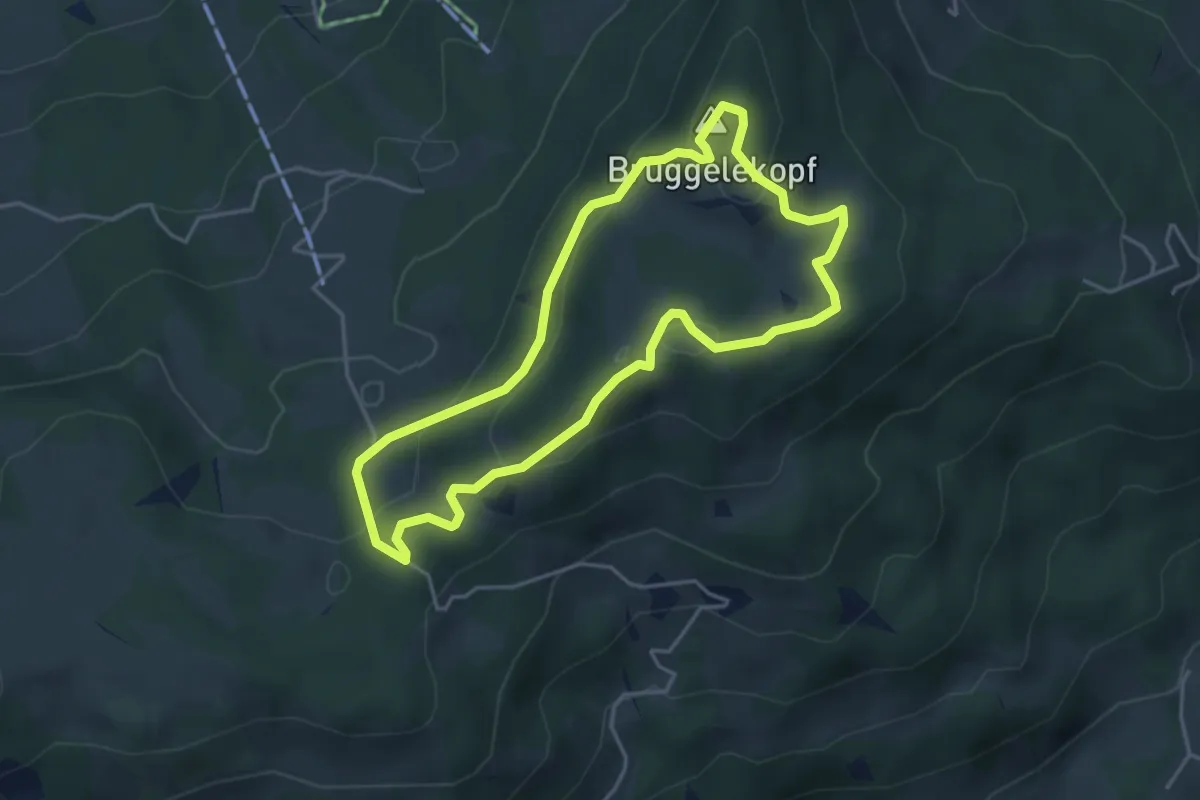
Easy · Summit
Musikwanderweg am Brüggelekopf
3.9 km · ↑ 198 m · 1 h 24 min
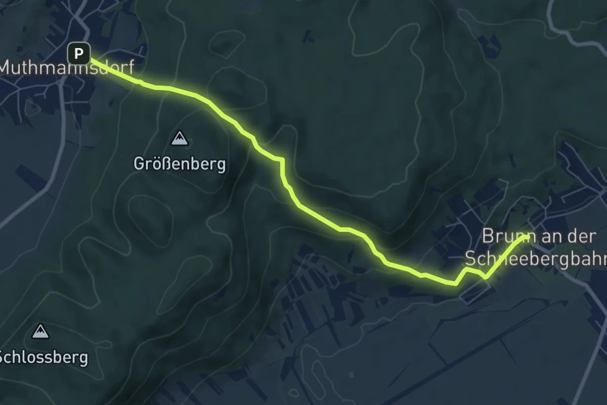
Medium · Trail
Muthmannsdorf - Brunn
7.6 km · ↑ 402 m · 2 h 40 min
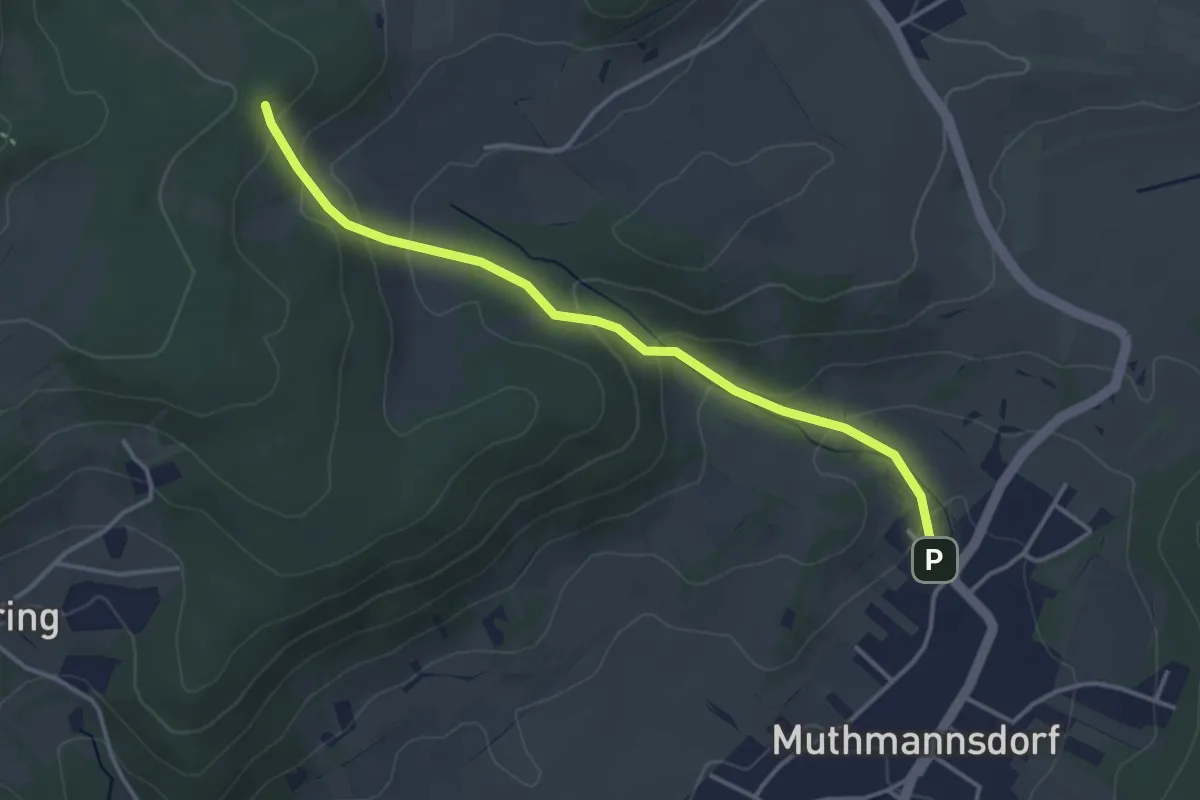
Easy · Trail
Mutmannsdorf - Anschluß grüner Wanderweg
3.6 km · ↑ 156 m · 1 h 11 min
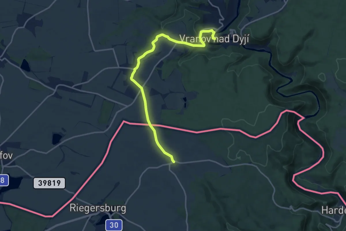
Medium · Trail
[M] Vranov nad Dyjí - Felling
12.7 km · ↑ 203 m · 3 h 27 min
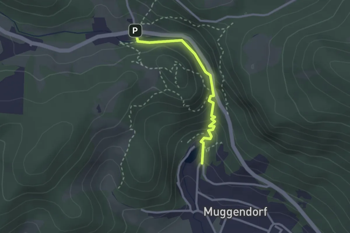
Easy · Trail
Myrafälle
2.1 km · ↑ 98 m · 43 min
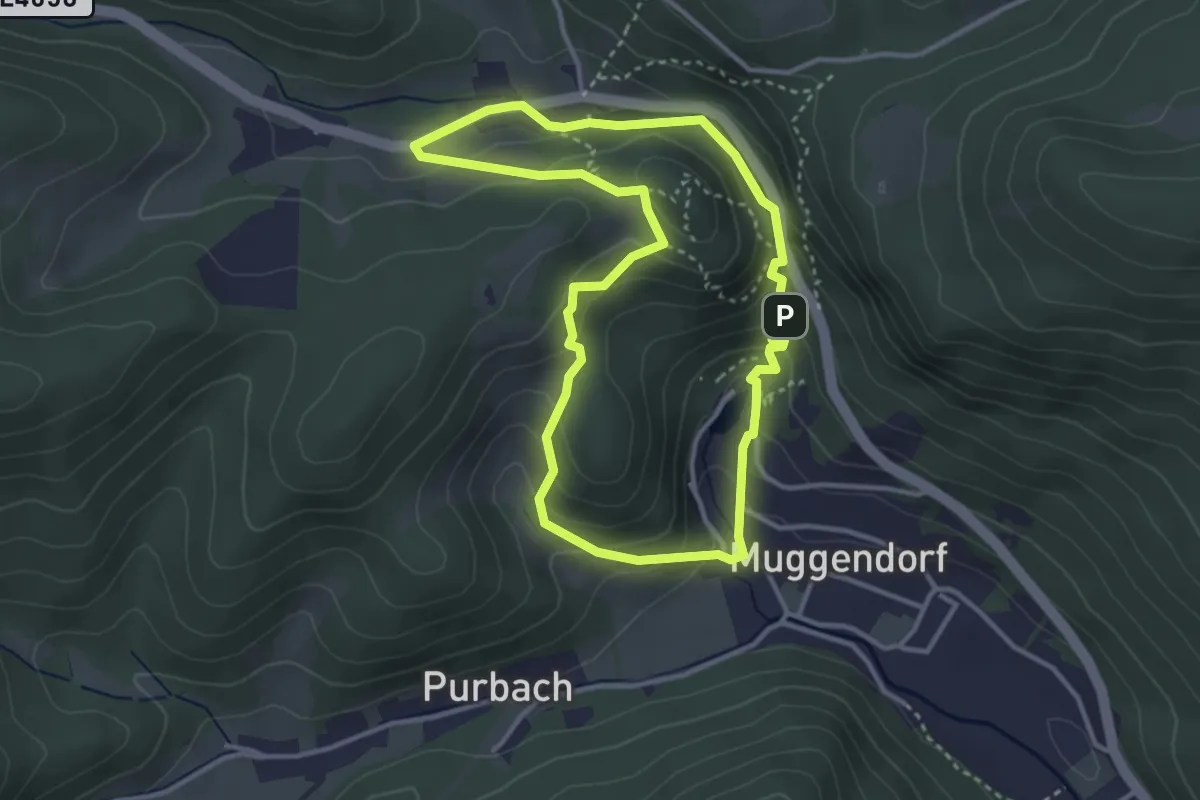
Easy · Summit
Myrafälle - Karnerwirt - Hausstein - Wildgehege - Myrafälle
3.2 km · ↑ 163 m · 1 h 10 min
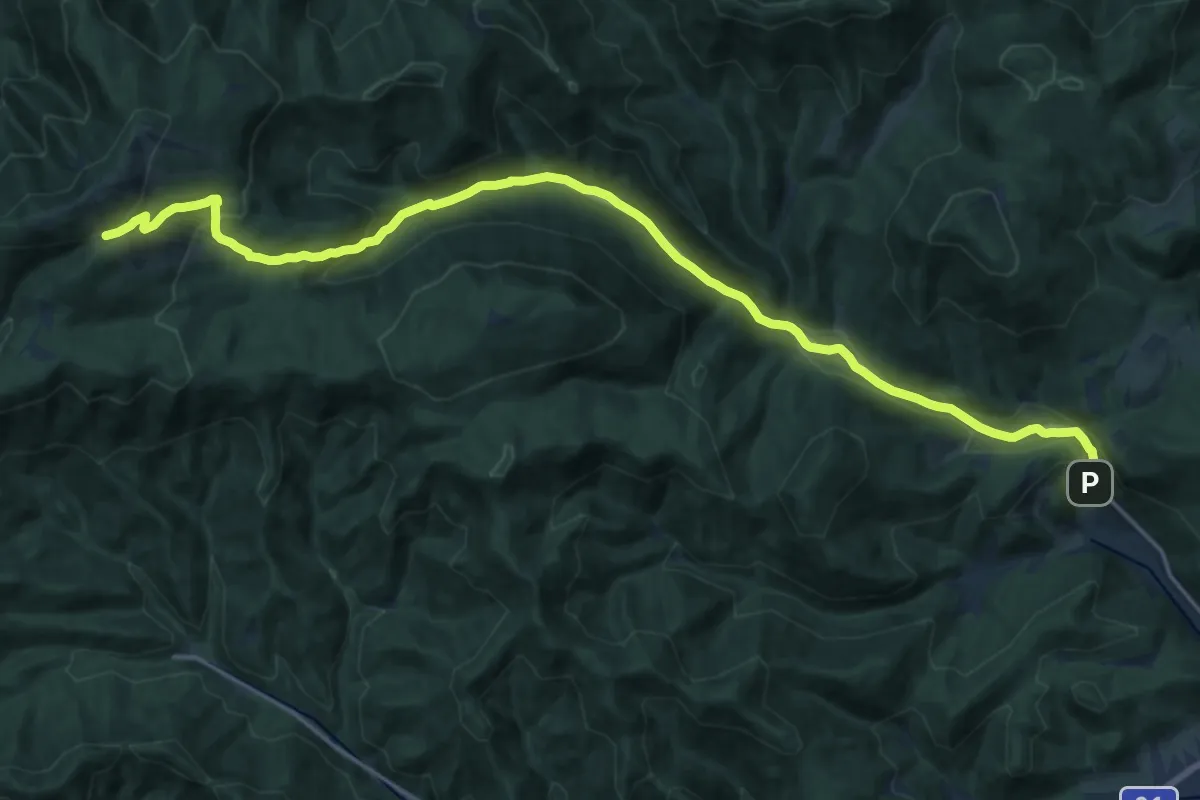
Demanding · Cabin
Myrafälle (Muggendorf) - Thal - Myralucke - Unterberg Schutzhaus
21.8 km · ↑ 715 m · 6 h 41 min
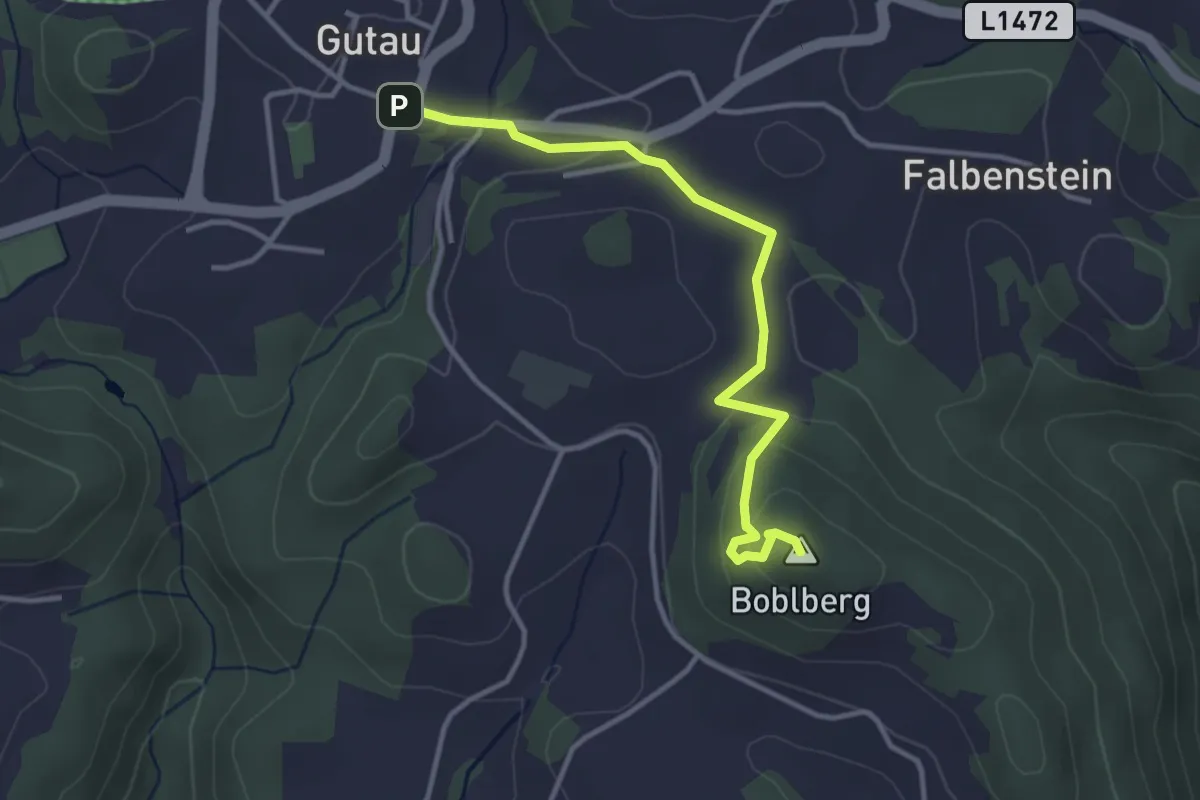
Easy · Summit
Mystikpfad
3.4 km · ↑ 134 m · 1 h 6 min
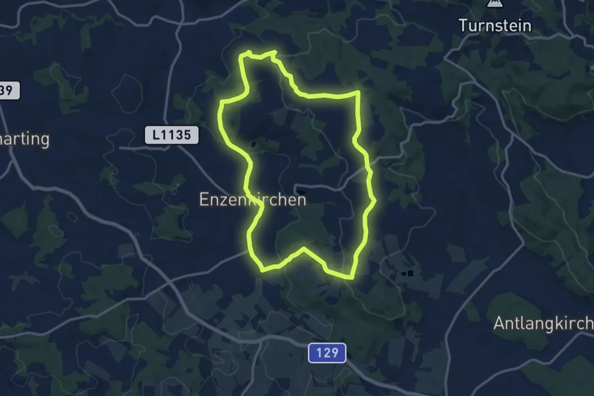
Medium · Trail
Mystische neun Kapellen
10.7 km · ↑ 229 m · 3 h 10 min
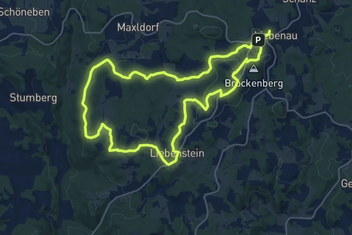
Medium · Summit
Mystischer Sagenweg 32
14.9 km · ↑ 303 m · 4 h 23 min