Trails in Austria
9,779 hiking trails, each with its route, climb, walking time and grade.
All trails, page 72 of 204
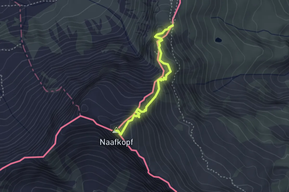
Demanding · Summit
Naafkopf - Pfaelzerhuette
2.9 km · ↑ 390 m · 1 h 31 min
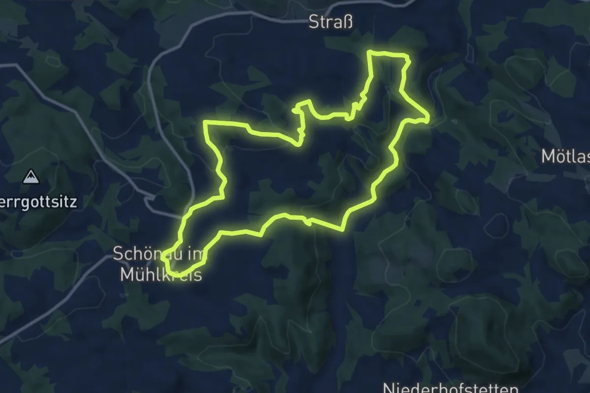
Medium · Trail
Naarntal-Erlebnisweg
9.9 km · ↑ 345 m · 3 h 13 min
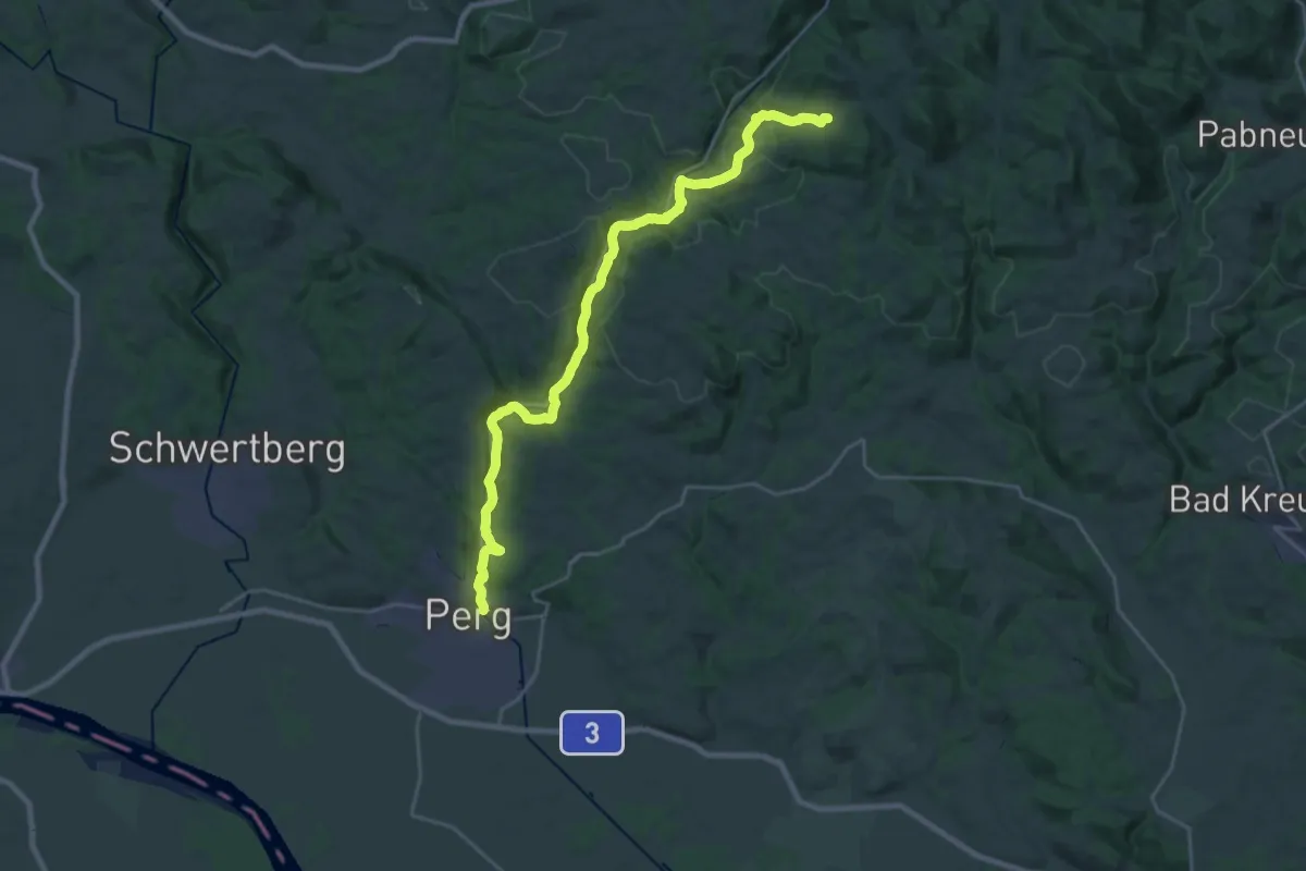
Demanding · Trail
Naarntalweg
25.9 km · ↑ 708 m · 7 h 39 min
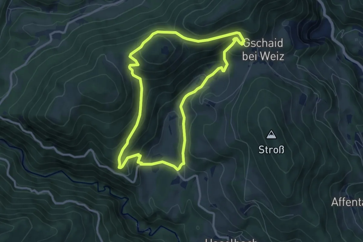
Medium · Trail
Naaser Höhlenweg
7.2 km · ↑ 344 m · 2 h 33 min
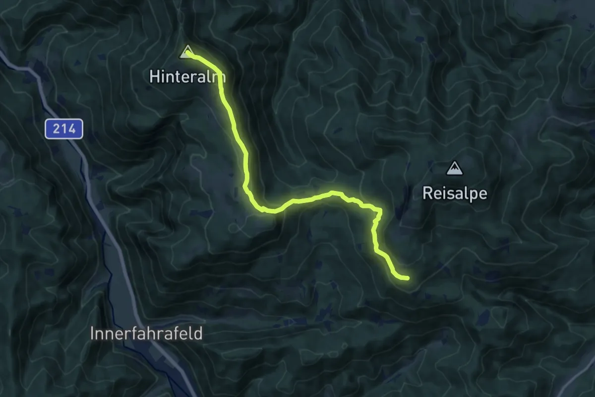
Medium · Summit
Nagelland Alm - Traisner Hütte
12.1 km · ↑ 588 m · 4 h 8 min
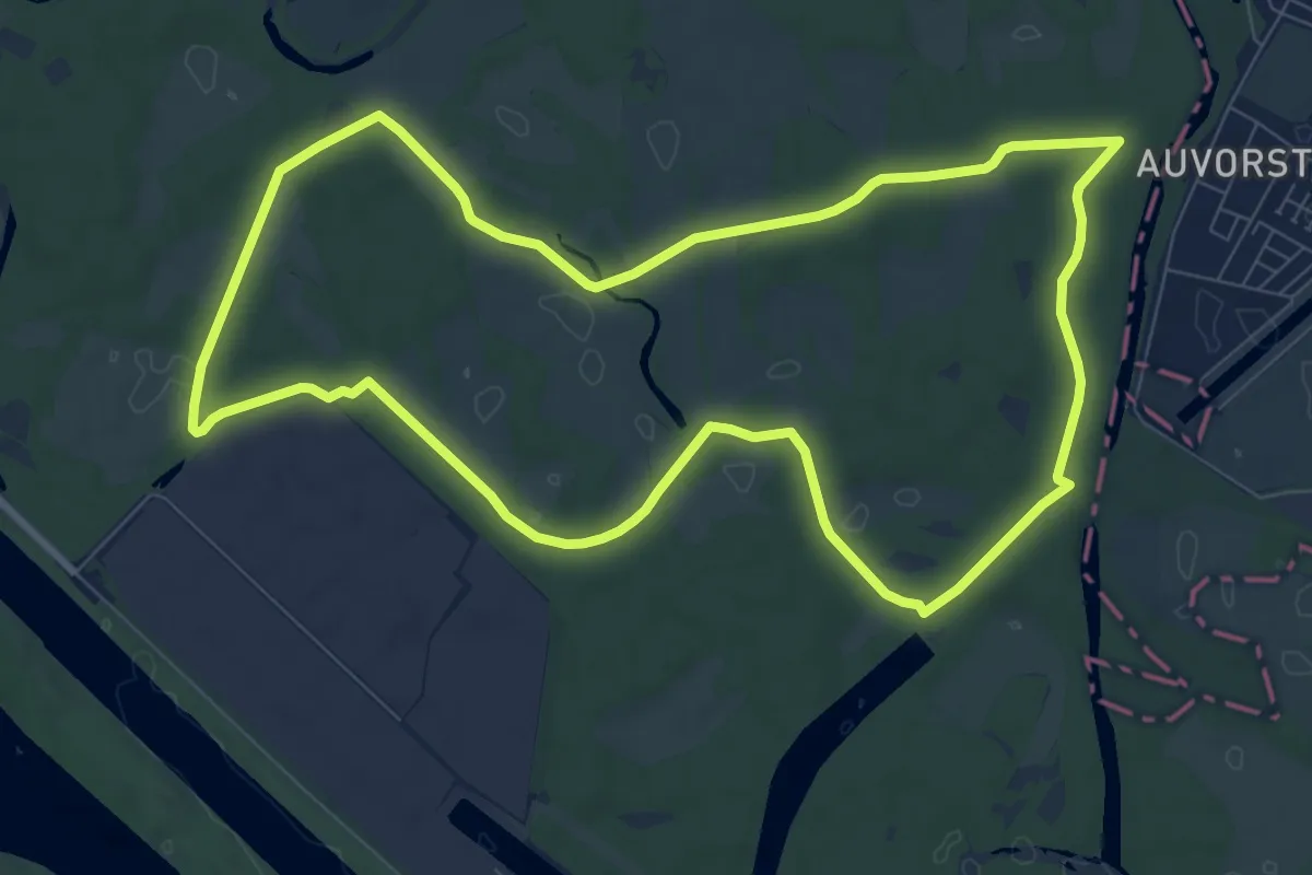
Medium · Trail
Napoleon Rundweg
9.0 km · ↑ 0 m · 2 h 15 min
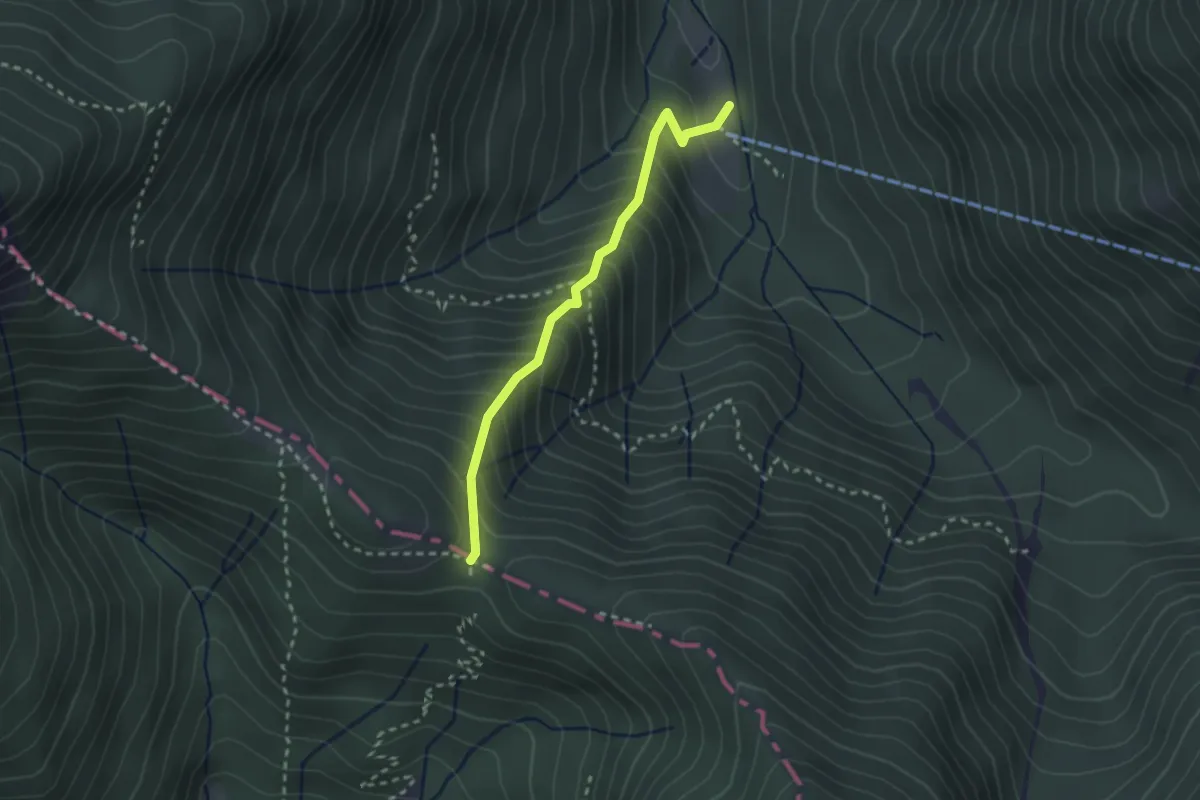
Medium · Trail
Nassriegel 49
2.4 km · ↑ 361 m · 1 h 21 min
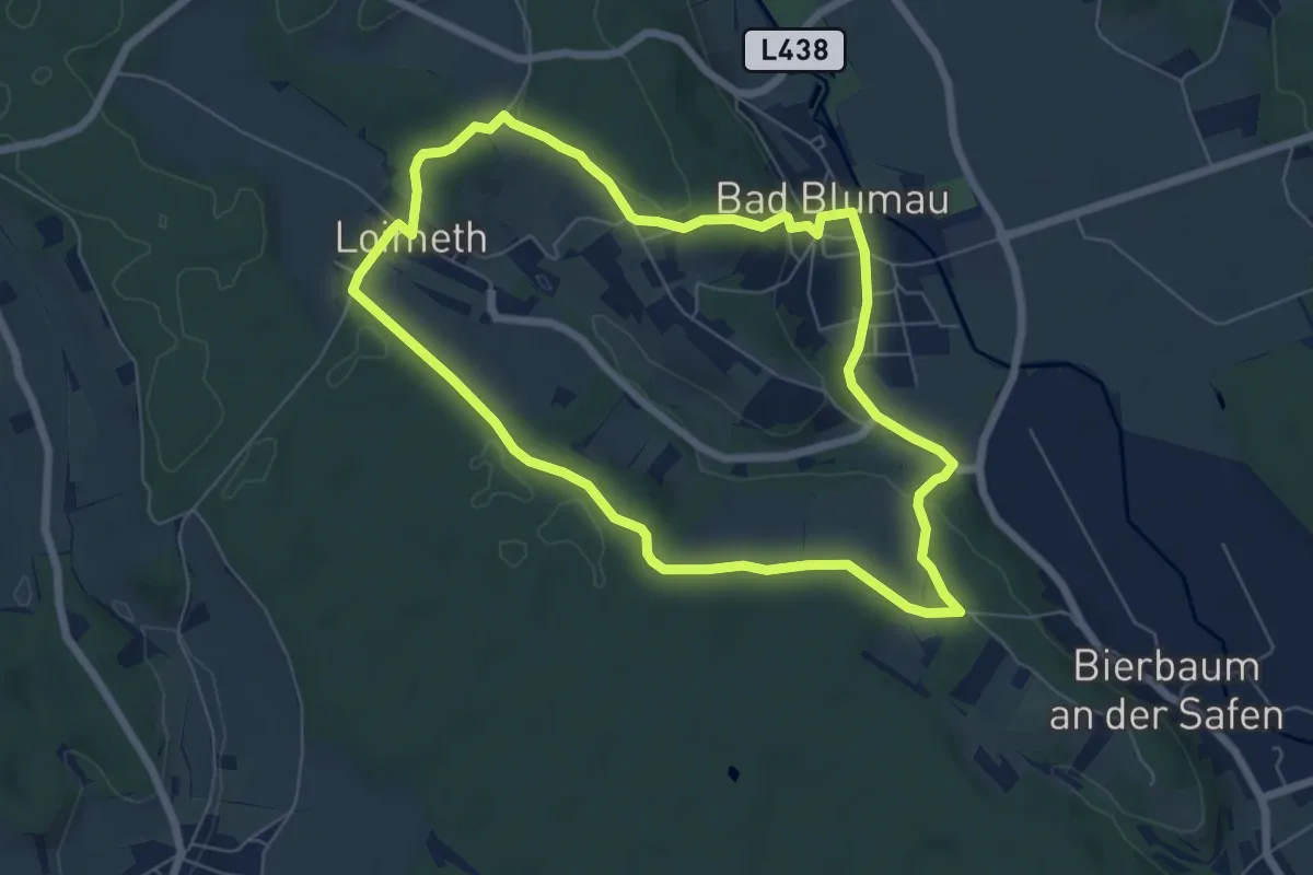
Easy · Trail
Nat(o)ur
6.4 km · ↑ 89 m · 1 h 47 min
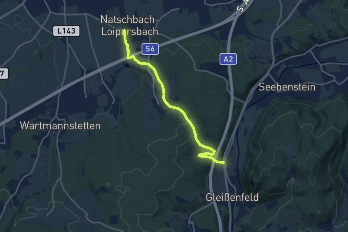
Medium · Trail
Natschbach - Lindgrub - Gleißenfeld
10.1 km · ↑ 248 m · 2 h 56 min
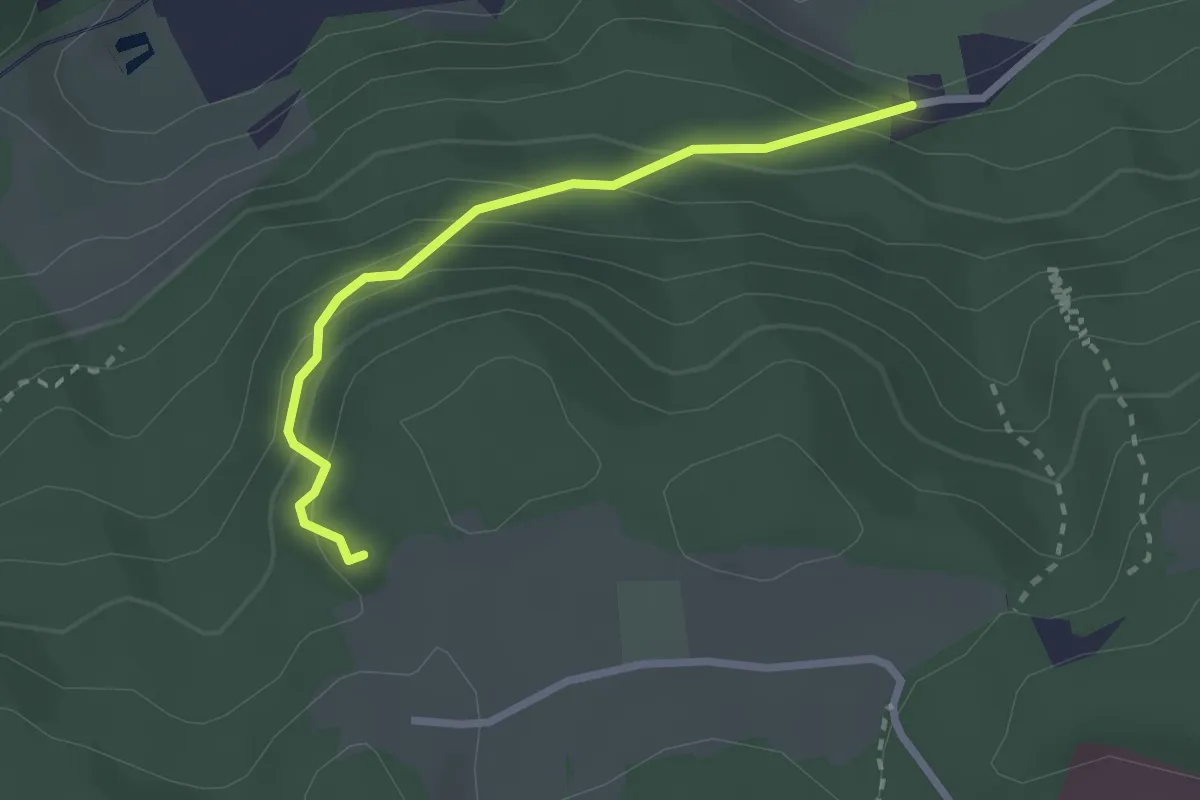
Easy · Trail
Natterer-See-Weg
2.3 km · ↑ 184 m · 57 min
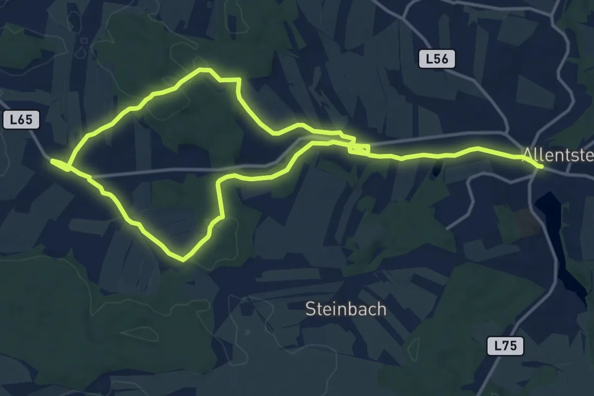
Medium · Trail
Natur 33
9.9 km · ↑ 93 m · 2 h 41 min
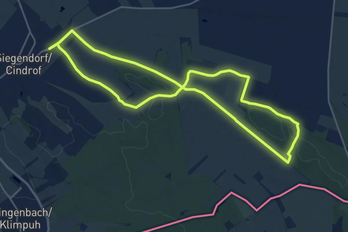
Medium · Trail
Natura 2000-Tour (Vital-Parcours Siegendorf)
12.2 km · ↑ 104 m · 3 h 16 min
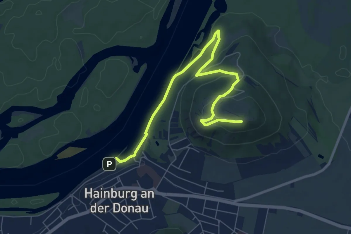
Easy · Summit
Naturatrail Hainburger Berge
7.4 km · ↑ 257 m · 2 h 18 min
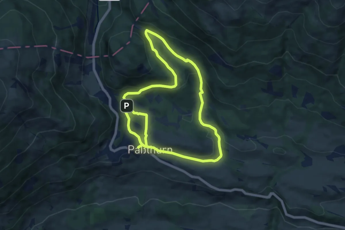
Easy · Trail
Natura Trail Wasenmoos
7.9 km · ↑ 196 m · 2 h 25 min
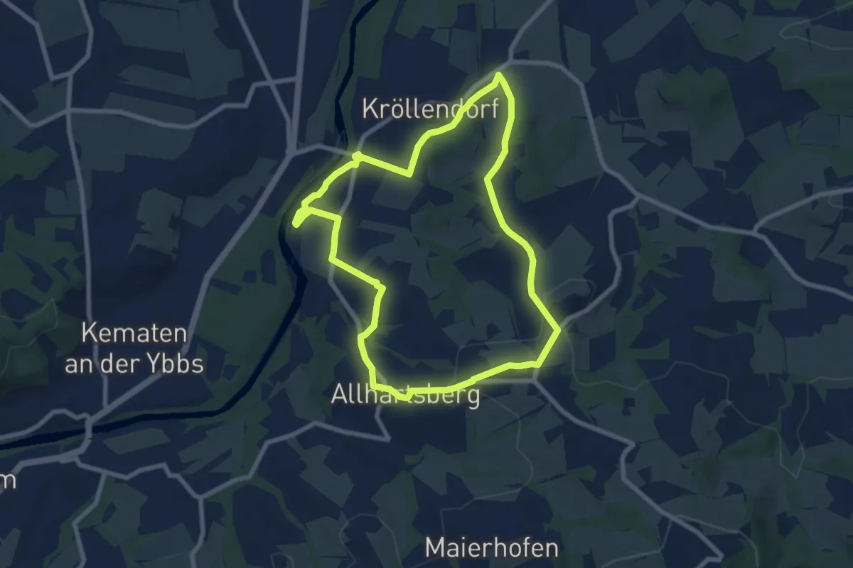
Easy · Summit
Naturbadweg
6.8 km · ↑ 147 m · 2 h 1 min
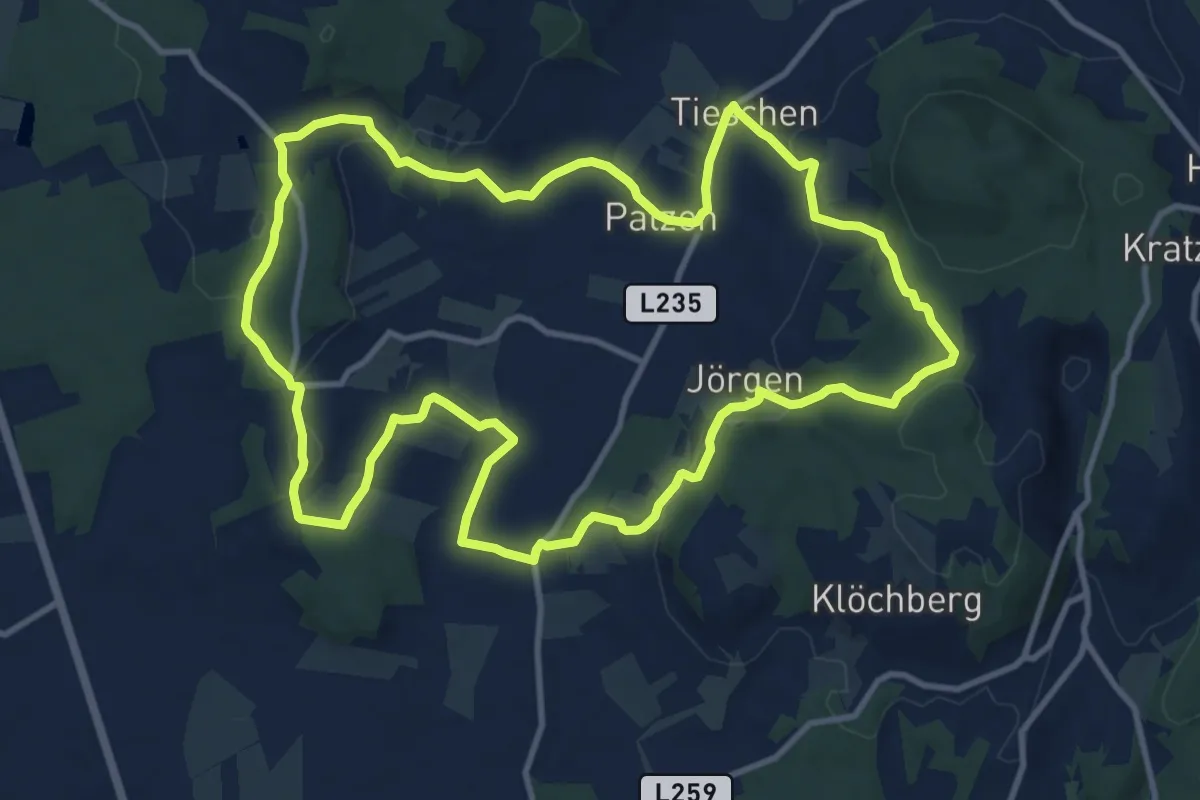
Medium · Trail
Naturbühne - Steinbruchweg
12.2 km · ↑ 292 m · 3 h 41 min
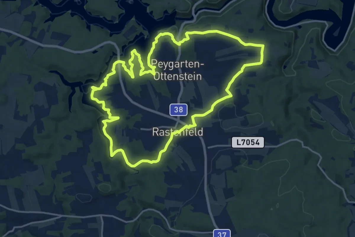
Medium · Trail
Natur Energie Kraft 80a
13.1 km · ↑ 211 m · 3 h 44 min
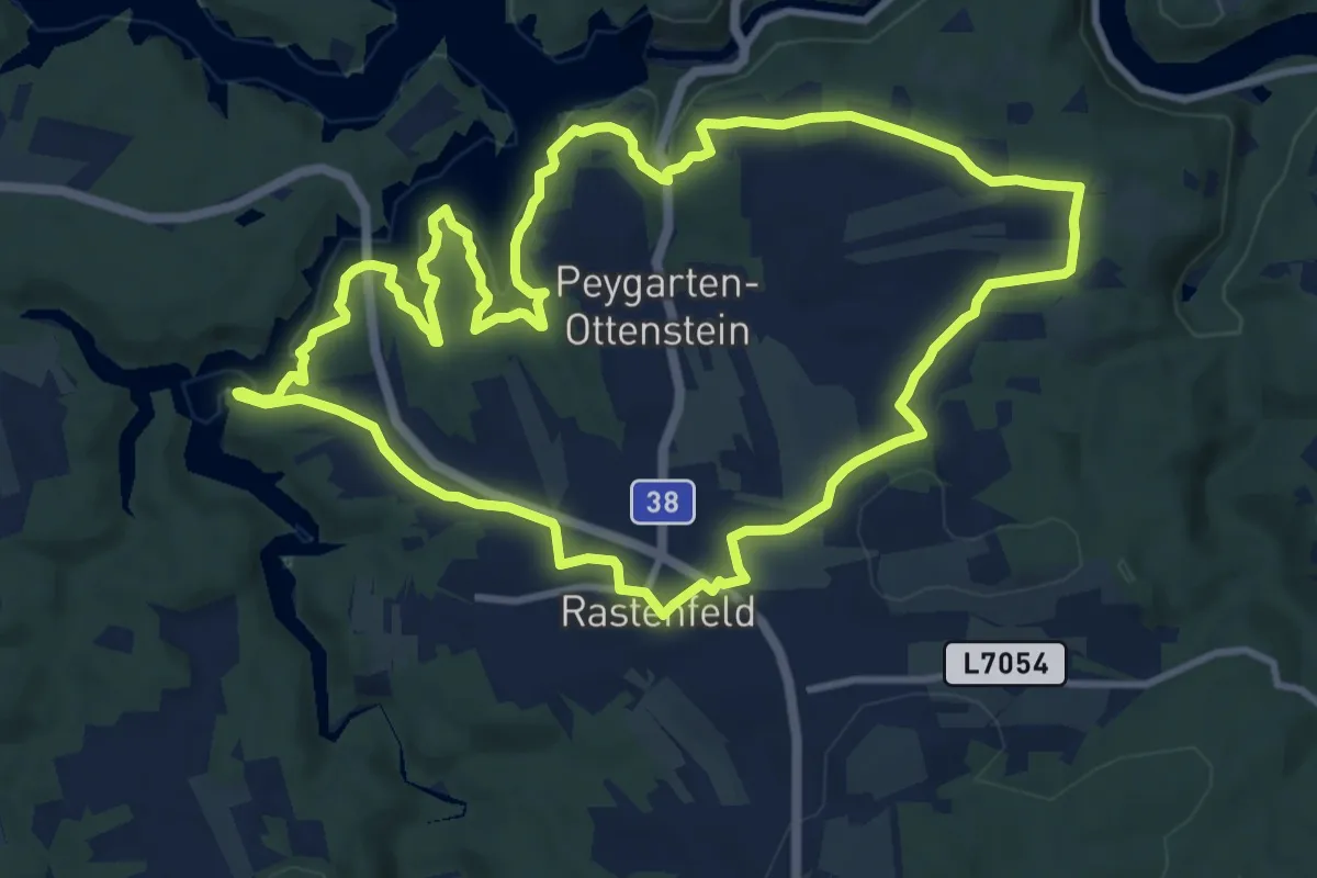
Medium · Trail
Natur Energie Kraft 80 kurz
11.2 km · ↑ 164 m · 3 h 9 min
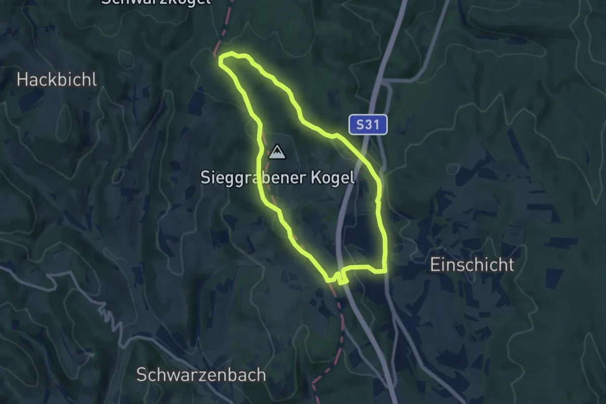
Easy · Trail
Naturentdeckerweg (M33)
8.0 km · ↑ 168 m · 2 h 21 min
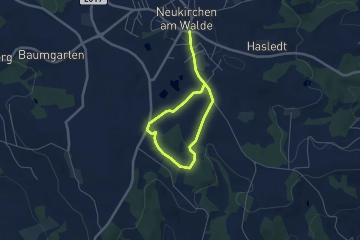
Easy · Trail
Naturerlebinsweg
5.7 km · ↑ 126 m · 1 h 37 min
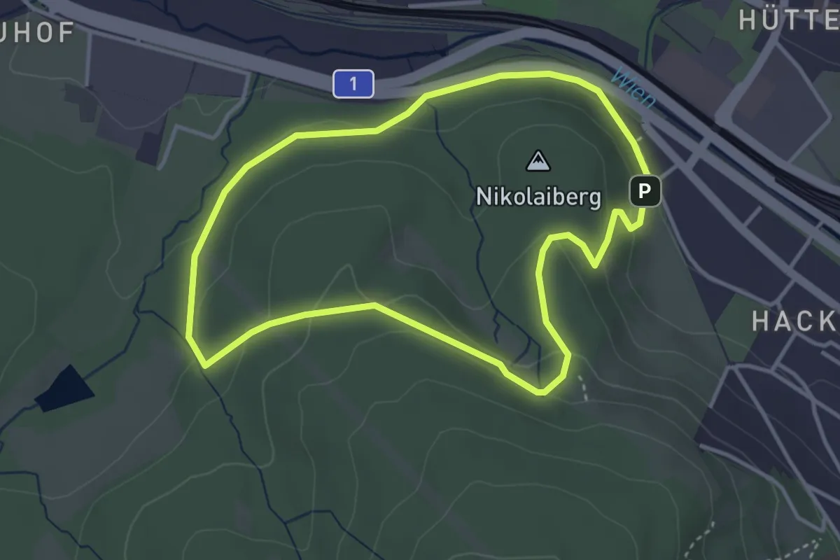
Easy · Trail
Naturerlebnispfad Nikolaitor
3.4 km · ↑ 81 m · 1 h 1 min
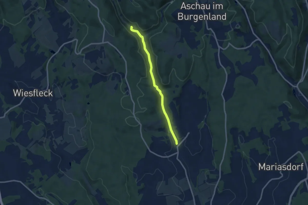
Easy · Trail
Naturerlebnispfad Willersdorfer Schlucht - Aschauer Au
7.0 km · ↑ 91 m · 1 h 51 min
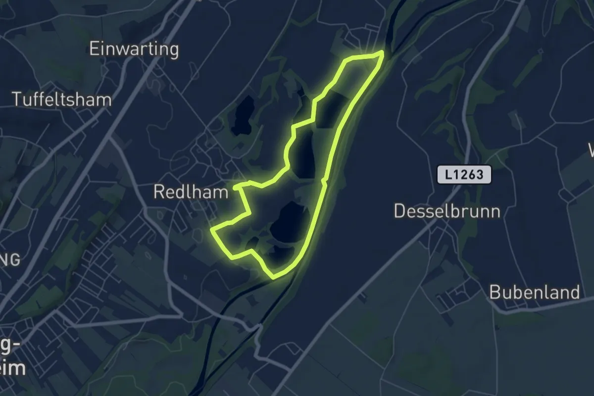
Easy · Trail
Naturerlebnis Schottergrube - Großer Rundweg
5.3 km · ↑ 33 m · 1 h 24 min
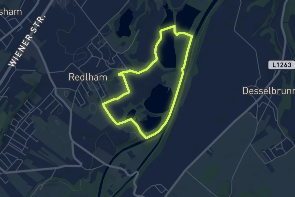
Easy · Trail
Naturerlebnis Schottergrube - Kleiner Rundweg
4.0 km · ↑ 37 m · 1 h 4 min
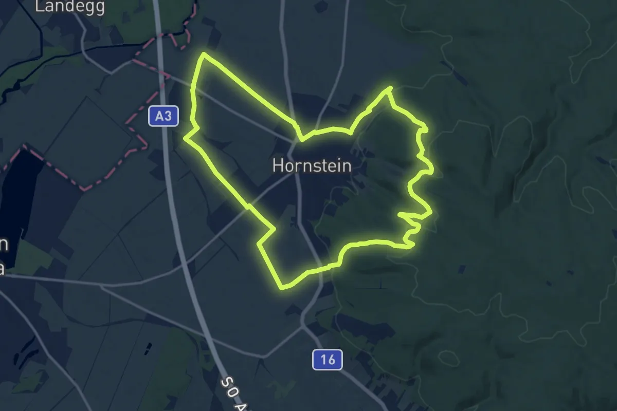
Medium · Trail
Naturerlebnis-Wanderweg Hornstein
13.5 km · ↑ 242 m · 3 h 54 min
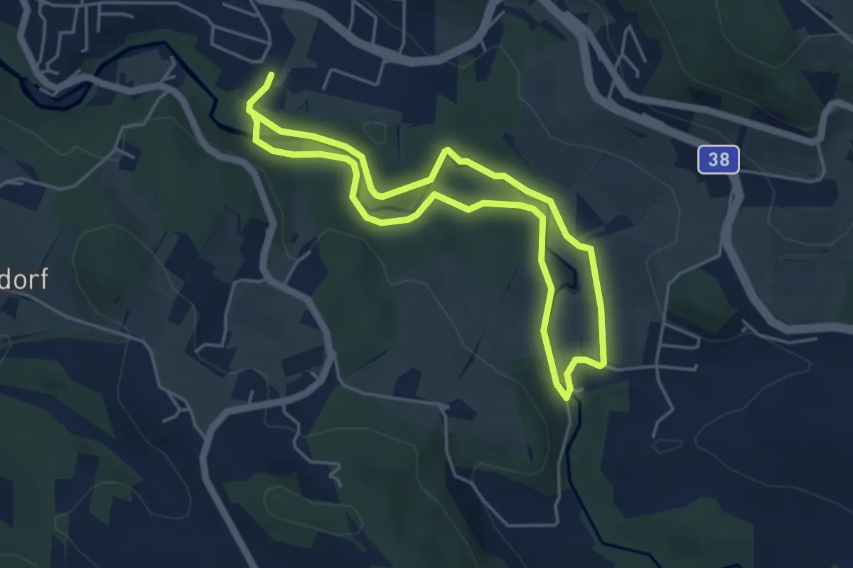
Medium · Trail
Naturerlebnisweg
3.8 km · ↑ 45 m · 1 h 2 min
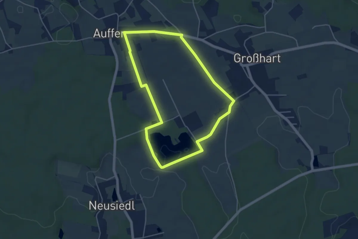
Easy · Trail
Natur-Erlebnisweg
4.0 km · ↑ 49 m · 1 h 6 min
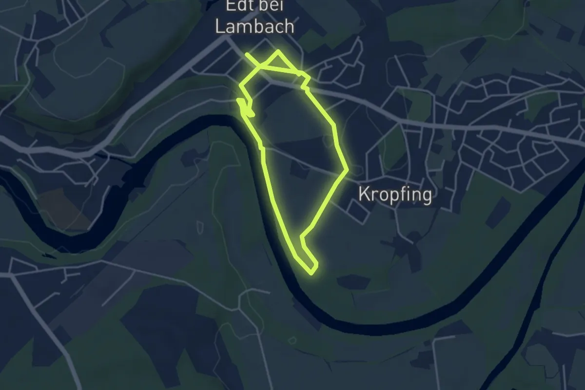
Easy · Trail
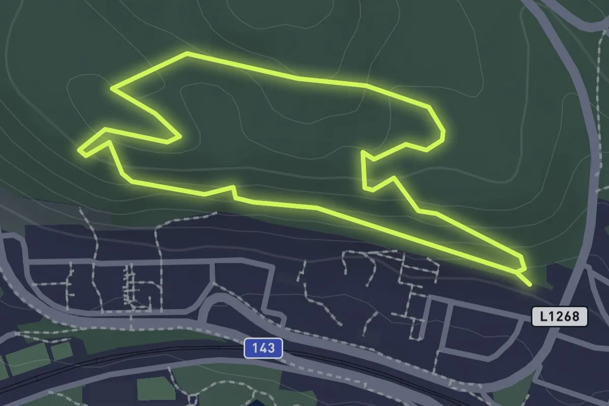
Naturerlebnisweg Edt
3.2 km · ↑ 22 m · 51 min
Easy · Trail
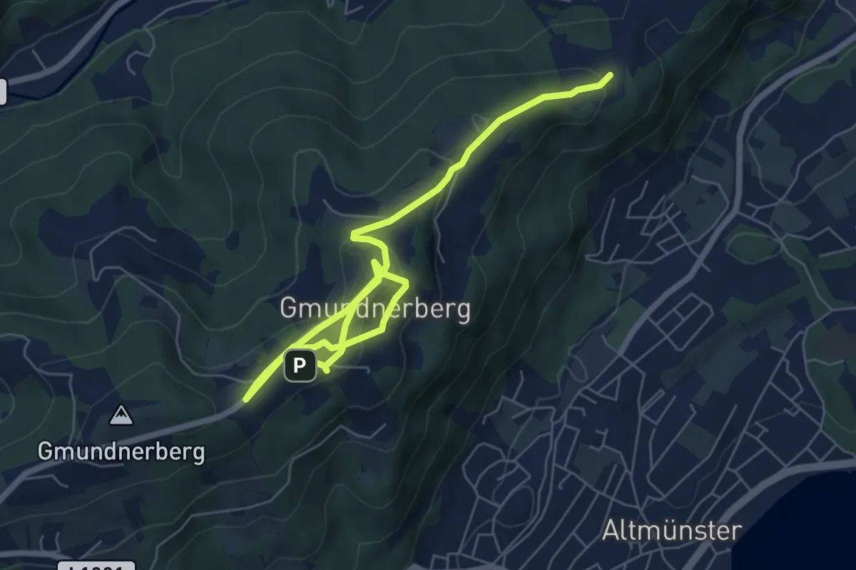
Naturerlebnisweg - Fuxiweg
2.2 km · ↑ 62 m · 41 min
Medium · Trail
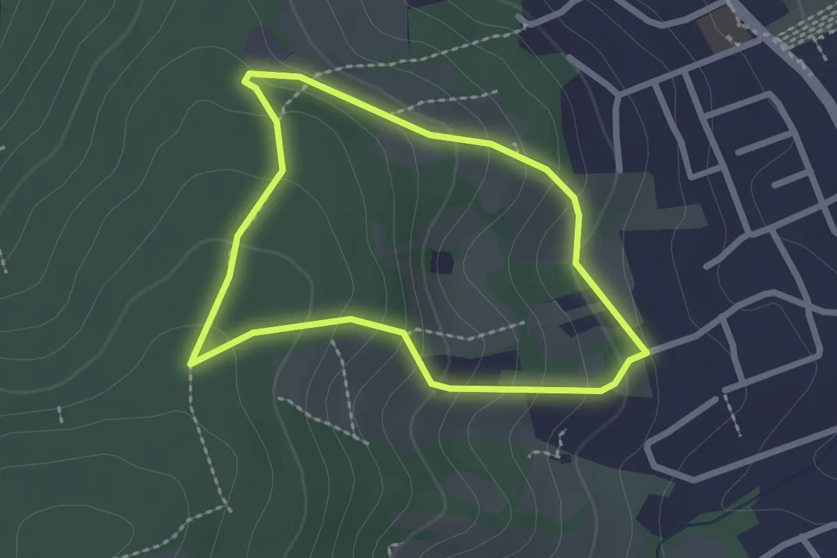
Naturerlebnisweg Gmundnerberg
8.1 km · ↑ 311 m · 2 h 35 min
Easy · Trail
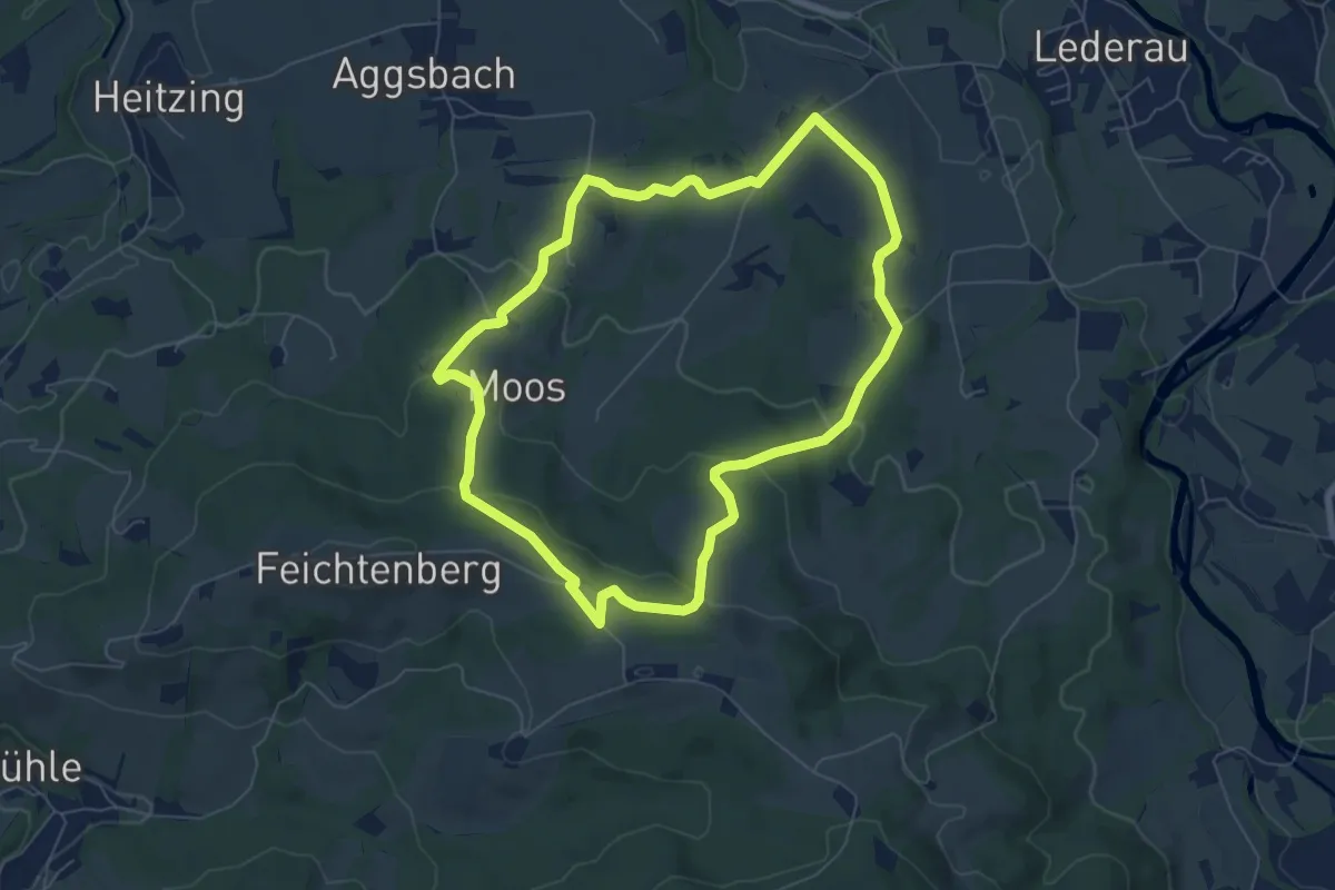
Naturerlebnisweg Kritzendorf
1.9 km · ↑ 105 m · 42 min
Easy · Trail
Naturfreunderunde
6.3 km · ↑ 184 m · 1 h 59 min
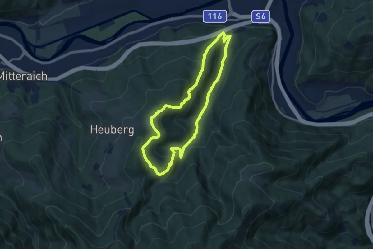
Demanding · Trail
Naturfreunde Rundwanderweg
6.6 km · ↑ 368 m · 2 h 27 min
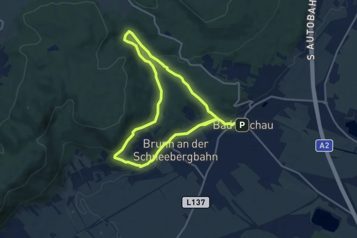
Medium · Trail
Naturfreunde Rundwanderweg
14.7 km · ↑ 279 m · 4 h 4 min
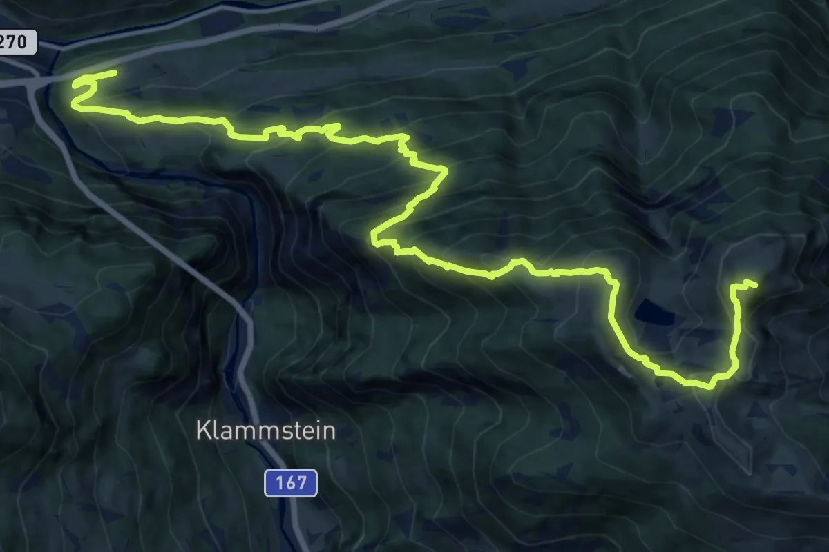
Demanding · Summit
Naturfreundesteig
17.7 km · ↑ 1467 m · 7 h 21 min
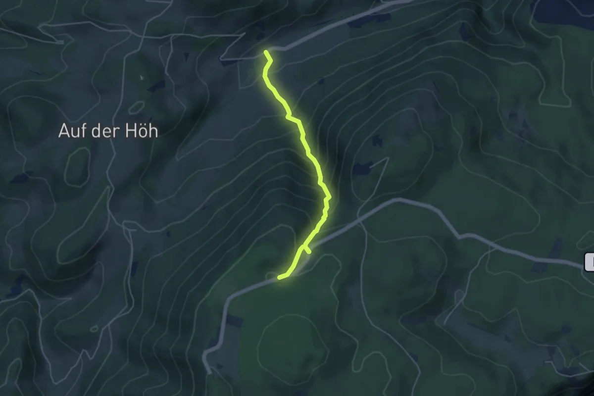
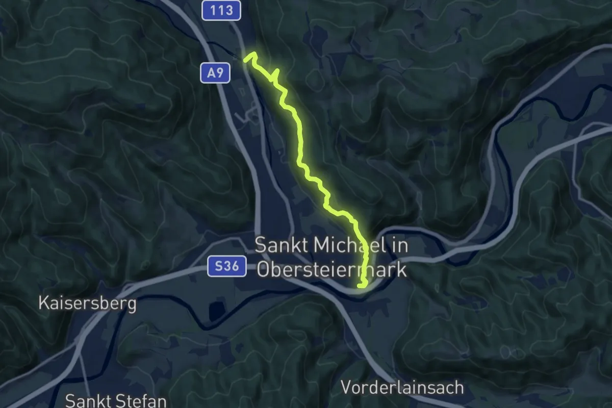
Expert · Trail
Naturfreundesteig
3.9 km · ↑ 413 m · 1 h 49 min
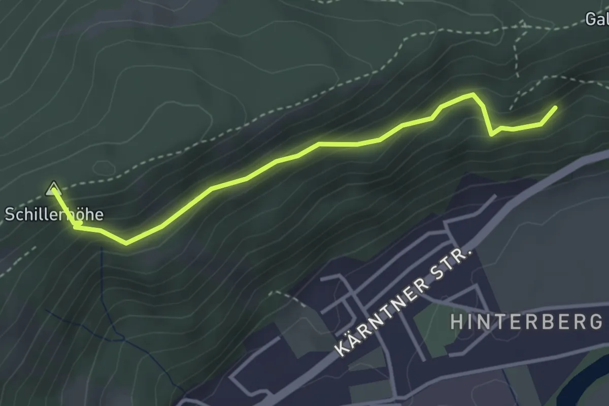
Demanding · Trail
Naturfreundeweg
9.8 km · ↑ 444 m · 3 h 16 min
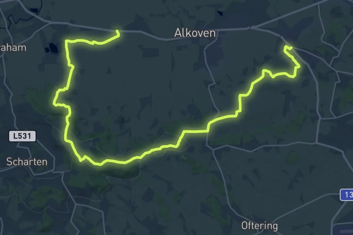
Medium · Summit
Naturfreundeweg
3.2 km · ↑ 245 m · 1 h 18 min
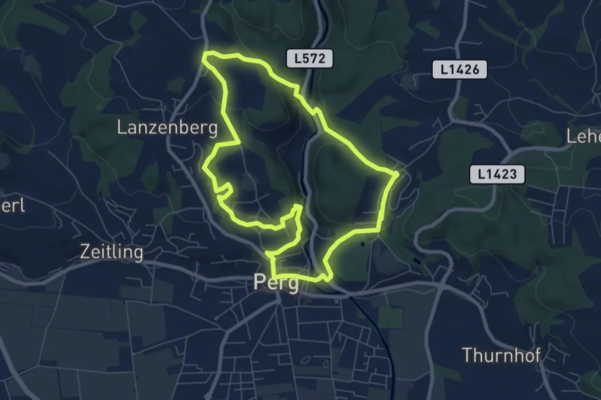
Medium · Trail
Naturfreundeweg
16.7 km · ↑ 238 m · 4 h 41 min
Easy · Trail
Naturfreundeweg
6.5 km · ↑ 223 m · 2 h 7 min
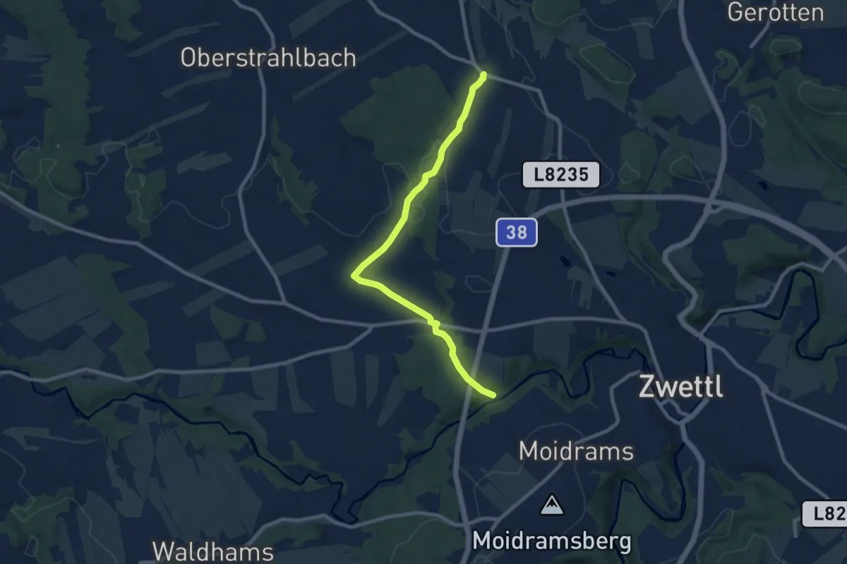
Medium · Trail
Naturfreundeweg 10
8.4 km · ↑ 95 m · 2 h 11 min
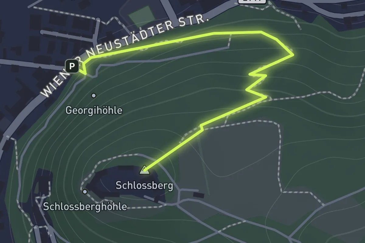
Easy · Summit
Naturfreundeweg Schloß Pitten
1.7 km · ↑ 112 m · 38 min
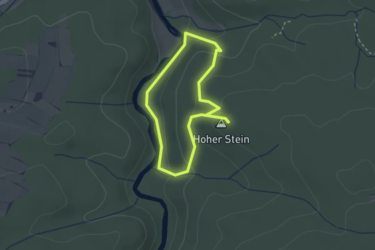
Easy · Summit
Naturfreundeweg, Utissenbachmühle - Hoher Stein
1.8 km · ↑ 93 m · 39 min
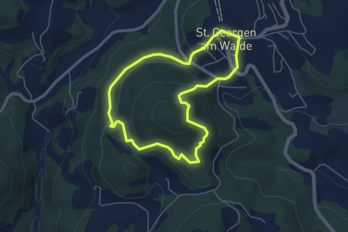
Easy · Trail
Natur-Geheimnis-Pfad
3.8 km · ↑ 176 m · 1 h 19 min
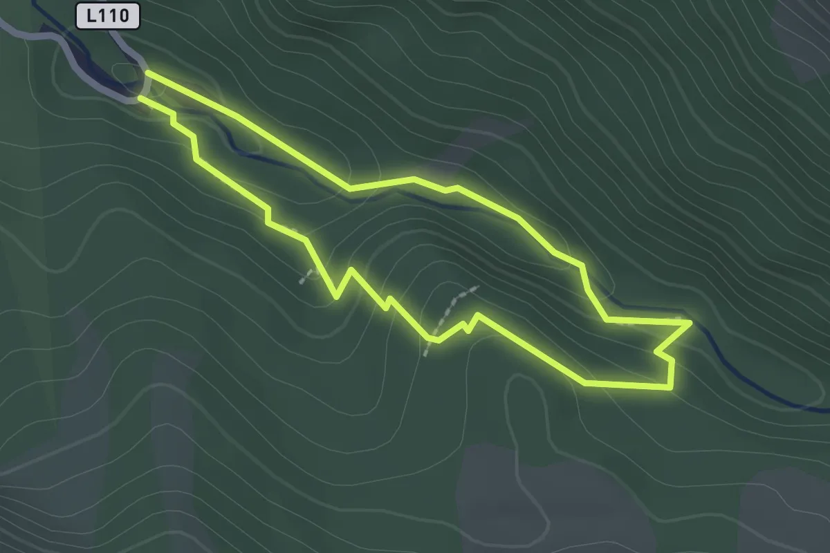
Medium · Trail
Natur kennt keine Grenzen
1.9 km · ↑ 99 m · 40 min
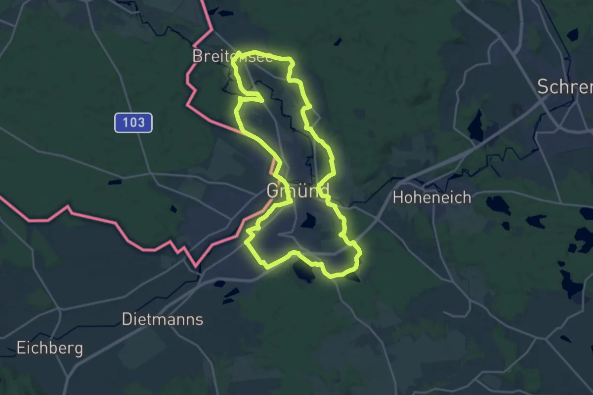
Medium · Trail
NatURknallweg
16.9 km · ↑ 124 m · 4 h 30 min
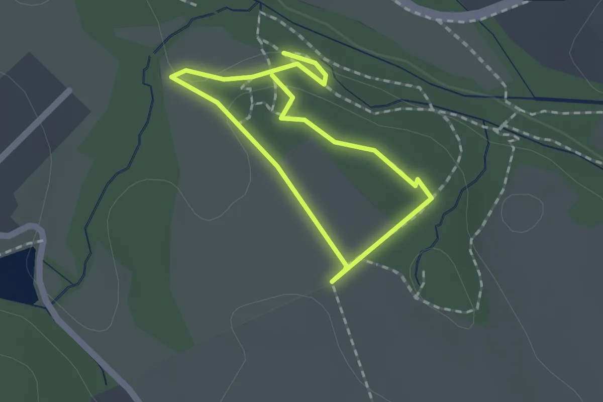
Easy · Trail
Naturkraft Parkour
1.2 km · ↑ 30 m · 22 min
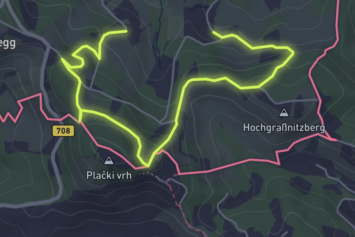
Easy · Trail
Natur-Kultur-Archäologie-Weg
6.5 km · ↑ 262 m · 2 h 6 min