Trails in Austria
9,779 hiking trails, each with its route, climb, walking time and grade.
All trails, page 73 of 204
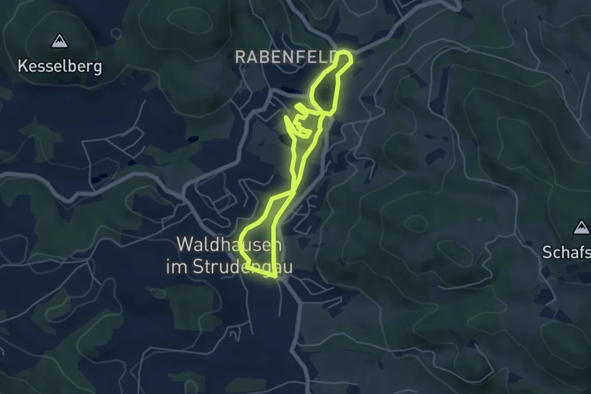
Easy · Trail
Natur Kultur Weg
4.2 km · ↑ 33 m · 1 h 7 min
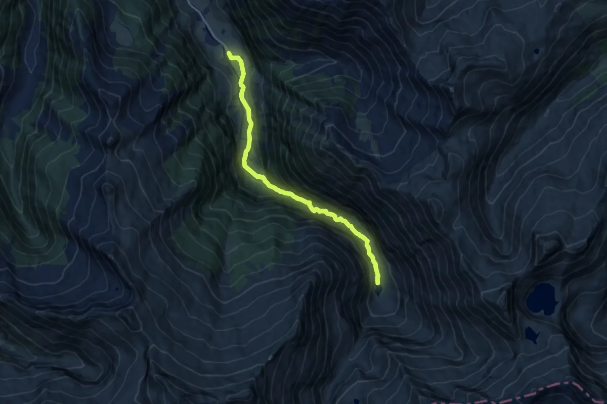
Medium · Trail
Naturkundlicher Lehrweg ins Schödertal
11.1 km · ↑ 441 m · 3 h 35 min
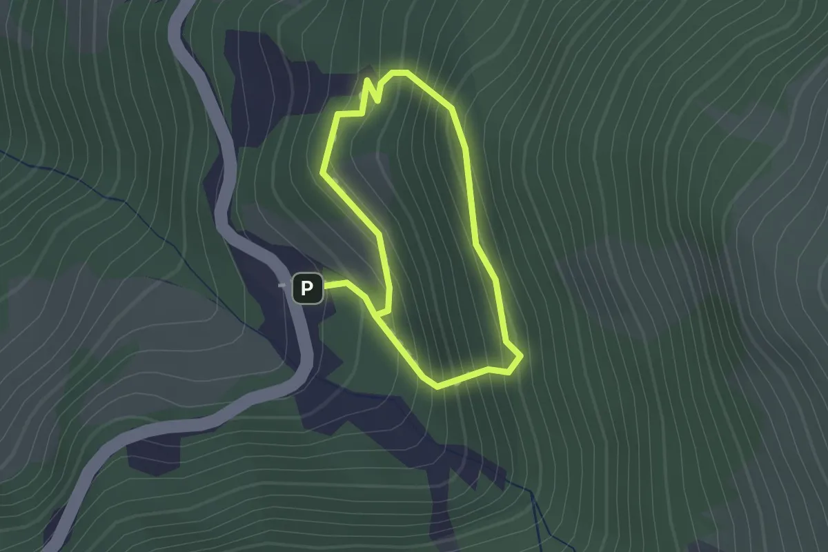
Easy · Trail
Naturkundlicher Lehrweg Piffkar
1.1 km · ↑ 162 m · 37 min
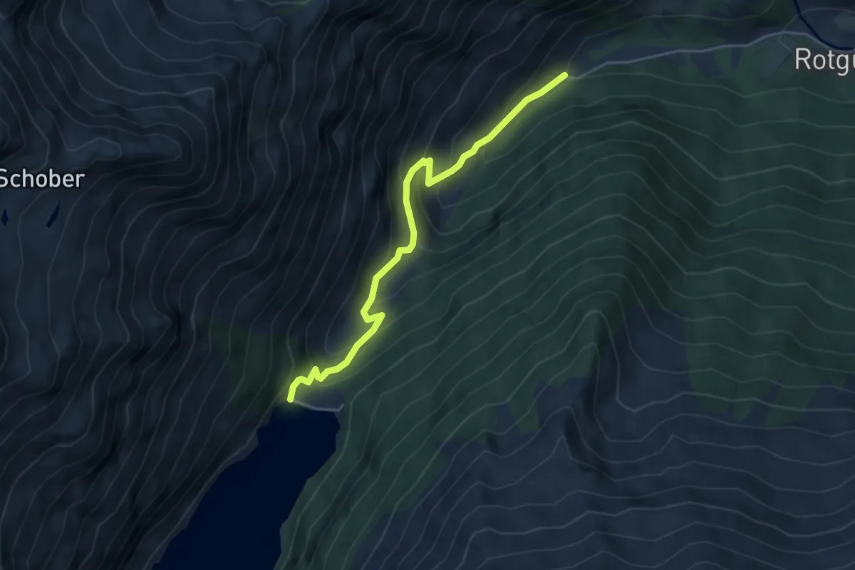
Medium · Cabin
Naturkundlicher Lehrweg zum Unteren Rotgüldensee
4.5 km · ↑ 390 m · 1 h 54 min
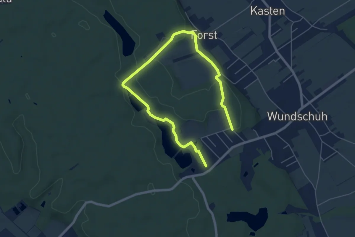
Easy · Trail
Naturlehrpfad
7.3 km · ↑ 65 m · 1 h 52 min
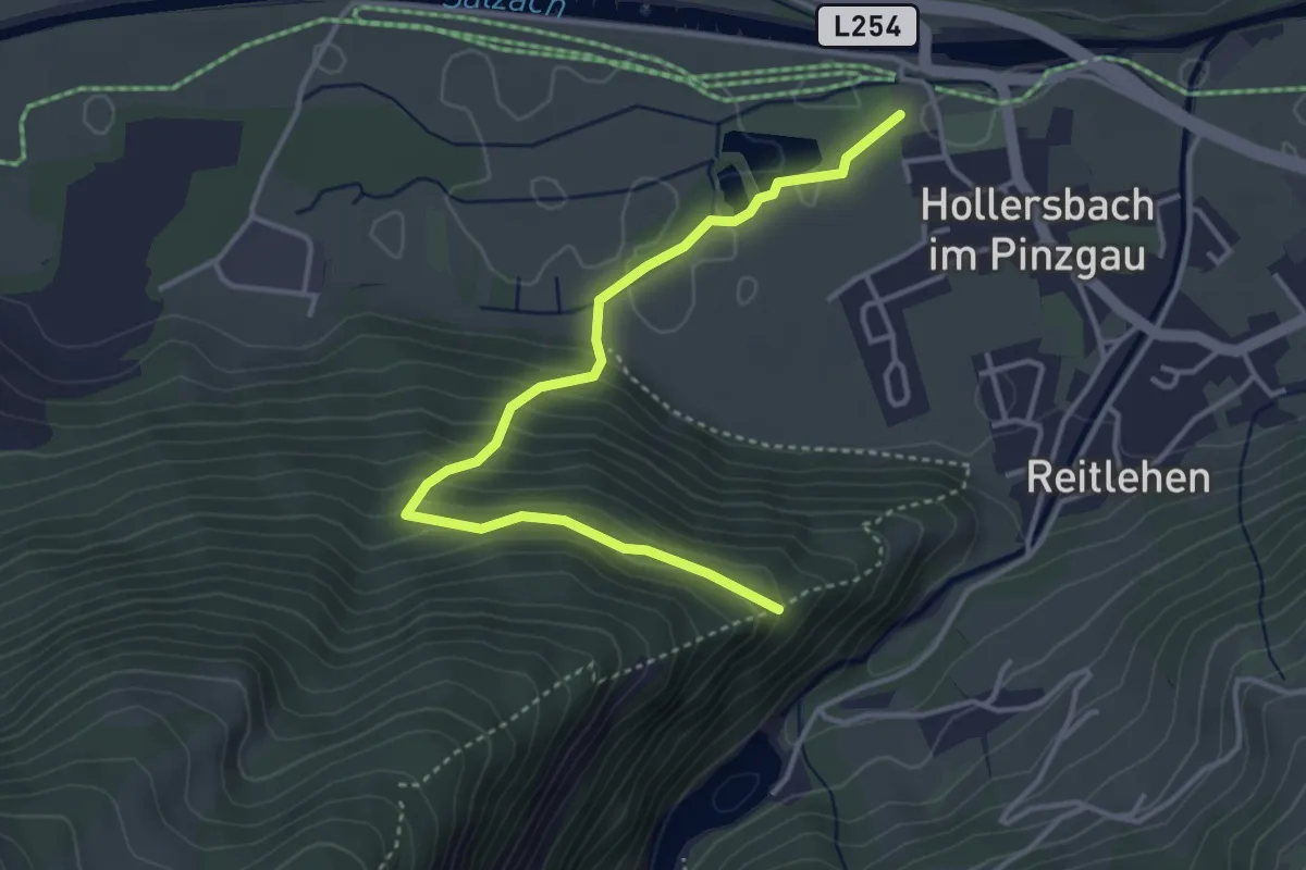
Medium · Trail
Naturlehrpfad
4.0 km · ↑ 197 m · 1 h 22 min
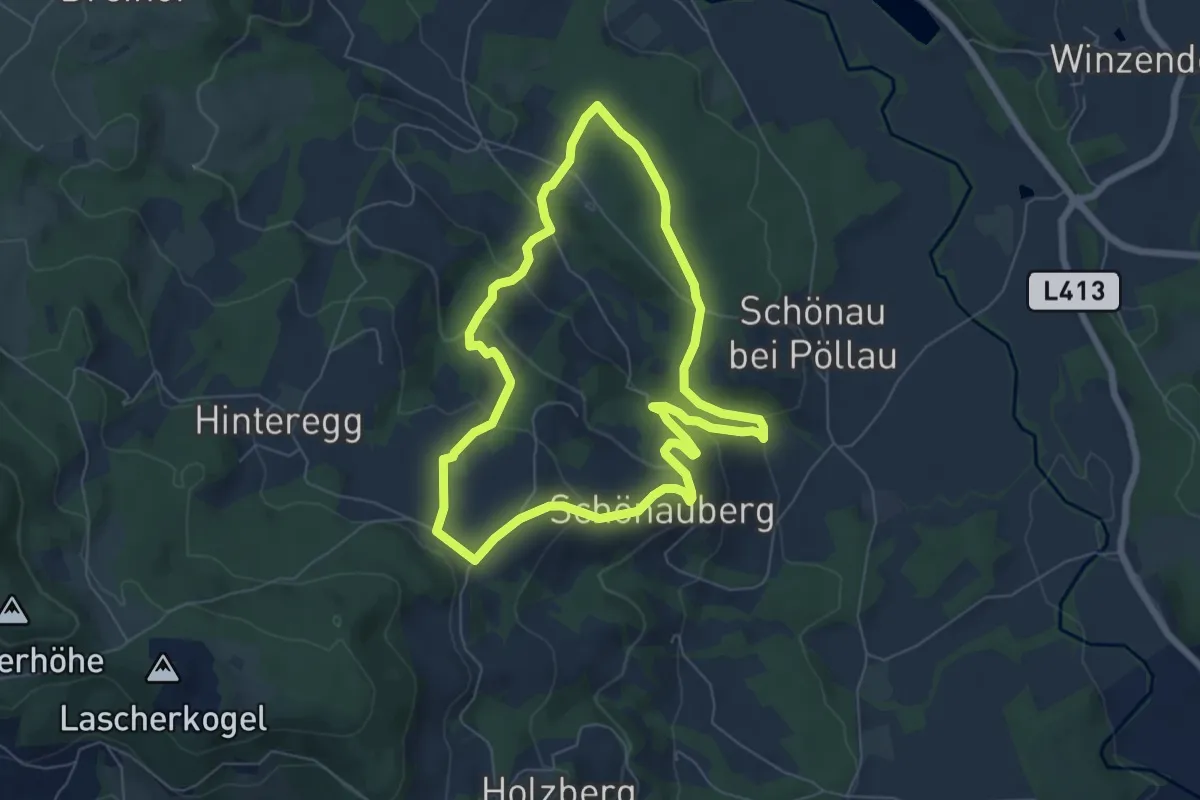
Easy · Trail
Naturlehrpfad
6.1 km · ↑ 237 m · 2 h 2 min
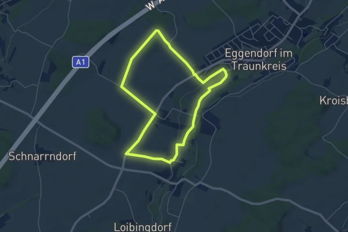
Easy · Trail
Naturlehrpfad
4.8 km · ↑ 38 m · 1 h 17 min
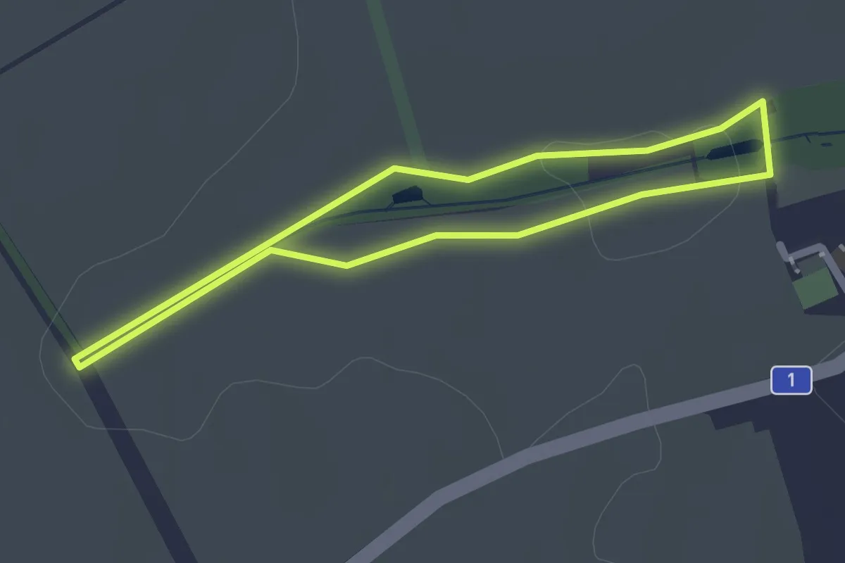
Easy · Trail
Naturlehrpfad
1.7 km · ↑ 12 m · 27 min
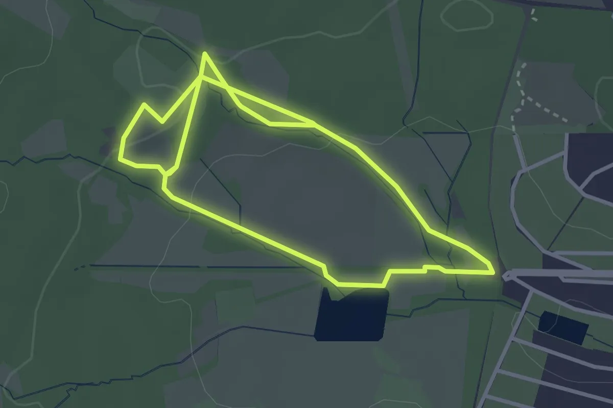
Easy · Trail
Naturlehrpfad
5.8 km · ↑ 75 m · 1 h 32 min
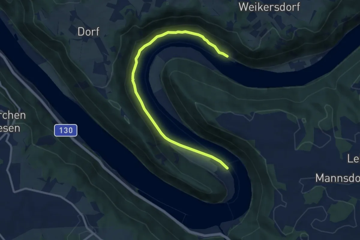
Demanding · Trail
Naturlehrpfad Donauschlinge
8.4 km · ↑ 124 m · 2 h 15 min
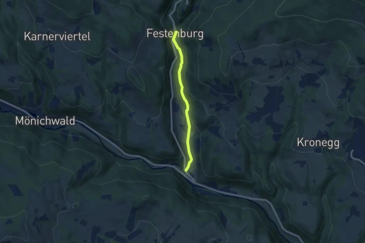
Easy · Trail
Naturlehrpfad Festenburg
5.0 km · ↑ 142 m · 1 h 29 min
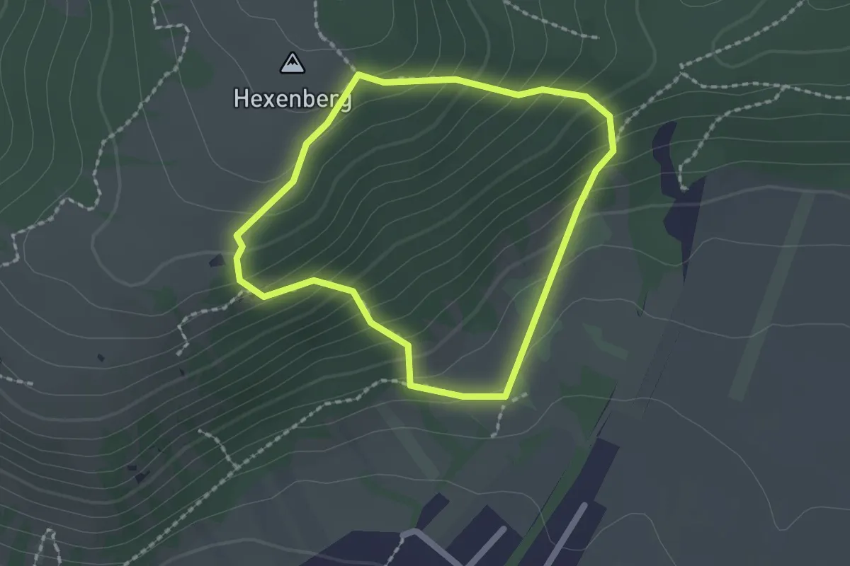
Easy · Summit
Naturlehrpfad Hundsheimer Berg
1.6 km · ↑ 153 m · 44 min
Medium · Trail
Naturlehrpfad obere Lobau (Saltenstraße Rundweg)
8.8 km · ↑ 0 m · 2 h 5 min
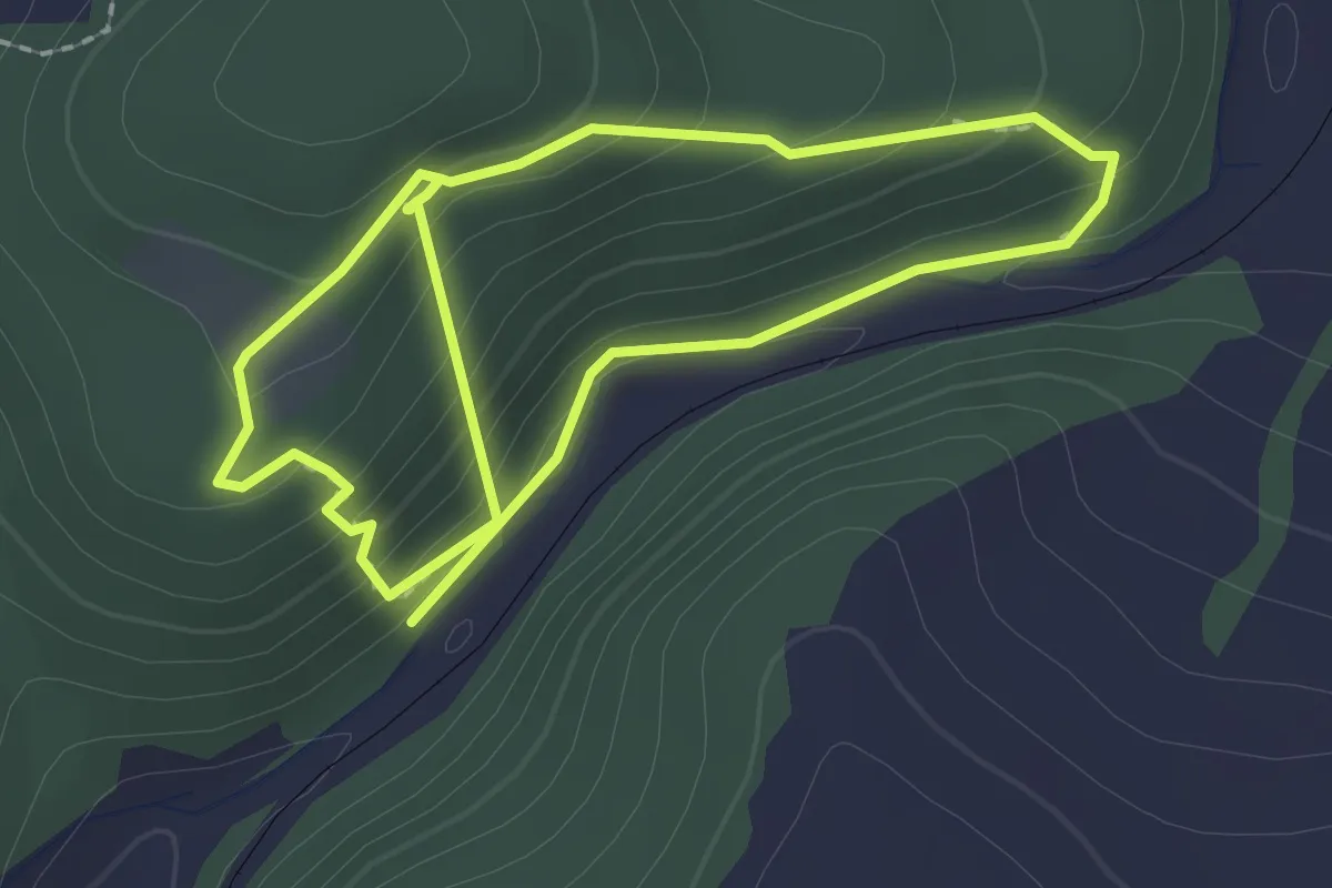
Easy · Trail
Naturlehrpfad Pienkenhof
3.9 km · ↑ 286 m · 1 h 33 min
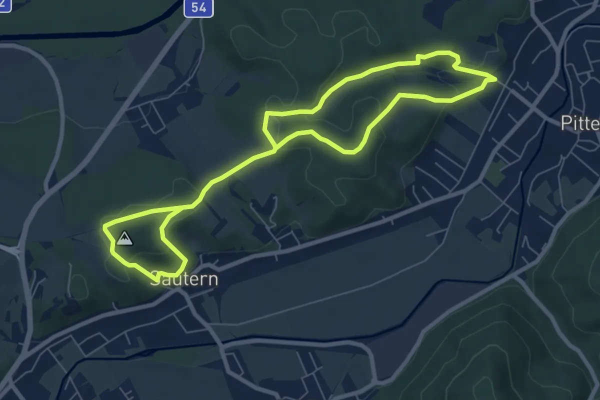
Medium · Trail
Naturlehrpfad Pitten - Sautern
11.1 km · ↑ 331 m · 3 h 21 min
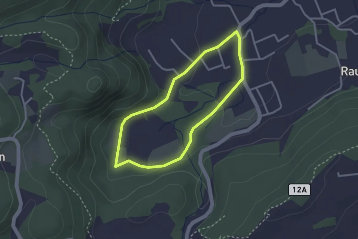
Easy · Trail
Naturlehrpfad Reifnitz
2.2 km · ↑ 13 m · 34 min
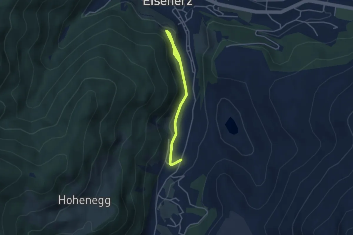
Easy · Trail
Naturlehrpfad Schichtturm
3.1 km · ↑ 84 m · 54 min
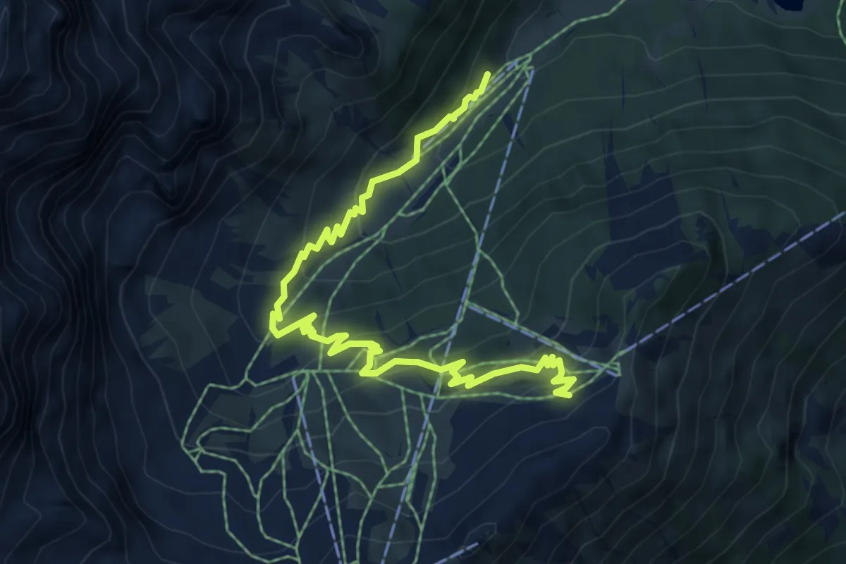
Medium · Trail
Natur-Lehrweg
7.3 km · ↑ 420 m · 2 h 38 min
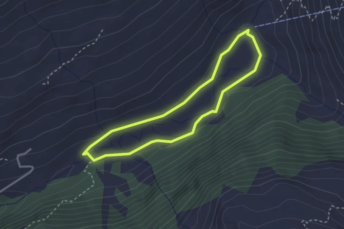
Easy · Trail
Naturlehrweg Astner Moos
2.2 km · ↑ 9 m · 35 min
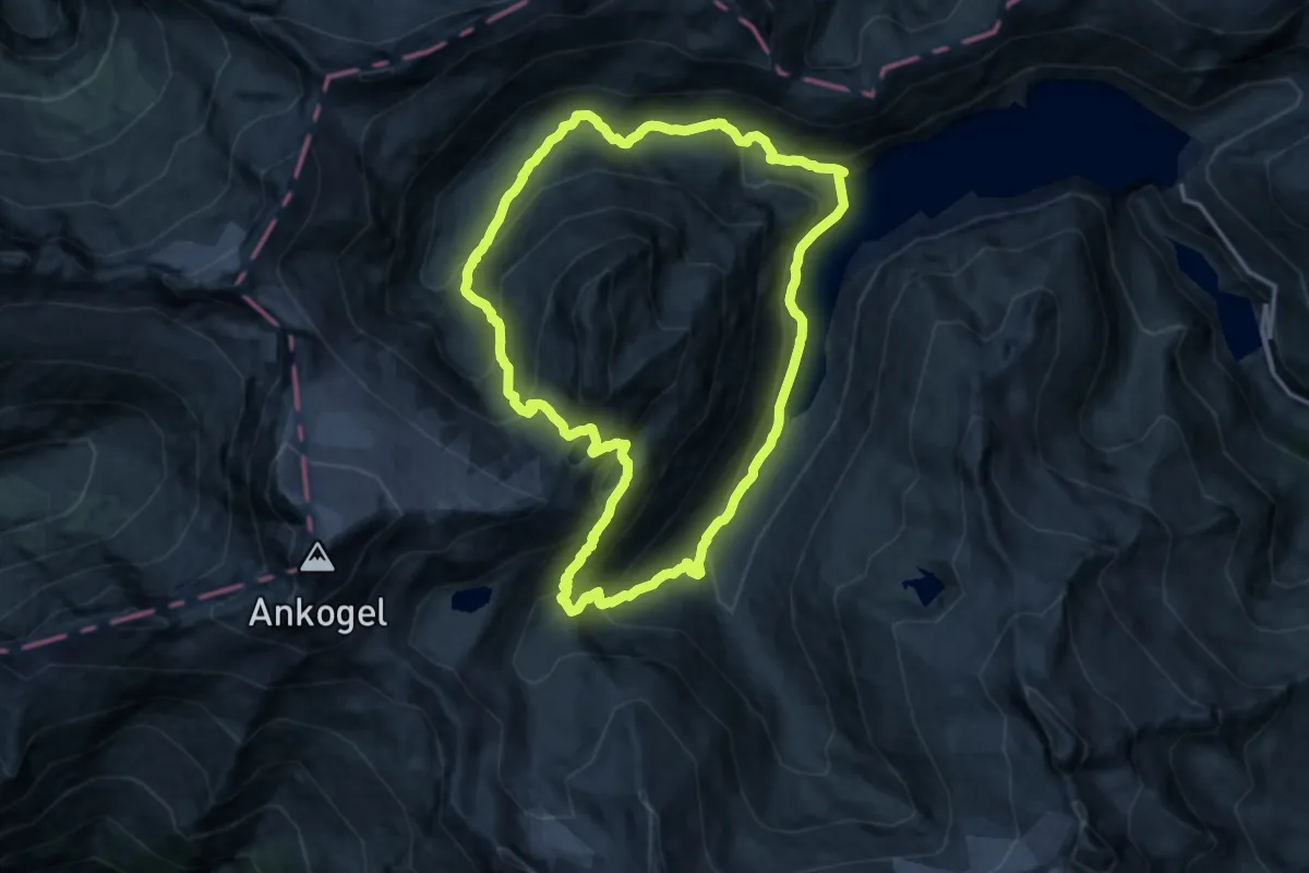
Demanding · Trail
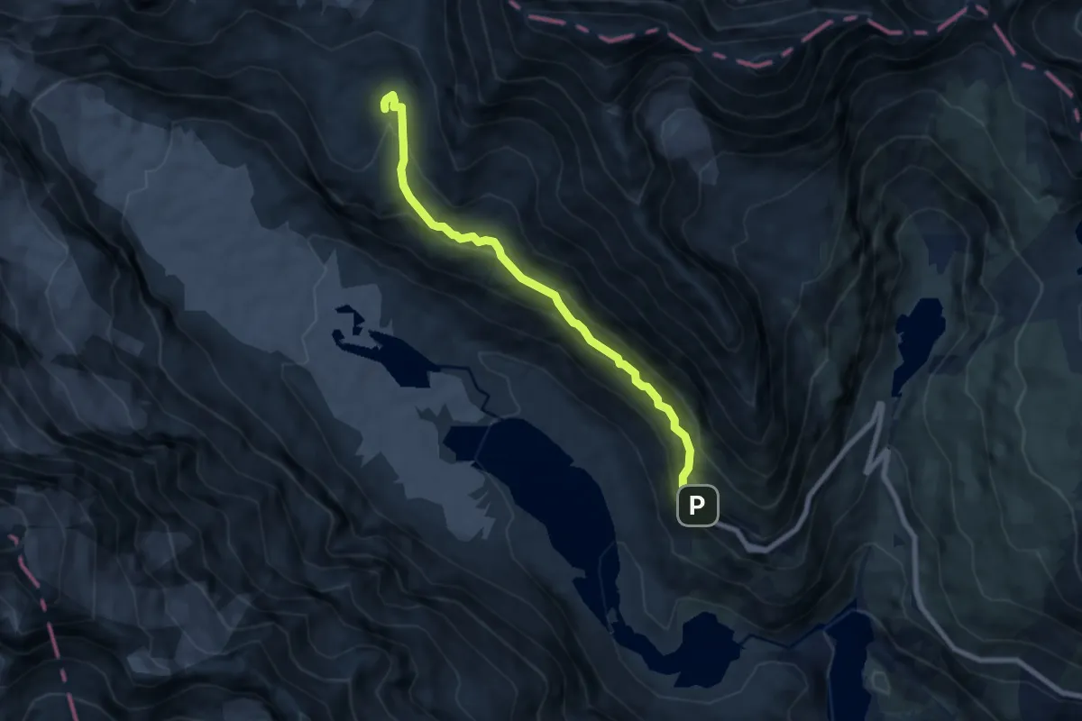
Naturlehrweg Elendtäler
14.3 km · ↑ 851 m · 5 h 25 min
Medium · Trail
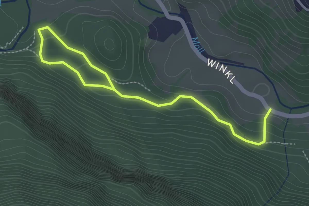
Naturlehrweg Gamsgrube
7.0 km · ↑ 535 m · 2 h 48 min
Easy · Trail
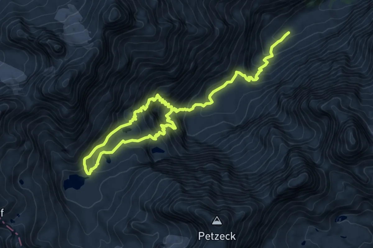
Naturlehrweg Gößnitzfall - Kachlmoor
3.3 km · ↑ 76 m · 56 min
Demanding · Trail
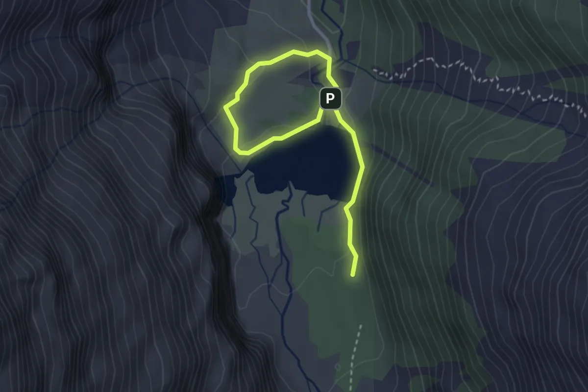
Naturlehrweg Gradental
14.5 km · ↑ 1219 m · 6 h 4 min
Easy · Cabin
Naturlehrweg Hintersee
3.3 km · ↑ 83 m · 58 min
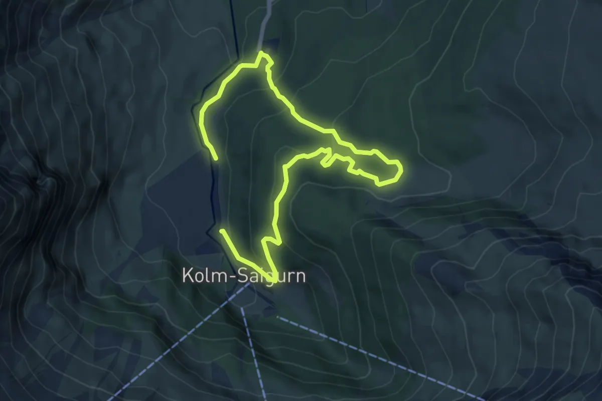
Medium · Trail
Naturlehrweg Rauriser Urwald
9.2 km · ↑ 427 m · 3 h 5 min
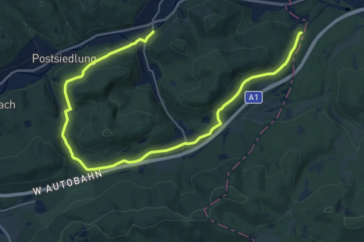
Medium · Trail
Naturpark - Dambach - Baunzen
18.0 km · ↑ 447 m · 5 h 12 min
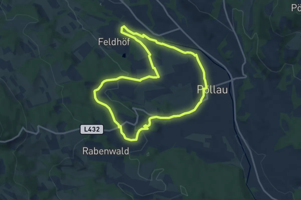
Easy · Trail
Naturpark Erlebnisrundweg
7.6 km · ↑ 120 m · 2 h 10 min
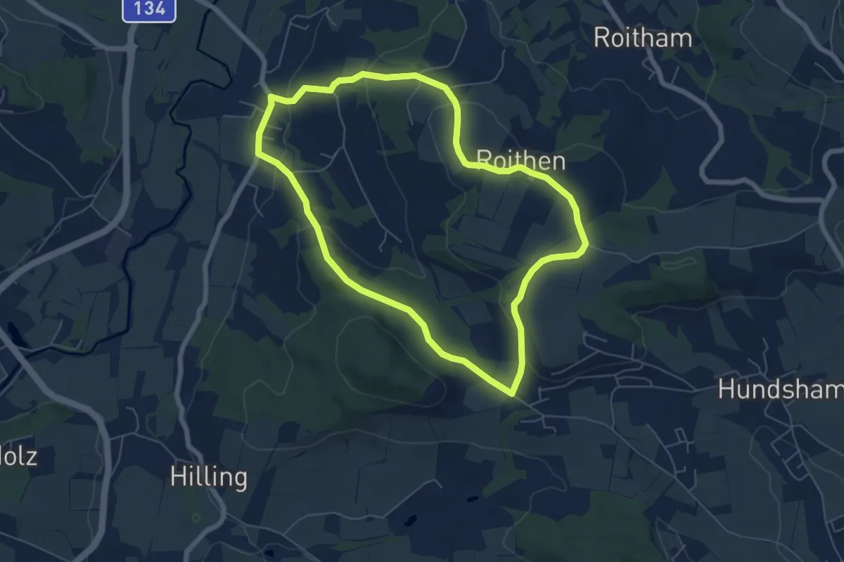
Easy · Trail
Naturparkhöhenweg
5.8 km · ↑ 146 m · 1 h 46 min
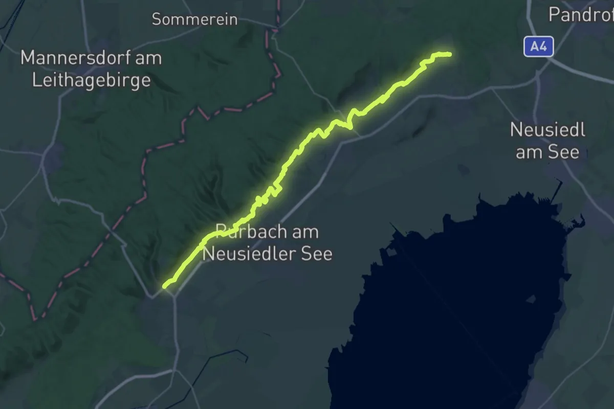
Demanding · Trail
Naturpark-Panoramawanderweg (Neusiedler See)
18.9 km · ↑ 271 m · 5 h 19 min
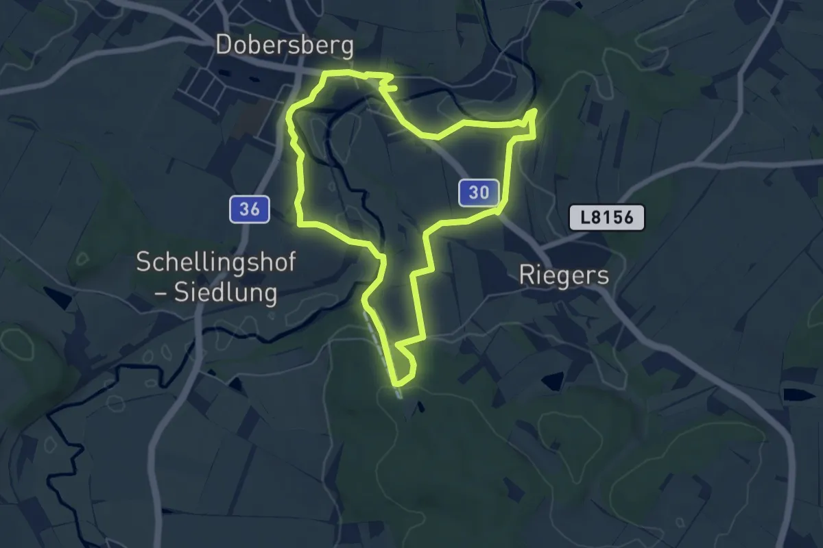
Easy · Trail
Naturparkweg Dobersberg
5.6 km · ↑ 167 m · 1 h 46 min
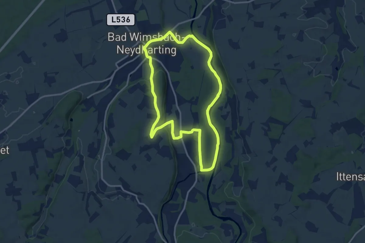
Medium · Trail
Natur Pur
9.4 km · ↑ 70 m · 2 h 30 min
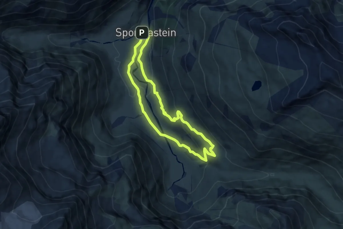
Medium · Trail
Naturschauweg Naßfeld (große Runde)
6.6 km · ↑ 204 m · 2 h 5 min
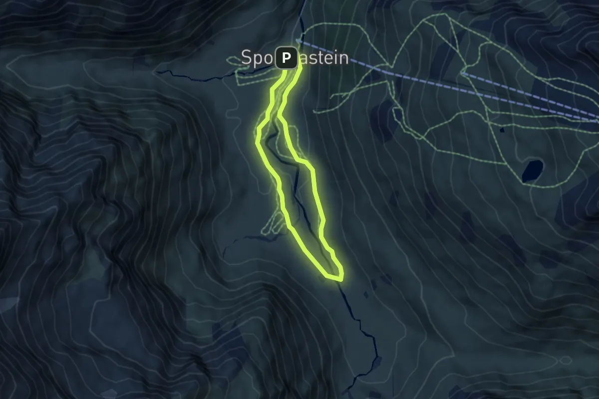
Medium · Trail
Naturschauweg Naßfeld (kleine Runde)
4.1 km · ↑ 32 m · 1 h 6 min
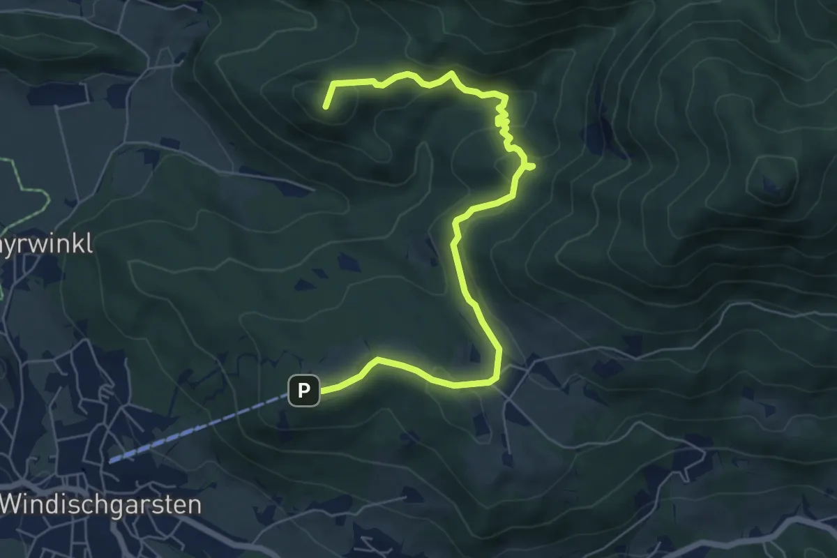
Medium · Summit
Naturspuren-Wanderweg
6.9 km · ↑ 325 m · 2 h 19 min
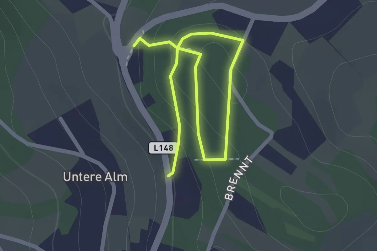
Easy · Trail
Natur- und Fitnessmeile
2.3 km · ↑ 93 m · 45 min
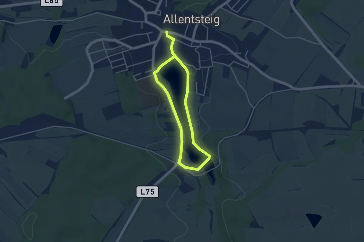
Easy · Trail
Natur und Kultur 31
2.7 km · ↑ 5 m · 41 min
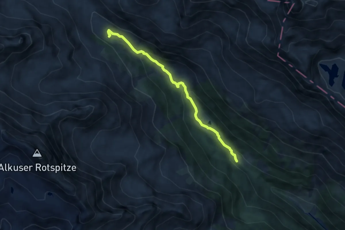
Medium · Cabin
Natur- und Kulturlehrweg Debanttal
7.0 km · ↑ 313 m · 2 h 19 min
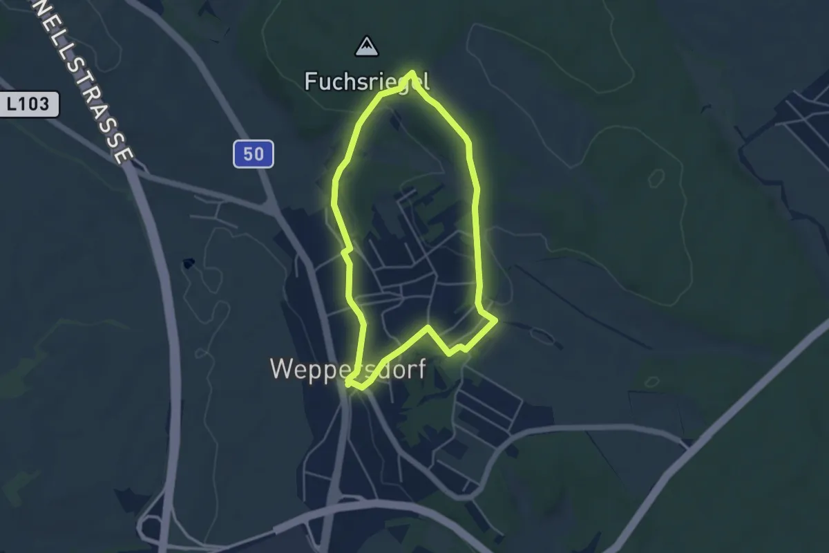
Easy · Trail
Natur- und Kulturpfad Weppersdorf
3.9 km · ↑ 69 m · 1 h 7 min
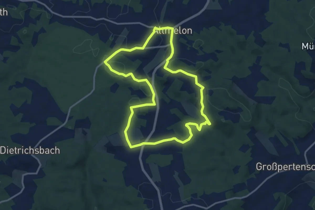
Medium · Summit
Naturwanderweg
8.3 km · ↑ 163 m · 2 h 26 min
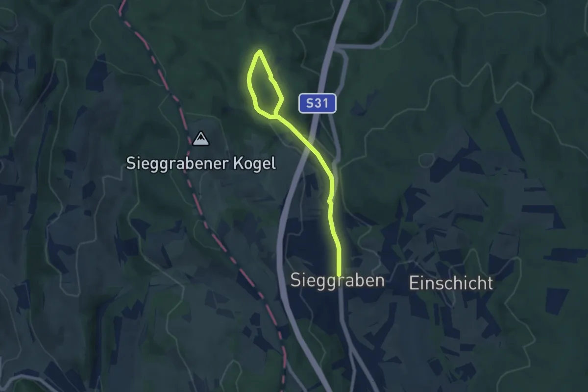
Easy · Trail
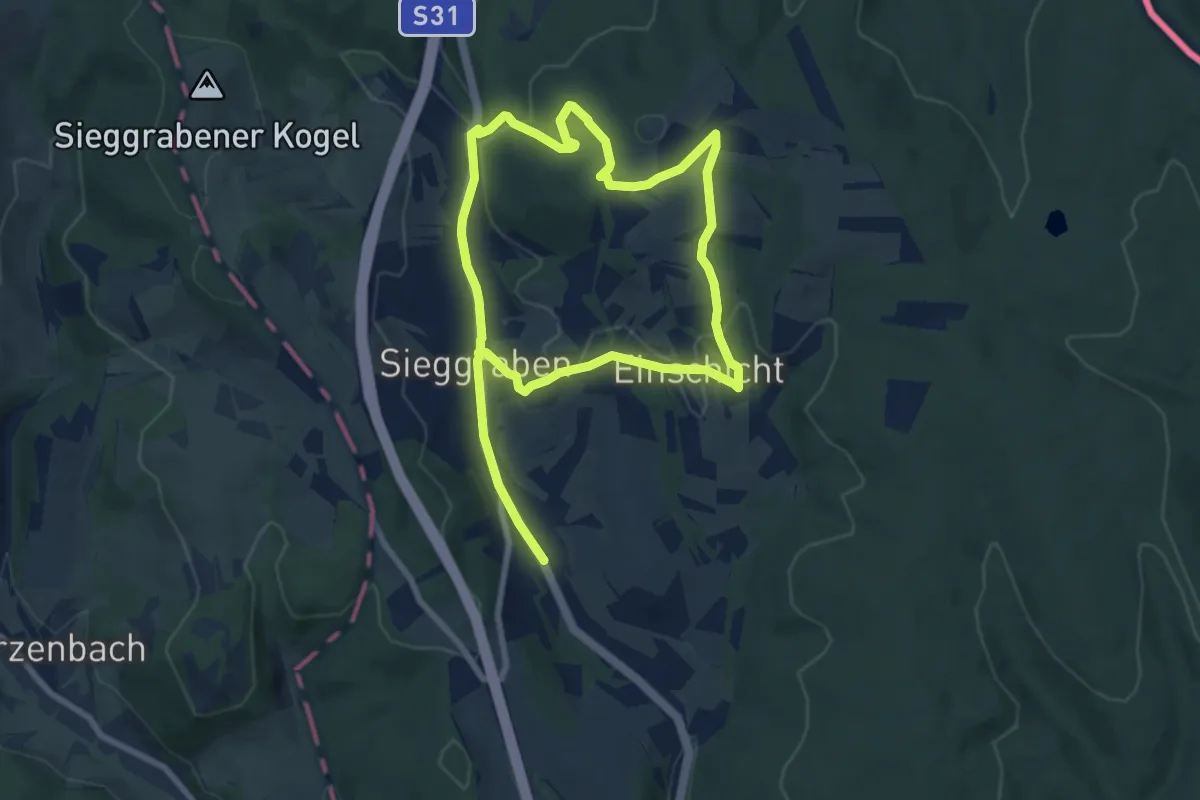
Naturwanderweg 2 (Sieggraben - Gemeindewiese)
6.4 km · ↑ 168 m · 1 h 52 min
Medium · Trail
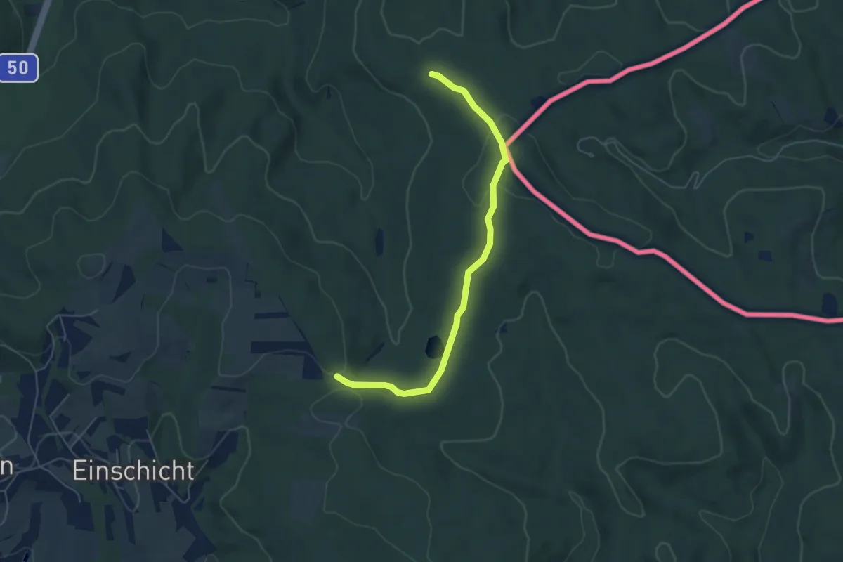
Naturwanderweg 3 (Sieggraben - Brentenriegel)
13.6 km · ↑ 427 m · 4 h 8 min
Easy · Trail
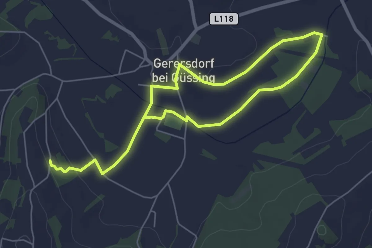
Naturwanderweg 4 (Sieggraben - Grüne Lacke - Herrentisch)
5.3 km · ↑ 129 m · 1 h 32 min
Easy · Trail
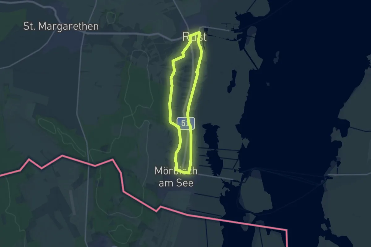
Naturwanderweg Gerersdorf
7.9 km · ↑ 63 m · 2 h
Medium · Trail
Naturweg
11.9 km · ↑ 52 m · 3 h 5 min
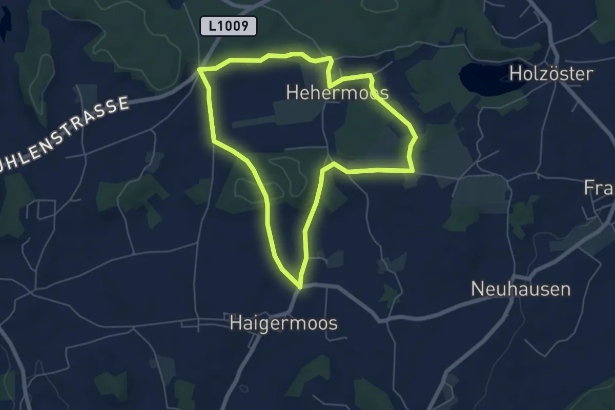
Easy · Trail
Naturweg Haigermoos
5.0 km · ↑ 48 m · 1 h 22 min
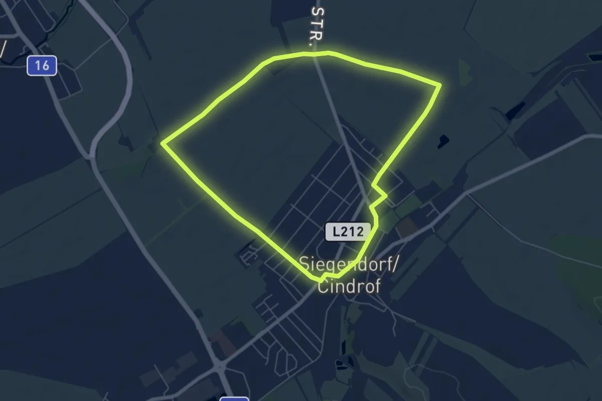
Easy · Trail
Naturweg-Tour (Vital-Parcours Siegendorf)
5.9 km · ↑ 13 m · 1 h 30 min
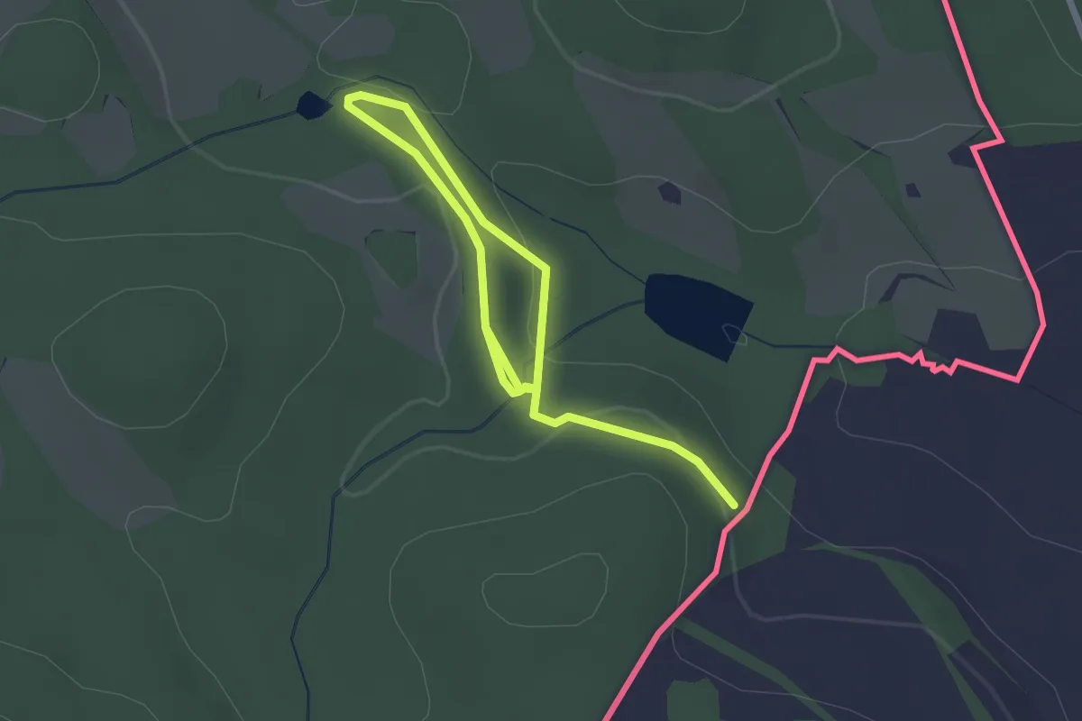
Easy · Trail
Naučná stezka Koňská dráha
3.0 km · ↑ 59 m · 50 min