Trails in Austria
9,779 hiking trails, each with its route, climb, walking time and grade.
All trails, page 74 of 204
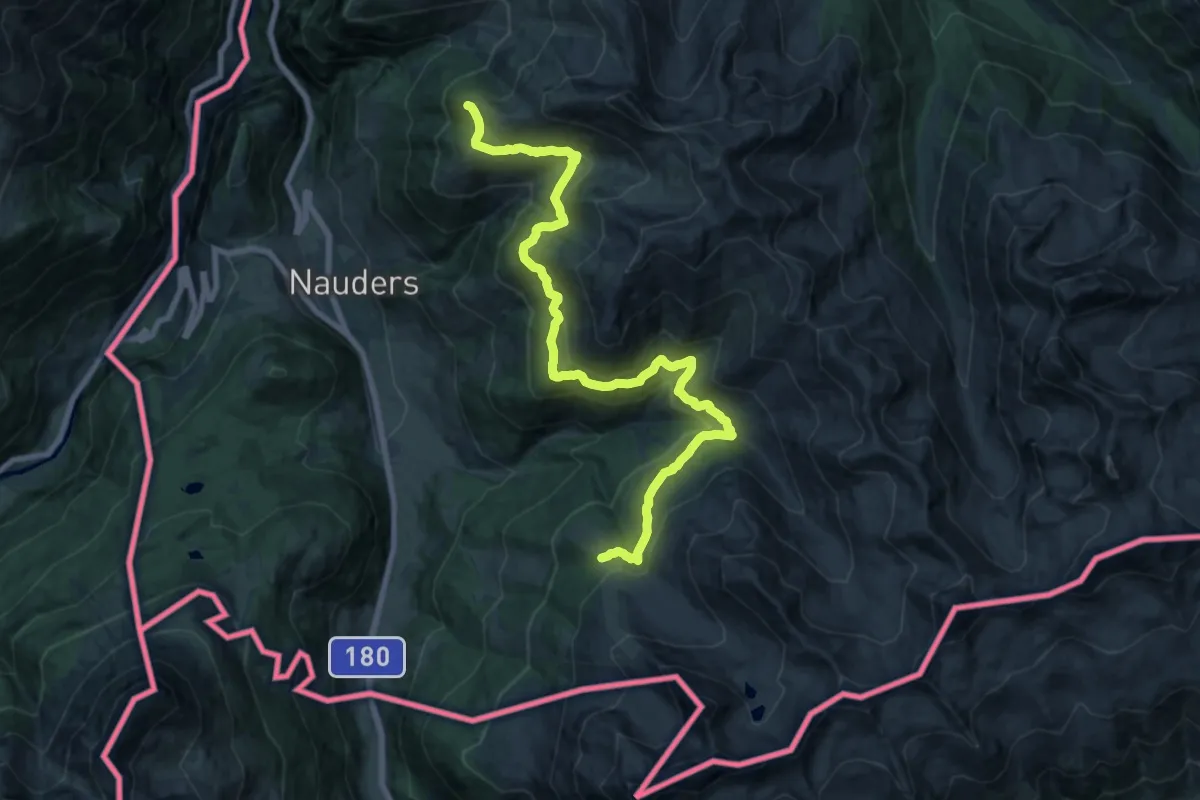
Demanding · Summit
Nauderer Höhenweg
21.8 km · ↑ 856 m · 7 h
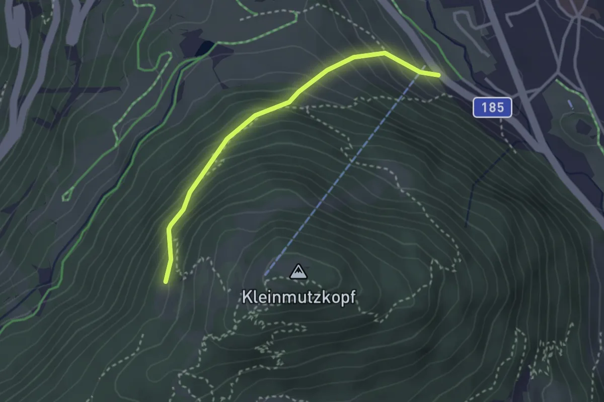
Medium · Trail
Nauders Wanderweg Nr. 11
2.8 km · ↑ 322 m · 1 h 21 min
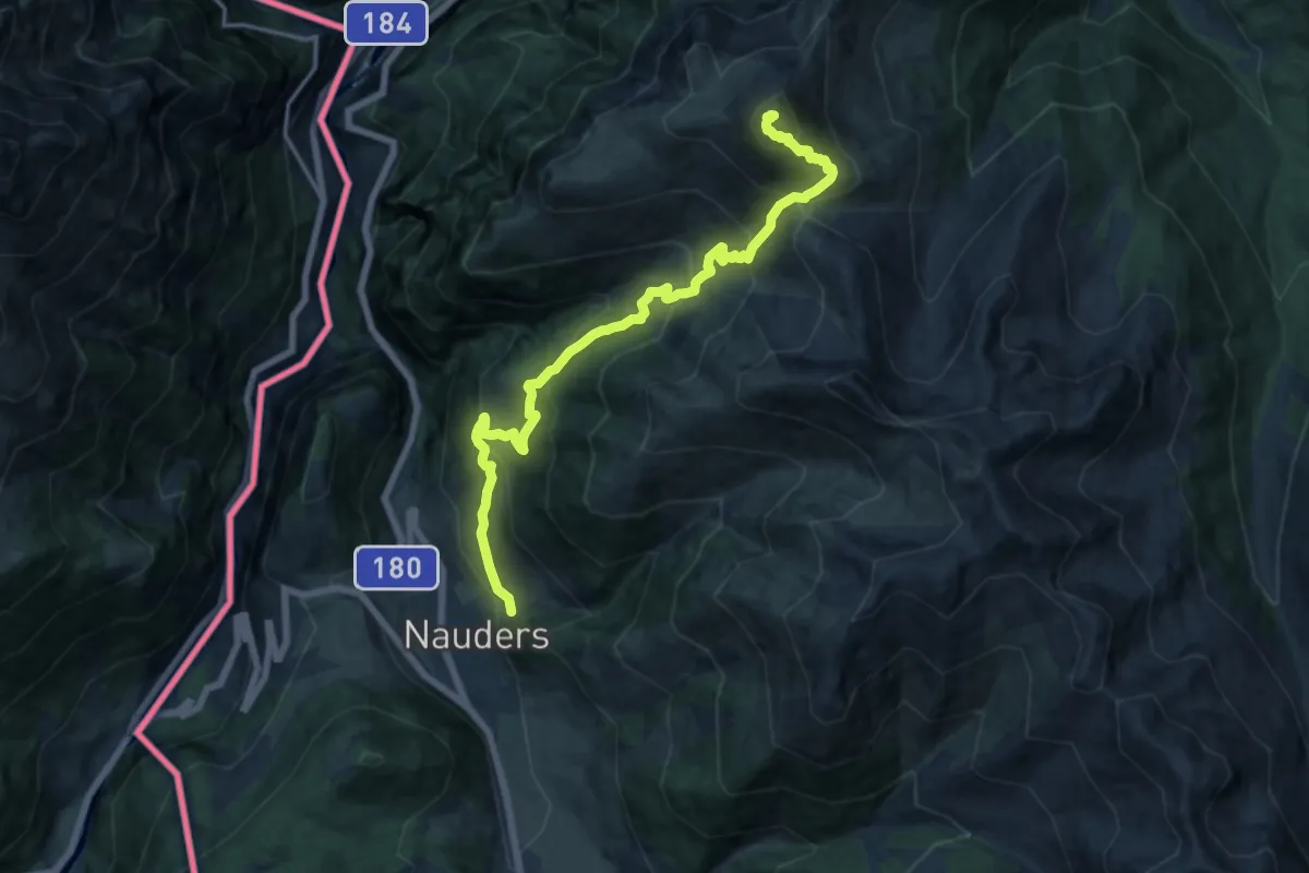
Demanding · Summit
Nauders Wanderweg Nr. 14
16.2 km · ↑ 1300 m · 6 h 38 min
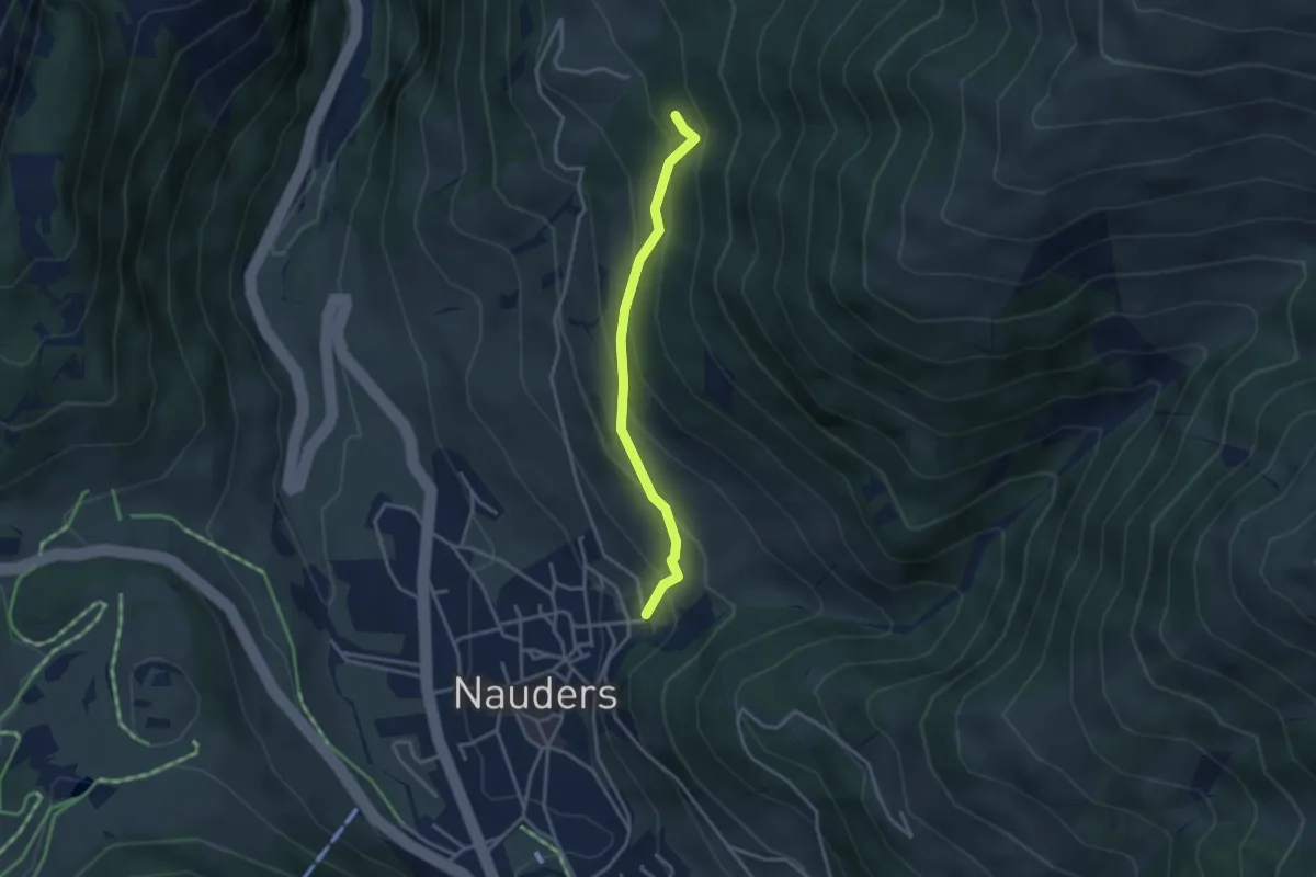
Medium · Trail
Nauders wanderweg Nr. 14A
3.1 km · ↑ 251 m · 1 h 16 min
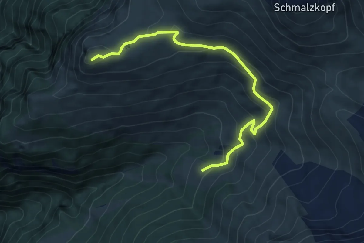
Medium · Summit
Nauders Wanderweg Nr. 15
6.5 km · ↑ 357 m · 2 h 18 min
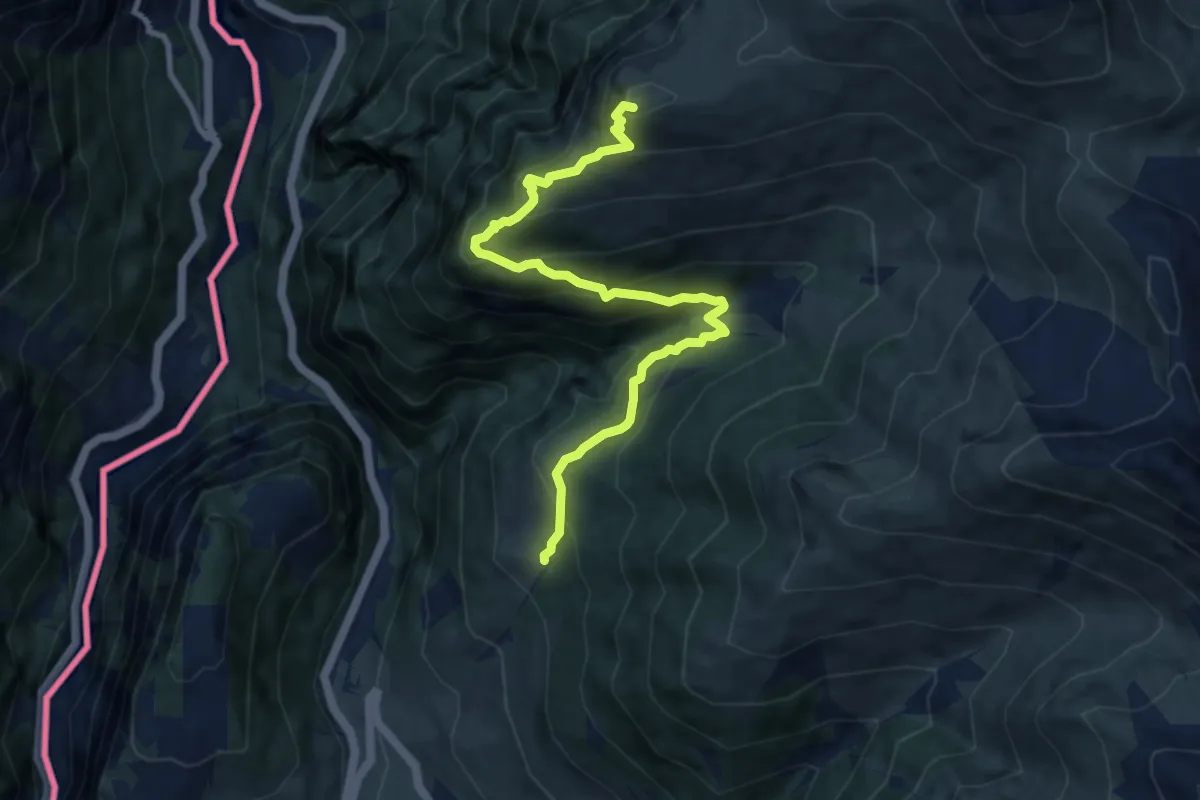
Medium · Summit
Nauders Wanderweg Nr. 16
9.0 km · ↑ 751 m · 3 h 45 min
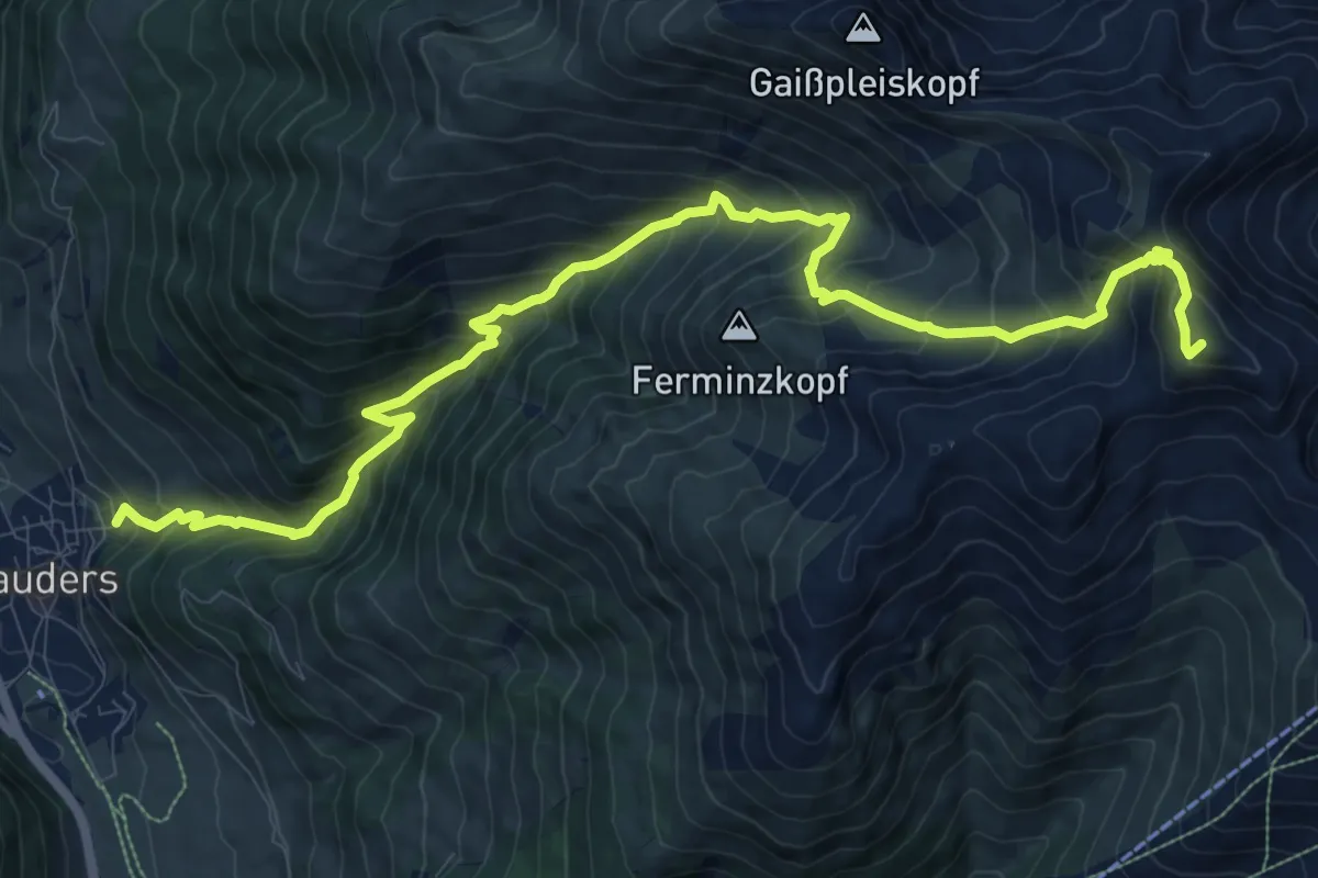
Demanding · Summit
Nauders Wanderweg Nr. 17
13.4 km · ↑ 1402 m · 6 h 12 min
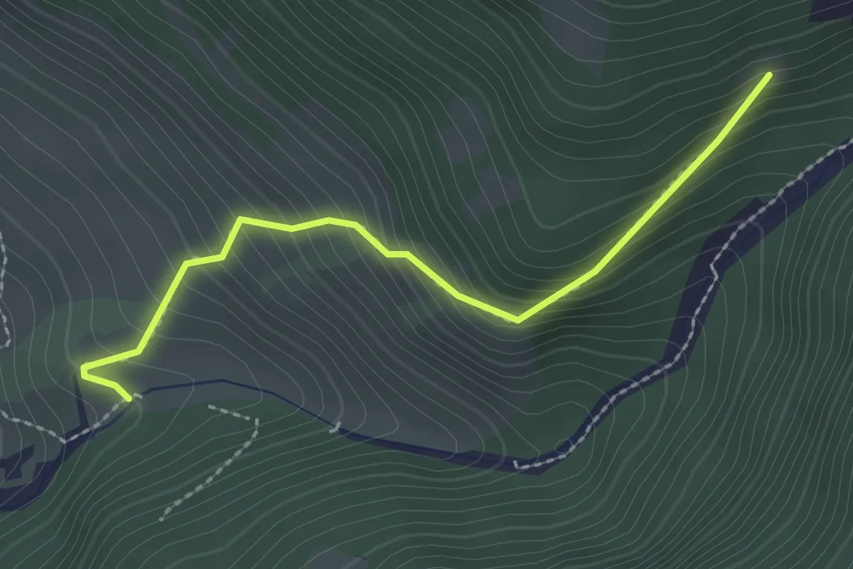
Medium · Trail
Nauders Wanderweg Nr. 17a
2.3 km · ↑ 281 m · 1 h 9 min
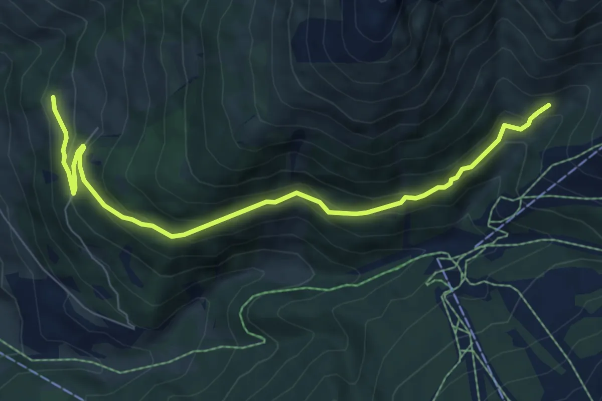
Medium · Trail
Nauders Wanderweg Nr. 18
7.3 km · ↑ 361 m · 2 h 30 min
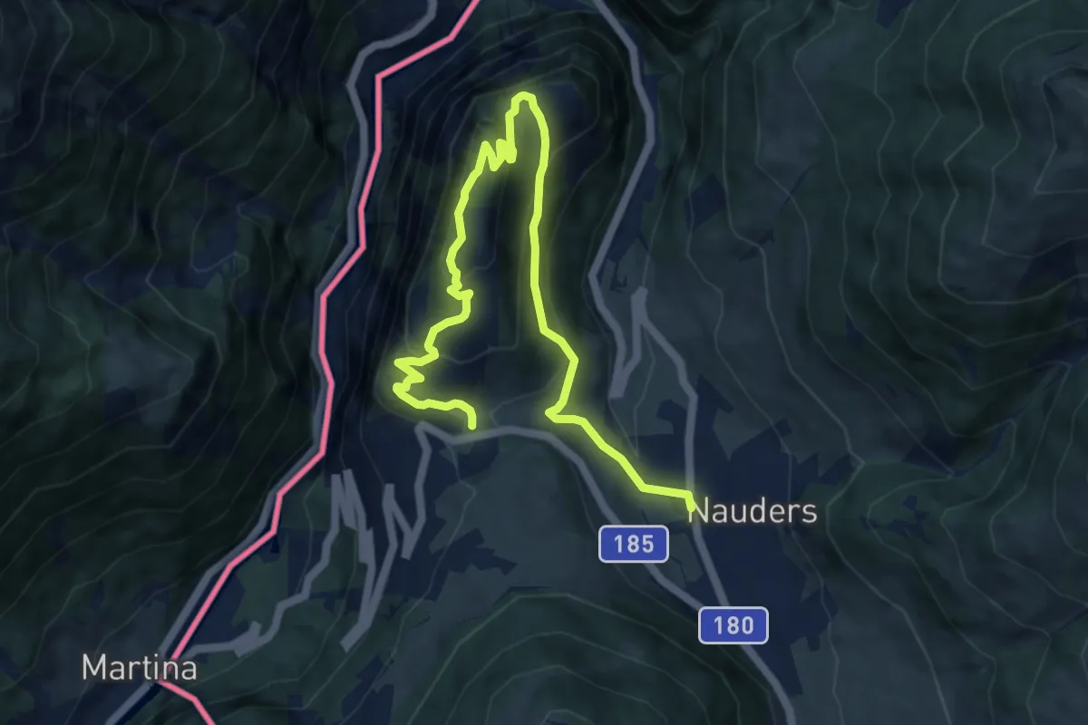
Medium · Trail
Nauders Wanderweg Nr. 2
5.6 km · ↑ 274 m · 2 h 2 min
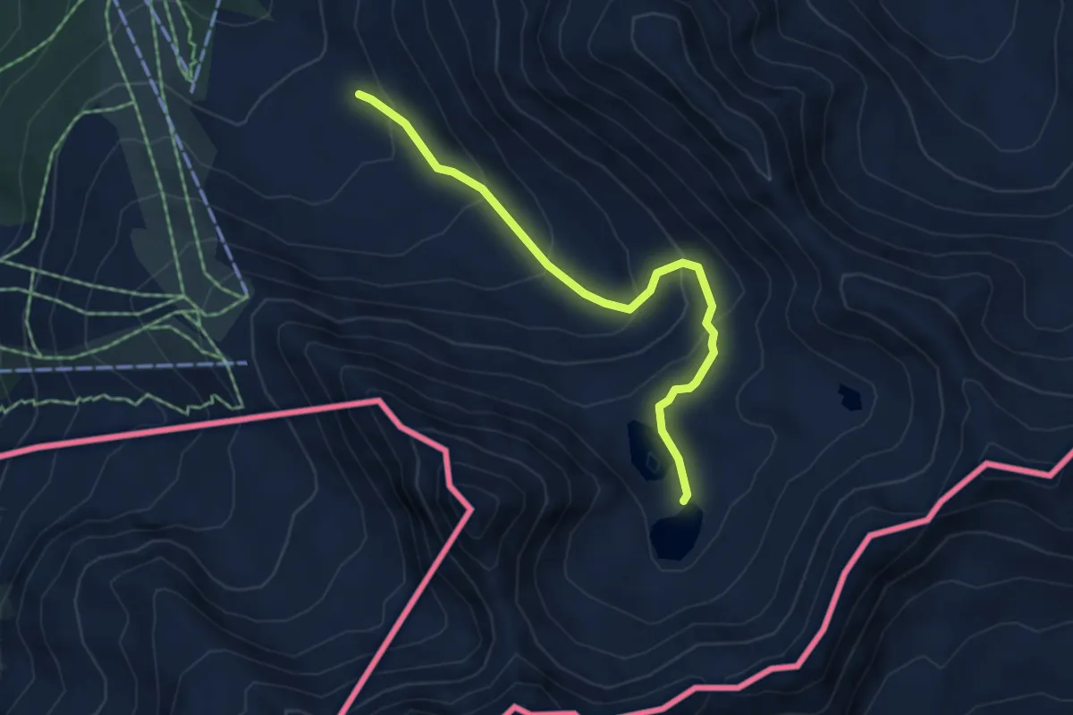
Demanding · Trail
Nauders Wanderweg Nr. 20
4.7 km · ↑ 364 m · 1 h 53 min
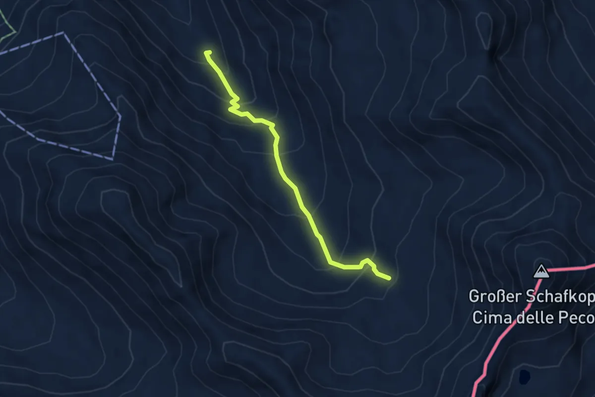
Medium · Trail
Nauders Wanderweg Nr. 21
3.9 km · ↑ 368 m · 1 h 43 min
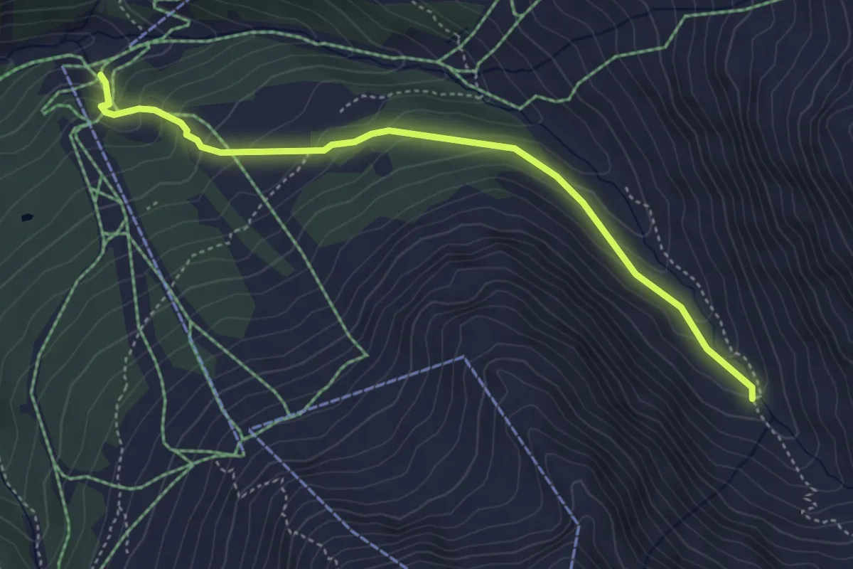
Medium · Trail
Nauders Wanderweg Nr. 23
4.6 km · ↑ 290 m · 1 h 42 min
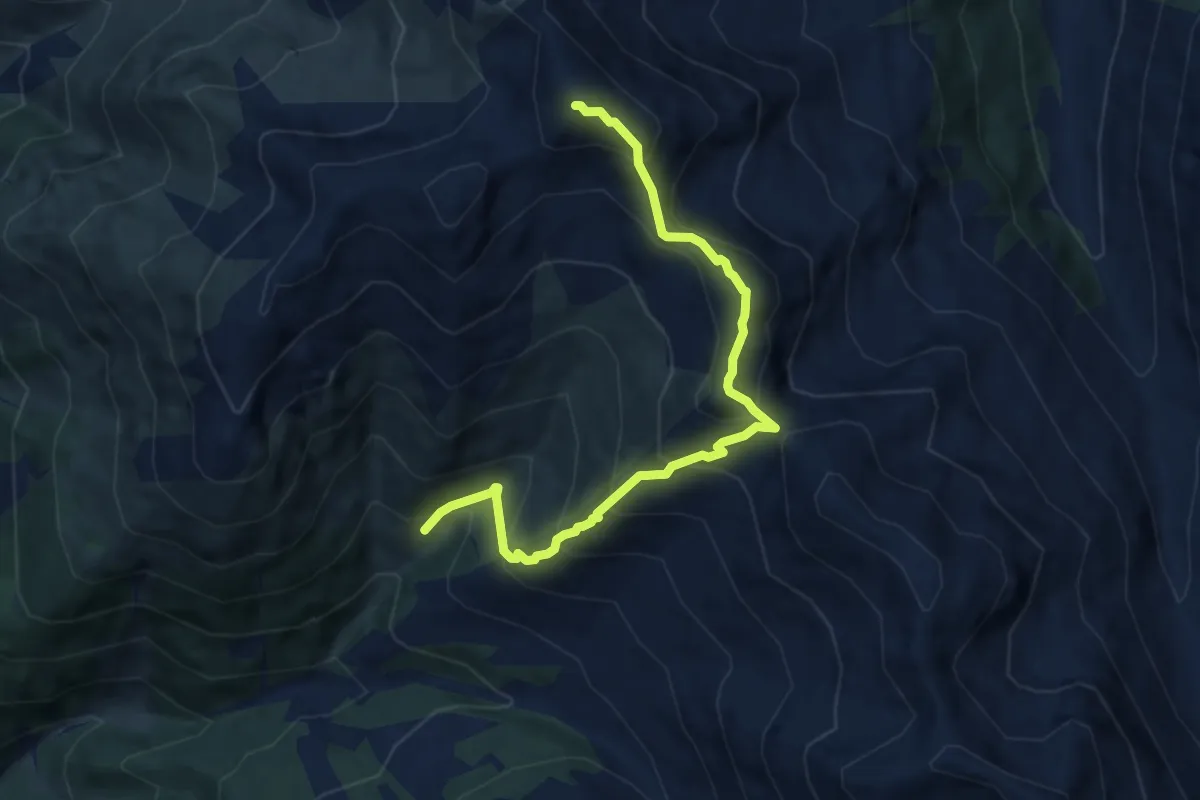
Demanding · Summit
Nauders Wanderweg Nr. 24
8.3 km · ↑ 840 m · 3 h 47 min
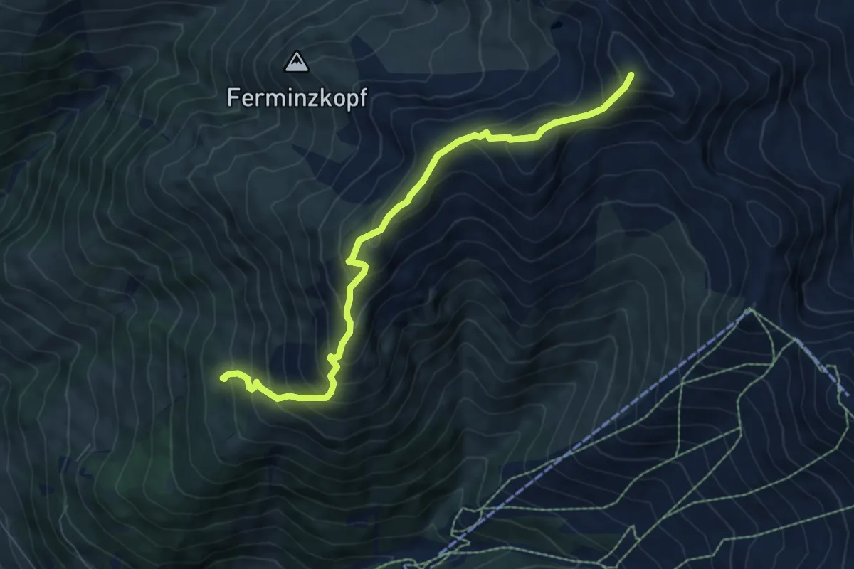
Demanding · Summit
Nauders Wanderweg Nr. 25
7.2 km · ↑ 780 m · 3 h 24 min
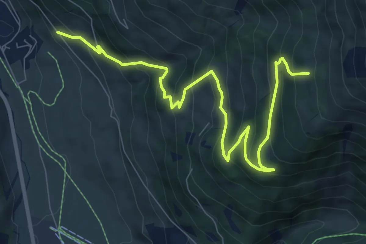
Medium · Trail
Nauders Wanderweg Nr. 26
8.8 km · ↑ 676 m · 3 h 33 min
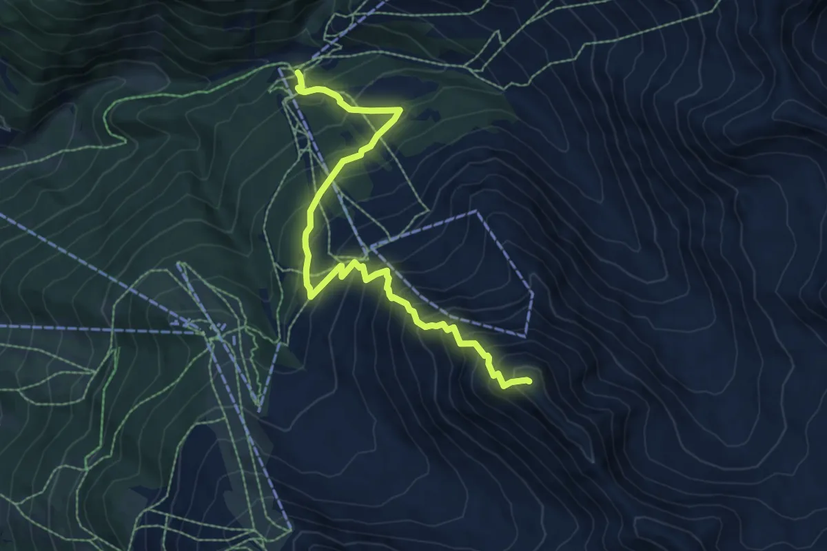
Demanding · Summit
Nauders Wanderweg Nr. 29
7.9 km · ↑ 895 m · 3 h 49 min
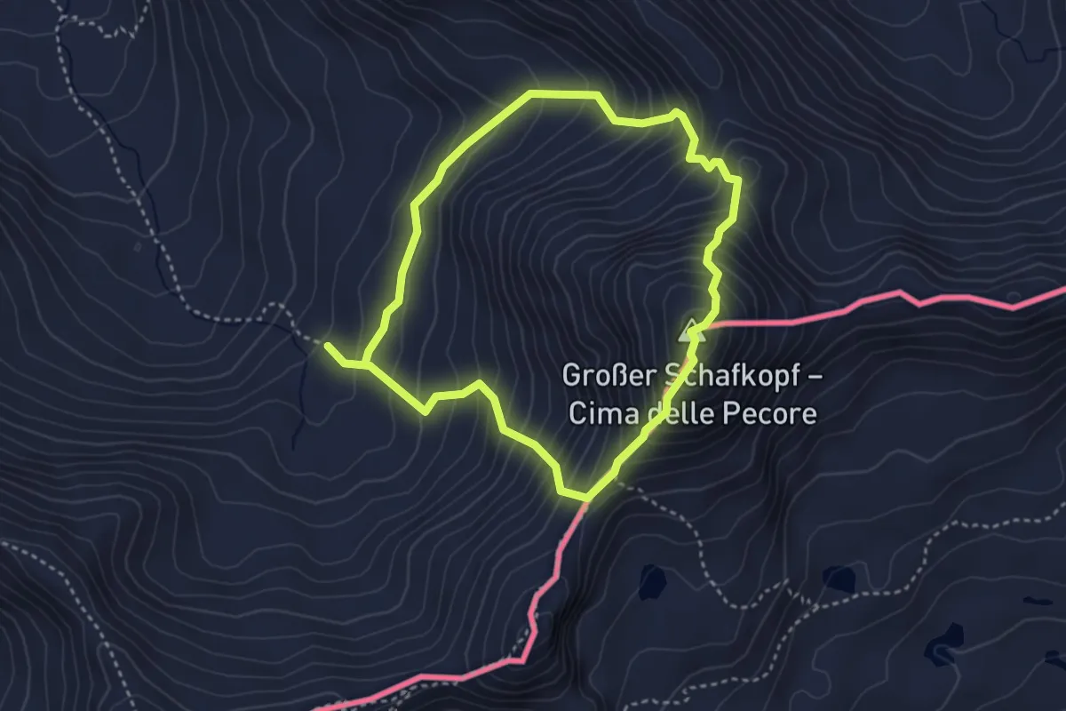
Expert · Summit
Nauders Wanderweg Nr. 31
3.2 km · ↑ 445 m · 1 h 45 min
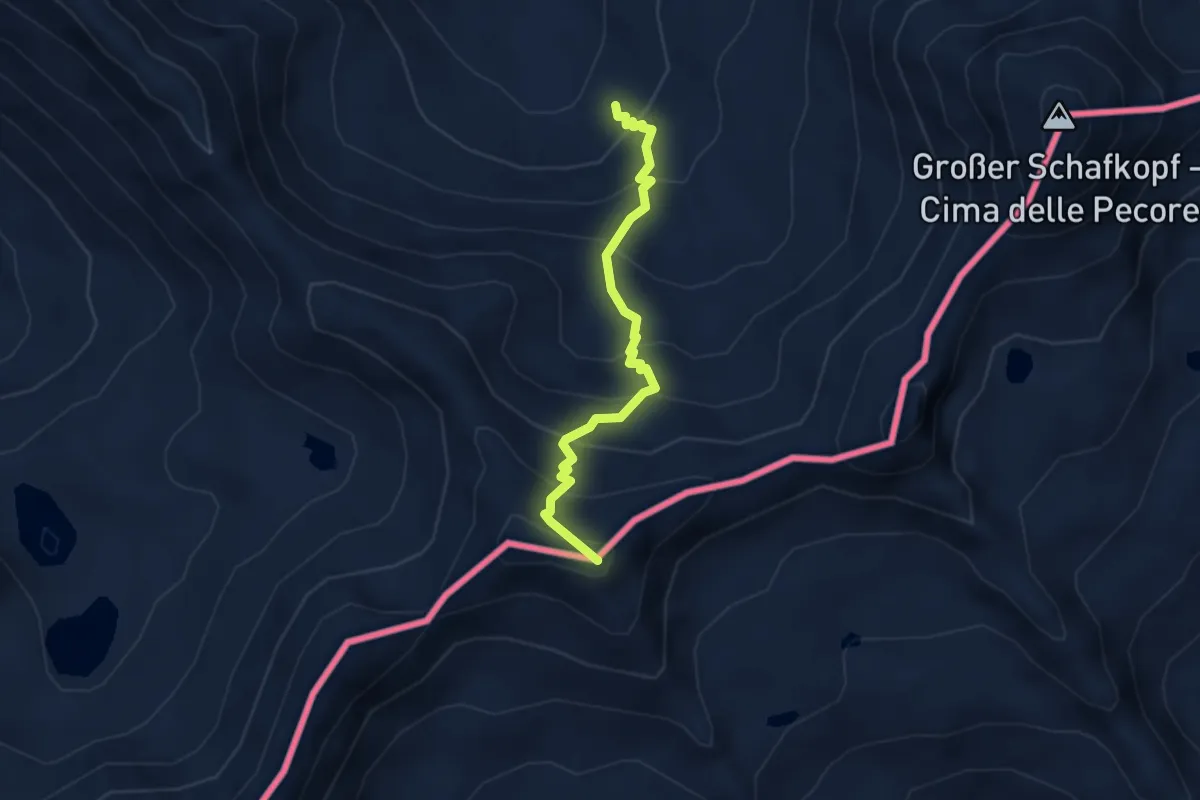
Demanding · Summit
Nauders Wanderweg Nr. 32
3.2 km · ↑ 409 m · 1 h 39 min
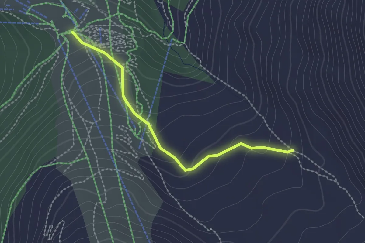
Demanding · Trail
Nauders Wanderweg Nr. 33
2.2 km · ↑ 108 m · 45 min
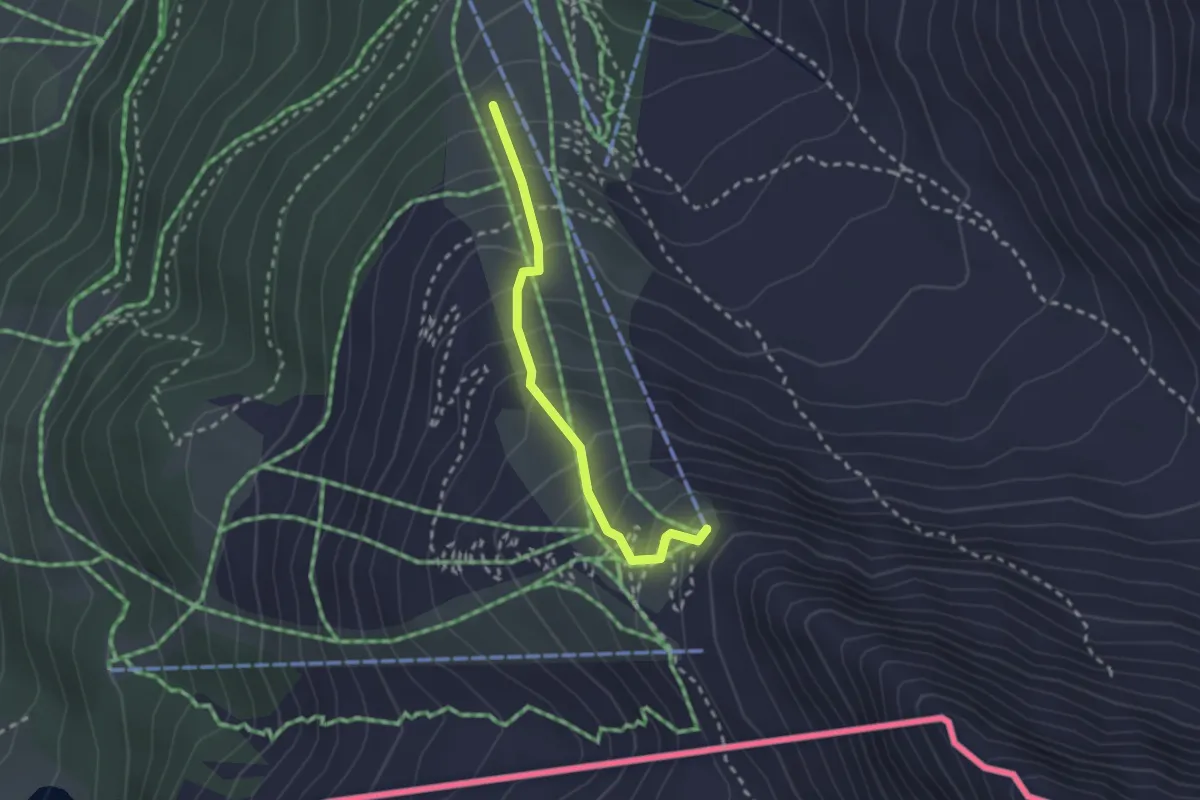
Easy · Trail
Nauders Wanderweg Nr. 35
2.2 km · ↑ 261 m · 1 h 5 min
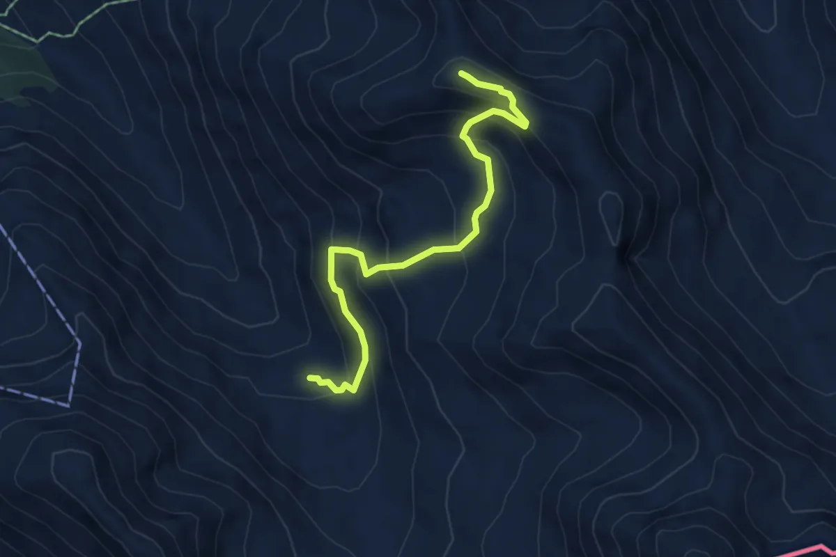
Demanding · Summit
Nauders Wanderweg Nr. 36
5.1 km · ↑ 410 m · 2 h 5 min
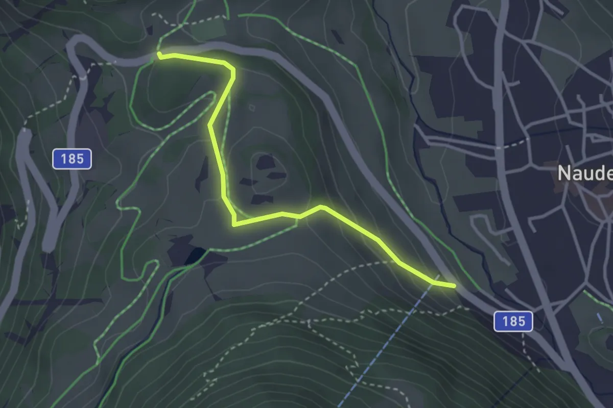
Medium · Trail
Nauders Wanderweg Nr. 4
3.0 km · ↑ 136 m · 1 h 1 min
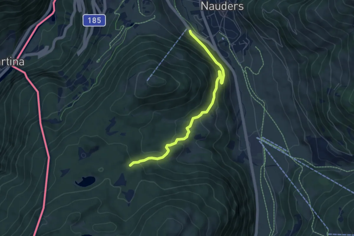
Medium · Trail
Nauders Wanderweg Nr. 5
6.4 km · ↑ 368 m · 2 h 18 min
Medium · Trail
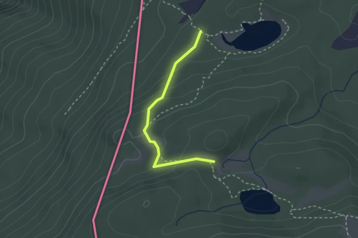
Nauders Wanderweg Nr. 6
2.1 km · ↑ 129 m · 47 min
Medium · Summit
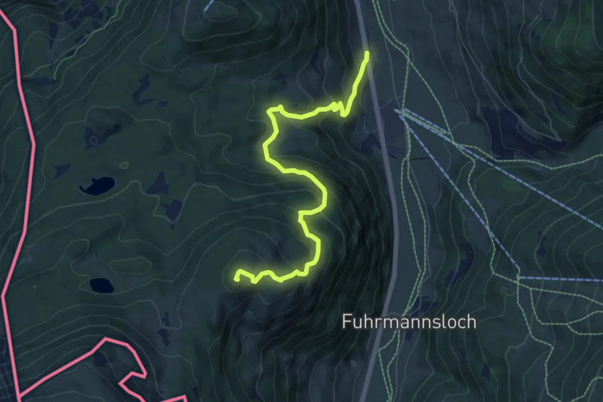
Nauders Wanderweg Nr. 7
8.0 km · ↑ 616 m · 3 h 13 min
Easy · Trail
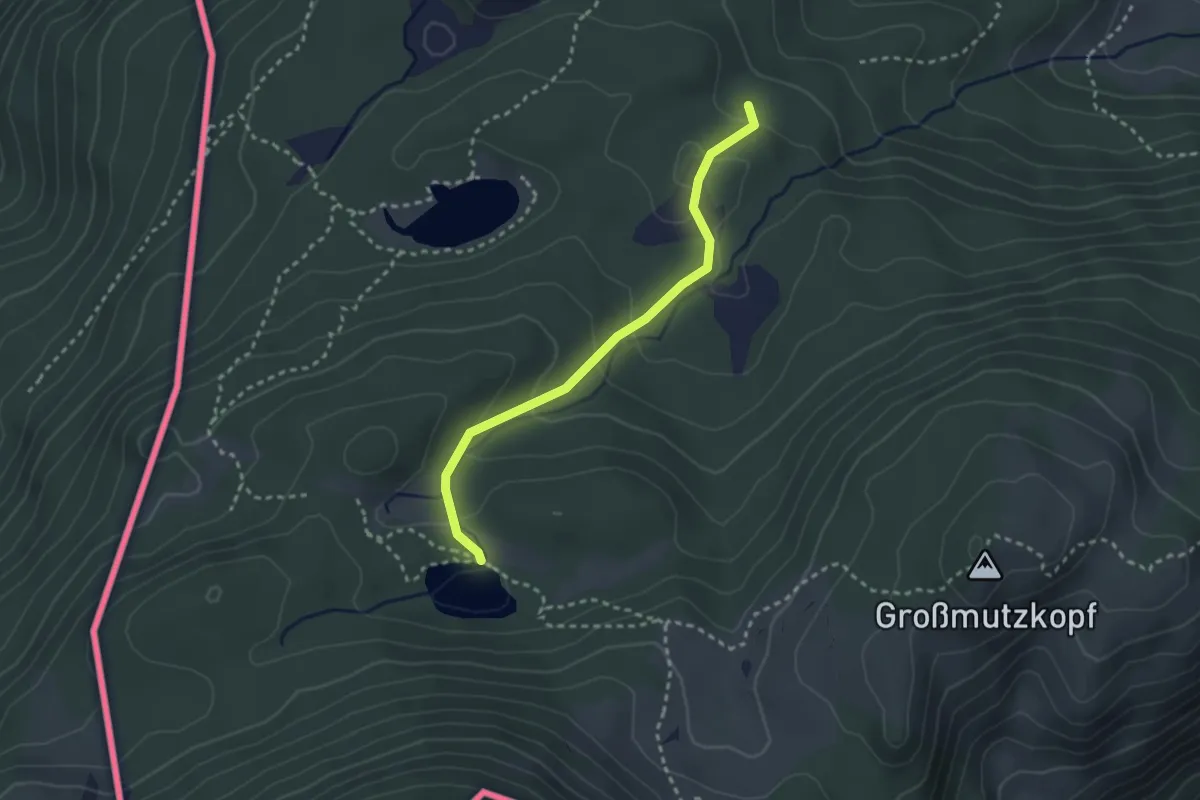
Nauders Wanderweg Nr. 8
2.6 km · ↑ 127 m · 54 min
Medium · Trail
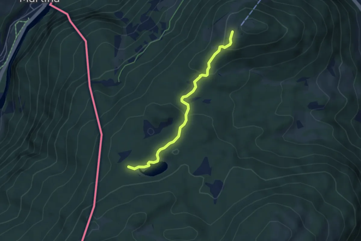
Nauders Wanderweg Nr. 9
4.1 km · ↑ 209 m · 1 h 25 min
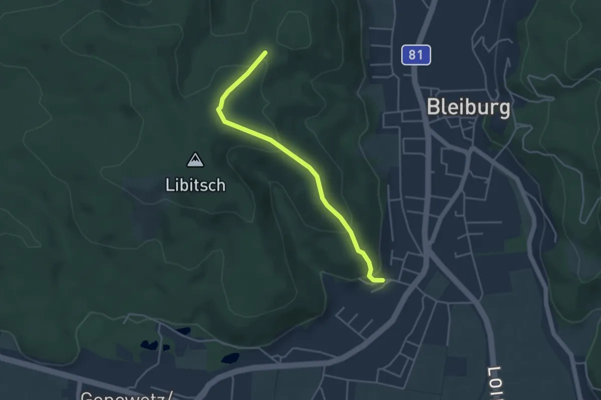
Easy · Trail
Nauerschnigweg
3.6 km · ↑ 162 m · 1 h 12 min
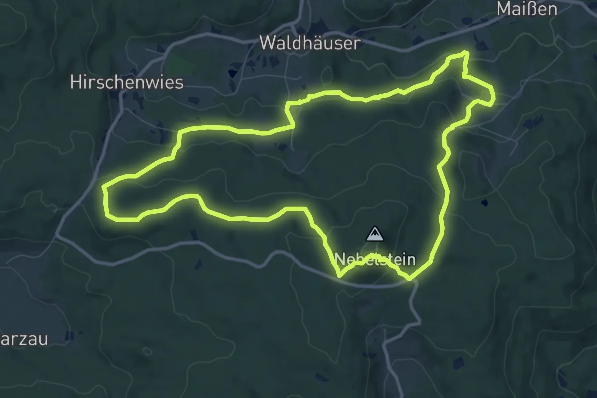
Medium · Summit
Nebelstein Erlebnis-Wanderweg
9.3 km · ↑ 325 m · 3 h 2 min
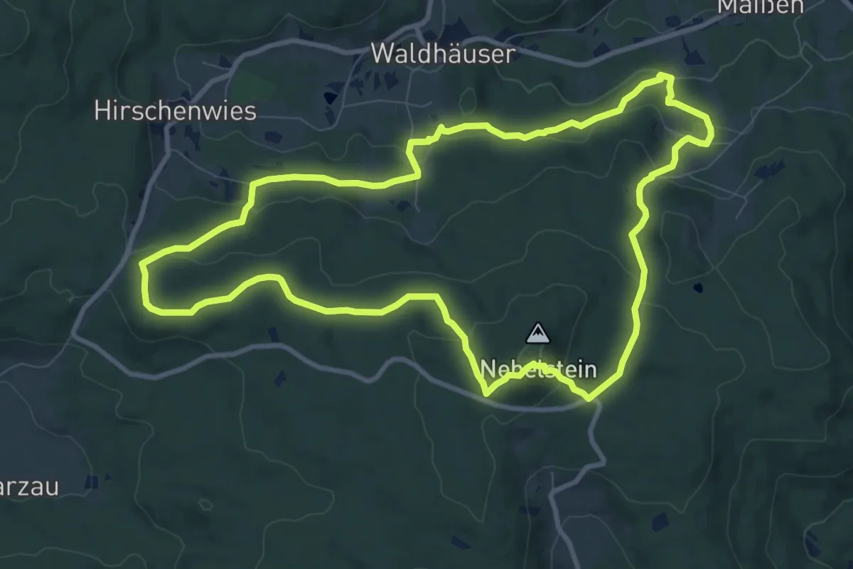
Medium · Summit
Nebelstein Erlebnis-Wanderweg
9.3 km · ↑ 315 m · 3 h
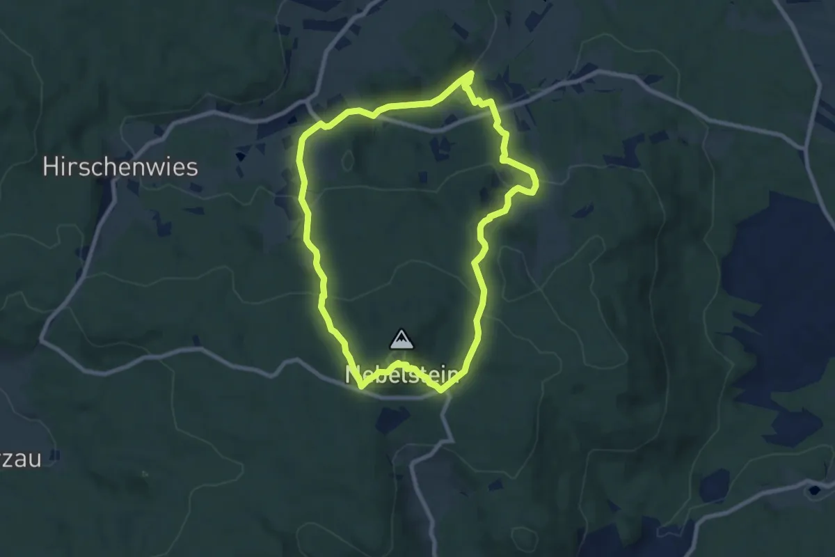
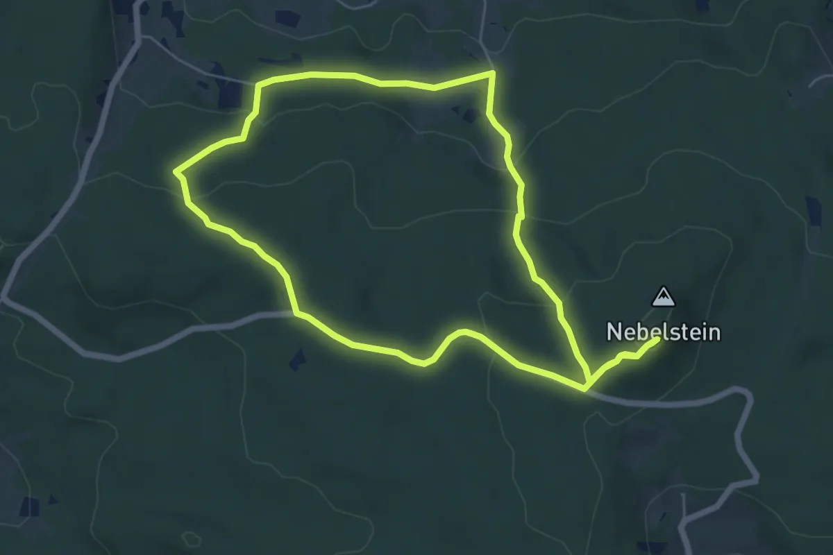
Easy · Summit
Nebelsteinweg I
7.1 km · ↑ 312 m · 2 h 27 min
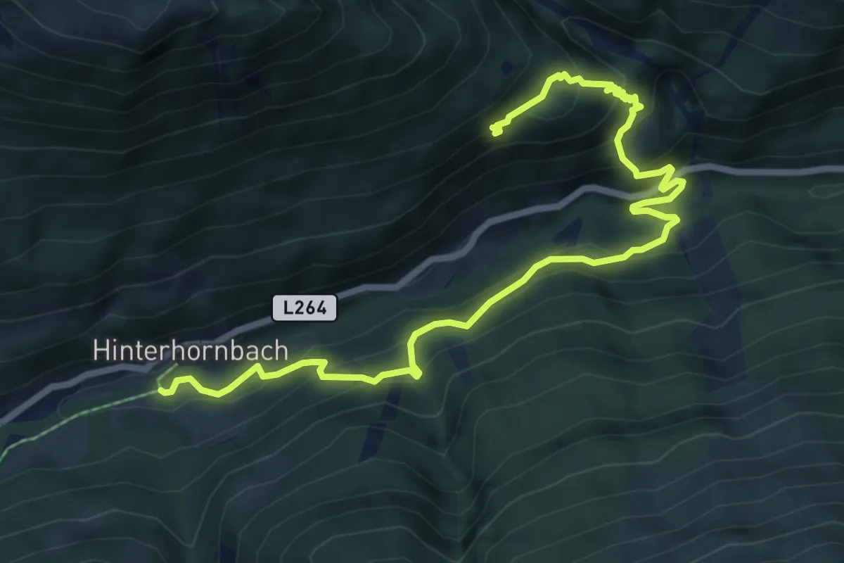
Easy · Trail
Nebelsteinweg II
5.5 km · ↑ 201 m · 1 h 48 min
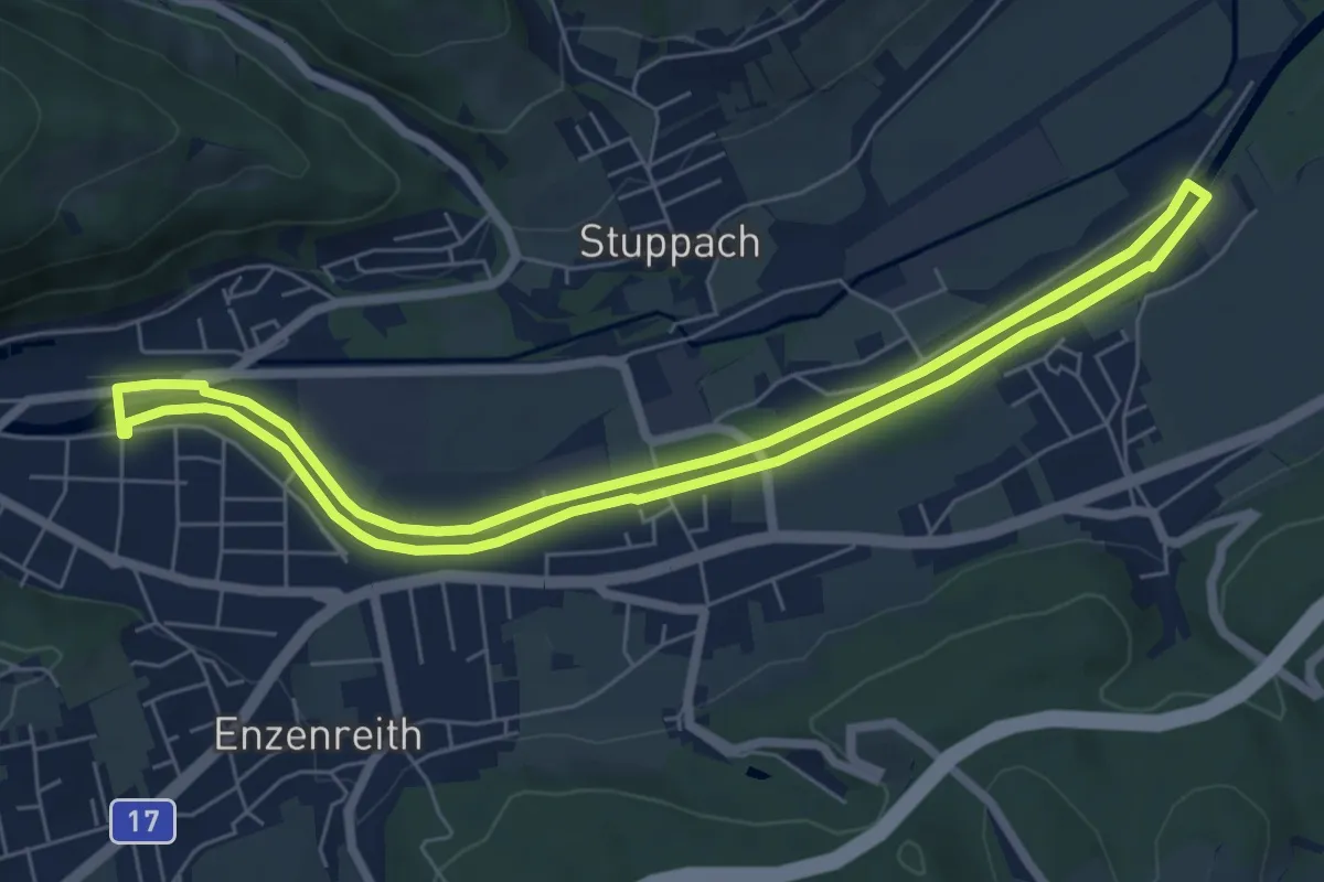
Medium · Trail
Nederpfad
7.8 km · ↑ 606 m · 3 h 9 min
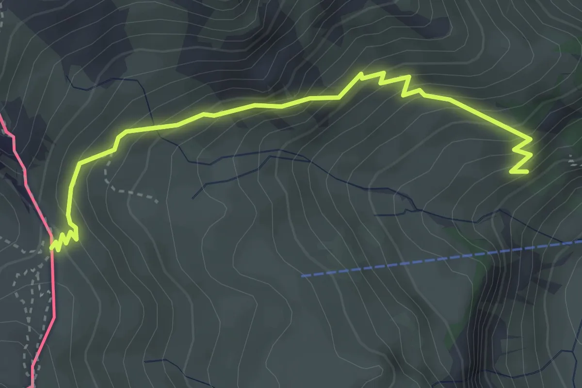
Easy · Trail
Nemec Runde (Gloggnitz)
6.4 km · ↑ 18 m · 1 h 38 min
Medium · Cabin
Nenzinger Himmel (A) - Pfaelzerhuette
3.9 km · ↑ 386 m · 1 h 46 min
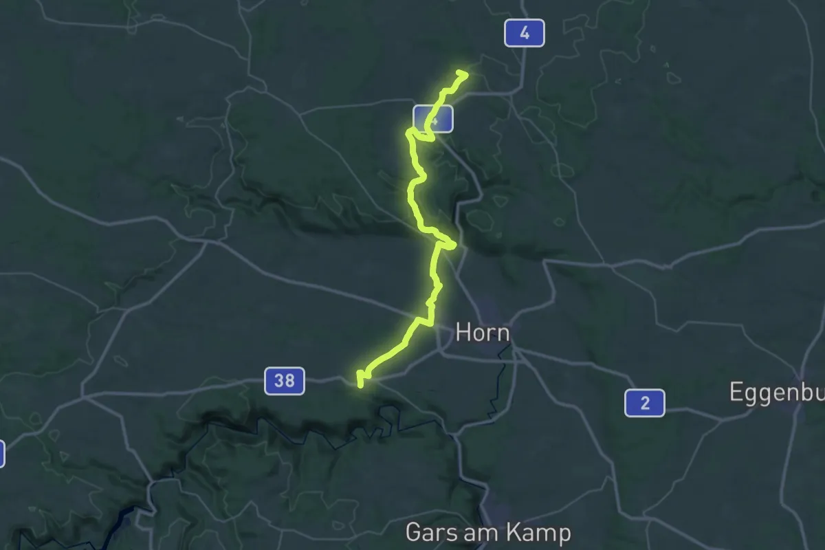
Demanding · Trail
Nepomukweg
18.7 km · ↑ 339 m · 5 h 21 min
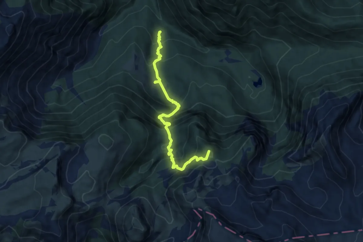
Demanding · Summit
Nestlersteig
8.7 km · ↑ 934 m · 4 h 5 min
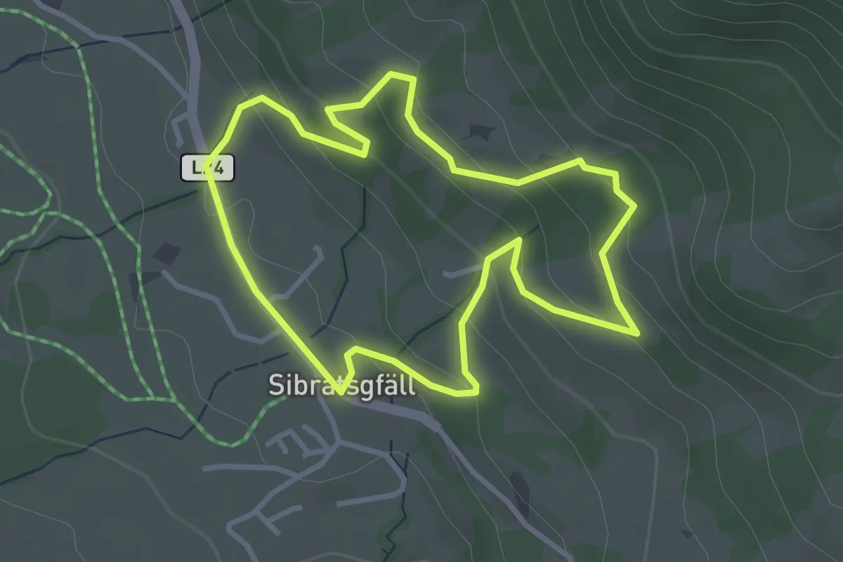
Easy · Trail
Nest-Rundweg
2.9 km · ↑ 147 m · 1 h 2 min
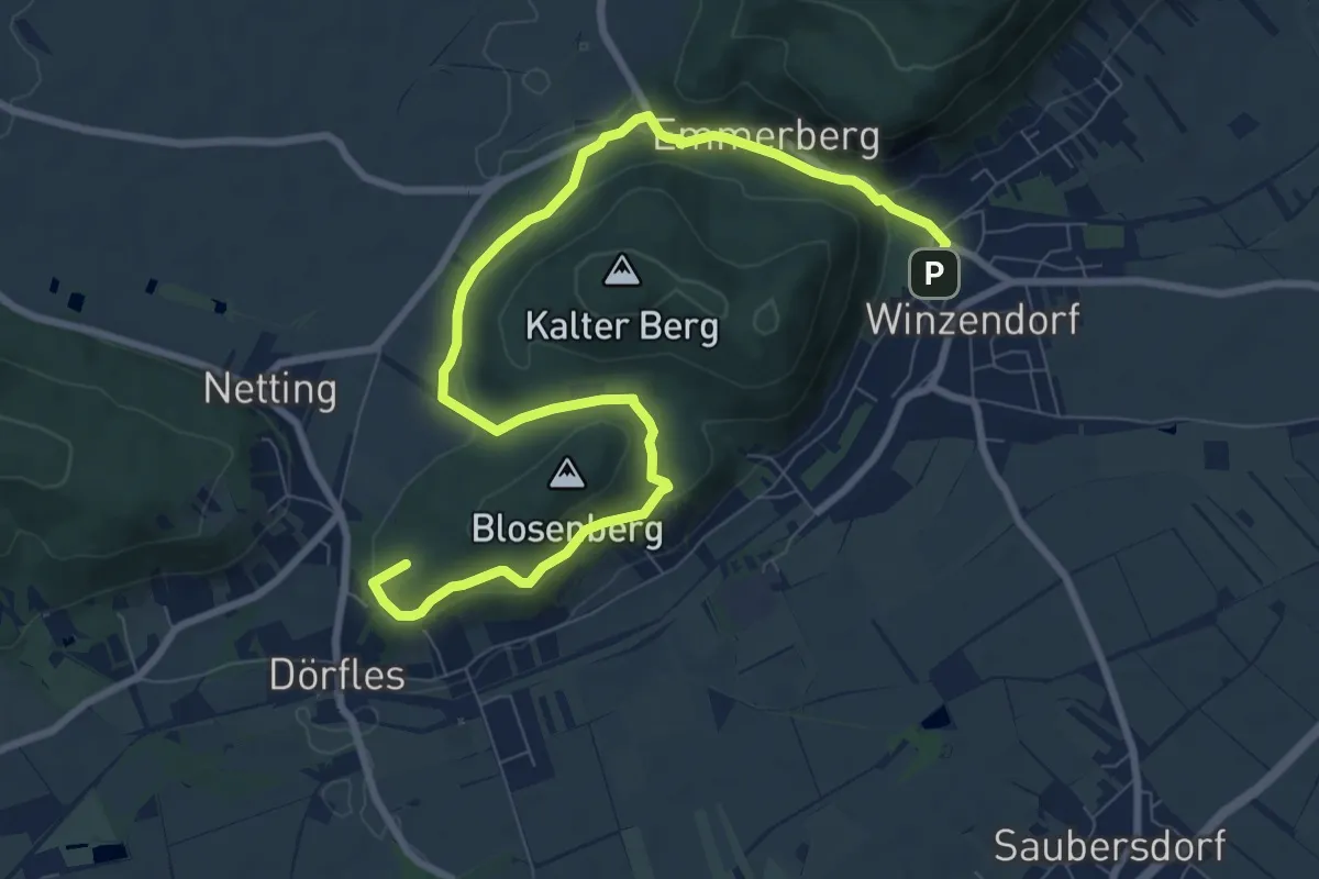
Medium · Summit
Netting - Waldandacht - Teichmühle - Winzendorf
10.6 km · ↑ 232 m · 3 h
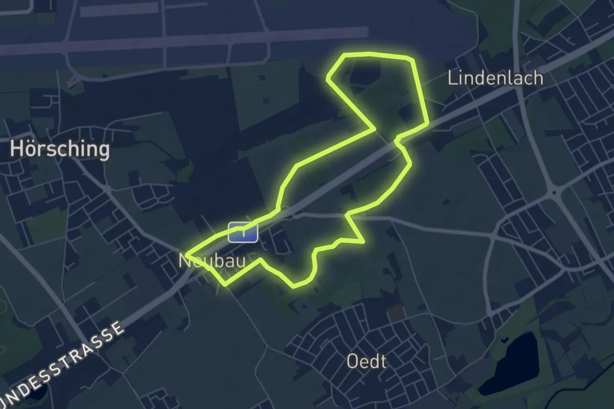
Easy · Trail
Neubauer Runde
6.2 km · ↑ 14 m · 1 h 36 min
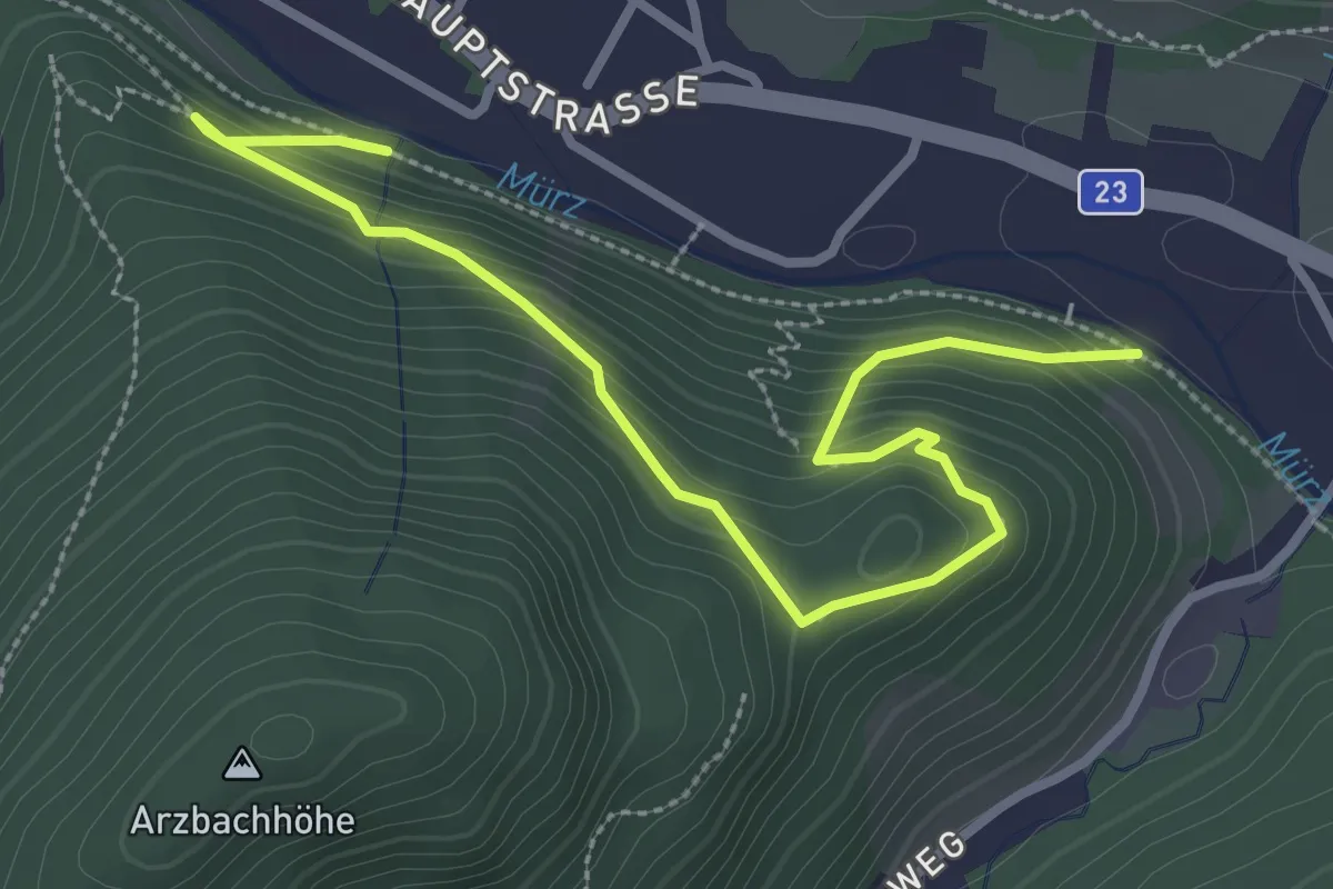
Medium · Trail
Neuberg - Gröblkogel - Arzbergbrücke
3.5 km · ↑ 250 m · 1 h 22 min
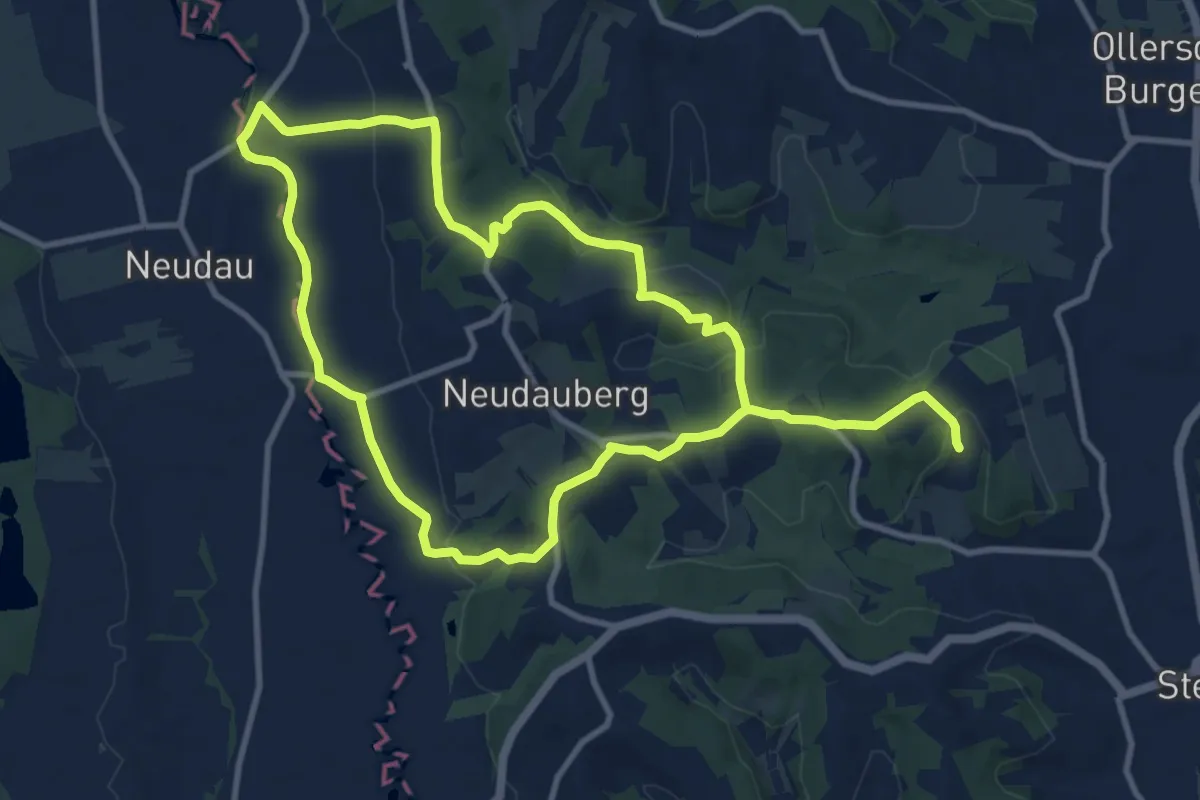
Demanding · Trail
Neudauberg Rundwanderweg
19.5 km · ↑ 412 m · 5 h 30 min
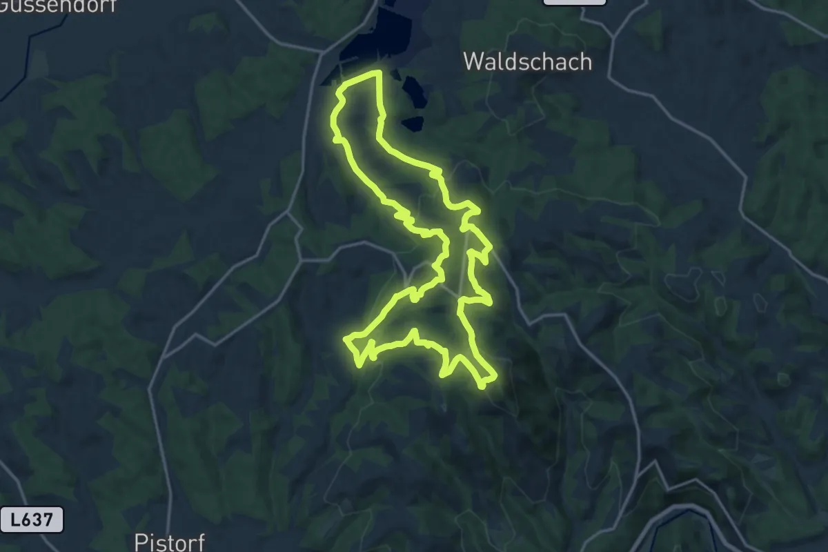
Medium · Summit
Neudorf-Demmerkogel Runde Nr. 22
16.7 km · ↑ 668 m · 5 h 37 min
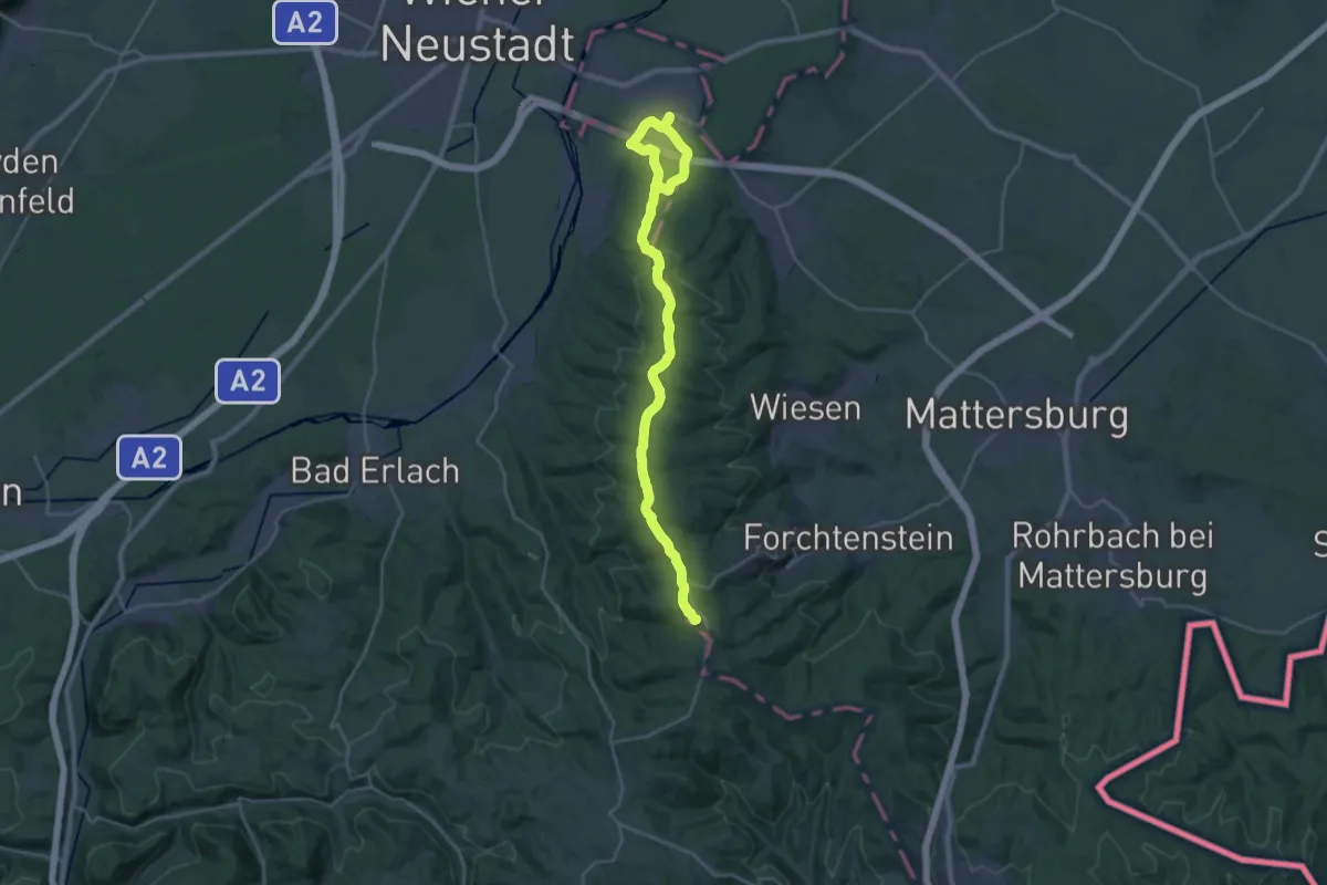
Demanding · Summit
Neudörfl (Bhf) - Rosalienkapelle
30.4 km · ↑ 734 m · 8 h 47 min
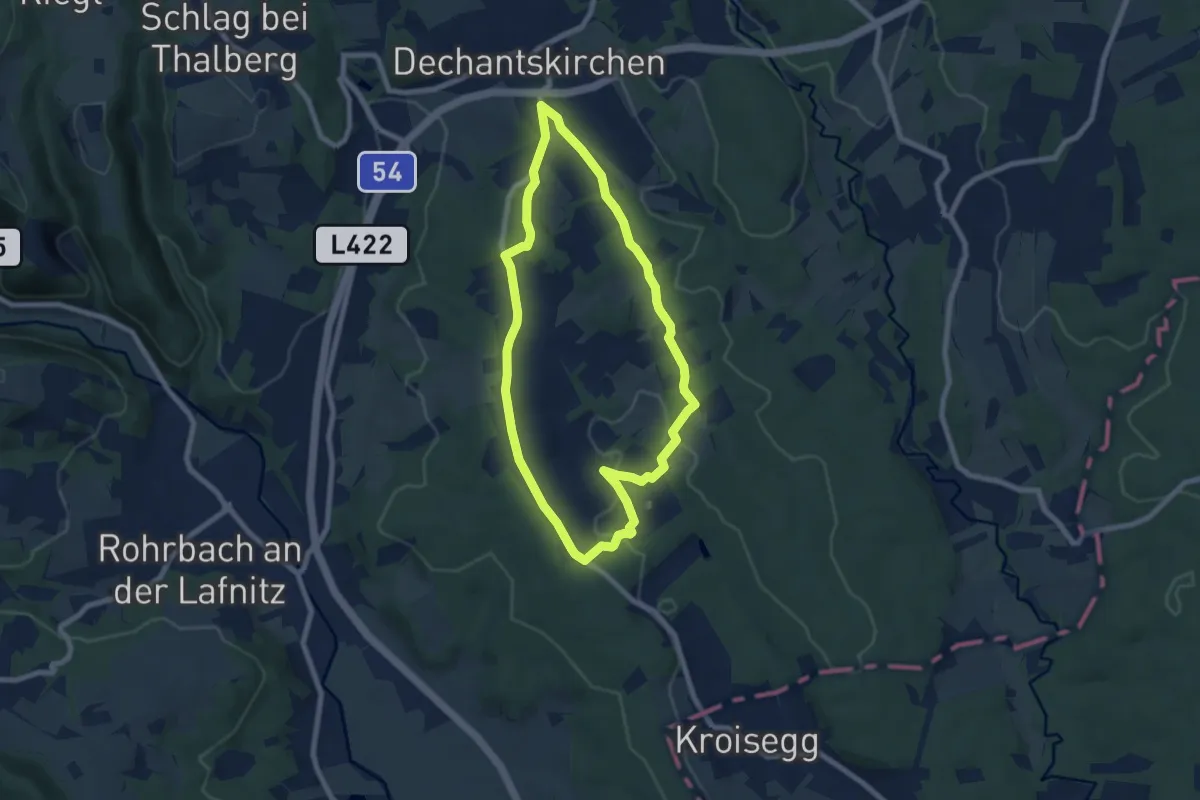
Easy · Trail
Neudörflweg (Weg G, 8,7 km)
7.0 km · ↑ 124 m · 2 h 1 min
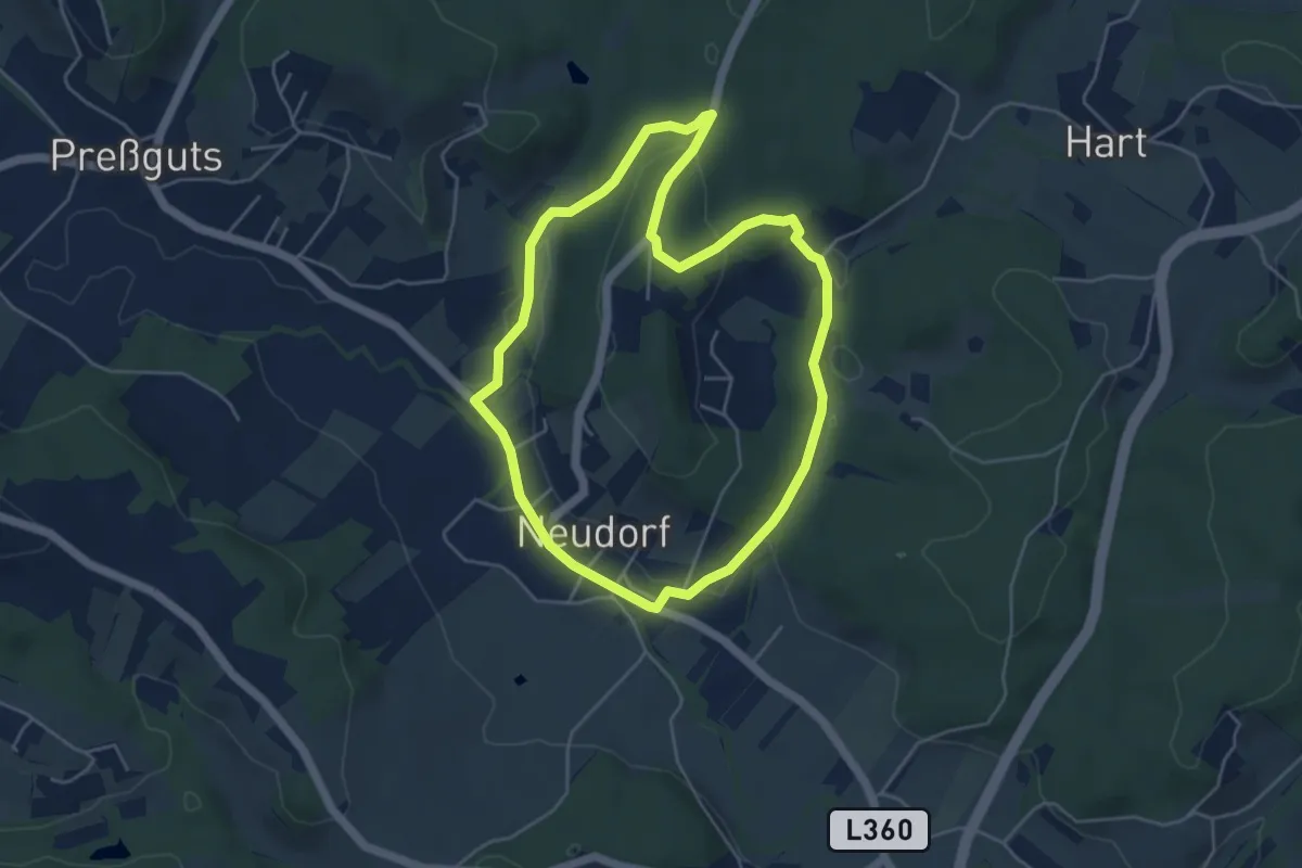
Easy · Trail
Neudorf Runde
4.5 km · ↑ 65 m · 1 h 16 min
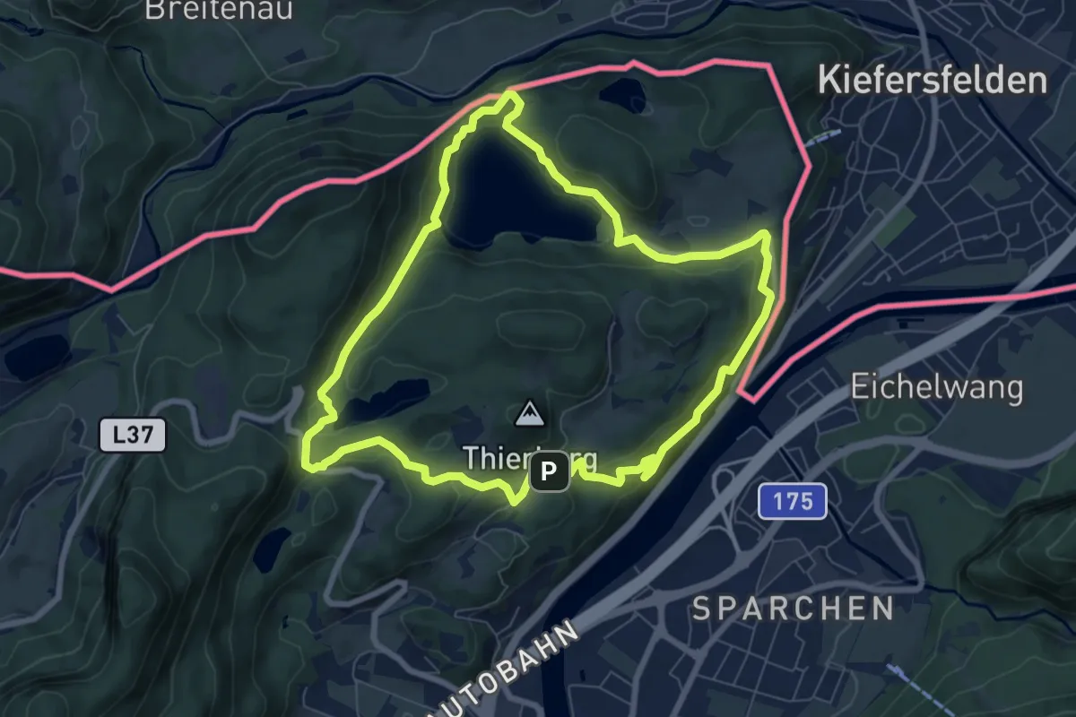
Medium · Trail
Neuhaus-Runde
7.3 km · ↑ 193 m · 2 h 14 min