Trails in Austria
9,779 hiking trails, each with its route, climb, walking time and grade.
All trails, page 75 of 204
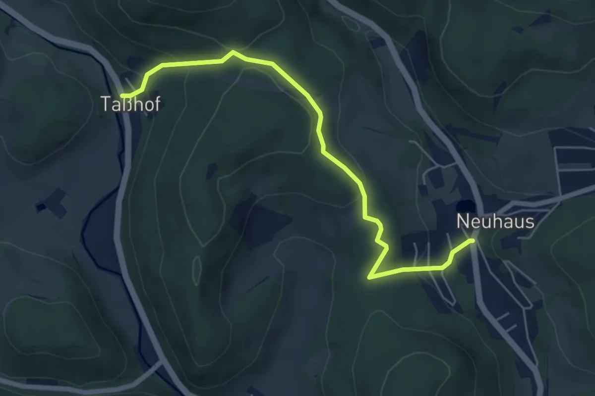
Easy · Trail
Neuhaus - Taßhof
5.2 km · ↑ 224 m · 1 h 42 min
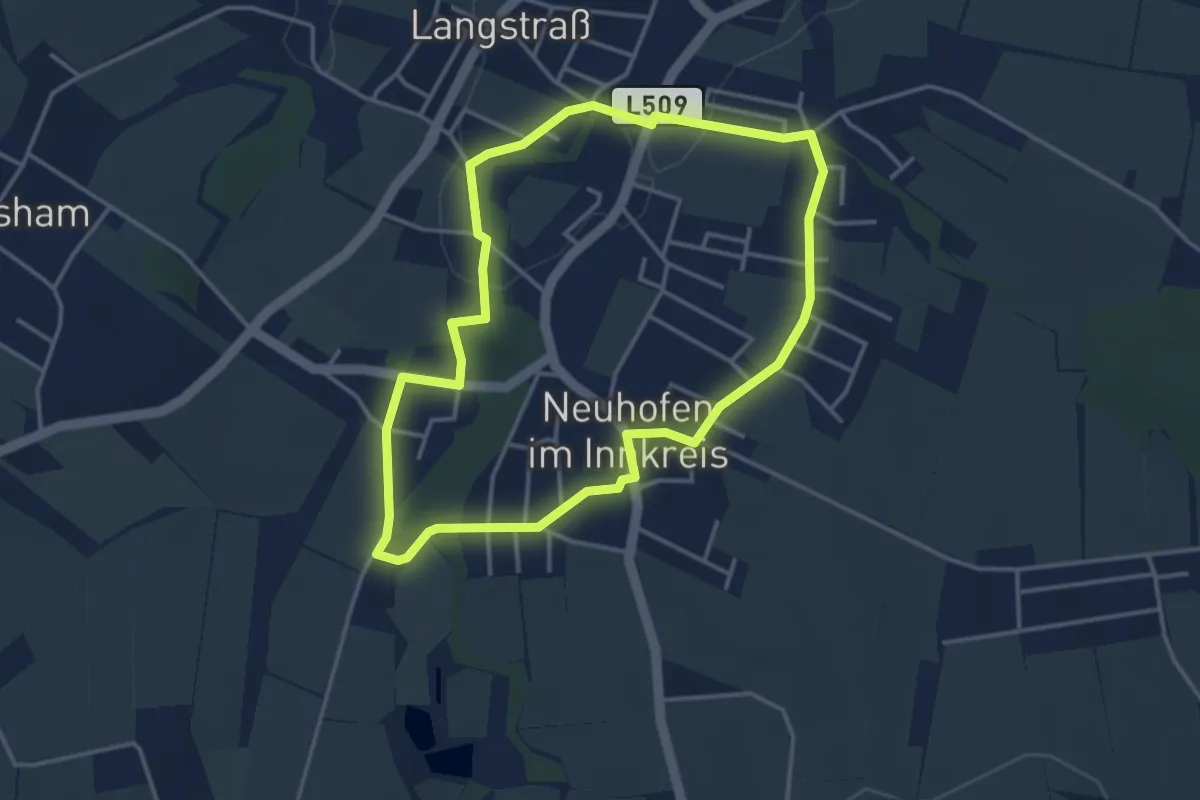
Easy · Trail
Neuhofener Spazierweg
3.5 km · ↑ 32 m · 57 min
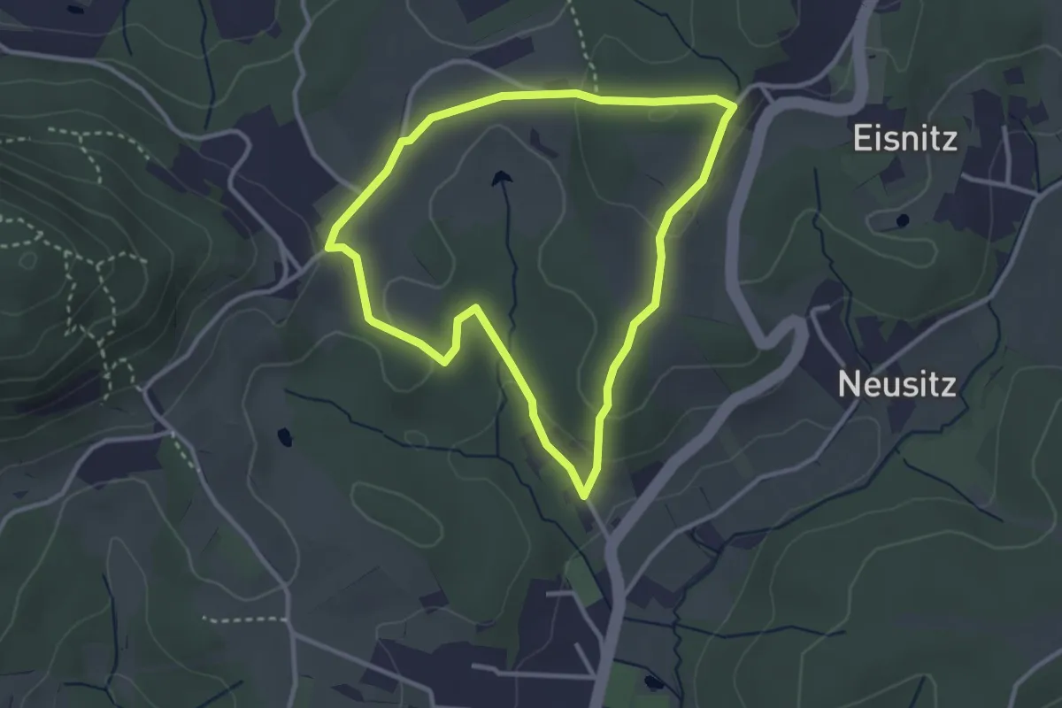
Easy · Trail
Neuholdschleife
2.9 km · ↑ 64 m · 51 min
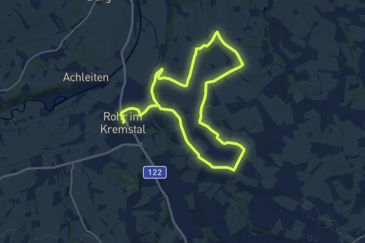
Medium · Trail
Neukematner Rundwanderweg
11.0 km · ↑ 149 m · 3 h 4 min
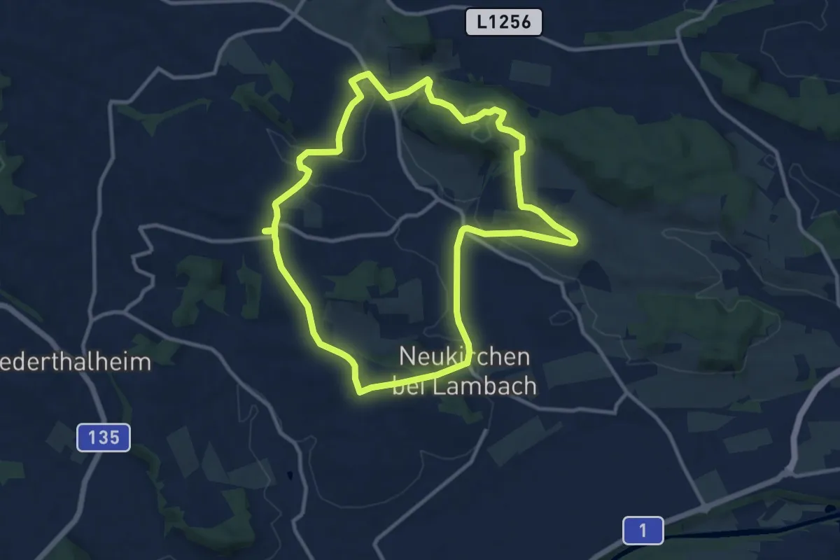
Medium · Summit
Neukirchen Runde
10.1 km · ↑ 232 m · 3 h 2 min
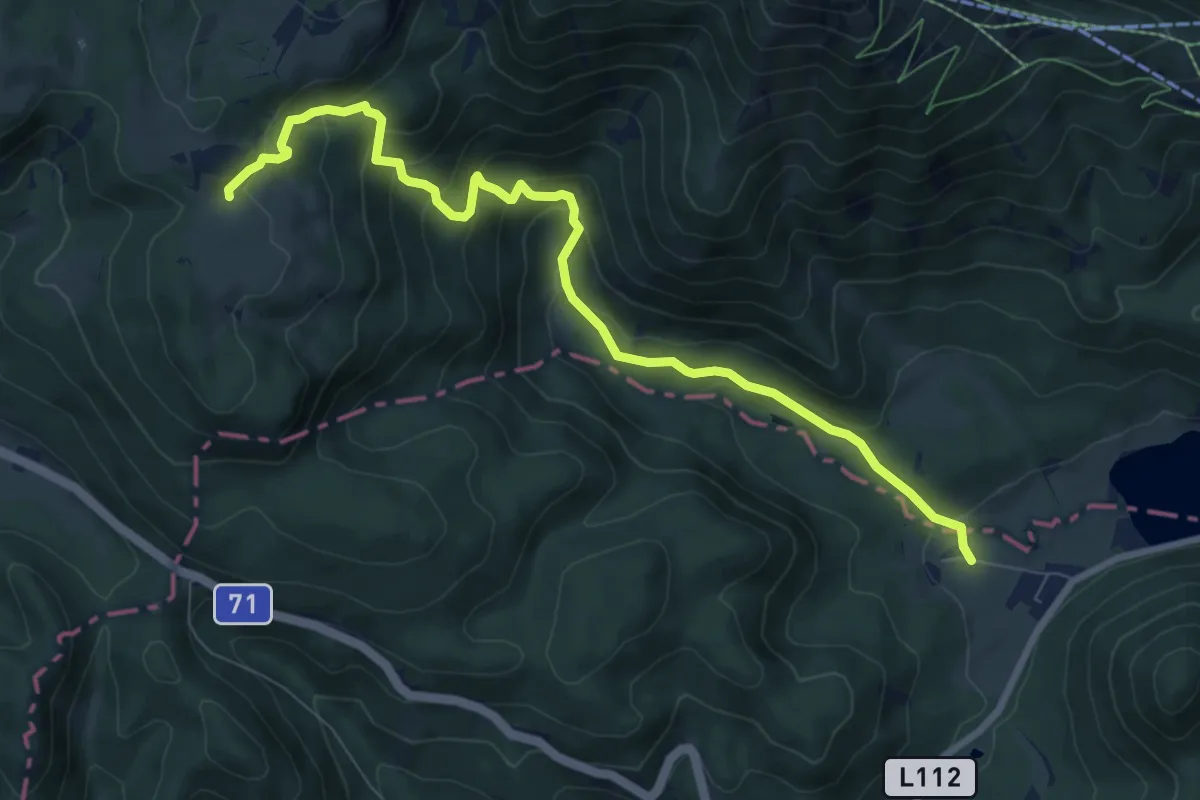
Medium · Trail
Neukogler - Brunnsteinalm
8.7 km · ↑ 516 m · 3 h 10 min
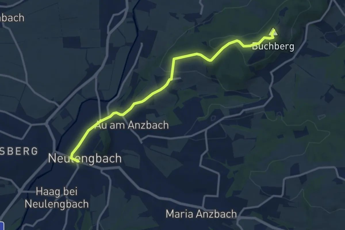
Medium · Summit
Neulengbach (Bhf) - Buchberg
8.5 km · ↑ 262 m · 2 h 35 min
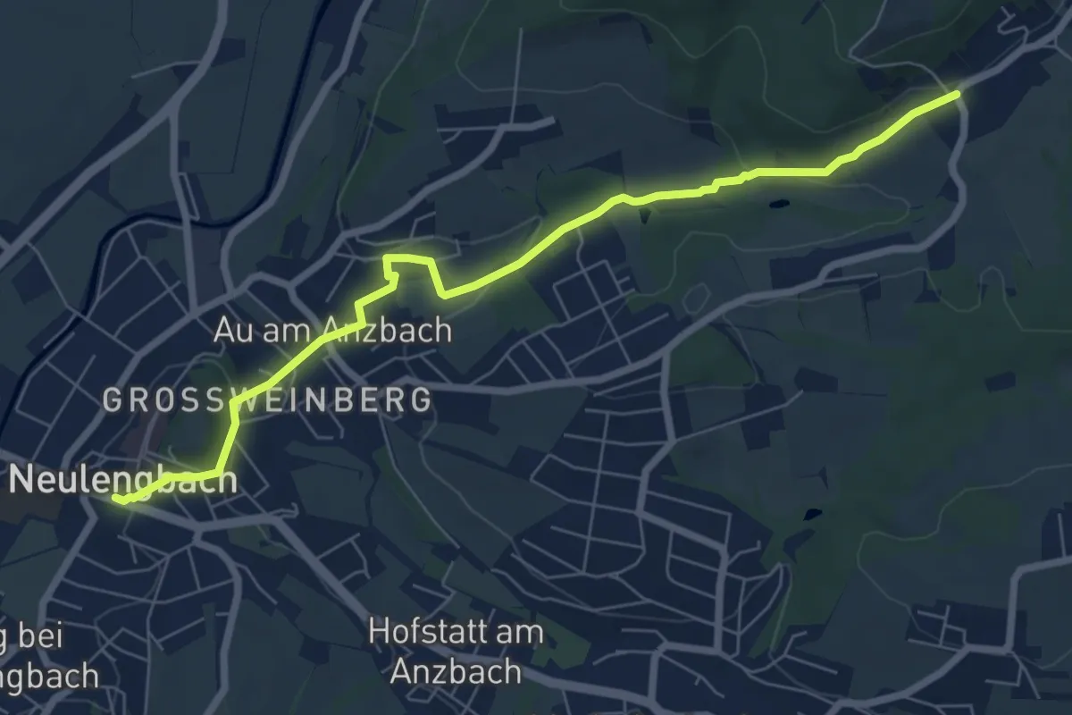
Easy · Trail
Neulengbach (Bhf) - Burgstall
7.2 km · ↑ 188 m · 2 h 6 min
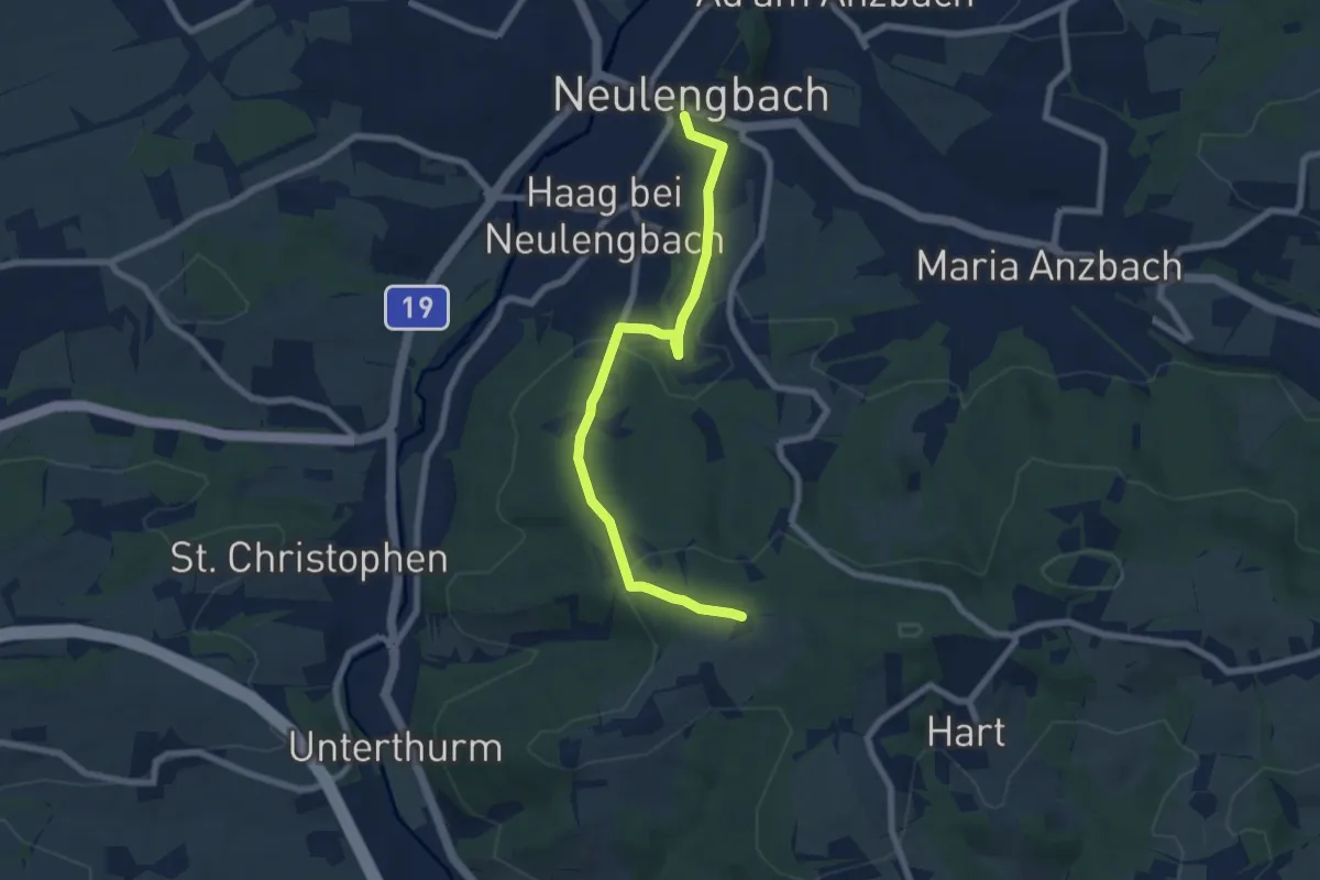
Easy · Trail
Neulengbach (Bhf) - Haagen
7.2 km · ↑ 220 m · 2 h 10 min
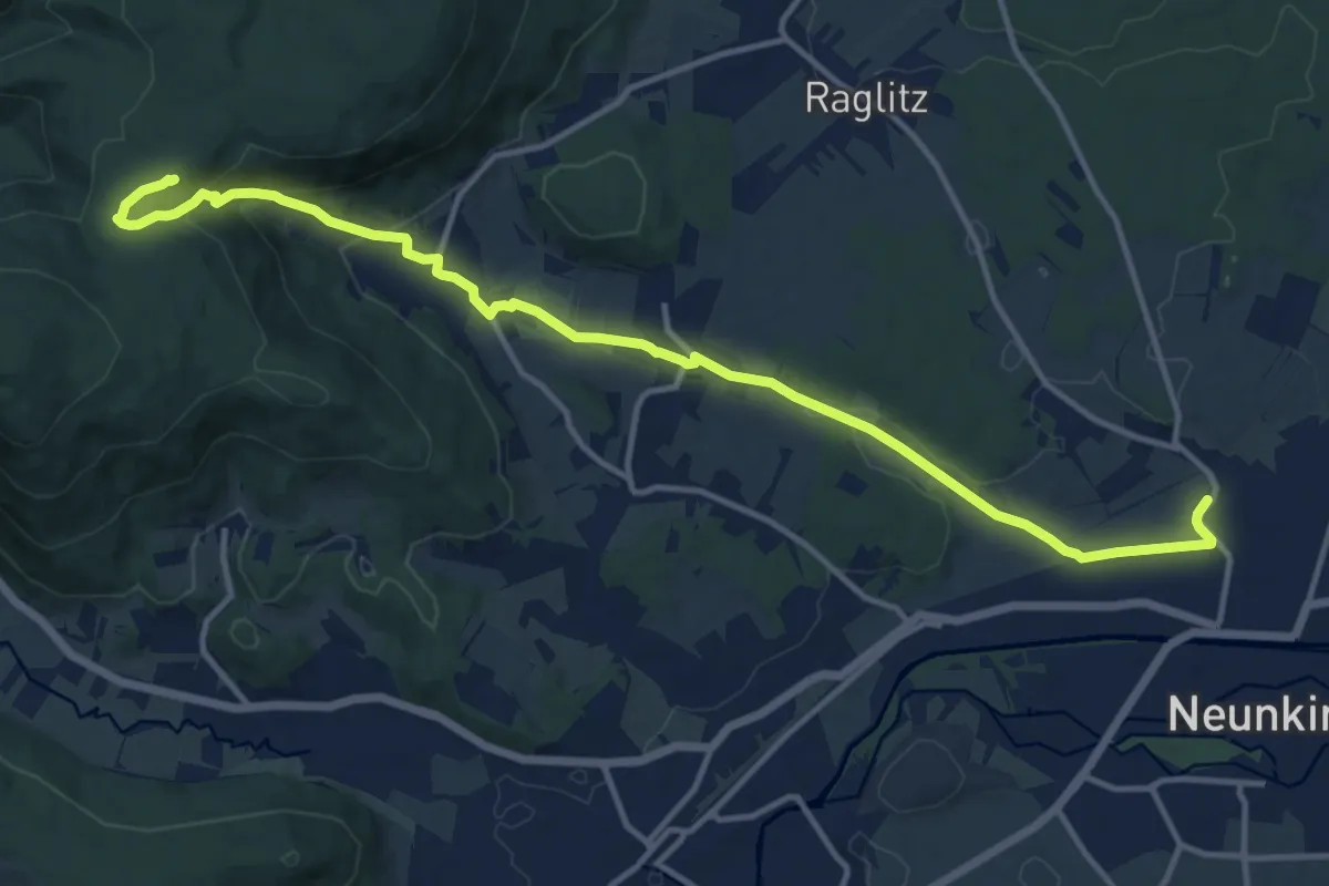
Medium · Cabin
Neunkirchen - Flatz - Naturfreundehaus Flatzer Wand
14.7 km · ↑ 384 m · 4 h 18 min
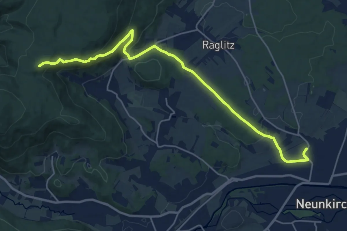
Medium · Cabin
Neunkirchen - Naturfreundehaus Flatzer Wand
15.9 km · ↑ 449 m · 4 h 44 min
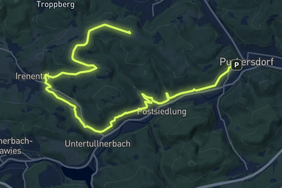
Demanding · Summit
Neupurkersdorf-Hüttenkogel-Hochram (Purkersdorf) Rundweg
24.1 km · ↑ 420 m · 6 h 36 min
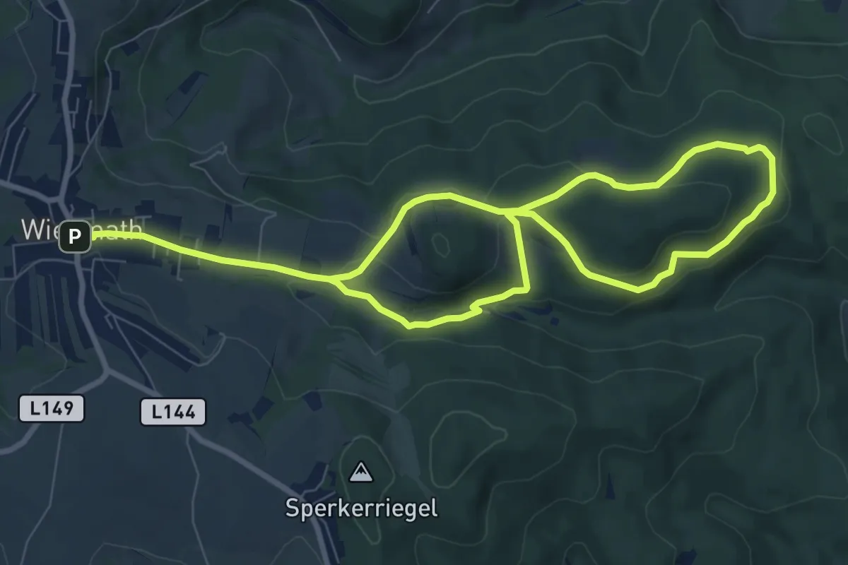
Medium · Trail
Neuris - Schönwald - Kindlmühle
13.4 km · ↑ 325 m · 3 h 52 min
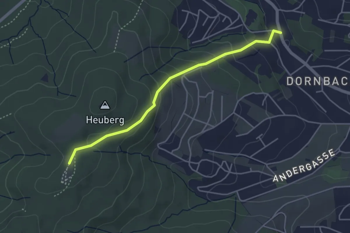
Easy · Trail
Neuwaldegg/Endstation Linie 43 - Kreuzeichenwiese
3.6 km · ↑ 189 m · 1 h 16 min
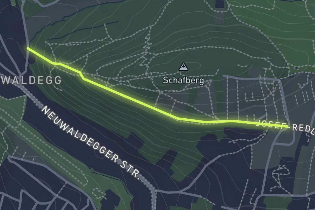
Easy · Trail
Neuwaldegg/Geroldgasse - Neuwaldegg/Schafberghöhe
2.2 km · ↑ 88 m · 43 min
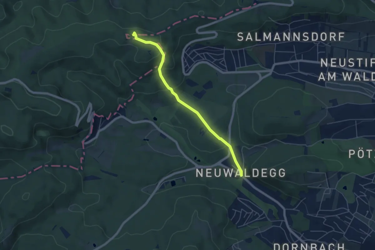
Easy · Summit
Neuwaldegg - Hameau
4.9 km · ↑ 200 m · 1 h 35 min
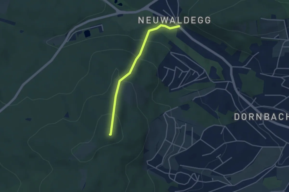
Easy · Summit
Neuwaldegg - Kreuzeichenwiese
2.8 km · ↑ 201 m · 1 h 6 min
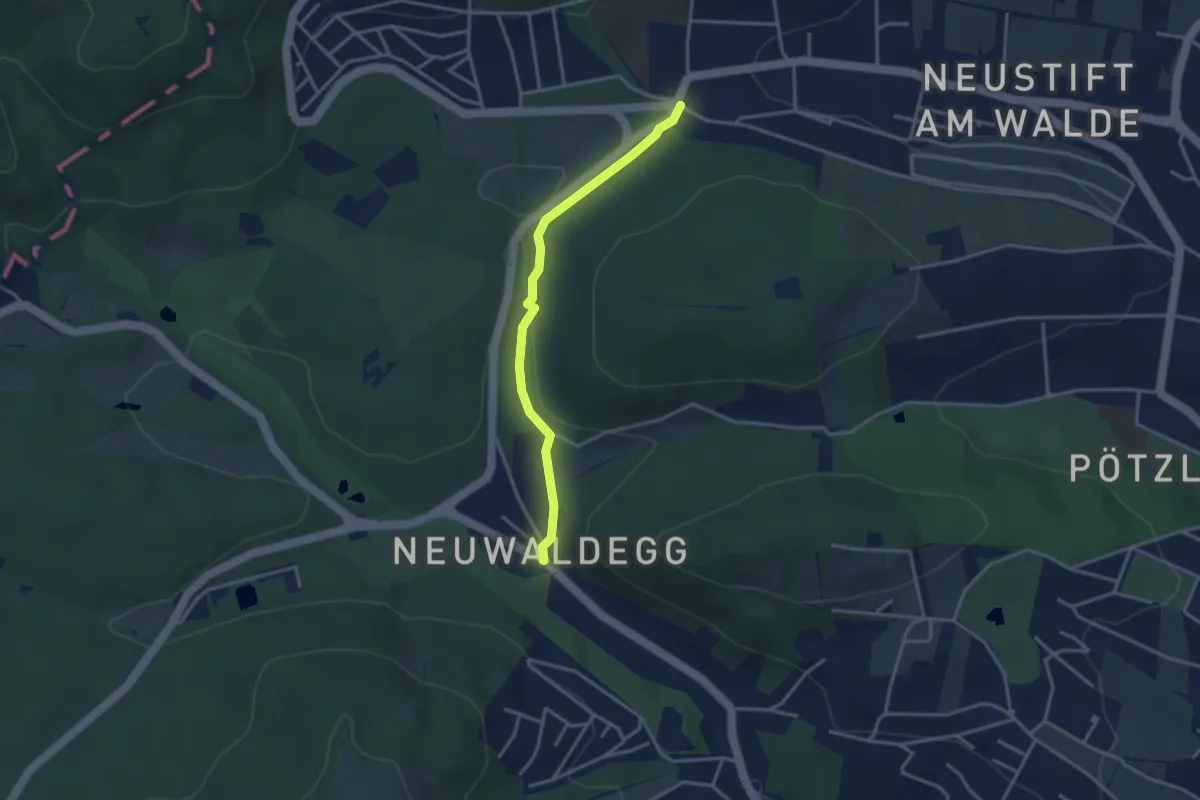
Easy · Trail
Neuwaldegg - Salmannsdorf/Sommerhaidenweg
3.1 km · ↑ 69 m · 53 min
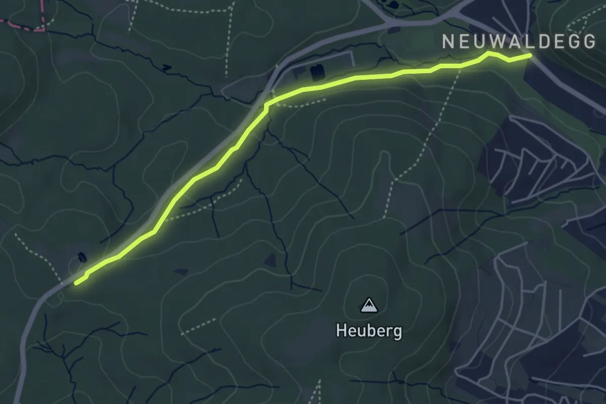
Easy · Trail
Neuwaldegg - Schottenhof
4.5 km · ↑ 98 m · 1 h 17 min
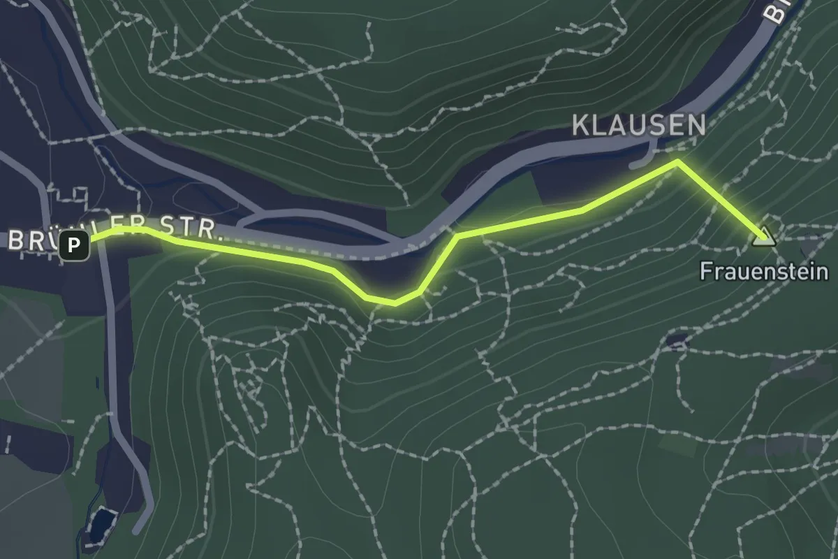
Easy · Summit
Neuweg-Meierei-Wiese
1.8 km · ↑ 107 m · 40 min
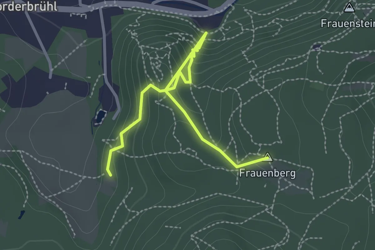
Easy · Summit
Neuweg, Mödling Kurpark - Burg Mödling - Meiereiwiese sowie Anschluß an Richtung Anninger
2.8 km · ↑ 224 m · 1 h 8 min
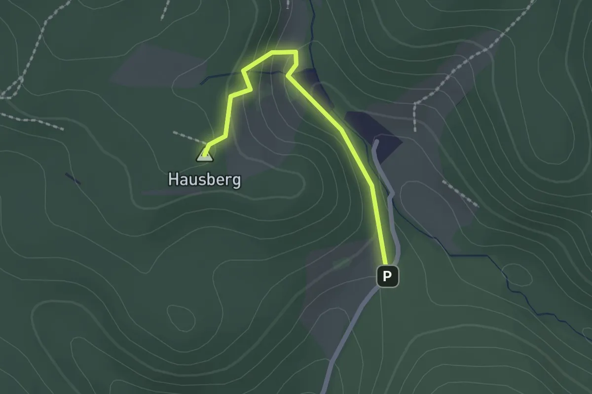
Easy · Summit
Neuweg - Rohrberg
1.7 km · ↑ 70 m · 33 min
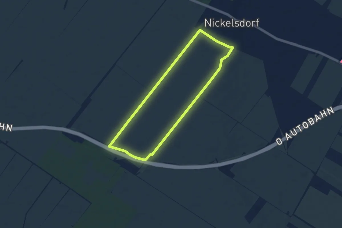
Easy · Trail
Nickelsdorfer Rad-, Lauf- und Wanderstrecke L1
6.2 km · ↑ 12 m · 1 h 34 min
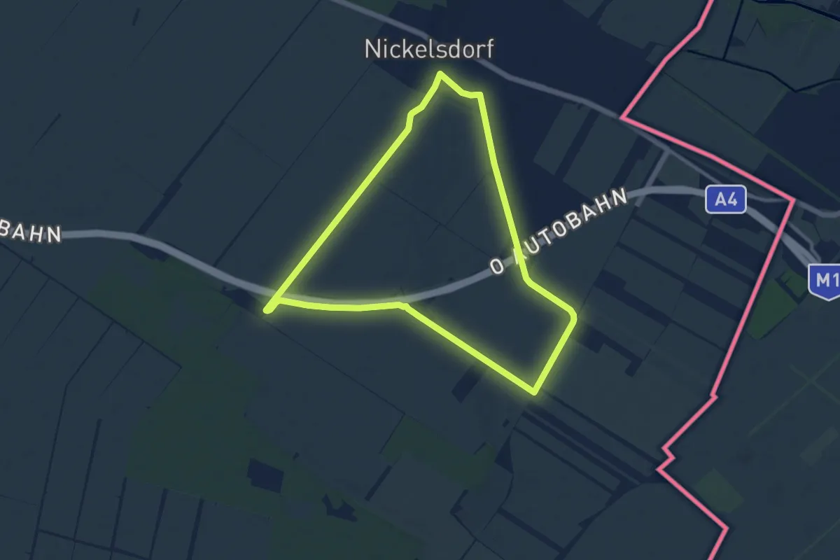
Medium · Trail
Nickelsdorfer Rad-, Lauf- und Wanderstrecke L2
9.3 km · ↑ 32 m · 2 h 24 min
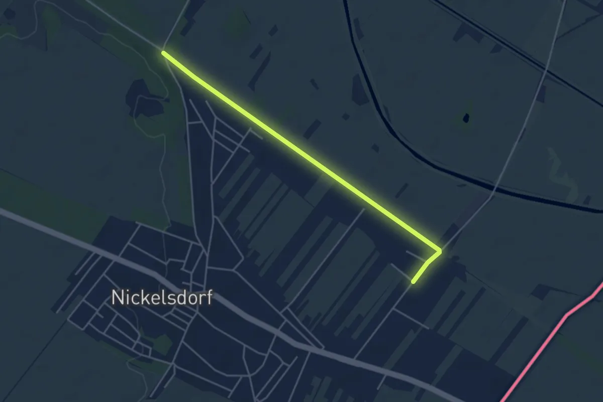
Easy · Trail
Nickelsdorfer Rad-, Lauf- und Wanderstrecke L3
2.1 km · ↑ 0 m · 32 min
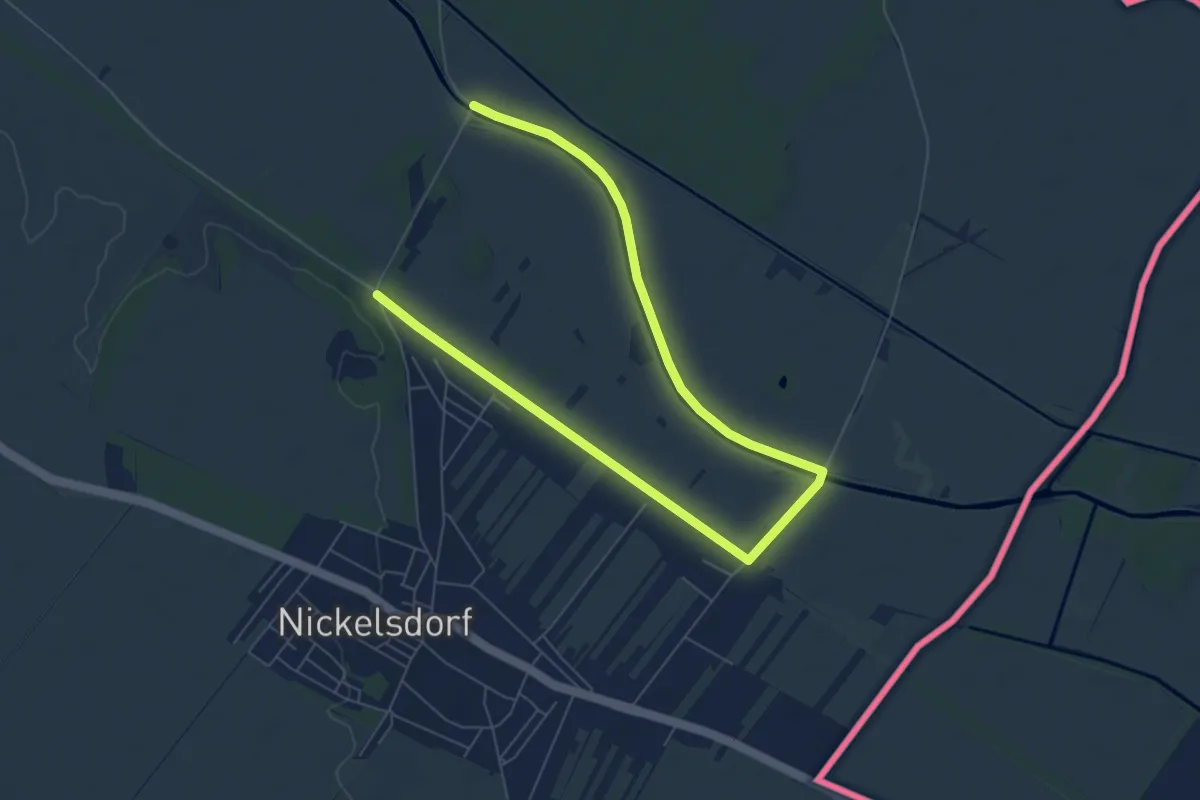
Easy · Trail
Nickelsdorfer Rad-, Lauf- und Wanderstrecke L4
4.6 km · ↑ 0 m · 1 h 10 min
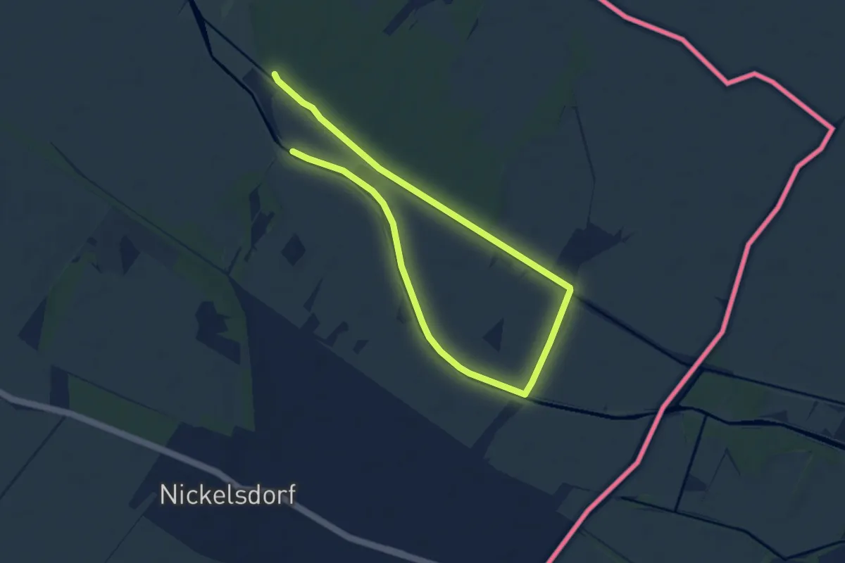
Easy · Trail
Nickelsdorfer Rad-, Lauf- und Wanderstrecke L5
5.3 km · ↑ 0 m · 1 h 19 min
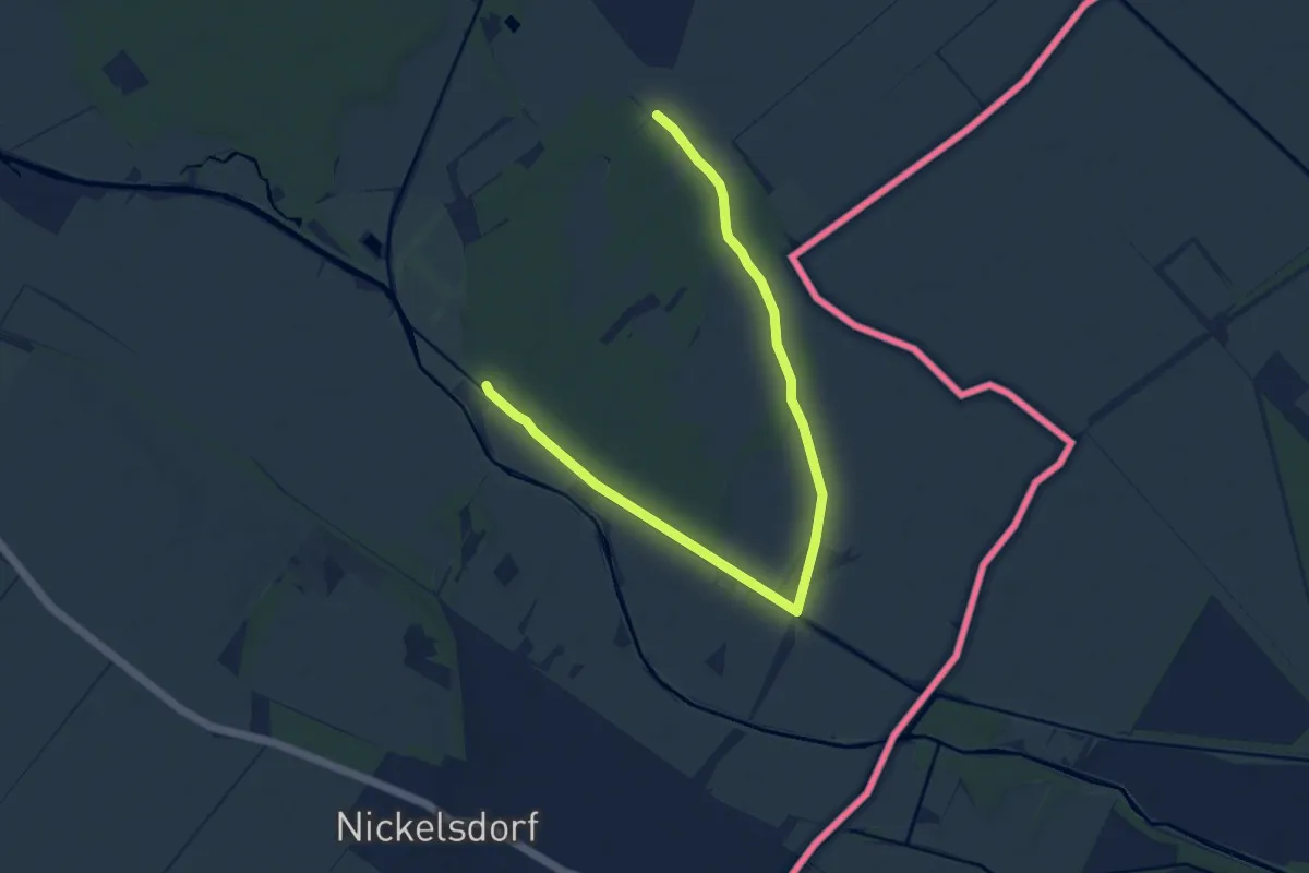
Easy · Trail
Nickelsdorfer Rad-, Lauf- und Wanderstrecke L6
5.6 km · ↑ 0 m · 1 h 23 min
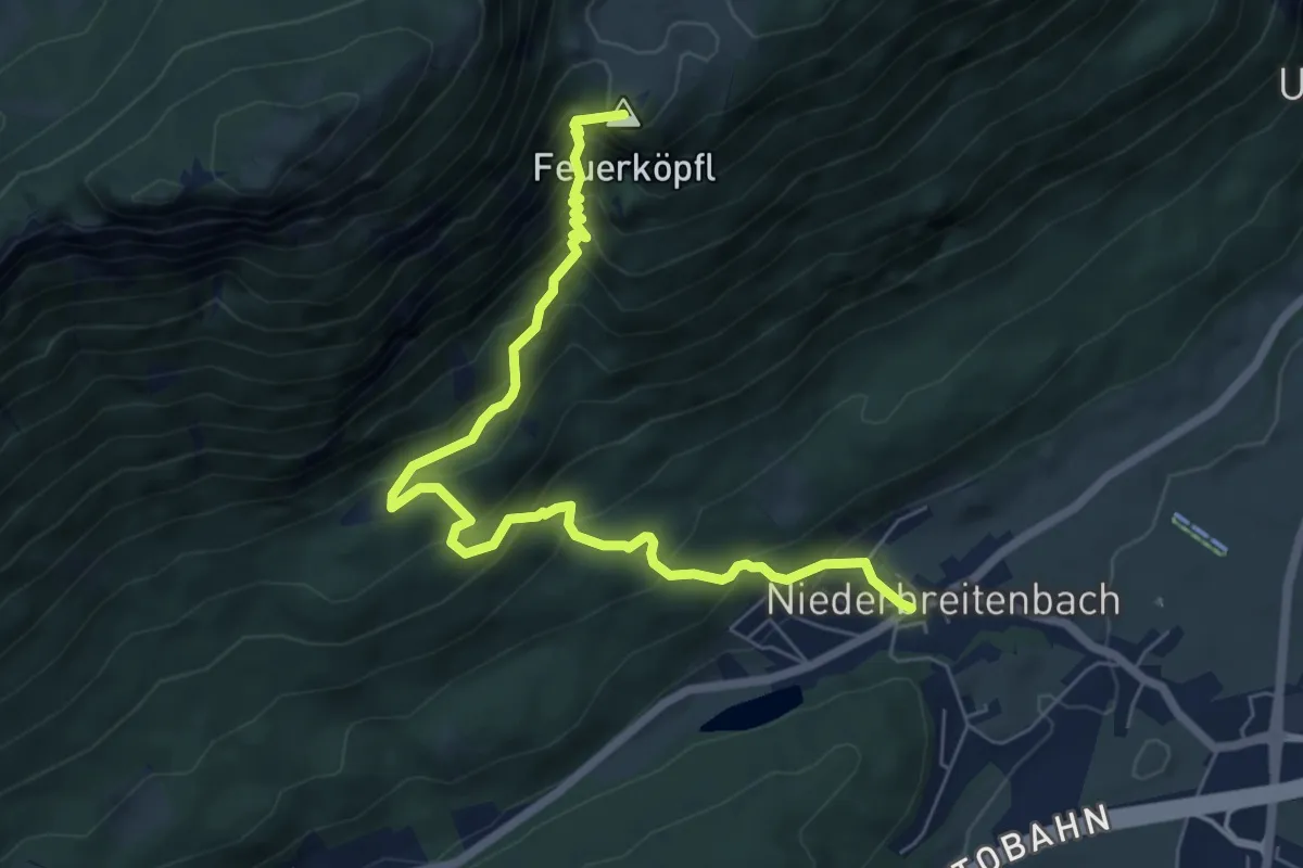
Medium · Summit
Niederbreitenbach-Höhlenstein
7.1 km · ↑ 783 m · 3 h 23 min
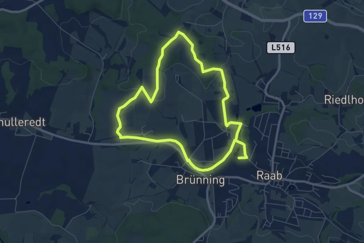
Medium · Trail
Niederhamer Weg
11.9 km · ↑ 124 m · 3 h 5 min
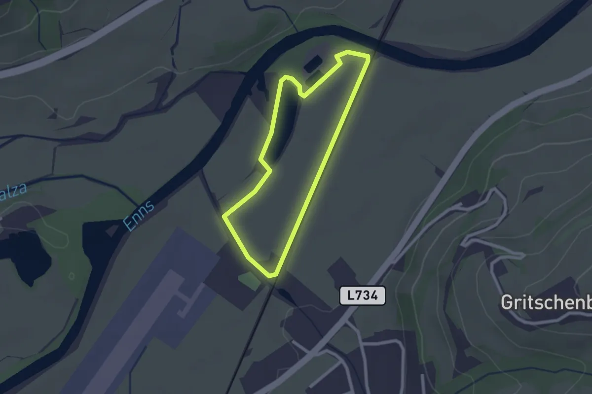
Easy · Trail
Niederöblarner Teichrunde
1.9 km · ↑ 5 m · 29 min
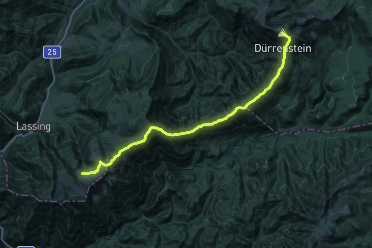
Demanding · Summit
Niederösterreichischer Alpinweg
29.9 km · ↑ 2304 m · 12 h 3 min
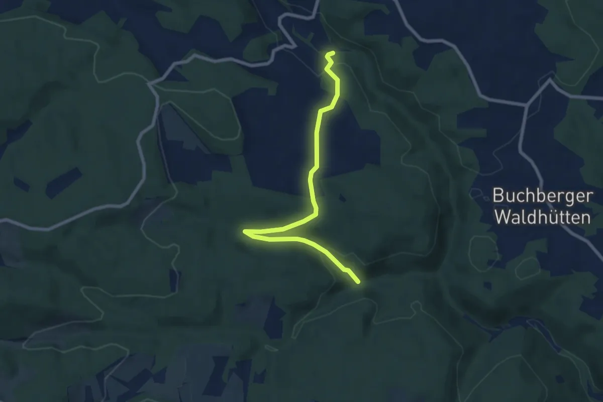
Easy · Trail
Niederösterreichischer Mariazellerweg 06A (Variante Sechshütten)
6.8 km · ↑ 179 m · 2 h
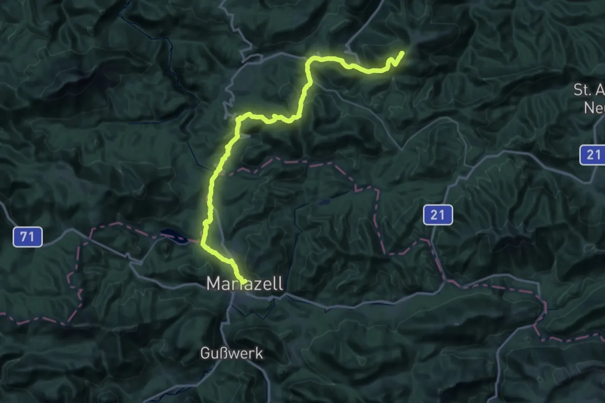
Demanding · Summit
Niederösterreichischer Mariazellerweg 06B
23.1 km · ↑ 1012 m · 7 h 43 min
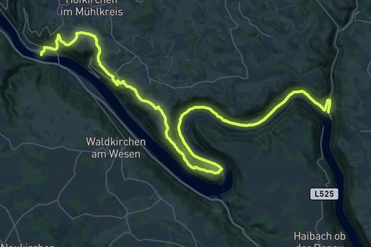
Demanding · Trail
Niederranna - Obermühl Donausteig Etappe
20.0 km · ↑ 529 m · 6 h 9 min
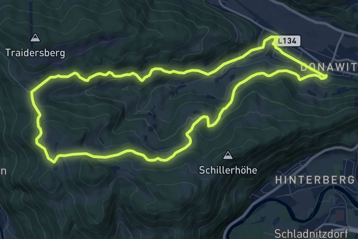
Medium · Trail
Niederung Talrunde
11.4 km · ↑ 360 m · 3 h 37 min
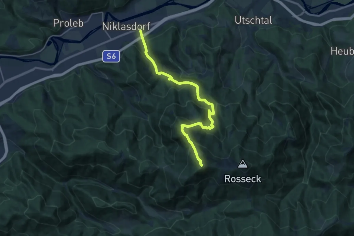
Demanding · Summit
Niklasdorf - Mugelschutzhaus
14.9 km · ↑ 1096 m · 5 h 54 min
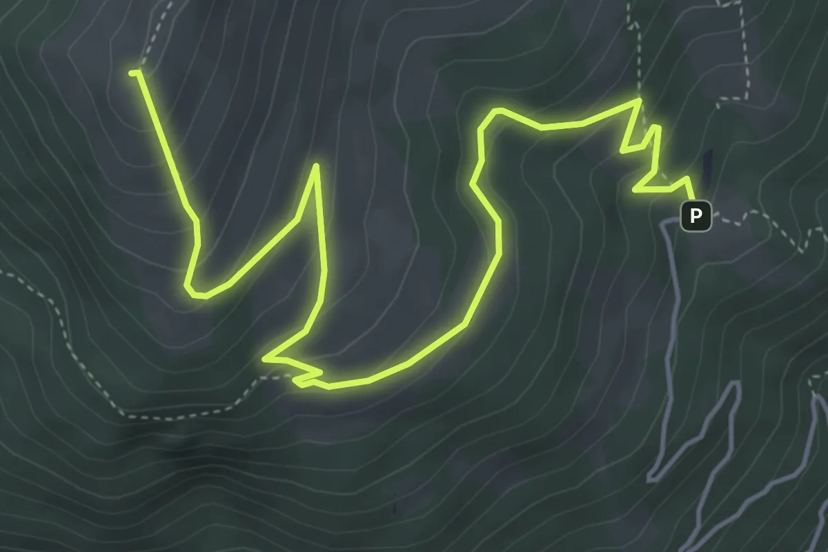
Medium · Summit
Nockhöhensteig-Rundweg
6.4 km · ↑ 383 m · 2 h 20 min
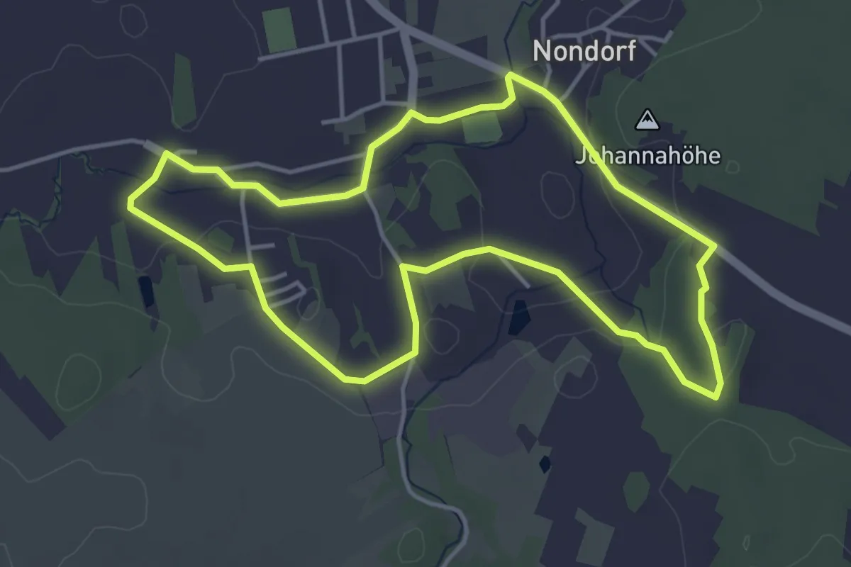
Easy · Trail
Nondorfer Rundwanderweg (14)
4.0 km · ↑ 73 m · 1 h 9 min
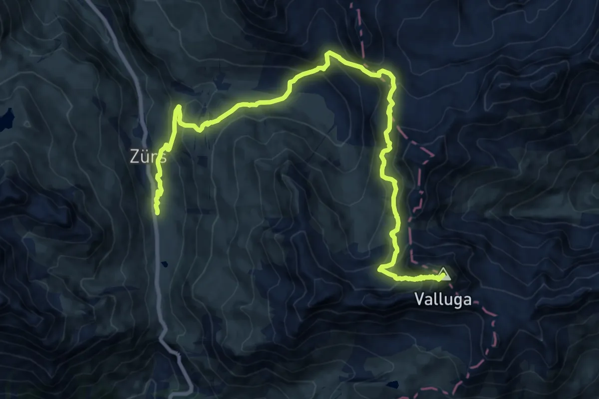
Expert · Summit
Nordalpenweg 01A
18.8 km · ↑ 1286 m · 7 h 14 min
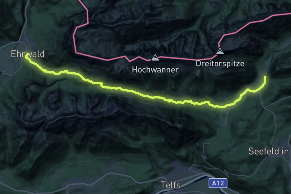
Demanding · Trail
Nordalpenweg 01A
23.4 km · ↑ 678 m · 7 h 17 min
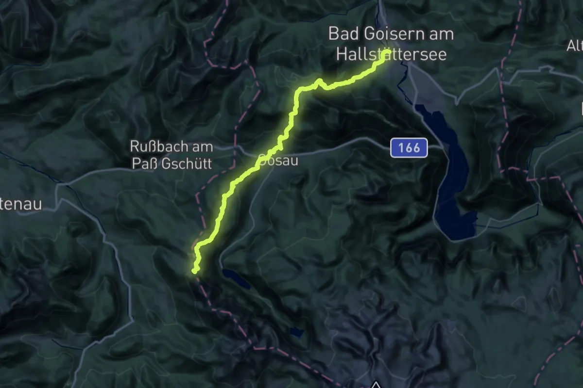
Expert · Summit
Nordalpenweg 01A
42.6 km · ↑ 2857 m · 16 h 15 min
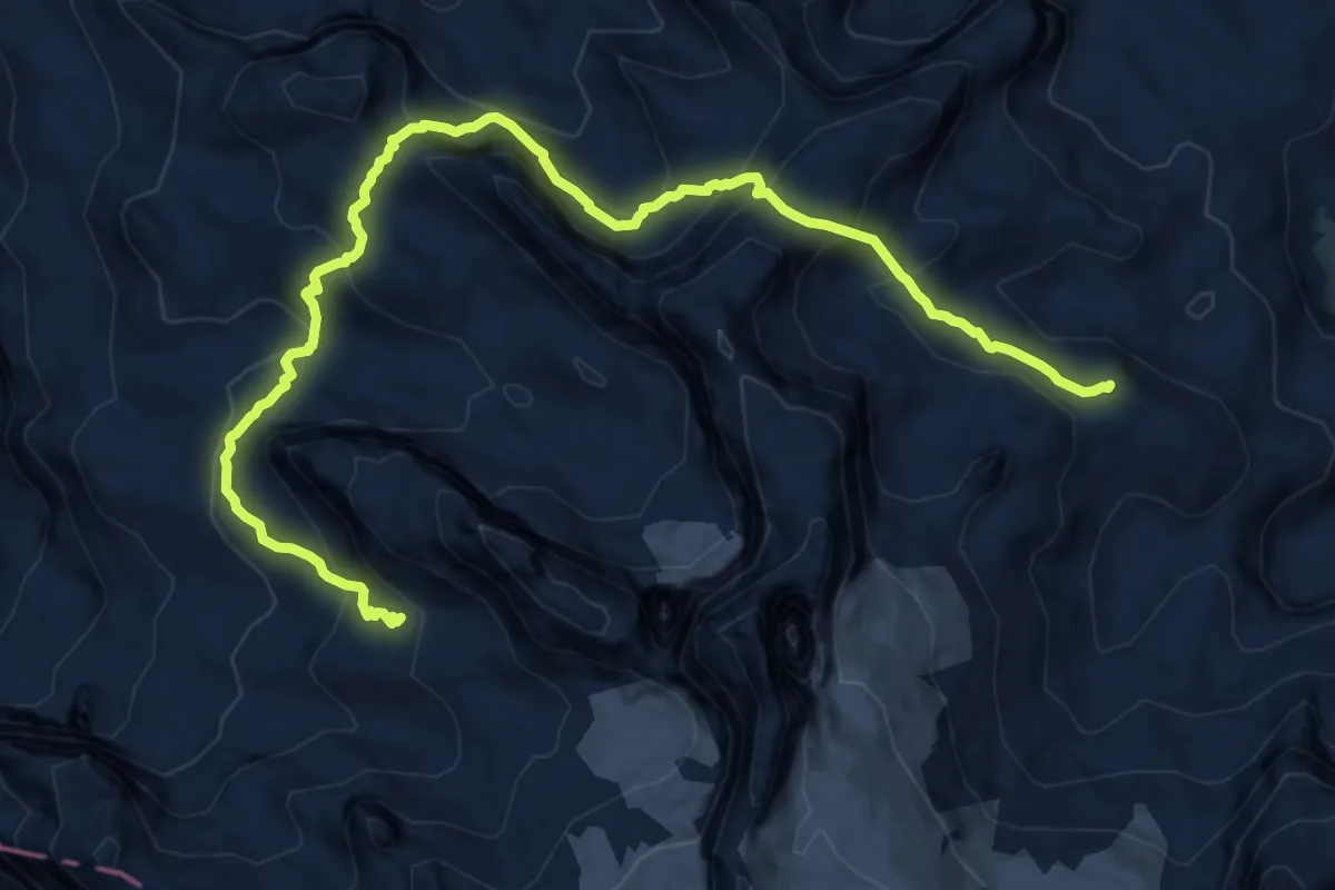
Expert · Cabin
Nordalpenweg 01A
13.7 km · ↑ 1194 m · 5 h 49 min
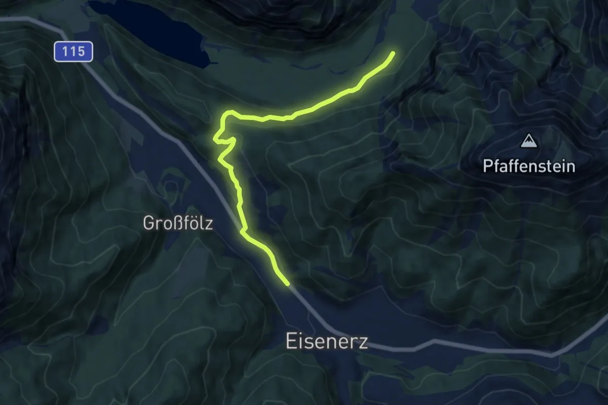
Medium · Trail
Nordalpenweg 01A
9.0 km · ↑ 240 m · 2 h 39 min
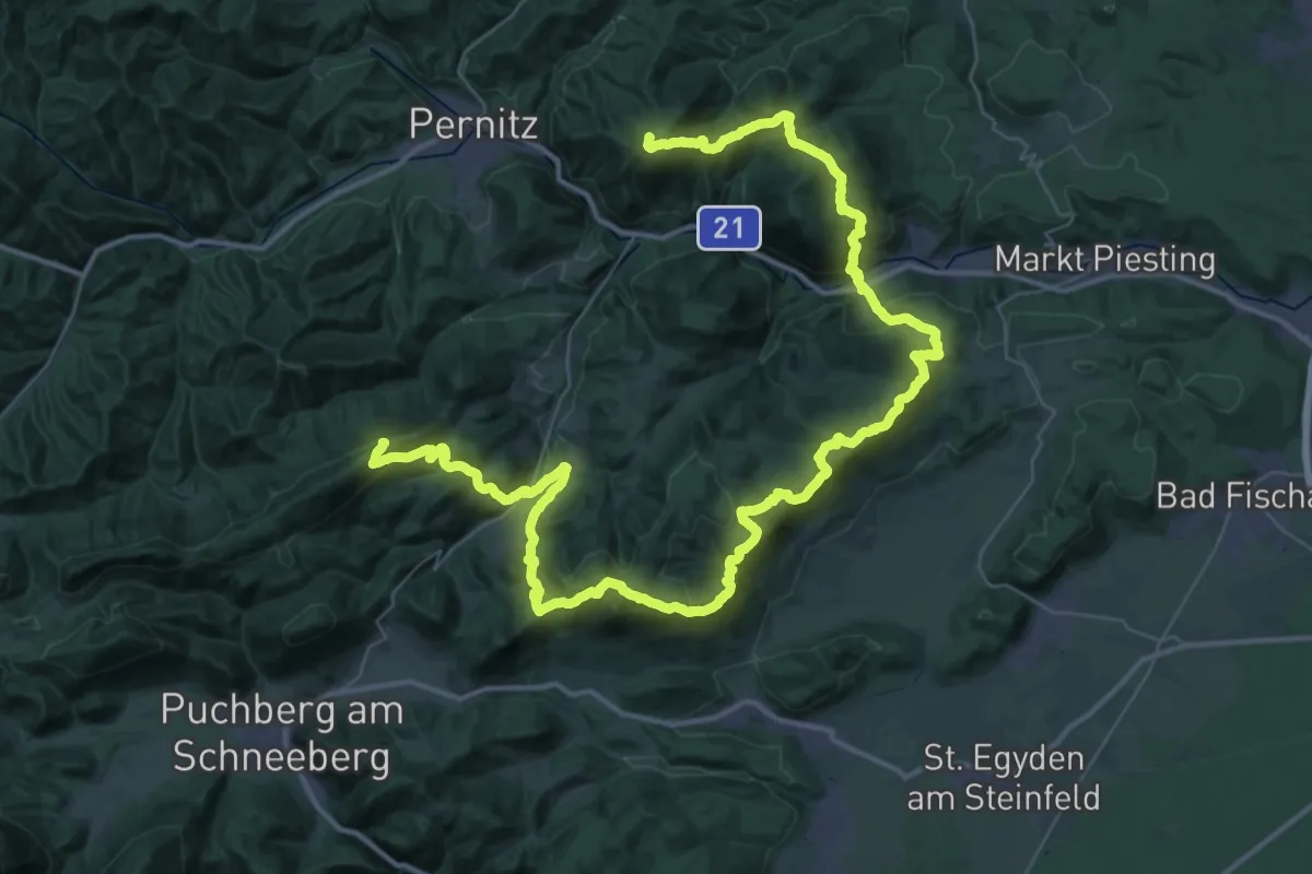
Demanding · Summit
Nordalpenweg 01A (Variante Hohe Wand)
66.0 km · ↑ 3584 m · 23 h 20 min
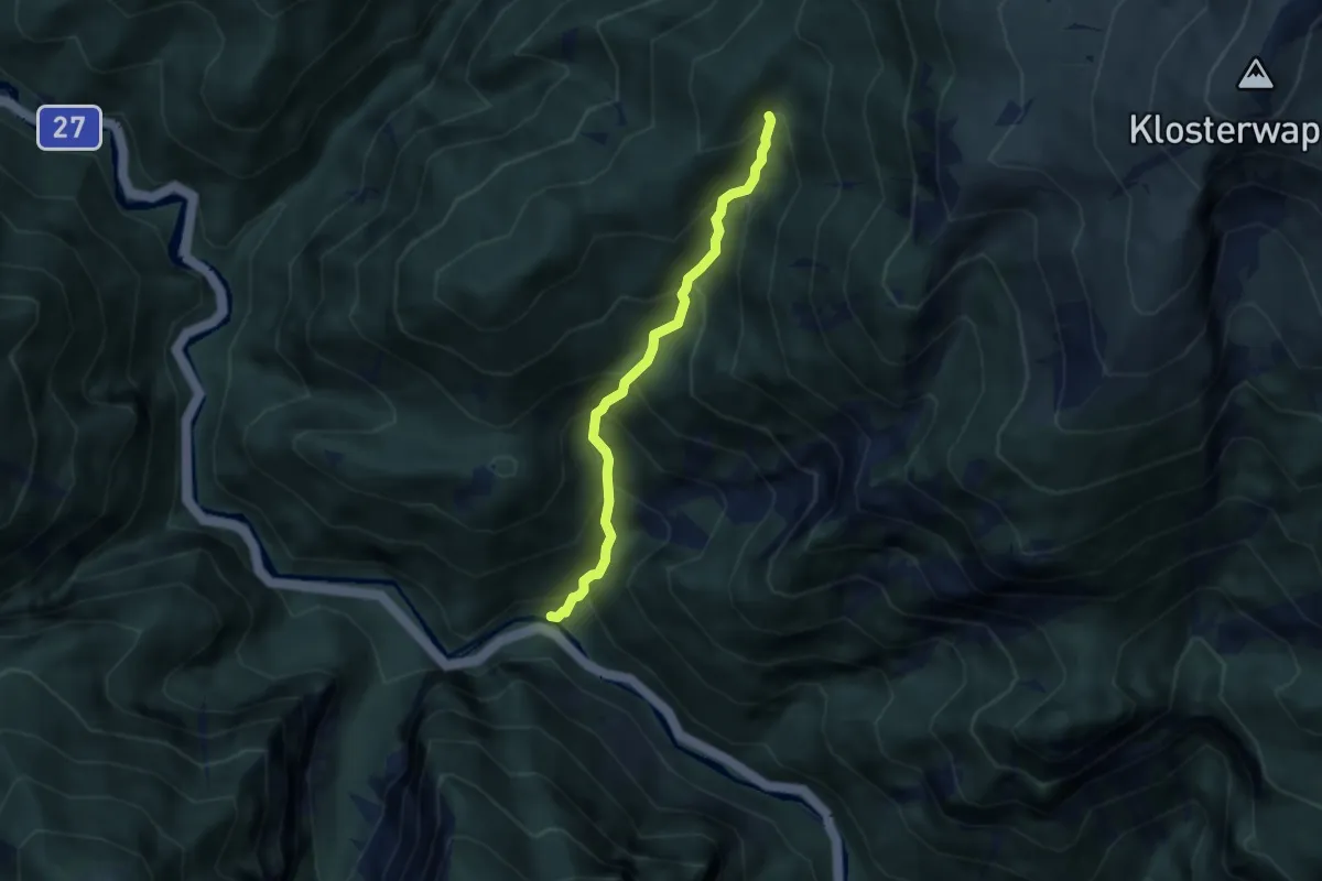
Demanding · Cabin
Nordalpenweg 01 - Variante Weichtalklamm
4.9 km · ↑ 638 m · 2 h 32 min
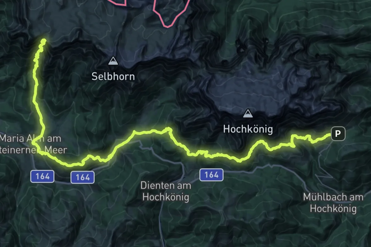
Demanding · Summit
Nordalpenweg 401A
64.7 km · ↑ 3911 m · 23 h 45 min
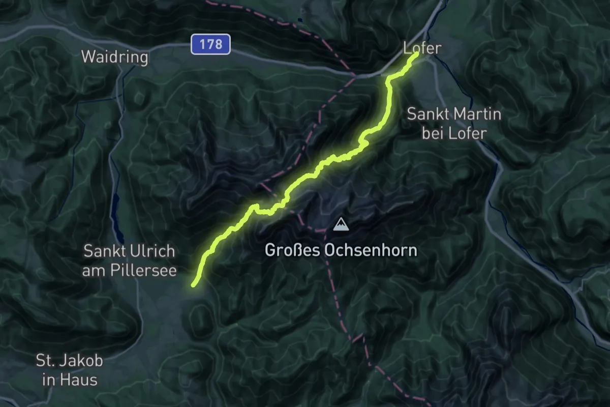
Expert · Trail
Nordalpenweg 601
13.4 km · ↑ 1338 m · 6 h 24 min