Trails in Austria
9,779 hiking trails, each with its route, climb, walking time and grade.
All trails, page 77 of 204
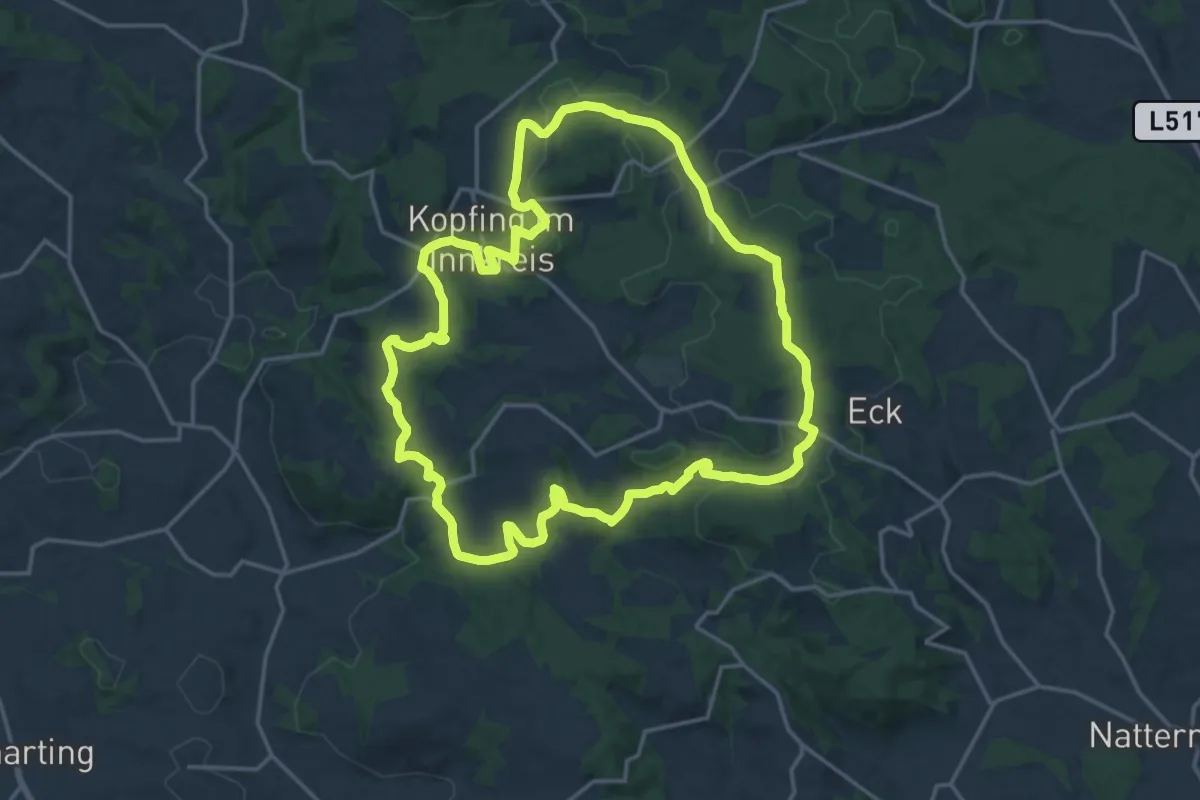
Medium · Trail
Nr.6 Mühlenweg
17.5 km · ↑ 347 m · 5 h 7 min
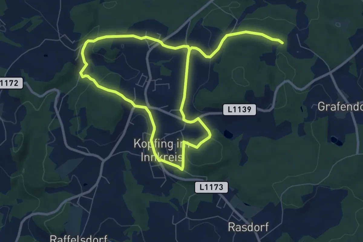
Medium · Trail
Nr.7 Doblrunde
12.4 km · ↑ 261 m · 3 h 30 min
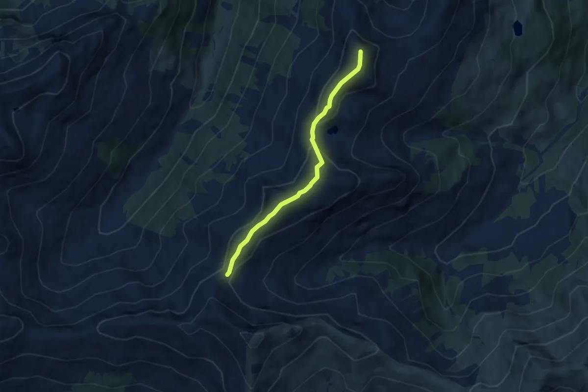
Medium · Summit
Nr. 8
6.2 km · ↑ 437 m · 2 h 24 min
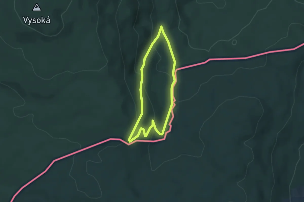
Easy · Trail
NS Hojná Voda
2.9 km · ↑ 190 m · 1 h 9 min
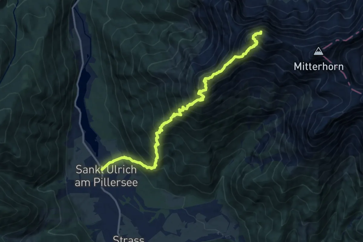
Expert · Summit
Nuaracher Höhenweg
12.0 km · ↑ 1806 m · 6 h 45 min
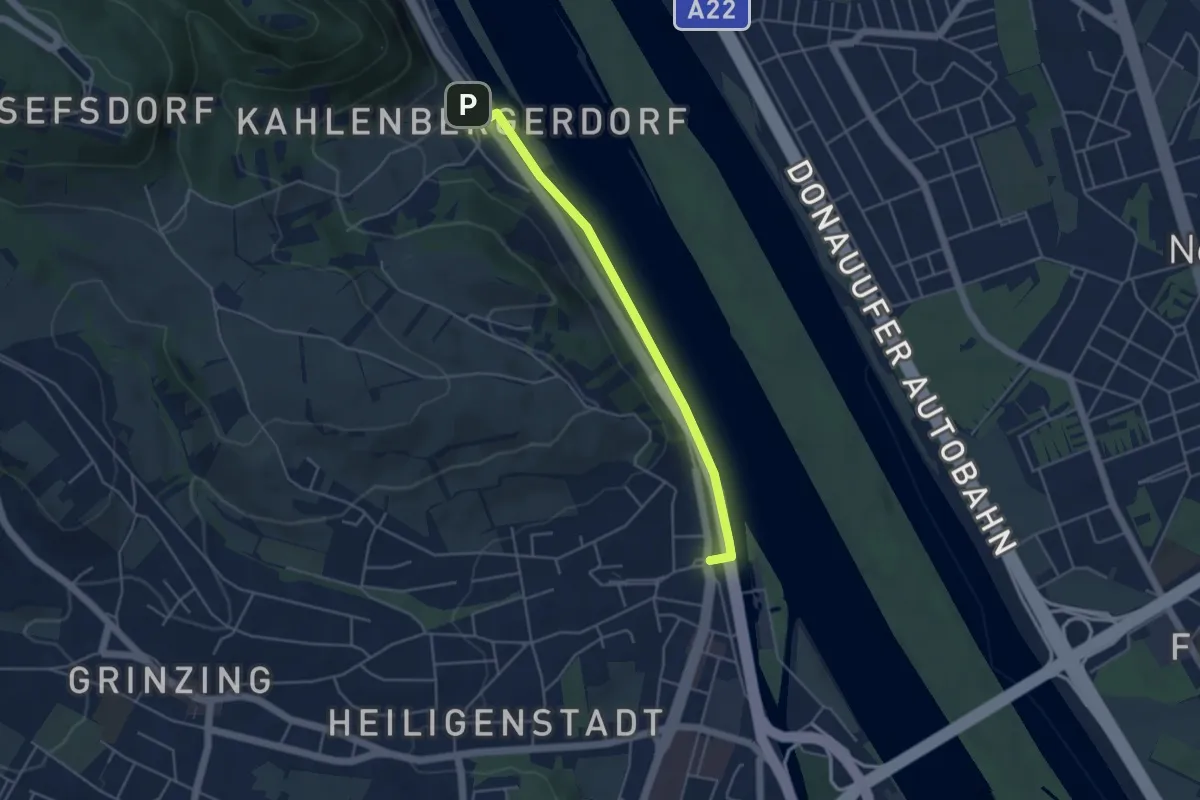
Easy · Trail
Nußdorf Bahnhof - Kahlenbergerdorf (Donaupromenade)
4.2 km · ↑ 4 m · 1 h
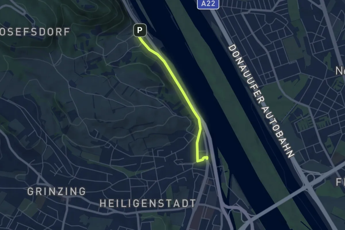
Easy · Trail
Nußdorf Bahnhof - Kahlenbergerdorf (Hackhofergasse)
4.3 km · ↑ 38 m · 1 h 6 min
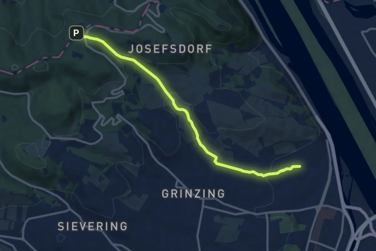
Medium · Trail
Nußdorf/Endstation Linie D - Sulzwiese
8.5 km · ↑ 262 m · 2 h 34 min
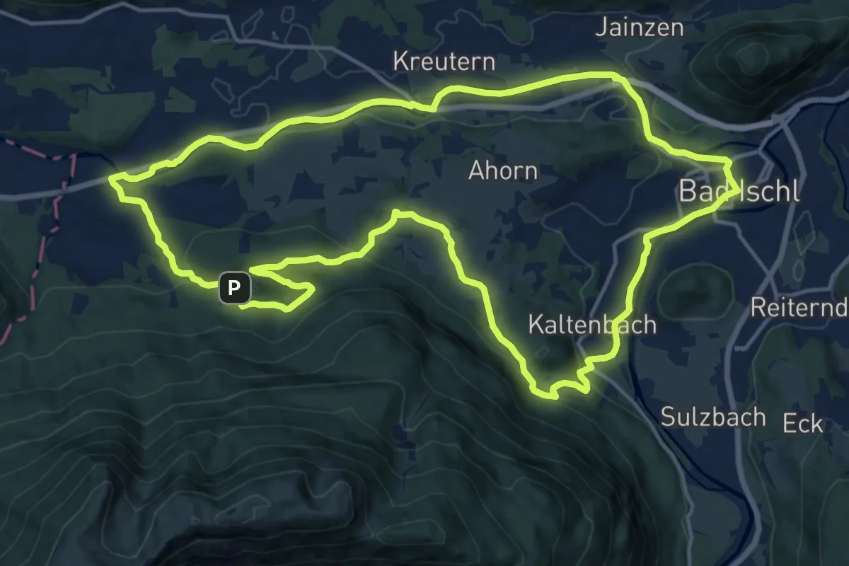
Medium · Summit
Nussenseerunde
15.5 km · ↑ 266 m · 4 h 27 min
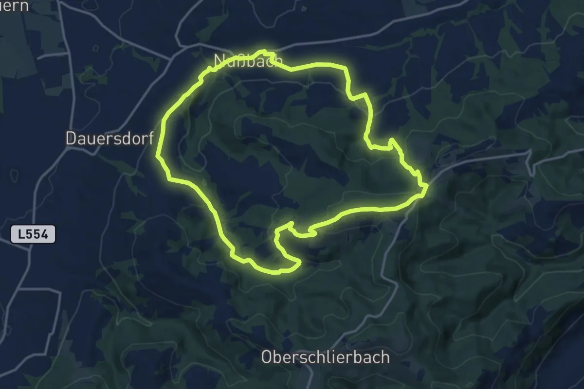
Medium · Summit
Nussgeistweg
12.6 km · ↑ 387 m · 4 h
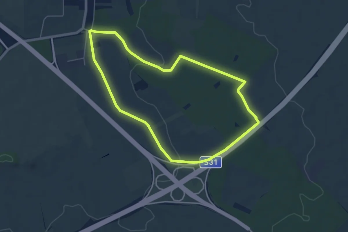
Easy · Trail
NW Dreifaltigkeitsweg (Start: Sigleß Dreifaltigkeitssäule)
4.5 km · ↑ 62 m · 1 h 16 min
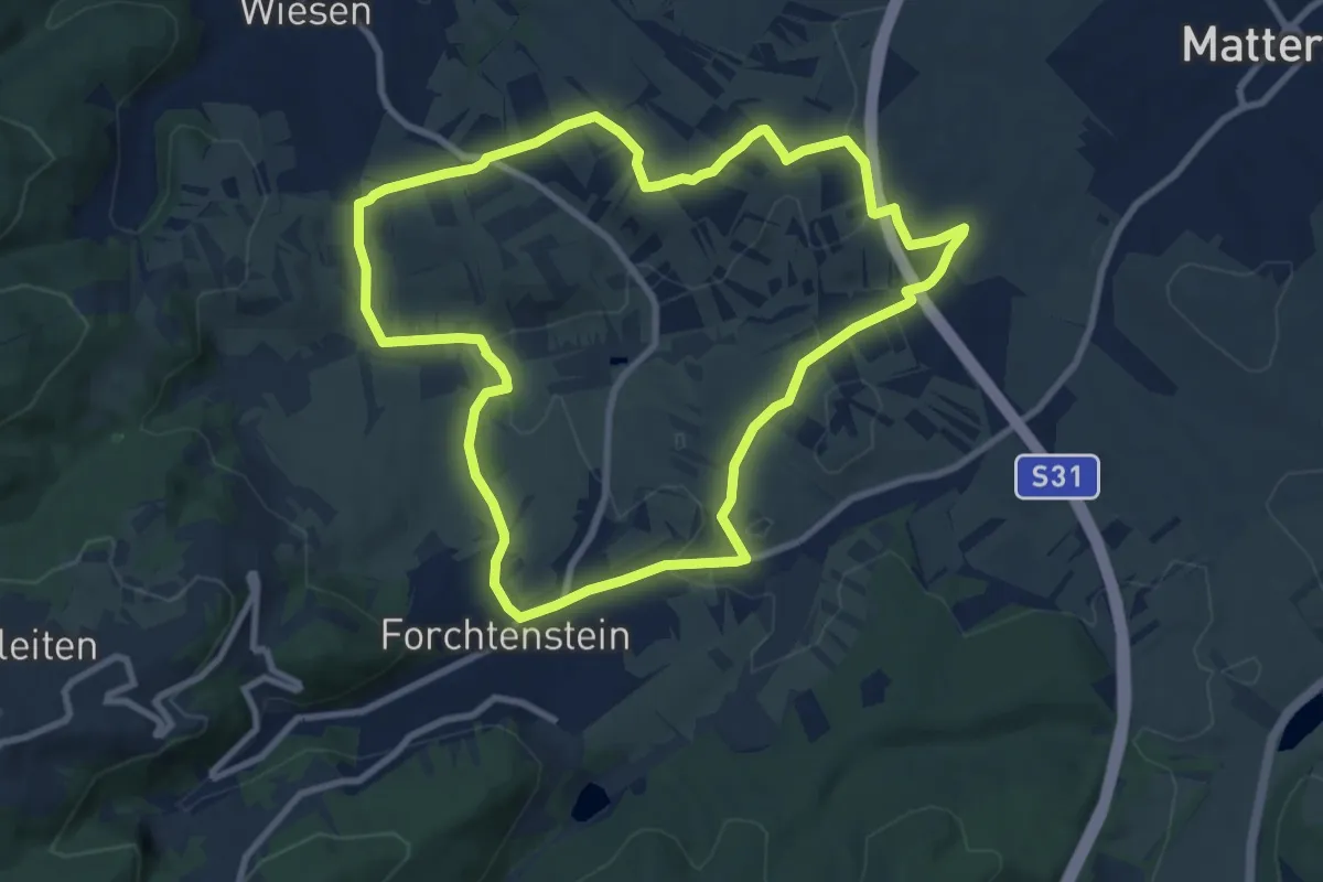
Medium · Trail
NW Eisteichstrecke
9.1 km · ↑ 180 m · 2 h 41 min
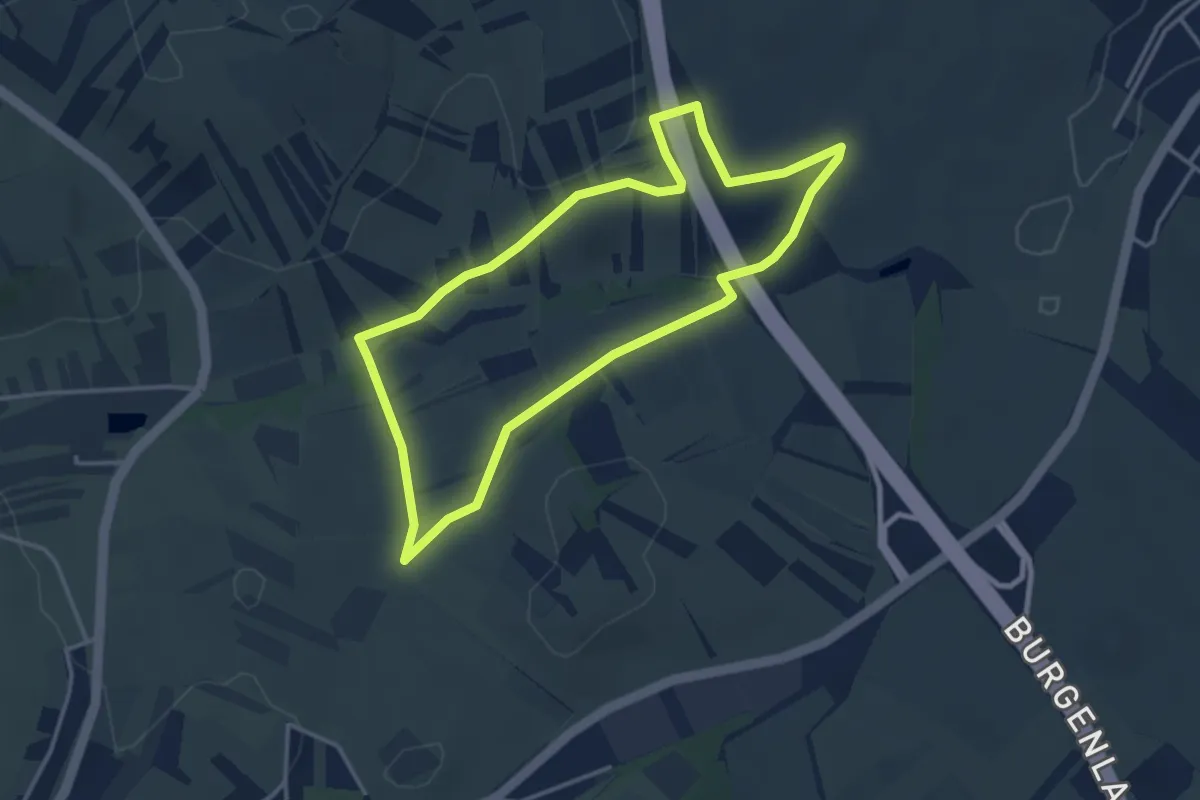
Easy · Trail
NW Furtstrecke
3.4 km · ↑ 62 m · 59 min
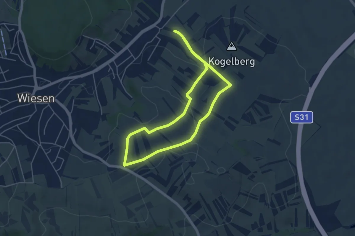
Easy · Trail
NW Hafertag (Start: Wiesen Angerkapelle)
4.0 km · ↑ 94 m · 1 h 13 min
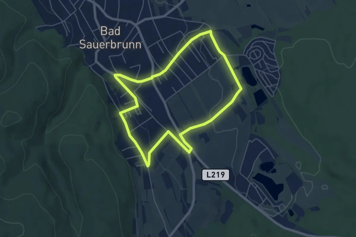
Easy · Trail
NW Keltenhofstrecke (Bad Sauerbrunn)
4.8 km · ↑ 68 m · 1 h 21 min
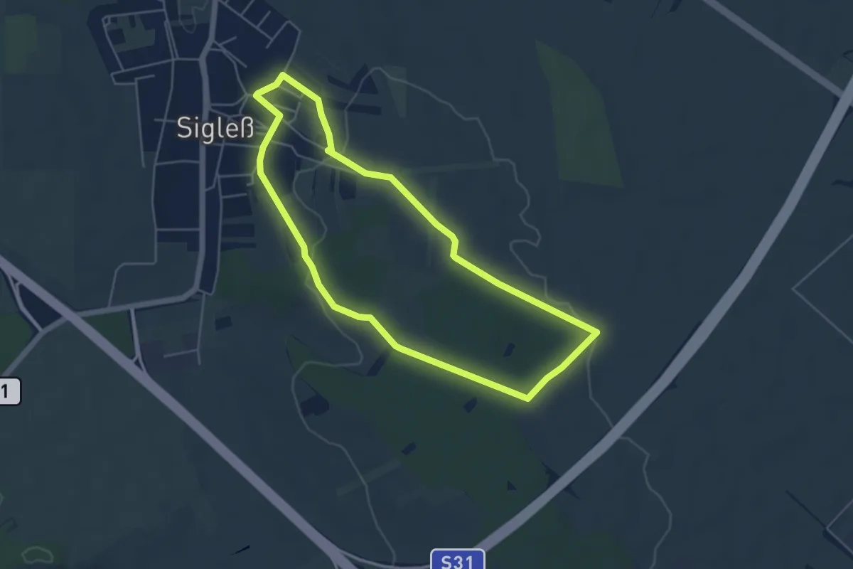
Easy · Trail
NW Kirchenweg (Start: Sigleß Kirche)
4.6 km · ↑ 59 m · 1 h 17 min
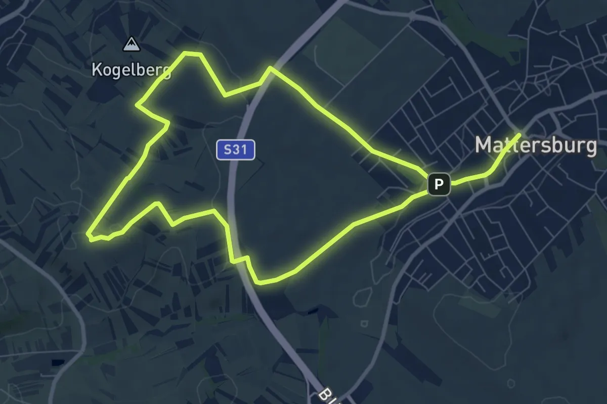
Medium · Trail
NW Kogelbergstrecke
14.7 km · ↑ 235 m · 3 h 58 min
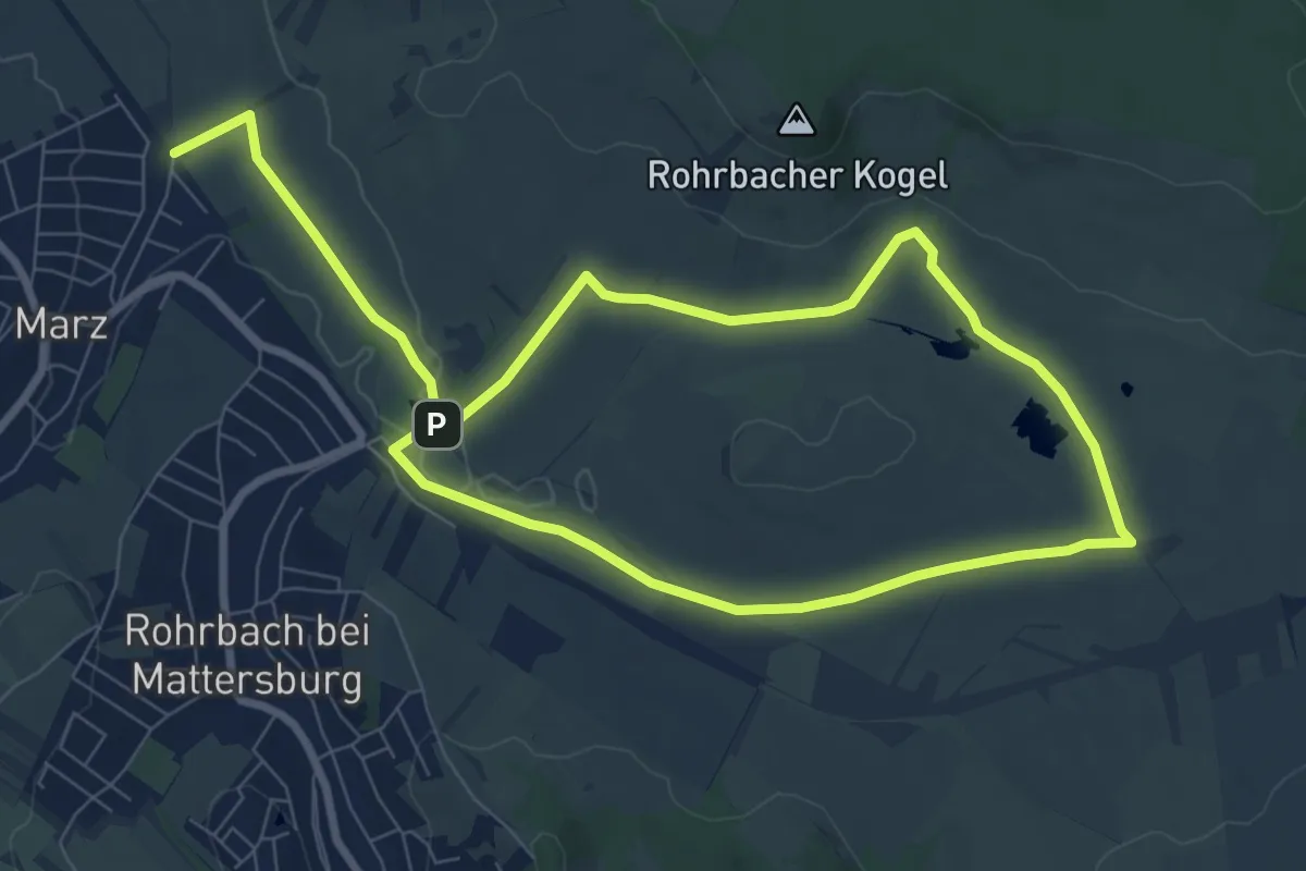
Medium · Trail
NW Kogelstrecke (Start: Dreieckswiese)
14.3 km · ↑ 122 m · 3 h 38 min
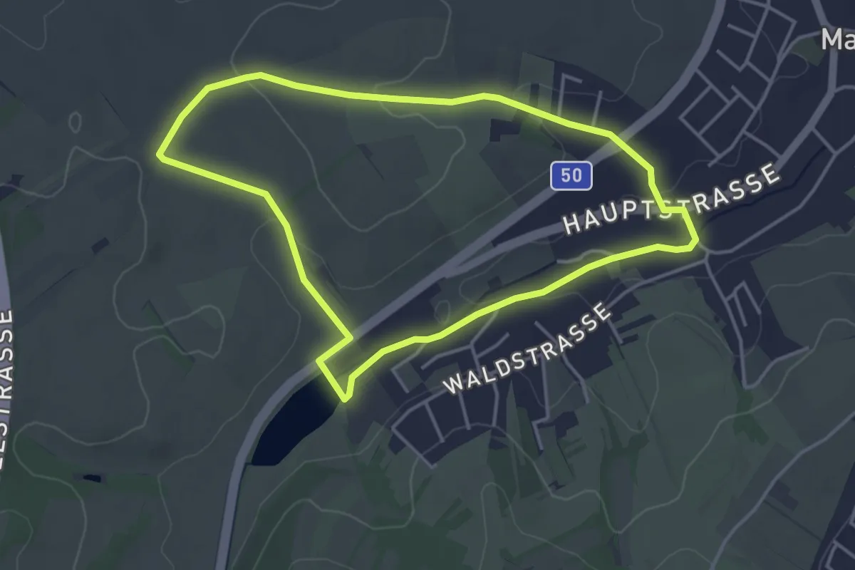
Easy · Trail
NW Kreitweg (Marz)
3.9 km · ↑ 50 m · 1 h 4 min
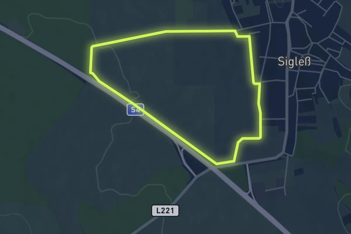
Easy · Trail
NW Kreuzfeldweg (Start: Sigleß Sportplatz)
4.1 km · ↑ 43 m · 1 h 7 min
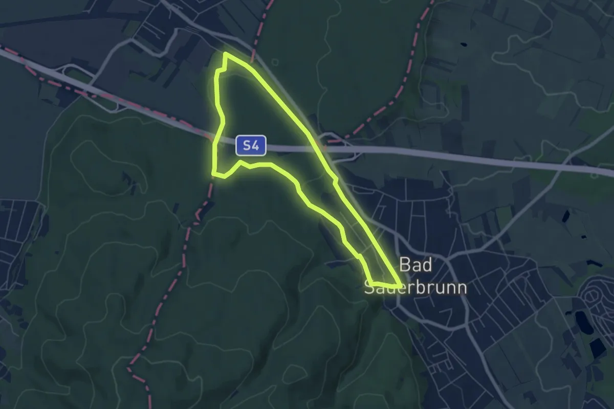
Easy · Trail
NW Lazawiese (Bad Sauerbrunn)
5.7 km · ↑ 54 m · 1 h 32 min
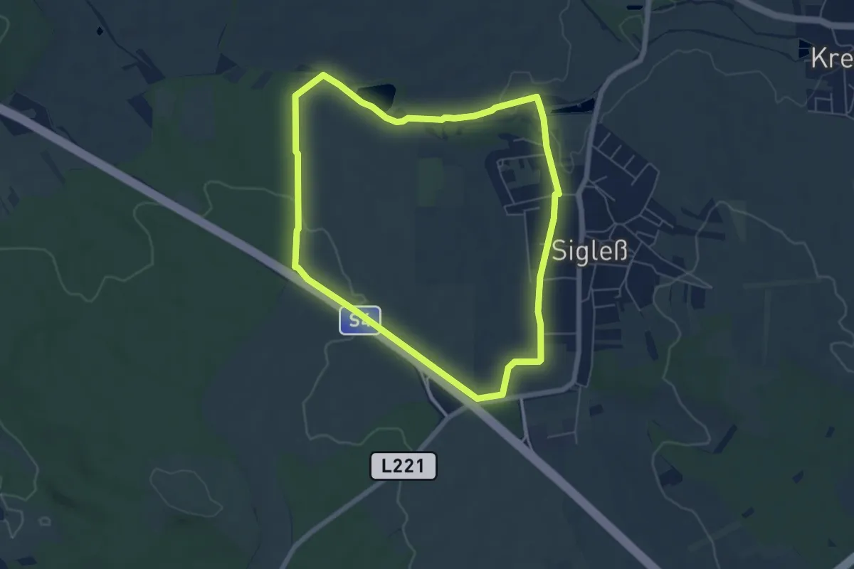
Easy · Trail
NW Mühlenweg (Start: Sigleß Sportplatz)
5.6 km · ↑ 59 m · 1 h 32 min
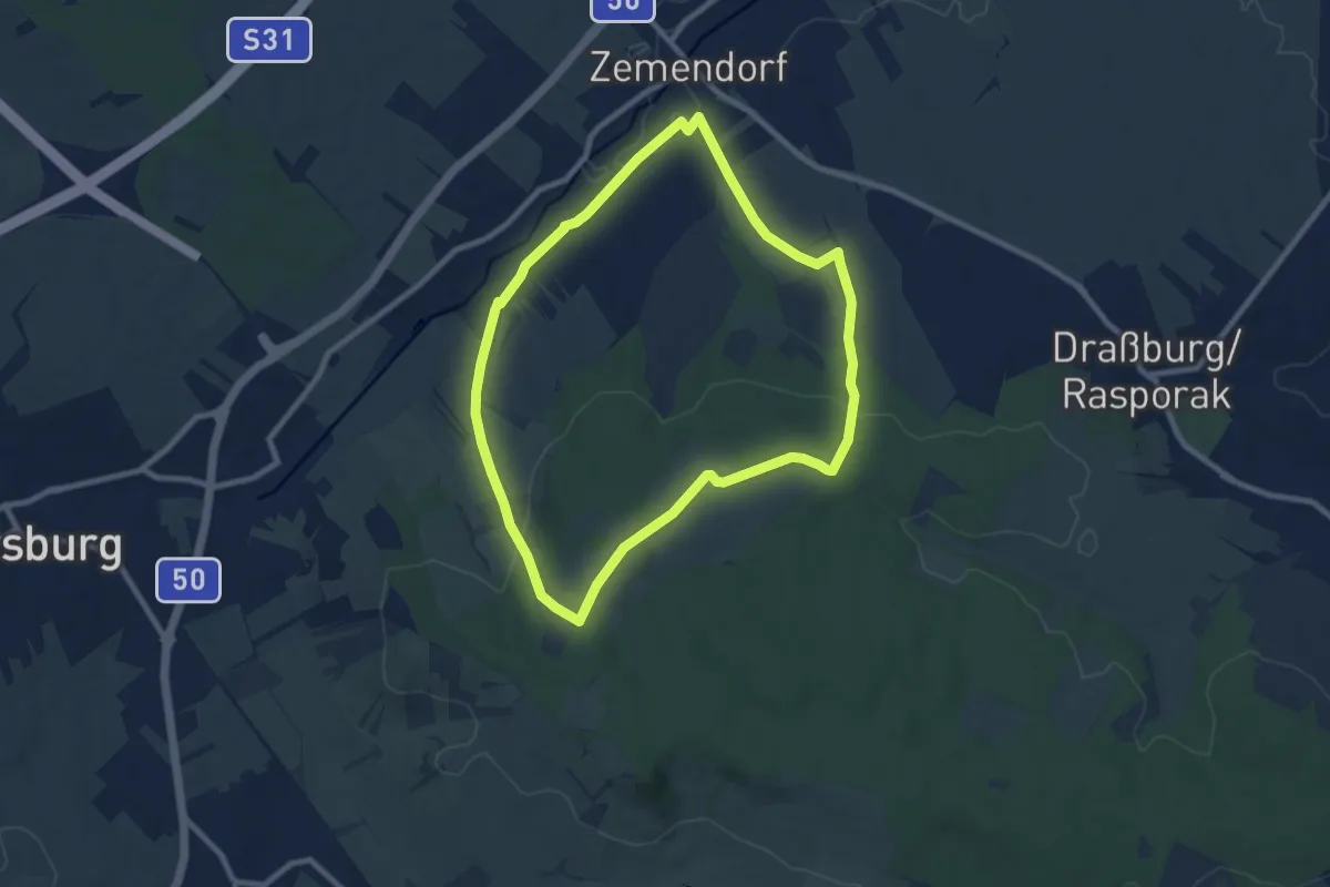
Medium · Trail
NW Sauplatzrunde (Start: Pöttelsdorf Brunngasse)
8.3 km · ↑ 146 m · 2 h 23 min
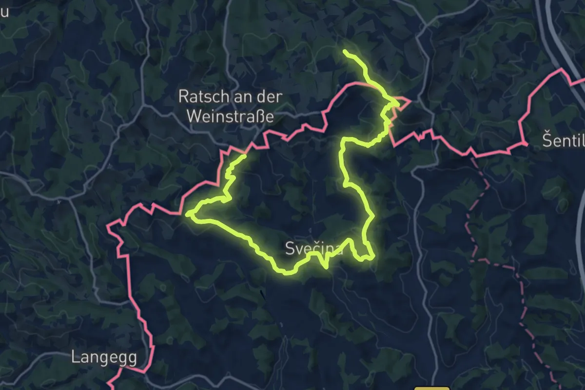
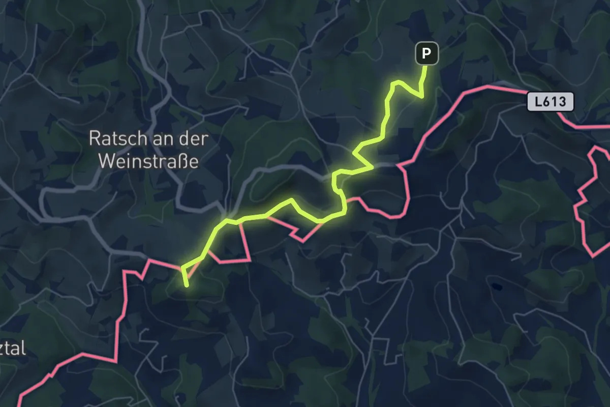
Demanding · Summit
NW Vino TOUR - Blaue Strecke - modra pot
23.1 km · ↑ 945 m · 7 h 30 min
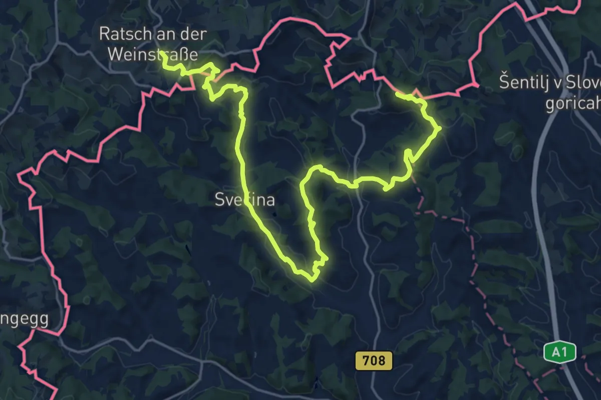
Easy · Summit
NW Vino TOUR - Gelbe Strecke - umena pot
5.9 km · ↑ 234 m · 1 h 54 min
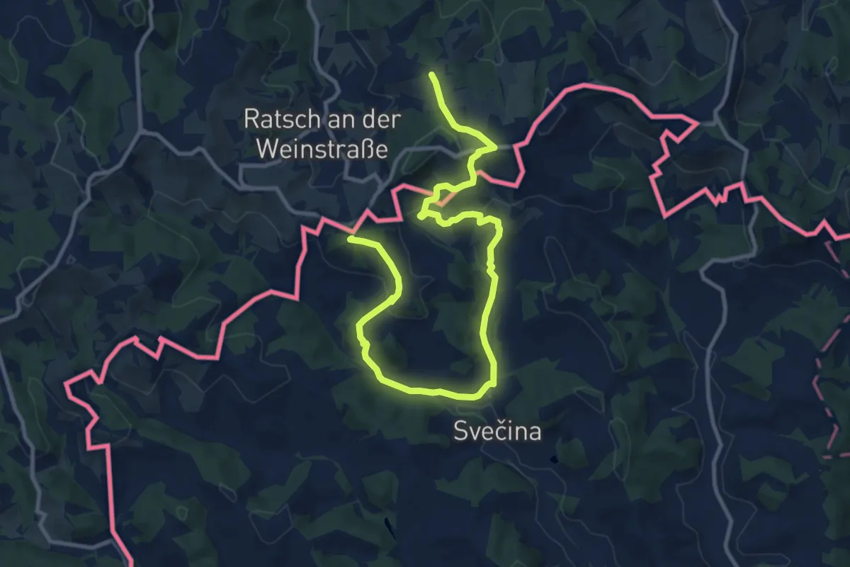
Demanding · Summit
NW Vino TOUR - Orange Strecke - ranžna pot
24.7 km · ↑ 920 m · 7 h 50 min
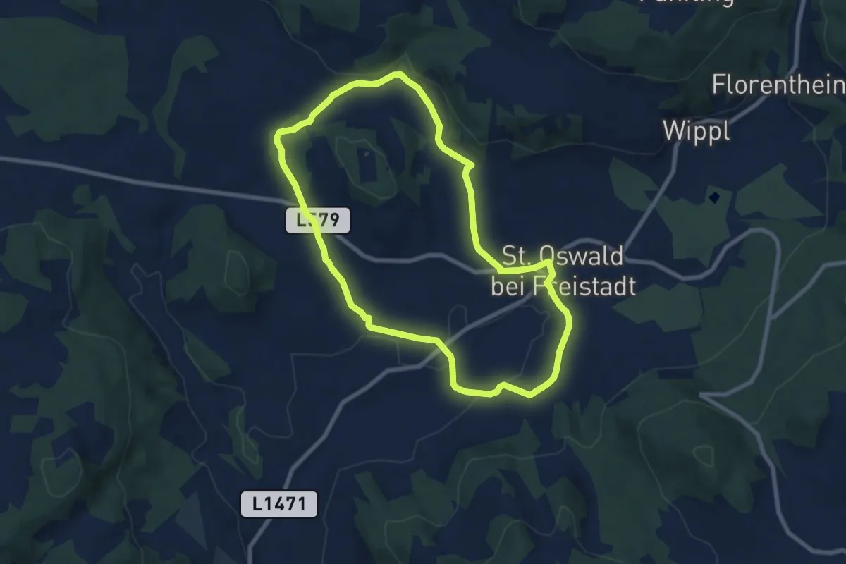
Medium · Summit
NW Vino TOUR - Rote Strecke - redeča pot
13.0 km · ↑ 434 m · 4 h
Easy · Trail
O5 Mayrhöfenweg
7.0 km · ↑ 129 m · 2 h 1 min
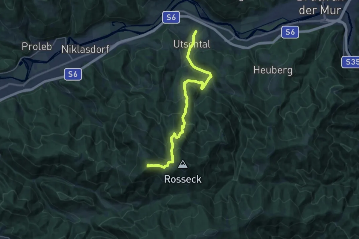
Demanding · Summit
Oberaich (Bhf.) - Mugelschutzhaus
17.0 km · ↑ 1115 m · 6 h 26 min
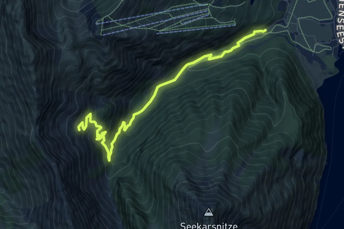
Medium · Trail
Oberau
10.5 km · ↑ 470 m · 3 h 29 min
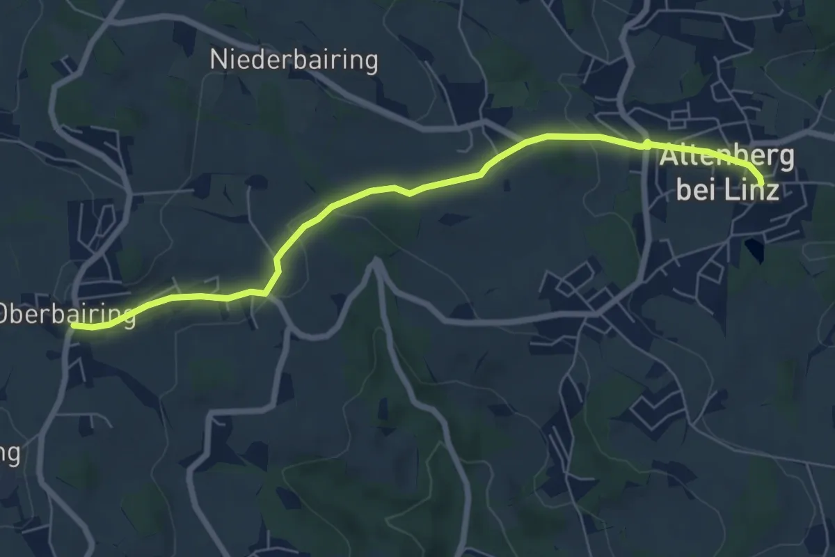
Easy · Trail
Oberbairing-Altenberg
6.4 km · ↑ 161 m · 1 h 51 min
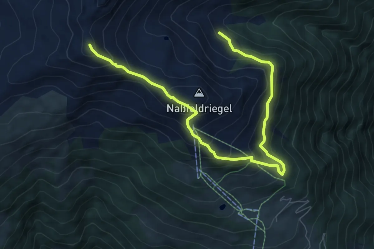
Medium · Trail
Oberdrautal Wanderweg B6
8.7 km · ↑ 788 m · 3 h 46 min
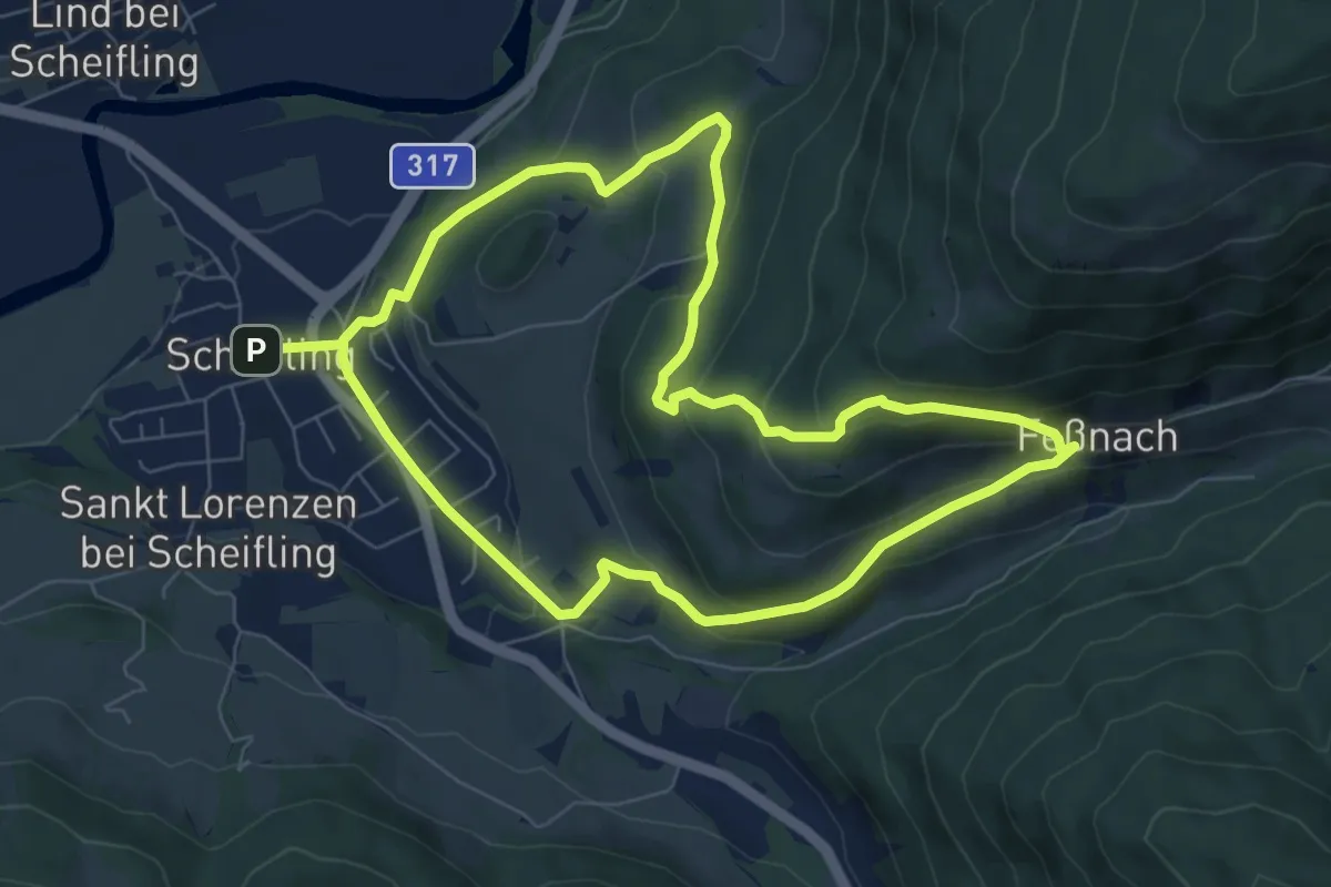
Medium · Trail
Obere Feßnachrunde
14.4 km · ↑ 602 m · 4 h 42 min
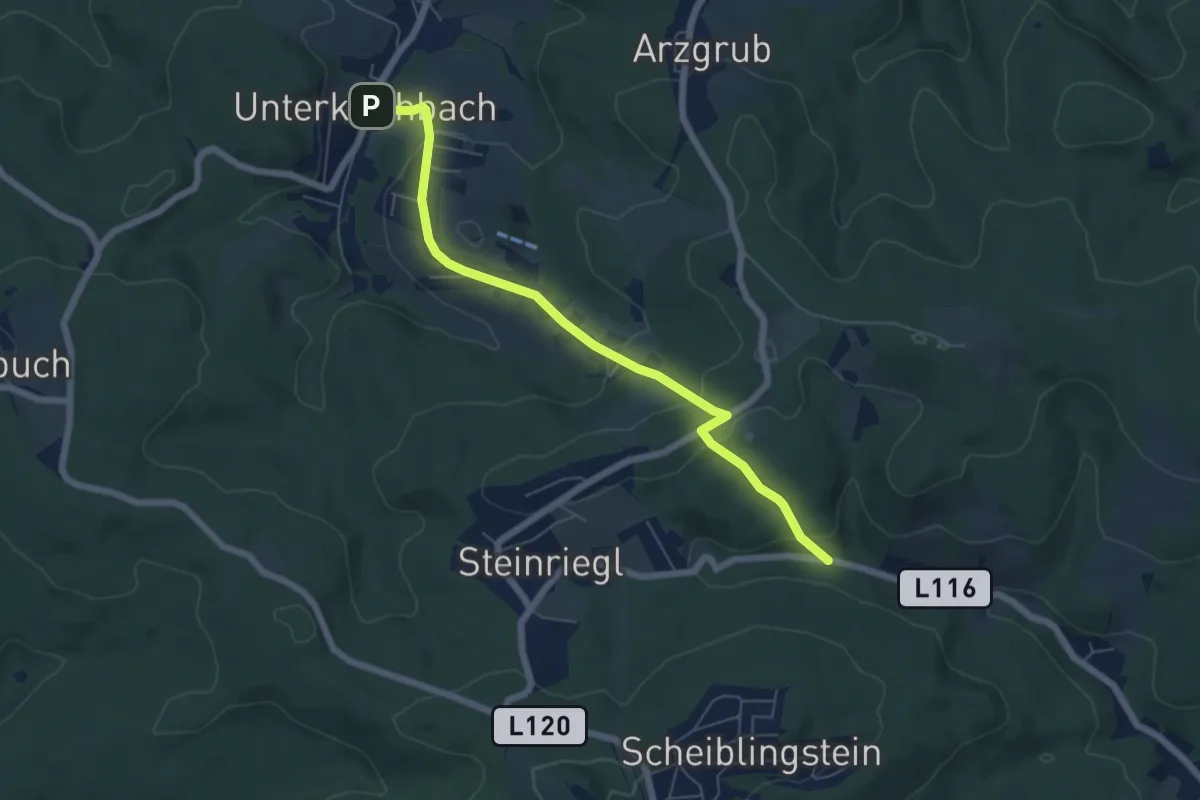
Easy · Trail
Oberes Weidlingbachtal - Unterkirchbach
6.0 km · ↑ 226 m · 1 h 55 min
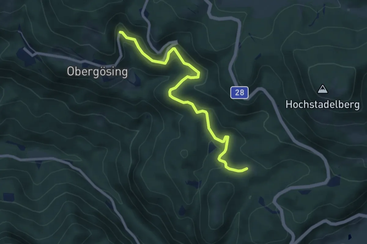
Easy · Trail
Obergösing - Annakreuz
6.1 km · ↑ 96 m · 1 h 38 min
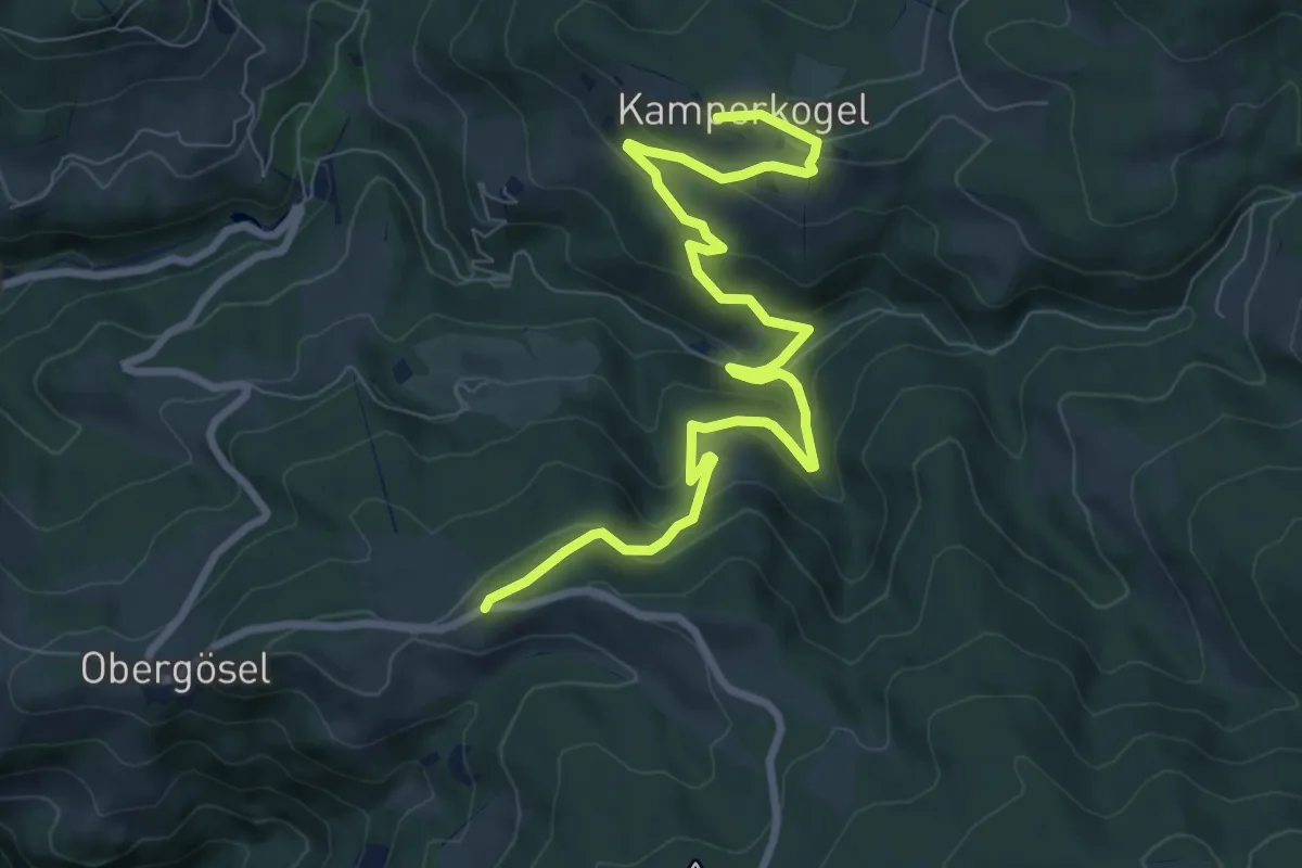
Medium · Trail
Obergösl - Langhans
9.9 km · ↑ 449 m · 3 h 18 min
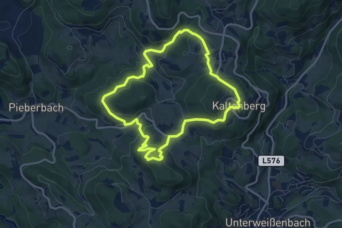
Easy · Trail
Obergrabenweg Nr. 43
7.2 km · ↑ 291 m · 2 h 25 min
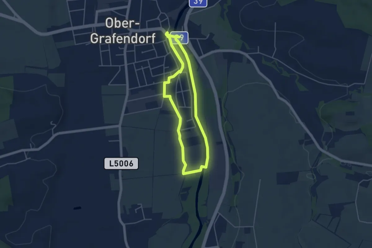
Easy · Trail
Ober-Grafendorf Tut gut-Schritteweg Route 1
3.7 km · ↑ 4 m · 55 min
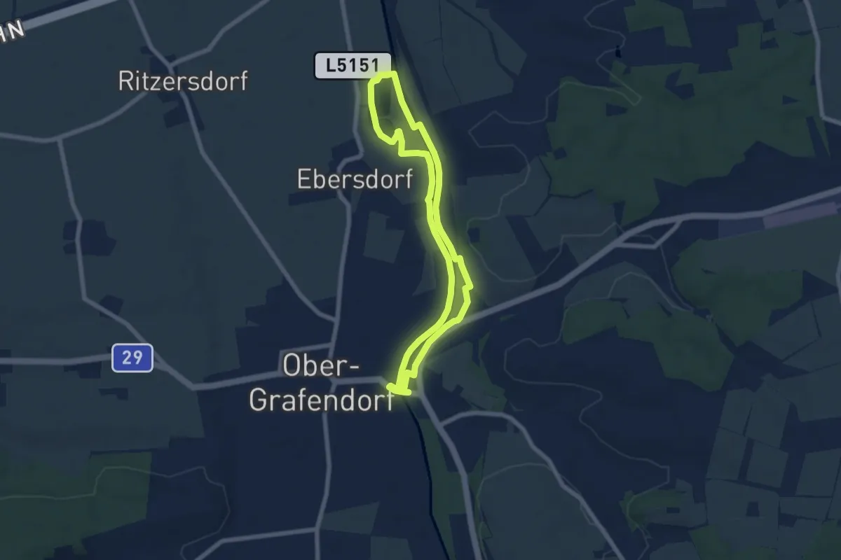
Easy · Trail
Ober-Grafendorf tut gut-Schritteweg Route 2
5.6 km · ↑ 9 m · 1 h 25 min
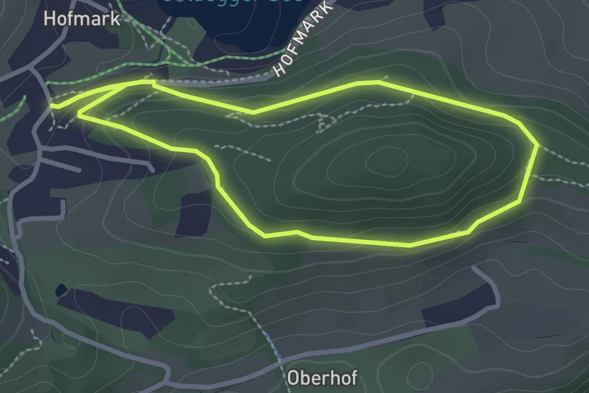
Medium · Trail
Oberhofrundweg
2.3 km · ↑ 82 m · 45 min
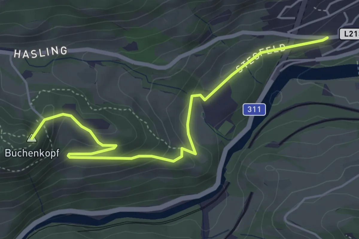
Easy · Summit
Oberhof-Schwarzach
5.0 km · ↑ 221 m · 1 h 39 min
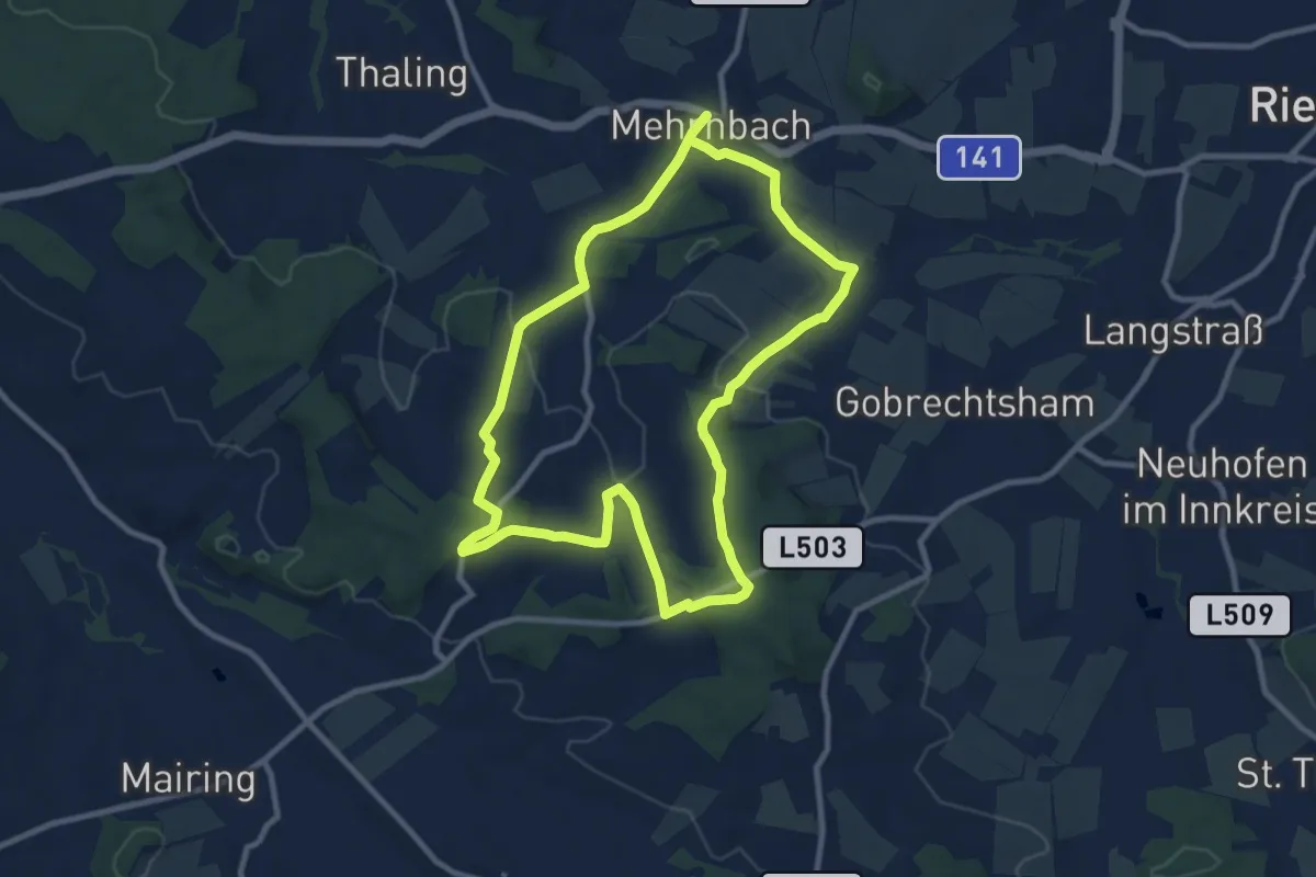
Demanding · Trail
Oberholz Rundweg
18.3 km · ↑ 376 m · 5 h 8 min
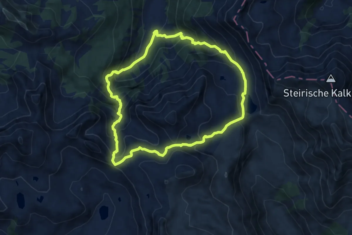
Medium · Cabin
Oberhüttentour
9.7 km · ↑ 721 m · 4 h
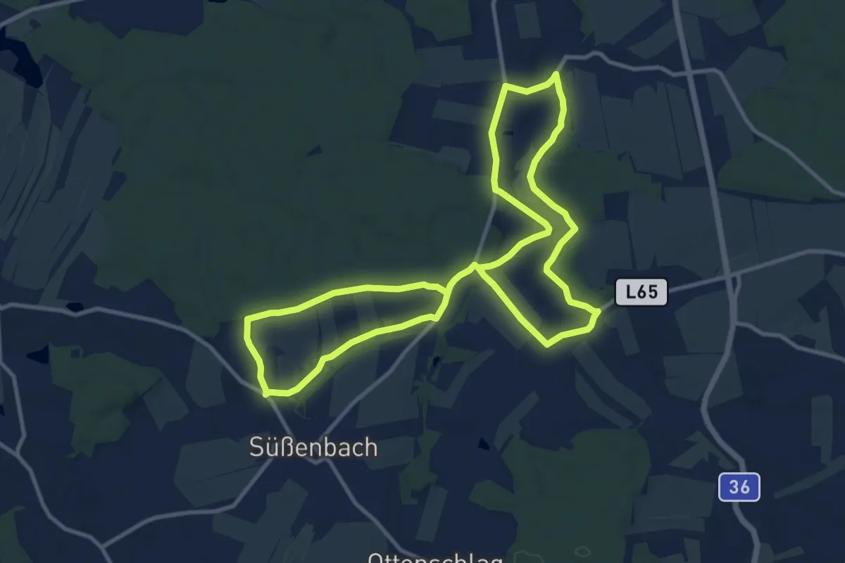
Demanding · Trail
Oberlauf der Thaya
20.3 km · ↑ 172 m · 5 h 10 min
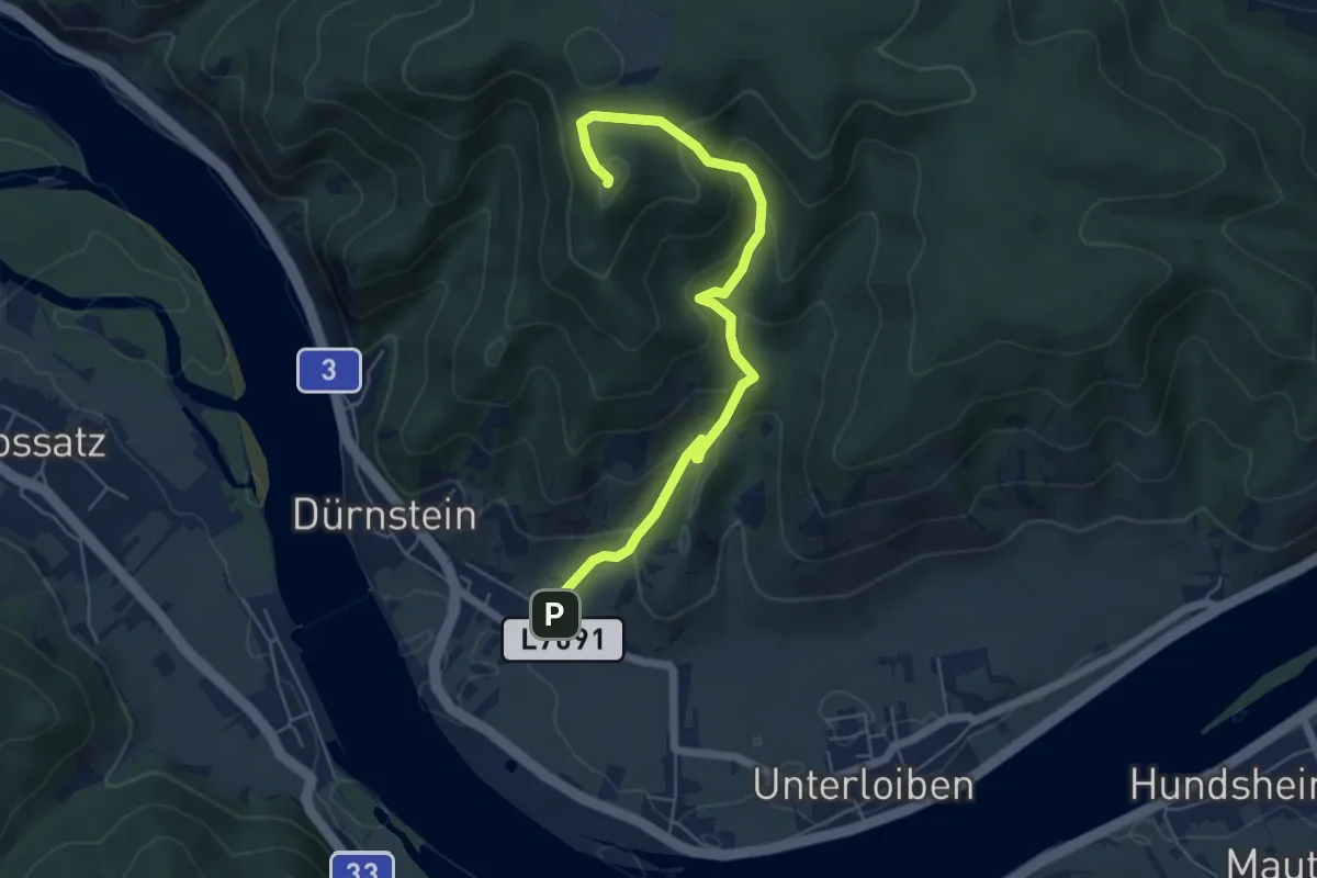
Medium · Trail
Oberloiben-Starhembergwarte
5.7 km · ↑ 363 m · 2 h 8 min
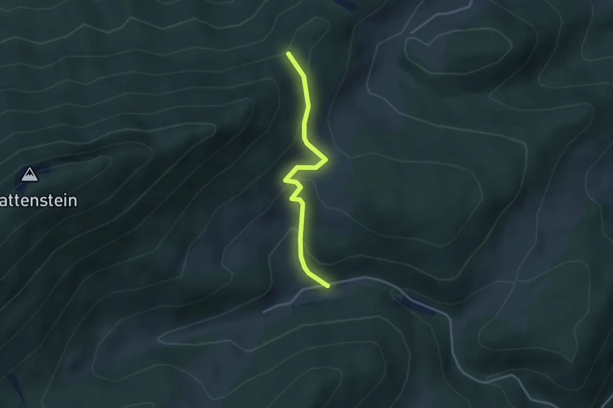
Easy · Trail
Ober-Miesenbach - Tablerhöhle
2.7 km · ↑ 150 m · 58 min
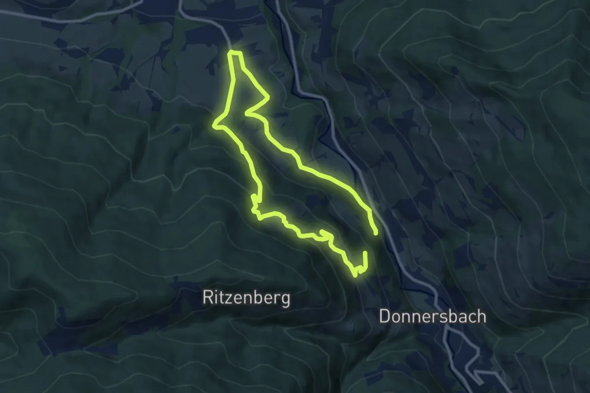
Easy · Trail
Obermoser-Rundwanderweg
7.2 km · ↑ 255 m · 2 h 25 min
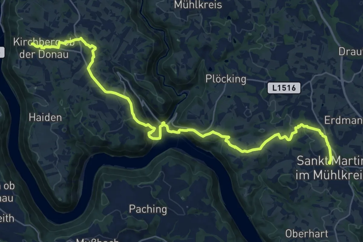
Demanding · Summit
Obermühl - St. Martin Donausteig Etappe
25.8 km · ↑ 893 m · 8 h 1 min