Trails in Austria
9,779 hiking trails, each with its route, climb, walking time and grade.
All trails, page 78 of 204
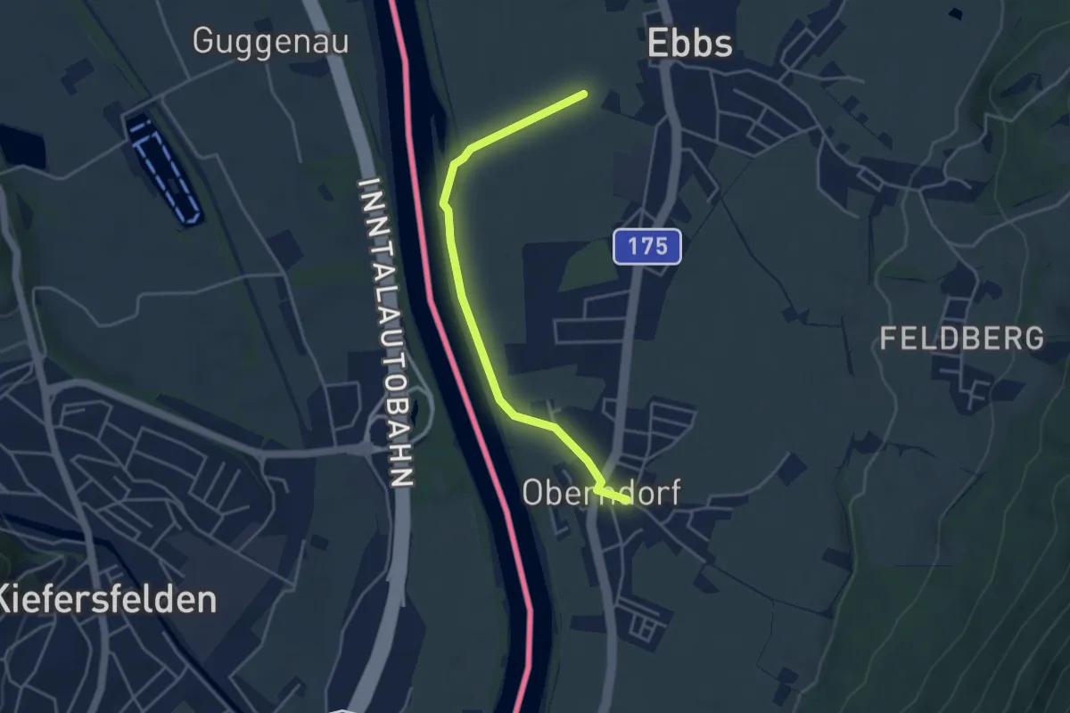
Easy · Trail
Oberndorfer-Runde
1.9 km · ↑ 4 m · 30 min
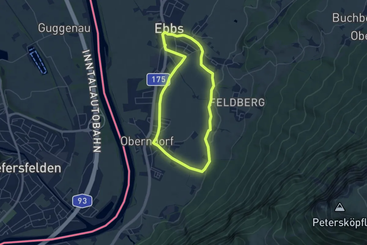
Easy · Trail
Oberndorf Rundweg
5.0 km · ↑ 16 m · 1 h 17 min
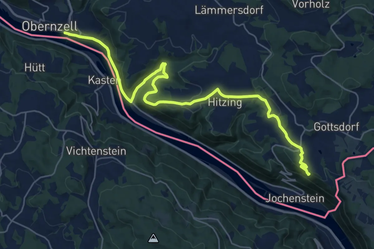
Demanding · Summit
Obernzell - Niederranna Donausteig Etappe
22.4 km · ↑ 555 m · 6 h 30 min
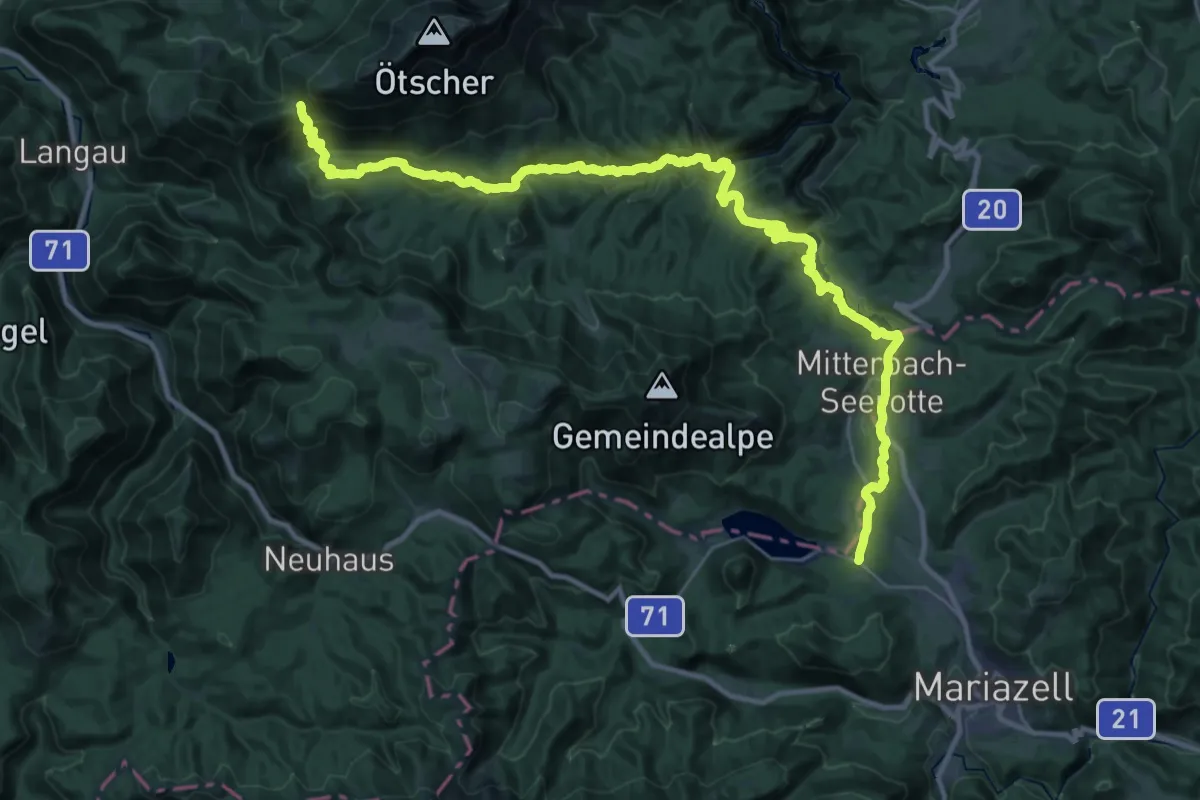
Demanding · Trail
Oberösterreichischer Mariazellerweg 06B
18.5 km · ↑ 371 m · 5 h 40 min
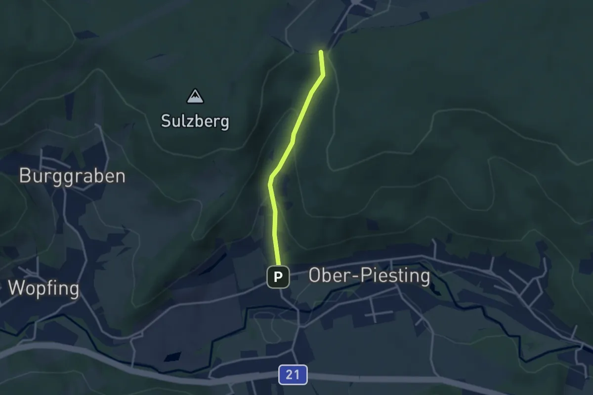
Easy · Trail
Ober-Piesting - Alkersdorf (231 Zubringer)
2.3 km · ↑ 140 m · 51 min
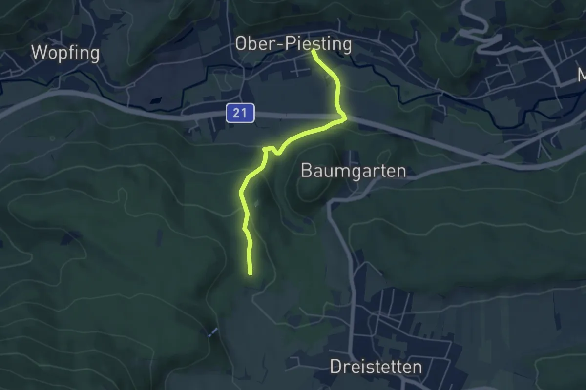
Easy · Trail
Ober-Piesting - Hohe Wand
4.2 km · ↑ 168 m · 1 h 22 min
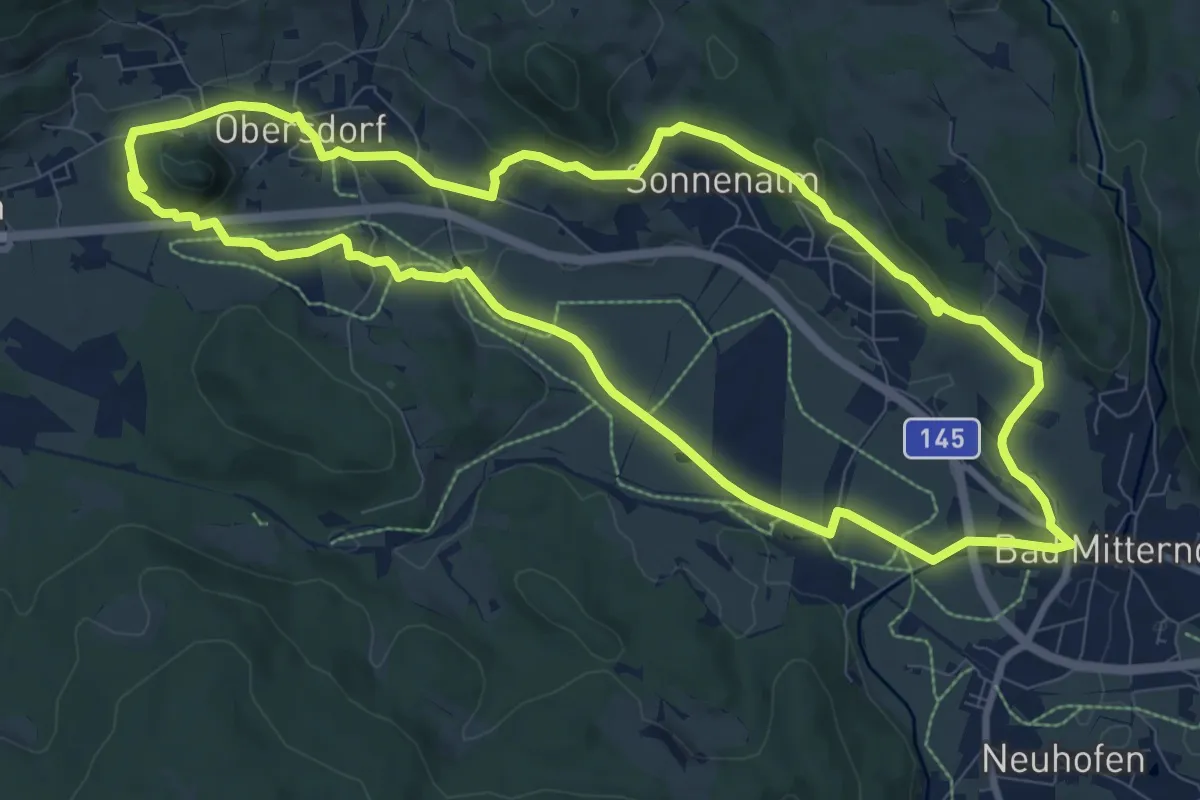
Medium · Trail
Obersdorfer Rundweg
9.8 km · ↑ 148 m · 2 h 46 min
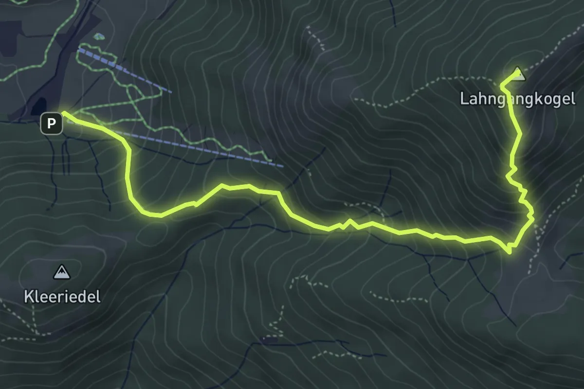
Medium · Summit
Oberst Klinke Hütte - Lahngang - Kaiserau
6.3 km · ↑ 645 m · 2 h 53 min
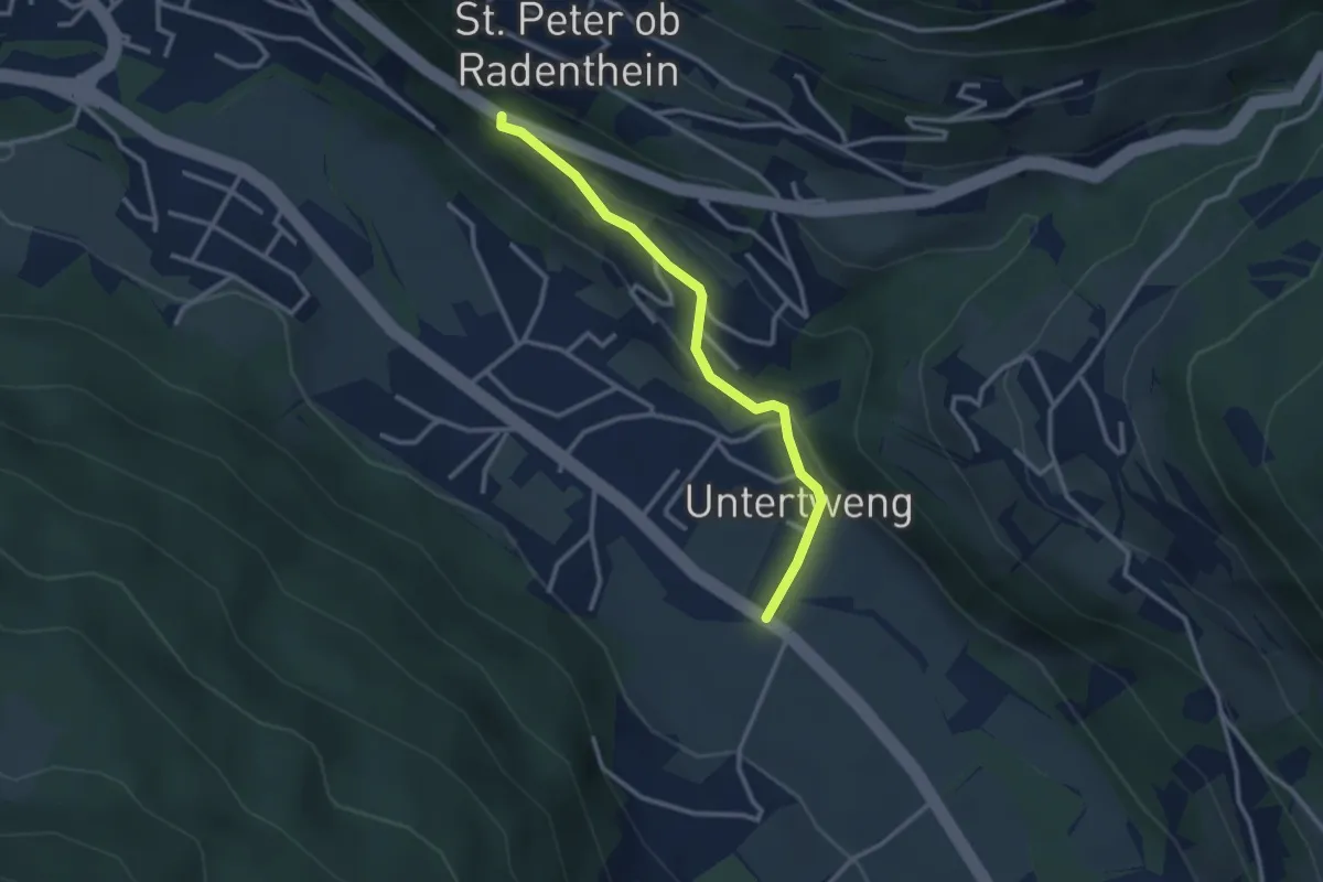
Easy · Trail
Obertweng-Highway
2.8 km · ↑ 96 m · 52 min
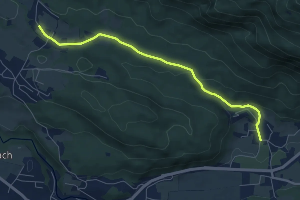
Easy · Trail
Obervellach (Gasthof Schluga) - Radnig (Naturschwimmbad)
6.1 km · ↑ 125 m · 1 h 42 min
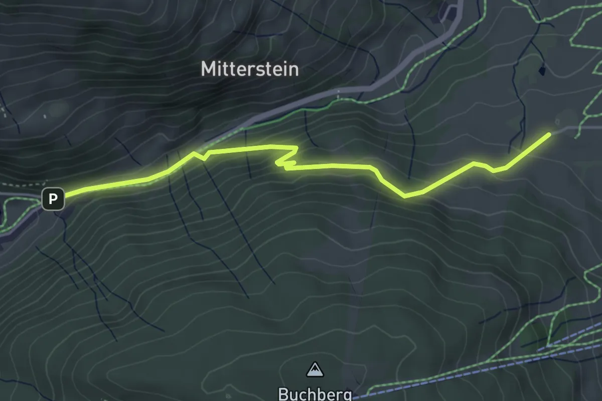
Easy · Trail
Oberwörnsdorf-Böndlsee
4.5 km · ↑ 199 m · 1 h 29 min
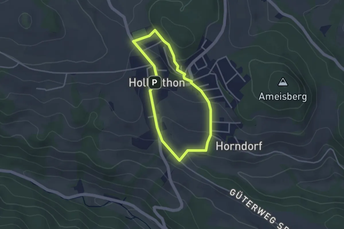
Easy · Trail
Obstlehrpfad
2.5 km · ↑ 67 m · 46 min
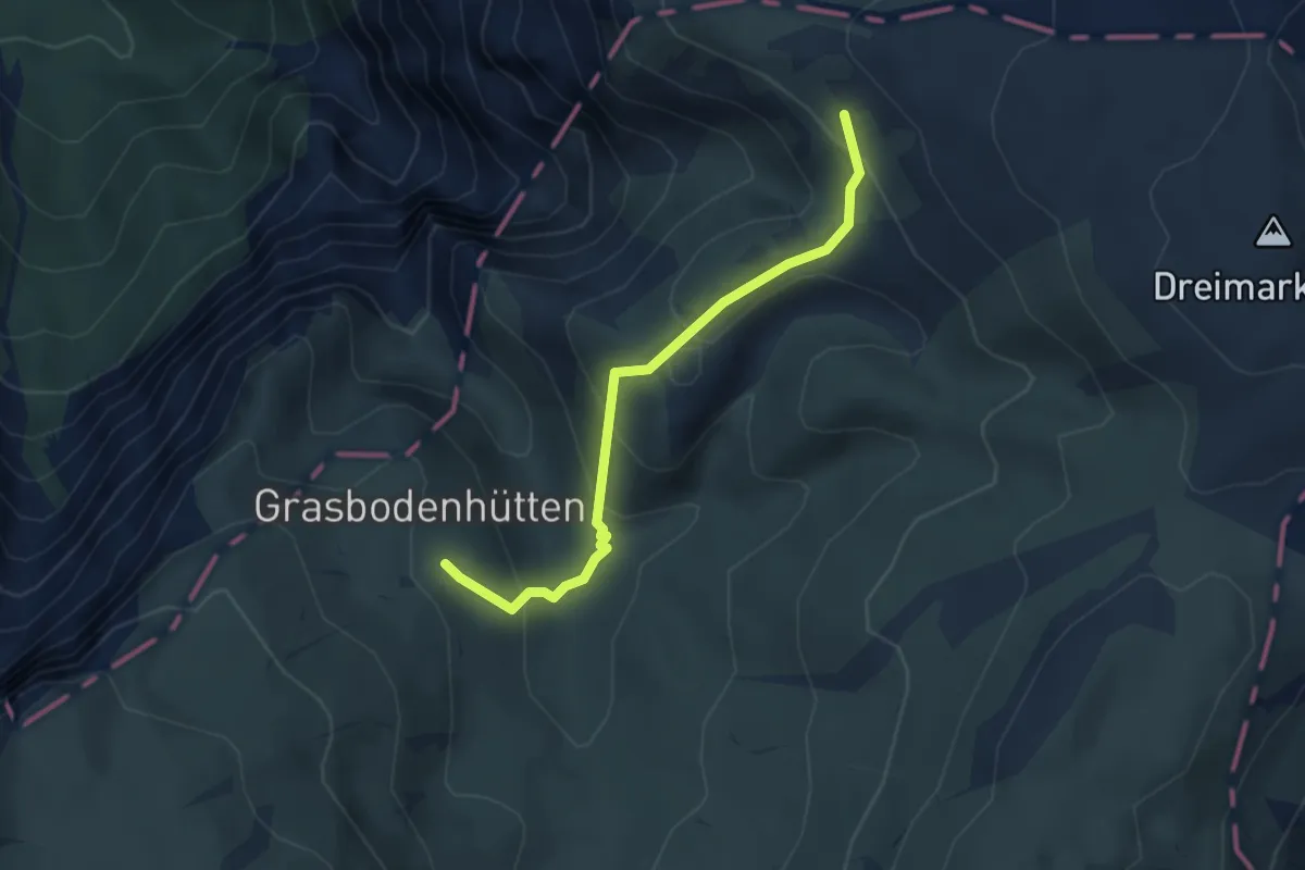
Medium · Trail
Ochsenhaltweg 824B
3.5 km · ↑ 283 m · 1 h 26 min
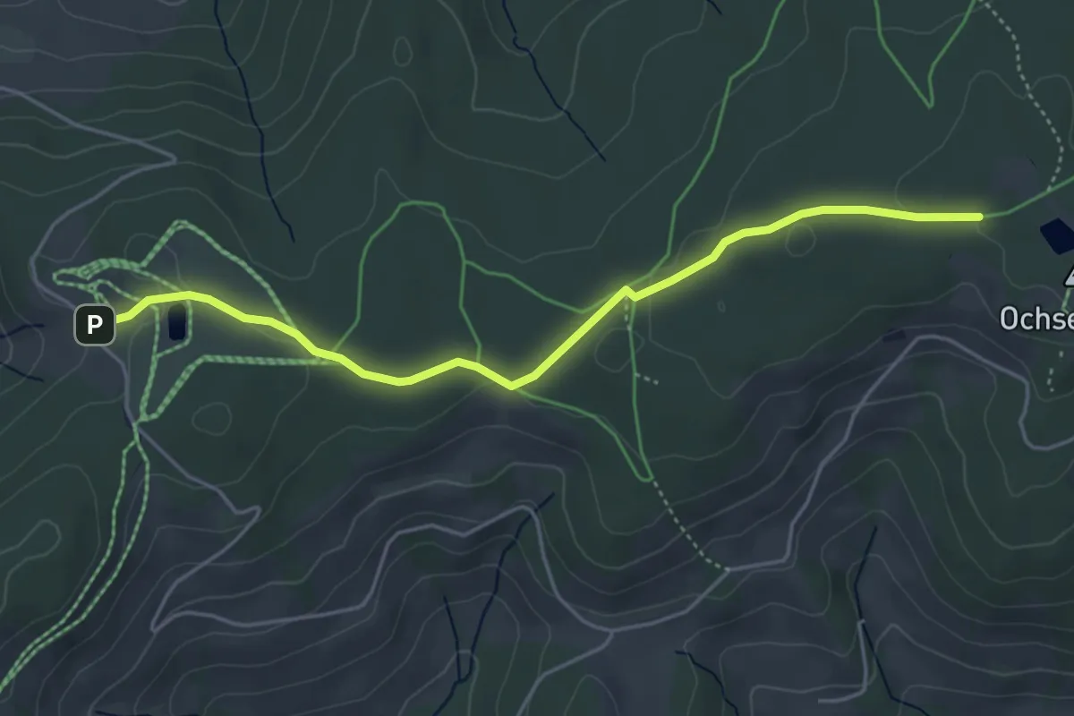
Easy · Trail
Ochsenkopf Höhenweg
4.6 km · ↑ 78 m · 1 h 16 min
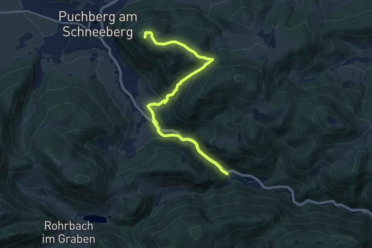
Medium · Summit
Ödenhof (Puchberg) - Wegscheidgraben - Himberghaus
10.5 km · ↑ 458 m · 3 h 28 min
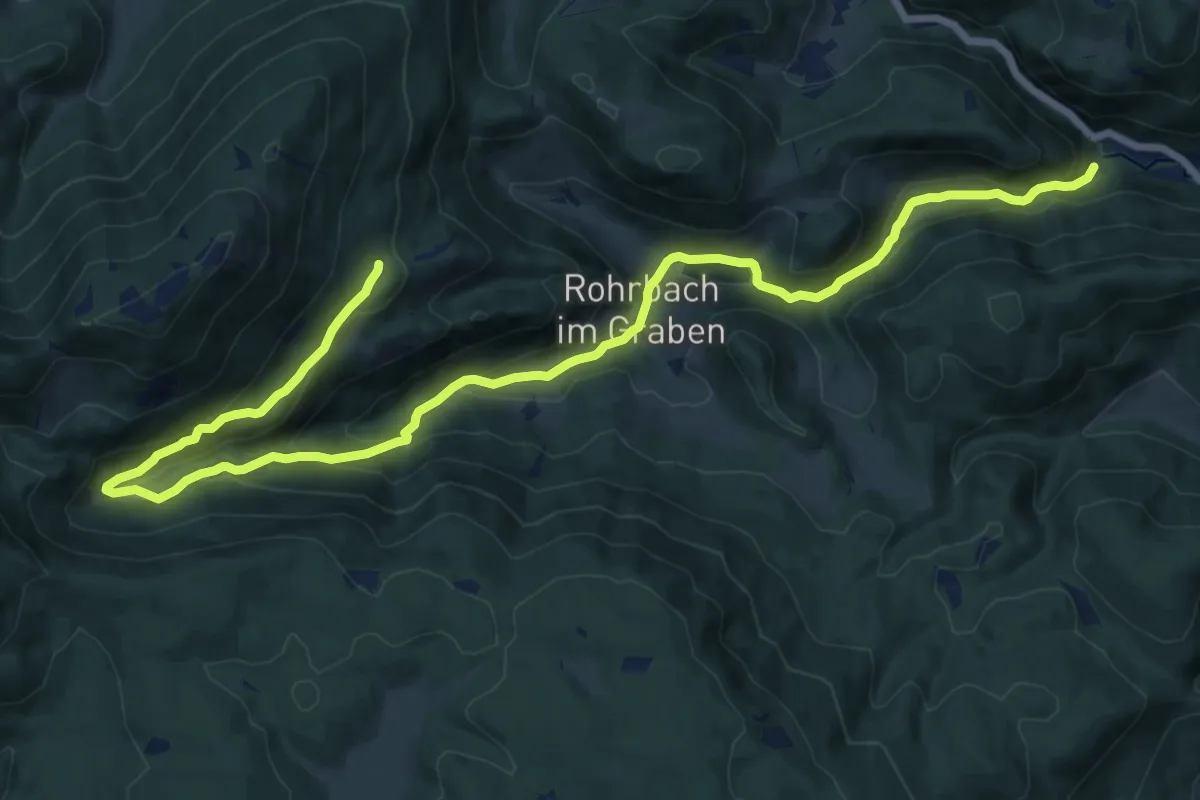
Demanding · Cabin
Ödenhof - Rohrbach - Himberger Haus - Hengsthütte
19.4 km · ↑ 697 m · 6 h 6 min
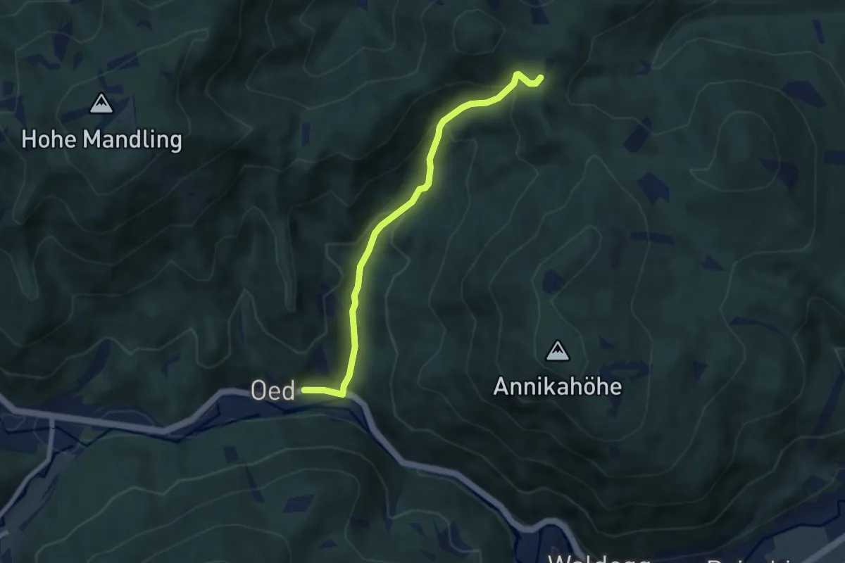
Medium · Trail
Oed - Anschluß WWW 201A u. 231
5.9 km · ↑ 346 m · 2 h 8 min
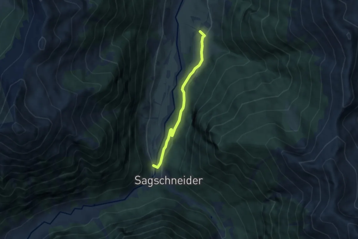
Easy · Trail
Ofenstegweg
5.3 km · ↑ 106 m · 1 h 29 min
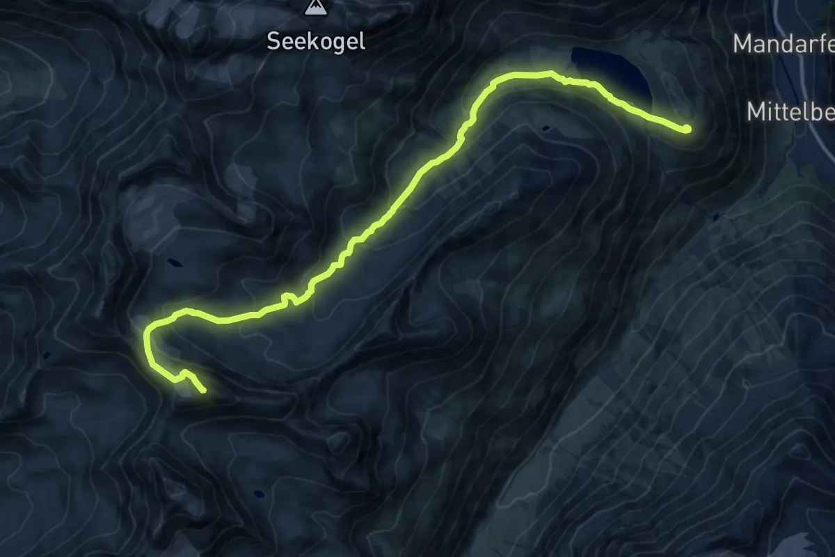
Expert · Summit
Offenbacher Höhenweg
15.8 km · ↑ 1028 m · 5 h 57 min
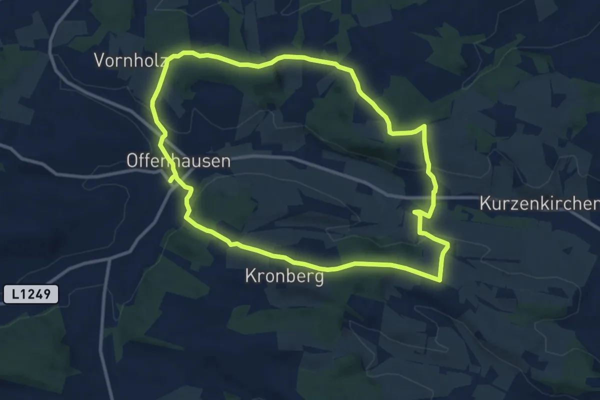
Medium · Trail
Offenhausener Christophorusweg
8.8 km · ↑ 197 m · 2 h 37 min
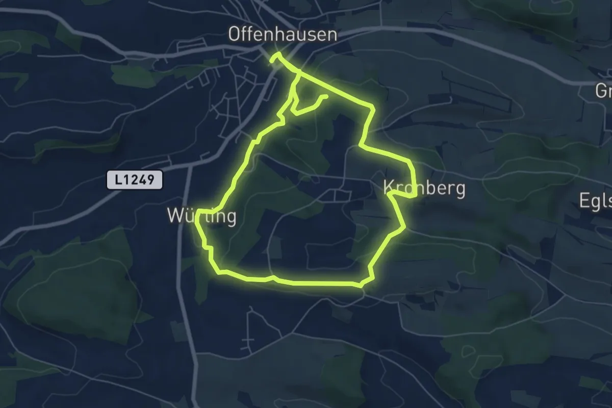
Easy · Trail
Offenhausener Panorama Weg
6.3 km · ↑ 208 m · 2 h
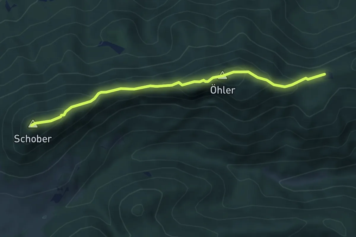
Demanding · Summit
Öhlerschutzhaus - Schoberkapelle
5.2 km · ↑ 358 m · 2 h
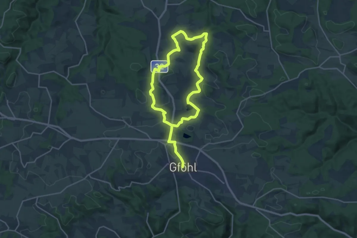
Demanding · Trail
Öko Dorf Weg (91)
24.7 km · ↑ 356 m · 6 h 36 min
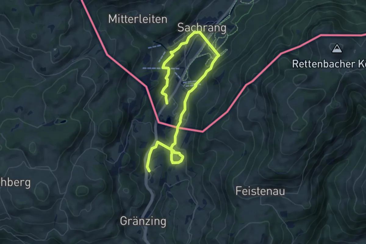
Medium · Trail
Öko-Kultur-Weg
9.1 km · ↑ 371 m · 2 h 58 min
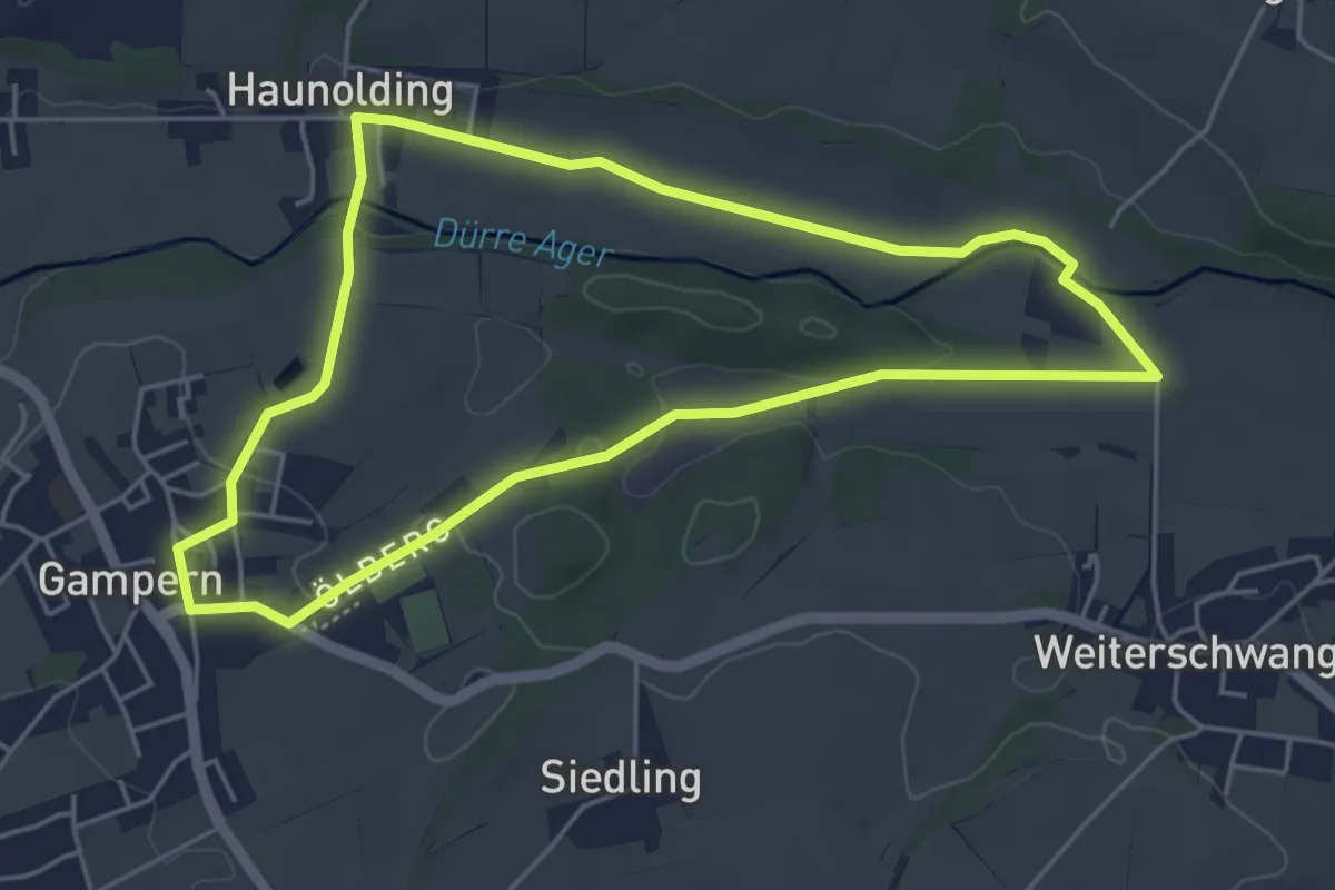
Easy · Trail
Ölbergrundweg
4.7 km · ↑ 40 m · 1 h 15 min
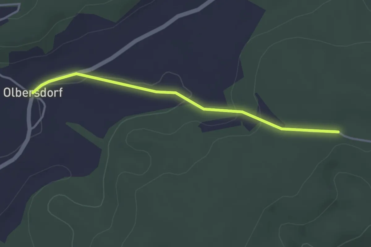
Easy · Trail
Olbersdorf - Heidberg Kzg.
3.1 km · ↑ 30 m · 47 min
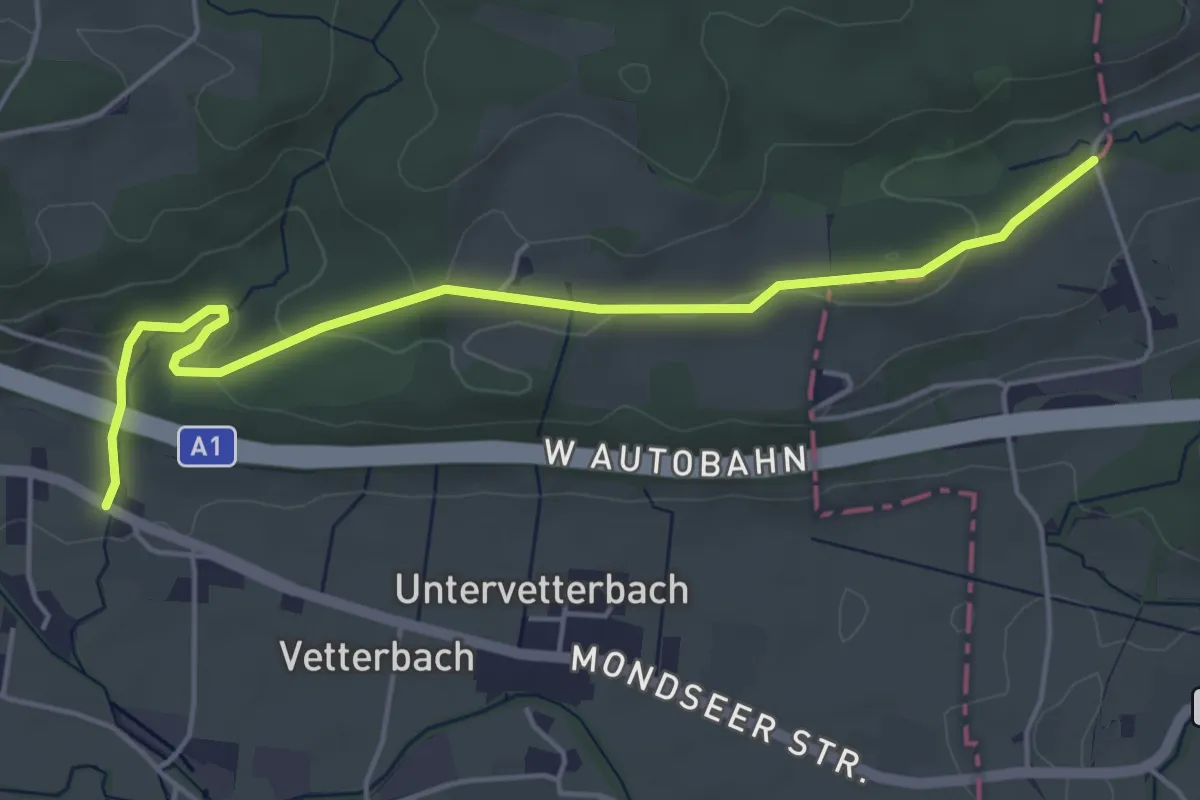
Easy · Trail
Ölgraben Wanderweg
5.1 km · ↑ 97 m · 1 h 25 min
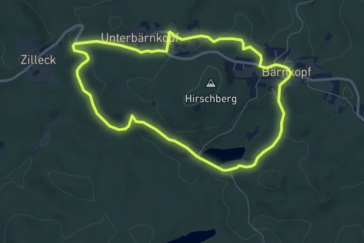
Easy · Trail
Opfersteinweg
6.2 km · ↑ 128 m · 1 h 49 min
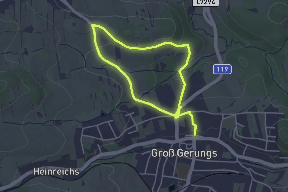
Easy · Trail
Opfersteinweg Groß Gerungs 33
5.4 km · ↑ 128 m · 1 h 34 min
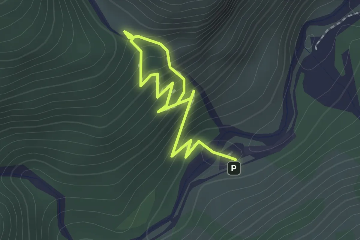
Easy · Trail
Orchideen-Erlebnisweg
2.2 km · ↑ 232 m · 1 h 1 min
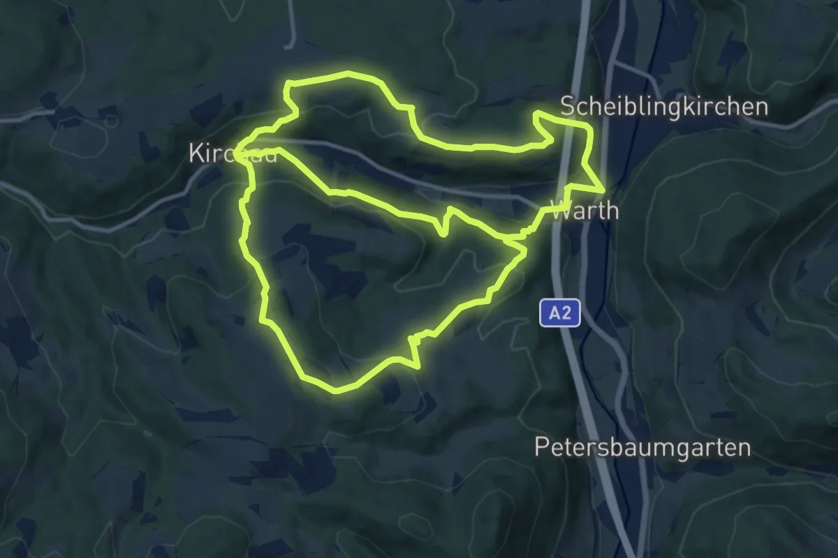
Demanding · Trail
Orchideen Weg (Ausgangspunkt: Warth Hauptplatz)
24.6 km · ↑ 972 m · 7 h 55 min
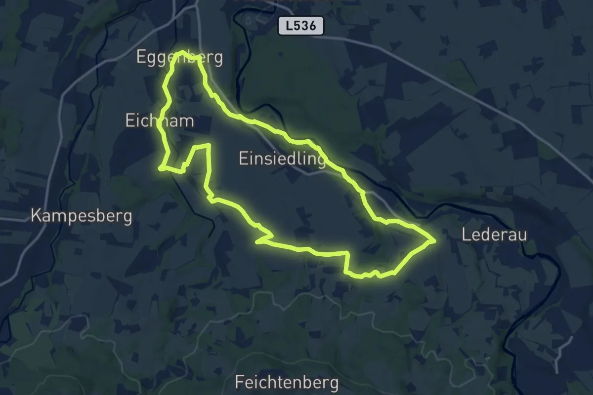
Medium · Trail
ORF Wandertag
12.2 km · ↑ 165 m · 3 h 25 min
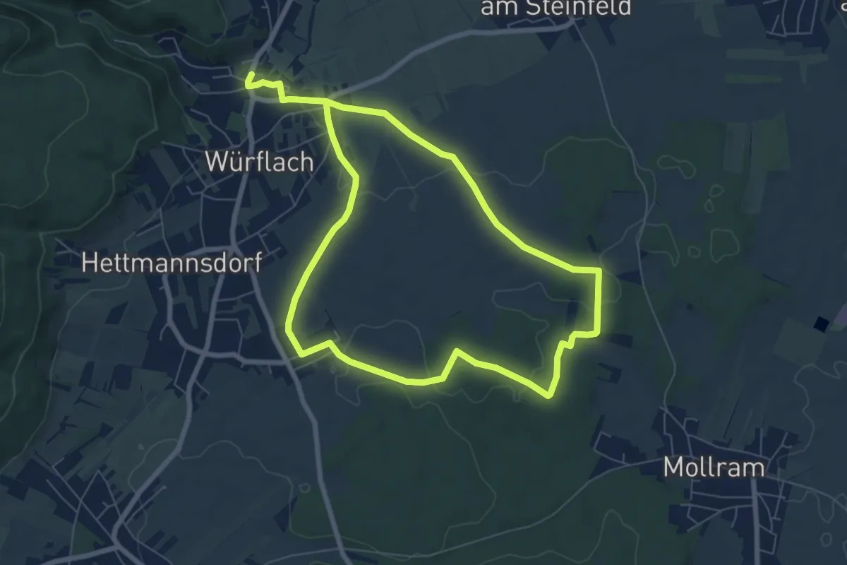
Easy · Trail
Orgelbau-Allgäuer Runde
6.3 km · ↑ 57 m · 1 h 42 min
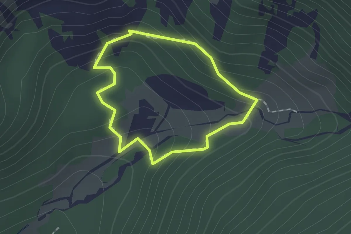
Medium · Cabin
Orlova pot
1.1 km · ↑ 106 m · 31 min
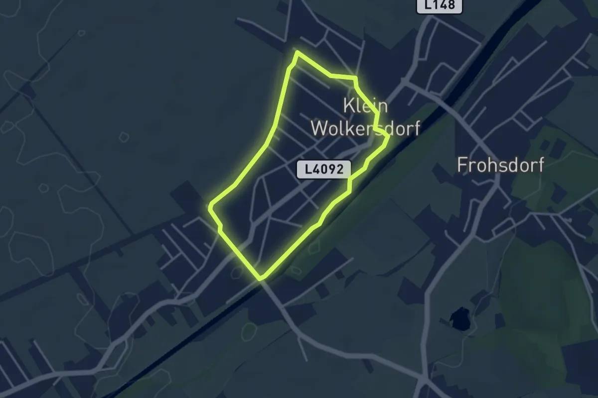
Easy · Trail
Orstrunde (L5)
2.6 km · ↑ 4 m · 40 min
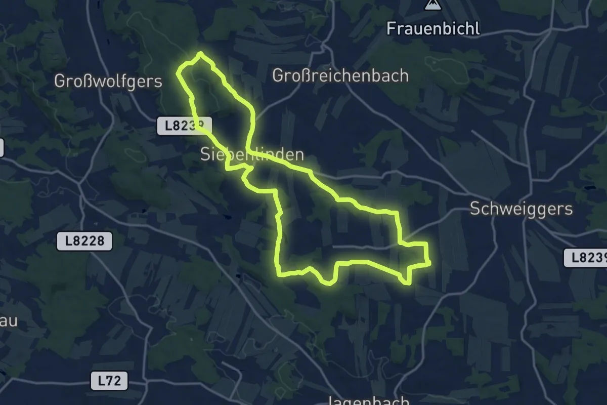
Medium · Summit
Orte der Kraft 41
14.0 km · ↑ 172 m · 3 h 52 min
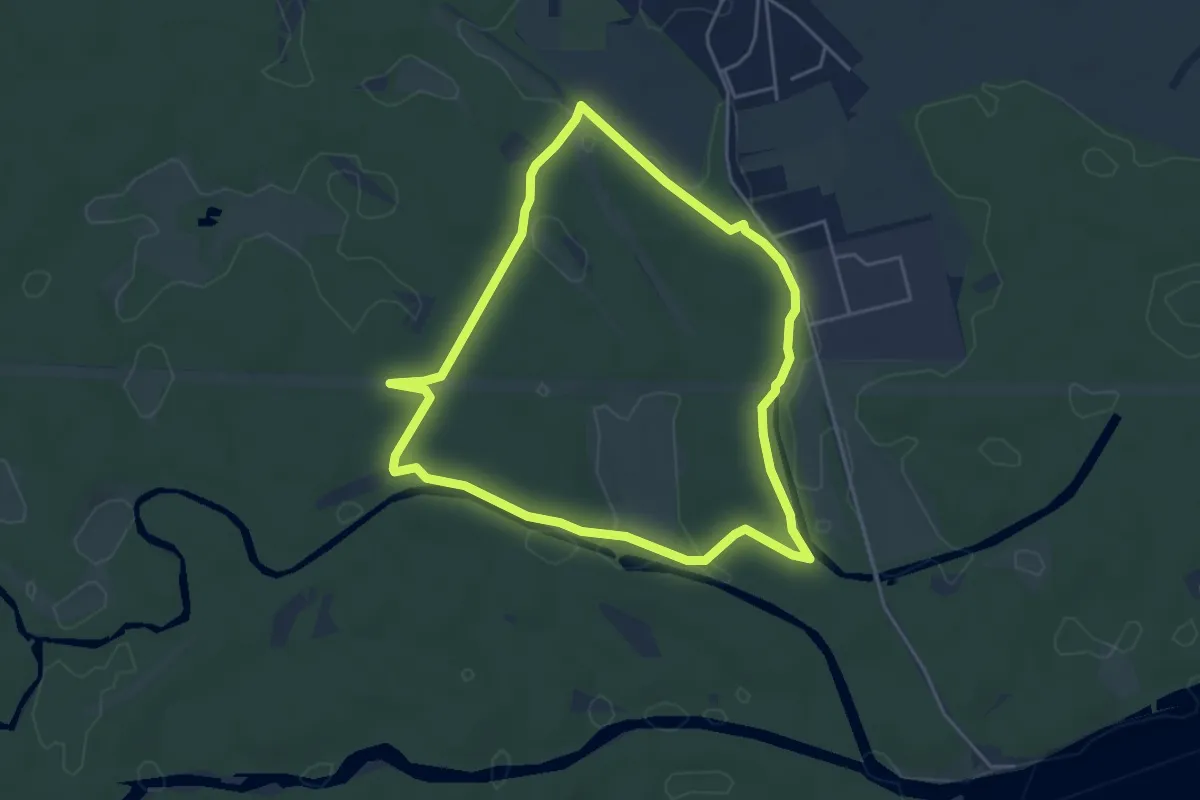
Easy · Trail
Orther Rundwanderweg
4.3 km · ↑ 0 m · 1 h 5 min
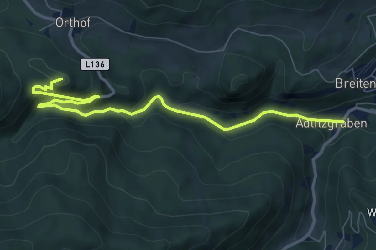
Easy · Summit
Orthof - Falkensteinhöhle - Adlitzgraben
7.0 km · ↑ 306 m · 2 h 19 min
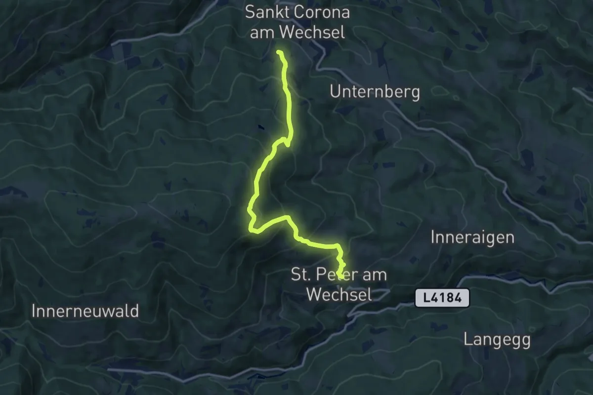
Medium · Trail
Orthof - Herrgottschnitzerhütte - St. Peter
10.9 km · ↑ 799 m · 4 h 19 min
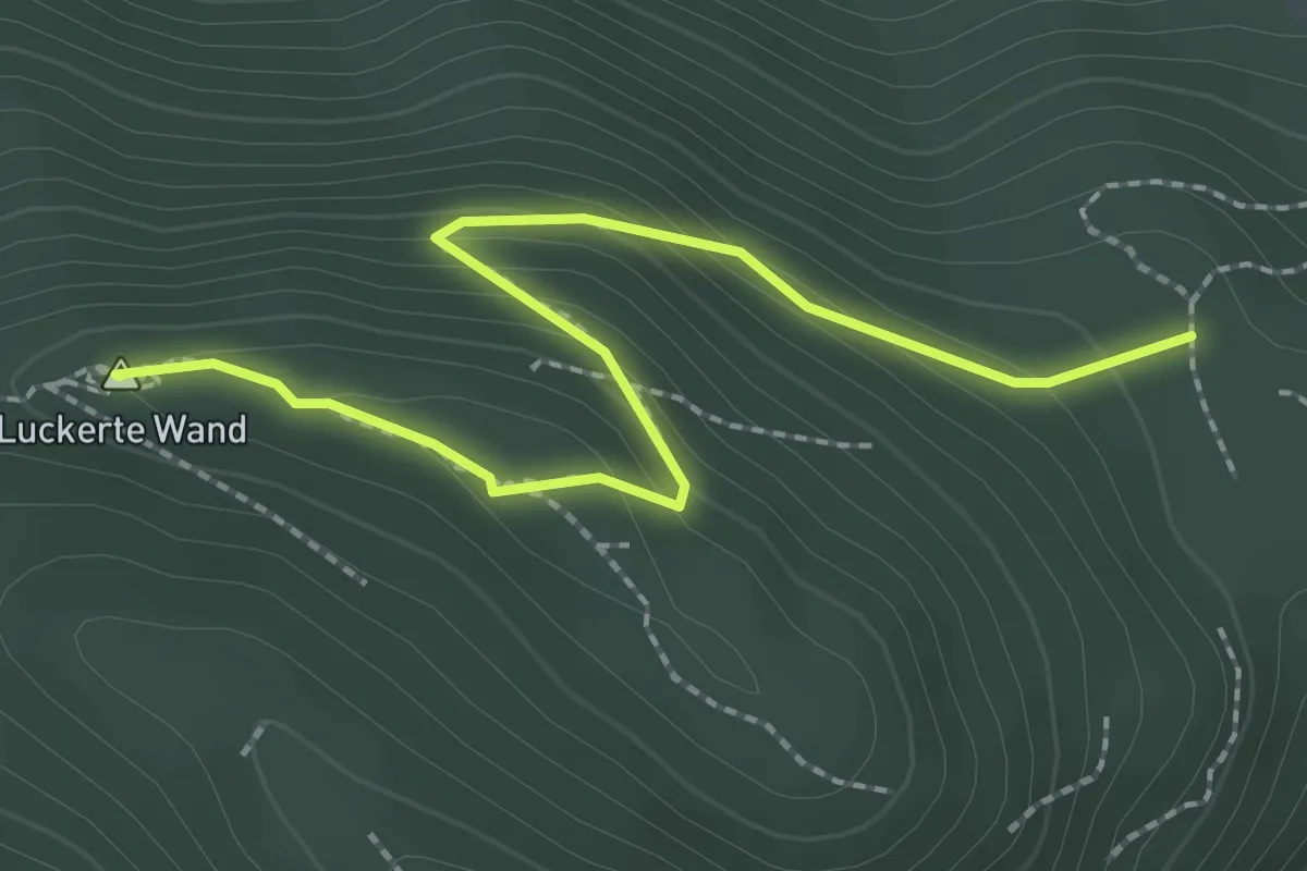
Easy · Summit
Orthof - Luckerte Wand
2.5 km · ↑ 151 m · 55 min
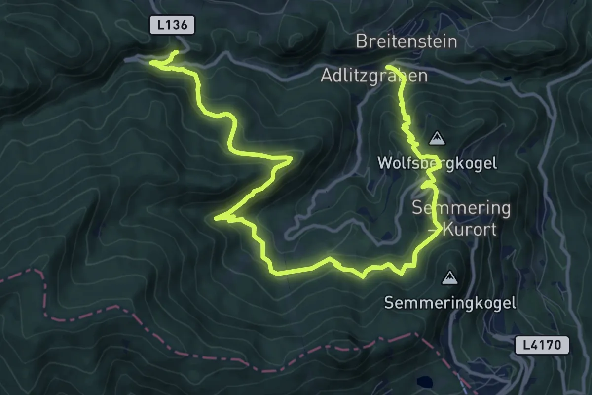
Demanding · Trail
Orthof - Rotberg - Meierei - Semmering - Falkenstein
15.0 km · ↑ 803 m · 5 h 17 min
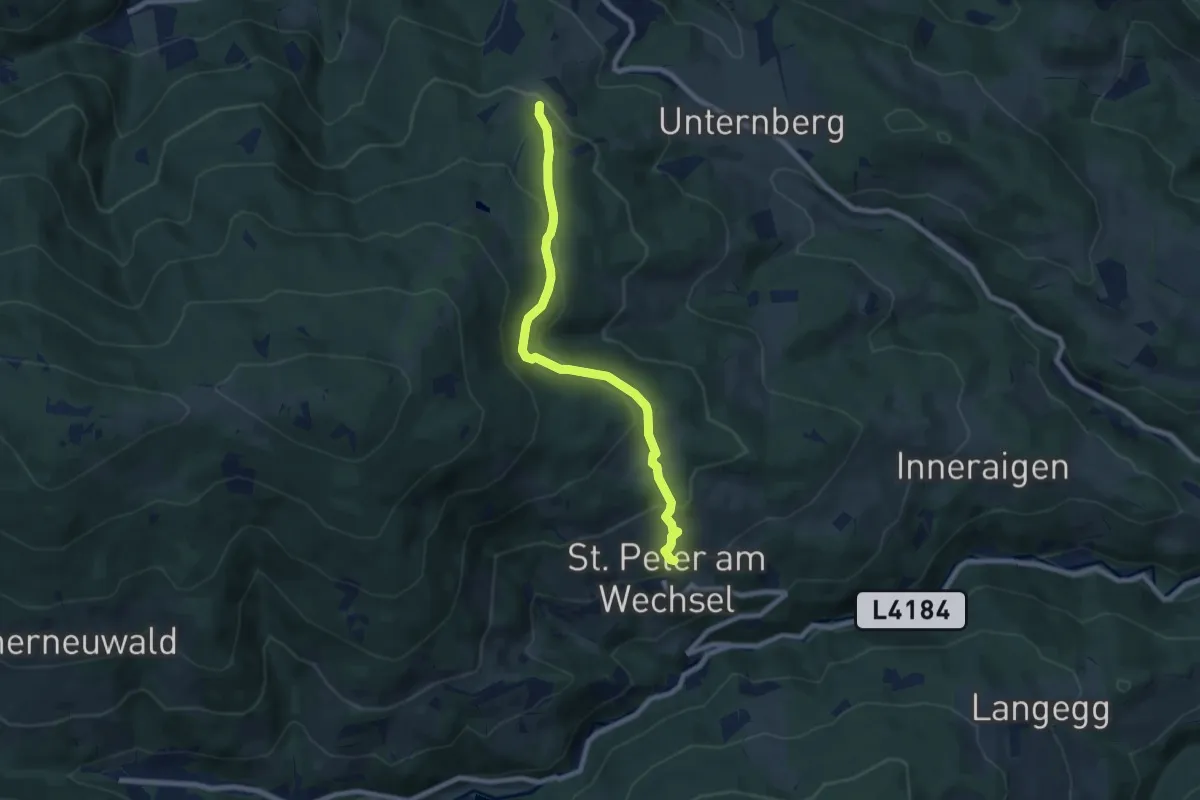
Medium · Trail
Orthof - St. Peter
7.5 km · ↑ 345 m · 2 h 30 min
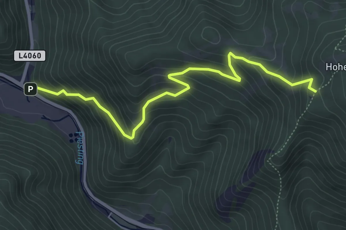
Medium · Trail
Ortmann - Hoher Mandling
5.8 km · ↑ 470 m · 2 h 24 min
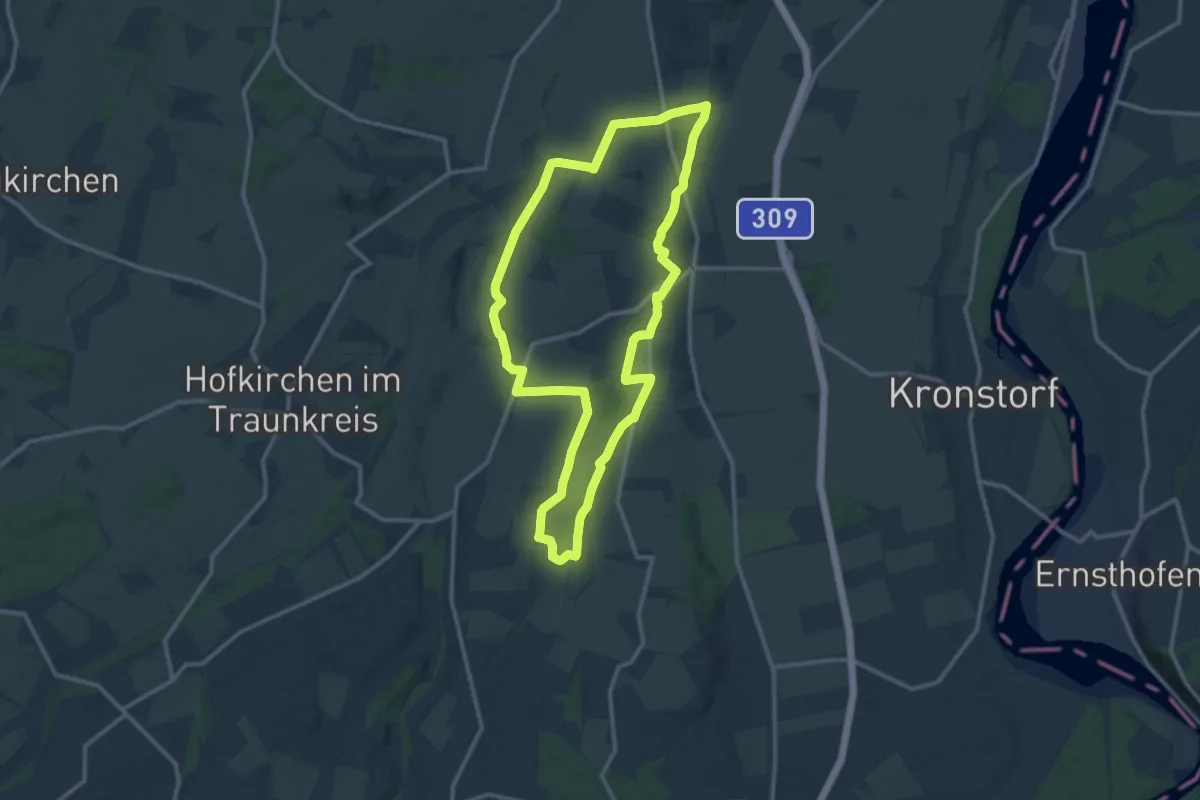
Medium · Trail
Ortschaftenweg
12.0 km · ↑ 182 m · 3 h 24 min
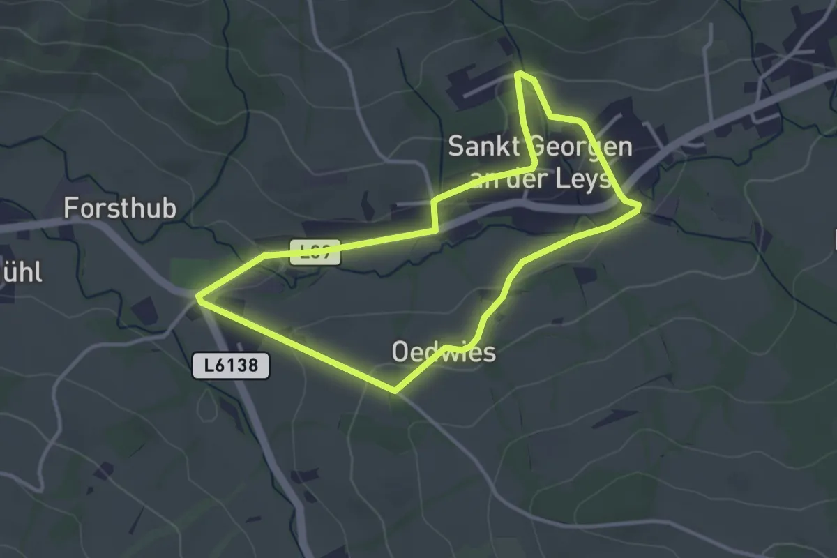
Easy · Trail
Ortsrunde
3.1 km · ↑ 67 m · 55 min
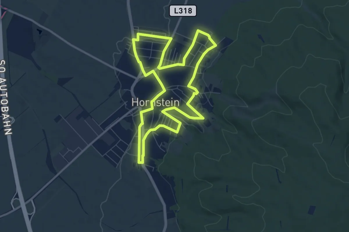
Easy · Trail
Ortsrunde (Rundwanderweg)
7.6 km · ↑ 119 m · 2 h 10 min
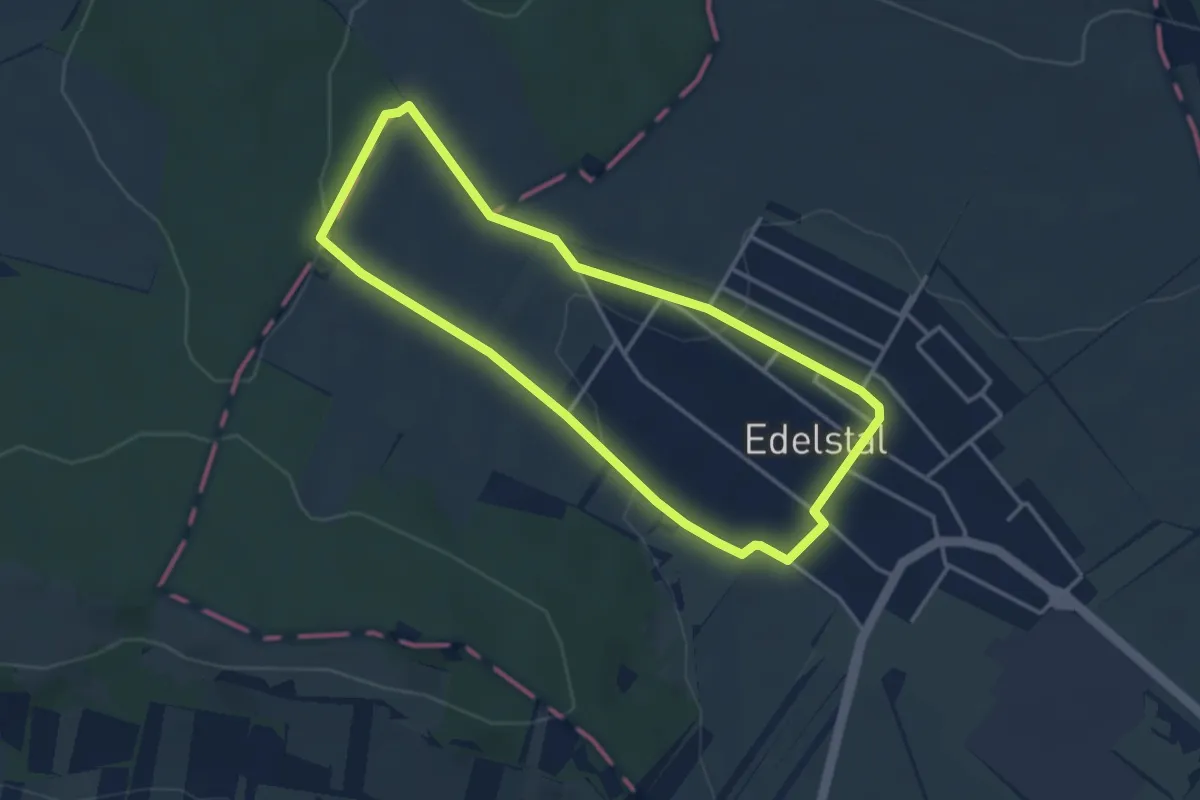
Easy · Trail
Ortsrunde (Rundwanderweg)
3.4 km · ↑ 58 m · 58 min
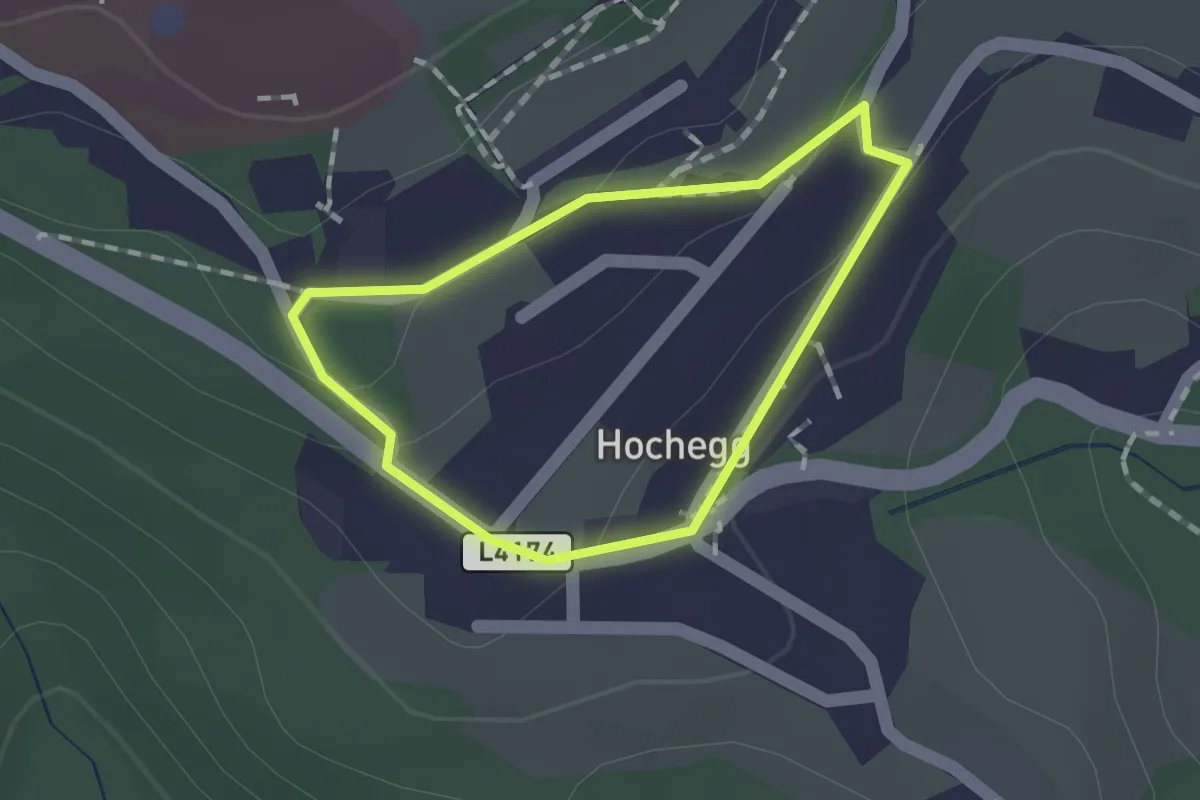
Easy · Trail
Ortsrundgang (H7)
1.1 km · ↑ 29 m · 20 min