Trails in Austria
9,779 hiking trails, each with its route, climb, walking time and grade.
All trails, page 79 of 204
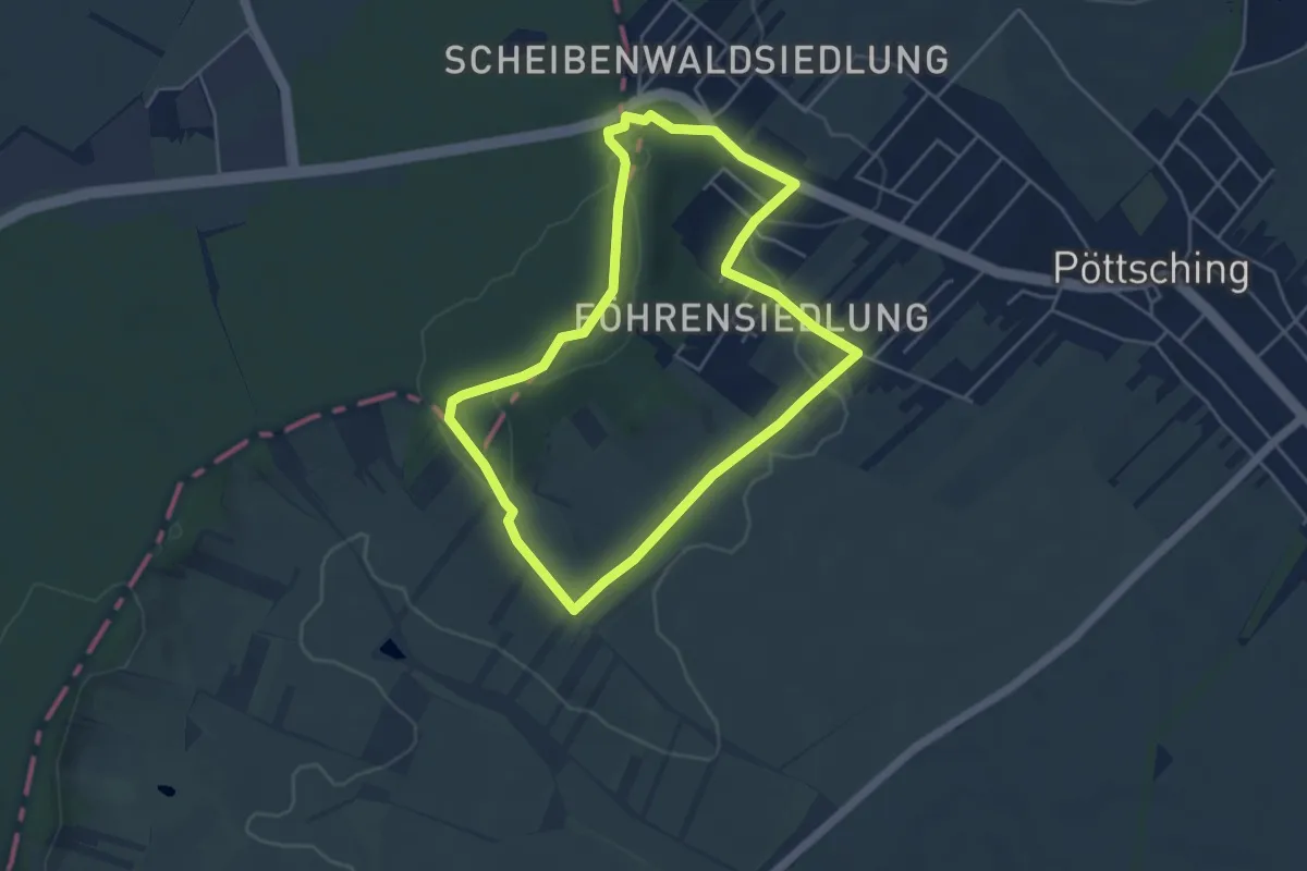
Easy · Trail
Ortswanderweg Pöttsching Route I
4.4 km · ↑ 68 m · 1 h 15 min
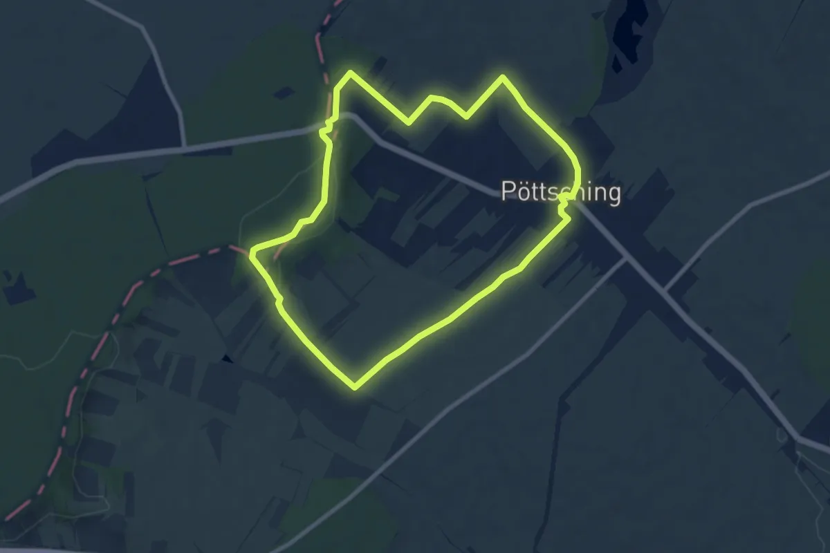
Easy · Trail
Ortswanderweg Pöttsching Route II
7.2 km · ↑ 87 m · 1 h 59 min
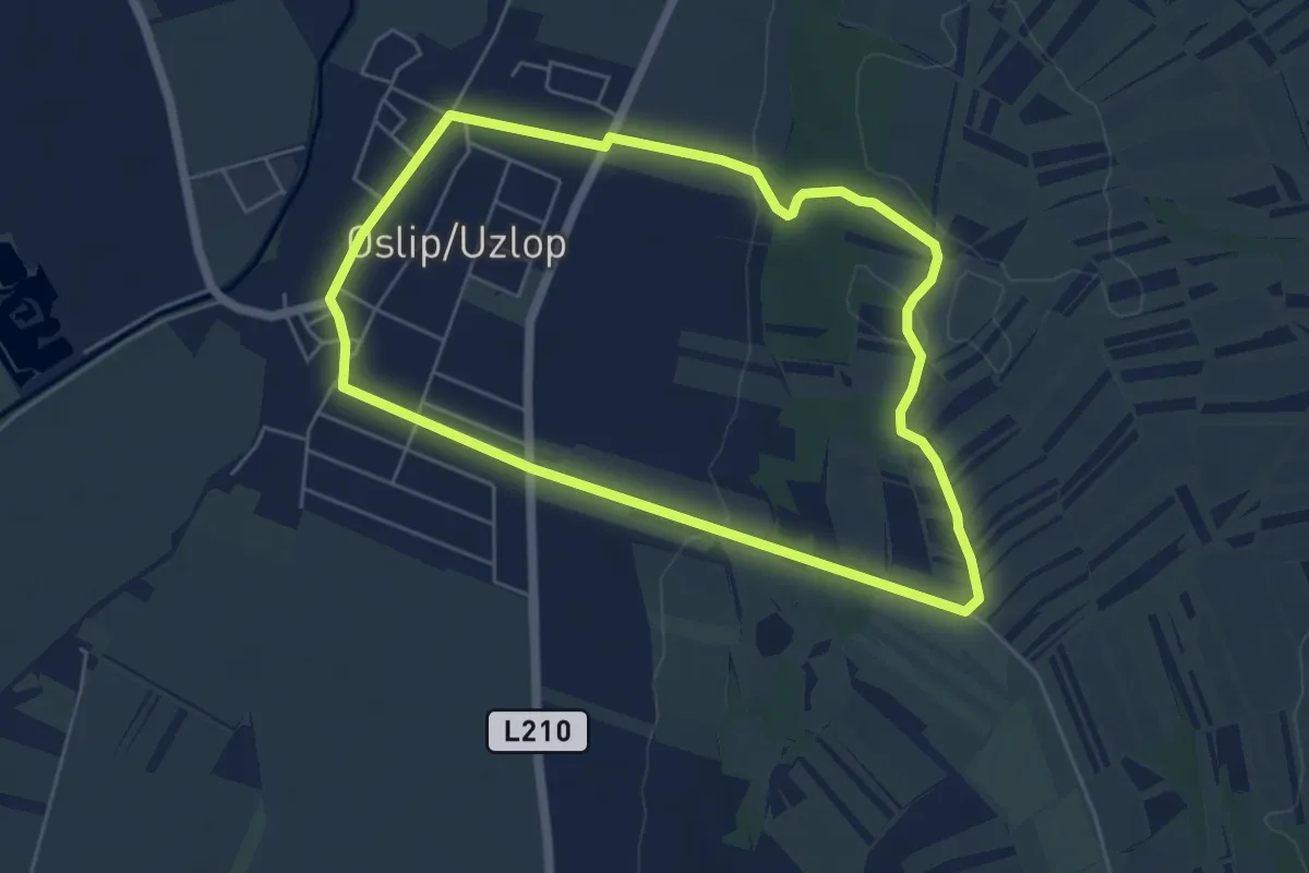
Easy · Trail
Osliper Marterlrunde
5.3 km · ↑ 82 m · 1 h 29 min
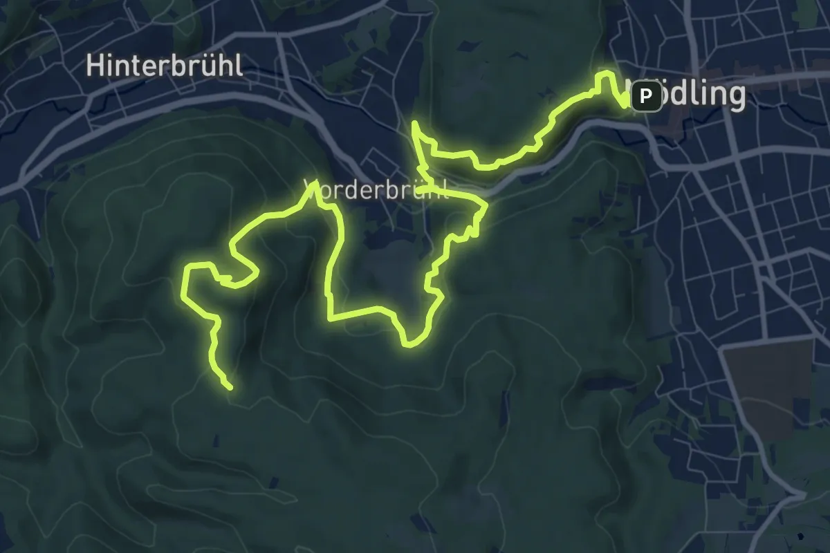
Medium · Summit
Ostarrichi Wanderweg 48
14.5 km · ↑ 664 m · 4 h 52 min
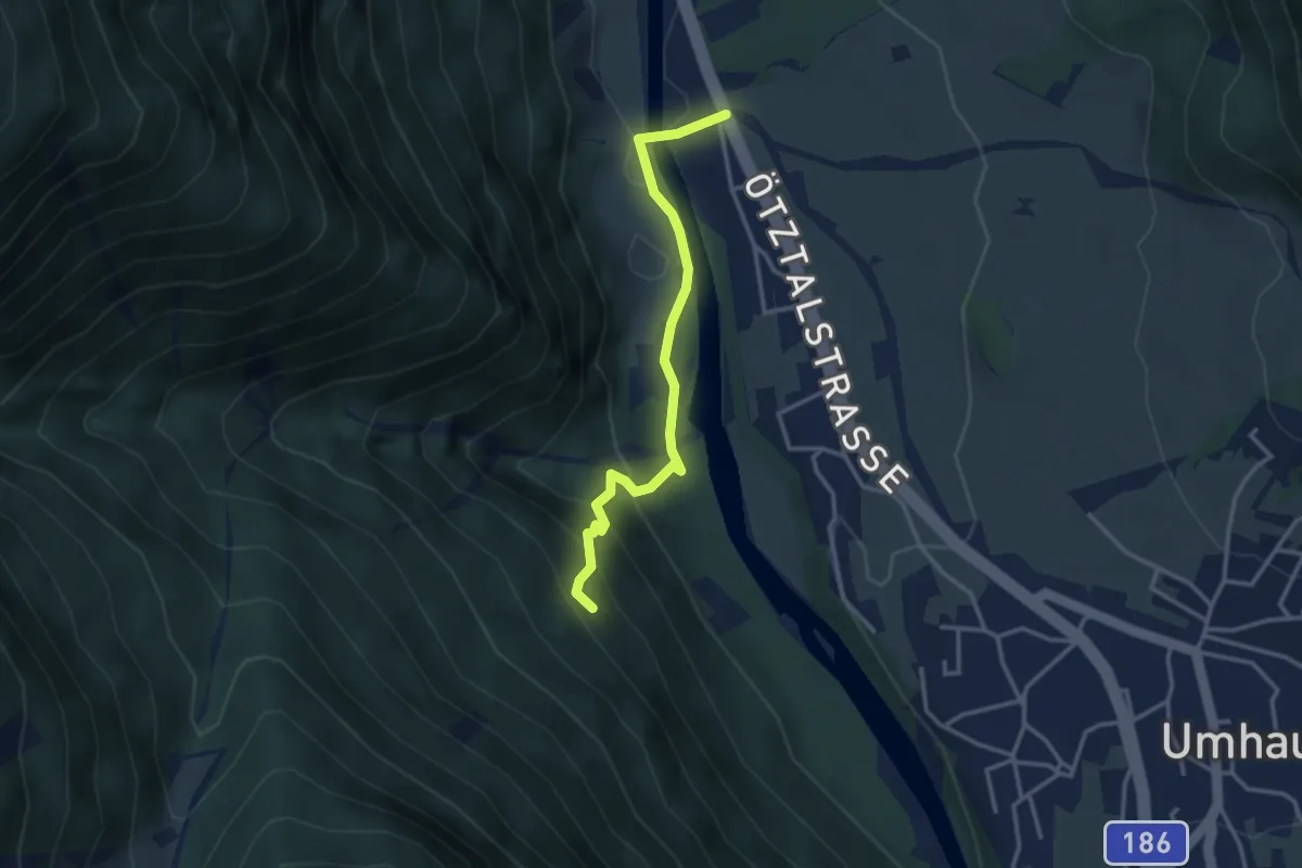
Easy · Trail
Östen - Fundustal
3.2 km · ↑ 182 m · 1 h 8 min
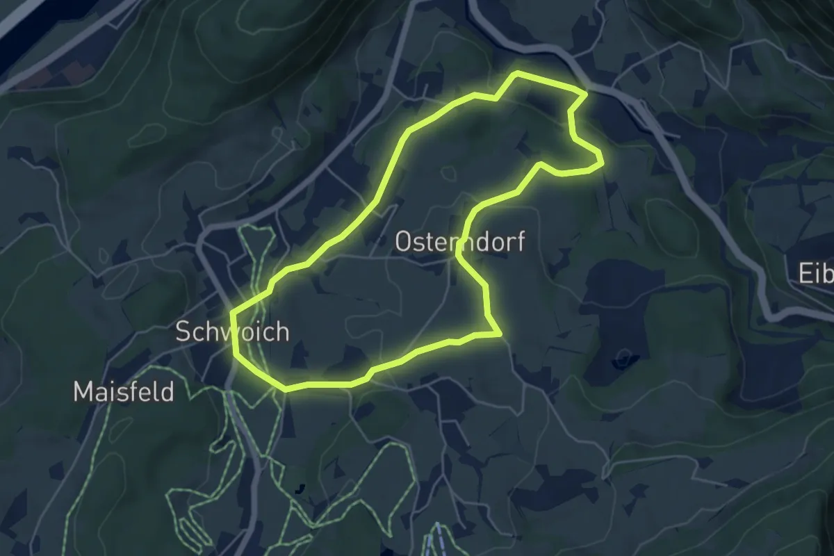
Easy · Trail
Osterndorfer-Runde
5.0 km · ↑ 115 m · 1 h 30 min
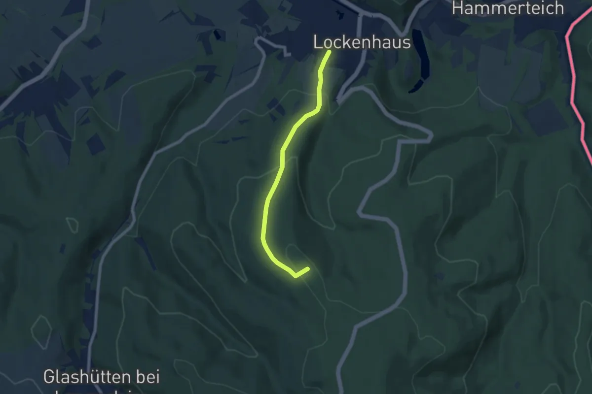
Easy · Summit
Ostösterreichischer GLW07 Waldvariante
5.4 km · ↑ 254 m · 1 h 50 min
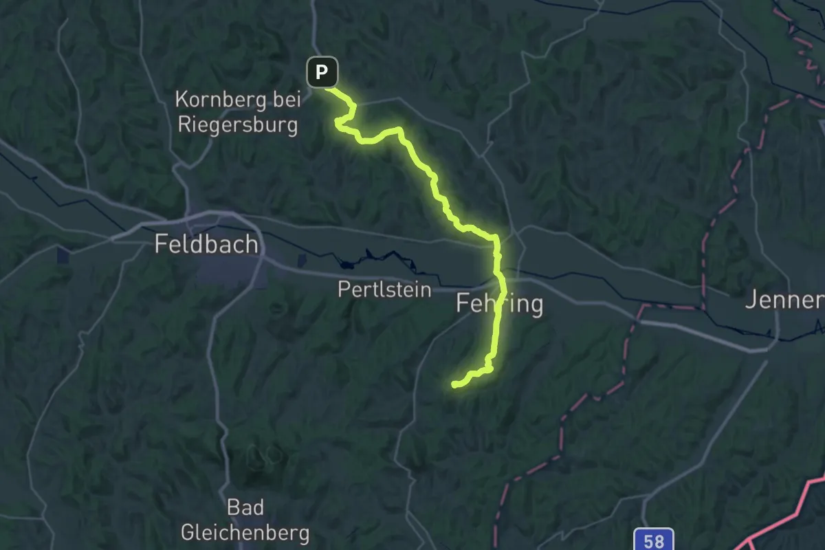
Demanding · Summit
Ostösterreichischer Grenzlandweg 07
32.4 km · ↑ 660 m · 9 h 5 min
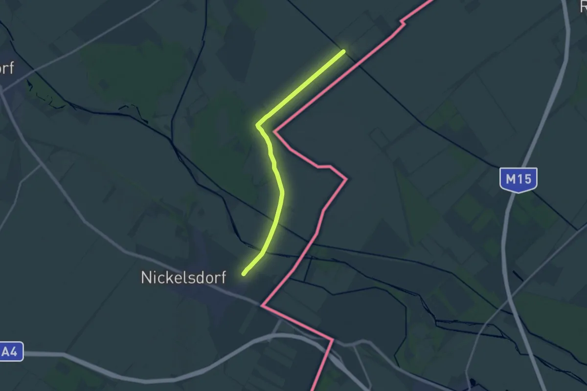
Medium · Trail
Ostösterreichischer Grenzlandweg 07
12.9 km · ↑ 0 m · 3 h 3 min
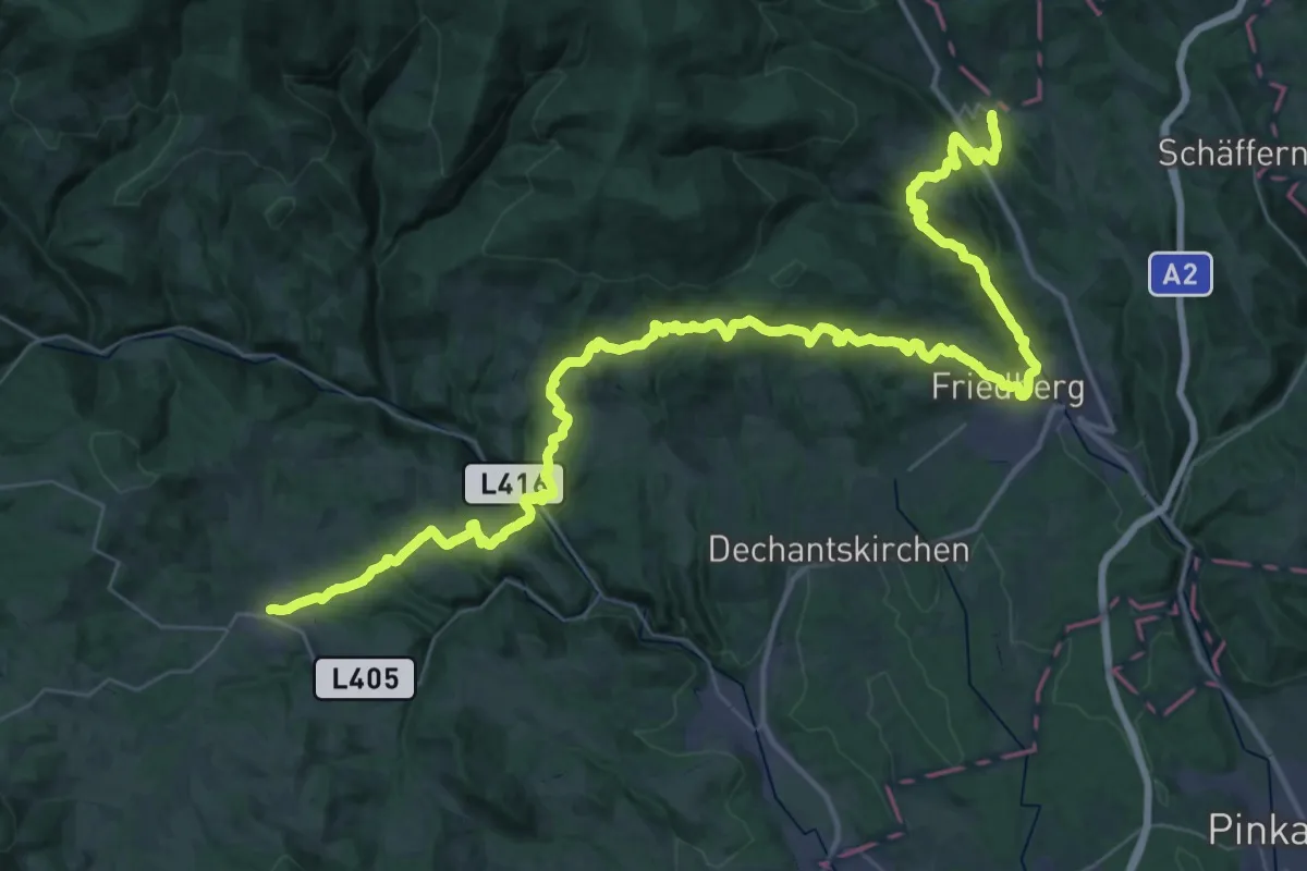
Demanding · Trail
Ostösterreichischer Grenzlandweg 07A
28.9 km · ↑ 1007 m · 9 h 25 min
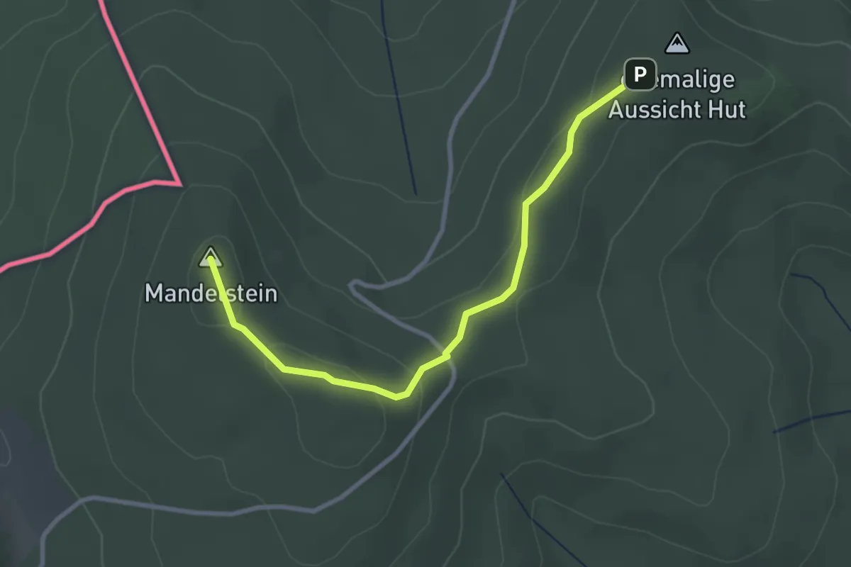
Easy · Summit
Östösterreichischer Grenzlandweg 07A
2.9 km · ↑ 60 m · 48 min
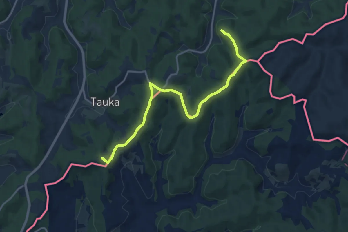
Medium · Summit
Ostösterreichischer Grenzlandweg 07 - Burgenlandroute
10.0 km · ↑ 218 m · 2 h 50 min
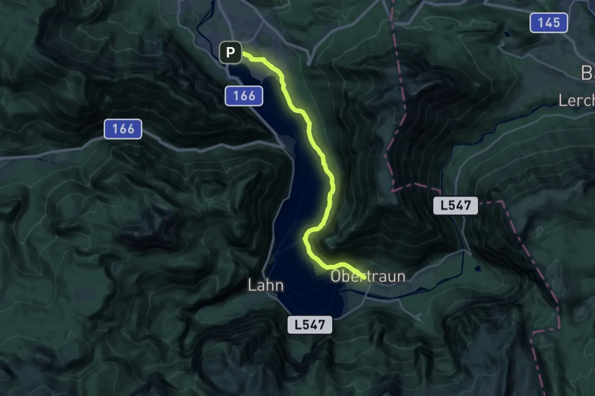
Demanding · Trail
Ostuferwanderweg
19.2 km · ↑ 170 m · 4 h 54 min
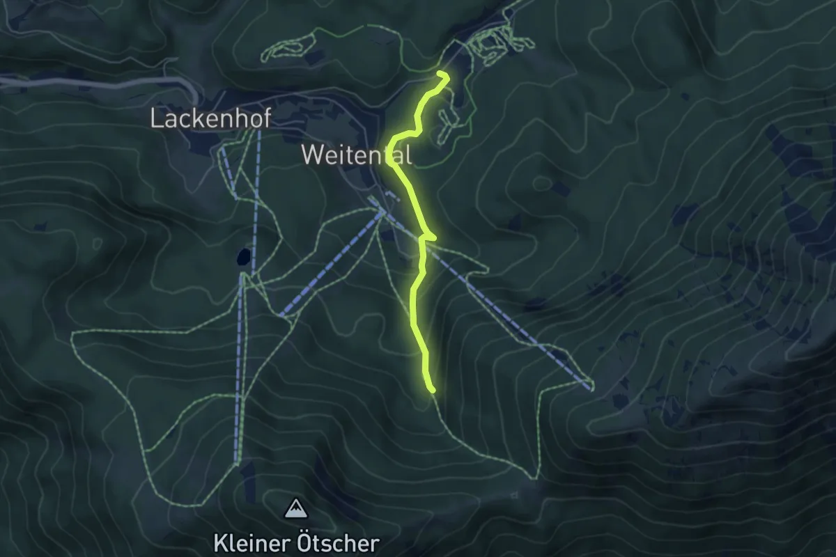
Easy · Trail
Ötschercamping - Riffelboden
4.2 km · ↑ 198 m · 1 h 26 min
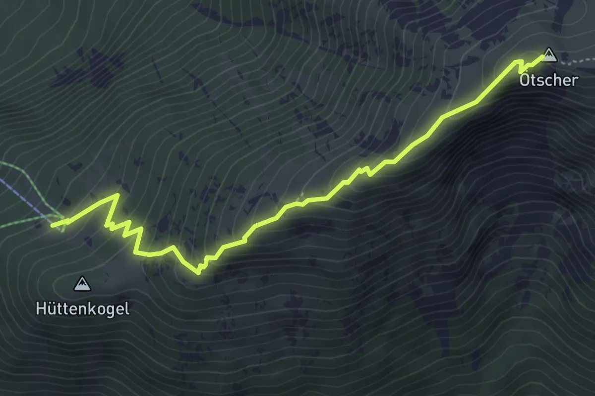
Medium · Summit
Ötscherschutzhaus - Ötscher (Gipfel)
5.2 km · ↑ 476 m · 2 h 16 min
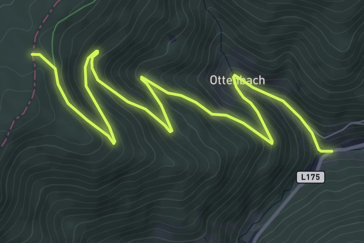
Medium · Cabin
Ottenbach Weg T8
9.4 km · ↑ 505 m · 3 h 19 min
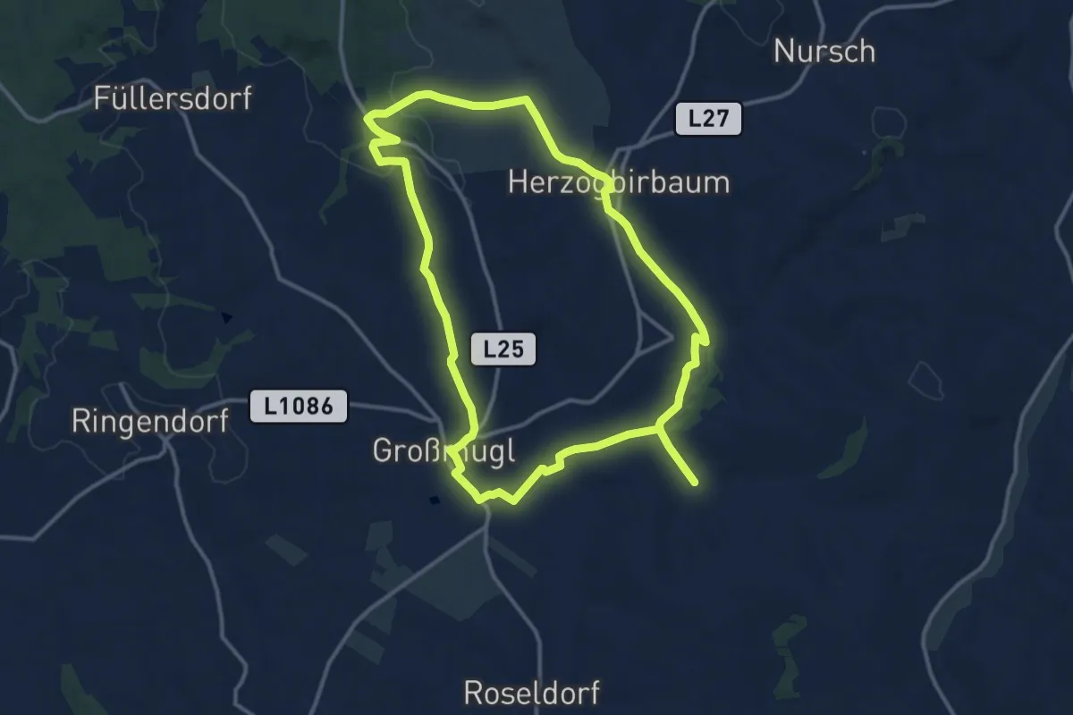
Demanding · Trail
Ottendorfer Weidenwiesenweg
23.9 km · ↑ 234 m · 6 h 9 min
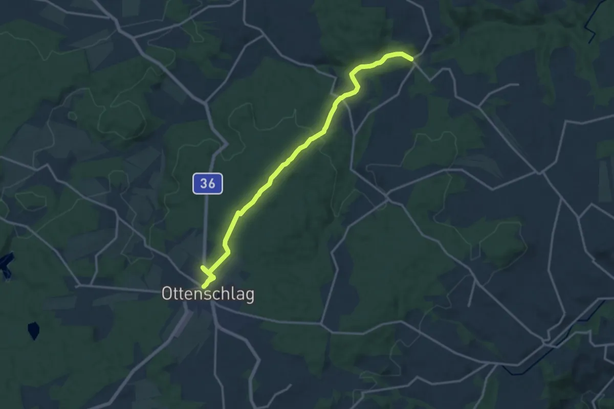
Medium · Trail
Ottenschlag - Grafenmühle
14.1 km · ↑ 216 m · 3 h 48 min
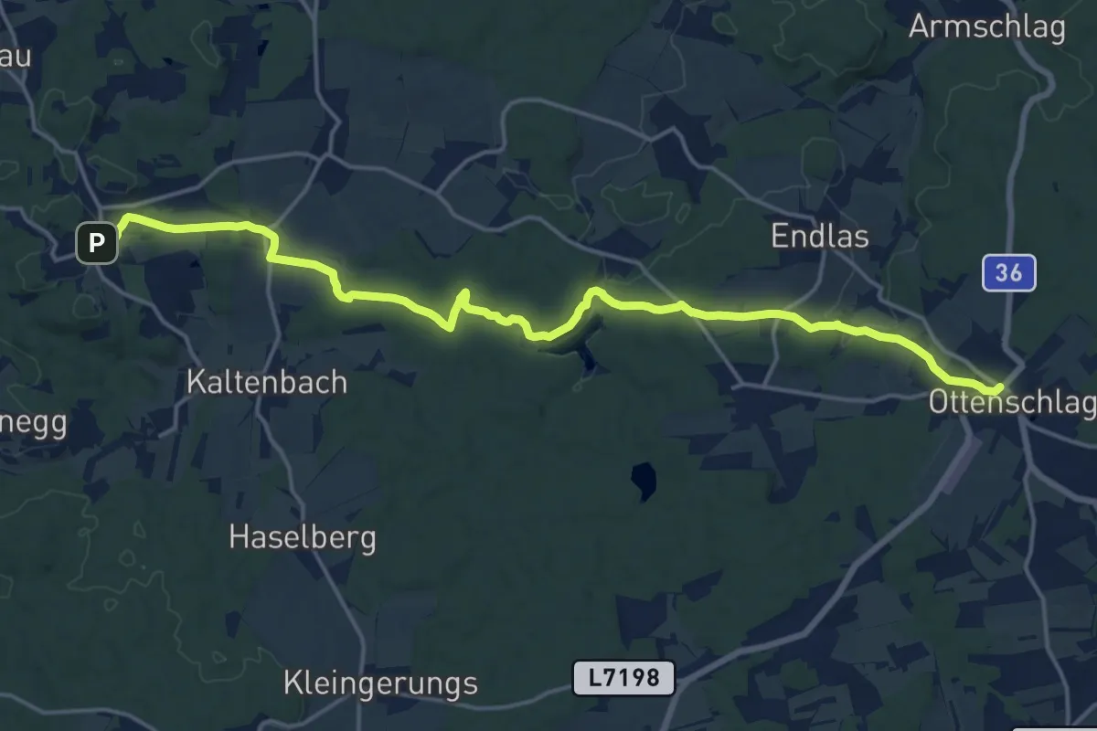
Demanding · Trail
Ottenschlag - Traunstein
18.5 km · ↑ 294 m · 5 h
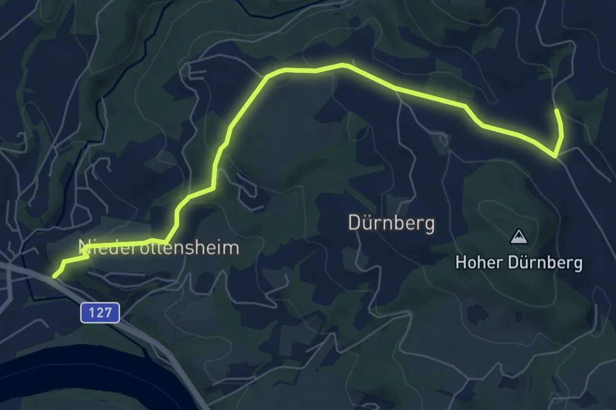
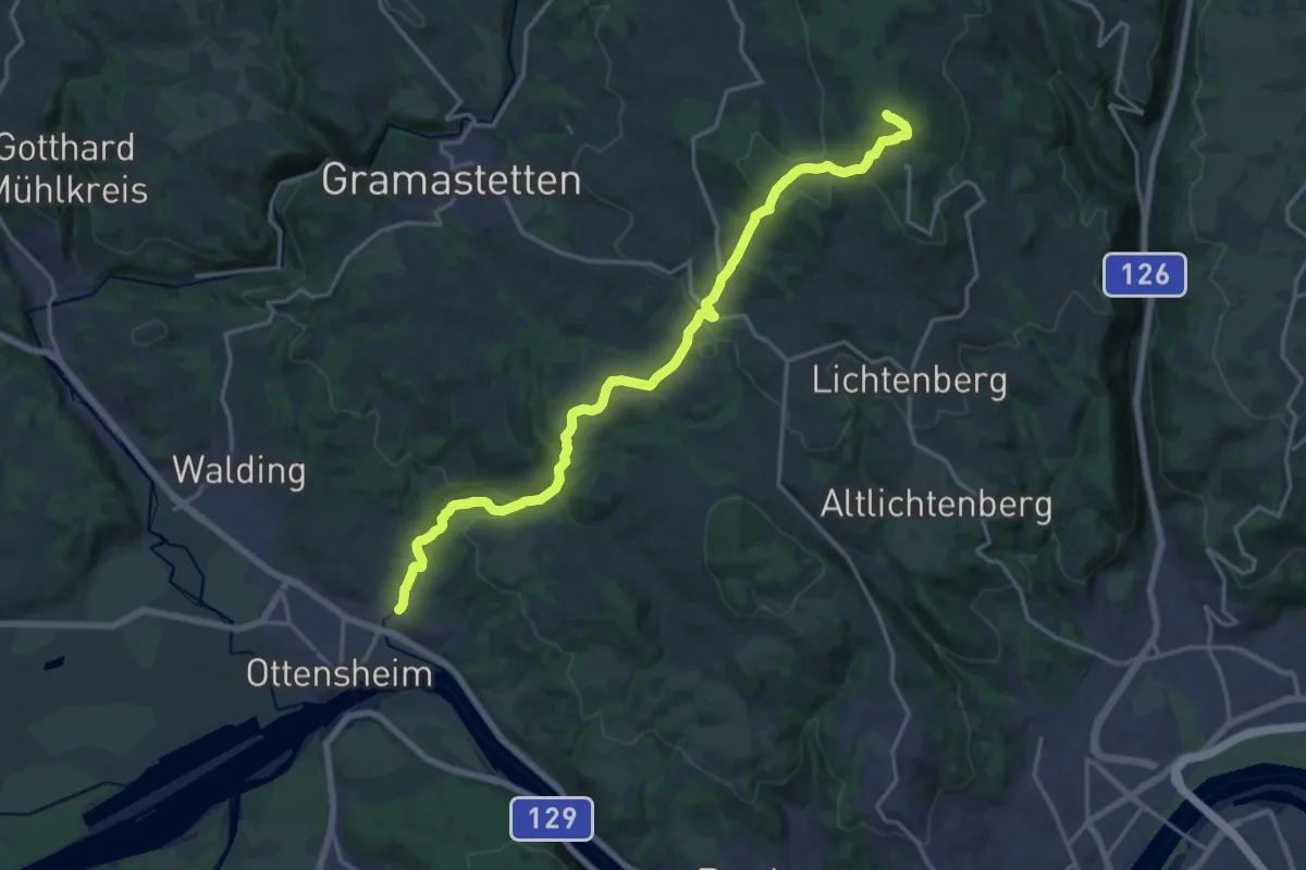
Easy · Trail
Ottensheim
7.3 km · ↑ 238 m · 2 h 14 min
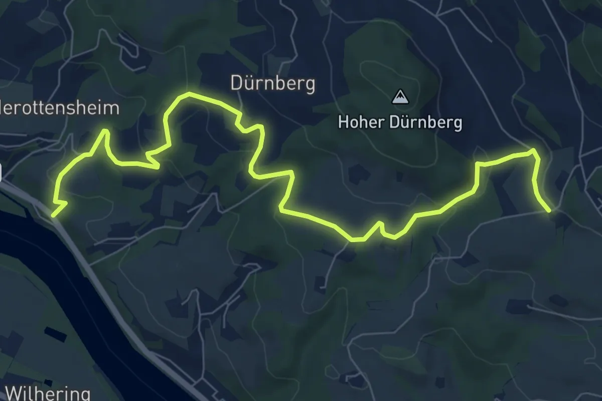
Demanding · Summit
Ottensheim Giselawarte
18.7 km · ↑ 715 m · 5 h 58 min
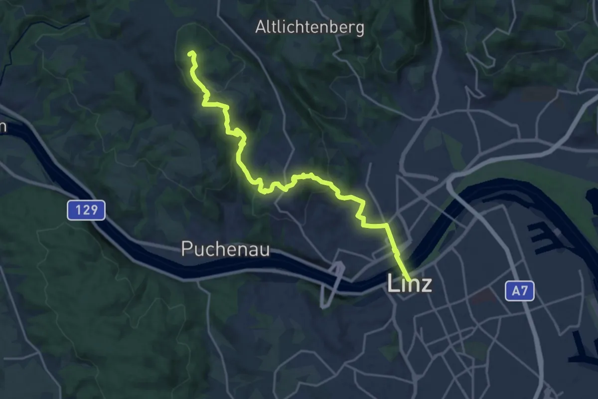
Medium · Trail
Ottensheim- Koglerau
9.5 km · ↑ 349 m · 3 h
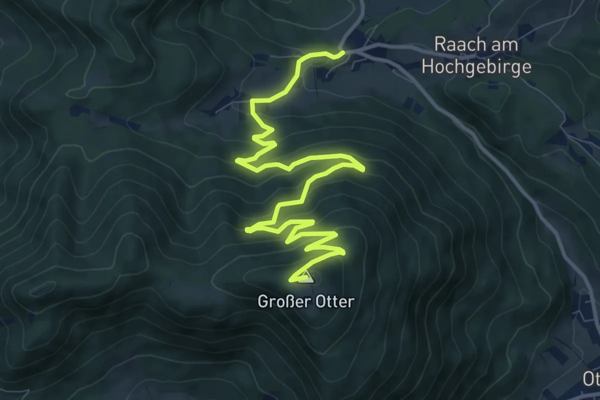
Medium · Summit
Ottensheim - Linz Donausteig Etappe
17.3 km · ↑ 731 m · 5 h 40 min
Medium · Summit
Otter Rundwanderweg (Schlagl)
11.4 km · ↑ 568 m · 3 h 55 min
Easy · Trail
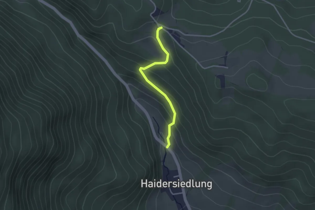
Otterthal - Anschluß 01A
2.4 km · ↑ 160 m · 55 min
Medium · Trail
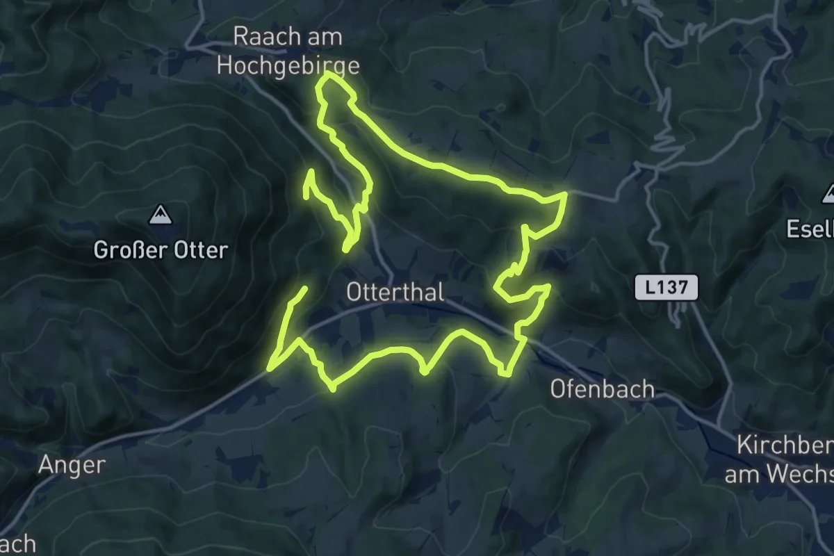
Otterthaler Rundwanderweg
12.8 km · ↑ 483 m · 4 h 14 min
Medium · Trail
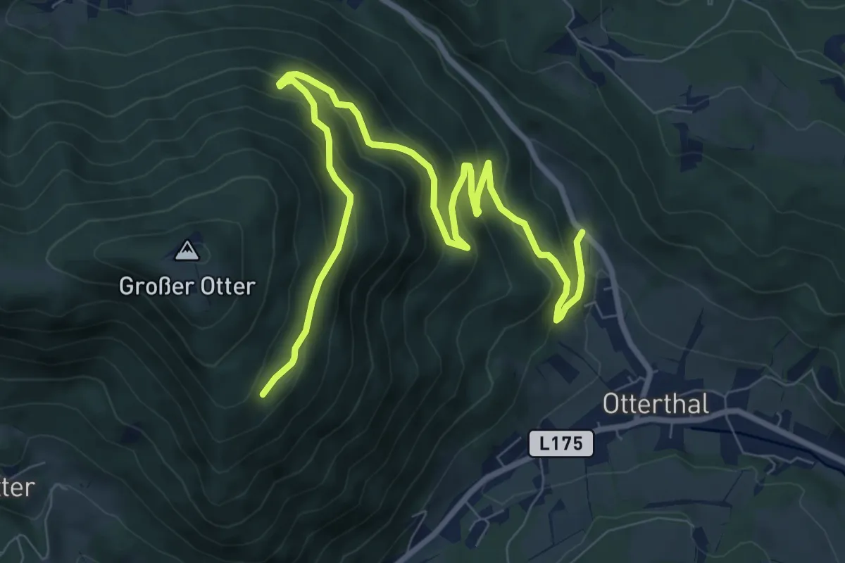
Otterthal - Großer Otter
10.5 km · ↑ 513 m · 3 h 36 min
Easy · Trail
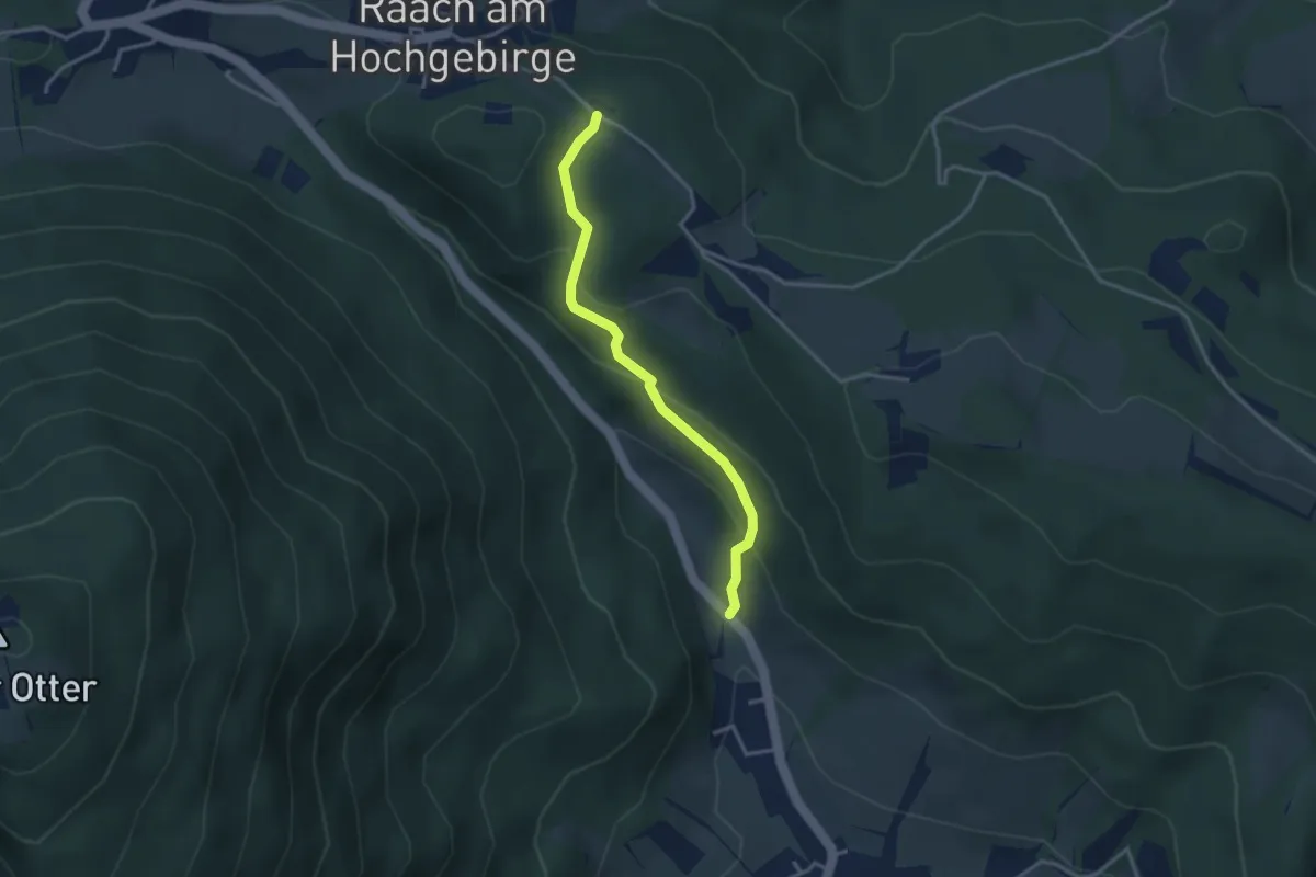
Otterthal - Raach
3.1 km · ↑ 172 m · 1 h 6 min
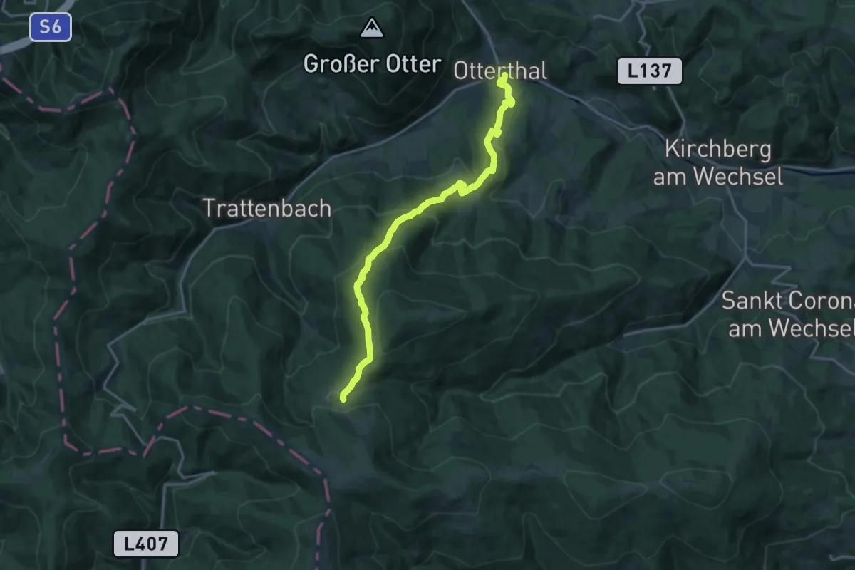
Demanding · Trail
Otterthal - Steyersberger Schwaig
15.5 km · ↑ 818 m · 5 h 26 min
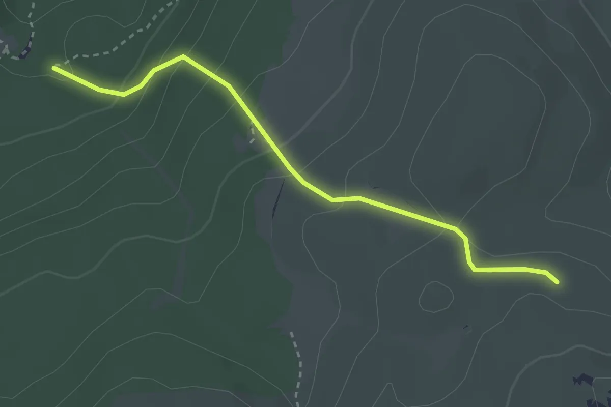
Easy · Trail
Ottohaus - Dirnbacherhütte
2.9 km · ↑ 208 m · 1 h 8 min
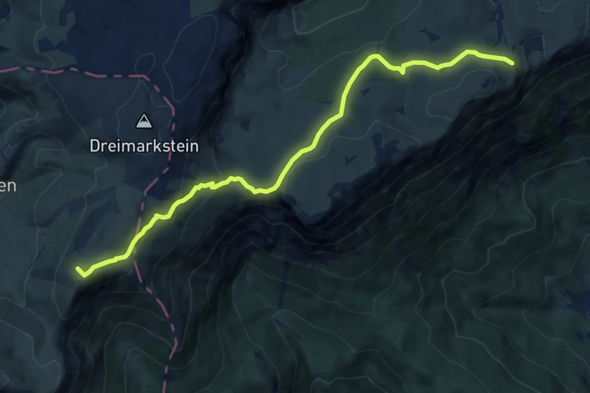
Medium · Summit
Ottohaus - Neue Seehütte - Predigtstuhl - Karl-Ludwig-Haus
11.1 km · ↑ 473 m · 3 h 39 min
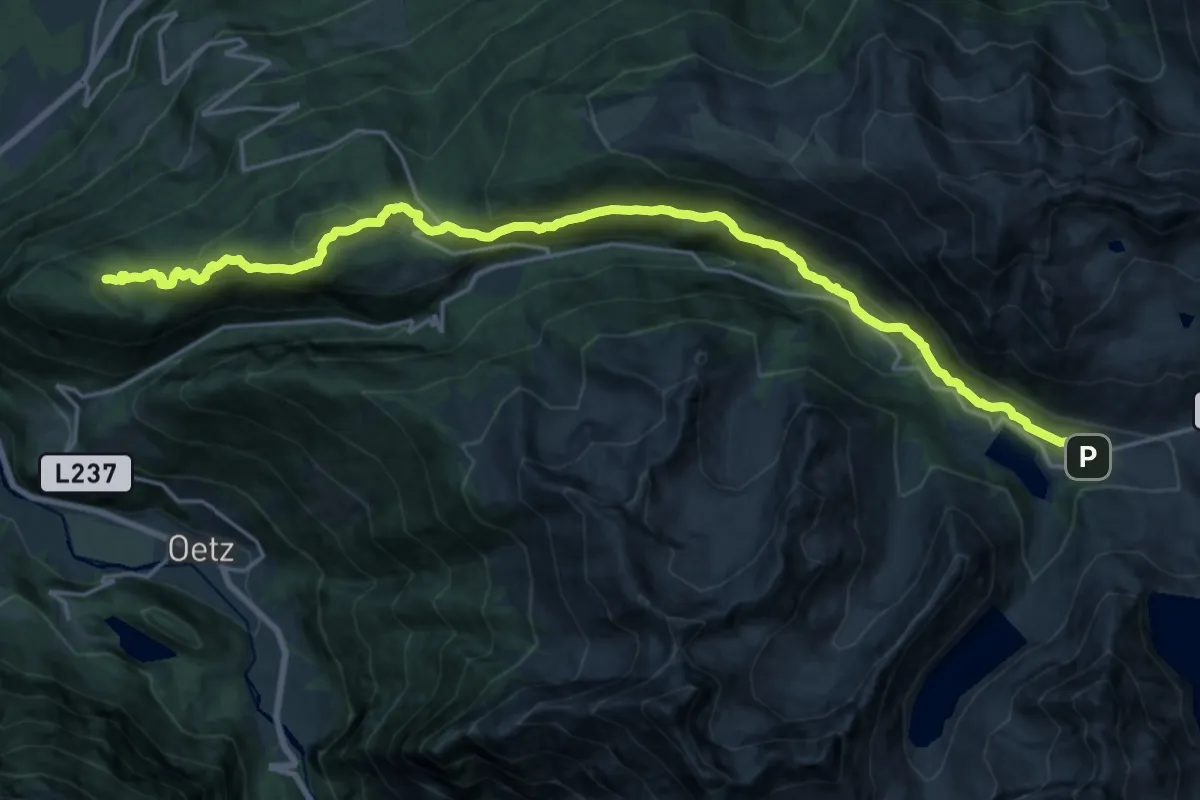
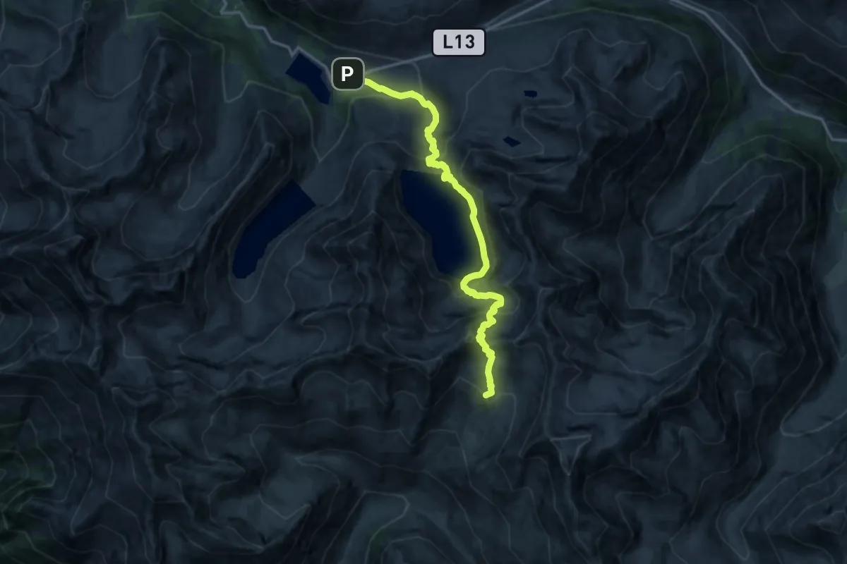
Demanding · Trail
Ötztal Trek Etappe 01
23.5 km · ↑ 890 m · 7 h 28 min
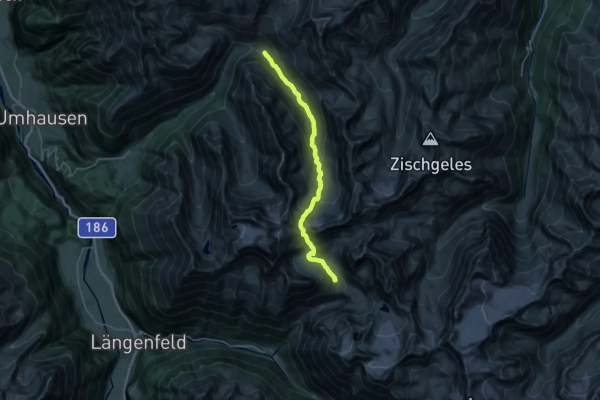
Expert · Summit
Ötztal Trek Etappe 02
14.9 km · ↑ 1179 m · 6 h 5 min
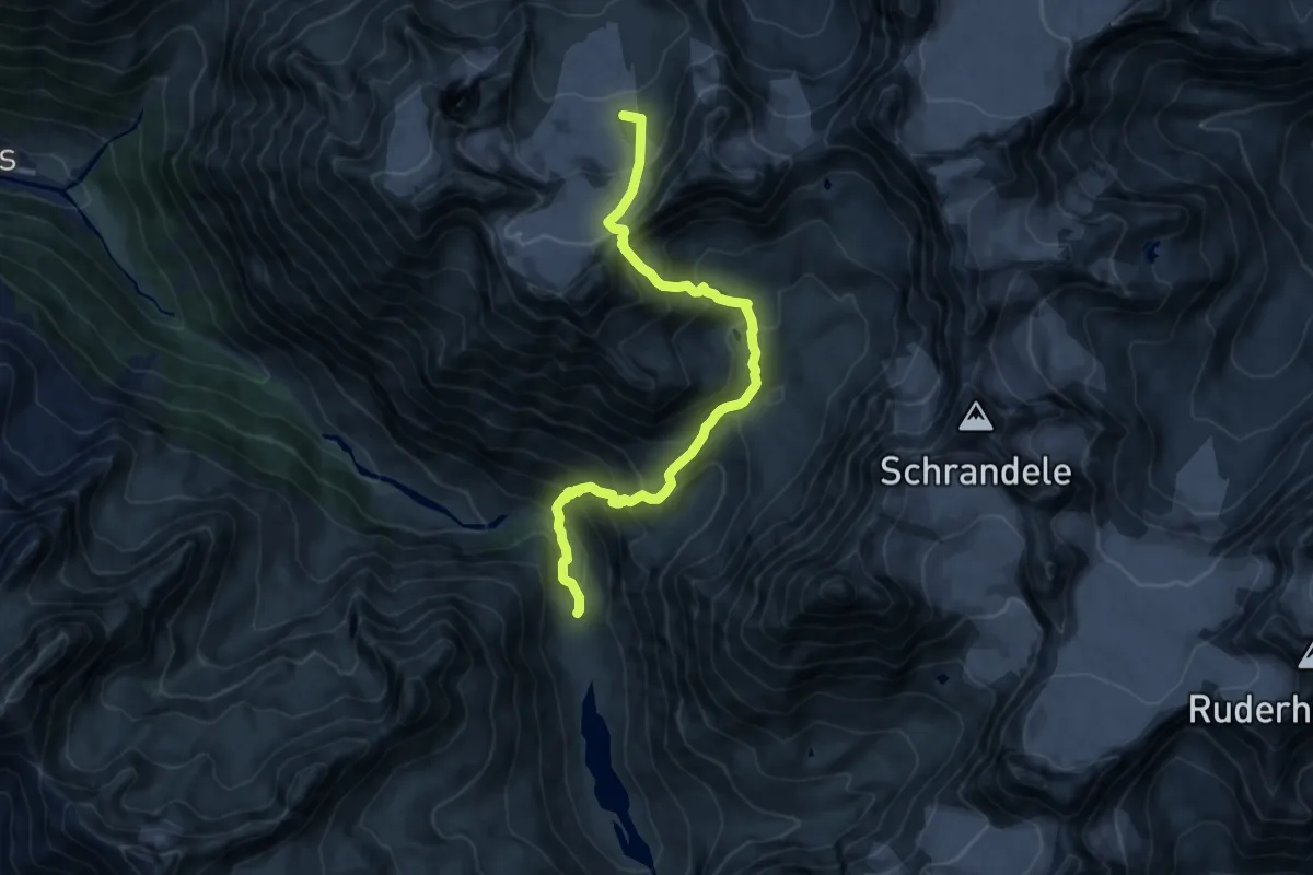
Demanding · Trail
Ötztal Trek Etappe 03
18.9 km · ↑ 1319 m · 7 h 19 min
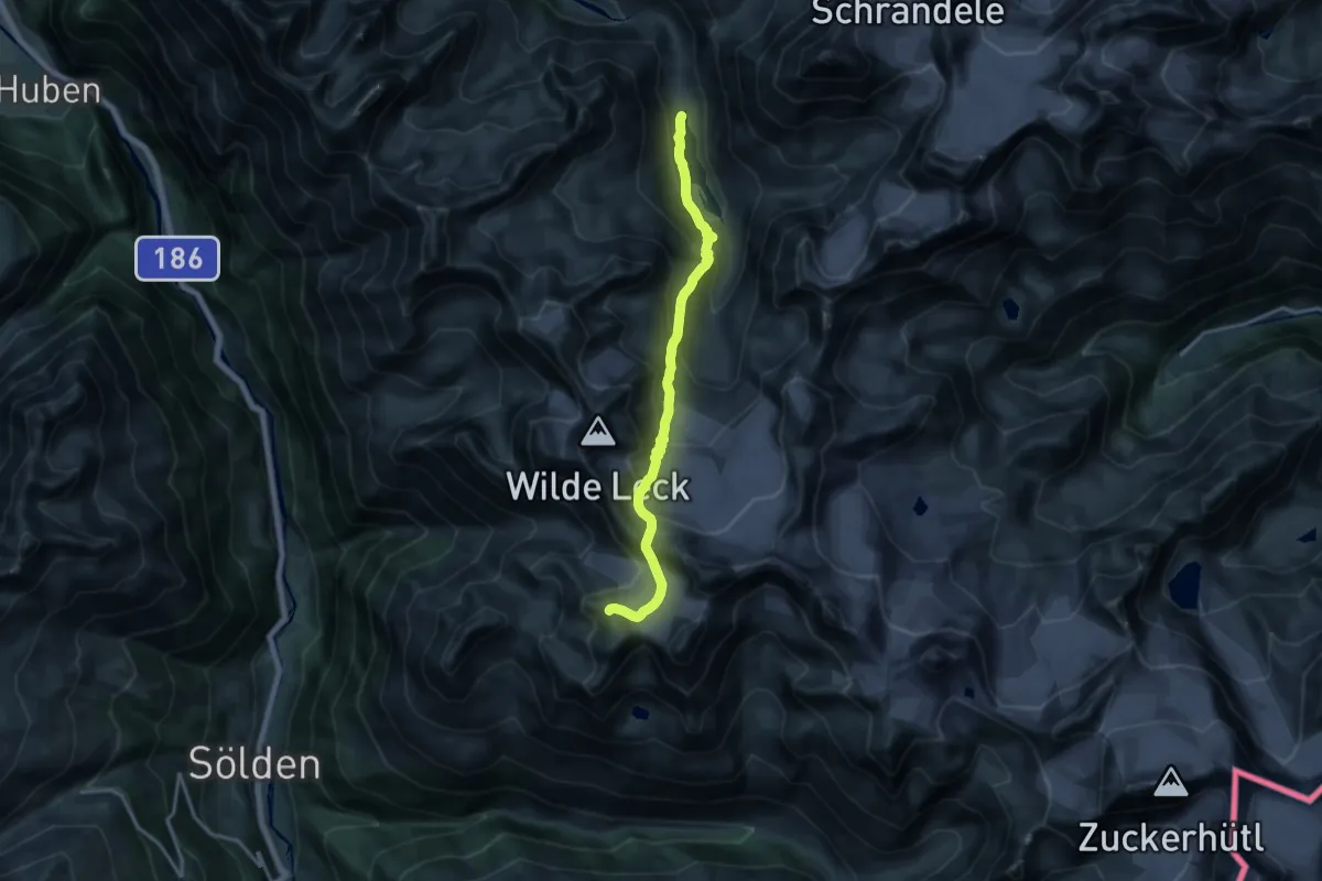
Expert · Summit
Ötztal Trek Etappe 04
11.5 km · ↑ 1243 m · 5 h 24 min
Expert · Trail
Ötztal Trek Etappe 05
14.7 km · ↑ 1104 m · 5 h 52 min
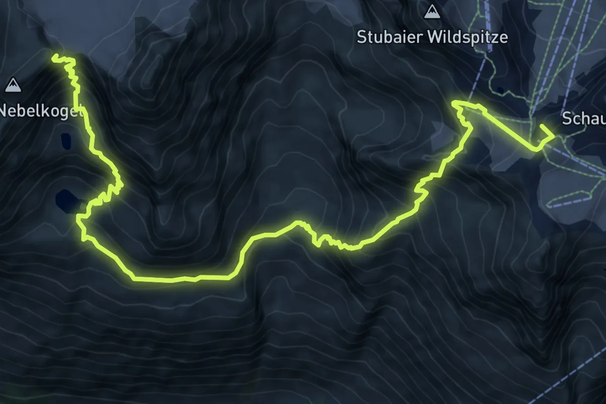
Expert · Summit
Ötztal Trek Etappe 06
13.6 km · ↑ 1440 m · 6 h 20 min
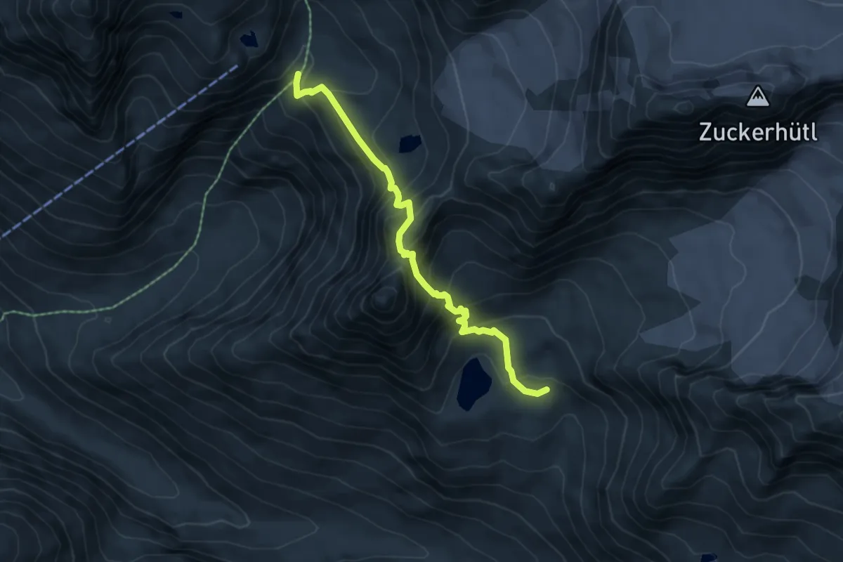
Medium · Trail
Ötztal Trek Etappe 07
5.5 km · ↑ 598 m · 2 h 36 min
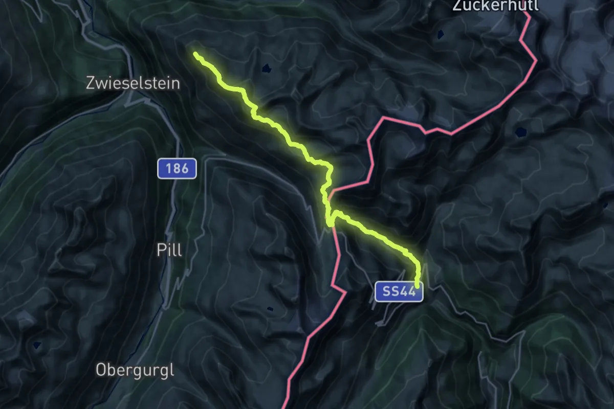
Demanding · Trail
Ötztal Trek Etappe 09
11.3 km · ↑ 515 m · 4 h 23 min
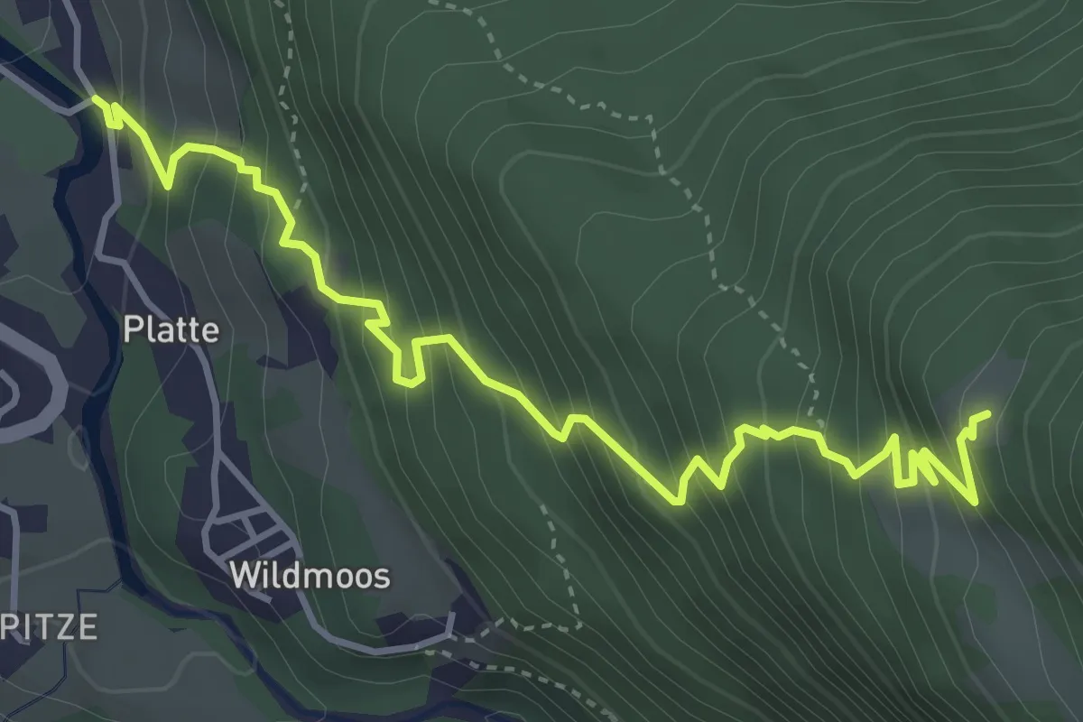
Medium · Trail
Ötztal Trek Etappe 09a
4.7 km · ↑ 605 m · 2 h 26 min
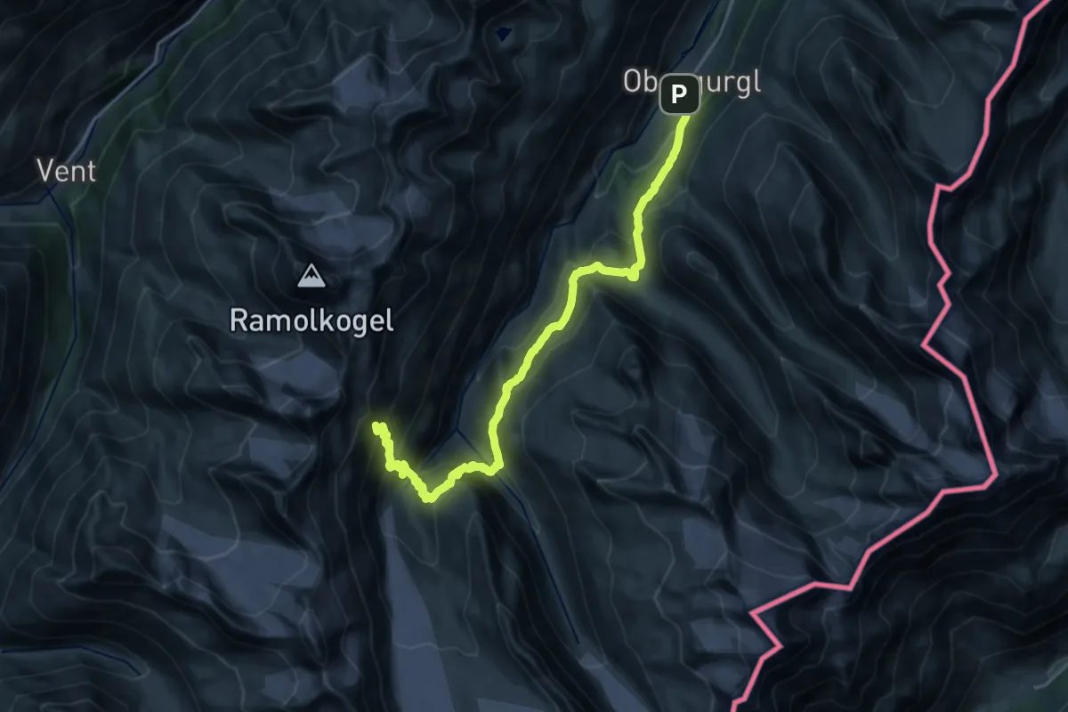
Demanding · Trail
Ötztal Trek Etappe 10
10.8 km · ↑ 1316 m · 5 h 5 min
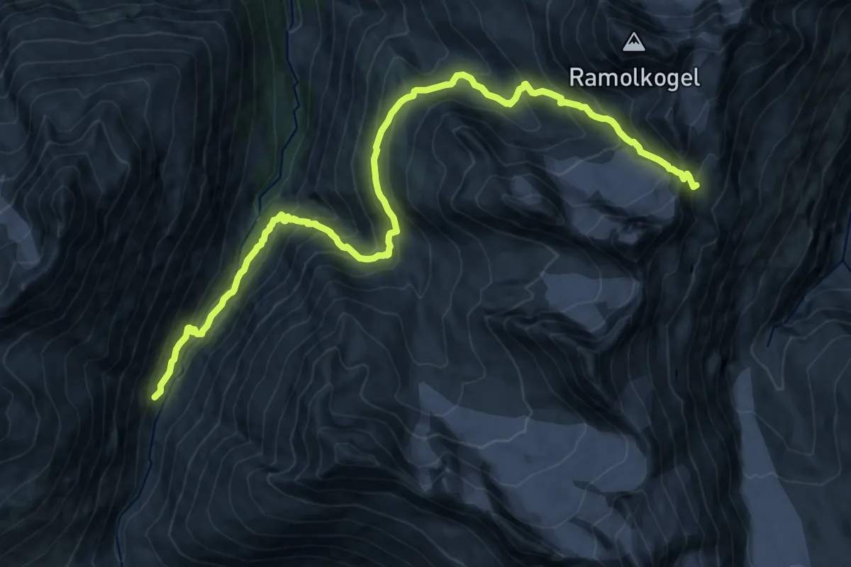
Demanding · Trail
Ötztal Trek Etappe 11
18.3 km · ↑ 1461 m · 7 h 29 min
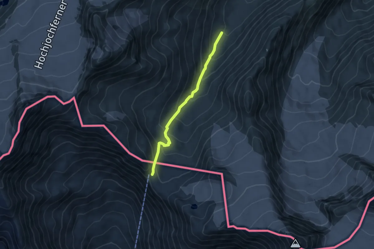
Medium · Cabin
Ötztal Trek Etappe 12
4.9 km · ↑ 358 m · 1 h 56 min
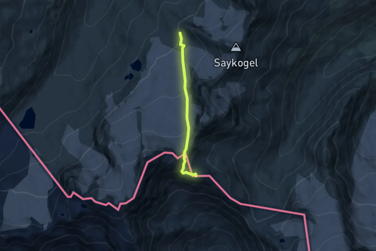
Expert · Trail
Ötztal Trek Etappe 13
5.5 km · ↑ 379 m · 2 h 8 min
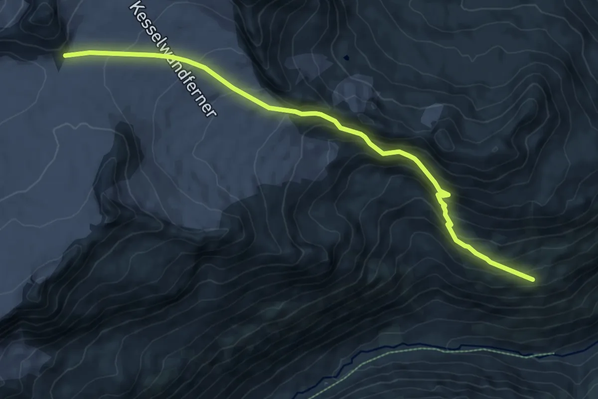
Expert · Cabin
Ötztal Trek Etappe 14
9.4 km · ↑ 599 m · 3 h 31 min
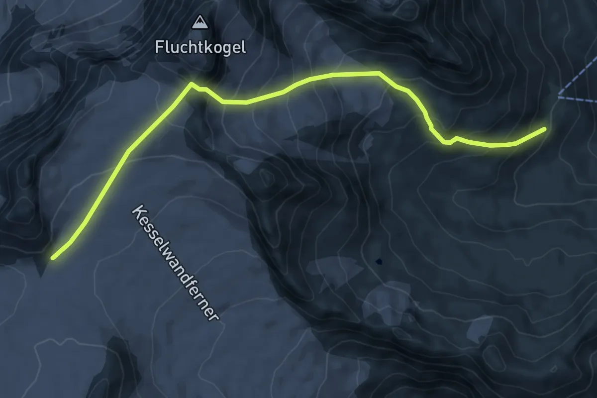
Expert · Cabin
Ötztal Trek Etappe 15
8.5 km · ↑ 726 m · 3 h 35 min
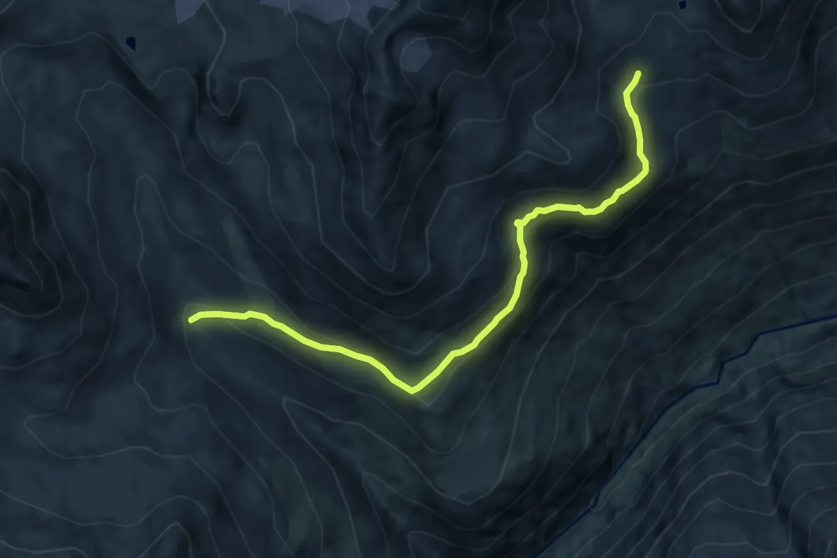
Expert · Trail
Ötztal Trek Etappe 16
9.5 km · ↑ 438 m · 3 h 11 min
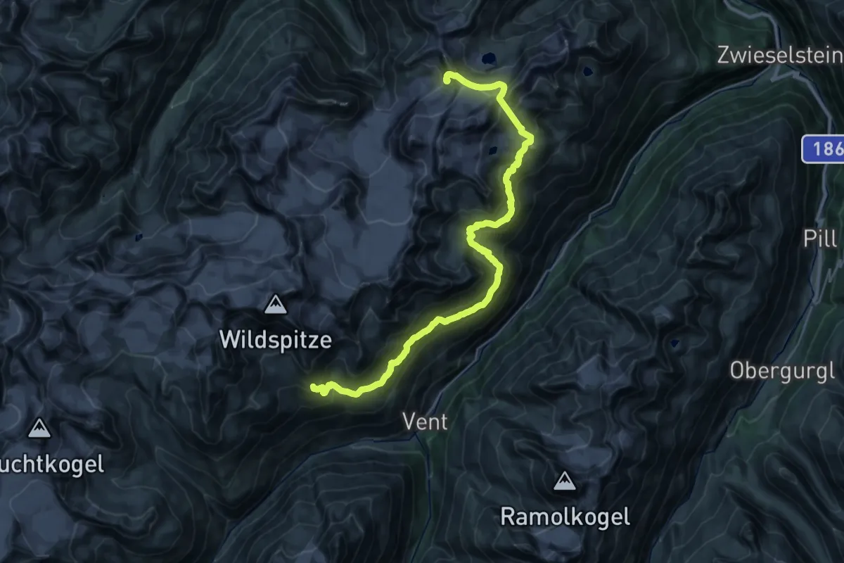
Expert · Cabin
Ötztal Trek Etappe 17
15.0 km · ↑ 887 m · 5 h 42 min