Trails in Austria
9,779 hiking trails, each with its route, climb, walking time and grade.
All trails, page 80 of 204
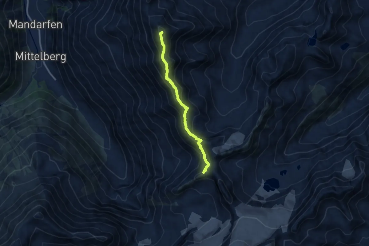
Expert · Summit
Ötztal Trek Etappe 18
7.0 km · ↑ 683 m · 3 h 8 min
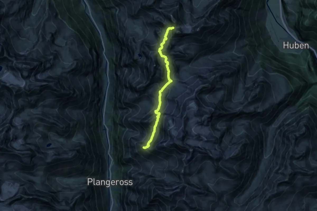
Expert · Summit
Ötztal Trek Etappe 19
13.9 km · ↑ 1398 m · 6 h 19 min
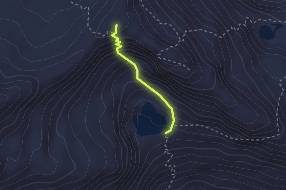
Expert · Summit
Ötztal Trek Etappe 20
1.4 km · ↑ 277 m · 56 min
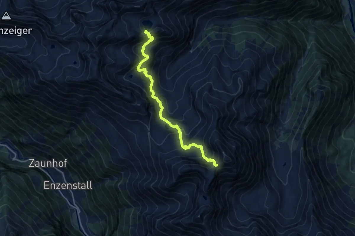
Expert · Trail
Ötztal Trek Etappe 21
12.0 km · ↑ 1156 m · 5 h 20 min
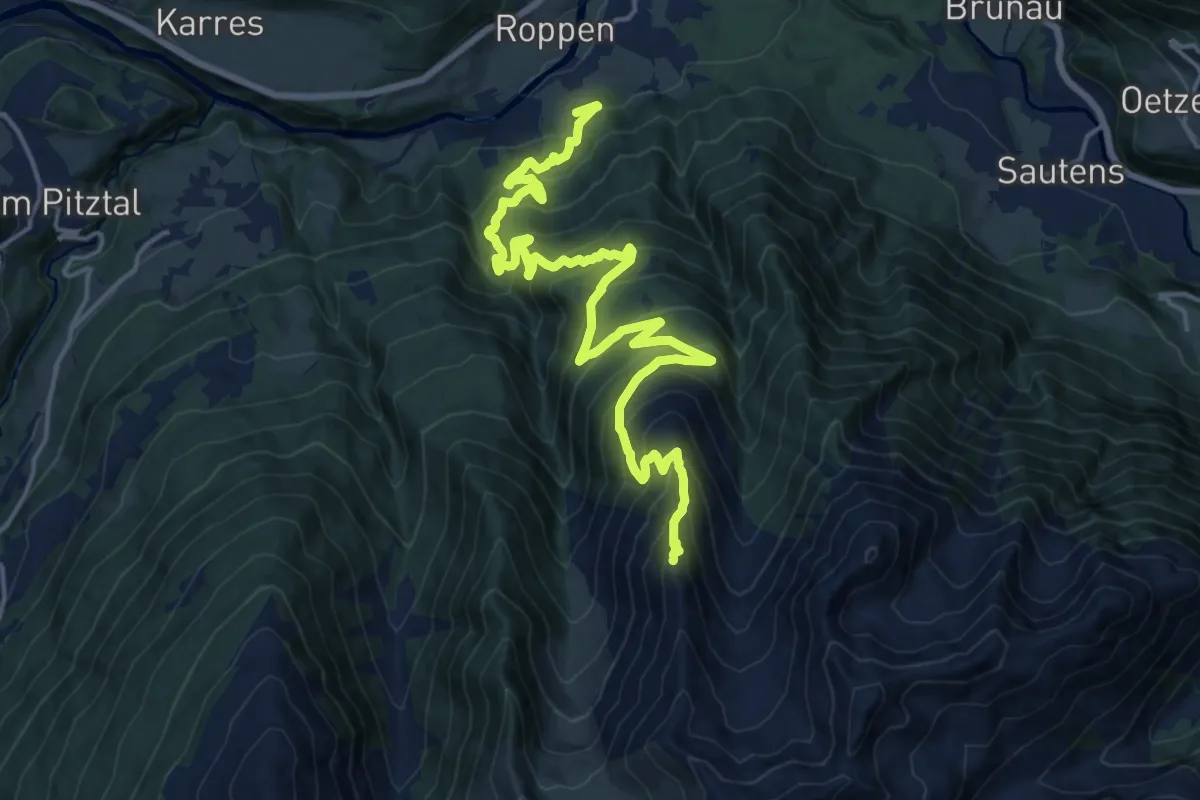
Expert · Summit
Ötztal Trek Etappe 22
20.9 km · ↑ 1529 m · 8 h 14 min
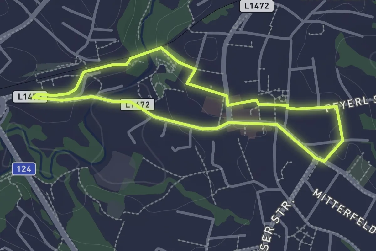
Easy · Trail
P1 Stadtrunde
2.5 km · ↑ 37 m · 42 min
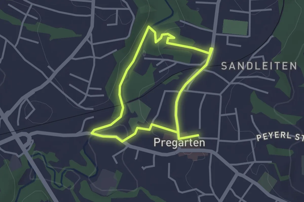
Easy · Trail
P2 Kalvarienberg
2.3 km · ↑ 41 m · 39 min
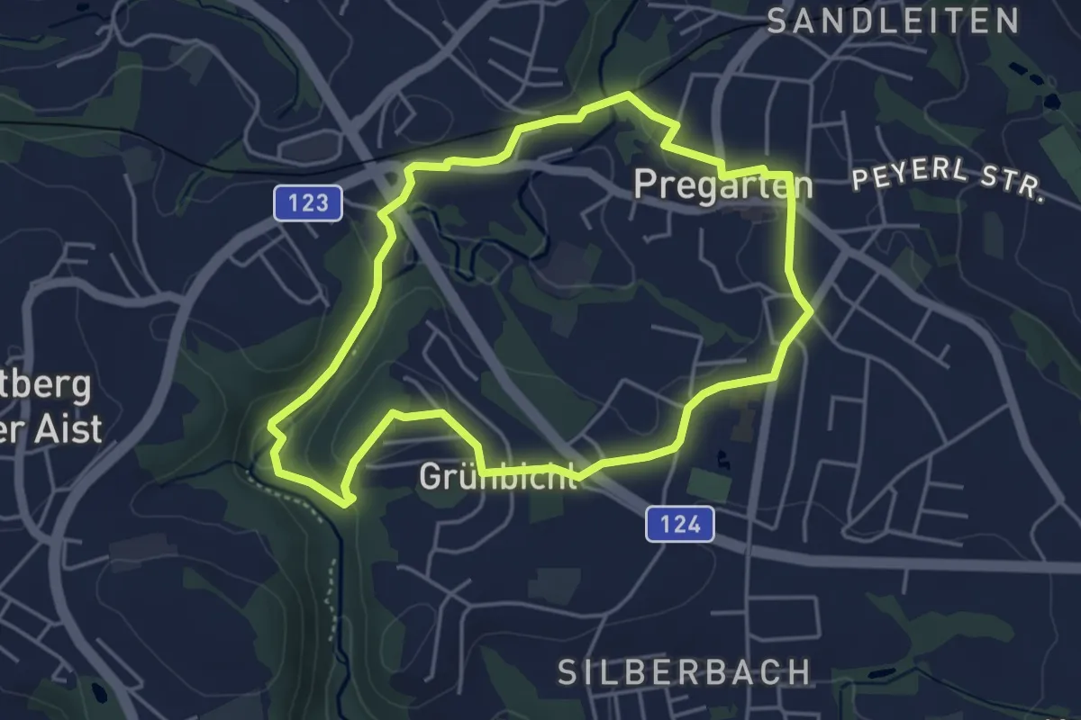
Easy · Trail
P3 Grünbichl
4.0 km · ↑ 76 m · 1 h 10 min
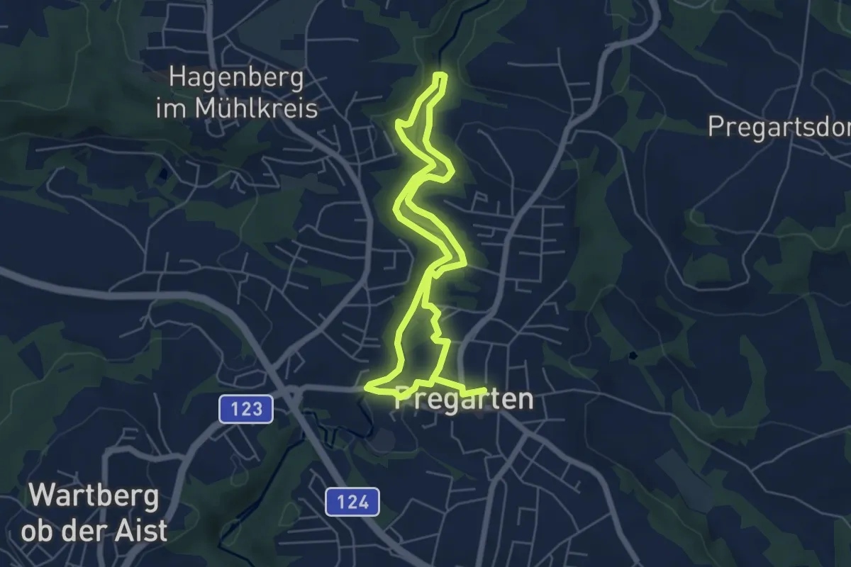
Medium · Trail
P4 Oberes Feldaisttal
9.2 km · ↑ 132 m · 2 h 27 min
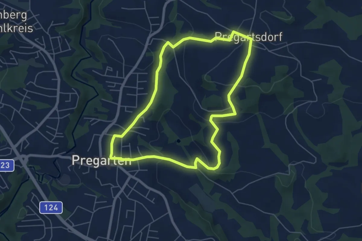
Easy · Trail
P5 Fernsicht
5.2 km · ↑ 164 m · 1 h 39 min
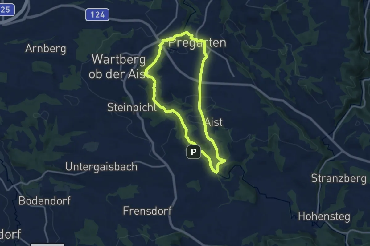
Medium · Trail
P6 Unteres Feldaisttal
8.3 km · ↑ 156 m · 2 h 24 min
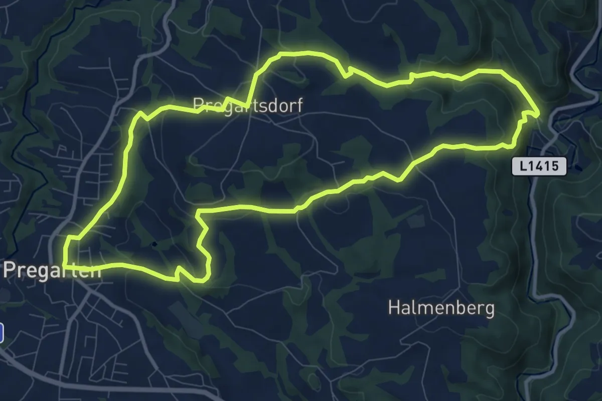
Medium · Trail
P7 Burg- & Museumrunde Reichenstein
9.8 km · ↑ 335 m · 3 h 11 min
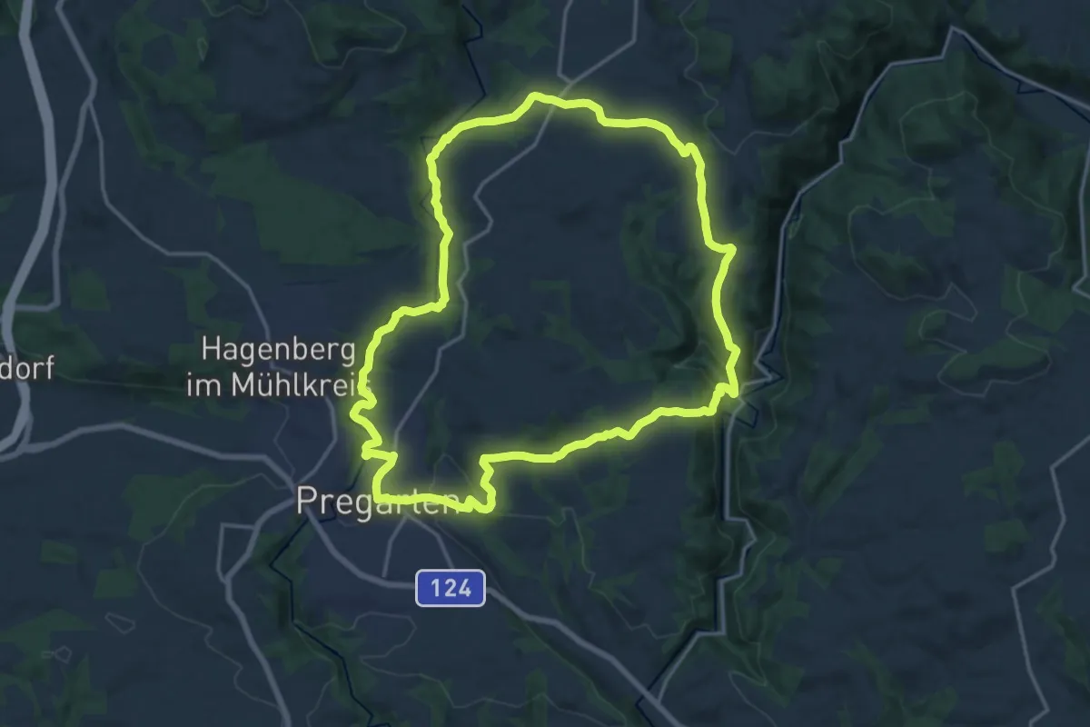
Medium · Trail
P8 "Haymweg" über Gaisruckdorf
16.0 km · ↑ 437 m · 4 h 57 min
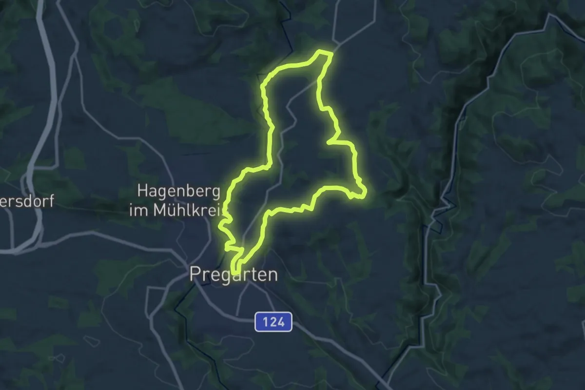
Medium · Trail
P9 Übern Kirchensteig nach Selker
13.8 km · ↑ 301 m · 4 h 6 min
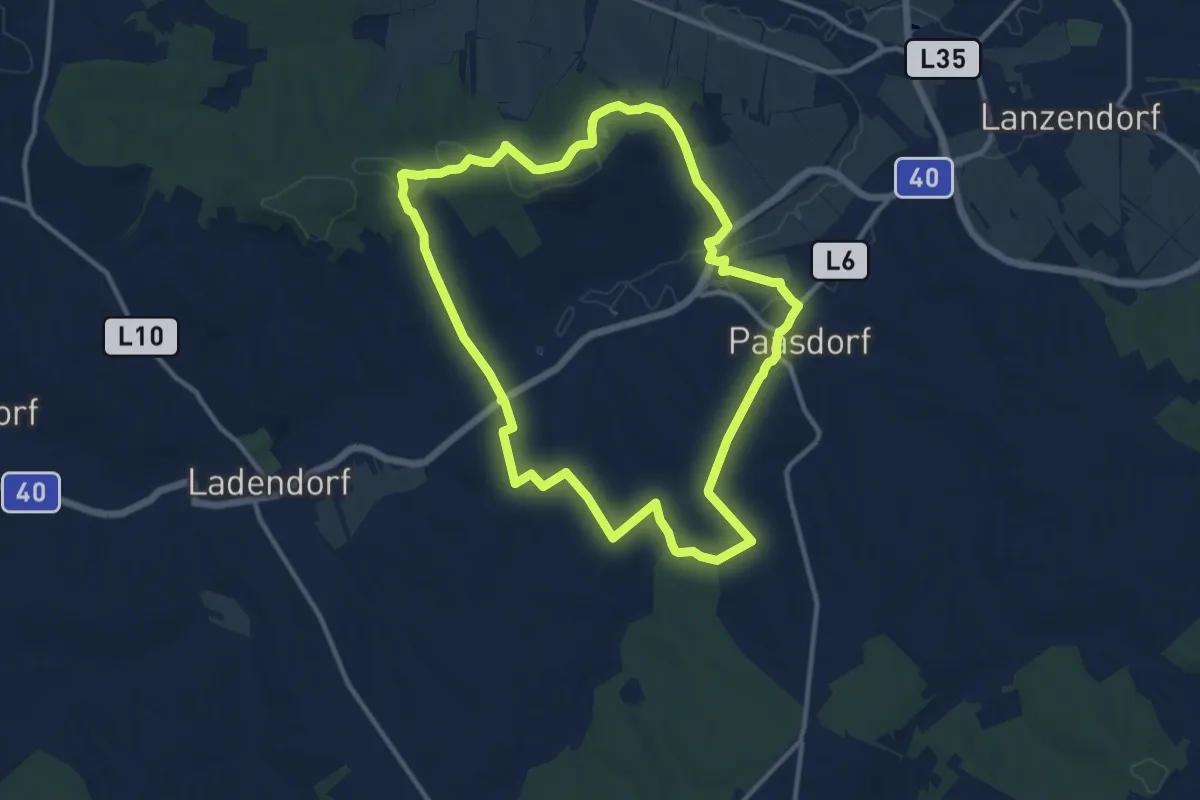
Medium · Summit
Paasdorf: Rundwanderweg Schwarzenbergen - Wackergrund
11.5 km · ↑ 200 m · 3 h 19 min
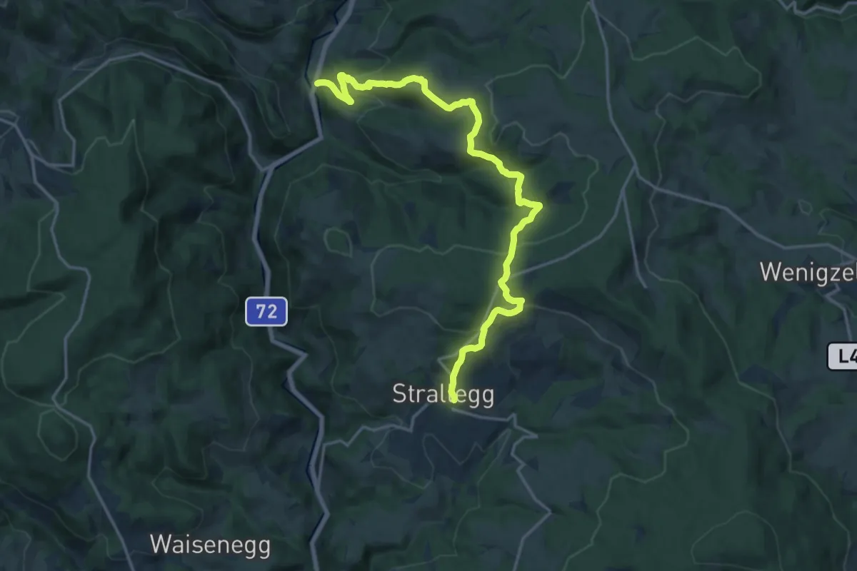
Medium · Trail
Pacherweg
17.2 km · ↑ 741 m · 5 h 39 min
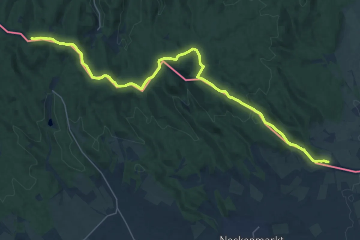
Demanding · Summit
P (Ágfalva, főtér – Harka-Nyéki határkilépő)
23.6 km · ↑ 692 m · 7 h 4 min
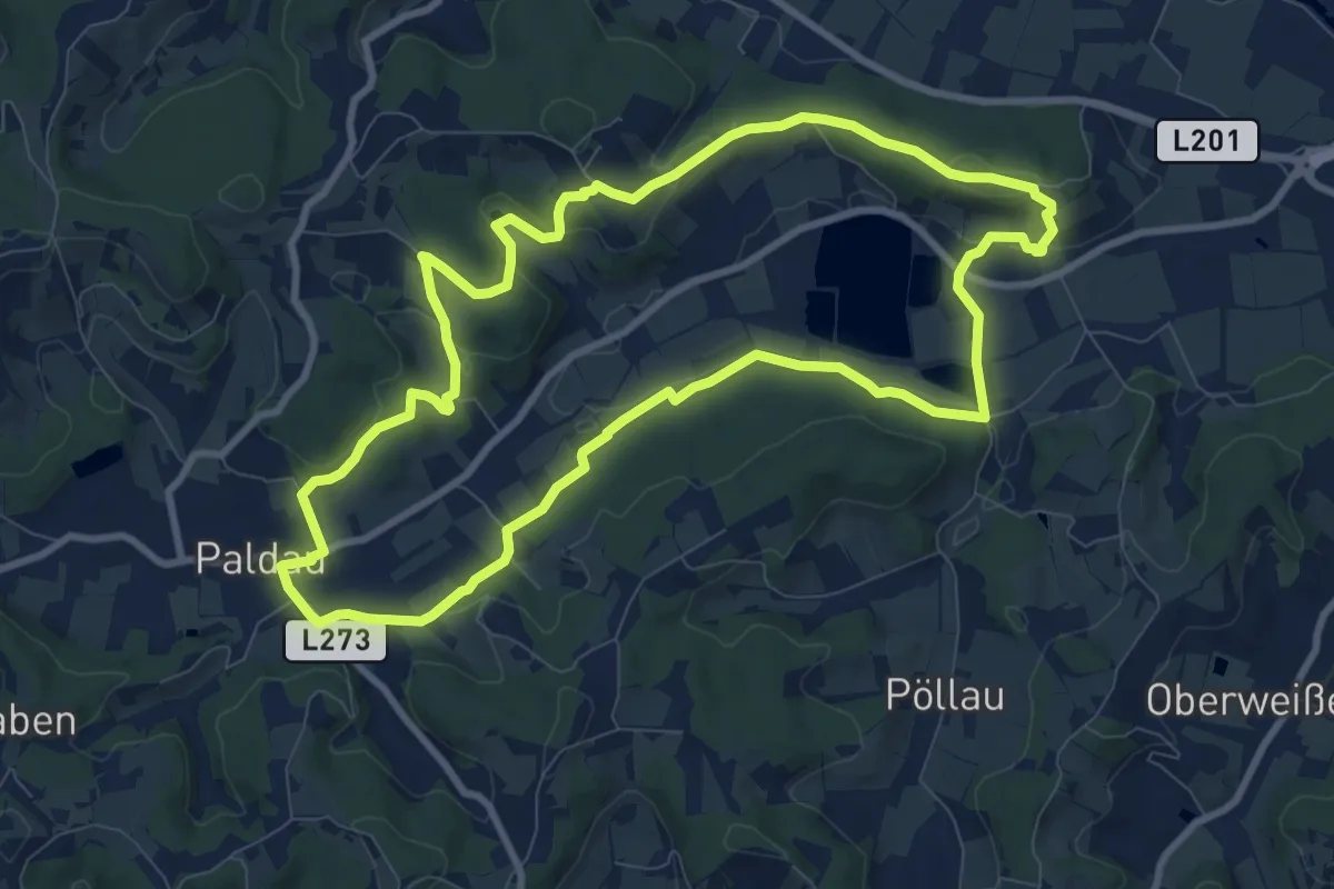
Medium · Trail
Paldauer Höhepunkte
9.5 km · ↑ 180 m · 2 h 46 min
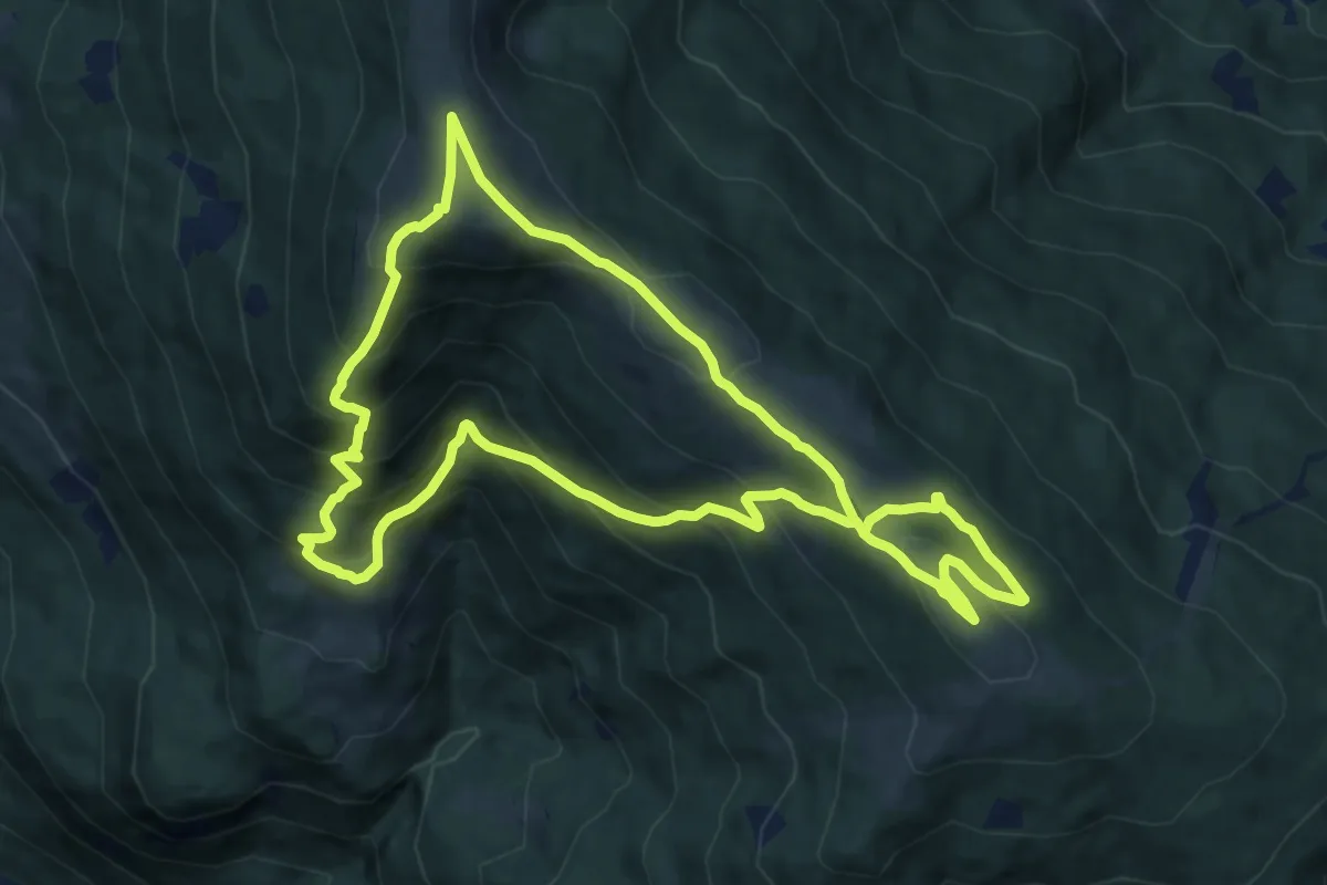
Medium · Summit
Palnock-Almenwanderung-Runde
10.4 km · ↑ 762 m · 4 h 15 min
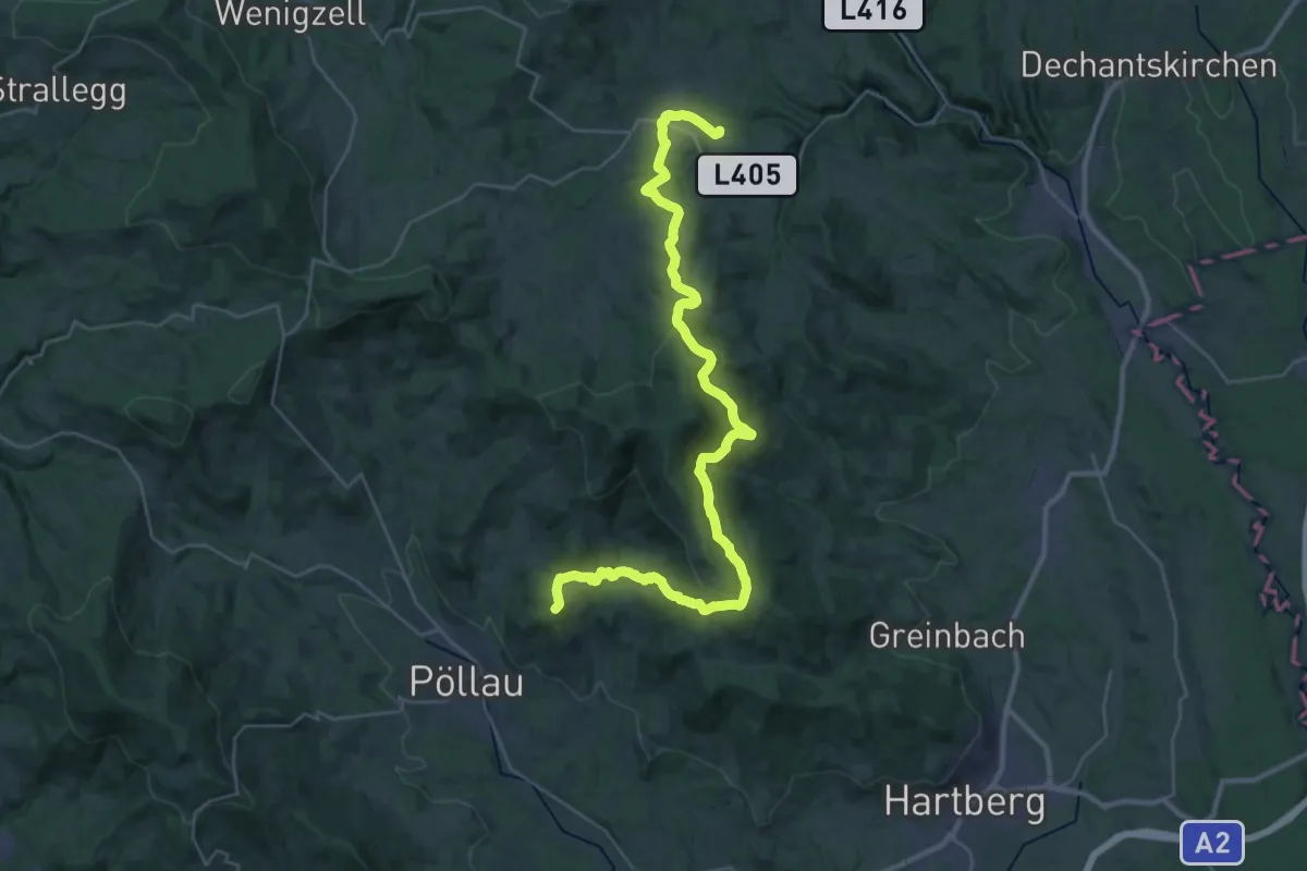
Demanding · Pilgrim path
Pankaratiusweg Pöllauberg - Vorau
20.0 km · ↑ 732 m · 6 h 33 min
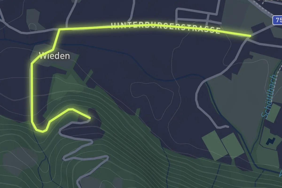
Easy · Trail
Pankratius-Runde
3.1 km · ↑ 71 m · 52 min
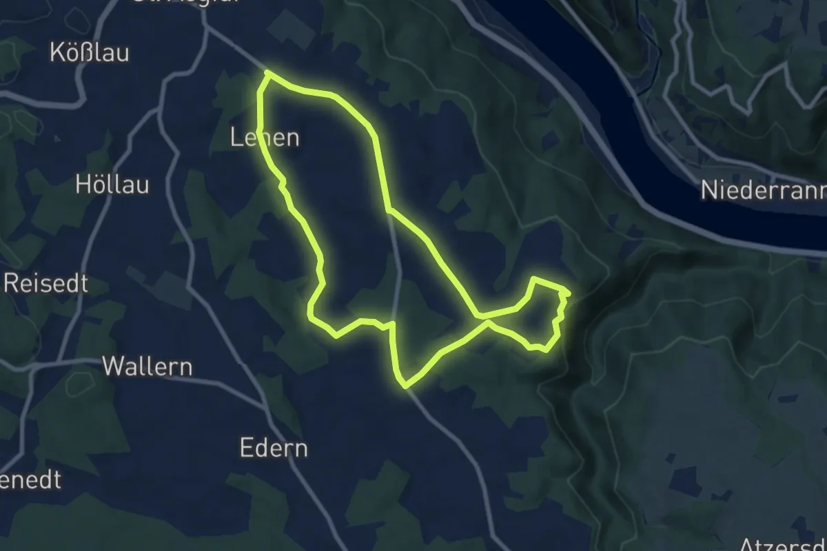
Easy · Trail
Pankrazius-Wanderung
7.5 km · ↑ 154 m · 2 h 13 min
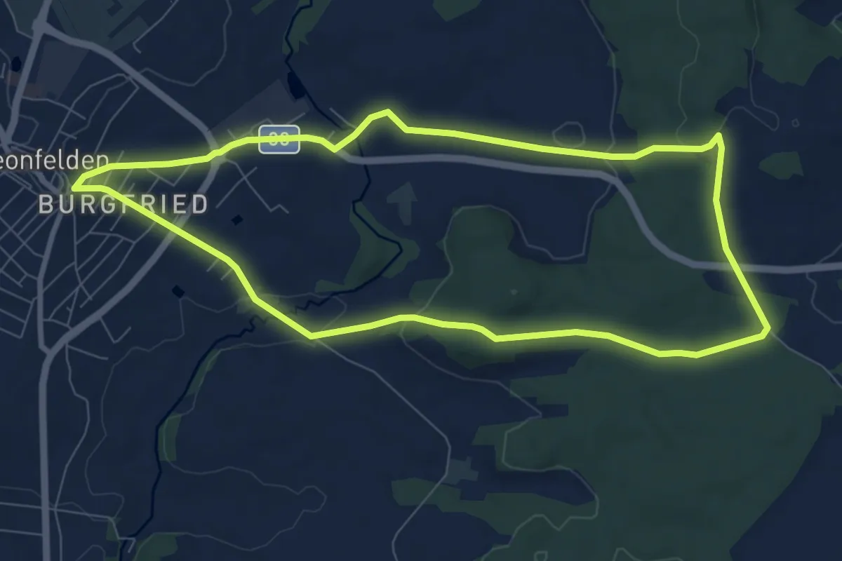
Easy · Trail
Pannholz Runde
7.9 km · ↑ 153 m · 2 h 18 min
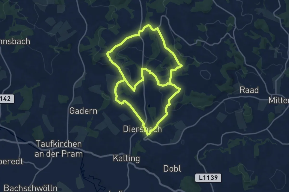
Demanding · Trail
Panoramablick
22.8 km · ↑ 497 m · 6 h 28 min
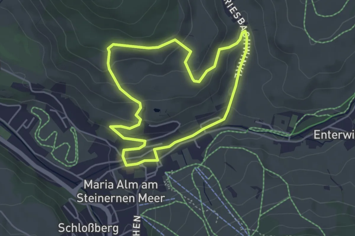
Easy · Trail
Panorama Dorfrunde
3.7 km · ↑ 109 m · 1 h 10 min
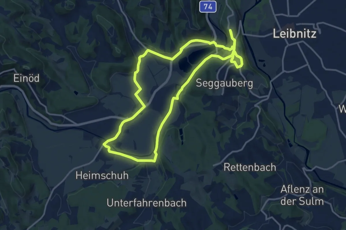
Medium · Trail
Panoramagalerie Sulmtal - Sausal - Kunst und Wein
11.1 km · ↑ 161 m · 3 h 7 min
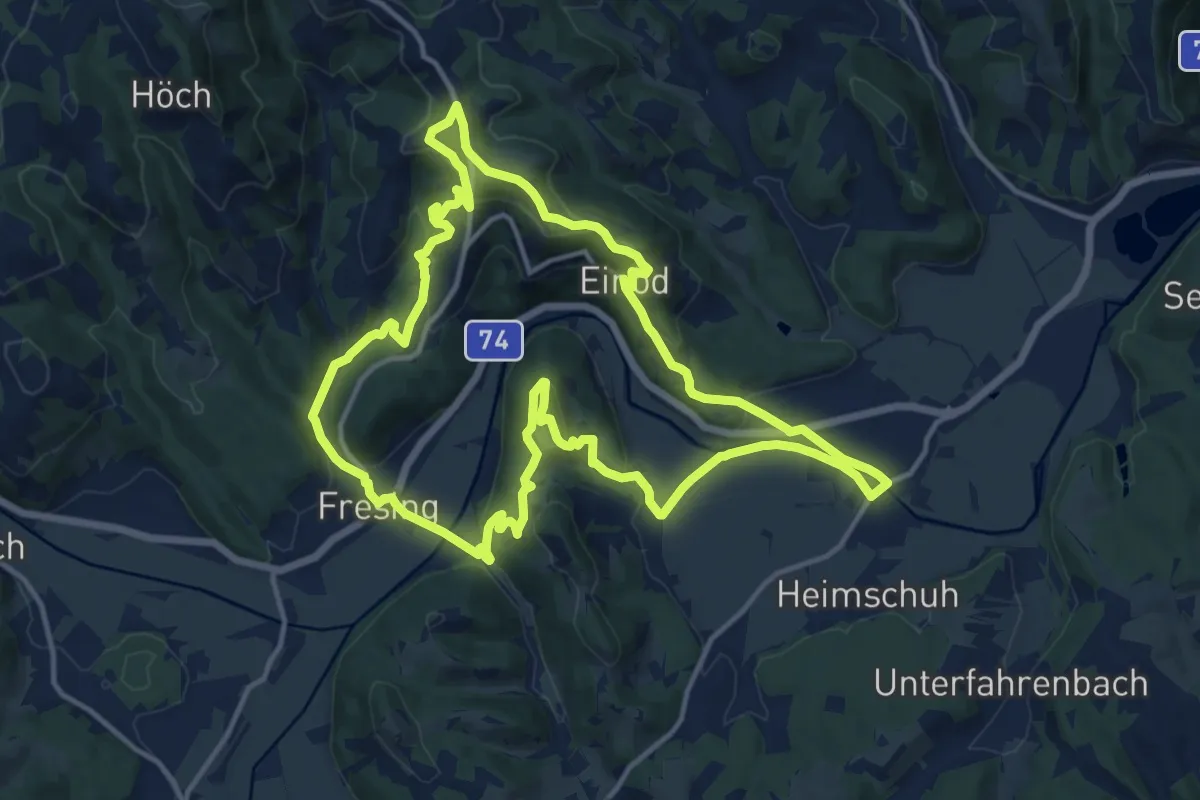
Medium · Summit
Panoramagalerie Sulmtal - Sausal - Kunst und Wein
14.6 km · ↑ 484 m · 4 h 42 min
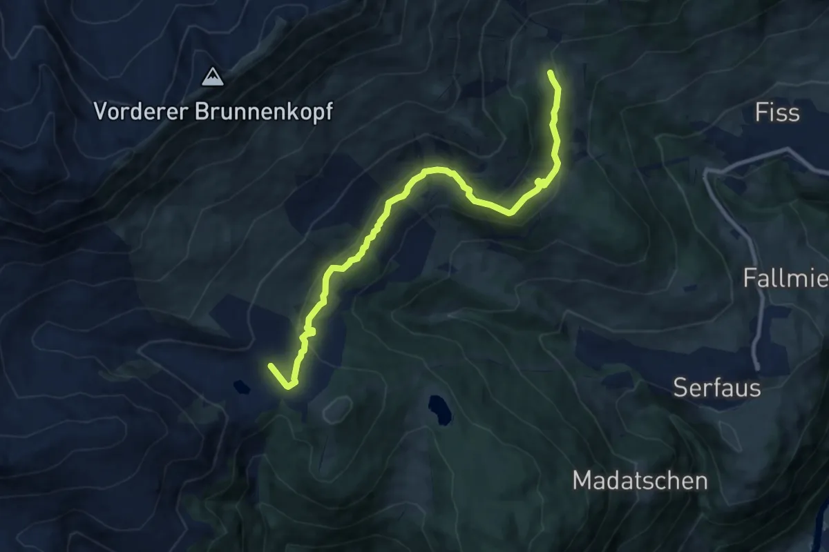
Medium · Cabin
Panorama Genussweg
9.6 km · ↑ 246 m · 2 h 48 min
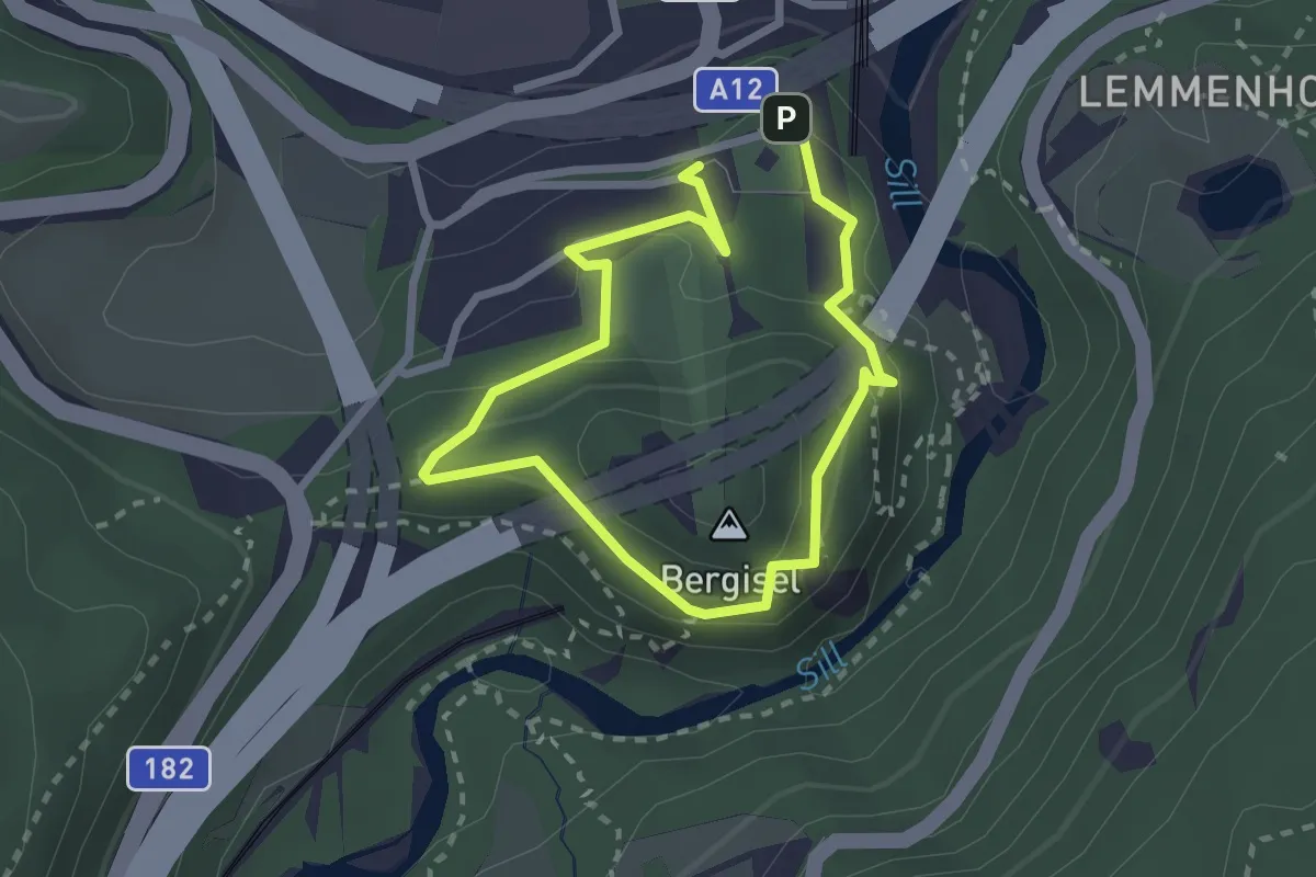
Easy · Summit
Panoramarunde
1.9 km · ↑ 82 m · 39 min
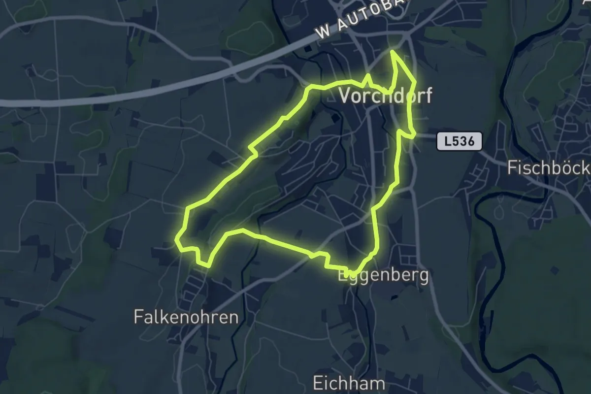
Easy · Trail
Panoramarunde
6.9 km · ↑ 80 m · 1 h 54 min
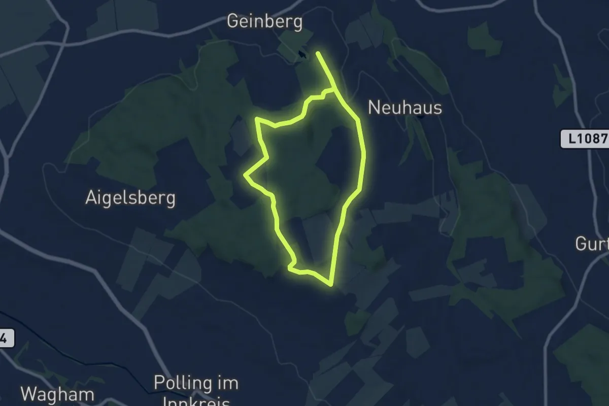
Easy · Trail
Panorama Runde
6.3 km · ↑ 70 m · 1 h 44 min
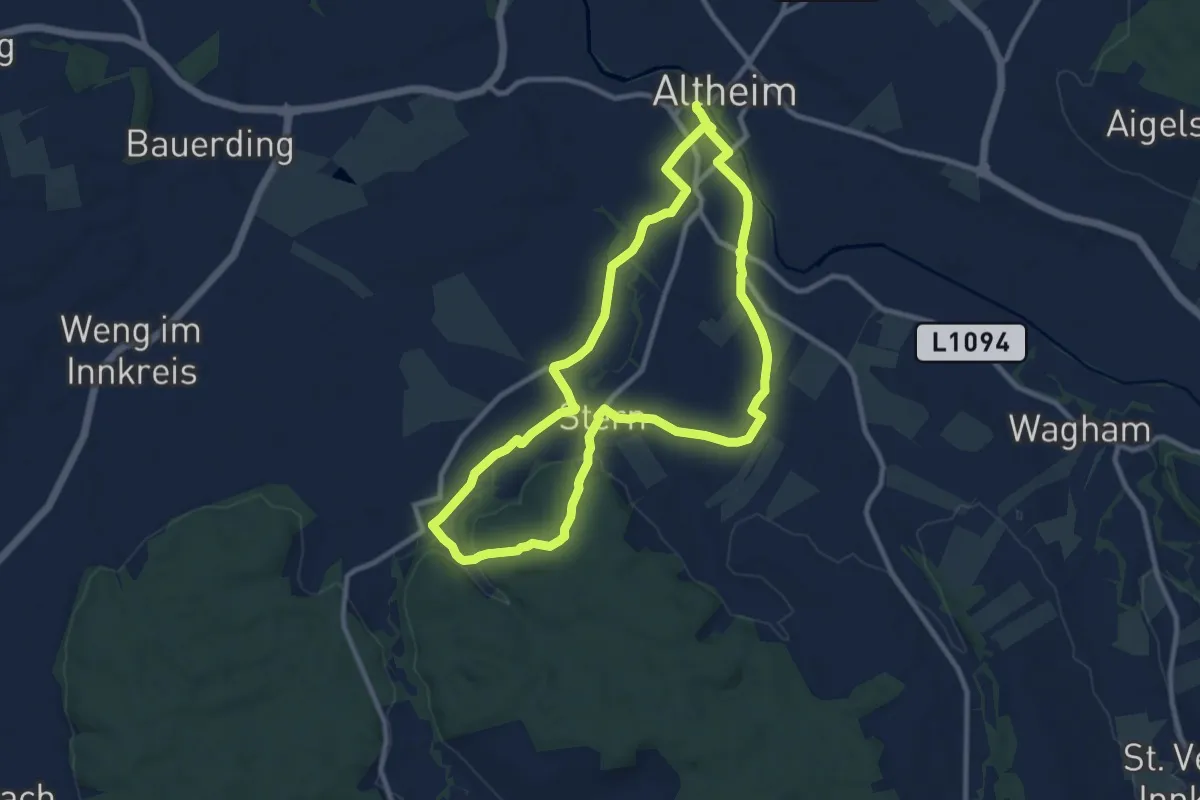
Medium · Trail
Panorama-Runde
9.6 km · ↑ 82 m · 2 h 34 min
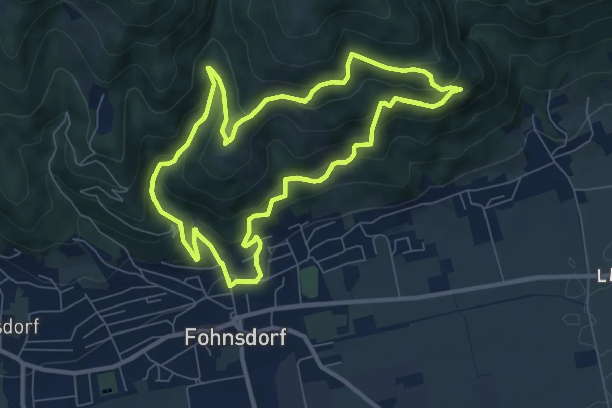
Easy · Trail
Panoramarunde Höhn
6.3 km · ↑ 304 m · 2 h 14 min
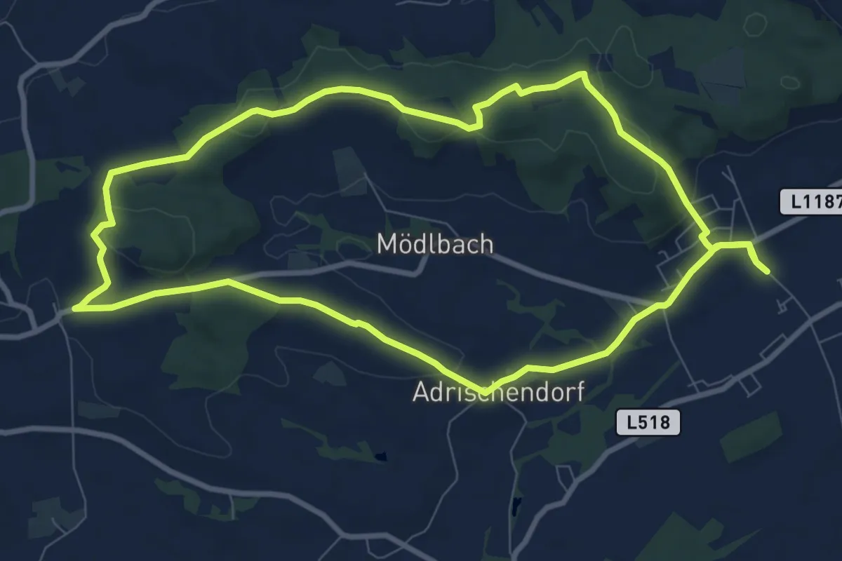
Medium · Trail
Panorama-Rundwanderweg
8.6 km · ↑ 139 m · 2 h 26 min
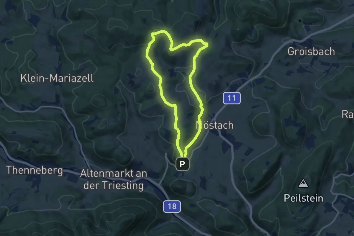
Medium · Summit
Panorama Rundwanderweg (Hafnerberg)
8.6 km · ↑ 218 m · 2 h 38 min
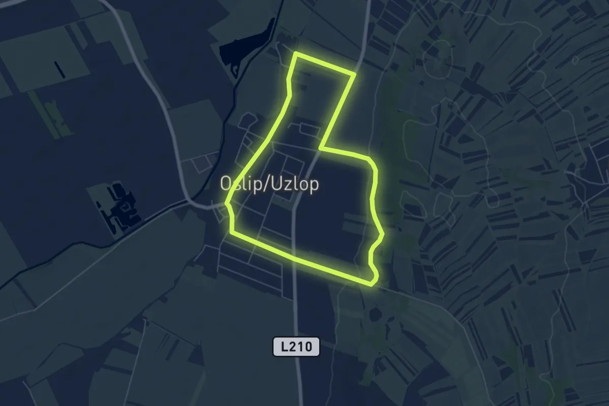
Easy · Trail
Panorama-Rundwanderweg (Oslip)
5.5 km · ↑ 30 m · 1 h 26 min
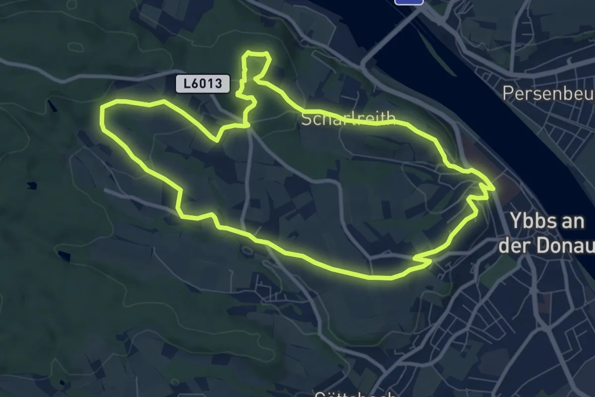
Medium · Trail
Panoramarundwanderweg Ybbs
8.6 km · ↑ 199 m · 2 h 34 min
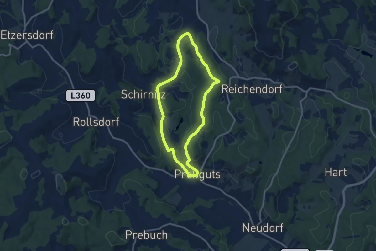
Easy · Trail
Panorama Rundweg
7.4 km · ↑ 93 m · 2 h 3 min
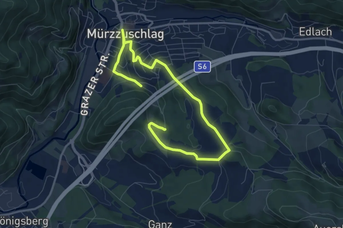
Easy · Trail
Panoramaspazierweg Geireggrunde
5.4 km · ↑ 122 m · 1 h 38 min
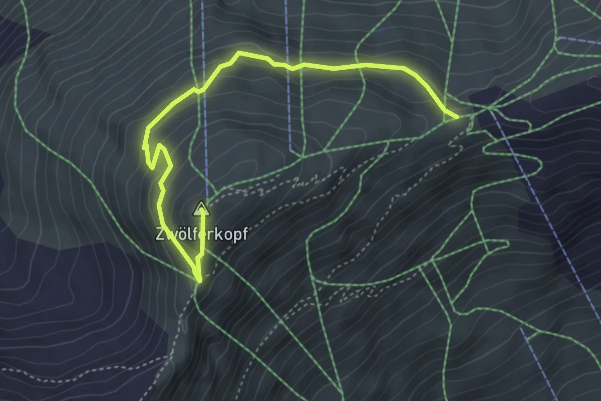
Medium · Summit
Panoramasteig
4.4 km · ↑ 235 m · 1 h 33 min
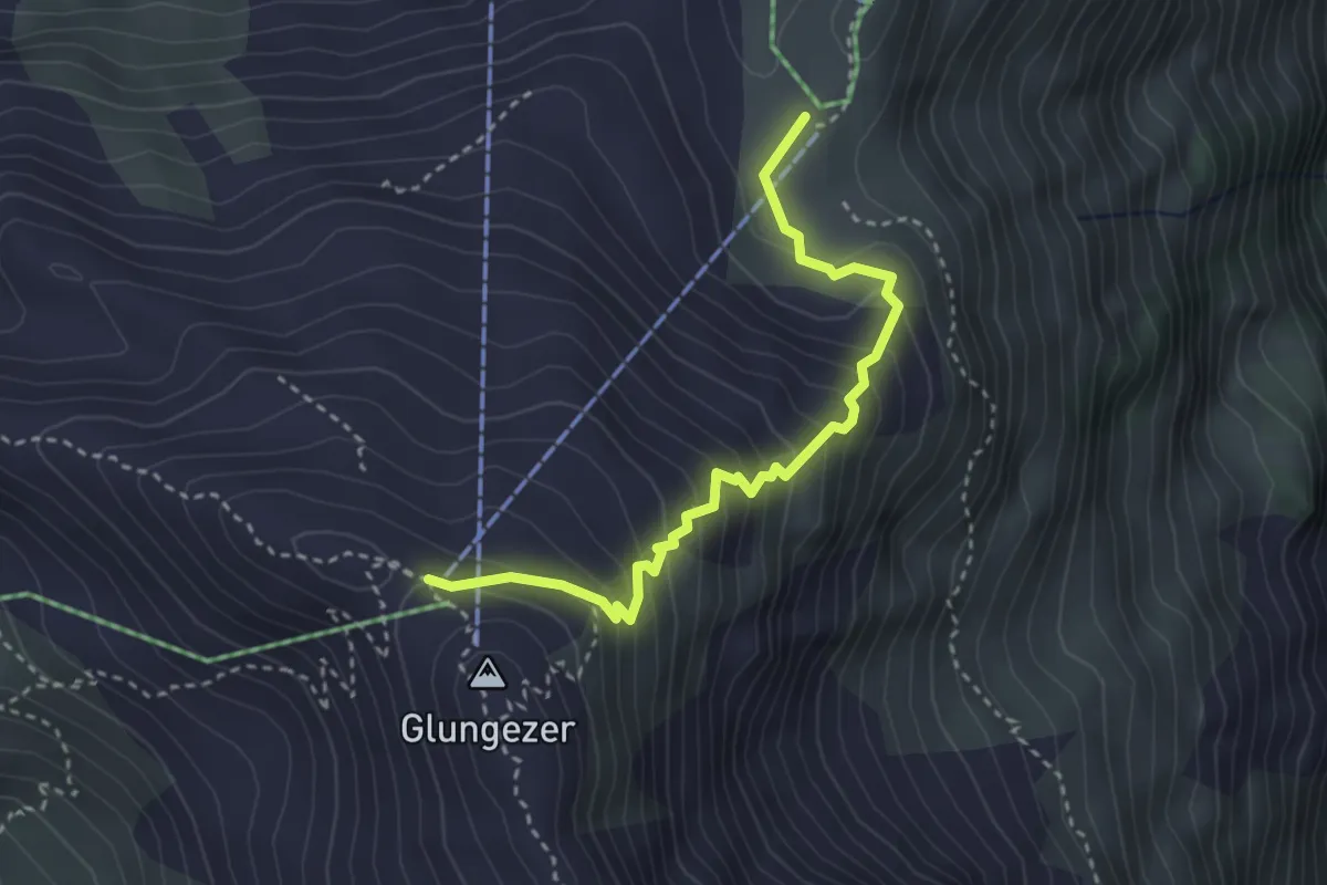
Medium · Cabin
Panoramasteig
3.2 km · ↑ 327 m · 1 h 28 min
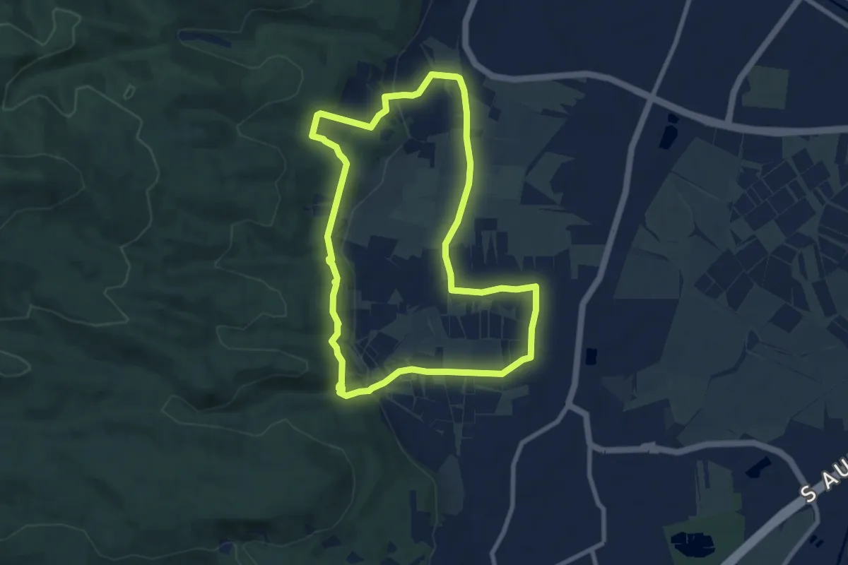
Medium · Trail
Panoramastrecke (Sooß)
7.3 km · ↑ 170 m · 2 h 12 min
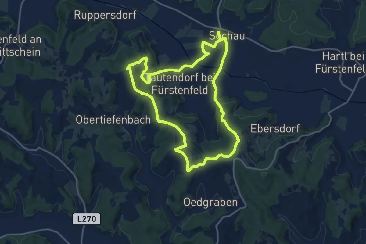
Medium · Trail
Panoramatour
11.0 km · ↑ 211 m · 3 h 12 min
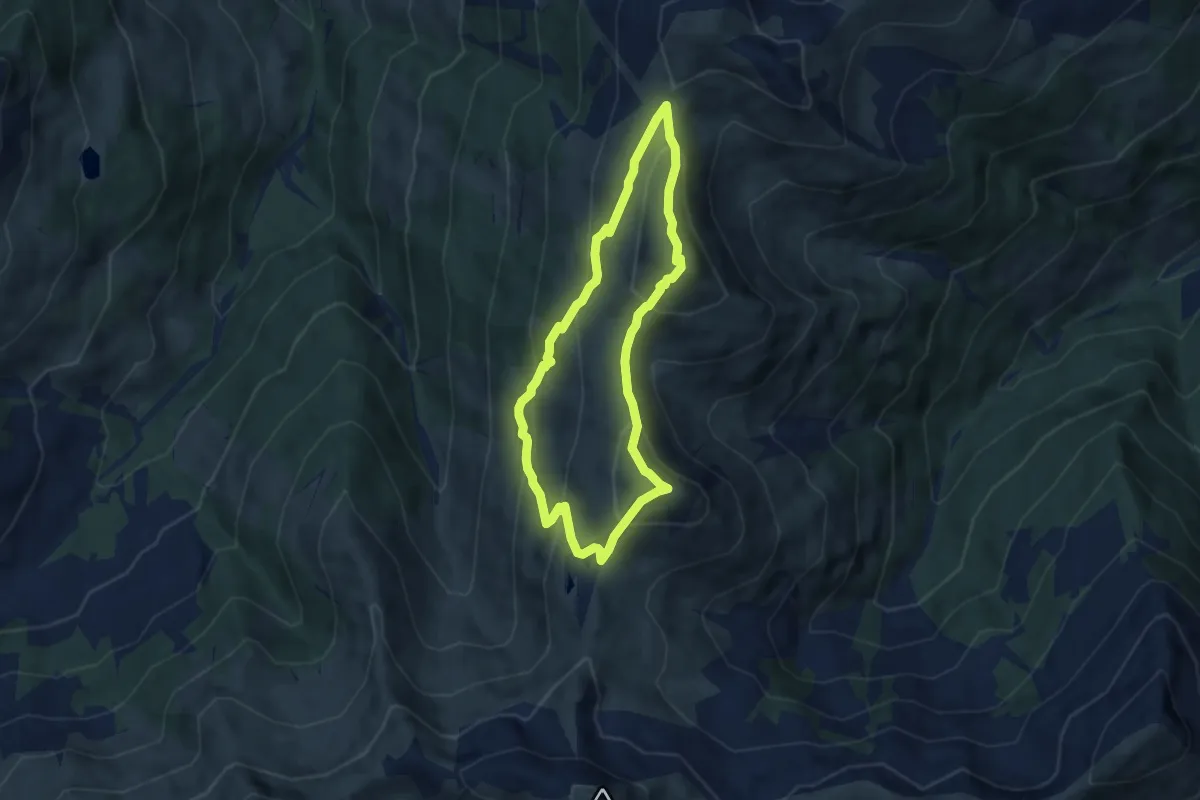
Medium · Summit
Panoramatour 3 Gipfel und 2 Seen
6.0 km · ↑ 474 m · 2 h 31 min
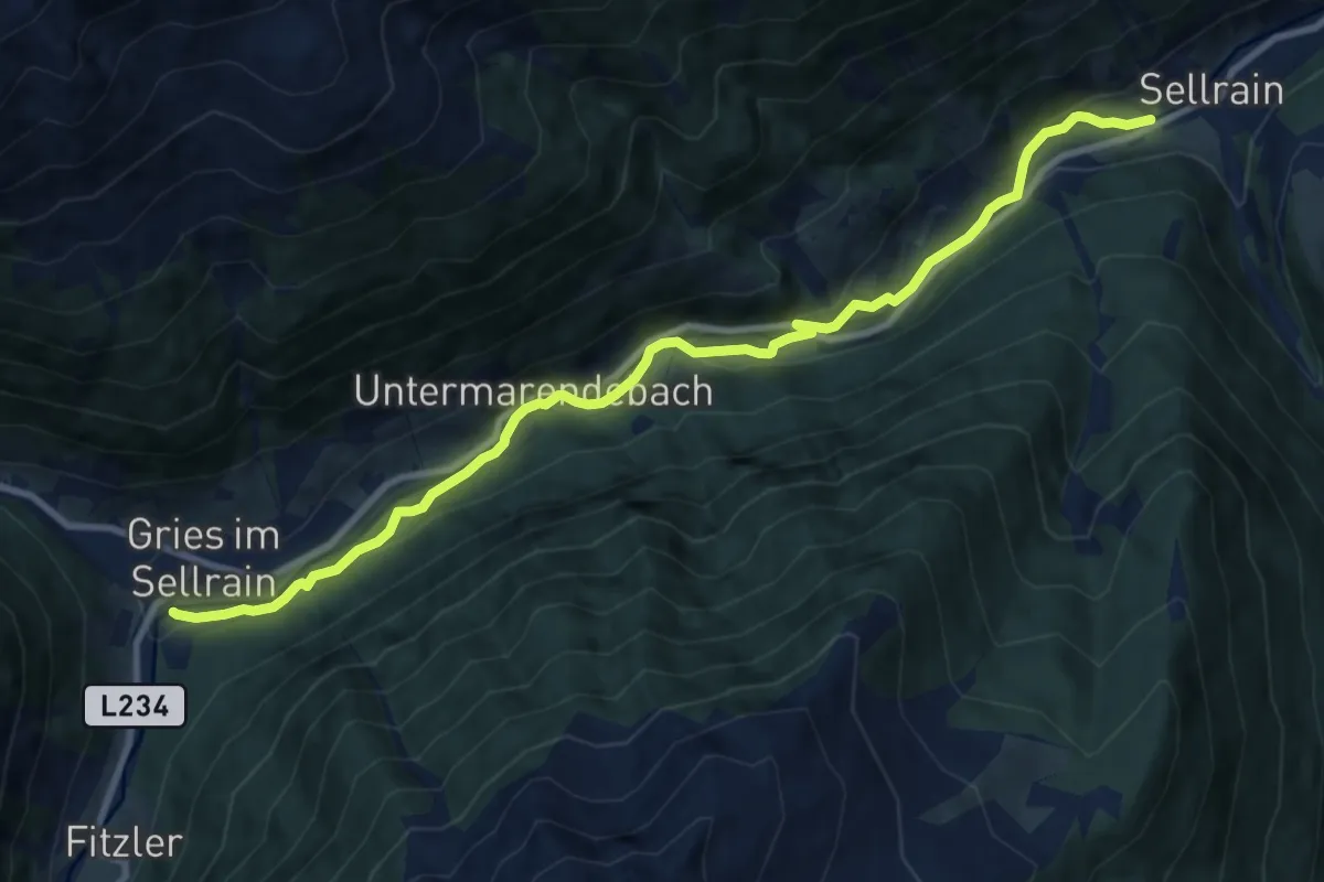
Medium · Trail
Panoramawag
10.8 km · ↑ 256 m · 3 h 7 min
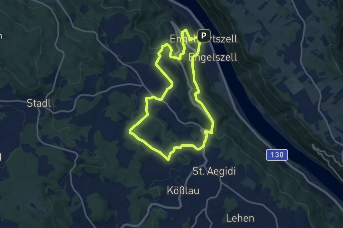
Medium · Trail
Panorama-Wanderung
9.1 km · ↑ 361 m · 3 h 2 min
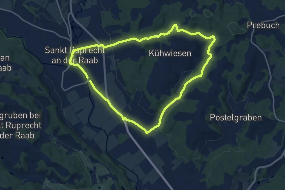
Medium · Trail
Panoramawanderweg
9.8 km · ↑ 152 m · 2 h 47 min
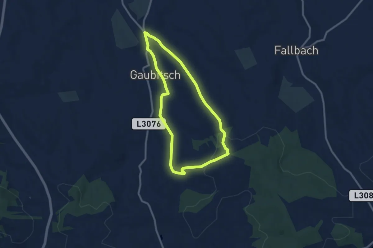
Easy · Trail
Panorama Wanderweg Gaubitsch
6.2 km · ↑ 126 m · 1 h 49 min